Quick filters:
Lake martin alabama Stock Photos and Images
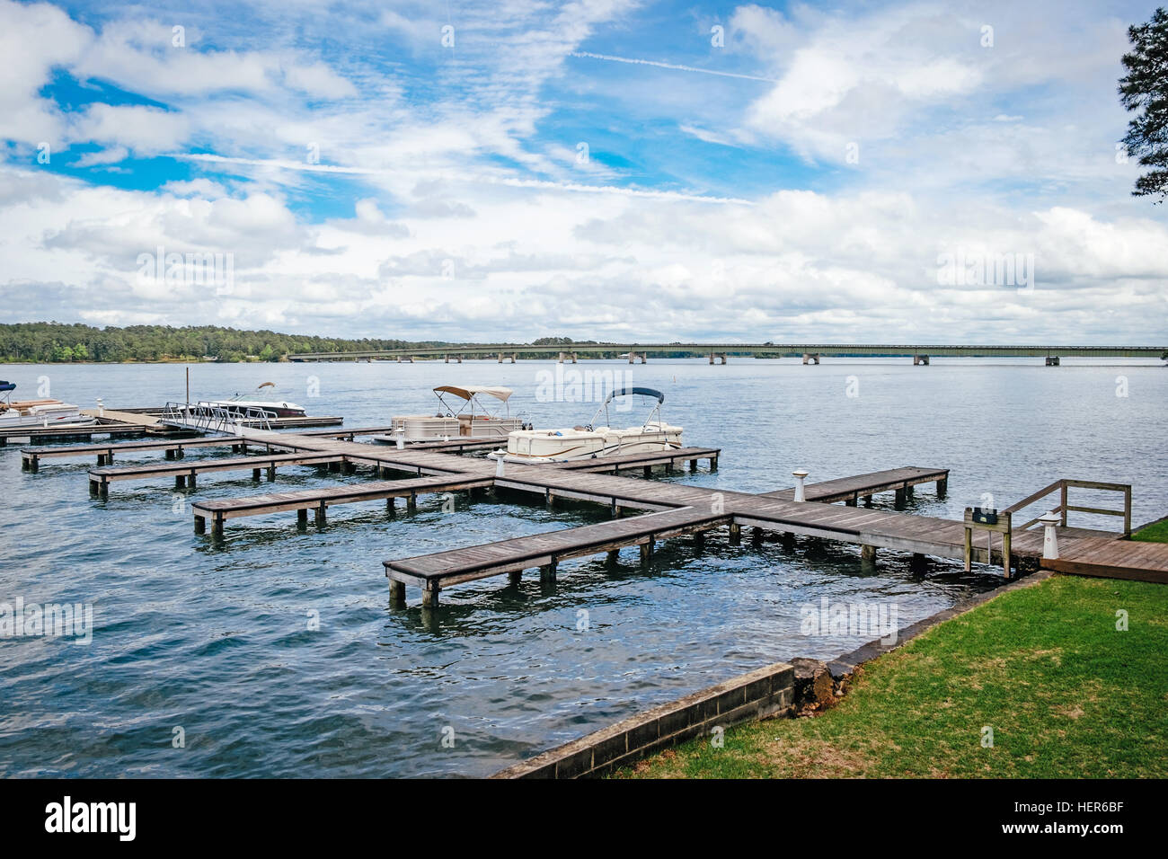 Boat docks at Kowaliga Restaurant on Lake Martin, Alabama USA. Stock Photohttps://www.alamy.com/image-license-details/?v=1https://www.alamy.com/stock-photo-boat-docks-at-kowaliga-restaurant-on-lake-martin-alabama-usa-129587683.html
RFHER6BF–Boat docks at Kowaliga Restaurant on Lake Martin, Alabama USA.
 Lake Martin Alabama Stock Photohttps://www.alamy.com/image-license-details/?v=1https://www.alamy.com/stock-photo-lake-martin-alabama-97402095.html
RFFJD1A7–Lake Martin Alabama
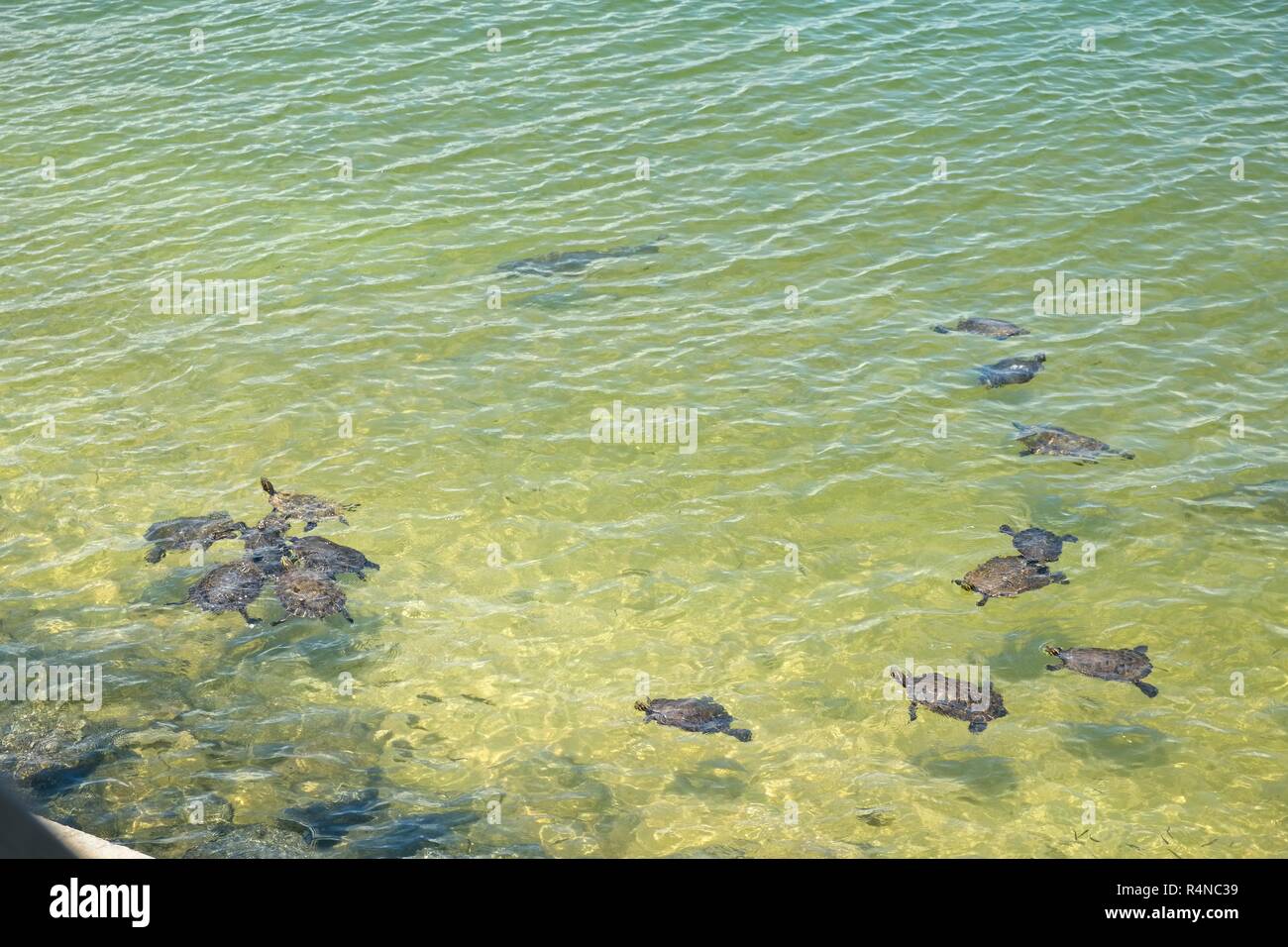 Green water turtles and lake carp swimming in shallow water near the shore in Lake Martin Alabama, USA. Stock Photohttps://www.alamy.com/image-license-details/?v=1https://www.alamy.com/green-water-turtles-and-lake-carp-swimming-in-shallow-water-near-the-shore-in-lake-martin-alabama-usa-image226663901.html
RMR4NC39–Green water turtles and lake carp swimming in shallow water near the shore in Lake Martin Alabama, USA.
 Boating at Lake Martin Alabama Stock Photohttps://www.alamy.com/image-license-details/?v=1https://www.alamy.com/stock-photo-boating-at-lake-martin-alabama-97402096.html
RFFJD1A8–Boating at Lake Martin Alabama
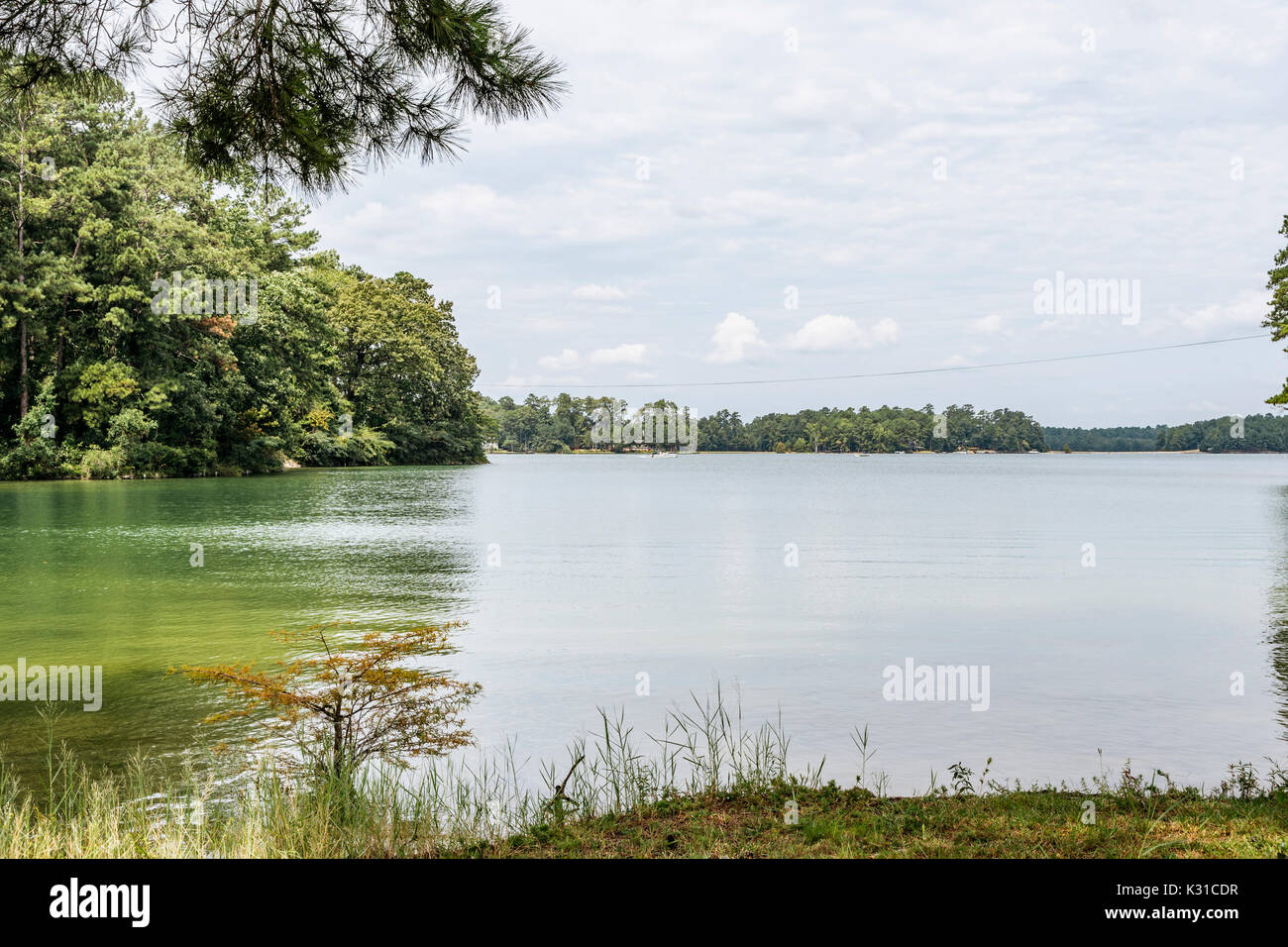 Calm water on Lake Martin, Alabama, USA showing the tree lined shoreline. Stock Photohttps://www.alamy.com/image-license-details/?v=1https://www.alamy.com/calm-water-on-lake-martin-alabama-usa-showing-the-tree-lined-shoreline-image156769027.html
RFK31CDR–Calm water on Lake Martin, Alabama, USA showing the tree lined shoreline.
 reflections on lake, early evening, Lake Martin, Alabama, USA Stock Photohttps://www.alamy.com/image-license-details/?v=1https://www.alamy.com/stock-photo-reflections-on-lake-early-evening-lake-martin-alabama-usa-15364487.html
RMAMYP8T–reflections on lake, early evening, Lake Martin, Alabama, USA
 A young woman holds a scarf in the wind on the shore of Lake Martin, Alabama. Stock Photohttps://www.alamy.com/image-license-details/?v=1https://www.alamy.com/stock-photo-a-young-woman-holds-a-scarf-in-the-wind-on-the-shore-of-lake-martin-53187785.html
RFD2EWFN–A young woman holds a scarf in the wind on the shore of Lake Martin, Alabama.
 Tornado - Dadeville, Ala. , July 13, 2011 Willis Boyd, FEMA Video Specialist, videotapes wet debris removal along with barge and 'john boat' activity on Lake Martin, Alabama, following the devastation of a series of tornados that struck parts of Alabama on April 27, 2011. FEMA assists disaster surviviors and affected communities with the help and expertise of partners like the U. S. Army Corps of Engneers. Alabama Severe Storms, Tornadoes, Straight-line Winds, and Flooding. Photographs Relating to Disasters and Emergency Management Programs, Activities, and Officials Stock Photohttps://www.alamy.com/image-license-details/?v=1https://www.alamy.com/tornado-dadeville-ala-july-13-2011-willis-boyd-fema-video-specialist-videotapes-wet-debris-removal-along-with-barge-and-john-boat-activity-on-lake-martin-alabama-following-the-devastation-of-a-series-of-tornados-that-struck-parts-of-alabama-on-april-27-2011-fema-assists-disaster-surviviors-and-affected-communities-with-the-help-and-expertise-of-partners-like-the-u-s-army-corps-of-engneers-alabama-severe-storms-tornadoes-straight-line-winds-and-flooding-photographs-relating-to-disasters-and-emergency-management-programs-activities-and-officials-image498201471.html
RM2KXF11K–Tornado - Dadeville, Ala. , July 13, 2011 Willis Boyd, FEMA Video Specialist, videotapes wet debris removal along with barge and 'john boat' activity on Lake Martin, Alabama, following the devastation of a series of tornados that struck parts of Alabama on April 27, 2011. FEMA assists disaster surviviors and affected communities with the help and expertise of partners like the U. S. Army Corps of Engneers. Alabama Severe Storms, Tornadoes, Straight-line Winds, and Flooding. Photographs Relating to Disasters and Emergency Management Programs, Activities, and Officials
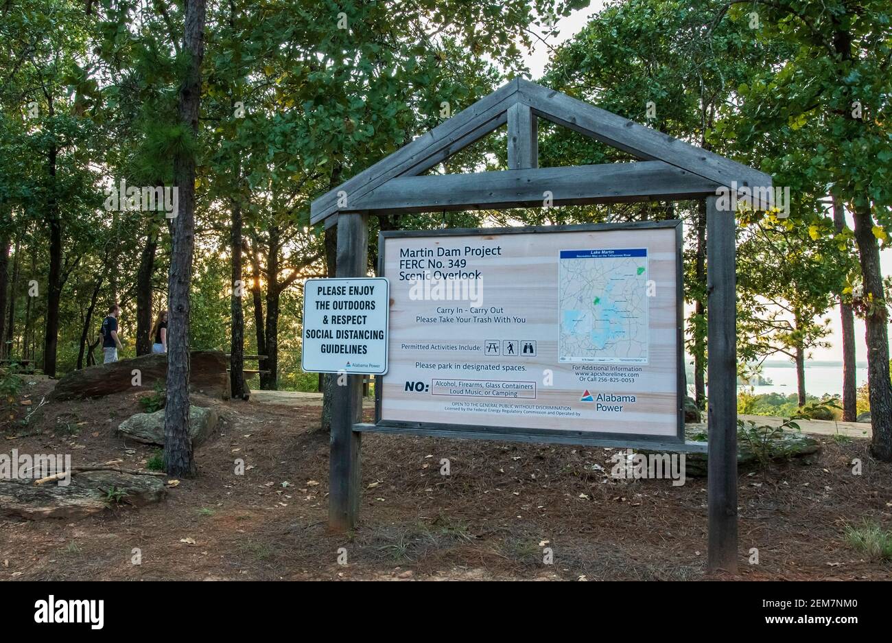 Dadeville, Alabama/USA-Sept. 9, 2020: Map of Lake Martin, formed by Alabama Power's hydro-electric dam found at the scenic overlook at the Cherokee Ap Stock Photohttps://www.alamy.com/image-license-details/?v=1https://www.alamy.com/dadeville-alabamausa-sept-9-2020-map-of-lake-martin-formed-by-alabama-powers-hydro-electric-dam-found-at-the-scenic-overlook-at-the-cherokee-ap-image408302272.html
RF2EM7NM0–Dadeville, Alabama/USA-Sept. 9, 2020: Map of Lake Martin, formed by Alabama Power's hydro-electric dam found at the scenic overlook at the Cherokee Ap
 220705-N-TO573-1001 ADRIATIC SEA (July 5, 2022) Quartermaster Seaman Cody Lamb, from Lake Martin, Alabama, logs the position of USS Harry S. Truman (CVN 75) on the bridge of the ship, July 5, 2022. The Harry S. Truman Carrier Strike Group is on a scheduled deployment in the U.S. Naval Forces Europe area of operations, employed by U.S. Sixth Fleet to defend U.S., allied and partner interests. Stock Photohttps://www.alamy.com/image-license-details/?v=1https://www.alamy.com/220705-n-to573-1001-adriatic-sea-july-5-2022-quartermaster-seaman-cody-lamb-from-lake-martin-alabama-logs-the-position-of-uss-harry-s-truman-cvn-75-on-the-bridge-of-the-ship-july-5-2022-the-harry-s-truman-carrier-strike-group-is-on-a-scheduled-deployment-in-the-us-naval-forces-europe-area-of-operations-employed-by-us-sixth-fleet-to-defend-us-allied-and-partner-interests-image506878773.html
RM2MCJ919–220705-N-TO573-1001 ADRIATIC SEA (July 5, 2022) Quartermaster Seaman Cody Lamb, from Lake Martin, Alabama, logs the position of USS Harry S. Truman (CVN 75) on the bridge of the ship, July 5, 2022. The Harry S. Truman Carrier Strike Group is on a scheduled deployment in the U.S. Naval Forces Europe area of operations, employed by U.S. Sixth Fleet to defend U.S., allied and partner interests.
 Canada Geese at sunset on Lake Martin Alabama USA Branta canadensis Stock Photohttps://www.alamy.com/image-license-details/?v=1https://www.alamy.com/stock-photo-canada-geese-at-sunset-on-lake-martin-alabama-usa-branta-canadensis-15369781.html
RMAN0A1X–Canada Geese at sunset on Lake Martin Alabama USA Branta canadensis
 An aerial view of a large lake on a sunny afternoon. Stock Photohttps://www.alamy.com/image-license-details/?v=1https://www.alamy.com/an-aerial-view-of-a-large-lake-on-a-sunny-afternoon-image569592739.html
RF2T2K59R–An aerial view of a large lake on a sunny afternoon.
 Lake Martin near Alexander City and Dadeville, Alabama Stock Photohttps://www.alamy.com/image-license-details/?v=1https://www.alamy.com/lake-martin-near-alexander-city-and-dadeville-alabama-image271830807.html
RMWP6XY3–Lake Martin near Alexander City and Dadeville, Alabama
 A vertical shot of a Lake Martin with trees and boardwalks under a cloudy sky, Alabama, USA Stock Photohttps://www.alamy.com/image-license-details/?v=1https://www.alamy.com/a-vertical-shot-of-a-lake-martin-with-trees-and-boardwalks-under-a-cloudy-sky-alabama-usa-image482849361.html
RF2K1FK81–A vertical shot of a Lake Martin with trees and boardwalks under a cloudy sky, Alabama, USA
 AS09-26C-3791C - Apollo 9 - Apollo 9 Mission image - S0-65 Multispectral Photography - Alabama; Scope and content: The original database describes this as: Description: Earth Observation taken by the Apollo 9 crew. View is of Anniston and the northeast end of Martin Lake in Alabama. Latitude was 33.27 N by Longitude 85.16 W, Overlap was 60%%, Altitude miles were 106 and cloud cover was 0%%. This imagery taken as part of the NASA S0-65 Experiment ``Multispectral Terrain Photography``. The experiment provides simultaneous satellite photography of the Earth's surface in three distinct spectral Stock Photohttps://www.alamy.com/image-license-details/?v=1https://www.alamy.com/as09-26c-3791c-apollo-9-apollo-9-mission-image-s0-65-multispectral-photography-alabama-scope-and-content-the-original-database-describes-this-as-description-earth-observation-taken-by-the-apollo-9-crew-view-is-of-anniston-and-the-northeast-end-of-martin-lake-in-alabama-latitude-was-3327-n-by-longitude-8516-w-overlap-was-60-altitude-miles-were-106-and-cloud-cover-was-0-this-imagery-taken-as-part-of-the-nasa-s0-65-experiment-``multispectral-terrain-photography``-the-experiment-provides-simultaneous-satellite-photography-of-the-earths-surface-in-three-distinct-spectral-image360671891.html
RM2BXP0JY–AS09-26C-3791C - Apollo 9 - Apollo 9 Mission image - S0-65 Multispectral Photography - Alabama; Scope and content: The original database describes this as: Description: Earth Observation taken by the Apollo 9 crew. View is of Anniston and the northeast end of Martin Lake in Alabama. Latitude was 33.27 N by Longitude 85.16 W, Overlap was 60%%, Altitude miles were 106 and cloud cover was 0%%. This imagery taken as part of the NASA S0-65 Experiment ``Multispectral Terrain Photography``. The experiment provides simultaneous satellite photography of the Earth's surface in three distinct spectral
 Logan Martin Lake Estates, Saint Clair County, US, United States, Alabama, N 33 31' 40'', S 86 13' 29'', map, Cartascapes Map published in 2024. Explore Cartascapes, a map revealing Earth's diverse landscapes, cultures, and ecosystems. Journey through time and space, discovering the interconnectedness of our planet's past, present, and future. Stock Photohttps://www.alamy.com/image-license-details/?v=1https://www.alamy.com/logan-martin-lake-estates-saint-clair-county-us-united-states-alabama-n-33-31-40-s-86-13-29-map-cartascapes-map-published-in-2024-explore-cartascapes-a-map-revealing-earths-diverse-landscapes-cultures-and-ecosystems-journey-through-time-and-space-discovering-the-interconnectedness-of-our-planets-past-present-and-future-image620714274.html
RM2Y1RYAX–Logan Martin Lake Estates, Saint Clair County, US, United States, Alabama, N 33 31' 40'', S 86 13' 29'', map, Cartascapes Map published in 2024. Explore Cartascapes, a map revealing Earth's diverse landscapes, cultures, and ecosystems. Journey through time and space, discovering the interconnectedness of our planet's past, present, and future.
 U.S. states - map of Alabama. Hand made. Rivers and lakes are shown. Please look at my other images of cartographic series - they are all very detaile Stock Vectorhttps://www.alamy.com/image-license-details/?v=1https://www.alamy.com/us-states-map-of-alabama-hand-made-rivers-and-lakes-are-shown-please-look-at-my-other-images-of-cartographic-series-they-are-all-very-detaile-image207625247.html
RFP1P43B–U.S. states - map of Alabama. Hand made. Rivers and lakes are shown. Please look at my other images of cartographic series - they are all very detaile
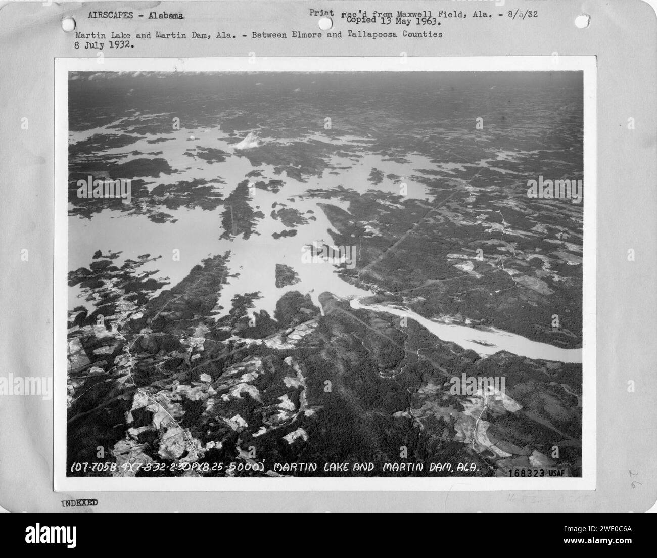 Alabama - Lay Dam through Martin Lake and Martin Dam Stock Photohttps://www.alamy.com/image-license-details/?v=1https://www.alamy.com/alabama-lay-dam-through-martin-lake-and-martin-dam-image593767282.html
RM2WE0C6A–Alabama - Lay Dam through Martin Lake and Martin Dam
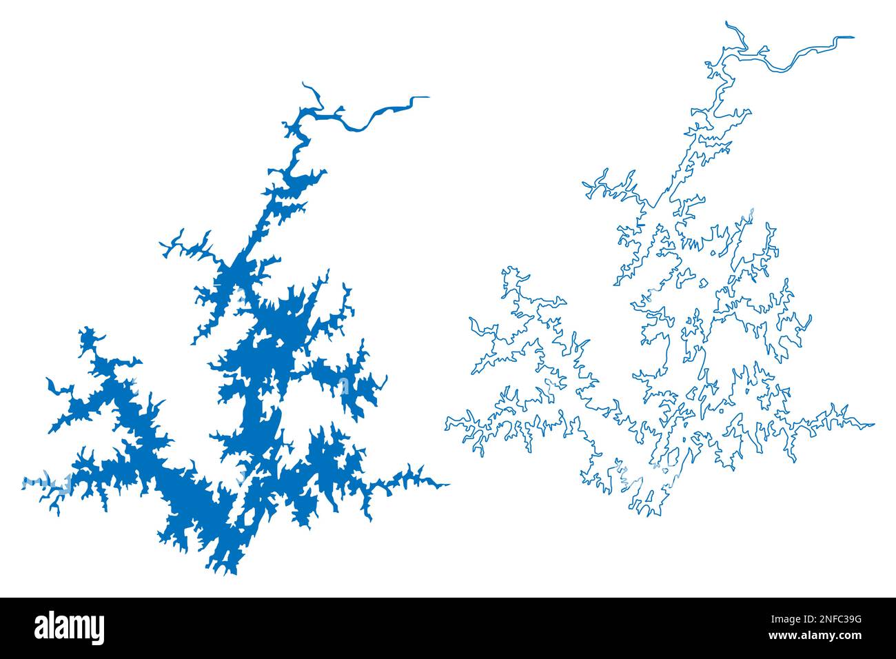 Lake Martin Reservoir (United States of America, North America, us, usa, Alabama) map vector illustration, scribble sketch Martin Dam map Stock Vectorhttps://www.alamy.com/image-license-details/?v=1https://www.alamy.com/lake-martin-reservoir-united-states-of-america-north-america-us-usa-alabama-map-vector-illustration-scribble-sketch-martin-dam-map-image525796924.html
RF2NFC39G–Lake Martin Reservoir (United States of America, North America, us, usa, Alabama) map vector illustration, scribble sketch Martin Dam map
 United States, Alabama, Birmingham travel landmark vector illustration Stock Vectorhttps://www.alamy.com/image-license-details/?v=1https://www.alamy.com/united-states-alabama-birmingham-travel-landmark-vector-illustration-image544514674.html
RF2PHTP0J–United States, Alabama, Birmingham travel landmark vector illustration
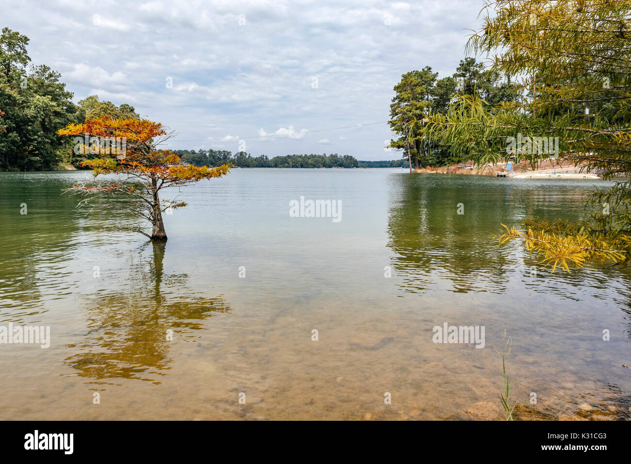 Calm water on Lake Martin, Alabama, USA showing the tree lined shoreline. Stock Photohttps://www.alamy.com/image-license-details/?v=1https://www.alamy.com/calm-water-on-lake-martin-alabama-usa-showing-the-tree-lined-shoreline-image156769091.html
RFK31CG3–Calm water on Lake Martin, Alabama, USA showing the tree lined shoreline.
 Tornado - Dadeville, Ala. , July 13, 2011 U. S. Army Corps of Engineer Krista Rossow (resident engineer) provides an on-cmaera video explantation of wet debris removal on Lake Martin, Alabama (near Dadeville) to Willis Boyd, FEMA Video Specialist. FEMA monitors the quality, accuracy and consistency of wet debris removal in/on Lake Martin with the assistance and expterise of the Army Corps of Engineers. Alabama Severe Storms, Tornadoes, Straight-line Winds, and Flooding. Photographs Relating to Disasters and Emergency Management Programs, Activities, and Officials Stock Photohttps://www.alamy.com/image-license-details/?v=1https://www.alamy.com/tornado-dadeville-ala-july-13-2011-u-s-army-corps-of-engineer-krista-rossow-resident-engineer-provides-an-on-cmaera-video-explantation-of-wet-debris-removal-on-lake-martin-alabama-near-dadeville-to-willis-boyd-fema-video-specialist-fema-monitors-the-quality-accuracy-and-consistency-of-wet-debris-removal-inon-lake-martin-with-the-assistance-and-expterise-of-the-army-corps-of-engineers-alabama-severe-storms-tornadoes-straight-line-winds-and-flooding-photographs-relating-to-disasters-and-emergency-management-programs-activities-and-officials-image498201516.html
RM2KXF138–Tornado - Dadeville, Ala. , July 13, 2011 U. S. Army Corps of Engineer Krista Rossow (resident engineer) provides an on-cmaera video explantation of wet debris removal on Lake Martin, Alabama (near Dadeville) to Willis Boyd, FEMA Video Specialist. FEMA monitors the quality, accuracy and consistency of wet debris removal in/on Lake Martin with the assistance and expterise of the Army Corps of Engineers. Alabama Severe Storms, Tornadoes, Straight-line Winds, and Flooding. Photographs Relating to Disasters and Emergency Management Programs, Activities, and Officials
 Dadeville, Alabama/USA-Sept. 9, 2020: Stone sign marking the trailhead for Cherokee Ridge Alpine Trail. This popular hiking trail is rated as moderate Stock Photohttps://www.alamy.com/image-license-details/?v=1https://www.alamy.com/dadeville-alabamausa-sept-9-2020-stone-sign-marking-the-trailhead-for-cherokee-ridge-alpine-trail-this-popular-hiking-trail-is-rated-as-moderate-image408302493.html
RF2EM7NYW–Dadeville, Alabama/USA-Sept. 9, 2020: Stone sign marking the trailhead for Cherokee Ridge Alpine Trail. This popular hiking trail is rated as moderate
 An aerial view of a large lake on a sunny afternoon. Stock Photohttps://www.alamy.com/image-license-details/?v=1https://www.alamy.com/an-aerial-view-of-a-large-lake-on-a-sunny-afternoon-image569592761.html
RF2T2K5AH–An aerial view of a large lake on a sunny afternoon.
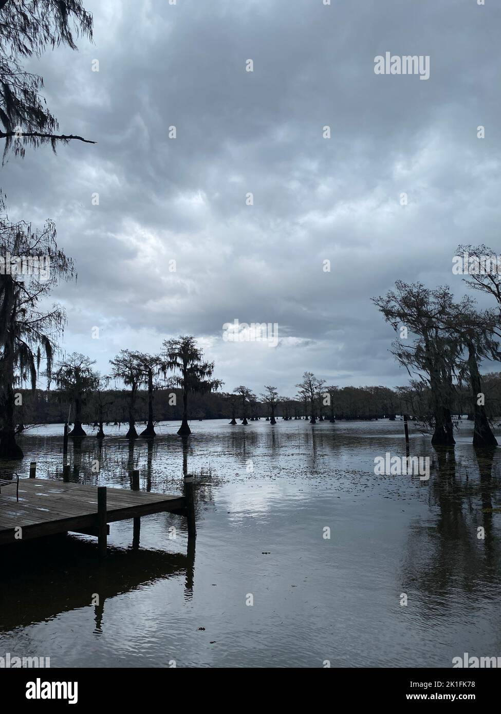 A vertical shot of a Lake Martin with trees and a boardwalk in the corner under a cloudy sky, Alabama, USA Stock Photohttps://www.alamy.com/image-license-details/?v=1https://www.alamy.com/a-vertical-shot-of-a-lake-martin-with-trees-and-a-boardwalk-in-the-corner-under-a-cloudy-sky-alabama-usa-image482849340.html
RF2K1FK78–A vertical shot of a Lake Martin with trees and a boardwalk in the corner under a cloudy sky, Alabama, USA
 AS09-26D-3790D - Apollo 9 - Apollo 9 Mission image - S0-65 Multispectral Photography - Alabama; Scope and content: The original database describes this as: Description: Earth Observation taken by the Apollo 9 crew. View is of Gadsden, Anniston and Martin Lake in Alabama. Latitude was 33.27 N by Longitude 86.00 W, Overlap was 60%%, Altitude miles were 106 and cloud cover was 0%%. This imagery taken as part of the NASA S0-65 Experiment ``Multispectral Terrain Photography``. The experiment provides simultaneous satellite photography of the Earth's surface in three distinct spectral bands. The Stock Photohttps://www.alamy.com/image-license-details/?v=1https://www.alamy.com/as09-26d-3790d-apollo-9-apollo-9-mission-image-s0-65-multispectral-photography-alabama-scope-and-content-the-original-database-describes-this-as-description-earth-observation-taken-by-the-apollo-9-crew-view-is-of-gadsden-anniston-and-martin-lake-in-alabama-latitude-was-3327-n-by-longitude-8600-w-overlap-was-60-altitude-miles-were-106-and-cloud-cover-was-0-this-imagery-taken-as-part-of-the-nasa-s0-65-experiment-``multispectral-terrain-photography``-the-experiment-provides-simultaneous-satellite-photography-of-the-earths-surface-in-three-distinct-spectral-bands-the-image360675535.html
RM2BXP593–AS09-26D-3790D - Apollo 9 - Apollo 9 Mission image - S0-65 Multispectral Photography - Alabama; Scope and content: The original database describes this as: Description: Earth Observation taken by the Apollo 9 crew. View is of Gadsden, Anniston and Martin Lake in Alabama. Latitude was 33.27 N by Longitude 86.00 W, Overlap was 60%%, Altitude miles were 106 and cloud cover was 0%%. This imagery taken as part of the NASA S0-65 Experiment ``Multispectral Terrain Photography``. The experiment provides simultaneous satellite photography of the Earth's surface in three distinct spectral bands. The
 U.S. states - map of Alabama. Hand made. Rivers and lakes are shown. Please look at my other images of cartographic series - they are all very detaile Stock Vectorhttps://www.alamy.com/image-license-details/?v=1https://www.alamy.com/us-states-map-of-alabama-hand-made-rivers-and-lakes-are-shown-please-look-at-my-other-images-of-cartographic-series-they-are-all-very-detaile-image207625223.html
RFP1P42F–U.S. states - map of Alabama. Hand made. Rivers and lakes are shown. Please look at my other images of cartographic series - they are all very detaile
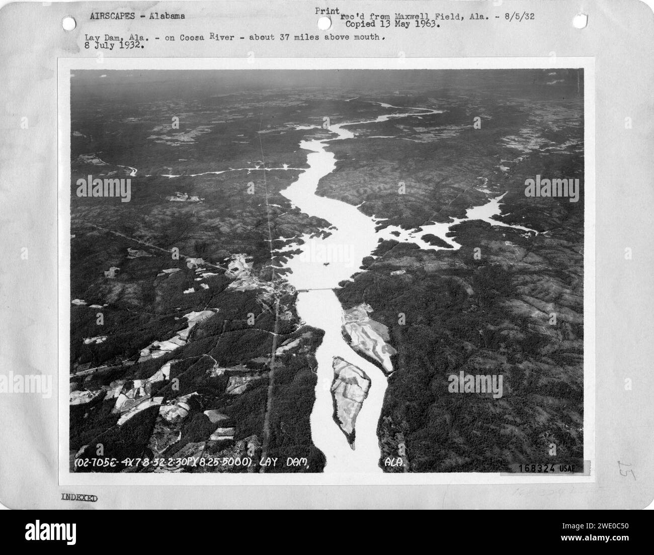 Alabama - Lay Dam through Martin Lake and Martin Dam Stock Photohttps://www.alamy.com/image-license-details/?v=1https://www.alamy.com/alabama-lay-dam-through-martin-lake-and-martin-dam-image593767244.html
RM2WE0C50–Alabama - Lay Dam through Martin Lake and Martin Dam
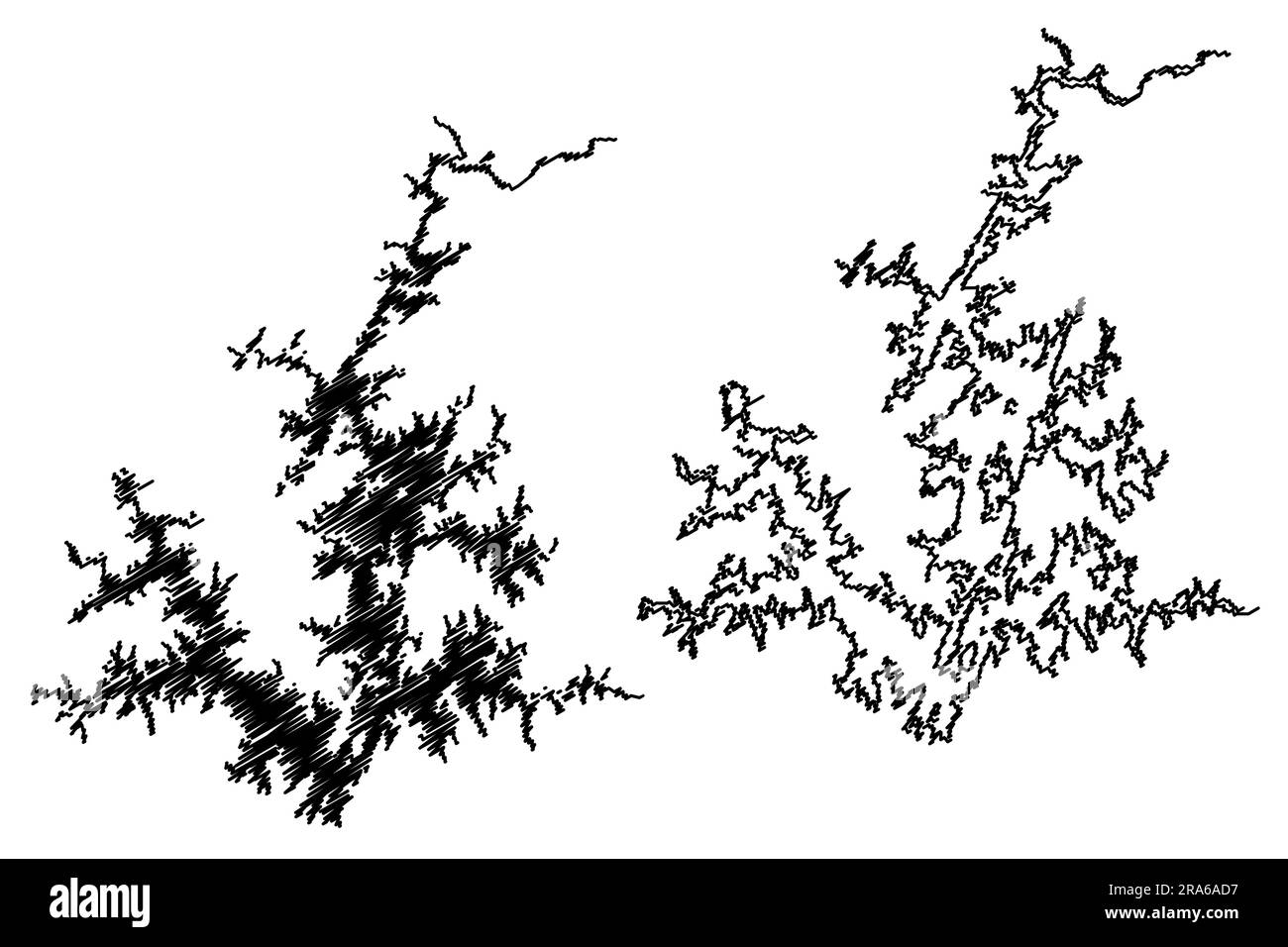 Lake Martin Reservoir (United States of America, North America, us, usa, Alabama) map vector illustration, scribble sketch Martin Dam map Stock Vectorhttps://www.alamy.com/image-license-details/?v=1https://www.alamy.com/lake-martin-reservoir-united-states-of-america-north-america-us-usa-alabama-map-vector-illustration-scribble-sketch-martin-dam-map-image557018259.html
RF2RA6AD7–Lake Martin Reservoir (United States of America, North America, us, usa, Alabama) map vector illustration, scribble sketch Martin Dam map
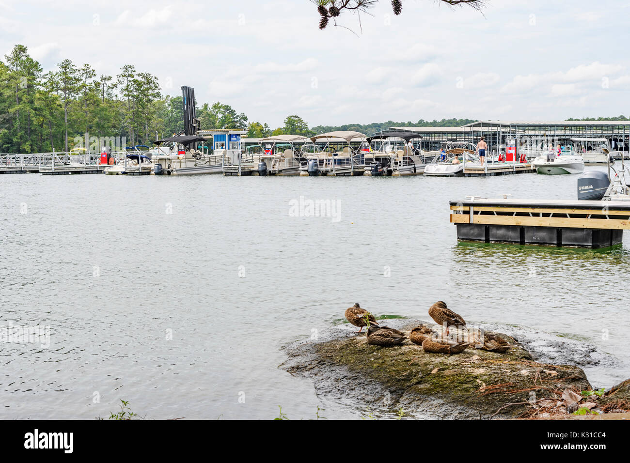 Kowaliga Marina on Lake Martin, Alabama, USA with numerous boats and families for summer boating fun. Stock Photohttps://www.alamy.com/image-license-details/?v=1https://www.alamy.com/kowaliga-marina-on-lake-martin-alabama-usa-with-numerous-boats-and-image156768980.html
RFK31CC4–Kowaliga Marina on Lake Martin, Alabama, USA with numerous boats and families for summer boating fun.
 Family boating in a pontoon boat on Lake Martin, Alabama, USA. Stock Photohttps://www.alamy.com/image-license-details/?v=1https://www.alamy.com/family-boating-in-a-pontoon-boat-on-lake-martin-alabama-usa-image439026834.html
RM2GE7B5P–Family boating in a pontoon boat on Lake Martin, Alabama, USA.
 Tornado - Dadeville, Ala. , July 13, 2011 U. S. Army Corps of Engineers Ben Finn monitors the quality of wet debris removal in Lake Martin, Alabama (near Dadeville). In the photo, Mr. Finn explains that an outboard power boat is needed to push the small debris barge on Lake Martin. The barge in the photo is carrying a spediized back hoe that facilitates wet debris removal. Alabama Severe Storms, Tornadoes, Straight-line Winds, and Flooding. Photographs Relating to Disasters and Emergency Management Programs, Activities, and Officials Stock Photohttps://www.alamy.com/image-license-details/?v=1https://www.alamy.com/tornado-dadeville-ala-july-13-2011-u-s-army-corps-of-engineers-ben-finn-monitors-the-quality-of-wet-debris-removal-in-lake-martin-alabama-near-dadeville-in-the-photo-mr-finn-explains-that-an-outboard-power-boat-is-needed-to-push-the-small-debris-barge-on-lake-martin-the-barge-in-the-photo-is-carrying-a-spediized-back-hoe-that-facilitates-wet-debris-removal-alabama-severe-storms-tornadoes-straight-line-winds-and-flooding-photographs-relating-to-disasters-and-emergency-management-programs-activities-and-officials-image498201531.html
RM2KXF13R–Tornado - Dadeville, Ala. , July 13, 2011 U. S. Army Corps of Engineers Ben Finn monitors the quality of wet debris removal in Lake Martin, Alabama (near Dadeville). In the photo, Mr. Finn explains that an outboard power boat is needed to push the small debris barge on Lake Martin. The barge in the photo is carrying a spediized back hoe that facilitates wet debris removal. Alabama Severe Storms, Tornadoes, Straight-line Winds, and Flooding. Photographs Relating to Disasters and Emergency Management Programs, Activities, and Officials
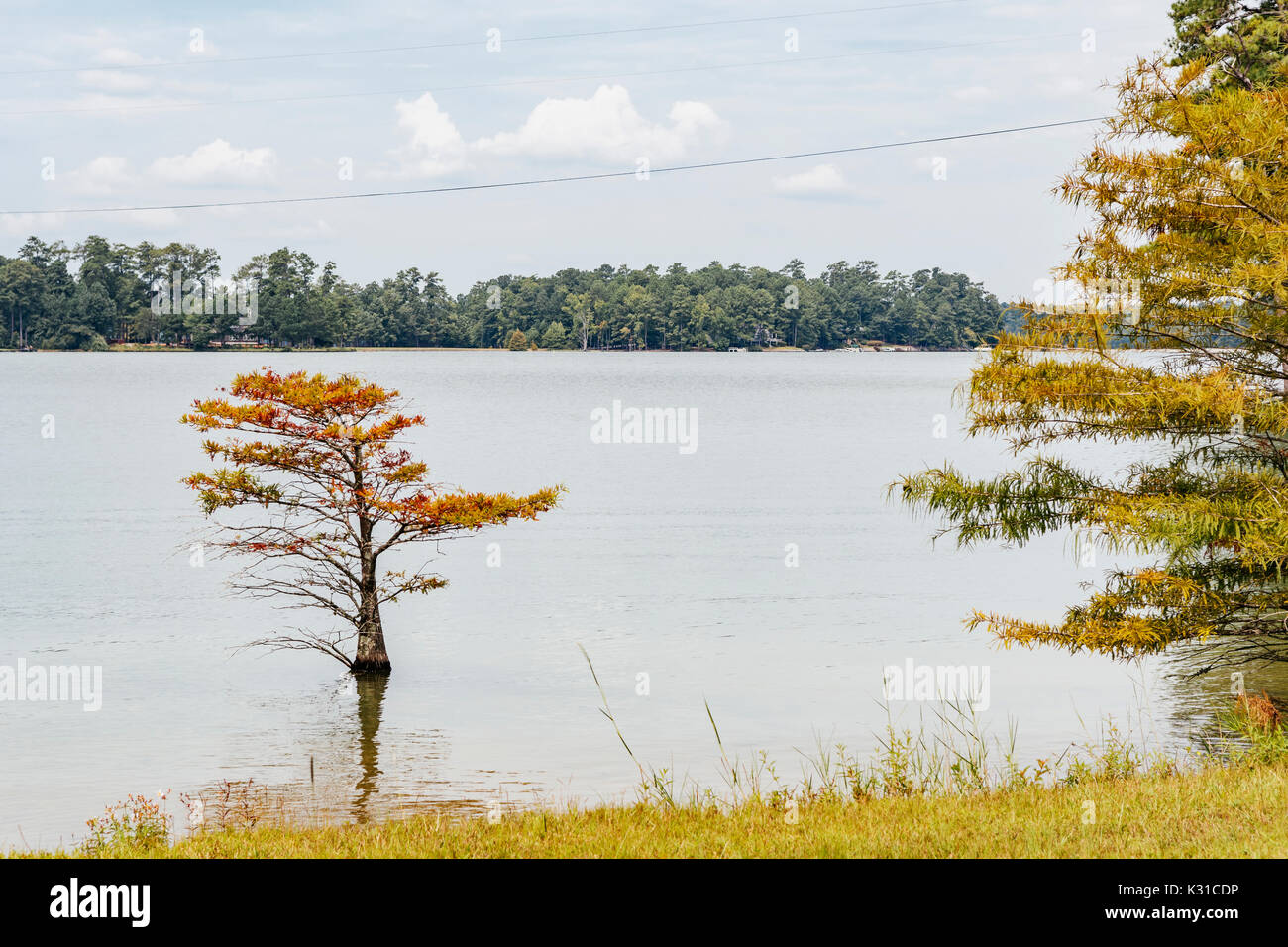 Calm water on Lake Martin, Alabama, USA showing the tree lined shoreline. Stock Photohttps://www.alamy.com/image-license-details/?v=1https://www.alamy.com/calm-water-on-lake-martin-alabama-usa-showing-the-tree-lined-shoreline-image156769026.html
RFK31CDP–Calm water on Lake Martin, Alabama, USA showing the tree lined shoreline.
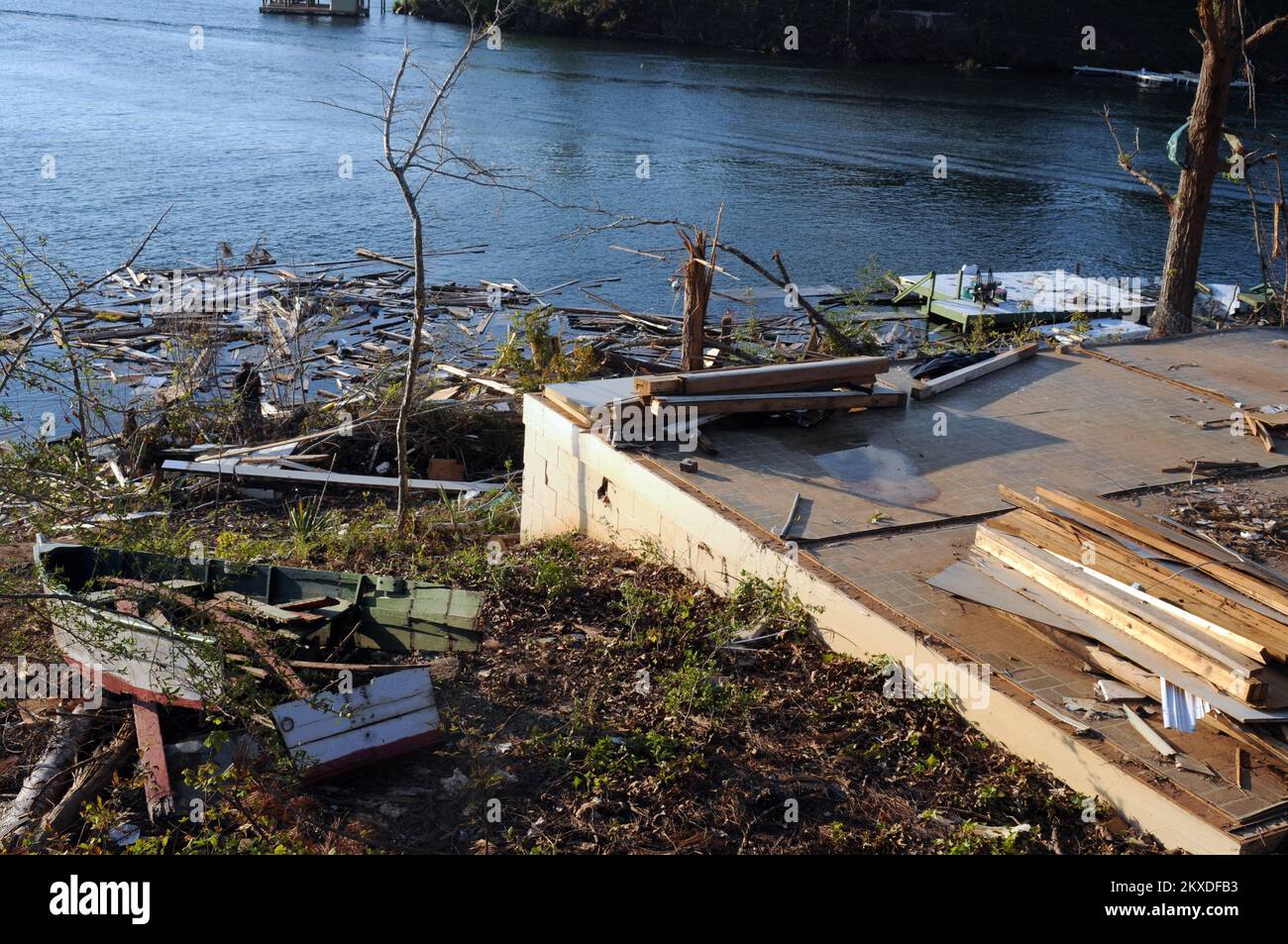 Destroyed Home on Lake Martin, Alabama. Alabama Severe Storms, Tornadoes, Straight-line Winds, and Flooding. Photographs Relating to Disasters and Emergency Management Programs, Activities, and Officials Stock Photohttps://www.alamy.com/image-license-details/?v=1https://www.alamy.com/destroyed-home-on-lake-martin-alabama-alabama-severe-storms-tornadoes-straight-line-winds-and-flooding-photographs-relating-to-disasters-and-emergency-management-programs-activities-and-officials-image498168807.html
RM2KXDFB3–Destroyed Home on Lake Martin, Alabama. Alabama Severe Storms, Tornadoes, Straight-line Winds, and Flooding. Photographs Relating to Disasters and Emergency Management Programs, Activities, and Officials
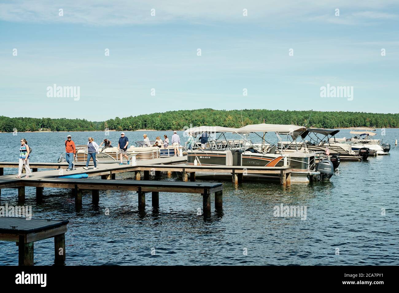 Boat docks and boaters with boats tied up at Kowaliga Restaurant on Lake Martin, Alabama USA. Stock Photohttps://www.alamy.com/image-license-details/?v=1https://www.alamy.com/boat-docks-and-boaters-with-boats-tied-up-at-kowaliga-restaurant-on-lake-martin-alabama-usa-image367735957.html
RM2CA7PY1–Boat docks and boaters with boats tied up at Kowaliga Restaurant on Lake Martin, Alabama USA.
 An aerial view of a large lake on a sunny afternoon. Stock Photohttps://www.alamy.com/image-license-details/?v=1https://www.alamy.com/an-aerial-view-of-a-large-lake-on-a-sunny-afternoon-image569592742.html
RF2T2K59X–An aerial view of a large lake on a sunny afternoon.
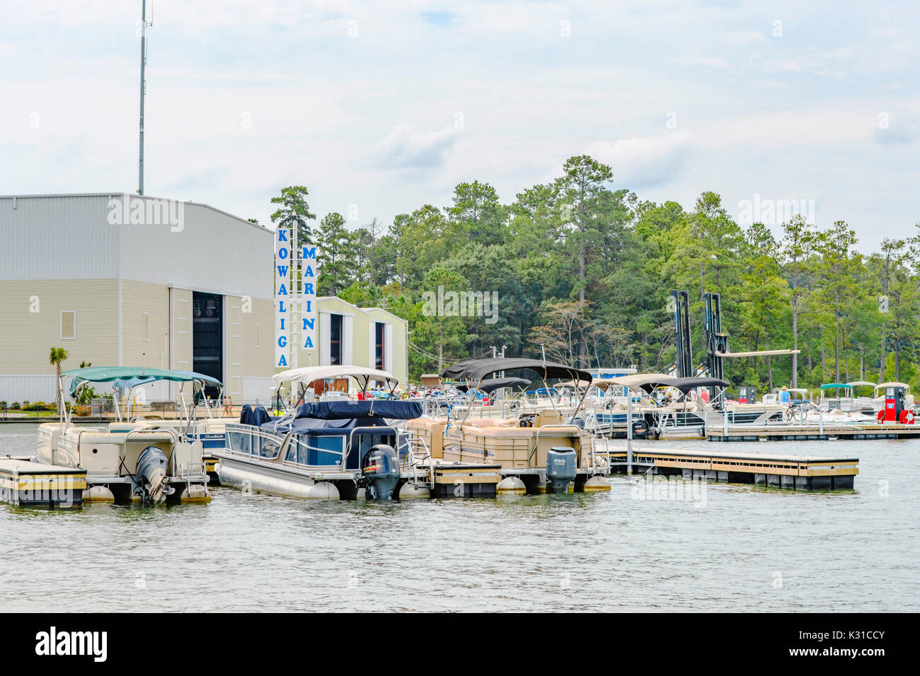 Kowaliga Marina on Lake Martin, Alabama, USA with numerous boats and families here for summer boating fun. Stock Photohttps://www.alamy.com/image-license-details/?v=1https://www.alamy.com/kowaliga-marina-on-lake-martin-alabama-usa-with-numerous-boats-and-image156769003.html
RFK31CCY–Kowaliga Marina on Lake Martin, Alabama, USA with numerous boats and families here for summer boating fun.
 Dadeville, Alabama/USA-Sept. 9, 2020: Two gentlemen sitting on a bench watching the sunset at the scenic overlook near the trailhead for Cherokee Ridg Stock Photohttps://www.alamy.com/image-license-details/?v=1https://www.alamy.com/dadeville-alabamausa-sept-9-2020-two-gentlemen-sitting-on-a-bench-watching-the-sunset-at-the-scenic-overlook-near-the-trailhead-for-cherokee-ridg-image408302555.html
RF2EM7P23–Dadeville, Alabama/USA-Sept. 9, 2020: Two gentlemen sitting on a bench watching the sunset at the scenic overlook near the trailhead for Cherokee Ridg
 Tornado - Dadeville, Ala. , July 13, 2011 Wet debris removal being performed on Lake Martin (near Dadeville) by a contractor under the supervision of U. S. Army Corp of Enginners Krista Rossow, Ben Finn and John Rand Hutchinson. Alabama Severe Storms, Tornadoes, Straight-line Winds, and Flooding. Photographs Relating to Disasters and Emergency Management Programs, Activities, and Officials Stock Photohttps://www.alamy.com/image-license-details/?v=1https://www.alamy.com/tornado-dadeville-ala-july-13-2011-wet-debris-removal-being-performed-on-lake-martin-near-dadeville-by-a-contractor-under-the-supervision-of-u-s-army-corp-of-enginners-krista-rossow-ben-finn-and-john-rand-hutchinson-alabama-severe-storms-tornadoes-straight-line-winds-and-flooding-photographs-relating-to-disasters-and-emergency-management-programs-activities-and-officials-image498201508.html
RM2KXF130–Tornado - Dadeville, Ala. , July 13, 2011 Wet debris removal being performed on Lake Martin (near Dadeville) by a contractor under the supervision of U. S. Army Corp of Enginners Krista Rossow, Ben Finn and John Rand Hutchinson. Alabama Severe Storms, Tornadoes, Straight-line Winds, and Flooding. Photographs Relating to Disasters and Emergency Management Programs, Activities, and Officials
 AS09-26D-3791D - Apollo 9 - Apollo 9 Mission image - S0-65 Multispectral Photography - Alabama; Scope and content: The original database describes this as: Description: Earth Observation taken by the Apollo 9 crew. View is of Anniston and the northeast end of Martin Lake in Alabama. Latitude was 33.27 N by Longitude 85.16 W, Overlap was 60%%, Altitude miles were 106 and cloud cover was 0%%. This imagery taken as part of the NASA S0-65 Experiment ``Multispectral Terrain Photography``. The experiment provides simultaneous satellite photography of the Earth's surface in three distinct spectral Stock Photohttps://www.alamy.com/image-license-details/?v=1https://www.alamy.com/as09-26d-3791d-apollo-9-apollo-9-mission-image-s0-65-multispectral-photography-alabama-scope-and-content-the-original-database-describes-this-as-description-earth-observation-taken-by-the-apollo-9-crew-view-is-of-anniston-and-the-northeast-end-of-martin-lake-in-alabama-latitude-was-3327-n-by-longitude-8516-w-overlap-was-60-altitude-miles-were-106-and-cloud-cover-was-0-this-imagery-taken-as-part-of-the-nasa-s0-65-experiment-``multispectral-terrain-photography``-the-experiment-provides-simultaneous-satellite-photography-of-the-earths-surface-in-three-distinct-spectral-image360671417.html
RM2BXP021–AS09-26D-3791D - Apollo 9 - Apollo 9 Mission image - S0-65 Multispectral Photography - Alabama; Scope and content: The original database describes this as: Description: Earth Observation taken by the Apollo 9 crew. View is of Anniston and the northeast end of Martin Lake in Alabama. Latitude was 33.27 N by Longitude 85.16 W, Overlap was 60%%, Altitude miles were 106 and cloud cover was 0%%. This imagery taken as part of the NASA S0-65 Experiment ``Multispectral Terrain Photography``. The experiment provides simultaneous satellite photography of the Earth's surface in three distinct spectral
 U.S. states - map of Alabama with paper cut effect. Hand made. Rivers and lakes are shown. Please look at my other images of cartographic series - the Stock Vectorhttps://www.alamy.com/image-license-details/?v=1https://www.alamy.com/us-states-map-of-alabama-with-paper-cut-effect-hand-made-rivers-and-lakes-are-shown-please-look-at-my-other-images-of-cartographic-series-the-image207625285.html
RFP1P44N–U.S. states - map of Alabama with paper cut effect. Hand made. Rivers and lakes are shown. Please look at my other images of cartographic series - the
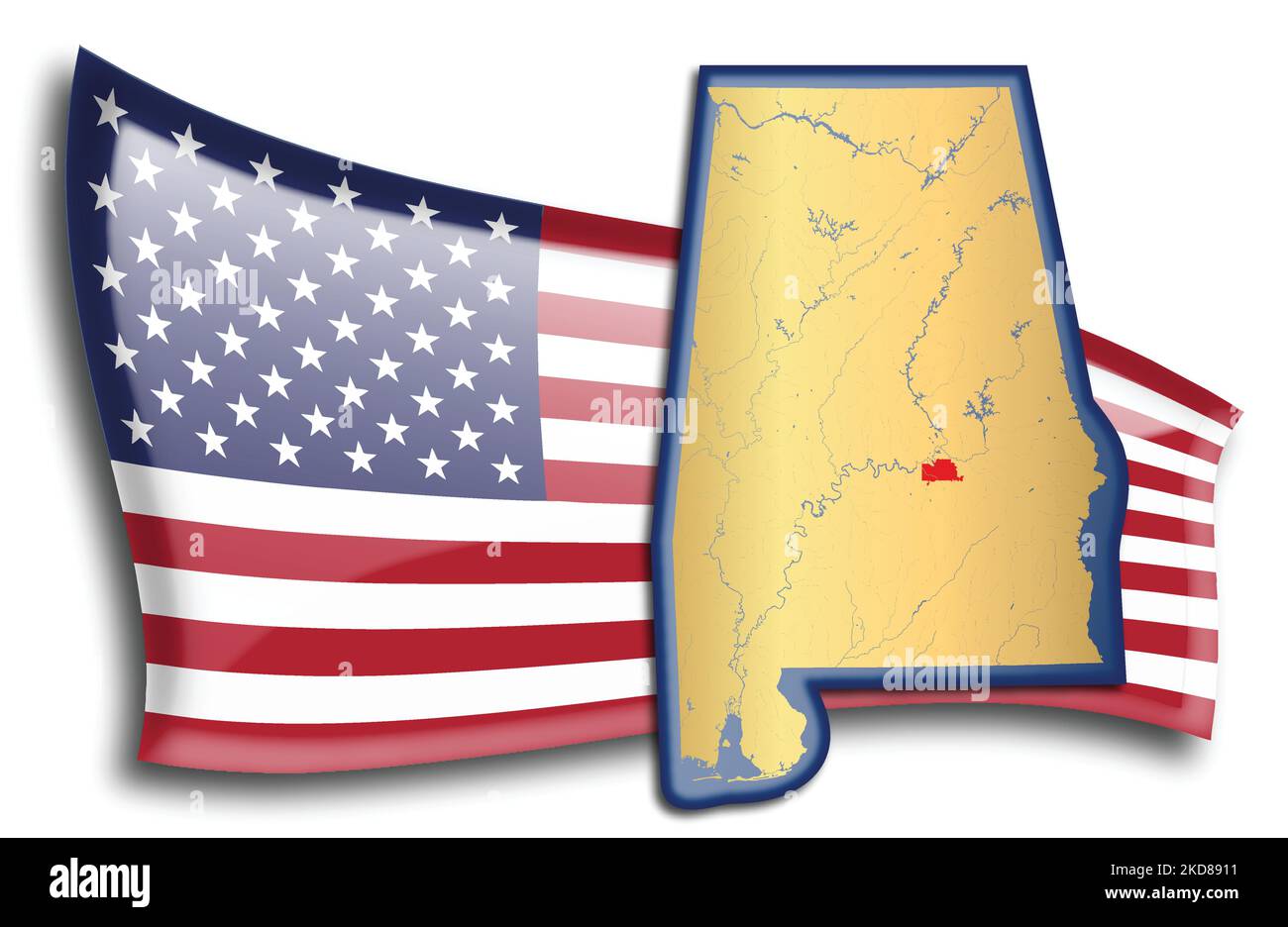 U.S. states - map of Alabama against an American flag. Rivers and lakes are shown on the map. American Flag and State Map can be used separately and e Stock Vectorhttps://www.alamy.com/image-license-details/?v=1https://www.alamy.com/us-states-map-of-alabama-against-an-american-flag-rivers-and-lakes-are-shown-on-the-map-american-flag-and-state-map-can-be-used-separately-and-e-image490063533.html
RF2KD8911–U.S. states - map of Alabama against an American flag. Rivers and lakes are shown on the map. American Flag and State Map can be used separately and e
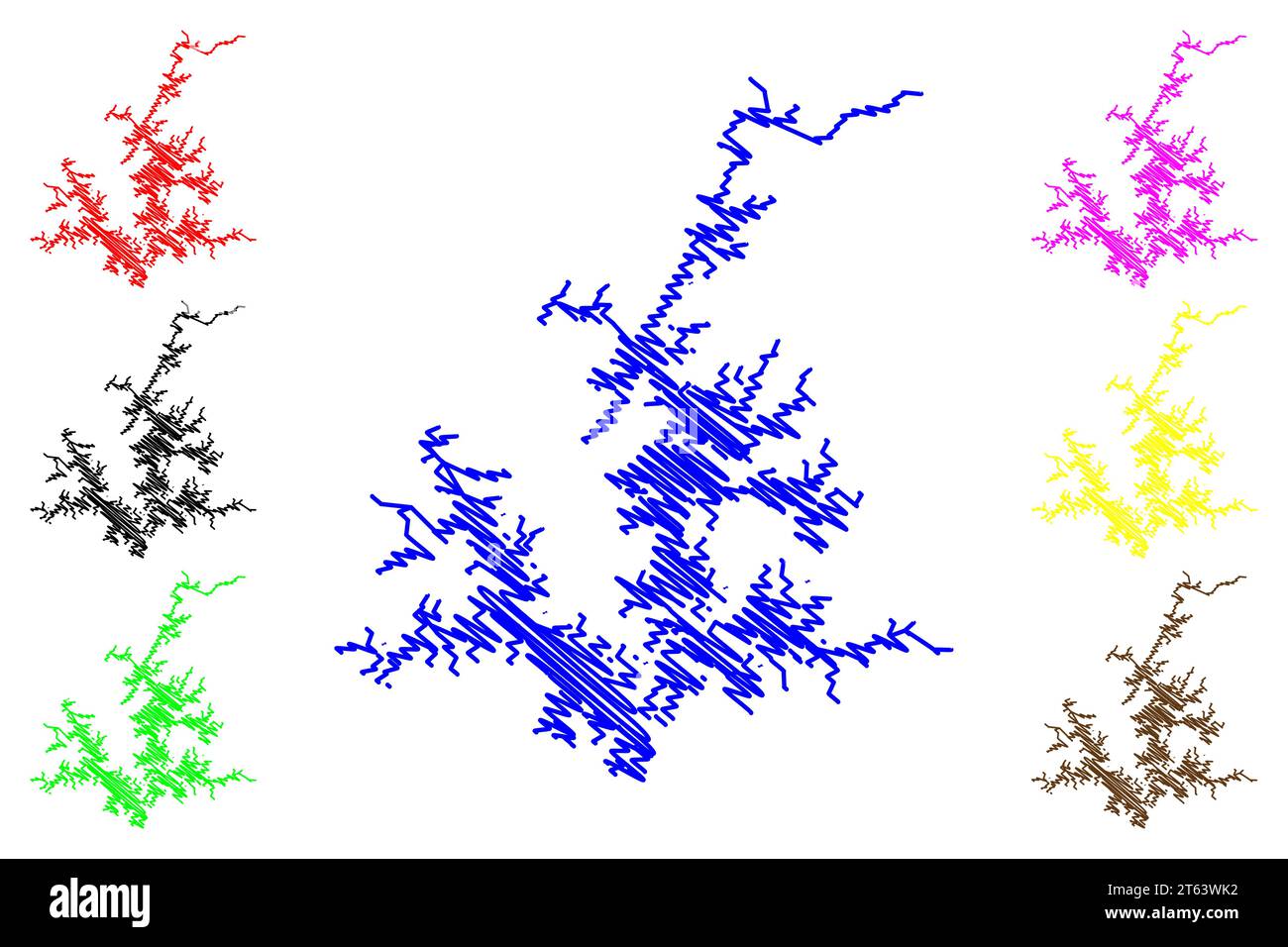 Lake Martin Reservoir (United States of America, North America, us, usa, Alabama) map vector illustration, scribble sketch Martin Dam map Stock Vectorhttps://www.alamy.com/image-license-details/?v=1https://www.alamy.com/lake-martin-reservoir-united-states-of-america-north-america-us-usa-alabama-map-vector-illustration-scribble-sketch-martin-dam-map-image571716070.html
RF2T63WK2–Lake Martin Reservoir (United States of America, North America, us, usa, Alabama) map vector illustration, scribble sketch Martin Dam map
 An aerial view of a large lake on a sunny afternoon. Stock Photohttps://www.alamy.com/image-license-details/?v=1https://www.alamy.com/an-aerial-view-of-a-large-lake-on-a-sunny-afternoon-image569592751.html
RF2T2K5A7–An aerial view of a large lake on a sunny afternoon.
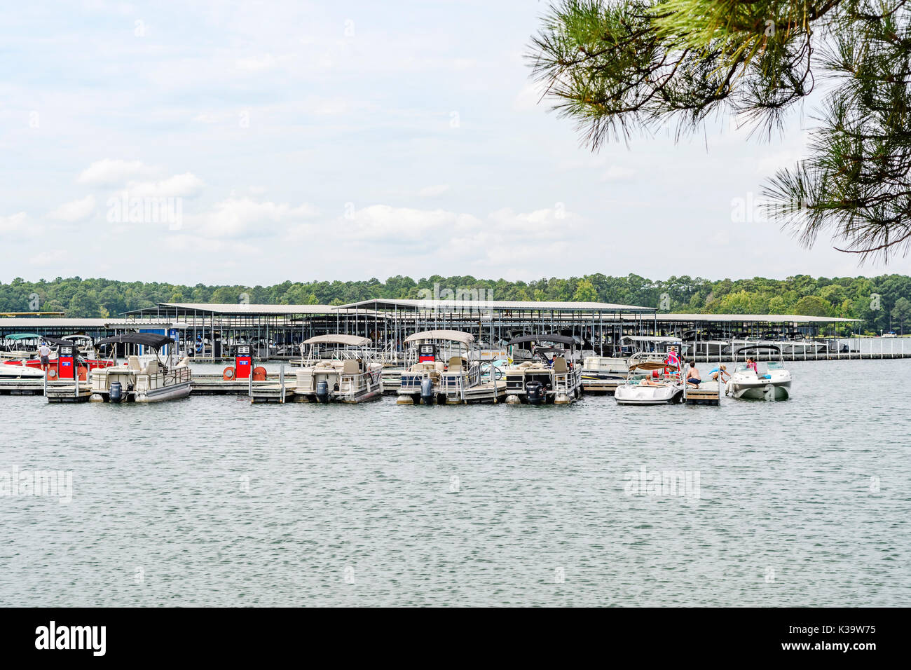 Kowaliga Marina on Lake Martin, Alabama, USA with numerous boats and families for summer boating fun. Stock Photohttps://www.alamy.com/image-license-details/?v=1https://www.alamy.com/kowaliga-marina-on-lake-martin-alabama-usa-with-numerous-boats-and-image156954649.html
RFK39W75–Kowaliga Marina on Lake Martin, Alabama, USA with numerous boats and families for summer boating fun.
 Glass of sweet tea or iced tea in a mason jar on a restaurant table at Lake Martin Alabama, USA. Stock Photohttps://www.alamy.com/image-license-details/?v=1https://www.alamy.com/glass-of-sweet-tea-or-iced-tea-in-a-mason-jar-on-a-restaurant-table-at-lake-martin-alabama-usa-image376767297.html
RM2CTY6EW–Glass of sweet tea or iced tea in a mason jar on a restaurant table at Lake Martin Alabama, USA.
 Tornado - Lake Martin, Ala. , July 13, 2011 Wet debris removal being performed on Lake Martin (near Dadeville) by a contractor under the supervision of U. S. Army Corp of Enginners Krista Rossow, Ben Finn and John Rand Hutchinson. Alabama Severe Storms, Tornadoes, Straight-line Winds, and Flooding. Photographs Relating to Disasters and Emergency Management Programs, Activities, and Officials Stock Photohttps://www.alamy.com/image-license-details/?v=1https://www.alamy.com/tornado-lake-martin-ala-july-13-2011-wet-debris-removal-being-performed-on-lake-martin-near-dadeville-by-a-contractor-under-the-supervision-of-u-s-army-corp-of-enginners-krista-rossow-ben-finn-and-john-rand-hutchinson-alabama-severe-storms-tornadoes-straight-line-winds-and-flooding-photographs-relating-to-disasters-and-emergency-management-programs-activities-and-officials-image498201480.html
RM2KXF120–Tornado - Lake Martin, Ala. , July 13, 2011 Wet debris removal being performed on Lake Martin (near Dadeville) by a contractor under the supervision of U. S. Army Corp of Enginners Krista Rossow, Ben Finn and John Rand Hutchinson. Alabama Severe Storms, Tornadoes, Straight-line Winds, and Flooding. Photographs Relating to Disasters and Emergency Management Programs, Activities, and Officials
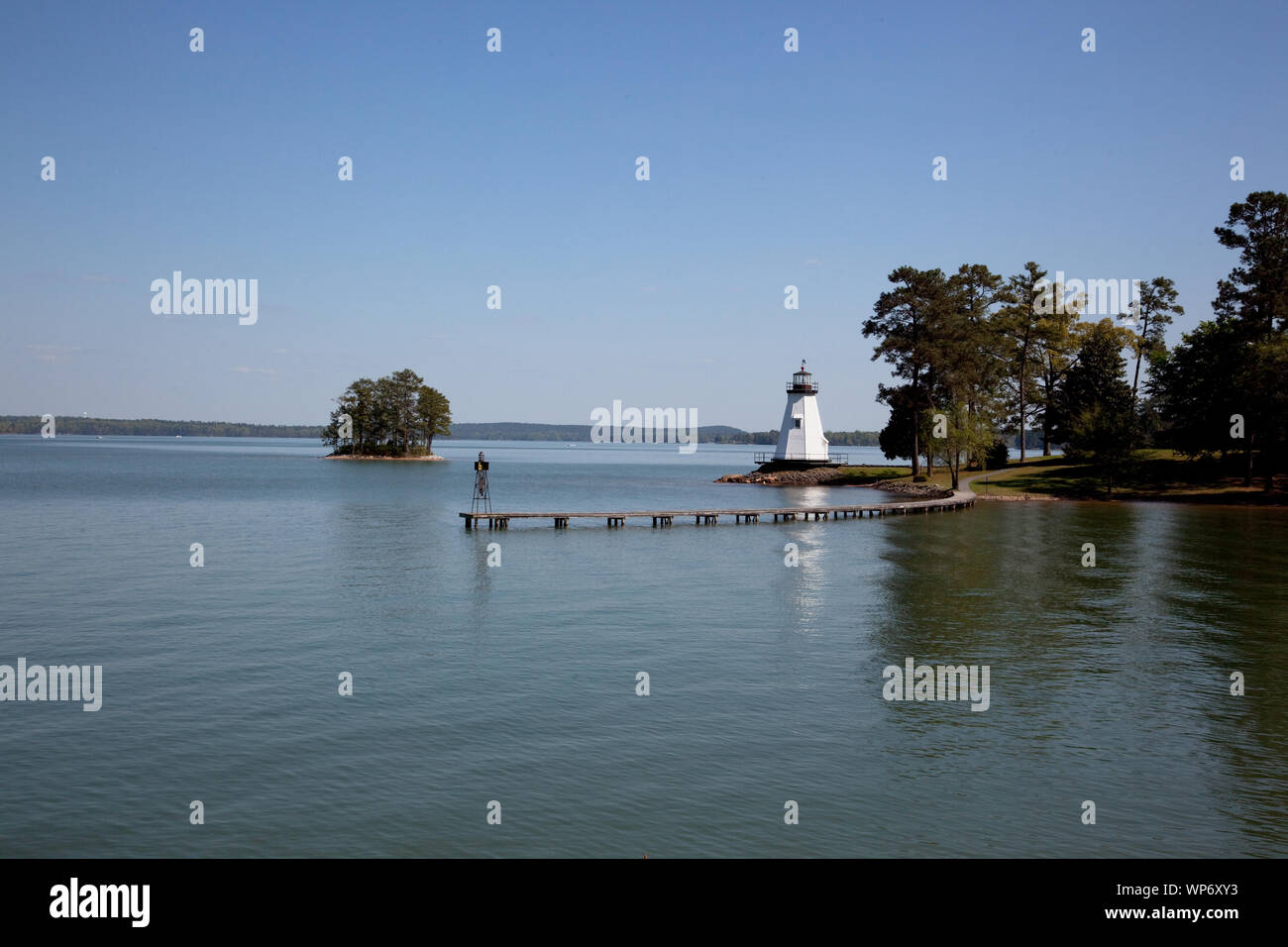
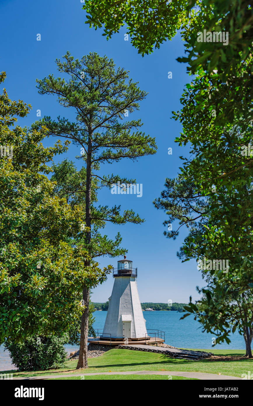 Lighthouse at Children's Harbor, on Lake Martin in Central Alabama, USA. Stock Photohttps://www.alamy.com/image-license-details/?v=1https://www.alamy.com/stock-photo-lighthouse-at-childrens-harbor-on-lake-martin-in-central-alabama-usa-144364502.html
RFJATAB2–Lighthouse at Children's Harbor, on Lake Martin in Central Alabama, USA.
 AS09-26B-3791B - Apollo 9 - Apollo 9 Mission image - S0-65 Multispectral Photography - Alabama; Scope and content: The original database describes this as: Description: Earth Observation taken by the Apollo 9 crew. View is of Anniston and the northeast end of Martin Lake in Alabama. Latitude was 33.27 N by Longitude 85.16 W, Overlap was 60%%, Altitude miles were 106 and cloud cover was 0%%. This imagery taken as part of the NASA S0-65 Experiment ``Multispectral Terrain Photography``. The experiment provides simultaneous satellite photography of the Earth's surface in three distinct spectral Stock Photohttps://www.alamy.com/image-license-details/?v=1https://www.alamy.com/as09-26b-3791b-apollo-9-apollo-9-mission-image-s0-65-multispectral-photography-alabama-scope-and-content-the-original-database-describes-this-as-description-earth-observation-taken-by-the-apollo-9-crew-view-is-of-anniston-and-the-northeast-end-of-martin-lake-in-alabama-latitude-was-3327-n-by-longitude-8516-w-overlap-was-60-altitude-miles-were-106-and-cloud-cover-was-0-this-imagery-taken-as-part-of-the-nasa-s0-65-experiment-``multispectral-terrain-photography``-the-experiment-provides-simultaneous-satellite-photography-of-the-earths-surface-in-three-distinct-spectral-image360673874.html
RM2BXP35P–AS09-26B-3791B - Apollo 9 - Apollo 9 Mission image - S0-65 Multispectral Photography - Alabama; Scope and content: The original database describes this as: Description: Earth Observation taken by the Apollo 9 crew. View is of Anniston and the northeast end of Martin Lake in Alabama. Latitude was 33.27 N by Longitude 85.16 W, Overlap was 60%%, Altitude miles were 106 and cloud cover was 0%%. This imagery taken as part of the NASA S0-65 Experiment ``Multispectral Terrain Photography``. The experiment provides simultaneous satellite photography of the Earth's surface in three distinct spectral
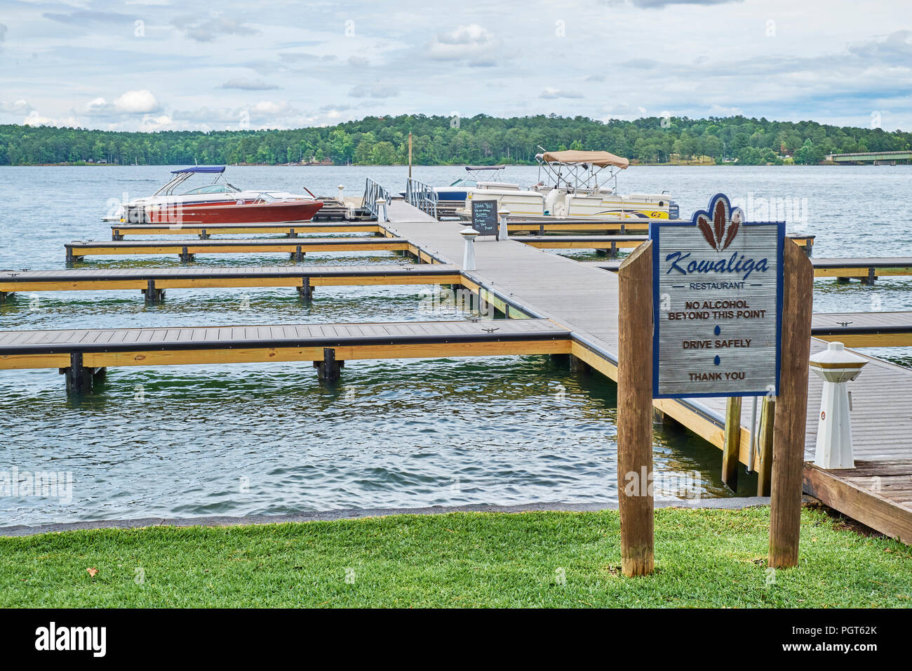 Boat dock with boats moored at Kowaliga Restaurant on Lake Martin, a popular summer vacation location near Alexander City Alabama, USA. Stock Photohttps://www.alamy.com/image-license-details/?v=1https://www.alamy.com/boat-dock-with-boats-moored-at-kowaliga-restaurant-on-lake-martin-a-popular-summer-vacation-location-near-alexander-city-alabama-usa-image216890539.html
RMPGT62K–Boat dock with boats moored at Kowaliga Restaurant on Lake Martin, a popular summer vacation location near Alexander City Alabama, USA.
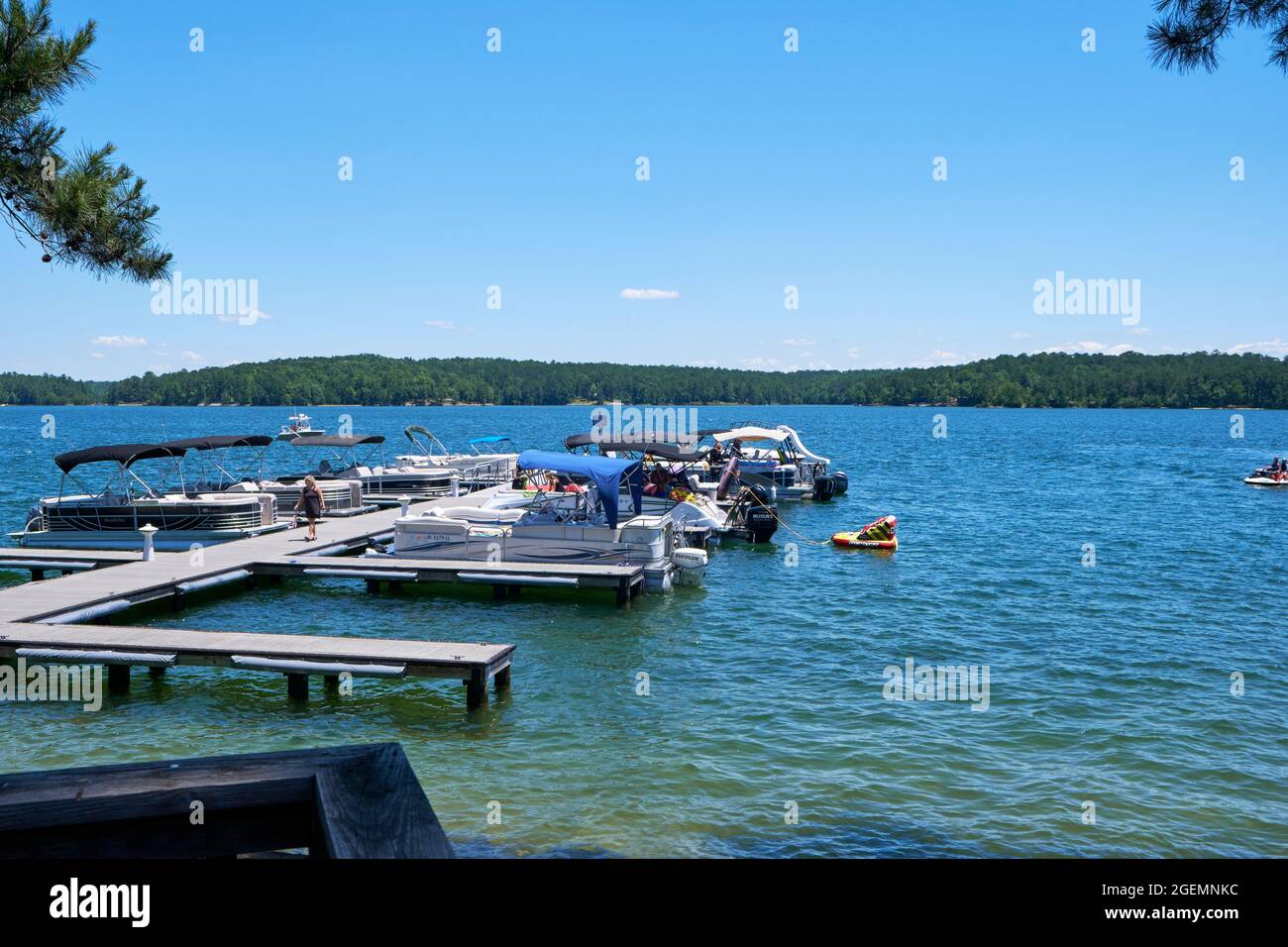 Boat docks and boaters with boats tied up at Kowaliga Restaurant on Lake Martin, Alabama USA. Stock Photohttps://www.alamy.com/image-license-details/?v=1https://www.alamy.com/boat-docks-and-boaters-with-boats-tied-up-at-kowaliga-restaurant-on-lake-martin-alabama-usa-image439320432.html
RM2GEMNKC–Boat docks and boaters with boats tied up at Kowaliga Restaurant on Lake Martin, Alabama USA.
 An aerial view of a large lake on a sunny afternoon. Stock Photohttps://www.alamy.com/image-license-details/?v=1https://www.alamy.com/an-aerial-view-of-a-large-lake-on-a-sunny-afternoon-image569592756.html
RF2T2K5AC–An aerial view of a large lake on a sunny afternoon.
 A group of people light fireworks on the front of their boats to celebrate a holiday while floating on a lake at dusk. Stock Photohttps://www.alamy.com/image-license-details/?v=1https://www.alamy.com/a-group-of-people-light-fireworks-on-the-front-of-their-boats-to-celebrate-a-holiday-while-floating-on-a-lake-at-dusk-image569592931.html
RF2T2K5GK–A group of people light fireworks on the front of their boats to celebrate a holiday while floating on a lake at dusk.
 Tornado - Lake Martin, Ala. , July 13, 2011 Wet debris removal being performed on Lake Martin (near Dadeville) by a contractor in a 'john' boat under the supervision of U. S. Army Corp of Engineers Krista Rossow, Ben Finn and John Rand Hutchinson. Alabama Severe Storms, Tornadoes, Straight-line Winds, and Flooding. Photographs Relating to Disasters and Emergency Management Programs, Activities, and Officials Stock Photohttps://www.alamy.com/image-license-details/?v=1https://www.alamy.com/tornado-lake-martin-ala-july-13-2011-wet-debris-removal-being-performed-on-lake-martin-near-dadeville-by-a-contractor-in-a-john-boat-under-the-supervision-of-u-s-army-corp-of-engineers-krista-rossow-ben-finn-and-john-rand-hutchinson-alabama-severe-storms-tornadoes-straight-line-winds-and-flooding-photographs-relating-to-disasters-and-emergency-management-programs-activities-and-officials-image498201524.html
RM2KXF13G–Tornado - Lake Martin, Ala. , July 13, 2011 Wet debris removal being performed on Lake Martin (near Dadeville) by a contractor in a 'john' boat under the supervision of U. S. Army Corp of Engineers Krista Rossow, Ben Finn and John Rand Hutchinson. Alabama Severe Storms, Tornadoes, Straight-line Winds, and Flooding. Photographs Relating to Disasters and Emergency Management Programs, Activities, and Officials
 AS09-26D-3813D - Apollo 9 - Apollo 9 Mission image - S0-65 Multispectral Photography - Alabama; Scope and content: The original database describes this as: Description: Earth Observation taken by the Apollo 9 crew. View is of Phoenix City, Martin Lake and Walter F. George Lake in Alabama. Latitude was 32.12 N by Longitude 85.42 W, Overlap was 0%%, Altitude miles were 102 and cloud cover was 45%%. This imagery taken as part of the NASA S0-65 Experiment ``Multispectral Terrain Photography``. The experiment provides simultaneous satellite photography of the Earth's surface in three distinct s Stock Photohttps://www.alamy.com/image-license-details/?v=1https://www.alamy.com/as09-26d-3813d-apollo-9-apollo-9-mission-image-s0-65-multispectral-photography-alabama-scope-and-content-the-original-database-describes-this-as-description-earth-observation-taken-by-the-apollo-9-crew-view-is-of-phoenix-city-martin-lake-and-walter-f-george-lake-in-alabama-latitude-was-3212-n-by-longitude-8542-w-overlap-was-0-altitude-miles-were-102-and-cloud-cover-was-45-this-imagery-taken-as-part-of-the-nasa-s0-65-experiment-``multispectral-terrain-photography``-the-experiment-provides-simultaneous-satellite-photography-of-the-earths-surface-in-three-distinct-s-image360669973.html
RM2BXNX6D–AS09-26D-3813D - Apollo 9 - Apollo 9 Mission image - S0-65 Multispectral Photography - Alabama; Scope and content: The original database describes this as: Description: Earth Observation taken by the Apollo 9 crew. View is of Phoenix City, Martin Lake and Walter F. George Lake in Alabama. Latitude was 32.12 N by Longitude 85.42 W, Overlap was 0%%, Altitude miles were 102 and cloud cover was 45%%. This imagery taken as part of the NASA S0-65 Experiment ``Multispectral Terrain Photography``. The experiment provides simultaneous satellite photography of the Earth's surface in three distinct s
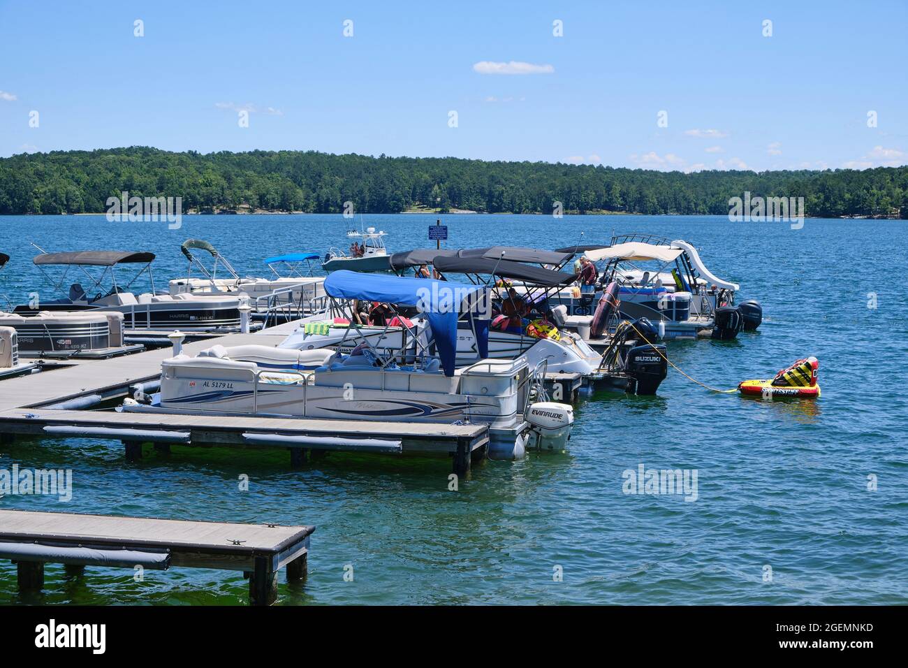 Boat docks and boaters with boats tied up at Kowaliga Restaurant on Lake Martin, Alabama USA. Stock Photohttps://www.alamy.com/image-license-details/?v=1https://www.alamy.com/boat-docks-and-boaters-with-boats-tied-up-at-kowaliga-restaurant-on-lake-martin-alabama-usa-image439320433.html
RM2GEMNKD–Boat docks and boaters with boats tied up at Kowaliga Restaurant on Lake Martin, Alabama USA.
 A group of people light fireworks on the front of their boats to celebrate a holiday while floating on a lake at dusk. Stock Photohttps://www.alamy.com/image-license-details/?v=1https://www.alamy.com/a-group-of-people-light-fireworks-on-the-front-of-their-boats-to-celebrate-a-holiday-while-floating-on-a-lake-at-dusk-image569592933.html
RF2T2K5GN–A group of people light fireworks on the front of their boats to celebrate a holiday while floating on a lake at dusk.
 Tornado - Lake Martin, Ala. , July 13, 2011 Wet debris removal being performed on Lake Martin (near Dadeville) by a contractor using a back hoe under the supervision of U. S. Army Corp of Enginners Krista Rossow, Ben Finn and John Rand Hutchinson. FEMA is working with many federal partners to assist in recovery efforts. Alabama Severe Storms, Tornadoes, Straight-line Winds, and Flooding. Photographs Relating to Disasters and Emergency Management Programs, Activities, and Officials Stock Photohttps://www.alamy.com/image-license-details/?v=1https://www.alamy.com/tornado-lake-martin-ala-july-13-2011-wet-debris-removal-being-performed-on-lake-martin-near-dadeville-by-a-contractor-using-a-back-hoe-under-the-supervision-of-u-s-army-corp-of-enginners-krista-rossow-ben-finn-and-john-rand-hutchinson-fema-is-working-with-many-federal-partners-to-assist-in-recovery-efforts-alabama-severe-storms-tornadoes-straight-line-winds-and-flooding-photographs-relating-to-disasters-and-emergency-management-programs-activities-and-officials-image498201519.html
RM2KXF13B–Tornado - Lake Martin, Ala. , July 13, 2011 Wet debris removal being performed on Lake Martin (near Dadeville) by a contractor using a back hoe under the supervision of U. S. Army Corp of Enginners Krista Rossow, Ben Finn and John Rand Hutchinson. FEMA is working with many federal partners to assist in recovery efforts. Alabama Severe Storms, Tornadoes, Straight-line Winds, and Flooding. Photographs Relating to Disasters and Emergency Management Programs, Activities, and Officials
 FEMA Videographer Films Wet Debris at Lake Martin, AL. Alabama Severe Storms, Tornadoes, Straight-line Winds, and Flooding. Photographs Relating to Disasters and Emergency Management Programs, Activities, and Officials Stock Photohttps://www.alamy.com/image-license-details/?v=1https://www.alamy.com/fema-videographer-films-wet-debris-at-lake-martin-al-alabama-severe-storms-tornadoes-straight-line-winds-and-flooding-photographs-relating-to-disasters-and-emergency-management-programs-activities-and-officials-image498168791.html
RM2KXDFAF–FEMA Videographer Films Wet Debris at Lake Martin, AL. Alabama Severe Storms, Tornadoes, Straight-line Winds, and Flooding. Photographs Relating to Disasters and Emergency Management Programs, Activities, and Officials
 AS09-26A-3813A - Apollo 9 - Apollo 9 Mission image - S0-65 Multispectral Photography - Alabama; Scope and content: The original database describes this as: Description: Earth Observation taken by the Apollo 9 crew. View is of Phoenix City, Martin Lake and Walter F. George Lake in Alabama. Latitude was 32.12 N by Longitude 85.42 W, Overlap was 0%%, Altitude miles were 102 and cloud cover was 45%%. This imagery taken as part of the NASA S0-65 Experiment Multispectral Terrain Photography. The experiment provides simultaneous satellite photography of the Earth's surface in three distinct spect Stock Photohttps://www.alamy.com/image-license-details/?v=1https://www.alamy.com/as09-26a-3813a-apollo-9-apollo-9-mission-image-s0-65-multispectral-photography-alabama-scope-and-content-the-original-database-describes-this-as-description-earth-observation-taken-by-the-apollo-9-crew-view-is-of-phoenix-city-martin-lake-and-walter-f-george-lake-in-alabama-latitude-was-3212-n-by-longitude-8542-w-overlap-was-0-altitude-miles-were-102-and-cloud-cover-was-45-this-imagery-taken-as-part-of-the-nasa-s0-65-experiment-multispectral-terrain-photography-the-experiment-provides-simultaneous-satellite-photography-of-the-earths-surface-in-three-distinct-spect-image360672120.html
RM2BXP0Y4–AS09-26A-3813A - Apollo 9 - Apollo 9 Mission image - S0-65 Multispectral Photography - Alabama; Scope and content: The original database describes this as: Description: Earth Observation taken by the Apollo 9 crew. View is of Phoenix City, Martin Lake and Walter F. George Lake in Alabama. Latitude was 32.12 N by Longitude 85.42 W, Overlap was 0%%, Altitude miles were 102 and cloud cover was 45%%. This imagery taken as part of the NASA S0-65 Experiment Multispectral Terrain Photography. The experiment provides simultaneous satellite photography of the Earth's surface in three distinct spect
 Tornado - Lake Martin, Ala. , May 28, 2011 The North East path of the powerful tornado is represented for miles. The residents of Tallapoosa county are eligible for PA and IA assistance as a result of the Presidential declaration. Adam DuBrowa/ FEMA. Alabama Severe Storms, Tornadoes, and Straight-line Winds. Photographs Relating to Disasters and Emergency Management Programs, Activities, and Officials Stock Photohttps://www.alamy.com/image-license-details/?v=1https://www.alamy.com/tornado-lake-martin-ala-may-28-2011-the-north-east-path-of-the-powerful-tornado-is-represented-for-miles-the-residents-of-tallapoosa-county-are-eligible-for-pa-and-ia-assistance-as-a-result-of-the-presidential-declaration-adam-dubrowa-fema-alabama-severe-storms-tornadoes-and-straight-line-winds-photographs-relating-to-disasters-and-emergency-management-programs-activities-and-officials-image498170045.html
RM2KXDGY9–Tornado - Lake Martin, Ala. , May 28, 2011 The North East path of the powerful tornado is represented for miles. The residents of Tallapoosa county are eligible for PA and IA assistance as a result of the Presidential declaration. Adam DuBrowa/ FEMA. Alabama Severe Storms, Tornadoes, and Straight-line Winds. Photographs Relating to Disasters and Emergency Management Programs, Activities, and Officials
 AS09-26B-3790B - Apollo 9 - Apollo 9 Mission image - S0-65 Multispectral Photography - Alabama; Scope and content: The original database describes this as: Description: Earth Observation taken by the Apollo 9 crew. View is of Gadsden, Anniston and Martin Lake in Alabama. Latitude was 33.27 N by Longitude 86.00 W, Overlap was 60%%, Altitude miles were 106 and cloud cover was 0%%. This imagery taken as part of the NASA S0-65 Experiment ``Multispectral Terrain Photography``. The experiment provides simultaneous satellite photography of the Earth's surface in three distinct spectral bands. The ph Stock Photohttps://www.alamy.com/image-license-details/?v=1https://www.alamy.com/as09-26b-3790b-apollo-9-apollo-9-mission-image-s0-65-multispectral-photography-alabama-scope-and-content-the-original-database-describes-this-as-description-earth-observation-taken-by-the-apollo-9-crew-view-is-of-gadsden-anniston-and-martin-lake-in-alabama-latitude-was-3327-n-by-longitude-8600-w-overlap-was-60-altitude-miles-were-106-and-cloud-cover-was-0-this-imagery-taken-as-part-of-the-nasa-s0-65-experiment-``multispectral-terrain-photography``-the-experiment-provides-simultaneous-satellite-photography-of-the-earths-surface-in-three-distinct-spectral-bands-the-ph-image360669442.html
RM2BXNWFE–AS09-26B-3790B - Apollo 9 - Apollo 9 Mission image - S0-65 Multispectral Photography - Alabama; Scope and content: The original database describes this as: Description: Earth Observation taken by the Apollo 9 crew. View is of Gadsden, Anniston and Martin Lake in Alabama. Latitude was 33.27 N by Longitude 86.00 W, Overlap was 60%%, Altitude miles were 106 and cloud cover was 0%%. This imagery taken as part of the NASA S0-65 Experiment ``Multispectral Terrain Photography``. The experiment provides simultaneous satellite photography of the Earth's surface in three distinct spectral bands. The ph
 Tornado - Lake Martin, Ala. , May 28, 2011 The bark from this pine tree was stripped off after a powerful tornados ripped accross the land. The State Managed park is qualified for PA assistance under category G recreational facilities. Adam DuBrowa/ FEMA. Alabama Severe Storms, Tornadoes, and Straight-line Winds. Photographs Relating to Disasters and Emergency Management Programs, Activities, and Officials Stock Photohttps://www.alamy.com/image-license-details/?v=1https://www.alamy.com/tornado-lake-martin-ala-may-28-2011-the-bark-from-this-pine-tree-was-stripped-off-after-a-powerful-tornados-ripped-accross-the-land-the-state-managed-park-is-qualified-for-pa-assistance-under-category-g-recreational-facilities-adam-dubrowa-fema-alabama-severe-storms-tornadoes-and-straight-line-winds-photographs-relating-to-disasters-and-emergency-management-programs-activities-and-officials-image498170047.html
RM2KXDGYB–Tornado - Lake Martin, Ala. , May 28, 2011 The bark from this pine tree was stripped off after a powerful tornados ripped accross the land. The State Managed park is qualified for PA assistance under category G recreational facilities. Adam DuBrowa/ FEMA. Alabama Severe Storms, Tornadoes, and Straight-line Winds. Photographs Relating to Disasters and Emergency Management Programs, Activities, and Officials
 AS09-26C-3813C - Apollo 9 - Apollo 9 Mission image - S0-65 Multispectral Photography - Alabama; Scope and content: The original database describes this as: Description: Earth Observation taken by the Apollo 9 crew. View is of Phoenix City, Martin Lake and Walter F. George Lake in Alabama. Latitude was 32.12 N by Longitude 85.42 W, Overlap was 0%%, Altitude miles were 102 and cloud cover was 45%%. This imagery taken as part of the NASA S0-65 Experiment ``Multispectral Terrain Photography``. The experiment provides simultaneous satellite photography of the Earth's surface in three distinct sp Stock Photohttps://www.alamy.com/image-license-details/?v=1https://www.alamy.com/as09-26c-3813c-apollo-9-apollo-9-mission-image-s0-65-multispectral-photography-alabama-scope-and-content-the-original-database-describes-this-as-description-earth-observation-taken-by-the-apollo-9-crew-view-is-of-phoenix-city-martin-lake-and-walter-f-george-lake-in-alabama-latitude-was-3212-n-by-longitude-8542-w-overlap-was-0-altitude-miles-were-102-and-cloud-cover-was-45-this-imagery-taken-as-part-of-the-nasa-s0-65-experiment-``multispectral-terrain-photography``-the-experiment-provides-simultaneous-satellite-photography-of-the-earths-surface-in-three-distinct-sp-image360670309.html
RM2BXNXJD–AS09-26C-3813C - Apollo 9 - Apollo 9 Mission image - S0-65 Multispectral Photography - Alabama; Scope and content: The original database describes this as: Description: Earth Observation taken by the Apollo 9 crew. View is of Phoenix City, Martin Lake and Walter F. George Lake in Alabama. Latitude was 32.12 N by Longitude 85.42 W, Overlap was 0%%, Altitude miles were 102 and cloud cover was 45%%. This imagery taken as part of the NASA S0-65 Experiment ``Multispectral Terrain Photography``. The experiment provides simultaneous satellite photography of the Earth's surface in three distinct sp
 Lake Martin, Ala. , May 28, 2011 The Wind Crest State Park was severely damaged by a powerful tornado destroying this state run facility. The State Managed park is qualified for PA assistance under category G recreational facilities. Adam DuBrowa/ FEMA. Alabama Severe Storms, Tornadoes, and Straight-line Winds. Photographs Relating to Disasters and Emergency Management Programs, Activities, and Officials Stock Photohttps://www.alamy.com/image-license-details/?v=1https://www.alamy.com/lake-martin-ala-may-28-2011-the-wind-crest-state-park-was-severely-damaged-by-a-powerful-tornado-destroying-this-state-run-facility-the-state-managed-park-is-qualified-for-pa-assistance-under-category-g-recreational-facilities-adam-dubrowa-fema-alabama-severe-storms-tornadoes-and-straight-line-winds-photographs-relating-to-disasters-and-emergency-management-programs-activities-and-officials-image498170023.html
RM2KXDGXF–Lake Martin, Ala. , May 28, 2011 The Wind Crest State Park was severely damaged by a powerful tornado destroying this state run facility. The State Managed park is qualified for PA assistance under category G recreational facilities. Adam DuBrowa/ FEMA. Alabama Severe Storms, Tornadoes, and Straight-line Winds. Photographs Relating to Disasters and Emergency Management Programs, Activities, and Officials
 AS09-26B-3813B - Apollo 9 - Apollo 9 Mission image - S0-65 Multispectral Photography - Alabama; Scope and content: The original database describes this as: Description: Earth Observation taken by the Apollo 9 crew. View is of Phoenix City, Martin Lake and Walter F. George Lake in Alabama. Latitude was 32.12 N by Longitude 85.42 W, Overlap was 0%%, Altitude miles were 102 and cloud cover was 45%%. This imagery taken as part of the NASA S0-65 Experiment ``Multispectral Terrain Photography``. The experiment provides simultaneous satellite photography of the Earth's surface in three distinct s Stock Photohttps://www.alamy.com/image-license-details/?v=1https://www.alamy.com/as09-26b-3813b-apollo-9-apollo-9-mission-image-s0-65-multispectral-photography-alabama-scope-and-content-the-original-database-describes-this-as-description-earth-observation-taken-by-the-apollo-9-crew-view-is-of-phoenix-city-martin-lake-and-walter-f-george-lake-in-alabama-latitude-was-3212-n-by-longitude-8542-w-overlap-was-0-altitude-miles-were-102-and-cloud-cover-was-45-this-imagery-taken-as-part-of-the-nasa-s0-65-experiment-``multispectral-terrain-photography``-the-experiment-provides-simultaneous-satellite-photography-of-the-earths-surface-in-three-distinct-s-image360676068.html
RM2BXP604–AS09-26B-3813B - Apollo 9 - Apollo 9 Mission image - S0-65 Multispectral Photography - Alabama; Scope and content: The original database describes this as: Description: Earth Observation taken by the Apollo 9 crew. View is of Phoenix City, Martin Lake and Walter F. George Lake in Alabama. Latitude was 32.12 N by Longitude 85.42 W, Overlap was 0%%, Altitude miles were 102 and cloud cover was 45%%. This imagery taken as part of the NASA S0-65 Experiment ``Multispectral Terrain Photography``. The experiment provides simultaneous satellite photography of the Earth's surface in three distinct s
 Tornado - Lake Martin, Ala. , May 28, 2011 After violent tornadoes passed through Talapoosa county, boats and homes were thrown into the lake. Through FEMA's category A debris removal funding, the lake will be cleaned with special equipment, and separation procedures to contain the contaminated waste. . Alabama Severe Storms, Tornadoes, Straight-line Winds, and Flooding. Photographs Relating to Disasters and Emergency Management Programs, Activities, and Officials Stock Photohttps://www.alamy.com/image-license-details/?v=1https://www.alamy.com/tornado-lake-martin-ala-may-28-2011-after-violent-tornadoes-passed-through-talapoosa-county-boats-and-homes-were-thrown-into-the-lake-through-femas-category-a-debris-removal-funding-the-lake-will-be-cleaned-with-special-equipment-and-separation-procedures-to-contain-the-contaminated-waste-alabama-severe-storms-tornadoes-straight-line-winds-and-flooding-photographs-relating-to-disasters-and-emergency-management-programs-activities-and-officials-image498168844.html
RM2KXDFCC–Tornado - Lake Martin, Ala. , May 28, 2011 After violent tornadoes passed through Talapoosa county, boats and homes were thrown into the lake. Through FEMA's category A debris removal funding, the lake will be cleaned with special equipment, and separation procedures to contain the contaminated waste. . Alabama Severe Storms, Tornadoes, Straight-line Winds, and Flooding. Photographs Relating to Disasters and Emergency Management Programs, Activities, and Officials
 AS09-26C-3790C - Apollo 9 - Apollo 9 Mission image - S0-65 Multispectral Photography - Alabama; Scope and content: The original database describes this as: Description: Earth Observation taken by the Apollo 9 crew. View is of Gadsden, Anniston and Martin Lake in Alabama. Latitude was 33.27 N by Longitude 86.00 W, Overlap was 60%%, Altitude miles were 106 and cloud cover was 0%%. This imagery taken as part of the NASA S0-65 Experiment ``Multispectral Terrain Photography``. The experiment provides simultaneous satellite photography of the Earth's surface in three distinct spectral bands. The ph Stock Photohttps://www.alamy.com/image-license-details/?v=1https://www.alamy.com/as09-26c-3790c-apollo-9-apollo-9-mission-image-s0-65-multispectral-photography-alabama-scope-and-content-the-original-database-describes-this-as-description-earth-observation-taken-by-the-apollo-9-crew-view-is-of-gadsden-anniston-and-martin-lake-in-alabama-latitude-was-3327-n-by-longitude-8600-w-overlap-was-60-altitude-miles-were-106-and-cloud-cover-was-0-this-imagery-taken-as-part-of-the-nasa-s0-65-experiment-``multispectral-terrain-photography``-the-experiment-provides-simultaneous-satellite-photography-of-the-earths-surface-in-three-distinct-spectral-bands-the-ph-image360677312.html
RM2BXP7GG–AS09-26C-3790C - Apollo 9 - Apollo 9 Mission image - S0-65 Multispectral Photography - Alabama; Scope and content: The original database describes this as: Description: Earth Observation taken by the Apollo 9 crew. View is of Gadsden, Anniston and Martin Lake in Alabama. Latitude was 33.27 N by Longitude 86.00 W, Overlap was 60%%, Altitude miles were 106 and cloud cover was 0%%. This imagery taken as part of the NASA S0-65 Experiment ``Multispectral Terrain Photography``. The experiment provides simultaneous satellite photography of the Earth's surface in three distinct spectral bands. The ph
 Tornado - Lake Martin, Ala. , May 28, 2011 The Wind Crest State Park was severely damaged by a powerful tornado destroying this state run facility. The State Managed park is qualified for PA debris removal under category G recreational facilities. Adam DuBrowa/ FEMA. Alabama Severe Storms, Tornadoes, Straight-line Winds, and Flooding. Photographs Relating to Disasters and Emergency Management Programs, Activities, and Officials Stock Photohttps://www.alamy.com/image-license-details/?v=1https://www.alamy.com/tornado-lake-martin-ala-may-28-2011-the-wind-crest-state-park-was-severely-damaged-by-a-powerful-tornado-destroying-this-state-run-facility-the-state-managed-park-is-qualified-for-pa-debris-removal-under-category-g-recreational-facilities-adam-dubrowa-fema-alabama-severe-storms-tornadoes-straight-line-winds-and-flooding-photographs-relating-to-disasters-and-emergency-management-programs-activities-and-officials-image498170028.html
RM2KXDGXM–Tornado - Lake Martin, Ala. , May 28, 2011 The Wind Crest State Park was severely damaged by a powerful tornado destroying this state run facility. The State Managed park is qualified for PA debris removal under category G recreational facilities. Adam DuBrowa/ FEMA. Alabama Severe Storms, Tornadoes, Straight-line Winds, and Flooding. Photographs Relating to Disasters and Emergency Management Programs, Activities, and Officials
 AS09-26A-3791A - Apollo 9 - Apollo 9 Mission image - S0-65 Multispectral Photography - Alabama; Scope and content: The original database describes this as: Description: Earth Observation taken by the Apollo 9 crew. View is of Anniston and the northeast end of Martin Lake in Alabama. Latitude was 33.27 N by Longitude 85.16 W, Overlap was 60%%, Altitude miles were 106 and cloud cover was 0%%. This imagery taken as part of the NASA S0-65 Experiment Multispectral Terrain Photography. The experiment provides simultaneous satellite photography of the Earth's surface in three distinct spectral ban Stock Photohttps://www.alamy.com/image-license-details/?v=1https://www.alamy.com/as09-26a-3791a-apollo-9-apollo-9-mission-image-s0-65-multispectral-photography-alabama-scope-and-content-the-original-database-describes-this-as-description-earth-observation-taken-by-the-apollo-9-crew-view-is-of-anniston-and-the-northeast-end-of-martin-lake-in-alabama-latitude-was-3327-n-by-longitude-8516-w-overlap-was-60-altitude-miles-were-106-and-cloud-cover-was-0-this-imagery-taken-as-part-of-the-nasa-s0-65-experiment-multispectral-terrain-photography-the-experiment-provides-simultaneous-satellite-photography-of-the-earths-surface-in-three-distinct-spectral-ban-image360670268.html
RM2BXNXH0–AS09-26A-3791A - Apollo 9 - Apollo 9 Mission image - S0-65 Multispectral Photography - Alabama; Scope and content: The original database describes this as: Description: Earth Observation taken by the Apollo 9 crew. View is of Anniston and the northeast end of Martin Lake in Alabama. Latitude was 33.27 N by Longitude 85.16 W, Overlap was 60%%, Altitude miles were 106 and cloud cover was 0%%. This imagery taken as part of the NASA S0-65 Experiment Multispectral Terrain Photography. The experiment provides simultaneous satellite photography of the Earth's surface in three distinct spectral ban
 Tornado - Lake Martin, Ala. , May 28, 2011 The Wind Crest State Park was heavily damaged by a tornado that left a path of destruction to the distant horizon. The State Managed park is qualified for PA assistance under category G recreational facilities. Adam DuBrowa/ FEMA. Alabama Severe Storms, Tornadoes, and Straight-line Winds. Photographs Relating to Disasters and Emergency Management Programs, Activities, and Officials Stock Photohttps://www.alamy.com/image-license-details/?v=1https://www.alamy.com/tornado-lake-martin-ala-may-28-2011-the-wind-crest-state-park-was-heavily-damaged-by-a-tornado-that-left-a-path-of-destruction-to-the-distant-horizon-the-state-managed-park-is-qualified-for-pa-assistance-under-category-g-recreational-facilities-adam-dubrowa-fema-alabama-severe-storms-tornadoes-and-straight-line-winds-photographs-relating-to-disasters-and-emergency-management-programs-activities-and-officials-image498170030.html
RM2KXDGXP–Tornado - Lake Martin, Ala. , May 28, 2011 The Wind Crest State Park was heavily damaged by a tornado that left a path of destruction to the distant horizon. The State Managed park is qualified for PA assistance under category G recreational facilities. Adam DuBrowa/ FEMA. Alabama Severe Storms, Tornadoes, and Straight-line Winds. Photographs Relating to Disasters and Emergency Management Programs, Activities, and Officials
 AS09-26A-3790A - Apollo 9 - Apollo 9 Mission image - S0-65 Multispectral Photography - Alabama; Scope and content: The original database describes this as: Description: Earth Observation taken by the Apollo 9 crew. View is of Gadsden, Anniston and Martin Lake in Alabama. Latitude was 33.27 N by Longitude 86.00 W, Overlap was 60%%, Altitude miles were 106 and cloud cover was 0%%. This imagery taken as part of the NASA S0-65 Experiment Multispectral Terrain Photography. The experiment provides simultaneous satellite photography of the Earth's surface in three distinct spectral bands. The photo Stock Photohttps://www.alamy.com/image-license-details/?v=1https://www.alamy.com/as09-26a-3790a-apollo-9-apollo-9-mission-image-s0-65-multispectral-photography-alabama-scope-and-content-the-original-database-describes-this-as-description-earth-observation-taken-by-the-apollo-9-crew-view-is-of-gadsden-anniston-and-martin-lake-in-alabama-latitude-was-3327-n-by-longitude-8600-w-overlap-was-60-altitude-miles-were-106-and-cloud-cover-was-0-this-imagery-taken-as-part-of-the-nasa-s0-65-experiment-multispectral-terrain-photography-the-experiment-provides-simultaneous-satellite-photography-of-the-earths-surface-in-three-distinct-spectral-bands-the-photo-image360680561.html
RM2BXPBMH–AS09-26A-3790A - Apollo 9 - Apollo 9 Mission image - S0-65 Multispectral Photography - Alabama; Scope and content: The original database describes this as: Description: Earth Observation taken by the Apollo 9 crew. View is of Gadsden, Anniston and Martin Lake in Alabama. Latitude was 33.27 N by Longitude 86.00 W, Overlap was 60%%, Altitude miles were 106 and cloud cover was 0%%. This imagery taken as part of the NASA S0-65 Experiment Multispectral Terrain Photography. The experiment provides simultaneous satellite photography of the Earth's surface in three distinct spectral bands. The photo
 Tornado - Dadeville, Ala. , June 20, 2011 The U. S. Army Corps of Engineers is working with contractors to remove debris in Lake Martin, a major recreation area for Alabamians. Wet debris removal is more complicated due to the hazards of working on the water. FEMA photo/Tim Burkitt. Alabama Severe Storms, Tornadoes, Straight-line Winds, and Flooding. Photographs Relating to Disasters and Emergency Management Programs, Activities, and Officials Stock Photohttps://www.alamy.com/image-license-details/?v=1https://www.alamy.com/tornado-dadeville-ala-june-20-2011-the-u-s-army-corps-of-engineers-is-working-with-contractors-to-remove-debris-in-lake-martin-a-major-recreation-area-for-alabamians-wet-debris-removal-is-more-complicated-due-to-the-hazards-of-working-on-the-water-fema-phototim-burkitt-alabama-severe-storms-tornadoes-straight-line-winds-and-flooding-photographs-relating-to-disasters-and-emergency-management-programs-activities-and-officials-image498182346.html
RM2KXE4JJ–Tornado - Dadeville, Ala. , June 20, 2011 The U. S. Army Corps of Engineers is working with contractors to remove debris in Lake Martin, a major recreation area for Alabamians. Wet debris removal is more complicated due to the hazards of working on the water. FEMA photo/Tim Burkitt. Alabama Severe Storms, Tornadoes, Straight-line Winds, and Flooding. Photographs Relating to Disasters and Emergency Management Programs, Activities, and Officials
 Tornado - Dadeville, Ala. , June 20, 2011 The U. S. Army Corps of Engineers is working with contractors to remove debris in Lake Martin, a major recreation area for Alabamians. Wet debris removal is more complicated due to the hazards of working on the water. FEMA photo/Tim Burkitt. Alabama Severe Storms, Tornadoes, Straight-line Winds, and Flooding. Photographs Relating to Disasters and Emergency Management Programs, Activities, and Officials Stock Photohttps://www.alamy.com/image-license-details/?v=1https://www.alamy.com/tornado-dadeville-ala-june-20-2011-the-u-s-army-corps-of-engineers-is-working-with-contractors-to-remove-debris-in-lake-martin-a-major-recreation-area-for-alabamians-wet-debris-removal-is-more-complicated-due-to-the-hazards-of-working-on-the-water-fema-phototim-burkitt-alabama-severe-storms-tornadoes-straight-line-winds-and-flooding-photographs-relating-to-disasters-and-emergency-management-programs-activities-and-officials-image498182389.html
RM2KXE4M5–Tornado - Dadeville, Ala. , June 20, 2011 The U. S. Army Corps of Engineers is working with contractors to remove debris in Lake Martin, a major recreation area for Alabamians. Wet debris removal is more complicated due to the hazards of working on the water. FEMA photo/Tim Burkitt. Alabama Severe Storms, Tornadoes, Straight-line Winds, and Flooding. Photographs Relating to Disasters and Emergency Management Programs, Activities, and Officials
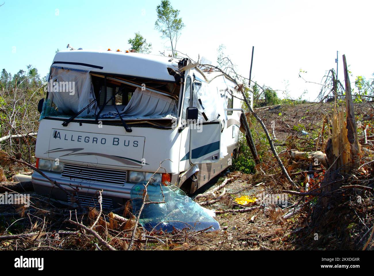 Tornado - Lake Martin, Ala. , May 28, 2011 The Wind Crest State Park was severely damaged by a powerful tornado destroying this state run facility and recreational private property. The State Managed park is qualified for PA debris removal assistance under category G recreational facilities. Adam DuBrowa/ FEMA. Alabama Severe Storms, Tornadoes, Straight-line Winds, and Flooding. Photographs Relating to Disasters and Emergency Management Programs, Activities, and Officials Stock Photohttps://www.alamy.com/image-license-details/?v=1https://www.alamy.com/tornado-lake-martin-ala-may-28-2011-the-wind-crest-state-park-was-severely-damaged-by-a-powerful-tornado-destroying-this-state-run-facility-and-recreational-private-property-the-state-managed-park-is-qualified-for-pa-debris-removal-assistance-under-category-g-recreational-facilities-adam-dubrowa-fema-alabama-severe-storms-tornadoes-straight-line-winds-and-flooding-photographs-relating-to-disasters-and-emergency-management-programs-activities-and-officials-image498170031.html
RM2KXDGXR–Tornado - Lake Martin, Ala. , May 28, 2011 The Wind Crest State Park was severely damaged by a powerful tornado destroying this state run facility and recreational private property. The State Managed park is qualified for PA debris removal assistance under category G recreational facilities. Adam DuBrowa/ FEMA. Alabama Severe Storms, Tornadoes, Straight-line Winds, and Flooding. Photographs Relating to Disasters and Emergency Management Programs, Activities, and Officials
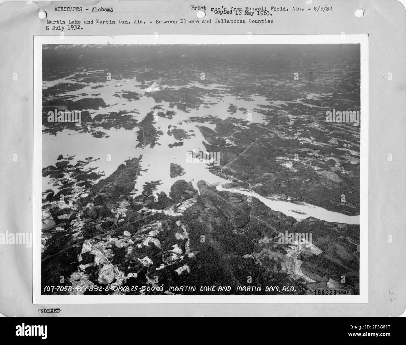 Alabama - Lay Dam through Martin Lake and Martin Dam, Aerial Photograph. Stock Photohttps://www.alamy.com/image-license-details/?v=1https://www.alamy.com/alabama-lay-dam-through-martin-lake-and-martin-dam-aerial-photograph-image535722932.html
RM2P3G81T–Alabama - Lay Dam through Martin Lake and Martin Dam, Aerial Photograph.
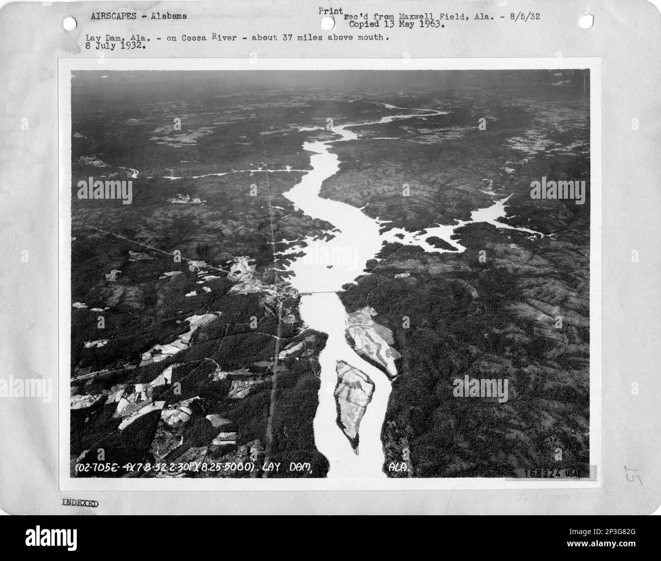 Alabama - Lay Dam through Martin Lake and Martin Dam, Aerial Photograph. Stock Photohttps://www.alamy.com/image-license-details/?v=1https://www.alamy.com/alabama-lay-dam-through-martin-lake-and-martin-dam-aerial-photograph-image535722952.html
RM2P3G82G–Alabama - Lay Dam through Martin Lake and Martin Dam, Aerial Photograph.