Quick filters:
Land cover Stock Photos and Images
 man fishing at a pier in sydney Stock Photohttps://www.alamy.com/image-license-details/?v=1https://www.alamy.com/stock-photo-man-fishing-at-a-pier-in-sydney-170043787.html
RMKTJ4GB–man fishing at a pier in sydney
 Sheet Music Cover The Truiumviri of the Happy Land Stock Photohttps://www.alamy.com/image-license-details/?v=1https://www.alamy.com/sheet-music-cover-the-truiumviri-of-the-happy-land-image615256941.html
RM2XMYAE5–Sheet Music Cover The Truiumviri of the Happy Land
 Africa land cover location map Stock Photohttps://www.alamy.com/image-license-details/?v=1https://www.alamy.com/stock-image-africa-land-cover-location-map-167004961.html
RMKKKMEW–Africa land cover location map
 Princess Nobody - a tale of fairy land - cover. Stock Photohttps://www.alamy.com/image-license-details/?v=1https://www.alamy.com/princess-nobody-a-tale-of-fairy-land-cover-image415065953.html
RM2F37TT1–Princess Nobody - a tale of fairy land - cover.
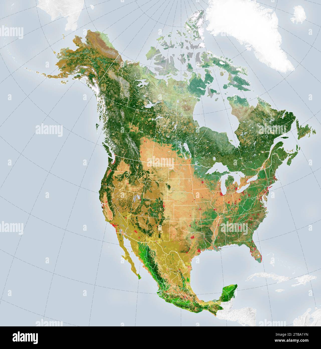 Satellite-derived map showing the distribution of 19 land cover types across the North America in 2015. Stock Photohttps://www.alamy.com/image-license-details/?v=1https://www.alamy.com/satellite-derived-map-showing-the-distribution-of-19-land-cover-types-across-the-north-america-in-2015-image574924441.html
RF2TBA1YN–Satellite-derived map showing the distribution of 19 land cover types across the North America in 2015.
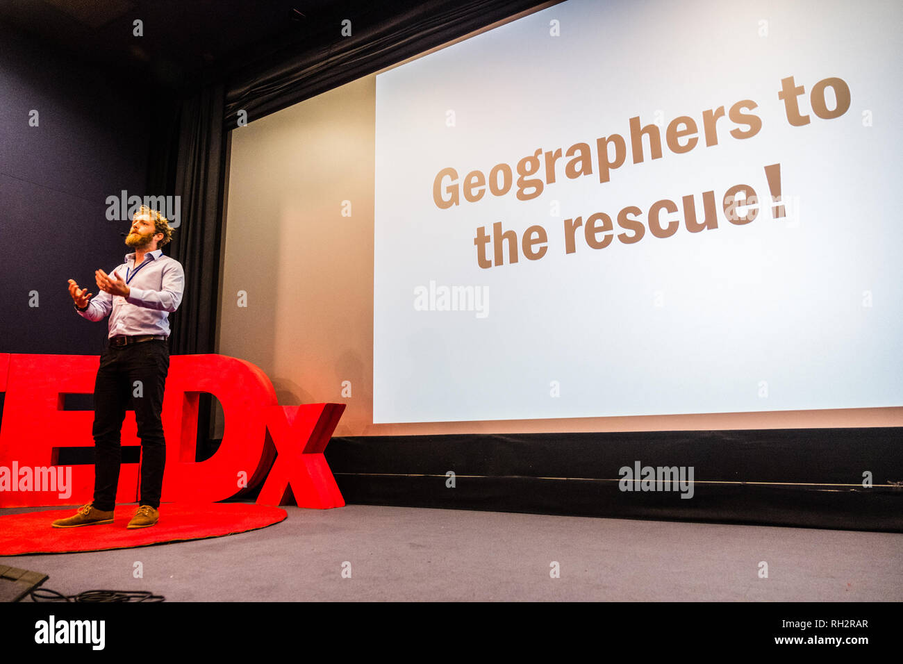 ANDY HARDY : lecturer in Remote Sensing in GIS in the Dept. Geography and Earth Sciences at Aberystwyth University, UK. His research has centred on the use of remote sensing for mapping biophysical parameters including applications related to land cover dynamics, hydrology and malaria vector ecology, using a range of systems from optical/radar satellites to manned aircraft and drones. TEDx Aberystwyth Aberystwyth Arts Centre 24 November 2018 Stock Photohttps://www.alamy.com/image-license-details/?v=1https://www.alamy.com/andy-hardy-lecturer-in-remote-sensing-in-gis-in-the-dept-geography-and-earth-sciences-at-aberystwyth-university-uk-his-research-has-centred-on-the-use-of-remote-sensing-for-mapping-biophysical-parameters-including-applications-related-to-land-cover-dynamics-hydrology-and-malaria-vector-ecology-using-a-range-of-systems-from-opticalradar-satellites-to-manned-aircraft-and-drones-tedx-aberystwyth-aberystwyth-arts-centre-24-november-2018-image234246175.html
RMRH2RAR–ANDY HARDY : lecturer in Remote Sensing in GIS in the Dept. Geography and Earth Sciences at Aberystwyth University, UK. His research has centred on the use of remote sensing for mapping biophysical parameters including applications related to land cover dynamics, hydrology and malaria vector ecology, using a range of systems from optical/radar satellites to manned aircraft and drones. TEDx Aberystwyth Aberystwyth Arts Centre 24 November 2018
 New York, Chinese vice premier and President Xi Jinping's special envoy. 22nd Sep, 2014. Zhang Gaoli (L), Chinese vice premier and President Xi Jinping's special envoy, and United Nations Secretary-General Ban Ki-moon participate in a ceremony during which China donates a global land cover dataset at 30-meter resolution to the United Nations in New York Sept. 22, 2014. © Ding Lin/Xinhua/Alamy Live News Stock Photohttps://www.alamy.com/image-license-details/?v=1https://www.alamy.com/stock-photo-new-york-chinese-vice-premier-and-president-xi-jinpings-special-envoy-73645943.html
RME7PT47–New York, Chinese vice premier and President Xi Jinping's special envoy. 22nd Sep, 2014. Zhang Gaoli (L), Chinese vice premier and President Xi Jinping's special envoy, and United Nations Secretary-General Ban Ki-moon participate in a ceremony during which China donates a global land cover dataset at 30-meter resolution to the United Nations in New York Sept. 22, 2014. © Ding Lin/Xinhua/Alamy Live News
 Our Land - Sheet Music Cover. Winslow Homer (American, 1836-1910). Lithograph Stock Photohttps://www.alamy.com/image-license-details/?v=1https://www.alamy.com/our-land-sheet-music-cover-winslow-homer-american-1836-1910-lithograph-image240397594.html
RMRY31GA–Our Land - Sheet Music Cover. Winslow Homer (American, 1836-1910). Lithograph
 (140922) -- NEW YORK, Sept. 22, 2014 -- Zhang Gaoli (L), Chinese vice premier and President Xi Jinping s special envoy, and United Nations Secretary-General Ban Ki-moon participate in a ceremony during which China donates a global land cover dataset at 30-meter resolution to the United Nations in New York Sept. 22, 2014. ) (lfj) UN-CHINA-ZHANG GAOLI-BAN KI-MOON-DONATION CEREMONY DingxLin PUBLICATIONxNOTxINxCHN New York Sept 22 2014 Zhang Gaoli l Chinese Vice Premier and President Xi Jinping S Special Envoy and United Nations Secretary General Ban KI Moon participate in a Ceremony during Whic Stock Photohttps://www.alamy.com/image-license-details/?v=1https://www.alamy.com/140922-new-york-sept-22-2014-zhang-gaoli-l-chinese-vice-premier-and-president-xi-jinping-s-special-envoy-and-united-nations-secretary-general-ban-ki-moon-participate-in-a-ceremony-during-which-china-donates-a-global-land-cover-dataset-at-30-meter-resolution-to-the-united-nations-in-new-york-sept-22-2014-lfj-un-china-zhang-gaoli-ban-ki-moon-donation-ceremony-dingxlin-publicationxnotxinxchn-new-york-sept-22-2014-zhang-gaoli-l-chinese-vice-premier-and-president-xi-jinping-s-special-envoy-and-united-nations-secretary-general-ban-ki-moon-participate-in-a-ceremony-during-whic-image563572929.html
RM2RMTY0H–(140922) -- NEW YORK, Sept. 22, 2014 -- Zhang Gaoli (L), Chinese vice premier and President Xi Jinping s special envoy, and United Nations Secretary-General Ban Ki-moon participate in a ceremony during which China donates a global land cover dataset at 30-meter resolution to the United Nations in New York Sept. 22, 2014. ) (lfj) UN-CHINA-ZHANG GAOLI-BAN KI-MOON-DONATION CEREMONY DingxLin PUBLICATIONxNOTxINxCHN New York Sept 22 2014 Zhang Gaoli l Chinese Vice Premier and President Xi Jinping S Special Envoy and United Nations Secretary General Ban KI Moon participate in a Ceremony during Whic
 Rainforest at the foot of Mount Tangkoko and Mount Duasudara (Dua Saudara) in Bitung, North Sulawesi, Indonesia. Indonesian Ministry of Environment and Forestry (KLHK) stated that in recent years, Indonesia's deforestation level had decreased significantly. During Indonesia's presentations at the 19th UN Forum on Forests (UNFF) in New York, Agus Justianto, KLKH's Acting Director General of Sustainable Forest Management, said that the facts can be scientifically explained through the forest monitoring system data. 'Land cover data is used as the main consideration in formulating national... Stock Photohttps://www.alamy.com/image-license-details/?v=1https://www.alamy.com/rainforest-at-the-foot-of-mount-tangkoko-and-mount-duasudara-dua-saudara-in-bitung-north-sulawesi-indonesia-indonesian-ministry-of-environment-and-forestry-klhk-stated-that-in-recent-years-indonesias-deforestation-level-had-decreased-significantly-during-indonesias-presentations-at-the-19th-un-forum-on-forests-unff-in-new-york-agus-justianto-klkhs-acting-director-general-of-sustainable-forest-management-said-that-the-facts-can-be-scientifically-explained-through-the-forest-monitoring-system-data-land-cover-data-is-used-as-the-main-consideration-in-formulating-national-image606797010.html
RM2X75YNP–Rainforest at the foot of Mount Tangkoko and Mount Duasudara (Dua Saudara) in Bitung, North Sulawesi, Indonesia. Indonesian Ministry of Environment and Forestry (KLHK) stated that in recent years, Indonesia's deforestation level had decreased significantly. During Indonesia's presentations at the 19th UN Forum on Forests (UNFF) in New York, Agus Justianto, KLKH's Acting Director General of Sustainable Forest Management, said that the facts can be scientifically explained through the forest monitoring system data. 'Land cover data is used as the main consideration in formulating national...
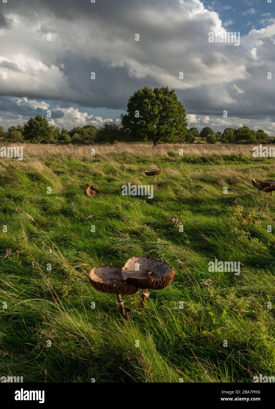 Parasol, Macrolepiota procera, in grassland on Castlemorton Common, Malverns, Worcestershire Stock Photohttps://www.alamy.com/image-license-details/?v=1https://www.alamy.com/parasol-macrolepiota-procera-in-grassland-on-castlemorton-common-malverns-worcestershire-image350525324.html
RM2BA7PHG–Parasol, Macrolepiota procera, in grassland on Castlemorton Common, Malverns, Worcestershire
 Hail! Glorious banner of our land. Spirit of the Union/Gibson & Co. lith., Cincinnati. Patriotic music cover showing woman holding U.S. flag. Stock Photohttps://www.alamy.com/image-license-details/?v=1https://www.alamy.com/hail!-glorious-banner-of-our-land-spirit-of-the-uniongibson-co-lith-cincinnati-patriotic-music-cover-showing-woman-holding-us-flag-image482093856.html
RM2K097HM–Hail! Glorious banner of our land. Spirit of the Union/Gibson & Co. lith., Cincinnati. Patriotic music cover showing woman holding U.S. flag.
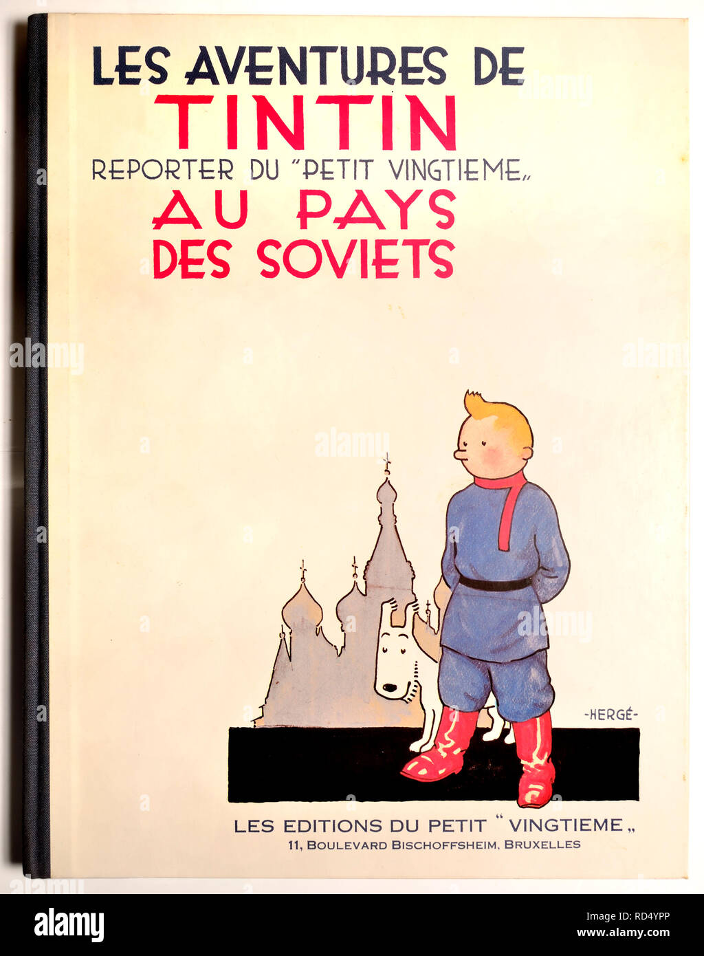 Les Aventures de Tintin au Pays des Soviets / Tintin in the Land of the Soviets (French edition) The first Tintin book, originally published 1930 - re Stock Photohttps://www.alamy.com/image-license-details/?v=1https://www.alamy.com/les-aventures-de-tintin-au-pays-des-soviets-tintin-in-the-land-of-the-soviets-french-edition-the-first-tintin-book-originally-published-1930-re-image231834926.html
RMRD4YPP–Les Aventures de Tintin au Pays des Soviets / Tintin in the Land of the Soviets (French edition) The first Tintin book, originally published 1930 - re
 Gilded letters on the green cover of the book Wild flowers of the Holy Land: Fifty-Four Plates Printed In Colours, Drawn And Painted After Nature. by Mrs. Hannah Zeller, (Gobat); Tristram, H. B. (Henry Baker), and Edward Atkinson, Published in London by James Nisbet & Co 1876 Stock Photohttps://www.alamy.com/image-license-details/?v=1https://www.alamy.com/gilded-letters-on-the-green-cover-of-the-book-wild-flowers-of-the-holy-land-fifty-four-plates-printed-in-colours-drawn-and-painted-after-nature-by-mrs-hannah-zeller-gobat-tristram-h-b-henry-baker-and-edward-atkinson-published-in-london-by-james-nisbet-co-1876-image384928809.html
RM2DA70HD–Gilded letters on the green cover of the book Wild flowers of the Holy Land: Fifty-Four Plates Printed In Colours, Drawn And Painted After Nature. by Mrs. Hannah Zeller, (Gobat); Tristram, H. B. (Henry Baker), and Edward Atkinson, Published in London by James Nisbet & Co 1876
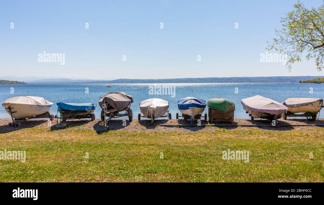 Sailboats on land at the shores of Lake Ammer (Ammersee). Lined up in a row. The boats are covered with tarpaulin. Panorama format. Stock Photohttps://www.alamy.com/image-license-details/?v=1https://www.alamy.com/sailboats-on-land-at-the-shores-of-lake-ammer-ammersee-lined-up-in-a-row-the-boats-are-covered-with-tarpaulin-panorama-format-image354989276.html
RF2BHF4CC–Sailboats on land at the shores of Lake Ammer (Ammersee). Lined up in a row. The boats are covered with tarpaulin. Panorama format.
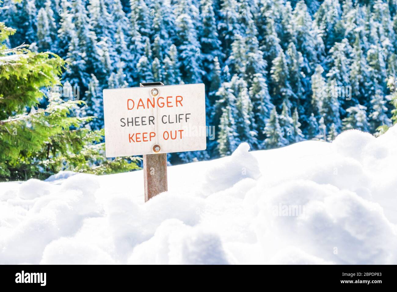 danger sheer cliff keep off sign on the edge of land cover with snow.. Stock Photohttps://www.alamy.com/image-license-details/?v=1https://www.alamy.com/danger-sheer-cliff-keep-off-sign-on-the-edge-of-land-cover-with-snow-image358032643.html
RF2BPDP83–danger sheer cliff keep off sign on the edge of land cover with snow..
 Africa Flores, Land Cover and Land Use Change Theme Lead for SERVIR, speaks during the 2018 Annual Earth Science Applications Showcase, Wednesday, Aug. 1, 2018 at NASA Headquarters in Washington. Every summer students and young professionals from NASA’s Applied Sciences’ DEVELOP National Program come to NASA Headquarters and present their research projects. DEVELOP is a training and development program where students work on Earth science research projects, mentored by science advisers from NASA and partner agencies, and extend research results to local communities. Stock Photohttps://www.alamy.com/image-license-details/?v=1https://www.alamy.com/africa-flores-land-cover-and-land-use-change-theme-lead-for-servir-speaks-during-the-2018-annual-earth-science-applications-showcase-wednesday-aug-1-2018-at-nasa-headquarters-in-washington-every-summer-students-and-young-professionals-from-nasas-applied-sciences-develop-national-program-come-to-nasa-headquarters-and-present-their-research-projects-develop-is-a-training-and-development-program-where-students-work-on-earth-science-research-projects-mentored-by-science-advisers-from-nasa-and-partner-agencies-and-extend-research-results-to-local-communities-image216572112.html
RMPG9KX8–Africa Flores, Land Cover and Land Use Change Theme Lead for SERVIR, speaks during the 2018 Annual Earth Science Applications Showcase, Wednesday, Aug. 1, 2018 at NASA Headquarters in Washington. Every summer students and young professionals from NASA’s Applied Sciences’ DEVELOP National Program come to NASA Headquarters and present their research projects. DEVELOP is a training and development program where students work on Earth science research projects, mentored by science advisers from NASA and partner agencies, and extend research results to local communities.
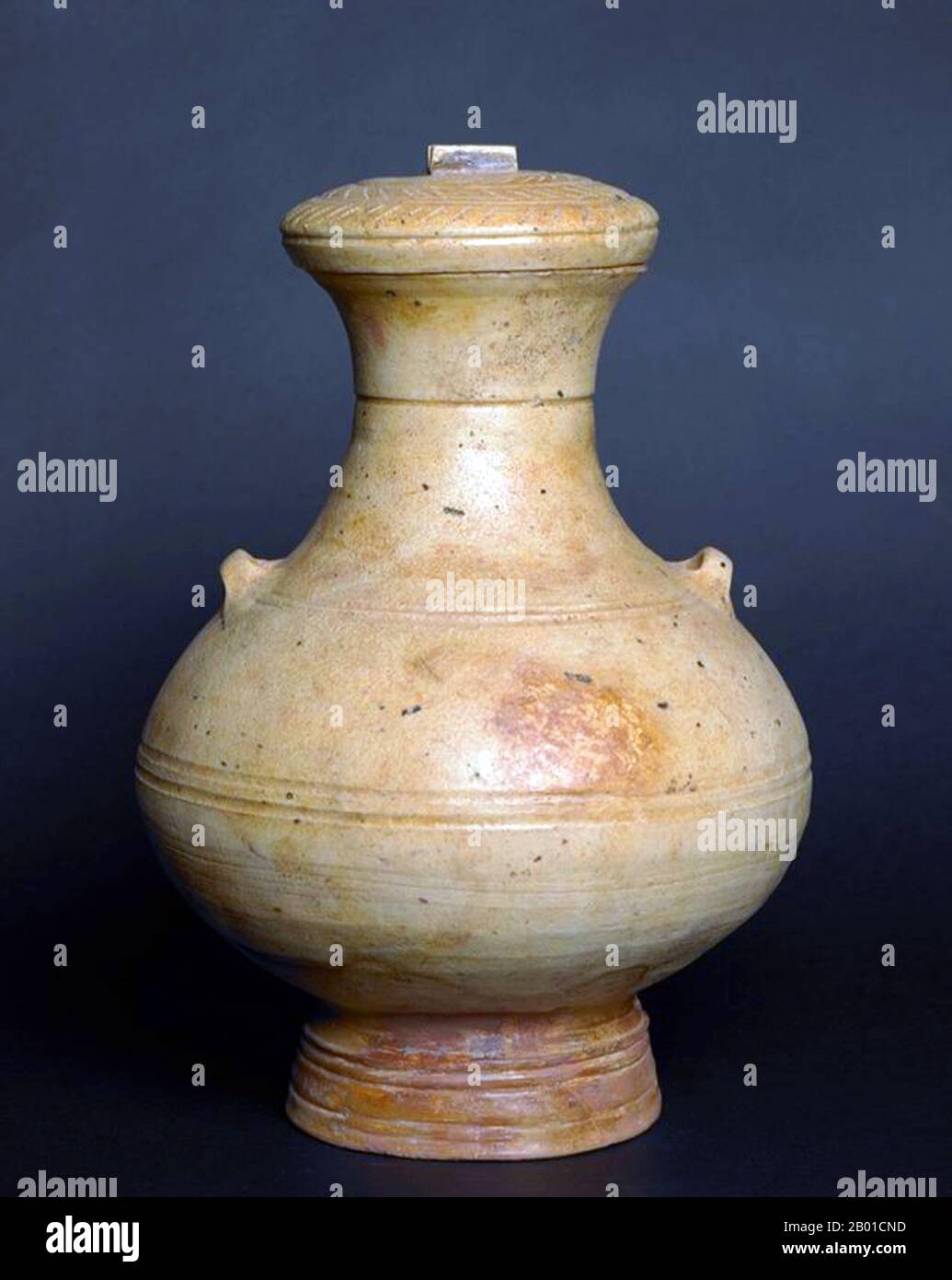 Vietnam: Straw Glazed Hu Shaped Jar with cover, Giao Chi Period. Giao Chỉ was the name of one bộ, an administrative level equivalent to a district, of the former nation of Văn Lang during the Hùng Vương era. Its territory included present-day Hà Nội and the land on the right bank of the Hồng river. Stock Photohttps://www.alamy.com/image-license-details/?v=1https://www.alamy.com/vietnam-straw-glazed-hu-shaped-jar-with-cover-giao-chi-period-giao-ch-was-the-name-of-one-b-an-administrative-level-equivalent-to-a-district-of-the-former-nation-of-vn-lang-during-the-hng-vng-era-its-territory-included-present-day-h-ni-and-the-land-on-the-right-bank-of-the-hng-river-image344239321.html
RM2B01CND–Vietnam: Straw Glazed Hu Shaped Jar with cover, Giao Chi Period. Giao Chỉ was the name of one bộ, an administrative level equivalent to a district, of the former nation of Văn Lang during the Hùng Vương era. Its territory included present-day Hà Nội and the land on the right bank of the Hồng river.
 The area of land that used to be Easington Colliery. The slag heaps that The Who used as a backdrop for the cover of their 1971 album Who's Next have been flattened and grassed over. PRESS ASSOCIATION Photo. Picture date: Sunday October 15, 2006. Photo credit should read: Martin Rickett/PA. Stock Photohttps://www.alamy.com/image-license-details/?v=1https://www.alamy.com/stock-photo-the-area-of-land-that-used-to-be-easington-colliery-the-slag-heaps-109197920.html
RMG9JB1M–The area of land that used to be Easington Colliery. The slag heaps that The Who used as a backdrop for the cover of their 1971 album Who's Next have been flattened and grassed over. PRESS ASSOCIATION Photo. Picture date: Sunday October 15, 2006. Photo credit should read: Martin Rickett/PA.
 sydney cockatoo island is a UNESCO heritage site Stock Photohttps://www.alamy.com/image-license-details/?v=1https://www.alamy.com/stock-photo-sydney-cockatoo-island-is-a-unesco-heritage-site-170043697.html
RMKTJ4D5–sydney cockatoo island is a UNESCO heritage site
 Music cover, The Bolden Ode, Land, Love and Liberty - Horatio Nelson and HMS Victory. Stock Photohttps://www.alamy.com/image-license-details/?v=1https://www.alamy.com/music-cover-the-bolden-ode-land-love-and-liberty-horatio-nelson-and-hms-victory-image504847264.html
RM2M99NRC–Music cover, The Bolden Ode, Land, Love and Liberty - Horatio Nelson and HMS Victory.
 Multi-colored land cover in the forest of Yakutia with wild cranberries on white moss and pieces of trees. Natural background. Stock Photohttps://www.alamy.com/image-license-details/?v=1https://www.alamy.com/multi-colored-land-cover-in-the-forest-of-yakutia-with-wild-cranberries-on-white-moss-and-pieces-of-trees-natural-background-image519143262.html
RF2N4H0EP–Multi-colored land cover in the forest of Yakutia with wild cranberries on white moss and pieces of trees. Natural background.
 Princess Nobody - a tale of fairy land - cover 2. Stock Photohttps://www.alamy.com/image-license-details/?v=1https://www.alamy.com/princess-nobody-a-tale-of-fairy-land-cover-2-image415065964.html
RM2F37TTC–Princess Nobody - a tale of fairy land - cover 2.
 unusual snow cover of white color consisting of fluffy snow and crystallized ice on top, ice land cover in winter Stock Photohttps://www.alamy.com/image-license-details/?v=1https://www.alamy.com/unusual-snow-cover-of-white-color-consisting-of-fluffy-snow-and-crystallized-ice-on-top-ice-land-cover-in-winter-image345300931.html
RF2B1NPT3–unusual snow cover of white color consisting of fluffy snow and crystallized ice on top, ice land cover in winter
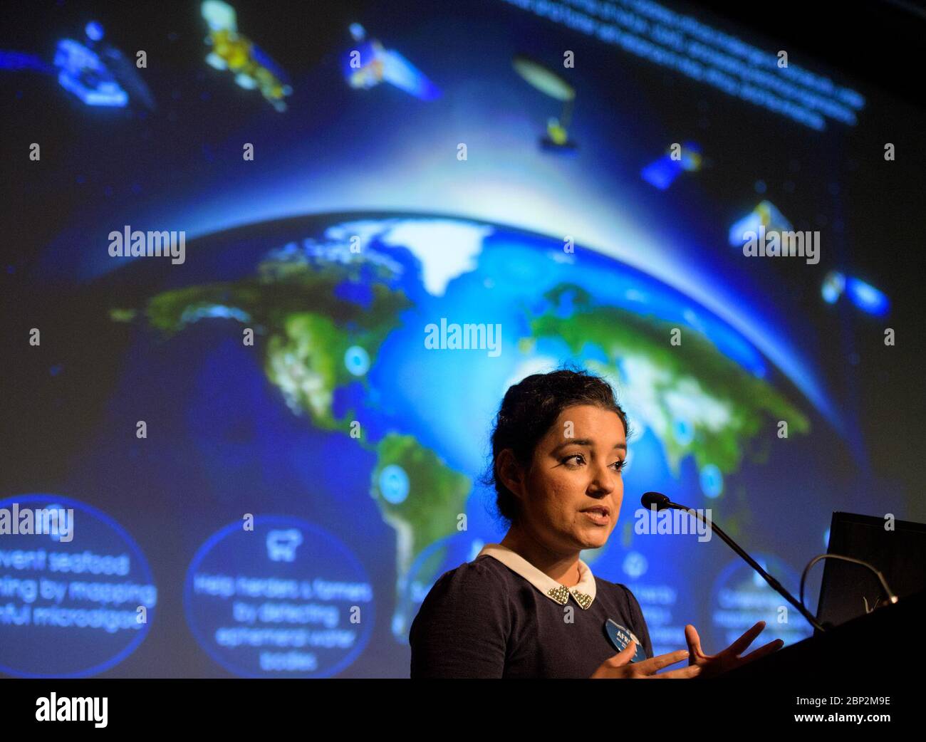 2018 Earth Science Applications Showcase Africa Flores, Land Cover and Land Use Change Theme Lead for SERVIR, speaks during the 2018 Annual Earth Science Applications Showcase, Wednesday, Aug. 1, 2018 at NASA Headquarters in Washington. Every summer students and young professionals from NASA’s Applied Sciences’ DEVELOP National Program come to NASA Headquarters and present their research projects. DEVELOP is a training and development program where students work on Earth science research projects, mentored by science advisers from NASA and partner agencies, and extend research results to loca Stock Photohttps://www.alamy.com/image-license-details/?v=1https://www.alamy.com/2018-earth-science-applications-showcase-africa-flores-land-cover-and-land-use-change-theme-lead-for-servir-speaks-during-the-2018-annual-earth-science-applications-showcase-wednesday-aug-1-2018-at-nasa-headquarters-in-washington-every-summer-students-and-young-professionals-from-nasas-applied-sciences-develop-national-program-come-to-nasa-headquarters-and-present-their-research-projects-develop-is-a-training-and-development-program-where-students-work-on-earth-science-research-projects-mentored-by-science-advisers-from-nasa-and-partner-agencies-and-extend-research-results-to-loca-image357789642.html
RM2BP2M9E–2018 Earth Science Applications Showcase Africa Flores, Land Cover and Land Use Change Theme Lead for SERVIR, speaks during the 2018 Annual Earth Science Applications Showcase, Wednesday, Aug. 1, 2018 at NASA Headquarters in Washington. Every summer students and young professionals from NASA’s Applied Sciences’ DEVELOP National Program come to NASA Headquarters and present their research projects. DEVELOP is a training and development program where students work on Earth science research projects, mentored by science advisers from NASA and partner agencies, and extend research results to loca
 (190323) -- BEIJING, March 23, 2019 (Xinhua) -- Researchers from Institute of Remote Sensing and Digital Earth of Chinese Academy of Sciences and experts from African institutions conduct land cover investigation in Kenya, Sept. 26, 2016. The Sino-Africa Joint Research Center (SAJOREC), a talent cultivation and scientific research institute, was established in 2013 and covers some 40 acres of land. The Chinese Academy of Sciences has equipped SAJOREC to enhance its capacity to implement joint research projects. Since its establishment, 48 joint research projects focusing on biodiversity in Stock Photohttps://www.alamy.com/image-license-details/?v=1https://www.alamy.com/190323-beijing-march-23-2019-xinhua-researchers-from-institute-of-remote-sensing-and-digital-earth-of-chinese-academy-of-sciences-and-experts-from-african-institutions-conduct-land-cover-investigation-in-kenya-sept-26-2016-the-sino-africa-joint-research-center-sajorec-a-talent-cultivation-and-scientific-research-institute-was-established-in-2013-and-covers-some-40-acres-of-land-the-chinese-academy-of-sciences-has-equipped-sajorec-to-enhance-its-capacity-to-implement-joint-research-projects-since-its-establishment-48-joint-research-projects-focusing-on-biodiversity-in-image241555011.html
RMT0YNTK–(190323) -- BEIJING, March 23, 2019 (Xinhua) -- Researchers from Institute of Remote Sensing and Digital Earth of Chinese Academy of Sciences and experts from African institutions conduct land cover investigation in Kenya, Sept. 26, 2016. The Sino-Africa Joint Research Center (SAJOREC), a talent cultivation and scientific research institute, was established in 2013 and covers some 40 acres of land. The Chinese Academy of Sciences has equipped SAJOREC to enhance its capacity to implement joint research projects. Since its establishment, 48 joint research projects focusing on biodiversity in
 Winter land close to Ulaanbaatar, Mongolia. Digital enhancement of an image by NASA Stock Photohttps://www.alamy.com/image-license-details/?v=1https://www.alamy.com/winter-land-close-to-ulaanbaatar-mongolia-digital-enhancement-of-an-image-by-nasa-image597577503.html
RM2WM605K–Winter land close to Ulaanbaatar, Mongolia. Digital enhancement of an image by NASA
 (190323) -- BEIJING, March 23, 2019 (Xinhua) -- Researchers from Institute of Remote Sensing and Digital Earth of Chinese Academy of Sciences and experts from African institutions conduct land cover investigation in Kenya, Sept. 26, 2016. The Sino-Africa Joint Research Center (SAJOREC), a talent cultivation and scientific research institute, was established in 2013 and covers some 40 acres of land. The Chinese Academy of Sciences has equipped SAJOREC to enhance its capacity to implement joint research projects. Since its establishment, 48 joint research projects focusing on biodiversity invest Stock Photohttps://www.alamy.com/image-license-details/?v=1https://www.alamy.com/190323-beijing-march-23-2019-xinhua-researchers-from-institute-of-remote-sensing-and-digital-earth-of-chinese-academy-of-sciences-and-experts-from-african-institutions-conduct-land-cover-investigation-in-kenya-sept-26-2016-the-sino-africa-joint-research-center-sajorec-a-talent-cultivation-and-scientific-research-institute-was-established-in-2013-and-covers-some-40-acres-of-land-the-chinese-academy-of-sciences-has-equipped-sajorec-to-enhance-its-capacity-to-implement-joint-research-projects-since-its-establishment-48-joint-research-projects-focusing-on-biodiversity-invest-image564455287.html
RM2RP94DB–(190323) -- BEIJING, March 23, 2019 (Xinhua) -- Researchers from Institute of Remote Sensing and Digital Earth of Chinese Academy of Sciences and experts from African institutions conduct land cover investigation in Kenya, Sept. 26, 2016. The Sino-Africa Joint Research Center (SAJOREC), a talent cultivation and scientific research institute, was established in 2013 and covers some 40 acres of land. The Chinese Academy of Sciences has equipped SAJOREC to enhance its capacity to implement joint research projects. Since its establishment, 48 joint research projects focusing on biodiversity invest
 Rainforest at the foot of Mount Tangkoko and Mount Duasudara (Dua Saudara) in Bitung, North Sulawesi, Indonesia. Indonesian Ministry of Environment and Forestry (KLHK) stated that in recent years, Indonesia's deforestation level had decreased significantly. During Indonesia's presentations at the 19th UN Forum on Forests (UNFF) in New York, Agus Justianto, KLKH's Acting Director General of Sustainable Forest Management, said that the facts can be scientifically explained through the forest monitoring system data. 'Land cover data is used as the main consideration in formulating national... Stock Photohttps://www.alamy.com/image-license-details/?v=1https://www.alamy.com/rainforest-at-the-foot-of-mount-tangkoko-and-mount-duasudara-dua-saudara-in-bitung-north-sulawesi-indonesia-indonesian-ministry-of-environment-and-forestry-klhk-stated-that-in-recent-years-indonesias-deforestation-level-had-decreased-significantly-during-indonesias-presentations-at-the-19th-un-forum-on-forests-unff-in-new-york-agus-justianto-klkhs-acting-director-general-of-sustainable-forest-management-said-that-the-facts-can-be-scientifically-explained-through-the-forest-monitoring-system-data-land-cover-data-is-used-as-the-main-consideration-in-formulating-national-image606797378.html
RM2X7606X–Rainforest at the foot of Mount Tangkoko and Mount Duasudara (Dua Saudara) in Bitung, North Sulawesi, Indonesia. Indonesian Ministry of Environment and Forestry (KLHK) stated that in recent years, Indonesia's deforestation level had decreased significantly. During Indonesia's presentations at the 19th UN Forum on Forests (UNFF) in New York, Agus Justianto, KLKH's Acting Director General of Sustainable Forest Management, said that the facts can be scientifically explained through the forest monitoring system data. 'Land cover data is used as the main consideration in formulating national...
 LP cover of High Land Hard Rain, the debut album by Scottish band Aztec Camera, which was released in 1983 Stock Photohttps://www.alamy.com/image-license-details/?v=1https://www.alamy.com/lp-cover-of-high-land-hard-rain-the-debut-album-by-scottish-band-aztec-camera-which-was-released-in-1983-image571402727.html
RM2T5HJ07–LP cover of High Land Hard Rain, the debut album by Scottish band Aztec Camera, which was released in 1983
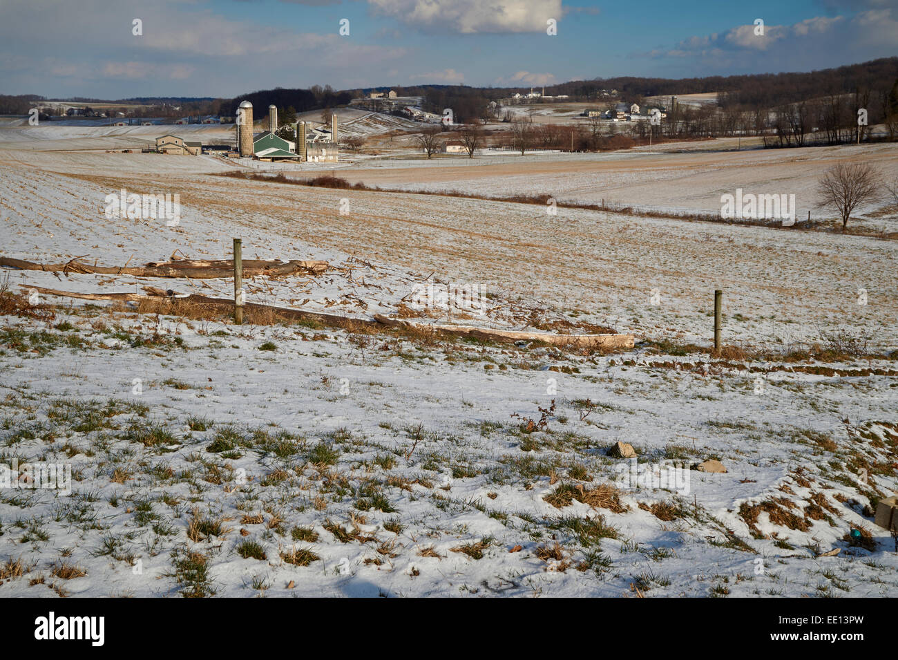 early snow cover, Lancaster, PA, USA Stock Photohttps://www.alamy.com/image-license-details/?v=1https://www.alamy.com/stock-photo-early-snow-cover-lancaster-pa-usa-77471601.html
RMEE13PW–early snow cover, Lancaster, PA, USA
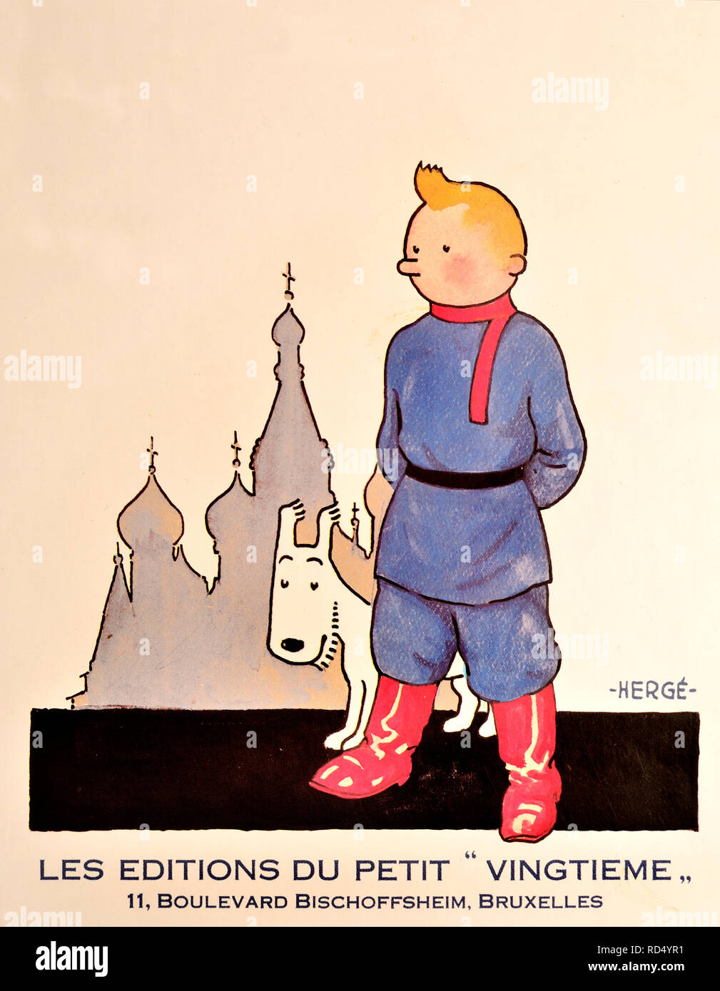 Les Aventures de Tintin au Pays des Soviets / Tintin in the Land of the Soviets (French edition) The first Tintin book, originally published 1930 - re Stock Photohttps://www.alamy.com/image-license-details/?v=1https://www.alamy.com/les-aventures-de-tintin-au-pays-des-soviets-tintin-in-the-land-of-the-soviets-french-edition-the-first-tintin-book-originally-published-1930-re-image231834933.html
RMRD4YR1–Les Aventures de Tintin au Pays des Soviets / Tintin in the Land of the Soviets (French edition) The first Tintin book, originally published 1930 - re
 Vintage vinyl record cover. Vader Abraham im Land der Schlümpfe 1977/1978 Stock Photohttps://www.alamy.com/image-license-details/?v=1https://www.alamy.com/vintage-vinyl-record-cover-vader-abraham-im-land-der-schlmpfe-19771978-image609476230.html
RM2XBG146–Vintage vinyl record cover. Vader Abraham im Land der Schlümpfe 1977/1978
 Happy Land by The Bachelors, a stock photo of the 7' single vinyl 45 rpm record in cover Stock Photohttps://www.alamy.com/image-license-details/?v=1https://www.alamy.com/happy-land-by-the-bachelors-a-stock-photo-of-the-7-single-vinyl-45-rpm-record-in-cover-image434739378.html
RM2G782EA–Happy Land by The Bachelors, a stock photo of the 7' single vinyl 45 rpm record in cover
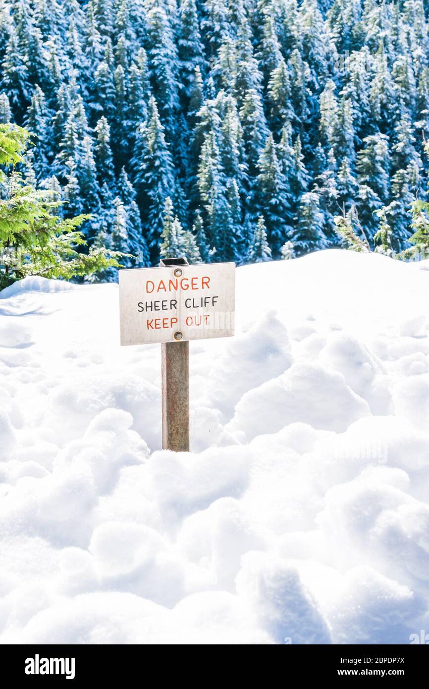 danger sheer cliff keep off sign on the edge of land cover with snow.. Stock Photohttps://www.alamy.com/image-license-details/?v=1https://www.alamy.com/danger-sheer-cliff-keep-off-sign-on-the-edge-of-land-cover-with-snow-image358032638.html
RF2BPDP7X–danger sheer cliff keep off sign on the edge of land cover with snow..
 Front cover of a Penguin paperback edition of Siren Land by Norman Douglas Stock Photohttps://www.alamy.com/image-license-details/?v=1https://www.alamy.com/front-cover-of-a-penguin-paperback-edition-of-siren-land-by-norman-douglas-image560057600.html
RM2RF4R54–Front cover of a Penguin paperback edition of Siren Land by Norman Douglas
 Overgrown manhole cover. Irene-Keller-Weg, Vitznau, Lucerne,, Switzerland Stock Photohttps://www.alamy.com/image-license-details/?v=1https://www.alamy.com/overgrown-manhole-cover-irene-keller-weg-vitznau-lucerne-switzerland-image617322680.html
RF2XT9DAG–Overgrown manhole cover. Irene-Keller-Weg, Vitznau, Lucerne,, Switzerland
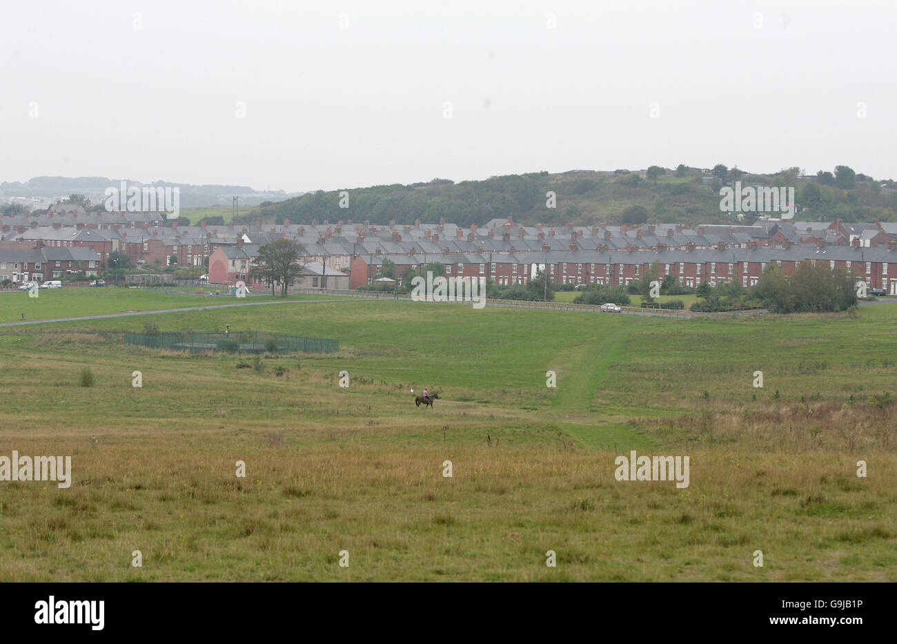 The area of land that used to be Easington Colliery, after its closure in 1993. The slag heaps that The Who used as a backdrop for the cover of their 1971 album Who's Next have been flattened and grassed over. Sunday October 15, 2006. PRESS ASSOCIATION Photo. Photo credit should read: Martin Rickett/PA. Stock Photohttps://www.alamy.com/image-license-details/?v=1https://www.alamy.com/stock-photo-the-area-of-land-that-used-to-be-easington-colliery-after-its-closure-109197922.html
RMG9JB1P–The area of land that used to be Easington Colliery, after its closure in 1993. The slag heaps that The Who used as a backdrop for the cover of their 1971 album Who's Next have been flattened and grassed over. Sunday October 15, 2006. PRESS ASSOCIATION Photo. Photo credit should read: Martin Rickett/PA.
 sydney cockatoo island is a UNESCO heritage site Stock Photohttps://www.alamy.com/image-license-details/?v=1https://www.alamy.com/stock-photo-sydney-cockatoo-island-is-a-unesco-heritage-site-170043380.html
RMKTJ41T–sydney cockatoo island is a UNESCO heritage site
 Cover design, Popular Aviation and Aeronautics Magazine, showing a passenger plane coming in to land at an airport at night. Stock Photohttps://www.alamy.com/image-license-details/?v=1https://www.alamy.com/cover-design-popular-aviation-and-aeronautics-magazine-showing-a-passenger-plane-coming-in-to-land-at-an-airport-at-night-image504780637.html
RM2M96MRW–Cover design, Popular Aviation and Aeronautics Magazine, showing a passenger plane coming in to land at an airport at night.
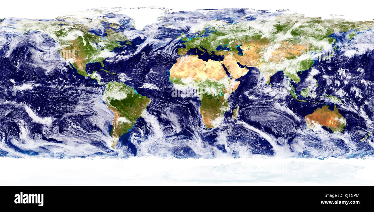 detailed true-colour image of the entire Earth, showing cloud cover over two days. Using a collection of satellite-based observations, scientists and visualizers stitched together months of observations of the land surface, oceans, sea ice, and clouds into a seamless, true-colour mosaic of every square kilometre (.386 square mile) of our planet. These images are freely available to educators, scientists, museums, and the public. Much of the information contained in this image came from a single remote-sensing device-NASA’s Moderate Resolution Imaging Spectroradiometer, or MODIS. Stock Photohttps://www.alamy.com/image-license-details/?v=1https://www.alamy.com/stock-image-detailed-true-colour-image-of-the-entire-earth-showing-cloud-cover-165992252.html
RMKJ1GPM–detailed true-colour image of the entire Earth, showing cloud cover over two days. Using a collection of satellite-based observations, scientists and visualizers stitched together months of observations of the land surface, oceans, sea ice, and clouds into a seamless, true-colour mosaic of every square kilometre (.386 square mile) of our planet. These images are freely available to educators, scientists, museums, and the public. Much of the information contained in this image came from a single remote-sensing device-NASA’s Moderate Resolution Imaging Spectroradiometer, or MODIS.
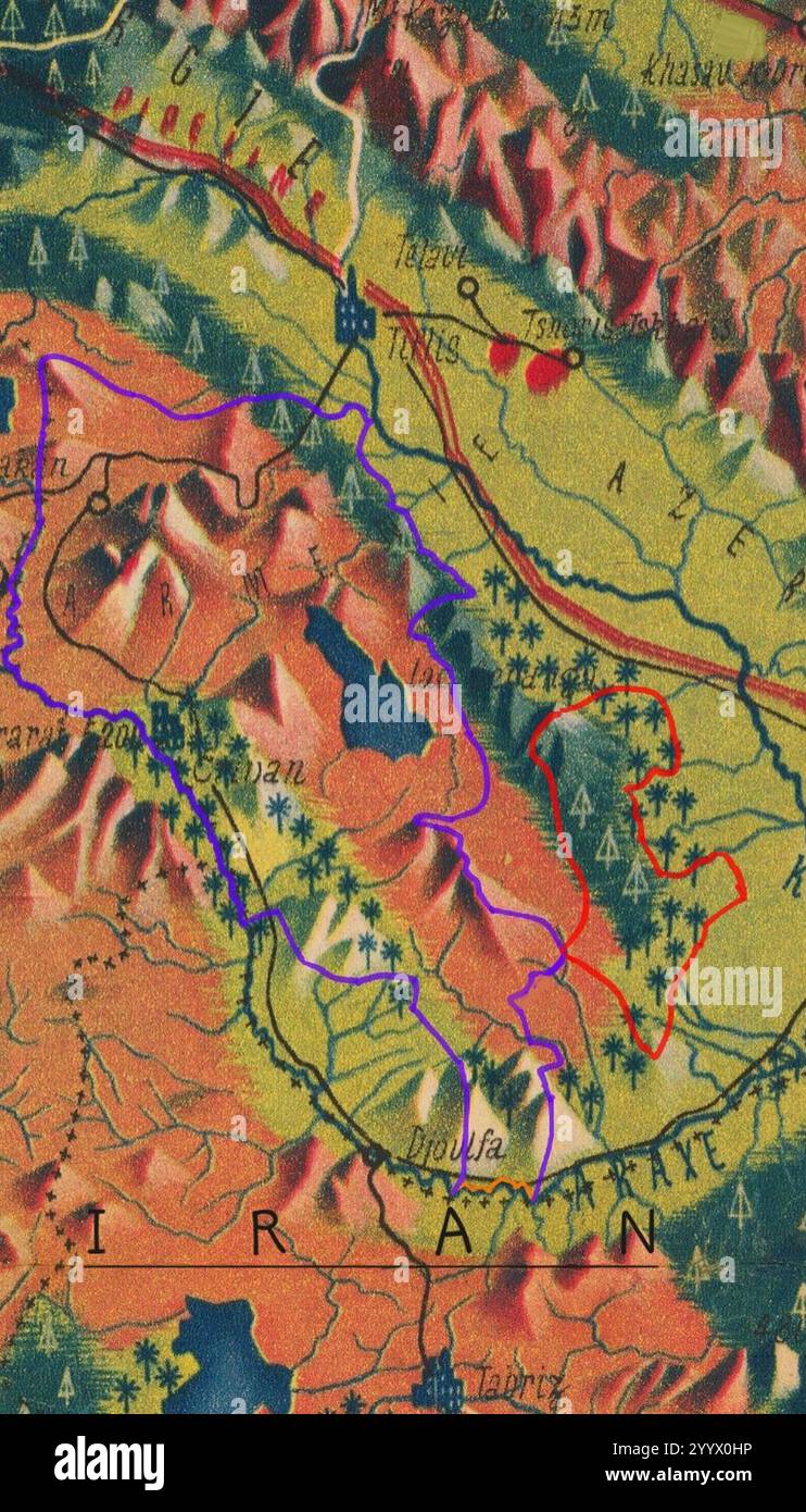 Eastern (Caucasian) Armenia Vegetation Land Cover. Stock Photohttps://www.alamy.com/image-license-details/?v=1https://www.alamy.com/eastern-caucasian-armenia-vegetation-land-cover-image636740210.html
RM2YYX0HP–Eastern (Caucasian) Armenia Vegetation Land Cover.
 unusual snow cover of white color consisting of fluffy snow and crystallized ice on top, ice land cover in winter Stock Photohttps://www.alamy.com/image-license-details/?v=1https://www.alamy.com/unusual-snow-cover-of-white-color-consisting-of-fluffy-snow-and-crystallized-ice-on-top-ice-land-cover-in-winter-image345300936.html
RF2B1NPT8–unusual snow cover of white color consisting of fluffy snow and crystallized ice on top, ice land cover in winter
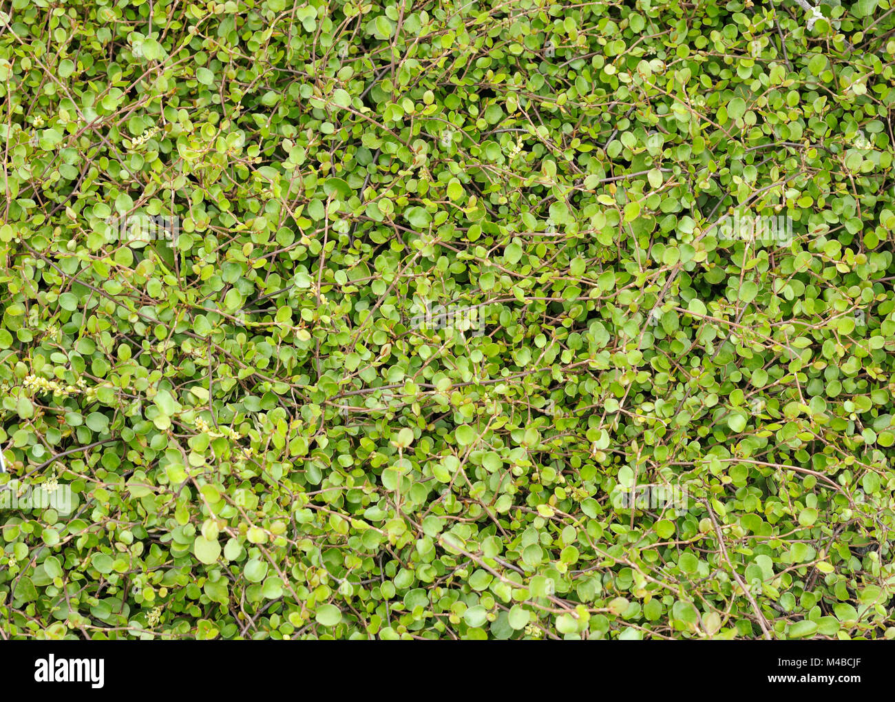 land covering plant Stock Photohttps://www.alamy.com/image-license-details/?v=1https://www.alamy.com/stock-photo-land-covering-plant-174813703.html
RMM4BCJF–land covering plant
 Close up of Barren Land, Uttan, Maharashtra, India Stock Photohttps://www.alamy.com/image-license-details/?v=1https://www.alamy.com/stock-photo-close-up-of-barren-land-uttan-maharashtra-india-175520774.html
RMM5FJF2–Close up of Barren Land, Uttan, Maharashtra, India
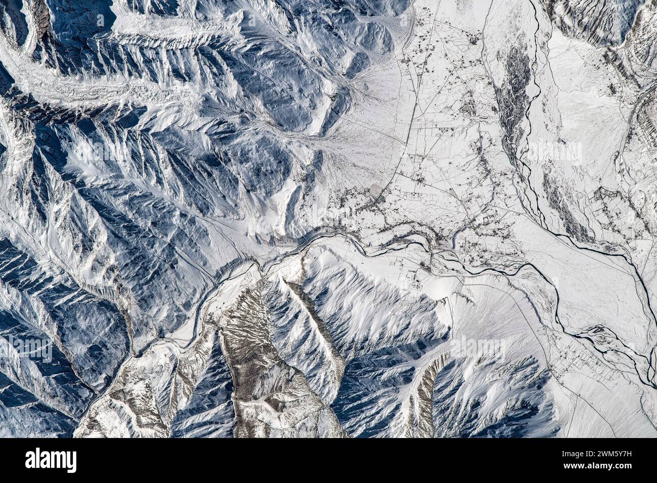 Land Feature Close To Ladakh in India. Digital enhancement of an image by NASA Stock Photohttps://www.alamy.com/image-license-details/?v=1https://www.alamy.com/land-feature-close-to-ladakh-in-india-digital-enhancement-of-an-image-by-nasa-image597576773.html
RM2WM5Y7H–Land Feature Close To Ladakh in India. Digital enhancement of an image by NASA
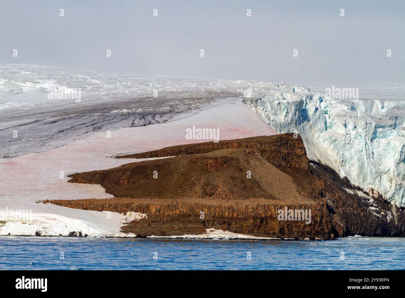 View of glacial ice on Alexander Island in Franz Josef Land, Russia, Arctic Ocean, Eurasia Stock Photohttps://www.alamy.com/image-license-details/?v=1https://www.alamy.com/view-of-glacial-ice-on-alexander-island-in-franz-josef-land-russia-arctic-ocean-eurasia-image625189481.html
RF2Y93RFN–View of glacial ice on Alexander Island in Franz Josef Land, Russia, Arctic Ocean, Eurasia
 Rainforest at the foot of Mount Tangkoko and Mount Duasudara (Dua Saudara) in Bitung, North Sulawesi, Indonesia. Indonesian Ministry of Environment and Forestry (KLHK) stated that in recent years, Indonesia's deforestation level had decreased significantly. During Indonesia's presentations at the 19th UN Forum on Forests (UNFF) in New York, Agus Justianto, KLKH's Acting Director General of Sustainable Forest Management, said that the facts can be scientifically explained through the forest monitoring system data. 'Land cover data is used as the main consideration in formulating national... Stock Photohttps://www.alamy.com/image-license-details/?v=1https://www.alamy.com/rainforest-at-the-foot-of-mount-tangkoko-and-mount-duasudara-dua-saudara-in-bitung-north-sulawesi-indonesia-indonesian-ministry-of-environment-and-forestry-klhk-stated-that-in-recent-years-indonesias-deforestation-level-had-decreased-significantly-during-indonesias-presentations-at-the-19th-un-forum-on-forests-unff-in-new-york-agus-justianto-klkhs-acting-director-general-of-sustainable-forest-management-said-that-the-facts-can-be-scientifically-explained-through-the-forest-monitoring-system-data-land-cover-data-is-used-as-the-main-consideration-in-formulating-national-image606797582.html
RM2X760E6–Rainforest at the foot of Mount Tangkoko and Mount Duasudara (Dua Saudara) in Bitung, North Sulawesi, Indonesia. Indonesian Ministry of Environment and Forestry (KLHK) stated that in recent years, Indonesia's deforestation level had decreased significantly. During Indonesia's presentations at the 19th UN Forum on Forests (UNFF) in New York, Agus Justianto, KLKH's Acting Director General of Sustainable Forest Management, said that the facts can be scientifically explained through the forest monitoring system data. 'Land cover data is used as the main consideration in formulating national...
 LP cover of High Land Hard Rain, the debut album by Scottish band Aztec Camera, which was released in 1983 Stock Photohttps://www.alamy.com/image-license-details/?v=1https://www.alamy.com/lp-cover-of-high-land-hard-rain-the-debut-album-by-scottish-band-aztec-camera-which-was-released-in-1983-image458824647.html
RM2HJD7EF–LP cover of High Land Hard Rain, the debut album by Scottish band Aztec Camera, which was released in 1983
 tulip farm in winter Stock Photohttps://www.alamy.com/image-license-details/?v=1https://www.alamy.com/stock-photo-tulip-farm-in-winter-48212124.html
RMCPC71G–tulip farm in winter
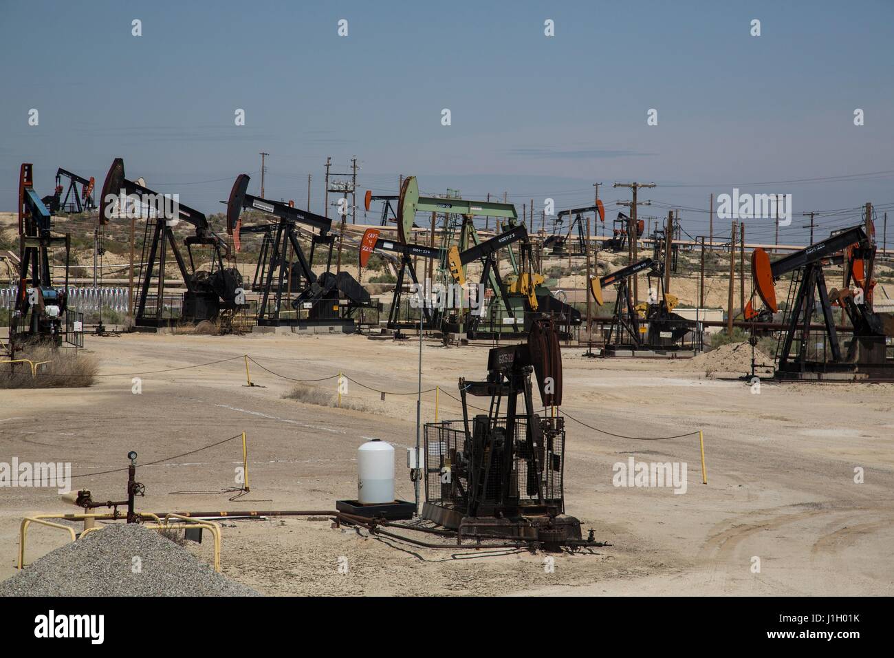 Oil pump jacks cover the ground in the Kern River Oil Field along the San Joaquin Valley April 11, 2017 in Bakersfield, California. The oil and gas wells that cover the area are on public land leased by the federal Bureau of Land Management. Stock Photohttps://www.alamy.com/image-license-details/?v=1https://www.alamy.com/stock-photo-oil-pump-jacks-cover-the-ground-in-the-kern-river-oil-field-along-138670831.html
RMJ1H01K–Oil pump jacks cover the ground in the Kern River Oil Field along the San Joaquin Valley April 11, 2017 in Bakersfield, California. The oil and gas wells that cover the area are on public land leased by the federal Bureau of Land Management.
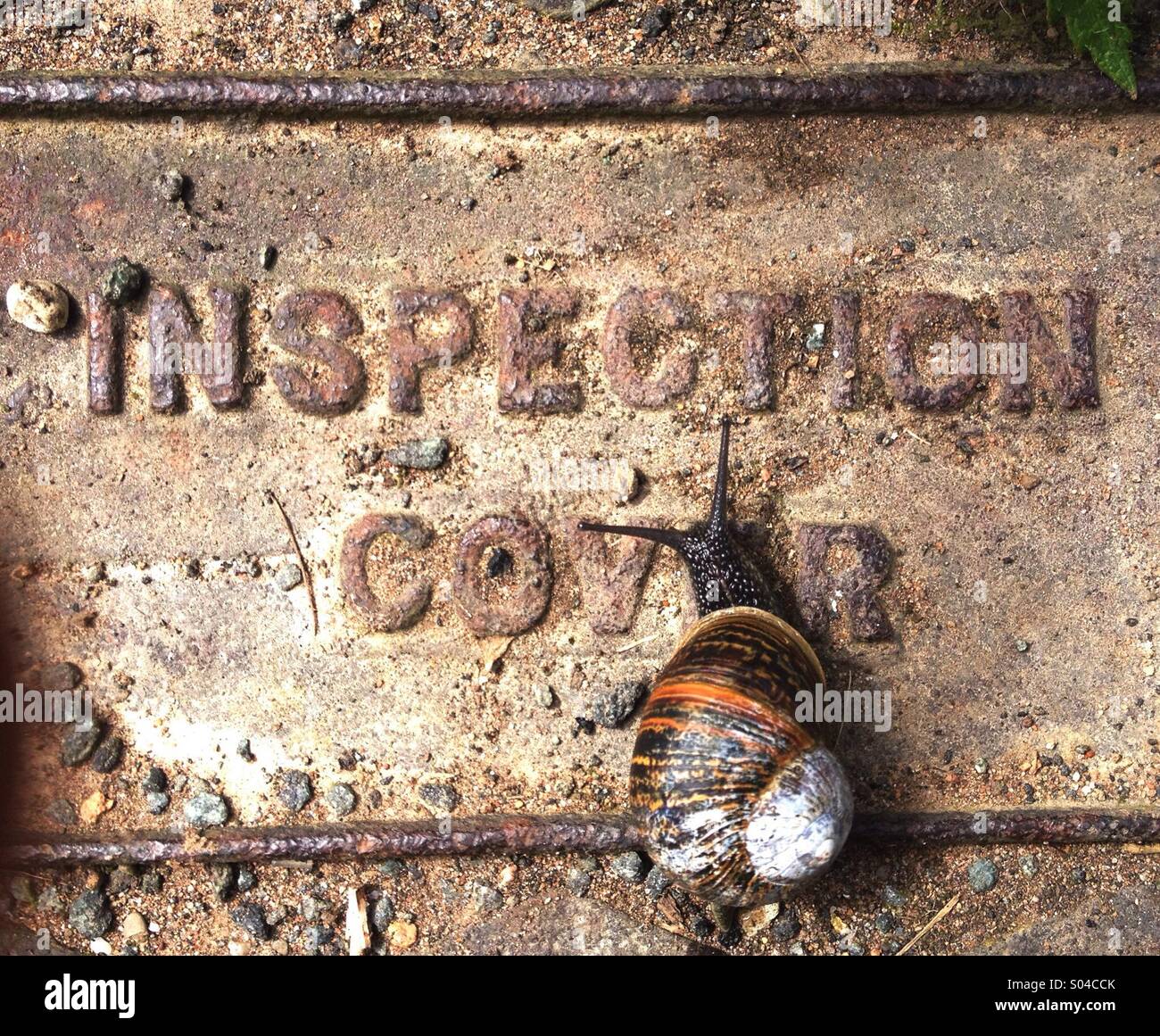 Snail on Drain Cover Stock Photohttps://www.alamy.com/image-license-details/?v=1https://www.alamy.com/stock-photo-snail-on-drain-cover-309884195.html
RMS04CCK–Snail on Drain Cover
 Very rare to find a path cover with trees Stock Photohttps://www.alamy.com/image-license-details/?v=1https://www.alamy.com/very-rare-to-find-a-path-cover-with-trees-image566406529.html
RF2RWE18H–Very rare to find a path cover with trees
 Mobile phone covered by land-line handset Stock Photohttps://www.alamy.com/image-license-details/?v=1https://www.alamy.com/stock-photo-mobile-phone-covered-by-land-line-handset-92580233.html
RFFAHB0W–Mobile phone covered by land-line handset
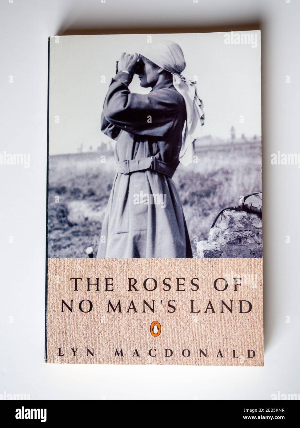 Stock photo of the book The Roses Of No Man's Land, by the author and historian Lyn Macdonald; Penguin Books, 1980 Stock Photohttps://www.alamy.com/image-license-details/?v=1https://www.alamy.com/stock-photo-of-the-book-the-roses-of-no-mans-land-by-the-author-and-historian-lyn-macdonald-penguin-books-1980-image402724947.html
RF2EB5KNR–Stock photo of the book The Roses Of No Man's Land, by the author and historian Lyn Macdonald; Penguin Books, 1980
 Purity white powder snow cover glittering in the shadows and sunlight on a frosty winter morning Stock Photohttps://www.alamy.com/image-license-details/?v=1https://www.alamy.com/purity-white-powder-snow-cover-glittering-in-the-shadows-and-sunlight-on-a-frosty-winter-morning-image334626907.html
RM2ACBG0Y–Purity white powder snow cover glittering in the shadows and sunlight on a frosty winter morning
 Rhubarb field, transparency cover, economy, cultivation, vegetables, vegetable-growing, rhubarb cultivation, vegetable plants, plants, Knöterichgewächse, Rhabarer, Speiserhababer, Rheum rhabarbarum, open land rhubarb, Plastifolie, protection against frost Stock Photohttps://www.alamy.com/image-license-details/?v=1https://www.alamy.com/stock-photo-rhubarb-field-transparency-cover-economy-cultivation-vegetables-vegetable-122869829.html
RMH3W5M5–Rhubarb field, transparency cover, economy, cultivation, vegetables, vegetable-growing, rhubarb cultivation, vegetable plants, plants, Knöterichgewächse, Rhabarer, Speiserhababer, Rheum rhabarbarum, open land rhubarb, Plastifolie, protection against frost
 sydney cockatoo island is a UNESCO heritage site Stock Photohttps://www.alamy.com/image-license-details/?v=1https://www.alamy.com/stock-photo-sydney-cockatoo-island-is-a-unesco-heritage-site-170043736.html
RMKTJ4EG–sydney cockatoo island is a UNESCO heritage site
 The Landswoman - Christmas Number - Cover Stock Photohttps://www.alamy.com/image-license-details/?v=1https://www.alamy.com/the-landswoman-christmas-number-cover-image183049248.html
RMMHPH54–The Landswoman - Christmas Number - Cover
 detailed true-colour image of the entire Earth. Using a collection of satellite-based observations, scientists and visualizers stitched together months of observations of the land surface, oceans, sea ice, and clouds into a seamless, true-colour mosaic of every square kilometre (.386 square mile) of our planet. These images are freely available to educators, scientists, museums, and the public. Much of the information contained in this image came from a single remote-sensing device-NASA’s Moderate Resolution Imaging Spectroradiometer, or MODIS. Stock Photohttps://www.alamy.com/image-license-details/?v=1https://www.alamy.com/stock-image-detailed-true-colour-image-of-the-entire-earth-using-a-collection-165992245.html
RMKJ1GPD–detailed true-colour image of the entire Earth. Using a collection of satellite-based observations, scientists and visualizers stitched together months of observations of the land surface, oceans, sea ice, and clouds into a seamless, true-colour mosaic of every square kilometre (.386 square mile) of our planet. These images are freely available to educators, scientists, museums, and the public. Much of the information contained in this image came from a single remote-sensing device-NASA’s Moderate Resolution Imaging Spectroradiometer, or MODIS.
 Green leather Gilded cover of the book Plants Of The Holy Land: With Their Fruits And Flowers, Beautifully Illustrated By Original Drawings, Colored From Nature by Rev. Osborn, H. S. (Henry Stafford), 1823-1894 Published in Philadelphia, By J.B. Lippincott & Co. in 1861 Stock Photohttps://www.alamy.com/image-license-details/?v=1https://www.alamy.com/green-leather-gilded-cover-of-the-book-plants-of-the-holy-land-with-their-fruits-and-flowers-beautifully-illustrated-by-original-drawings-colored-from-nature-by-rev-osborn-h-s-henry-stafford-1823-1894-published-in-philadelphia-by-jb-lippincott-co-in-1861-image384927733.html
RF2DA6Y71–Green leather Gilded cover of the book Plants Of The Holy Land: With Their Fruits And Flowers, Beautifully Illustrated By Original Drawings, Colored From Nature by Rev. Osborn, H. S. (Henry Stafford), 1823-1894 Published in Philadelphia, By J.B. Lippincott & Co. in 1861
 unusual snow abstract texture of white color consisting of fluffy snow and crystallized ice on top, ice land cover in winter Stock Photohttps://www.alamy.com/image-license-details/?v=1https://www.alamy.com/unusual-snow-abstract-texture-of-white-color-consisting-of-fluffy-snow-and-crystallized-ice-on-top-ice-land-cover-in-winter-image345300949.html
RF2B1NPTN–unusual snow abstract texture of white color consisting of fluffy snow and crystallized ice on top, ice land cover in winter
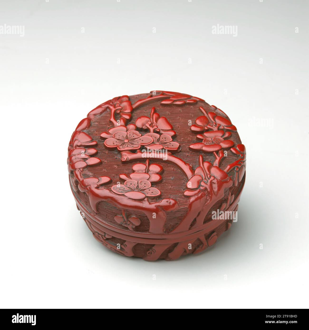 Small Box with Cover, late 15th century, 1 9/16 x 3 1/4 x 3 1/4 in. (4 x 8.3 x 8.3 cm), Carved red lacquer (tihong), China, 15th century, This delicate round box once held aromatic incense. It is carved all over with flowering plum branches, set against an incised geometric background meant to suggest sky. By the beginning of the 1500s, repeating geometric patterns had found their way into carved lacquer featuring floral patterns. Certain families of geometric patterns were used to represent sky, water, and land. While land patterns were taken from geometric textile patterns Stock Photohttps://www.alamy.com/image-license-details/?v=1https://www.alamy.com/small-box-with-cover-late-15th-century-1-916-x-3-14-x-3-14-in-4-x-83-x-83-cm-carved-red-lacquer-tihong-china-15th-century-this-delicate-round-box-once-held-aromatic-incense-it-is-carved-all-over-with-flowering-plum-branches-set-against-an-incised-geometric-background-meant-to-suggest-sky-by-the-beginning-of-the-1500s-repeating-geometric-patterns-had-found-their-way-into-carved-lacquer-featuring-floral-patterns-certain-families-of-geometric-patterns-were-used-to-represent-sky-water-and-land-while-land-patterns-were-taken-from-geometric-textile-patterns-image573505113.html
RM2T91BHD–Small Box with Cover, late 15th century, 1 9/16 x 3 1/4 x 3 1/4 in. (4 x 8.3 x 8.3 cm), Carved red lacquer (tihong), China, 15th century, This delicate round box once held aromatic incense. It is carved all over with flowering plum branches, set against an incised geometric background meant to suggest sky. By the beginning of the 1500s, repeating geometric patterns had found their way into carved lacquer featuring floral patterns. Certain families of geometric patterns were used to represent sky, water, and land. While land patterns were taken from geometric textile patterns
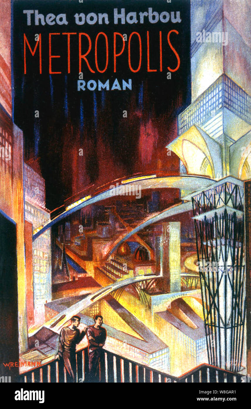 METROPOLIS Cover of the 1926 novel by Thea von Harbou who also worked on Fritz Lang's 1927 film Stock Photohttps://www.alamy.com/image-license-details/?v=1https://www.alamy.com/metropolis-cover-of-the-1926-novel-by-thea-von-harbou-who-also-worked-on-fritz-langs-1927-film-image263432485.html
RMW8GAR1–METROPOLIS Cover of the 1926 novel by Thea von Harbou who also worked on Fritz Lang's 1927 film
 Winter land feature close to Otar, Kazakhstan. Digital enhancement of an image by NASA Stock Photohttps://www.alamy.com/image-license-details/?v=1https://www.alamy.com/winter-land-feature-close-to-otar-kazakhstan-digital-enhancement-of-an-image-by-nasa-image597577531.html
RM2WM606K–Winter land feature close to Otar, Kazakhstan. Digital enhancement of an image by NASA
 workers hurry to cover part of the wheat harvest with tarpaulins Stock Photohttps://www.alamy.com/image-license-details/?v=1https://www.alamy.com/workers-hurry-to-cover-part-of-the-wheat-harvest-with-tarpaulins-image242922525.html
RFT3624D–workers hurry to cover part of the wheat harvest with tarpaulins
 Rainforest at the foot of Mount Tangkoko and Mount Duasudara (Dua Saudara) in Bitung, North Sulawesi, Indonesia. Indonesian Ministry of Environment and Forestry (KLHK) stated that in recent years, Indonesia's deforestation level had decreased significantly. During Indonesia's presentations at the 19th UN Forum on Forests (UNFF) in New York, Agus Justianto, KLKH's Acting Director General of Sustainable Forest Management, said that the facts can be scientifically explained through the forest monitoring system data. 'Land cover data is used as the main consideration in formulating national... Stock Photohttps://www.alamy.com/image-license-details/?v=1https://www.alamy.com/rainforest-at-the-foot-of-mount-tangkoko-and-mount-duasudara-dua-saudara-in-bitung-north-sulawesi-indonesia-indonesian-ministry-of-environment-and-forestry-klhk-stated-that-in-recent-years-indonesias-deforestation-level-had-decreased-significantly-during-indonesias-presentations-at-the-19th-un-forum-on-forests-unff-in-new-york-agus-justianto-klkhs-acting-director-general-of-sustainable-forest-management-said-that-the-facts-can-be-scientifically-explained-through-the-forest-monitoring-system-data-land-cover-data-is-used-as-the-main-consideration-in-formulating-national-image606797158.html
RM2X75YY2–Rainforest at the foot of Mount Tangkoko and Mount Duasudara (Dua Saudara) in Bitung, North Sulawesi, Indonesia. Indonesian Ministry of Environment and Forestry (KLHK) stated that in recent years, Indonesia's deforestation level had decreased significantly. During Indonesia's presentations at the 19th UN Forum on Forests (UNFF) in New York, Agus Justianto, KLKH's Acting Director General of Sustainable Forest Management, said that the facts can be scientifically explained through the forest monitoring system data. 'Land cover data is used as the main consideration in formulating national...
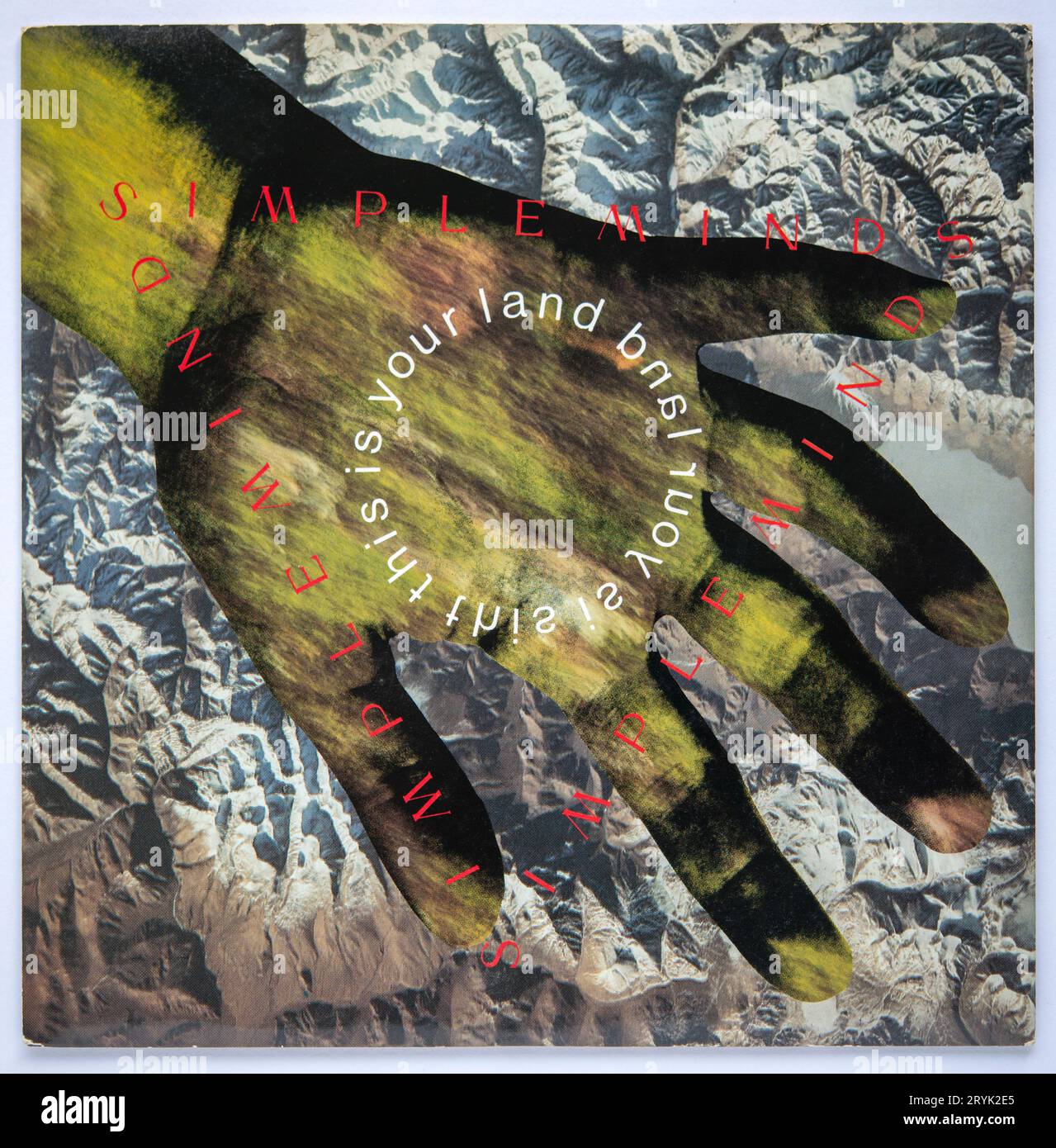 Picture cover of the seven inch single version of This is Your Land by Simple Minds, which was released in 1989 Stock Photohttps://www.alamy.com/image-license-details/?v=1https://www.alamy.com/picture-cover-of-the-seven-inch-single-version-of-this-is-your-land-by-simple-minds-which-was-released-in-1989-image567746541.html
RM2RYK2E5–Picture cover of the seven inch single version of This is Your Land by Simple Minds, which was released in 1989
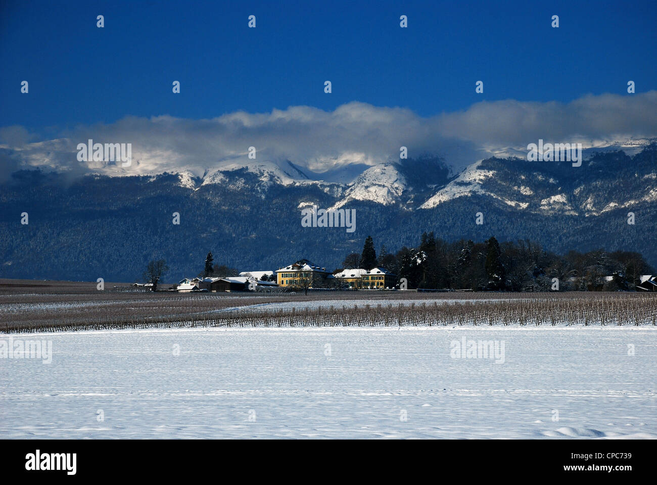 tulip farm in winter Stock Photohttps://www.alamy.com/image-license-details/?v=1https://www.alamy.com/stock-photo-tulip-farm-in-winter-48212173.html
RMCPC739–tulip farm in winter
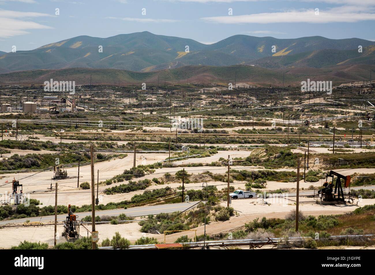 Oil pump jacks cover the ground in the Kern River Oil Field along the San Joaquin Valley April 11, 2017 in Bakersfield, California. The oil and gas wells that cover the area are on public land leased by the federal Bureau of Land Management. Stock Photohttps://www.alamy.com/image-license-details/?v=1https://www.alamy.com/stock-photo-oil-pump-jacks-cover-the-ground-in-the-kern-river-oil-field-along-138670630.html
RMJ1GYPE–Oil pump jacks cover the ground in the Kern River Oil Field along the San Joaquin Valley April 11, 2017 in Bakersfield, California. The oil and gas wells that cover the area are on public land leased by the federal Bureau of Land Management.
 Ferrari Land will cover 75,000 square metres and include a variety of exciting attractions including Europe’s highest and fastest vertical accelerator. The theme park will be built within the PortAventura resort outside Barcelona in Spain. The first Ferrari-themed hotel is also to be built and will be a luxury five-star establishment with 250 rooms, restaurants and a driving simulator. Featuring: Atmosphere Where: Barcelona, Spain When: 14 Mar 2014 Stock Photohttps://www.alamy.com/image-license-details/?v=1https://www.alamy.com/stock-photo-ferrari-land-will-cover-75000-square-metres-and-include-a-variety-73474718.html
RME7F1N2–Ferrari Land will cover 75,000 square metres and include a variety of exciting attractions including Europe’s highest and fastest vertical accelerator. The theme park will be built within the PortAventura resort outside Barcelona in Spain. The first Ferrari-themed hotel is also to be built and will be a luxury five-star establishment with 250 rooms, restaurants and a driving simulator. Featuring: Atmosphere Where: Barcelona, Spain When: 14 Mar 2014
 Drift ice covers the ocean next to the arctic ice cap Austfonna, Nordaustlandet, Svalbard Archipelago, Norway Stock Photohttps://www.alamy.com/image-license-details/?v=1https://www.alamy.com/drift-ice-covers-the-ocean-next-to-the-arctic-ice-cap-austfonna-nordaustlandet-svalbard-archipelago-norway-image211607561.html
RMP87FGW–Drift ice covers the ocean next to the arctic ice cap Austfonna, Nordaustlandet, Svalbard Archipelago, Norway
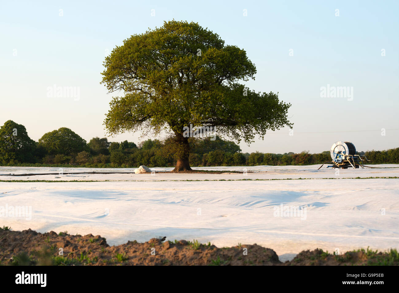 Potatoes growing under fleece, Shottisham, Suffolk, England. Stock Photohttps://www.alamy.com/image-license-details/?v=1https://www.alamy.com/stock-photo-potatoes-growing-under-fleece-shottisham-suffolk-england-109281379.html
RMG9P5EB–Potatoes growing under fleece, Shottisham, Suffolk, England.
 A motor scooter under a protective cover Stock Photohttps://www.alamy.com/image-license-details/?v=1https://www.alamy.com/stock-photo-a-motor-scooter-under-a-protective-cover-26046548.html
RFBEAEHT–A motor scooter under a protective cover
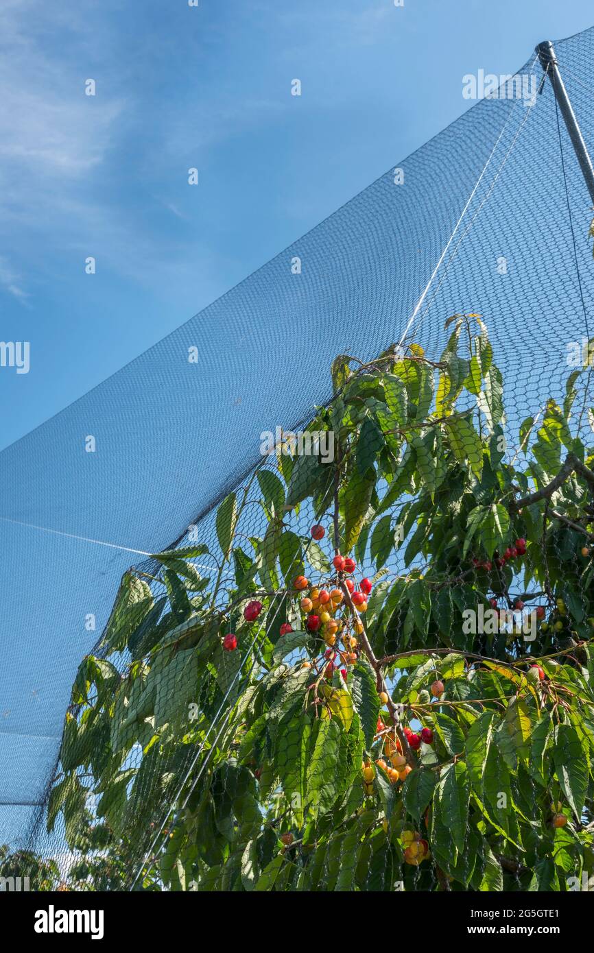 Kirschen-Plantage im Alten Land bei Jork. Stock Photohttps://www.alamy.com/image-license-details/?v=1https://www.alamy.com/kirschen-plantage-im-alten-land-bei-jork-image433702921.html
RF2G5GTE1–Kirschen-Plantage im Alten Land bei Jork.
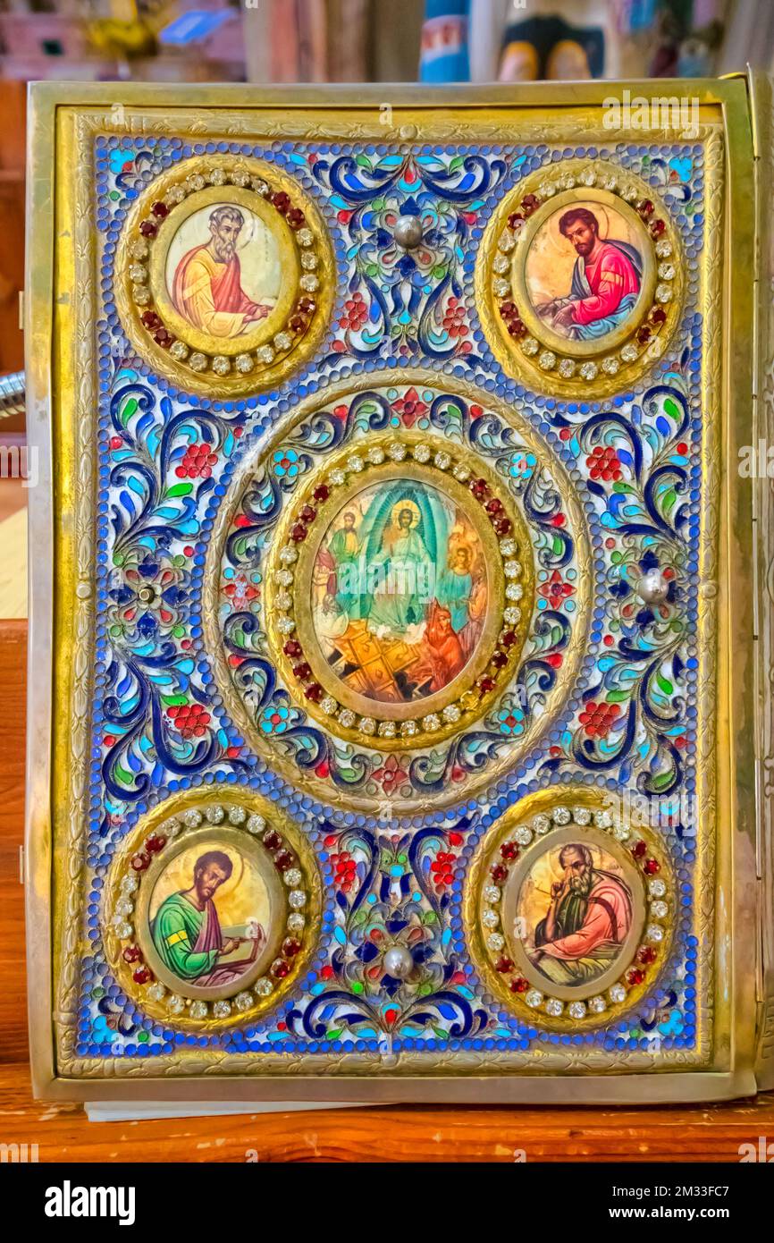 Ornate Bible Cover in the Virgin Mary Syrian Orthodox Church in Bethlehem, Palestine, Israel. Stock Photohttps://www.alamy.com/image-license-details/?v=1https://www.alamy.com/ornate-bible-cover-in-the-virgin-mary-syrian-orthodox-church-in-bethlehem-palestine-israel-image501022599.html
RM2M33FC7–Ornate Bible Cover in the Virgin Mary Syrian Orthodox Church in Bethlehem, Palestine, Israel.
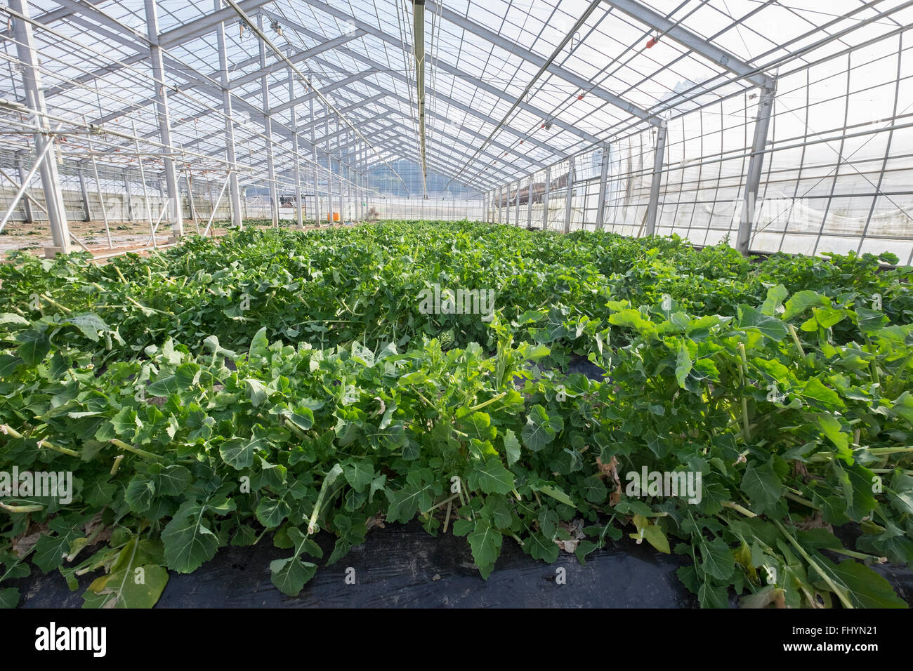 Japanese turnip, growing on reclaimed land after the area was destroyed during the 2011 earthquake and tsunami in Miyagi, Japan. Stock Photohttps://www.alamy.com/image-license-details/?v=1https://www.alamy.com/stock-photo-japanese-turnip-growing-on-reclaimed-land-after-the-area-was-destroyed-97110217.html
RFFHYN21–Japanese turnip, growing on reclaimed land after the area was destroyed during the 2011 earthquake and tsunami in Miyagi, Japan.
 Fridtjof Nansen, Franz Josef Land 1896 Stock Photohttps://www.alamy.com/image-license-details/?v=1https://www.alamy.com/fridtjof-nansen-franz-josef-land-1896-image501360582.html
RM2M3JXF2–Fridtjof Nansen, Franz Josef Land 1896
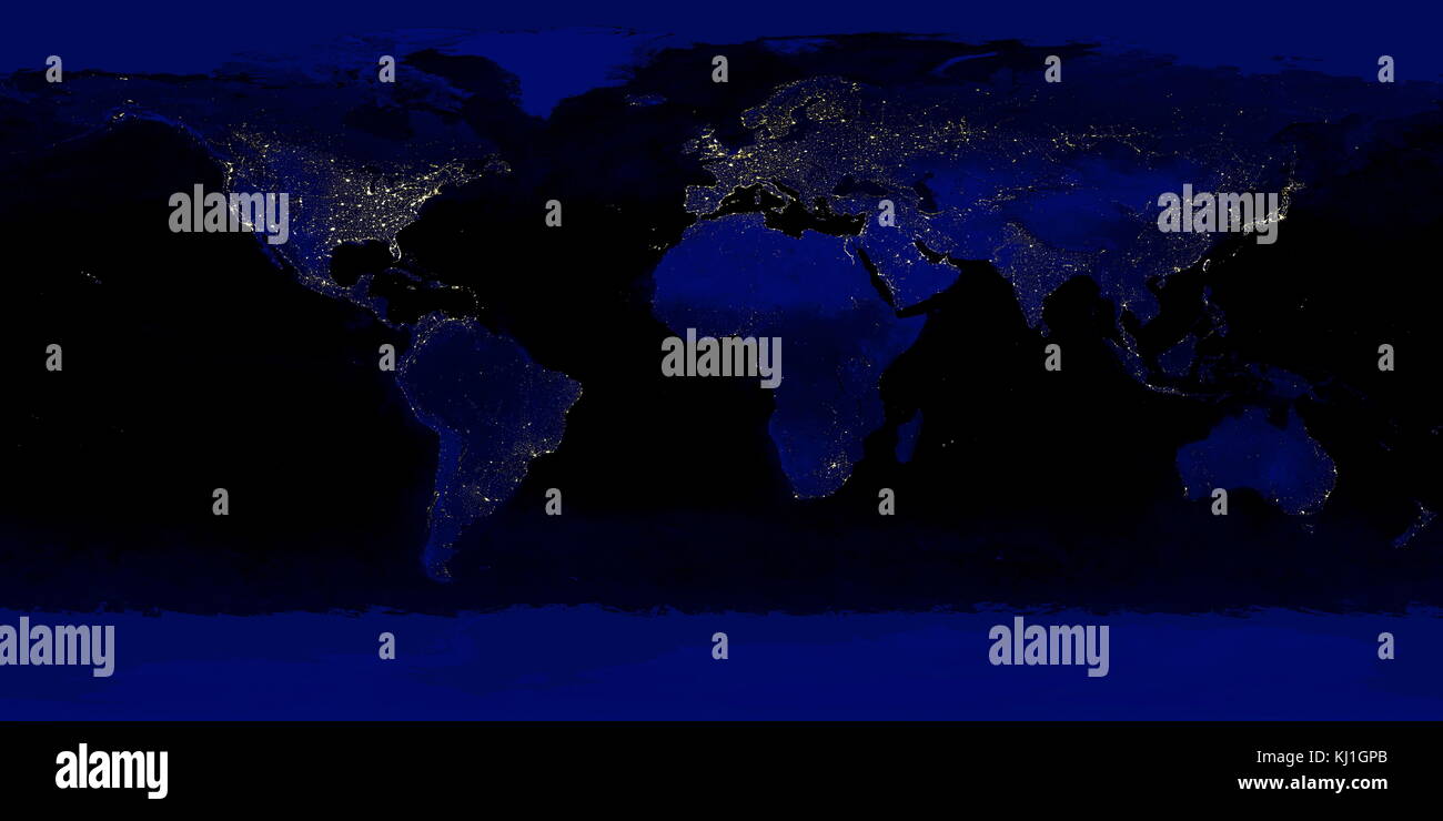 detailed true-colour image of the entire Earth at night. Using a collection of satellite-based observations, scientists and visualizers stitched together months of observations of the land surface, oceans, sea ice, and clouds into a seamless, true-colour mosaic of every square kilometre (.386 square mile) of our planet. These images are freely available to educators, scientists, museums, and the public. Much of the information contained in this image came from a single remote-sensing device-NASA’s Moderate Resolution Imaging Spectroradiometer, or MODIS. Stock Photohttps://www.alamy.com/image-license-details/?v=1https://www.alamy.com/stock-image-detailed-true-colour-image-of-the-entire-earth-at-night-using-a-collection-165992243.html
RMKJ1GPB–detailed true-colour image of the entire Earth at night. Using a collection of satellite-based observations, scientists and visualizers stitched together months of observations of the land surface, oceans, sea ice, and clouds into a seamless, true-colour mosaic of every square kilometre (.386 square mile) of our planet. These images are freely available to educators, scientists, museums, and the public. Much of the information contained in this image came from a single remote-sensing device-NASA’s Moderate Resolution Imaging Spectroradiometer, or MODIS.
 Gullideckel grown around from grass, Manhole cover round of Grass cover, Stock Photohttps://www.alamy.com/image-license-details/?v=1https://www.alamy.com/stock-photo-gullideckel-grown-around-from-grass-manhole-cover-round-of-grass-cover-57443609.html
RMD9CNWD–Gullideckel grown around from grass, Manhole cover round of Grass cover,
 unusual snow abstract texture of white color consisting of fluffy snow and crystallized ice on top, ice land cover in winter Stock Photohttps://www.alamy.com/image-license-details/?v=1https://www.alamy.com/unusual-snow-abstract-texture-of-white-color-consisting-of-fluffy-snow-and-crystallized-ice-on-top-ice-land-cover-in-winter-image345300957.html
RF2B1NPW1–unusual snow abstract texture of white color consisting of fluffy snow and crystallized ice on top, ice land cover in winter
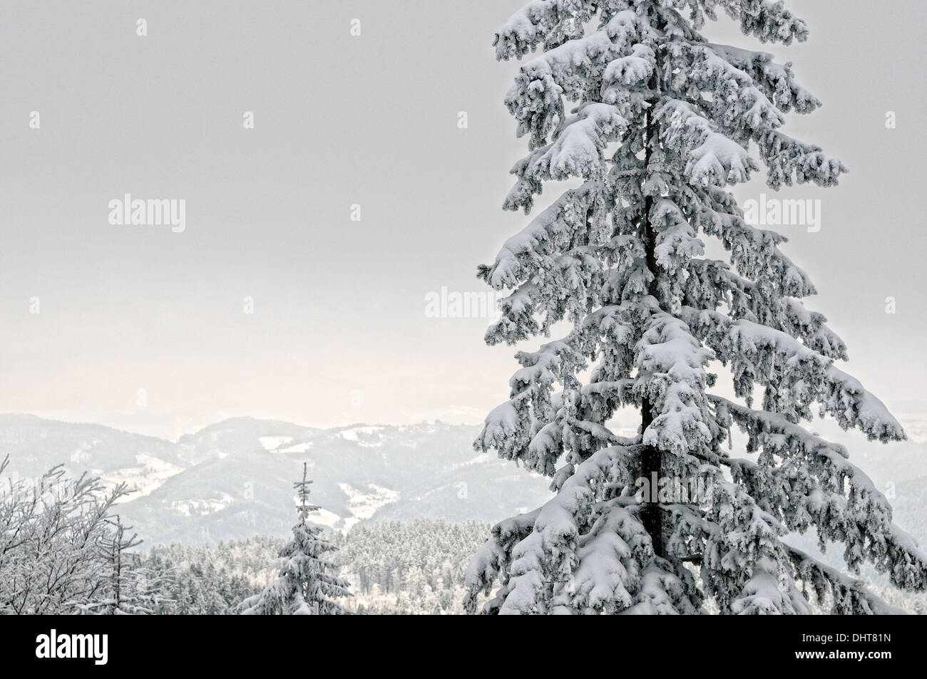 Winter in the Land and Forest Stock Photohttps://www.alamy.com/image-license-details/?v=1https://www.alamy.com/winter-in-the-land-and-forest-image62613425.html
RFDHT81N–Winter in the Land and Forest
 Feral pigeons (Columba livia domestica) or city dove, landing, Bavaria, Germany Stock Photohttps://www.alamy.com/image-license-details/?v=1https://www.alamy.com/feral-pigeons-columba-livia-domestica-or-city-dove-landing-bavaria-germany-image440402934.html
RF2GGE2C6–Feral pigeons (Columba livia domestica) or city dove, landing, Bavaria, Germany
 Snow covers mountain ranges in China. Digital enhancement of an image by NASA Stock Photohttps://www.alamy.com/image-license-details/?v=1https://www.alamy.com/snow-covers-mountain-ranges-in-china-digital-enhancement-of-an-image-by-nasa-image611669272.html
RM2XF3XB4–Snow covers mountain ranges in China. Digital enhancement of an image by NASA
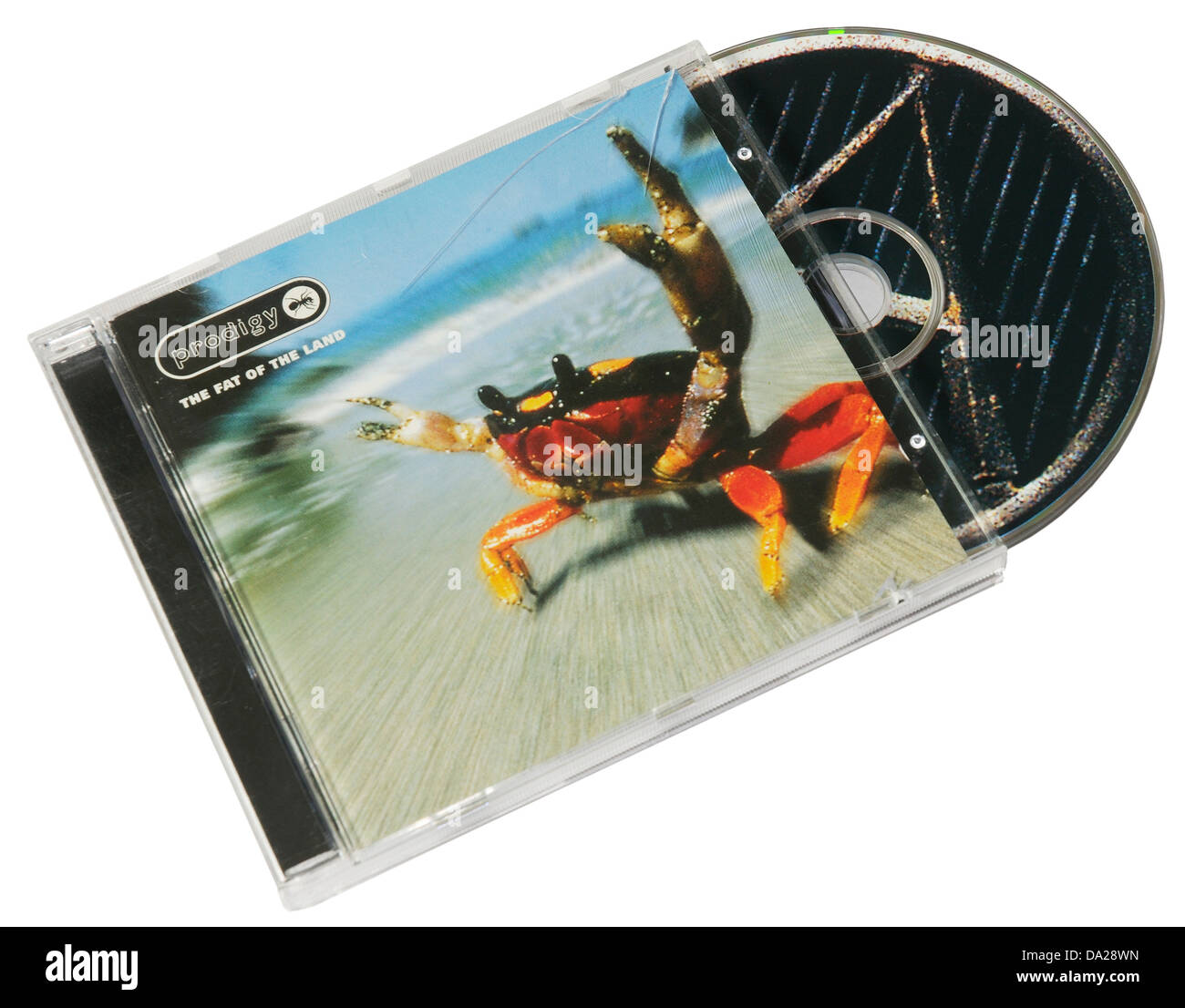 Prodigy The Fat of the Land album on CD Stock Photohttps://www.alamy.com/image-license-details/?v=1https://www.alamy.com/stock-photo-prodigy-the-fat-of-the-land-album-on-cd-57828561.html
RMDA28WN–Prodigy The Fat of the Land album on CD
 Rainforest at the foot of Mount Tangkoko and Mount Duasudara (Dua Saudara) in Bitung, North Sulawesi, Indonesia. Indonesian Ministry of Environment and Forestry (KLHK) stated that in recent years, Indonesia's deforestation level had decreased significantly. During Indonesia's presentations at the 19th UN Forum on Forests (UNFF) in New York, Agus Justianto, KLKH's Acting Director General of Sustainable Forest Management, said that the facts can be scientifically explained through the forest monitoring system data. 'Land cover data is used as the main consideration in formulating national... Stock Photohttps://www.alamy.com/image-license-details/?v=1https://www.alamy.com/rainforest-at-the-foot-of-mount-tangkoko-and-mount-duasudara-dua-saudara-in-bitung-north-sulawesi-indonesia-indonesian-ministry-of-environment-and-forestry-klhk-stated-that-in-recent-years-indonesias-deforestation-level-had-decreased-significantly-during-indonesias-presentations-at-the-19th-un-forum-on-forests-unff-in-new-york-agus-justianto-klkhs-acting-director-general-of-sustainable-forest-management-said-that-the-facts-can-be-scientifically-explained-through-the-forest-monitoring-system-data-land-cover-data-is-used-as-the-main-consideration-in-formulating-national-image606797858.html
RM2X760T2–Rainforest at the foot of Mount Tangkoko and Mount Duasudara (Dua Saudara) in Bitung, North Sulawesi, Indonesia. Indonesian Ministry of Environment and Forestry (KLHK) stated that in recent years, Indonesia's deforestation level had decreased significantly. During Indonesia's presentations at the 19th UN Forum on Forests (UNFF) in New York, Agus Justianto, KLKH's Acting Director General of Sustainable Forest Management, said that the facts can be scientifically explained through the forest monitoring system data. 'Land cover data is used as the main consideration in formulating national...
 Picture cover of the 12 inch single version of Broken Land by The Adventures, which was released in 1988 Stock Photohttps://www.alamy.com/image-license-details/?v=1https://www.alamy.com/picture-cover-of-the-12-inch-single-version-of-broken-land-by-the-adventures-which-was-released-in-1988-image556466606.html
RM2R996RA–Picture cover of the 12 inch single version of Broken Land by The Adventures, which was released in 1988
 tulip farm in winter Stock Photohttps://www.alamy.com/image-license-details/?v=1https://www.alamy.com/stock-photo-tulip-farm-in-winter-48212308.html
RMCPC784–tulip farm in winter
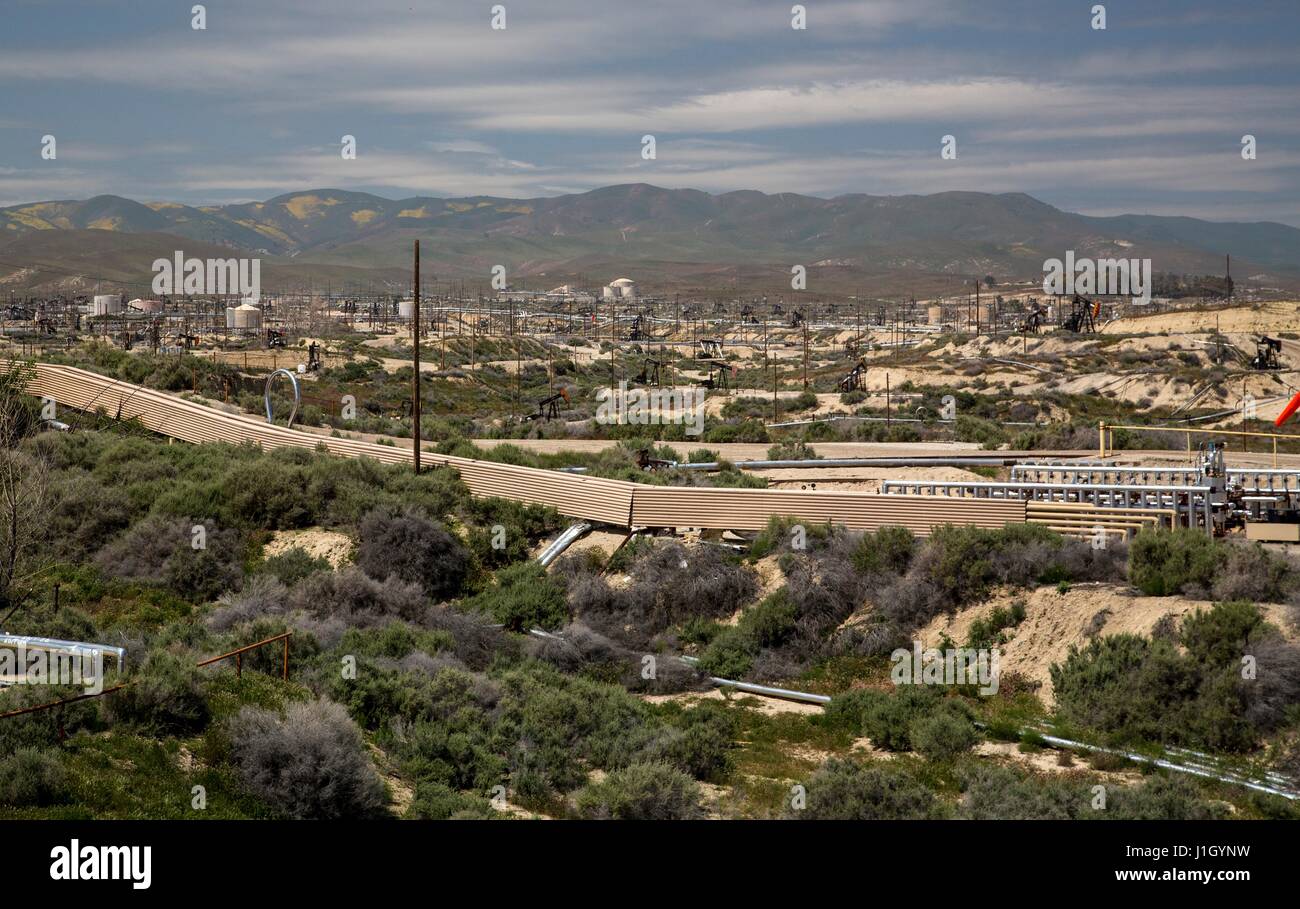 Oil pump jacks cover the ground in the Kern River Oil Field along the San Joaquin Valley April 11, 2017 in Bakersfield, California. The oil and gas wells that cover the area are on public land leased by the federal Bureau of Land Management. Stock Photohttps://www.alamy.com/image-license-details/?v=1https://www.alamy.com/stock-photo-oil-pump-jacks-cover-the-ground-in-the-kern-river-oil-field-along-138670613.html
RMJ1GYNW–Oil pump jacks cover the ground in the Kern River Oil Field along the San Joaquin Valley April 11, 2017 in Bakersfield, California. The oil and gas wells that cover the area are on public land leased by the federal Bureau of Land Management.
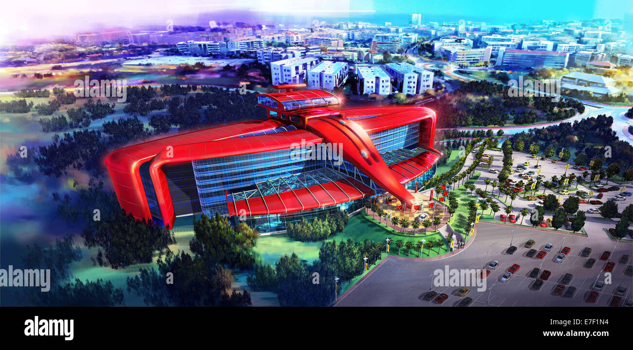 Ferrari Land will cover 75,000 square metres and include a variety of exciting attractions including Europe’s highest and fastest vertical accelerator. The theme park will be built within the PortAventura resort outside Barcelona in Spain. The first Ferrari-themed hotel is also to be built and will be a luxury five-star establishment with 250 rooms, restaurants and a driving simulator. Featuring: Atmosphere Where: Barcelona, Spain When: 14 Mar 2014 Stock Photohttps://www.alamy.com/image-license-details/?v=1https://www.alamy.com/stock-photo-ferrari-land-will-cover-75000-square-metres-and-include-a-variety-73474720.html
RME7F1N4–Ferrari Land will cover 75,000 square metres and include a variety of exciting attractions including Europe’s highest and fastest vertical accelerator. The theme park will be built within the PortAventura resort outside Barcelona in Spain. The first Ferrari-themed hotel is also to be built and will be a luxury five-star establishment with 250 rooms, restaurants and a driving simulator. Featuring: Atmosphere Where: Barcelona, Spain When: 14 Mar 2014
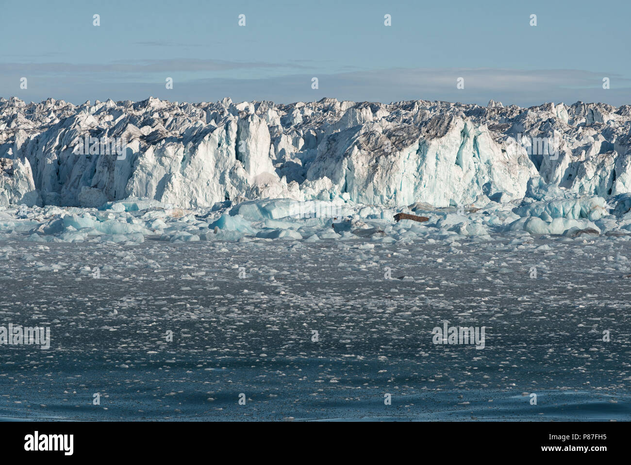 Drift ice covers the ocean next to the arctic ice cap Austfonna, Nordaustlandet, Svalbard Archipelago, Norway Stock Photohttps://www.alamy.com/image-license-details/?v=1https://www.alamy.com/drift-ice-covers-the-ocean-next-to-the-arctic-ice-cap-austfonna-nordaustlandet-svalbard-archipelago-norway-image211607569.html
RMP87FH5–Drift ice covers the ocean next to the arctic ice cap Austfonna, Nordaustlandet, Svalbard Archipelago, Norway
 Pleasure boats stored on dry land at a marina during winter in Norway. Stock Photohttps://www.alamy.com/image-license-details/?v=1https://www.alamy.com/stock-photo-pleasure-boats-stored-on-dry-land-at-a-marina-during-winter-in-norway-171760511.html
RFKYCA7Y–Pleasure boats stored on dry land at a marina during winter in Norway.
![single jar of mincemeat with red and white check fabric cover ready to store ' CO' 'making mincemeat' [Land] (17 of 22) Stock Photo single jar of mincemeat with red and white check fabric cover ready to store ' CO' 'making mincemeat' [Land] (17 of 22) Stock Photo](https://c8.alamy.com/comp/E57EF9/single-jar-of-mincemeat-with-red-and-white-check-fabric-cover-ready-E57EF9.jpg) single jar of mincemeat with red and white check fabric cover ready to store ' CO' 'making mincemeat' [Land] (17 of 22) Stock Photohttps://www.alamy.com/image-license-details/?v=1https://www.alamy.com/stock-photo-single-jar-of-mincemeat-with-red-and-white-check-fabric-cover-ready-72079821.html
single jar of mincemeat with red and white check fabric cover ready to store ' CO' 'making mincemeat' [Land] (17 of 22) Stock Photohttps://www.alamy.com/image-license-details/?v=1https://www.alamy.com/stock-photo-single-jar-of-mincemeat-with-red-and-white-check-fabric-cover-ready-72079821.htmlRFE57EF9–single jar of mincemeat with red and white check fabric cover ready to store ' CO' 'making mincemeat' [Land] (17 of 22)
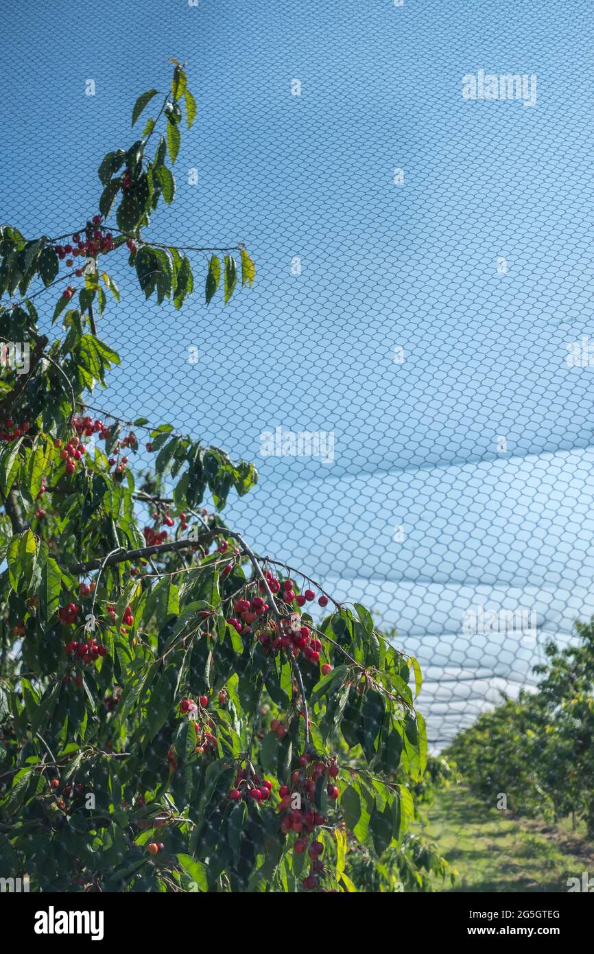 Kirschen-Plantage im Alten Land bei Jork. Stock Photohttps://www.alamy.com/image-license-details/?v=1https://www.alamy.com/kirschen-plantage-im-alten-land-bei-jork-image433702936.html
RF2G5GTEG–Kirschen-Plantage im Alten Land bei Jork.
 Book cover template design. Alien landscape - planet rising over dry cracked desert land. Elements of this image are furnished by NASA Stock Photohttps://www.alamy.com/image-license-details/?v=1https://www.alamy.com/book-cover-template-design-alien-landscape-planet-rising-over-dry-cracked-desert-land-elements-of-this-image-are-furnished-by-nasa-image342941835.html
RF2AWX9PK–Book cover template design. Alien landscape - planet rising over dry cracked desert land. Elements of this image are furnished by NASA
 My walk in Europe Mystc Trees Forrest wild nature Weilimdorf Lindental Stuttgart Interlaken dremland mystic nature romantic Land for cover design Stock Photohttps://www.alamy.com/image-license-details/?v=1https://www.alamy.com/my-walk-in-europe-mystc-trees-forrest-wild-nature-weilimdorf-lindental-stuttgart-interlaken-dremland-mystic-nature-romantic-land-for-cover-design-image414349624.html
RF2F2374T–My walk in Europe Mystc Trees Forrest wild nature Weilimdorf Lindental Stuttgart Interlaken dremland mystic nature romantic Land for cover design
 Cover design, Popular Aviation Magazine, showing a passenger plane with a coastline below. Stock Photohttps://www.alamy.com/image-license-details/?v=1https://www.alamy.com/cover-design-popular-aviation-magazine-showing-a-passenger-plane-with-a-coastline-below-image504780591.html
RM2M96MP7–Cover design, Popular Aviation Magazine, showing a passenger plane with a coastline below.
 A stream in Oxfordshire, England. The perfect book cover. Green. Countryside. The English countryside. Moody book covers. Fresh water Stream. Stock Photohttps://www.alamy.com/image-license-details/?v=1https://www.alamy.com/a-stream-in-oxfordshire-england-the-perfect-book-cover-green-countryside-the-english-countryside-moody-book-covers-fresh-water-stream-image231131323.html
RMRC0XA3–A stream in Oxfordshire, England. The perfect book cover. Green. Countryside. The English countryside. Moody book covers. Fresh water Stream.
 The Strong Museum of Play Rochester New York Stock Photohttps://www.alamy.com/image-license-details/?v=1https://www.alamy.com/the-strong-museum-of-play-rochester-new-york-image470949827.html
RM2JA5H8K–The Strong Museum of Play Rochester New York
 Travis County Texas USA, April, 2006: Site preparation for new subdivision of luxury homes planned on the shores of Lake Travis about 20 miles west of Austin. ©Bob Daemmrich Stock Photohttps://www.alamy.com/image-license-details/?v=1https://www.alamy.com/travis-county-texas-usa-april-2006-site-preparation-for-new-subdivision-of-luxury-homes-planned-on-the-shores-of-lake-travis-about-20-miles-west-of-austin-bob-daemmrich-image367860997.html
RM2CADECN–Travis County Texas USA, April, 2006: Site preparation for new subdivision of luxury homes planned on the shores of Lake Travis about 20 miles west of Austin. ©Bob Daemmrich