Quick filters:
Land resource Stock Photos and Images
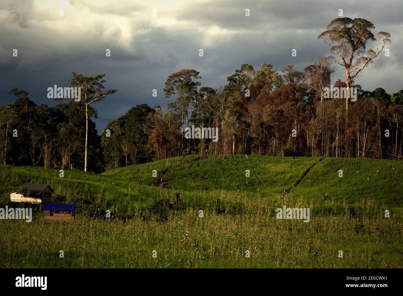 Landscape of agricultural field lying next to forest area in Sungai Utik, Batu Lintang, Embaloh Hulu, Kapuas Hulu, West Kalimantan, Indonesia. Stock Photohttps://www.alamy.com/image-license-details/?v=1https://www.alamy.com/landscape-of-agricultural-field-lying-next-to-forest-area-in-sungai-utik-batu-lintang-embaloh-hulu-kapuas-hulu-west-kalimantan-indonesia-image399810153.html
RM2E6CWX1–Landscape of agricultural field lying next to forest area in Sungai Utik, Batu Lintang, Embaloh Hulu, Kapuas Hulu, West Kalimantan, Indonesia.
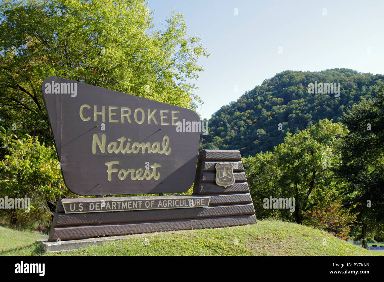 Tennessee Ocoee,Cherokee National Forest,Department of Agriculture,federal land,trees,managed resource,timber harvesting,entrance sign,boundary,signs, Stock Photohttps://www.alamy.com/image-license-details/?v=1https://www.alamy.com/stock-photo-tennessee-ocoeecherokee-national-forestdepartment-of-agriculturefederal-33975237.html
RMBY7KN9–Tennessee Ocoee,Cherokee National Forest,Department of Agriculture,federal land,trees,managed resource,timber harvesting,entrance sign,boundary,signs,
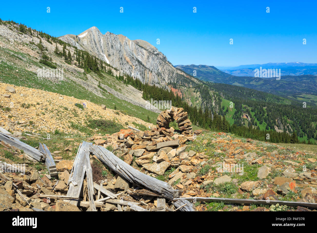 old shafthouse mine remnants and stone marker in the bridger mountains near bozeman, montana Stock Photohttps://www.alamy.com/image-license-details/?v=1https://www.alamy.com/old-shafthouse-mine-remnants-and-stone-marker-in-the-bridger-mountains-near-bozeman-montana-image213002827.html
RMPAF37R–old shafthouse mine remnants and stone marker in the bridger mountains near bozeman, montana
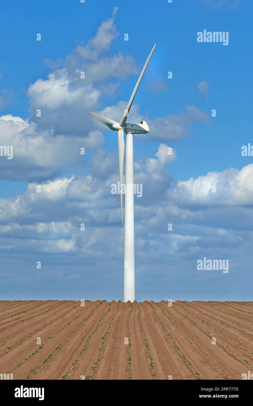 Wind turbines on a farm with newly planted crops. Cloudy day on agricultural land where wind energy is the main resource. Producing sustainable electricity and fresh produce Stock Photohttps://www.alamy.com/image-license-details/?v=1https://www.alamy.com/wind-turbines-on-a-farm-with-newly-planted-crops-cloudy-day-on-agricultural-land-where-wind-energy-is-the-main-resource-producing-sustainable-electricity-and-fresh-produce-image547817857.html
RF2PR777D–Wind turbines on a farm with newly planted crops. Cloudy day on agricultural land where wind energy is the main resource. Producing sustainable electricity and fresh produce
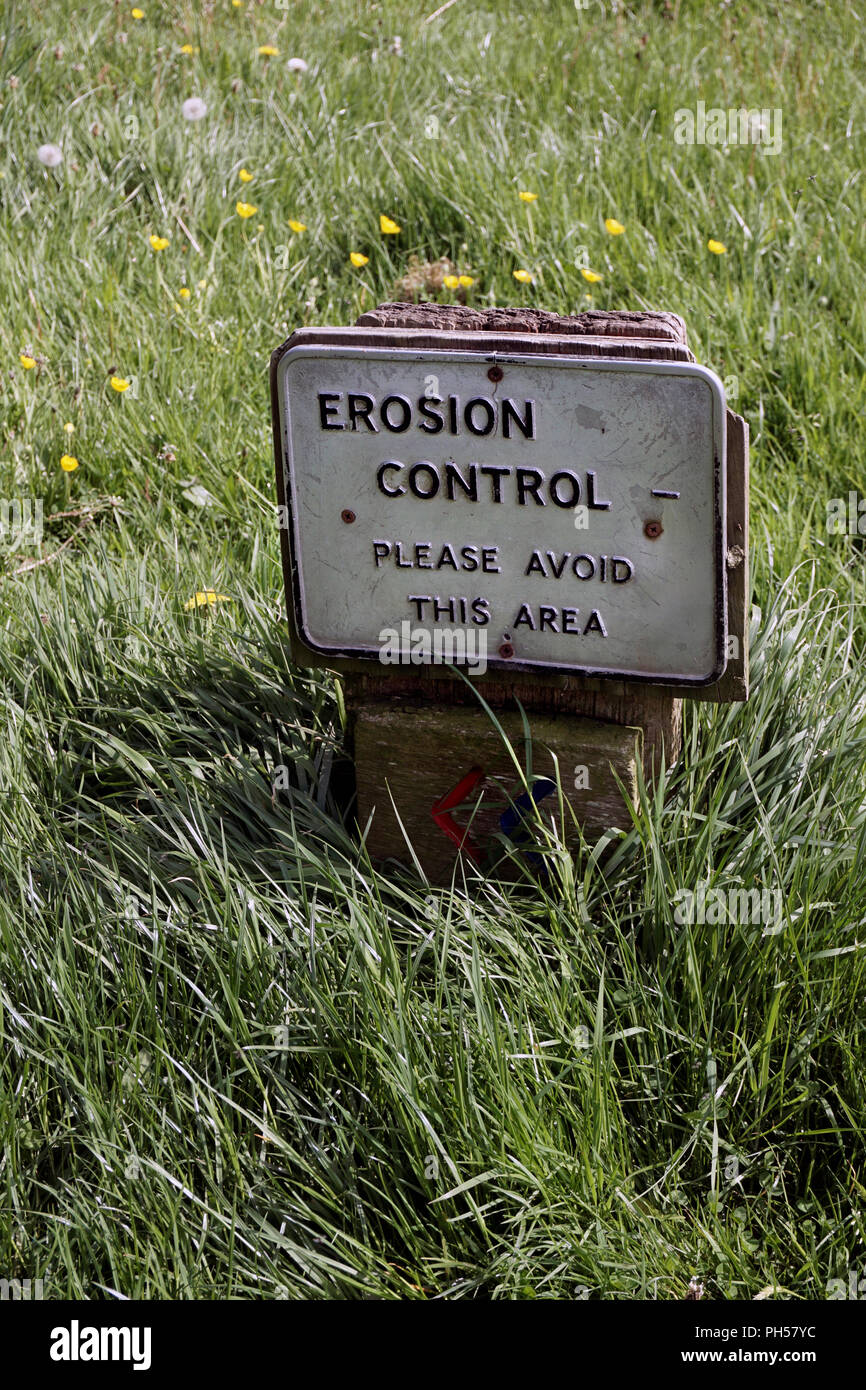 land managment sign in public park Stock Photohttps://www.alamy.com/image-license-details/?v=1https://www.alamy.com/land-managment-sign-in-public-park-image217089584.html
RFPH57YC–land managment sign in public park
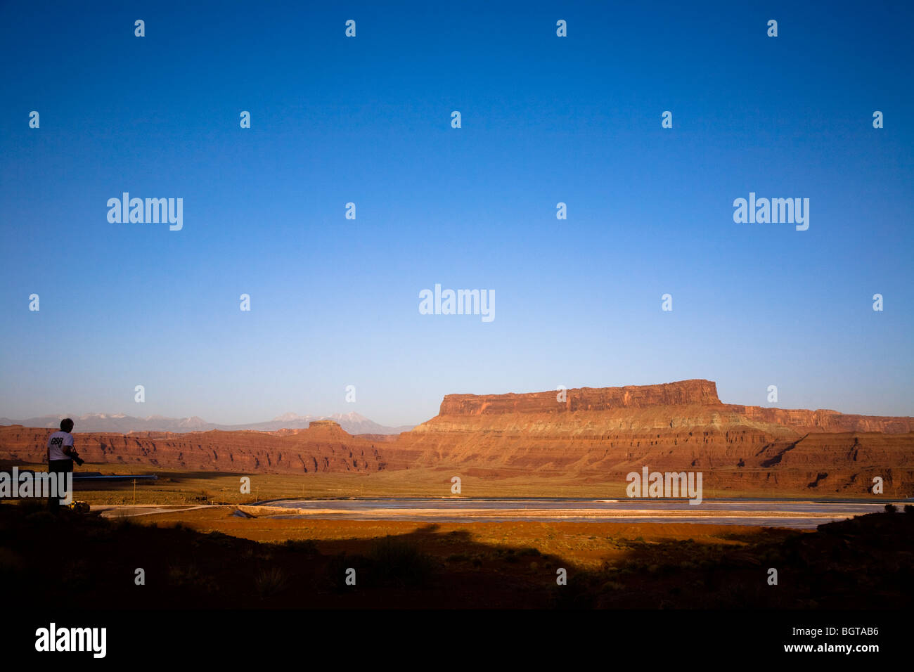 View over Cane Creek potash mine water evaporation blue ponds near Moab, Utah, USA Stock Photohttps://www.alamy.com/image-license-details/?v=1https://www.alamy.com/stock-photo-view-over-cane-creek-potash-mine-water-evaporation-blue-ponds-near-27579866.html
RMBGTAB6–View over Cane Creek potash mine water evaporation blue ponds near Moab, Utah, USA
 wind energy detail blue sky Stock Photohttps://www.alamy.com/image-license-details/?v=1https://www.alamy.com/wind-energy-detail-blue-sky-image274427441.html
RMWXD701–wind energy detail blue sky
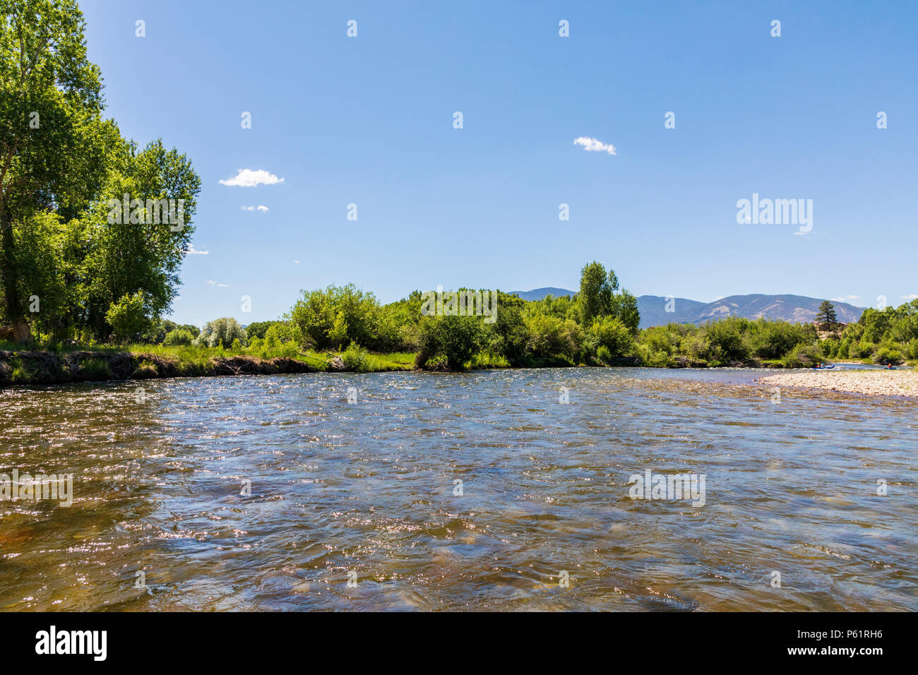 River view of the Arkansas RIver; which runs through the downtown historic district of the small mountain town of Salida; Colorado; USA Stock Photohttps://www.alamy.com/image-license-details/?v=1https://www.alamy.com/river-view-of-the-arkansas-river-which-runs-through-the-downtown-historic-district-of-the-small-mountain-town-of-salida-colorado-usa-image210252818.html
RMP61RH6–River view of the Arkansas RIver; which runs through the downtown historic district of the small mountain town of Salida; Colorado; USA
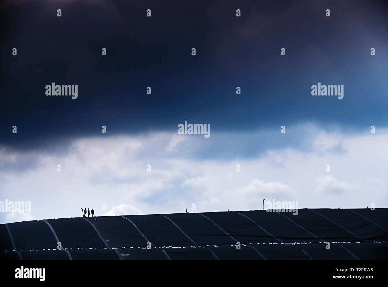 Men walking on top of landfill rubber barrier used to contain methane gas Stock Photohttps://www.alamy.com/image-license-details/?v=1https://www.alamy.com/men-walking-on-top-of-landfill-rubber-barrier-used-to-contain-methane-gas-image242698103.html
RFT2RRWB–Men walking on top of landfill rubber barrier used to contain methane gas
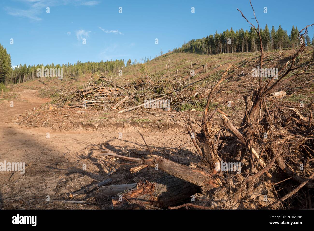 Logged forest on Hancock Timber Resource Group land in Wallowa County, Oregon. Stock Photohttps://www.alamy.com/image-license-details/?v=1https://www.alamy.com/logged-forest-on-hancock-timber-resource-group-land-in-wallowa-county-oregon-image362486146.html
RM2C1MJNP–Logged forest on Hancock Timber Resource Group land in Wallowa County, Oregon.
 man puts a drop of pure water in a piggy bank Stock Photohttps://www.alamy.com/image-license-details/?v=1https://www.alamy.com/man-puts-a-drop-of-pure-water-in-a-piggy-bank-image185094659.html
RFMN3P3F–man puts a drop of pure water in a piggy bank
 Pirate in the island Stock Photohttps://www.alamy.com/image-license-details/?v=1https://www.alamy.com/pirate-in-the-island-image385813399.html
RF2DBK8WY–Pirate in the island
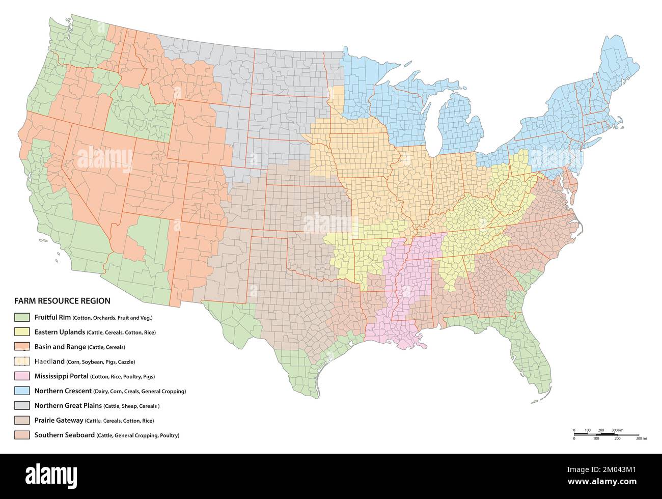 Vector map of agricultural resource regions, United States Stock Photohttps://www.alamy.com/image-license-details/?v=1https://www.alamy.com/vector-map-of-agricultural-resource-regions-united-states-image499191393.html
RF2M043M1–Vector map of agricultural resource regions, United States
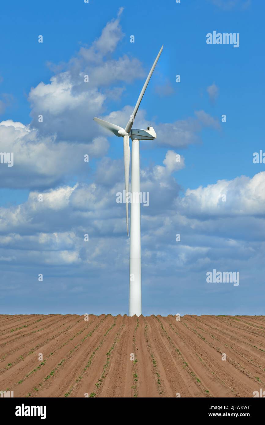 Wind turbines on a farm with newly planted crops. Cloudy day on agricultural land where wind energy is the main resource. Producing sustainable Stock Photohttps://www.alamy.com/image-license-details/?v=1https://www.alamy.com/wind-turbines-on-a-farm-with-newly-planted-crops-cloudy-day-on-agricultural-land-where-wind-energy-is-the-main-resource-producing-sustainable-image474464196.html
RF2JFWKWT–Wind turbines on a farm with newly planted crops. Cloudy day on agricultural land where wind energy is the main resource. Producing sustainable
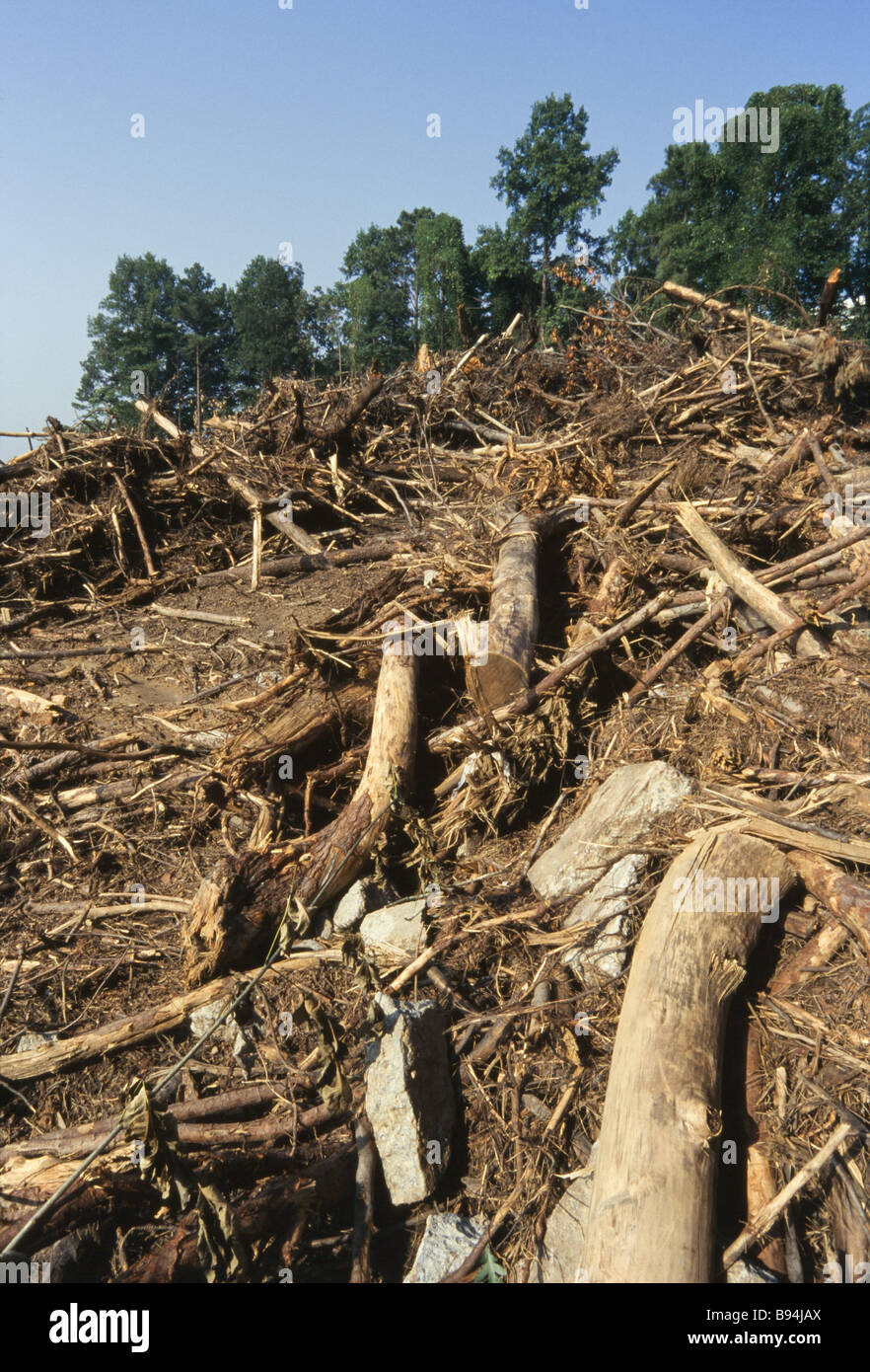 Environmental destruction, logging operations and cut trees, land clearing, development Stock Photohttps://www.alamy.com/image-license-details/?v=1https://www.alamy.com/stock-photo-environmental-destruction-logging-operations-and-cut-trees-land-clearing-22844498.html
RMB94JAX–Environmental destruction, logging operations and cut trees, land clearing, development
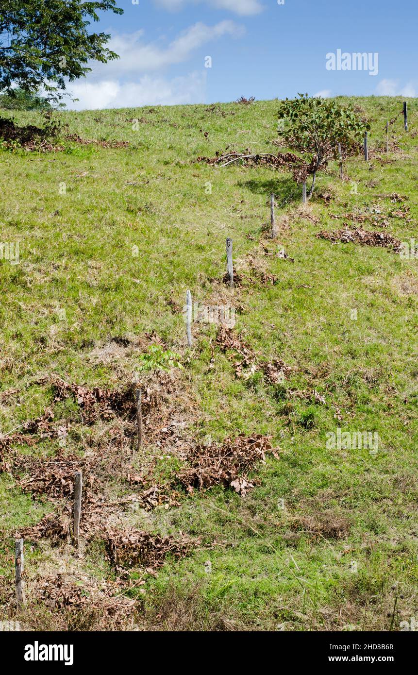 Typical pasture land Stock Photohttps://www.alamy.com/image-license-details/?v=1https://www.alamy.com/typical-pasture-land-image455534767.html
RF2HD3B6R–Typical pasture land
 winter snow land, china Stock Photohttps://www.alamy.com/image-license-details/?v=1https://www.alamy.com/winter-snow-land-china-image594703077.html
RM2WFF1RH–winter snow land, china
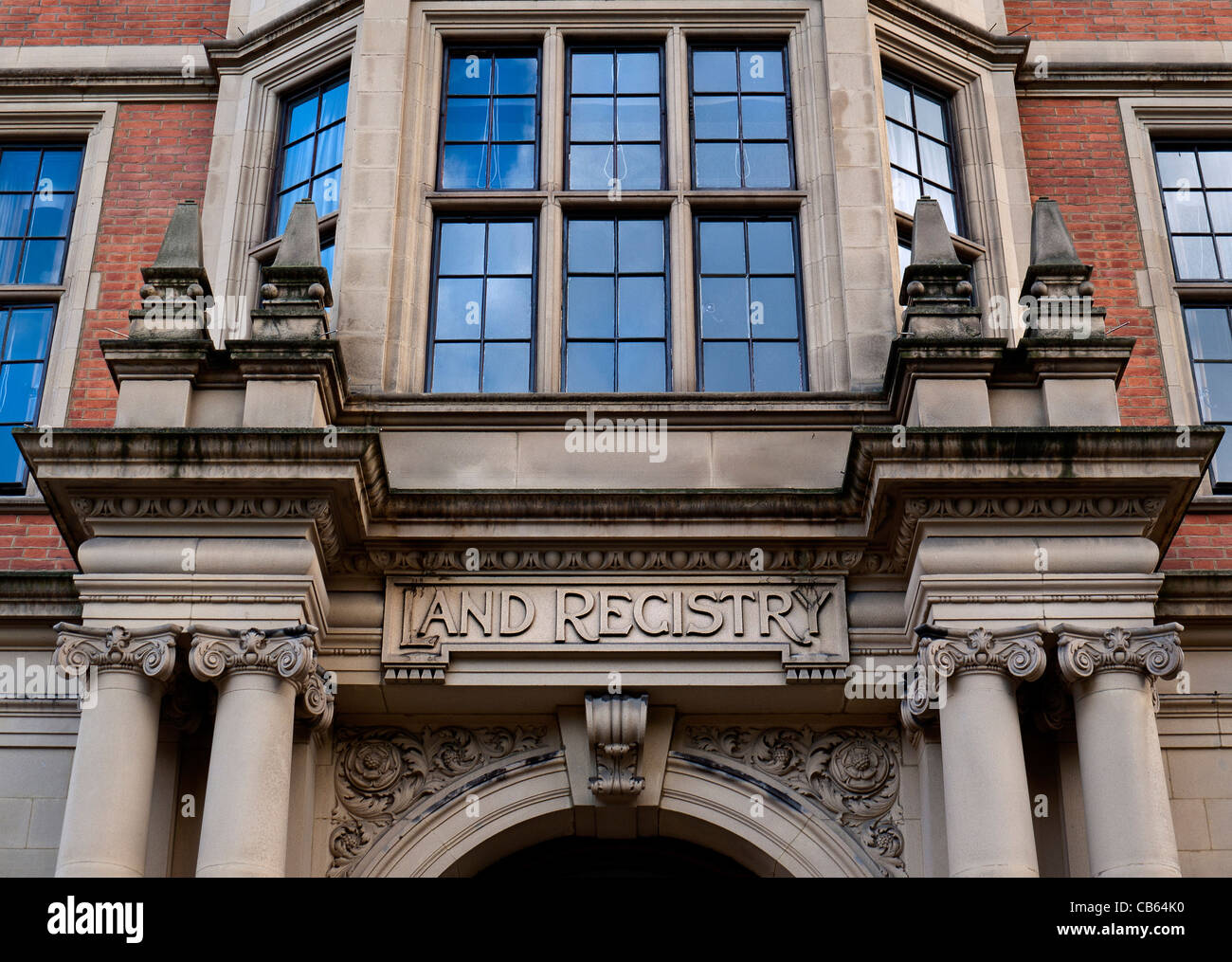 Land Registry Head Office Lincolns Inn Fields Holborn, London Stock Photohttps://www.alamy.com/image-license-details/?v=1https://www.alamy.com/stock-photo-land-registry-head-office-lincolns-inn-fields-holborn-london-41317332.html
RMCB64K0–Land Registry Head Office Lincolns Inn Fields Holborn, London
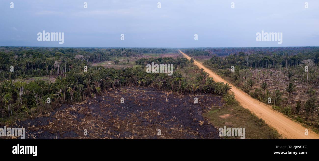 Aerial view of illegal deforestation in the amazon rainforest and BR-230 Transamazonica road. Forest trees cut and burned to open land for agriculture Stock Photohttps://www.alamy.com/image-license-details/?v=1https://www.alamy.com/aerial-view-of-illegal-deforestation-in-the-amazon-rainforest-and-br-230-transamazonica-road-forest-trees-cut-and-burned-to-open-land-for-agriculture-image468578024.html
RF2J69G1C–Aerial view of illegal deforestation in the amazon rainforest and BR-230 Transamazonica road. Forest trees cut and burned to open land for agriculture
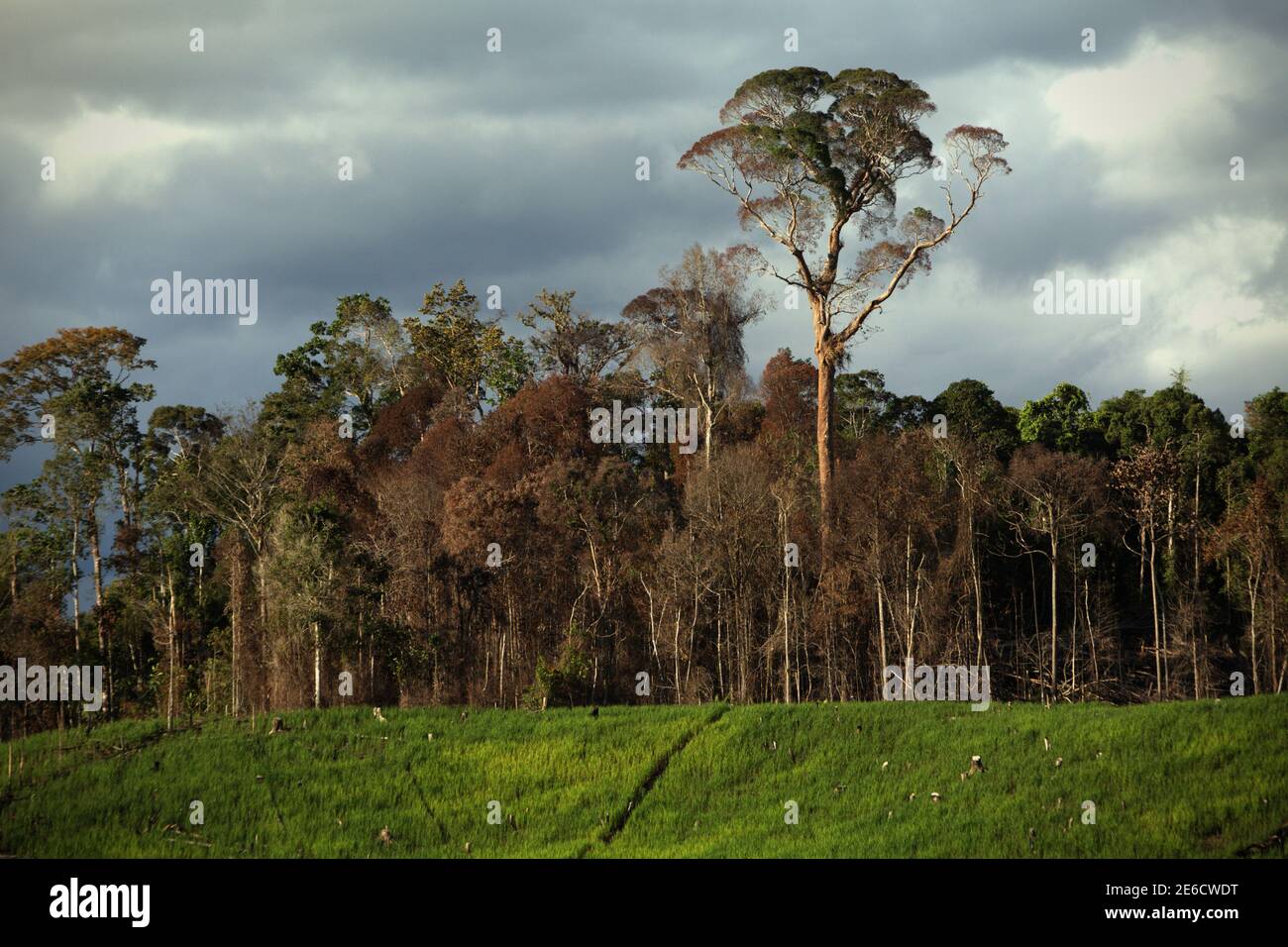 Landscape of agricultural field lying next to forest area in Sungai Utik, Batu Lintang, Embaloh Hulu, Kapuas Hulu, West Kalimantan, Indonesia. Stock Photohttps://www.alamy.com/image-license-details/?v=1https://www.alamy.com/landscape-of-agricultural-field-lying-next-to-forest-area-in-sungai-utik-batu-lintang-embaloh-hulu-kapuas-hulu-west-kalimantan-indonesia-image399809812.html
RM2E6CWDT–Landscape of agricultural field lying next to forest area in Sungai Utik, Batu Lintang, Embaloh Hulu, Kapuas Hulu, West Kalimantan, Indonesia.
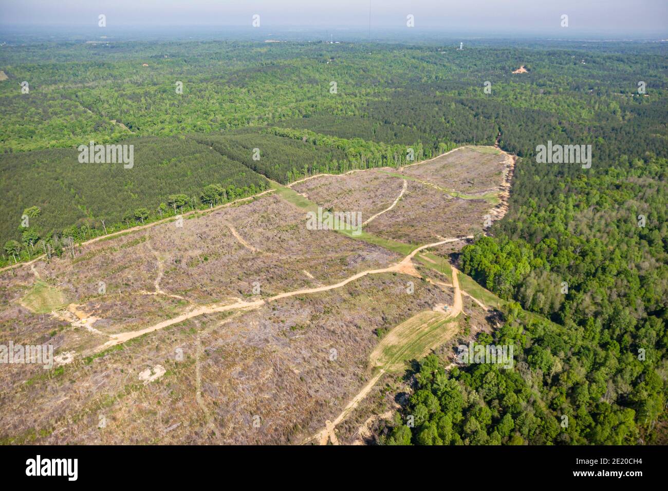 Tuscaloosa Alabama,Talladega National Forest,logging Federal land natural resource,aerial overhead view trees, Stock Photohttps://www.alamy.com/image-license-details/?v=1https://www.alamy.com/tuscaloosa-alabamatalladega-national-forestlogging-federal-land-natural-resourceaerial-overhead-view-trees-image397077664.html
RM2E20CH4–Tuscaloosa Alabama,Talladega National Forest,logging Federal land natural resource,aerial overhead view trees,
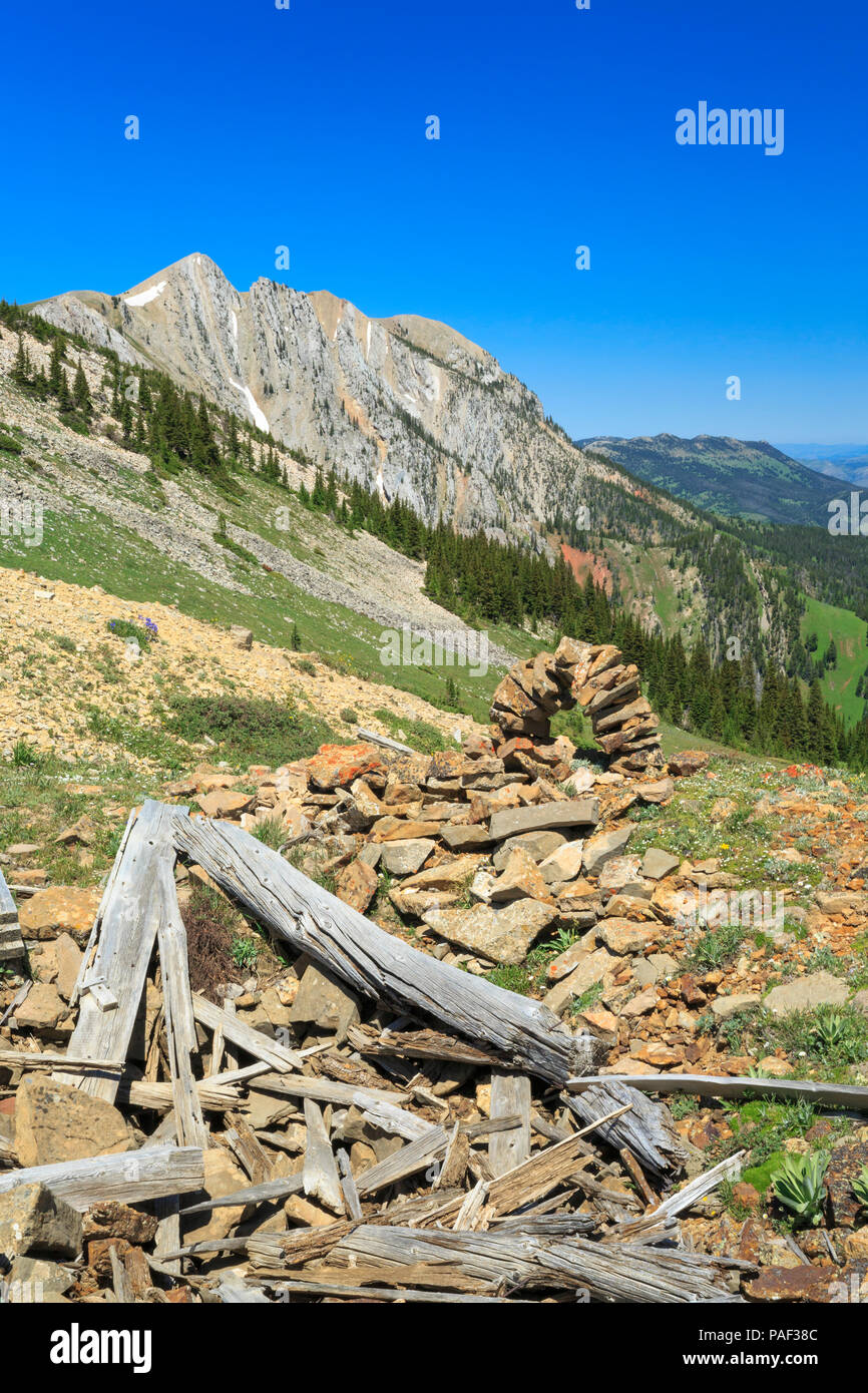 old shafthouse mine remnants and stone marker in the bridger mountains near bozeman, montana Stock Photohttps://www.alamy.com/image-license-details/?v=1https://www.alamy.com/old-shafthouse-mine-remnants-and-stone-marker-in-the-bridger-mountains-near-bozeman-montana-image213002844.html
RMPAF38C–old shafthouse mine remnants and stone marker in the bridger mountains near bozeman, montana
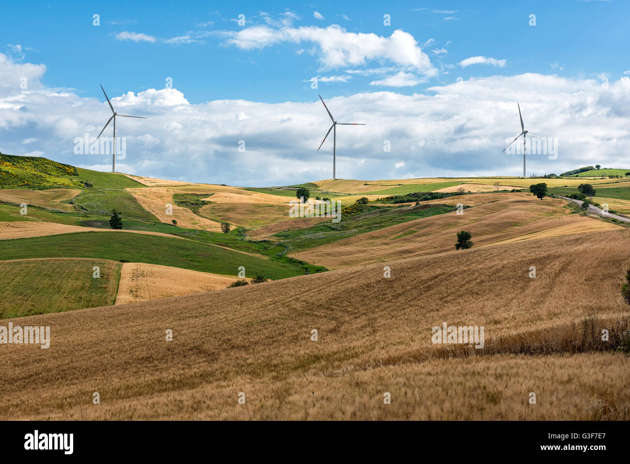 Row of wind turbines in a wind farm on the hilltops viewed across rolling agricultural land in a concept of alternative power an Stock Photohttps://www.alamy.com/image-license-details/?v=1https://www.alamy.com/stock-photo-row-of-wind-turbines-in-a-wind-farm-on-the-hilltops-viewed-across-105441343.html
RFG3F7E7–Row of wind turbines in a wind farm on the hilltops viewed across rolling agricultural land in a concept of alternative power an
 Haltern am See, North Rhine-Westphalia, Germany, flood on the Lippe, river in the Ruhr area, the fields, the agricultural land of the farmers next to Stock Photohttps://www.alamy.com/image-license-details/?v=1https://www.alamy.com/haltern-am-see-north-rhine-westphalia-germany-flood-on-the-lippe-river-in-the-ruhr-area-the-fields-the-agricultural-land-of-the-farmers-next-to-image595899210.html
RM2WHDFEJ–Haltern am See, North Rhine-Westphalia, Germany, flood on the Lippe, river in the Ruhr area, the fields, the agricultural land of the farmers next to
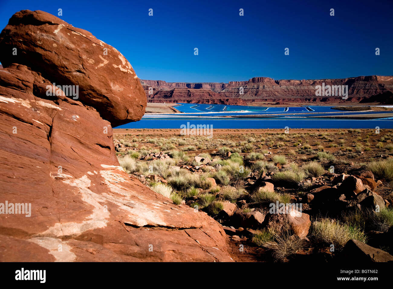 Scene overlooking the bight blue Cane Creek potash mine water evaporation ponds near Moab, Utah, USA Stock Photohttps://www.alamy.com/image-license-details/?v=1https://www.alamy.com/stock-photo-scene-overlooking-the-bight-blue-cane-creek-potash-mine-water-evaporation-27588346.html
RMBGTN62–Scene overlooking the bight blue Cane Creek potash mine water evaporation ponds near Moab, Utah, USA
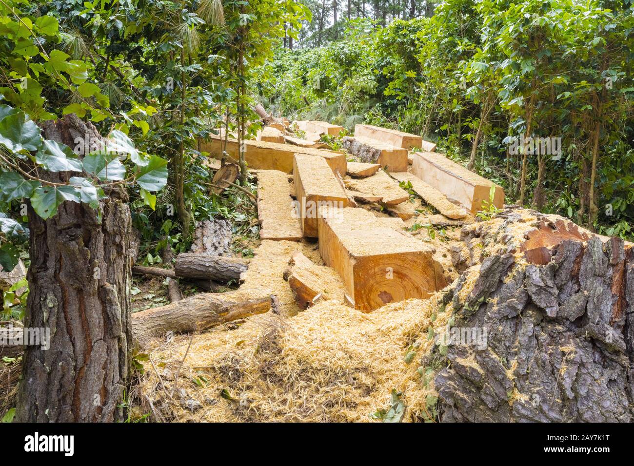 deforestation the permanent destruction of forests to make the land available for other use Stock Photohttps://www.alamy.com/image-license-details/?v=1https://www.alamy.com/deforestation-the-permanent-destruction-of-forests-to-make-the-land-available-for-other-use-image343761316.html
RM2AY7K1T–deforestation the permanent destruction of forests to make the land available for other use
 Rusty and Grunge Stone. Geology and Construction Concept. Stock Photohttps://www.alamy.com/image-license-details/?v=1https://www.alamy.com/rusty-and-grunge-stone-geology-and-construction-concept-image626524530.html
RF2YB8JC2–Rusty and Grunge Stone. Geology and Construction Concept.
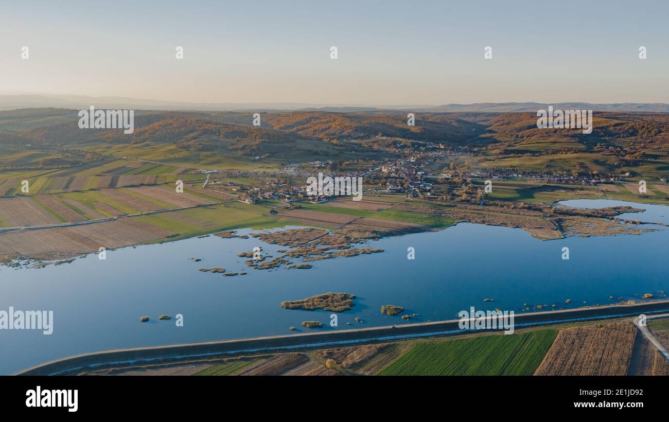 dam on the river and lakes on its edge Stock Photohttps://www.alamy.com/image-license-details/?v=1https://www.alamy.com/dam-on-the-river-and-lakes-on-its-edge-image396858702.html
RF2E1JD92–dam on the river and lakes on its edge
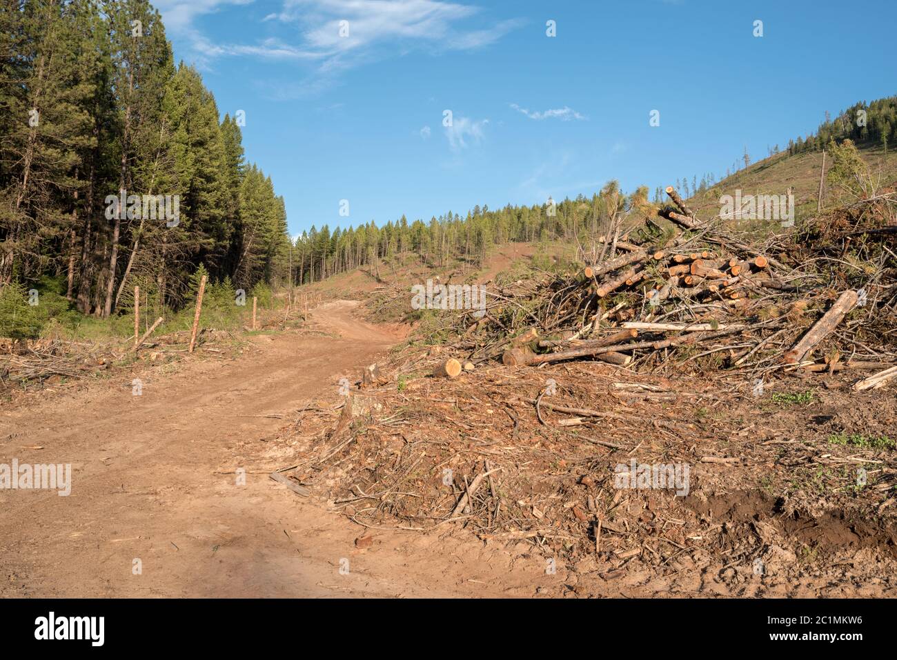 Logged forest on Hancock Timber Resource Group land in Wallowa County, Oregon. Stock Photohttps://www.alamy.com/image-license-details/?v=1https://www.alamy.com/logged-forest-on-hancock-timber-resource-group-land-in-wallowa-county-oregon-image362487026.html
RM2C1MKW6–Logged forest on Hancock Timber Resource Group land in Wallowa County, Oregon.
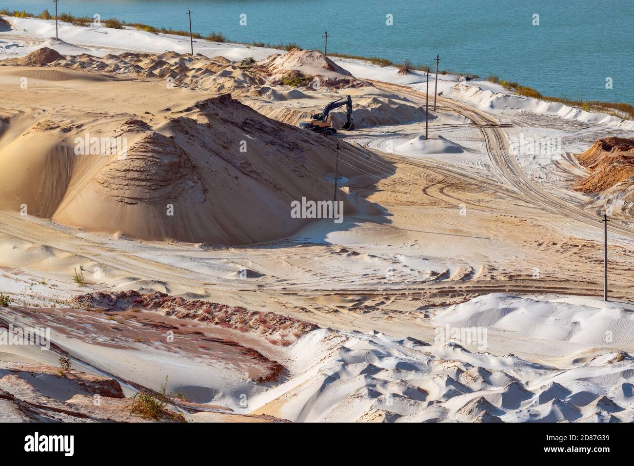 Sand extraction with machinery excavator at quartz quarry. Sand dunes hills terrain digging near lake Stock Photohttps://www.alamy.com/image-license-details/?v=1https://www.alamy.com/sand-extraction-with-machinery-excavator-at-quartz-quarry-sand-dunes-hills-terrain-digging-near-lake-image383711645.html
RF2D87G39–Sand extraction with machinery excavator at quartz quarry. Sand dunes hills terrain digging near lake
 House with a roof for the roof of the river. Reflection. Jungle Stock Photohttps://www.alamy.com/image-license-details/?v=1https://www.alamy.com/house-with-a-roof-for-the-roof-of-the-river-reflection-jungle-image386352074.html
RF2DCFT0A–House with a roof for the roof of the river. Reflection. Jungle
 3d rendering fly over diagram view of environment stylised graphic element creative graphic design example diorama green forest fields floor planning Stock Photohttps://www.alamy.com/image-license-details/?v=1https://www.alamy.com/3d-rendering-fly-over-diagram-view-of-environment-stylised-graphic-element-creative-graphic-design-example-diorama-green-forest-fields-floor-planning-image264191283.html
RFW9PXJY–3d rendering fly over diagram view of environment stylised graphic element creative graphic design example diorama green forest fields floor planning
 Development Land To Rent on Industrial Estate Northampton Stock Photohttps://www.alamy.com/image-license-details/?v=1https://www.alamy.com/development-land-to-rent-on-industrial-estate-northampton-image65008130.html
RMDNNAEX–Development Land To Rent on Industrial Estate Northampton
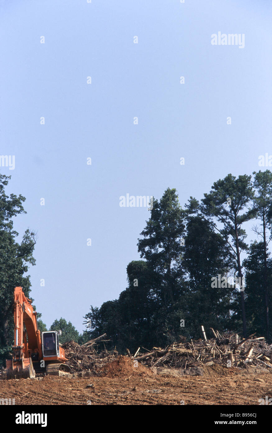 Environmental destruction, logging operations and cut trees, land clearing, development Stock Photohttps://www.alamy.com/image-license-details/?v=1https://www.alamy.com/stock-photo-environmental-destruction-logging-operations-and-cut-trees-land-clearing-22857090.html
RMB956CJ–Environmental destruction, logging operations and cut trees, land clearing, development
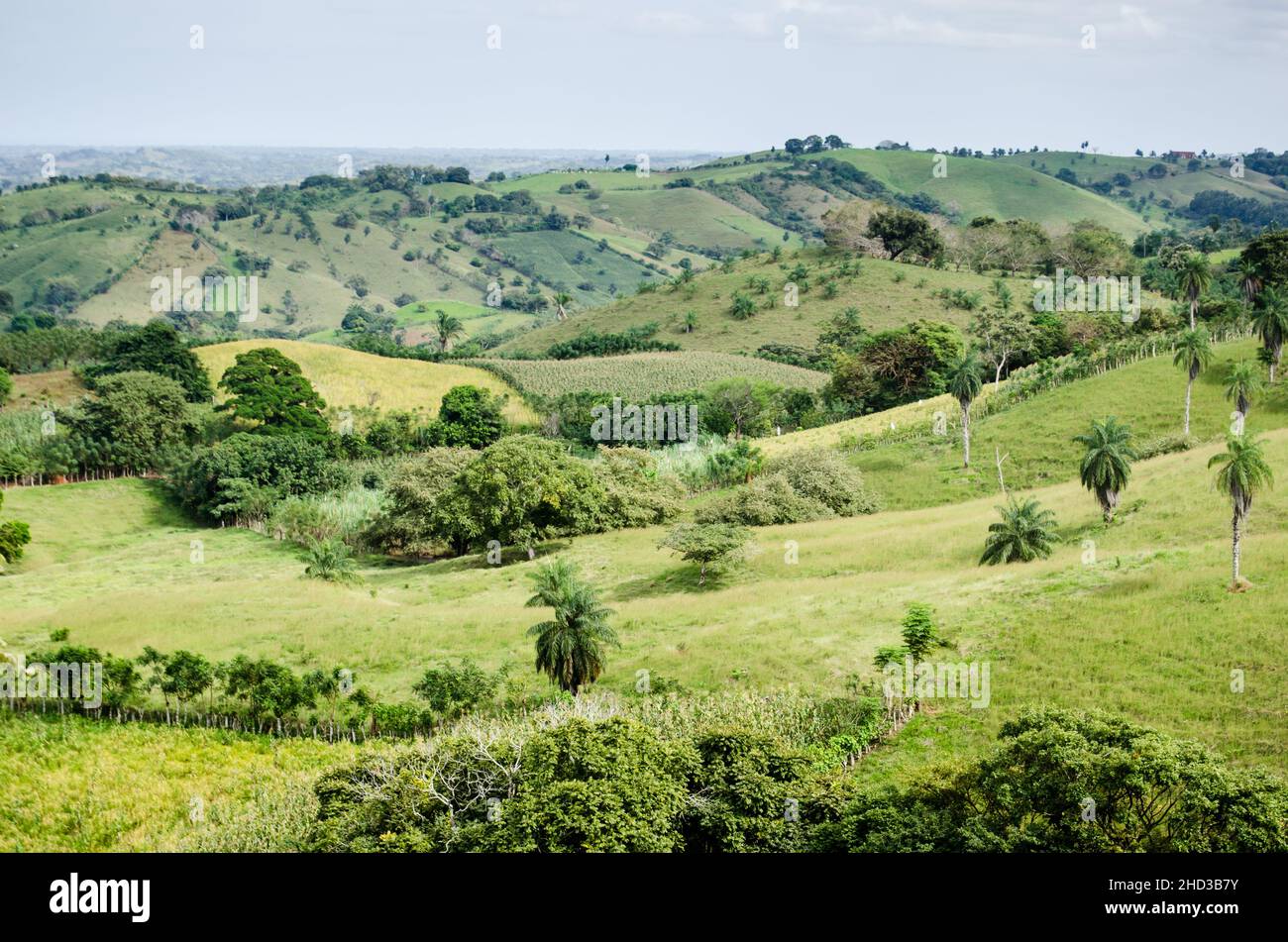 Pastures and agricultural land typical of the dry region of Panama, known as 'Arco Seco' Stock Photohttps://www.alamy.com/image-license-details/?v=1https://www.alamy.com/pastures-and-agricultural-land-typical-of-the-dry-region-of-panama-known-as-arco-seco-image455534799.html
RF2HD3B7Y–Pastures and agricultural land typical of the dry region of Panama, known as 'Arco Seco'
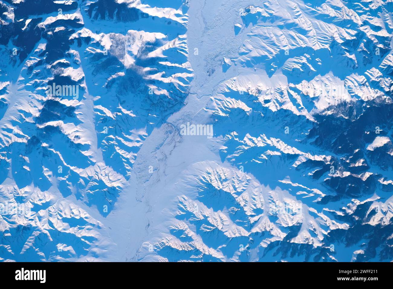 Winter land scenery, Mongolia Stock Photohttps://www.alamy.com/image-license-details/?v=1https://www.alamy.com/winter-land-scenery-mongolia-image594703229.html
RM2WFF211–Winter land scenery, Mongolia
 Deforestation for clearing of wooded land Stock Photohttps://www.alamy.com/image-license-details/?v=1https://www.alamy.com/deforestation-for-clearing-of-wooded-land-image620593696.html
RF2Y1JDGG–Deforestation for clearing of wooded land
 Land, Dry, Desert, Drought, Cracked, Stock Photohttps://www.alamy.com/image-license-details/?v=1https://www.alamy.com/stock-photo-land-dry-desert-drought-cracked-57886522.html
RFDA4XRP–Land, Dry, Desert, Drought, Cracked,
 Landscape of agricultural field lying next to forest area in Sungai Utik, Batu Lintang, Embaloh Hulu, Kapuas Hulu, West Kalimantan, Indonesia. Stock Photohttps://www.alamy.com/image-license-details/?v=1https://www.alamy.com/landscape-of-agricultural-field-lying-next-to-forest-area-in-sungai-utik-batu-lintang-embaloh-hulu-kapuas-hulu-west-kalimantan-indonesia-image399809532.html
RM2E6CW3T–Landscape of agricultural field lying next to forest area in Sungai Utik, Batu Lintang, Embaloh Hulu, Kapuas Hulu, West Kalimantan, Indonesia.
 Tennessee Cherokee National Forest,Greasy Creek,Department of Agriculture,federal land,trees,managed resource,timber harvesting,bridge,roadway,logging Stock Photohttps://www.alamy.com/image-license-details/?v=1https://www.alamy.com/stock-photo-tennessee-cherokee-national-forestgreasy-creekdepartment-of-agriculturefederal-33975253.html
RMBY7KNW–Tennessee Cherokee National Forest,Greasy Creek,Department of Agriculture,federal land,trees,managed resource,timber harvesting,bridge,roadway,logging
 old shafthouse mine remnants and stone marker in the bridger mountains near bozeman, montana Stock Photohttps://www.alamy.com/image-license-details/?v=1https://www.alamy.com/old-shafthouse-mine-remnants-and-stone-marker-in-the-bridger-mountains-near-bozeman-montana-image213002859.html
RMPAF38Y–old shafthouse mine remnants and stone marker in the bridger mountains near bozeman, montana
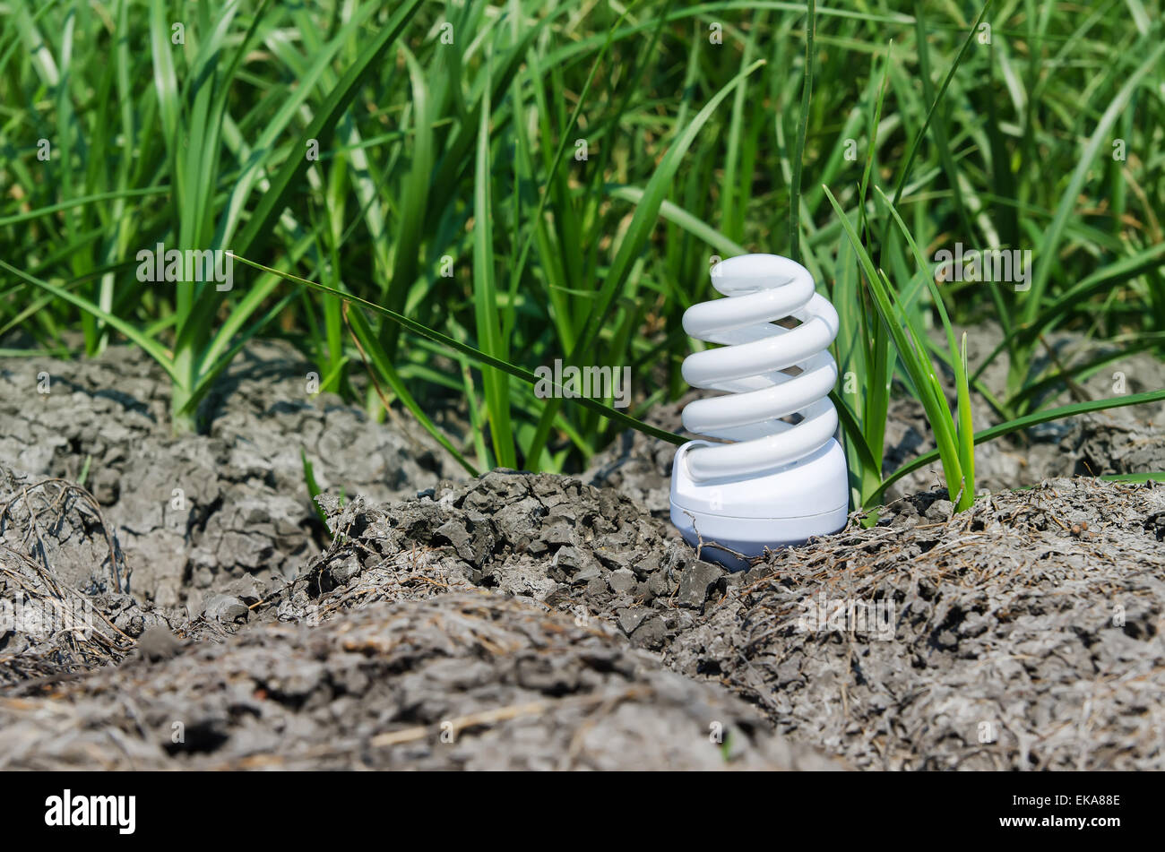 concept light bulb between drought land and green grass Stock Photohttps://www.alamy.com/image-license-details/?v=1https://www.alamy.com/stock-photo-concept-light-bulb-between-drought-land-and-green-grass-80745966.html
RFEKA88E–concept light bulb between drought land and green grass
 Dorsten, North Rhine-Westphalia, Germany, flood on the Lippe, river in the Ruhr area, the fields, the agricultural land of the farmers next to the wat Stock Photohttps://www.alamy.com/image-license-details/?v=1https://www.alamy.com/dorsten-north-rhine-westphalia-germany-flood-on-the-lippe-river-in-the-ruhr-area-the-fields-the-agricultural-land-of-the-farmers-next-to-the-wat-image595899114.html
RM2WHDFB6–Dorsten, North Rhine-Westphalia, Germany, flood on the Lippe, river in the Ruhr area, the fields, the agricultural land of the farmers next to the wat
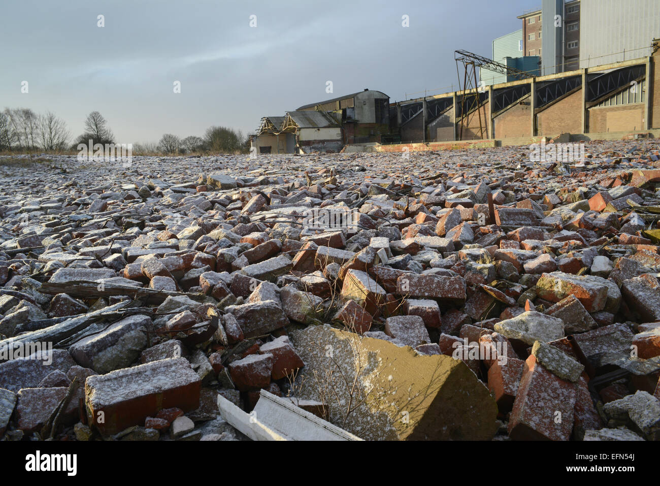 piles of rubble on derelict land and factory building covered by winter snow near selby yorkshire united kingdom Stock Photohttps://www.alamy.com/image-license-details/?v=1https://www.alamy.com/stock-photo-piles-of-rubble-on-derelict-land-and-factory-building-covered-by-winter-78526354.html
RMEFN54J–piles of rubble on derelict land and factory building covered by winter snow near selby yorkshire united kingdom
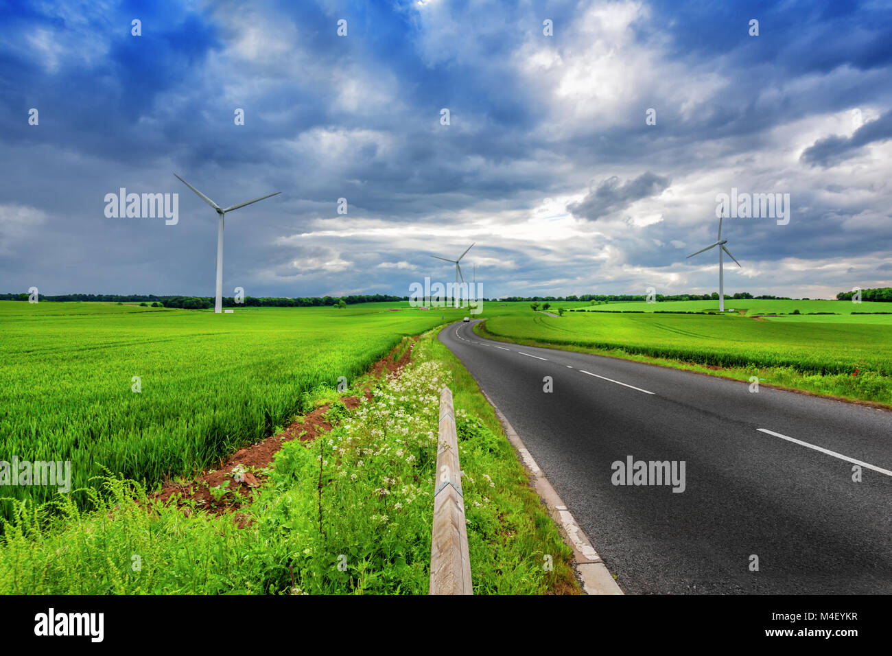 Ecological land Stock Photohttps://www.alamy.com/image-license-details/?v=1https://www.alamy.com/stock-photo-ecological-land-174891355.html
RMM4EYKR–Ecological land
 Text sign showing Oil Development. Conceptual photo act or process of exploring an area on land or sea for oil Businessman Wearing Casual Standing Presenting Charts And Ideas. Stock Photohttps://www.alamy.com/image-license-details/?v=1https://www.alamy.com/text-sign-showing-oil-development-conceptual-photo-act-or-process-of-exploring-an-area-on-land-or-sea-for-oil-businessman-wearing-casual-standing-presenting-charts-and-ideas-image483443674.html
RF2K2EN9E–Text sign showing Oil Development. Conceptual photo act or process of exploring an area on land or sea for oil Businessman Wearing Casual Standing Presenting Charts And Ideas.
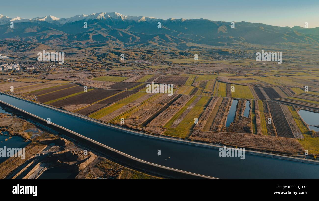 dam on the river and lakes on its edge Stock Photohttps://www.alamy.com/image-license-details/?v=1https://www.alamy.com/dam-on-the-river-and-lakes-on-its-edge-image396858703.html
RF2E1JD93–dam on the river and lakes on its edge
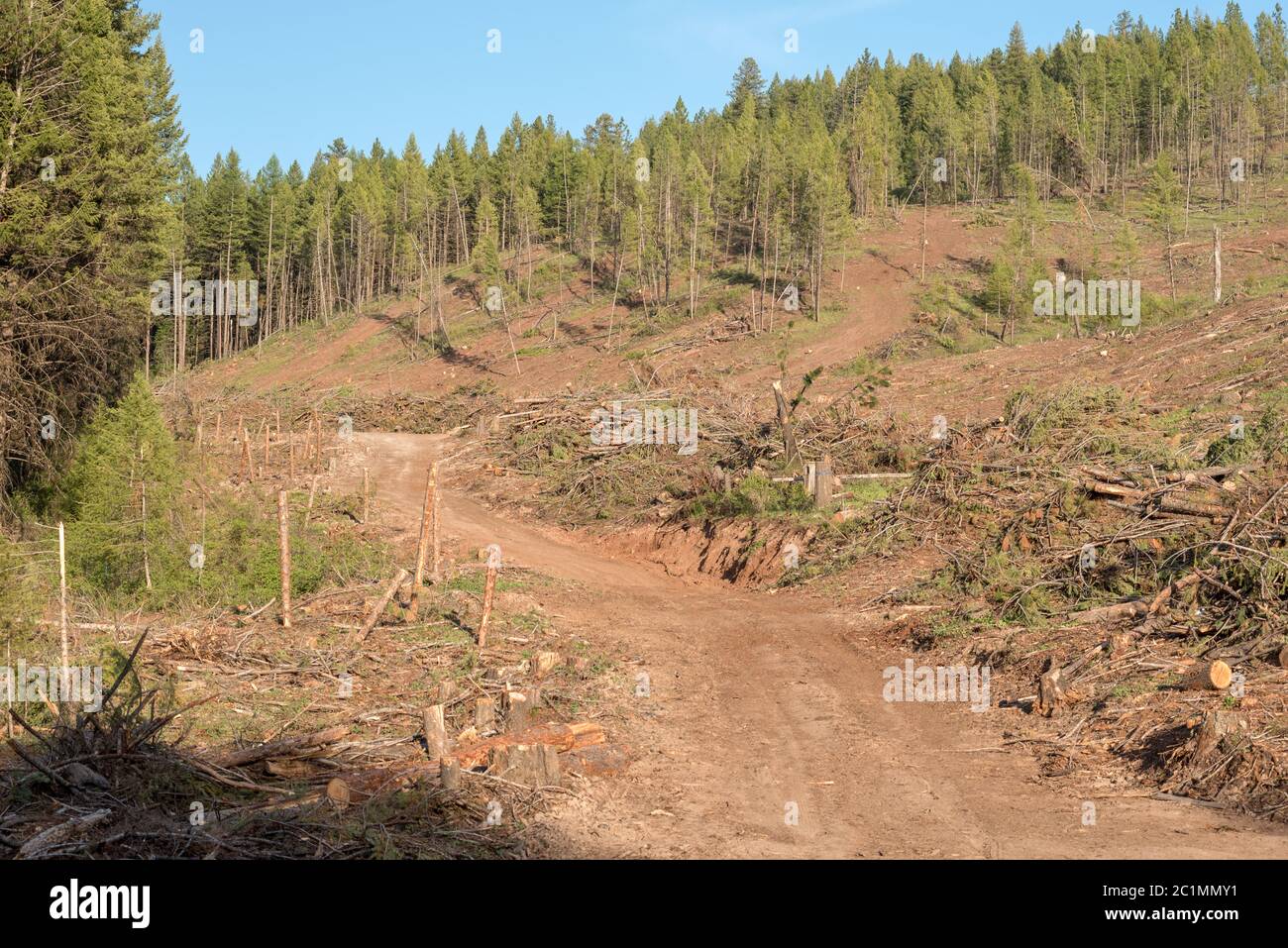 Logged forest on Hancock Timber Resource Group land in Wallowa County, Oregon. Stock Photohttps://www.alamy.com/image-license-details/?v=1https://www.alamy.com/logged-forest-on-hancock-timber-resource-group-land-in-wallowa-county-oregon-image362487861.html
RM2C1MMY1–Logged forest on Hancock Timber Resource Group land in Wallowa County, Oregon.
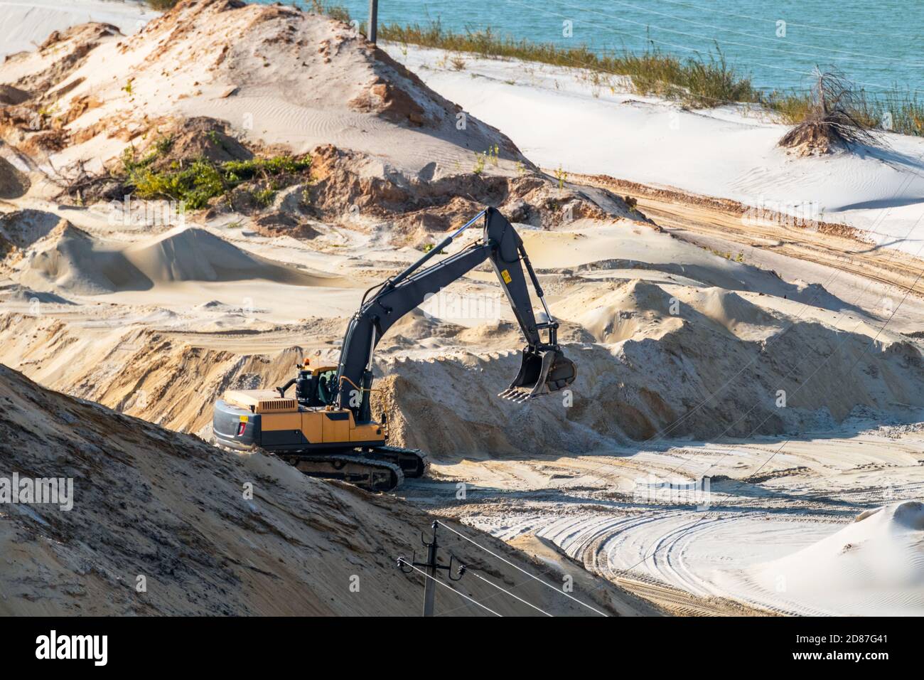 Sand extraction with machinery excavator at quartz quarry close-up. Sand dunes hills terrain digging near lake Stock Photohttps://www.alamy.com/image-license-details/?v=1https://www.alamy.com/sand-extraction-with-machinery-excavator-at-quartz-quarry-close-up-sand-dunes-hills-terrain-digging-near-lake-image383711665.html
RF2D87G41–Sand extraction with machinery excavator at quartz quarry close-up. Sand dunes hills terrain digging near lake
 Text caption presenting Oil Development. Business concept act or process of exploring an area on land or sea for oil Illustration Of Partners Building New Wonderful Ideas For Skills Improvement. Stock Photohttps://www.alamy.com/image-license-details/?v=1https://www.alamy.com/text-caption-presenting-oil-development-business-concept-act-or-process-of-exploring-an-area-on-land-or-sea-for-oil-illustration-of-partners-building-new-wonderful-ideas-for-skills-improvement-image483344530.html
RF2K2A6TJ–Text caption presenting Oil Development. Business concept act or process of exploring an area on land or sea for oil Illustration Of Partners Building New Wonderful Ideas For Skills Improvement.
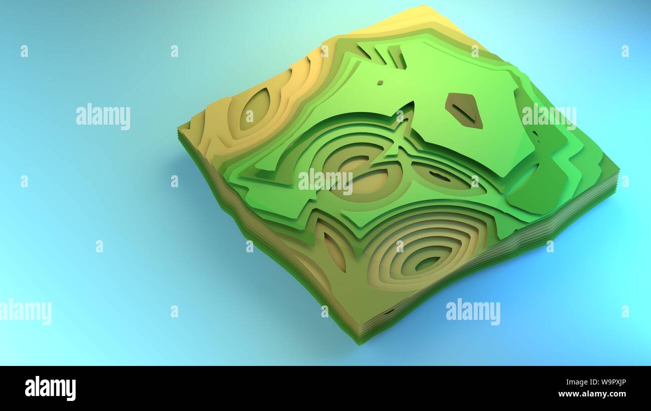 3d rendering fly over diagram view of environment stylised graphic element creative graphic design example diorama green forest fields floor planning Stock Photohttps://www.alamy.com/image-license-details/?v=1https://www.alamy.com/3d-rendering-fly-over-diagram-view-of-environment-stylised-graphic-element-creative-graphic-design-example-diorama-green-forest-fields-floor-planning-image264191278.html
RFW9PXJP–3d rendering fly over diagram view of environment stylised graphic element creative graphic design example diorama green forest fields floor planning
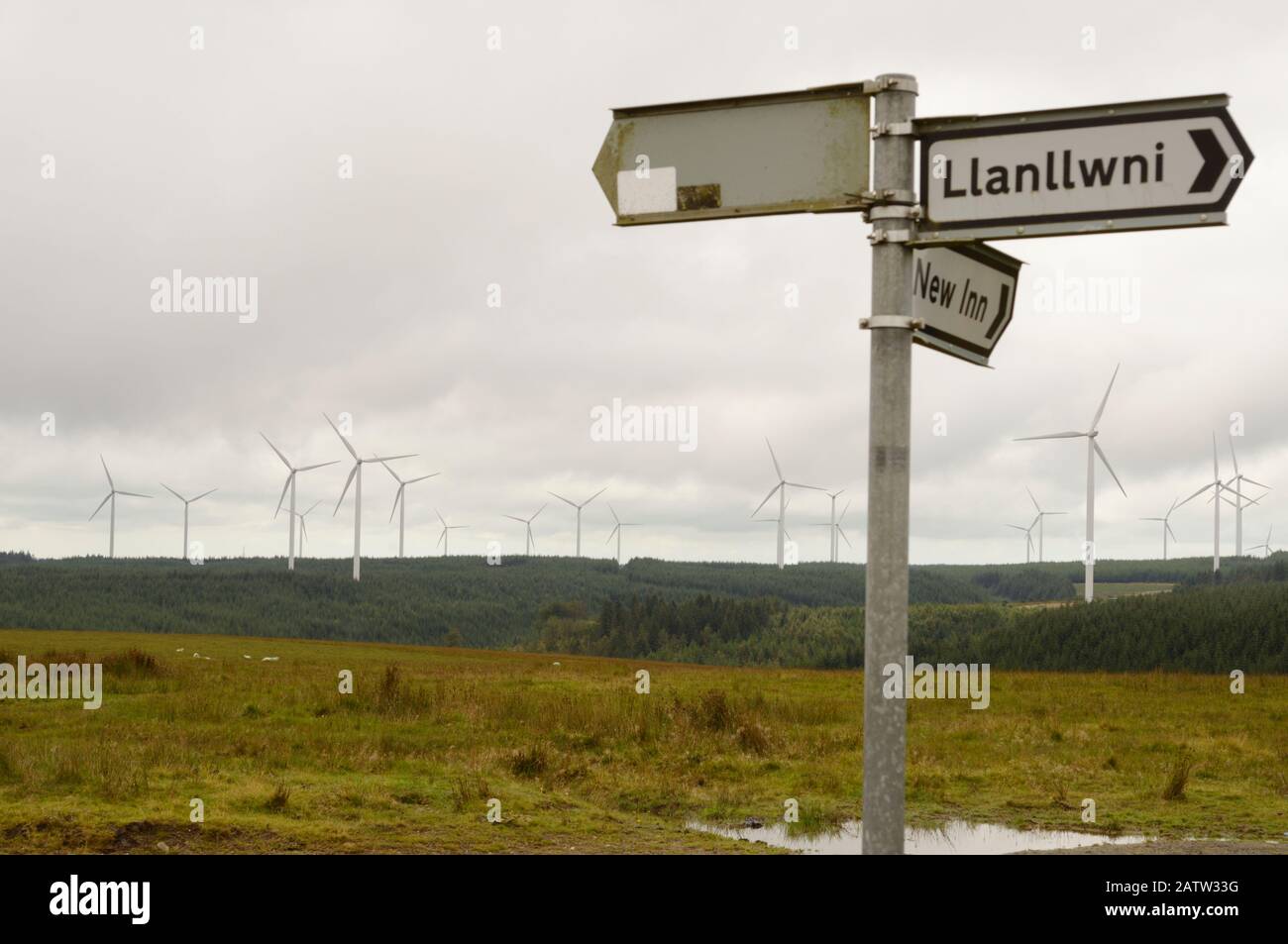 Mixed upland land use, wind turbines tower above commercial forestry alongside upland sheep pasture, Llanllwni, Wales, UK Stock Photohttps://www.alamy.com/image-license-details/?v=1https://www.alamy.com/mixed-upland-land-use-wind-turbines-tower-above-commercial-forestry-alongside-upland-sheep-pasture-llanllwni-wales-uk-image342299988.html
RM2ATW33G–Mixed upland land use, wind turbines tower above commercial forestry alongside upland sheep pasture, Llanllwni, Wales, UK
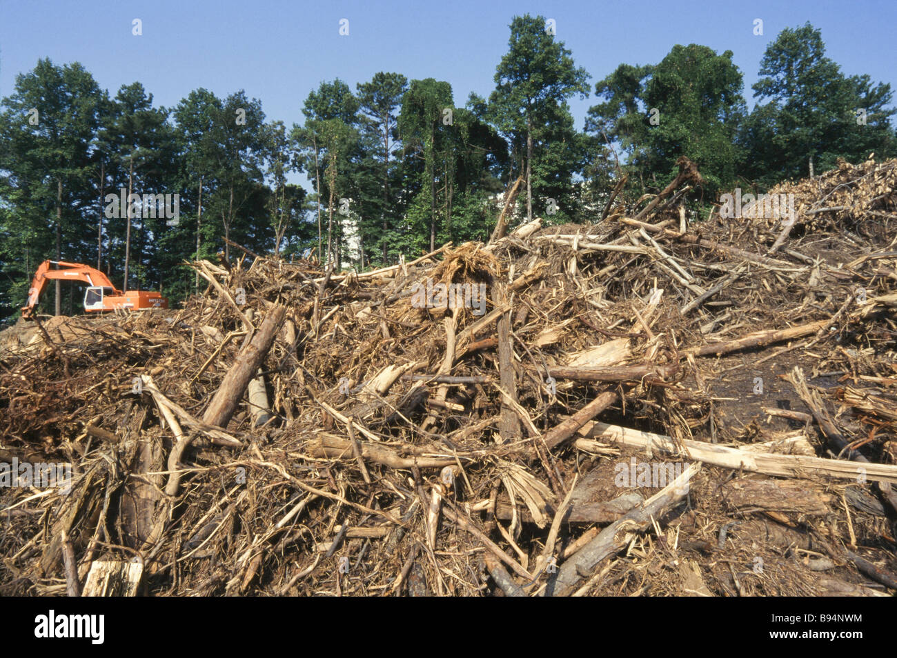 Environmental destruction, logging operations and cut trees, land clearing, development Stock Photohttps://www.alamy.com/image-license-details/?v=1https://www.alamy.com/stock-photo-environmental-destruction-logging-operations-and-cut-trees-land-clearing-22847264.html
RMB94NWM–Environmental destruction, logging operations and cut trees, land clearing, development
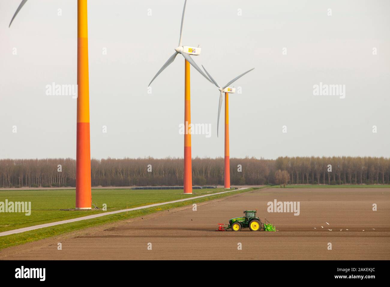 Colourful wind turbines in polders, reclaimed land near Almere, Flevoland, Netherlands. May 2013 Stock Photohttps://www.alamy.com/image-license-details/?v=1https://www.alamy.com/colourful-wind-turbines-in-polders-reclaimed-land-near-almere-flevoland-netherlands-may-2013-image338998196.html
RM2AKEKJC–Colourful wind turbines in polders, reclaimed land near Almere, Flevoland, Netherlands. May 2013
 land feature and clouds, china Stock Photohttps://www.alamy.com/image-license-details/?v=1https://www.alamy.com/land-feature-and-clouds-china-image594703093.html
RM2WFF1T5–land feature and clouds, china
 harvesting barley in the netherlands It is used for beer production Stock Photohttps://www.alamy.com/image-license-details/?v=1https://www.alamy.com/stock-photo-harvesting-barley-in-the-netherlands-it-is-used-for-beer-production-20130030.html
RMB4N01J–harvesting barley in the netherlands It is used for beer production
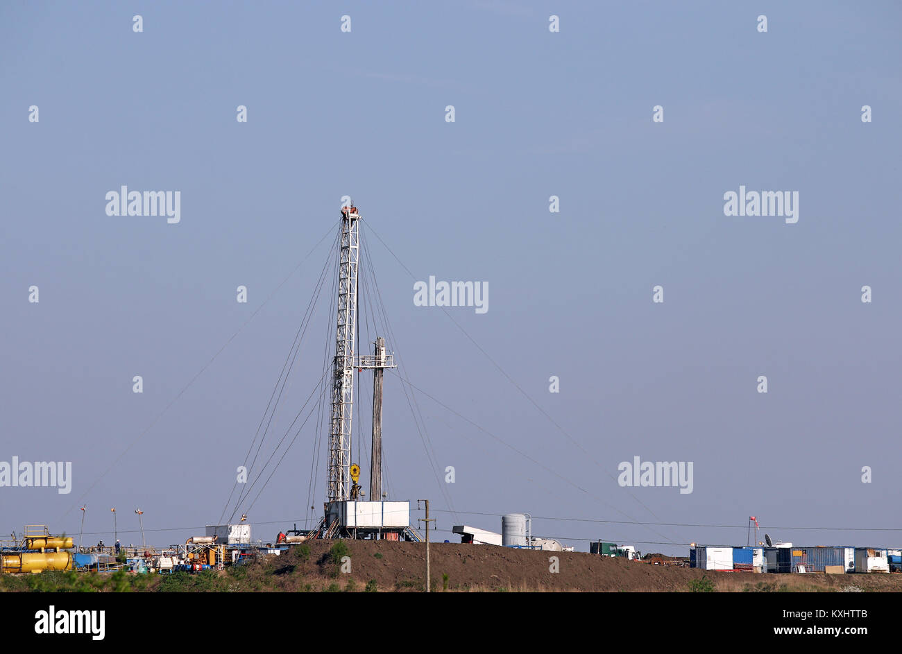 land oil drilling rig on field Stock Photohttps://www.alamy.com/image-license-details/?v=1https://www.alamy.com/stock-photo-land-oil-drilling-rig-on-field-171267051.html
RFKXHTTB–land oil drilling rig on field
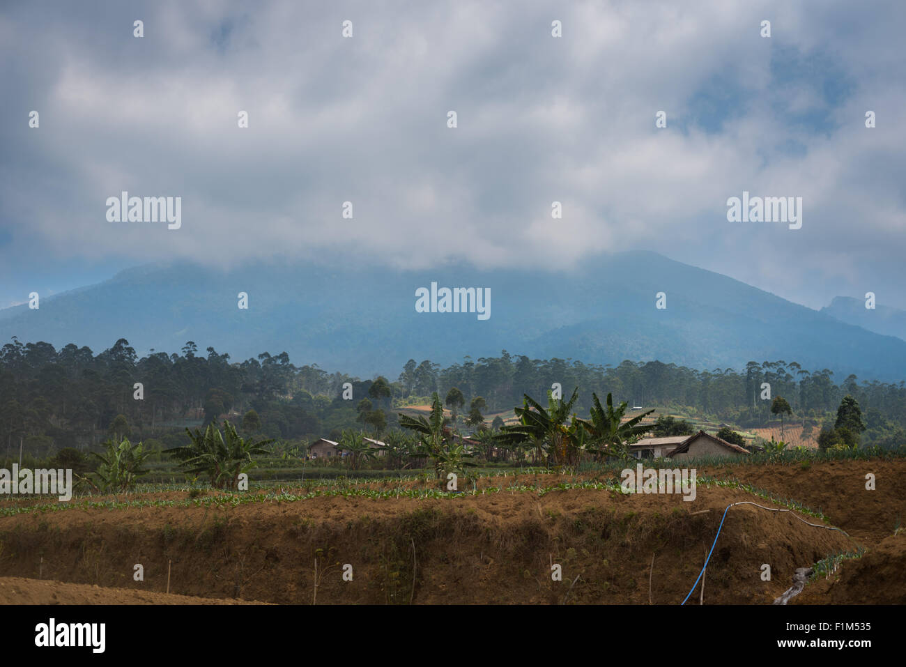 Agricultural landscape of Sarongge on the foot of Mount Gede volcano, outside Mount Gede Pangrango National Park, West Java, Indonesia; in dry season. Stock Photohttps://www.alamy.com/image-license-details/?v=1https://www.alamy.com/stock-photo-agricultural-landscape-of-sarongge-on-the-foot-of-mount-gede-volcano-87109545.html
RMF1M535–Agricultural landscape of Sarongge on the foot of Mount Gede volcano, outside Mount Gede Pangrango National Park, West Java, Indonesia; in dry season.
 Tennessee Cherokee National Forest,Greasy Creek,reservoir,federal land,trees,managed resource,timber harvesting,blue sky,TN101014020 Stock Photohttps://www.alamy.com/image-license-details/?v=1https://www.alamy.com/stock-photo-tennessee-cherokee-national-forestgreasy-creekreservoirfederal-landtreesmanaged-33975279.html
RMBY7KPR–Tennessee Cherokee National Forest,Greasy Creek,reservoir,federal land,trees,managed resource,timber harvesting,blue sky,TN101014020
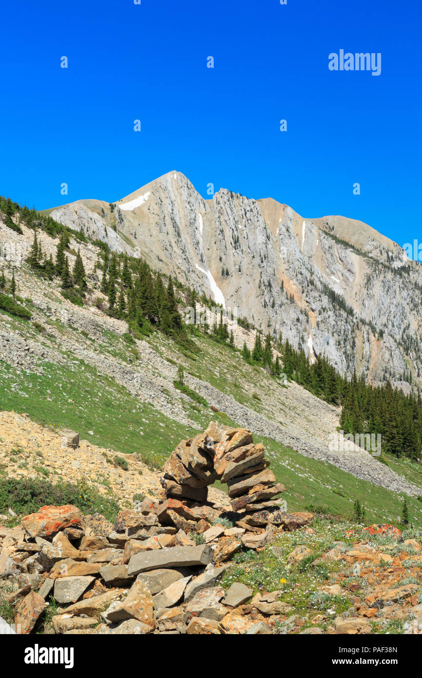 old shafthouse mine remnants and stone marker in the bridger mountains near bozeman, montana Stock Photohttps://www.alamy.com/image-license-details/?v=1https://www.alamy.com/old-shafthouse-mine-remnants-and-stone-marker-in-the-bridger-mountains-near-bozeman-montana-image213002853.html
RMPAF38N–old shafthouse mine remnants and stone marker in the bridger mountains near bozeman, montana
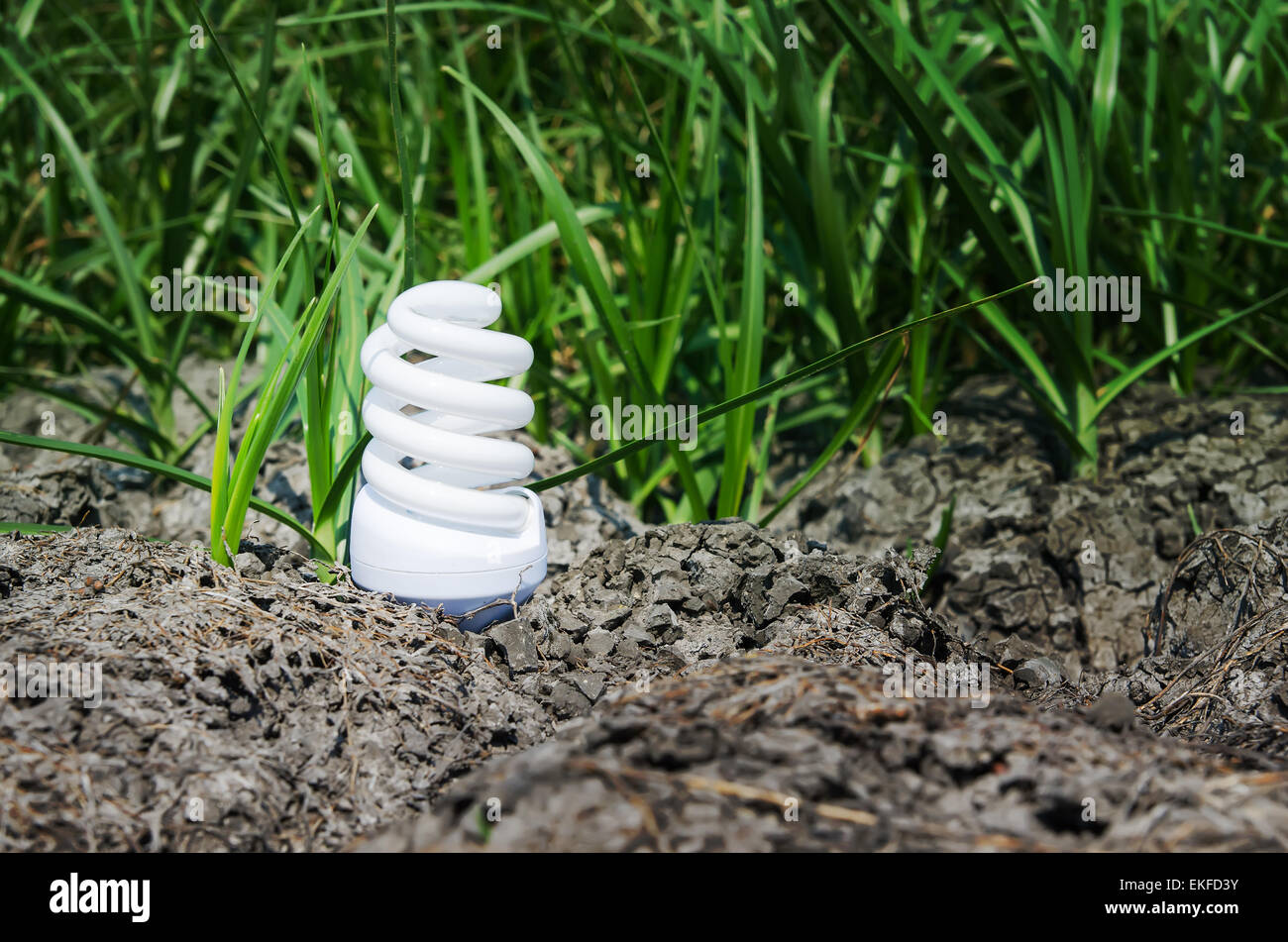 light bulb between drought land and green grass Stock Photohttps://www.alamy.com/image-license-details/?v=1https://www.alamy.com/stock-photo-light-bulb-between-drought-land-and-green-grass-80859519.html
RFEKFD3Y–light bulb between drought land and green grass
 Dorsten, North Rhine-Westphalia, Germany, flood on the Lippe, river in the Ruhr area, the fields, the agricultural land of the farmers next to the wat Stock Photohttps://www.alamy.com/image-license-details/?v=1https://www.alamy.com/dorsten-north-rhine-westphalia-germany-flood-on-the-lippe-river-in-the-ruhr-area-the-fields-the-agricultural-land-of-the-farmers-next-to-the-wat-image595899128.html
RM2WHDFBM–Dorsten, North Rhine-Westphalia, Germany, flood on the Lippe, river in the Ruhr area, the fields, the agricultural land of the farmers next to the wat
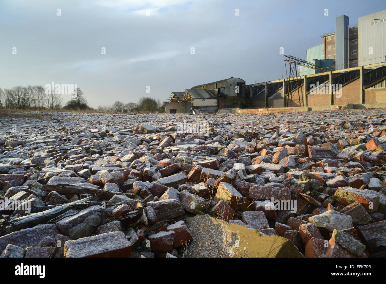 piles of rubble on derelict land and factory building covered by winter snow near selby yorkshire united kingdom Stock Photohttps://www.alamy.com/image-license-details/?v=1https://www.alamy.com/stock-photo-piles-of-rubble-on-derelict-land-and-factory-building-covered-by-winter-78484535.html
RMEFK7R3–piles of rubble on derelict land and factory building covered by winter snow near selby yorkshire united kingdom
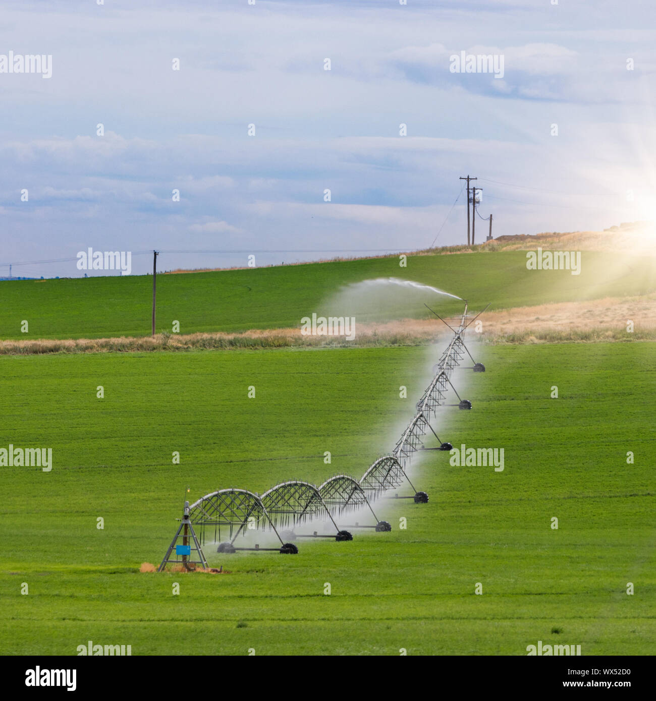 Irrigation sprinkler watering crops on fertile farm land Stock Photohttps://www.alamy.com/image-license-details/?v=1https://www.alamy.com/irrigation-sprinkler-watering-crops-on-fertile-farm-land-image274248268.html
RMWX52D0–Irrigation sprinkler watering crops on fertile farm land
 Text caption presenting Oil Development. Business overview act or process of exploring an area on land or sea for oil Man Drawing Holding Graph Arrow Showing Business Growth. Stock Photohttps://www.alamy.com/image-license-details/?v=1https://www.alamy.com/text-caption-presenting-oil-development-business-overview-act-or-process-of-exploring-an-area-on-land-or-sea-for-oil-man-drawing-holding-graph-arrow-showing-business-growth-image483456946.html
RF2K2FA7E–Text caption presenting Oil Development. Business overview act or process of exploring an area on land or sea for oil Man Drawing Holding Graph Arrow Showing Business Growth.
 dam on the river and lakes on its edge Stock Photohttps://www.alamy.com/image-license-details/?v=1https://www.alamy.com/dam-on-the-river-and-lakes-on-its-edge-image396858690.html
RF2E1JD8J–dam on the river and lakes on its edge
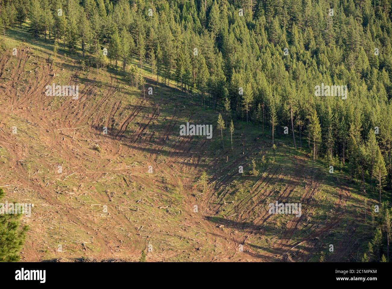 Logged forest on Hancock Timber Resource Group land in Wallowa County, Oregon. Stock Photohttps://www.alamy.com/image-license-details/?v=1https://www.alamy.com/logged-forest-on-hancock-timber-resource-group-land-in-wallowa-county-oregon-image362489224.html
RM2C1MPKM–Logged forest on Hancock Timber Resource Group land in Wallowa County, Oregon.
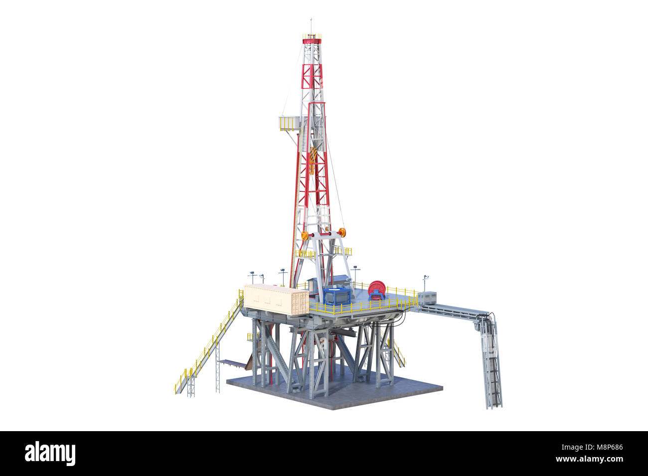 Land rig industry Stock Photohttps://www.alamy.com/image-license-details/?v=1https://www.alamy.com/stock-photo-land-rig-industry-177508806.html
RFM8P686–Land rig industry
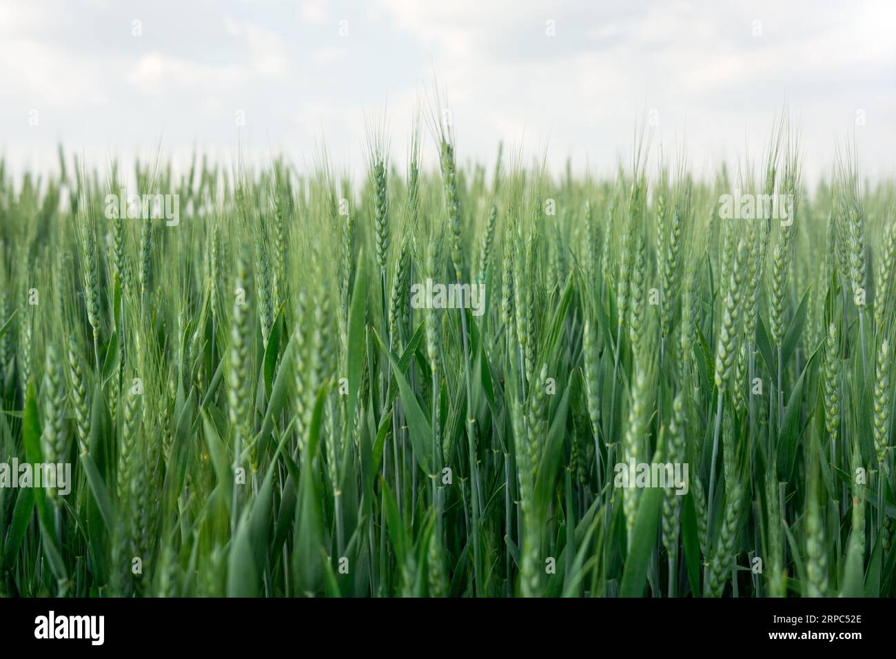 Land of green wheat cultivated in summer Stock Photohttps://www.alamy.com/image-license-details/?v=1https://www.alamy.com/land-of-green-wheat-cultivated-in-summer-image564521622.html
RF2RPC52E–Land of green wheat cultivated in summer
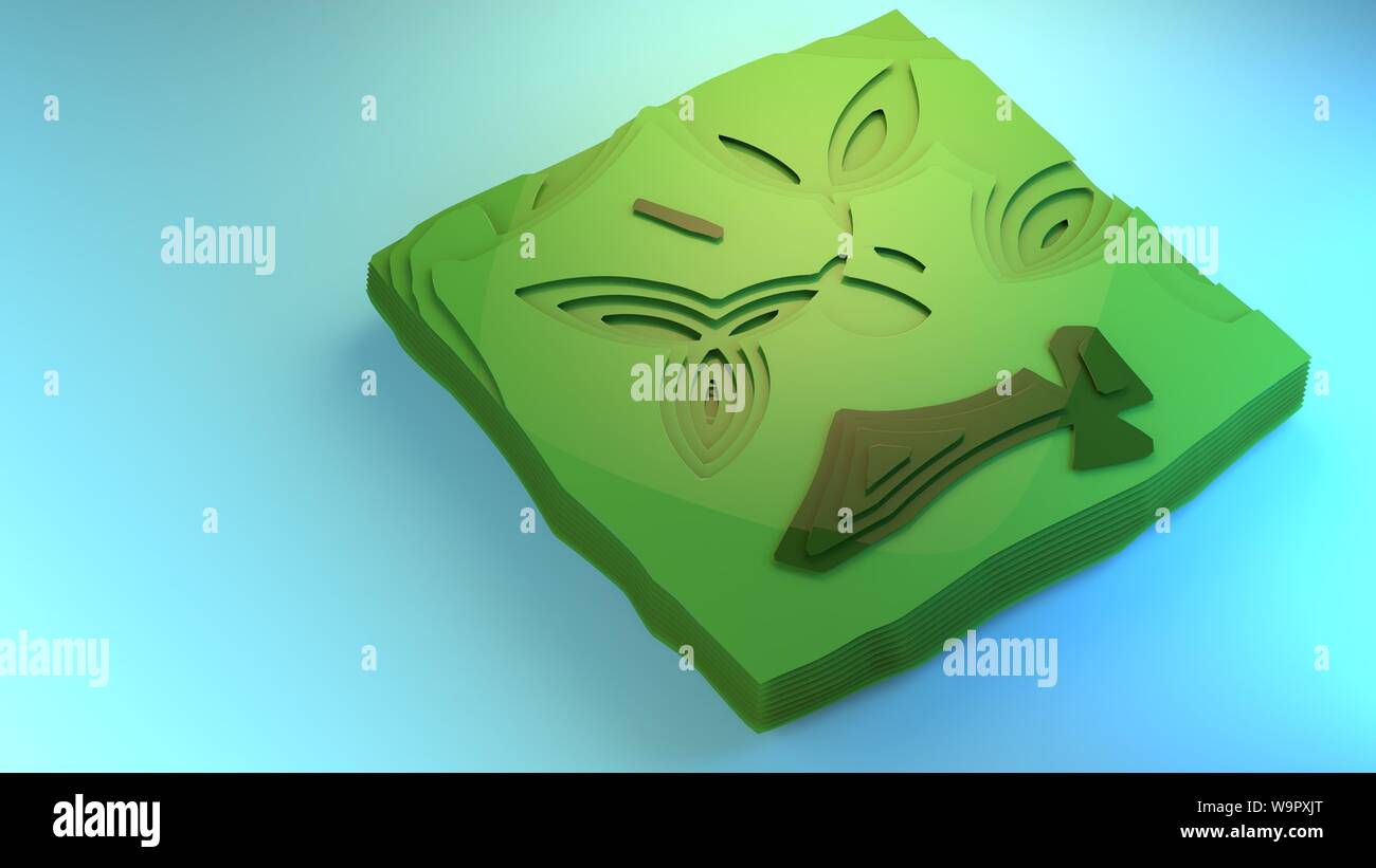 3d rendering fly over diagram view of environment stylised graphic element creative graphic design example diorama green forest fields floor planning Stock Photohttps://www.alamy.com/image-license-details/?v=1https://www.alamy.com/3d-rendering-fly-over-diagram-view-of-environment-stylised-graphic-element-creative-graphic-design-example-diorama-green-forest-fields-floor-planning-image264191280.html
RFW9PXJT–3d rendering fly over diagram view of environment stylised graphic element creative graphic design example diorama green forest fields floor planning
 Sprinklers irrigating gardens and grass Stock Photohttps://www.alamy.com/image-license-details/?v=1https://www.alamy.com/stock-photo-sprinklers-irrigating-gardens-and-grass-109483598.html
RMGA3BCE–Sprinklers irrigating gardens and grass
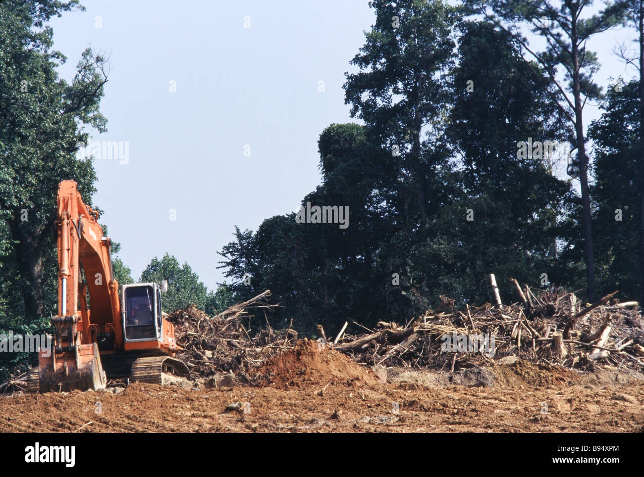 Environmental destruction, logging operations and cut trees, land clearing, development Stock Photohttps://www.alamy.com/image-license-details/?v=1https://www.alamy.com/stock-photo-environmental-destruction-logging-operations-and-cut-trees-land-clearing-22851100.html
RMB94XPM–Environmental destruction, logging operations and cut trees, land clearing, development
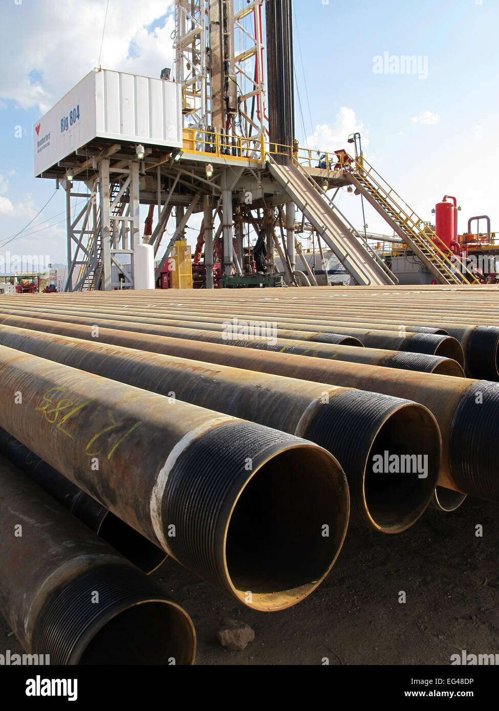 A land drilling rig casing prepared ready to be run in to line the wellbore. Kenya Stock Photohttps://www.alamy.com/image-license-details/?v=1https://www.alamy.com/stock-photo-a-land-drilling-rig-casing-prepared-ready-to-be-run-in-to-line-the-78770434.html
RMEG48DP–A land drilling rig casing prepared ready to be run in to line the wellbore. Kenya
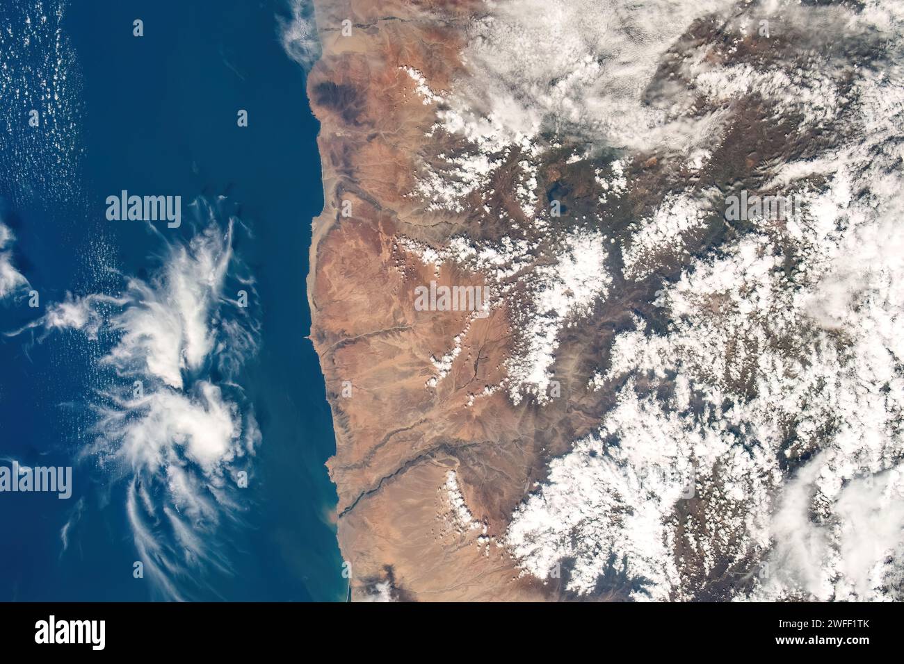 Coastline land and sea, Peru Stock Photohttps://www.alamy.com/image-license-details/?v=1https://www.alamy.com/coastline-land-and-sea-peru-image594703107.html
RM2WFF1TK–Coastline land and sea, Peru
 harvesting barley in the netherlands It is used for beer production Stock Photohttps://www.alamy.com/image-license-details/?v=1https://www.alamy.com/stock-photo-harvesting-barley-in-the-netherlands-it-is-used-for-beer-production-20130019.html
RMB4N017–harvesting barley in the netherlands It is used for beer production
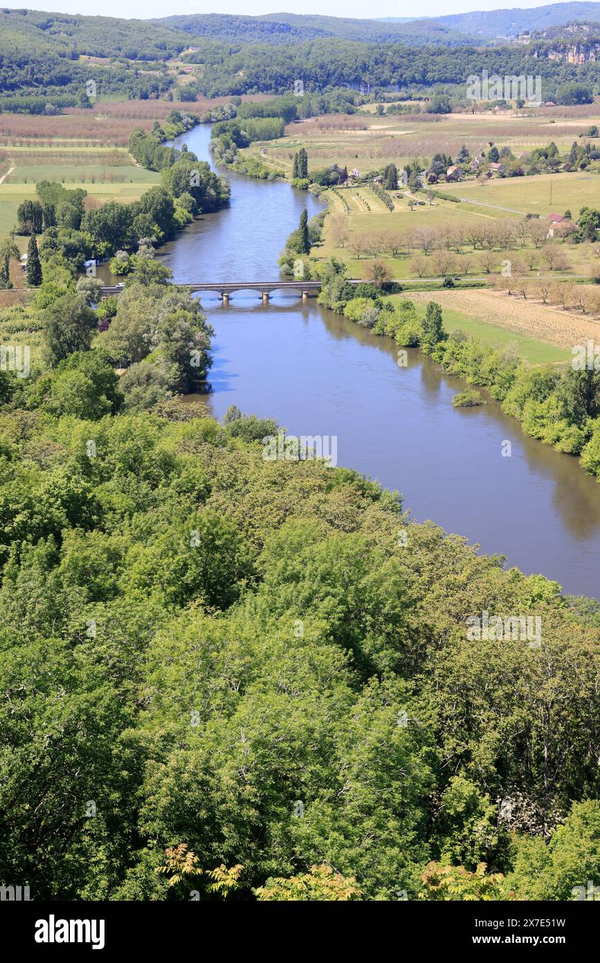 The Dordogne River flows through agricultural land in Périgord Noir in southwest France. Agriculture, mixed farming, water, irrigation. Périgord, Dord Stock Photohttps://www.alamy.com/image-license-details/?v=1https://www.alamy.com/the-dordogne-river-flows-through-agricultural-land-in-prigord-noir-in-southwest-france-agriculture-mixed-farming-water-irrigation-prigord-dord-image606976773.html
RM2X7E51W–The Dordogne River flows through agricultural land in Périgord Noir in southwest France. Agriculture, mixed farming, water, irrigation. Périgord, Dord
 Landscape of agricultural field lying next to forest area in Sungai Utik, Batu Lintang, Embaloh Hulu, Kapuas Hulu, West Kalimantan, Indonesia. Stock Photohttps://www.alamy.com/image-license-details/?v=1https://www.alamy.com/landscape-of-agricultural-field-lying-next-to-forest-area-in-sungai-utik-batu-lintang-embaloh-hulu-kapuas-hulu-west-kalimantan-indonesia-image630382175.html
RM2YHGAW3–Landscape of agricultural field lying next to forest area in Sungai Utik, Batu Lintang, Embaloh Hulu, Kapuas Hulu, West Kalimantan, Indonesia.
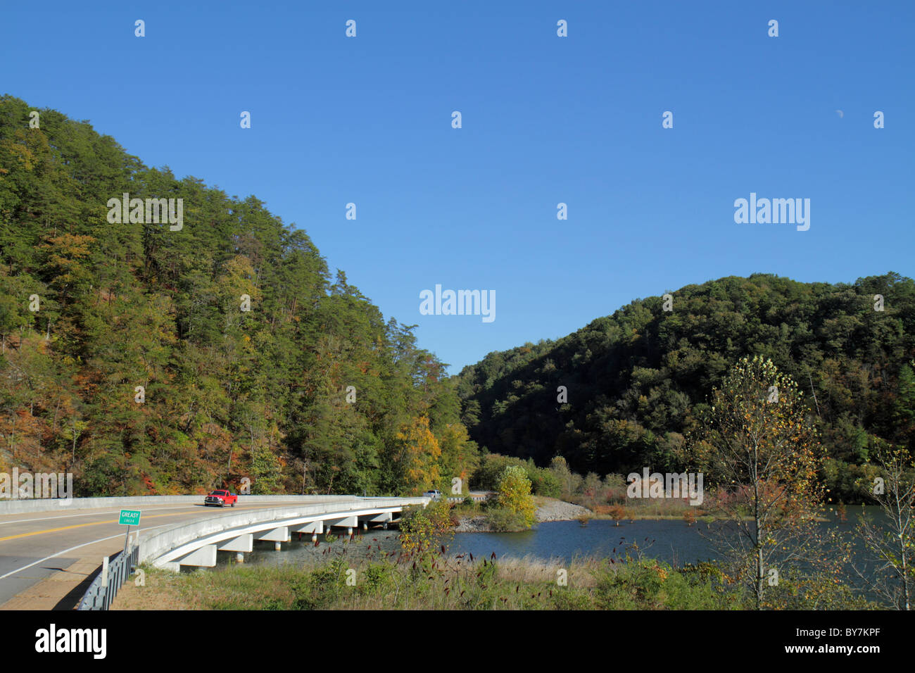 Tennessee,TN,South,Cherokee National Forest,Greasy Creek water,Department of Agriculture,federal land,trees,managed resource,bridge,roadway,blue sky,r Stock Photohttps://www.alamy.com/image-license-details/?v=1https://www.alamy.com/stock-photo-tennesseetnsouthcherokee-national-forestgreasy-creek-waterdepartment-33975271.html
RMBY7KPF–Tennessee,TN,South,Cherokee National Forest,Greasy Creek water,Department of Agriculture,federal land,trees,managed resource,bridge,roadway,blue sky,r
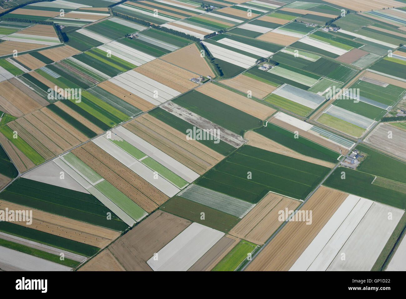 AERIAL VIEW. Agricultural lands within polders near Mont Saint-Michel. Manche, Normandie, France. Stock Photohttps://www.alamy.com/image-license-details/?v=1https://www.alamy.com/stock-photo-aerial-view-agricultural-lands-within-polders-near-mont-saint-michel-116816842.html
RMGP1D22–AERIAL VIEW. Agricultural lands within polders near Mont Saint-Michel. Manche, Normandie, France.
 CONCEPTUAL PHOTO SHOWING THE EARTH SQUEEZED LIKE AN ORANGE BY A HUMAN HAND TO EXTRACT ITS NATURAL RESOURCES, PHOTO EXHIBITION ‘TERRE FRAGILE’ TO RAISE AWARENESS ABOUT HUMANKIND'S IMPACT ON THE PLANET, FRANCE, WORLD Stock Photohttps://www.alamy.com/image-license-details/?v=1https://www.alamy.com/conceptual-photo-showing-the-earth-squeezed-like-an-orange-by-a-human-hand-to-extract-its-natural-resources-photo-exhibition-terre-fragile-to-raise-awareness-about-humankinds-impact-on-the-planet-france-world-image465544743.html
RM2J1BB1Y–CONCEPTUAL PHOTO SHOWING THE EARTH SQUEEZED LIKE AN ORANGE BY A HUMAN HAND TO EXTRACT ITS NATURAL RESOURCES, PHOTO EXHIBITION ‘TERRE FRAGILE’ TO RAISE AWARENESS ABOUT HUMANKIND'S IMPACT ON THE PLANET, FRANCE, WORLD
 Dorsten, North Rhine-Westphalia, Germany, flood on the Lippe, river in the Ruhr area, the fields, the agricultural land of the farmers next to the wat Stock Photohttps://www.alamy.com/image-license-details/?v=1https://www.alamy.com/dorsten-north-rhine-westphalia-germany-flood-on-the-lippe-river-in-the-ruhr-area-the-fields-the-agricultural-land-of-the-farmers-next-to-the-wat-image595899118.html
RM2WHDFBA–Dorsten, North Rhine-Westphalia, Germany, flood on the Lippe, river in the Ruhr area, the fields, the agricultural land of the farmers next to the wat
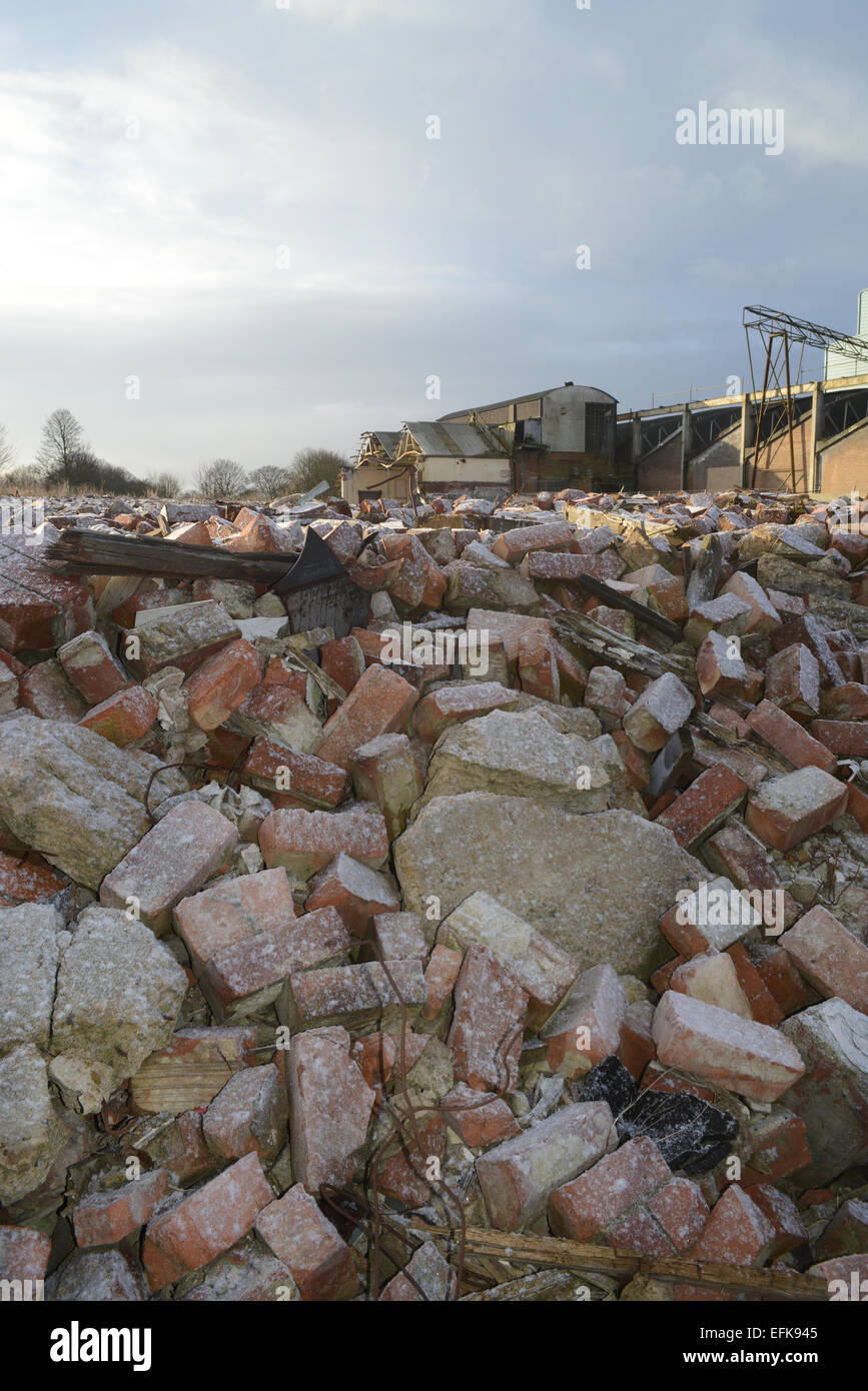 piles of rubble on derelict land and factory building covered by winter snow near selby yorkshire united kingdom Stock Photohttps://www.alamy.com/image-license-details/?v=1https://www.alamy.com/stock-photo-piles-of-rubble-on-derelict-land-and-factory-building-covered-by-winter-78485573.html
RMEFK945–piles of rubble on derelict land and factory building covered by winter snow near selby yorkshire united kingdom
 Agricultural land along canal with boat moving on canal and row of rotating wind turbines along ban Stock Photohttps://www.alamy.com/image-license-details/?v=1https://www.alamy.com/agricultural-land-along-canal-with-boat-moving-on-canal-and-row-of-rotating-wind-turbines-along-ban-image611016858.html
RF2XE266J–Agricultural land along canal with boat moving on canal and row of rotating wind turbines along ban
 Text caption presenting Oil Development. Business idea act or process of exploring an area on land or sea for oil Cheerful Man Enjoying Accomplishment With Spiral Background Raising Hand. Stock Photohttps://www.alamy.com/image-license-details/?v=1https://www.alamy.com/text-caption-presenting-oil-development-business-idea-act-or-process-of-exploring-an-area-on-land-or-sea-for-oil-cheerful-man-enjoying-accomplishment-with-spiral-background-raising-hand-image483451574.html
RF2K2F3BJ–Text caption presenting Oil Development. Business idea act or process of exploring an area on land or sea for oil Cheerful Man Enjoying Accomplishment With Spiral Background Raising Hand.
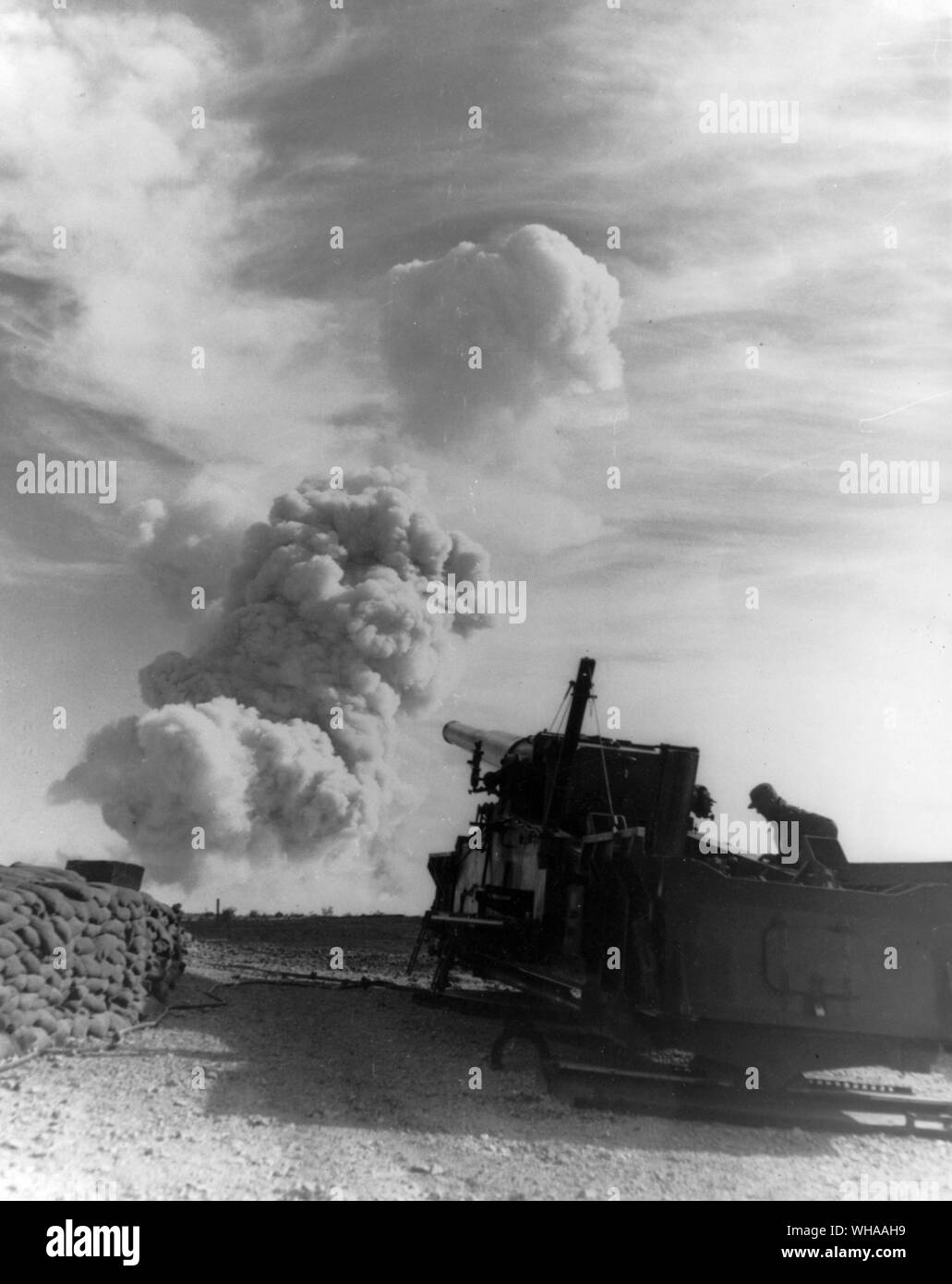 The AEC nuclear Test Site in Nevada. The Nevada Test Site (NTS) is a remote site that is buffered for public access by vast, federally-owned land masses. A unique national resource, the NTS is a massive outdoor laboratory and national experimental center that cannot be duplicated. Larger than the state of Rhode Island, its 1,350 square miles (3,500 square kilometers or 864,000 acres), make this one of the largest secured areas in the United States. The Nevada Test Site (NTS) is located in Nye County in southern Nevada; the southernmost point of the NTS is about 65 miles (105 kilometers) Stock Photohttps://www.alamy.com/image-license-details/?v=1https://www.alamy.com/the-aec-nuclear-test-site-in-nevada-the-nevada-test-site-nts-is-a-remote-site-that-is-buffered-for-public-access-by-vast-federally-owned-land-masses-a-unique-national-resource-the-nts-is-a-massive-outdoor-laboratory-and-national-experimental-center-that-cannot-be-duplicated-larger-than-the-state-of-rhode-island-its-1350-square-miles-3500-square-kilometers-or-864000-acres-make-this-one-of-the-largest-secured-areas-in-the-united-states-the-nevada-test-site-nts-is-located-in-nye-county-in-southern-nevada-the-southernmost-point-of-the-nts-is-about-65-miles-105-kilometers-image268832517.html
RMWHAAH9–The AEC nuclear Test Site in Nevada. The Nevada Test Site (NTS) is a remote site that is buffered for public access by vast, federally-owned land masses. A unique national resource, the NTS is a massive outdoor laboratory and national experimental center that cannot be duplicated. Larger than the state of Rhode Island, its 1,350 square miles (3,500 square kilometers or 864,000 acres), make this one of the largest secured areas in the United States. The Nevada Test Site (NTS) is located in Nye County in southern Nevada; the southernmost point of the NTS is about 65 miles (105 kilometers)
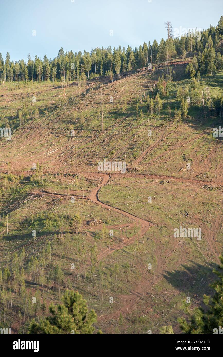 Logged forest on Hancock Timber Resource Group land in Wallowa County, Oregon. Stock Photohttps://www.alamy.com/image-license-details/?v=1https://www.alamy.com/logged-forest-on-hancock-timber-resource-group-land-in-wallowa-county-oregon-image362490425.html
RM2C1MT6H–Logged forest on Hancock Timber Resource Group land in Wallowa County, Oregon.
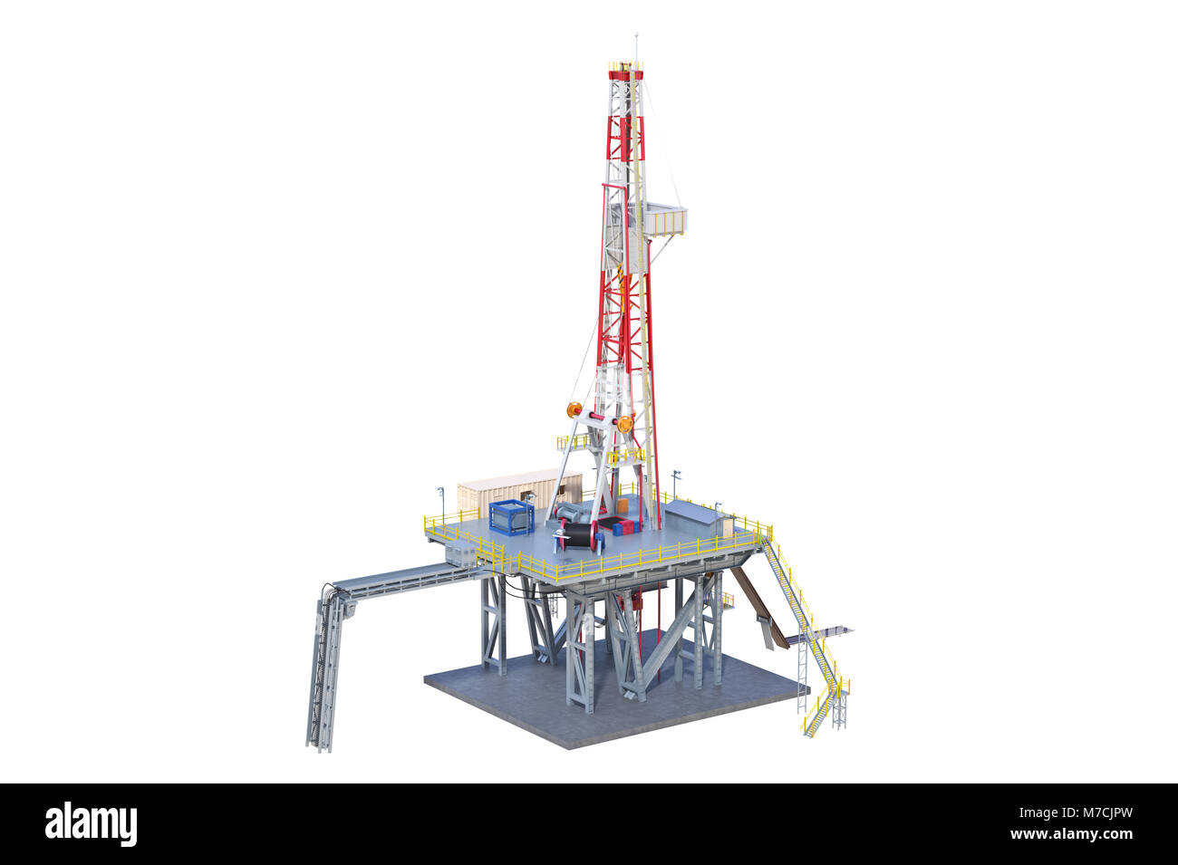 Land rig drilling Stock Photohttps://www.alamy.com/image-license-details/?v=1https://www.alamy.com/stock-photo-land-rig-drilling-176684449.html
RFM7CJPW–Land rig drilling
 Scotland, Near Inverary Argyll. Logging Industry Stock Photohttps://www.alamy.com/image-license-details/?v=1https://www.alamy.com/scotland-near-inverary-argyll-logging-industry-image543825684.html
RF2PGNB5T–Scotland, Near Inverary Argyll. Logging Industry
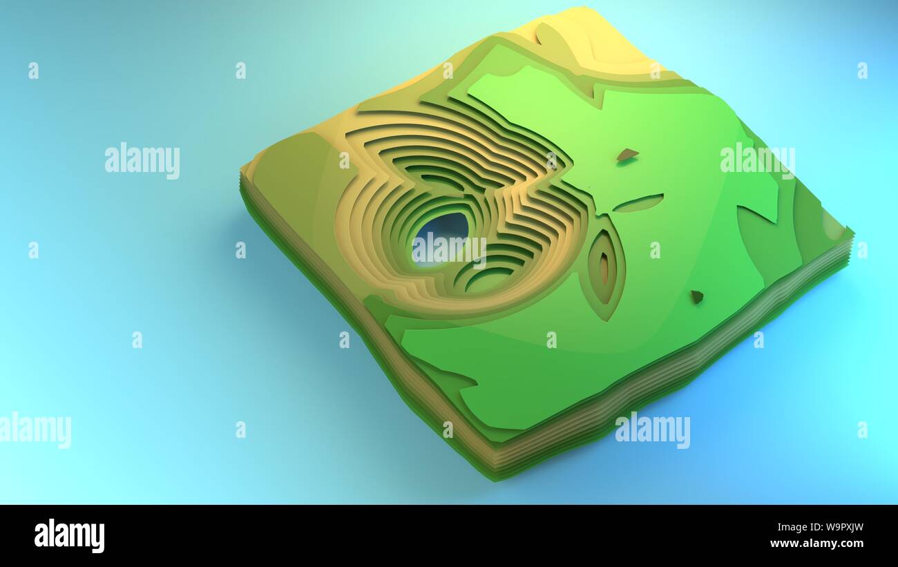 3d rendering fly over diagram view of environment stylised graphic element creative graphic design example diorama green forest fields floor planning Stock Photohttps://www.alamy.com/image-license-details/?v=1https://www.alamy.com/3d-rendering-fly-over-diagram-view-of-environment-stylised-graphic-element-creative-graphic-design-example-diorama-green-forest-fields-floor-planning-image264191281.html
RFW9PXJW–3d rendering fly over diagram view of environment stylised graphic element creative graphic design example diorama green forest fields floor planning
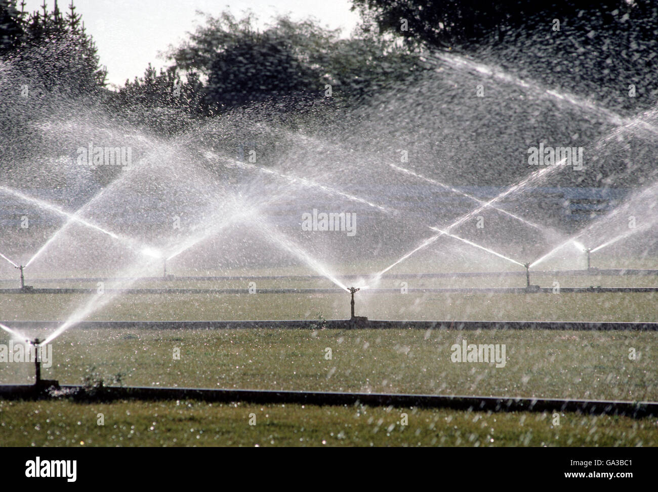 Commercial sprinklers irrigating turf grass Stock Photohttps://www.alamy.com/image-license-details/?v=1https://www.alamy.com/stock-photo-commercial-sprinklers-irrigating-turf-grass-109483585.html
RMGA3BC1–Commercial sprinklers irrigating turf grass
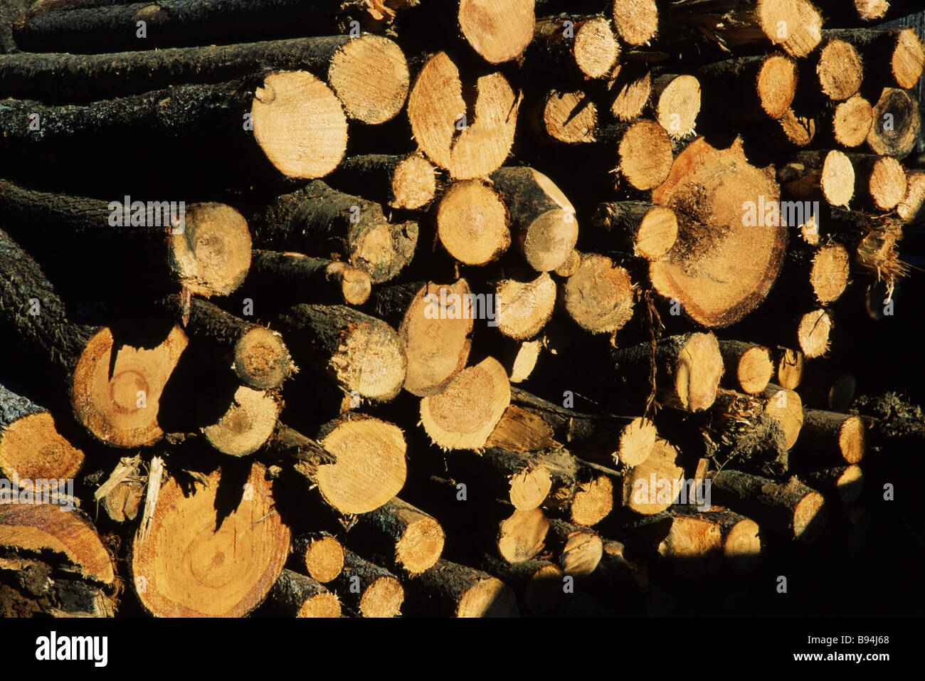 Environmental destruction, logging operations and cut trees, land clearing, development Stock Photohttps://www.alamy.com/image-license-details/?v=1https://www.alamy.com/stock-photo-environmental-destruction-logging-operations-and-cut-trees-land-clearing-22844368.html
RMB94J68–Environmental destruction, logging operations and cut trees, land clearing, development
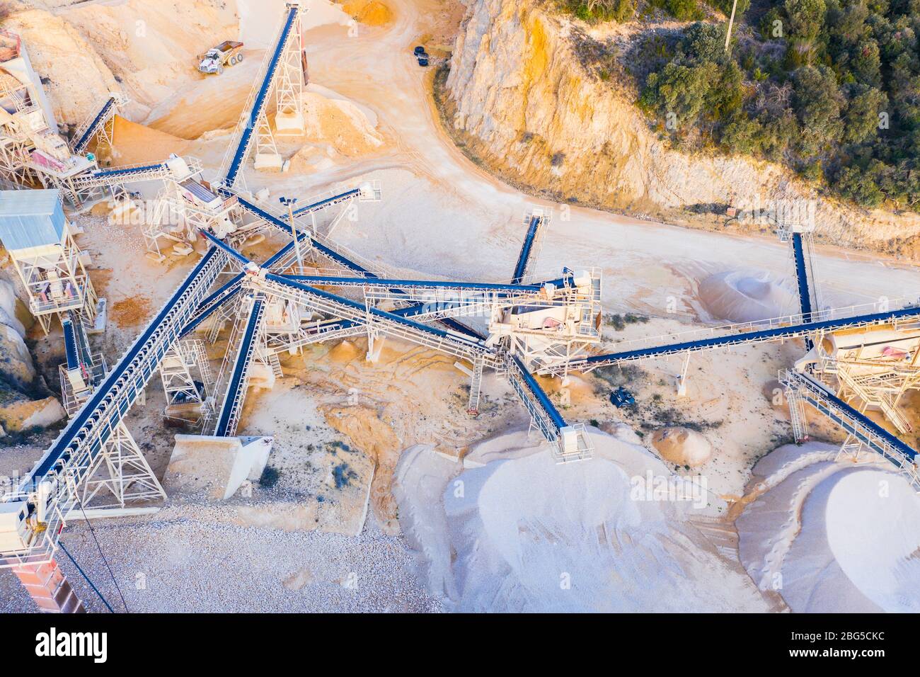 Quarry. Aerial view. Stock Photohttps://www.alamy.com/image-license-details/?v=1https://www.alamy.com/quarry-aerial-view-image354161568.html
RM2BG5CKC–Quarry. Aerial view.
 land snow winter scenics, china Stock Photohttps://www.alamy.com/image-license-details/?v=1https://www.alamy.com/land-snow-winter-scenics-china-image594703087.html
RM2WFF1RY–land snow winter scenics, china
 harvesting barley in the netherlands It is used for beer production Stock Photohttps://www.alamy.com/image-license-details/?v=1https://www.alamy.com/stock-photo-harvesting-barley-in-the-netherlands-it-is-used-for-beer-production-20130399.html
RMB4N0ER–harvesting barley in the netherlands It is used for beer production
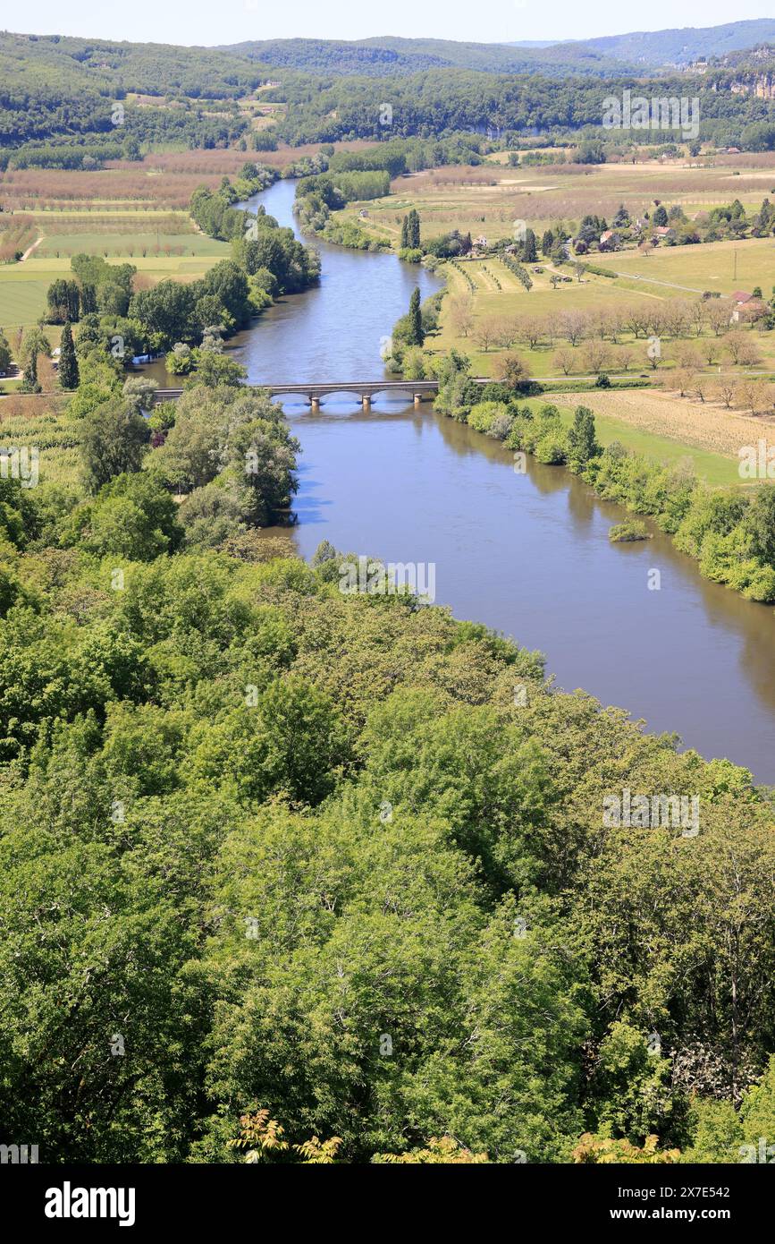 The Dordogne River flows through agricultural land in Périgord Noir in southwest France. Agriculture, mixed farming, water, irrigation. Périgord, Dord Stock Photohttps://www.alamy.com/image-license-details/?v=1https://www.alamy.com/the-dordogne-river-flows-through-agricultural-land-in-prigord-noir-in-southwest-france-agriculture-mixed-farming-water-irrigation-prigord-dord-image606976834.html
RM2X7E542–The Dordogne River flows through agricultural land in Périgord Noir in southwest France. Agriculture, mixed farming, water, irrigation. Périgord, Dord
 Landscape of agricultural field lying next to forest area in Sungai Utik, Batu Lintang, Embaloh Hulu, Kapuas Hulu, West Kalimantan, Indonesia. Stock Photohttps://www.alamy.com/image-license-details/?v=1https://www.alamy.com/landscape-of-agricultural-field-lying-next-to-forest-area-in-sungai-utik-batu-lintang-embaloh-hulu-kapuas-hulu-west-kalimantan-indonesia-image632844714.html
RM2YNGFTX–Landscape of agricultural field lying next to forest area in Sungai Utik, Batu Lintang, Embaloh Hulu, Kapuas Hulu, West Kalimantan, Indonesia.
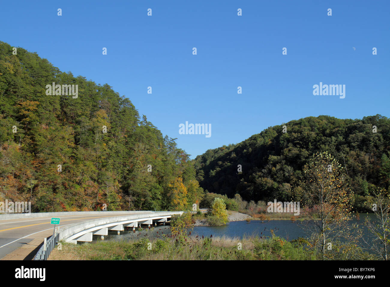 Tennessee,TN,South,Cherokee National Forest,Greasy Creek water,Department of Agriculture,federal land,trees,managed resource,bridge,roadway,blue sky,v Stock Photohttps://www.alamy.com/image-license-details/?v=1https://www.alamy.com/stock-photo-tennesseetnsouthcherokee-national-forestgreasy-creek-waterdepartment-33975262.html
RMBY7KP6–Tennessee,TN,South,Cherokee National Forest,Greasy Creek water,Department of Agriculture,federal land,trees,managed resource,bridge,roadway,blue sky,v
 headwaters of the south boulder river in the tobacco root mountains near mammoth, montana Stock Photohttps://www.alamy.com/image-license-details/?v=1https://www.alamy.com/headwaters-of-the-south-boulder-river-in-the-tobacco-root-mountains-near-mammoth-montana-image213210176.html
RMPATFN4–headwaters of the south boulder river in the tobacco root mountains near mammoth, montana
 Pemex's Miguel Hidalgo refinery overlooks the farm fields that will be the site of a new refinery facility. Stock Photohttps://www.alamy.com/image-license-details/?v=1https://www.alamy.com/stock-photo-pemexs-miguel-hidalgo-refinery-overlooks-the-farm-fields-that-will-31701955.html
RMBRG44K–Pemex's Miguel Hidalgo refinery overlooks the farm fields that will be the site of a new refinery facility.
 Dorsten, North Rhine-Westphalia, Germany, flood on the Lippe, river in the Ruhr area, the fields, the agricultural land of the farmers next to the wat Stock Photohttps://www.alamy.com/image-license-details/?v=1https://www.alamy.com/dorsten-north-rhine-westphalia-germany-flood-on-the-lippe-river-in-the-ruhr-area-the-fields-the-agricultural-land-of-the-farmers-next-to-the-wat-image595899089.html
RM2WHDFA9–Dorsten, North Rhine-Westphalia, Germany, flood on the Lippe, river in the Ruhr area, the fields, the agricultural land of the farmers next to the wat