Quick filters:
Latitude and longitude Stock Photos and Images
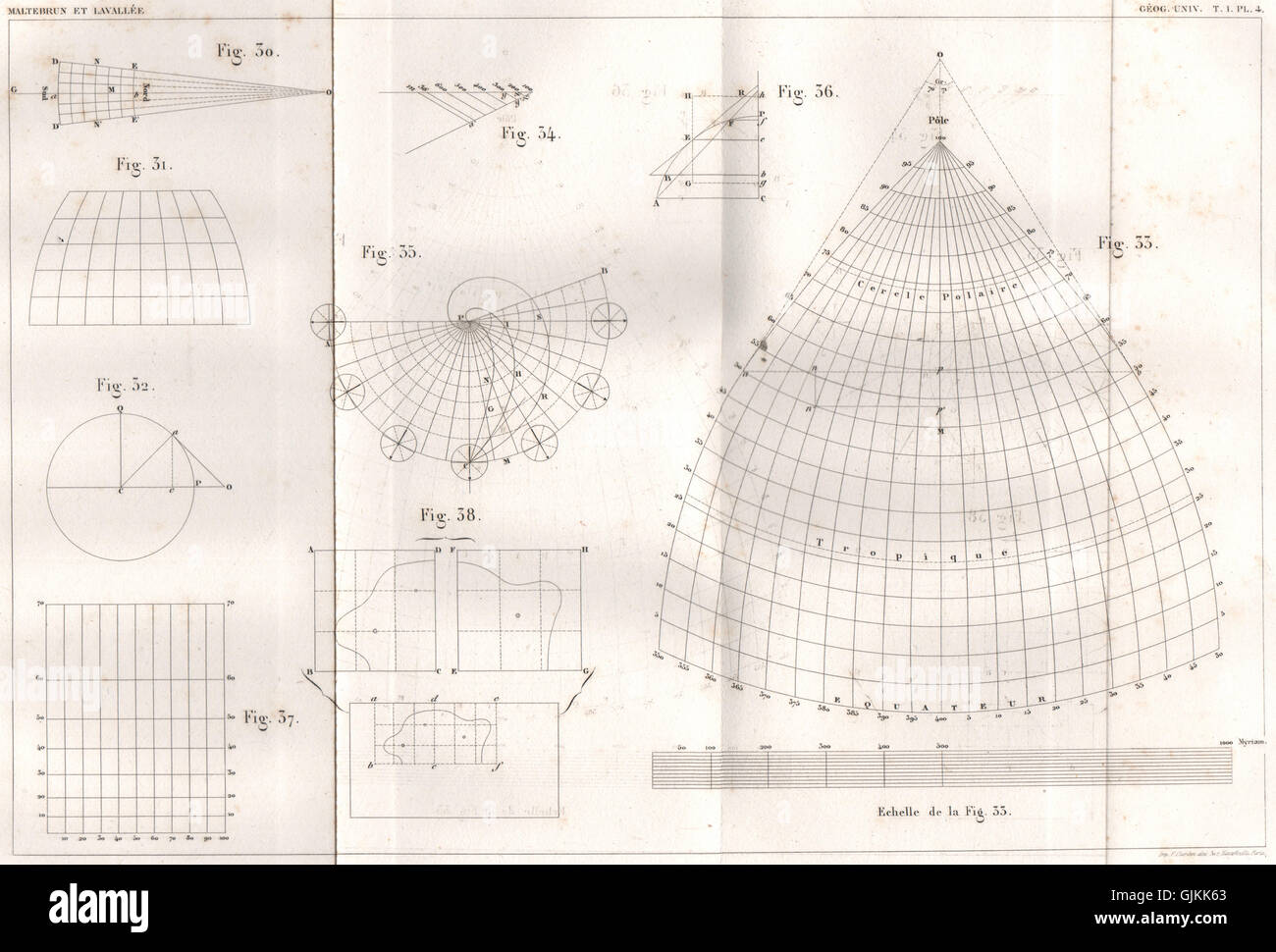 THE EARTH. Mathematics of the sphere. Latitude Longitude, antique print 1855 Stock Photohttps://www.alamy.com/image-license-details/?v=1https://www.alamy.com/stock-photo-the-earth-mathematics-of-the-sphere-latitude-longitude-antique-print-114758171.html
RFGJKK63–THE EARTH. Mathematics of the sphere. Latitude Longitude, antique print 1855
 Abstract Spherical Graph Design for Latitude Longitude Mapping Stock Photohttps://www.alamy.com/image-license-details/?v=1https://www.alamy.com/stock-photo-abstract-spherical-graph-design-for-latitude-longitude-mapping-44033326.html
RFCFHTXP–Abstract Spherical Graph Design for Latitude Longitude Mapping
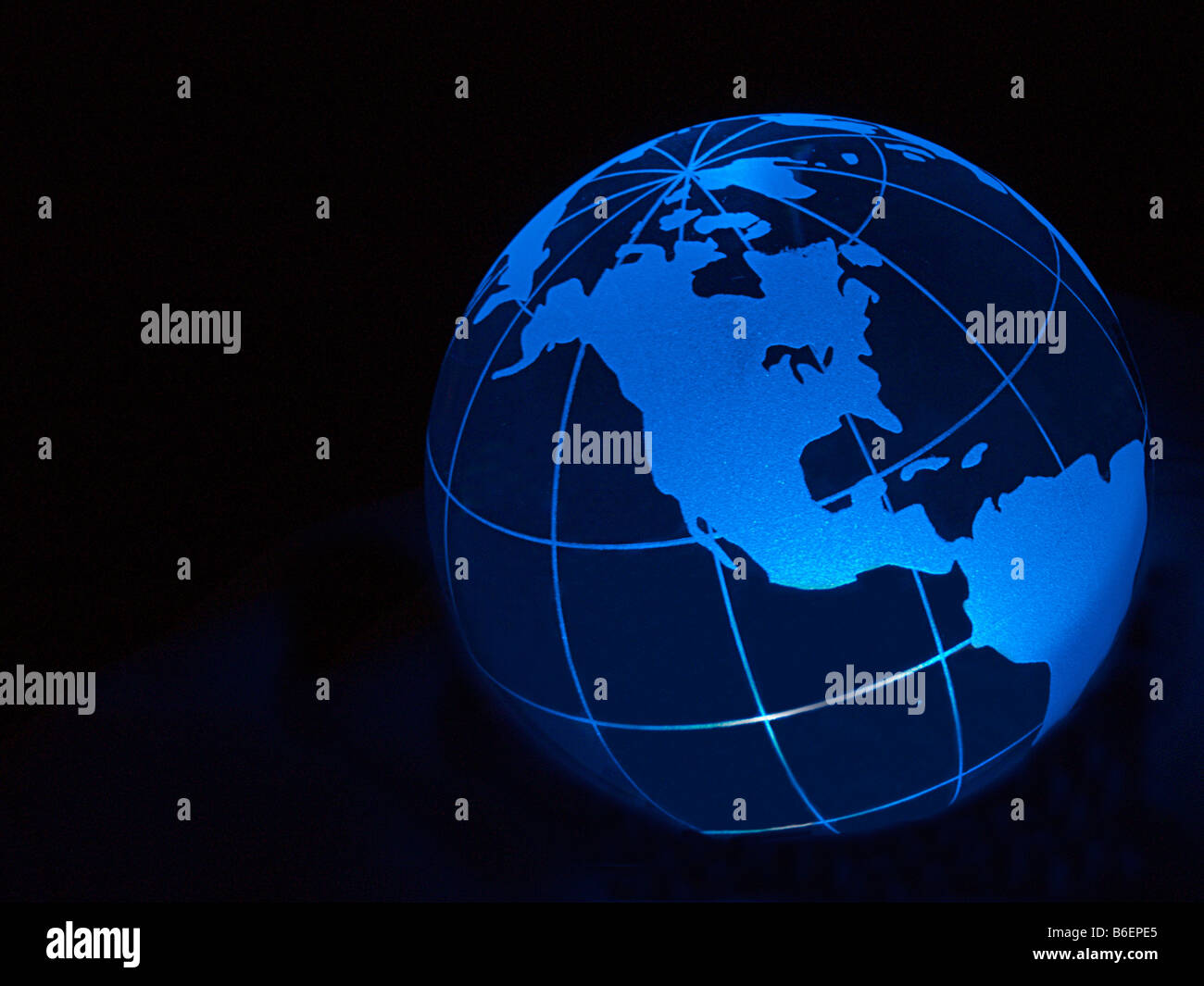 Globe showing North America in blue with Longitude and Latitude lines Stock Photohttps://www.alamy.com/image-license-details/?v=1https://www.alamy.com/stock-photo-globe-showing-north-america-in-blue-with-longitude-and-latitude-lines-21223277.html
RMB6EPE5–Globe showing North America in blue with Longitude and Latitude lines
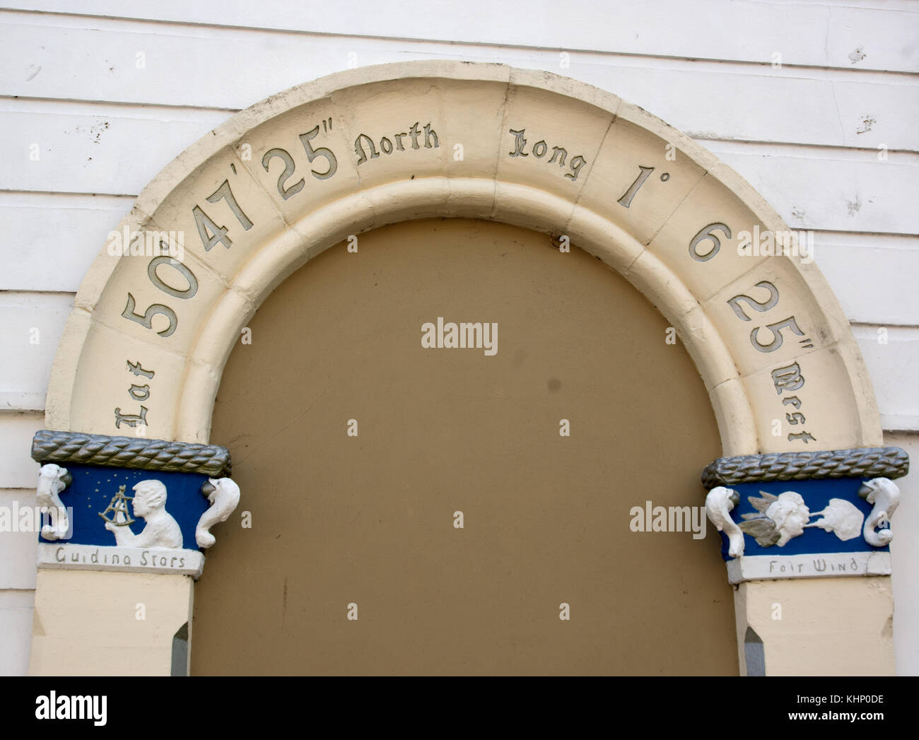 Former enrtance arch giving latitude and longitude, in Portsmouth. Stock Photohttps://www.alamy.com/image-license-details/?v=1https://www.alamy.com/stock-image-former-enrtance-arch-giving-latitude-and-longitude-in-portsmouth-165825786.html
RMKHP0DE–Former enrtance arch giving latitude and longitude, in Portsmouth.
RFM8A7GJ–Iconic old rugged metal plate of the Tropic of Capricorn on a red iron background, Australia
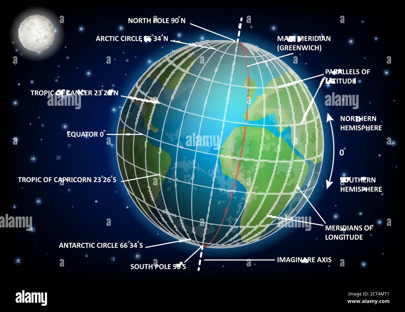 Latitude and longitude diagram, vector educational poster Stock Vectorhttps://www.alamy.com/image-license-details/?v=1https://www.alamy.com/latitude-and-longitude-diagram-vector-educational-poster-image376273633.html
RF2CT4MT1–Latitude and longitude diagram, vector educational poster
 Bamberg astronomical transit. In use 1914 - 1960. Used for both latitude and longitude observations Stock Photohttps://www.alamy.com/image-license-details/?v=1https://www.alamy.com/bamberg-astronomical-transit-in-use-1914-1960-used-for-both-latitude-and-longitude-observations-image330685952.html
RM2A6018G–Bamberg astronomical transit. In use 1914 - 1960. Used for both latitude and longitude observations
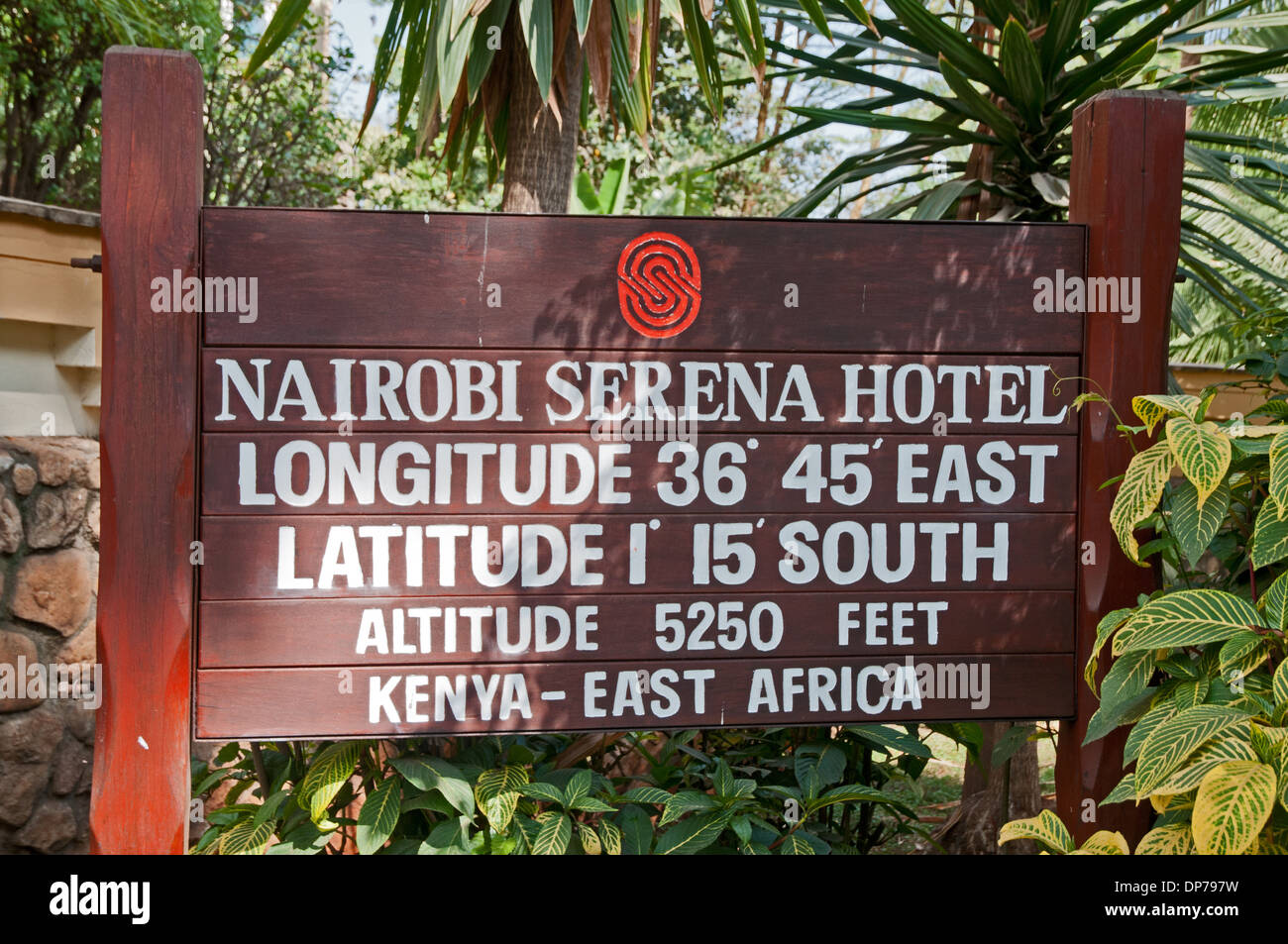 Notice board at entrance to Nairobi Serena Hotel Nairobi Kenya Africa showing details of altitude longitude and latitude Stock Photohttps://www.alamy.com/image-license-details/?v=1https://www.alamy.com/notice-board-at-entrance-to-nairobi-serena-hotel-nairobi-kenya-africa-image65314477.html
RMDP797W–Notice board at entrance to Nairobi Serena Hotel Nairobi Kenya Africa showing details of altitude longitude and latitude
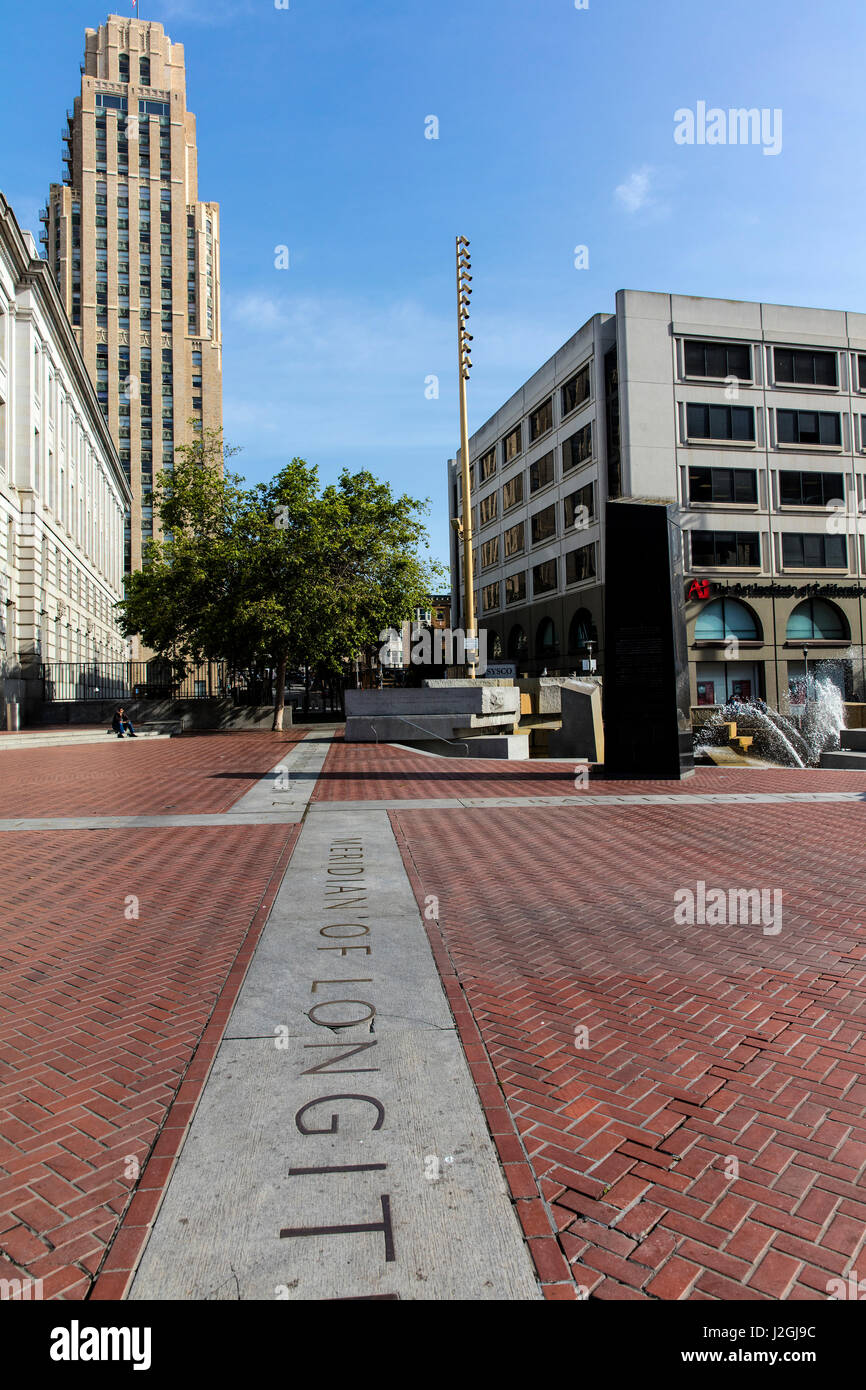 Latitude and Longitude marker off Market Street in San Francisco, California, USA Stock Photohttps://www.alamy.com/image-license-details/?v=1https://www.alamy.com/stock-photo-latitude-and-longitude-marker-off-market-street-in-san-francisco-california-139277864.html
RMJ2GJ9C–Latitude and Longitude marker off Market Street in San Francisco, California, USA
RF2PNTK7F–Coordinates line icons collection. Latitude , Longitude , Geolocation , Mapping , Cartography , GPS , GIS vector and linear illustration. Navigation
RF2PNTTAH–Geo tags linear icons set. Latitude, Longitude, Coordinates, Location, Maps, Finding, Direction vector symbols and line concept signs. Navigation
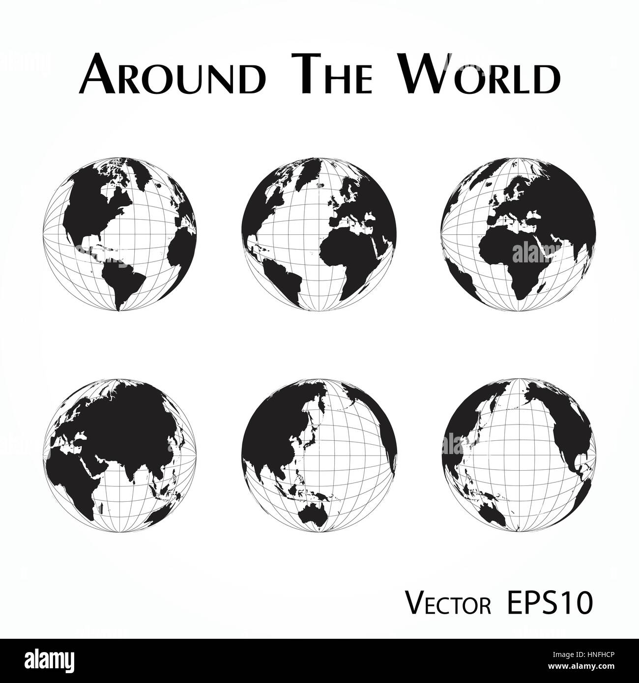 around the world ( outline of world map with latitude and longitude ) Stock Vectorhttps://www.alamy.com/image-license-details/?v=1https://www.alamy.com/stock-photo-around-the-world-outline-of-world-map-with-latitude-and-longitude-133723318.html
RFHNFHCP–around the world ( outline of world map with latitude and longitude )
 administrative map United States with latitude and longitude Stock Vectorhttps://www.alamy.com/image-license-details/?v=1https://www.alamy.com/administrative-map-united-states-with-latitude-and-longitude-image331276569.html
RF2A6XXJ1–administrative map United States with latitude and longitude
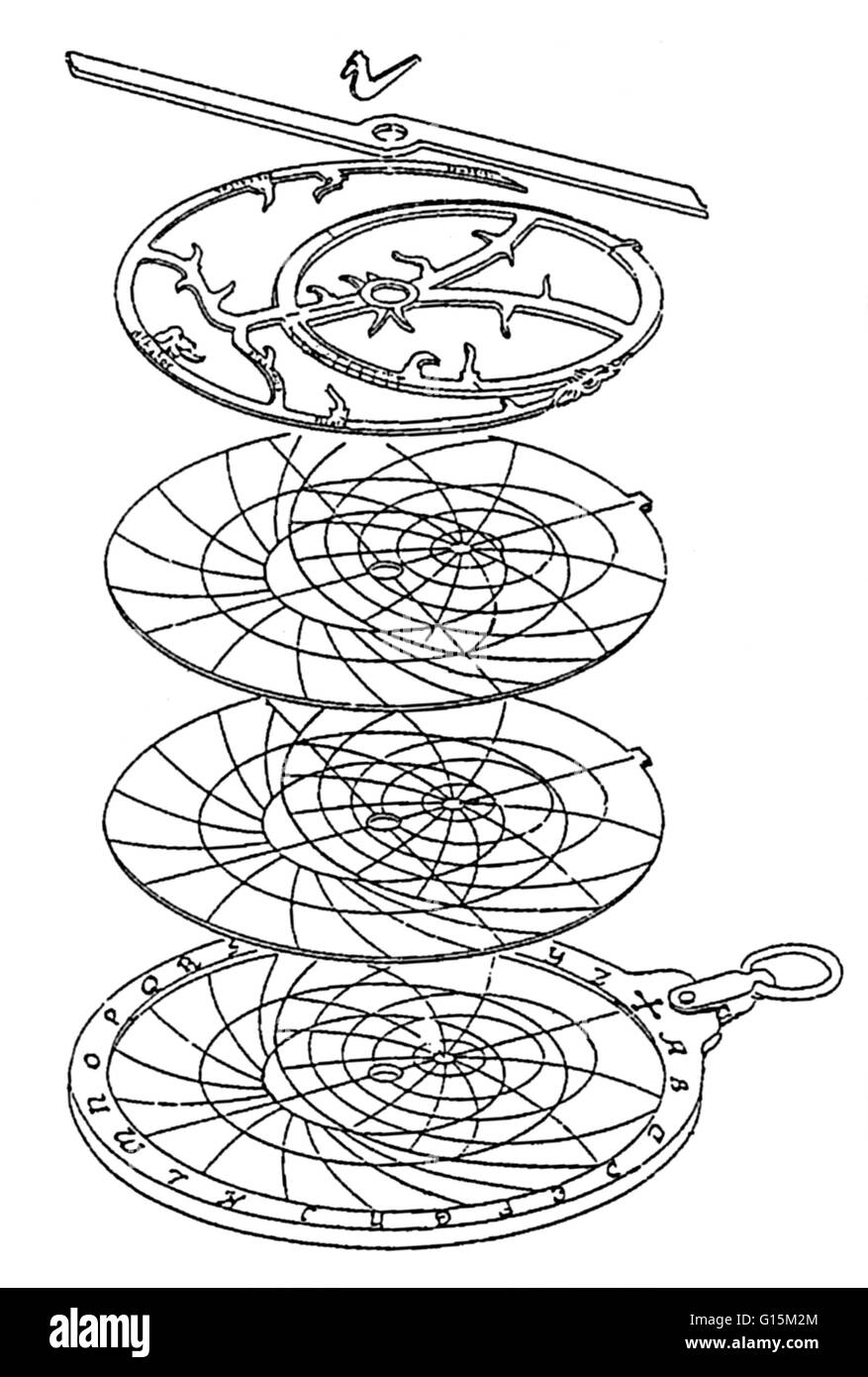 An astrolabe is an ancient instrument used widely in medieval times by navigators and astronomers to determine latitude, longitude, and time of day. An astrolabe consists of a disk, called the mater, which is deep enough to hold one or more flat plates ca Stock Photohttps://www.alamy.com/image-license-details/?v=1https://www.alamy.com/stock-photo-an-astrolabe-is-an-ancient-instrument-used-widely-in-medieval-times-104002380.html
RMG15M2M–An astrolabe is an ancient instrument used widely in medieval times by navigators and astronomers to determine latitude, longitude, and time of day. An astrolabe consists of a disk, called the mater, which is deep enough to hold one or more flat plates ca
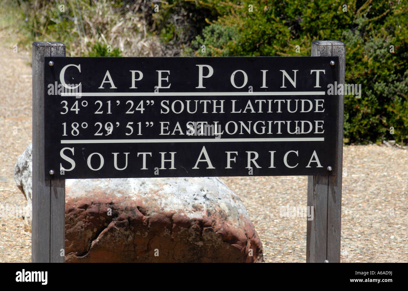 Notice board at Cape Point saying Cape Point 34 21 24 South Latitude 18 29 51 East Longitude Stock Photohttps://www.alamy.com/image-license-details/?v=1https://www.alamy.com/stock-photo-notice-board-at-cape-point-saying-cape-point-34-21-24-south-latitude-11513597.html
RFA6AD9J–Notice board at Cape Point saying Cape Point 34 21 24 South Latitude 18 29 51 East Longitude
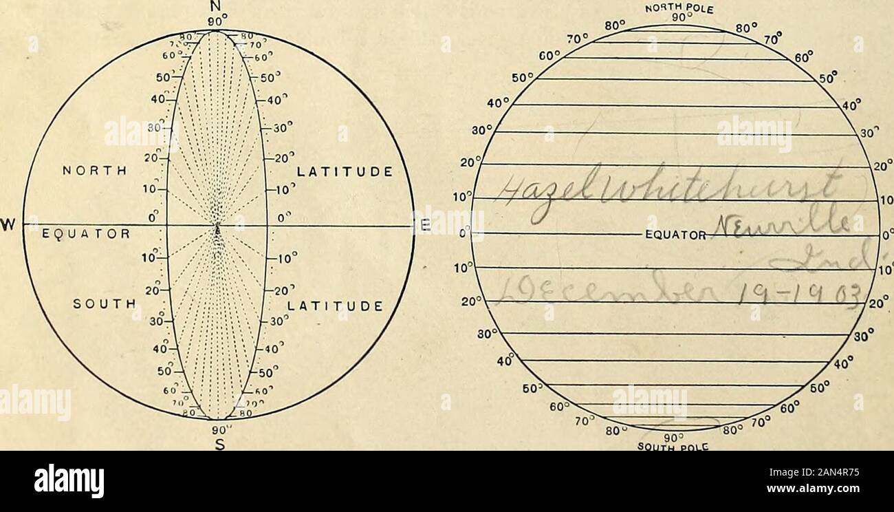 Advanced Geography . Degiees of Latitude. SOUTH POLC Parallels of Latitude. The prime meridian most commonly used by sailorspasses through Greenwich, near London. This is knownas the meridian of Greenwich and is marked 0° on themaps. See map of British Isles, page 167. The meridianswhich show degrees are generally numbered from 1° to itude.ongi- tude of the town or city in -aa»*«^M^^p*i which you live.Topics : — Degrees ; equator to poles; parallels ; meridians ; Greenwich ; latitude ; longitude. 1C Belts of Heat. The sun is a hot globe more than a milliontimes as large as the earth. This gre Stock Photohttps://www.alamy.com/image-license-details/?v=1https://www.alamy.com/advanced-geography-degiees-of-latitude-south-polc-parallels-of-latitude-the-prime-meridian-most-commonly-used-by-sailorspasses-through-greenwich-near-london-this-is-knownas-the-meridian-of-greenwich-and-is-marked-0-on-themaps-see-map-of-british-isles-page-167-the-meridianswhich-show-degrees-are-generally-numbered-from-1-to-itudeongi-tude-of-the-town-or-city-in-aampi-which-you-livetopics-degrees-equator-to-poles-parallels-meridians-greenwich-latitude-longitude-1c-belts-of-heat-the-sun-is-a-hot-globe-more-than-a-milliontimes-as-large-as-the-earth-this-gre-image340010809.html
RM2AN4R75–Advanced Geography . Degiees of Latitude. SOUTH POLC Parallels of Latitude. The prime meridian most commonly used by sailorspasses through Greenwich, near London. This is knownas the meridian of Greenwich and is marked 0° on themaps. See map of British Isles, page 167. The meridianswhich show degrees are generally numbered from 1° to itude.ongi- tude of the town or city in -aa»*«^M^^p*i which you live.Topics : — Degrees ; equator to poles; parallels ; meridians ; Greenwich ; latitude ; longitude. 1C Belts of Heat. The sun is a hot globe more than a milliontimes as large as the earth. This gre
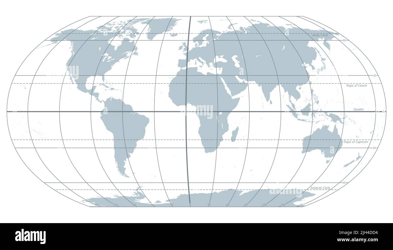 The world with most important circles of latitudes and longitudes, gray political map. Equator, Greenwich meridian, Arctic and Antarctic Circle ... Stock Photohttps://www.alamy.com/image-license-details/?v=1https://www.alamy.com/the-world-with-most-important-circles-of-latitudes-and-longitudes-gray-political-map-equator-greenwich-meridian-arctic-and-antarctic-circle-image475227456.html
RF2JH4DD4–The world with most important circles of latitudes and longitudes, gray political map. Equator, Greenwich meridian, Arctic and Antarctic Circle ...
 Longitude and latitude Stock Photohttps://www.alamy.com/image-license-details/?v=1https://www.alamy.com/longitude-and-latitude-image508193374.html
RM2MEP5RA–Longitude and latitude
 . English: Fleuron from book: A mathematical manual: or, delightful associate. Containing, I. A description and use of the celestial globe: How to know the Stars in each Constellation, and their Magnitude; also their Latitude, Longitude, Right Ascension, Declination, Semi-Diurnal Ark, Riting, Southing, Setting, Altitude, Azimuth, Distances, &c. The Sun's Place, his Rising and Setting, Length of the Day and Night, &c. Also Dialling by this Globe. II. Twelve Problems relating chiefly to the Moon: And a truer Way than has been given to find Easter, &c. The Hour of the Night by the Moon shining on Stock Photohttps://www.alamy.com/image-license-details/?v=1https://www.alamy.com/english-fleuron-from-book-a-mathematical-manual-or-delightful-associate-containing-i-a-description-and-use-of-the-celestial-globe-how-to-know-the-stars-in-each-constellation-and-their-magnitude-also-their-latitude-longitude-right-ascension-declination-semi-diurnal-ark-riting-southing-setting-altitude-azimuth-distances-c-the-suns-place-his-rising-and-setting-length-of-the-day-and-night-c-also-dialling-by-this-globe-ii-twelve-problems-relating-chiefly-to-the-moon-and-a-truer-way-than-has-been-given-to-find-easter-c-the-hour-of-the-night-by-the-moon-shining-on-image206718436.html
RMP08RD8–. English: Fleuron from book: A mathematical manual: or, delightful associate. Containing, I. A description and use of the celestial globe: How to know the Stars in each Constellation, and their Magnitude; also their Latitude, Longitude, Right Ascension, Declination, Semi-Diurnal Ark, Riting, Southing, Setting, Altitude, Azimuth, Distances, &c. The Sun's Place, his Rising and Setting, Length of the Day and Night, &c. Also Dialling by this Globe. II. Twelve Problems relating chiefly to the Moon: And a truer Way than has been given to find Easter, &c. The Hour of the Night by the Moon shining on
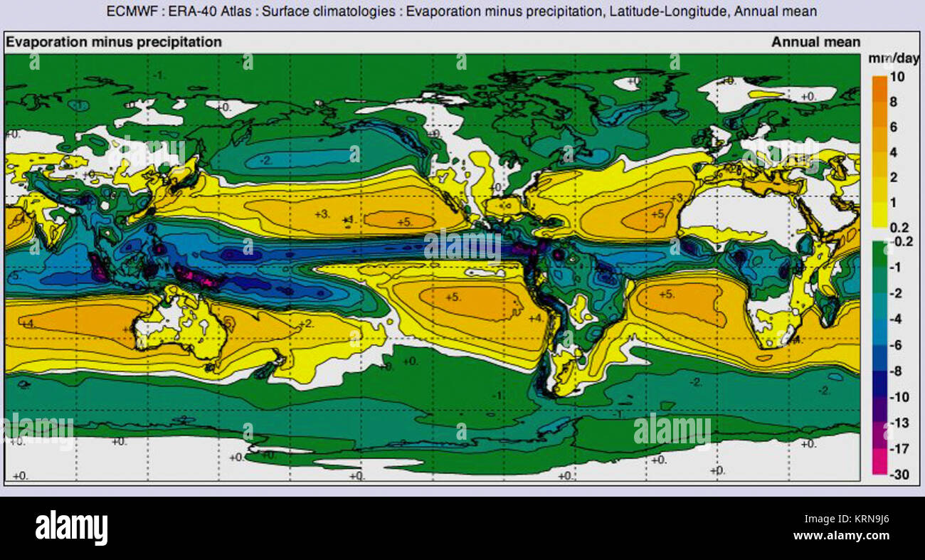 Latitude Longitude Evaporation minus precipitation Stock Photohttps://www.alamy.com/image-license-details/?v=1https://www.alamy.com/stock-image-latitude-longitude-evaporation-minus-precipitation-169498958.html
RMKRN9J6–Latitude Longitude Evaporation minus precipitation
 Abstract Spherical Graph Design for Latitude Longitude Mapping Stock Photohttps://www.alamy.com/image-license-details/?v=1https://www.alamy.com/stock-photo-abstract-spherical-graph-design-for-latitude-longitude-mapping-44033342.html
RFCFHTYA–Abstract Spherical Graph Design for Latitude Longitude Mapping
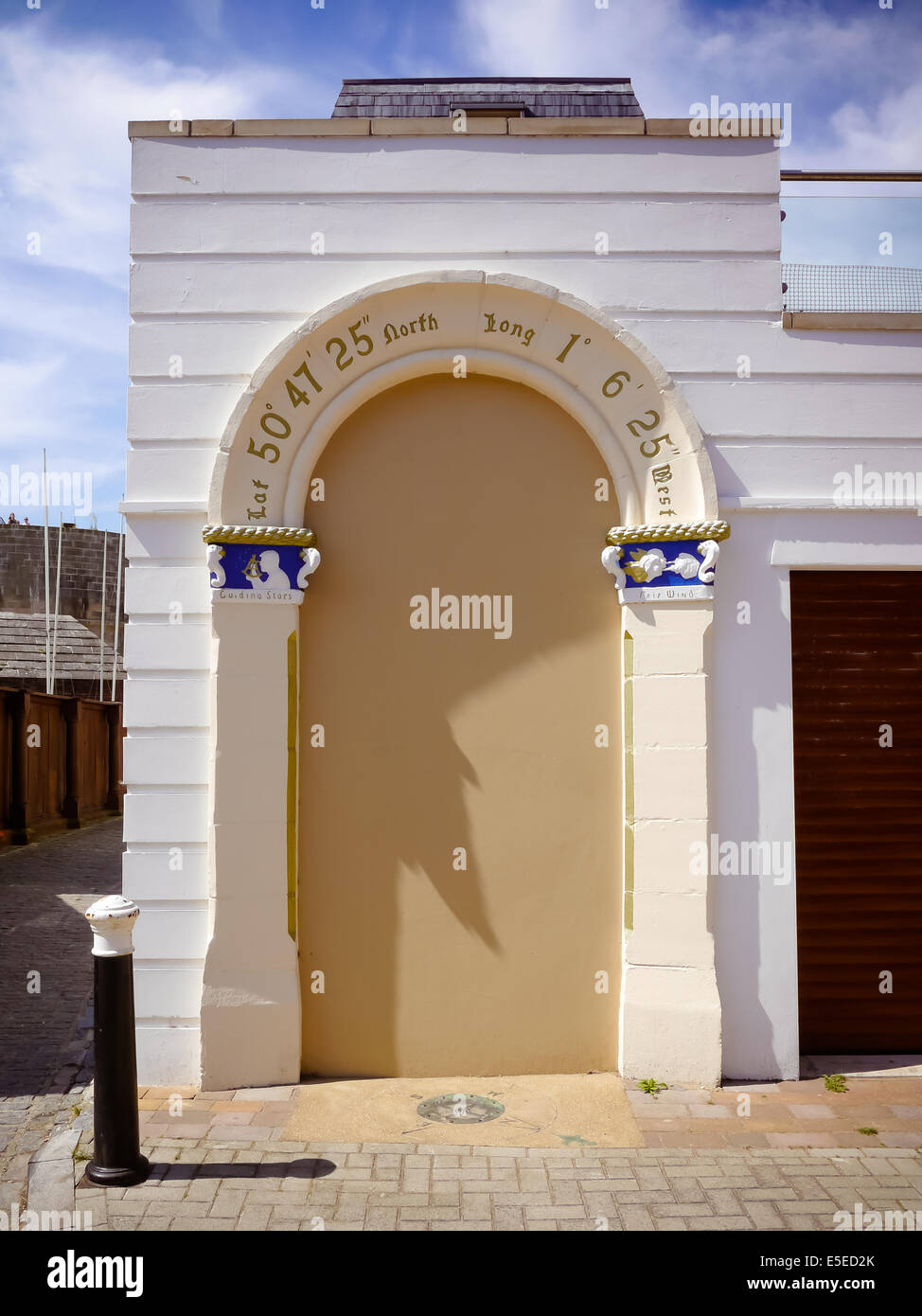 An arch in old Portsmouth with latitude and longitude above it once the entrance to Capstan house, the home of artist W L Wyllie Stock Photohttps://www.alamy.com/image-license-details/?v=1https://www.alamy.com/stock-photo-an-arch-in-old-portsmouth-with-latitude-and-longitude-above-it-once-72232347.html
RME5ED2K–An arch in old Portsmouth with latitude and longitude above it once the entrance to Capstan house, the home of artist W L Wyllie
 Zônes, Longitude, Antipodes, Climats, Latitude. World DESNOS/DE LA TOUR 1771 map Stock Photohttps://www.alamy.com/image-license-details/?v=1https://www.alamy.com/znes-longitude-antipodes-climats-latitude-world-desnosde-la-tour-1771-map-image242573535.html
RFT2J50F–Zônes, Longitude, Antipodes, Climats, Latitude. World DESNOS/DE LA TOUR 1771 map
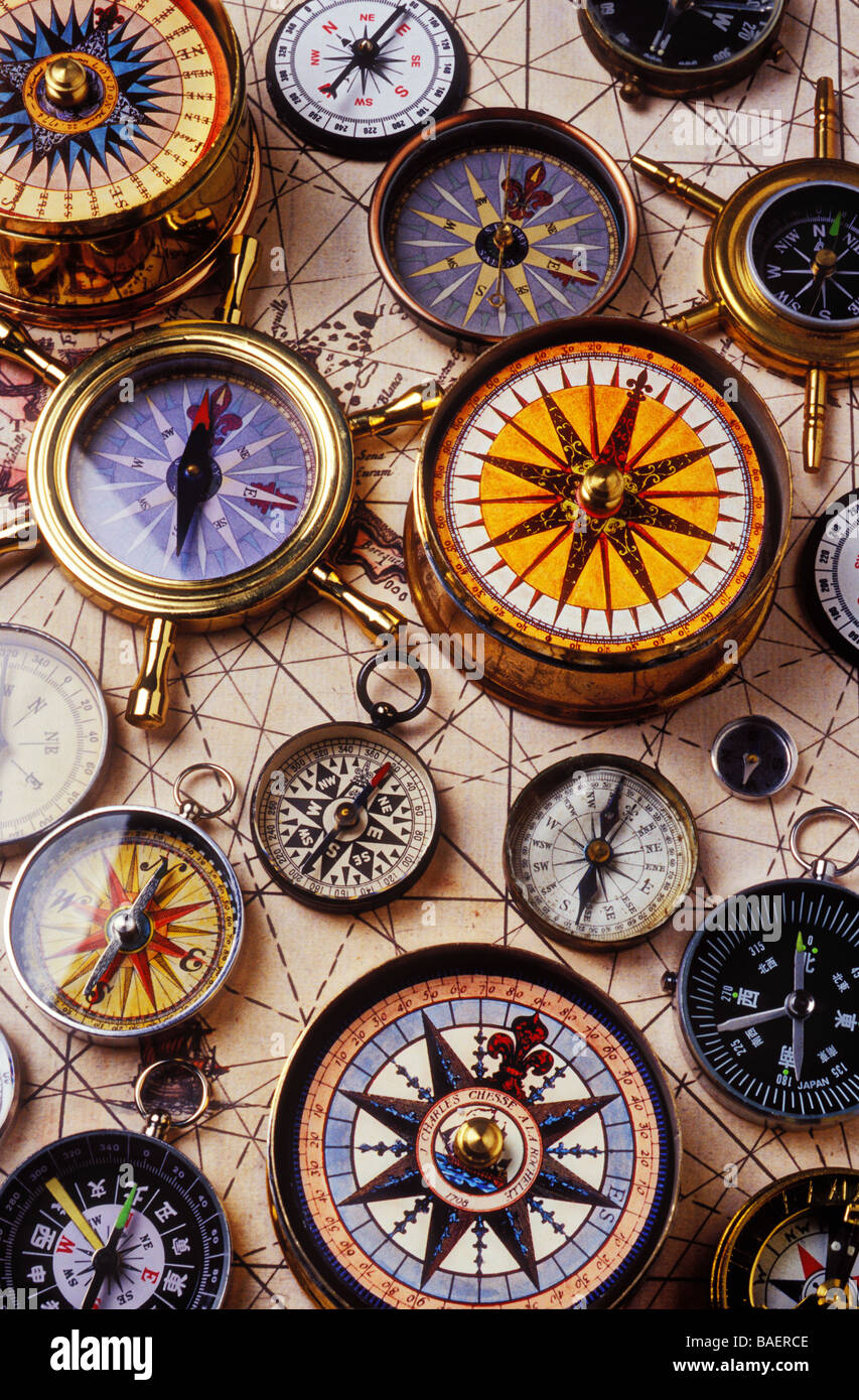 Assorted compasses on old map Stock Photohttps://www.alamy.com/image-license-details/?v=1https://www.alamy.com/stock-photo-assorted-compasses-on-old-map-23682638.html
RMBAERCE–Assorted compasses on old map
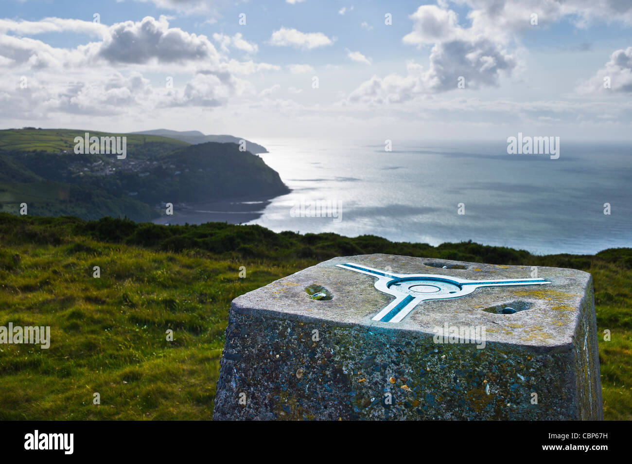 Ordnance Survey triangulation station, Foreland Point, Devon. Stock Photohttps://www.alamy.com/image-license-details/?v=1https://www.alamy.com/stock-photo-ordnance-survey-triangulation-station-foreland-point-devon-41669813.html
RMCBP67H–Ordnance Survey triangulation station, Foreland Point, Devon.
 wooden wall with geographic position information Stock Photohttps://www.alamy.com/image-license-details/?v=1https://www.alamy.com/stock-photo-wooden-wall-with-geographic-position-information-103586232.html
RMG0EN88–wooden wall with geographic position information
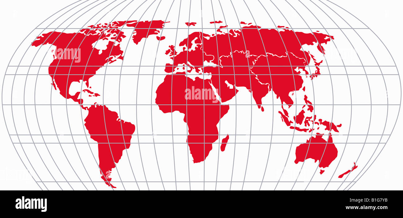 Map with Latitude and Longitude lines Stock Photohttps://www.alamy.com/image-license-details/?v=1https://www.alamy.com/stock-photo-map-with-latitude-and-longitude-lines-18182511.html
RFB1G7YB–Map with Latitude and Longitude lines
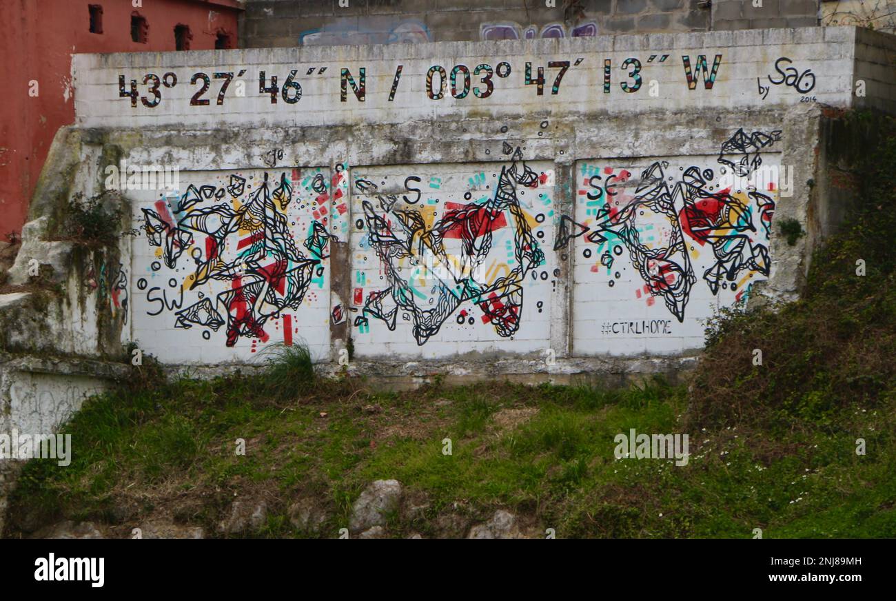 Coordinates Latitude 43 degrees 27 minutes 46 seconds north Longitude 003 degrees 47 minutes 13 seconds west painted on a wall Santander Spain Stock Photohttps://www.alamy.com/image-license-details/?v=1https://www.alamy.com/coordinates-latitude-43-degrees-27-minutes-46-seconds-north-longitude-003-degrees-47-minutes-13-seconds-west-painted-on-a-wall-santander-spain-image527558097.html
RM2NJ89MH–Coordinates Latitude 43 degrees 27 minutes 46 seconds north Longitude 003 degrees 47 minutes 13 seconds west painted on a wall Santander Spain
 Seamless pattern topographic map background. Vector illustration. Detailed topographic map. Thin line design. Stock Vectorhttps://www.alamy.com/image-license-details/?v=1https://www.alamy.com/seamless-pattern-topographic-map-background-vector-illustration-detailed-topographic-map-thin-line-design-image214596380.html
RFPD3KTC–Seamless pattern topographic map background. Vector illustration. Detailed topographic map. Thin line design.
RF2PGJ2AY–Geo tags vector line icons set. Geolocation, Geotagging, Geo-tags, Coordinates, GPS, Latitude, Longitude illustration outline concept symbols and
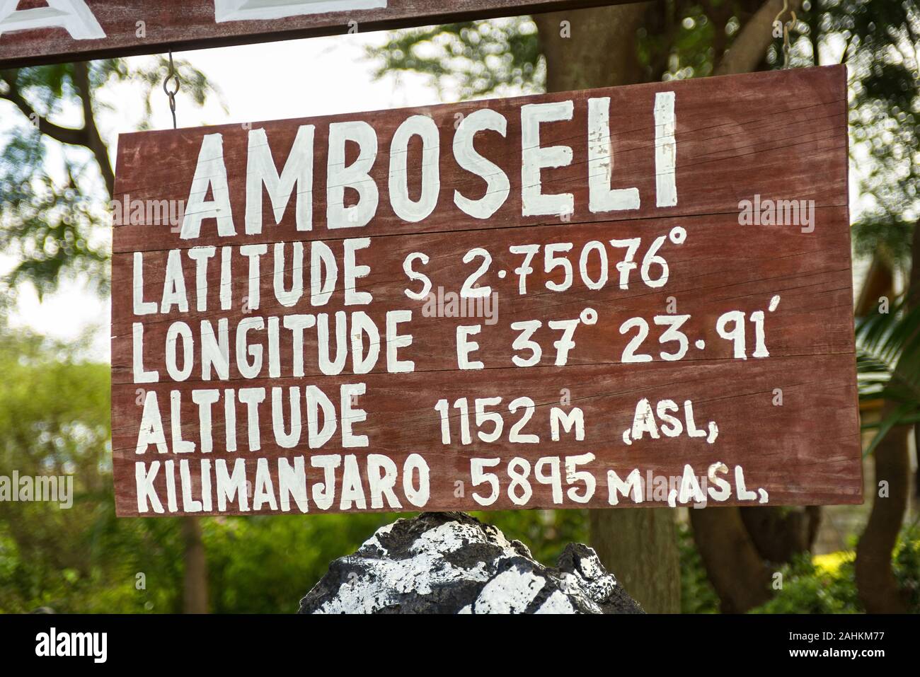 Wooden sign with latitude, longitude and altitude location details of Amboseli and Mount Kilimanjaro, Kenya, East Africa Stock Photohttps://www.alamy.com/image-license-details/?v=1https://www.alamy.com/wooden-sign-with-latitude-longitude-and-altitude-location-details-of-amboseli-and-mount-kilimanjaro-kenya-east-africa-image337879115.html
RM2AHKM77–Wooden sign with latitude, longitude and altitude location details of Amboseli and Mount Kilimanjaro, Kenya, East Africa
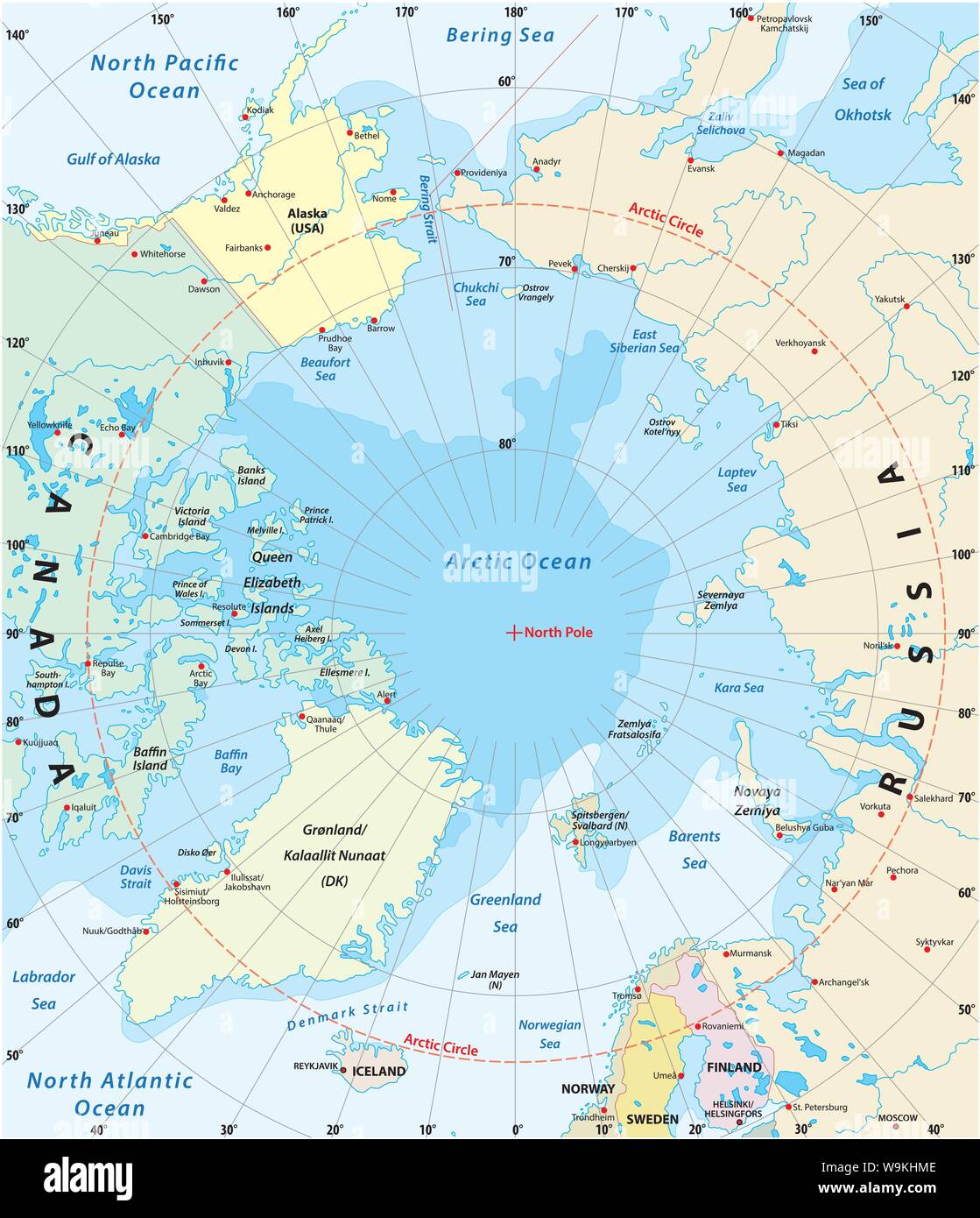 Map of the Arctic with the least and largest extent of the ice cap 2018 Stock Vectorhttps://www.alamy.com/image-license-details/?v=1https://www.alamy.com/map-of-the-arctic-with-the-least-and-largest-extent-of-the-ice-cap-2018-image264118414.html
RFW9KHME–Map of the Arctic with the least and largest extent of the ice cap 2018
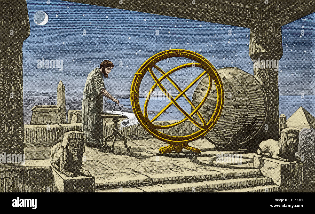 Hipparchus in his observatory in Alexandria. In the center is an armillary sphere (spherical framework of rings, centered on Earth, that represent lines of celestial longitude and latitude and other astronomically important features such as the ecliptic). Hipparchus (190-120 BC), was a Greek astronomer, geographer, and mathematician of the Hellenistic period. Stock Photohttps://www.alamy.com/image-license-details/?v=1https://www.alamy.com/hipparchus-in-his-observatory-in-alexandria-in-the-center-is-an-armillary-sphere-spherical-framework-of-rings-centered-on-earth-that-represent-lines-of-celestial-longitude-and-latitude-and-other-astronomically-important-features-such-as-the-ecliptic-hipparchus-190-120-bc-was-a-greek-astronomer-geographer-and-mathematician-of-the-hellenistic-period-image246611869.html
RMT963XN–Hipparchus in his observatory in Alexandria. In the center is an armillary sphere (spherical framework of rings, centered on Earth, that represent lines of celestial longitude and latitude and other astronomically important features such as the ecliptic). Hipparchus (190-120 BC), was a Greek astronomer, geographer, and mathematician of the Hellenistic period.
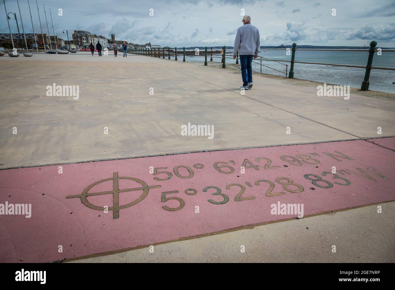 Marking of longitude and latitude on the promenade at Penzance, Cornwall, England. Stock Photohttps://www.alamy.com/image-license-details/?v=1https://www.alamy.com/marking-of-longitude-and-latitude-on-the-promenade-at-penzance-cornwall-england-image439035178.html
RM2GE7NRP–Marking of longitude and latitude on the promenade at Penzance, Cornwall, England.
 Conceptual 3D render image with a frameless Compass focus on a single word Stock Photohttps://www.alamy.com/image-license-details/?v=1https://www.alamy.com/stock-photo-conceptual-3d-render-image-with-a-frameless-compass-focus-on-a-single-91187049.html
RFF89X09–Conceptual 3D render image with a frameless Compass focus on a single word
 World map with circles of latitudes and longitudes, showing Equator, Greenwich meridian, Arctic and Antarctic Circle, Tropic of Cancer and Capricorn. Stock Photohttps://www.alamy.com/image-license-details/?v=1https://www.alamy.com/world-map-with-circles-of-latitudes-and-longitudes-showing-equator-greenwich-meridian-arctic-and-antarctic-circle-tropic-of-cancer-and-capricorn-image356631743.html
RF2BM5YBY–World map with circles of latitudes and longitudes, showing Equator, Greenwich meridian, Arctic and Antarctic Circle, Tropic of Cancer and Capricorn.
 A maple leaf set in concrete marks a latitude and longitude in a park in Saint John, New Brunswick, Canada. Stock Photohttps://www.alamy.com/image-license-details/?v=1https://www.alamy.com/a-maple-leaf-set-in-concrete-marks-a-latitude-and-longitude-in-a-park-in-saint-john-new-brunswick-canada-image471008122.html
RF2JA87JJ–A maple leaf set in concrete marks a latitude and longitude in a park in Saint John, New Brunswick, Canada.
 . English: Fleuron from book: A mathematical manual: or, delightful associate. Containing, I. A description and use of the celestial globe: How to know the Stars in each Constellation, and their Magnitude; also their Latitude, Longitude, Right Ascension, Declination, Semi-Diurnal Ark, Riting, Southing, Setting, Altitude, Azimuth, Distances, &c. The Sun's Place, his Rising and Setting, Length of the Day and Night, &c. Also Dialling by this Globe. II. Twelve Problems relating chiefly to the Moon: And a truer Way than has been given to find Easter, &c. The Hour of the Night by the Moon shining on Stock Photohttps://www.alamy.com/image-license-details/?v=1https://www.alamy.com/english-fleuron-from-book-a-mathematical-manual-or-delightful-associate-containing-i-a-description-and-use-of-the-celestial-globe-how-to-know-the-stars-in-each-constellation-and-their-magnitude-also-their-latitude-longitude-right-ascension-declination-semi-diurnal-ark-riting-southing-setting-altitude-azimuth-distances-c-the-suns-place-his-rising-and-setting-length-of-the-day-and-night-c-also-dialling-by-this-globe-ii-twelve-problems-relating-chiefly-to-the-moon-and-a-truer-way-than-has-been-given-to-find-easter-c-the-hour-of-the-night-by-the-moon-shining-on-image206718433.html
RMP08RD5–. English: Fleuron from book: A mathematical manual: or, delightful associate. Containing, I. A description and use of the celestial globe: How to know the Stars in each Constellation, and their Magnitude; also their Latitude, Longitude, Right Ascension, Declination, Semi-Diurnal Ark, Riting, Southing, Setting, Altitude, Azimuth, Distances, &c. The Sun's Place, his Rising and Setting, Length of the Day and Night, &c. Also Dialling by this Globe. II. Twelve Problems relating chiefly to the Moon: And a truer Way than has been given to find Easter, &c. The Hour of the Night by the Moon shining on
 Crack satellite compass. Stock Photohttps://www.alamy.com/image-license-details/?v=1https://www.alamy.com/crack-satellite-compass-image65177234.html
RFDP126A–Crack satellite compass.
 hiking sign in the Schwarzwald Stock Photohttps://www.alamy.com/image-license-details/?v=1https://www.alamy.com/hiking-sign-in-the-schwarzwald-image255980694.html
RFTTCWYJ–hiking sign in the Schwarzwald
 Location marker at Hervey Bay, Queensland, Australia Stock Photohttps://www.alamy.com/image-license-details/?v=1https://www.alamy.com/location-marker-at-hervey-bay-queensland-australia-image221176116.html
RFPRRCB0–Location marker at Hervey Bay, Queensland, Australia
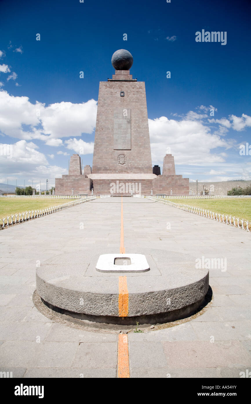 The Official Equator line in Ecuador, 200m away from the actual ecuator Stock Photohttps://www.alamy.com/image-license-details/?v=1https://www.alamy.com/stock-photo-the-official-equator-line-in-ecuador-200m-away-from-the-actual-ecuator-12517454.html
RMAA54YY–The Official Equator line in Ecuador, 200m away from the actual ecuator
 Compass on old map Stock Photohttps://www.alamy.com/image-license-details/?v=1https://www.alamy.com/stock-photo-compass-on-old-map-21460432.html
RMB6WH00–Compass on old map
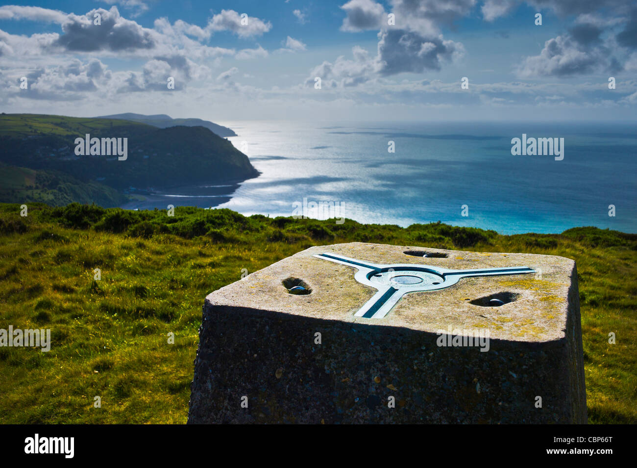 Ordnance Survey triangulation station, Foreland Point, Devon. Stock Photohttps://www.alamy.com/image-license-details/?v=1https://www.alamy.com/stock-photo-ordnance-survey-triangulation-station-foreland-point-devon-41669792.html
RMCBP66T–Ordnance Survey triangulation station, Foreland Point, Devon.
 Spheres globe earth grid horizontally vertically latitude longitude. Vector globe Stock Vectorhttps://www.alamy.com/image-license-details/?v=1https://www.alamy.com/spheres-globe-earth-grid-horizontally-vertically-latitude-longitude-vector-globe-image566129231.html
RF2RW1BH3–Spheres globe earth grid horizontally vertically latitude longitude. Vector globe
 Waterloo Monument Stock Photohttps://www.alamy.com/image-license-details/?v=1https://www.alamy.com/stock-photo-waterloo-monument-24920233.html
RMBCF609–Waterloo Monument
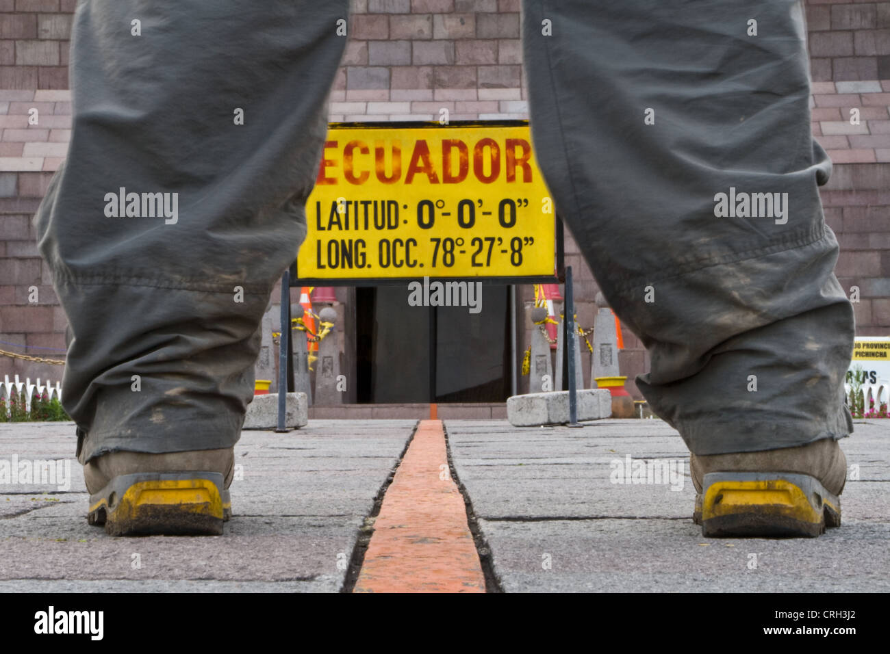 A man standing over the equator line, one foot in the northern and southern hemisphere near Quito, Ecuador. Stock Photohttps://www.alamy.com/image-license-details/?v=1https://www.alamy.com/stock-photo-a-man-standing-over-the-equator-line-one-foot-in-the-northern-and-48933866.html
RMCRH3J2–A man standing over the equator line, one foot in the northern and southern hemisphere near Quito, Ecuador.
 Abstract Grid sphere Logo. Latitude longitude locations Stock Vectorhttps://www.alamy.com/image-license-details/?v=1https://www.alamy.com/abstract-grid-sphere-logo-latitude-longitude-locations-image361013703.html
RF2BY9GJF–Abstract Grid sphere Logo. Latitude longitude locations
RF2PH75CA–Geo tags vector line icons set. Geolocation, Geotagging, Geo-tags, Coordinates, GPS, Latitude, Longitude illustration outline concept symbols and
 South Africa: the coordinates of the Cape of Good Hope, rocky headland on the Atlantic coast of Cape Peninsula, a worldwide symbol for sailors Stock Photohttps://www.alamy.com/image-license-details/?v=1https://www.alamy.com/stock-photo-south-africa-the-coordinates-of-the-cape-of-good-hope-rocky-headland-125582555.html
RFH88NR7–South Africa: the coordinates of the Cape of Good Hope, rocky headland on the Atlantic coast of Cape Peninsula, a worldwide symbol for sailors
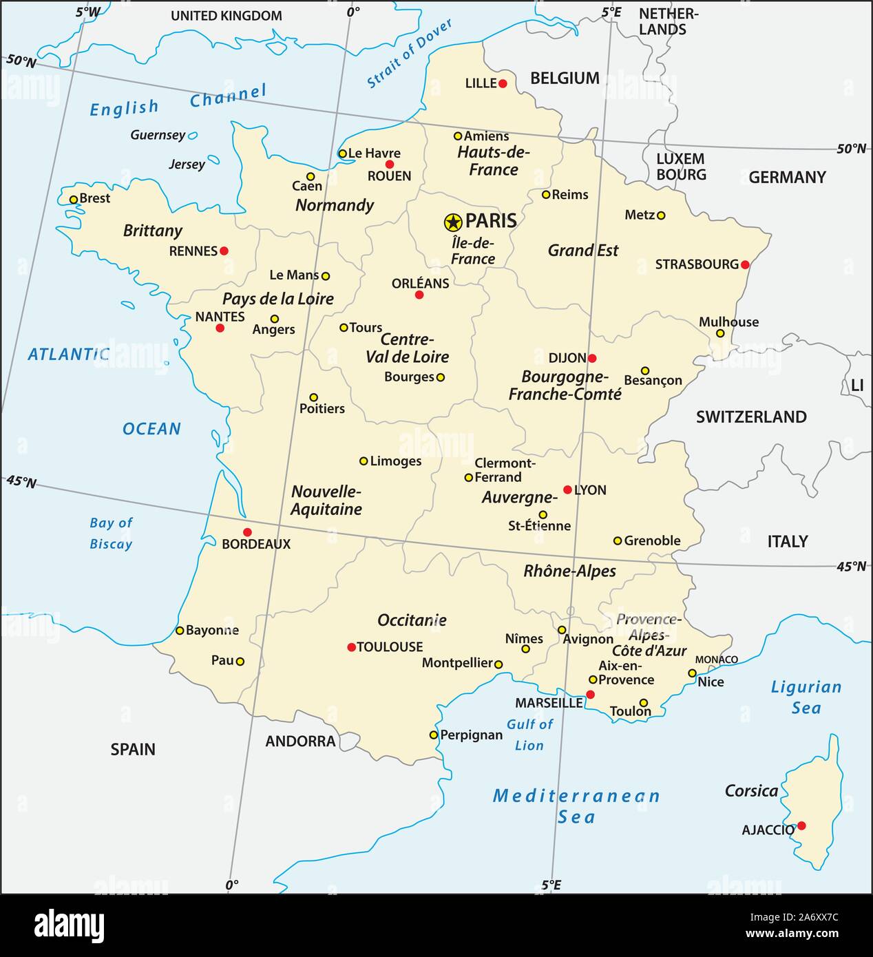 administrative map of France with latitude and longitude Stock Vectorhttps://www.alamy.com/image-license-details/?v=1https://www.alamy.com/administrative-map-of-france-with-latitude-and-longitude-image331276272.html
RF2A6XX7C–administrative map of France with latitude and longitude
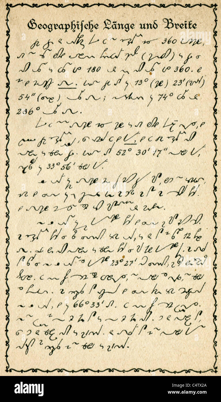 Small pocket calendar for stenographers to Gabelsberger system. Page 35. Longitude and latitude. Stock Photohttps://www.alamy.com/image-license-details/?v=1https://www.alamy.com/stock-photo-small-pocket-calendar-for-stenographers-to-gabelsberger-system-page-37426658.html
RMC4TX2A–Small pocket calendar for stenographers to Gabelsberger system. Page 35. Longitude and latitude.
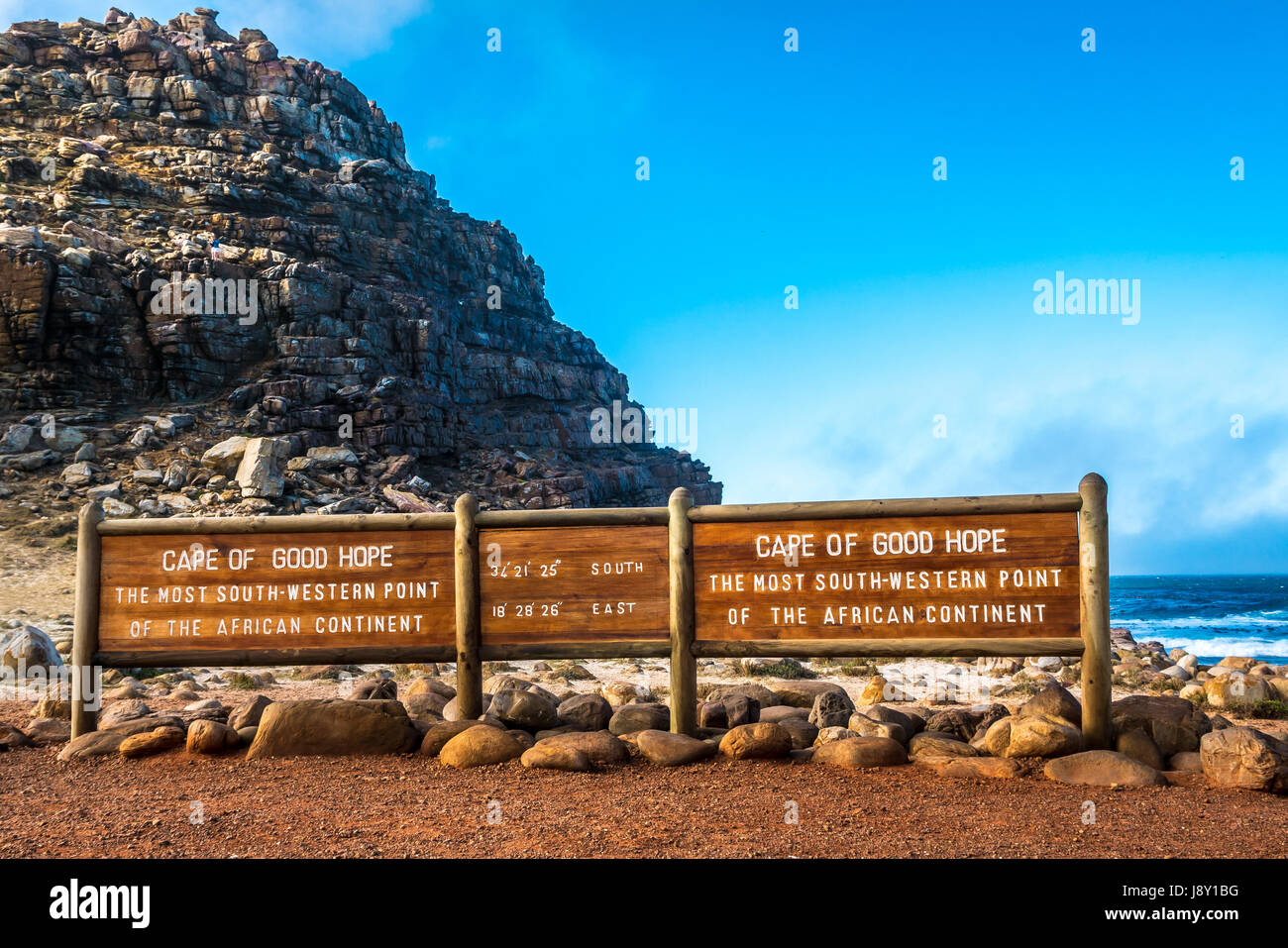 Information board, latitude and longitude, Cape of Good Hope, Cape Peninsula, Western Cape, South Africa, most southwestern point African continent Stock Photohttps://www.alamy.com/image-license-details/?v=1https://www.alamy.com/stock-photo-information-board-latitude-and-longitude-cape-of-good-hope-cape-peninsula-143194004.html
RMJ8Y1BG–Information board, latitude and longitude, Cape of Good Hope, Cape Peninsula, Western Cape, South Africa, most southwestern point African continent
 Conceptual 3D render image with a frameless Compass focus on a single word Stock Photohttps://www.alamy.com/image-license-details/?v=1https://www.alamy.com/stock-photo-conceptual-3d-render-image-with-a-frameless-compass-focus-on-a-single-91187051.html
RFF89X0B–Conceptual 3D render image with a frameless Compass focus on a single word
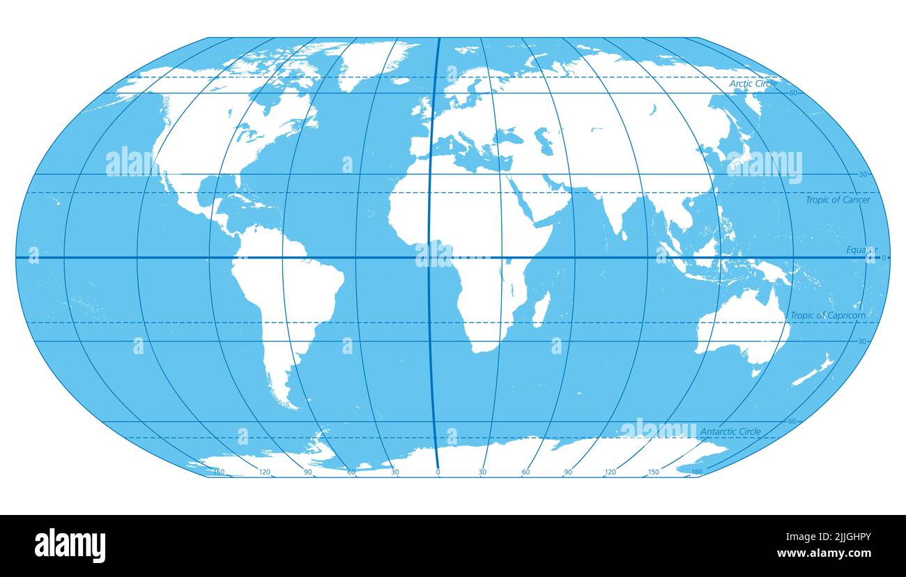 The World, important circles of latitudes and longitudes, blue colored political map. Equator, Greenwich meridian, Arctic and Antarctic Circle, etc. Stock Photohttps://www.alamy.com/image-license-details/?v=1https://www.alamy.com/the-world-important-circles-of-latitudes-and-longitudes-blue-colored-political-map-equator-greenwich-meridian-arctic-and-antarctic-circle-etc-image476108947.html
RF2JJGHPY–The World, important circles of latitudes and longitudes, blue colored political map. Equator, Greenwich meridian, Arctic and Antarctic Circle, etc.
RF2J6NRNN–Globe. Grid Spheres. Disco ball Vector icon. Vector Template Design. Earth Latitude Longitude Line Grid. Spherical Grid Globe Shapes.
 . English: Fleuron from book: A mathematical manual: or, delightful associate. Containing, I. A description and use of the celestial globe: How to know the Stars in each Constellation, and their Magnitude; also their Latitude, Longitude, Right Ascension, Declination, Semi-Diurnal Ark, Riting, Southing, Setting, Altitude, Azimuth, Distances, &c. The Sun's Place, his Rising and Setting, Length of the Day and Night, &c. Also Dialling by this Globe. II. Twelve Problems relating chiefly to the Moon: And a truer Way than has been given to find Easter, &c. The Hour of the Night by the Moon shining on Stock Photohttps://www.alamy.com/image-license-details/?v=1https://www.alamy.com/english-fleuron-from-book-a-mathematical-manual-or-delightful-associate-containing-i-a-description-and-use-of-the-celestial-globe-how-to-know-the-stars-in-each-constellation-and-their-magnitude-also-their-latitude-longitude-right-ascension-declination-semi-diurnal-ark-riting-southing-setting-altitude-azimuth-distances-c-the-suns-place-his-rising-and-setting-length-of-the-day-and-night-c-also-dialling-by-this-globe-ii-twelve-problems-relating-chiefly-to-the-moon-and-a-truer-way-than-has-been-given-to-find-easter-c-the-hour-of-the-night-by-the-moon-shining-on-image206718377.html
RMP08RB5–. English: Fleuron from book: A mathematical manual: or, delightful associate. Containing, I. A description and use of the celestial globe: How to know the Stars in each Constellation, and their Magnitude; also their Latitude, Longitude, Right Ascension, Declination, Semi-Diurnal Ark, Riting, Southing, Setting, Altitude, Azimuth, Distances, &c. The Sun's Place, his Rising and Setting, Length of the Day and Night, &c. Also Dialling by this Globe. II. Twelve Problems relating chiefly to the Moon: And a truer Way than has been given to find Easter, &c. The Hour of the Night by the Moon shining on
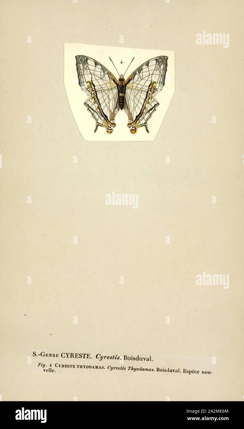 Cyrestis, Print, Cyrestis is a butterfly genus in the family Nymphalidae. They are known as map butterflies, so named because the wing-markings of some species resemble the lines of latitude and longitude of a world map. Cyrestis is a widespread genus ranging from Africa to parts of the Indomalaya ecozone and parts of the Australasian ecozone (New Guinea Stock Photohttps://www.alamy.com/image-license-details/?v=1https://www.alamy.com/cyrestis-print-cyrestis-is-a-butterfly-genus-in-the-family-nymphalidae-they-are-known-as-map-butterflies-so-named-because-the-wing-markings-of-some-species-resemble-the-lines-of-latitude-and-longitude-of-a-world-map-cyrestis-is-a-widespread-genus-ranging-from-africa-to-parts-of-the-indomalaya-ecozone-and-parts-of-the-australasian-ecozone-new-guinea-image328676508.html
RM2A2ME6M–Cyrestis, Print, Cyrestis is a butterfly genus in the family Nymphalidae. They are known as map butterflies, so named because the wing-markings of some species resemble the lines of latitude and longitude of a world map. Cyrestis is a widespread genus ranging from Africa to parts of the Indomalaya ecozone and parts of the Australasian ecozone (New Guinea
 Ecrins National Park, near the Col de Lauteret, Briancon, Ecrins, France Stock Photohttps://www.alamy.com/image-license-details/?v=1https://www.alamy.com/ecrins-national-park-near-the-col-de-lauteret-briancon-ecrins-france-image439458461.html
RF2GEY1N1–Ecrins National Park, near the Col de Lauteret, Briancon, Ecrins, France
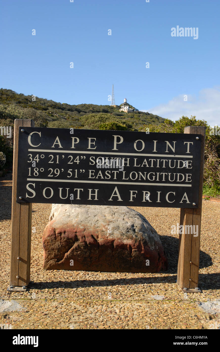 Cape Point sign & Historic Lighthouse, Cape Point, Cape of Good Hope, Table Mountain National Park, Western Cape, South Africa Stock Photohttps://www.alamy.com/image-license-details/?v=1https://www.alamy.com/stock-photo-cape-point-sign-historic-lighthouse-cape-point-cape-of-good-hope-table-38498302.html
RMC6HMYA–Cape Point sign & Historic Lighthouse, Cape Point, Cape of Good Hope, Table Mountain National Park, Western Cape, South Africa
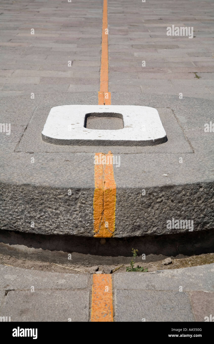 The Official Equator line in Ecuador, 200m away from the actual ecuator Stock Photohttps://www.alamy.com/image-license-details/?v=1https://www.alamy.com/stock-photo-the-official-equator-line-in-ecuador-200m-away-from-the-actual-ecuator-12517455.html
RMAA550G–The Official Equator line in Ecuador, 200m away from the actual ecuator
RF2WAFAYC–compass icon vector |Guide icon
 Steel Globe Sculpture at 59 st and Columbus avenue, representing earth's continents, in Upper West Side, New York City, USA Stock Photohttps://www.alamy.com/image-license-details/?v=1https://www.alamy.com/steel-globe-sculpture-at-59-st-and-columbus-avenue-representing-earths-continents-in-upper-west-side-new-york-city-usa-image485305531.html
RF2K5FG4B–Steel Globe Sculpture at 59 st and Columbus avenue, representing earth's continents, in Upper West Side, New York City, USA
 Spheres globe earth grid, horizontally vertically, latitude longitude. Vector globe Stock Vectorhttps://www.alamy.com/image-license-details/?v=1https://www.alamy.com/spheres-globe-earth-grid-horizontally-vertically-latitude-longitude-vector-globe-image566129184.html
RF2RW1BFC–Spheres globe earth grid, horizontally vertically, latitude longitude. Vector globe
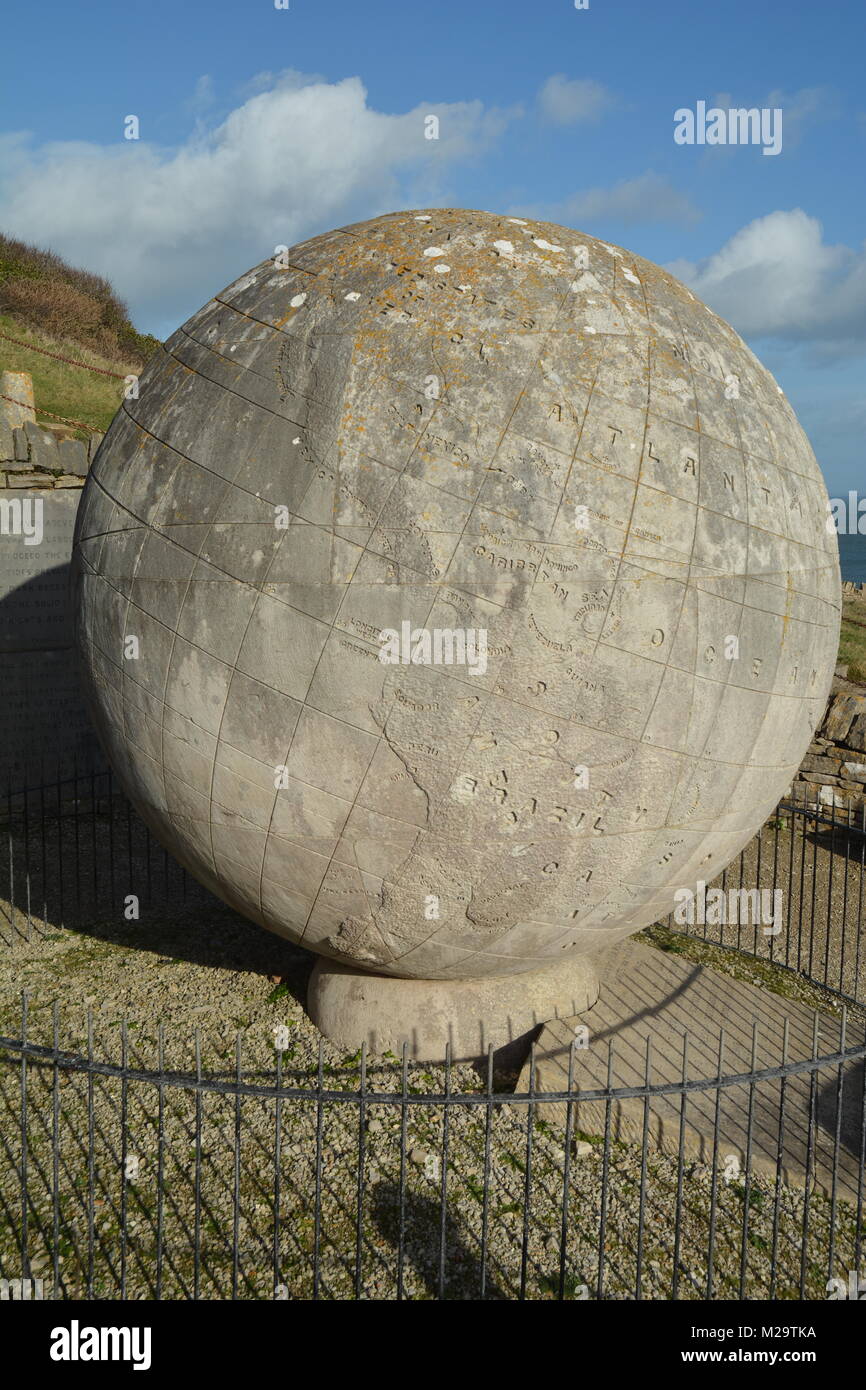 Giant Stone Globe at Durlston Castle, UK Stock Photohttps://www.alamy.com/image-license-details/?v=1https://www.alamy.com/stock-photo-giant-stone-globe-at-durlston-castle-uk-173549918.html
RFM29TKA–Giant Stone Globe at Durlston Castle, UK
 Close up of nautical compass on a sailing ship (yacht) Stock Photohttps://www.alamy.com/image-license-details/?v=1https://www.alamy.com/close-up-of-nautical-compass-on-a-sailing-ship-yacht-image357323215.html
RF2BN9DBB–Close up of nautical compass on a sailing ship (yacht)
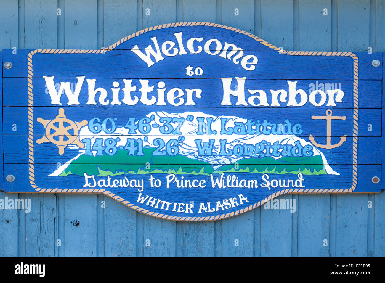 Whittier Harbor welcome sign. Stock Photohttps://www.alamy.com/image-license-details/?v=1https://www.alamy.com/stock-photo-whittier-harbor-welcome-sign-87487349.html
RMF29B05–Whittier Harbor welcome sign.
RF2PGBG1G–Geo tags vector line icons set. Geolocation, Geotagging, Geo-tags, Coordinates, GPS, Latitude, Longitude illustration outline concept symbols and
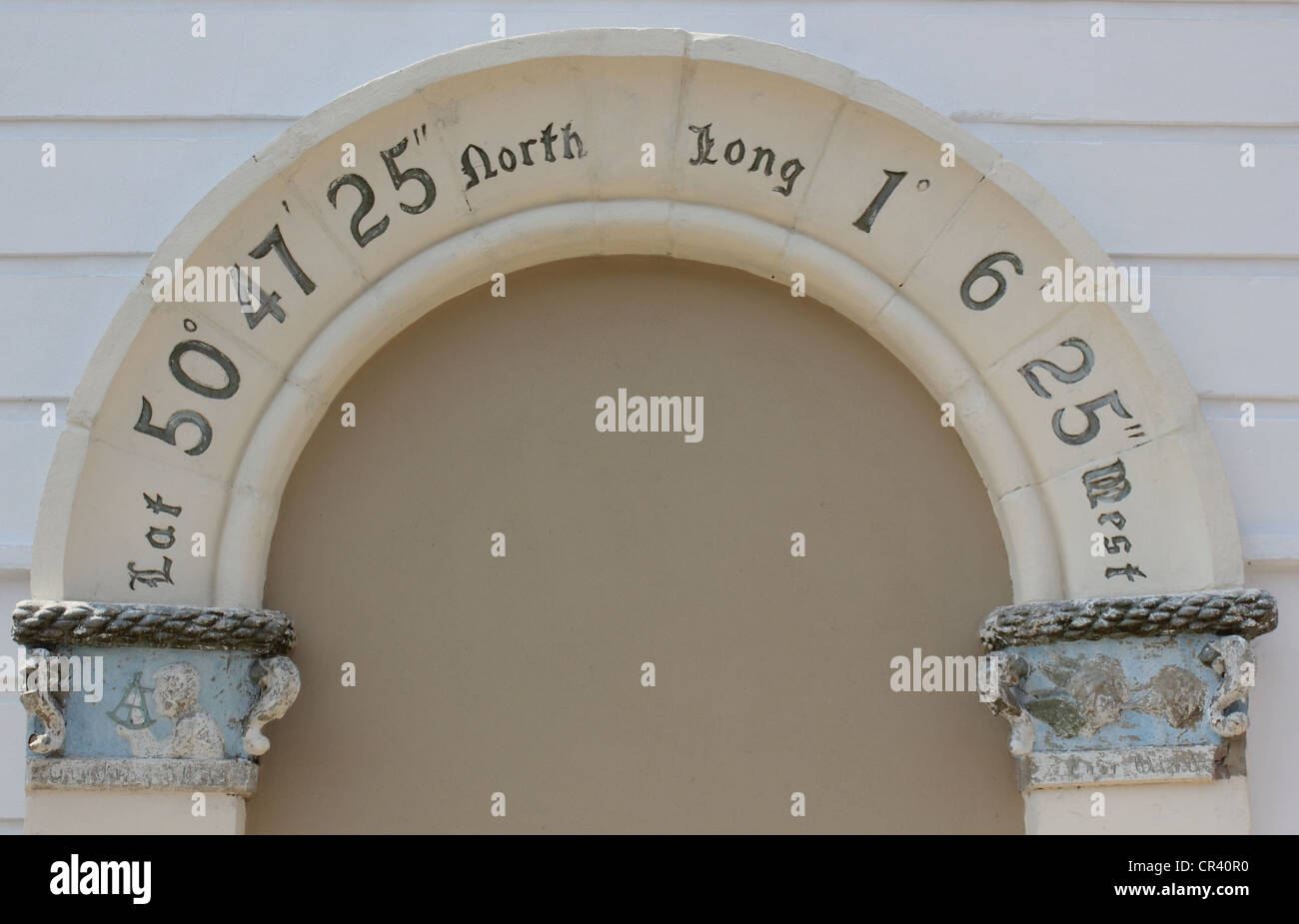 Atlas Destination of Portsmouth, England Stock Photohttps://www.alamy.com/image-license-details/?v=1https://www.alamy.com/stock-photo-atlas-destination-of-portsmouth-england-48646276.html
RFCR40R0–Atlas Destination of Portsmouth, England
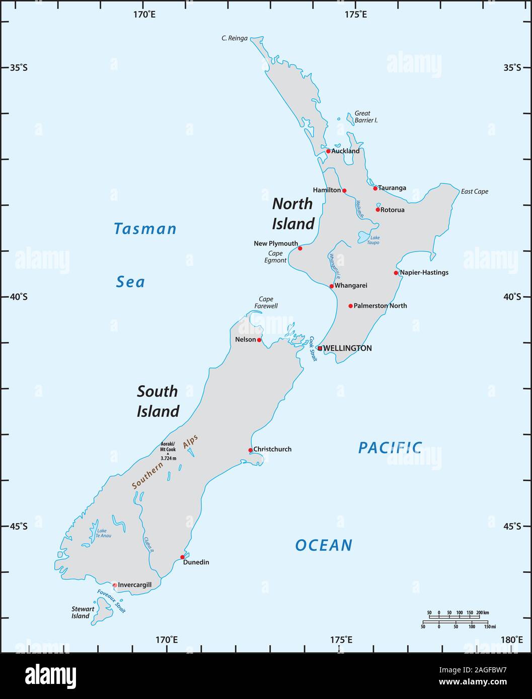 simple map of New Zealand with degrees of longitude and latitude Stock Vectorhttps://www.alamy.com/image-license-details/?v=1https://www.alamy.com/simple-map-of-new-zealand-with-degrees-of-longitude-and-latitude-image337170099.html
RF2AGFBW7–simple map of New Zealand with degrees of longitude and latitude
 At the equator Stock Photohttps://www.alamy.com/image-license-details/?v=1https://www.alamy.com/stock-photo-at-the-equator-17760143.html
RFB0W16R–At the equator
 Compass, hand drawn isolated vector illustration Stock Vectorhttps://www.alamy.com/image-license-details/?v=1https://www.alamy.com/compass-hand-drawn-isolated-vector-illustration-image402611950.html
RF2EB0FJ6–Compass, hand drawn isolated vector illustration
 Conceptual 3D render image with a frameless Compass focus on a single word Stock Photohttps://www.alamy.com/image-license-details/?v=1https://www.alamy.com/stock-photo-conceptual-3d-render-image-with-a-frameless-compass-focus-on-a-single-91187026.html
RFF89WYE–Conceptual 3D render image with a frameless Compass focus on a single word
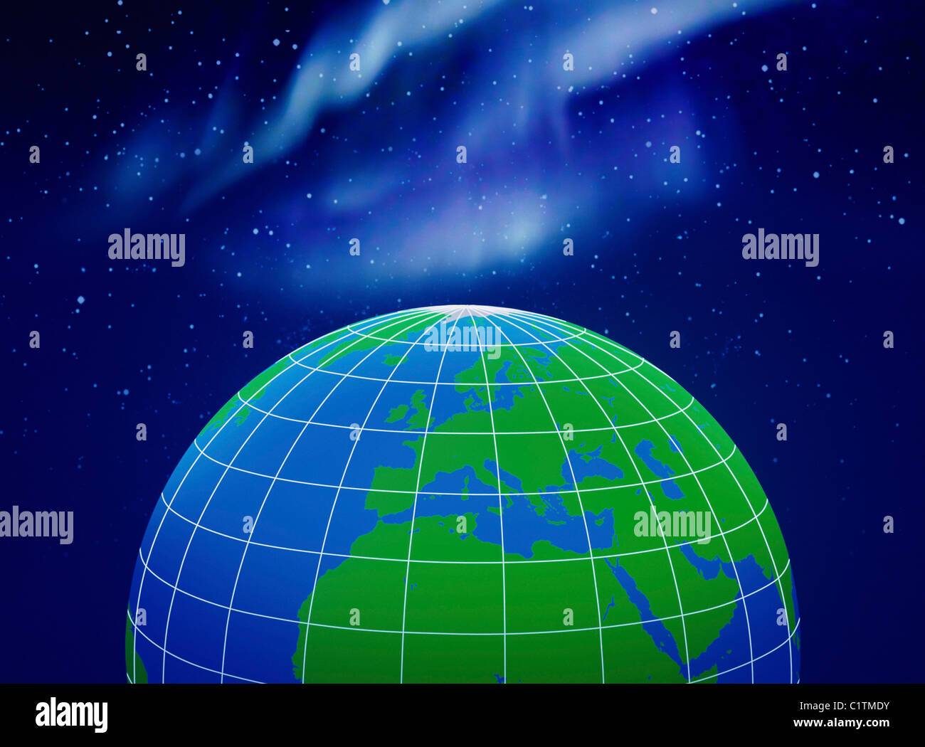 Close-up of longitude and latitude lines on a globe Stock Photohttps://www.alamy.com/image-license-details/?v=1https://www.alamy.com/stock-photo-close-up-of-longitude-and-latitude-lines-on-a-globe-35578311.html
RFC1TMDY–Close-up of longitude and latitude lines on a globe
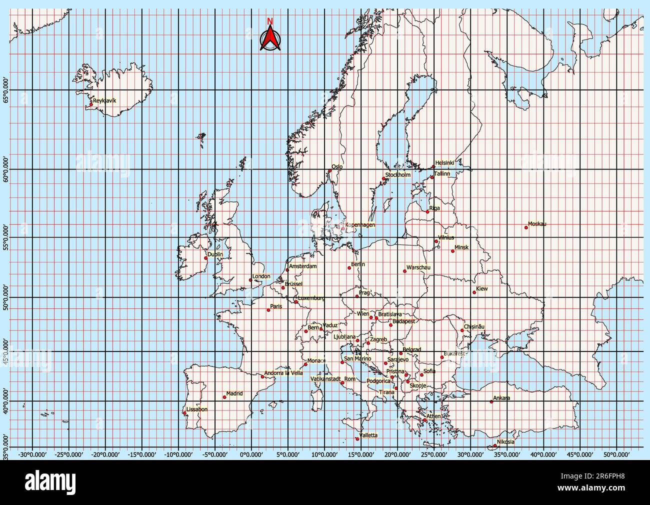 Europe Map Geographic Coordinates latitude and longitude German language Stock Photohttps://www.alamy.com/image-license-details/?v=1https://www.alamy.com/europe-map-geographic-coordinates-latitude-and-longitude-german-language-image554766724.html
RF2R6FPH8–Europe Map Geographic Coordinates latitude and longitude German language
 . English: Fleuron from book: A mathematical manual: or, delightful associate. Containing, I. A description and use of the celestial globe: How to know the Stars in each Constellation, and their Magnitude; also their Latitude, Longitude, Right Ascension, Declination, Semi-Diurnal Ark, Riting, Southing, Setting, Altitude, Azimuth, Distances, &c. The Sun's Place, his Rising and Setting, Length of the Day and Night, &c. Also Dialling by this Globe. II. Twelve Problems relating chiefly to the Moon: And a truer Way than has been given to find Easter, &c. The Hour of the Night by the Moon shining on Stock Photohttps://www.alamy.com/image-license-details/?v=1https://www.alamy.com/english-fleuron-from-book-a-mathematical-manual-or-delightful-associate-containing-i-a-description-and-use-of-the-celestial-globe-how-to-know-the-stars-in-each-constellation-and-their-magnitude-also-their-latitude-longitude-right-ascension-declination-semi-diurnal-ark-riting-southing-setting-altitude-azimuth-distances-c-the-suns-place-his-rising-and-setting-length-of-the-day-and-night-c-also-dialling-by-this-globe-ii-twelve-problems-relating-chiefly-to-the-moon-and-a-truer-way-than-has-been-given-to-find-easter-c-the-hour-of-the-night-by-the-moon-shining-on-image206718435.html
RMP08RD7–. English: Fleuron from book: A mathematical manual: or, delightful associate. Containing, I. A description and use of the celestial globe: How to know the Stars in each Constellation, and their Magnitude; also their Latitude, Longitude, Right Ascension, Declination, Semi-Diurnal Ark, Riting, Southing, Setting, Altitude, Azimuth, Distances, &c. The Sun's Place, his Rising and Setting, Length of the Day and Night, &c. Also Dialling by this Globe. II. Twelve Problems relating chiefly to the Moon: And a truer Way than has been given to find Easter, &c. The Hour of the Night by the Moon shining on
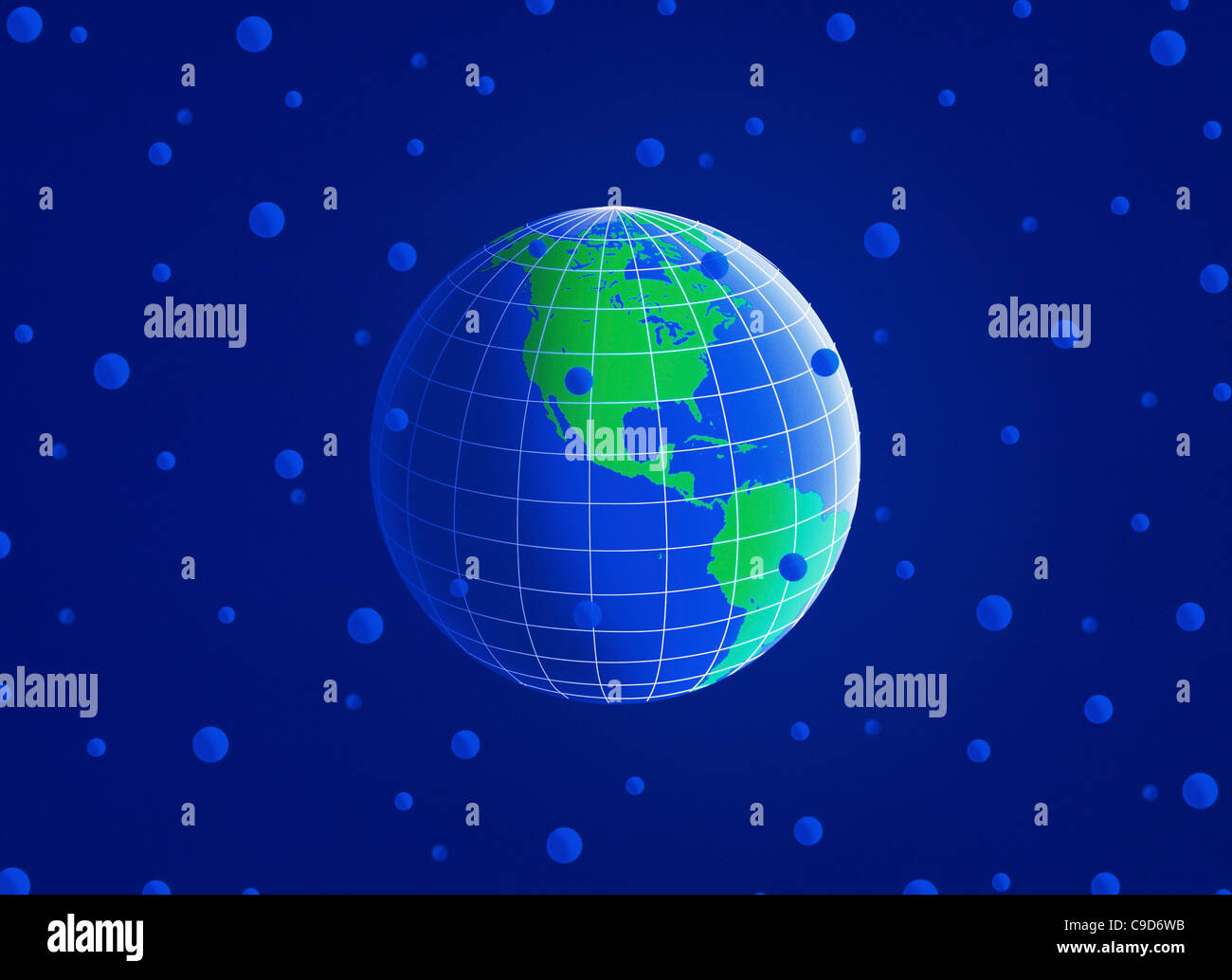 Close-up of longitude and latitude lines on a globe Stock Photohttps://www.alamy.com/image-license-details/?v=1https://www.alamy.com/stock-photo-close-up-of-longitude-and-latitude-lines-on-a-globe-40243431.html
RFC9D6WB–Close-up of longitude and latitude lines on a globe
 Ecrins National Park, near the Col de Lauteret, Briancon, Ecrins, France Stock Photohttps://www.alamy.com/image-license-details/?v=1https://www.alamy.com/ecrins-national-park-near-the-col-de-lauteret-briancon-ecrins-france-image439458351.html
RF2GEY1H3–Ecrins National Park, near the Col de Lauteret, Briancon, Ecrins, France
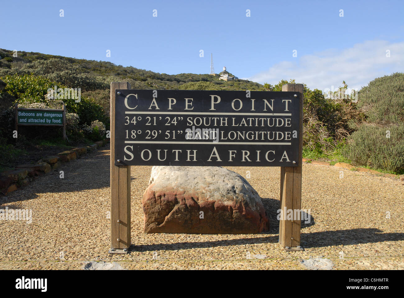 sign, Cape Point, Cape of Good Hope, Table Mountain National Park, Western Cape, South Africa Stock Photohttps://www.alamy.com/image-license-details/?v=1https://www.alamy.com/stock-photo-sign-cape-point-cape-of-good-hope-table-mountain-national-park-western-38498231.html
RMC6HMTR–sign, Cape Point, Cape of Good Hope, Table Mountain National Park, Western Cape, South Africa
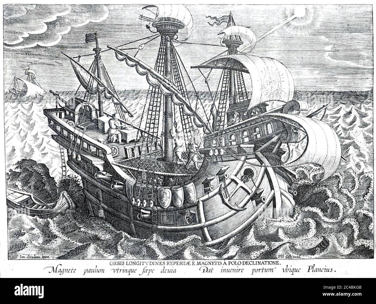 POSITION FINDING AT SEA in 16th century Stock Photohttps://www.alamy.com/image-license-details/?v=1https://www.alamy.com/position-finding-at-sea-in-16th-century-image364133179.html
RM2C4BKGB–POSITION FINDING AT SEA in 16th century
 Plan of the city of Washington : now building for the metropolis of America, and established as the permanent residence of Congress after the year 1800. Relief shown by hachures. Also covers Georgetown. From Universal magazine, July 1793, facing p. 41. Includes latitude/longitude statement.... , District of Columbia , Washington Stock Photohttps://www.alamy.com/image-license-details/?v=1https://www.alamy.com/plan-of-the-city-of-washington-now-building-for-the-metropolis-of-america-and-established-as-the-permanent-residence-of-congress-after-the-year-1800-relief-shown-by-hachures-also-covers-georgetown-from-universal-magazine-july-1793-facing-p-41-includes-latitudelongitude-statement-district-of-columbia-washington-image502743977.html
RM2M5WY21–Plan of the city of Washington : now building for the metropolis of America, and established as the permanent residence of Congress after the year 1800. Relief shown by hachures. Also covers Georgetown. From Universal magazine, July 1793, facing p. 41. Includes latitude/longitude statement.... , District of Columbia , Washington
 AnnaS, Province of Florence, IT, Italy, Tuscany, N 43 46' 35'', N 11 15' 6'', Map,Cartography,Geographic Information,Cartascapes,Location,Navigation,Geography,Topography,Earth,World,Region,Terrain,Landforms,Country,Continent,Latitude,Longitude,Cartographic Design,Geographic Features,Map,Topographic Map,Vintage Map,Modern Map,Exploration,Travel,GIS,Geographic Information System,Journey,Exploration,Route Planning,Wayfinding,Destination,Discover,Atlas,poster,streets,coordinates,city maps,neighborhoods,neighbourhoods,road maps,published 2023,wall map,travel map,wall art,gift,mapful Stock Photohttps://www.alamy.com/image-license-details/?v=1https://www.alamy.com/annas-province-of-florence-it-italy-tuscany-n-43-46-35-n-11-15-6-mapcartographygeographic-informationcartascapeslocationnavigationgeographytopographyearthworldregionterrainlandformscountrycontinentlatitudelongitudecartographic-designgeographic-featuresmaptopographic-mapvintage-mapmodern-mapexplorationtravelgisgeographic-information-systemjourneyexplorationroute-planningwayfindingdestinationdiscoveratlasposterstreetscoordinatescity-mapsneighborhoodsneighbourhoodsroad-mapspublished-2023wall-maptravel-mapwall-artgiftmapful-image614483857.html
RM2XKM4C1–AnnaS, Province of Florence, IT, Italy, Tuscany, N 43 46' 35'', N 11 15' 6'', Map,Cartography,Geographic Information,Cartascapes,Location,Navigation,Geography,Topography,Earth,World,Region,Terrain,Landforms,Country,Continent,Latitude,Longitude,Cartographic Design,Geographic Features,Map,Topographic Map,Vintage Map,Modern Map,Exploration,Travel,GIS,Geographic Information System,Journey,Exploration,Route Planning,Wayfinding,Destination,Discover,Atlas,poster,streets,coordinates,city maps,neighborhoods,neighbourhoods,road maps,published 2023,wall map,travel map,wall art,gift,mapful
 Spheres globe earth grid horizontally vertically, latitude longitude. Vector globe Stock Vectorhttps://www.alamy.com/image-license-details/?v=1https://www.alamy.com/spheres-globe-earth-grid-horizontally-vertically-latitude-longitude-vector-globe-image566129198.html
RF2RW1BFX–Spheres globe earth grid horizontally vertically, latitude longitude. Vector globe
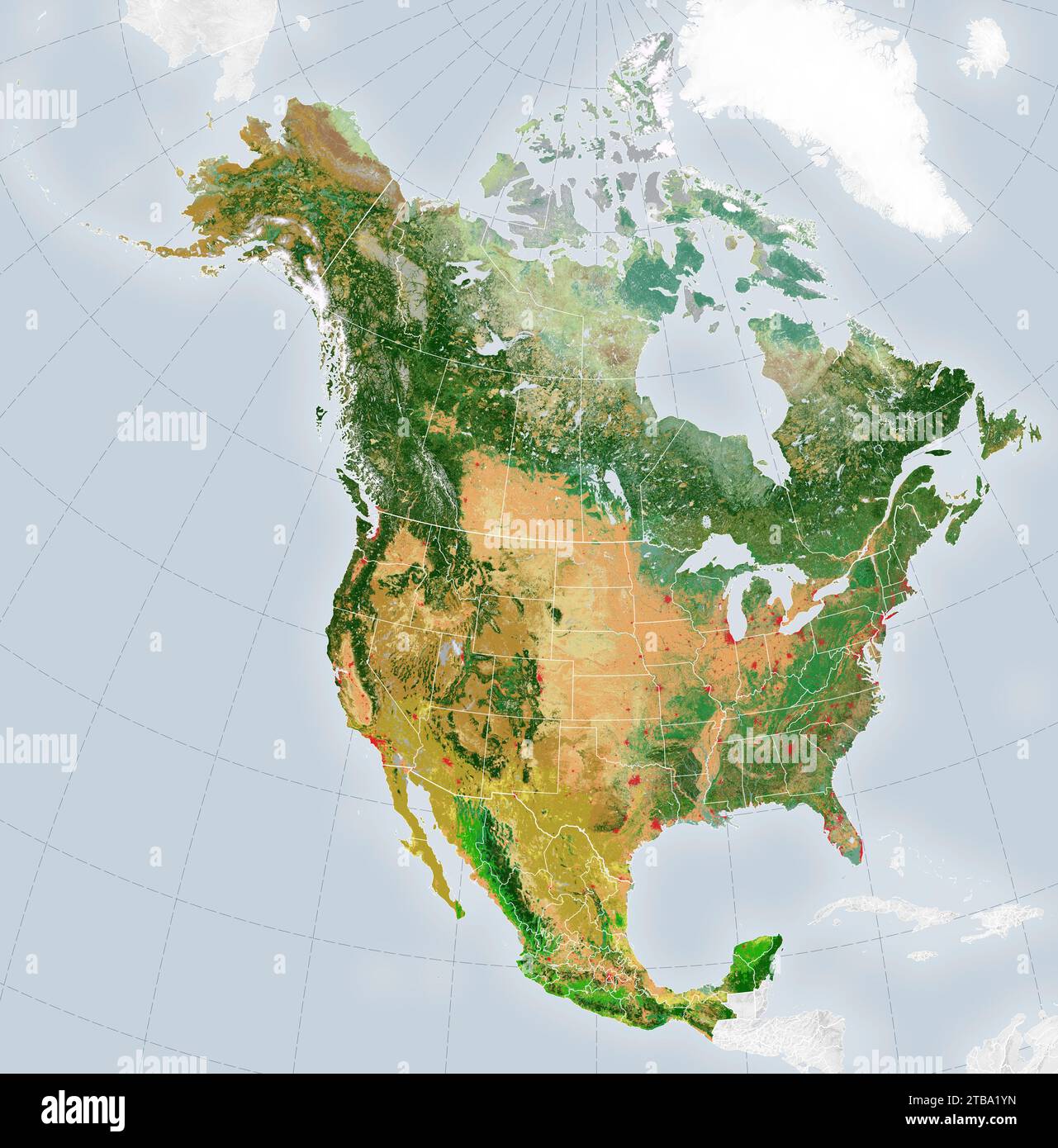 Satellite-derived map showing the distribution of 19 land cover types across the North America in 2015. Stock Photohttps://www.alamy.com/image-license-details/?v=1https://www.alamy.com/satellite-derived-map-showing-the-distribution-of-19-land-cover-types-across-the-north-america-in-2015-image574924441.html
RF2TBA1YN–Satellite-derived map showing the distribution of 19 land cover types across the North America in 2015.
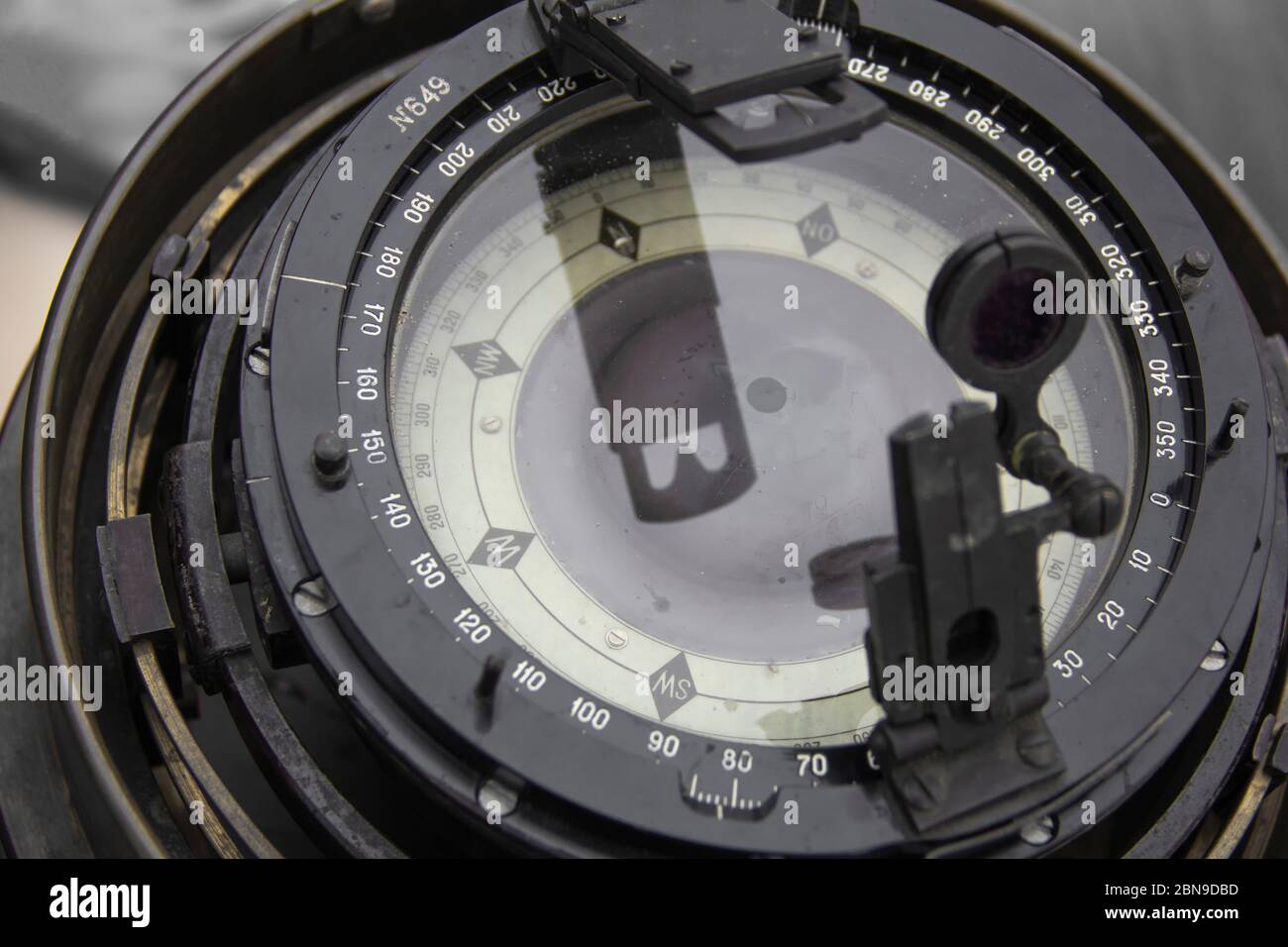 Close up of nautical compass on a sailing ship (yacht) Stock Photohttps://www.alamy.com/image-license-details/?v=1https://www.alamy.com/close-up-of-nautical-compass-on-a-sailing-ship-yacht-image357323217.html
RF2BN9DBD–Close up of nautical compass on a sailing ship (yacht)
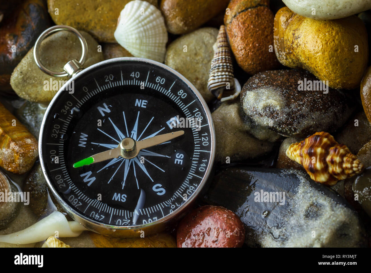 Compass on the pebbles and shell at riverside. Concepts of tourism and adventure. Stock Photohttps://www.alamy.com/image-license-details/?v=1https://www.alamy.com/compass-on-the-pebbles-and-shell-at-riverside-concepts-of-tourism-and-adventure-image240412560.html
RFRY3MJT–Compass on the pebbles and shell at riverside. Concepts of tourism and adventure.
RF2PGCC5C–Geo tags vector line icons set. Geolocation, Geotagging, Geo-tags, Coordinates, GPS, Latitude, Longitude illustration outline concept symbols and
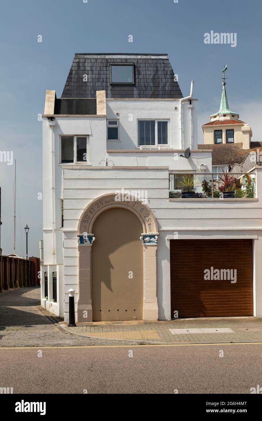 An interesting arch with latitude and longitude above it. Once Capstan House. Old Portsmouth, Hampshire, England, UK Stock Photohttps://www.alamy.com/image-license-details/?v=1https://www.alamy.com/an-interesting-arch-with-latitude-and-longitude-above-it-once-capstan-house-old-portsmouth-hampshire-england-uk-image434324040.html
RM2G6H4MT–An interesting arch with latitude and longitude above it. Once Capstan House. Old Portsmouth, Hampshire, England, UK
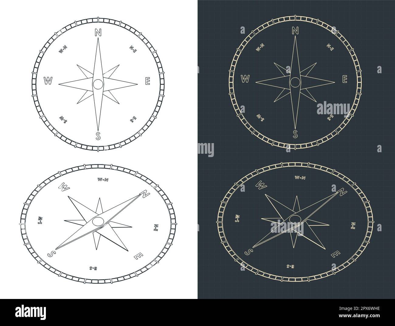 Stylized vector illustration of blueprints of compass Stock Vectorhttps://www.alamy.com/image-license-details/?v=1https://www.alamy.com/stylized-vector-illustration-of-blueprints-of-compass-image549654266.html
RF2PX6WHE–Stylized vector illustration of blueprints of compass
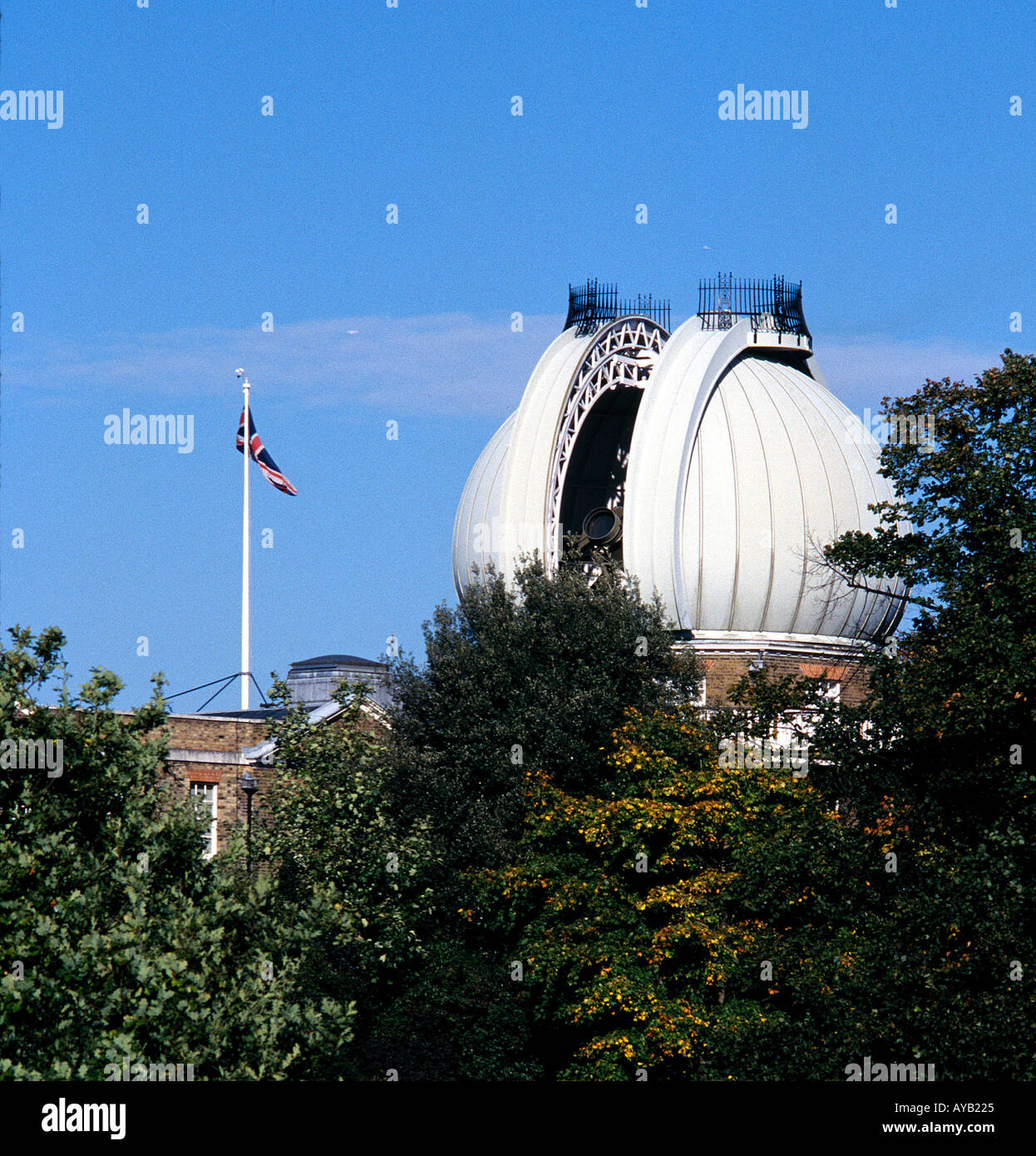 The Telescope at Royal Greenwich Observatory on the line of 0 Degreees longitude Stock Photohttps://www.alamy.com/image-license-details/?v=1https://www.alamy.com/the-telescope-at-royal-greenwich-observatory-on-the-line-of-0-degreees-image1815076.html
RMAYB225–The Telescope at Royal Greenwich Observatory on the line of 0 Degreees longitude
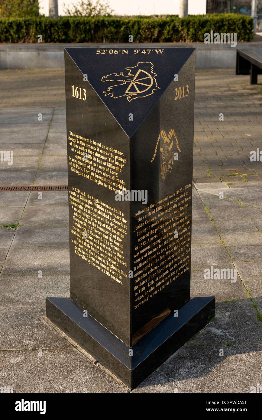 Milestone monument with the County Kerry map and latitude and longitude coordinates for the exact geographic location of Killorglin, Ireland Stock Photohttps://www.alamy.com/image-license-details/?v=1https://www.alamy.com/milestone-monument-with-the-county-kerry-map-and-latitude-and-longitude-coordinates-for-the-exact-geographic-location-of-killorglin-ireland-image342656772.html
RM2AWDA5T–Milestone monument with the County Kerry map and latitude and longitude coordinates for the exact geographic location of Killorglin, Ireland
 Conceptual 3D render image with a frameless Compass focus on a single word Stock Photohttps://www.alamy.com/image-license-details/?v=1https://www.alamy.com/stock-photo-conceptual-3d-render-image-with-a-frameless-compass-focus-on-a-single-91187027.html
RFF89WYF–Conceptual 3D render image with a frameless Compass focus on a single word
 Close-up of longitude and latitude lines on a globe Stock Photohttps://www.alamy.com/image-license-details/?v=1https://www.alamy.com/stock-photo-close-up-of-longitude-and-latitude-lines-on-a-globe-35578307.html
RFC1TMDR–Close-up of longitude and latitude lines on a globe
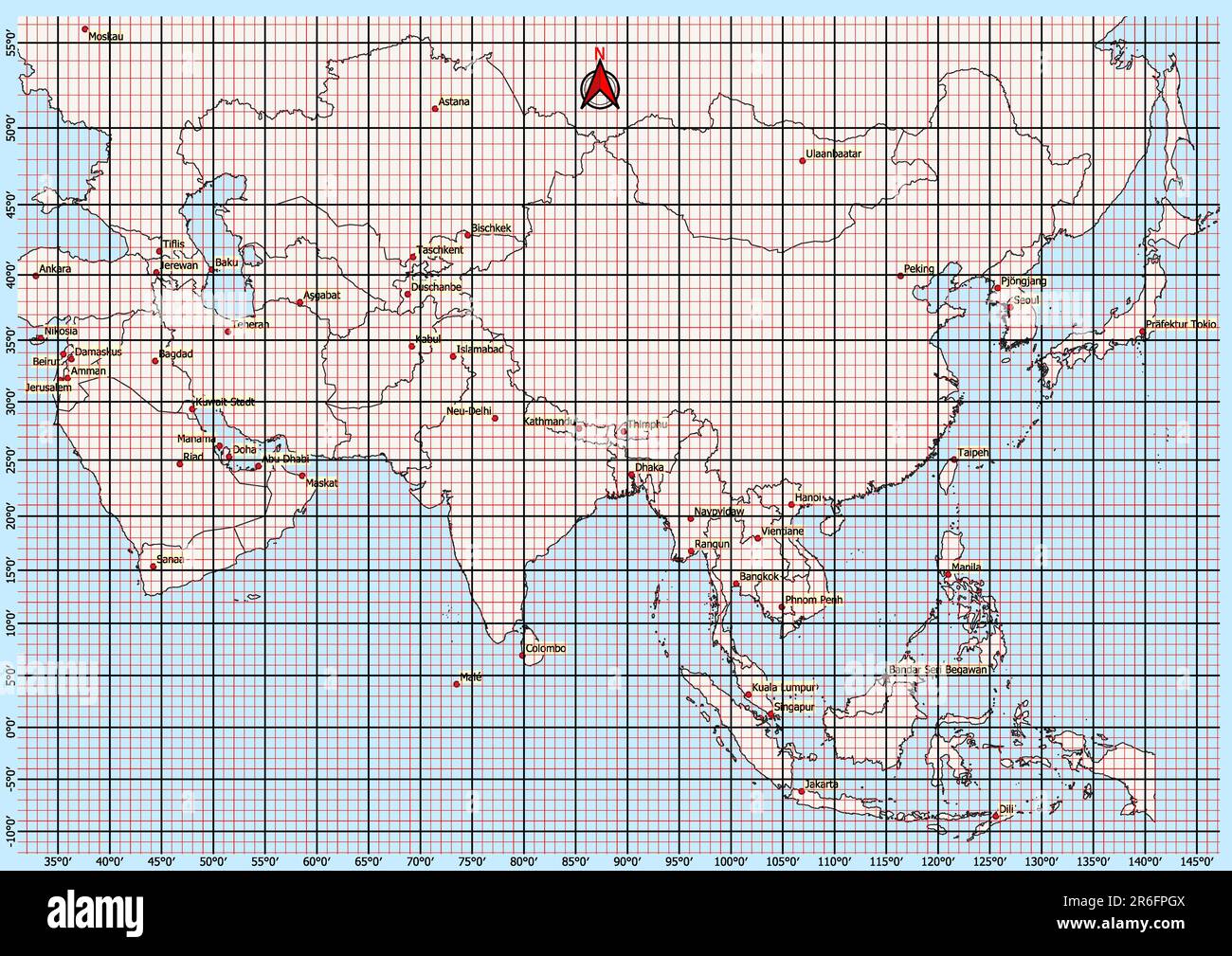 Asia Map Geographic Coordinates latitude and longitude German language Stock Photohttps://www.alamy.com/image-license-details/?v=1https://www.alamy.com/asia-map-geographic-coordinates-latitude-and-longitude-german-language-image554766714.html
RF2R6FPGX–Asia Map Geographic Coordinates latitude and longitude German language
 . English: Fleuron from book: A mathematical manual: or, delightful associate. Containing, I. A description and use of the celestial globe: How to know the Stars in each Constellation, and their Magnitude; also their Latitude, Longitude, Right Ascension, Declination, Semi-Diurnal Ark, Riting, Southing, Setting, Altitude, Azimuth, Distances, &c. The Sun's Place, his Rising and Setting, Length of the Day and Night, &c. Also Dialling by this Globe. II. Twelve Problems relating chiefly to the Moon: And a truer Way than has been given to find Easter, &c. The Hour of the Night by the Moon shining on Stock Photohttps://www.alamy.com/image-license-details/?v=1https://www.alamy.com/english-fleuron-from-book-a-mathematical-manual-or-delightful-associate-containing-i-a-description-and-use-of-the-celestial-globe-how-to-know-the-stars-in-each-constellation-and-their-magnitude-also-their-latitude-longitude-right-ascension-declination-semi-diurnal-ark-riting-southing-setting-altitude-azimuth-distances-c-the-suns-place-his-rising-and-setting-length-of-the-day-and-night-c-also-dialling-by-this-globe-ii-twelve-problems-relating-chiefly-to-the-moon-and-a-truer-way-than-has-been-given-to-find-easter-c-the-hour-of-the-night-by-the-moon-shining-on-image206718382.html
RMP08RBA–. English: Fleuron from book: A mathematical manual: or, delightful associate. Containing, I. A description and use of the celestial globe: How to know the Stars in each Constellation, and their Magnitude; also their Latitude, Longitude, Right Ascension, Declination, Semi-Diurnal Ark, Riting, Southing, Setting, Altitude, Azimuth, Distances, &c. The Sun's Place, his Rising and Setting, Length of the Day and Night, &c. Also Dialling by this Globe. II. Twelve Problems relating chiefly to the Moon: And a truer Way than has been given to find Easter, &c. The Hour of the Night by the Moon shining on
 Close-up of longitude and latitude lines on a globe Stock Photohttps://www.alamy.com/image-license-details/?v=1https://www.alamy.com/stock-photo-close-up-of-longitude-and-latitude-lines-on-a-globe-40243436.html
RFC9D6WG–Close-up of longitude and latitude lines on a globe
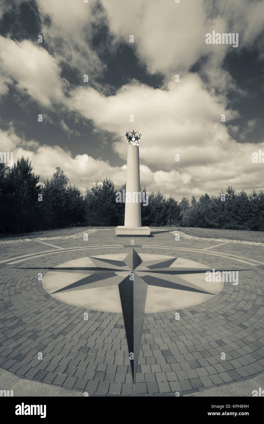 Lithuania, Vilnius-area, Centre of Europe, geographic center of Europe marker, Latitude 54-54, Longitude 25-19 Stock Photohttps://www.alamy.com/image-license-details/?v=1https://www.alamy.com/stock-image-lithuania-vilnius-area-centre-of-europe-geographic-center-of-europe-168795469.html
RMKPH89H–Lithuania, Vilnius-area, Centre of Europe, geographic center of Europe marker, Latitude 54-54, Longitude 25-19
RM2B6PXP9–Sextant is the iconic instrument for navigation to find the longitude & latitude on sea & oceans.
 Use of Navy Transit satellite receiver. Determining latitude and longitude simultaneously 1980 Stock Photohttps://www.alamy.com/image-license-details/?v=1https://www.alamy.com/stock-photo-use-of-navy-transit-satellite-receiver-determining-latitude-and-longitude-104159715.html
RMG1CTNR–Use of Navy Transit satellite receiver. Determining latitude and longitude simultaneously 1980
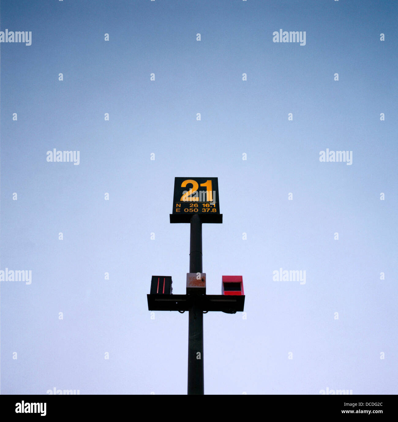 An navigational sign for the benefit of airline pilots showing inflight computer longitude and latitude reference points on the apron at Bahrain airport. Stock Photohttps://www.alamy.com/image-license-details/?v=1https://www.alamy.com/stock-photo-an-navigational-sign-for-the-benefit-of-airline-pilots-showing-inflight-59304964.html
RMDCDG2C–An navigational sign for the benefit of airline pilots showing inflight computer longitude and latitude reference points on the apron at Bahrain airport.