Quick filters:
Lawrenceburg indiana map Stock Photos and Images
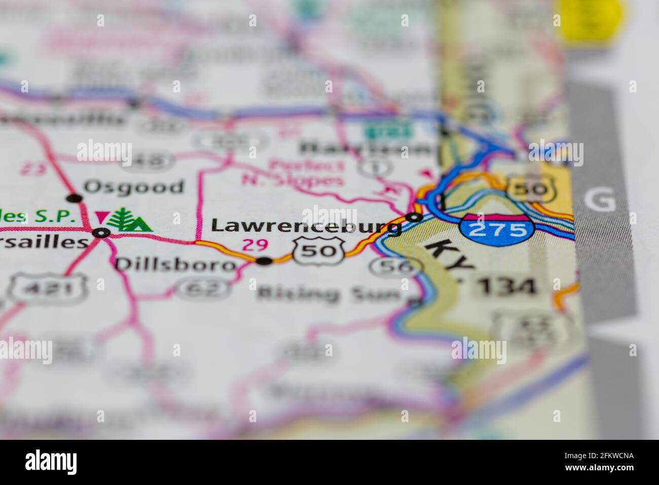 Lawrenceburg Indiana USA shown on a geography map or road map Stock Photohttps://www.alamy.com/image-license-details/?v=1https://www.alamy.com/lawrenceburg-indiana-usa-shown-on-a-geography-map-or-road-map-image425286102.html
RM2FKWCNA–Lawrenceburg Indiana USA shown on a geography map or road map
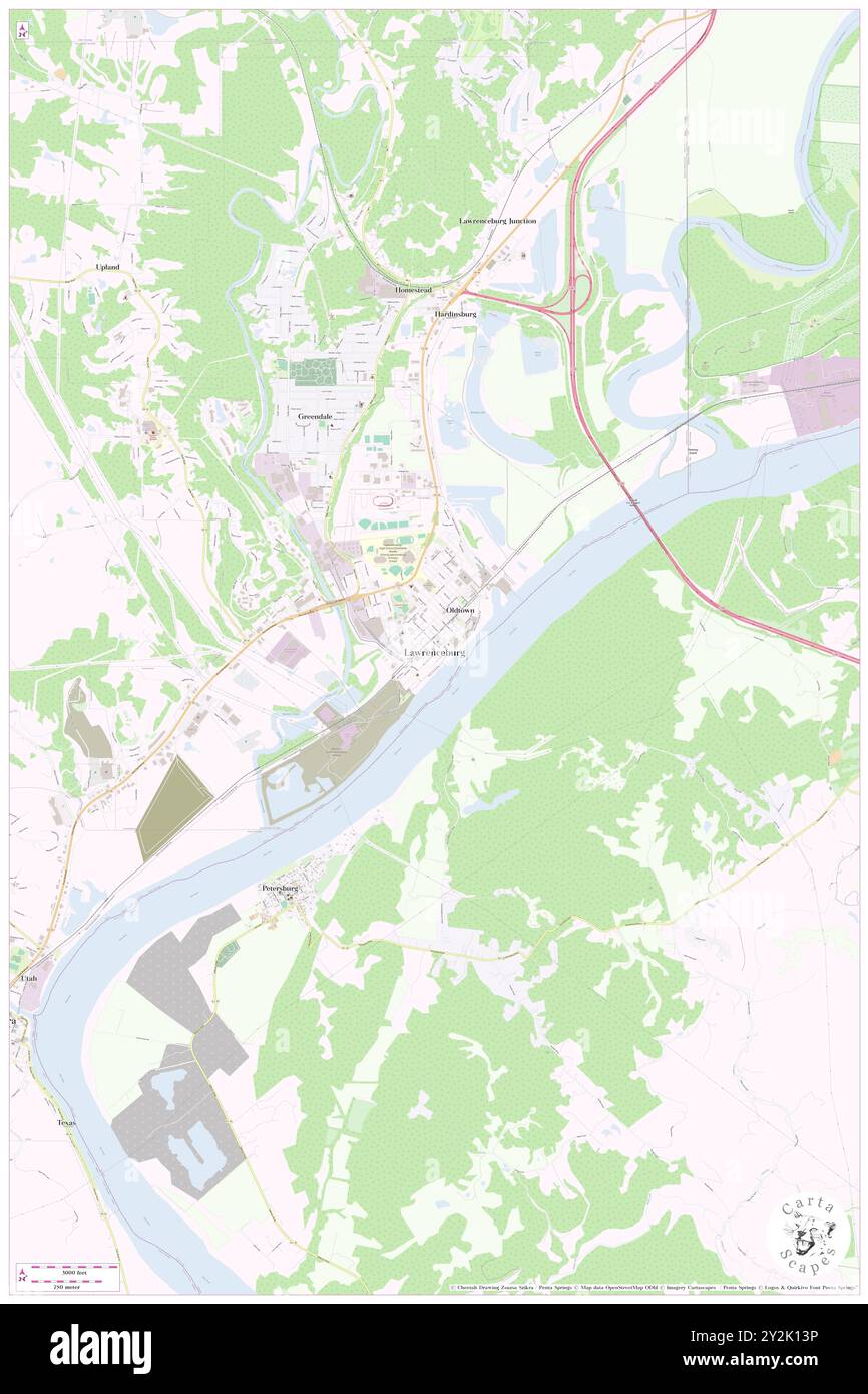 Lawrenceburg, Dearborn County, US, United States, Indiana, N 39 5' 27'', S 84 50' 59'', map, Cartascapes Map published in 2024. Explore Cartascapes, a map revealing Earth's diverse landscapes, cultures, and ecosystems. Journey through time and space, discovering the interconnectedness of our planet's past, present, and future. Stock Photohttps://www.alamy.com/image-license-details/?v=1https://www.alamy.com/lawrenceburg-dearborn-county-us-united-states-indiana-n-39-5-27-s-84-50-59-map-cartascapes-map-published-in-2024-explore-cartascapes-a-map-revealing-earths-diverse-landscapes-cultures-and-ecosystems-journey-through-time-and-space-discovering-the-interconnectedness-of-our-planets-past-present-and-future-image621220538.html
RM2Y2K13P–Lawrenceburg, Dearborn County, US, United States, Indiana, N 39 5' 27'', S 84 50' 59'', map, Cartascapes Map published in 2024. Explore Cartascapes, a map revealing Earth's diverse landscapes, cultures, and ecosystems. Journey through time and space, discovering the interconnectedness of our planet's past, present, and future.
 USGS TOPO Map Indiana IN Lawrenceburg 160502 1915 48000 Restoration Stock Photohttps://www.alamy.com/image-license-details/?v=1https://www.alamy.com/usgs-topo-map-indiana-in-lawrenceburg-160502-1915-48000-restoration-image259619656.html
RMW2AKEG–USGS TOPO Map Indiana IN Lawrenceburg 160502 1915 48000 Restoration
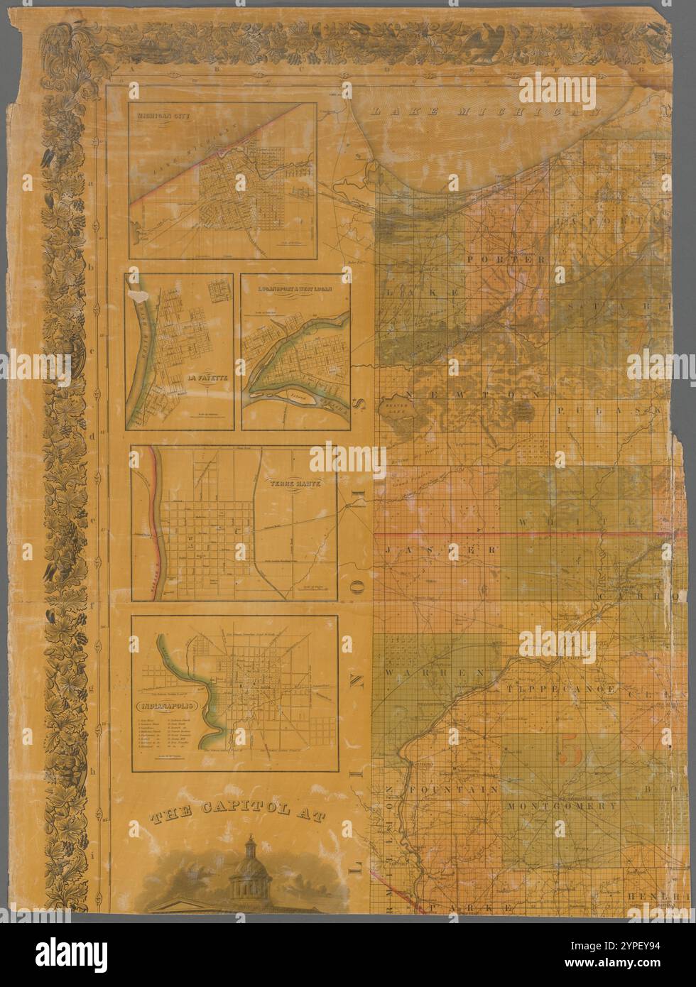 Map of the state of Indiana 1838 by Stiles, Sherman & Smith Stock Photohttps://www.alamy.com/image-license-details/?v=1https://www.alamy.com/map-of-the-state-of-indiana-1838-by-stiles-sherman-smith-image633424432.html
RM2YPEY94–Map of the state of Indiana 1838 by Stiles, Sherman & Smith
 Dearborn County, Indiana (U.S. county, United States of America, USA, U.S., US) map vector illustration, scribble sketch Dearborn map Stock Vectorhttps://www.alamy.com/image-license-details/?v=1https://www.alamy.com/dearborn-county-indiana-us-county-united-states-of-america-usa-us-us-map-vector-illustration-scribble-sketch-dearborn-map-image367792065.html
RF2CAAAEW–Dearborn County, Indiana (U.S. county, United States of America, USA, U.S., US) map vector illustration, scribble sketch Dearborn map
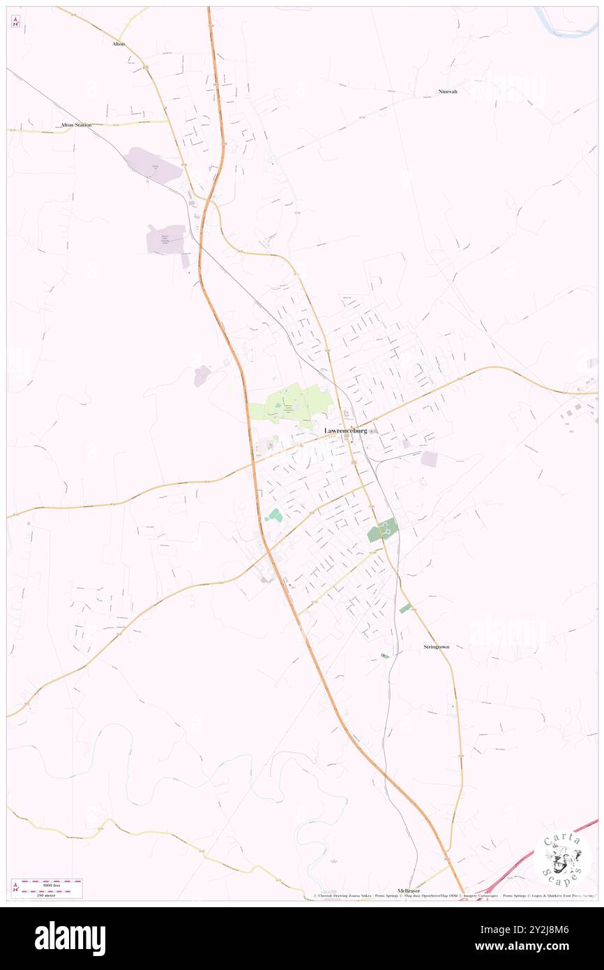 Lawrenceburg, Dearborn County, US, United States, Indiana, N 39 5' 27'', S 84 50' 59'', map, Cartascapes Map published in 2024. Explore Cartascapes, a map revealing Earth's diverse landscapes, cultures, and ecosystems. Journey through time and space, discovering the interconnectedness of our planet's past, present, and future. Stock Photohttps://www.alamy.com/image-license-details/?v=1https://www.alamy.com/lawrenceburg-dearborn-county-us-united-states-indiana-n-39-5-27-s-84-50-59-map-cartascapes-map-published-in-2024-explore-cartascapes-a-map-revealing-earths-diverse-landscapes-cultures-and-ecosystems-journey-through-time-and-space-discovering-the-interconnectedness-of-our-planets-past-present-and-future-image621204534.html
RM2Y2J8M6–Lawrenceburg, Dearborn County, US, United States, Indiana, N 39 5' 27'', S 84 50' 59'', map, Cartascapes Map published in 2024. Explore Cartascapes, a map revealing Earth's diverse landscapes, cultures, and ecosystems. Journey through time and space, discovering the interconnectedness of our planet's past, present, and future.
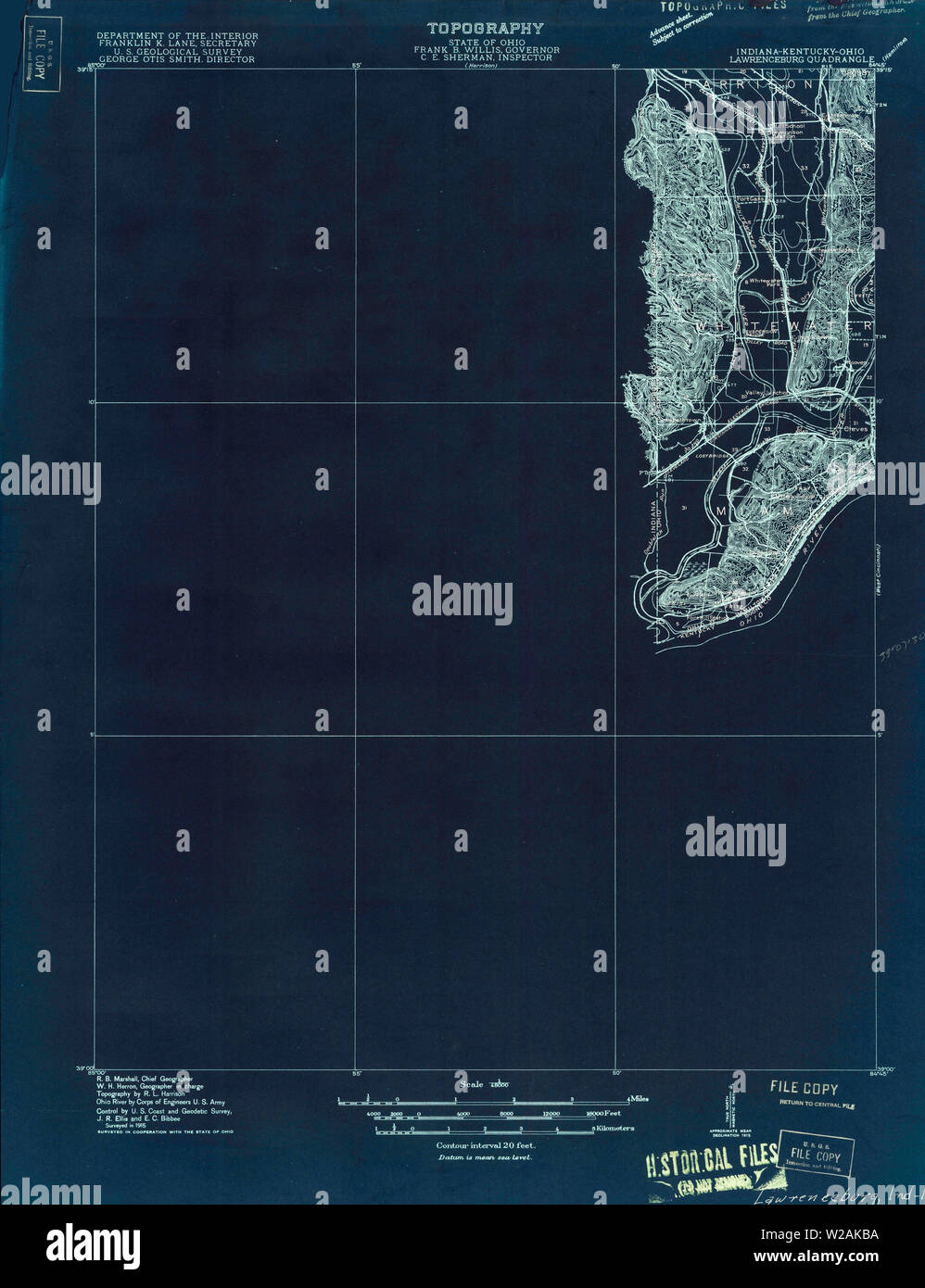 USGS TOPO Map Indiana IN Lawrenceburg 160502 1915 48000 Inverted Restoration Stock Photohttps://www.alamy.com/image-license-details/?v=1https://www.alamy.com/usgs-topo-map-indiana-in-lawrenceburg-160502-1915-48000-inverted-restoration-image259619566.html
RMW2AKBA–USGS TOPO Map Indiana IN Lawrenceburg 160502 1915 48000 Inverted Restoration
 USGS TOPO Map Indiana IN Lawrenceburg 20100915 TM Restoration Stock Photohttps://www.alamy.com/image-license-details/?v=1https://www.alamy.com/usgs-topo-map-indiana-in-lawrenceburg-20100915-tm-restoration-image259619868.html
RMW2AKP4–USGS TOPO Map Indiana IN Lawrenceburg 20100915 TM Restoration
 Dearborn County, Indiana (U.S. county, United States of America, USA, U.S., US) map vector illustration, scribble sketch Dearborn map Stock Vectorhttps://www.alamy.com/image-license-details/?v=1https://www.alamy.com/dearborn-county-indiana-us-county-united-states-of-america-usa-us-us-map-vector-illustration-scribble-sketch-dearborn-map-image364271693.html
RF2C4J079–Dearborn County, Indiana (U.S. county, United States of America, USA, U.S., US) map vector illustration, scribble sketch Dearborn map
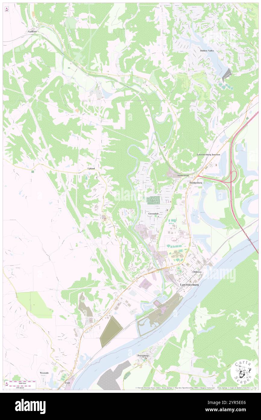 Township of Lawrenceburg, Dearborn County, US, United States, Indiana, N 39 7' 4'', S 84 52' 23'', map, Cartascapes Map published in 2024. Explore Cartascapes, a map revealing Earth's diverse landscapes, cultures, and ecosystems. Journey through time and space, discovering the interconnectedness of our planet's past, present, and future. Stock Photohttps://www.alamy.com/image-license-details/?v=1https://www.alamy.com/township-of-lawrenceburg-dearborn-county-us-united-states-indiana-n-39-7-4-s-84-52-23-map-cartascapes-map-published-in-2024-explore-cartascapes-a-map-revealing-earths-diverse-landscapes-cultures-and-ecosystems-journey-through-time-and-space-discovering-the-interconnectedness-of-our-planets-past-present-and-future-image633831470.html
RM2YR5EE6–Township of Lawrenceburg, Dearborn County, US, United States, Indiana, N 39 7' 4'', S 84 52' 23'', map, Cartascapes Map published in 2024. Explore Cartascapes, a map revealing Earth's diverse landscapes, cultures, and ecosystems. Journey through time and space, discovering the interconnectedness of our planet's past, present, and future.
 USGS TOPO Map Indiana IN Lawrenceburg 20100915 TM Inverted Restoration Stock Photohttps://www.alamy.com/image-license-details/?v=1https://www.alamy.com/usgs-topo-map-indiana-in-lawrenceburg-20100915-tm-inverted-restoration-image259619794.html
RMW2AKKE–USGS TOPO Map Indiana IN Lawrenceburg 20100915 TM Inverted Restoration
 Dearborn County, Indiana (U.S. county, United States of America, USA, U.S., US) map vector illustration, scribble sketch Dearborn map Stock Vectorhttps://www.alamy.com/image-license-details/?v=1https://www.alamy.com/dearborn-county-indiana-us-county-united-states-of-america-usa-us-us-map-vector-illustration-scribble-sketch-dearborn-map-image376783468.html
RF2CTYY4C–Dearborn County, Indiana (U.S. county, United States of America, USA, U.S., US) map vector illustration, scribble sketch Dearborn map
 Lawrenceburg Junction, Dearborn County, US, United States, Indiana, N 39 7' 50'', S 84 50' 32'', map, Cartascapes Map published in 2024. Explore Cartascapes, a map revealing Earth's diverse landscapes, cultures, and ecosystems. Journey through time and space, discovering the interconnectedness of our planet's past, present, and future. Stock Photohttps://www.alamy.com/image-license-details/?v=1https://www.alamy.com/lawrenceburg-junction-dearborn-county-us-united-states-indiana-n-39-7-50-s-84-50-32-map-cartascapes-map-published-in-2024-explore-cartascapes-a-map-revealing-earths-diverse-landscapes-cultures-and-ecosystems-journey-through-time-and-space-discovering-the-interconnectedness-of-our-planets-past-present-and-future-image620739575.html
RM2Y1W3JF–Lawrenceburg Junction, Dearborn County, US, United States, Indiana, N 39 7' 50'', S 84 50' 32'', map, Cartascapes Map published in 2024. Explore Cartascapes, a map revealing Earth's diverse landscapes, cultures, and ecosystems. Journey through time and space, discovering the interconnectedness of our planet's past, present, and future.
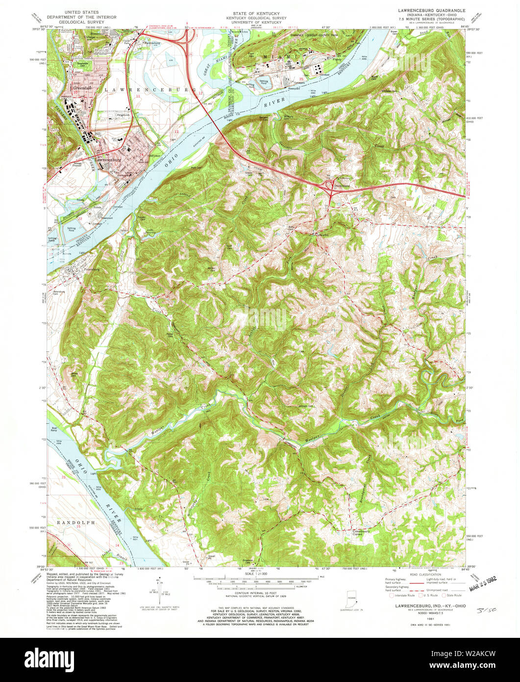 USGS TOPO Map Indiana IN Lawrenceburg 157040 1981 24000 Restoration Stock Photohttps://www.alamy.com/image-license-details/?v=1https://www.alamy.com/usgs-topo-map-indiana-in-lawrenceburg-157040-1981-24000-restoration-image259619609.html
RMW2AKCW–USGS TOPO Map Indiana IN Lawrenceburg 157040 1981 24000 Restoration
 Lawrenceburg, Indiana, map 1943, 1:24000, United States of America by Timeless Maps, data U.S. Geological Survey Stock Photohttps://www.alamy.com/image-license-details/?v=1https://www.alamy.com/lawrenceburg-indiana-map-1943-124000-united-states-of-america-by-timeless-maps-data-us-geological-survey-image406449795.html
RM2EH7AT3–Lawrenceburg, Indiana, map 1943, 1:24000, United States of America by Timeless Maps, data U.S. Geological Survey
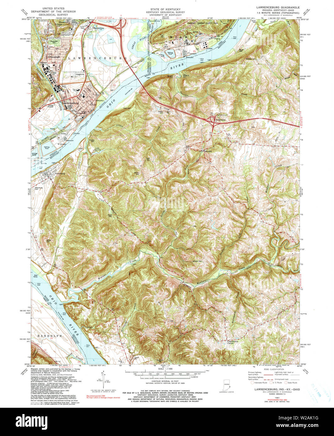 USGS TOPO Map Indiana IN Lawrenceburg 156031 1981 24000 Restoration Stock Photohttps://www.alamy.com/image-license-details/?v=1https://www.alamy.com/usgs-topo-map-indiana-in-lawrenceburg-156031-1981-24000-restoration-image259619292.html
RMW2AK1G–USGS TOPO Map Indiana IN Lawrenceburg 156031 1981 24000 Restoration
 Lawrenceburg, Indiana, map 1981, 1:24000, United States of America by Timeless Maps, data U.S. Geological Survey Stock Photohttps://www.alamy.com/image-license-details/?v=1https://www.alamy.com/lawrenceburg-indiana-map-1981-124000-united-states-of-america-by-timeless-maps-data-us-geological-survey-image406449814.html
RM2EH7ATP–Lawrenceburg, Indiana, map 1981, 1:24000, United States of America by Timeless Maps, data U.S. Geological Survey
 USGS TOPO Map Indiana IN Lawrenceburg 157038 1943 24000 Restoration Stock Photohttps://www.alamy.com/image-license-details/?v=1https://www.alamy.com/usgs-topo-map-indiana-in-lawrenceburg-157038-1943-24000-restoration-image259619467.html
RMW2AK7R–USGS TOPO Map Indiana IN Lawrenceburg 157038 1943 24000 Restoration
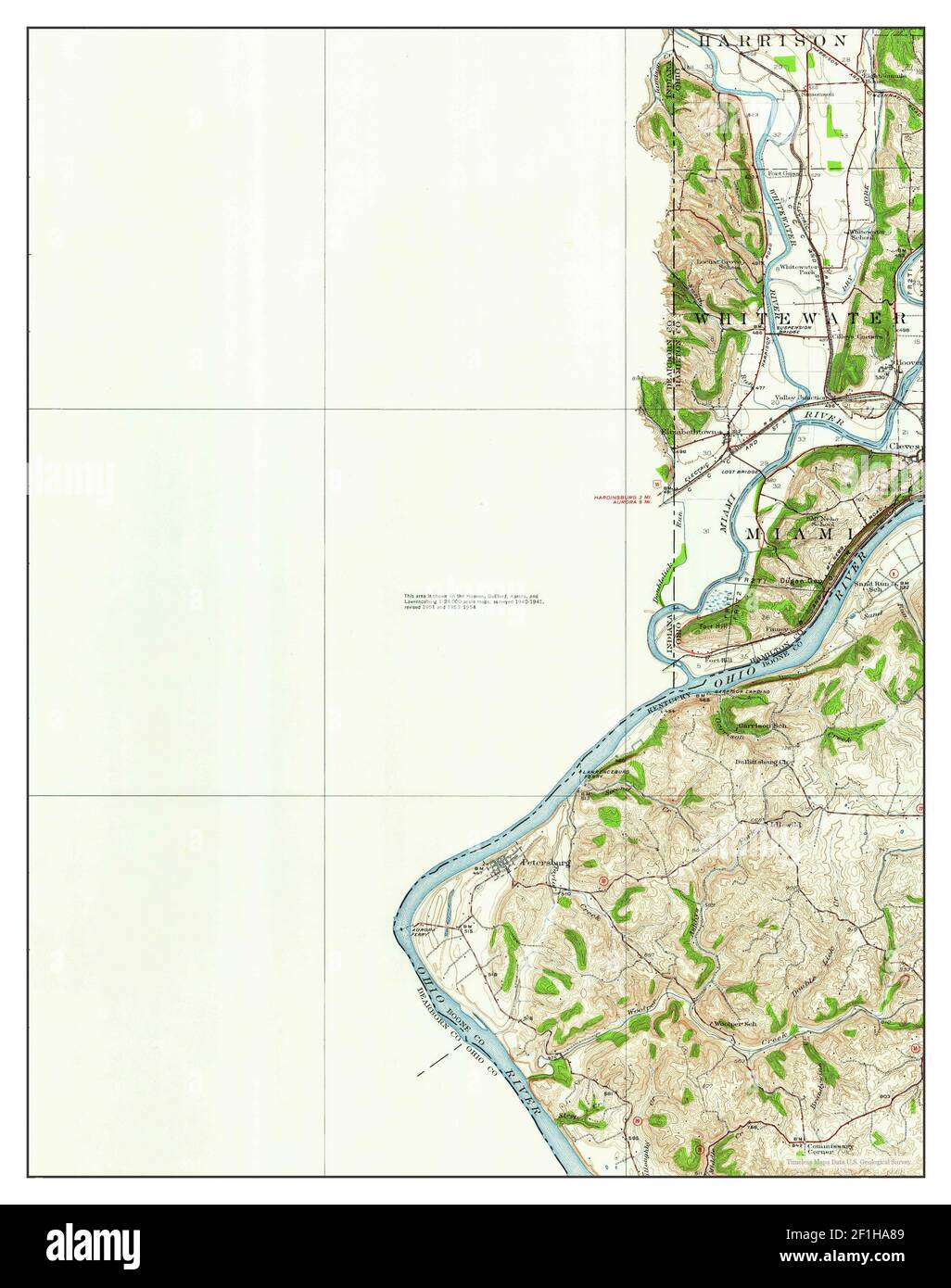 Lawrenceburg, Indiana, map 1928, 1:62500, United States of America by Timeless Maps, data U.S. Geological Survey Stock Photohttps://www.alamy.com/image-license-details/?v=1https://www.alamy.com/lawrenceburg-indiana-map-1928-162500-united-states-of-america-by-timeless-maps-data-us-geological-survey-image414044745.html
RM2F1HA89–Lawrenceburg, Indiana, map 1928, 1:62500, United States of America by Timeless Maps, data U.S. Geological Survey
 USGS TOPO Map Indiana IN Lawrenceburg 160507 1932 62500 Restoration Stock Photohttps://www.alamy.com/image-license-details/?v=1https://www.alamy.com/usgs-topo-map-indiana-in-lawrenceburg-160507-1932-62500-restoration-image259619720.html
RMW2AKGT–USGS TOPO Map Indiana IN Lawrenceburg 160507 1932 62500 Restoration
 Lawrenceburg, Indiana, map 1981, 1:24000, United States of America by Timeless Maps, data U.S. Geological Survey Stock Photohttps://www.alamy.com/image-license-details/?v=1https://www.alamy.com/lawrenceburg-indiana-map-1981-124000-united-states-of-america-by-timeless-maps-data-us-geological-survey-image406449785.html
RM2EH7ARN–Lawrenceburg, Indiana, map 1981, 1:24000, United States of America by Timeless Maps, data U.S. Geological Survey
 USGS TOPO Map Indiana IN Lawrenceburg 156032 1981 24000 Restoration Stock Photohttps://www.alamy.com/image-license-details/?v=1https://www.alamy.com/usgs-topo-map-indiana-in-lawrenceburg-156032-1981-24000-restoration-image259619525.html
RMW2AK9W–USGS TOPO Map Indiana IN Lawrenceburg 156032 1981 24000 Restoration
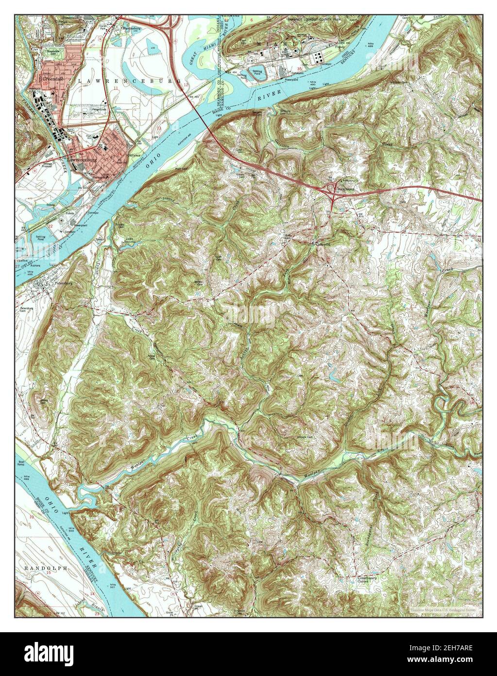 Lawrenceburg, Indiana, map 1981, 1:24000, United States of America by Timeless Maps, data U.S. Geological Survey Stock Photohttps://www.alamy.com/image-license-details/?v=1https://www.alamy.com/lawrenceburg-indiana-map-1981-124000-united-states-of-america-by-timeless-maps-data-us-geological-survey-image406449778.html
RM2EH7ARE–Lawrenceburg, Indiana, map 1981, 1:24000, United States of America by Timeless Maps, data U.S. Geological Survey
 USGS TOPO Map Indiana IN Lawrenceburg 157039 1932 62500 Restoration Stock Photohttps://www.alamy.com/image-license-details/?v=1https://www.alamy.com/usgs-topo-map-indiana-in-lawrenceburg-157039-1932-62500-restoration-image259619473.html
RMW2AK81–USGS TOPO Map Indiana IN Lawrenceburg 157039 1932 62500 Restoration
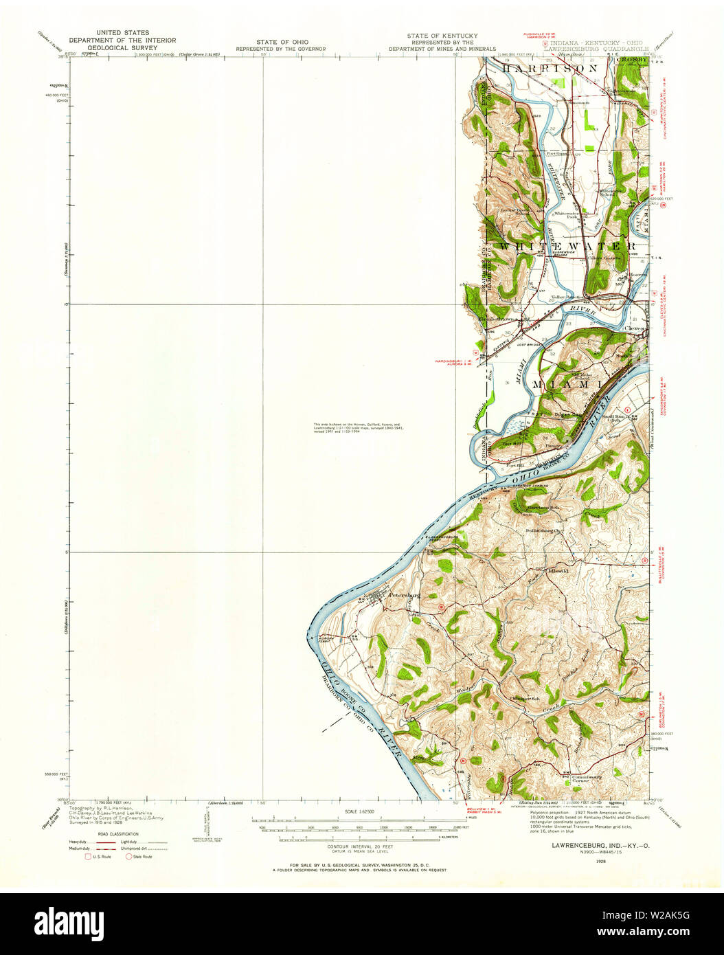 USGS TOPO Map Indiana IN Lawrenceburg 157036 1928 62500 Restoration Stock Photohttps://www.alamy.com/image-license-details/?v=1https://www.alamy.com/usgs-topo-map-indiana-in-lawrenceburg-157036-1928-62500-restoration-image259619404.html
RMW2AK5G–USGS TOPO Map Indiana IN Lawrenceburg 157036 1928 62500 Restoration
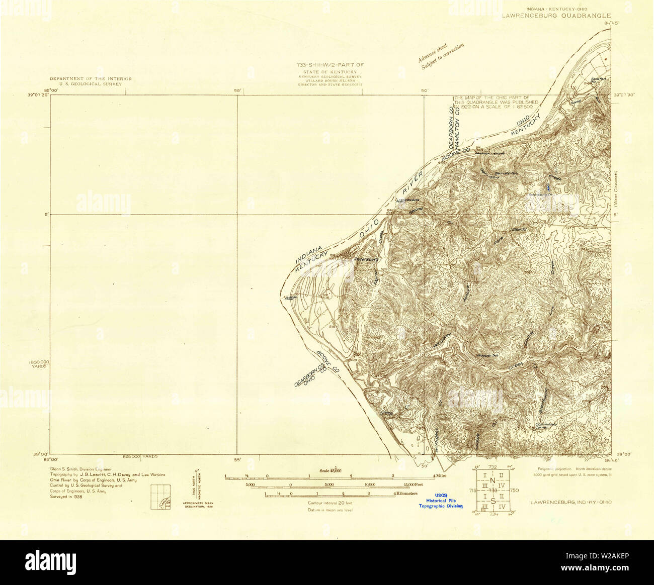 USGS TOPO Map Indiana IN Lawrenceburg 160505 1928 48000 Restoration Stock Photohttps://www.alamy.com/image-license-details/?v=1https://www.alamy.com/usgs-topo-map-indiana-in-lawrenceburg-160505-1928-48000-restoration-image259619662.html
RMW2AKEP–USGS TOPO Map Indiana IN Lawrenceburg 160505 1928 48000 Restoration
 USGS TOPO Map Indiana IN Lawrenceburg 157039 1932 62500 Inverted Restoration Stock Photohttps://www.alamy.com/image-license-details/?v=1https://www.alamy.com/usgs-topo-map-indiana-in-lawrenceburg-157039-1932-62500-inverted-restoration-image259619471.html
RMW2AK7Y–USGS TOPO Map Indiana IN Lawrenceburg 157039 1932 62500 Inverted Restoration
 USGS TOPO Map Indiana IN Lawrenceburg 156031 1981 24000 Inverted Restoration Stock Photohttps://www.alamy.com/image-license-details/?v=1https://www.alamy.com/usgs-topo-map-indiana-in-lawrenceburg-156031-1981-24000-inverted-restoration-image259619216.html
RMW2AJXT–USGS TOPO Map Indiana IN Lawrenceburg 156031 1981 24000 Inverted Restoration
 USGS TOPO Map Indiana IN Lawrenceburg 157040 1981 24000 Inverted Restoration Stock Photohttps://www.alamy.com/image-license-details/?v=1https://www.alamy.com/usgs-topo-map-indiana-in-lawrenceburg-157040-1981-24000-inverted-restoration-image259619507.html
RMW2AK97–USGS TOPO Map Indiana IN Lawrenceburg 157040 1981 24000 Inverted Restoration
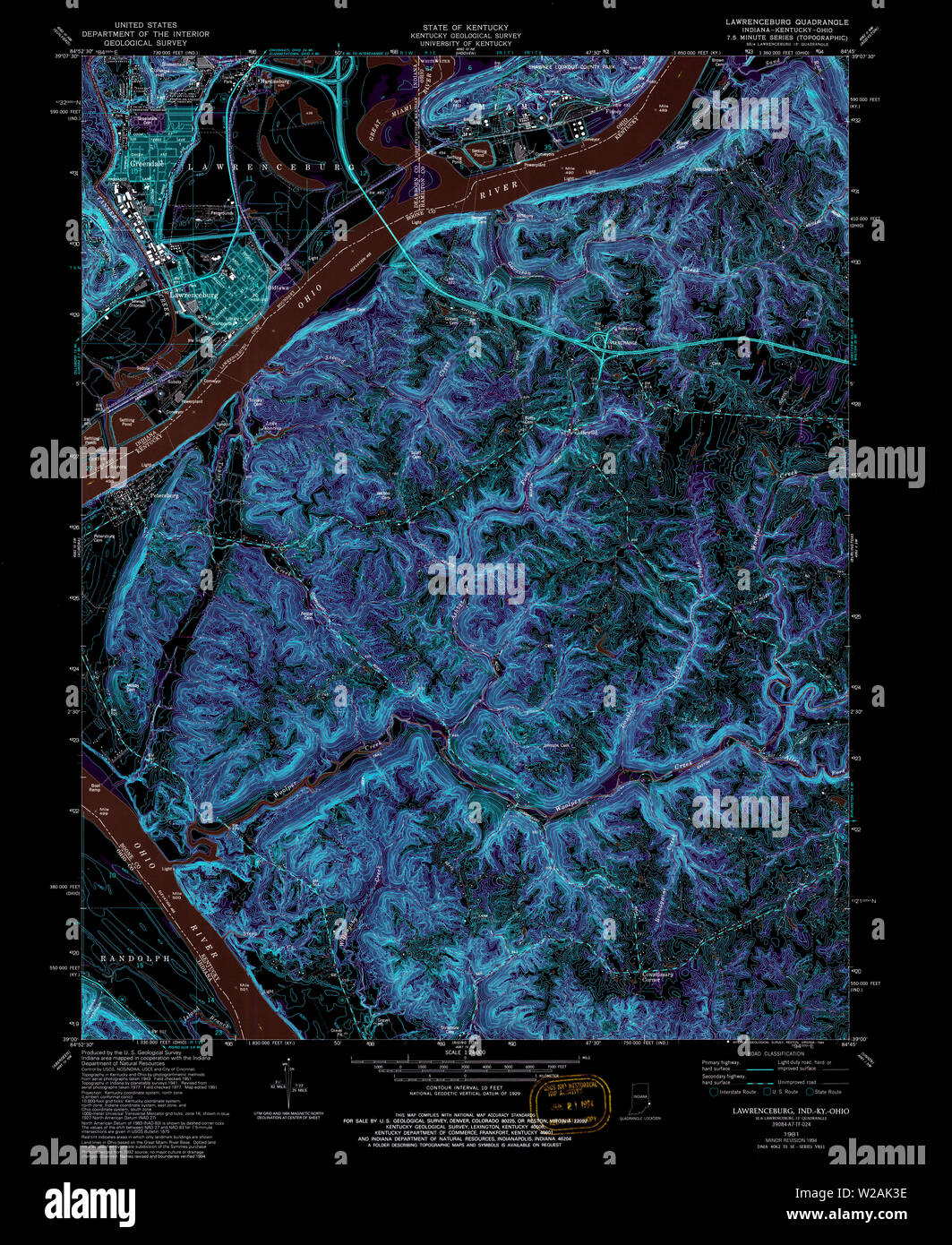 USGS TOPO Map Indiana IN Lawrenceburg 156032 1981 24000 Inverted Restoration Stock Photohttps://www.alamy.com/image-license-details/?v=1https://www.alamy.com/usgs-topo-map-indiana-in-lawrenceburg-156032-1981-24000-inverted-restoration-image259619346.html
RMW2AK3E–USGS TOPO Map Indiana IN Lawrenceburg 156032 1981 24000 Inverted Restoration
 USGS TOPO Map Indiana IN Lawrenceburg 157036 1928 62500 Inverted Restoration Stock Photohttps://www.alamy.com/image-license-details/?v=1https://www.alamy.com/usgs-topo-map-indiana-in-lawrenceburg-157036-1928-62500-inverted-restoration-image259619378.html
RMW2AK4J–USGS TOPO Map Indiana IN Lawrenceburg 157036 1928 62500 Inverted Restoration
 USGS TOPO Map Indiana IN Lawrenceburg 157038 1943 24000 Inverted Restoration Stock Photohttps://www.alamy.com/image-license-details/?v=1https://www.alamy.com/usgs-topo-map-indiana-in-lawrenceburg-157038-1943-24000-inverted-restoration-image259619383.html
RMW2AK4R–USGS TOPO Map Indiana IN Lawrenceburg 157038 1943 24000 Inverted Restoration
 USGS TOPO Map Indiana IN Lawrenceburg 160507 1932 62500 Inverted Restoration Stock Photohttps://www.alamy.com/image-license-details/?v=1https://www.alamy.com/usgs-topo-map-indiana-in-lawrenceburg-160507-1932-62500-inverted-restoration-image259619721.html
RMW2AKGW–USGS TOPO Map Indiana IN Lawrenceburg 160507 1932 62500 Inverted Restoration
 USGS TOPO Map Indiana IN Lawrenceburg 160505 1928 48000 Inverted Restoration Stock Photohttps://www.alamy.com/image-license-details/?v=1https://www.alamy.com/usgs-topo-map-indiana-in-lawrenceburg-160505-1928-48000-inverted-restoration-image259619649.html
RMW2AKE9–USGS TOPO Map Indiana IN Lawrenceburg 160505 1928 48000 Inverted Restoration