Quick filters:
Leflore map Stock Photos and Images
 Nichols, Leflore County, US, United States, Mississippi, N 33 19' 4'', S 90 24' 46'', map, Cartascapes Map published in 2024. Explore Cartascapes, a map revealing Earth's diverse landscapes, cultures, and ecosystems. Journey through time and space, discovering the interconnectedness of our planet's past, present, and future. Stock Photohttps://www.alamy.com/image-license-details/?v=1https://www.alamy.com/nichols-leflore-county-us-united-states-mississippi-n-33-19-4-s-90-24-46-map-cartascapes-map-published-in-2024-explore-cartascapes-a-map-revealing-earths-diverse-landscapes-cultures-and-ecosystems-journey-through-time-and-space-discovering-the-interconnectedness-of-our-planets-past-present-and-future-image621248990.html
RM2Y2M9BX–Nichols, Leflore County, US, United States, Mississippi, N 33 19' 4'', S 90 24' 46'', map, Cartascapes Map published in 2024. Explore Cartascapes, a map revealing Earth's diverse landscapes, cultures, and ecosystems. Journey through time and space, discovering the interconnectedness of our planet's past, present, and future.
 Greewood Leflore Stock Photohttps://www.alamy.com/image-license-details/?v=1https://www.alamy.com/stock-photo-greewood-leflore-139988611.html
RMJ3N0W7–Greewood Leflore
 Sanborn Fire Insurance Map from Greenwood, Leflore County, Mississippi. Stock Photohttps://www.alamy.com/image-license-details/?v=1https://www.alamy.com/sanborn-fire-insurance-map-from-greenwood-leflore-county-mississippi-image456417321.html
RM2HEFGXH–Sanborn Fire Insurance Map from Greenwood, Leflore County, Mississippi.
 Map of Leflore in Mississippi Stock Photohttps://www.alamy.com/image-license-details/?v=1https://www.alamy.com/map-of-leflore-in-mississippi-image361469775.html
RF2C02AAR–Map of Leflore in Mississippi
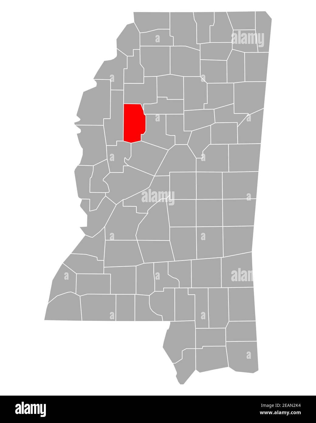 Map of Leflore in Mississippi Stock Photohttps://www.alamy.com/image-license-details/?v=1https://www.alamy.com/map-of-leflore-in-mississippi-image402448120.html
RF2EAN2K4–Map of Leflore in Mississippi
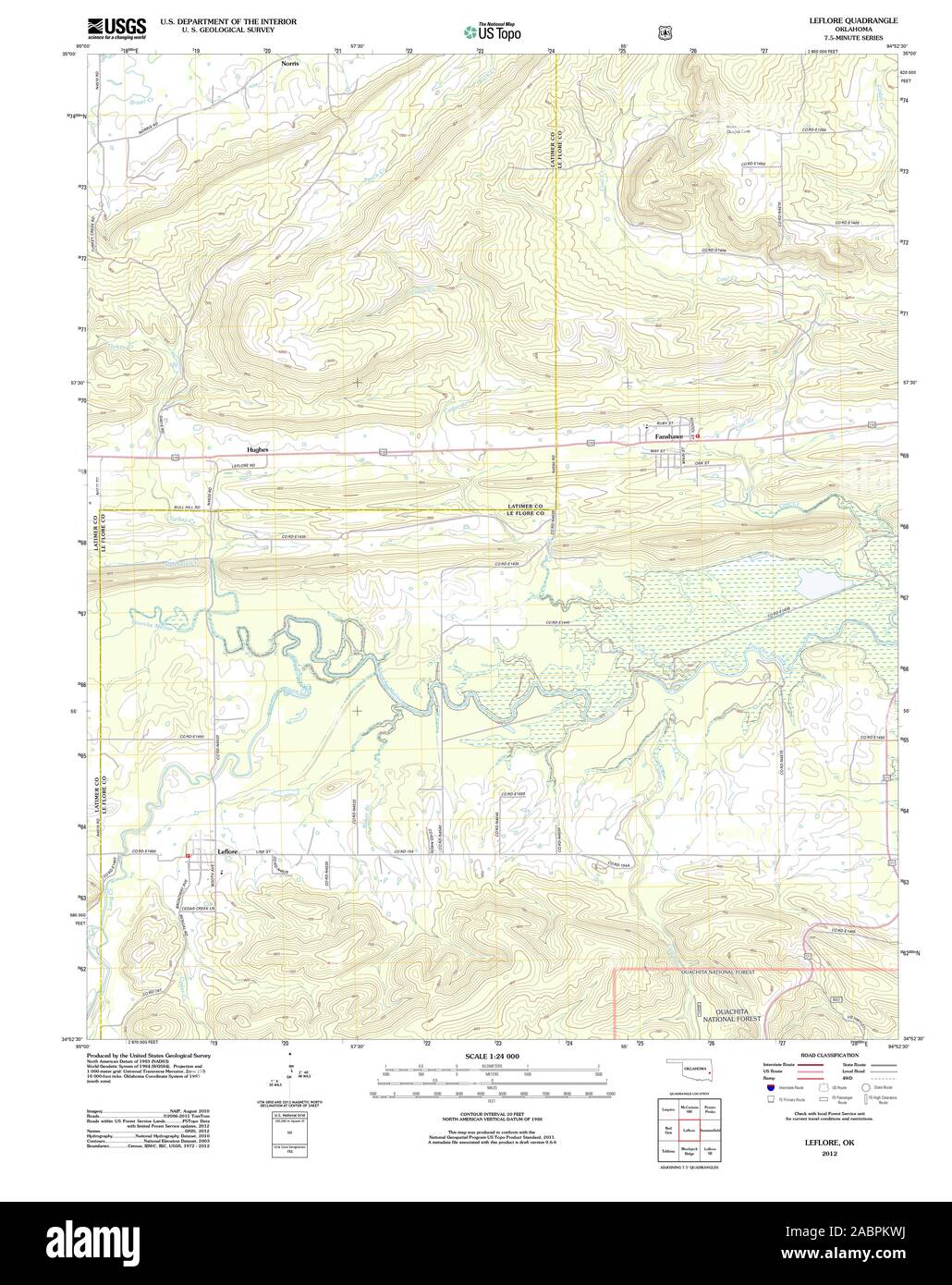 USGS TOPO Map Oklahoma OK Leflore 20121218 TM Restoration Stock Photohttps://www.alamy.com/image-license-details/?v=1https://www.alamy.com/usgs-topo-map-oklahoma-ok-leflore-20121218-tm-restoration-image334256766.html
RM2ABPKWJ–USGS TOPO Map Oklahoma OK Leflore 20121218 TM Restoration
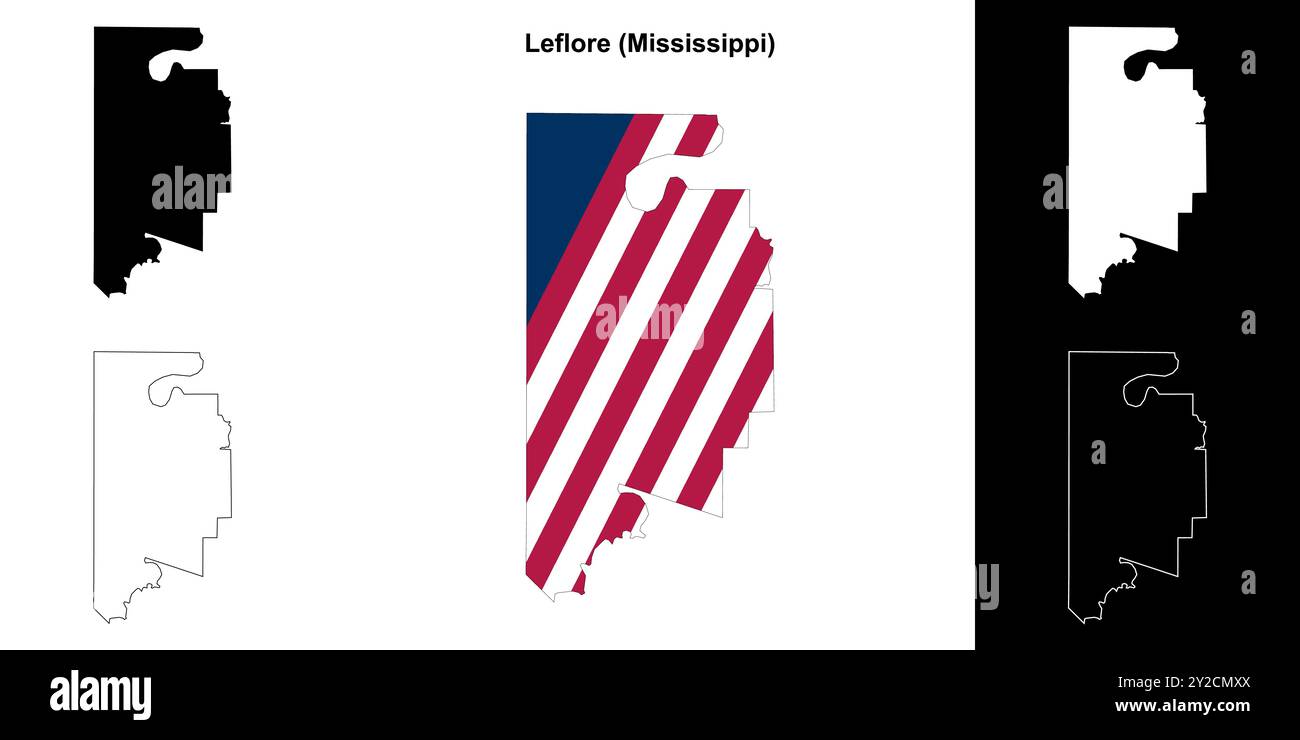 Leflore County (Mississippi) outline map set Stock Vectorhttps://www.alamy.com/image-license-details/?v=1https://www.alamy.com/leflore-county-mississippi-outline-map-set-image621082418.html
RF2Y2CMXX–Leflore County (Mississippi) outline map set
 Leflore County, Mississippi (U.S. county, United States of America, USA, U.S., US) map vector illustration, scribble sketch Leflore map Stock Vectorhttps://www.alamy.com/image-license-details/?v=1https://www.alamy.com/leflore-county-mississippi-us-county-united-states-of-america-usa-us-us-map-vector-illustration-scribble-sketch-leflore-map-image389926407.html
RF2DJAK33–Leflore County, Mississippi (U.S. county, United States of America, USA, U.S., US) map vector illustration, scribble sketch Leflore map
 Greenwood, Leflore County, US, United States, Mississippi, N 33 30' 58'', S 90 10' 46'', map, Cartascapes Map published in 2024. Explore Cartascapes, a map revealing Earth's diverse landscapes, cultures, and ecosystems. Journey through time and space, discovering the interconnectedness of our planet's past, present, and future. Stock Photohttps://www.alamy.com/image-license-details/?v=1https://www.alamy.com/greenwood-leflore-county-us-united-states-mississippi-n-33-30-58-s-90-10-46-map-cartascapes-map-published-in-2024-explore-cartascapes-a-map-revealing-earths-diverse-landscapes-cultures-and-ecosystems-journey-through-time-and-space-discovering-the-interconnectedness-of-our-planets-past-present-and-future-image621226069.html
RM2Y2K859–Greenwood, Leflore County, US, United States, Mississippi, N 33 30' 58'', S 90 10' 46'', map, Cartascapes Map published in 2024. Explore Cartascapes, a map revealing Earth's diverse landscapes, cultures, and ecosystems. Journey through time and space, discovering the interconnectedness of our planet's past, present, and future.
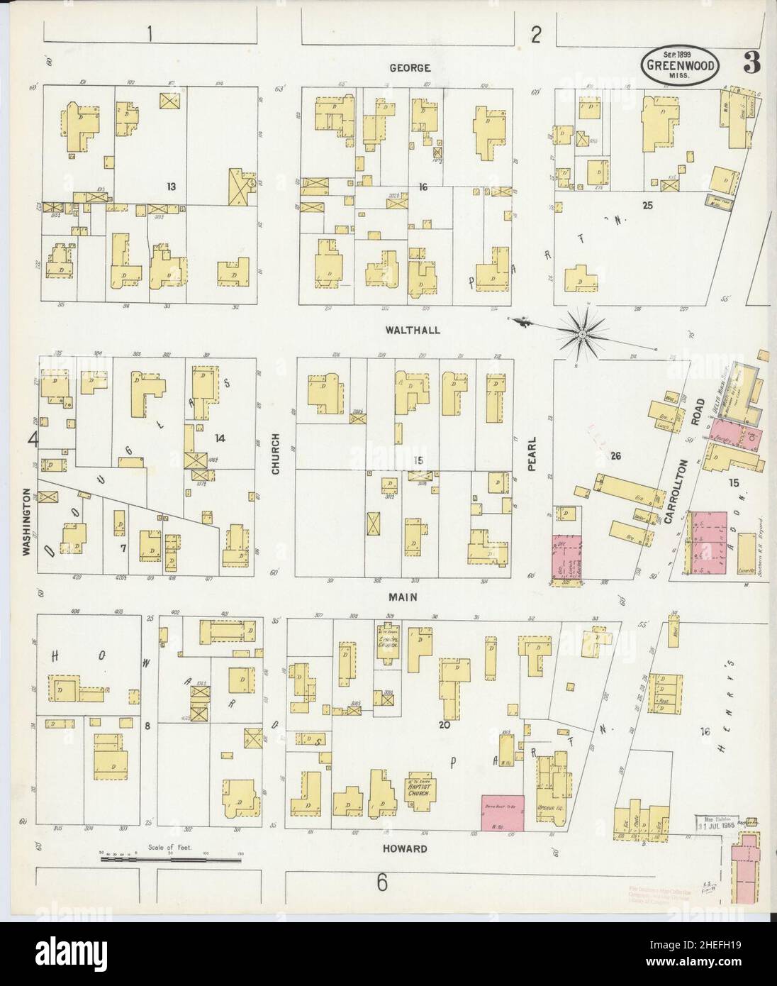 Sanborn Fire Insurance Map from Greenwood, Leflore County, Mississippi. Stock Photohttps://www.alamy.com/image-license-details/?v=1https://www.alamy.com/sanborn-fire-insurance-map-from-greenwood-leflore-county-mississippi-image456417397.html
RM2HEFH19–Sanborn Fire Insurance Map from Greenwood, Leflore County, Mississippi.
 Map of Leflore in Mississippi Stock Photohttps://www.alamy.com/image-license-details/?v=1https://www.alamy.com/map-of-leflore-in-mississippi-image360928023.html
RF2BY5KAF–Map of Leflore in Mississippi
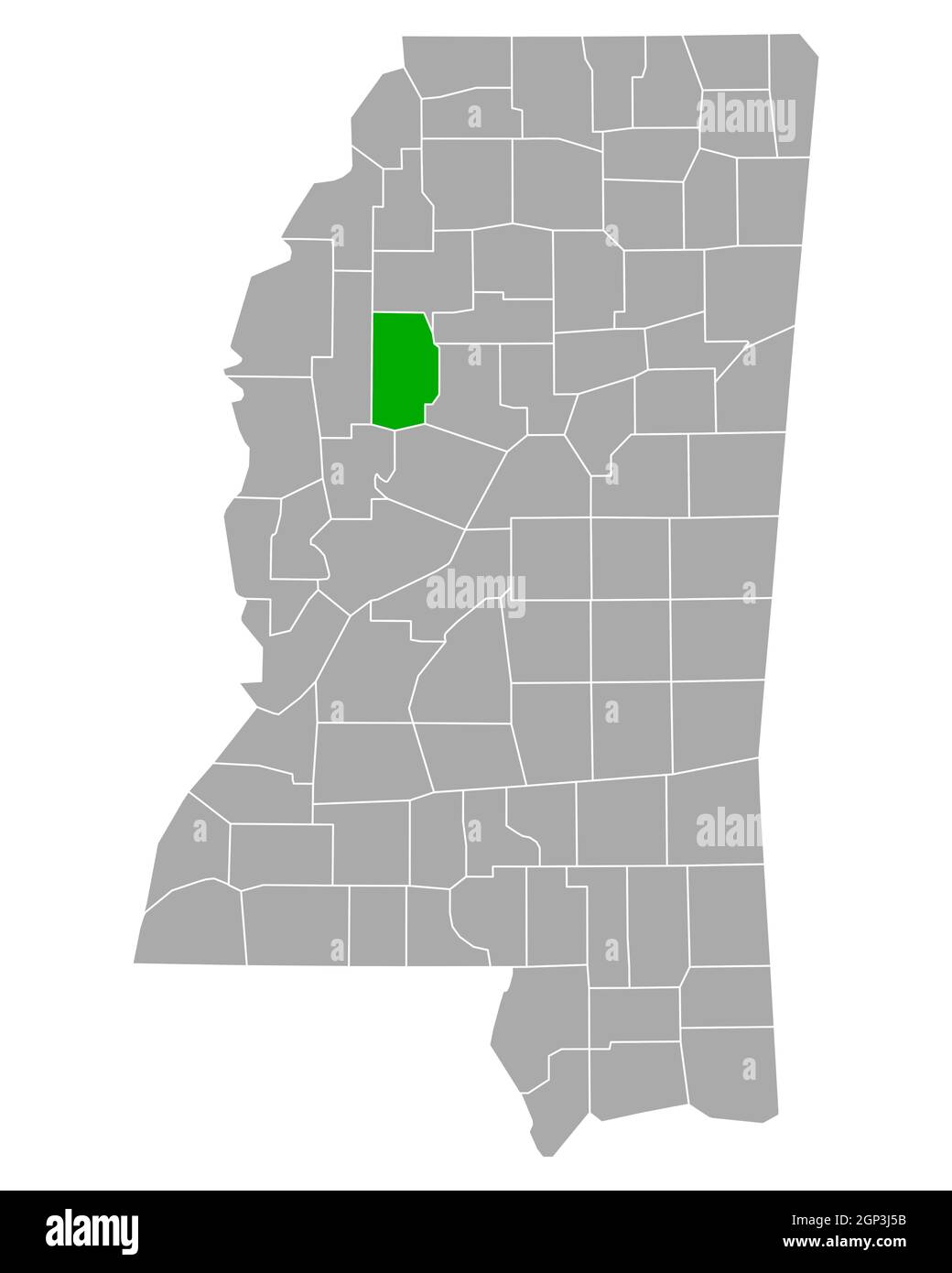 Map of Leflore in Mississippi Stock Photohttps://www.alamy.com/image-license-details/?v=1https://www.alamy.com/map-of-leflore-in-mississippi-image443861751.html
RF2GP3J5B–Map of Leflore in Mississippi
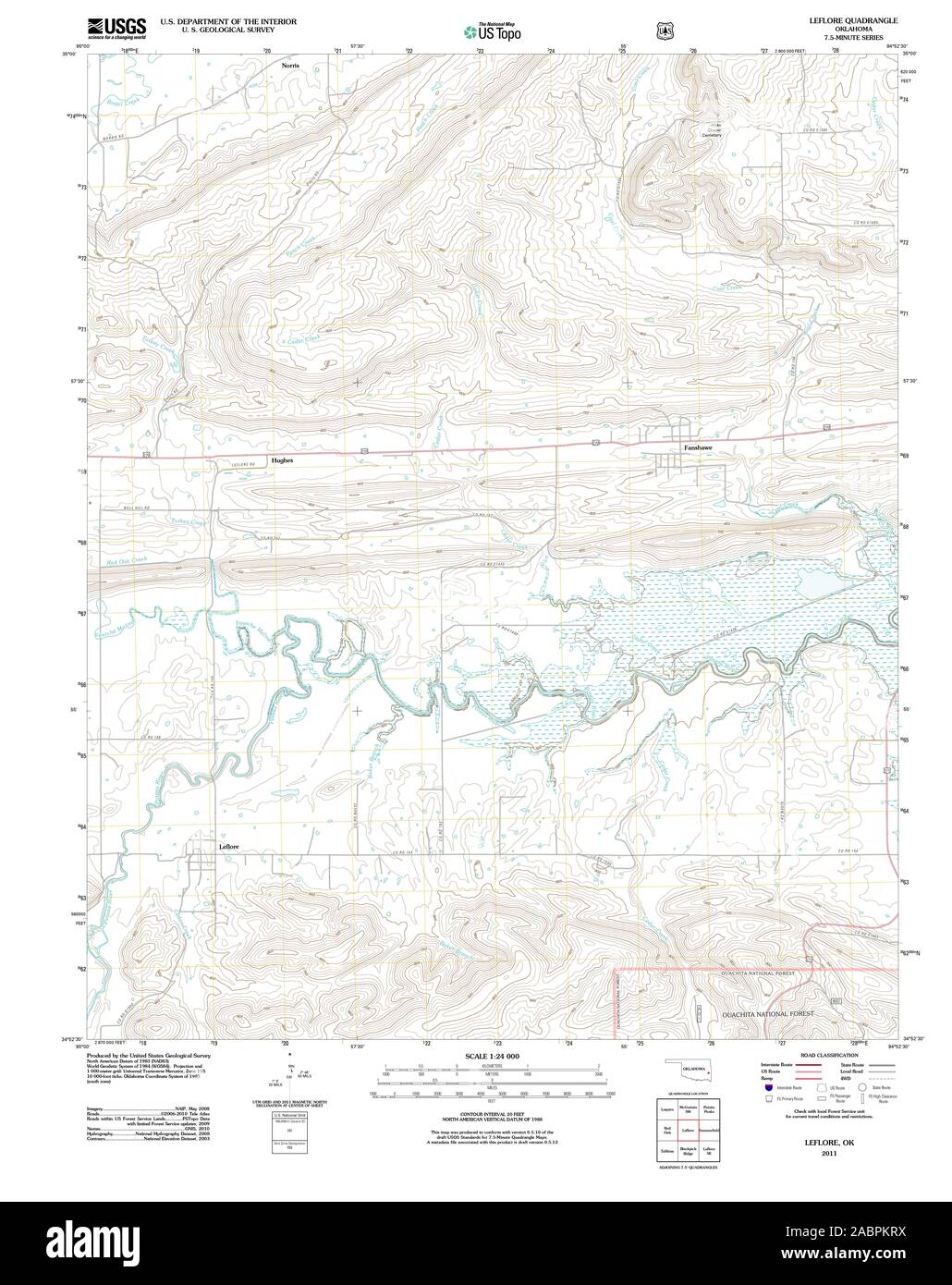 USGS TOPO Map Oklahoma OK Leflore 20110517 TM Restoration Stock Photohttps://www.alamy.com/image-license-details/?v=1https://www.alamy.com/usgs-topo-map-oklahoma-ok-leflore-20110517-tm-restoration-image334256718.html
RM2ABPKRX–USGS TOPO Map Oklahoma OK Leflore 20110517 TM Restoration
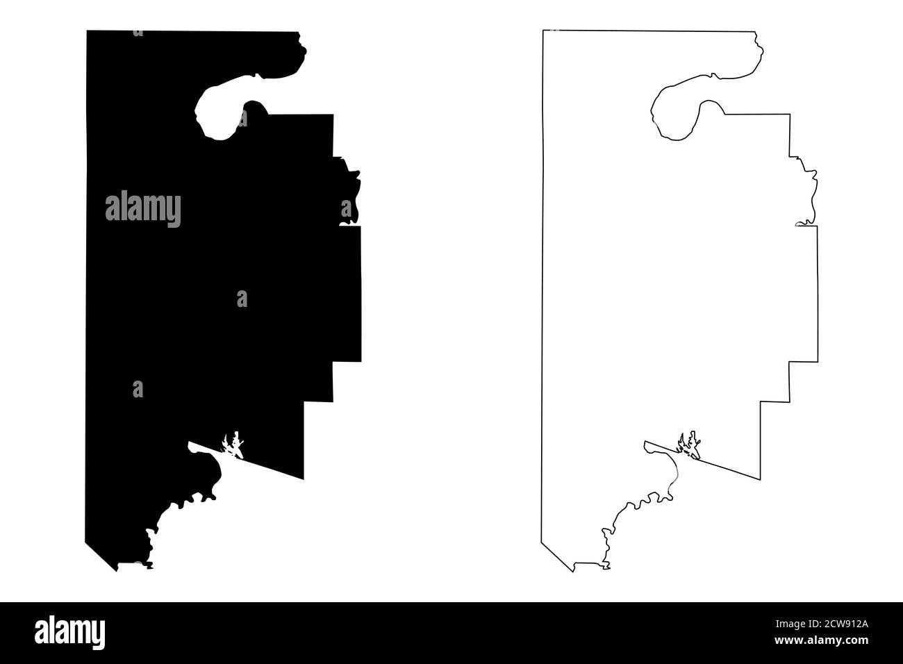 Leflore County, Mississippi (U.S. county, United States of America, USA, U.S., US) map vector illustration, scribble sketch Leflore map Stock Vectorhttps://www.alamy.com/image-license-details/?v=1https://www.alamy.com/leflore-county-mississippi-us-county-united-states-of-america-usa-us-us-map-vector-illustration-scribble-sketch-leflore-map-image376982546.html
RF2CW912A–Leflore County, Mississippi (U.S. county, United States of America, USA, U.S., US) map vector illustration, scribble sketch Leflore map
 Schlater, Leflore County, US, United States, Mississippi, N 33 38' 26'', S 90 20' 53'', map, Cartascapes Map published in 2024. Explore Cartascapes, a map revealing Earth's diverse landscapes, cultures, and ecosystems. Journey through time and space, discovering the interconnectedness of our planet's past, present, and future. Stock Photohttps://www.alamy.com/image-license-details/?v=1https://www.alamy.com/schlater-leflore-county-us-united-states-mississippi-n-33-38-26-s-90-20-53-map-cartascapes-map-published-in-2024-explore-cartascapes-a-map-revealing-earths-diverse-landscapes-cultures-and-ecosystems-journey-through-time-and-space-discovering-the-interconnectedness-of-our-planets-past-present-and-future-image621217196.html
RM2Y2JTTC–Schlater, Leflore County, US, United States, Mississippi, N 33 38' 26'', S 90 20' 53'', map, Cartascapes Map published in 2024. Explore Cartascapes, a map revealing Earth's diverse landscapes, cultures, and ecosystems. Journey through time and space, discovering the interconnectedness of our planet's past, present, and future.
 Sanborn Fire Insurance Map from Greenwood, Leflore County, Mississippi. Stock Photohttps://www.alamy.com/image-license-details/?v=1https://www.alamy.com/sanborn-fire-insurance-map-from-greenwood-leflore-county-mississippi-image456417286.html
RM2HEFGWA–Sanborn Fire Insurance Map from Greenwood, Leflore County, Mississippi.
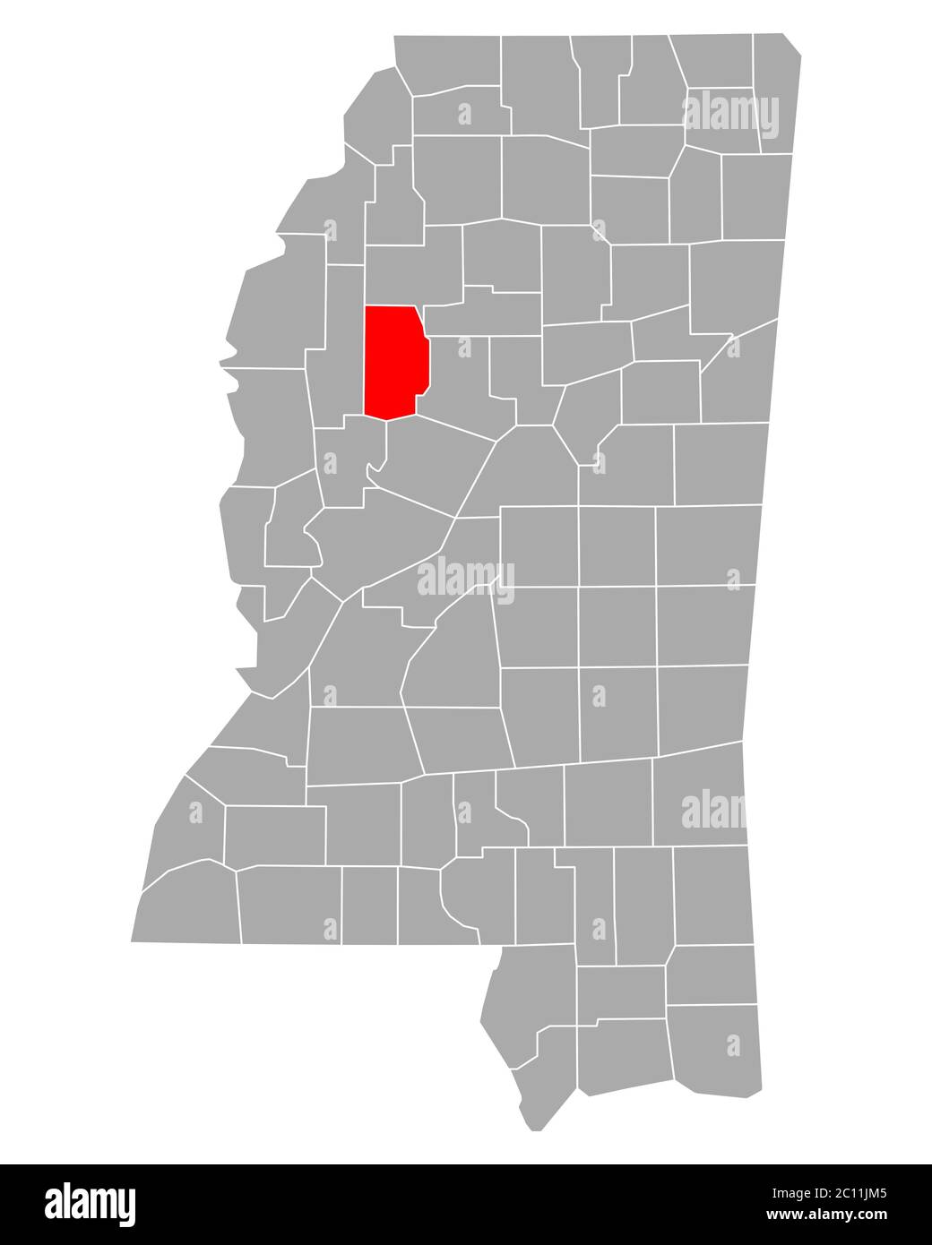 Map of Leflore in Mississippi Stock Photohttps://www.alamy.com/image-license-details/?v=1https://www.alamy.com/map-of-leflore-in-mississippi-image362069013.html
RF2C11JM5–Map of Leflore in Mississippi
 Map of Leflore in Mississippi Stock Photohttps://www.alamy.com/image-license-details/?v=1https://www.alamy.com/map-of-leflore-in-mississippi-image443932031.html
RF2GP6RRB–Map of Leflore in Mississippi
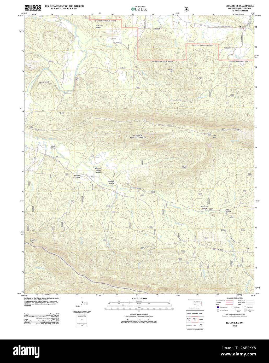 USGS TOPO Map Oklahoma OK Leflore SE 20121109 TM Restoration Stock Photohttps://www.alamy.com/image-license-details/?v=1https://www.alamy.com/usgs-topo-map-oklahoma-ok-leflore-se-20121109-tm-restoration-image334256812.html
RM2ABPKY8–USGS TOPO Map Oklahoma OK Leflore SE 20121109 TM Restoration
 Leflore County, Mississippi (U.S. county, United States of America, USA, U.S., US) map vector illustration, scribble sketch Leflore map Stock Vectorhttps://www.alamy.com/image-license-details/?v=1https://www.alamy.com/leflore-county-mississippi-us-county-united-states-of-america-usa-us-us-map-vector-illustration-scribble-sketch-leflore-map-image386356031.html
RF2DCG11K–Leflore County, Mississippi (U.S. county, United States of America, USA, U.S., US) map vector illustration, scribble sketch Leflore map
 Sidon, Leflore County, US, United States, Mississippi, N 33 24' 29'', S 90 12' 14'', map, Cartascapes Map published in 2024. Explore Cartascapes, a map revealing Earth's diverse landscapes, cultures, and ecosystems. Journey through time and space, discovering the interconnectedness of our planet's past, present, and future. Stock Photohttps://www.alamy.com/image-license-details/?v=1https://www.alamy.com/sidon-leflore-county-us-united-states-mississippi-n-33-24-29-s-90-12-14-map-cartascapes-map-published-in-2024-explore-cartascapes-a-map-revealing-earths-diverse-landscapes-cultures-and-ecosystems-journey-through-time-and-space-discovering-the-interconnectedness-of-our-planets-past-present-and-future-image621361460.html
RM2Y2WCTM–Sidon, Leflore County, US, United States, Mississippi, N 33 24' 29'', S 90 12' 14'', map, Cartascapes Map published in 2024. Explore Cartascapes, a map revealing Earth's diverse landscapes, cultures, and ecosystems. Journey through time and space, discovering the interconnectedness of our planet's past, present, and future.
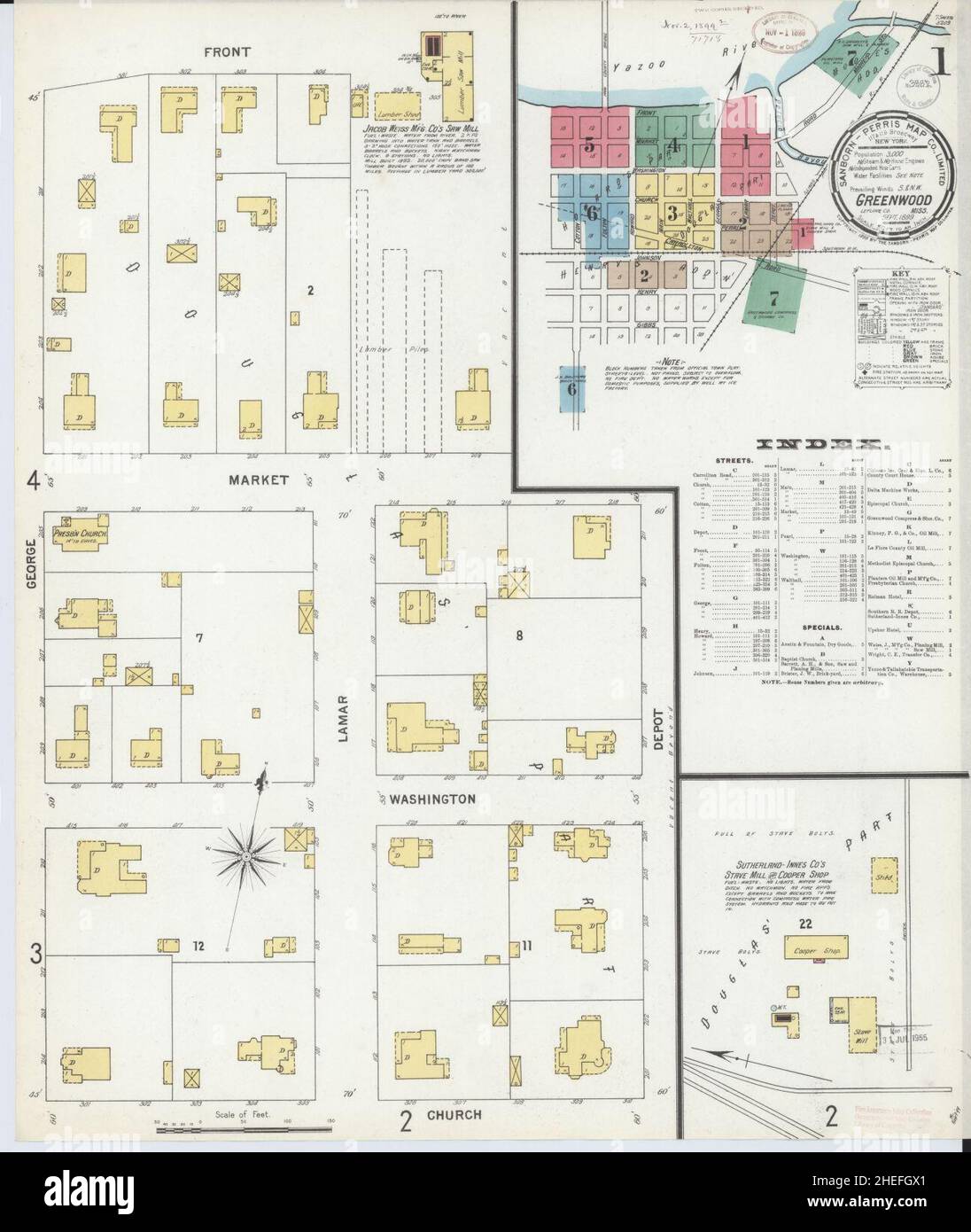 Sanborn Fire Insurance Map from Greenwood, Leflore County, Mississippi. Stock Photohttps://www.alamy.com/image-license-details/?v=1https://www.alamy.com/sanborn-fire-insurance-map-from-greenwood-leflore-county-mississippi-image456417305.html
RM2HEFGX1–Sanborn Fire Insurance Map from Greenwood, Leflore County, Mississippi.
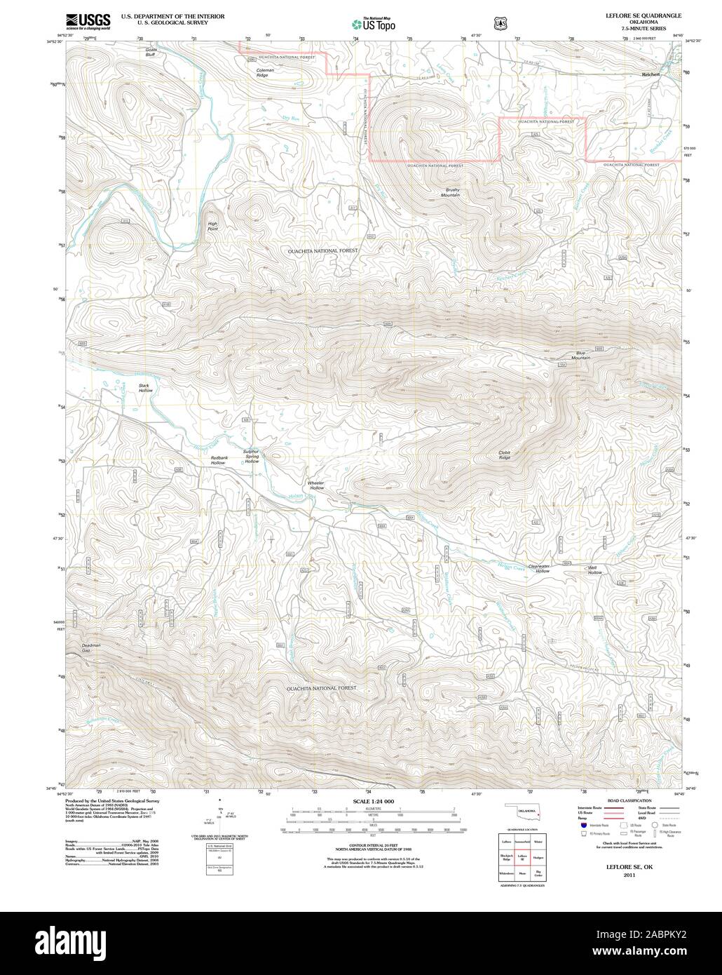 USGS TOPO Map Oklahoma OK Leflore SE 20110512 TM Restoration Stock Photohttps://www.alamy.com/image-license-details/?v=1https://www.alamy.com/usgs-topo-map-oklahoma-ok-leflore-se-20110512-tm-restoration-image334256806.html
RM2ABPKY2–USGS TOPO Map Oklahoma OK Leflore SE 20110512 TM Restoration
 Quito, Leflore County, US, United States, Mississippi, N 33 26' 19'', S 90 18' 4'', map, Cartascapes Map published in 2024. Explore Cartascapes, a map revealing Earth's diverse landscapes, cultures, and ecosystems. Journey through time and space, discovering the interconnectedness of our planet's past, present, and future. Stock Photohttps://www.alamy.com/image-license-details/?v=1https://www.alamy.com/quito-leflore-county-us-united-states-mississippi-n-33-26-19-s-90-18-4-map-cartascapes-map-published-in-2024-explore-cartascapes-a-map-revealing-earths-diverse-landscapes-cultures-and-ecosystems-journey-through-time-and-space-discovering-the-interconnectedness-of-our-planets-past-present-and-future-image621430618.html
RM2Y30H2J–Quito, Leflore County, US, United States, Mississippi, N 33 26' 19'', S 90 18' 4'', map, Cartascapes Map published in 2024. Explore Cartascapes, a map revealing Earth's diverse landscapes, cultures, and ecosystems. Journey through time and space, discovering the interconnectedness of our planet's past, present, and future.
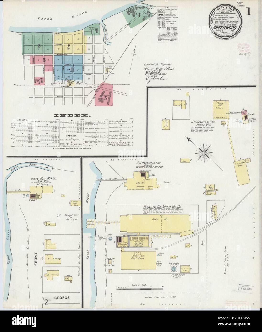 Sanborn Fire Insurance Map from Greenwood, Leflore County, Mississippi. Stock Photohttps://www.alamy.com/image-license-details/?v=1https://www.alamy.com/sanborn-fire-insurance-map-from-greenwood-leflore-county-mississippi-image456417281.html
RM2HEFGW5–Sanborn Fire Insurance Map from Greenwood, Leflore County, Mississippi.
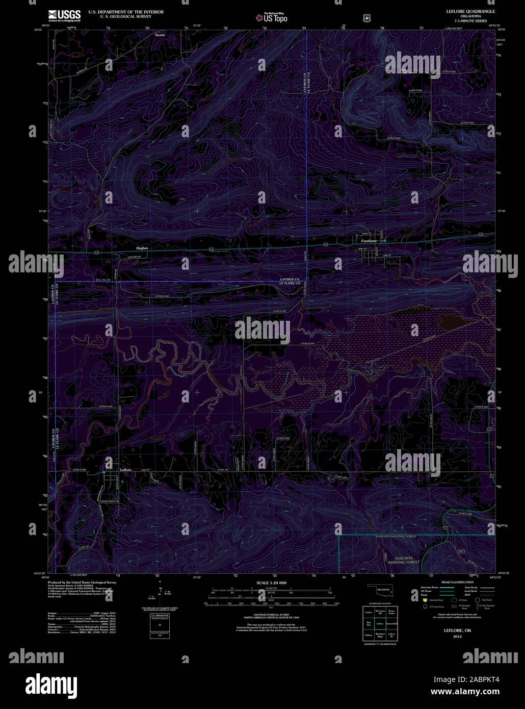 USGS TOPO Map Oklahoma OK Leflore 20121218 TM Inverted Restoration Stock Photohttps://www.alamy.com/image-license-details/?v=1https://www.alamy.com/usgs-topo-map-oklahoma-ok-leflore-20121218-tm-inverted-restoration-image334256724.html
RM2ABPKT4–USGS TOPO Map Oklahoma OK Leflore 20121218 TM Inverted Restoration
 Swiftown, Leflore County, US, United States, Mississippi, N 33 18' 20'', S 90 25' 30'', map, Cartascapes Map published in 2024. Explore Cartascapes, a map revealing Earth's diverse landscapes, cultures, and ecosystems. Journey through time and space, discovering the interconnectedness of our planet's past, present, and future. Stock Photohttps://www.alamy.com/image-license-details/?v=1https://www.alamy.com/swiftown-leflore-county-us-united-states-mississippi-n-33-18-20-s-90-25-30-map-cartascapes-map-published-in-2024-explore-cartascapes-a-map-revealing-earths-diverse-landscapes-cultures-and-ecosystems-journey-through-time-and-space-discovering-the-interconnectedness-of-our-planets-past-present-and-future-image621200151.html
RM2Y2J33K–Swiftown, Leflore County, US, United States, Mississippi, N 33 18' 20'', S 90 25' 30'', map, Cartascapes Map published in 2024. Explore Cartascapes, a map revealing Earth's diverse landscapes, cultures, and ecosystems. Journey through time and space, discovering the interconnectedness of our planet's past, present, and future.
 Sanborn Fire Insurance Map from Greenwood, Leflore County, Mississippi. Stock Photohttps://www.alamy.com/image-license-details/?v=1https://www.alamy.com/sanborn-fire-insurance-map-from-greenwood-leflore-county-mississippi-image456417289.html
RM2HEFGWD–Sanborn Fire Insurance Map from Greenwood, Leflore County, Mississippi.
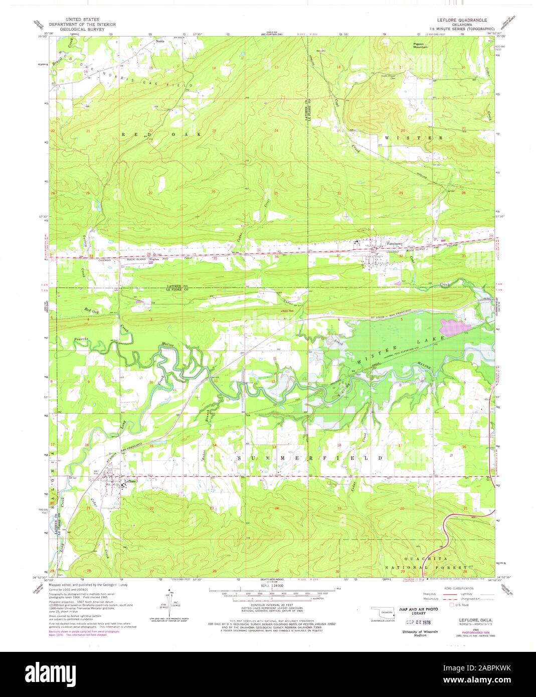 USGS TOPO Map Oklahoma OK Leflore 706234 1965 24000 Restoration Stock Photohttps://www.alamy.com/image-license-details/?v=1https://www.alamy.com/usgs-topo-map-oklahoma-ok-leflore-706234-1965-24000-restoration-image334256767.html
RM2ABPKWK–USGS TOPO Map Oklahoma OK Leflore 706234 1965 24000 Restoration
 Browning, Leflore County, US, United States, Mississippi, N 33 31' 5'', S 90 7' 11'', map, Cartascapes Map published in 2024. Explore Cartascapes, a map revealing Earth's diverse landscapes, cultures, and ecosystems. Journey through time and space, discovering the interconnectedness of our planet's past, present, and future. Stock Photohttps://www.alamy.com/image-license-details/?v=1https://www.alamy.com/browning-leflore-county-us-united-states-mississippi-n-33-31-5-s-90-7-11-map-cartascapes-map-published-in-2024-explore-cartascapes-a-map-revealing-earths-diverse-landscapes-cultures-and-ecosystems-journey-through-time-and-space-discovering-the-interconnectedness-of-our-planets-past-present-and-future-image621449941.html
RM2Y31DMN–Browning, Leflore County, US, United States, Mississippi, N 33 31' 5'', S 90 7' 11'', map, Cartascapes Map published in 2024. Explore Cartascapes, a map revealing Earth's diverse landscapes, cultures, and ecosystems. Journey through time and space, discovering the interconnectedness of our planet's past, present, and future.
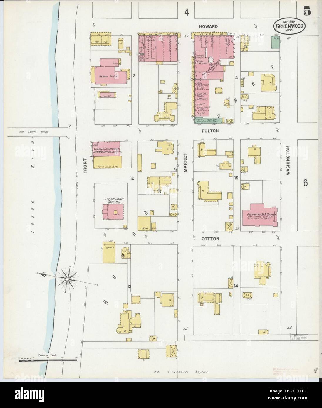 Sanborn Fire Insurance Map from Greenwood, Leflore County, Mississippi. Stock Photohttps://www.alamy.com/image-license-details/?v=1https://www.alamy.com/sanborn-fire-insurance-map-from-greenwood-leflore-county-mississippi-image456417403.html
RM2HEFH1F–Sanborn Fire Insurance Map from Greenwood, Leflore County, Mississippi.
 USGS TOPO Map Oklahoma OK Leflore 706235 1965 24000 Restoration Stock Photohttps://www.alamy.com/image-license-details/?v=1https://www.alamy.com/usgs-topo-map-oklahoma-ok-leflore-706235-1965-24000-restoration-image334256764.html
RM2ABPKWG–USGS TOPO Map Oklahoma OK Leflore 706235 1965 24000 Restoration
 Money, Leflore County, US, United States, Mississippi, N 33 39' 4'', S 90 12' 33'', map, Cartascapes Map published in 2024. Explore Cartascapes, a map revealing Earth's diverse landscapes, cultures, and ecosystems. Journey through time and space, discovering the interconnectedness of our planet's past, present, and future. Stock Photohttps://www.alamy.com/image-license-details/?v=1https://www.alamy.com/money-leflore-county-us-united-states-mississippi-n-33-39-4-s-90-12-33-map-cartascapes-map-published-in-2024-explore-cartascapes-a-map-revealing-earths-diverse-landscapes-cultures-and-ecosystems-journey-through-time-and-space-discovering-the-interconnectedness-of-our-planets-past-present-and-future-image621436110.html
RM2Y30T2P–Money, Leflore County, US, United States, Mississippi, N 33 39' 4'', S 90 12' 33'', map, Cartascapes Map published in 2024. Explore Cartascapes, a map revealing Earth's diverse landscapes, cultures, and ecosystems. Journey through time and space, discovering the interconnectedness of our planet's past, present, and future.
 Sanborn Fire Insurance Map from Greenwood, Leflore County, Mississippi. Stock Photohttps://www.alamy.com/image-license-details/?v=1https://www.alamy.com/sanborn-fire-insurance-map-from-greenwood-leflore-county-mississippi-image456417394.html
RM2HEFH16–Sanborn Fire Insurance Map from Greenwood, Leflore County, Mississippi.
 USGS TOPO Map Oklahoma OK Leflore 20110517 TM Inverted Restoration Stock Photohttps://www.alamy.com/image-license-details/?v=1https://www.alamy.com/usgs-topo-map-oklahoma-ok-leflore-20110517-tm-inverted-restoration-image334256729.html
RM2ABPKT9–USGS TOPO Map Oklahoma OK Leflore 20110517 TM Inverted Restoration
 Ruby, Leflore County, US, United States, Mississippi, N 33 41' 41'', S 90 13' 40'', map, Cartascapes Map published in 2024. Explore Cartascapes, a map revealing Earth's diverse landscapes, cultures, and ecosystems. Journey through time and space, discovering the interconnectedness of our planet's past, present, and future. Stock Photohttps://www.alamy.com/image-license-details/?v=1https://www.alamy.com/ruby-leflore-county-us-united-states-mississippi-n-33-41-41-s-90-13-40-map-cartascapes-map-published-in-2024-explore-cartascapes-a-map-revealing-earths-diverse-landscapes-cultures-and-ecosystems-journey-through-time-and-space-discovering-the-interconnectedness-of-our-planets-past-present-and-future-image621365955.html
RM2Y2WJH7–Ruby, Leflore County, US, United States, Mississippi, N 33 41' 41'', S 90 13' 40'', map, Cartascapes Map published in 2024. Explore Cartascapes, a map revealing Earth's diverse landscapes, cultures, and ecosystems. Journey through time and space, discovering the interconnectedness of our planet's past, present, and future.
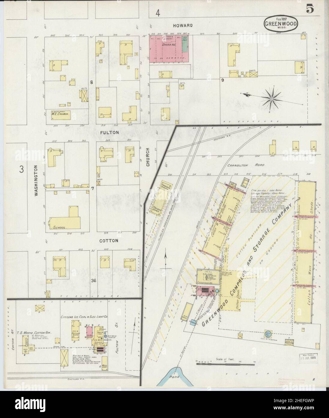 Sanborn Fire Insurance Map from Greenwood, Leflore County, Mississippi. Stock Photohttps://www.alamy.com/image-license-details/?v=1https://www.alamy.com/sanborn-fire-insurance-map-from-greenwood-leflore-county-mississippi-image456417298.html
RM2HEFGWP–Sanborn Fire Insurance Map from Greenwood, Leflore County, Mississippi.
 USGS TOPO Map Oklahoma OK Leflore 706235 1965 24000 Inverted Restoration Stock Photohttps://www.alamy.com/image-license-details/?v=1https://www.alamy.com/usgs-topo-map-oklahoma-ok-leflore-706235-1965-24000-inverted-restoration-image334256761.html
RM2ABPKWD–USGS TOPO Map Oklahoma OK Leflore 706235 1965 24000 Inverted Restoration
 Greenwood, Leflore County, US, United States, Mississippi, N 33 30' 58'', S 90 10' 46'', map, Cartascapes Map published in 2024. Explore Cartascapes, a map revealing Earth's diverse landscapes, cultures, and ecosystems. Journey through time and space, discovering the interconnectedness of our planet's past, present, and future. Stock Photohttps://www.alamy.com/image-license-details/?v=1https://www.alamy.com/greenwood-leflore-county-us-united-states-mississippi-n-33-30-58-s-90-10-46-map-cartascapes-map-published-in-2024-explore-cartascapes-a-map-revealing-earths-diverse-landscapes-cultures-and-ecosystems-journey-through-time-and-space-discovering-the-interconnectedness-of-our-planets-past-present-and-future-image621410001.html
RM2Y2YJP9–Greenwood, Leflore County, US, United States, Mississippi, N 33 30' 58'', S 90 10' 46'', map, Cartascapes Map published in 2024. Explore Cartascapes, a map revealing Earth's diverse landscapes, cultures, and ecosystems. Journey through time and space, discovering the interconnectedness of our planet's past, present, and future.
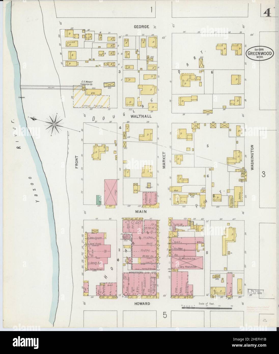 Sanborn Fire Insurance Map from Greenwood, Leflore County, Mississippi. Stock Photohttps://www.alamy.com/image-license-details/?v=1https://www.alamy.com/sanborn-fire-insurance-map-from-greenwood-leflore-county-mississippi-image456417399.html
RM2HEFH1B–Sanborn Fire Insurance Map from Greenwood, Leflore County, Mississippi.
 USGS TOPO Map Oklahoma OK Leflore SE 20110512 TM Inverted Restoration Stock Photohttps://www.alamy.com/image-license-details/?v=1https://www.alamy.com/usgs-topo-map-oklahoma-ok-leflore-se-20110512-tm-inverted-restoration-image334256803.html
RM2ABPKXY–USGS TOPO Map Oklahoma OK Leflore SE 20110512 TM Inverted Restoration
 Highlandale, Leflore County, US, United States, Mississippi, N 33 40' 50'', S 90 20' 38'', map, Cartascapes Map published in 2024. Explore Cartascapes, a map revealing Earth's diverse landscapes, cultures, and ecosystems. Journey through time and space, discovering the interconnectedness of our planet's past, present, and future. Stock Photohttps://www.alamy.com/image-license-details/?v=1https://www.alamy.com/highlandale-leflore-county-us-united-states-mississippi-n-33-40-50-s-90-20-38-map-cartascapes-map-published-in-2024-explore-cartascapes-a-map-revealing-earths-diverse-landscapes-cultures-and-ecosystems-journey-through-time-and-space-discovering-the-interconnectedness-of-our-planets-past-present-and-future-image621193815.html
RM2Y2HR1B–Highlandale, Leflore County, US, United States, Mississippi, N 33 40' 50'', S 90 20' 38'', map, Cartascapes Map published in 2024. Explore Cartascapes, a map revealing Earth's diverse landscapes, cultures, and ecosystems. Journey through time and space, discovering the interconnectedness of our planet's past, present, and future.
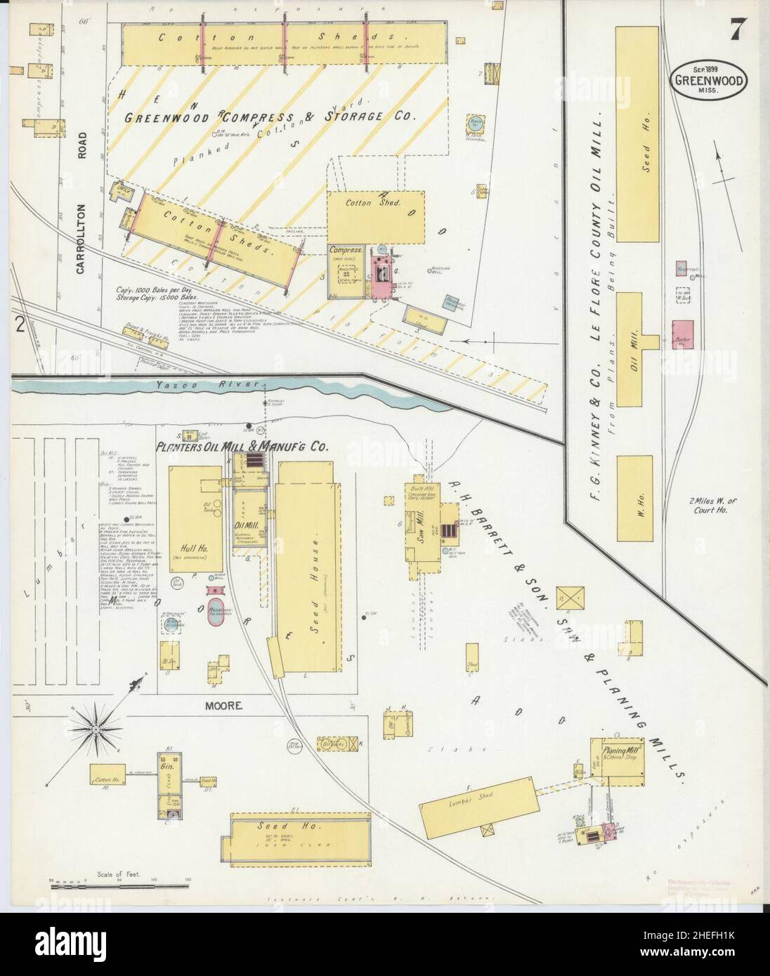 Sanborn Fire Insurance Map from Greenwood, Leflore County, Mississippi. Stock Photohttps://www.alamy.com/image-license-details/?v=1https://www.alamy.com/sanborn-fire-insurance-map-from-greenwood-leflore-county-mississippi-image456417407.html
RM2HEFH1K–Sanborn Fire Insurance Map from Greenwood, Leflore County, Mississippi.
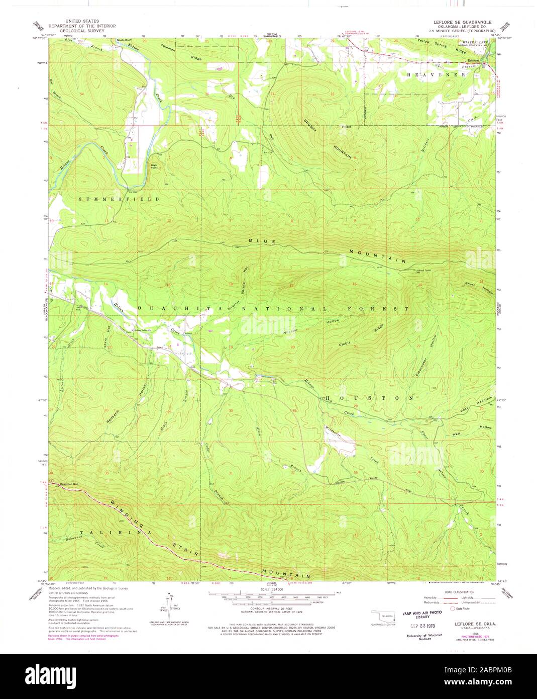 USGS TOPO Map Oklahoma OK Leflore SE 706237 1966 24000 Restoration Stock Photohttps://www.alamy.com/image-license-details/?v=1https://www.alamy.com/usgs-topo-map-oklahoma-ok-leflore-se-706237-1966-24000-restoration-image334256843.html
RM2ABPM0B–USGS TOPO Map Oklahoma OK Leflore SE 706237 1966 24000 Restoration
 Shellmound, Leflore County, US, United States, Mississippi, N 33 36' 23'', S 90 16' 47'', map, Cartascapes Map published in 2024. Explore Cartascapes, a map revealing Earth's diverse landscapes, cultures, and ecosystems. Journey through time and space, discovering the interconnectedness of our planet's past, present, and future. Stock Photohttps://www.alamy.com/image-license-details/?v=1https://www.alamy.com/shellmound-leflore-county-us-united-states-mississippi-n-33-36-23-s-90-16-47-map-cartascapes-map-published-in-2024-explore-cartascapes-a-map-revealing-earths-diverse-landscapes-cultures-and-ecosystems-journey-through-time-and-space-discovering-the-interconnectedness-of-our-planets-past-present-and-future-image621233763.html
RM2Y2KJ03–Shellmound, Leflore County, US, United States, Mississippi, N 33 36' 23'', S 90 16' 47'', map, Cartascapes Map published in 2024. Explore Cartascapes, a map revealing Earth's diverse landscapes, cultures, and ecosystems. Journey through time and space, discovering the interconnectedness of our planet's past, present, and future.
 Sanborn Fire Insurance Map from Greenwood, Leflore County, Mississippi. Stock Photohttps://www.alamy.com/image-license-details/?v=1https://www.alamy.com/sanborn-fire-insurance-map-from-greenwood-leflore-county-mississippi-image456417406.html
RM2HEFH1J–Sanborn Fire Insurance Map from Greenwood, Leflore County, Mississippi.
 USGS TOPO Map Oklahoma OK Leflore SE 706236 1966 24000 Restoration Stock Photohttps://www.alamy.com/image-license-details/?v=1https://www.alamy.com/usgs-topo-map-oklahoma-ok-leflore-se-706236-1966-24000-restoration-image334256862.html
RM2ABPM12–USGS TOPO Map Oklahoma OK Leflore SE 706236 1966 24000 Restoration
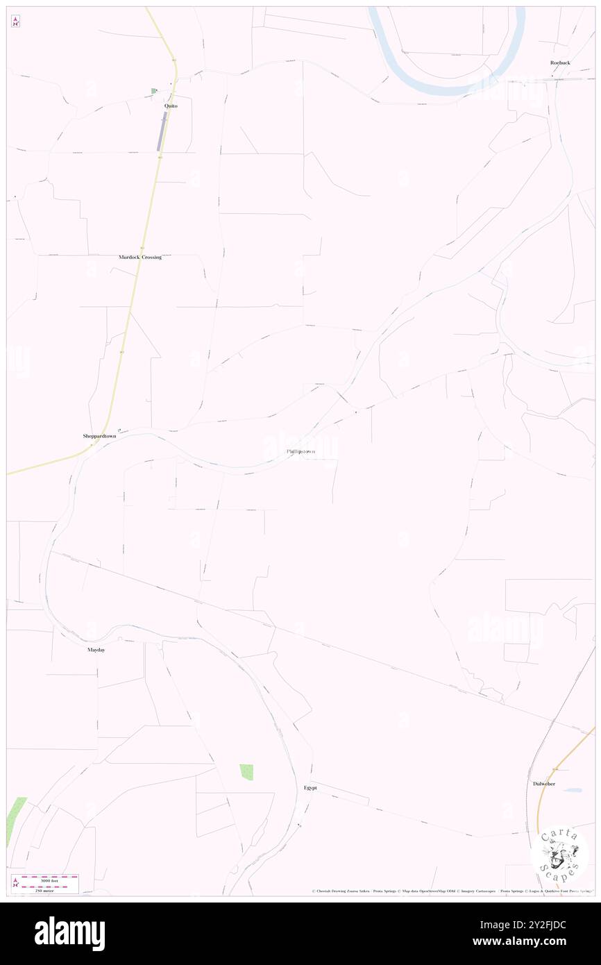 Phillipstown, Leflore County, US, United States, Mississippi, N 33 23' 21'', S 90 16' 44'', map, Cartascapes Map published in 2024. Explore Cartascapes, a map revealing Earth's diverse landscapes, cultures, and ecosystems. Journey through time and space, discovering the interconnectedness of our planet's past, present, and future. Stock Photohttps://www.alamy.com/image-license-details/?v=1https://www.alamy.com/phillipstown-leflore-county-us-united-states-mississippi-n-33-23-21-s-90-16-44-map-cartascapes-map-published-in-2024-explore-cartascapes-a-map-revealing-earths-diverse-landscapes-cultures-and-ecosystems-journey-through-time-and-space-discovering-the-interconnectedness-of-our-planets-past-present-and-future-image621146328.html
RM2Y2FJDC–Phillipstown, Leflore County, US, United States, Mississippi, N 33 23' 21'', S 90 16' 44'', map, Cartascapes Map published in 2024. Explore Cartascapes, a map revealing Earth's diverse landscapes, cultures, and ecosystems. Journey through time and space, discovering the interconnectedness of our planet's past, present, and future.
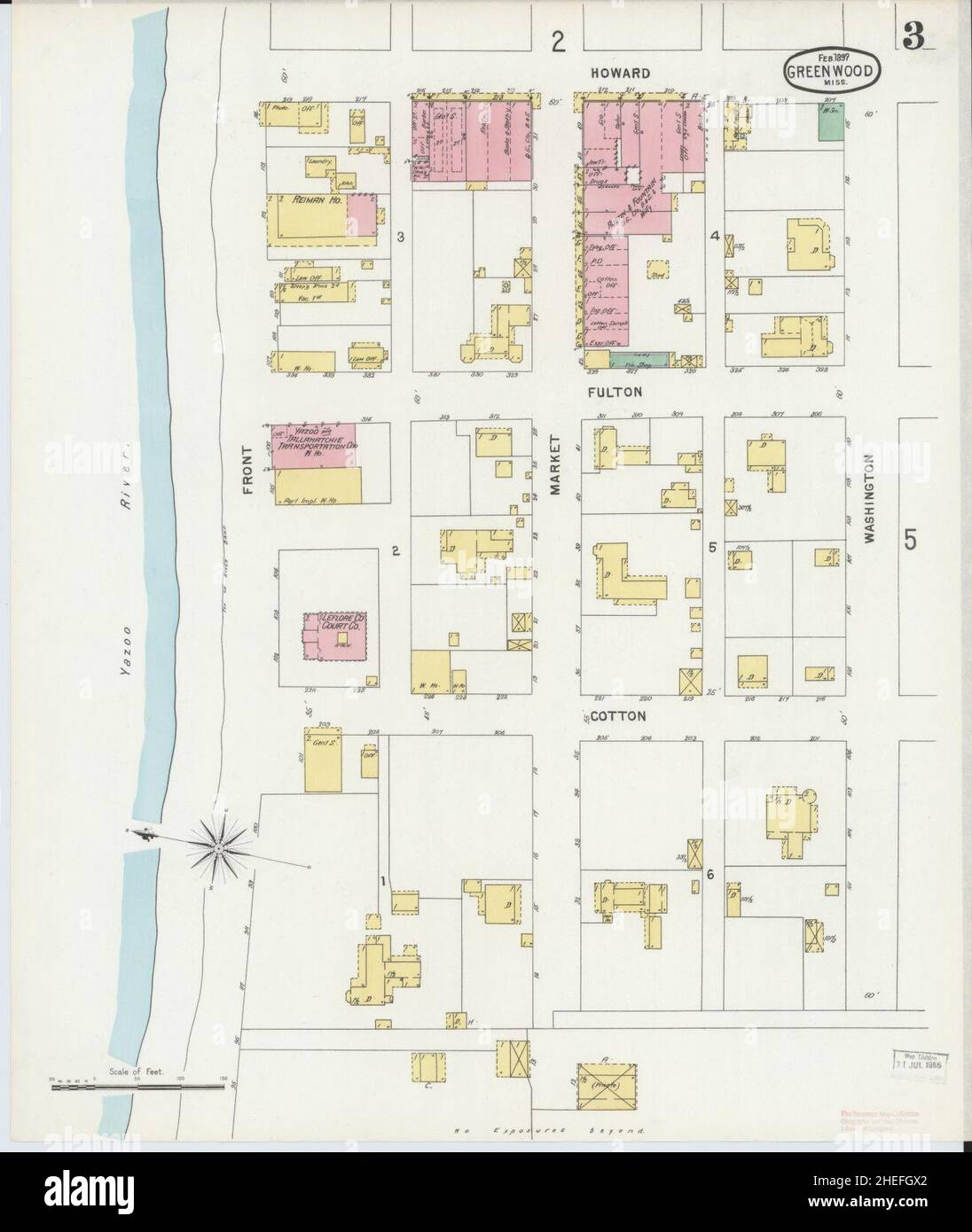 Sanborn Fire Insurance Map from Greenwood, Leflore County, Mississippi. Stock Photohttps://www.alamy.com/image-license-details/?v=1https://www.alamy.com/sanborn-fire-insurance-map-from-greenwood-leflore-county-mississippi-image456417306.html
RM2HEFGX2–Sanborn Fire Insurance Map from Greenwood, Leflore County, Mississippi.
 USGS TOPO Map Oklahoma OK Leflore 706234 1965 24000 Inverted Restoration Stock Photohttps://www.alamy.com/image-license-details/?v=1https://www.alamy.com/usgs-topo-map-oklahoma-ok-leflore-706234-1965-24000-inverted-restoration-image334256762.html
RM2ABPKWE–USGS TOPO Map Oklahoma OK Leflore 706234 1965 24000 Inverted Restoration
 Schlater, Leflore County, US, United States, Mississippi, N 33 38' 26'', S 90 20' 53'', map, Cartascapes Map published in 2024. Explore Cartascapes, a map revealing Earth's diverse landscapes, cultures, and ecosystems. Journey through time and space, discovering the interconnectedness of our planet's past, present, and future. Stock Photohttps://www.alamy.com/image-license-details/?v=1https://www.alamy.com/schlater-leflore-county-us-united-states-mississippi-n-33-38-26-s-90-20-53-map-cartascapes-map-published-in-2024-explore-cartascapes-a-map-revealing-earths-diverse-landscapes-cultures-and-ecosystems-journey-through-time-and-space-discovering-the-interconnectedness-of-our-planets-past-present-and-future-image621223184.html
RM2Y2K4E8–Schlater, Leflore County, US, United States, Mississippi, N 33 38' 26'', S 90 20' 53'', map, Cartascapes Map published in 2024. Explore Cartascapes, a map revealing Earth's diverse landscapes, cultures, and ecosystems. Journey through time and space, discovering the interconnectedness of our planet's past, present, and future.
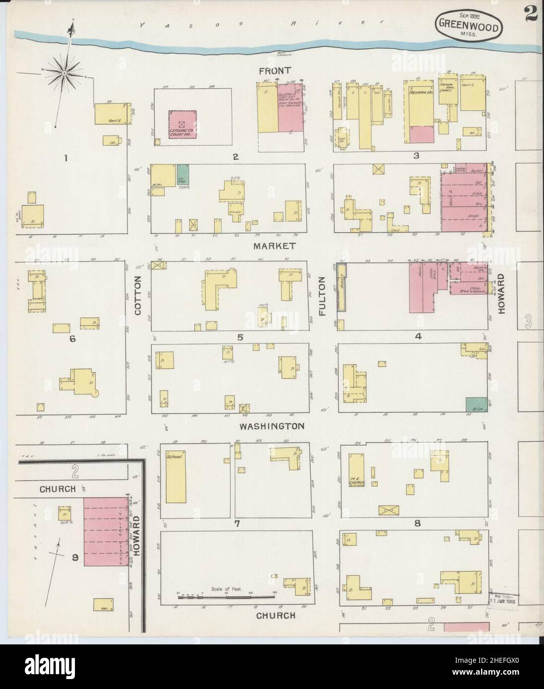 Sanborn Fire Insurance Map from Greenwood, Leflore County, Mississippi. Stock Photohttps://www.alamy.com/image-license-details/?v=1https://www.alamy.com/sanborn-fire-insurance-map-from-greenwood-leflore-county-mississippi-image456417304.html
RM2HEFGX0–Sanborn Fire Insurance Map from Greenwood, Leflore County, Mississippi.
 USGS TOPO Map Oklahoma OK Leflore SE 20121109 TM Inverted Restoration Stock Photohttps://www.alamy.com/image-license-details/?v=1https://www.alamy.com/usgs-topo-map-oklahoma-ok-leflore-se-20121109-tm-inverted-restoration-image334256797.html
RM2ABPKXN–USGS TOPO Map Oklahoma OK Leflore SE 20121109 TM Inverted Restoration
 Rixwood, Leflore County, US, United States, Mississippi, N 33 36' 38'', S 90 20' 55'', map, Cartascapes Map published in 2024. Explore Cartascapes, a map revealing Earth's diverse landscapes, cultures, and ecosystems. Journey through time and space, discovering the interconnectedness of our planet's past, present, and future. Stock Photohttps://www.alamy.com/image-license-details/?v=1https://www.alamy.com/rixwood-leflore-county-us-united-states-mississippi-n-33-36-38-s-90-20-55-map-cartascapes-map-published-in-2024-explore-cartascapes-a-map-revealing-earths-diverse-landscapes-cultures-and-ecosystems-journey-through-time-and-space-discovering-the-interconnectedness-of-our-planets-past-present-and-future-image621340737.html
RM2Y2TECH–Rixwood, Leflore County, US, United States, Mississippi, N 33 36' 38'', S 90 20' 55'', map, Cartascapes Map published in 2024. Explore Cartascapes, a map revealing Earth's diverse landscapes, cultures, and ecosystems. Journey through time and space, discovering the interconnectedness of our planet's past, present, and future.
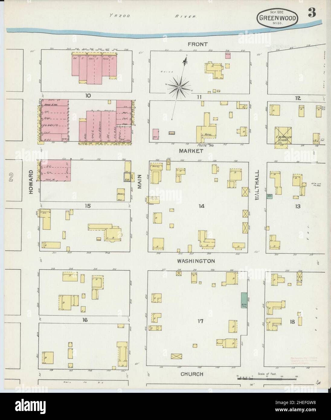 Sanborn Fire Insurance Map from Greenwood, Leflore County, Mississippi. Stock Photohttps://www.alamy.com/image-license-details/?v=1https://www.alamy.com/sanborn-fire-insurance-map-from-greenwood-leflore-county-mississippi-image456417284.html
RM2HEFGW8–Sanborn Fire Insurance Map from Greenwood, Leflore County, Mississippi.
 USGS TOPO Map Oklahoma OK Leflore SE 706237 1966 24000 Inverted Restoration Stock Photohttps://www.alamy.com/image-license-details/?v=1https://www.alamy.com/usgs-topo-map-oklahoma-ok-leflore-se-706237-1966-24000-inverted-restoration-image334256872.html
RM2ABPM1C–USGS TOPO Map Oklahoma OK Leflore SE 706237 1966 24000 Inverted Restoration
 Runnymede, Leflore County, US, United States, Mississippi, N 33 29' 48'', S 90 18' 38'', map, Cartascapes Map published in 2024. Explore Cartascapes, a map revealing Earth's diverse landscapes, cultures, and ecosystems. Journey through time and space, discovering the interconnectedness of our planet's past, present, and future. Stock Photohttps://www.alamy.com/image-license-details/?v=1https://www.alamy.com/runnymede-leflore-county-us-united-states-mississippi-n-33-29-48-s-90-18-38-map-cartascapes-map-published-in-2024-explore-cartascapes-a-map-revealing-earths-diverse-landscapes-cultures-and-ecosystems-journey-through-time-and-space-discovering-the-interconnectedness-of-our-planets-past-present-and-future-image621351456.html
RM2Y2W03C–Runnymede, Leflore County, US, United States, Mississippi, N 33 29' 48'', S 90 18' 38'', map, Cartascapes Map published in 2024. Explore Cartascapes, a map revealing Earth's diverse landscapes, cultures, and ecosystems. Journey through time and space, discovering the interconnectedness of our planet's past, present, and future.
 USGS TOPO Map Oklahoma OK Leflore SE 706236 1966 24000 Inverted Restoration Stock Photohttps://www.alamy.com/image-license-details/?v=1https://www.alamy.com/usgs-topo-map-oklahoma-ok-leflore-se-706236-1966-24000-inverted-restoration-image334256858.html
RM2ABPM0X–USGS TOPO Map Oklahoma OK Leflore SE 706236 1966 24000 Inverted Restoration
 Wakeland, Leflore County, US, United States, Mississippi, N 33 37' 7'', S 90 11' 58'', map, Cartascapes Map published in 2024. Explore Cartascapes, a map revealing Earth's diverse landscapes, cultures, and ecosystems. Journey through time and space, discovering the interconnectedness of our planet's past, present, and future. Stock Photohttps://www.alamy.com/image-license-details/?v=1https://www.alamy.com/wakeland-leflore-county-us-united-states-mississippi-n-33-37-7-s-90-11-58-map-cartascapes-map-published-in-2024-explore-cartascapes-a-map-revealing-earths-diverse-landscapes-cultures-and-ecosystems-journey-through-time-and-space-discovering-the-interconnectedness-of-our-planets-past-present-and-future-image621305772.html
RM2Y2PWRT–Wakeland, Leflore County, US, United States, Mississippi, N 33 37' 7'', S 90 11' 58'', map, Cartascapes Map published in 2024. Explore Cartascapes, a map revealing Earth's diverse landscapes, cultures, and ecosystems. Journey through time and space, discovering the interconnectedness of our planet's past, present, and future.
 Leflore, Grenada County, US, United States, Mississippi, N 33 41' 37'', S 90 3' 17'', map, Cartascapes Map published in 2024. Explore Cartascapes, a map revealing Earth's diverse landscapes, cultures, and ecosystems. Journey through time and space, discovering the interconnectedness of our planet's past, present, and future. Stock Photohttps://www.alamy.com/image-license-details/?v=1https://www.alamy.com/leflore-grenada-county-us-united-states-mississippi-n-33-41-37-s-90-3-17-map-cartascapes-map-published-in-2024-explore-cartascapes-a-map-revealing-earths-diverse-landscapes-cultures-and-ecosystems-journey-through-time-and-space-discovering-the-interconnectedness-of-our-planets-past-present-and-future-image621401255.html
RM2Y2Y7HY–Leflore, Grenada County, US, United States, Mississippi, N 33 41' 37'', S 90 3' 17'', map, Cartascapes Map published in 2024. Explore Cartascapes, a map revealing Earth's diverse landscapes, cultures, and ecosystems. Journey through time and space, discovering the interconnectedness of our planet's past, present, and future.
 Wildwood, Leflore County, US, United States, Mississippi, N 33 37' 9'', S 90 14' 28'', map, Cartascapes Map published in 2024. Explore Cartascapes, a map revealing Earth's diverse landscapes, cultures, and ecosystems. Journey through time and space, discovering the interconnectedness of our planet's past, present, and future. Stock Photohttps://www.alamy.com/image-license-details/?v=1https://www.alamy.com/wildwood-leflore-county-us-united-states-mississippi-n-33-37-9-s-90-14-28-map-cartascapes-map-published-in-2024-explore-cartascapes-a-map-revealing-earths-diverse-landscapes-cultures-and-ecosystems-journey-through-time-and-space-discovering-the-interconnectedness-of-our-planets-past-present-and-future-image621224780.html
RM2Y2K6F8–Wildwood, Leflore County, US, United States, Mississippi, N 33 37' 9'', S 90 14' 28'', map, Cartascapes Map published in 2024. Explore Cartascapes, a map revealing Earth's diverse landscapes, cultures, and ecosystems. Journey through time and space, discovering the interconnectedness of our planet's past, present, and future.
 McNutt, Leflore County, US, United States, Mississippi, N 33 38' 50'', S 90 22' 20'', map, Cartascapes Map published in 2024. Explore Cartascapes, a map revealing Earth's diverse landscapes, cultures, and ecosystems. Journey through time and space, discovering the interconnectedness of our planet's past, present, and future. Stock Photohttps://www.alamy.com/image-license-details/?v=1https://www.alamy.com/mcnutt-leflore-county-us-united-states-mississippi-n-33-38-50-s-90-22-20-map-cartascapes-map-published-in-2024-explore-cartascapes-a-map-revealing-earths-diverse-landscapes-cultures-and-ecosystems-journey-through-time-and-space-discovering-the-interconnectedness-of-our-planets-past-present-and-future-image621294632.html
RM2Y2PBJ0–McNutt, Leflore County, US, United States, Mississippi, N 33 38' 50'', S 90 22' 20'', map, Cartascapes Map published in 2024. Explore Cartascapes, a map revealing Earth's diverse landscapes, cultures, and ecosystems. Journey through time and space, discovering the interconnectedness of our planet's past, present, and future.
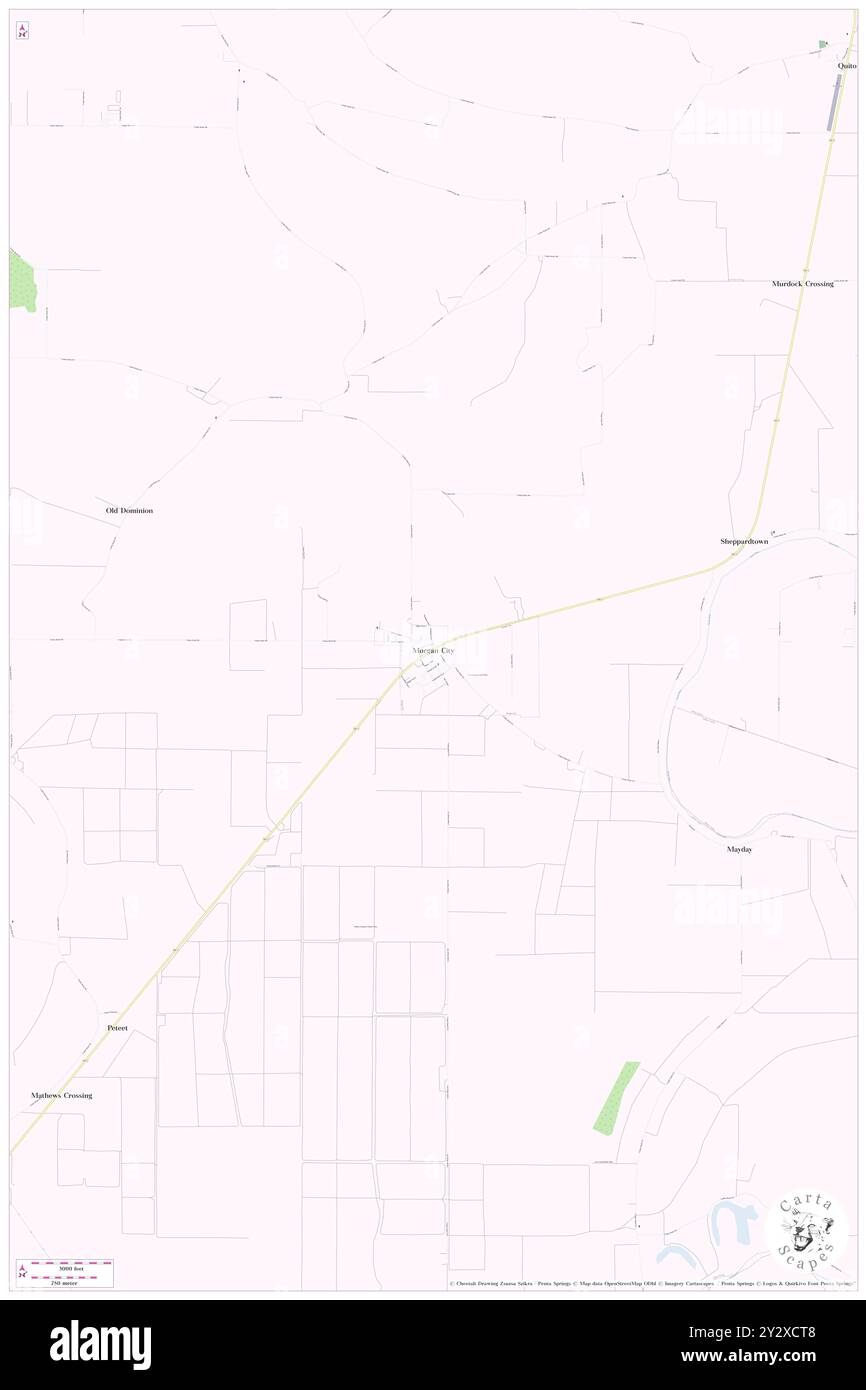 Morgan City, Leflore County, US, United States, Mississippi, N 33 22' 50'', S 90 21' 1'', map, Cartascapes Map published in 2024. Explore Cartascapes, a map revealing Earth's diverse landscapes, cultures, and ecosystems. Journey through time and space, discovering the interconnectedness of our planet's past, present, and future. Stock Photohttps://www.alamy.com/image-license-details/?v=1https://www.alamy.com/morgan-city-leflore-county-us-united-states-mississippi-n-33-22-50-s-90-21-1-map-cartascapes-map-published-in-2024-explore-cartascapes-a-map-revealing-earths-diverse-landscapes-cultures-and-ecosystems-journey-through-time-and-space-discovering-the-interconnectedness-of-our-planets-past-present-and-future-image621383400.html
RM2Y2XCT8–Morgan City, Leflore County, US, United States, Mississippi, N 33 22' 50'', S 90 21' 1'', map, Cartascapes Map published in 2024. Explore Cartascapes, a map revealing Earth's diverse landscapes, cultures, and ecosystems. Journey through time and space, discovering the interconnectedness of our planet's past, present, and future.
 Old Dominion, Leflore County, US, United States, Mississippi, N 33 23' 40'', S 90 23' 11'', map, Cartascapes Map published in 2024. Explore Cartascapes, a map revealing Earth's diverse landscapes, cultures, and ecosystems. Journey through time and space, discovering the interconnectedness of our planet's past, present, and future. Stock Photohttps://www.alamy.com/image-license-details/?v=1https://www.alamy.com/old-dominion-leflore-county-us-united-states-mississippi-n-33-23-40-s-90-23-11-map-cartascapes-map-published-in-2024-explore-cartascapes-a-map-revealing-earths-diverse-landscapes-cultures-and-ecosystems-journey-through-time-and-space-discovering-the-interconnectedness-of-our-planets-past-present-and-future-image621414648.html
RM2Y2YTM8–Old Dominion, Leflore County, US, United States, Mississippi, N 33 23' 40'', S 90 23' 11'', map, Cartascapes Map published in 2024. Explore Cartascapes, a map revealing Earth's diverse landscapes, cultures, and ecosystems. Journey through time and space, discovering the interconnectedness of our planet's past, present, and future.
 Fort Loring, Leflore County, US, United States, Mississippi, N 33 30' 24'', S 90 15' 5'', map, Cartascapes Map published in 2024. Explore Cartascapes, a map revealing Earth's diverse landscapes, cultures, and ecosystems. Journey through time and space, discovering the interconnectedness of our planet's past, present, and future. Stock Photohttps://www.alamy.com/image-license-details/?v=1https://www.alamy.com/fort-loring-leflore-county-us-united-states-mississippi-n-33-30-24-s-90-15-5-map-cartascapes-map-published-in-2024-explore-cartascapes-a-map-revealing-earths-diverse-landscapes-cultures-and-ecosystems-journey-through-time-and-space-discovering-the-interconnectedness-of-our-planets-past-present-and-future-image621225782.html
RM2Y2K7R2–Fort Loring, Leflore County, US, United States, Mississippi, N 33 30' 24'', S 90 15' 5'', map, Cartascapes Map published in 2024. Explore Cartascapes, a map revealing Earth's diverse landscapes, cultures, and ecosystems. Journey through time and space, discovering the interconnectedness of our planet's past, present, and future.
 Itta Bena, Leflore County, US, United States, Mississippi, N 33 29' 42'', S 90 19' 11'', map, Cartascapes Map published in 2024. Explore Cartascapes, a map revealing Earth's diverse landscapes, cultures, and ecosystems. Journey through time and space, discovering the interconnectedness of our planet's past, present, and future. Stock Photohttps://www.alamy.com/image-license-details/?v=1https://www.alamy.com/itta-bena-leflore-county-us-united-states-mississippi-n-33-29-42-s-90-19-11-map-cartascapes-map-published-in-2024-explore-cartascapes-a-map-revealing-earths-diverse-landscapes-cultures-and-ecosystems-journey-through-time-and-space-discovering-the-interconnectedness-of-our-planets-past-present-and-future-image621176865.html
RM2Y2H1C1–Itta Bena, Leflore County, US, United States, Mississippi, N 33 29' 42'', S 90 19' 11'', map, Cartascapes Map published in 2024. Explore Cartascapes, a map revealing Earth's diverse landscapes, cultures, and ecosystems. Journey through time and space, discovering the interconnectedness of our planet's past, present, and future.
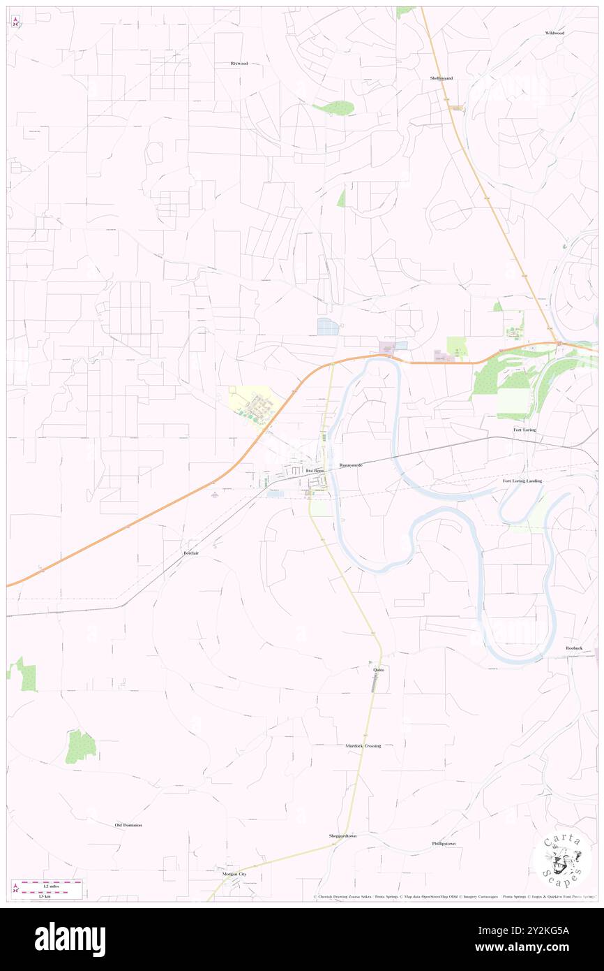 Itta Bena, Leflore County, US, United States, Mississippi, N 33 29' 42'', S 90 19' 11'', map, Cartascapes Map published in 2024. Explore Cartascapes, a map revealing Earth's diverse landscapes, cultures, and ecosystems. Journey through time and space, discovering the interconnectedness of our planet's past, present, and future. Stock Photohttps://www.alamy.com/image-license-details/?v=1https://www.alamy.com/itta-bena-leflore-county-us-united-states-mississippi-n-33-29-42-s-90-19-11-map-cartascapes-map-published-in-2024-explore-cartascapes-a-map-revealing-earths-diverse-landscapes-cultures-and-ecosystems-journey-through-time-and-space-discovering-the-interconnectedness-of-our-planets-past-present-and-future-image621232342.html
RM2Y2KG5A–Itta Bena, Leflore County, US, United States, Mississippi, N 33 29' 42'', S 90 19' 11'', map, Cartascapes Map published in 2024. Explore Cartascapes, a map revealing Earth's diverse landscapes, cultures, and ecosystems. Journey through time and space, discovering the interconnectedness of our planet's past, present, and future.
 Sisloff Junction, Leflore County, US, United States, Mississippi, N 33 45' 55'', S 90 13' 36'', map, Cartascapes Map published in 2024. Explore Cartascapes, a map revealing Earth's diverse landscapes, cultures, and ecosystems. Journey through time and space, discovering the interconnectedness of our planet's past, present, and future. Stock Photohttps://www.alamy.com/image-license-details/?v=1https://www.alamy.com/sisloff-junction-leflore-county-us-united-states-mississippi-n-33-45-55-s-90-13-36-map-cartascapes-map-published-in-2024-explore-cartascapes-a-map-revealing-earths-diverse-landscapes-cultures-and-ecosystems-journey-through-time-and-space-discovering-the-interconnectedness-of-our-planets-past-present-and-future-image621481175.html
RM2Y32WG7–Sisloff Junction, Leflore County, US, United States, Mississippi, N 33 45' 55'', S 90 13' 36'', map, Cartascapes Map published in 2024. Explore Cartascapes, a map revealing Earth's diverse landscapes, cultures, and ecosystems. Journey through time and space, discovering the interconnectedness of our planet's past, present, and future.
 Rising Sun, Leflore County, US, United States, Mississippi, N 33 27' 31'', S 90 12' 31'', map, Cartascapes Map published in 2024. Explore Cartascapes, a map revealing Earth's diverse landscapes, cultures, and ecosystems. Journey through time and space, discovering the interconnectedness of our planet's past, present, and future. Stock Photohttps://www.alamy.com/image-license-details/?v=1https://www.alamy.com/rising-sun-leflore-county-us-united-states-mississippi-n-33-27-31-s-90-12-31-map-cartascapes-map-published-in-2024-explore-cartascapes-a-map-revealing-earths-diverse-landscapes-cultures-and-ecosystems-journey-through-time-and-space-discovering-the-interconnectedness-of-our-planets-past-present-and-future-image621152256.html
RM2Y2FX14–Rising Sun, Leflore County, US, United States, Mississippi, N 33 27' 31'', S 90 12' 31'', map, Cartascapes Map published in 2024. Explore Cartascapes, a map revealing Earth's diverse landscapes, cultures, and ecosystems. Journey through time and space, discovering the interconnectedness of our planet's past, present, and future.
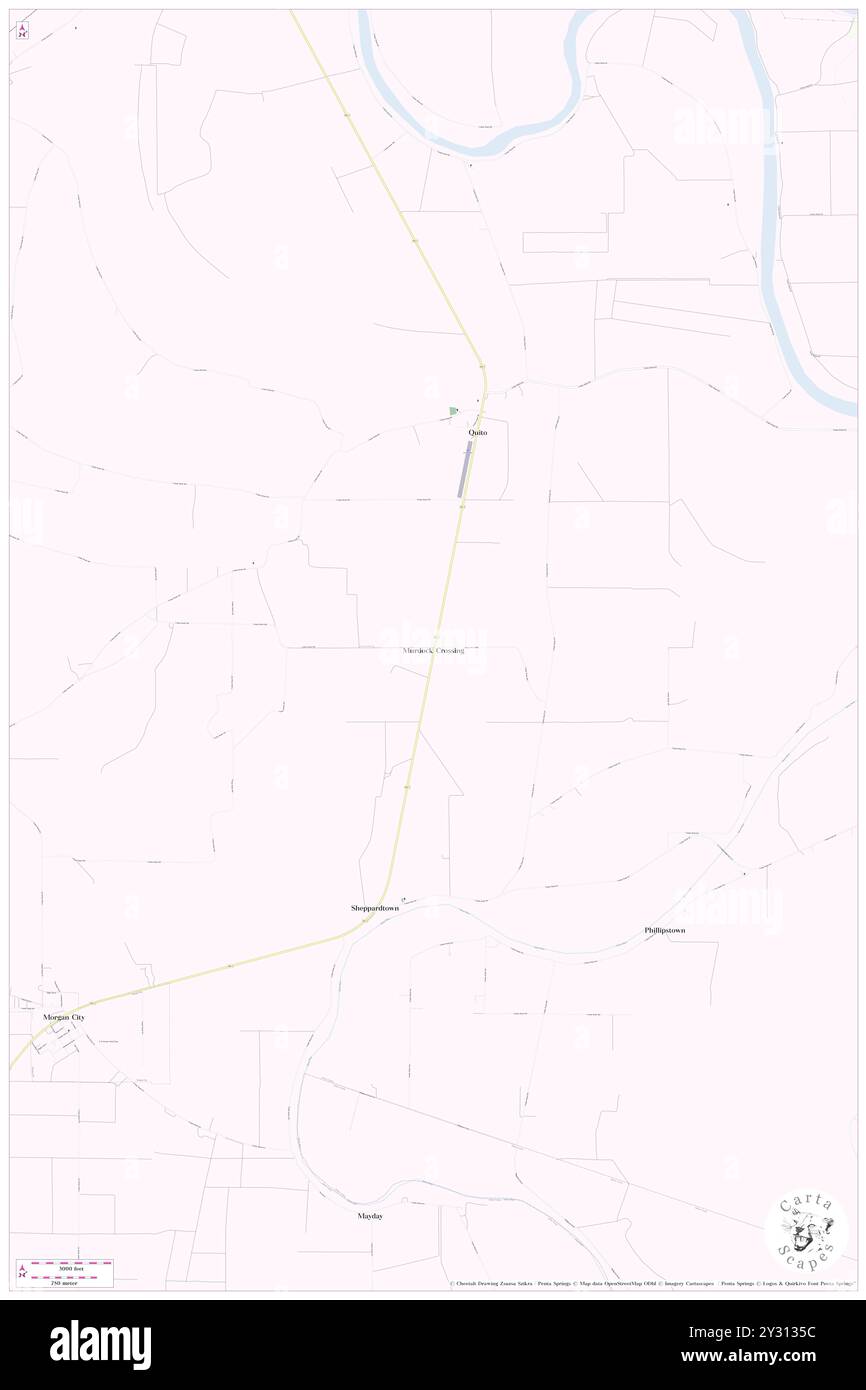 Murdock Crossing, Leflore County, US, United States, Mississippi, N 33 25' 1'', S 90 18' 23'', map, Cartascapes Map published in 2024. Explore Cartascapes, a map revealing Earth's diverse landscapes, cultures, and ecosystems. Journey through time and space, discovering the interconnectedness of our planet's past, present, and future. Stock Photohttps://www.alamy.com/image-license-details/?v=1https://www.alamy.com/murdock-crossing-leflore-county-us-united-states-mississippi-n-33-25-1-s-90-18-23-map-cartascapes-map-published-in-2024-explore-cartascapes-a-map-revealing-earths-diverse-landscapes-cultures-and-ecosystems-journey-through-time-and-space-discovering-the-interconnectedness-of-our-planets-past-present-and-future-image621441672.html
RM2Y3135C–Murdock Crossing, Leflore County, US, United States, Mississippi, N 33 25' 1'', S 90 18' 23'', map, Cartascapes Map published in 2024. Explore Cartascapes, a map revealing Earth's diverse landscapes, cultures, and ecosystems. Journey through time and space, discovering the interconnectedness of our planet's past, present, and future.
 Morgan City, Leflore County, US, United States, Mississippi, N 33 22' 50'', S 90 21' 1'', map, Cartascapes Map published in 2024. Explore Cartascapes, a map revealing Earth's diverse landscapes, cultures, and ecosystems. Journey through time and space, discovering the interconnectedness of our planet's past, present, and future. Stock Photohttps://www.alamy.com/image-license-details/?v=1https://www.alamy.com/morgan-city-leflore-county-us-united-states-mississippi-n-33-22-50-s-90-21-1-map-cartascapes-map-published-in-2024-explore-cartascapes-a-map-revealing-earths-diverse-landscapes-cultures-and-ecosystems-journey-through-time-and-space-discovering-the-interconnectedness-of-our-planets-past-present-and-future-image621337484.html
RM2Y2TA8C–Morgan City, Leflore County, US, United States, Mississippi, N 33 22' 50'', S 90 21' 1'', map, Cartascapes Map published in 2024. Explore Cartascapes, a map revealing Earth's diverse landscapes, cultures, and ecosystems. Journey through time and space, discovering the interconnectedness of our planet's past, present, and future.
 Leflore, Le Flore County, US, United States, Oklahoma, N 34 53' 55'', S 94 58' 48'', map, Cartascapes Map published in 2024. Explore Cartascapes, a map revealing Earth's diverse landscapes, cultures, and ecosystems. Journey through time and space, discovering the interconnectedness of our planet's past, present, and future. Stock Photohttps://www.alamy.com/image-license-details/?v=1https://www.alamy.com/leflore-le-flore-county-us-united-states-oklahoma-n-34-53-55-s-94-58-48-map-cartascapes-map-published-in-2024-explore-cartascapes-a-map-revealing-earths-diverse-landscapes-cultures-and-ecosystems-journey-through-time-and-space-discovering-the-interconnectedness-of-our-planets-past-present-and-future-image621195494.html
RM2Y2HW5A–Leflore, Le Flore County, US, United States, Oklahoma, N 34 53' 55'', S 94 58' 48'', map, Cartascapes Map published in 2024. Explore Cartascapes, a map revealing Earth's diverse landscapes, cultures, and ecosystems. Journey through time and space, discovering the interconnectedness of our planet's past, present, and future.
 Fort Loring Landing, Leflore County, US, United States, Mississippi, N 33 29' 21'', S 90 14' 48'', map, Cartascapes Map published in 2024. Explore Cartascapes, a map revealing Earth's diverse landscapes, cultures, and ecosystems. Journey through time and space, discovering the interconnectedness of our planet's past, present, and future. Stock Photohttps://www.alamy.com/image-license-details/?v=1https://www.alamy.com/fort-loring-landing-leflore-county-us-united-states-mississippi-n-33-29-21-s-90-14-48-map-cartascapes-map-published-in-2024-explore-cartascapes-a-map-revealing-earths-diverse-landscapes-cultures-and-ecosystems-journey-through-time-and-space-discovering-the-interconnectedness-of-our-planets-past-present-and-future-image621335040.html
RM2Y2T754–Fort Loring Landing, Leflore County, US, United States, Mississippi, N 33 29' 21'', S 90 14' 48'', map, Cartascapes Map published in 2024. Explore Cartascapes, a map revealing Earth's diverse landscapes, cultures, and ecosystems. Journey through time and space, discovering the interconnectedness of our planet's past, present, and future.
 Black Bayou Junction, Leflore County, US, United States, Mississippi, N 33 47' 56'', S 90 16' 9'', map, Cartascapes Map published in 2024. Explore Cartascapes, a map revealing Earth's diverse landscapes, cultures, and ecosystems. Journey through time and space, discovering the interconnectedness of our planet's past, present, and future. Stock Photohttps://www.alamy.com/image-license-details/?v=1https://www.alamy.com/black-bayou-junction-leflore-county-us-united-states-mississippi-n-33-47-56-s-90-16-9-map-cartascapes-map-published-in-2024-explore-cartascapes-a-map-revealing-earths-diverse-landscapes-cultures-and-ecosystems-journey-through-time-and-space-discovering-the-interconnectedness-of-our-planets-past-present-and-future-image621326491.html
RM2Y2RT7R–Black Bayou Junction, Leflore County, US, United States, Mississippi, N 33 47' 56'', S 90 16' 9'', map, Cartascapes Map published in 2024. Explore Cartascapes, a map revealing Earth's diverse landscapes, cultures, and ecosystems. Journey through time and space, discovering the interconnectedness of our planet's past, present, and future.
 Sunnyside, Leflore County, US, United States, Mississippi, N 33 41' 47'', S 90 17' 42'', map, Cartascapes Map published in 2024. Explore Cartascapes, a map revealing Earth's diverse landscapes, cultures, and ecosystems. Journey through time and space, discovering the interconnectedness of our planet's past, present, and future. Stock Photohttps://www.alamy.com/image-license-details/?v=1https://www.alamy.com/sunnyside-leflore-county-us-united-states-mississippi-n-33-41-47-s-90-17-42-map-cartascapes-map-published-in-2024-explore-cartascapes-a-map-revealing-earths-diverse-landscapes-cultures-and-ecosystems-journey-through-time-and-space-discovering-the-interconnectedness-of-our-planets-past-present-and-future-image620830517.html
RM2Y217JD–Sunnyside, Leflore County, US, United States, Mississippi, N 33 41' 47'', S 90 17' 42'', map, Cartascapes Map published in 2024. Explore Cartascapes, a map revealing Earth's diverse landscapes, cultures, and ecosystems. Journey through time and space, discovering the interconnectedness of our planet's past, present, and future.
 Sheppardtown, Leflore County, US, United States, Mississippi, N 33 23' 29'', S 90 18' 48'', map, Cartascapes Map published in 2024. Explore Cartascapes, a map revealing Earth's diverse landscapes, cultures, and ecosystems. Journey through time and space, discovering the interconnectedness of our planet's past, present, and future. Stock Photohttps://www.alamy.com/image-license-details/?v=1https://www.alamy.com/sheppardtown-leflore-county-us-united-states-mississippi-n-33-23-29-s-90-18-48-map-cartascapes-map-published-in-2024-explore-cartascapes-a-map-revealing-earths-diverse-landscapes-cultures-and-ecosystems-journey-through-time-and-space-discovering-the-interconnectedness-of-our-planets-past-present-and-future-image620680207.html
RM2Y1PBX7–Sheppardtown, Leflore County, US, United States, Mississippi, N 33 23' 29'', S 90 18' 48'', map, Cartascapes Map published in 2024. Explore Cartascapes, a map revealing Earth's diverse landscapes, cultures, and ecosystems. Journey through time and space, discovering the interconnectedness of our planet's past, present, and future.
 Crenfree, Leflore County, US, United States, Mississippi, N 33 34' 51'', S 90 6' 42'', map, Cartascapes Map published in 2024. Explore Cartascapes, a map revealing Earth's diverse landscapes, cultures, and ecosystems. Journey through time and space, discovering the interconnectedness of our planet's past, present, and future. Stock Photohttps://www.alamy.com/image-license-details/?v=1https://www.alamy.com/crenfree-leflore-county-us-united-states-mississippi-n-33-34-51-s-90-6-42-map-cartascapes-map-published-in-2024-explore-cartascapes-a-map-revealing-earths-diverse-landscapes-cultures-and-ecosystems-journey-through-time-and-space-discovering-the-interconnectedness-of-our-planets-past-present-and-future-image620685814.html
RM2Y1PK2E–Crenfree, Leflore County, US, United States, Mississippi, N 33 34' 51'', S 90 6' 42'', map, Cartascapes Map published in 2024. Explore Cartascapes, a map revealing Earth's diverse landscapes, cultures, and ecosystems. Journey through time and space, discovering the interconnectedness of our planet's past, present, and future.
 Berclair, Leflore County, US, United States, Mississippi, N 33 28' 18'', S 90 21' 54'', map, Cartascapes Map published in 2024. Explore Cartascapes, a map revealing Earth's diverse landscapes, cultures, and ecosystems. Journey through time and space, discovering the interconnectedness of our planet's past, present, and future. Stock Photohttps://www.alamy.com/image-license-details/?v=1https://www.alamy.com/berclair-leflore-county-us-united-states-mississippi-n-33-28-18-s-90-21-54-map-cartascapes-map-published-in-2024-explore-cartascapes-a-map-revealing-earths-diverse-landscapes-cultures-and-ecosystems-journey-through-time-and-space-discovering-the-interconnectedness-of-our-planets-past-present-and-future-image620780315.html
RM2Y1XYHF–Berclair, Leflore County, US, United States, Mississippi, N 33 28' 18'', S 90 21' 54'', map, Cartascapes Map published in 2024. Explore Cartascapes, a map revealing Earth's diverse landscapes, cultures, and ecosystems. Journey through time and space, discovering the interconnectedness of our planet's past, present, and future.
 Sidon, Leflore County, US, United States, Mississippi, N 33 24' 29'', S 90 12' 14'', map, Cartascapes Map published in 2024. Explore Cartascapes, a map revealing Earth's diverse landscapes, cultures, and ecosystems. Journey through time and space, discovering the interconnectedness of our planet's past, present, and future. Stock Photohttps://www.alamy.com/image-license-details/?v=1https://www.alamy.com/sidon-leflore-county-us-united-states-mississippi-n-33-24-29-s-90-12-14-map-cartascapes-map-published-in-2024-explore-cartascapes-a-map-revealing-earths-diverse-landscapes-cultures-and-ecosystems-journey-through-time-and-space-discovering-the-interconnectedness-of-our-planets-past-present-and-future-image620666931.html
RM2Y1NR03–Sidon, Leflore County, US, United States, Mississippi, N 33 24' 29'', S 90 12' 14'', map, Cartascapes Map published in 2024. Explore Cartascapes, a map revealing Earth's diverse landscapes, cultures, and ecosystems. Journey through time and space, discovering the interconnectedness of our planet's past, present, and future.
 Purnell, Leflore County, US, United States, Mississippi, N 33 27' 11'', S 90 26' 16'', map, Cartascapes Map published in 2024. Explore Cartascapes, a map revealing Earth's diverse landscapes, cultures, and ecosystems. Journey through time and space, discovering the interconnectedness of our planet's past, present, and future. Stock Photohttps://www.alamy.com/image-license-details/?v=1https://www.alamy.com/purnell-leflore-county-us-united-states-mississippi-n-33-27-11-s-90-26-16-map-cartascapes-map-published-in-2024-explore-cartascapes-a-map-revealing-earths-diverse-landscapes-cultures-and-ecosystems-journey-through-time-and-space-discovering-the-interconnectedness-of-our-planets-past-present-and-future-image620771097.html
RM2Y1XFT9–Purnell, Leflore County, US, United States, Mississippi, N 33 27' 11'', S 90 26' 16'', map, Cartascapes Map published in 2024. Explore Cartascapes, a map revealing Earth's diverse landscapes, cultures, and ecosystems. Journey through time and space, discovering the interconnectedness of our planet's past, present, and future.
 Peteet, Leflore County, US, United States, Mississippi, N 33 20' 35'', S 90 23' 16'', map, Cartascapes Map published in 2024. Explore Cartascapes, a map revealing Earth's diverse landscapes, cultures, and ecosystems. Journey through time and space, discovering the interconnectedness of our planet's past, present, and future. Stock Photohttps://www.alamy.com/image-license-details/?v=1https://www.alamy.com/peteet-leflore-county-us-united-states-mississippi-n-33-20-35-s-90-23-16-map-cartascapes-map-published-in-2024-explore-cartascapes-a-map-revealing-earths-diverse-landscapes-cultures-and-ecosystems-journey-through-time-and-space-discovering-the-interconnectedness-of-our-planets-past-present-and-future-image620811532.html
RM2Y20BCC–Peteet, Leflore County, US, United States, Mississippi, N 33 20' 35'', S 90 23' 16'', map, Cartascapes Map published in 2024. Explore Cartascapes, a map revealing Earth's diverse landscapes, cultures, and ecosystems. Journey through time and space, discovering the interconnectedness of our planet's past, present, and future.
 Hatten, Leflore County, US, United States, Mississippi, N 33 46' 37'', S 90 10' 45'', map, Cartascapes Map published in 2024. Explore Cartascapes, a map revealing Earth's diverse landscapes, cultures, and ecosystems. Journey through time and space, discovering the interconnectedness of our planet's past, present, and future. Stock Photohttps://www.alamy.com/image-license-details/?v=1https://www.alamy.com/hatten-leflore-county-us-united-states-mississippi-n-33-46-37-s-90-10-45-map-cartascapes-map-published-in-2024-explore-cartascapes-a-map-revealing-earths-diverse-landscapes-cultures-and-ecosystems-journey-through-time-and-space-discovering-the-interconnectedness-of-our-planets-past-present-and-future-image620888950.html
RM2Y23X5A–Hatten, Leflore County, US, United States, Mississippi, N 33 46' 37'', S 90 10' 45'', map, Cartascapes Map published in 2024. Explore Cartascapes, a map revealing Earth's diverse landscapes, cultures, and ecosystems. Journey through time and space, discovering the interconnectedness of our planet's past, present, and future.
 Somerville, Leflore County, US, United States, Mississippi, N 33 47' 31'', S 90 15' 56'', map, Cartascapes Map published in 2024. Explore Cartascapes, a map revealing Earth's diverse landscapes, cultures, and ecosystems. Journey through time and space, discovering the interconnectedness of our planet's past, present, and future. Stock Photohttps://www.alamy.com/image-license-details/?v=1https://www.alamy.com/somerville-leflore-county-us-united-states-mississippi-n-33-47-31-s-90-15-56-map-cartascapes-map-published-in-2024-explore-cartascapes-a-map-revealing-earths-diverse-landscapes-cultures-and-ecosystems-journey-through-time-and-space-discovering-the-interconnectedness-of-our-planets-past-present-and-future-image620790974.html
RM2Y1YD66–Somerville, Leflore County, US, United States, Mississippi, N 33 47' 31'', S 90 15' 56'', map, Cartascapes Map published in 2024. Explore Cartascapes, a map revealing Earth's diverse landscapes, cultures, and ecosystems. Journey through time and space, discovering the interconnectedness of our planet's past, present, and future.
 Roebuck, Leflore County, US, United States, Mississippi, N 33 26' 41'', S 90 14' 4'', map, Cartascapes Map published in 2024. Explore Cartascapes, a map revealing Earth's diverse landscapes, cultures, and ecosystems. Journey through time and space, discovering the interconnectedness of our planet's past, present, and future. Stock Photohttps://www.alamy.com/image-license-details/?v=1https://www.alamy.com/roebuck-leflore-county-us-united-states-mississippi-n-33-26-41-s-90-14-4-map-cartascapes-map-published-in-2024-explore-cartascapes-a-map-revealing-earths-diverse-landscapes-cultures-and-ecosystems-journey-through-time-and-space-discovering-the-interconnectedness-of-our-planets-past-present-and-future-image620766231.html
RM2Y1X9JF–Roebuck, Leflore County, US, United States, Mississippi, N 33 26' 41'', S 90 14' 4'', map, Cartascapes Map published in 2024. Explore Cartascapes, a map revealing Earth's diverse landscapes, cultures, and ecosystems. Journey through time and space, discovering the interconnectedness of our planet's past, present, and future.
 Craigside, Leflore County, US, United States, Mississippi, N 33 35' 19'', S 90 11' 37'', map, Cartascapes Map published in 2024. Explore Cartascapes, a map revealing Earth's diverse landscapes, cultures, and ecosystems. Journey through time and space, discovering the interconnectedness of our planet's past, present, and future. Stock Photohttps://www.alamy.com/image-license-details/?v=1https://www.alamy.com/craigside-leflore-county-us-united-states-mississippi-n-33-35-19-s-90-11-37-map-cartascapes-map-published-in-2024-explore-cartascapes-a-map-revealing-earths-diverse-landscapes-cultures-and-ecosystems-journey-through-time-and-space-discovering-the-interconnectedness-of-our-planets-past-present-and-future-image620864615.html
RM2Y22R47–Craigside, Leflore County, US, United States, Mississippi, N 33 35' 19'', S 90 11' 37'', map, Cartascapes Map published in 2024. Explore Cartascapes, a map revealing Earth's diverse landscapes, cultures, and ecosystems. Journey through time and space, discovering the interconnectedness of our planet's past, present, and future.
 Mayday, Leflore County, US, United States, Mississippi, N 33 21' 39'', S 90 18' 50'', map, Cartascapes Map published in 2024. Explore Cartascapes, a map revealing Earth's diverse landscapes, cultures, and ecosystems. Journey through time and space, discovering the interconnectedness of our planet's past, present, and future. Stock Photohttps://www.alamy.com/image-license-details/?v=1https://www.alamy.com/mayday-leflore-county-us-united-states-mississippi-n-33-21-39-s-90-18-50-map-cartascapes-map-published-in-2024-explore-cartascapes-a-map-revealing-earths-diverse-landscapes-cultures-and-ecosystems-journey-through-time-and-space-discovering-the-interconnectedness-of-our-planets-past-present-and-future-image620790260.html
RM2Y1YC8M–Mayday, Leflore County, US, United States, Mississippi, N 33 21' 39'', S 90 18' 50'', map, Cartascapes Map published in 2024. Explore Cartascapes, a map revealing Earth's diverse landscapes, cultures, and ecosystems. Journey through time and space, discovering the interconnectedness of our planet's past, present, and future.
 Sandy Ridge, Leflore County, US, United States, Mississippi, N 33 42' 45'', S 90 13' 8'', map, Cartascapes Map published in 2024. Explore Cartascapes, a map revealing Earth's diverse landscapes, cultures, and ecosystems. Journey through time and space, discovering the interconnectedness of our planet's past, present, and future. Stock Photohttps://www.alamy.com/image-license-details/?v=1https://www.alamy.com/sandy-ridge-leflore-county-us-united-states-mississippi-n-33-42-45-s-90-13-8-map-cartascapes-map-published-in-2024-explore-cartascapes-a-map-revealing-earths-diverse-landscapes-cultures-and-ecosystems-journey-through-time-and-space-discovering-the-interconnectedness-of-our-planets-past-present-and-future-image620698367.html
RM2Y1R72R–Sandy Ridge, Leflore County, US, United States, Mississippi, N 33 42' 45'', S 90 13' 8'', map, Cartascapes Map published in 2024. Explore Cartascapes, a map revealing Earth's diverse landscapes, cultures, and ecosystems. Journey through time and space, discovering the interconnectedness of our planet's past, present, and future.
 Minter City, Leflore County, US, United States, Mississippi, N 33 45' 12'', S 90 17' 40'', map, Cartascapes Map published in 2024. Explore Cartascapes, a map revealing Earth's diverse landscapes, cultures, and ecosystems. Journey through time and space, discovering the interconnectedness of our planet's past, present, and future. Stock Photohttps://www.alamy.com/image-license-details/?v=1https://www.alamy.com/minter-city-leflore-county-us-united-states-mississippi-n-33-45-12-s-90-17-40-map-cartascapes-map-published-in-2024-explore-cartascapes-a-map-revealing-earths-diverse-landscapes-cultures-and-ecosystems-journey-through-time-and-space-discovering-the-interconnectedness-of-our-planets-past-present-and-future-image620873549.html
RM2Y236F9–Minter City, Leflore County, US, United States, Mississippi, N 33 45' 12'', S 90 17' 40'', map, Cartascapes Map published in 2024. Explore Cartascapes, a map revealing Earth's diverse landscapes, cultures, and ecosystems. Journey through time and space, discovering the interconnectedness of our planet's past, present, and future.
 Bright Corner, Leflore County, US, United States, Mississippi, N 33 33' 17'', S 90 7' 2'', map, Cartascapes Map published in 2024. Explore Cartascapes, a map revealing Earth's diverse landscapes, cultures, and ecosystems. Journey through time and space, discovering the interconnectedness of our planet's past, present, and future. Stock Photohttps://www.alamy.com/image-license-details/?v=1https://www.alamy.com/bright-corner-leflore-county-us-united-states-mississippi-n-33-33-17-s-90-7-2-map-cartascapes-map-published-in-2024-explore-cartascapes-a-map-revealing-earths-diverse-landscapes-cultures-and-ecosystems-journey-through-time-and-space-discovering-the-interconnectedness-of-our-planets-past-present-and-future-image620789377.html
RM2Y1YB55–Bright Corner, Leflore County, US, United States, Mississippi, N 33 33' 17'', S 90 7' 2'', map, Cartascapes Map published in 2024. Explore Cartascapes, a map revealing Earth's diverse landscapes, cultures, and ecosystems. Journey through time and space, discovering the interconnectedness of our planet's past, present, and future.
 Grenada Junction, Leflore County, US, United States, Mississippi, N 33 32' 21'', S 90 9' 53'', map, Cartascapes Map published in 2024. Explore Cartascapes, a map revealing Earth's diverse landscapes, cultures, and ecosystems. Journey through time and space, discovering the interconnectedness of our planet's past, present, and future. Stock Photohttps://www.alamy.com/image-license-details/?v=1https://www.alamy.com/grenada-junction-leflore-county-us-united-states-mississippi-n-33-32-21-s-90-9-53-map-cartascapes-map-published-in-2024-explore-cartascapes-a-map-revealing-earths-diverse-landscapes-cultures-and-ecosystems-journey-through-time-and-space-discovering-the-interconnectedness-of-our-planets-past-present-and-future-image620835490.html
RM2Y21E02–Grenada Junction, Leflore County, US, United States, Mississippi, N 33 32' 21'', S 90 9' 53'', map, Cartascapes Map published in 2024. Explore Cartascapes, a map revealing Earth's diverse landscapes, cultures, and ecosystems. Journey through time and space, discovering the interconnectedness of our planet's past, present, and future.
 Mathews Crossing, Leflore County, US, United States, Mississippi, N 33 20' 11'', S 90 23' 40'', map, Cartascapes Map published in 2024. Explore Cartascapes, a map revealing Earth's diverse landscapes, cultures, and ecosystems. Journey through time and space, discovering the interconnectedness of our planet's past, present, and future. Stock Photohttps://www.alamy.com/image-license-details/?v=1https://www.alamy.com/mathews-crossing-leflore-county-us-united-states-mississippi-n-33-20-11-s-90-23-40-map-cartascapes-map-published-in-2024-explore-cartascapes-a-map-revealing-earths-diverse-landscapes-cultures-and-ecosystems-journey-through-time-and-space-discovering-the-interconnectedness-of-our-planets-past-present-and-future-image620810706.html
RM2Y20AAX–Mathews Crossing, Leflore County, US, United States, Mississippi, N 33 20' 11'', S 90 23' 40'', map, Cartascapes Map published in 2024. Explore Cartascapes, a map revealing Earth's diverse landscapes, cultures, and ecosystems. Journey through time and space, discovering the interconnectedness of our planet's past, present, and future.
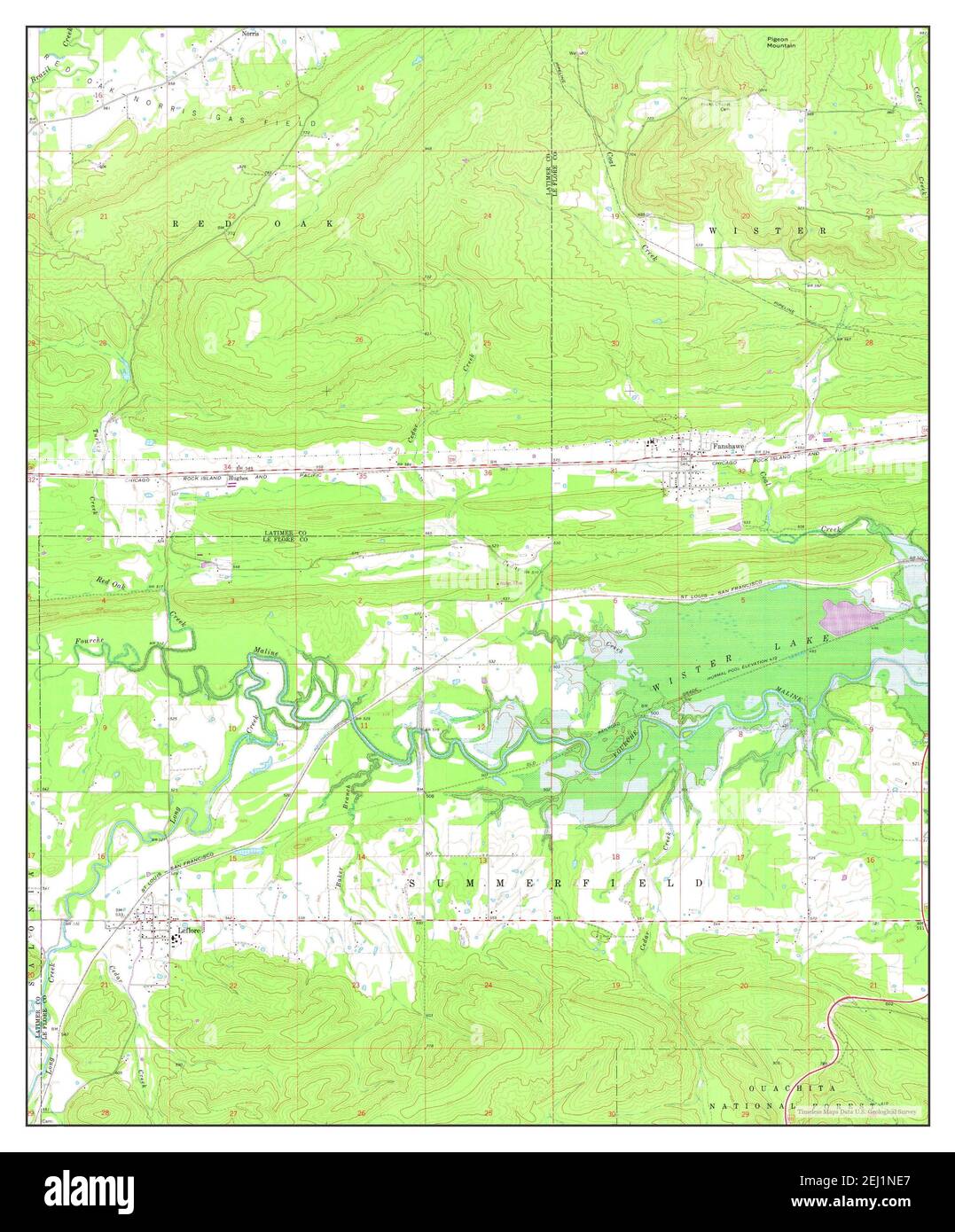 Leflore, Oklahoma, map 1965, 1:24000, United States of America by Timeless Maps, data U.S. Geological Survey Stock Photohttps://www.alamy.com/image-license-details/?v=1https://www.alamy.com/leflore-oklahoma-map-1965-124000-united-states-of-america-by-timeless-maps-data-us-geological-survey-image406941087.html
RM2EJ1NE7–Leflore, Oklahoma, map 1965, 1:24000, United States of America by Timeless Maps, data U.S. Geological Survey
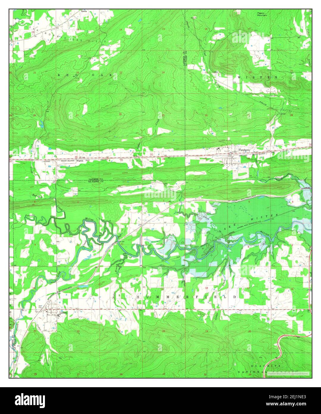 Leflore, Oklahoma, map 1965, 1:24000, United States of America by Timeless Maps, data U.S. Geological Survey Stock Photohttps://www.alamy.com/image-license-details/?v=1https://www.alamy.com/leflore-oklahoma-map-1965-124000-united-states-of-america-by-timeless-maps-data-us-geological-survey-image406941083.html
RM2EJ1NE3–Leflore, Oklahoma, map 1965, 1:24000, United States of America by Timeless Maps, data U.S. Geological Survey
 Leflore SE, Oklahoma, map 1966, 1:24000, United States of America by Timeless Maps, data U.S. Geological Survey Stock Photohttps://www.alamy.com/image-license-details/?v=1https://www.alamy.com/leflore-se-oklahoma-map-1966-124000-united-states-of-america-by-timeless-maps-data-us-geological-survey-image406941086.html
RM2EJ1NE6–Leflore SE, Oklahoma, map 1966, 1:24000, United States of America by Timeless Maps, data U.S. Geological Survey
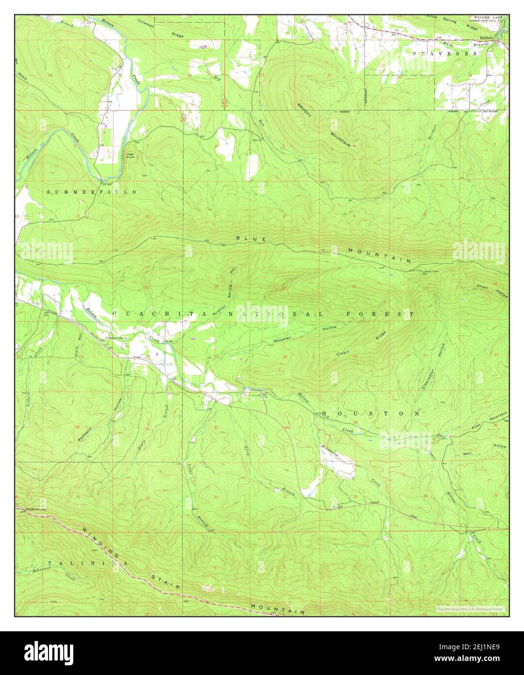 Leflore SE, Oklahoma, map 1966, 1:24000, United States of America by Timeless Maps, data U.S. Geological Survey Stock Photohttps://www.alamy.com/image-license-details/?v=1https://www.alamy.com/leflore-se-oklahoma-map-1966-124000-united-states-of-america-by-timeless-maps-data-us-geological-survey-image406941089.html
RM2EJ1NE9–Leflore SE, Oklahoma, map 1966, 1:24000, United States of America by Timeless Maps, data U.S. Geological Survey