Lexington south carolina map Stock Photos and Images
(246)See lexington south carolina map stock video clipsQuick filters:
Lexington south carolina map Stock Photos and Images
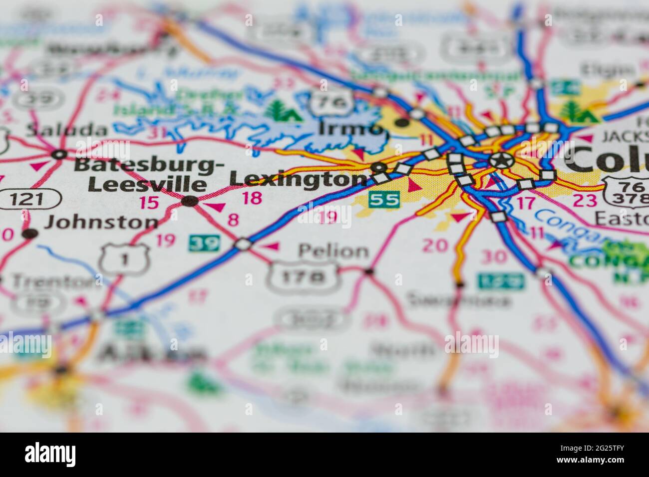 Lexington South Carolina USA Shown on a Road map or Geography map Stock Photohttps://www.alamy.com/image-license-details/?v=1https://www.alamy.com/lexington-south-carolina-usa-shown-on-a-road-map-or-geography-map-image431617535.html
RM2G25TFY–Lexington South Carolina USA Shown on a Road map or Geography map
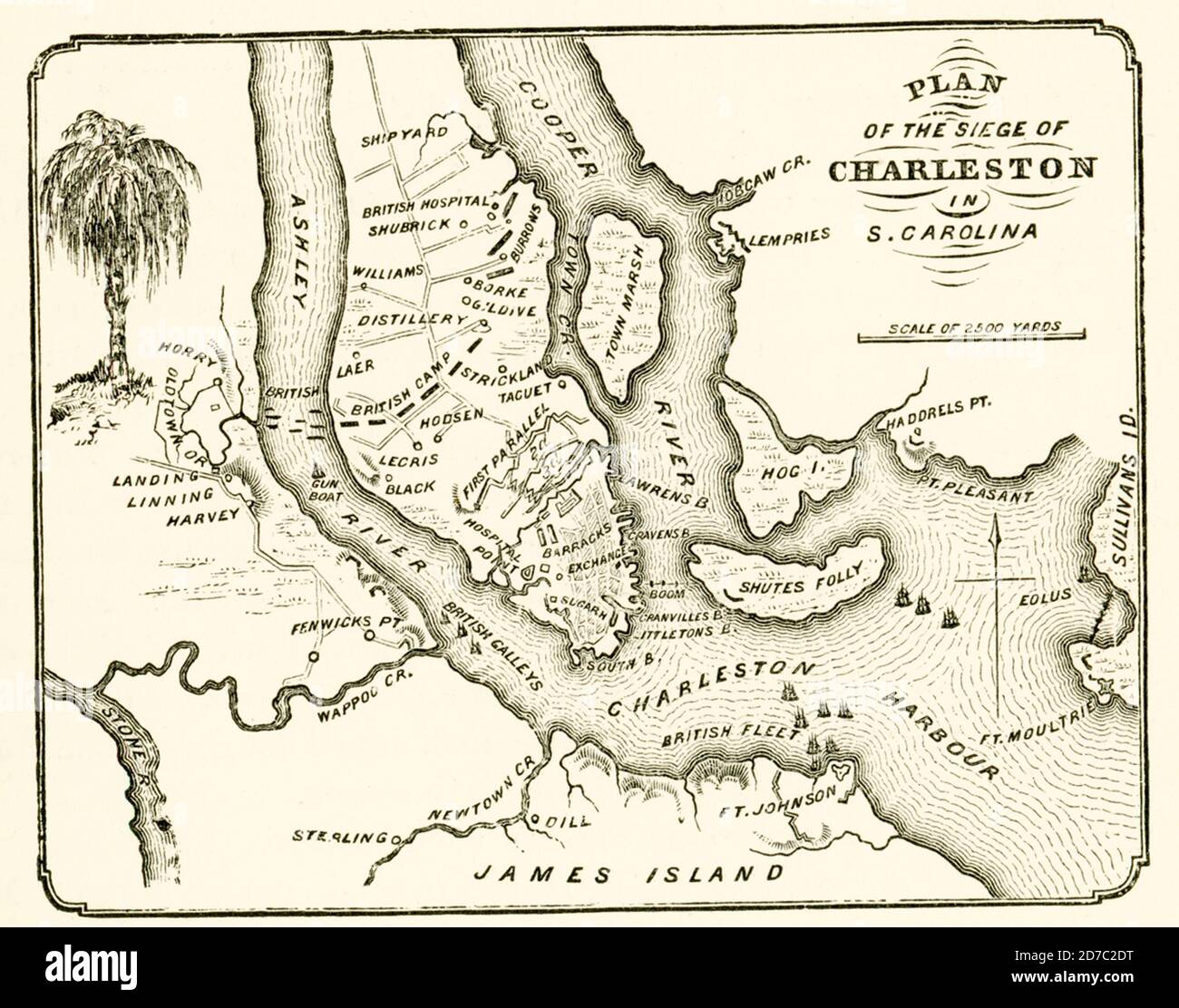 Planof siege of Charleston in South Carolina. The 1780 siege of Charleston was a decisive success for the British during the War of the American Revolution as they shifted their strategy to focus on the southern theater. Capture of the city and its harbor gave them a vital base from which to conduct operations in their attempt to rally the support of American Loyalists and reconquer the southern states. Stock Photohttps://www.alamy.com/image-license-details/?v=1https://www.alamy.com/planof-siege-of-charleston-in-south-carolina-the-1780-siege-of-charleston-was-a-decisive-success-for-the-british-during-the-war-of-the-american-revolution-as-they-shifted-their-strategy-to-focus-on-the-southern-theater-capture-of-the-city-and-its-harbor-gave-them-a-vital-base-from-which-to-conduct-operations-in-their-attempt-to-rally-the-support-of-american-loyalists-and-reconquer-the-southern-states-image383196068.html
RF2D7C2DT–Planof siege of Charleston in South Carolina. The 1780 siege of Charleston was a decisive success for the British during the War of the American Revolution as they shifted their strategy to focus on the southern theater. Capture of the city and its harbor gave them a vital base from which to conduct operations in their attempt to rally the support of American Loyalists and reconquer the southern states.
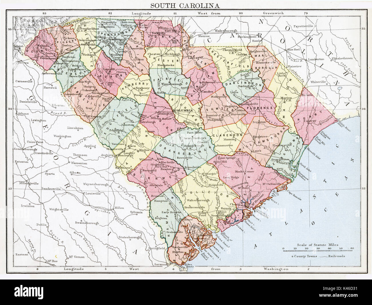 Antique map, circa 1875, of South Carolina Stock Photohttps://www.alamy.com/image-license-details/?v=1https://www.alamy.com/antique-map-circa-1875-of-south-carolina-image157493925.html
RMK46D31–Antique map, circa 1875, of South Carolina
 Bangkok, Thailand - January 20, 2022 Texas City, Illinois road map with red pushpin, city in the United States of America USA. Stock Photohttps://www.alamy.com/image-license-details/?v=1https://www.alamy.com/bangkok-thailand-january-20-2022-texas-city-illinois-road-map-with-red-pushpin-city-in-the-united-states-of-america-usa-image483691620.html
RF2K2X1GM–Bangkok, Thailand - January 20, 2022 Texas City, Illinois road map with red pushpin, city in the United States of America USA.
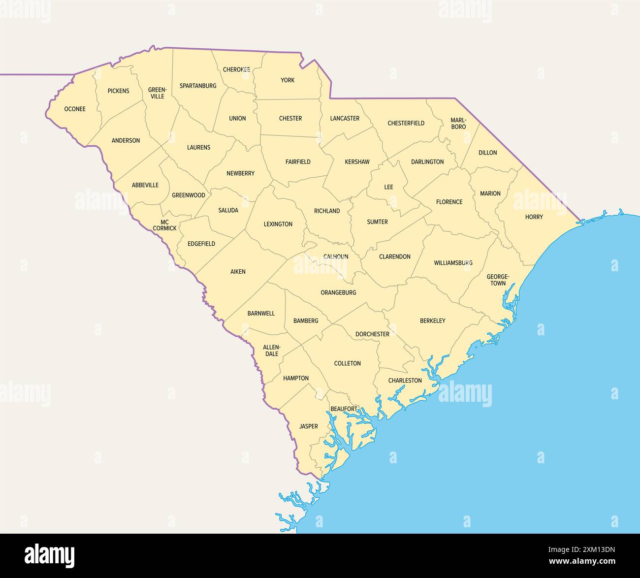 South Carolina counties, political map with borders and county names. State in Southeastern region of the United States, subdivided into 46 countiies. Stock Photohttps://www.alamy.com/image-license-details/?v=1https://www.alamy.com/south-carolina-counties-political-map-with-borders-and-county-names-state-in-southeastern-region-of-the-united-states-subdivided-into-46-countiies-image614680689.html
RF2XM13DN–South Carolina counties, political map with borders and county names. State in Southeastern region of the United States, subdivided into 46 countiies.
 Columbia, South Carolina,Richland, Lexington road map with red pushpin, city in the United States of America USA. Stock Photohttps://www.alamy.com/image-license-details/?v=1https://www.alamy.com/columbia-south-carolinarichland-lexington-road-map-with-red-pushpin-city-in-the-united-states-of-america-usa-image385790655.html
RF2DBJ7WK–Columbia, South Carolina,Richland, Lexington road map with red pushpin, city in the United States of America USA.
 Varnarsdale, Lexington County, US, United States, South Carolina, N 34 0' 15'', S 81 8' 47'', map, Cartascapes Map published in 2024. Explore Cartascapes, a map revealing Earth's diverse landscapes, cultures, and ecosystems. Journey through time and space, discovering the interconnectedness of our planet's past, present, and future. Stock Photohttps://www.alamy.com/image-license-details/?v=1https://www.alamy.com/varnarsdale-lexington-county-us-united-states-south-carolina-n-34-0-15-s-81-8-47-map-cartascapes-map-published-in-2024-explore-cartascapes-a-map-revealing-earths-diverse-landscapes-cultures-and-ecosystems-journey-through-time-and-space-discovering-the-interconnectedness-of-our-planets-past-present-and-future-image621207915.html
RM2Y2JD0Y–Varnarsdale, Lexington County, US, United States, South Carolina, N 34 0' 15'', S 81 8' 47'', map, Cartascapes Map published in 2024. Explore Cartascapes, a map revealing Earth's diverse landscapes, cultures, and ecosystems. Journey through time and space, discovering the interconnectedness of our planet's past, present, and future.
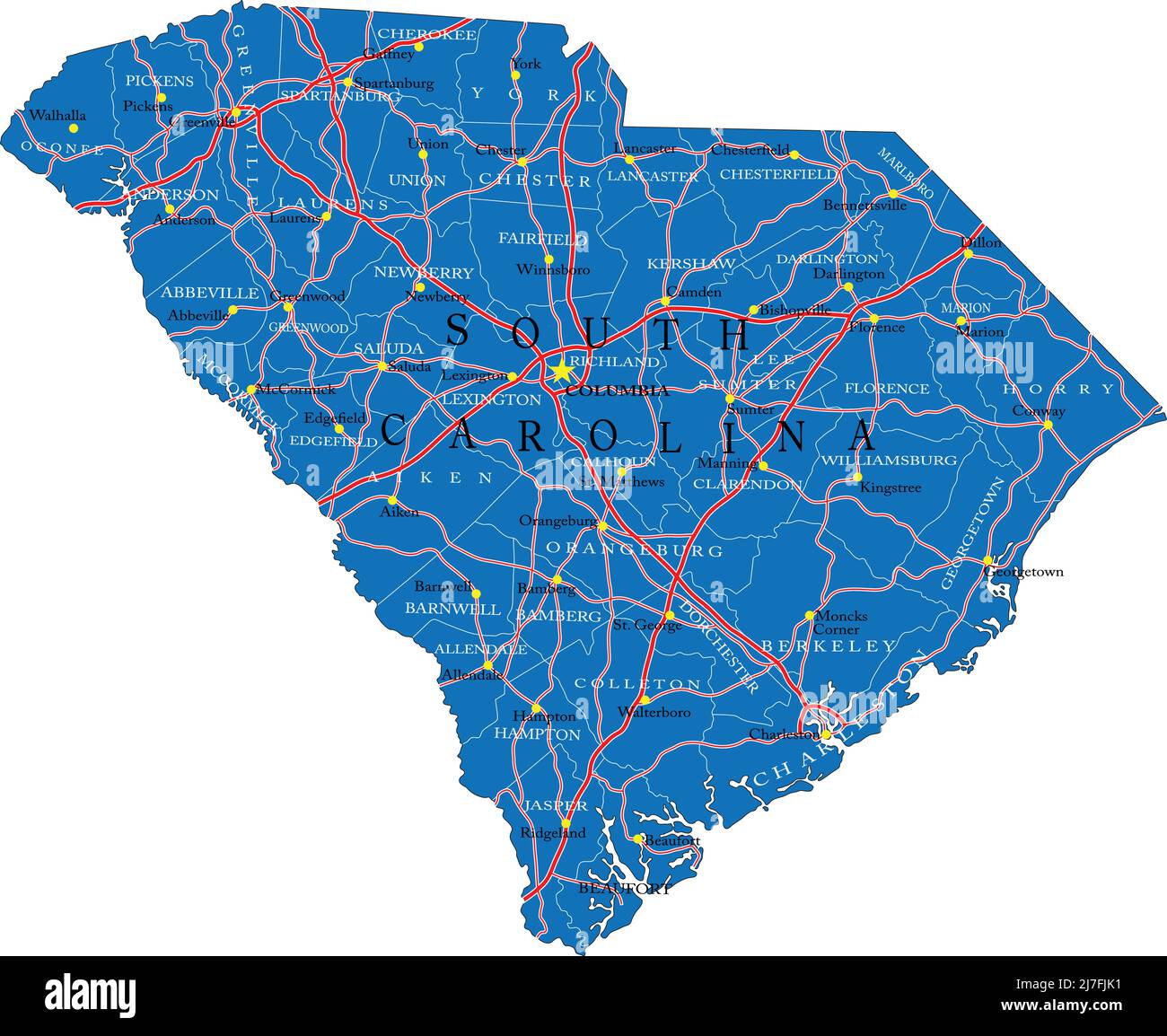 Detailed map of South Carolina state,in vector format,with county borders,roads and major cities. Stock Vectorhttps://www.alamy.com/image-license-details/?v=1https://www.alamy.com/detailed-map-of-south-carolina-statein-vector-formatwith-county-bordersroads-and-major-cities-image469326453.html
RF2J7FJK1–Detailed map of South Carolina state,in vector format,with county borders,roads and major cities.
 Civil War Maps 0551 Lexington District South Carolina Rebuild and Repair Stock Photohttps://www.alamy.com/image-license-details/?v=1https://www.alamy.com/civil-war-maps-0551-lexington-district-south-carolina-rebuild-and-repair-image261784710.html
RMW5W91X–Civil War Maps 0551 Lexington District South Carolina Rebuild and Repair
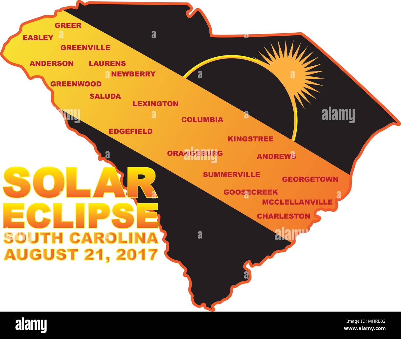 2017 Solar Eclipse Totality across South Carolina State cities map color illustration Stock Vectorhttps://www.alamy.com/image-license-details/?v=1https://www.alamy.com/2017-solar-eclipse-totality-across-south-carolina-state-cities-map-color-illustration-image183066354.html
RFMHRB02–2017 Solar Eclipse Totality across South Carolina State cities map color illustration
 Bangkok, Thailand - January 20, 2022 Beaumont, Texas road map with red pushpin, city in the United States of America USA. Stock Photohttps://www.alamy.com/image-license-details/?v=1https://www.alamy.com/bangkok-thailand-january-20-2022-beaumont-texas-road-map-with-red-pushpin-city-in-the-united-states-of-america-usa-image487204503.html
RF2K8J28R–Bangkok, Thailand - January 20, 2022 Beaumont, Texas road map with red pushpin, city in the United States of America USA.
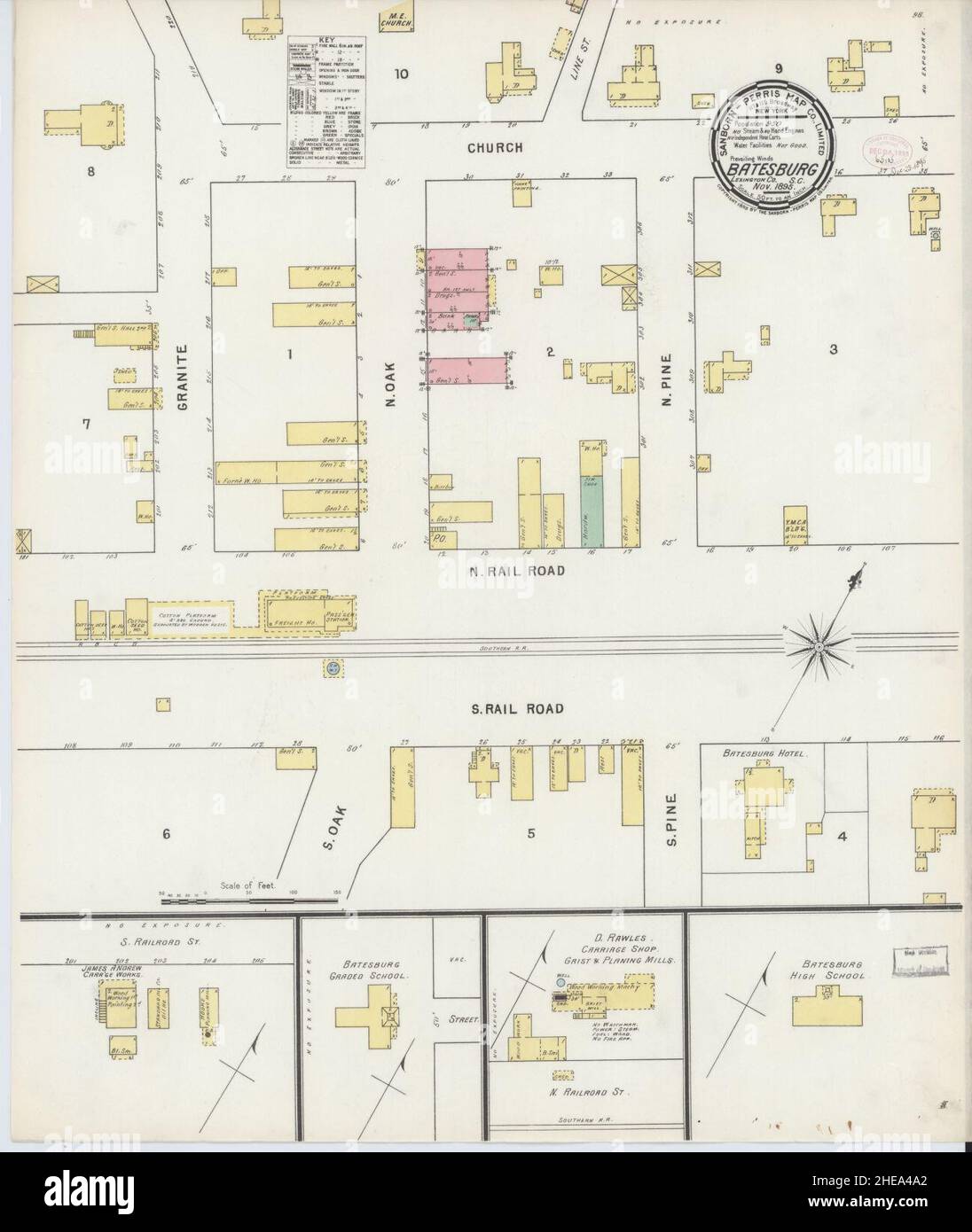 Sanborn Fire Insurance Map from Batesburg, Lexington And Saluda Counties, South Carolina. Stock Photohttps://www.alamy.com/image-license-details/?v=1https://www.alamy.com/sanborn-fire-insurance-map-from-batesburg-lexington-and-saluda-counties-south-carolina-image456297690.html
RM2HEA4A2–Sanborn Fire Insurance Map from Batesburg, Lexington And Saluda Counties, South Carolina.
 Map of Lexington in South Carolina Stock Photohttps://www.alamy.com/image-license-details/?v=1https://www.alamy.com/map-of-lexington-in-south-carolina-image359542667.html
RF2BTXG9F–Map of Lexington in South Carolina
 South Carolina, state of United States of America. Open Street Map Stock Photohttps://www.alamy.com/image-license-details/?v=1https://www.alamy.com/south-carolina-state-of-united-states-of-america-open-street-map-image546020724.html
RF2PM9B04–South Carolina, state of United States of America. Open Street Map
 Map of Lexington in South Carolina Stock Photohttps://www.alamy.com/image-license-details/?v=1https://www.alamy.com/map-of-lexington-in-south-carolina-image385765595.html
RF2DBH3XK–Map of Lexington in South Carolina
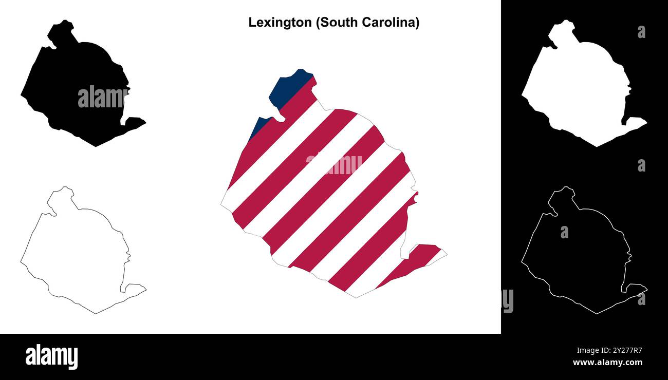 Lexington County (South Carolina) outline map set Stock Vectorhttps://www.alamy.com/image-license-details/?v=1https://www.alamy.com/lexington-county-south-carolina-outline-map-set-image620962363.html
RF2Y277R7–Lexington County (South Carolina) outline map set
 Lexington County, State of South Carolina (U.S. county, United States of America, USA, U.S., US) map vector illustration, scribble sketch Lexington ma Stock Vectorhttps://www.alamy.com/image-license-details/?v=1https://www.alamy.com/lexington-county-state-of-south-carolina-us-county-united-states-of-america-usa-us-us-map-vector-illustration-scribble-sketch-lexington-ma-image415492590.html
RF2F3Y912–Lexington County, State of South Carolina (U.S. county, United States of America, USA, U.S., US) map vector illustration, scribble sketch Lexington ma
 South Carolina counties, gray political map with borders and county names. State in the Southeastern region of the United States. Stock Photohttps://www.alamy.com/image-license-details/?v=1https://www.alamy.com/south-carolina-counties-gray-political-map-with-borders-and-county-names-state-in-the-southeastern-region-of-the-united-states-image614840021.html
RF2XM8AM5–South Carolina counties, gray political map with borders and county names. State in the Southeastern region of the United States.
 Chapin, Lexington County, US, United States, South Carolina, N 34 9' 57'', S 81 20' 59'', map, Cartascapes Map published in 2024. Explore Cartascapes, a map revealing Earth's diverse landscapes, cultures, and ecosystems. Journey through time and space, discovering the interconnectedness of our planet's past, present, and future. Stock Photohttps://www.alamy.com/image-license-details/?v=1https://www.alamy.com/chapin-lexington-county-us-united-states-south-carolina-n-34-9-57-s-81-20-59-map-cartascapes-map-published-in-2024-explore-cartascapes-a-map-revealing-earths-diverse-landscapes-cultures-and-ecosystems-journey-through-time-and-space-discovering-the-interconnectedness-of-our-planets-past-present-and-future-image621274634.html
RM2Y2NE3P–Chapin, Lexington County, US, United States, South Carolina, N 34 9' 57'', S 81 20' 59'', map, Cartascapes Map published in 2024. Explore Cartascapes, a map revealing Earth's diverse landscapes, cultures, and ecosystems. Journey through time and space, discovering the interconnectedness of our planet's past, present, and future.
 Civil War Maps 0551 Lexington District South Carolina Inverted Rebuild and Repair Stock Photohttps://www.alamy.com/image-license-details/?v=1https://www.alamy.com/civil-war-maps-0551-lexington-district-south-carolina-inverted-rebuild-and-repair-image261784515.html
RMW5W8PY–Civil War Maps 0551 Lexington District South Carolina Inverted Rebuild and Repair
 2017 Solar Eclipse Geometry Totality across South Carolina State cities map color illustration Stock Vectorhttps://www.alamy.com/image-license-details/?v=1https://www.alamy.com/2017-solar-eclipse-geometry-totality-across-south-carolina-state-cities-map-color-illustration-image183066430.html
RFMHRB2P–2017 Solar Eclipse Geometry Totality across South Carolina State cities map color illustration
 Bangkok, Thailand - January 20, 2022 Lake Jackson, Texas road map with red pushpin, city in the United States of America USA. Stock Photohttps://www.alamy.com/image-license-details/?v=1https://www.alamy.com/bangkok-thailand-january-20-2022-lake-jackson-texas-road-map-with-red-pushpin-city-in-the-united-states-of-america-usa-image480424809.html
RF2JWH6MW–Bangkok, Thailand - January 20, 2022 Lake Jackson, Texas road map with red pushpin, city in the United States of America USA.
 USGS TOPO Map South Carolina SC Lexington 20110826 TM Restoration Stock Photohttps://www.alamy.com/image-license-details/?v=1https://www.alamy.com/usgs-topo-map-south-carolina-sc-lexington-20110826-tm-restoration-image334741087.html
RM2ACGNJR–USGS TOPO Map South Carolina SC Lexington 20110826 TM Restoration
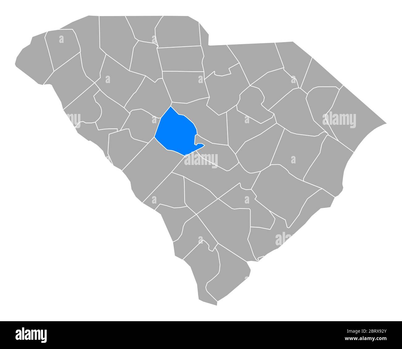 Map of Lexington in South Carolina Stock Photohttps://www.alamy.com/image-license-details/?v=1https://www.alamy.com/map-of-lexington-in-south-carolina-image358922339.html
RF2BRX92Y–Map of Lexington in South Carolina
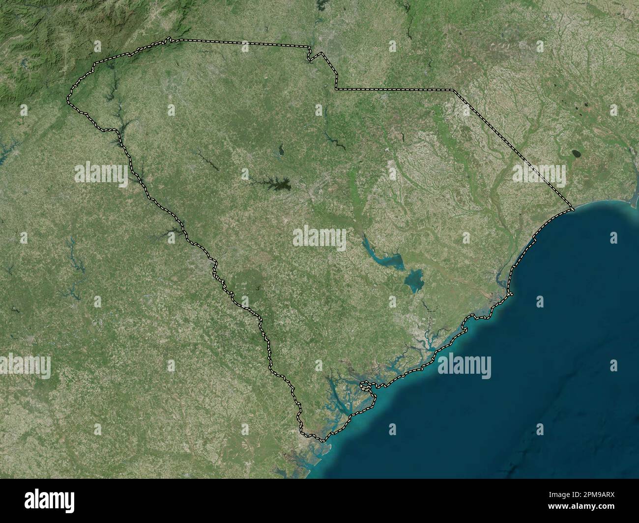 South Carolina, state of United States of America. High resolution satellite map Stock Photohttps://www.alamy.com/image-license-details/?v=1https://www.alamy.com/south-carolina-state-of-united-states-of-america-high-resolution-satellite-map-image546020606.html
RF2PM9ARX–South Carolina, state of United States of America. High resolution satellite map
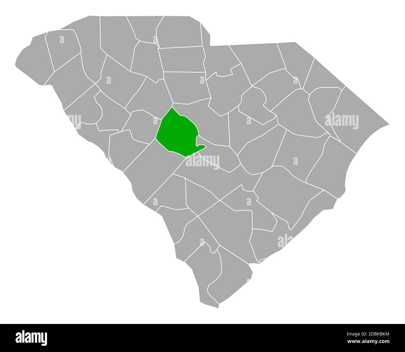 Map of Lexington in South Carolina Stock Photohttps://www.alamy.com/image-license-details/?v=1https://www.alamy.com/map-of-lexington-in-south-carolina-image385815576.html
RF2DBKBKM–Map of Lexington in South Carolina
 Lexington County, State of South Carolina (U.S. county, United States of America, USA, U.S., US) map vector illustration, scribble sketch Lexington ma Stock Vectorhttps://www.alamy.com/image-license-details/?v=1https://www.alamy.com/lexington-county-state-of-south-carolina-us-county-united-states-of-america-usa-us-us-map-vector-illustration-scribble-sketch-lexington-ma-image389068565.html
RF2DGYGWW–Lexington County, State of South Carolina (U.S. county, United States of America, USA, U.S., US) map vector illustration, scribble sketch Lexington ma
 Parkwood, Lexington County, US, United States, South Carolina, N 33 57' 53'', S 81 9' 12'', map, Cartascapes Map published in 2024. Explore Cartascapes, a map revealing Earth's diverse landscapes, cultures, and ecosystems. Journey through time and space, discovering the interconnectedness of our planet's past, present, and future. Stock Photohttps://www.alamy.com/image-license-details/?v=1https://www.alamy.com/parkwood-lexington-county-us-united-states-south-carolina-n-33-57-53-s-81-9-12-map-cartascapes-map-published-in-2024-explore-cartascapes-a-map-revealing-earths-diverse-landscapes-cultures-and-ecosystems-journey-through-time-and-space-discovering-the-interconnectedness-of-our-planets-past-present-and-future-image621145659.html
RM2Y2FHHF–Parkwood, Lexington County, US, United States, South Carolina, N 33 57' 53'', S 81 9' 12'', map, Cartascapes Map published in 2024. Explore Cartascapes, a map revealing Earth's diverse landscapes, cultures, and ecosystems. Journey through time and space, discovering the interconnectedness of our planet's past, present, and future.
 Bangkok, Thailand - January 20, 2022 BeHaire, Harrison County, Texas road map with red pushpin, city in the United States of America USA. Stock Photohttps://www.alamy.com/image-license-details/?v=1https://www.alamy.com/bangkok-thailand-january-20-2022-behaire-harrison-county-texas-road-map-with-red-pushpin-city-in-the-united-states-of-america-usa-image477587824.html
RF2JN0040–Bangkok, Thailand - January 20, 2022 BeHaire, Harrison County, Texas road map with red pushpin, city in the United States of America USA.
 USGS TOPO Map South Carolina SC Lexington 261244 1972 24000 Restoration Stock Photohttps://www.alamy.com/image-license-details/?v=1https://www.alamy.com/usgs-topo-map-south-carolina-sc-lexington-261244-1972-24000-restoration-image334741080.html
RM2ACGNJG–USGS TOPO Map South Carolina SC Lexington 261244 1972 24000 Restoration
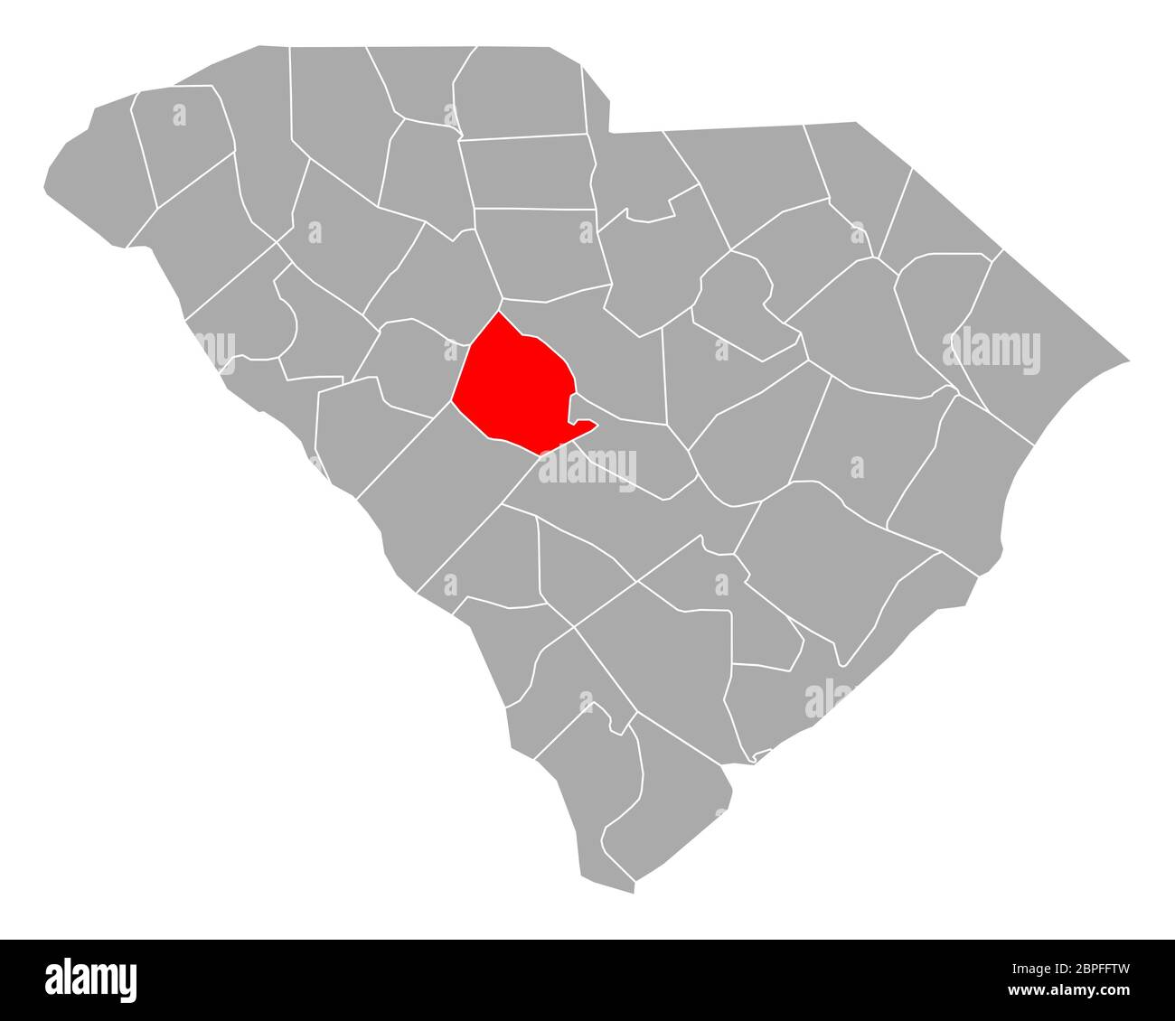 Map of Lexington in South Carolina Stock Photohttps://www.alamy.com/image-license-details/?v=1https://www.alamy.com/map-of-lexington-in-south-carolina-image358071529.html
RF2BPFFTW–Map of Lexington in South Carolina
 South Carolina, state of United States of America. Low resolution satellite map Stock Photohttps://www.alamy.com/image-license-details/?v=1https://www.alamy.com/south-carolina-state-of-united-states-of-america-low-resolution-satellite-map-image546020729.html
RF2PM9B09–South Carolina, state of United States of America. Low resolution satellite map
 Map of Lexington in South Carolina Stock Photohttps://www.alamy.com/image-license-details/?v=1https://www.alamy.com/map-of-lexington-in-south-carolina-image385793943.html
RF2DBJC33–Map of Lexington in South Carolina
 Lexington County, State of South Carolina (U.S. county, United States of America, USA, U.S., US) map vector illustration, scribble sketch Lexington ma Stock Vectorhttps://www.alamy.com/image-license-details/?v=1https://www.alamy.com/lexington-county-state-of-south-carolina-us-county-united-states-of-america-usa-us-us-map-vector-illustration-scribble-sketch-lexington-ma-image426511515.html
RF2FNW7P3–Lexington County, State of South Carolina (U.S. county, United States of America, USA, U.S., US) map vector illustration, scribble sketch Lexington ma
 Swansea, Lexington County, US, United States, South Carolina, N 33 44' 17'', S 81 5' 52'', map, Cartascapes Map published in 2024. Explore Cartascapes, a map revealing Earth's diverse landscapes, cultures, and ecosystems. Journey through time and space, discovering the interconnectedness of our planet's past, present, and future. Stock Photohttps://www.alamy.com/image-license-details/?v=1https://www.alamy.com/swansea-lexington-county-us-united-states-south-carolina-n-33-44-17-s-81-5-52-map-cartascapes-map-published-in-2024-explore-cartascapes-a-map-revealing-earths-diverse-landscapes-cultures-and-ecosystems-journey-through-time-and-space-discovering-the-interconnectedness-of-our-planets-past-present-and-future-image621144626.html
RM2Y2FG8J–Swansea, Lexington County, US, United States, South Carolina, N 33 44' 17'', S 81 5' 52'', map, Cartascapes Map published in 2024. Explore Cartascapes, a map revealing Earth's diverse landscapes, cultures, and ecosystems. Journey through time and space, discovering the interconnectedness of our planet's past, present, and future.
 USGS TOPO Map South Carolina SC Lexington 20110826 TM Inverted Restoration Stock Photohttps://www.alamy.com/image-license-details/?v=1https://www.alamy.com/usgs-topo-map-south-carolina-sc-lexington-20110826-tm-inverted-restoration-image334741082.html
RM2ACGNJJ–USGS TOPO Map South Carolina SC Lexington 20110826 TM Inverted Restoration
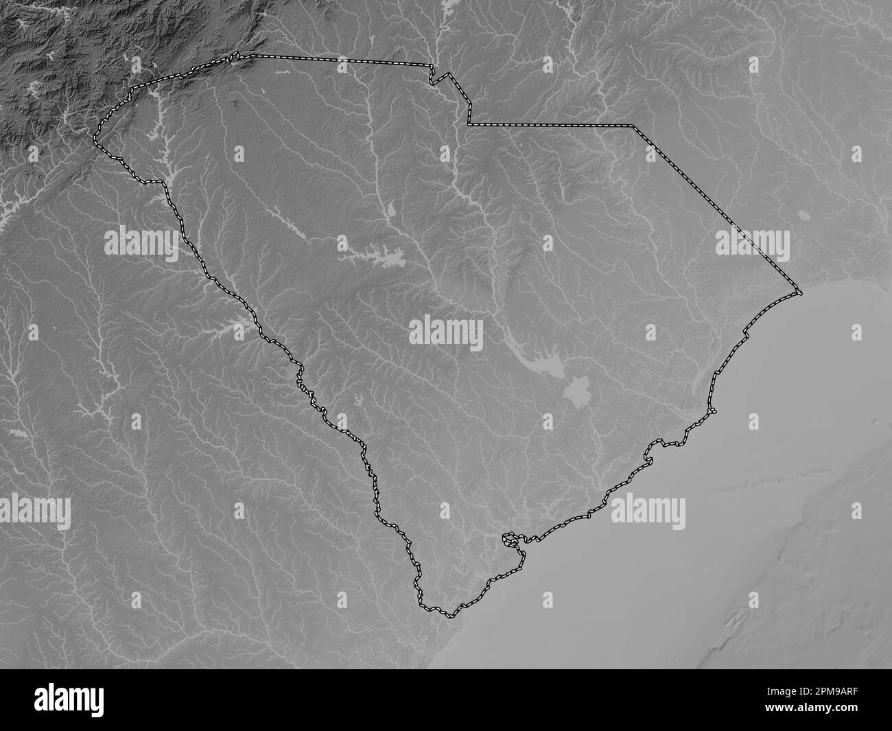 South Carolina, state of United States of America. Grayscale elevation map with lakes and rivers Stock Photohttps://www.alamy.com/image-license-details/?v=1https://www.alamy.com/south-carolina-state-of-united-states-of-america-grayscale-elevation-map-with-lakes-and-rivers-image546020595.html
RF2PM9ARF–South Carolina, state of United States of America. Grayscale elevation map with lakes and rivers
 Harrisburg, Lexington County, US, United States, South Carolina, N 33 57' 14'', S 81 13' 31'', map, Cartascapes Map published in 2024. Explore Cartascapes, a map revealing Earth's diverse landscapes, cultures, and ecosystems. Journey through time and space, discovering the interconnectedness of our planet's past, present, and future. Stock Photohttps://www.alamy.com/image-license-details/?v=1https://www.alamy.com/harrisburg-lexington-county-us-united-states-south-carolina-n-33-57-14-s-81-13-31-map-cartascapes-map-published-in-2024-explore-cartascapes-a-map-revealing-earths-diverse-landscapes-cultures-and-ecosystems-journey-through-time-and-space-discovering-the-interconnectedness-of-our-planets-past-present-and-future-image621421702.html
RM2Y305M6–Harrisburg, Lexington County, US, United States, South Carolina, N 33 57' 14'', S 81 13' 31'', map, Cartascapes Map published in 2024. Explore Cartascapes, a map revealing Earth's diverse landscapes, cultures, and ecosystems. Journey through time and space, discovering the interconnectedness of our planet's past, present, and future.
 USGS TOPO Map South Carolina SC Lexington 261246 1972 24000 Restoration Stock Photohttps://www.alamy.com/image-license-details/?v=1https://www.alamy.com/usgs-topo-map-south-carolina-sc-lexington-261246-1972-24000-restoration-image334741194.html
RM2ACGNPJ–USGS TOPO Map South Carolina SC Lexington 261246 1972 24000 Restoration
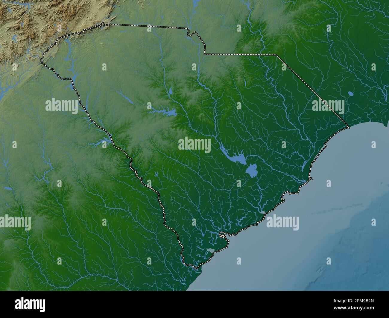 South Carolina, state of United States of America. Colored elevation map with lakes and rivers Stock Photohttps://www.alamy.com/image-license-details/?v=1https://www.alamy.com/south-carolina-state-of-united-states-of-america-colored-elevation-map-with-lakes-and-rivers-image546020797.html
RF2PM9B2N–South Carolina, state of United States of America. Colored elevation map with lakes and rivers
 Swansea, Lexington County, US, United States, South Carolina, N 33 44' 17'', S 81 5' 52'', map, Cartascapes Map published in 2024. Explore Cartascapes, a map revealing Earth's diverse landscapes, cultures, and ecosystems. Journey through time and space, discovering the interconnectedness of our planet's past, present, and future. Stock Photohttps://www.alamy.com/image-license-details/?v=1https://www.alamy.com/swansea-lexington-county-us-united-states-south-carolina-n-33-44-17-s-81-5-52-map-cartascapes-map-published-in-2024-explore-cartascapes-a-map-revealing-earths-diverse-landscapes-cultures-and-ecosystems-journey-through-time-and-space-discovering-the-interconnectedness-of-our-planets-past-present-and-future-image621390555.html
RM2Y2XNYR–Swansea, Lexington County, US, United States, South Carolina, N 33 44' 17'', S 81 5' 52'', map, Cartascapes Map published in 2024. Explore Cartascapes, a map revealing Earth's diverse landscapes, cultures, and ecosystems. Journey through time and space, discovering the interconnectedness of our planet's past, present, and future.
 USGS TOPO Map South Carolina SC Lexington 261245 1972 24000 Restoration Stock Photohttps://www.alamy.com/image-license-details/?v=1https://www.alamy.com/usgs-topo-map-south-carolina-sc-lexington-261245-1972-24000-restoration-image334741199.html
RM2ACGNPR–USGS TOPO Map South Carolina SC Lexington 261245 1972 24000 Restoration
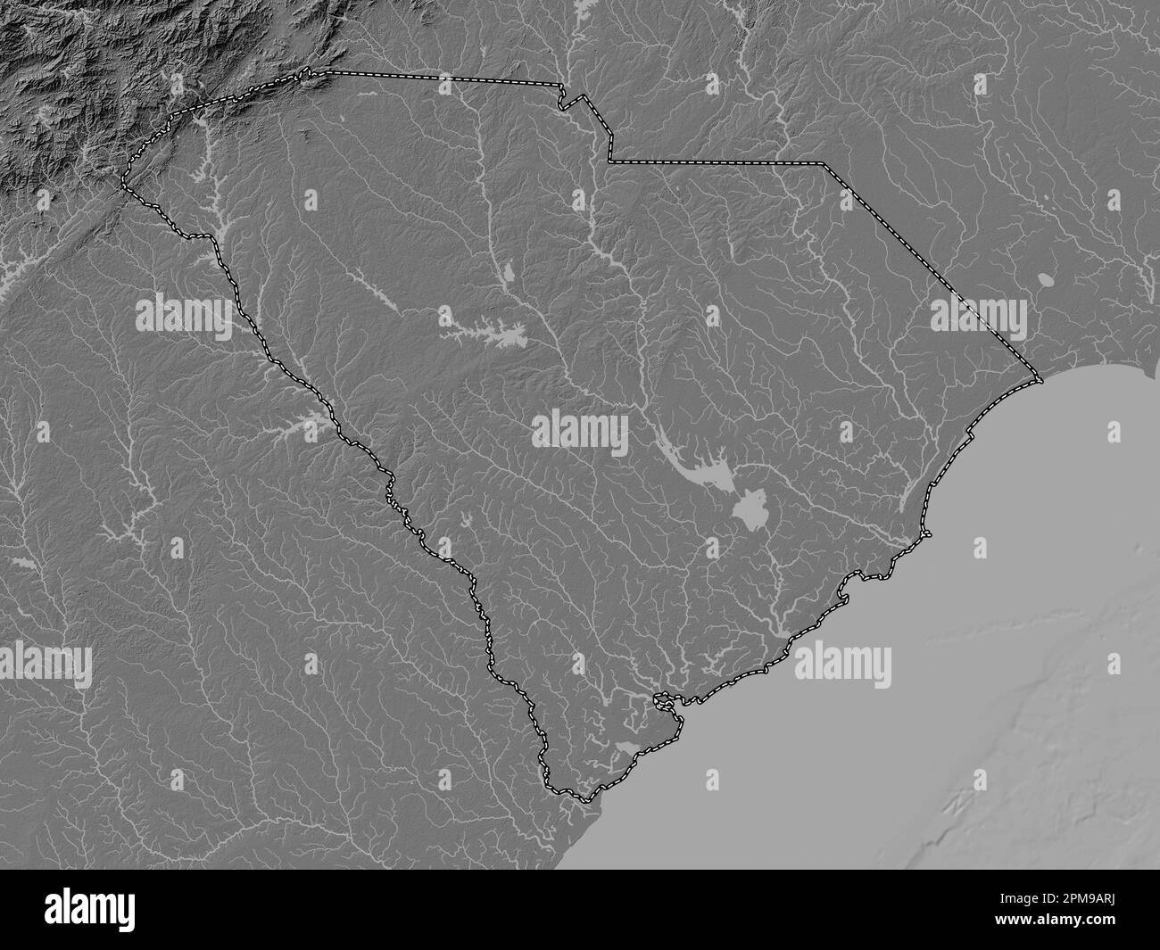 South Carolina, state of United States of America. Bilevel elevation map with lakes and rivers Stock Photohttps://www.alamy.com/image-license-details/?v=1https://www.alamy.com/south-carolina-state-of-united-states-of-america-bilevel-elevation-map-with-lakes-and-rivers-image546020598.html
RF2PM9ARJ–South Carolina, state of United States of America. Bilevel elevation map with lakes and rivers
 Hillcreek, Lexington County, US, United States, South Carolina, N 34 5' 36'', S 81 11' 52'', map, Cartascapes Map published in 2024. Explore Cartascapes, a map revealing Earth's diverse landscapes, cultures, and ecosystems. Journey through time and space, discovering the interconnectedness of our planet's past, present, and future. Stock Photohttps://www.alamy.com/image-license-details/?v=1https://www.alamy.com/hillcreek-lexington-county-us-united-states-south-carolina-n-34-5-36-s-81-11-52-map-cartascapes-map-published-in-2024-explore-cartascapes-a-map-revealing-earths-diverse-landscapes-cultures-and-ecosystems-journey-through-time-and-space-discovering-the-interconnectedness-of-our-planets-past-present-and-future-image621215632.html
RM2Y2JPTG–Hillcreek, Lexington County, US, United States, South Carolina, N 34 5' 36'', S 81 11' 52'', map, Cartascapes Map published in 2024. Explore Cartascapes, a map revealing Earth's diverse landscapes, cultures, and ecosystems. Journey through time and space, discovering the interconnectedness of our planet's past, present, and future.
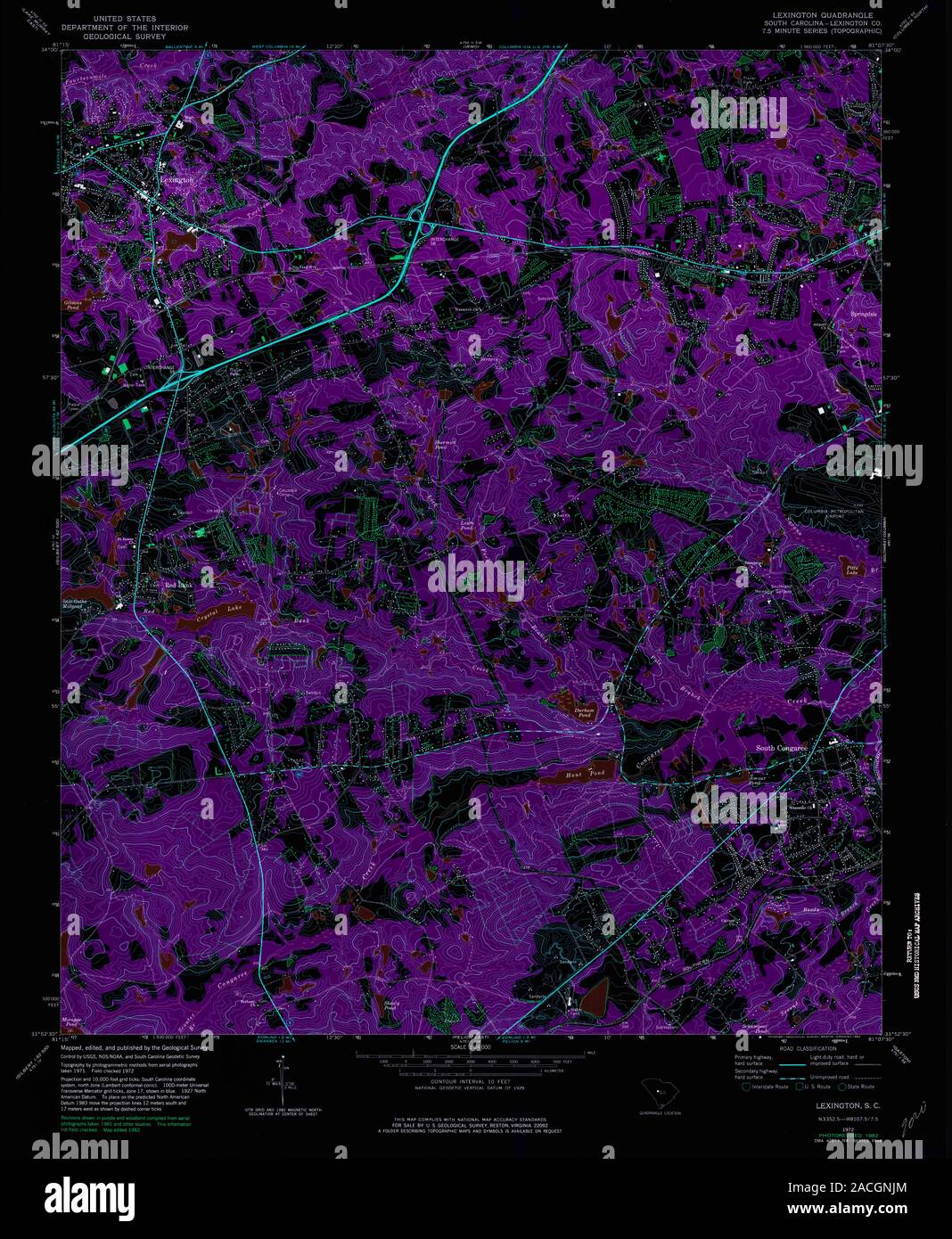 USGS TOPO Map South Carolina SC Lexington 261245 1972 24000 Inverted Restoration Stock Photohttps://www.alamy.com/image-license-details/?v=1https://www.alamy.com/usgs-topo-map-south-carolina-sc-lexington-261245-1972-24000-inverted-restoration-image334741084.html
RM2ACGNJM–USGS TOPO Map South Carolina SC Lexington 261245 1972 24000 Inverted Restoration
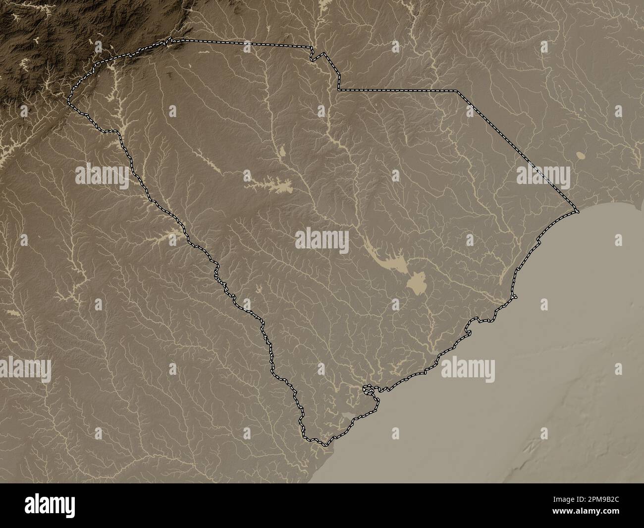 South Carolina, state of United States of America. Elevation map colored in sepia tones with lakes and rivers Stock Photohttps://www.alamy.com/image-license-details/?v=1https://www.alamy.com/south-carolina-state-of-united-states-of-america-elevation-map-colored-in-sepia-tones-with-lakes-and-rivers-image546020788.html
RF2PM9B2C–South Carolina, state of United States of America. Elevation map colored in sepia tones with lakes and rivers
 Pineglen, Lexington County, US, United States, South Carolina, N 34 2' 22'', S 81 8' 49'', map, Cartascapes Map published in 2024. Explore Cartascapes, a map revealing Earth's diverse landscapes, cultures, and ecosystems. Journey through time and space, discovering the interconnectedness of our planet's past, present, and future. Stock Photohttps://www.alamy.com/image-license-details/?v=1https://www.alamy.com/pineglen-lexington-county-us-united-states-south-carolina-n-34-2-22-s-81-8-49-map-cartascapes-map-published-in-2024-explore-cartascapes-a-map-revealing-earths-diverse-landscapes-cultures-and-ecosystems-journey-through-time-and-space-discovering-the-interconnectedness-of-our-planets-past-present-and-future-image621284325.html
RM2Y2NXDW–Pineglen, Lexington County, US, United States, South Carolina, N 34 2' 22'', S 81 8' 49'', map, Cartascapes Map published in 2024. Explore Cartascapes, a map revealing Earth's diverse landscapes, cultures, and ecosystems. Journey through time and space, discovering the interconnectedness of our planet's past, present, and future.
 USGS TOPO Map South Carolina SC Lexington 261246 1972 24000 Inverted Restoration Stock Photohttps://www.alamy.com/image-license-details/?v=1https://www.alamy.com/usgs-topo-map-south-carolina-sc-lexington-261246-1972-24000-inverted-restoration-image334741197.html
RM2ACGNPN–USGS TOPO Map South Carolina SC Lexington 261246 1972 24000 Inverted Restoration
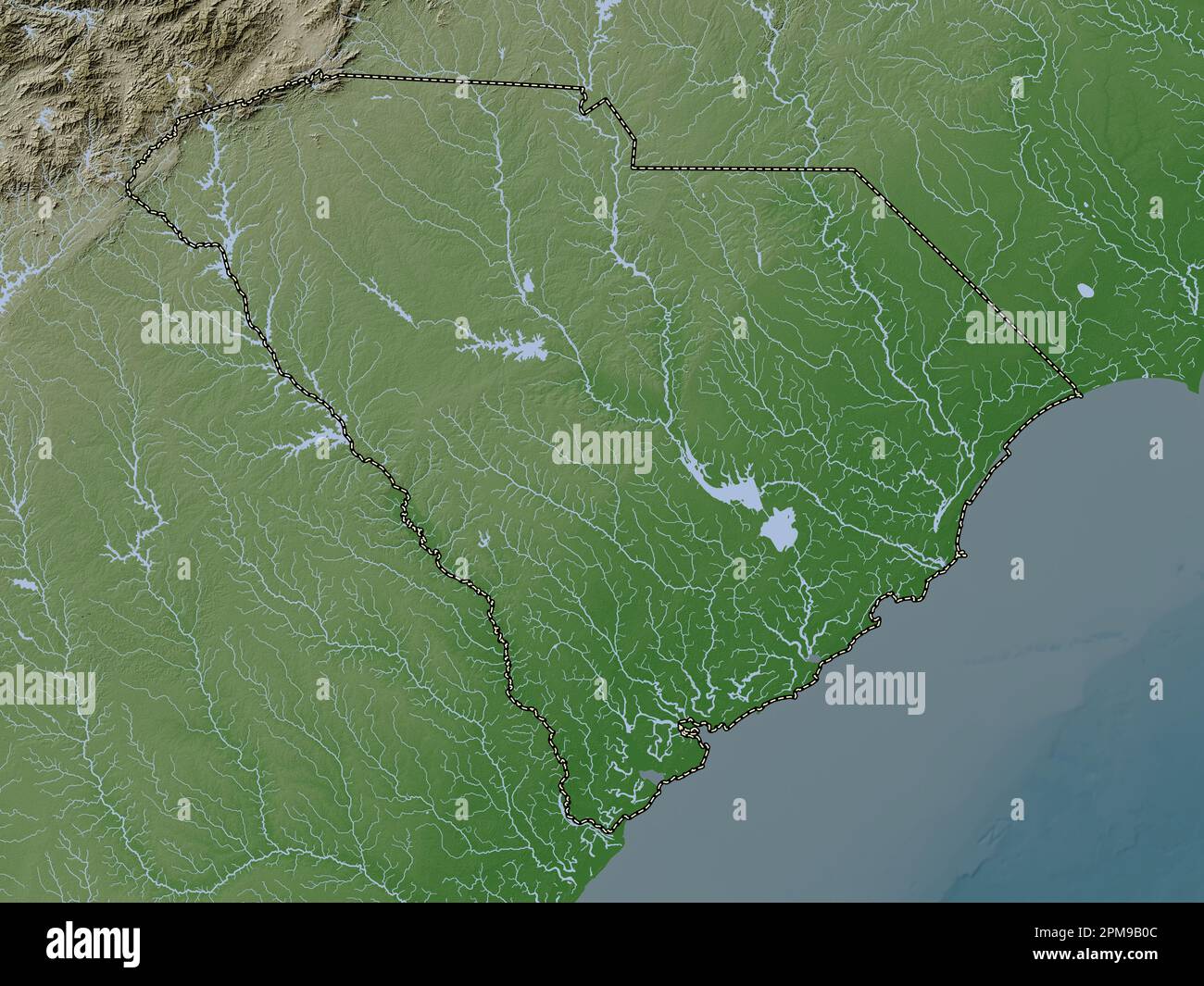 South Carolina, state of United States of America. Elevation map colored in wiki style with lakes and rivers Stock Photohttps://www.alamy.com/image-license-details/?v=1https://www.alamy.com/south-carolina-state-of-united-states-of-america-elevation-map-colored-in-wiki-style-with-lakes-and-rivers-image546020732.html
RF2PM9B0C–South Carolina, state of United States of America. Elevation map colored in wiki style with lakes and rivers
 Edenwood, Lexington County, US, United States, South Carolina, N 33 57' 13'', S 81 3' 35'', map, Cartascapes Map published in 2024. Explore Cartascapes, a map revealing Earth's diverse landscapes, cultures, and ecosystems. Journey through time and space, discovering the interconnectedness of our planet's past, present, and future. Stock Photohttps://www.alamy.com/image-license-details/?v=1https://www.alamy.com/edenwood-lexington-county-us-united-states-south-carolina-n-33-57-13-s-81-3-35-map-cartascapes-map-published-in-2024-explore-cartascapes-a-map-revealing-earths-diverse-landscapes-cultures-and-ecosystems-journey-through-time-and-space-discovering-the-interconnectedness-of-our-planets-past-present-and-future-image621251274.html
RM2Y2MC9E–Edenwood, Lexington County, US, United States, South Carolina, N 33 57' 13'', S 81 3' 35'', map, Cartascapes Map published in 2024. Explore Cartascapes, a map revealing Earth's diverse landscapes, cultures, and ecosystems. Journey through time and space, discovering the interconnectedness of our planet's past, present, and future.
 USGS TOPO Map South Carolina SC Lexington 261244 1972 24000 Inverted Restoration Stock Photohttps://www.alamy.com/image-license-details/?v=1https://www.alamy.com/usgs-topo-map-south-carolina-sc-lexington-261244-1972-24000-inverted-restoration-image334741083.html
RM2ACGNJK–USGS TOPO Map South Carolina SC Lexington 261244 1972 24000 Inverted Restoration
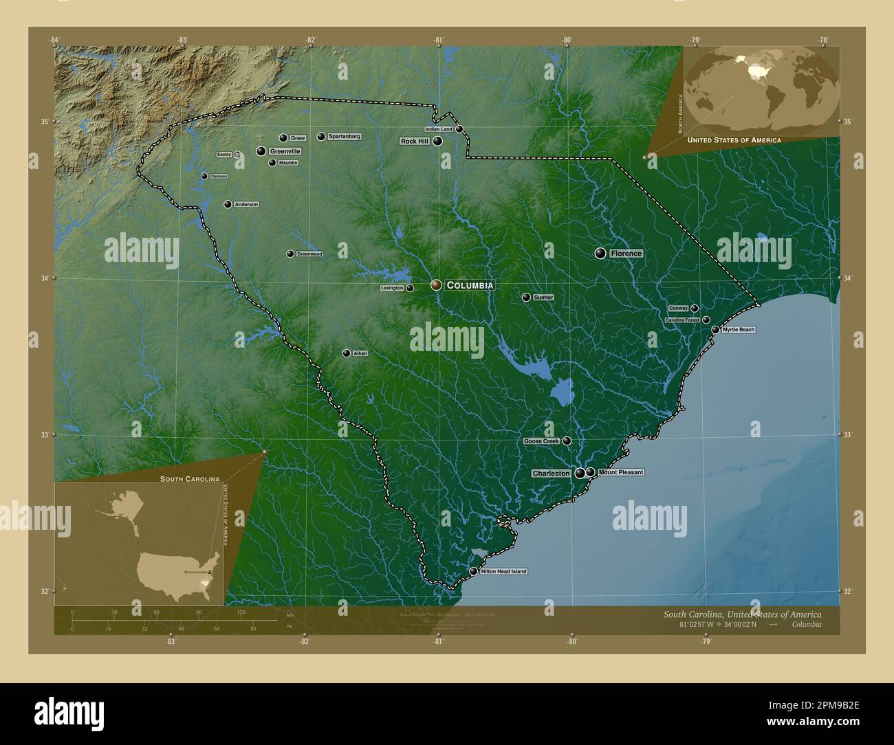 South Carolina, state of United States of America. Colored elevation map with lakes and rivers. Locations and names of major cities of the region. Cor Stock Photohttps://www.alamy.com/image-license-details/?v=1https://www.alamy.com/south-carolina-state-of-united-states-of-america-colored-elevation-map-with-lakes-and-rivers-locations-and-names-of-major-cities-of-the-region-cor-image546020790.html
RF2PM9B2E–South Carolina, state of United States of America. Colored elevation map with lakes and rivers. Locations and names of major cities of the region. Cor
 Kneece, Lexington County, US, United States, South Carolina, N 33 52' 18'', S 81 30' 40'', map, Cartascapes Map published in 2024. Explore Cartascapes, a map revealing Earth's diverse landscapes, cultures, and ecosystems. Journey through time and space, discovering the interconnectedness of our planet's past, present, and future. Stock Photohttps://www.alamy.com/image-license-details/?v=1https://www.alamy.com/kneece-lexington-county-us-united-states-south-carolina-n-33-52-18-s-81-30-40-map-cartascapes-map-published-in-2024-explore-cartascapes-a-map-revealing-earths-diverse-landscapes-cultures-and-ecosystems-journey-through-time-and-space-discovering-the-interconnectedness-of-our-planets-past-present-and-future-image621397860.html
RM2Y2Y38M–Kneece, Lexington County, US, United States, South Carolina, N 33 52' 18'', S 81 30' 40'', map, Cartascapes Map published in 2024. Explore Cartascapes, a map revealing Earth's diverse landscapes, cultures, and ecosystems. Journey through time and space, discovering the interconnectedness of our planet's past, present, and future.
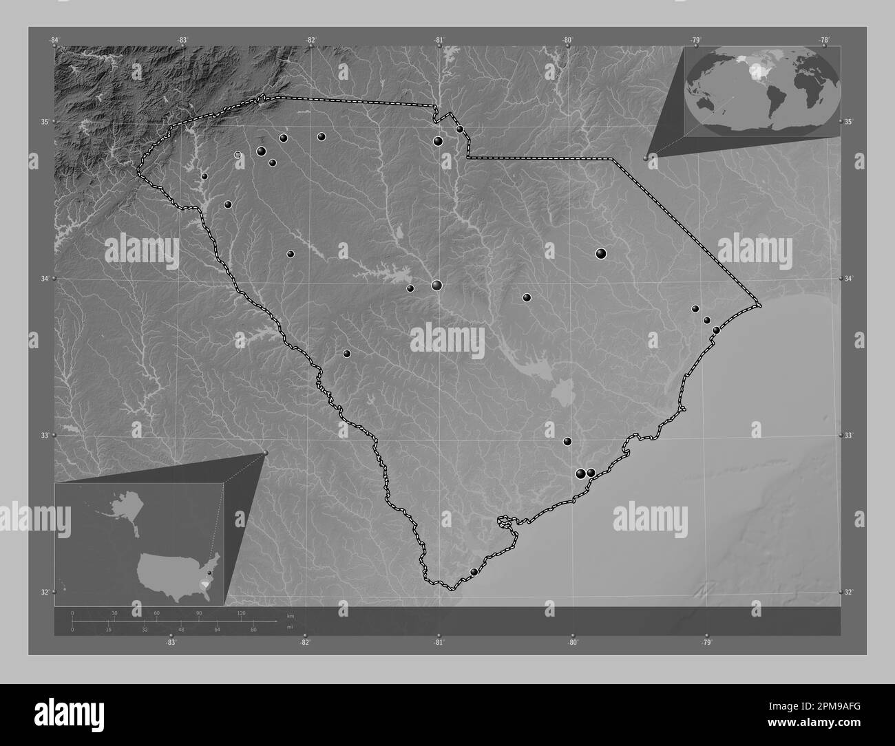 South Carolina, state of United States of America. Grayscale elevation map with lakes and rivers. Locations of major cities of the region. Corner auxi Stock Photohttps://www.alamy.com/image-license-details/?v=1https://www.alamy.com/south-carolina-state-of-united-states-of-america-grayscale-elevation-map-with-lakes-and-rivers-locations-of-major-cities-of-the-region-corner-auxi-image546020372.html
RF2PM9AFG–South Carolina, state of United States of America. Grayscale elevation map with lakes and rivers. Locations of major cities of the region. Corner auxi
 Lloydswoods, Lexington County, US, United States, South Carolina, N 33 54' 0'', S 81 3' 25'', map, Cartascapes Map published in 2024. Explore Cartascapes, a map revealing Earth's diverse landscapes, cultures, and ecosystems. Journey through time and space, discovering the interconnectedness of our planet's past, present, and future. Stock Photohttps://www.alamy.com/image-license-details/?v=1https://www.alamy.com/lloydswoods-lexington-county-us-united-states-south-carolina-n-33-54-0-s-81-3-25-map-cartascapes-map-published-in-2024-explore-cartascapes-a-map-revealing-earths-diverse-landscapes-cultures-and-ecosystems-journey-through-time-and-space-discovering-the-interconnectedness-of-our-planets-past-present-and-future-image621417547.html
RM2Y300BR–Lloydswoods, Lexington County, US, United States, South Carolina, N 33 54' 0'', S 81 3' 25'', map, Cartascapes Map published in 2024. Explore Cartascapes, a map revealing Earth's diverse landscapes, cultures, and ecosystems. Journey through time and space, discovering the interconnectedness of our planet's past, present, and future.
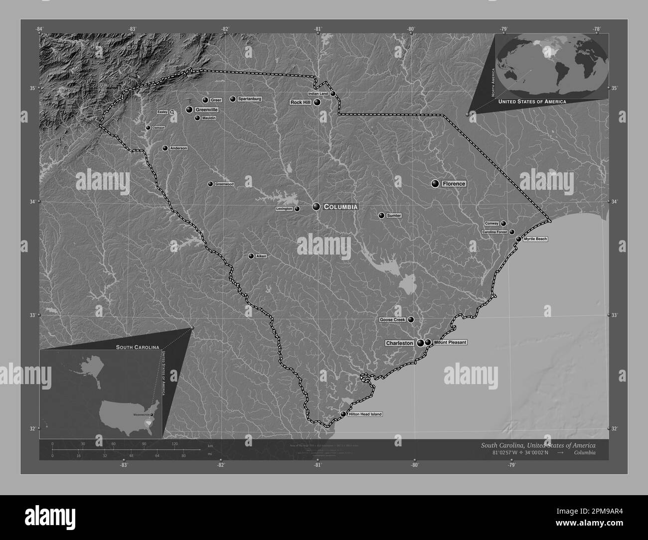 South Carolina, state of United States of America. Bilevel elevation map with lakes and rivers. Locations and names of major cities of the region. Cor Stock Photohttps://www.alamy.com/image-license-details/?v=1https://www.alamy.com/south-carolina-state-of-united-states-of-america-bilevel-elevation-map-with-lakes-and-rivers-locations-and-names-of-major-cities-of-the-region-cor-image546020584.html
RF2PM9AR4–South Carolina, state of United States of America. Bilevel elevation map with lakes and rivers. Locations and names of major cities of the region. Cor
 Oakridge, Lexington County, US, United States, South Carolina, N 33 55' 0'', S 81 13' 23'', map, Cartascapes Map published in 2024. Explore Cartascapes, a map revealing Earth's diverse landscapes, cultures, and ecosystems. Journey through time and space, discovering the interconnectedness of our planet's past, present, and future. Stock Photohttps://www.alamy.com/image-license-details/?v=1https://www.alamy.com/oakridge-lexington-county-us-united-states-south-carolina-n-33-55-0-s-81-13-23-map-cartascapes-map-published-in-2024-explore-cartascapes-a-map-revealing-earths-diverse-landscapes-cultures-and-ecosystems-journey-through-time-and-space-discovering-the-interconnectedness-of-our-planets-past-present-and-future-image621308704.html
RM2Y2R1GG–Oakridge, Lexington County, US, United States, South Carolina, N 33 55' 0'', S 81 13' 23'', map, Cartascapes Map published in 2024. Explore Cartascapes, a map revealing Earth's diverse landscapes, cultures, and ecosystems. Journey through time and space, discovering the interconnectedness of our planet's past, present, and future.
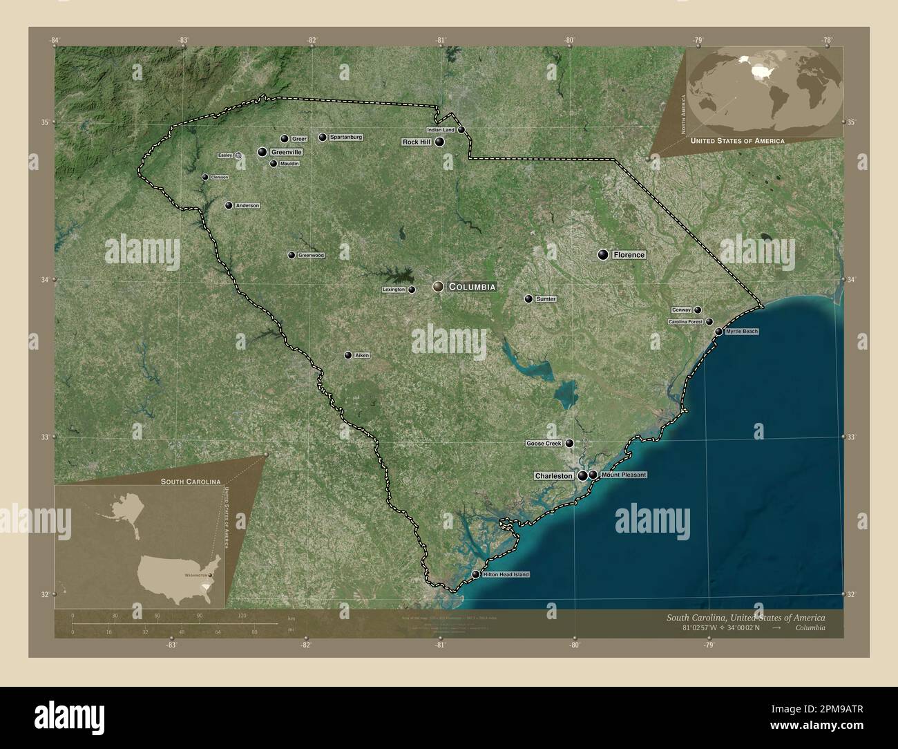 South Carolina, state of United States of America. High resolution satellite map. Locations and names of major cities of the region. Corner auxiliary Stock Photohttps://www.alamy.com/image-license-details/?v=1https://www.alamy.com/south-carolina-state-of-united-states-of-america-high-resolution-satellite-map-locations-and-names-of-major-cities-of-the-region-corner-auxiliary-image546020631.html
RF2PM9ATR–South Carolina, state of United States of America. High resolution satellite map. Locations and names of major cities of the region. Corner auxiliary
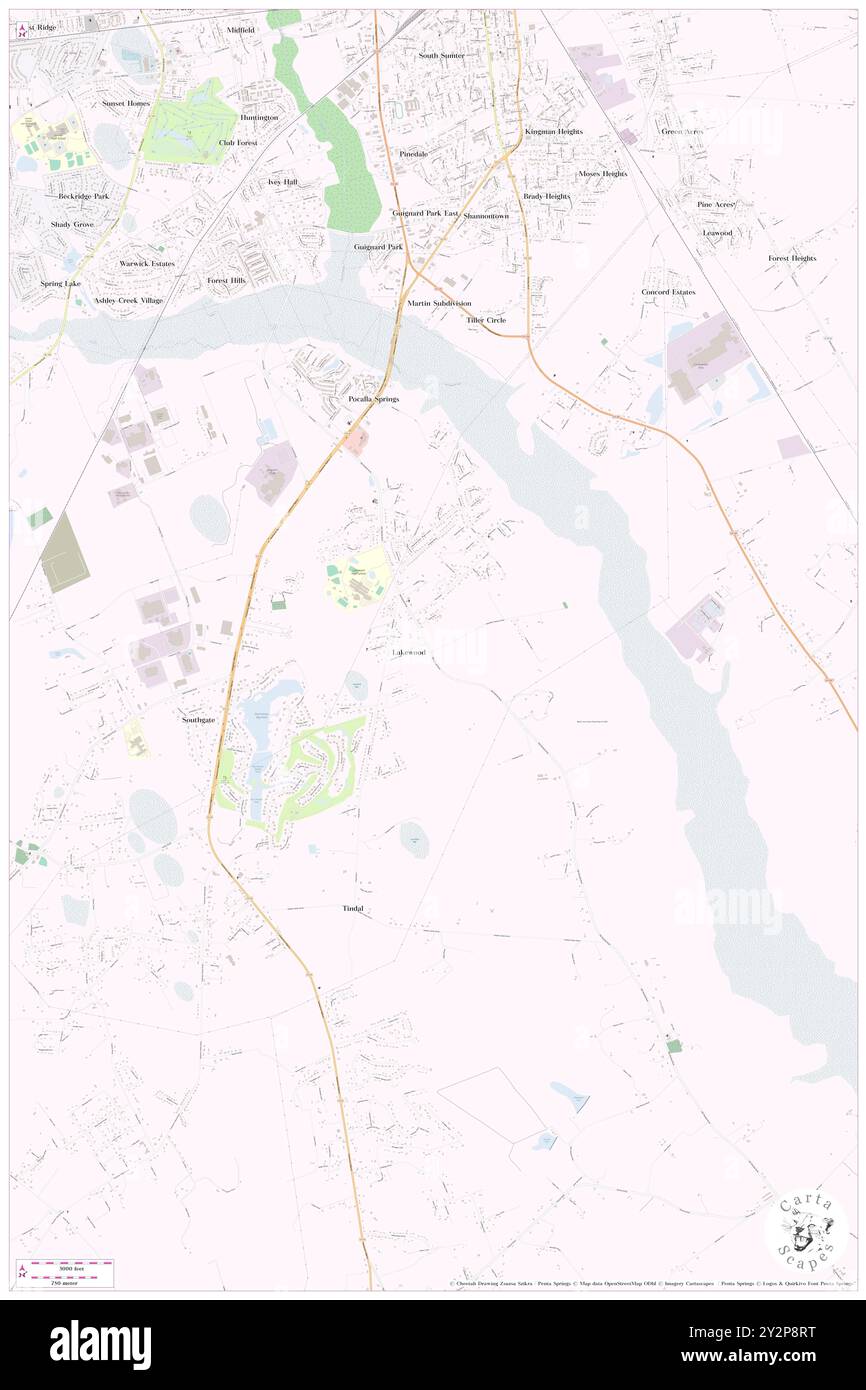 Lakewood, Lexington County, US, United States, South Carolina, N 33 59' 35'', S 81 14' 26'', map, Cartascapes Map published in 2024. Explore Cartascapes, a map revealing Earth's diverse landscapes, cultures, and ecosystems. Journey through time and space, discovering the interconnectedness of our planet's past, present, and future. Stock Photohttps://www.alamy.com/image-license-details/?v=1https://www.alamy.com/lakewood-lexington-county-us-united-states-south-carolina-n-33-59-35-s-81-14-26-map-cartascapes-map-published-in-2024-explore-cartascapes-a-map-revealing-earths-diverse-landscapes-cultures-and-ecosystems-journey-through-time-and-space-discovering-the-interconnectedness-of-our-planets-past-present-and-future-image621292444.html
RM2Y2P8RT–Lakewood, Lexington County, US, United States, South Carolina, N 33 59' 35'', S 81 14' 26'', map, Cartascapes Map published in 2024. Explore Cartascapes, a map revealing Earth's diverse landscapes, cultures, and ecosystems. Journey through time and space, discovering the interconnectedness of our planet's past, present, and future.
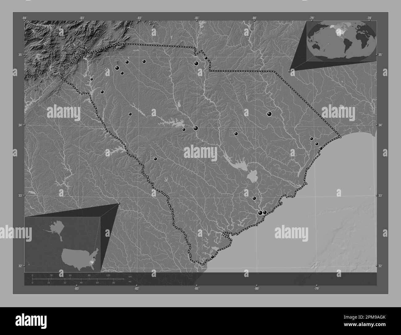 South Carolina, state of United States of America. Bilevel elevation map with lakes and rivers. Locations of major cities of the region. Corner auxili Stock Photohttps://www.alamy.com/image-license-details/?v=1https://www.alamy.com/south-carolina-state-of-united-states-of-america-bilevel-elevation-map-with-lakes-and-rivers-locations-of-major-cities-of-the-region-corner-auxili-image546020403.html
RF2PM9AGK–South Carolina, state of United States of America. Bilevel elevation map with lakes and rivers. Locations of major cities of the region. Corner auxili
 Summit, Lexington County, US, United States, South Carolina, N 33 55' 29'', S 81 25' 19'', map, Cartascapes Map published in 2024. Explore Cartascapes, a map revealing Earth's diverse landscapes, cultures, and ecosystems. Journey through time and space, discovering the interconnectedness of our planet's past, present, and future. Stock Photohttps://www.alamy.com/image-license-details/?v=1https://www.alamy.com/summit-lexington-county-us-united-states-south-carolina-n-33-55-29-s-81-25-19-map-cartascapes-map-published-in-2024-explore-cartascapes-a-map-revealing-earths-diverse-landscapes-cultures-and-ecosystems-journey-through-time-and-space-discovering-the-interconnectedness-of-our-planets-past-present-and-future-image621149857.html
RM2Y2FPYD–Summit, Lexington County, US, United States, South Carolina, N 33 55' 29'', S 81 25' 19'', map, Cartascapes Map published in 2024. Explore Cartascapes, a map revealing Earth's diverse landscapes, cultures, and ecosystems. Journey through time and space, discovering the interconnectedness of our planet's past, present, and future.
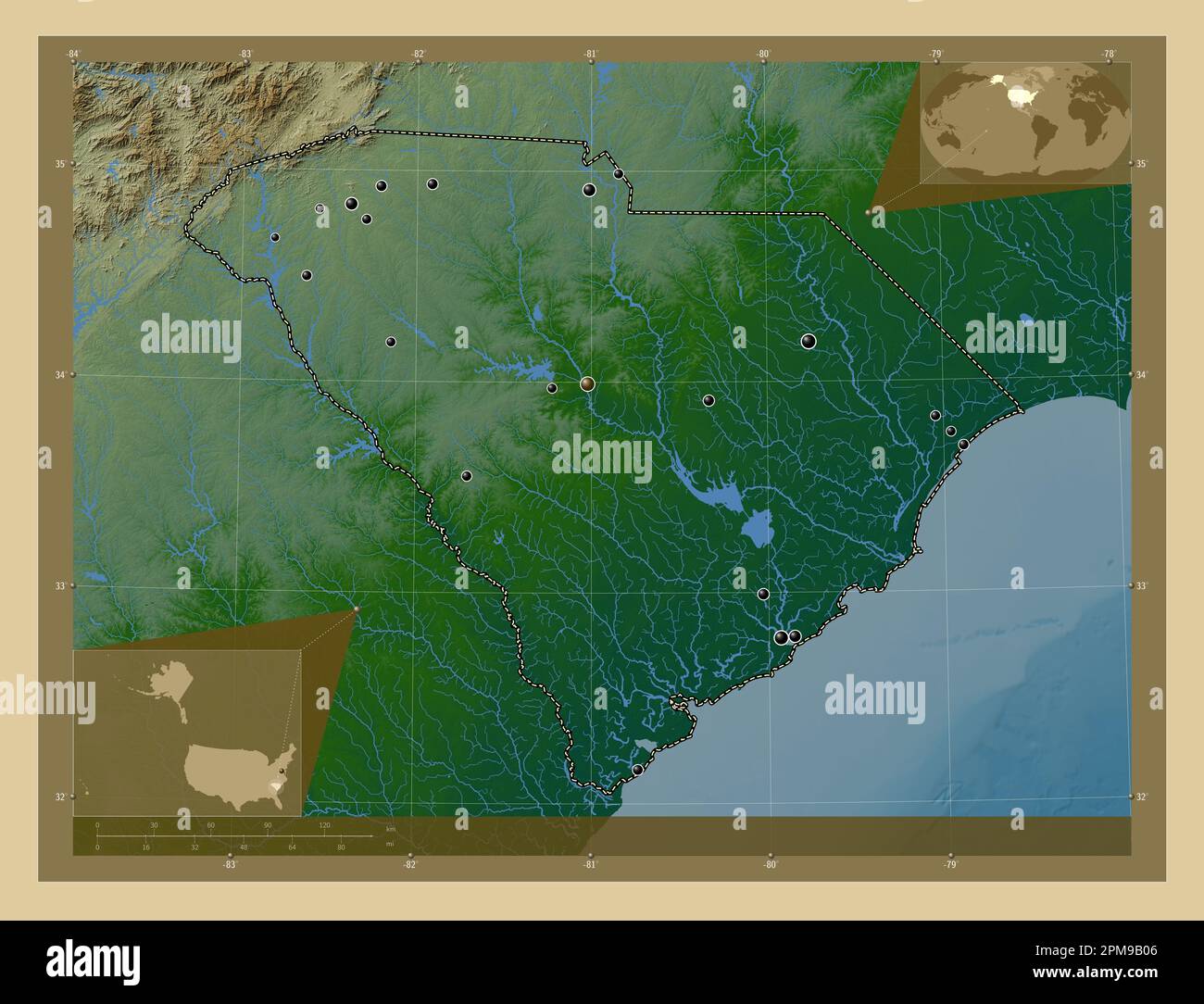 South Carolina, state of United States of America. Colored elevation map with lakes and rivers. Locations of major cities of the region. Corner auxili Stock Photohttps://www.alamy.com/image-license-details/?v=1https://www.alamy.com/south-carolina-state-of-united-states-of-america-colored-elevation-map-with-lakes-and-rivers-locations-of-major-cities-of-the-region-corner-auxili-image546020726.html
RF2PM9B06–South Carolina, state of United States of America. Colored elevation map with lakes and rivers. Locations of major cities of the region. Corner auxili
 Wrenwood, Lexington County, US, United States, South Carolina, N 33 56' 25'', S 81 12' 11'', map, Cartascapes Map published in 2024. Explore Cartascapes, a map revealing Earth's diverse landscapes, cultures, and ecosystems. Journey through time and space, discovering the interconnectedness of our planet's past, present, and future. Stock Photohttps://www.alamy.com/image-license-details/?v=1https://www.alamy.com/wrenwood-lexington-county-us-united-states-south-carolina-n-33-56-25-s-81-12-11-map-cartascapes-map-published-in-2024-explore-cartascapes-a-map-revealing-earths-diverse-landscapes-cultures-and-ecosystems-journey-through-time-and-space-discovering-the-interconnectedness-of-our-planets-past-present-and-future-image621216542.html
RM2Y2JT12–Wrenwood, Lexington County, US, United States, South Carolina, N 33 56' 25'', S 81 12' 11'', map, Cartascapes Map published in 2024. Explore Cartascapes, a map revealing Earth's diverse landscapes, cultures, and ecosystems. Journey through time and space, discovering the interconnectedness of our planet's past, present, and future.
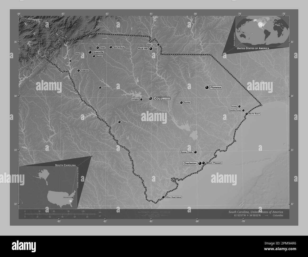 South Carolina, state of United States of America. Grayscale elevation map with lakes and rivers. Locations and names of major cities of the region. C Stock Photohttps://www.alamy.com/image-license-details/?v=1https://www.alamy.com/south-carolina-state-of-united-states-of-america-grayscale-elevation-map-with-lakes-and-rivers-locations-and-names-of-major-cities-of-the-region-c-image546020586.html
RF2PM9AR6–South Carolina, state of United States of America. Grayscale elevation map with lakes and rivers. Locations and names of major cities of the region. C
 Samaria, Lexington County, US, United States, South Carolina, N 33 49' 31'', S 81 28' 39'', map, Cartascapes Map published in 2024. Explore Cartascapes, a map revealing Earth's diverse landscapes, cultures, and ecosystems. Journey through time and space, discovering the interconnectedness of our planet's past, present, and future. Stock Photohttps://www.alamy.com/image-license-details/?v=1https://www.alamy.com/samaria-lexington-county-us-united-states-south-carolina-n-33-49-31-s-81-28-39-map-cartascapes-map-published-in-2024-explore-cartascapes-a-map-revealing-earths-diverse-landscapes-cultures-and-ecosystems-journey-through-time-and-space-discovering-the-interconnectedness-of-our-planets-past-present-and-future-image621343666.html
RM2Y2TJ56–Samaria, Lexington County, US, United States, South Carolina, N 33 49' 31'', S 81 28' 39'', map, Cartascapes Map published in 2024. Explore Cartascapes, a map revealing Earth's diverse landscapes, cultures, and ecosystems. Journey through time and space, discovering the interconnectedness of our planet's past, present, and future.
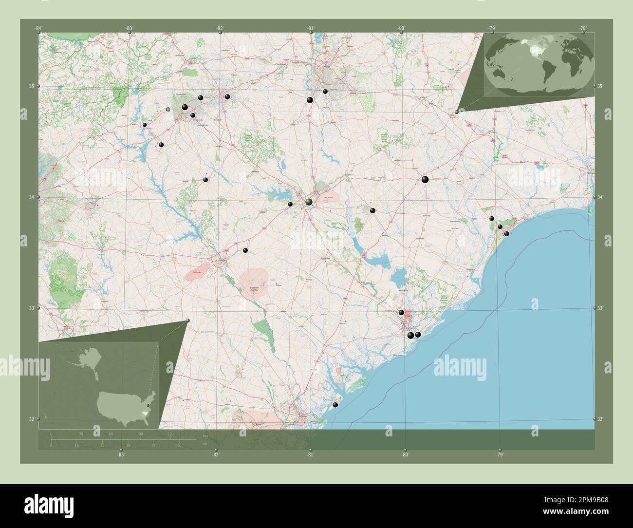 South Carolina, state of United States of America. Open Street Map. Locations of major cities of the region. Corner auxiliary location maps Stock Photohttps://www.alamy.com/image-license-details/?v=1https://www.alamy.com/south-carolina-state-of-united-states-of-america-open-street-map-locations-of-major-cities-of-the-region-corner-auxiliary-location-maps-image546020728.html
RF2PM9B08–South Carolina, state of United States of America. Open Street Map. Locations of major cities of the region. Corner auxiliary location maps
 Batesburg, Lexington County, US, United States, South Carolina, N 33 54' 28'', S 81 32' 50'', map, Cartascapes Map published in 2024. Explore Cartascapes, a map revealing Earth's diverse landscapes, cultures, and ecosystems. Journey through time and space, discovering the interconnectedness of our planet's past, present, and future. Stock Photohttps://www.alamy.com/image-license-details/?v=1https://www.alamy.com/batesburg-lexington-county-us-united-states-south-carolina-n-33-54-28-s-81-32-50-map-cartascapes-map-published-in-2024-explore-cartascapes-a-map-revealing-earths-diverse-landscapes-cultures-and-ecosystems-journey-through-time-and-space-discovering-the-interconnectedness-of-our-planets-past-present-and-future-image621291751.html
RM2Y2P7Y3–Batesburg, Lexington County, US, United States, South Carolina, N 33 54' 28'', S 81 32' 50'', map, Cartascapes Map published in 2024. Explore Cartascapes, a map revealing Earth's diverse landscapes, cultures, and ecosystems. Journey through time and space, discovering the interconnectedness of our planet's past, present, and future.
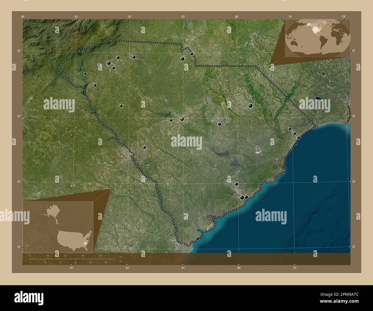 South Carolina, state of United States of America. Low resolution satellite map. Locations of major cities of the region. Corner auxiliary location ma Stock Photohttps://www.alamy.com/image-license-details/?v=1https://www.alamy.com/south-carolina-state-of-united-states-of-america-low-resolution-satellite-map-locations-of-major-cities-of-the-region-corner-auxiliary-location-ma-image546020620.html
RF2PM9ATC–South Carolina, state of United States of America. Low resolution satellite map. Locations of major cities of the region. Corner auxiliary location ma
 Lexington, Lexington County, US, United States, South Carolina, N 33 58' 53'', S 81 14' 10'', map, Cartascapes Map published in 2024. Explore Cartascapes, a map revealing Earth's diverse landscapes, cultures, and ecosystems. Journey through time and space, discovering the interconnectedness of our planet's past, present, and future. Stock Photohttps://www.alamy.com/image-license-details/?v=1https://www.alamy.com/lexington-lexington-county-us-united-states-south-carolina-n-33-58-53-s-81-14-10-map-cartascapes-map-published-in-2024-explore-cartascapes-a-map-revealing-earths-diverse-landscapes-cultures-and-ecosystems-journey-through-time-and-space-discovering-the-interconnectedness-of-our-planets-past-present-and-future-image621210651.html
RM2Y2JGEK–Lexington, Lexington County, US, United States, South Carolina, N 33 58' 53'', S 81 14' 10'', map, Cartascapes Map published in 2024. Explore Cartascapes, a map revealing Earth's diverse landscapes, cultures, and ecosystems. Journey through time and space, discovering the interconnectedness of our planet's past, present, and future.
 South Carolina, state of United States of America. Elevation map colored in sepia tones with lakes and rivers. Locations and names of major cities of Stock Photohttps://www.alamy.com/image-license-details/?v=1https://www.alamy.com/south-carolina-state-of-united-states-of-america-elevation-map-colored-in-sepia-tones-with-lakes-and-rivers-locations-and-names-of-major-cities-of-image546020796.html
RF2PM9B2M–South Carolina, state of United States of America. Elevation map colored in sepia tones with lakes and rivers. Locations and names of major cities of
 Mims, Lexington County, US, United States, South Carolina, N 33 50' 50'', S 81 29' 29'', map, Cartascapes Map published in 2024. Explore Cartascapes, a map revealing Earth's diverse landscapes, cultures, and ecosystems. Journey through time and space, discovering the interconnectedness of our planet's past, present, and future. Stock Photohttps://www.alamy.com/image-license-details/?v=1https://www.alamy.com/mims-lexington-county-us-united-states-south-carolina-n-33-50-50-s-81-29-29-map-cartascapes-map-published-in-2024-explore-cartascapes-a-map-revealing-earths-diverse-landscapes-cultures-and-ecosystems-journey-through-time-and-space-discovering-the-interconnectedness-of-our-planets-past-present-and-future-image621265822.html
RM2Y2N2W2–Mims, Lexington County, US, United States, South Carolina, N 33 50' 50'', S 81 29' 29'', map, Cartascapes Map published in 2024. Explore Cartascapes, a map revealing Earth's diverse landscapes, cultures, and ecosystems. Journey through time and space, discovering the interconnectedness of our planet's past, present, and future.
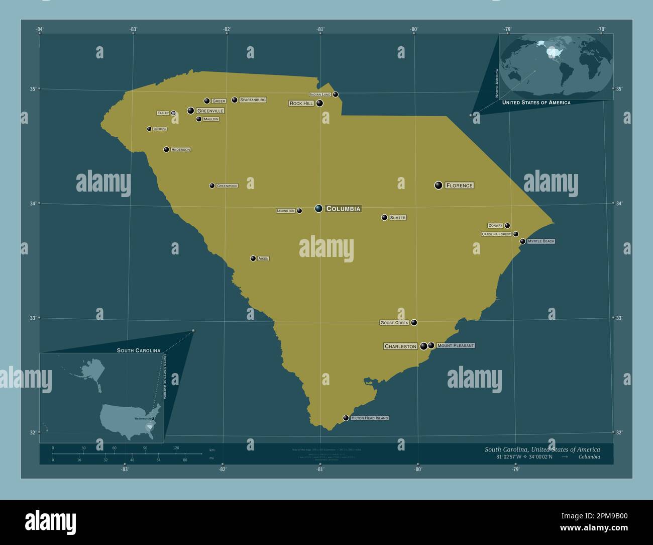 South Carolina, state of United States of America. Solid color shape. Locations and names of major cities of the region. Corner auxiliary location map Stock Photohttps://www.alamy.com/image-license-details/?v=1https://www.alamy.com/south-carolina-state-of-united-states-of-america-solid-color-shape-locations-and-names-of-major-cities-of-the-region-corner-auxiliary-location-map-image546020720.html
RF2PM9B00–South Carolina, state of United States of America. Solid color shape. Locations and names of major cities of the region. Corner auxiliary location map
 Walden, Lexington County, US, United States, South Carolina, N 34 3' 35'', S 81 11' 16'', map, Cartascapes Map published in 2024. Explore Cartascapes, a map revealing Earth's diverse landscapes, cultures, and ecosystems. Journey through time and space, discovering the interconnectedness of our planet's past, present, and future. Stock Photohttps://www.alamy.com/image-license-details/?v=1https://www.alamy.com/walden-lexington-county-us-united-states-south-carolina-n-34-3-35-s-81-11-16-map-cartascapes-map-published-in-2024-explore-cartascapes-a-map-revealing-earths-diverse-landscapes-cultures-and-ecosystems-journey-through-time-and-space-discovering-the-interconnectedness-of-our-planets-past-present-and-future-image621190907.html
RM2Y2HK9F–Walden, Lexington County, US, United States, South Carolina, N 34 3' 35'', S 81 11' 16'', map, Cartascapes Map published in 2024. Explore Cartascapes, a map revealing Earth's diverse landscapes, cultures, and ecosystems. Journey through time and space, discovering the interconnectedness of our planet's past, present, and future.
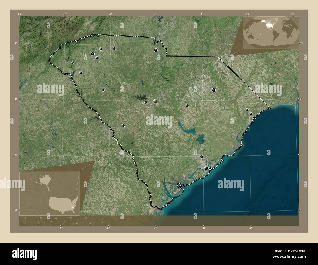 South Carolina, state of United States of America. High resolution satellite map. Locations of major cities of the region. Corner auxiliary location m Stock Photohttps://www.alamy.com/image-license-details/?v=1https://www.alamy.com/south-carolina-state-of-united-states-of-america-high-resolution-satellite-map-locations-of-major-cities-of-the-region-corner-auxiliary-location-m-image546020735.html
RF2PM9B0F–South Carolina, state of United States of America. High resolution satellite map. Locations of major cities of the region. Corner auxiliary location m
 Lakewood, Lexington County, US, United States, South Carolina, N 33 59' 35'', S 81 14' 26'', map, Cartascapes Map published in 2024. Explore Cartascapes, a map revealing Earth's diverse landscapes, cultures, and ecosystems. Journey through time and space, discovering the interconnectedness of our planet's past, present, and future. Stock Photohttps://www.alamy.com/image-license-details/?v=1https://www.alamy.com/lakewood-lexington-county-us-united-states-south-carolina-n-33-59-35-s-81-14-26-map-cartascapes-map-published-in-2024-explore-cartascapes-a-map-revealing-earths-diverse-landscapes-cultures-and-ecosystems-journey-through-time-and-space-discovering-the-interconnectedness-of-our-planets-past-present-and-future-image621466335.html
RM2Y326J7–Lakewood, Lexington County, US, United States, South Carolina, N 33 59' 35'', S 81 14' 26'', map, Cartascapes Map published in 2024. Explore Cartascapes, a map revealing Earth's diverse landscapes, cultures, and ecosystems. Journey through time and space, discovering the interconnectedness of our planet's past, present, and future.
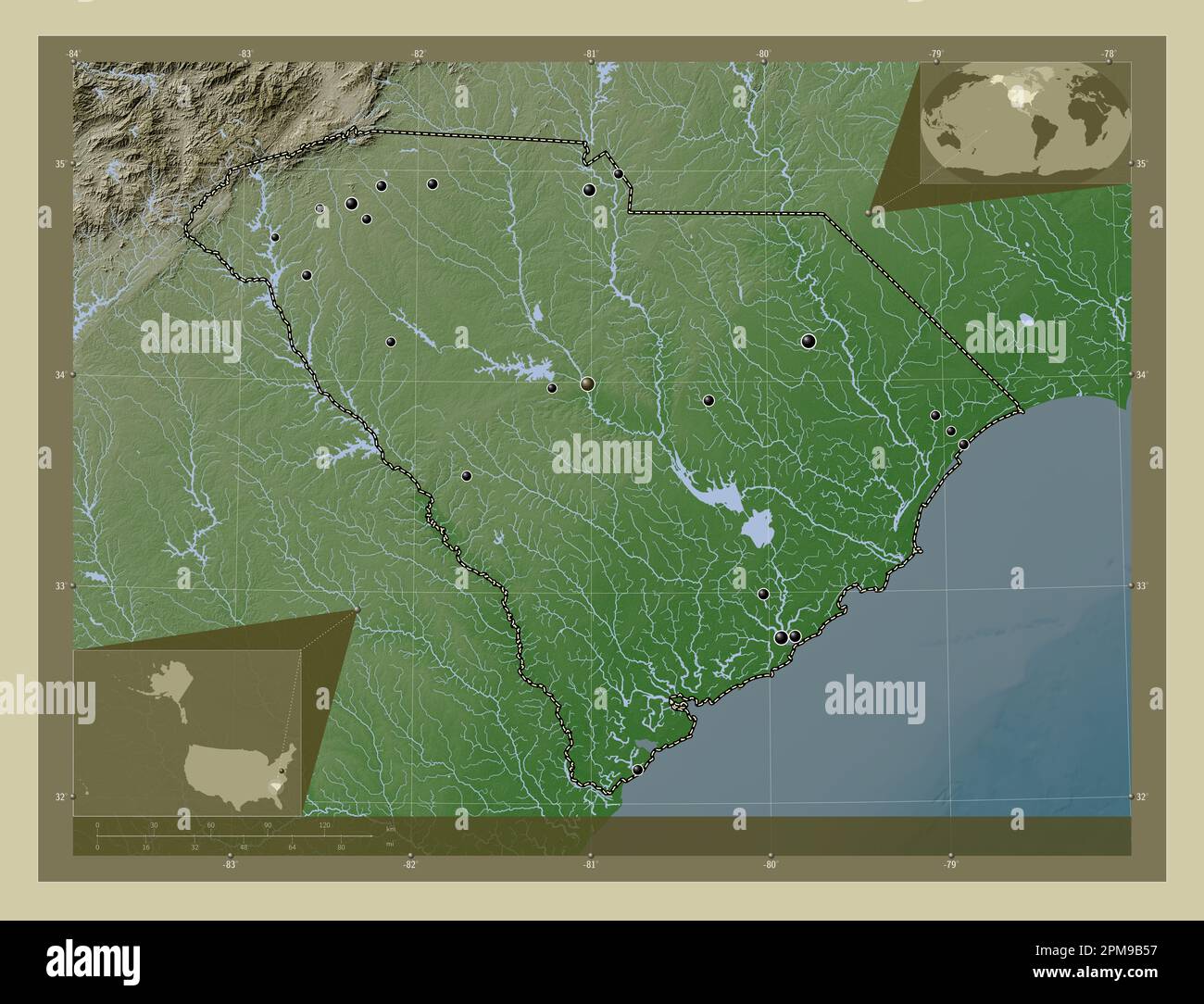 South Carolina, state of United States of America. Elevation map colored in wiki style with lakes and rivers. Locations of major cities of the region. Stock Photohttps://www.alamy.com/image-license-details/?v=1https://www.alamy.com/south-carolina-state-of-united-states-of-america-elevation-map-colored-in-wiki-style-with-lakes-and-rivers-locations-of-major-cities-of-the-region-image546020867.html
RF2PM9B57–South Carolina, state of United States of America. Elevation map colored in wiki style with lakes and rivers. Locations of major cities of the region.
 Leesville, Lexington County, US, United States, South Carolina, N 33 54' 59'', S 81 30' 48'', map, Cartascapes Map published in 2024. Explore Cartascapes, a map revealing Earth's diverse landscapes, cultures, and ecosystems. Journey through time and space, discovering the interconnectedness of our planet's past, present, and future. Stock Photohttps://www.alamy.com/image-license-details/?v=1https://www.alamy.com/leesville-lexington-county-us-united-states-south-carolina-n-33-54-59-s-81-30-48-map-cartascapes-map-published-in-2024-explore-cartascapes-a-map-revealing-earths-diverse-landscapes-cultures-and-ecosystems-journey-through-time-and-space-discovering-the-interconnectedness-of-our-planets-past-present-and-future-image621203360.html
RM2Y2J768–Leesville, Lexington County, US, United States, South Carolina, N 33 54' 59'', S 81 30' 48'', map, Cartascapes Map published in 2024. Explore Cartascapes, a map revealing Earth's diverse landscapes, cultures, and ecosystems. Journey through time and space, discovering the interconnectedness of our planet's past, present, and future.
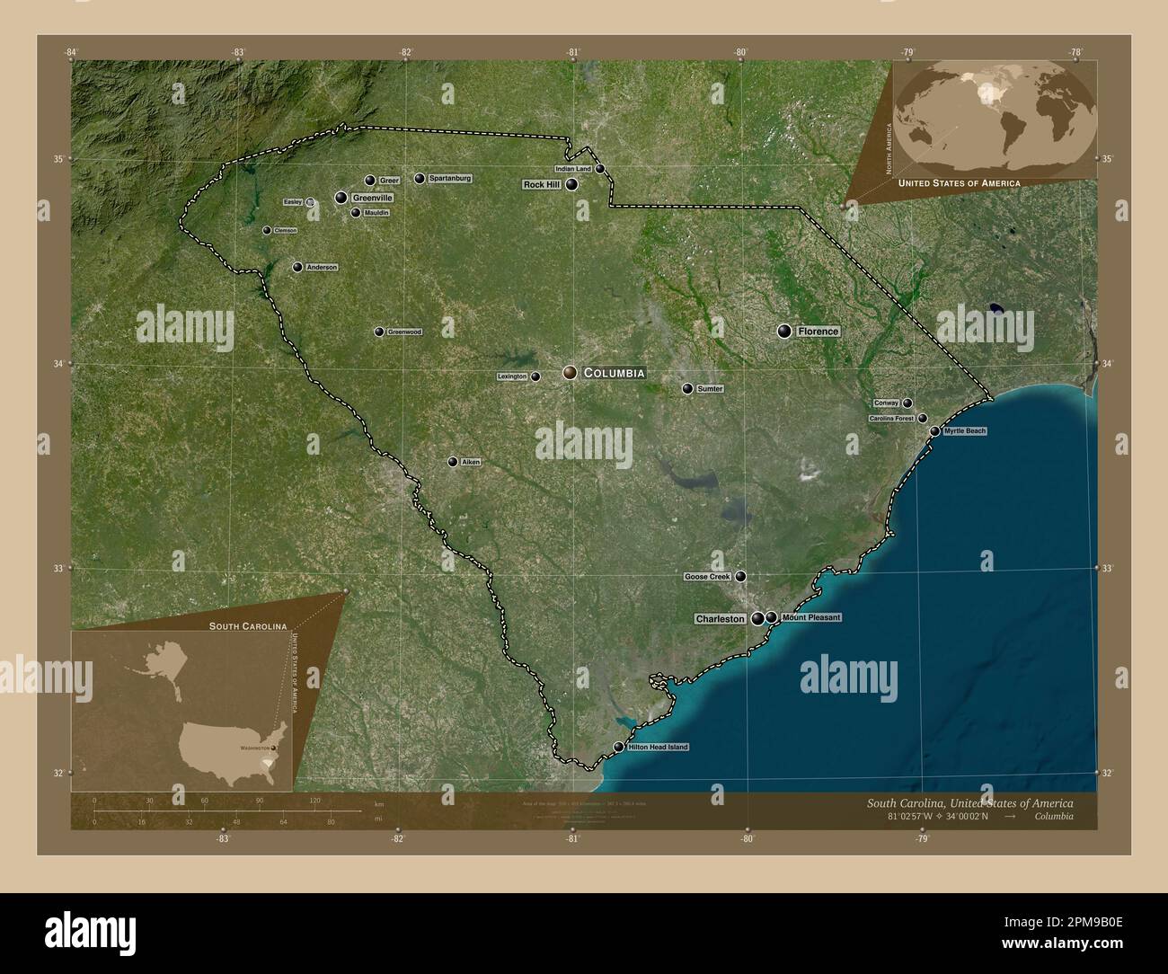 South Carolina, state of United States of America. Low resolution satellite map. Locations and names of major cities of the region. Corner auxiliary l Stock Photohttps://www.alamy.com/image-license-details/?v=1https://www.alamy.com/south-carolina-state-of-united-states-of-america-low-resolution-satellite-map-locations-and-names-of-major-cities-of-the-region-corner-auxiliary-l-image546020734.html
RF2PM9B0E–South Carolina, state of United States of America. Low resolution satellite map. Locations and names of major cities of the region. Corner auxiliary l
 Southgate, Lexington County, US, United States, South Carolina, N 33 56' 17'', S 81 13' 29'', map, Cartascapes Map published in 2024. Explore Cartascapes, a map revealing Earth's diverse landscapes, cultures, and ecosystems. Journey through time and space, discovering the interconnectedness of our planet's past, present, and future. Stock Photohttps://www.alamy.com/image-license-details/?v=1https://www.alamy.com/southgate-lexington-county-us-united-states-south-carolina-n-33-56-17-s-81-13-29-map-cartascapes-map-published-in-2024-explore-cartascapes-a-map-revealing-earths-diverse-landscapes-cultures-and-ecosystems-journey-through-time-and-space-discovering-the-interconnectedness-of-our-planets-past-present-and-future-image621161318.html
RM2Y2G9GP–Southgate, Lexington County, US, United States, South Carolina, N 33 56' 17'', S 81 13' 29'', map, Cartascapes Map published in 2024. Explore Cartascapes, a map revealing Earth's diverse landscapes, cultures, and ecosystems. Journey through time and space, discovering the interconnectedness of our planet's past, present, and future.
 South Carolina, state of United States of America. Elevation map colored in sepia tones with lakes and rivers. Locations of major cities of the region Stock Photohttps://www.alamy.com/image-license-details/?v=1https://www.alamy.com/south-carolina-state-of-united-states-of-america-elevation-map-colored-in-sepia-tones-with-lakes-and-rivers-locations-of-major-cities-of-the-region-image546020806.html
RF2PM9B32–South Carolina, state of United States of America. Elevation map colored in sepia tones with lakes and rivers. Locations of major cities of the region
 Coatesworth, Lexington County, US, United States, South Carolina, N 34 4' 40'', S 81 11' 14'', map, Cartascapes Map published in 2024. Explore Cartascapes, a map revealing Earth's diverse landscapes, cultures, and ecosystems. Journey through time and space, discovering the interconnectedness of our planet's past, present, and future. Stock Photohttps://www.alamy.com/image-license-details/?v=1https://www.alamy.com/coatesworth-lexington-county-us-united-states-south-carolina-n-34-4-40-s-81-11-14-map-cartascapes-map-published-in-2024-explore-cartascapes-a-map-revealing-earths-diverse-landscapes-cultures-and-ecosystems-journey-through-time-and-space-discovering-the-interconnectedness-of-our-planets-past-present-and-future-image621269984.html
RM2Y2N85M–Coatesworth, Lexington County, US, United States, South Carolina, N 34 4' 40'', S 81 11' 14'', map, Cartascapes Map published in 2024. Explore Cartascapes, a map revealing Earth's diverse landscapes, cultures, and ecosystems. Journey through time and space, discovering the interconnectedness of our planet's past, present, and future.
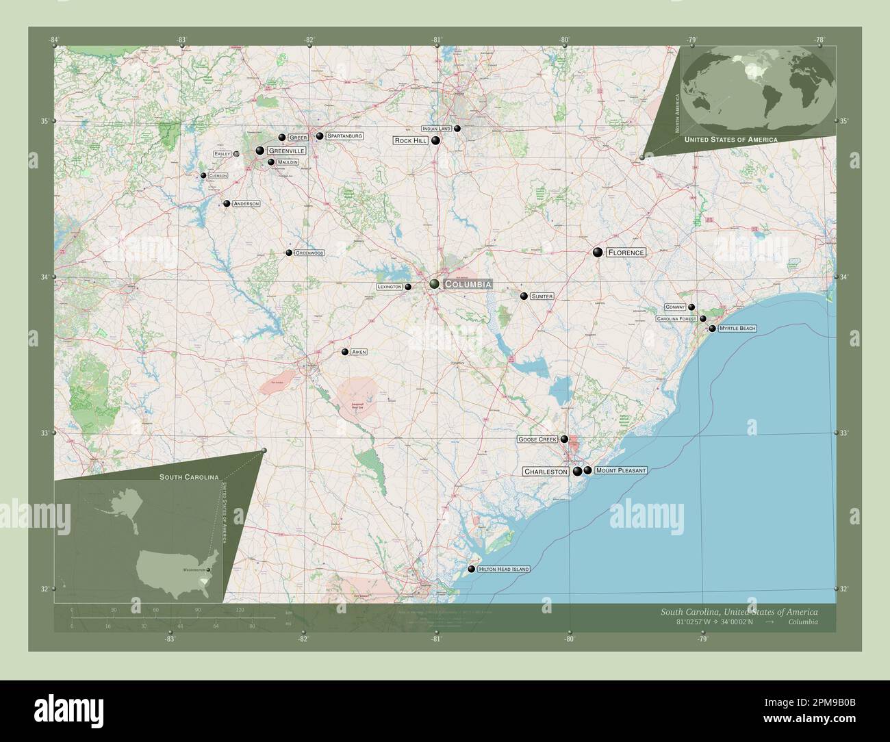 South Carolina, state of United States of America. Open Street Map. Locations and names of major cities of the region. Corner auxiliary location maps Stock Photohttps://www.alamy.com/image-license-details/?v=1https://www.alamy.com/south-carolina-state-of-united-states-of-america-open-street-map-locations-and-names-of-major-cities-of-the-region-corner-auxiliary-location-maps-image546020731.html
RF2PM9B0B–South Carolina, state of United States of America. Open Street Map. Locations and names of major cities of the region. Corner auxiliary location maps
 Fredonia, Lexington County, US, United States, South Carolina, N 33 55' 38'', S 81 27' 43'', map, Cartascapes Map published in 2024. Explore Cartascapes, a map revealing Earth's diverse landscapes, cultures, and ecosystems. Journey through time and space, discovering the interconnectedness of our planet's past, present, and future. Stock Photohttps://www.alamy.com/image-license-details/?v=1https://www.alamy.com/fredonia-lexington-county-us-united-states-south-carolina-n-33-55-38-s-81-27-43-map-cartascapes-map-published-in-2024-explore-cartascapes-a-map-revealing-earths-diverse-landscapes-cultures-and-ecosystems-journey-through-time-and-space-discovering-the-interconnectedness-of-our-planets-past-present-and-future-image621218578.html
RM2Y2JXHP–Fredonia, Lexington County, US, United States, South Carolina, N 33 55' 38'', S 81 27' 43'', map, Cartascapes Map published in 2024. Explore Cartascapes, a map revealing Earth's diverse landscapes, cultures, and ecosystems. Journey through time and space, discovering the interconnectedness of our planet's past, present, and future.
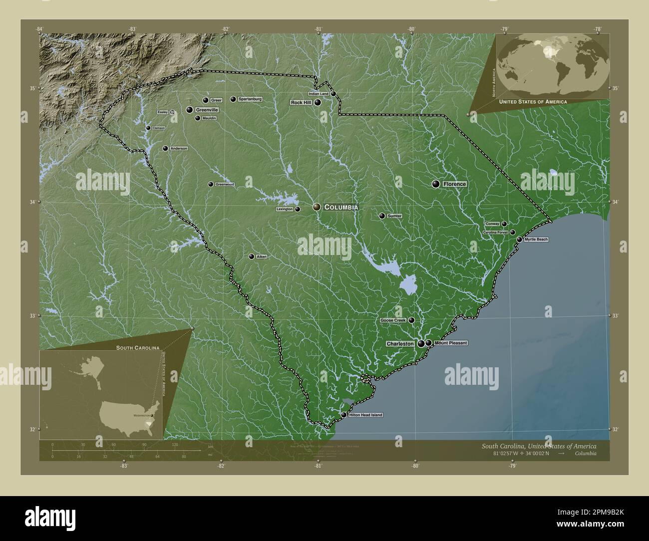 South Carolina, state of United States of America. Elevation map colored in wiki style with lakes and rivers. Locations and names of major cities of t Stock Photohttps://www.alamy.com/image-license-details/?v=1https://www.alamy.com/south-carolina-state-of-united-states-of-america-elevation-map-colored-in-wiki-style-with-lakes-and-rivers-locations-and-names-of-major-cities-of-t-image546020795.html
RF2PM9B2K–South Carolina, state of United States of America. Elevation map colored in wiki style with lakes and rivers. Locations and names of major cities of t
 Acapulco, Lexington County, US, United States, South Carolina, N 34 3' 51'', S 81 28' 22'', map, Cartascapes Map published in 2024. Explore Cartascapes, a map revealing Earth's diverse landscapes, cultures, and ecosystems. Journey through time and space, discovering the interconnectedness of our planet's past, present, and future. Stock Photohttps://www.alamy.com/image-license-details/?v=1https://www.alamy.com/acapulco-lexington-county-us-united-states-south-carolina-n-34-3-51-s-81-28-22-map-cartascapes-map-published-in-2024-explore-cartascapes-a-map-revealing-earths-diverse-landscapes-cultures-and-ecosystems-journey-through-time-and-space-discovering-the-interconnectedness-of-our-planets-past-present-and-future-image621347296.html
RM2Y2TPPT–Acapulco, Lexington County, US, United States, South Carolina, N 34 3' 51'', S 81 28' 22'', map, Cartascapes Map published in 2024. Explore Cartascapes, a map revealing Earth's diverse landscapes, cultures, and ecosystems. Journey through time and space, discovering the interconnectedness of our planet's past, present, and future.
 South Carolina, state of United States of America. Solid color shape Stock Photohttps://www.alamy.com/image-license-details/?v=1https://www.alamy.com/south-carolina-state-of-united-states-of-america-solid-color-shape-image546020733.html
RF2PM9B0D–South Carolina, state of United States of America. Solid color shape
 Edmund, Lexington County, US, United States, South Carolina, N 33 51' 41'', S 81 12' 0'', map, Cartascapes Map published in 2024. Explore Cartascapes, a map revealing Earth's diverse landscapes, cultures, and ecosystems. Journey through time and space, discovering the interconnectedness of our planet's past, present, and future. Stock Photohttps://www.alamy.com/image-license-details/?v=1https://www.alamy.com/edmund-lexington-county-us-united-states-south-carolina-n-33-51-41-s-81-12-0-map-cartascapes-map-published-in-2024-explore-cartascapes-a-map-revealing-earths-diverse-landscapes-cultures-and-ecosystems-journey-through-time-and-space-discovering-the-interconnectedness-of-our-planets-past-present-and-future-image621336309.html
RM2Y2T8PD–Edmund, Lexington County, US, United States, South Carolina, N 33 51' 41'', S 81 12' 0'', map, Cartascapes Map published in 2024. Explore Cartascapes, a map revealing Earth's diverse landscapes, cultures, and ecosystems. Journey through time and space, discovering the interconnectedness of our planet's past, present, and future.
 South Carolina, state of United States of America. Solid color shape. Locations of major cities of the region. Corner auxiliary location maps Stock Photohttps://www.alamy.com/image-license-details/?v=1https://www.alamy.com/south-carolina-state-of-united-states-of-america-solid-color-shape-locations-of-major-cities-of-the-region-corner-auxiliary-location-maps-image546020721.html
RF2PM9B01–South Carolina, state of United States of America. Solid color shape. Locations of major cities of the region. Corner auxiliary location maps
 Summit, Lexington County, US, United States, South Carolina, N 33 55' 29'', S 81 25' 19'', map, Cartascapes Map published in 2024. Explore Cartascapes, a map revealing Earth's diverse landscapes, cultures, and ecosystems. Journey through time and space, discovering the interconnectedness of our planet's past, present, and future. Stock Photohttps://www.alamy.com/image-license-details/?v=1https://www.alamy.com/summit-lexington-county-us-united-states-south-carolina-n-33-55-29-s-81-25-19-map-cartascapes-map-published-in-2024-explore-cartascapes-a-map-revealing-earths-diverse-landscapes-cultures-and-ecosystems-journey-through-time-and-space-discovering-the-interconnectedness-of-our-planets-past-present-and-future-image621148212.html
RM2Y2FMTM–Summit, Lexington County, US, United States, South Carolina, N 33 55' 29'', S 81 25' 19'', map, Cartascapes Map published in 2024. Explore Cartascapes, a map revealing Earth's diverse landscapes, cultures, and ecosystems. Journey through time and space, discovering the interconnectedness of our planet's past, present, and future.
 Arborgate, Lexington County, US, United States, South Carolina, N 33 54' 53'', S 81 5' 53'', map, Cartascapes Map published in 2024. Explore Cartascapes, a map revealing Earth's diverse landscapes, cultures, and ecosystems. Journey through time and space, discovering the interconnectedness of our planet's past, present, and future. Stock Photohttps://www.alamy.com/image-license-details/?v=1https://www.alamy.com/arborgate-lexington-county-us-united-states-south-carolina-n-33-54-53-s-81-5-53-map-cartascapes-map-published-in-2024-explore-cartascapes-a-map-revealing-earths-diverse-landscapes-cultures-and-ecosystems-journey-through-time-and-space-discovering-the-interconnectedness-of-our-planets-past-present-and-future-image621312544.html
RM2Y2R6DM–Arborgate, Lexington County, US, United States, South Carolina, N 33 54' 53'', S 81 5' 53'', map, Cartascapes Map published in 2024. Explore Cartascapes, a map revealing Earth's diverse landscapes, cultures, and ecosystems. Journey through time and space, discovering the interconnectedness of our planet's past, present, and future.
 Coldstream, Lexington County, US, United States, South Carolina, N 34 4' 0'', S 81 12' 27'', map, Cartascapes Map published in 2024. Explore Cartascapes, a map revealing Earth's diverse landscapes, cultures, and ecosystems. Journey through time and space, discovering the interconnectedness of our planet's past, present, and future. Stock Photohttps://www.alamy.com/image-license-details/?v=1https://www.alamy.com/coldstream-lexington-county-us-united-states-south-carolina-n-34-4-0-s-81-12-27-map-cartascapes-map-published-in-2024-explore-cartascapes-a-map-revealing-earths-diverse-landscapes-cultures-and-ecosystems-journey-through-time-and-space-discovering-the-interconnectedness-of-our-planets-past-present-and-future-image621251500.html
RM2Y2MCHG–Coldstream, Lexington County, US, United States, South Carolina, N 34 4' 0'', S 81 12' 27'', map, Cartascapes Map published in 2024. Explore Cartascapes, a map revealing Earth's diverse landscapes, cultures, and ecosystems. Journey through time and space, discovering the interconnectedness of our planet's past, present, and future.
 Landmark, Lexington County, US, United States, South Carolina, N 34 3' 7'', S 81 7' 56'', map, Cartascapes Map published in 2024. Explore Cartascapes, a map revealing Earth's diverse landscapes, cultures, and ecosystems. Journey through time and space, discovering the interconnectedness of our planet's past, present, and future. Stock Photohttps://www.alamy.com/image-license-details/?v=1https://www.alamy.com/landmark-lexington-county-us-united-states-south-carolina-n-34-3-7-s-81-7-56-map-cartascapes-map-published-in-2024-explore-cartascapes-a-map-revealing-earths-diverse-landscapes-cultures-and-ecosystems-journey-through-time-and-space-discovering-the-interconnectedness-of-our-planets-past-present-and-future-image621146355.html
RM2Y2FJEB–Landmark, Lexington County, US, United States, South Carolina, N 34 3' 7'', S 81 7' 56'', map, Cartascapes Map published in 2024. Explore Cartascapes, a map revealing Earth's diverse landscapes, cultures, and ecosystems. Journey through time and space, discovering the interconnectedness of our planet's past, present, and future.
 Cedarwood, Lexington County, US, United States, South Carolina, N 33 56' 6'', S 81 8' 12'', map, Cartascapes Map published in 2024. Explore Cartascapes, a map revealing Earth's diverse landscapes, cultures, and ecosystems. Journey through time and space, discovering the interconnectedness of our planet's past, present, and future. Stock Photohttps://www.alamy.com/image-license-details/?v=1https://www.alamy.com/cedarwood-lexington-county-us-united-states-south-carolina-n-33-56-6-s-81-8-12-map-cartascapes-map-published-in-2024-explore-cartascapes-a-map-revealing-earths-diverse-landscapes-cultures-and-ecosystems-journey-through-time-and-space-discovering-the-interconnectedness-of-our-planets-past-present-and-future-image621476283.html
RM2Y32K9F–Cedarwood, Lexington County, US, United States, South Carolina, N 33 56' 6'', S 81 8' 12'', map, Cartascapes Map published in 2024. Explore Cartascapes, a map revealing Earth's diverse landscapes, cultures, and ecosystems. Journey through time and space, discovering the interconnectedness of our planet's past, present, and future.
 Providence, Lexington County, US, United States, South Carolina, N 34 0' 59'', S 81 15' 36'', map, Cartascapes Map published in 2024. Explore Cartascapes, a map revealing Earth's diverse landscapes, cultures, and ecosystems. Journey through time and space, discovering the interconnectedness of our planet's past, present, and future. Stock Photohttps://www.alamy.com/image-license-details/?v=1https://www.alamy.com/providence-lexington-county-us-united-states-south-carolina-n-34-0-59-s-81-15-36-map-cartascapes-map-published-in-2024-explore-cartascapes-a-map-revealing-earths-diverse-landscapes-cultures-and-ecosystems-journey-through-time-and-space-discovering-the-interconnectedness-of-our-planets-past-present-and-future-image621287465.html
RM2Y2P2E1–Providence, Lexington County, US, United States, South Carolina, N 34 0' 59'', S 81 15' 36'', map, Cartascapes Map published in 2024. Explore Cartascapes, a map revealing Earth's diverse landscapes, cultures, and ecosystems. Journey through time and space, discovering the interconnectedness of our planet's past, present, and future.
 Pineridge, Lexington County, US, United States, South Carolina, N 33 54' 37'', S 81 6' 16'', map, Cartascapes Map published in 2024. Explore Cartascapes, a map revealing Earth's diverse landscapes, cultures, and ecosystems. Journey through time and space, discovering the interconnectedness of our planet's past, present, and future. Stock Photohttps://www.alamy.com/image-license-details/?v=1https://www.alamy.com/pineridge-lexington-county-us-united-states-south-carolina-n-33-54-37-s-81-6-16-map-cartascapes-map-published-in-2024-explore-cartascapes-a-map-revealing-earths-diverse-landscapes-cultures-and-ecosystems-journey-through-time-and-space-discovering-the-interconnectedness-of-our-planets-past-present-and-future-image621456825.html
RM2Y31PEH–Pineridge, Lexington County, US, United States, South Carolina, N 33 54' 37'', S 81 6' 16'', map, Cartascapes Map published in 2024. Explore Cartascapes, a map revealing Earth's diverse landscapes, cultures, and ecosystems. Journey through time and space, discovering the interconnectedness of our planet's past, present, and future.
 Springdale, Lexington County, US, United States, South Carolina, N 33 57' 33'', S 81 6' 32'', map, Cartascapes Map published in 2024. Explore Cartascapes, a map revealing Earth's diverse landscapes, cultures, and ecosystems. Journey through time and space, discovering the interconnectedness of our planet's past, present, and future. Stock Photohttps://www.alamy.com/image-license-details/?v=1https://www.alamy.com/springdale-lexington-county-us-united-states-south-carolina-n-33-57-33-s-81-6-32-map-cartascapes-map-published-in-2024-explore-cartascapes-a-map-revealing-earths-diverse-landscapes-cultures-and-ecosystems-journey-through-time-and-space-discovering-the-interconnectedness-of-our-planets-past-present-and-future-image621228791.html
RM2Y2KBJF–Springdale, Lexington County, US, United States, South Carolina, N 33 57' 33'', S 81 6' 32'', map, Cartascapes Map published in 2024. Explore Cartascapes, a map revealing Earth's diverse landscapes, cultures, and ecosystems. Journey through time and space, discovering the interconnectedness of our planet's past, present, and future.
 Kinsler, Lexington County, US, United States, South Carolina, N 33 56' 30'', S 81 4' 43'', map, Cartascapes Map published in 2024. Explore Cartascapes, a map revealing Earth's diverse landscapes, cultures, and ecosystems. Journey through time and space, discovering the interconnectedness of our planet's past, present, and future. Stock Photohttps://www.alamy.com/image-license-details/?v=1https://www.alamy.com/kinsler-lexington-county-us-united-states-south-carolina-n-33-56-30-s-81-4-43-map-cartascapes-map-published-in-2024-explore-cartascapes-a-map-revealing-earths-diverse-landscapes-cultures-and-ecosystems-journey-through-time-and-space-discovering-the-interconnectedness-of-our-planets-past-present-and-future-image621440081.html
RM2Y3114H–Kinsler, Lexington County, US, United States, South Carolina, N 33 56' 30'', S 81 4' 43'', map, Cartascapes Map published in 2024. Explore Cartascapes, a map revealing Earth's diverse landscapes, cultures, and ecosystems. Journey through time and space, discovering the interconnectedness of our planet's past, present, and future.
 Gilbert, Lexington County, US, United States, South Carolina, N 33 55' 27'', S 81 23' 37'', map, Cartascapes Map published in 2024. Explore Cartascapes, a map revealing Earth's diverse landscapes, cultures, and ecosystems. Journey through time and space, discovering the interconnectedness of our planet's past, present, and future. Stock Photohttps://www.alamy.com/image-license-details/?v=1https://www.alamy.com/gilbert-lexington-county-us-united-states-south-carolina-n-33-55-27-s-81-23-37-map-cartascapes-map-published-in-2024-explore-cartascapes-a-map-revealing-earths-diverse-landscapes-cultures-and-ecosystems-journey-through-time-and-space-discovering-the-interconnectedness-of-our-planets-past-present-and-future-image621466092.html
RM2Y3269G–Gilbert, Lexington County, US, United States, South Carolina, N 33 55' 27'', S 81 23' 37'', map, Cartascapes Map published in 2024. Explore Cartascapes, a map revealing Earth's diverse landscapes, cultures, and ecosystems. Journey through time and space, discovering the interconnectedness of our planet's past, present, and future.
 Thor, Lexington County, US, United States, South Carolina, N 33 42' 38'', S 81 15' 31'', map, Cartascapes Map published in 2024. Explore Cartascapes, a map revealing Earth's diverse landscapes, cultures, and ecosystems. Journey through time and space, discovering the interconnectedness of our planet's past, present, and future. Stock Photohttps://www.alamy.com/image-license-details/?v=1https://www.alamy.com/thor-lexington-county-us-united-states-south-carolina-n-33-42-38-s-81-15-31-map-cartascapes-map-published-in-2024-explore-cartascapes-a-map-revealing-earths-diverse-landscapes-cultures-and-ecosystems-journey-through-time-and-space-discovering-the-interconnectedness-of-our-planets-past-present-and-future-image621316897.html
RM2Y2RC15–Thor, Lexington County, US, United States, South Carolina, N 33 42' 38'', S 81 15' 31'', map, Cartascapes Map published in 2024. Explore Cartascapes, a map revealing Earth's diverse landscapes, cultures, and ecosystems. Journey through time and space, discovering the interconnectedness of our planet's past, present, and future.
 Peters, Lexington County, US, United States, South Carolina, N 34 0' 13'', S 81 18' 14'', map, Cartascapes Map published in 2024. Explore Cartascapes, a map revealing Earth's diverse landscapes, cultures, and ecosystems. Journey through time and space, discovering the interconnectedness of our planet's past, present, and future. Stock Photohttps://www.alamy.com/image-license-details/?v=1https://www.alamy.com/peters-lexington-county-us-united-states-south-carolina-n-34-0-13-s-81-18-14-map-cartascapes-map-published-in-2024-explore-cartascapes-a-map-revealing-earths-diverse-landscapes-cultures-and-ecosystems-journey-through-time-and-space-discovering-the-interconnectedness-of-our-planets-past-present-and-future-image621445576.html
RM2Y3184T–Peters, Lexington County, US, United States, South Carolina, N 34 0' 13'', S 81 18' 14'', map, Cartascapes Map published in 2024. Explore Cartascapes, a map revealing Earth's diverse landscapes, cultures, and ecosystems. Journey through time and space, discovering the interconnectedness of our planet's past, present, and future.