Litchfield hills, connecticut Stock Photos and Images
(619)See litchfield hills, connecticut stock video clipsQuick filters:
Litchfield hills, connecticut Stock Photos and Images
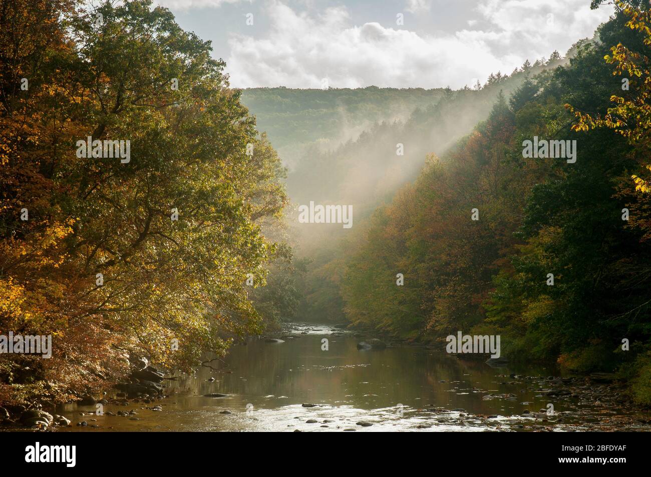 Sun breaks over the treetops along the Shepaug River in Southern New England (Hidden Valley Preserve, Washington, Connecticut). Stock Photohttps://www.alamy.com/image-license-details/?v=1https://www.alamy.com/sun-breaks-over-the-treetops-along-the-shepaug-river-in-southern-new-england-hidden-valley-preserve-washington-connecticut-image353734039.html
RM2BFDYAF–Sun breaks over the treetops along the Shepaug River in Southern New England (Hidden Valley Preserve, Washington, Connecticut).
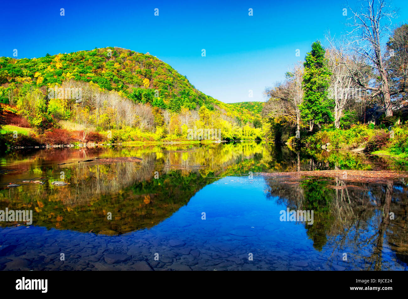 The hills of litchfield county in autumn in the town of West Cornwall Connecticut on a sunny blue sky day. Stock Photohttps://www.alamy.com/image-license-details/?v=1https://www.alamy.com/the-hills-of-litchfield-county-in-autumn-in-the-town-of-west-cornwall-connecticut-on-a-sunny-blue-sky-day-image235073052.html
RFRJCE24–The hills of litchfield county in autumn in the town of West Cornwall Connecticut on a sunny blue sky day.
 Mist drifts through the wooded contours of Connecticut's Litchfield Hills during autumn (Bridgewater, Connecticut). Stock Photohttps://www.alamy.com/image-license-details/?v=1https://www.alamy.com/mist-drifts-through-the-wooded-contours-of-connecticuts-litchfield-hills-during-autumn-bridgewater-connecticut-image353731327.html
RM2BFDRWK–Mist drifts through the wooded contours of Connecticut's Litchfield Hills during autumn (Bridgewater, Connecticut).
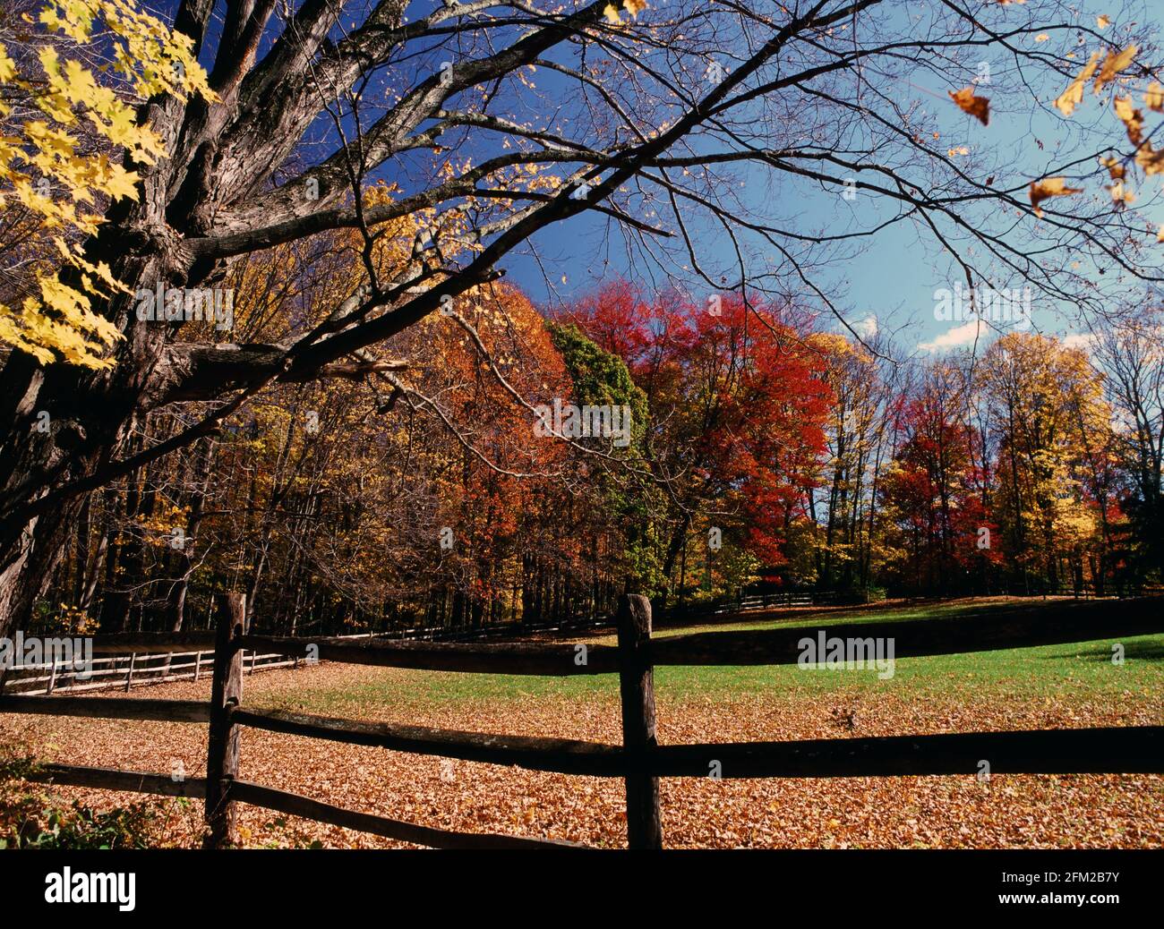 Roxbury Connecticut in autumn Stock Photohttps://www.alamy.com/image-license-details/?v=1https://www.alamy.com/roxbury-connecticut-in-autumn-image425394703.html
RF2FM2B7Y–Roxbury Connecticut in autumn
 The green and changing colors trees reflecting off of the blue waters in Burr State Park in Torrington, Connecticut on a sunny fall day. Stock Photohttps://www.alamy.com/image-license-details/?v=1https://www.alamy.com/the-green-and-changing-colors-trees-reflecting-off-of-the-blue-waters-in-burr-state-park-in-torrington-connecticut-on-a-sunny-fall-day-image235037685.html
RFRJATY1–The green and changing colors trees reflecting off of the blue waters in Burr State Park in Torrington, Connecticut on a sunny fall day.
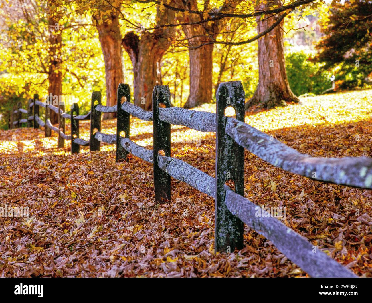 Autumn in the Litchfield Hills - New Preston, Connecticut Stock Photohttps://www.alamy.com/image-license-details/?v=1https://www.alamy.com/autumn-in-the-litchfield-hills-new-preston-connecticut-image597086623.html
RF2WKBJ27–Autumn in the Litchfield Hills - New Preston, Connecticut
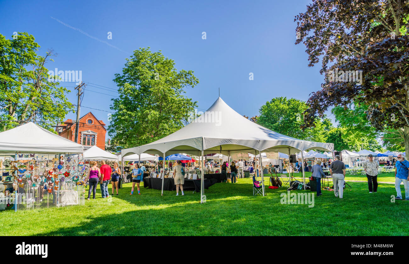 Gallery on the Green Arts & Crafts Show Litchfield, Connecticut, USA Stock Photohttps://www.alamy.com/image-license-details/?v=1https://www.alamy.com/stock-photo-gallery-on-the-green-arts-crafts-show-litchfield-connecticut-usa-174753793.html
RMM48M6W–Gallery on the Green Arts & Crafts Show Litchfield, Connecticut, USA
 Autumn leaves crowd the banks of woodland stream in hills of Connecticut (Hidden Valley Preserve, Washington, Connecticut). Stock Photohttps://www.alamy.com/image-license-details/?v=1https://www.alamy.com/autumn-leaves-crowd-the-banks-of-woodland-stream-in-hills-of-connecticut-hidden-valley-preserve-washington-connecticut-image353733990.html
RM2BFDY8P–Autumn leaves crowd the banks of woodland stream in hills of Connecticut (Hidden Valley Preserve, Washington, Connecticut).
 Memorial Clock Tower Sharon, Connecticut, USA Stock Photohttps://www.alamy.com/image-license-details/?v=1https://www.alamy.com/memorial-clock-tower-sharon-connecticut-usa-image228618474.html
RMR7XD5E–Memorial Clock Tower Sharon, Connecticut, USA
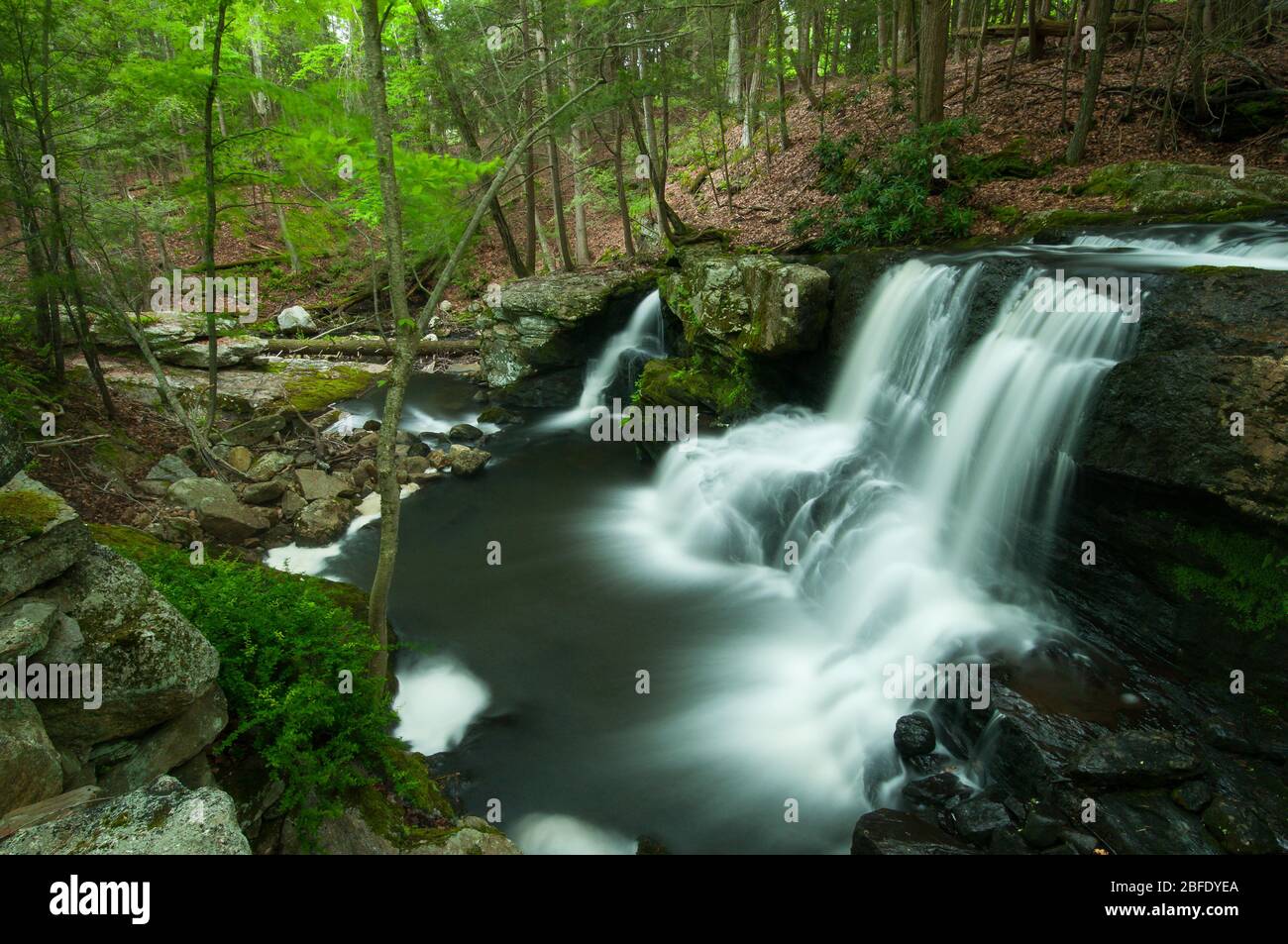 Waterfalls spill over a cliff in Connecticut's Litchfield Hills (Humaston Brook State Park, Litchfield, Connecticut) Stock Photohttps://www.alamy.com/image-license-details/?v=1https://www.alamy.com/waterfalls-spill-over-a-cliff-in-connecticuts-litchfield-hills-humaston-brook-state-park-litchfield-connecticut-image353734146.html
RM2BFDYEA–Waterfalls spill over a cliff in Connecticut's Litchfield Hills (Humaston Brook State Park, Litchfield, Connecticut)
 Barkhamsted Reservoir and saville dam on a sunny summer day in Connecticut. Stock Photohttps://www.alamy.com/image-license-details/?v=1https://www.alamy.com/barkhamsted-reservoir-and-saville-dam-on-a-sunny-summer-day-in-connecticut-image556936875.html
RF2RA2JJK–Barkhamsted Reservoir and saville dam on a sunny summer day in Connecticut.
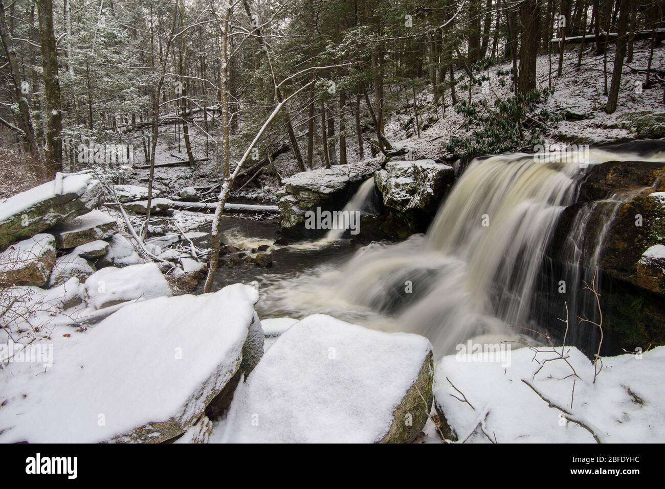 Knife Shop Falls descends into a snowy gorge in Connecticut's Litchfield Hills (Humaston Brook State Park, Litchfield, Connecticut) Stock Photohttps://www.alamy.com/image-license-details/?v=1https://www.alamy.com/knife-shop-falls-descends-into-a-snowy-gorge-in-connecticuts-litchfield-hills-humaston-brook-state-park-litchfield-connecticut-image353734232.html
RM2BFDYHC–Knife Shop Falls descends into a snowy gorge in Connecticut's Litchfield Hills (Humaston Brook State Park, Litchfield, Connecticut)
 Forest, White Memorial Conservation Area, Litchfield, Connecticut Stock Photohttps://www.alamy.com/image-license-details/?v=1https://www.alamy.com/forest-white-memorial-conservation-area-litchfield-connecticut-image566098223.html
RF2RW001K–Forest, White Memorial Conservation Area, Litchfield, Connecticut
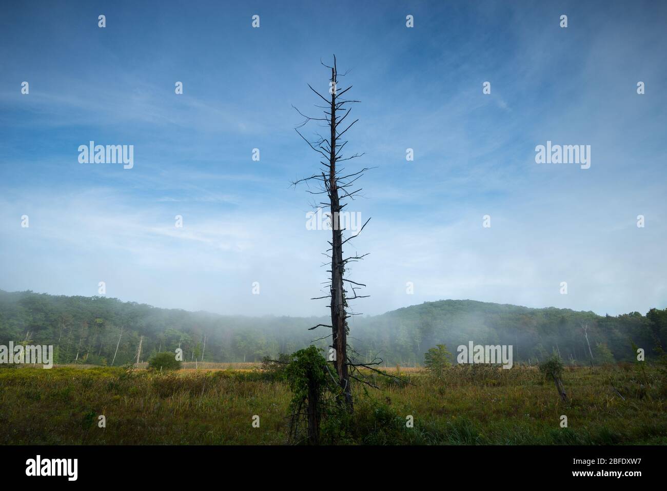 A lone dead snag stands tall amidst fog-laden wetlands in Connecticut's Great Mountain Forest (Norfolk, Connecticut). Stock Photohttps://www.alamy.com/image-license-details/?v=1https://www.alamy.com/a-lone-dead-snag-stands-tall-amidst-fog-laden-wetlands-in-connecticuts-great-mountain-forest-norfolk-connecticut-image353733667.html
RM2BFDXW7–A lone dead snag stands tall amidst fog-laden wetlands in Connecticut's Great Mountain Forest (Norfolk, Connecticut).
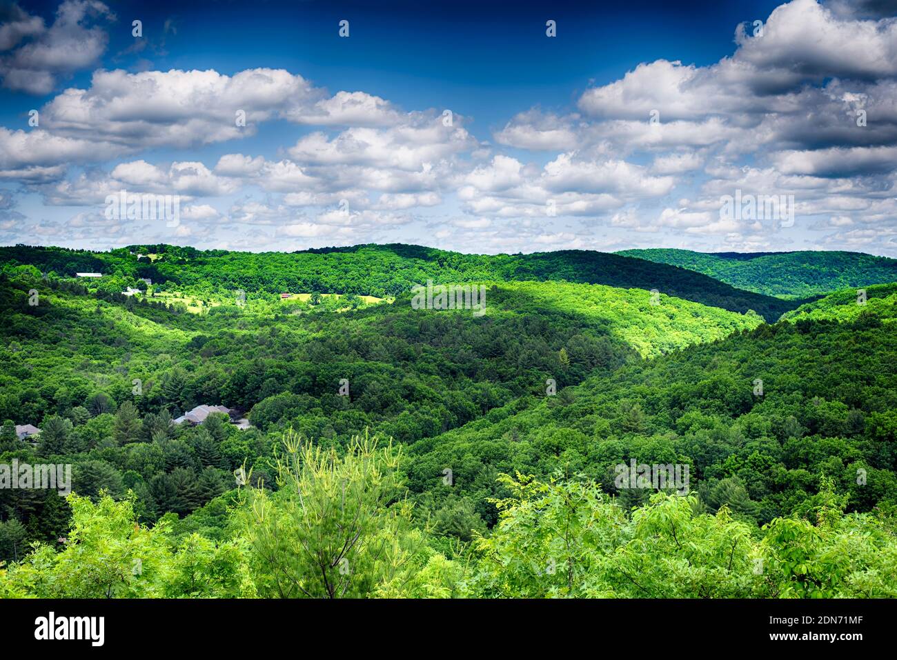 The rolling hills of litchfield county at the hidden valley nature preserve in washington depot connecticut on a summer day. Stock Photohttps://www.alamy.com/image-license-details/?v=1https://www.alamy.com/the-rolling-hills-of-litchfield-county-at-the-hidden-valley-nature-preserve-in-washington-depot-connecticut-on-a-summer-day-image391690895.html
RF2DN71MF–The rolling hills of litchfield county at the hidden valley nature preserve in washington depot connecticut on a summer day.
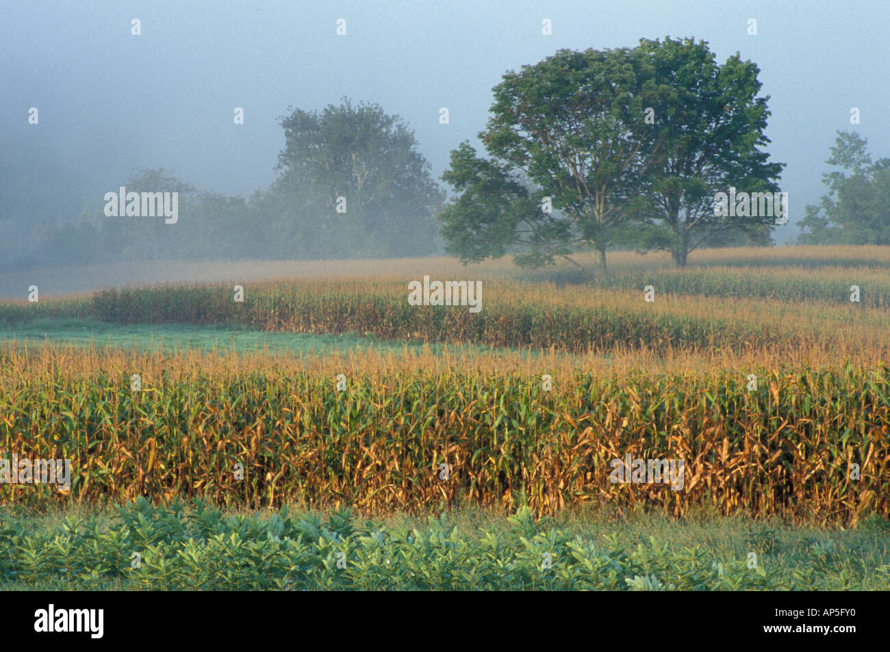 Sharon, CT Milkweed, corn, and maple trees in a field in the Litchfield Hills of western Connecticut. Fog. Stock Photohttps://www.alamy.com/image-license-details/?v=1https://www.alamy.com/sharon-ct-milkweed-corn-and-maple-trees-in-a-field-in-the-litchfield-image8961263.html
RMAP5FY0–Sharon, CT Milkweed, corn, and maple trees in a field in the Litchfield Hills of western Connecticut. Fog.
 A paved road over the top of Thomaston Dam in Thomaston Connecticut in Litchfield County on a sunny blue sky day. Stock Photohttps://www.alamy.com/image-license-details/?v=1https://www.alamy.com/a-paved-road-over-the-top-of-thomaston-dam-in-thomaston-connecticut-in-litchfield-county-on-a-sunny-blue-sky-day-image240972159.html
RFT016CF–A paved road over the top of Thomaston Dam in Thomaston Connecticut in Litchfield County on a sunny blue sky day.
 Litchfield Hills / Woodbury - antique shops Stock Photohttps://www.alamy.com/image-license-details/?v=1https://www.alamy.com/stock-photo-litchfield-hills-woodbury-antique-shops-58788860.html
RMDBJ1P4–Litchfield Hills / Woodbury - antique shops
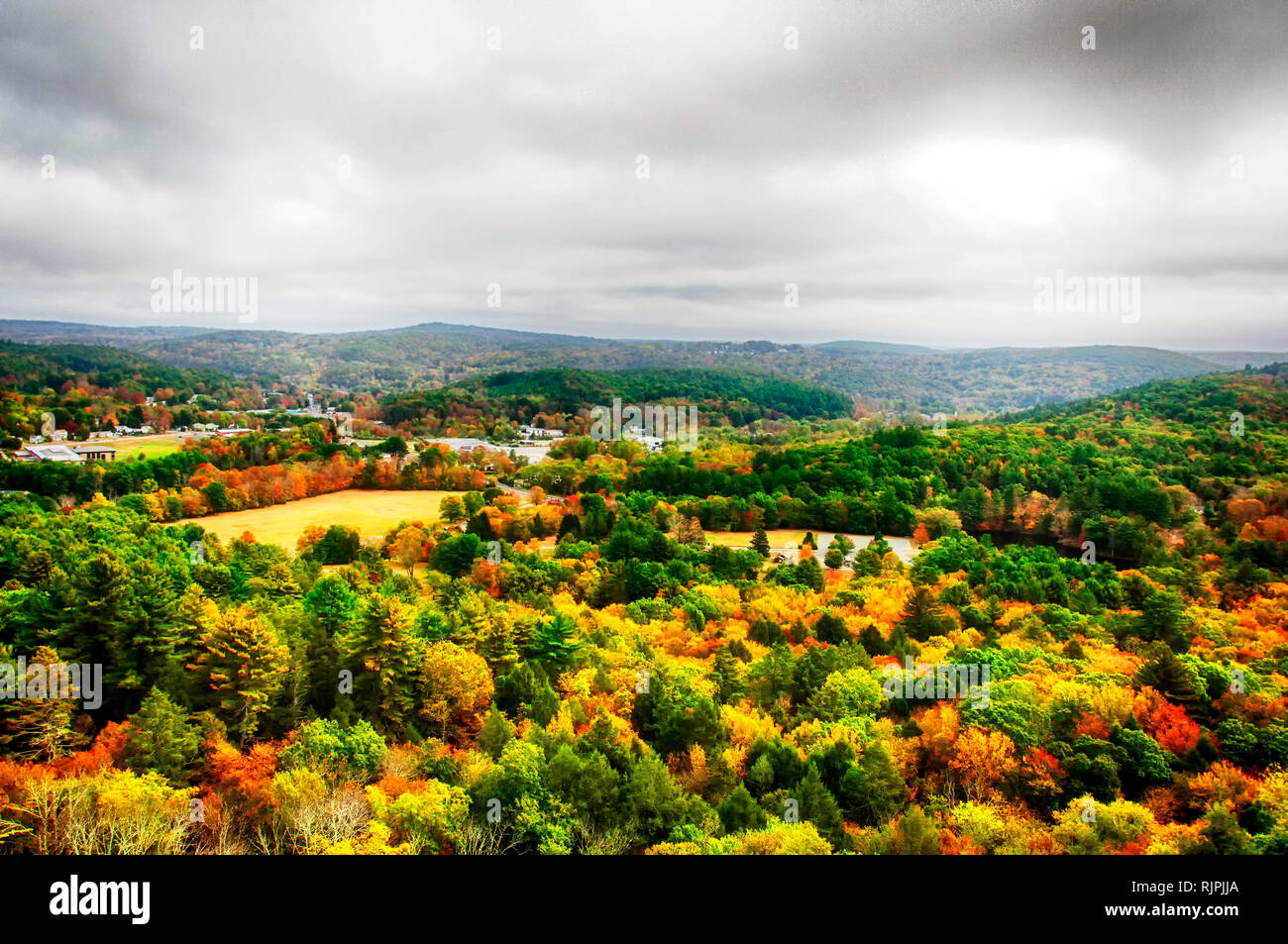 An elevated view of the fall foliage at black rock state park and thomaston connecticut in autumn. Stock Photohttps://www.alamy.com/image-license-details/?v=1https://www.alamy.com/an-elevated-view-of-the-fall-foliage-at-black-rock-state-park-and-thomaston-connecticut-in-autumn-image235296162.html
RFRJPJJA–An elevated view of the fall foliage at black rock state park and thomaston connecticut in autumn.
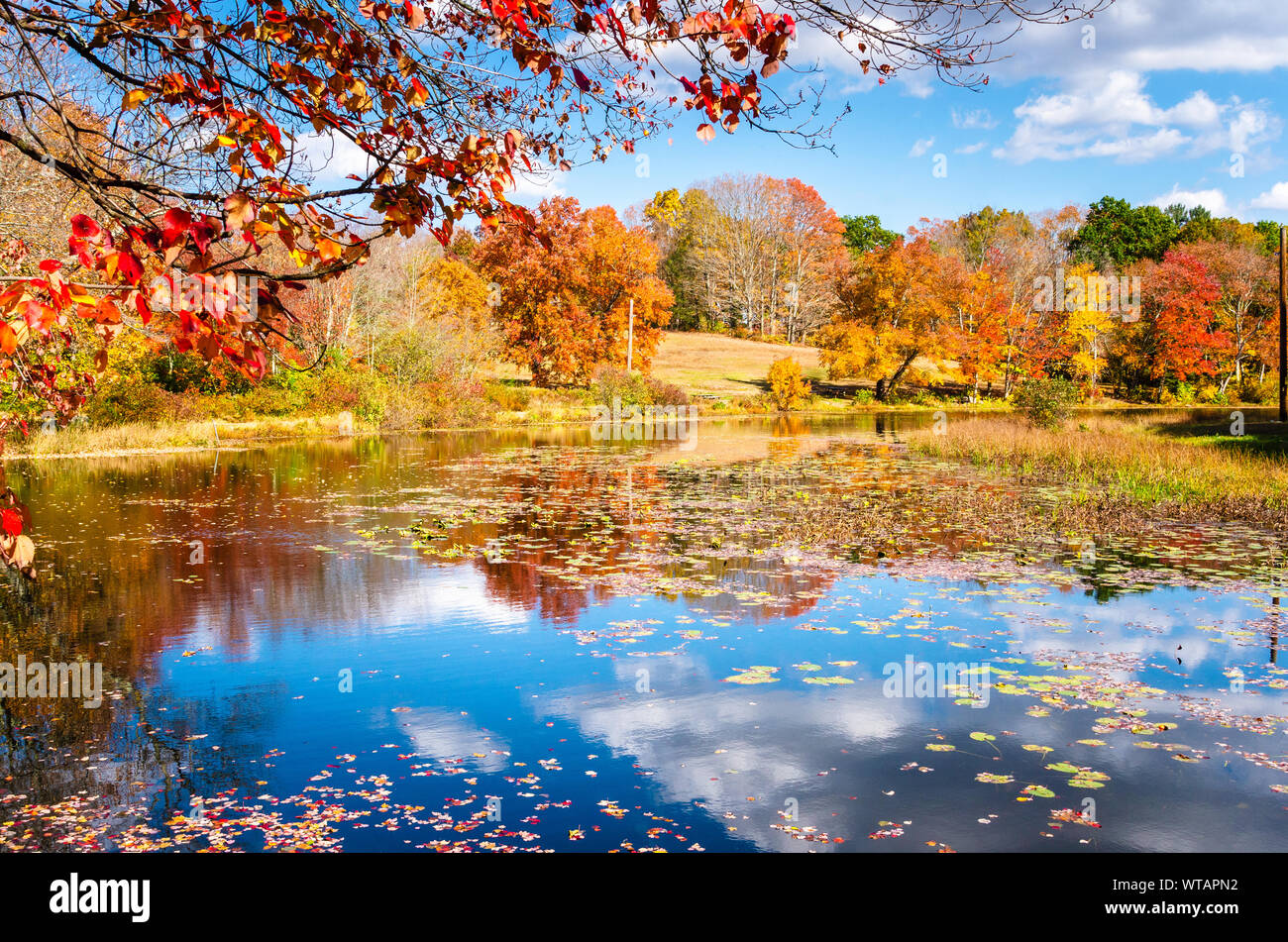 Beautiful autumn landscape on a sunny day. A pond is in foreground. Stock Photohttps://www.alamy.com/image-license-details/?v=1https://www.alamy.com/beautiful-autumn-landscape-on-a-sunny-day-a-pond-is-in-foreground-image273144622.html
RFWTAPN2–Beautiful autumn landscape on a sunny day. A pond is in foreground.
 Snow covered pine trees at the wigwam brook wildlife sanctuary at the litchfield hills audubon society in Litchfield Connecticut. Stock Photohttps://www.alamy.com/image-license-details/?v=1https://www.alamy.com/snow-covered-pine-trees-at-the-wigwam-brook-wildlife-sanctuary-at-the-litchfield-hills-audubon-society-in-litchfield-connecticut-image334006727.html
RF2ABB8YK–Snow covered pine trees at the wigwam brook wildlife sanctuary at the litchfield hills audubon society in Litchfield Connecticut.
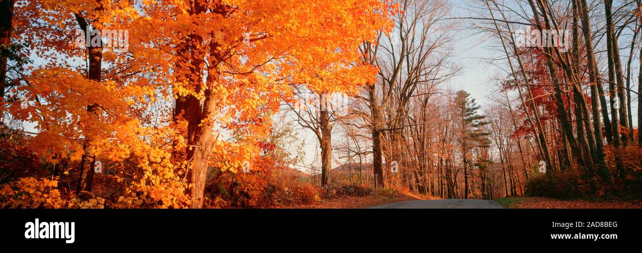 Maple tree in autumn, Litchfield Hills, Connecticut, USA Stock Photohttps://www.alamy.com/image-license-details/?v=1https://www.alamy.com/maple-tree-in-autumn-litchfield-hills-connecticut-usa-image335172168.html
RM2AD8BEG–Maple tree in autumn, Litchfield Hills, Connecticut, USA
 The rolling hills of the northwestern part of Connecticut in Salisbury as seen from the top of Lions Head on the Appalachian Trail in summer. Stock Photohttps://www.alamy.com/image-license-details/?v=1https://www.alamy.com/the-rolling-hills-of-the-northwestern-part-of-connecticut-in-salisbury-as-seen-from-the-top-of-lions-head-on-the-appalachian-trail-in-summer-image240056318.html
RFRXFE7X–The rolling hills of the northwestern part of Connecticut in Salisbury as seen from the top of Lions Head on the Appalachian Trail in summer.
 Tudor Style English Cottage at Topsmead State Forest, Connecticut, is listed in the National Register of Historic Places. Stock Photohttps://www.alamy.com/image-license-details/?v=1https://www.alamy.com/tudor-style-english-cottage-at-topsmead-state-forest-connecticut-is-listed-in-the-national-register-of-historic-places-image331050216.html
RF2A6GHX0–Tudor Style English Cottage at Topsmead State Forest, Connecticut, is listed in the National Register of Historic Places.
 New England split-rail wood fence in autumn Stock Photohttps://www.alamy.com/image-license-details/?v=1https://www.alamy.com/new-england-split-rail-wood-fence-in-autumn-image441296172.html
RF2GHXNNG–New England split-rail wood fence in autumn
 A chinese woman looking at the camera with the hills of sharon connecticut in autumn and housatonic river in the background on a sunny day. Stock Photohttps://www.alamy.com/image-license-details/?v=1https://www.alamy.com/a-chinese-woman-looking-at-the-camera-with-the-hills-of-sharon-connecticut-in-autumn-and-housatonic-river-in-the-background-on-a-sunny-day-image235103375.html
RFRJDTN3–A chinese woman looking at the camera with the hills of sharon connecticut in autumn and housatonic river in the background on a sunny day.
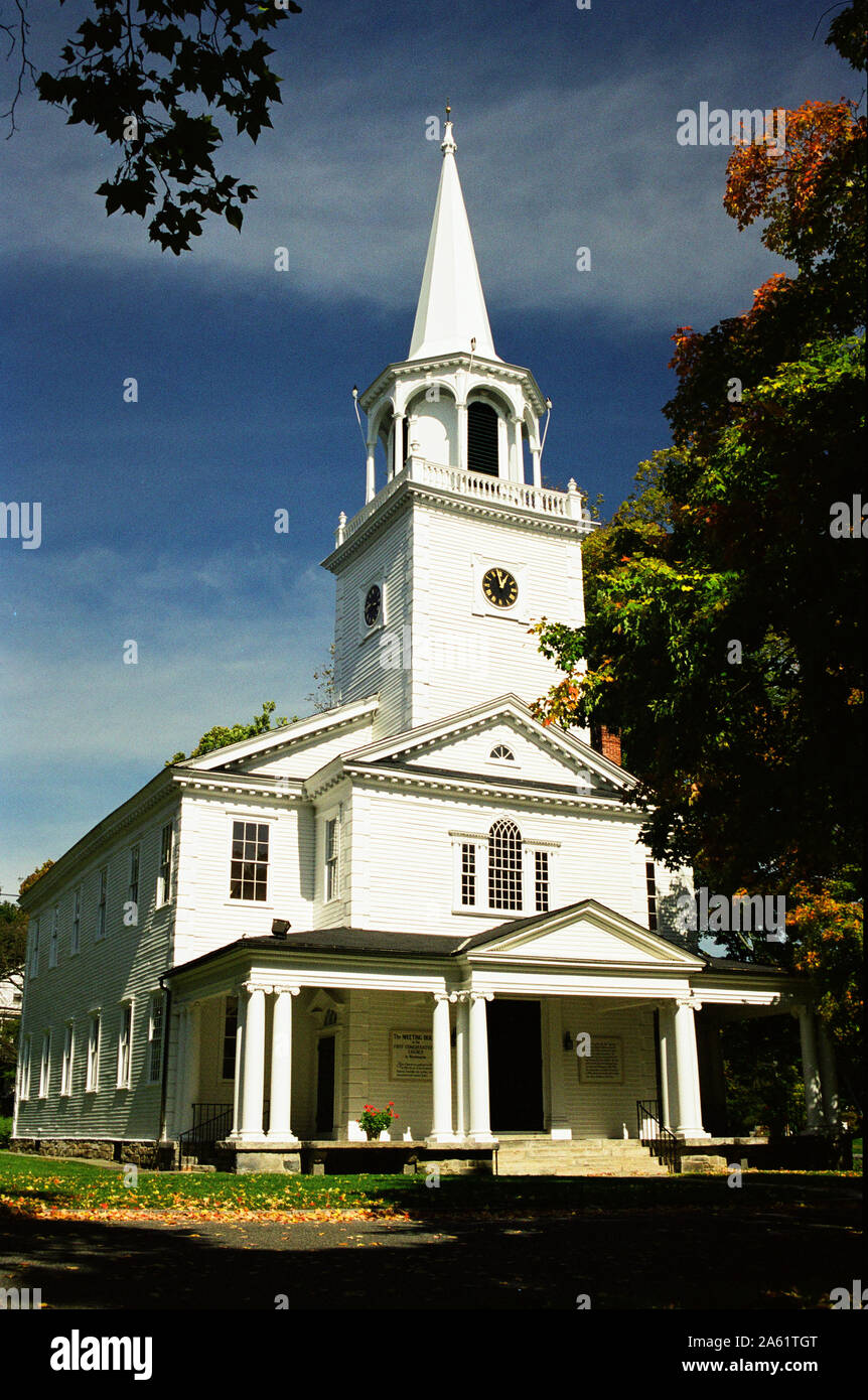 New England church in autumn - Washington, Connecticut Stock Photohttps://www.alamy.com/image-license-details/?v=1https://www.alamy.com/new-england-church-in-autumn-washington-connecticut-image330726168.html
RF2A61TGT–New England church in autumn - Washington, Connecticut
 Village Green Main Street Sharon, Connecticut, USA Stock Photohttps://www.alamy.com/image-license-details/?v=1https://www.alamy.com/village-green-main-street-sharon-connecticut-usa-image228618918.html
RMR7XDNA–Village Green Main Street Sharon, Connecticut, USA
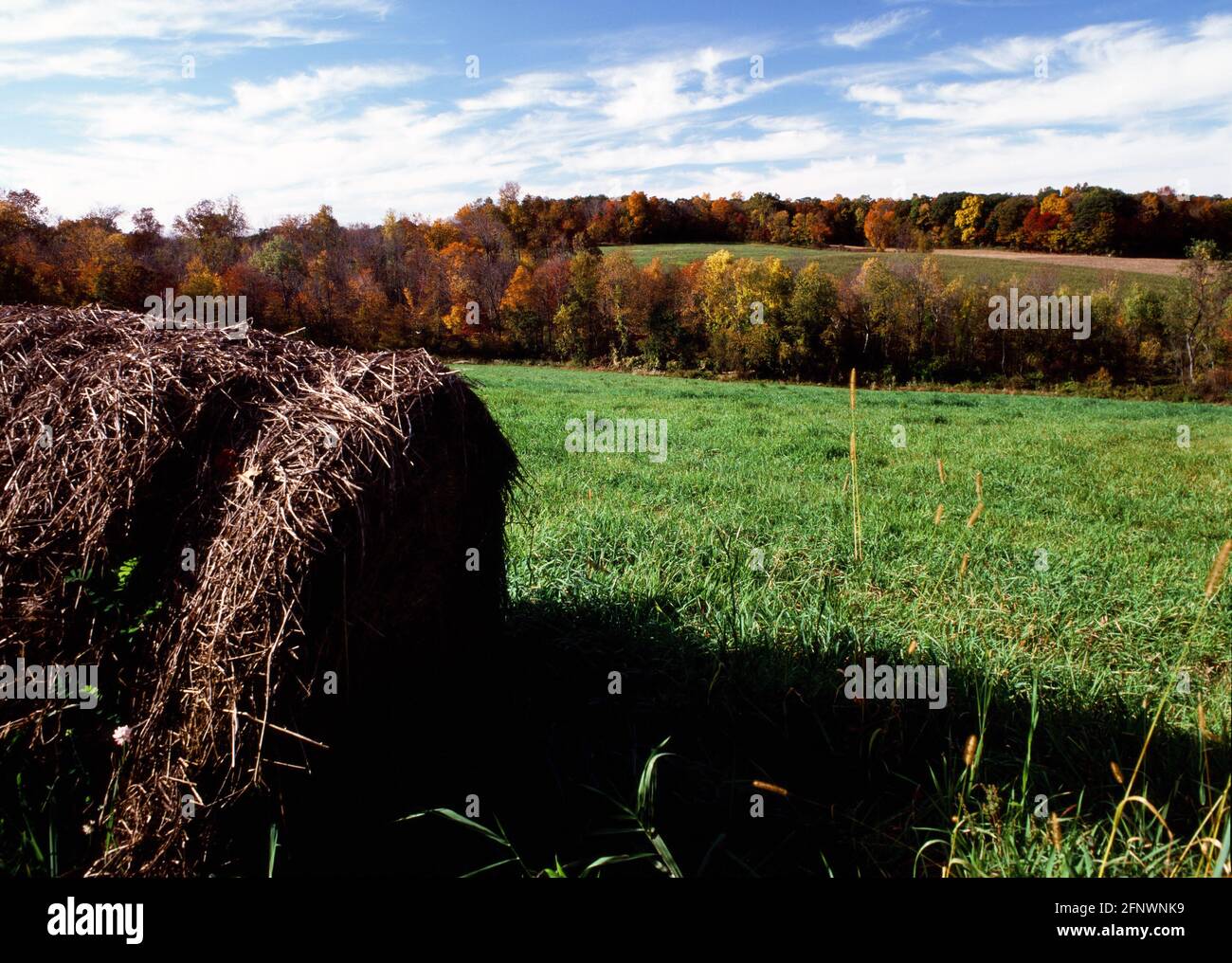 Litchfield Hills of Connecticut in autumn Stock Photohttps://www.alamy.com/image-license-details/?v=1https://www.alamy.com/litchfield-hills-of-connecticut-in-autumn-image426522413.html
RF2FNWNK9–Litchfield Hills of Connecticut in autumn
 Belted Galloway cow in spring pasture, Litchfield Hills Region, West Cornwall, Connecticut, USA. Stock Photohttps://www.alamy.com/image-license-details/?v=1https://www.alamy.com/belted-galloway-cow-in-spring-pasture-litchfield-hills-region-west-cornwall-connecticut-usa-image612017694.html
RM2XFKPPP–Belted Galloway cow in spring pasture, Litchfield Hills Region, West Cornwall, Connecticut, USA.
 Litchfield Hills of Connecticut in autumn Stock Photohttps://www.alamy.com/image-license-details/?v=1https://www.alamy.com/litchfield-hills-of-connecticut-in-autumn-image458105583.html
RF2HH8E9K–Litchfield Hills of Connecticut in autumn
 Forest, White Memorial Conservation Area, Litchfield, Connecticut Stock Photohttps://www.alamy.com/image-license-details/?v=1https://www.alamy.com/forest-white-memorial-conservation-area-litchfield-connecticut-image566098224.html
RF2RW001M–Forest, White Memorial Conservation Area, Litchfield, Connecticut
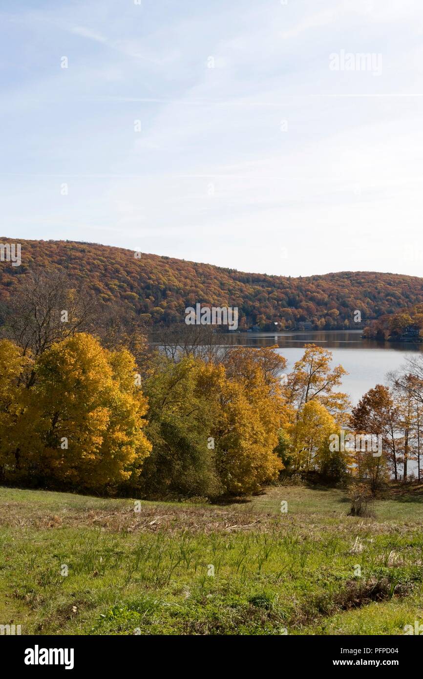 USA, Connecticut, Litchfield Hills, view of Lake Waramaug Stock Photohttps://www.alamy.com/image-license-details/?v=1https://www.alamy.com/usa-connecticut-litchfield-hills-view-of-lake-waramaug-image216237396.html
RMPFPD04–USA, Connecticut, Litchfield Hills, view of Lake Waramaug
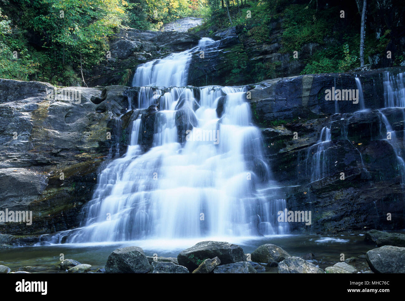 Kent Falls, Kent Falls State Park, Connecticut Stock Photohttps://www.alamy.com/image-license-details/?v=1https://www.alamy.com/kent-falls-kent-falls-state-park-connecticut-image182821924.html
RFMHC76C–Kent Falls, Kent Falls State Park, Connecticut
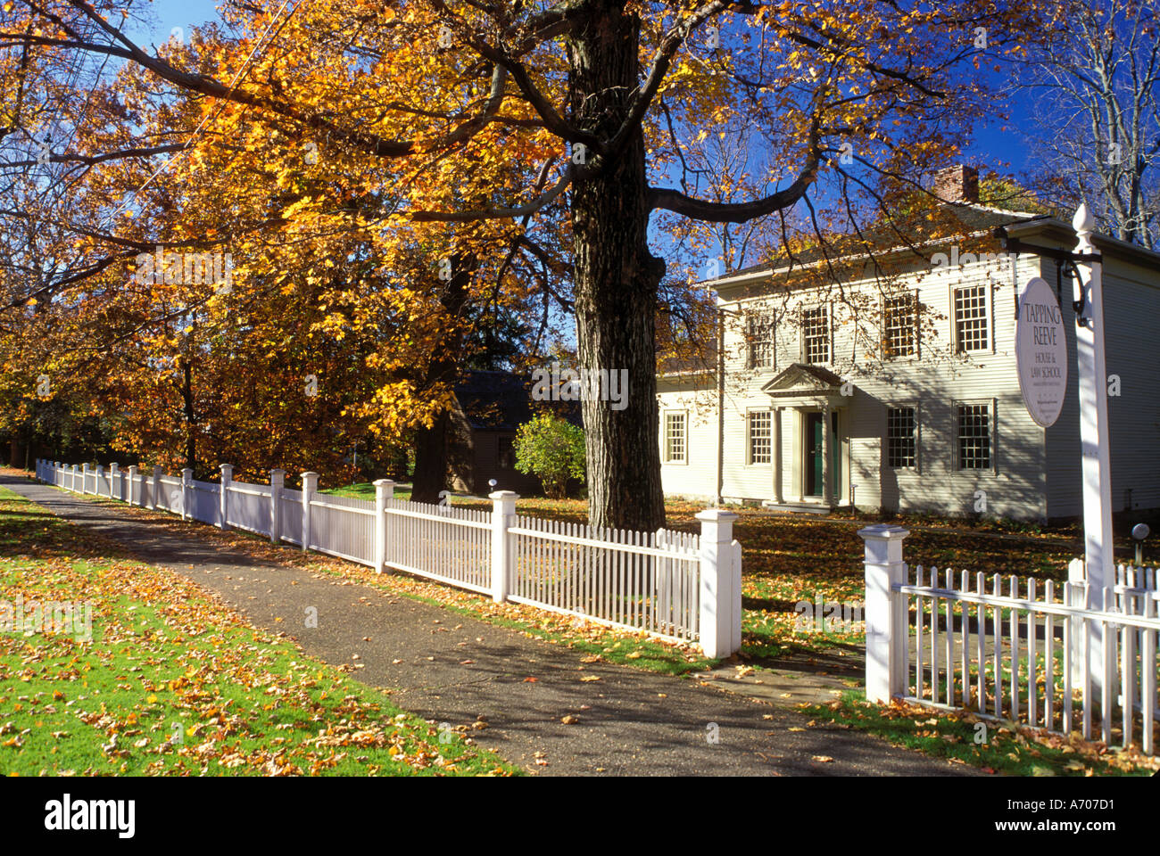 AJ8935, Litchfield, Connecticut, CT Stock Photohttps://www.alamy.com/image-license-details/?v=1https://www.alamy.com/aj8935-litchfield-connecticut-ct-image460753.html
RMA707D1–AJ8935, Litchfield, Connecticut, CT
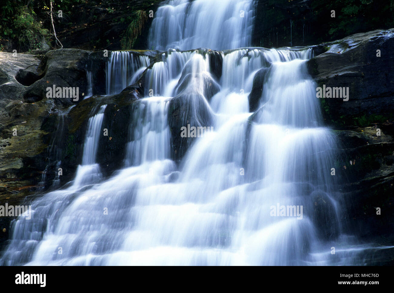 Kent Falls, Kent Falls State Park, Connecticut Stock Photohttps://www.alamy.com/image-license-details/?v=1https://www.alamy.com/kent-falls-kent-falls-state-park-connecticut-image182821925.html
RFMHC76D–Kent Falls, Kent Falls State Park, Connecticut
 Litchfield Hills / Kent Falls State Park - covered bridge Stock Photohttps://www.alamy.com/image-license-details/?v=1https://www.alamy.com/stock-photo-litchfield-hills-kent-falls-state-park-covered-bridge-58788862.html
RMDBJ1P6–Litchfield Hills / Kent Falls State Park - covered bridge
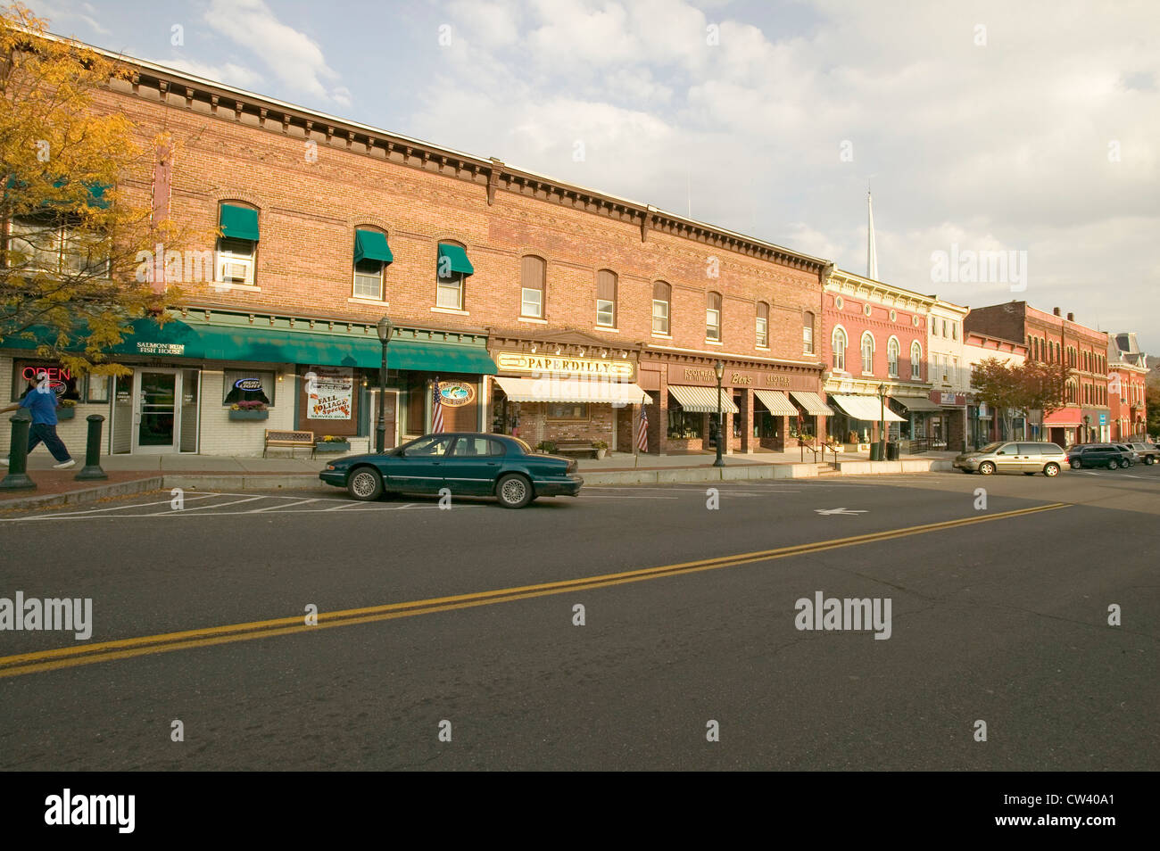 Storefronts in Litchfield Hills of Connecticut Stock Photohttps://www.alamy.com/image-license-details/?v=1https://www.alamy.com/stock-photo-storefronts-in-litchfield-hills-of-connecticut-49875225.html
RFCW40A1–Storefronts in Litchfield Hills of Connecticut
 Kent, CT A father and son sit next to the Housatonic River in the Litchfield Hills of Western Connecticut. Below Bull's Bridge. Stock Photohttps://www.alamy.com/image-license-details/?v=1https://www.alamy.com/kent-ct-a-father-and-son-sit-next-to-the-housatonic-river-in-the-litchfield-image8961259.html
RMAP5FXC–Kent, CT A father and son sit next to the Housatonic River in the Litchfield Hills of Western Connecticut. Below Bull's Bridge.
 Public library in Litchfield Hills of Connecticut Stock Photohttps://www.alamy.com/image-license-details/?v=1https://www.alamy.com/stock-photo-public-library-in-litchfield-hills-of-connecticut-12755190.html
RMAB2CFK–Public library in Litchfield Hills of Connecticut
 Connecticut Stock Photohttps://www.alamy.com/image-license-details/?v=1https://www.alamy.com/stock-photo-connecticut-31299638.html
RFBPWR06–Connecticut
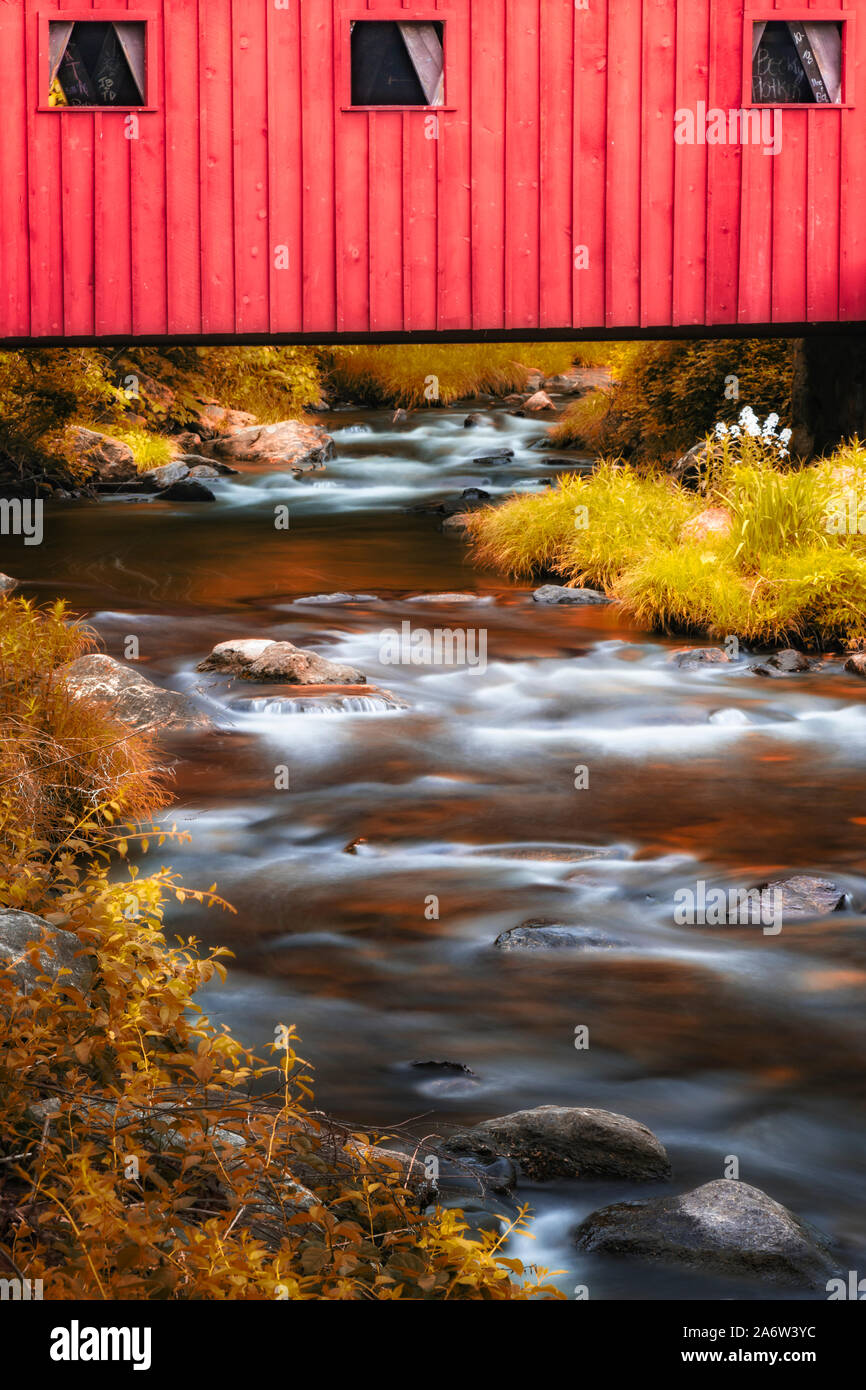 Kent Falls Covered Bridge Stock Photohttps://www.alamy.com/image-license-details/?v=1https://www.alamy.com/kent-falls-covered-bridge-image331236848.html
RM2A6W3YC–Kent Falls Covered Bridge
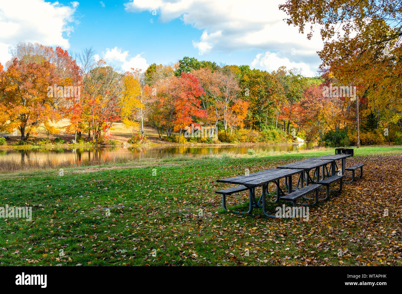 Wicnic tables and BBQ on a riverside meadow covered in fallen leaves on a sunny autumn day. Colourful trees line the river. Stock Photohttps://www.alamy.com/image-license-details/?v=1https://www.alamy.com/wicnic-tables-and-bbq-on-a-riverside-meadow-covered-in-fallen-leaves-on-a-sunny-autumn-day-colourful-trees-line-the-river-image273144527.html
RFWTAPHK–Wicnic tables and BBQ on a riverside meadow covered in fallen leaves on a sunny autumn day. Colourful trees line the river.
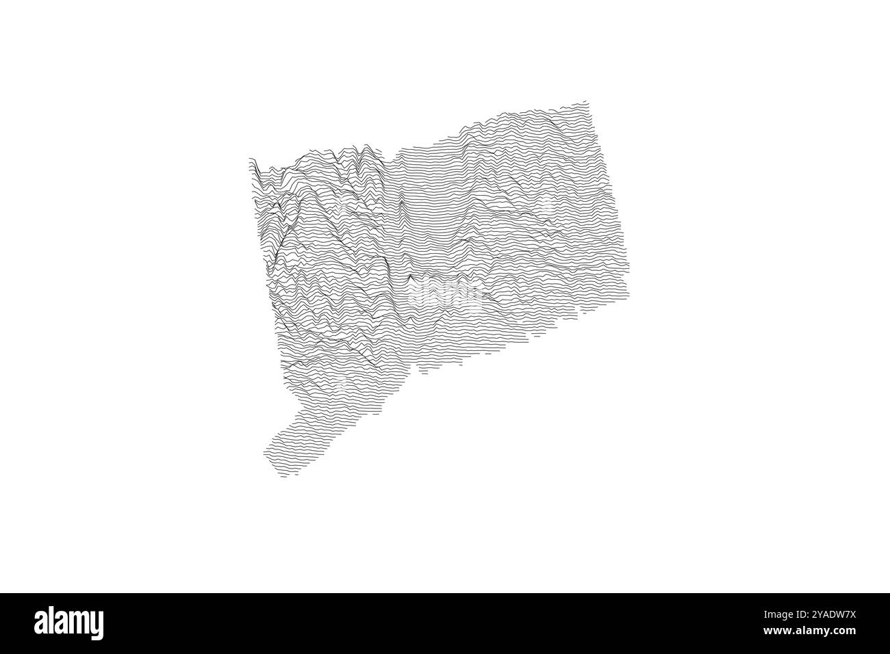 Connecticut ridgeline map: Coastal lowlands to rolling hills, highlighting the state's subtle but varied topography Stock Vectorhttps://www.alamy.com/image-license-details/?v=1https://www.alamy.com/connecticut-ridgeline-map-coastal-lowlands-to-rolling-hills-highlighting-the-states-subtle-but-varied-topography-image626025006.html
RF2YADW7X–Connecticut ridgeline map: Coastal lowlands to rolling hills, highlighting the state's subtle but varied topography
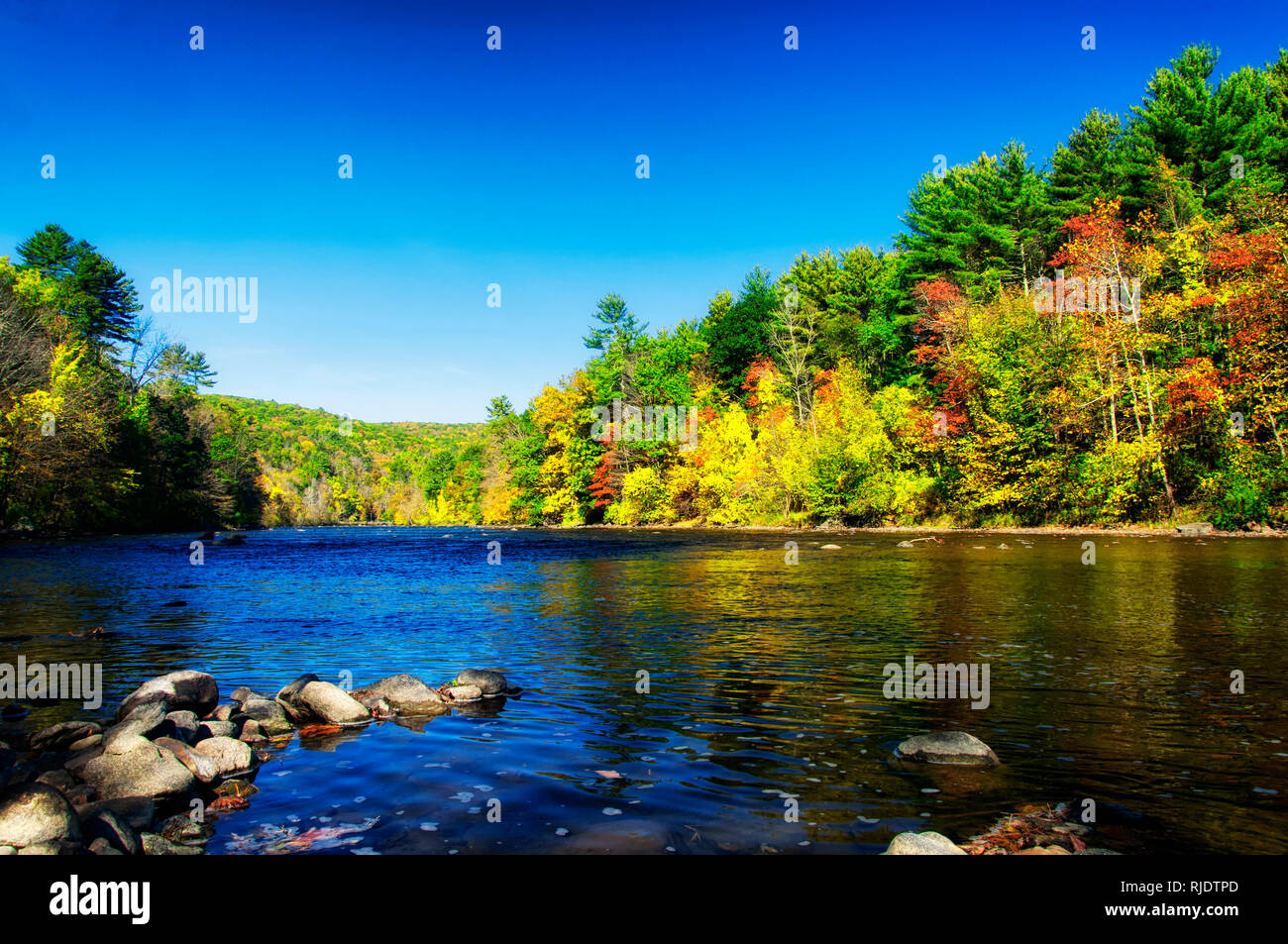 The Housatonic River and fall foliage of litchfield county in autumn in the town of Cornwall Bridge Connecticut on a sunny blue sky day. Stock Photohttps://www.alamy.com/image-license-details/?v=1https://www.alamy.com/the-housatonic-river-and-fall-foliage-of-litchfield-county-in-autumn-in-the-town-of-cornwall-bridge-connecticut-on-a-sunny-blue-sky-day-image235103413.html
RFRJDTPD–The Housatonic River and fall foliage of litchfield county in autumn in the town of Cornwall Bridge Connecticut on a sunny blue sky day.
 Connecticut - A Winding Auto Route through the Litchfield Hills, Torrington, Conn. Stock Photohttps://www.alamy.com/image-license-details/?v=1https://www.alamy.com/stock-photo-connecticut-a-winding-auto-route-through-the-litchfield-hills-torrington-135003252.html
RMHRHX0M–Connecticut - A Winding Auto Route through the Litchfield Hills, Torrington, Conn.
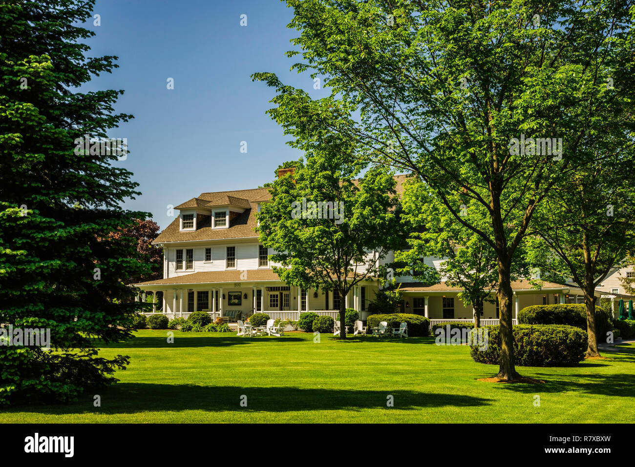 The White Hart Salisbury, Connecticut, USA Stock Photohttps://www.alamy.com/image-license-details/?v=1https://www.alamy.com/the-white-hart-salisbury-connecticut-usa-image228617505.html
RMR7XBXW–The White Hart Salisbury, Connecticut, USA
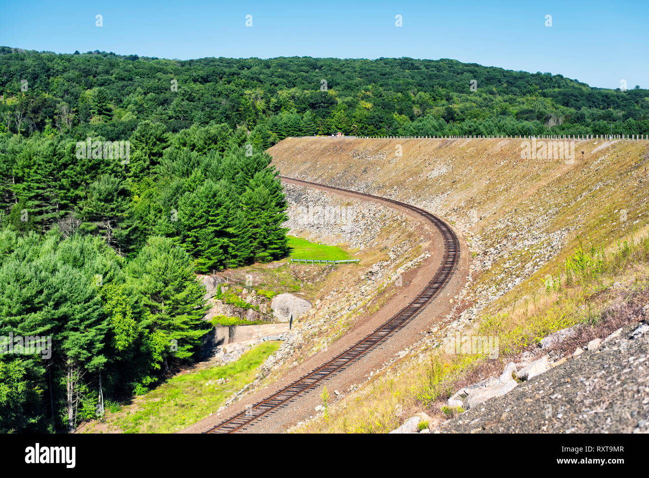 A railroad track laid on the side of the Thomaston Dam in Thomaston Connecticut on a sunny blue sky day. Stock Photohttps://www.alamy.com/image-license-details/?v=1https://www.alamy.com/a-railroad-track-laid-on-the-side-of-the-thomaston-dam-in-thomaston-connecticut-on-a-sunny-blue-sky-day-image240250327.html
RFRXT9MR–A railroad track laid on the side of the Thomaston Dam in Thomaston Connecticut on a sunny blue sky day.
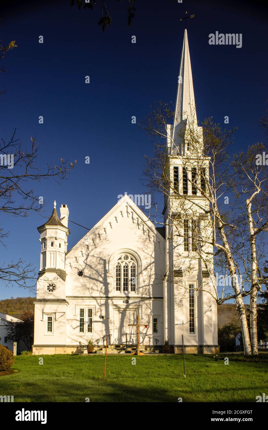 First Congregational Church Kent, Connecticut, USA Stock Photohttps://www.alamy.com/image-license-details/?v=1https://www.alamy.com/first-congregational-church-kent-connecticut-usa-image371835208.html
RM2CGXFGT–First Congregational Church Kent, Connecticut, USA
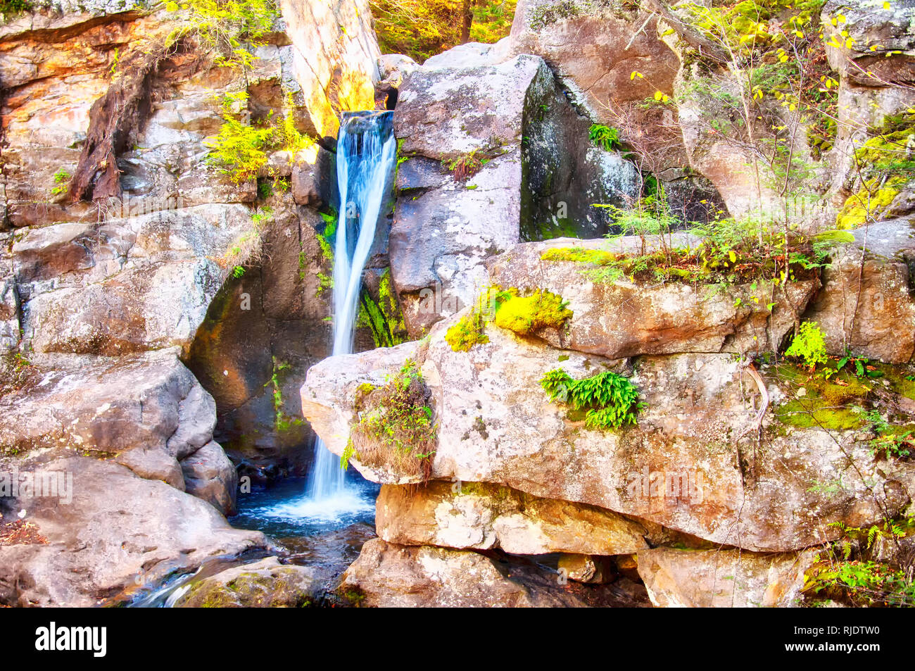 A small waterfall and pools of water at Kent Falls State Park in Kent Connecticut in autumn. Stock Photohttps://www.alamy.com/image-license-details/?v=1https://www.alamy.com/a-small-waterfall-and-pools-of-water-at-kent-falls-state-park-in-kent-connecticut-in-autumn-image235103484.html
RFRJDTW0–A small waterfall and pools of water at Kent Falls State Park in Kent Connecticut in autumn.
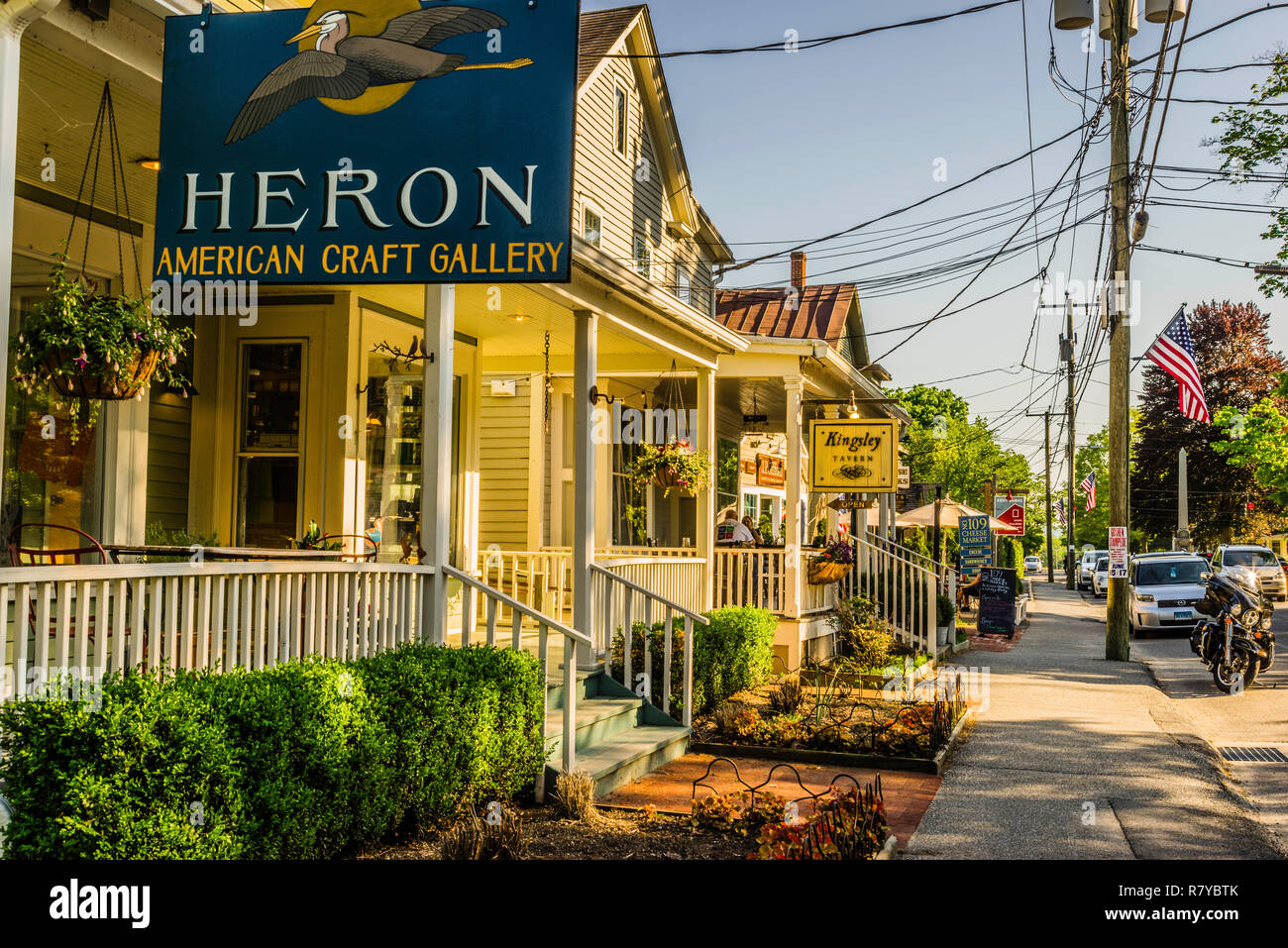 Main Street Kent, Connecticut, USA Stock Photohttps://www.alamy.com/image-license-details/?v=1https://www.alamy.com/main-street-kent-connecticut-usa-image228639395.html
RMR7YBTK–Main Street Kent, Connecticut, USA
 A chinese woman sitting on a rock overlooking the landscape in Salisbury Connecticut on the Appalachian Trail. Stock Photohttps://www.alamy.com/image-license-details/?v=1https://www.alamy.com/a-chinese-woman-sitting-on-a-rock-overlooking-the-landscape-in-salisbury-connecticut-on-the-appalachian-trail-image240056279.html
RFRXFE6F–A chinese woman sitting on a rock overlooking the landscape in Salisbury Connecticut on the Appalachian Trail.
 USA, Connecticut, forested Litchfield Hills surrounding Lake Waramaug Stock Photohttps://www.alamy.com/image-license-details/?v=1https://www.alamy.com/usa-connecticut-forested-litchfield-hills-surrounding-lake-waramaug-image216237408.html
RMPFPD0G–USA, Connecticut, forested Litchfield Hills surrounding Lake Waramaug
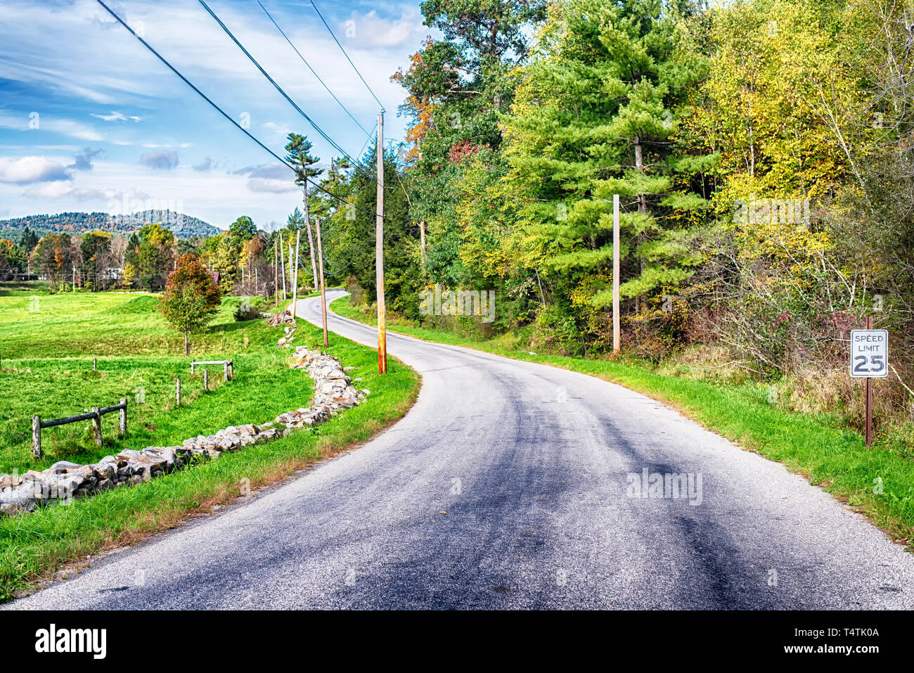 A rural road by farm land within the new england town of cornwall connecticut on a blue sky day. Stock Photohttps://www.alamy.com/image-license-details/?v=1https://www.alamy.com/a-rural-road-by-farm-land-within-the-new-england-town-of-cornwall-connecticut-on-a-blue-sky-day-image243945530.html
RFT4TK0A–A rural road by farm land within the new england town of cornwall connecticut on a blue sky day.
 AJ8933, Connecticut, Litchfield, CT Stock Photohttps://www.alamy.com/image-license-details/?v=1https://www.alamy.com/aj8933-connecticut-litchfield-ct-image460755.html
RMA707D3–AJ8933, Connecticut, Litchfield, CT
 The green and changing colors trees surrounding the blue waters in Burr State Park in Torrington, Connecticut on a sunny fall day. Stock Photohttps://www.alamy.com/image-license-details/?v=1https://www.alamy.com/the-green-and-changing-colors-trees-surrounding-the-blue-waters-in-burr-state-park-in-torrington-connecticut-on-a-sunny-fall-day-image235037696.html
RFRJATYC–The green and changing colors trees surrounding the blue waters in Burr State Park in Torrington, Connecticut on a sunny fall day.
 Autumn leaves and red barn at sunset in Litchfield Hills of Connecticut Stock Photohttps://www.alamy.com/image-license-details/?v=1https://www.alamy.com/stock-photo-autumn-leaves-and-red-barn-at-sunset-in-litchfield-hills-of-connecticut-49875240.html
RFCW40AG–Autumn leaves and red barn at sunset in Litchfield Hills of Connecticut
 The rolling hills of New Preston Connecticut in litchfield county New England on a summer day. Stock Photohttps://www.alamy.com/image-license-details/?v=1https://www.alamy.com/the-rolling-hills-of-new-preston-connecticut-in-litchfield-county-new-england-on-a-summer-day-image395584101.html
RF2DYGBFH–The rolling hills of New Preston Connecticut in litchfield county New England on a summer day.
 Sharon, CT field in the Litchfield Hills of western Connecticut. Stock Photohttps://www.alamy.com/image-license-details/?v=1https://www.alamy.com/sharon-ct-field-in-the-litchfield-hills-of-western-connecticut-image3864191.html
RMA7GP80–Sharon, CT field in the Litchfield Hills of western Connecticut.
 The hills of litchfield county above the housatonic river in West Cornwall Connecticut on a sunny summer day. Stock Photohttps://www.alamy.com/image-license-details/?v=1https://www.alamy.com/the-hills-of-litchfield-county-above-the-housatonic-river-in-west-cornwall-connecticut-on-a-sunny-summer-day-image526585352.html
RF2NGM0YM–The hills of litchfield county above the housatonic river in West Cornwall Connecticut on a sunny summer day.
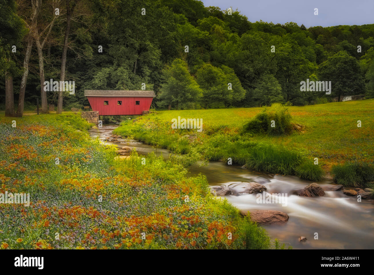 Kent Falls Covered Bridge Stock Photohttps://www.alamy.com/image-license-details/?v=1https://www.alamy.com/kent-falls-covered-bridge-image331236893.html
RM2A6W411–Kent Falls Covered Bridge
 Fenced path to a small wooden bridge covered in leaves in a park on a sunny day. Beautiful autumn colours. Stock Photohttps://www.alamy.com/image-license-details/?v=1https://www.alamy.com/fenced-path-to-a-small-wooden-bridge-covered-in-leaves-in-a-park-on-a-sunny-day-beautiful-autumn-colours-image273144412.html
RFWTAPDG–Fenced path to a small wooden bridge covered in leaves in a park on a sunny day. Beautiful autumn colours.
 Kent CT A father and son sit next to the Housatonic River in the Litchfield Hills of Western Connecticut Below Bull s Bridge Stock Photohttps://www.alamy.com/image-license-details/?v=1https://www.alamy.com/kent-ct-a-father-and-son-sit-next-to-the-housatonic-river-in-the-litchfield-image4123364.html
RMAAGXE5–Kent CT A father and son sit next to the Housatonic River in the Litchfield Hills of Western Connecticut Below Bull s Bridge
 Storefronts in Litchfield Hills of Connecticut Stock Photohttps://www.alamy.com/image-license-details/?v=1https://www.alamy.com/stock-photo-storefronts-in-litchfield-hills-of-connecticut-12753220.html
RFAB26KH–Storefronts in Litchfield Hills of Connecticut
 1930s COUNTRY LANE DIRT ROAD MAILBOX LITCHFIELD HILLS NEAR SHERMAN CONNECTICUT USA - r4194 HAR001 HARS STONE WALL B&W BLACK AND WHITE CONNECTICUT CT LITCHFIELD OFF THE BEATEN PATH OLD FASHIONED SYLVAN Stock Photohttps://www.alamy.com/image-license-details/?v=1https://www.alamy.com/stock-photo-1930s-country-lane-dirt-road-mailbox-litchfield-hills-near-sherman-175941037.html
RMM66PGD–1930s COUNTRY LANE DIRT ROAD MAILBOX LITCHFIELD HILLS NEAR SHERMAN CONNECTICUT USA - r4194 HAR001 HARS STONE WALL B&W BLACK AND WHITE CONNECTICUT CT LITCHFIELD OFF THE BEATEN PATH OLD FASHIONED SYLVAN
 Cornwall, Connecticut, USA The view over the Berkshire Hills from Mohawk Mountain. - 2019 | usage worldwide Stock Photohttps://www.alamy.com/image-license-details/?v=1https://www.alamy.com/cornwall-connecticut-usa-the-view-over-the-berkshire-hills-from-mohawk-mountain-2019-usage-worldwide-image255682818.html
RMTRYA16–Cornwall, Connecticut, USA The view over the Berkshire Hills from Mohawk Mountain. - 2019 | usage worldwide
 Prehnite. minerals. North America; USA; Connecticut; Litchfield County; Woodbury; Orenaug Hills Quarry Stock Photohttps://www.alamy.com/image-license-details/?v=1https://www.alamy.com/prehnite-minerals-north-america-usa-connecticut-litchfield-county-woodbury-orenaug-hills-quarry-image472963232.html
RM2JDD9C0–Prehnite. minerals. North America; USA; Connecticut; Litchfield County; Woodbury; Orenaug Hills Quarry
 Richly coloured trees massed on the hillsides at Fall in the Litchfield Hills area Stock Photohttps://www.alamy.com/image-license-details/?v=1https://www.alamy.com/richly-coloured-trees-massed-on-the-hillsides-at-fall-in-the-litchfield-image9027978.html
RMAPHYMB–Richly coloured trees massed on the hillsides at Fall in the Litchfield Hills area
 . The Berkshire and Litchfield Hills . MAIN STREET, RIDGEFIELD EAST RIDGE, RIDGEFIELD about 300 feet; and from the State line to its mouth,its descent in Connecticut is about six hundred andfifty feet. It may be well imagined that where this descenttakes place, mainly over a succession of cascades andwaterfalls, the element of animation could hardlybe wanting. Nevertheless, the Housatonic is not sorapid or so bold a stream as is usually the case withrivers born upon and fed from mountain sides; andits gentle, ambitious flow exhibits rather the anima-tion of the joyous and beautiful in nature t Stock Photohttps://www.alamy.com/image-license-details/?v=1https://www.alamy.com/the-berkshire-and-litchfield-hills-main-street-ridgefield-east-ridge-ridgefield-about-300-feet-and-from-the-state-line-to-its-mouthits-descent-in-connecticut-is-about-six-hundred-andfifty-feet-it-may-be-well-imagined-that-where-this-descenttakes-place-mainly-over-a-succession-of-cascades-andwaterfalls-the-element-of-animation-could-hardlybe-wanting-nevertheless-the-housatonic-is-not-sorapid-or-so-bold-a-stream-as-is-usually-the-case-withrivers-born-upon-and-fed-from-mountain-sides-andits-gentle-ambitious-flow-exhibits-rather-the-anima-tion-of-the-joyous-and-beautiful-in-nature-t-image375823353.html
RM2CRC6EH–. The Berkshire and Litchfield Hills . MAIN STREET, RIDGEFIELD EAST RIDGE, RIDGEFIELD about 300 feet; and from the State line to its mouth,its descent in Connecticut is about six hundred andfifty feet. It may be well imagined that where this descenttakes place, mainly over a succession of cascades andwaterfalls, the element of animation could hardlybe wanting. Nevertheless, the Housatonic is not sorapid or so bold a stream as is usually the case withrivers born upon and fed from mountain sides; andits gentle, ambitious flow exhibits rather the anima-tion of the joyous and beautiful in nature t
 Civil War Memorial The White Hart Salisbury, Connecticut, USA Stock Photohttps://www.alamy.com/image-license-details/?v=1https://www.alamy.com/civil-war-memorial-the-white-hart-salisbury-connecticut-usa-image228617507.html
RMR7XBXY–Civil War Memorial The White Hart Salisbury, Connecticut, USA
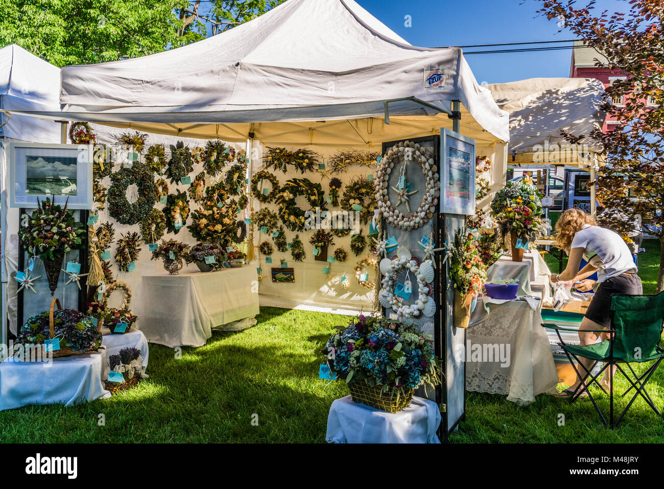 Gallery on the Green Arts & Crafts Show Litchfield, Connecticut, USA Stock Photohttps://www.alamy.com/image-license-details/?v=1https://www.alamy.com/stock-photo-gallery-on-the-green-arts-crafts-show-litchfield-connecticut-usa-174752703.html
RMM48JRY–Gallery on the Green Arts & Crafts Show Litchfield, Connecticut, USA
 USA, Connecticut, scenic road through Litchfield Hills with road markings clearly visible. Stock Photohttps://www.alamy.com/image-license-details/?v=1https://www.alamy.com/usa-connecticut-scenic-road-through-litchfield-hills-with-road-markings-clearly-visible-image216199980.html
RMPFMN7T–USA, Connecticut, scenic road through Litchfield Hills with road markings clearly visible.
 Cream Hill Agricultural School The Connecticut Antique Machinery Association Kent, Connecticut, USA Stock Photohttps://www.alamy.com/image-license-details/?v=1https://www.alamy.com/cream-hill-agricultural-school-the-connecticut-antique-machinery-association-kent-connecticut-usa-image244903975.html
RMT6C9EF–Cream Hill Agricultural School The Connecticut Antique Machinery Association Kent, Connecticut, USA
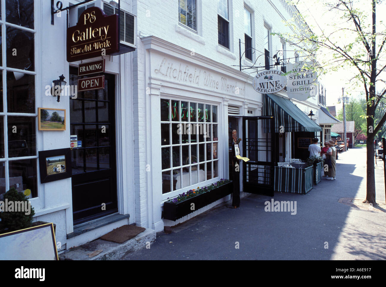 AJ7475, CT, Litchfield, Connecticut. Stock Photohttps://www.alamy.com/image-license-details/?v=1https://www.alamy.com/aj7475-ct-litchfield-connecticut-image452887.html
RMA6E917–AJ7475, CT, Litchfield, Connecticut.
 Gallery on the Green Arts & Crafts Show Litchfield, Connecticut, USA Stock Photohttps://www.alamy.com/image-license-details/?v=1https://www.alamy.com/stock-photo-gallery-on-the-green-arts-crafts-show-litchfield-connecticut-usa-174753293.html
RMM48KH1–Gallery on the Green Arts & Crafts Show Litchfield, Connecticut, USA
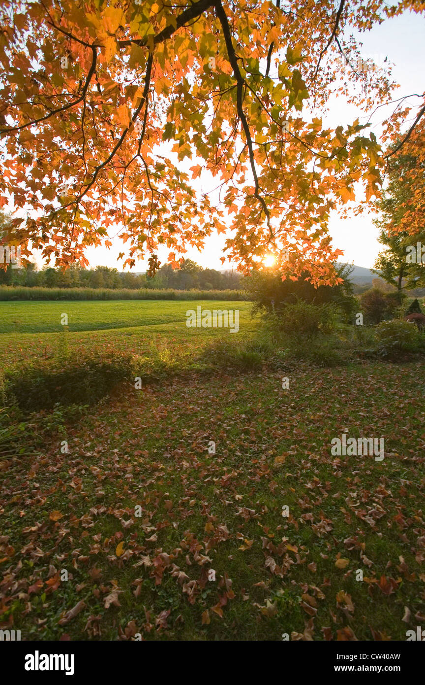 Autumn leaves and red barn at sunset in Litchfield Hills of Connecticut Stock Photohttps://www.alamy.com/image-license-details/?v=1https://www.alamy.com/stock-photo-autumn-leaves-and-red-barn-at-sunset-in-litchfield-hills-of-connecticut-49875249.html
RFCW40AW–Autumn leaves and red barn at sunset in Litchfield Hills of Connecticut
 West Cornwall, CT The Housatonic River in the Litchfield Hills of western Connecticut Stock Photohttps://www.alamy.com/image-license-details/?v=1https://www.alamy.com/west-cornwall-ct-the-housatonic-river-in-the-litchfield-hills-of-western-image8961266.html
RMAP5FY3–West Cornwall, CT The Housatonic River in the Litchfield Hills of western Connecticut
 The hills of litchfield county above the housatonic river in West Cornwall Connecticut on a sunny summer day. Stock Photohttps://www.alamy.com/image-license-details/?v=1https://www.alamy.com/the-hills-of-litchfield-county-above-the-housatonic-river-in-west-cornwall-connecticut-on-a-sunny-summer-day-image526585361.html
RF2NGM101–The hills of litchfield county above the housatonic river in West Cornwall Connecticut on a sunny summer day.
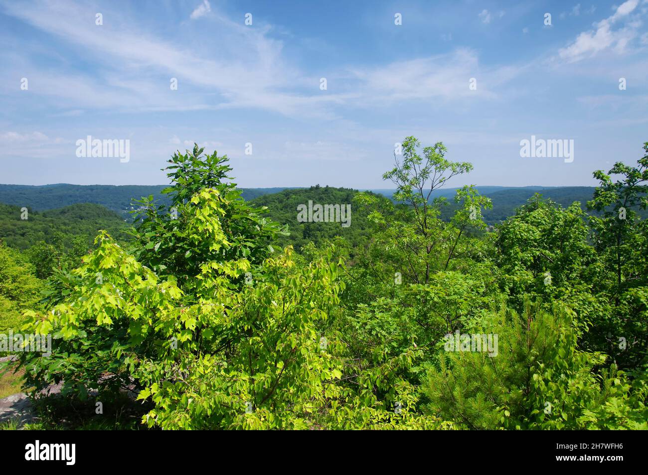 A landscape view of the surrounding hills at the summit of mount tom in wwashington Depot, litchfield county connecticut on a sunny blue sky day. Stock Photohttps://www.alamy.com/image-license-details/?v=1https://www.alamy.com/a-landscape-view-of-the-surrounding-hills-at-the-summit-of-mount-tom-in-wwashington-depot-litchfield-county-connecticut-on-a-sunny-blue-sky-day-image452333202.html
RF2H7WFH6–A landscape view of the surrounding hills at the summit of mount tom in wwashington Depot, litchfield county connecticut on a sunny blue sky day.
 West Cornwall CT A street sign at the end of Main Street in West Cornwall in the Litchfield Hills of western Connecticut Stock Photohttps://www.alamy.com/image-license-details/?v=1https://www.alamy.com/stock-photo-west-cornwall-ct-a-street-sign-at-the-end-of-main-street-in-west-cornwall-11141168.html
RMA4XTWN–West Cornwall CT A street sign at the end of Main Street in West Cornwall in the Litchfield Hills of western Connecticut
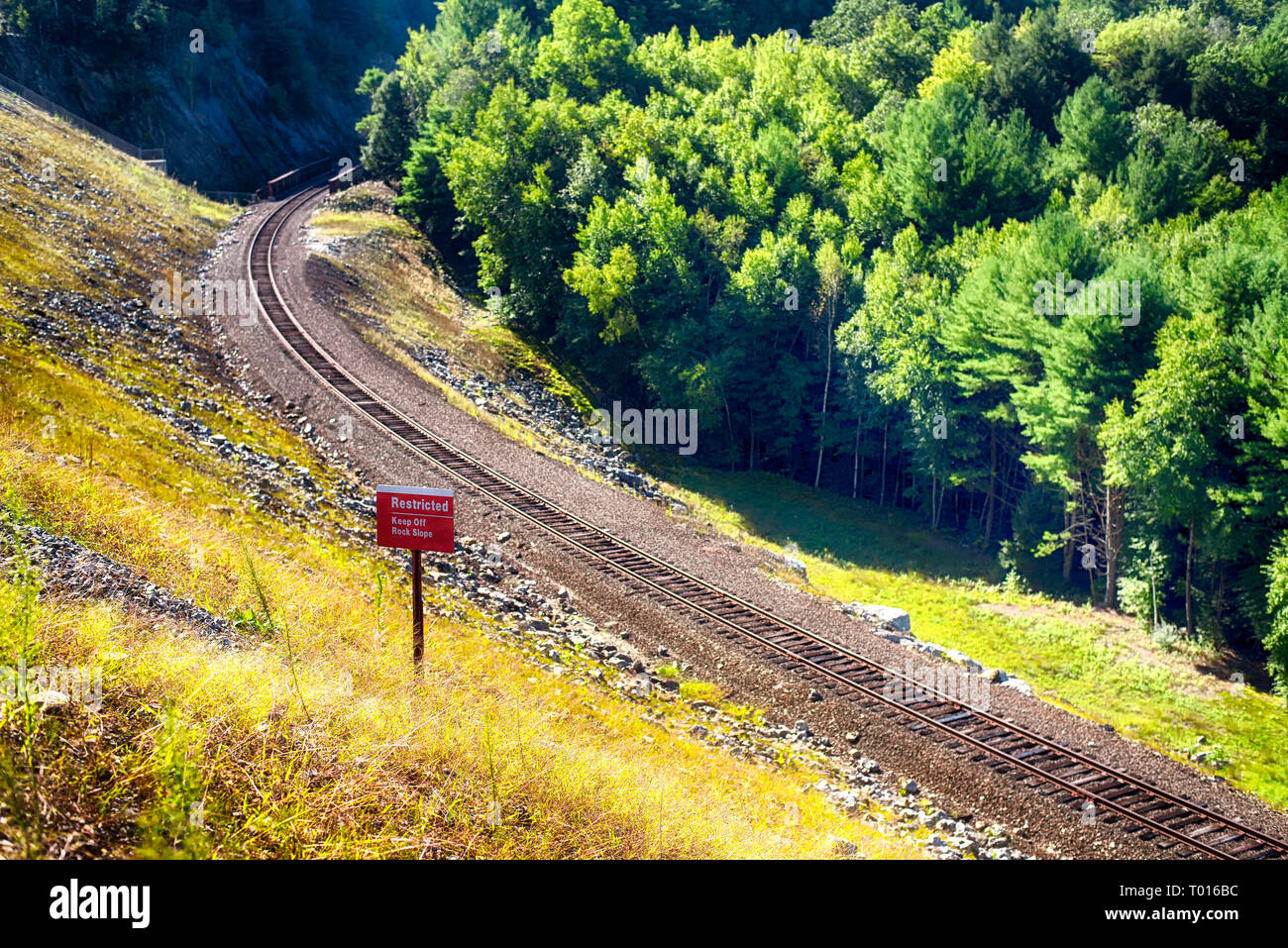 A railroad track laid on the side of the Thomaston Dam in Thomaston Connecticut on a sunny day. Stock Photohttps://www.alamy.com/image-license-details/?v=1https://www.alamy.com/a-railroad-track-laid-on-the-side-of-the-thomaston-dam-in-thomaston-connecticut-on-a-sunny-day-image240972128.html
RFT016BC–A railroad track laid on the side of the Thomaston Dam in Thomaston Connecticut on a sunny day.
 Public library in Litchfield Hills of Connecticut Stock Photohttps://www.alamy.com/image-license-details/?v=1https://www.alamy.com/stock-photo-public-library-in-litchfield-hills-of-connecticut-12755193.html
RMAB2CFP–Public library in Litchfield Hills of Connecticut
 The landmark stone tower at the summit of mount tom in wwashington Depot, litchfield county connecticut on a sunny blue sky day. Stock Photohttps://www.alamy.com/image-license-details/?v=1https://www.alamy.com/the-landmark-stone-tower-at-the-summit-of-mount-tom-in-wwashington-depot-litchfield-county-connecticut-on-a-sunny-blue-sky-day-image452333218.html
RF2H7WFHP–The landmark stone tower at the summit of mount tom in wwashington Depot, litchfield county connecticut on a sunny blue sky day.
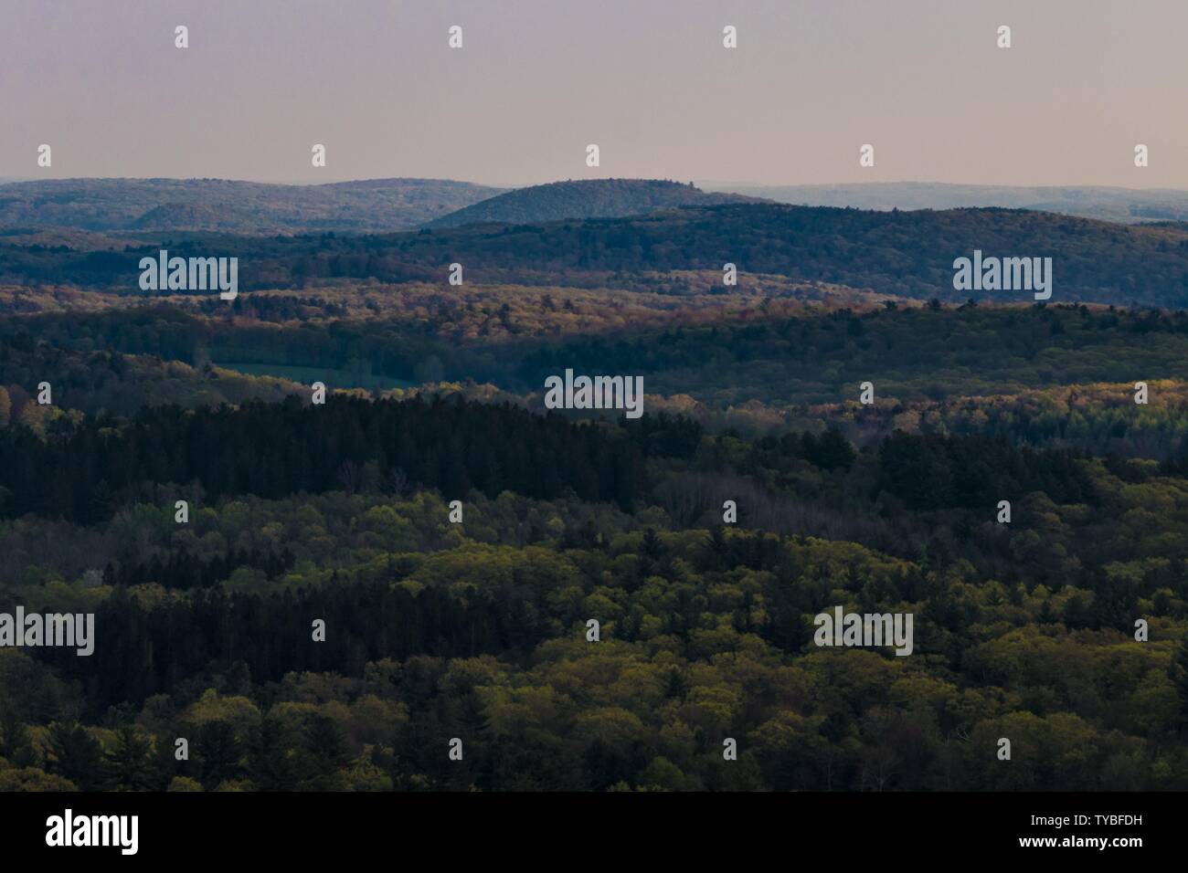 Cornwall, Connecticut, USA The view over the Berkshire Hills from Mohawk Mountain. - 2019 | usage worldwide Stock Photohttps://www.alamy.com/image-license-details/?v=1https://www.alamy.com/cornwall-connecticut-usa-the-view-over-the-berkshire-hills-from-mohawk-mountain-2019-usage-worldwide-image257794477.html
RMTYBFDH–Cornwall, Connecticut, USA The view over the Berkshire Hills from Mohawk Mountain. - 2019 | usage worldwide
 a hiking trail leading up to the summit of mount tom in wwashington Depot, litchfield county connecticut on a sunny blue sky day. Stock Photohttps://www.alamy.com/image-license-details/?v=1https://www.alamy.com/a-hiking-trail-leading-up-to-the-summit-of-mount-tom-in-wwashington-depot-litchfield-county-connecticut-on-a-sunny-blue-sky-day-image452333209.html
RF2H7WFHD–a hiking trail leading up to the summit of mount tom in wwashington Depot, litchfield county connecticut on a sunny blue sky day.
 Quartz. minerals. North America; USA; Connecticut; Litchfield County; Woodbury; Orenaug Hills Quarry Stock Photohttps://www.alamy.com/image-license-details/?v=1https://www.alamy.com/quartz-minerals-north-america-usa-connecticut-litchfield-county-woodbury-orenaug-hills-quarry-image472960795.html
RM2JDD68Y–Quartz. minerals. North America; USA; Connecticut; Litchfield County; Woodbury; Orenaug Hills Quarry
 A landscape view of the northwest corner hills in Norfolk Connecticut from Dennis Hill State Park. Stock Photohttps://www.alamy.com/image-license-details/?v=1https://www.alamy.com/a-landscape-view-of-the-northwest-corner-hills-in-norfolk-connecticut-from-dennis-hill-state-park-image555563756.html
RF2R7T36M–A landscape view of the northwest corner hills in Norfolk Connecticut from Dennis Hill State Park.
 . The Berkshire and Litchfield Hills . Lake Wononpakok,presenting many pleasing features,embraced as it is by field and wood-land. Sages Ravine, which is morefully described under the head ofSheffield, is a picturesque region,affording a delightful drive; whilea days trip to Bear Mountain,with its elevation of 2,350 feet,the highest point of land in Con-necticut, is a pleasing diversion replete with scenicinterest. The arbitrary line that defines the boundaries ofthe States of Connecticut on the south and Mas-sachusetts on the north also separates the territoryof Canaan, in the first-named com Stock Photohttps://www.alamy.com/image-license-details/?v=1https://www.alamy.com/the-berkshire-and-litchfield-hills-lake-wononpakokpresenting-many-pleasing-featuresembraced-as-it-is-by-field-and-wood-land-sages-ravine-which-is-morefully-described-under-the-head-ofsheffield-is-a-picturesque-regionaffording-a-delightful-drive-whilea-days-trip-to-bear-mountainwith-its-elevation-of-2350-feetthe-highest-point-of-land-in-con-necticut-is-a-pleasing-diversion-replete-with-scenicinterest-the-arbitrary-line-that-defines-the-boundaries-ofthe-states-of-connecticut-on-the-south-and-mas-sachusetts-on-the-north-also-separates-the-territoryof-canaan-in-the-first-named-com-image375787481.html
RM2CRAGND–. The Berkshire and Litchfield Hills . Lake Wononpakok,presenting many pleasing features,embraced as it is by field and wood-land. Sages Ravine, which is morefully described under the head ofSheffield, is a picturesque region,affording a delightful drive; whilea days trip to Bear Mountain,with its elevation of 2,350 feet,the highest point of land in Con-necticut, is a pleasing diversion replete with scenicinterest. The arbitrary line that defines the boundaries ofthe States of Connecticut on the south and Mas-sachusetts on the north also separates the territoryof Canaan, in the first-named com
 AJ7474, CT, Litchfield, Connecticut. Stock Photohttps://www.alamy.com/image-license-details/?v=1https://www.alamy.com/aj7474-ct-litchfield-connecticut-image452886.html
RMA6E916–AJ7474, CT, Litchfield, Connecticut.
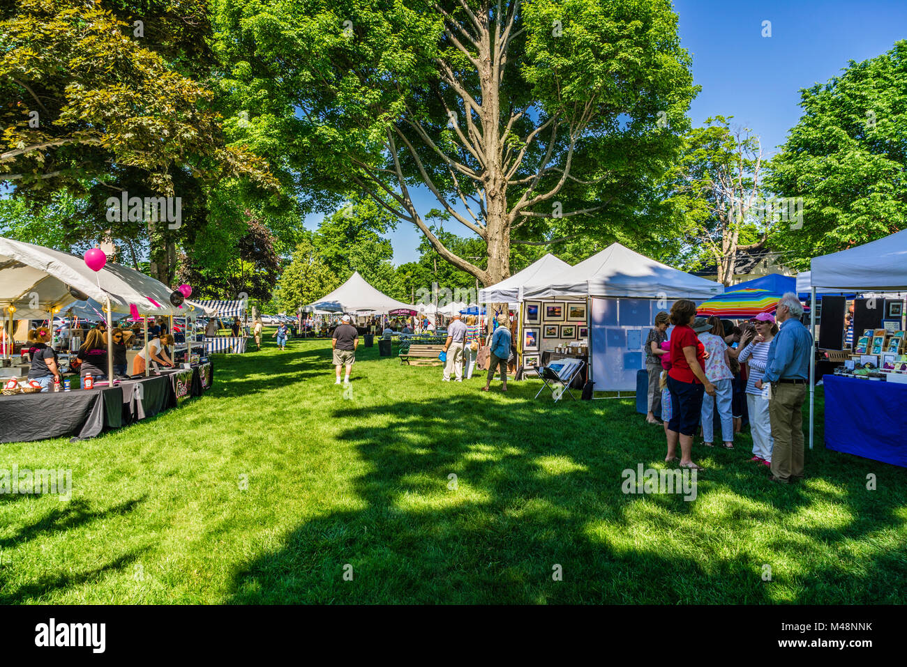 Gallery on the Green Arts & Crafts Show Litchfield, Connecticut, USA Stock Photohttps://www.alamy.com/image-license-details/?v=1https://www.alamy.com/stock-photo-gallery-on-the-green-arts-crafts-show-litchfield-connecticut-usa-174754991.html
RMM48NNK–Gallery on the Green Arts & Crafts Show Litchfield, Connecticut, USA
 Autumn leaves, red barn and dirt path in Litchfield Hills of Connecticut Stock Photohttps://www.alamy.com/image-license-details/?v=1https://www.alamy.com/stock-photo-autumn-leaves-red-barn-and-dirt-path-in-litchfield-hills-of-connecticut-49875259.html
RFCW40B7–Autumn leaves, red barn and dirt path in Litchfield Hills of Connecticut
 Kent, CT Hay bales in the Litchfield Hills of western Connecticut. (MR) Stock Photohttps://www.alamy.com/image-license-details/?v=1https://www.alamy.com/kent-ct-hay-bales-in-the-litchfield-hills-of-western-connecticut-mr-image3864190.html
RMA7GP7F–Kent, CT Hay bales in the Litchfield Hills of western Connecticut. (MR)
 View of Litchfield Hills covered in autumn foliage Stock Photohttps://www.alamy.com/image-license-details/?v=1https://www.alamy.com/view-of-litchfield-hills-covered-in-autumn-foliage-image3702493.html
RMA5KXDE–View of Litchfield Hills covered in autumn foliage
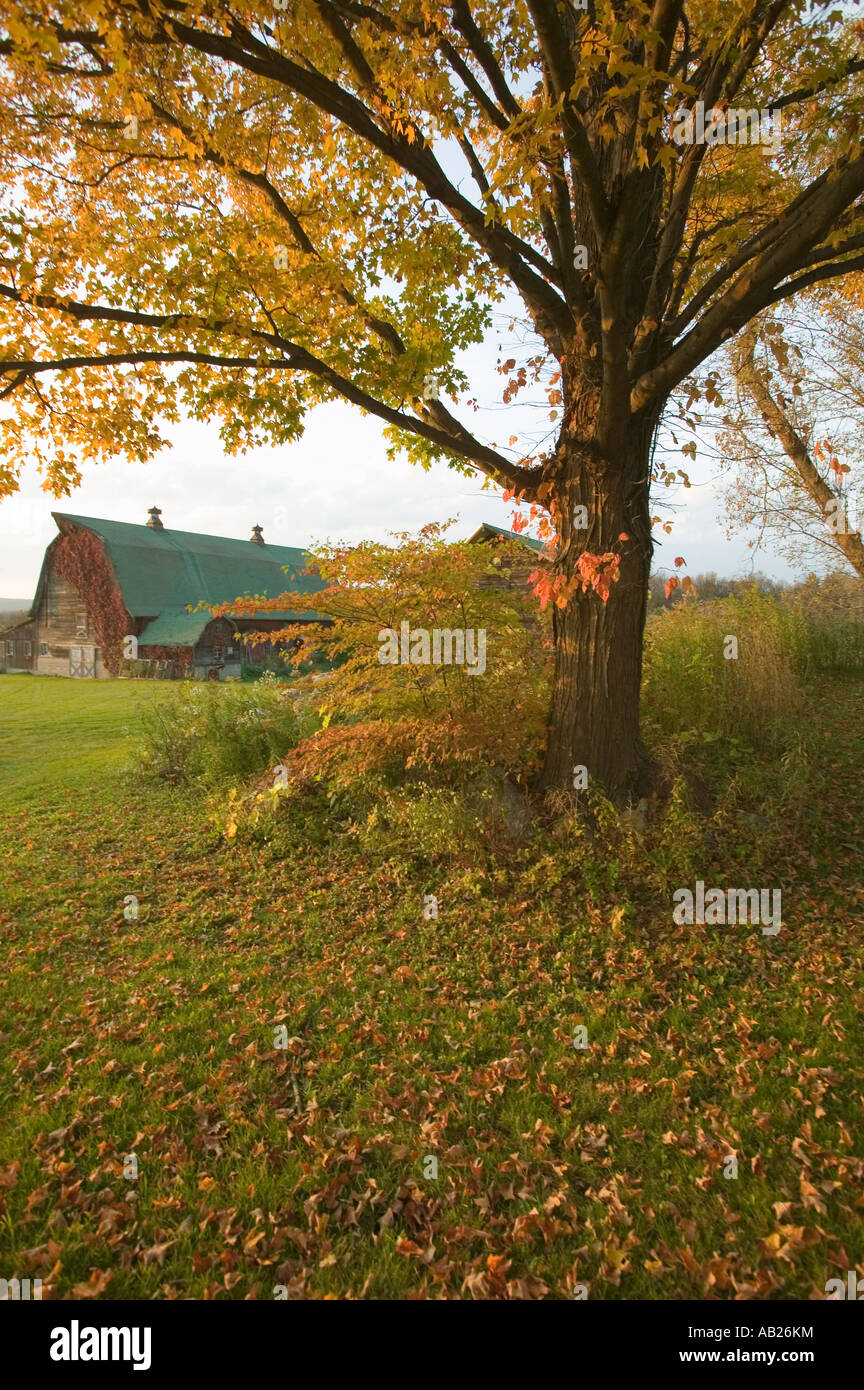 Autumn leaves and red barn at sunset in Litchfield Hills of Connecticut Stock Photohttps://www.alamy.com/image-license-details/?v=1https://www.alamy.com/stock-photo-autumn-leaves-and-red-barn-at-sunset-in-litchfield-hills-of-connecticut-12753223.html
RFAB26KM–Autumn leaves and red barn at sunset in Litchfield Hills of Connecticut
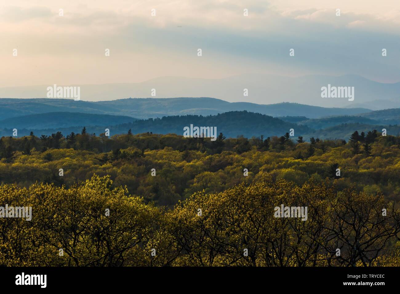 Cornwall, Connecticut, USA The view over the Berkshire Hills from Mohawk Mountain. - 2019 | usage worldwide Stock Photohttps://www.alamy.com/image-license-details/?v=1https://www.alamy.com/cornwall-connecticut-usa-the-view-over-the-berkshire-hills-from-mohawk-mountain-2019-usage-worldwide-image255684756.html
RMTRYCEC–Cornwall, Connecticut, USA The view over the Berkshire Hills from Mohawk Mountain. - 2019 | usage worldwide
 A former stone mansion at Dennis Hill State Park in the northwest corner hills in Norfolk Connecticut. Stock Photohttps://www.alamy.com/image-license-details/?v=1https://www.alamy.com/a-former-stone-mansion-at-dennis-hill-state-park-in-the-northwest-corner-hills-in-norfolk-connecticut-image555656484.html
RF2R809EC–A former stone mansion at Dennis Hill State Park in the northwest corner hills in Norfolk Connecticut.
 . The Berkshire and Litchfield Hills . dredand thirty feet, andis torn to a millionof whitened shreds.Below the Falls the waters are united again in moreregular currents, leading through the gorges andalong the narrowed bottoms of the Lime Rocksection. The Falls not only form one of the most pic-turesque scenes in New England, but furnish, uponthe most stupendous scale, waterpower for manu-facturing operations. Canaan Canaan, while in Connecticut, represents, as dothe other towns in the upper tier of LitchfieldCounty, distinctive Berkshire territory. It is amountain-enclosed village, having Ca Stock Photohttps://www.alamy.com/image-license-details/?v=1https://www.alamy.com/the-berkshire-and-litchfield-hills-dredand-thirty-feet-andis-torn-to-a-millionof-whitened-shredsbelow-the-falls-the-waters-are-united-again-in-moreregular-currents-leading-through-the-gorges-andalong-the-narrowed-bottoms-of-the-lime-rocksection-the-falls-not-only-form-one-of-the-most-pic-turesque-scenes-in-new-england-but-furnish-uponthe-most-stupendous-scale-waterpower-for-manu-facturing-operations-canaan-canaan-while-in-connecticut-represents-as-dothe-other-towns-in-the-upper-tier-of-litchfieldcounty-distinctive-berkshire-territory-it-is-amountain-enclosed-village-having-ca-image375796032.html
RM2CRAYJT–. The Berkshire and Litchfield Hills . dredand thirty feet, andis torn to a millionof whitened shreds.Below the Falls the waters are united again in moreregular currents, leading through the gorges andalong the narrowed bottoms of the Lime Rocksection. The Falls not only form one of the most pic-turesque scenes in New England, but furnish, uponthe most stupendous scale, waterpower for manu-facturing operations. Canaan Canaan, while in Connecticut, represents, as dothe other towns in the upper tier of LitchfieldCounty, distinctive Berkshire territory. It is amountain-enclosed village, having Ca
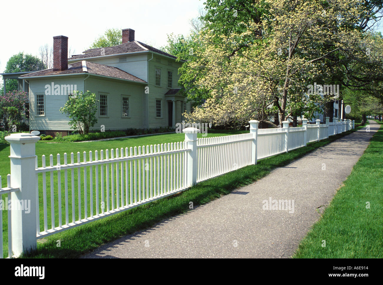 AJ7472, CT, Litchfield, Connecticut. Stock Photohttps://www.alamy.com/image-license-details/?v=1https://www.alamy.com/aj7472-ct-litchfield-connecticut-image452884.html
RMA6E914–AJ7472, CT, Litchfield, Connecticut.
 Gallery on the Green Arts & Crafts Show Litchfield, Connecticut, USA Stock Photohttps://www.alamy.com/image-license-details/?v=1https://www.alamy.com/stock-photo-gallery-on-the-green-arts-crafts-show-litchfield-connecticut-usa-174752624.html
RMM48JN4–Gallery on the Green Arts & Crafts Show Litchfield, Connecticut, USA
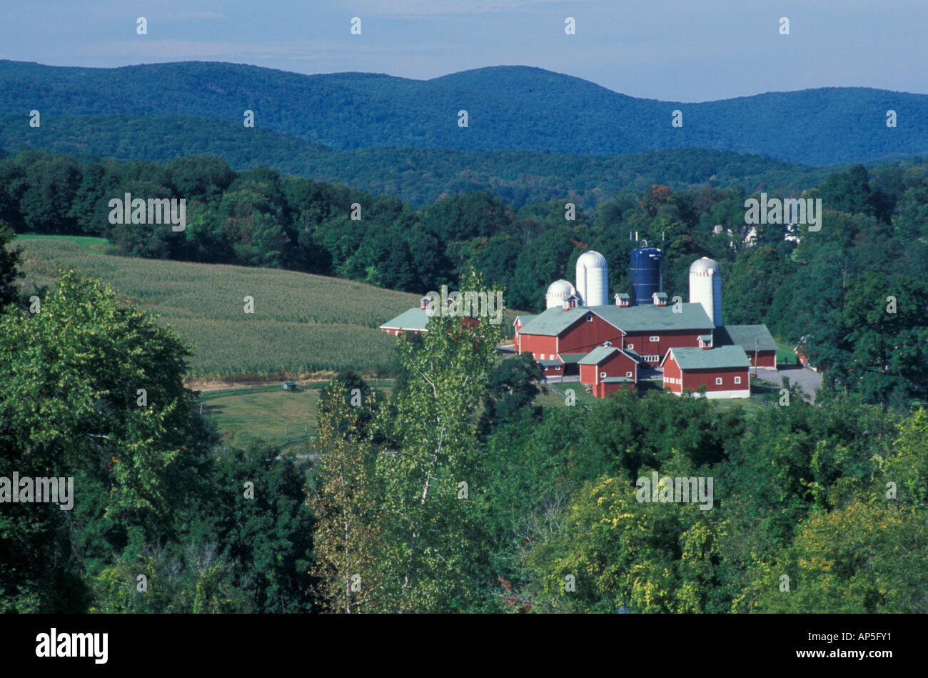 New Milford, CT A farm in the Litchfield Hills of western Connecticut. Stock Photohttps://www.alamy.com/image-license-details/?v=1https://www.alamy.com/new-milford-ct-a-farm-in-the-litchfield-hills-of-western-connecticut-image8961264.html
RMAP5FY1–New Milford, CT A farm in the Litchfield Hills of western Connecticut.