Quick filters:
Littlehampton map Stock Photos and Images
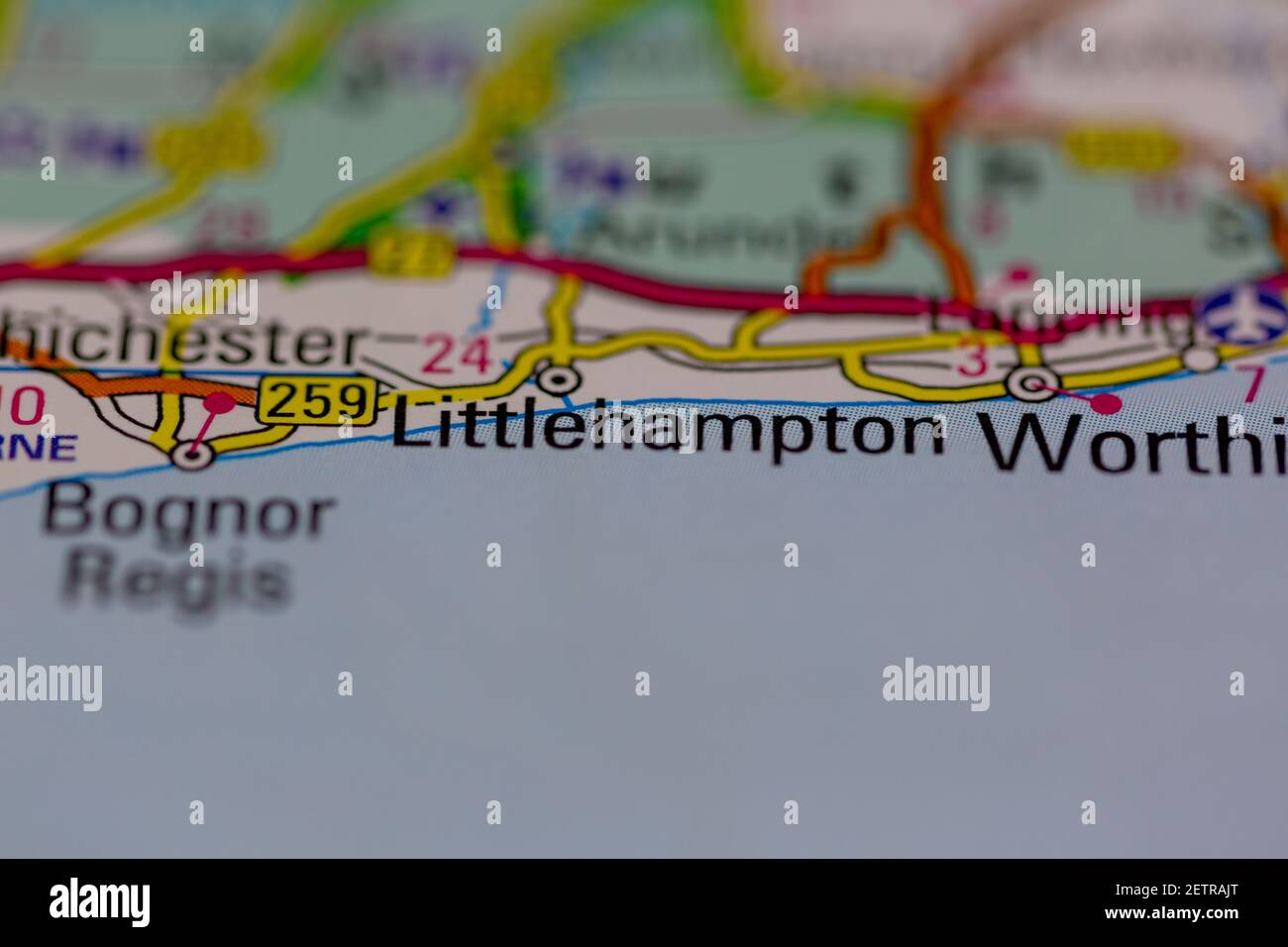 Littlehampton Shown on a road map or Geography map and atlas Stock Photohttps://www.alamy.com/image-license-details/?v=1https://www.alamy.com/littlehampton-shown-on-a-road-map-or-geography-map-and-atlas-image411103472.html
RM2ETRAJT–Littlehampton Shown on a road map or Geography map and atlas
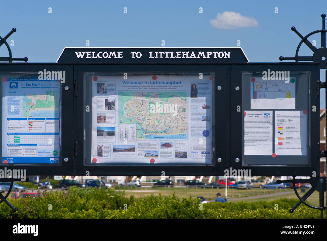 Welcome To Littlehampton Noticeboard On The Seafront West Sussex England Stock Photohttps://www.alamy.com/image-license-details/?v=1https://www.alamy.com/stock-photo-welcome-to-littlehampton-noticeboard-on-the-seafront-west-sussex-england-30165893.html
RMBN24W9–Welcome To Littlehampton Noticeboard On The Seafront West Sussex England
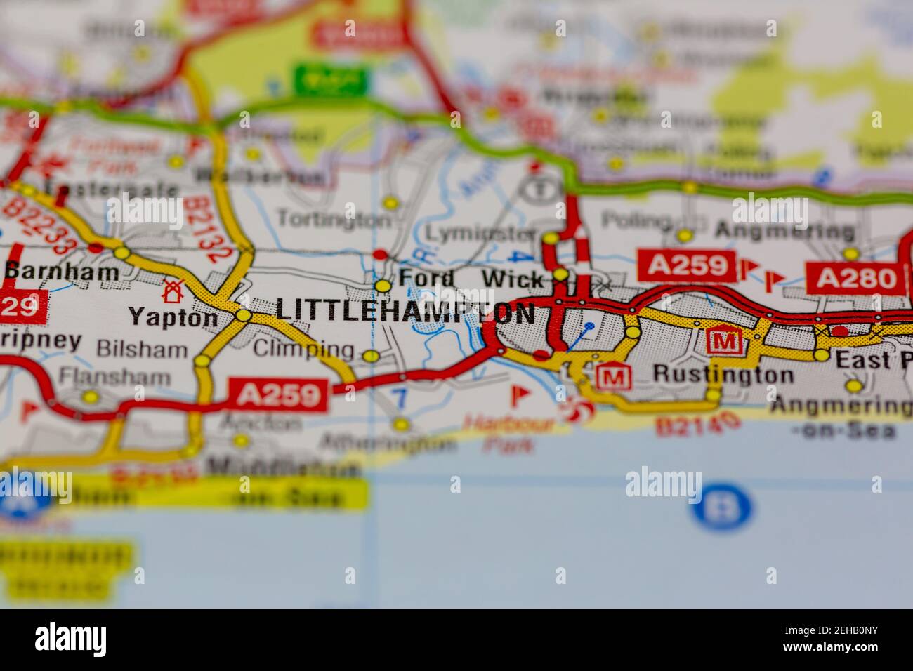 Littlehampton and surrounding areas shown on a road map or Geography map Stock Photohttps://www.alamy.com/image-license-details/?v=1https://www.alamy.com/littlehampton-and-surrounding-areas-shown-on-a-road-map-or-geography-map-image406529703.html
RM2EHB0NY–Littlehampton and surrounding areas shown on a road map or Geography map
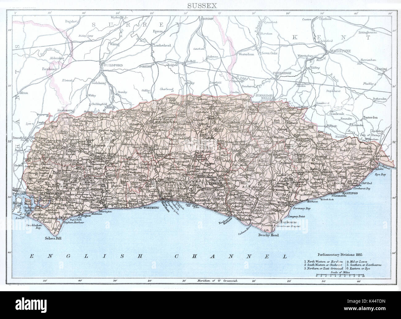 Antique map, circa 1875, of Sussex Stock Photohttps://www.alamy.com/image-license-details/?v=1https://www.alamy.com/antique-map-circa-1875-of-sussex-image157458945.html
RMK44TDN–Antique map, circa 1875, of Sussex
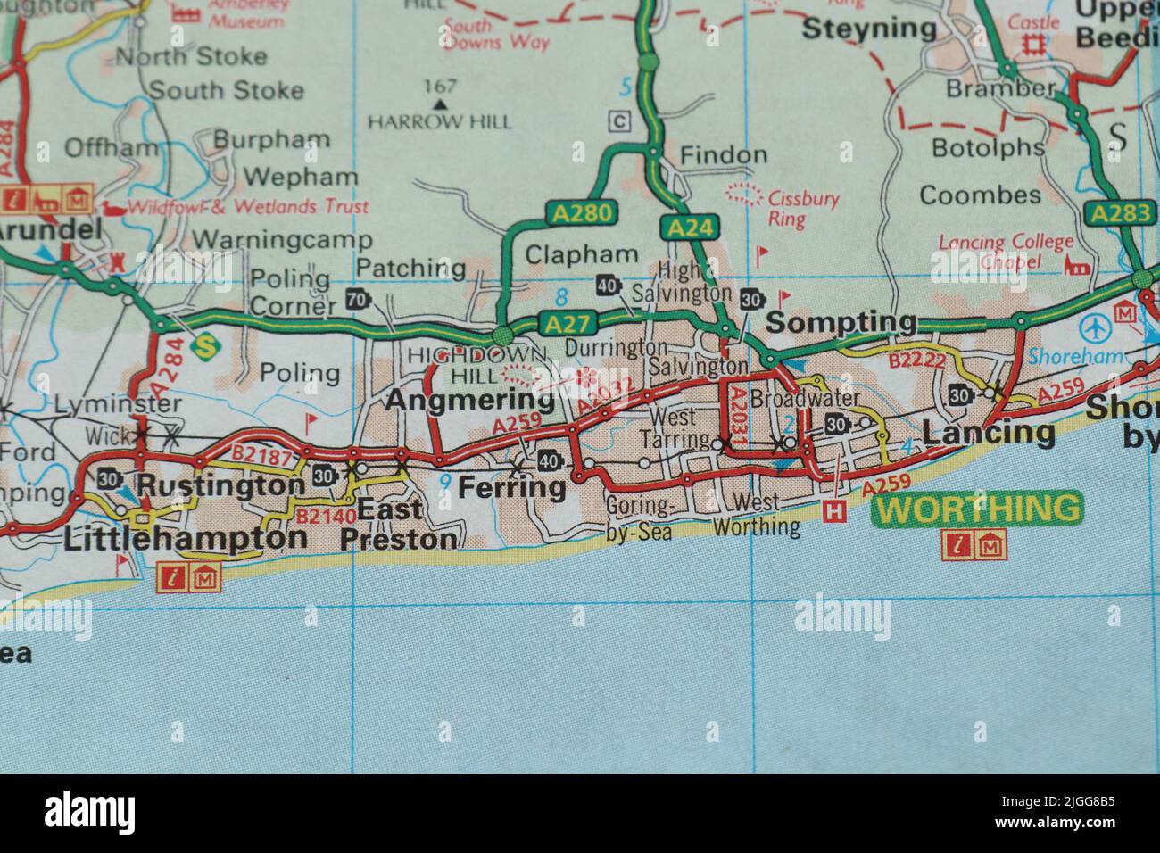 Worthing and Littlehampton in West Sussex in colour in an atlas map Stock Photohttps://www.alamy.com/image-license-details/?v=1https://www.alamy.com/worthing-and-littlehampton-in-west-sussex-in-colour-in-an-atlas-map-image474872249.html
RF2JGG8B5–Worthing and Littlehampton in West Sussex in colour in an atlas map
 Littlehampton Railway Station, Mount Barker, AU, Australia, South Australia, S 35 3' 5'', N 138 51' 26'', map, Cartascapes Map published in 2024. Explore Cartascapes, a map revealing Earth's diverse landscapes, cultures, and ecosystems. Journey through time and space, discovering the interconnectedness of our planet's past, present, and future. Stock Photohttps://www.alamy.com/image-license-details/?v=1https://www.alamy.com/littlehampton-railway-station-mount-barker-au-australia-south-australia-s-35-3-5-n-138-51-26-map-cartascapes-map-published-in-2024-explore-cartascapes-a-map-revealing-earths-diverse-landscapes-cultures-and-ecosystems-journey-through-time-and-space-discovering-the-interconnectedness-of-our-planets-past-present-and-future-image625749451.html
RM2YA19PK–Littlehampton Railway Station, Mount Barker, AU, Australia, South Australia, S 35 3' 5'', N 138 51' 26'', map, Cartascapes Map published in 2024. Explore Cartascapes, a map revealing Earth's diverse landscapes, cultures, and ecosystems. Journey through time and space, discovering the interconnectedness of our planet's past, present, and future.
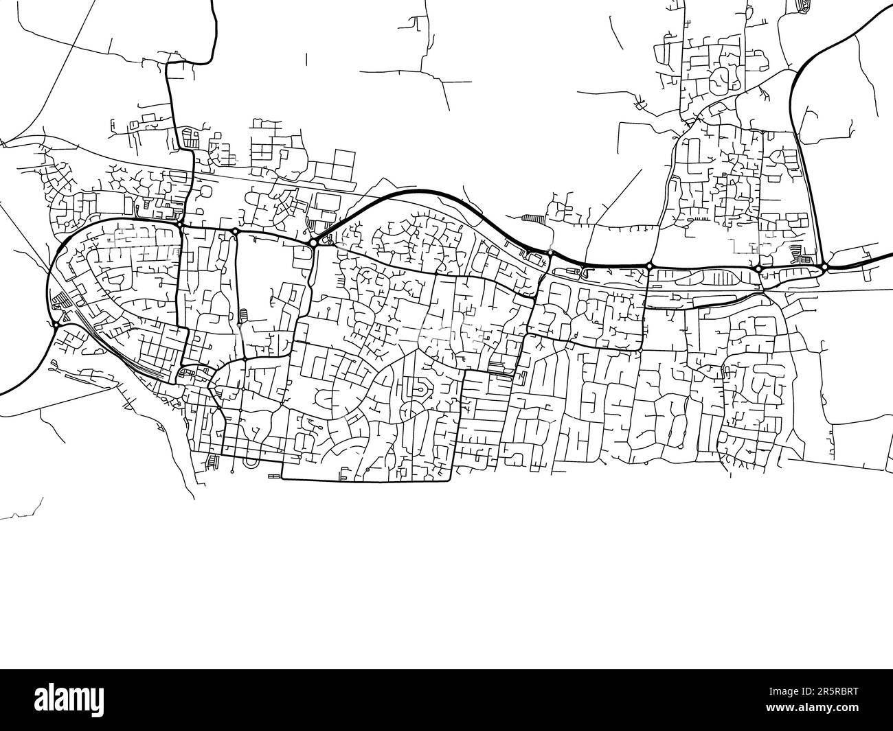 Road map of the city of Littlehampton in the United Kingdom on a white background. Stock Photohttps://www.alamy.com/image-license-details/?v=1https://www.alamy.com/road-map-of-the-city-of-littlehampton-in-the-united-kingdom-on-a-white-background-image554319244.html
RF2R5RBRT–Road map of the city of Littlehampton in the United Kingdom on a white background.
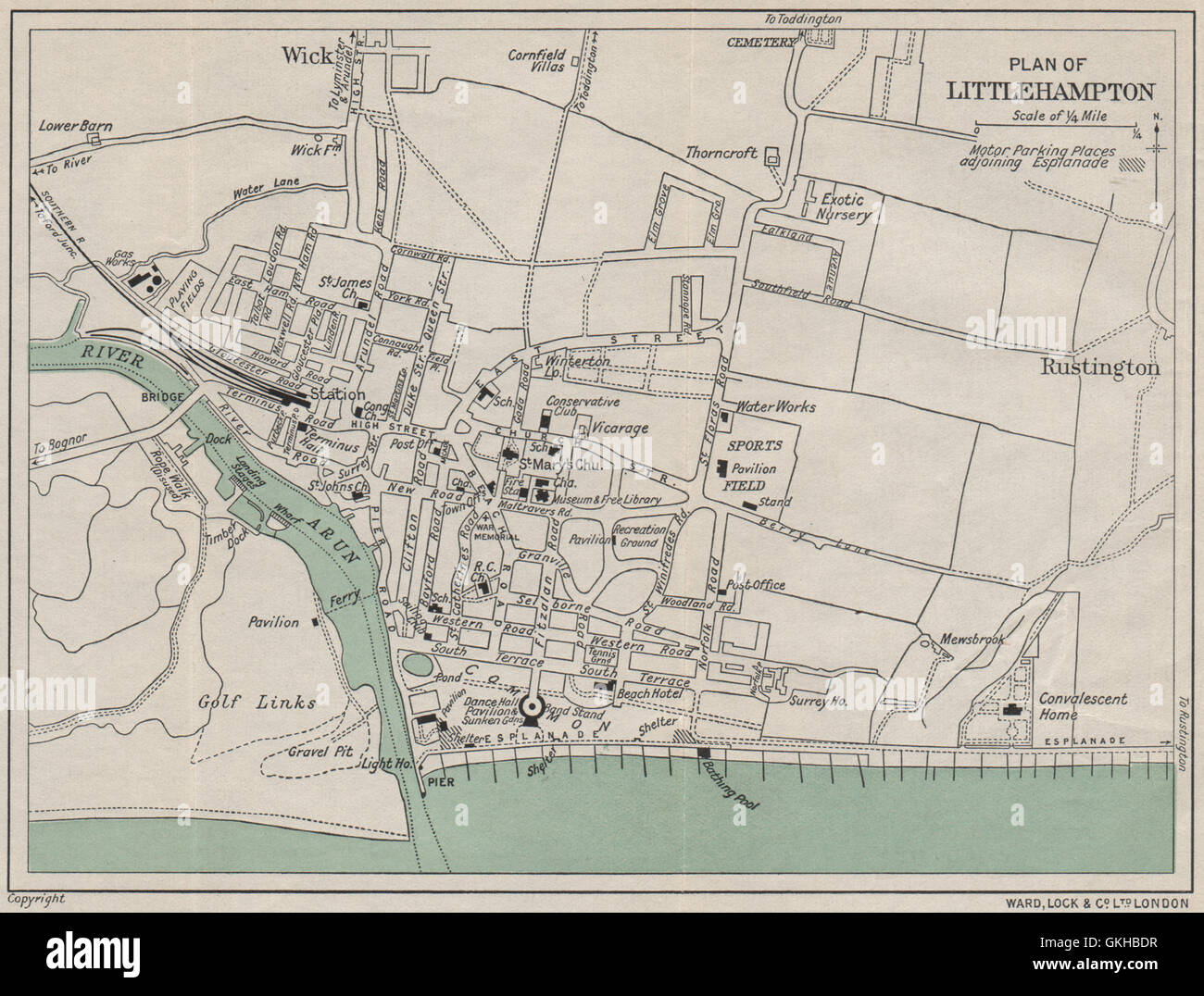 LITTLEHAMPTON vintage town/city plan. Sussex. WARD LOCK, 1933 vintage map Stock Photohttps://www.alamy.com/image-license-details/?v=1https://www.alamy.com/stock-photo-littlehampton-vintage-towncity-plan-sussex-ward-lock-1933-vintage-115322867.html
RFGKHBDR–LITTLEHAMPTON vintage town/city plan. Sussex. WARD LOCK, 1933 vintage map
 From the pier, Littlehampton, England LCCN2002696911 Stock Photohttps://www.alamy.com/image-license-details/?v=1https://www.alamy.com/stock-image-from-the-pier-littlehampton-england-lccn2002696911-162750805.html
RMKCNX8N–From the pier, Littlehampton, England LCCN2002696911
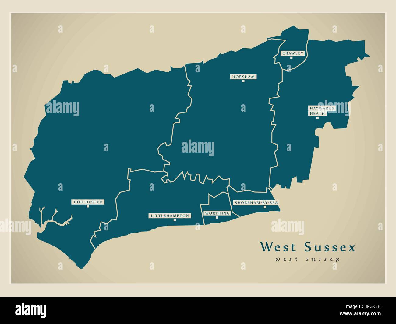 Modern Map - West Sussex county with cities and districts England UK illustration Stock Vectorhttps://www.alamy.com/image-license-details/?v=1https://www.alamy.com/modern-map-west-sussex-county-with-cities-and-districts-england-uk-image151571913.html
RFJPGKEH–Modern Map - West Sussex county with cities and districts England UK illustration
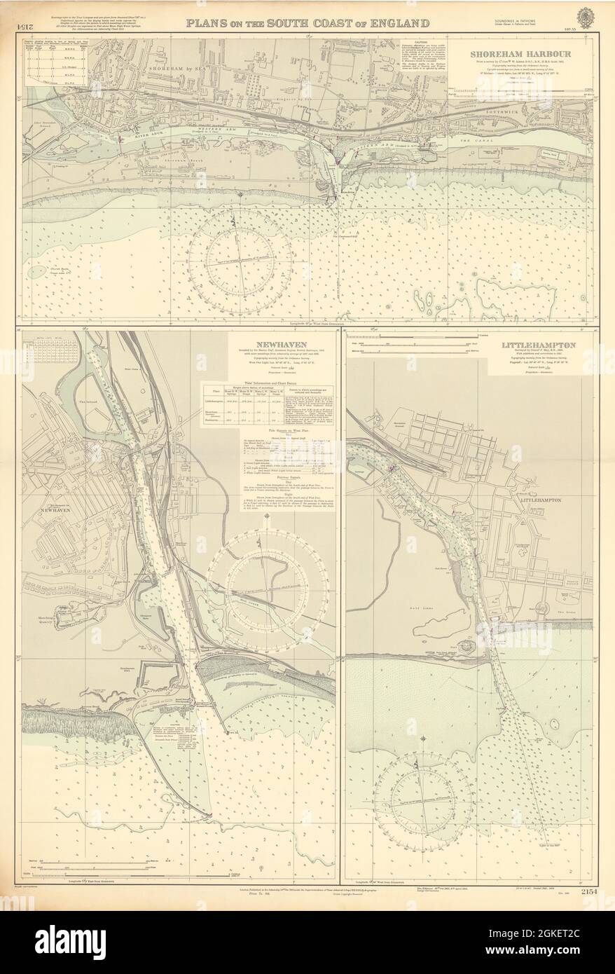 Sussex harbours Shoreham Newhaven Littlehampton ADMIRALTY chart 1950 (1955) map Stock Photohttps://www.alamy.com/image-license-details/?v=1https://www.alamy.com/sussex-harbours-shoreham-newhaven-littlehampton-admiralty-chart-1950-1955-map-image442263876.html
RF2GKET2C–Sussex harbours Shoreham Newhaven Littlehampton ADMIRALTY chart 1950 (1955) map
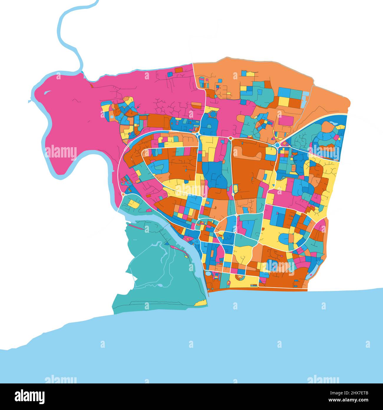 Littlehampton, South East England, England colorful high resolution vector art map with city boundaries. White outlines for main roads. Many details. Stock Vectorhttps://www.alamy.com/image-license-details/?v=1https://www.alamy.com/littlehampton-south-east-england-england-colorful-high-resolution-vector-art-map-with-city-boundaries-white-outlines-for-main-roads-many-details-image463615947.html
RF2HX7ETB–Littlehampton, South East England, England colorful high resolution vector art map with city boundaries. White outlines for main roads. Many details.
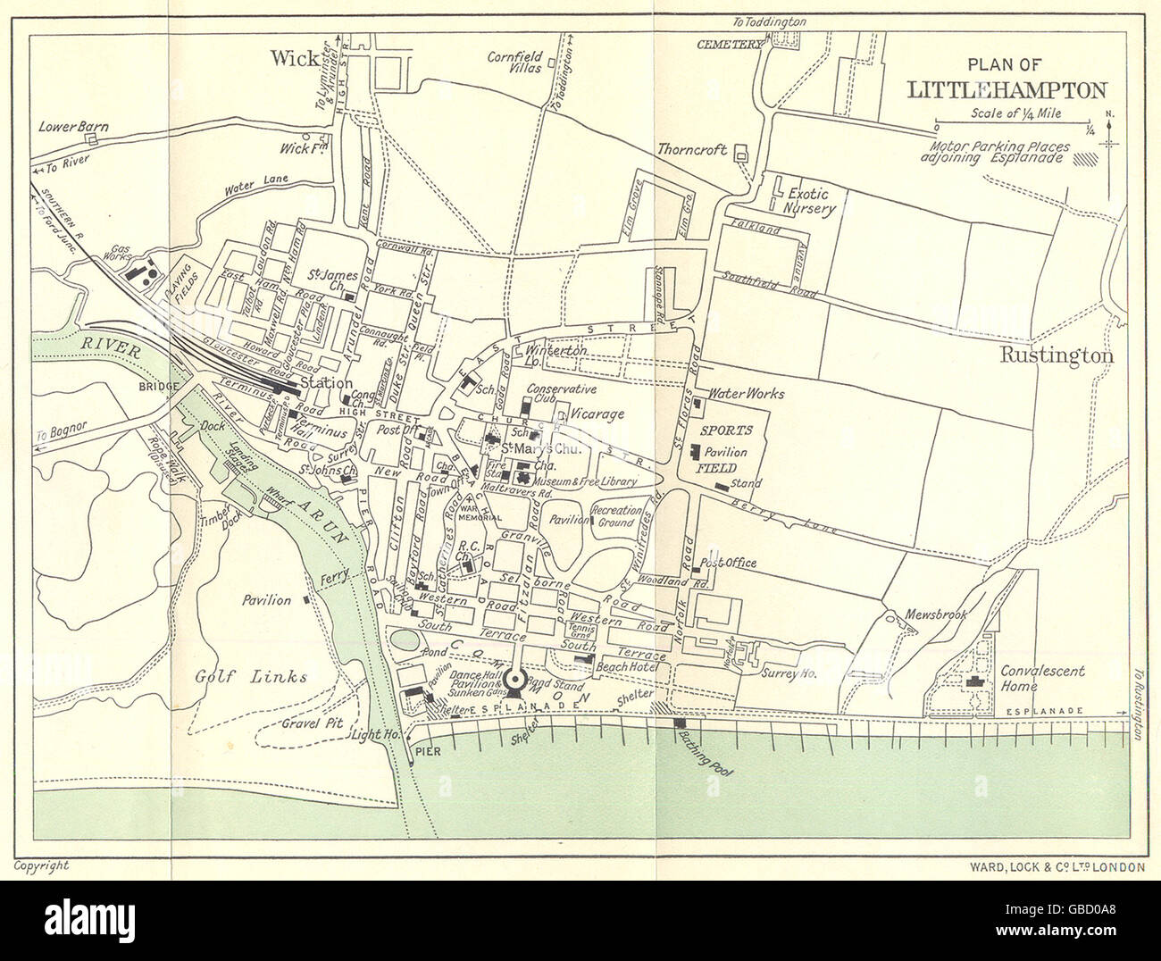 LITTLEHAMPTON: Town Plan. Sussex. WARD LOCK, 1936 vintage map Stock Photohttps://www.alamy.com/image-license-details/?v=1https://www.alamy.com/stock-photo-littlehampton-town-plan-sussex-ward-lock-1936-vintage-map-110309088.html
RFGBD0A8–LITTLEHAMPTON: Town Plan. Sussex. WARD LOCK, 1936 vintage map
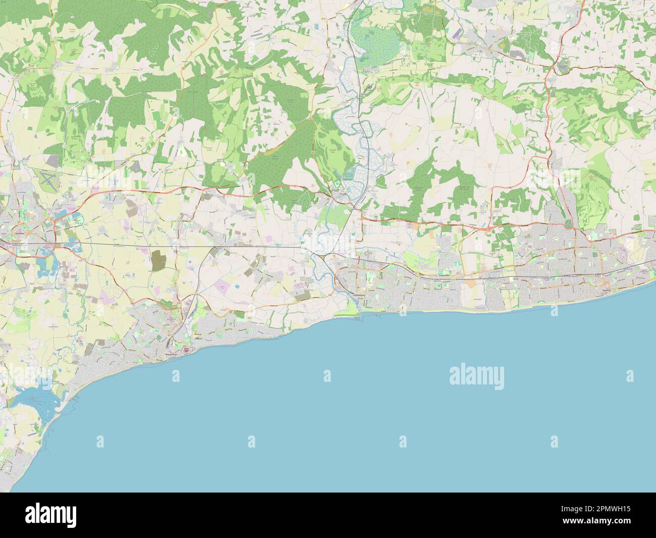 Arun, non metropolitan district of England - Great Britain. Open Street Map Stock Photohttps://www.alamy.com/image-license-details/?v=1https://www.alamy.com/arun-non-metropolitan-district-of-england-great-britain-open-street-map-image546376689.html
RF2PMWH15–Arun, non metropolitan district of England - Great Britain. Open Street Map
 ARUNDEL & LITTLEHAMPTON borough/town plan. REFORM ACT. Sussex. DAWSON 1832 map Stock Photohttps://www.alamy.com/image-license-details/?v=1https://www.alamy.com/arundel-littlehampton-boroughtown-plan-reform-act-sussex-dawson-1832-map-image599856358.html
RF2WRWPWA–ARUNDEL & LITTLEHAMPTON borough/town plan. REFORM ACT. Sussex. DAWSON 1832 map
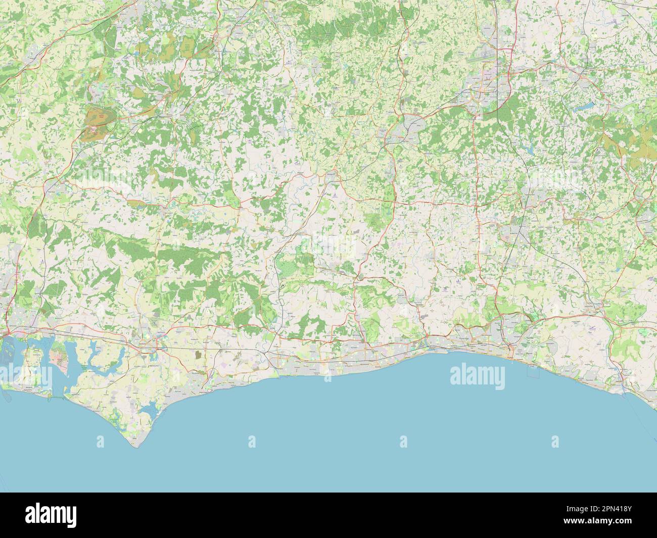 West Sussex, administrative county of England - Great Britain. Open Street Map Stock Photohttps://www.alamy.com/image-license-details/?v=1https://www.alamy.com/west-sussex-administrative-county-of-england-great-britain-open-street-map-image546518027.html
RF2PN418Y–West Sussex, administrative county of England - Great Britain. Open Street Map
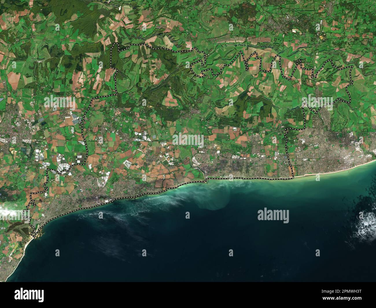 Arun, non metropolitan district of England - Great Britain. Low resolution satellite map Stock Photohttps://www.alamy.com/image-license-details/?v=1https://www.alamy.com/arun-non-metropolitan-district-of-england-great-britain-low-resolution-satellite-map-image546376764.html
RF2PMWH3T–Arun, non metropolitan district of England - Great Britain. Low resolution satellite map
 Littlehampton Primary School, Mount Barker, AU, Australia, South Australia, S 35 2' 57'', N 138 52' 5'', map, Cartascapes Map published in 2024. Explore Cartascapes, a map revealing Earth's diverse landscapes, cultures, and ecosystems. Journey through time and space, discovering the interconnectedness of our planet's past, present, and future. Stock Photohttps://www.alamy.com/image-license-details/?v=1https://www.alamy.com/littlehampton-primary-school-mount-barker-au-australia-south-australia-s-35-2-57-n-138-52-5-map-cartascapes-map-published-in-2024-explore-cartascapes-a-map-revealing-earths-diverse-landscapes-cultures-and-ecosystems-journey-through-time-and-space-discovering-the-interconnectedness-of-our-planets-past-present-and-future-image625542065.html
RM2Y9KW81–Littlehampton Primary School, Mount Barker, AU, Australia, South Australia, S 35 2' 57'', N 138 52' 5'', map, Cartascapes Map published in 2024. Explore Cartascapes, a map revealing Earth's diverse landscapes, cultures, and ecosystems. Journey through time and space, discovering the interconnectedness of our planet's past, present, and future.
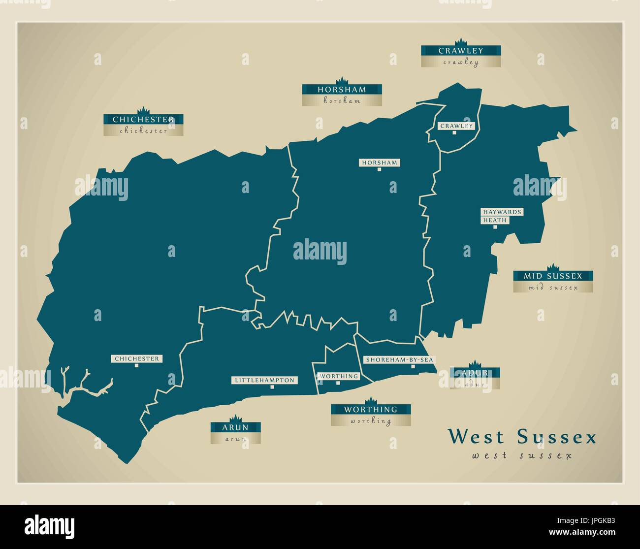 Modern Map - West Sussex county with district labels England UK illustration Stock Vectorhttps://www.alamy.com/image-license-details/?v=1https://www.alamy.com/modern-map-west-sussex-county-with-district-labels-england-uk-illustration-image151571815.html
RFJPGKB3–Modern Map - West Sussex county with district labels England UK illustration
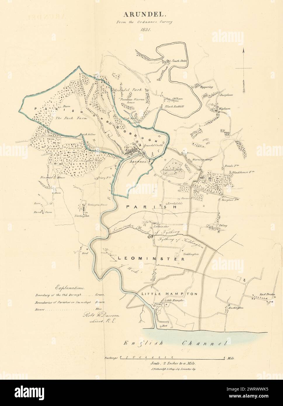 ARUNDEL & LITTLEHAMPTON borough/town plan. REFORM ACT. Sussex. DAWSON 1832 map Stock Photohttps://www.alamy.com/image-license-details/?v=1https://www.alamy.com/arundel-littlehampton-boroughtown-plan-reform-act-sussex-dawson-1832-map-image599858537.html
RF2WRWWK5–ARUNDEL & LITTLEHAMPTON borough/town plan. REFORM ACT. Sussex. DAWSON 1832 map
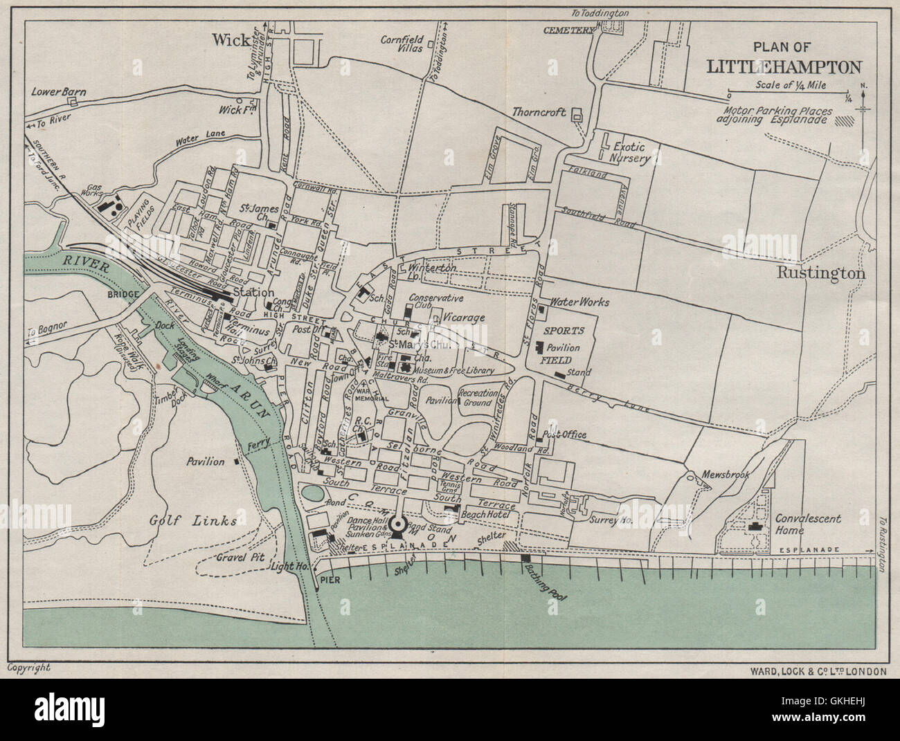 LITTLEHAMPTON vintage city/town plan. Sussex. WARD LOCK, 1933 vintage map Stock Photohttps://www.alamy.com/image-license-details/?v=1https://www.alamy.com/stock-photo-littlehampton-vintage-citytown-plan-sussex-ward-lock-1933-vintage-115325326.html
RFGKHEHJ–LITTLEHAMPTON vintage city/town plan. Sussex. WARD LOCK, 1933 vintage map
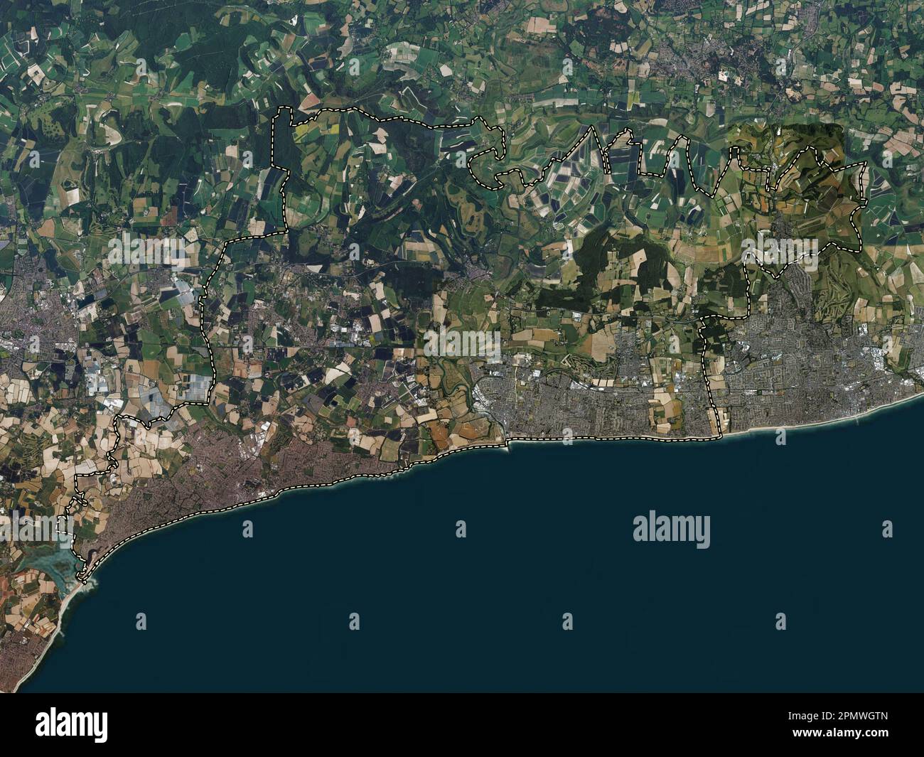 Arun, non metropolitan district of England - Great Britain. High resolution satellite map Stock Photohttps://www.alamy.com/image-license-details/?v=1https://www.alamy.com/arun-non-metropolitan-district-of-england-great-britain-high-resolution-satellite-map-image546376565.html
RF2PMWGTN–Arun, non metropolitan district of England - Great Britain. High resolution satellite map
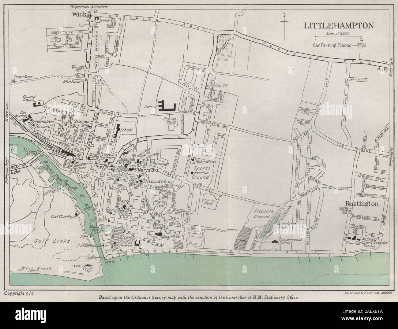 LITTLEHAMPTON vintage city/town plan. Sussex. WARD LOCK 1950 old vintage map Stock Photohttps://www.alamy.com/image-license-details/?v=1https://www.alamy.com/littlehampton-vintage-citytown-plan-sussex-ward-lock-1950-old-vintage-map-image336182234.html
RF2AEXBTA–LITTLEHAMPTON vintage city/town plan. Sussex. WARD LOCK 1950 old vintage map
 West Sussex, administrative county of England - Great Britain. Low resolution satellite map Stock Photohttps://www.alamy.com/image-license-details/?v=1https://www.alamy.com/west-sussex-administrative-county-of-england-great-britain-low-resolution-satellite-map-image546517939.html
RF2PN415R–West Sussex, administrative county of England - Great Britain. Low resolution satellite map
 Littlehampton, West Sussex, GB, United Kingdom, England, N 50 48' 51'', S 0 32' 42'', map, Cartascapes Map published in 2024. Explore Cartascapes, a map revealing Earth's diverse landscapes, cultures, and ecosystems. Journey through time and space, discovering the interconnectedness of our planet's past, present, and future. Stock Photohttps://www.alamy.com/image-license-details/?v=1https://www.alamy.com/littlehampton-west-sussex-gb-united-kingdom-england-n-50-48-51-s-0-32-42-map-cartascapes-map-published-in-2024-explore-cartascapes-a-map-revealing-earths-diverse-landscapes-cultures-and-ecosystems-journey-through-time-and-space-discovering-the-interconnectedness-of-our-planets-past-present-and-future-image604262547.html
RM2X32F17–Littlehampton, West Sussex, GB, United Kingdom, England, N 50 48' 51'', S 0 32' 42'', map, Cartascapes Map published in 2024. Explore Cartascapes, a map revealing Earth's diverse landscapes, cultures, and ecosystems. Journey through time and space, discovering the interconnectedness of our planet's past, present, and future.
 LITTLEHAMPTON vintage town/city plan. Sussex. WARD LOCK 1950 old vintage map Stock Photohttps://www.alamy.com/image-license-details/?v=1https://www.alamy.com/littlehampton-vintage-towncity-plan-sussex-ward-lock-1950-old-vintage-map-image336177415.html
RF2AEX5M7–LITTLEHAMPTON vintage town/city plan. Sussex. WARD LOCK 1950 old vintage map
 West Sussex, administrative county of England - Great Britain. High resolution satellite map Stock Photohttps://www.alamy.com/image-license-details/?v=1https://www.alamy.com/west-sussex-administrative-county-of-england-great-britain-high-resolution-satellite-map-image546517906.html
RF2PN414J–West Sussex, administrative county of England - Great Britain. High resolution satellite map
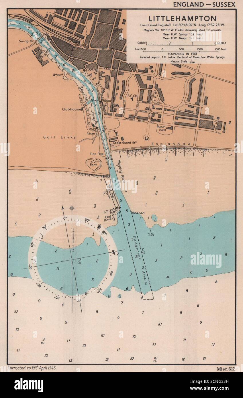 Littlehampton town plan & sea coast chart. Sussex. ADMIRALTY 1943 old map Stock Photohttps://www.alamy.com/image-license-details/?v=1https://www.alamy.com/littlehampton-town-plan-sea-coast-chart-sussex-admiralty-1943-old-map-image374679189.html
RF2CNG33H–Littlehampton town plan & sea coast chart. Sussex. ADMIRALTY 1943 old map
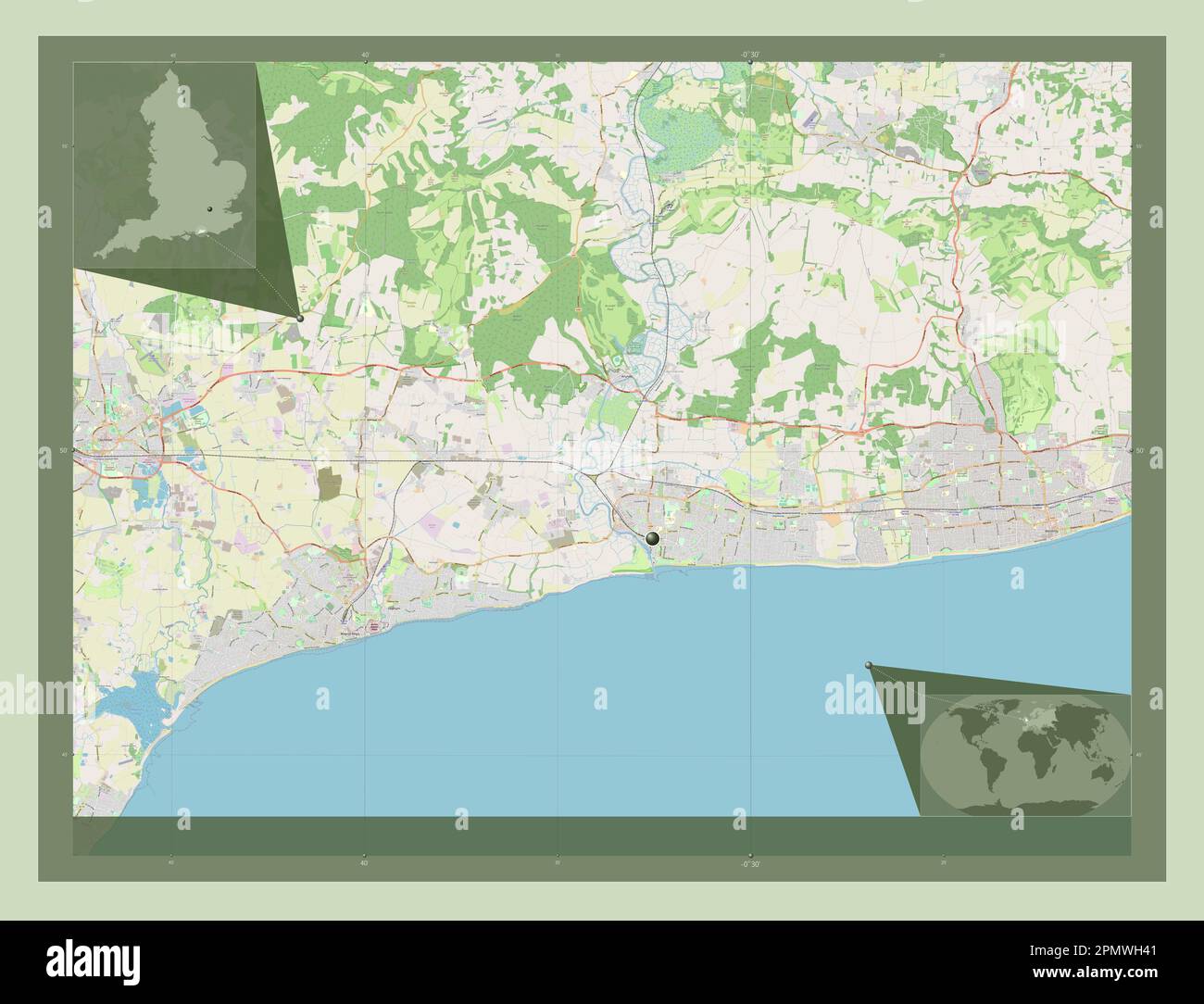 Arun, non metropolitan district of England - Great Britain. Open Street Map. Corner auxiliary location maps Stock Photohttps://www.alamy.com/image-license-details/?v=1https://www.alamy.com/arun-non-metropolitan-district-of-england-great-britain-open-street-map-corner-auxiliary-location-maps-image546376769.html
RF2PMWH41–Arun, non metropolitan district of England - Great Britain. Open Street Map. Corner auxiliary location maps
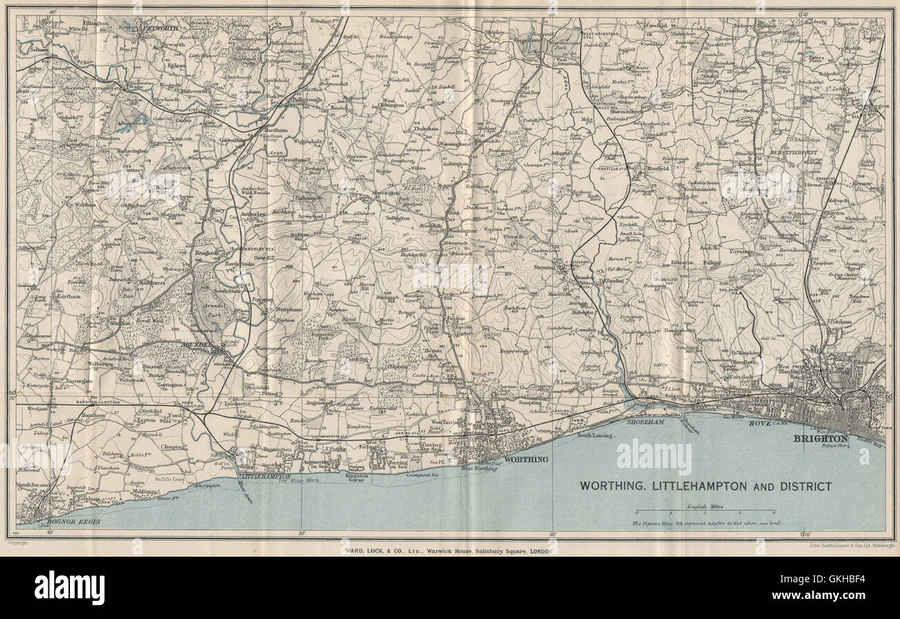 SUSSEX COAST/South Downs. Bognor Regis-Littlehampton-Worthing-Brighton, 1933 map Stock Photohttps://www.alamy.com/image-license-details/?v=1https://www.alamy.com/stock-photo-sussex-coastsouth-downs-bognor-regis-littlehampton-worthing-brighton-115322904.html
RFGKHBF4–SUSSEX COAST/South Downs. Bognor Regis-Littlehampton-Worthing-Brighton, 1933 map
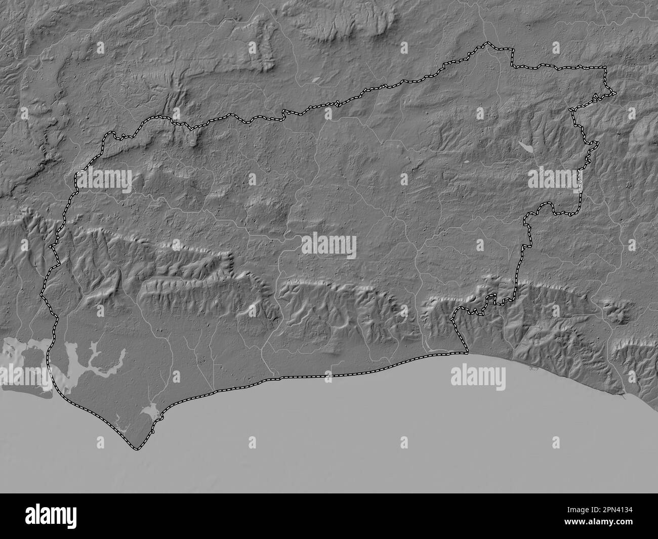 West Sussex, administrative county of England - Great Britain. Bilevel elevation map with lakes and rivers Stock Photohttps://www.alamy.com/image-license-details/?v=1https://www.alamy.com/west-sussex-administrative-county-of-england-great-britain-bilevel-elevation-map-with-lakes-and-rivers-image546517864.html
RF2PN4134–West Sussex, administrative county of England - Great Britain. Bilevel elevation map with lakes and rivers
 Littlehampton, West Sussex, GB, United Kingdom, England, N 50 48' 51'', S 0 32' 42'', map, Cartascapes Map published in 2024. Explore Cartascapes, a map revealing Earth's diverse landscapes, cultures, and ecosystems. Journey through time and space, discovering the interconnectedness of our planet's past, present, and future. Stock Photohttps://www.alamy.com/image-license-details/?v=1https://www.alamy.com/littlehampton-west-sussex-gb-united-kingdom-england-n-50-48-51-s-0-32-42-map-cartascapes-map-published-in-2024-explore-cartascapes-a-map-revealing-earths-diverse-landscapes-cultures-and-ecosystems-journey-through-time-and-space-discovering-the-interconnectedness-of-our-planets-past-present-and-future-image604262508.html
RM2X32EYT–Littlehampton, West Sussex, GB, United Kingdom, England, N 50 48' 51'', S 0 32' 42'', map, Cartascapes Map published in 2024. Explore Cartascapes, a map revealing Earth's diverse landscapes, cultures, and ecosystems. Journey through time and space, discovering the interconnectedness of our planet's past, present, and future.
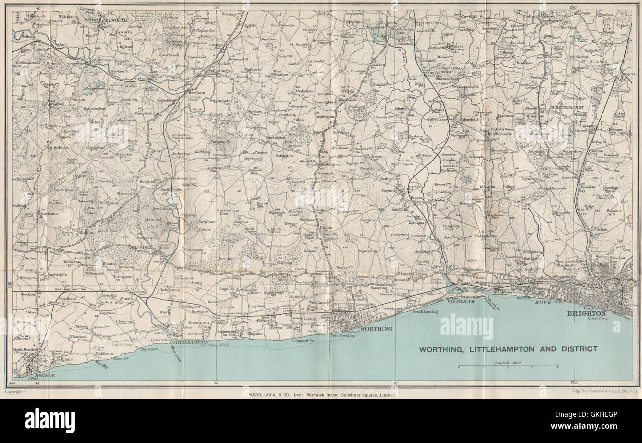 SUSSEX COAST/South Downs: Bognor Regis-Littlehampton-Worthing-Brighton, 1933 map Stock Photohttps://www.alamy.com/image-license-details/?v=1https://www.alamy.com/stock-photo-sussex-coastsouth-downs-bognor-regis-littlehampton-worthing-brighton-115325302.html
RFGKHEGP–SUSSEX COAST/South Downs: Bognor Regis-Littlehampton-Worthing-Brighton, 1933 map
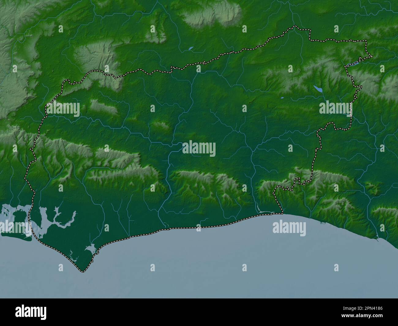 West Sussex, administrative county of England - Great Britain. Colored elevation map with lakes and rivers Stock Photohttps://www.alamy.com/image-license-details/?v=1https://www.alamy.com/west-sussex-administrative-county-of-england-great-britain-colored-elevation-map-with-lakes-and-rivers-image546518006.html
RF2PN4186–West Sussex, administrative county of England - Great Britain. Colored elevation map with lakes and rivers
 Littlehampton Railway Station, West Sussex, GB, United Kingdom, England, N 50 48' 36'', S 0 32' 47'', map, Cartascapes Map published in 2024. Explore Cartascapes, a map revealing Earth's diverse landscapes, cultures, and ecosystems. Journey through time and space, discovering the interconnectedness of our planet's past, present, and future. Stock Photohttps://www.alamy.com/image-license-details/?v=1https://www.alamy.com/littlehampton-railway-station-west-sussex-gb-united-kingdom-england-n-50-48-36-s-0-32-47-map-cartascapes-map-published-in-2024-explore-cartascapes-a-map-revealing-earths-diverse-landscapes-cultures-and-ecosystems-journey-through-time-and-space-discovering-the-interconnectedness-of-our-planets-past-present-and-future-image604216775.html
RM2X30CJF–Littlehampton Railway Station, West Sussex, GB, United Kingdom, England, N 50 48' 36'', S 0 32' 47'', map, Cartascapes Map published in 2024. Explore Cartascapes, a map revealing Earth's diverse landscapes, cultures, and ecosystems. Journey through time and space, discovering the interconnectedness of our planet's past, present, and future.
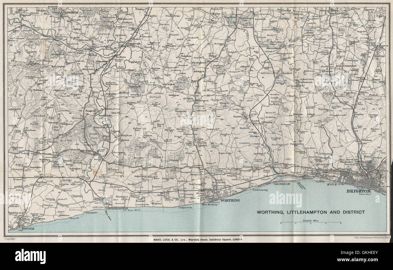 SUSSEX COAST/South Downs. Bognor Regis-Littlehampton-Worthing-Brighton, 1932 map Stock Photohttps://www.alamy.com/image-license-details/?v=1https://www.alamy.com/stock-photo-sussex-coastsouth-downs-bognor-regis-littlehampton-worthing-brighton-115325251.html
RFGKHEEY–SUSSEX COAST/South Downs. Bognor Regis-Littlehampton-Worthing-Brighton, 1932 map
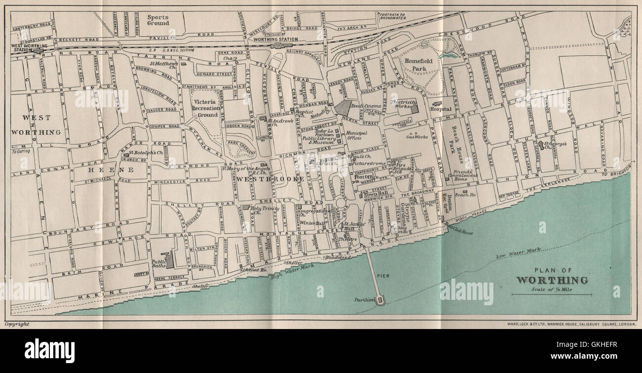 WORTHING vintage town/city plan. Sussex. WARD LOCK, 1933 vintage map Stock Photohttps://www.alamy.com/image-license-details/?v=1https://www.alamy.com/stock-photo-worthing-vintage-towncity-plan-sussex-ward-lock-1933-vintage-map-115325275.html
RFGKHEFR–WORTHING vintage town/city plan. Sussex. WARD LOCK, 1933 vintage map
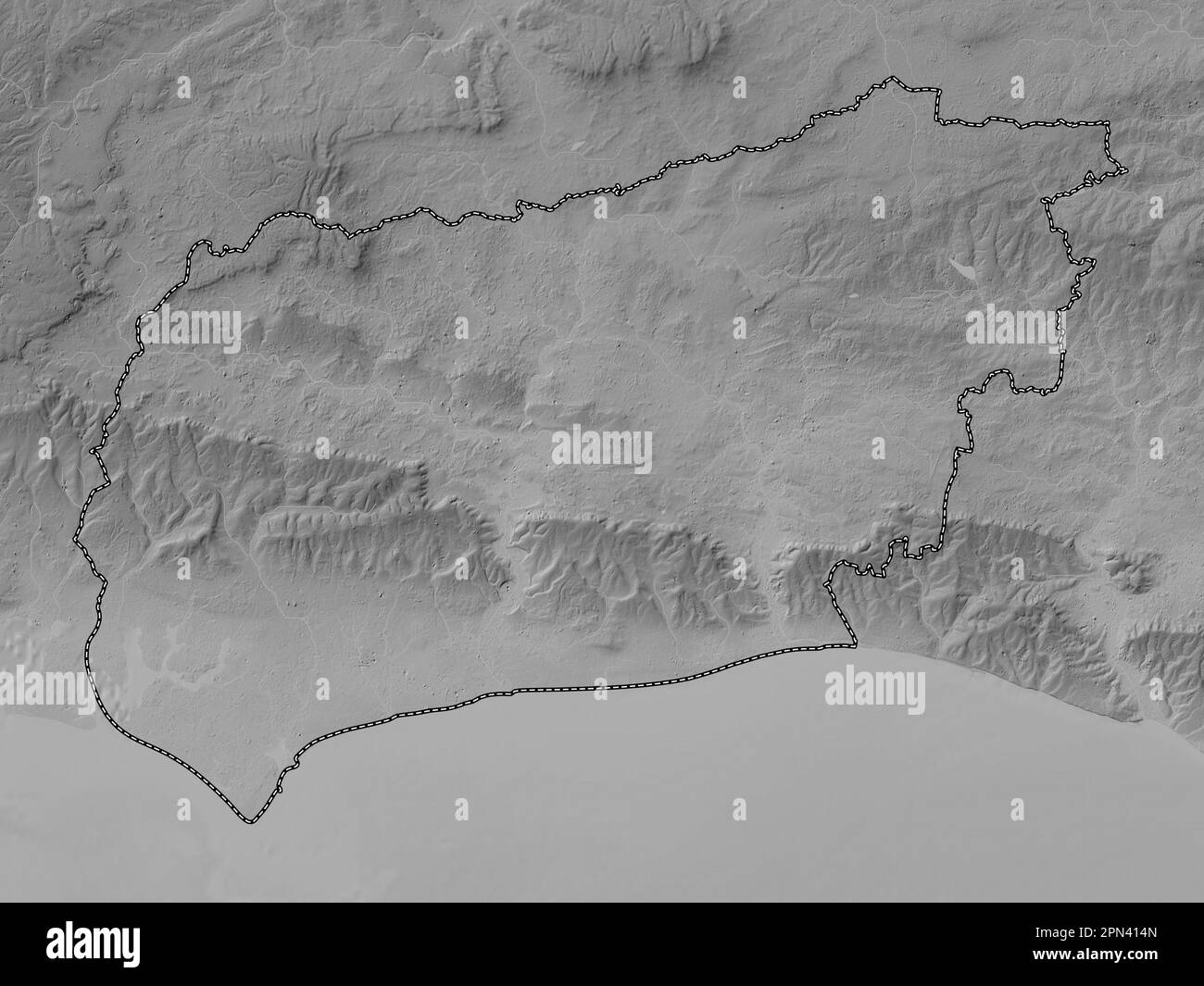 West Sussex, administrative county of England - Great Britain. Grayscale elevation map with lakes and rivers Stock Photohttps://www.alamy.com/image-license-details/?v=1https://www.alamy.com/west-sussex-administrative-county-of-england-great-britain-grayscale-elevation-map-with-lakes-and-rivers-image546517909.html
RF2PN414N–West Sussex, administrative county of England - Great Britain. Grayscale elevation map with lakes and rivers
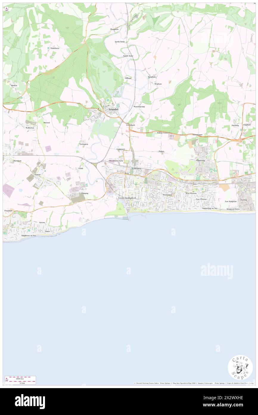 Littlehampton, West Sussex, GB, United Kingdom, England, N 50 48' 40'', S 0 32' 26'', map, Cartascapes Map published in 2024. Explore Cartascapes, a map revealing Earth's diverse landscapes, cultures, and ecosystems. Journey through time and space, discovering the interconnectedness of our planet's past, present, and future. Stock Photohttps://www.alamy.com/image-license-details/?v=1https://www.alamy.com/littlehampton-west-sussex-gb-united-kingdom-england-n-50-48-40-s-0-32-26-map-cartascapes-map-published-in-2024-explore-cartascapes-a-map-revealing-earths-diverse-landscapes-cultures-and-ecosystems-journey-through-time-and-space-discovering-the-interconnectedness-of-our-planets-past-present-and-future-image604161866.html
RM2X2WXHE–Littlehampton, West Sussex, GB, United Kingdom, England, N 50 48' 40'', S 0 32' 26'', map, Cartascapes Map published in 2024. Explore Cartascapes, a map revealing Earth's diverse landscapes, cultures, and ecosystems. Journey through time and space, discovering the interconnectedness of our planet's past, present, and future.
 Arun, non metropolitan district of England - Great Britain. High resolution satellite map. Corner auxiliary location maps Stock Photohttps://www.alamy.com/image-license-details/?v=1https://www.alamy.com/arun-non-metropolitan-district-of-england-great-britain-high-resolution-satellite-map-corner-auxiliary-location-maps-image546376692.html
RF2PMWH18–Arun, non metropolitan district of England - Great Britain. High resolution satellite map. Corner auxiliary location maps
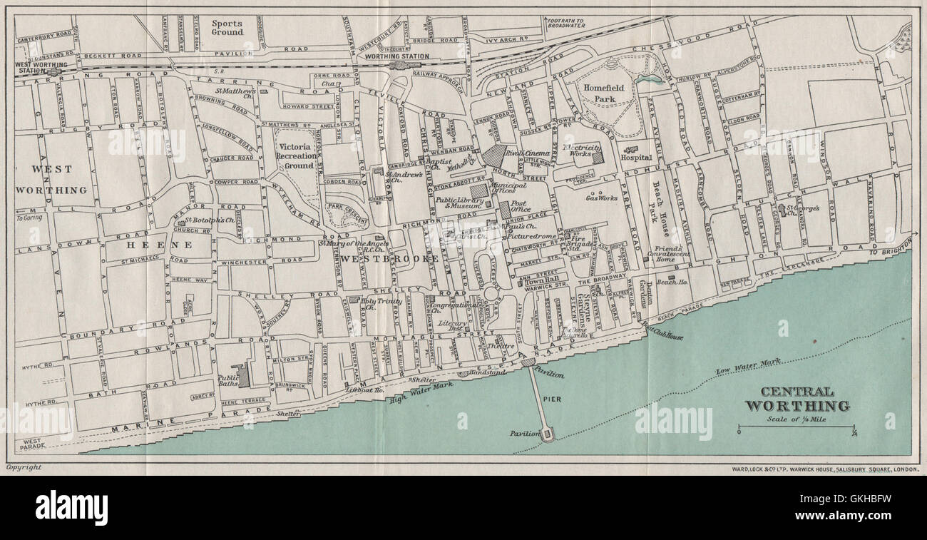 CENTRAL WORTHING vintage town/city plan. Sussex. WARD LOCK, 1933 vintage map Stock Photohttps://www.alamy.com/image-license-details/?v=1https://www.alamy.com/stock-photo-central-worthing-vintage-towncity-plan-sussex-ward-lock-1933-vintage-115322925.html
RFGKHBFW–CENTRAL WORTHING vintage town/city plan. Sussex. WARD LOCK, 1933 vintage map
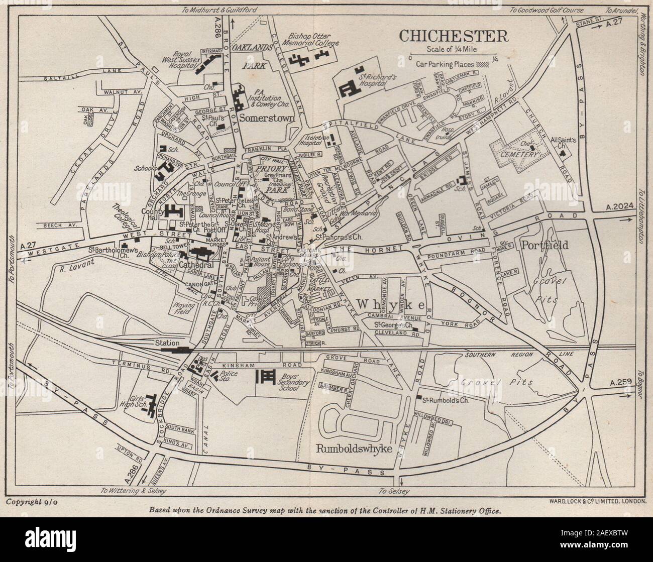 CHICHESTER vintage city/town plan. Sussex. WARD LOCK 1950 old vintage map Stock Photohttps://www.alamy.com/image-license-details/?v=1https://www.alamy.com/chichester-vintage-citytown-plan-sussex-ward-lock-1950-old-vintage-map-image336182249.html
RF2AEXBTW–CHICHESTER vintage city/town plan. Sussex. WARD LOCK 1950 old vintage map
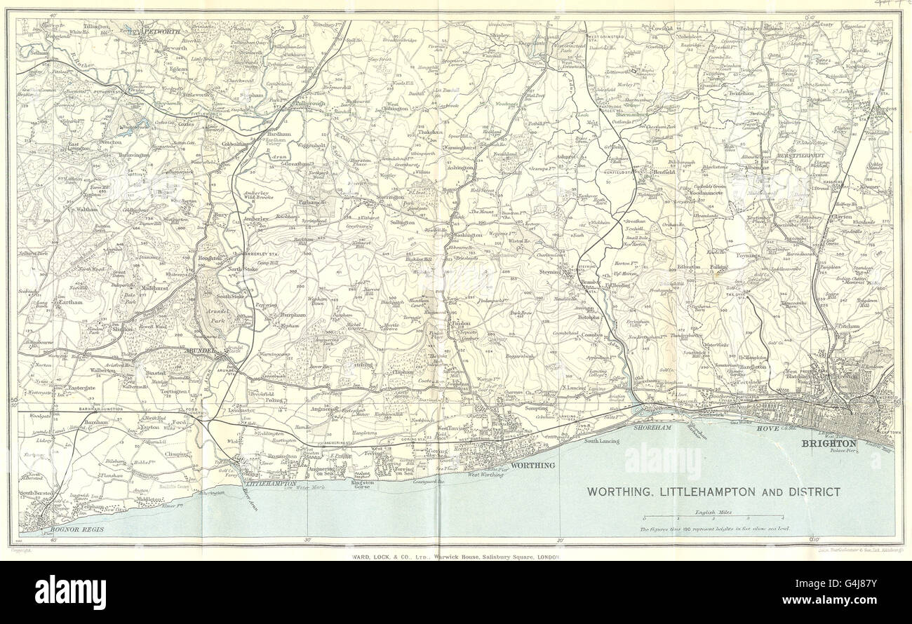 SUSSEX COAST:Brighton Worthing Bogor Regis Arundel S Downs.WARD LOCK, 1936 map Stock Photohttps://www.alamy.com/image-license-details/?v=1https://www.alamy.com/stock-photo-sussex-coastbrighton-worthing-bogor-regis-arundel-s-downsward-lock-106122463.html
RFG4J87Y–SUSSEX COAST:Brighton Worthing Bogor Regis Arundel S Downs.WARD LOCK, 1936 map
 WEST SUSSEX COAST. South Downs. Bognor Worthing Chichester Portsmouth 1940 map Stock Photohttps://www.alamy.com/image-license-details/?v=1https://www.alamy.com/west-sussex-coast-south-downs-bognor-worthing-chichester-portsmouth-1940-map-image401433194.html
RF2E92T3P–WEST SUSSEX COAST. South Downs. Bognor Worthing Chichester Portsmouth 1940 map
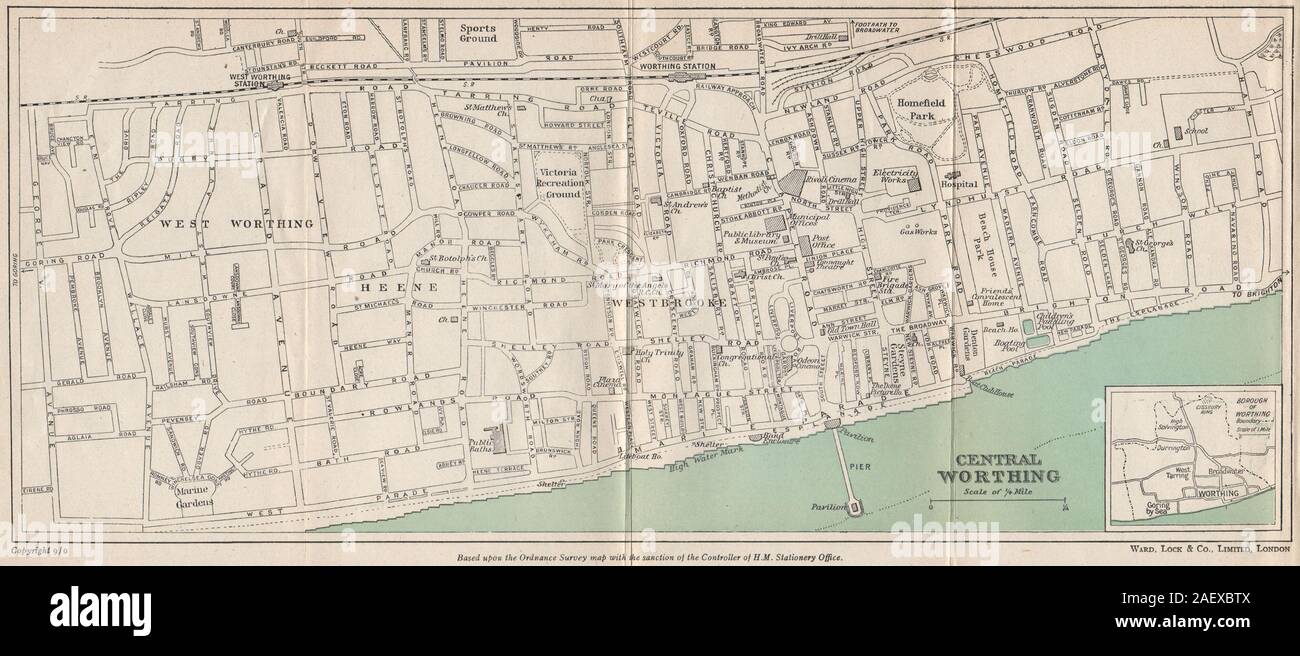 CENTRAL WORTHING vintage city/town plan. Sussex. WARD LOCK 1950 old map Stock Photohttps://www.alamy.com/image-license-details/?v=1https://www.alamy.com/central-worthing-vintage-citytown-plan-sussex-ward-lock-1950-old-map-image336182250.html
RF2AEXBTX–CENTRAL WORTHING vintage city/town plan. Sussex. WARD LOCK 1950 old map
 Littlehampton, West Sussex, GB, United Kingdom, England, N 50 48' 51'', S 0 32' 42'', map, Cartascapes Map published in 2024. Explore Cartascapes, a map revealing Earth's diverse landscapes, cultures, and ecosystems. Journey through time and space, discovering the interconnectedness of our planet's past, present, and future. Stock Photohttps://www.alamy.com/image-license-details/?v=1https://www.alamy.com/littlehampton-west-sussex-gb-united-kingdom-england-n-50-48-51-s-0-32-42-map-cartascapes-map-published-in-2024-explore-cartascapes-a-map-revealing-earths-diverse-landscapes-cultures-and-ecosystems-journey-through-time-and-space-discovering-the-interconnectedness-of-our-planets-past-present-and-future-image604161858.html
RM2X2WXH6–Littlehampton, West Sussex, GB, United Kingdom, England, N 50 48' 51'', S 0 32' 42'', map, Cartascapes Map published in 2024. Explore Cartascapes, a map revealing Earth's diverse landscapes, cultures, and ecosystems. Journey through time and space, discovering the interconnectedness of our planet's past, present, and future.
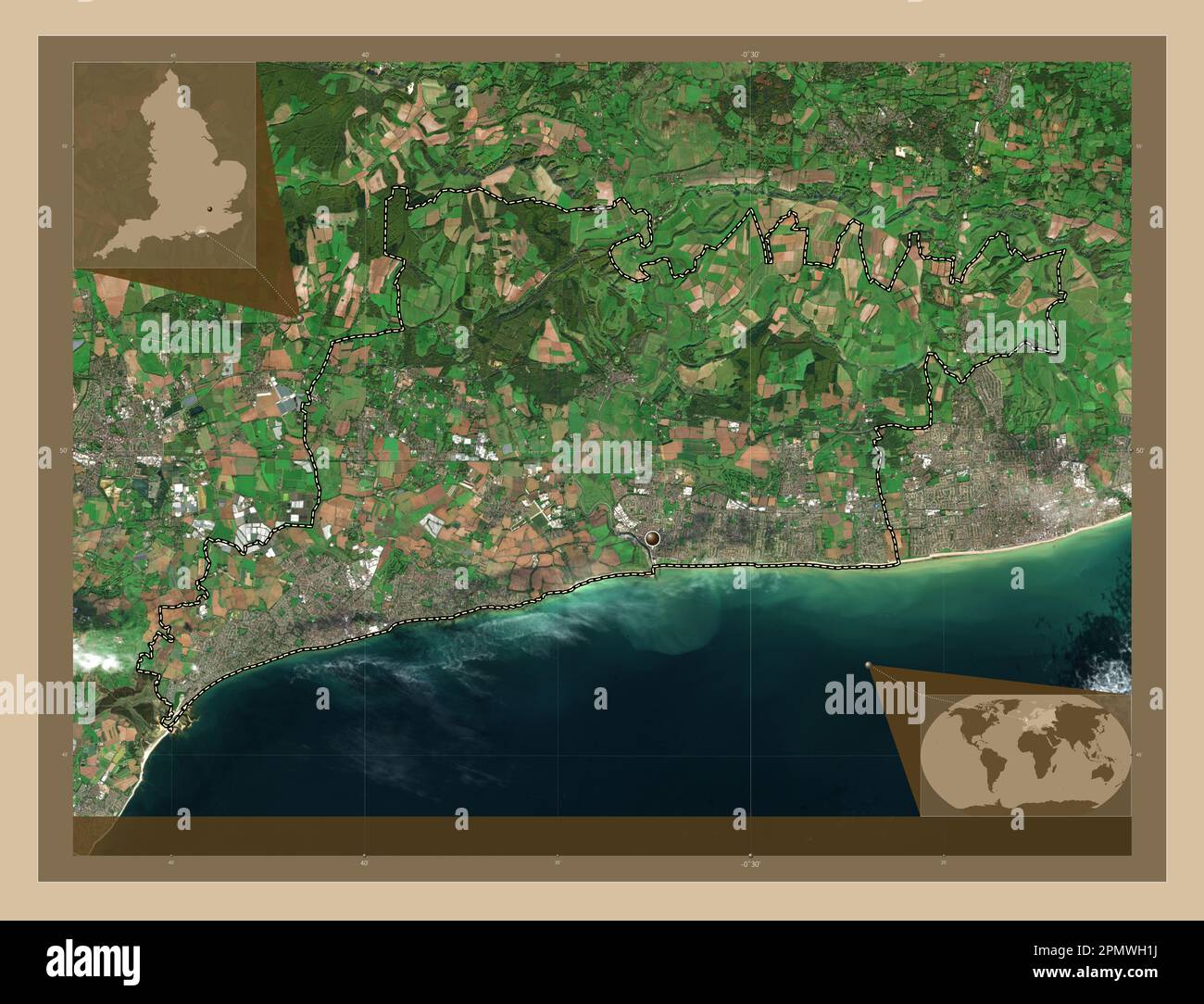 Arun, non metropolitan district of England - Great Britain. Low resolution satellite map. Corner auxiliary location maps Stock Photohttps://www.alamy.com/image-license-details/?v=1https://www.alamy.com/arun-non-metropolitan-district-of-england-great-britain-low-resolution-satellite-map-corner-auxiliary-location-maps-image546376702.html
RF2PMWH1J–Arun, non metropolitan district of England - Great Britain. Low resolution satellite map. Corner auxiliary location maps
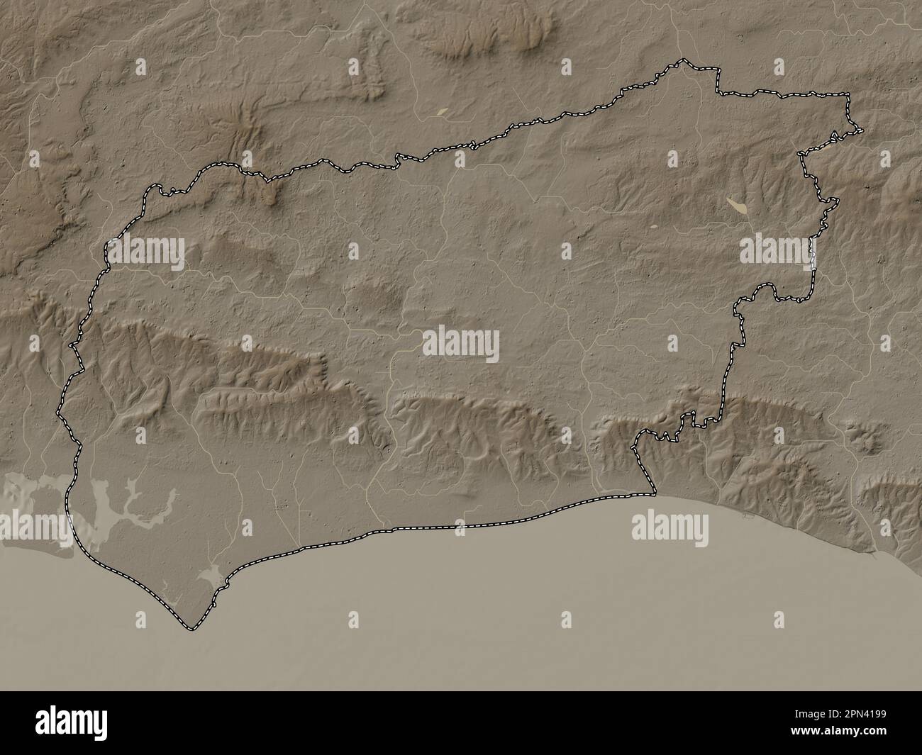 West Sussex, administrative county of England - Great Britain. Elevation map colored in sepia tones with lakes and rivers Stock Photohttps://www.alamy.com/image-license-details/?v=1https://www.alamy.com/west-sussex-administrative-county-of-england-great-britain-elevation-map-colored-in-sepia-tones-with-lakes-and-rivers-image546518037.html
RF2PN4199–West Sussex, administrative county of England - Great Britain. Elevation map colored in sepia tones with lakes and rivers
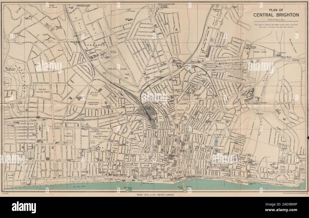 CENTRAL BRIGHTON vintage city/town plan. Sussex. WARD LOCK 1950 old map Stock Photohttps://www.alamy.com/image-license-details/?v=1https://www.alamy.com/central-brighton-vintage-citytown-plan-sussex-ward-lock-1950-old-map-image336182274.html
RF2AEXBWP–CENTRAL BRIGHTON vintage city/town plan. Sussex. WARD LOCK 1950 old map
 Littlehampton, West Sussex, United Kingdom, England, N 50 48' 40'', W 0 32' 26'', map, Timeless Map published in 2021. Travelers, explorers and adventurers like Florence Nightingale, David Livingstone, Ernest Shackleton, Lewis and Clark and Sherlock Holmes relied on maps to plan travels to the world's most remote corners, Timeless Maps is mapping most locations on the globe, showing the achievement of great dreams Stock Photohttps://www.alamy.com/image-license-details/?v=1https://www.alamy.com/littlehampton-west-sussex-united-kingdom-england-n-50-48-40-w-0-32-26-map-timeless-map-published-in-2021-travelers-explorers-and-adventurers-like-florence-nightingale-david-livingstone-ernest-shackleton-lewis-and-clark-and-sherlock-holmes-relied-on-maps-to-plan-travels-to-the-worlds-most-remote-corners-timeless-maps-is-mapping-most-locations-on-the-globe-showing-the-achievement-of-great-dreams-image439392910.html
RM2GET23X–Littlehampton, West Sussex, United Kingdom, England, N 50 48' 40'', W 0 32' 26'', map, Timeless Map published in 2021. Travelers, explorers and adventurers like Florence Nightingale, David Livingstone, Ernest Shackleton, Lewis and Clark and Sherlock Holmes relied on maps to plan travels to the world's most remote corners, Timeless Maps is mapping most locations on the globe, showing the achievement of great dreams
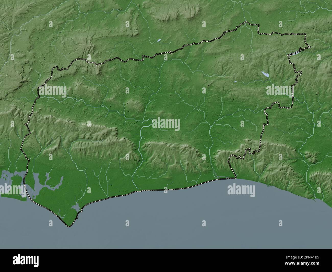 West Sussex, administrative county of England - Great Britain. Elevation map colored in wiki style with lakes and rivers Stock Photohttps://www.alamy.com/image-license-details/?v=1https://www.alamy.com/west-sussex-administrative-county-of-england-great-britain-elevation-map-colored-in-wiki-style-with-lakes-and-rivers-image546518089.html
RF2PN41B5–West Sussex, administrative county of England - Great Britain. Elevation map colored in wiki style with lakes and rivers
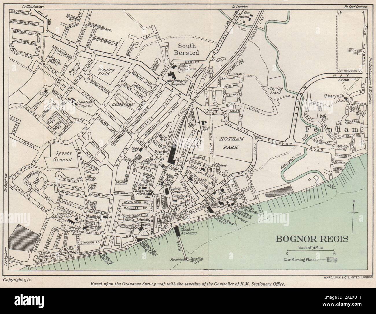 BOGNOR REGIS vintage city/town plan. Sussex. WARD LOCK 1950 old vintage map Stock Photohttps://www.alamy.com/image-license-details/?v=1https://www.alamy.com/bognor-regis-vintage-citytown-plan-sussex-ward-lock-1950-old-vintage-map-image336182248.html
RF2AEXBTT–BOGNOR REGIS vintage city/town plan. Sussex. WARD LOCK 1950 old vintage map
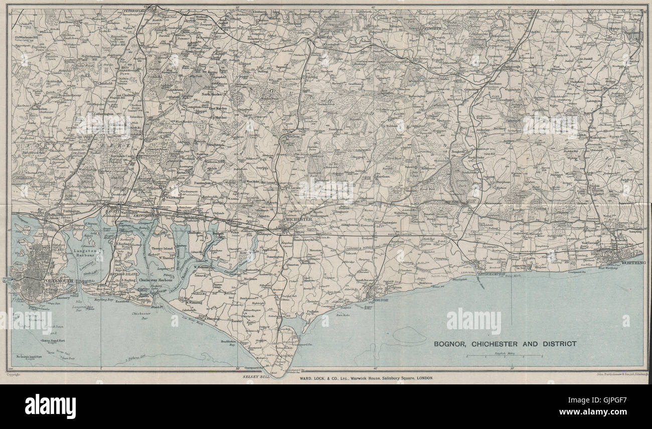 WEST SUSSEX COAST. South Downs. Bognor Worthing Chichester Portsmouth, 1928 map Stock Photohttps://www.alamy.com/image-license-details/?v=1https://www.alamy.com/stock-photo-west-sussex-coast-south-downs-bognor-worthing-chichester-portsmouth-114821931.html
RFGJPGF7–WEST SUSSEX COAST. South Downs. Bognor Worthing Chichester Portsmouth, 1928 map
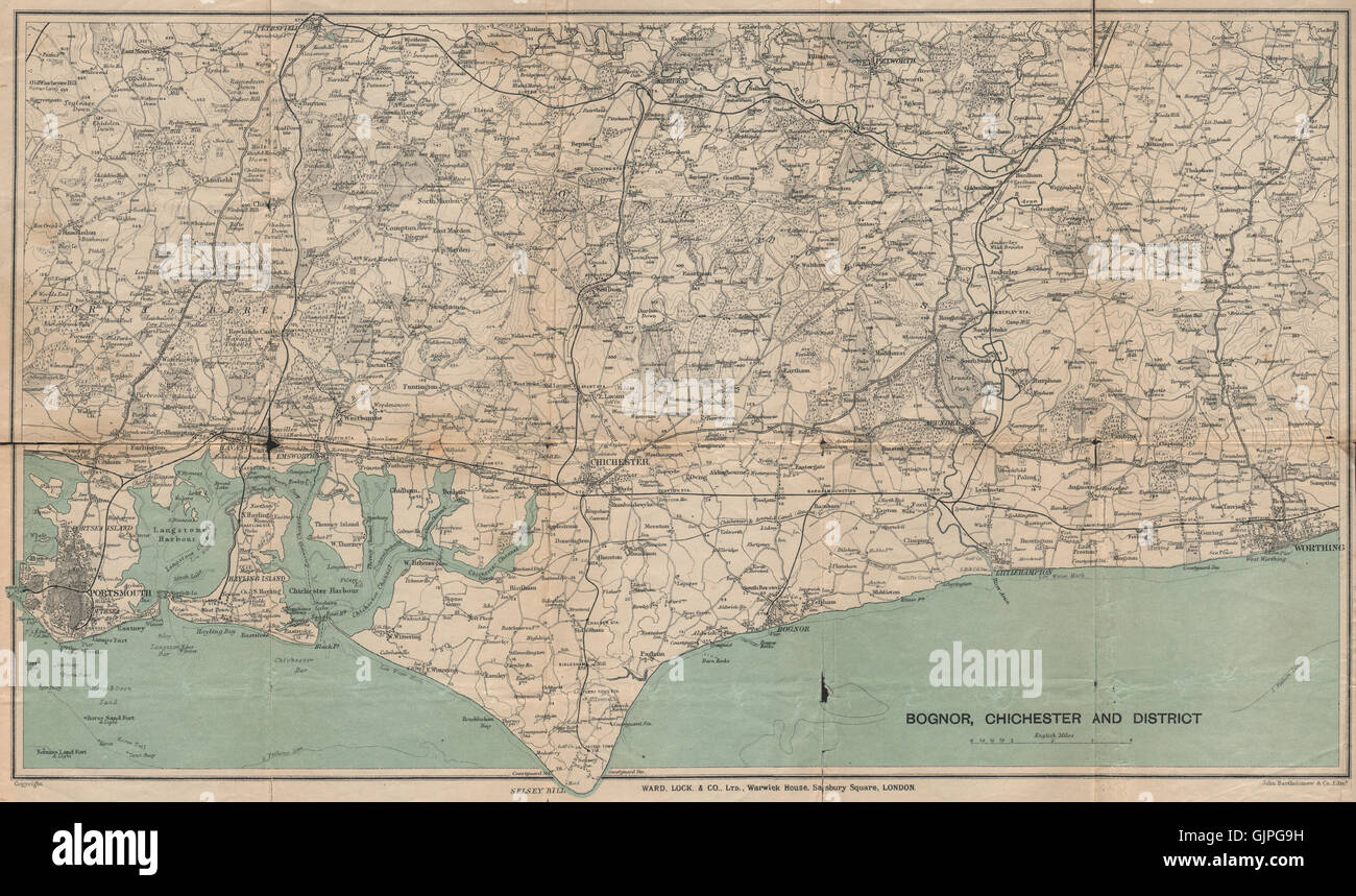 WEST SUSSEX COAST. South Downs. Bognor Worthing Chichester Portsmouth, 1922 map Stock Photohttps://www.alamy.com/image-license-details/?v=1https://www.alamy.com/stock-photo-west-sussex-coast-south-downs-bognor-worthing-chichester-portsmouth-114821773.html
RFGJPG9H–WEST SUSSEX COAST. South Downs. Bognor Worthing Chichester Portsmouth, 1922 map
 West Sussex, administrative county of England - Great Britain. Bilevel elevation map with lakes and rivers. Locations and names of major cities of the Stock Photohttps://www.alamy.com/image-license-details/?v=1https://www.alamy.com/west-sussex-administrative-county-of-england-great-britain-bilevel-elevation-map-with-lakes-and-rivers-locations-and-names-of-major-cities-of-the-image546517873.html
RF2PN413D–West Sussex, administrative county of England - Great Britain. Bilevel elevation map with lakes and rivers. Locations and names of major cities of the
 West Sussex, administrative county of England - Great Britain. Grayscale elevation map with lakes and rivers. Locations of major cities of the region. Stock Photohttps://www.alamy.com/image-license-details/?v=1https://www.alamy.com/west-sussex-administrative-county-of-england-great-britain-grayscale-elevation-map-with-lakes-and-rivers-locations-of-major-cities-of-the-region-image546517871.html
RF2PN413B–West Sussex, administrative county of England - Great Britain. Grayscale elevation map with lakes and rivers. Locations of major cities of the region.
 West Sussex, administrative county of England - Great Britain. Colored elevation map with lakes and rivers. Locations and names of major cities of the Stock Photohttps://www.alamy.com/image-license-details/?v=1https://www.alamy.com/west-sussex-administrative-county-of-england-great-britain-colored-elevation-map-with-lakes-and-rivers-locations-and-names-of-major-cities-of-the-image546518028.html
RF2PN4190–West Sussex, administrative county of England - Great Britain. Colored elevation map with lakes and rivers. Locations and names of major cities of the
 West Sussex, administrative county of England - Great Britain. Low resolution satellite map. Locations of major cities of the region. Corner auxiliary Stock Photohttps://www.alamy.com/image-license-details/?v=1https://www.alamy.com/west-sussex-administrative-county-of-england-great-britain-low-resolution-satellite-map-locations-of-major-cities-of-the-region-corner-auxiliary-image546517933.html
RF2PN415H–West Sussex, administrative county of England - Great Britain. Low resolution satellite map. Locations of major cities of the region. Corner auxiliary
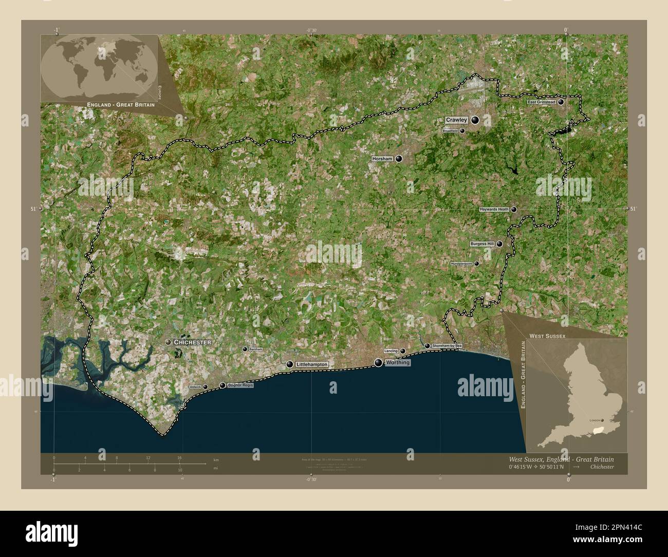 West Sussex, administrative county of England - Great Britain. High resolution satellite map. Locations and names of major cities of the region. Corne Stock Photohttps://www.alamy.com/image-license-details/?v=1https://www.alamy.com/west-sussex-administrative-county-of-england-great-britain-high-resolution-satellite-map-locations-and-names-of-major-cities-of-the-region-corne-image546517900.html
RF2PN414C–West Sussex, administrative county of England - Great Britain. High resolution satellite map. Locations and names of major cities of the region. Corne
 West Sussex, administrative county of England - Great Britain. Grayscale elevation map with lakes and rivers. Locations and names of major cities of t Stock Photohttps://www.alamy.com/image-license-details/?v=1https://www.alamy.com/west-sussex-administrative-county-of-england-great-britain-grayscale-elevation-map-with-lakes-and-rivers-locations-and-names-of-major-cities-of-t-image546517925.html
RF2PN4159–West Sussex, administrative county of England - Great Britain. Grayscale elevation map with lakes and rivers. Locations and names of major cities of t
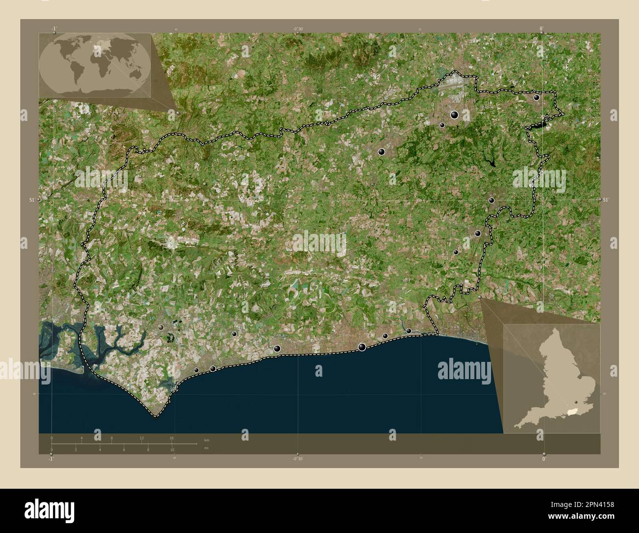 West Sussex, administrative county of England - Great Britain. High resolution satellite map. Locations of major cities of the region. Corner auxiliar Stock Photohttps://www.alamy.com/image-license-details/?v=1https://www.alamy.com/west-sussex-administrative-county-of-england-great-britain-high-resolution-satellite-map-locations-of-major-cities-of-the-region-corner-auxiliar-image546517924.html
RF2PN4158–West Sussex, administrative county of England - Great Britain. High resolution satellite map. Locations of major cities of the region. Corner auxiliar
 West Sussex, administrative county of England - Great Britain. Bilevel elevation map with lakes and rivers. Locations of major cities of the region. C Stock Photohttps://www.alamy.com/image-license-details/?v=1https://www.alamy.com/west-sussex-administrative-county-of-england-great-britain-bilevel-elevation-map-with-lakes-and-rivers-locations-of-major-cities-of-the-region-c-image546517868.html
RF2PN4138–West Sussex, administrative county of England - Great Britain. Bilevel elevation map with lakes and rivers. Locations of major cities of the region. C
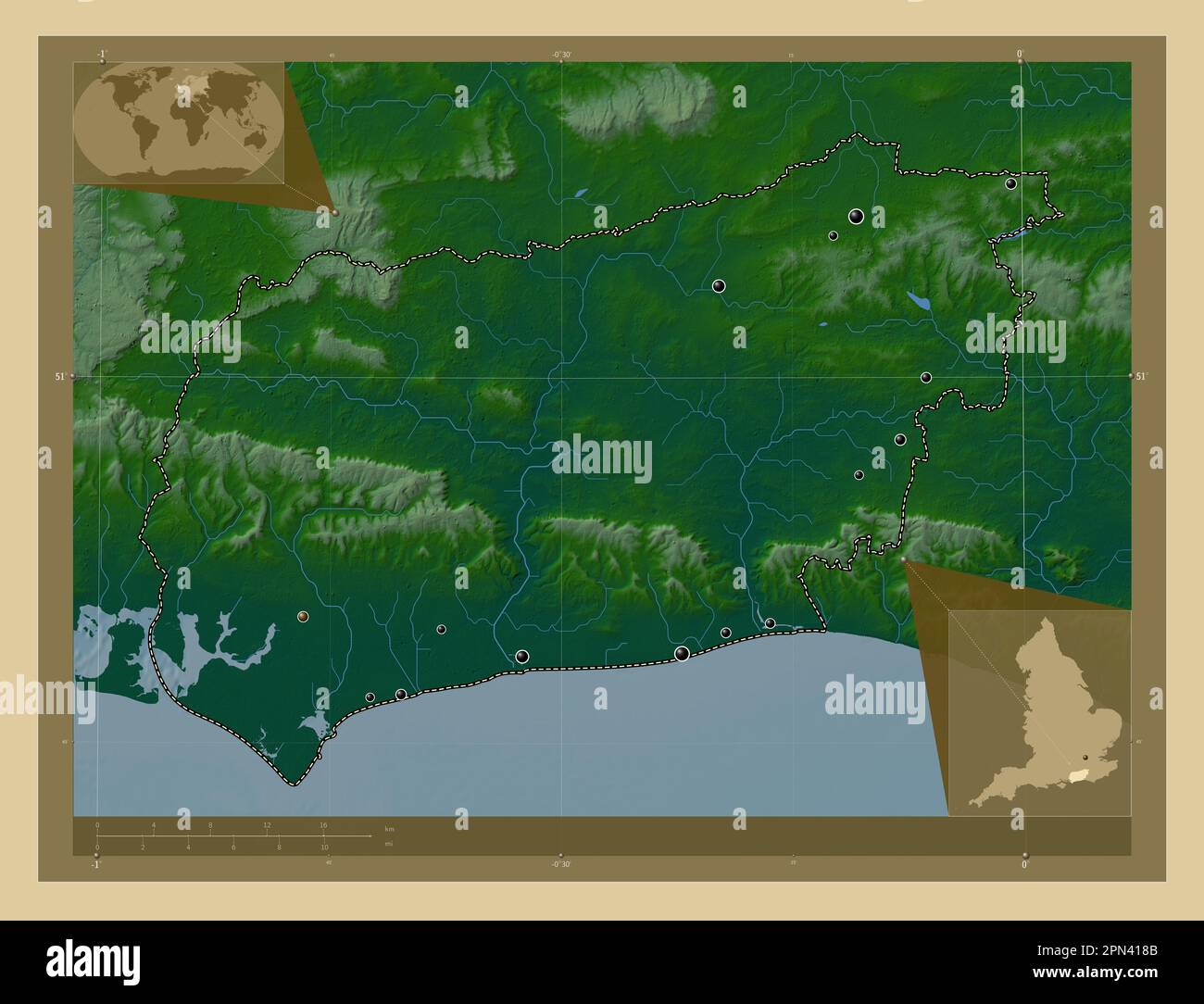 West Sussex, administrative county of England - Great Britain. Colored elevation map with lakes and rivers. Locations of major cities of the region. C Stock Photohttps://www.alamy.com/image-license-details/?v=1https://www.alamy.com/west-sussex-administrative-county-of-england-great-britain-colored-elevation-map-with-lakes-and-rivers-locations-of-major-cities-of-the-region-c-image546518011.html
RF2PN418B–West Sussex, administrative county of England - Great Britain. Colored elevation map with lakes and rivers. Locations of major cities of the region. C
 West Sussex, administrative county of England - Great Britain. Low resolution satellite map. Locations and names of major cities of the region. Corner Stock Photohttps://www.alamy.com/image-license-details/?v=1https://www.alamy.com/west-sussex-administrative-county-of-england-great-britain-low-resolution-satellite-map-locations-and-names-of-major-cities-of-the-region-corner-image546518039.html
RF2PN419B–West Sussex, administrative county of England - Great Britain. Low resolution satellite map. Locations and names of major cities of the region. Corner
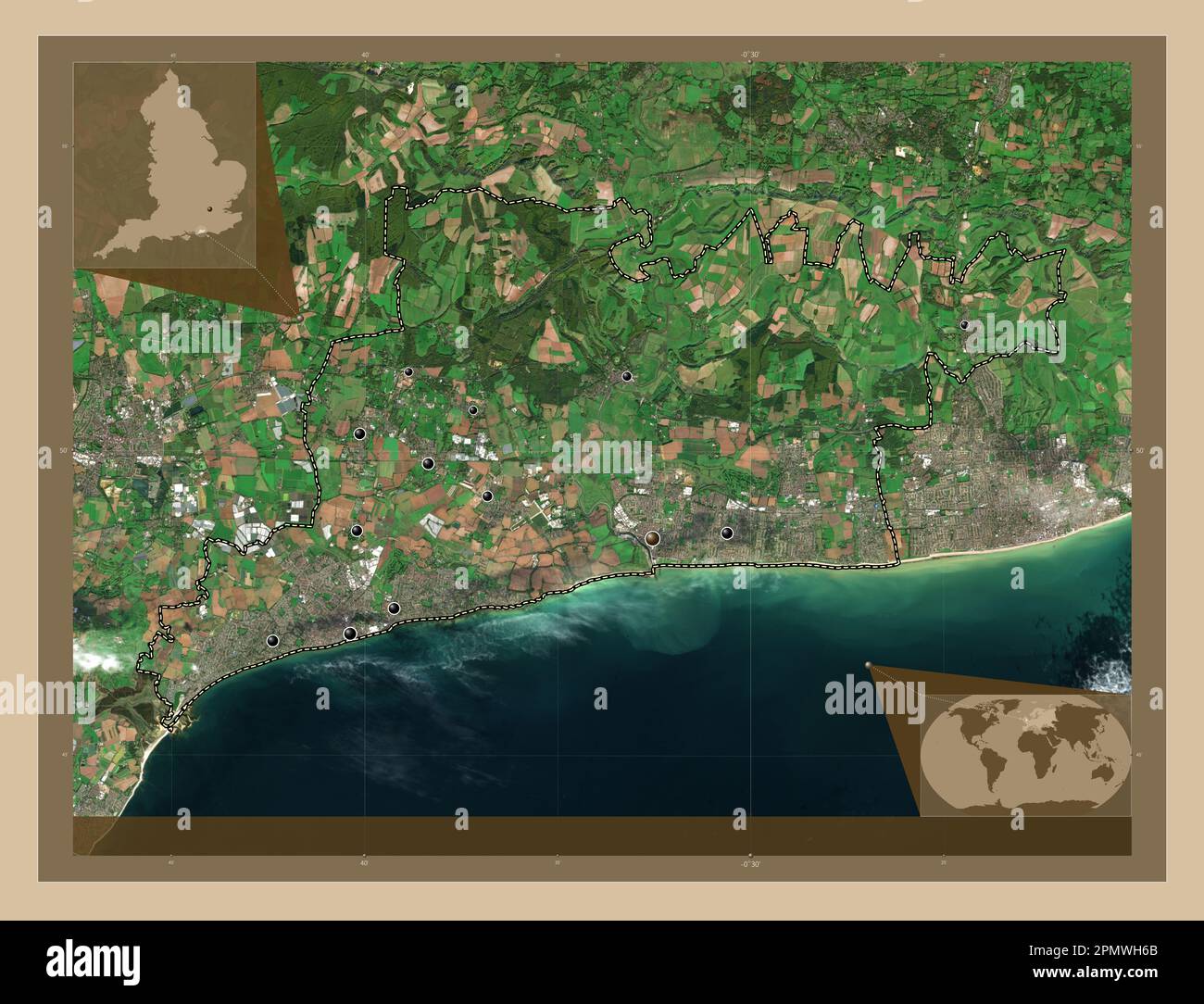 Arun, non metropolitan district of England - Great Britain. Low resolution satellite map. Locations of major cities of the region. Corner auxiliary lo Stock Photohttps://www.alamy.com/image-license-details/?v=1https://www.alamy.com/arun-non-metropolitan-district-of-england-great-britain-low-resolution-satellite-map-locations-of-major-cities-of-the-region-corner-auxiliary-lo-image546376835.html
RF2PMWH6B–Arun, non metropolitan district of England - Great Britain. Low resolution satellite map. Locations of major cities of the region. Corner auxiliary lo
 Arun, non metropolitan district of England - Great Britain. Open Street Map. Locations of major cities of the region. Corner auxiliary location maps Stock Photohttps://www.alamy.com/image-license-details/?v=1https://www.alamy.com/arun-non-metropolitan-district-of-england-great-britain-open-street-map-locations-of-major-cities-of-the-region-corner-auxiliary-location-maps-image546376695.html
RF2PMWH1B–Arun, non metropolitan district of England - Great Britain. Open Street Map. Locations of major cities of the region. Corner auxiliary location maps
 Arun, non metropolitan district of England - Great Britain. High resolution satellite map. Locations of major cities of the region. Corner auxiliary l Stock Photohttps://www.alamy.com/image-license-details/?v=1https://www.alamy.com/arun-non-metropolitan-district-of-england-great-britain-high-resolution-satellite-map-locations-of-major-cities-of-the-region-corner-auxiliary-l-image546376562.html
RF2PMWGTJ–Arun, non metropolitan district of England - Great Britain. High resolution satellite map. Locations of major cities of the region. Corner auxiliary l
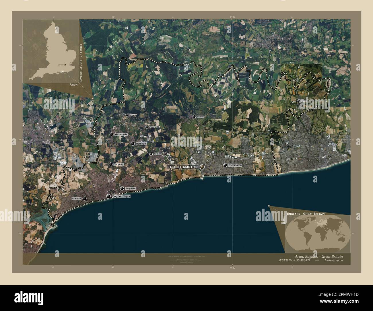 Arun, non metropolitan district of England - Great Britain. High resolution satellite map. Locations and names of major cities of the region. Corner a Stock Photohttps://www.alamy.com/image-license-details/?v=1https://www.alamy.com/arun-non-metropolitan-district-of-england-great-britain-high-resolution-satellite-map-locations-and-names-of-major-cities-of-the-region-corner-a-image546376697.html
RF2PMWH1D–Arun, non metropolitan district of England - Great Britain. High resolution satellite map. Locations and names of major cities of the region. Corner a
 Arun, non metropolitan district of England - Great Britain. Open Street Map. Locations and names of major cities of the region. Corner auxiliary locat Stock Photohttps://www.alamy.com/image-license-details/?v=1https://www.alamy.com/arun-non-metropolitan-district-of-england-great-britain-open-street-map-locations-and-names-of-major-cities-of-the-region-corner-auxiliary-locat-image546376781.html
RF2PMWH4D–Arun, non metropolitan district of England - Great Britain. Open Street Map. Locations and names of major cities of the region. Corner auxiliary locat
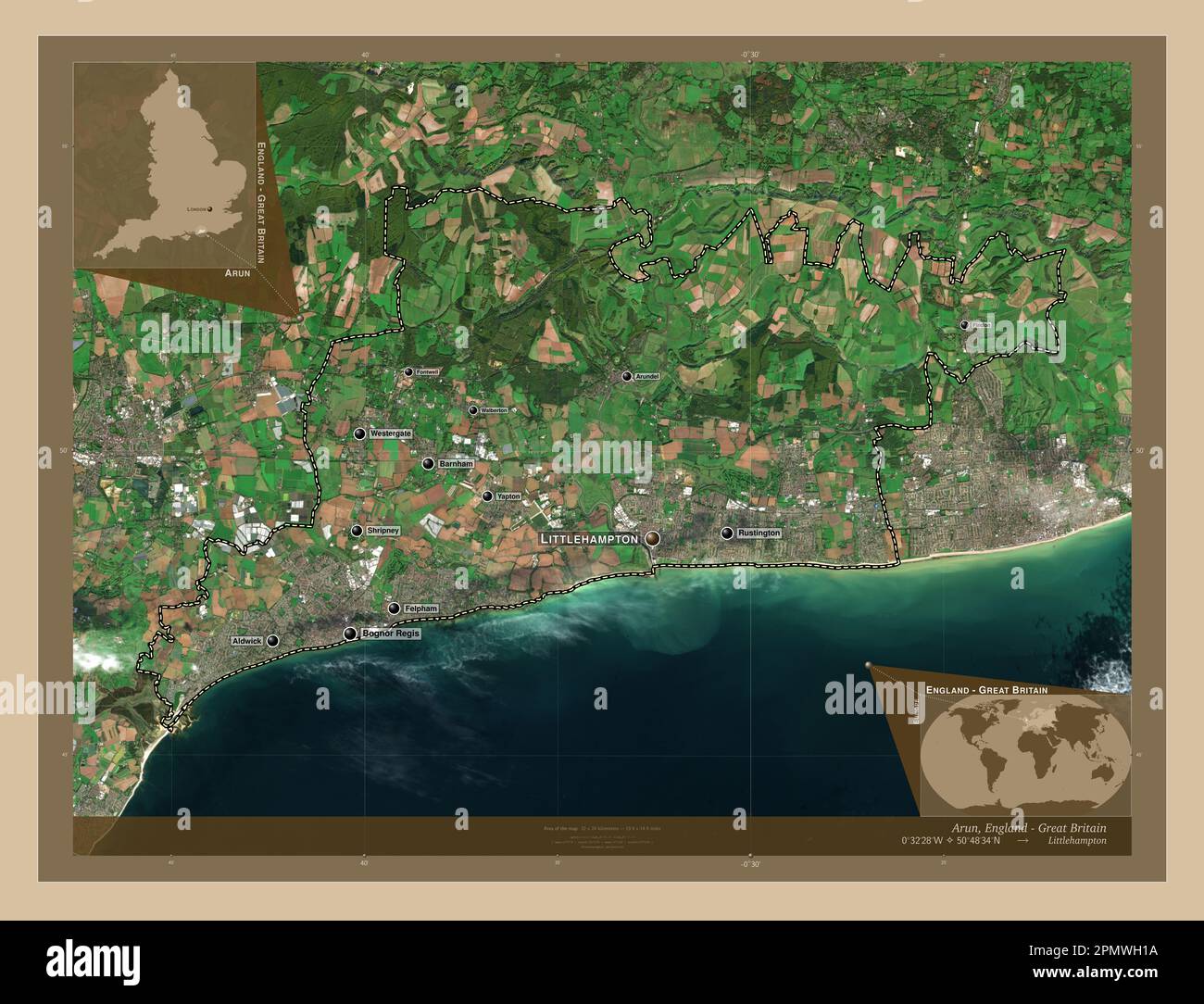 Arun, non metropolitan district of England - Great Britain. Low resolution satellite map. Locations and names of major cities of the region. Corner au Stock Photohttps://www.alamy.com/image-license-details/?v=1https://www.alamy.com/arun-non-metropolitan-district-of-england-great-britain-low-resolution-satellite-map-locations-and-names-of-major-cities-of-the-region-corner-au-image546376694.html
RF2PMWH1A–Arun, non metropolitan district of England - Great Britain. Low resolution satellite map. Locations and names of major cities of the region. Corner au
 West Sussex, administrative county of England - Great Britain. Open Street Map. Locations of major cities of the region. Corner auxiliary location map Stock Photohttps://www.alamy.com/image-license-details/?v=1https://www.alamy.com/west-sussex-administrative-county-of-england-great-britain-open-street-map-locations-of-major-cities-of-the-region-corner-auxiliary-location-map-image546518019.html
RF2PN418K–West Sussex, administrative county of England - Great Britain. Open Street Map. Locations of major cities of the region. Corner auxiliary location map
 West Sussex, administrative county of England - Great Britain. Open Street Map. Locations and names of major cities of the region. Corner auxiliary lo Stock Photohttps://www.alamy.com/image-license-details/?v=1https://www.alamy.com/west-sussex-administrative-county-of-england-great-britain-open-street-map-locations-and-names-of-major-cities-of-the-region-corner-auxiliary-lo-image546518033.html
RF2PN4195–West Sussex, administrative county of England - Great Britain. Open Street Map. Locations and names of major cities of the region. Corner auxiliary lo
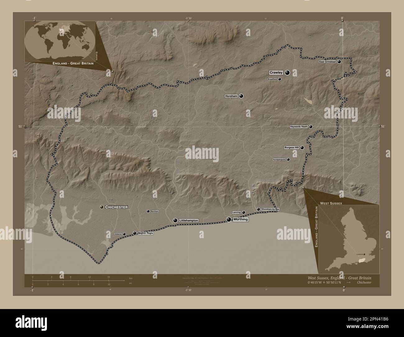 West Sussex, administrative county of England - Great Britain. Elevation map colored in sepia tones with lakes and rivers. Locations and names of majo Stock Photohttps://www.alamy.com/image-license-details/?v=1https://www.alamy.com/west-sussex-administrative-county-of-england-great-britain-elevation-map-colored-in-sepia-tones-with-lakes-and-rivers-locations-and-names-of-majo-image546518090.html
RF2PN41B6–West Sussex, administrative county of England - Great Britain. Elevation map colored in sepia tones with lakes and rivers. Locations and names of majo
 West Sussex, administrative county of England - Great Britain. Elevation map colored in wiki style with lakes and rivers. Locations of major cities of Stock Photohttps://www.alamy.com/image-license-details/?v=1https://www.alamy.com/west-sussex-administrative-county-of-england-great-britain-elevation-map-colored-in-wiki-style-with-lakes-and-rivers-locations-of-major-cities-of-image546518109.html
RF2PN41BW–West Sussex, administrative county of England - Great Britain. Elevation map colored in wiki style with lakes and rivers. Locations of major cities of
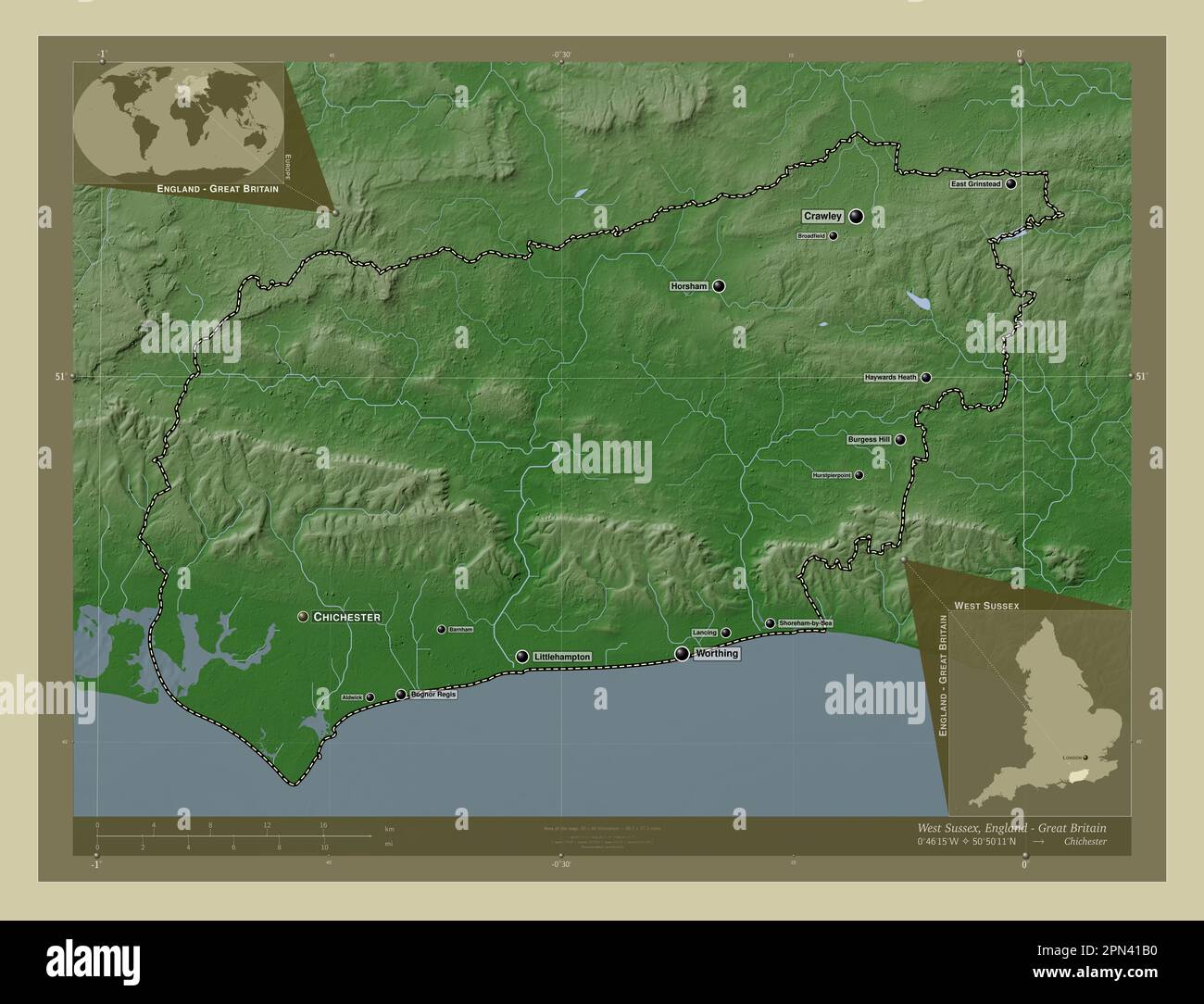 West Sussex, administrative county of England - Great Britain. Elevation map colored in wiki style with lakes and rivers. Locations and names of major Stock Photohttps://www.alamy.com/image-license-details/?v=1https://www.alamy.com/west-sussex-administrative-county-of-england-great-britain-elevation-map-colored-in-wiki-style-with-lakes-and-rivers-locations-and-names-of-major-image546518084.html
RF2PN41B0–West Sussex, administrative county of England - Great Britain. Elevation map colored in wiki style with lakes and rivers. Locations and names of major
 West Sussex, administrative county of England - Great Britain. Elevation map colored in sepia tones with lakes and rivers. Locations of major cities o Stock Photohttps://www.alamy.com/image-license-details/?v=1https://www.alamy.com/west-sussex-administrative-county-of-england-great-britain-elevation-map-colored-in-sepia-tones-with-lakes-and-rivers-locations-of-major-cities-o-image546518040.html
RF2PN419C–West Sussex, administrative county of England - Great Britain. Elevation map colored in sepia tones with lakes and rivers. Locations of major cities o
 Arun, non metropolitan district of England - Great Britain. Diagram showing the location of the region on larger-scale maps. Composition of vector fra Stock Photohttps://www.alamy.com/image-license-details/?v=1https://www.alamy.com/arun-non-metropolitan-district-of-england-great-britain-diagram-showing-the-location-of-the-region-on-larger-scale-maps-composition-of-vector-fra-image546376537.html
RF2PMWGRN–Arun, non metropolitan district of England - Great Britain. Diagram showing the location of the region on larger-scale maps. Composition of vector fra
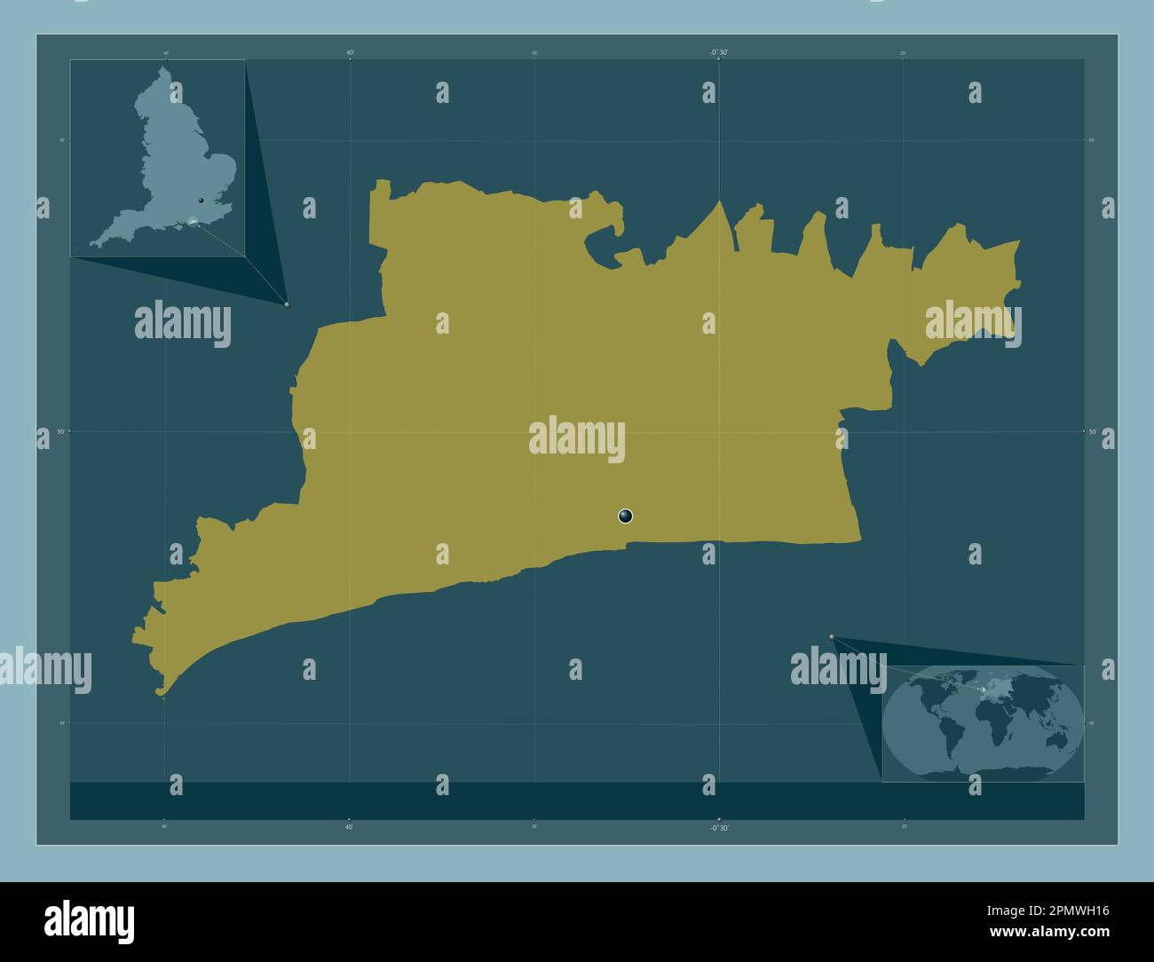 Arun, non metropolitan district of England - Great Britain. Solid color shape. Corner auxiliary location maps Stock Photohttps://www.alamy.com/image-license-details/?v=1https://www.alamy.com/arun-non-metropolitan-district-of-england-great-britain-solid-color-shape-corner-auxiliary-location-maps-image546376690.html
RF2PMWH16–Arun, non metropolitan district of England - Great Britain. Solid color shape. Corner auxiliary location maps
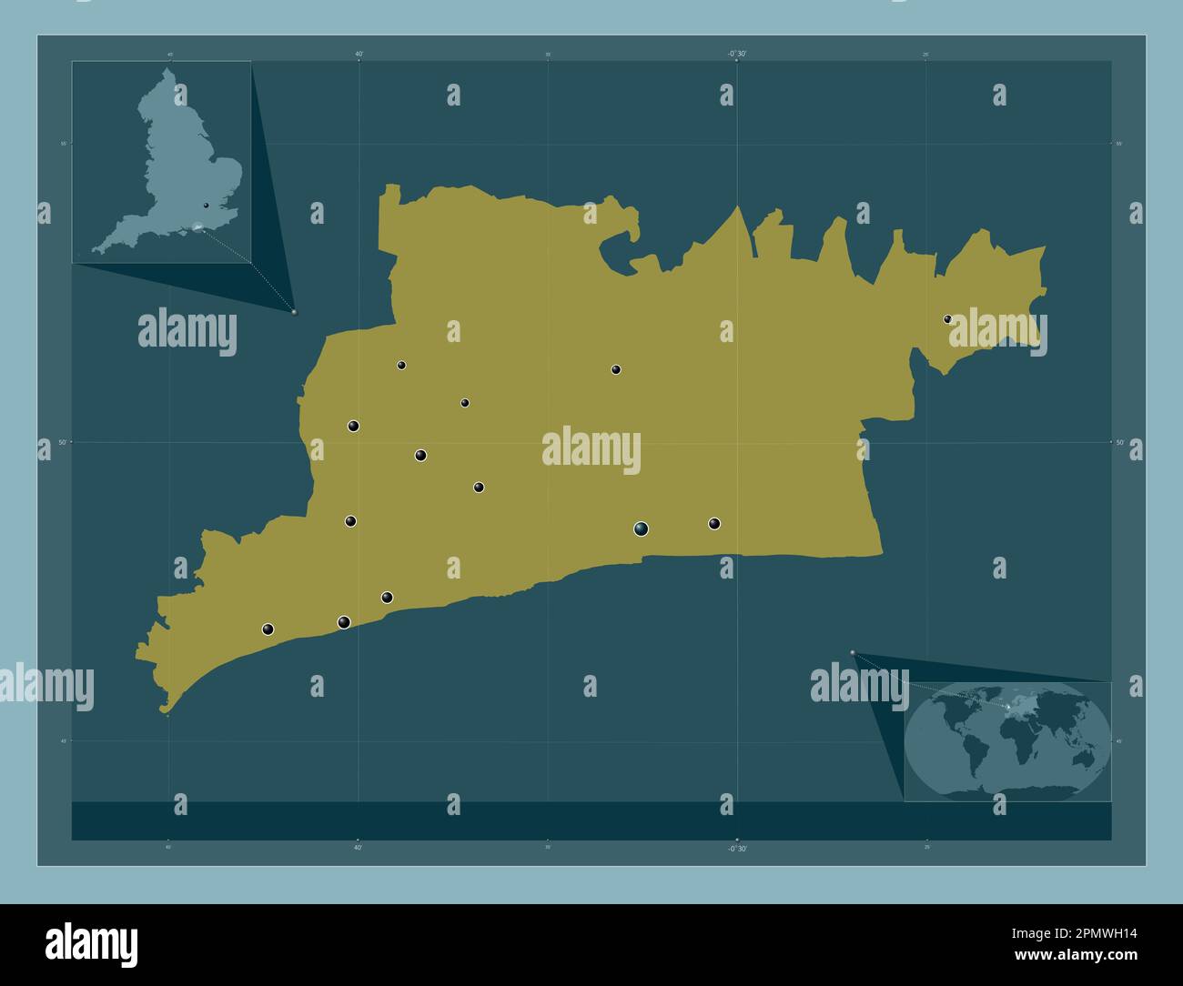 Arun, non metropolitan district of England - Great Britain. Solid color shape. Locations of major cities of the region. Corner auxiliary location maps Stock Photohttps://www.alamy.com/image-license-details/?v=1https://www.alamy.com/arun-non-metropolitan-district-of-england-great-britain-solid-color-shape-locations-of-major-cities-of-the-region-corner-auxiliary-location-maps-image546376688.html
RF2PMWH14–Arun, non metropolitan district of England - Great Britain. Solid color shape. Locations of major cities of the region. Corner auxiliary location maps
 Arun, non metropolitan district of England - Great Britain. Solid color shape Stock Photohttps://www.alamy.com/image-license-details/?v=1https://www.alamy.com/arun-non-metropolitan-district-of-england-great-britain-solid-color-shape-image546376691.html
RF2PMWH17–Arun, non metropolitan district of England - Great Britain. Solid color shape
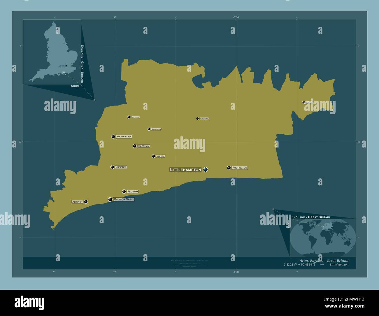 Arun, non metropolitan district of England - Great Britain. Solid color shape. Locations and names of major cities of the region. Corner auxiliary loc Stock Photohttps://www.alamy.com/image-license-details/?v=1https://www.alamy.com/arun-non-metropolitan-district-of-england-great-britain-solid-color-shape-locations-and-names-of-major-cities-of-the-region-corner-auxiliary-loc-image546376687.html
RF2PMWH13–Arun, non metropolitan district of England - Great Britain. Solid color shape. Locations and names of major cities of the region. Corner auxiliary loc
 West Sussex, administrative county of England - Great Britain. Solid color shape. Locations of major cities of the region. Corner auxiliary location m Stock Photohttps://www.alamy.com/image-license-details/?v=1https://www.alamy.com/west-sussex-administrative-county-of-england-great-britain-solid-color-shape-locations-of-major-cities-of-the-region-corner-auxiliary-location-m-image546518008.html
RF2PN4188–West Sussex, administrative county of England - Great Britain. Solid color shape. Locations of major cities of the region. Corner auxiliary location m
 West Sussex, administrative county of England - Great Britain. Solid color shape. Locations and names of major cities of the region. Corner auxiliary Stock Photohttps://www.alamy.com/image-license-details/?v=1https://www.alamy.com/west-sussex-administrative-county-of-england-great-britain-solid-color-shape-locations-and-names-of-major-cities-of-the-region-corner-auxiliary-image546518000.html
RF2PN4180–West Sussex, administrative county of England - Great Britain. Solid color shape. Locations and names of major cities of the region. Corner auxiliary
 West Sussex, administrative county of England - Great Britain. Solid color shape Stock Photohttps://www.alamy.com/image-license-details/?v=1https://www.alamy.com/west-sussex-administrative-county-of-england-great-britain-solid-color-shape-image546517994.html
RF2PN417P–West Sussex, administrative county of England - Great Britain. Solid color shape