Quick filters:
Llanfachreth Stock Photos and Images
 Llanfachreth Church, near Dolgellau, Merionethshire. Gastineau. Snowdonia, 1835 Stock Photohttps://www.alamy.com/image-license-details/?v=1https://www.alamy.com/stock-photo-llanfachreth-church-near-dolgellau-merionethshire-gastineau-snowdonia-115382644.html
RFGKM3MM–Llanfachreth Church, near Dolgellau, Merionethshire. Gastineau. Snowdonia, 1835
 Llanfachreth, Gwynedd, United Kingdom, Wales, N 52 47' 6'', W 3 51' 4'', map, Timeless Map published in 2021. Travelers, explorers and adventurers like Florence Nightingale, David Livingstone, Ernest Shackleton, Lewis and Clark and Sherlock Holmes relied on maps to plan travels to the world's most remote corners, Timeless Maps is mapping most locations on the globe, showing the achievement of great dreams Stock Photohttps://www.alamy.com/image-license-details/?v=1https://www.alamy.com/llanfachreth-gwynedd-united-kingdom-wales-n-52-47-6-w-3-51-4-map-timeless-map-published-in-2021-travelers-explorers-and-adventurers-like-florence-nightingale-david-livingstone-ernest-shackleton-lewis-and-clark-and-sherlock-holmes-relied-on-maps-to-plan-travels-to-the-worlds-most-remote-corners-timeless-maps-is-mapping-most-locations-on-the-globe-showing-the-achievement-of-great-dreams-image439392577.html
RM2GET1M1–Llanfachreth, Gwynedd, United Kingdom, Wales, N 52 47' 6'', W 3 51' 4'', map, Timeless Map published in 2021. Travelers, explorers and adventurers like Florence Nightingale, David Livingstone, Ernest Shackleton, Lewis and Clark and Sherlock Holmes relied on maps to plan travels to the world's most remote corners, Timeless Maps is mapping most locations on the globe, showing the achievement of great dreams
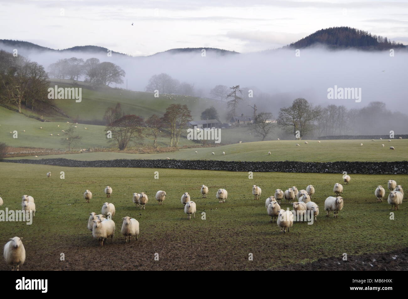 looking north from OS grid 752222, south of Llanfachreth, Gwynedd, Snowdonia, Wales. Stock Photohttps://www.alamy.com/image-license-details/?v=1https://www.alamy.com/looking-north-from-os-grid-752222-south-of-llanfachreth-gwynedd-snowdonia-wales-image179010683.html
RMMB6HXK–looking north from OS grid 752222, south of Llanfachreth, Gwynedd, Snowdonia, Wales.
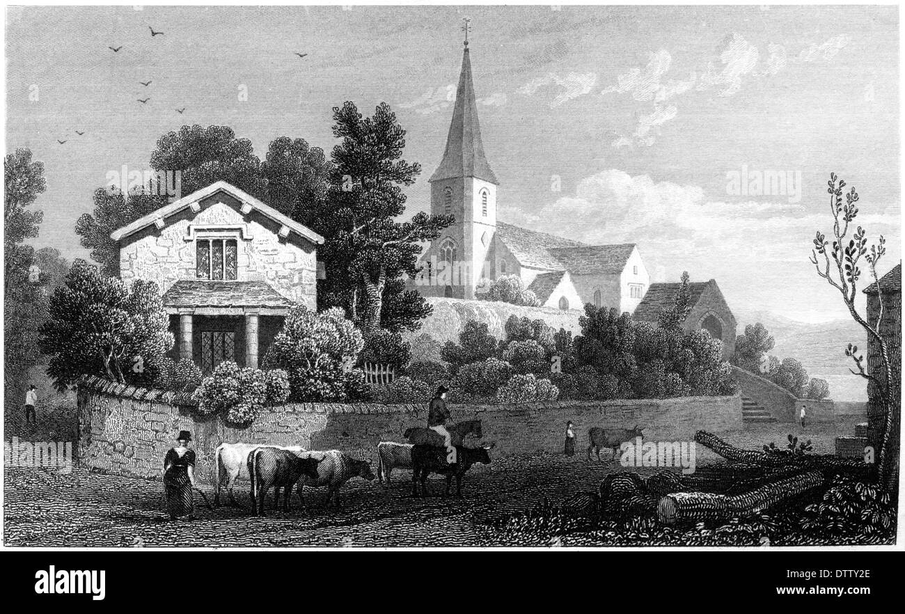 An engraving entitled 'Llanfachreth Church, Isle of Anglesea' scanned at high resolution from a book published in the 1830's. Stock Photohttps://www.alamy.com/image-license-details/?v=1https://www.alamy.com/an-engraving-entitled-llanfachreth-church-isle-of-anglesea-scanned-image66930934.html
RMDTTY2E–An engraving entitled 'Llanfachreth Church, Isle of Anglesea' scanned at high resolution from a book published in the 1830's.
 Gelli Cottage, near Llanfachreth - Gwynedd, Wales - 21 August, 1976 Stock Photohttps://www.alamy.com/image-license-details/?v=1https://www.alamy.com/gelli-cottage-near-llanfachreth-gwynedd-wales-21-august-1976-image605206939.html
RM2X4HFHF–Gelli Cottage, near Llanfachreth - Gwynedd, Wales - 21 August, 1976
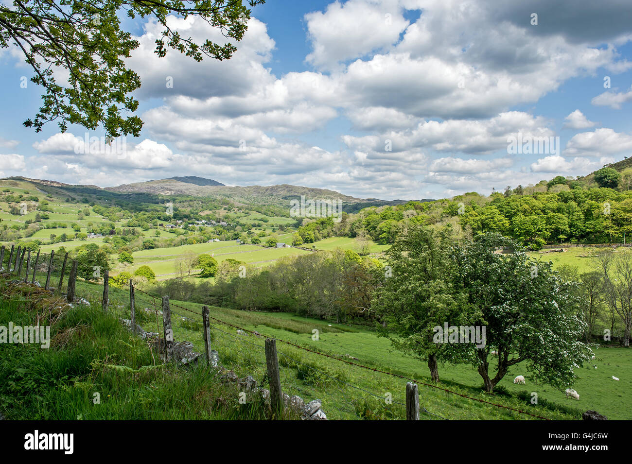 LLanfachreth, north Wales in the mountains Stock Photohttps://www.alamy.com/image-license-details/?v=1https://www.alamy.com/stock-photo-llanfachreth-north-wales-in-the-mountains-106125569.html
RMG4JC6W–LLanfachreth, north Wales in the mountains
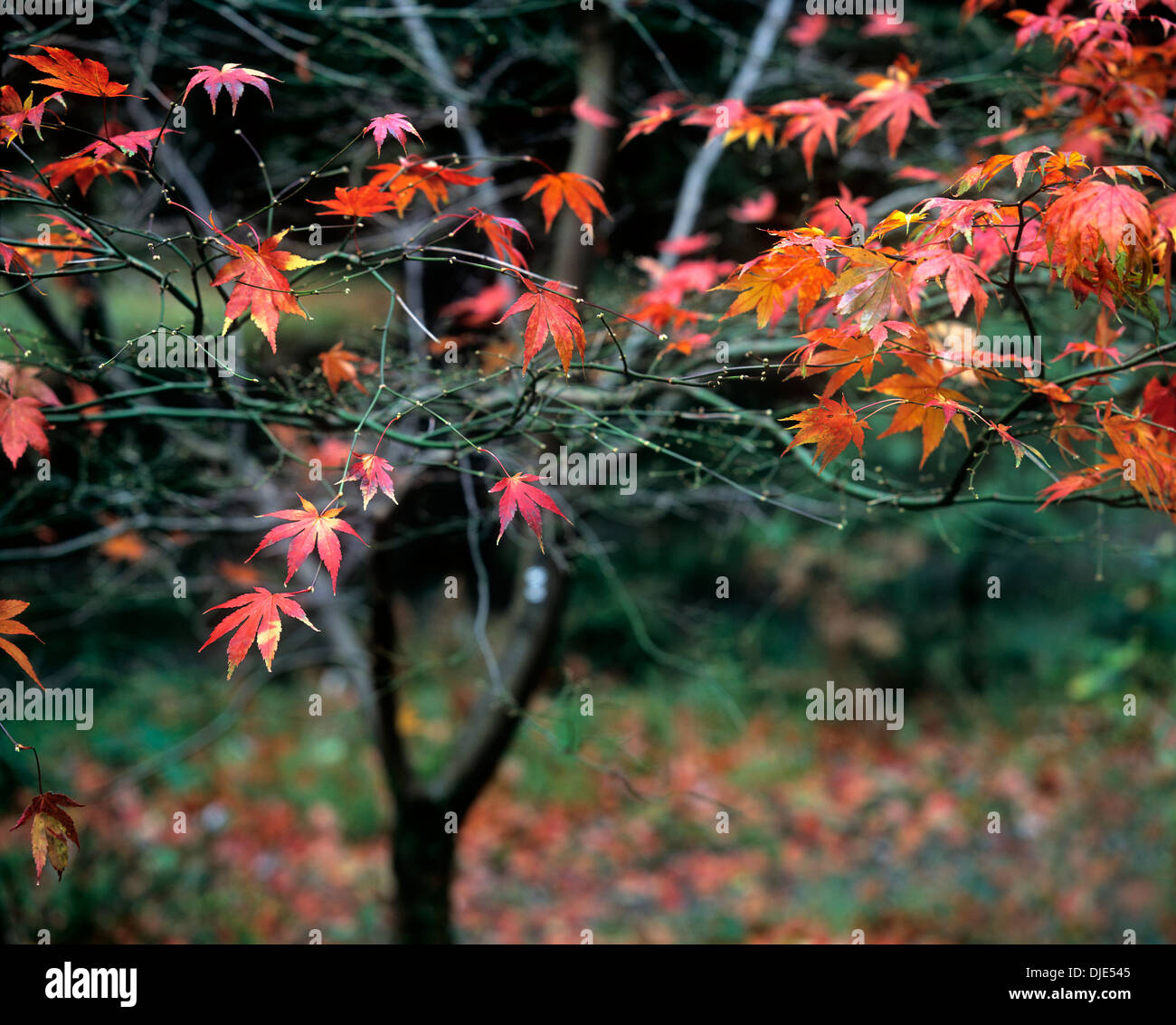 The last autumn leaves on a maple tree in a forest garden on Forestry Commission land near Llanfachreth, near Dolgellau, Wales. Stock Photohttps://www.alamy.com/image-license-details/?v=1https://www.alamy.com/the-last-autumn-leaves-on-a-maple-tree-in-a-forest-garden-on-forestry-image63006277.html
RMDJE545–The last autumn leaves on a maple tree in a forest garden on Forestry Commission land near Llanfachreth, near Dolgellau, Wales.
 Llanfachreth Church - near Dolgellau - Merionethshire. Stock Photohttps://www.alamy.com/image-license-details/?v=1https://www.alamy.com/llanfachreth-church-near-dolgellau-merionethshire-image396797263.html
RM2E1FJXR–Llanfachreth Church - near Dolgellau - Merionethshire.
 Margaret Jones, Hafod Owen, Llanfachreth, and her homemade butter Stock Photohttps://www.alamy.com/image-license-details/?v=1https://www.alamy.com/stock-photo-margaret-jones-hafod-owen-llanfachreth-and-her-homemade-butter-123803092.html
RMH5BM30–Margaret Jones, Hafod Owen, Llanfachreth, and her homemade butter
 Llanfachreth Church near Dolgellau Merionethshire Stock Photohttps://www.alamy.com/image-license-details/?v=1https://www.alamy.com/stock-image-llanfachreth-church-near-dolgellau-merionethshire-160532791.html
RMK94W5Y–Llanfachreth Church near Dolgellau Merionethshire
 Llanfachreth Mill, near Dollgelly, North Wales circa 1840 by William Frederick Wells Stock Photohttps://www.alamy.com/image-license-details/?v=1https://www.alamy.com/llanfachreth-mill-near-dollgelly-north-wales-circa-1840-by-william-frederick-wells-image559675676.html
RM2REFC10–Llanfachreth Mill, near Dollgelly, North Wales circa 1840 by William Frederick Wells
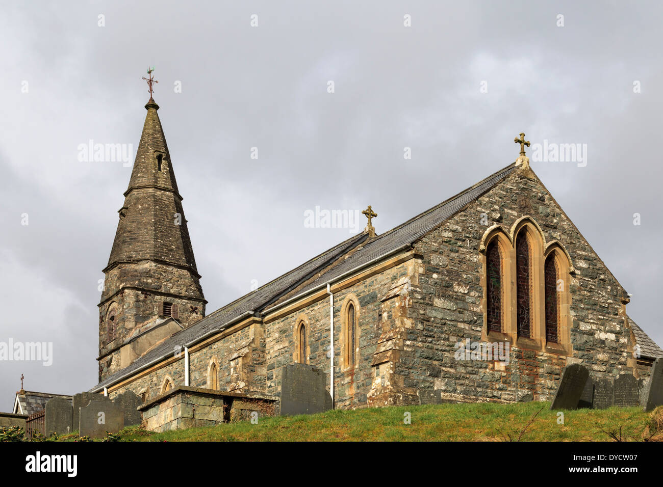 St.Mackraeth Church, Llanfachreth village. Stock Photohttps://www.alamy.com/image-license-details/?v=1https://www.alamy.com/stmackraeth-church-llanfachreth-village-image68509847.html
RMDYCW07–St.Mackraeth Church, Llanfachreth village.
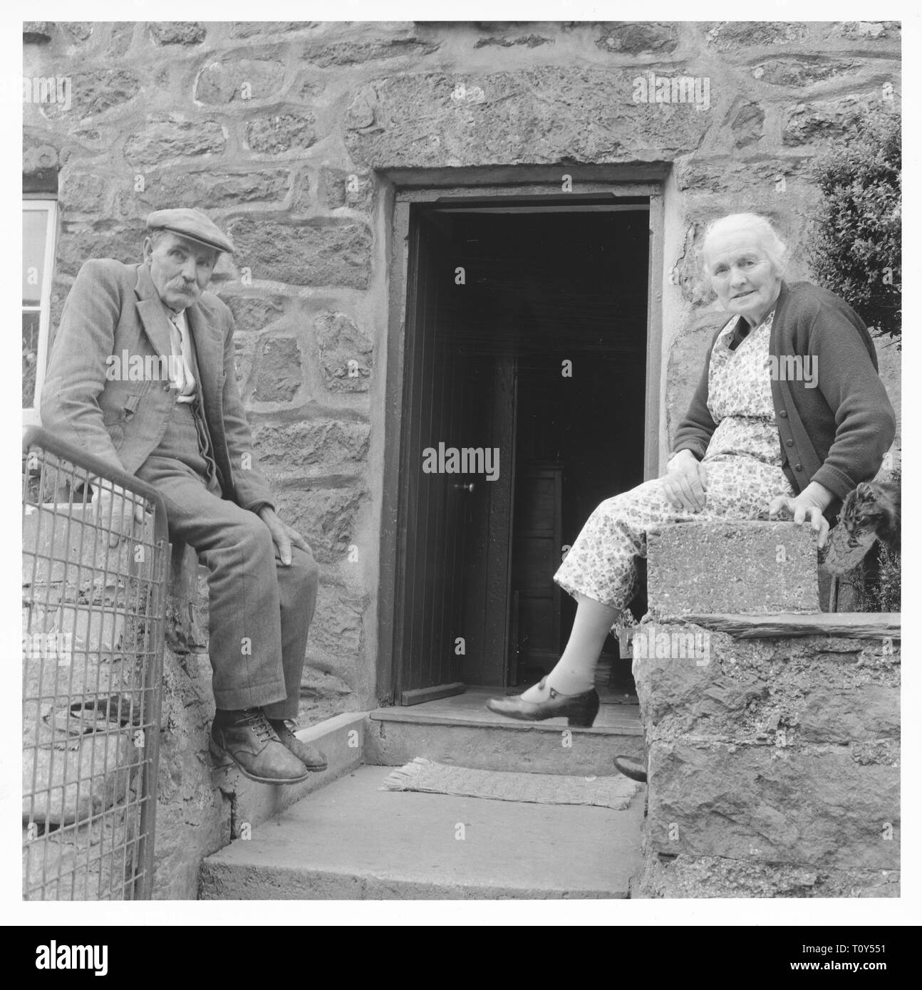 Mr Evan Jones (senior) and Mrs Jones, Cwmhesgen, Llanfachreth, 1966. Creator: Unknown. Stock Photohttps://www.alamy.com/image-license-details/?v=1https://www.alamy.com/mr-evan-jones-senior-and-mrs-jones-cwmhesgen-llanfachreth-1966-creator-unknown-image241541917.html
RMT0Y551–Mr Evan Jones (senior) and Mrs Jones, Cwmhesgen, Llanfachreth, 1966. Creator: Unknown.
 Cloud formations over the mountains near Llanfachreth, Snowdonia National Park Stock Photohttps://www.alamy.com/image-license-details/?v=1https://www.alamy.com/cloud-formations-over-the-mountains-near-llanfachreth-snowdonia-national-park-image433914268.html
RF2G5XE24–Cloud formations over the mountains near Llanfachreth, Snowdonia National Park
 A graphic illlustration of a British road sign pointing to Llanfachreth Stock Photohttps://www.alamy.com/image-license-details/?v=1https://www.alamy.com/a-graphic-illlustration-of-a-british-road-sign-pointing-to-llanfachreth-image416408395.html
RF2F5D14B–A graphic illlustration of a British road sign pointing to Llanfachreth
 Trees at Torrent Walk, Brithdir near Dolgellau, Gwynedd Stock Photohttps://www.alamy.com/image-license-details/?v=1https://www.alamy.com/stock-photo-trees-at-torrent-walk-brithdir-near-dolgellau-gwynedd-72456958.html
RME5TKGE–Trees at Torrent Walk, Brithdir near Dolgellau, Gwynedd
 Brithdir and Llanfachreth, Gwynedd, GB, United Kingdom, Wales, N 52 46' 30'', S 3 47' 14'', map, Cartascapes Map published in 2024. Explore Cartascapes, a map revealing Earth's diverse landscapes, cultures, and ecosystems. Journey through time and space, discovering the interconnectedness of our planet's past, present, and future. Stock Photohttps://www.alamy.com/image-license-details/?v=1https://www.alamy.com/brithdir-and-llanfachreth-gwynedd-gb-united-kingdom-wales-n-52-46-30-s-3-47-14-map-cartascapes-map-published-in-2024-explore-cartascapes-a-map-revealing-earths-diverse-landscapes-cultures-and-ecosystems-journey-through-time-and-space-discovering-the-interconnectedness-of-our-planets-past-present-and-future-image604277397.html
RM2X335YH–Brithdir and Llanfachreth, Gwynedd, GB, United Kingdom, Wales, N 52 46' 30'', S 3 47' 14'', map, Cartascapes Map published in 2024. Explore Cartascapes, a map revealing Earth's diverse landscapes, cultures, and ecosystems. Journey through time and space, discovering the interconnectedness of our planet's past, present, and future.
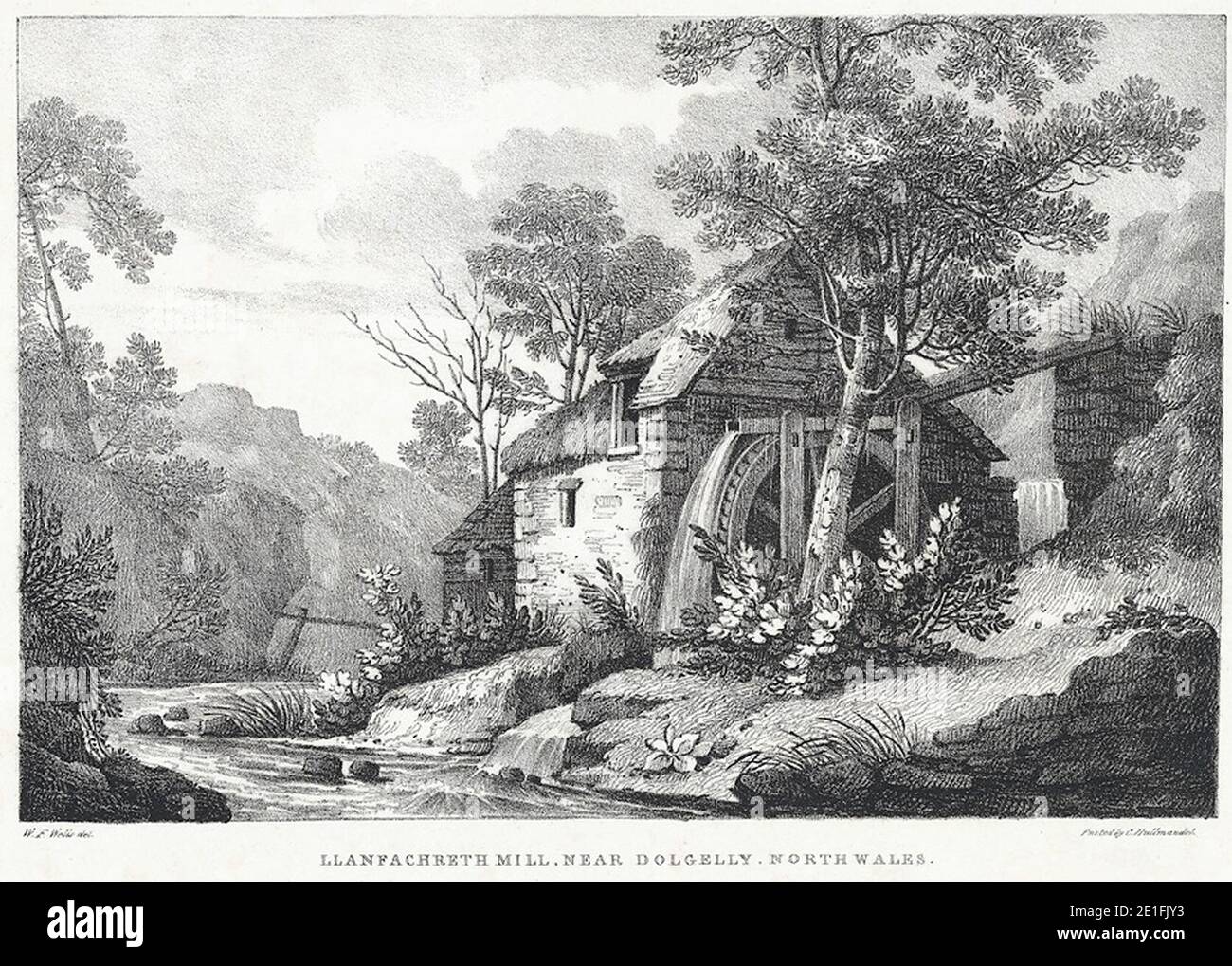 Llanfachreth Mill, near Dollgelly, North Wales. Stock Photohttps://www.alamy.com/image-license-details/?v=1https://www.alamy.com/llanfachreth-mill-near-dollgelly-north-wales-image396797271.html
RM2E1FJY3–Llanfachreth Mill, near Dollgelly, North Wales.
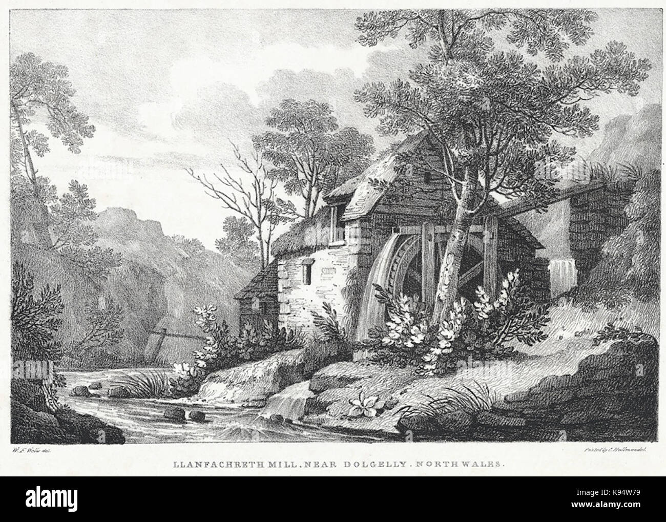 Llanfachreth Mill, near Dollgelly, North Wales Stock Photohttps://www.alamy.com/image-license-details/?v=1https://www.alamy.com/stock-image-llanfachreth-mill-near-dollgelly-north-wales-160532829.html
RMK94W79–Llanfachreth Mill, near Dollgelly, North Wales
 Foel Offrwm, viewed from just above the village of Llanfachreth, Snowdonia. There are remains of an old hillfort on the summit. Stock Photohttps://www.alamy.com/image-license-details/?v=1https://www.alamy.com/foel-offrwm-viewed-from-just-above-the-village-of-llanfachreth-snowdonia-there-are-remains-of-an-old-hillfort-on-the-summit-image433914257.html
RF2G5XE1N–Foel Offrwm, viewed from just above the village of Llanfachreth, Snowdonia. There are remains of an old hillfort on the summit.
 Waterfall at Torrent Walk, Brithdir near Dolgellau, Gwynedd Stock Photohttps://www.alamy.com/image-license-details/?v=1https://www.alamy.com/stock-photo-waterfall-at-torrent-walk-brithdir-near-dolgellau-gwynedd-72456957.html
RME5TKGD–Waterfall at Torrent Walk, Brithdir near Dolgellau, Gwynedd
 Llanfachreth, Gwynedd, GB, United Kingdom, Wales, N 52 47' 6'', S 3 51' 4'', map, Cartascapes Map published in 2024. Explore Cartascapes, a map revealing Earth's diverse landscapes, cultures, and ecosystems. Journey through time and space, discovering the interconnectedness of our planet's past, present, and future. Stock Photohttps://www.alamy.com/image-license-details/?v=1https://www.alamy.com/llanfachreth-gwynedd-gb-united-kingdom-wales-n-52-47-6-s-3-51-4-map-cartascapes-map-published-in-2024-explore-cartascapes-a-map-revealing-earths-diverse-landscapes-cultures-and-ecosystems-journey-through-time-and-space-discovering-the-interconnectedness-of-our-planets-past-present-and-future-image604161431.html
RM2X2WX1Y–Llanfachreth, Gwynedd, GB, United Kingdom, Wales, N 52 47' 6'', S 3 51' 4'', map, Cartascapes Map published in 2024. Explore Cartascapes, a map revealing Earth's diverse landscapes, cultures, and ecosystems. Journey through time and space, discovering the interconnectedness of our planet's past, present, and future.
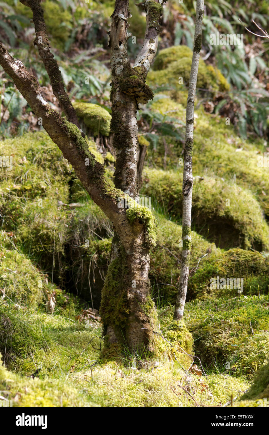 View from the Path at Torrent Walk, Brithdir near Dolgellau, Gwynedd Stock Photohttps://www.alamy.com/image-license-details/?v=1https://www.alamy.com/stock-photo-view-from-the-path-at-torrent-walk-brithdir-near-dolgellau-gwynedd-72456970.html
RME5TKGX–View from the Path at Torrent Walk, Brithdir near Dolgellau, Gwynedd
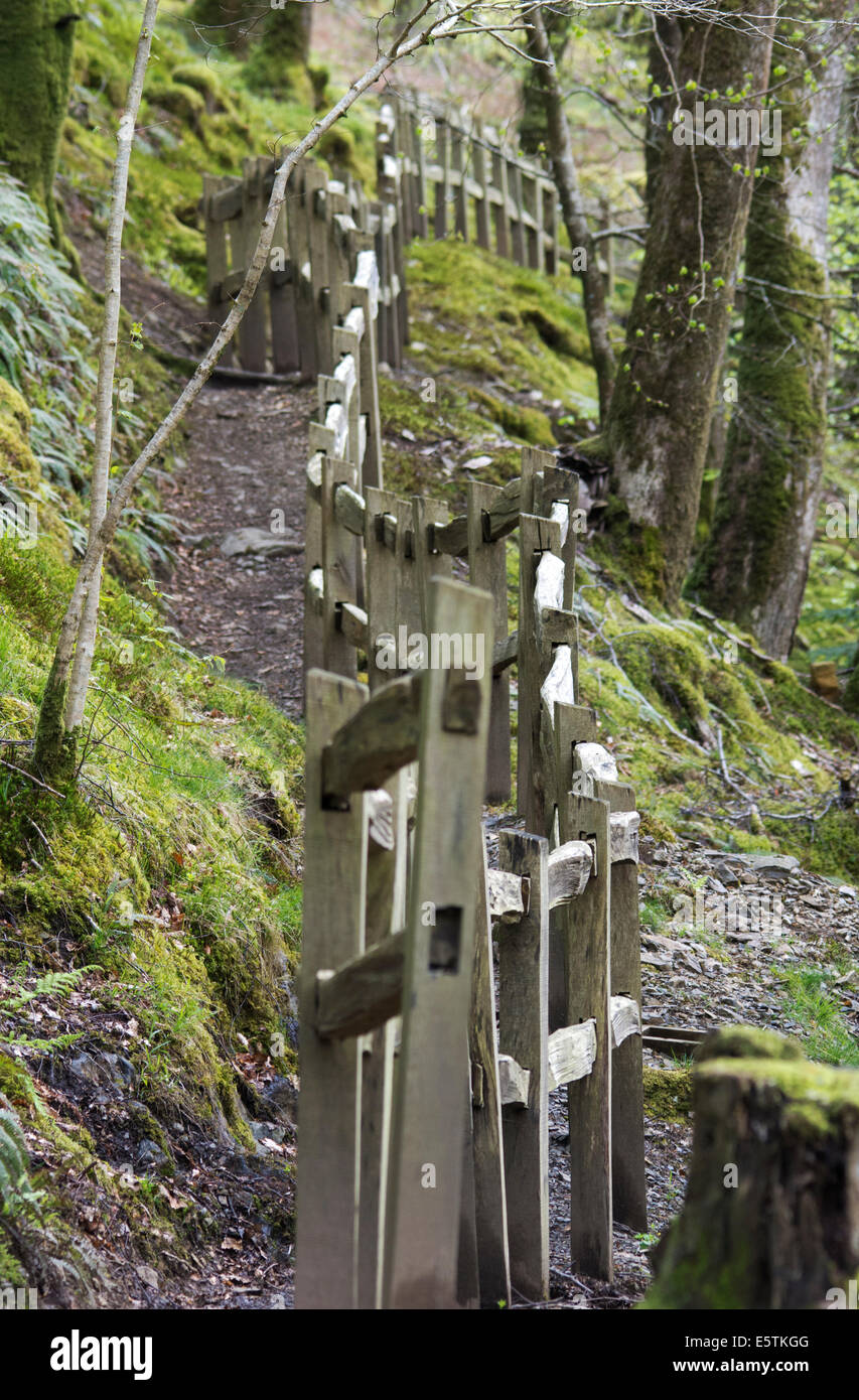 Path at Torrent Walk, Brithdir near Dolgellau, Gwynedd Stock Photohttps://www.alamy.com/image-license-details/?v=1https://www.alamy.com/stock-photo-path-at-torrent-walk-brithdir-near-dolgellau-gwynedd-72456960.html
RME5TKGG–Path at Torrent Walk, Brithdir near Dolgellau, Gwynedd

