Lockport map Cut Out Stock Images
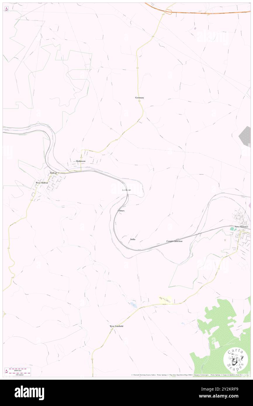 Lockport, Westmoreland County, US, United States, Pennsylvania, N 40 23' 30'', S 79 7' 19'', map, Cartascapes Map published in 2024. Explore Cartascapes, a map revealing Earth's diverse landscapes, cultures, and ecosystems. Journey through time and space, discovering the interconnectedness of our planet's past, present, and future. Stock Photohttps://www.alamy.com/image-license-details/?v=1https://www.alamy.com/lockport-westmoreland-county-us-united-states-pennsylvania-n-40-23-30-s-79-7-19-map-cartascapes-map-published-in-2024-explore-cartascapes-a-map-revealing-earths-diverse-landscapes-cultures-and-ecosystems-journey-through-time-and-space-discovering-the-interconnectedness-of-our-planets-past-present-and-future-image621238109.html
RM2Y2KRF9–Lockport, Westmoreland County, US, United States, Pennsylvania, N 40 23' 30'', S 79 7' 19'', map, Cartascapes Map published in 2024. Explore Cartascapes, a map revealing Earth's diverse landscapes, cultures, and ecosystems. Journey through time and space, discovering the interconnectedness of our planet's past, present, and future.
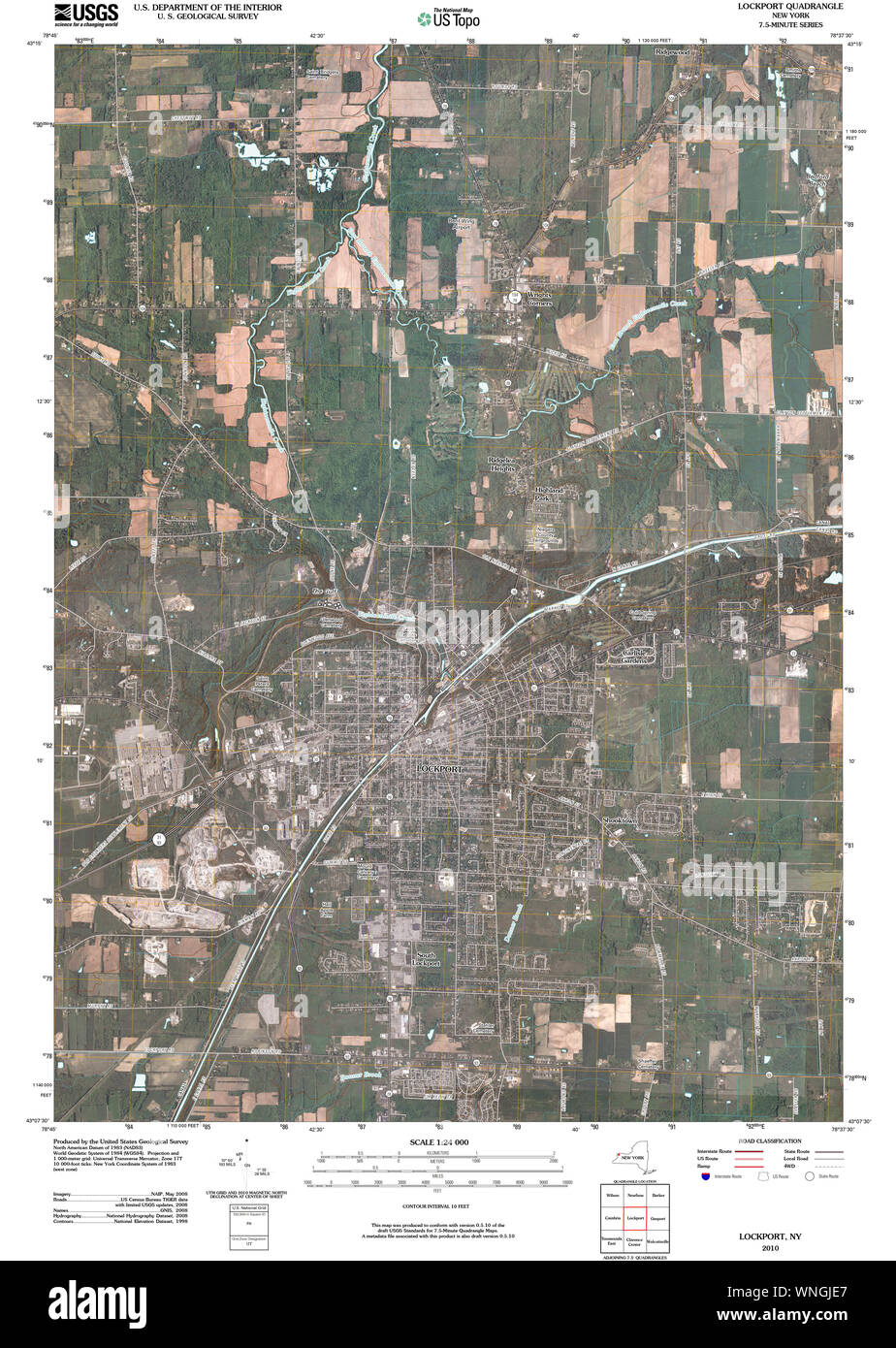 New York NY Lockport 20100213 TM Restoration Stock Photohttps://www.alamy.com/image-license-details/?v=1https://www.alamy.com/new-york-ny-lockport-20100213-tm-restoration-image271429039.html
RMWNGJE7–New York NY Lockport 20100213 TM Restoration
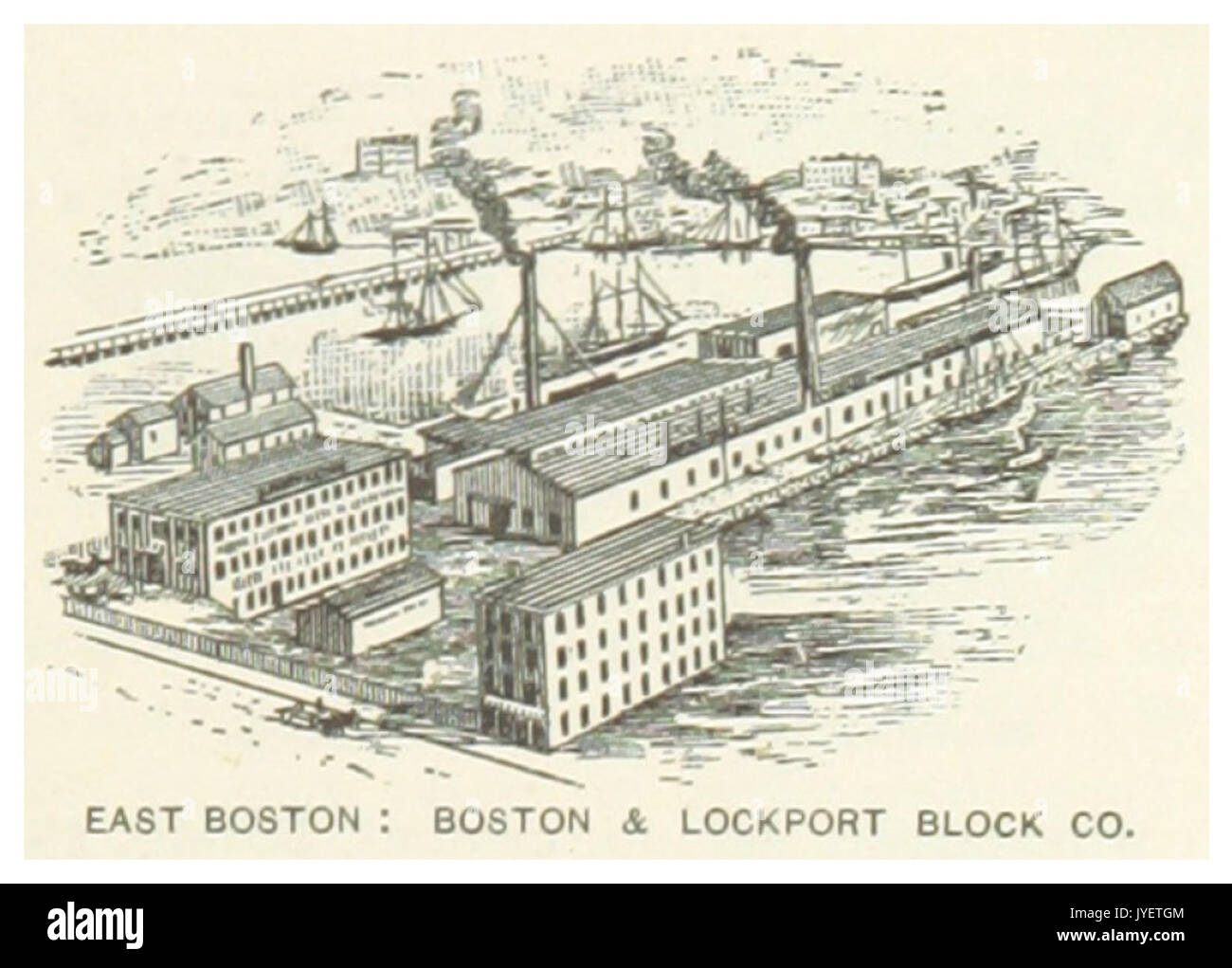 US MA(1891) p399 EAST BOSTON, BOSTON & LOCKPORT BLOCK COMPANY Stock Photohttps://www.alamy.com/image-license-details/?v=1https://www.alamy.com/us-ma1891-p399-east-boston-boston-lockport-block-company-image154605268.html
RMJYETGM–US MA(1891) p399 EAST BOSTON, BOSTON & LOCKPORT BLOCK COMPANY
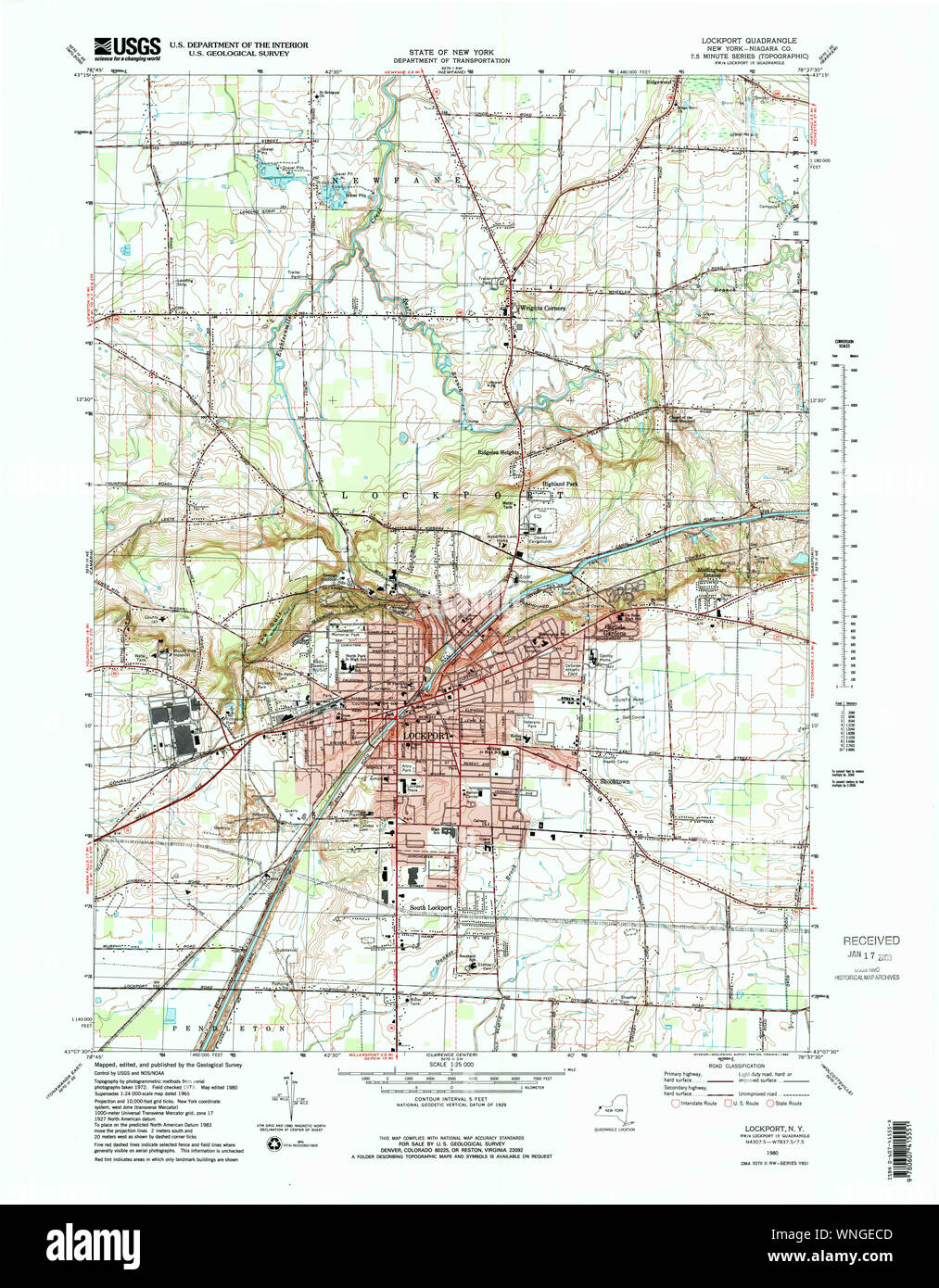 New York NY Lockport 137369 1980 25000 Restoration Stock Photohttps://www.alamy.com/image-license-details/?v=1https://www.alamy.com/new-york-ny-lockport-137369-1980-25000-restoration-image271425853.html
RMWNGECD–New York NY Lockport 137369 1980 25000 Restoration
 US-NY(1891) p638 LOCKPORT, ERIE-CANAL LOCKS Stock Photohttps://www.alamy.com/image-license-details/?v=1https://www.alamy.com/stock-photo-us-ny1891-p638-lockport-erie-canal-locks-73672539.html
RME7T223–US-NY(1891) p638 LOCKPORT, ERIE-CANAL LOCKS
 Niagara County, New York State (U.S. county, United States of America, USA, U.S., US) map vector illustration, scribble sketch Niagara map Stock Vectorhttps://www.alamy.com/image-license-details/?v=1https://www.alamy.com/niagara-county-new-york-state-us-county-united-states-of-america-usa-us-us-map-vector-illustration-scribble-sketch-niagara-map-image400651343.html
RF2E7R6TF–Niagara County, New York State (U.S. county, United States of America, USA, U.S., US) map vector illustration, scribble sketch Niagara map
 Lockport, Will County, US, United States, Illinois, N 41 35' 22'', S 88 3' 28'', map, Cartascapes Map published in 2024. Explore Cartascapes, a map revealing Earth's diverse landscapes, cultures, and ecosystems. Journey through time and space, discovering the interconnectedness of our planet's past, present, and future. Stock Photohttps://www.alamy.com/image-license-details/?v=1https://www.alamy.com/lockport-will-county-us-united-states-illinois-n-41-35-22-s-88-3-28-map-cartascapes-map-published-in-2024-explore-cartascapes-a-map-revealing-earths-diverse-landscapes-cultures-and-ecosystems-journey-through-time-and-space-discovering-the-interconnectedness-of-our-planets-past-present-and-future-image621202517.html
RM2Y2J645–Lockport, Will County, US, United States, Illinois, N 41 35' 22'', S 88 3' 28'', map, Cartascapes Map published in 2024. Explore Cartascapes, a map revealing Earth's diverse landscapes, cultures, and ecosystems. Journey through time and space, discovering the interconnectedness of our planet's past, present, and future.
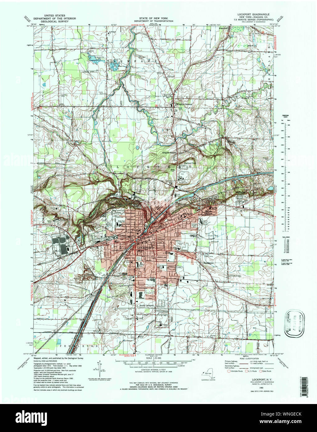 New York NY Lockport 137368 1980 25000 Restoration Stock Photohttps://www.alamy.com/image-license-details/?v=1https://www.alamy.com/new-york-ny-lockport-137368-1980-25000-restoration-image271425859.html
RMWNGECK–New York NY Lockport 137368 1980 25000 Restoration
 US-NY(1891) p638 LOCKPORT, ERIE-CANAL LOCKS Stock Photohttps://www.alamy.com/image-license-details/?v=1https://www.alamy.com/stock-photo-us-ny1891-p638-lockport-erie-canal-locks-75599135.html
RMEAYRD3–US-NY(1891) p638 LOCKPORT, ERIE-CANAL LOCKS
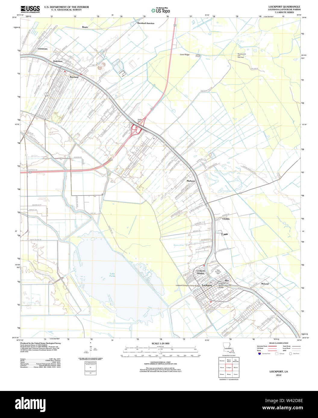 USGS TOPO Map Louisiana LA Lockport 20120326 TM Stock Photohttps://www.alamy.com/image-license-details/?v=1https://www.alamy.com/usgs-topo-map-louisiana-la-lockport-20120326-tm-image260668478.html
RMW42D8E–USGS TOPO Map Louisiana LA Lockport 20120326 TM
 Niagara County, New York State (U.S. county, United States of America, USA, U.S., US) map vector illustration, scribble sketch Niagara map Stock Vectorhttps://www.alamy.com/image-license-details/?v=1https://www.alamy.com/niagara-county-new-york-state-us-county-united-states-of-america-usa-us-us-map-vector-illustration-scribble-sketch-niagara-map-image403773984.html
RF2ECWDRC–Niagara County, New York State (U.S. county, United States of America, USA, U.S., US) map vector illustration, scribble sketch Niagara map
 Lockport, Midland County, US, United States, Michigan, N 43 31' 29'', S 84 14' 57'', map, Cartascapes Map published in 2024. Explore Cartascapes, a map revealing Earth's diverse landscapes, cultures, and ecosystems. Journey through time and space, discovering the interconnectedness of our planet's past, present, and future. Stock Photohttps://www.alamy.com/image-license-details/?v=1https://www.alamy.com/lockport-midland-county-us-united-states-michigan-n-43-31-29-s-84-14-57-map-cartascapes-map-published-in-2024-explore-cartascapes-a-map-revealing-earths-diverse-landscapes-cultures-and-ecosystems-journey-through-time-and-space-discovering-the-interconnectedness-of-our-planets-past-present-and-future-image621353731.html
RM2Y2W30K–Lockport, Midland County, US, United States, Michigan, N 43 31' 29'', S 84 14' 57'', map, Cartascapes Map published in 2024. Explore Cartascapes, a map revealing Earth's diverse landscapes, cultures, and ecosystems. Journey through time and space, discovering the interconnectedness of our planet's past, present, and future.
 US-NY(1891) p638 LOCKPORT, ERIE-CANAL LOCKS Stock Photohttps://www.alamy.com/image-license-details/?v=1https://www.alamy.com/stock-photo-us-ny1891-p638-lockport-erie-canal-locks-74959042.html
RME9XK0J–US-NY(1891) p638 LOCKPORT, ERIE-CANAL LOCKS
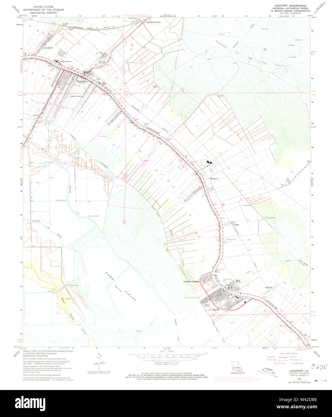 USGS TOPO Map Louisiana LA Lockport 332618 1963 24000 Stock Photohttps://www.alamy.com/image-license-details/?v=1https://www.alamy.com/usgs-topo-map-louisiana-la-lockport-332618-1963-24000-image260668562.html
RMW42DBE–USGS TOPO Map Louisiana LA Lockport 332618 1963 24000
 Niagara County, New York State (U.S. county, United States of America, USA, U.S., US) map vector illustration, scribble sketch Niagara map Stock Vectorhttps://www.alamy.com/image-license-details/?v=1https://www.alamy.com/niagara-county-new-york-state-us-county-united-states-of-america-usa-us-us-map-vector-illustration-scribble-sketch-niagara-map-image384140149.html
RF2D8Y2K1–Niagara County, New York State (U.S. county, United States of America, USA, U.S., US) map vector illustration, scribble sketch Niagara map
 Lockport, Will County, US, United States, Illinois, N 41 35' 22'', S 88 3' 28'', map, Cartascapes Map published in 2024. Explore Cartascapes, a map revealing Earth's diverse landscapes, cultures, and ecosystems. Journey through time and space, discovering the interconnectedness of our planet's past, present, and future. Stock Photohttps://www.alamy.com/image-license-details/?v=1https://www.alamy.com/lockport-will-county-us-united-states-illinois-n-41-35-22-s-88-3-28-map-cartascapes-map-published-in-2024-explore-cartascapes-a-map-revealing-earths-diverse-landscapes-cultures-and-ecosystems-journey-through-time-and-space-discovering-the-interconnectedness-of-our-planets-past-present-and-future-image621368414.html
RM2Y2WNN2–Lockport, Will County, US, United States, Illinois, N 41 35' 22'', S 88 3' 28'', map, Cartascapes Map published in 2024. Explore Cartascapes, a map revealing Earth's diverse landscapes, cultures, and ecosystems. Journey through time and space, discovering the interconnectedness of our planet's past, present, and future.
 US-MA(1891) p399 EAST BOSTON, BOSTON & LOCKPORT BLOCK COMPANY Stock Photohttps://www.alamy.com/image-license-details/?v=1https://www.alamy.com/stock-photo-us-ma1891-p399-east-boston-boston-lockport-block-company-73669227.html
RME7RWRR–US-MA(1891) p399 EAST BOSTON, BOSTON & LOCKPORT BLOCK COMPANY
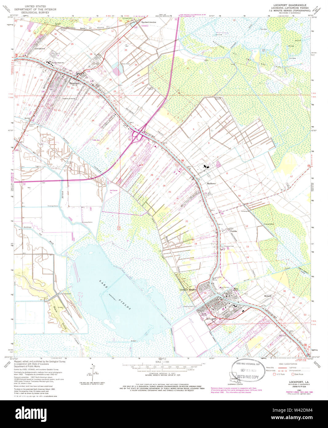 USGS TOPO Map Louisiana LA Lockport 332619 1963 24000 Stock Photohttps://www.alamy.com/image-license-details/?v=1https://www.alamy.com/usgs-topo-map-louisiana-la-lockport-332619-1963-24000-image260668804.html
RMW42DM4–USGS TOPO Map Louisiana LA Lockport 332619 1963 24000
 Lockport, York County, US, United States, Pennsylvania, N 39 54' 56'', S 76 24' 21'', map, Cartascapes Map published in 2024. Explore Cartascapes, a map revealing Earth's diverse landscapes, cultures, and ecosystems. Journey through time and space, discovering the interconnectedness of our planet's past, present, and future. Stock Photohttps://www.alamy.com/image-license-details/?v=1https://www.alamy.com/lockport-york-county-us-united-states-pennsylvania-n-39-54-56-s-76-24-21-map-cartascapes-map-published-in-2024-explore-cartascapes-a-map-revealing-earths-diverse-landscapes-cultures-and-ecosystems-journey-through-time-and-space-discovering-the-interconnectedness-of-our-planets-past-present-and-future-image621348950.html
RM2Y2TTWX–Lockport, York County, US, United States, Pennsylvania, N 39 54' 56'', S 76 24' 21'', map, Cartascapes Map published in 2024. Explore Cartascapes, a map revealing Earth's diverse landscapes, cultures, and ecosystems. Journey through time and space, discovering the interconnectedness of our planet's past, present, and future.
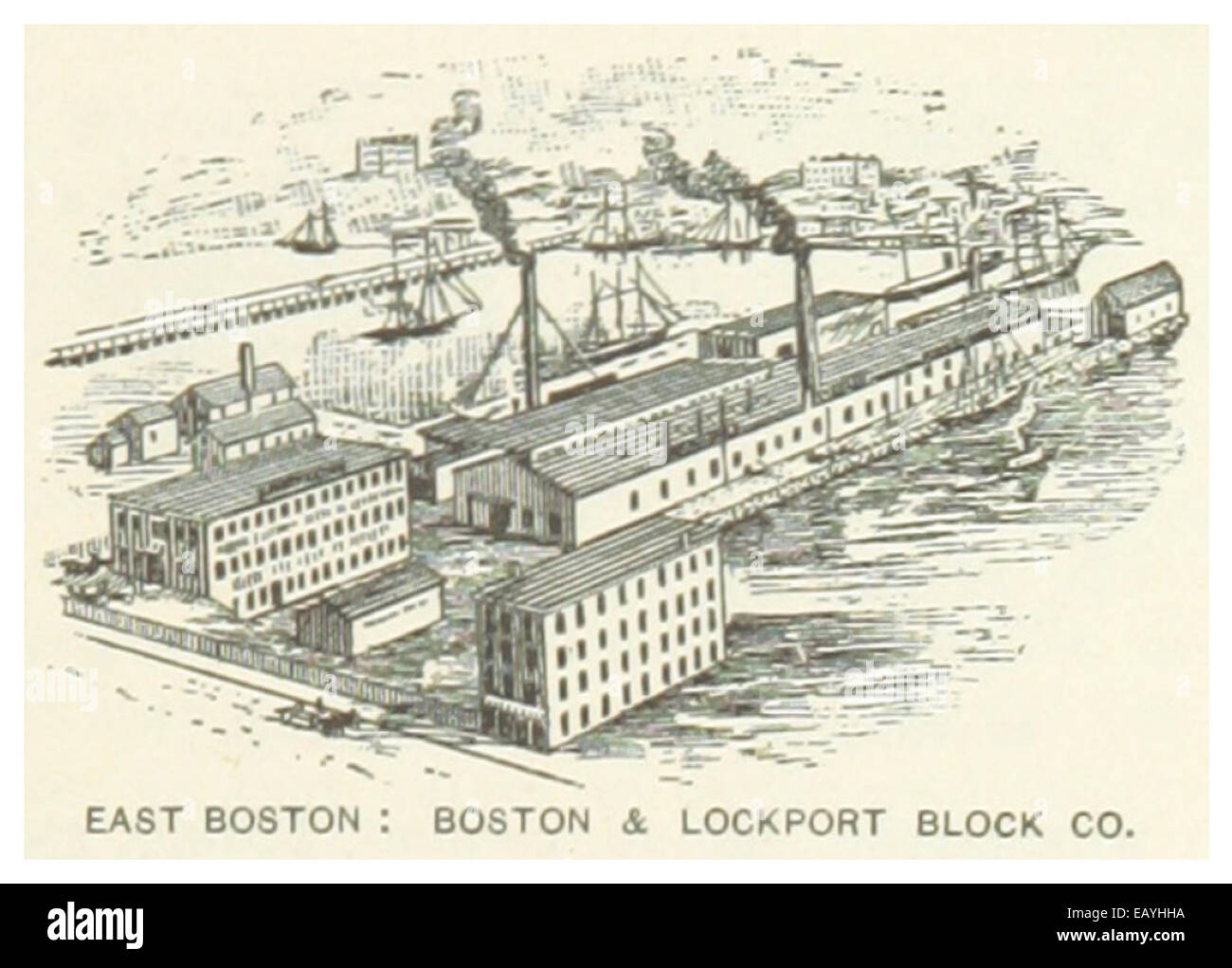 US-MA(1891) p399 EAST BOSTON, BOSTON & LOCKPORT BLOCK COMPANY Stock Photohttps://www.alamy.com/image-license-details/?v=1https://www.alamy.com/stock-photo-us-ma1891-p399-east-boston-boston-lockport-block-company-75594550.html
RMEAYHHA–US-MA(1891) p399 EAST BOSTON, BOSTON & LOCKPORT BLOCK COMPANY
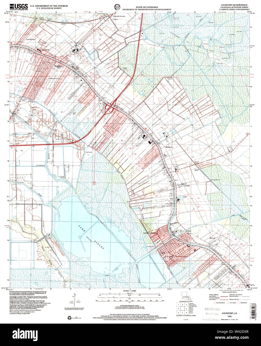 USGS TOPO Map Louisiana LA Lockport 332621 1998 24000 Stock Photohttps://www.alamy.com/image-license-details/?v=1https://www.alamy.com/usgs-topo-map-louisiana-la-lockport-332621-1998-24000-image260668991.html
RMW42DXR–USGS TOPO Map Louisiana LA Lockport 332621 1998 24000
 Lockport, Henry County, US, United States, Kentucky, N 38 26' 9'', S 84 58' 1'', map, Cartascapes Map published in 2024. Explore Cartascapes, a map revealing Earth's diverse landscapes, cultures, and ecosystems. Journey through time and space, discovering the interconnectedness of our planet's past, present, and future. Stock Photohttps://www.alamy.com/image-license-details/?v=1https://www.alamy.com/lockport-henry-county-us-united-states-kentucky-n-38-26-9-s-84-58-1-map-cartascapes-map-published-in-2024-explore-cartascapes-a-map-revealing-earths-diverse-landscapes-cultures-and-ecosystems-journey-through-time-and-space-discovering-the-interconnectedness-of-our-planets-past-present-and-future-image621473283.html
RM2Y32FEB–Lockport, Henry County, US, United States, Kentucky, N 38 26' 9'', S 84 58' 1'', map, Cartascapes Map published in 2024. Explore Cartascapes, a map revealing Earth's diverse landscapes, cultures, and ecosystems. Journey through time and space, discovering the interconnectedness of our planet's past, present, and future.
 US-MA(1891) p399 EAST BOSTON, BOSTON & LOCKPORT BLOCK COMPANY Stock Photohttps://www.alamy.com/image-license-details/?v=1https://www.alamy.com/stock-photo-us-ma1891-p399-east-boston-boston-lockport-block-company-74955929.html
RME9XF1D–US-MA(1891) p399 EAST BOSTON, BOSTON & LOCKPORT BLOCK COMPANY
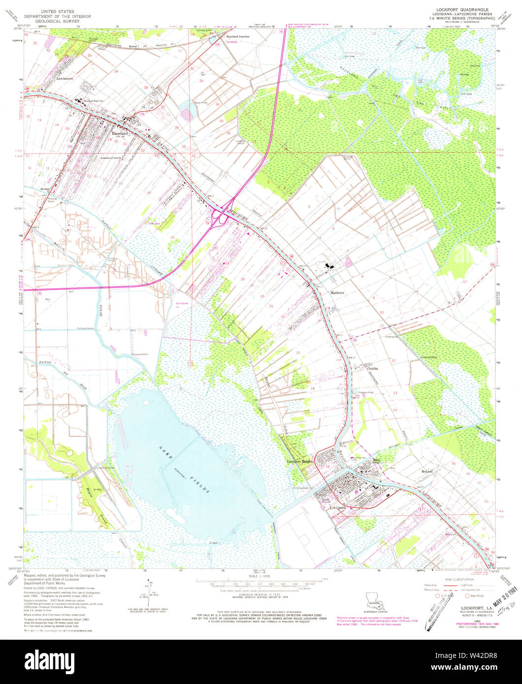 USGS TOPO Map Louisiana LA Lockport 332620 1963 24000 Stock Photohttps://www.alamy.com/image-license-details/?v=1https://www.alamy.com/usgs-topo-map-louisiana-la-lockport-332620-1963-24000-image260668892.html
RMW42DR8–USGS TOPO Map Louisiana LA Lockport 332620 1963 24000
 Lockport Heights, Lafourche Parish, US, United States, Louisiana, N 29 39' 1'', S 90 32' 47'', map, Cartascapes Map published in 2024. Explore Cartascapes, a map revealing Earth's diverse landscapes, cultures, and ecosystems. Journey through time and space, discovering the interconnectedness of our planet's past, present, and future. Stock Photohttps://www.alamy.com/image-license-details/?v=1https://www.alamy.com/lockport-heights-lafourche-parish-us-united-states-louisiana-n-29-39-1-s-90-32-47-map-cartascapes-map-published-in-2024-explore-cartascapes-a-map-revealing-earths-diverse-landscapes-cultures-and-ecosystems-journey-through-time-and-space-discovering-the-interconnectedness-of-our-planets-past-present-and-future-image621212191.html
RM2Y2JJDK–Lockport Heights, Lafourche Parish, US, United States, Louisiana, N 29 39' 1'', S 90 32' 47'', map, Cartascapes Map published in 2024. Explore Cartascapes, a map revealing Earth's diverse landscapes, cultures, and ecosystems. Journey through time and space, discovering the interconnectedness of our planet's past, present, and future.
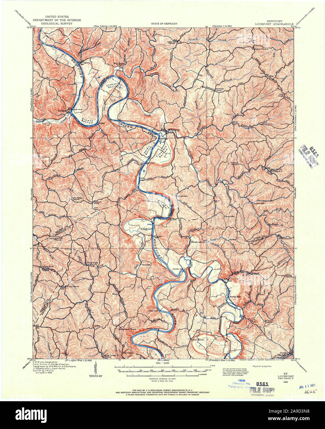 USGS TOPO Map Kentucky KY Lockport 803715 1906 62500 Stock Photohttps://www.alamy.com/image-license-details/?v=1https://www.alamy.com/usgs-topo-map-kentucky-ky-lockport-803715-1906-62500-image332817220.html
RM2A9D3N8–USGS TOPO Map Kentucky KY Lockport 803715 1906 62500
 Lockport Junction, Niagara County, US, United States, New York, N 43 9' 27'', S 78 45' 17'', map, Cartascapes Map published in 2024. Explore Cartascapes, a map revealing Earth's diverse landscapes, cultures, and ecosystems. Journey through time and space, discovering the interconnectedness of our planet's past, present, and future. Stock Photohttps://www.alamy.com/image-license-details/?v=1https://www.alamy.com/lockport-junction-niagara-county-us-united-states-new-york-n-43-9-27-s-78-45-17-map-cartascapes-map-published-in-2024-explore-cartascapes-a-map-revealing-earths-diverse-landscapes-cultures-and-ecosystems-journey-through-time-and-space-discovering-the-interconnectedness-of-our-planets-past-present-and-future-image621460254.html
RM2Y31XW2–Lockport Junction, Niagara County, US, United States, New York, N 43 9' 27'', S 78 45' 17'', map, Cartascapes Map published in 2024. Explore Cartascapes, a map revealing Earth's diverse landscapes, cultures, and ecosystems. Journey through time and space, discovering the interconnectedness of our planet's past, present, and future.
 Lockport, Lafourche Parish, US, United States, Louisiana, N 29 38' 45'', S 90 32' 21'', map, Cartascapes Map published in 2024. Explore Cartascapes, a map revealing Earth's diverse landscapes, cultures, and ecosystems. Journey through time and space, discovering the interconnectedness of our planet's past, present, and future. Stock Photohttps://www.alamy.com/image-license-details/?v=1https://www.alamy.com/lockport-lafourche-parish-us-united-states-louisiana-n-29-38-45-s-90-32-21-map-cartascapes-map-published-in-2024-explore-cartascapes-a-map-revealing-earths-diverse-landscapes-cultures-and-ecosystems-journey-through-time-and-space-discovering-the-interconnectedness-of-our-planets-past-present-and-future-image620790969.html
RM2Y1YD61–Lockport, Lafourche Parish, US, United States, Louisiana, N 29 38' 45'', S 90 32' 21'', map, Cartascapes Map published in 2024. Explore Cartascapes, a map revealing Earth's diverse landscapes, cultures, and ecosystems. Journey through time and space, discovering the interconnectedness of our planet's past, present, and future.
 Lockport, Clinton County, US, United States, Pennsylvania, N 41 8' 27'', S 77 26' 26'', map, Cartascapes Map published in 2024. Explore Cartascapes, a map revealing Earth's diverse landscapes, cultures, and ecosystems. Journey through time and space, discovering the interconnectedness of our planet's past, present, and future. Stock Photohttps://www.alamy.com/image-license-details/?v=1https://www.alamy.com/lockport-clinton-county-us-united-states-pennsylvania-n-41-8-27-s-77-26-26-map-cartascapes-map-published-in-2024-explore-cartascapes-a-map-revealing-earths-diverse-landscapes-cultures-and-ecosystems-journey-through-time-and-space-discovering-the-interconnectedness-of-our-planets-past-present-and-future-image620710908.html
RM2Y1RR2M–Lockport, Clinton County, US, United States, Pennsylvania, N 41 8' 27'', S 77 26' 26'', map, Cartascapes Map published in 2024. Explore Cartascapes, a map revealing Earth's diverse landscapes, cultures, and ecosystems. Journey through time and space, discovering the interconnectedness of our planet's past, present, and future.
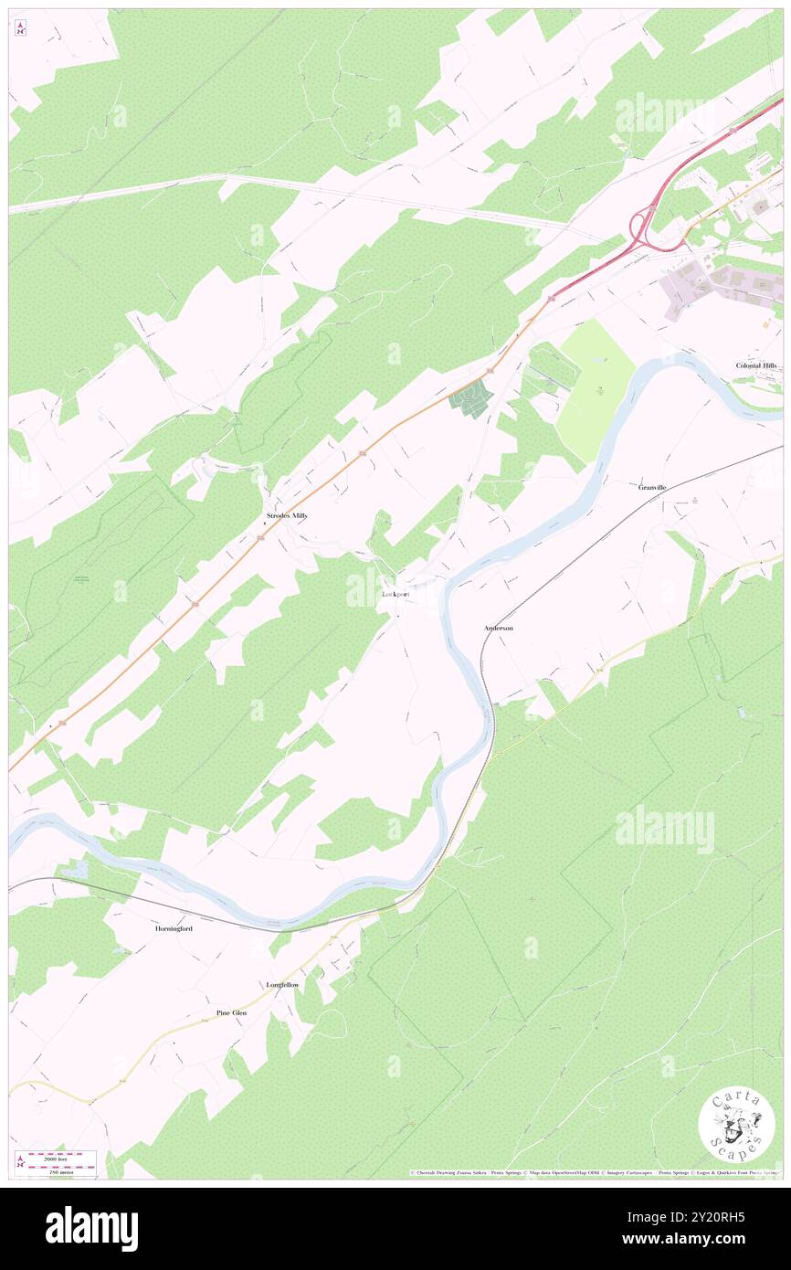 Lockport, Mifflin County, US, United States, Pennsylvania, N 40 32' 35'', S 77 39' 31'', map, Cartascapes Map published in 2024. Explore Cartascapes, a map revealing Earth's diverse landscapes, cultures, and ecosystems. Journey through time and space, discovering the interconnectedness of our planet's past, present, and future. Stock Photohttps://www.alamy.com/image-license-details/?v=1https://www.alamy.com/lockport-mifflin-county-us-united-states-pennsylvania-n-40-32-35-s-77-39-31-map-cartascapes-map-published-in-2024-explore-cartascapes-a-map-revealing-earths-diverse-landscapes-cultures-and-ecosystems-journey-through-time-and-space-discovering-the-interconnectedness-of-our-planets-past-present-and-future-image620821073.html
RM2Y20RH5–Lockport, Mifflin County, US, United States, Pennsylvania, N 40 32' 35'', S 77 39' 31'', map, Cartascapes Map published in 2024. Explore Cartascapes, a map revealing Earth's diverse landscapes, cultures, and ecosystems. Journey through time and space, discovering the interconnectedness of our planet's past, present, and future.
 Lockport, Lafourche Parish, US, United States, Louisiana, N 29 38' 45'', S 90 32' 21'', map, Cartascapes Map published in 2024. Explore Cartascapes, a map revealing Earth's diverse landscapes, cultures, and ecosystems. Journey through time and space, discovering the interconnectedness of our planet's past, present, and future. Stock Photohttps://www.alamy.com/image-license-details/?v=1https://www.alamy.com/lockport-lafourche-parish-us-united-states-louisiana-n-29-38-45-s-90-32-21-map-cartascapes-map-published-in-2024-explore-cartascapes-a-map-revealing-earths-diverse-landscapes-cultures-and-ecosystems-journey-through-time-and-space-discovering-the-interconnectedness-of-our-planets-past-present-and-future-image620674478.html
RM2Y1P4HJ–Lockport, Lafourche Parish, US, United States, Louisiana, N 29 38' 45'', S 90 32' 21'', map, Cartascapes Map published in 2024. Explore Cartascapes, a map revealing Earth's diverse landscapes, cultures, and ecosystems. Journey through time and space, discovering the interconnectedness of our planet's past, present, and future.
 Lockport, Carroll County, US, United States, Indiana, N 40 41' 57'', S 86 34' 25'', map, Cartascapes Map published in 2024. Explore Cartascapes, a map revealing Earth's diverse landscapes, cultures, and ecosystems. Journey through time and space, discovering the interconnectedness of our planet's past, present, and future. Stock Photohttps://www.alamy.com/image-license-details/?v=1https://www.alamy.com/lockport-carroll-county-us-united-states-indiana-n-40-41-57-s-86-34-25-map-cartascapes-map-published-in-2024-explore-cartascapes-a-map-revealing-earths-diverse-landscapes-cultures-and-ecosystems-journey-through-time-and-space-discovering-the-interconnectedness-of-our-planets-past-present-and-future-image620716013.html
RM2Y1T1H1–Lockport, Carroll County, US, United States, Indiana, N 40 41' 57'', S 86 34' 25'', map, Cartascapes Map published in 2024. Explore Cartascapes, a map revealing Earth's diverse landscapes, cultures, and ecosystems. Journey through time and space, discovering the interconnectedness of our planet's past, present, and future.
 Lockport, Northampton County, US, United States, Pennsylvania, N 40 44' 12'', S 75 34' 25'', map, Cartascapes Map published in 2024. Explore Cartascapes, a map revealing Earth's diverse landscapes, cultures, and ecosystems. Journey through time and space, discovering the interconnectedness of our planet's past, present, and future. Stock Photohttps://www.alamy.com/image-license-details/?v=1https://www.alamy.com/lockport-northampton-county-us-united-states-pennsylvania-n-40-44-12-s-75-34-25-map-cartascapes-map-published-in-2024-explore-cartascapes-a-map-revealing-earths-diverse-landscapes-cultures-and-ecosystems-journey-through-time-and-space-discovering-the-interconnectedness-of-our-planets-past-present-and-future-image620792002.html
RM2Y1YEEX–Lockport, Northampton County, US, United States, Pennsylvania, N 40 44' 12'', S 75 34' 25'', map, Cartascapes Map published in 2024. Explore Cartascapes, a map revealing Earth's diverse landscapes, cultures, and ecosystems. Journey through time and space, discovering the interconnectedness of our planet's past, present, and future.
 Township of Lockport, Saint Joseph County, US, United States, Michigan, N 41 56' 23'', S 85 34' 55'', map, Cartascapes Map published in 2024. Explore Cartascapes, a map revealing Earth's diverse landscapes, cultures, and ecosystems. Journey through time and space, discovering the interconnectedness of our planet's past, present, and future. Stock Photohttps://www.alamy.com/image-license-details/?v=1https://www.alamy.com/township-of-lockport-saint-joseph-county-us-united-states-michigan-n-41-56-23-s-85-34-55-map-cartascapes-map-published-in-2024-explore-cartascapes-a-map-revealing-earths-diverse-landscapes-cultures-and-ecosystems-journey-through-time-and-space-discovering-the-interconnectedness-of-our-planets-past-present-and-future-image633858603.html
RM2YR6N37–Township of Lockport, Saint Joseph County, US, United States, Michigan, N 41 56' 23'', S 85 34' 55'', map, Cartascapes Map published in 2024. Explore Cartascapes, a map revealing Earth's diverse landscapes, cultures, and ecosystems. Journey through time and space, discovering the interconnectedness of our planet's past, present, and future.
 City of Lockport, Will County, US, United States, Illinois, N 41 35' 22'', S 88 1' 44'', map, Cartascapes Map published in 2024. Explore Cartascapes, a map revealing Earth's diverse landscapes, cultures, and ecosystems. Journey through time and space, discovering the interconnectedness of our planet's past, present, and future. Stock Photohttps://www.alamy.com/image-license-details/?v=1https://www.alamy.com/city-of-lockport-will-county-us-united-states-illinois-n-41-35-22-s-88-1-44-map-cartascapes-map-published-in-2024-explore-cartascapes-a-map-revealing-earths-diverse-landscapes-cultures-and-ecosystems-journey-through-time-and-space-discovering-the-interconnectedness-of-our-planets-past-present-and-future-image633879637.html
RM2YR7KXD–City of Lockport, Will County, US, United States, Illinois, N 41 35' 22'', S 88 1' 44'', map, Cartascapes Map published in 2024. Explore Cartascapes, a map revealing Earth's diverse landscapes, cultures, and ecosystems. Journey through time and space, discovering the interconnectedness of our planet's past, present, and future.
 Township of Lockport, Will County, US, United States, Illinois, N 41 35' 46'', S 88 5' 5'', map, Cartascapes Map published in 2024. Explore Cartascapes, a map revealing Earth's diverse landscapes, cultures, and ecosystems. Journey through time and space, discovering the interconnectedness of our planet's past, present, and future. Stock Photohttps://www.alamy.com/image-license-details/?v=1https://www.alamy.com/township-of-lockport-will-county-us-united-states-illinois-n-41-35-46-s-88-5-5-map-cartascapes-map-published-in-2024-explore-cartascapes-a-map-revealing-earths-diverse-landscapes-cultures-and-ecosystems-journey-through-time-and-space-discovering-the-interconnectedness-of-our-planets-past-present-and-future-image633779390.html
RM2YR3426–Township of Lockport, Will County, US, United States, Illinois, N 41 35' 46'', S 88 5' 5'', map, Cartascapes Map published in 2024. Explore Cartascapes, a map revealing Earth's diverse landscapes, cultures, and ecosystems. Journey through time and space, discovering the interconnectedness of our planet's past, present, and future.
 South Lockport, Niagara County, US, United States, New York, N 43 9' 0'', S 78 41' 48'', map, Cartascapes Map published in 2024. Explore Cartascapes, a map revealing Earth's diverse landscapes, cultures, and ecosystems. Journey through time and space, discovering the interconnectedness of our planet's past, present, and future. Stock Photohttps://www.alamy.com/image-license-details/?v=1https://www.alamy.com/south-lockport-niagara-county-us-united-states-new-york-n-43-9-0-s-78-41-48-map-cartascapes-map-published-in-2024-explore-cartascapes-a-map-revealing-earths-diverse-landscapes-cultures-and-ecosystems-journey-through-time-and-space-discovering-the-interconnectedness-of-our-planets-past-present-and-future-image620758161.html
RM2Y1WYA9–South Lockport, Niagara County, US, United States, New York, N 43 9' 0'', S 78 41' 48'', map, Cartascapes Map published in 2024. Explore Cartascapes, a map revealing Earth's diverse landscapes, cultures, and ecosystems. Journey through time and space, discovering the interconnectedness of our planet's past, present, and future.
 Lockport, Niagara County, US, United States, New York, N 43 10' 14'', S 78 41' 25'', map, Cartascapes Map published in 2024. Explore Cartascapes, a map revealing Earth's diverse landscapes, cultures, and ecosystems. Journey through time and space, discovering the interconnectedness of our planet's past, present, and future. Stock Photohttps://www.alamy.com/image-license-details/?v=1https://www.alamy.com/lockport-niagara-county-us-united-states-new-york-n-43-10-14-s-78-41-25-map-cartascapes-map-published-in-2024-explore-cartascapes-a-map-revealing-earths-diverse-landscapes-cultures-and-ecosystems-journey-through-time-and-space-discovering-the-interconnectedness-of-our-planets-past-present-and-future-image620820052.html
RM2Y20P8M–Lockport, Niagara County, US, United States, New York, N 43 10' 14'', S 78 41' 25'', map, Cartascapes Map published in 2024. Explore Cartascapes, a map revealing Earth's diverse landscapes, cultures, and ecosystems. Journey through time and space, discovering the interconnectedness of our planet's past, present, and future.
 Town of Lockport, Niagara County, US, United States, New York, N 43 9' 2'', S 78 39' 6'', map, Cartascapes Map published in 2024. Explore Cartascapes, a map revealing Earth's diverse landscapes, cultures, and ecosystems. Journey through time and space, discovering the interconnectedness of our planet's past, present, and future. Stock Photohttps://www.alamy.com/image-license-details/?v=1https://www.alamy.com/town-of-lockport-niagara-county-us-united-states-new-york-n-43-9-2-s-78-39-6-map-cartascapes-map-published-in-2024-explore-cartascapes-a-map-revealing-earths-diverse-landscapes-cultures-and-ecosystems-journey-through-time-and-space-discovering-the-interconnectedness-of-our-planets-past-present-and-future-image633786114.html
RM2YR3CJA–Town of Lockport, Niagara County, US, United States, New York, N 43 9' 2'', S 78 39' 6'', map, Cartascapes Map published in 2024. Explore Cartascapes, a map revealing Earth's diverse landscapes, cultures, and ecosystems. Journey through time and space, discovering the interconnectedness of our planet's past, present, and future.
 South Lockport, Niagara County, US, United States, New York, N 43 9' 0'', S 78 41' 48'', map, Cartascapes Map published in 2024. Explore Cartascapes, a map revealing Earth's diverse landscapes, cultures, and ecosystems. Journey through time and space, discovering the interconnectedness of our planet's past, present, and future. Stock Photohttps://www.alamy.com/image-license-details/?v=1https://www.alamy.com/south-lockport-niagara-county-us-united-states-new-york-n-43-9-0-s-78-41-48-map-cartascapes-map-published-in-2024-explore-cartascapes-a-map-revealing-earths-diverse-landscapes-cultures-and-ecosystems-journey-through-time-and-space-discovering-the-interconnectedness-of-our-planets-past-present-and-future-image620723257.html
RM2Y1TARN–South Lockport, Niagara County, US, United States, New York, N 43 9' 0'', S 78 41' 48'', map, Cartascapes Map published in 2024. Explore Cartascapes, a map revealing Earth's diverse landscapes, cultures, and ecosystems. Journey through time and space, discovering the interconnectedness of our planet's past, present, and future.
 City of Lockport, Niagara County, US, United States, New York, N 43 10' 11'', S 78 41' 44'', map, Cartascapes Map published in 2024. Explore Cartascapes, a map revealing Earth's diverse landscapes, cultures, and ecosystems. Journey through time and space, discovering the interconnectedness of our planet's past, present, and future. Stock Photohttps://www.alamy.com/image-license-details/?v=1https://www.alamy.com/city-of-lockport-niagara-county-us-united-states-new-york-n-43-10-11-s-78-41-44-map-cartascapes-map-published-in-2024-explore-cartascapes-a-map-revealing-earths-diverse-landscapes-cultures-and-ecosystems-journey-through-time-and-space-discovering-the-interconnectedness-of-our-planets-past-present-and-future-image633845729.html
RM2YR64KD–City of Lockport, Niagara County, US, United States, New York, N 43 10' 11'', S 78 41' 44'', map, Cartascapes Map published in 2024. Explore Cartascapes, a map revealing Earth's diverse landscapes, cultures, and ecosystems. Journey through time and space, discovering the interconnectedness of our planet's past, present, and future.
 South Lockport, Will County, US, United States, Illinois, N 41 34' 23'', S 88 3' 16'', map, Cartascapes Map published in 2024. Explore Cartascapes, a map revealing Earth's diverse landscapes, cultures, and ecosystems. Journey through time and space, discovering the interconnectedness of our planet's past, present, and future. Stock Photohttps://www.alamy.com/image-license-details/?v=1https://www.alamy.com/south-lockport-will-county-us-united-states-illinois-n-41-34-23-s-88-3-16-map-cartascapes-map-published-in-2024-explore-cartascapes-a-map-revealing-earths-diverse-landscapes-cultures-and-ecosystems-journey-through-time-and-space-discovering-the-interconnectedness-of-our-planets-past-present-and-future-image620865157.html
RM2Y22RRH–South Lockport, Will County, US, United States, Illinois, N 41 34' 23'', S 88 3' 16'', map, Cartascapes Map published in 2024. Explore Cartascapes, a map revealing Earth's diverse landscapes, cultures, and ecosystems. Journey through time and space, discovering the interconnectedness of our planet's past, present, and future.
 City of Lockport, Niagara County, US, United States, New York, N 43 10' 11'', S 78 41' 44'', map, Cartascapes Map published in 2024. Explore Cartascapes, a map revealing Earth's diverse landscapes, cultures, and ecosystems. Journey through time and space, discovering the interconnectedness of our planet's past, present, and future. Stock Photohttps://www.alamy.com/image-license-details/?v=1https://www.alamy.com/city-of-lockport-niagara-county-us-united-states-new-york-n-43-10-11-s-78-41-44-map-cartascapes-map-published-in-2024-explore-cartascapes-a-map-revealing-earths-diverse-landscapes-cultures-and-ecosystems-journey-through-time-and-space-discovering-the-interconnectedness-of-our-planets-past-present-and-future-image633815294.html
RM2YR4NTE–City of Lockport, Niagara County, US, United States, New York, N 43 10' 11'', S 78 41' 44'', map, Cartascapes Map published in 2024. Explore Cartascapes, a map revealing Earth's diverse landscapes, cultures, and ecosystems. Journey through time and space, discovering the interconnectedness of our planet's past, present, and future.
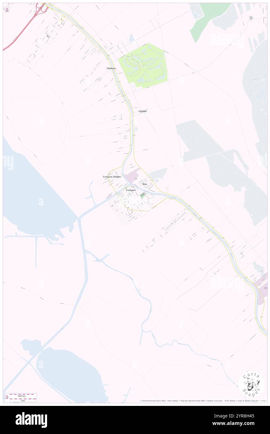 Town of Lockport, Lafourche Parish, US, United States, Louisiana, N 29 38' 30'', S 90 32' 15'', map, Cartascapes Map published in 2024. Explore Cartascapes, a map revealing Earth's diverse landscapes, cultures, and ecosystems. Journey through time and space, discovering the interconnectedness of our planet's past, present, and future. Stock Photohttps://www.alamy.com/image-license-details/?v=1https://www.alamy.com/town-of-lockport-lafourche-parish-us-united-states-louisiana-n-29-38-30-s-90-32-15-map-cartascapes-map-published-in-2024-explore-cartascapes-a-map-revealing-earths-diverse-landscapes-cultures-and-ecosystems-journey-through-time-and-space-discovering-the-interconnectedness-of-our-planets-past-present-and-future-image633899397.html
RM2YR8H45–Town of Lockport, Lafourche Parish, US, United States, Louisiana, N 29 38' 30'', S 90 32' 15'', map, Cartascapes Map published in 2024. Explore Cartascapes, a map revealing Earth's diverse landscapes, cultures, and ecosystems. Journey through time and space, discovering the interconnectedness of our planet's past, present, and future.
 Township of Lockport, Haskell County, US, United States, Kansas, N 37 33' 43'', S 100 43' 31'', map, Cartascapes Map published in 2024. Explore Cartascapes, a map revealing Earth's diverse landscapes, cultures, and ecosystems. Journey through time and space, discovering the interconnectedness of our planet's past, present, and future. Stock Photohttps://www.alamy.com/image-license-details/?v=1https://www.alamy.com/township-of-lockport-haskell-county-us-united-states-kansas-n-37-33-43-s-100-43-31-map-cartascapes-map-published-in-2024-explore-cartascapes-a-map-revealing-earths-diverse-landscapes-cultures-and-ecosystems-journey-through-time-and-space-discovering-the-interconnectedness-of-our-planets-past-present-and-future-image633788788.html
RM2YR3G1T–Township of Lockport, Haskell County, US, United States, Kansas, N 37 33' 43'', S 100 43' 31'', map, Cartascapes Map published in 2024. Explore Cartascapes, a map revealing Earth's diverse landscapes, cultures, and ecosystems. Journey through time and space, discovering the interconnectedness of our planet's past, present, and future.
 Lockport Heights, Will County, US, United States, Illinois, N 41 37' 6'', S 88 1' 28'', map, Cartascapes Map published in 2024. Explore Cartascapes, a map revealing Earth's diverse landscapes, cultures, and ecosystems. Journey through time and space, discovering the interconnectedness of our planet's past, present, and future. Stock Photohttps://www.alamy.com/image-license-details/?v=1https://www.alamy.com/lockport-heights-will-county-us-united-states-illinois-n-41-37-6-s-88-1-28-map-cartascapes-map-published-in-2024-explore-cartascapes-a-map-revealing-earths-diverse-landscapes-cultures-and-ecosystems-journey-through-time-and-space-discovering-the-interconnectedness-of-our-planets-past-present-and-future-image620724008.html
RM2Y1TBPG–Lockport Heights, Will County, US, United States, Illinois, N 41 37' 6'', S 88 1' 28'', map, Cartascapes Map published in 2024. Explore Cartascapes, a map revealing Earth's diverse landscapes, cultures, and ecosystems. Journey through time and space, discovering the interconnectedness of our planet's past, present, and future.
 Town of Lockport, Niagara County, US, United States, New York, N 43 9' 2'', S 78 39' 6'', map, Cartascapes Map published in 2024. Explore Cartascapes, a map revealing Earth's diverse landscapes, cultures, and ecosystems. Journey through time and space, discovering the interconnectedness of our planet's past, present, and future. Stock Photohttps://www.alamy.com/image-license-details/?v=1https://www.alamy.com/town-of-lockport-niagara-county-us-united-states-new-york-n-43-9-2-s-78-39-6-map-cartascapes-map-published-in-2024-explore-cartascapes-a-map-revealing-earths-diverse-landscapes-cultures-and-ecosystems-journey-through-time-and-space-discovering-the-interconnectedness-of-our-planets-past-present-and-future-image633790107.html
RM2YR3HMY–Town of Lockport, Niagara County, US, United States, New York, N 43 9' 2'', S 78 39' 6'', map, Cartascapes Map published in 2024. Explore Cartascapes, a map revealing Earth's diverse landscapes, cultures, and ecosystems. Journey through time and space, discovering the interconnectedness of our planet's past, present, and future.
 Lockport, Canada, Manitoba, N 50 4' 59'', W 96 56' 42'', map, Timeless Map published in 2021. Travelers, explorers and adventurers like Florence Nightingale, David Livingstone, Ernest Shackleton, Lewis and Clark and Sherlock Holmes relied on maps to plan travels to the world's most remote corners, Timeless Maps is mapping most locations on the globe, showing the achievement of great dreams Stock Photohttps://www.alamy.com/image-license-details/?v=1https://www.alamy.com/lockport-canada-manitoba-n-50-4-59-w-96-56-42-map-timeless-map-published-in-2021-travelers-explorers-and-adventurers-like-florence-nightingale-david-livingstone-ernest-shackleton-lewis-and-clark-and-sherlock-holmes-relied-on-maps-to-plan-travels-to-the-worlds-most-remote-corners-timeless-maps-is-mapping-most-locations-on-the-globe-showing-the-achievement-of-great-dreams-image457871747.html
RM2HGWT2B–Lockport, Canada, Manitoba, N 50 4' 59'', W 96 56' 42'', map, Timeless Map published in 2021. Travelers, explorers and adventurers like Florence Nightingale, David Livingstone, Ernest Shackleton, Lewis and Clark and Sherlock Holmes relied on maps to plan travels to the world's most remote corners, Timeless Maps is mapping most locations on the globe, showing the achievement of great dreams
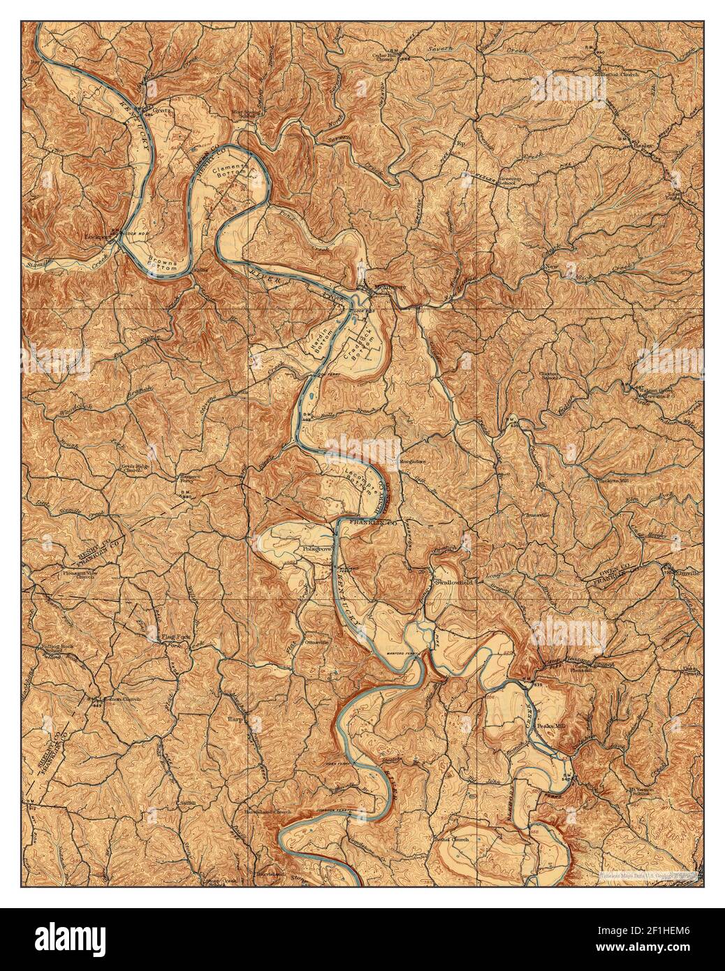 Lockport, Kentucky, map 1908, 1:62500, United States of America by Timeless Maps, data U.S. Geological Survey Stock Photohttps://www.alamy.com/image-license-details/?v=1https://www.alamy.com/lockport-kentucky-map-1908-162500-united-states-of-america-by-timeless-maps-data-us-geological-survey-image414048214.html
RM2F1HEM6–Lockport, Kentucky, map 1908, 1:62500, United States of America by Timeless Maps, data U.S. Geological Survey
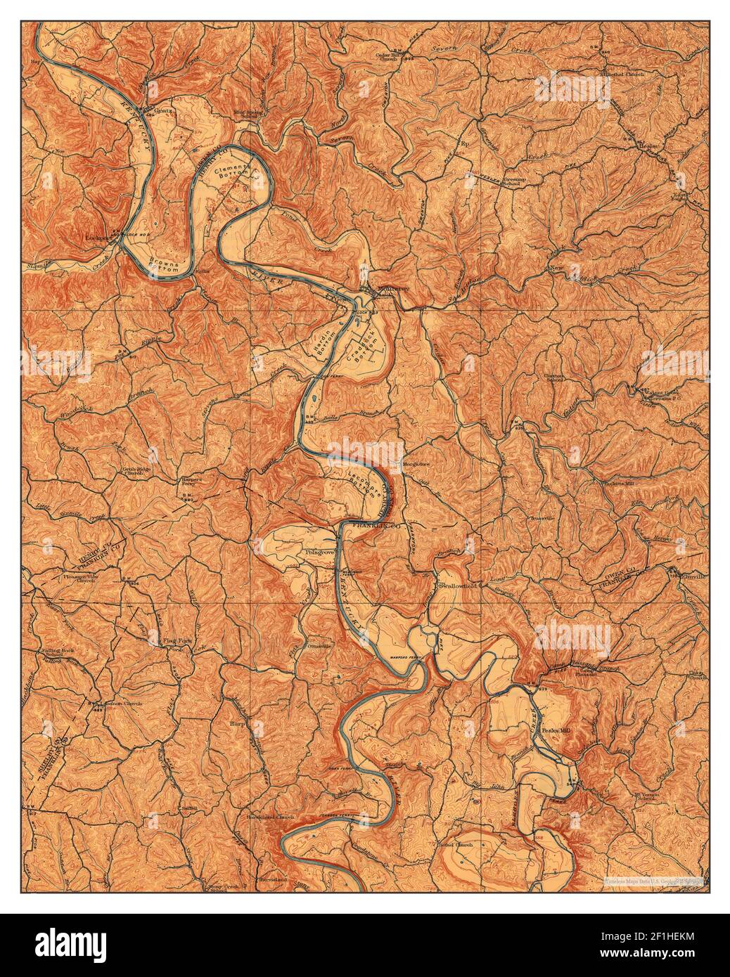 Lockport, Kentucky, map 1908, 1:62500, United States of America by Timeless Maps, data U.S. Geological Survey Stock Photohttps://www.alamy.com/image-license-details/?v=1https://www.alamy.com/lockport-kentucky-map-1908-162500-united-states-of-america-by-timeless-maps-data-us-geological-survey-image414048200.html
RM2F1HEKM–Lockport, Kentucky, map 1908, 1:62500, United States of America by Timeless Maps, data U.S. Geological Survey
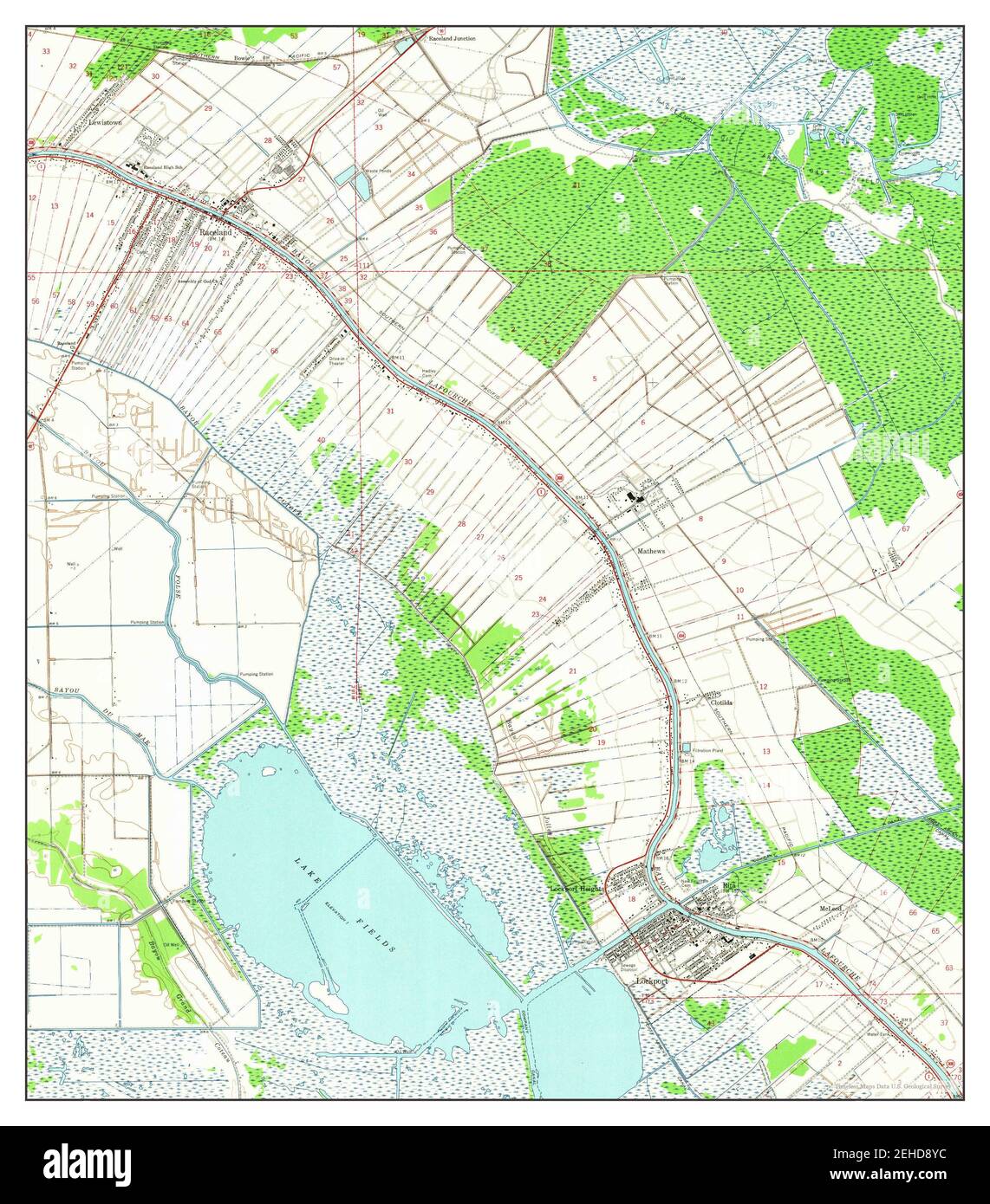 Lockport, Louisiana, map 1963, 1:24000, United States of America by Timeless Maps, data U.S. Geological Survey Stock Photohttps://www.alamy.com/image-license-details/?v=1https://www.alamy.com/lockport-louisiana-map-1963-124000-united-states-of-america-by-timeless-maps-data-us-geological-survey-image406580032.html
RM2EHD8YC–Lockport, Louisiana, map 1963, 1:24000, United States of America by Timeless Maps, data U.S. Geological Survey
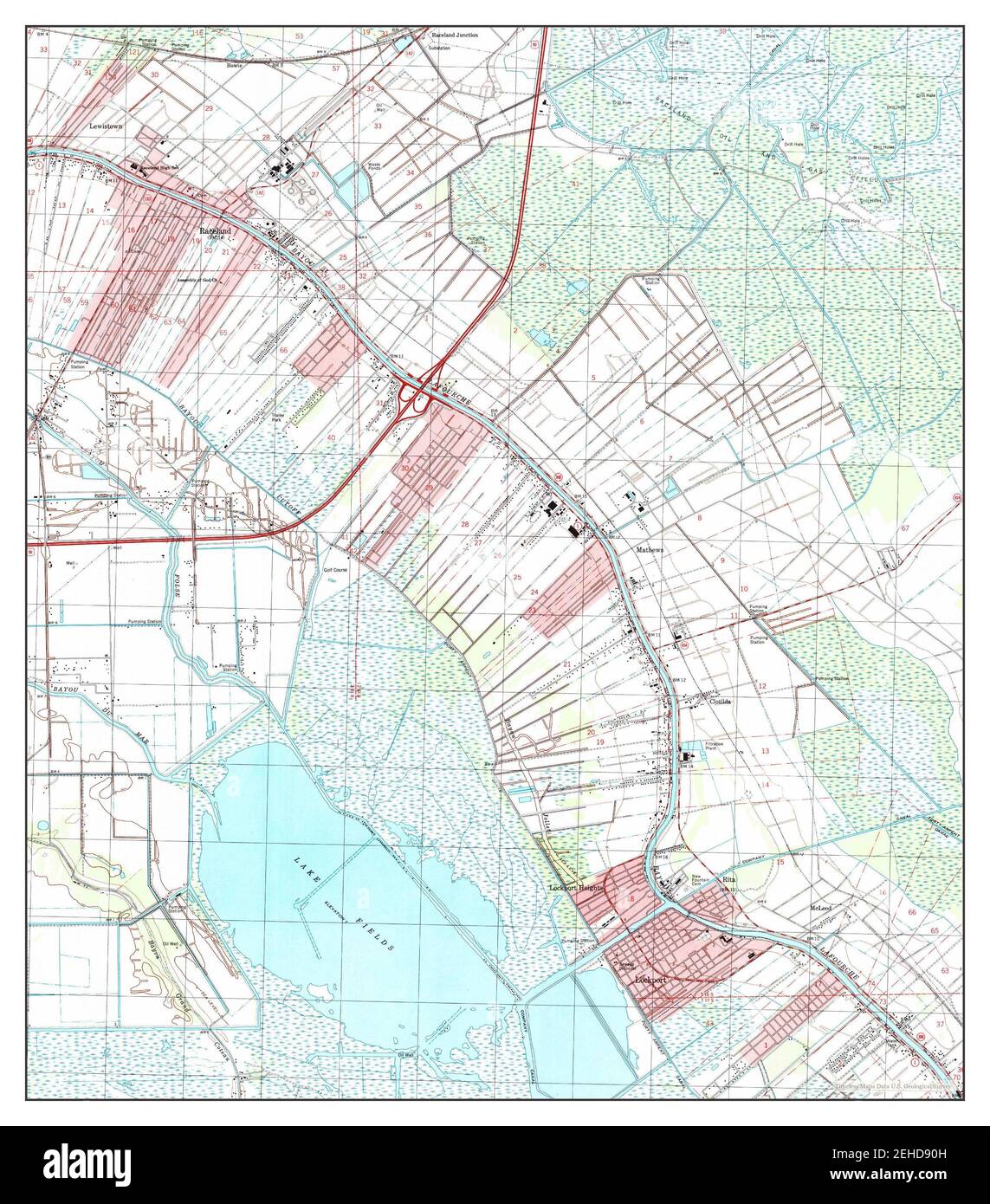 Lockport, Louisiana, map 1998, 1:24000, United States of America by Timeless Maps, data U.S. Geological Survey Stock Photohttps://www.alamy.com/image-license-details/?v=1https://www.alamy.com/lockport-louisiana-map-1998-124000-united-states-of-america-by-timeless-maps-data-us-geological-survey-image406580065.html
RM2EHD90H–Lockport, Louisiana, map 1998, 1:24000, United States of America by Timeless Maps, data U.S. Geological Survey
 Lockport, Louisiana, map 1963, 1:24000, United States of America by Timeless Maps, data U.S. Geological Survey Stock Photohttps://www.alamy.com/image-license-details/?v=1https://www.alamy.com/lockport-louisiana-map-1963-124000-united-states-of-america-by-timeless-maps-data-us-geological-survey-image406580054.html
RM2EHD906–Lockport, Louisiana, map 1963, 1:24000, United States of America by Timeless Maps, data U.S. Geological Survey
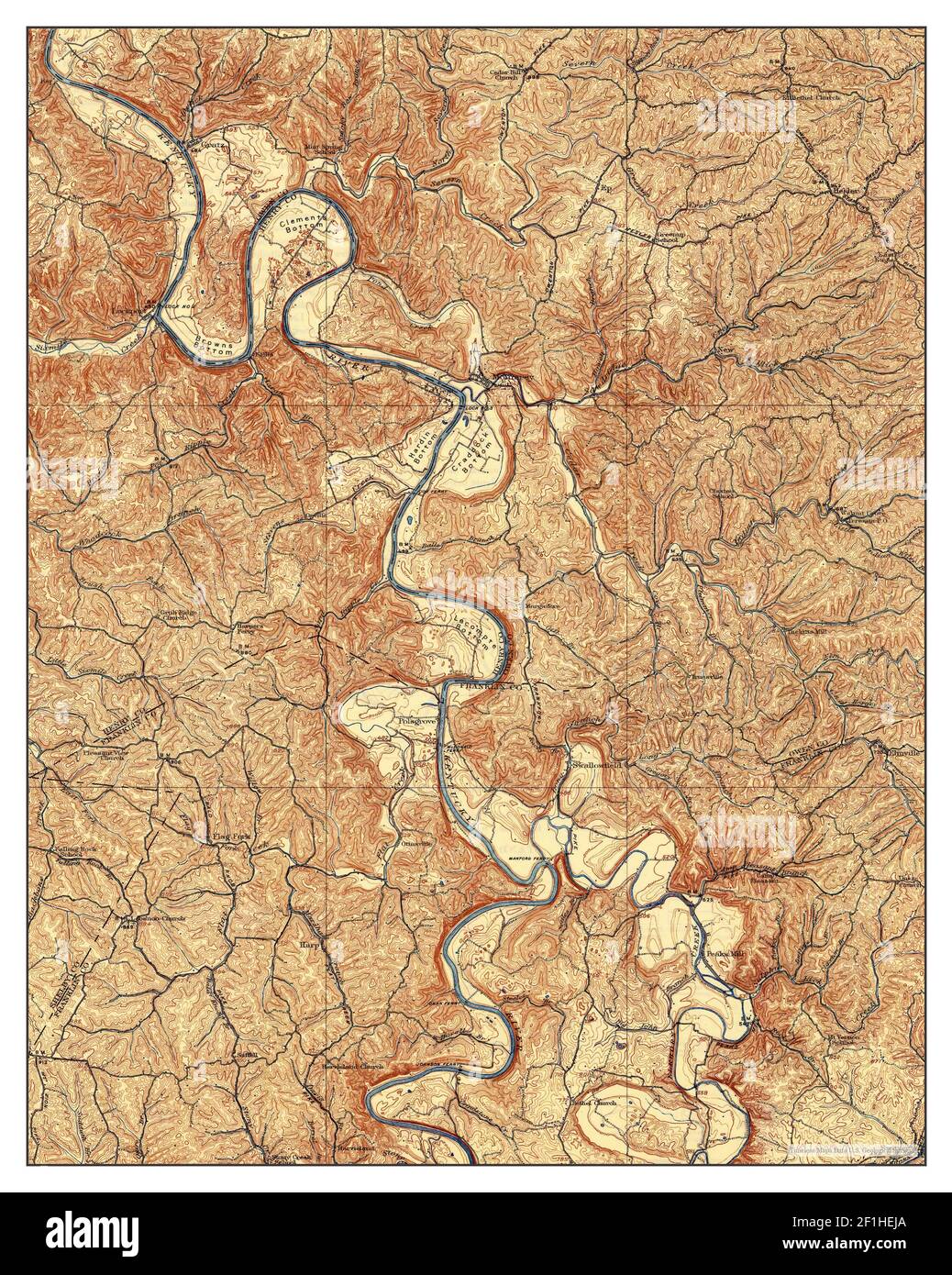 Lockport, Kentucky, map 1908, 1:62500, United States of America by Timeless Maps, data U.S. Geological Survey Stock Photohttps://www.alamy.com/image-license-details/?v=1https://www.alamy.com/lockport-kentucky-map-1908-162500-united-states-of-america-by-timeless-maps-data-us-geological-survey-image414048162.html
RM2F1HEJA–Lockport, Kentucky, map 1908, 1:62500, United States of America by Timeless Maps, data U.S. Geological Survey
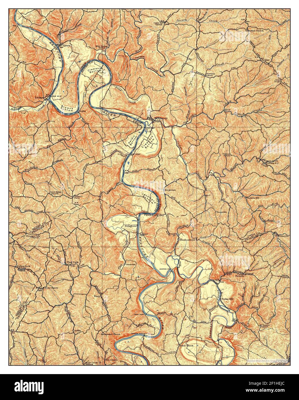 Lockport, Kentucky, map 1906, 1:62500, United States of America by Timeless Maps, data U.S. Geological Survey Stock Photohttps://www.alamy.com/image-license-details/?v=1https://www.alamy.com/lockport-kentucky-map-1906-162500-united-states-of-america-by-timeless-maps-data-us-geological-survey-image414048164.html
RM2F1HEJC–Lockport, Kentucky, map 1906, 1:62500, United States of America by Timeless Maps, data U.S. Geological Survey
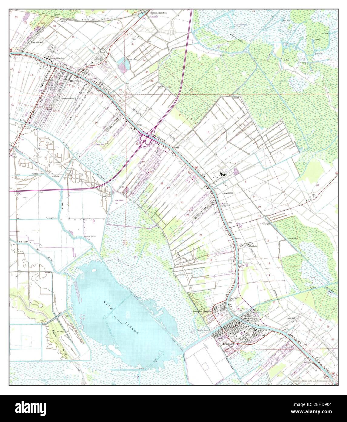 Lockport, Louisiana, map 1963, 1:24000, United States of America by Timeless Maps, data U.S. Geological Survey Stock Photohttps://www.alamy.com/image-license-details/?v=1https://www.alamy.com/lockport-louisiana-map-1963-124000-united-states-of-america-by-timeless-maps-data-us-geological-survey-image406580052.html
RM2EHD904–Lockport, Louisiana, map 1963, 1:24000, United States of America by Timeless Maps, data U.S. Geological Survey
 Lockport, New York, map 1902, 1:62500, United States of America by Timeless Maps, data U.S. Geological Survey Stock Photohttps://www.alamy.com/image-license-details/?v=1https://www.alamy.com/lockport-new-york-map-1902-162500-united-states-of-america-by-timeless-maps-data-us-geological-survey-image414135173.html
RM2F1NDHW–Lockport, New York, map 1902, 1:62500, United States of America by Timeless Maps, data U.S. Geological Survey
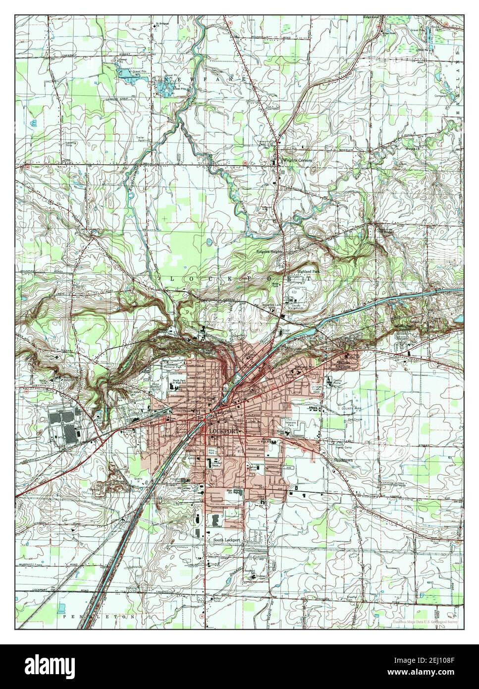 Lockport, New York, map 1980, 1:25000, United States of America by Timeless Maps, data U.S. Geological Survey Stock Photohttps://www.alamy.com/image-license-details/?v=1https://www.alamy.com/lockport-new-york-map-1980-125000-united-states-of-america-by-timeless-maps-data-us-geological-survey-image406924463.html
RM2EJ108F–Lockport, New York, map 1980, 1:25000, United States of America by Timeless Maps, data U.S. Geological Survey
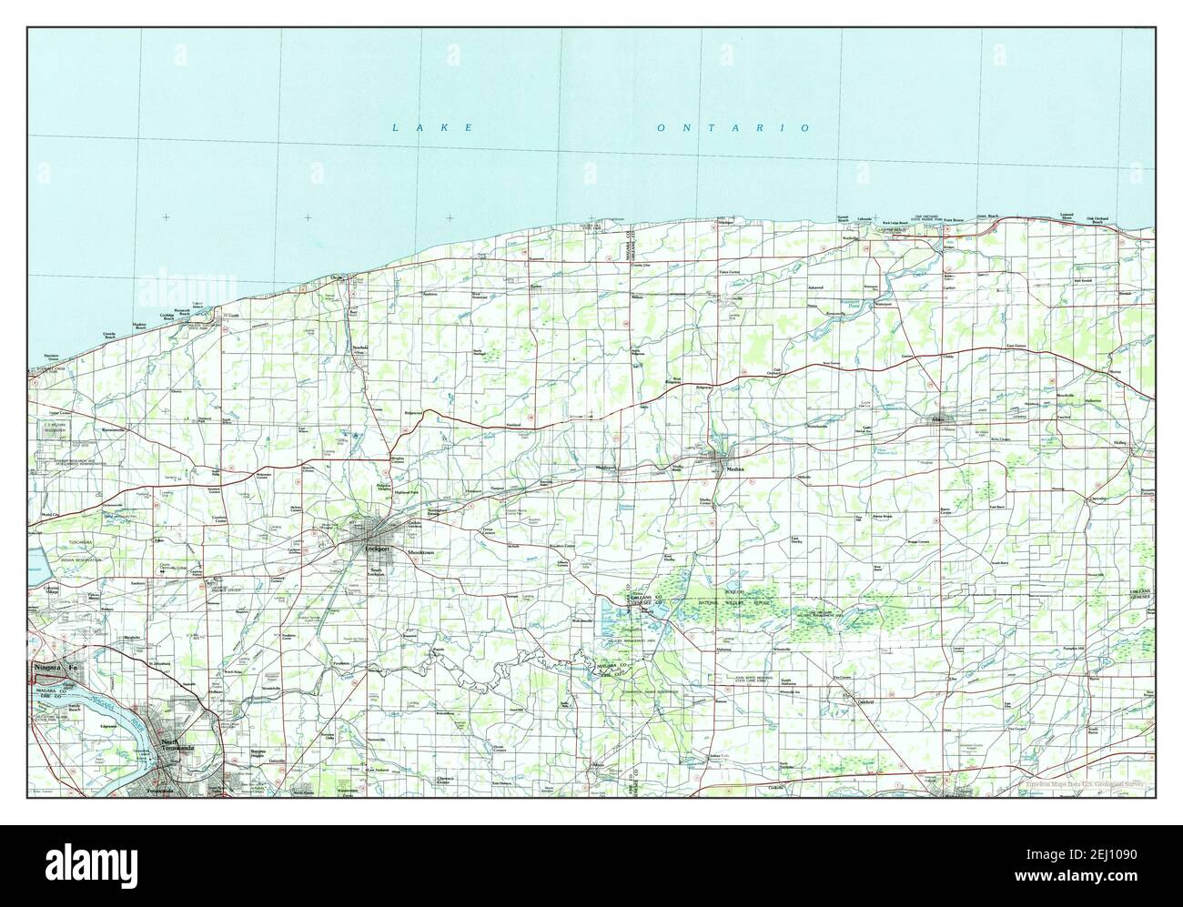 Lockport, New York, map 1984, 1:100000, United States of America by Timeless Maps, data U.S. Geological Survey Stock Photohttps://www.alamy.com/image-license-details/?v=1https://www.alamy.com/lockport-new-york-map-1984-1100000-united-states-of-america-by-timeless-maps-data-us-geological-survey-image406924476.html
RM2EJ1090–Lockport, New York, map 1984, 1:100000, United States of America by Timeless Maps, data U.S. Geological Survey
 Lockport, New York, map 1897, 1:62500, United States of America by Timeless Maps, data U.S. Geological Survey Stock Photohttps://www.alamy.com/image-license-details/?v=1https://www.alamy.com/lockport-new-york-map-1897-162500-united-states-of-america-by-timeless-maps-data-us-geological-survey-image414135098.html
RM2F1NDF6–Lockport, New York, map 1897, 1:62500, United States of America by Timeless Maps, data U.S. Geological Survey
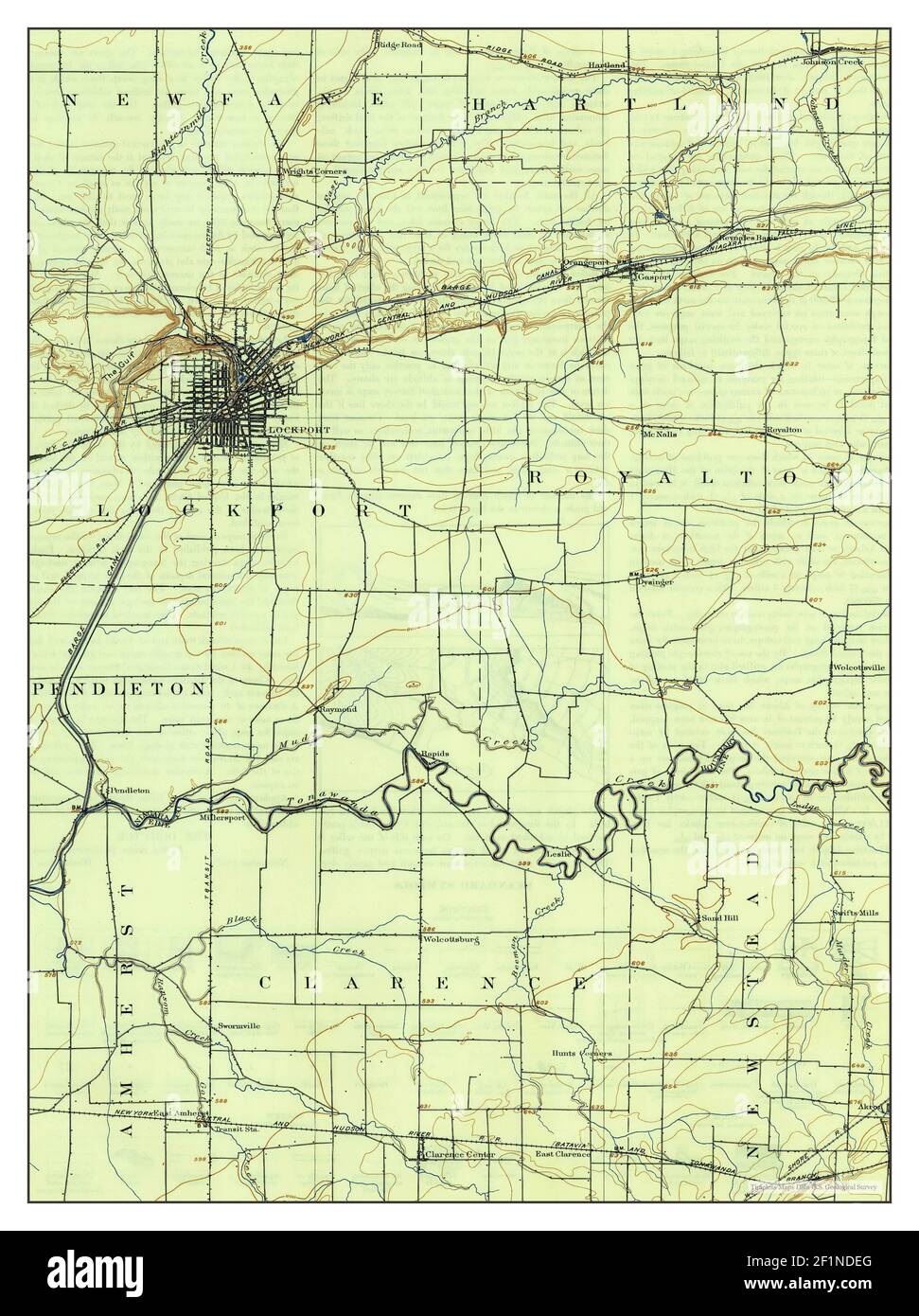 Lockport, New York, map 1902, 1:62500, United States of America by Timeless Maps, data U.S. Geological Survey Stock Photohttps://www.alamy.com/image-license-details/?v=1https://www.alamy.com/lockport-new-york-map-1902-162500-united-states-of-america-by-timeless-maps-data-us-geological-survey-image414135080.html
RM2F1NDEG–Lockport, New York, map 1902, 1:62500, United States of America by Timeless Maps, data U.S. Geological Survey
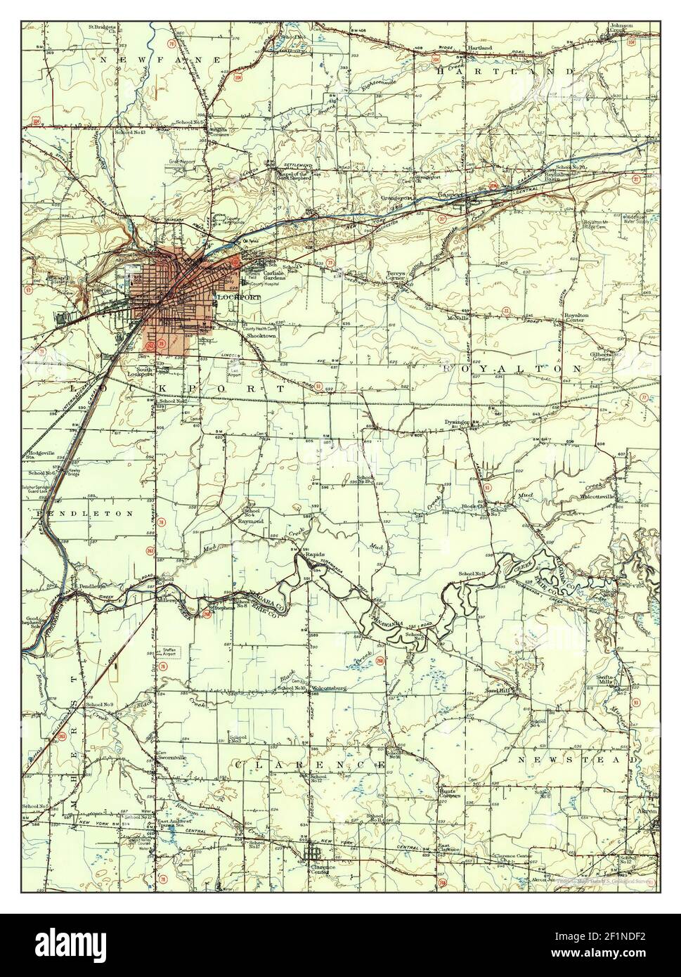 Lockport, New York, map 1948, 1:62500, United States of America by Timeless Maps, data U.S. Geological Survey Stock Photohttps://www.alamy.com/image-license-details/?v=1https://www.alamy.com/lockport-new-york-map-1948-162500-united-states-of-america-by-timeless-maps-data-us-geological-survey-image414135094.html
RM2F1NDF2–Lockport, New York, map 1948, 1:62500, United States of America by Timeless Maps, data U.S. Geological Survey
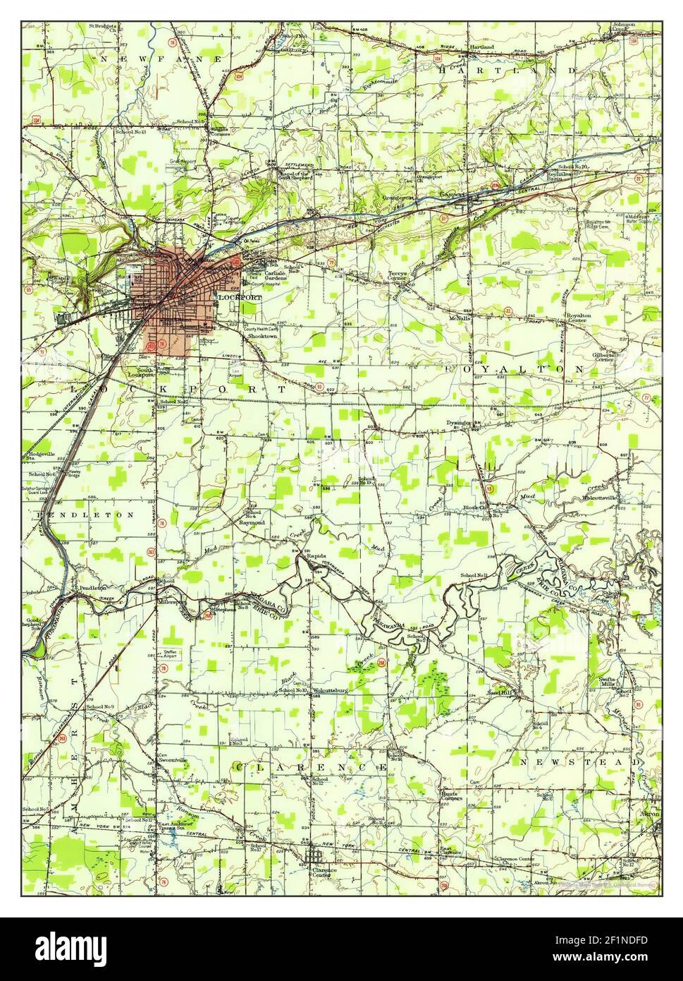 Lockport, New York, map 1948, 1:62500, United States of America by Timeless Maps, data U.S. Geological Survey Stock Photohttps://www.alamy.com/image-license-details/?v=1https://www.alamy.com/lockport-new-york-map-1948-162500-united-states-of-america-by-timeless-maps-data-us-geological-survey-image414135105.html
RM2F1NDFD–Lockport, New York, map 1948, 1:62500, United States of America by Timeless Maps, data U.S. Geological Survey
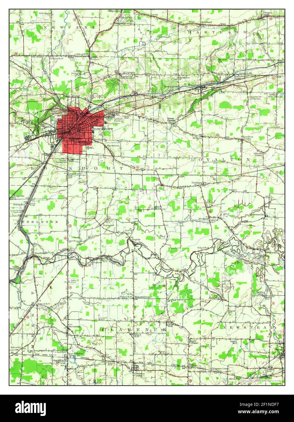 Lockport, New York, map 1948, 1:62500, United States of America by Timeless Maps, data U.S. Geological Survey Stock Photohttps://www.alamy.com/image-license-details/?v=1https://www.alamy.com/lockport-new-york-map-1948-162500-united-states-of-america-by-timeless-maps-data-us-geological-survey-image414135099.html
RM2F1NDF7–Lockport, New York, map 1948, 1:62500, United States of America by Timeless Maps, data U.S. Geological Survey
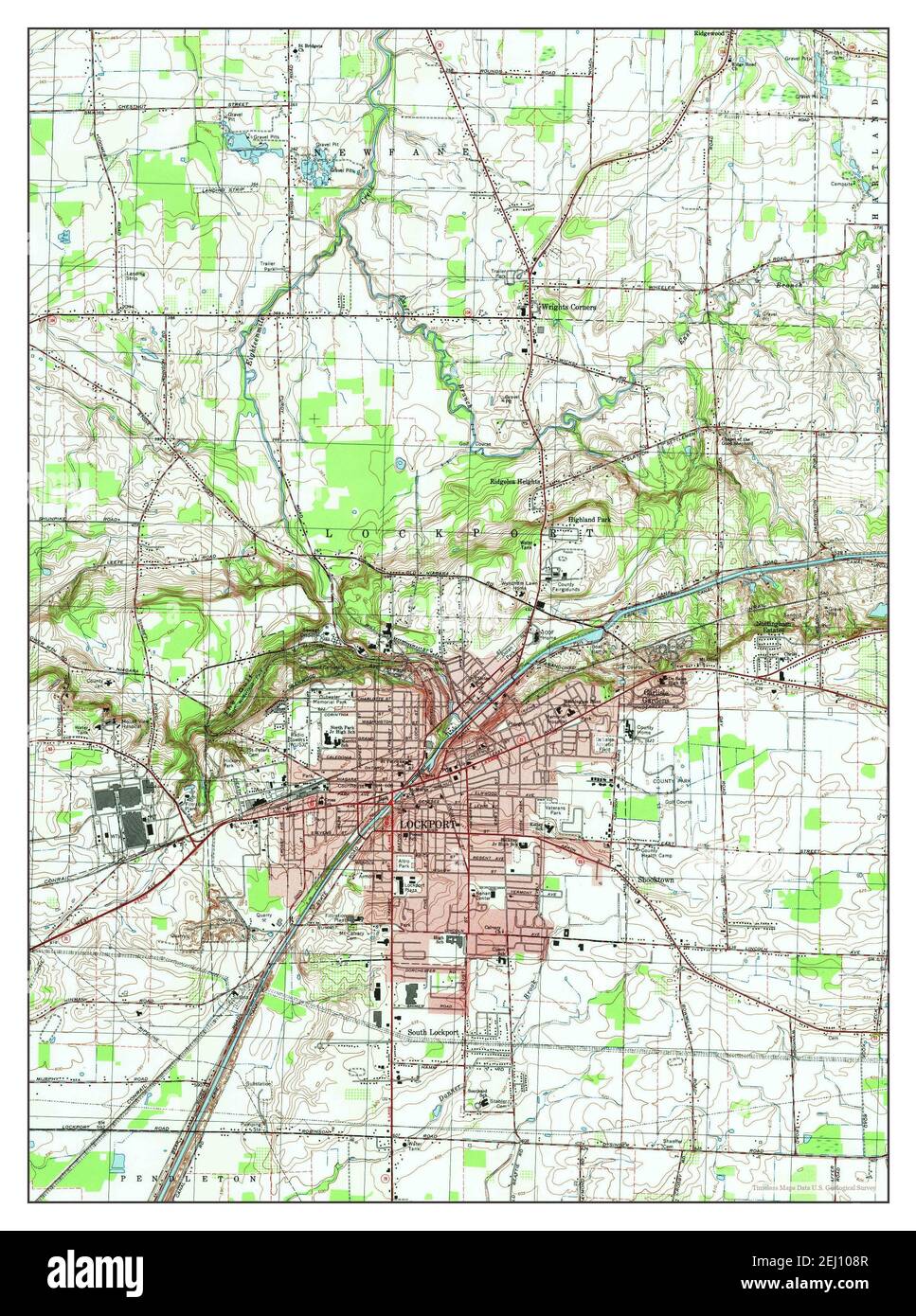 Lockport, New York, map 1980, 1:25000, United States of America by Timeless Maps, data U.S. Geological Survey Stock Photohttps://www.alamy.com/image-license-details/?v=1https://www.alamy.com/lockport-new-york-map-1980-125000-united-states-of-america-by-timeless-maps-data-us-geological-survey-image406924471.html
RM2EJ108R–Lockport, New York, map 1980, 1:25000, United States of America by Timeless Maps, data U.S. Geological Survey
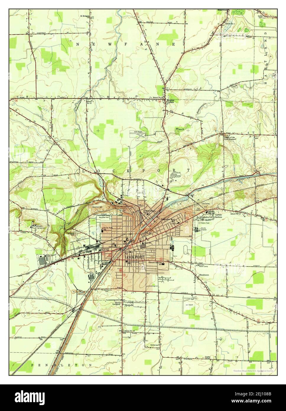 Lockport, New York, map 1950, 1:24000, United States of America by Timeless Maps, data U.S. Geological Survey Stock Photohttps://www.alamy.com/image-license-details/?v=1https://www.alamy.com/lockport-new-york-map-1950-124000-united-states-of-america-by-timeless-maps-data-us-geological-survey-image406924459.html
RM2EJ108B–Lockport, New York, map 1950, 1:24000, United States of America by Timeless Maps, data U.S. Geological Survey
 Lockport, New York, map 1902, 1:62500, United States of America by Timeless Maps, data U.S. Geological Survey Stock Photohttps://www.alamy.com/image-license-details/?v=1https://www.alamy.com/lockport-new-york-map-1902-162500-united-states-of-america-by-timeless-maps-data-us-geological-survey-image414135158.html
RM2F1NDHA–Lockport, New York, map 1902, 1:62500, United States of America by Timeless Maps, data U.S. Geological Survey
 Lockport, New York, map 1905, 1:62500, United States of America by Timeless Maps, data U.S. Geological Survey Stock Photohttps://www.alamy.com/image-license-details/?v=1https://www.alamy.com/lockport-new-york-map-1905-162500-united-states-of-america-by-timeless-maps-data-us-geological-survey-image414135181.html
RM2F1NDJ5–Lockport, New York, map 1905, 1:62500, United States of America by Timeless Maps, data U.S. Geological Survey
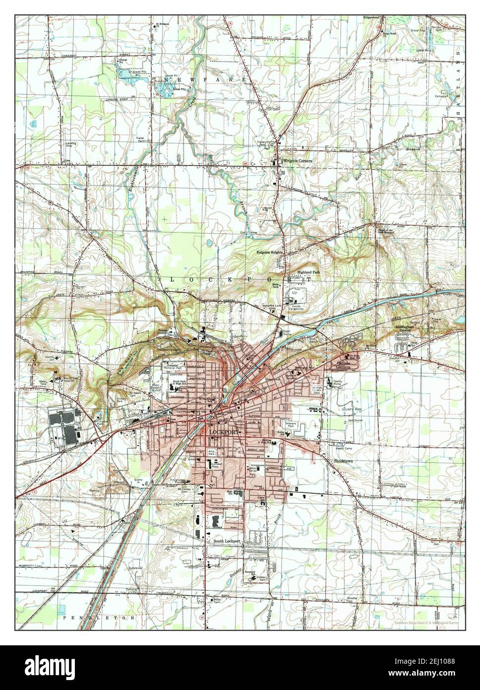 Lockport, New York, map 1980, 1:25000, United States of America by Timeless Maps, data U.S. Geological Survey Stock Photohttps://www.alamy.com/image-license-details/?v=1https://www.alamy.com/lockport-new-york-map-1980-125000-united-states-of-america-by-timeless-maps-data-us-geological-survey-image406924456.html
RM2EJ1088–Lockport, New York, map 1980, 1:25000, United States of America by Timeless Maps, data U.S. Geological Survey
 Lockport, New York, map 1965, 1:24000, United States of America by Timeless Maps, data U.S. Geological Survey Stock Photohttps://www.alamy.com/image-license-details/?v=1https://www.alamy.com/lockport-new-york-map-1965-124000-united-states-of-america-by-timeless-maps-data-us-geological-survey-image406924472.html
RM2EJ108T–Lockport, New York, map 1965, 1:24000, United States of America by Timeless Maps, data U.S. Geological Survey
 Lockport, New York, map 1984, 1:100000, United States of America by Timeless Maps, data U.S. Geological Survey Stock Photohttps://www.alamy.com/image-license-details/?v=1https://www.alamy.com/lockport-new-york-map-1984-1100000-united-states-of-america-by-timeless-maps-data-us-geological-survey-image406924475.html
RM2EJ108Y–Lockport, New York, map 1984, 1:100000, United States of America by Timeless Maps, data U.S. Geological Survey
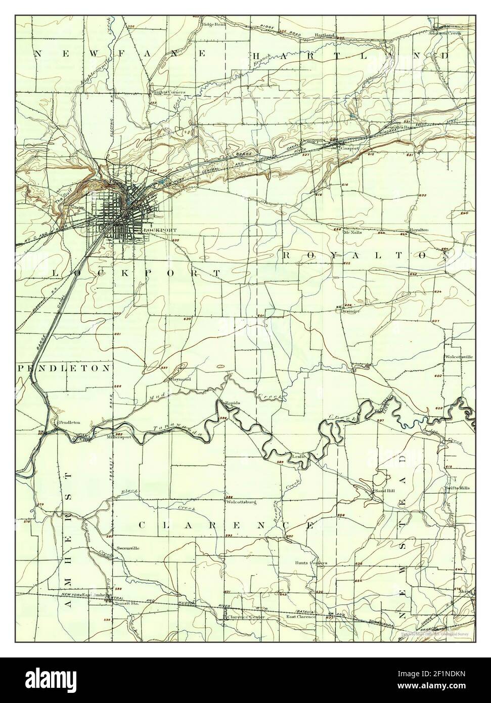 Lockport, New York, map 1902, 1:62500, United States of America by Timeless Maps, data U.S. Geological Survey Stock Photohttps://www.alamy.com/image-license-details/?v=1https://www.alamy.com/lockport-new-york-map-1902-162500-united-states-of-america-by-timeless-maps-data-us-geological-survey-image414135225.html
RM2F1NDKN–Lockport, New York, map 1902, 1:62500, United States of America by Timeless Maps, data U.S. Geological Survey
 Lockport, New York, map 1902, 1:62500, United States of America by Timeless Maps, data U.S. Geological Survey Stock Photohttps://www.alamy.com/image-license-details/?v=1https://www.alamy.com/lockport-new-york-map-1902-162500-united-states-of-america-by-timeless-maps-data-us-geological-survey-image414135097.html
RM2F1NDF5–Lockport, New York, map 1902, 1:62500, United States of America by Timeless Maps, data U.S. Geological Survey
 Lockport, New York, map 1902, 1:62500, United States of America by Timeless Maps, data U.S. Geological Survey Stock Photohttps://www.alamy.com/image-license-details/?v=1https://www.alamy.com/lockport-new-york-map-1902-162500-united-states-of-america-by-timeless-maps-data-us-geological-survey-image414135103.html
RM2F1NDFB–Lockport, New York, map 1902, 1:62500, United States of America by Timeless Maps, data U.S. Geological Survey