Quick filters:
Lomahasha Stock Photos and Images
 Small boy hoeing the land on his parents subsistence farm. Lomahasha, Eswatini (Swaziland) Stock Photohttps://www.alamy.com/image-license-details/?v=1https://www.alamy.com/stock-photo-small-boy-hoeing-the-land-on-his-parents-subsistence-farm-lomahasha-53883801.html
RMD3JH9D–Small boy hoeing the land on his parents subsistence farm. Lomahasha, Eswatini (Swaziland)
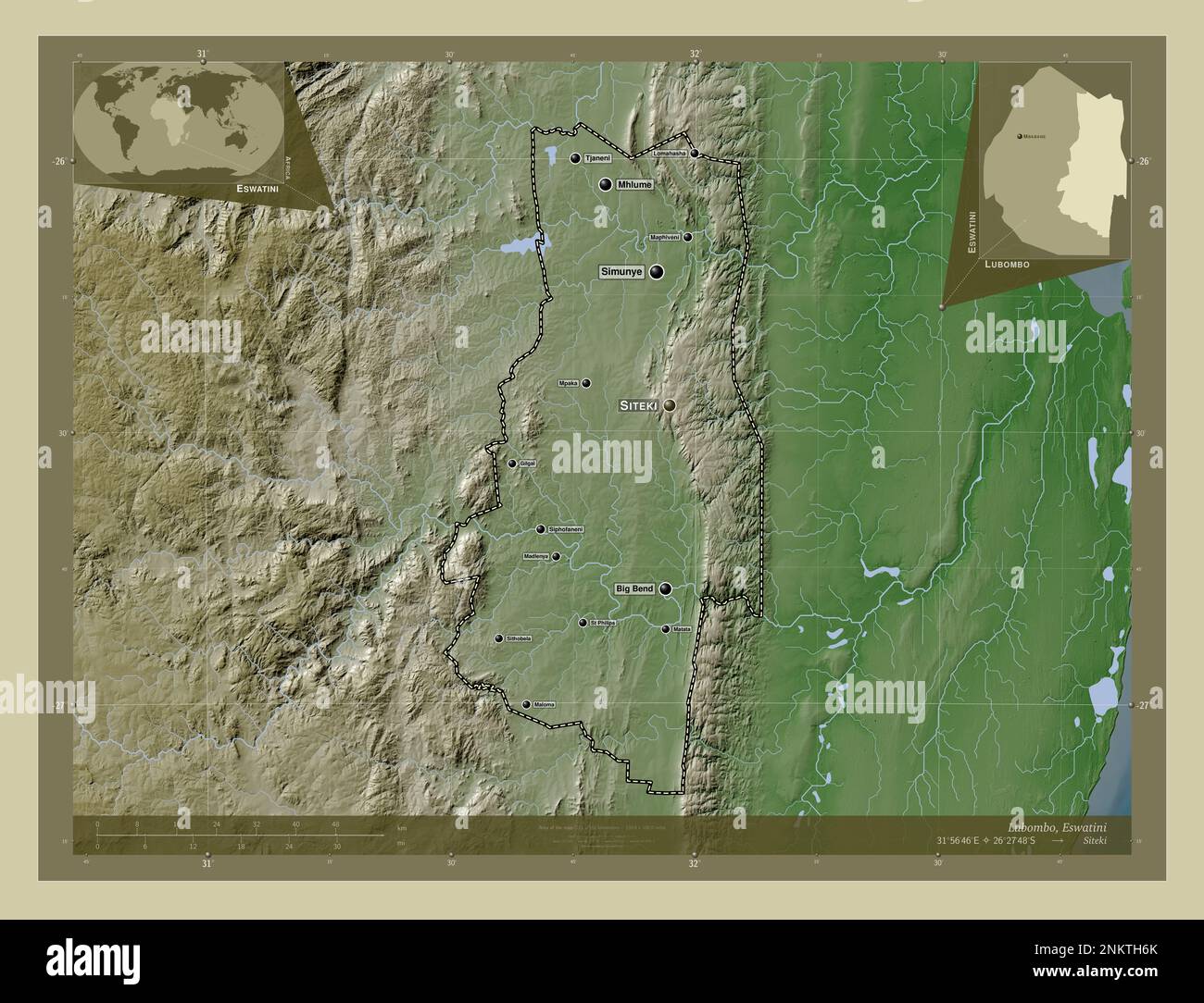 Lubombo, district of Eswatini. Elevation map colored in wiki style with lakes and rivers. Locations and names of major cities of the region. Corner au Stock Photohttps://www.alamy.com/image-license-details/?v=1https://www.alamy.com/lubombo-district-of-eswatini-elevation-map-colored-in-wiki-style-with-lakes-and-rivers-locations-and-names-of-major-cities-of-the-region-corner-au-image528529867.html
RF2NKTH6K–Lubombo, district of Eswatini. Elevation map colored in wiki style with lakes and rivers. Locations and names of major cities of the region. Corner au
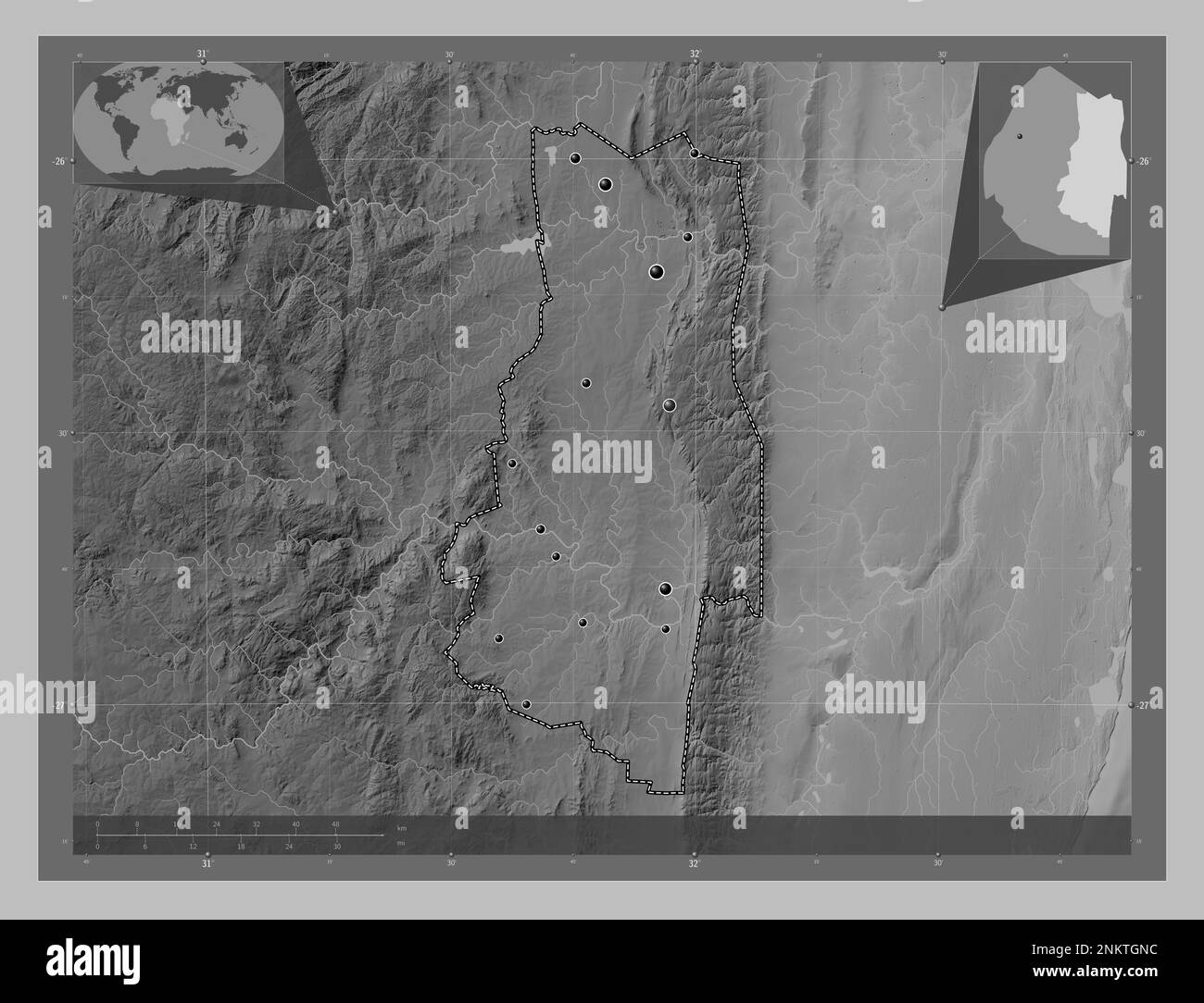 Lubombo, district of Eswatini. Grayscale elevation map with lakes and rivers. Locations of major cities of the region. Corner auxiliary location maps Stock Photohttps://www.alamy.com/image-license-details/?v=1https://www.alamy.com/lubombo-district-of-eswatini-grayscale-elevation-map-with-lakes-and-rivers-locations-of-major-cities-of-the-region-corner-auxiliary-location-maps-image528529496.html
RF2NKTGNC–Lubombo, district of Eswatini. Grayscale elevation map with lakes and rivers. Locations of major cities of the region. Corner auxiliary location maps
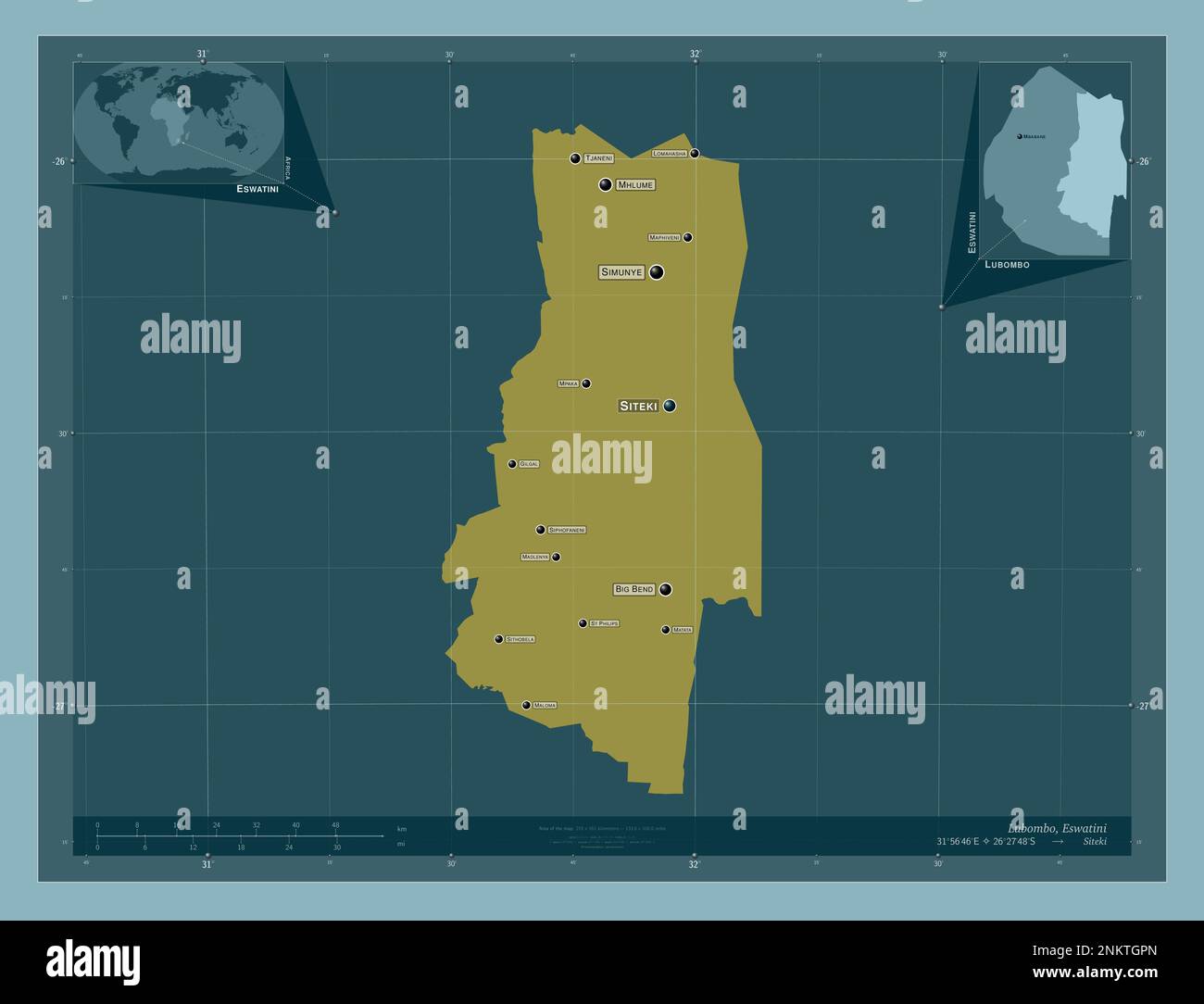 Lubombo, district of Eswatini. Solid color shape. Locations and names of major cities of the region. Corner auxiliary location maps Stock Photohttps://www.alamy.com/image-license-details/?v=1https://www.alamy.com/lubombo-district-of-eswatini-solid-color-shape-locations-and-names-of-major-cities-of-the-region-corner-auxiliary-location-maps-image528529533.html
RF2NKTGPN–Lubombo, district of Eswatini. Solid color shape. Locations and names of major cities of the region. Corner auxiliary location maps
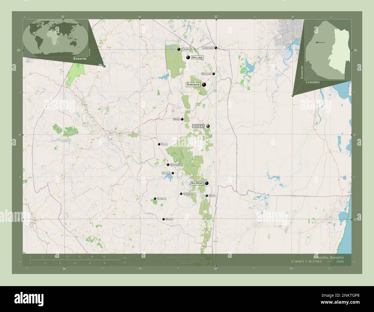 Lubombo, district of Eswatini. Open Street Map. Locations and names of major cities of the region. Corner auxiliary location maps Stock Photohttps://www.alamy.com/image-license-details/?v=1https://www.alamy.com/lubombo-district-of-eswatini-open-street-map-locations-and-names-of-major-cities-of-the-region-corner-auxiliary-location-maps-image528529520.html
RF2NKTGP8–Lubombo, district of Eswatini. Open Street Map. Locations and names of major cities of the region. Corner auxiliary location maps
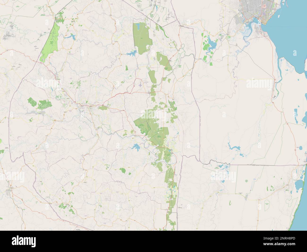 Lubombo, district of Eswatini. Open Street Map Stock Photohttps://www.alamy.com/image-license-details/?v=1https://www.alamy.com/lubombo-district-of-eswatini-open-street-map-image530828213.html
RF2NRH8PD–Lubombo, district of Eswatini. Open Street Map
 Lubombo, district of Eswatini. Solid color shape Stock Photohttps://www.alamy.com/image-license-details/?v=1https://www.alamy.com/lubombo-district-of-eswatini-solid-color-shape-image530828193.html
RF2NRH8NN–Lubombo, district of Eswatini. Solid color shape
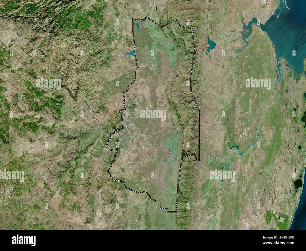 Lubombo, district of Eswatini. High resolution satellite map Stock Photohttps://www.alamy.com/image-license-details/?v=1https://www.alamy.com/lubombo-district-of-eswatini-high-resolution-satellite-map-image530828211.html
RF2NRH8PB–Lubombo, district of Eswatini. High resolution satellite map
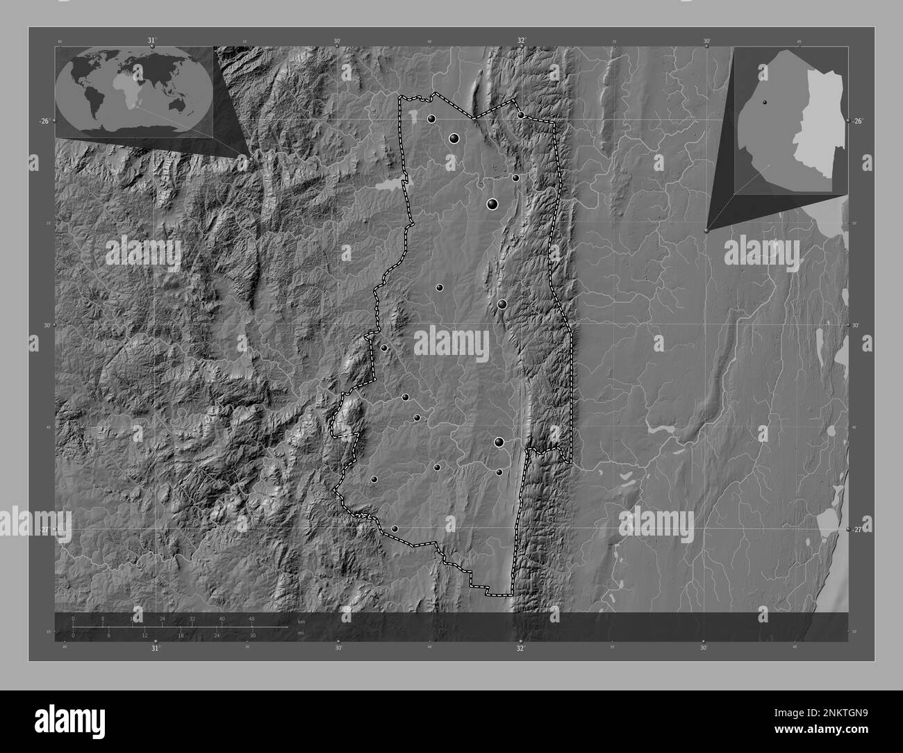 Lubombo, district of Eswatini. Bilevel elevation map with lakes and rivers. Locations of major cities of the region. Corner auxiliary location maps Stock Photohttps://www.alamy.com/image-license-details/?v=1https://www.alamy.com/lubombo-district-of-eswatini-bilevel-elevation-map-with-lakes-and-rivers-locations-of-major-cities-of-the-region-corner-auxiliary-location-maps-image528529493.html
RF2NKTGN9–Lubombo, district of Eswatini. Bilevel elevation map with lakes and rivers. Locations of major cities of the region. Corner auxiliary location maps
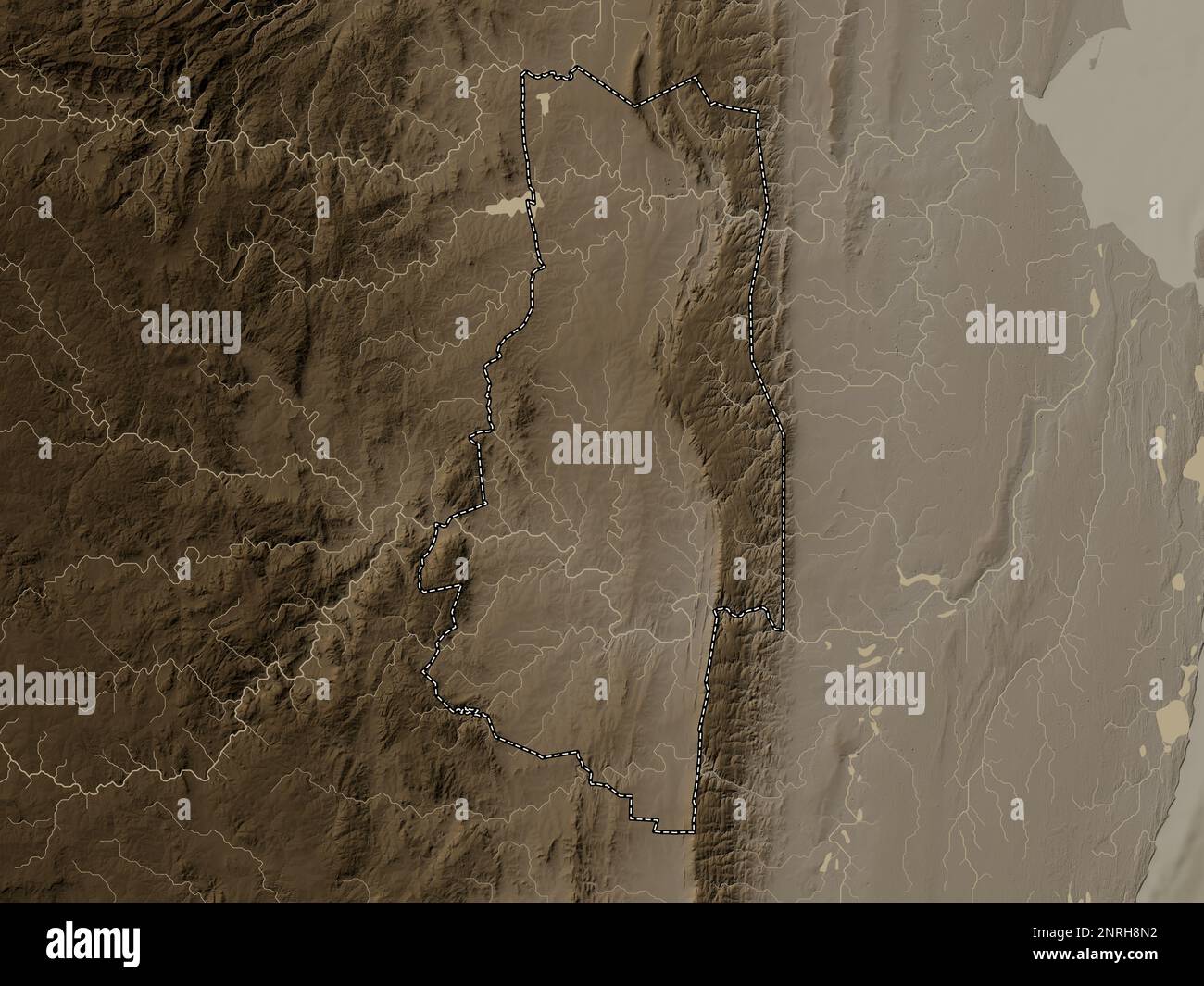 Lubombo, district of Eswatini. Elevation map colored in sepia tones with lakes and rivers Stock Photohttps://www.alamy.com/image-license-details/?v=1https://www.alamy.com/lubombo-district-of-eswatini-elevation-map-colored-in-sepia-tones-with-lakes-and-rivers-image530828174.html
RF2NRH8N2–Lubombo, district of Eswatini. Elevation map colored in sepia tones with lakes and rivers
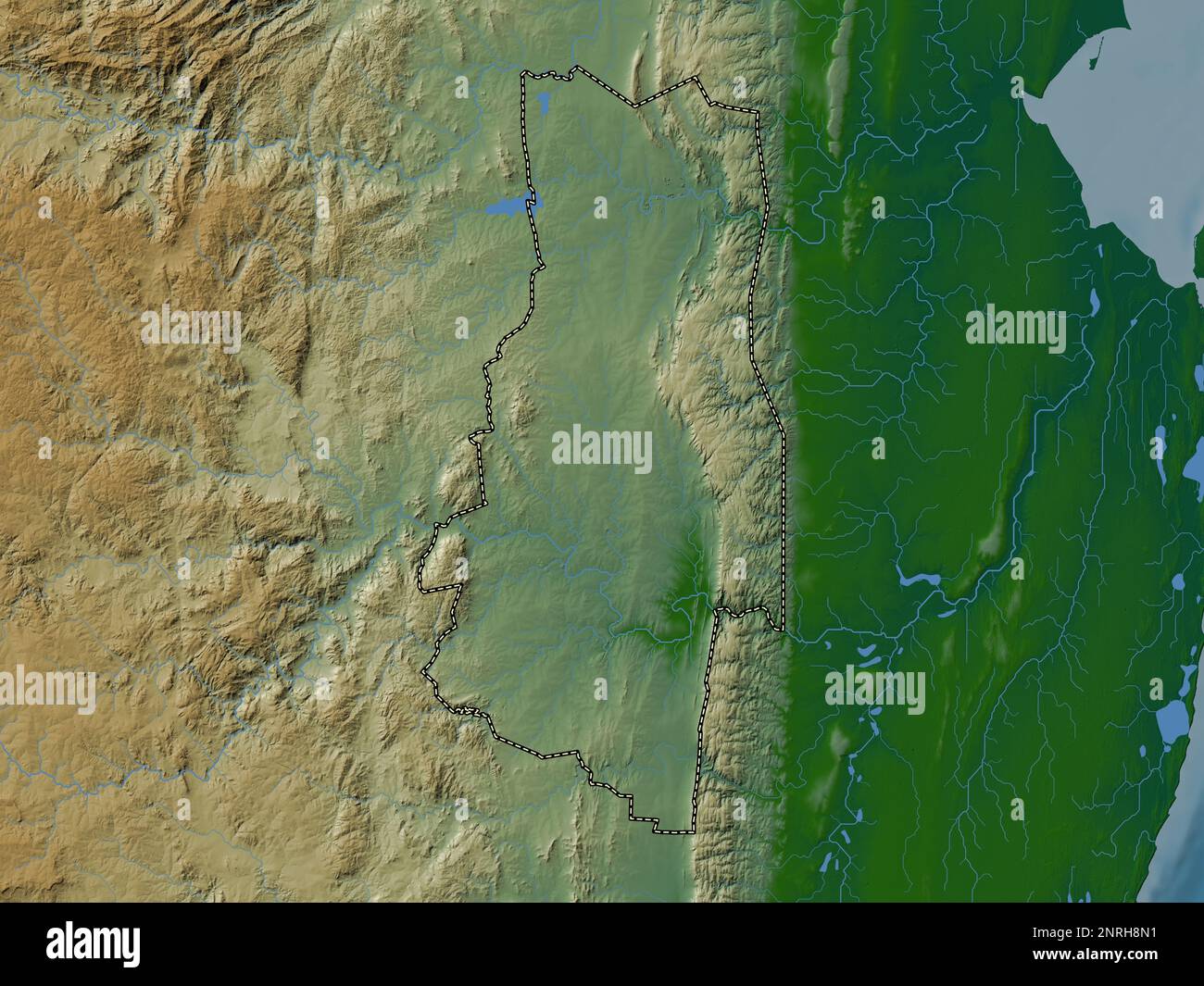 Lubombo, district of Eswatini. Colored elevation map with lakes and rivers Stock Photohttps://www.alamy.com/image-license-details/?v=1https://www.alamy.com/lubombo-district-of-eswatini-colored-elevation-map-with-lakes-and-rivers-image530828173.html
RF2NRH8N1–Lubombo, district of Eswatini. Colored elevation map with lakes and rivers
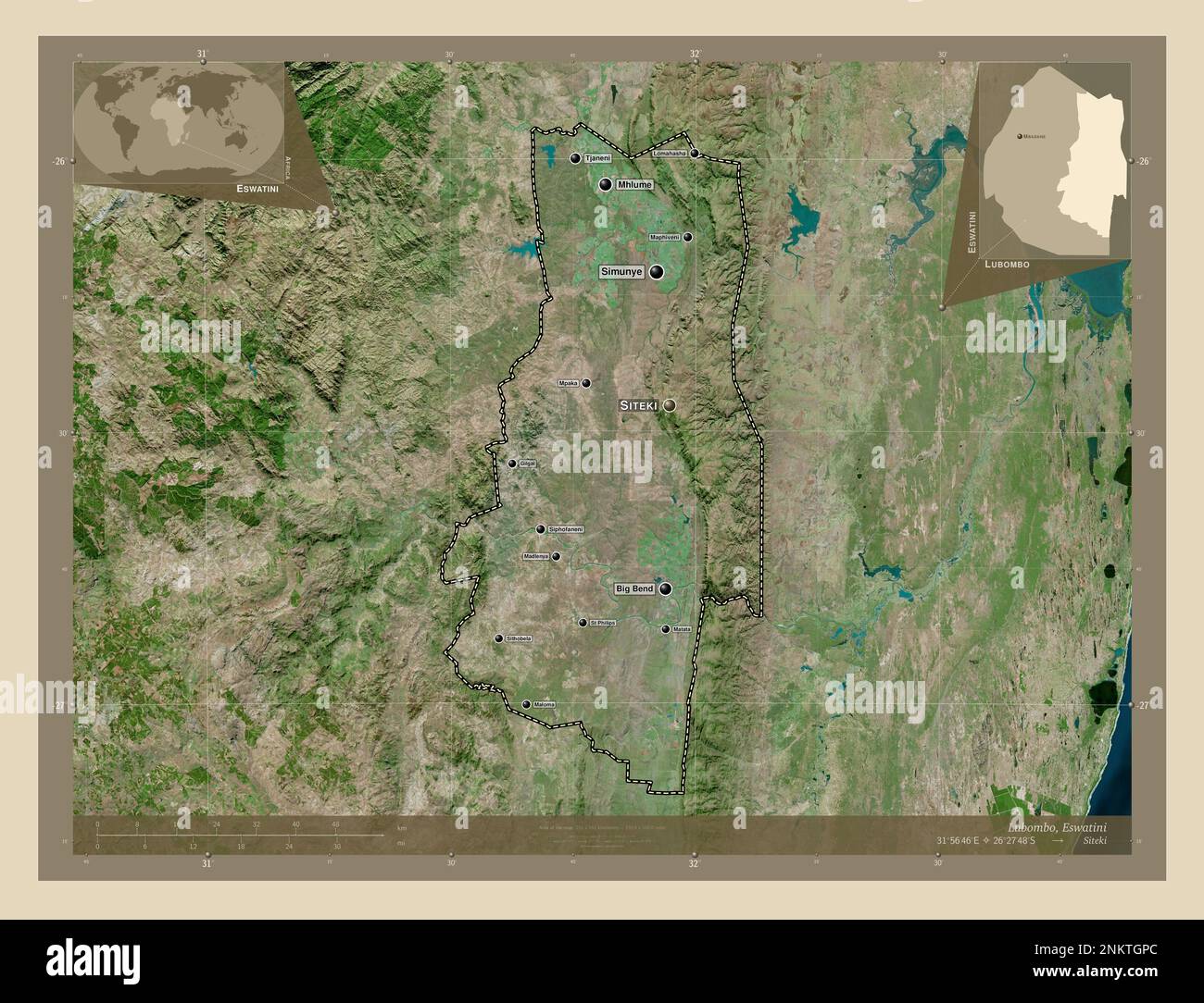 Lubombo, district of Eswatini. High resolution satellite map. Locations and names of major cities of the region. Corner auxiliary location maps Stock Photohttps://www.alamy.com/image-license-details/?v=1https://www.alamy.com/lubombo-district-of-eswatini-high-resolution-satellite-map-locations-and-names-of-major-cities-of-the-region-corner-auxiliary-location-maps-image528529524.html
RF2NKTGPC–Lubombo, district of Eswatini. High resolution satellite map. Locations and names of major cities of the region. Corner auxiliary location maps
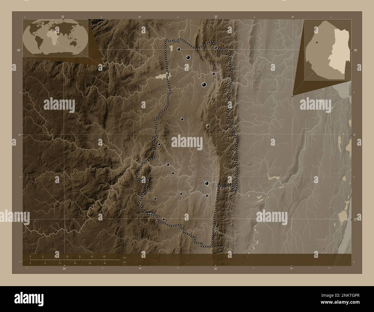 Lubombo, district of Eswatini. Elevation map colored in sepia tones with lakes and rivers. Locations of major cities of the region. Corner auxiliary l Stock Photohttps://www.alamy.com/image-license-details/?v=1https://www.alamy.com/lubombo-district-of-eswatini-elevation-map-colored-in-sepia-tones-with-lakes-and-rivers-locations-of-major-cities-of-the-region-corner-auxiliary-l-image528529535.html
RF2NKTGPR–Lubombo, district of Eswatini. Elevation map colored in sepia tones with lakes and rivers. Locations of major cities of the region. Corner auxiliary l
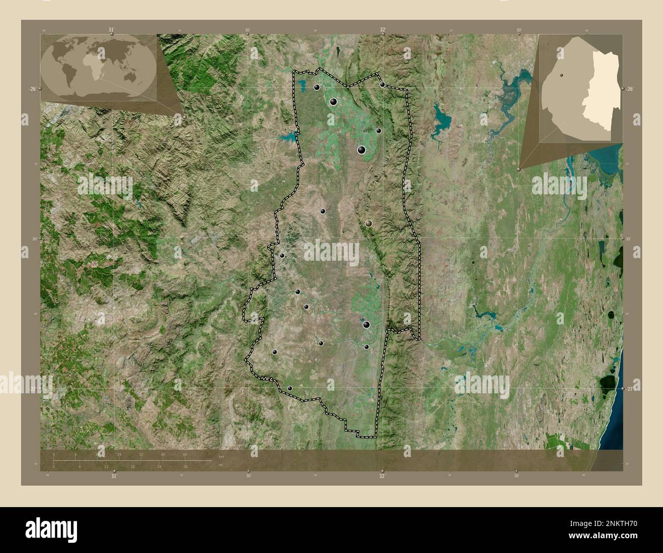 Lubombo, district of Eswatini. High resolution satellite map. Locations of major cities of the region. Corner auxiliary location maps Stock Photohttps://www.alamy.com/image-license-details/?v=1https://www.alamy.com/lubombo-district-of-eswatini-high-resolution-satellite-map-locations-of-major-cities-of-the-region-corner-auxiliary-location-maps-image528529876.html
RF2NKTH70–Lubombo, district of Eswatini. High resolution satellite map. Locations of major cities of the region. Corner auxiliary location maps
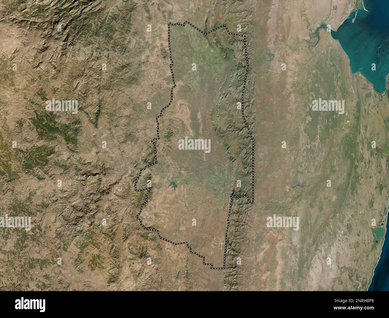 Lubombo, district of Eswatini. Low resolution satellite map Stock Photohttps://www.alamy.com/image-license-details/?v=1https://www.alamy.com/lubombo-district-of-eswatini-low-resolution-satellite-map-image530828208.html
RF2NRH8P8–Lubombo, district of Eswatini. Low resolution satellite map
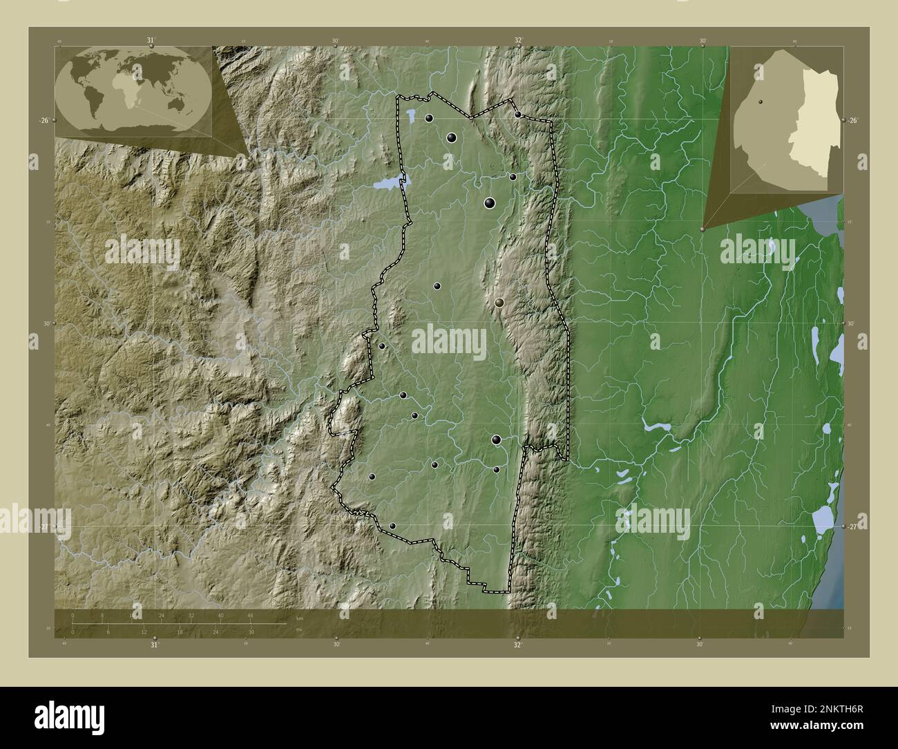 Lubombo, district of Eswatini. Elevation map colored in wiki style with lakes and rivers. Locations of major cities of the region. Corner auxiliary lo Stock Photohttps://www.alamy.com/image-license-details/?v=1https://www.alamy.com/lubombo-district-of-eswatini-elevation-map-colored-in-wiki-style-with-lakes-and-rivers-locations-of-major-cities-of-the-region-corner-auxiliary-lo-image528529871.html
RF2NKTH6R–Lubombo, district of Eswatini. Elevation map colored in wiki style with lakes and rivers. Locations of major cities of the region. Corner auxiliary lo
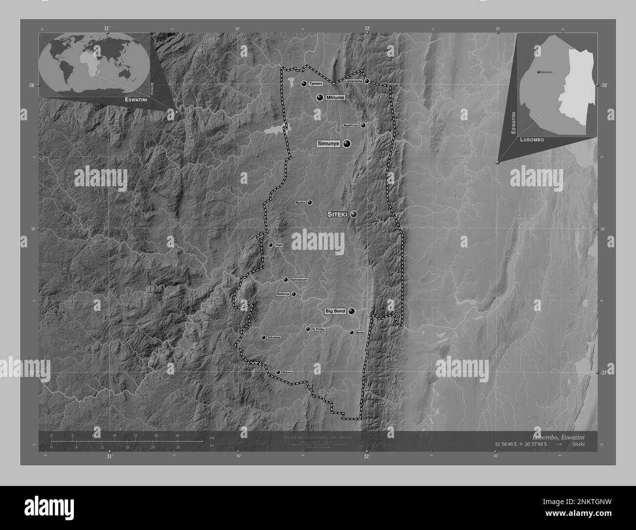 Lubombo, district of Eswatini. Grayscale elevation map with lakes and rivers. Locations and names of major cities of the region. Corner auxiliary loca Stock Photohttps://www.alamy.com/image-license-details/?v=1https://www.alamy.com/lubombo-district-of-eswatini-grayscale-elevation-map-with-lakes-and-rivers-locations-and-names-of-major-cities-of-the-region-corner-auxiliary-loca-image528529509.html
RF2NKTGNW–Lubombo, district of Eswatini. Grayscale elevation map with lakes and rivers. Locations and names of major cities of the region. Corner auxiliary loca
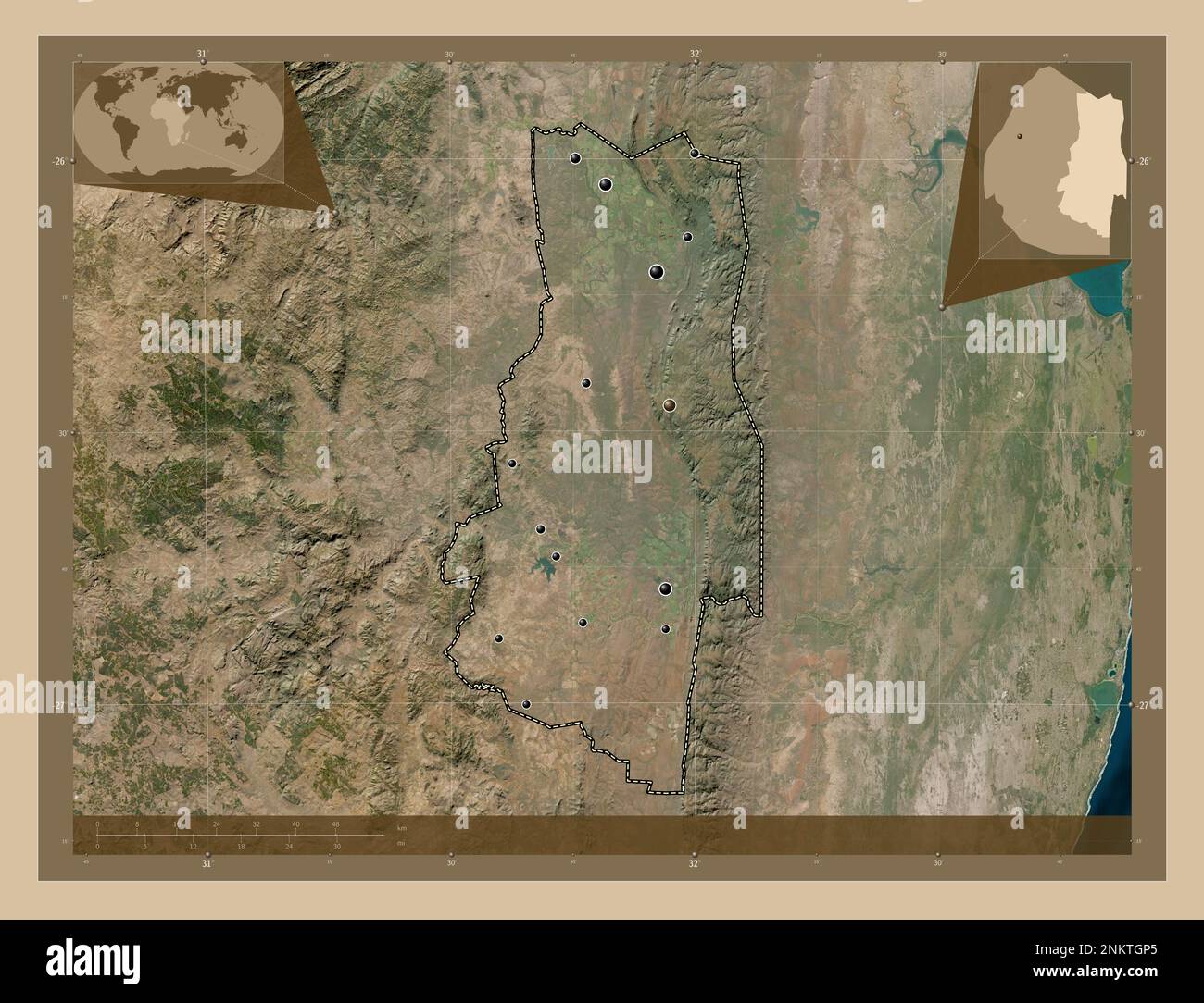 Lubombo, district of Eswatini. Low resolution satellite map. Locations of major cities of the region. Corner auxiliary location maps Stock Photohttps://www.alamy.com/image-license-details/?v=1https://www.alamy.com/lubombo-district-of-eswatini-low-resolution-satellite-map-locations-of-major-cities-of-the-region-corner-auxiliary-location-maps-image528529517.html
RF2NKTGP5–Lubombo, district of Eswatini. Low resolution satellite map. Locations of major cities of the region. Corner auxiliary location maps
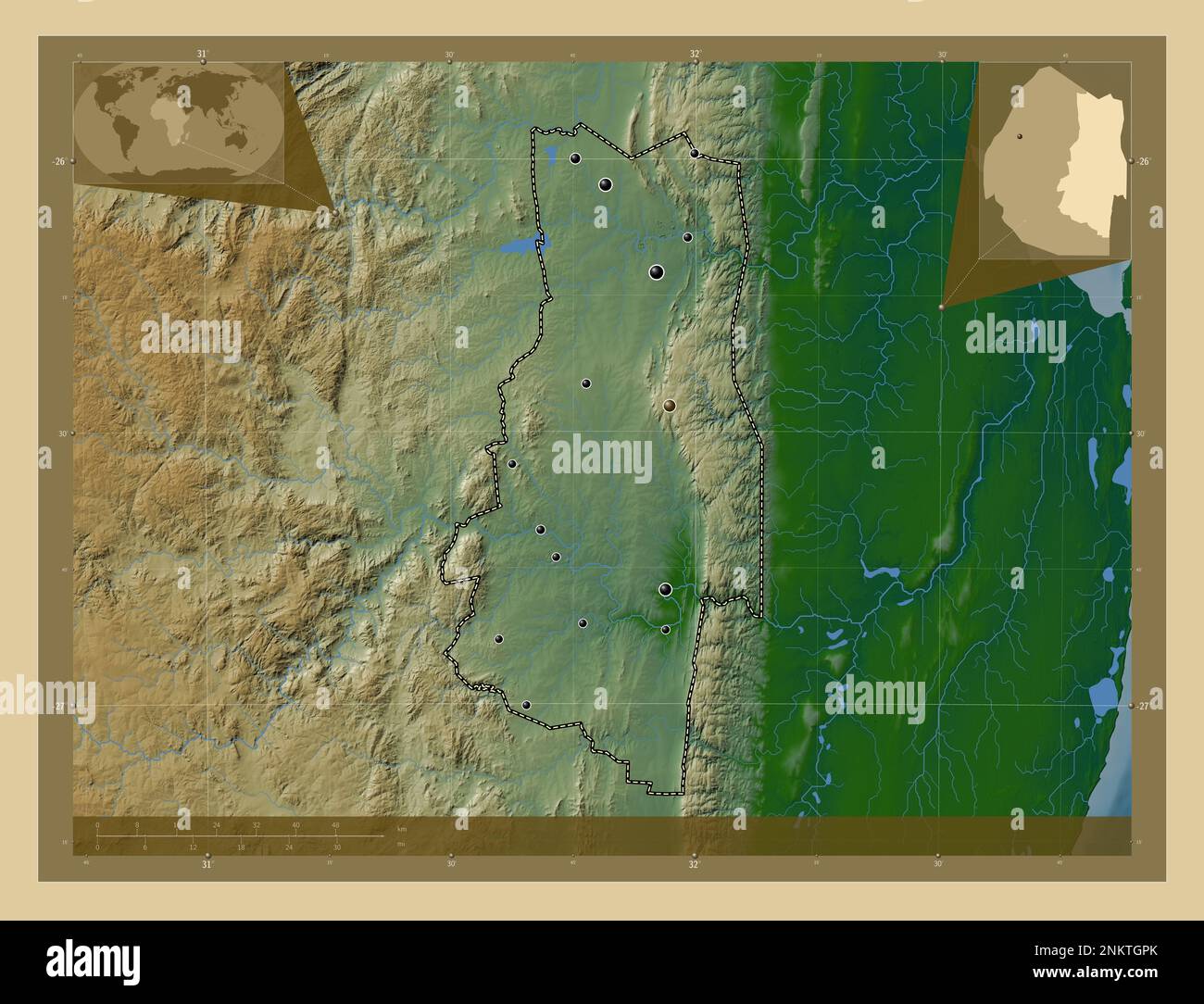 Lubombo, district of Eswatini. Colored elevation map with lakes and rivers. Locations of major cities of the region. Corner auxiliary location maps Stock Photohttps://www.alamy.com/image-license-details/?v=1https://www.alamy.com/lubombo-district-of-eswatini-colored-elevation-map-with-lakes-and-rivers-locations-of-major-cities-of-the-region-corner-auxiliary-location-maps-image528529531.html
RF2NKTGPK–Lubombo, district of Eswatini. Colored elevation map with lakes and rivers. Locations of major cities of the region. Corner auxiliary location maps
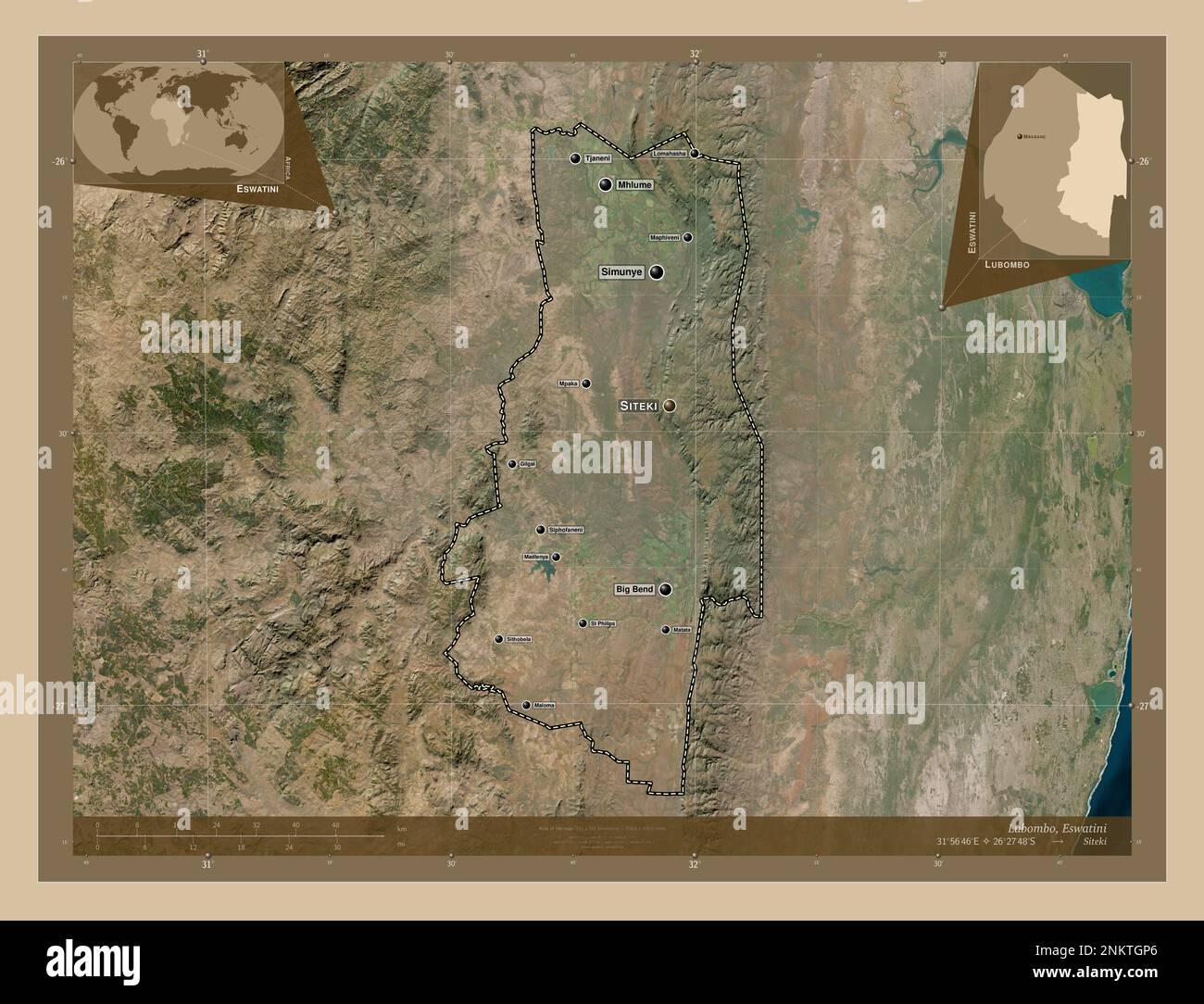 Lubombo, district of Eswatini. Low resolution satellite map. Locations and names of major cities of the region. Corner auxiliary location maps Stock Photohttps://www.alamy.com/image-license-details/?v=1https://www.alamy.com/lubombo-district-of-eswatini-low-resolution-satellite-map-locations-and-names-of-major-cities-of-the-region-corner-auxiliary-location-maps-image528529518.html
RF2NKTGP6–Lubombo, district of Eswatini. Low resolution satellite map. Locations and names of major cities of the region. Corner auxiliary location maps
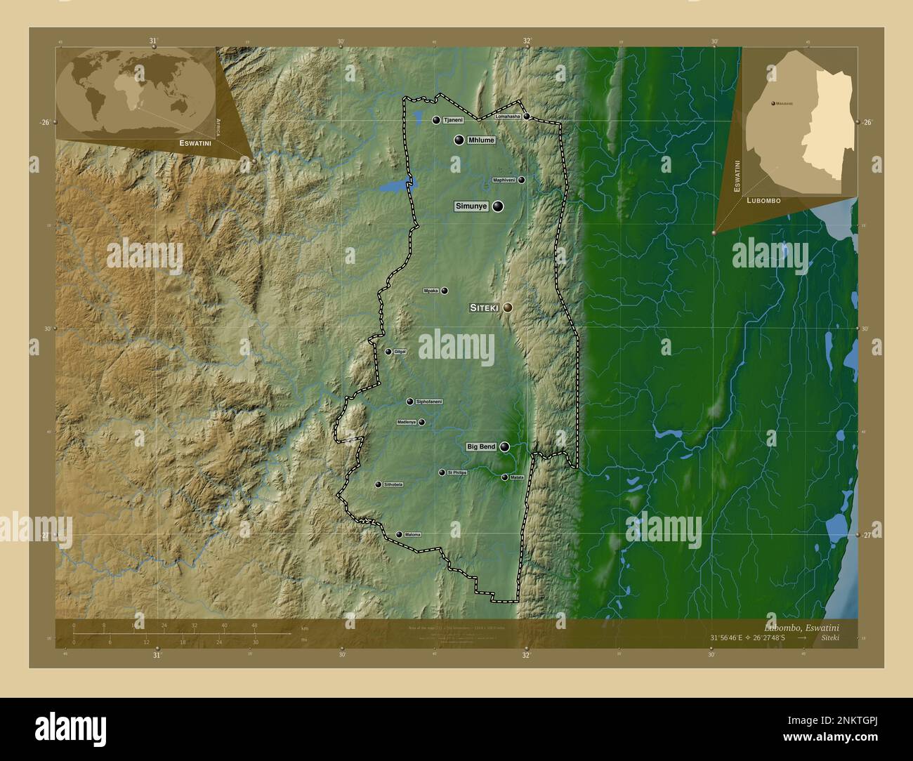 Lubombo, district of Eswatini. Colored elevation map with lakes and rivers. Locations and names of major cities of the region. Corner auxiliary locati Stock Photohttps://www.alamy.com/image-license-details/?v=1https://www.alamy.com/lubombo-district-of-eswatini-colored-elevation-map-with-lakes-and-rivers-locations-and-names-of-major-cities-of-the-region-corner-auxiliary-locati-image528529530.html
RF2NKTGPJ–Lubombo, district of Eswatini. Colored elevation map with lakes and rivers. Locations and names of major cities of the region. Corner auxiliary locati
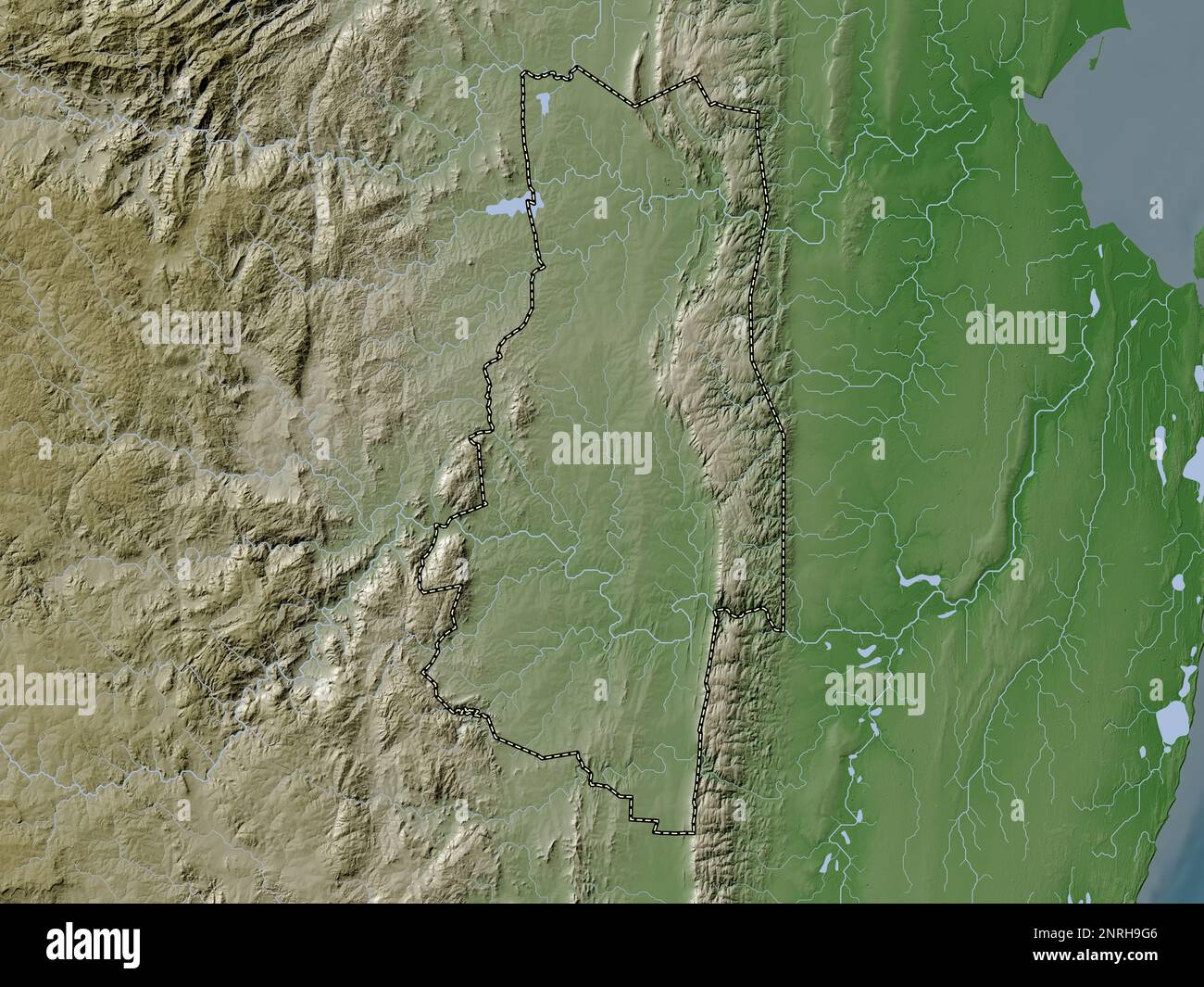 Lubombo, district of Eswatini. Elevation map colored in wiki style with lakes and rivers Stock Photohttps://www.alamy.com/image-license-details/?v=1https://www.alamy.com/lubombo-district-of-eswatini-elevation-map-colored-in-wiki-style-with-lakes-and-rivers-image530828822.html
RF2NRH9G6–Lubombo, district of Eswatini. Elevation map colored in wiki style with lakes and rivers
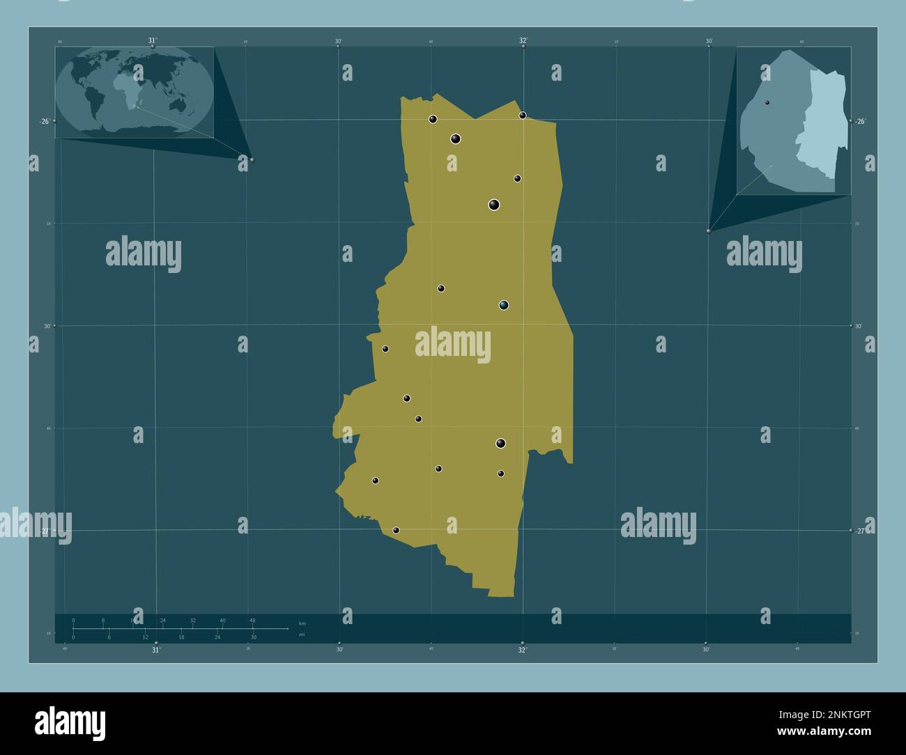 Lubombo, district of Eswatini. Solid color shape. Locations of major cities of the region. Corner auxiliary location maps Stock Photohttps://www.alamy.com/image-license-details/?v=1https://www.alamy.com/lubombo-district-of-eswatini-solid-color-shape-locations-of-major-cities-of-the-region-corner-auxiliary-location-maps-image528529536.html
RF2NKTGPT–Lubombo, district of Eswatini. Solid color shape. Locations of major cities of the region. Corner auxiliary location maps
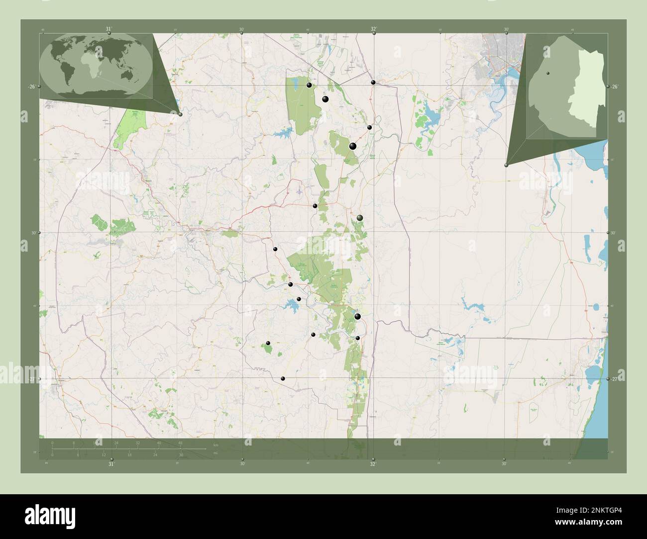 Lubombo, district of Eswatini. Open Street Map. Locations of major cities of the region. Corner auxiliary location maps Stock Photohttps://www.alamy.com/image-license-details/?v=1https://www.alamy.com/lubombo-district-of-eswatini-open-street-map-locations-of-major-cities-of-the-region-corner-auxiliary-location-maps-image528529516.html
RF2NKTGP4–Lubombo, district of Eswatini. Open Street Map. Locations of major cities of the region. Corner auxiliary location maps
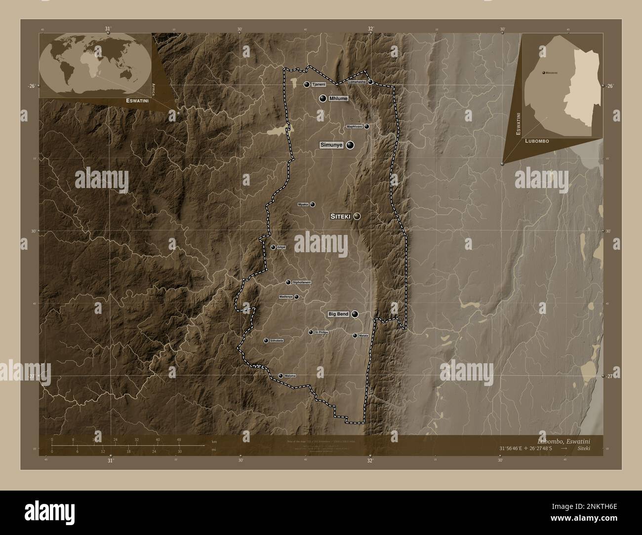 Lubombo, district of Eswatini. Elevation map colored in sepia tones with lakes and rivers. Locations and names of major cities of the region. Corner a Stock Photohttps://www.alamy.com/image-license-details/?v=1https://www.alamy.com/lubombo-district-of-eswatini-elevation-map-colored-in-sepia-tones-with-lakes-and-rivers-locations-and-names-of-major-cities-of-the-region-corner-a-image528529862.html
RF2NKTH6E–Lubombo, district of Eswatini. Elevation map colored in sepia tones with lakes and rivers. Locations and names of major cities of the region. Corner a
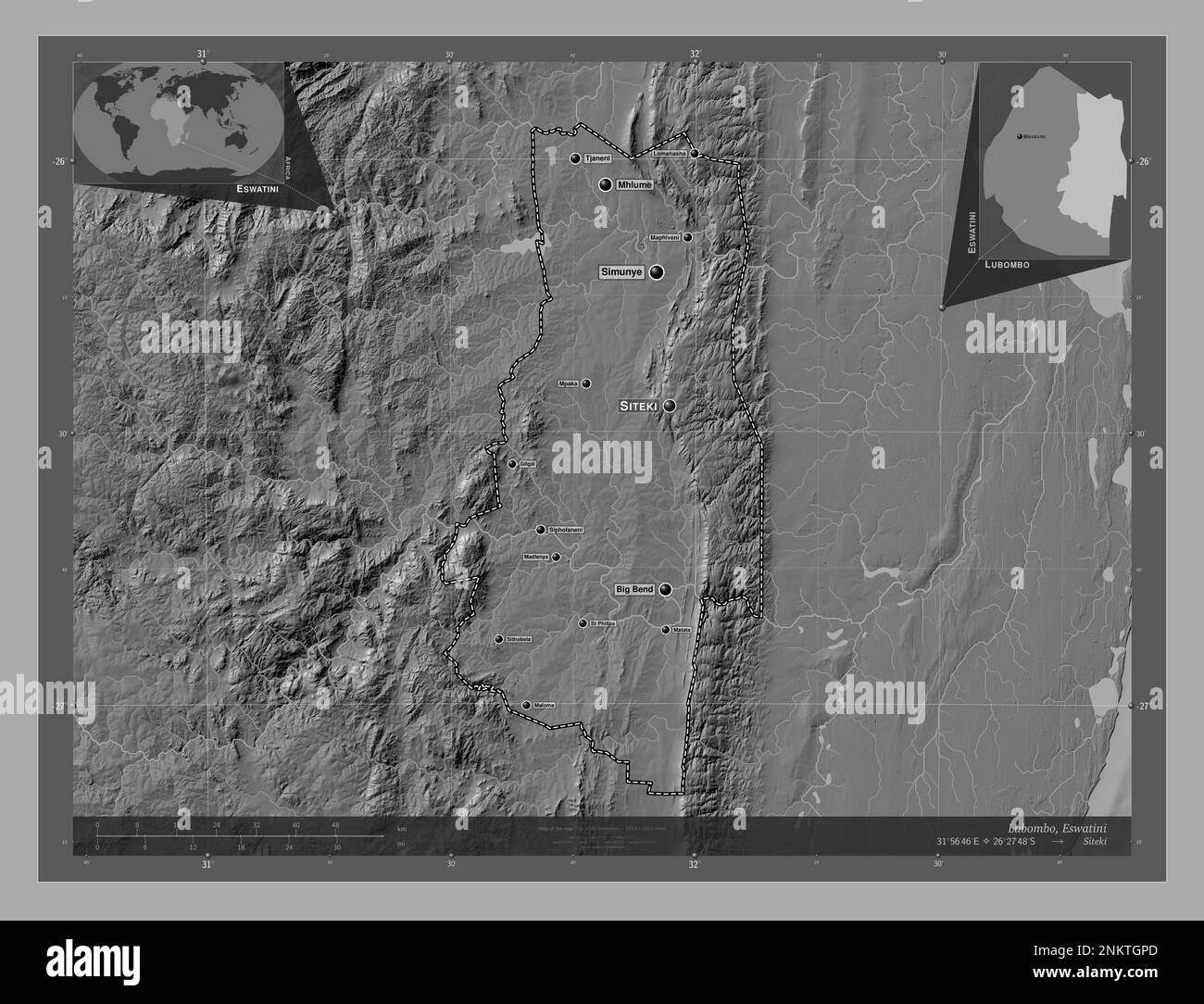 Lubombo, district of Eswatini. Bilevel elevation map with lakes and rivers. Locations and names of major cities of the region. Corner auxiliary locati Stock Photohttps://www.alamy.com/image-license-details/?v=1https://www.alamy.com/lubombo-district-of-eswatini-bilevel-elevation-map-with-lakes-and-rivers-locations-and-names-of-major-cities-of-the-region-corner-auxiliary-locati-image528529525.html
RF2NKTGPD–Lubombo, district of Eswatini. Bilevel elevation map with lakes and rivers. Locations and names of major cities of the region. Corner auxiliary locati
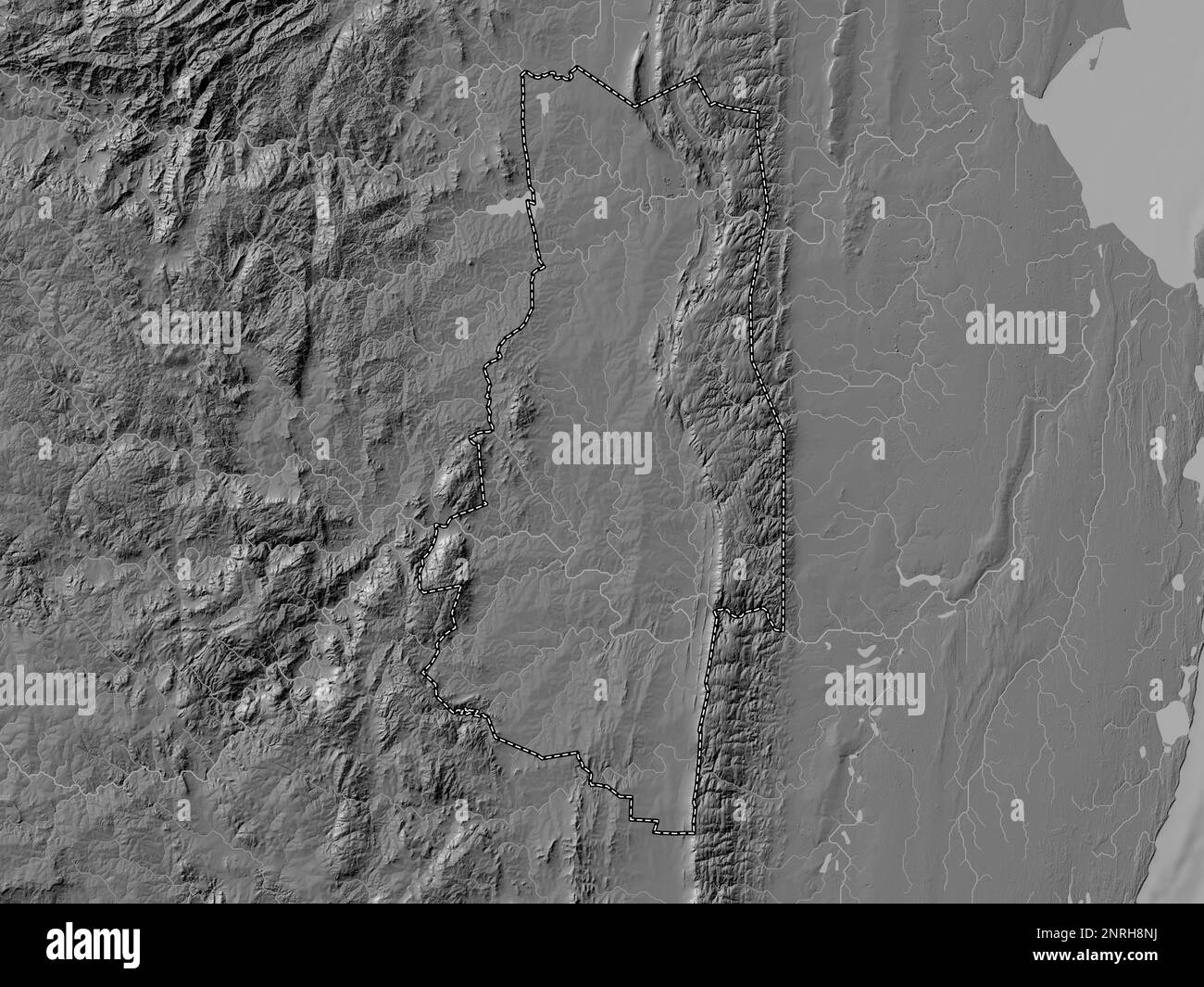 Lubombo, district of Eswatini. Bilevel elevation map with lakes and rivers Stock Photohttps://www.alamy.com/image-license-details/?v=1https://www.alamy.com/lubombo-district-of-eswatini-bilevel-elevation-map-with-lakes-and-rivers-image530828190.html
RF2NRH8NJ–Lubombo, district of Eswatini. Bilevel elevation map with lakes and rivers
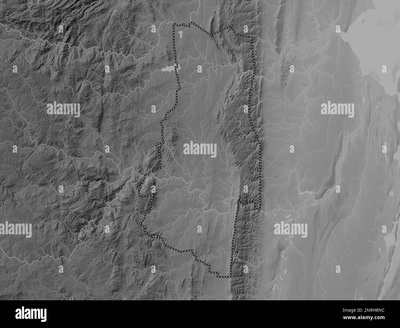 Lubombo, district of Eswatini. Grayscale elevation map with lakes and rivers Stock Photohttps://www.alamy.com/image-license-details/?v=1https://www.alamy.com/lubombo-district-of-eswatini-grayscale-elevation-map-with-lakes-and-rivers-image530828184.html
RF2NRH8NC–Lubombo, district of Eswatini. Grayscale elevation map with lakes and rivers