Quick filters:
Long bennington Stock Photos and Images
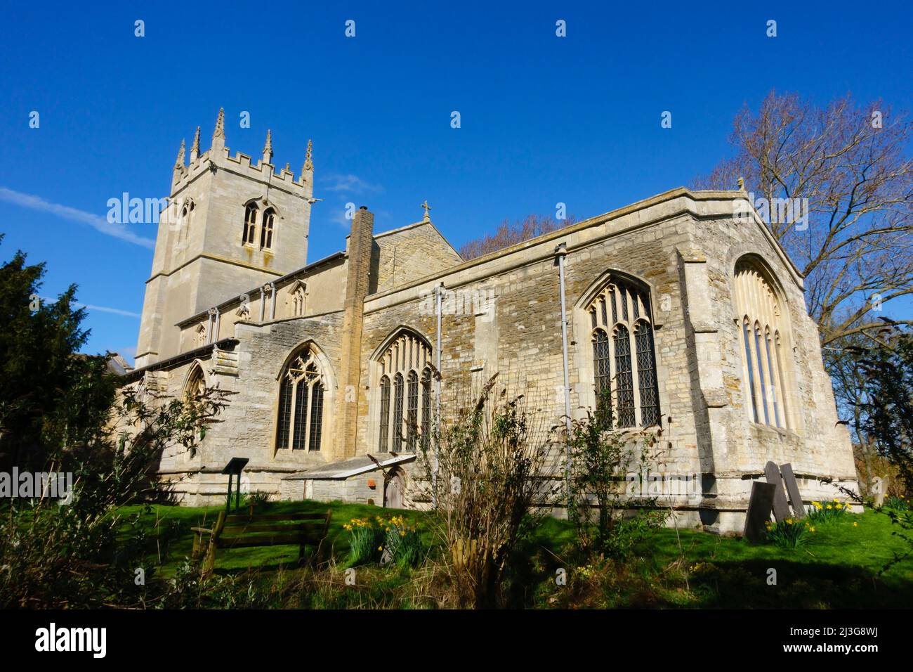 Church of St Swithun, St Swithin, Long Bennington, Lincolnshire, England Stock Photohttps://www.alamy.com/image-license-details/?v=1https://www.alamy.com/church-of-st-swithun-st-swithin-long-bennington-lincolnshire-england-image466882126.html
RM2J3G8WJ–Church of St Swithun, St Swithin, Long Bennington, Lincolnshire, England
 Table Lamp. Bennington Manufacturing (England, Long Bennington, metal furniture manufacturer, established 1966). United States, circa 1849-1858. Furnishings; Lighting. Earthenware, glaze, glass Stock Photohttps://www.alamy.com/image-license-details/?v=1https://www.alamy.com/table-lamp-bennington-manufacturing-england-long-bennington-metal-furniture-manufacturer-established-1966-united-states-circa-1849-1858-furnishings-lighting-earthenware-glaze-glass-image464730134.html
RM2J0280P–Table Lamp. Bennington Manufacturing (England, Long Bennington, metal furniture manufacturer, established 1966). United States, circa 1849-1858. Furnishings; Lighting. Earthenware, glaze, glass
 USS Philippine Sea (CVS-47), USS Bennington (CVA-20) and USS Shangri-La (CVA-38) off Long Beach, circa in 1956 (NNAM.1996.488.114.038) Stock Photohttps://www.alamy.com/image-license-details/?v=1https://www.alamy.com/uss-philippine-sea-cvs-47-uss-bennington-cva-20-and-uss-shangri-la-cva-38-off-long-beach-circa-in-1956-nnam1996488114038-image571963013.html
RM2T6F4JD–USS Philippine Sea (CVS-47), USS Bennington (CVA-20) and USS Shangri-La (CVA-38) off Long Beach, circa in 1956 (NNAM.1996.488.114.038)
 U.S. Soldiers with the 1st Squadron, 172nd Cavalry Regiment, 86th Infantry Brigade Combat Team (Mountain), Vermont National Guard, conduct a farewell ceremony, in Bennington, Vt., May 10, 2021. The Soldiers say goodbye to family and friends as they prepare for a 12 month long deployment to U.S. Europe Command. Stock Photohttps://www.alamy.com/image-license-details/?v=1https://www.alamy.com/us-soldiers-with-the-1st-squadron-172nd-cavalry-regiment-86th-infantry-brigade-combat-team-mountain-vermont-national-guard-conduct-a-farewell-ceremony-in-bennington-vt-may-10-2021-the-soldiers-say-goodbye-to-family-and-friends-as-they-prepare-for-a-12-month-long-deployment-to-us-europe-command-image442355649.html
RM2GKK141–U.S. Soldiers with the 1st Squadron, 172nd Cavalry Regiment, 86th Infantry Brigade Combat Team (Mountain), Vermont National Guard, conduct a farewell ceremony, in Bennington, Vt., May 10, 2021. The Soldiers say goodbye to family and friends as they prepare for a 12 month long deployment to U.S. Europe Command.
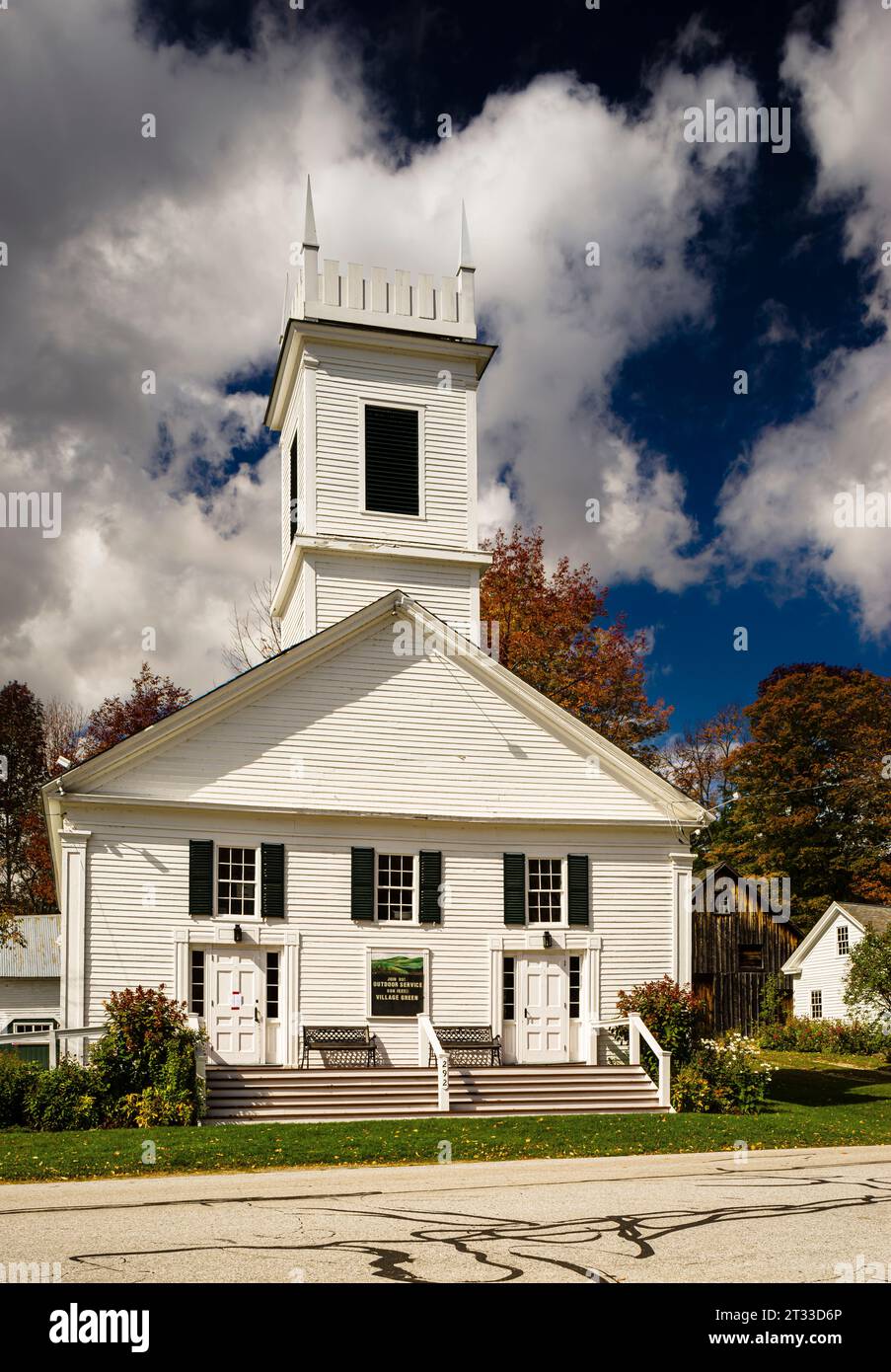 Peru Congregational Church Peru, Vermont, USA Stock Photohttps://www.alamy.com/image-license-details/?v=1https://www.alamy.com/peru-congregational-church-peru-vermont-usa-image569862350.html
RM2T33D6P–Peru Congregational Church Peru, Vermont, USA
 Long Bennington, Lincolnshire, GB, United Kingdom, England, N 52 59' 23'', S 0 46' 11'', map, Cartascapes Map published in 2024. Explore Cartascapes, a map revealing Earth's diverse landscapes, cultures, and ecosystems. Journey through time and space, discovering the interconnectedness of our planet's past, present, and future. Stock Photohttps://www.alamy.com/image-license-details/?v=1https://www.alamy.com/long-bennington-lincolnshire-gb-united-kingdom-england-n-52-59-23-s-0-46-11-map-cartascapes-map-published-in-2024-explore-cartascapes-a-map-revealing-earths-diverse-landscapes-cultures-and-ecosystems-journey-through-time-and-space-discovering-the-interconnectedness-of-our-planets-past-present-and-future-image604259186.html
RM2X32AN6–Long Bennington, Lincolnshire, GB, United Kingdom, England, N 52 59' 23'', S 0 46' 11'', map, Cartascapes Map published in 2024. Explore Cartascapes, a map revealing Earth's diverse landscapes, cultures, and ecosystems. Journey through time and space, discovering the interconnectedness of our planet's past, present, and future.
 Bentley turbo long wheel base 6750cc 1996 at the St Christopher's Hospice Classic Car Show which took place in Orpington, Kent Stock Photohttps://www.alamy.com/image-license-details/?v=1https://www.alamy.com/stock-photo-bentley-turbo-long-wheel-base-6750cc-1996-at-the-st-christophers-hospice-73598243.html
RME7MK8K–Bentley turbo long wheel base 6750cc 1996 at the St Christopher's Hospice Classic Car Show which took place in Orpington, Kent
 Gradient profiles for the Great North Road (currently A1 / M1) near Doncaster in vintage book of road profiles used by drivers when planning routes. Stock Photohttps://www.alamy.com/image-license-details/?v=1https://www.alamy.com/gradient-profiles-for-the-great-north-road-currently-a1-m1-near-doncaster-in-vintage-book-of-road-profiles-used-by-drivers-when-planning-routes-image354747477.html
RM2BH440N–Gradient profiles for the Great North Road (currently A1 / M1) near Doncaster in vintage book of road profiles used by drivers when planning routes.
 USS Bennington (CVS-20) leaving Long Beach in 1969 Stock Photohttps://www.alamy.com/image-license-details/?v=1https://www.alamy.com/uss-bennington-cvs-20-leaving-long-beach-in-1969-image571901949.html
RM2T6CANH–USS Bennington (CVS-20) leaving Long Beach in 1969
 The Henry Bridge in North Bennington Vermont USA Stock Photohttps://www.alamy.com/image-license-details/?v=1https://www.alamy.com/stock-photo-the-henry-bridge-in-north-bennington-vermont-usa-10957201.html
RMA479AX–The Henry Bridge in North Bennington Vermont USA
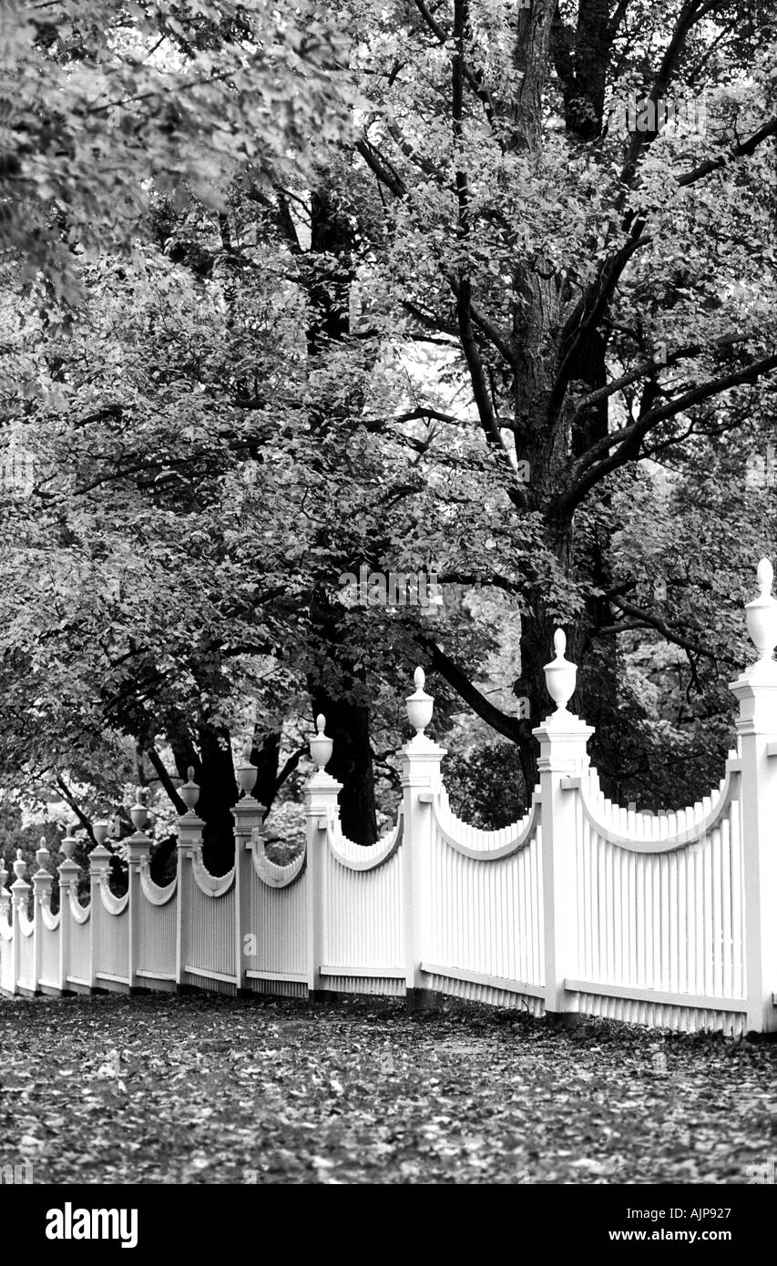 Church fence at Long Bennington Vermont USA Stock Photohttps://www.alamy.com/image-license-details/?v=1https://www.alamy.com/church-fence-at-long-bennington-vermont-usa-image2746662.html
RMAJP927–Church fence at Long Bennington Vermont USA
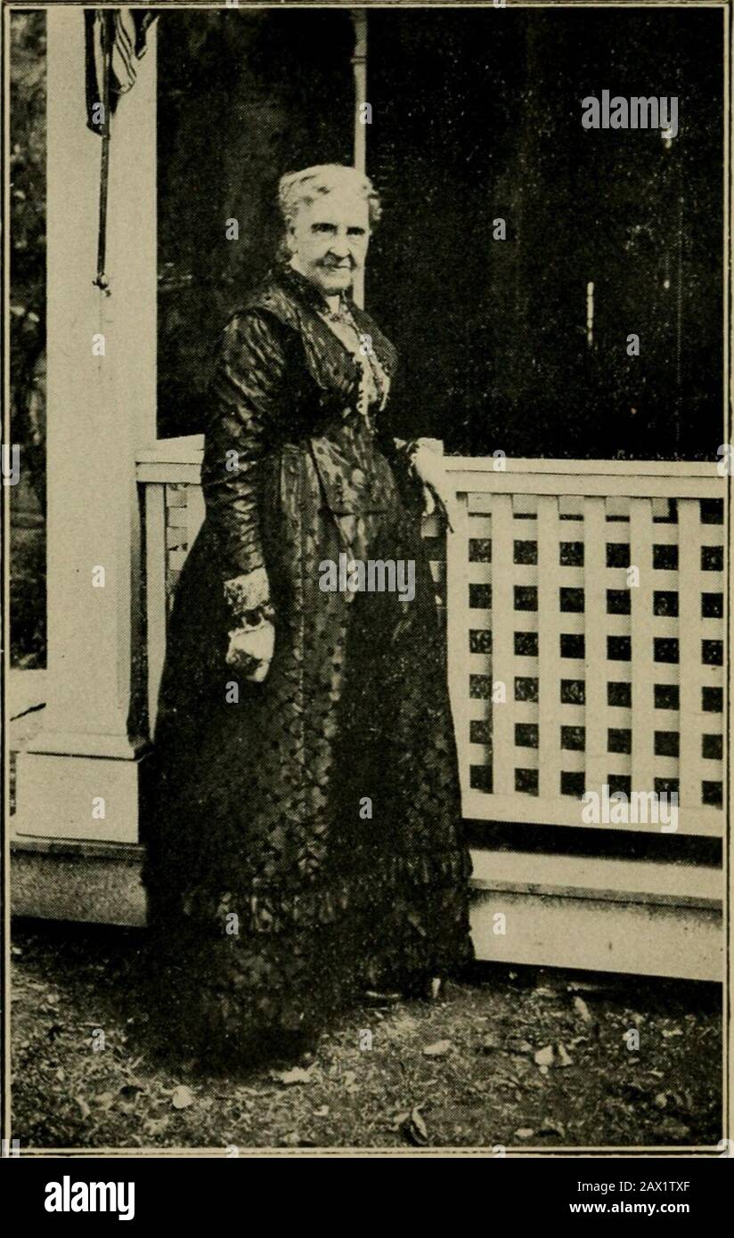 Humorous tales of Bennington-on-the-hill, collected and written for her sons and daughters by one who was born near the site of the old continental store house . to join inthe quaint old dances of days long vanished.Out, out into the Great Beyond they havepassed nearly all of those whom I have re-called in this little narrative and with them ahost of other friends who have gone to thathappy land below the horizon, the Land o theLeal toward which our footsteps all are bend-ing. 67 HUMOROUS TALES BENNINGTON CENTER JUST a peaceful, quiet village,Nestling mid the mountains green,Giving to the wear Stock Photohttps://www.alamy.com/image-license-details/?v=1https://www.alamy.com/humorous-tales-of-bennington-on-the-hill-collected-and-written-for-her-sons-and-daughters-by-one-who-was-born-near-the-site-of-the-old-continental-store-house-to-join-inthe-quaint-old-dances-of-days-long-vanishedout-out-into-the-great-beyond-they-havepassed-nearly-all-of-those-whom-i-have-re-called-in-this-little-narrative-and-with-them-ahost-of-other-friends-who-have-gone-to-thathappy-land-below-the-horizon-the-land-o-theleal-toward-which-our-footsteps-all-are-bend-ing-67-humorous-tales-bennington-center-just-a-peaceful-quiet-villagenestling-mid-the-mountains-greengiving-to-the-wear-image343019559.html
RM2AX1TXF–Humorous tales of Bennington-on-the-hill, collected and written for her sons and daughters by one who was born near the site of the old continental store house . to join inthe quaint old dances of days long vanished.Out, out into the Great Beyond they havepassed nearly all of those whom I have re-called in this little narrative and with them ahost of other friends who have gone to thathappy land below the horizon, the Land o theLeal toward which our footsteps all are bend-ing. 67 HUMOROUS TALES BENNINGTON CENTER JUST a peaceful, quiet village,Nestling mid the mountains green,Giving to the wear
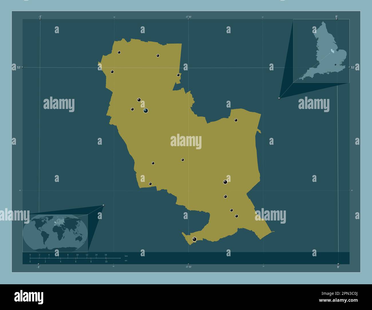 South Kesteven, non metropolitan district of England - Great Britain. Solid color shape. Locations of major cities of the region. Corner auxiliary loc Stock Photohttps://www.alamy.com/image-license-details/?v=1https://www.alamy.com/south-kesteven-non-metropolitan-district-of-england-great-britain-solid-color-shape-locations-of-major-cities-of-the-region-corner-auxiliary-loc-image546504466.html
RF2PN3C0J–South Kesteven, non metropolitan district of England - Great Britain. Solid color shape. Locations of major cities of the region. Corner auxiliary loc
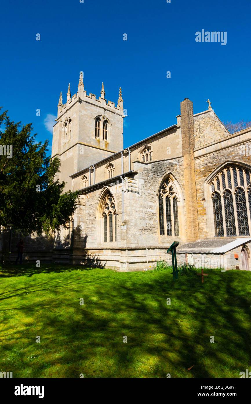 Church of St Swithun, St Swithin, Long Bennington, Lincolnshire, England Stock Photohttps://www.alamy.com/image-license-details/?v=1https://www.alamy.com/church-of-st-swithun-st-swithin-long-bennington-lincolnshire-england-image466882179.html
RM2J3G8YF–Church of St Swithun, St Swithin, Long Bennington, Lincolnshire, England
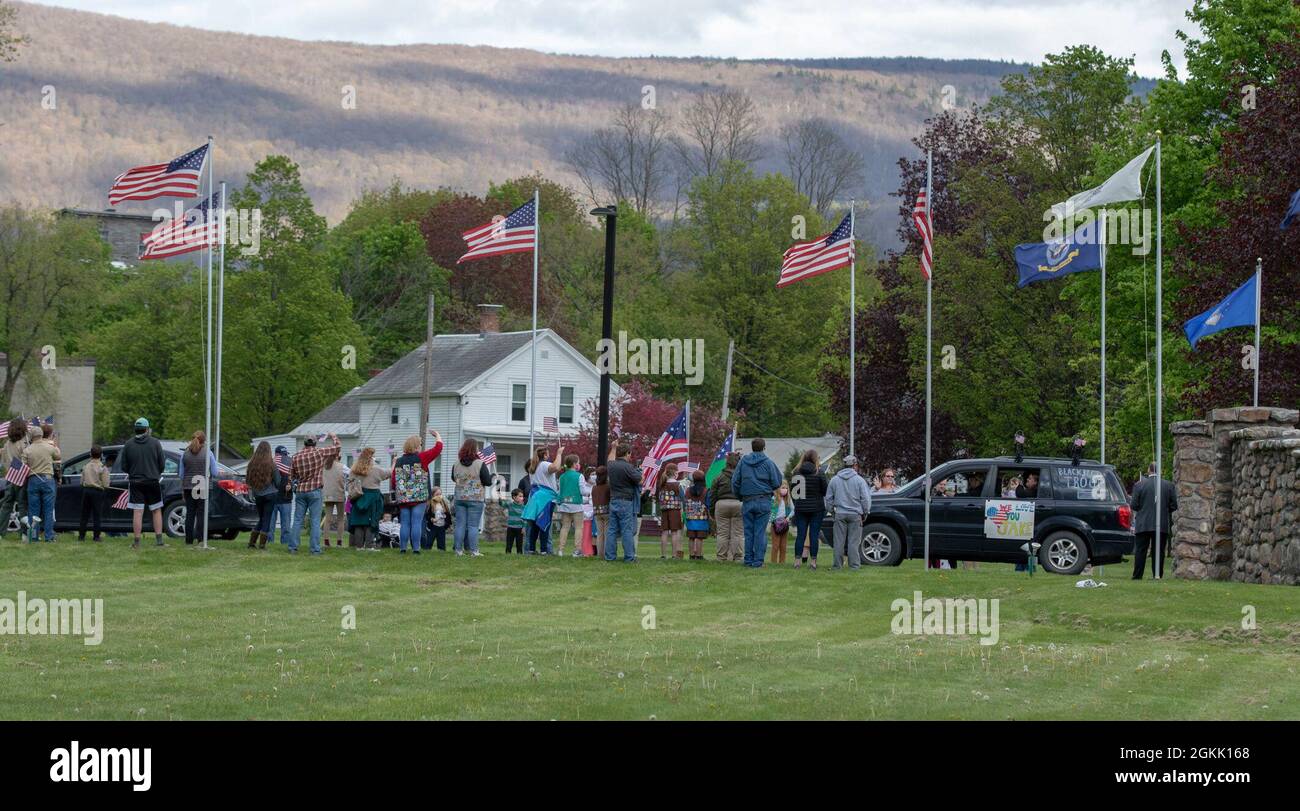 U.S. Soldiers with the 1st Squadron, 172nd Cavalry Regiment, 86th Infantry Brigade Combat Team (Mountain), Vermont National Guard, conduct a farewell ceremony, in Bennington, Vt., May 10, 2021. The Soldiers say goodbye to family and friends as they prepare for a 12 month long deployment to U.S. Europe Command. Stock Photohttps://www.alamy.com/image-license-details/?v=1https://www.alamy.com/us-soldiers-with-the-1st-squadron-172nd-cavalry-regiment-86th-infantry-brigade-combat-team-mountain-vermont-national-guard-conduct-a-farewell-ceremony-in-bennington-vt-may-10-2021-the-soldiers-say-goodbye-to-family-and-friends-as-they-prepare-for-a-12-month-long-deployment-to-us-europe-command-image442355712.html
RM2GKK168–U.S. Soldiers with the 1st Squadron, 172nd Cavalry Regiment, 86th Infantry Brigade Combat Team (Mountain), Vermont National Guard, conduct a farewell ceremony, in Bennington, Vt., May 10, 2021. The Soldiers say goodbye to family and friends as they prepare for a 12 month long deployment to U.S. Europe Command.
 Long Bennington, Lincolnshire, GB, United Kingdom, England, N 52 59' 23'', S 0 46' 11'', map, Cartascapes Map published in 2024. Explore Cartascapes, a map revealing Earth's diverse landscapes, cultures, and ecosystems. Journey through time and space, discovering the interconnectedness of our planet's past, present, and future. Stock Photohttps://www.alamy.com/image-license-details/?v=1https://www.alamy.com/long-bennington-lincolnshire-gb-united-kingdom-england-n-52-59-23-s-0-46-11-map-cartascapes-map-published-in-2024-explore-cartascapes-a-map-revealing-earths-diverse-landscapes-cultures-and-ecosystems-journey-through-time-and-space-discovering-the-interconnectedness-of-our-planets-past-present-and-future-image604259190.html
RM2X32ANA–Long Bennington, Lincolnshire, GB, United Kingdom, England, N 52 59' 23'', S 0 46' 11'', map, Cartascapes Map published in 2024. Explore Cartascapes, a map revealing Earth's diverse landscapes, cultures, and ecosystems. Journey through time and space, discovering the interconnectedness of our planet's past, present, and future.
 USS Bennington (CVS-20) in dry dock of Long Beach NS c1969 Stock Photohttps://www.alamy.com/image-license-details/?v=1https://www.alamy.com/uss-bennington-cvs-20-in-dry-dock-of-long-beach-ns-c1969-image571901972.html
RM2T6CAPC–USS Bennington (CVS-20) in dry dock of Long Beach NS c1969
 The Henry Bridge in North Bennington Vermont USA Stock Photohttps://www.alamy.com/image-license-details/?v=1https://www.alamy.com/stock-photo-the-henry-bridge-in-north-bennington-vermont-usa-10957208.html
RMA479BN–The Henry Bridge in North Bennington Vermont USA
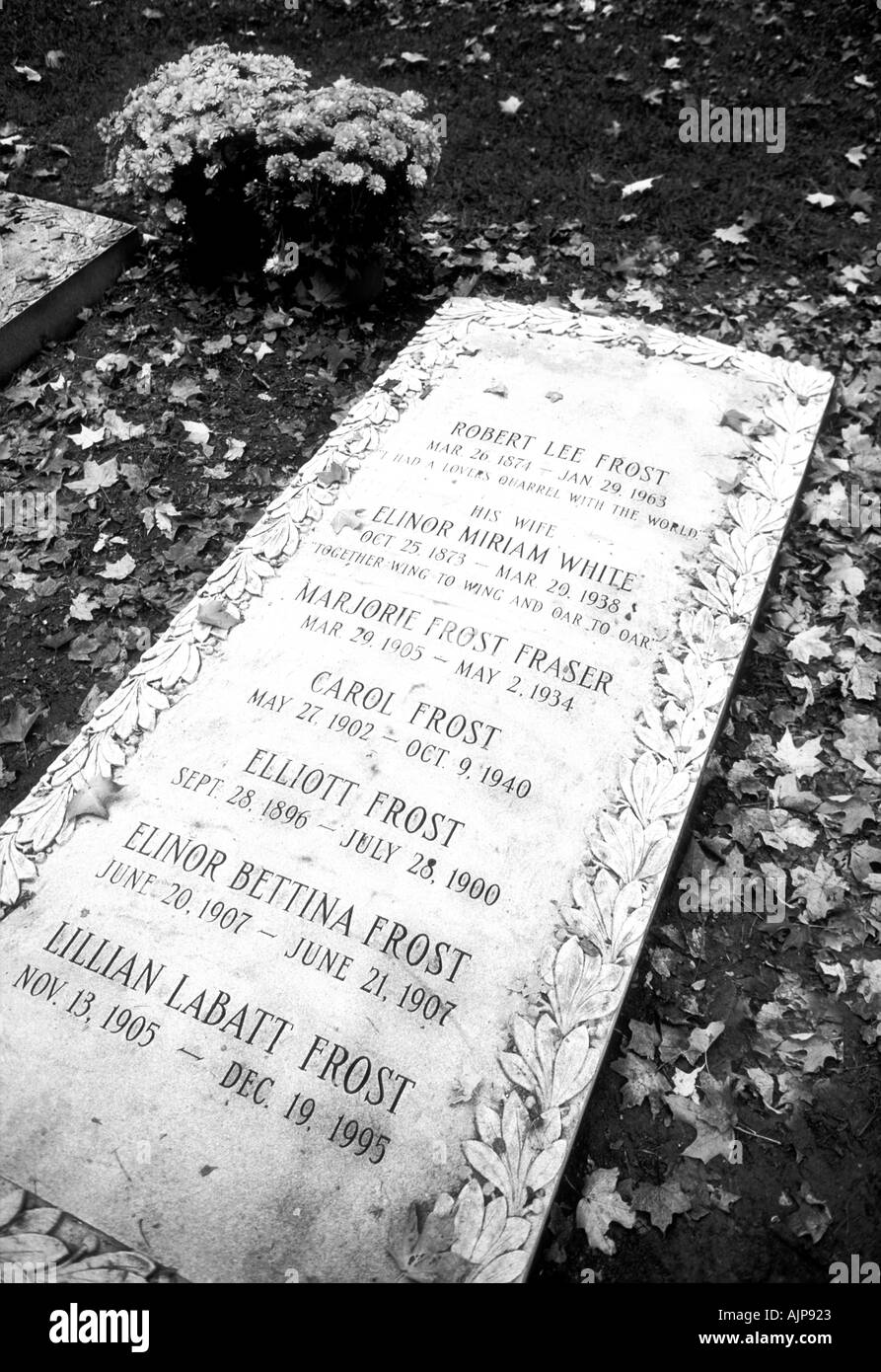 Robert Frost family grave Long Bennington Vermont USA Stock Photohttps://www.alamy.com/image-license-details/?v=1https://www.alamy.com/robert-frost-family-grave-long-bennington-vermont-usa-image2746658.html
RMAJP923–Robert Frost family grave Long Bennington Vermont USA
 Over Mohawk Trail . estrains through the Hoosac Tunnel and is carried overhigh tension transmission lines as far east as Fitch-burg, Worcester and Providence., also west to Pitts-field and Bennington. Cutlery, cotton and tools are made here. Yalelocks were first made here by Linus Yale, the in-ventor, before the plant was moved to Stamford,Connecticut. This was the former home of Henry Clay Payne,who was postmaster-general under Theodore Roose-velt. He lived in the long colonial house on the rightin the center of the village, just beyond Pratt Library.He graduated in 1859 from Franklin Institu Stock Photohttps://www.alamy.com/image-license-details/?v=1https://www.alamy.com/over-mohawk-trail-estrains-through-the-hoosac-tunnel-and-is-carried-overhigh-tension-transmission-lines-as-far-east-as-fitch-burg-worcester-and-providence-also-west-to-pitts-field-and-bennington-cutlery-cotton-and-tools-are-made-here-yalelocks-were-first-made-here-by-linus-yale-the-in-ventor-before-the-plant-was-moved-to-stamfordconnecticut-this-was-the-former-home-of-henry-clay-paynewho-was-postmaster-general-under-theodore-roose-velt-he-lived-in-the-long-colonial-house-on-the-rightin-the-center-of-the-village-just-beyond-pratt-libraryhe-graduated-in-1859-from-franklin-institu-image340246359.html
RM2ANFFKK–Over Mohawk Trail . estrains through the Hoosac Tunnel and is carried overhigh tension transmission lines as far east as Fitch-burg, Worcester and Providence., also west to Pitts-field and Bennington. Cutlery, cotton and tools are made here. Yalelocks were first made here by Linus Yale, the in-ventor, before the plant was moved to Stamford,Connecticut. This was the former home of Henry Clay Payne,who was postmaster-general under Theodore Roose-velt. He lived in the long colonial house on the rightin the center of the village, just beyond Pratt Library.He graduated in 1859 from Franklin Institu
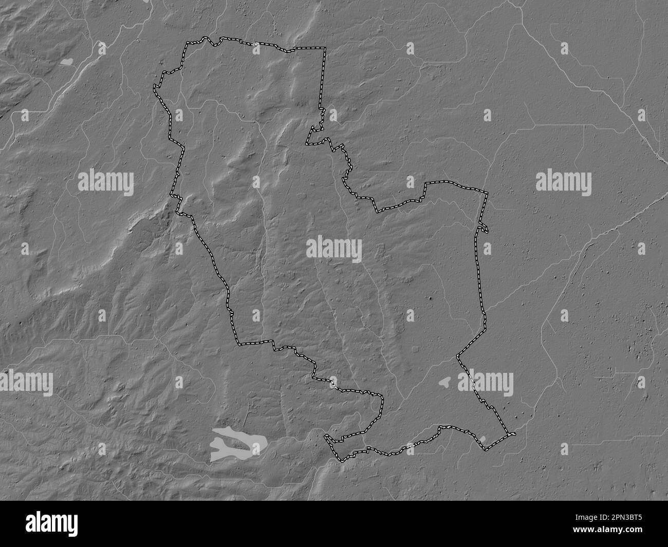 South Kesteven, non metropolitan district of England - Great Britain. Bilevel elevation map with lakes and rivers Stock Photohttps://www.alamy.com/image-license-details/?v=1https://www.alamy.com/south-kesteven-non-metropolitan-district-of-england-great-britain-bilevel-elevation-map-with-lakes-and-rivers-image546504341.html
RF2PN3BT5–South Kesteven, non metropolitan district of England - Great Britain. Bilevel elevation map with lakes and rivers
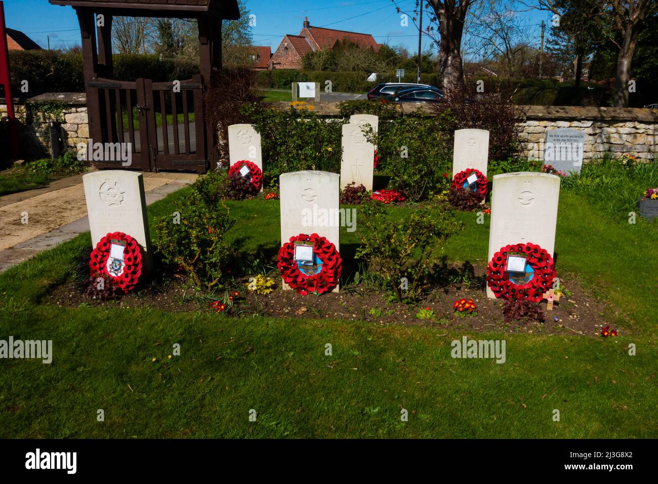 Commonwealth War Graves at Church of St Swithun, St Swithin, Long Bennington, Lincolnshire, England Stock Photohttps://www.alamy.com/image-license-details/?v=1https://www.alamy.com/commonwealth-war-graves-at-church-of-st-swithun-st-swithin-long-bennington-lincolnshire-england-image466882138.html
RM2J3G8X2–Commonwealth War Graves at Church of St Swithun, St Swithin, Long Bennington, Lincolnshire, England
 U.S. Soldiers with the 1st Squadron, 172nd Cavalry Regiment, 86th Infantry Brigade Combat Team (Mountain), Vermont National Guard, wave goodbye during a farewell ceremony, in Bennington, Vt., May 10, 2021. The Soldiers said goodbye to family and friends as they prepare for a 12 month long deployment to U.S. Europe Command. Stock Photohttps://www.alamy.com/image-license-details/?v=1https://www.alamy.com/us-soldiers-with-the-1st-squadron-172nd-cavalry-regiment-86th-infantry-brigade-combat-team-mountain-vermont-national-guard-wave-goodbye-during-a-farewell-ceremony-in-bennington-vt-may-10-2021-the-soldiers-said-goodbye-to-family-and-friends-as-they-prepare-for-a-12-month-long-deployment-to-us-europe-command-image442355674.html
RM2GKK14X–U.S. Soldiers with the 1st Squadron, 172nd Cavalry Regiment, 86th Infantry Brigade Combat Team (Mountain), Vermont National Guard, wave goodbye during a farewell ceremony, in Bennington, Vt., May 10, 2021. The Soldiers said goodbye to family and friends as they prepare for a 12 month long deployment to U.S. Europe Command.
 USS Philippine Sea (CVS-47) Bennington (CVA-20) Shangri La (CVA-38) Long Beach c1956 Stock Photohttps://www.alamy.com/image-license-details/?v=1https://www.alamy.com/stock-photo-uss-philippine-sea-cvs-47-bennington-cva-20-shangri-la-cva-38-long-130291972.html
RMHFY8MM–USS Philippine Sea (CVS-47) Bennington (CVA-20) Shangri La (CVA-38) Long Beach c1956
 Long Bennington, Lincolnshire, GB, United Kingdom, England, N 52 59' 35'', S 0 45' 28'', map, Cartascapes Map published in 2024. Explore Cartascapes, a map revealing Earth's diverse landscapes, cultures, and ecosystems. Journey through time and space, discovering the interconnectedness of our planet's past, present, and future. Stock Photohttps://www.alamy.com/image-license-details/?v=1https://www.alamy.com/long-bennington-lincolnshire-gb-united-kingdom-england-n-52-59-35-s-0-45-28-map-cartascapes-map-published-in-2024-explore-cartascapes-a-map-revealing-earths-diverse-landscapes-cultures-and-ecosystems-journey-through-time-and-space-discovering-the-interconnectedness-of-our-planets-past-present-and-future-image604160742.html
RM2X2WW5A–Long Bennington, Lincolnshire, GB, United Kingdom, England, N 52 59' 35'', S 0 45' 28'', map, Cartascapes Map published in 2024. Explore Cartascapes, a map revealing Earth's diverse landscapes, cultures, and ecosystems. Journey through time and space, discovering the interconnectedness of our planet's past, present, and future.
 USS Bennington (CVS-20) leaving Long Beach in 1969 Stock Photohttps://www.alamy.com/image-license-details/?v=1https://www.alamy.com/stock-photo-uss-bennington-cvs-20-leaving-long-beach-in-1969-130324347.html
RMHG0P0Y–USS Bennington (CVS-20) leaving Long Beach in 1969
 USS Bennington (CV-20) underway off Long Island on 25 September 1944 Stock Photohttps://www.alamy.com/image-license-details/?v=1https://www.alamy.com/uss-bennington-cv-20-underway-off-long-island-on-25-september-1944-image571901971.html
RM2T6CAPB–USS Bennington (CV-20) underway off Long Island on 25 September 1944
 Wisconsin, its story and biography, 1848-1913 . On the 15th of February, 1843, in West Rupert, Bennington county,Vermont, was solemnized the marriage of Mr. Sherman to Miss HannahM. Lewis, and she survived him by fifteen years, her death having oc-curred, in Milwaukee, on the 31st of July, 1907, at which time she waseighty-seven years of age. She was a woman of gentle and graciouspersonality and was loved by all who came within the sphere of herinfluence. Of the four children the only one now living is Dr. LewisSherman, who has long been one of the representative physicians of Mil-waukee and o Stock Photohttps://www.alamy.com/image-license-details/?v=1https://www.alamy.com/wisconsin-its-story-and-biography-1848-1913-on-the-15th-of-february-1843-in-west-rupert-bennington-countyvermont-was-solemnized-the-marriage-of-mr-sherman-to-miss-hannahm-lewis-and-she-survived-him-by-fifteen-years-her-death-having-oc-curred-in-milwaukee-on-the-31st-of-july-1907-at-which-time-she-waseighty-seven-years-of-age-she-was-a-woman-of-gentle-and-graciouspersonality-and-was-loved-by-all-who-came-within-the-sphere-of-herinfluence-of-the-four-children-the-only-one-now-living-is-dr-lewissherman-who-has-long-been-one-of-the-representative-physicians-of-mil-waukee-and-o-image343003955.html
RM2AX1517–Wisconsin, its story and biography, 1848-1913 . On the 15th of February, 1843, in West Rupert, Bennington county,Vermont, was solemnized the marriage of Mr. Sherman to Miss HannahM. Lewis, and she survived him by fifteen years, her death having oc-curred, in Milwaukee, on the 31st of July, 1907, at which time she waseighty-seven years of age. She was a woman of gentle and graciouspersonality and was loved by all who came within the sphere of herinfluence. Of the four children the only one now living is Dr. LewisSherman, who has long been one of the representative physicians of Mil-waukee and o
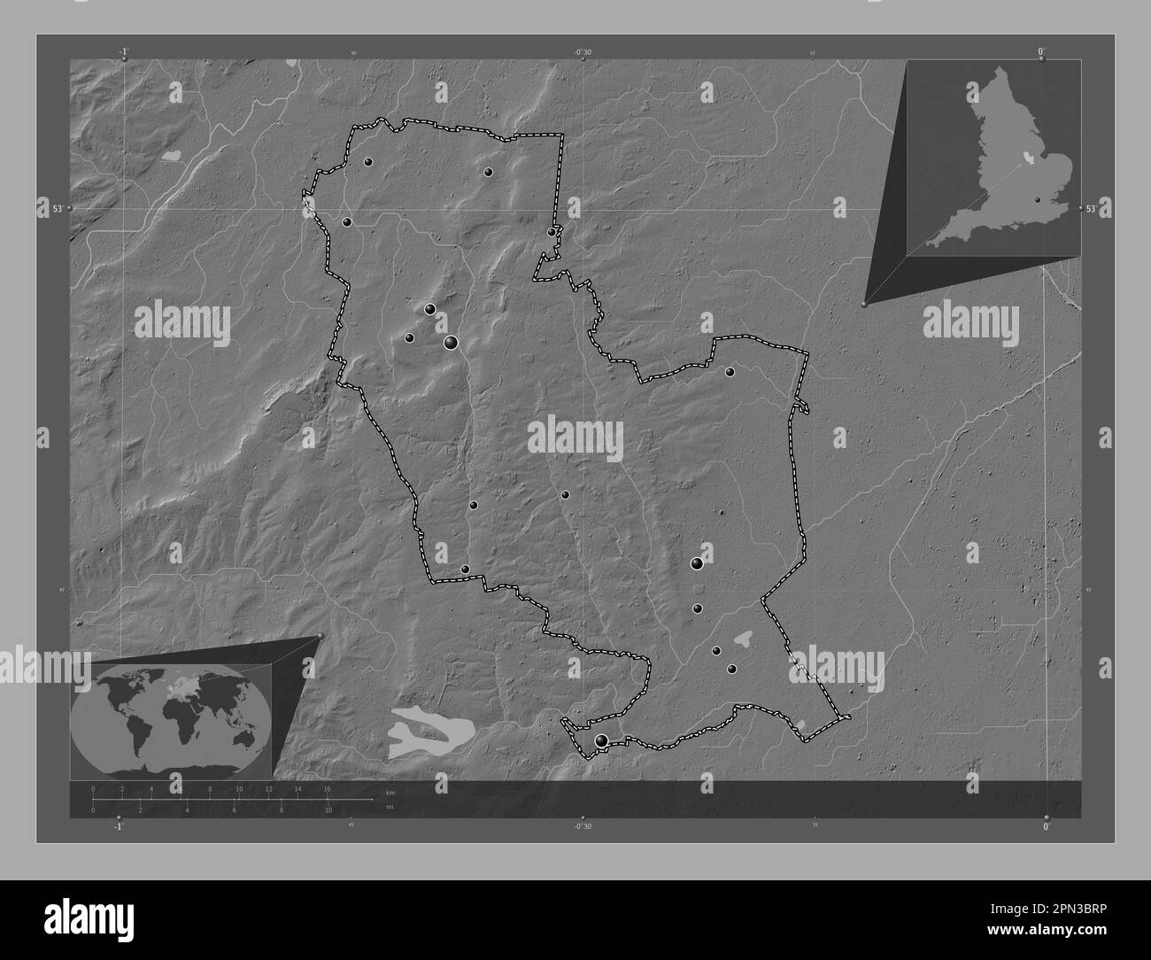 South Kesteven, non metropolitan district of England - Great Britain. Bilevel elevation map with lakes and rivers. Locations of major cities of the re Stock Photohttps://www.alamy.com/image-license-details/?v=1https://www.alamy.com/south-kesteven-non-metropolitan-district-of-england-great-britain-bilevel-elevation-map-with-lakes-and-rivers-locations-of-major-cities-of-the-re-image546504330.html
RF2PN3BRP–South Kesteven, non metropolitan district of England - Great Britain. Bilevel elevation map with lakes and rivers. Locations of major cities of the re
 Long Bennington, Lincolnshire, GB, United Kingdom, England, N 52 59' 35'', S 0 45' 28'', map, Cartascapes Map published in 2024. Explore Cartascapes, a map revealing Earth's diverse landscapes, cultures, and ecosystems. Journey through time and space, discovering the interconnectedness of our planet's past, present, and future. Stock Photohttps://www.alamy.com/image-license-details/?v=1https://www.alamy.com/long-bennington-lincolnshire-gb-united-kingdom-england-n-52-59-35-s-0-45-28-map-cartascapes-map-published-in-2024-explore-cartascapes-a-map-revealing-earths-diverse-landscapes-cultures-and-ecosystems-journey-through-time-and-space-discovering-the-interconnectedness-of-our-planets-past-present-and-future-image604160733.html
RM2X2WW51–Long Bennington, Lincolnshire, GB, United Kingdom, England, N 52 59' 35'', S 0 45' 28'', map, Cartascapes Map published in 2024. Explore Cartascapes, a map revealing Earth's diverse landscapes, cultures, and ecosystems. Journey through time and space, discovering the interconnectedness of our planet's past, present, and future.
 USS Bennington (CVS-20) in dry dock of Long Beach NS c1969 Stock Photohttps://www.alamy.com/image-license-details/?v=1https://www.alamy.com/stock-photo-uss-bennington-cvs-20-in-dry-dock-of-long-beach-ns-c1969-130347873.html
RMHG1T15–USS Bennington (CVS-20) in dry dock of Long Beach NS c1969
 Axis - Senior Number, The (1922) . Catherine A. MorrisseyBennington, Vt.Drink to me only with thine eyeseyes. This loyal daughter of theGreen Mountain State camefrom Bennington to swell theranks of teachers. Benningtonmust be a very wonderful place,or else it is the people, for Katenever stays away from her folks(?) very long at a time. Con-sidering the fact that Kate isvery fond of domestic life, wewonder if perhaps she may not soon change her profession.Kate is a splendid athlete and not only while captain ofour team, but all through the course she has helped muchto bring success to 22. She Stock Photohttps://www.alamy.com/image-license-details/?v=1https://www.alamy.com/axis-senior-number-the-1922-catherine-a-morrisseybennington-vtdrink-to-me-only-with-thine-eyeseyes-this-loyal-daughter-of-thegreen-mountain-state-camefrom-bennington-to-swell-theranks-of-teachers-benningtonmust-be-a-very-wonderful-placeor-else-it-is-the-people-for-katenever-stays-away-from-her-folks-very-long-at-a-time-con-sidering-the-fact-that-kate-isvery-fond-of-domestic-life-wewonder-if-perhaps-she-may-not-soon-change-her-professionkate-is-a-splendid-athlete-and-not-only-while-captain-ofour-team-but-all-through-the-course-she-has-helped-muchto-bring-success-to-22-she-image339311460.html
RM2AM0Y6C–Axis - Senior Number, The (1922) . Catherine A. MorrisseyBennington, Vt.Drink to me only with thine eyeseyes. This loyal daughter of theGreen Mountain State camefrom Bennington to swell theranks of teachers. Benningtonmust be a very wonderful place,or else it is the people, for Katenever stays away from her folks(?) very long at a time. Con-sidering the fact that Kate isvery fond of domestic life, wewonder if perhaps she may not soon change her profession.Kate is a splendid athlete and not only while captain ofour team, but all through the course she has helped muchto bring success to 22. She
 South Kesteven, non metropolitan district of England - Great Britain. Elevation map colored in wiki style with lakes and rivers Stock Photohttps://www.alamy.com/image-license-details/?v=1https://www.alamy.com/south-kesteven-non-metropolitan-district-of-england-great-britain-elevation-map-colored-in-wiki-style-with-lakes-and-rivers-image546504591.html
RF2PN3C53–South Kesteven, non metropolitan district of England - Great Britain. Elevation map colored in wiki style with lakes and rivers
 Long Bennington, Lincolnshire, United Kingdom, England, N 52 59' 35'', W 0 45' 28'', map, Timeless Map published in 2021. Travelers, explorers and adventurers like Florence Nightingale, David Livingstone, Ernest Shackleton, Lewis and Clark and Sherlock Holmes relied on maps to plan travels to the world's most remote corners, Timeless Maps is mapping most locations on the globe, showing the achievement of great dreams Stock Photohttps://www.alamy.com/image-license-details/?v=1https://www.alamy.com/long-bennington-lincolnshire-united-kingdom-england-n-52-59-35-w-0-45-28-map-timeless-map-published-in-2021-travelers-explorers-and-adventurers-like-florence-nightingale-david-livingstone-ernest-shackleton-lewis-and-clark-and-sherlock-holmes-relied-on-maps-to-plan-travels-to-the-worlds-most-remote-corners-timeless-maps-is-mapping-most-locations-on-the-globe-showing-the-achievement-of-great-dreams-image439392251.html
RM2GET18B–Long Bennington, Lincolnshire, United Kingdom, England, N 52 59' 35'', W 0 45' 28'', map, Timeless Map published in 2021. Travelers, explorers and adventurers like Florence Nightingale, David Livingstone, Ernest Shackleton, Lewis and Clark and Sherlock Holmes relied on maps to plan travels to the world's most remote corners, Timeless Maps is mapping most locations on the globe, showing the achievement of great dreams
 . Reunion celebration : together with an historical sketch of Peru, Bennington County, Vermont, and its inhabitants from the first settlement of the town. ngs were the same as they had l)een for a long time.A large house, on the ground, one storv high, witli a large andlong L on the west end ending towards the road, stairs withseveral steps to get into the bar room, which was in the south-east corner of the house; it was a long room with a oar in thenorthwest corner. Phis house stootl southwest of the presenthouse, with two barns north from the house. .V l>ng o[)en sheda little north from t Stock Photohttps://www.alamy.com/image-license-details/?v=1https://www.alamy.com/reunion-celebration-together-with-an-historical-sketch-of-peru-bennington-county-vermont-and-its-inhabitants-from-the-first-settlement-of-the-town-ngs-were-the-same-as-they-had-leen-for-a-long-timea-large-house-on-the-ground-one-storv-high-witli-a-large-andlong-l-on-the-west-end-ending-towards-the-road-stairs-withseveral-steps-to-get-into-the-bar-room-which-was-in-the-south-east-corner-of-the-house-it-was-a-long-room-with-a-oar-in-thenorthwest-corner-phis-house-stootl-southwest-of-the-presenthouse-with-two-barns-north-from-the-house-v-lgtng-o-en-sheda-little-north-from-t-image336821489.html
RM2AFYF6W–. Reunion celebration : together with an historical sketch of Peru, Bennington County, Vermont, and its inhabitants from the first settlement of the town. ngs were the same as they had l)een for a long time.A large house, on the ground, one storv high, witli a large andlong L on the west end ending towards the road, stairs withseveral steps to get into the bar room, which was in the south-east corner of the house; it was a long room with a oar in thenorthwest corner. Phis house stootl southwest of the presenthouse, with two barns north from the house. .V l>ng o[)en sheda little north from t
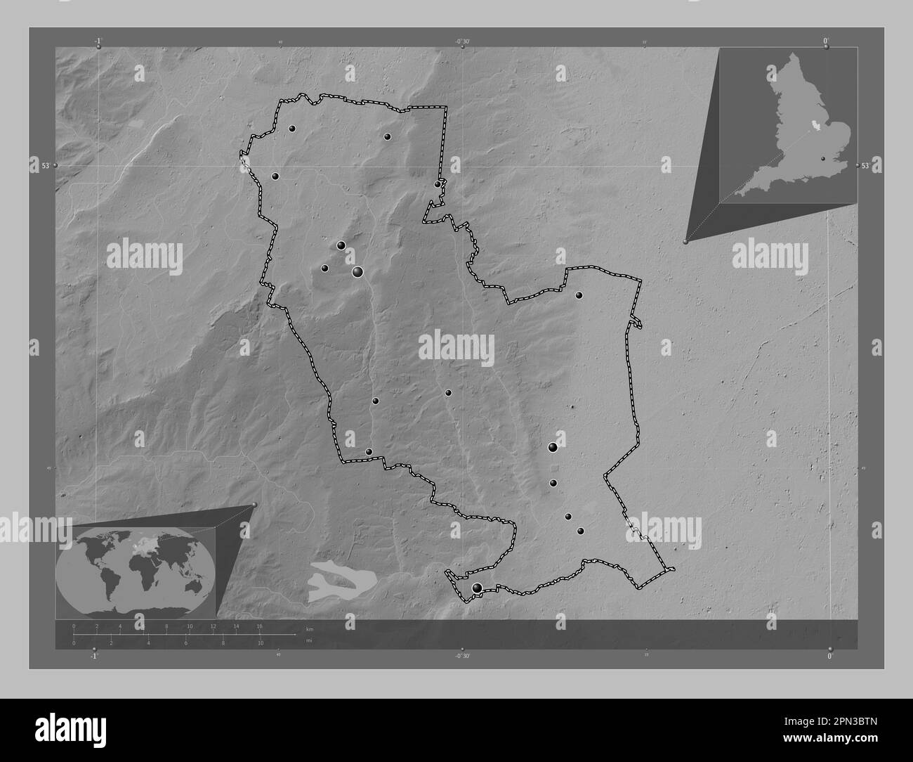 South Kesteven, non metropolitan district of England - Great Britain. Grayscale elevation map with lakes and rivers. Locations of major cities of the Stock Photohttps://www.alamy.com/image-license-details/?v=1https://www.alamy.com/south-kesteven-non-metropolitan-district-of-england-great-britain-grayscale-elevation-map-with-lakes-and-rivers-locations-of-major-cities-of-the-image546504357.html
RF2PN3BTN–South Kesteven, non metropolitan district of England - Great Britain. Grayscale elevation map with lakes and rivers. Locations of major cities of the
 South Kesteven, non metropolitan district of England - Great Britain. Open Street Map. Locations and names of major cities of the region. Corner auxil Stock Photohttps://www.alamy.com/image-license-details/?v=1https://www.alamy.com/south-kesteven-non-metropolitan-district-of-england-great-britain-open-street-map-locations-and-names-of-major-cities-of-the-region-corner-auxil-image546504463.html
RF2PN3C0F–South Kesteven, non metropolitan district of England - Great Britain. Open Street Map. Locations and names of major cities of the region. Corner auxil
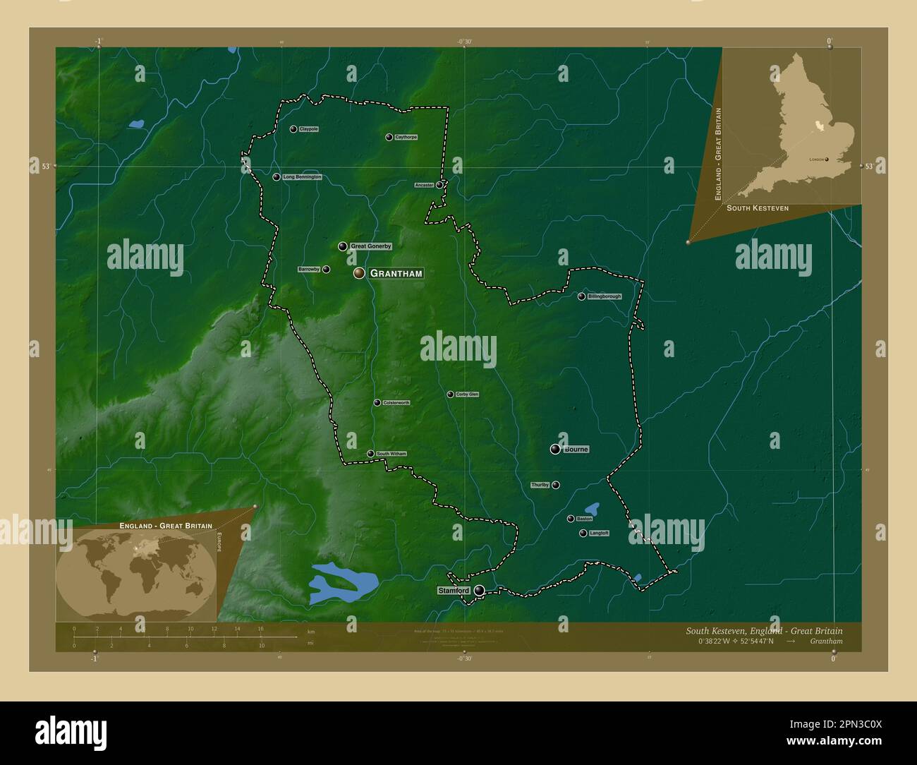 South Kesteven, non metropolitan district of England - Great Britain. Colored elevation map with lakes and rivers. Locations and names of major cities Stock Photohttps://www.alamy.com/image-license-details/?v=1https://www.alamy.com/south-kesteven-non-metropolitan-district-of-england-great-britain-colored-elevation-map-with-lakes-and-rivers-locations-and-names-of-major-cities-image546504474.html
RF2PN3C0X–South Kesteven, non metropolitan district of England - Great Britain. Colored elevation map with lakes and rivers. Locations and names of major cities
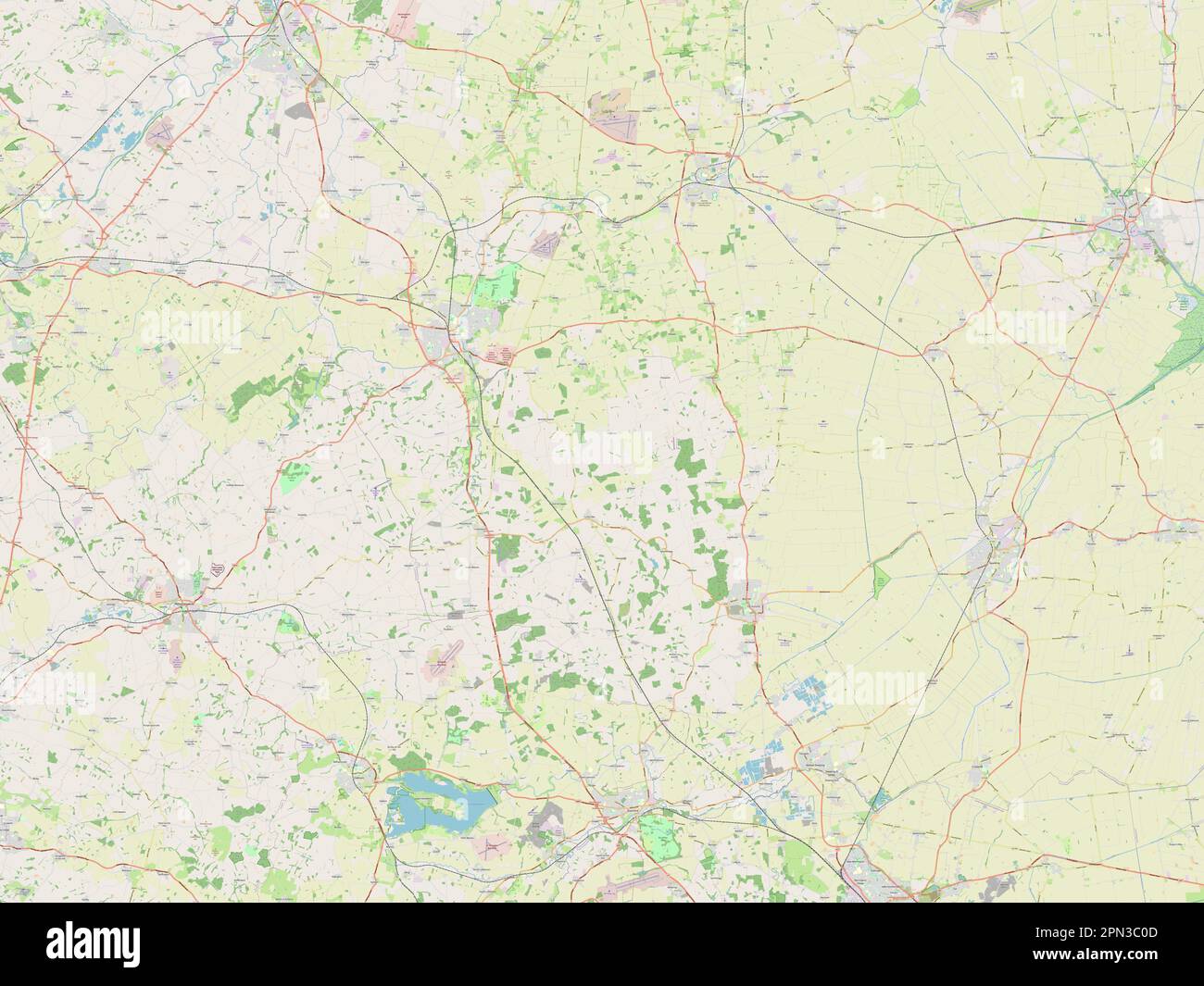 South Kesteven, non metropolitan district of England - Great Britain. Open Street Map Stock Photohttps://www.alamy.com/image-license-details/?v=1https://www.alamy.com/south-kesteven-non-metropolitan-district-of-england-great-britain-open-street-map-image546504461.html
RF2PN3C0D–South Kesteven, non metropolitan district of England - Great Britain. Open Street Map
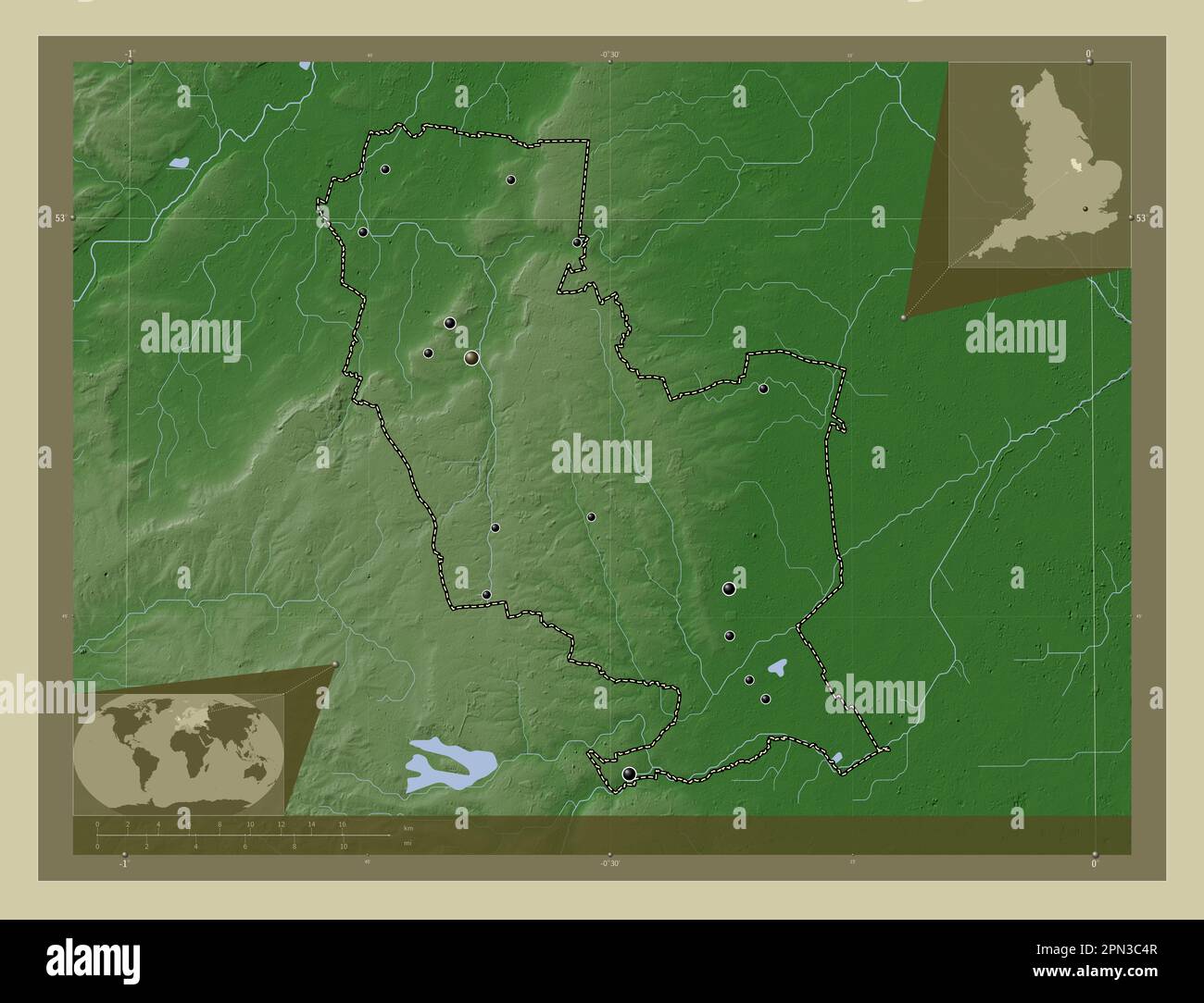 South Kesteven, non metropolitan district of England - Great Britain. Elevation map colored in wiki style with lakes and rivers. Locations of major ci Stock Photohttps://www.alamy.com/image-license-details/?v=1https://www.alamy.com/south-kesteven-non-metropolitan-district-of-england-great-britain-elevation-map-colored-in-wiki-style-with-lakes-and-rivers-locations-of-major-ci-image546504583.html
RF2PN3C4R–South Kesteven, non metropolitan district of England - Great Britain. Elevation map colored in wiki style with lakes and rivers. Locations of major ci
 South Kesteven, non metropolitan district of England - Great Britain. Low resolution satellite map. Locations of major cities of the region. Corner au Stock Photohttps://www.alamy.com/image-license-details/?v=1https://www.alamy.com/south-kesteven-non-metropolitan-district-of-england-great-britain-low-resolution-satellite-map-locations-of-major-cities-of-the-region-corner-au-image546504408.html
RF2PN3BXG–South Kesteven, non metropolitan district of England - Great Britain. Low resolution satellite map. Locations of major cities of the region. Corner au
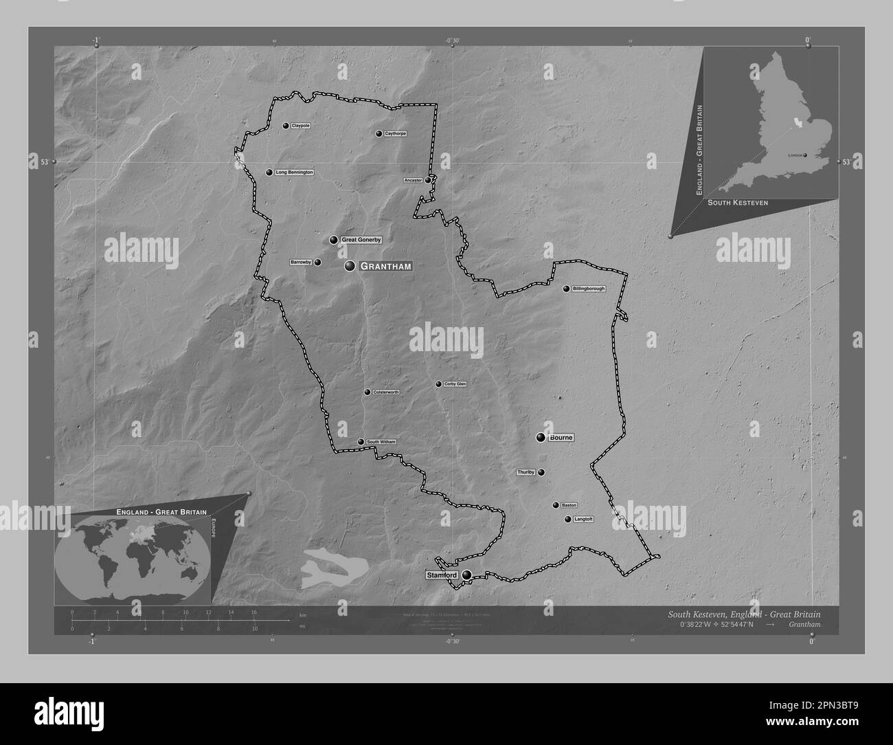 South Kesteven, non metropolitan district of England - Great Britain. Grayscale elevation map with lakes and rivers. Locations and names of major citi Stock Photohttps://www.alamy.com/image-license-details/?v=1https://www.alamy.com/south-kesteven-non-metropolitan-district-of-england-great-britain-grayscale-elevation-map-with-lakes-and-rivers-locations-and-names-of-major-citi-image546504345.html
RF2PN3BT9–South Kesteven, non metropolitan district of England - Great Britain. Grayscale elevation map with lakes and rivers. Locations and names of major citi
 South Kesteven, non metropolitan district of England - Great Britain. Open Street Map. Locations of major cities of the region. Corner auxiliary locat Stock Photohttps://www.alamy.com/image-license-details/?v=1https://www.alamy.com/south-kesteven-non-metropolitan-district-of-england-great-britain-open-street-map-locations-of-major-cities-of-the-region-corner-auxiliary-locat-image546504422.html
RF2PN3BY2–South Kesteven, non metropolitan district of England - Great Britain. Open Street Map. Locations of major cities of the region. Corner auxiliary locat
 South Kesteven, non metropolitan district of England - Great Britain. Elevation map colored in sepia tones with lakes and rivers. Locations of major c Stock Photohttps://www.alamy.com/image-license-details/?v=1https://www.alamy.com/south-kesteven-non-metropolitan-district-of-england-great-britain-elevation-map-colored-in-sepia-tones-with-lakes-and-rivers-locations-of-major-c-image546504472.html
RF2PN3C0T–South Kesteven, non metropolitan district of England - Great Britain. Elevation map colored in sepia tones with lakes and rivers. Locations of major c
 South Kesteven, non metropolitan district of England - Great Britain. High resolution satellite map. Locations and names of major cities of the region Stock Photohttps://www.alamy.com/image-license-details/?v=1https://www.alamy.com/south-kesteven-non-metropolitan-district-of-england-great-britain-high-resolution-satellite-map-locations-and-names-of-major-cities-of-the-region-image546504413.html
RF2PN3BXN–South Kesteven, non metropolitan district of England - Great Britain. High resolution satellite map. Locations and names of major cities of the region
 South Kesteven, non metropolitan district of England - Great Britain. Grayscale elevation map with lakes and rivers Stock Photohttps://www.alamy.com/image-license-details/?v=1https://www.alamy.com/south-kesteven-non-metropolitan-district-of-england-great-britain-grayscale-elevation-map-with-lakes-and-rivers-image546504358.html
RF2PN3BTP–South Kesteven, non metropolitan district of England - Great Britain. Grayscale elevation map with lakes and rivers
 South Kesteven, non metropolitan district of England - Great Britain. Colored elevation map with lakes and rivers Stock Photohttps://www.alamy.com/image-license-details/?v=1https://www.alamy.com/south-kesteven-non-metropolitan-district-of-england-great-britain-colored-elevation-map-with-lakes-and-rivers-image546504479.html
RF2PN3C13–South Kesteven, non metropolitan district of England - Great Britain. Colored elevation map with lakes and rivers
 South Kesteven, non metropolitan district of England - Great Britain. Low resolution satellite map. Locations and names of major cities of the region. Stock Photohttps://www.alamy.com/image-license-details/?v=1https://www.alamy.com/south-kesteven-non-metropolitan-district-of-england-great-britain-low-resolution-satellite-map-locations-and-names-of-major-cities-of-the-region-image546504423.html
RF2PN3BY3–South Kesteven, non metropolitan district of England - Great Britain. Low resolution satellite map. Locations and names of major cities of the region.
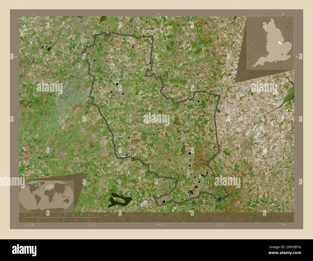 South Kesteven, non metropolitan district of England - Great Britain. High resolution satellite map. Locations of major cities of the region. Corner a Stock Photohttps://www.alamy.com/image-license-details/?v=1https://www.alamy.com/south-kesteven-non-metropolitan-district-of-england-great-britain-high-resolution-satellite-map-locations-of-major-cities-of-the-region-corner-a-image546504346.html
RF2PN3BTA–South Kesteven, non metropolitan district of England - Great Britain. High resolution satellite map. Locations of major cities of the region. Corner a
 South Kesteven, non metropolitan district of England - Great Britain. Solid color shape Stock Photohttps://www.alamy.com/image-license-details/?v=1https://www.alamy.com/south-kesteven-non-metropolitan-district-of-england-great-britain-solid-color-shape-image546504464.html
RF2PN3C0G–South Kesteven, non metropolitan district of England - Great Britain. Solid color shape
 South Kesteven, non metropolitan district of England - Great Britain. Low resolution satellite map Stock Photohttps://www.alamy.com/image-license-details/?v=1https://www.alamy.com/south-kesteven-non-metropolitan-district-of-england-great-britain-low-resolution-satellite-map-image546504418.html
RF2PN3BXX–South Kesteven, non metropolitan district of England - Great Britain. Low resolution satellite map
 South Kesteven, non metropolitan district of England - Great Britain. Elevation map colored in sepia tones with lakes and rivers. Locations and names Stock Photohttps://www.alamy.com/image-license-details/?v=1https://www.alamy.com/south-kesteven-non-metropolitan-district-of-england-great-britain-elevation-map-colored-in-sepia-tones-with-lakes-and-rivers-locations-and-names-image546504606.html
RF2PN3C5J–South Kesteven, non metropolitan district of England - Great Britain. Elevation map colored in sepia tones with lakes and rivers. Locations and names
 South Kesteven, non metropolitan district of England - Great Britain. Solid color shape. Locations and names of major cities of the region. Corner aux Stock Photohttps://www.alamy.com/image-license-details/?v=1https://www.alamy.com/south-kesteven-non-metropolitan-district-of-england-great-britain-solid-color-shape-locations-and-names-of-major-cities-of-the-region-corner-aux-image546504468.html
RF2PN3C0M–South Kesteven, non metropolitan district of England - Great Britain. Solid color shape. Locations and names of major cities of the region. Corner aux
 South Kesteven, non metropolitan district of England - Great Britain. Elevation map colored in wiki style with lakes and rivers. Locations and names o Stock Photohttps://www.alamy.com/image-license-details/?v=1https://www.alamy.com/south-kesteven-non-metropolitan-district-of-england-great-britain-elevation-map-colored-in-wiki-style-with-lakes-and-rivers-locations-and-names-o-image546504588.html
RF2PN3C50–South Kesteven, non metropolitan district of England - Great Britain. Elevation map colored in wiki style with lakes and rivers. Locations and names o
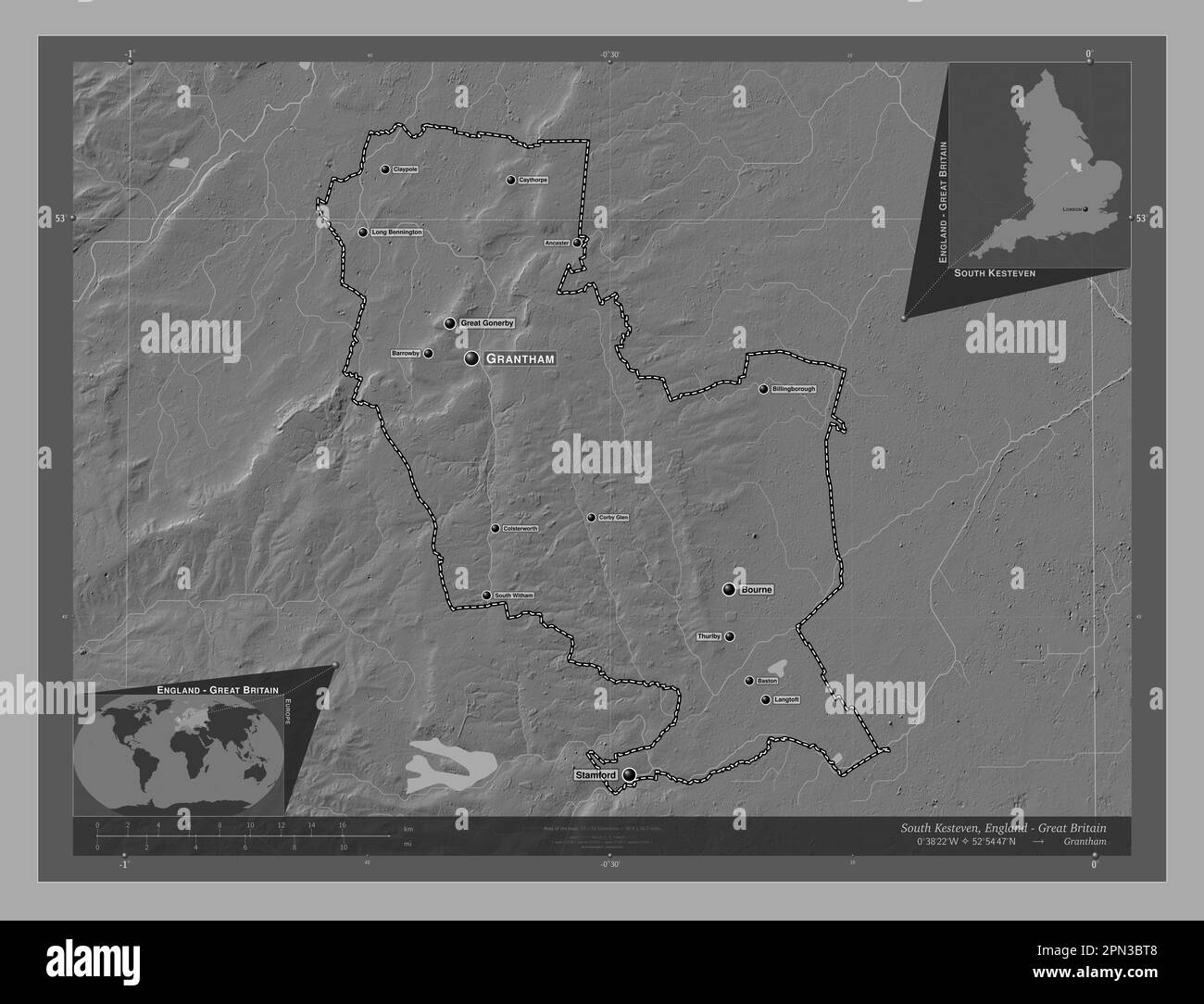 South Kesteven, non metropolitan district of England - Great Britain. Bilevel elevation map with lakes and rivers. Locations and names of major cities Stock Photohttps://www.alamy.com/image-license-details/?v=1https://www.alamy.com/south-kesteven-non-metropolitan-district-of-england-great-britain-bilevel-elevation-map-with-lakes-and-rivers-locations-and-names-of-major-cities-image546504344.html
RF2PN3BT8–South Kesteven, non metropolitan district of England - Great Britain. Bilevel elevation map with lakes and rivers. Locations and names of major cities
 South Kesteven, non metropolitan district of England - Great Britain. Elevation map colored in sepia tones with lakes and rivers Stock Photohttps://www.alamy.com/image-license-details/?v=1https://www.alamy.com/south-kesteven-non-metropolitan-district-of-england-great-britain-elevation-map-colored-in-sepia-tones-with-lakes-and-rivers-image546504459.html
RF2PN3C0B–South Kesteven, non metropolitan district of England - Great Britain. Elevation map colored in sepia tones with lakes and rivers
 South Kesteven, non metropolitan district of England - Great Britain. Colored elevation map with lakes and rivers. Locations of major cities of the re Stock Photohttps://www.alamy.com/image-license-details/?v=1https://www.alamy.com/south-kesteven-non-metropolitan-district-of-england-great-britain-colored-elevation-map-with-lakes-and-rivers-locations-of-major-cities-of-the-re-image546504478.html
RF2PN3C12–South Kesteven, non metropolitan district of England - Great Britain. Colored elevation map with lakes and rivers. Locations of major cities of the re
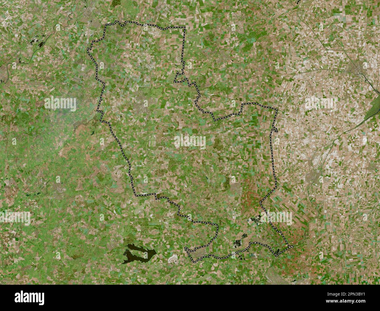 South Kesteven, non metropolitan district of England - Great Britain. High resolution satellite map Stock Photohttps://www.alamy.com/image-license-details/?v=1https://www.alamy.com/south-kesteven-non-metropolitan-district-of-england-great-britain-high-resolution-satellite-map-image546504421.html
RF2PN3BY1–South Kesteven, non metropolitan district of England - Great Britain. High resolution satellite map