Los angeles california satellite image Stock Photos and Images
(97)See los angeles california satellite image stock video clipsQuick filters:
Los angeles california satellite image Stock Photos and Images
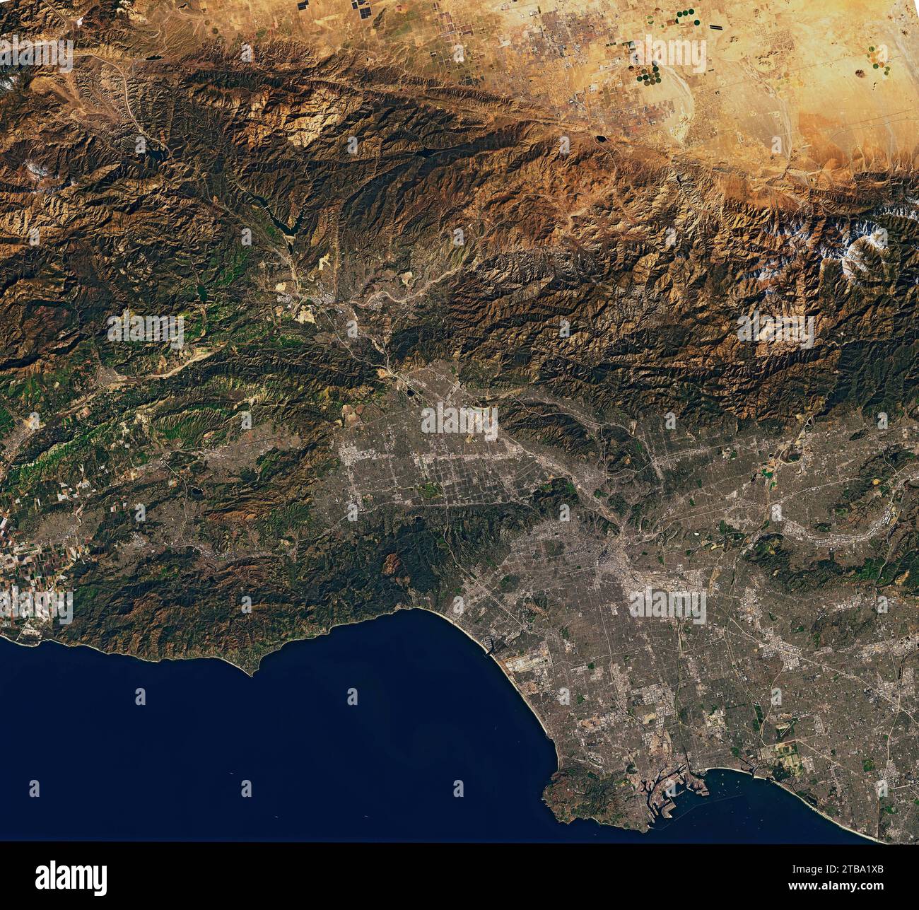 Natural-color satellite view of the Los Angeles area in California. Stock Photohttps://www.alamy.com/image-license-details/?v=1https://www.alamy.com/natural-color-satellite-view-of-the-los-angeles-area-in-california-image574924403.html
RF2TBA1XB–Natural-color satellite view of the Los Angeles area in California.
![High resolution satellite image of Los Angeles in California/ United States - contains modified Copernicus Sentinel data [2018] Stock Photo High resolution satellite image of Los Angeles in California/ United States - contains modified Copernicus Sentinel data [2018] Stock Photo](https://c8.alamy.com/comp/RBE44Y/high-resolution-satellite-image-of-los-angeles-in-california-united-states-contains-modified-copernicus-sentinel-data-2018-RBE44Y.jpg) High resolution satellite image of Los Angeles in California/ United States - contains modified Copernicus Sentinel data [2018] Stock Photohttps://www.alamy.com/image-license-details/?v=1https://www.alamy.com/high-resolution-satellite-image-of-los-angeles-in-california-united-states-contains-modified-copernicus-sentinel-data-2018-image230806603.html
High resolution satellite image of Los Angeles in California/ United States - contains modified Copernicus Sentinel data [2018] Stock Photohttps://www.alamy.com/image-license-details/?v=1https://www.alamy.com/high-resolution-satellite-image-of-los-angeles-in-california-united-states-contains-modified-copernicus-sentinel-data-2018-image230806603.htmlRFRBE44Y–High resolution satellite image of Los Angeles in California/ United States - contains modified Copernicus Sentinel data [2018]
 Satellite image of thick smoke streaming from a line of intense fires in Oregon and California.. Stock Photohttps://www.alamy.com/image-license-details/?v=1https://www.alamy.com/satellite-image-of-thick-smoke-streaming-from-a-line-of-intense-fires-in-oregon-and-california-image575102045.html
RF2TBJ4EN–Satellite image of thick smoke streaming from a line of intense fires in Oregon and California..
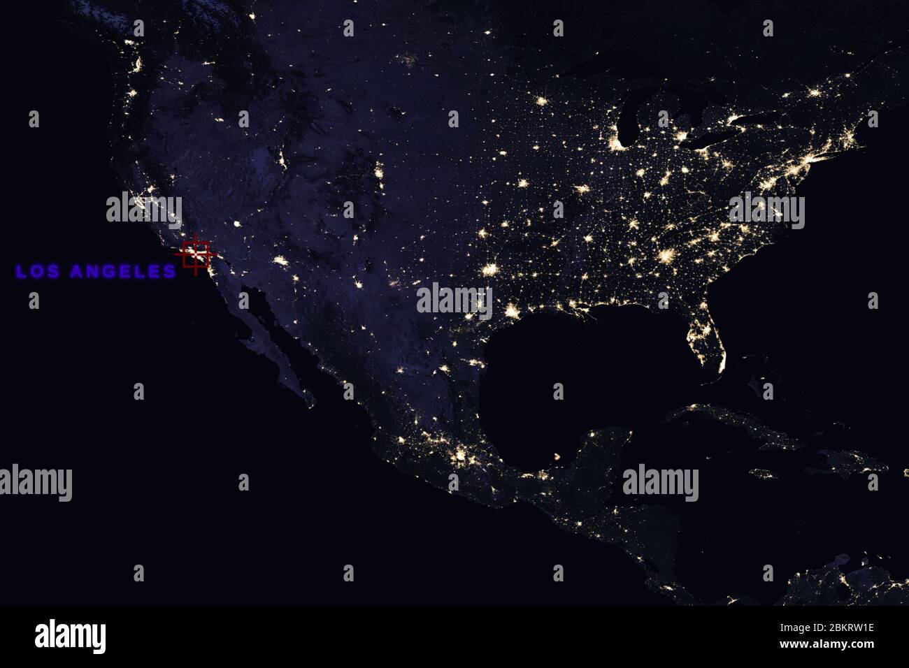 High Resolution Map Composition of USA at night pinpointing Los Angeles, California - Elements of this image furnished by NASA Stock Photohttps://www.alamy.com/image-license-details/?v=1https://www.alamy.com/high-resolution-map-composition-of-usa-at-night-pinpointing-los-angeles-california-elements-of-this-image-furnished-by-nasa-image356410362.html
RF2BKRW1E–High Resolution Map Composition of USA at night pinpointing Los Angeles, California - Elements of this image furnished by NASA
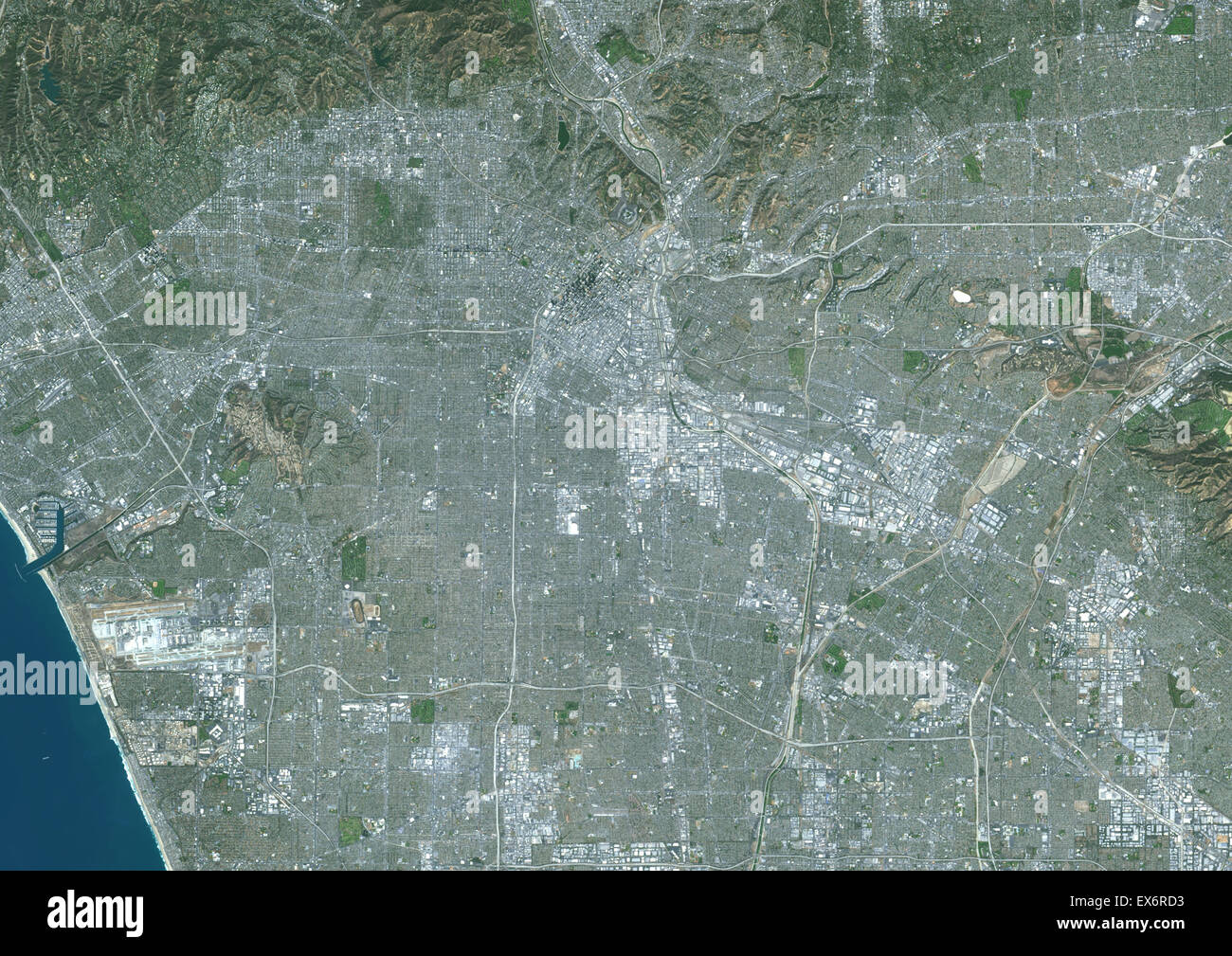 Colour satellite image of Los Angeles, California, USA. Image taken on October 23, 2014 with Landsat 8 data. Stock Photohttps://www.alamy.com/image-license-details/?v=1https://www.alamy.com/stock-photo-colour-satellite-image-of-los-angeles-california-usa-image-taken-on-84972639.html
RMEX6RD3–Colour satellite image of Los Angeles, California, USA. Image taken on October 23, 2014 with Landsat 8 data.
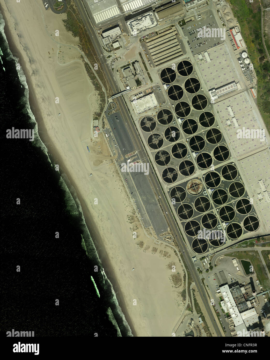 aerial photograph Los Angeles Sanitation Department wastewater treatment plant, California Stock Photohttps://www.alamy.com/image-license-details/?v=1https://www.alamy.com/stock-photo-aerial-photograph-los-angeles-sanitation-department-wastewater-treatment-47675931.html
RMCNFR3R–aerial photograph Los Angeles Sanitation Department wastewater treatment plant, California
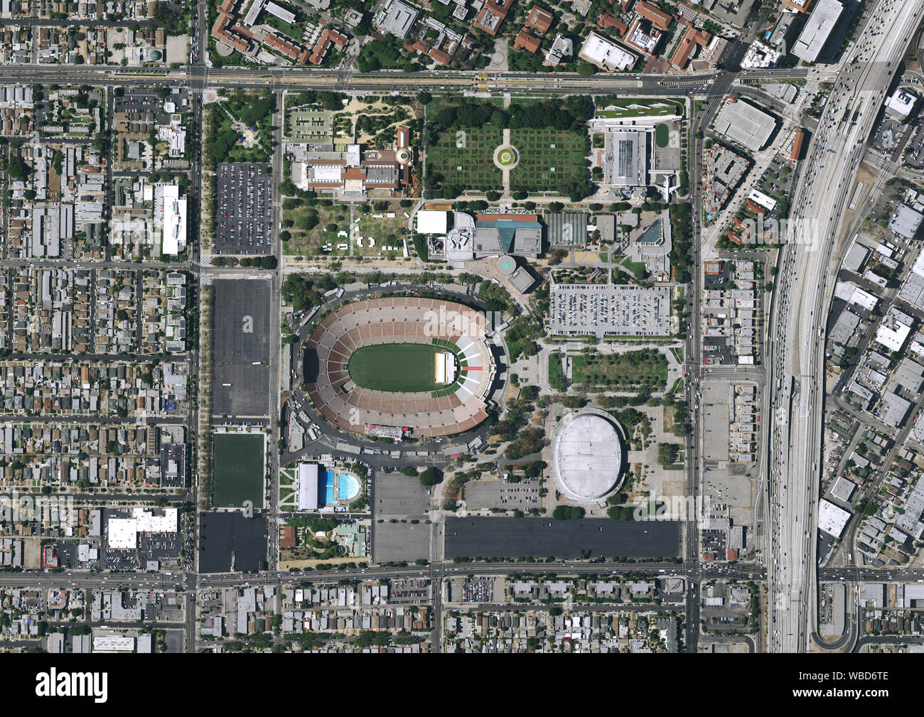 Aerial photography of Memorial Coliseum, Los Angeles, California, USA. Image collected on July 07, 2016. Stock Photohttps://www.alamy.com/image-license-details/?v=1https://www.alamy.com/aerial-photography-of-memorial-coliseum-los-angeles-california-usa-image-collected-on-july-07-2016-image265207502.html
RMWBD6TE–Aerial photography of Memorial Coliseum, Los Angeles, California, USA. Image collected on July 07, 2016.
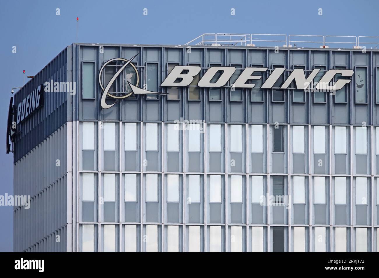 El Segundo, California, USA - Sept. 5, 2023: A Boeing logo is shown on a building of the Satellite Development Center in Los Angeles. Stock Photohttps://www.alamy.com/image-license-details/?v=1https://www.alamy.com/el-segundo-california-usa-sept-5-2023-a-boeing-logo-is-shown-on-a-building-of-the-satellite-development-center-in-los-angeles-image565283014.html
RF2RRJT72–El Segundo, California, USA - Sept. 5, 2023: A Boeing logo is shown on a building of the Satellite Development Center in Los Angeles.
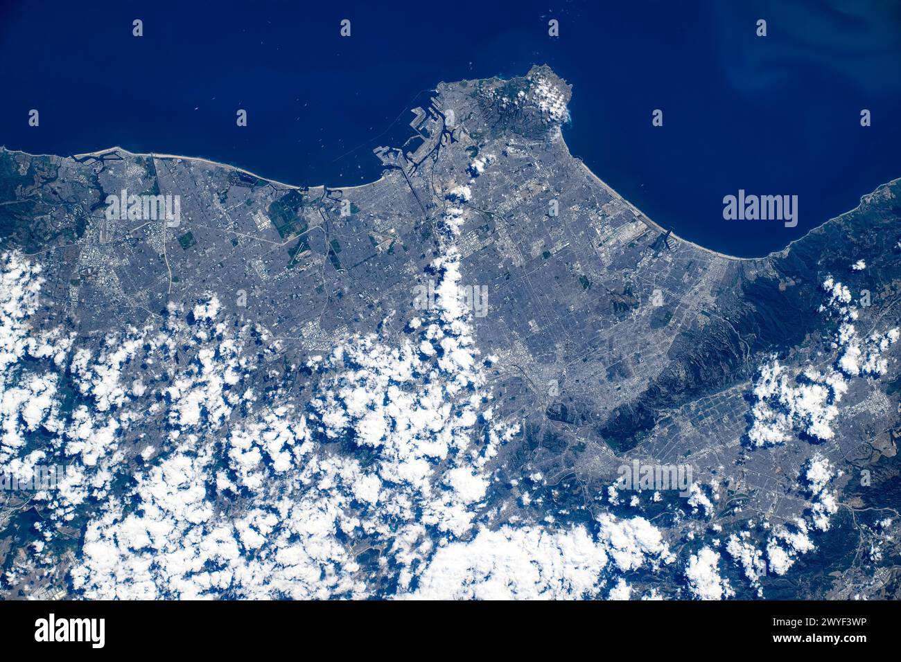 Coastal feature close to Los Angeles, California, United States. Digital enhancement of an image furnished by NASA Stock Photohttps://www.alamy.com/image-license-details/?v=1https://www.alamy.com/coastal-feature-close-to-los-angeles-california-united-states-digital-enhancement-of-an-image-furnished-by-nasa-image602080578.html
RM2WYF3WP–Coastal feature close to Los Angeles, California, United States. Digital enhancement of an image furnished by NASA
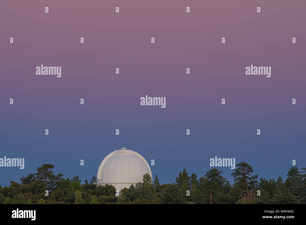 Image taken during the blue hour at Mt Wilson in California showing an observatory dome. Stock Photohttps://www.alamy.com/image-license-details/?v=1https://www.alamy.com/image-taken-during-the-blue-hour-at-mt-wilson-in-california-showing-an-observatory-dome-image264075684.html
RFW9HK6C–Image taken during the blue hour at Mt Wilson in California showing an observatory dome.
 LOS ANGELES, CALIFORNIA - JUNE 6, 2019: Close up to male driving and using navigation appliction Sigyc. An illustrative editorial image. Stock Photohttps://www.alamy.com/image-license-details/?v=1https://www.alamy.com/los-angeles-california-june-6-2019-close-up-to-male-driving-and-using-navigation-appliction-sigyc-an-illustrative-editorial-image-image248600515.html
RFTCCMDR–LOS ANGELES, CALIFORNIA - JUNE 6, 2019: Close up to male driving and using navigation appliction Sigyc. An illustrative editorial image.
 Los Angeles, California, satellite image Stock Photohttps://www.alamy.com/image-license-details/?v=1https://www.alamy.com/los-angeles-california-satellite-image-image7600090.html
RFAD4ANB–Los Angeles, California, satellite image
 Night image, looking north, of the LAX Midfield Satellite Concourse North, including an American Airlines Boeing 777. Stock Photohttps://www.alamy.com/image-license-details/?v=1https://www.alamy.com/night-image-looking-north-of-the-lax-midfield-satellite-concourse-north-including-an-american-airlines-boeing-777-image403046145.html
RF2EBM9D5–Night image, looking north, of the LAX Midfield Satellite Concourse North, including an American Airlines Boeing 777.
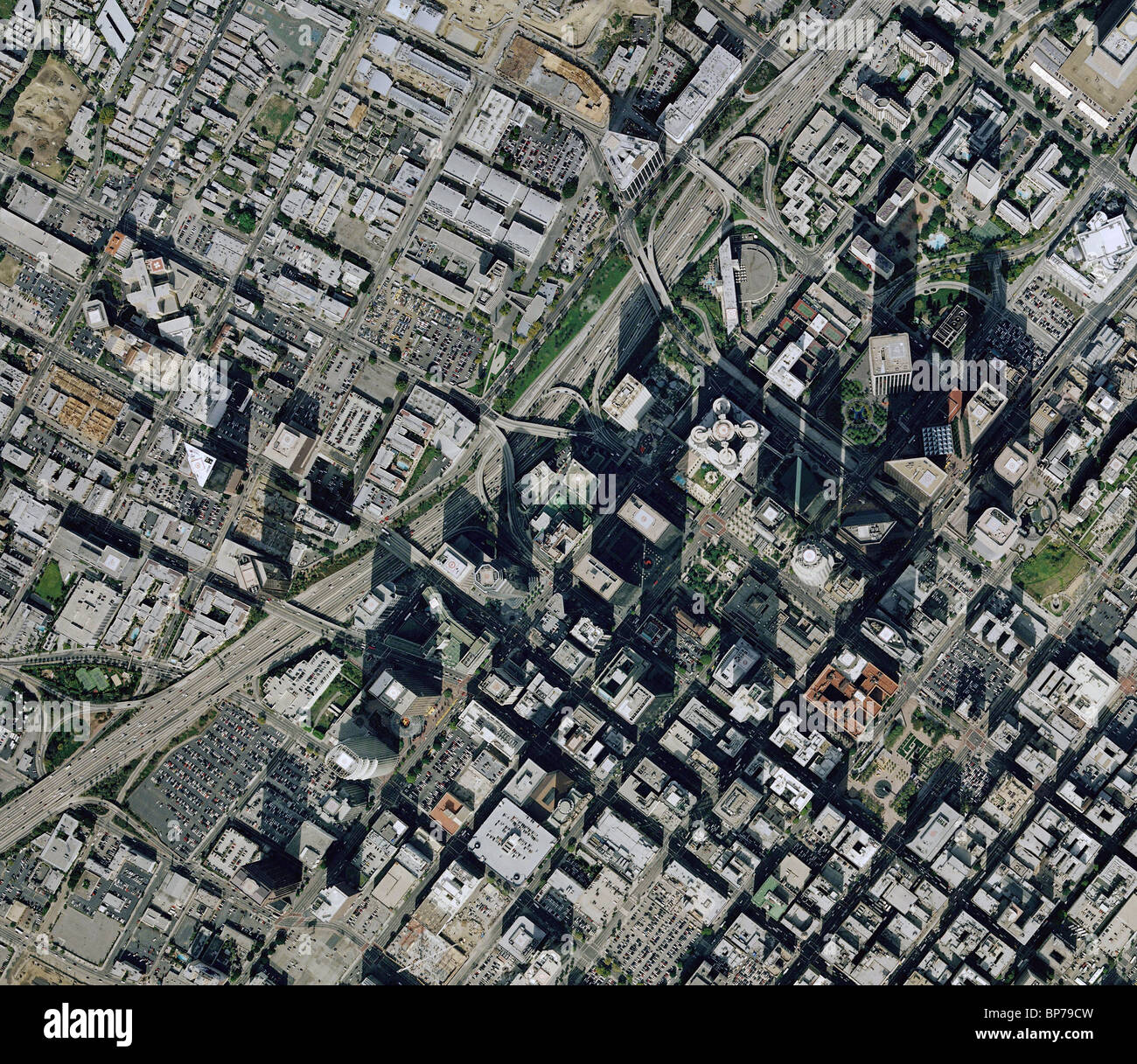 aerial map view downtown Los Angeles California harbor freeway highway 110 Stock Photohttps://www.alamy.com/image-license-details/?v=1https://www.alamy.com/stock-photo-aerial-map-view-downtown-los-angeles-california-harbor-freeway-highway-30893881.html
RFBP79CW–aerial map view downtown Los Angeles California harbor freeway highway 110
 Satellite image of Los Angeles Stock Photohttps://www.alamy.com/image-license-details/?v=1https://www.alamy.com/stock-photo-satellite-image-of-los-angeles-27534258.html
RMBGP86A–Satellite image of Los Angeles
 Hollywood Sign At Hollywood Hills, Los Angeles, California, USA Stock Photohttps://www.alamy.com/image-license-details/?v=1https://www.alamy.com/hollywood-sign-at-hollywood-hills-los-angeles-california-usa-image335347268.html
RM2ADGAT4–Hollywood Sign At Hollywood Hills, Los Angeles, California, USA
 Los Angeles Little planet skyline panoramic sphere image with skyscrapers Stock Photohttps://www.alamy.com/image-license-details/?v=1https://www.alamy.com/los-angeles-little-planet-skyline-panoramic-sphere-image-with-skyscrapers-image568362996.html
RF2T0K4PC–Los Angeles Little planet skyline panoramic sphere image with skyscrapers
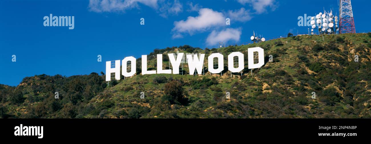 Hollywood Sign At Hollywood Hills, Los Angeles, California, USA Stock Photohttps://www.alamy.com/image-license-details/?v=1https://www.alamy.com/hollywood-sign-at-hollywood-hills-los-angeles-california-usa-image529938074.html
RM2NP4NBP–Hollywood Sign At Hollywood Hills, Los Angeles, California, USA
 Los Angeles, California, USA. 28th Mar, 2019. Construction workers build the new Midfield Satellite Concourse expansion of the Tom Bradley International Terminal (TBIT) Los Angeles International Airport (LAX) on Thursday, March 28, 2019 in Los Angeles, Calif. © 2019 Patrick T. Fallon (Credit Image: © Patrick Fallon/ZUMA Press Wire) Stock Photohttps://www.alamy.com/image-license-details/?v=1https://www.alamy.com/los-angeles-california-usa-28th-mar-2019-construction-workers-build-the-new-midfield-satellite-concourse-expansion-of-the-tom-bradley-international-terminal-tbit-los-angeles-international-airport-lax-on-thursday-march-28-2019-in-los-angeles-calif-2019-patrick-t-fallon-credit-image-patrick-fallonzuma-press-wire-image450189124.html
RM2H4BTR0–Los Angeles, California, USA. 28th Mar, 2019. Construction workers build the new Midfield Satellite Concourse expansion of the Tom Bradley International Terminal (TBIT) Los Angeles International Airport (LAX) on Thursday, March 28, 2019 in Los Angeles, Calif. © 2019 Patrick T. Fallon (Credit Image: © Patrick Fallon/ZUMA Press Wire)
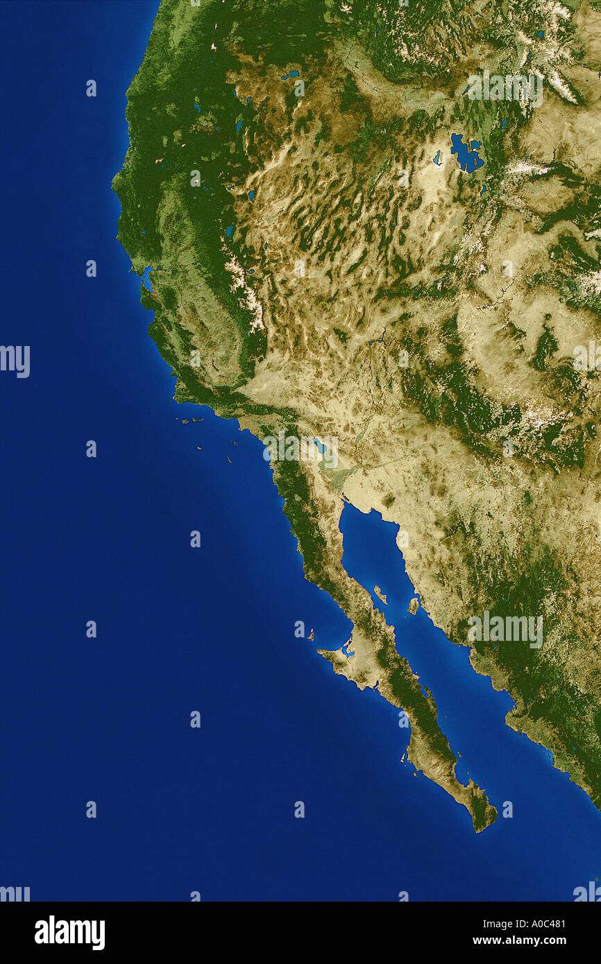 Satellite image of the west coast united states from space Stock Photohttps://www.alamy.com/image-license-details/?v=1https://www.alamy.com/satellite-image-of-the-west-coast-united-states-from-space-image50305.html
RMA0C481–Satellite image of the west coast united states from space
 Los Angeles, California Stock Photohttps://www.alamy.com/image-license-details/?v=1https://www.alamy.com/stock-photo-los-angeles-california-134988254.html
RMHRH6W2–Los Angeles, California
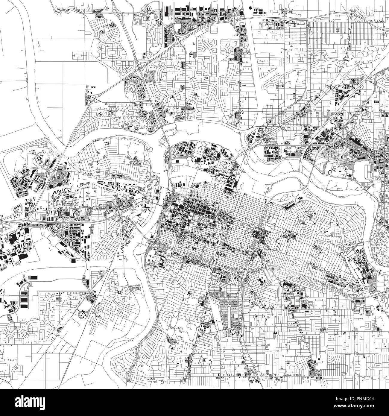 Map of Sacramento, satellite view, capital city, city, California, United States. Houses and streets Stock Vectorhttps://www.alamy.com/image-license-details/?v=1https://www.alamy.com/map-of-sacramento-satellite-view-capital-city-city-california-united-states-houses-and-streets-image219881596.html
RFPNMD64–Map of Sacramento, satellite view, capital city, city, California, United States. Houses and streets
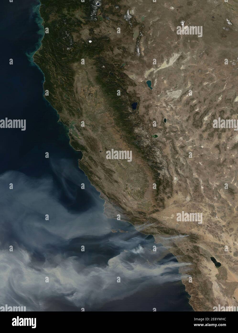 NASA satellites continue to capture remarkable new images of the wildfires raging in Southern California, USA on October 23, 2007. At least 14 massive fires are reported to have scorched about 425 square miles from north of Los Angeles to southeast of San Diego. This image, captured by NASA, captured plumes of smoke, seen blowing off the coast, indicating the intensity of the winds and the presence of additional fires farther south. Photo via NASA/ABACAPRESS.COM Stock Photohttps://www.alamy.com/image-license-details/?v=1https://www.alamy.com/nasa-satellites-continue-to-capture-remarkable-new-images-of-the-wildfires-raging-in-southern-california-usa-on-october-23-2007-at-least-14-massive-fires-are-reported-to-have-scorched-about-425-square-miles-from-north-of-los-angeles-to-southeast-of-san-diego-this-image-captured-by-nasa-captured-plumes-of-smoke-seen-blowing-off-the-coast-indicating-the-intensity-of-the-winds-and-the-presence-of-additional-fires-farther-south-photo-via-nasaabacapresscom-image401368504.html
RF2E8YWHC–NASA satellites continue to capture remarkable new images of the wildfires raging in Southern California, USA on October 23, 2007. At least 14 massive fires are reported to have scorched about 425 square miles from north of Los Angeles to southeast of San Diego. This image, captured by NASA, captured plumes of smoke, seen blowing off the coast, indicating the intensity of the winds and the presence of additional fires farther south. Photo via NASA/ABACAPRESS.COM
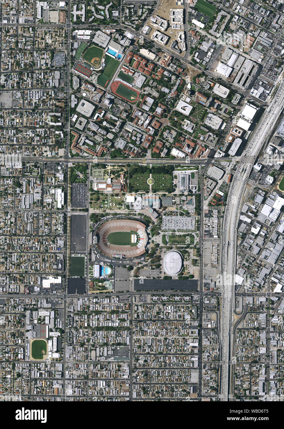 Aerial photography of Los Angeles Memorial Coliseum, Los Angeles, California, USA. Image collected on July 7, 2016. Stock Photohttps://www.alamy.com/image-license-details/?v=1https://www.alamy.com/aerial-photography-of-los-angeles-memorial-coliseum-los-angeles-california-usa-image-collected-on-july-7-2016-image265207493.html
RMWBD6T5–Aerial photography of Los Angeles Memorial Coliseum, Los Angeles, California, USA. Image collected on July 7, 2016.
 Central Los Angeles, California, United States Stock Photohttps://www.alamy.com/image-license-details/?v=1https://www.alamy.com/central-los-angeles-california-united-states-image185801741.html
RMMP800D–Central Los Angeles, California, United States
 LOS ANGELES, CALIFORNIA - JUNE 6, 2019: Close up to male driving and using navigation appliction Maps Me. An illustrative editorial image. Stock Photohttps://www.alamy.com/image-license-details/?v=1https://www.alamy.com/los-angeles-california-june-6-2019-close-up-to-male-driving-and-using-navigation-appliction-maps-me-an-illustrative-editorial-image-image248600527.html
RFTCCME7–LOS ANGELES, CALIFORNIA - JUNE 6, 2019: Close up to male driving and using navigation appliction Maps Me. An illustrative editorial image.
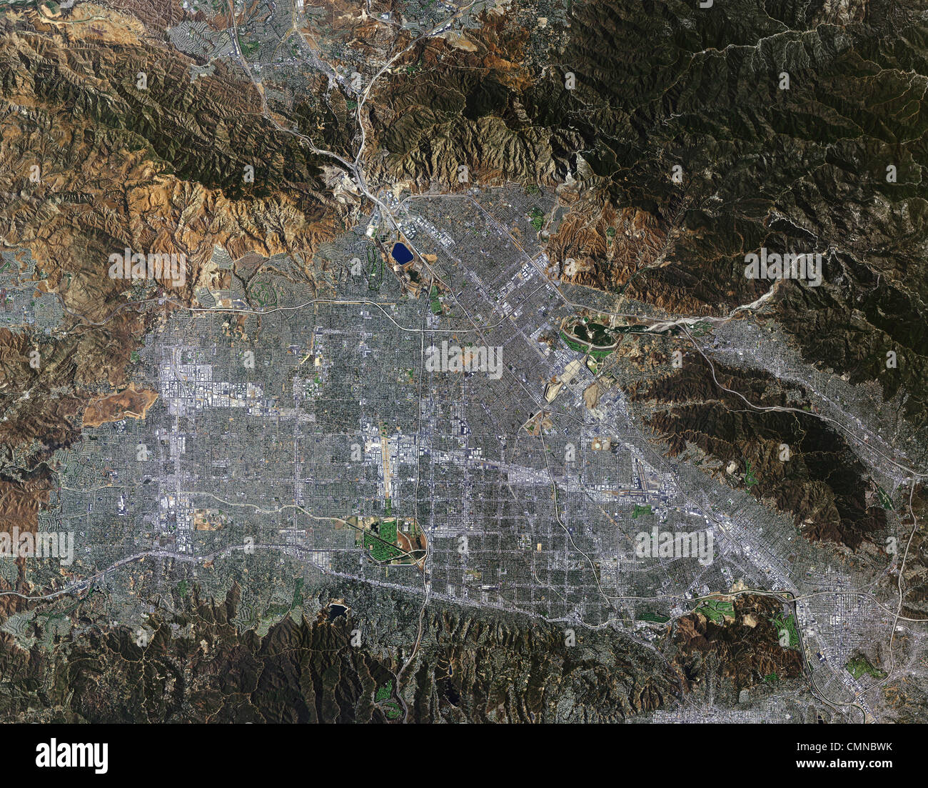 aerial photo map of San Fernando Valley, California Stock Photohttps://www.alamy.com/image-license-details/?v=1https://www.alamy.com/stock-photo-aerial-photo-map-of-san-fernando-valley-california-47184191.html
RMCMNBWK–aerial photo map of San Fernando Valley, California
 Los Angeles, California, USA. 28th Mar, 2019. Construction workers build the new Midfield Satellite Concourse expansion of the Tom Bradley International Terminal (TBIT) Los Angeles International Airport (LAX) on Thursday, March 28, 2019 in Los Angeles, Calif. © 2019 Patrick T. Fallon (Credit Image: © Patrick Fallon/ZUMA Press Wire) Stock Photohttps://www.alamy.com/image-license-details/?v=1https://www.alamy.com/los-angeles-california-usa-28th-mar-2019-construction-workers-build-the-new-midfield-satellite-concourse-expansion-of-the-tom-bradley-international-terminal-tbit-los-angeles-international-airport-lax-on-thursday-march-28-2019-in-los-angeles-calif-2019-patrick-t-fallon-credit-image-patrick-fallonzuma-press-wire-image450178352.html
RM2H4BB28–Los Angeles, California, USA. 28th Mar, 2019. Construction workers build the new Midfield Satellite Concourse expansion of the Tom Bradley International Terminal (TBIT) Los Angeles International Airport (LAX) on Thursday, March 28, 2019 in Los Angeles, Calif. © 2019 Patrick T. Fallon (Credit Image: © Patrick Fallon/ZUMA Press Wire)
 Los Angeles, California, USA. 9th Sep, 2024. Wildfires in California are raging so hard that they are affecting the weather.This satellite image, taken on the afternoon of 9 September 2024, shows puffy white convective clouds began forming over the hills surrounding Los Angeles, Riverside, San Bernardino, and San Diego. Over 2,000 firefighters, including 15 helicopters and 232 engines, were battling the blaze as communities such as Running Springs and Seven Oaks faced evacuation orders amidst record-breaking heat. Credit: NASA/ZUMA Wire/Alamy Live News Stock Photohttps://www.alamy.com/image-license-details/?v=1https://www.alamy.com/los-angeles-california-usa-9th-sep-2024-wildfires-in-california-are-raging-so-hard-that-they-are-affecting-the-weatherthis-satellite-image-taken-on-the-afternoon-of-9-september-2024-shows-puffy-white-convective-clouds-began-forming-over-the-hills-surrounding-los-angeles-riverside-san-bernardino-and-san-diego-over-2000-firefighters-including-15-helicopters-and-232-engines-were-battling-the-blaze-as-communities-such-as-running-springs-and-seven-oaks-faced-evacuation-orders-amidst-record-breaking-heat-credit-nasazuma-wirealamy-live-news-image621551943.html
RM2Y363RK–Los Angeles, California, USA. 9th Sep, 2024. Wildfires in California are raging so hard that they are affecting the weather.This satellite image, taken on the afternoon of 9 September 2024, shows puffy white convective clouds began forming over the hills surrounding Los Angeles, Riverside, San Bernardino, and San Diego. Over 2,000 firefighters, including 15 helicopters and 232 engines, were battling the blaze as communities such as Running Springs and Seven Oaks faced evacuation orders amidst record-breaking heat. Credit: NASA/ZUMA Wire/Alamy Live News
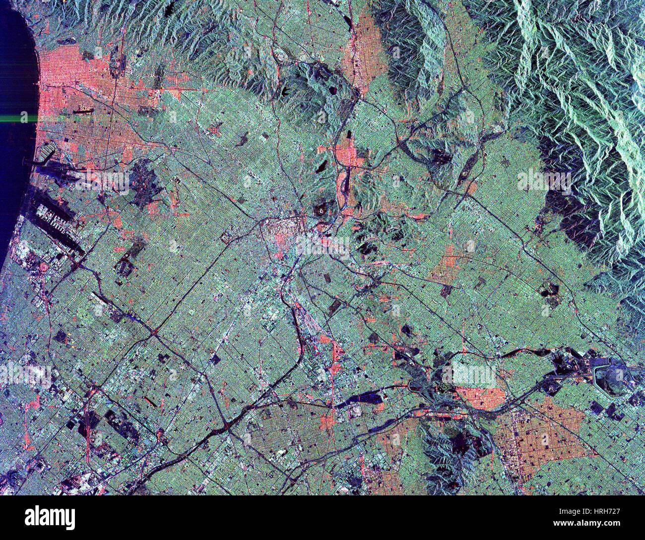 Los Angeles, California Stock Photohttps://www.alamy.com/image-license-details/?v=1https://www.alamy.com/stock-photo-los-angeles-california-134988399.html
RMHRH727–Los Angeles, California
 Ventura, California, USA. 6th Nov, 2024. A fast-moving brush fire ignited in California's Ventura County, northwest of Los Angeles, on the morning of November 6, 2024. Dry, warm, and gusty winds known as the Santa Ana helped propel the Mountain fire westward toward neighborhoods, prompting thousands to evacuate. Smoke from the Mountain fire is visible in this image, acquired by the VIIRS (Visible Infrared Imaging Radiometer Suite) on the NOAA-20 satellite at 12:50 p.m. local time (20:50 Universal Time) on November 6, 2024. By that time, the fire had burned about 1,500 acres (600 hectares) Stock Photohttps://www.alamy.com/image-license-details/?v=1https://www.alamy.com/ventura-california-usa-6th-nov-2024-a-fast-moving-brush-fire-ignited-in-californias-ventura-county-northwest-of-los-angeles-on-the-morning-of-november-6-2024-dry-warm-and-gusty-winds-known-as-the-santa-ana-helped-propel-the-mountain-fire-westward-toward-neighborhoods-prompting-thousands-to-evacuate-smoke-from-the-mountain-fire-is-visible-in-this-image-acquired-by-the-viirs-visible-infrared-imaging-radiometer-suite-on-the-noaa-20-satellite-at-1250-pm-local-time-2050-universal-time-on-november-6-2024-by-that-time-the-fire-had-burned-about-1500-acres-600-hectares-image630807834.html
RM2YJ7NR6–Ventura, California, USA. 6th Nov, 2024. A fast-moving brush fire ignited in California's Ventura County, northwest of Los Angeles, on the morning of November 6, 2024. Dry, warm, and gusty winds known as the Santa Ana helped propel the Mountain fire westward toward neighborhoods, prompting thousands to evacuate. Smoke from the Mountain fire is visible in this image, acquired by the VIIRS (Visible Infrared Imaging Radiometer Suite) on the NOAA-20 satellite at 12:50 p.m. local time (20:50 Universal Time) on November 6, 2024. By that time, the fire had burned about 1,500 acres (600 hectares)
 NASA satellites continue to capture remarkable new images of the wildfires raging in Southern California, USA on October 23, 2007. At least 14 massive fires are reported to have scorched about 425 square miles from north of Los Angeles to southeast of San Diego. This image, captured by NASA, captured plumes of smoke, seen blowing off the coast, indicating the intensity of the winds and the presence of additional fires farther south. Photo via NASA/ABACAPRESS.COM Stock Photohttps://www.alamy.com/image-license-details/?v=1https://www.alamy.com/nasa-satellites-continue-to-capture-remarkable-new-images-of-the-wildfires-raging-in-southern-california-usa-on-october-23-2007-at-least-14-massive-fires-are-reported-to-have-scorched-about-425-square-miles-from-north-of-los-angeles-to-southeast-of-san-diego-this-image-captured-by-nasa-captured-plumes-of-smoke-seen-blowing-off-the-coast-indicating-the-intensity-of-the-winds-and-the-presence-of-additional-fires-farther-south-photo-via-nasaabacapresscom-image401368545.html
RF2E8YWJW–NASA satellites continue to capture remarkable new images of the wildfires raging in Southern California, USA on October 23, 2007. At least 14 massive fires are reported to have scorched about 425 square miles from north of Los Angeles to southeast of San Diego. This image, captured by NASA, captured plumes of smoke, seen blowing off the coast, indicating the intensity of the winds and the presence of additional fires farther south. Photo via NASA/ABACAPRESS.COM
 Feb. 8, 2013 - Los Angeles, California (CA, United States - TV satellite trucks are parked in front of the Los Angeles Police Department Headquater in downtown Los Angeles, Friday Feburary 8, 2013. Police agencies have launched a massive manhunt for the former Los Angeles officer, who is suspected of killing a couple over the weekend and opening fire on four officers early Thursday, killing one and critically wounding another, authorities said. (Credit Image: © Ringo Chiu/ZUMAPRESS.com) Stock Photohttps://www.alamy.com/image-license-details/?v=1https://www.alamy.com/stock-photo-feb-8-2013-los-angeles-california-ca-united-states-tv-satellite-trucks-53570143.html
RMD3497B–Feb. 8, 2013 - Los Angeles, California (CA, United States - TV satellite trucks are parked in front of the Los Angeles Police Department Headquater in downtown Los Angeles, Friday Feburary 8, 2013. Police agencies have launched a massive manhunt for the former Los Angeles officer, who is suspected of killing a couple over the weekend and opening fire on four officers early Thursday, killing one and critically wounding another, authorities said. (Credit Image: © Ringo Chiu/ZUMAPRESS.com)
 Los Angeles, California, United States Stock Photohttps://www.alamy.com/image-license-details/?v=1https://www.alamy.com/los-angeles-california-united-states-image185801736.html
RMMP8008–Los Angeles, California, United States
 LOS ANGELES, CALIFORNIA - JUNE 6, 2019: Close up to male driving and using navigation appliction Sigyc. An illustrative editorial image. Stock Photohttps://www.alamy.com/image-license-details/?v=1https://www.alamy.com/los-angeles-california-june-6-2019-close-up-to-male-driving-and-using-navigation-appliction-sigyc-an-illustrative-editorial-image-image248600516.html
RFTCCMDT–LOS ANGELES, CALIFORNIA - JUNE 6, 2019: Close up to male driving and using navigation appliction Sigyc. An illustrative editorial image.
 Los Angeles, CA Stock Photohttps://www.alamy.com/image-license-details/?v=1https://www.alamy.com/stock-photo-los-angeles-ca-134988298.html
RMHRH6XJ–Los Angeles, CA
 NASA satellites continue to capture remarkable new images of the wildfires raging in Southern California, USA on October 23, 2007. At least 14 massive fires are reported to have scorched about 425 square miles from north of Los Angeles to southeast of San Diego. This image, captured by NASA, captured plumes of smoke, seen blowing off the coast, indicating the intensity of the winds and the presence of additional fires farther south. Photo via NASA/ABACAPRESS.COM Stock Photohttps://www.alamy.com/image-license-details/?v=1https://www.alamy.com/nasa-satellites-continue-to-capture-remarkable-new-images-of-the-wildfires-raging-in-southern-california-usa-on-october-23-2007-at-least-14-massive-fires-are-reported-to-have-scorched-about-425-square-miles-from-north-of-los-angeles-to-southeast-of-san-diego-this-image-captured-by-nasa-captured-plumes-of-smoke-seen-blowing-off-the-coast-indicating-the-intensity-of-the-winds-and-the-presence-of-additional-fires-farther-south-photo-via-nasaabacapresscom-image401368510.html
RF2E8YWHJ–NASA satellites continue to capture remarkable new images of the wildfires raging in Southern California, USA on October 23, 2007. At least 14 massive fires are reported to have scorched about 425 square miles from north of Los Angeles to southeast of San Diego. This image, captured by NASA, captured plumes of smoke, seen blowing off the coast, indicating the intensity of the winds and the presence of additional fires farther south. Photo via NASA/ABACAPRESS.COM
 Los Angeles, California, USA. 8th February 2013. TV satellite trucks are parked in front of the Los Angeles Police Department Headquater in downtown Los Angeles, Friday Feburary 8, 2013. Police agencies have launched a massive manhunt for the former Los Angeles officer, who is suspected of killing a couple over the weekend and opening fire on four officers early Thursday, killing one and critically wounding another, authorities said. (Credit Image: Credit: Ringo Chiu/ZUMAPRESS.com/Alamy Live News) Stock Photohttps://www.alamy.com/image-license-details/?v=1https://www.alamy.com/stock-photo-los-angeles-california-usa-8th-february-2013-tv-satellite-trucks-are-53570144.html
RMD3497C–Los Angeles, California, USA. 8th February 2013. TV satellite trucks are parked in front of the Los Angeles Police Department Headquater in downtown Los Angeles, Friday Feburary 8, 2013. Police agencies have launched a massive manhunt for the former Los Angeles officer, who is suspected of killing a couple over the weekend and opening fire on four officers early Thursday, killing one and critically wounding another, authorities said. (Credit Image: Credit: Ringo Chiu/ZUMAPRESS.com/Alamy Live News)
 Los Angeles to San Bernarnido, California, United States Stock Photohttps://www.alamy.com/image-license-details/?v=1https://www.alamy.com/los-angeles-to-san-bernarnido-california-united-states-image185801763.html
RMMP8017–Los Angeles to San Bernarnido, California, United States
 LOS ANGELES, CALIFORNIA - JUNE 6, 2019: Close up to male driving and using navigation appliction Maps Me. An illustrative editorial image. Stock Photohttps://www.alamy.com/image-license-details/?v=1https://www.alamy.com/los-angeles-california-june-6-2019-close-up-to-male-driving-and-using-navigation-appliction-maps-me-an-illustrative-editorial-image-image248600533.html
RFTCCMED–LOS ANGELES, CALIFORNIA - JUNE 6, 2019: Close up to male driving and using navigation appliction Maps Me. An illustrative editorial image.
 Los Angeles Basin Stock Photohttps://www.alamy.com/image-license-details/?v=1https://www.alamy.com/stock-photo-los-angeles-basin-134988267.html
RMHRH6WF–Los Angeles Basin
 NASA satellites continue to capture remarkable new images of the wildfires raging in Southern California, USA on October 23, 2007. At least 14 massive fires are reported to have scorched about 425 square miles from north of Los Angeles to southeast of San Diego. This image, captured by NASA, captured plumes of smoke, seen blowing off the coast, indicating the intensity of the winds and the presence of additional fires farther south. Photo via NASA/ABACAPRESS.COM Stock Photohttps://www.alamy.com/image-license-details/?v=1https://www.alamy.com/nasa-satellites-continue-to-capture-remarkable-new-images-of-the-wildfires-raging-in-southern-california-usa-on-october-23-2007-at-least-14-massive-fires-are-reported-to-have-scorched-about-425-square-miles-from-north-of-los-angeles-to-southeast-of-san-diego-this-image-captured-by-nasa-captured-plumes-of-smoke-seen-blowing-off-the-coast-indicating-the-intensity-of-the-winds-and-the-presence-of-additional-fires-farther-south-photo-via-nasaabacapresscom-image401368536.html
RF2E8YWJG–NASA satellites continue to capture remarkable new images of the wildfires raging in Southern California, USA on October 23, 2007. At least 14 massive fires are reported to have scorched about 425 square miles from north of Los Angeles to southeast of San Diego. This image, captured by NASA, captured plumes of smoke, seen blowing off the coast, indicating the intensity of the winds and the presence of additional fires farther south. Photo via NASA/ABACAPRESS.COM
 Los Angeles International Airport, California, United States Stock Photohttps://www.alamy.com/image-license-details/?v=1https://www.alamy.com/los-angeles-international-airport-california-united-states-image185801738.html
RMMP800A–Los Angeles International Airport, California, United States
 LOS ANGELES, CALIFORNIA - JUNE 6, 2019: Close up to male driving and using navigation appliction Maps Me. An illustrative editorial image. Stock Photohttps://www.alamy.com/image-license-details/?v=1https://www.alamy.com/los-angeles-california-june-6-2019-close-up-to-male-driving-and-using-navigation-appliction-maps-me-an-illustrative-editorial-image-image248600528.html
RFTCCME8–LOS ANGELES, CALIFORNIA - JUNE 6, 2019: Close up to male driving and using navigation appliction Maps Me. An illustrative editorial image.
 Los Angeles, Landsat/SRTM Image Stock Photohttps://www.alamy.com/image-license-details/?v=1https://www.alamy.com/stock-photo-los-angeles-landsatsrtm-image-134988439.html
RMHRH73K–Los Angeles, Landsat/SRTM Image
 Greater Los Angeles, California, United States Stock Photohttps://www.alamy.com/image-license-details/?v=1https://www.alamy.com/greater-los-angeles-california-united-states-image185801772.html
RMMP801G–Greater Los Angeles, California, United States
 LOS ANGELES, CALIFORNIA - JUNE 6, 2019: Close up to male driving and using navigation application Mapquest. An illustrative editorial image. Stock Photohttps://www.alamy.com/image-license-details/?v=1https://www.alamy.com/los-angeles-california-june-6-2019-close-up-to-male-driving-and-using-navigation-application-mapquest-an-illustrative-editorial-image-image248600777.html
RFTCCMR5–LOS ANGELES, CALIFORNIA - JUNE 6, 2019: Close up to male driving and using navigation application Mapquest. An illustrative editorial image.
 Los Angeles at night Stock Photohttps://www.alamy.com/image-license-details/?v=1https://www.alamy.com/stock-photo-los-angeles-at-night-134989879.html
RMHRH8Y3–Los Angeles at night
 San Francisco to Los Angeles, California, United States Stock Photohttps://www.alamy.com/image-license-details/?v=1https://www.alamy.com/san-francisco-to-los-angeles-california-united-states-image185801968.html
RMMP808G–San Francisco to Los Angeles, California, United States
 LOS ANGELES, CALIFORNIA - JUNE 6, 2019: Close up to male driving and using navigation appliction HERE WeGo. An illustrative editorial image. Stock Photohttps://www.alamy.com/image-license-details/?v=1https://www.alamy.com/los-angeles-california-june-6-2019-close-up-to-male-driving-and-using-navigation-appliction-here-wego-an-illustrative-editorial-image-image248600726.html
RFTCCMNA–LOS ANGELES, CALIFORNIA - JUNE 6, 2019: Close up to male driving and using navigation appliction HERE WeGo. An illustrative editorial image.
 Garlock Fault, California Stock Photohttps://www.alamy.com/image-license-details/?v=1https://www.alamy.com/stock-photo-garlock-fault-california-134988288.html
RMHRH6X8–Garlock Fault, California
 Pasadena, California, United States Stock Photohttps://www.alamy.com/image-license-details/?v=1https://www.alamy.com/pasadena-california-united-states-image185801856.html
RMMP804G–Pasadena, California, United States
 LOS ANGELES, CALIFORNIA - JUNE 6, 2019: Close up to male driving and using navigation application Mapquest. An illustrative editorial image. Stock Photohttps://www.alamy.com/image-license-details/?v=1https://www.alamy.com/los-angeles-california-june-6-2019-close-up-to-male-driving-and-using-navigation-application-mapquest-an-illustrative-editorial-image-image248600778.html
RFTCCMR6–LOS ANGELES, CALIFORNIA - JUNE 6, 2019: Close up to male driving and using navigation application Mapquest. An illustrative editorial image.
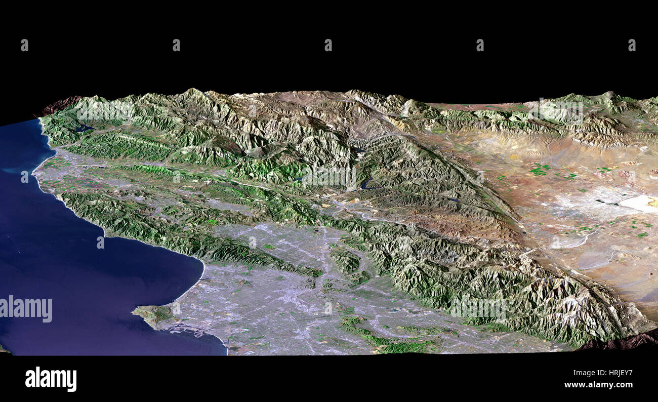 Los Angeles Stock Photohttps://www.alamy.com/image-license-details/?v=1https://www.alamy.com/stock-photo-los-angeles-135016539.html
RMHRJEY7–Los Angeles
 Santa Monica, California, United States Stock Photohttps://www.alamy.com/image-license-details/?v=1https://www.alamy.com/santa-monica-california-united-states-image185801875.html
RMMP8057–Santa Monica, California, United States
 LOS ANGELES, CALIFORNIA - JUNE 6, 2019: Close up to male driving and using navigation appliction Google Android Auto. An illustrative editorial image. Stock Photohttps://www.alamy.com/image-license-details/?v=1https://www.alamy.com/los-angeles-california-june-6-2019-close-up-to-male-driving-and-using-navigation-appliction-google-android-auto-an-illustrative-editorial-image-image248600682.html
RFTCCMKP–LOS ANGELES, CALIFORNIA - JUNE 6, 2019: Close up to male driving and using navigation appliction Google Android Auto. An illustrative editorial image.
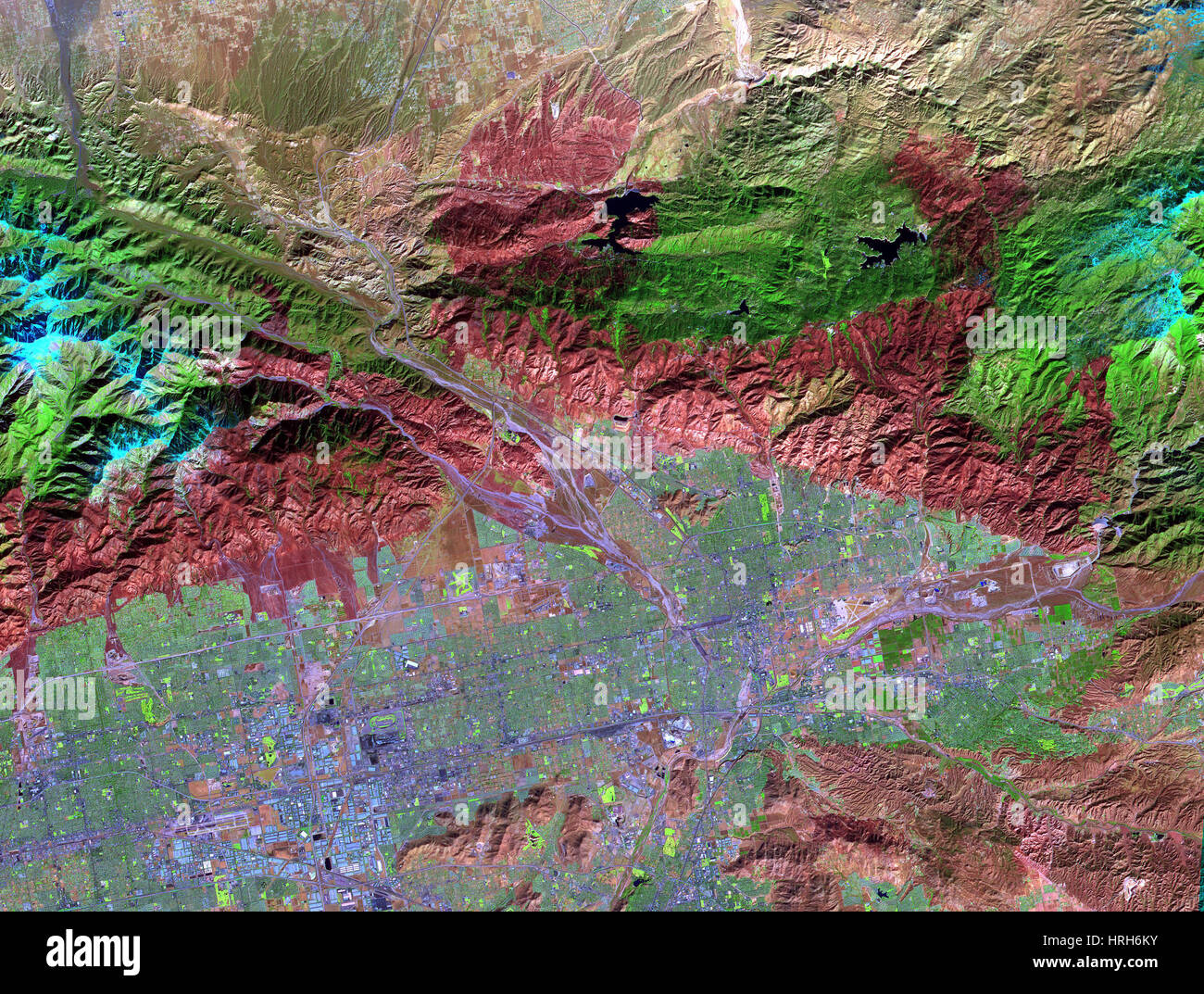 Old Fire/Grand Prix Fire, ASTER Image Stock Photohttps://www.alamy.com/image-license-details/?v=1https://www.alamy.com/stock-photo-old-firegrand-prix-fire-aster-image-134988111.html
RMHRH6KY–Old Fire/Grand Prix Fire, ASTER Image
 San Bernardino, California, United States Stock Photohttps://www.alamy.com/image-license-details/?v=1https://www.alamy.com/san-bernardino-california-united-states-image185801873.html
RMMP8055–San Bernardino, California, United States
 LOS ANGELES, CALIFORNIA - JUNE 6, 2019: Close up to male driving and using navigation appliction Google Android Auto. An illustrative editorial image. Stock Photohttps://www.alamy.com/image-license-details/?v=1https://www.alamy.com/los-angeles-california-june-6-2019-close-up-to-male-driving-and-using-navigation-appliction-google-android-auto-an-illustrative-editorial-image-image248600642.html
RFTCCMJA–LOS ANGELES, CALIFORNIA - JUNE 6, 2019: Close up to male driving and using navigation appliction Google Android Auto. An illustrative editorial image.
 Long Beach, California, United States Stock Photohttps://www.alamy.com/image-license-details/?v=1https://www.alamy.com/long-beach-california-united-states-image185801742.html
RMMP800E–Long Beach, California, United States
 LOS ANGELES, CALIFORNIA - JUNE 6, 2019: Close up to male driving and using navigation appliction Google Android Auto. An illustrative editorial image. Stock Photohttps://www.alamy.com/image-license-details/?v=1https://www.alamy.com/los-angeles-california-june-6-2019-close-up-to-male-driving-and-using-navigation-appliction-google-android-auto-an-illustrative-editorial-image-image248600646.html
RFTCCMJE–LOS ANGELES, CALIFORNIA - JUNE 6, 2019: Close up to male driving and using navigation appliction Google Android Auto. An illustrative editorial image.
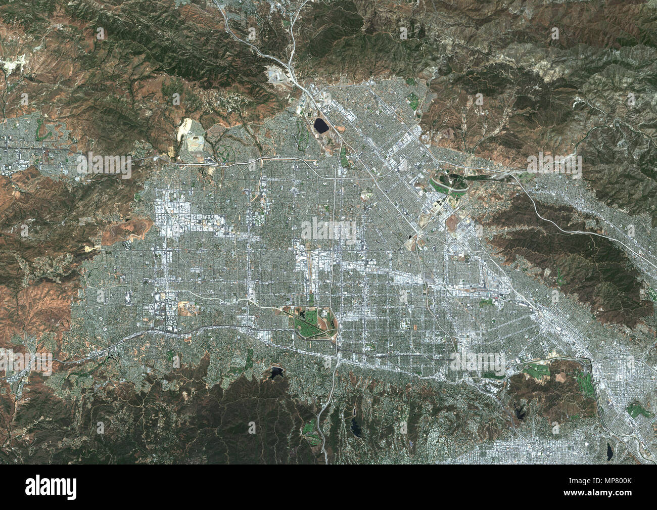 San Fernando Valley, California, United States Stock Photohttps://www.alamy.com/image-license-details/?v=1https://www.alamy.com/san-fernando-valley-california-united-states-image185801747.html
RMMP800K–San Fernando Valley, California, United States
 LOS ANGELES, CALIFORNIA - JUNE 6, 2019: Close up to male driving and using navigation appliction Google Android Auto. An illustrative editorial image. Stock Photohttps://www.alamy.com/image-license-details/?v=1https://www.alamy.com/los-angeles-california-june-6-2019-close-up-to-male-driving-and-using-navigation-appliction-google-android-auto-an-illustrative-editorial-image-image248600647.html
RFTCCMJF–LOS ANGELES, CALIFORNIA - JUNE 6, 2019: Close up to male driving and using navigation appliction Google Android Auto. An illustrative editorial image.
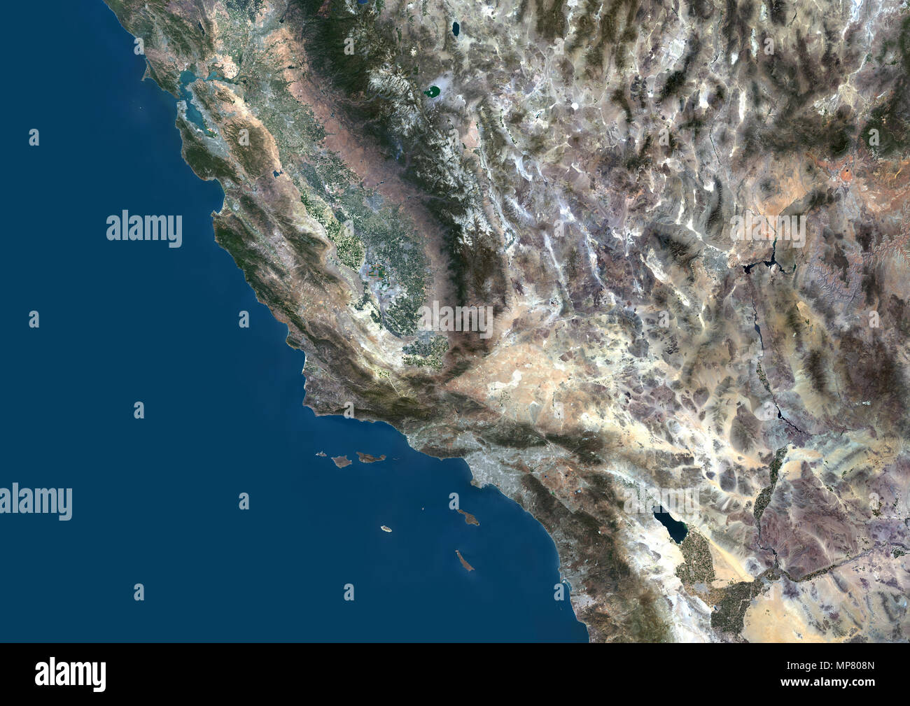 California, United States Stock Photohttps://www.alamy.com/image-license-details/?v=1https://www.alamy.com/california-united-states-image185801973.html
RMMP808N–California, United States
 LOS ANGELES, CALIFORNIA - JUNE 6, 2019: Close up to male driving and using navigation appliction Google Android Auto. An illustrative editorial image. Stock Photohttps://www.alamy.com/image-license-details/?v=1https://www.alamy.com/los-angeles-california-june-6-2019-close-up-to-male-driving-and-using-navigation-appliction-google-android-auto-an-illustrative-editorial-image-image248600744.html
RFTCCMP0–LOS ANGELES, CALIFORNIA - JUNE 6, 2019: Close up to male driving and using navigation appliction Google Android Auto. An illustrative editorial image.
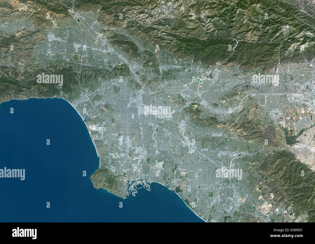 Colour satellite image of Los Angeles, California, USA. Image taken on October 23, 2014 with Landsat 8 data. Stock Photohttps://www.alamy.com/image-license-details/?v=1https://www.alamy.com/stock-photo-colour-satellite-image-of-los-angeles-california-usa-image-taken-on-84972637.html
RMEX6RD1–Colour satellite image of Los Angeles, California, USA. Image taken on October 23, 2014 with Landsat 8 data.
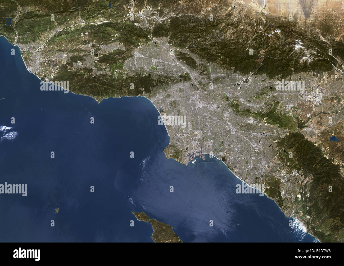 Los Angeles, California, Usa, True Colour Satellite Image. Los Angeles, California, USA. True colour satellite image of the city Stock Photohttps://www.alamy.com/image-license-details/?v=1https://www.alamy.com/stock-photo-los-angeles-california-usa-true-colour-satellite-image-los-angeles-71604996.html
RME4DTW8–Los Angeles, California, Usa, True Colour Satellite Image. Los Angeles, California, USA. True colour satellite image of the city
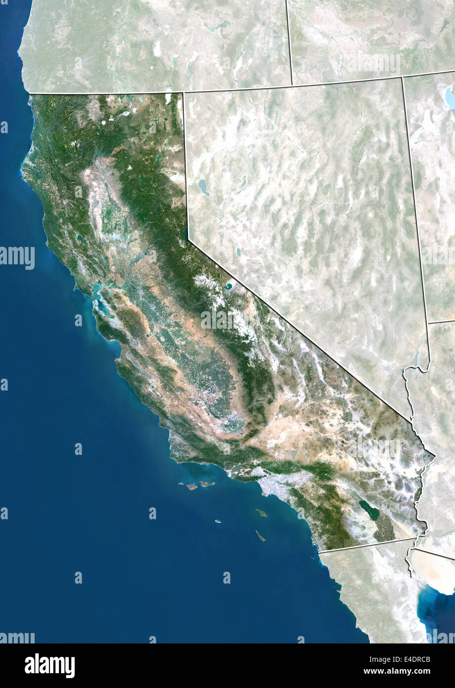 State of California, United States, True Colour Satellite Image Stock Photohttps://www.alamy.com/image-license-details/?v=1https://www.alamy.com/stock-photo-state-of-california-united-states-true-colour-satellite-image-71603851.html
RME4DRCB–State of California, United States, True Colour Satellite Image
 United States and the State of California, True Colour Satellite Image Stock Photohttps://www.alamy.com/image-license-details/?v=1https://www.alamy.com/stock-photo-united-states-and-the-state-of-california-true-colour-satellite-image-71609162.html
RME4E262–United States and the State of California, True Colour Satellite Image
 LOS ANGELES, CALIFORNIA - JUNE 6, 2019: Close up to male driving and using navigation appliction Google Android Auto. An illustrative editorial image. Stock Photohttps://www.alamy.com/image-license-details/?v=1https://www.alamy.com/los-angeles-california-june-6-2019-close-up-to-male-driving-and-using-navigation-appliction-google-android-auto-an-illustrative-editorial-image-image248600653.html
RFTCCMJN–LOS ANGELES, CALIFORNIA - JUNE 6, 2019: Close up to male driving and using navigation appliction Google Android Auto. An illustrative editorial image.
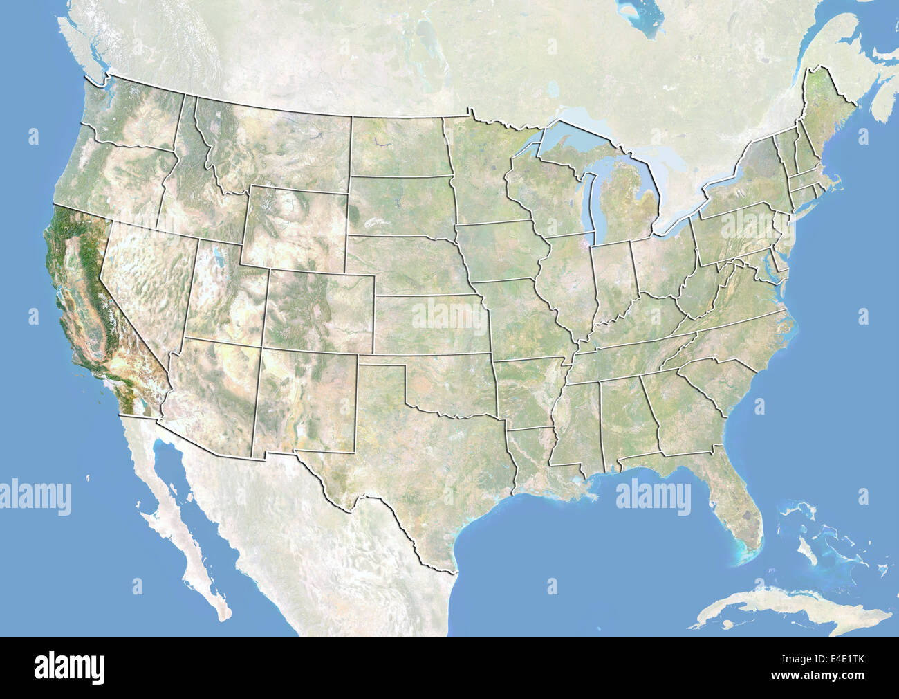 United States and the State of California, Satellite Image With Bump Effect Stock Photohttps://www.alamy.com/image-license-details/?v=1https://www.alamy.com/stock-photo-united-states-and-the-state-of-california-satellite-image-with-bump-71608899.html
RME4E1TK–United States and the State of California, Satellite Image With Bump Effect
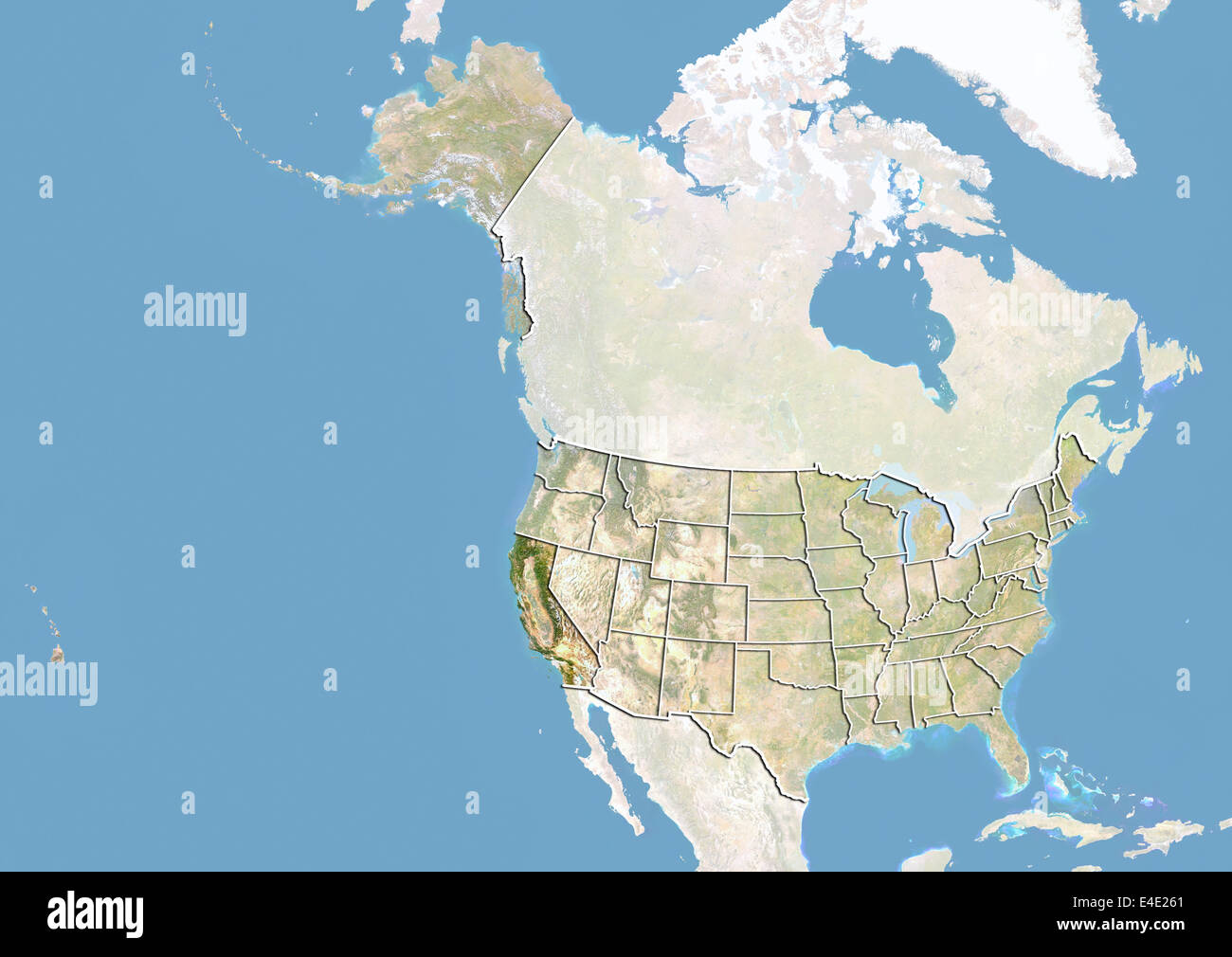 United States and the State of California, Satellite Image With Bump Effect Stock Photohttps://www.alamy.com/image-license-details/?v=1https://www.alamy.com/stock-photo-united-states-and-the-state-of-california-satellite-image-with-bump-71609161.html
RME4E261–United States and the State of California, Satellite Image With Bump Effect
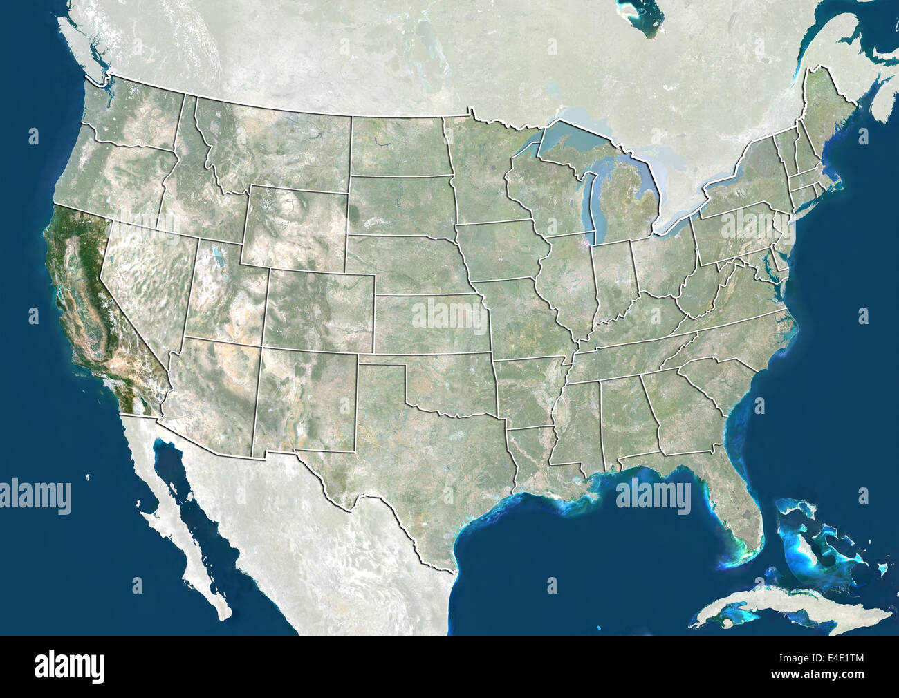 United States and the State of California, True Colour Satellite Image Stock Photohttps://www.alamy.com/image-license-details/?v=1https://www.alamy.com/stock-photo-united-states-and-the-state-of-california-true-colour-satellite-image-71608900.html
RME4E1TM–United States and the State of California, True Colour Satellite Image
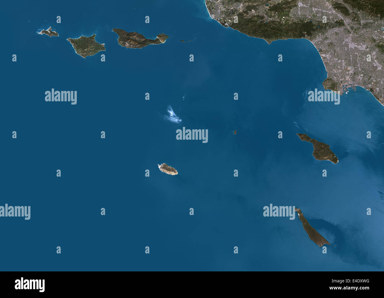 Channel Islands Of California, Usa, True Colour Satellite Image. True colour satellite image of Channel Islands of California, a Stock Photohttps://www.alamy.com/image-license-details/?v=1https://www.alamy.com/stock-photo-channel-islands-of-california-usa-true-colour-satellite-image-true-71606572.html
RME4DXWG–Channel Islands Of California, Usa, True Colour Satellite Image. True colour satellite image of Channel Islands of California, a
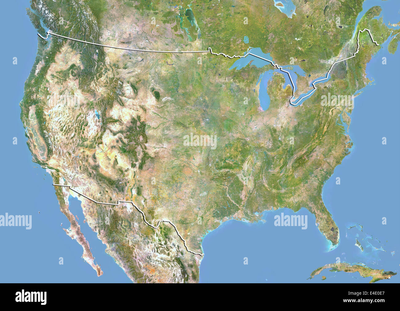 United States, Satellite Image With Bump Effect, With Border Stock Photohttps://www.alamy.com/image-license-details/?v=1https://www.alamy.com/stock-photo-united-states-satellite-image-with-bump-effect-with-border-71607823.html
RME4E0E7–United States, Satellite Image With Bump Effect, With Border
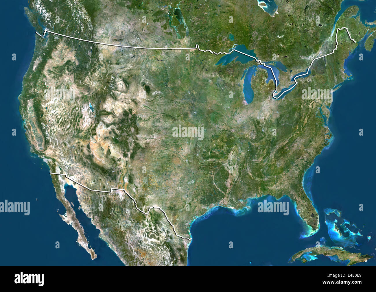 United States, True Colour Satellite Image With Border Stock Photohttps://www.alamy.com/image-license-details/?v=1https://www.alamy.com/stock-photo-united-states-true-colour-satellite-image-with-border-71607825.html
RME4E0E9–United States, True Colour Satellite Image With Border
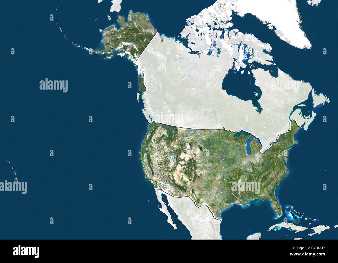 United States, True Colour Satellite Image With Border and Mask Stock Photohttps://www.alamy.com/image-license-details/?v=1https://www.alamy.com/stock-photo-united-states-true-colour-satellite-image-with-border-and-mask-71601943.html
RME4DN07–United States, True Colour Satellite Image With Border and Mask
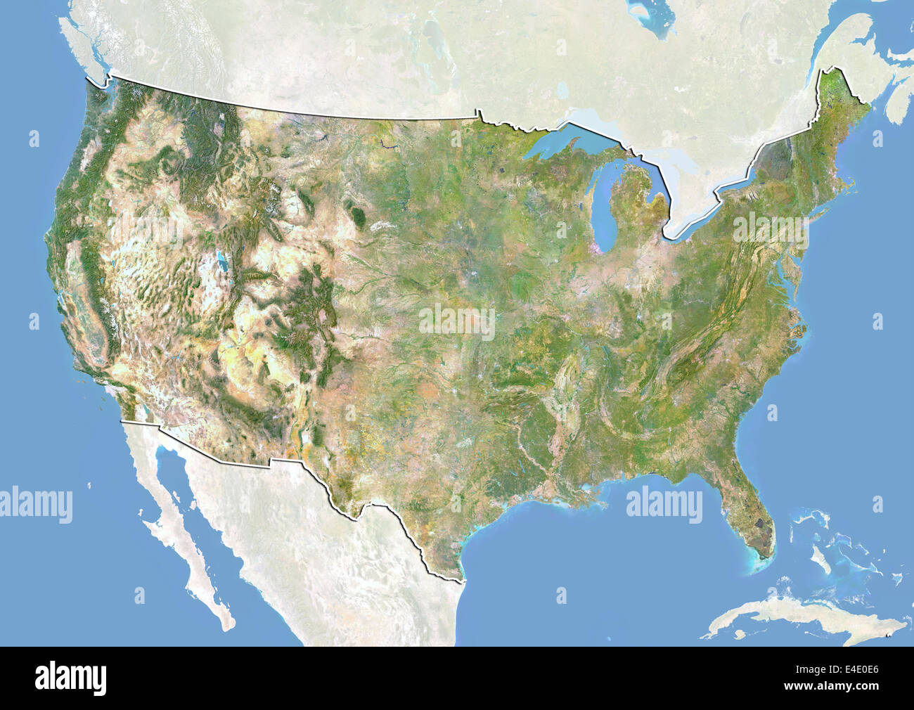 United States, Satellite Image With Bump Effect, With Border and Mask Stock Photohttps://www.alamy.com/image-license-details/?v=1https://www.alamy.com/stock-photo-united-states-satellite-image-with-bump-effect-with-border-and-mask-71607822.html
RME4E0E6–United States, Satellite Image With Bump Effect, With Border and Mask
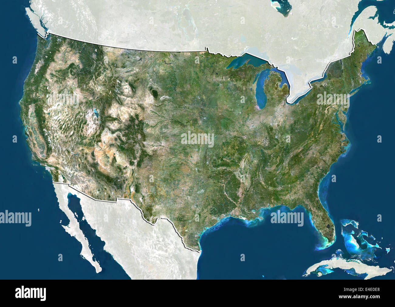 United States, True Colour Satellite Image With Border and Mask Stock Photohttps://www.alamy.com/image-license-details/?v=1https://www.alamy.com/stock-photo-united-states-true-colour-satellite-image-with-border-and-mask-71607824.html
RME4E0E8–United States, True Colour Satellite Image With Border and Mask
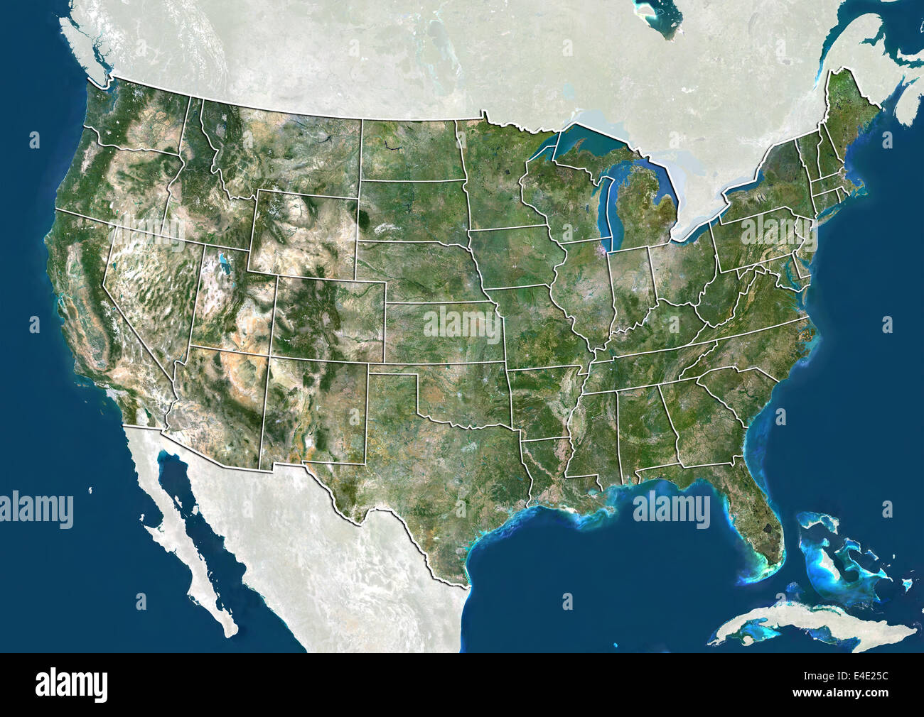 United States, True Colour Satellite Image With State Boundaries Stock Photohttps://www.alamy.com/image-license-details/?v=1https://www.alamy.com/stock-photo-united-states-true-colour-satellite-image-with-state-boundaries-71609144.html
RME4E25C–United States, True Colour Satellite Image With State Boundaries
 United States, Satellite Image With Bump Effect and State Boundaries Stock Photohttps://www.alamy.com/image-license-details/?v=1https://www.alamy.com/stock-photo-united-states-satellite-image-with-bump-effect-and-state-boundaries-71609143.html
RME4E25B–United States, Satellite Image With Bump Effect and State Boundaries
 United States, True Colour Satellite Image With State Boundaries Stock Photohttps://www.alamy.com/image-license-details/?v=1https://www.alamy.com/stock-photo-united-states-true-colour-satellite-image-with-state-boundaries-71609284.html
RME4E2AC–United States, True Colour Satellite Image With State Boundaries
 United States, Satellite Image With Bump Effect and State Boundaries Stock Photohttps://www.alamy.com/image-license-details/?v=1https://www.alamy.com/stock-photo-united-states-satellite-image-with-bump-effect-and-state-boundaries-71609283.html
RME4E2AB–United States, Satellite Image With Bump Effect and State Boundaries
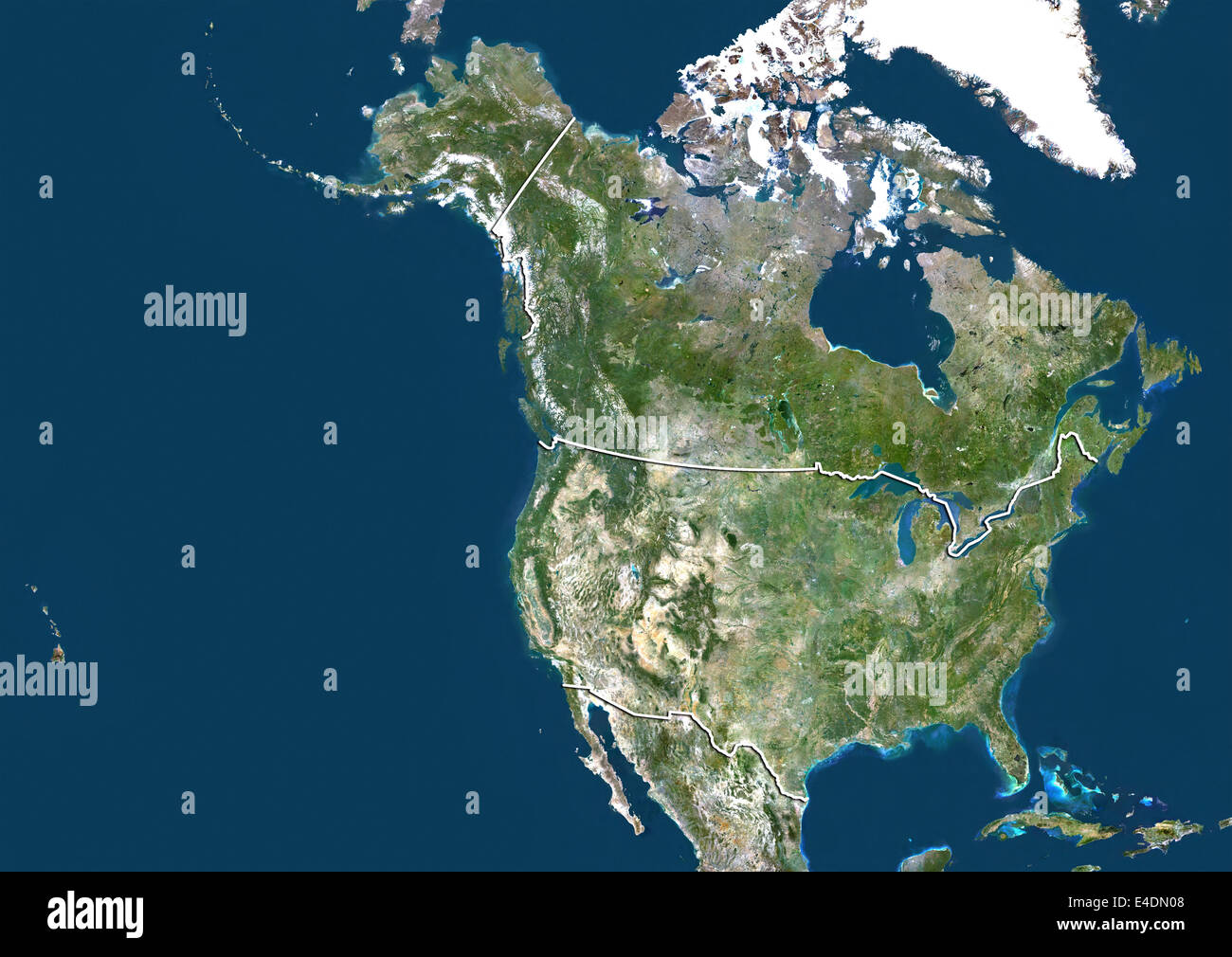 United States and Canada, True Colour Satellite Image With Border Stock Photohttps://www.alamy.com/image-license-details/?v=1https://www.alamy.com/stock-photo-united-states-and-canada-true-colour-satellite-image-with-border-71601944.html
RME4DN08–United States and Canada, True Colour Satellite Image With Border
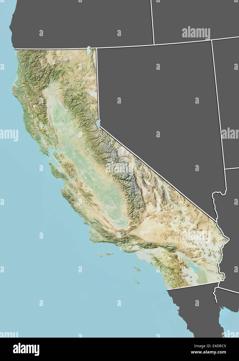 State of California, United States, Relief Map Stock Photohttps://www.alamy.com/image-license-details/?v=1https://www.alamy.com/stock-photo-state-of-california-united-states-relief-map-71603849.html
RME4DRC9–State of California, United States, Relief Map
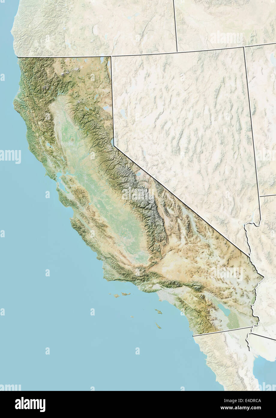 State of California, United States, Relief Map Stock Photohttps://www.alamy.com/image-license-details/?v=1https://www.alamy.com/stock-photo-state-of-california-united-states-relief-map-71603850.html
RME4DRCA–State of California, United States, Relief Map
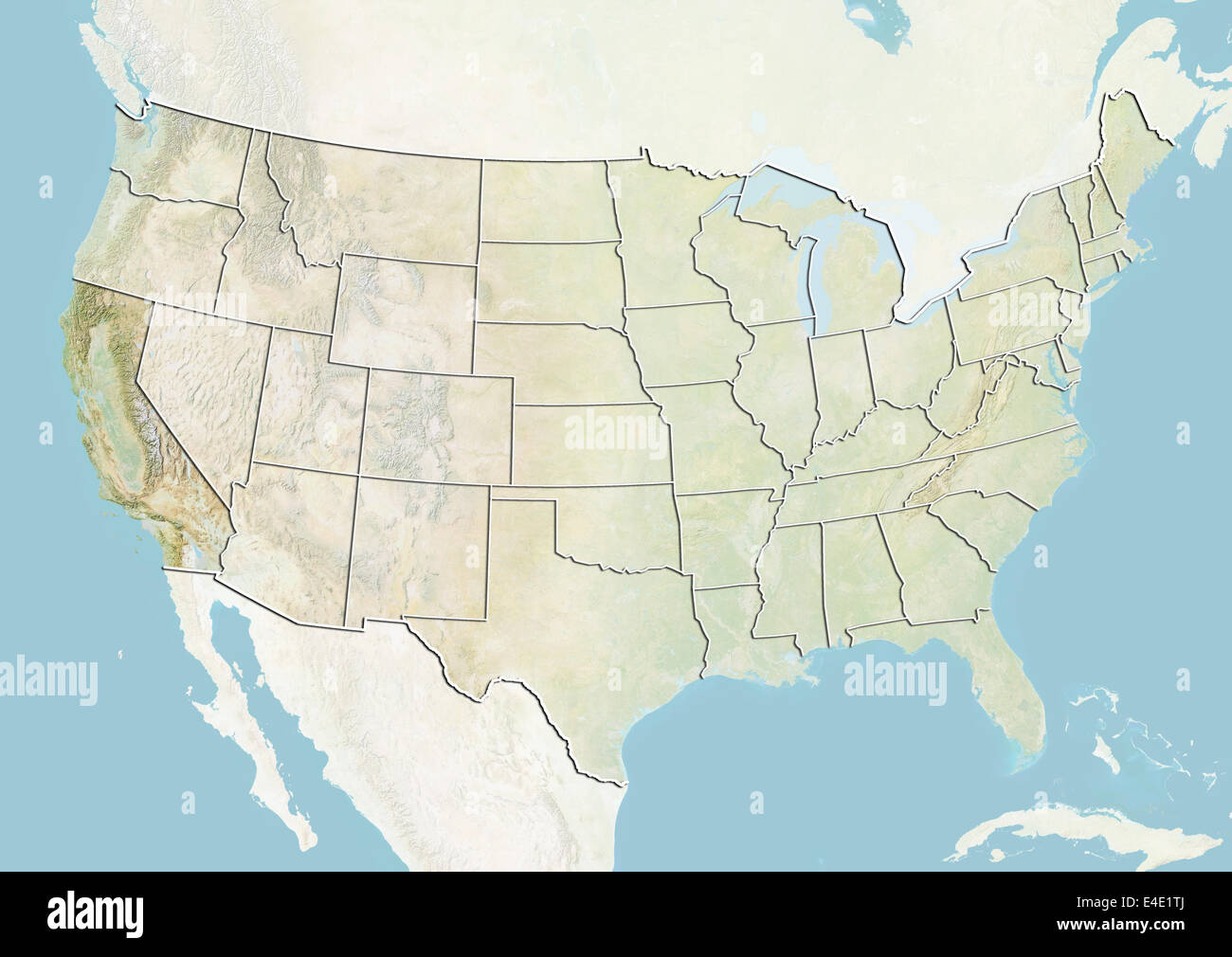 United States and the State of California, Relief Map Stock Photohttps://www.alamy.com/image-license-details/?v=1https://www.alamy.com/stock-photo-united-states-and-the-state-of-california-relief-map-71608898.html
RME4E1TJ–United States and the State of California, Relief Map
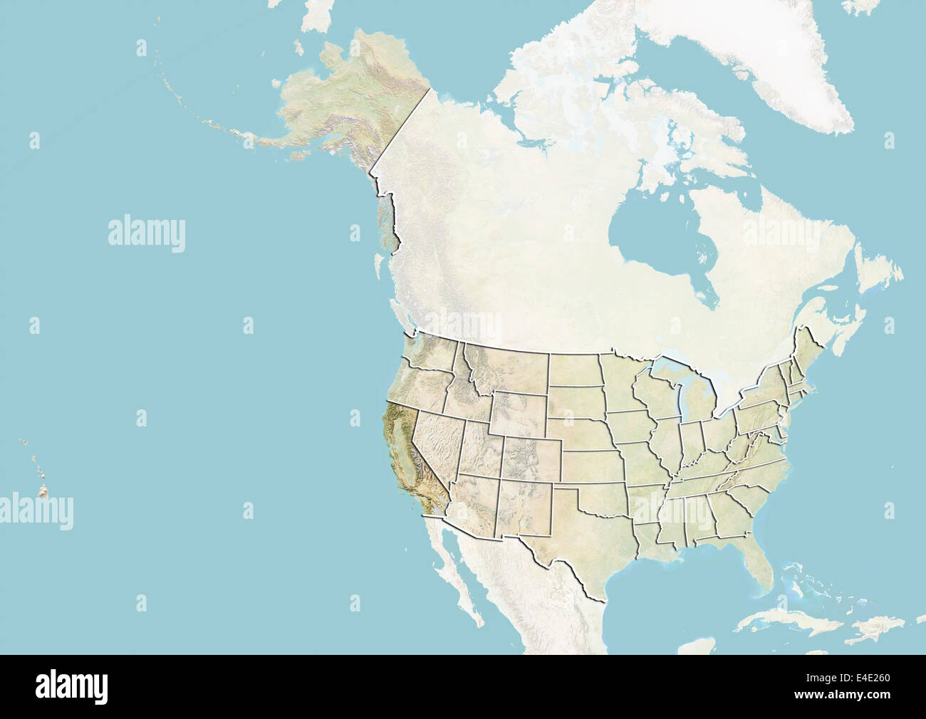 United States and the State of California, Relief Map Stock Photohttps://www.alamy.com/image-license-details/?v=1https://www.alamy.com/stock-photo-united-states-and-the-state-of-california-relief-map-71609160.html
RME4E260–United States and the State of California, Relief Map
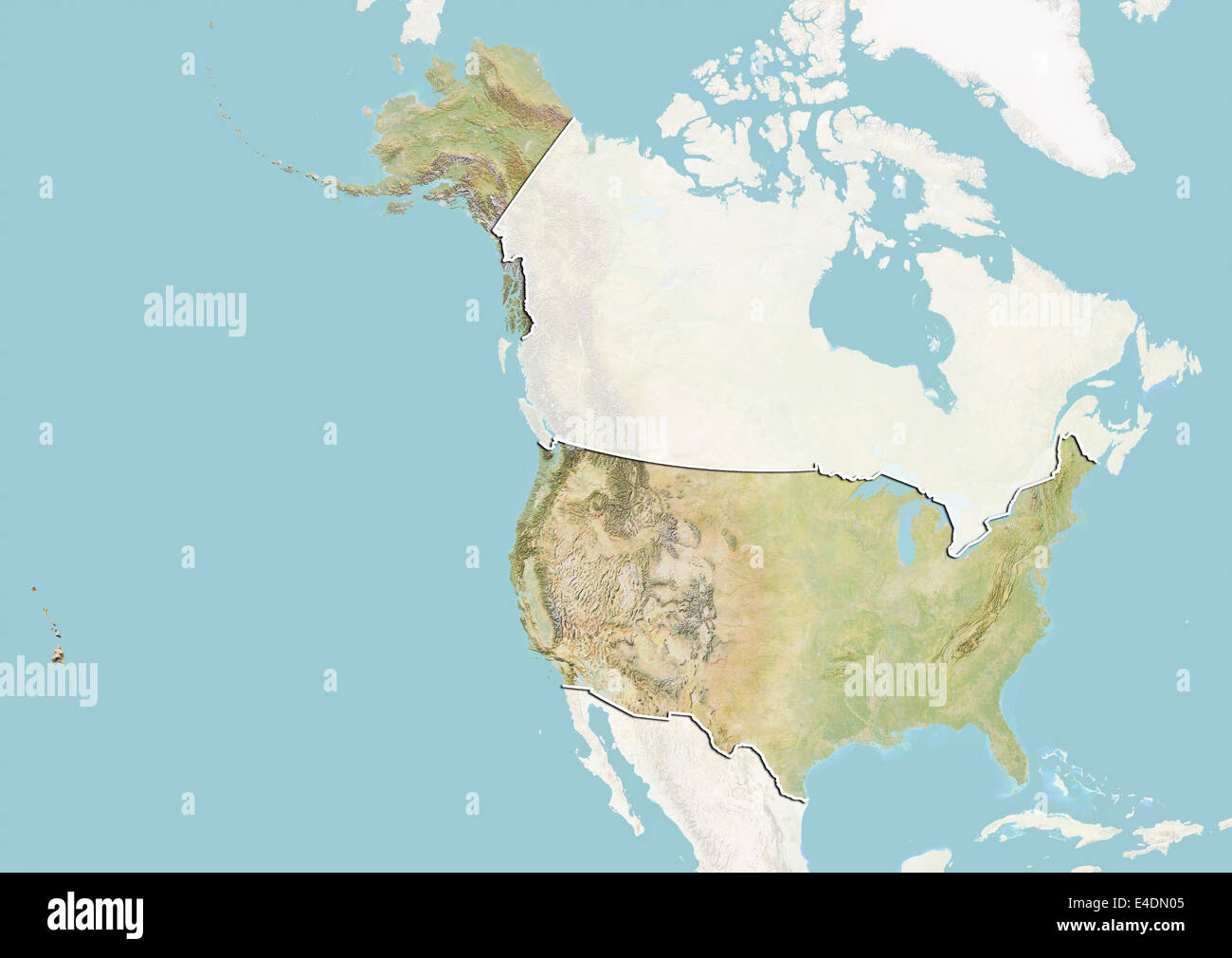 United States, Relief Map with Border and Mask Stock Photohttps://www.alamy.com/image-license-details/?v=1https://www.alamy.com/stock-photo-united-states-relief-map-with-border-and-mask-71601941.html
RME4DN05–United States, Relief Map with Border and Mask
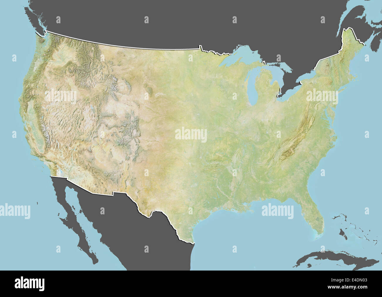 United States, Relief Map with Border and Mask Stock Photohttps://www.alamy.com/image-license-details/?v=1https://www.alamy.com/stock-photo-united-states-relief-map-with-border-and-mask-71601939.html
RME4DN03–United States, Relief Map with Border and Mask
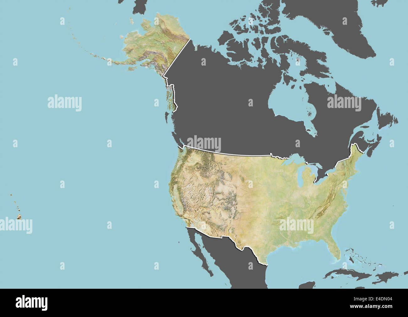 United States, Relief Map with Border and Mask Stock Photohttps://www.alamy.com/image-license-details/?v=1https://www.alamy.com/stock-photo-united-states-relief-map-with-border-and-mask-71601940.html
RME4DN04–United States, Relief Map with Border and Mask
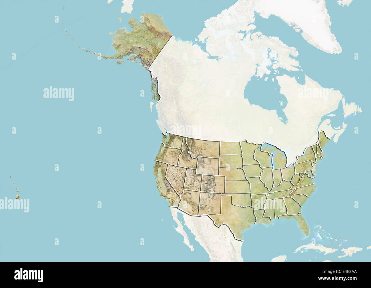 United States, Relief Map With State Boundaries Stock Photohttps://www.alamy.com/image-license-details/?v=1https://www.alamy.com/stock-photo-united-states-relief-map-with-state-boundaries-71609282.html
RME4E2AA–United States, Relief Map With State Boundaries
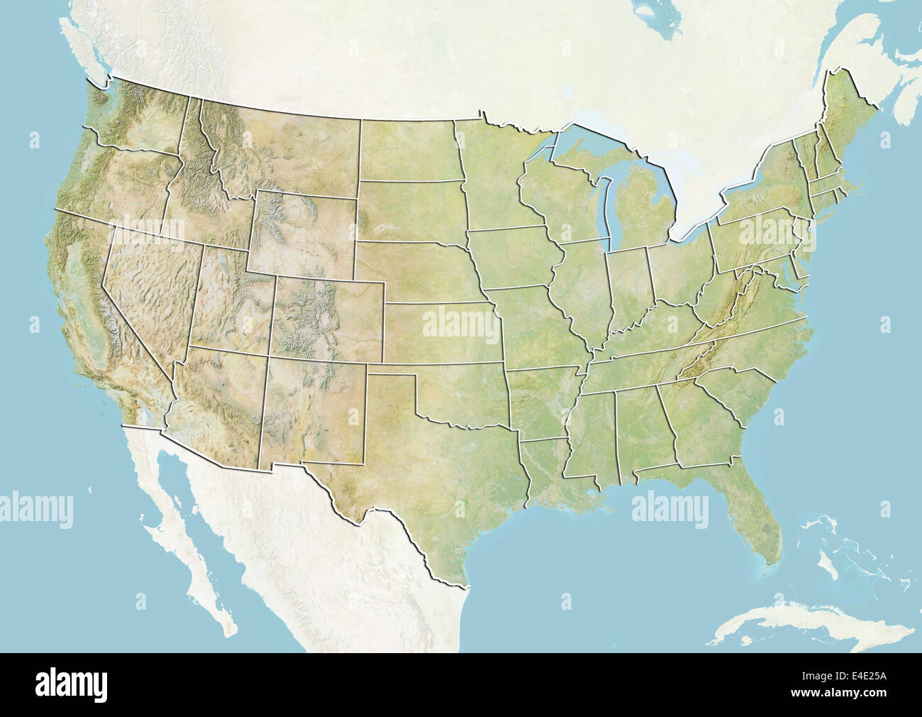 United States, Relief Map With State Boundaries Stock Photohttps://www.alamy.com/image-license-details/?v=1https://www.alamy.com/stock-photo-united-states-relief-map-with-state-boundaries-71609142.html
RME4E25A–United States, Relief Map With State Boundaries
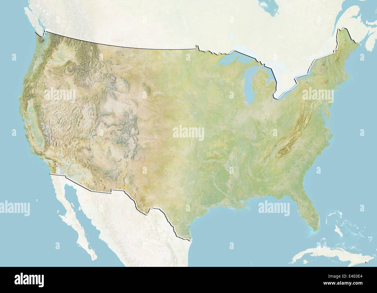 United States, Relief Map with Border and Mask Stock Photohttps://www.alamy.com/image-license-details/?v=1https://www.alamy.com/stock-photo-united-states-relief-map-with-border-and-mask-71607820.html
RME4E0E4–United States, Relief Map with Border and Mask
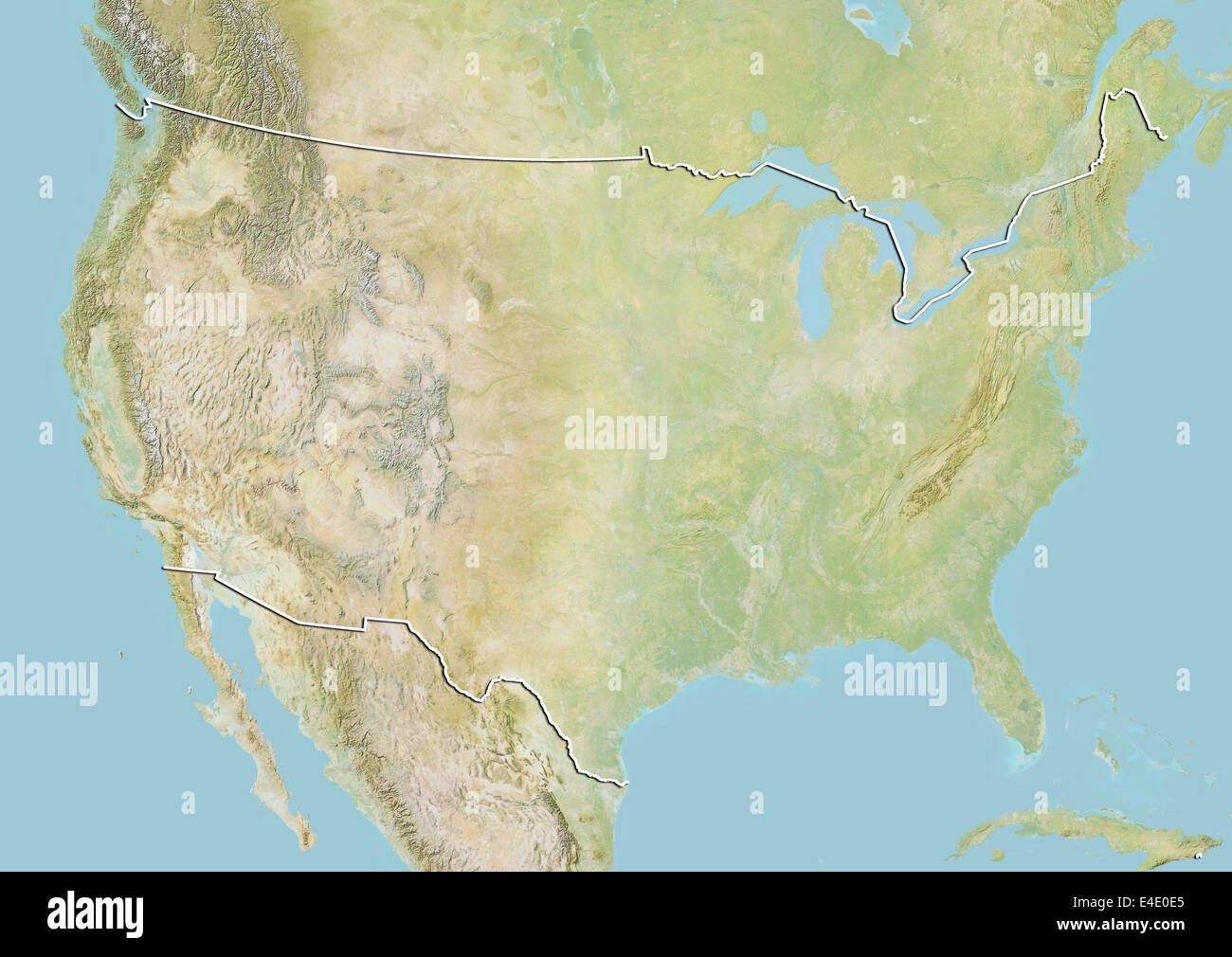 United States, Relief Map with Border Stock Photohttps://www.alamy.com/image-license-details/?v=1https://www.alamy.com/stock-photo-united-states-relief-map-with-border-71607821.html
RME4E0E5–United States, Relief Map with Border
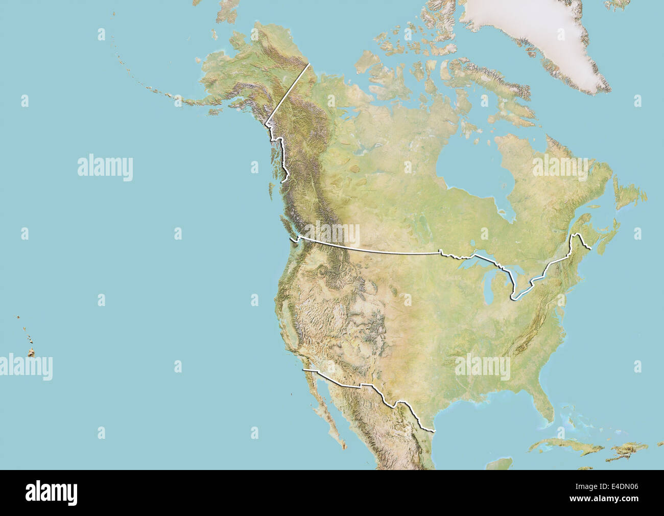 United States and Canada, Relief Map with Border Stock Photohttps://www.alamy.com/image-license-details/?v=1https://www.alamy.com/stock-photo-united-states-and-canada-relief-map-with-border-71601942.html
RME4DN06–United States and Canada, Relief Map with Border
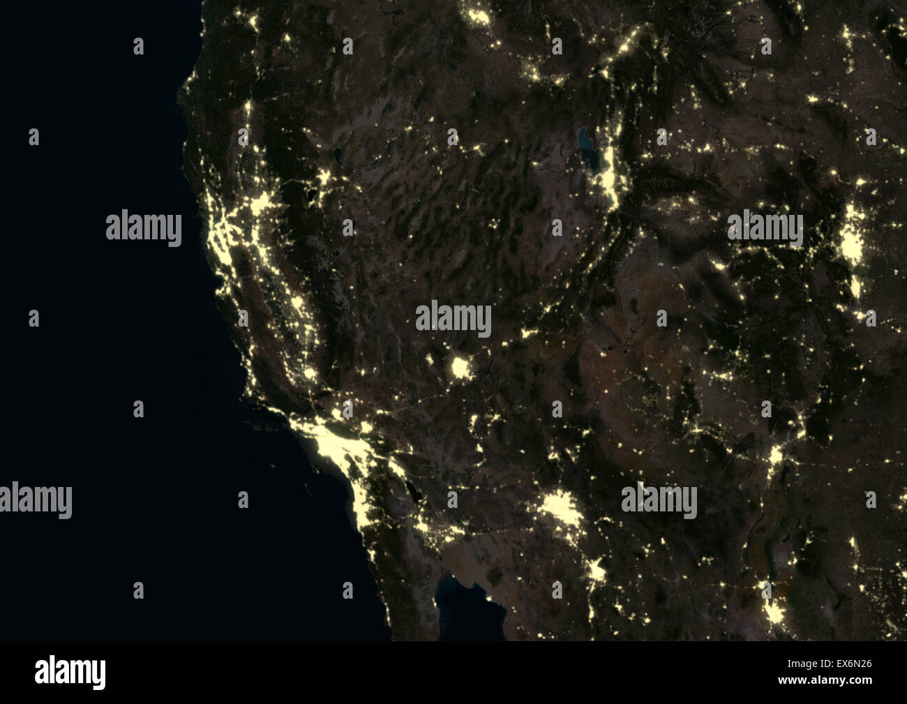 US West Coast at night in 2012, showing San Francisco, Los Angeles, Phoenix, Las Vegas, Salt Lake City and Denver. This Stock Photohttps://www.alamy.com/image-license-details/?v=1https://www.alamy.com/stock-photo-us-west-coast-at-night-in-2012-showing-san-francisco-los-angeles-phoenix-84970766.html
RMEX6N26–US West Coast at night in 2012, showing San Francisco, Los Angeles, Phoenix, Las Vegas, Salt Lake City and Denver. This