Louisiana territory exploration Stock Photos and Images
(61)See louisiana territory exploration stock video clipsLouisiana territory exploration Stock Photos and Images
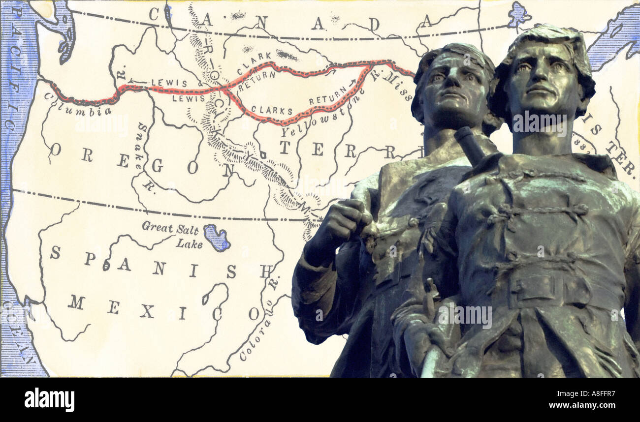 Meriwether Lewis and William Clark with a map of their expedition across Louisiana Territory1804 to 1806. Hand-colored woodcut map & photo Stock Photohttps://www.alamy.com/image-license-details/?v=1https://www.alamy.com/meriwether-lewis-and-william-clark-with-a-map-of-their-expedition-image6907574.html
RMA8FFR7–Meriwether Lewis and William Clark with a map of their expedition across Louisiana Territory1804 to 1806. Hand-colored woodcut map & photo
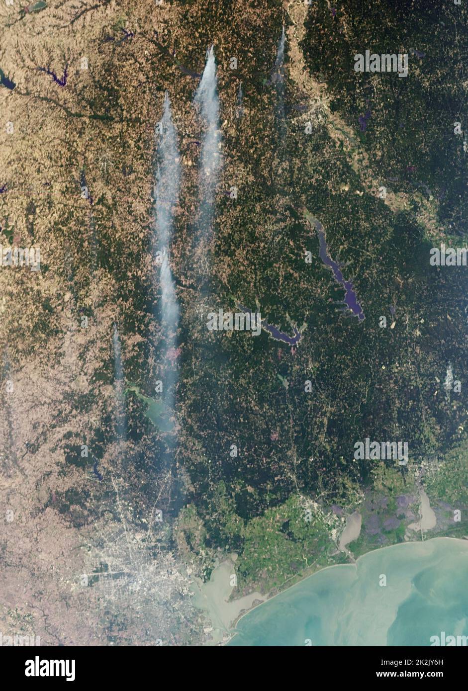 The Tropical Storm Lee passed over Louisiana. Strong, gusty winds on the western side of the storm stoked fires throughout eastern Texas. Sept. 5, 2011. Stock Photohttps://www.alamy.com/image-license-details/?v=1https://www.alamy.com/the-tropical-storm-lee-passed-over-louisiana-strong-gusty-winds-on-the-western-side-of-the-storm-stoked-fires-throughout-eastern-texas-sept-5-2011-image483536105.html
RM2K2JY6H–The Tropical Storm Lee passed over Louisiana. Strong, gusty winds on the western side of the storm stoked fires throughout eastern Texas. Sept. 5, 2011.
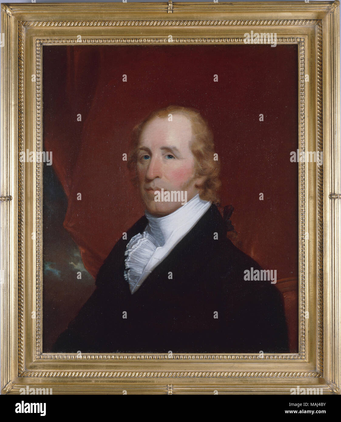 Portrait of William Clark attributed to John Wesley Jarvis. Clark and Meriwether Lewis led an expedition across the Louisiana Puchase to the Pacific Ocean in 1803-1805. Later Clark served as the governor of the Missouri Territory and Superintendent of Indian Affairs. Also large, rectangular wood frame (b), painted gold and decorated with flourishes original to the painting. Title: Portrait of William Clark . circa 1810. Jarvis, John Wesley, 1780-1840 Stock Photohttps://www.alamy.com/image-license-details/?v=1https://www.alamy.com/portrait-of-william-clark-attributed-to-john-wesley-jarvis-clark-and-meriwether-lewis-led-an-expedition-across-the-louisiana-puchase-to-the-pacific-ocean-in-1803-1805-later-clark-served-as-the-governor-of-the-missouri-territory-and-superintendent-of-indian-affairs-also-large-rectangular-wood-frame-b-painted-gold-and-decorated-with-flourishes-original-to-the-painting-title-portrait-of-william-clark-circa-1810-jarvis-john-wesley-1780-1840-image178648847.html
RMMAJ4BY–Portrait of William Clark attributed to John Wesley Jarvis. Clark and Meriwether Lewis led an expedition across the Louisiana Puchase to the Pacific Ocean in 1803-1805. Later Clark served as the governor of the Missouri Territory and Superintendent of Indian Affairs. Also large, rectangular wood frame (b), painted gold and decorated with flourishes original to the painting. Title: Portrait of William Clark . circa 1810. Jarvis, John Wesley, 1780-1840
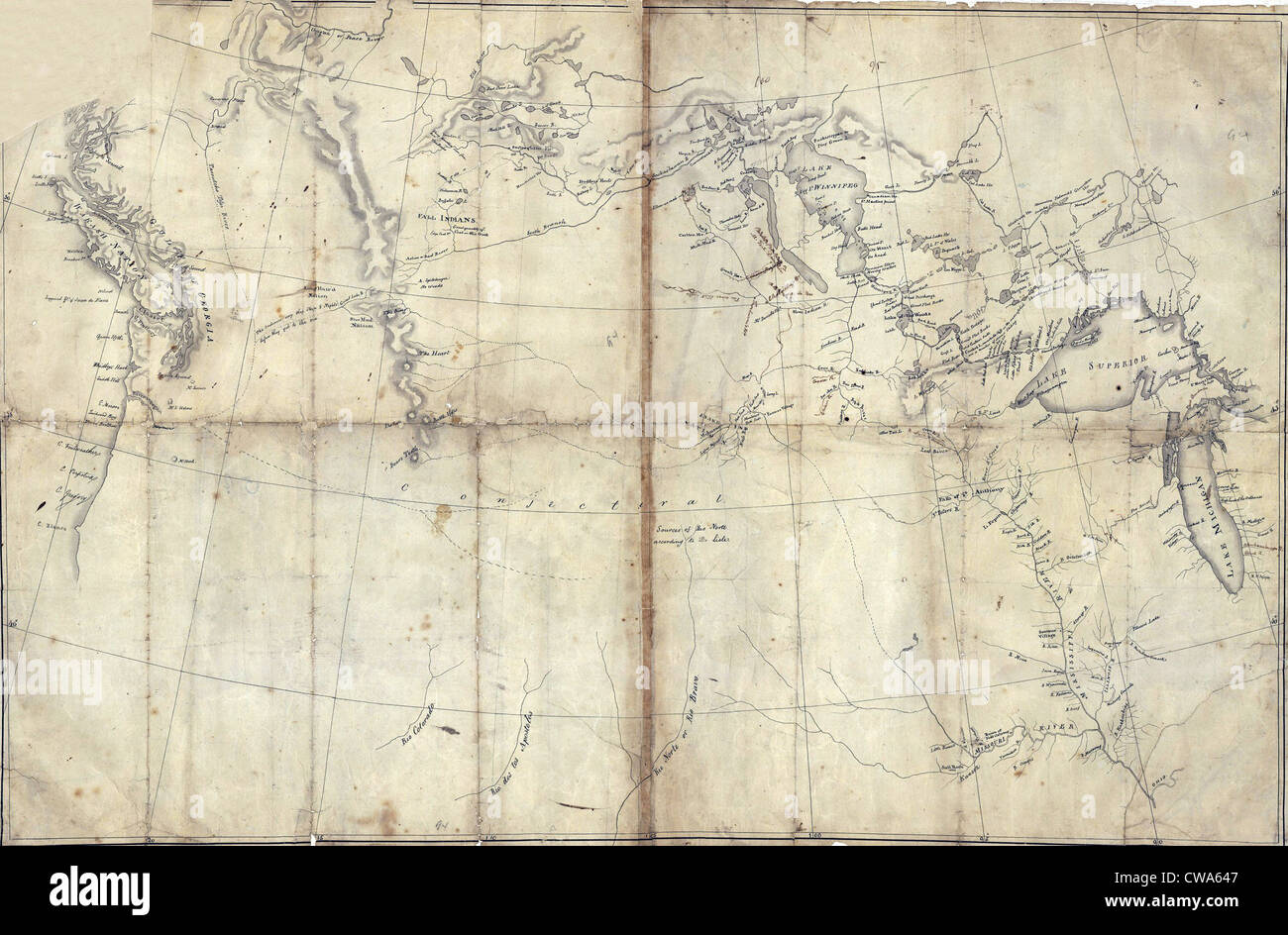 1803 Lewis and Clark map, with annotations in brown ink by Meriwether Lewis, tracing the Mississippi and Missouri Rivers, Lakes Stock Photohttps://www.alamy.com/image-license-details/?v=1https://www.alamy.com/stock-photo-1803-lewis-and-clark-map-with-annotations-in-brown-ink-by-meriwether-50011479.html
RMCWA647–1803 Lewis and Clark map, with annotations in brown ink by Meriwether Lewis, tracing the Mississippi and Missouri Rivers, Lakes
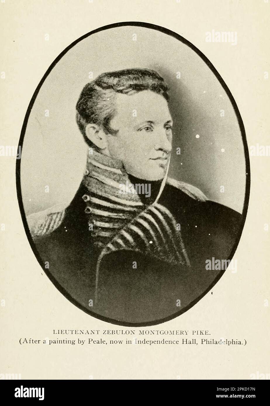 Lieutenant Zebulon Montgomery Pike [Zebulon Montgomery Pike (January 5, 1779 – April 27, 1813) was an American brigadier general and explorer for whom Pikes Peak in Colorado was named. As a U.S. Army officer he led two expeditions under authority of President Thomas Jefferson through the Louisiana Purchase territory, first in 1805–1806 to reconnoiter the upper northern reaches of the Mississippi River, and then in 1806–1807 to explore the southwest to the fringes of the northern Spanish-colonial settlements of New Mexico and Texas. Pike's expeditions coincided with other Jeffersonian expeditio Stock Photohttps://www.alamy.com/image-license-details/?v=1https://www.alamy.com/lieutenant-zebulon-montgomery-pike-zebulon-montgomery-pike-january-5-1779-april-27-1813-was-an-american-brigadier-general-and-explorer-for-whom-pikes-peak-in-colorado-was-named-as-a-us-army-officer-he-led-two-expeditions-under-authority-of-president-thomas-jefferson-through-the-louisiana-purchase-territory-first-in-18051806-to-reconnoiter-the-upper-northern-reaches-of-the-mississippi-river-and-then-in-18061807-to-explore-the-southwest-to-the-fringes-of-the-northern-spanish-colonial-settlements-of-new-mexico-and-texas-pikes-expeditions-coincided-with-other-jeffersonian-expeditio-image545486249.html
RF2PKD17N–Lieutenant Zebulon Montgomery Pike [Zebulon Montgomery Pike (January 5, 1779 – April 27, 1813) was an American brigadier general and explorer for whom Pikes Peak in Colorado was named. As a U.S. Army officer he led two expeditions under authority of President Thomas Jefferson through the Louisiana Purchase territory, first in 1805–1806 to reconnoiter the upper northern reaches of the Mississippi River, and then in 1806–1807 to explore the southwest to the fringes of the northern Spanish-colonial settlements of New Mexico and Texas. Pike's expeditions coincided with other Jeffersonian expeditio
 Unorganized Territory of Industrial Complex (historical), East Baton Rouge Parish, US, United States, Louisiana, N 30 29' 38'', S 91 11' 6'', map, Cartascapes Map published in 2024. Explore Cartascapes, a map revealing Earth's diverse landscapes, cultures, and ecosystems. Journey through time and space, discovering the interconnectedness of our planet's past, present, and future. Stock Photohttps://www.alamy.com/image-license-details/?v=1https://www.alamy.com/unorganized-territory-of-industrial-complex-historical-east-baton-rouge-parish-us-united-states-louisiana-n-30-29-38-s-91-11-6-map-cartascapes-map-published-in-2024-explore-cartascapes-a-map-revealing-earths-diverse-landscapes-cultures-and-ecosystems-journey-through-time-and-space-discovering-the-interconnectedness-of-our-planets-past-present-and-future-image633784489.html
RM2YR3AG9–Unorganized Territory of Industrial Complex (historical), East Baton Rouge Parish, US, United States, Louisiana, N 30 29' 38'', S 91 11' 6'', map, Cartascapes Map published in 2024. Explore Cartascapes, a map revealing Earth's diverse landscapes, cultures, and ecosystems. Journey through time and space, discovering the interconnectedness of our planet's past, present, and future.
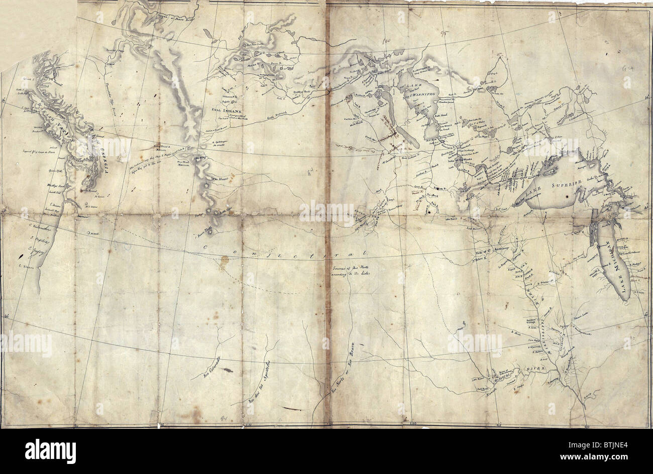 1803 Lewis and Clark map, with annotations in brown ink by Meriwether Lewis, tracing the Mississippi and Missouri Rivers, Lakes Stock Photohttps://www.alamy.com/image-license-details/?v=1https://www.alamy.com/stock-photo-1803-lewis-and-clark-map-with-annotations-in-brown-ink-by-meriwether-32374108.html
RMBTJNE4–1803 Lewis and Clark map, with annotations in brown ink by Meriwether Lewis, tracing the Mississippi and Missouri Rivers, Lakes
 Colorado Springs, CO - July 6, 2022: This Sculpture by Rich Muno of Zebulon Pike, who led two expeditions through the Louisiana Purchase territory, si Stock Photohttps://www.alamy.com/image-license-details/?v=1https://www.alamy.com/colorado-springs-co-july-6-2022-this-sculpture-by-rich-muno-of-zebulon-pike-who-led-two-expeditions-through-the-louisiana-purchase-territory-si-image485965762.html
RF2K6HJ82–Colorado Springs, CO - July 6, 2022: This Sculpture by Rich Muno of Zebulon Pike, who led two expeditions through the Louisiana Purchase territory, si
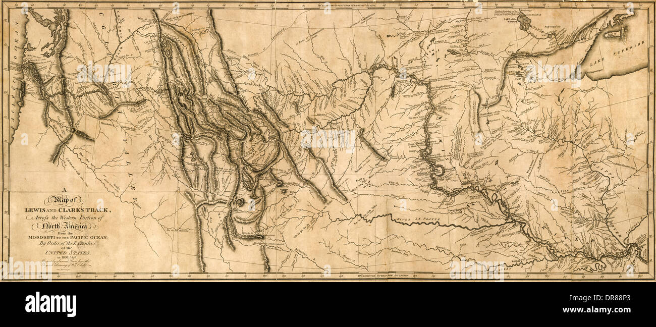 'A map of Lewis and Clark's Track across the Western portion of North America from the Mississippi to the Pacific Ocean by order of the Executive of the United States in 1804.5&6. Copied by Samuel Lewis from the original drawing of Wm (William Clark (1770-1838)).' The map shows the historic expedition under the Command of Captains Lewis and Clark to find the sources of the Missouri river, across the Rocky Mountains and down the River Columbia to the Pacific Ocean conducted during the years 1804 to 1806-6. Engraved by Samuel Harrison and first published in 1814. Stock Photohttps://www.alamy.com/image-license-details/?v=1https://www.alamy.com/a-map-of-lewis-and-clarks-track-across-the-western-portion-of-north-image65950699.html
RMDR88P3–'A map of Lewis and Clark's Track across the Western portion of North America from the Mississippi to the Pacific Ocean by order of the Executive of the United States in 1804.5&6. Copied by Samuel Lewis from the original drawing of Wm (William Clark (1770-1838)).' The map shows the historic expedition under the Command of Captains Lewis and Clark to find the sources of the Missouri river, across the Rocky Mountains and down the River Columbia to the Pacific Ocean conducted during the years 1804 to 1806-6. Engraved by Samuel Harrison and first published in 1814.
 Set of two realistic map of Louisiana with shadow. The flag and map of Louisiana in isometric style. Vector template. Stock Vectorhttps://www.alamy.com/image-license-details/?v=1https://www.alamy.com/set-of-two-realistic-map-of-louisiana-with-shadow-the-flag-and-map-of-louisiana-in-isometric-style-vector-template-image469172742.html
RF2J78JHA–Set of two realistic map of Louisiana with shadow. The flag and map of Louisiana in isometric style. Vector template.
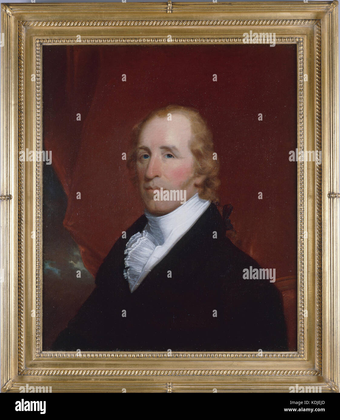 Portrait of William Clark Stock Photohttps://www.alamy.com/image-license-details/?v=1https://www.alamy.com/stock-image-portrait-of-william-clark-163290469.html
RMKDJEJD–Portrait of William Clark
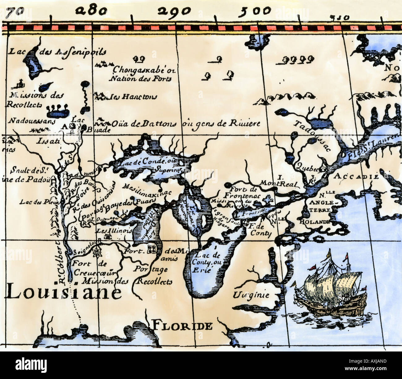 Hennepin map of New France Louisiana Carte de la Nouvelle France 1683. Hand-colored woodcut Stock Photohttps://www.alamy.com/image-license-details/?v=1https://www.alamy.com/hennepin-map-of-new-france-louisiana-carte-de-la-nouvelle-france-1683-image9632220.html
RMAXJAND–Hennepin map of New France Louisiana Carte de la Nouvelle France 1683. Hand-colored woodcut
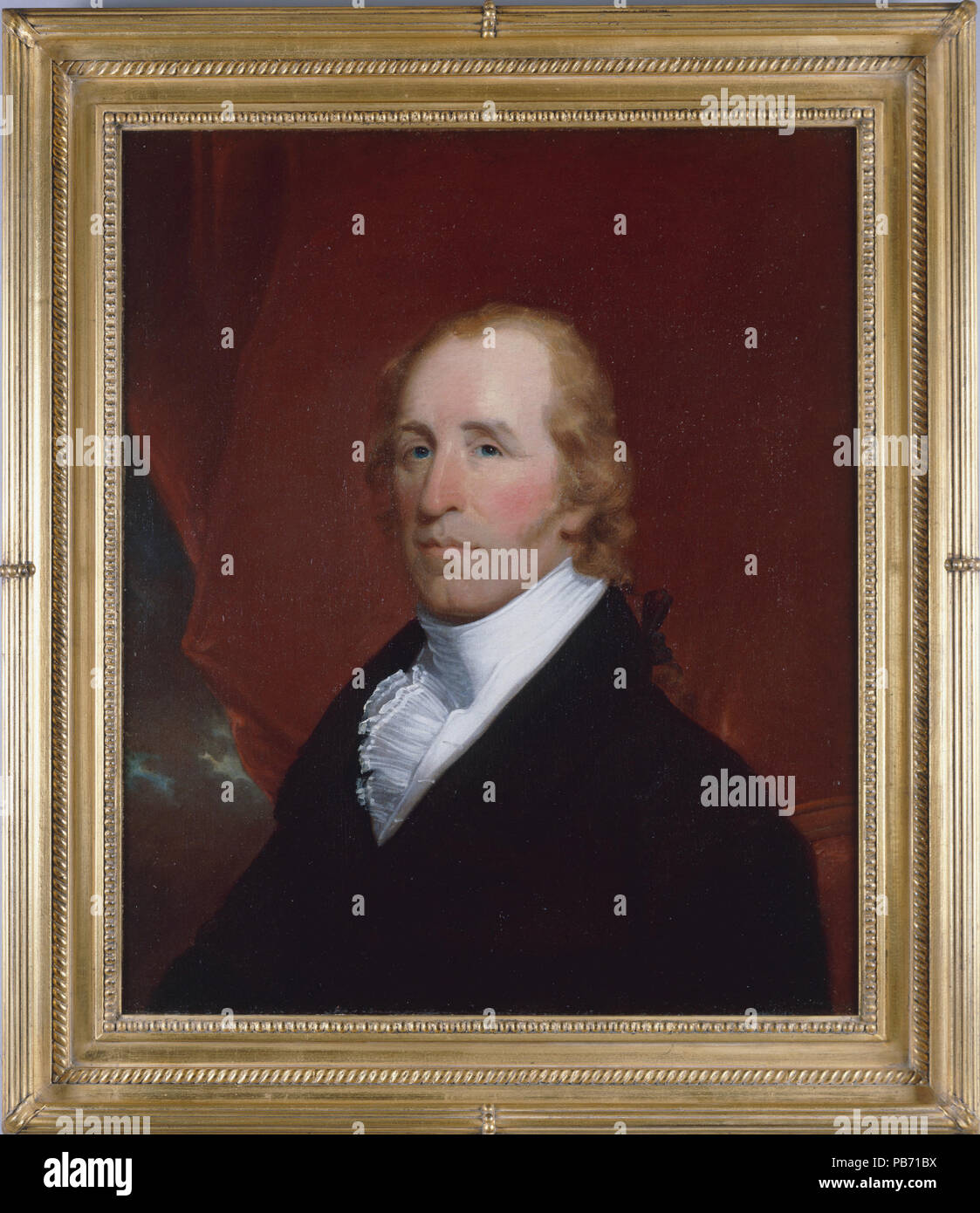 1218 Portrait of William Clark Stock Photohttps://www.alamy.com/image-license-details/?v=1https://www.alamy.com/1218-portrait-of-william-clark-image213440414.html
RMPB71BX–1218 Portrait of William Clark
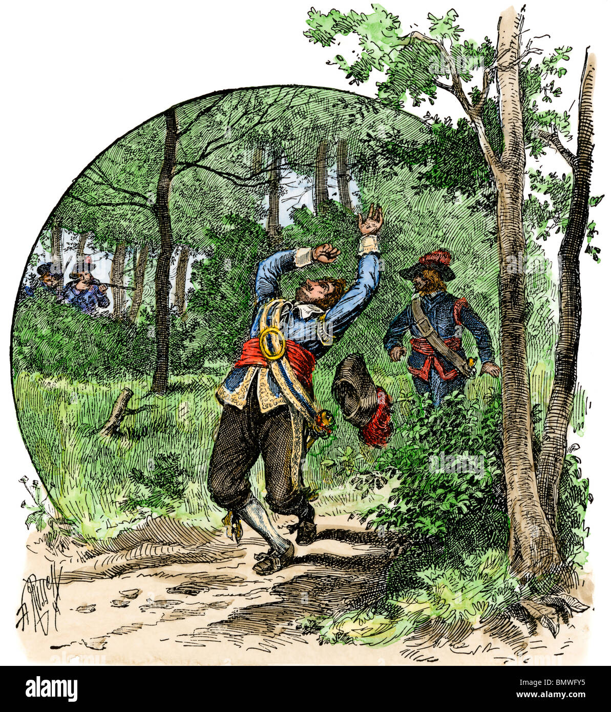 Murder of La Salle by his own men near Matagorda Bay, Texas, 1687. Hand-colored woodcut Stock Photohttps://www.alamy.com/image-license-details/?v=1https://www.alamy.com/stock-photo-murder-of-la-salle-by-his-own-men-near-matagorda-bay-texas-1687-hand-30064809.html
RMBMWFY5–Murder of La Salle by his own men near Matagorda Bay, Texas, 1687. Hand-colored woodcut
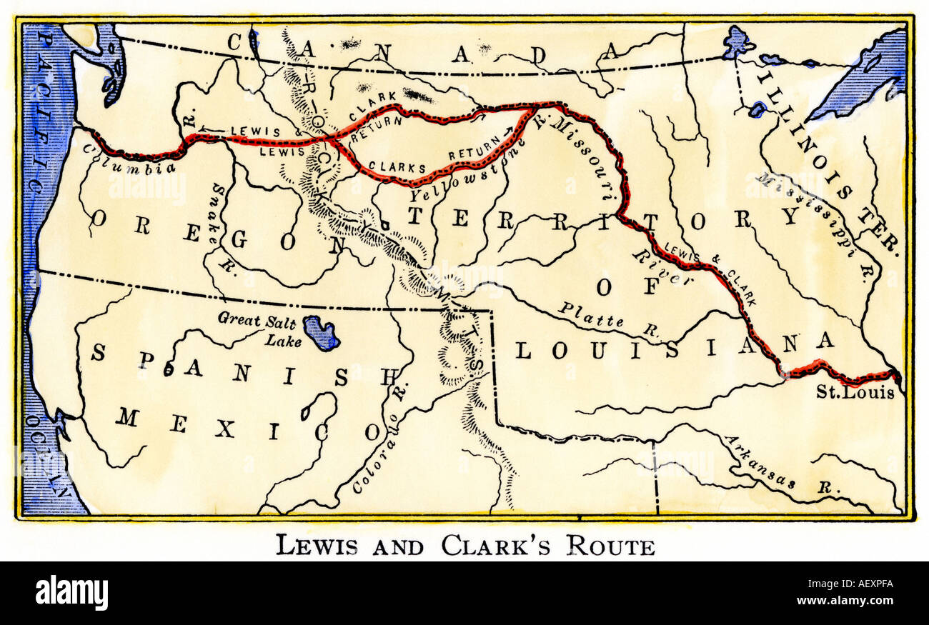 Map of the Lewis and Clark route across Louisiana Territory 1804 to 1806. Hand-colored woodcut Stock Photohttps://www.alamy.com/image-license-details/?v=1https://www.alamy.com/map-of-the-lewis-and-clark-route-across-louisiana-territory-1804-to-image4497145.html
RMAEXPFA–Map of the Lewis and Clark route across Louisiana Territory 1804 to 1806. Hand-colored woodcut
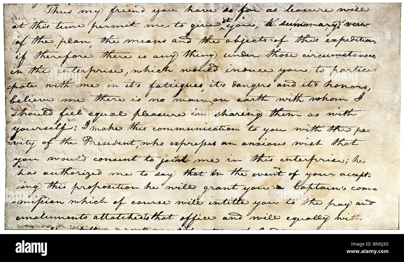 Meriwether Lewis's letter inviting William Clark to join the expedition to explore the Louisiana Territory. Halftone with a watercolor wash Stock Photohttps://www.alamy.com/image-license-details/?v=1https://www.alamy.com/stock-photo-meriwether-lewiss-letter-inviting-william-clark-to-join-the-expedition-30132353.html
RMBN0J3D–Meriwether Lewis's letter inviting William Clark to join the expedition to explore the Louisiana Territory. Halftone with a watercolor wash
 LaSalle at the mouth of the Mississippi River claims Louisiana for France 1682. Hand-colored woodcut Stock Photohttps://www.alamy.com/image-license-details/?v=1https://www.alamy.com/lasalle-at-the-mouth-of-the-mississippi-river-claims-louisiana-for-image4071236.html
RMA9YY45–LaSalle at the mouth of the Mississippi River claims Louisiana for France 1682. Hand-colored woodcut
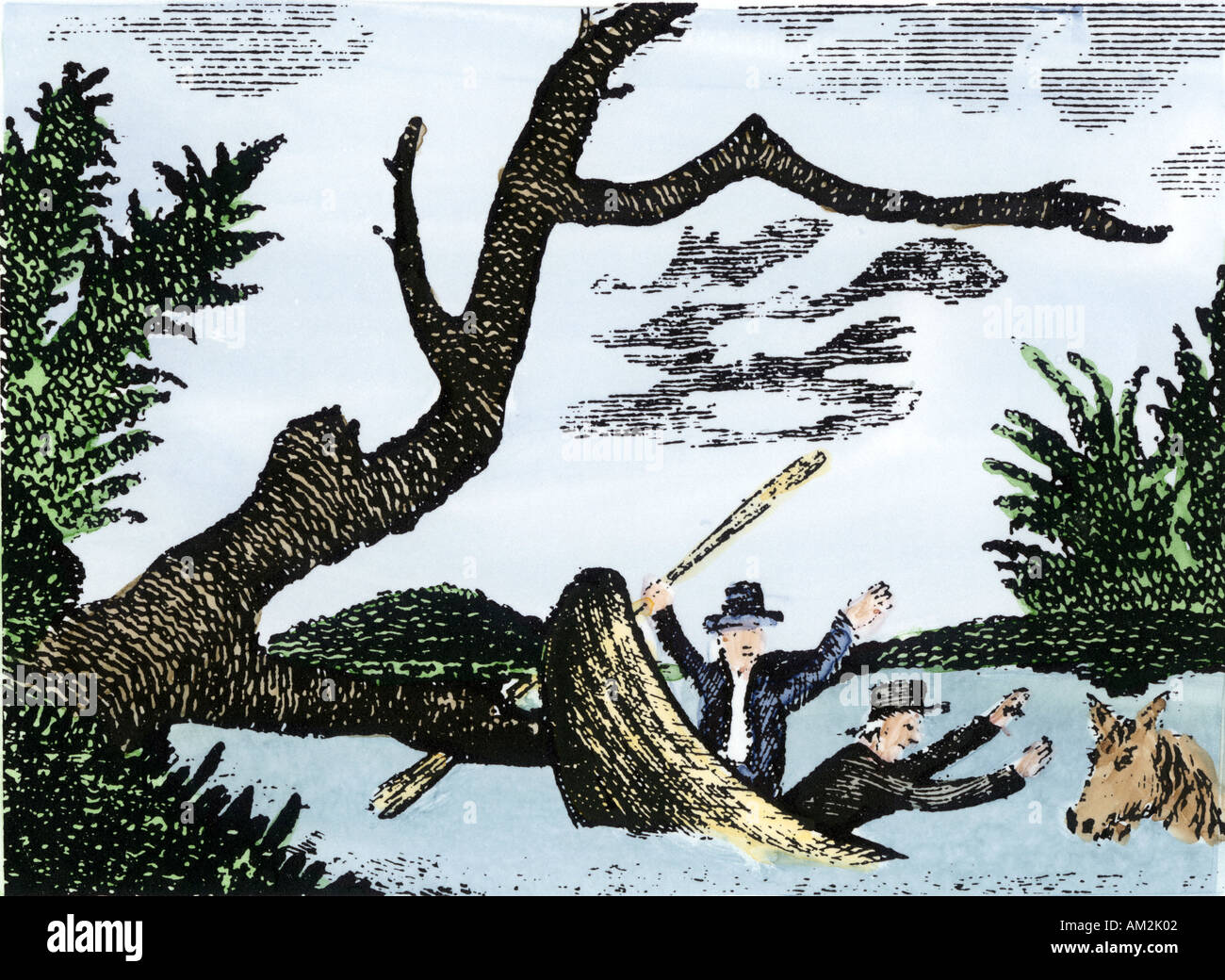 Meriwether Lewis & William Clark expedition notes and specimens lost in canoe accident on the upper Missouri River. Hand-colored Patrick Goss woodcut Stock Photohttps://www.alamy.com/image-license-details/?v=1https://www.alamy.com/meriwether-lewis-william-clark-expedition-notes-and-specimens-lost-image4938497.html
RMAM2K02–Meriwether Lewis & William Clark expedition notes and specimens lost in canoe accident on the upper Missouri River. Hand-colored Patrick Goss woodcut
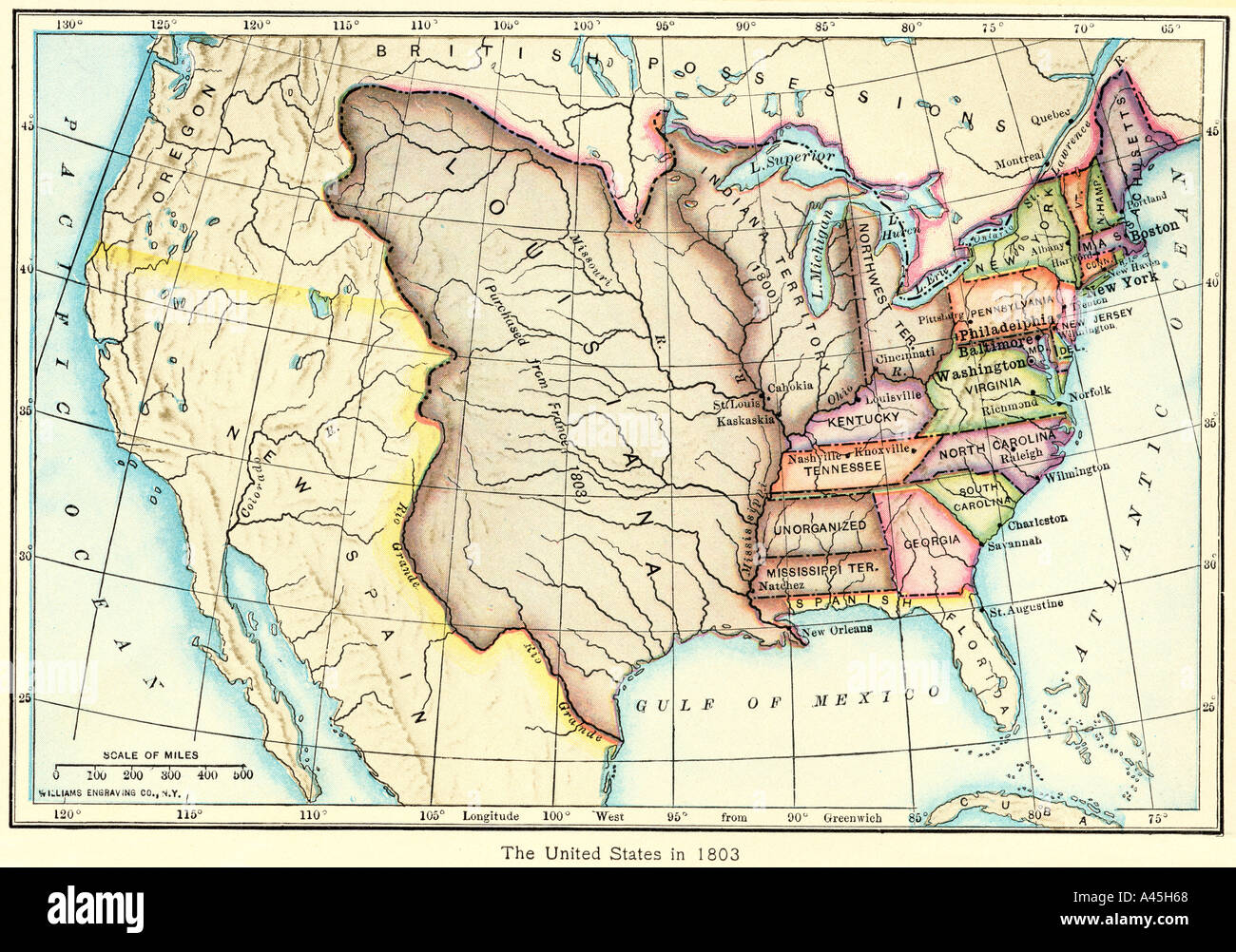 Map of the US of the Louisiana Purchase as understood in 1803, later modified by treaty. Color lithograph Stock Photohttps://www.alamy.com/image-license-details/?v=1https://www.alamy.com/map-of-the-us-of-the-louisiana-purchase-as-understood-in-1803-later-image3571047.html
RMA45H68–Map of the US of the Louisiana Purchase as understood in 1803, later modified by treaty. Color lithograph
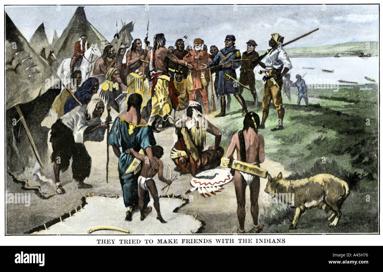 Lewis and Clark expedition trying to make friends with Native Americans on their exploration of Louisiana Territory. Hand-colored halftone Stock Photohttps://www.alamy.com/image-license-details/?v=1https://www.alamy.com/lewis-and-clark-expedition-trying-to-make-friends-with-native-americans-image3571061.html
RMA45H76–Lewis and Clark expedition trying to make friends with Native Americans on their exploration of Louisiana Territory. Hand-colored halftone
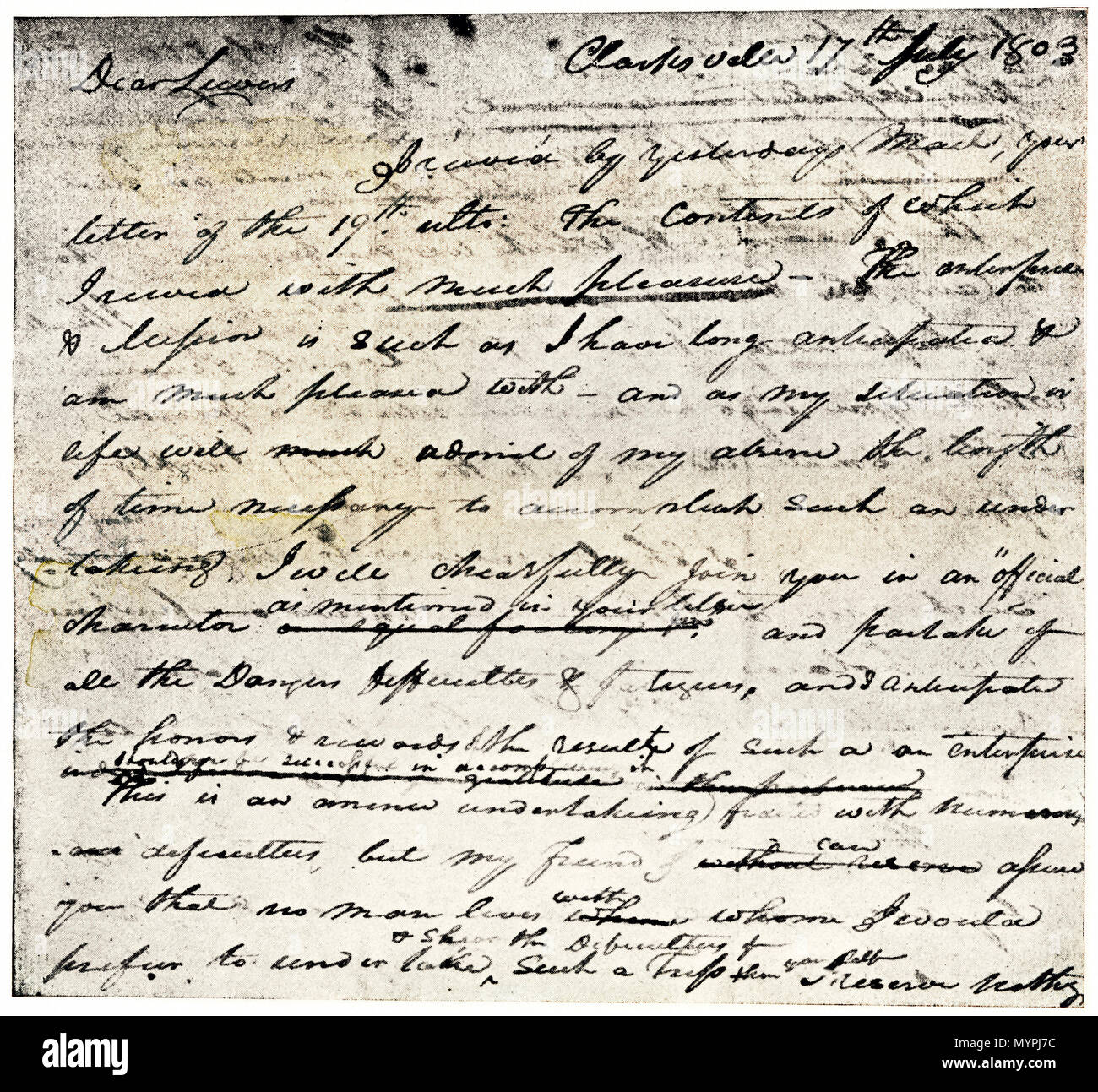 William Clark's letter accepting Lewis's invitation to join the Corps of Discovery expedition, dated Clarksville 1803. Printed halftone with wash Stock Photohttps://www.alamy.com/image-license-details/?v=1https://www.alamy.com/william-clarks-letter-accepting-lewiss-invitation-to-join-the-corps-of-discovery-expedition-dated-clarksville-1803-printed-halftone-with-wash-image189196656.html
RMMYPJ7C–William Clark's letter accepting Lewis's invitation to join the Corps of Discovery expedition, dated Clarksville 1803. Printed halftone with wash
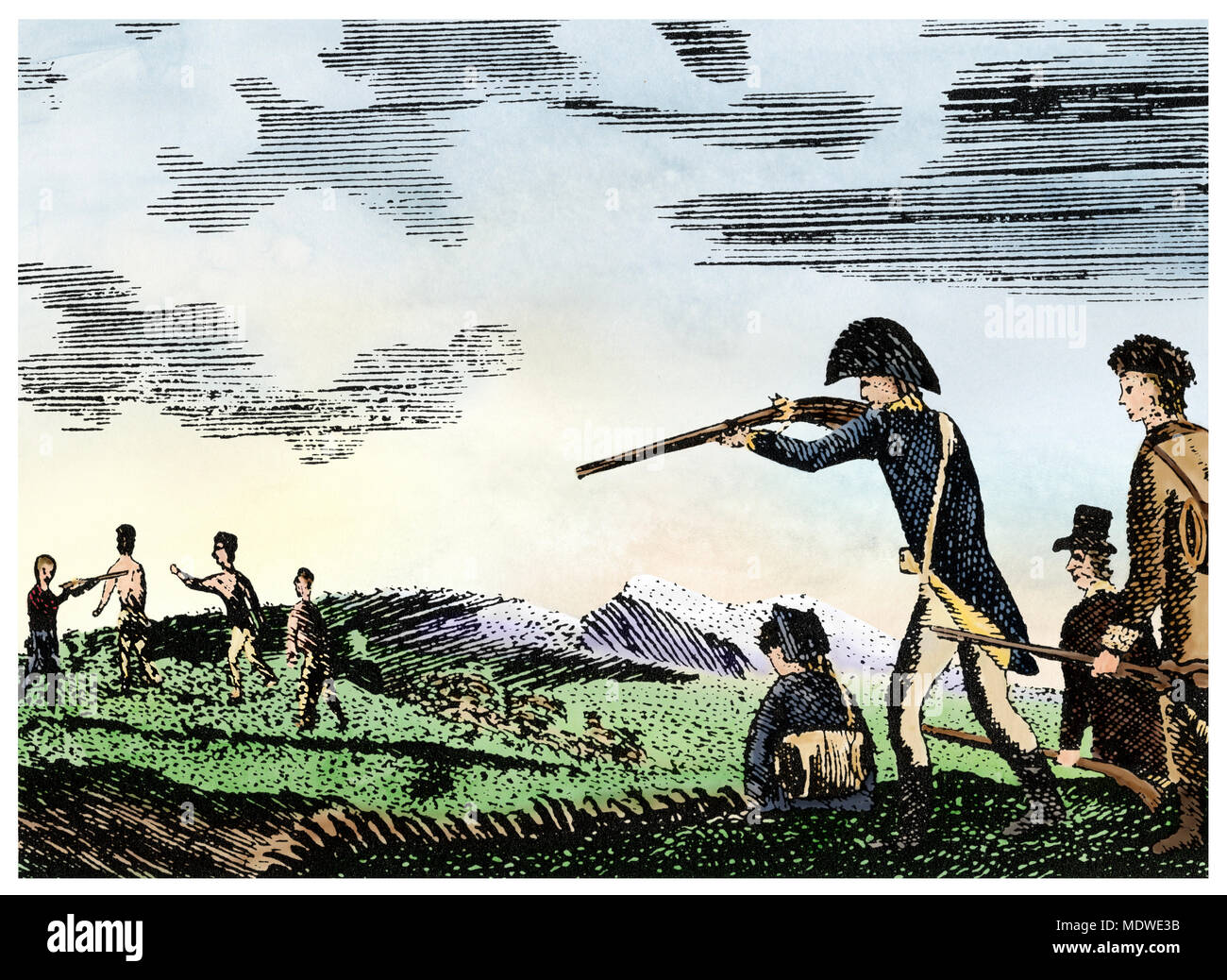 Meriwether Lewis shoots a Native American for disobedience, Corps of Discovery expedition. Digitally colored Patrick Goss woodcut Stock Photohttps://www.alamy.com/image-license-details/?v=1https://www.alamy.com/meriwether-lewis-shoots-a-native-american-for-disobedience-corps-of-discovery-expedition-digitally-colored-patrick-goss-woodcut-image180654079.html
RMMDWE3B–Meriwether Lewis shoots a Native American for disobedience, Corps of Discovery expedition. Digitally colored Patrick Goss woodcut
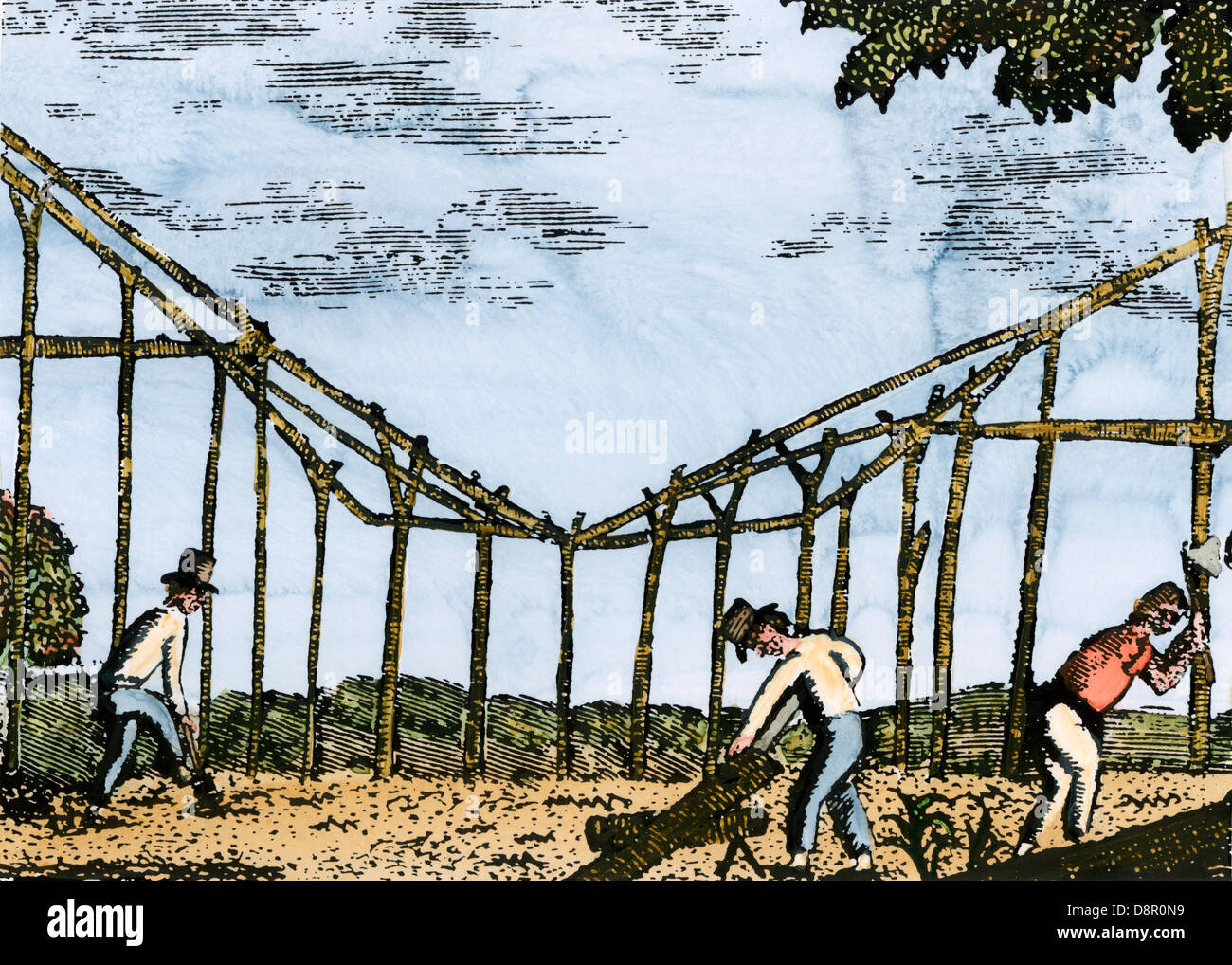 Lewis and Clark expedition overwintering along the Missouri River near a Mandan village, North Dakota, 1803-1804. Hand-colored woodcut Stock Photohttps://www.alamy.com/image-license-details/?v=1https://www.alamy.com/stock-photo-lewis-and-clark-expedition-overwintering-along-the-missouri-river-57053845.html
RMD8R0N9–Lewis and Clark expedition overwintering along the Missouri River near a Mandan village, North Dakota, 1803-1804. Hand-colored woodcut
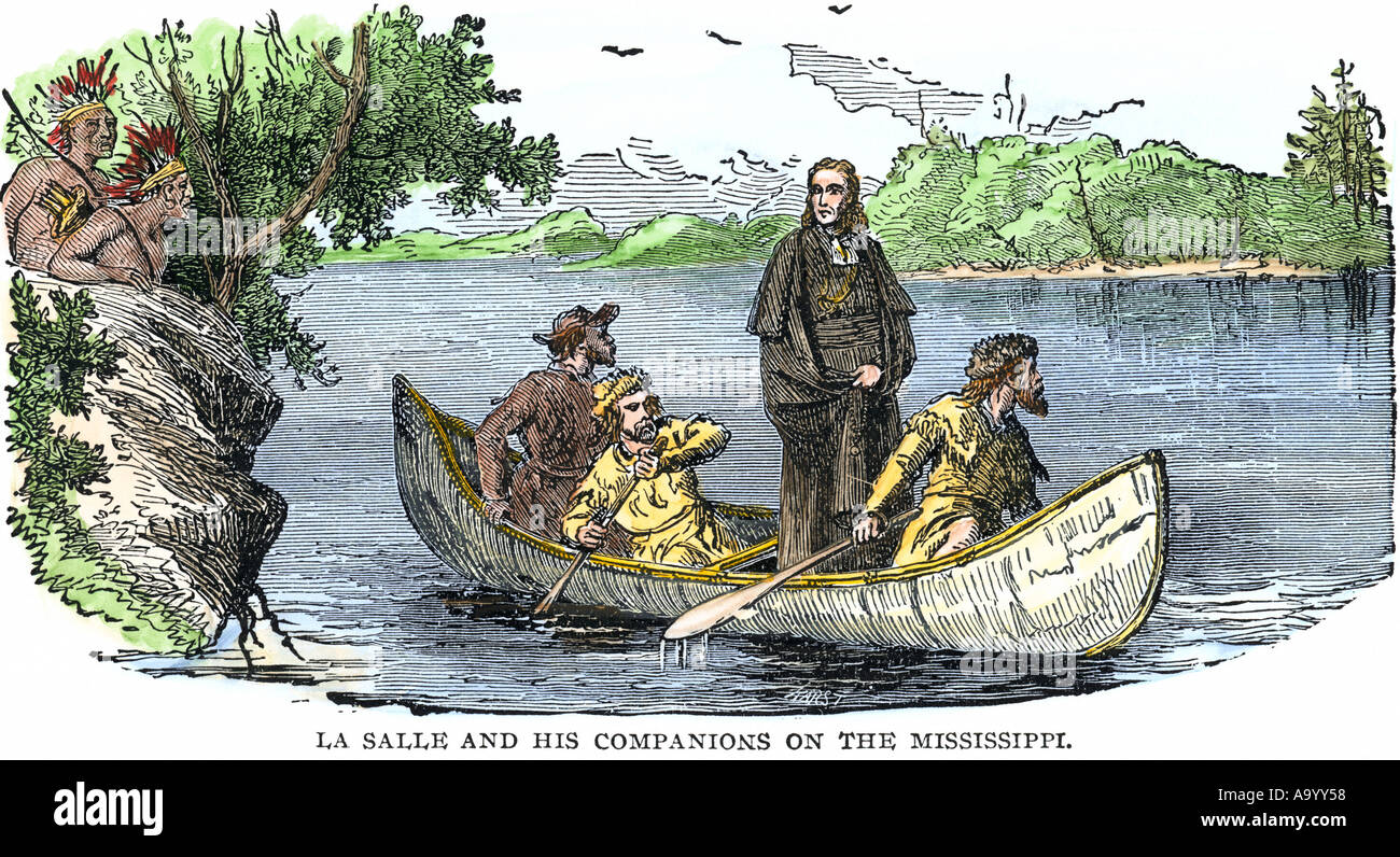 La Salle and his companions exploring the lower Mississippi River for France in 1682. Hand-colored woodcut Stock Photohttps://www.alamy.com/image-license-details/?v=1https://www.alamy.com/la-salle-and-his-companions-exploring-the-lower-mississippi-river-image4071255.html
RMA9YY58–La Salle and his companions exploring the lower Mississippi River for France in 1682. Hand-colored woodcut
 Lewis and Clark shoot a grizzly bear unknown to whites during exploration of Louisiana Territory. Hand-colored woodcut of a Patrick Goss sketch Stock Photohttps://www.alamy.com/image-license-details/?v=1https://www.alamy.com/stock-photo-lewis-and-clark-shoot-a-grizzly-bear-unknown-to-whites-during-exploration-13816673.html
RMAF37MJ–Lewis and Clark shoot a grizzly bear unknown to whites during exploration of Louisiana Territory. Hand-colored woodcut of a Patrick Goss sketch
 Bison on a bluff overlooking the Great Falls of the Missouri River near its headwaters in Montana. Hand-colored woodcut Stock Photohttps://www.alamy.com/image-license-details/?v=1https://www.alamy.com/bison-on-a-bluff-overlooking-the-great-falls-of-the-missouri-river-image6961852.html
RMA8WJKD–Bison on a bluff overlooking the Great Falls of the Missouri River near its headwaters in Montana. Hand-colored woodcut
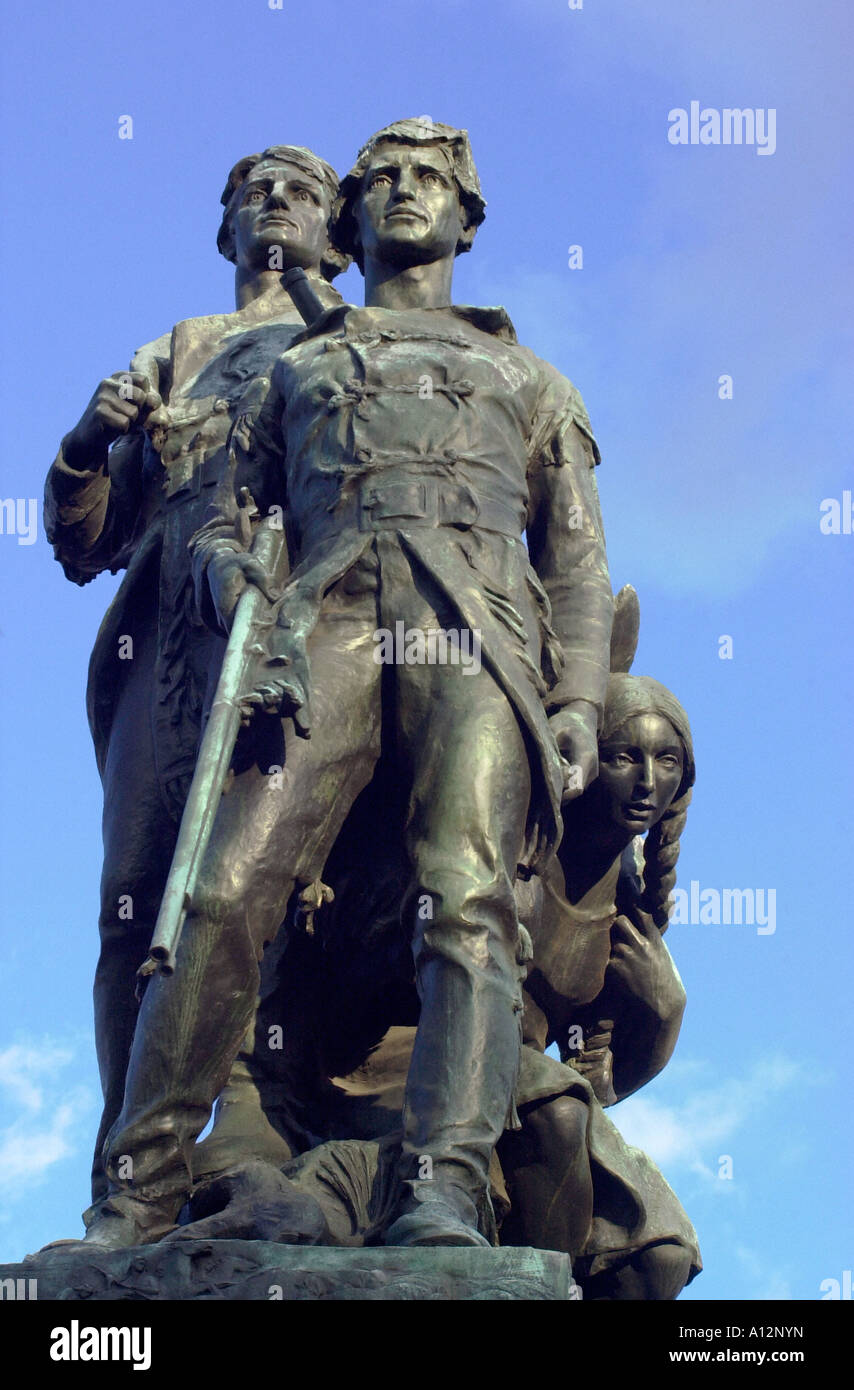 Explorers Meriwether Lewis and William Clark with their Native American guide Sacagawea. Digital photograph Stock Photohttps://www.alamy.com/image-license-details/?v=1https://www.alamy.com/stock-photo-explorers-meriwether-lewis-and-william-clark-with-their-native-american-10124120.html
RMA12NYN–Explorers Meriwether Lewis and William Clark with their Native American guide Sacagawea. Digital photograph
 Portrait of explorer Meriwether Lewis. Hand-colored halftone Stock Photohttps://www.alamy.com/image-license-details/?v=1https://www.alamy.com/portrait-of-explorer-meriwether-lewis-hand-colored-halftone-image4938827.html
RMAM2M4C–Portrait of explorer Meriwether Lewis. Hand-colored halftone
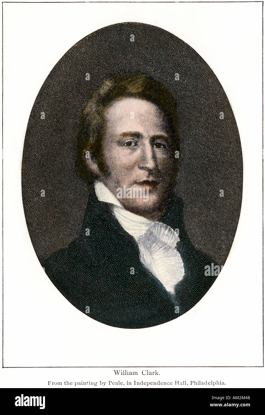 Portrait of explorer William Clark. Hand-colored halftone Stock Photohttps://www.alamy.com/image-license-details/?v=1https://www.alamy.com/portrait-of-explorer-william-clark-hand-colored-halftone-image4938823.html
RMAM2M48–Portrait of explorer William Clark. Hand-colored halftone
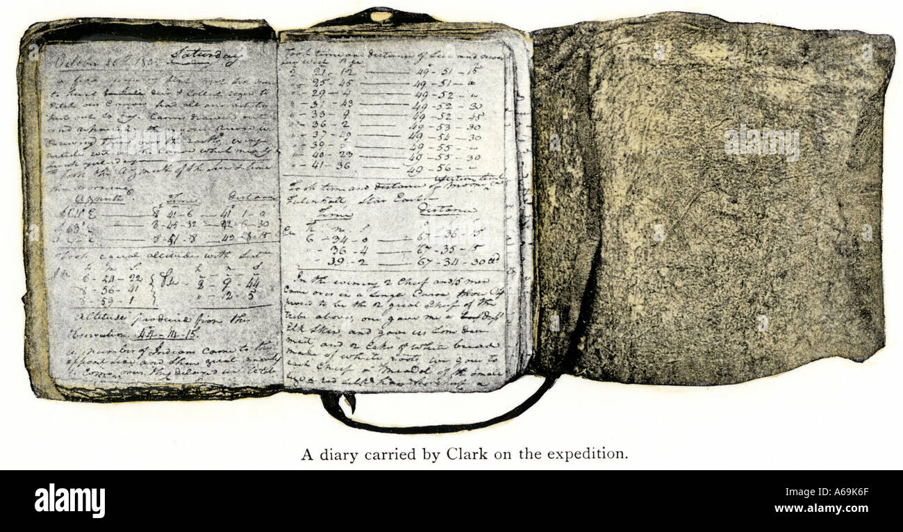 Diary kept by William Clark of the Lewis and Clark expedition 1804 to 1806. Hand-colored halftone Stock Photohttps://www.alamy.com/image-license-details/?v=1https://www.alamy.com/diary-kept-by-william-clark-of-the-lewis-and-clark-expedition-1804-image3755886.html
RMA69K6F–Diary kept by William Clark of the Lewis and Clark expedition 1804 to 1806. Hand-colored halftone
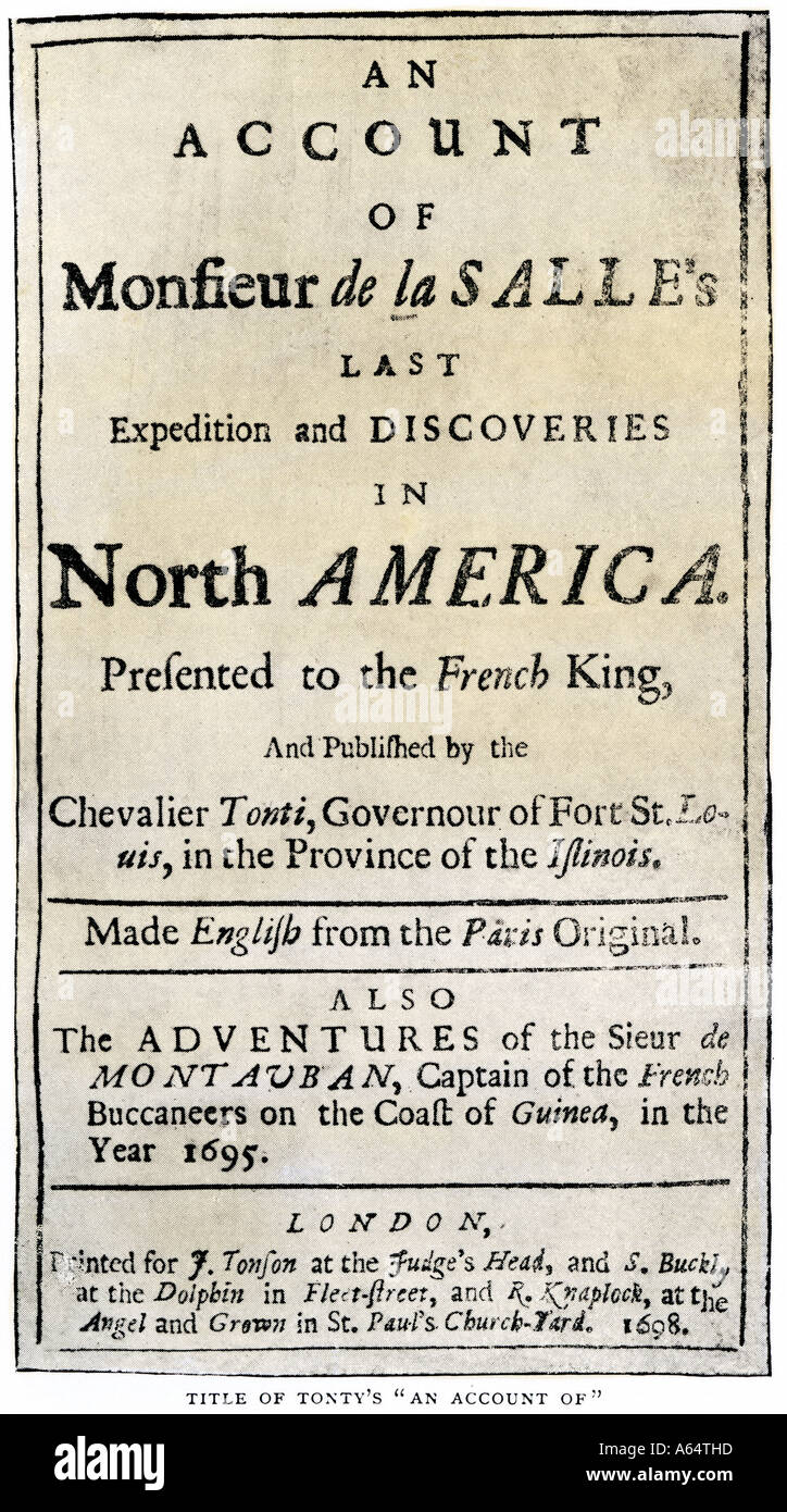 Title page of Henri de Tonti account of the La Salle expedition. Halftone with a watercolor wash Stock Photohttps://www.alamy.com/image-license-details/?v=1https://www.alamy.com/title-page-of-henri-de-tonti-account-of-the-la-salle-expedition-halftone-image6549020.html
RMA64THD–Title page of Henri de Tonti account of the La Salle expedition. Halftone with a watercolor wash
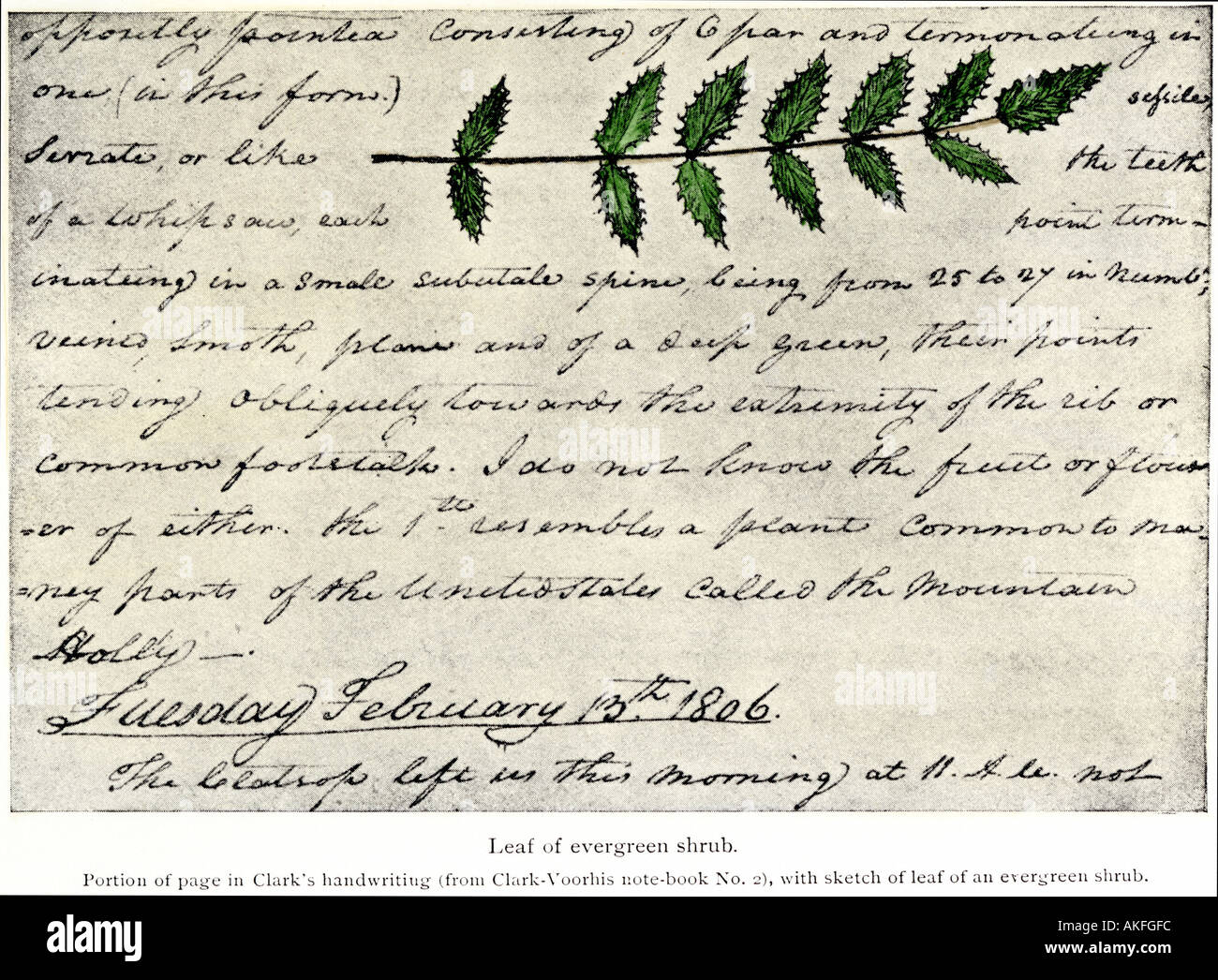 William Clark sketch of an evergreen shrub leaf in his diary of the Lewis and Clark expedition 1804-1806. Hand-colored halftone Stock Photohttps://www.alamy.com/image-license-details/?v=1https://www.alamy.com/william-clark-sketch-of-an-evergreen-shrub-leaf-in-his-diary-of-the-image4891899.html
RMAKFGFC–William Clark sketch of an evergreen shrub leaf in his diary of the Lewis and Clark expedition 1804-1806. Hand-colored halftone
 Title page of the first publication of Lewis and Clark journal and notes 1814. Woodcut with a watercolor wash Stock Photohttps://www.alamy.com/image-license-details/?v=1https://www.alamy.com/stock-photo-title-page-of-the-first-publication-of-lewis-and-clark-journal-and-10122905.html
RMA12JAJ–Title page of the first publication of Lewis and Clark journal and notes 1814. Woodcut with a watercolor wash
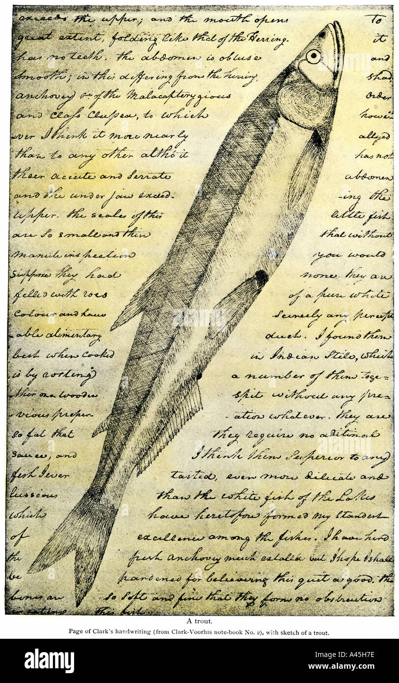 William Clark sketch of a trout in the Lewis and Clark expedition diary 1804 to 1806. Halftone with a watercolor wash Stock Photohttps://www.alamy.com/image-license-details/?v=1https://www.alamy.com/william-clark-sketch-of-a-trout-in-the-lewis-and-clark-expedition-image3571069.html
RMA45H7E–William Clark sketch of a trout in the Lewis and Clark expedition diary 1804 to 1806. Halftone with a watercolor wash
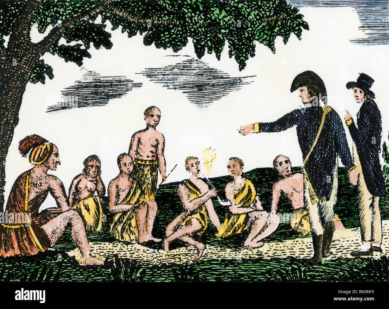 Lewis and Clark meeting with Native Americans at Council Bluffs Iowa. Hand-colored woodcut of a sketch by Patrick Goss Stock Photohttps://www.alamy.com/image-license-details/?v=1https://www.alamy.com/stock-photo-lewis-and-clark-meeting-with-native-americans-at-council-bluffs-iowa-20905117.html
RMB608K9–Lewis and Clark meeting with Native Americans at Council Bluffs Iowa. Hand-colored woodcut of a sketch by Patrick Goss
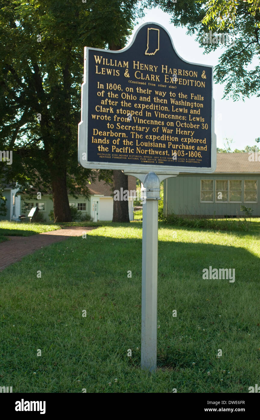 Lewis and Clark site in Vincennes, Indiana, where they stopped after exploration of Louisiana Territory, 1806. Digital photograph Stock Photohttps://www.alamy.com/image-license-details/?v=1https://www.alamy.com/lewis-and-clark-site-in-vincennes-indiana-where-they-stopped-after-image67309979.html
RMDWE6FR–Lewis and Clark site in Vincennes, Indiana, where they stopped after exploration of Louisiana Territory, 1806. Digital photograph
 High banks of the Missouri River at Vergelle Montana described by Lewis and Clark. Photograph Stock Photohttps://www.alamy.com/image-license-details/?v=1https://www.alamy.com/stock-photo-high-banks-of-the-missouri-river-at-vergelle-montana-described-by-18379429.html
RMB1W745–High banks of the Missouri River at Vergelle Montana described by Lewis and Clark. Photograph
 Missouri River view where Lewis and Clark first met with Sioux Indians in what is now North Dakota 1804. Digital photograph Stock Photohttps://www.alamy.com/image-license-details/?v=1https://www.alamy.com/missouri-river-view-where-lewis-and-clark-first-met-with-sioux-indians-image6548690.html
RMA64PN3–Missouri River view where Lewis and Clark first met with Sioux Indians in what is now North Dakota 1804. Digital photograph
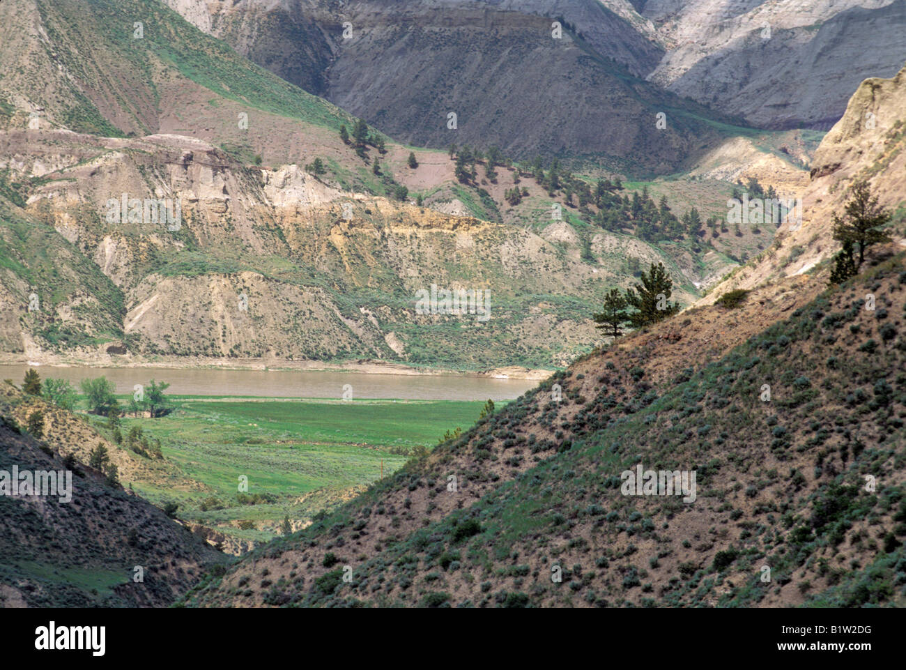 Missouri Breaks backcountry of the Missouri River first described by Lewis and Clark in Montana. Photograph Stock Photohttps://www.alamy.com/image-license-details/?v=1https://www.alamy.com/stock-photo-missouri-breaks-backcountry-of-the-missouri-river-first-described-18375772.html
RMB1W2DG–Missouri Breaks backcountry of the Missouri River first described by Lewis and Clark in Montana. Photograph
 Missouri River between Pierre and Mandan North Dakota explored by Lewis and Clark. Photograph Stock Photohttps://www.alamy.com/image-license-details/?v=1https://www.alamy.com/stock-photo-missouri-river-between-pierre-and-mandan-north-dakota-explored-by-18379591.html
RMB1W79Y–Missouri River between Pierre and Mandan North Dakota explored by Lewis and Clark. Photograph
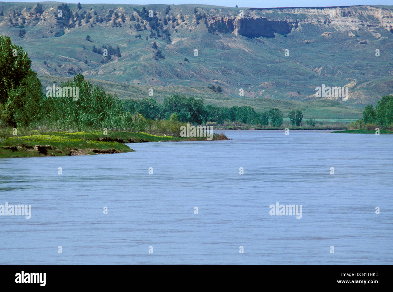 Missouri River at Judith Landing, a Lewis and Clark campsite at the Judith River junction in Montana. Photograph Stock Photohttps://www.alamy.com/image-license-details/?v=1https://www.alamy.com/stock-photo-missouri-river-at-judith-landing-a-lewis-and-clark-campsite-at-the-18365734.html
RMB1THK2–Missouri River at Judith Landing, a Lewis and Clark campsite at the Judith River junction in Montana. Photograph
 Marias River junction with the Missouri River a Lewis and Clark campsite in Montana. Photograph Stock Photohttps://www.alamy.com/image-license-details/?v=1https://www.alamy.com/stock-photo-marias-river-junction-with-the-missouri-river-a-lewis-and-clark-campsite-18372902.html
RMB1TXR2–Marias River junction with the Missouri River a Lewis and Clark campsite in Montana. Photograph
 Dawn over the Missouri River at Coalbanks Landing, a Lewis and Clark campsite in Montana. Photograph Stock Photohttps://www.alamy.com/image-license-details/?v=1https://www.alamy.com/stock-photo-dawn-over-the-missouri-river-at-coalbanks-landing-a-lewis-and-clark-18367655.html
RMB1TM3K–Dawn over the Missouri River at Coalbanks Landing, a Lewis and Clark campsite in Montana. Photograph
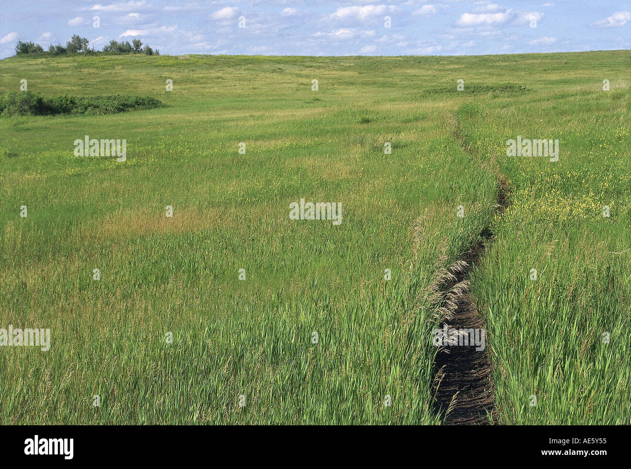 Prairie footpath on Meriwether Lewis and William Clark route near Missouri River Mandan North Dakota. Photograph Stock Photohttps://www.alamy.com/image-license-details/?v=1https://www.alamy.com/prairie-footpath-on-meriwether-lewis-and-william-clark-route-near-image4433748.html
RMAE5Y55–Prairie footpath on Meriwether Lewis and William Clark route near Missouri River Mandan North Dakota. Photograph
 Missouri River at Coalbanks Landing a Lewis and Clark campsite in Montana. Photograph Stock Photohttps://www.alamy.com/image-license-details/?v=1https://www.alamy.com/stock-photo-missouri-river-at-coalbanks-landing-a-lewis-and-clark-campsite-in-18379643.html
RMB1W7BR–Missouri River at Coalbanks Landing a Lewis and Clark campsite in Montana. Photograph
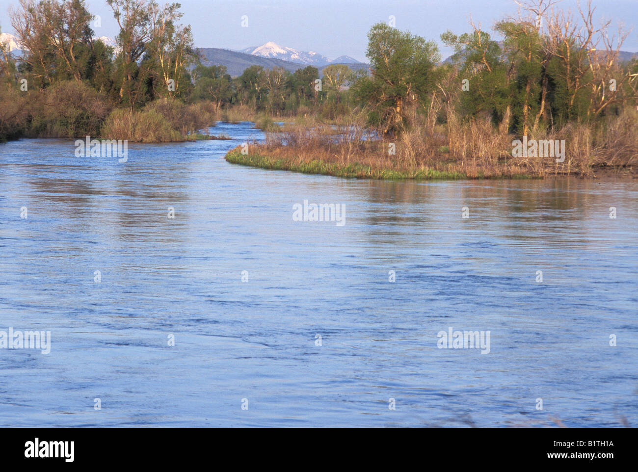 Missouri River headwaters discovered by Lewis and Clark at Three Forks Montana. Photograph Stock Photohttps://www.alamy.com/image-license-details/?v=1https://www.alamy.com/stock-photo-missouri-river-headwaters-discovered-by-lewis-and-clark-at-three-forks-18365238.html
RMB1TH1A–Missouri River headwaters discovered by Lewis and Clark at Three Forks Montana. Photograph
 Fort Mandan replica of Lewis and Clark campsite on Missouri River North Dakota. Photograph Stock Photohttps://www.alamy.com/image-license-details/?v=1https://www.alamy.com/stock-photo-fort-mandan-replica-of-lewis-and-clark-campsite-on-missouri-river-17114530.html
RMAYHPNR–Fort Mandan replica of Lewis and Clark campsite on Missouri River North Dakota. Photograph
 Missouri River headwaters discovered by Lewis and Clark at Three Forks Montana. Photograph Stock Photohttps://www.alamy.com/image-license-details/?v=1https://www.alamy.com/stock-photo-missouri-river-headwaters-discovered-by-lewis-and-clark-at-three-forks-18366391.html
RMB1TJEF–Missouri River headwaters discovered by Lewis and Clark at Three Forks Montana. Photograph
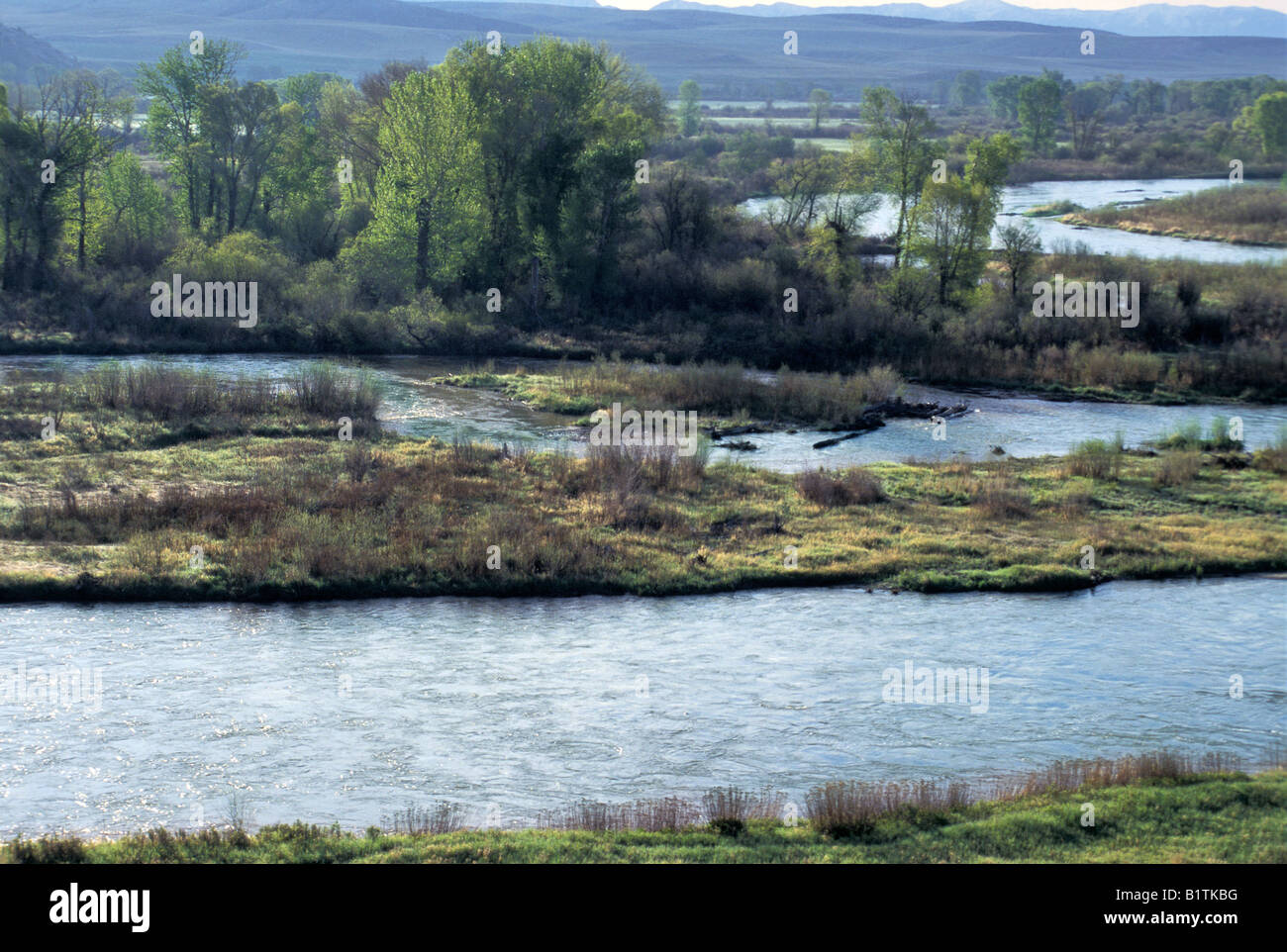 Madison and Jefferson Rivers joining to form the Missouri River with the Gallatin River not shown, Three Forks Montana. Photograph Stock Photohttps://www.alamy.com/image-license-details/?v=1https://www.alamy.com/stock-photo-madison-and-jefferson-rivers-joining-to-form-the-missouri-river-with-18367092.html
RMB1TKBG–Madison and Jefferson Rivers joining to form the Missouri River with the Gallatin River not shown, Three Forks Montana. Photograph
 Missouri River in the White Cliffs backcountry described by Lewis and Clark now protected as a wild and scenic river. Photograph Stock Photohttps://www.alamy.com/image-license-details/?v=1https://www.alamy.com/stock-photo-missouri-river-in-the-white-cliffs-backcountry-described-by-lewis-18365096.html
RMB1TGT8–Missouri River in the White Cliffs backcountry described by Lewis and Clark now protected as a wild and scenic river. Photograph
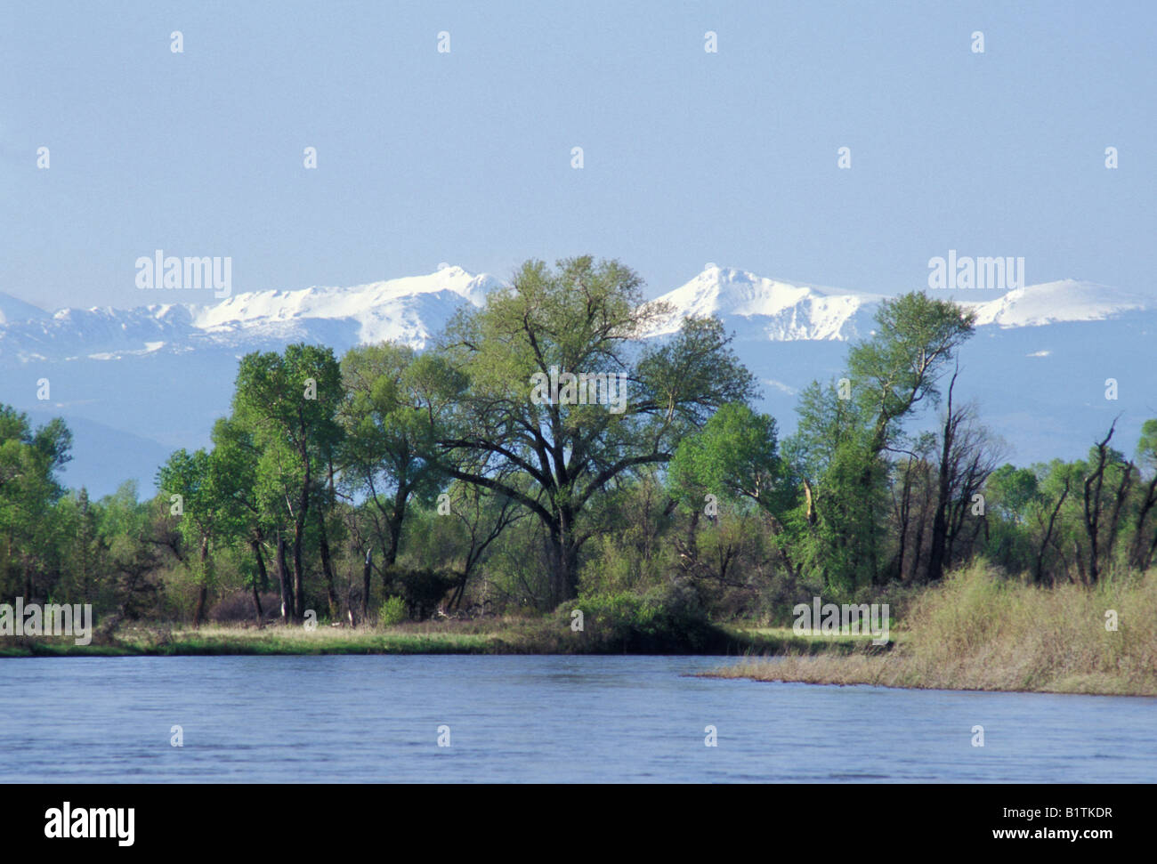 Madison River flowing into Missouri River headwaters at Three Forks Montana with Tobacco Root Mountains in the distance. Photograph Stock Photohttps://www.alamy.com/image-license-details/?v=1https://www.alamy.com/stock-photo-madison-river-flowing-into-missouri-river-headwaters-at-three-forks-18367155.html
RMB1TKDR–Madison River flowing into Missouri River headwaters at Three Forks Montana with Tobacco Root Mountains in the distance. Photograph
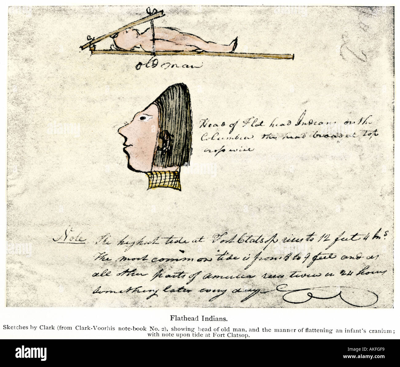 William Clark sketch of Flathead Indians in his diary of the Lewis and Clark expedition 1804-1806. Hand-colored halftone Stock Photohttps://www.alamy.com/image-license-details/?v=1https://www.alamy.com/william-clark-sketch-of-flathead-indians-in-his-diary-of-the-lewis-image4891896.html
RMAKFGF9–William Clark sketch of Flathead Indians in his diary of the Lewis and Clark expedition 1804-1806. Hand-colored halftone
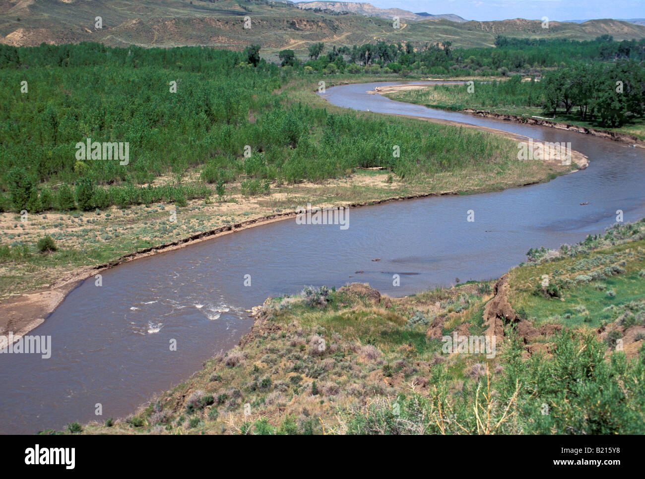 Judith River named by Lewis and Clark a tributary of the Missouri River in Montana. Photograph Stock Photohttps://www.alamy.com/image-license-details/?v=1https://www.alamy.com/stock-photo-judith-river-named-by-lewis-and-clark-a-tributary-of-the-missouri-18466316.html
RMB215Y8–Judith River named by Lewis and Clark a tributary of the Missouri River in Montana. Photograph
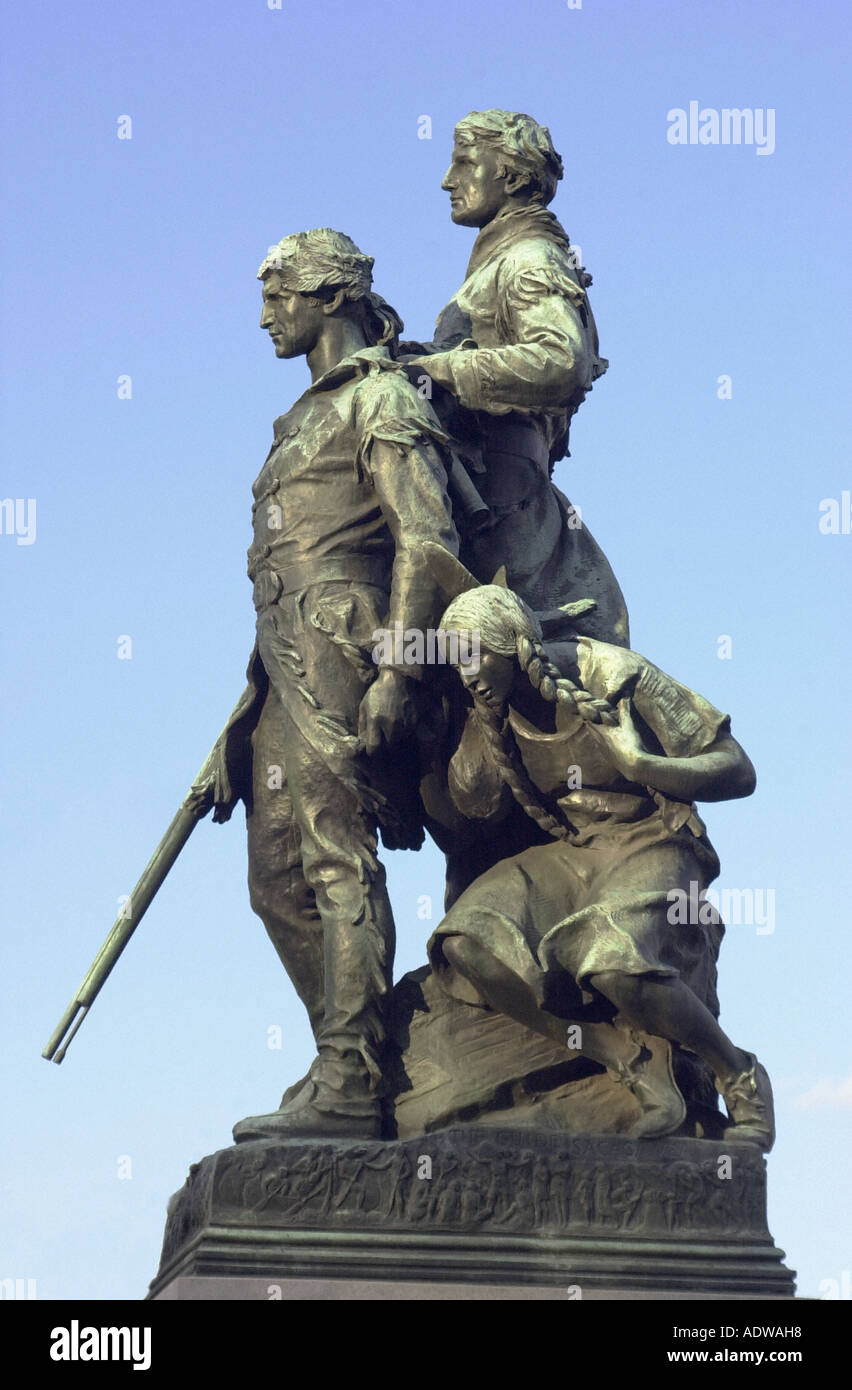 Explorers Meriwether Lewis and William Clark with their Native American guide Sacagawea. Digital photograph Stock Photohttps://www.alamy.com/image-license-details/?v=1https://www.alamy.com/explorers-meriwether-lewis-and-william-clark-with-their-native-american-image7712919.html
RMADWAH8–Explorers Meriwether Lewis and William Clark with their Native American guide Sacagawea. Digital photograph
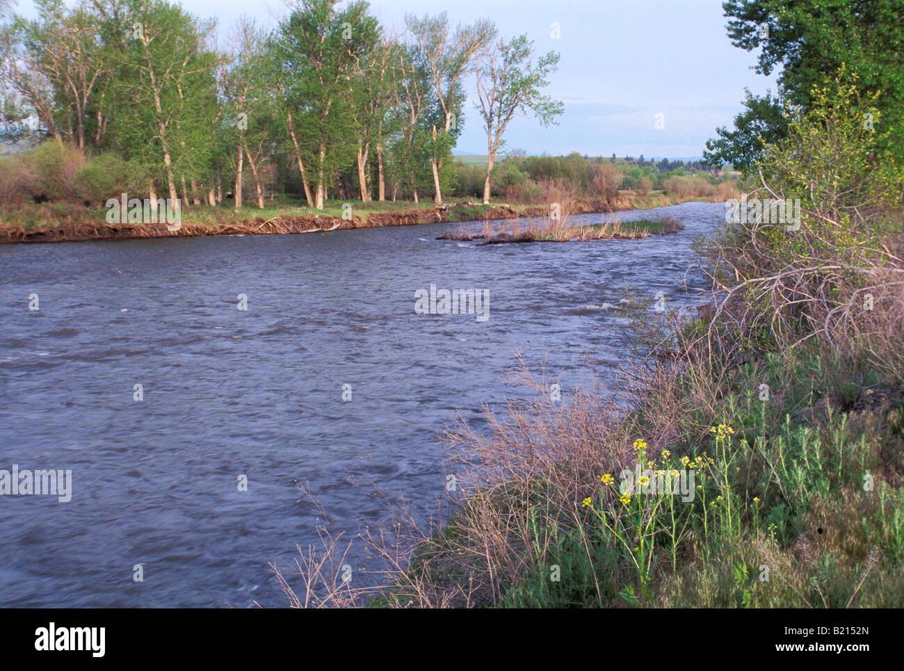 Clark Fork River named for William Clark named by Lewis and Clark expedition in Montana. Photograph Stock Photohttps://www.alamy.com/image-license-details/?v=1https://www.alamy.com/stock-photo-clark-fork-river-named-for-william-clark-named-by-lewis-and-clark-18465629.html
RMB2152N–Clark Fork River named for William Clark named by Lewis and Clark expedition in Montana. Photograph
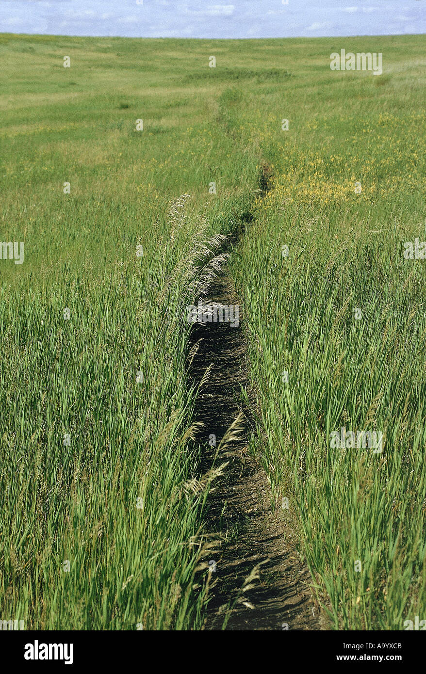 Prairie footpath on Lewis and Clark route Missouri River area near Mandan ND. Photograph Stock Photohttps://www.alamy.com/image-license-details/?v=1https://www.alamy.com/prairie-footpath-on-lewis-and-clark-route-missouri-river-area-near-image4071114.html
RMA9YXCB–Prairie footpath on Lewis and Clark route Missouri River area near Mandan ND. Photograph
 Linum lewisii, a native blue flax named for its discoverer Meriwether Lewis, flowering near the Missouri River Montana. Photograph Stock Photohttps://www.alamy.com/image-license-details/?v=1https://www.alamy.com/stock-photo-linum-lewisii-a-native-blue-flax-named-for-its-discoverer-meriwether-18466843.html
RMB216J3–Linum lewisii, a native blue flax named for its discoverer Meriwether Lewis, flowering near the Missouri River Montana. Photograph
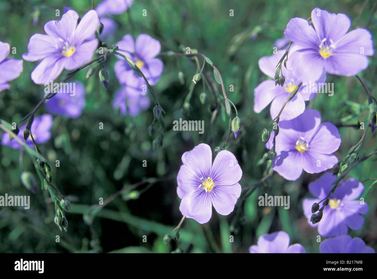 Linum lewisii, a native blue flax named for its discoverer Meriwether Lewis, flowering near the Missouri River Montana. Photograph Stock Photohttps://www.alamy.com/image-license-details/?v=1https://www.alamy.com/stock-photo-linum-lewisii-a-native-blue-flax-named-for-its-discoverer-meriwether-18467691.html
RMB217MB–Linum lewisii, a native blue flax named for its discoverer Meriwether Lewis, flowering near the Missouri River Montana. Photograph
 Lewis and Clark trail over Lolo Pass in the Bitterroot Mountains from Montana to Idaho. Photograph Stock Photohttps://www.alamy.com/image-license-details/?v=1https://www.alamy.com/lewis-and-clark-trail-over-lolo-pass-in-the-bitterroot-mountains-from-image6548695.html
RMA64PN8–Lewis and Clark trail over Lolo Pass in the Bitterroot Mountains from Montana to Idaho. Photograph
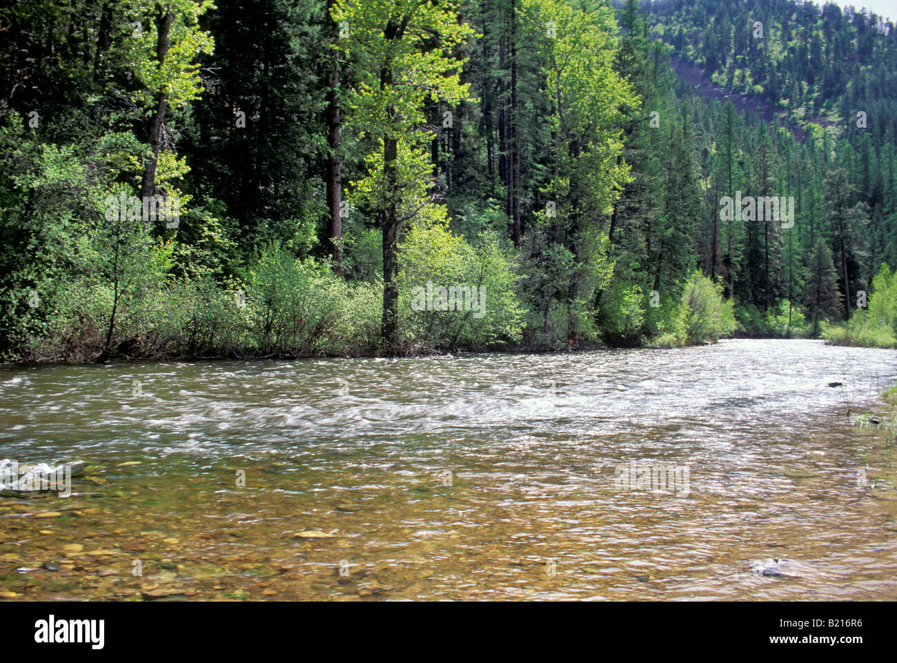 Lolo Creek on Lewis and Clark trail over the Bitterroot Mountains in Montana. Photograph Stock Photohttps://www.alamy.com/image-license-details/?v=1https://www.alamy.com/stock-photo-lolo-creek-on-lewis-and-clark-trail-over-the-bitterroot-mountains-18466986.html
RMB216R6–Lolo Creek on Lewis and Clark trail over the Bitterroot Mountains in Montana. Photograph
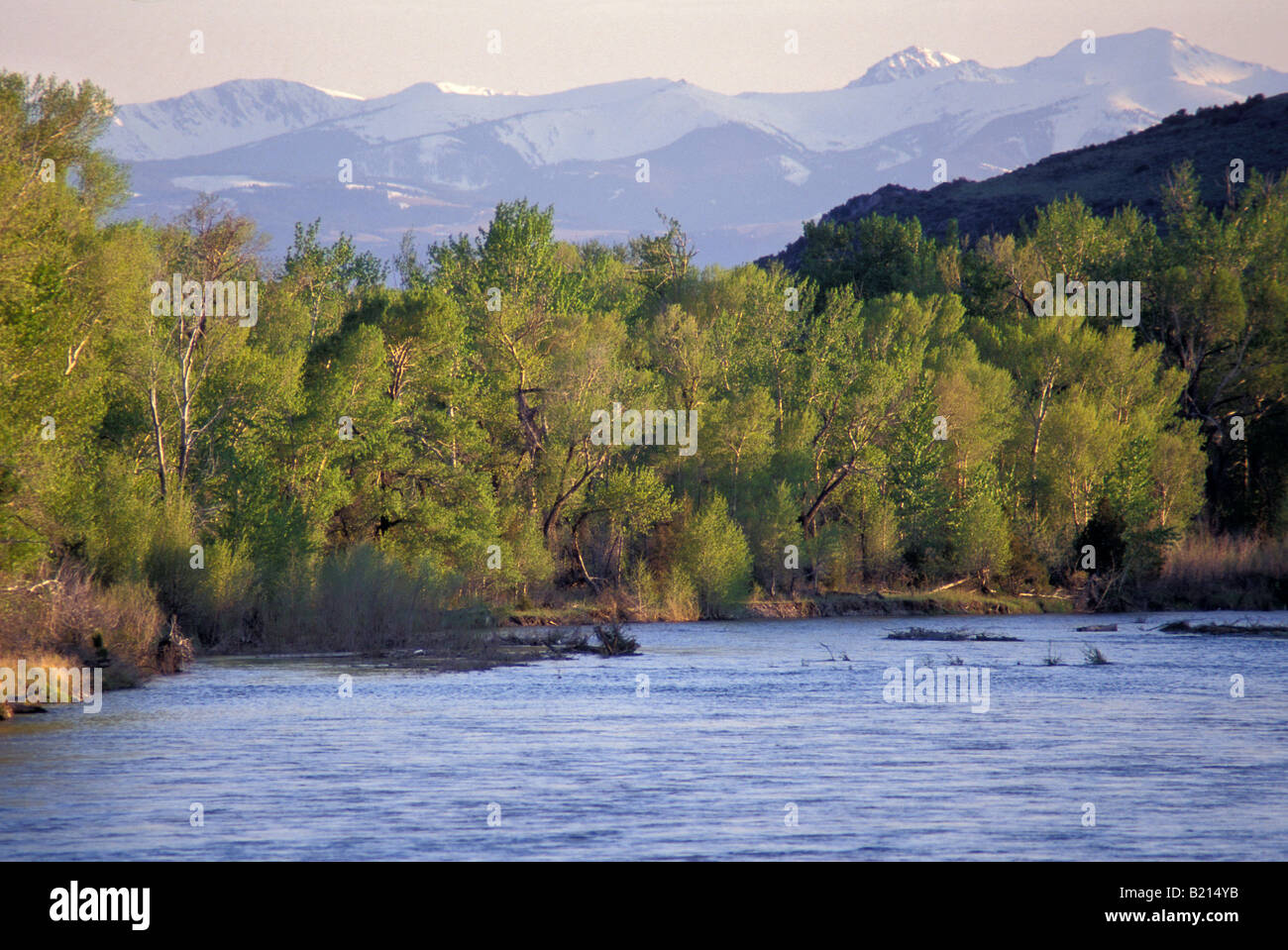 Jefferson River named for President Thomas Jefferson by Lewis and Clark. Photograph Stock Photohttps://www.alamy.com/image-license-details/?v=1https://www.alamy.com/stock-photo-jefferson-river-named-for-president-thomas-jefferson-by-lewis-and-18465535.html
RMB214YB–Jefferson River named for President Thomas Jefferson by Lewis and Clark. Photograph