Quick filters:
Luena angola Stock Photos and Images
 Peace monument, Luena, Moxico, Angola, Africa Stock Photohttps://www.alamy.com/image-license-details/?v=1https://www.alamy.com/peace-monument-luena-moxico-angola-africa-image576264081.html
RF2TDF2M1–Peace monument, Luena, Moxico, Angola, Africa
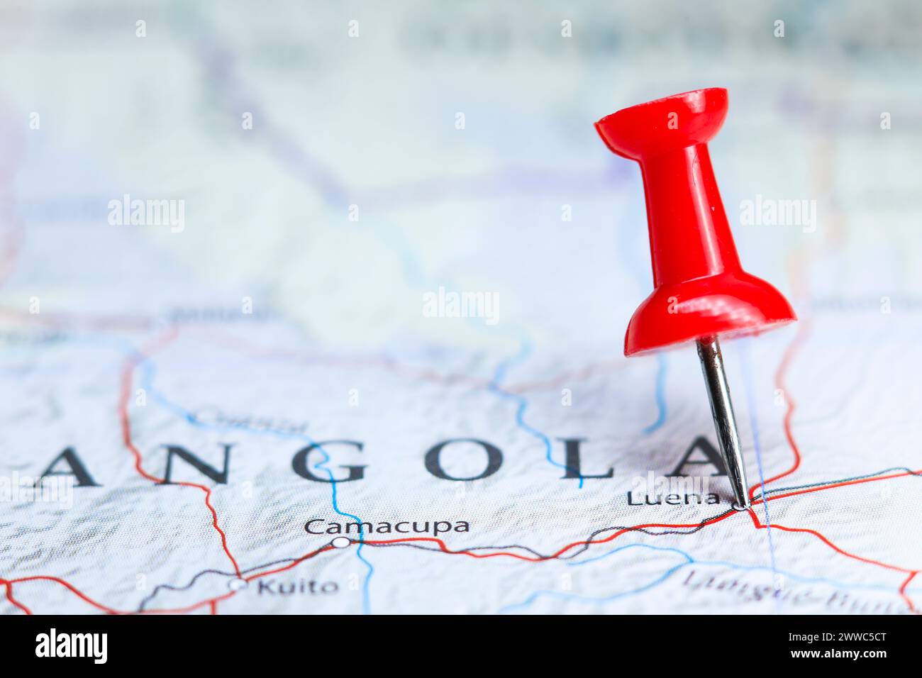 Luena, Angola pin on map Stock Photohttps://www.alamy.com/image-license-details/?v=1https://www.alamy.com/luena-angola-pin-on-map-image600786616.html
RF2WWC5CT–Luena, Angola pin on map
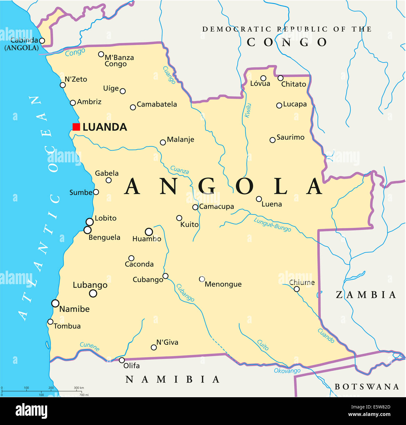 Angola Political Map with capital Luanda, with national borders, most important cities, rivers and lakes with English labeling. Stock Photohttps://www.alamy.com/image-license-details/?v=1https://www.alamy.com/stock-photo-angola-political-map-with-capital-luanda-with-national-borders-most-72469893.html
RFE5W82D–Angola Political Map with capital Luanda, with national borders, most important cities, rivers and lakes with English labeling.
 Docência Stock Photohttps://www.alamy.com/image-license-details/?v=1https://www.alamy.com/stock-image-docncia-164197477.html
RMKF3RFH–Docência
 Moxico, province of Angola. Solid color shape Stock Photohttps://www.alamy.com/image-license-details/?v=1https://www.alamy.com/moxico-province-of-angola-solid-color-shape-image482053206.html
RF2K07BNX–Moxico, province of Angola. Solid color shape
 angola, map, atlas, map of the world, africa, namibia, atlantic ocean, salt Stock Vectorhttps://www.alamy.com/image-license-details/?v=1https://www.alamy.com/stock-photo-angola-map-atlas-map-of-the-world-africa-namibia-atlantic-ocean-salt-147038727.html
RFJF65B3–angola, map, atlas, map of the world, africa, namibia, atlantic ocean, salt
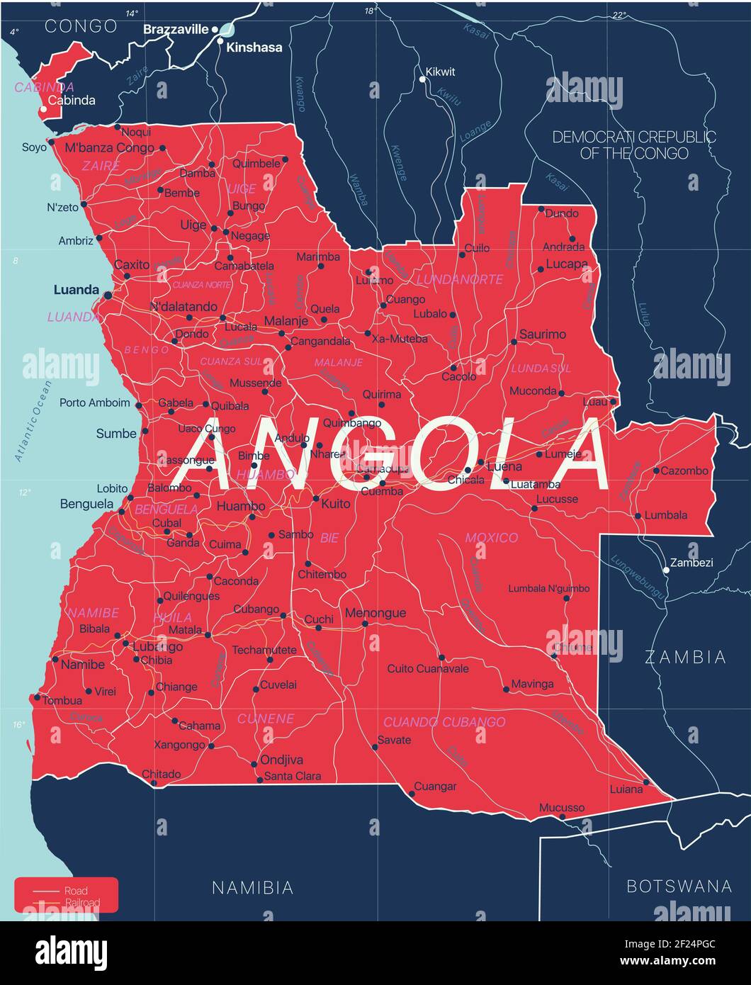 Angola country detailed editable map with regions cities and towns, roads and railways, geographic sites. Vector EPS-10 file Stock Vectorhttps://www.alamy.com/image-license-details/?v=1https://www.alamy.com/angola-country-detailed-editable-map-with-regions-cities-and-towns-roads-and-railways-geographic-sites-vector-eps-10-file-image414383660.html
RF2F24PGC–Angola country detailed editable map with regions cities and towns, roads and railways, geographic sites. Vector EPS-10 file
 (191004) -- LOBITO, Oct. 4, 2019 (Xinhua) -- Photo taken on Oct. 3, 2019 shows a large maintenance machine at the Lobito station of the Benguela Railway in Lobito, Angola. The Benguela Railway, which was built by the China Railway 20 Bureau Group Corporation (CR20), was officially handed over to Angola in the port city of Lobito on Thursday. The 1,344-km railway runs through Angola, from west of the Atlantic port city of Lobito, eastward through important cities such as Benguela, Huambo, Kuito and Luena, and reaches the border city of Luao, bordering the Democratic Republic of the Congo. ( Stock Photohttps://www.alamy.com/image-license-details/?v=1https://www.alamy.com/191004-lobito-oct-4-2019-xinhua-photo-taken-on-oct-3-2019-shows-a-large-maintenance-machine-at-the-lobito-station-of-the-benguela-railway-in-lobito-angola-the-benguela-railway-which-was-built-by-the-china-railway-20-bureau-group-corporation-cr20-was-officially-handed-over-to-angola-in-the-port-city-of-lobito-on-thursday-the-1344-km-railway-runs-through-angola-from-west-of-the-atlantic-port-city-of-lobito-eastward-through-important-cities-such-as-benguela-huambo-kuito-and-luena-and-reaches-the-border-city-of-luao-bordering-the-democratic-republic-of-the-congo-image328823423.html
RM2A2Y5HK–(191004) -- LOBITO, Oct. 4, 2019 (Xinhua) -- Photo taken on Oct. 3, 2019 shows a large maintenance machine at the Lobito station of the Benguela Railway in Lobito, Angola. The Benguela Railway, which was built by the China Railway 20 Bureau Group Corporation (CR20), was officially handed over to Angola in the port city of Lobito on Thursday. The 1,344-km railway runs through Angola, from west of the Atlantic port city of Lobito, eastward through important cities such as Benguela, Huambo, Kuito and Luena, and reaches the border city of Luao, bordering the Democratic Republic of the Congo. (
 191004 -- LOBITO, Oct. 4, 2019 Xinhua -- Photo taken on Oct. 3, 2019 shows the Lobito station of the Benguela Railway in Lobito, Angola. The Benguela Railway, which was built by the China Railway 20 Bureau Group Corporation CR20, was officially handed over to Angola in the port city of Lobito on Thursday. The 1,344-km railway runs through Angola, from west of the Atlantic port city of Lobito, eastward through important cities such as Benguela, Huambo, Kuito and Luena, and reaches the border city of Luao, bordering the Democratic Republic of the Congo. Photo by Liu Zhi/Xinhua ANGOLA-LOBITO-BENG Stock Photohttps://www.alamy.com/image-license-details/?v=1https://www.alamy.com/191004-lobito-oct-4-2019-xinhua-photo-taken-on-oct-3-2019-shows-the-lobito-station-of-the-benguela-railway-in-lobito-angola-the-benguela-railway-which-was-built-by-the-china-railway-20-bureau-group-corporation-cr20-was-officially-handed-over-to-angola-in-the-port-city-of-lobito-on-thursday-the-1344-km-railway-runs-through-angola-from-west-of-the-atlantic-port-city-of-lobito-eastward-through-important-cities-such-as-benguela-huambo-kuito-and-luena-and-reaches-the-border-city-of-luao-bordering-the-democratic-republic-of-the-congo-photo-by-liu-zhixinhua-angola-lobito-beng-image564610298.html
RM2RPG65E–191004 -- LOBITO, Oct. 4, 2019 Xinhua -- Photo taken on Oct. 3, 2019 shows the Lobito station of the Benguela Railway in Lobito, Angola. The Benguela Railway, which was built by the China Railway 20 Bureau Group Corporation CR20, was officially handed over to Angola in the port city of Lobito on Thursday. The 1,344-km railway runs through Angola, from west of the Atlantic port city of Lobito, eastward through important cities such as Benguela, Huambo, Kuito and Luena, and reaches the border city of Luao, bordering the Democratic Republic of the Congo. Photo by Liu Zhi/Xinhua ANGOLA-LOBITO-BENG
 Moxico Province (Provinces of Angola, Republic of Angola) map vector illustration, scribble sketch Moshiko map Stock Vectorhttps://www.alamy.com/image-license-details/?v=1https://www.alamy.com/moxico-province-provinces-of-angola-republic-of-angola-map-vector-illustration-scribble-sketch-moshiko-map-image244207618.html
RFT58H8J–Moxico Province (Provinces of Angola, Republic of Angola) map vector illustration, scribble sketch Moshiko map
 AST-14-895 - Apollo Soyuz Test Project - Apollo Soyuz Test Project, Angola, South West Africa, Zambeze River, Luena River; Scope and content: The original database describes this as: Description: Apollo Soyuz Test Project (ASTP),Angola, South West Africa,Zambeze River,Luena River. Image taken on Revolution 40. Greenwich Mean Time (GMT) of Photo 199:09:38,Ground Elapsed Time (GET) 61:48,Altitude 223km. Original Film Magazine: CT-02,Laboratory Roll 14; Camera Data: Hasselblad,70-mm,Data With 1-cm Reseau,Model 500EL,NASA Modified; Film Data: 70mm Ektachrome,High Definition Aerial,Type SO-242,ASA Stock Photohttps://www.alamy.com/image-license-details/?v=1https://www.alamy.com/ast-14-895-apollo-soyuz-test-project-apollo-soyuz-test-project-angola-south-west-africa-zambeze-river-luena-river-scope-and-content-the-original-database-describes-this-as-description-apollo-soyuz-test-project-astpangola-south-west-africazambeze-riverluena-river-image-taken-on-revolution-40-greenwich-mean-time-gmt-of-photo-1990938ground-elapsed-time-get-6148altitude-223km-original-film-magazine-ct-02laboratory-roll-14-camera-data-hasselblad70-mmdata-with-1-cm-reseaumodel-500elnasa-modified-film-data-70mm-ektachromehigh-definition-aerialtype-so-242asa-image360964097.html
RM2BY79AW–AST-14-895 - Apollo Soyuz Test Project - Apollo Soyuz Test Project, Angola, South West Africa, Zambeze River, Luena River; Scope and content: The original database describes this as: Description: Apollo Soyuz Test Project (ASTP),Angola, South West Africa,Zambeze River,Luena River. Image taken on Revolution 40. Greenwich Mean Time (GMT) of Photo 199:09:38,Ground Elapsed Time (GET) 61:48,Altitude 223km. Original Film Magazine: CT-02,Laboratory Roll 14; Camera Data: Hasselblad,70-mm,Data With 1-cm Reseau,Model 500EL,NASA Modified; Film Data: 70mm Ektachrome,High Definition Aerial,Type SO-242,ASA
 Provincial park, Luena, Moxico, Angola, Africa Stock Photohttps://www.alamy.com/image-license-details/?v=1https://www.alamy.com/provincial-park-luena-moxico-angola-africa-image576264087.html
RF2TDF2M7–Provincial park, Luena, Moxico, Angola, Africa
 Moxico, province of Angola. Open Street Map Stock Photohttps://www.alamy.com/image-license-details/?v=1https://www.alamy.com/moxico-province-of-angola-open-street-map-image482053119.html
RF2K07BJR–Moxico, province of Angola. Open Street Map
 Lobito. 3rd Oct, 2019. Photo taken on Oct. 3, 2019 shows the Lobito station of the Benguela Railway in Lobito, Angola. The Benguela Railway, which was built by the China Railway 20 Bureau Group Corporation (CR20), was officially handed over to Angola in the port city of Lobito on Thursday. The 1,344-km railway runs through Angola, from west of the Atlantic port city of Lobito, eastward through important cities such as Benguela, Huambo, Kuito and Luena, and reaches the border city of Luao, bordering the Democratic Republic of the Congo. Credit: Liu Zhi/Xinhua/Alamy Live News Stock Photohttps://www.alamy.com/image-license-details/?v=1https://www.alamy.com/lobito-3rd-oct-2019-photo-taken-on-oct-3-2019-shows-the-lobito-station-of-the-benguela-railway-in-lobito-angola-the-benguela-railway-which-was-built-by-the-china-railway-20-bureau-group-corporation-cr20-was-officially-handed-over-to-angola-in-the-port-city-of-lobito-on-thursday-the-1344-km-railway-runs-through-angola-from-west-of-the-atlantic-port-city-of-lobito-eastward-through-important-cities-such-as-benguela-huambo-kuito-and-luena-and-reaches-the-border-city-of-luao-bordering-the-democratic-republic-of-the-congo-credit-liu-zhixinhuaalamy-live-news-image328823420.html
RM2A2Y5HG–Lobito. 3rd Oct, 2019. Photo taken on Oct. 3, 2019 shows the Lobito station of the Benguela Railway in Lobito, Angola. The Benguela Railway, which was built by the China Railway 20 Bureau Group Corporation (CR20), was officially handed over to Angola in the port city of Lobito on Thursday. The 1,344-km railway runs through Angola, from west of the Atlantic port city of Lobito, eastward through important cities such as Benguela, Huambo, Kuito and Luena, and reaches the border city of Luao, bordering the Democratic Republic of the Congo. Credit: Liu Zhi/Xinhua/Alamy Live News
 191004 -- LOBITO, Oct. 4, 2019 Xinhua -- People attend the handover ceremony of the Benguela Railway in Lobito, Angola, Oct. 3, 2019. The Benguela Railway, which was built by the China Railway 20 Bureau Group Corporation CR20, was officially handed over to Angola in the port city of Lobito on Thursday. The 1,344-km railway runs through Angola, from west of the Atlantic port city of Lobito, eastward through important cities such as Benguela, Huambo, Kuito and Luena, and reaches the border city of Luao, bordering the Democratic Republic of the Congo. Photo by Liu Zhi/Xinhua ANGOLA-LOBITO-BENGUEL Stock Photohttps://www.alamy.com/image-license-details/?v=1https://www.alamy.com/191004-lobito-oct-4-2019-xinhua-people-attend-the-handover-ceremony-of-the-benguela-railway-in-lobito-angola-oct-3-2019-the-benguela-railway-which-was-built-by-the-china-railway-20-bureau-group-corporation-cr20-was-officially-handed-over-to-angola-in-the-port-city-of-lobito-on-thursday-the-1344-km-railway-runs-through-angola-from-west-of-the-atlantic-port-city-of-lobito-eastward-through-important-cities-such-as-benguela-huambo-kuito-and-luena-and-reaches-the-border-city-of-luao-bordering-the-democratic-republic-of-the-congo-photo-by-liu-zhixinhua-angola-lobito-benguel-image564610292.html
RM2RPG658–191004 -- LOBITO, Oct. 4, 2019 Xinhua -- People attend the handover ceremony of the Benguela Railway in Lobito, Angola, Oct. 3, 2019. The Benguela Railway, which was built by the China Railway 20 Bureau Group Corporation CR20, was officially handed over to Angola in the port city of Lobito on Thursday. The 1,344-km railway runs through Angola, from west of the Atlantic port city of Lobito, eastward through important cities such as Benguela, Huambo, Kuito and Luena, and reaches the border city of Luao, bordering the Democratic Republic of the Congo. Photo by Liu Zhi/Xinhua ANGOLA-LOBITO-BENGUEL
 Moxico Province (Provinces of Angola, Republic of Angola) map vector illustration, scribble sketch Moshiko map Stock Vectorhttps://www.alamy.com/image-license-details/?v=1https://www.alamy.com/moxico-province-provinces-of-angola-republic-of-angola-map-vector-illustration-scribble-sketch-moshiko-map-image247344330.html
RFTABE62–Moxico Province (Provinces of Angola, Republic of Angola) map vector illustration, scribble sketch Moshiko map
 AST-14-894 - Apollo Soyuz Test Project - Apollo Soyuz Test Project, Angola, South West Africa, Luena River, Rio Lungue-Bungu; Scope and content: The original database describes this as: Description: Apollo Soyuz Test Project (ASTP),Angola, South West Africa,Luena River, Rio Lungue-Bungu. Image taken on Revolution 40. Greenwich Mean Time (GMT) of Photo 199:09:38,Ground Elapsed Time (GET) 61:48,Altitude 223km. Original Film Magazine: CT-02,Laboratory Roll 14; Camera Data: Hasselblad,70-mm,Data With 1-cm Reseau,Model 500EL,NASA Modified; Film Data: 70mm Ektachrome,High Definition Aerial,Type SO- Stock Photohttps://www.alamy.com/image-license-details/?v=1https://www.alamy.com/ast-14-894-apollo-soyuz-test-project-apollo-soyuz-test-project-angola-south-west-africa-luena-river-rio-lungue-bungu-scope-and-content-the-original-database-describes-this-as-description-apollo-soyuz-test-project-astpangola-south-west-africaluena-river-rio-lungue-bungu-image-taken-on-revolution-40-greenwich-mean-time-gmt-of-photo-1990938ground-elapsed-time-get-6148altitude-223km-original-film-magazine-ct-02laboratory-roll-14-camera-data-hasselblad70-mmdata-with-1-cm-reseaumodel-500elnasa-modified-film-data-70mm-ektachromehigh-definition-aerialtype-so-image360962573.html
RM2BY77CD–AST-14-894 - Apollo Soyuz Test Project - Apollo Soyuz Test Project, Angola, South West Africa, Luena River, Rio Lungue-Bungu; Scope and content: The original database describes this as: Description: Apollo Soyuz Test Project (ASTP),Angola, South West Africa,Luena River, Rio Lungue-Bungu. Image taken on Revolution 40. Greenwich Mean Time (GMT) of Photo 199:09:38,Ground Elapsed Time (GET) 61:48,Altitude 223km. Original Film Magazine: CT-02,Laboratory Roll 14; Camera Data: Hasselblad,70-mm,Data With 1-cm Reseau,Model 500EL,NASA Modified; Film Data: 70mm Ektachrome,High Definition Aerial,Type SO-
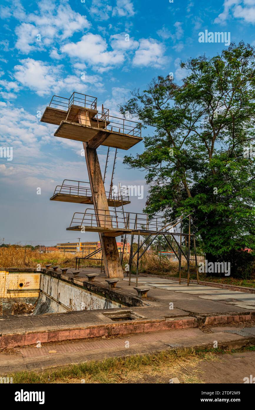 Abandoned public swimming pool, Luena, Moxico, Angola, Africa Stock Photohttps://www.alamy.com/image-license-details/?v=1https://www.alamy.com/abandoned-public-swimming-pool-luena-moxico-angola-africa-image576264089.html
RF2TDF2M9–Abandoned public swimming pool, Luena, Moxico, Angola, Africa
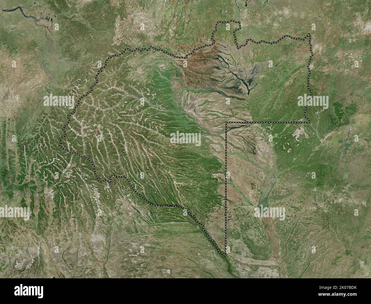 Moxico, province of Angola. High resolution satellite map Stock Photohttps://www.alamy.com/image-license-details/?v=1https://www.alamy.com/moxico-province-of-angola-high-resolution-satellite-map-image482052975.html
RF2K07BDK–Moxico, province of Angola. High resolution satellite map
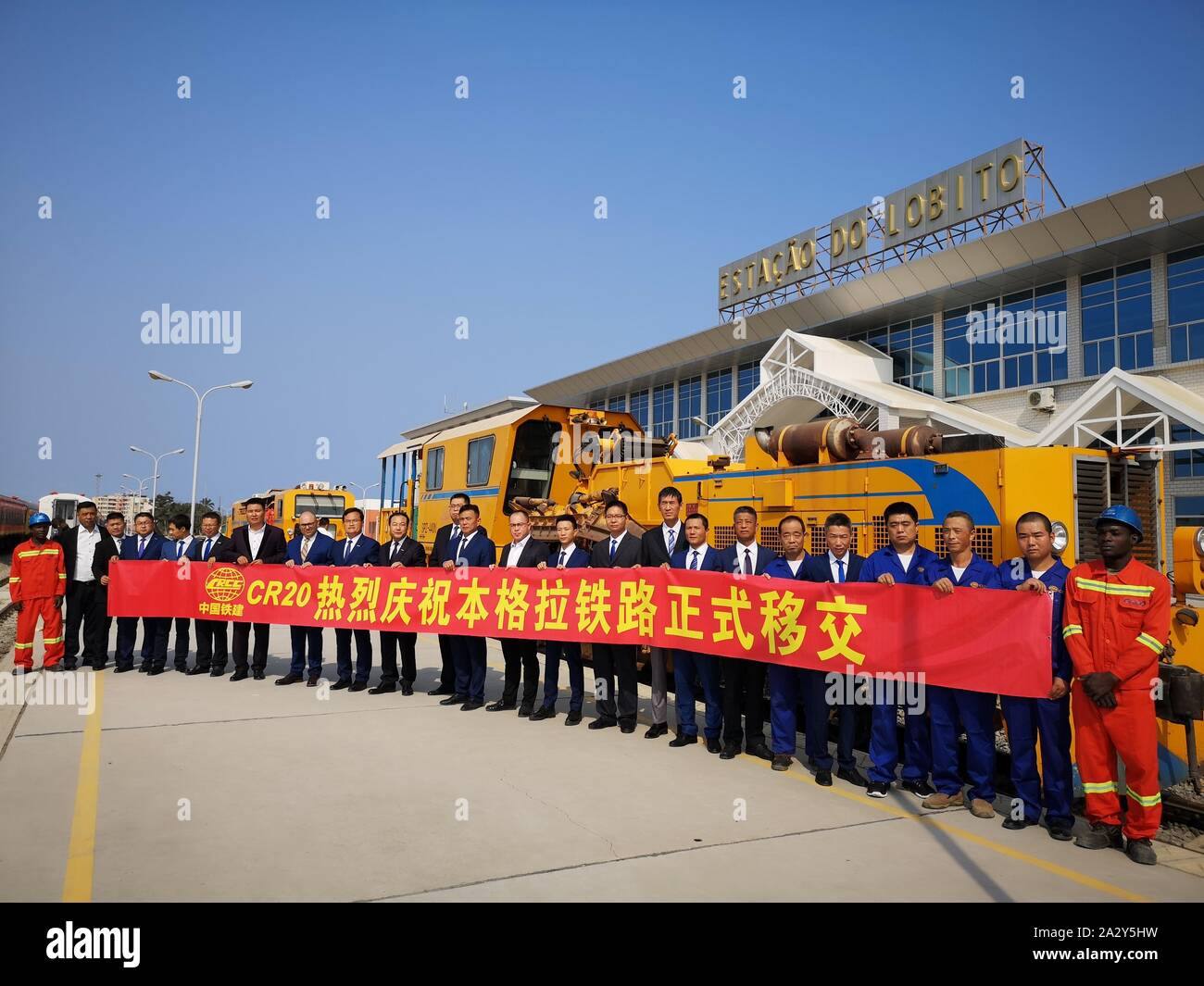 Lobito, Angola. 3rd Oct, 2019. People attend the handover ceremony of the Benguela Railway in Lobito, Angola, Oct. 3, 2019. The Benguela Railway, which was built by the China Railway 20 Bureau Group Corporation (CR20), was officially handed over to Angola in the port city of Lobito on Thursday. The 1,344-km railway runs through Angola, from west of the Atlantic port city of Lobito, eastward through important cities such as Benguela, Huambo, Kuito and Luena, and reaches the border city of Luao, bordering the Democratic Republic of the Congo. Credit: Liu Zhi/Xinhua/Alamy Live News Stock Photohttps://www.alamy.com/image-license-details/?v=1https://www.alamy.com/lobito-angola-3rd-oct-2019-people-attend-the-handover-ceremony-of-the-benguela-railway-in-lobito-angola-oct-3-2019-the-benguela-railway-which-was-built-by-the-china-railway-20-bureau-group-corporation-cr20-was-officially-handed-over-to-angola-in-the-port-city-of-lobito-on-thursday-the-1344-km-railway-runs-through-angola-from-west-of-the-atlantic-port-city-of-lobito-eastward-through-important-cities-such-as-benguela-huambo-kuito-and-luena-and-reaches-the-border-city-of-luao-bordering-the-democratic-republic-of-the-congo-credit-liu-zhixinhuaalamy-live-news-image328823429.html
RM2A2Y5HW–Lobito, Angola. 3rd Oct, 2019. People attend the handover ceremony of the Benguela Railway in Lobito, Angola, Oct. 3, 2019. The Benguela Railway, which was built by the China Railway 20 Bureau Group Corporation (CR20), was officially handed over to Angola in the port city of Lobito on Thursday. The 1,344-km railway runs through Angola, from west of the Atlantic port city of Lobito, eastward through important cities such as Benguela, Huambo, Kuito and Luena, and reaches the border city of Luao, bordering the Democratic Republic of the Congo. Credit: Liu Zhi/Xinhua/Alamy Live News
 191004 -- LOBITO, Oct. 4, 2019 Xinhua -- Photo taken on Oct. 3, 2019 shows a large maintenance machine at the Lobito station of the Benguela Railway in Lobito, Angola. The Benguela Railway, which was built by the China Railway 20 Bureau Group Corporation CR20, was officially handed over to Angola in the port city of Lobito on Thursday. The 1,344-km railway runs through Angola, from west of the Atlantic port city of Lobito, eastward through important cities such as Benguela, Huambo, Kuito and Luena, and reaches the border city of Luao, bordering the Democratic Republic of the Congo. Photo by Li Stock Photohttps://www.alamy.com/image-license-details/?v=1https://www.alamy.com/191004-lobito-oct-4-2019-xinhua-photo-taken-on-oct-3-2019-shows-a-large-maintenance-machine-at-the-lobito-station-of-the-benguela-railway-in-lobito-angola-the-benguela-railway-which-was-built-by-the-china-railway-20-bureau-group-corporation-cr20-was-officially-handed-over-to-angola-in-the-port-city-of-lobito-on-thursday-the-1344-km-railway-runs-through-angola-from-west-of-the-atlantic-port-city-of-lobito-eastward-through-important-cities-such-as-benguela-huambo-kuito-and-luena-and-reaches-the-border-city-of-luao-bordering-the-democratic-republic-of-the-congo-photo-by-li-image564610301.html
RM2RPG65H–191004 -- LOBITO, Oct. 4, 2019 Xinhua -- Photo taken on Oct. 3, 2019 shows a large maintenance machine at the Lobito station of the Benguela Railway in Lobito, Angola. The Benguela Railway, which was built by the China Railway 20 Bureau Group Corporation CR20, was officially handed over to Angola in the port city of Lobito on Thursday. The 1,344-km railway runs through Angola, from west of the Atlantic port city of Lobito, eastward through important cities such as Benguela, Huambo, Kuito and Luena, and reaches the border city of Luao, bordering the Democratic Republic of the Congo. Photo by Li
 (191004) -- LOBITO, Oct. 4, 2019 (Xinhua) -- Photo taken on Oct. 2, 2019 shows trains at the Lobito station of the Benguela Railway in Lobito, Angola. The Benguela Railway, which was built by the China Railway 20 Bureau Group Corporation (CR20), was officially handed over to Angola in the port city of Lobito on Thursday. The 1,344-km railway runs through Angola, from west of the Atlantic port city of Lobito, eastward through important cities such as Benguela, Huambo, Kuito and Luena, and reaches the border city of Luao, bordering the Democratic Republic of the Congo. (Photo by Liu Zhi/Xinh Stock Photohttps://www.alamy.com/image-license-details/?v=1https://www.alamy.com/191004-lobito-oct-4-2019-xinhua-photo-taken-on-oct-2-2019-shows-trains-at-the-lobito-station-of-the-benguela-railway-in-lobito-angola-the-benguela-railway-which-was-built-by-the-china-railway-20-bureau-group-corporation-cr20-was-officially-handed-over-to-angola-in-the-port-city-of-lobito-on-thursday-the-1344-km-railway-runs-through-angola-from-west-of-the-atlantic-port-city-of-lobito-eastward-through-important-cities-such-as-benguela-huambo-kuito-and-luena-and-reaches-the-border-city-of-luao-bordering-the-democratic-republic-of-the-congo-photo-by-liu-zhixinh-image328823427.html
RM2A2Y5HR–(191004) -- LOBITO, Oct. 4, 2019 (Xinhua) -- Photo taken on Oct. 2, 2019 shows trains at the Lobito station of the Benguela Railway in Lobito, Angola. The Benguela Railway, which was built by the China Railway 20 Bureau Group Corporation (CR20), was officially handed over to Angola in the port city of Lobito on Thursday. The 1,344-km railway runs through Angola, from west of the Atlantic port city of Lobito, eastward through important cities such as Benguela, Huambo, Kuito and Luena, and reaches the border city of Luao, bordering the Democratic Republic of the Congo. (Photo by Liu Zhi/Xinh
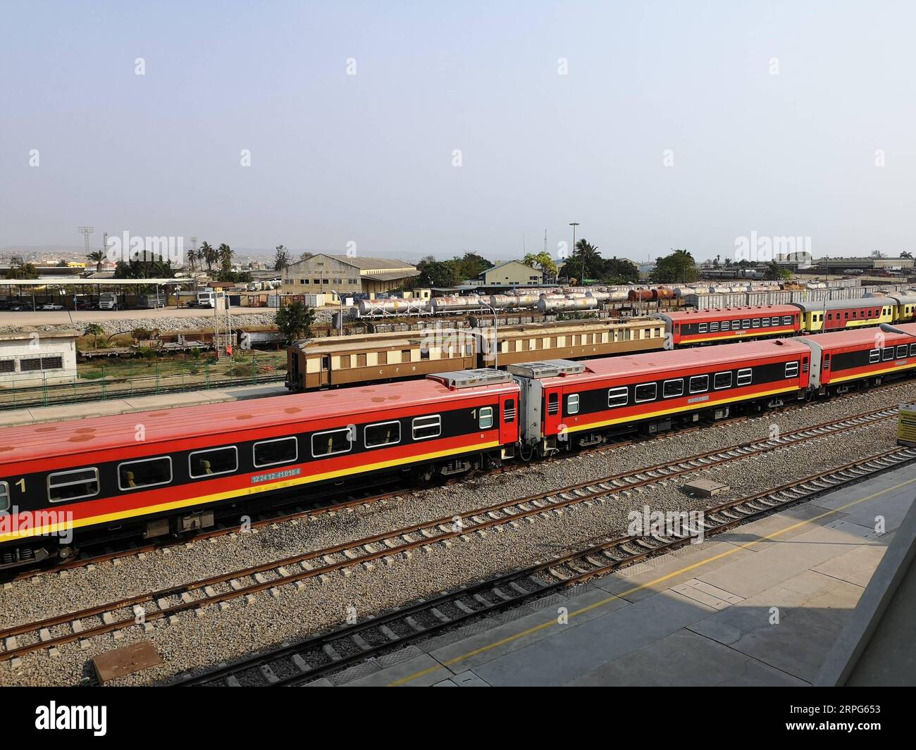 191004 -- LOBITO, Oct. 4, 2019 Xinhua -- Photo taken on Oct. 2, 2019 shows trains at the Lobito station of the Benguela Railway in Lobito, Angola. The Benguela Railway, which was built by the China Railway 20 Bureau Group Corporation CR20, was officially handed over to Angola in the port city of Lobito on Thursday. The 1,344-km railway runs through Angola, from west of the Atlantic port city of Lobito, eastward through important cities such as Benguela, Huambo, Kuito and Luena, and reaches the border city of Luao, bordering the Democratic Republic of the Congo. Photo by Liu Zhi/Xinhua ANGOLA-L Stock Photohttps://www.alamy.com/image-license-details/?v=1https://www.alamy.com/191004-lobito-oct-4-2019-xinhua-photo-taken-on-oct-2-2019-shows-trains-at-the-lobito-station-of-the-benguela-railway-in-lobito-angola-the-benguela-railway-which-was-built-by-the-china-railway-20-bureau-group-corporation-cr20-was-officially-handed-over-to-angola-in-the-port-city-of-lobito-on-thursday-the-1344-km-railway-runs-through-angola-from-west-of-the-atlantic-port-city-of-lobito-eastward-through-important-cities-such-as-benguela-huambo-kuito-and-luena-and-reaches-the-border-city-of-luao-bordering-the-democratic-republic-of-the-congo-photo-by-liu-zhixinhua-angola-l-image564610287.html
RM2RPG653–191004 -- LOBITO, Oct. 4, 2019 Xinhua -- Photo taken on Oct. 2, 2019 shows trains at the Lobito station of the Benguela Railway in Lobito, Angola. The Benguela Railway, which was built by the China Railway 20 Bureau Group Corporation CR20, was officially handed over to Angola in the port city of Lobito on Thursday. The 1,344-km railway runs through Angola, from west of the Atlantic port city of Lobito, eastward through important cities such as Benguela, Huambo, Kuito and Luena, and reaches the border city of Luao, bordering the Democratic Republic of the Congo. Photo by Liu Zhi/Xinhua ANGOLA-L
 (191004) -- LOBITO, Oct. 4, 2019 (Xinhua) -- Photo taken on Sept. 30, 2019 shows a train at the Negrao station of the Benguela Railway near Lobito, Angola. The Benguela Railway, which was built by the China Railway 20 Bureau Group Corporation (CR20), was officially handed over to Angola in the port city of Lobito on Thursday. The 1,344-km railway runs through Angola, from west of the Atlantic port city of Lobito, eastward through important cities such as Benguela, Huambo, Kuito and Luena, and reaches the border city of Luao, bordering the Democratic Republic of the Congo. (Photo by Liu Zhi Stock Photohttps://www.alamy.com/image-license-details/?v=1https://www.alamy.com/191004-lobito-oct-4-2019-xinhua-photo-taken-on-sept-30-2019-shows-a-train-at-the-negrao-station-of-the-benguela-railway-near-lobito-angola-the-benguela-railway-which-was-built-by-the-china-railway-20-bureau-group-corporation-cr20-was-officially-handed-over-to-angola-in-the-port-city-of-lobito-on-thursday-the-1344-km-railway-runs-through-angola-from-west-of-the-atlantic-port-city-of-lobito-eastward-through-important-cities-such-as-benguela-huambo-kuito-and-luena-and-reaches-the-border-city-of-luao-bordering-the-democratic-republic-of-the-congo-photo-by-liu-zhi-image328823435.html
RM2A2Y5J3–(191004) -- LOBITO, Oct. 4, 2019 (Xinhua) -- Photo taken on Sept. 30, 2019 shows a train at the Negrao station of the Benguela Railway near Lobito, Angola. The Benguela Railway, which was built by the China Railway 20 Bureau Group Corporation (CR20), was officially handed over to Angola in the port city of Lobito on Thursday. The 1,344-km railway runs through Angola, from west of the Atlantic port city of Lobito, eastward through important cities such as Benguela, Huambo, Kuito and Luena, and reaches the border city of Luao, bordering the Democratic Republic of the Congo. (Photo by Liu Zhi
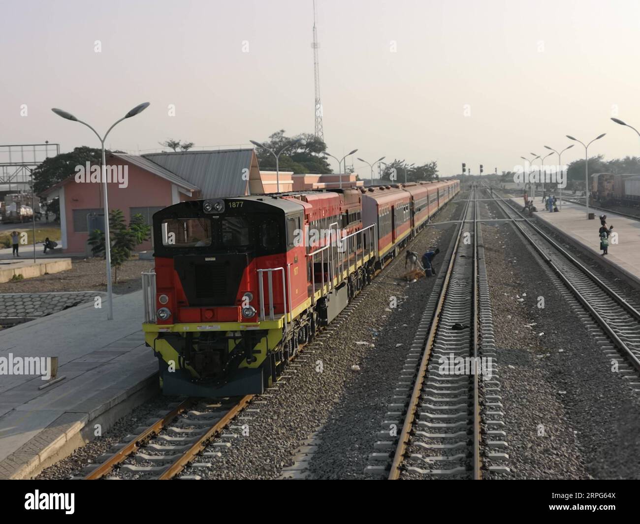 191004 -- LOBITO, Oct. 4, 2019 Xinhua -- Photo taken on Sept. 30, 2019 shows a train at the Negrao station of the Benguela Railway near Lobito, Angola. The Benguela Railway, which was built by the China Railway 20 Bureau Group Corporation CR20, was officially handed over to Angola in the port city of Lobito on Thursday. The 1,344-km railway runs through Angola, from west of the Atlantic port city of Lobito, eastward through important cities such as Benguela, Huambo, Kuito and Luena, and reaches the border city of Luao, bordering the Democratic Republic of the Congo. Photo by Liu Zhi/Xinhua ANG Stock Photohttps://www.alamy.com/image-license-details/?v=1https://www.alamy.com/191004-lobito-oct-4-2019-xinhua-photo-taken-on-sept-30-2019-shows-a-train-at-the-negrao-station-of-the-benguela-railway-near-lobito-angola-the-benguela-railway-which-was-built-by-the-china-railway-20-bureau-group-corporation-cr20-was-officially-handed-over-to-angola-in-the-port-city-of-lobito-on-thursday-the-1344-km-railway-runs-through-angola-from-west-of-the-atlantic-port-city-of-lobito-eastward-through-important-cities-such-as-benguela-huambo-kuito-and-luena-and-reaches-the-border-city-of-luao-bordering-the-democratic-republic-of-the-congo-photo-by-liu-zhixinhua-ang-image564610282.html
RM2RPG64X–191004 -- LOBITO, Oct. 4, 2019 Xinhua -- Photo taken on Sept. 30, 2019 shows a train at the Negrao station of the Benguela Railway near Lobito, Angola. The Benguela Railway, which was built by the China Railway 20 Bureau Group Corporation CR20, was officially handed over to Angola in the port city of Lobito on Thursday. The 1,344-km railway runs through Angola, from west of the Atlantic port city of Lobito, eastward through important cities such as Benguela, Huambo, Kuito and Luena, and reaches the border city of Luao, bordering the Democratic Republic of the Congo. Photo by Liu Zhi/Xinhua ANG
 Moxico Province (Provinces of Angola, Republic of Angola) map vector illustration, scribble sketch Moshiko map Stock Vectorhttps://www.alamy.com/image-license-details/?v=1https://www.alamy.com/moxico-province-provinces-of-angola-republic-of-angola-map-vector-illustration-scribble-sketch-moshiko-map-image248778799.html
RFTCMRW3–Moxico Province (Provinces of Angola, Republic of Angola) map vector illustration, scribble sketch Moshiko map
 Peace monument, Luena, Moxico, Angola, Africa Stock Photohttps://www.alamy.com/image-license-details/?v=1https://www.alamy.com/peace-monument-luena-moxico-angola-africa-image576264088.html
RF2TDF2M8–Peace monument, Luena, Moxico, Angola, Africa
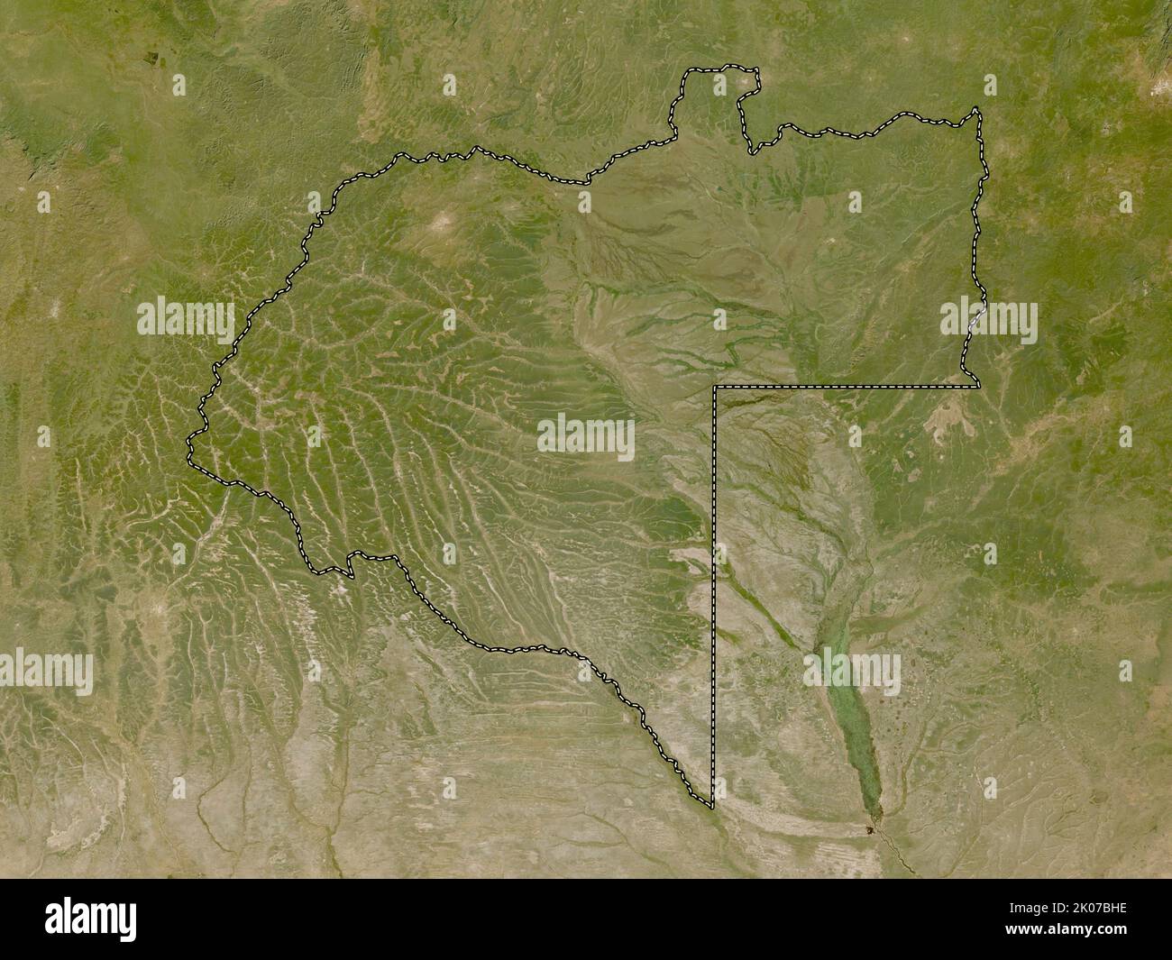 Moxico, province of Angola. Low resolution satellite map Stock Photohttps://www.alamy.com/image-license-details/?v=1https://www.alamy.com/moxico-province-of-angola-low-resolution-satellite-map-image482053082.html
RF2K07BHE–Moxico, province of Angola. Low resolution satellite map
 Moxico Province (Provinces of Angola, Republic of Angola) map is designed cannabis leaf green and black, Moshiko map made of marijuana (marihuana,THC) Stock Vectorhttps://www.alamy.com/image-license-details/?v=1https://www.alamy.com/moxico-province-provinces-of-angola-republic-of-angola-map-is-designed-cannabis-leaf-green-and-black-moshiko-map-made-of-marijuana-marihuanathc-image336638225.html
RF2AFK5DN–Moxico Province (Provinces of Angola, Republic of Angola) map is designed cannabis leaf green and black, Moshiko map made of marijuana (marihuana,THC)
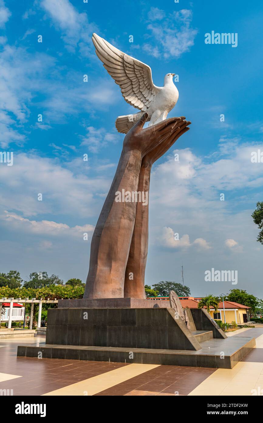 Peace monument, Luena, Moxico, Angola, Africa Stock Photohttps://www.alamy.com/image-license-details/?v=1https://www.alamy.com/peace-monument-luena-moxico-angola-africa-image576264077.html
RF2TDF2KW–Peace monument, Luena, Moxico, Angola, Africa
 Moxico, province of Angola. Bilevel elevation map with lakes and rivers Stock Photohttps://www.alamy.com/image-license-details/?v=1https://www.alamy.com/moxico-province-of-angola-bilevel-elevation-map-with-lakes-and-rivers-image482052662.html
RF2K07B2E–Moxico, province of Angola. Bilevel elevation map with lakes and rivers
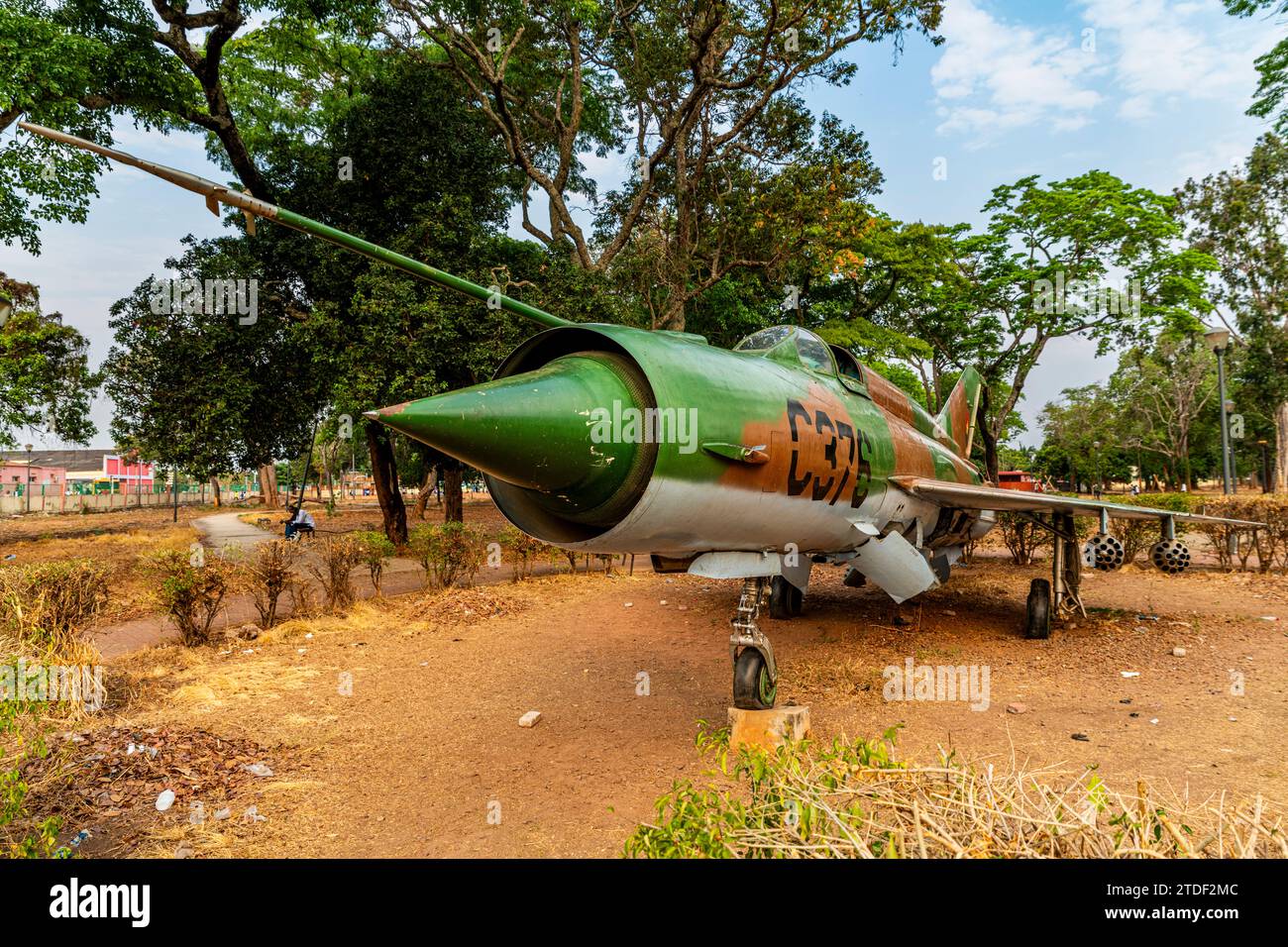 Former military jet in a park, Luena, Moxico, Angola, Africa Stock Photohttps://www.alamy.com/image-license-details/?v=1https://www.alamy.com/former-military-jet-in-a-park-luena-moxico-angola-africa-image576264092.html
RF2TDF2MC–Former military jet in a park, Luena, Moxico, Angola, Africa
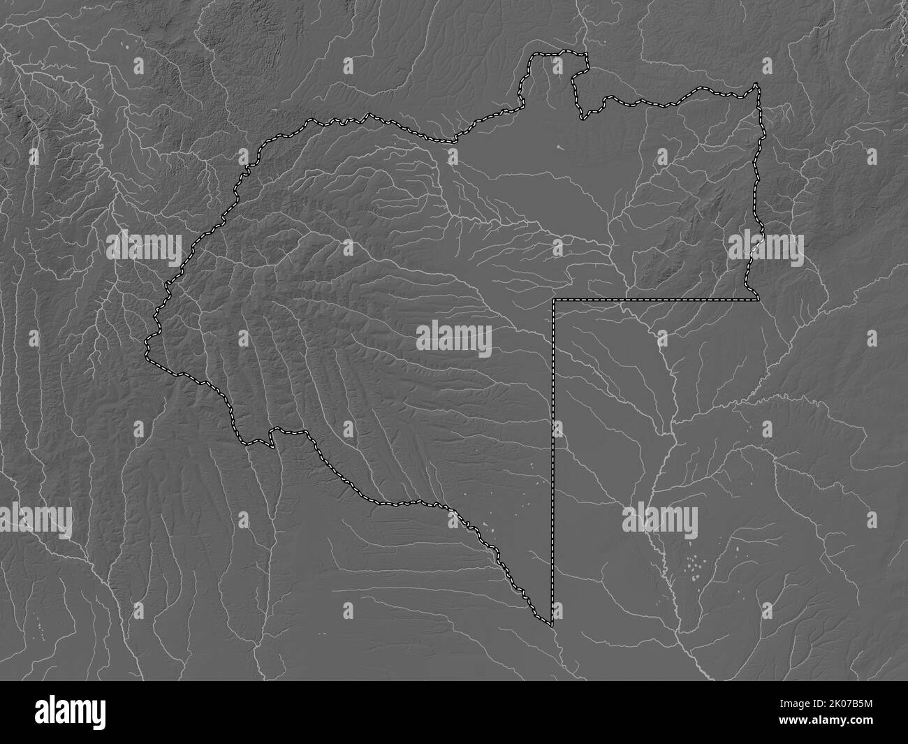 Moxico, province of Angola. Grayscale elevation map with lakes and rivers Stock Photohttps://www.alamy.com/image-license-details/?v=1https://www.alamy.com/moxico-province-of-angola-grayscale-elevation-map-with-lakes-and-rivers-image482052752.html
RF2K07B5M–Moxico, province of Angola. Grayscale elevation map with lakes and rivers
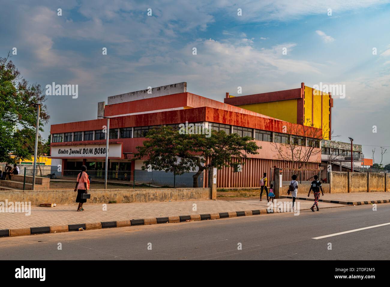 Don Bosco Cultural Center, Luena, Moxico, Angola, Africa Stock Photohttps://www.alamy.com/image-license-details/?v=1https://www.alamy.com/don-bosco-cultural-center-luena-moxico-angola-africa-image576264085.html
RF2TDF2M5–Don Bosco Cultural Center, Luena, Moxico, Angola, Africa
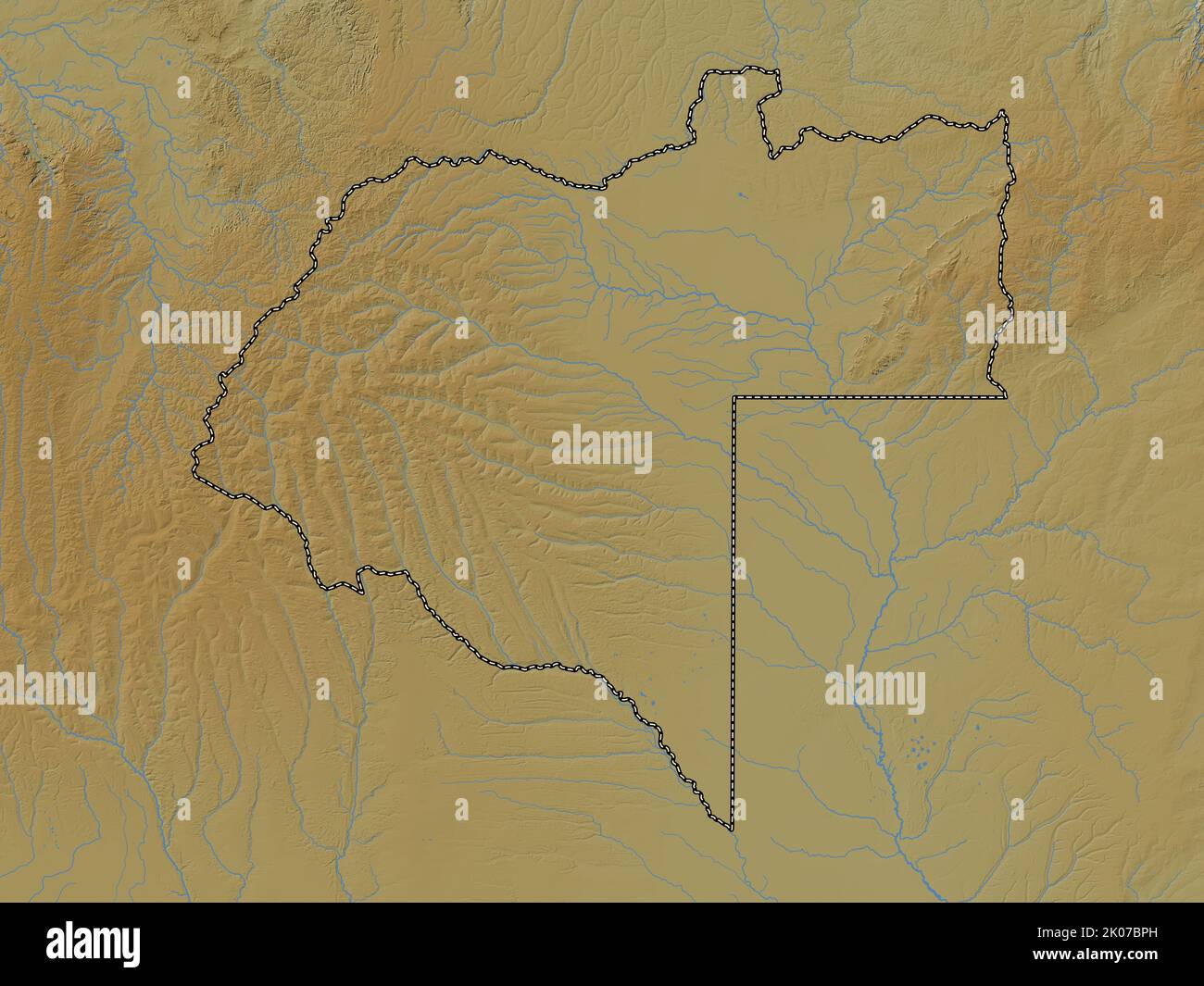 Moxico, province of Angola. Colored elevation map with lakes and rivers Stock Photohttps://www.alamy.com/image-license-details/?v=1https://www.alamy.com/moxico-province-of-angola-colored-elevation-map-with-lakes-and-rivers-image482053225.html
RF2K07BPH–Moxico, province of Angola. Colored elevation map with lakes and rivers
 Catedral de Nossa Senhora da Assuncao, Luena, Moxico, Angola, Africa Stock Photohttps://www.alamy.com/image-license-details/?v=1https://www.alamy.com/catedral-de-nossa-senhora-da-assuncao-luena-moxico-angola-africa-image576264084.html
RF2TDF2M4–Catedral de Nossa Senhora da Assuncao, Luena, Moxico, Angola, Africa
 Moxico, province of Angola. Solid color shape. Corner auxiliary location maps Stock Photohttps://www.alamy.com/image-license-details/?v=1https://www.alamy.com/moxico-province-of-angola-solid-color-shape-corner-auxiliary-location-maps-image482053243.html
RF2K07BR7–Moxico, province of Angola. Solid color shape. Corner auxiliary location maps
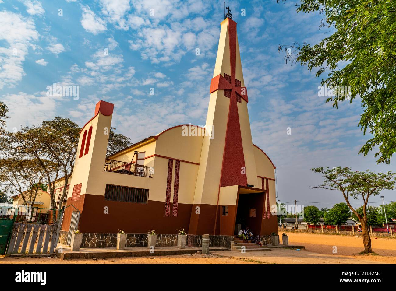 Sao Paulo Catholic Church, Luena, Moxico, Angola, Africa Stock Photohttps://www.alamy.com/image-license-details/?v=1https://www.alamy.com/sao-paulo-catholic-church-luena-moxico-angola-africa-image576264086.html
RF2TDF2M6–Sao Paulo Catholic Church, Luena, Moxico, Angola, Africa
 Moxico, province of Angola. Open Street Map. Corner auxiliary location maps Stock Photohttps://www.alamy.com/image-license-details/?v=1https://www.alamy.com/moxico-province-of-angola-open-street-map-corner-auxiliary-location-maps-image482053249.html
RF2K07BRD–Moxico, province of Angola. Open Street Map. Corner auxiliary location maps
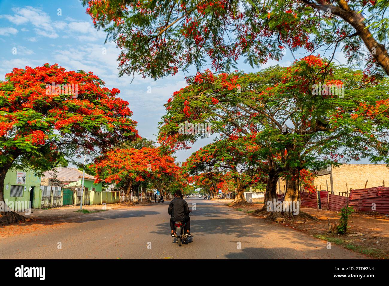 Beautiful blooming trees in Luena, Moxico, Angola, Africa Stock Photohttps://www.alamy.com/image-license-details/?v=1https://www.alamy.com/beautiful-blooming-trees-in-luena-moxico-angola-africa-image576264112.html
RF2TDF2N4–Beautiful blooming trees in Luena, Moxico, Angola, Africa
 Moxico, province of Angola. Low resolution satellite map. Corner auxiliary location maps Stock Photohttps://www.alamy.com/image-license-details/?v=1https://www.alamy.com/moxico-province-of-angola-low-resolution-satellite-map-corner-auxiliary-location-maps-image482053222.html
RF2K07BPE–Moxico, province of Angola. Low resolution satellite map. Corner auxiliary location maps
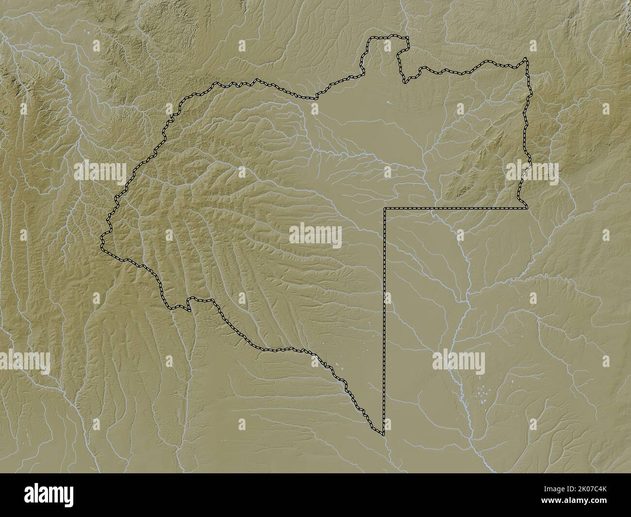 Moxico, province of Angola. Elevation map colored in wiki style with lakes and rivers Stock Photohttps://www.alamy.com/image-license-details/?v=1https://www.alamy.com/moxico-province-of-angola-elevation-map-colored-in-wiki-style-with-lakes-and-rivers-image482053507.html
RF2K07C4K–Moxico, province of Angola. Elevation map colored in wiki style with lakes and rivers
 Moxico, province of Angola. High resolution satellite map. Corner auxiliary location maps Stock Photohttps://www.alamy.com/image-license-details/?v=1https://www.alamy.com/moxico-province-of-angola-high-resolution-satellite-map-corner-auxiliary-location-maps-image482053116.html
RF2K07BJM–Moxico, province of Angola. High resolution satellite map. Corner auxiliary location maps
 Moxico, province of Angola. Elevation map colored in sepia tones with lakes and rivers Stock Photohttps://www.alamy.com/image-license-details/?v=1https://www.alamy.com/moxico-province-of-angola-elevation-map-colored-in-sepia-tones-with-lakes-and-rivers-image482053325.html
RF2K07BX5–Moxico, province of Angola. Elevation map colored in sepia tones with lakes and rivers
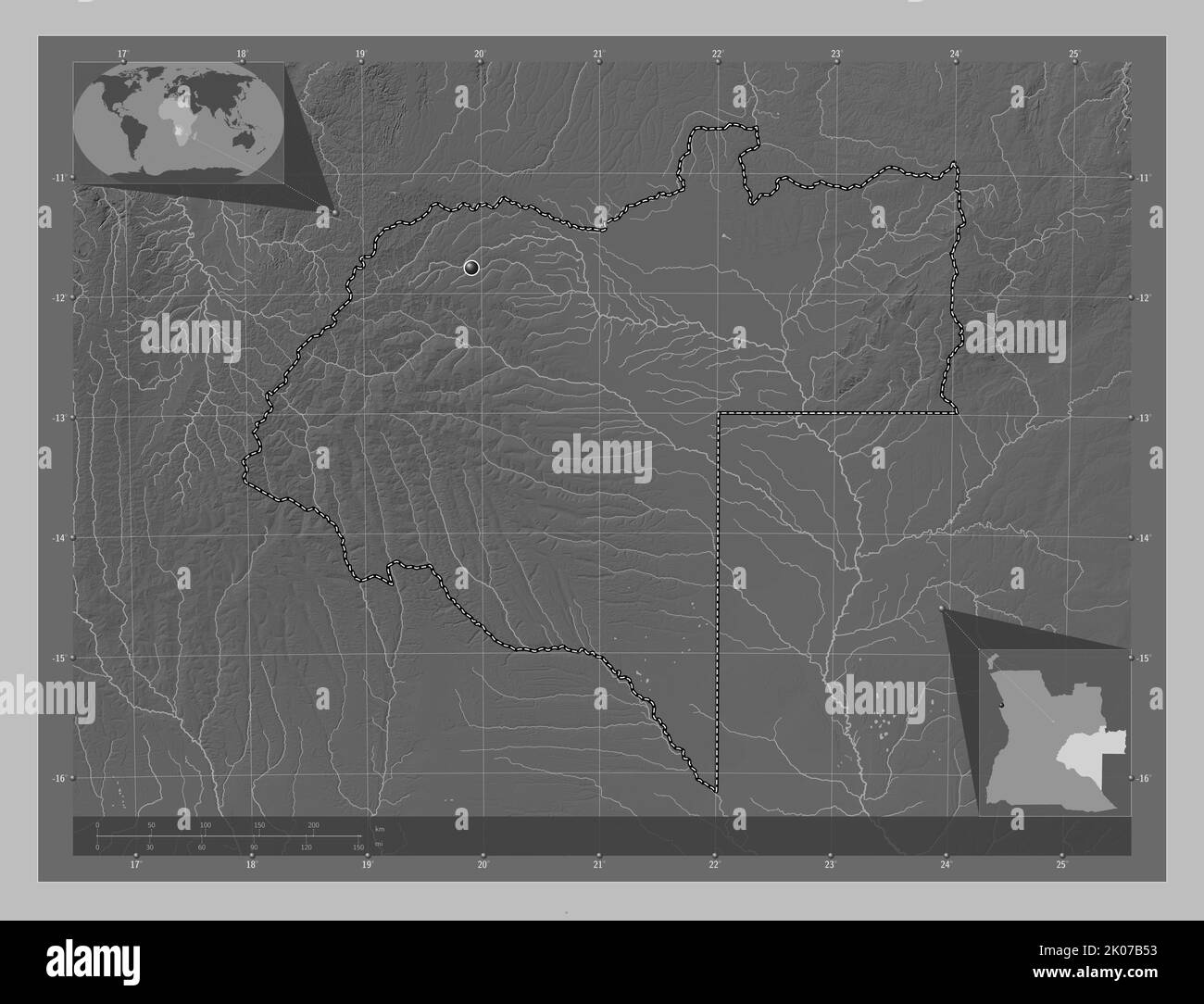 Moxico, province of Angola. Grayscale elevation map with lakes and rivers. Corner auxiliary location maps Stock Photohttps://www.alamy.com/image-license-details/?v=1https://www.alamy.com/moxico-province-of-angola-grayscale-elevation-map-with-lakes-and-rivers-corner-auxiliary-location-maps-image482052735.html
RF2K07B53–Moxico, province of Angola. Grayscale elevation map with lakes and rivers. Corner auxiliary location maps
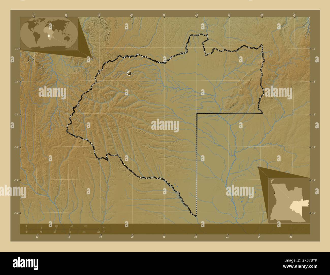 Moxico, province of Angola. Colored elevation map with lakes and rivers. Corner auxiliary location maps Stock Photohttps://www.alamy.com/image-license-details/?v=1https://www.alamy.com/moxico-province-of-angola-colored-elevation-map-with-lakes-and-rivers-corner-auxiliary-location-maps-image482053367.html
RF2K07BYK–Moxico, province of Angola. Colored elevation map with lakes and rivers. Corner auxiliary location maps
 Moxico, province of Angola. Bilevel elevation map with lakes and rivers. Corner auxiliary location maps Stock Photohttps://www.alamy.com/image-license-details/?v=1https://www.alamy.com/moxico-province-of-angola-bilevel-elevation-map-with-lakes-and-rivers-corner-auxiliary-location-maps-image482052727.html
RF2K07B4R–Moxico, province of Angola. Bilevel elevation map with lakes and rivers. Corner auxiliary location maps
 Shape of Moxico, province of Angola, with its capital isolated on white background. Satellite imagery. 3D rendering Stock Photohttps://www.alamy.com/image-license-details/?v=1https://www.alamy.com/shape-of-moxico-province-of-angola-with-its-capital-isolated-on-white-background-satellite-imagery-3d-rendering-image368234152.html
RF2CB2EBM–Shape of Moxico, province of Angola, with its capital isolated on white background. Satellite imagery. 3D rendering
 Shape of Moxico, province of Angola, and its capital. Distance scale, previews and labels. Satellite imagery. 3D rendering Stock Photohttps://www.alamy.com/image-license-details/?v=1https://www.alamy.com/shape-of-moxico-province-of-angola-and-its-capital-distance-scale-previews-and-labels-satellite-imagery-3d-rendering-image368234151.html
RF2CB2EBK–Shape of Moxico, province of Angola, and its capital. Distance scale, previews and labels. Satellite imagery. 3D rendering
 Zoom in on Moxico (province of Angola) extruded. Oblique perspective. Satellite imagery. 3D rendering Stock Photohttps://www.alamy.com/image-license-details/?v=1https://www.alamy.com/zoom-in-on-moxico-province-of-angola-extruded-oblique-perspective-satellite-imagery-3d-rendering-image364297191.html
RF2C4K4NY–Zoom in on Moxico (province of Angola) extruded. Oblique perspective. Satellite imagery. 3D rendering
 Zoom in on Moxico (province of Angola) outlined. Oblique perspective. Satellite imagery. 3D rendering Stock Photohttps://www.alamy.com/image-license-details/?v=1https://www.alamy.com/zoom-in-on-moxico-province-of-angola-outlined-oblique-perspective-satellite-imagery-3d-rendering-image364297175.html
RF2C4K4NB–Zoom in on Moxico (province of Angola) outlined. Oblique perspective. Satellite imagery. 3D rendering
 Moxico, province of Angola. Open Street Map. Locations of major cities of the region. Corner auxiliary location maps Stock Photohttps://www.alamy.com/image-license-details/?v=1https://www.alamy.com/moxico-province-of-angola-open-street-map-locations-of-major-cities-of-the-region-corner-auxiliary-location-maps-image482053248.html
RF2K07BRC–Moxico, province of Angola. Open Street Map. Locations of major cities of the region. Corner auxiliary location maps
 Moxico, province of Angola. Solid color shape. Locations of major cities of the region. Corner auxiliary location maps Stock Photohttps://www.alamy.com/image-license-details/?v=1https://www.alamy.com/moxico-province-of-angola-solid-color-shape-locations-of-major-cities-of-the-region-corner-auxiliary-location-maps-image482053239.html
RF2K07BR3–Moxico, province of Angola. Solid color shape. Locations of major cities of the region. Corner auxiliary location maps
 Shape of Moxico, province of Angola, with its capital isolated on white background. Topographic relief map. 3D rendering Stock Photohttps://www.alamy.com/image-license-details/?v=1https://www.alamy.com/shape-of-moxico-province-of-angola-with-its-capital-isolated-on-white-background-topographic-relief-map-3d-rendering-image368234136.html
RF2CB2EB4–Shape of Moxico, province of Angola, with its capital isolated on white background. Topographic relief map. 3D rendering
 Shape of Moxico, province of Angola, with its capital isolated on white background. Colored elevation map. 3D rendering Stock Photohttps://www.alamy.com/image-license-details/?v=1https://www.alamy.com/shape-of-moxico-province-of-angola-with-its-capital-isolated-on-white-background-colored-elevation-map-3d-rendering-image368233946.html
RF2CB2E4A–Shape of Moxico, province of Angola, with its capital isolated on white background. Colored elevation map. 3D rendering
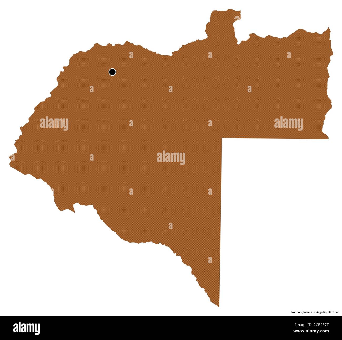 Shape of Moxico, province of Angola, with its capital isolated on white background. Composition of patterned textures. 3D rendering Stock Photohttps://www.alamy.com/image-license-details/?v=1https://www.alamy.com/shape-of-moxico-province-of-angola-with-its-capital-isolated-on-white-background-composition-of-patterned-textures-3d-rendering-image368234044.html
RF2CB2E7T–Shape of Moxico, province of Angola, with its capital isolated on white background. Composition of patterned textures. 3D rendering
 Shape of Moxico, province of Angola, with its capital isolated on white background. Bilevel elevation map. 3D rendering Stock Photohttps://www.alamy.com/image-license-details/?v=1https://www.alamy.com/shape-of-moxico-province-of-angola-with-its-capital-isolated-on-white-background-bilevel-elevation-map-3d-rendering-image368234045.html
RF2CB2E7W–Shape of Moxico, province of Angola, with its capital isolated on white background. Bilevel elevation map. 3D rendering
 Shape of Moxico, province of Angola, and its capital. Distance scale, previews and labels. Composition of patterned textures. 3D rendering Stock Photohttps://www.alamy.com/image-license-details/?v=1https://www.alamy.com/shape-of-moxico-province-of-angola-and-its-capital-distance-scale-previews-and-labels-composition-of-patterned-textures-3d-rendering-image368234065.html
RF2CB2E8H–Shape of Moxico, province of Angola, and its capital. Distance scale, previews and labels. Composition of patterned textures. 3D rendering
 Shape of Moxico, province of Angola, and its capital. Distance scale, previews and labels. Topographic relief map. 3D rendering Stock Photohttps://www.alamy.com/image-license-details/?v=1https://www.alamy.com/shape-of-moxico-province-of-angola-and-its-capital-distance-scale-previews-and-labels-topographic-relief-map-3d-rendering-image368234055.html
RF2CB2E87–Shape of Moxico, province of Angola, and its capital. Distance scale, previews and labels. Topographic relief map. 3D rendering
 Shape of Moxico, province of Angola, and its capital. Distance scale, previews and labels. Bilevel elevation map. 3D rendering Stock Photohttps://www.alamy.com/image-license-details/?v=1https://www.alamy.com/shape-of-moxico-province-of-angola-and-its-capital-distance-scale-previews-and-labels-bilevel-elevation-map-3d-rendering-image368233940.html
RF2CB2E44–Shape of Moxico, province of Angola, and its capital. Distance scale, previews and labels. Bilevel elevation map. 3D rendering
 Shape of Moxico, province of Angola, and its capital. Distance scale, previews and labels. Colored elevation map. 3D rendering Stock Photohttps://www.alamy.com/image-license-details/?v=1https://www.alamy.com/shape-of-moxico-province-of-angola-and-its-capital-distance-scale-previews-and-labels-colored-elevation-map-3d-rendering-image368233917.html
RF2CB2E39–Shape of Moxico, province of Angola, and its capital. Distance scale, previews and labels. Colored elevation map. 3D rendering
 Moxico, province of Angola. Satellite imagery. Shape presented against its country area with informative overlays. 3D rendering Stock Photohttps://www.alamy.com/image-license-details/?v=1https://www.alamy.com/moxico-province-of-angola-satellite-imagery-shape-presented-against-its-country-area-with-informative-overlays-3d-rendering-image363573652.html
RF2C3E5W8–Moxico, province of Angola. Satellite imagery. Shape presented against its country area with informative overlays. 3D rendering
 Moxico, province of Angola. Solid color shape. Locations and names of major cities of the region. Corner auxiliary location maps Stock Photohttps://www.alamy.com/image-license-details/?v=1https://www.alamy.com/moxico-province-of-angola-solid-color-shape-locations-and-names-of-major-cities-of-the-region-corner-auxiliary-location-maps-image482053235.html
RF2K07BPY–Moxico, province of Angola. Solid color shape. Locations and names of major cities of the region. Corner auxiliary location maps
 Moxico, province of Angola. High resolution satellite map. Locations of major cities of the region. Corner auxiliary location maps Stock Photohttps://www.alamy.com/image-license-details/?v=1https://www.alamy.com/moxico-province-of-angola-high-resolution-satellite-map-locations-of-major-cities-of-the-region-corner-auxiliary-location-maps-image482053113.html
RF2K07BJH–Moxico, province of Angola. High resolution satellite map. Locations of major cities of the region. Corner auxiliary location maps
 Moxico, province of Angola. Low resolution satellite map. Locations of major cities of the region. Corner auxiliary location maps Stock Photohttps://www.alamy.com/image-license-details/?v=1https://www.alamy.com/moxico-province-of-angola-low-resolution-satellite-map-locations-of-major-cities-of-the-region-corner-auxiliary-location-maps-image482052974.html
RF2K07BDJ–Moxico, province of Angola. Low resolution satellite map. Locations of major cities of the region. Corner auxiliary location maps
 Moxico, province of Angola. Elevation map colored in wiki style with lakes and rivers. Corner auxiliary location maps Stock Photohttps://www.alamy.com/image-license-details/?v=1https://www.alamy.com/moxico-province-of-angola-elevation-map-colored-in-wiki-style-with-lakes-and-rivers-corner-auxiliary-location-maps-image482053525.html
RF2K07C59–Moxico, province of Angola. Elevation map colored in wiki style with lakes and rivers. Corner auxiliary location maps
 Moxico, province of Angola. Open Street Map. Locations and names of major cities of the region. Corner auxiliary location maps Stock Photohttps://www.alamy.com/image-license-details/?v=1https://www.alamy.com/moxico-province-of-angola-open-street-map-locations-and-names-of-major-cities-of-the-region-corner-auxiliary-location-maps-image482053223.html
RF2K07BPF–Moxico, province of Angola. Open Street Map. Locations and names of major cities of the region. Corner auxiliary location maps
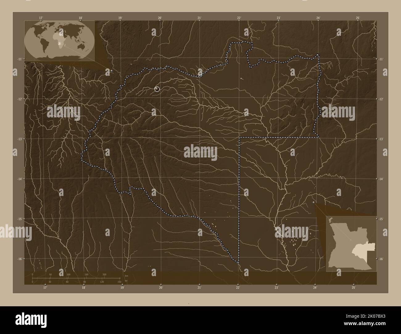 Moxico, province of Angola. Elevation map colored in sepia tones with lakes and rivers. Corner auxiliary location maps Stock Photohttps://www.alamy.com/image-license-details/?v=1https://www.alamy.com/moxico-province-of-angola-elevation-map-colored-in-sepia-tones-with-lakes-and-rivers-corner-auxiliary-location-maps-image482053323.html
RF2K07BX3–Moxico, province of Angola. Elevation map colored in sepia tones with lakes and rivers. Corner auxiliary location maps
 Shape of Moxico, province of Angola, with its capital isolated on a solid color background. Satellite imagery. 3D rendering Stock Photohttps://www.alamy.com/image-license-details/?v=1https://www.alamy.com/shape-of-moxico-province-of-angola-with-its-capital-isolated-on-a-solid-color-background-satellite-imagery-3d-rendering-image368234175.html
RF2CB2ECF–Shape of Moxico, province of Angola, with its capital isolated on a solid color background. Satellite imagery. 3D rendering
 Desaturated shape of Angola with its capital, main regional division and the separated Moxico area. Labels. Satellite imagery. 3D rendering Stock Photohttps://www.alamy.com/image-license-details/?v=1https://www.alamy.com/desaturated-shape-of-angola-with-its-capital-main-regional-division-and-the-separated-moxico-area-labels-satellite-imagery-3d-rendering-image368234149.html
RF2CB2EBH–Desaturated shape of Angola with its capital, main regional division and the separated Moxico area. Labels. Satellite imagery. 3D rendering
 Moxico, province of Angola. Bilevel elevation map with lakes and rivers. Locations and names of major cities of the region. Corner auxiliary location Stock Photohttps://www.alamy.com/image-license-details/?v=1https://www.alamy.com/moxico-province-of-angola-bilevel-elevation-map-with-lakes-and-rivers-locations-and-names-of-major-cities-of-the-region-corner-auxiliary-location-image482052825.html
RF2K07B89–Moxico, province of Angola. Bilevel elevation map with lakes and rivers. Locations and names of major cities of the region. Corner auxiliary location
 Moxico, province of Angola. Bilevel elevation map with lakes and rivers. Locations of major cities of the region. Corner auxiliary location maps Stock Photohttps://www.alamy.com/image-license-details/?v=1https://www.alamy.com/moxico-province-of-angola-bilevel-elevation-map-with-lakes-and-rivers-locations-of-major-cities-of-the-region-corner-auxiliary-location-maps-image482052636.html
RF2K07B1G–Moxico, province of Angola. Bilevel elevation map with lakes and rivers. Locations of major cities of the region. Corner auxiliary location maps
 Moxico, province of Angola. Low resolution satellite map. Locations and names of major cities of the region. Corner auxiliary location maps Stock Photohttps://www.alamy.com/image-license-details/?v=1https://www.alamy.com/moxico-province-of-angola-low-resolution-satellite-map-locations-and-names-of-major-cities-of-the-region-corner-auxiliary-location-maps-image482053252.html
RF2K07BRG–Moxico, province of Angola. Low resolution satellite map. Locations and names of major cities of the region. Corner auxiliary location maps
 Moxico, province of Angola. Grayscale elevation map with lakes and rivers. Locations of major cities of the region. Corner auxiliary location maps Stock Photohttps://www.alamy.com/image-license-details/?v=1https://www.alamy.com/moxico-province-of-angola-grayscale-elevation-map-with-lakes-and-rivers-locations-of-major-cities-of-the-region-corner-auxiliary-location-maps-image482052627.html
RF2K07B17–Moxico, province of Angola. Grayscale elevation map with lakes and rivers. Locations of major cities of the region. Corner auxiliary location maps
 Moxico, province of Angola. Colored elevation map with lakes and rivers. Locations of major cities of the region. Corner auxiliary location maps Stock Photohttps://www.alamy.com/image-license-details/?v=1https://www.alamy.com/moxico-province-of-angola-colored-elevation-map-with-lakes-and-rivers-locations-of-major-cities-of-the-region-corner-auxiliary-location-maps-image482053341.html
RF2K07BXN–Moxico, province of Angola. Colored elevation map with lakes and rivers. Locations of major cities of the region. Corner auxiliary location maps
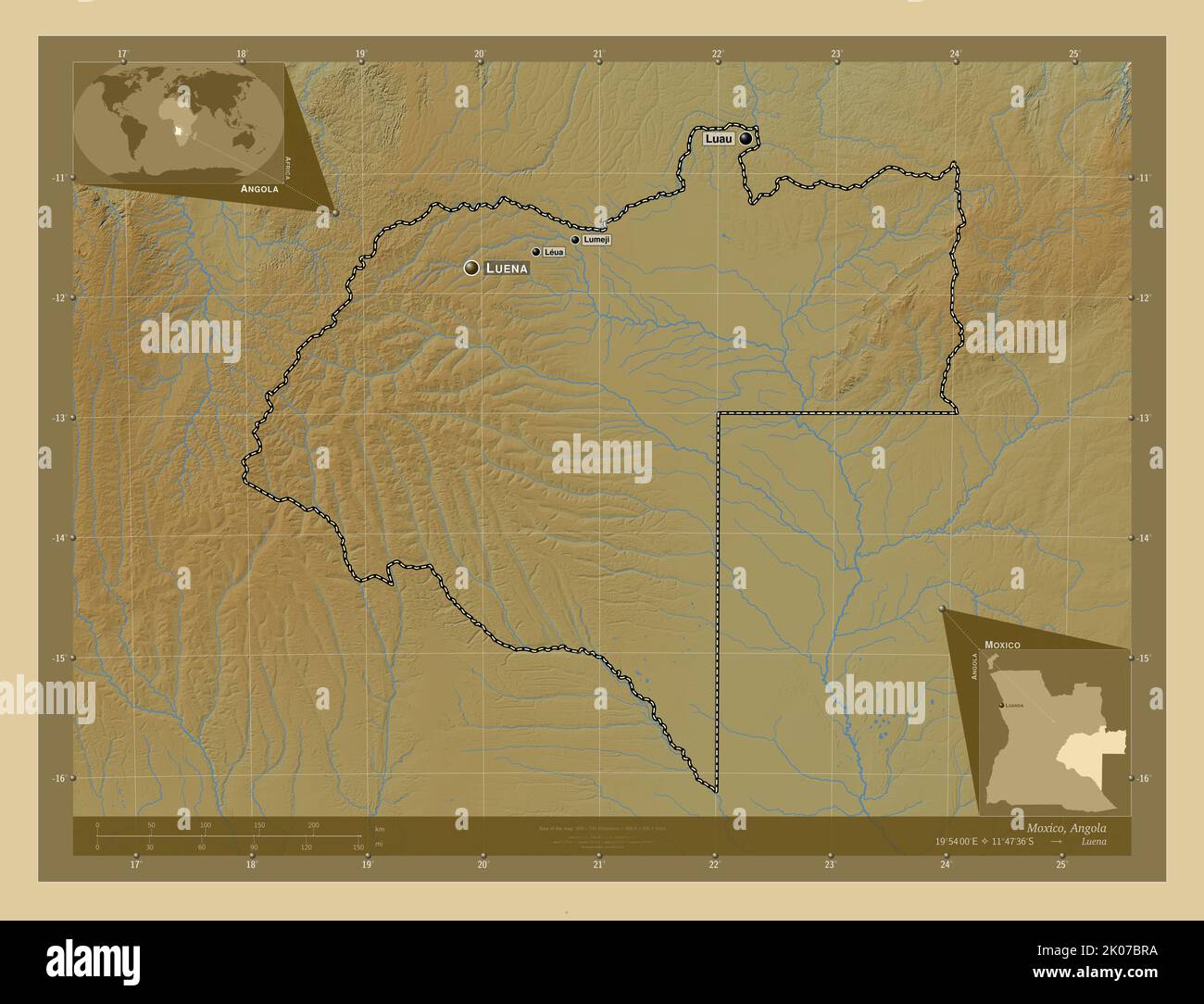 Moxico, province of Angola. Colored elevation map with lakes and rivers. Locations and names of major cities of the region. Corner auxiliary location Stock Photohttps://www.alamy.com/image-license-details/?v=1https://www.alamy.com/moxico-province-of-angola-colored-elevation-map-with-lakes-and-rivers-locations-and-names-of-major-cities-of-the-region-corner-auxiliary-location-image482053246.html
RF2K07BRA–Moxico, province of Angola. Colored elevation map with lakes and rivers. Locations and names of major cities of the region. Corner auxiliary location
 Moxico, province of Angola. High resolution satellite map. Locations and names of major cities of the region. Corner auxiliary location maps Stock Photohttps://www.alamy.com/image-license-details/?v=1https://www.alamy.com/moxico-province-of-angola-high-resolution-satellite-map-locations-and-names-of-major-cities-of-the-region-corner-auxiliary-location-maps-image482052933.html
RF2K07BC5–Moxico, province of Angola. High resolution satellite map. Locations and names of major cities of the region. Corner auxiliary location maps
 Moxico, province of Angola. Grayscale elevation map with lakes and rivers. Locations and names of major cities of the region. Corner auxiliary locatio Stock Photohttps://www.alamy.com/image-license-details/?v=1https://www.alamy.com/moxico-province-of-angola-grayscale-elevation-map-with-lakes-and-rivers-locations-and-names-of-major-cities-of-the-region-corner-auxiliary-locatio-image482052820.html
RF2K07B84–Moxico, province of Angola. Grayscale elevation map with lakes and rivers. Locations and names of major cities of the region. Corner auxiliary locatio
 Shape of Moxico, province of Angola, with its capital isolated on a solid color background. Colored elevation map. 3D rendering Stock Photohttps://www.alamy.com/image-license-details/?v=1https://www.alamy.com/shape-of-moxico-province-of-angola-with-its-capital-isolated-on-a-solid-color-background-colored-elevation-map-3d-rendering-image368233939.html
RF2CB2E43–Shape of Moxico, province of Angola, with its capital isolated on a solid color background. Colored elevation map. 3D rendering
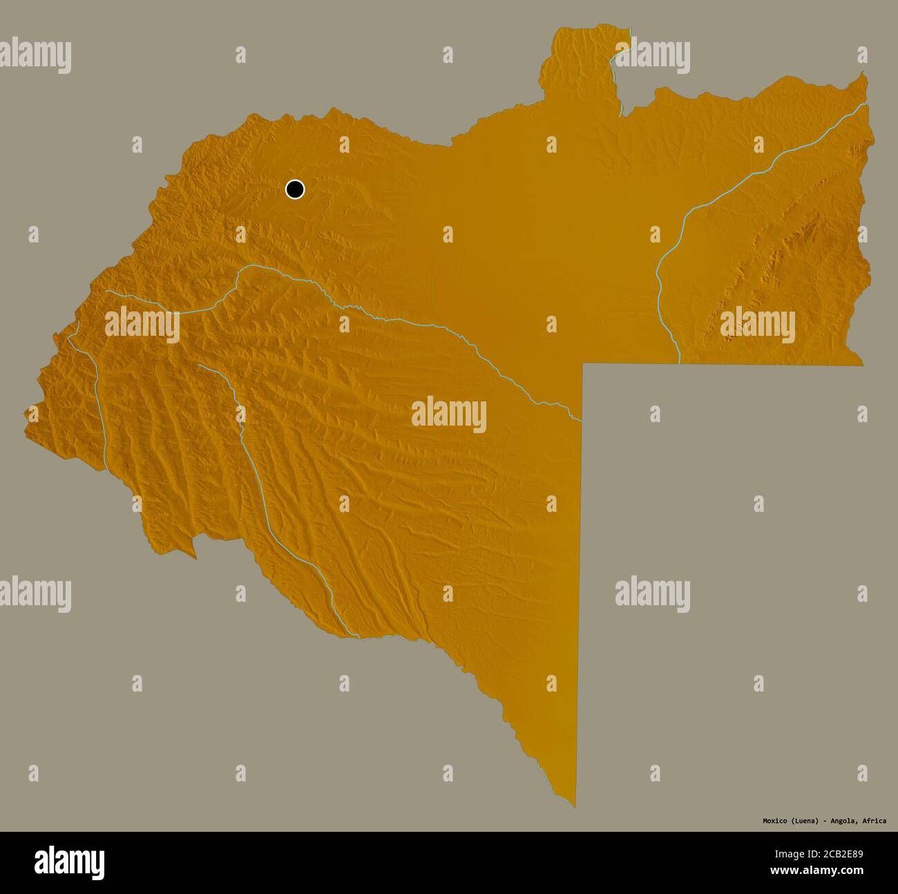 Shape of Moxico, province of Angola, with its capital isolated on a solid color background. Topographic relief map. 3D rendering Stock Photohttps://www.alamy.com/image-license-details/?v=1https://www.alamy.com/shape-of-moxico-province-of-angola-with-its-capital-isolated-on-a-solid-color-background-topographic-relief-map-3d-rendering-image368234057.html
RF2CB2E89–Shape of Moxico, province of Angola, with its capital isolated on a solid color background. Topographic relief map. 3D rendering
 Shape of Moxico, province of Angola, with its capital isolated on a solid color background. Composition of patterned textures. 3D rendering Stock Photohttps://www.alamy.com/image-license-details/?v=1https://www.alamy.com/shape-of-moxico-province-of-angola-with-its-capital-isolated-on-a-solid-color-background-composition-of-patterned-textures-3d-rendering-image368234060.html
RF2CB2E8C–Shape of Moxico, province of Angola, with its capital isolated on a solid color background. Composition of patterned textures. 3D rendering
 Shape of Moxico, province of Angola, with its capital isolated on a solid color background. Bilevel elevation map. 3D rendering Stock Photohttps://www.alamy.com/image-license-details/?v=1https://www.alamy.com/shape-of-moxico-province-of-angola-with-its-capital-isolated-on-a-solid-color-background-bilevel-elevation-map-3d-rendering-image368234059.html
RF2CB2E8B–Shape of Moxico, province of Angola, with its capital isolated on a solid color background. Bilevel elevation map. 3D rendering
 Shape of Moxico, province of Angola, with its capital isolated on solid background. Distance scale, region preview and labels. Composition of patterne Stock Photohttps://www.alamy.com/image-license-details/?v=1https://www.alamy.com/shape-of-moxico-province-of-angola-with-its-capital-isolated-on-solid-background-distance-scale-region-preview-and-labels-composition-of-patterne-image368234054.html
RF2CB2E86–Shape of Moxico, province of Angola, with its capital isolated on solid background. Distance scale, region preview and labels. Composition of patterne
 Desaturated shape of Angola with its capital, main regional division and the separated Moxico area. Labels. Colored elevation map. 3D rendering Stock Photohttps://www.alamy.com/image-license-details/?v=1https://www.alamy.com/desaturated-shape-of-angola-with-its-capital-main-regional-division-and-the-separated-moxico-area-labels-colored-elevation-map-3d-rendering-image368233945.html
RF2CB2E49–Desaturated shape of Angola with its capital, main regional division and the separated Moxico area. Labels. Colored elevation map. 3D rendering
 Desaturated shape of Angola with its capital, main regional division and the separated Moxico area. Labels. Bilevel elevation map. 3D rendering Stock Photohttps://www.alamy.com/image-license-details/?v=1https://www.alamy.com/desaturated-shape-of-angola-with-its-capital-main-regional-division-and-the-separated-moxico-area-labels-bilevel-elevation-map-3d-rendering-image368234049.html
RF2CB2E81–Desaturated shape of Angola with its capital, main regional division and the separated Moxico area. Labels. Bilevel elevation map. 3D rendering
 Desaturated shape of Angola with its capital, main regional division and the separated Moxico area. Labels. Composition of patterned textures. 3D rend Stock Photohttps://www.alamy.com/image-license-details/?v=1https://www.alamy.com/desaturated-shape-of-angola-with-its-capital-main-regional-division-and-the-separated-moxico-area-labels-composition-of-patterned-textures-3d-rend-image368234064.html
RF2CB2E8G–Desaturated shape of Angola with its capital, main regional division and the separated Moxico area. Labels. Composition of patterned textures. 3D rend
 Desaturated shape of Angola with its capital, main regional division and the separated Moxico area. Labels. Topographic relief map. 3D rendering Stock Photohttps://www.alamy.com/image-license-details/?v=1https://www.alamy.com/desaturated-shape-of-angola-with-its-capital-main-regional-division-and-the-separated-moxico-area-labels-topographic-relief-map-3d-rendering-image368234128.html
RF2CB2EAT–Desaturated shape of Angola with its capital, main regional division and the separated Moxico area. Labels. Topographic relief map. 3D rendering
 Zoom in on Moxico (province of Angola) extruded. Oblique perspective. Bilevel elevation map with surface waters. 3D rendering Stock Photohttps://www.alamy.com/image-license-details/?v=1https://www.alamy.com/zoom-in-on-moxico-province-of-angola-extruded-oblique-perspective-bilevel-elevation-map-with-surface-waters-3d-rendering-image364297188.html
RF2C4K4NT–Zoom in on Moxico (province of Angola) extruded. Oblique perspective. Bilevel elevation map with surface waters. 3D rendering
 Zoom in on Moxico (province of Angola) extruded. Oblique perspective. Topographic relief map with surface waters. 3D rendering Stock Photohttps://www.alamy.com/image-license-details/?v=1https://www.alamy.com/zoom-in-on-moxico-province-of-angola-extruded-oblique-perspective-topographic-relief-map-with-surface-waters-3d-rendering-image364297156.html
RF2C4K4MM–Zoom in on Moxico (province of Angola) extruded. Oblique perspective. Topographic relief map with surface waters. 3D rendering
 Zoom in on Moxico (province of Angola) outlined. Oblique perspective. Bilevel elevation map with surface waters. 3D rendering Stock Photohttps://www.alamy.com/image-license-details/?v=1https://www.alamy.com/zoom-in-on-moxico-province-of-angola-outlined-oblique-perspective-bilevel-elevation-map-with-surface-waters-3d-rendering-image364297189.html
RF2C4K4NW–Zoom in on Moxico (province of Angola) outlined. Oblique perspective. Bilevel elevation map with surface waters. 3D rendering
 Zoom in on Moxico (province of Angola) outlined. Oblique perspective. Topographic relief map with surface waters. 3D rendering Stock Photohttps://www.alamy.com/image-license-details/?v=1https://www.alamy.com/zoom-in-on-moxico-province-of-angola-outlined-oblique-perspective-topographic-relief-map-with-surface-waters-3d-rendering-image364297181.html
RF2C4K4NH–Zoom in on Moxico (province of Angola) outlined. Oblique perspective. Topographic relief map with surface waters. 3D rendering
 Moxico, province of Angola. Colored relief with lakes and rivers. Shape presented against its country area with informative overlays. 3D rendering Stock Photohttps://www.alamy.com/image-license-details/?v=1https://www.alamy.com/moxico-province-of-angola-colored-relief-with-lakes-and-rivers-shape-presented-against-its-country-area-with-informative-overlays-3d-rendering-image363573636.html
RF2C3E5TM–Moxico, province of Angola. Colored relief with lakes and rivers. Shape presented against its country area with informative overlays. 3D rendering
 Moxico, province of Angola. Patterned solids with lakes and rivers. Shape presented against its country area with informative overlays. 3D rendering Stock Photohttps://www.alamy.com/image-license-details/?v=1https://www.alamy.com/moxico-province-of-angola-patterned-solids-with-lakes-and-rivers-shape-presented-against-its-country-area-with-informative-overlays-3d-rendering-image363573533.html
RF2C3E5N1–Moxico, province of Angola. Patterned solids with lakes and rivers. Shape presented against its country area with informative overlays. 3D rendering
 Moxico, province of Angola. Grayscaled map with lakes and rivers. Shape presented against its country area with informative overlays. 3D rendering Stock Photohttps://www.alamy.com/image-license-details/?v=1https://www.alamy.com/moxico-province-of-angola-grayscaled-map-with-lakes-and-rivers-shape-presented-against-its-country-area-with-informative-overlays-3d-rendering-image363573560.html
RF2C3E5P0–Moxico, province of Angola. Grayscaled map with lakes and rivers. Shape presented against its country area with informative overlays. 3D rendering
 Shape of Moxico, province of Angola, with its capital isolated on solid background. Distance scale, region preview and labels. Bilevel elevation map. Stock Photohttps://www.alamy.com/image-license-details/?v=1https://www.alamy.com/shape-of-moxico-province-of-angola-with-its-capital-isolated-on-solid-background-distance-scale-region-preview-and-labels-bilevel-elevation-map-image368234047.html
RF2CB2E7Y–Shape of Moxico, province of Angola, with its capital isolated on solid background. Distance scale, region preview and labels. Bilevel elevation map.
 Shape of Moxico, province of Angola, with its capital isolated on solid background. Distance scale, region preview and labels. Topographic relief map. Stock Photohttps://www.alamy.com/image-license-details/?v=1https://www.alamy.com/shape-of-moxico-province-of-angola-with-its-capital-isolated-on-solid-background-distance-scale-region-preview-and-labels-topographic-relief-map-image368234140.html
RF2CB2EB8–Shape of Moxico, province of Angola, with its capital isolated on solid background. Distance scale, region preview and labels. Topographic relief map.
 Shape of Moxico, province of Angola, with its capital isolated on solid background. Distance scale, region preview and labels. Colored elevation map. Stock Photohttps://www.alamy.com/image-license-details/?v=1https://www.alamy.com/shape-of-moxico-province-of-angola-with-its-capital-isolated-on-solid-background-distance-scale-region-preview-and-labels-colored-elevation-map-image368233941.html
RF2CB2E45–Shape of Moxico, province of Angola, with its capital isolated on solid background. Distance scale, region preview and labels. Colored elevation map.
 Zoom in on Moxico (province of Angola) extruded. Oblique perspective. Colored and bumped map of the administrative division with surface waters. 3D re Stock Photohttps://www.alamy.com/image-license-details/?v=1https://www.alamy.com/zoom-in-on-moxico-province-of-angola-extruded-oblique-perspective-colored-and-bumped-map-of-the-administrative-division-with-surface-waters-3d-re-image364297167.html
RF2C4K4N3–Zoom in on Moxico (province of Angola) extruded. Oblique perspective. Colored and bumped map of the administrative division with surface waters. 3D re
 Zoom in on Moxico (province of Angola) outlined. Oblique perspective. Colored and bumped map of the administrative division with surface waters. 3D re Stock Photohttps://www.alamy.com/image-license-details/?v=1https://www.alamy.com/zoom-in-on-moxico-province-of-angola-outlined-oblique-perspective-colored-and-bumped-map-of-the-administrative-division-with-surface-waters-3d-re-image364297193.html
RF2C4K4P1–Zoom in on Moxico (province of Angola) outlined. Oblique perspective. Colored and bumped map of the administrative division with surface waters. 3D re
 Moxico, province of Angola. Colored shader data with lakes and rivers. Shape presented against its country area with informative overlays. 3D renderin Stock Photohttps://www.alamy.com/image-license-details/?v=1https://www.alamy.com/moxico-province-of-angola-colored-shader-data-with-lakes-and-rivers-shape-presented-against-its-country-area-with-informative-overlays-3d-renderin-image363573537.html
RF2C3E5N5–Moxico, province of Angola. Colored shader data with lakes and rivers. Shape presented against its country area with informative overlays. 3D renderin