Quick filters:
M4 motorway aerial Stock Photos and Images
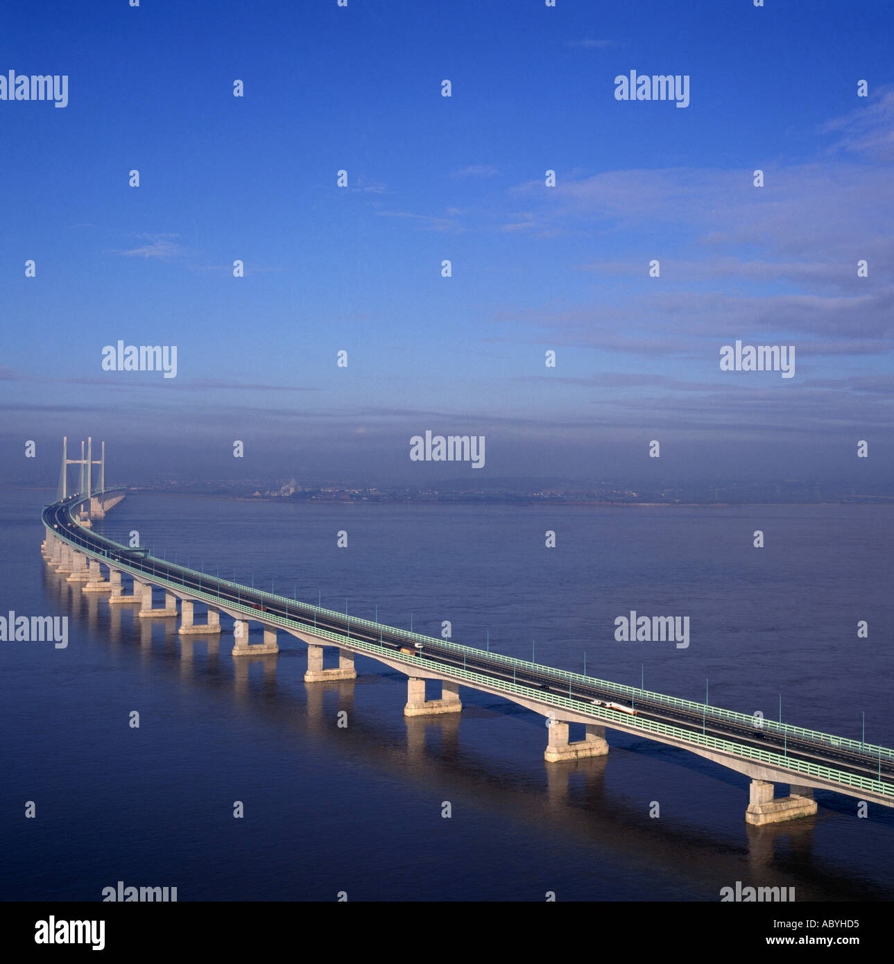 Second Severn Crossing bridge and M4 motorway linking England and Wales aerial view Stock Photohttps://www.alamy.com/image-license-details/?v=1https://www.alamy.com/second-severn-crossing-bridge-and-m4-motorway-linking-england-and-image4240852.html
RMABYHD5–Second Severn Crossing bridge and M4 motorway linking England and Wales aerial view
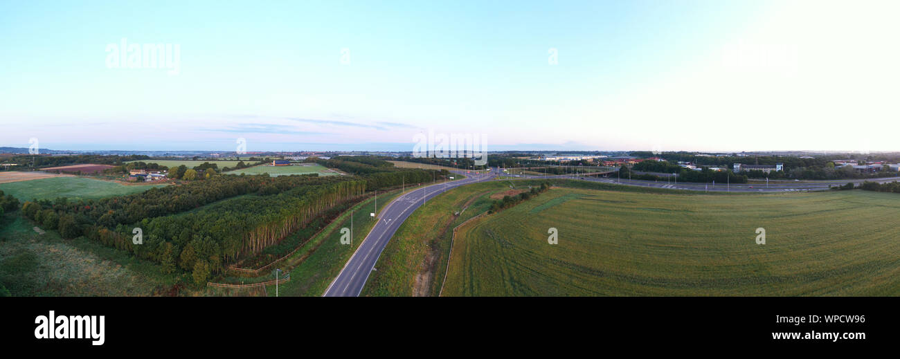 Aerial panorama view of Swindon M4 Junction 16 Stock Photohttps://www.alamy.com/image-license-details/?v=1https://www.alamy.com/aerial-panorama-view-of-swindon-m4-junction-16-image271961234.html
RFWPCW96–Aerial panorama view of Swindon M4 Junction 16
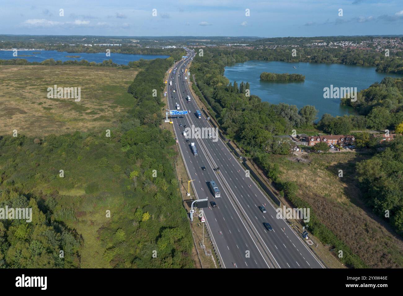 Aerial view of the M4 motorway heading NW, Burghfield, Reading, UK. Stock Photohttps://www.alamy.com/image-license-details/?v=1https://www.alamy.com/aerial-view-of-the-m4-motorway-heading-nw-burghfield-reading-uk-image636106422.html
RM2YXW46E–Aerial view of the M4 motorway heading NW, Burghfield, Reading, UK.
 Transport - M4 Tunnel - Brynglas, Newport, Wales. Aerial shot of the M4 Tunnel at Brynglas, Newport, Wales, which leads onto Usk Bridge over the River Usk. Stock Photohttps://www.alamy.com/image-license-details/?v=1https://www.alamy.com/stock-photo-transport-m4-tunnel-brynglas-newport-wales-aerial-shot-of-the-m4-tunnel-108343539.html
RMG87D83–Transport - M4 Tunnel - Brynglas, Newport, Wales. Aerial shot of the M4 Tunnel at Brynglas, Newport, Wales, which leads onto Usk Bridge over the River Usk.
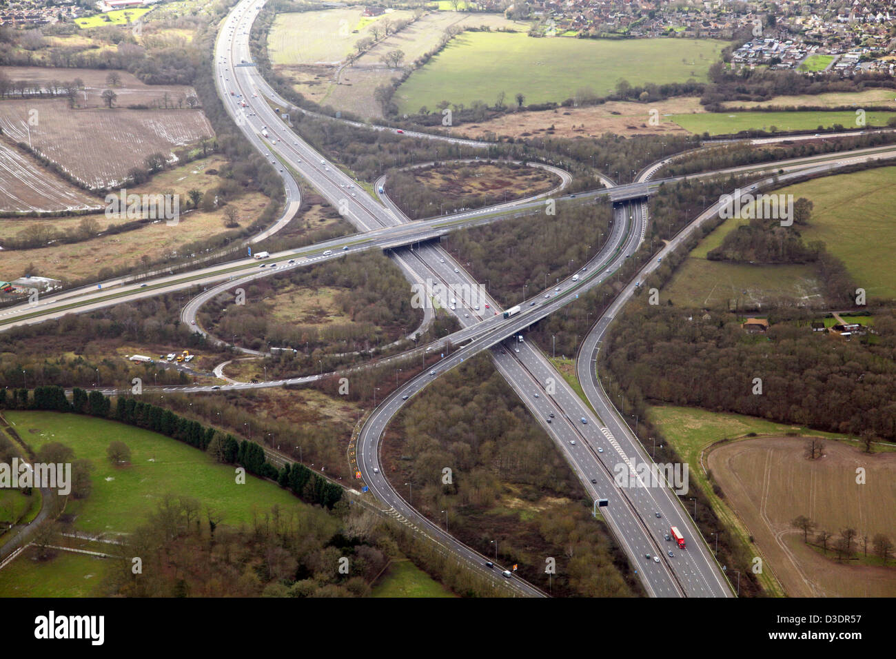 aerial view of Junction 10 of the M4 motorway at Wokingham, the A329(M) dual carriageway intersection Stock Photohttps://www.alamy.com/image-license-details/?v=1https://www.alamy.com/stock-photo-aerial-view-of-junction-10-of-the-m4-motorway-at-wokingham-the-a329m-53778627.html
RMD3DR57–aerial view of Junction 10 of the M4 motorway at Wokingham, the A329(M) dual carriageway intersection
 M4 Motorway Construction, June 1970. Reading Stock Photohttps://www.alamy.com/image-license-details/?v=1https://www.alamy.com/stock-photo-m4-motorway-construction-june-1970-reading-84792187.html
RMEWXH8B–M4 Motorway Construction, June 1970. Reading
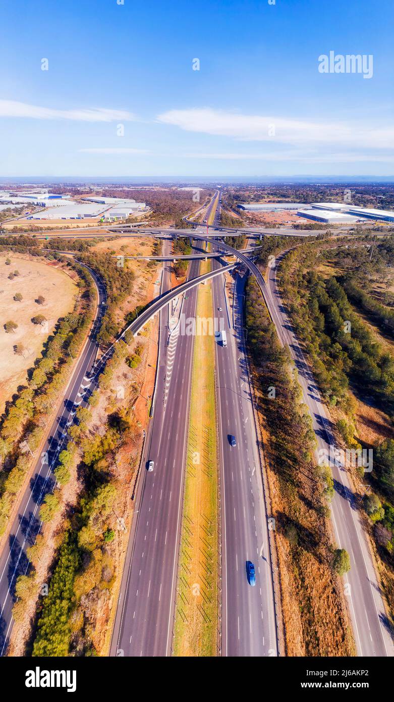 High speed motorway M4 and M7 at Light horse intersection in Sydney West - vertical aerial panorama. Stock Photohttps://www.alamy.com/image-license-details/?v=1https://www.alamy.com/high-speed-motorway-m4-and-m7-at-light-horse-intersection-in-sydney-west-vertical-aerial-panorama-image468602906.html
RF2J6AKP2–High speed motorway M4 and M7 at Light horse intersection in Sydney West - vertical aerial panorama.
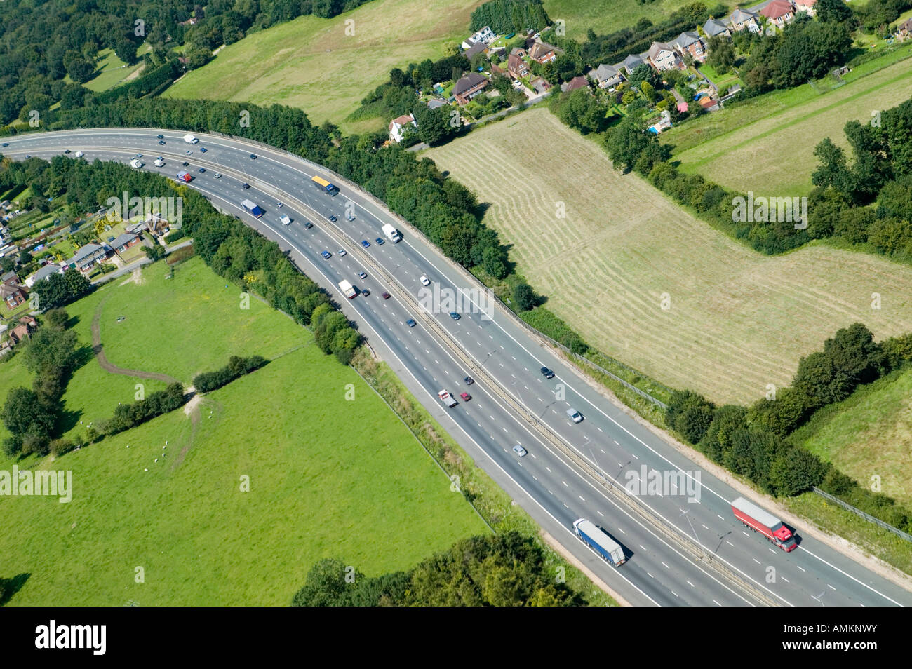 M4 Motorway Stock Photohttps://www.alamy.com/image-license-details/?v=1https://www.alamy.com/stock-photo-m4-motorway-15289094.html
RFAMKNWY–M4 Motorway
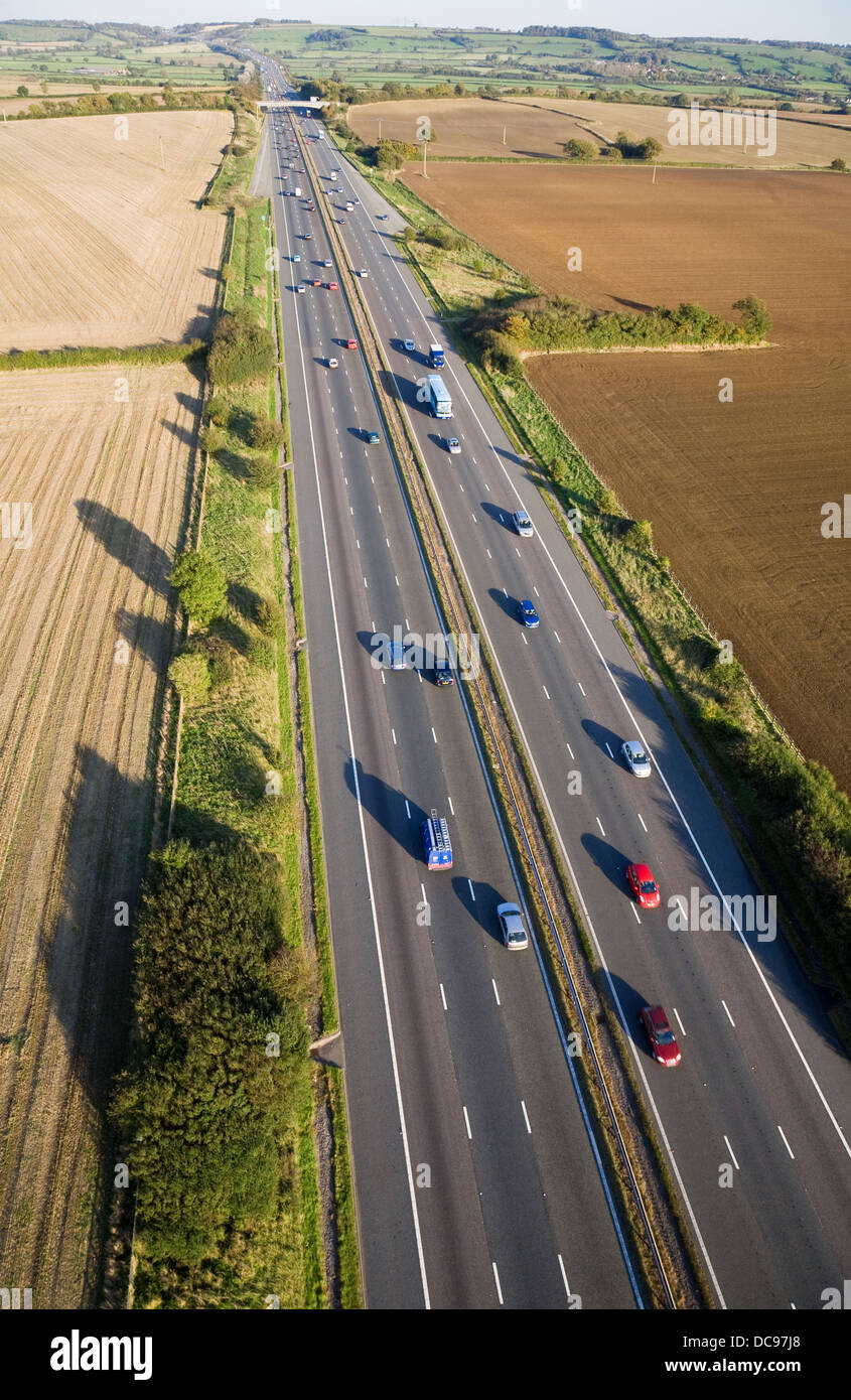 Aerial view of moving traffic on the M4 motorway in Somerset, England. Stock Photohttps://www.alamy.com/image-license-details/?v=1https://www.alamy.com/stock-photo-aerial-view-of-moving-traffic-on-the-m4-motorway-in-somerset-england-59210544.html
RFDC97J8–Aerial view of moving traffic on the M4 motorway in Somerset, England.
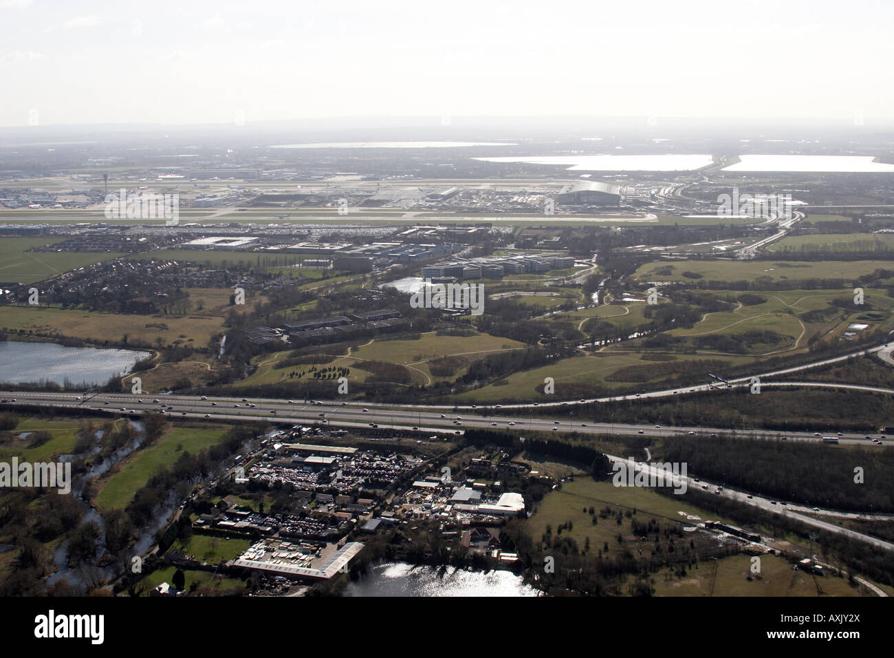 High level oblique aerial view east of Heathrow Airport M4 Motorway Hillingdon London TW6 England UK Feb 2006 Stock Photohttps://www.alamy.com/image-license-details/?v=1https://www.alamy.com/stock-photo-high-level-oblique-aerial-view-east-of-heathrow-airport-m4-motorway-16861969.html
RMAXJY2X–High level oblique aerial view east of Heathrow Airport M4 Motorway Hillingdon London TW6 England UK Feb 2006
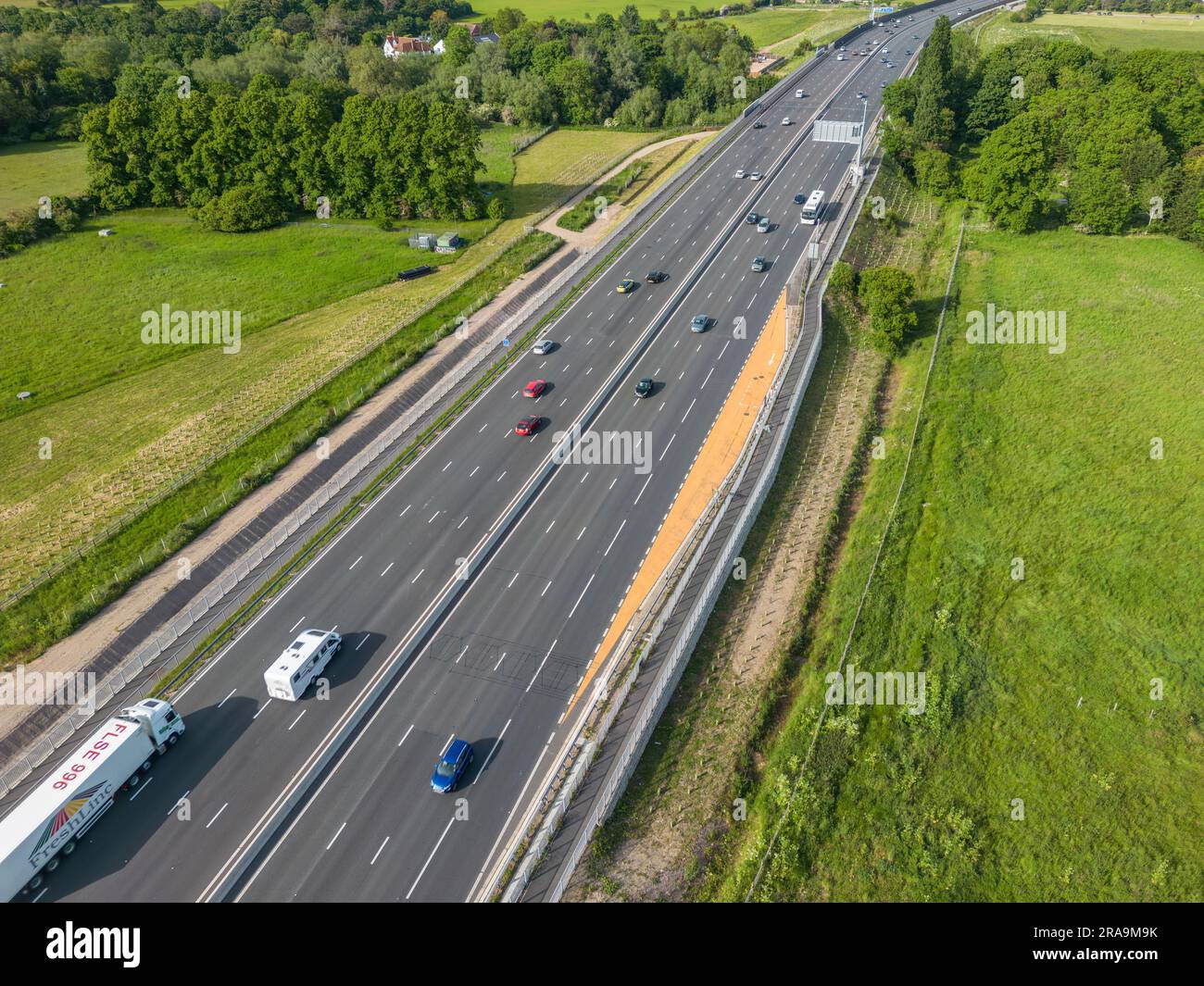 Aerial view of an emergency refuge on the Smart Motorway section of the M4 motorway, Dorney Reach, Bucks, UK. Stock Photohttps://www.alamy.com/image-license-details/?v=1https://www.alamy.com/aerial-view-of-an-emergency-refuge-on-the-smart-motorway-section-of-the-m4-motorway-dorney-reach-bucks-uk-image557091855.html
RM2RA9M9K–Aerial view of an emergency refuge on the Smart Motorway section of the M4 motorway, Dorney Reach, Bucks, UK.
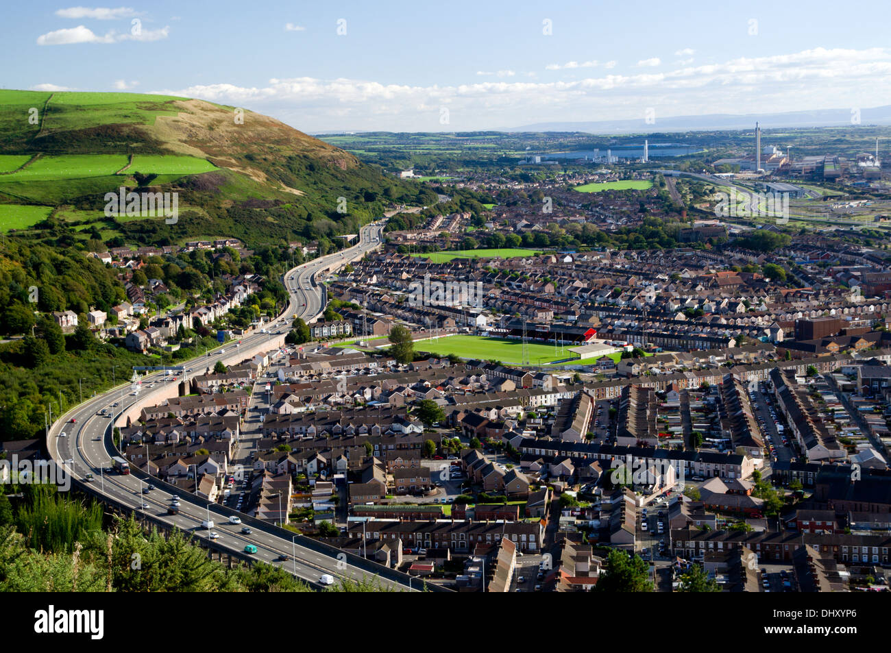 View of Port Talbot and the M4 motorway from Mynydd Dinas, Neath Port talbot, South Wales. Stock Photohttps://www.alamy.com/image-license-details/?v=1https://www.alamy.com/view-of-port-talbot-and-the-m4-motorway-from-mynydd-dinas-neath-port-image62672798.html
RMDHXYP6–View of Port Talbot and the M4 motorway from Mynydd Dinas, Neath Port talbot, South Wales.
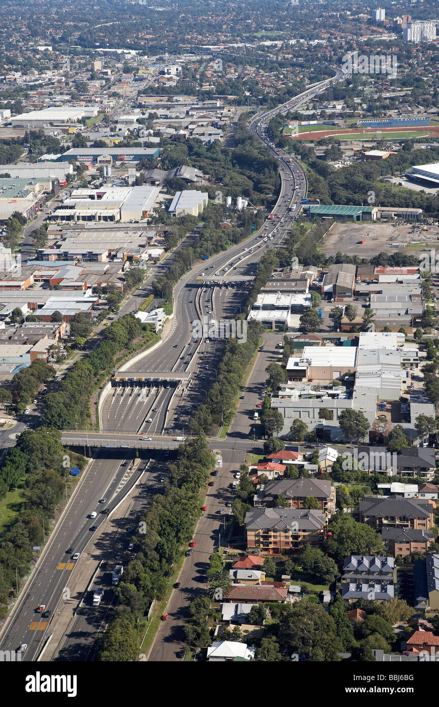 M4 Motorway Toll Station Silverwater Sydney New South Wales Australia aerial Stock Photohttps://www.alamy.com/image-license-details/?v=1https://www.alamy.com/stock-photo-m4-motorway-toll-station-silverwater-sydney-new-south-wales-australia-24371748.html
RMBBJ6BG–M4 Motorway Toll Station Silverwater Sydney New South Wales Australia aerial
 Horizontal wide angle aerial view of traffic speeding along the M4 motorway on a bright sunny day. Stock Photohttps://www.alamy.com/image-license-details/?v=1https://www.alamy.com/stock-photo-horizontal-wide-angle-aerial-view-of-traffic-speeding-along-the-m4-11420767.html
RFA60H1M–Horizontal wide angle aerial view of traffic speeding along the M4 motorway on a bright sunny day.
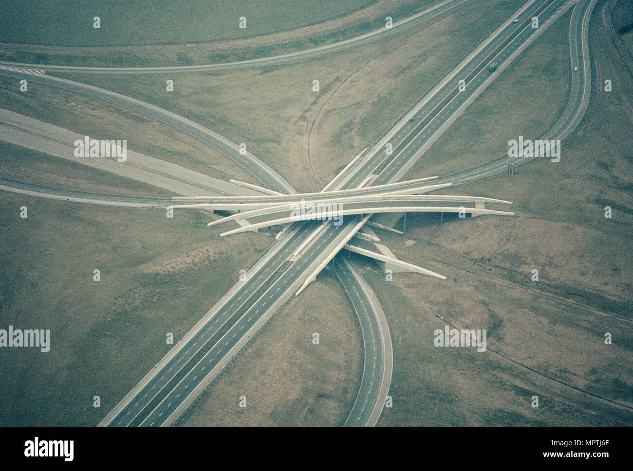 Almondsbury Interchange motorway junction, Bristol, 1970. Artist: Jim Hancock. Stock Photohttps://www.alamy.com/image-license-details/?v=1https://www.alamy.com/almondsbury-interchange-motorway-junction-bristol-1970-artist-jim-hancock-image186167255.html
RMMPTJ6F–Almondsbury Interchange motorway junction, Bristol, 1970. Artist: Jim Hancock.
 Aerial photography over South Wales. Port Talbot town centre and M4 motorway.Wales, UK. 13/4/16 Stock Photohttps://www.alamy.com/image-license-details/?v=1https://www.alamy.com/aerial-photography-over-south-wales-port-talbot-town-centre-and-m4-motorwaywales-uk-13416-image609176161.html
RM2XB2ABD–Aerial photography over South Wales. Port Talbot town centre and M4 motorway.Wales, UK. 13/4/16
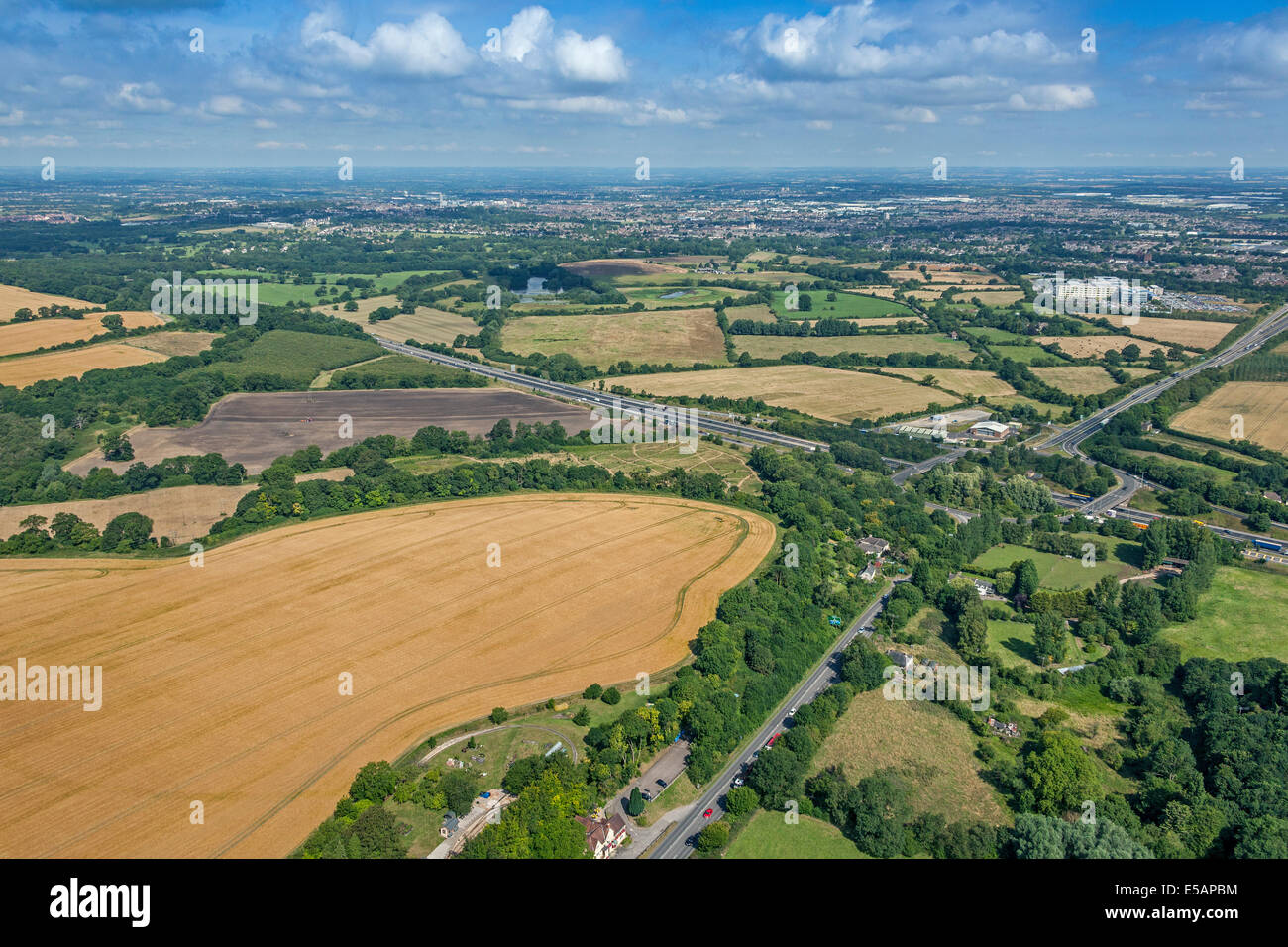 Aerial view towards Swindon and Junction 15 of the M4 Motorway, near Swindon, Wiltshire, UK. JMH6219 Stock Photohttps://www.alamy.com/image-license-details/?v=1https://www.alamy.com/stock-photo-aerial-view-towards-swindon-and-junction-15-of-the-m4-motorway-near-72151848.html
RME5APBM–Aerial view towards Swindon and Junction 15 of the M4 Motorway, near Swindon, Wiltshire, UK. JMH6219
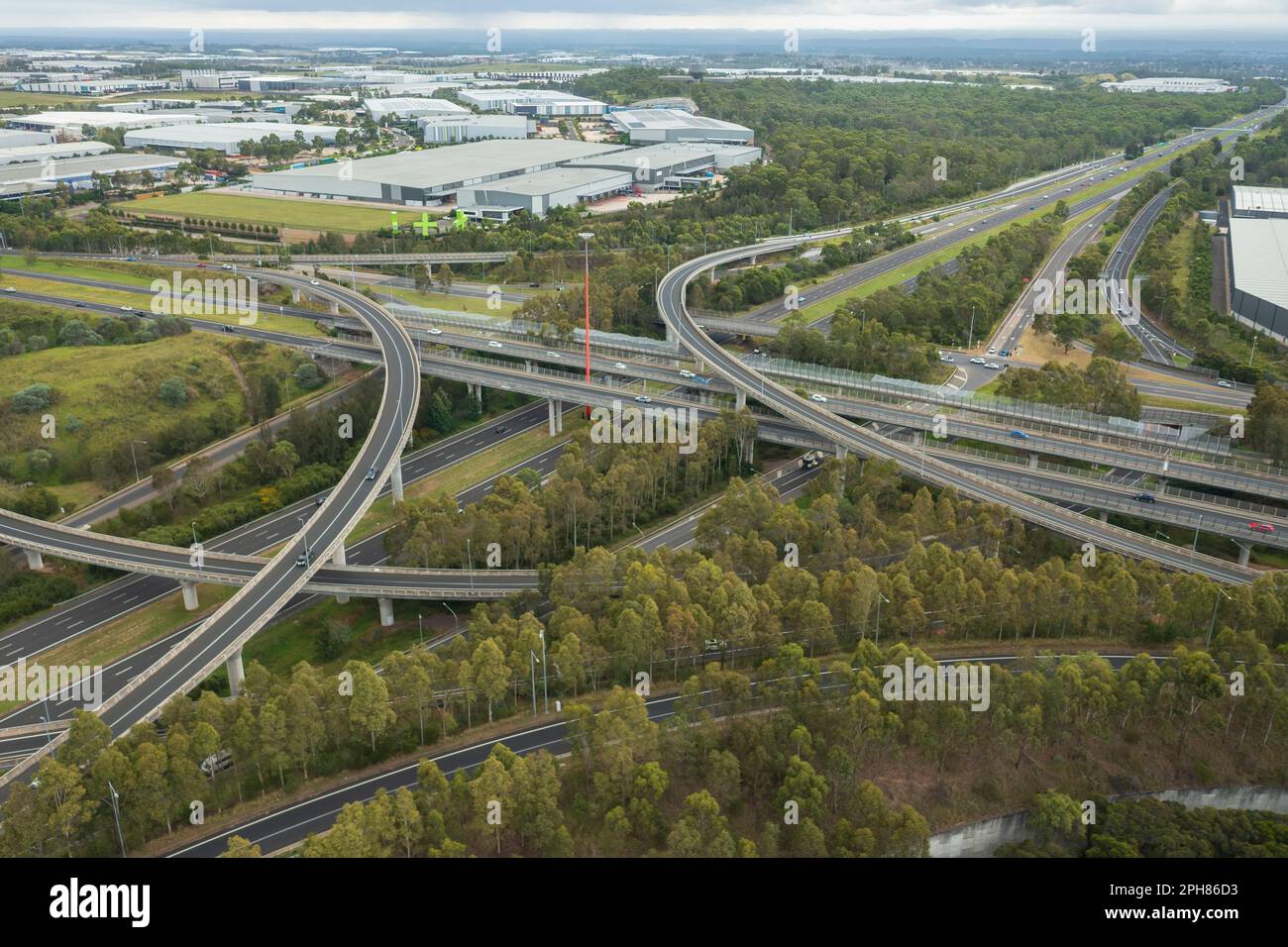 Aerial view of the Light Horse Interchange M4 and M7 motorway junction at Eastern Creek in western Sydney, Australia. Stock Photohttps://www.alamy.com/image-license-details/?v=1https://www.alamy.com/aerial-view-of-the-light-horse-interchange-m4-and-m7-motorway-junction-at-eastern-creek-in-western-sydney-australia-image544151247.html
RF2PH86D3–Aerial view of the Light Horse Interchange M4 and M7 motorway junction at Eastern Creek in western Sydney, Australia.
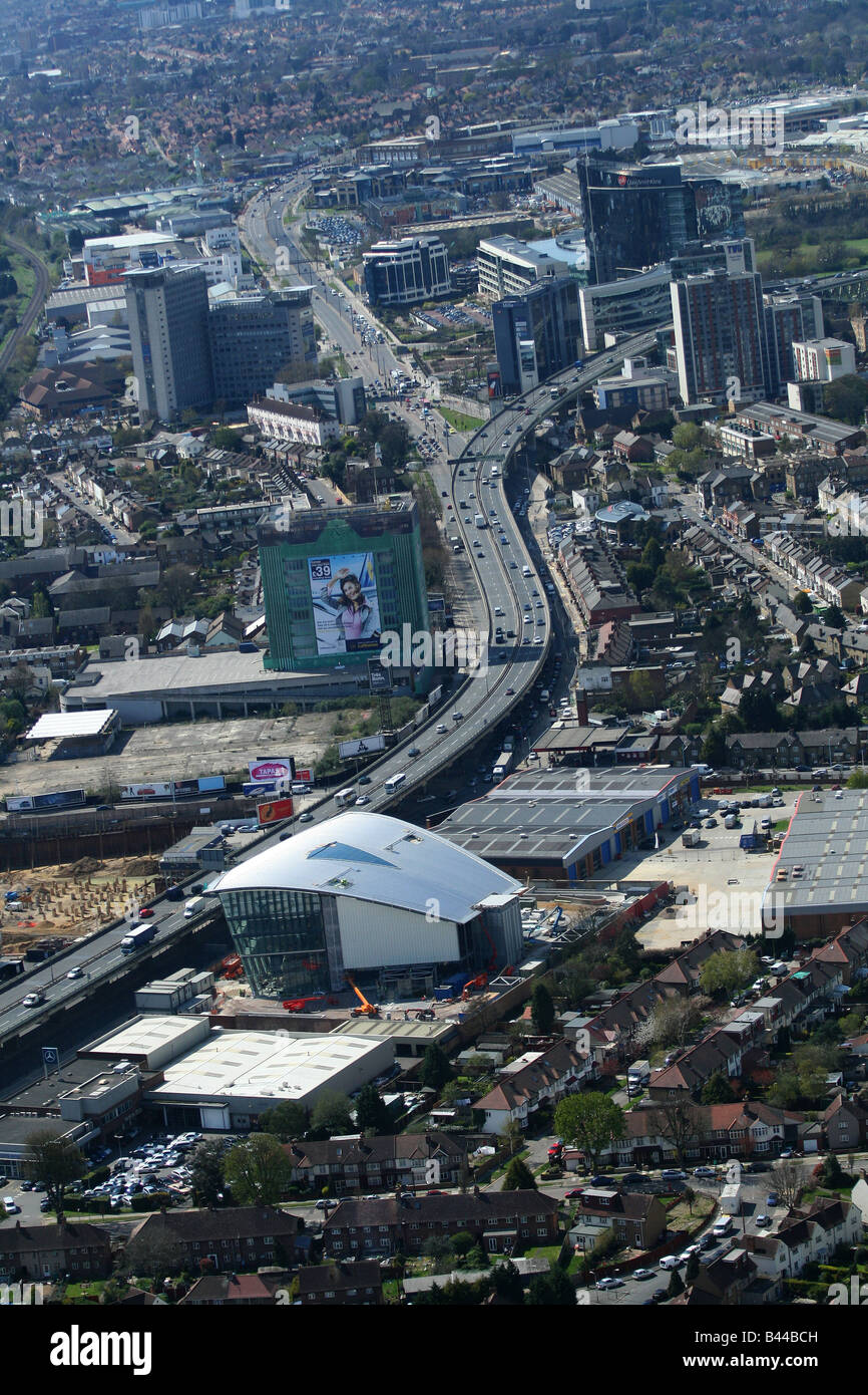 Aerial photograph of the M4 elvated section Stock Photohttps://www.alamy.com/image-license-details/?v=1https://www.alamy.com/stock-photo-aerial-photograph-of-the-m4-elvated-section-19765777.html
RMB44BCH–Aerial photograph of the M4 elvated section
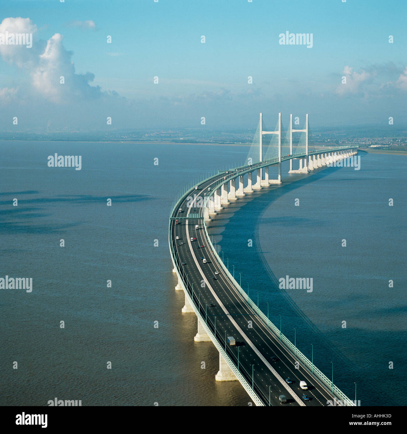 M4 Motorway over Second Severn Crossing bridge between Wales and Gloucestershire UK aerial view Stock Photohttps://www.alamy.com/image-license-details/?v=1https://www.alamy.com/m4-motorway-over-second-severn-crossing-bridge-between-wales-and-gloucestershire-image4726588.html
RMAHHK3D–M4 Motorway over Second Severn Crossing bridge between Wales and Gloucestershire UK aerial view
 Aerial panorama view of Swindon M4 Junction 16 Stock Photohttps://www.alamy.com/image-license-details/?v=1https://www.alamy.com/aerial-panorama-view-of-swindon-m4-junction-16-image271891531.html
RFWP9MBR–Aerial panorama view of Swindon M4 Junction 16
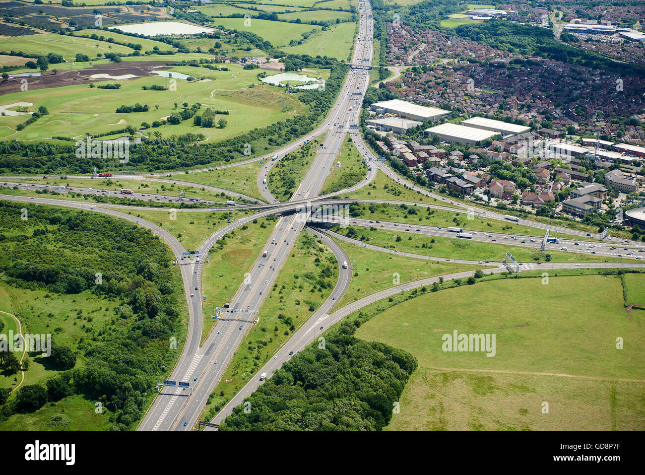 M4/M5 Motorway Interchange, South West England, Nr Bristol, UK Stock Photohttps://www.alamy.com/image-license-details/?v=1https://www.alamy.com/stock-photo-m4m5-motorway-interchange-south-west-england-nr-bristol-uk-111445811.html
RMGD8P7F–M4/M5 Motorway Interchange, South West England, Nr Bristol, UK
 M4 Tunnel - Brynglas, Newport, Wales. Aerial shot of the M4 Tunnel at Brynglas, Newport, Wales, which leads on to Usk Bridge over the River Usk. Stock Photohttps://www.alamy.com/image-license-details/?v=1https://www.alamy.com/stock-photo-m4-tunnel-brynglas-newport-wales-aerial-shot-of-the-m4-tunnel-at-brynglas-108343538.html
RMG87D82–M4 Tunnel - Brynglas, Newport, Wales. Aerial shot of the M4 Tunnel at Brynglas, Newport, Wales, which leads on to Usk Bridge over the River Usk.
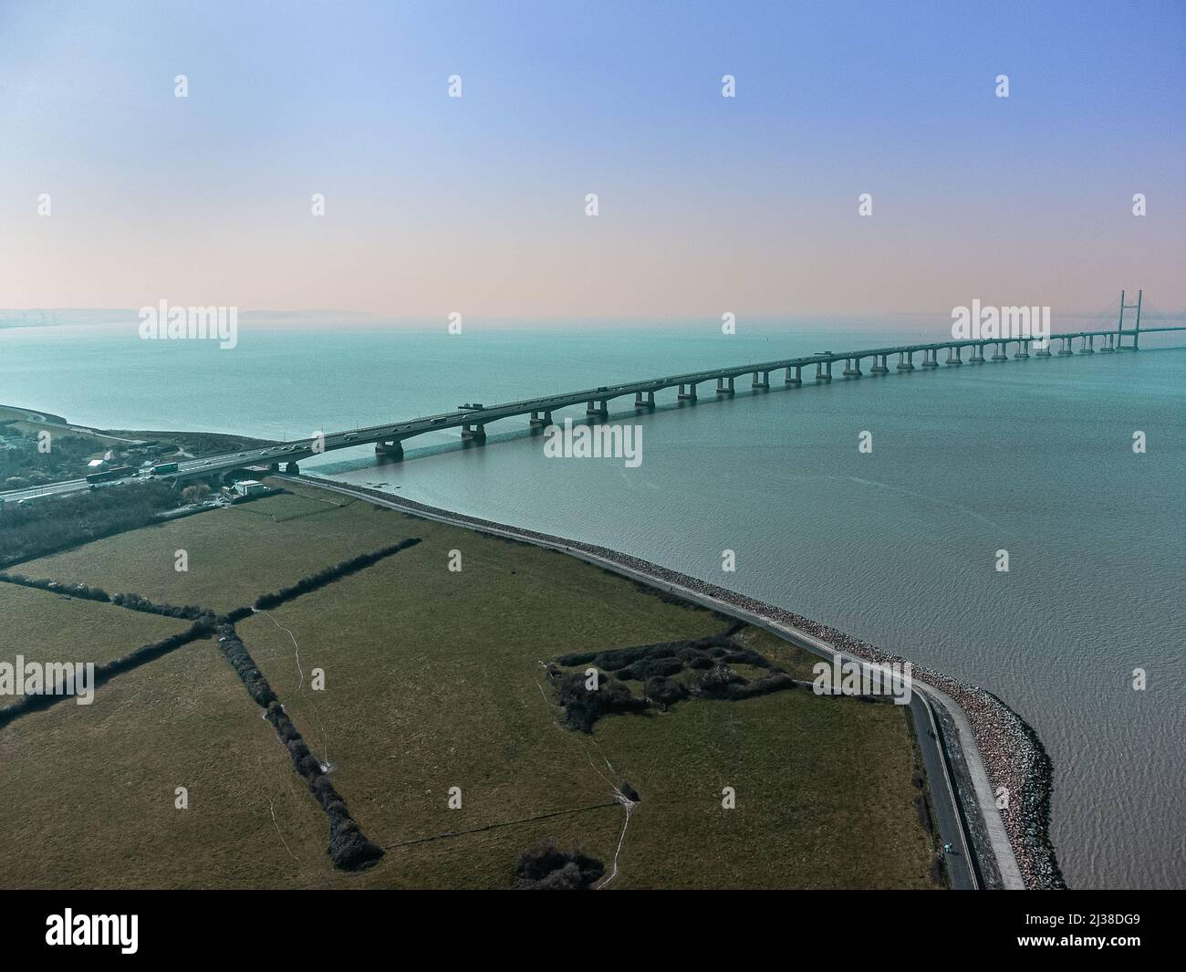 Aerial view of the Second Severn Crossing / Prince of Wales bridge carrying the M4 motorway between England and Wales across the Bristol Channel Stock Photohttps://www.alamy.com/image-license-details/?v=1https://www.alamy.com/aerial-view-of-the-second-severn-crossing-prince-of-wales-bridge-carrying-the-m4-motorway-between-england-and-wales-across-the-bristol-channel-image466710169.html
RF2J38DG9–Aerial view of the Second Severn Crossing / Prince of Wales bridge carrying the M4 motorway between England and Wales across the Bristol Channel
 M4 Motorway Construction, June 1970. Reading Stock Photohttps://www.alamy.com/image-license-details/?v=1https://www.alamy.com/stock-photo-m4-motorway-construction-june-1970-reading-84790912.html
RMEWXFJT–M4 Motorway Construction, June 1970. Reading
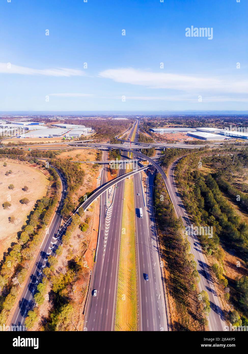 Above high speed motorway M4 and M7 at Light horse intersection in Sydney West - vertical aerial panorama. Stock Photohttps://www.alamy.com/image-license-details/?v=1https://www.alamy.com/above-high-speed-motorway-m4-and-m7-at-light-horse-intersection-in-sydney-west-vertical-aerial-panorama-image468602909.html
RF2J6AKP5–Above high speed motorway M4 and M7 at Light horse intersection in Sydney West - vertical aerial panorama.
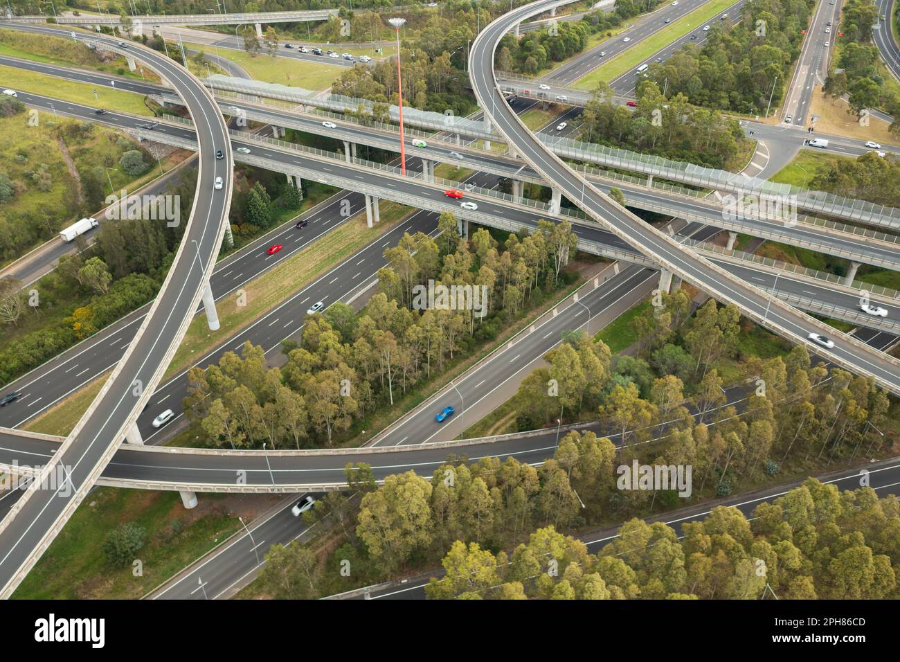 Aerial view of motion blurred traffic at the Light Horse Interchange junction of M4 and M7 motorways at Eastern Creek in western Sydney, Australia. Stock Photohttps://www.alamy.com/image-license-details/?v=1https://www.alamy.com/aerial-view-of-motion-blurred-traffic-at-the-light-horse-interchange-junction-of-m4-and-m7-motorways-at-eastern-creek-in-western-sydney-australia-image544151229.html
RF2PH86CD–Aerial view of motion blurred traffic at the Light Horse Interchange junction of M4 and M7 motorways at Eastern Creek in western Sydney, Australia.
 Wide panoramic aerial view on Light Horse intersection in Sydney West between Motorway M4 and Motorway M7 on a bright sunny day with driving traffic. Stock Photohttps://www.alamy.com/image-license-details/?v=1https://www.alamy.com/stock-photo-wide-panoramic-aerial-view-on-light-horse-intersection-in-sydney-west-174535130.html
RFM3XN9E–Wide panoramic aerial view on Light Horse intersection in Sydney West between Motorway M4 and Motorway M7 on a bright sunny day with driving traffic.
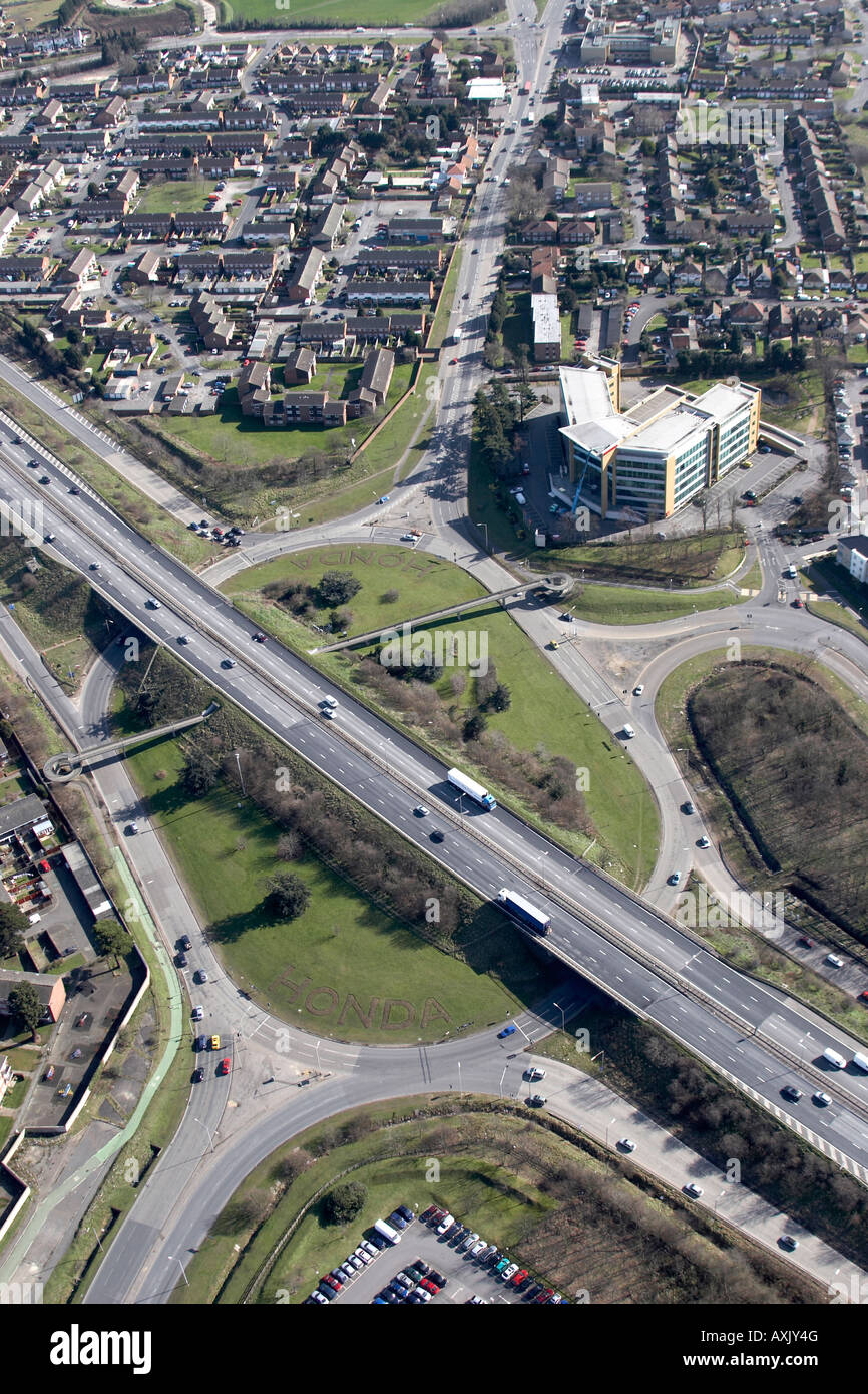 High level oblique aerial view south east of M4 Motorway J 5 Langley roundabout Slough London SL3 England UK Feb 2006 Stock Photohttps://www.alamy.com/image-license-details/?v=1https://www.alamy.com/stock-photo-high-level-oblique-aerial-view-south-east-of-m4-motorway-j-5-langley-16861983.html
RMAXJY4G–High level oblique aerial view south east of M4 Motorway J 5 Langley roundabout Slough London SL3 England UK Feb 2006
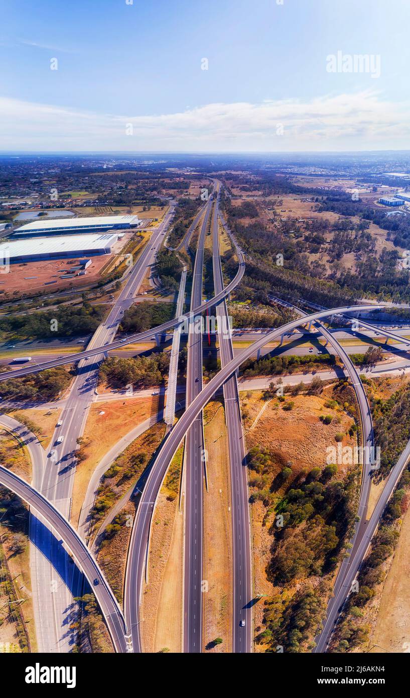 Multi-layer highway intersection on m4 and M7 highways in Sydney west - vertical aerial panorama. Stock Photohttps://www.alamy.com/image-license-details/?v=1https://www.alamy.com/multi-layer-highway-intersection-on-m4-and-m7-highways-in-sydney-west-vertical-aerial-panorama-image468602880.html
RF2J6AKN4–Multi-layer highway intersection on m4 and M7 highways in Sydney west - vertical aerial panorama.
 Aerial view of an emergency refuge on the Smart Motorway section of the M4 motorway, Dorney Reach, Bucks, UK. Stock Photohttps://www.alamy.com/image-license-details/?v=1https://www.alamy.com/aerial-view-of-an-emergency-refuge-on-the-smart-motorway-section-of-the-m4-motorway-dorney-reach-bucks-uk-image557091850.html
RM2RA9M9E–Aerial view of an emergency refuge on the Smart Motorway section of the M4 motorway, Dorney Reach, Bucks, UK.
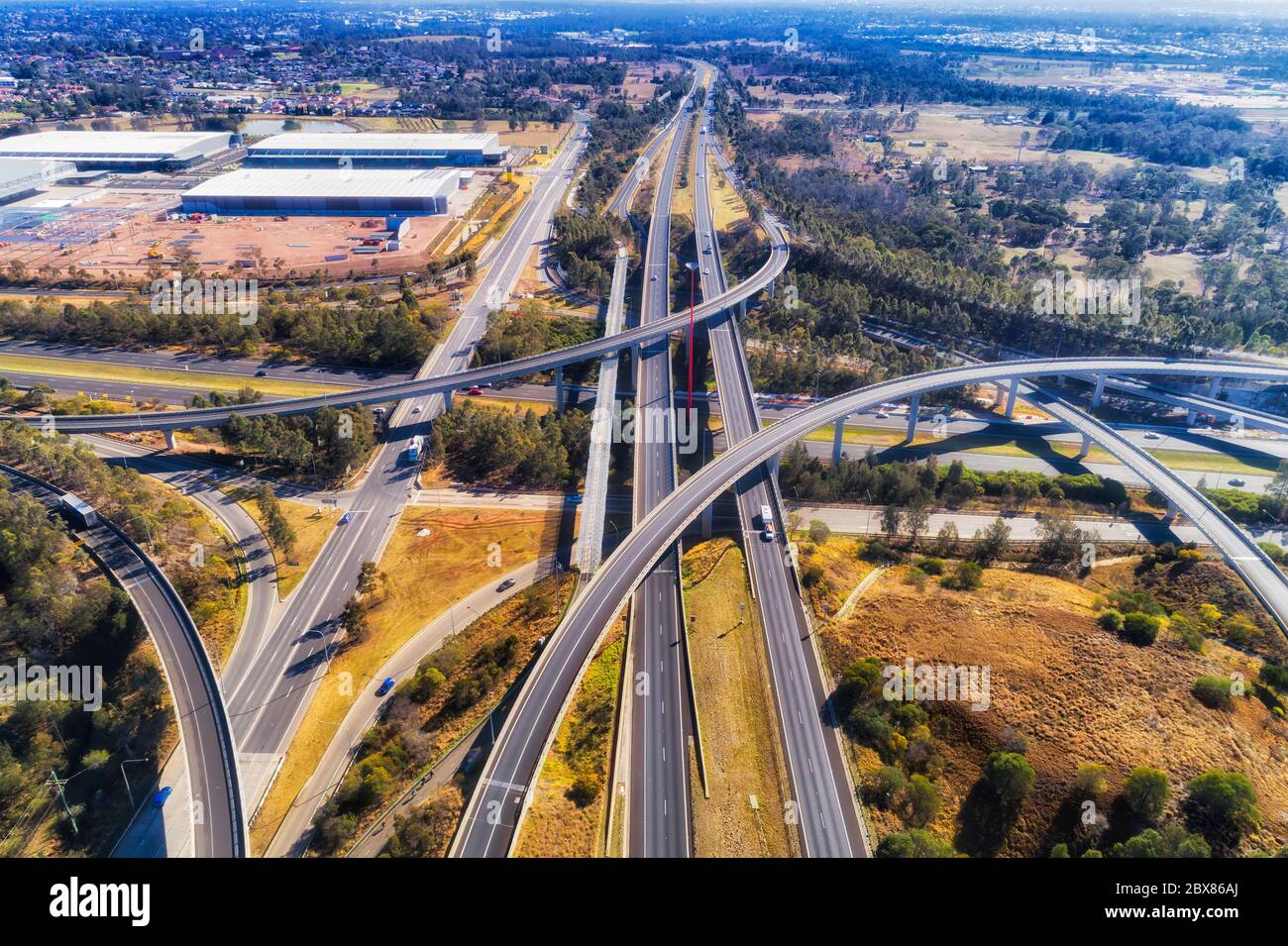 Multi lane major motorways in Western Sydney - multi level lighthorse interchange of M4 and M7 in aerial elevated view above. Stock Photohttps://www.alamy.com/image-license-details/?v=1https://www.alamy.com/multi-lane-major-motorways-in-western-sydney-multi-level-lighthorse-interchange-of-m4-and-m7-in-aerial-elevated-view-above-image360369034.html
RF2BX86AJ–Multi lane major motorways in Western Sydney - multi level lighthorse interchange of M4 and M7 in aerial elevated view above.
 Aerial view of the M4 motorway in Brentford, West London, UK looking east from Boston Manor Park towards Central London. Stock Photohttps://www.alamy.com/image-license-details/?v=1https://www.alamy.com/aerial-view-of-the-m4-motorway-in-brentford-west-london-uk-looking-east-from-boston-manor-park-towards-central-london-image508914772.html
RM2MFY1YG–Aerial view of the M4 motorway in Brentford, West London, UK looking east from Boston Manor Park towards Central London.
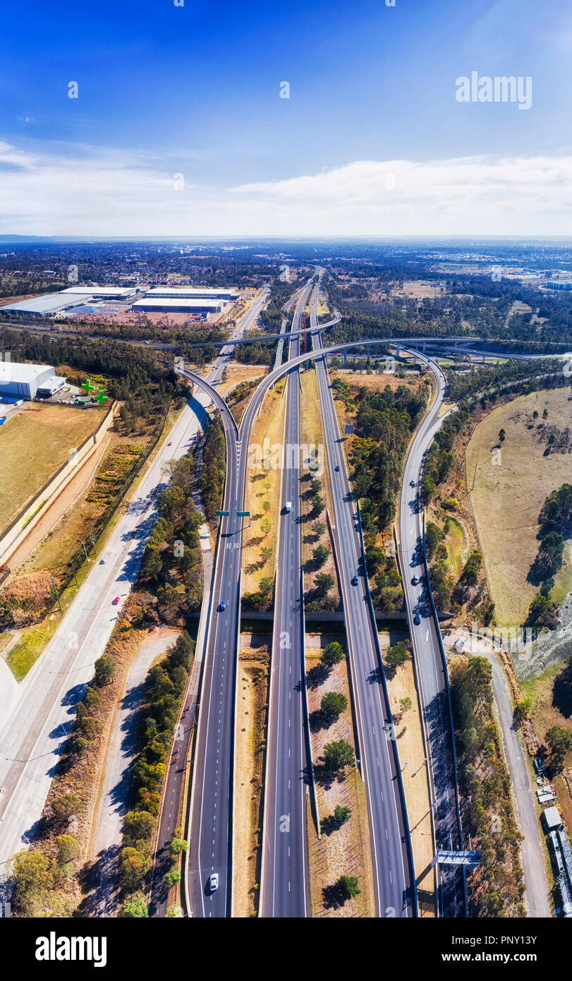 Multiple multi-lane motorways along M7 at Lighthorse interchange in Sydney West crossing Motorway 4 - aerial vertical panorama from ground surface to Stock Photohttps://www.alamy.com/image-license-details/?v=1https://www.alamy.com/multiple-multi-lane-motorways-along-m7-at-lighthorse-interchange-in-sydney-west-crossing-motorway-4-aerial-vertical-panorama-from-ground-surface-to-image220025791.html
RFPNY13Y–Multiple multi-lane motorways along M7 at Lighthorse interchange in Sydney West crossing Motorway 4 - aerial vertical panorama from ground surface to
 View of Port Talbot and the M4 motorway from Mynydd Dinas, Neath Port talbot, South Wales. Stock Photohttps://www.alamy.com/image-license-details/?v=1https://www.alamy.com/view-of-port-talbot-and-the-m4-motorway-from-mynydd-dinas-neath-port-image61628060.html
RMDG7B64–View of Port Talbot and the M4 motorway from Mynydd Dinas, Neath Port talbot, South Wales.
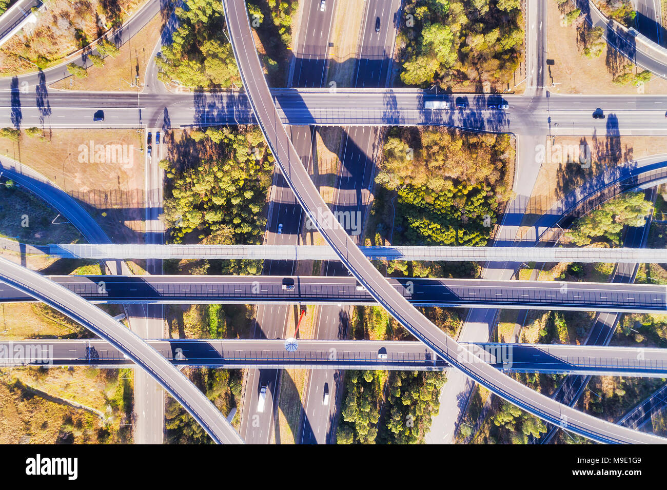 Elevated aerial top down view over multi-lever intersection of two large highways in Sydney - M4 and M7. Tangled light horse interchange with lots of Stock Photohttps://www.alamy.com/image-license-details/?v=1https://www.alamy.com/elevated-aerial-top-down-view-over-multi-lever-intersection-of-two-large-highways-in-sydney-m4-and-m7-tangled-light-horse-interchange-with-lots-of-image177944153.html
RFM9E1G9–Elevated aerial top down view over multi-lever intersection of two large highways in Sydney - M4 and M7. Tangled light horse interchange with lots of
 Horizontal wide angle aerial view of traffic speeding along the M4 motorway on a bright sunny day. Stock Photohttps://www.alamy.com/image-license-details/?v=1https://www.alamy.com/stock-photo-horizontal-wide-angle-aerial-view-of-traffic-speeding-along-the-m4-11420769.html
RFA60H1P–Horizontal wide angle aerial view of traffic speeding along the M4 motorway on a bright sunny day.
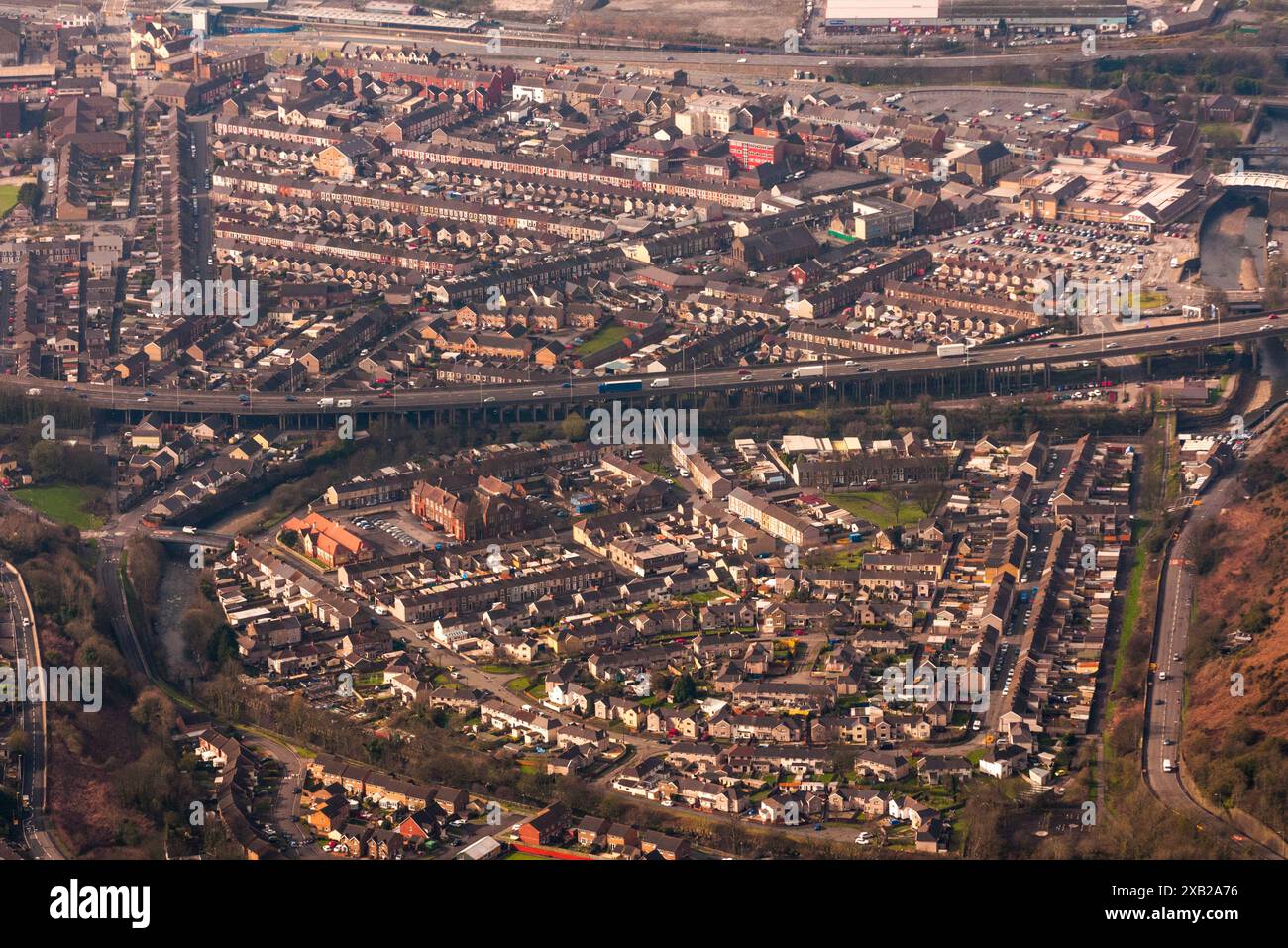 Aerial photography over South Wales. Port Talbot town centre and M4 motorway. Wales, UK. 13/4/16 Stock Photohttps://www.alamy.com/image-license-details/?v=1https://www.alamy.com/aerial-photography-over-south-wales-port-talbot-town-centre-and-m4-motorway-wales-uk-13416-image609176042.html
RM2XB2A76–Aerial photography over South Wales. Port Talbot town centre and M4 motorway. Wales, UK. 13/4/16
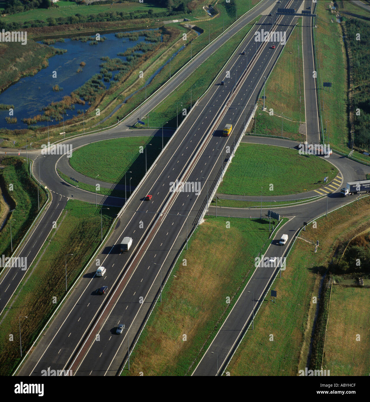 Aerial view of junction and roundabout on M4 UK Stock Photohttps://www.alamy.com/image-license-details/?v=1https://www.alamy.com/aerial-view-of-junction-and-roundabout-on-m4-uk-image4240846.html
RMABYHCF–Aerial view of junction and roundabout on M4 UK
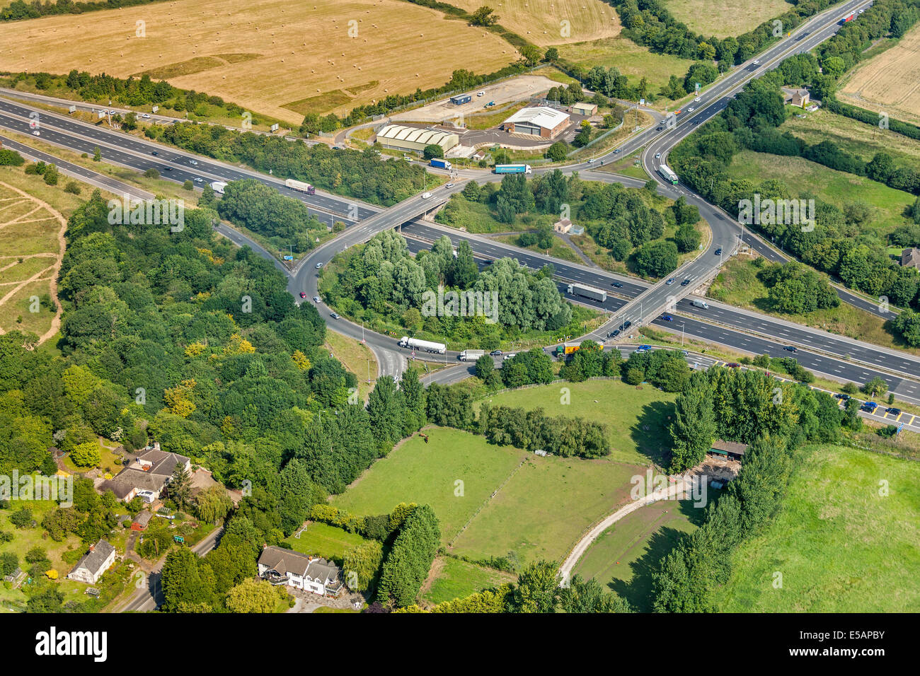 Aerial view of Junction 15 of the M4 Motorway, near Swindon, Wiltshire, UK. JMH6220 Stock Photohttps://www.alamy.com/image-license-details/?v=1https://www.alamy.com/stock-photo-aerial-view-of-junction-15-of-the-m4-motorway-near-swindon-wiltshire-72151855.html
RME5APBY–Aerial view of Junction 15 of the M4 Motorway, near Swindon, Wiltshire, UK. JMH6220
 TV OUT. INTERNET OUT. No cropping permitted. Picture must be credited to BBC News. We are advised that videograbs should not be used more than 48 hours after the time of original transmission, without the consent of the copyright holder. Video grab taken from BBC News of a collision between two cars which happened on the eastbound carriageway of the M4, between junctions 25A and 25, in the Newport area of South Wales. Stock Photohttps://www.alamy.com/image-license-details/?v=1https://www.alamy.com/stock-photo-tv-out-internet-out-no-cropping-permitted-picture-must-be-credited-109625279.html
RMGA9T4F–TV OUT. INTERNET OUT. No cropping permitted. Picture must be credited to BBC News. We are advised that videograbs should not be used more than 48 hours after the time of original transmission, without the consent of the copyright holder. Video grab taken from BBC News of a collision between two cars which happened on the eastbound carriageway of the M4, between junctions 25A and 25, in the Newport area of South Wales.
 Aust Services, Aust, South Gloucestershire, 1971. Artist: Jim Hancock. Stock Photohttps://www.alamy.com/image-license-details/?v=1https://www.alamy.com/aust-services-aust-south-gloucestershire-1971-artist-jim-hancock-image186177156.html
RMMPW2T4–Aust Services, Aust, South Gloucestershire, 1971. Artist: Jim Hancock.
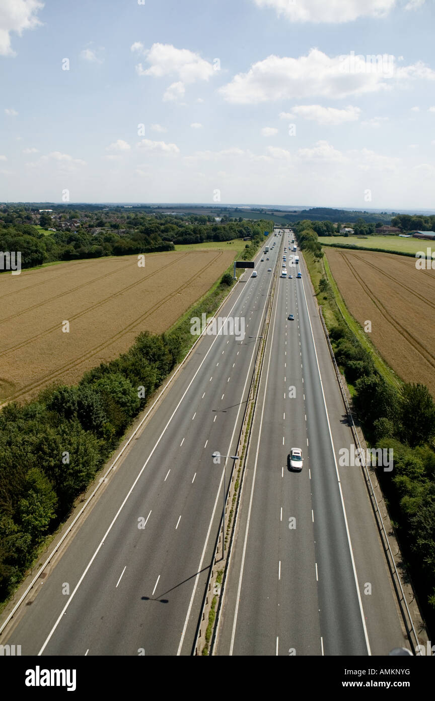 motorway from the air Stock Photohttps://www.alamy.com/image-license-details/?v=1https://www.alamy.com/stock-photo-motorway-from-the-air-15289107.html
RFAMKNYG–motorway from the air
 M4 Motorway Construction, June 1970. Reading Stock Photohttps://www.alamy.com/image-license-details/?v=1https://www.alamy.com/stock-photo-m4-motorway-construction-june-1970-reading-84792616.html
RMEWXHRM–M4 Motorway Construction, June 1970. Reading
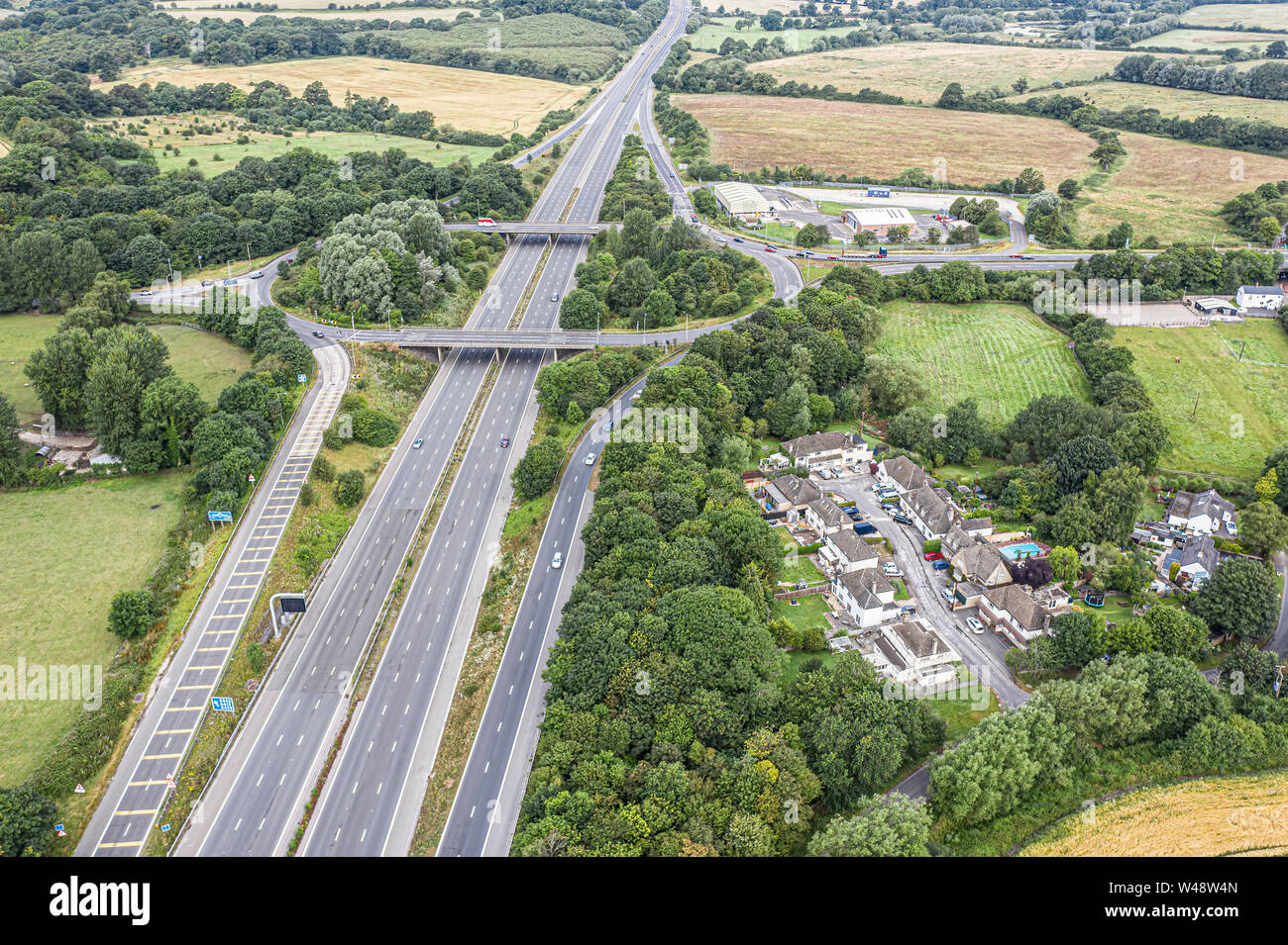 SWINDON UK - JULY 21, 2019: Aerial view of the existing M4 Juntion 15 near Swindon before improvement work starts later this year Stock Photohttps://www.alamy.com/image-license-details/?v=1https://www.alamy.com/swindon-uk-july-21-2019-aerial-view-of-the-existing-m4-juntion-15-near-swindon-before-improvement-work-starts-later-this-year-image260809493.html
RMW48W4N–SWINDON UK - JULY 21, 2019: Aerial view of the existing M4 Juntion 15 near Swindon before improvement work starts later this year
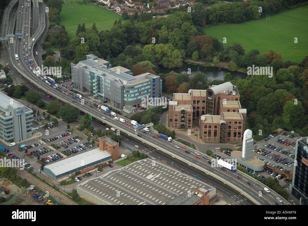 Aerial view of the EMC Tower and Park View in Brentford overlooking the M4, Gunnersbury Park and the Great West Road Stock Photohttps://www.alamy.com/image-license-details/?v=1https://www.alamy.com/aerial-view-of-the-emc-tower-and-park-view-in-brentford-overlooking-image7671943.html
RMADHMT8–Aerial view of the EMC Tower and Park View in Brentford overlooking the M4, Gunnersbury Park and the Great West Road
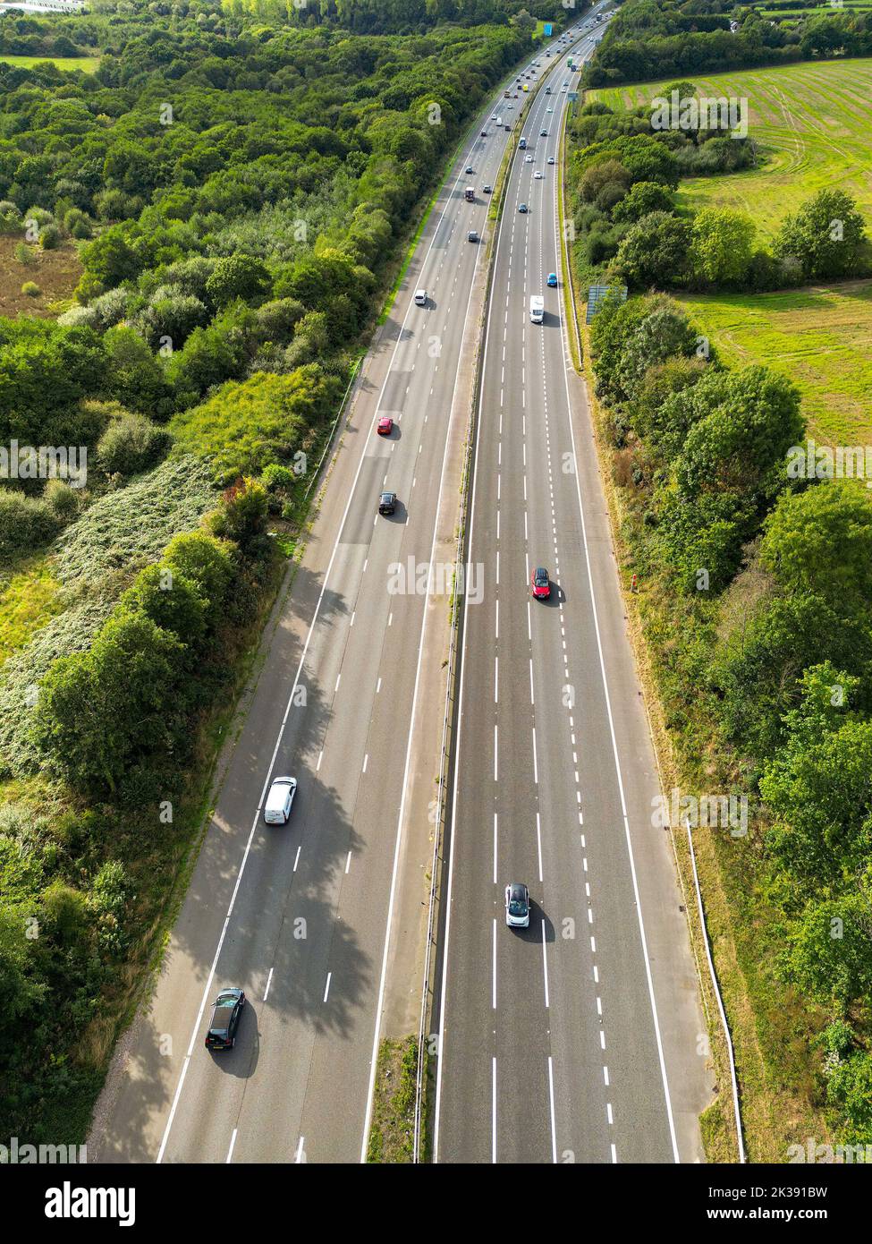 Cardiff, Wales - August 2022: Aerial view of traffic on the M4 motorway on the outskirts of Cardiff in south Wales Stock Photohttps://www.alamy.com/image-license-details/?v=1https://www.alamy.com/cardiff-wales-august-2022-aerial-view-of-traffic-on-the-m4-motorway-on-the-outskirts-of-cardiff-in-south-wales-image483932957.html
RF2K391BW–Cardiff, Wales - August 2022: Aerial view of traffic on the M4 motorway on the outskirts of Cardiff in south Wales
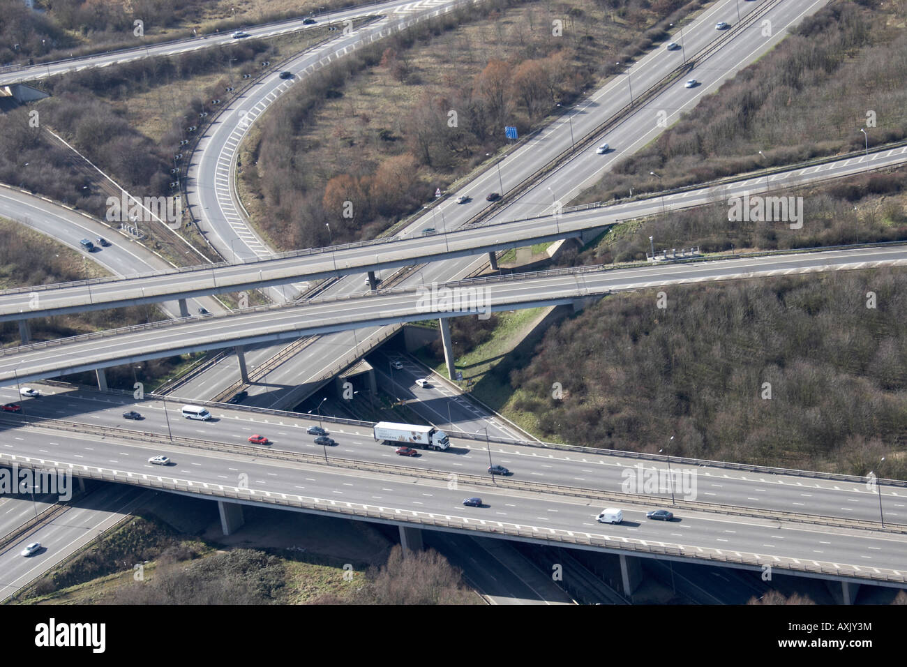 High level oblique abstract aerial view south of M25 Motorway J15 and M4 J4b Slough London SL3 England UK Feb 2006 Stock Photohttps://www.alamy.com/image-license-details/?v=1https://www.alamy.com/stock-photo-high-level-oblique-abstract-aerial-view-south-of-m25-motorway-j15-16861975.html
RMAXJY3M–High level oblique abstract aerial view south of M25 Motorway J15 and M4 J4b Slough London SL3 England UK Feb 2006
 Second Severn Crossing infrastructure project linking England and Wales via M4 motorway dual carriageway approach road in South Gloucestershire UK Stock Photohttps://www.alamy.com/image-license-details/?v=1https://www.alamy.com/second-severn-crossing-infrastructure-project-linking-england-and-image3361017.html
RMA1MTFA–Second Severn Crossing infrastructure project linking England and Wales via M4 motorway dual carriageway approach road in South Gloucestershire UK
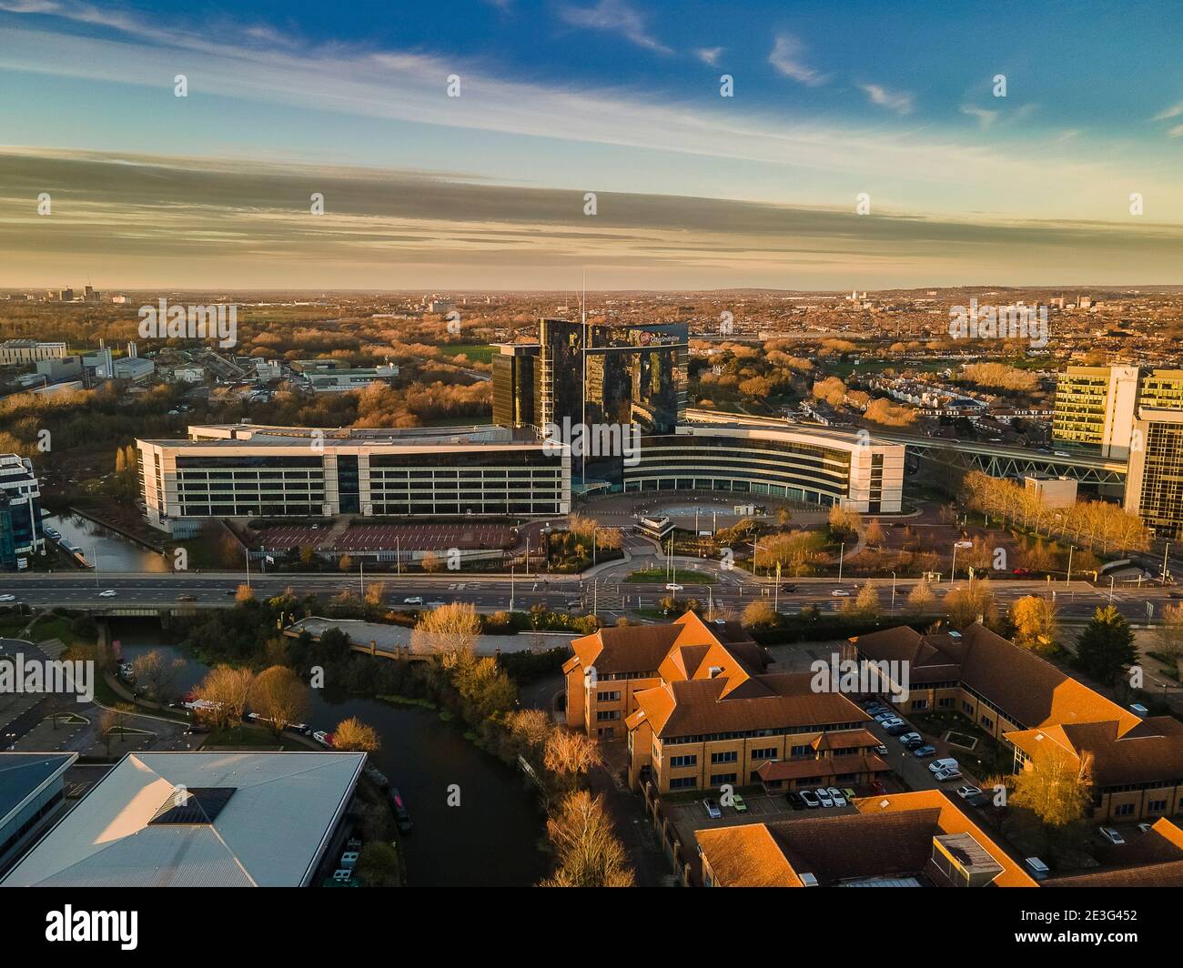 GSK Aerial View Boston Manor Stock Photohttps://www.alamy.com/image-license-details/?v=1https://www.alamy.com/gsk-aerial-view-boston-manor-image398036942.html
RF2E3G452–GSK Aerial View Boston Manor
 Motorists find travelling slow going on the southbound M5 motorway approaching the M4 interchange near Bristol. Stock Photohttps://www.alamy.com/image-license-details/?v=1https://www.alamy.com/stock-photo-motorists-find-travelling-slow-going-on-the-southbound-m5-motorway-109386498.html
RMG9XYGJ–Motorists find travelling slow going on the southbound M5 motorway approaching the M4 interchange near Bristol.
 Aerial view of the M4 motorway in Brentford, West London, UK looking east from Boston Manor Park towards Central London. Stock Photohttps://www.alamy.com/image-license-details/?v=1https://www.alamy.com/aerial-view-of-the-m4-motorway-in-brentford-west-london-uk-looking-east-from-boston-manor-park-towards-central-london-image508914726.html
RM2MFY1WX–Aerial view of the M4 motorway in Brentford, West London, UK looking east from Boston Manor Park towards Central London.
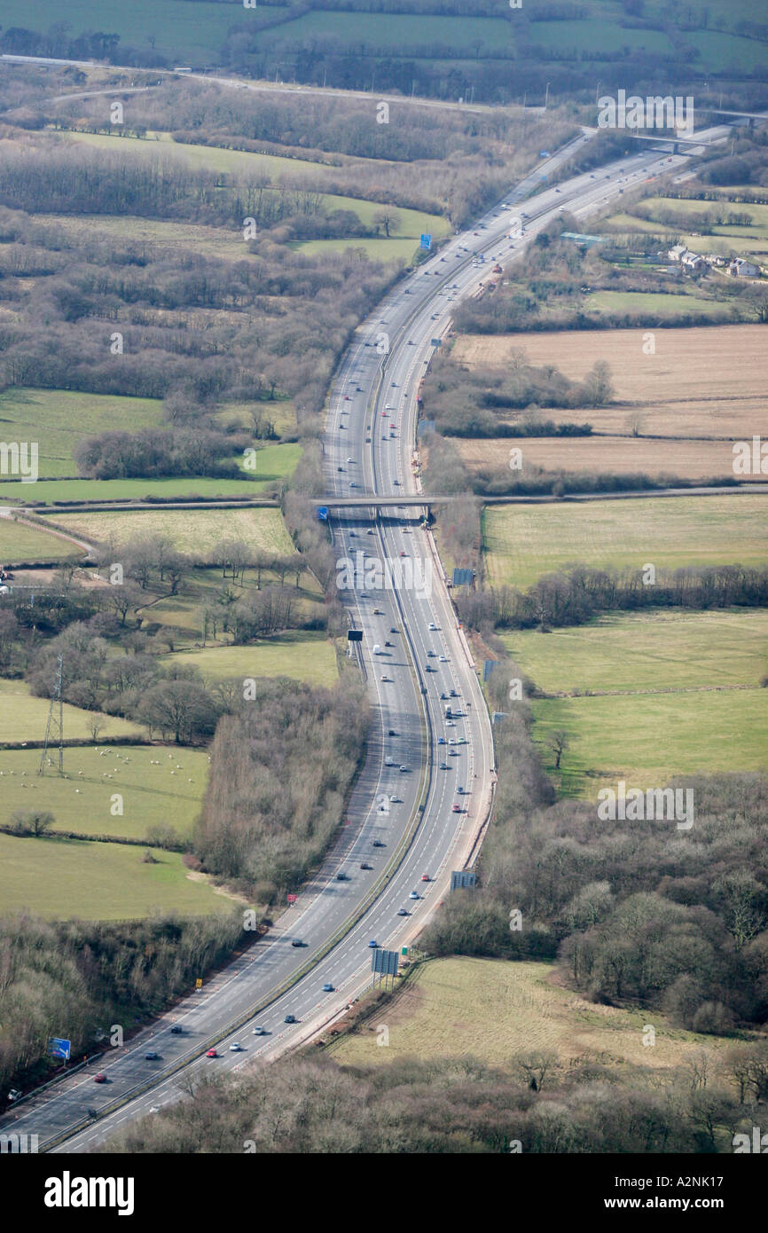 Aerial M4 Motorway near Bridgend South Wales Stock Photohttps://www.alamy.com/image-license-details/?v=1https://www.alamy.com/aerial-m4-motorway-near-bridgend-south-wales-image3448598.html
RMA2NK17–Aerial M4 Motorway near Bridgend South Wales
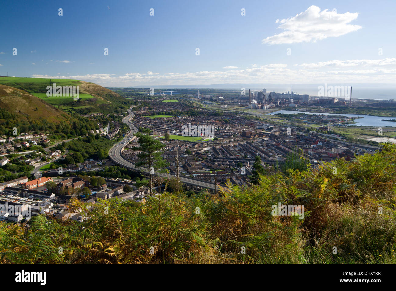 View of Port Talbot and the M4 motorway from Mynydd Dinas, Neath Port talbot, South Wales. Stock Photohttps://www.alamy.com/image-license-details/?v=1https://www.alamy.com/view-of-port-talbot-and-the-m4-motorway-from-mynydd-dinas-neath-port-image62672843.html
RMDHXYRR–View of Port Talbot and the M4 motorway from Mynydd Dinas, Neath Port talbot, South Wales.
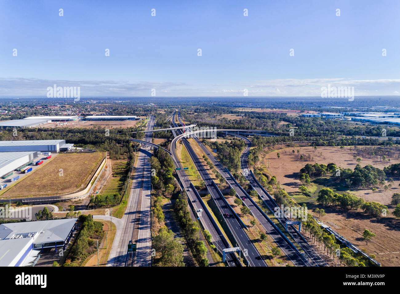 Huge automotive motorway intersection between high-speed multi-lane highways in Sydney West between M4 and M7 under clear blue sky surrounded by indus Stock Photohttps://www.alamy.com/image-license-details/?v=1https://www.alamy.com/stock-photo-huge-automotive-motorway-intersection-between-high-speed-multi-lane-174535138.html
RFM3XN9P–Huge automotive motorway intersection between high-speed multi-lane highways in Sydney West between M4 and M7 under clear blue sky surrounded by indus
 Horizontal wide angle aerial view of traffic speeding along the M4 motorway on a bright sunny day - with motion blur. Stock Photohttps://www.alamy.com/image-license-details/?v=1https://www.alamy.com/stock-photo-horizontal-wide-angle-aerial-view-of-traffic-speeding-along-the-m4-11420772.html
RFA60H1W–Horizontal wide angle aerial view of traffic speeding along the M4 motorway on a bright sunny day - with motion blur.
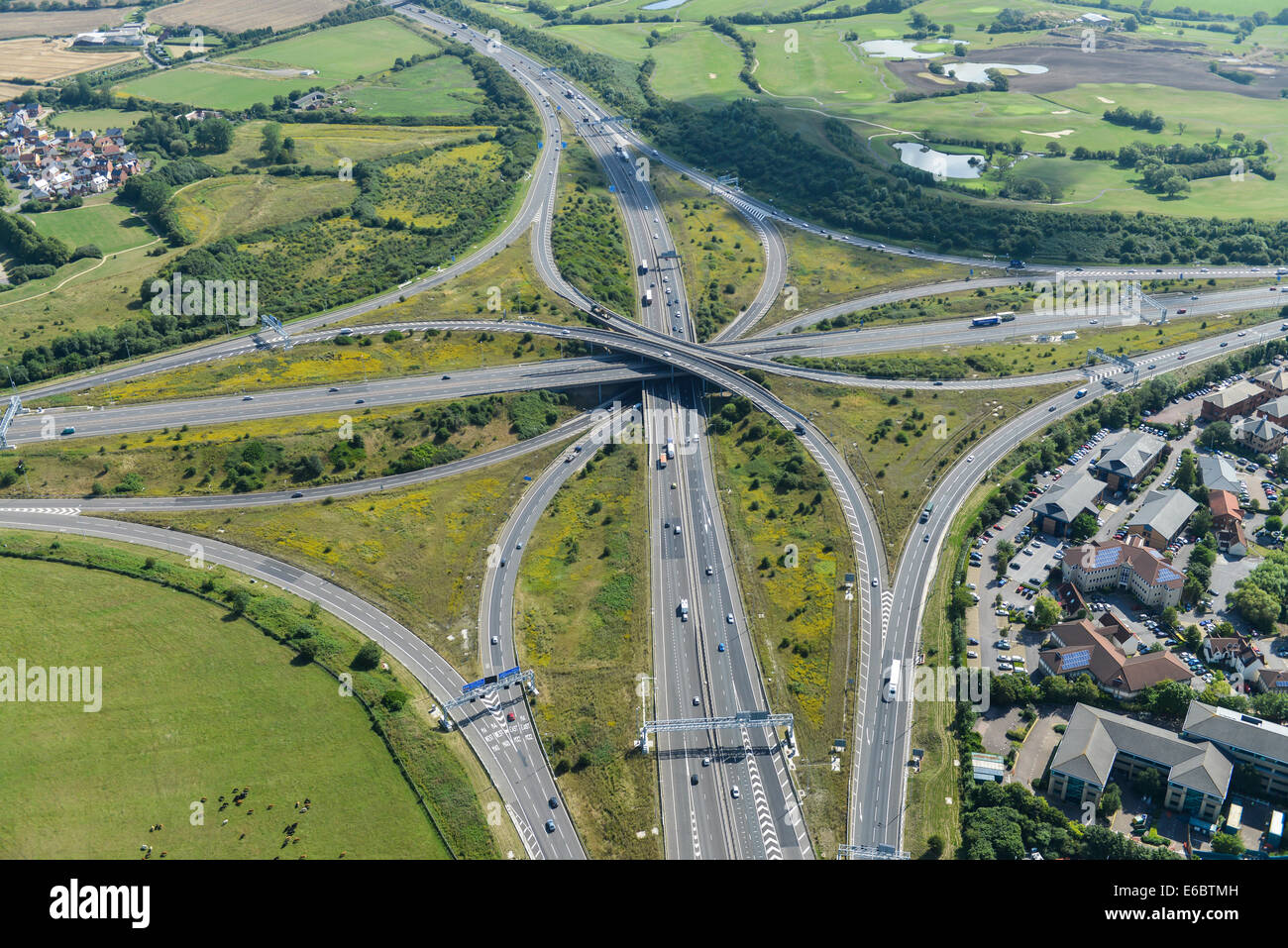 An aerial view of the Almondsbury Interchange for the M4 Junction 20 and M5 Junction 15, near Bristol. Stock Photohttps://www.alamy.com/image-license-details/?v=1https://www.alamy.com/stock-photo-an-aerial-view-of-the-almondsbury-interchange-for-the-m4-junction-72790273.html
RME6BTMH–An aerial view of the Almondsbury Interchange for the M4 Junction 20 and M5 Junction 15, near Bristol.
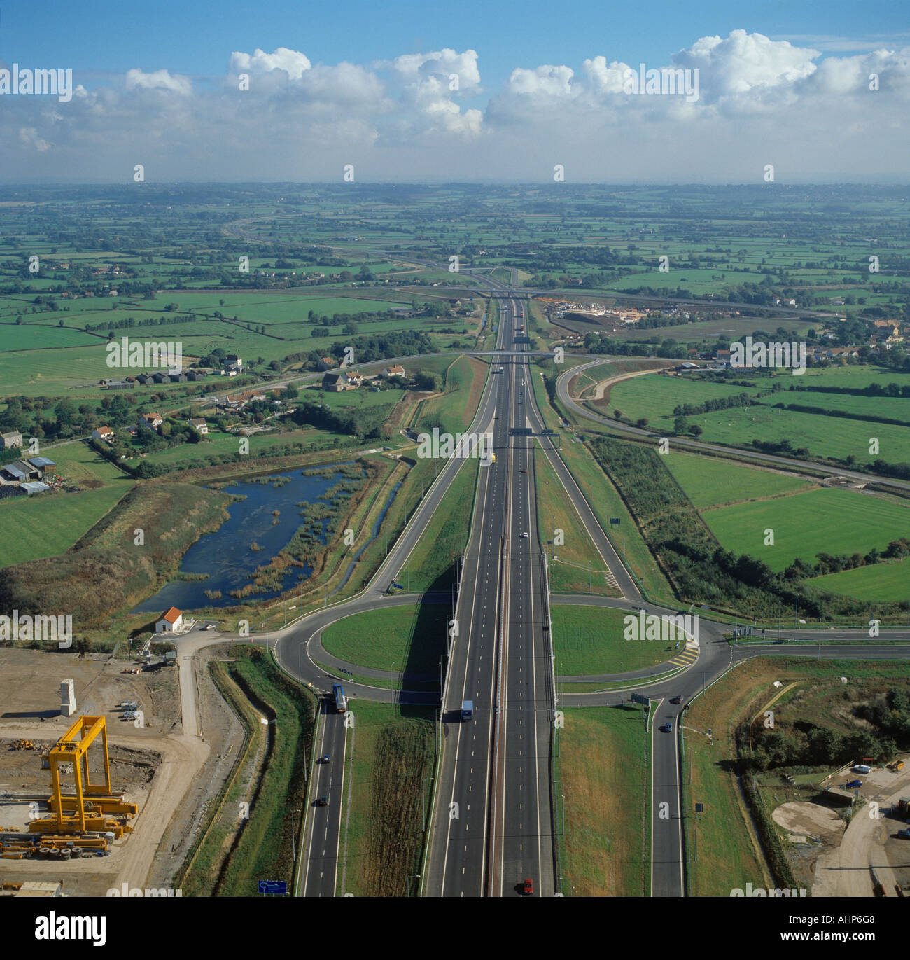 Junction and roundabout on M4 motorway UK aerial view Stock Photohttps://www.alamy.com/image-license-details/?v=1https://www.alamy.com/junction-and-roundabout-on-m4-motorway-uk-aerial-view-image8298119.html
RMAHP6G8–Junction and roundabout on M4 motorway UK aerial view
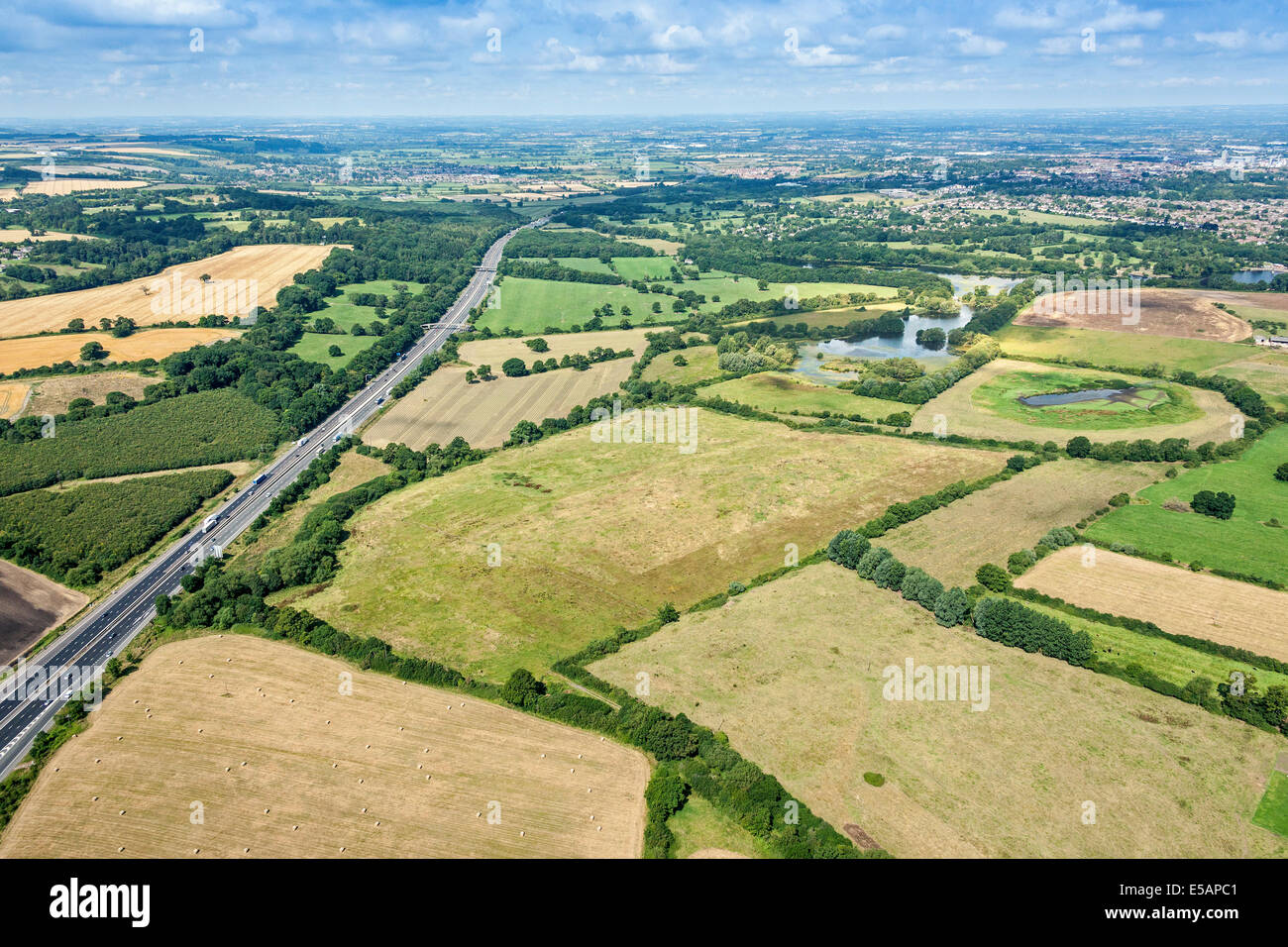 Aerial view of Coate Water Country Park and M4 Motorway left looking towards Swindon Wiltshire, UK. JMH6221 Stock Photohttps://www.alamy.com/image-license-details/?v=1https://www.alamy.com/stock-photo-aerial-view-of-coate-water-country-park-and-m4-motorway-left-looking-72151857.html
RME5APC1–Aerial view of Coate Water Country Park and M4 Motorway left looking towards Swindon Wiltshire, UK. JMH6221
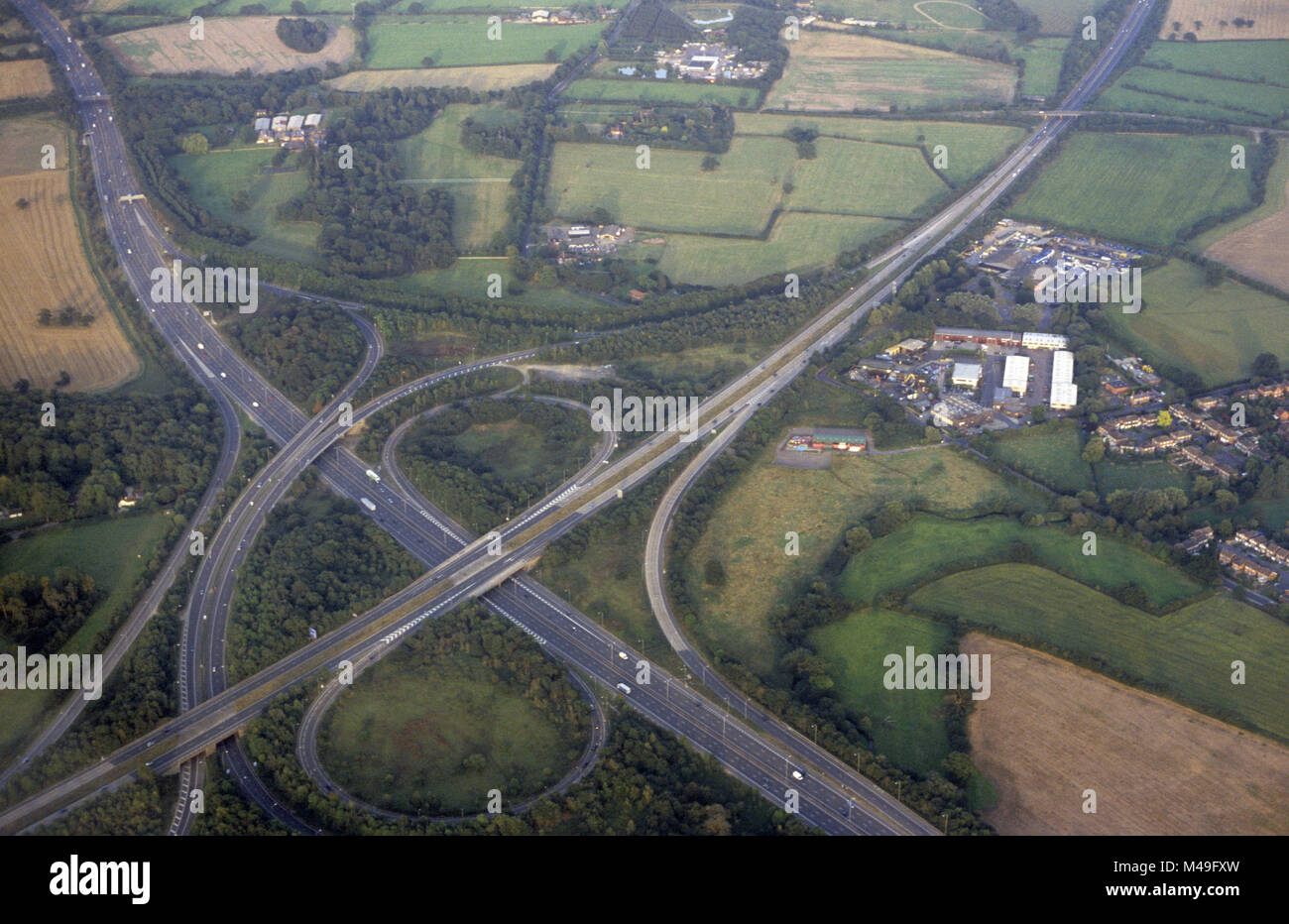 Aerial photograph of a motorway junction 10 M4/A329 (M) at Winnersh near Wokingham and Reading in Berkshire, England. September 2007 Stock Photohttps://www.alamy.com/image-license-details/?v=1https://www.alamy.com/stock-photo-aerial-photograph-of-a-motorway-junction-10-m4a329-m-at-winnersh-near-174772385.html
RMM49FXW–Aerial photograph of a motorway junction 10 M4/A329 (M) at Winnersh near Wokingham and Reading in Berkshire, England. September 2007
 Aerial views of M4 Motorway, South Wales near Junction 34, Vale of Glamorgan Stock Photohttps://www.alamy.com/image-license-details/?v=1https://www.alamy.com/aerial-views-of-m4-motorway-south-wales-near-junction-34-vale-of-glamorgan-image512309044.html
RM2MNDKBG–Aerial views of M4 Motorway, South Wales near Junction 34, Vale of Glamorgan
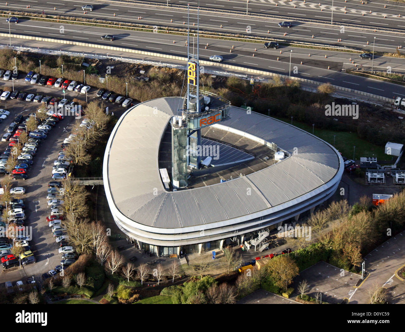 aerial view of the RAC Regional Control Centre, Bristol at the junction of the M5 and M4 Stock Photohttps://www.alamy.com/image-license-details/?v=1https://www.alamy.com/stock-photo-aerial-view-of-the-rac-regional-control-centre-bristol-at-the-junction-52233365.html
RMD0YC59–aerial view of the RAC Regional Control Centre, Bristol at the junction of the M5 and M4
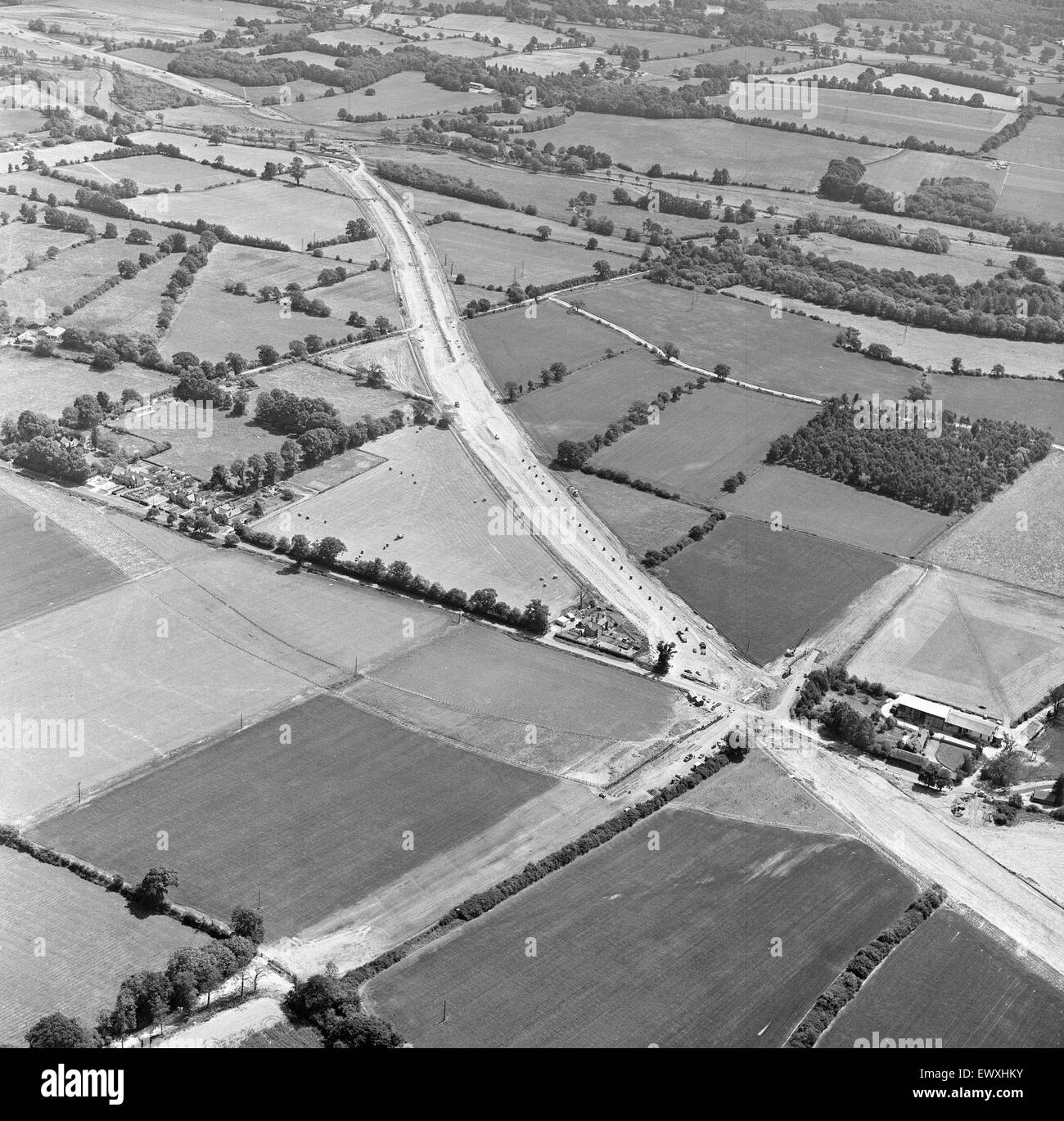 M4 Motorway Construction, June 1970. Near Woodley, Wokingham, Berkshire. Stock Photohttps://www.alamy.com/image-license-details/?v=1https://www.alamy.com/stock-photo-m4-motorway-construction-june-1970-near-woodley-wokingham-berkshire-84792511.html
RMEWXHKY–M4 Motorway Construction, June 1970. Near Woodley, Wokingham, Berkshire.
 SWINDON UK - JULY 21, 2019: Aerial view of the M4 Juntion 16 near Swindon after recent improvement works Stock Photohttps://www.alamy.com/image-license-details/?v=1https://www.alamy.com/swindon-uk-july-21-2019-aerial-view-of-the-m4-juntion-16-near-swindon-after-recent-improvement-works-image261637190.html
RMW5JGWA–SWINDON UK - JULY 21, 2019: Aerial view of the M4 Juntion 16 near Swindon after recent improvement works
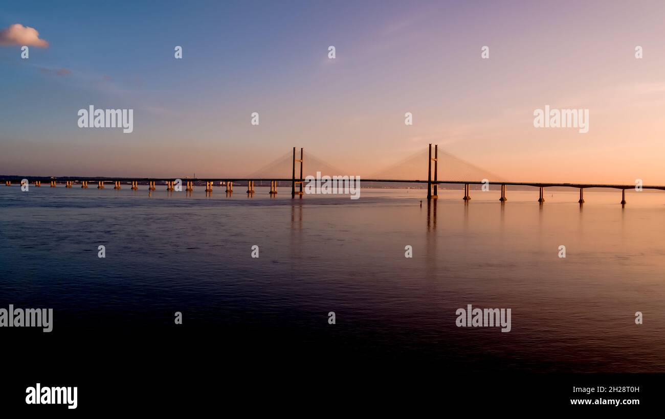 Aerial view of prince of wales Severn bridge connecting england and wales during susnet golden hour Stock Photohttps://www.alamy.com/image-license-details/?v=1https://www.alamy.com/aerial-view-of-prince-of-wales-severn-bridge-connecting-england-and-wales-during-susnet-golden-hour-image448893329.html
RF2H28T0H–Aerial view of prince of wales Severn bridge connecting england and wales during susnet golden hour
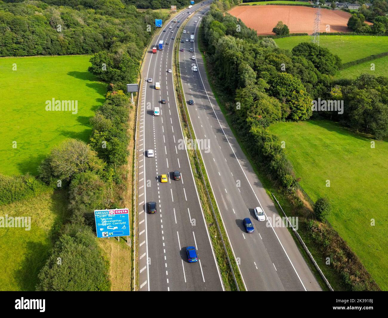 Cardiff, Wales - August 2022: Aerial view of traffic on the M4 motorway on the outskirts of Cardiff in south Wales Stock Photohttps://www.alamy.com/image-license-details/?v=1https://www.alamy.com/cardiff-wales-august-2022-aerial-view-of-traffic-on-the-m4-motorway-on-the-outskirts-of-cardiff-in-south-wales-image483932950.html
RF2K391BJ–Cardiff, Wales - August 2022: Aerial view of traffic on the M4 motorway on the outskirts of Cardiff in south Wales
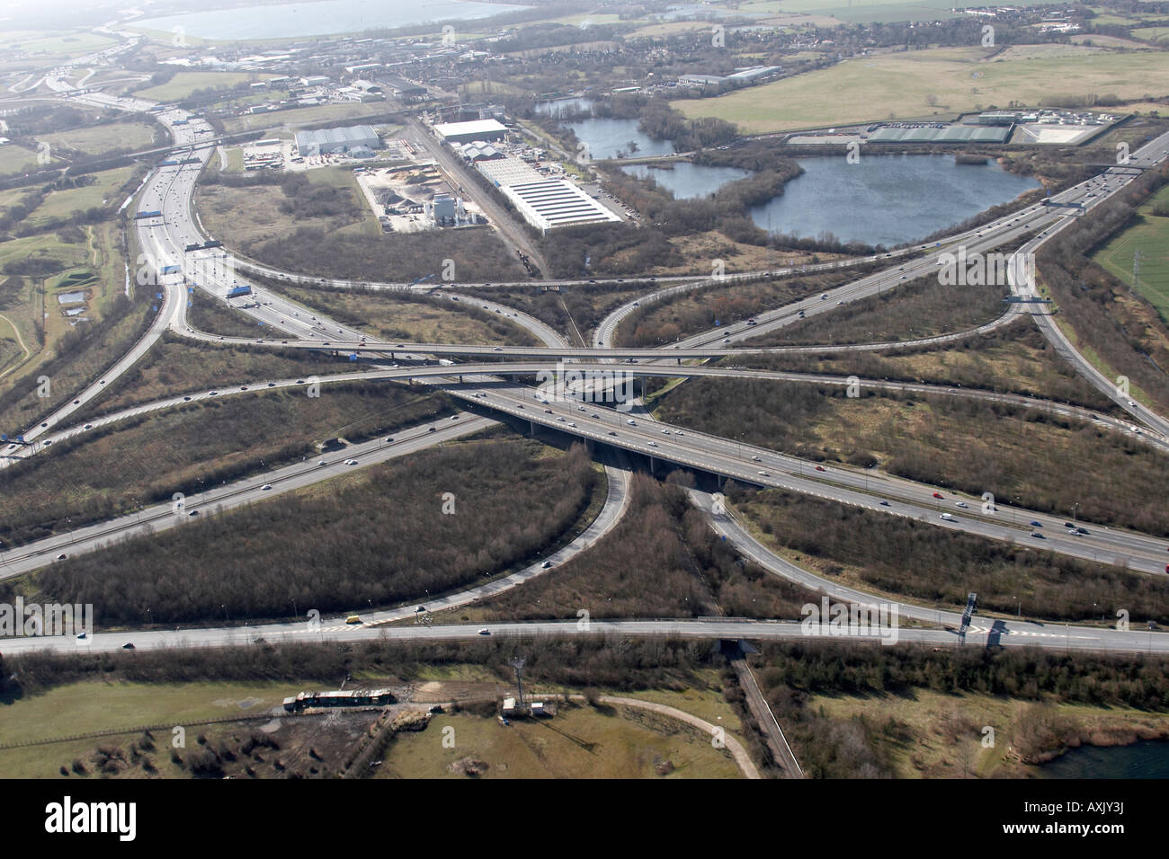 High level oblique aerial view south of M25 Motorway J15 M4 and Lakeside estate slough London SL3 England UK Feb 2006 Stock Photohttps://www.alamy.com/image-license-details/?v=1https://www.alamy.com/stock-photo-high-level-oblique-aerial-view-south-of-m25-motorway-j15-m4-and-lakeside-16861973.html
RMAXJY3J–High level oblique aerial view south of M25 Motorway J15 M4 and Lakeside estate slough London SL3 England UK Feb 2006
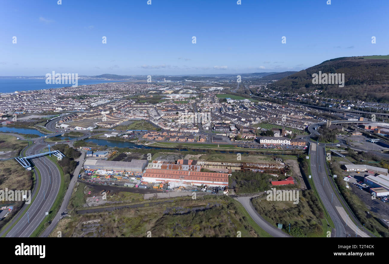 Port Talbot Sandfields estate Stock Photohttps://www.alamy.com/image-license-details/?v=1https://www.alamy.com/port-talbot-sandfields-estate-image242704803.html
RFT2T4CK–Port Talbot Sandfields estate
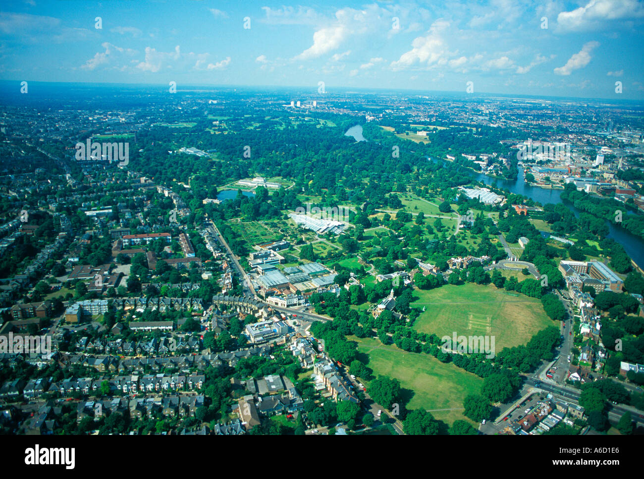 Aerial outer London UK Stock Photohttps://www.alamy.com/image-license-details/?v=1https://www.alamy.com/aerial-outer-london-uk-image446950.html
RFA6D1E6–Aerial outer London UK
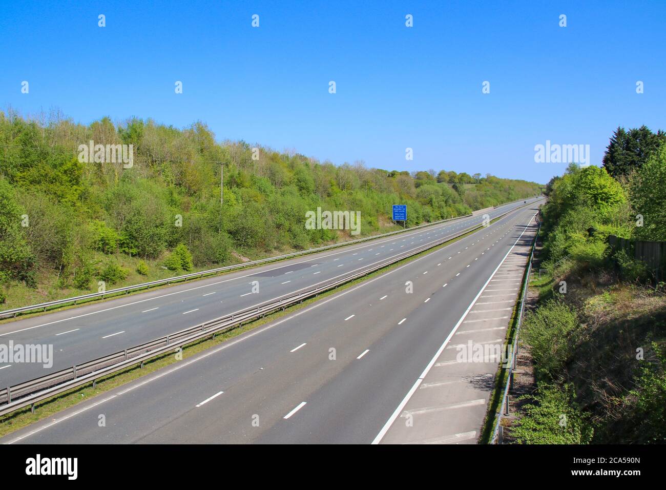 The M4 motorway in Cardiff UK is deserted during the coroanvirus outbreak Stock Photohttps://www.alamy.com/image-license-details/?v=1https://www.alamy.com/the-m4-motorway-in-cardiff-uk-is-deserted-during-the-coroanvirus-outbreak-image367681125.html
RF2CA590N–The M4 motorway in Cardiff UK is deserted during the coroanvirus outbreak
 Aerial view of the M4 motorway in Brentford, West London, UK looking west from Boston Manor Park towards Central London. Stock Photohttps://www.alamy.com/image-license-details/?v=1https://www.alamy.com/aerial-view-of-the-m4-motorway-in-brentford-west-london-uk-looking-west-from-boston-manor-park-towards-central-london-image508914759.html
RM2MFY1Y3–Aerial view of the M4 motorway in Brentford, West London, UK looking west from Boston Manor Park towards Central London.
 Aerial M4 Motorway near Bridgend South Wales Stock Photohttps://www.alamy.com/image-license-details/?v=1https://www.alamy.com/aerial-m4-motorway-near-bridgend-south-wales-image3448248.html
RMA2NHB9–Aerial M4 Motorway near Bridgend South Wales
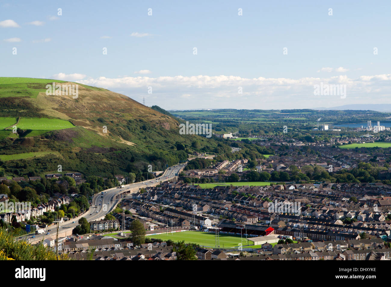 View of Port Talbot and the M4 motorway from Mynydd Dinas, Neath Port talbot, South Wales. Stock Photohttps://www.alamy.com/image-license-details/?v=1https://www.alamy.com/view-of-port-talbot-and-the-m4-motorway-from-mynydd-dinas-neath-port-image62672722.html
RMDHXYKE–View of Port Talbot and the M4 motorway from Mynydd Dinas, Neath Port talbot, South Wales.
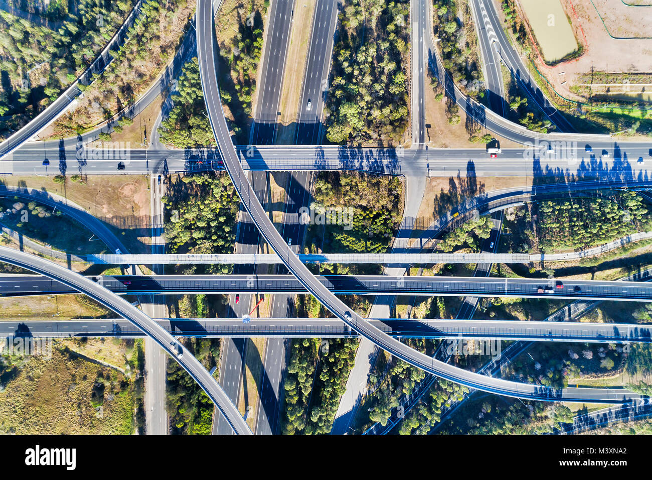 Aerial top down view on massive multi-level interchange on Sydney's Motorway 4 and Motorway 7 on a sunny summer day with light traffic Stock Photohttps://www.alamy.com/image-license-details/?v=1https://www.alamy.com/stock-photo-aerial-top-down-view-on-massive-multi-level-interchange-on-sydneys-174535146.html
RFM3XNA2–Aerial top down view on massive multi-level interchange on Sydney's Motorway 4 and Motorway 7 on a sunny summer day with light traffic
 Horizontal wide angle aerial view of traffic speeding along the M4 motorway on a bright sunny day. Stock Photohttps://www.alamy.com/image-license-details/?v=1https://www.alamy.com/stock-photo-horizontal-wide-angle-aerial-view-of-traffic-speeding-along-the-m4-11420768.html
RFA60H1N–Horizontal wide angle aerial view of traffic speeding along the M4 motorway on a bright sunny day.
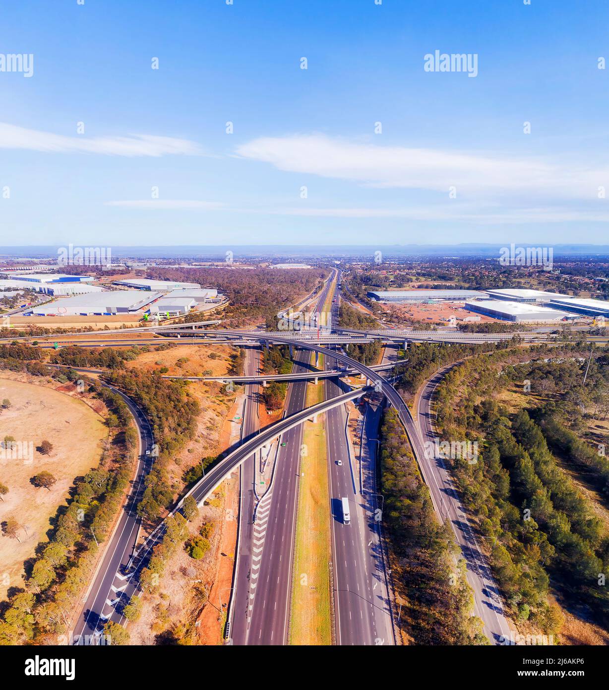 M4 and M7 at Light horse intersection in Sydney West - aerial view towards Blue Mountains. Stock Photohttps://www.alamy.com/image-license-details/?v=1https://www.alamy.com/m4-and-m7-at-light-horse-intersection-in-sydney-west-aerial-view-towards-blue-mountains-image468602910.html
RF2J6AKP6–M4 and M7 at Light horse intersection in Sydney West - aerial view towards Blue Mountains.
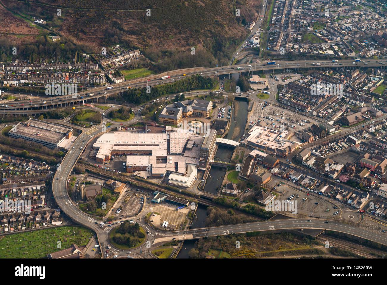 Aerial photography over South Wales. Port Talbot town centre and M4 motorway, Wales, UK. 13/4/16 Stock Photohttps://www.alamy.com/image-license-details/?v=1https://www.alamy.com/aerial-photography-over-south-wales-port-talbot-town-centre-and-m4-motorway-wales-uk-13416-image609173373.html
RM2XB26RW–Aerial photography over South Wales. Port Talbot town centre and M4 motorway, Wales, UK. 13/4/16
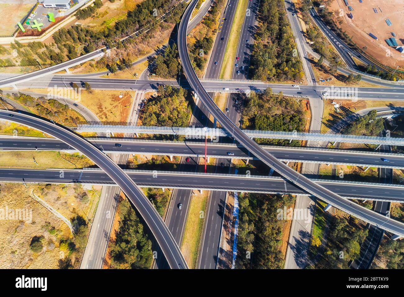 Lighthorse intersection between two major motorways in Greater Sydney - M4 and M7. Overhead aerial view top down. Stock Photohttps://www.alamy.com/image-license-details/?v=1https://www.alamy.com/lighthorse-intersection-between-two-major-motorways-in-greater-sydney-m4-and-m7-overhead-aerial-view-top-down-image359501613.html
RF2BTTKY9–Lighthorse intersection between two major motorways in Greater Sydney - M4 and M7. Overhead aerial view top down.
 Llantrisant, Wales - July 2022: Aerial view of vehicles on the M4 motorway driving over road markings for lanes to take approaching a junction Stock Photohttps://www.alamy.com/image-license-details/?v=1https://www.alamy.com/llantrisant-wales-july-2022-aerial-view-of-vehicles-on-the-m4-motorway-driving-over-road-markings-for-lanes-to-take-approaching-a-junction-image476124972.html
RF2JJHA78–Llantrisant, Wales - July 2022: Aerial view of vehicles on the M4 motorway driving over road markings for lanes to take approaching a junction
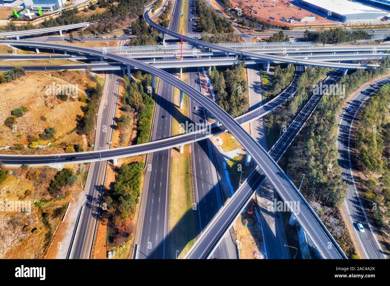 Light horse interchange between Motorways M2 and M4 in Sydney west - the most complex and multi-level intersection. Elevated aerial view over lanes, b Stock Photohttps://www.alamy.com/image-license-details/?v=1https://www.alamy.com/light-horse-interchange-between-motorways-m2-and-m4-in-sydney-west-the-most-complex-and-multi-level-intersection-elevated-aerial-view-over-lanes-b-image334468587.html
RF2AC4A2K–Light horse interchange between Motorways M2 and M4 in Sydney west - the most complex and multi-level intersection. Elevated aerial view over lanes, b
 Aerial views of M4 Motorway, South Wales near Junction 34, Vale of Glamorgan Stock Photohttps://www.alamy.com/image-license-details/?v=1https://www.alamy.com/aerial-views-of-m4-motorway-south-wales-near-junction-34-vale-of-glamorgan-image512309849.html
RM2MNDMC9–Aerial views of M4 Motorway, South Wales near Junction 34, Vale of Glamorgan
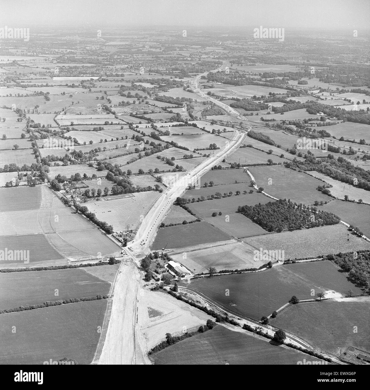 M4 Motorway Construction, June 1970. Near Woodley, Wokingham, Berkshire. Stock Photohttps://www.alamy.com/image-license-details/?v=1https://www.alamy.com/stock-photo-m4-motorway-construction-june-1970-near-woodley-wokingham-berkshire-84791358.html
RMEWXG6P–M4 Motorway Construction, June 1970. Near Woodley, Wokingham, Berkshire.
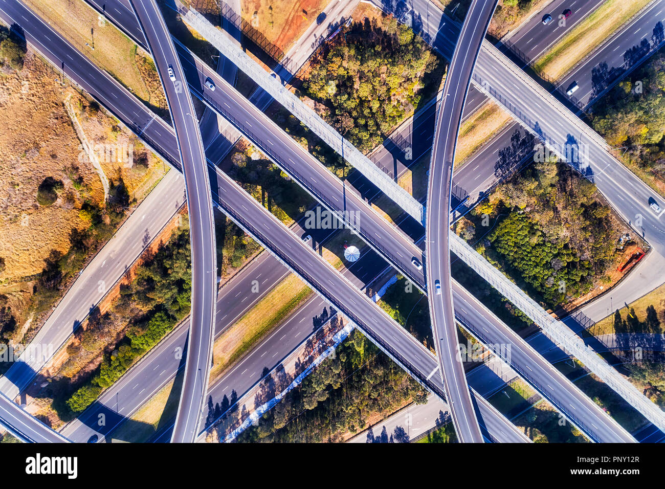 Bridges and ramps of Lighthourse interchange multi-lanes intersection of M4 and M7 in Sydney West seen top down from above. Stock Photohttps://www.alamy.com/image-license-details/?v=1https://www.alamy.com/bridges-and-ramps-of-lighthourse-interchange-multi-lanes-intersection-of-m4-and-m7-in-sydney-west-seen-top-down-from-above-image220025759.html
RFPNY12R–Bridges and ramps of Lighthourse interchange multi-lanes intersection of M4 and M7 in Sydney West seen top down from above.
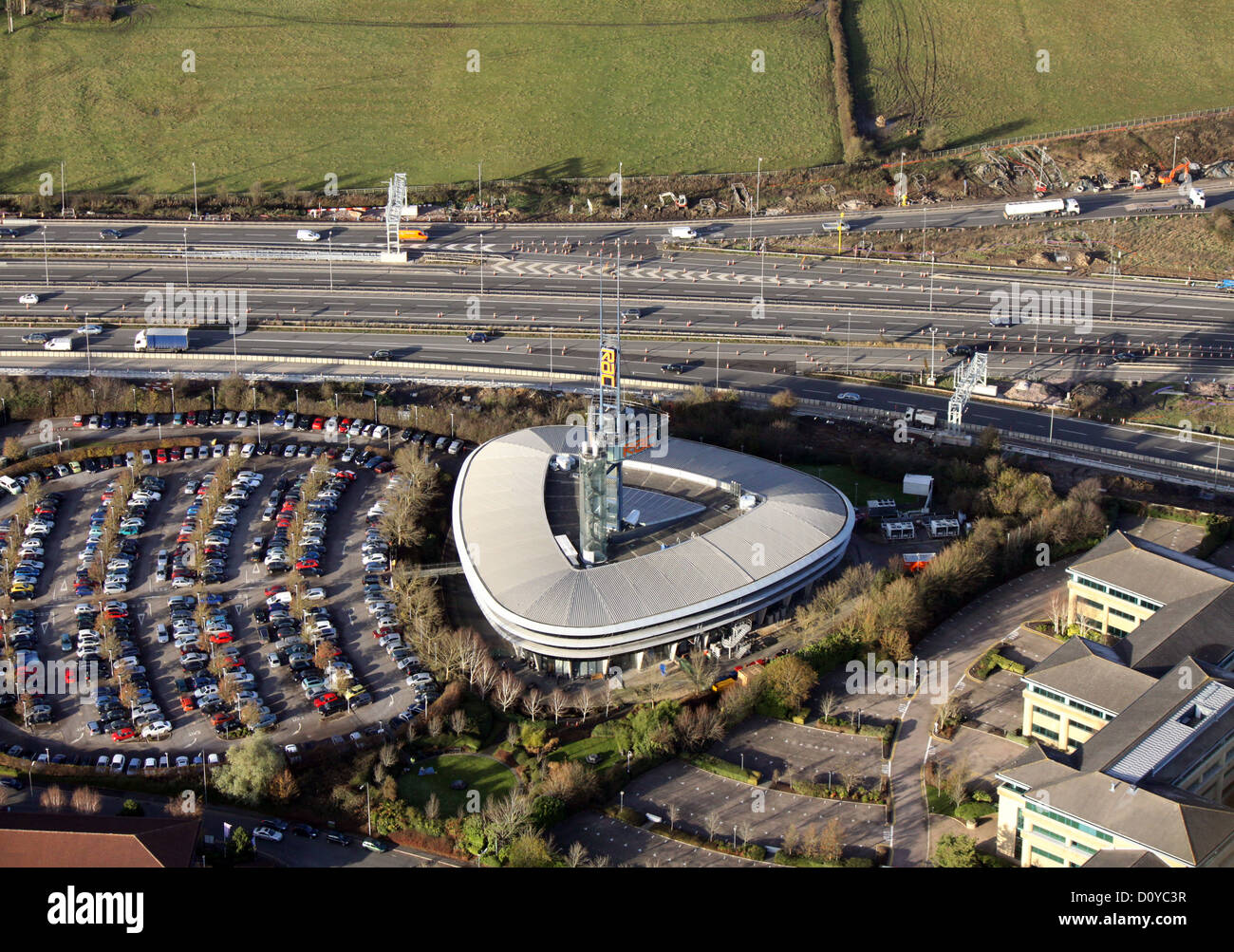 aerial view of the RAC Regional Control Centre, Bristol at the junction of the M5 and M4 Stock Photohttps://www.alamy.com/image-license-details/?v=1https://www.alamy.com/stock-photo-aerial-view-of-the-rac-regional-control-centre-bristol-at-the-junction-52233323.html
RMD0YC3R–aerial view of the RAC Regional Control Centre, Bristol at the junction of the M5 and M4
 Aerial view of prince of wales Severn bridge connecting england and wales during susnet golden hour Stock Photohttps://www.alamy.com/image-license-details/?v=1https://www.alamy.com/aerial-view-of-prince-of-wales-severn-bridge-connecting-england-and-wales-during-susnet-golden-hour-image448893328.html
RF2H28T0G–Aerial view of prince of wales Severn bridge connecting england and wales during susnet golden hour
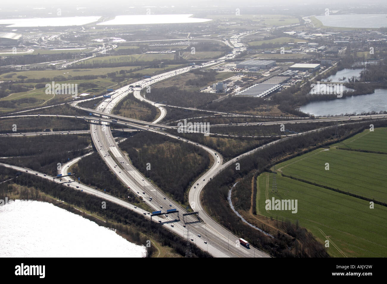 High level oblique aerial view south west of M25 Motorway J15 M4 and Lakeside Estate Slough London SL3 England UK Feb 2006 Stock Photohttps://www.alamy.com/image-license-details/?v=1https://www.alamy.com/stock-photo-high-level-oblique-aerial-view-south-west-of-m25-motorway-j15-m4-and-16861968.html
RMAXJY2W–High level oblique aerial view south west of M25 Motorway J15 M4 and Lakeside Estate Slough London SL3 England UK Feb 2006
 An Abstract view of the Severn Road Crossing, between Bristol and Wales, South West England Stock Photohttps://www.alamy.com/image-license-details/?v=1https://www.alamy.com/stock-photo-an-abstract-view-of-the-severn-road-crossing-between-bristol-and-wales-52810362.html
RMD1WM4A–An Abstract view of the Severn Road Crossing, between Bristol and Wales, South West England
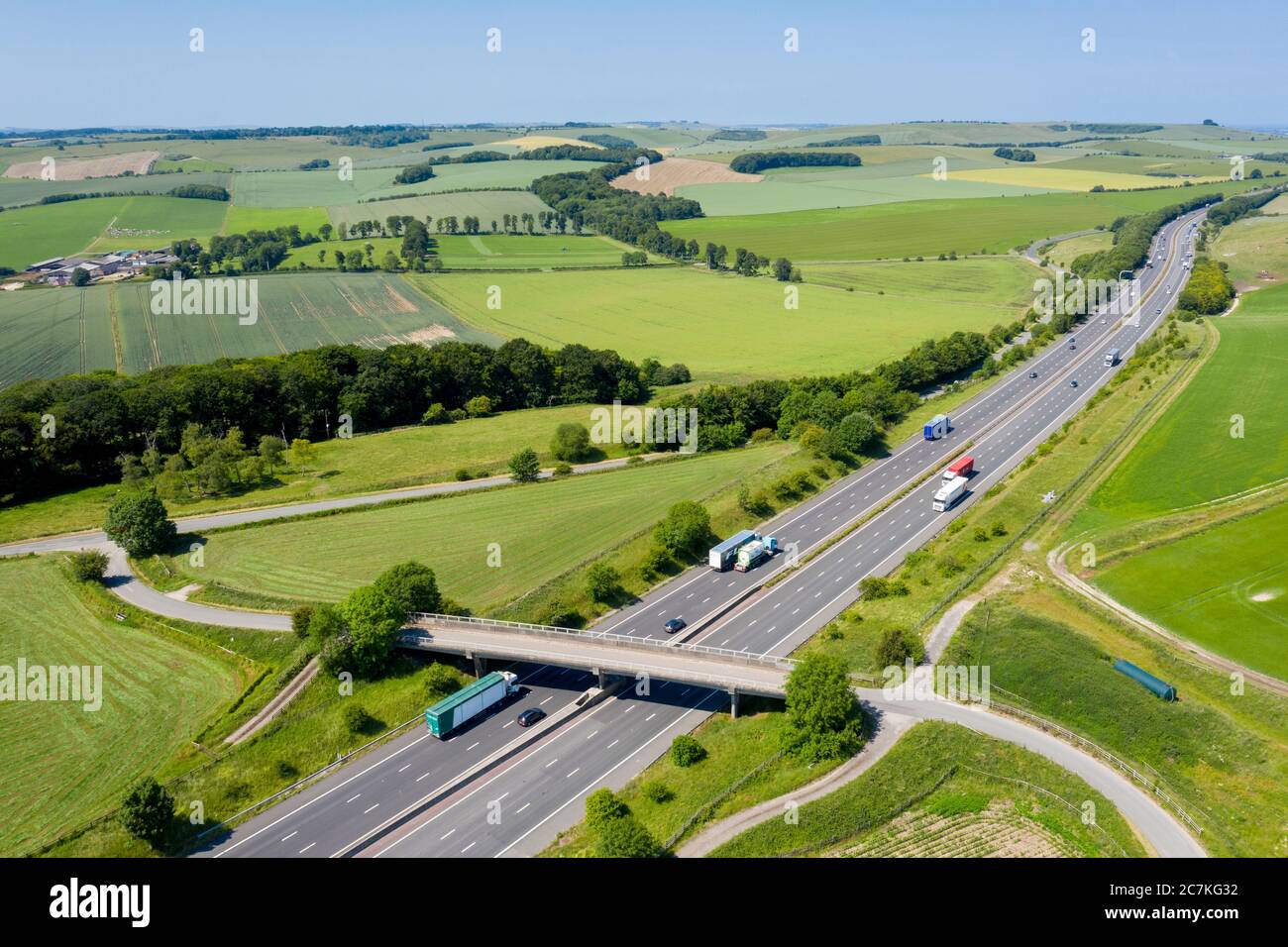 Aerial view of a motorway M4 Stock Photohttps://www.alamy.com/image-license-details/?v=1https://www.alamy.com/aerial-view-of-a-motorway-m4-image366150038.html
RF2C7KG32–Aerial view of a motorway M4
 Boston Manor Skyline Stock Photohttps://www.alamy.com/image-license-details/?v=1https://www.alamy.com/boston-manor-skyline-image397857318.html
RM2E37Y1X–Boston Manor Skyline
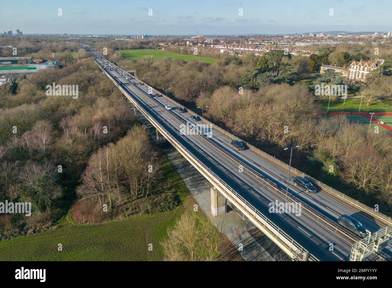 Aerial view of the M4 motorway in Brentford, West London, UK looking west from Boston Manor Park towards Central London. Stock Photohttps://www.alamy.com/image-license-details/?v=1https://www.alamy.com/aerial-view-of-the-m4-motorway-in-brentford-west-london-uk-looking-west-from-boston-manor-park-towards-central-london-image508914783.html
RM2MFY1YY–Aerial view of the M4 motorway in Brentford, West London, UK looking west from Boston Manor Park towards Central London.
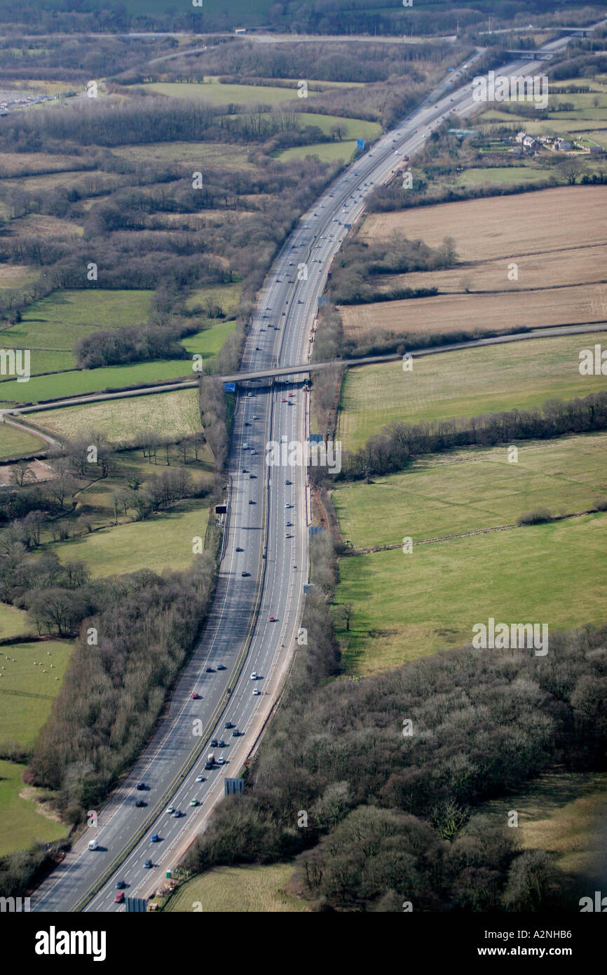 Aerial M4 Motorway near Bridgend South Wales Stock Photohttps://www.alamy.com/image-license-details/?v=1https://www.alamy.com/aerial-m4-motorway-near-bridgend-south-wales-image3448245.html
RMA2NHB6–Aerial M4 Motorway near Bridgend South Wales
 View of Port Talbot and the M4 motorway from Mynydd Dinas, Neath Port talbot, South Wales. Stock Photohttps://www.alamy.com/image-license-details/?v=1https://www.alamy.com/view-of-port-talbot-and-the-m4-motorway-from-mynydd-dinas-neath-port-image62672813.html
RMDHXYPN–View of Port Talbot and the M4 motorway from Mynydd Dinas, Neath Port talbot, South Wales.
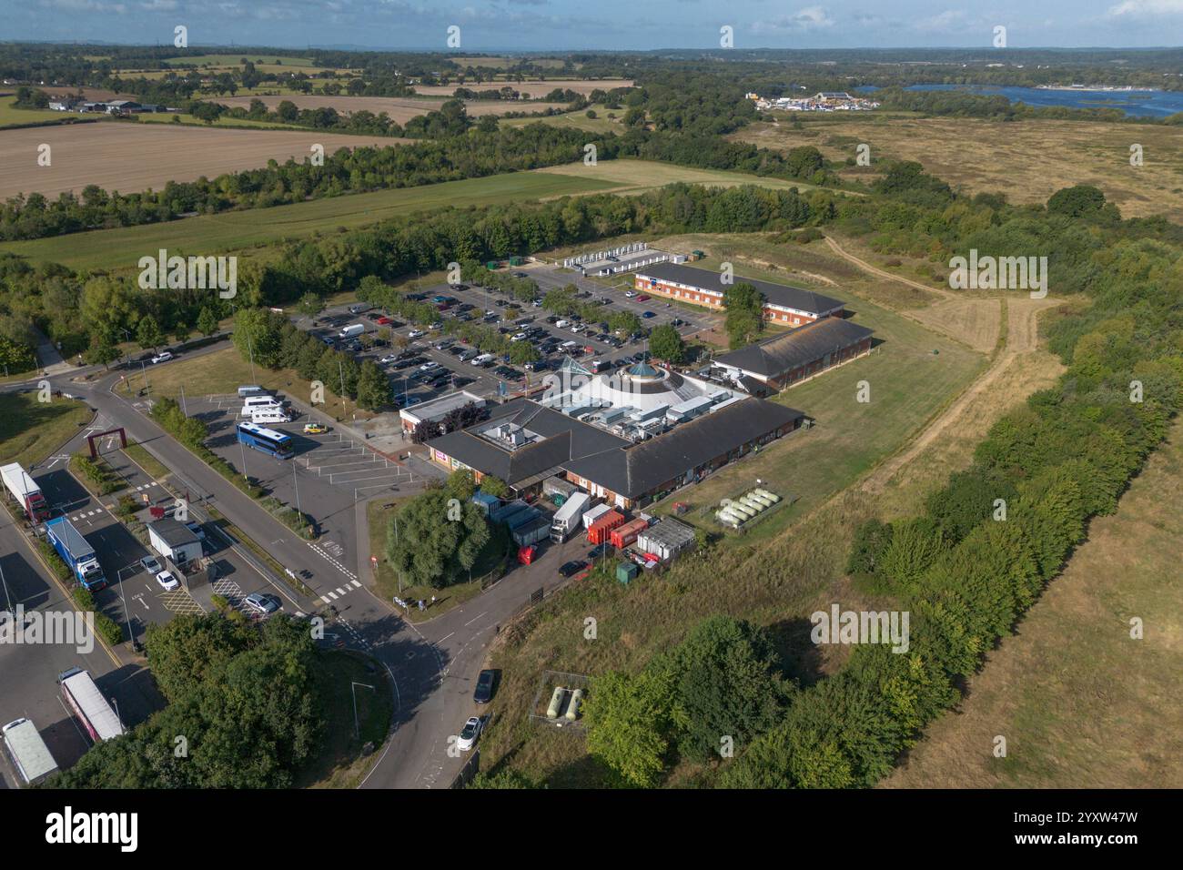 Aerial view of Moto Reading M4 Westbound service station Burghfield, UK. Stock Photohttps://www.alamy.com/image-license-details/?v=1https://www.alamy.com/aerial-view-of-moto-reading-m4-westbound-service-station-burghfield-uk-image636106461.html
RM2YXW47W–Aerial view of Moto Reading M4 Westbound service station Burghfield, UK.
 Vertical wide angle aerial view of traffic speeding along the M4 motorway on a bright sunny day - with motion blur. Stock Photohttps://www.alamy.com/image-license-details/?v=1https://www.alamy.com/stock-photo-vertical-wide-angle-aerial-view-of-traffic-speeding-along-the-m4-motorway-11420775.html
RFA60H2G–Vertical wide angle aerial view of traffic speeding along the M4 motorway on a bright sunny day - with motion blur.
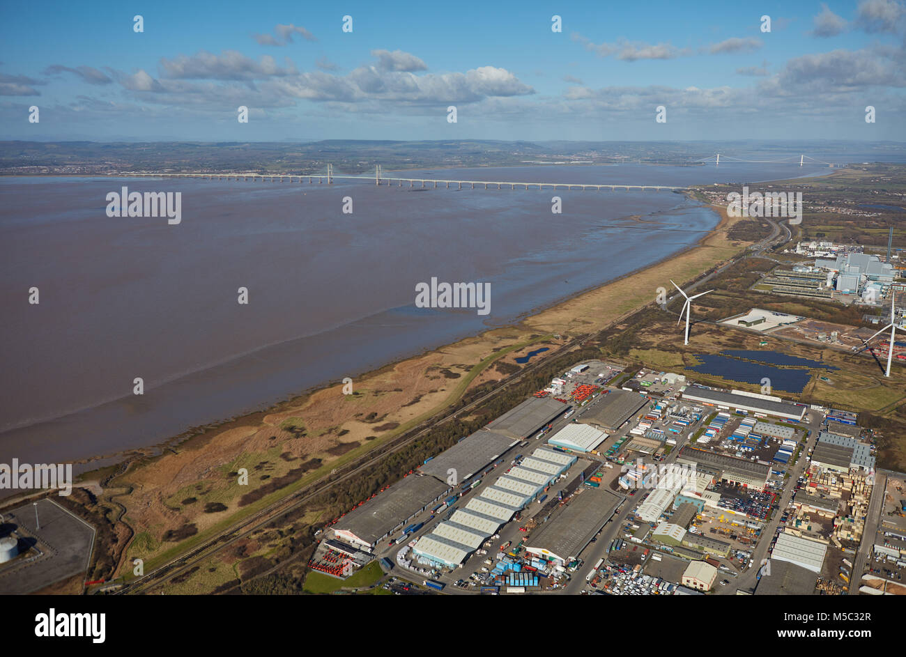 An aerial view of the Severn Estuary and bridges taken from Avonmouth, Bristol Stock Photohttps://www.alamy.com/image-license-details/?v=1https://www.alamy.com/stock-photo-an-aerial-view-of-the-severn-estuary-and-bridges-taken-from-avonmouth-175442815.html
RMM5C32R–An aerial view of the Severn Estuary and bridges taken from Avonmouth, Bristol
 Aerial view of M4 motorway construction site east of Budapest, Hungary Stock Photohttps://www.alamy.com/image-license-details/?v=1https://www.alamy.com/aerial-view-of-m4-motorway-construction-site-east-of-budapest-hungary-image559630931.html
RF2REDAXY–Aerial view of M4 motorway construction site east of Budapest, Hungary
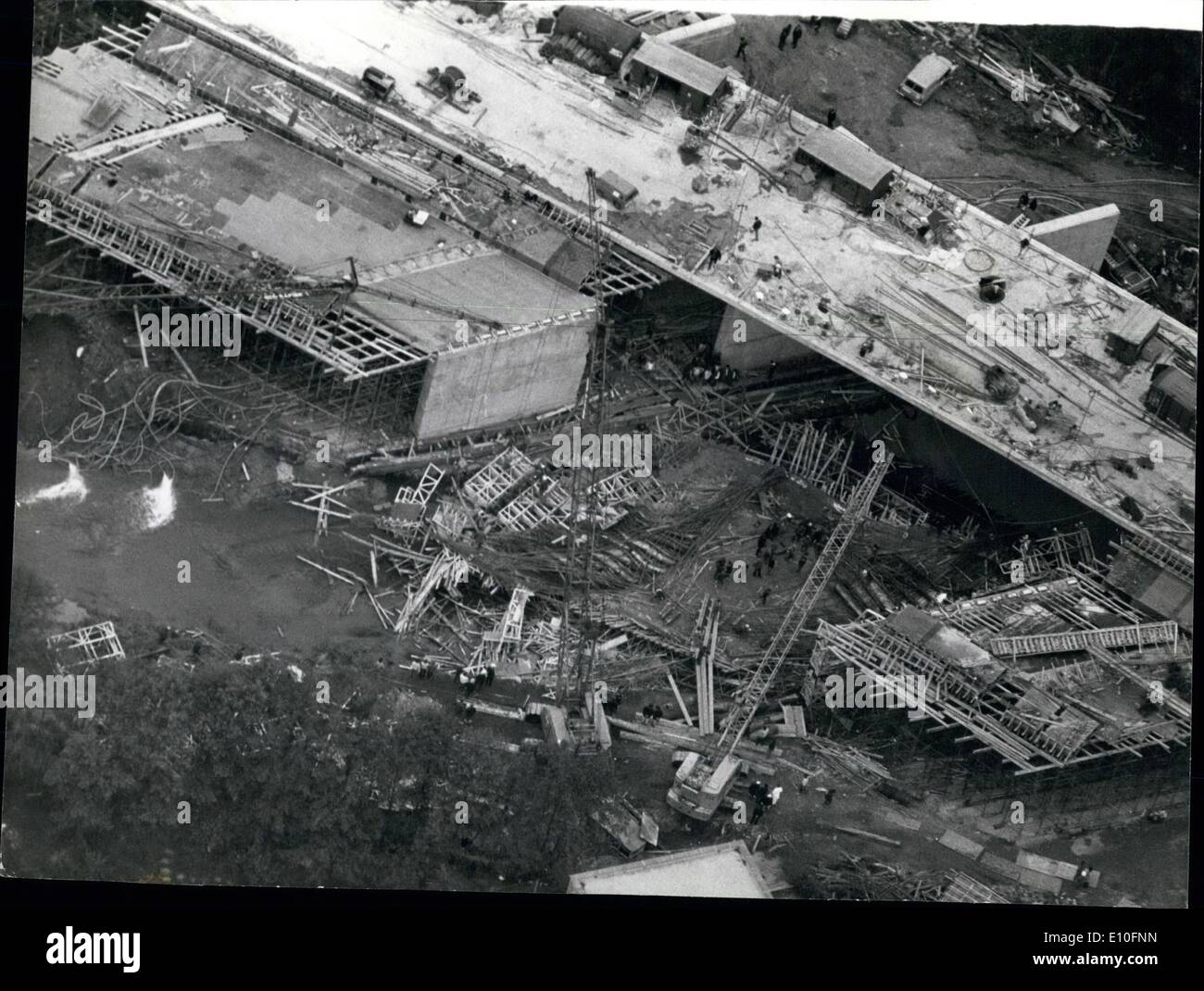 Oct. 10, 1972 - Three Killed In Bridge Collapse: Three men were killed and 10 seriously injured when steel scaffolding for a bridge on a link road for the M4 motorway, collapsed yesterday into a river bed at Woodley, near Reading. Photo shows Aerial view showing the section of the bridge for the M4 link road which collapsed into the River Loddon, near Reading yesterday. Stock Photohttps://www.alamy.com/image-license-details/?v=1https://www.alamy.com/oct-10-1972-three-killed-in-bridge-collapse-three-men-were-killed-image69468497.html
RME10FNN–Oct. 10, 1972 - Three Killed In Bridge Collapse: Three men were killed and 10 seriously injured when steel scaffolding for a bridge on a link road for the M4 motorway, collapsed yesterday into a river bed at Woodley, near Reading. Photo shows Aerial view showing the section of the bridge for the M4 link road which collapsed into the River Loddon, near Reading yesterday.
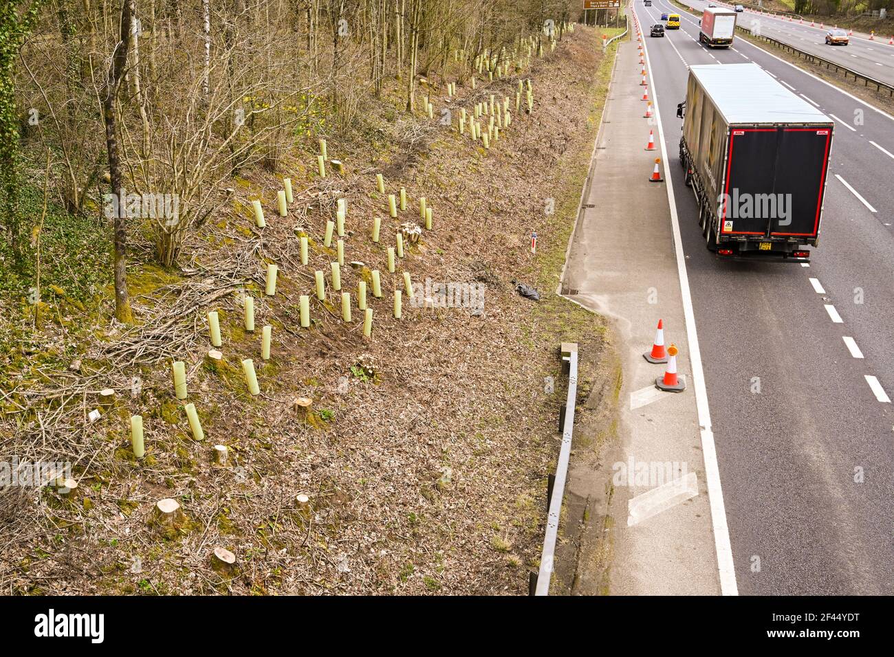 Miskin, near Cardiff, Wales - March 2021: New trees being planted in protective plastic sleeves on the banking alongside the M4 motorway. Stock Photohttps://www.alamy.com/image-license-details/?v=1https://www.alamy.com/miskin-near-cardiff-wales-march-2021-new-trees-being-planted-in-protective-plastic-sleeves-on-the-banking-alongside-the-m4-motorway-image415616820.html
RF2F44YDT–Miskin, near Cardiff, Wales - March 2021: New trees being planted in protective plastic sleeves on the banking alongside the M4 motorway.
 A stunning sunset illuminates the horizon over the bustling cityscape of London Stock Photohttps://www.alamy.com/image-license-details/?v=1https://www.alamy.com/a-stunning-sunset-illuminates-the-horizon-over-the-bustling-cityscape-of-london-image590979743.html
RF2W9DCKB–A stunning sunset illuminates the horizon over the bustling cityscape of London
 Aerial views of M4 Motorway, South Wales near Junction 34, Vale of Glamorgan Stock Photohttps://www.alamy.com/image-license-details/?v=1https://www.alamy.com/aerial-views-of-m4-motorway-south-wales-near-junction-34-vale-of-glamorgan-image512309749.html
RM2MNDM8N–Aerial views of M4 Motorway, South Wales near Junction 34, Vale of Glamorgan