Quick filters:
Machiques Stock Photos and Images
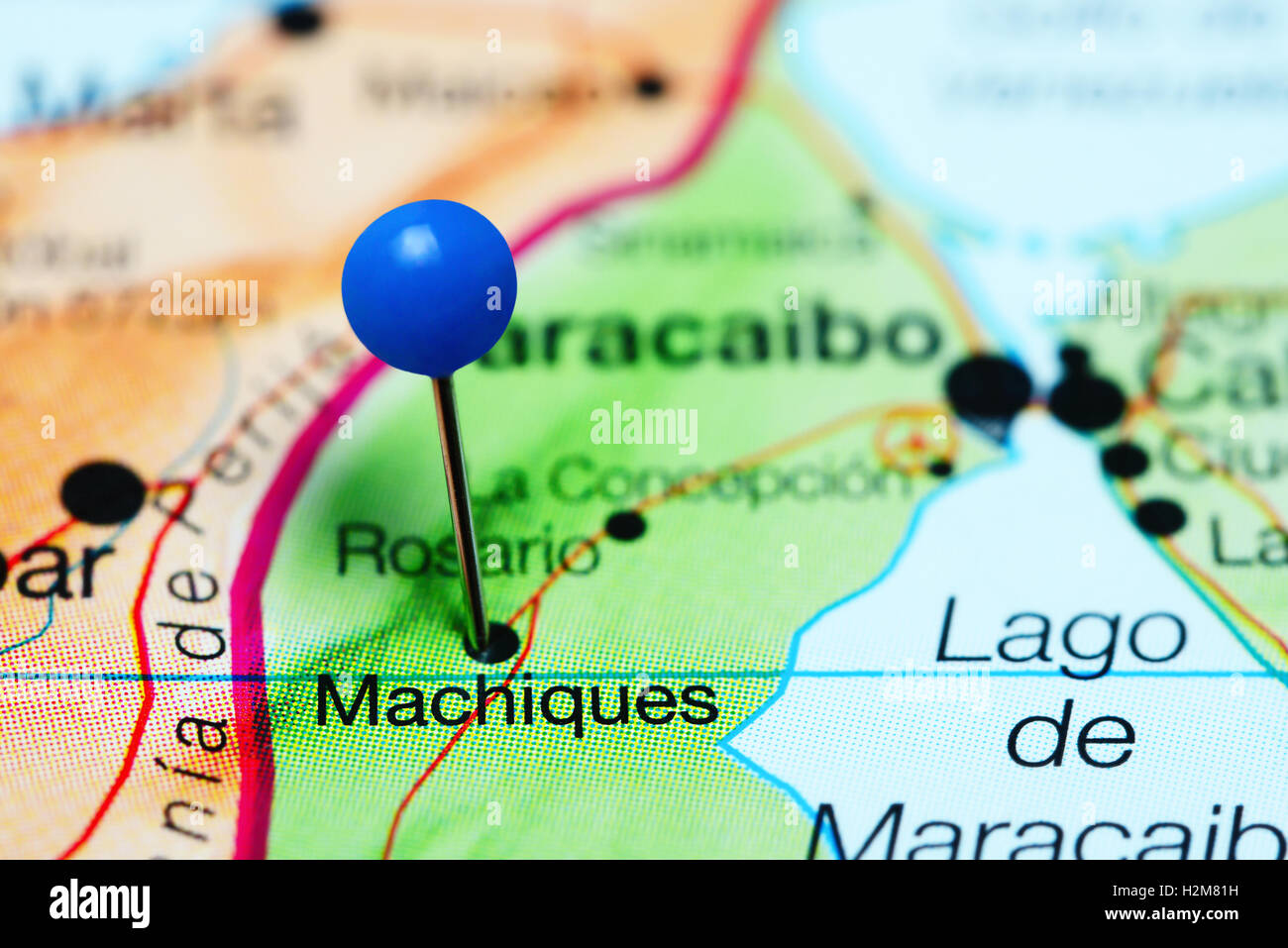 Machiques pinned on a map of Venezuela Stock Photohttps://www.alamy.com/image-license-details/?v=1https://www.alamy.com/stock-photo-machiques-pinned-on-a-map-of-venezuela-122147245.html
RFH2M81H–Machiques pinned on a map of Venezuela
 Members of the General Directorate of Military Counterintelligence (Dgcim), arrested today, Monday, April 18, 2022, in the state of Zulia, Venezuela. To the commander of detachment 114 of the Bolivarian National Guard (GNB), which operates in the Machiques de Perijá municipality. Jerson Villarroel Gómez, and four more soldiers are detained for trafficking 5,000 liters of gasoline. That he diverted every time PDVSA dispatched to two service stations, which were in his charge. Those named sold the fuel to a private company dedicated to poultry production at $0.90 per liter. And they used third-p Stock Photohttps://www.alamy.com/image-license-details/?v=1https://www.alamy.com/members-of-the-general-directorate-of-military-counterintelligence-dgcim-arrested-today-monday-april-18-2022-in-the-state-of-zulia-venezuela-to-the-commander-of-detachment-114-of-the-bolivarian-national-guard-gnb-which-operates-in-the-machiques-de-perij-municipality-jerson-villarroel-gmez-and-four-more-soldiers-are-detained-for-trafficking-5000-liters-of-gasoline-that-he-diverted-every-time-pdvsa-dispatched-to-two-service-stations-which-were-in-his-charge-those-named-sold-the-fuel-to-a-private-company-dedicated-to-poultry-production-at-090-per-liter-and-they-used-third-p-image467739603.html
RM2J4YAHR–Members of the General Directorate of Military Counterintelligence (Dgcim), arrested today, Monday, April 18, 2022, in the state of Zulia, Venezuela. To the commander of detachment 114 of the Bolivarian National Guard (GNB), which operates in the Machiques de Perijá municipality. Jerson Villarroel Gómez, and four more soldiers are detained for trafficking 5,000 liters of gasoline. That he diverted every time PDVSA dispatched to two service stations, which were in his charge. Those named sold the fuel to a private company dedicated to poultry production at $0.90 per liter. And they used third-p
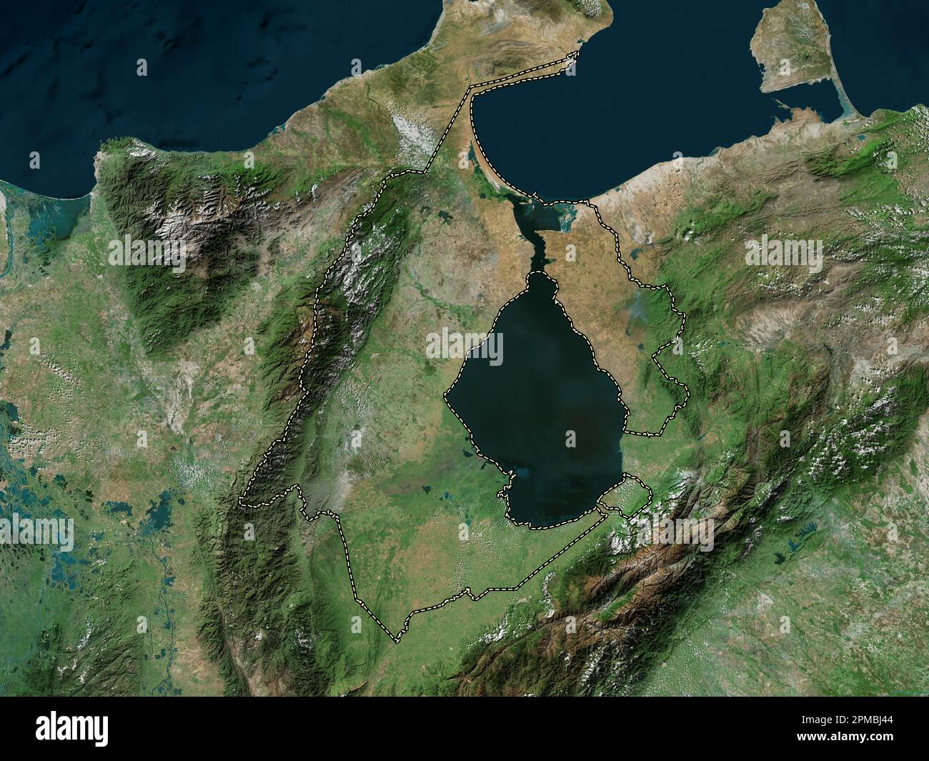 Zulia, state of Venezuela. High resolution satellite map Stock Photohttps://www.alamy.com/image-license-details/?v=1https://www.alamy.com/zulia-state-of-venezuela-high-resolution-satellite-map-image546070228.html
RF2PMBJ44–Zulia, state of Venezuela. High resolution satellite map
 . Brigham Young University science bulletin. Biology -- Periodicals. > Fig. 58. A-E, postvertex and occipital plates (of head) of .species of Strebla: A, Strebla diaemi Wenzel; B, Strebla consocia Wenzel; C. Strebla diphijllac Wenzel; D, Strebla machadoi Wenzel; E, Strebla christinae Wenzel. F, Strebla galindoi Wenzel: antennae and frontoclypeus. From Wenzel et al. (1966). km WNVV Encontrados, Cano Azul, El Rosario, 95 m, 25-III-68; 28 males and 18 females, same host, 21 km SW Machiques, Kasmera, 270 in, 15-20-IV-68. Other Venezuelan Materul Examined ARAGUA: 12 paratypes ex Lonchorhina auri Stock Photohttps://www.alamy.com/image-license-details/?v=1https://www.alamy.com/brigham-young-university-science-bulletin-biology-periodicals-gt-fig-58-a-e-postvertex-and-occipital-plates-of-head-of-species-of-strebla-a-strebla-diaemi-wenzel-b-strebla-consocia-wenzel-c-strebla-diphijllac-wenzel-d-strebla-machadoi-wenzel-e-strebla-christinae-wenzel-f-strebla-galindoi-wenzel-antennae-and-frontoclypeus-from-wenzel-et-al-1966-km-wnvv-encontrados-cano-azul-el-rosario-95-m-25-iii-68-28-males-and-18-females-same-host-21-km-sw-machiques-kasmera-270-in-15-20-iv-68-other-venezuelan-materul-examined-aragua-12-paratypes-ex-lonchorhina-auri-image234268070.html
RMRH3R8P–. Brigham Young University science bulletin. Biology -- Periodicals. > Fig. 58. A-E, postvertex and occipital plates (of head) of .species of Strebla: A, Strebla diaemi Wenzel; B, Strebla consocia Wenzel; C. Strebla diphijllac Wenzel; D, Strebla machadoi Wenzel; E, Strebla christinae Wenzel. F, Strebla galindoi Wenzel: antennae and frontoclypeus. From Wenzel et al. (1966). km WNVV Encontrados, Cano Azul, El Rosario, 95 m, 25-III-68; 28 males and 18 females, same host, 21 km SW Machiques, Kasmera, 270 in, 15-20-IV-68. Other Venezuelan Materul Examined ARAGUA: 12 paratypes ex Lonchorhina auri
 Members of the General Directorate of Military Counterintelligence (Dgcim), arrested today, Monday, April 18, 2022, in the state of Zulia, Venezuela. To the commander of detachment 114 of the Bolivarian National Guard (GNB), which operates in the Machiques de Perijá municipality. Jerson Villarroel Gómez, and four more soldiers are detained for trafficking 5,000 liters of gasoline. That he diverted every time PDVSA dispatched to two service stations, which were in his charge. Those named sold the fuel to a private company dedicated to poultry production at $0.90 per liter. And they used third-p Stock Photohttps://www.alamy.com/image-license-details/?v=1https://www.alamy.com/members-of-the-general-directorate-of-military-counterintelligence-dgcim-arrested-today-monday-april-18-2022-in-the-state-of-zulia-venezuela-to-the-commander-of-detachment-114-of-the-bolivarian-national-guard-gnb-which-operates-in-the-machiques-de-perij-municipality-jerson-villarroel-gmez-and-four-more-soldiers-are-detained-for-trafficking-5000-liters-of-gasoline-that-he-diverted-every-time-pdvsa-dispatched-to-two-service-stations-which-were-in-his-charge-those-named-sold-the-fuel-to-a-private-company-dedicated-to-poultry-production-at-090-per-liter-and-they-used-third-p-image467739609.html
RM2J4YAJ1–Members of the General Directorate of Military Counterintelligence (Dgcim), arrested today, Monday, April 18, 2022, in the state of Zulia, Venezuela. To the commander of detachment 114 of the Bolivarian National Guard (GNB), which operates in the Machiques de Perijá municipality. Jerson Villarroel Gómez, and four more soldiers are detained for trafficking 5,000 liters of gasoline. That he diverted every time PDVSA dispatched to two service stations, which were in his charge. Those named sold the fuel to a private company dedicated to poultry production at $0.90 per liter. And they used third-p
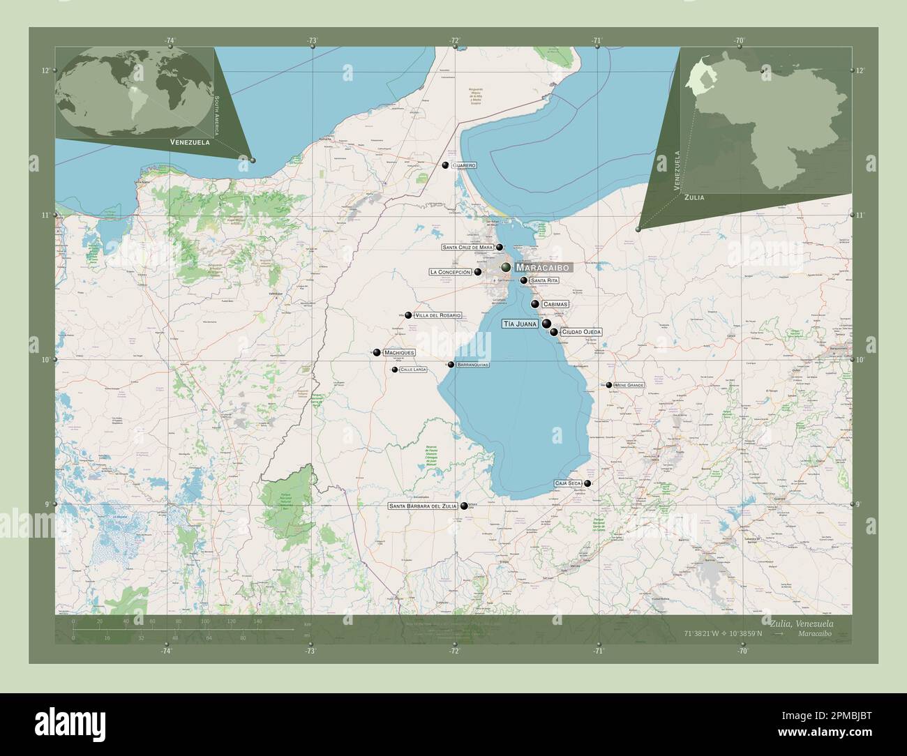 Zulia, state of Venezuela. Open Street Map. Locations and names of major cities of the region. Corner auxiliary location maps Stock Photohttps://www.alamy.com/image-license-details/?v=1https://www.alamy.com/zulia-state-of-venezuela-open-street-map-locations-and-names-of-major-cities-of-the-region-corner-auxiliary-location-maps-image546070444.html
RF2PMBJBT–Zulia, state of Venezuela. Open Street Map. Locations and names of major cities of the region. Corner auxiliary location maps
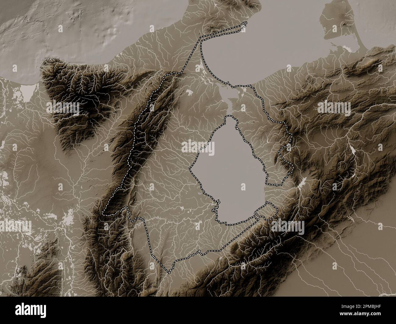 Zulia, state of Venezuela. Elevation map colored in sepia tones with lakes and rivers Stock Photohttps://www.alamy.com/image-license-details/?v=1https://www.alamy.com/zulia-state-of-venezuela-elevation-map-colored-in-sepia-tones-with-lakes-and-rivers-image546070603.html
RF2PMBJHF–Zulia, state of Venezuela. Elevation map colored in sepia tones with lakes and rivers
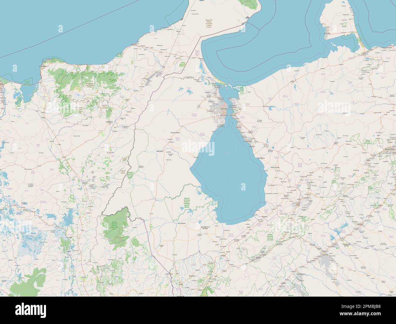 Zulia, state of Venezuela. Open Street Map Stock Photohttps://www.alamy.com/image-license-details/?v=1https://www.alamy.com/zulia-state-of-venezuela-open-street-map-image546070428.html
RF2PMBJB8–Zulia, state of Venezuela. Open Street Map
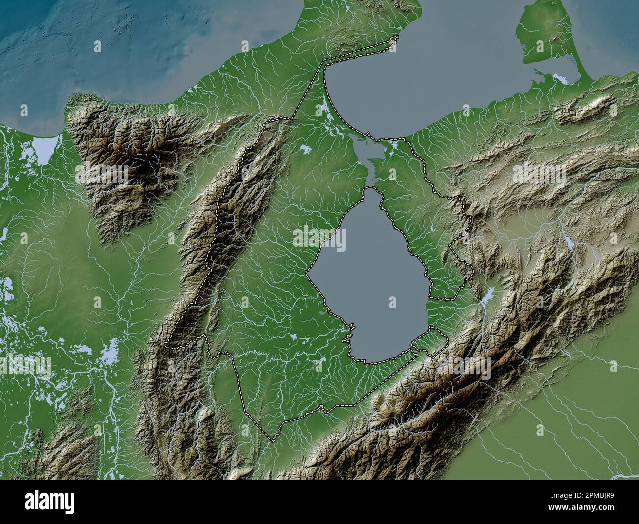 Zulia, state of Venezuela. Elevation map colored in wiki style with lakes and rivers Stock Photohttps://www.alamy.com/image-license-details/?v=1https://www.alamy.com/zulia-state-of-venezuela-elevation-map-colored-in-wiki-style-with-lakes-and-rivers-image546070765.html
RF2PMBJR9–Zulia, state of Venezuela. Elevation map colored in wiki style with lakes and rivers
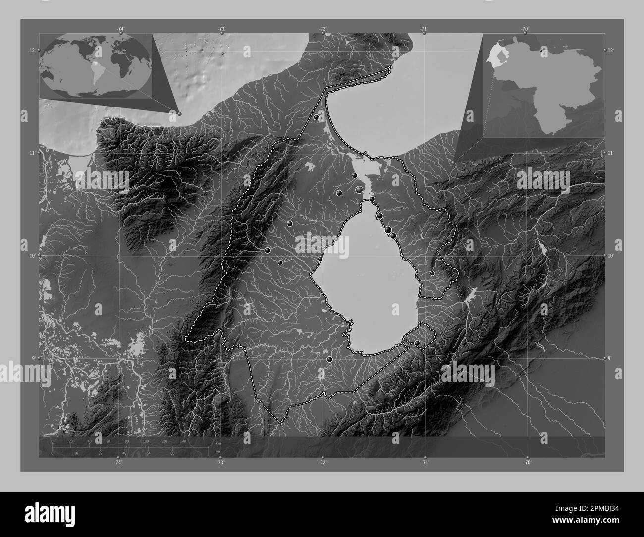 Zulia, state of Venezuela. Grayscale elevation map with lakes and rivers. Locations of major cities of the region. Corner auxiliary location maps Stock Photohttps://www.alamy.com/image-license-details/?v=1https://www.alamy.com/zulia-state-of-venezuela-grayscale-elevation-map-with-lakes-and-rivers-locations-of-major-cities-of-the-region-corner-auxiliary-location-maps-image546070200.html
RF2PMBJ34–Zulia, state of Venezuela. Grayscale elevation map with lakes and rivers. Locations of major cities of the region. Corner auxiliary location maps
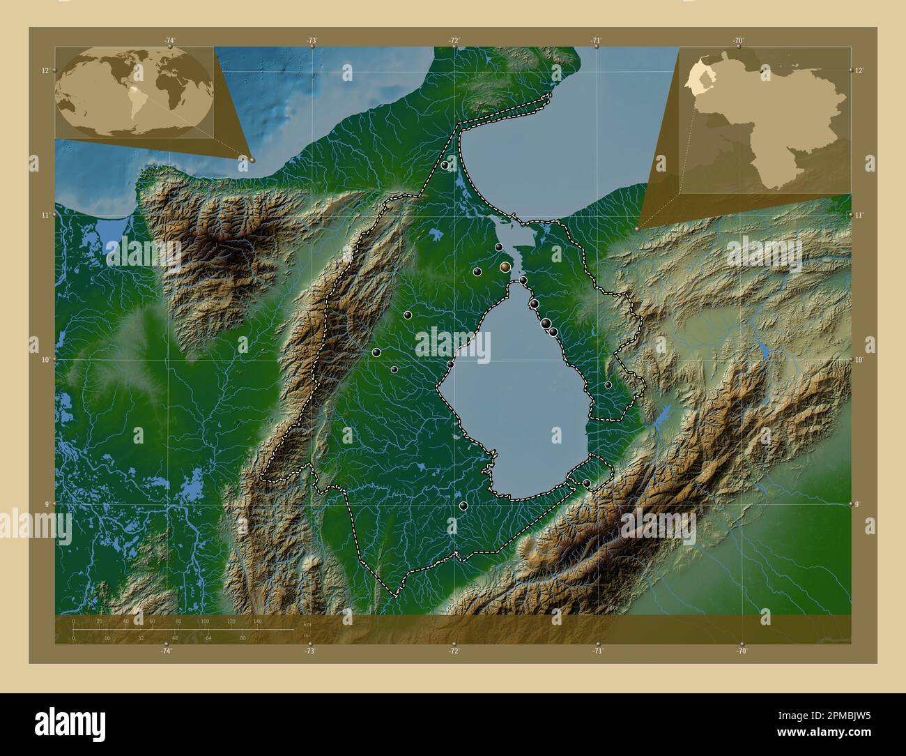 Zulia, state of Venezuela. Colored elevation map with lakes and rivers. Locations of major cities of the region. Corner auxiliary location maps Stock Photohttps://www.alamy.com/image-license-details/?v=1https://www.alamy.com/zulia-state-of-venezuela-colored-elevation-map-with-lakes-and-rivers-locations-of-major-cities-of-the-region-corner-auxiliary-location-maps-image546070817.html
RF2PMBJW5–Zulia, state of Venezuela. Colored elevation map with lakes and rivers. Locations of major cities of the region. Corner auxiliary location maps
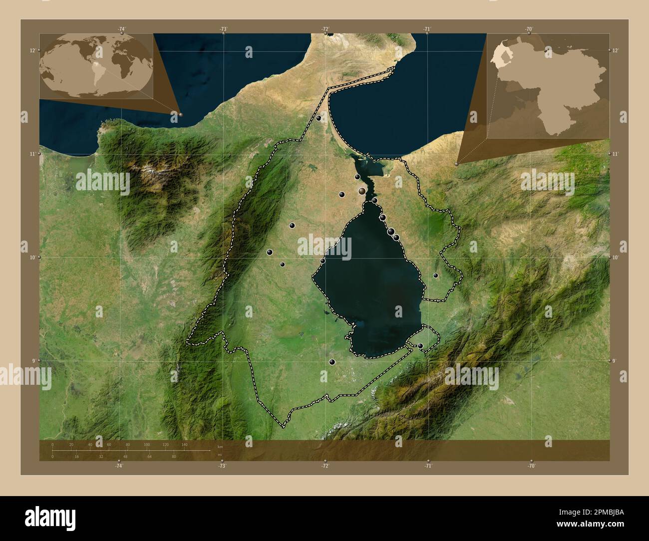 Zulia, state of Venezuela. Low resolution satellite map. Locations of major cities of the region. Corner auxiliary location maps Stock Photohttps://www.alamy.com/image-license-details/?v=1https://www.alamy.com/zulia-state-of-venezuela-low-resolution-satellite-map-locations-of-major-cities-of-the-region-corner-auxiliary-location-maps-image546070430.html
RF2PMBJBA–Zulia, state of Venezuela. Low resolution satellite map. Locations of major cities of the region. Corner auxiliary location maps
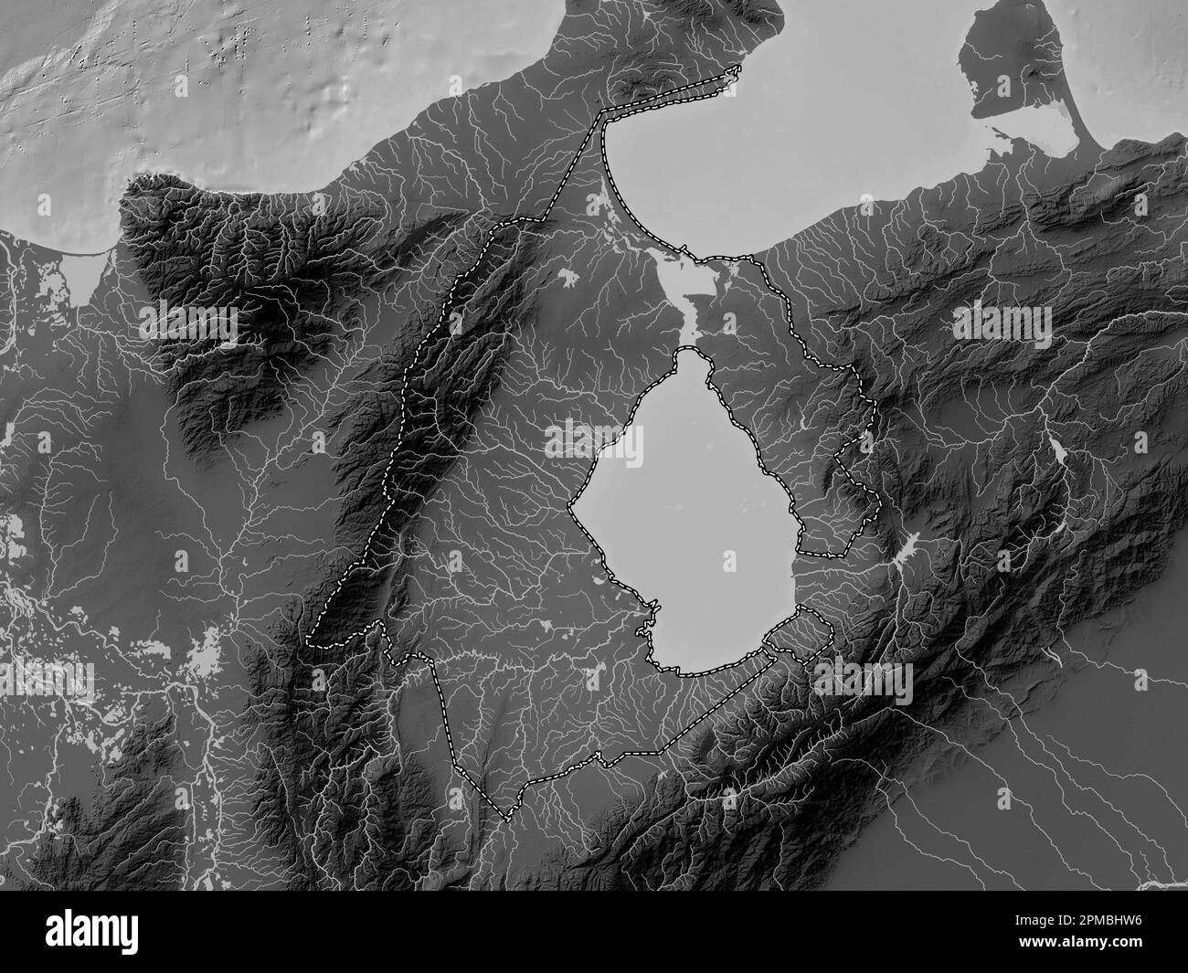 Zulia, state of Venezuela. Grayscale elevation map with lakes and rivers Stock Photohttps://www.alamy.com/image-license-details/?v=1https://www.alamy.com/zulia-state-of-venezuela-grayscale-elevation-map-with-lakes-and-rivers-image546070034.html
RF2PMBHW6–Zulia, state of Venezuela. Grayscale elevation map with lakes and rivers
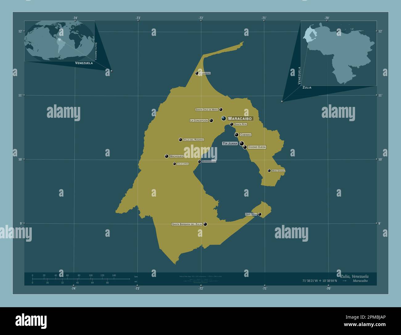 Zulia, state of Venezuela. Solid color shape. Locations and names of major cities of the region. Corner auxiliary location maps Stock Photohttps://www.alamy.com/image-license-details/?v=1https://www.alamy.com/zulia-state-of-venezuela-solid-color-shape-locations-and-names-of-major-cities-of-the-region-corner-auxiliary-location-maps-image546070414.html
RF2PMBJAP–Zulia, state of Venezuela. Solid color shape. Locations and names of major cities of the region. Corner auxiliary location maps
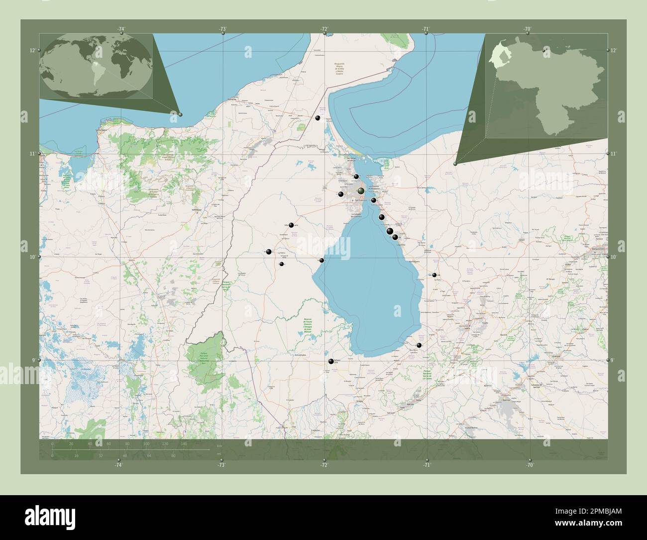 Zulia, state of Venezuela. Open Street Map. Locations of major cities of the region. Corner auxiliary location maps Stock Photohttps://www.alamy.com/image-license-details/?v=1https://www.alamy.com/zulia-state-of-venezuela-open-street-map-locations-of-major-cities-of-the-region-corner-auxiliary-location-maps-image546070412.html
RF2PMBJAM–Zulia, state of Venezuela. Open Street Map. Locations of major cities of the region. Corner auxiliary location maps
 Zulia, state of Venezuela. Elevation map colored in sepia tones with lakes and rivers. Locations of major cities of the region. Corner auxiliary locat Stock Photohttps://www.alamy.com/image-license-details/?v=1https://www.alamy.com/zulia-state-of-venezuela-elevation-map-colored-in-sepia-tones-with-lakes-and-rivers-locations-of-major-cities-of-the-region-corner-auxiliary-locat-image546070605.html
RF2PMBJHH–Zulia, state of Venezuela. Elevation map colored in sepia tones with lakes and rivers. Locations of major cities of the region. Corner auxiliary locat
 Zulia, state of Venezuela. Bilevel elevation map with lakes and rivers. Locations and names of major cities of the region. Corner auxiliary location m Stock Photohttps://www.alamy.com/image-license-details/?v=1https://www.alamy.com/zulia-state-of-venezuela-bilevel-elevation-map-with-lakes-and-rivers-locations-and-names-of-major-cities-of-the-region-corner-auxiliary-location-m-image546070035.html
RF2PMBHW7–Zulia, state of Venezuela. Bilevel elevation map with lakes and rivers. Locations and names of major cities of the region. Corner auxiliary location m
 Zulia, state of Venezuela. Bilevel elevation map with lakes and rivers. Locations of major cities of the region. Corner auxiliary location maps Stock Photohttps://www.alamy.com/image-license-details/?v=1https://www.alamy.com/zulia-state-of-venezuela-bilevel-elevation-map-with-lakes-and-rivers-locations-of-major-cities-of-the-region-corner-auxiliary-location-maps-image546069940.html
RF2PMBHNT–Zulia, state of Venezuela. Bilevel elevation map with lakes and rivers. Locations of major cities of the region. Corner auxiliary location maps
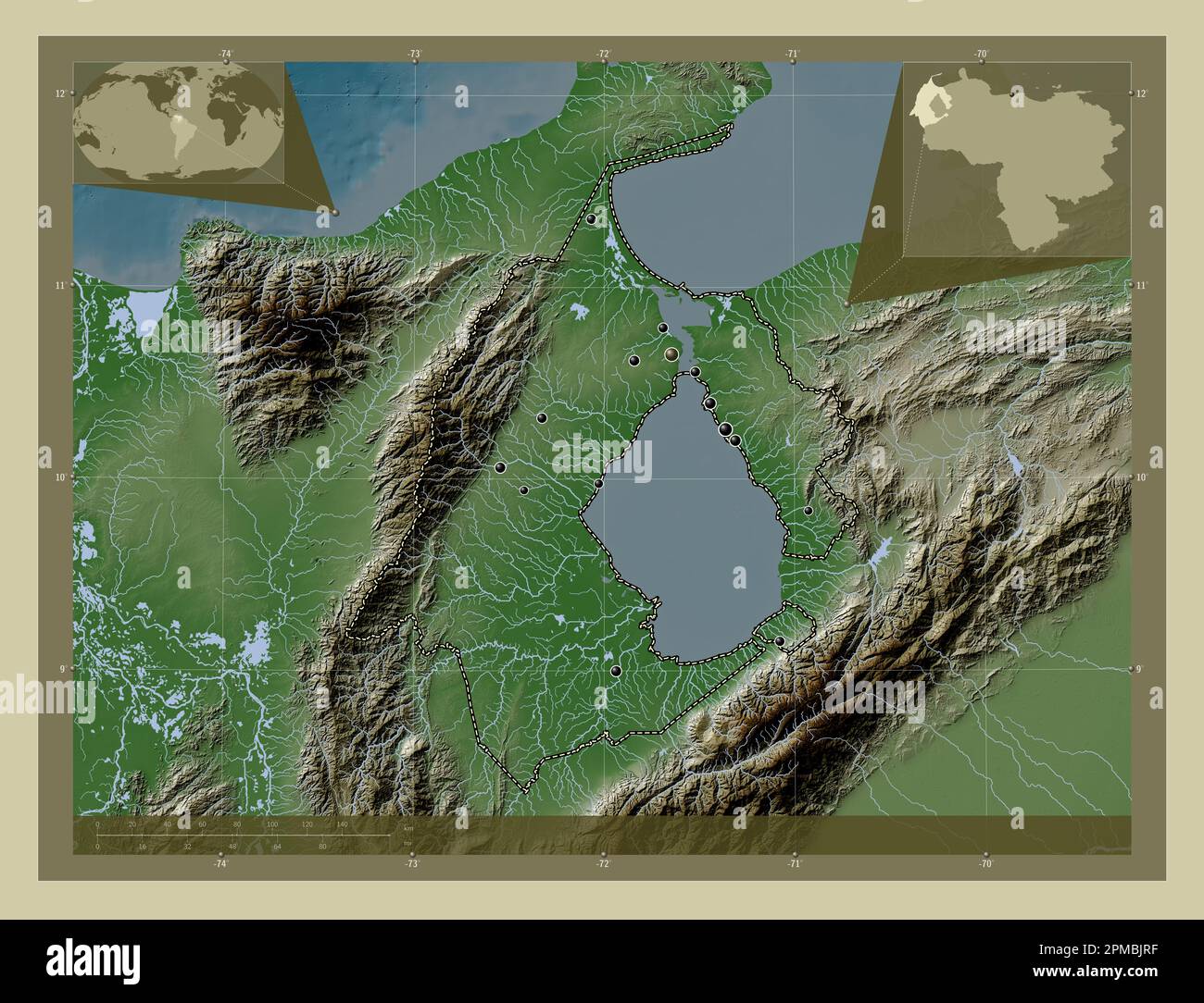 Zulia, state of Venezuela. Elevation map colored in wiki style with lakes and rivers. Locations of major cities of the region. Corner auxiliary locati Stock Photohttps://www.alamy.com/image-license-details/?v=1https://www.alamy.com/zulia-state-of-venezuela-elevation-map-colored-in-wiki-style-with-lakes-and-rivers-locations-of-major-cities-of-the-region-corner-auxiliary-locati-image546070771.html
RF2PMBJRF–Zulia, state of Venezuela. Elevation map colored in wiki style with lakes and rivers. Locations of major cities of the region. Corner auxiliary locati
 Zulia, state of Venezuela. Elevation map colored in sepia tones with lakes and rivers. Locations and names of major cities of the region. Corner auxil Stock Photohttps://www.alamy.com/image-license-details/?v=1https://www.alamy.com/zulia-state-of-venezuela-elevation-map-colored-in-sepia-tones-with-lakes-and-rivers-locations-and-names-of-major-cities-of-the-region-corner-auxil-image546070578.html
RF2PMBJGJ–Zulia, state of Venezuela. Elevation map colored in sepia tones with lakes and rivers. Locations and names of major cities of the region. Corner auxil
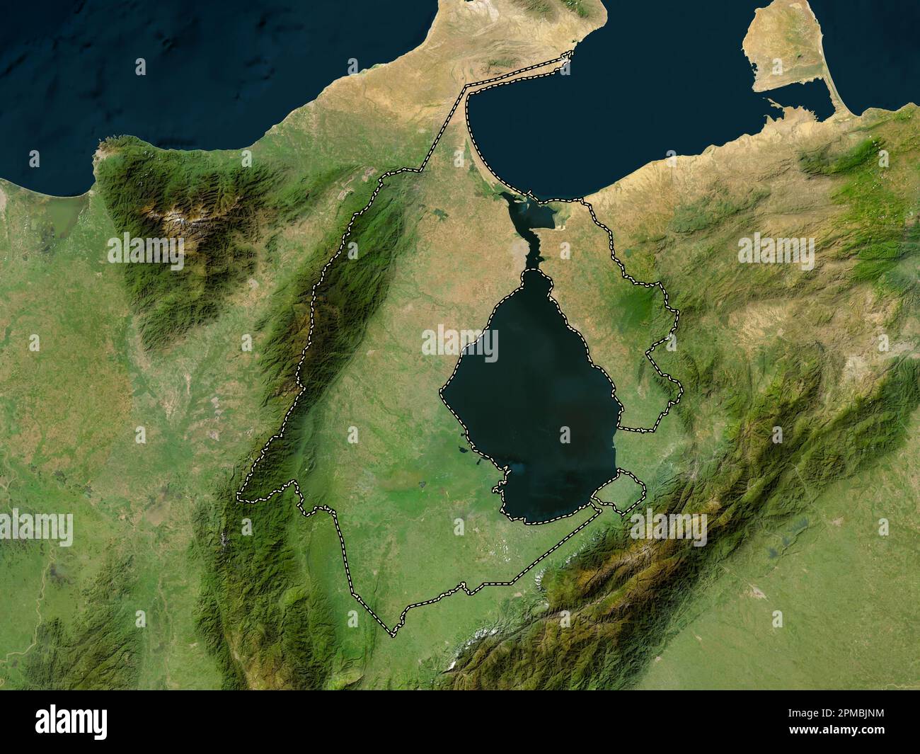 Zulia, state of Venezuela. Low resolution satellite map Stock Photohttps://www.alamy.com/image-license-details/?v=1https://www.alamy.com/zulia-state-of-venezuela-low-resolution-satellite-map-image546070720.html
RF2PMBJNM–Zulia, state of Venezuela. Low resolution satellite map
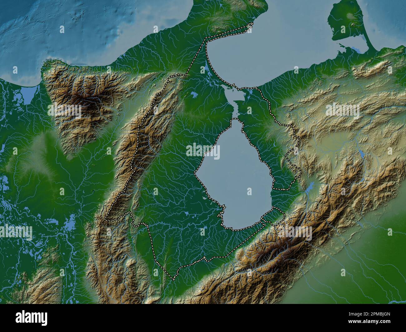 Zulia, state of Venezuela. Colored elevation map with lakes and rivers Stock Photohttps://www.alamy.com/image-license-details/?v=1https://www.alamy.com/zulia-state-of-venezuela-colored-elevation-map-with-lakes-and-rivers-image546070581.html
RF2PMBJGN–Zulia, state of Venezuela. Colored elevation map with lakes and rivers
 Zulia, state of Venezuela. Colored elevation map with lakes and rivers. Locations and names of major cities of the region. Corner auxiliary location m Stock Photohttps://www.alamy.com/image-license-details/?v=1https://www.alamy.com/zulia-state-of-venezuela-colored-elevation-map-with-lakes-and-rivers-locations-and-names-of-major-cities-of-the-region-corner-auxiliary-location-m-image546070587.html
RF2PMBJGY–Zulia, state of Venezuela. Colored elevation map with lakes and rivers. Locations and names of major cities of the region. Corner auxiliary location m
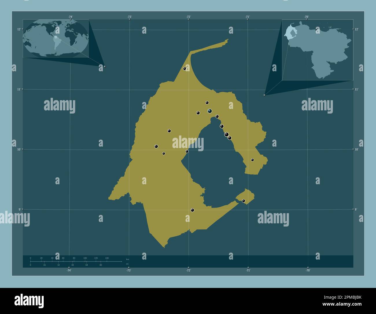 Zulia, state of Venezuela. Solid color shape. Locations of major cities of the region. Corner auxiliary location maps Stock Photohttps://www.alamy.com/image-license-details/?v=1https://www.alamy.com/zulia-state-of-venezuela-solid-color-shape-locations-of-major-cities-of-the-region-corner-auxiliary-location-maps-image546070439.html
RF2PMBJBK–Zulia, state of Venezuela. Solid color shape. Locations of major cities of the region. Corner auxiliary location maps
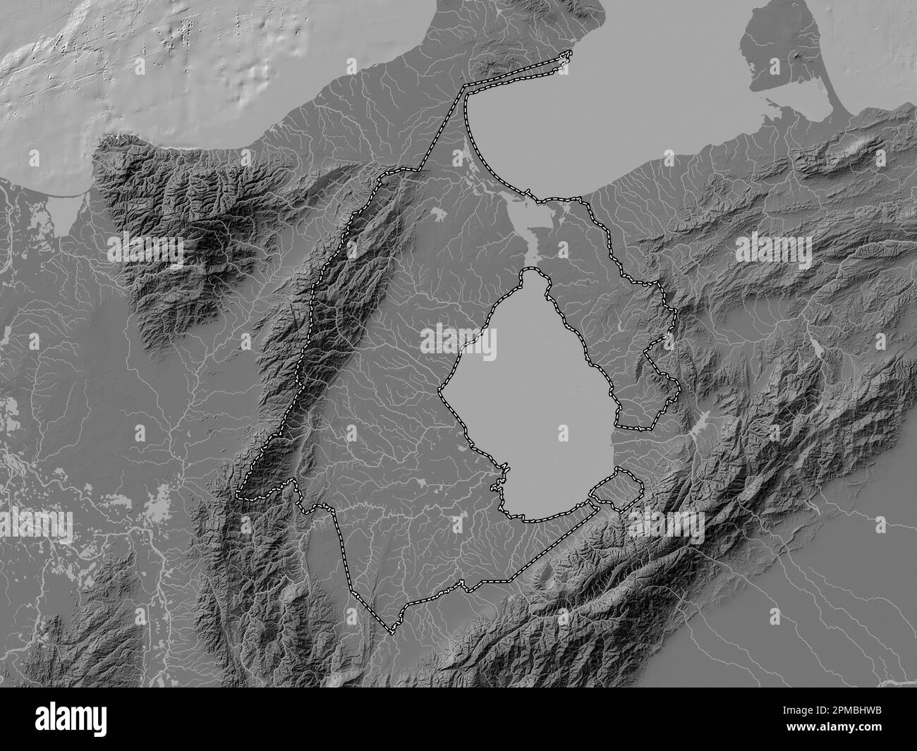 Zulia, state of Venezuela. Bilevel elevation map with lakes and rivers Stock Photohttps://www.alamy.com/image-license-details/?v=1https://www.alamy.com/zulia-state-of-venezuela-bilevel-elevation-map-with-lakes-and-rivers-image546070039.html
RF2PMBHWB–Zulia, state of Venezuela. Bilevel elevation map with lakes and rivers
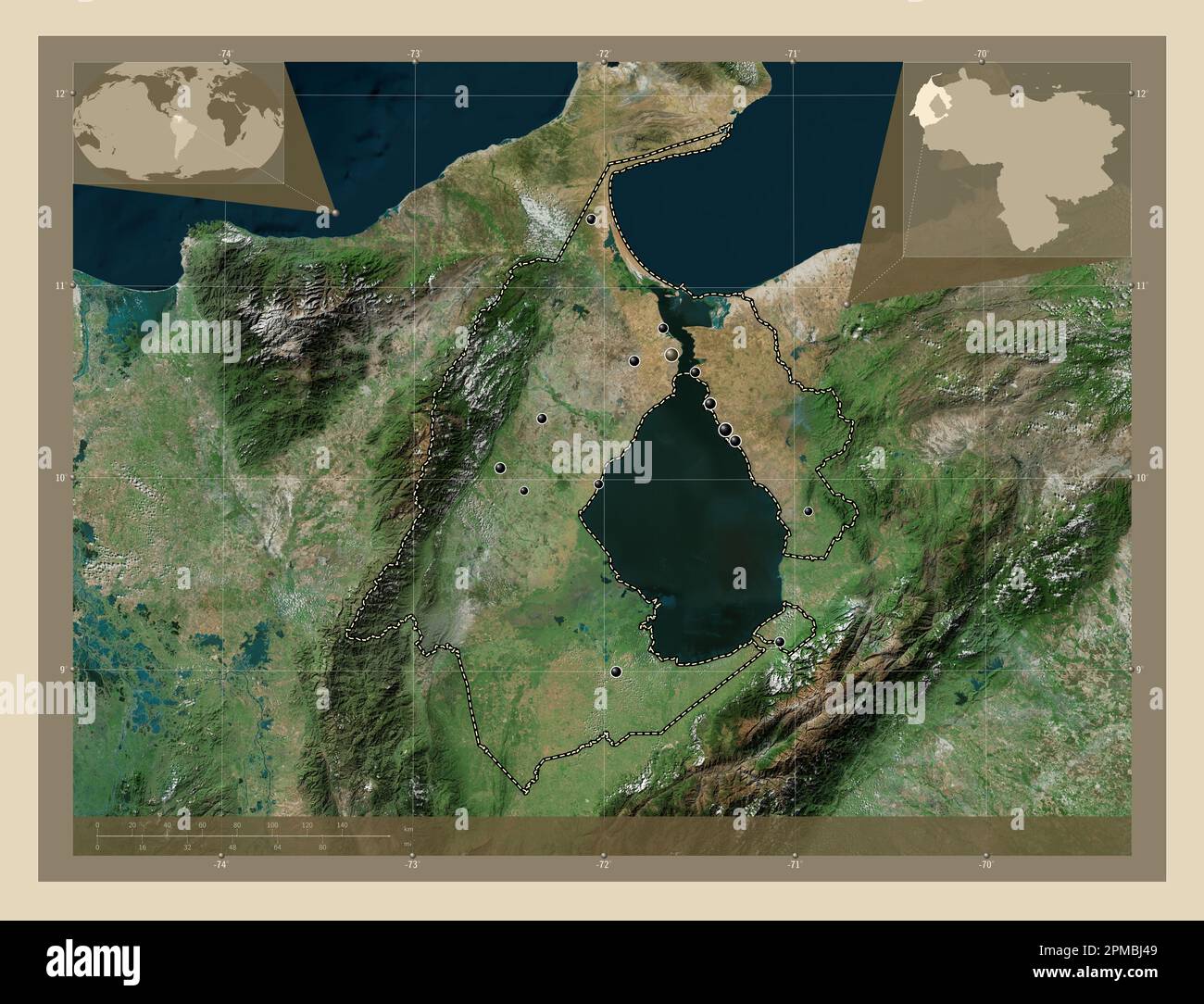 Zulia, state of Venezuela. High resolution satellite map. Locations of major cities of the region. Corner auxiliary location maps Stock Photohttps://www.alamy.com/image-license-details/?v=1https://www.alamy.com/zulia-state-of-venezuela-high-resolution-satellite-map-locations-of-major-cities-of-the-region-corner-auxiliary-location-maps-image546070233.html
RF2PMBJ49–Zulia, state of Venezuela. High resolution satellite map. Locations of major cities of the region. Corner auxiliary location maps
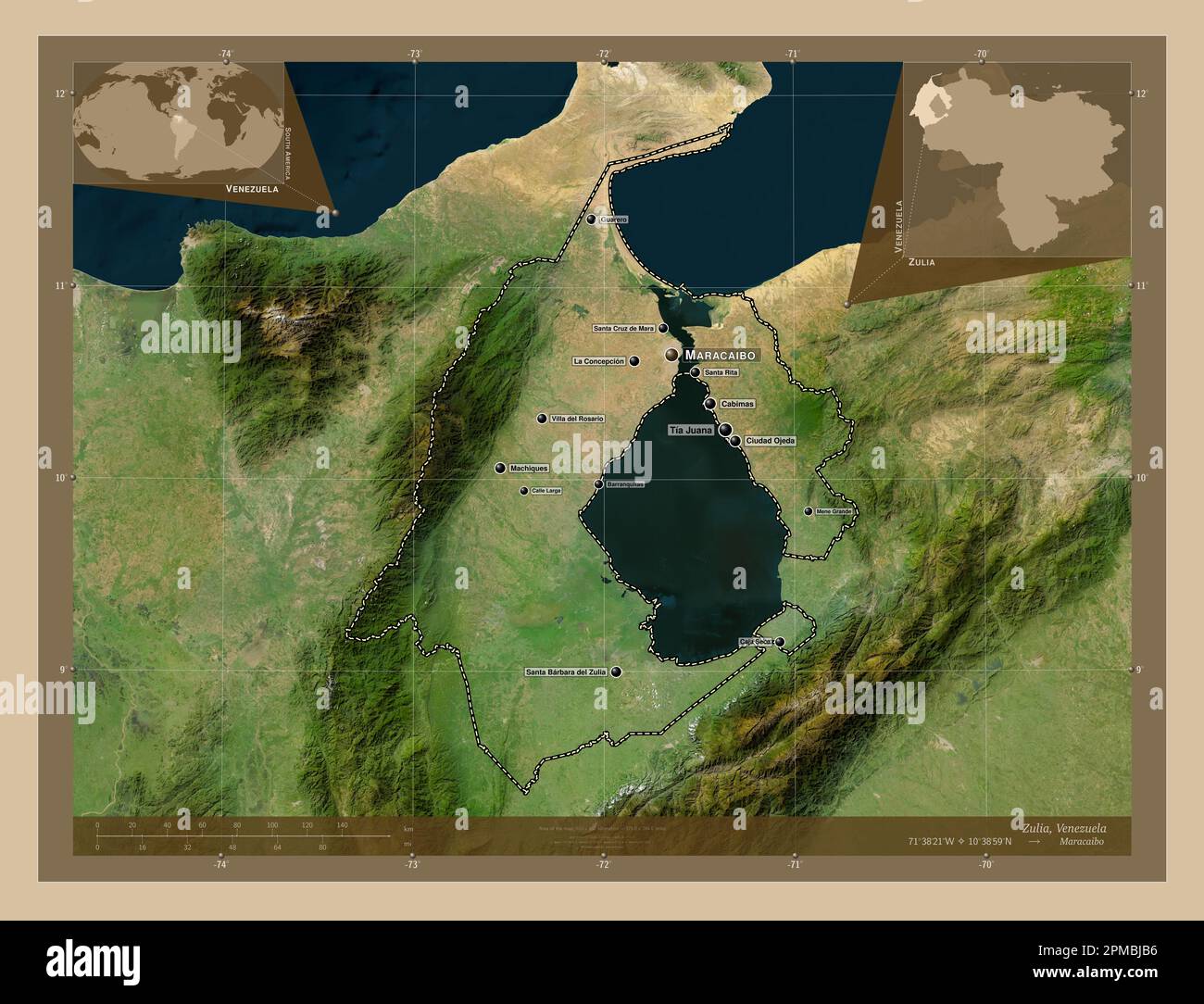 Zulia, state of Venezuela. Low resolution satellite map. Locations and names of major cities of the region. Corner auxiliary location maps Stock Photohttps://www.alamy.com/image-license-details/?v=1https://www.alamy.com/zulia-state-of-venezuela-low-resolution-satellite-map-locations-and-names-of-major-cities-of-the-region-corner-auxiliary-location-maps-image546070426.html
RF2PMBJB6–Zulia, state of Venezuela. Low resolution satellite map. Locations and names of major cities of the region. Corner auxiliary location maps
 Zulia, state of Venezuela. Solid color shape Stock Photohttps://www.alamy.com/image-license-details/?v=1https://www.alamy.com/zulia-state-of-venezuela-solid-color-shape-image546070437.html
RF2PMBJBH–Zulia, state of Venezuela. Solid color shape
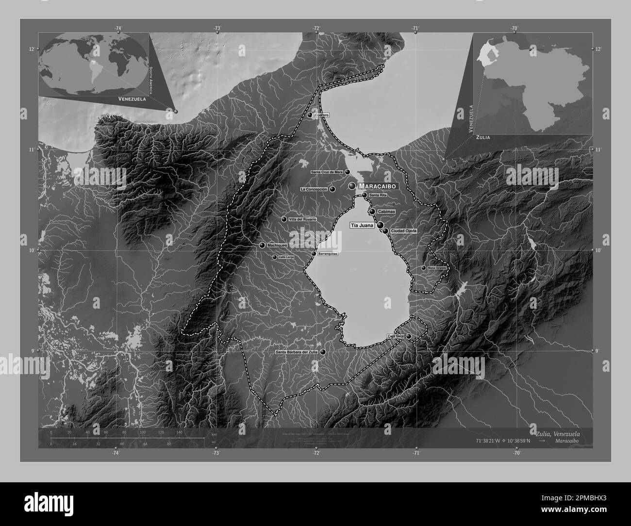 Zulia, state of Venezuela. Grayscale elevation map with lakes and rivers. Locations and names of major cities of the region. Corner auxiliary location Stock Photohttps://www.alamy.com/image-license-details/?v=1https://www.alamy.com/zulia-state-of-venezuela-grayscale-elevation-map-with-lakes-and-rivers-locations-and-names-of-major-cities-of-the-region-corner-auxiliary-location-image546070059.html
RF2PMBHX3–Zulia, state of Venezuela. Grayscale elevation map with lakes and rivers. Locations and names of major cities of the region. Corner auxiliary location
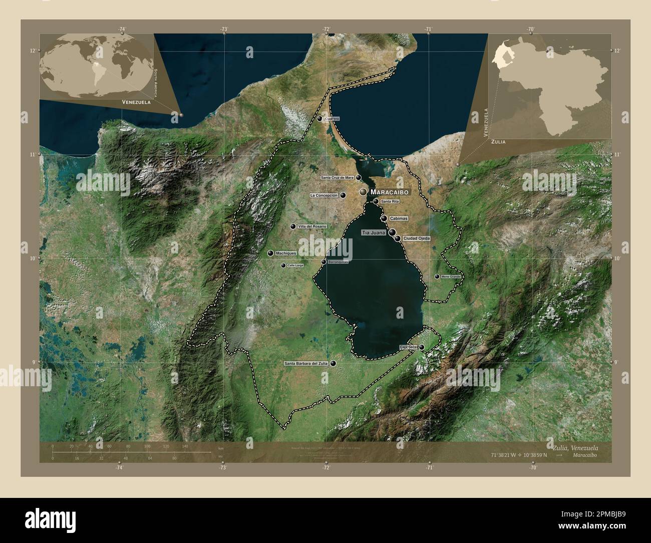 Zulia, state of Venezuela. High resolution satellite map. Locations and names of major cities of the region. Corner auxiliary location maps Stock Photohttps://www.alamy.com/image-license-details/?v=1https://www.alamy.com/zulia-state-of-venezuela-high-resolution-satellite-map-locations-and-names-of-major-cities-of-the-region-corner-auxiliary-location-maps-image546070429.html
RF2PMBJB9–Zulia, state of Venezuela. High resolution satellite map. Locations and names of major cities of the region. Corner auxiliary location maps
 Zulia, state of Venezuela. Elevation map colored in wiki style with lakes and rivers. Locations and names of major cities of the region. Corner auxili Stock Photohttps://www.alamy.com/image-license-details/?v=1https://www.alamy.com/zulia-state-of-venezuela-elevation-map-colored-in-wiki-style-with-lakes-and-rivers-locations-and-names-of-major-cities-of-the-region-corner-auxili-image546070788.html
RF2PMBJT4–Zulia, state of Venezuela. Elevation map colored in wiki style with lakes and rivers. Locations and names of major cities of the region. Corner auxili