Quick filters:
Maddock north dakota Stock Photos and Images
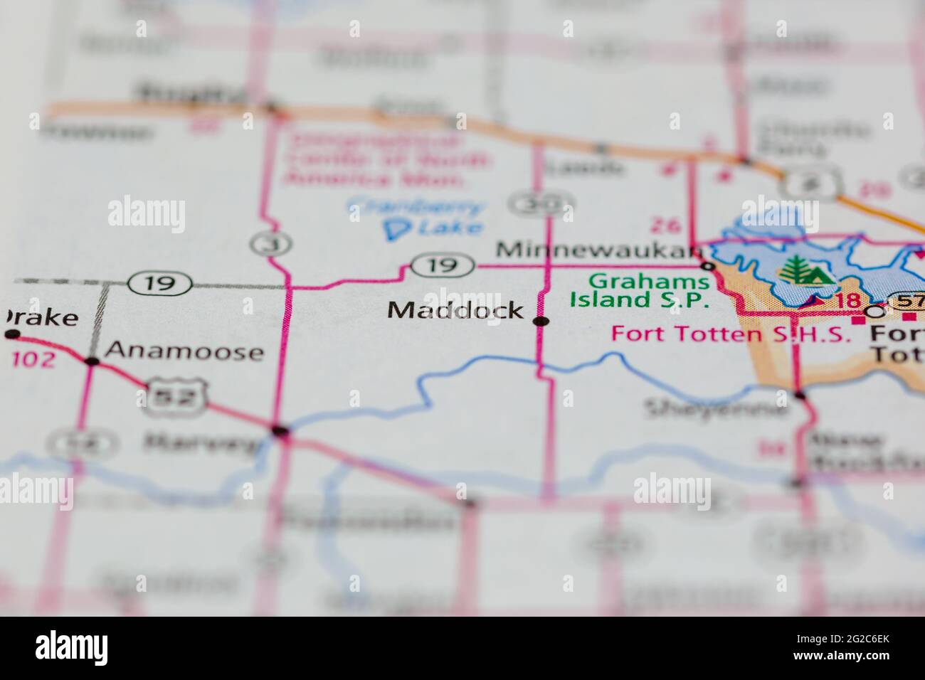 Maddock North Dakota USA shown of a Road map or Geography map Stock Photohttps://www.alamy.com/image-license-details/?v=1https://www.alamy.com/maddock-north-dakota-usa-shown-of-a-road-map-or-geography-map-image431757051.html
RM2G2C6EK–Maddock North Dakota USA shown of a Road map or Geography map
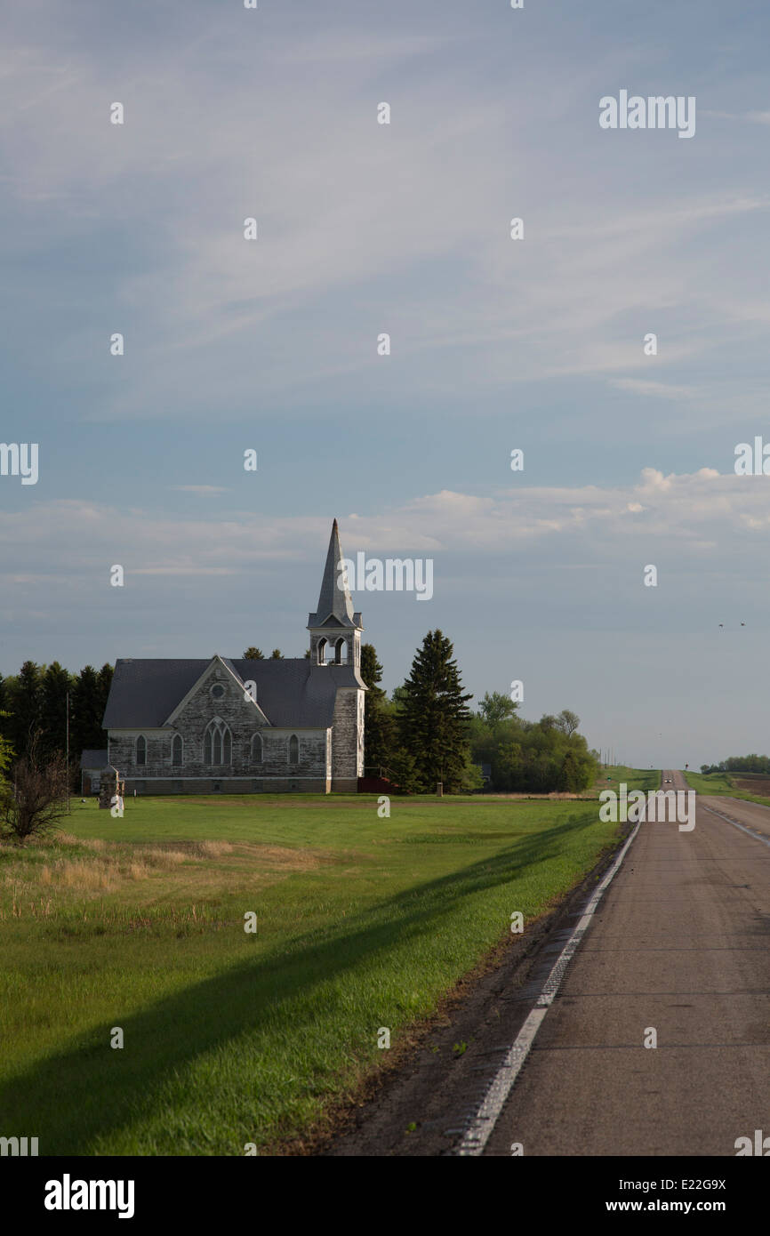 Maddock, North Dakota - Immanuel Lutheran Church, on North Dakota Route 30. Stock Photohttps://www.alamy.com/image-license-details/?v=1https://www.alamy.com/stock-photo-maddock-north-dakota-immanuel-lutheran-church-on-north-dakota-route-70127510.html
RME22G9X–Maddock, North Dakota - Immanuel Lutheran Church, on North Dakota Route 30.
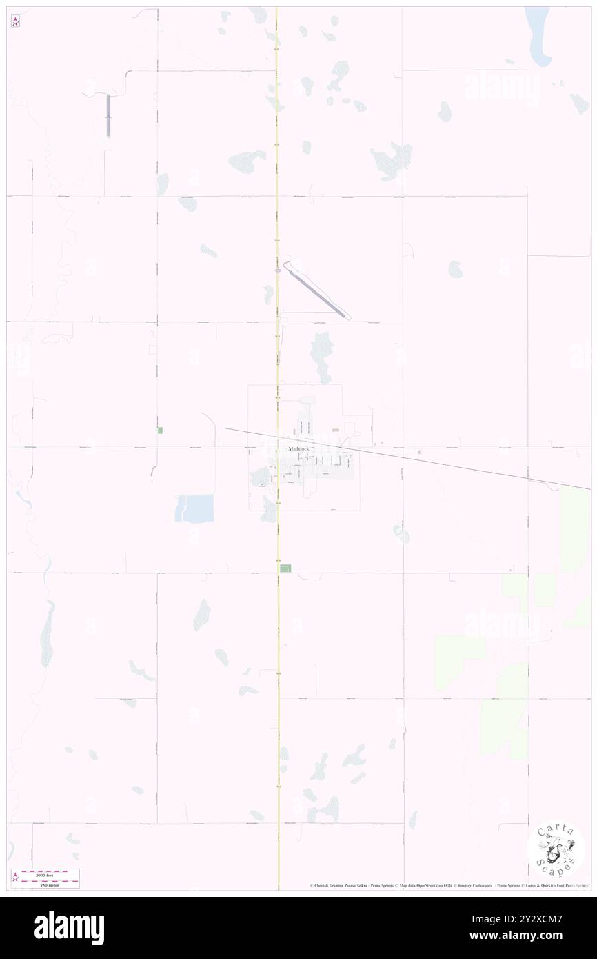 Maddock, Benson County, US, United States, North Dakota, N 47 57' 45'', S 99 31' 48'', map, Cartascapes Map published in 2024. Explore Cartascapes, a map revealing Earth's diverse landscapes, cultures, and ecosystems. Journey through time and space, discovering the interconnectedness of our planet's past, present, and future. Stock Photohttps://www.alamy.com/image-license-details/?v=1https://www.alamy.com/maddock-benson-county-us-united-states-north-dakota-n-47-57-45-s-99-31-48-map-cartascapes-map-published-in-2024-explore-cartascapes-a-map-revealing-earths-diverse-landscapes-cultures-and-ecosystems-journey-through-time-and-space-discovering-the-interconnectedness-of-our-planets-past-present-and-future-image621383287.html
RM2Y2XCM7–Maddock, Benson County, US, United States, North Dakota, N 47 57' 45'', S 99 31' 48'', map, Cartascapes Map published in 2024. Explore Cartascapes, a map revealing Earth's diverse landscapes, cultures, and ecosystems. Journey through time and space, discovering the interconnectedness of our planet's past, present, and future.
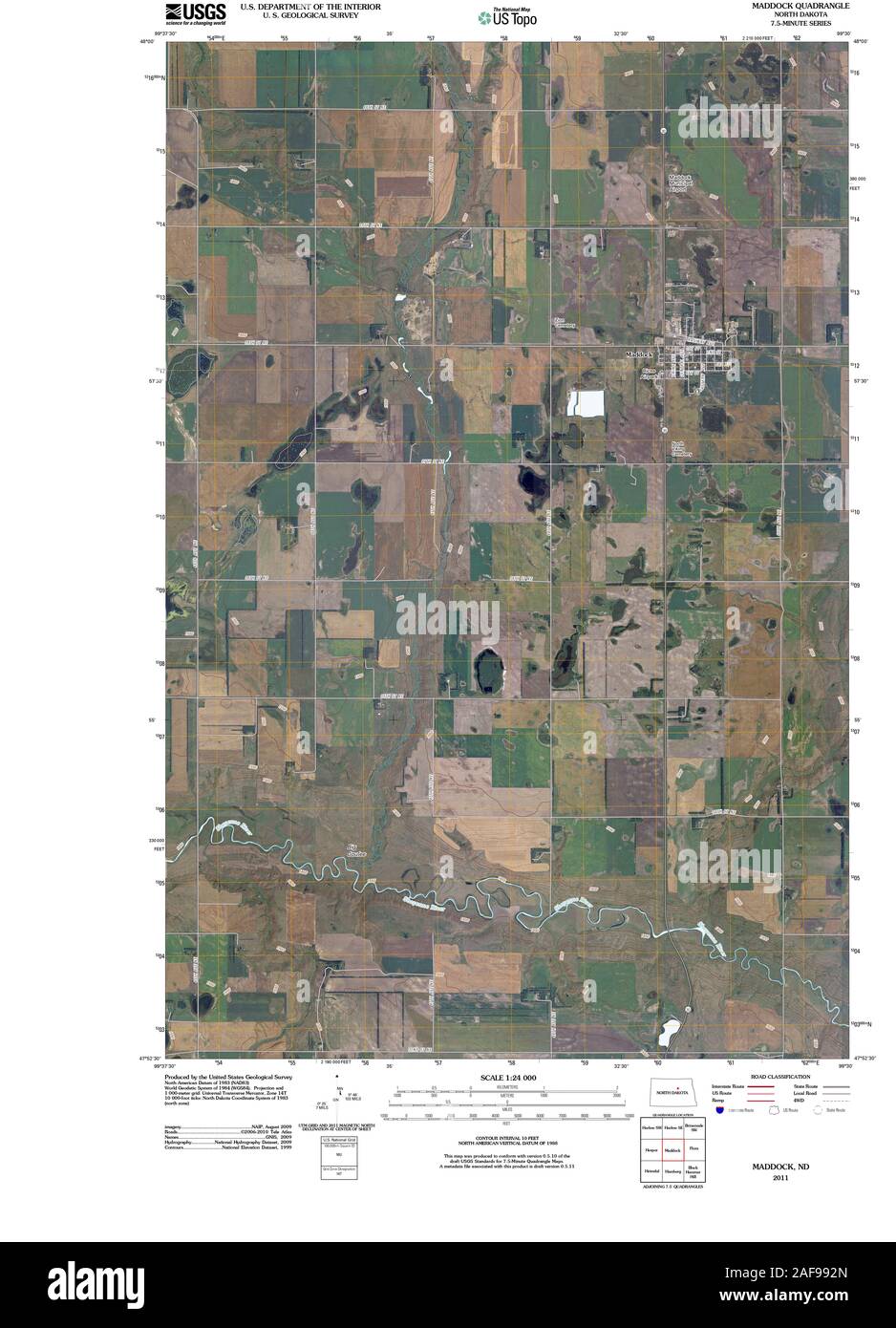 USGS TOPO Map North Dakota ND Maddock 20110329 TM Restoration Stock Photohttps://www.alamy.com/image-license-details/?v=1https://www.alamy.com/usgs-topo-map-north-dakota-nd-maddock-20110329-tm-restoration-image336421533.html
RM2AF992N–USGS TOPO Map North Dakota ND Maddock 20110329 TM Restoration
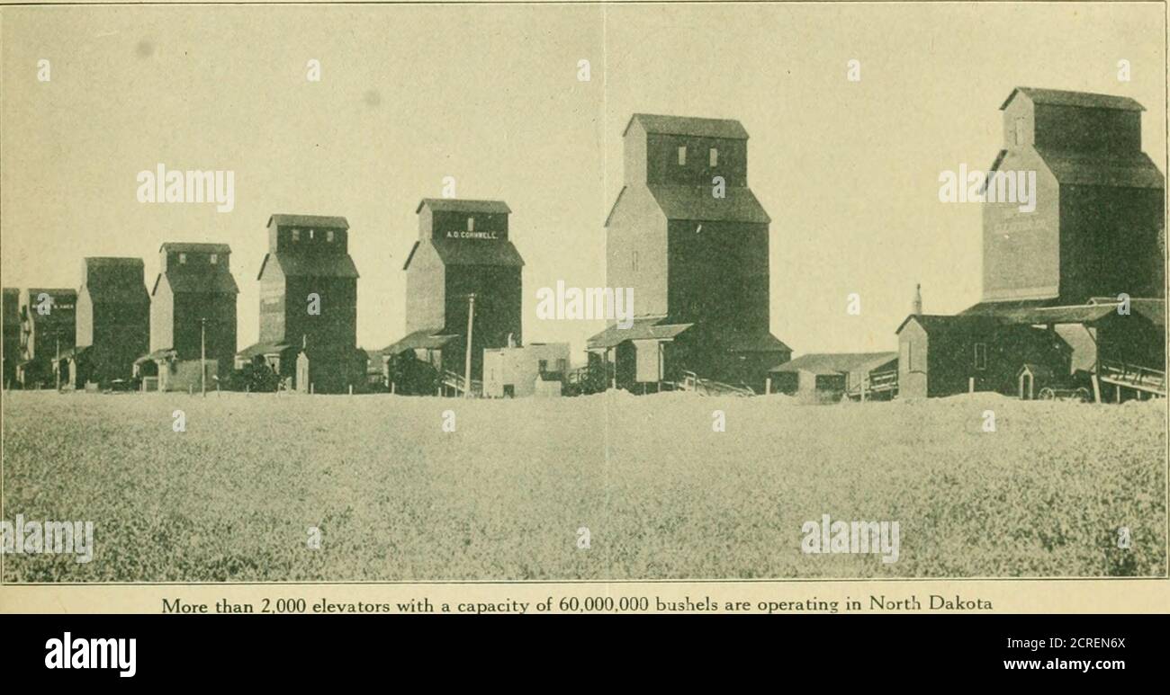 . North Dakota .. . rmal schools at ValleyCity, Mayville, Minot, and Dickinson; in the Sci-ence School at Wahpeton; the Industrial NormalSchool at Ellendale; and at the Agricultural andTraining school at Park River and at Maddock. Farmers clubs have been organized in inostcommunities, where the farmers and their familiesgather to discuss the farm problems and for asocial time. Traveling libraries composed of sets of books onagriculture and on general subjects are sent outlay the Library Commission at Bismarck so thatany community that will pay the express one waycan have one of these sets of b Stock Photohttps://www.alamy.com/image-license-details/?v=1https://www.alamy.com/north-dakota-rmal-schools-at-valleycity-mayville-minot-and-dickinson-in-the-sci-ence-school-at-wahpeton-the-industrial-normalschool-at-ellendale-and-at-the-agricultural-andtraining-school-at-park-river-and-at-maddock-farmers-clubs-have-been-organized-in-inostcommunities-where-the-farmers-and-their-familiesgather-to-discuss-the-farm-problems-and-for-asocial-time-traveling-libraries-composed-of-sets-of-books-onagriculture-and-on-general-subjects-are-sent-outlay-the-library-commission-at-bismarck-so-thatany-community-that-will-pay-the-express-one-waycan-have-one-of-these-sets-of-b-image375878802.html
RM2CREN6X–. North Dakota .. . rmal schools at ValleyCity, Mayville, Minot, and Dickinson; in the Sci-ence School at Wahpeton; the Industrial NormalSchool at Ellendale; and at the Agricultural andTraining school at Park River and at Maddock. Farmers clubs have been organized in inostcommunities, where the farmers and their familiesgather to discuss the farm problems and for asocial time. Traveling libraries composed of sets of books onagriculture and on general subjects are sent outlay the Library Commission at Bismarck so thatany community that will pay the express one waycan have one of these sets of b
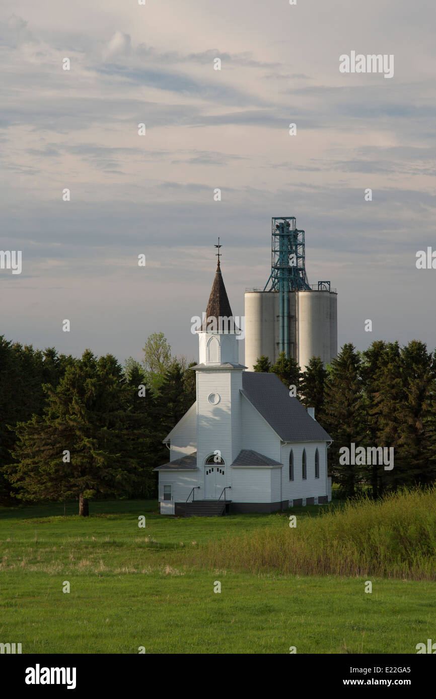 Maddock, North Dakota - A rural church and a grain elevator. Stock Photohttps://www.alamy.com/image-license-details/?v=1https://www.alamy.com/stock-photo-maddock-north-dakota-a-rural-church-and-a-grain-elevator-70127517.html
RME22GA5–Maddock, North Dakota - A rural church and a grain elevator.
 Maddock, Benson County, US, United States, North Dakota, N 47 57' 45'', S 99 31' 48'', map, Cartascapes Map published in 2024. Explore Cartascapes, a map revealing Earth's diverse landscapes, cultures, and ecosystems. Journey through time and space, discovering the interconnectedness of our planet's past, present, and future. Stock Photohttps://www.alamy.com/image-license-details/?v=1https://www.alamy.com/maddock-benson-county-us-united-states-north-dakota-n-47-57-45-s-99-31-48-map-cartascapes-map-published-in-2024-explore-cartascapes-a-map-revealing-earths-diverse-landscapes-cultures-and-ecosystems-journey-through-time-and-space-discovering-the-interconnectedness-of-our-planets-past-present-and-future-image621248066.html
RM2Y2M86X–Maddock, Benson County, US, United States, North Dakota, N 47 57' 45'', S 99 31' 48'', map, Cartascapes Map published in 2024. Explore Cartascapes, a map revealing Earth's diverse landscapes, cultures, and ecosystems. Journey through time and space, discovering the interconnectedness of our planet's past, present, and future.
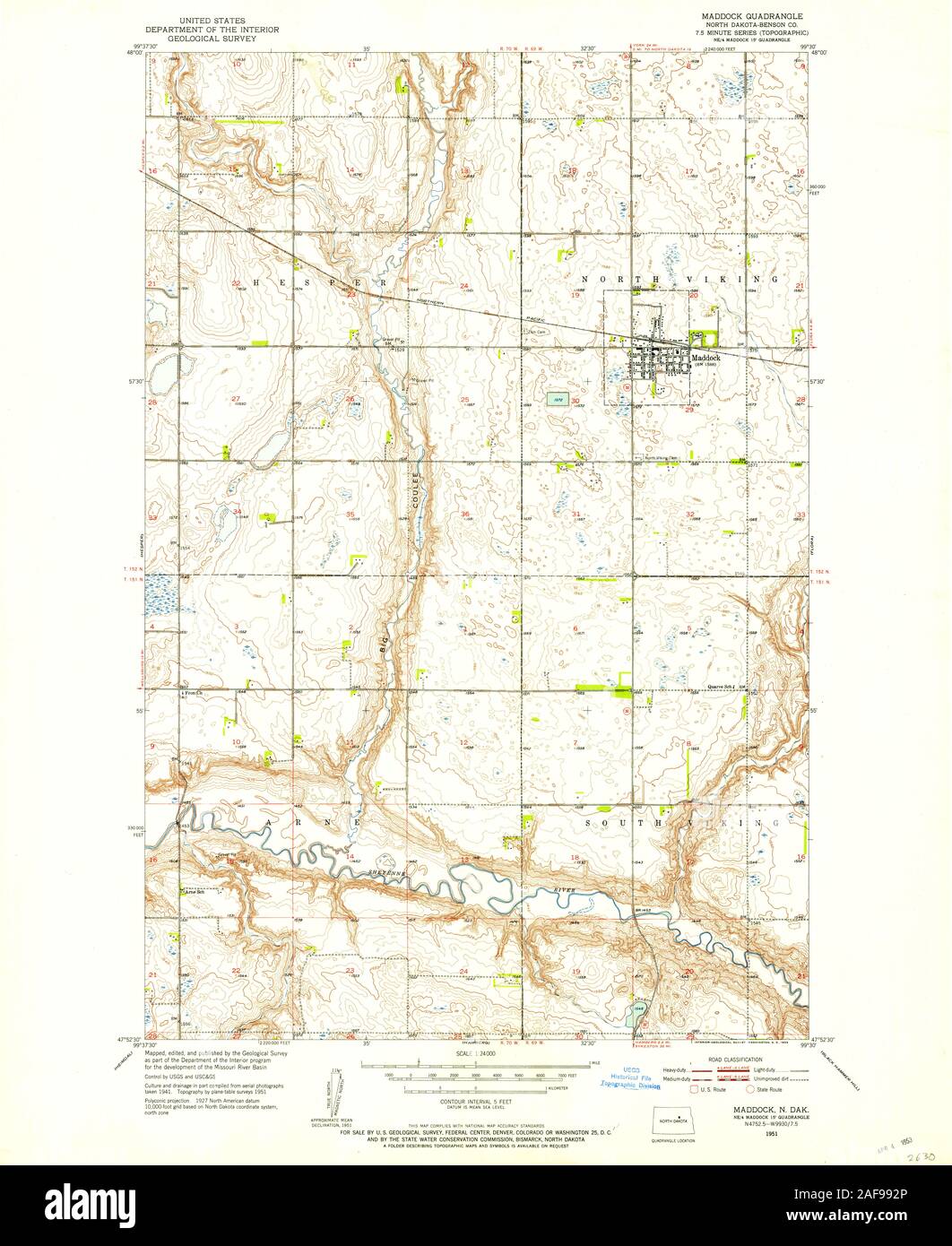 USGS TOPO Map North Dakota ND Maddock 284437 1951 24000 Restoration Stock Photohttps://www.alamy.com/image-license-details/?v=1https://www.alamy.com/usgs-topo-map-north-dakota-nd-maddock-284437-1951-24000-restoration-image336421534.html
RM2AF992P–USGS TOPO Map North Dakota ND Maddock 284437 1951 24000 Restoration
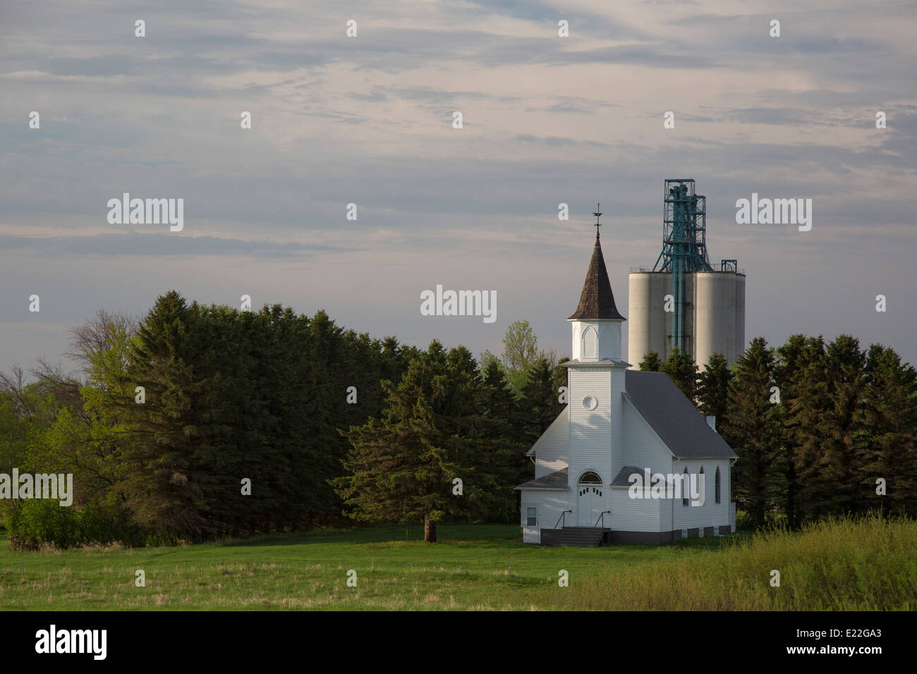 Maddock, North Dakota - A rural church and a grain elevator. Stock Photohttps://www.alamy.com/image-license-details/?v=1https://www.alamy.com/stock-photo-maddock-north-dakota-a-rural-church-and-a-grain-elevator-70127515.html
RME22GA3–Maddock, North Dakota - A rural church and a grain elevator.
 City of Maddock, Benson County, US, United States, North Dakota, N 47 57' 44'', S 99 31' 45'', map, Cartascapes Map published in 2024. Explore Cartascapes, a map revealing Earth's diverse landscapes, cultures, and ecosystems. Journey through time and space, discovering the interconnectedness of our planet's past, present, and future. Stock Photohttps://www.alamy.com/image-license-details/?v=1https://www.alamy.com/city-of-maddock-benson-county-us-united-states-north-dakota-n-47-57-44-s-99-31-45-map-cartascapes-map-published-in-2024-explore-cartascapes-a-map-revealing-earths-diverse-landscapes-cultures-and-ecosystems-journey-through-time-and-space-discovering-the-interconnectedness-of-our-planets-past-present-and-future-image633888627.html
RM2YR83BF–City of Maddock, Benson County, US, United States, North Dakota, N 47 57' 44'', S 99 31' 45'', map, Cartascapes Map published in 2024. Explore Cartascapes, a map revealing Earth's diverse landscapes, cultures, and ecosystems. Journey through time and space, discovering the interconnectedness of our planet's past, present, and future.
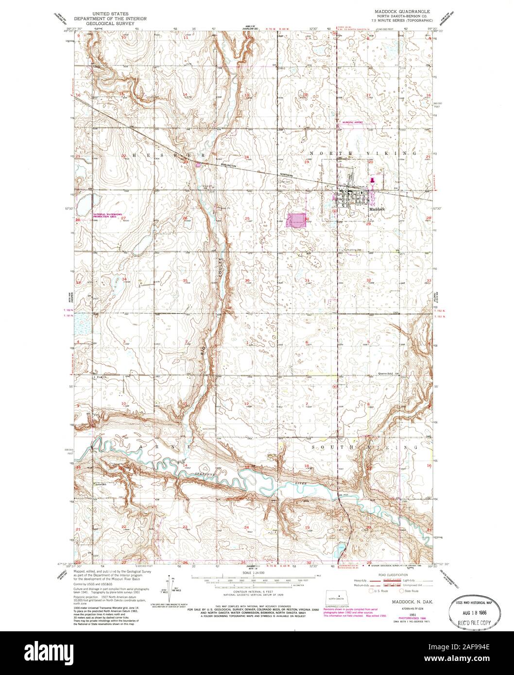 USGS TOPO Map North Dakota ND Maddock 284438 1951 24000 Restoration Stock Photohttps://www.alamy.com/image-license-details/?v=1https://www.alamy.com/usgs-topo-map-north-dakota-nd-maddock-284438-1951-24000-restoration-image336421582.html
RM2AF994E–USGS TOPO Map North Dakota ND Maddock 284438 1951 24000 Restoration
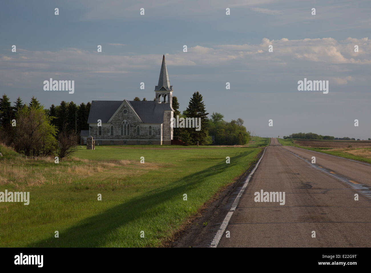 Maddock, North Dakota - Immanuel Lutheran Church, on North Dakota Route 30. Stock Photohttps://www.alamy.com/image-license-details/?v=1https://www.alamy.com/stock-photo-maddock-north-dakota-immanuel-lutheran-church-on-north-dakota-route-70127508.html
RME22G9T–Maddock, North Dakota - Immanuel Lutheran Church, on North Dakota Route 30.
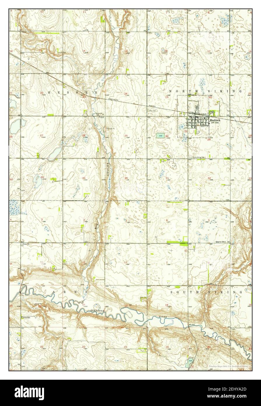 Maddock, North Dakota, map 1951, 1:24000, United States of America by Timeless Maps, data U.S. Geological Survey Stock Photohttps://www.alamy.com/image-license-details/?v=1https://www.alamy.com/maddock-north-dakota-map-1951-124000-united-states-of-america-by-timeless-maps-data-us-geological-survey-image406888229.html
RM2EHYA2D–Maddock, North Dakota, map 1951, 1:24000, United States of America by Timeless Maps, data U.S. Geological Survey
 USGS TOPO Map North Dakota ND Maddock 285340 1945 62500 Restoration Stock Photohttps://www.alamy.com/image-license-details/?v=1https://www.alamy.com/usgs-topo-map-north-dakota-nd-maddock-285340-1945-62500-restoration-image336421559.html
RM2AF993K–USGS TOPO Map North Dakota ND Maddock 285340 1945 62500 Restoration
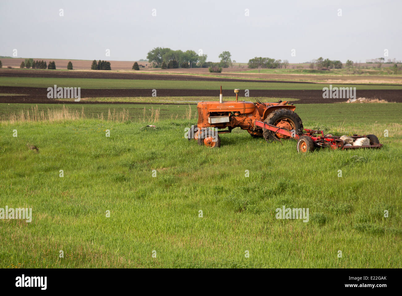 Maddock, North Dakota - An antique Allis-Chalmers tractor in a farm field. Stock Photohttps://www.alamy.com/image-license-details/?v=1https://www.alamy.com/stock-photo-maddock-north-dakota-an-antique-allis-chalmers-tractor-in-a-farm-field-70127531.html
RME22GAK–Maddock, North Dakota - An antique Allis-Chalmers tractor in a farm field.
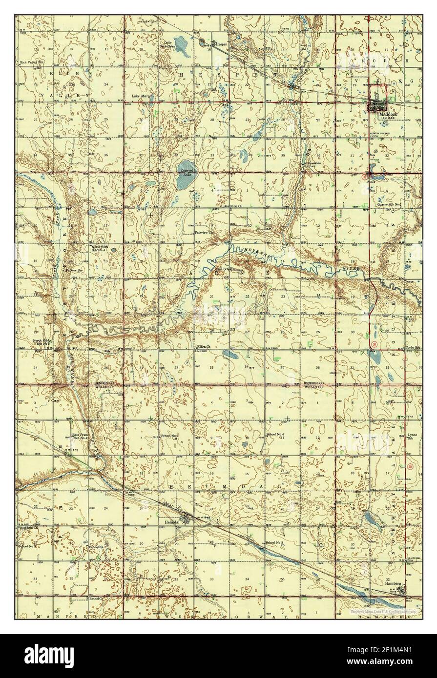 Maddock, North Dakota, map 1945, 1:62500, United States of America by Timeless Maps, data U.S. Geological Survey Stock Photohttps://www.alamy.com/image-license-details/?v=1https://www.alamy.com/maddock-north-dakota-map-1945-162500-united-states-of-america-by-timeless-maps-data-us-geological-survey-image414106253.html
RM2F1M4N1–Maddock, North Dakota, map 1945, 1:62500, United States of America by Timeless Maps, data U.S. Geological Survey
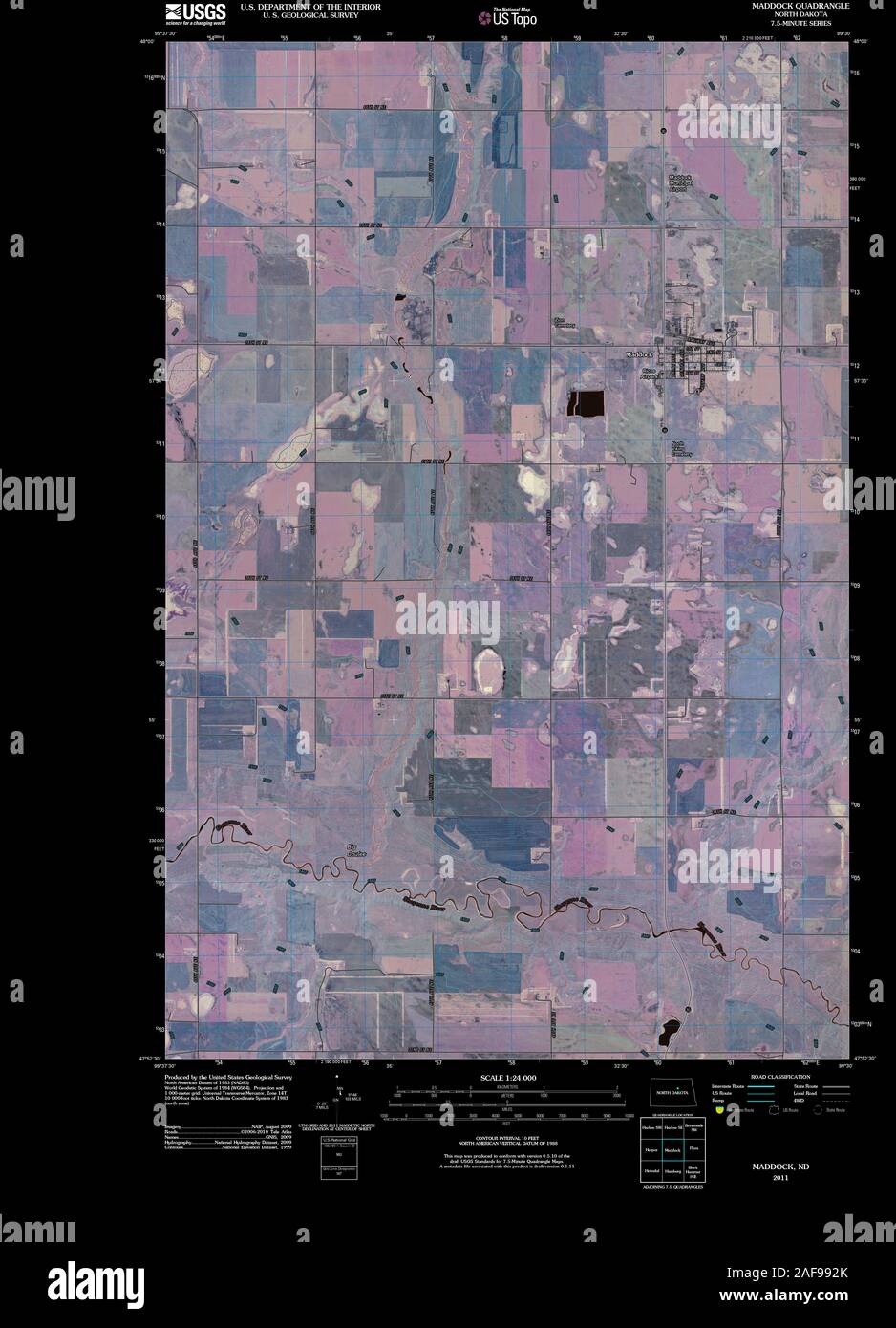 USGS TOPO Map North Dakota ND Maddock 20110329 TM Inverted Restoration Stock Photohttps://www.alamy.com/image-license-details/?v=1https://www.alamy.com/usgs-topo-map-north-dakota-nd-maddock-20110329-tm-inverted-restoration-image336421531.html
RM2AF992K–USGS TOPO Map North Dakota ND Maddock 20110329 TM Inverted Restoration
 Maddock, North Dakota - Grain augers next to gain storage bins. Stock Photohttps://www.alamy.com/image-license-details/?v=1https://www.alamy.com/stock-photo-maddock-north-dakota-grain-augers-next-to-gain-storage-bins-70127527.html
RME22GAF–Maddock, North Dakota - Grain augers next to gain storage bins.
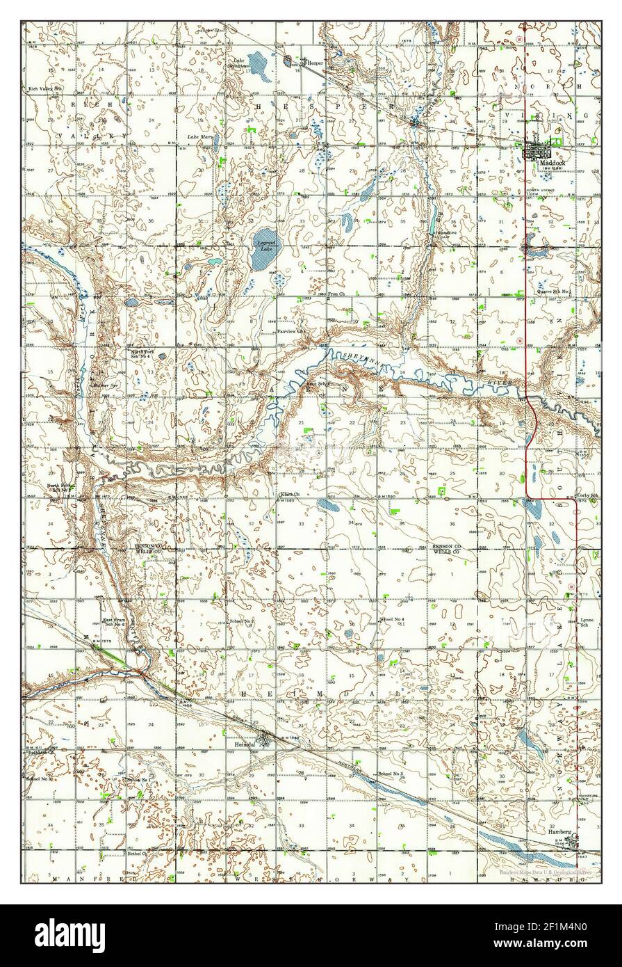 Maddock, North Dakota, map 1943, 1:62500, United States of America by Timeless Maps, data U.S. Geological Survey Stock Photohttps://www.alamy.com/image-license-details/?v=1https://www.alamy.com/maddock-north-dakota-map-1943-162500-united-states-of-america-by-timeless-maps-data-us-geological-survey-image414106252.html
RM2F1M4N0–Maddock, North Dakota, map 1943, 1:62500, United States of America by Timeless Maps, data U.S. Geological Survey
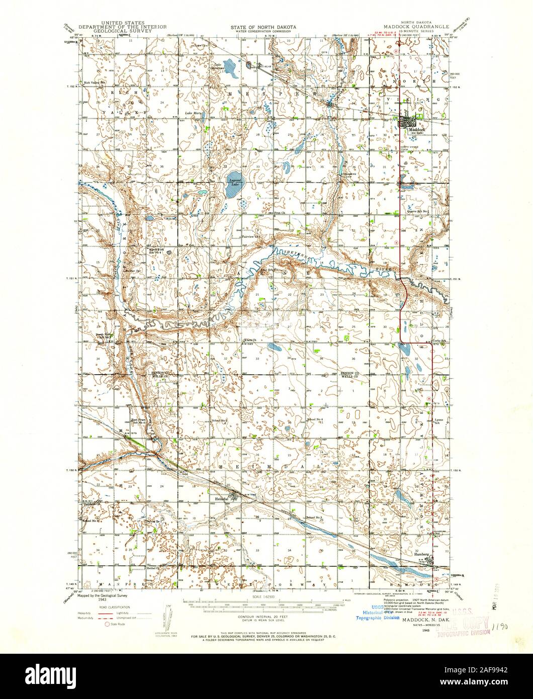 USGS TOPO Map North Dakota ND Maddock 285339 1943 62500 Restoration Stock Photohttps://www.alamy.com/image-license-details/?v=1https://www.alamy.com/usgs-topo-map-north-dakota-nd-maddock-285339-1943-62500-restoration-image336421570.html
RM2AF9942–USGS TOPO Map North Dakota ND Maddock 285339 1943 62500 Restoration
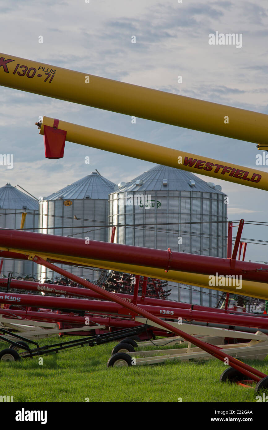 Maddock, North Dakota - Grain augers next to gain storage bins. Stock Photohttps://www.alamy.com/image-license-details/?v=1https://www.alamy.com/stock-photo-maddock-north-dakota-grain-augers-next-to-gain-storage-bins-70127522.html
RME22GAA–Maddock, North Dakota - Grain augers next to gain storage bins.
 Maddock, North Dakota, map 1951, 1:24000, United States of America by Timeless Maps, data U.S. Geological Survey Stock Photohttps://www.alamy.com/image-license-details/?v=1https://www.alamy.com/maddock-north-dakota-map-1951-124000-united-states-of-america-by-timeless-maps-data-us-geological-survey-image406888232.html
RM2EHYA2G–Maddock, North Dakota, map 1951, 1:24000, United States of America by Timeless Maps, data U.S. Geological Survey
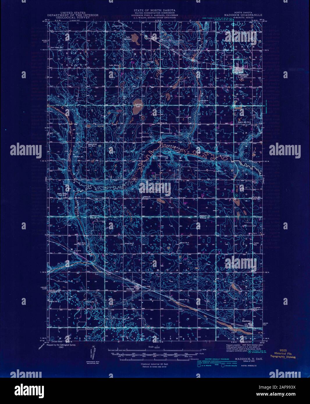 USGS TOPO Map North Dakota ND Maddock 285340 1945 62500 Inverted Restoration Stock Photohttps://www.alamy.com/image-license-details/?v=1https://www.alamy.com/usgs-topo-map-north-dakota-nd-maddock-285340-1945-62500-inverted-restoration-image336421566.html
RM2AF993X–USGS TOPO Map North Dakota ND Maddock 285340 1945 62500 Inverted Restoration
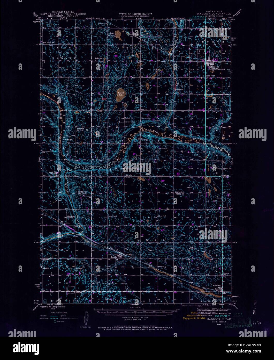 USGS TOPO Map North Dakota ND Maddock 285339 1943 62500 Inverted Restoration Stock Photohttps://www.alamy.com/image-license-details/?v=1https://www.alamy.com/usgs-topo-map-north-dakota-nd-maddock-285339-1943-62500-inverted-restoration-image336421561.html
RM2AF993N–USGS TOPO Map North Dakota ND Maddock 285339 1943 62500 Inverted Restoration
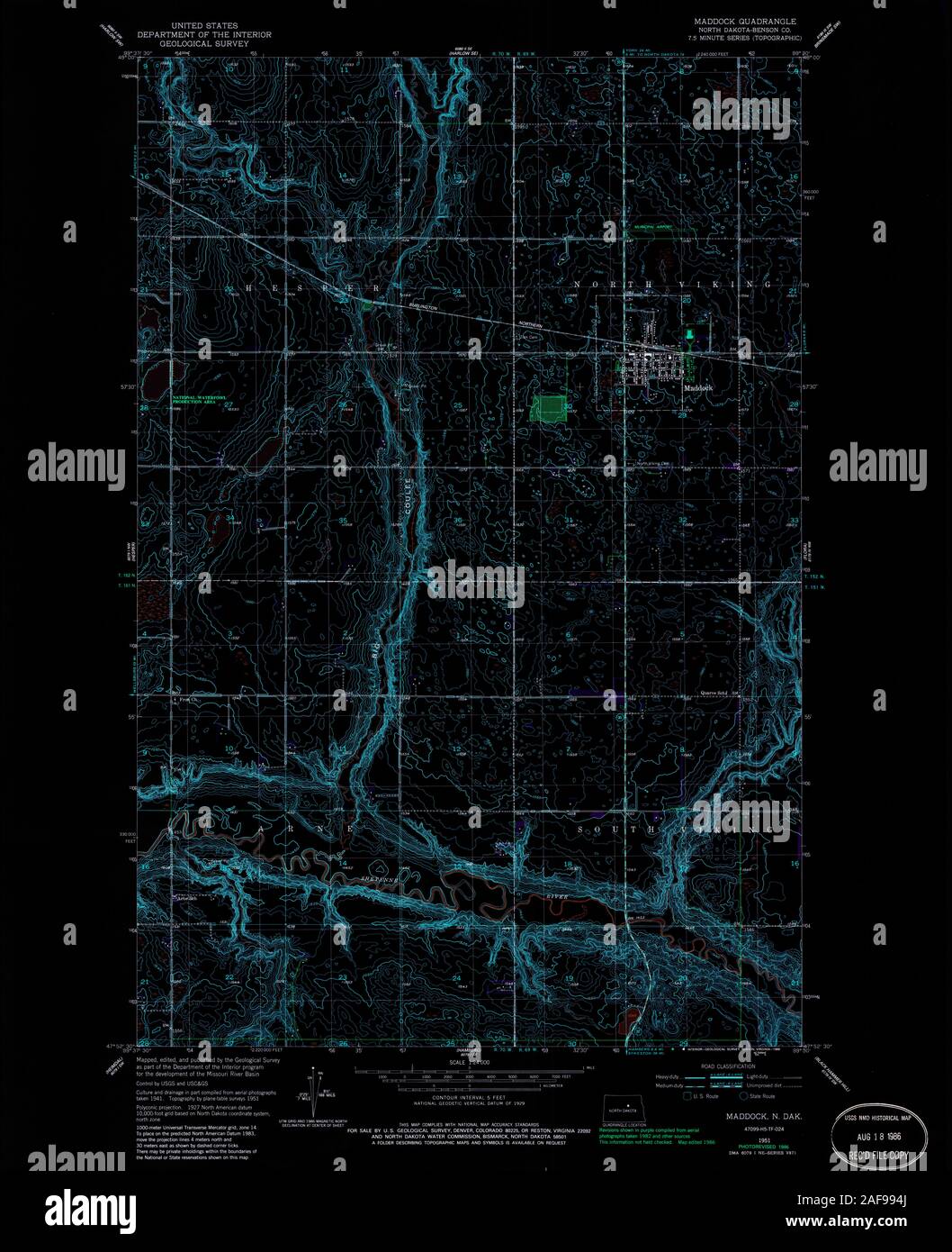 USGS TOPO Map North Dakota ND Maddock 284438 1951 24000 Inverted Restoration Stock Photohttps://www.alamy.com/image-license-details/?v=1https://www.alamy.com/usgs-topo-map-north-dakota-nd-maddock-284438-1951-24000-inverted-restoration-image336421586.html
RM2AF994J–USGS TOPO Map North Dakota ND Maddock 284438 1951 24000 Inverted Restoration
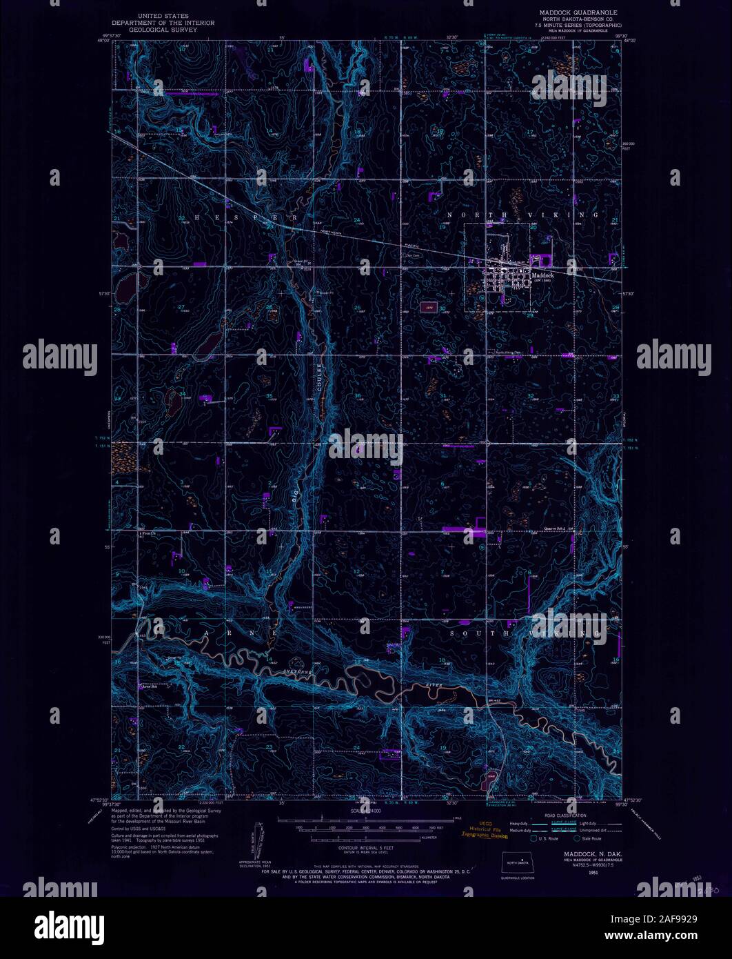 USGS TOPO Map North Dakota ND Maddock 284437 1951 24000 Inverted Restoration Stock Photohttps://www.alamy.com/image-license-details/?v=1https://www.alamy.com/usgs-topo-map-north-dakota-nd-maddock-284437-1951-24000-inverted-restoration-image336421521.html
RM2AF9929–USGS TOPO Map North Dakota ND Maddock 284437 1951 24000 Inverted Restoration