Quick filters:
Madill oklahoma map Stock Photos and Images
 Madill Oklahoma USA shown on a Geography map or road map Stock Photohttps://www.alamy.com/image-license-details/?v=1https://www.alamy.com/madill-oklahoma-usa-shown-on-a-geography-map-or-road-map-image432580160.html
RM2G3NMBC–Madill Oklahoma USA shown on a Geography map or road map
 Madill, Marshall County, US, United States, Oklahoma, N 34 5' 25'', S 96 46' 18'', map, Cartascapes Map published in 2024. Explore Cartascapes, a map revealing Earth's diverse landscapes, cultures, and ecosystems. Journey through time and space, discovering the interconnectedness of our planet's past, present, and future. Stock Photohttps://www.alamy.com/image-license-details/?v=1https://www.alamy.com/madill-marshall-county-us-united-states-oklahoma-n-34-5-25-s-96-46-18-map-cartascapes-map-published-in-2024-explore-cartascapes-a-map-revealing-earths-diverse-landscapes-cultures-and-ecosystems-journey-through-time-and-space-discovering-the-interconnectedness-of-our-planets-past-present-and-future-image621219389.html
RM2Y2JYJN–Madill, Marshall County, US, United States, Oklahoma, N 34 5' 25'', S 96 46' 18'', map, Cartascapes Map published in 2024. Explore Cartascapes, a map revealing Earth's diverse landscapes, cultures, and ecosystems. Journey through time and space, discovering the interconnectedness of our planet's past, present, and future.
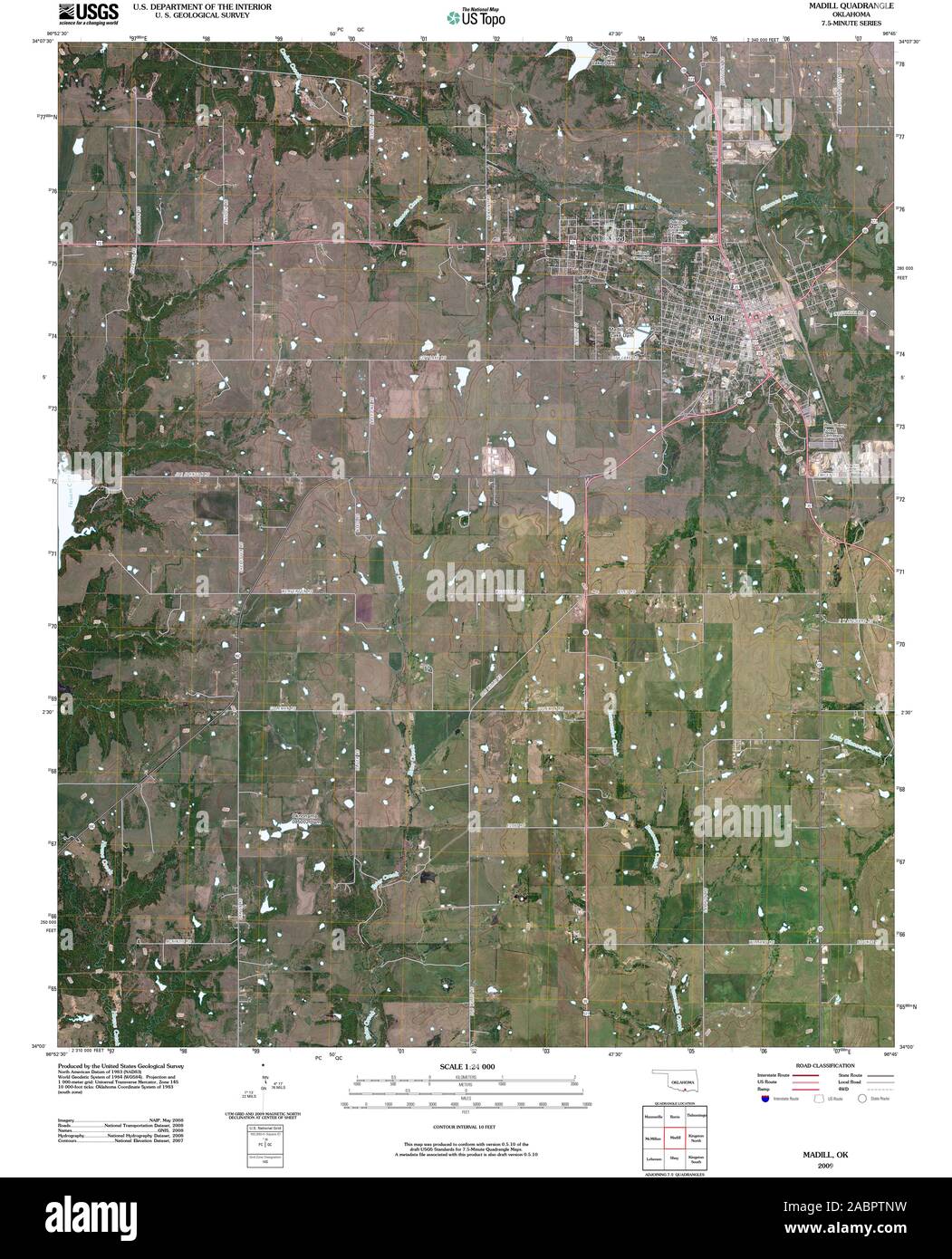 USGS TOPO Map Oklahoma OK Madill 20091231 TM Restoration Stock Photohttps://www.alamy.com/image-license-details/?v=1https://www.alamy.com/usgs-topo-map-oklahoma-ok-madill-20091231-tm-restoration-image334260581.html
RM2ABPTNW–USGS TOPO Map Oklahoma OK Madill 20091231 TM Restoration
 Marshall County, Oklahoma State (U.S. county, United States of America, USA, U.S., US) map vector illustration, scribble sketch Marshall map Stock Vectorhttps://www.alamy.com/image-license-details/?v=1https://www.alamy.com/marshall-county-oklahoma-state-us-county-united-states-of-america-usa-us-us-map-vector-illustration-scribble-sketch-marshall-map-image411984283.html
RF2EX7E4B–Marshall County, Oklahoma State (U.S. county, United States of America, USA, U.S., US) map vector illustration, scribble sketch Marshall map
 Madill, Marshall County, US, United States, Oklahoma, N 34 5' 25'', S 96 46' 18'', map, Cartascapes Map published in 2024. Explore Cartascapes, a map revealing Earth's diverse landscapes, cultures, and ecosystems. Journey through time and space, discovering the interconnectedness of our planet's past, present, and future. Stock Photohttps://www.alamy.com/image-license-details/?v=1https://www.alamy.com/madill-marshall-county-us-united-states-oklahoma-n-34-5-25-s-96-46-18-map-cartascapes-map-published-in-2024-explore-cartascapes-a-map-revealing-earths-diverse-landscapes-cultures-and-ecosystems-journey-through-time-and-space-discovering-the-interconnectedness-of-our-planets-past-present-and-future-image620858289.html
RM2Y22F29–Madill, Marshall County, US, United States, Oklahoma, N 34 5' 25'', S 96 46' 18'', map, Cartascapes Map published in 2024. Explore Cartascapes, a map revealing Earth's diverse landscapes, cultures, and ecosystems. Journey through time and space, discovering the interconnectedness of our planet's past, present, and future.
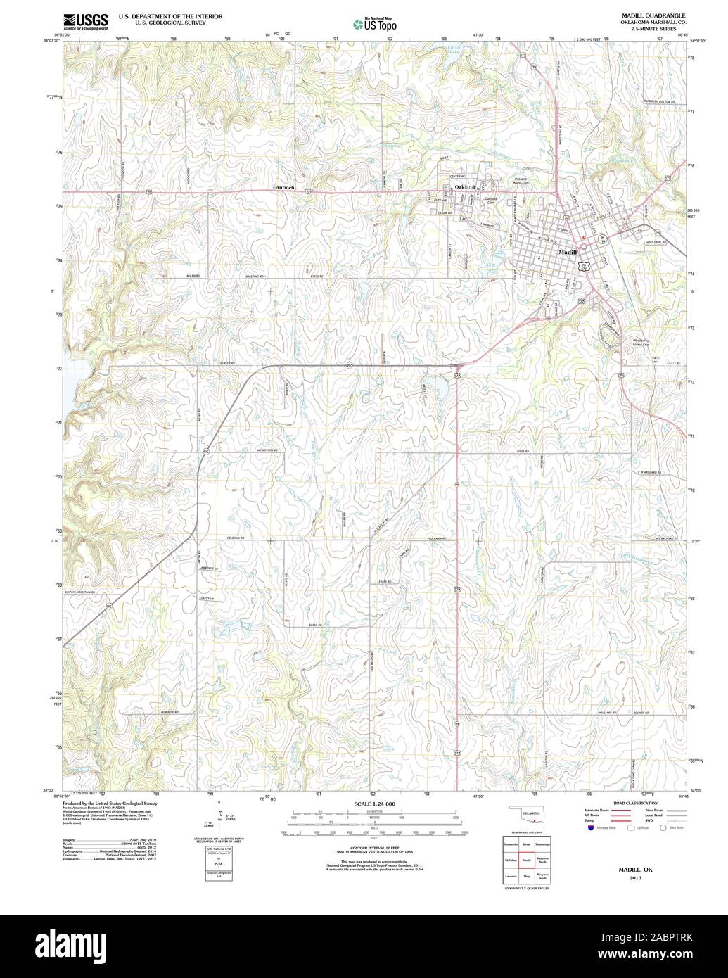 USGS TOPO Map Oklahoma OK Madill 20130219 TM Restoration Stock Photohttps://www.alamy.com/image-license-details/?v=1https://www.alamy.com/usgs-topo-map-oklahoma-ok-madill-20130219-tm-restoration-image334260631.html
RM2ABPTRK–USGS TOPO Map Oklahoma OK Madill 20130219 TM Restoration
 Marshall County, Oklahoma State (U.S. county, United States of America, USA, U.S., US) map vector illustration, scribble sketch Marshall map Stock Vectorhttps://www.alamy.com/image-license-details/?v=1https://www.alamy.com/marshall-county-oklahoma-state-us-county-united-states-of-america-usa-us-us-map-vector-illustration-scribble-sketch-marshall-map-image386739533.html
RF2DD5E65–Marshall County, Oklahoma State (U.S. county, United States of America, USA, U.S., US) map vector illustration, scribble sketch Marshall map
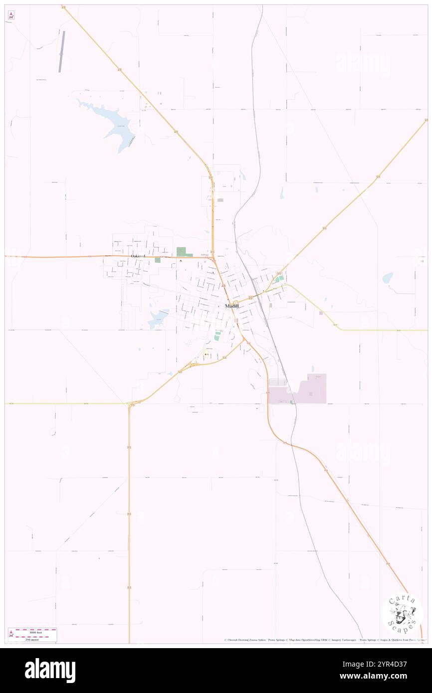 City of Madill, Marshall County, US, United States, Oklahoma, N 34 5' 11'', S 96 46' 30'', map, Cartascapes Map published in 2024. Explore Cartascapes, a map revealing Earth's diverse landscapes, cultures, and ecosystems. Journey through time and space, discovering the interconnectedness of our planet's past, present, and future. Stock Photohttps://www.alamy.com/image-license-details/?v=1https://www.alamy.com/city-of-madill-marshall-county-us-united-states-oklahoma-n-34-5-11-s-96-46-30-map-cartascapes-map-published-in-2024-explore-cartascapes-a-map-revealing-earths-diverse-landscapes-cultures-and-ecosystems-journey-through-time-and-space-discovering-the-interconnectedness-of-our-planets-past-present-and-future-image633808427.html
RM2YR4D37–City of Madill, Marshall County, US, United States, Oklahoma, N 34 5' 11'', S 96 46' 30'', map, Cartascapes Map published in 2024. Explore Cartascapes, a map revealing Earth's diverse landscapes, cultures, and ecosystems. Journey through time and space, discovering the interconnectedness of our planet's past, present, and future.
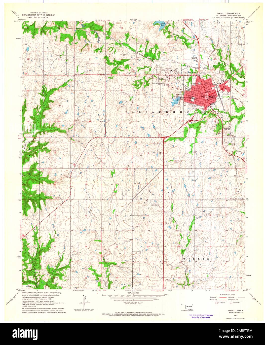 USGS TOPO Map Oklahoma OK Madill 706297 1963 24000 Restoration Stock Photohttps://www.alamy.com/image-license-details/?v=1https://www.alamy.com/usgs-topo-map-oklahoma-ok-madill-706297-1963-24000-restoration-image334260632.html
RM2ABPTRM–USGS TOPO Map Oklahoma OK Madill 706297 1963 24000 Restoration
 Marshall County, Oklahoma State (U.S. county, United States of America, USA, U.S., US) map vector illustration, scribble sketch Marshall map Stock Vectorhttps://www.alamy.com/image-license-details/?v=1https://www.alamy.com/marshall-county-oklahoma-state-us-county-united-states-of-america-usa-us-us-map-vector-illustration-scribble-sketch-marshall-map-image425467793.html
RF2FM5ME9–Marshall County, Oklahoma State (U.S. county, United States of America, USA, U.S., US) map vector illustration, scribble sketch Marshall map
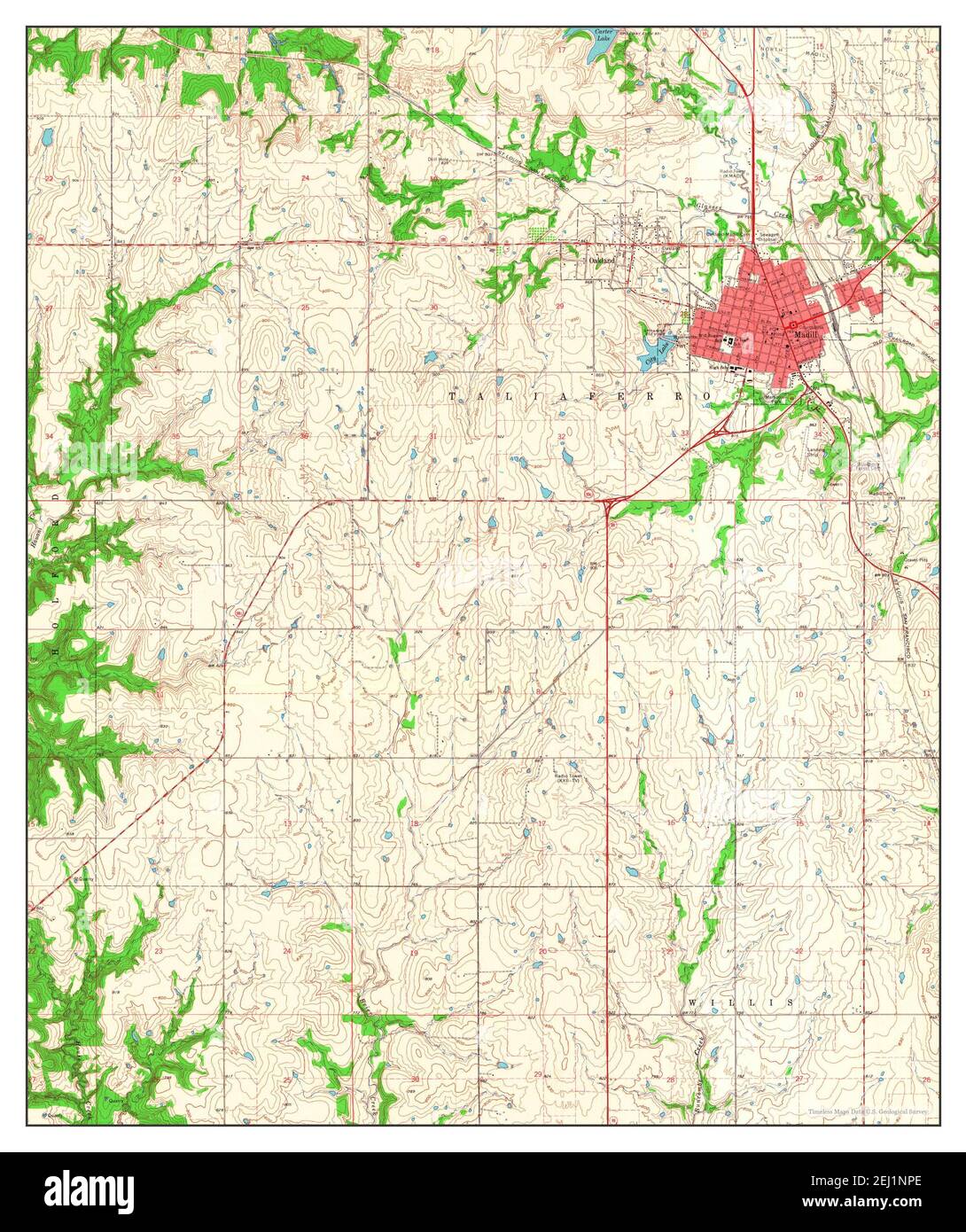 Madill, Oklahoma, map 1963, 1:24000, United States of America by Timeless Maps, data U.S. Geological Survey Stock Photohttps://www.alamy.com/image-license-details/?v=1https://www.alamy.com/madill-oklahoma-map-1963-124000-united-states-of-america-by-timeless-maps-data-us-geological-survey-image406941318.html
RM2EJ1NPE–Madill, Oklahoma, map 1963, 1:24000, United States of America by Timeless Maps, data U.S. Geological Survey
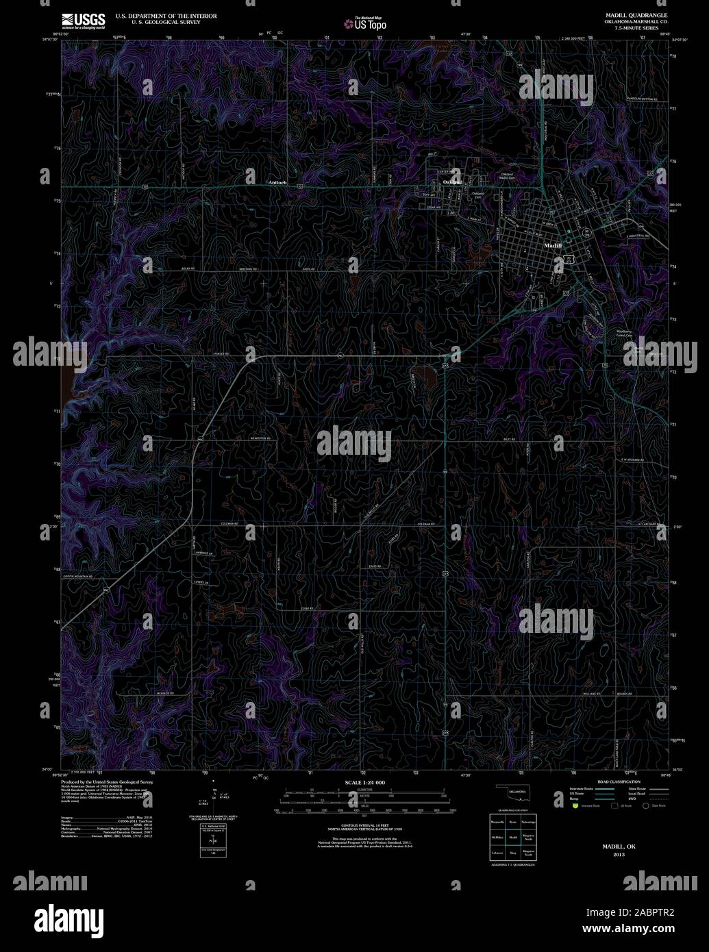 USGS TOPO Map Oklahoma OK Madill 20130219 TM Inverted Restoration Stock Photohttps://www.alamy.com/image-license-details/?v=1https://www.alamy.com/usgs-topo-map-oklahoma-ok-madill-20130219-tm-inverted-restoration-image334260614.html
RM2ABPTR2–USGS TOPO Map Oklahoma OK Madill 20130219 TM Inverted Restoration
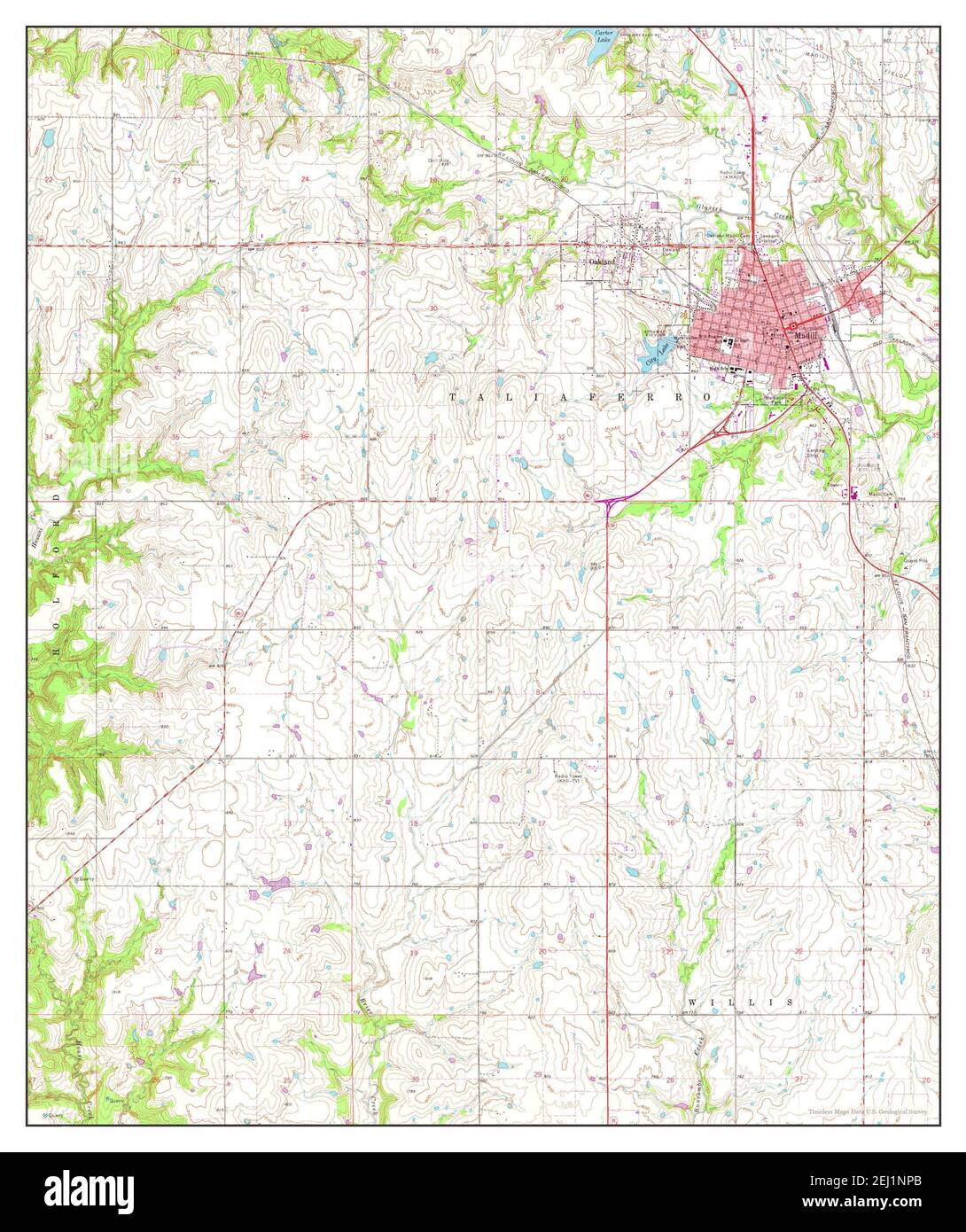 Madill, Oklahoma, map 1963, 1:24000, United States of America by Timeless Maps, data U.S. Geological Survey Stock Photohttps://www.alamy.com/image-license-details/?v=1https://www.alamy.com/madill-oklahoma-map-1963-124000-united-states-of-america-by-timeless-maps-data-us-geological-survey-image406941315.html
RM2EJ1NPB–Madill, Oklahoma, map 1963, 1:24000, United States of America by Timeless Maps, data U.S. Geological Survey
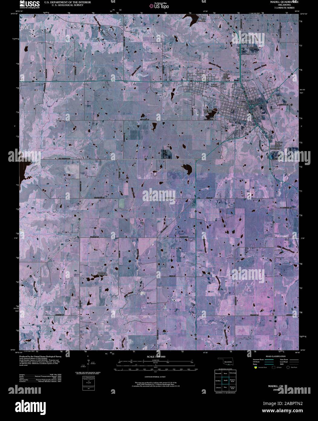 USGS TOPO Map Oklahoma OK Madill 20091231 TM Inverted Restoration Stock Photohttps://www.alamy.com/image-license-details/?v=1https://www.alamy.com/usgs-topo-map-oklahoma-ok-madill-20091231-tm-inverted-restoration-image334260558.html
RM2ABPTN2–USGS TOPO Map Oklahoma OK Madill 20091231 TM Inverted Restoration
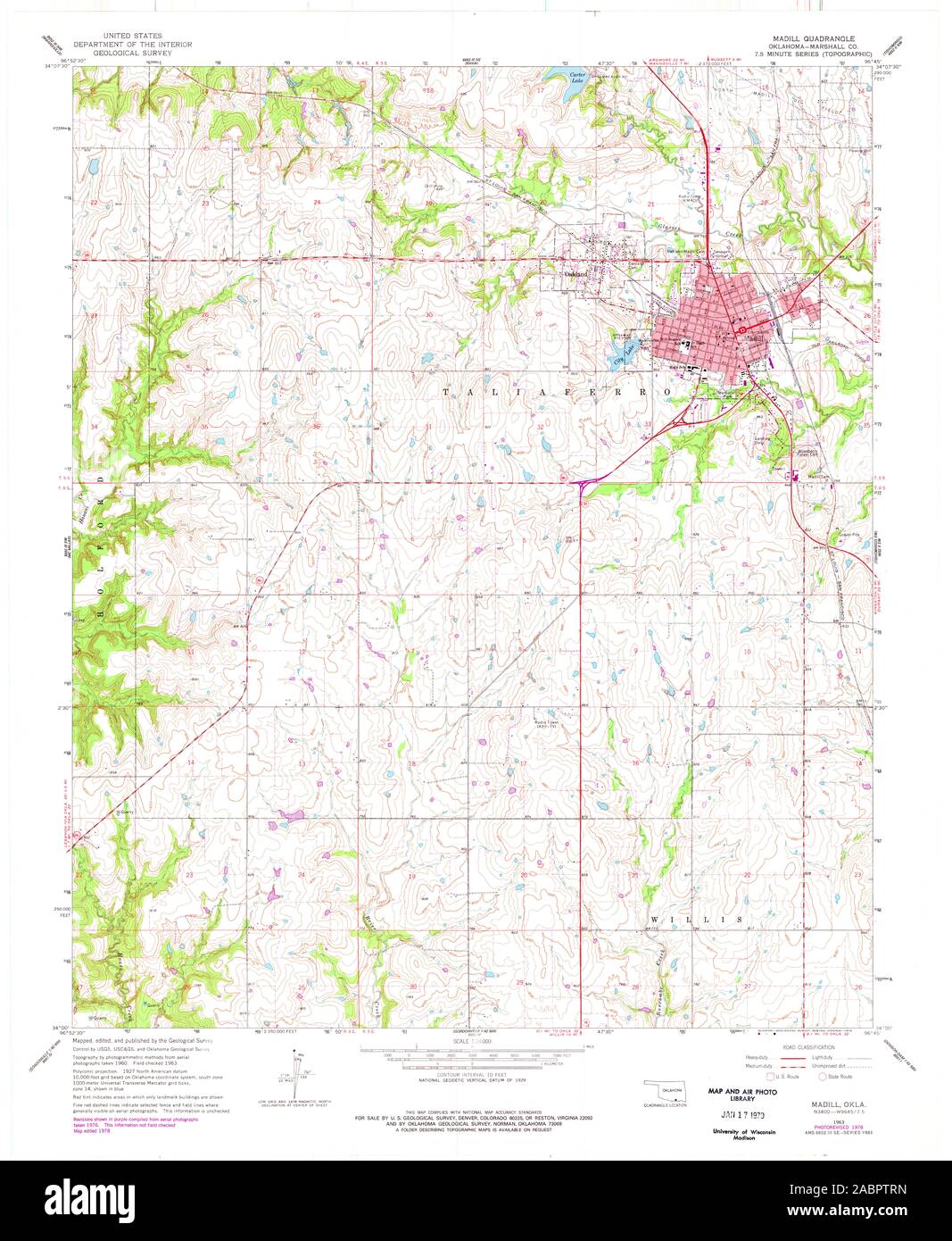 USGS TOPO Map Oklahoma OK Madill 706296 1963 24000 Restoration Stock Photohttps://www.alamy.com/image-license-details/?v=1https://www.alamy.com/usgs-topo-map-oklahoma-ok-madill-706296-1963-24000-restoration-image334260633.html
RM2ABPTRN–USGS TOPO Map Oklahoma OK Madill 706296 1963 24000 Restoration
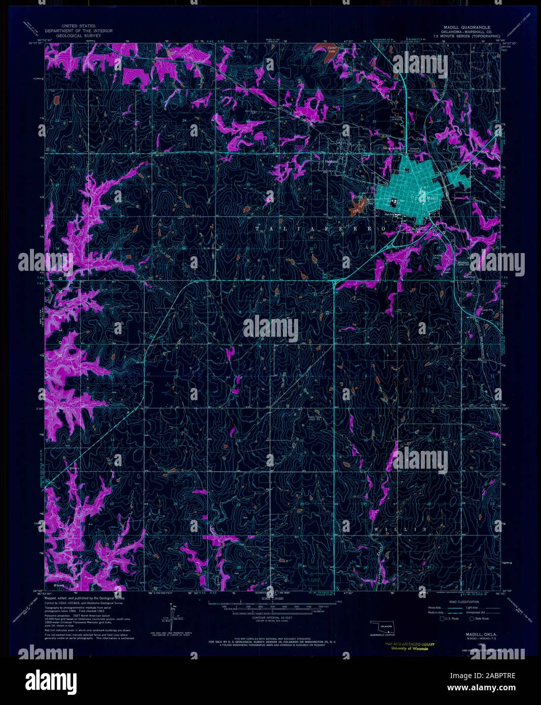 USGS TOPO Map Oklahoma OK Madill 706297 1963 24000 Inverted Restoration Stock Photohttps://www.alamy.com/image-license-details/?v=1https://www.alamy.com/usgs-topo-map-oklahoma-ok-madill-706297-1963-24000-inverted-restoration-image334260626.html
RM2ABPTRE–USGS TOPO Map Oklahoma OK Madill 706297 1963 24000 Inverted Restoration
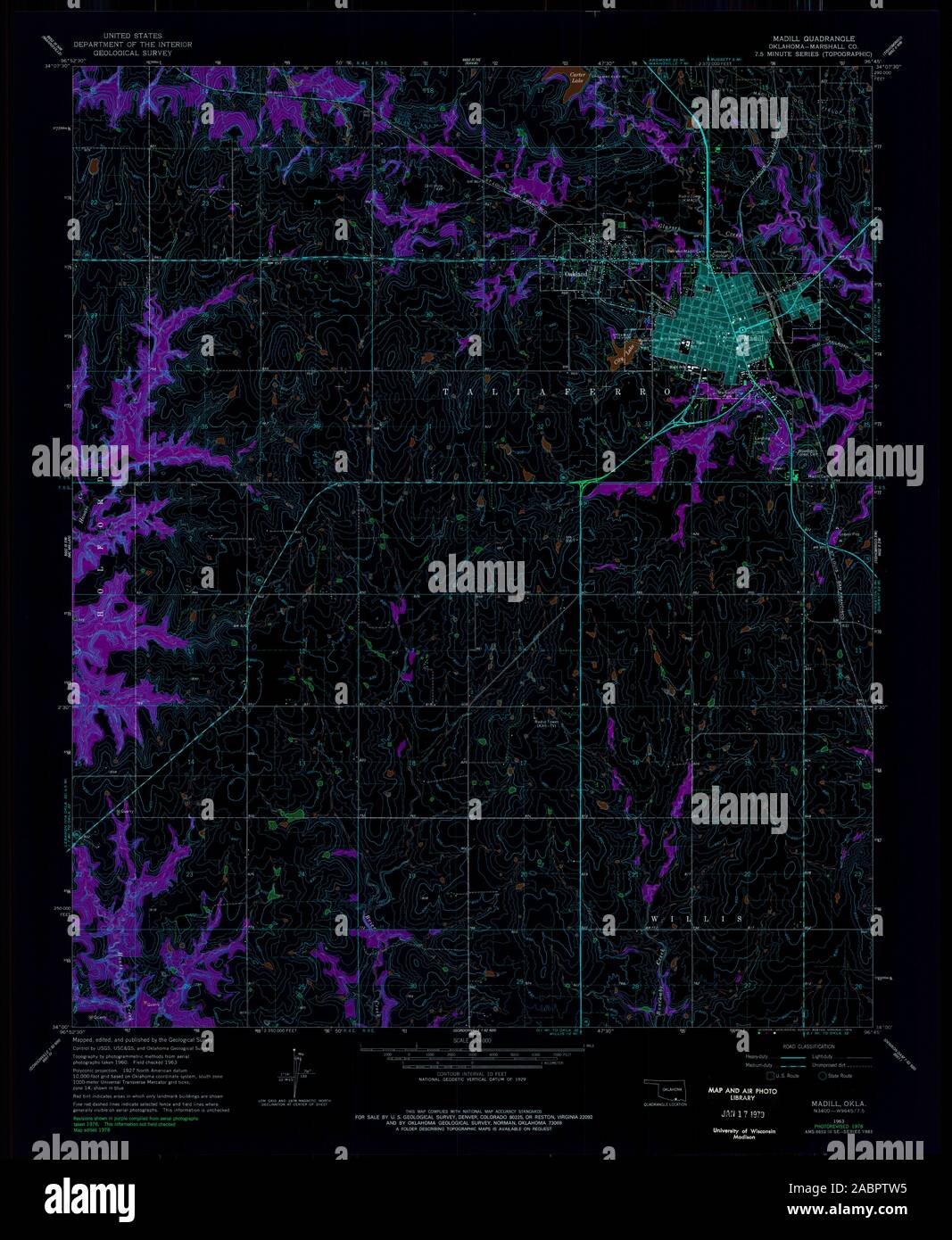 USGS TOPO Map Oklahoma OK Madill 706296 1963 24000 Inverted Restoration Stock Photohttps://www.alamy.com/image-license-details/?v=1https://www.alamy.com/usgs-topo-map-oklahoma-ok-madill-706296-1963-24000-inverted-restoration-image334260673.html
RM2ABPTW5–USGS TOPO Map Oklahoma OK Madill 706296 1963 24000 Inverted Restoration