Quick filters:
Mali map of africa Stock Photos and Images
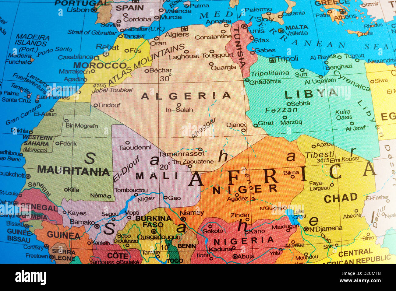 A map of North Africa showing Algeria and Mali countries on a globe Stock Photohttps://www.alamy.com/image-license-details/?v=1https://www.alamy.com/stock-photo-a-map-of-north-africa-showing-algeria-and-mali-countries-on-a-globe-53140203.html
RMD2CMTB–A map of North Africa showing Algeria and Mali countries on a globe
 Mali outline inset into a map of Africa over a white background Stock Photohttps://www.alamy.com/image-license-details/?v=1https://www.alamy.com/stock-photo-mali-outline-inset-into-a-map-of-africa-over-a-white-background-78126430.html
RFEF2Y1J–Mali outline inset into a map of Africa over a white background
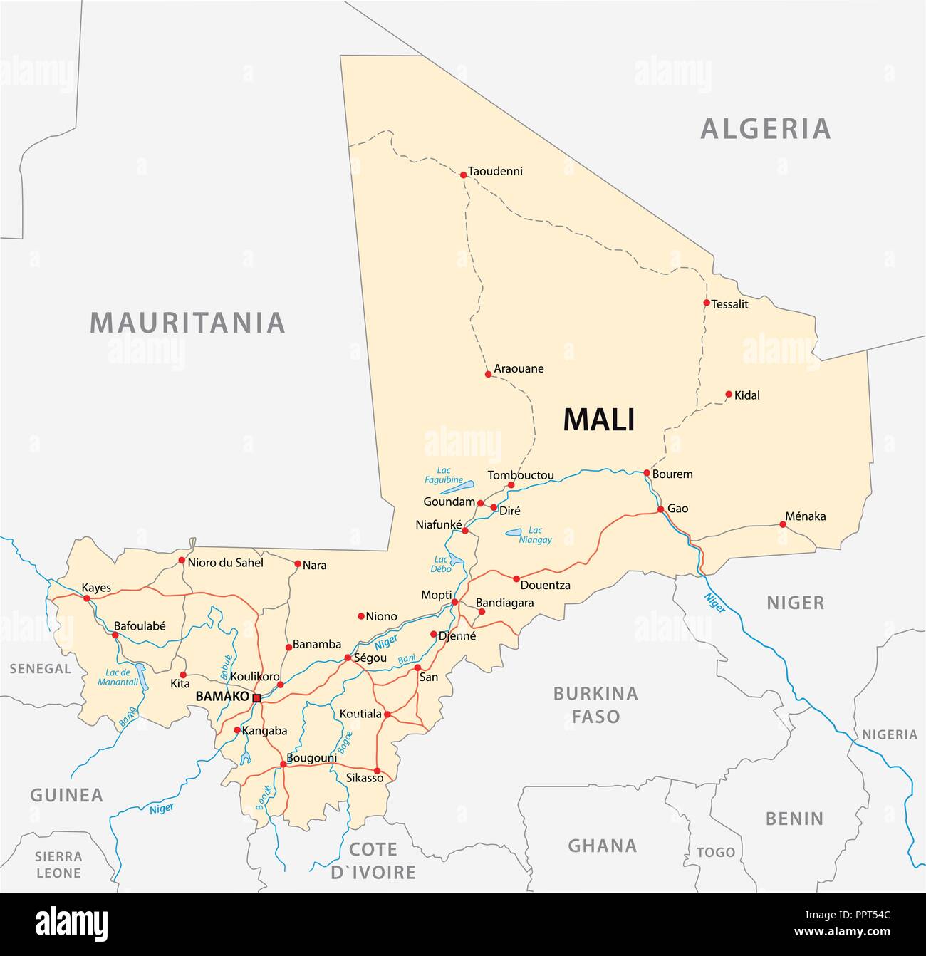 vector street map of the Republic of Mali. Stock Vectorhttps://www.alamy.com/image-license-details/?v=1https://www.alamy.com/vector-street-map-of-the-republic-of-mali-image220577740.html
RFPPT54C–vector street map of the Republic of Mali.
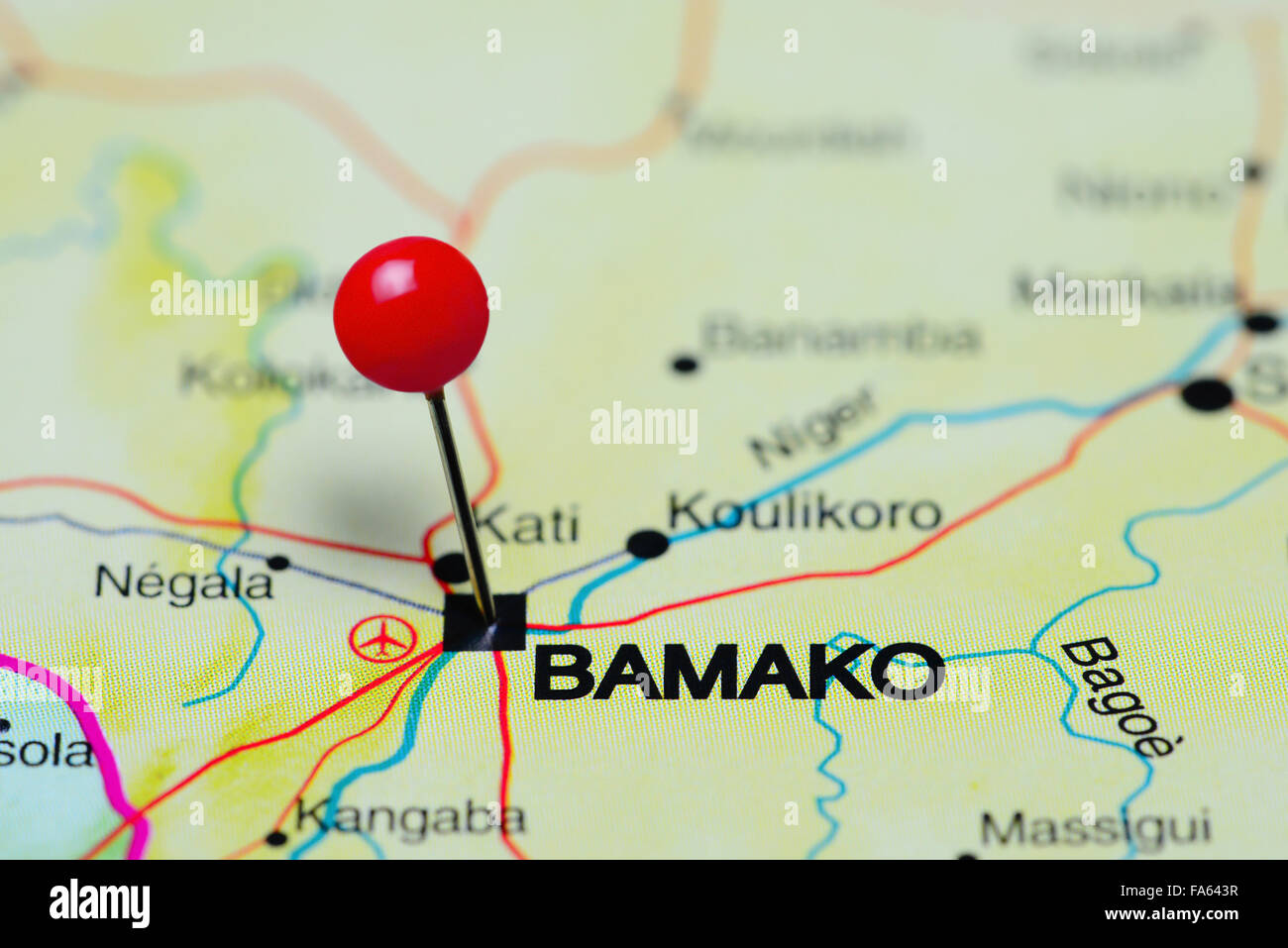 Bamako pinned on a map of Africa Stock Photohttps://www.alamy.com/image-license-details/?v=1https://www.alamy.com/stock-photo-bamako-pinned-on-a-map-of-africa-92333355.html
RFFA643R–Bamako pinned on a map of Africa
 High detailed flag of Mali. National Mali flag. Africa. 3D illustration. Stock Vectorhttps://www.alamy.com/image-license-details/?v=1https://www.alamy.com/high-detailed-flag-of-mali-national-mali-flag-africa-3d-illustration-image591799599.html
RF2WAPPBY–High detailed flag of Mali. National Mali flag. Africa. 3D illustration.
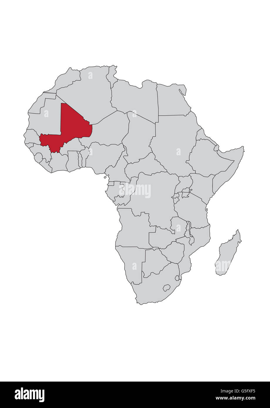 Map of Africa, Mali Stock Photohttps://www.alamy.com/image-license-details/?v=1https://www.alamy.com/stock-photo-map-of-africa-mali-106685577.html
RMG5FXF5–Map of Africa, Mali
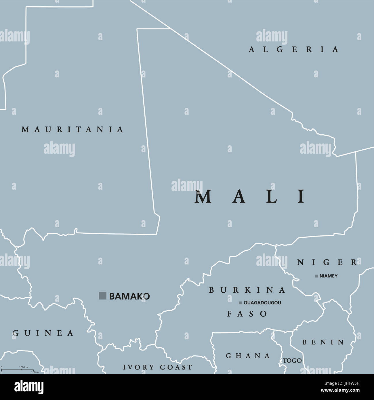 Mali political map with capital Bamako, international borders and neighbors. Republic and landlocked country in West Africa. Gray illustration. Stock Photohttps://www.alamy.com/image-license-details/?v=1https://www.alamy.com/stock-photo-mali-political-map-with-capital-bamako-international-borders-and-neighbors-148481133.html
RFJHFW5H–Mali political map with capital Bamako, international borders and neighbors. Republic and landlocked country in West Africa. Gray illustration.
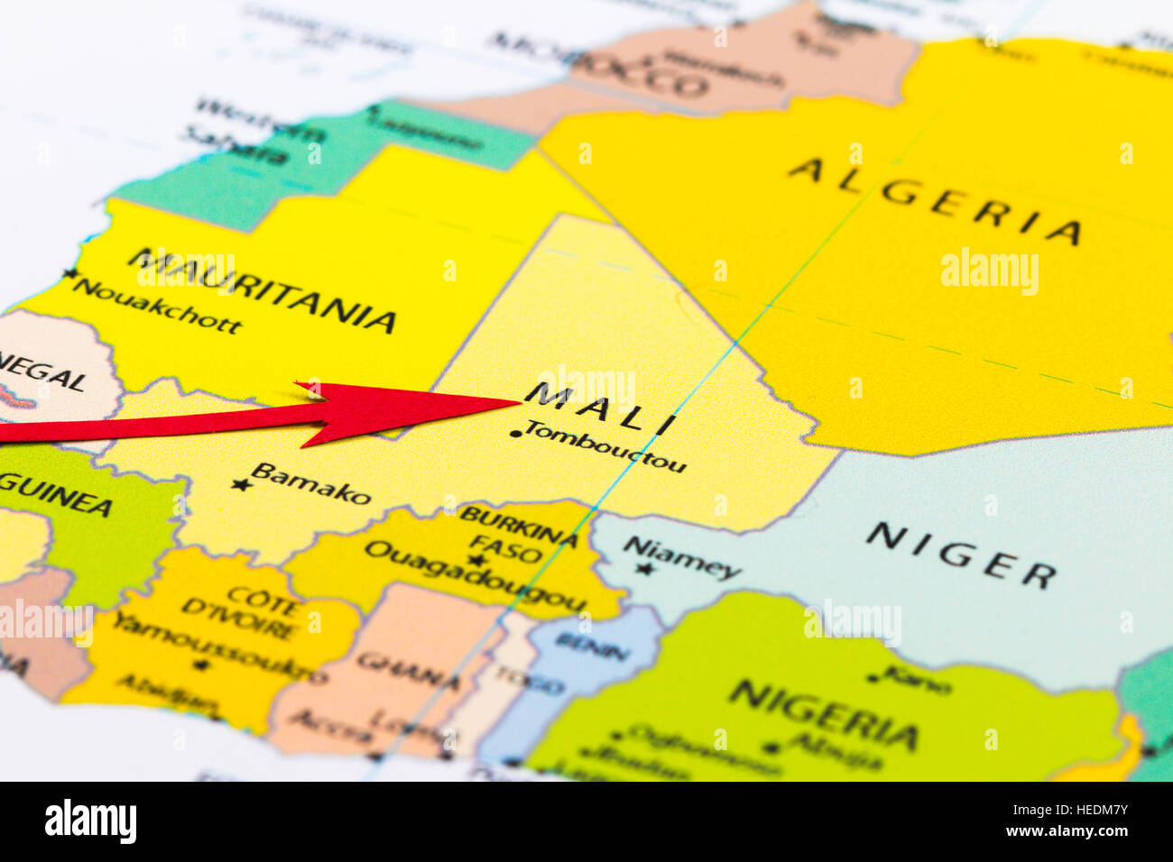 Red arrow pointing Mali on the map of Africa continent Stock Photohttps://www.alamy.com/image-license-details/?v=1https://www.alamy.com/stock-photo-red-arrow-pointing-mali-on-the-map-of-africa-continent-129379039.html
RMHEDM7Y–Red arrow pointing Mali on the map of Africa continent
 New York, USA - July 6, 2023: About Mali country in digital map ipad macro close up view Stock Photohttps://www.alamy.com/image-license-details/?v=1https://www.alamy.com/new-york-usa-july-6-2023-about-mali-country-in-digital-map-ipad-macro-close-up-view-image558484739.html
RF2RCH4YF–New York, USA - July 6, 2023: About Mali country in digital map ipad macro close up view
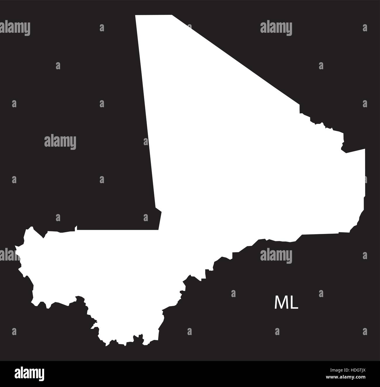 Mali Map black and white illustration Stock Vectorhttps://www.alamy.com/image-license-details/?v=1https://www.alamy.com/stock-photo-mali-map-black-and-white-illustration-128833682.html
RFHDGTJX–Mali Map black and white illustration
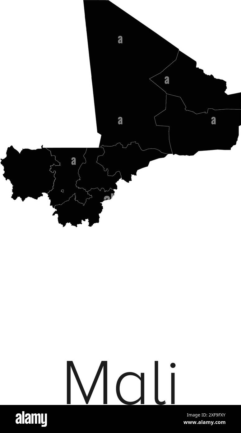 Mali Map Vector Illustration - Silhouette, Outline, Mali Travel and Tourism Map Stock Vectorhttps://www.alamy.com/image-license-details/?v=1https://www.alamy.com/mali-map-vector-illustration-silhouette-outline-mali-travel-and-tourism-map-image611792803.html
RF2XF9FXY–Mali Map Vector Illustration - Silhouette, Outline, Mali Travel and Tourism Map
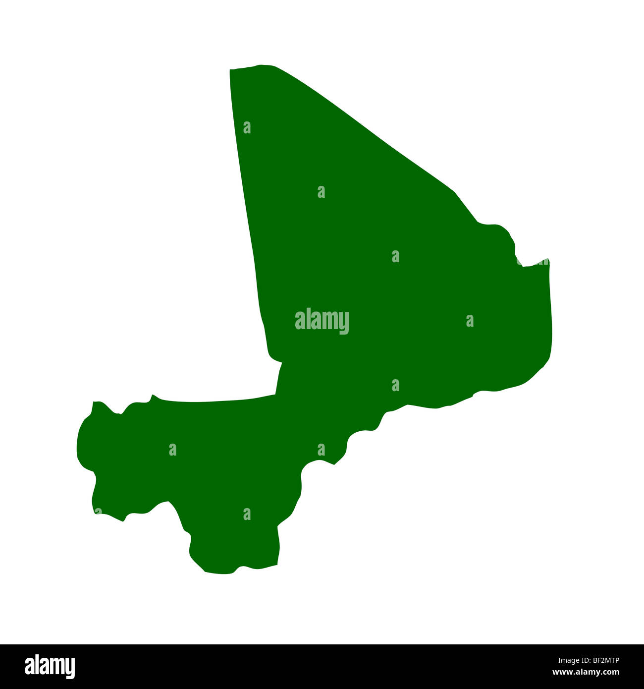 Outline map of Mali isolated on white background with clipping path. Stock Photohttps://www.alamy.com/image-license-details/?v=1https://www.alamy.com/stock-photo-outline-map-of-mali-isolated-on-white-background-with-clipping-path-26490486.html
RMBF2MTP–Outline map of Mali isolated on white background with clipping path.
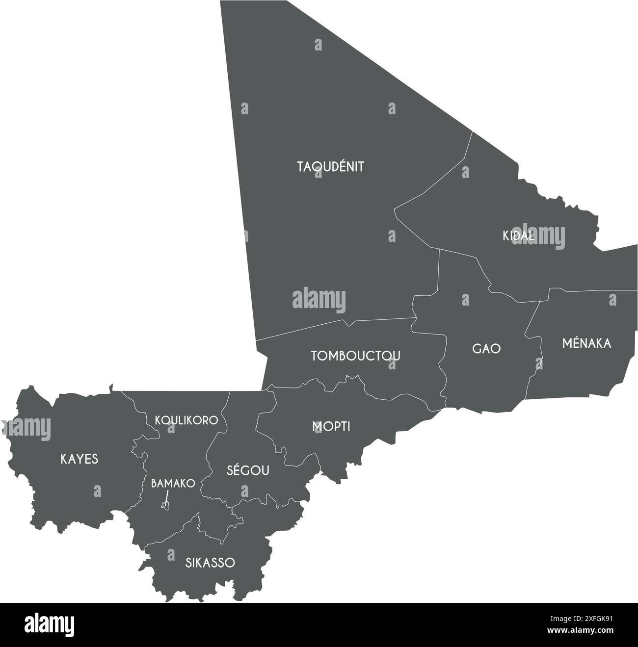 Vector map of Mali with regions, capital district and administrative divisions. Editable and clearly labeled layers. Stock Vectorhttps://www.alamy.com/image-license-details/?v=1https://www.alamy.com/vector-map-of-mali-with-regions-capital-district-and-administrative-divisions-editable-and-clearly-labeled-layers-image611949101.html
RF2XFGK91–Vector map of Mali with regions, capital district and administrative divisions. Editable and clearly labeled layers.
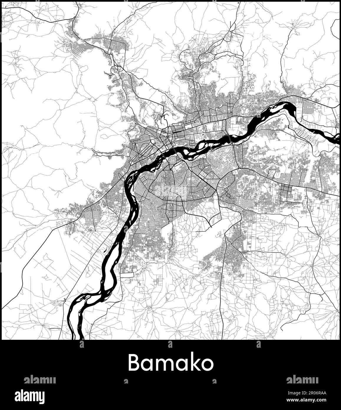 City Map Africa Mali Bamako vector illustration Stock Vectorhttps://www.alamy.com/image-license-details/?v=1https://www.alamy.com/city-map-africa-mali-bamako-vector-illustration-image550881810.html
RF2R06RAA–City Map Africa Mali Bamako vector illustration
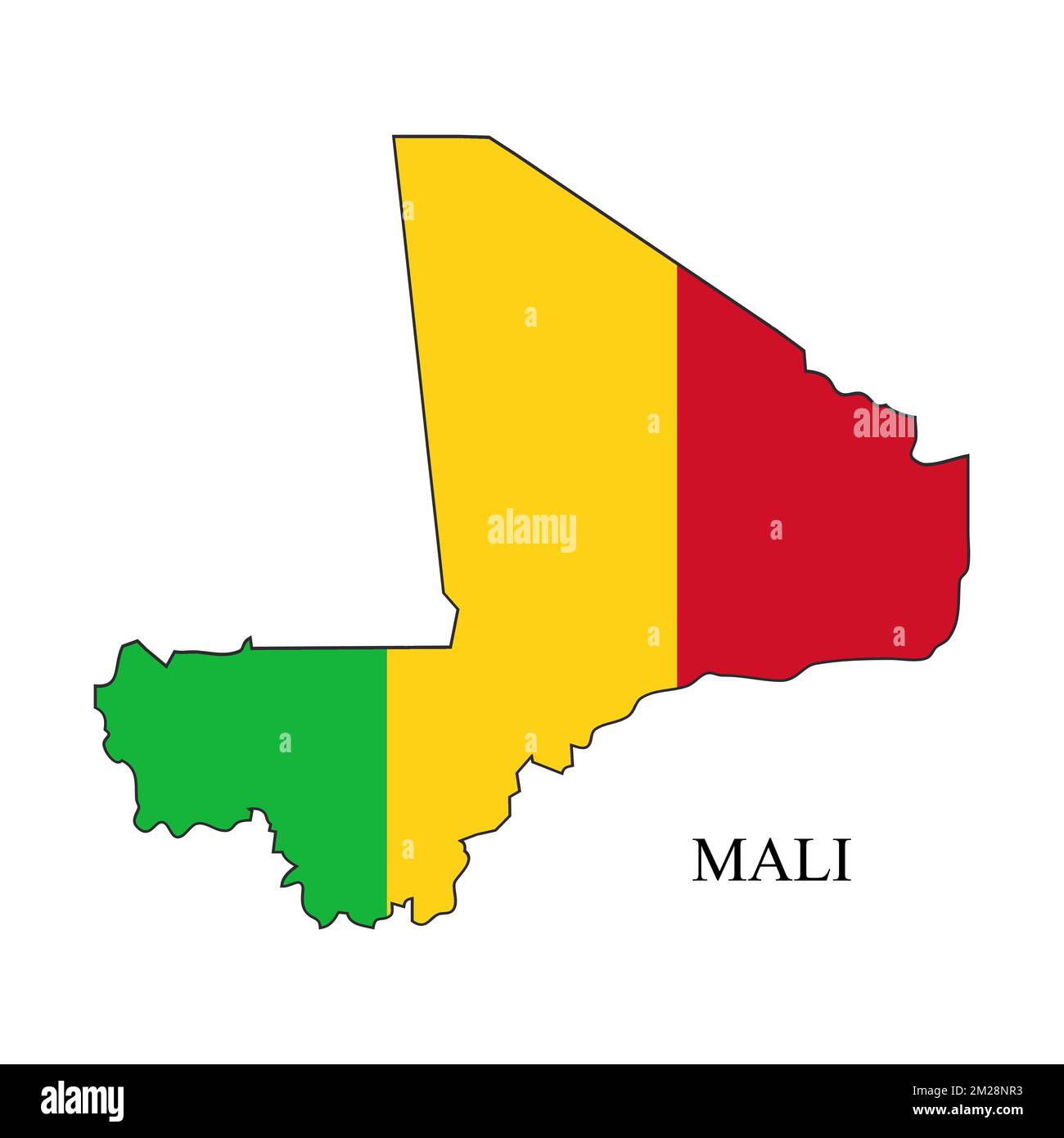 Mali map vector illustration. Global economy. Famous country. Western Africa. Africa. Stock Vectorhttps://www.alamy.com/image-license-details/?v=1https://www.alamy.com/mali-map-vector-illustration-global-economy-famous-country-western-africa-africa-image500522711.html
RF2M28NR3–Mali map vector illustration. Global economy. Famous country. Western Africa. Africa.
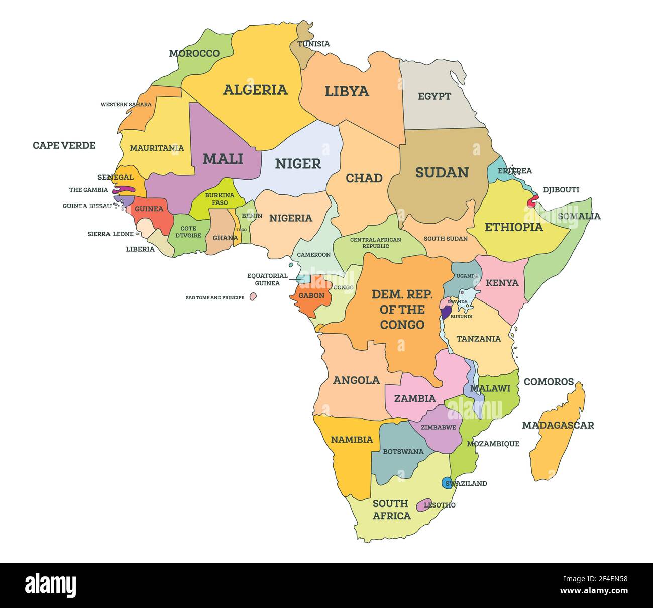 Political Map of Africa. Vector Illustration. Map with Name of Countries Isolated on White. Stock Vectorhttps://www.alamy.com/image-license-details/?v=1https://www.alamy.com/political-map-of-africa-vector-illustration-map-with-name-of-countries-isolated-on-white-image415831396.html
RF2F4EN58–Political Map of Africa. Vector Illustration. Map with Name of Countries Isolated on White.
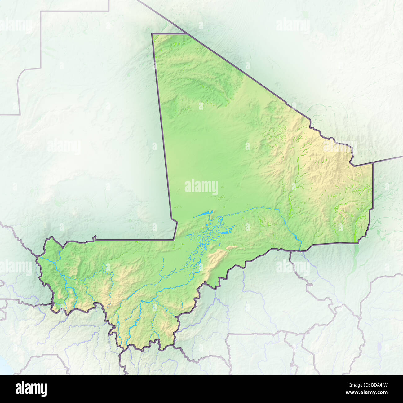 Mali, shaded relief map. Stock Photohttps://www.alamy.com/image-license-details/?v=1https://www.alamy.com/stock-photo-mali-shaded-relief-map-25424081.html
RFBDA4JW–Mali, shaded relief map.
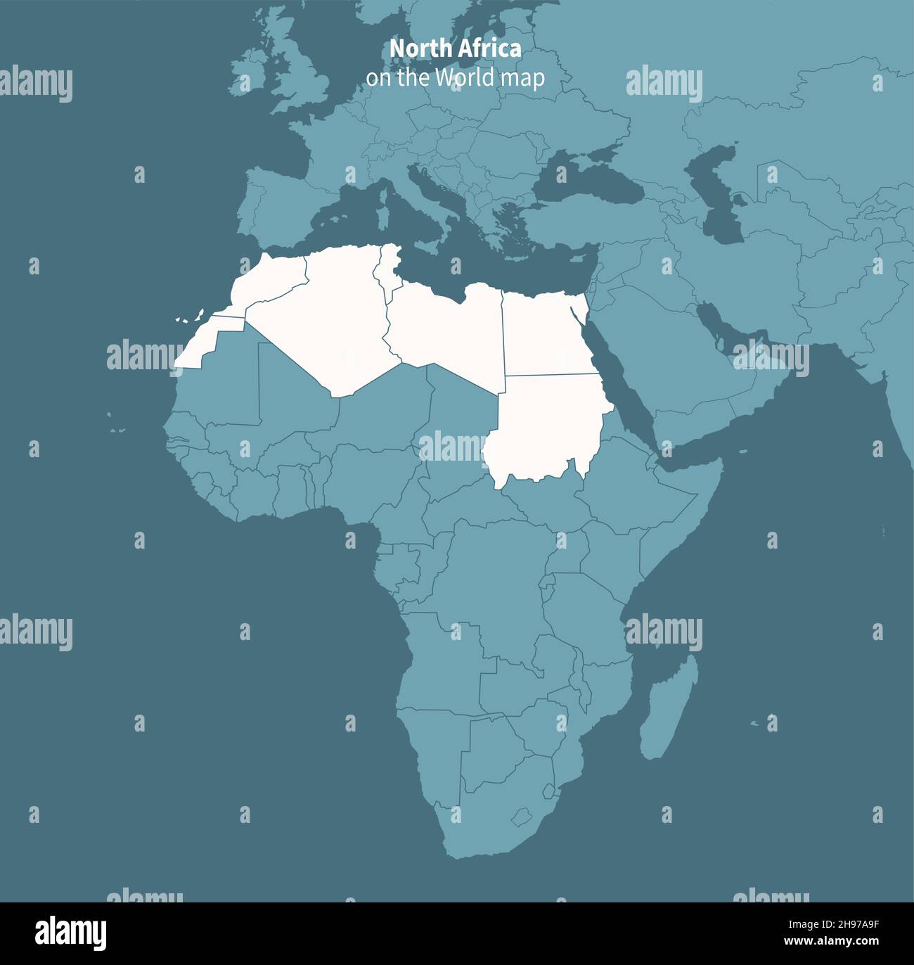 Nothern africa vector map. world map by region. Stock Vectorhttps://www.alamy.com/image-license-details/?v=1https://www.alamy.com/nothern-africa-vector-map-world-map-by-region-image453163243.html
RF2H97A9F–Nothern africa vector map. world map by region.
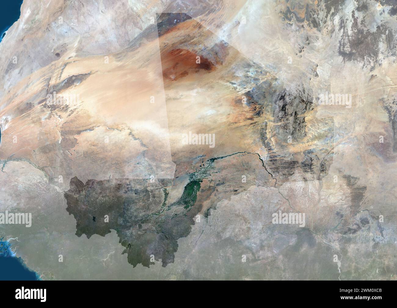 Color satellite image of Mali, with mask. Stock Photohttps://www.alamy.com/image-license-details/?v=1https://www.alamy.com/color-satellite-image-of-mali-with-mask-image597466363.html
RM2WM0XCB–Color satellite image of Mali, with mask.
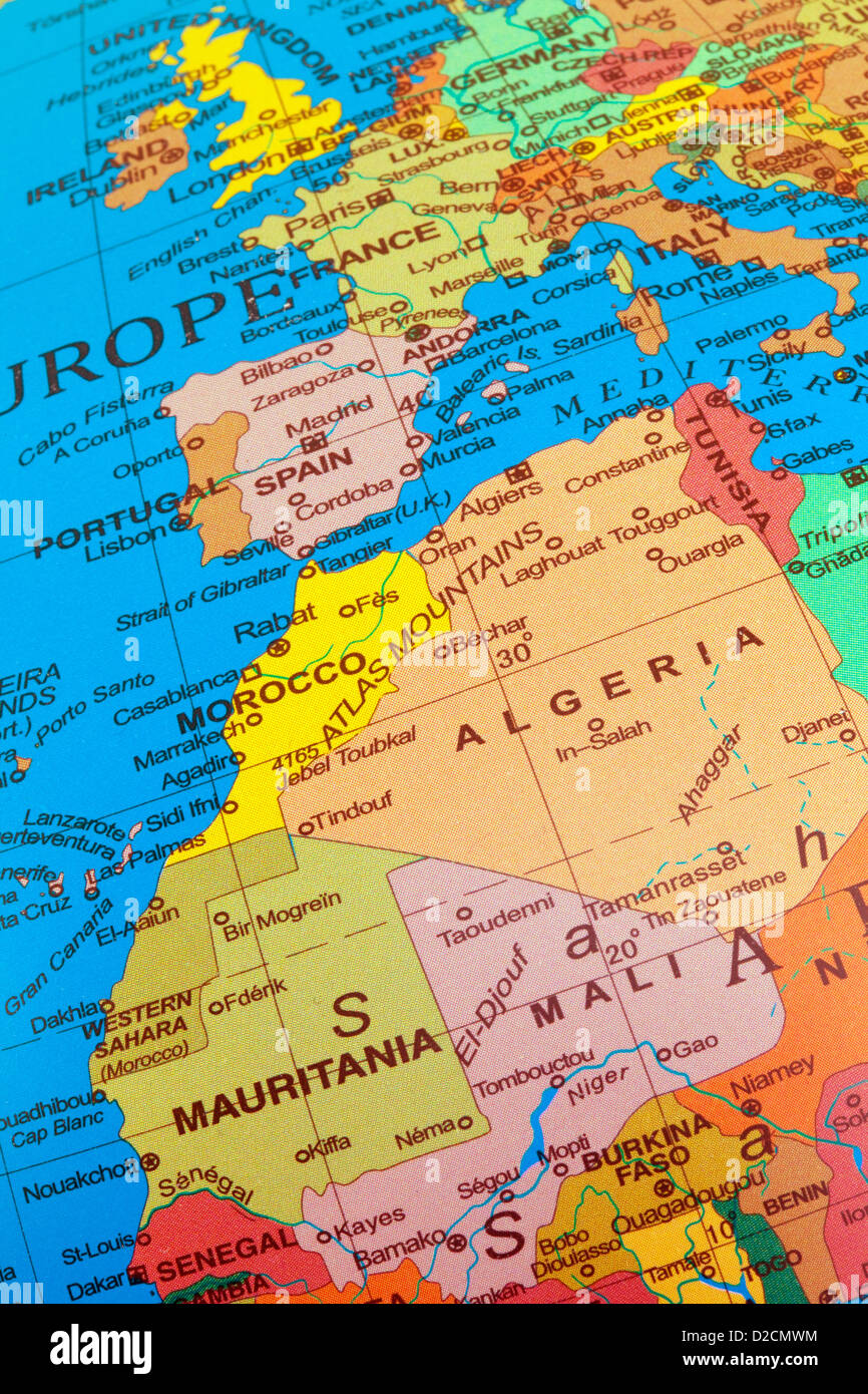 A map of Western Europe with the UK , including North Africa with Algeria and Mali on a globe Stock Photohttps://www.alamy.com/image-license-details/?v=1https://www.alamy.com/stock-photo-a-map-of-western-europe-with-the-uk-including-north-africa-with-algeria-53140240.html
RMD2CMWM–A map of Western Europe with the UK , including North Africa with Algeria and Mali on a globe
 Mali Country in Africa on the World Map Stock Photohttps://www.alamy.com/image-license-details/?v=1https://www.alamy.com/stock-photo-mali-country-in-africa-on-the-world-map-102330466.html
RFFXDFFE–Mali Country in Africa on the World Map
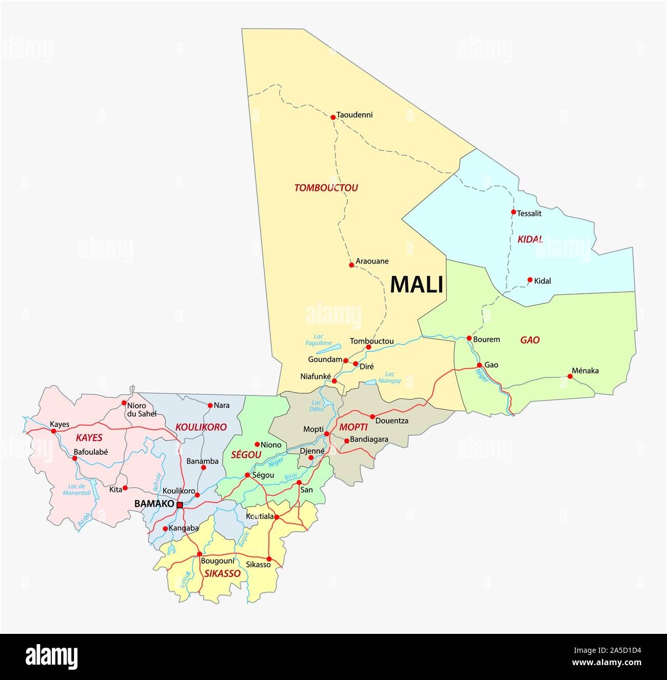 road and administrative map of the Republic of Mali Stock Vectorhttps://www.alamy.com/image-license-details/?v=1https://www.alamy.com/road-and-administrative-map-of-the-republic-of-mali-image330356800.html
RF2A5D1D4–road and administrative map of the Republic of Mali
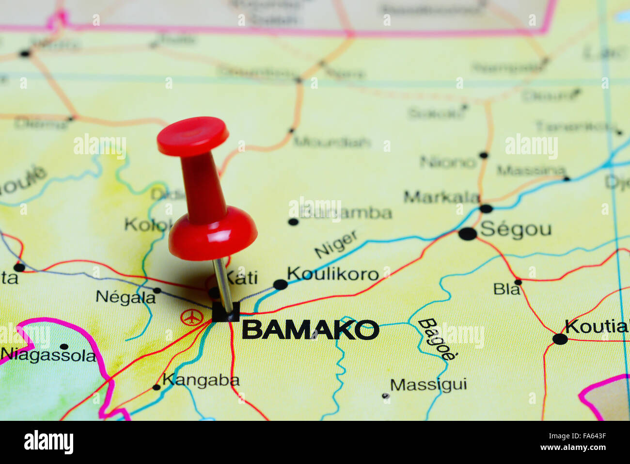 Bamako pinned on a map of Africa Stock Photohttps://www.alamy.com/image-license-details/?v=1https://www.alamy.com/stock-photo-bamako-pinned-on-a-map-of-africa-92333347.html
RFFA643F–Bamako pinned on a map of Africa
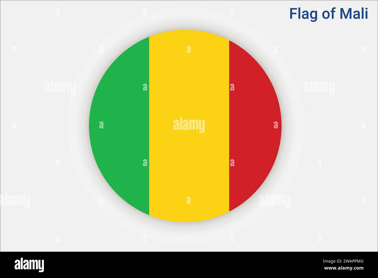 High detailed flag of Mali. National Mali flag. Africa. 3D illustration. Stock Vectorhttps://www.alamy.com/image-license-details/?v=1https://www.alamy.com/high-detailed-flag-of-mali-national-mali-flag-africa-3d-illustration-image591799840.html
RF2WAPPMG–High detailed flag of Mali. National Mali flag. Africa. 3D illustration.
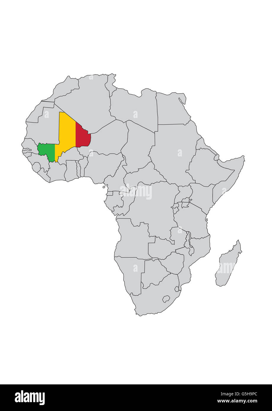 Mali, Africa. Stock Photohttps://www.alamy.com/image-license-details/?v=1https://www.alamy.com/stock-photo-mali-africa-106716356.html
RMG5H9PC–Mali, Africa.
 West Africa countries political map with national borders. English country names. Illustration. Gray illustration. Stock Photohttps://www.alamy.com/image-license-details/?v=1https://www.alamy.com/stock-photo-west-africa-countries-political-map-with-national-borders-english-123316347.html
RFH4HF77–West Africa countries political map with national borders. English country names. Illustration. Gray illustration.
 Map Mali Stock Photohttps://www.alamy.com/image-license-details/?v=1https://www.alamy.com/stock-photo-map-mali-88534338.html
RFF412CJ–Map Mali
 Close-up vintage globe map of Africa featuring Nigeria, Chad, Sudan, and surrounding regions. Stock Photohttps://www.alamy.com/image-license-details/?v=1https://www.alamy.com/close-up-vintage-globe-map-of-africa-featuring-nigeria-chad-sudan-and-surrounding-regions-image607059366.html
RM2X7HXBJ–Close-up vintage globe map of Africa featuring Nigeria, Chad, Sudan, and surrounding regions.
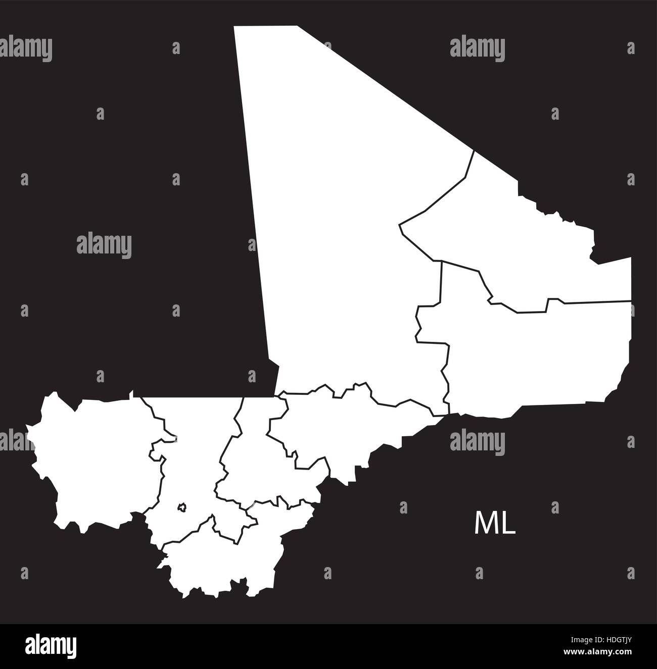 Mali regions Map black and white illustration Stock Vectorhttps://www.alamy.com/image-license-details/?v=1https://www.alamy.com/stock-photo-mali-regions-map-black-and-white-illustration-128833683.html
RFHDGTJY–Mali regions Map black and white illustration
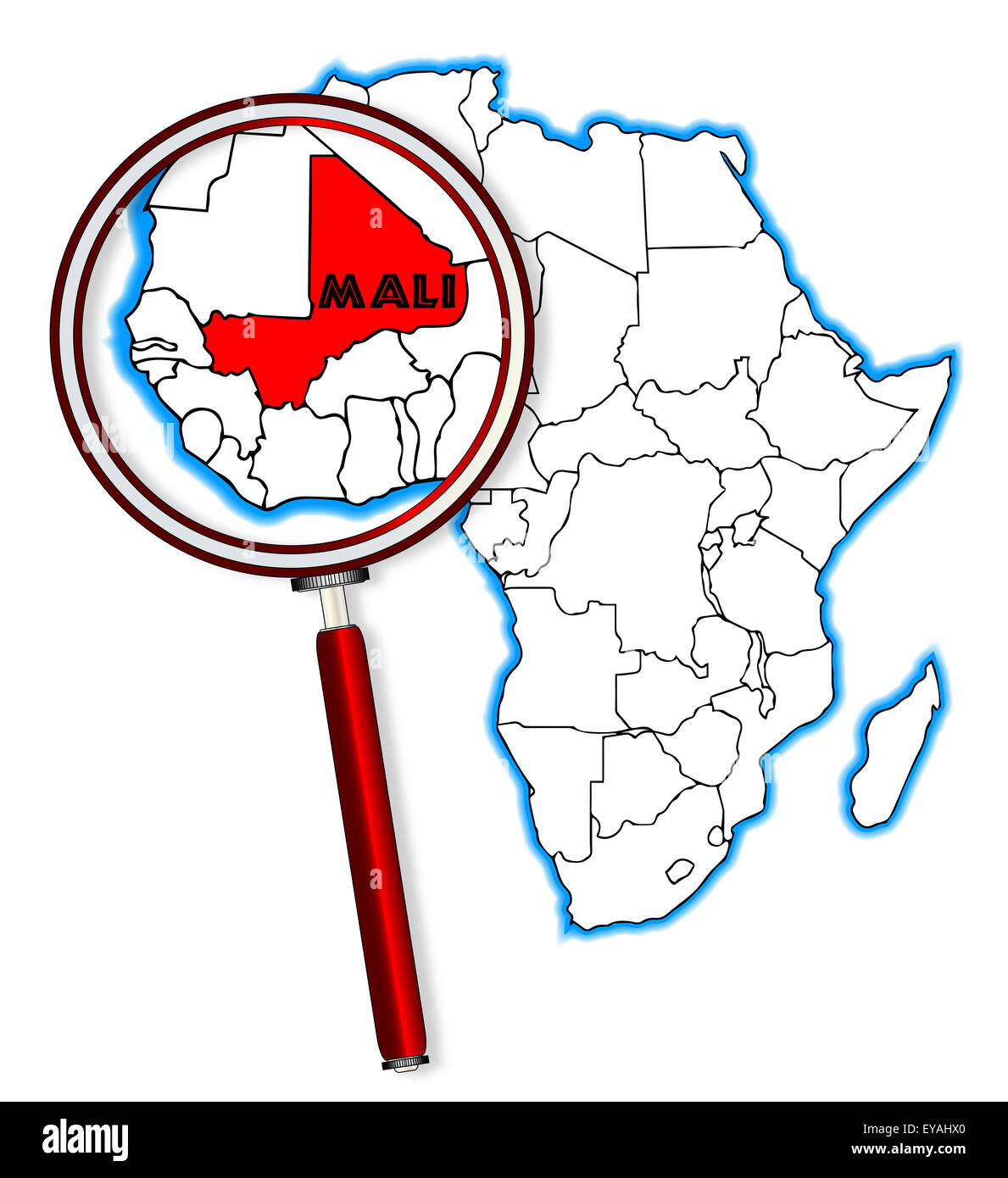 Mali outline inset into a map of Africa over a white background Stock Photohttps://www.alamy.com/image-license-details/?v=1https://www.alamy.com/stock-photo-mali-outline-inset-into-a-map-of-africa-over-a-white-background-85670760.html
RFEYAHX0–Mali outline inset into a map of Africa over a white background
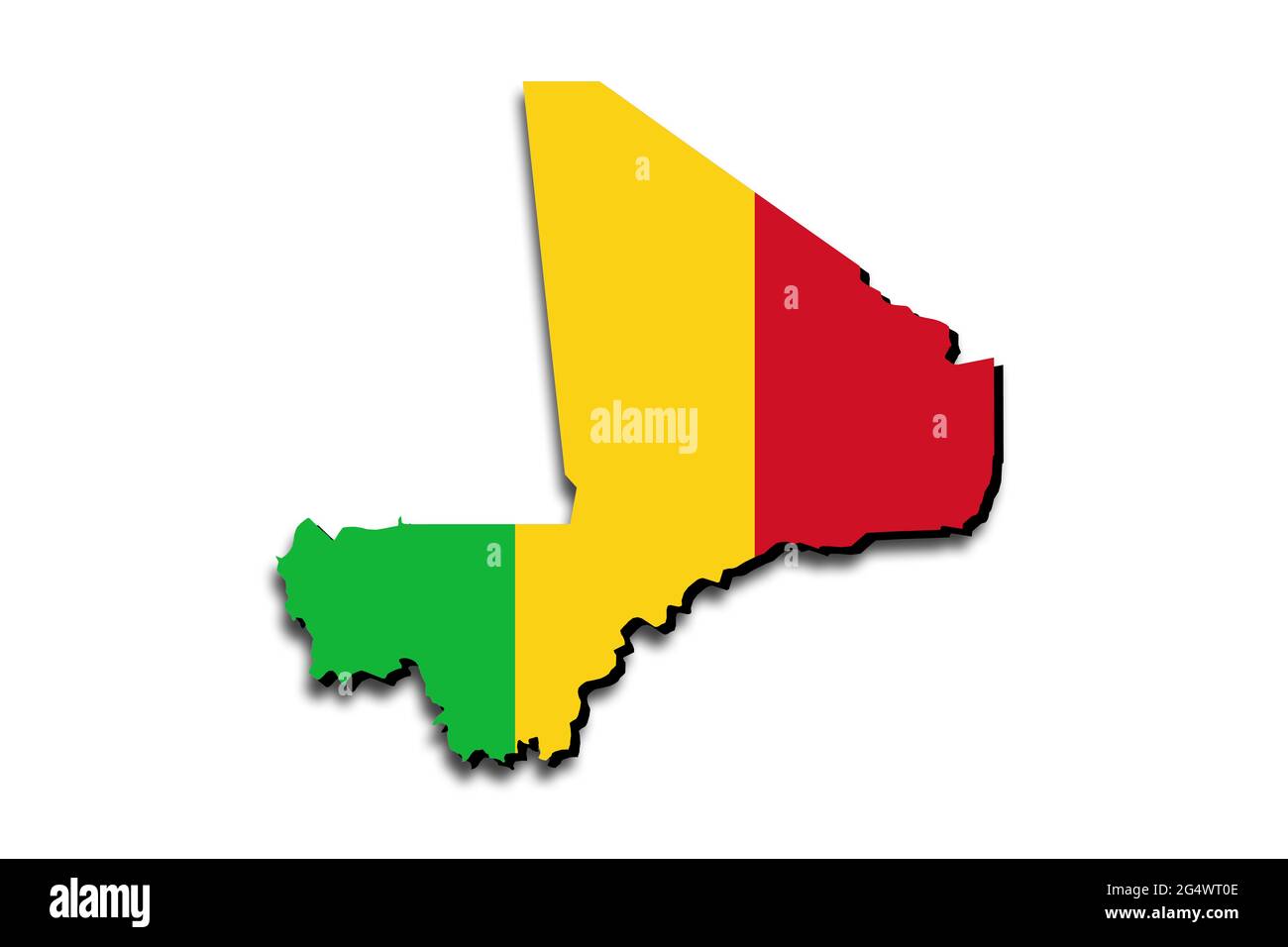 Outline map of Mali with the national flag superimposed over the country. 3D graphics casting a shadow on the white background Stock Photohttps://www.alamy.com/image-license-details/?v=1https://www.alamy.com/outline-map-of-mali-with-the-national-flag-superimposed-over-the-country-3d-graphics-casting-a-shadow-on-the-white-background-image433285454.html
RF2G4WT0E–Outline map of Mali with the national flag superimposed over the country. 3D graphics casting a shadow on the white background
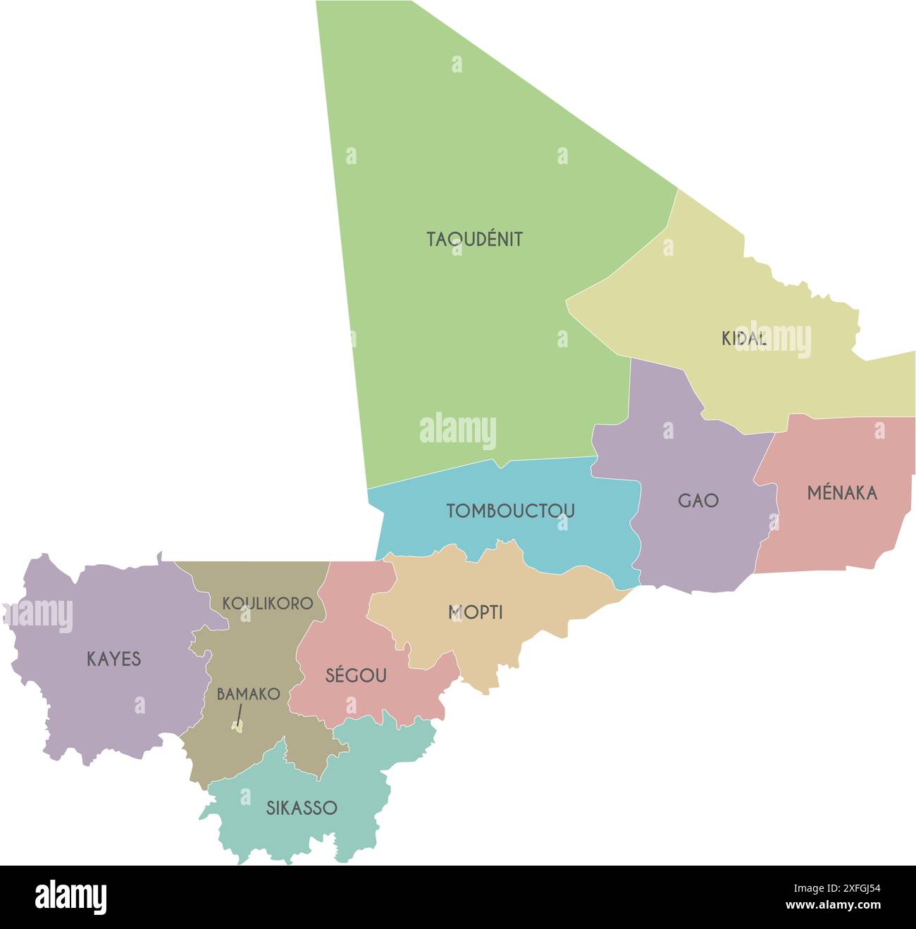 Vector map of Mali with regions, capital district and administrative divisions. Editable and clearly labeled layers. Stock Vectorhttps://www.alamy.com/image-license-details/?v=1https://www.alamy.com/vector-map-of-mali-with-regions-capital-district-and-administrative-divisions-editable-and-clearly-labeled-layers-image611948208.html
RF2XFGJ54–Vector map of Mali with regions, capital district and administrative divisions. Editable and clearly labeled layers.
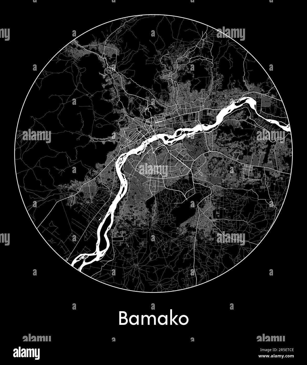 City Map Bamako Mali Africa vector illustration Stock Vectorhttps://www.alamy.com/image-license-details/?v=1https://www.alamy.com/city-map-bamako-mali-africa-vector-illustration-image554131550.html
RF2R5ETCE–City Map Bamako Mali Africa vector illustration
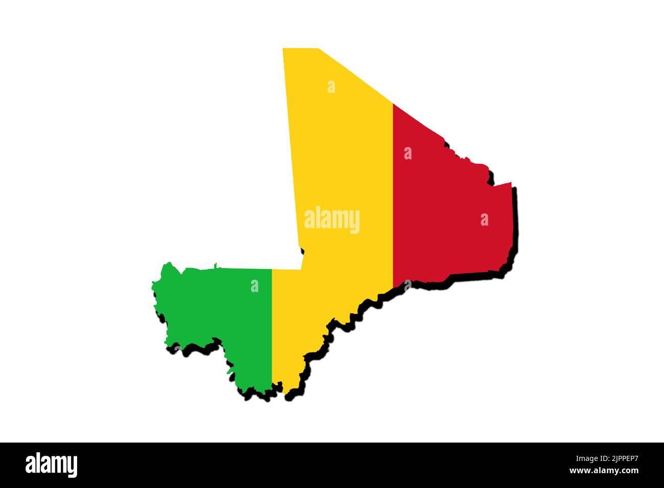 Silhouette of the map of mali with its flag Stock Photohttps://www.alamy.com/image-license-details/?v=1https://www.alamy.com/silhouette-of-the-map-of-mali-with-its-flag-image478696911.html
RF2JPPEP7–Silhouette of the map of mali with its flag
 Bamako Mali City Map in Retro Style. Outline Map. Vector Illustration. Stock Vectorhttps://www.alamy.com/image-license-details/?v=1https://www.alamy.com/bamako-mali-city-map-in-retro-style-outline-map-vector-illustration-image237240670.html
RFRNY6W2–Bamako Mali City Map in Retro Style. Outline Map. Vector Illustration.
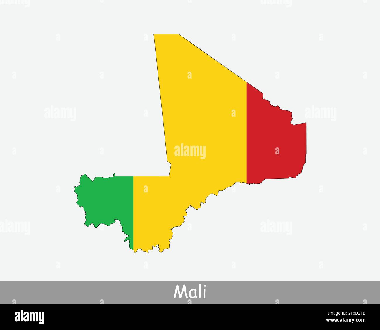 Mali Map Flag. Map of the Republic of Mali with the Malian national flag isolated on white background. Vector Illustration. Stock Vectorhttps://www.alamy.com/image-license-details/?v=1https://www.alamy.com/mali-map-flag-map-of-the-republic-of-mali-with-the-malian-national-flag-isolated-on-white-background-vector-illustration-image417023751.html
RF2F6D21B–Mali Map Flag. Map of the Republic of Mali with the Malian national flag isolated on white background. Vector Illustration.
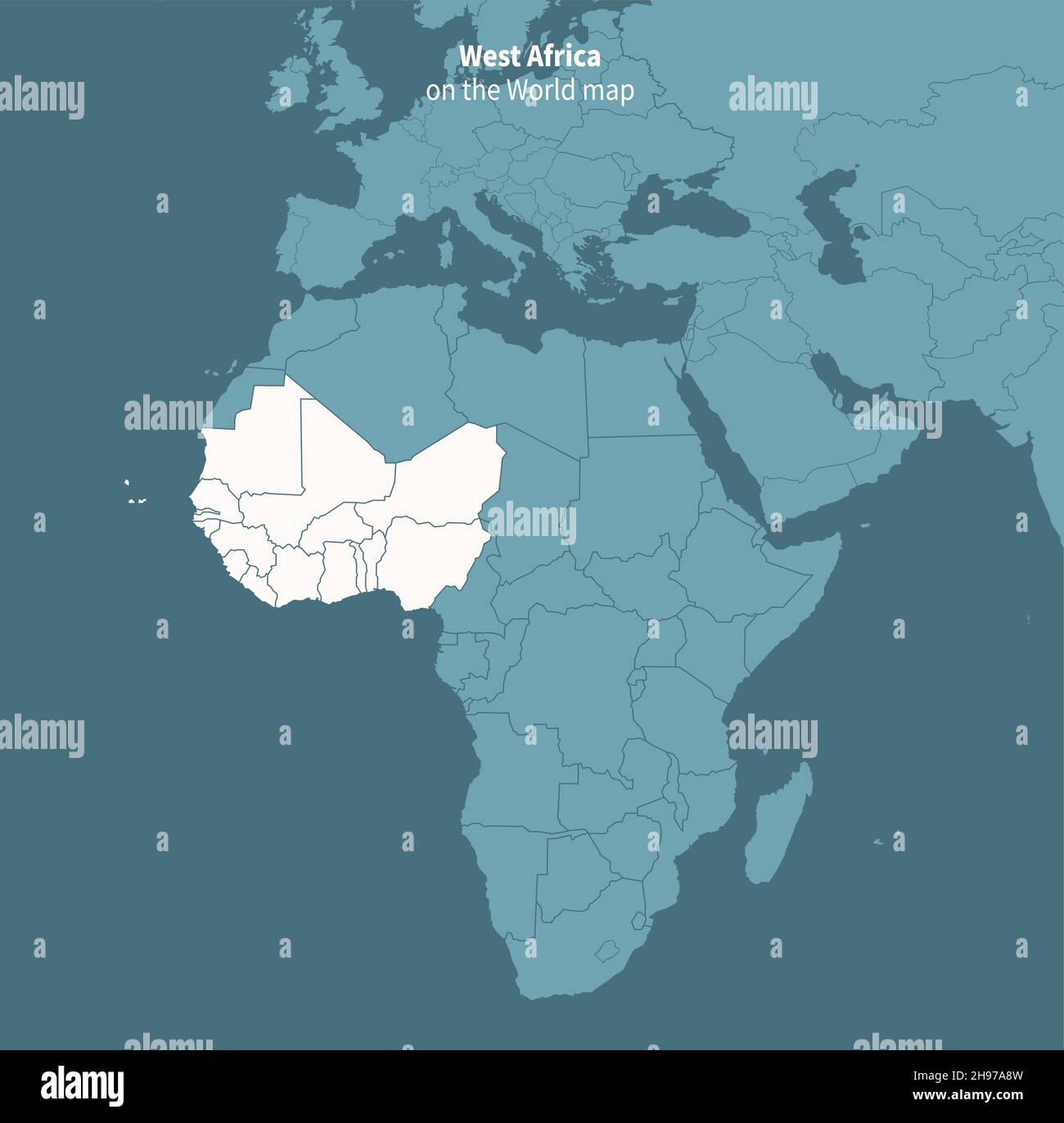 Western africa vector map. world map by region. Stock Vectorhttps://www.alamy.com/image-license-details/?v=1https://www.alamy.com/western-africa-vector-map-world-map-by-region-image453163225.html
RF2H97A8W–Western africa vector map. world map by region.
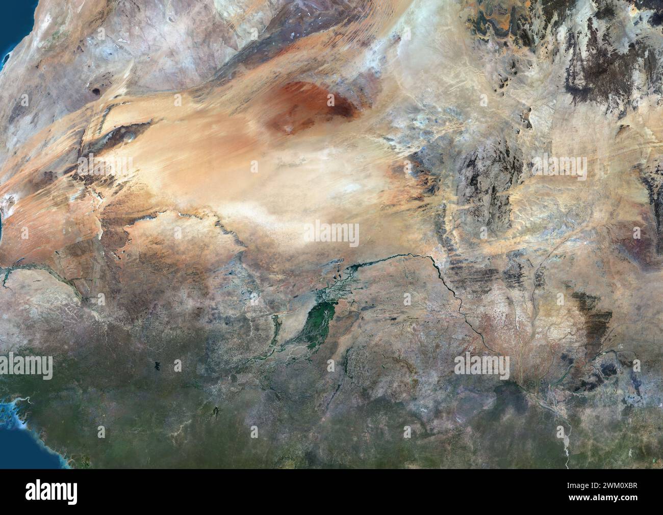 Color satellite image of Mali and neighbouring countries. Stock Photohttps://www.alamy.com/image-license-details/?v=1https://www.alamy.com/color-satellite-image-of-mali-and-neighbouring-countries-image597466347.html
RM2WM0XBR–Color satellite image of Mali and neighbouring countries.
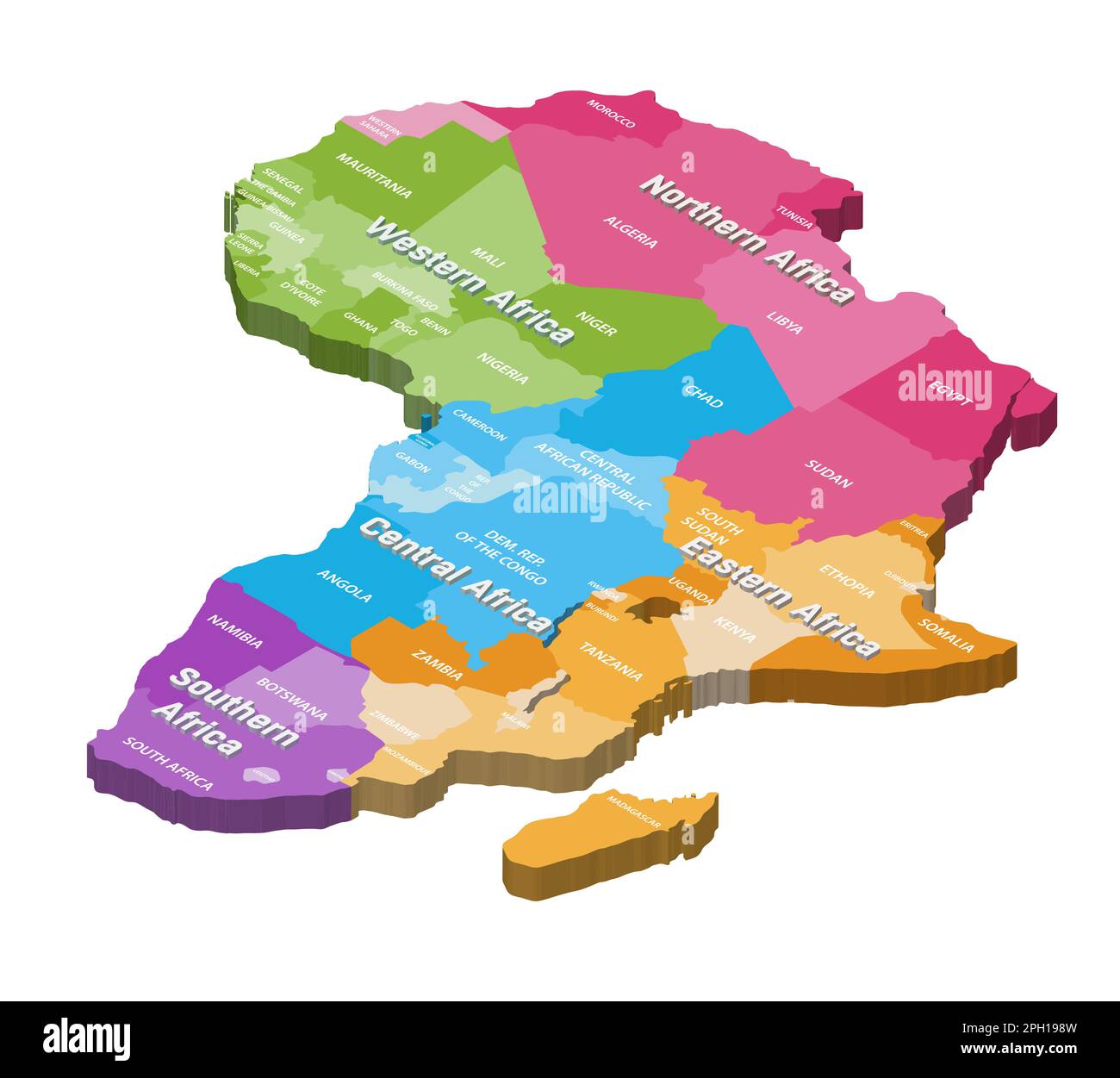 Africa isometric map colored by regions Stock Vectorhttps://www.alamy.com/image-license-details/?v=1https://www.alamy.com/africa-isometric-map-colored-by-regions-image543999817.html
RF2PH198W–Africa isometric map colored by regions
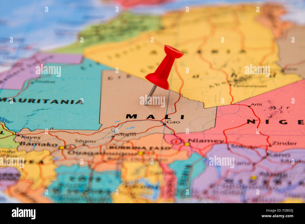 Map of Mali with a red pushpin stuck Stock Photohttps://www.alamy.com/image-license-details/?v=1https://www.alamy.com/stock-photo-map-of-mali-with-a-red-pushpin-stuck-87535326.html
RFF2BG5J–Map of Mali with a red pushpin stuck
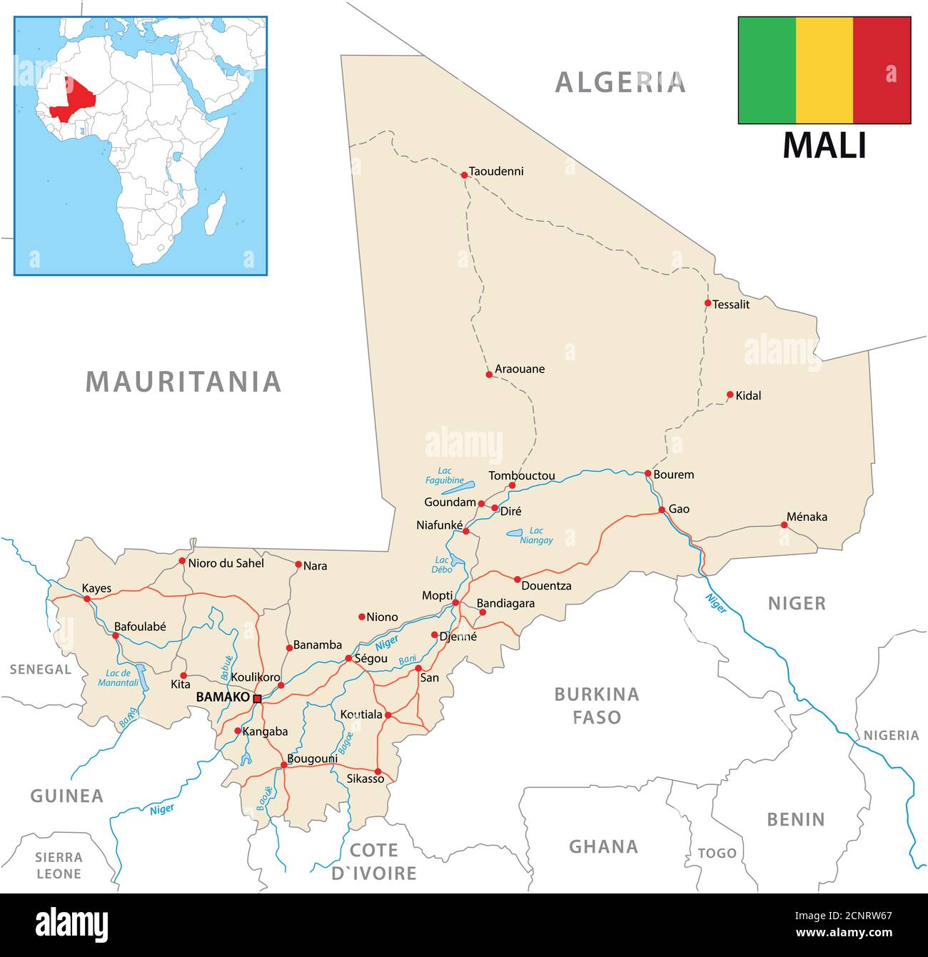 vector road map of the Republic of Mali with flag Stock Vectorhttps://www.alamy.com/image-license-details/?v=1https://www.alamy.com/vector-road-map-of-the-republic-of-mali-with-flag-image374850175.html
RF2CNRW67–vector road map of the Republic of Mali with flag
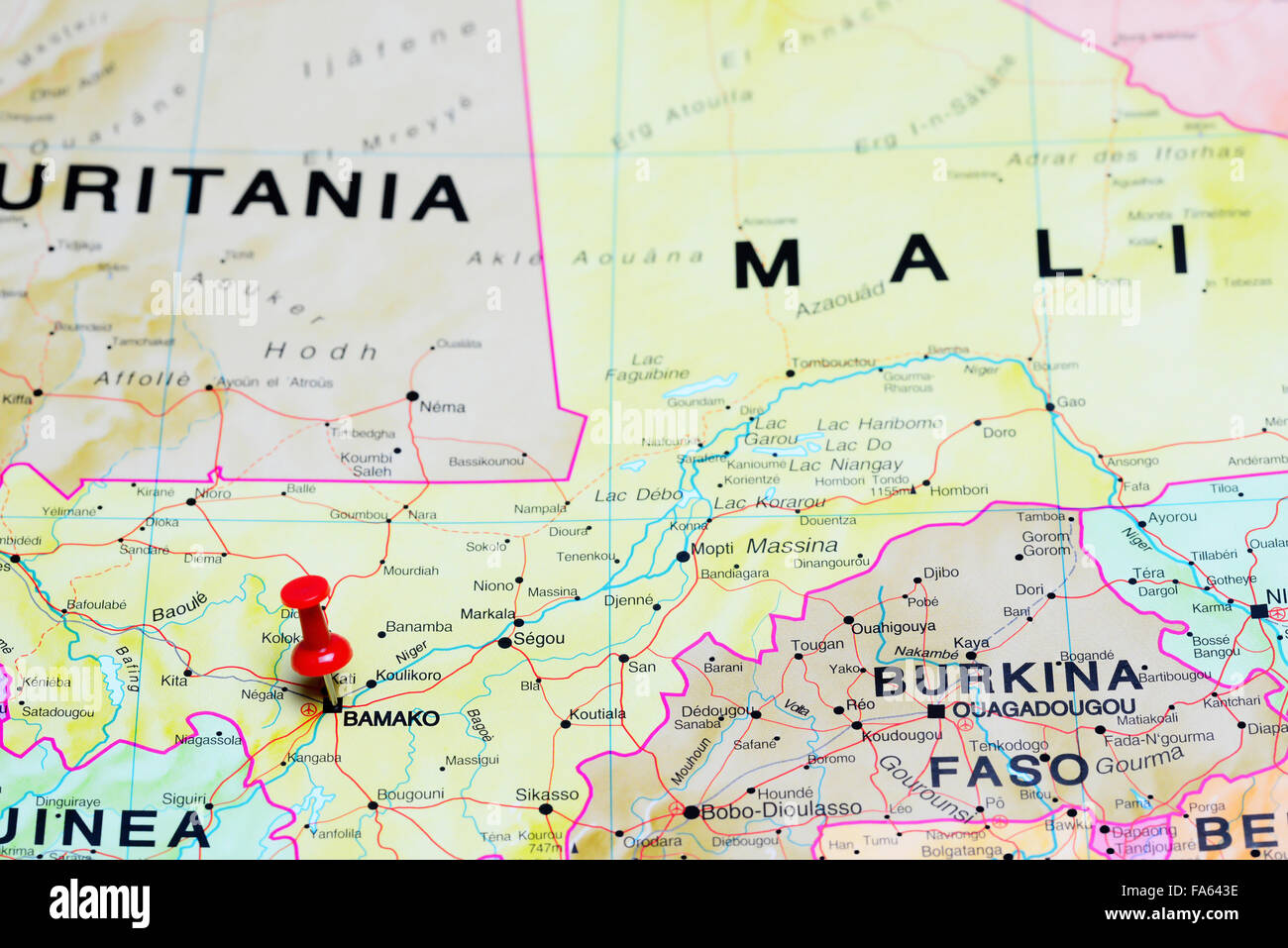 Bamako pinned on a map of Africa Stock Photohttps://www.alamy.com/image-license-details/?v=1https://www.alamy.com/stock-photo-bamako-pinned-on-a-map-of-africa-92333346.html
RFFA643E–Bamako pinned on a map of Africa
 High detailed flag of Mali. National Mali flag. Africa. 3D illustration. Stock Photohttps://www.alamy.com/image-license-details/?v=1https://www.alamy.com/high-detailed-flag-of-mali-national-mali-flag-africa-3d-illustration-image591799635.html
RF2WAPPD7–High detailed flag of Mali. National Mali flag. Africa. 3D illustration.
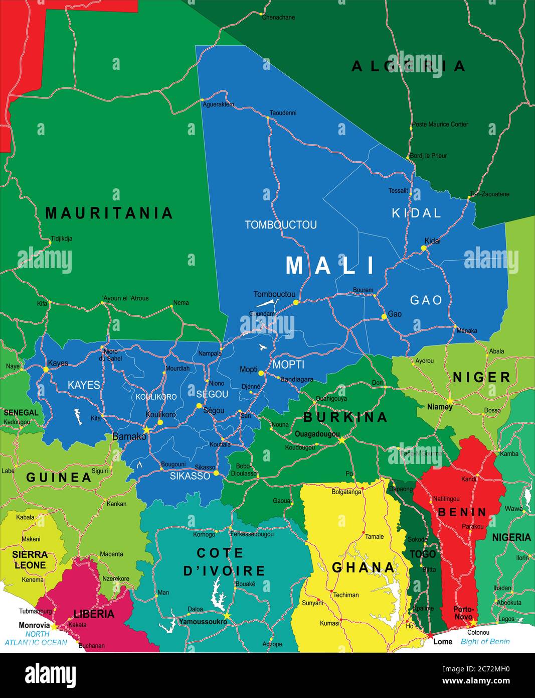 Mali map Stock Vectorhttps://www.alamy.com/image-license-details/?v=1https://www.alamy.com/mali-map-image365780380.html
RF2C72MH0–Mali map
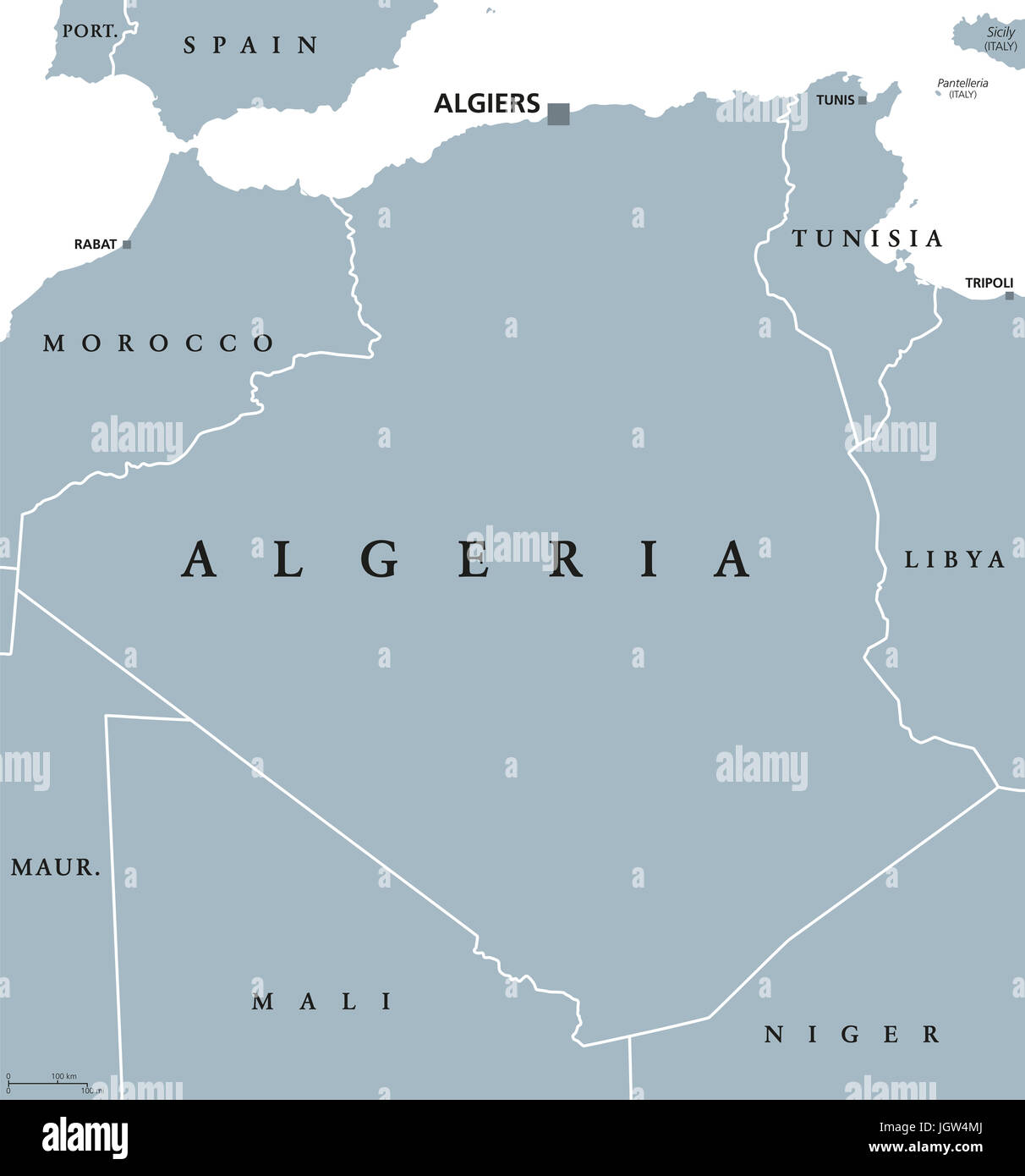 Algeria political map with capital Algiers. Peoples Democratic Republic of Algeria. Arab country in the Maghreb region of North Africa. Illustration. Stock Photohttps://www.alamy.com/image-license-details/?v=1https://www.alamy.com/stock-photo-algeria-political-map-with-capital-algiers-peoples-democratic-republic-148069954.html
RFJGW4MJ–Algeria political map with capital Algiers. Peoples Democratic Republic of Algeria. Arab country in the Maghreb region of North Africa. Illustration.
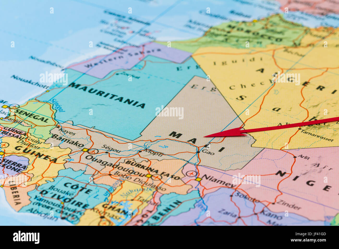 Photo of Mali. Country indicated by red arrow. Country on African continent. Stock Photohttps://www.alamy.com/image-license-details/?v=1https://www.alamy.com/stock-photo-photo-of-mali-country-indicated-by-red-arrow-country-on-african-continent-146991837.html
RFJF41GD–Photo of Mali. Country indicated by red arrow. Country on African continent.
 Detailed map of Mali vector stock illustration design template. Vector eps 10. Stock Vectorhttps://www.alamy.com/image-license-details/?v=1https://www.alamy.com/detailed-map-of-mali-vector-stock-illustration-design-template-vector-eps-10-image440606977.html
RF2GGRAKD–Detailed map of Mali vector stock illustration design template. Vector eps 10.
 Mali Flag in Map, Mali Map with Flag, Country Map, Mali Map with Flag, Nation Flag Mali Stock Vectorhttps://www.alamy.com/image-license-details/?v=1https://www.alamy.com/mali-flag-in-map-mali-map-with-flag-country-map-mali-map-with-flag-nation-flag-mali-image619310016.html
RF2XYG06T–Mali Flag in Map, Mali Map with Flag, Country Map, Mali Map with Flag, Nation Flag Mali
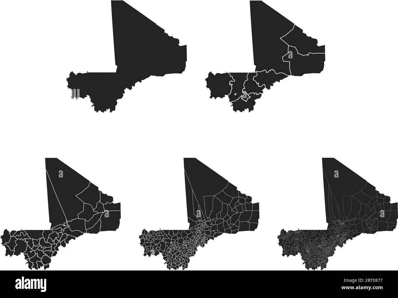 Mali vector maps with administrative regions, municipalities, departments, borders Stock Vectorhttps://www.alamy.com/image-license-details/?v=1https://www.alamy.com/mali-vector-maps-with-administrative-regions-municipalities-departments-borders-image358965579.html
RF2BT0877–Mali vector maps with administrative regions, municipalities, departments, borders
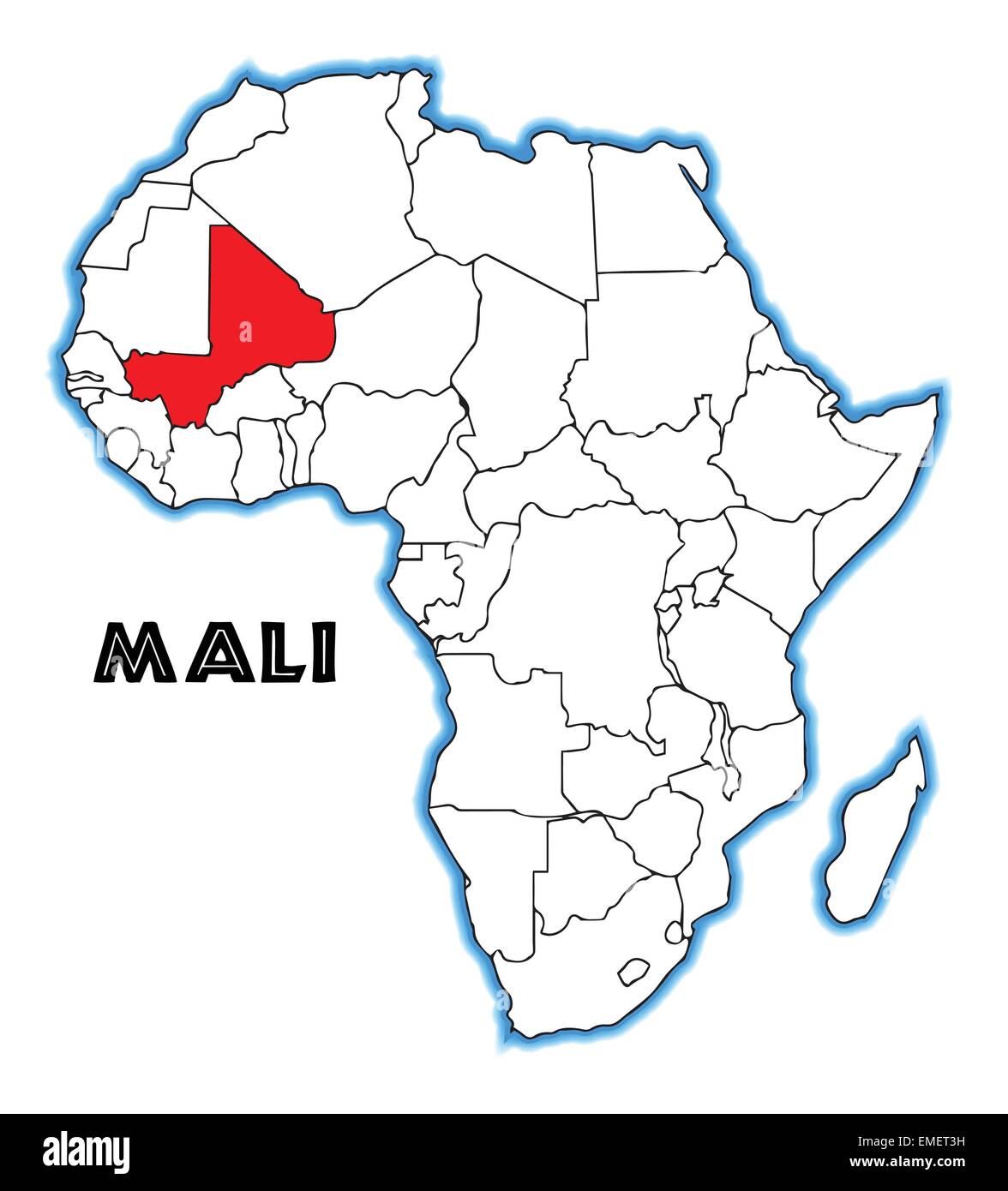 Mali Stock Vectorhttps://www.alamy.com/image-license-details/?v=1https://www.alamy.com/stock-photo-mali-81460837.html
RFEMET3H–Mali
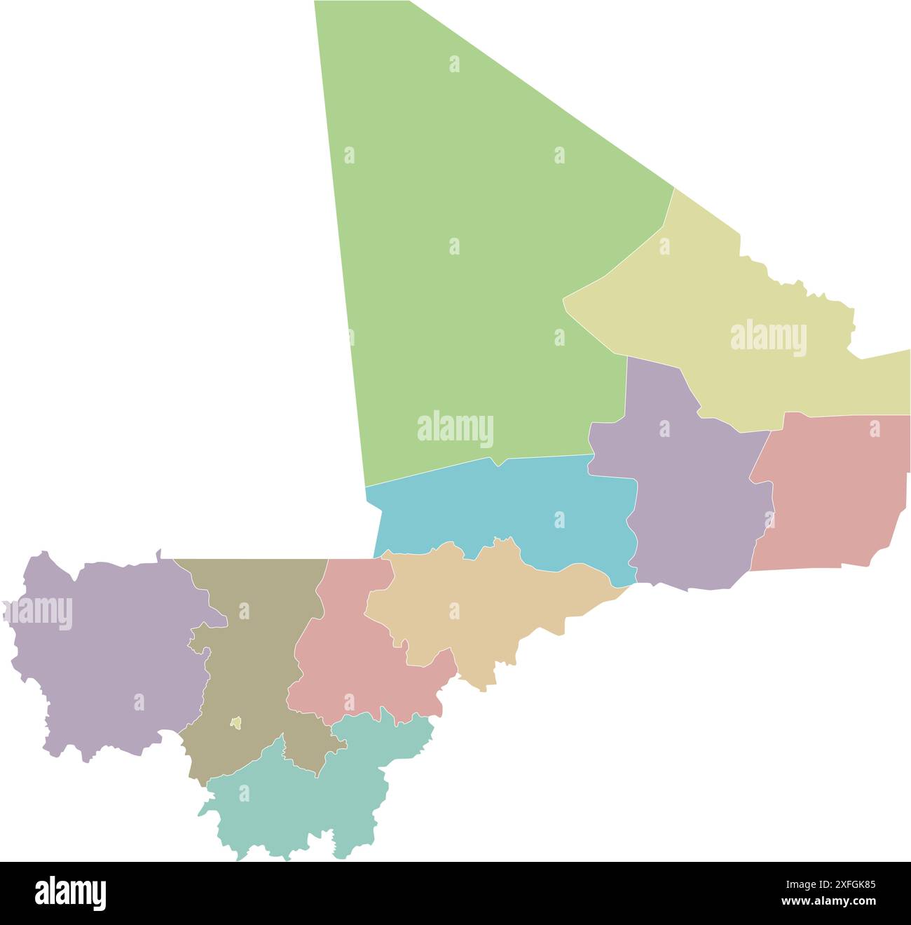 Vector blank map of Mali with regions, capital district and administrative divisions. Editable and clearly labeled layers. Stock Vectorhttps://www.alamy.com/image-license-details/?v=1https://www.alamy.com/vector-blank-map-of-mali-with-regions-capital-district-and-administrative-divisions-editable-and-clearly-labeled-layers-image611949077.html
RF2XFGK85–Vector blank map of Mali with regions, capital district and administrative divisions. Editable and clearly labeled layers.
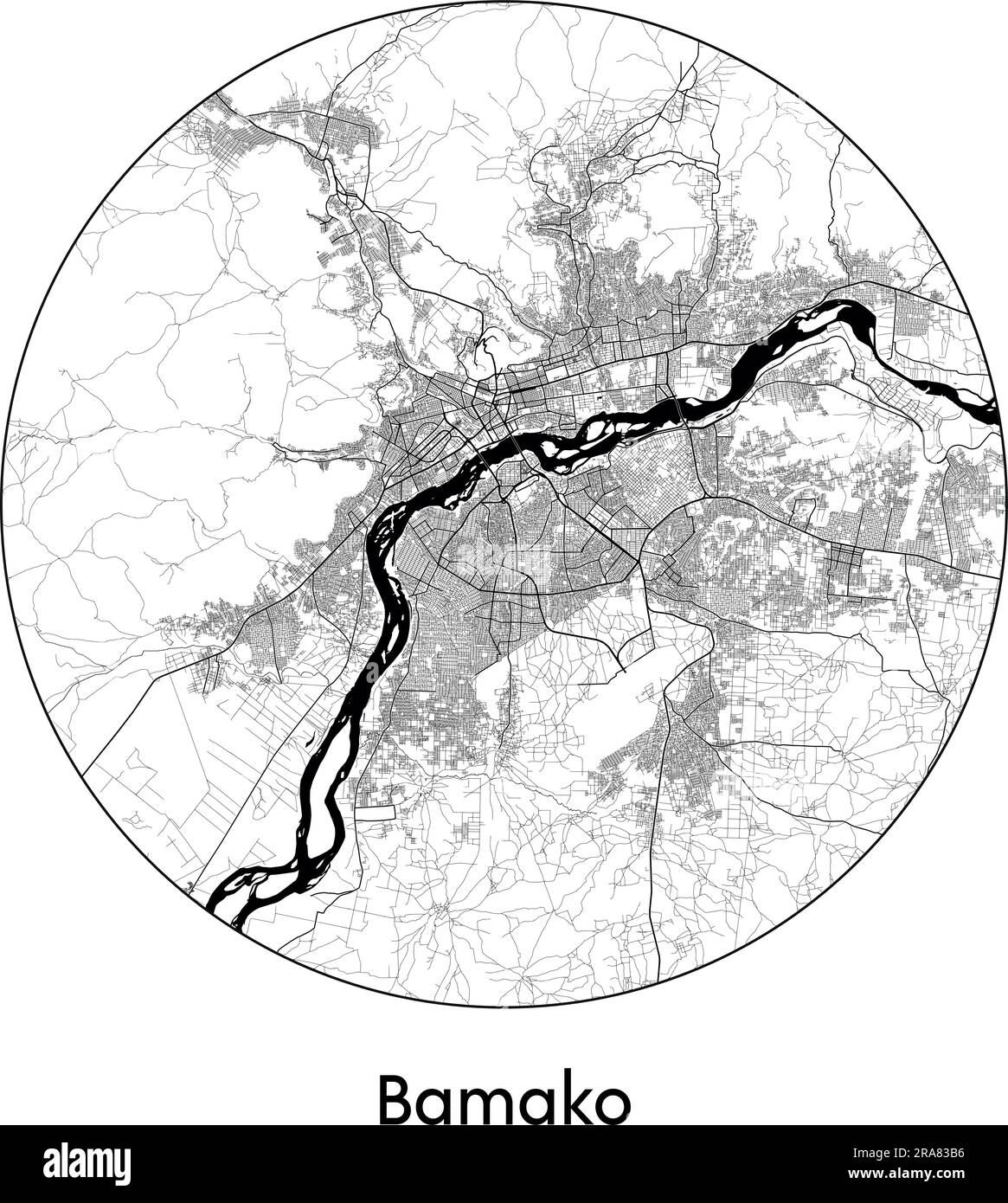 City Map Bamako Mali Africa vector illustration black white Stock Vectorhttps://www.alamy.com/image-license-details/?v=1https://www.alamy.com/city-map-bamako-mali-africa-vector-illustration-black-white-image557056618.html
RF2RA83B6–City Map Bamako Mali Africa vector illustration black white
 Mali Map Stock Photohttps://www.alamy.com/image-license-details/?v=1https://www.alamy.com/stock-photo-mali-map-103278720.html
RMG00N1M–Mali Map
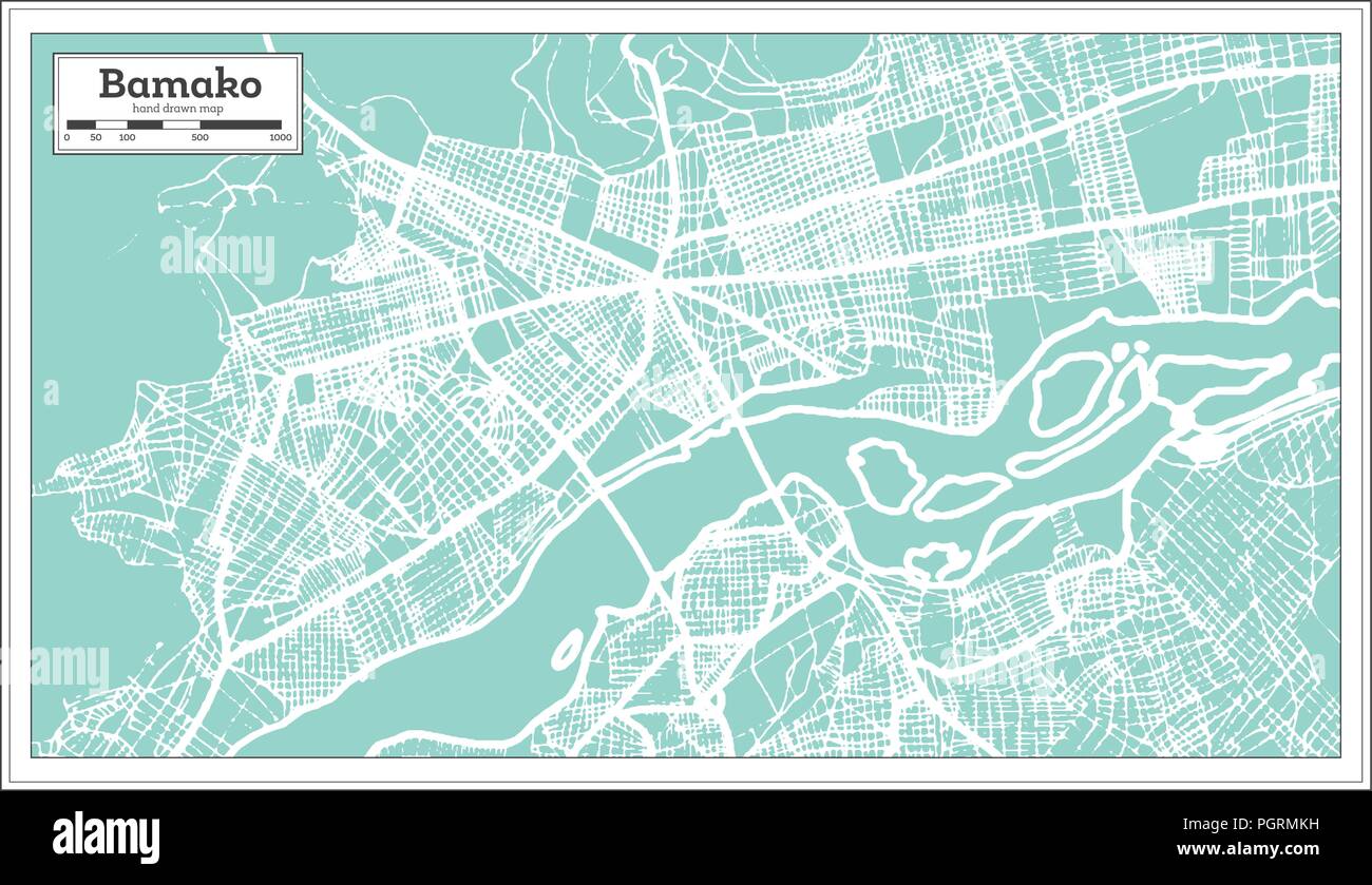 Bamako Mali City Map in Retro Style. Outline Map. Vector Illustration. Stock Vectorhttps://www.alamy.com/image-license-details/?v=1https://www.alamy.com/bamako-mali-city-map-in-retro-style-outline-map-vector-illustration-image216880037.html
RFPGRMKH–Bamako Mali City Map in Retro Style. Outline Map. Vector Illustration.
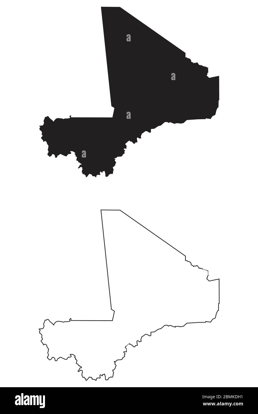 Mali Country Map. Black silhouette and outline isolated on white background. EPS Vector Stock Vectorhttps://www.alamy.com/image-license-details/?v=1https://www.alamy.com/mali-country-map-black-silhouette-and-outline-isolated-on-white-background-eps-vector-image356928237.html
RF2BMKDH1–Mali Country Map. Black silhouette and outline isolated on white background. EPS Vector
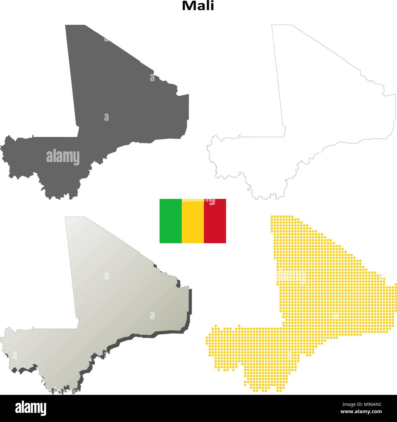 Mali outline map set Stock Vectorhttps://www.alamy.com/image-license-details/?v=1https://www.alamy.com/mali-outline-map-set-image177775736.html
RFM96ANC–Mali outline map set
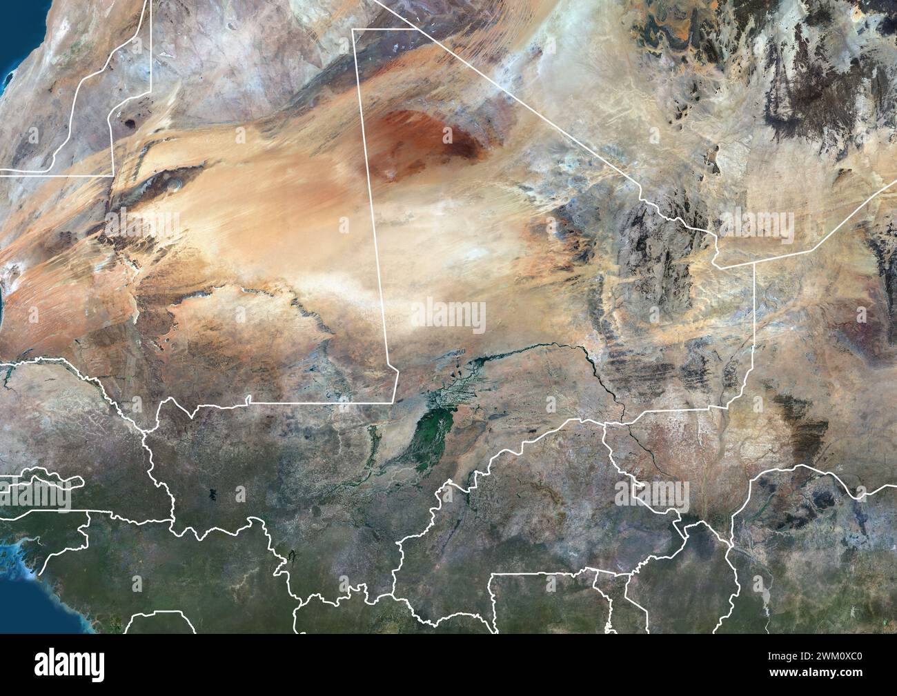 Color satellite image of Mali and neighbouring countries, with borders. Stock Photohttps://www.alamy.com/image-license-details/?v=1https://www.alamy.com/color-satellite-image-of-mali-and-neighbouring-countries-with-borders-image597466352.html
RM2WM0XC0–Color satellite image of Mali and neighbouring countries, with borders.
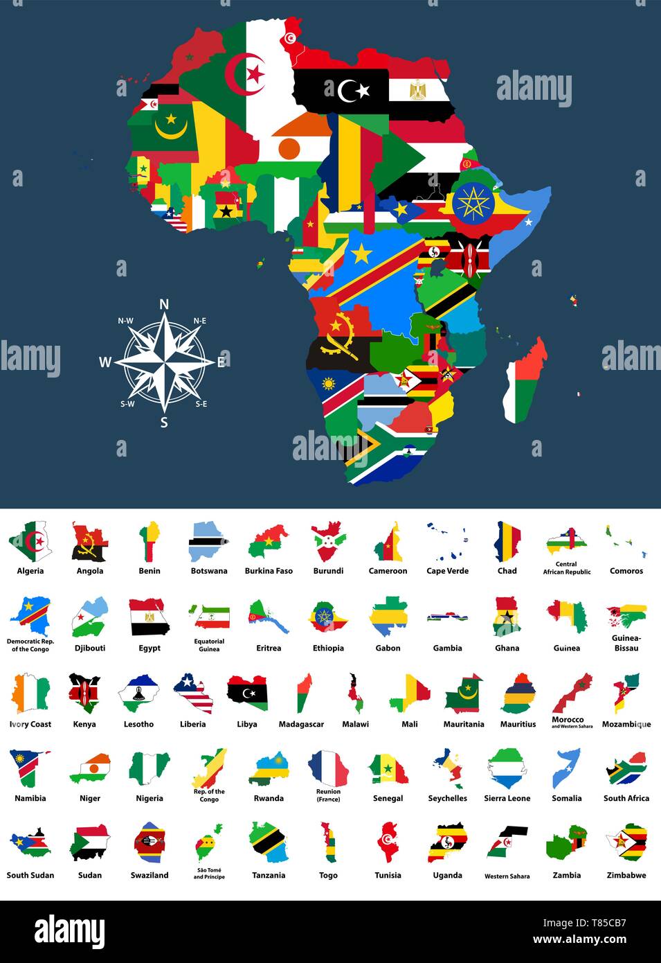 vector map of Africa mixed with countries flags Stock Vectorhttps://www.alamy.com/image-license-details/?v=1https://www.alamy.com/vector-map-of-africa-mixed-with-countries-flags-image245981883.html
RFT85CB7–vector map of Africa mixed with countries flags
RFEH8RK7–AFRICA Map Icon of the World Globe
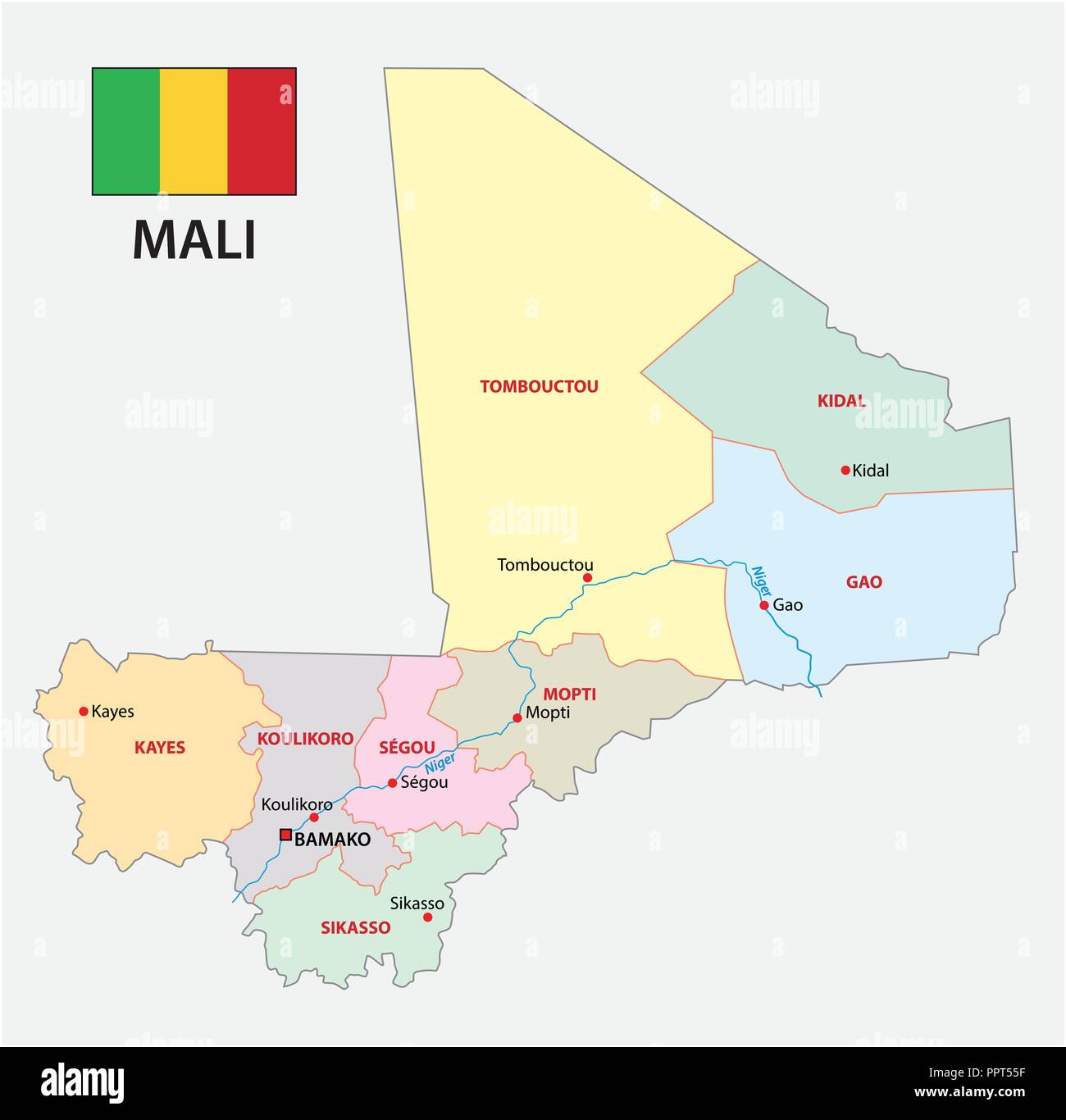 Republic of Mali administrative and political vector map with flag. Stock Vectorhttps://www.alamy.com/image-license-details/?v=1https://www.alamy.com/republic-of-mali-administrative-and-political-vector-map-with-flag-image220577771.html
RFPPT55F–Republic of Mali administrative and political vector map with flag.
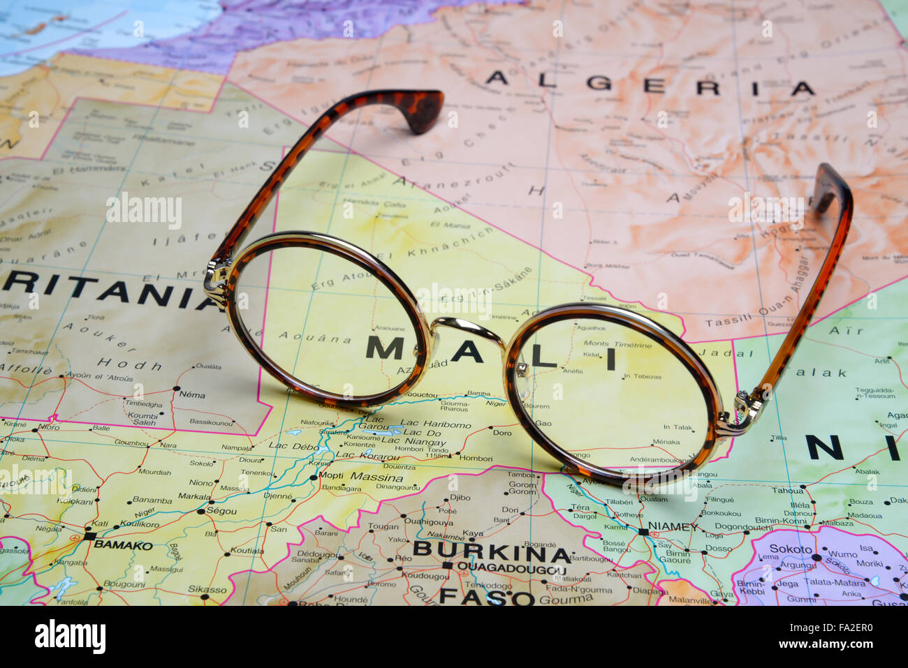 Glasses on a map - Mali Stock Photohttps://www.alamy.com/image-license-details/?v=1https://www.alamy.com/stock-photo-glasses-on-a-map-mali-92253924.html
RFFA2ER0–Glasses on a map - Mali
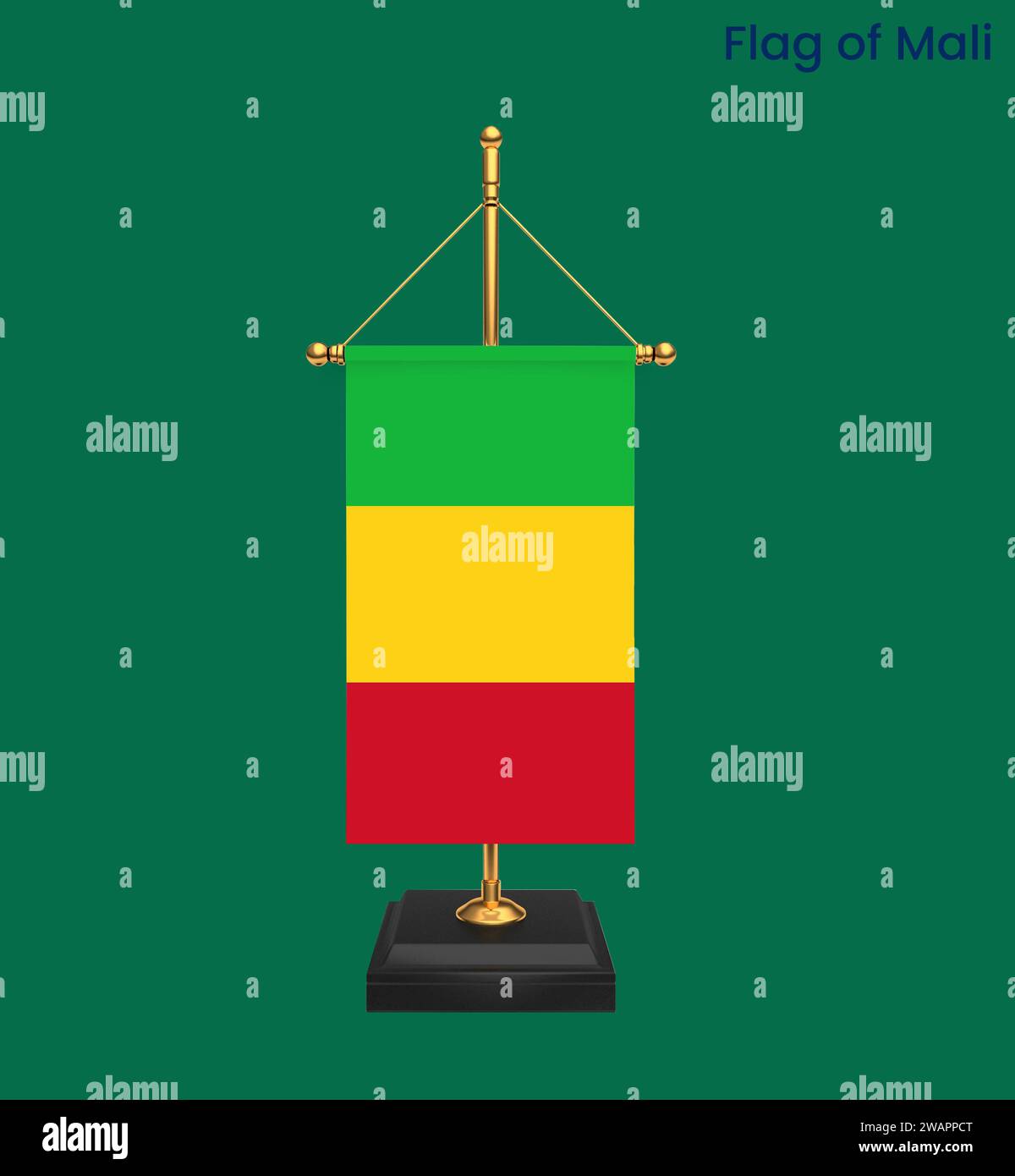 High detailed flag of Mali. National Mali flag. Africa. 3D illustration. Stock Photohttps://www.alamy.com/image-license-details/?v=1https://www.alamy.com/high-detailed-flag-of-mali-national-mali-flag-africa-3d-illustration-image591799624.html
RF2WAPPCT–High detailed flag of Mali. National Mali flag. Africa. 3D illustration.
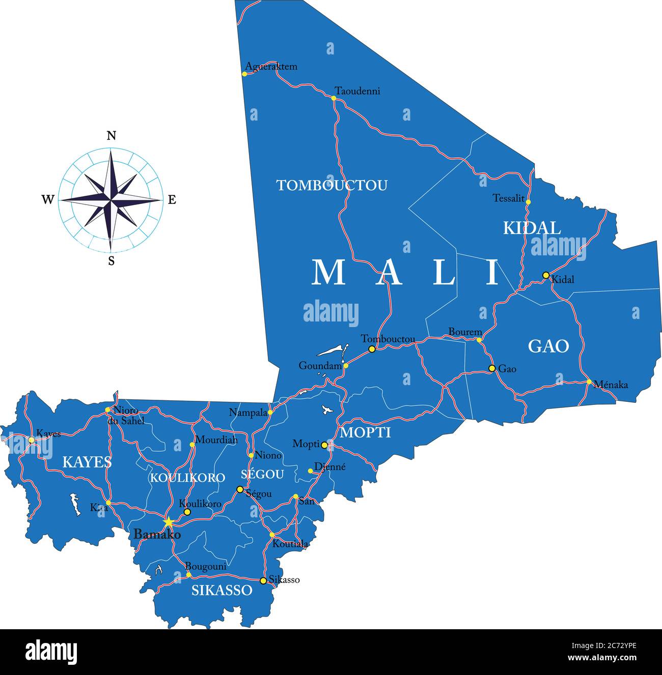 Highly detailed vector map of Mali with administrative regions,main cities and roads. Stock Vectorhttps://www.alamy.com/image-license-details/?v=1https://www.alamy.com/highly-detailed-vector-map-of-mali-with-administrative-regionsmain-cities-and-roads-image365786022.html
RF2C72YPE–Highly detailed vector map of Mali with administrative regions,main cities and roads.
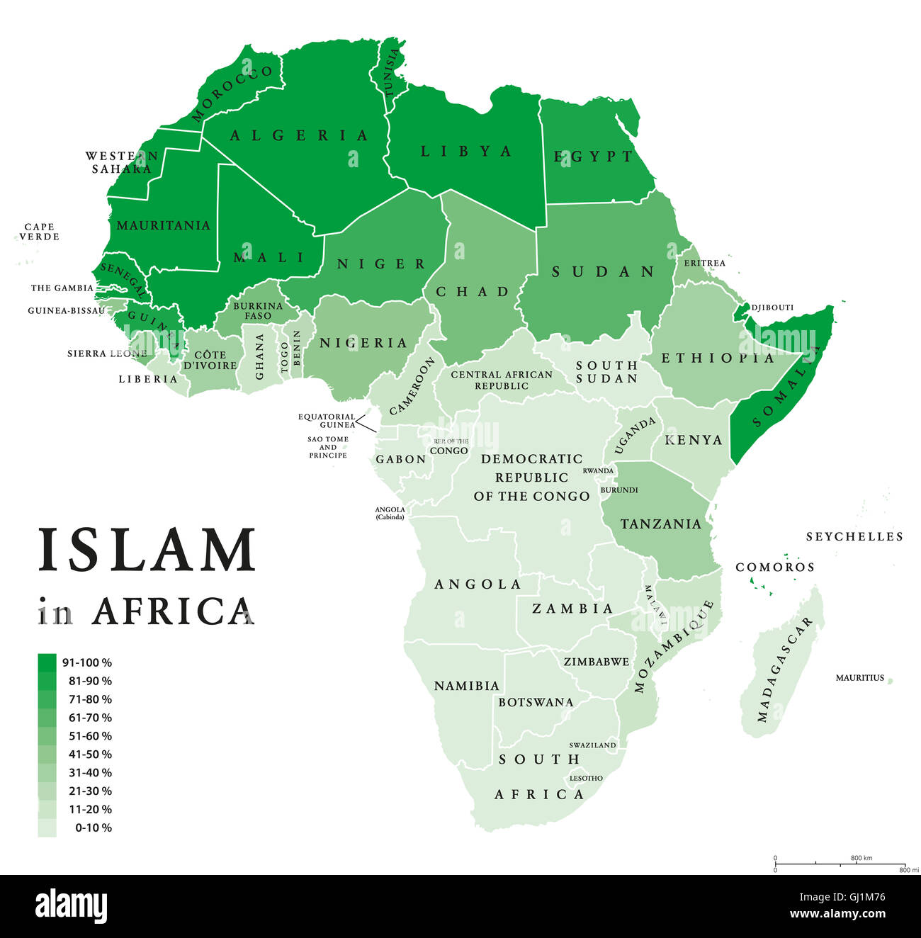 Islam distribution in Africa. Political map of Muslim population in African countries in ten percent scale and green color. Stock Photohttps://www.alamy.com/image-license-details/?v=1https://www.alamy.com/stock-photo-islam-distribution-in-africa-political-map-of-muslim-population-in-114363850.html
RFGJ1M76–Islam distribution in Africa. Political map of Muslim population in African countries in ten percent scale and green color.
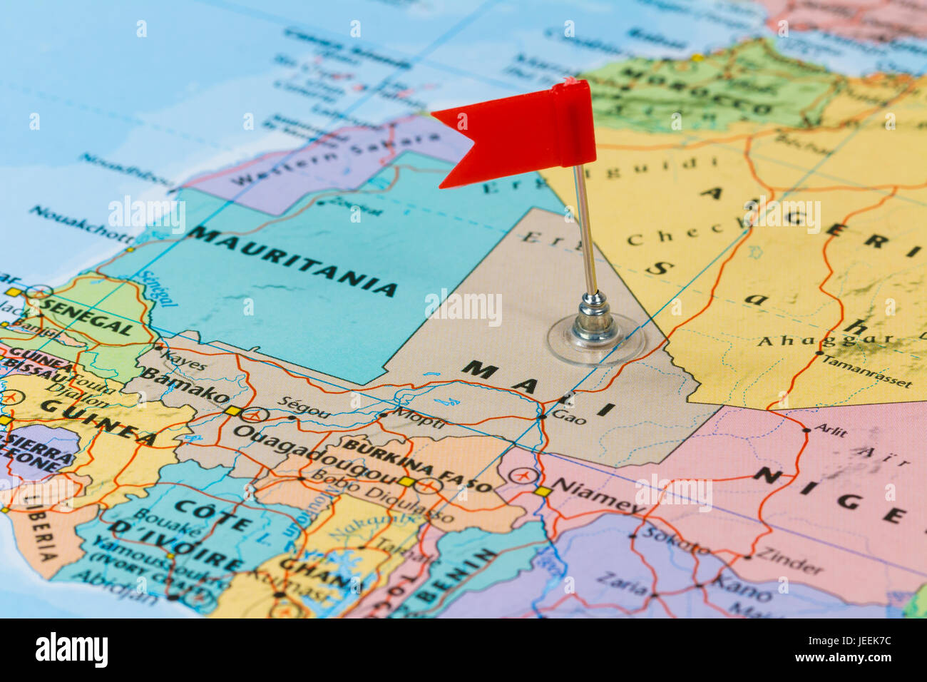 Photo of Mali marked by red flag in holder. Country on African continent. Stock Photohttps://www.alamy.com/image-license-details/?v=1https://www.alamy.com/stock-photo-photo-of-mali-marked-by-red-flag-in-holder-country-on-african-continent-146610560.html
RFJEEK7C–Photo of Mali marked by red flag in holder. Country on African continent.
 Line map of Mali vector stock illustration design template. Editable stroke. Vector eps 10. Stock Vectorhttps://www.alamy.com/image-license-details/?v=1https://www.alamy.com/line-map-of-mali-vector-stock-illustration-design-template-editable-stroke-vector-eps-10-image442895697.html
RF2GMFHYD–Line map of Mali vector stock illustration design template. Editable stroke. Vector eps 10.
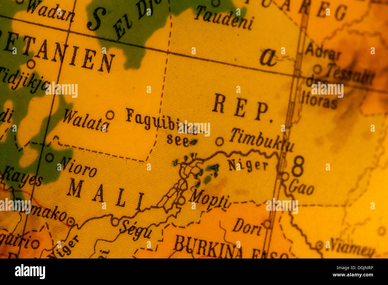 Mali, crisis region, old illuminated globe, map section Stock Photohttps://www.alamy.com/image-license-details/?v=1https://www.alamy.com/mali-crisis-region-old-illuminated-globe-map-section-image61877866.html
RMDGJNRP–Mali, crisis region, old illuminated globe, map section
 map of africa, painted on the wall of a school in africa (Rwanda) Stock Photohttps://www.alamy.com/image-license-details/?v=1https://www.alamy.com/stock-photo-map-of-africa-painted-on-the-wall-of-a-school-in-africa-rwanda-30338429.html
RFBNA0Y9–map of africa, painted on the wall of a school in africa (Rwanda)
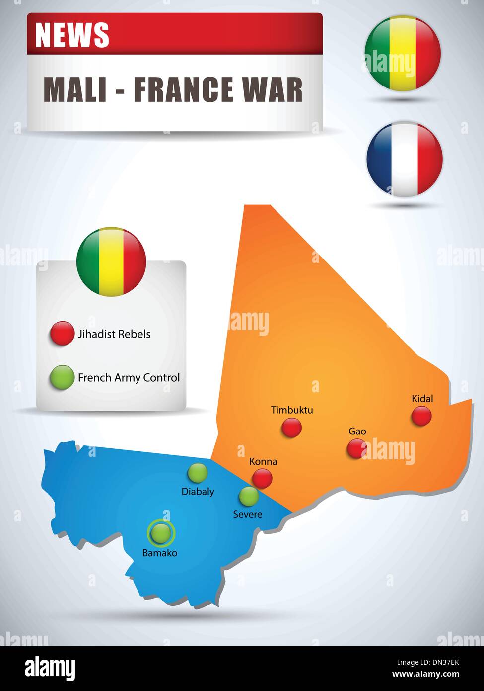 Mali - France War Map Infographic with Glossy Buttons Stock Vectorhttps://www.alamy.com/image-license-details/?v=1https://www.alamy.com/mali-france-war-map-infographic-with-glossy-buttons-image64610635.html
RFDN37EK–Mali - France War Map Infographic with Glossy Buttons
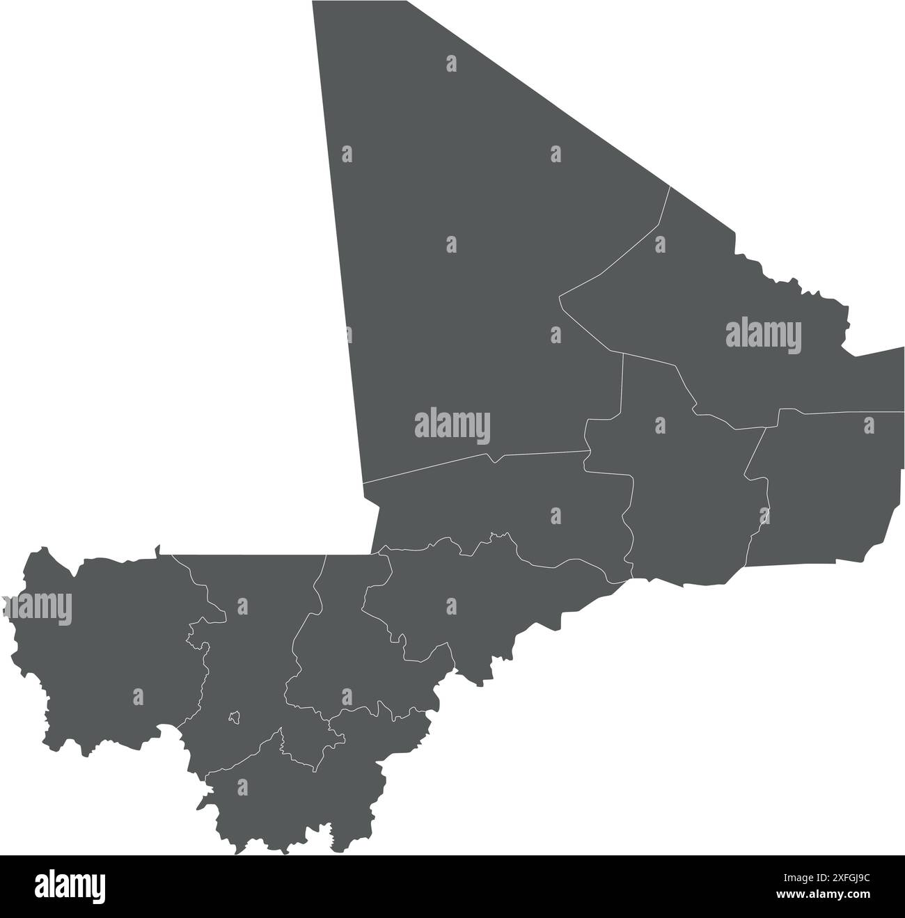 Vector blank map of Mali with regions, capital district and administrative divisions. Editable and clearly labeled layers. Stock Vectorhttps://www.alamy.com/image-license-details/?v=1https://www.alamy.com/vector-blank-map-of-mali-with-regions-capital-district-and-administrative-divisions-editable-and-clearly-labeled-layers-image611948328.html
RF2XFGJ9C–Vector blank map of Mali with regions, capital district and administrative divisions. Editable and clearly labeled layers.
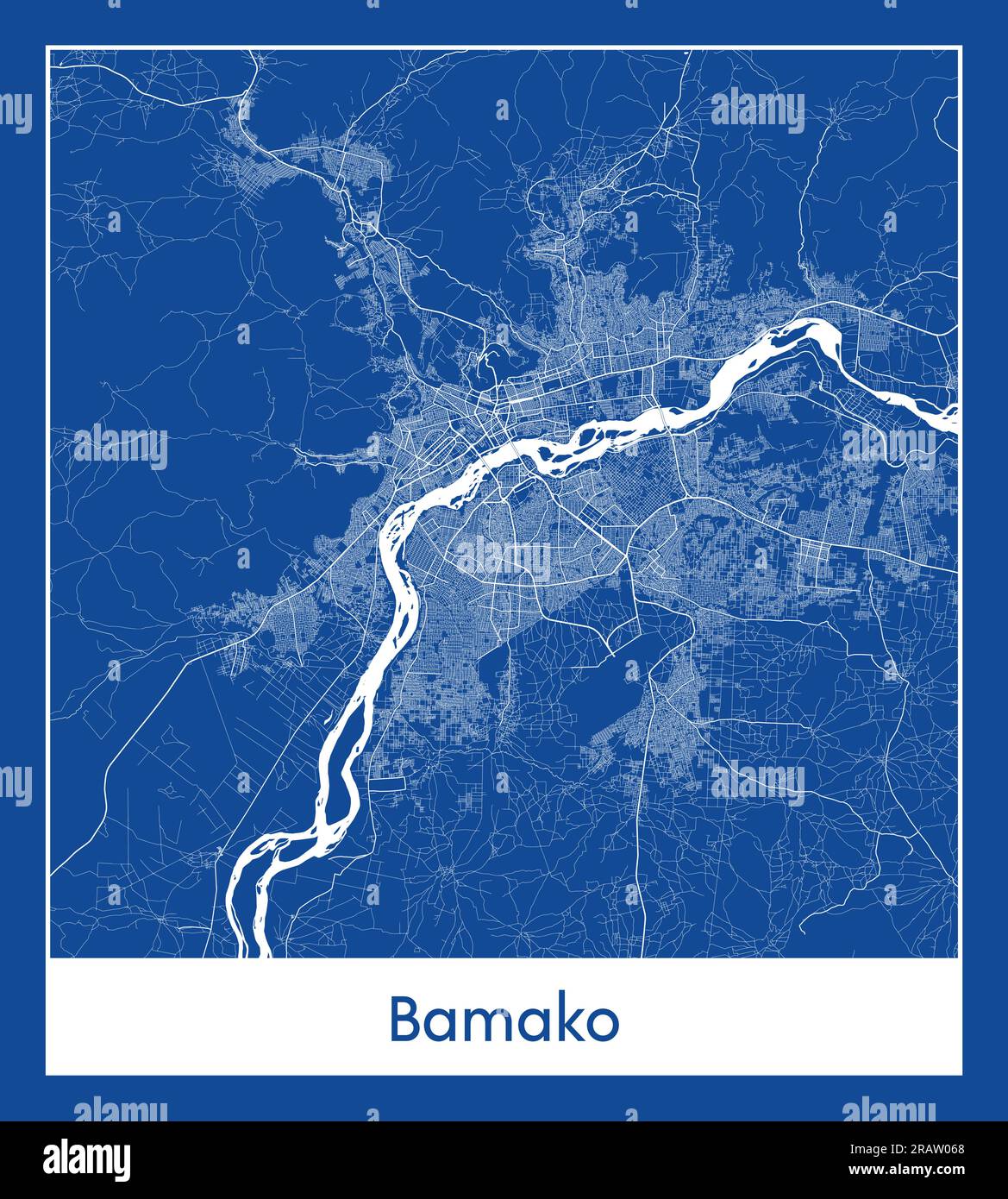 Bamako Mali Africa City map blue print vector illustration Stock Vectorhttps://www.alamy.com/image-license-details/?v=1https://www.alamy.com/bamako-mali-africa-city-map-blue-print-vector-illustration-image557427312.html
RF2RAW068–Bamako Mali Africa City map blue print vector illustration
 color map of Mali country Stock Photohttps://www.alamy.com/image-license-details/?v=1https://www.alamy.com/stock-photo-color-map-of-mali-country-127322678.html
RMHB41AE–color map of Mali country
 Bamako Mali City Map in Retro Style in Golden Color. Outline Map. Vector Illustration. Stock Vectorhttps://www.alamy.com/image-license-details/?v=1https://www.alamy.com/bamako-mali-city-map-in-retro-style-in-golden-color-outline-map-vector-illustration-image389123106.html
RF2DH22DP–Bamako Mali City Map in Retro Style in Golden Color. Outline Map. Vector Illustration.
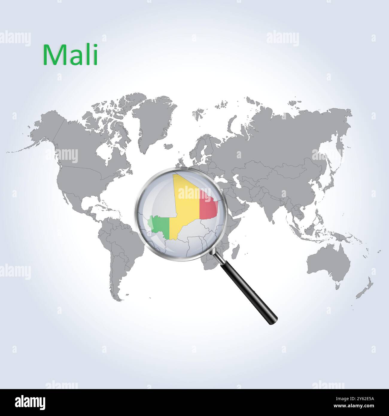 Mali Magnified Map and Flag, Mali Enlargement Maps, Vector Art Stock Vectorhttps://www.alamy.com/image-license-details/?v=1https://www.alamy.com/mali-magnified-map-and-flag-mali-enlargement-maps-vector-art-image623316214.html
RF2Y62E5A–Mali Magnified Map and Flag, Mali Enlargement Maps, Vector Art
 Bamako is the capital and largest city of Mali, with a population of 1.8 million. In 2006, it was estimated to be the fastest-growing city in Africa a Stock Photohttps://www.alamy.com/image-license-details/?v=1https://www.alamy.com/bamako-is-the-capital-and-largest-city-of-mali-with-a-population-of-18-million-in-2006-it-was-estimated-to-be-the-fastest-growing-city-in-africa-a-image186770497.html
RFMRT3JW–Bamako is the capital and largest city of Mali, with a population of 1.8 million. In 2006, it was estimated to be the fastest-growing city in Africa a
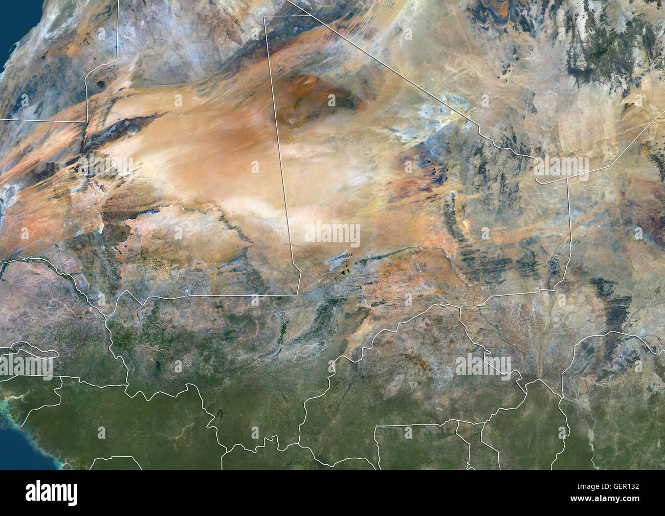 Satellite view of Mali (with country boundaries). This image was compiled from data acquired by Landsat 8 satellite in 2014. Stock Photohttps://www.alamy.com/image-license-details/?v=1https://www.alamy.com/stock-photo-satellite-view-of-mali-with-country-boundaries-this-image-was-compiled-112373158.html
RMGER132–Satellite view of Mali (with country boundaries). This image was compiled from data acquired by Landsat 8 satellite in 2014.
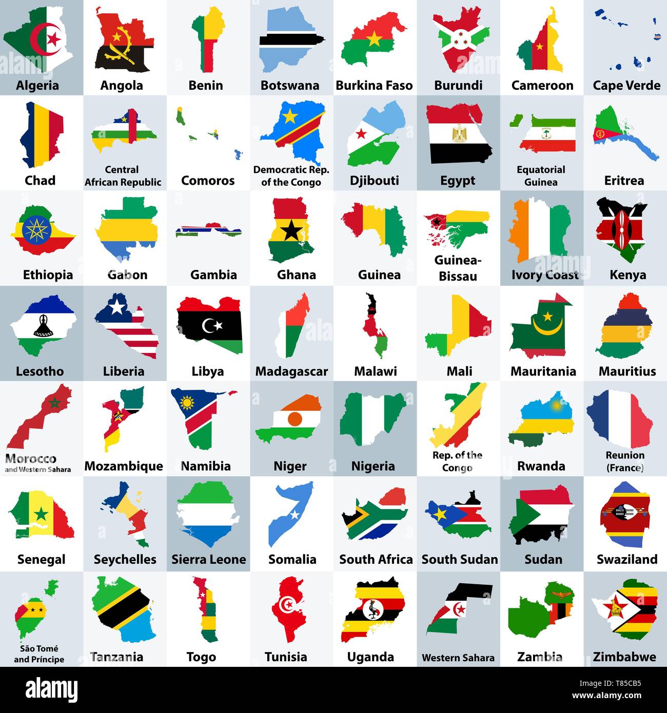 vector map of Africa mixed with countries flags Stock Vectorhttps://www.alamy.com/image-license-details/?v=1https://www.alamy.com/vector-map-of-africa-mixed-with-countries-flags-image245981881.html
RFT85CB5–vector map of Africa mixed with countries flags
RF2BXRC1B–Africa, Arabia. Vector Map Icon of the World Globe, Earth. All elements are on individual layers in the vector file.
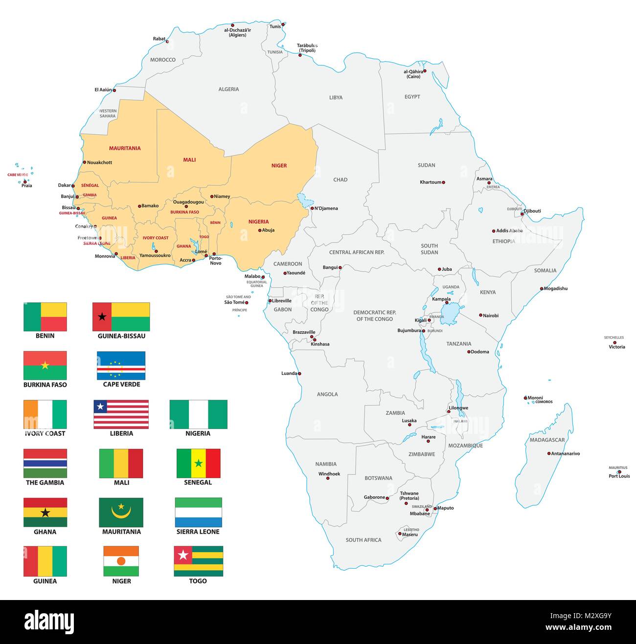 western africa administrative and political vector map with flags Stock Vectorhttps://www.alamy.com/image-license-details/?v=1https://www.alamy.com/stock-photo-western-africa-administrative-and-political-vector-map-with-flags-173916567.html
RFM2XG9Y–western africa administrative and political vector map with flags
 Glasses on a map - Bamako Stock Photohttps://www.alamy.com/image-license-details/?v=1https://www.alamy.com/stock-photo-glasses-on-a-map-bamako-92253922.html
RFFA2EPX–Glasses on a map - Bamako
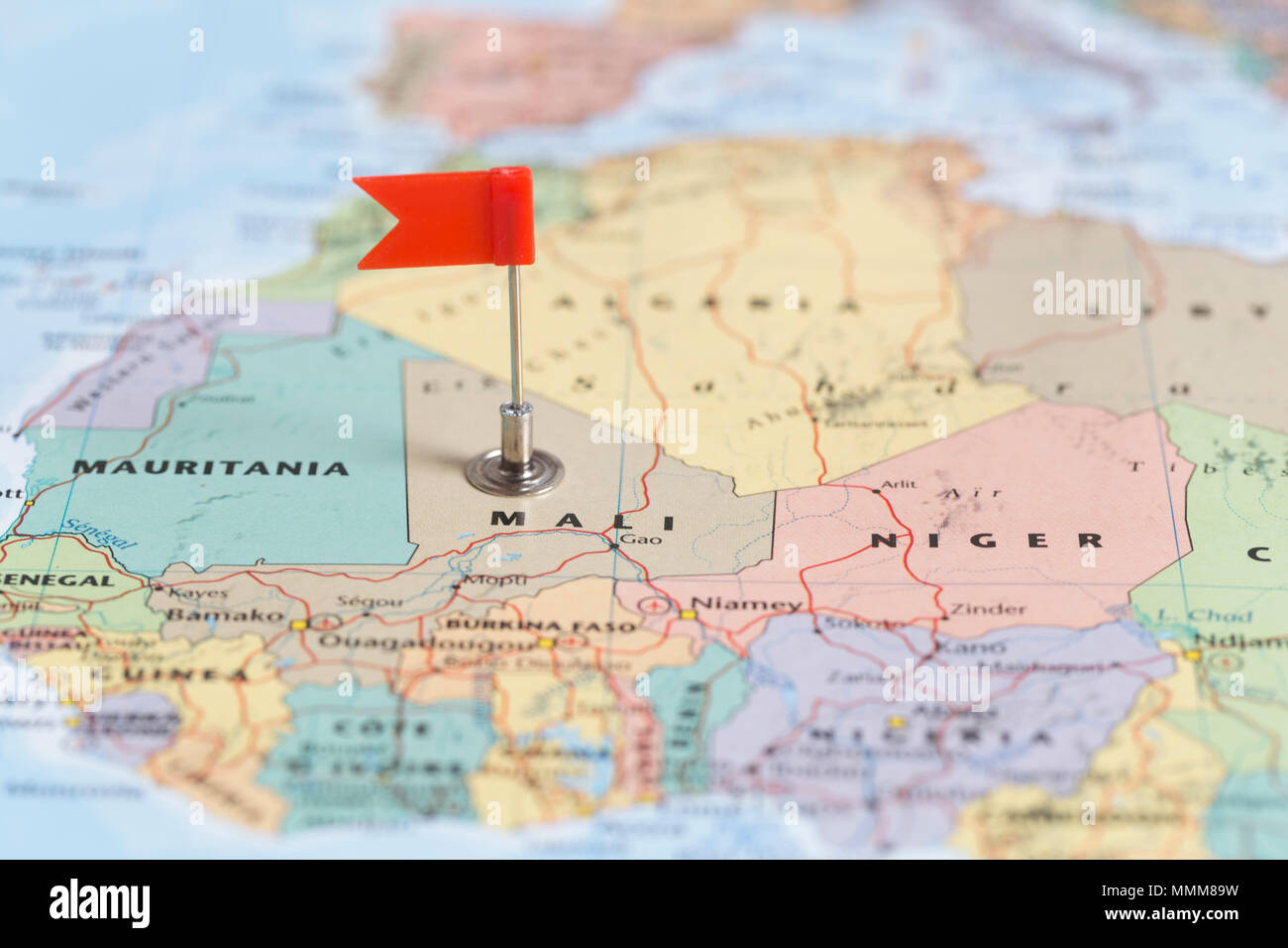 Small red flag marking the African country of Mali on a world map. Stock Photohttps://www.alamy.com/image-license-details/?v=1https://www.alamy.com/small-red-flag-marking-the-african-country-of-mali-on-a-world-map-image184842389.html
RMMMM89W–Small red flag marking the African country of Mali on a world map.
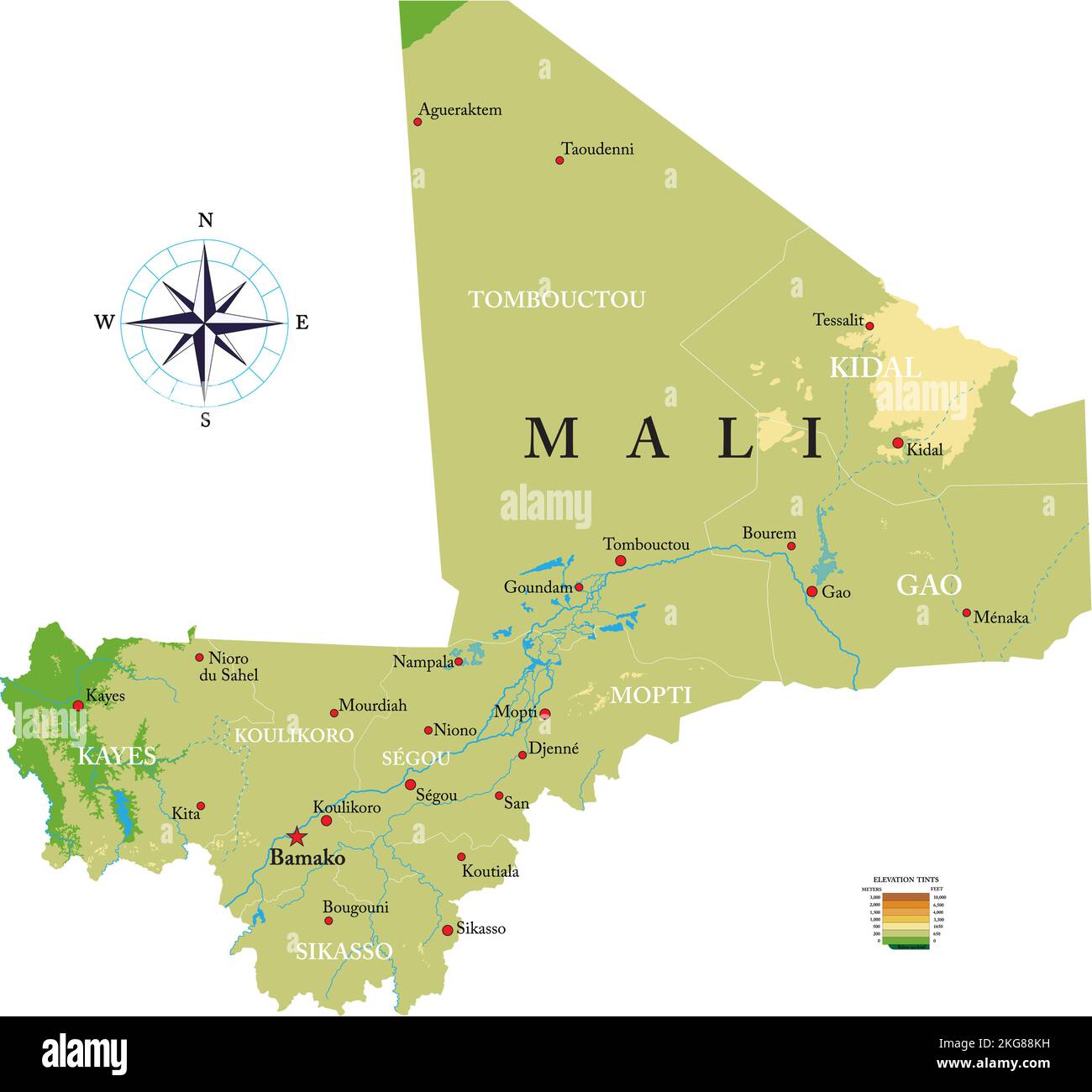 Highly detailed physical map of Mali in vector format,with all the relief forms,regions and big cities. Stock Vectorhttps://www.alamy.com/image-license-details/?v=1https://www.alamy.com/highly-detailed-physical-map-of-mali-in-vector-formatwith-all-the-relief-formsregions-and-big-cities-image491907237.html
RF2KG88KH–Highly detailed physical map of Mali in vector format,with all the relief forms,regions and big cities.
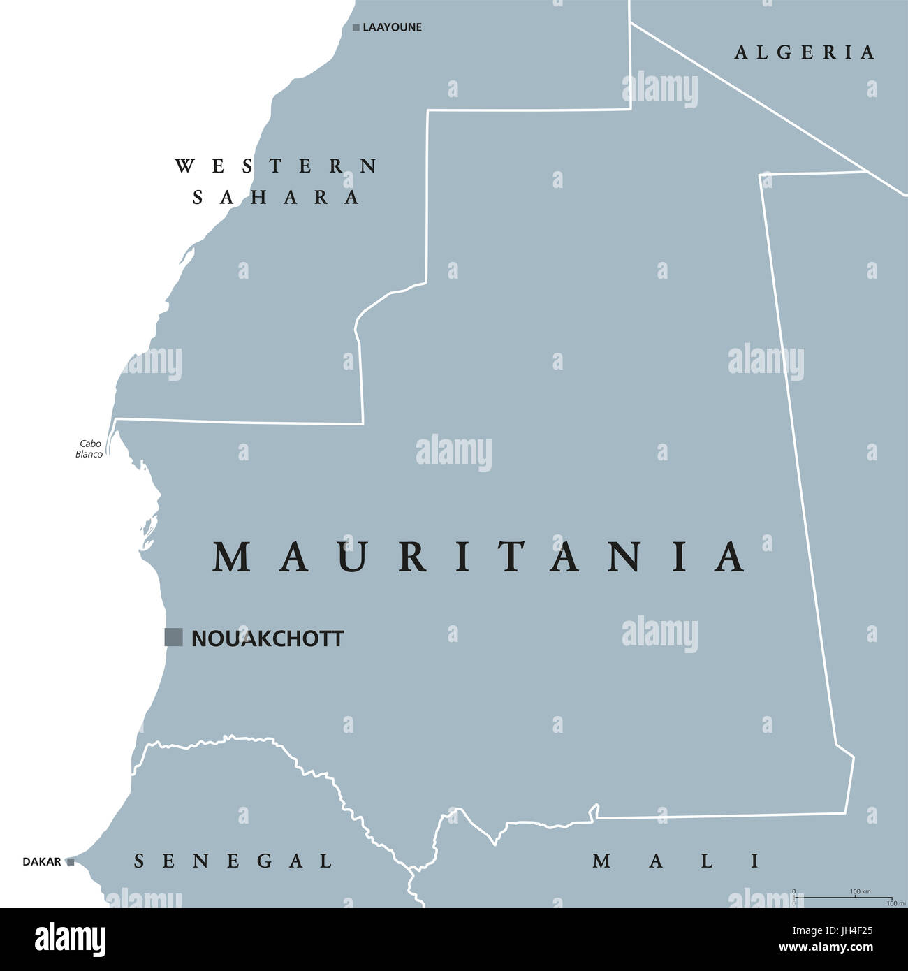 Mauritania political map with capital Nouakchott. Islamic republic and Arab country in the Maghreb region of Western Africa. Gray illustration. Stock Photohttps://www.alamy.com/image-license-details/?v=1https://www.alamy.com/stock-photo-mauritania-political-map-with-capital-nouakchott-islamic-republic-148231725.html
RFJH4F25–Mauritania political map with capital Nouakchott. Islamic republic and Arab country in the Maghreb region of Western Africa. Gray illustration.
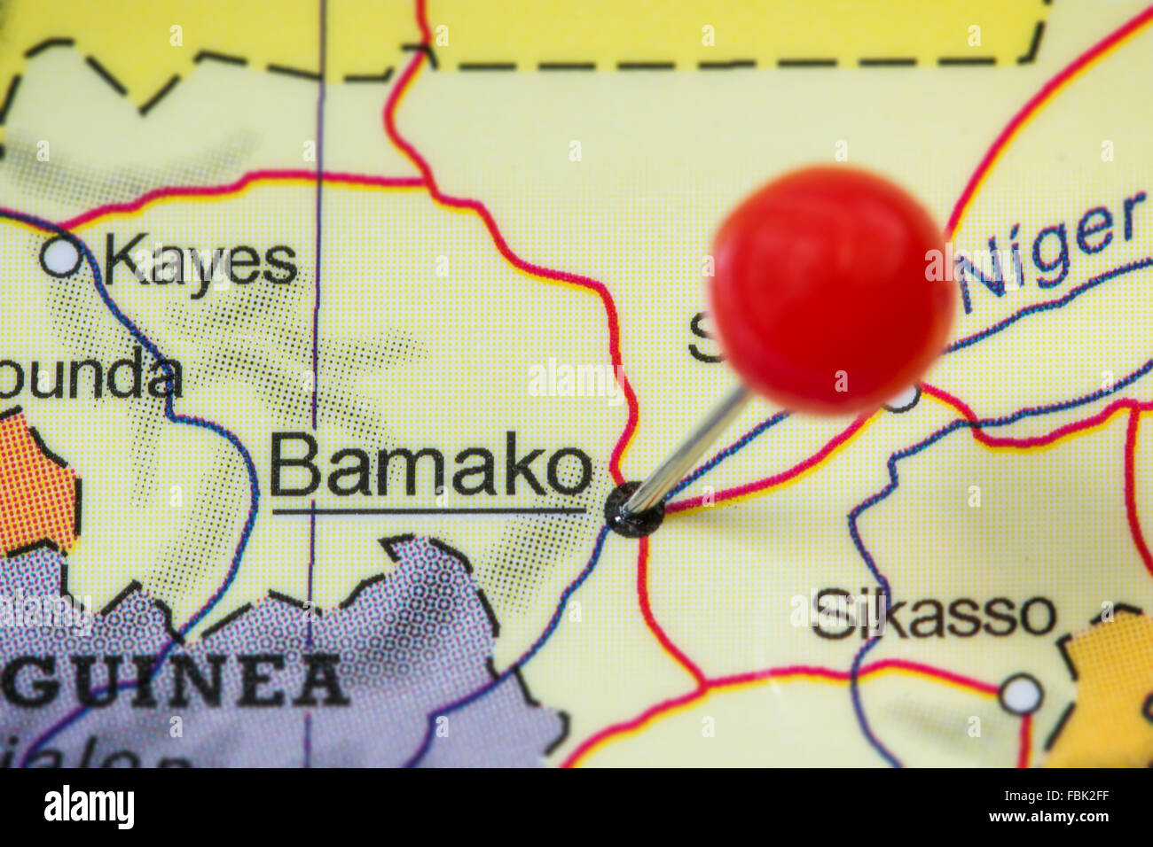 Close-up of a red pushpin in a map of Bamako, Mali. Stock Photohttps://www.alamy.com/image-license-details/?v=1https://www.alamy.com/stock-photo-close-up-of-a-red-pushpin-in-a-map-of-bamako-mali-93232147.html
RFFBK2FF–Close-up of a red pushpin in a map of Bamako, Mali.
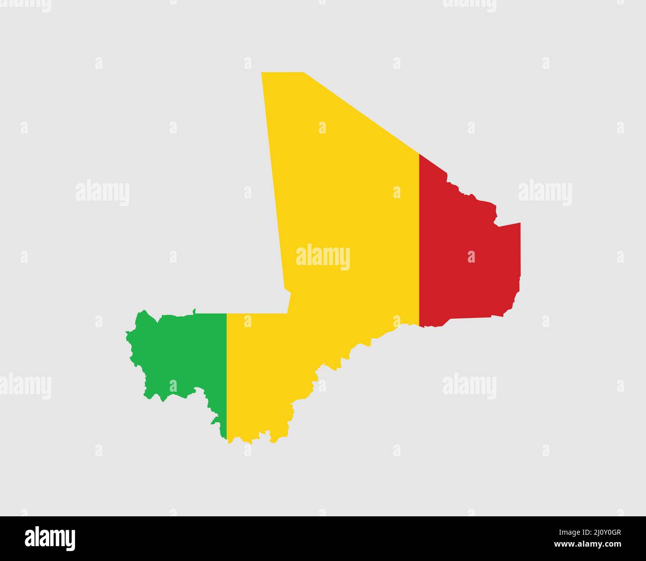 Mali Map Flag. Map of the Republic of Mali with the Malian country banner. Vector Illustration. Stock Vectorhttps://www.alamy.com/image-license-details/?v=1https://www.alamy.com/mali-map-flag-map-of-the-republic-of-mali-with-the-malian-country-banner-vector-illustration-image465273111.html
RF2J0Y0GR–Mali Map Flag. Map of the Republic of Mali with the Malian country banner. Vector Illustration.
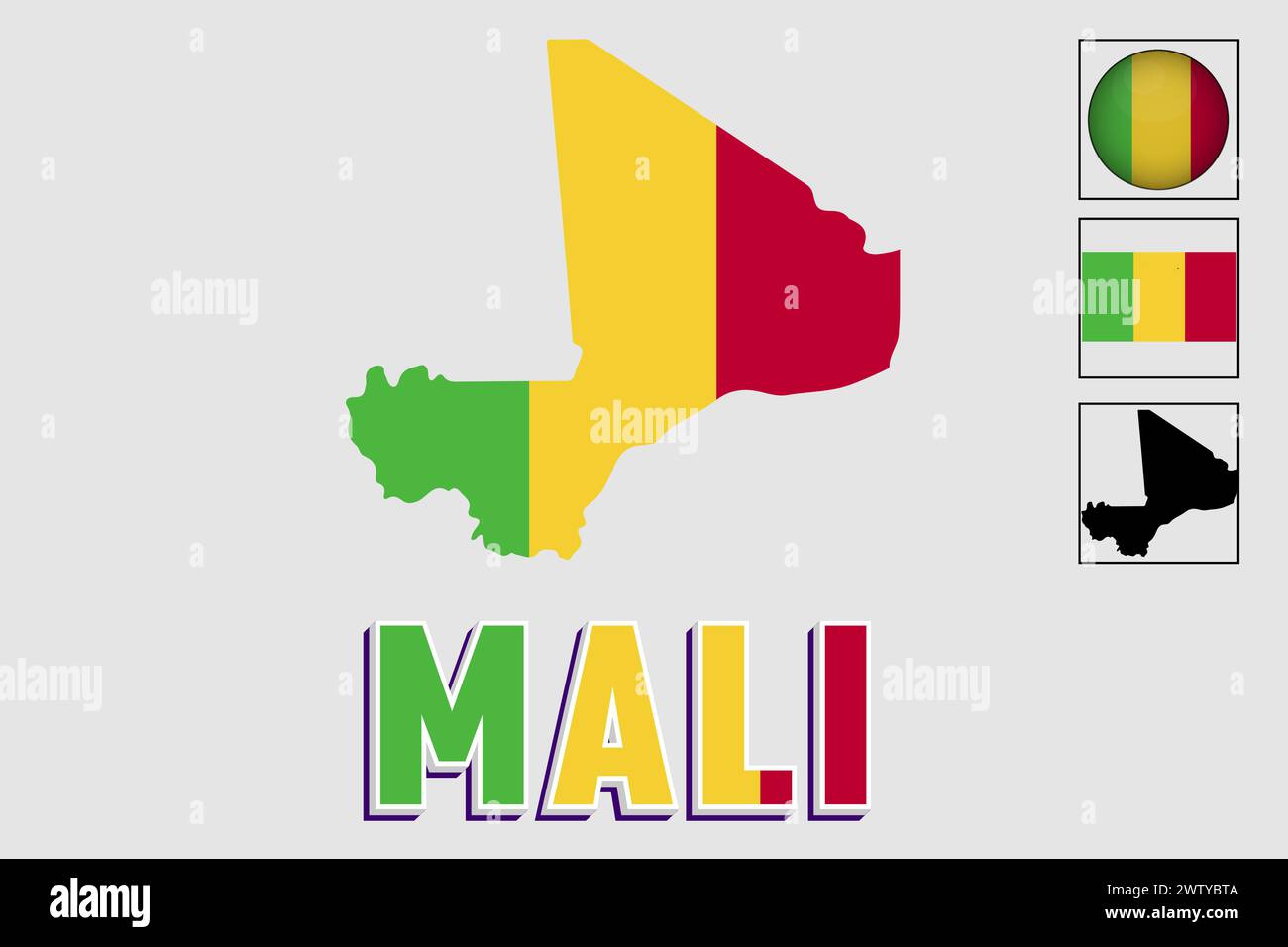 Mali flag and map in a vector graphic Stock Vectorhttps://www.alamy.com/image-license-details/?v=1https://www.alamy.com/mali-flag-and-map-in-a-vector-graphic-image600506266.html
RF2WTYBTA–Mali flag and map in a vector graphic
 A dot map of Mali isolated on a white background Stock Photohttps://www.alamy.com/image-license-details/?v=1https://www.alamy.com/stock-photo-a-dot-map-of-mali-isolated-on-a-white-background-133454584.html
RFHN3AK4–A dot map of Mali isolated on a white background
 Mali colors flag in a shape of Africa with africa in letters Stock Photohttps://www.alamy.com/image-license-details/?v=1https://www.alamy.com/stock-photo-mali-colors-flag-in-a-shape-of-africa-with-africa-in-letters-34974757.html
RFC0W6JD–Mali colors flag in a shape of Africa with africa in letters
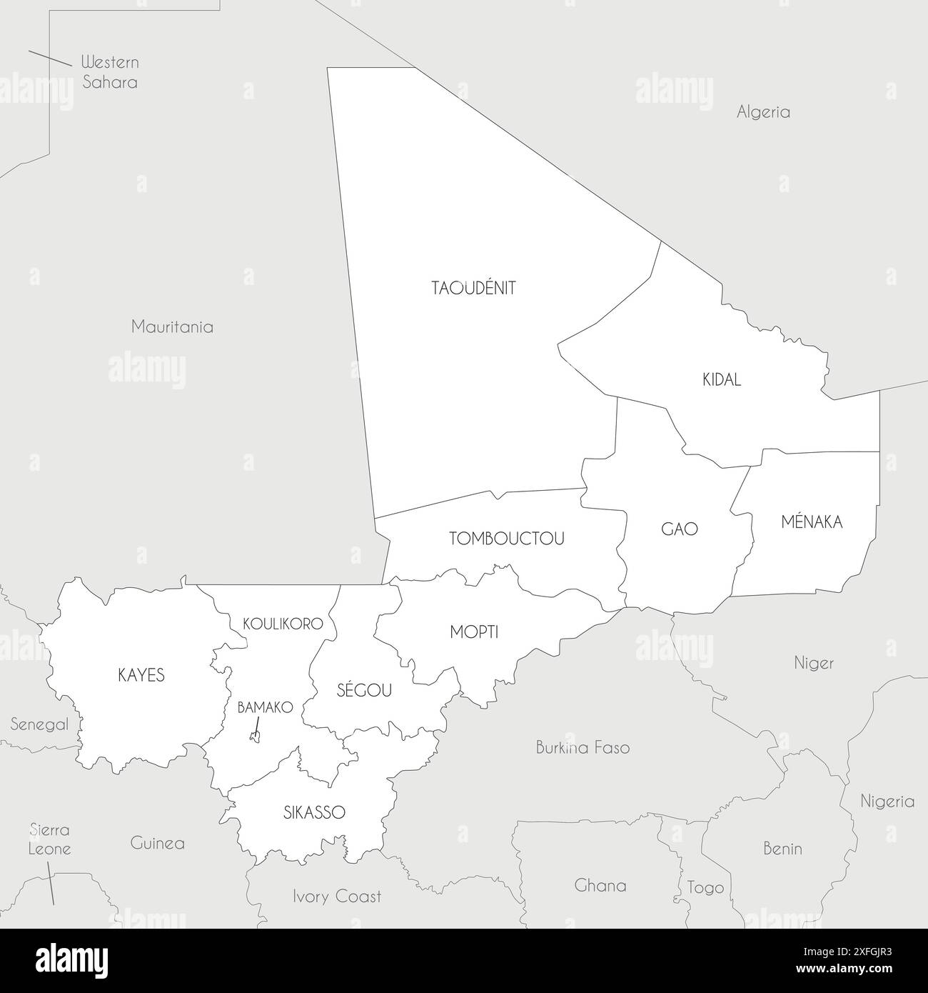 Vector map of Mali with regions, capital district and administrative divisions, and neighbouring countries. Editable and clearly labeled layers. Stock Vectorhttps://www.alamy.com/image-license-details/?v=1https://www.alamy.com/vector-map-of-mali-with-regions-capital-district-and-administrative-divisions-and-neighbouring-countries-editable-and-clearly-labeled-layers-image611948711.html
RF2XFGJR3–Vector map of Mali with regions, capital district and administrative divisions, and neighbouring countries. Editable and clearly labeled layers.
 City Map Bamako Mali Africa blue print round Circle vector illustration Stock Vectorhttps://www.alamy.com/image-license-details/?v=1https://www.alamy.com/city-map-bamako-mali-africa-blue-print-round-circle-vector-illustration-image560548307.html
RF2RFY52B–City Map Bamako Mali Africa blue print round Circle vector illustration
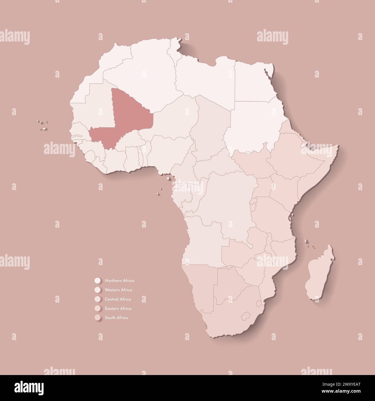 Vector Illustration with African continent with borders of all states and marked country Mali. Political map in brown colors with western, south and e Stock Vectorhttps://www.alamy.com/image-license-details/?v=1https://www.alamy.com/vector-illustration-with-african-continent-with-borders-of-all-states-and-marked-country-mali-political-map-in-brown-colors-with-western-south-and-e-image601737552.html
RF2WXYEAT–Vector Illustration with African continent with borders of all states and marked country Mali. Political map in brown colors with western, south and e
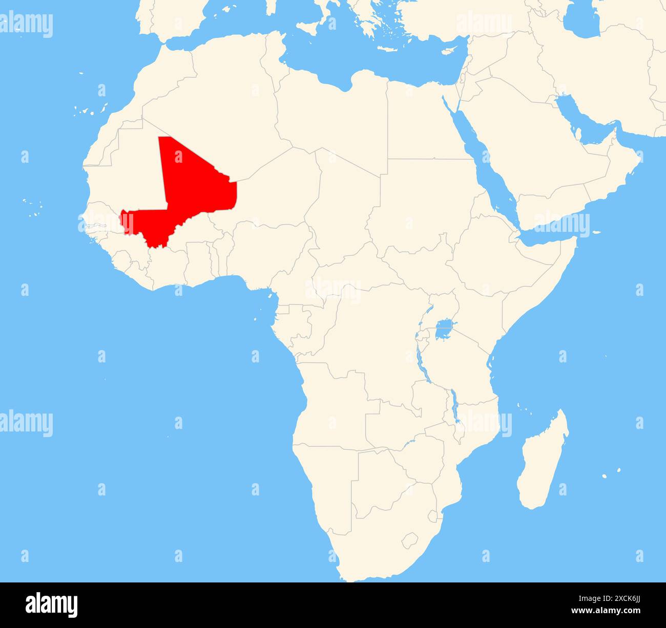 Locator map showing the location of the country Mali in Africa. The country is highlighted with a red polygon. Small countries are also marked with a Stock Photohttps://www.alamy.com/image-license-details/?v=1https://www.alamy.com/locator-map-showing-the-location-of-the-country-mali-in-africa-the-country-is-highlighted-with-a-red-polygon-small-countries-are-also-marked-with-a-image610161066.html
RF2XCK6JJ–Locator map showing the location of the country Mali in Africa. The country is highlighted with a red polygon. Small countries are also marked with a
 Postage stamp from Mali depicting a grasshopper and a map of Africa, issued for an anti-locust campaign. Stock Photohttps://www.alamy.com/image-license-details/?v=1https://www.alamy.com/stock-photo-postage-stamp-from-mali-depicting-a-grasshopper-and-a-map-of-africa-51206034.html
RMCY8HPX–Postage stamp from Mali depicting a grasshopper and a map of Africa, issued for an anti-locust campaign.
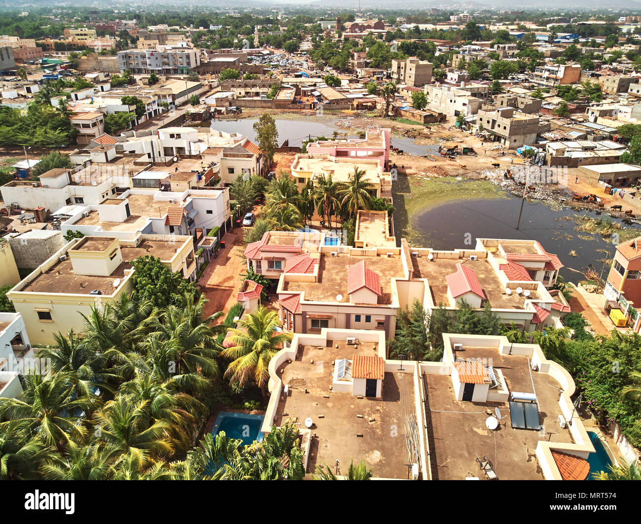 Bamako is the capital and largest city of Mali, with a population of 1.8 million. In 2006, it was estimated to be the fastest-growing city in Africa a Stock Photohttps://www.alamy.com/image-license-details/?v=1https://www.alamy.com/bamako-is-the-capital-and-largest-city-of-mali-with-a-population-of-18-million-in-2006-it-was-estimated-to-be-the-fastest-growing-city-in-africa-a-image186771736.html
RFMRT574–Bamako is the capital and largest city of Mali, with a population of 1.8 million. In 2006, it was estimated to be the fastest-growing city in Africa a
 Satellite view of Mali (with country boundaries and mask). This image was compiled from data acquired by Landsat 8 satellite in 2014. Stock Photohttps://www.alamy.com/image-license-details/?v=1https://www.alamy.com/stock-photo-satellite-view-of-mali-with-country-boundaries-and-mask-this-image-112373153.html
RMGER12W–Satellite view of Mali (with country boundaries and mask). This image was compiled from data acquired by Landsat 8 satellite in 2014.
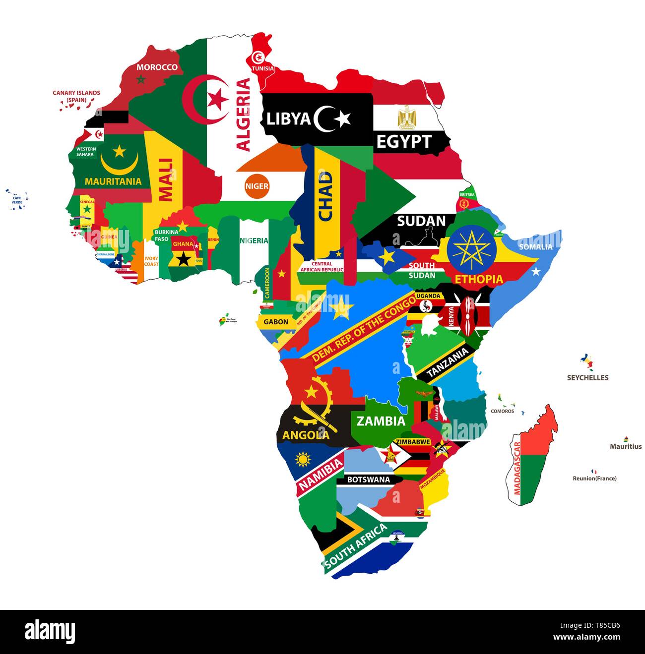 vector map of Africa mixed with countries flags Stock Vectorhttps://www.alamy.com/image-license-details/?v=1https://www.alamy.com/vector-map-of-africa-mixed-with-countries-flags-image245981882.html
RFT85CB6–vector map of Africa mixed with countries flags
 Map centralized on Nigeria with surrounding countries Stock Photohttps://www.alamy.com/image-license-details/?v=1https://www.alamy.com/stock-photo-map-centralized-on-nigeria-with-surrounding-countries-32492137.html
RMBTT41D–Map centralized on Nigeria with surrounding countries
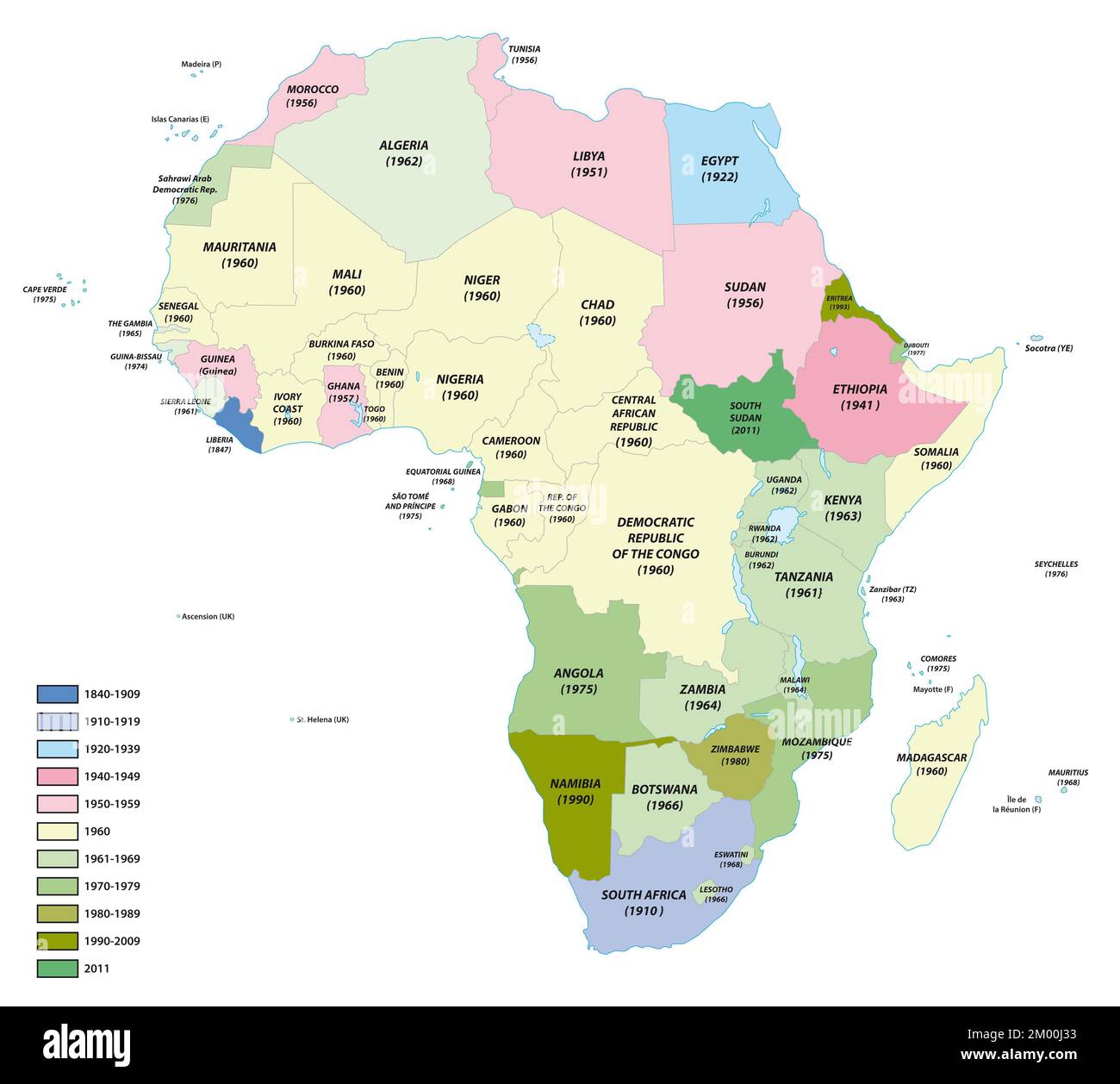 Map of the states of Africa with the dates of their independence Stock Photohttps://www.alamy.com/image-license-details/?v=1https://www.alamy.com/map-of-the-states-of-africa-with-the-dates-of-their-independence-image499114871.html
RF2M00J33–Map of the states of Africa with the dates of their independence
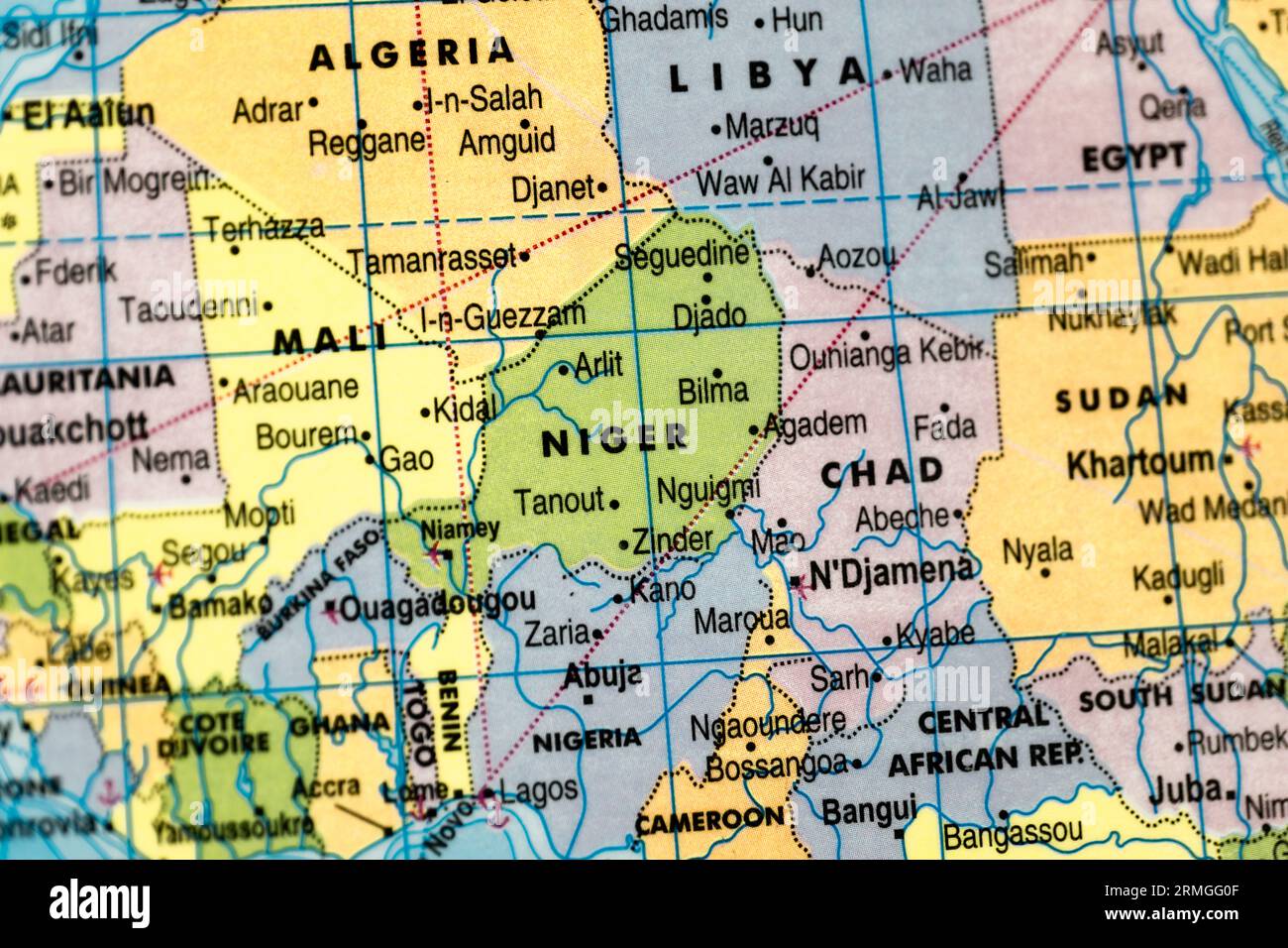 This stock image shows the map of Niger on a world map Stock Photohttps://www.alamy.com/image-license-details/?v=1https://www.alamy.com/this-stock-image-shows-the-map-of-niger-on-a-world-map-image563388687.html
RF2RMGG0F–This stock image shows the map of Niger on a world map
 The contours of territory of Mali and Mali word in colours of the national flag, red, yellow and green. Africa continent Stock Vectorhttps://www.alamy.com/image-license-details/?v=1https://www.alamy.com/the-contours-of-territory-of-mali-and-mali-word-in-colours-of-the-national-flag-red-yellow-and-green-africa-continent-image248630649.html
RFTCE2X1–The contours of territory of Mali and Mali word in colours of the national flag, red, yellow and green. Africa continent