Quick filters:
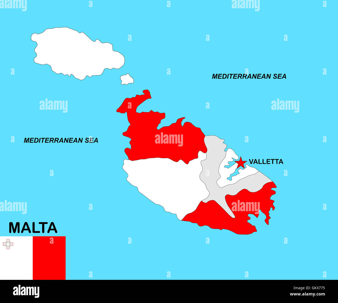
Malta map Stock Photos and Images
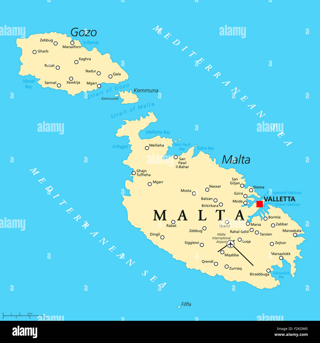 Malta political map with capital Valletta and important cities. English labeling and scaling. Illustration. Stock Photohttps://www.alamy.com/image-license-details/?v=1https://www.alamy.com/stock-photo-malta-political-map-with-capital-valletta-and-important-cities-english-87708992.html
RFF2KDM0–Malta political map with capital Valletta and important cities. English labeling and scaling. Illustration.
 Malta shown on a Road map or a geography map Stock Photohttps://www.alamy.com/image-license-details/?v=1https://www.alamy.com/malta-shown-on-a-road-map-or-a-geography-map-image409163011.html
RM2ENJYGK–Malta shown on a Road map or a geography map
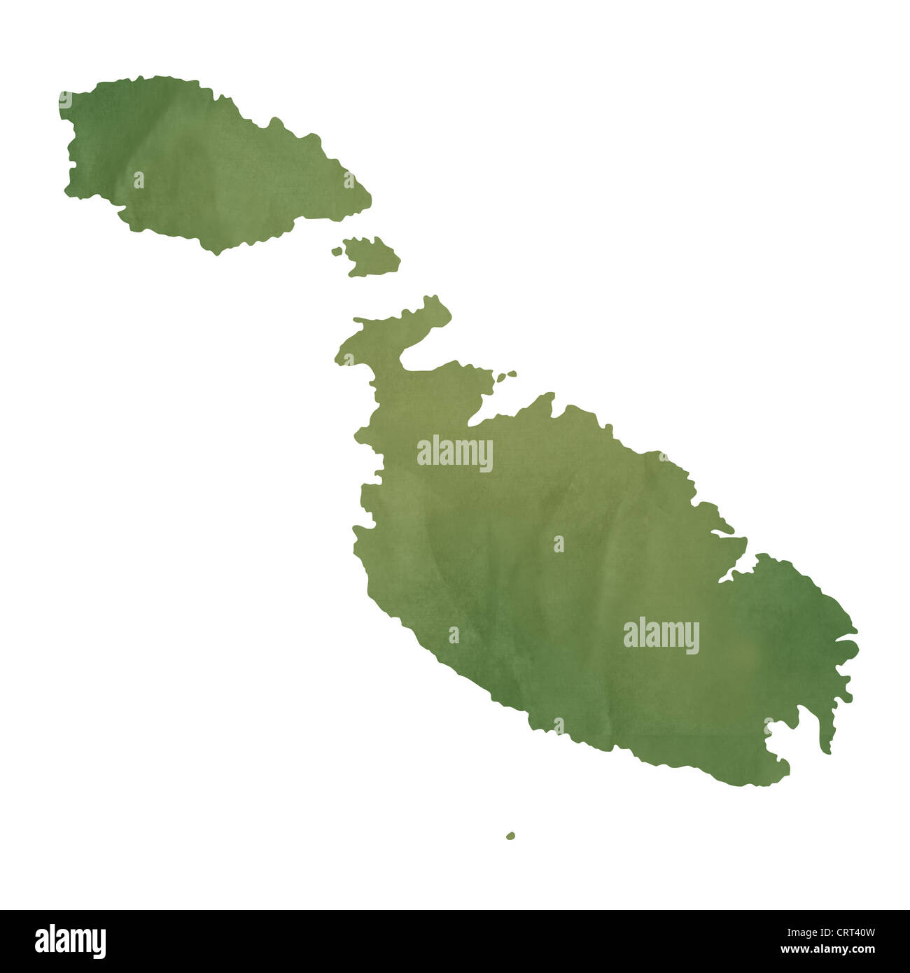 Malta map in old green paper isolated on white background. Stock Photohttps://www.alamy.com/image-license-details/?v=1https://www.alamy.com/stock-photo-malta-map-in-old-green-paper-isolated-on-white-background-49087833.html
RMCRT40W–Malta map in old green paper isolated on white background.
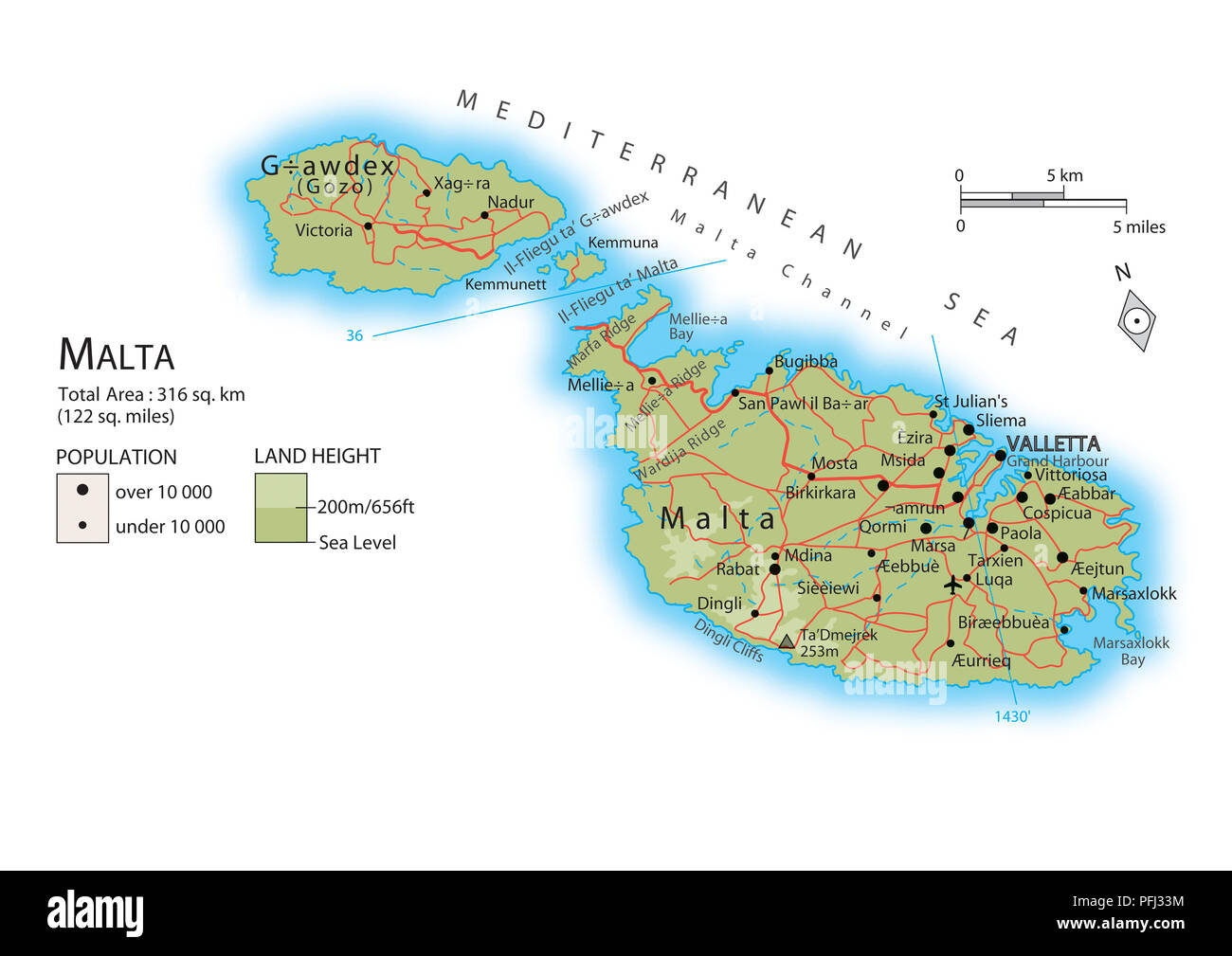 Map of Malta Stock Photohttps://www.alamy.com/image-license-details/?v=1https://www.alamy.com/map-of-malta-image216141848.html
RMPFJ33M–Map of Malta
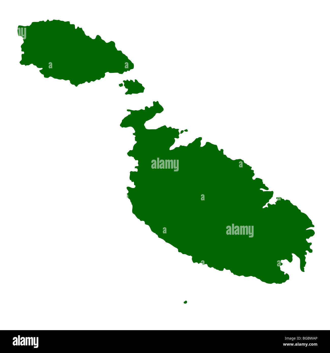 Map of Malta isolated on white background. Stock Photohttps://www.alamy.com/image-license-details/?v=1https://www.alamy.com/stock-photo-map-of-malta-isolated-on-white-background-27306238.html
RMBGBWAP–Map of Malta isolated on white background.
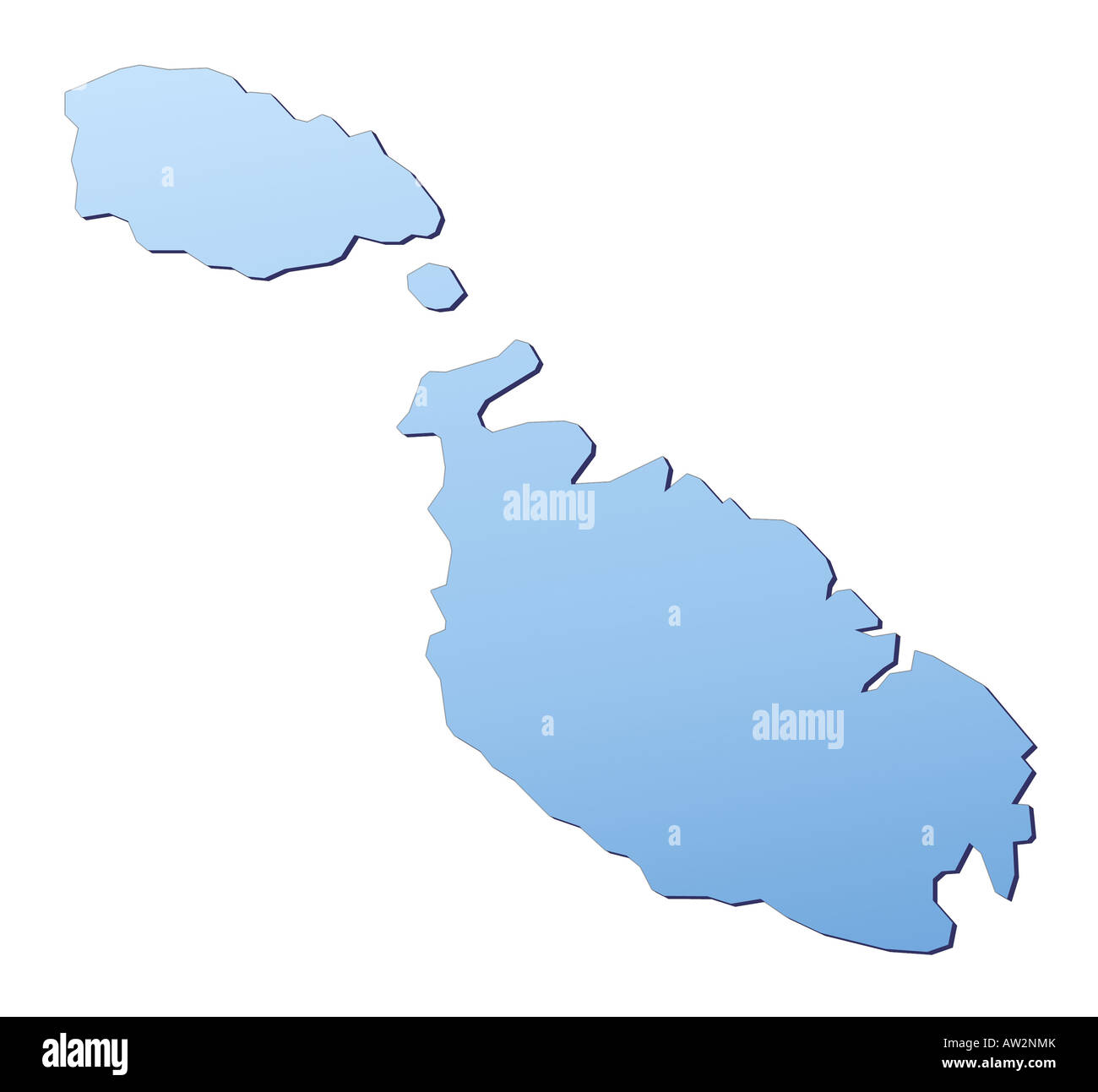 Malta map Stock Photohttps://www.alamy.com/image-license-details/?v=1https://www.alamy.com/stock-photo-malta-map-16446210.html
RFAW2NMK–Malta map
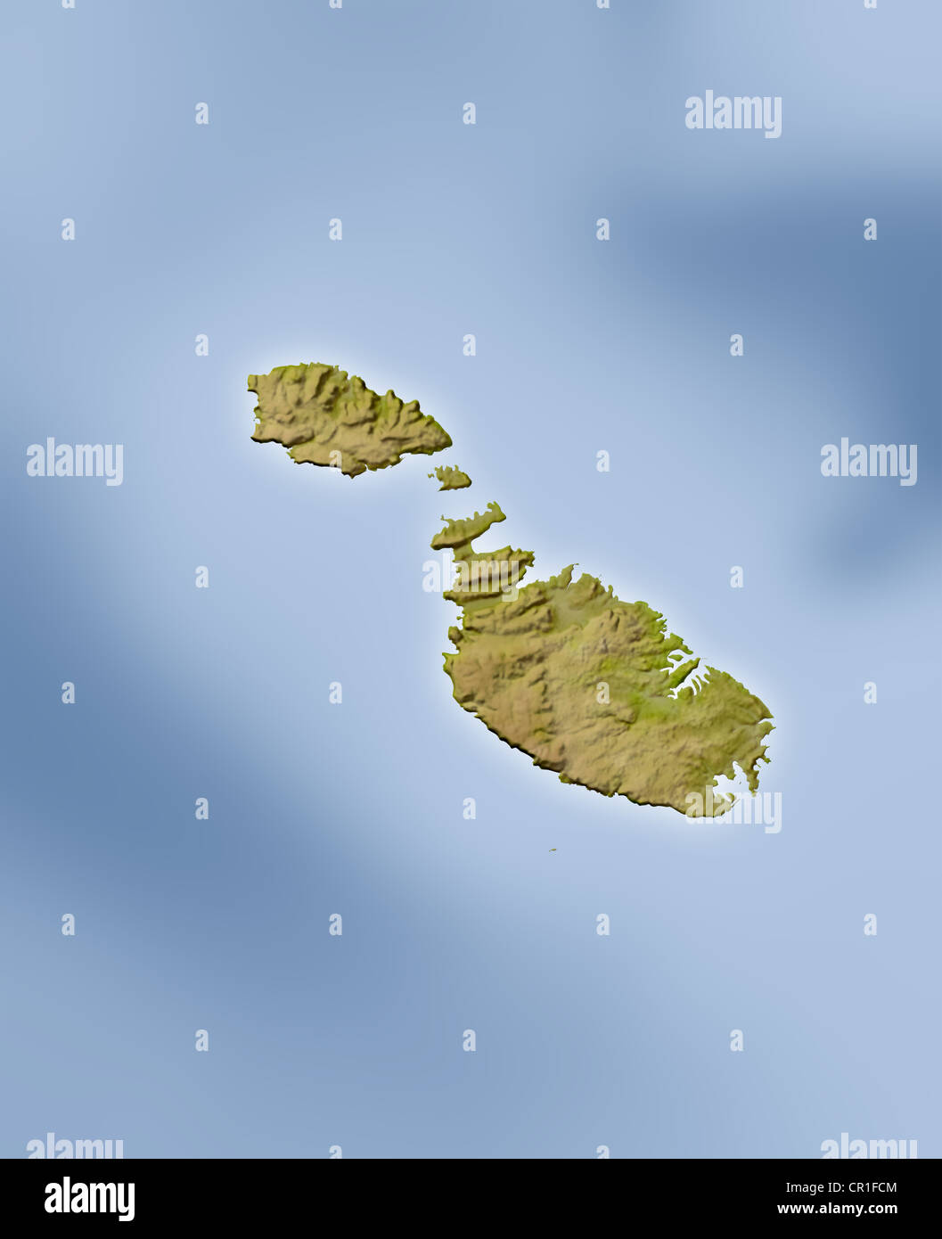 Malta, shaded relief map. Stock Photohttps://www.alamy.com/image-license-details/?v=1https://www.alamy.com/stock-photo-malta-shaded-relief-map-48591892.html
RFCR1FCM–Malta, shaded relief map.
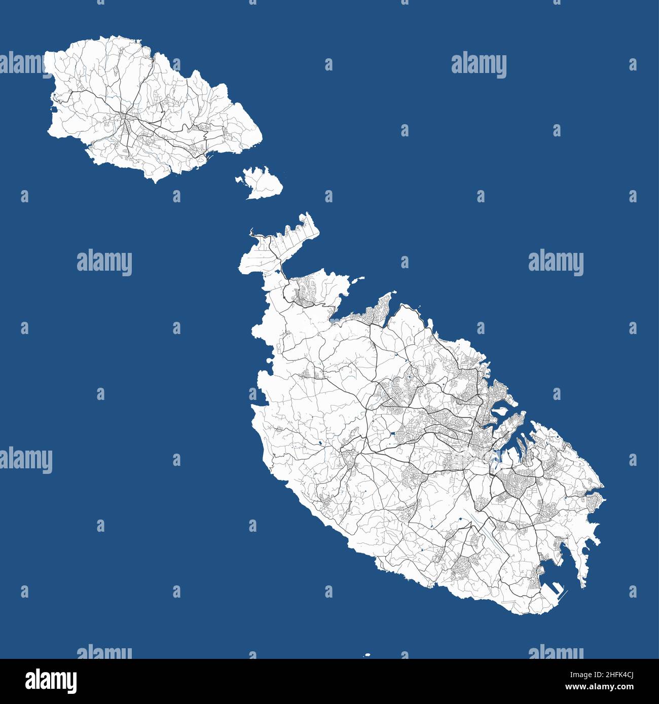 Malta vector map. Detailed map of Malta country islands, Valletta city administrative area. Cityscape panorama. Royalty free vector illustration. Outl Stock Vectorhttps://www.alamy.com/image-license-details/?v=1https://www.alamy.com/malta-vector-map-detailed-map-of-malta-country-islands-valletta-city-administrative-area-cityscape-panorama-royalty-free-vector-illustration-outl-image457109986.html
RF2HFK4CJ–Malta vector map. Detailed map of Malta country islands, Valletta city administrative area. Cityscape panorama. Royalty free vector illustration. Outl
 Malta Map. Maltese Country Map. Black and White National Nation Outline Geography Border Boundary Shape Territory Vector Illustration EPS Clipart Stock Vectorhttps://www.alamy.com/image-license-details/?v=1https://www.alamy.com/malta-map-maltese-country-map-black-and-white-national-nation-outline-geography-border-boundary-shape-territory-vector-illustration-eps-clipart-image477282250.html
RF2JME2AJ–Malta Map. Maltese Country Map. Black and White National Nation Outline Geography Border Boundary Shape Territory Vector Illustration EPS Clipart
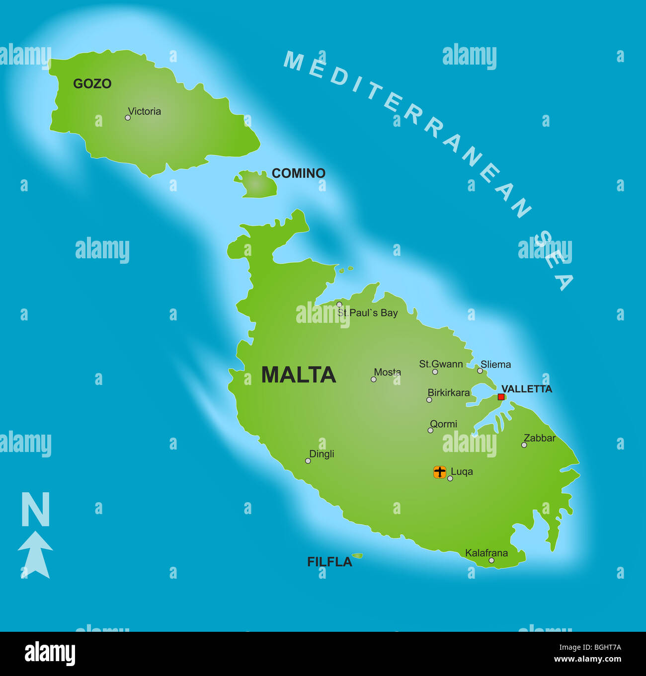 A stylized map of Malta showing the islands and different cities. Stock Photohttps://www.alamy.com/image-license-details/?v=1https://www.alamy.com/stock-photo-a-stylized-map-of-malta-showing-the-islands-and-different-cities-27437070.html
RFBGHT7A–A stylized map of Malta showing the islands and different cities.
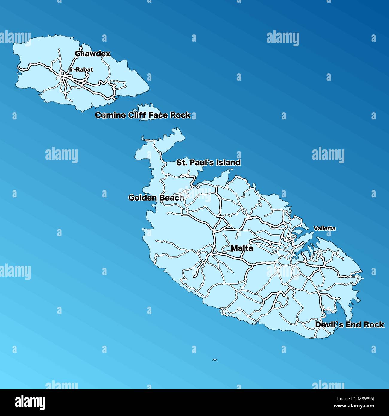 Malta Vector Map. Two-toned Silhouette Version. Rich details for borders, neighbours and islands. Usable for travel marketing, real estate and educati Stock Vectorhttps://www.alamy.com/image-license-details/?v=1https://www.alamy.com/stock-photo-malta-vector-map-two-toned-silhouette-version-rich-details-for-borders-177576970.html
RFM8W96J–Malta Vector Map. Two-toned Silhouette Version. Rich details for borders, neighbours and islands. Usable for travel marketing, real estate and educati
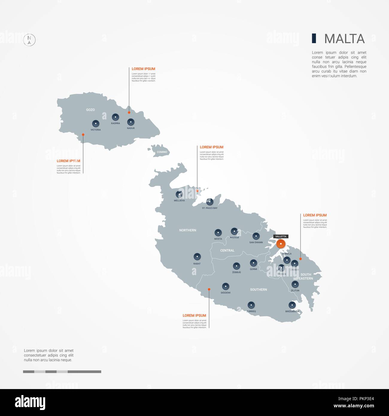 Malta map with borders, cities, capital and administrative divisions. Infographic vector map. Editable layers clearly labeled. Stock Vectorhttps://www.alamy.com/image-license-details/?v=1https://www.alamy.com/malta-map-with-borders-cities-capital-and-administrative-divisions-infographic-vector-map-editable-layers-clearly-labeled-image218688572.html
RFPKP3E4–Malta map with borders, cities, capital and administrative divisions. Infographic vector map. Editable layers clearly labeled.
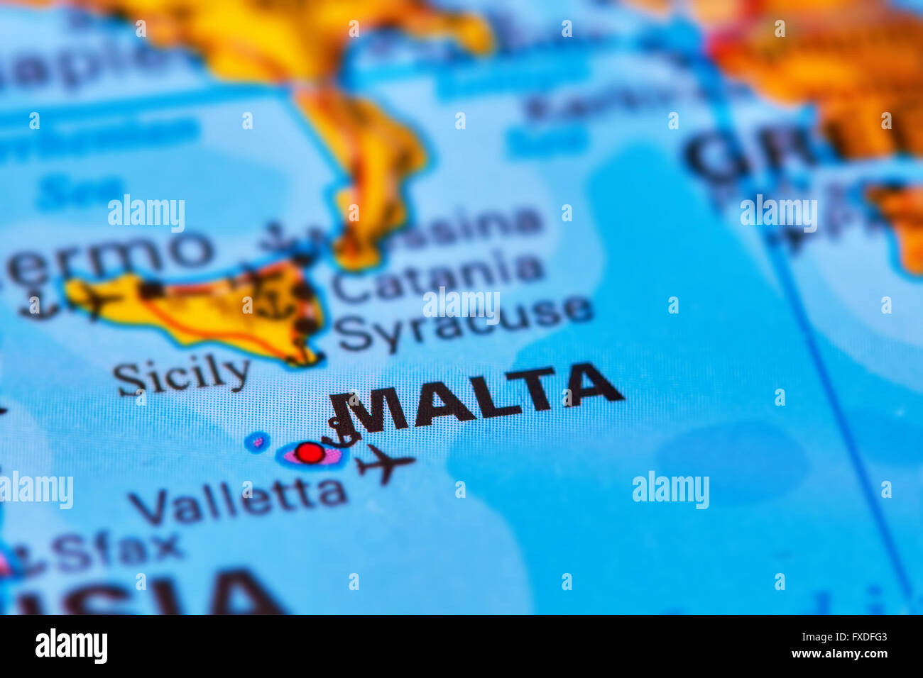 Malta Islands in Europe on the World Map Stock Photohttps://www.alamy.com/image-license-details/?v=1https://www.alamy.com/stock-photo-malta-islands-in-europe-on-the-world-map-102330483.html
RFFXDFG3–Malta Islands in Europe on the World Map
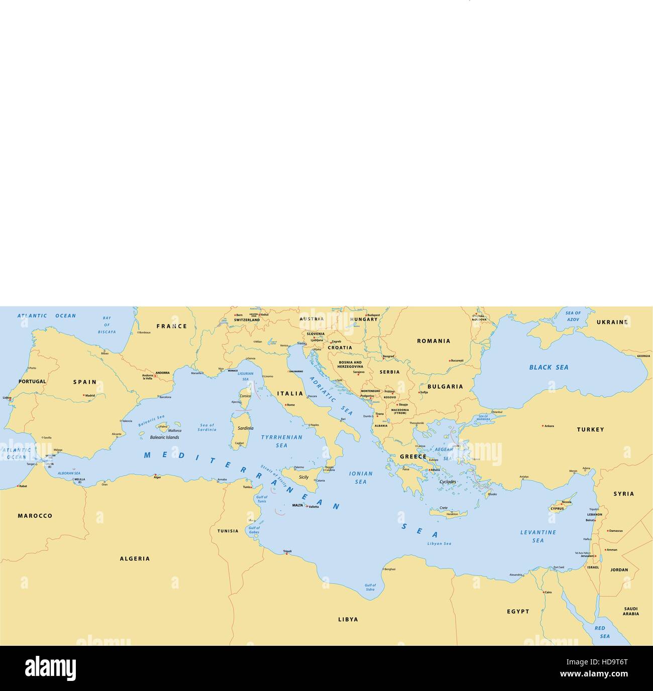 mediterranean sea map Stock Vectorhttps://www.alamy.com/image-license-details/?v=1https://www.alamy.com/stock-photo-mediterranean-sea-map-128679680.html
RFHD9T6T–mediterranean sea map
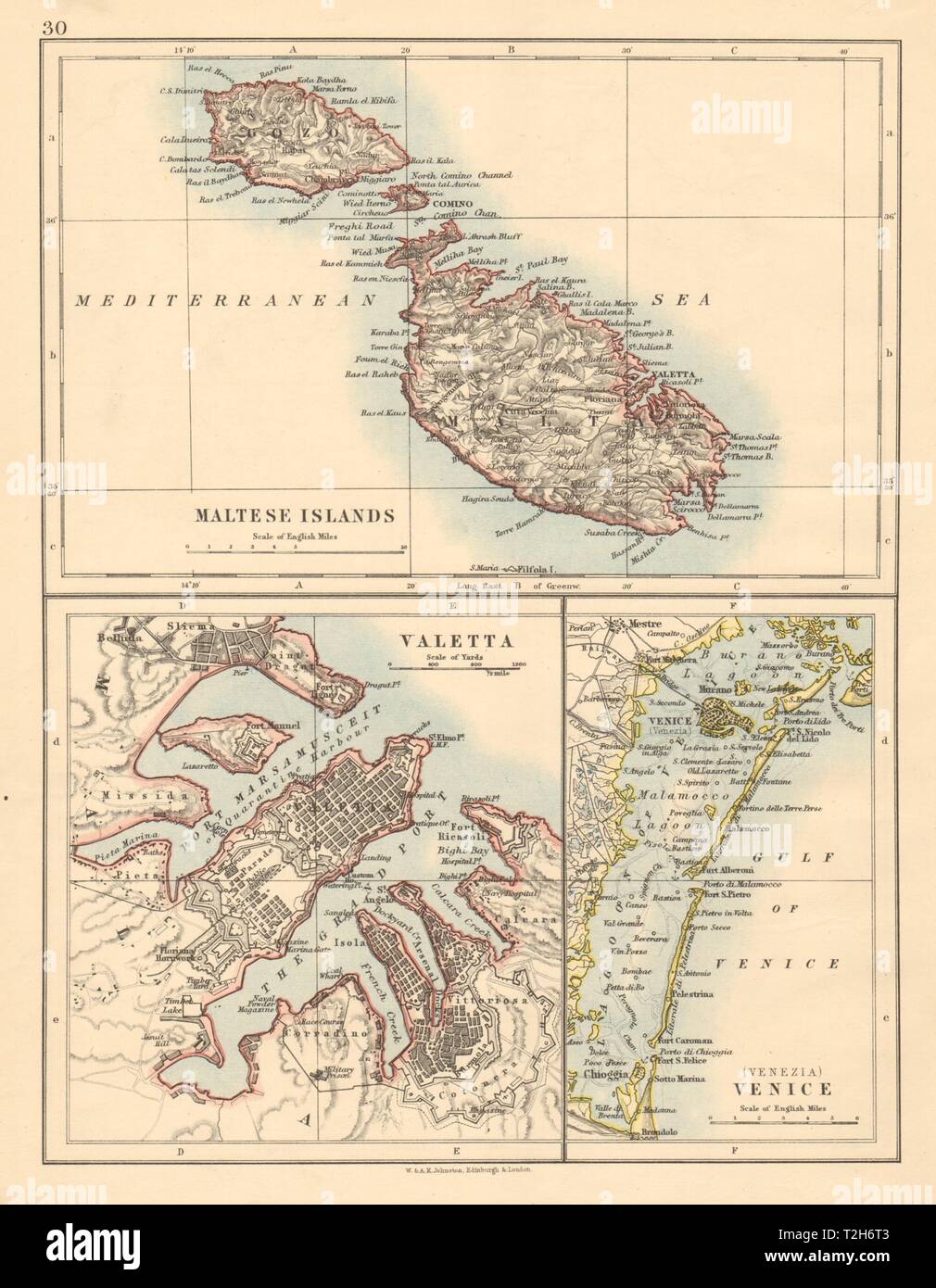 MALTESE ISLANDS Malta Gozo Valetta city town plan +Venice JOHNSTON 1892 map Stock Photohttps://www.alamy.com/image-license-details/?v=1https://www.alamy.com/maltese-islands-malta-gozo-valetta-city-town-plan-venice-johnston-1892-map-image242553027.html
RFT2H6T3–MALTESE ISLANDS Malta Gozo Valetta city town plan +Venice JOHNSTON 1892 map
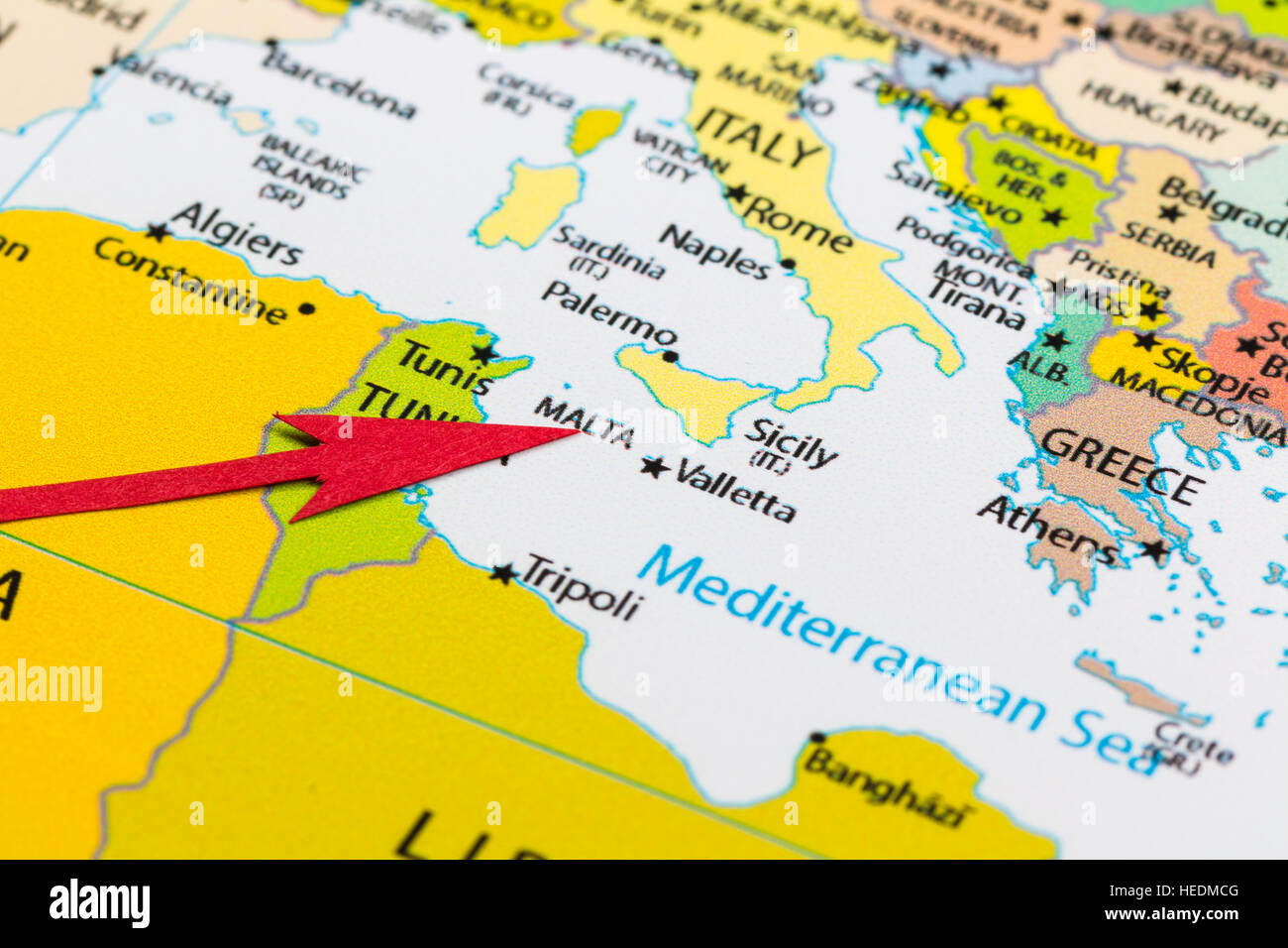 Red arrow pointing Malta on the map of Europe continent Stock Photohttps://www.alamy.com/image-license-details/?v=1https://www.alamy.com/stock-photo-red-arrow-pointing-malta-on-the-map-of-europe-continent-129379168.html
RMHEDMCG–Red arrow pointing Malta on the map of Europe continent
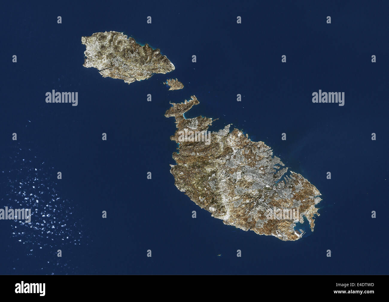 Malta, Island Of Malta, True Colour Satellite Image. Malta, Island of Malta. True colour satellite image of the Island of Malta, Stock Photohttps://www.alamy.com/image-license-details/?v=1https://www.alamy.com/stock-photo-malta-island-of-malta-true-colour-satellite-image-malta-island-of-71605001.html
RME4DTWD–Malta, Island Of Malta, True Colour Satellite Image. Malta, Island of Malta. True colour satellite image of the Island of Malta,
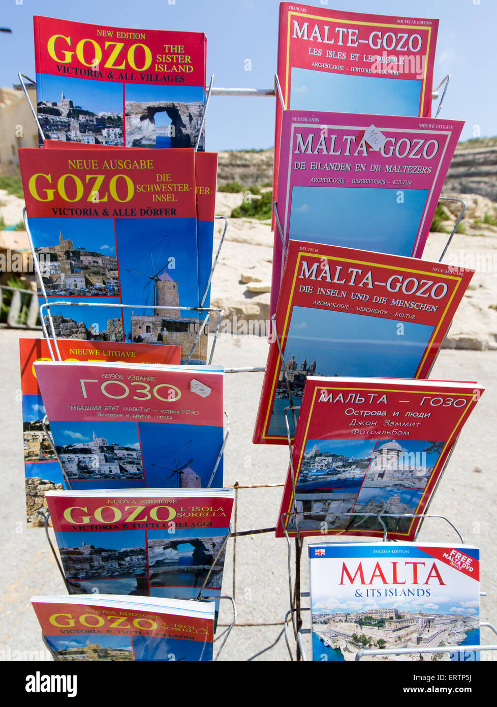 Guide Books to Malta and Gozo Stock Photohttps://www.alamy.com/image-license-details/?v=1https://www.alamy.com/stock-photo-guide-books-to-malta-and-gozo-83522814.html
RMERTP5J–Guide Books to Malta and Gozo
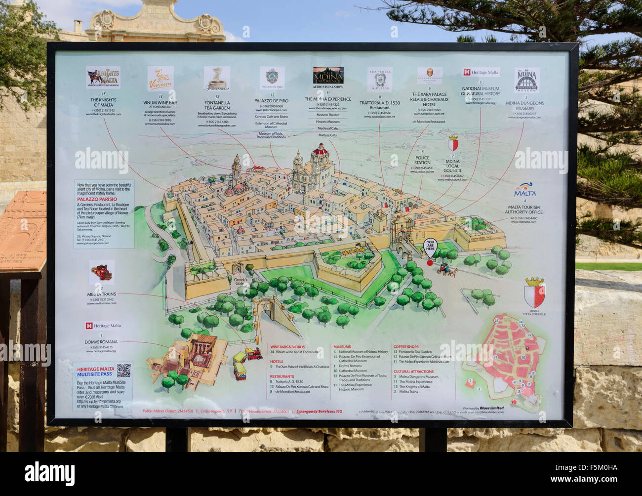 Mdina Visitor Map Stock Photohttps://www.alamy.com/image-license-details/?v=1https://www.alamy.com/stock-photo-mdina-visitor-map-89564646.html
RMF5M0HA–Mdina Visitor Map
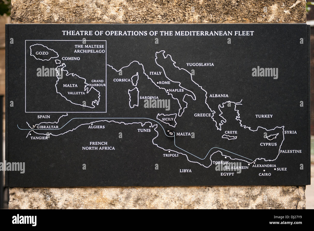 City Malta GC plaque given by Maltese people for the Seige of 1940 - 1943 held out from fascist invaders by Allies map Theatre war Stock Photohttps://www.alamy.com/image-license-details/?v=1https://www.alamy.com/city-malta-gc-plaque-given-by-maltese-people-for-the-seige-of-1940-image62745069.html
RFDJ27Y9–City Malta GC plaque given by Maltese people for the Seige of 1940 - 1943 held out from fascist invaders by Allies map Theatre war
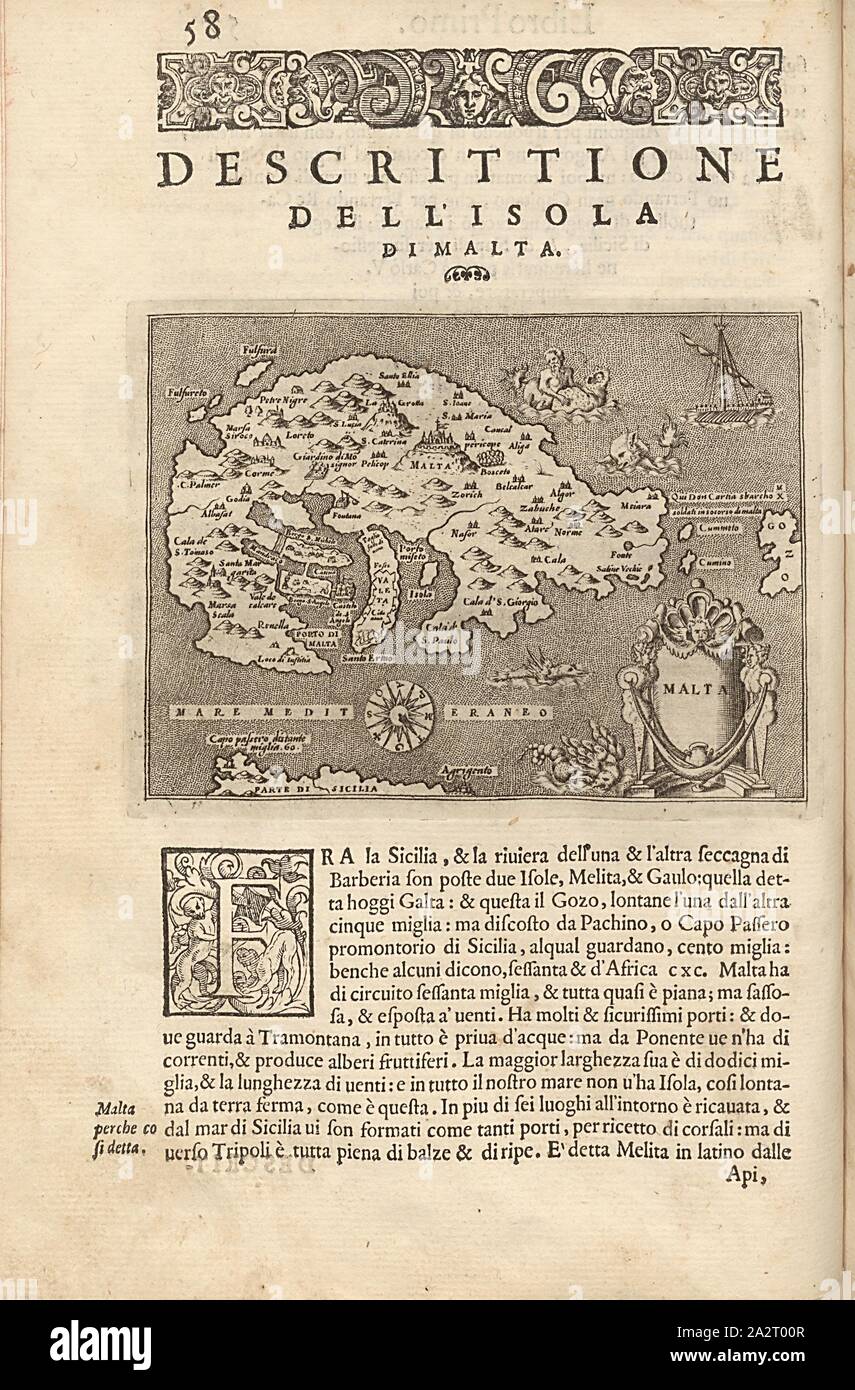 Malta, Map of the island of Malta, Fig. 15, p. 58, Porro, Girolamo (ill.), 1575, Thomaso Porcacchi, Girolamo Porro: L' isole piu famose del mondo. Il secondo libro. In Venetia: apresso gli Heredi di Simon Galignani, 1590 Stock Photohttps://www.alamy.com/image-license-details/?v=1https://www.alamy.com/malta-map-of-the-island-of-malta-fig-15-p-58-porro-girolamo-ill-1575-thomaso-porcacchi-girolamo-porro-l-isole-piu-famose-del-mondo-il-secondo-libro-in-venetia-apresso-gli-heredi-di-simon-galignani-1590-image328753175.html
RM2A2T00R–Malta, Map of the island of Malta, Fig. 15, p. 58, Porro, Girolamo (ill.), 1575, Thomaso Porcacchi, Girolamo Porro: L' isole piu famose del mondo. Il secondo libro. In Venetia: apresso gli Heredi di Simon Galignani, 1590
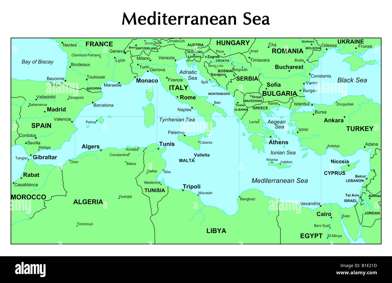 Mediterranean Sea map Stock Photohttps://www.alamy.com/image-license-details/?v=1https://www.alamy.com/stock-photo-mediterranean-sea-map-18133961.html
RFB1E21D–Mediterranean Sea map
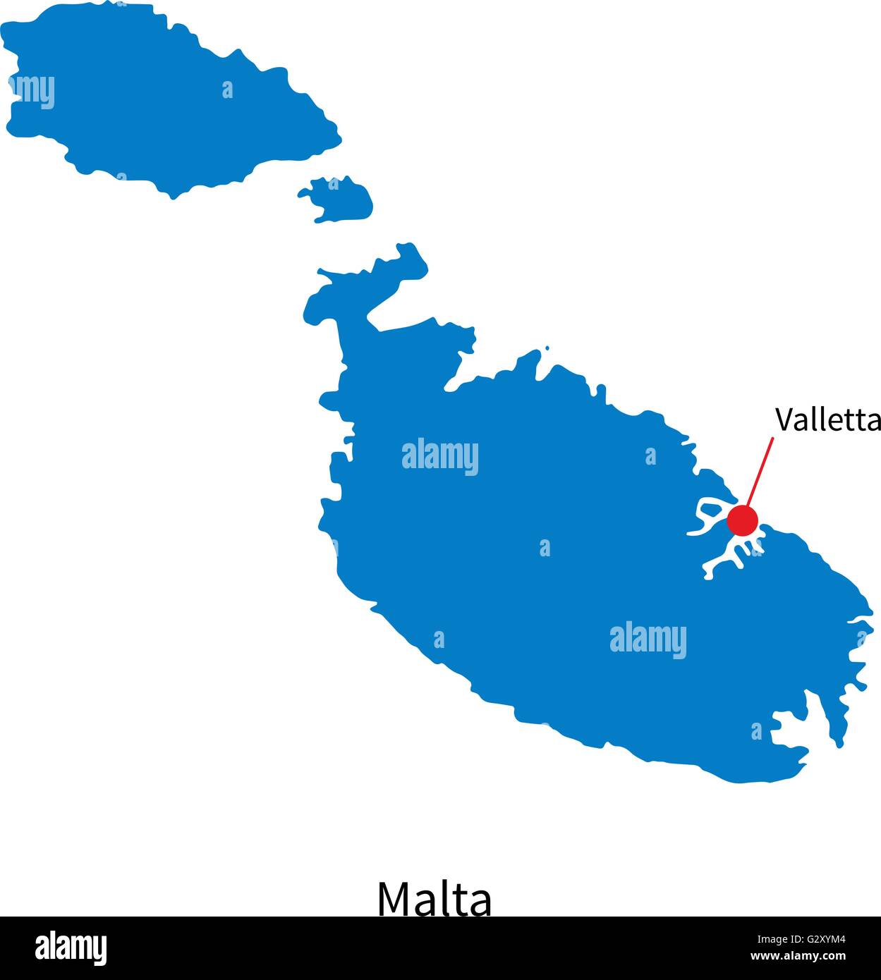 Detailed vector map of Malta and capital city Valletta Stock Vectorhttps://www.alamy.com/image-license-details/?v=1https://www.alamy.com/stock-photo-detailed-vector-map-of-malta-and-capital-city-valletta-105084004.html
RFG2XYM4–Detailed vector map of Malta and capital city Valletta
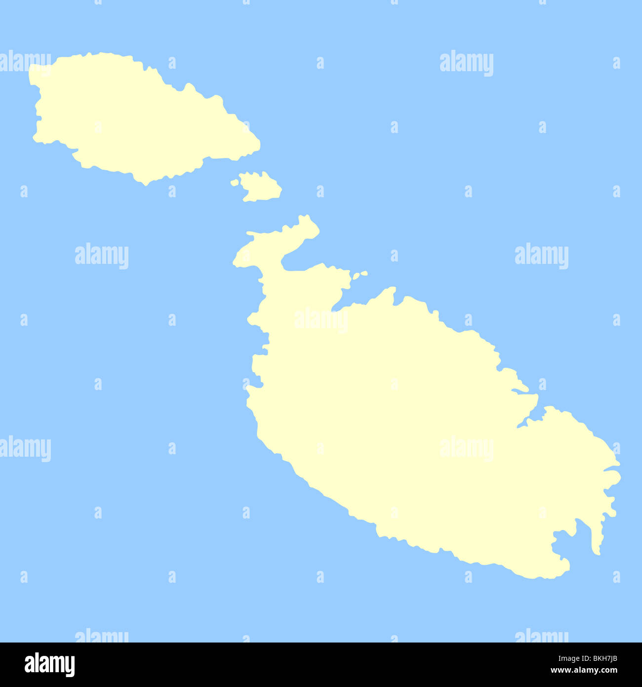 Map of Maltese Islands isolated on a blue background. Stock Photohttps://www.alamy.com/image-license-details/?v=1https://www.alamy.com/stock-photo-map-of-maltese-islands-isolated-on-a-blue-background-29268019.html
RFBKH7JB–Map of Maltese Islands isolated on a blue background.
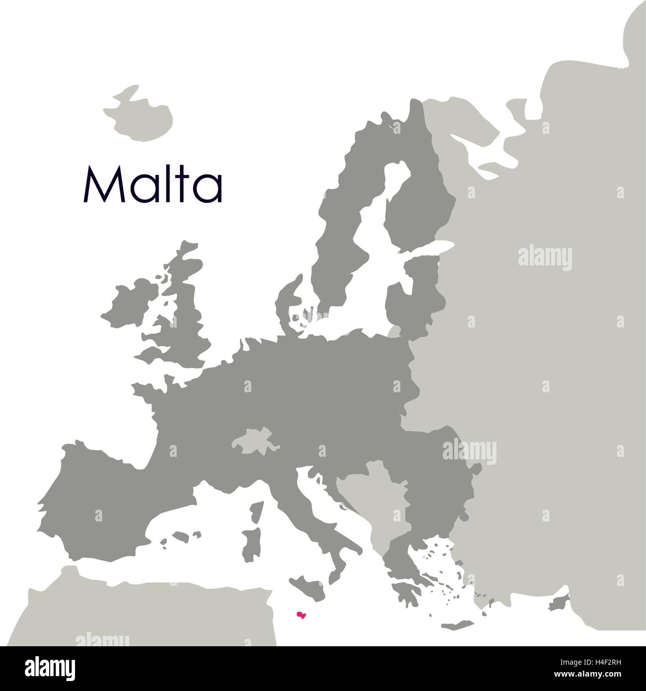 Isolated malta map design Stock Vectorhttps://www.alamy.com/image-license-details/?v=1https://www.alamy.com/stock-photo-isolated-malta-map-design-123262709.html
RFH4F2RH–Isolated malta map design
 Malta outline silhouette map illustration Stock Vectorhttps://www.alamy.com/image-license-details/?v=1https://www.alamy.com/stock-photo-malta-outline-silhouette-map-illustration-138484553.html
RFJ18ECW–Malta outline silhouette map illustration
 Malta map Stock Photohttps://www.alamy.com/image-license-details/?v=1https://www.alamy.com/stock-photo-malta-map-130704110.html
RFHGJ2BX–Malta map
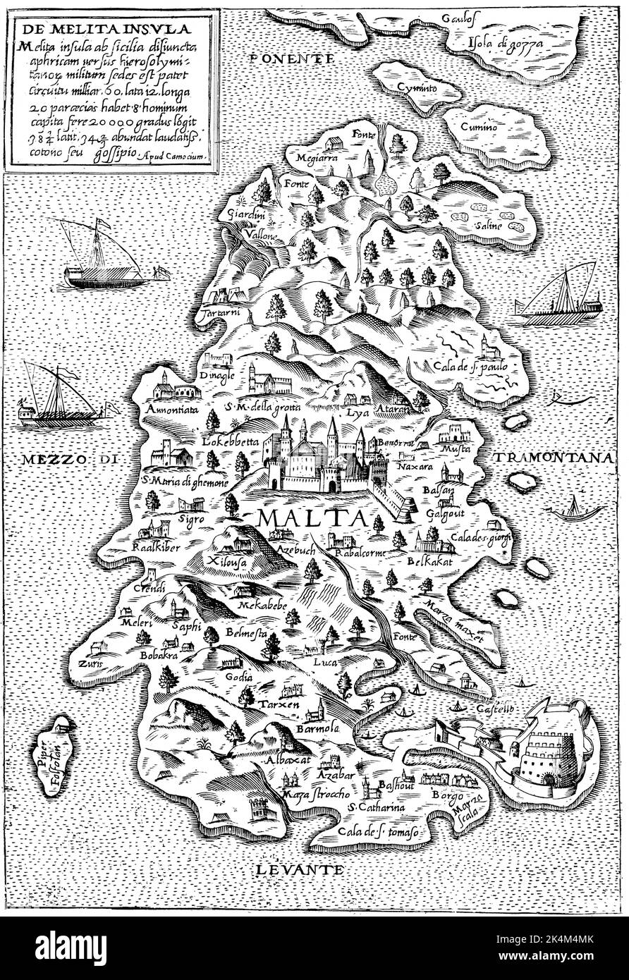 Map of Malta, 16th century. By Giovanni Francesco Camocio (1501-1575). On 23 March 1530, Charles V, Holy Roman Emperor, gave the islands of Malta to the Knights Hospitaller under the leadership of Frenchman Philippe Villiers de L'Isle-Adam, Grand Master of the Order. The Knights Hospitaller were the rulers of Malta and Gozo between 1530 and 1798. Stock Photohttps://www.alamy.com/image-license-details/?v=1https://www.alamy.com/map-of-malta-16th-century-by-giovanni-francesco-camocio-1501-1575-on-23-march-1530-charles-v-holy-roman-emperor-gave-the-islands-of-malta-to-the-knights-hospitaller-under-the-leadership-of-frenchman-philippe-villiers-de-lisle-adam-grand-master-of-the-order-the-knights-hospitaller-were-the-rulers-of-malta-and-gozo-between-1530-and-1798-image484791683.html
RM2K4M4MK–Map of Malta, 16th century. By Giovanni Francesco Camocio (1501-1575). On 23 March 1530, Charles V, Holy Roman Emperor, gave the islands of Malta to the Knights Hospitaller under the leadership of Frenchman Philippe Villiers de L'Isle-Adam, Grand Master of the Order. The Knights Hospitaller were the rulers of Malta and Gozo between 1530 and 1798.
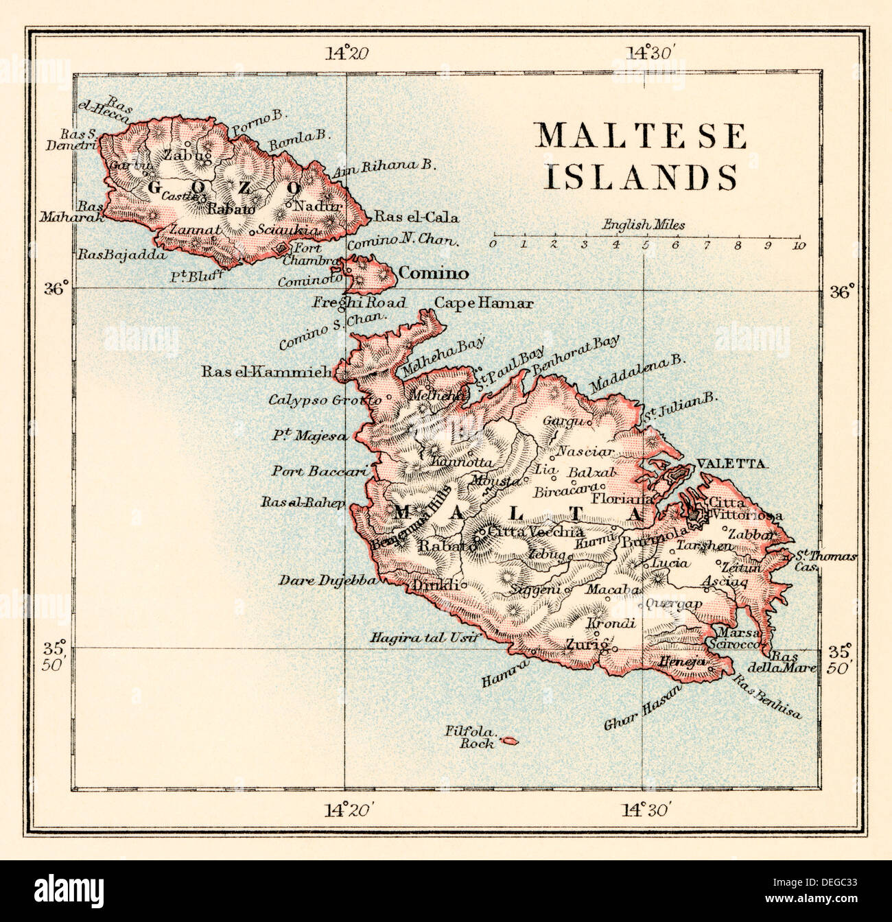 Map of the Maltese Islands, 1870s. Color lithograph Stock Photohttps://www.alamy.com/image-license-details/?v=1https://www.alamy.com/map-of-the-maltese-islands-1870s-color-lithograph-image60597015.html
RMDEGC33–Map of the Maltese Islands, 1870s. Color lithograph
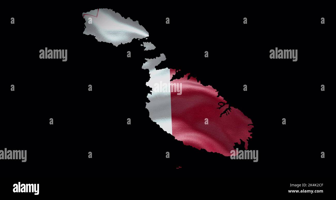 Malta map shape with waving flag background. Alpha channel outline of country. Stock Photohttps://www.alamy.com/image-license-details/?v=1https://www.alamy.com/malta-map-shape-with-waving-flag-background-alpha-channel-outline-of-country-image484767935.html
RF2K4K2CF–Malta map shape with waving flag background. Alpha channel outline of country.
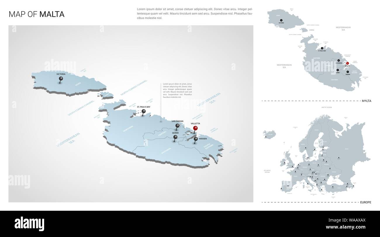 Vector set of Malta country. Isometric 3d map, Malta map, Europe map - with region, state names and city names. Stock Vectorhttps://www.alamy.com/image-license-details/?v=1https://www.alamy.com/vector-set-of-malta-country-isometric-3d-map-malta-map-europe-map-with-region-state-names-and-city-names-image264542290.html
RFWAAXAX–Vector set of Malta country. Isometric 3d map, Malta map, Europe map - with region, state names and city names.
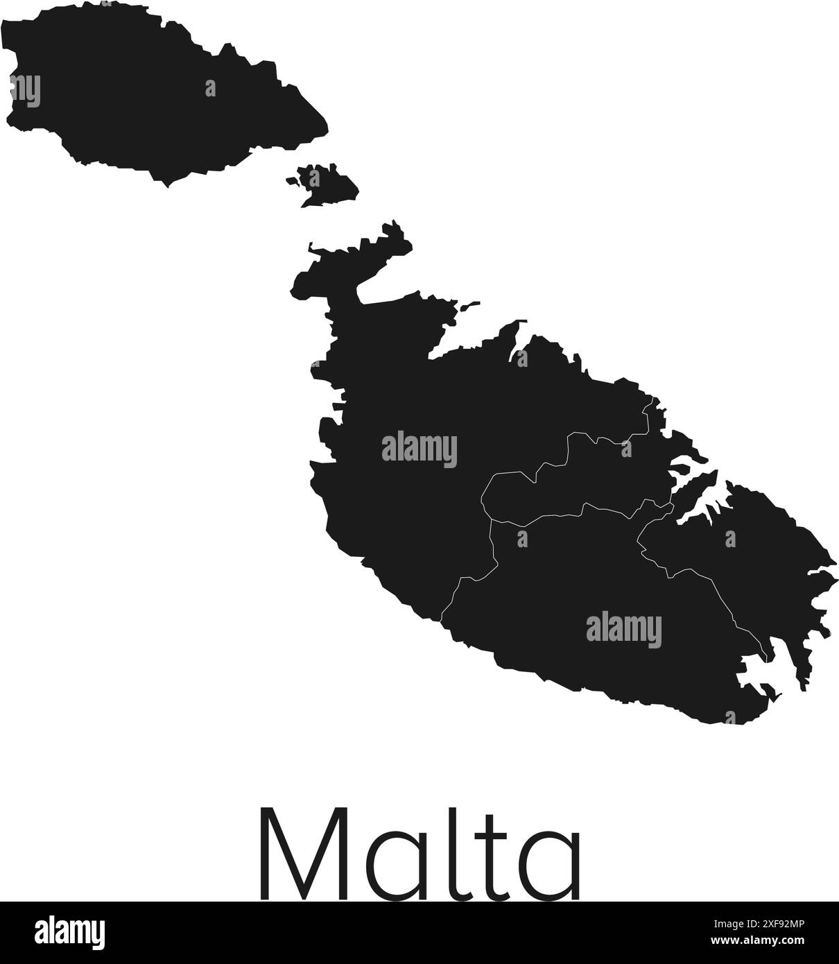 Malta Map Vector Illustration - Silhouette, Outline, Malta Travel and Tourism Map Stock Vectorhttps://www.alamy.com/image-license-details/?v=1https://www.alamy.com/malta-map-vector-illustration-silhouette-outline-malta-travel-and-tourism-map-image611782438.html
RF2XF92MP–Malta Map Vector Illustration - Silhouette, Outline, Malta Travel and Tourism Map
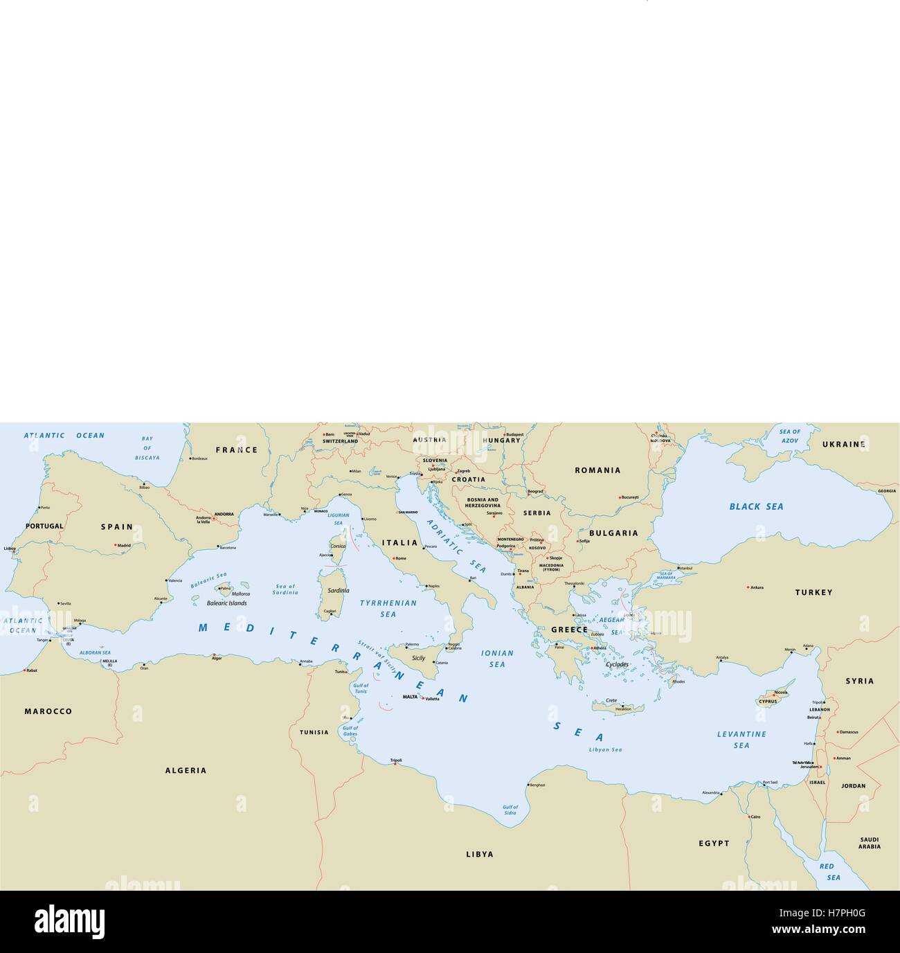 mediterranean sea map Stock Vectorhttps://www.alamy.com/image-license-details/?v=1https://www.alamy.com/stock-photo-mediterranean-sea-map-125271456.html
RFH7PH0G–mediterranean sea map
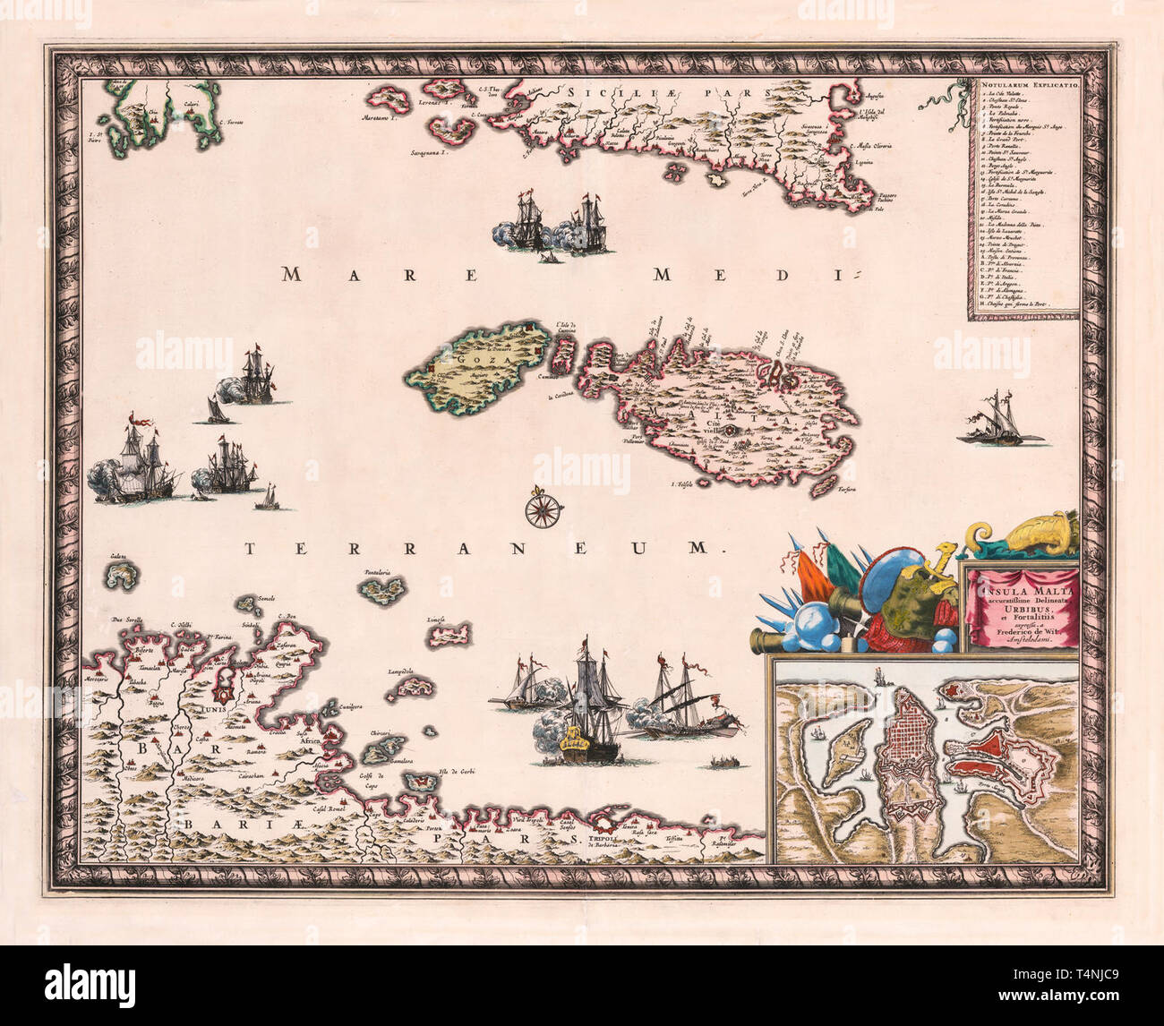 Map Of Malta 1680 Stock Photohttps://www.alamy.com/image-license-details/?v=1https://www.alamy.com/map-of-malta-1680-image243879225.html
RFT4NJC9–Map Of Malta 1680
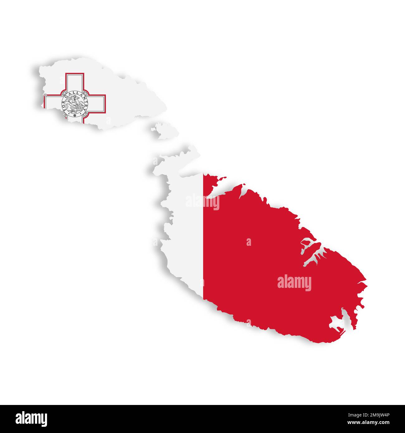 Malta map on white background with clipping path 3d illustration Stock Photohttps://www.alamy.com/image-license-details/?v=1https://www.alamy.com/malta-map-on-white-background-with-clipping-path-3d-illustration-image505047446.html
RF2M9JW4P–Malta map on white background with clipping path 3d illustration
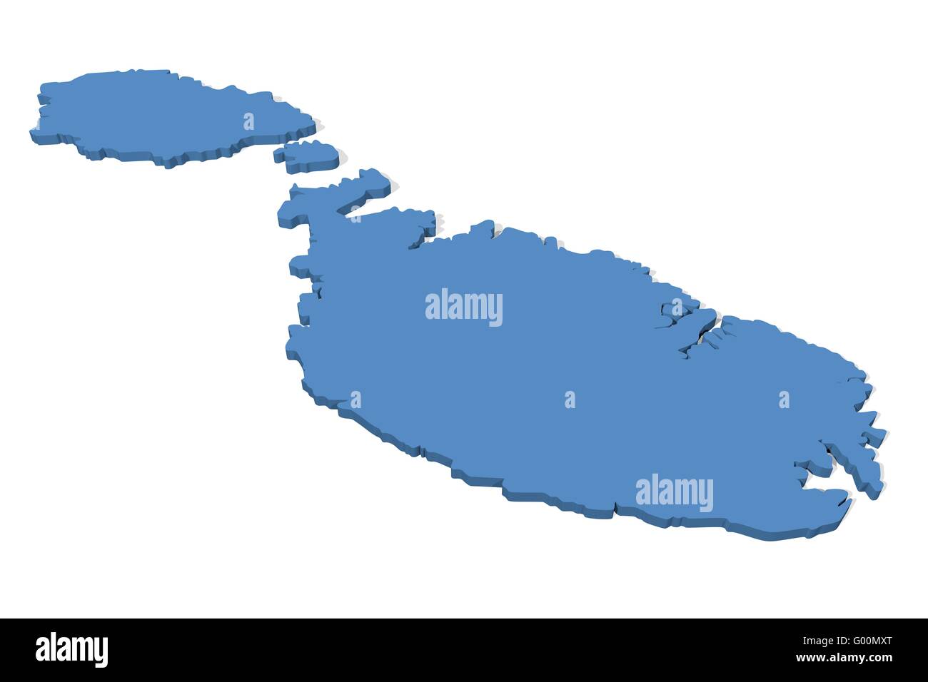 Malta Map Stock Photohttps://www.alamy.com/image-license-details/?v=1https://www.alamy.com/stock-photo-malta-map-103278640.html
RMG00MXT–Malta Map
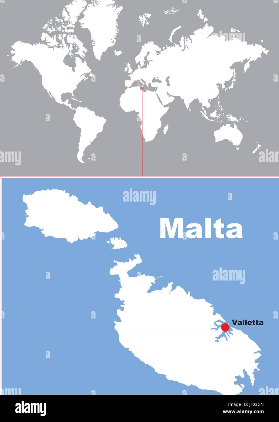 malta map Stock Vectorhttps://www.alamy.com/image-license-details/?v=1https://www.alamy.com/stock-photo-malta-map-146905605.html
RFJF03GN–malta map
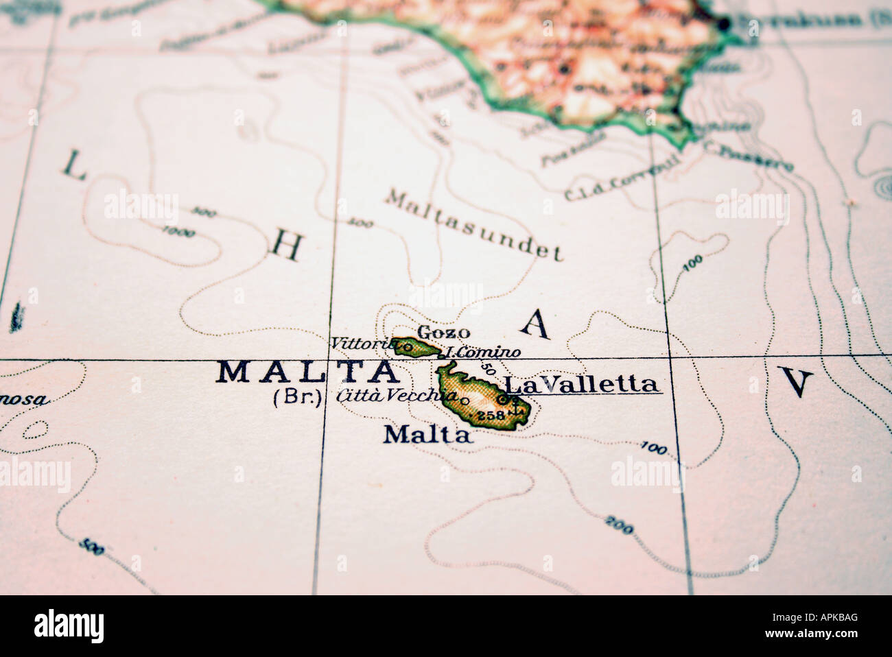 Malta the way we looked at it in 1949 Stock Photohttps://www.alamy.com/image-license-details/?v=1https://www.alamy.com/stock-photo-malta-the-way-we-looked-at-it-in-1949-15812391.html
RFAPKBAG–Malta the way we looked at it in 1949
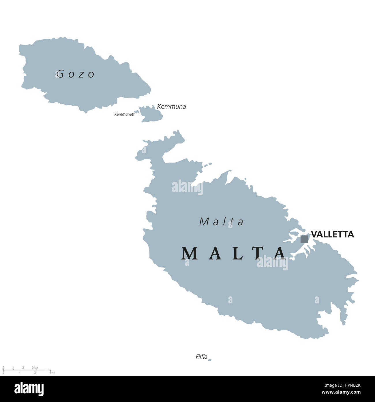 Malta political map with capital Valletta. Republic and Southern Europe island country consisting of an archipelago in the Mediterranean Sea. Stock Photohttps://www.alamy.com/image-license-details/?v=1https://www.alamy.com/stock-photo-malta-political-map-with-capital-valletta-republic-and-southern-europe-134464699.html
RFHPNB2K–Malta political map with capital Valletta. Republic and Southern Europe island country consisting of an archipelago in the Mediterranean Sea.
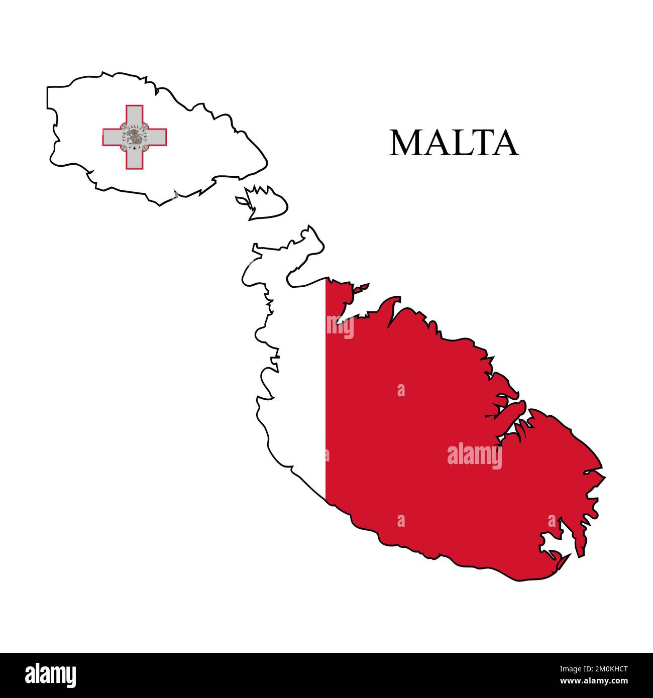 Malta map vector illustration. Global economy. Famous country. Southern Europe. Europe. Stock Vectorhttps://www.alamy.com/image-license-details/?v=1https://www.alamy.com/malta-map-vector-illustration-global-economy-famous-country-southern-europe-europe-image499531448.html
RF2M0KHCT–Malta map vector illustration. Global economy. Famous country. Southern Europe. Europe.
 Outline of Malta map with black color on a white background Stock Photohttps://www.alamy.com/image-license-details/?v=1https://www.alamy.com/outline-of-malta-map-with-black-color-on-a-white-background-image453778689.html
RF2HA7B9N–Outline of Malta map with black color on a white background
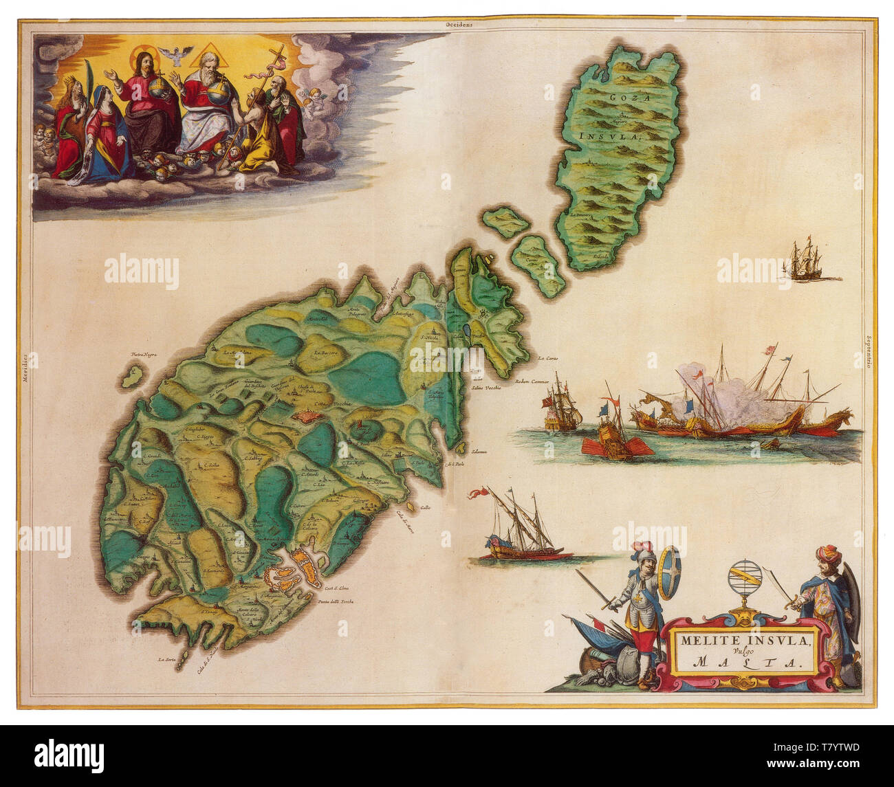 Joan Blaeu, Malta Map, 17th Century Stock Photohttps://www.alamy.com/image-license-details/?v=1https://www.alamy.com/joan-blaeu-malta-map-17th-century-image245859977.html
RMT7YTWD–Joan Blaeu, Malta Map, 17th Century
 Malta map on a European Union flag button isolated on a white background. Stock Photohttps://www.alamy.com/image-license-details/?v=1https://www.alamy.com/stock-photo-malta-map-on-a-european-union-flag-button-isolated-on-a-white-background-114245295.html
RMGHT913–Malta map on a European Union flag button isolated on a white background.
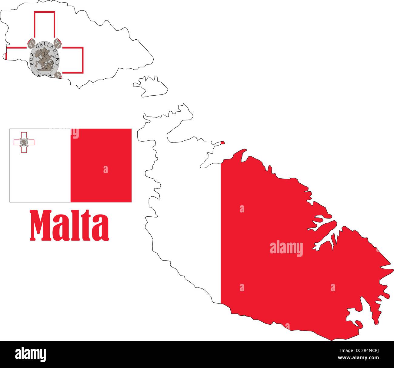 Malta Map and Flag Stock Vectorhttps://www.alamy.com/image-license-details/?v=1https://www.alamy.com/malta-map-and-flag-image553661462.html
RF2R4NCRJ–Malta Map and Flag
 Malta map blue circular button isolated on white background. Stock Photohttps://www.alamy.com/image-license-details/?v=1https://www.alamy.com/stock-photo-malta-map-blue-circular-button-isolated-on-white-background-33978919.html
RMBY7TCR–Malta map blue circular button isolated on white background.
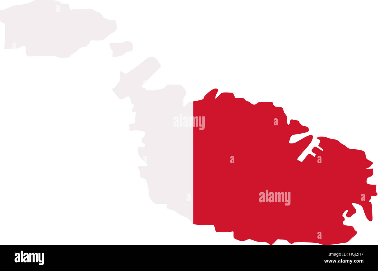 Malta map with flag Stock Photohttps://www.alamy.com/image-license-details/?v=1https://www.alamy.com/stock-photo-malta-map-with-flag-130704259.html
RFHGJ2H7–Malta map with flag
 Malta map button in gradient green; isolated on white background with clipping path. Stock Photohttps://www.alamy.com/image-license-details/?v=1https://www.alamy.com/stock-photo-malta-map-button-in-gradient-green-isolated-on-white-background-with-34336427.html
RMBYT4CY–Malta map button in gradient green; isolated on white background with clipping path.
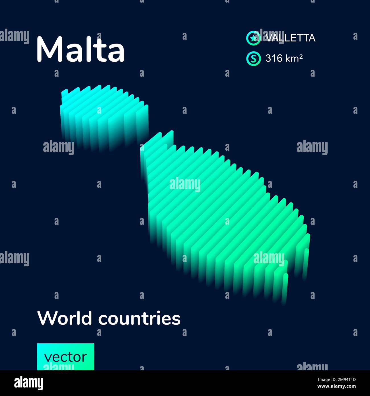 3d vector isometric Malta map in neon green colors on dark blue background. Stylized map of Malta. Stock Vectorhttps://www.alamy.com/image-license-details/?v=1https://www.alamy.com/3d-vector-isometric-malta-map-in-neon-green-colors-on-dark-blue-background-stylized-map-of-malta-image504739325.html
RF2M94T4D–3d vector isometric Malta map in neon green colors on dark blue background. Stylized map of Malta.
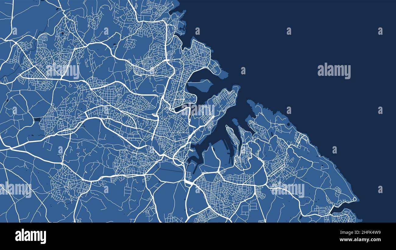 Blue Malta country islands, Valletta City area vector background map, streets and water cartography illustration. Widescreen proportion, digital flat Stock Vectorhttps://www.alamy.com/image-license-details/?v=1https://www.alamy.com/blue-malta-country-islands-valletta-city-area-vector-background-map-streets-and-water-cartography-illustration-widescreen-proportion-digital-flat-image457110341.html
RF2HFK4W9–Blue Malta country islands, Valletta City area vector background map, streets and water cartography illustration. Widescreen proportion, digital flat
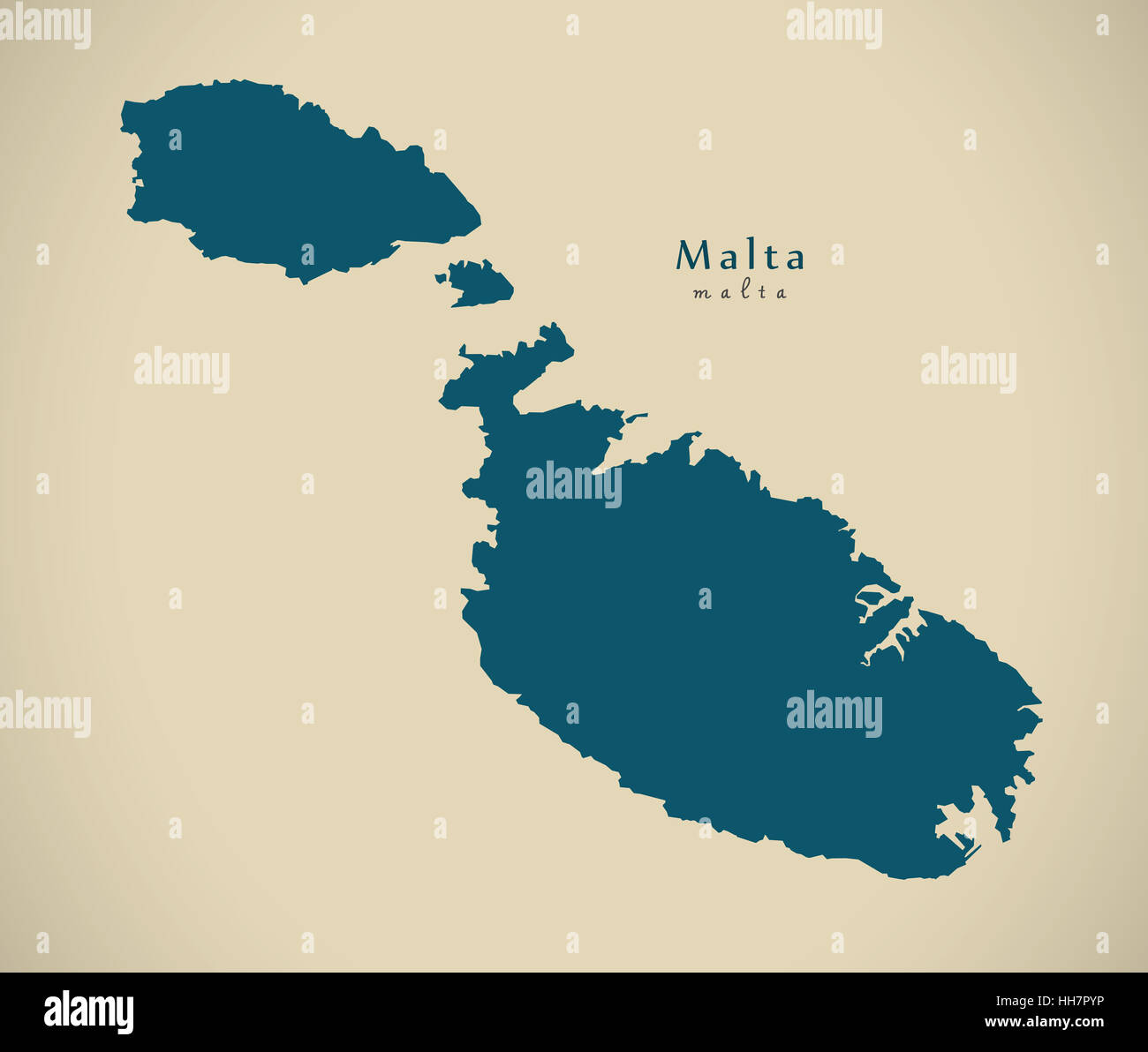 Modern Map - Malta MT illustration Stock Photohttps://www.alamy.com/image-license-details/?v=1https://www.alamy.com/stock-photo-modern-map-malta-mt-illustration-131093418.html
RFHH7PYP–Modern Map - Malta MT illustration
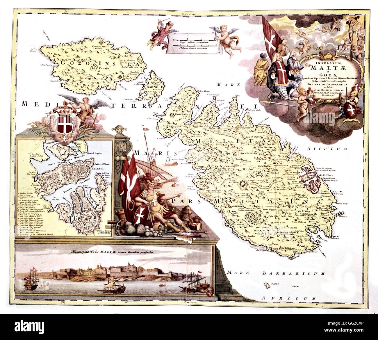 Map of the Island of Malta 17th century Malta Stock Photohttps://www.alamy.com/image-license-details/?v=1https://www.alamy.com/stock-photo-map-of-the-island-of-malta-17th-century-malta-113150766.html
RMGG2CXP–Map of the Island of Malta 17th century Malta
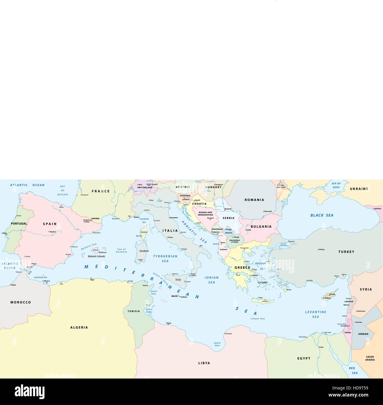 mediterranean sea map Stock Vectorhttps://www.alamy.com/image-license-details/?v=1https://www.alamy.com/stock-photo-mediterranean-sea-map-128679637.html
RFHD9T59–mediterranean sea map
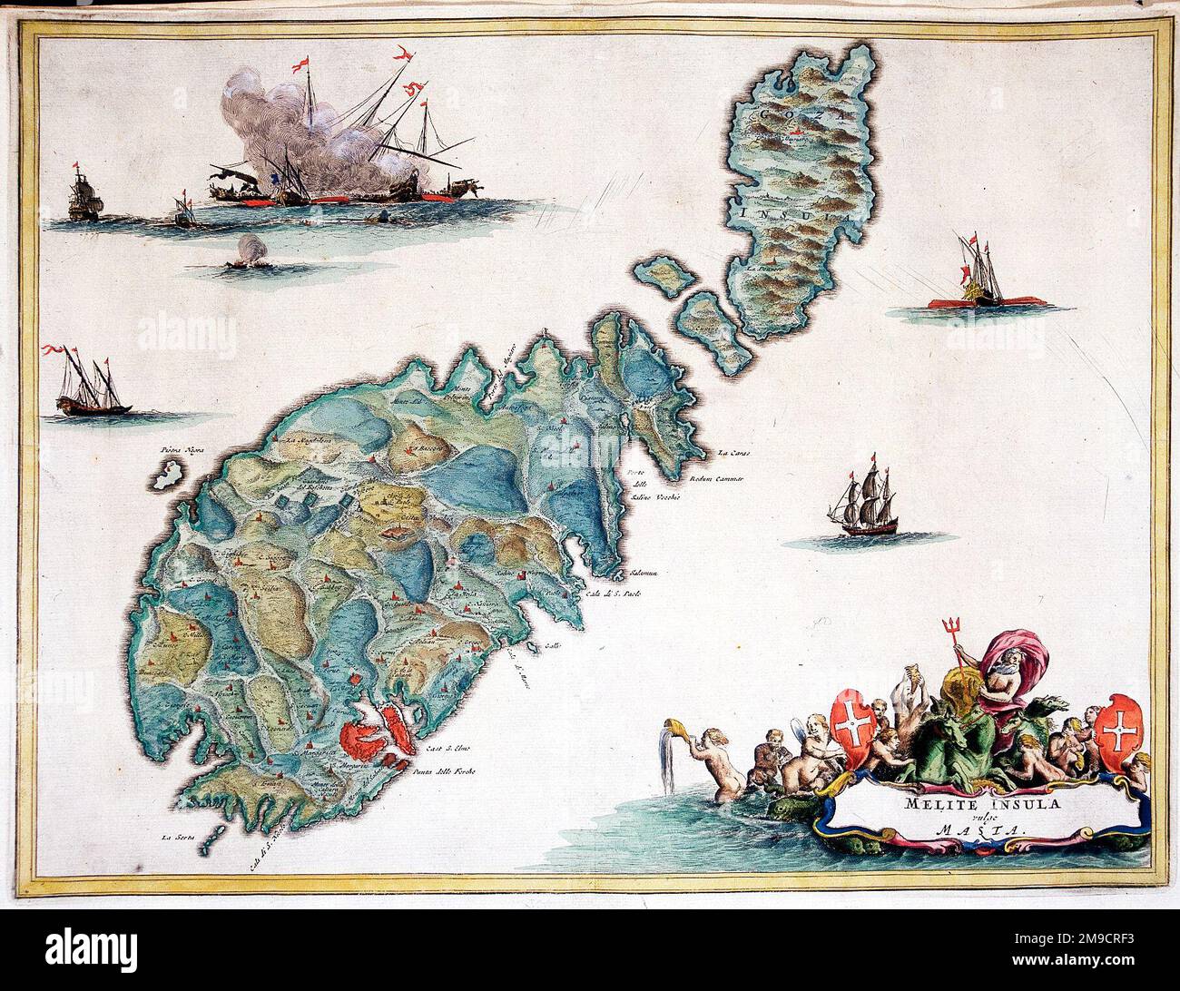 17th century Map of Malta Stock Photohttps://www.alamy.com/image-license-details/?v=1https://www.alamy.com/17th-century-map-of-malta-image504914455.html
RM2M9CRF3–17th century Map of Malta
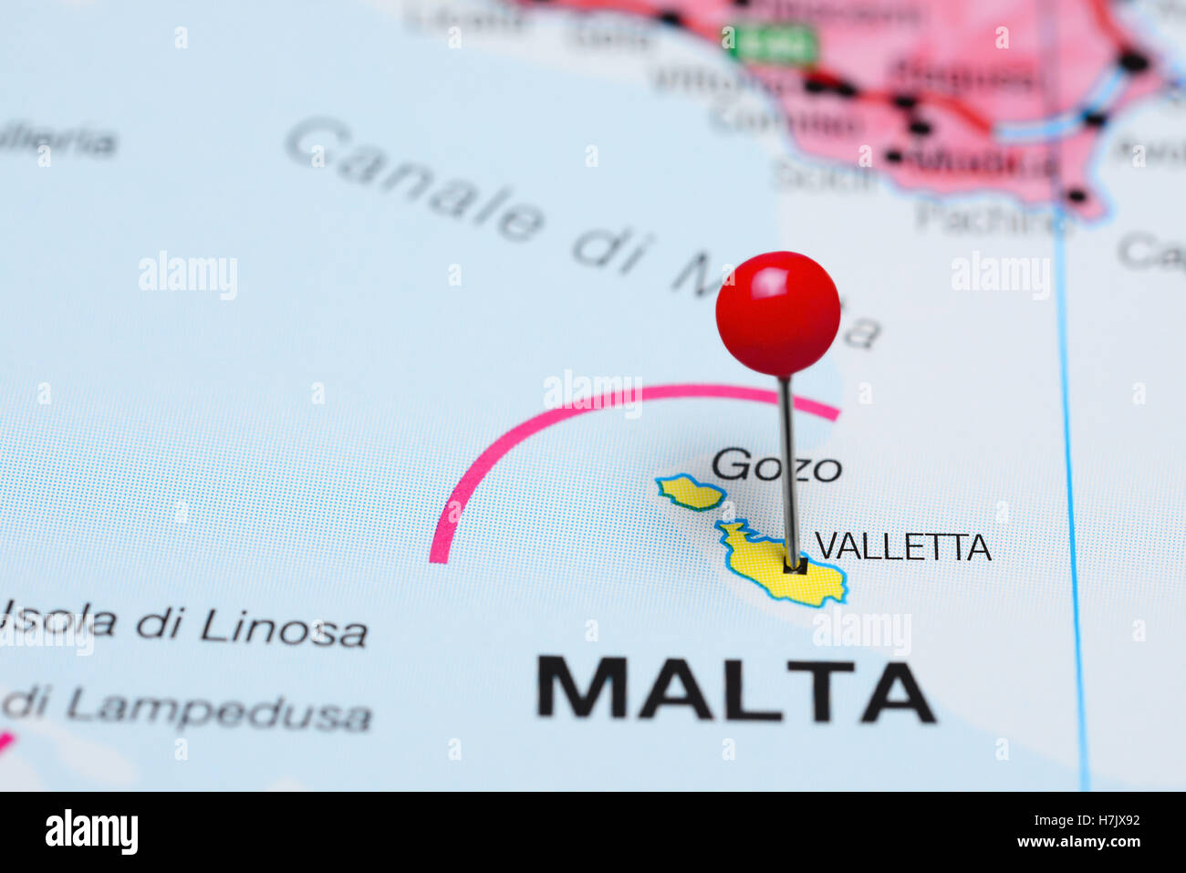 Valletta pinned on a map of Malta Stock Photohttps://www.alamy.com/image-license-details/?v=1https://www.alamy.com/stock-photo-valletta-pinned-on-a-map-of-malta-125190942.html
RFH7JX92–Valletta pinned on a map of Malta
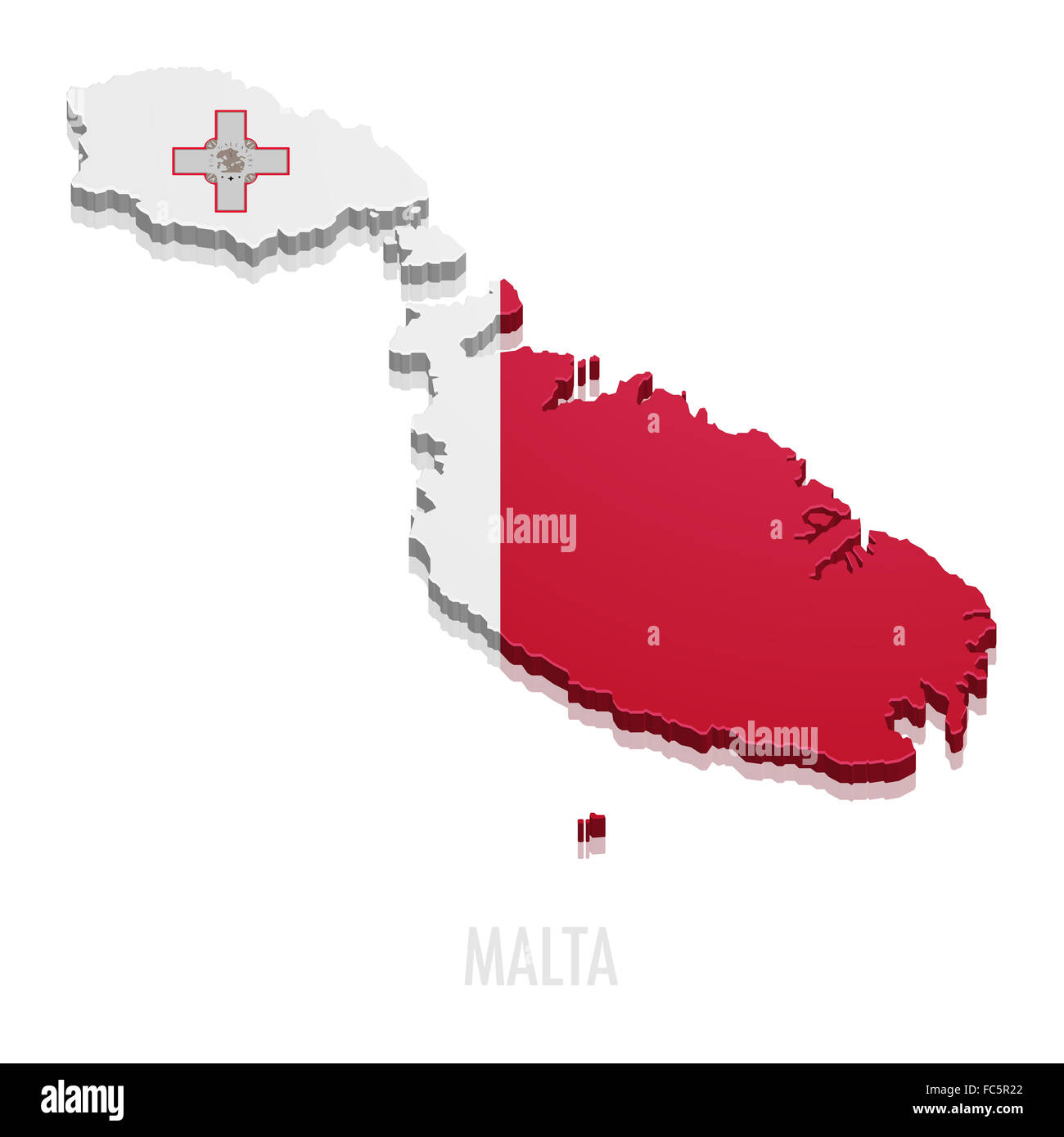 Map Malta Stock Photohttps://www.alamy.com/image-license-details/?v=1https://www.alamy.com/stock-photo-map-malta-93555562.html
RFFC5R22–Map Malta
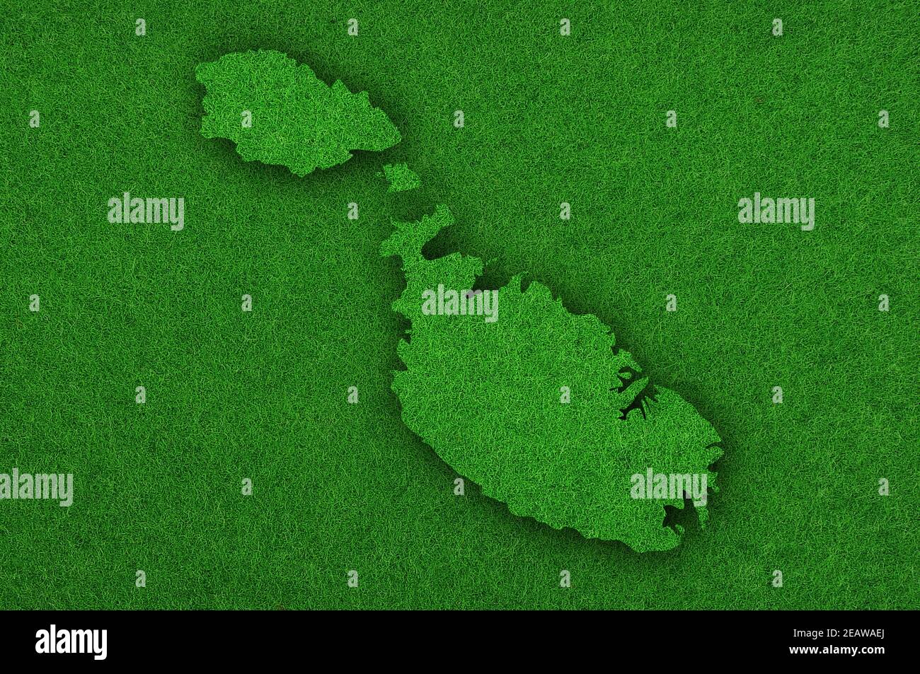 Map of Malta on green felt Stock Photohttps://www.alamy.com/image-license-details/?v=1https://www.alamy.com/map-of-malta-on-green-felt-image402542074.html
RF2EAWAEJ–Map of Malta on green felt
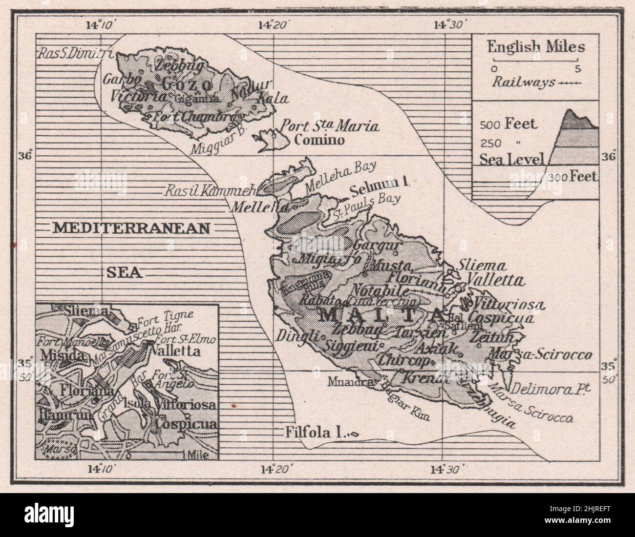 Malta and Gozo with Valletta port (1923 map) Stock Photohttps://www.alamy.com/image-license-details/?v=1https://www.alamy.com/malta-and-gozo-with-valletta-port-1923-map-image459049692.html
RF2HJREFT–Malta and Gozo with Valletta port (1923 map)
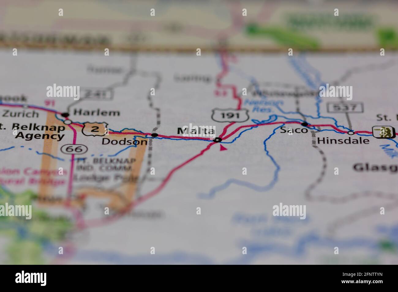 Malta Montana USA shown on a Geography map or road map Stock Photohttps://www.alamy.com/image-license-details/?v=1https://www.alamy.com/malta-montana-usa-shown-on-a-geography-map-or-road-map-image426503049.html
RM2FNTTYN–Malta Montana USA shown on a Geography map or road map
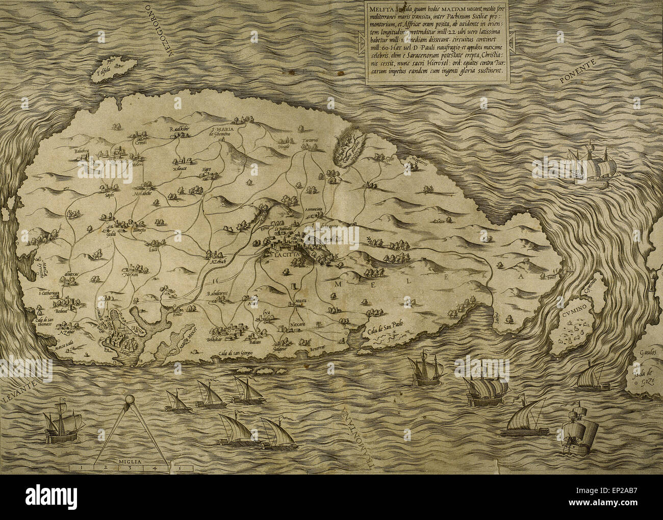 Map of Malta. Island. Mediterranean Sea. Italian engraving. 16th century. Stock Photohttps://www.alamy.com/image-license-details/?v=1https://www.alamy.com/stock-photo-map-of-malta-island-mediterranean-sea-italian-engraving-16th-century-82415963.html
RMEP2AB7–Map of Malta. Island. Mediterranean Sea. Italian engraving. 16th century.
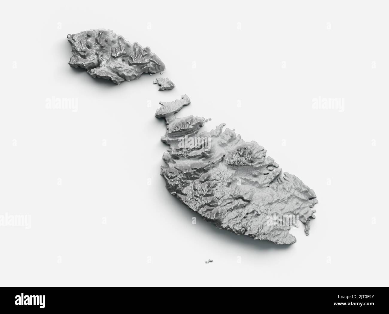 A grayscale 3D illustration of the Malta map on a white background Stock Photohttps://www.alamy.com/image-license-details/?v=1https://www.alamy.com/a-grayscale-3d-illustration-of-the-malta-map-on-a-white-background-image479443719.html
RF2JT0F9Y–A grayscale 3D illustration of the Malta map on a white background
![Disegno de porti e forti del'Isola de Malta Map information: Title: Disegno de porti e forti del'Isola de Malta 84.96.1. Place of publication: [Rome] Publisher: Ant. Lafrerii formis Romae, Date of publication: 1566. Item type: 1 map Dimensions: 28 x 41 cm Former owner: George III, King of Great Britain, 1738-1820 Stock Photo Disegno de porti e forti del'Isola de Malta Map information: Title: Disegno de porti e forti del'Isola de Malta 84.96.1. Place of publication: [Rome] Publisher: Ant. Lafrerii formis Romae, Date of publication: 1566. Item type: 1 map Dimensions: 28 x 41 cm Former owner: George III, King of Great Britain, 1738-1820 Stock Photo](https://c8.alamy.com/comp/2E9FPT1/disegno-de-porti-e-forti-delisola-de-malta-map-information-title-disegno-de-porti-e-forti-delisola-de-malta-84961-place-of-publication-rome-publisher-ant-lafrerii-formis-romae-date-of-publication-1566-item-type-1-map-dimensions-28-x-41-cm-former-owner-george-iii-king-of-great-britain-1738-1820-2E9FPT1.jpg) Disegno de porti e forti del'Isola de Malta Map information: Title: Disegno de porti e forti del'Isola de Malta 84.96.1. Place of publication: [Rome] Publisher: Ant. Lafrerii formis Romae, Date of publication: 1566. Item type: 1 map Dimensions: 28 x 41 cm Former owner: George III, King of Great Britain, 1738-1820 Stock Photohttps://www.alamy.com/image-license-details/?v=1https://www.alamy.com/disegno-de-porti-e-forti-delisola-de-malta-map-information-title-disegno-de-porti-e-forti-delisola-de-malta-84961-place-of-publication-rome-publisher-ant-lafrerii-formis-romae-date-of-publication-1566-item-type-1-map-dimensions-28-x-41-cm-former-owner-george-iii-king-of-great-britain-1738-1820-image401717569.html
Disegno de porti e forti del'Isola de Malta Map information: Title: Disegno de porti e forti del'Isola de Malta 84.96.1. Place of publication: [Rome] Publisher: Ant. Lafrerii formis Romae, Date of publication: 1566. Item type: 1 map Dimensions: 28 x 41 cm Former owner: George III, King of Great Britain, 1738-1820 Stock Photohttps://www.alamy.com/image-license-details/?v=1https://www.alamy.com/disegno-de-porti-e-forti-delisola-de-malta-map-information-title-disegno-de-porti-e-forti-delisola-de-malta-84961-place-of-publication-rome-publisher-ant-lafrerii-formis-romae-date-of-publication-1566-item-type-1-map-dimensions-28-x-41-cm-former-owner-george-iii-king-of-great-britain-1738-1820-image401717569.htmlRM2E9FPT1–Disegno de porti e forti del'Isola de Malta Map information: Title: Disegno de porti e forti del'Isola de Malta 84.96.1. Place of publication: [Rome] Publisher: Ant. Lafrerii formis Romae, Date of publication: 1566. Item type: 1 map Dimensions: 28 x 41 cm Former owner: George III, King of Great Britain, 1738-1820
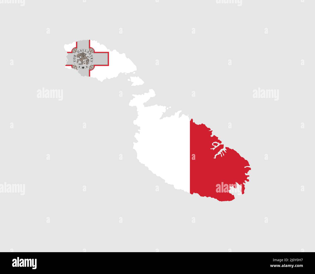 Malta Map Flag. Map of the Republic of Malta with the Maltese country banner. Vector Illustration. Stock Vectorhttps://www.alamy.com/image-license-details/?v=1https://www.alamy.com/malta-map-flag-map-of-the-republic-of-malta-with-the-maltese-country-banner-vector-illustration-image465273123.html
RF2J0Y0H7–Malta Map Flag. Map of the Republic of Malta with the Maltese country banner. Vector Illustration.
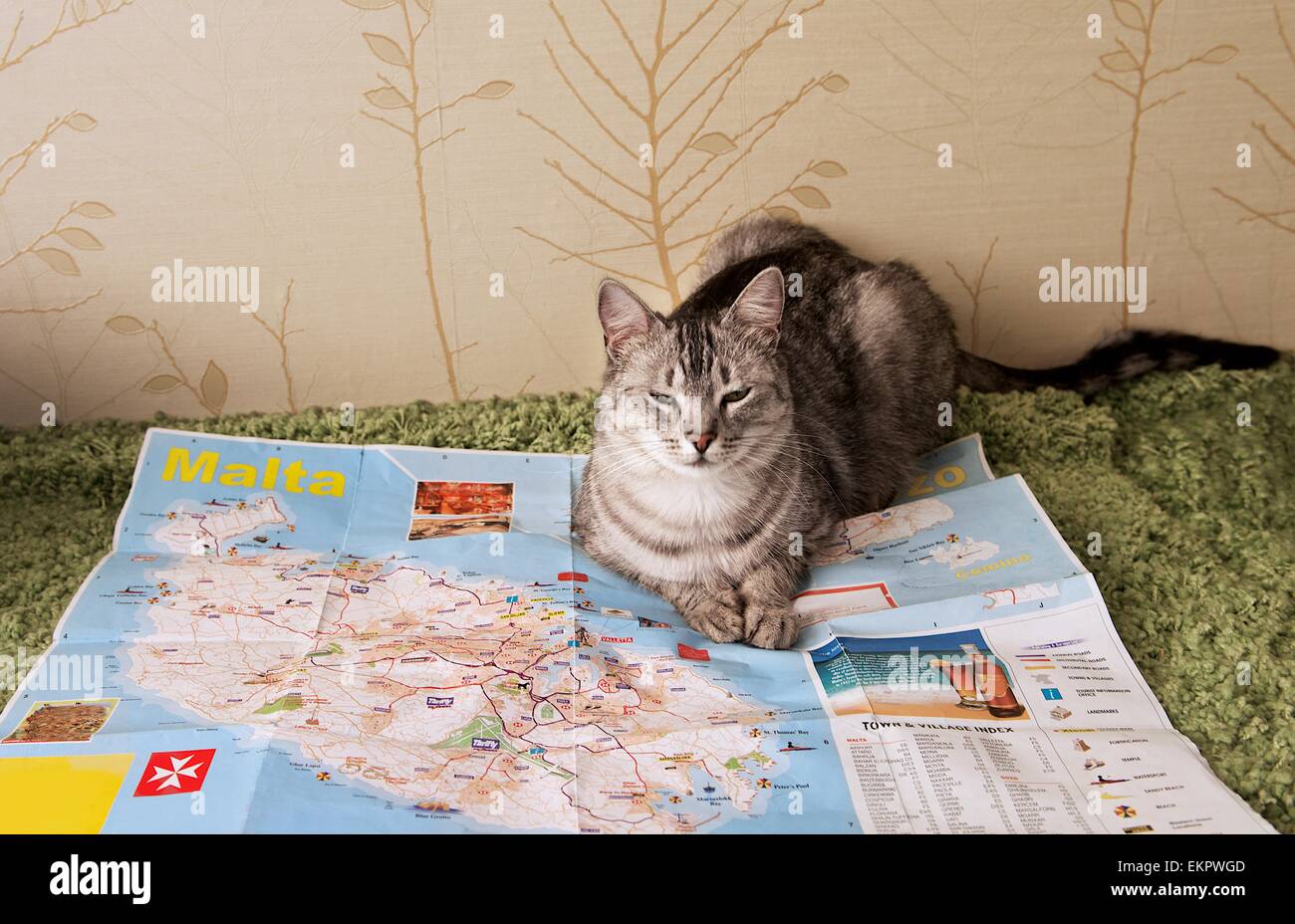 Domestic cat sitting on a map, Malta map and funny cat Stock Photohttps://www.alamy.com/image-license-details/?v=1https://www.alamy.com/stock-photo-domestic-cat-sitting-on-a-map-malta-map-and-funny-cat-81022941.html
RMEKPWGD–Domestic cat sitting on a map, Malta map and funny cat
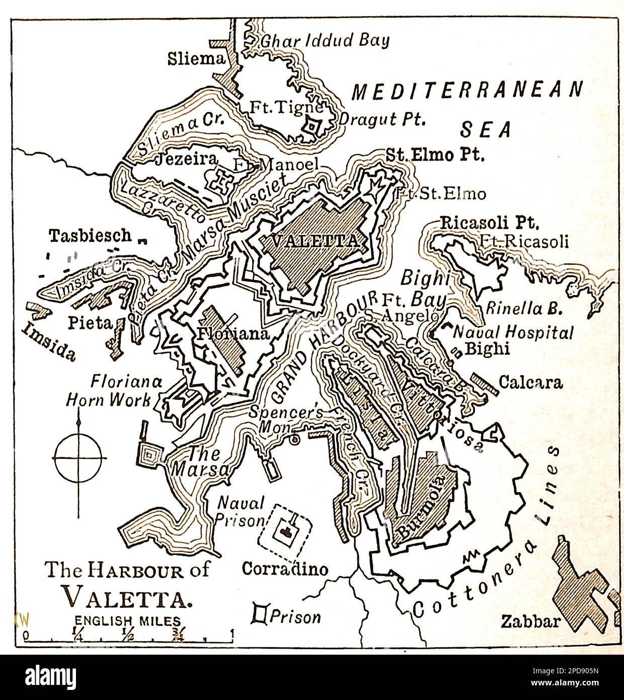 A 19th century map of Valetta (Malta) Harbour and environs. --- Mappa tas-seklu 19 tal-Port ta' Valetta (Malta) u l-environs. --- Stock Photohttps://www.alamy.com/image-license-details/?v=1https://www.alamy.com/a-19th-century-map-of-valetta-malta-harbour-and-environs-mappa-tas-seklu-19-tal-port-ta-valetta-malta-u-l-environs-image541709665.html
RM2PD905N–A 19th century map of Valetta (Malta) Harbour and environs. --- Mappa tas-seklu 19 tal-Port ta' Valetta (Malta) u l-environs. ---
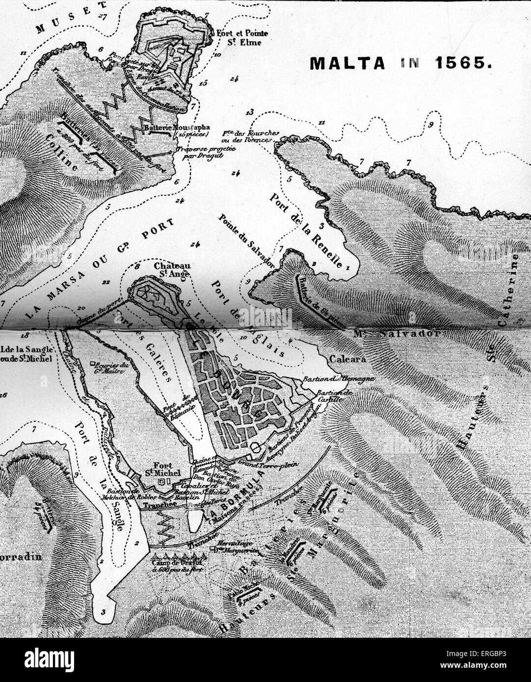 Map of the Port of Malta, 1565. In 1551, Barbary corsairs enslaved the entire population of the Maltese island Gozo.They Stock Photohttps://www.alamy.com/image-license-details/?v=1https://www.alamy.com/stock-photo-map-of-the-port-of-malta-1565-in-1551-barbary-corsairs-enslaved-the-83339035.html
RMERGBP3–Map of the Port of Malta, 1565. In 1551, Barbary corsairs enslaved the entire population of the Maltese island Gozo.They
 Isolated Malta map marker pin in flat web design style. Stock Photohttps://www.alamy.com/image-license-details/?v=1https://www.alamy.com/stock-photo-isolated-malta-map-marker-pin-in-flat-web-design-style-77881447.html
RMEEKPG7–Isolated Malta map marker pin in flat web design style.
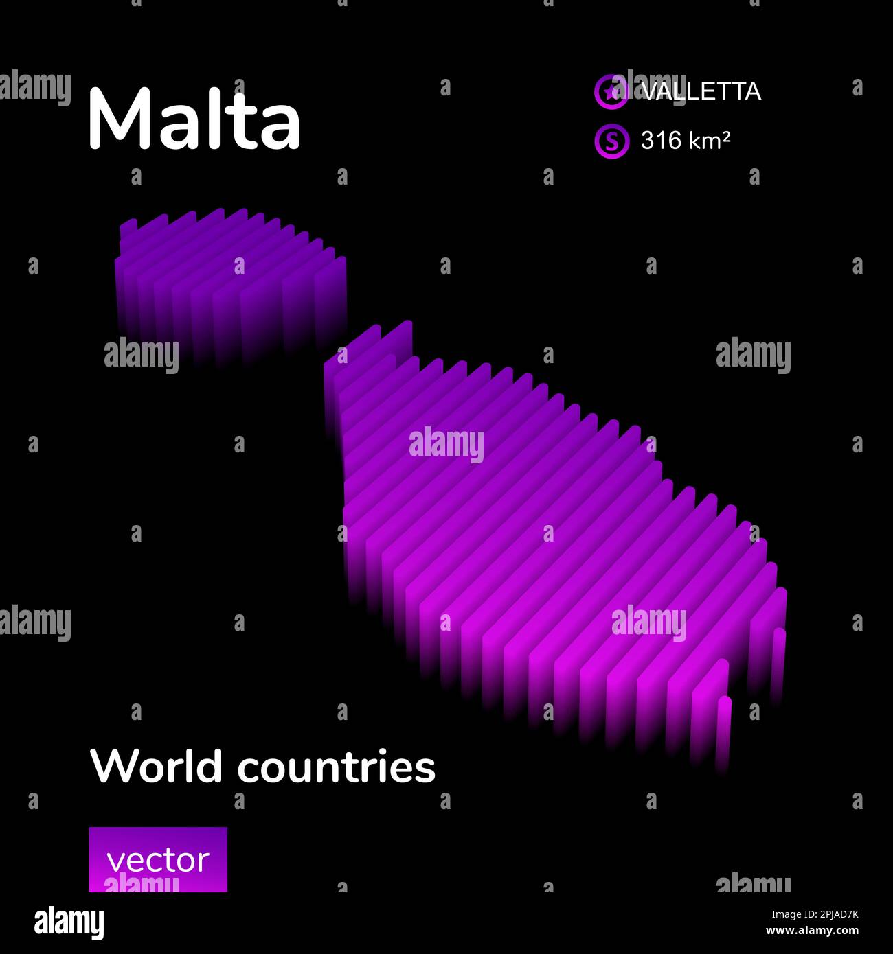 Malta 3D map. Stylized neon digital isometric striped vector Map in violet and pink colors on the black background Stock Vectorhttps://www.alamy.com/image-license-details/?v=1https://www.alamy.com/malta-3d-map-stylized-neon-digital-isometric-striped-vector-map-in-violet-and-pink-colors-on-the-black-background-image544815143.html
RF2PJAD7K–Malta 3D map. Stylized neon digital isometric striped vector Map in violet and pink colors on the black background
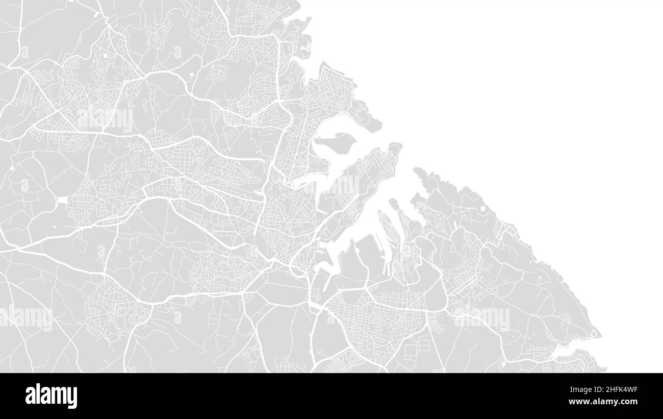 White and light grey Malta country islands, Valletta City area vector background map, streets and water cartography illustration. Widescreen proportio Stock Vectorhttps://www.alamy.com/image-license-details/?v=1https://www.alamy.com/white-and-light-grey-malta-country-islands-valletta-city-area-vector-background-map-streets-and-water-cartography-illustration-widescreen-proportio-image457110347.html
RF2HFK4WF–White and light grey Malta country islands, Valletta City area vector background map, streets and water cartography illustration. Widescreen proportio
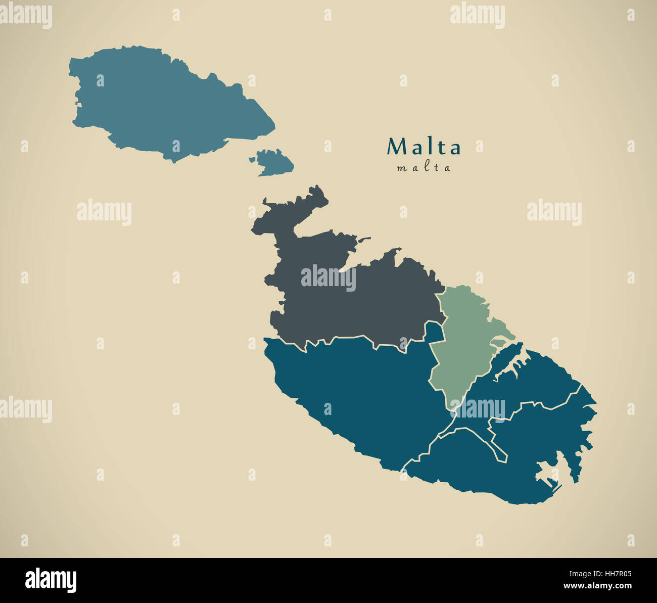 Modern Map - Malta with districts MT illustration Stock Photohttps://www.alamy.com/image-license-details/?v=1https://www.alamy.com/stock-photo-modern-map-malta-with-districts-mt-illustration-131093429.html
RFHH7R05–Modern Map - Malta with districts MT illustration
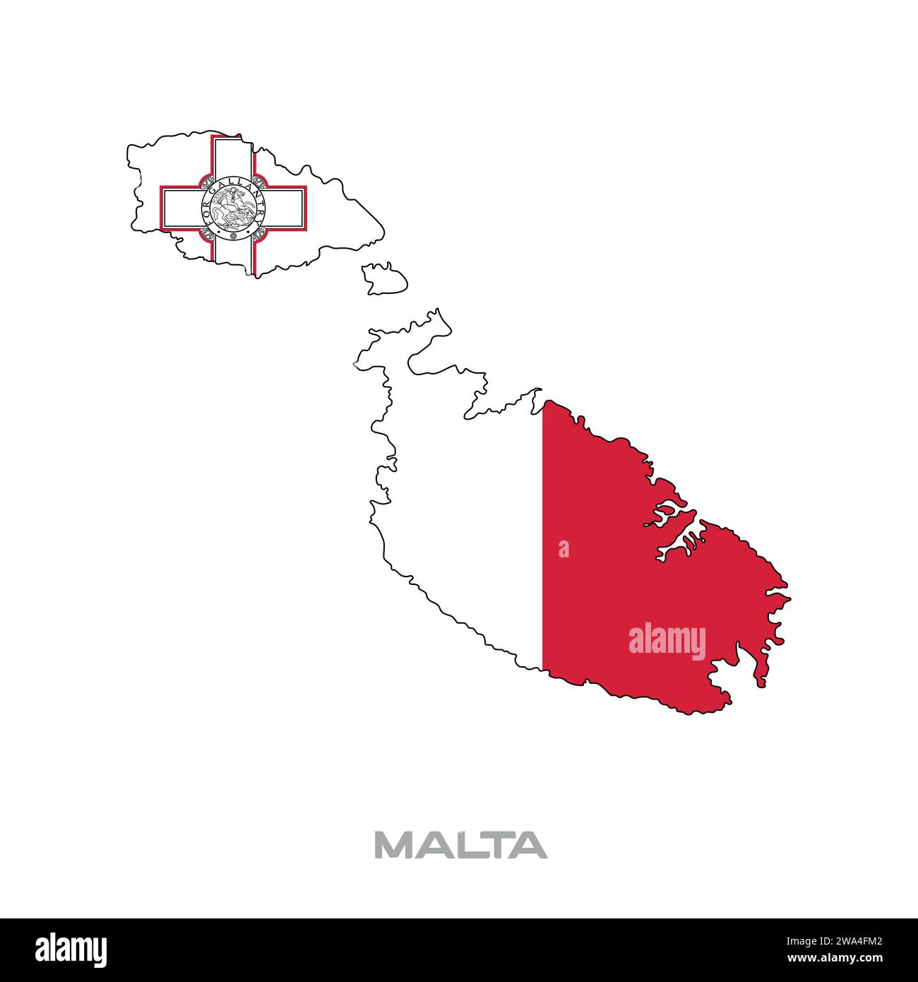 Vector illustration of the flag of Malta with black contours on a white background Stock Vectorhttps://www.alamy.com/image-license-details/?v=1https://www.alamy.com/vector-illustration-of-the-flag-of-malta-with-black-contours-on-a-white-background-image591399202.html
RF2WA4FM2–Vector illustration of the flag of Malta with black contours on a white background
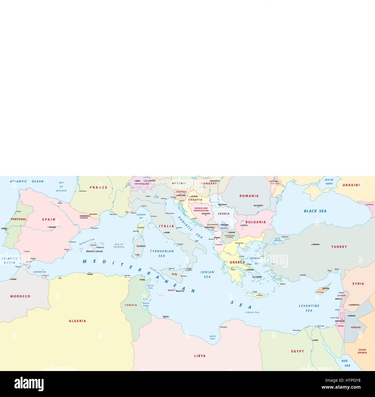 mediterranean sea map Stock Vectorhttps://www.alamy.com/image-license-details/?v=1https://www.alamy.com/stock-photo-mediterranean-sea-map-125271420.html
RFH7PGY8–mediterranean sea map
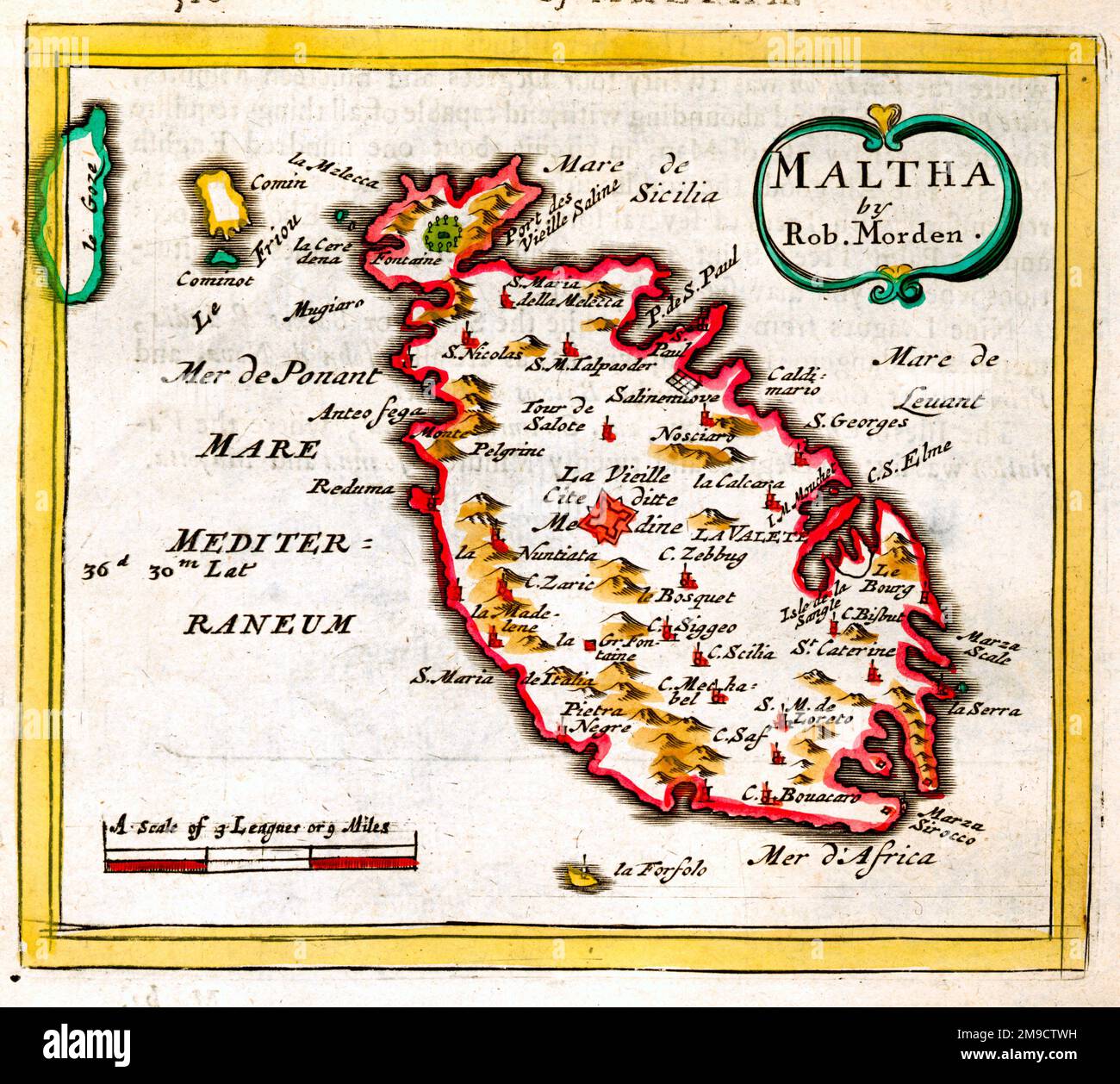 17th century Map of Malta Stock Photohttps://www.alamy.com/image-license-details/?v=1https://www.alamy.com/17th-century-map-of-malta-image504915533.html
RM2M9CTWH–17th century Map of Malta
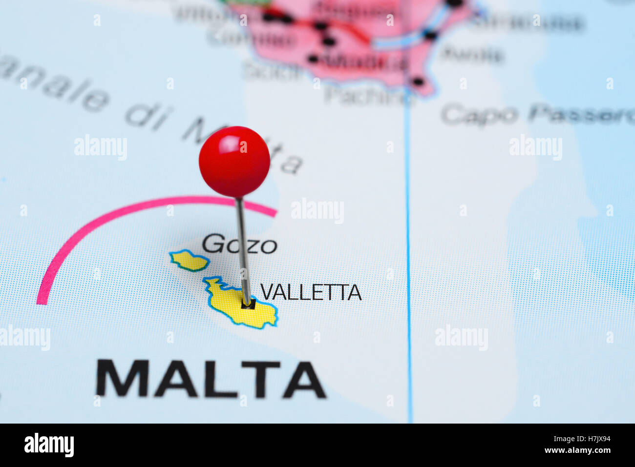 Valletta pinned on a map of Malta Stock Photohttps://www.alamy.com/image-license-details/?v=1https://www.alamy.com/stock-photo-valletta-pinned-on-a-map-of-malta-125190944.html
RFH7JX94–Valletta pinned on a map of Malta
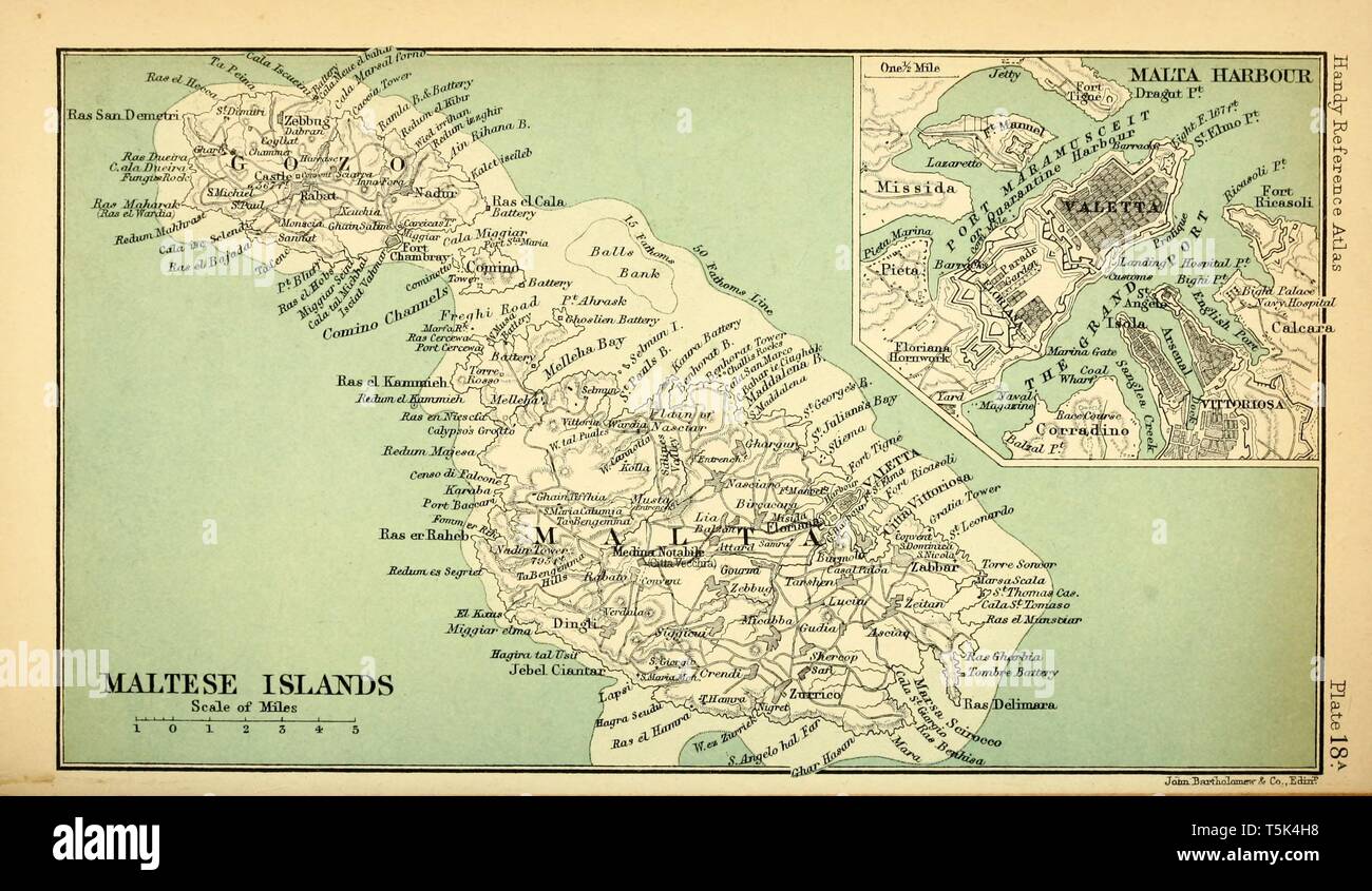 Beautiful vintage hand drawn map illustrations of Malta from old book. Can be used as poster or decorative element for interior design. Stock Photohttps://www.alamy.com/image-license-details/?v=1https://www.alamy.com/beautiful-vintage-hand-drawn-map-illustrations-of-malta-from-old-book-can-be-used-as-poster-or-decorative-element-for-interior-design-image244439140.html
RFT5K4H8–Beautiful vintage hand drawn map illustrations of Malta from old book. Can be used as poster or decorative element for interior design.
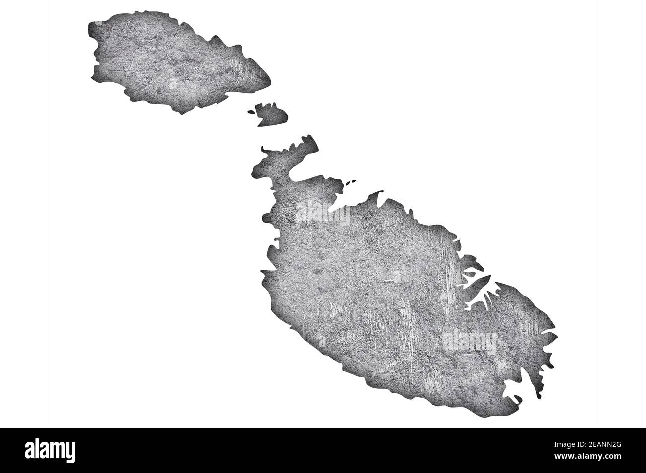 Map of Malta on weathered concrete Stock Photohttps://www.alamy.com/image-license-details/?v=1https://www.alamy.com/map-of-malta-on-weathered-concrete-image402462552.html
RF2EANN2G–Map of Malta on weathered concrete
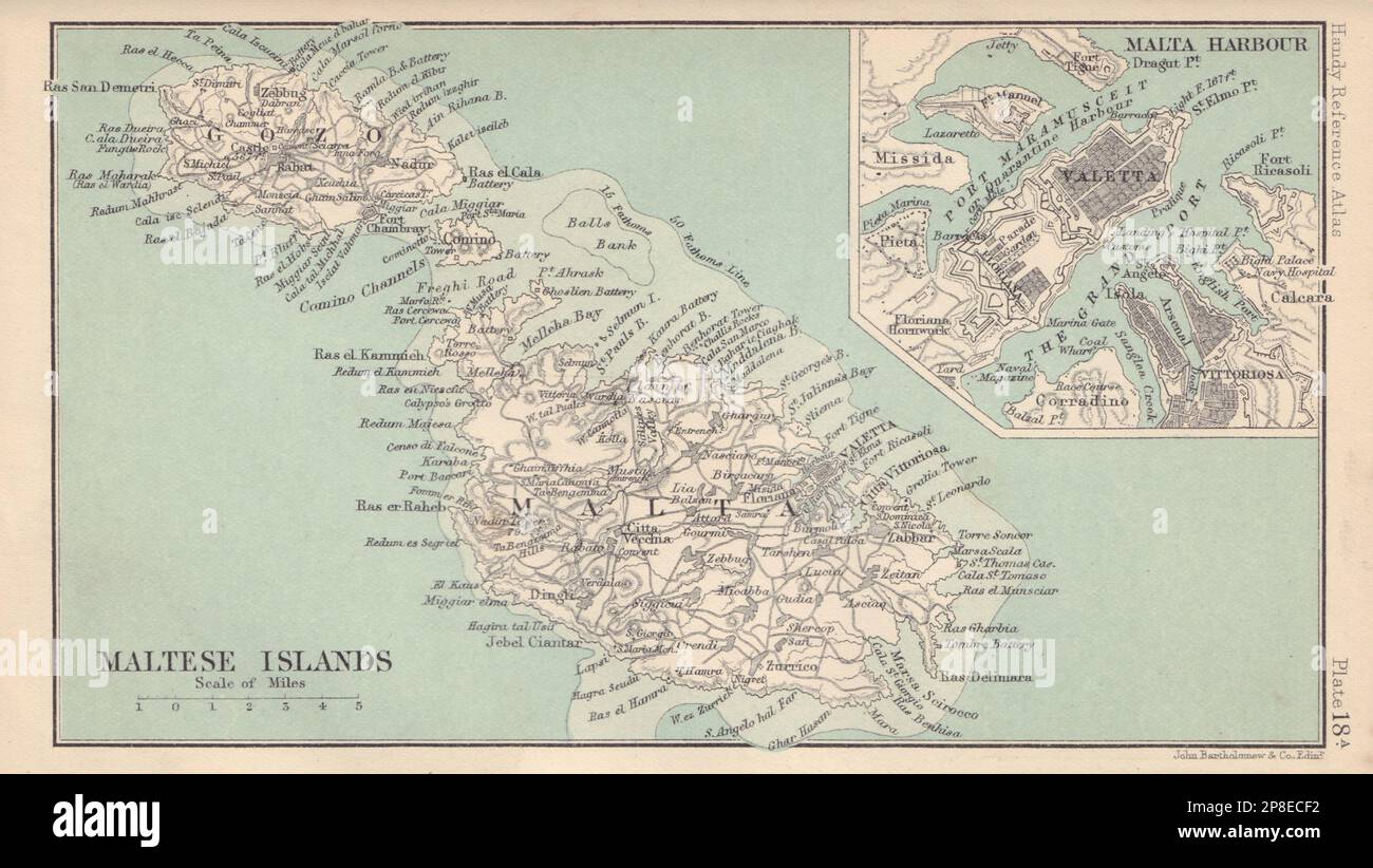 Maltese Islands. Valletta. Malta & Gozo. BARTHOLOMEW 1898 old antique map Stock Photohttps://www.alamy.com/image-license-details/?v=1https://www.alamy.com/maltese-islands-valletta-malta-gozo-bartholomew-1898-old-antique-map-image538755814.html
RF2P8ECF2–Maltese Islands. Valletta. Malta & Gozo. BARTHOLOMEW 1898 old antique map
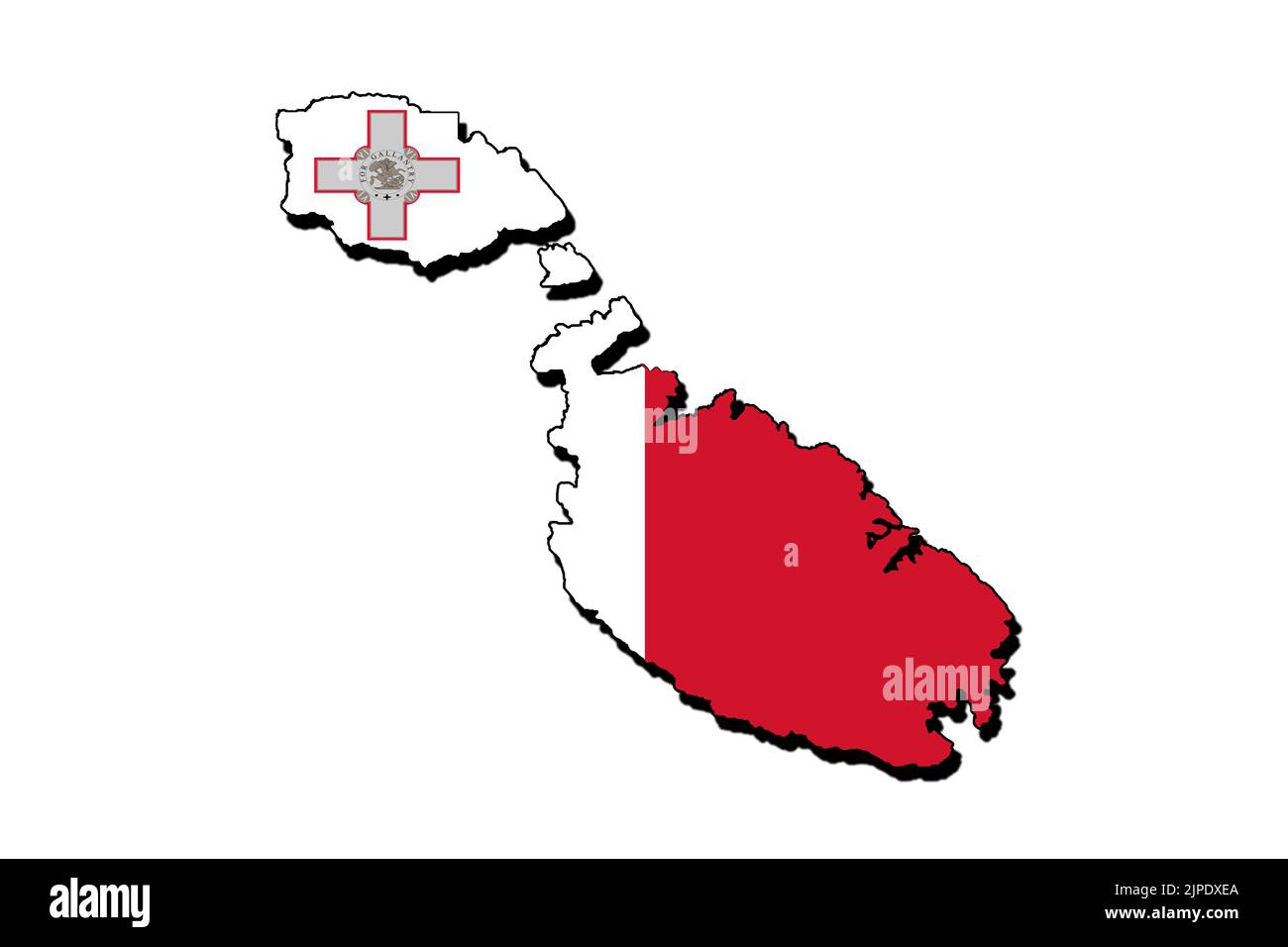 Silhouette of the map of malta with its flag Stock Photohttps://www.alamy.com/image-license-details/?v=1https://www.alamy.com/silhouette-of-the-map-of-malta-with-its-flag-image478508530.html
RF2JPDXEA–Silhouette of the map of malta with its flag
 Outline map of Malta with blue-purple gradient. Stock Vectorhttps://www.alamy.com/image-license-details/?v=1https://www.alamy.com/outline-map-of-malta-with-blue-purple-gradient-image560378897.html
RF2RFKD01–Outline map of Malta with blue-purple gradient.
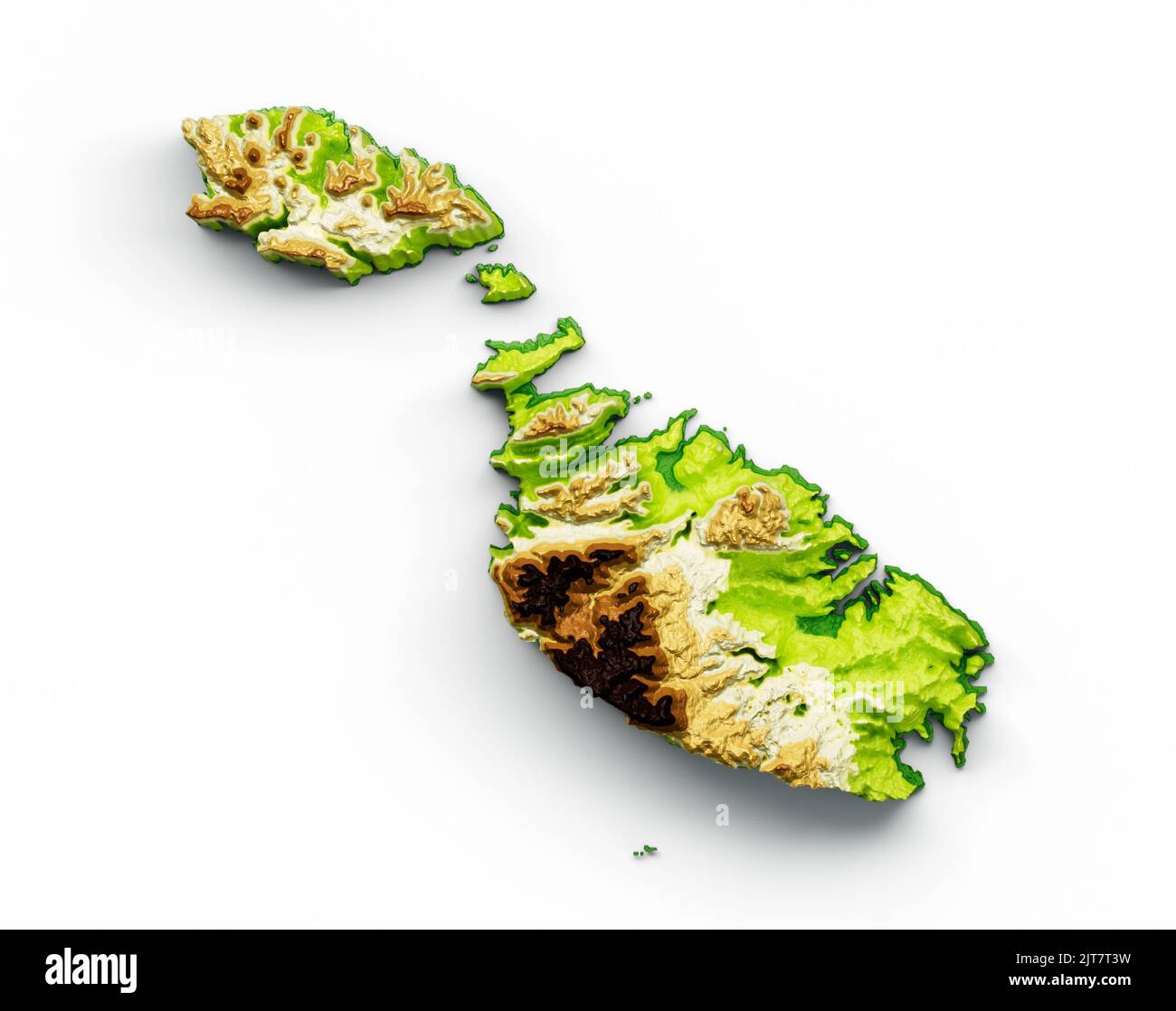 A Malta Map shaded relief color height on a white background, 3d illustration Stock Photohttps://www.alamy.com/image-license-details/?v=1https://www.alamy.com/a-malta-map-shaded-relief-color-height-on-a-white-background-3d-illustration-image479604269.html
RF2JT7T3W–A Malta Map shaded relief color height on a white background, 3d illustration
![Pianta delle fortificationi vecchie e nvove di Malta. Map information: Title: Pianta delle fortificationi vecchie e nvove di Malta. 84.99. Place of publication: [Rome] Publisher: si stampa in Roma nel Parione sotto alla Posta di Milano, Date of publication: [c. 1670?] Item type: 1 map Dimensions: 48 x 69 cm, cut below platemark Former owner: George III, King of Great Britain, 1738-1820 Stock Photo Pianta delle fortificationi vecchie e nvove di Malta. Map information: Title: Pianta delle fortificationi vecchie e nvove di Malta. 84.99. Place of publication: [Rome] Publisher: si stampa in Roma nel Parione sotto alla Posta di Milano, Date of publication: [c. 1670?] Item type: 1 map Dimensions: 48 x 69 cm, cut below platemark Former owner: George III, King of Great Britain, 1738-1820 Stock Photo](https://c8.alamy.com/comp/2E9FPRK/pianta-delle-fortificationi-vecchie-e-nvove-di-malta-map-information-title-pianta-delle-fortificationi-vecchie-e-nvove-di-malta-8499-place-of-publication-rome-publisher-si-stampa-in-roma-nel-parione-sotto-alla-posta-di-milano-date-of-publication-c-1670-item-type-1-map-dimensions-48-x-69-cm-cut-below-platemark-former-owner-george-iii-king-of-great-britain-1738-1820-2E9FPRK.jpg) Pianta delle fortificationi vecchie e nvove di Malta. Map information: Title: Pianta delle fortificationi vecchie e nvove di Malta. 84.99. Place of publication: [Rome] Publisher: si stampa in Roma nel Parione sotto alla Posta di Milano, Date of publication: [c. 1670?] Item type: 1 map Dimensions: 48 x 69 cm, cut below platemark Former owner: George III, King of Great Britain, 1738-1820 Stock Photohttps://www.alamy.com/image-license-details/?v=1https://www.alamy.com/pianta-delle-fortificationi-vecchie-e-nvove-di-malta-map-information-title-pianta-delle-fortificationi-vecchie-e-nvove-di-malta-8499-place-of-publication-rome-publisher-si-stampa-in-roma-nel-parione-sotto-alla-posta-di-milano-date-of-publication-c-1670-item-type-1-map-dimensions-48-x-69-cm-cut-below-platemark-former-owner-george-iii-king-of-great-britain-1738-1820-image401717559.html
Pianta delle fortificationi vecchie e nvove di Malta. Map information: Title: Pianta delle fortificationi vecchie e nvove di Malta. 84.99. Place of publication: [Rome] Publisher: si stampa in Roma nel Parione sotto alla Posta di Milano, Date of publication: [c. 1670?] Item type: 1 map Dimensions: 48 x 69 cm, cut below platemark Former owner: George III, King of Great Britain, 1738-1820 Stock Photohttps://www.alamy.com/image-license-details/?v=1https://www.alamy.com/pianta-delle-fortificationi-vecchie-e-nvove-di-malta-map-information-title-pianta-delle-fortificationi-vecchie-e-nvove-di-malta-8499-place-of-publication-rome-publisher-si-stampa-in-roma-nel-parione-sotto-alla-posta-di-milano-date-of-publication-c-1670-item-type-1-map-dimensions-48-x-69-cm-cut-below-platemark-former-owner-george-iii-king-of-great-britain-1738-1820-image401717559.htmlRM2E9FPRK–Pianta delle fortificationi vecchie e nvove di Malta. Map information: Title: Pianta delle fortificationi vecchie e nvove di Malta. 84.99. Place of publication: [Rome] Publisher: si stampa in Roma nel Parione sotto alla Posta di Milano, Date of publication: [c. 1670?] Item type: 1 map Dimensions: 48 x 69 cm, cut below platemark Former owner: George III, King of Great Britain, 1738-1820
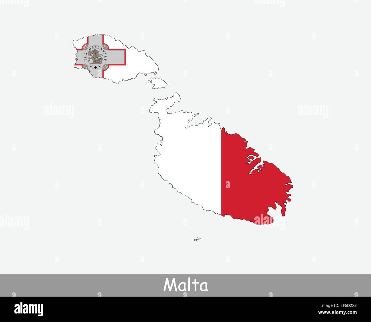 Malta Map Flag. Map of the Republic of Malta with the Maltese national flag isolated on white background. Vector Illustration. Stock Vectorhttps://www.alamy.com/image-license-details/?v=1https://www.alamy.com/malta-map-flag-map-of-the-republic-of-malta-with-the-maltese-national-flag-isolated-on-white-background-vector-illustration-image417024443.html
RF2F6D2X3–Malta Map Flag. Map of the Republic of Malta with the Maltese national flag isolated on white background. Vector Illustration.
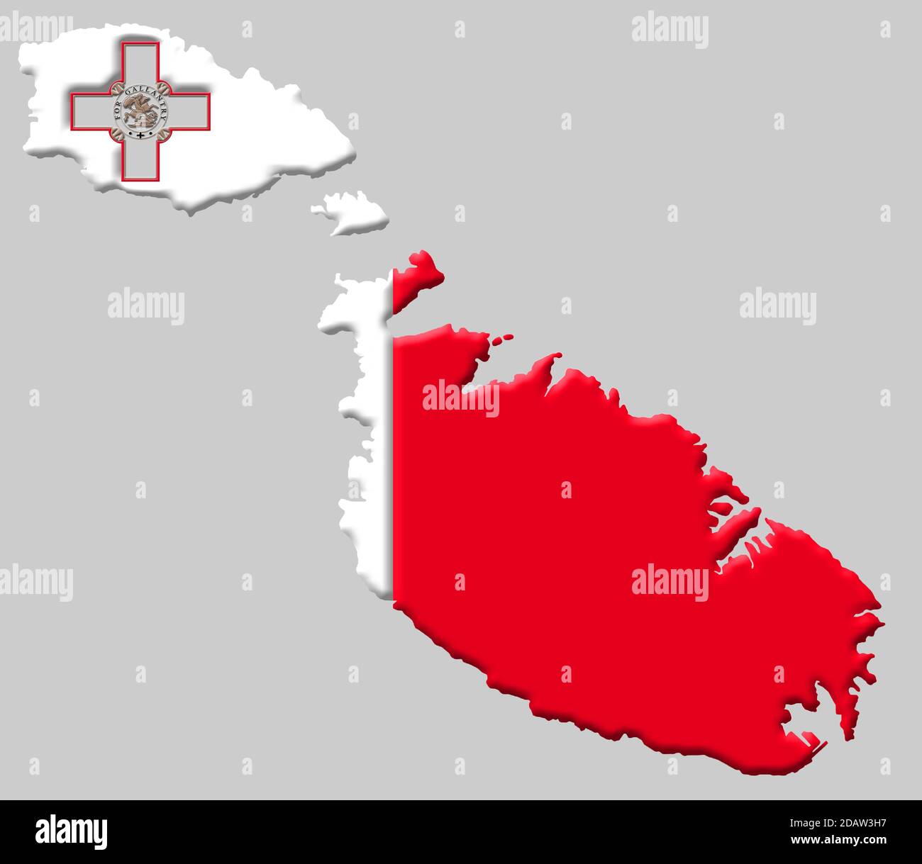 3D map of Malta with colours of the Maltese national flag Stock Photohttps://www.alamy.com/image-license-details/?v=1https://www.alamy.com/3d-map-of-malta-with-colours-of-the-maltese-national-flag-image385326291.html
RM2DAW3H7–3D map of Malta with colours of the Maltese national flag
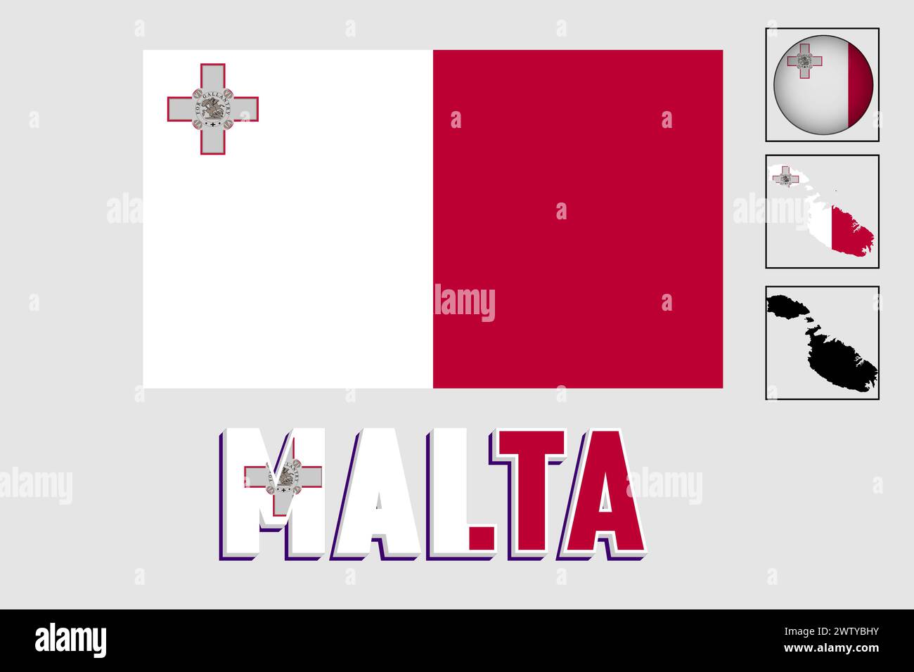 Malta flag and map in a vector graphic Stock Vectorhttps://www.alamy.com/image-license-details/?v=1https://www.alamy.com/malta-flag-and-map-in-a-vector-graphic-image600506087.html
RF2WTYBHY–Malta flag and map in a vector graphic
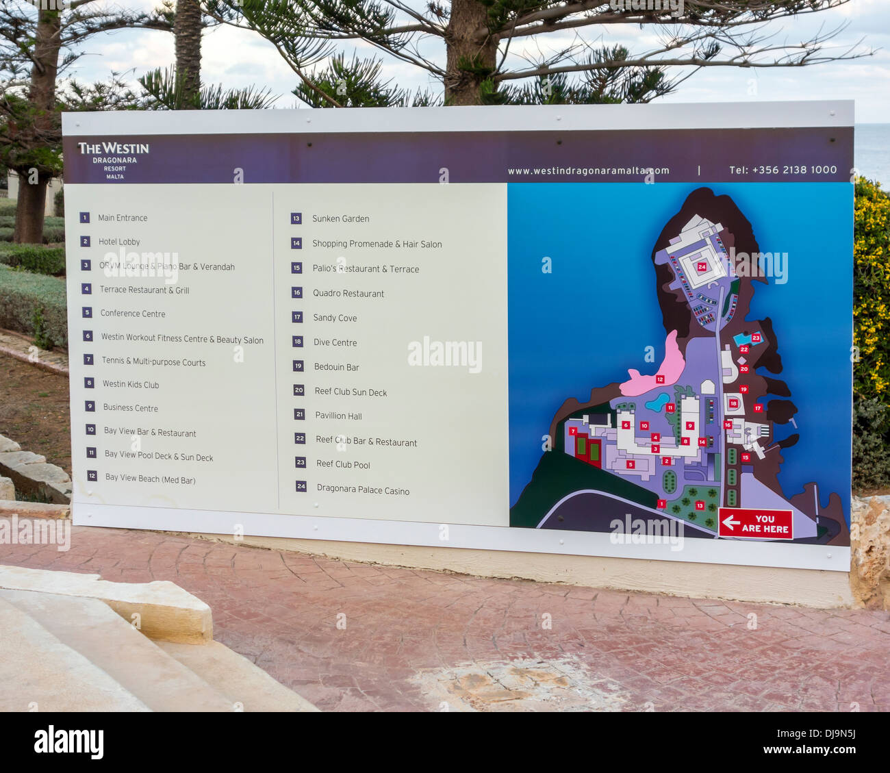 The Westin Hotel and Resort Dragonara Island of Malta Mediterranean Sea Europe Resort map showing all site amenities and service Stock Photohttps://www.alamy.com/image-license-details/?v=1https://www.alamy.com/the-westin-hotel-and-resort-dragonara-island-of-malta-mediterranean-image62909102.html
RMDJ9N5J–The Westin Hotel and Resort Dragonara Island of Malta Mediterranean Sea Europe Resort map showing all site amenities and service
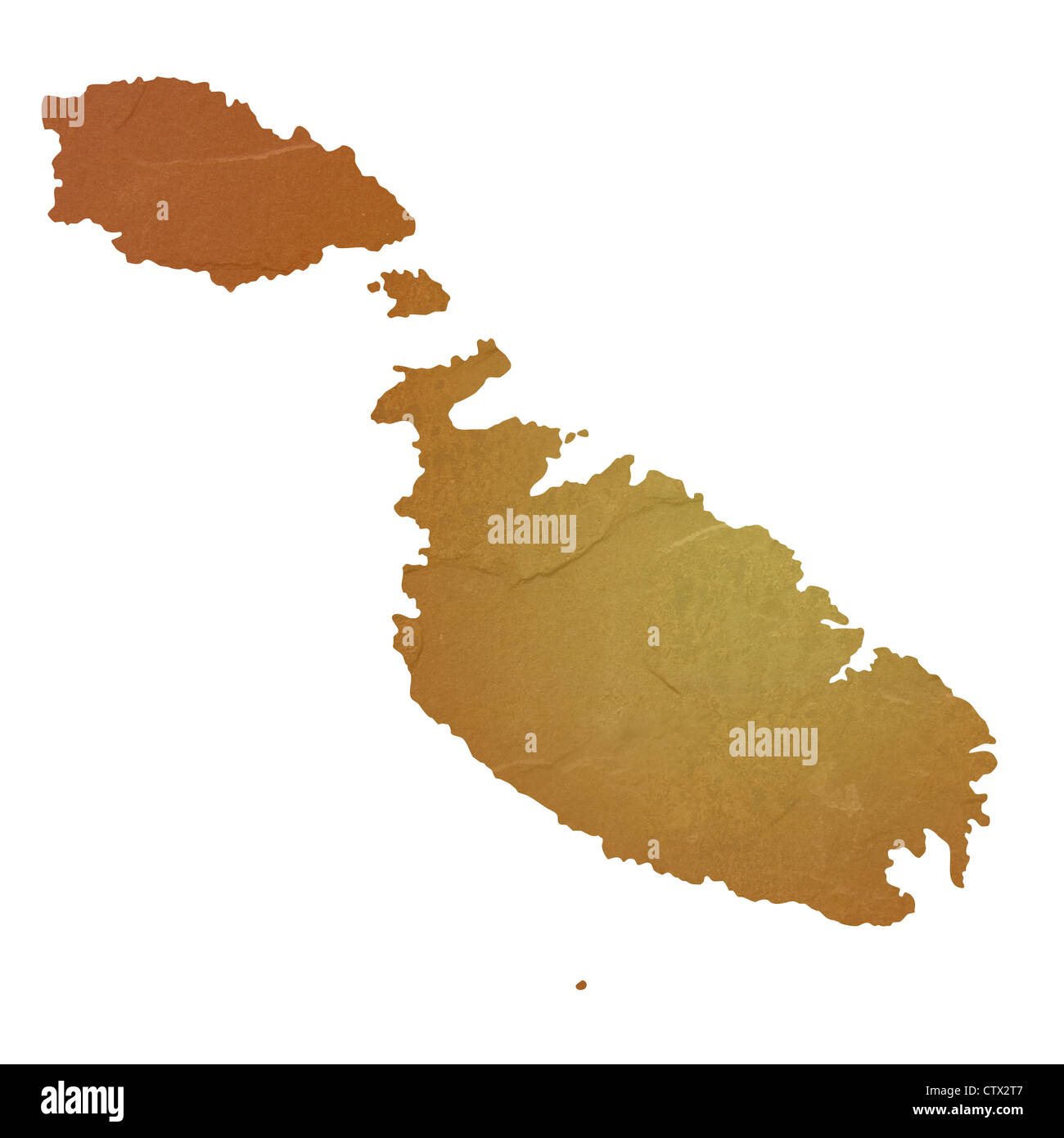 Textured map of Malta map with brown rock or stone texture, isolated on white background with clipping path. Stock Photohttps://www.alamy.com/image-license-details/?v=1https://www.alamy.com/stock-photo-textured-map-of-malta-map-with-brown-rock-or-stone-texture-isolated-49745479.html
RMCTX2T7–Textured map of Malta map with brown rock or stone texture, isolated on white background with clipping path.
RF2DF5D26–malta map icon logo vector symbol
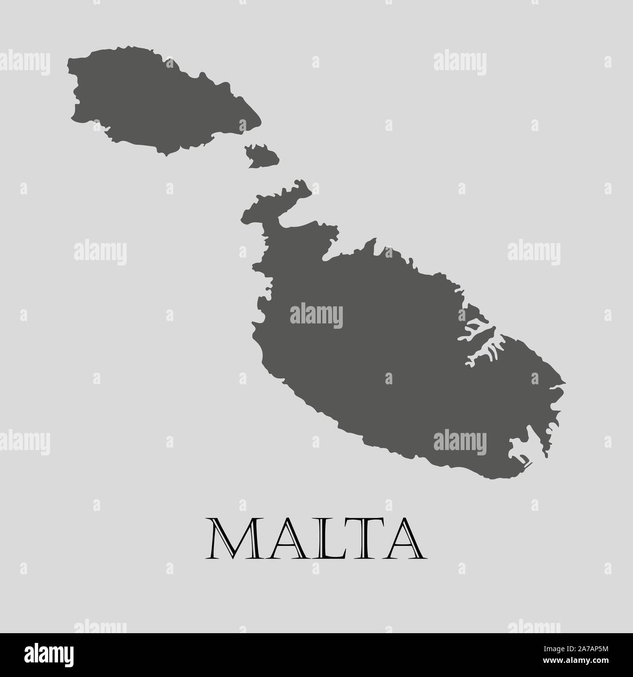 Gray Malta map on light grey background. Gray Malta map - vector illustration. Stock Vectorhttps://www.alamy.com/image-license-details/?v=1https://www.alamy.com/gray-malta-map-on-light-grey-background-gray-malta-map-vector-illustration-image331536512.html
RF2A7AP5M–Gray Malta map on light grey background. Gray Malta map - vector illustration.
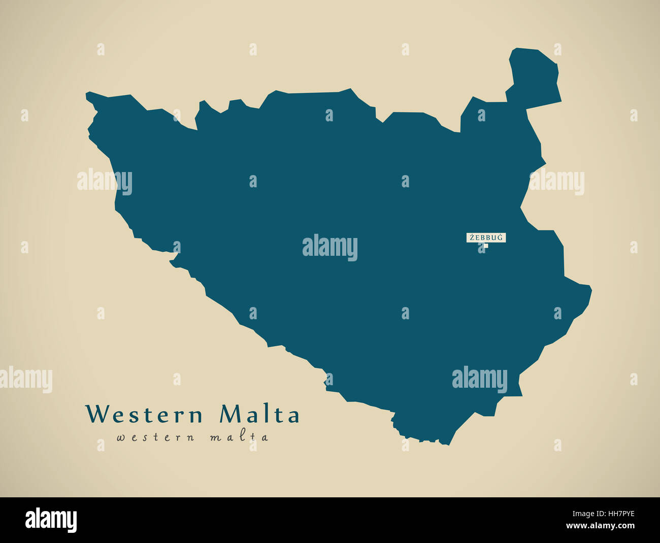 Modern Map - Western Malta MT illustration Stock Photohttps://www.alamy.com/image-license-details/?v=1https://www.alamy.com/stock-photo-modern-map-western-malta-mt-illustration-131093410.html
RFHH7PYE–Modern Map - Western Malta MT illustration
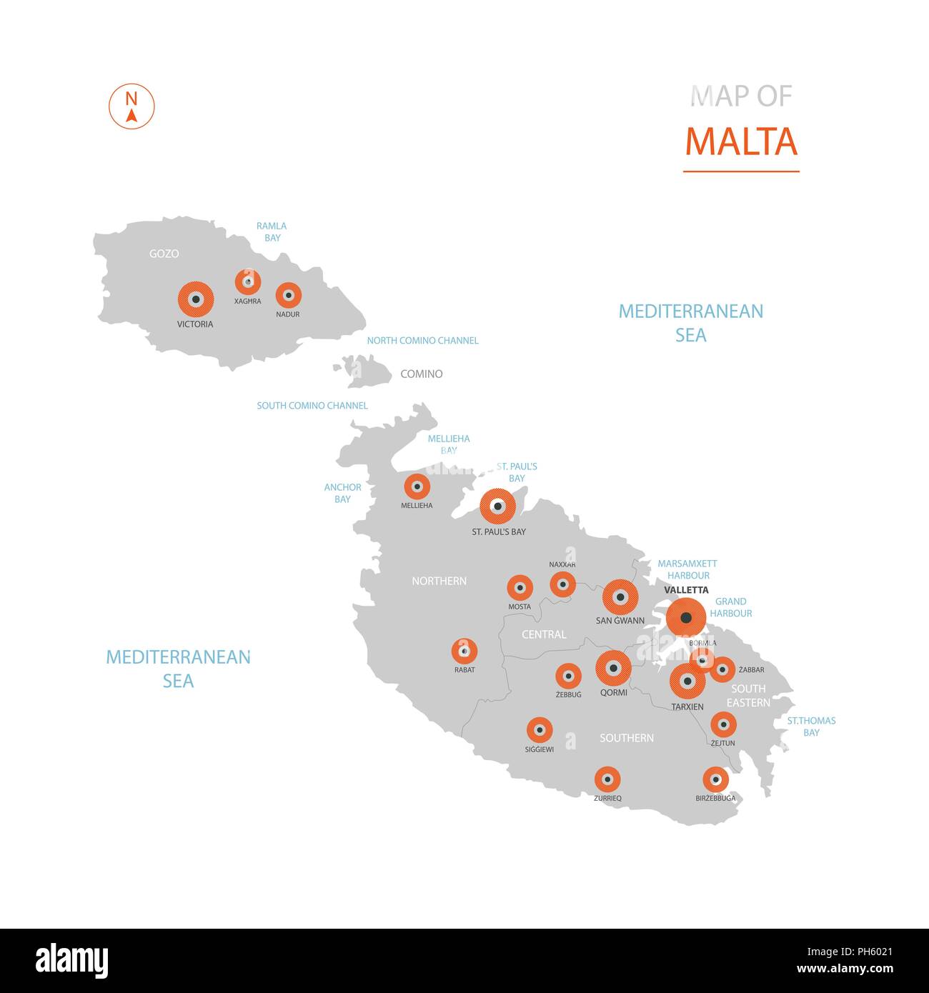 Stylized vector Malta map showing big cities, capital Valletta, administrative divisions. Stock Vectorhttps://www.alamy.com/image-license-details/?v=1https://www.alamy.com/stylized-vector-malta-map-showing-big-cities-capital-valletta-administrative-divisions-image217105337.html
RFPH6021–Stylized vector Malta map showing big cities, capital Valletta, administrative divisions.
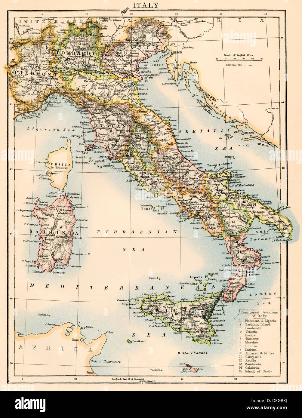 Map of Italy, 1870s. Color lithograph Stock Photohttps://www.alamy.com/image-license-details/?v=1https://www.alamy.com/map-of-italy-1870s-color-lithograph-image60596890.html
RMDEGBXJ–Map of Italy, 1870s. Color lithograph
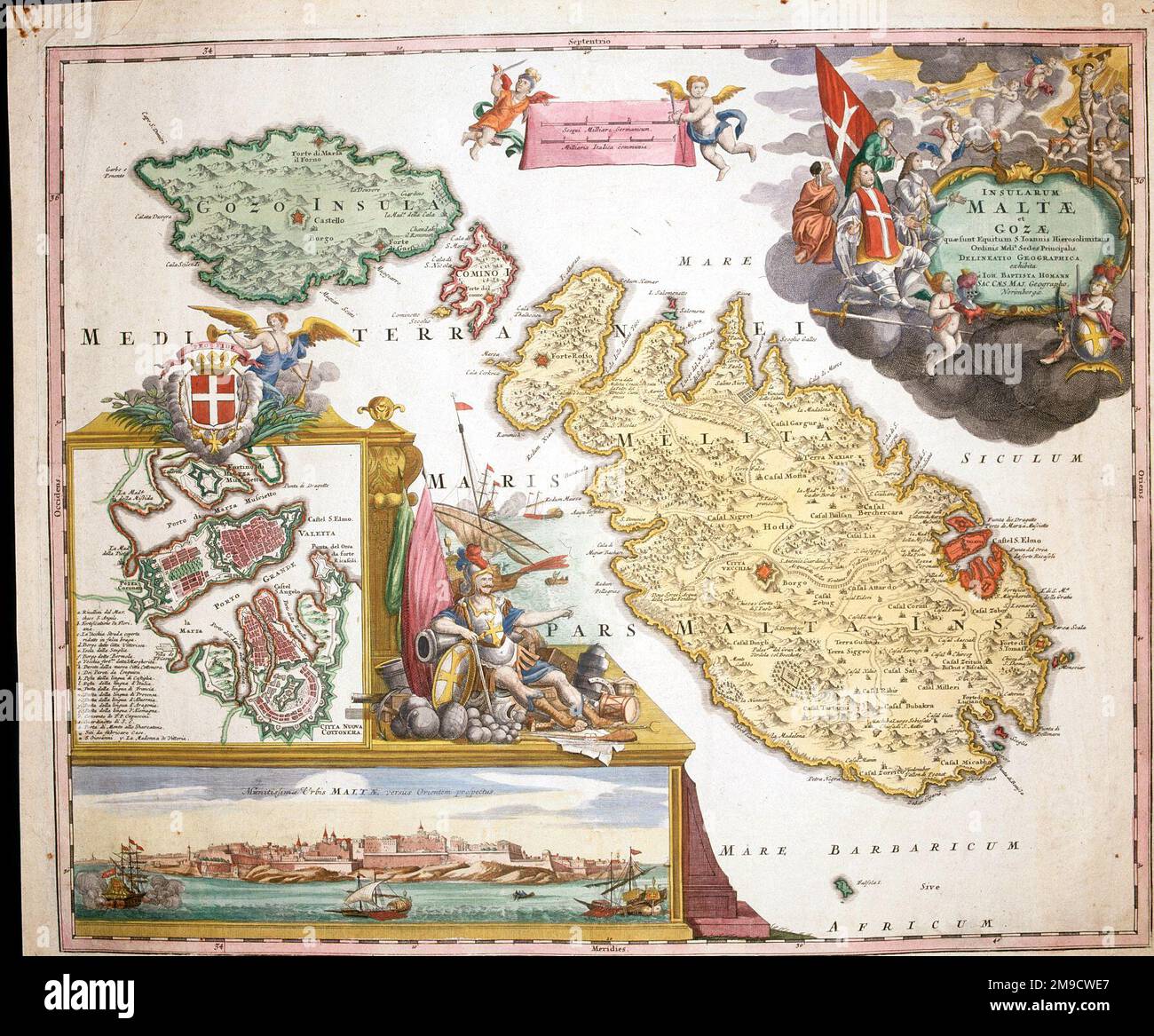 18th century Map of Malta and Gozo with plan of Valetta Stock Photohttps://www.alamy.com/image-license-details/?v=1https://www.alamy.com/18th-century-map-of-malta-and-gozo-with-plan-of-valetta-image504915999.html
RM2M9CWE7–18th century Map of Malta and Gozo with plan of Valetta
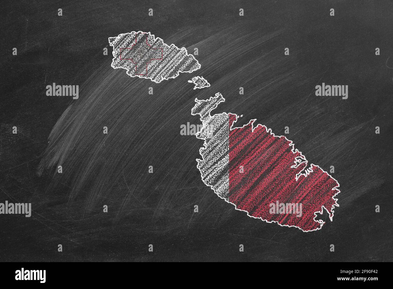 Country map and flag of Malta drawing with chalk on a blackboard. One of a large series of maps and flags of different countries. Education, travel, s Stock Photohttps://www.alamy.com/image-license-details/?v=1https://www.alamy.com/country-map-and-flag-of-malta-drawing-with-chalk-on-a-blackboard-one-of-a-large-series-of-maps-and-flags-of-different-countries-education-travel-s-image418592610.html
RF2F90F42–Country map and flag of Malta drawing with chalk on a blackboard. One of a large series of maps and flags of different countries. Education, travel, s
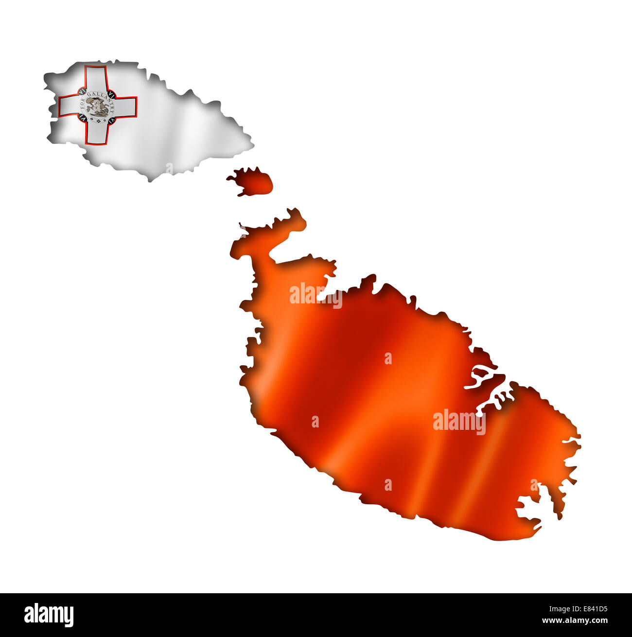 Malta flag map, three dimensional render, isolated on white Stock Photohttps://www.alamy.com/image-license-details/?v=1https://www.alamy.com/stock-photo-malta-flag-map-three-dimensional-render-isolated-on-white-73847681.html
RFE841D5–Malta flag map, three dimensional render, isolated on white
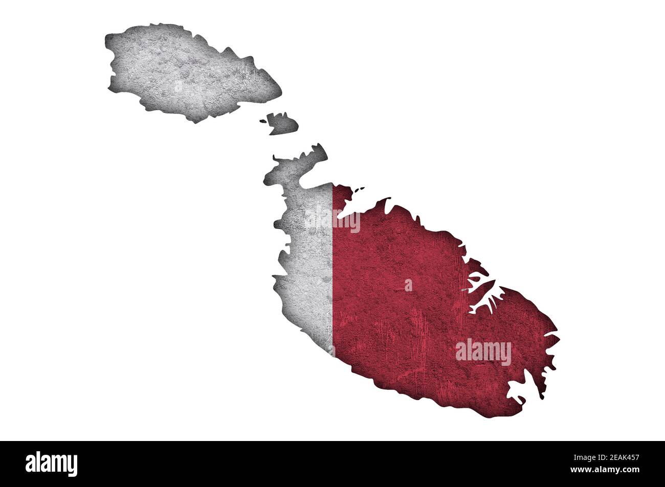 Map and flag of Malta on weathered concrete Stock Photohttps://www.alamy.com/image-license-details/?v=1https://www.alamy.com/map-and-flag-of-malta-on-weathered-concrete-image402405395.html
RF2EAK457–Map and flag of Malta on weathered concrete
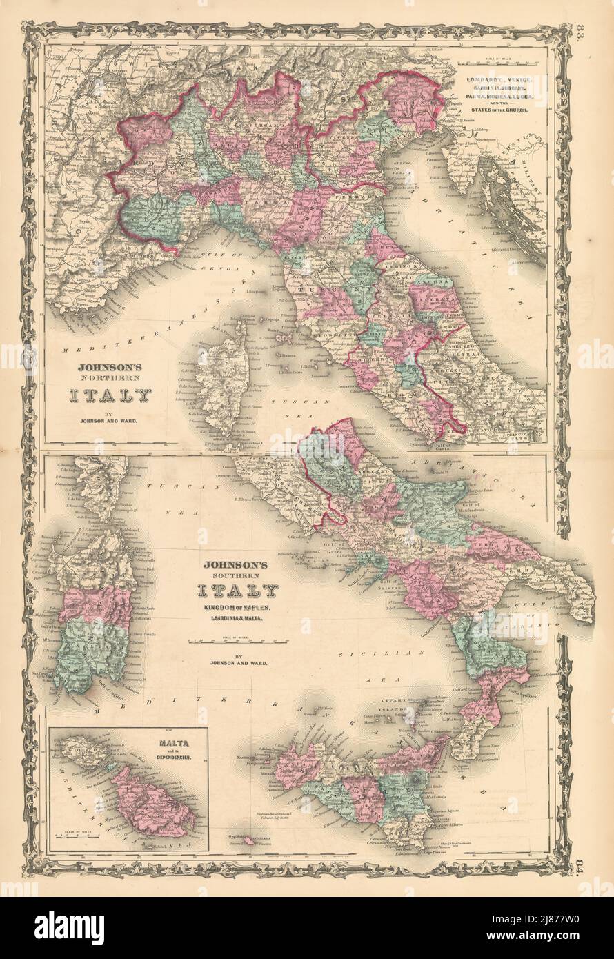 Johnson's Northern & Southern Italy. Malta. Unusual juxtaposition 1862 old map Stock Photohttps://www.alamy.com/image-license-details/?v=1https://www.alamy.com/johnsons-northern-southern-italy-malta-unusual-juxtaposition-1862-old-map-image469757036.html
RF2J877W0–Johnson's Northern & Southern Italy. Malta. Unusual juxtaposition 1862 old map
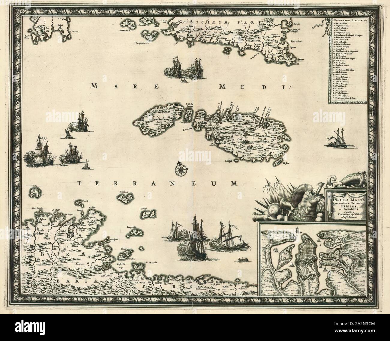 Map, Insula Malta, Frederick de Wit (1610-1698), Copperplate print Stock Photohttps://www.alamy.com/image-license-details/?v=1https://www.alamy.com/map-insula-malta-frederick-de-wit-1610-1698-copperplate-print-image328690004.html
RM2A2N3CM–Map, Insula Malta, Frederick de Wit (1610-1698), Copperplate print
 Isometric stylized simplified 3D map of Malta Stock Vectorhttps://www.alamy.com/image-license-details/?v=1https://www.alamy.com/isometric-stylized-simplified-3d-map-of-malta-image616741782.html
RF2XRB0C6–Isometric stylized simplified 3D map of Malta
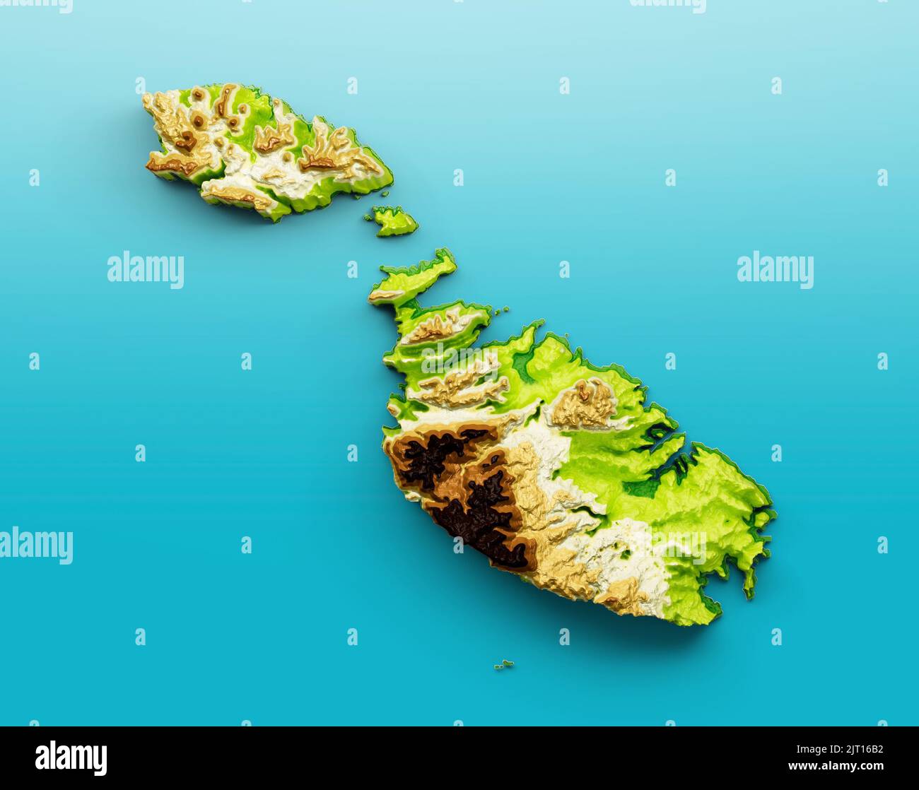 A 3D illustration of the map of Malta isolated on a blue sea background Stock Photohttps://www.alamy.com/image-license-details/?v=1https://www.alamy.com/a-3d-illustration-of-the-map-of-malta-isolated-on-a-blue-sea-background-image479458646.html
RF2JT16B2–A 3D illustration of the map of Malta isolated on a blue sea background
![Nieuwe Afteekening van de Eylanden van Gozo en Melite of Malta Map information: Title: Nieuwe Afteekening van de Eylanden van Gozo en Melite of Malta 84.90. Place of publication: te Amsterdam Publisher: by Gerard van Keulen Boek en zee-kaert verkooper aen de Nieuwen-brug met Previlegie voor 15 Iaere, Date of publication: [c. 1716] Item type: 1 map Medium: hand coloured Dimensions: 50 x 58 cm to platemark Former owner: George III, King of Great Britain, 1738-1820 Stock Photo Nieuwe Afteekening van de Eylanden van Gozo en Melite of Malta Map information: Title: Nieuwe Afteekening van de Eylanden van Gozo en Melite of Malta 84.90. Place of publication: te Amsterdam Publisher: by Gerard van Keulen Boek en zee-kaert verkooper aen de Nieuwen-brug met Previlegie voor 15 Iaere, Date of publication: [c. 1716] Item type: 1 map Medium: hand coloured Dimensions: 50 x 58 cm to platemark Former owner: George III, King of Great Britain, 1738-1820 Stock Photo](https://c8.alamy.com/comp/2E9FPPX/nieuwe-afteekening-van-de-eylanden-van-gozo-en-melite-of-malta-map-information-title-nieuwe-afteekening-van-de-eylanden-van-gozo-en-melite-of-malta-8490-place-of-publication-te-amsterdam-publisher-by-gerard-van-keulen-boek-en-zee-kaert-verkooper-aen-de-nieuwen-brug-met-previlegie-voor-15-iaere-date-of-publication-c-1716-item-type-1-map-medium-hand-coloured-dimensions-50-x-58-cm-to-platemark-former-owner-george-iii-king-of-great-britain-1738-1820-2E9FPPX.jpg) Nieuwe Afteekening van de Eylanden van Gozo en Melite of Malta Map information: Title: Nieuwe Afteekening van de Eylanden van Gozo en Melite of Malta 84.90. Place of publication: te Amsterdam Publisher: by Gerard van Keulen Boek en zee-kaert verkooper aen de Nieuwen-brug met Previlegie voor 15 Iaere, Date of publication: [c. 1716] Item type: 1 map Medium: hand coloured Dimensions: 50 x 58 cm to platemark Former owner: George III, King of Great Britain, 1738-1820 Stock Photohttps://www.alamy.com/image-license-details/?v=1https://www.alamy.com/nieuwe-afteekening-van-de-eylanden-van-gozo-en-melite-of-malta-map-information-title-nieuwe-afteekening-van-de-eylanden-van-gozo-en-melite-of-malta-8490-place-of-publication-te-amsterdam-publisher-by-gerard-van-keulen-boek-en-zee-kaert-verkooper-aen-de-nieuwen-brug-met-previlegie-voor-15-iaere-date-of-publication-c-1716-item-type-1-map-medium-hand-coloured-dimensions-50-x-58-cm-to-platemark-former-owner-george-iii-king-of-great-britain-1738-1820-image401717538.html
Nieuwe Afteekening van de Eylanden van Gozo en Melite of Malta Map information: Title: Nieuwe Afteekening van de Eylanden van Gozo en Melite of Malta 84.90. Place of publication: te Amsterdam Publisher: by Gerard van Keulen Boek en zee-kaert verkooper aen de Nieuwen-brug met Previlegie voor 15 Iaere, Date of publication: [c. 1716] Item type: 1 map Medium: hand coloured Dimensions: 50 x 58 cm to platemark Former owner: George III, King of Great Britain, 1738-1820 Stock Photohttps://www.alamy.com/image-license-details/?v=1https://www.alamy.com/nieuwe-afteekening-van-de-eylanden-van-gozo-en-melite-of-malta-map-information-title-nieuwe-afteekening-van-de-eylanden-van-gozo-en-melite-of-malta-8490-place-of-publication-te-amsterdam-publisher-by-gerard-van-keulen-boek-en-zee-kaert-verkooper-aen-de-nieuwen-brug-met-previlegie-voor-15-iaere-date-of-publication-c-1716-item-type-1-map-medium-hand-coloured-dimensions-50-x-58-cm-to-platemark-former-owner-george-iii-king-of-great-britain-1738-1820-image401717538.htmlRM2E9FPPX–Nieuwe Afteekening van de Eylanden van Gozo en Melite of Malta Map information: Title: Nieuwe Afteekening van de Eylanden van Gozo en Melite of Malta 84.90. Place of publication: te Amsterdam Publisher: by Gerard van Keulen Boek en zee-kaert verkooper aen de Nieuwen-brug met Previlegie voor 15 Iaere, Date of publication: [c. 1716] Item type: 1 map Medium: hand coloured Dimensions: 50 x 58 cm to platemark Former owner: George III, King of Great Britain, 1738-1820
