Quick filters:
Mancelona michigan map Stock Photos and Images
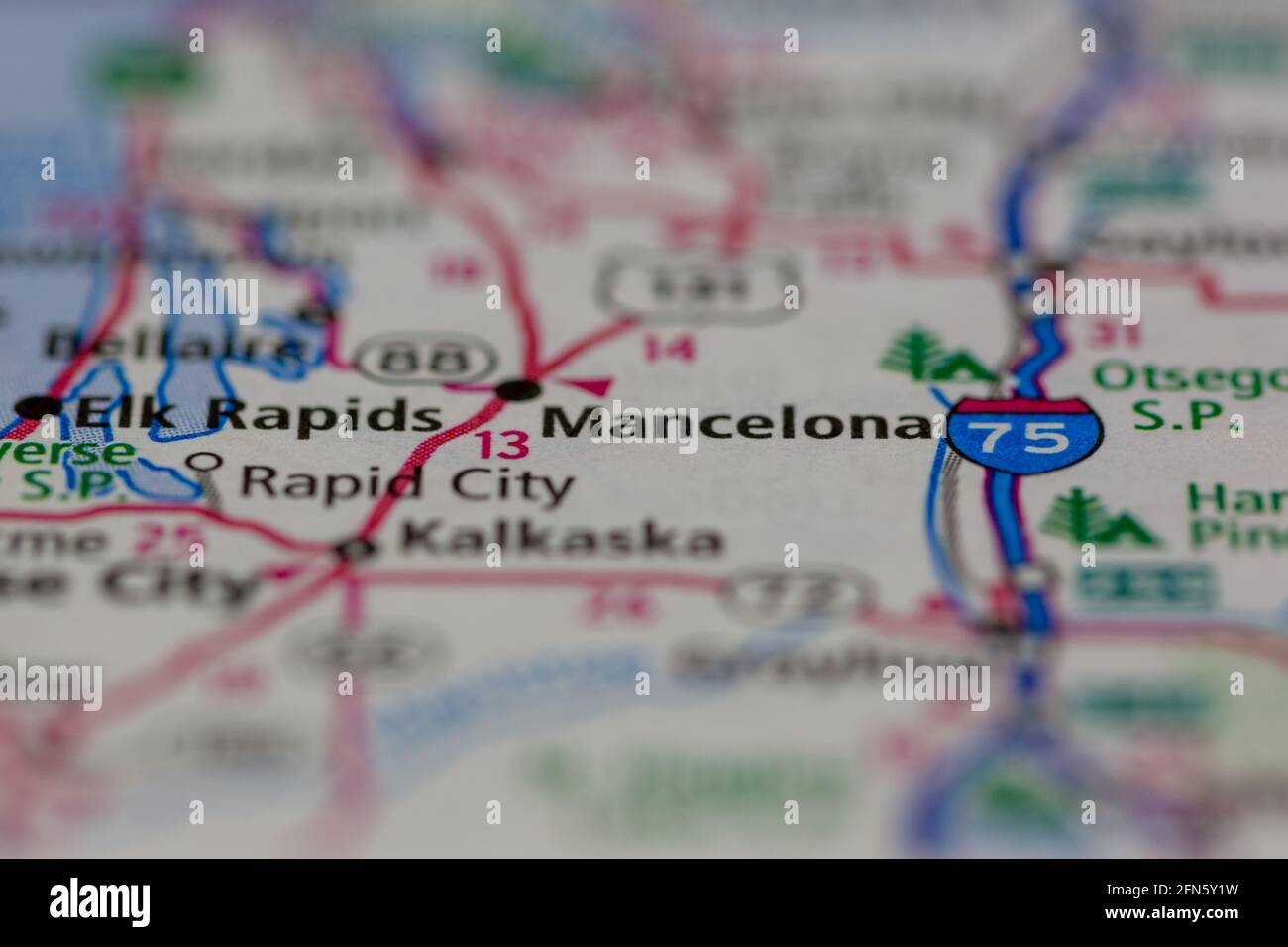 Mancelona Michigan USA shown on a Geography map or road map Stock Photohttps://www.alamy.com/image-license-details/?v=1https://www.alamy.com/mancelona-michigan-usa-shown-on-a-geography-map-or-road-map-image426087589.html
RM2FN5Y1W–Mancelona Michigan USA shown on a Geography map or road map
 Mancelona, Antrim County, US, United States, Michigan, N 44 54' 8'', S 85 3' 39'', map, Cartascapes Map published in 2024. Explore Cartascapes, a map revealing Earth's diverse landscapes, cultures, and ecosystems. Journey through time and space, discovering the interconnectedness of our planet's past, present, and future. Stock Photohttps://www.alamy.com/image-license-details/?v=1https://www.alamy.com/mancelona-antrim-county-us-united-states-michigan-n-44-54-8-s-85-3-39-map-cartascapes-map-published-in-2024-explore-cartascapes-a-map-revealing-earths-diverse-landscapes-cultures-and-ecosystems-journey-through-time-and-space-discovering-the-interconnectedness-of-our-planets-past-present-and-future-image621152707.html
RM2Y2FXH7–Mancelona, Antrim County, US, United States, Michigan, N 44 54' 8'', S 85 3' 39'', map, Cartascapes Map published in 2024. Explore Cartascapes, a map revealing Earth's diverse landscapes, cultures, and ecosystems. Journey through time and space, discovering the interconnectedness of our planet's past, present, and future.
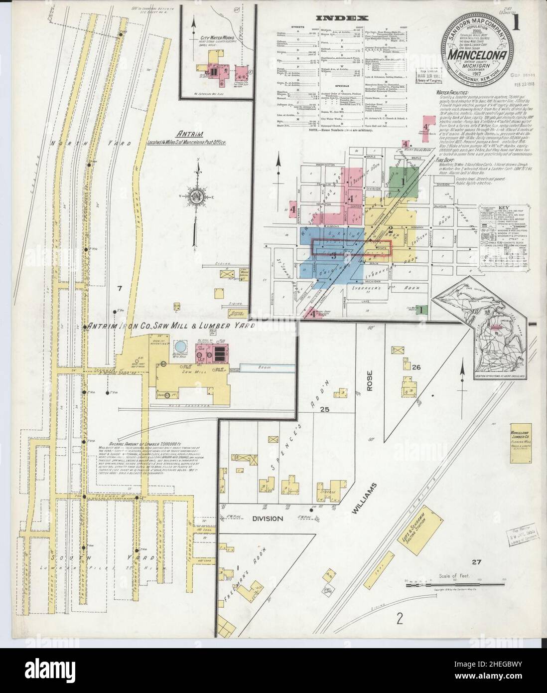 Sanborn Fire Insurance Map from Mancelona, Antrim County, Michigan. Stock Photohttps://www.alamy.com/image-license-details/?v=1https://www.alamy.com/sanborn-fire-insurance-map-from-mancelona-antrim-county-michigan-image456435335.html
RM2HEGBWY–Sanborn Fire Insurance Map from Mancelona, Antrim County, Michigan.
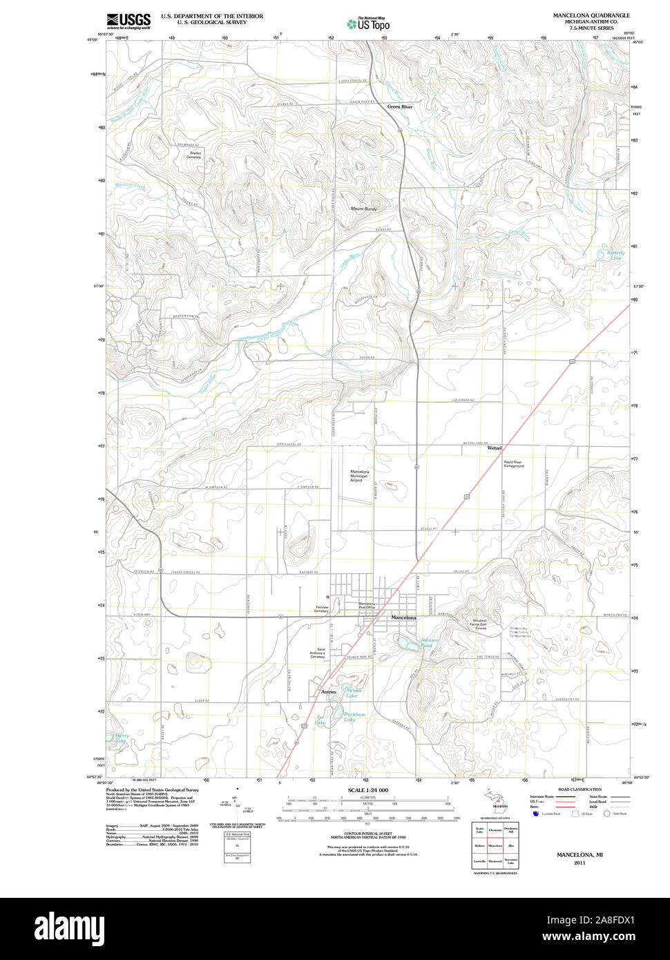 USGS TOPO Map Michigan MI Mancelona 20110927 TM Stock Photohttps://www.alamy.com/image-license-details/?v=1https://www.alamy.com/usgs-topo-map-michigan-mi-mancelona-20110927-tm-image332254441.html
RM2A8FDX1–USGS TOPO Map Michigan MI Mancelona 20110927 TM
 Mancelona, Antrim County, US, United States, Michigan, N 44 54' 8'', S 85 3' 39'', map, Cartascapes Map published in 2024. Explore Cartascapes, a map revealing Earth's diverse landscapes, cultures, and ecosystems. Journey through time and space, discovering the interconnectedness of our planet's past, present, and future. Stock Photohttps://www.alamy.com/image-license-details/?v=1https://www.alamy.com/mancelona-antrim-county-us-united-states-michigan-n-44-54-8-s-85-3-39-map-cartascapes-map-published-in-2024-explore-cartascapes-a-map-revealing-earths-diverse-landscapes-cultures-and-ecosystems-journey-through-time-and-space-discovering-the-interconnectedness-of-our-planets-past-present-and-future-image621206066.html
RM2Y2JAJX–Mancelona, Antrim County, US, United States, Michigan, N 44 54' 8'', S 85 3' 39'', map, Cartascapes Map published in 2024. Explore Cartascapes, a map revealing Earth's diverse landscapes, cultures, and ecosystems. Journey through time and space, discovering the interconnectedness of our planet's past, present, and future.
 Sanborn Fire Insurance Map from Mancelona, Antrim County, Michigan. Stock Photohttps://www.alamy.com/image-license-details/?v=1https://www.alamy.com/sanborn-fire-insurance-map-from-mancelona-antrim-county-michigan-image456435361.html
RM2HEGBXW–Sanborn Fire Insurance Map from Mancelona, Antrim County, Michigan.
 USGS TOPO Map Michigan MI Mancelona 278294 1956 62500 Stock Photohttps://www.alamy.com/image-license-details/?v=1https://www.alamy.com/usgs-topo-map-michigan-mi-mancelona-278294-1956-62500-image332254542.html
RM2A8FE1J–USGS TOPO Map Michigan MI Mancelona 278294 1956 62500
 Township of Mancelona, Antrim County, US, United States, Michigan, N 44 54' 7'', S 84 58' 12'', map, Cartascapes Map published in 2024. Explore Cartascapes, a map revealing Earth's diverse landscapes, cultures, and ecosystems. Journey through time and space, discovering the interconnectedness of our planet's past, present, and future. Stock Photohttps://www.alamy.com/image-license-details/?v=1https://www.alamy.com/township-of-mancelona-antrim-county-us-united-states-michigan-n-44-54-7-s-84-58-12-map-cartascapes-map-published-in-2024-explore-cartascapes-a-map-revealing-earths-diverse-landscapes-cultures-and-ecosystems-journey-through-time-and-space-discovering-the-interconnectedness-of-our-planets-past-present-and-future-image633873386.html
RM2YR7BY6–Township of Mancelona, Antrim County, US, United States, Michigan, N 44 54' 7'', S 84 58' 12'', map, Cartascapes Map published in 2024. Explore Cartascapes, a map revealing Earth's diverse landscapes, cultures, and ecosystems. Journey through time and space, discovering the interconnectedness of our planet's past, present, and future.
 Sanborn Fire Insurance Map from Mancelona, Antrim County, Michigan. Stock Photohttps://www.alamy.com/image-license-details/?v=1https://www.alamy.com/sanborn-fire-insurance-map-from-mancelona-antrim-county-michigan-image456435349.html
RM2HEGBXD–Sanborn Fire Insurance Map from Mancelona, Antrim County, Michigan.
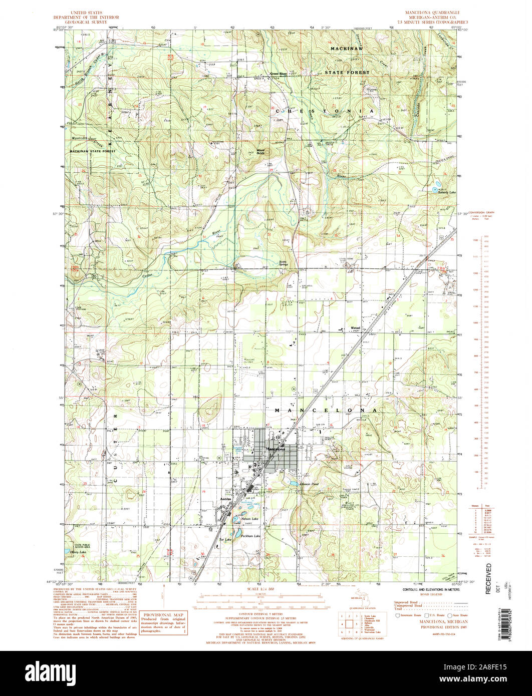 USGS TOPO Map Michigan MI Mancelona 276570 1985 24000 Stock Photohttps://www.alamy.com/image-license-details/?v=1https://www.alamy.com/usgs-topo-map-michigan-mi-mancelona-276570-1985-24000-image332254529.html
RM2A8FE15–USGS TOPO Map Michigan MI Mancelona 276570 1985 24000
 Village of Mancelona, Antrim County, US, United States, Michigan, N 44 54' 8'', S 85 3' 40'', map, Cartascapes Map published in 2024. Explore Cartascapes, a map revealing Earth's diverse landscapes, cultures, and ecosystems. Journey through time and space, discovering the interconnectedness of our planet's past, present, and future. Stock Photohttps://www.alamy.com/image-license-details/?v=1https://www.alamy.com/village-of-mancelona-antrim-county-us-united-states-michigan-n-44-54-8-s-85-3-40-map-cartascapes-map-published-in-2024-explore-cartascapes-a-map-revealing-earths-diverse-landscapes-cultures-and-ecosystems-journey-through-time-and-space-discovering-the-interconnectedness-of-our-planets-past-present-and-future-image633901997.html
RM2YR8MD1–Village of Mancelona, Antrim County, US, United States, Michigan, N 44 54' 8'', S 85 3' 40'', map, Cartascapes Map published in 2024. Explore Cartascapes, a map revealing Earth's diverse landscapes, cultures, and ecosystems. Journey through time and space, discovering the interconnectedness of our planet's past, present, and future.
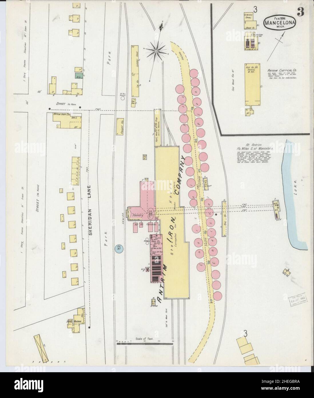 Sanborn Fire Insurance Map from Mancelona, Antrim County, Michigan. Stock Photohttps://www.alamy.com/image-license-details/?v=1https://www.alamy.com/sanborn-fire-insurance-map-from-mancelona-antrim-county-michigan-image456435262.html
RM2HEGBRA–Sanborn Fire Insurance Map from Mancelona, Antrim County, Michigan.
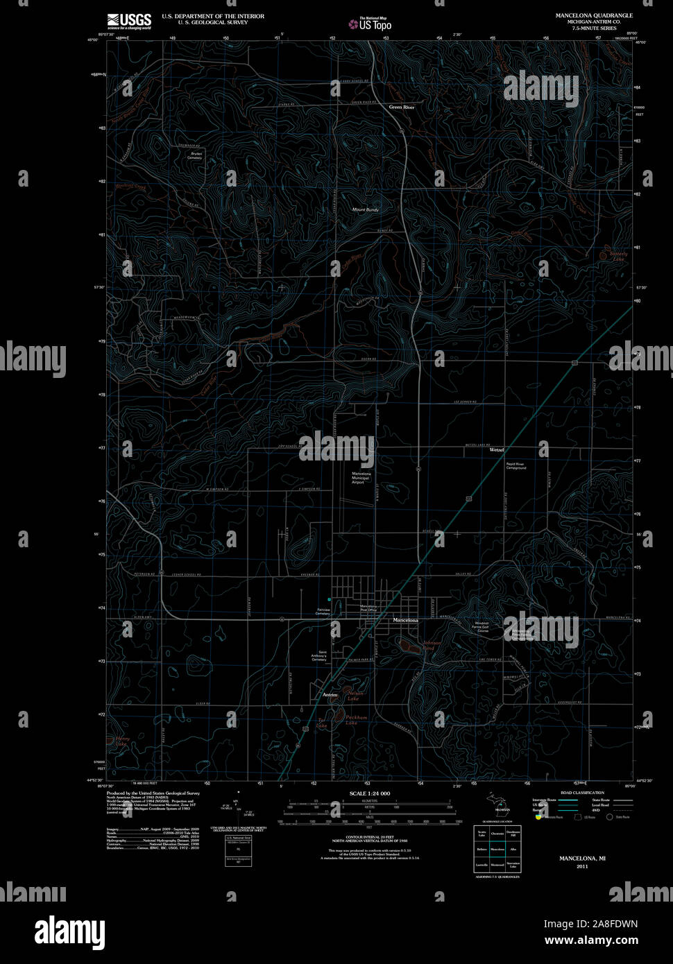 USGS TOPO Map Michigan MI Mancelona 20110927 TM Inverted Stock Photohttps://www.alamy.com/image-license-details/?v=1https://www.alamy.com/usgs-topo-map-michigan-mi-mancelona-20110927-tm-inverted-image332254433.html
RM2A8FDWN–USGS TOPO Map Michigan MI Mancelona 20110927 TM Inverted
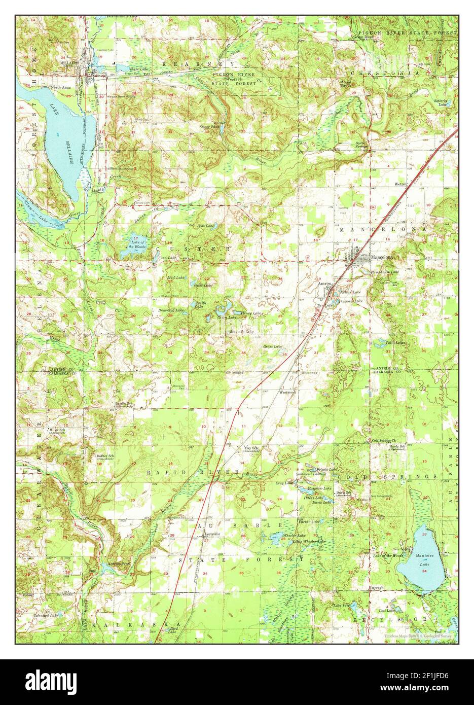 Mancelona, Michigan, map 1956, 1:62500, United States of America by Timeless Maps, data U.S. Geological Survey Stock Photohttps://www.alamy.com/image-license-details/?v=1https://www.alamy.com/mancelona-michigan-map-1956-162500-united-states-of-america-by-timeless-maps-data-us-geological-survey-image414070754.html
RM2F1JFD6–Mancelona, Michigan, map 1956, 1:62500, United States of America by Timeless Maps, data U.S. Geological Survey
 Sanborn Fire Insurance Map from Mancelona, Antrim County, Michigan. Stock Photohttps://www.alamy.com/image-license-details/?v=1https://www.alamy.com/sanborn-fire-insurance-map-from-mancelona-antrim-county-michigan-image456435370.html
RM2HEGBY6–Sanborn Fire Insurance Map from Mancelona, Antrim County, Michigan.
 USGS TOPO Map Michigan MI Mancelona 278295 1956 62500 Stock Photohttps://www.alamy.com/image-license-details/?v=1https://www.alamy.com/usgs-topo-map-michigan-mi-mancelona-278295-1956-62500-image332254589.html
RM2A8FE39–USGS TOPO Map Michigan MI Mancelona 278295 1956 62500
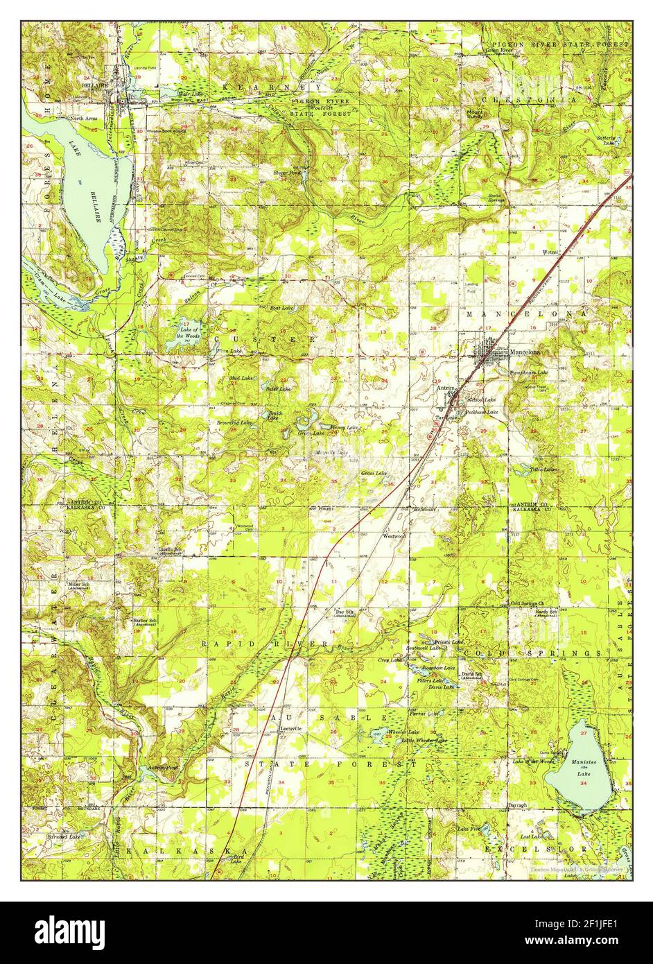 Mancelona, Michigan, map 1956, 1:62500, United States of America by Timeless Maps, data U.S. Geological Survey Stock Photohttps://www.alamy.com/image-license-details/?v=1https://www.alamy.com/mancelona-michigan-map-1956-162500-united-states-of-america-by-timeless-maps-data-us-geological-survey-image414070777.html
RM2F1JFE1–Mancelona, Michigan, map 1956, 1:62500, United States of America by Timeless Maps, data U.S. Geological Survey
 Sanborn Fire Insurance Map from Mancelona, Antrim County, Michigan. Stock Photohttps://www.alamy.com/image-license-details/?v=1https://www.alamy.com/sanborn-fire-insurance-map-from-mancelona-antrim-county-michigan-image456435341.html
RM2HEGBX5–Sanborn Fire Insurance Map from Mancelona, Antrim County, Michigan.
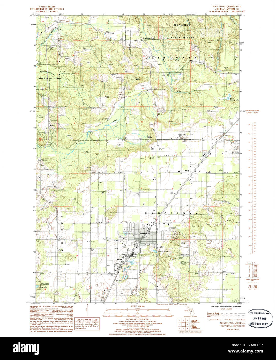 USGS TOPO Map Michigan MI Mancelona 276571 1985 24000 Stock Photohttps://www.alamy.com/image-license-details/?v=1https://www.alamy.com/usgs-topo-map-michigan-mi-mancelona-276571-1985-24000-image332254531.html
RM2A8FE17–USGS TOPO Map Michigan MI Mancelona 276571 1985 24000
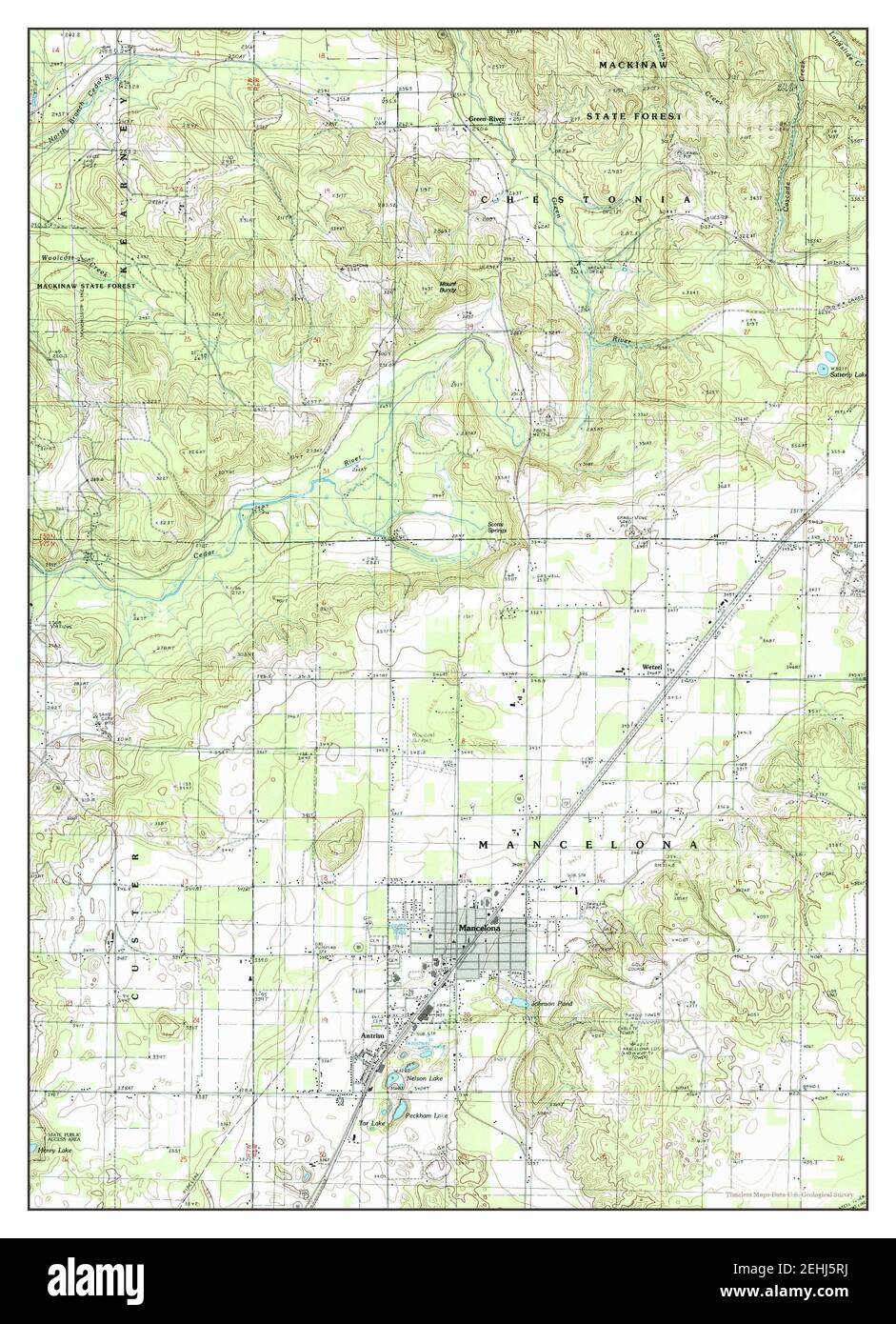 Mancelona, Michigan, map 1985, 1:24000, United States of America by Timeless Maps, data U.S. Geological Survey Stock Photohttps://www.alamy.com/image-license-details/?v=1https://www.alamy.com/mancelona-michigan-map-1985-124000-united-states-of-america-by-timeless-maps-data-us-geological-survey-image406687334.html
RM2EHJ5RJ–Mancelona, Michigan, map 1985, 1:24000, United States of America by Timeless Maps, data U.S. Geological Survey
 Sanborn Fire Insurance Map from Mancelona, Antrim County, Michigan. Stock Photohttps://www.alamy.com/image-license-details/?v=1https://www.alamy.com/sanborn-fire-insurance-map-from-mancelona-antrim-county-michigan-image456435359.html
RM2HEGBXR–Sanborn Fire Insurance Map from Mancelona, Antrim County, Michigan.
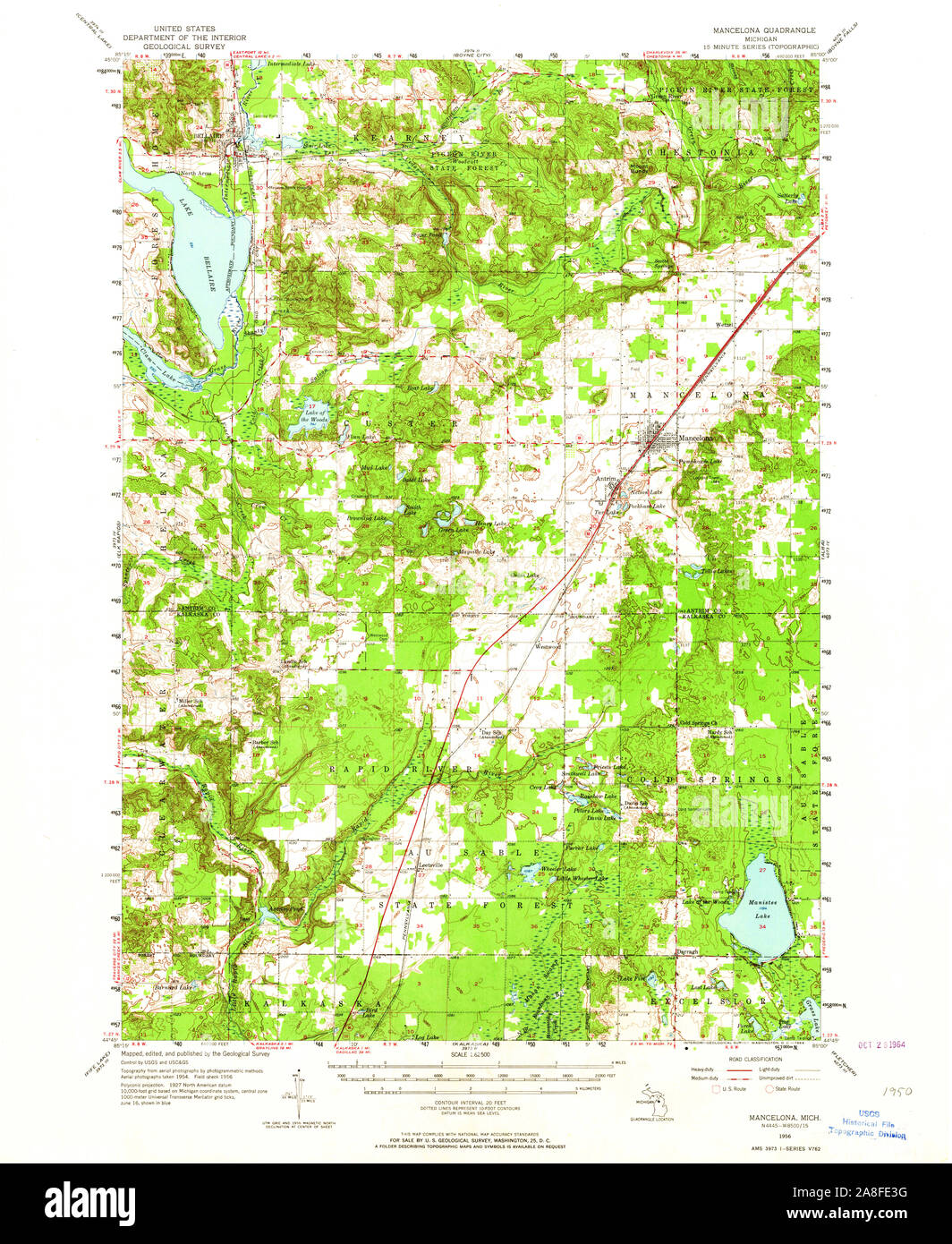 USGS TOPO Map Michigan MI Mancelona 278296 1956 62500 Stock Photohttps://www.alamy.com/image-license-details/?v=1https://www.alamy.com/usgs-topo-map-michigan-mi-mancelona-278296-1956-62500-image332254596.html
RM2A8FE3G–USGS TOPO Map Michigan MI Mancelona 278296 1956 62500
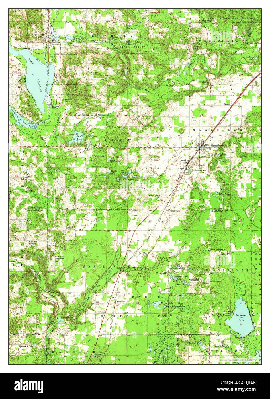 Mancelona, Michigan, map 1956, 1:62500, United States of America by Timeless Maps, data U.S. Geological Survey Stock Photohttps://www.alamy.com/image-license-details/?v=1https://www.alamy.com/mancelona-michigan-map-1956-162500-united-states-of-america-by-timeless-maps-data-us-geological-survey-image414070799.html
RM2F1JFER–Mancelona, Michigan, map 1956, 1:62500, United States of America by Timeless Maps, data U.S. Geological Survey
 Sanborn Fire Insurance Map from Mancelona, Antrim County, Michigan. Stock Photohttps://www.alamy.com/image-license-details/?v=1https://www.alamy.com/sanborn-fire-insurance-map-from-mancelona-antrim-county-michigan-image456435283.html
RM2HEGBT3–Sanborn Fire Insurance Map from Mancelona, Antrim County, Michigan.
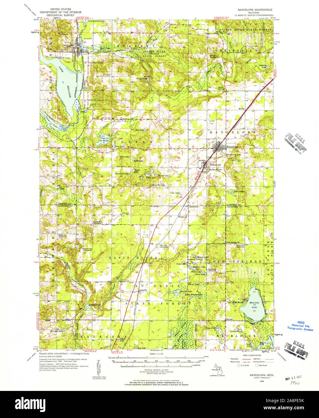 USGS TOPO Map Michigan MI Mancelona 278297 1956 62500 Stock Photohttps://www.alamy.com/image-license-details/?v=1https://www.alamy.com/usgs-topo-map-michigan-mi-mancelona-278297-1956-62500-image332254655.html
RM2A8FE5K–USGS TOPO Map Michigan MI Mancelona 278297 1956 62500
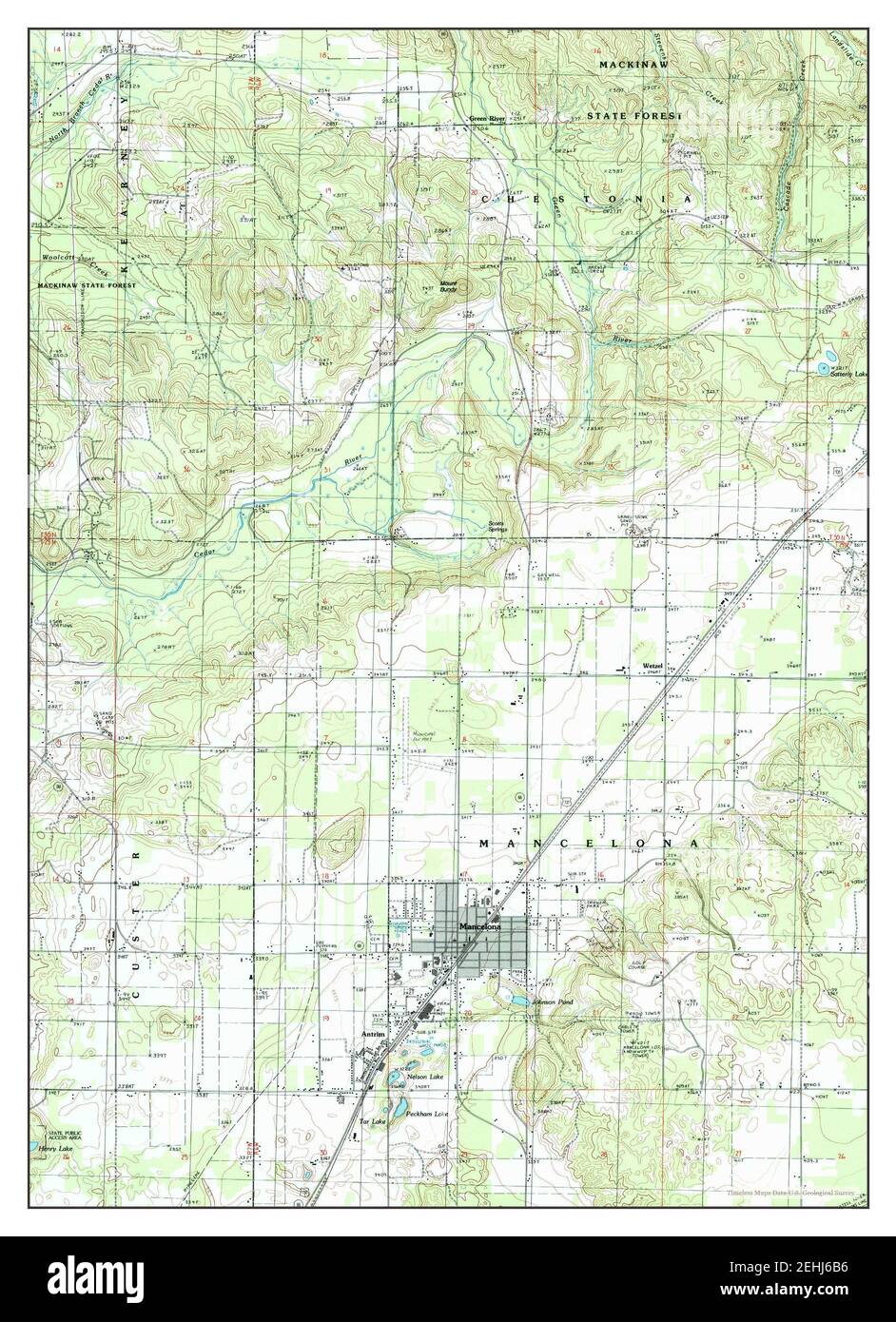 Mancelona, Michigan, map 1985, 1:24000, United States of America by Timeless Maps, data U.S. Geological Survey Stock Photohttps://www.alamy.com/image-license-details/?v=1https://www.alamy.com/mancelona-michigan-map-1985-124000-united-states-of-america-by-timeless-maps-data-us-geological-survey-image406687770.html
RM2EHJ6B6–Mancelona, Michigan, map 1985, 1:24000, United States of America by Timeless Maps, data U.S. Geological Survey
 Sanborn Fire Insurance Map from Mancelona, Antrim County, Michigan. Stock Photohttps://www.alamy.com/image-license-details/?v=1https://www.alamy.com/sanborn-fire-insurance-map-from-mancelona-antrim-county-michigan-image456435351.html
RM2HEGBXF–Sanborn Fire Insurance Map from Mancelona, Antrim County, Michigan.
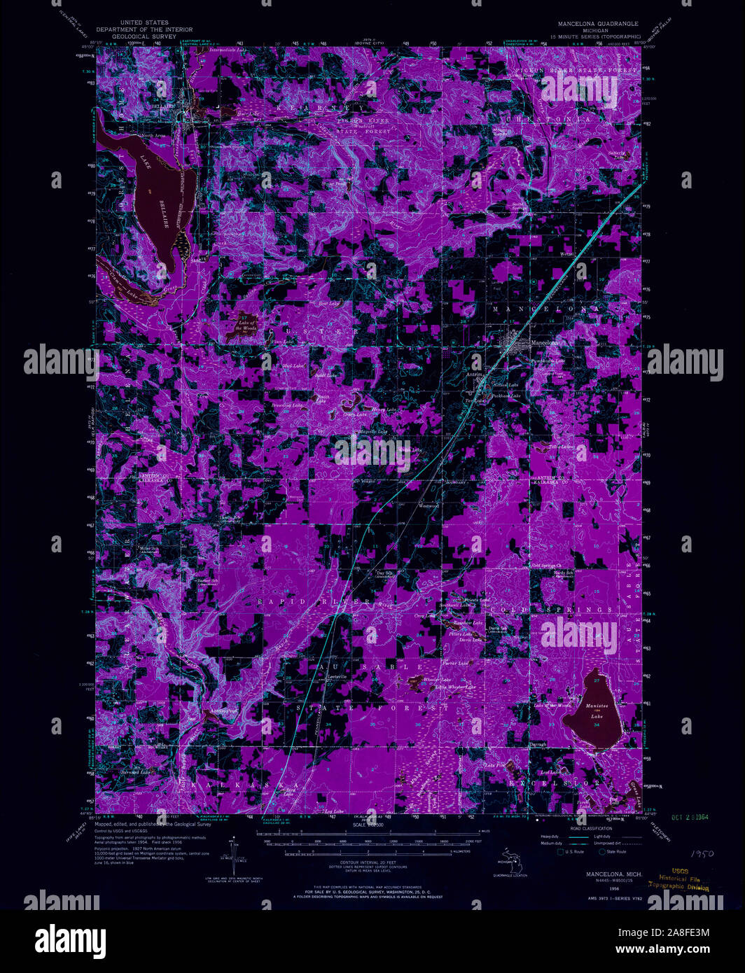 USGS TOPO Map Michigan MI Mancelona 278296 1956 62500 Inverted Stock Photohttps://www.alamy.com/image-license-details/?v=1https://www.alamy.com/usgs-topo-map-michigan-mi-mancelona-278296-1956-62500-inverted-image332254600.html
RM2A8FE3M–USGS TOPO Map Michigan MI Mancelona 278296 1956 62500 Inverted
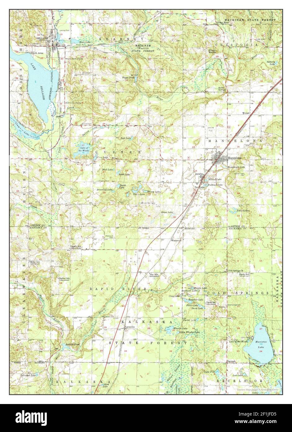 Mancelona, Michigan, map 1956, 1:62500, United States of America by Timeless Maps, data U.S. Geological Survey Stock Photohttps://www.alamy.com/image-license-details/?v=1https://www.alamy.com/mancelona-michigan-map-1956-162500-united-states-of-america-by-timeless-maps-data-us-geological-survey-image414070753.html
RM2F1JFD5–Mancelona, Michigan, map 1956, 1:62500, United States of America by Timeless Maps, data U.S. Geological Survey
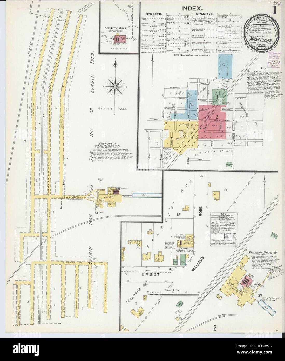 Sanborn Fire Insurance Map from Mancelona, Antrim County, Michigan. Stock Photohttps://www.alamy.com/image-license-details/?v=1https://www.alamy.com/sanborn-fire-insurance-map-from-mancelona-antrim-county-michigan-image456435324.html
RM2HEGBWG–Sanborn Fire Insurance Map from Mancelona, Antrim County, Michigan.
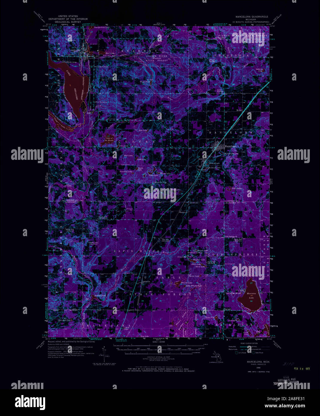 USGS TOPO Map Michigan MI Mancelona 278295 1956 62500 Inverted Stock Photohttps://www.alamy.com/image-license-details/?v=1https://www.alamy.com/usgs-topo-map-michigan-mi-mancelona-278295-1956-62500-inverted-image332254581.html
RM2A8FE31–USGS TOPO Map Michigan MI Mancelona 278295 1956 62500 Inverted
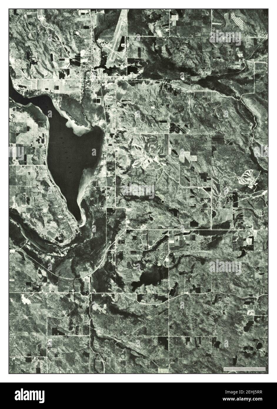 Mancelona NW, Michigan, map 1975, 1:24000, United States of America by Timeless Maps, data U.S. Geological Survey Stock Photohttps://www.alamy.com/image-license-details/?v=1https://www.alamy.com/mancelona-nw-michigan-map-1975-124000-united-states-of-america-by-timeless-maps-data-us-geological-survey-image406687339.html
RM2EHJ5RR–Mancelona NW, Michigan, map 1975, 1:24000, United States of America by Timeless Maps, data U.S. Geological Survey
 Sanborn Fire Insurance Map from Mancelona, Antrim County, Michigan. Stock Photohttps://www.alamy.com/image-license-details/?v=1https://www.alamy.com/sanborn-fire-insurance-map-from-mancelona-antrim-county-michigan-image456435360.html
RM2HEGBXT–Sanborn Fire Insurance Map from Mancelona, Antrim County, Michigan.
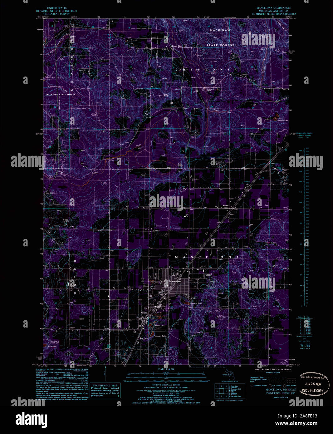 USGS TOPO Map Michigan MI Mancelona 276571 1985 24000 Inverted Stock Photohttps://www.alamy.com/image-license-details/?v=1https://www.alamy.com/usgs-topo-map-michigan-mi-mancelona-276571-1985-24000-inverted-image332254527.html
RM2A8FE13–USGS TOPO Map Michigan MI Mancelona 276571 1985 24000 Inverted
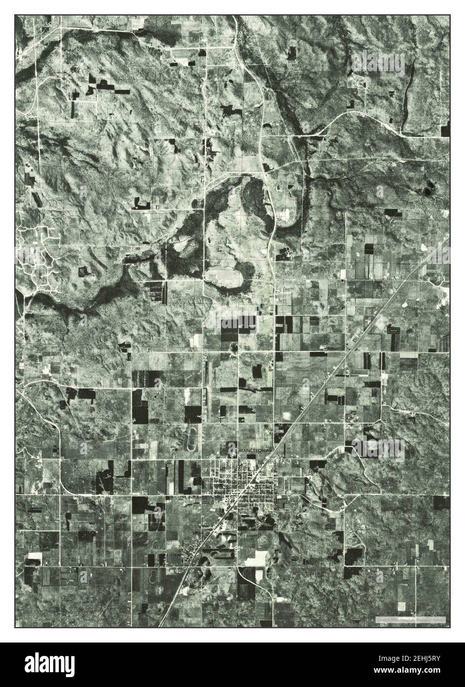 Mancelona NE, Michigan, map 1975, 1:24000, United States of America by Timeless Maps, data U.S. Geological Survey Stock Photohttps://www.alamy.com/image-license-details/?v=1https://www.alamy.com/mancelona-ne-michigan-map-1975-124000-united-states-of-america-by-timeless-maps-data-us-geological-survey-image406687343.html
RM2EHJ5RY–Mancelona NE, Michigan, map 1975, 1:24000, United States of America by Timeless Maps, data U.S. Geological Survey
 Sanborn Fire Insurance Map from Mancelona, Antrim County, Michigan. Stock Photohttps://www.alamy.com/image-license-details/?v=1https://www.alamy.com/sanborn-fire-insurance-map-from-mancelona-antrim-county-michigan-image456435339.html
RM2HEGBX3–Sanborn Fire Insurance Map from Mancelona, Antrim County, Michigan.
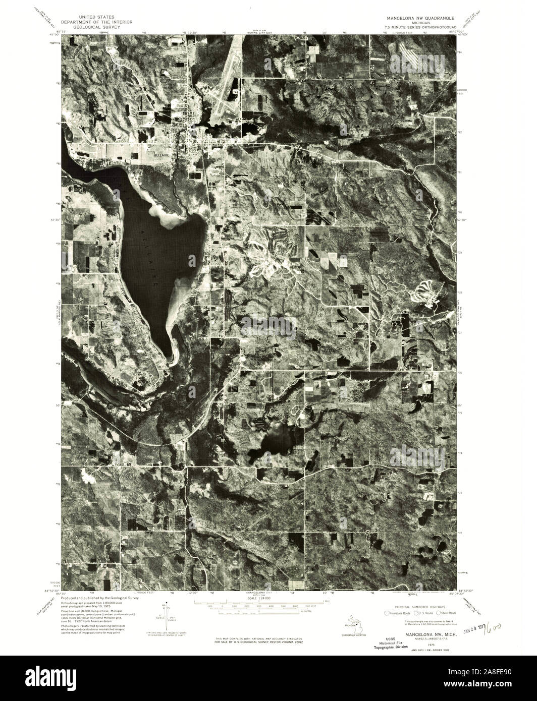 USGS TOPO Map Michigan MI Mancelona NW 276573 1975 24000 Stock Photohttps://www.alamy.com/image-license-details/?v=1https://www.alamy.com/usgs-topo-map-michigan-mi-mancelona-nw-276573-1975-24000-image332254748.html
RM2A8FE90–USGS TOPO Map Michigan MI Mancelona NW 276573 1975 24000
 Sanborn Fire Insurance Map from Mancelona, Antrim County, Michigan. Stock Photohttps://www.alamy.com/image-license-details/?v=1https://www.alamy.com/sanborn-fire-insurance-map-from-mancelona-antrim-county-michigan-image456435299.html
RM2HEGBTK–Sanborn Fire Insurance Map from Mancelona, Antrim County, Michigan.
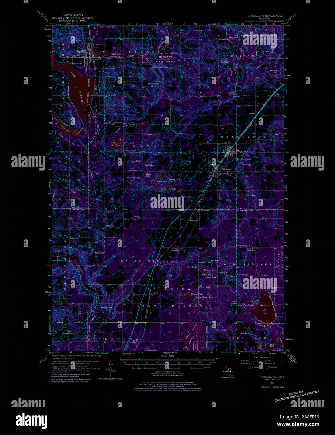 USGS TOPO Map Michigan MI Mancelona 278294 1956 62500 Inverted Stock Photohttps://www.alamy.com/image-license-details/?v=1https://www.alamy.com/usgs-topo-map-michigan-mi-mancelona-278294-1956-62500-inverted-image332254533.html
RM2A8FE19–USGS TOPO Map Michigan MI Mancelona 278294 1956 62500 Inverted
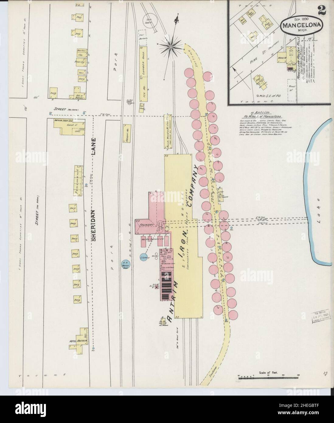 Sanborn Fire Insurance Map from Mancelona, Antrim County, Michigan. Stock Photohttps://www.alamy.com/image-license-details/?v=1https://www.alamy.com/sanborn-fire-insurance-map-from-mancelona-antrim-county-michigan-image456435295.html
RM2HEGBTF–Sanborn Fire Insurance Map from Mancelona, Antrim County, Michigan.
 USGS TOPO Map Michigan MI Mancelona 276570 1985 24000 Inverted Stock Photohttps://www.alamy.com/image-license-details/?v=1https://www.alamy.com/usgs-topo-map-michigan-mi-mancelona-276570-1985-24000-inverted-image332254526.html
RM2A8FE12–USGS TOPO Map Michigan MI Mancelona 276570 1985 24000 Inverted
 Sanborn Fire Insurance Map from Mancelona, Antrim County, Michigan. Stock Photohttps://www.alamy.com/image-license-details/?v=1https://www.alamy.com/sanborn-fire-insurance-map-from-mancelona-antrim-county-michigan-image456435348.html
RM2HEGBXC–Sanborn Fire Insurance Map from Mancelona, Antrim County, Michigan.
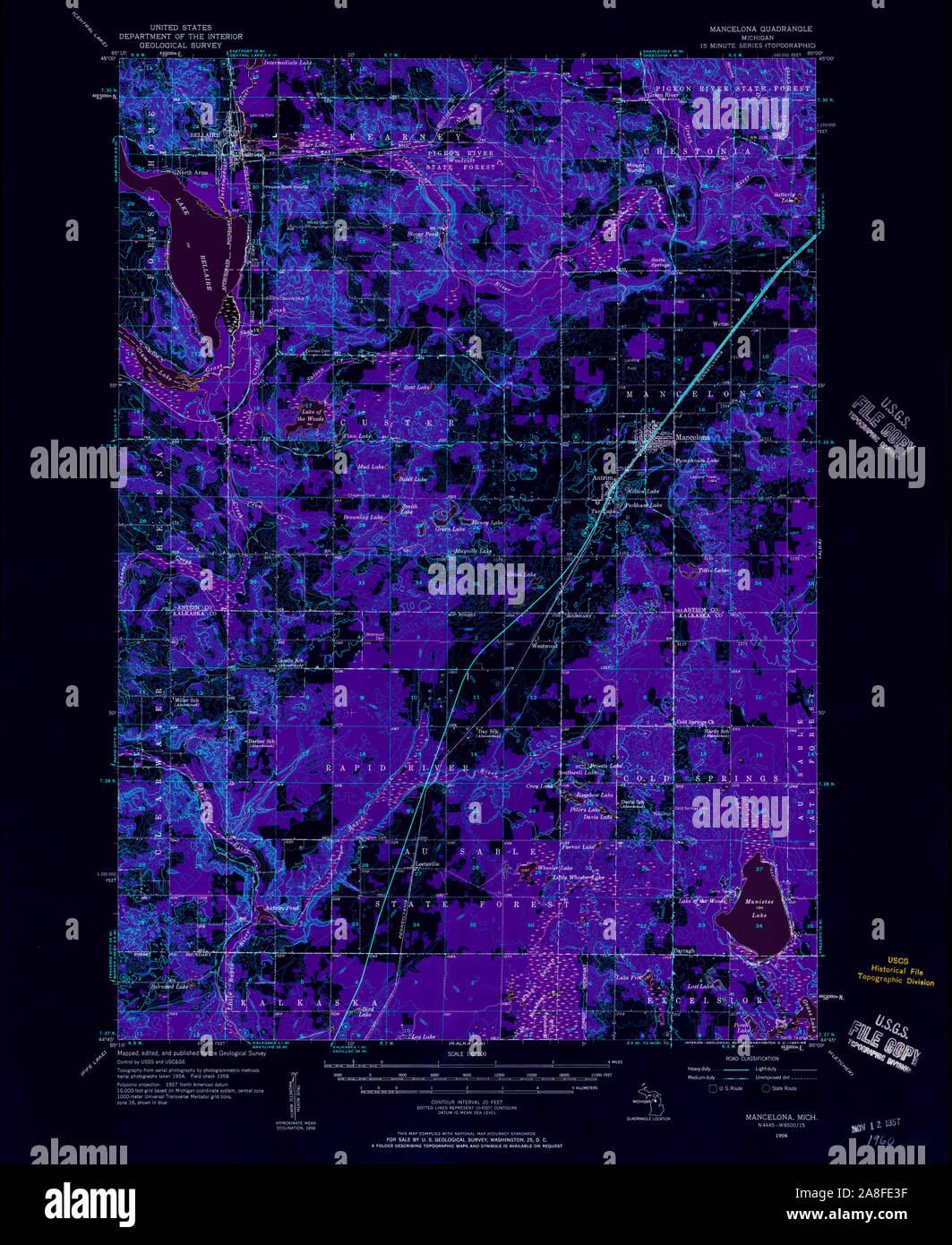 USGS TOPO Map Michigan MI Mancelona 278297 1956 62500 Inverted Stock Photohttps://www.alamy.com/image-license-details/?v=1https://www.alamy.com/usgs-topo-map-michigan-mi-mancelona-278297-1956-62500-inverted-image332254595.html
RM2A8FE3F–USGS TOPO Map Michigan MI Mancelona 278297 1956 62500 Inverted
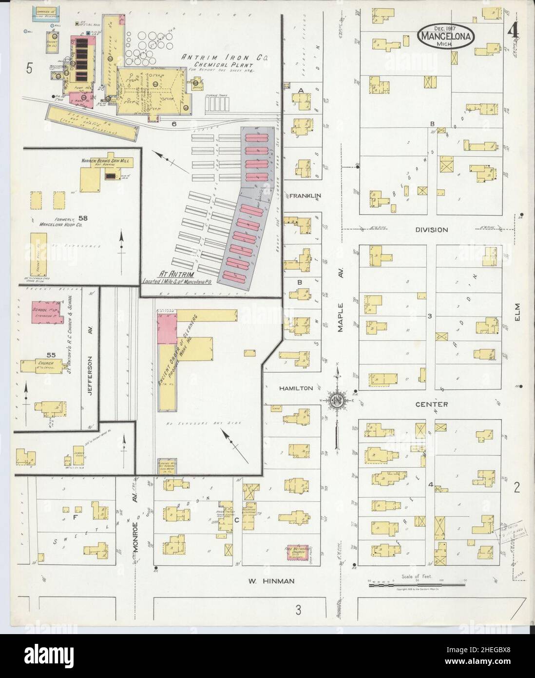 Sanborn Fire Insurance Map from Mancelona, Antrim County, Michigan. Stock Photohttps://www.alamy.com/image-license-details/?v=1https://www.alamy.com/sanborn-fire-insurance-map-from-mancelona-antrim-county-michigan-image456435344.html
RM2HEGBX8–Sanborn Fire Insurance Map from Mancelona, Antrim County, Michigan.
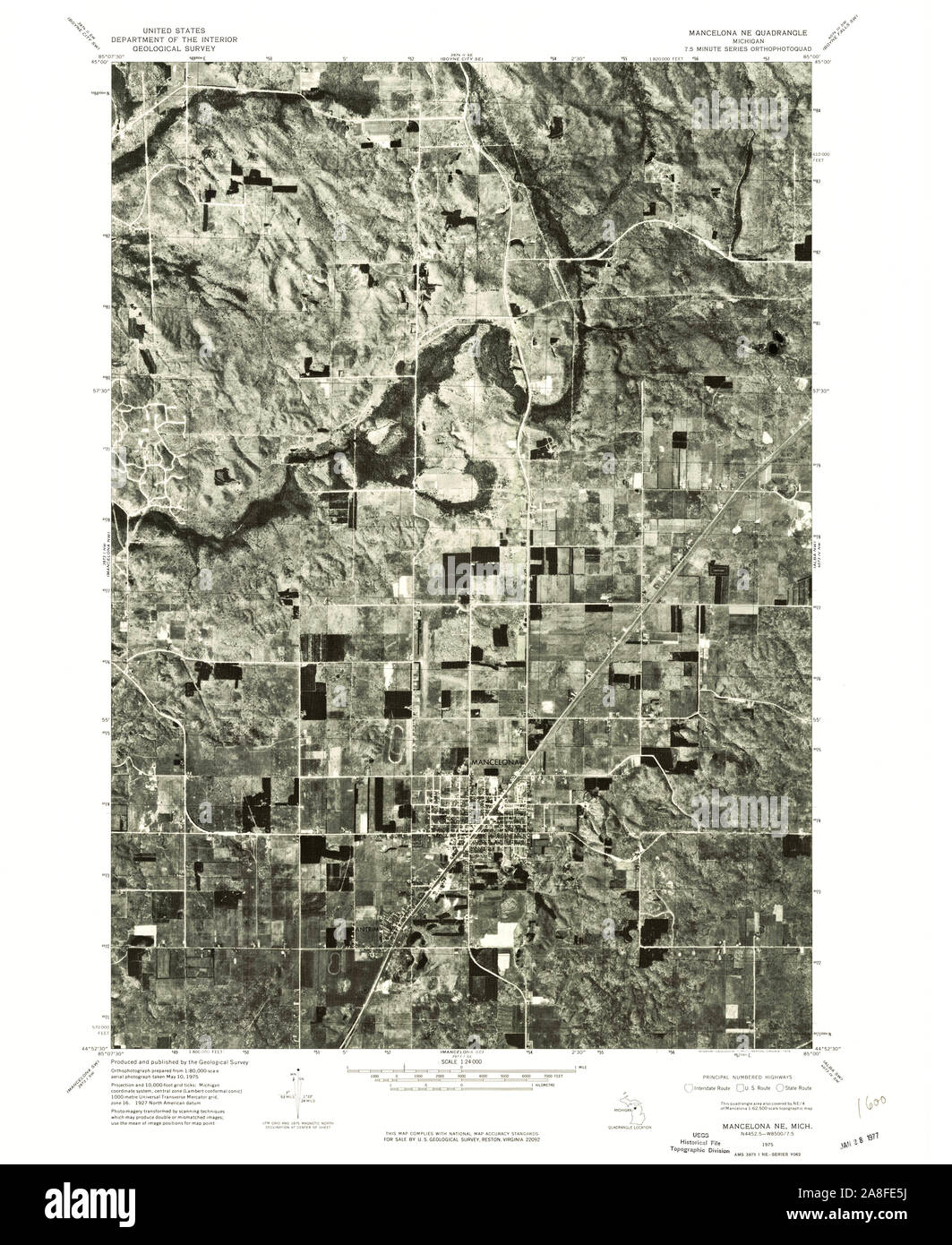 USGS TOPO Map Michigan MI Mancelona NE 276572 1975 24000 Stock Photohttps://www.alamy.com/image-license-details/?v=1https://www.alamy.com/usgs-topo-map-michigan-mi-mancelona-ne-276572-1975-24000-image332254654.html
RM2A8FE5J–USGS TOPO Map Michigan MI Mancelona NE 276572 1975 24000
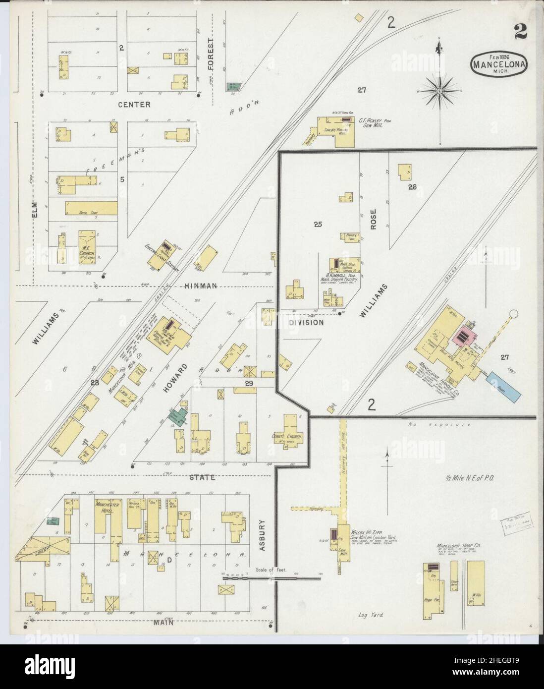 Sanborn Fire Insurance Map from Mancelona, Antrim County, Michigan. Stock Photohttps://www.alamy.com/image-license-details/?v=1https://www.alamy.com/sanborn-fire-insurance-map-from-mancelona-antrim-county-michigan-image456435289.html
RM2HEGBT9–Sanborn Fire Insurance Map from Mancelona, Antrim County, Michigan.
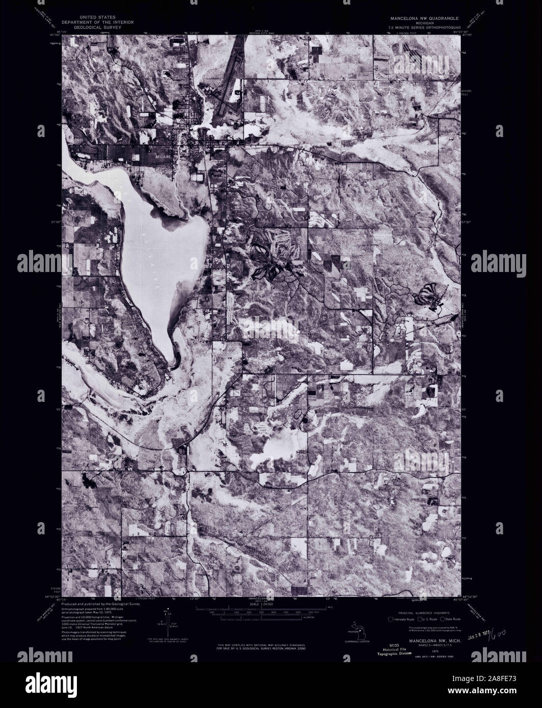 USGS TOPO Map Michigan MI Mancelona NW 276573 1975 24000 Inverted Stock Photohttps://www.alamy.com/image-license-details/?v=1https://www.alamy.com/usgs-topo-map-michigan-mi-mancelona-nw-276573-1975-24000-inverted-image332254695.html
RM2A8FE73–USGS TOPO Map Michigan MI Mancelona NW 276573 1975 24000 Inverted
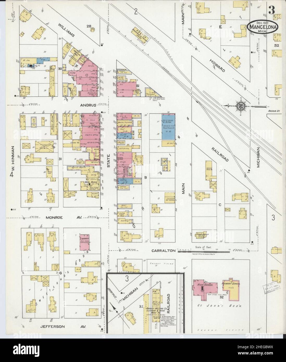 Sanborn Fire Insurance Map from Mancelona, Antrim County, Michigan. Stock Photohttps://www.alamy.com/image-license-details/?v=1https://www.alamy.com/sanborn-fire-insurance-map-from-mancelona-antrim-county-michigan-image456435334.html
RM2HEGBWX–Sanborn Fire Insurance Map from Mancelona, Antrim County, Michigan.
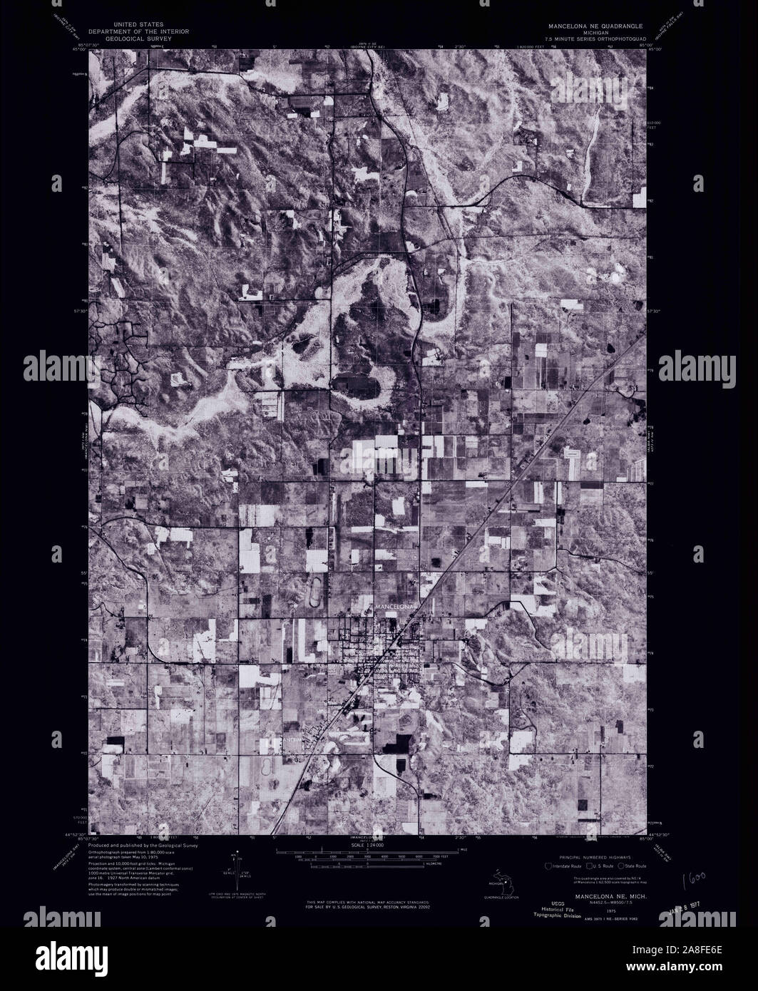 USGS TOPO Map Michigan MI Mancelona NE 276572 1975 24000 Inverted Stock Photohttps://www.alamy.com/image-license-details/?v=1https://www.alamy.com/usgs-topo-map-michigan-mi-mancelona-ne-276572-1975-24000-inverted-image332254678.html
RM2A8FE6E–USGS TOPO Map Michigan MI Mancelona NE 276572 1975 24000 Inverted
 Sanborn Fire Insurance Map from Mancelona, Antrim County, Michigan. Stock Photohttps://www.alamy.com/image-license-details/?v=1https://www.alamy.com/sanborn-fire-insurance-map-from-mancelona-antrim-county-michigan-image456435332.html
RM2HEGBWT–Sanborn Fire Insurance Map from Mancelona, Antrim County, Michigan.
 Sanborn Fire Insurance Map from Mancelona, Antrim County, Michigan. Stock Photohttps://www.alamy.com/image-license-details/?v=1https://www.alamy.com/sanborn-fire-insurance-map-from-mancelona-antrim-county-michigan-image456435336.html
RM2HEGBX0–Sanborn Fire Insurance Map from Mancelona, Antrim County, Michigan.