Quick filters:
Manus province Stock Photos and Images
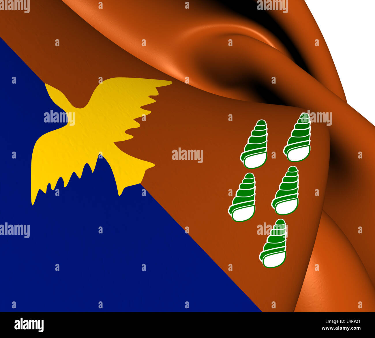 Flag of Manus Province, Papua New Guinea. Stock Photohttps://www.alamy.com/image-license-details/?v=1https://www.alamy.com/stock-photo-flag-of-manus-province-papua-new-guinea-71822297.html
RFE4RP21–Flag of Manus Province, Papua New Guinea.
 Ceremonial Paddle, probably Hermit Islands, Papua New Guinea, probably 18th century, Wood, pigment, Manus province, Melanesia, Papua New Guinea, Oceania, Tools & equipment, wood, 5 15/16 x 52 3/16 in. (15.1 x 132.5 cm Stock Photohttps://www.alamy.com/image-license-details/?v=1https://www.alamy.com/ceremonial-paddle-probably-hermit-islands-papua-new-guinea-probably-18th-century-wood-pigment-manus-province-melanesia-papua-new-guinea-oceania-tools-equipment-wood-5-1516-x-52-316-in-151-x-1325-cm-image454291299.html
RM2HB2N57–Ceremonial Paddle, probably Hermit Islands, Papua New Guinea, probably 18th century, Wood, pigment, Manus province, Melanesia, Papua New Guinea, Oceania, Tools & equipment, wood, 5 15/16 x 52 3/16 in. (15.1 x 132.5 cm
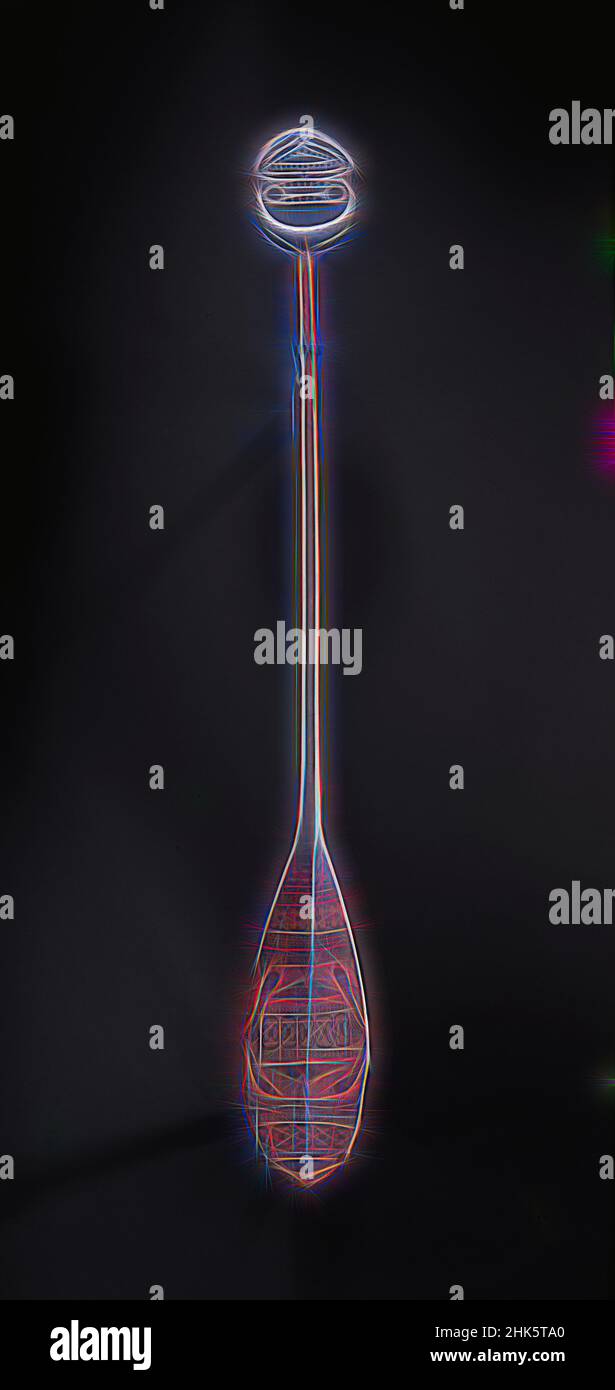 Inspired by Ceremonial Paddle, probably Hermit Islands, Papua New Guinea, probably 18th century, Wood, pigment, Manus province, Melanesia, Papua New Guinea, Oceania, Tools & equipment, wood, 5 15/16 x 52 3/16 in. (15.1 x 132.5 cm, Reimagined by Artotop. Classic art reinvented with a modern twist. Design of warm cheerful glowing of brightness and light ray radiance. Photography inspired by surrealism and futurism, embracing dynamic energy of modern technology, movement, speed and revolutionize culture Stock Photohttps://www.alamy.com/image-license-details/?v=1https://www.alamy.com/inspired-by-ceremonial-paddle-probably-hermit-islands-papua-new-guinea-probably-18th-century-wood-pigment-manus-province-melanesia-papua-new-guinea-oceania-tools-equipment-wood-5-1516-x-52-316-in-151-x-1325-cm-reimagined-by-artotop-classic-art-reinvented-with-a-modern-twist-design-of-warm-cheerful-glowing-of-brightness-and-light-ray-radiance-photography-inspired-by-surrealism-and-futurism-embracing-dynamic-energy-of-modern-technology-movement-speed-and-revolutionize-culture-image459276888.html
RF2HK5TA0–Inspired by Ceremonial Paddle, probably Hermit Islands, Papua New Guinea, probably 18th century, Wood, pigment, Manus province, Melanesia, Papua New Guinea, Oceania, Tools & equipment, wood, 5 15/16 x 52 3/16 in. (15.1 x 132.5 cm, Reimagined by Artotop. Classic art reinvented with a modern twist. Design of warm cheerful glowing of brightness and light ray radiance. Photography inspired by surrealism and futurism, embracing dynamic energy of modern technology, movement, speed and revolutionize culture
 3D Flag of the Manus Province, Papua New Guinea. Close Up. Stock Photohttps://www.alamy.com/image-license-details/?v=1https://www.alamy.com/stock-photo-3d-flag-of-the-manus-province-papua-new-guinea-close-up-86597146.html
RFF0TRF6–3D Flag of the Manus Province, Papua New Guinea. Close Up.
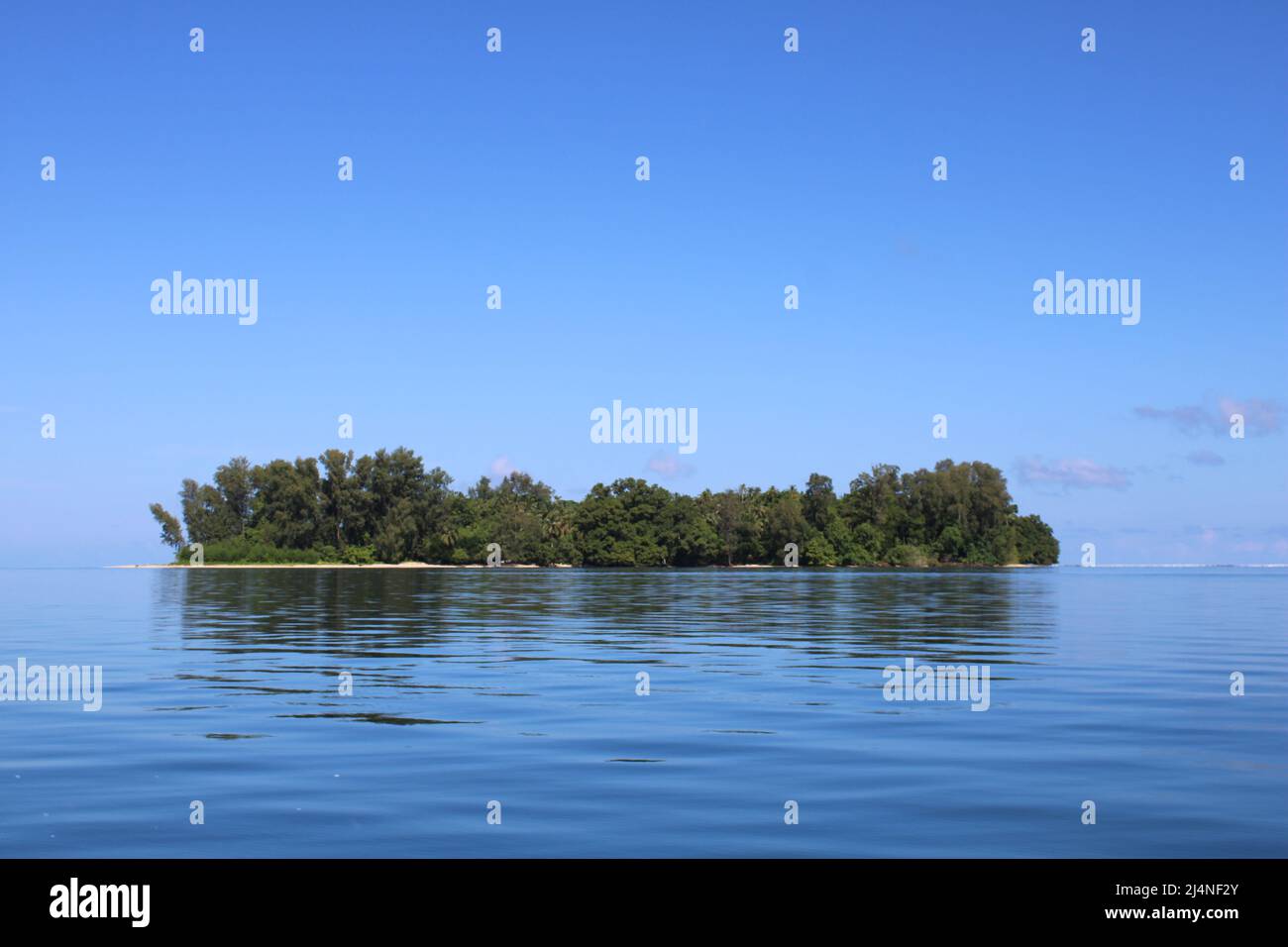 A small uninhabited island in Manus Province, Papua New Guinea Stock Photohttps://www.alamy.com/image-license-details/?v=1https://www.alamy.com/a-small-uninhabited-island-in-manus-province-papua-new-guinea-image467611395.html
RF2J4NF2Y–A small uninhabited island in Manus Province, Papua New Guinea
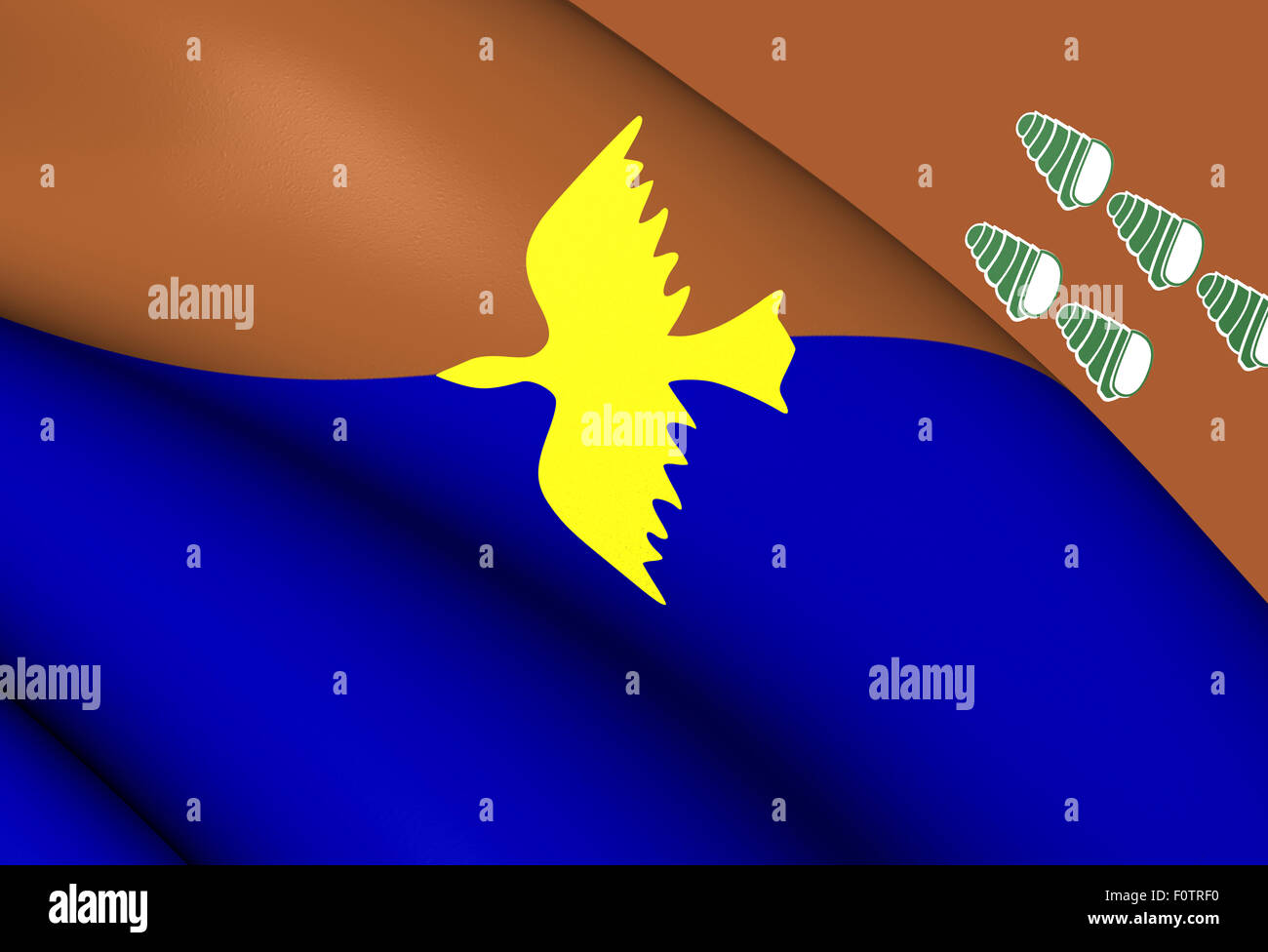 3D Flag of Manus Province, Papua New Guinea. Close Up. Stock Photohttps://www.alamy.com/image-license-details/?v=1https://www.alamy.com/stock-photo-3d-flag-of-manus-province-papua-new-guinea-close-up-86597140.html
RFF0TRF0–3D Flag of Manus Province, Papua New Guinea. Close Up.
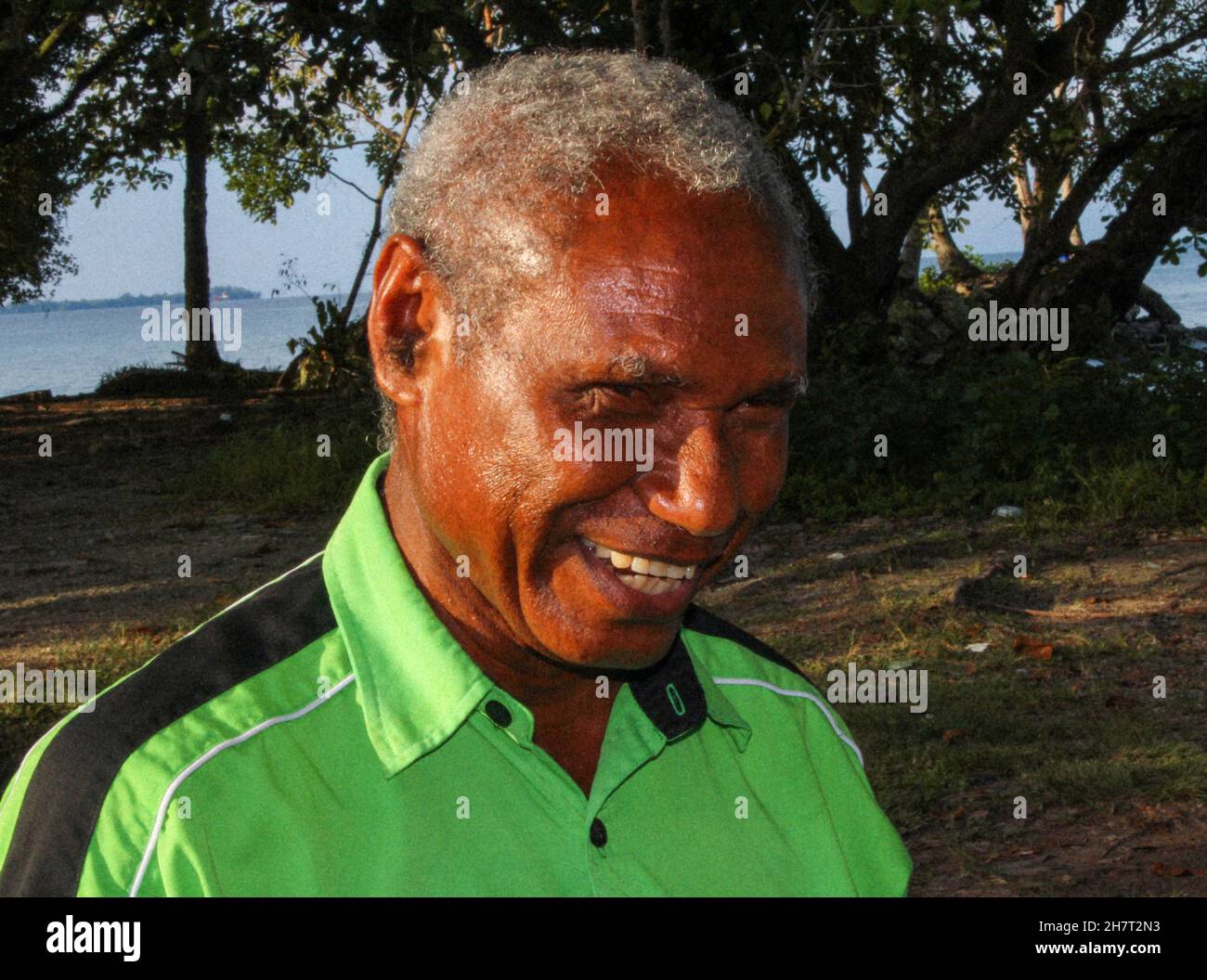 Manus businessman Nali James, from Bundrahei village, at Ward 1 in Lorengau, Manus Province on October 2020 Stock Photohttps://www.alamy.com/image-license-details/?v=1https://www.alamy.com/manus-businessman-nali-james-from-bundrahei-village-at-ward-1-in-lorengau-manus-province-on-october-2020-image452301167.html
RF2H7T2N3–Manus businessman Nali James, from Bundrahei village, at Ward 1 in Lorengau, Manus Province on October 2020
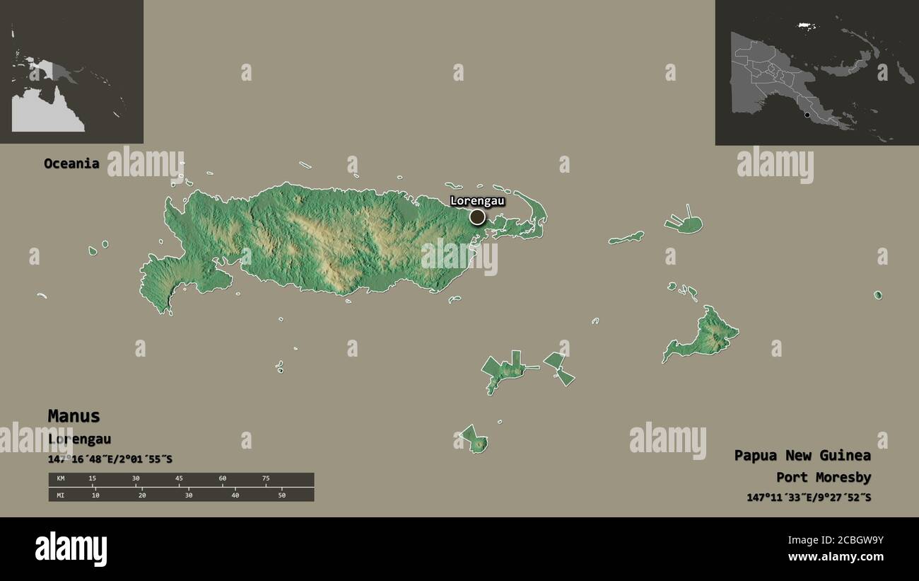 Shape of Manus, province of Papua New Guinea, and its capital. Distance scale, previews and labels. Topographic relief map. 3D rendering Stock Photohttps://www.alamy.com/image-license-details/?v=1https://www.alamy.com/shape-of-manus-province-of-papua-new-guinea-and-its-capital-distance-scale-previews-and-labels-topographic-relief-map-3d-rendering-image368550055.html
RF2CBGW9Y–Shape of Manus, province of Papua New Guinea, and its capital. Distance scale, previews and labels. Topographic relief map. 3D rendering
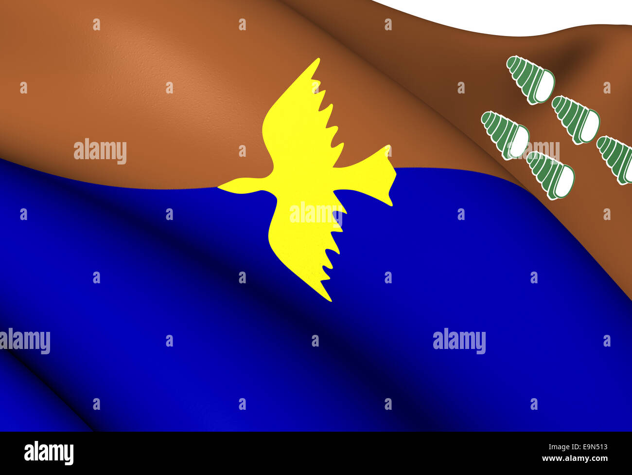 Flag of Manus Province Stock Photohttps://www.alamy.com/image-license-details/?v=1https://www.alamy.com/stock-photo-flag-of-manus-province-74838319.html
RFE9N513–Flag of Manus Province
 Zoom in on Manus (province of Papua New Guinea) extruded. Oblique perspective. Satellite imagery. 3D rendering Stock Photohttps://www.alamy.com/image-license-details/?v=1https://www.alamy.com/zoom-in-on-manus-province-of-papua-new-guinea-extruded-oblique-perspective-satellite-imagery-3d-rendering-image364329422.html
RF2C4MHW2–Zoom in on Manus (province of Papua New Guinea) extruded. Oblique perspective. Satellite imagery. 3D rendering
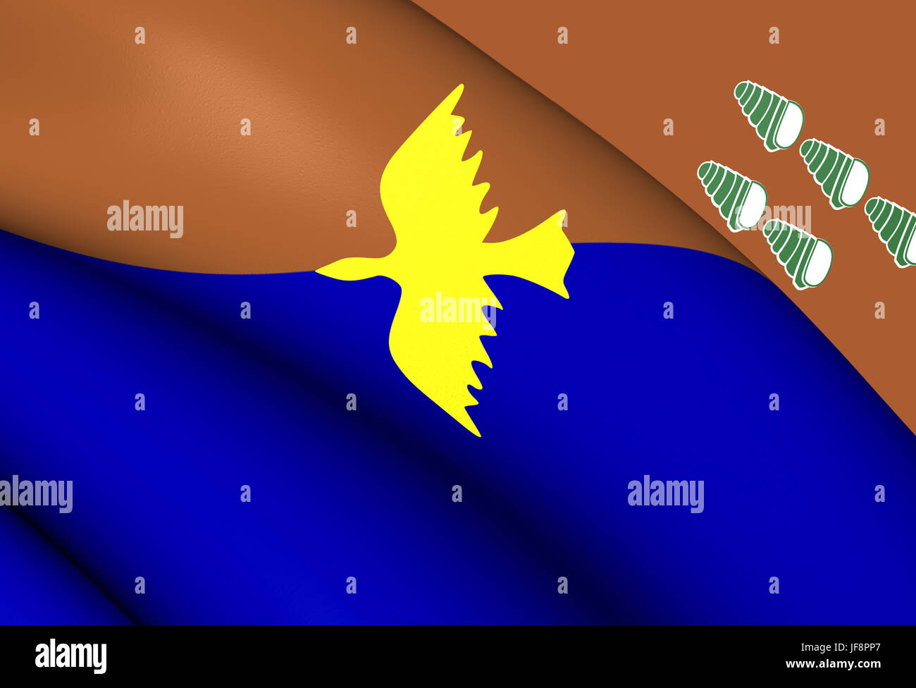 Flag of Manus Province, Papua New Guinea. Stock Photohttps://www.alamy.com/image-license-details/?v=1https://www.alamy.com/stock-photo-flag-of-manus-province-papua-new-guinea-147096271.html
RMJF8PP7–Flag of Manus Province, Papua New Guinea.
 1957 Map of Baluan Island (formerly known as Saint Patrick Island) is the southernmost island of the Admiralty Islands group which makes up the majority of Manus Province in Papua New Guinea. It belongs to the Pam Islands, an island subgroup to the south of Lou Island. It is formed from an extinct volcano, also named Baluan. Stock Photohttps://www.alamy.com/image-license-details/?v=1https://www.alamy.com/1957-map-of-baluan-island-formerly-known-as-saint-patrick-island-is-the-southernmost-island-of-the-admiralty-islands-group-which-makes-up-the-majority-of-manus-province-in-papua-new-guinea-it-belongs-to-the-pam-islands-an-island-subgroup-to-the-south-of-lou-island-it-is-formed-from-an-extinct-volcano-also-named-baluan-image459799580.html
RM2HM1K1G–1957 Map of Baluan Island (formerly known as Saint Patrick Island) is the southernmost island of the Admiralty Islands group which makes up the majority of Manus Province in Papua New Guinea. It belongs to the Pam Islands, an island subgroup to the south of Lou Island. It is formed from an extinct volcano, also named Baluan.
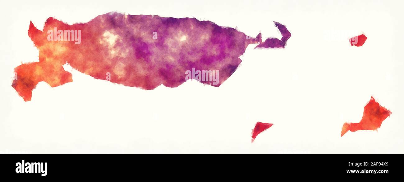 Manus province watercolor map of Papua New Guinea Stock Photohttps://www.alamy.com/image-license-details/?v=1https://www.alamy.com/manus-province-watercolor-map-of-papua-new-guinea-image340523297.html
RF2AP04X9–Manus province watercolor map of Papua New Guinea
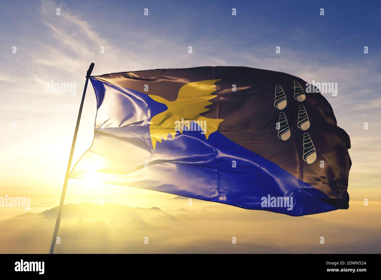 Manus province of Papua New Guinea flag waving on the top sunrise mist fog Stock Photohttps://www.alamy.com/image-license-details/?v=1https://www.alamy.com/manus-province-of-papua-new-guinea-flag-waving-on-the-top-sunrise-mist-fog-image394459474.html
RF2DWN52A–Manus province of Papua New Guinea flag waving on the top sunrise mist fog
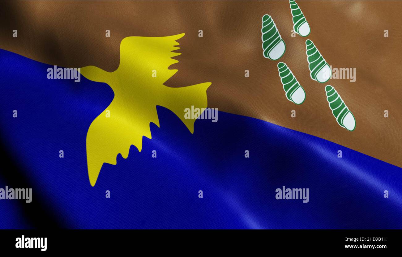 3D Illustration of waving Papua New Guinea province flag of Manus Stock Photohttps://www.alamy.com/image-license-details/?v=1https://www.alamy.com/3d-illustration-of-waving-papua-new-guinea-province-flag-of-manus-image455666333.html
RF2HD9B1H–3D Illustration of waving Papua New Guinea province flag of Manus
 Manus Province (Independent State of Papua New Guinea, PNG, Provinces of Papua New Guinea) map vector illustration, scribble sketch Admiralty Islands, Stock Vectorhttps://www.alamy.com/image-license-details/?v=1https://www.alamy.com/manus-province-independent-state-of-papua-new-guinea-png-provinces-of-papua-new-guinea-map-vector-illustration-scribble-sketch-admiralty-islands-image327083023.html
RF2A03WMF–Manus Province (Independent State of Papua New Guinea, PNG, Provinces of Papua New Guinea) map vector illustration, scribble sketch Admiralty Islands,
 Bildnummer: 60123107 Datum: 14.07.2013 Copyright: imago/Xinhua (130714) -- HAIYANG, July 14, 2013 (Xinhua) -- Manus Madtoha (L) of Thailand competes during the match between Thailand and Australia at the 2013 Asian Beach Soccer Cup held in Haiyang, a coastal city of east China s Shandong province, July 14, 2013. Thailand won 4-3 to take the 3rd place. (Xinhua/Zhu Zheng) (SP)CHINA-HAIYANG-ASIAN BEACH SOCCER CUP (CN) PUBLICATIONxNOTxINxCHN Nationalteam Länderspiel x0x xsk 2013 hoch 60123107 Date 14 07 2013 Copyright Imago XINHUA Haiyang July 14 2013 XINHUA Manus l of Thai country Compet Stock Photohttps://www.alamy.com/image-license-details/?v=1https://www.alamy.com/bildnummer-60123107-datum-14072013-copyright-imagoxinhua-130714-haiyang-july-14-2013-xinhua-manus-madtoha-l-of-thailand-competes-during-the-match-between-thailand-and-australia-at-the-2013-asian-beach-soccer-cup-held-in-haiyang-a-coastal-city-of-east-china-s-shandong-province-july-14-2013-thailand-won-4-3-to-take-the-3rd-place-xinhuazhu-zheng-spchina-haiyang-asian-beach-soccer-cup-cn-publicationxnotxinxchn-nationalteam-lnderspiel-x0x-xsk-2013-hoch-60123107-date-14-07-2013-copyright-imago-xinhua-haiyang-july-14-2013-xinhua-manus-l-of-thai-country-compet-image563099707.html
RM2RM3BBR–Bildnummer: 60123107 Datum: 14.07.2013 Copyright: imago/Xinhua (130714) -- HAIYANG, July 14, 2013 (Xinhua) -- Manus Madtoha (L) of Thailand competes during the match between Thailand and Australia at the 2013 Asian Beach Soccer Cup held in Haiyang, a coastal city of east China s Shandong province, July 14, 2013. Thailand won 4-3 to take the 3rd place. (Xinhua/Zhu Zheng) (SP)CHINA-HAIYANG-ASIAN BEACH SOCCER CUP (CN) PUBLICATIONxNOTxINxCHN Nationalteam Länderspiel x0x xsk 2013 hoch 60123107 Date 14 07 2013 Copyright Imago XINHUA Haiyang July 14 2013 XINHUA Manus l of Thai country Compet
 Shape of Manus, province of Papua New Guinea, with its capital isolated on white background. Satellite imagery. 3D rendering Stock Photohttps://www.alamy.com/image-license-details/?v=1https://www.alamy.com/shape-of-manus-province-of-papua-new-guinea-with-its-capital-isolated-on-white-background-satellite-imagery-3d-rendering-image368550011.html
RF2CBGW8B–Shape of Manus, province of Papua New Guinea, with its capital isolated on white background. Satellite imagery. 3D rendering
 Manus map of Papua New Guinea grey illustration silhouette shape Stock Vectorhttps://www.alamy.com/image-license-details/?v=1https://www.alamy.com/stock-photo-manus-map-of-papua-new-guinea-grey-illustration-silhouette-shape-172670916.html
RFM0WREC–Manus map of Papua New Guinea grey illustration silhouette shape
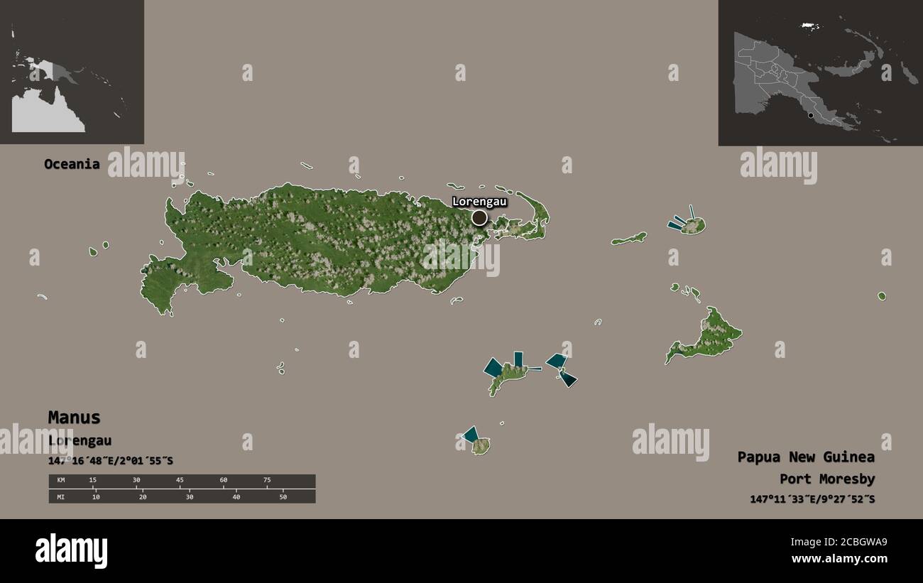 Shape of Manus, province of Papua New Guinea, and its capital. Distance scale, previews and labels. Satellite imagery. 3D rendering Stock Photohttps://www.alamy.com/image-license-details/?v=1https://www.alamy.com/shape-of-manus-province-of-papua-new-guinea-and-its-capital-distance-scale-previews-and-labels-satellite-imagery-3d-rendering-image368550065.html
RF2CBGWA9–Shape of Manus, province of Papua New Guinea, and its capital. Distance scale, previews and labels. Satellite imagery. 3D rendering
 Bowl with Spiral Finials, Admiralty Islands, probably late 19th–early 20th century, Wood, resin, and remnants of fiber, Manus province, Melanesia, Papua New Guinea, Oceania, Containers, sculpture, 22 x 32 1/4 x 40 1/2 in. (55.9 x 81.9 x 102.9 cm Stock Photohttps://www.alamy.com/image-license-details/?v=1https://www.alamy.com/bowl-with-spiral-finials-admiralty-islands-probably-late-19thearly-20th-century-wood-resin-and-remnants-of-fiber-manus-province-melanesia-papua-new-guinea-oceania-containers-sculpture-22-x-32-14-x-40-12-in-559-x-819-x-1029-cm-image454293656.html
RM2HB2T5C–Bowl with Spiral Finials, Admiralty Islands, probably late 19th–early 20th century, Wood, resin, and remnants of fiber, Manus province, Melanesia, Papua New Guinea, Oceania, Containers, sculpture, 22 x 32 1/4 x 40 1/2 in. (55.9 x 81.9 x 102.9 cm
 Inspired by Bowl with Spiral Finials, Admiralty Islands, probably late 19th–early 20th century, Wood, resin, and remnants of fiber, Manus province, Melanesia, Papua New Guinea, Oceania, Containers, sculpture, 22 x 32 1/4 x 40 1/2 in. (55.9 x 81.9 x 102.9 cm, Reimagined by Artotop. Classic art reinvented with a modern twist. Design of warm cheerful glowing of brightness and light ray radiance. Photography inspired by surrealism and futurism, embracing dynamic energy of modern technology, movement, speed and revolutionize culture Stock Photohttps://www.alamy.com/image-license-details/?v=1https://www.alamy.com/inspired-by-bowl-with-spiral-finials-admiralty-islands-probably-late-19thearly-20th-century-wood-resin-and-remnants-of-fiber-manus-province-melanesia-papua-new-guinea-oceania-containers-sculpture-22-x-32-14-x-40-12-in-559-x-819-x-1029-cm-reimagined-by-artotop-classic-art-reinvented-with-a-modern-twist-design-of-warm-cheerful-glowing-of-brightness-and-light-ray-radiance-photography-inspired-by-surrealism-and-futurism-embracing-dynamic-energy-of-modern-technology-movement-speed-and-revolutionize-culture-image459283920.html
RF2HK6594–Inspired by Bowl with Spiral Finials, Admiralty Islands, probably late 19th–early 20th century, Wood, resin, and remnants of fiber, Manus province, Melanesia, Papua New Guinea, Oceania, Containers, sculpture, 22 x 32 1/4 x 40 1/2 in. (55.9 x 81.9 x 102.9 cm, Reimagined by Artotop. Classic art reinvented with a modern twist. Design of warm cheerful glowing of brightness and light ray radiance. Photography inspired by surrealism and futurism, embracing dynamic energy of modern technology, movement, speed and revolutionize culture
 Shape of Manus, province of Papua New Guinea, with its capital isolated on white background. Bilevel elevation map. 3D rendering Stock Photohttps://www.alamy.com/image-license-details/?v=1https://www.alamy.com/shape-of-manus-province-of-papua-new-guinea-with-its-capital-isolated-on-white-background-bilevel-elevation-map-3d-rendering-image368550063.html
RF2CBGWA7–Shape of Manus, province of Papua New Guinea, with its capital isolated on white background. Bilevel elevation map. 3D rendering
 . Current herpetology. Reptiles; Herpetology. 20 Current Herpetol. 23(1) 2004 Berlin (ZMB) 65437; Thailand, Kanchanaburi Province, Sai Yok National Park, Coll. G. Vogel, 28 September 1992. Diagnosis Dixonius hangseesom may be distinguished from non-congeneric leaf-toed geckos on the basis of the possession of precloacal pores by males and by the unique configuration of the phalanges of the manus. It may be diagnosed from D. siamensis by its smaller size (maxi- mum 42 mm vs 57 mm; Manthey and Gross- mann, 1997) and presence of a bold dark stripe through the eye, cross-banded or reticu- late dor Stock Photohttps://www.alamy.com/image-license-details/?v=1https://www.alamy.com/current-herpetology-reptiles-herpetology-20-current-herpetol-231-2004-berlin-zmb-65437-thailand-kanchanaburi-province-sai-yok-national-park-coll-g-vogel-28-september-1992-diagnosis-dixonius-hangseesom-may-be-distinguished-from-non-congeneric-leaf-toed-geckos-on-the-basis-of-the-possession-of-precloacal-pores-by-males-and-by-the-unique-configuration-of-the-phalanges-of-the-manus-it-may-be-diagnosed-from-d-siamensis-by-its-smaller-size-maxi-mum-42-mm-vs-57-mm-manthey-and-gross-mann-1997-and-presence-of-a-bold-dark-stripe-through-the-eye-cross-banded-or-reticu-late-dor-image231873610.html
RMRD6N4A–. Current herpetology. Reptiles; Herpetology. 20 Current Herpetol. 23(1) 2004 Berlin (ZMB) 65437; Thailand, Kanchanaburi Province, Sai Yok National Park, Coll. G. Vogel, 28 September 1992. Diagnosis Dixonius hangseesom may be distinguished from non-congeneric leaf-toed geckos on the basis of the possession of precloacal pores by males and by the unique configuration of the phalanges of the manus. It may be diagnosed from D. siamensis by its smaller size (maxi- mum 42 mm vs 57 mm; Manthey and Gross- mann, 1997) and presence of a bold dark stripe through the eye, cross-banded or reticu- late dor
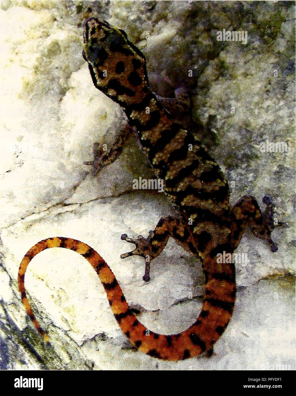 . Current herpetology. Reptiles; Herpetology. 20 Current Herpetol. 23(1) 2004 Berlin (ZMB) 65437; Thailand, Kanchanaburi Province, Sai Yok National Park, Coll. G. Vogel, 28 September 1992. Diagnosis Dixonius hangseesom may be distinguished from non-congeneric leaf-toed geckos on the basis of the possession of precloacal pores by males and by the unique configuration of the phalanges of the manus. It may be diagnosed from D. siamensis by its smaller size (maxi- mum 42 mm vs 57 mm; Manthey and Gross- mann, 1997) and presence of a bold dark stripe through the eye, cross-banded or reticu- late dor Stock Photohttps://www.alamy.com/image-license-details/?v=1https://www.alamy.com/current-herpetology-reptiles-herpetology-20-current-herpetol-231-2004-berlin-zmb-65437-thailand-kanchanaburi-province-sai-yok-national-park-coll-g-vogel-28-september-1992-diagnosis-dixonius-hangseesom-may-be-distinguished-from-non-congeneric-leaf-toed-geckos-on-the-basis-of-the-possession-of-precloacal-pores-by-males-and-by-the-unique-configuration-of-the-phalanges-of-the-manus-it-may-be-diagnosed-from-d-siamensis-by-its-smaller-size-maxi-mum-42-mm-vs-57-mm-manthey-and-gross-mann-1997-and-presence-of-a-bold-dark-stripe-through-the-eye-cross-banded-or-reticu-late-dor-image216347573.html
RMPFYDF1–. Current herpetology. Reptiles; Herpetology. 20 Current Herpetol. 23(1) 2004 Berlin (ZMB) 65437; Thailand, Kanchanaburi Province, Sai Yok National Park, Coll. G. Vogel, 28 September 1992. Diagnosis Dixonius hangseesom may be distinguished from non-congeneric leaf-toed geckos on the basis of the possession of precloacal pores by males and by the unique configuration of the phalanges of the manus. It may be diagnosed from D. siamensis by its smaller size (maxi- mum 42 mm vs 57 mm; Manthey and Gross- mann, 1997) and presence of a bold dark stripe through the eye, cross-banded or reticu- late dor
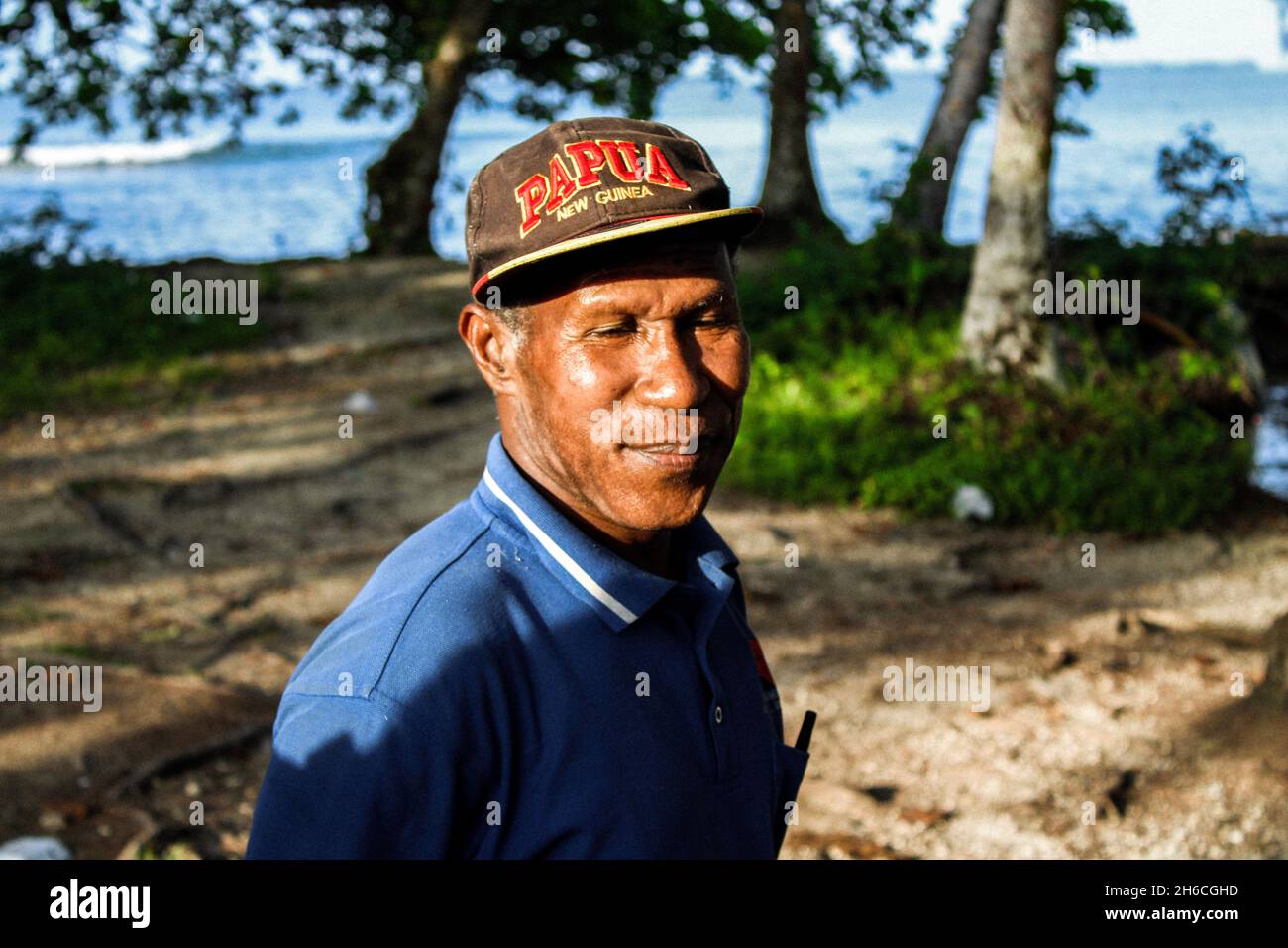 People of Manus Island - Eric Nombei of Korojih Village at Raun Wara, Ward 1, Lorengau, Manus Province, Papua New Guinea Stock Photohttps://www.alamy.com/image-license-details/?v=1https://www.alamy.com/people-of-manus-island-eric-nombei-of-korojih-village-at-raun-wara-ward-1-lorengau-manus-province-papua-new-guinea-image451433961.html
RF2H6CGHD–People of Manus Island - Eric Nombei of Korojih Village at Raun Wara, Ward 1, Lorengau, Manus Province, Papua New Guinea
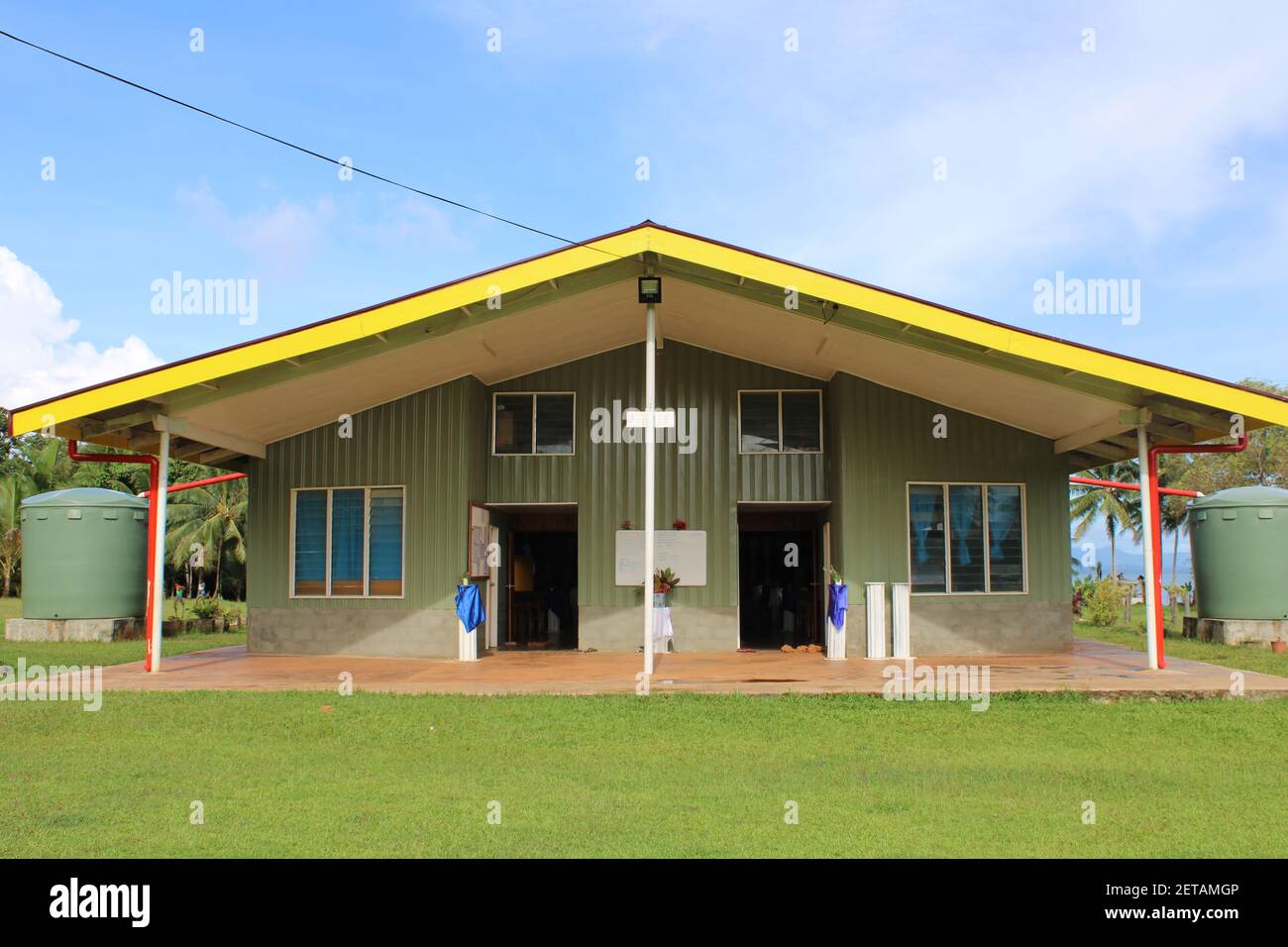 The Seventh Day Adventist (SDA) Church building at Bundrahei village, Manus Province. Stock Photohttps://www.alamy.com/image-license-details/?v=1https://www.alamy.com/the-seventh-day-adventist-sda-church-building-at-bundrahei-village-manus-province-image410825878.html
RF2ETAMGP–The Seventh Day Adventist (SDA) Church building at Bundrahei village, Manus Province.
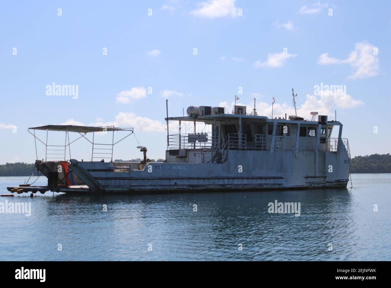 The mv Trader Star berthed in the Seeadler Harbor outside Lorengau Town, Manus Province, Papua New Guinea Stock Photohttps://www.alamy.com/image-license-details/?v=1https://www.alamy.com/the-mv-trader-star-berthed-in-the-seeadler-harbor-outside-lorengau-town-manus-province-papua-new-guinea-image407375743.html
RF2EJNFWK–The mv Trader Star berthed in the Seeadler Harbor outside Lorengau Town, Manus Province, Papua New Guinea
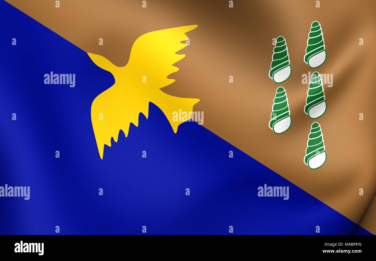 3D Flag of the Manus Province, Papua New Guinea. Stock Photohttps://www.alamy.com/image-license-details/?v=1https://www.alamy.com/stock-photo-3d-flag-of-the-manus-province-papua-new-guinea-174821577.html
RMM4BPKN–3D Flag of the Manus Province, Papua New Guinea.
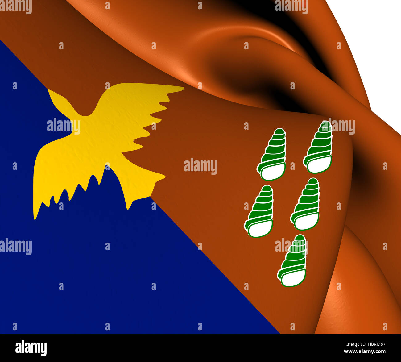 Flag of Manus Province Stock Photohttps://www.alamy.com/image-license-details/?v=1https://www.alamy.com/stock-photo-flag-of-manus-province-127754599.html
RMHBRM87–Flag of Manus Province
 Manus Province (Independent State of Papua New Guinea, PNG, Provinces of Papua New Guinea) map vector illustration, scribble sketch Admiralty Islands, Stock Vectorhttps://www.alamy.com/image-license-details/?v=1https://www.alamy.com/manus-province-independent-state-of-papua-new-guinea-png-provinces-of-papua-new-guinea-map-vector-illustration-scribble-sketch-admiralty-islands-image332026854.html
RF2A853HX–Manus Province (Independent State of Papua New Guinea, PNG, Provinces of Papua New Guinea) map vector illustration, scribble sketch Admiralty Islands,
 Art inspired by Ceremonial Paddle, probably Hermit Islands, Papua New Guinea, probably 18th century, Wood, pigment, Manus province, Melanesia, Papua New Guinea, Oceania, Tools & equipment, wood, 5 15/16 x 52 3/16 in. (15.1 x 132.5 cm, Classic works modernized by Artotop with a splash of modernity. Shapes, color and value, eye-catching visual impact on art. Emotions through freedom of artworks in a contemporary way. A timeless message pursuing a wildly creative new direction. Artists turning to the digital medium and creating the Artotop NFT Stock Photohttps://www.alamy.com/image-license-details/?v=1https://www.alamy.com/art-inspired-by-ceremonial-paddle-probably-hermit-islands-papua-new-guinea-probably-18th-century-wood-pigment-manus-province-melanesia-papua-new-guinea-oceania-tools-equipment-wood-5-1516-x-52-316-in-151-x-1325-cm-classic-works-modernized-by-artotop-with-a-splash-of-modernity-shapes-color-and-value-eye-catching-visual-impact-on-art-emotions-through-freedom-of-artworks-in-a-contemporary-way-a-timeless-message-pursuing-a-wildly-creative-new-direction-artists-turning-to-the-digital-medium-and-creating-the-artotop-nft-image459588456.html
RF2HKM1NC–Art inspired by Ceremonial Paddle, probably Hermit Islands, Papua New Guinea, probably 18th century, Wood, pigment, Manus province, Melanesia, Papua New Guinea, Oceania, Tools & equipment, wood, 5 15/16 x 52 3/16 in. (15.1 x 132.5 cm, Classic works modernized by Artotop with a splash of modernity. Shapes, color and value, eye-catching visual impact on art. Emotions through freedom of artworks in a contemporary way. A timeless message pursuing a wildly creative new direction. Artists turning to the digital medium and creating the Artotop NFT
 Shape of Manus, province of Papua New Guinea, with its capital isolated on white background. Composition of patterned textures. 3D rendering Stock Photohttps://www.alamy.com/image-license-details/?v=1https://www.alamy.com/shape-of-manus-province-of-papua-new-guinea-with-its-capital-isolated-on-white-background-composition-of-patterned-textures-3d-rendering-image368550018.html
RF2CBGW8J–Shape of Manus, province of Papua New Guinea, with its capital isolated on white background. Composition of patterned textures. 3D rendering
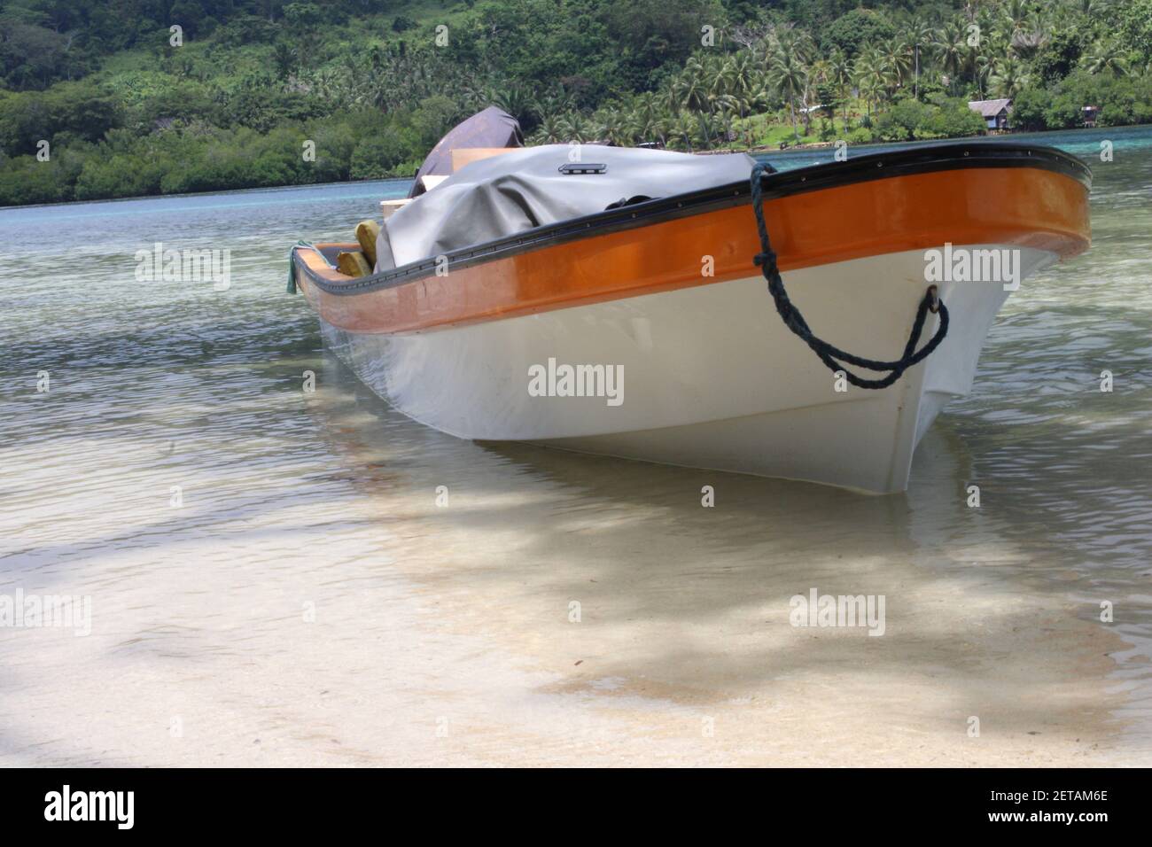 A fiberglass dinghy berthed on the shores of Peli Island in Manus Province, Papua New Guinea. These boats are also called banana boats by the locals. Stock Photohttps://www.alamy.com/image-license-details/?v=1https://www.alamy.com/a-fiberglass-dinghy-berthed-on-the-shores-of-peli-island-in-manus-province-papua-new-guinea-these-boats-are-also-called-banana-boats-by-the-locals-image410825590.html
RF2ETAM6E–A fiberglass dinghy berthed on the shores of Peli Island in Manus Province, Papua New Guinea. These boats are also called banana boats by the locals.
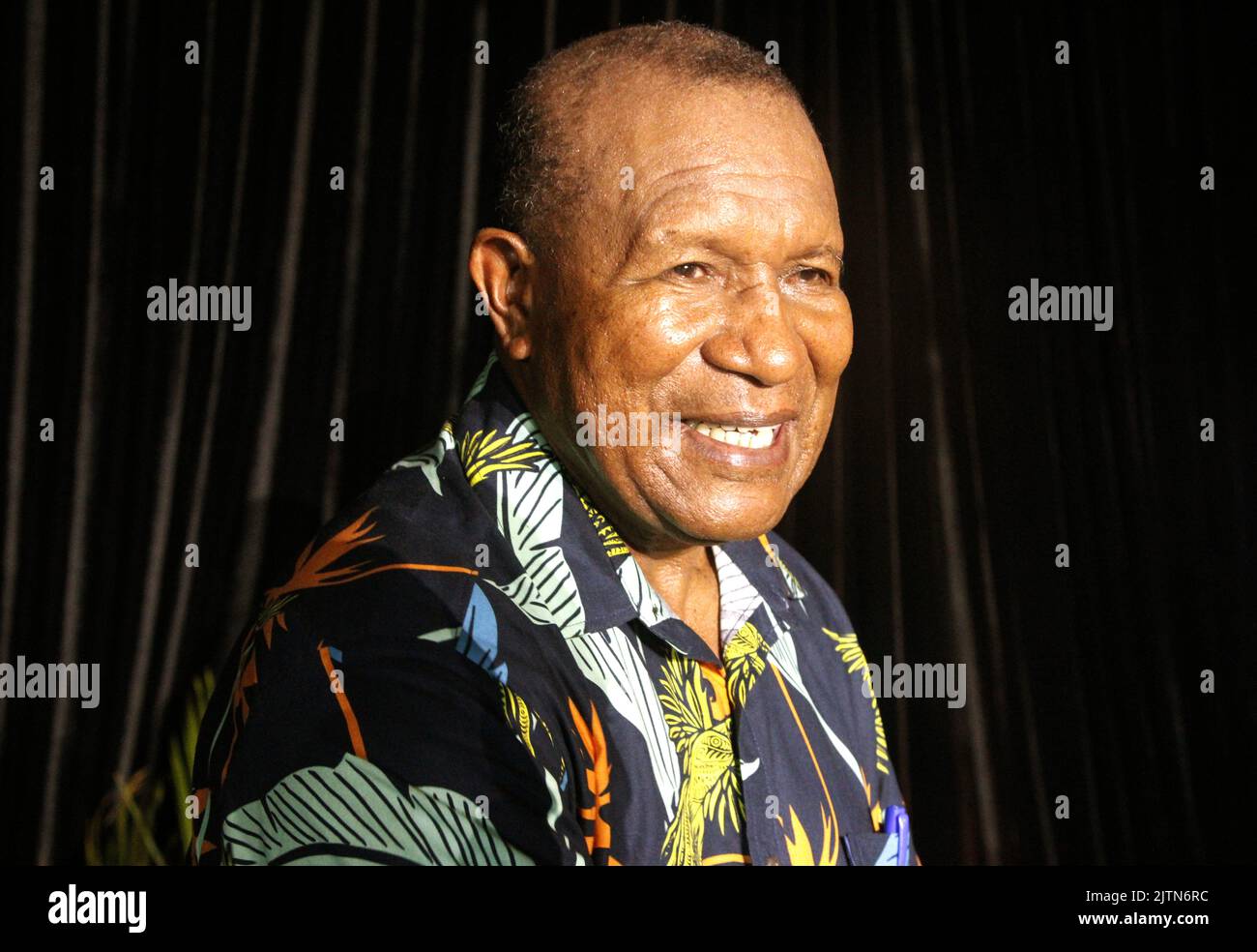 Manus Governor Charlie Benjamin during a meet with Manusians in Port Moresby Stock Photohttps://www.alamy.com/image-license-details/?v=1https://www.alamy.com/manus-governor-charlie-benjamin-during-a-meet-with-manusians-in-port-moresby-image479898032.html
RF2JTN6RC–Manus Governor Charlie Benjamin during a meet with Manusians in Port Moresby
 A dugout canoe at Peli Island, Manus Province, Papua New Guinea Stock Photohttps://www.alamy.com/image-license-details/?v=1https://www.alamy.com/a-dugout-canoe-at-peli-island-manus-province-papua-new-guinea-image407376612.html
RF2EJNH0M–A dugout canoe at Peli Island, Manus Province, Papua New Guinea
 Manus Province (Independent State of Papua New Guinea, PNG, Provinces of Papua New Guinea) map vector illustration, scribble sketch Admiralty Islands, Stock Vectorhttps://www.alamy.com/image-license-details/?v=1https://www.alamy.com/manus-province-independent-state-of-papua-new-guinea-png-provinces-of-papua-new-guinea-map-vector-illustration-scribble-sketch-admiralty-islands-image329662126.html
RF2A49BBA–Manus Province (Independent State of Papua New Guinea, PNG, Provinces of Papua New Guinea) map vector illustration, scribble sketch Admiralty Islands,
 Art inspired by Bowl with Spiral Finials, Admiralty Islands, probably late 19th-early 20th century, Wood, resin, and remnants of fiber, Manus province, Melanesia, Papua New Guinea, Oceania, Containers, sculpture, 22 x 32 1/4 x 40 1/2 in. (55.9 x 81.9 x 102.9 cm, Classic works modernized by Artotop with a splash of modernity. Shapes, color and value, eye-catching visual impact on art. Emotions through freedom of artworks in a contemporary way. A timeless message pursuing a wildly creative new direction. Artists turning to the digital medium and creating the Artotop NFT Stock Photohttps://www.alamy.com/image-license-details/?v=1https://www.alamy.com/art-inspired-by-bowl-with-spiral-finials-admiralty-islands-probably-late-19th-early-20th-century-wood-resin-and-remnants-of-fiber-manus-province-melanesia-papua-new-guinea-oceania-containers-sculpture-22-x-32-14-x-40-12-in-559-x-819-x-1029-cm-classic-works-modernized-by-artotop-with-a-splash-of-modernity-shapes-color-and-value-eye-catching-visual-impact-on-art-emotions-through-freedom-of-artworks-in-a-contemporary-way-a-timeless-message-pursuing-a-wildly-creative-new-direction-artists-turning-to-the-digital-medium-and-creating-the-artotop-nft-image459596908.html
RF2HKMCF8–Art inspired by Bowl with Spiral Finials, Admiralty Islands, probably late 19th-early 20th century, Wood, resin, and remnants of fiber, Manus province, Melanesia, Papua New Guinea, Oceania, Containers, sculpture, 22 x 32 1/4 x 40 1/2 in. (55.9 x 81.9 x 102.9 cm, Classic works modernized by Artotop with a splash of modernity. Shapes, color and value, eye-catching visual impact on art. Emotions through freedom of artworks in a contemporary way. A timeless message pursuing a wildly creative new direction. Artists turning to the digital medium and creating the Artotop NFT
 Shape of Manus, province of Papua New Guinea, with its capital isolated on white background. Colored elevation map. 3D rendering Stock Photohttps://www.alamy.com/image-license-details/?v=1https://www.alamy.com/shape-of-manus-province-of-papua-new-guinea-with-its-capital-isolated-on-white-background-colored-elevation-map-3d-rendering-image368550067.html
RF2CBGWAB–Shape of Manus, province of Papua New Guinea, with its capital isolated on white background. Colored elevation map. 3D rendering
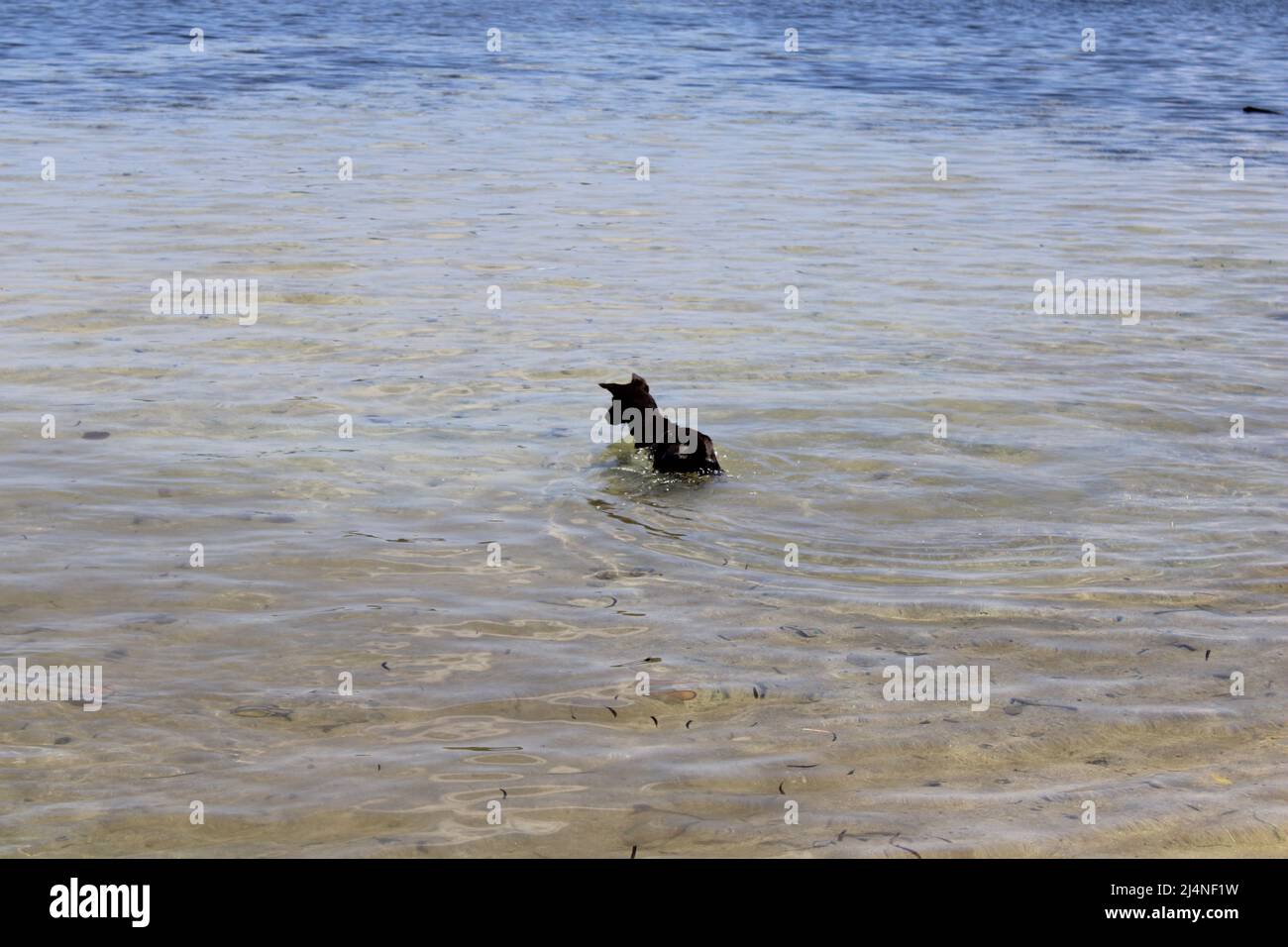 A black dog taking a dip in the sea at Peli Island in Manus Province, Papua New Guinea (PNG) Stock Photohttps://www.alamy.com/image-license-details/?v=1https://www.alamy.com/a-black-dog-taking-a-dip-in-the-sea-at-peli-island-in-manus-province-papua-new-guinea-png-image467611365.html
RF2J4NF1W–A black dog taking a dip in the sea at Peli Island in Manus Province, Papua New Guinea (PNG)
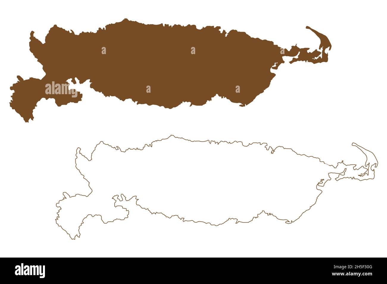 Manus island (Papua New Guinea, Admiralty Islands Archipelago) map vector illustration, scribble sketch Manus map Stock Vectorhttps://www.alamy.com/image-license-details/?v=1https://www.alamy.com/manus-island-papua-new-guinea-admiralty-islands-archipelago-map-vector-illustration-scribble-sketch-manus-map-image450874496.html
RF2H5F30G–Manus island (Papua New Guinea, Admiralty Islands Archipelago) map vector illustration, scribble sketch Manus map
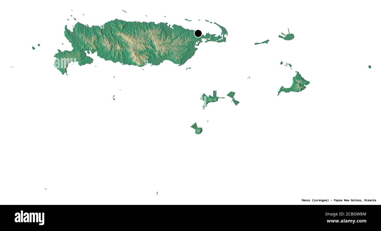 Shape of Manus, province of Papua New Guinea, with its capital isolated on white background. Topographic relief map. 3D rendering Stock Photohttps://www.alamy.com/image-license-details/?v=1https://www.alamy.com/shape-of-manus-province-of-papua-new-guinea-with-its-capital-isolated-on-white-background-topographic-relief-map-3d-rendering-image368550020.html
RF2CBGW8M–Shape of Manus, province of Papua New Guinea, with its capital isolated on white background. Topographic relief map. 3D rendering
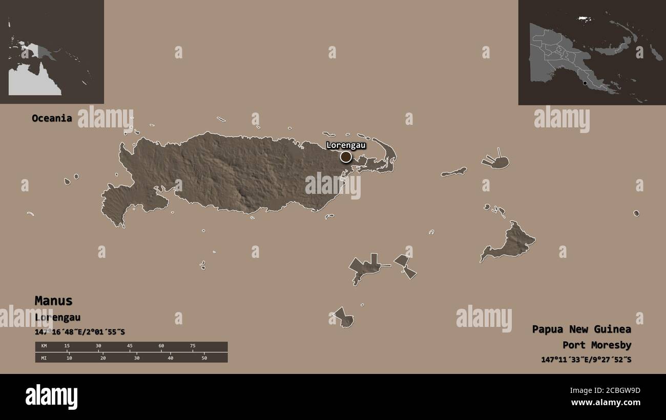 Shape of Manus, province of Papua New Guinea, and its capital. Distance scale, previews and labels. Colored elevation map. 3D rendering Stock Photohttps://www.alamy.com/image-license-details/?v=1https://www.alamy.com/shape-of-manus-province-of-papua-new-guinea-and-its-capital-distance-scale-previews-and-labels-colored-elevation-map-3d-rendering-image368550041.html
RF2CBGW9D–Shape of Manus, province of Papua New Guinea, and its capital. Distance scale, previews and labels. Colored elevation map. 3D rendering
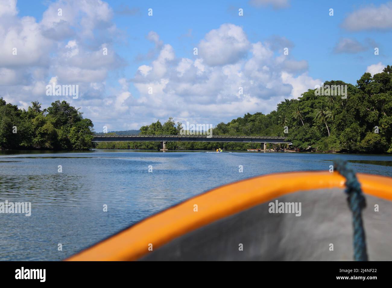 A view of Loniu bridge from a motorized dinghy Stock Photohttps://www.alamy.com/image-license-details/?v=1https://www.alamy.com/a-view-of-loniu-bridge-from-a-motorized-dinghy-image467611370.html
RF2J4NF22–A view of Loniu bridge from a motorized dinghy
 Manus island (Papua New Guinea, Admiralty Islands Archipelago) map vector illustration, scribble sketch Manus map Stock Vectorhttps://www.alamy.com/image-license-details/?v=1https://www.alamy.com/manus-island-papua-new-guinea-admiralty-islands-archipelago-map-vector-illustration-scribble-sketch-manus-map-image465951700.html
RF2J21X44–Manus island (Papua New Guinea, Admiralty Islands Archipelago) map vector illustration, scribble sketch Manus map
 Shape of Manus, province of Papua New Guinea, and its capital. Distance scale, previews and labels. Composition of regularly patterned textures. 3D re Stock Photohttps://www.alamy.com/image-license-details/?v=1https://www.alamy.com/shape-of-manus-province-of-papua-new-guinea-and-its-capital-distance-scale-previews-and-labels-composition-of-regularly-patterned-textures-3d-re-image368550059.html
RF2CBGWA3–Shape of Manus, province of Papua New Guinea, and its capital. Distance scale, previews and labels. Composition of regularly patterned textures. 3D re
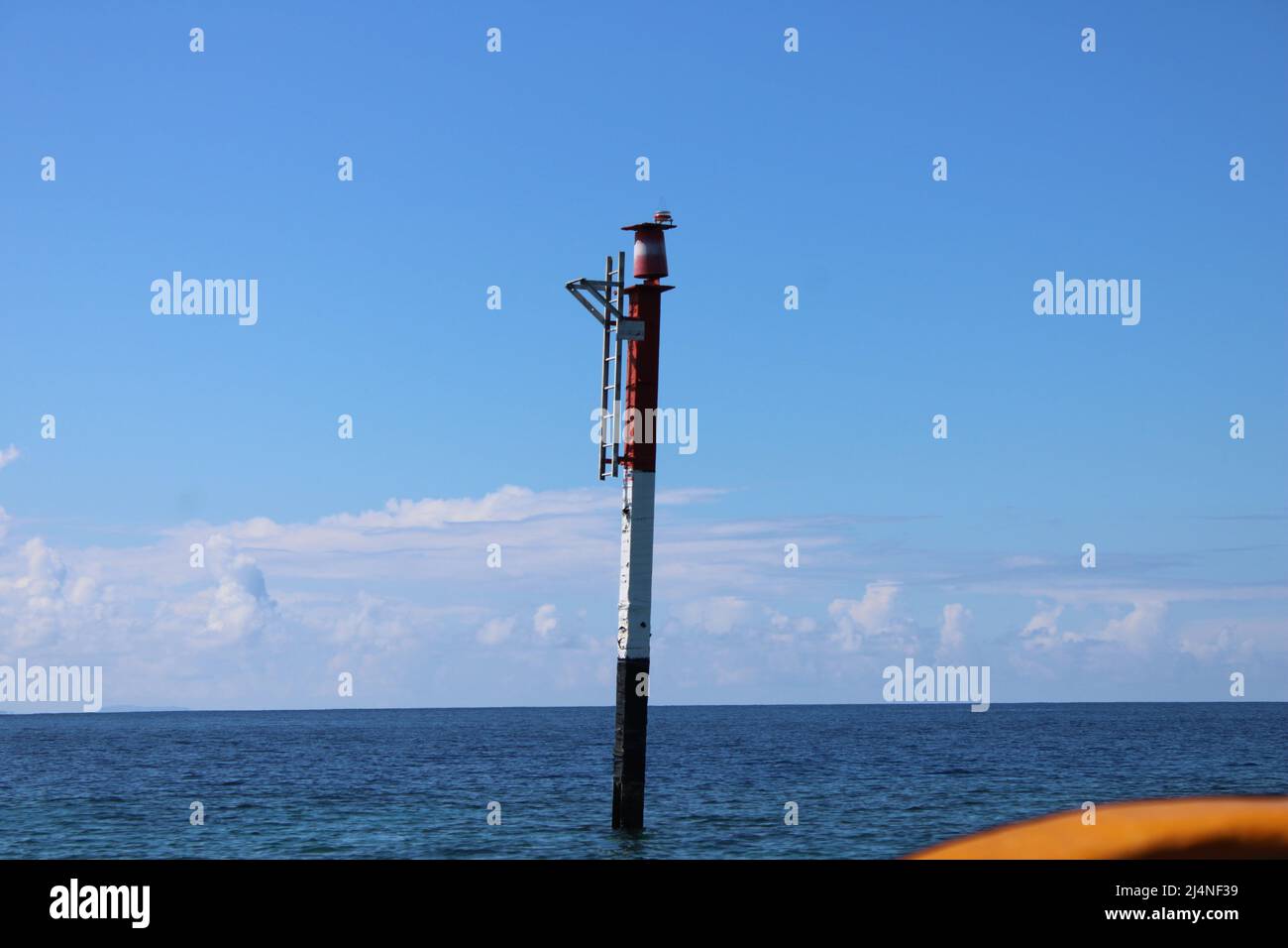 A navigation cardinal marker at Loniu passage in Manus Province for small marine crafts Stock Photohttps://www.alamy.com/image-license-details/?v=1https://www.alamy.com/a-navigation-cardinal-marker-at-loniu-passage-in-manus-province-for-small-marine-crafts-image467611405.html
RF2J4NF39–A navigation cardinal marker at Loniu passage in Manus Province for small marine crafts
 Manus island (Papua New Guinea, Admiralty Islands Archipelago) map vector illustration, scribble sketch Manus map Stock Vectorhttps://www.alamy.com/image-license-details/?v=1https://www.alamy.com/manus-island-papua-new-guinea-admiralty-islands-archipelago-map-vector-illustration-scribble-sketch-manus-map-image474520772.html
RF2JG082C–Manus island (Papua New Guinea, Admiralty Islands Archipelago) map vector illustration, scribble sketch Manus map
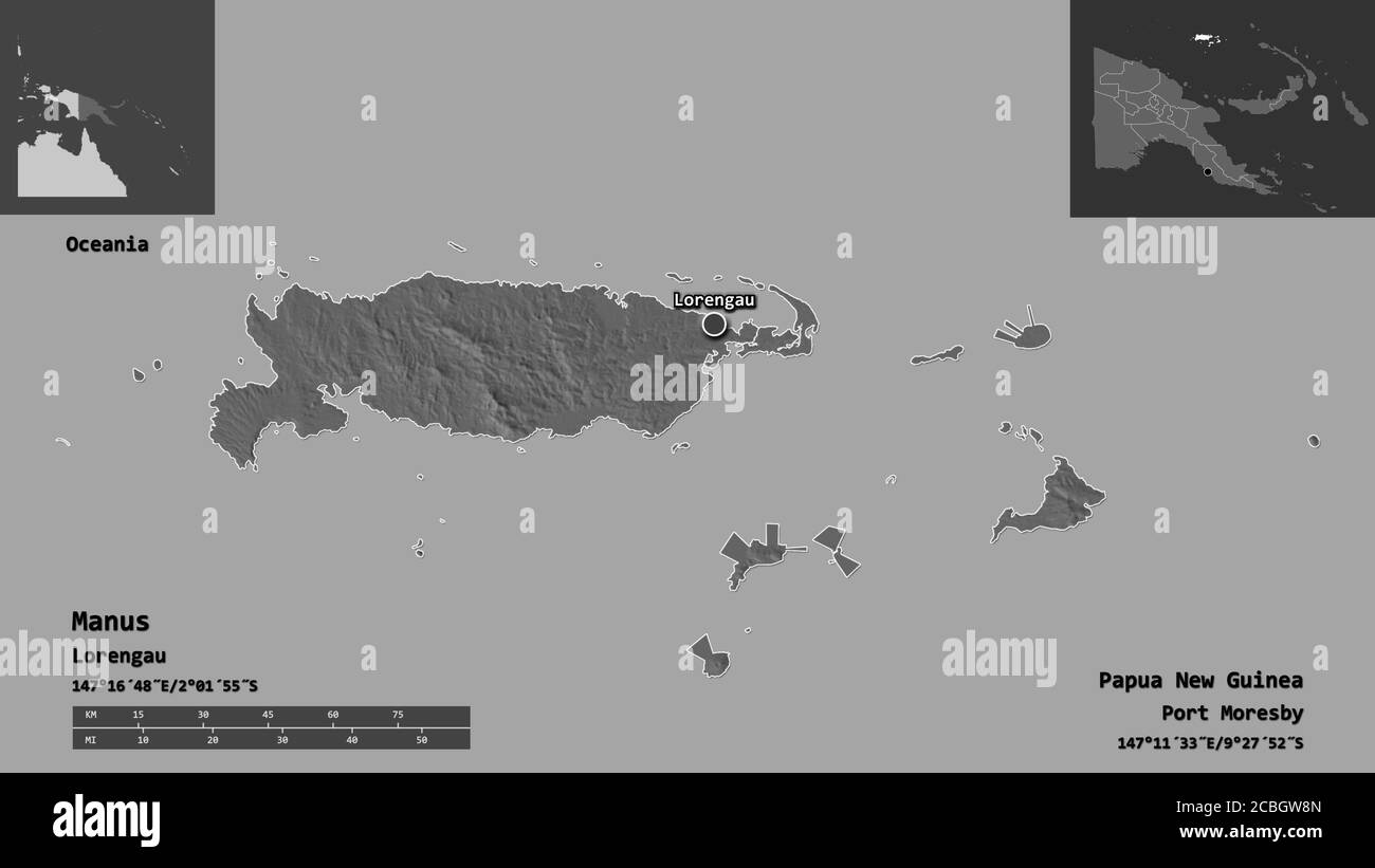 Shape of Manus, province of Papua New Guinea, and its capital. Distance scale, previews and labels. Bilevel elevation map. 3D rendering Stock Photohttps://www.alamy.com/image-license-details/?v=1https://www.alamy.com/shape-of-manus-province-of-papua-new-guinea-and-its-capital-distance-scale-previews-and-labels-bilevel-elevation-map-3d-rendering-image368550021.html
RF2CBGW8N–Shape of Manus, province of Papua New Guinea, and its capital. Distance scale, previews and labels. Bilevel elevation map. 3D rendering
 Shape of Manus, province of Papua New Guinea, with its capital isolated on a solid color background. Satellite imagery. 3D rendering Stock Photohttps://www.alamy.com/image-license-details/?v=1https://www.alamy.com/shape-of-manus-province-of-papua-new-guinea-with-its-capital-isolated-on-a-solid-color-background-satellite-imagery-3d-rendering-image368550015.html
RF2CBGW8F–Shape of Manus, province of Papua New Guinea, with its capital isolated on a solid color background. Satellite imagery. 3D rendering
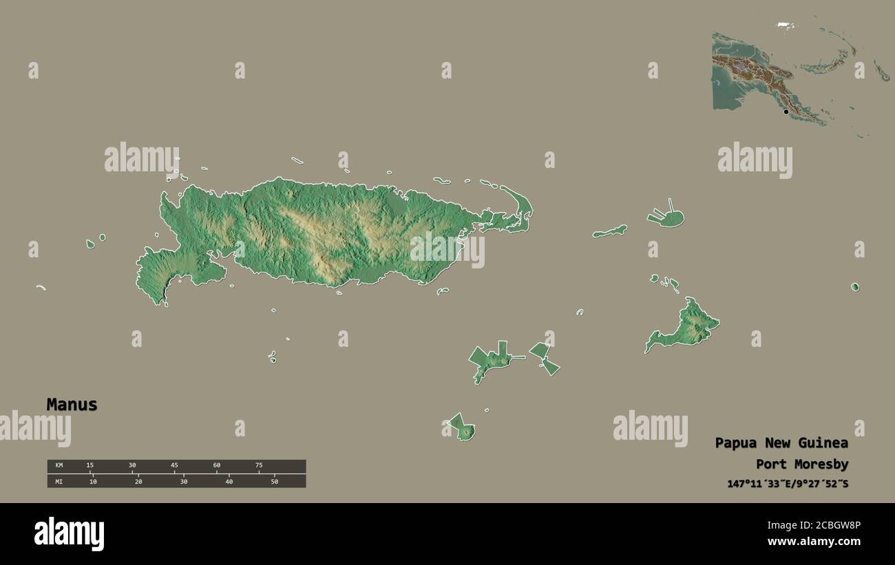 Shape of Manus, province of Papua New Guinea, with its capital isolated on solid background. Distance scale, region preview and labels. Topographic re Stock Photohttps://www.alamy.com/image-license-details/?v=1https://www.alamy.com/shape-of-manus-province-of-papua-new-guinea-with-its-capital-isolated-on-solid-background-distance-scale-region-preview-and-labels-topographic-re-image368550022.html
RF2CBGW8P–Shape of Manus, province of Papua New Guinea, with its capital isolated on solid background. Distance scale, region preview and labels. Topographic re
 Shape of Manus, province of Papua New Guinea, with its capital isolated on solid background. Distance scale, region preview and labels. Composition of Stock Photohttps://www.alamy.com/image-license-details/?v=1https://www.alamy.com/shape-of-manus-province-of-papua-new-guinea-with-its-capital-isolated-on-solid-background-distance-scale-region-preview-and-labels-composition-of-image368550013.html
RF2CBGW8D–Shape of Manus, province of Papua New Guinea, with its capital isolated on solid background. Distance scale, region preview and labels. Composition of
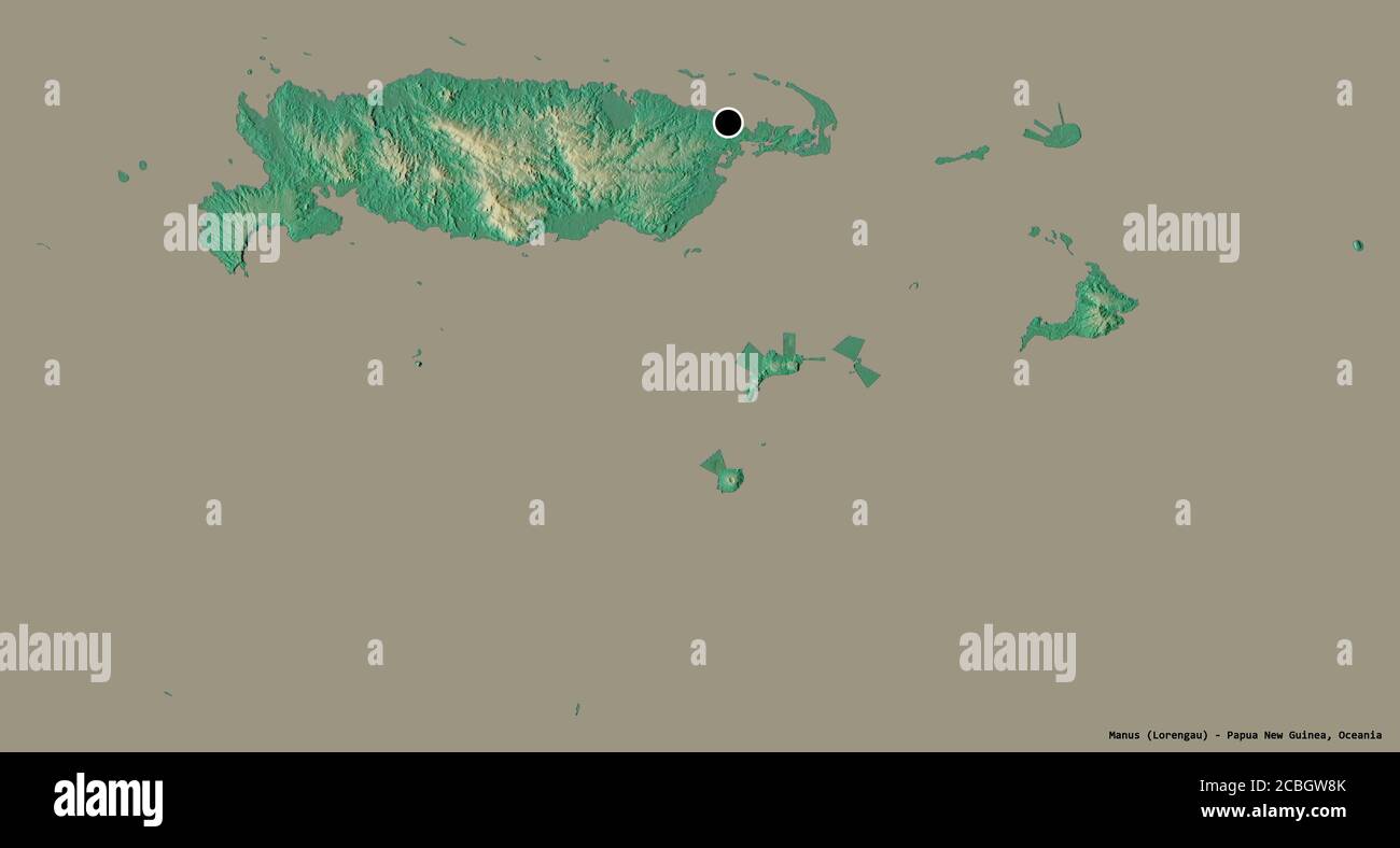 Shape of Manus, province of Papua New Guinea, with its capital isolated on a solid color background. Topographic relief map. 3D rendering Stock Photohttps://www.alamy.com/image-license-details/?v=1https://www.alamy.com/shape-of-manus-province-of-papua-new-guinea-with-its-capital-isolated-on-a-solid-color-background-topographic-relief-map-3d-rendering-image368550019.html
RF2CBGW8K–Shape of Manus, province of Papua New Guinea, with its capital isolated on a solid color background. Topographic relief map. 3D rendering
 Shape of Manus, province of Papua New Guinea, with its capital isolated on a solid color background. Composition of patterned textures. 3D rendering Stock Photohttps://www.alamy.com/image-license-details/?v=1https://www.alamy.com/shape-of-manus-province-of-papua-new-guinea-with-its-capital-isolated-on-a-solid-color-background-composition-of-patterned-textures-3d-rendering-image368550069.html
RF2CBGWAD–Shape of Manus, province of Papua New Guinea, with its capital isolated on a solid color background. Composition of patterned textures. 3D rendering
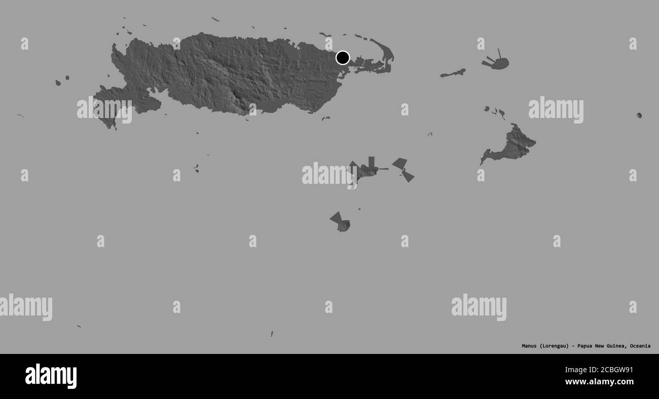 Shape of Manus, province of Papua New Guinea, with its capital isolated on a solid color background. Bilevel elevation map. 3D rendering Stock Photohttps://www.alamy.com/image-license-details/?v=1https://www.alamy.com/shape-of-manus-province-of-papua-new-guinea-with-its-capital-isolated-on-a-solid-color-background-bilevel-elevation-map-3d-rendering-image368550029.html
RF2CBGW91–Shape of Manus, province of Papua New Guinea, with its capital isolated on a solid color background. Bilevel elevation map. 3D rendering
 Shape of Manus, province of Papua New Guinea, with its capital isolated on a solid color background. Colored elevation map. 3D rendering Stock Photohttps://www.alamy.com/image-license-details/?v=1https://www.alamy.com/shape-of-manus-province-of-papua-new-guinea-with-its-capital-isolated-on-a-solid-color-background-colored-elevation-map-3d-rendering-image368550038.html
RF2CBGW9A–Shape of Manus, province of Papua New Guinea, with its capital isolated on a solid color background. Colored elevation map. 3D rendering
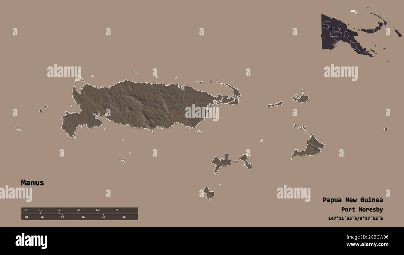 Shape of Manus, province of Papua New Guinea, with its capital isolated on solid background. Distance scale, region preview and labels. Colored elevat Stock Photohttps://www.alamy.com/image-license-details/?v=1https://www.alamy.com/shape-of-manus-province-of-papua-new-guinea-with-its-capital-isolated-on-solid-background-distance-scale-region-preview-and-labels-colored-elevat-image368550034.html
RF2CBGW96–Shape of Manus, province of Papua New Guinea, with its capital isolated on solid background. Distance scale, region preview and labels. Colored elevat
 Shape of Manus, province of Papua New Guinea, with its capital isolated on solid background. Distance scale, region preview and labels. Bilevel elevat Stock Photohttps://www.alamy.com/image-license-details/?v=1https://www.alamy.com/shape-of-manus-province-of-papua-new-guinea-with-its-capital-isolated-on-solid-background-distance-scale-region-preview-and-labels-bilevel-elevat-image368550016.html
RF2CBGW8G–Shape of Manus, province of Papua New Guinea, with its capital isolated on solid background. Distance scale, region preview and labels. Bilevel elevat
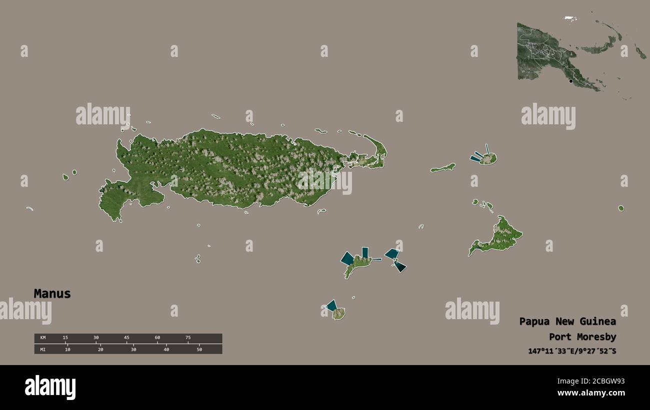 Shape of Manus, province of Papua New Guinea, with its capital isolated on solid background. Distance scale, region preview and labels. Satellite imag Stock Photohttps://www.alamy.com/image-license-details/?v=1https://www.alamy.com/shape-of-manus-province-of-papua-new-guinea-with-its-capital-isolated-on-solid-background-distance-scale-region-preview-and-labels-satellite-imag-image368550031.html
RF2CBGW93–Shape of Manus, province of Papua New Guinea, with its capital isolated on solid background. Distance scale, region preview and labels. Satellite imag
 Area of Manus, province of Papua New Guinea, isolated on a solid background in a georeferenced bounding box. Labels. Composition of patterned textures Stock Photohttps://www.alamy.com/image-license-details/?v=1https://www.alamy.com/area-of-manus-province-of-papua-new-guinea-isolated-on-a-solid-background-in-a-georeferenced-bounding-box-labels-composition-of-patterned-textures-image368550051.html
RF2CBGW9R–Area of Manus, province of Papua New Guinea, isolated on a solid background in a georeferenced bounding box. Labels. Composition of patterned textures
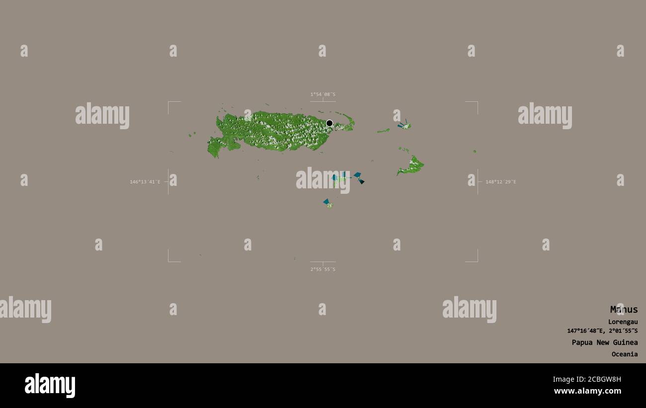 Area of Manus, province of Papua New Guinea, isolated on a solid background in a georeferenced bounding box. Labels. Satellite imagery. 3D rendering Stock Photohttps://www.alamy.com/image-license-details/?v=1https://www.alamy.com/area-of-manus-province-of-papua-new-guinea-isolated-on-a-solid-background-in-a-georeferenced-bounding-box-labels-satellite-imagery-3d-rendering-image368550017.html
RF2CBGW8H–Area of Manus, province of Papua New Guinea, isolated on a solid background in a georeferenced bounding box. Labels. Satellite imagery. 3D rendering
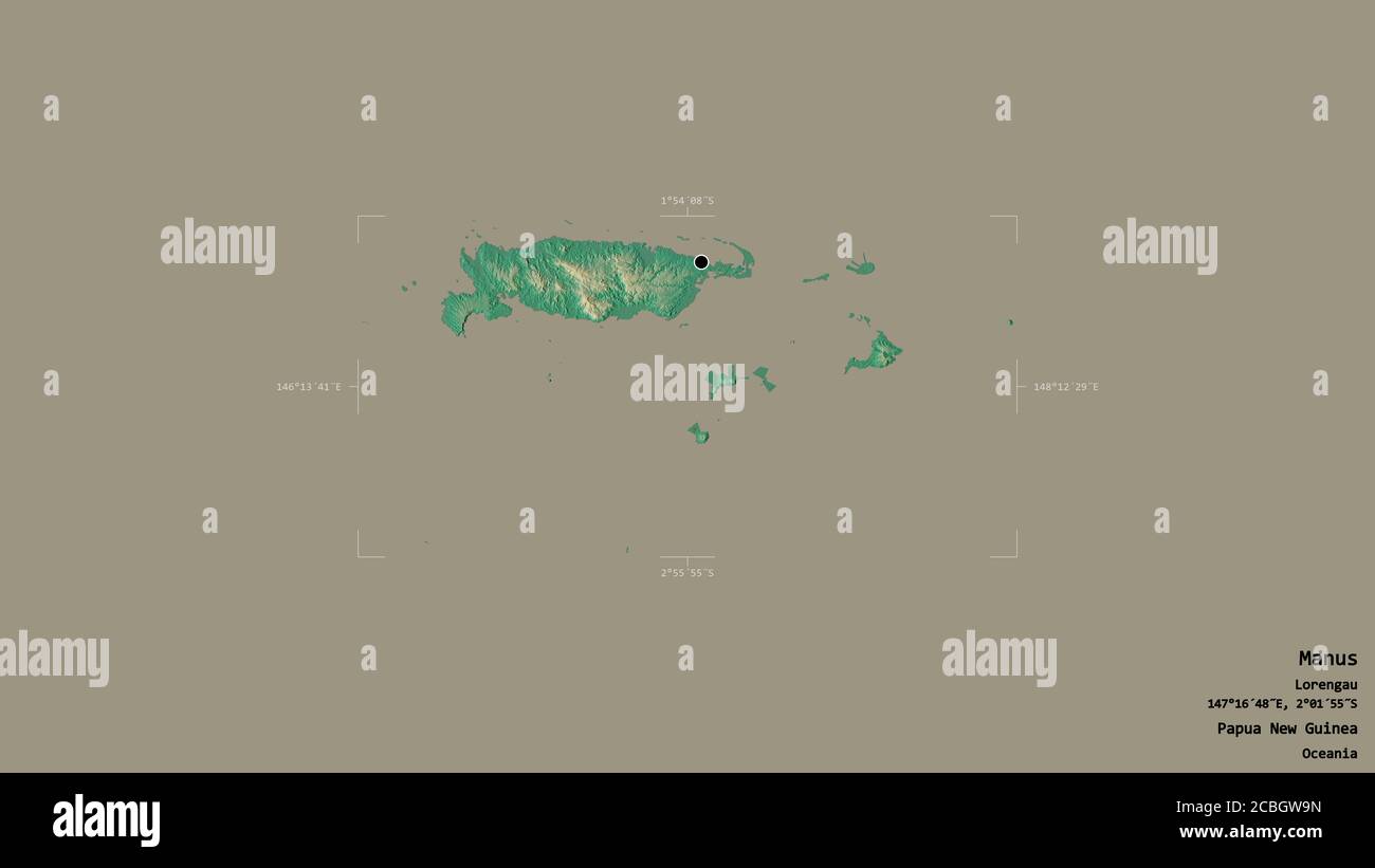 Area of Manus, province of Papua New Guinea, isolated on a solid background in a georeferenced bounding box. Labels. Topographic relief map. 3D render Stock Photohttps://www.alamy.com/image-license-details/?v=1https://www.alamy.com/area-of-manus-province-of-papua-new-guinea-isolated-on-a-solid-background-in-a-georeferenced-bounding-box-labels-topographic-relief-map-3d-render-image368550049.html
RF2CBGW9N–Area of Manus, province of Papua New Guinea, isolated on a solid background in a georeferenced bounding box. Labels. Topographic relief map. 3D render
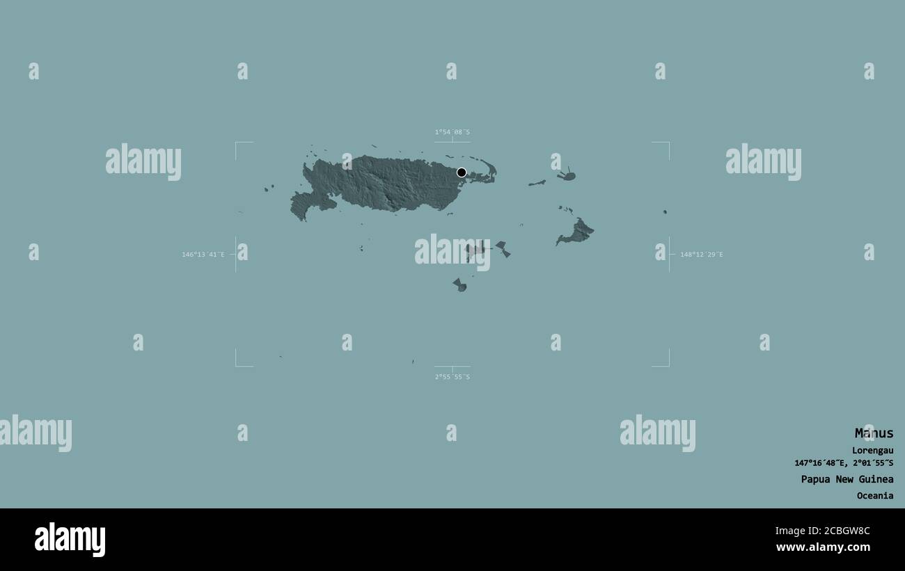 Area of Manus, province of Papua New Guinea, isolated on a solid background in a georeferenced bounding box. Labels. Colored elevation map. 3D renderi Stock Photohttps://www.alamy.com/image-license-details/?v=1https://www.alamy.com/area-of-manus-province-of-papua-new-guinea-isolated-on-a-solid-background-in-a-georeferenced-bounding-box-labels-colored-elevation-map-3d-renderi-image368550012.html
RF2CBGW8C–Area of Manus, province of Papua New Guinea, isolated on a solid background in a georeferenced bounding box. Labels. Colored elevation map. 3D renderi
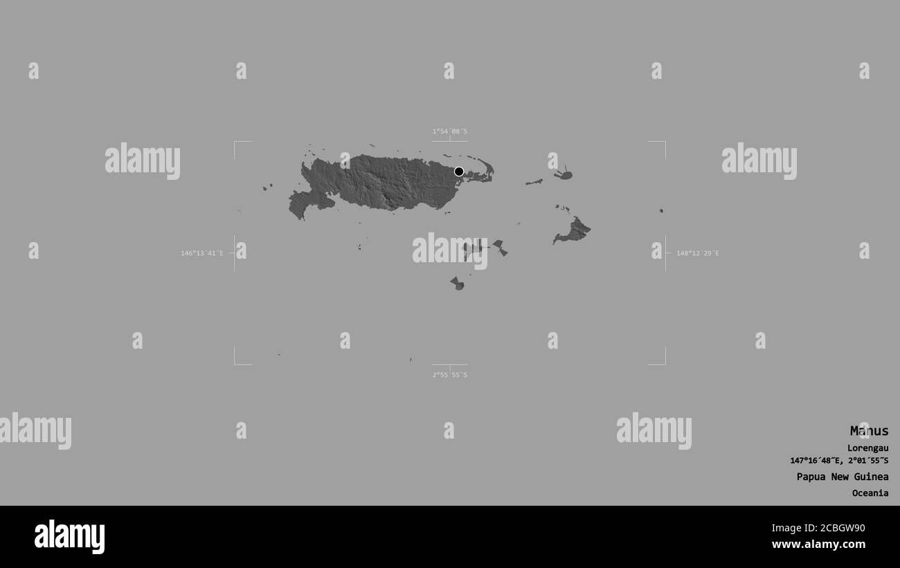 Area of Manus, province of Papua New Guinea, isolated on a solid background in a georeferenced bounding box. Labels. Bilevel elevation map. 3D renderi Stock Photohttps://www.alamy.com/image-license-details/?v=1https://www.alamy.com/area-of-manus-province-of-papua-new-guinea-isolated-on-a-solid-background-in-a-georeferenced-bounding-box-labels-bilevel-elevation-map-3d-renderi-image368550028.html
RF2CBGW90–Area of Manus, province of Papua New Guinea, isolated on a solid background in a georeferenced bounding box. Labels. Bilevel elevation map. 3D renderi
 Manus, province of Papua New Guinea. Solid color shape Stock Photohttps://www.alamy.com/image-license-details/?v=1https://www.alamy.com/manus-province-of-papua-new-guinea-solid-color-shape-image516622005.html
RF2N0E4HW–Manus, province of Papua New Guinea. Solid color shape
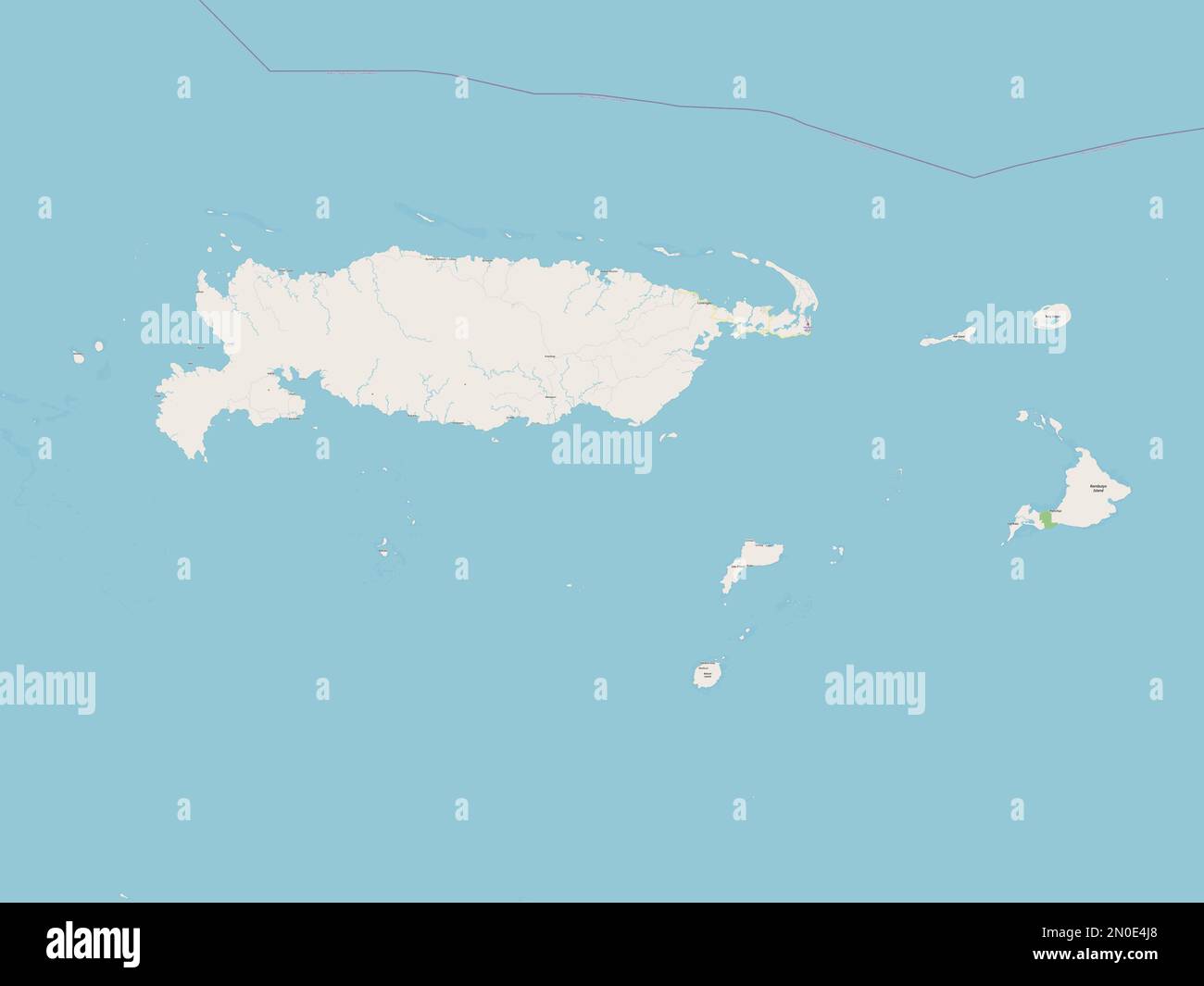 Manus, province of Papua New Guinea. Open Street Map Stock Photohttps://www.alamy.com/image-license-details/?v=1https://www.alamy.com/manus-province-of-papua-new-guinea-open-street-map-image516622016.html
RF2N0E4J8–Manus, province of Papua New Guinea. Open Street Map
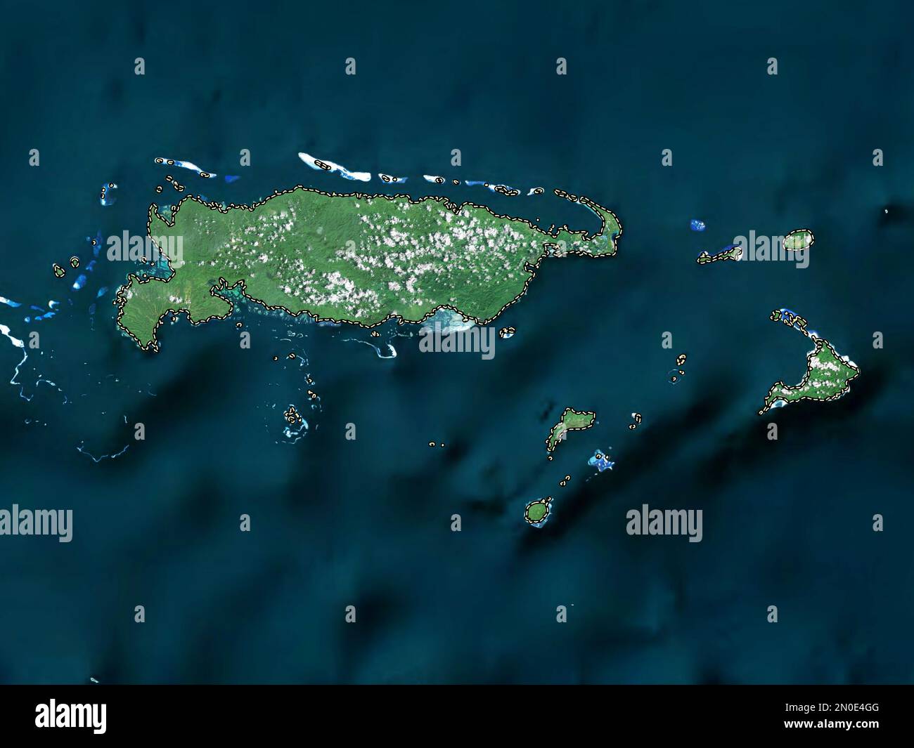 Manus, province of Papua New Guinea. High resolution satellite map Stock Photohttps://www.alamy.com/image-license-details/?v=1https://www.alamy.com/manus-province-of-papua-new-guinea-high-resolution-satellite-map-image516621968.html
RF2N0E4GG–Manus, province of Papua New Guinea. High resolution satellite map
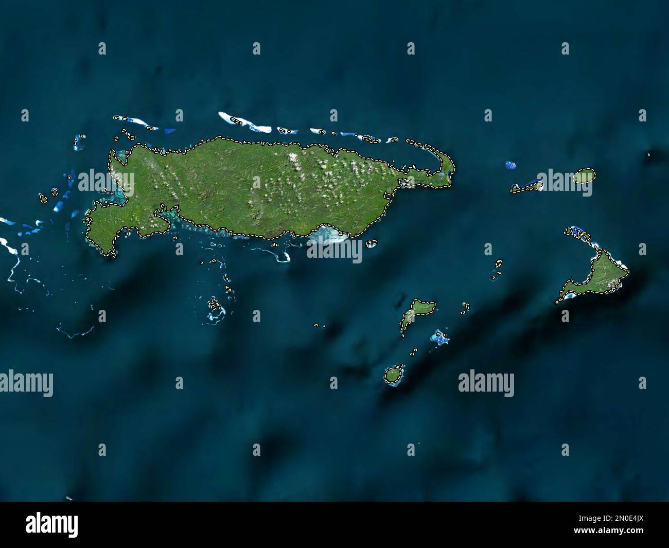 Manus, province of Papua New Guinea. Low resolution satellite map Stock Photohttps://www.alamy.com/image-license-details/?v=1https://www.alamy.com/manus-province-of-papua-new-guinea-low-resolution-satellite-map-image516622034.html
RF2N0E4JX–Manus, province of Papua New Guinea. Low resolution satellite map
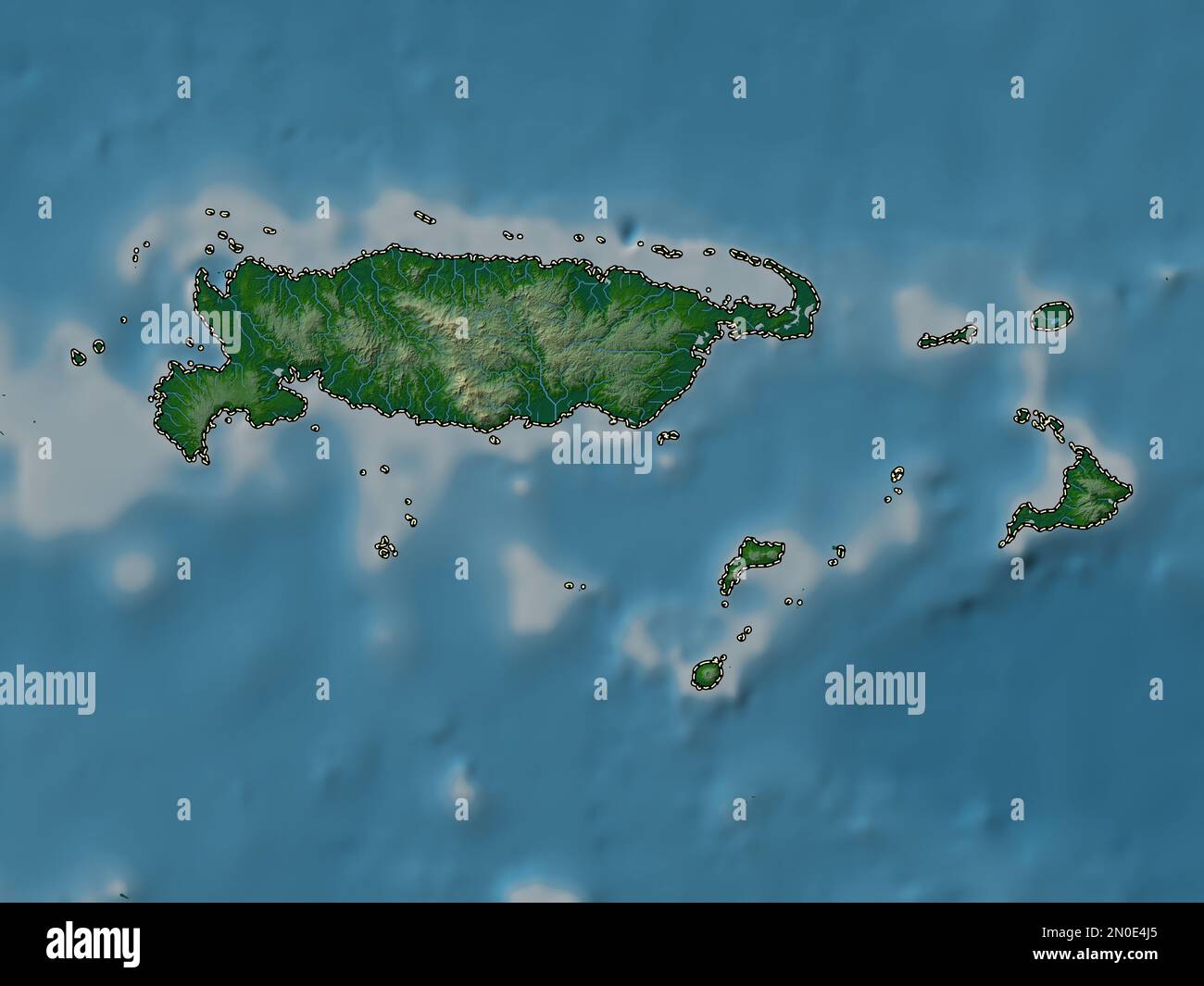 Manus, province of Papua New Guinea. Colored elevation map with lakes and rivers Stock Photohttps://www.alamy.com/image-license-details/?v=1https://www.alamy.com/manus-province-of-papua-new-guinea-colored-elevation-map-with-lakes-and-rivers-image516622013.html
RF2N0E4J5–Manus, province of Papua New Guinea. Colored elevation map with lakes and rivers
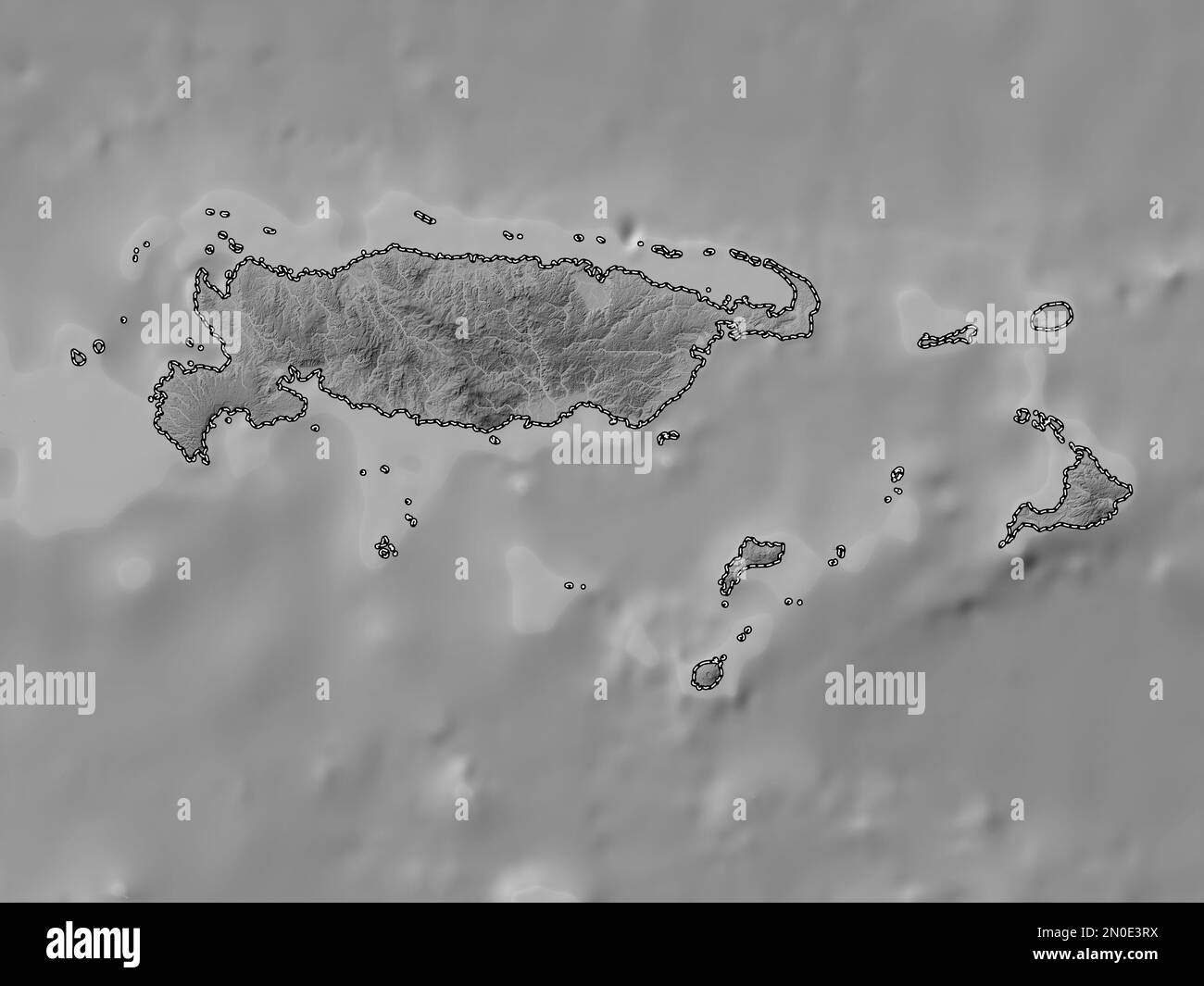 Manus, province of Papua New Guinea. Grayscale elevation map with lakes and rivers Stock Photohttps://www.alamy.com/image-license-details/?v=1https://www.alamy.com/manus-province-of-papua-new-guinea-grayscale-elevation-map-with-lakes-and-rivers-image516621390.html
RF2N0E3RX–Manus, province of Papua New Guinea. Grayscale elevation map with lakes and rivers
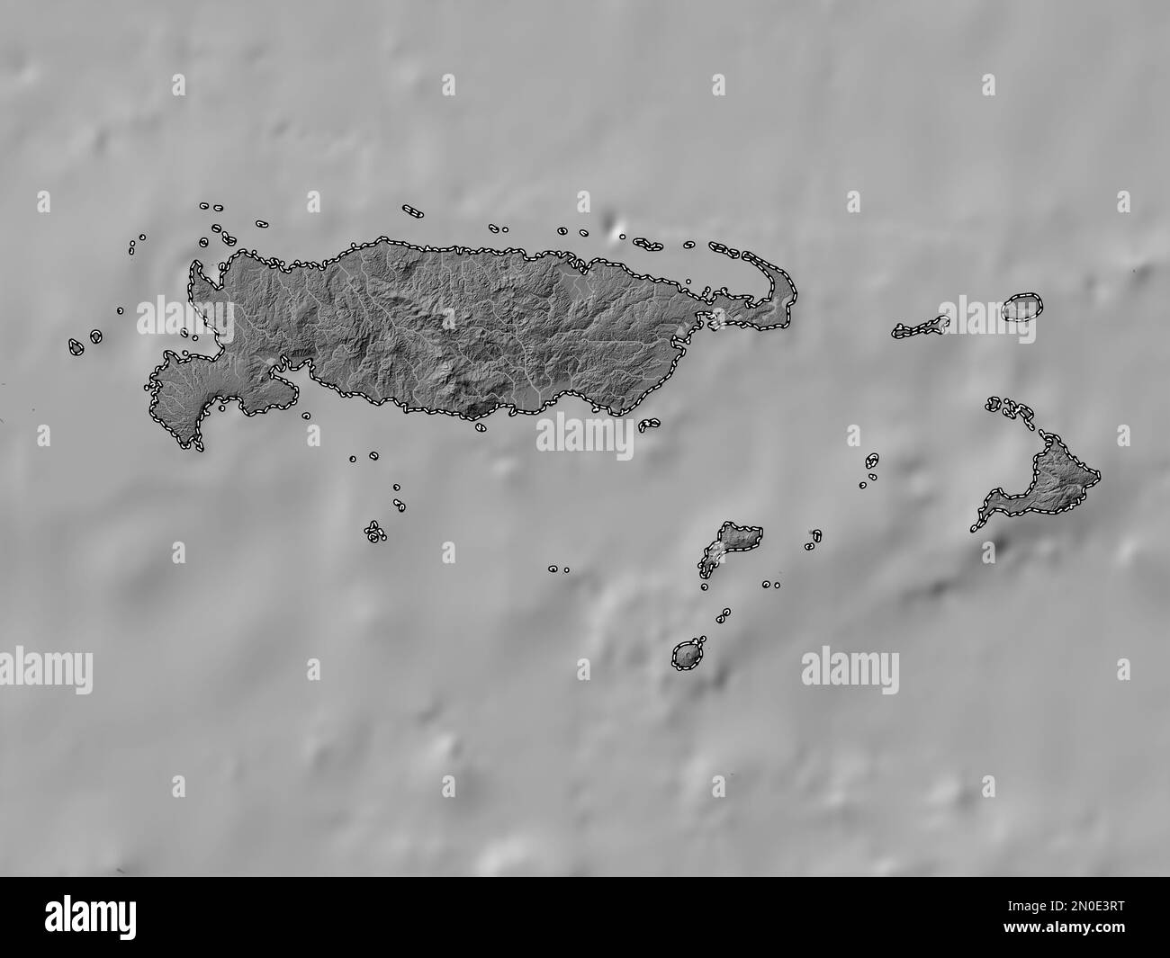 Manus, province of Papua New Guinea. Bilevel elevation map with lakes and rivers Stock Photohttps://www.alamy.com/image-license-details/?v=1https://www.alamy.com/manus-province-of-papua-new-guinea-bilevel-elevation-map-with-lakes-and-rivers-image516621388.html
RF2N0E3RT–Manus, province of Papua New Guinea. Bilevel elevation map with lakes and rivers
 Manus, province of Papua New Guinea. Solid color shape. Corner auxiliary location maps Stock Photohttps://www.alamy.com/image-license-details/?v=1https://www.alamy.com/manus-province-of-papua-new-guinea-solid-color-shape-corner-auxiliary-location-maps-image516621995.html
RF2N0E4HF–Manus, province of Papua New Guinea. Solid color shape. Corner auxiliary location maps
 Manus, province of Papua New Guinea. Open Street Map. Corner auxiliary location maps Stock Photohttps://www.alamy.com/image-license-details/?v=1https://www.alamy.com/manus-province-of-papua-new-guinea-open-street-map-corner-auxiliary-location-maps-image516622007.html
RF2N0E4HY–Manus, province of Papua New Guinea. Open Street Map. Corner auxiliary location maps
 Manus, province of Papua New Guinea. High resolution satellite map. Corner auxiliary location maps Stock Photohttps://www.alamy.com/image-license-details/?v=1https://www.alamy.com/manus-province-of-papua-new-guinea-high-resolution-satellite-map-corner-auxiliary-location-maps-image516621994.html
RF2N0E4HE–Manus, province of Papua New Guinea. High resolution satellite map. Corner auxiliary location maps
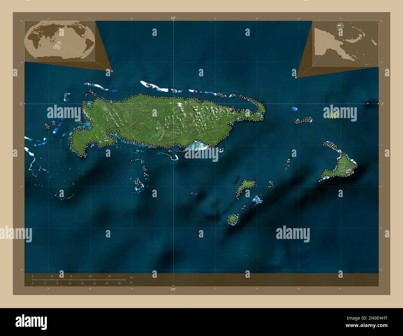 Manus, province of Papua New Guinea. Low resolution satellite map. Corner auxiliary location maps Stock Photohttps://www.alamy.com/image-license-details/?v=1https://www.alamy.com/manus-province-of-papua-new-guinea-low-resolution-satellite-map-corner-auxiliary-location-maps-image516622004.html
RF2N0E4HT–Manus, province of Papua New Guinea. Low resolution satellite map. Corner auxiliary location maps
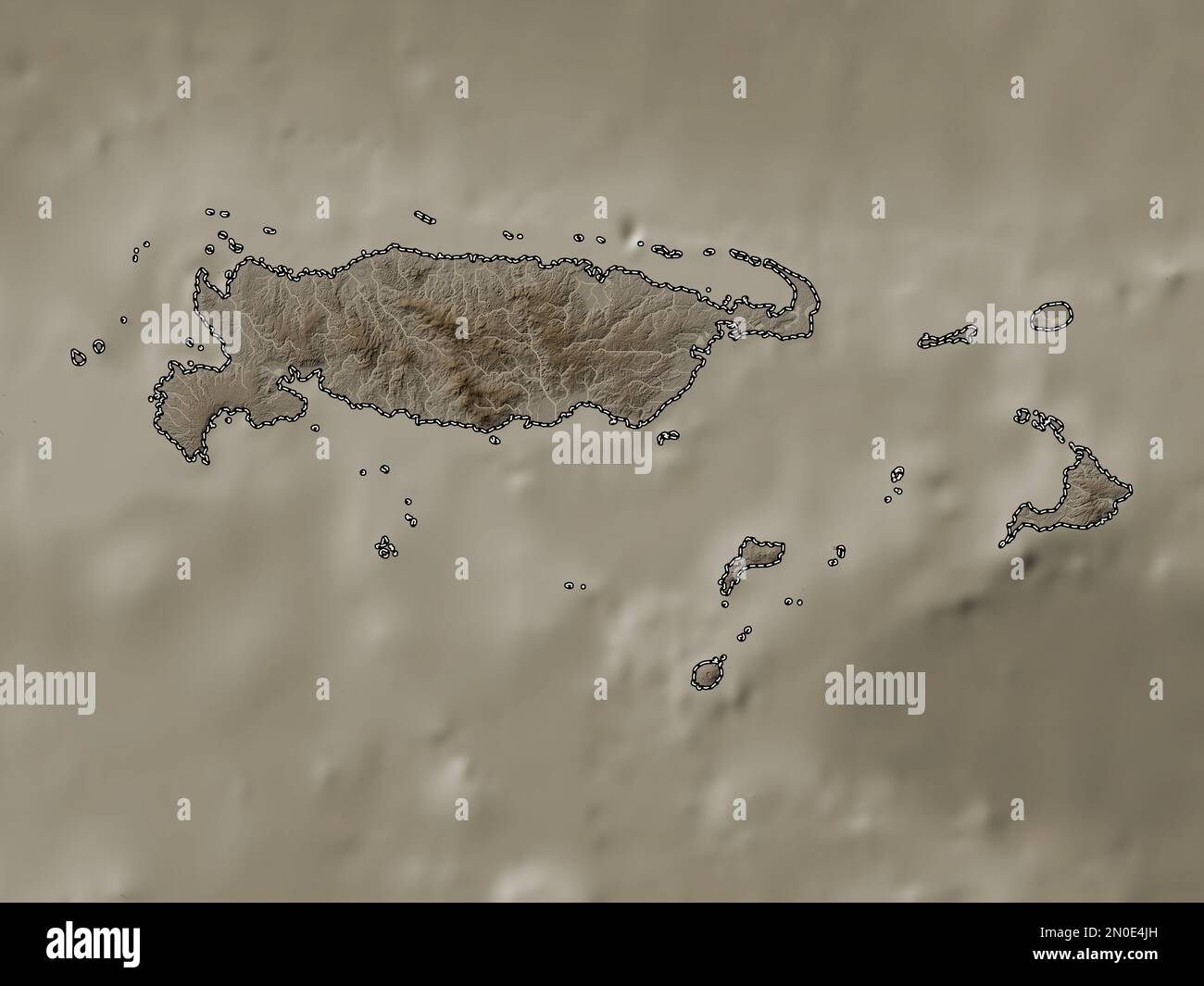 Manus, province of Papua New Guinea. Elevation map colored in sepia tones with lakes and rivers Stock Photohttps://www.alamy.com/image-license-details/?v=1https://www.alamy.com/manus-province-of-papua-new-guinea-elevation-map-colored-in-sepia-tones-with-lakes-and-rivers-image516622025.html
RF2N0E4JH–Manus, province of Papua New Guinea. Elevation map colored in sepia tones with lakes and rivers
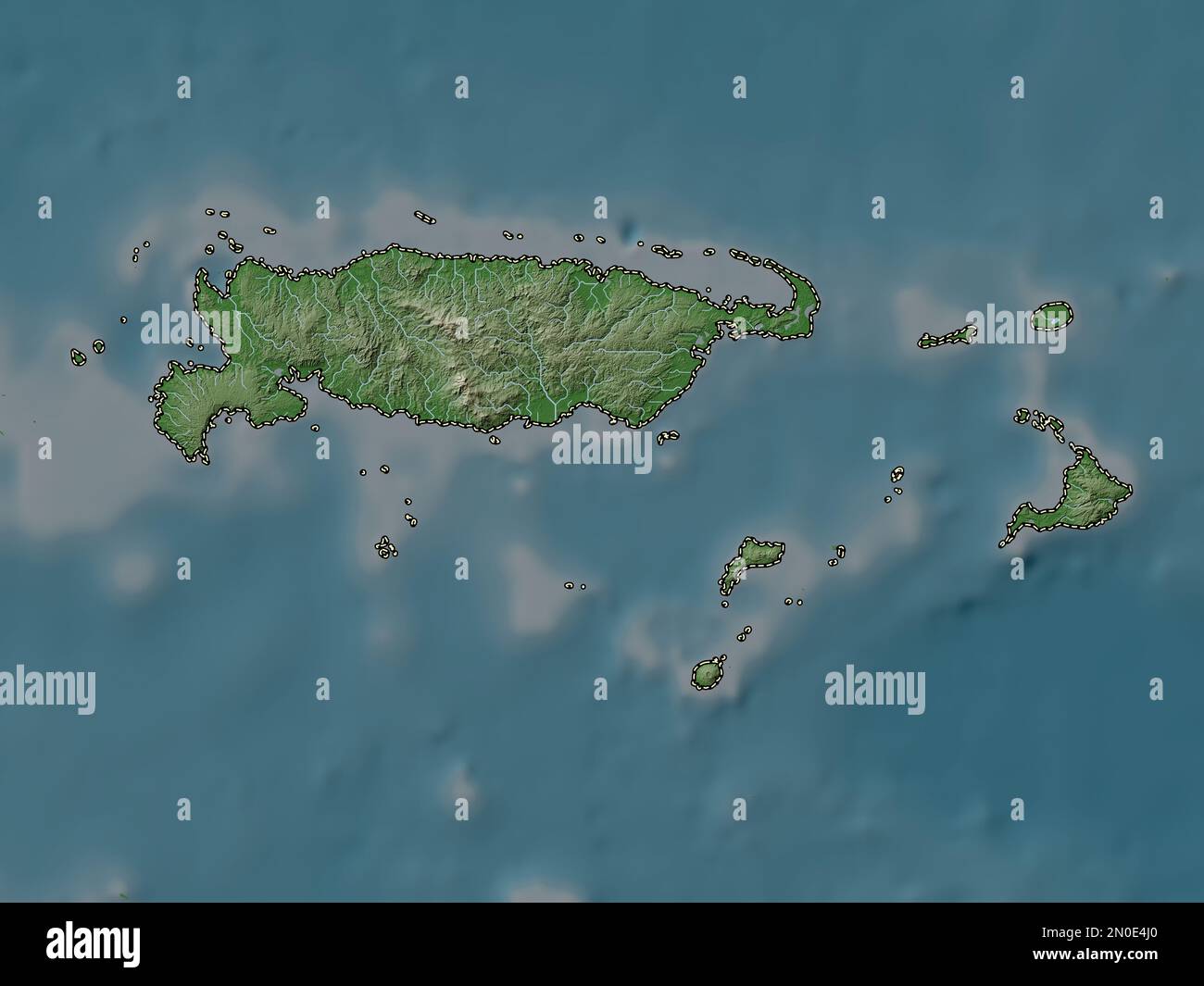 Manus, province of Papua New Guinea. Elevation map colored in wiki style with lakes and rivers Stock Photohttps://www.alamy.com/image-license-details/?v=1https://www.alamy.com/manus-province-of-papua-new-guinea-elevation-map-colored-in-wiki-style-with-lakes-and-rivers-image516622008.html
RF2N0E4J0–Manus, province of Papua New Guinea. Elevation map colored in wiki style with lakes and rivers
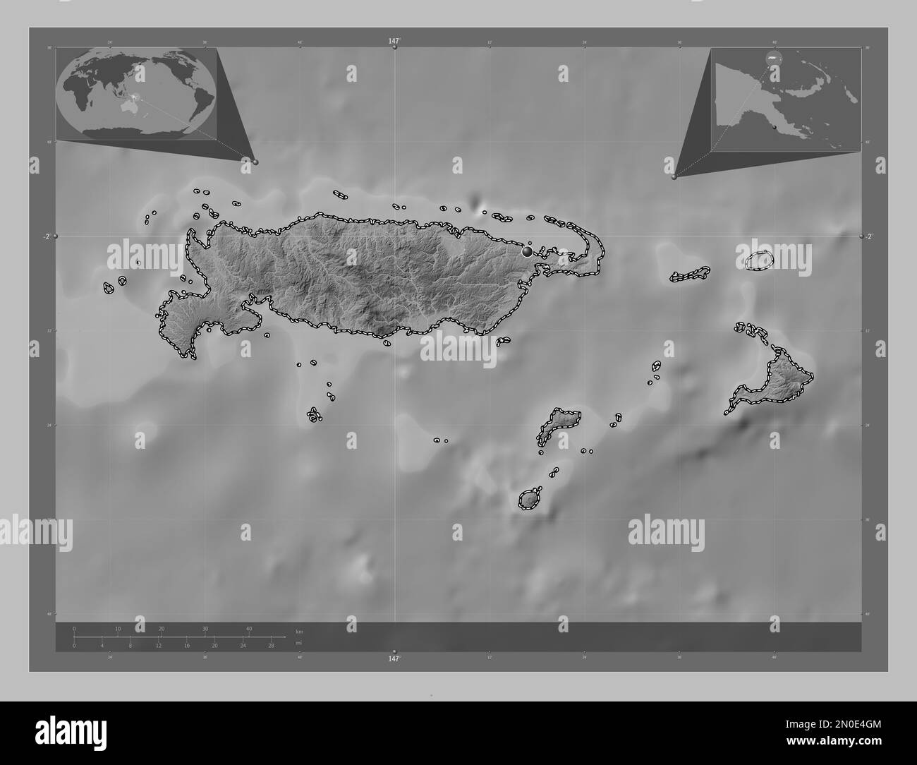 Manus, province of Papua New Guinea. Grayscale elevation map with lakes and rivers. Corner auxiliary location maps Stock Photohttps://www.alamy.com/image-license-details/?v=1https://www.alamy.com/manus-province-of-papua-new-guinea-grayscale-elevation-map-with-lakes-and-rivers-corner-auxiliary-location-maps-image516621972.html
RF2N0E4GM–Manus, province of Papua New Guinea. Grayscale elevation map with lakes and rivers. Corner auxiliary location maps
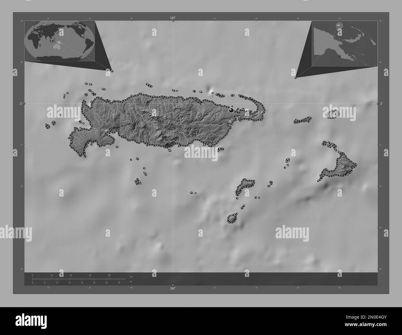 Manus, province of Papua New Guinea. Bilevel elevation map with lakes and rivers. Corner auxiliary location maps Stock Photohttps://www.alamy.com/image-license-details/?v=1https://www.alamy.com/manus-province-of-papua-new-guinea-bilevel-elevation-map-with-lakes-and-rivers-corner-auxiliary-location-maps-image516621979.html
RF2N0E4GY–Manus, province of Papua New Guinea. Bilevel elevation map with lakes and rivers. Corner auxiliary location maps
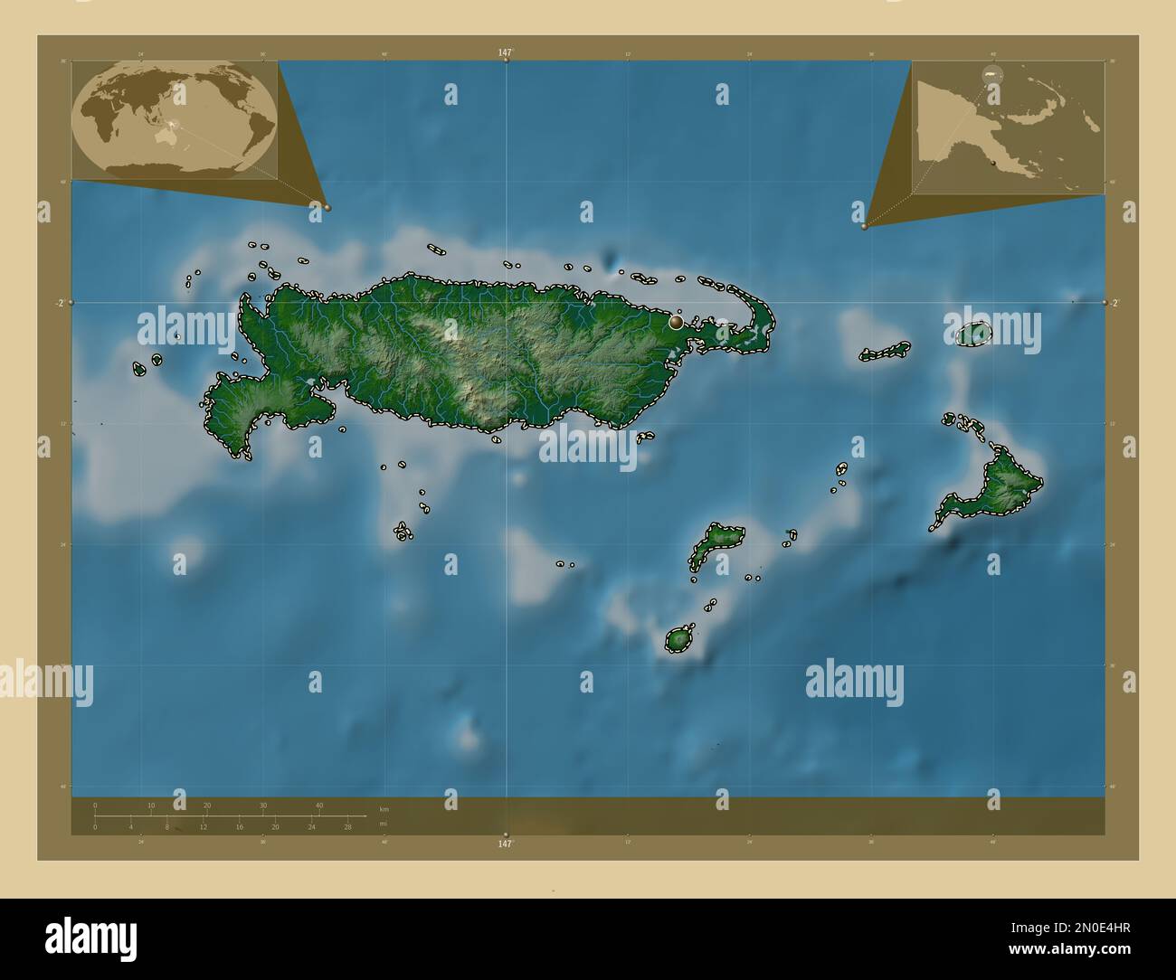 Manus, province of Papua New Guinea. Colored elevation map with lakes and rivers. Corner auxiliary location maps Stock Photohttps://www.alamy.com/image-license-details/?v=1https://www.alamy.com/manus-province-of-papua-new-guinea-colored-elevation-map-with-lakes-and-rivers-corner-auxiliary-location-maps-image516622003.html
RF2N0E4HR–Manus, province of Papua New Guinea. Colored elevation map with lakes and rivers. Corner auxiliary location maps
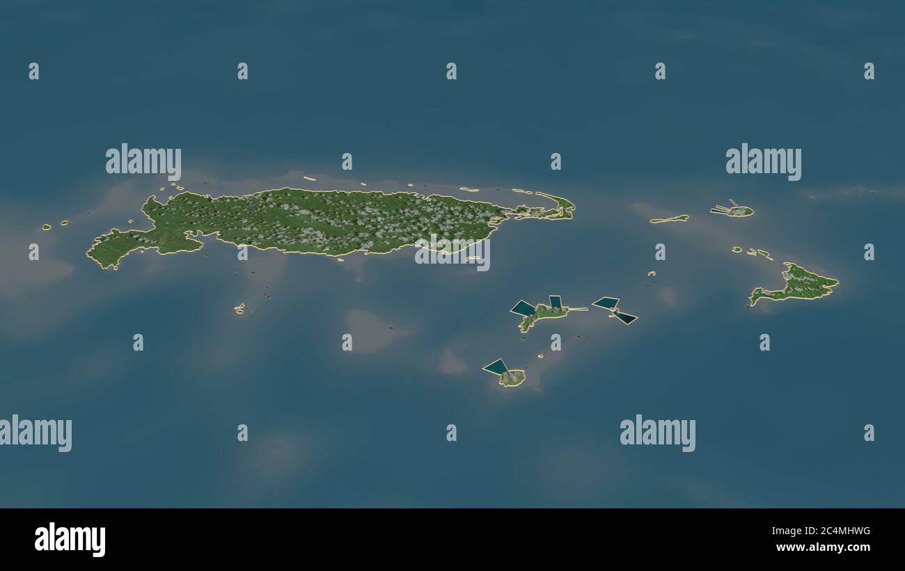 Zoom in on Manus (province of Papua New Guinea) outlined. Oblique perspective. Satellite imagery. 3D rendering Stock Photohttps://www.alamy.com/image-license-details/?v=1https://www.alamy.com/zoom-in-on-manus-province-of-papua-new-guinea-outlined-oblique-perspective-satellite-imagery-3d-rendering-image364329436.html
RF2C4MHWG–Zoom in on Manus (province of Papua New Guinea) outlined. Oblique perspective. Satellite imagery. 3D rendering
 Manus, province of Papua New Guinea. Solid color shape. Locations of major cities of the region. Corner auxiliary location maps Stock Photohttps://www.alamy.com/image-license-details/?v=1https://www.alamy.com/manus-province-of-papua-new-guinea-solid-color-shape-locations-of-major-cities-of-the-region-corner-auxiliary-location-maps-image516621996.html
RF2N0E4HG–Manus, province of Papua New Guinea. Solid color shape. Locations of major cities of the region. Corner auxiliary location maps
 Manus, province of Papua New Guinea. Open Street Map. Locations of major cities of the region. Corner auxiliary location maps Stock Photohttps://www.alamy.com/image-license-details/?v=1https://www.alamy.com/manus-province-of-papua-new-guinea-open-street-map-locations-of-major-cities-of-the-region-corner-auxiliary-location-maps-image516622022.html
RF2N0E4JE–Manus, province of Papua New Guinea. Open Street Map. Locations of major cities of the region. Corner auxiliary location maps
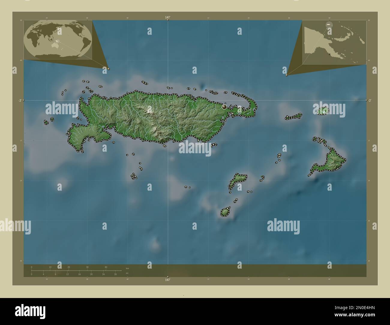 Manus, province of Papua New Guinea. Elevation map colored in wiki style with lakes and rivers. Corner auxiliary location maps Stock Photohttps://www.alamy.com/image-license-details/?v=1https://www.alamy.com/manus-province-of-papua-new-guinea-elevation-map-colored-in-wiki-style-with-lakes-and-rivers-corner-auxiliary-location-maps-image516622001.html
RF2N0E4HN–Manus, province of Papua New Guinea. Elevation map colored in wiki style with lakes and rivers. Corner auxiliary location maps
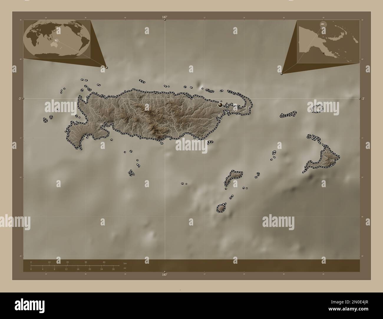 Manus, province of Papua New Guinea. Elevation map colored in sepia tones with lakes and rivers. Corner auxiliary location maps Stock Photohttps://www.alamy.com/image-license-details/?v=1https://www.alamy.com/manus-province-of-papua-new-guinea-elevation-map-colored-in-sepia-tones-with-lakes-and-rivers-corner-auxiliary-location-maps-image516622031.html
RF2N0E4JR–Manus, province of Papua New Guinea. Elevation map colored in sepia tones with lakes and rivers. Corner auxiliary location maps
 Manus, province of Papua New Guinea. Bilevel elevation map with lakes and rivers. Locations and names of major cities of the region. Corner auxiliary Stock Photohttps://www.alamy.com/image-license-details/?v=1https://www.alamy.com/manus-province-of-papua-new-guinea-bilevel-elevation-map-with-lakes-and-rivers-locations-and-names-of-major-cities-of-the-region-corner-auxiliary-image516621393.html
RF2N0E3T1–Manus, province of Papua New Guinea. Bilevel elevation map with lakes and rivers. Locations and names of major cities of the region. Corner auxiliary
 Manus, province of Papua New Guinea. Grayscale elevation map with lakes and rivers. Locations and names of major cities of the region. Corner auxiliar Stock Photohttps://www.alamy.com/image-license-details/?v=1https://www.alamy.com/manus-province-of-papua-new-guinea-grayscale-elevation-map-with-lakes-and-rivers-locations-and-names-of-major-cities-of-the-region-corner-auxiliar-image516621389.html
RF2N0E3RW–Manus, province of Papua New Guinea. Grayscale elevation map with lakes and rivers. Locations and names of major cities of the region. Corner auxiliar
 Manus, province of Papua New Guinea. Solid color shape. Locations and names of major cities of the region. Corner auxiliary location maps Stock Photohttps://www.alamy.com/image-license-details/?v=1https://www.alamy.com/manus-province-of-papua-new-guinea-solid-color-shape-locations-and-names-of-major-cities-of-the-region-corner-auxiliary-location-maps-image516622011.html
RF2N0E4J3–Manus, province of Papua New Guinea. Solid color shape. Locations and names of major cities of the region. Corner auxiliary location maps
 Manus, province of Papua New Guinea. Grayscale elevation map with lakes and rivers. Locations of major cities of the region. Corner auxiliary location Stock Photohttps://www.alamy.com/image-license-details/?v=1https://www.alamy.com/manus-province-of-papua-new-guinea-grayscale-elevation-map-with-lakes-and-rivers-locations-of-major-cities-of-the-region-corner-auxiliary-location-image516621383.html
RF2N0E3RK–Manus, province of Papua New Guinea. Grayscale elevation map with lakes and rivers. Locations of major cities of the region. Corner auxiliary location
 Manus, province of Papua New Guinea. Low resolution satellite map. Locations of major cities of the region. Corner auxiliary location maps Stock Photohttps://www.alamy.com/image-license-details/?v=1https://www.alamy.com/manus-province-of-papua-new-guinea-low-resolution-satellite-map-locations-of-major-cities-of-the-region-corner-auxiliary-location-maps-image516622009.html
RF2N0E4J1–Manus, province of Papua New Guinea. Low resolution satellite map. Locations of major cities of the region. Corner auxiliary location maps
 Manus, province of Papua New Guinea. Colored elevation map with lakes and rivers. Locations and names of major cities of the region. Corner auxiliary Stock Photohttps://www.alamy.com/image-license-details/?v=1https://www.alamy.com/manus-province-of-papua-new-guinea-colored-elevation-map-with-lakes-and-rivers-locations-and-names-of-major-cities-of-the-region-corner-auxiliary-image516621990.html
RF2N0E4HA–Manus, province of Papua New Guinea. Colored elevation map with lakes and rivers. Locations and names of major cities of the region. Corner auxiliary
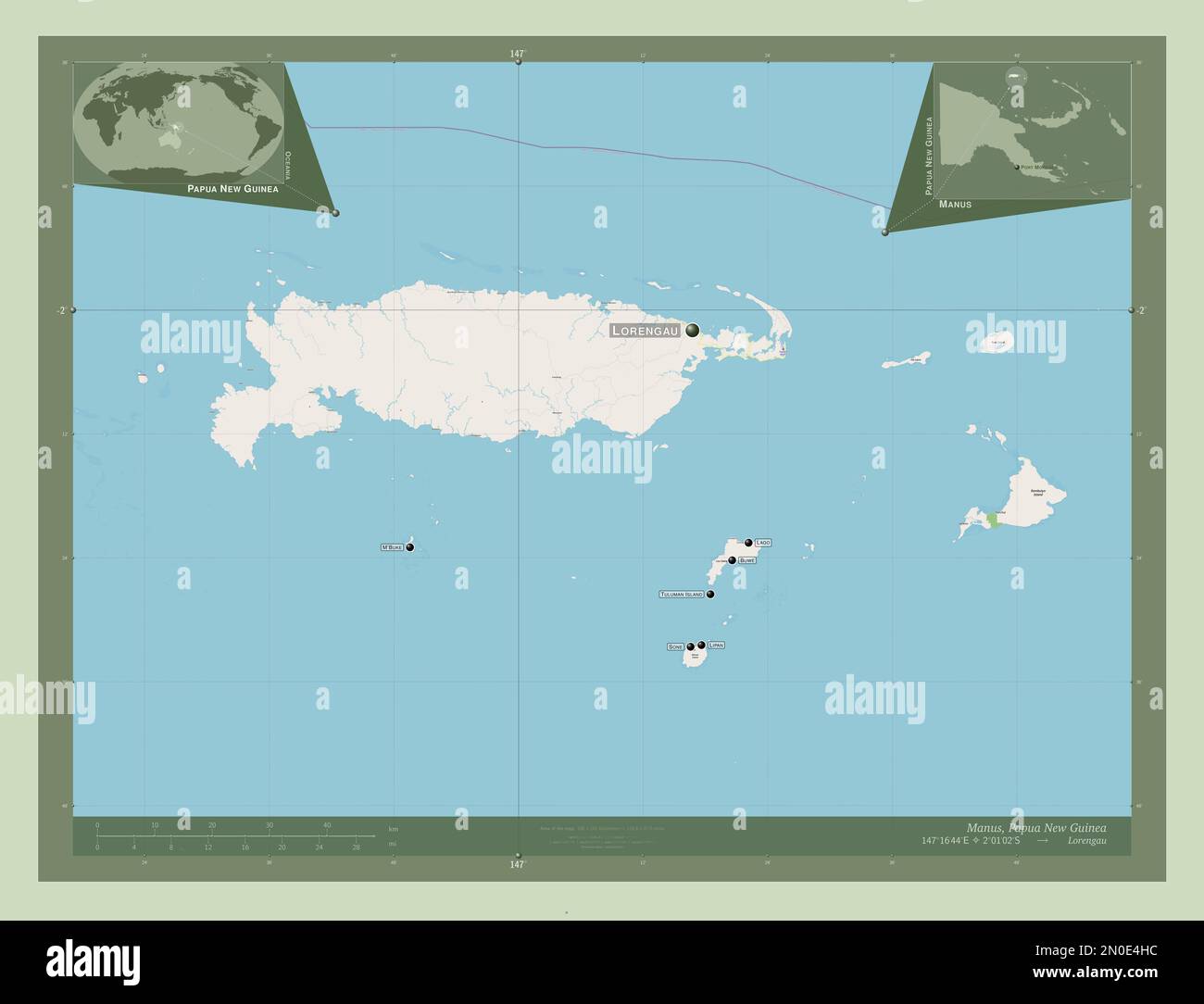 Manus, province of Papua New Guinea. Open Street Map. Locations and names of major cities of the region. Corner auxiliary location maps Stock Photohttps://www.alamy.com/image-license-details/?v=1https://www.alamy.com/manus-province-of-papua-new-guinea-open-street-map-locations-and-names-of-major-cities-of-the-region-corner-auxiliary-location-maps-image516621992.html
RF2N0E4HC–Manus, province of Papua New Guinea. Open Street Map. Locations and names of major cities of the region. Corner auxiliary location maps
 Manus, province of Papua New Guinea. High resolution satellite map. Locations of major cities of the region. Corner auxiliary location maps Stock Photohttps://www.alamy.com/image-license-details/?v=1https://www.alamy.com/manus-province-of-papua-new-guinea-high-resolution-satellite-map-locations-of-major-cities-of-the-region-corner-auxiliary-location-maps-image516621387.html
RF2N0E3RR–Manus, province of Papua New Guinea. High resolution satellite map. Locations of major cities of the region. Corner auxiliary location maps
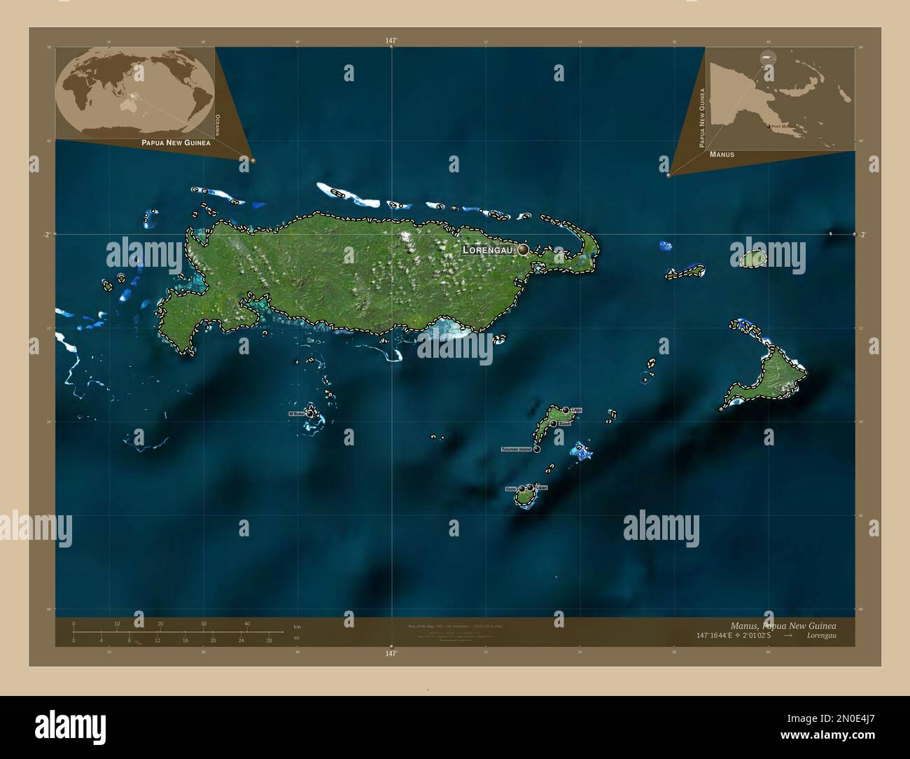 Manus, province of Papua New Guinea. Low resolution satellite map. Locations and names of major cities of the region. Corner auxiliary location maps Stock Photohttps://www.alamy.com/image-license-details/?v=1https://www.alamy.com/manus-province-of-papua-new-guinea-low-resolution-satellite-map-locations-and-names-of-major-cities-of-the-region-corner-auxiliary-location-maps-image516622015.html
RF2N0E4J7–Manus, province of Papua New Guinea. Low resolution satellite map. Locations and names of major cities of the region. Corner auxiliary location maps
 Manus, province of Papua New Guinea. Colored elevation map with lakes and rivers. Locations of major cities of the region. Corner auxiliary location m Stock Photohttps://www.alamy.com/image-license-details/?v=1https://www.alamy.com/manus-province-of-papua-new-guinea-colored-elevation-map-with-lakes-and-rivers-locations-of-major-cities-of-the-region-corner-auxiliary-location-m-image516622002.html
RF2N0E4HP–Manus, province of Papua New Guinea. Colored elevation map with lakes and rivers. Locations of major cities of the region. Corner auxiliary location m
 Manus, province of Papua New Guinea. High resolution satellite map. Locations and names of major cities of the region. Corner auxiliary location maps Stock Photohttps://www.alamy.com/image-license-details/?v=1https://www.alamy.com/manus-province-of-papua-new-guinea-high-resolution-satellite-map-locations-and-names-of-major-cities-of-the-region-corner-auxiliary-location-maps-image516621977.html
RF2N0E4GW–Manus, province of Papua New Guinea. High resolution satellite map. Locations and names of major cities of the region. Corner auxiliary location maps
 Manus, province of Papua New Guinea. Bilevel elevation map with lakes and rivers. Locations of major cities of the region. Corner auxiliary location m Stock Photohttps://www.alamy.com/image-license-details/?v=1https://www.alamy.com/manus-province-of-papua-new-guinea-bilevel-elevation-map-with-lakes-and-rivers-locations-of-major-cities-of-the-region-corner-auxiliary-location-m-image516621404.html
RF2N0E3TC–Manus, province of Papua New Guinea. Bilevel elevation map with lakes and rivers. Locations of major cities of the region. Corner auxiliary location m
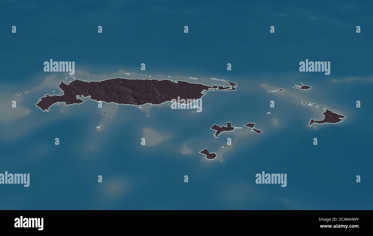 Zoom in on Manus (province of Papua New Guinea) outlined. Oblique perspective. Colored and bumped map of the administrative division with surface wate Stock Photohttps://www.alamy.com/image-license-details/?v=1https://www.alamy.com/zoom-in-on-manus-province-of-papua-new-guinea-outlined-oblique-perspective-colored-and-bumped-map-of-the-administrative-division-with-surface-wate-image364329429.html
RF2C4MHW9–Zoom in on Manus (province of Papua New Guinea) outlined. Oblique perspective. Colored and bumped map of the administrative division with surface wate
 Zoom in on Manus (province of Papua New Guinea) outlined. Oblique perspective. Bilevel elevation map with surface waters. 3D rendering Stock Photohttps://www.alamy.com/image-license-details/?v=1https://www.alamy.com/zoom-in-on-manus-province-of-papua-new-guinea-outlined-oblique-perspective-bilevel-elevation-map-with-surface-waters-3d-rendering-image364329406.html
RF2C4MHTE–Zoom in on Manus (province of Papua New Guinea) outlined. Oblique perspective. Bilevel elevation map with surface waters. 3D rendering
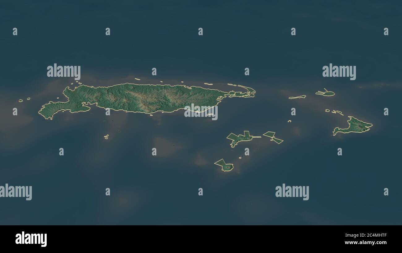 Zoom in on Manus (province of Papua New Guinea) outlined. Oblique perspective. Topographic relief map with surface waters. 3D rendering Stock Photohttps://www.alamy.com/image-license-details/?v=1https://www.alamy.com/zoom-in-on-manus-province-of-papua-new-guinea-outlined-oblique-perspective-topographic-relief-map-with-surface-waters-3d-rendering-image364329407.html
RF2C4MHTF–Zoom in on Manus (province of Papua New Guinea) outlined. Oblique perspective. Topographic relief map with surface waters. 3D rendering