Quick filters:
Map alabama 1963 Stock Photos and Images
 USGS TOPO Map Alabama AL Trinity 305244 1963 24000 Stock Photohttps://www.alamy.com/image-license-details/?v=1https://www.alamy.com/usgs-topo-map-alabama-al-trinity-305244-1963-24000-image241779900.html
RMT1A0MC–USGS TOPO Map Alabama AL Trinity 305244 1963 24000
![. Bulletin of the Museum of Comparative Zoology at Harvard College. Zoology. 64 Bulletin Museum of Comparative Zoology, Vol. 145, No. 2. Map 3. Distribution of Ptomaphagus [Adelops] loedingi, a troglobitic species of nortfieastern Alabama. Stippling rep- resents the Pottsville sandstone remnants of the Cumberland Plateau. Caves do not exist under this caprock. Con- sequently, the plateau remnants, as well as the large rivers and streams, represent barriers to subterranean terrestrial dispersal. Geology from Malmberg and Sanford (1963) and Adams et al. (1926). The localities are as follows: 1 B Stock Photo . Bulletin of the Museum of Comparative Zoology at Harvard College. Zoology. 64 Bulletin Museum of Comparative Zoology, Vol. 145, No. 2. Map 3. Distribution of Ptomaphagus [Adelops] loedingi, a troglobitic species of nortfieastern Alabama. Stippling rep- resents the Pottsville sandstone remnants of the Cumberland Plateau. Caves do not exist under this caprock. Con- sequently, the plateau remnants, as well as the large rivers and streams, represent barriers to subterranean terrestrial dispersal. Geology from Malmberg and Sanford (1963) and Adams et al. (1926). The localities are as follows: 1 B Stock Photo](https://c8.alamy.com/comp/RGF1PE/bulletin-of-the-museum-of-comparative-zoology-at-harvard-college-zoology-64-bulletin-museum-of-comparative-zoology-vol-145-no-2-map-3-distribution-of-ptomaphagus-adelops-loedingi-a-troglobitic-species-of-nortfieastern-alabama-stippling-rep-resents-the-pottsville-sandstone-remnants-of-the-cumberland-plateau-caves-do-not-exist-under-this-caprock-con-sequently-the-plateau-remnants-as-well-as-the-large-rivers-and-streams-represent-barriers-to-subterranean-terrestrial-dispersal-geology-from-malmberg-and-sanford-1963-and-adams-et-al-1926-the-localities-are-as-follows-1-b-RGF1PE.jpg) . Bulletin of the Museum of Comparative Zoology at Harvard College. Zoology. 64 Bulletin Museum of Comparative Zoology, Vol. 145, No. 2. Map 3. Distribution of Ptomaphagus [Adelops] loedingi, a troglobitic species of nortfieastern Alabama. Stippling rep- resents the Pottsville sandstone remnants of the Cumberland Plateau. Caves do not exist under this caprock. Con- sequently, the plateau remnants, as well as the large rivers and streams, represent barriers to subterranean terrestrial dispersal. Geology from Malmberg and Sanford (1963) and Adams et al. (1926). The localities are as follows: 1 B Stock Photohttps://www.alamy.com/image-license-details/?v=1https://www.alamy.com/bulletin-of-the-museum-of-comparative-zoology-at-harvard-college-zoology-64-bulletin-museum-of-comparative-zoology-vol-145-no-2-map-3-distribution-of-ptomaphagus-adelops-loedingi-a-troglobitic-species-of-nortfieastern-alabama-stippling-rep-resents-the-pottsville-sandstone-remnants-of-the-cumberland-plateau-caves-do-not-exist-under-this-caprock-con-sequently-the-plateau-remnants-as-well-as-the-large-rivers-and-streams-represent-barriers-to-subterranean-terrestrial-dispersal-geology-from-malmberg-and-sanford-1963-and-adams-et-al-1926-the-localities-are-as-follows-1-b-image233899974.html
. Bulletin of the Museum of Comparative Zoology at Harvard College. Zoology. 64 Bulletin Museum of Comparative Zoology, Vol. 145, No. 2. Map 3. Distribution of Ptomaphagus [Adelops] loedingi, a troglobitic species of nortfieastern Alabama. Stippling rep- resents the Pottsville sandstone remnants of the Cumberland Plateau. Caves do not exist under this caprock. Con- sequently, the plateau remnants, as well as the large rivers and streams, represent barriers to subterranean terrestrial dispersal. Geology from Malmberg and Sanford (1963) and Adams et al. (1926). The localities are as follows: 1 B Stock Photohttps://www.alamy.com/image-license-details/?v=1https://www.alamy.com/bulletin-of-the-museum-of-comparative-zoology-at-harvard-college-zoology-64-bulletin-museum-of-comparative-zoology-vol-145-no-2-map-3-distribution-of-ptomaphagus-adelops-loedingi-a-troglobitic-species-of-nortfieastern-alabama-stippling-rep-resents-the-pottsville-sandstone-remnants-of-the-cumberland-plateau-caves-do-not-exist-under-this-caprock-con-sequently-the-plateau-remnants-as-well-as-the-large-rivers-and-streams-represent-barriers-to-subterranean-terrestrial-dispersal-geology-from-malmberg-and-sanford-1963-and-adams-et-al-1926-the-localities-are-as-follows-1-b-image233899974.htmlRMRGF1PE–. Bulletin of the Museum of Comparative Zoology at Harvard College. Zoology. 64 Bulletin Museum of Comparative Zoology, Vol. 145, No. 2. Map 3. Distribution of Ptomaphagus [Adelops] loedingi, a troglobitic species of nortfieastern Alabama. Stippling rep- resents the Pottsville sandstone remnants of the Cumberland Plateau. Caves do not exist under this caprock. Con- sequently, the plateau remnants, as well as the large rivers and streams, represent barriers to subterranean terrestrial dispersal. Geology from Malmberg and Sanford (1963) and Adams et al. (1926). The localities are as follows: 1 B
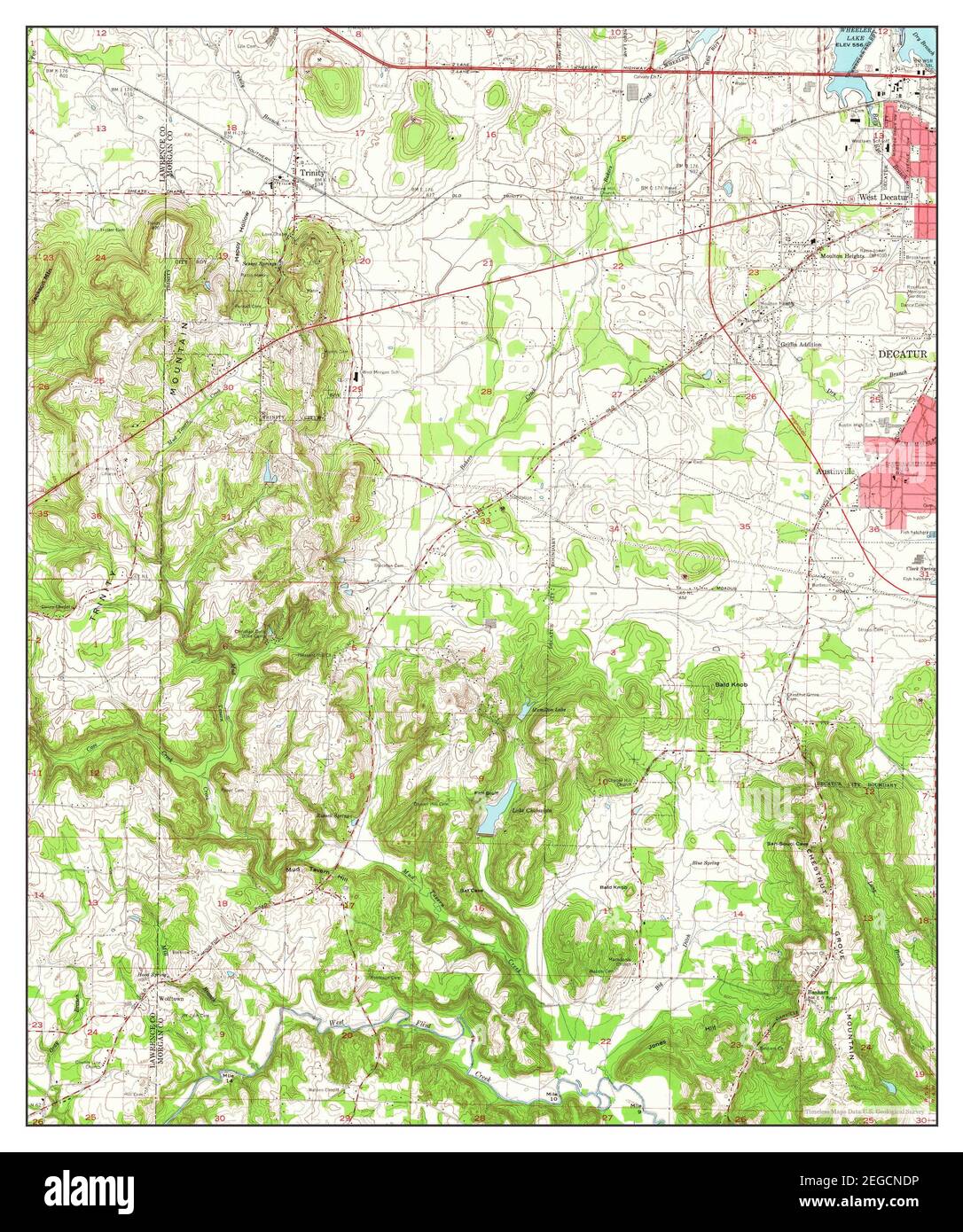 Trinity, Alabama, map 1963, 1:24000, United States of America by Timeless Maps, data U.S. Geological Survey Stock Photohttps://www.alamy.com/image-license-details/?v=1https://www.alamy.com/trinity-alabama-map-1963-124000-united-states-of-america-by-timeless-maps-data-us-geological-survey-image405953234.html
RM2EGCNDP–Trinity, Alabama, map 1963, 1:24000, United States of America by Timeless Maps, data U.S. Geological Survey
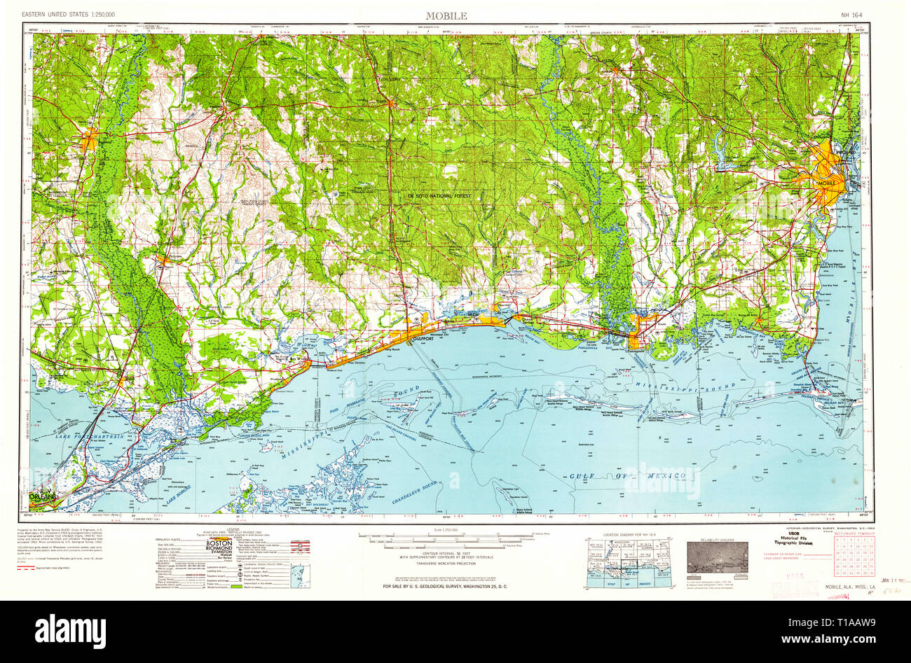 USGS TOPO Map Alabama AL Mobile 305922 1963 250000 Stock Photohttps://www.alamy.com/image-license-details/?v=1https://www.alamy.com/usgs-topo-map-alabama-al-mobile-305922-1963-250000-image241787877.html
RMT1AAW9–USGS TOPO Map Alabama AL Mobile 305922 1963 250000
 . Cooperative economic insect report. Beneficial insects; Insect pests. 1335 - CEREAL AND FORAGE INSECTS SOUTHWESTERN CORN BORER (Zeadiatraea grandiosella) - ALABAMA completed week of November 5. Pest found in 2 new counties, - Survey for 1965 Dallas and Madison. Southwestern Corn Borer Survey in Alabama as of November 5. Year Infested 1962 ;':-:'v':'x':" i964 ^ 1963 ,,, 1965 Accompanying map shows present known distribution of pest in State since first discovery in 1962 in Pickens County. Spot locations show approximate areas in these counties where infestations found during survey. (McQ Stock Photohttps://www.alamy.com/image-license-details/?v=1https://www.alamy.com/cooperative-economic-insect-report-beneficial-insects-insect-pests-1335-cereal-and-forage-insects-southwestern-corn-borer-zeadiatraea-grandiosella-alabama-completed-week-of-november-5-pest-found-in-2-new-counties-survey-for-1965-dallas-and-madison-southwestern-corn-borer-survey-in-alabama-as-of-november-5-year-infested-1962-vxquot-i964-1963-1965-accompanying-map-shows-present-known-distribution-of-pest-in-state-since-first-discovery-in-1962-in-pickens-county-spot-locations-show-approximate-areas-in-these-counties-where-infestations-found-during-survey-mcq-image232541235.html
RMRE94M3–. Cooperative economic insect report. Beneficial insects; Insect pests. 1335 - CEREAL AND FORAGE INSECTS SOUTHWESTERN CORN BORER (Zeadiatraea grandiosella) - ALABAMA completed week of November 5. Pest found in 2 new counties, - Survey for 1965 Dallas and Madison. Southwestern Corn Borer Survey in Alabama as of November 5. Year Infested 1962 ;':-:'v':'x':" i964 ^ 1963 ,,, 1965 Accompanying map shows present known distribution of pest in State since first discovery in 1962 in Pickens County. Spot locations show approximate areas in these counties where infestations found during survey. (McQ
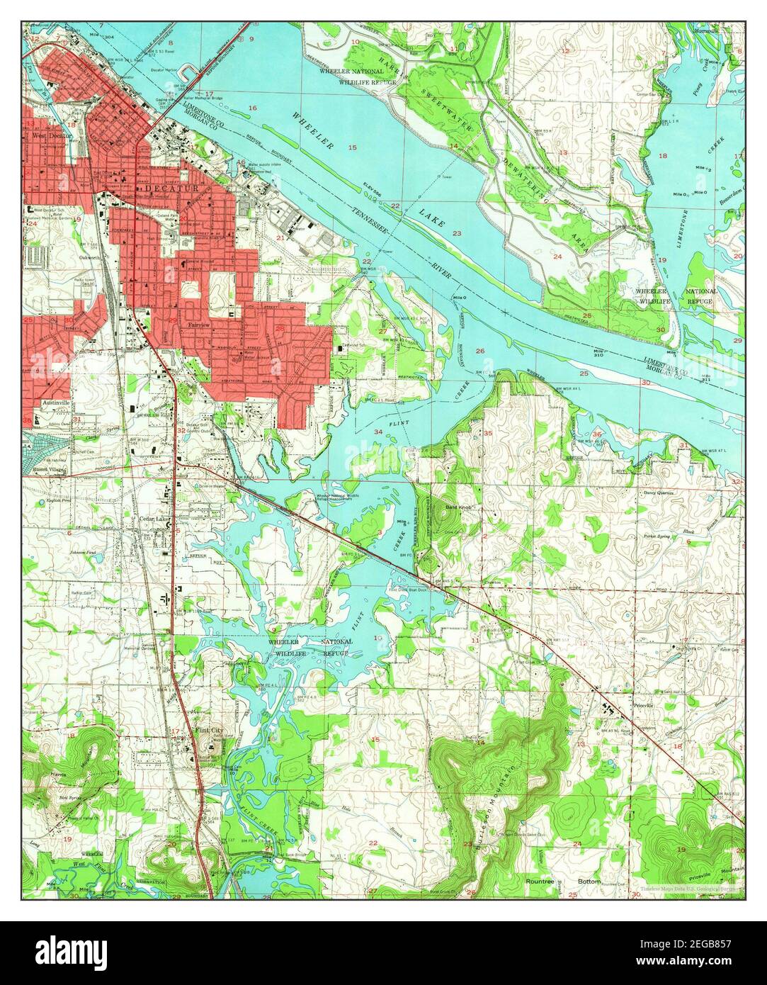 Decatur, Alabama, map 1963, 1:24000, United States of America by Timeless Maps, data U.S. Geological Survey Stock Photohttps://www.alamy.com/image-license-details/?v=1https://www.alamy.com/decatur-alabama-map-1963-124000-united-states-of-america-by-timeless-maps-data-us-geological-survey-image405920851.html
RM2EGB857–Decatur, Alabama, map 1963, 1:24000, United States of America by Timeless Maps, data U.S. Geological Survey
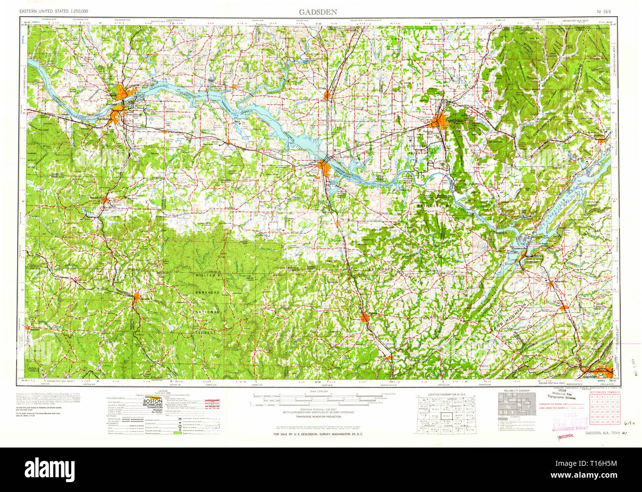 USGS TOPO Map Alabama AL Gadsden 305917 1963 250000 Stock Photohttps://www.alamy.com/image-license-details/?v=1https://www.alamy.com/usgs-topo-map-alabama-al-gadsden-305917-1963-250000-image241705008.html
RMT16H5M–USGS TOPO Map Alabama AL Gadsden 305917 1963 250000
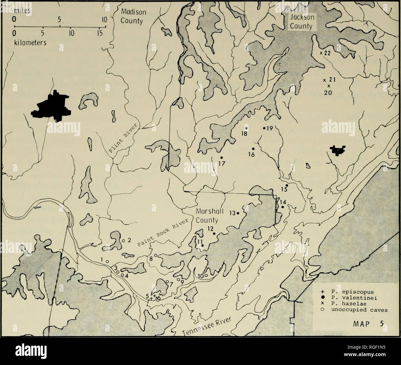 . Bulletin of the Museum of Comparative Zoology at Harvard College. Zoology. 70 Bulletin Museum of Comparative Zoology, Vol. 145, No. 2. Map 5. Distribution of Ptomaphagus (Ade/ops) ep/scopus, valentine! and hazelae, troglobitic species of northeastern Alabama. Stippling as in Map 3. Geology from Mclmberg and Sanford (1963) and Adams et al. (1926). The localities are os follows: 1 Clark Bluff Cave, 2 Morring Spring Cave, 3 Merrill Cave, 4 Painted Bluff Cave, 5 Honey- comb Cave, 6 McHardin Cave, 7 Bishop Cave, 8 Keller Cave, 9 Ledbetter Cave, 10 Dunham Cave, 11 Kirkland Cave, 12 Guffey Cave, 13 Stock Photohttps://www.alamy.com/image-license-details/?v=1https://www.alamy.com/bulletin-of-the-museum-of-comparative-zoology-at-harvard-college-zoology-70-bulletin-museum-of-comparative-zoology-vol-145-no-2-map-5-distribution-of-ptomaphagus-adeops-epscopus-valentine!-and-hazelae-troglobitic-species-of-northeastern-alabama-stippling-as-in-map-3-geology-from-mclmberg-and-sanford-1963-and-adams-et-al-1926-the-localities-are-os-follows-1-clark-bluff-cave-2-morring-spring-cave-3-merrill-cave-4-painted-bluff-cave-5-honey-comb-cave-6-mchardin-cave-7-bishop-cave-8-keller-cave-9-ledbetter-cave-10-dunham-cave-11-kirkland-cave-12-guffey-cave-13-image233899937.html
RMRGF1N5–. Bulletin of the Museum of Comparative Zoology at Harvard College. Zoology. 70 Bulletin Museum of Comparative Zoology, Vol. 145, No. 2. Map 5. Distribution of Ptomaphagus (Ade/ops) ep/scopus, valentine! and hazelae, troglobitic species of northeastern Alabama. Stippling as in Map 3. Geology from Mclmberg and Sanford (1963) and Adams et al. (1926). The localities are os follows: 1 Clark Bluff Cave, 2 Morring Spring Cave, 3 Merrill Cave, 4 Painted Bluff Cave, 5 Honey- comb Cave, 6 McHardin Cave, 7 Bishop Cave, 8 Keller Cave, 9 Ledbetter Cave, 10 Dunham Cave, 11 Kirkland Cave, 12 Guffey Cave, 13
 Mobile, Alabama, map 1963, 1:250000, United States of America by Timeless Maps, data U.S. Geological Survey Stock Photohttps://www.alamy.com/image-license-details/?v=1https://www.alamy.com/mobile-alabama-map-1963-1250000-united-states-of-america-by-timeless-maps-data-us-geological-survey-image405941113.html
RM2EGC60W–Mobile, Alabama, map 1963, 1:250000, United States of America by Timeless Maps, data U.S. Geological Survey
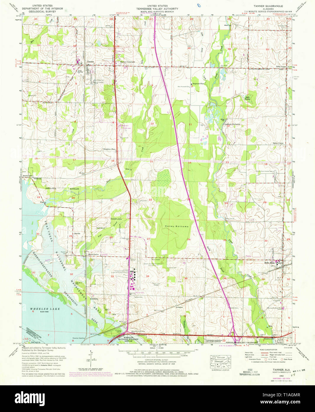 USGS TOPO Map Alabama AL Tanner 305176 1963 24000 Stock Photohttps://www.alamy.com/image-license-details/?v=1https://www.alamy.com/usgs-topo-map-alabama-al-tanner-305176-1963-24000-image241792455.html
RMT1AGMR–USGS TOPO Map Alabama AL Tanner 305176 1963 24000
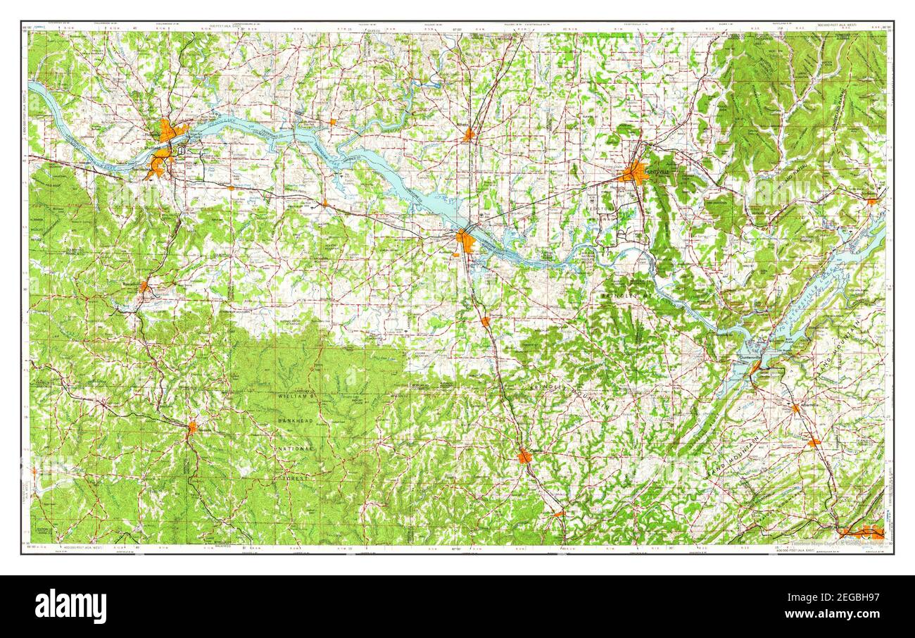 Gadsden, Alabama, map 1963, 1:250000, United States of America by Timeless Maps, data U.S. Geological Survey Stock Photohttps://www.alamy.com/image-license-details/?v=1https://www.alamy.com/gadsden-alabama-map-1963-1250000-united-states-of-america-by-timeless-maps-data-us-geological-survey-image405928019.html
RM2EGBH97–Gadsden, Alabama, map 1963, 1:250000, United States of America by Timeless Maps, data U.S. Geological Survey
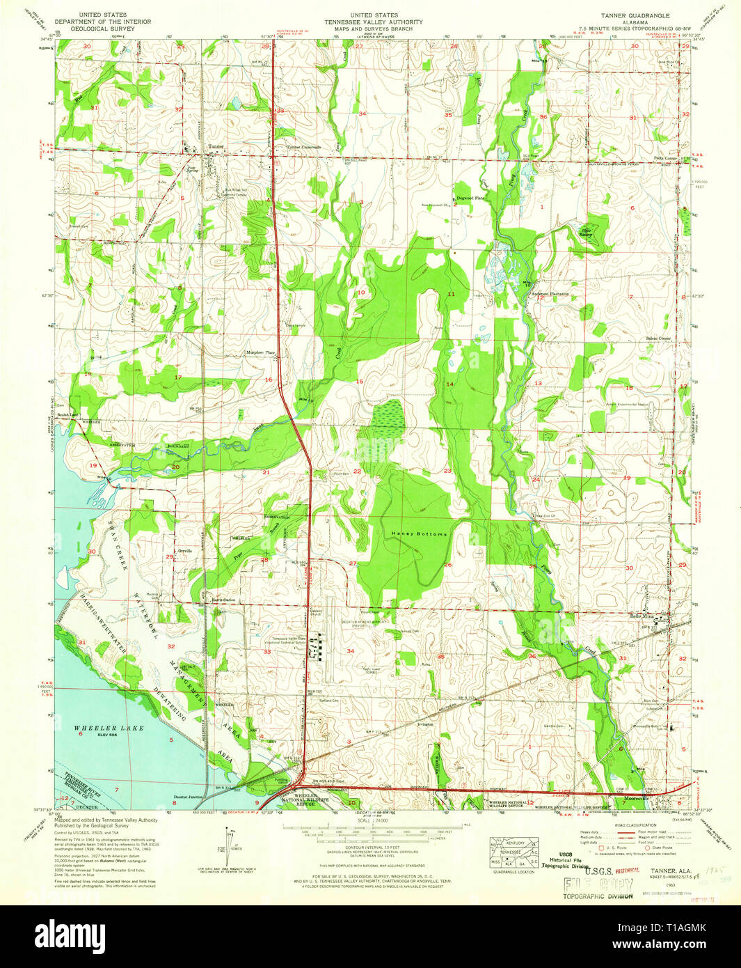 USGS TOPO Map Alabama AL Tanner 305175 1963 24000 Stock Photohttps://www.alamy.com/image-license-details/?v=1https://www.alamy.com/usgs-topo-map-alabama-al-tanner-305175-1963-24000-image241792451.html
RMT1AGMK–USGS TOPO Map Alabama AL Tanner 305175 1963 24000
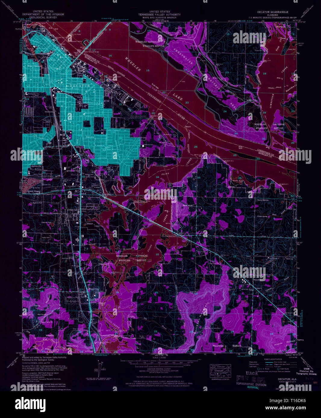
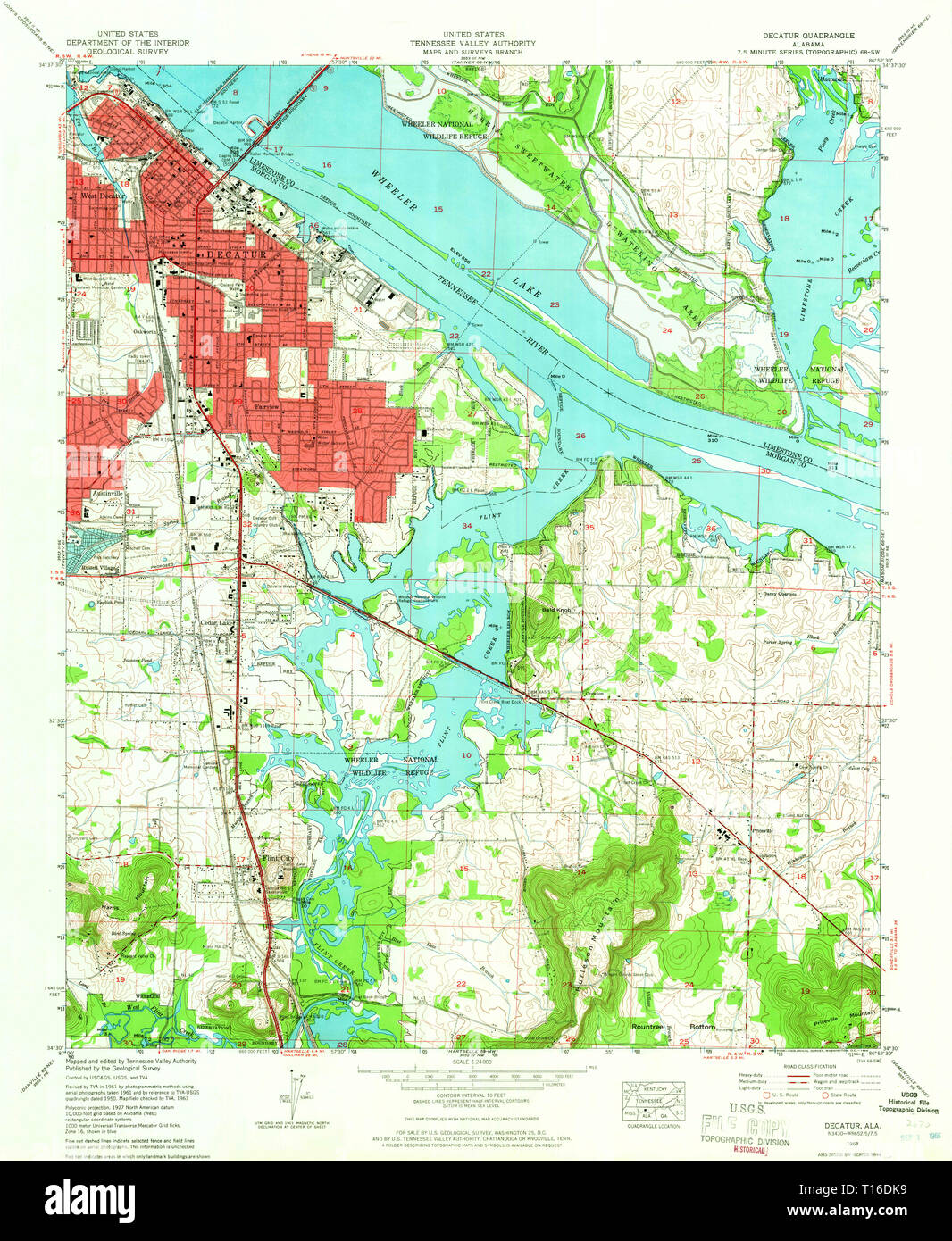 USGS TOPO Map Alabama AL Decatur 303661 1963 24000 Stock Photohttps://www.alamy.com/image-license-details/?v=1https://www.alamy.com/usgs-topo-map-alabama-al-decatur-303661-1963-24000-image241702253.html
RMT16DK9–USGS TOPO Map Alabama AL Decatur 303661 1963 24000
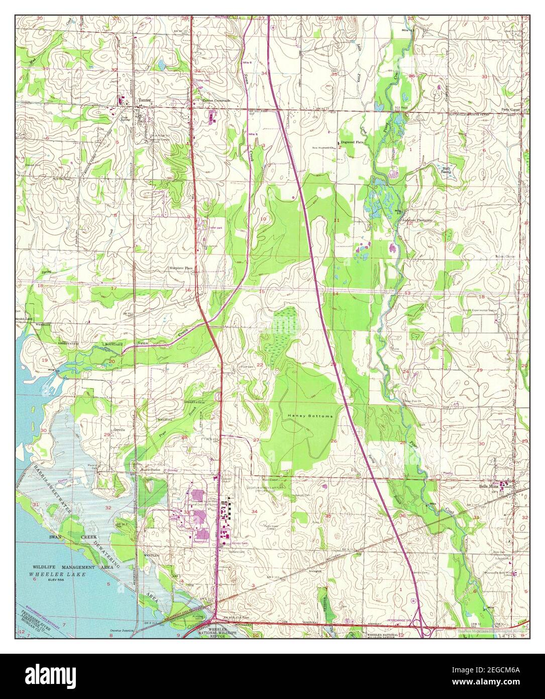 Tanner, Alabama, map 1963, 1:24000, United States of America by Timeless Maps, data U.S. Geological Survey Stock Photohttps://www.alamy.com/image-license-details/?v=1https://www.alamy.com/tanner-alabama-map-1963-124000-united-states-of-america-by-timeless-maps-data-us-geological-survey-image405952242.html
RM2EGCM6A–Tanner, Alabama, map 1963, 1:24000, United States of America by Timeless Maps, data U.S. Geological Survey
 USGS TOPO Map Alabama AL Greenbrier 304038 1963 24000 Stock Photohttps://www.alamy.com/image-license-details/?v=1https://www.alamy.com/usgs-topo-map-alabama-al-greenbrier-304038-1963-24000-image241746812.html
RMT18EEM–USGS TOPO Map Alabama AL Greenbrier 304038 1963 24000
 Greenbrier, Alabama, map 1963, 1:24000, United States of America by Timeless Maps, data U.S. Geological Survey Stock Photohttps://www.alamy.com/image-license-details/?v=1https://www.alamy.com/greenbrier-alabama-map-1963-124000-united-states-of-america-by-timeless-maps-data-us-geological-survey-image405929848.html
RM2EGBKJG–Greenbrier, Alabama, map 1963, 1:24000, United States of America by Timeless Maps, data U.S. Geological Survey
 USGS TOPO Map Alabama AL Gadsden 305917 1963 250000 Inverted Stock Photohttps://www.alamy.com/image-license-details/?v=1https://www.alamy.com/usgs-topo-map-alabama-al-gadsden-305917-1963-250000-inverted-image241705001.html
RMT16H5D–USGS TOPO Map Alabama AL Gadsden 305917 1963 250000 Inverted
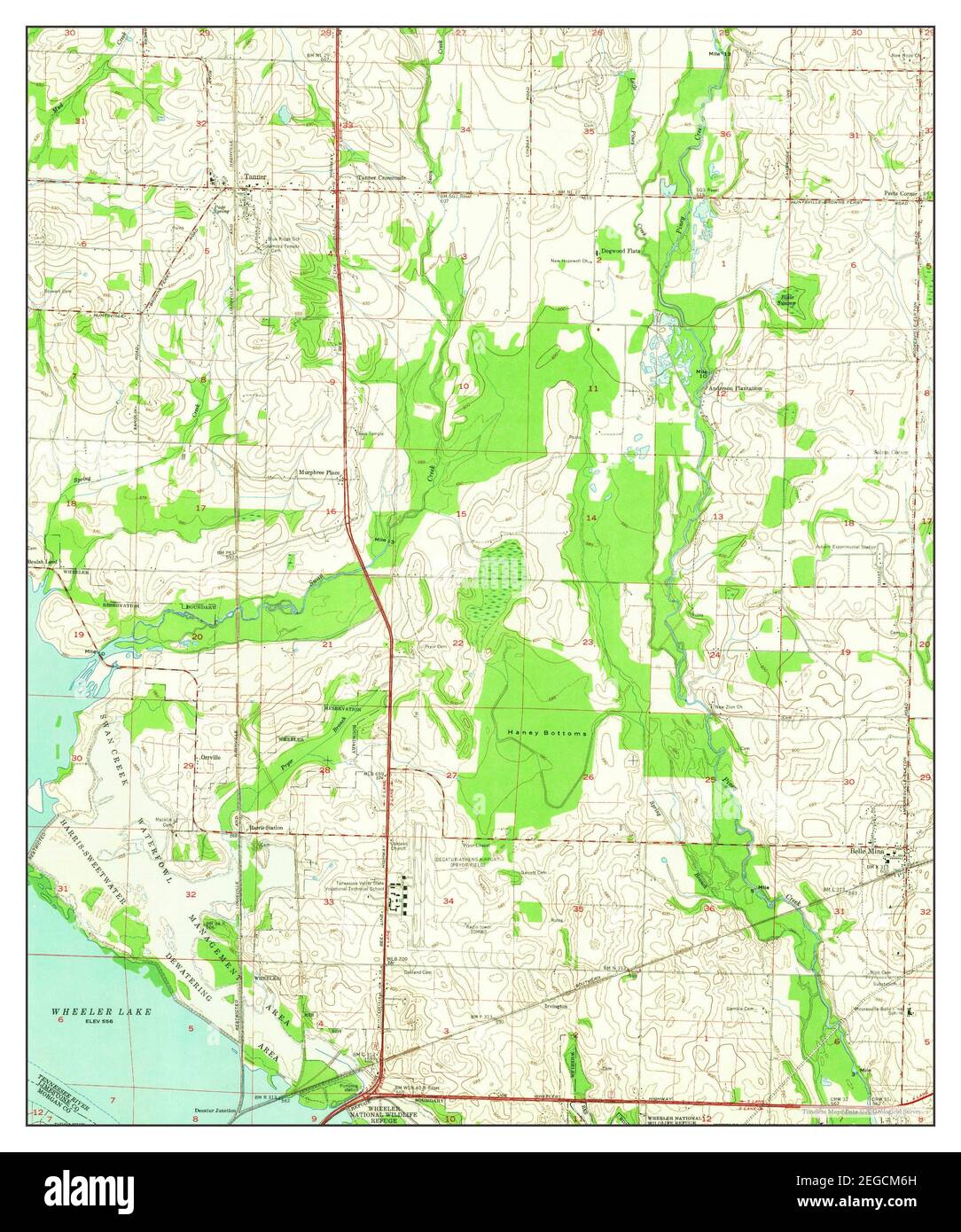 Tanner, Alabama, map 1963, 1:24000, United States of America by Timeless Maps, data U.S. Geological Survey Stock Photohttps://www.alamy.com/image-license-details/?v=1https://www.alamy.com/tanner-alabama-map-1963-124000-united-states-of-america-by-timeless-maps-data-us-geological-survey-image405952249.html
RM2EGCM6H–Tanner, Alabama, map 1963, 1:24000, United States of America by Timeless Maps, data U.S. Geological Survey
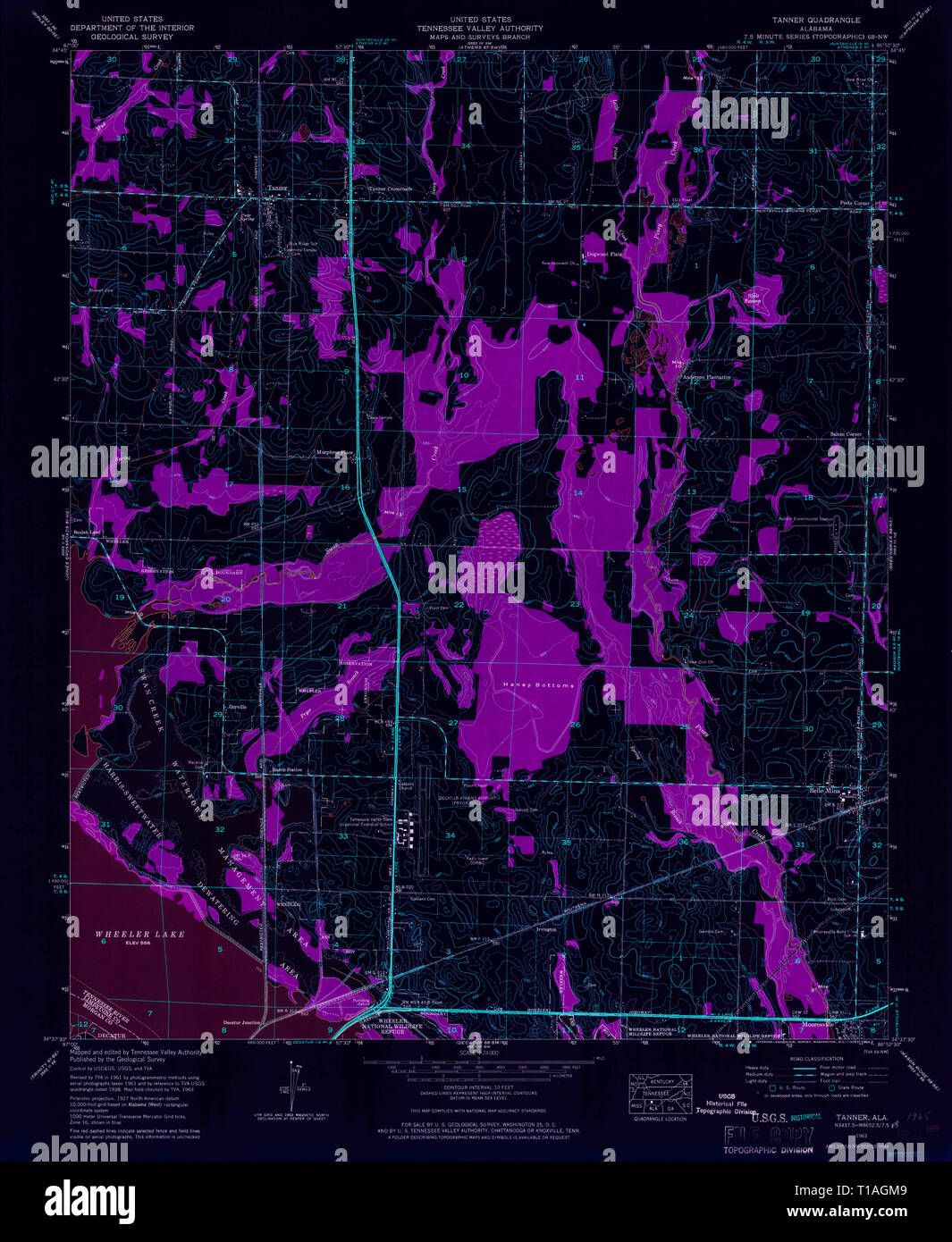 USGS TOPO Map Alabama AL Tanner 305175 1963 24000 Inverted Stock Photohttps://www.alamy.com/image-license-details/?v=1https://www.alamy.com/usgs-topo-map-alabama-al-tanner-305175-1963-24000-inverted-image241792441.html
RMT1AGM9–USGS TOPO Map Alabama AL Tanner 305175 1963 24000 Inverted
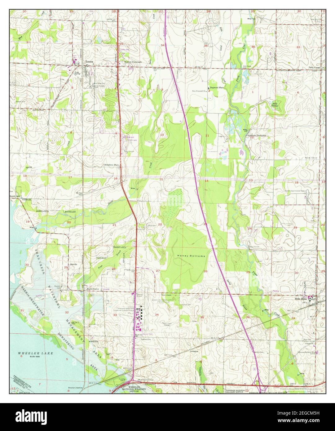 Tanner, Alabama, map 1963, 1:24000, United States of America by Timeless Maps, data U.S. Geological Survey Stock Photohttps://www.alamy.com/image-license-details/?v=1https://www.alamy.com/tanner-alabama-map-1963-124000-united-states-of-america-by-timeless-maps-data-us-geological-survey-image405952221.html
RM2EGCM5H–Tanner, Alabama, map 1963, 1:24000, United States of America by Timeless Maps, data U.S. Geological Survey
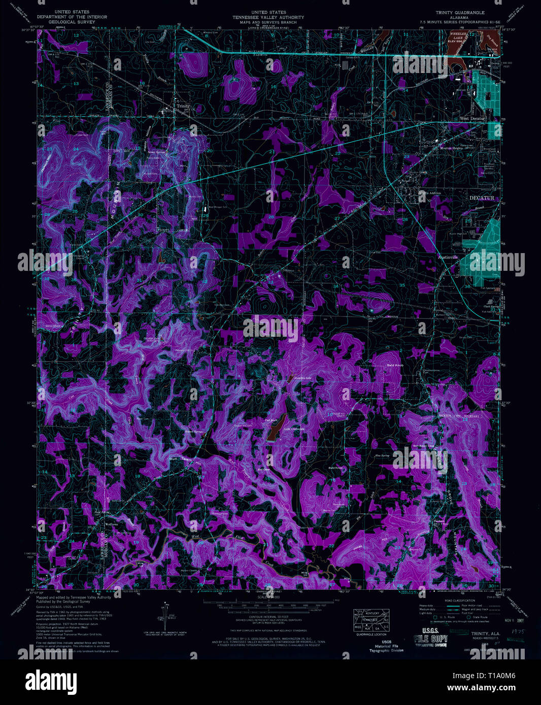 USGS TOPO Map Alabama AL Trinity 305244 1963 24000 Inverted Stock Photohttps://www.alamy.com/image-license-details/?v=1https://www.alamy.com/usgs-topo-map-alabama-al-trinity-305244-1963-24000-inverted-image241779894.html
RMT1A0M6–USGS TOPO Map Alabama AL Trinity 305244 1963 24000 Inverted
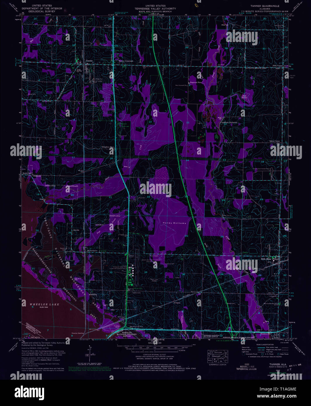 USGS TOPO Map Alabama AL Tanner 305176 1963 24000 Inverted Stock Photohttps://www.alamy.com/image-license-details/?v=1https://www.alamy.com/usgs-topo-map-alabama-al-tanner-305176-1963-24000-inverted-image241792446.html
RMT1AGME–USGS TOPO Map Alabama AL Tanner 305176 1963 24000 Inverted
 USGS TOPO Map Alabama AL Mobile 305922 1963 250000 Inverted Stock Photohttps://www.alamy.com/image-license-details/?v=1https://www.alamy.com/usgs-topo-map-alabama-al-mobile-305922-1963-250000-inverted-image241787874.html
RMT1AAW6–USGS TOPO Map Alabama AL Mobile 305922 1963 250000 Inverted

