Quick filters:
Map botswana Stock Photos and Images
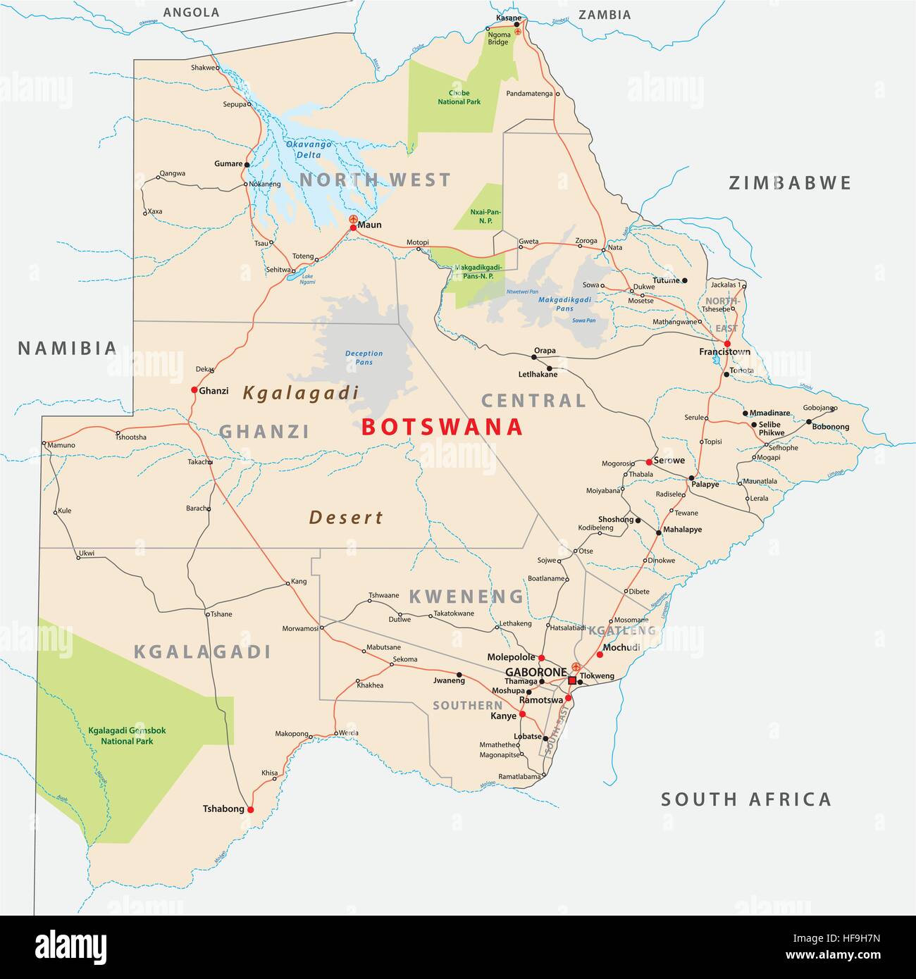 Botswana road and administrative map Stock Vectorhttps://www.alamy.com/image-license-details/?v=1https://www.alamy.com/stock-photo-botswana-road-and-administrative-map-129903529.html
RFHF9H7N–Botswana road and administrative map
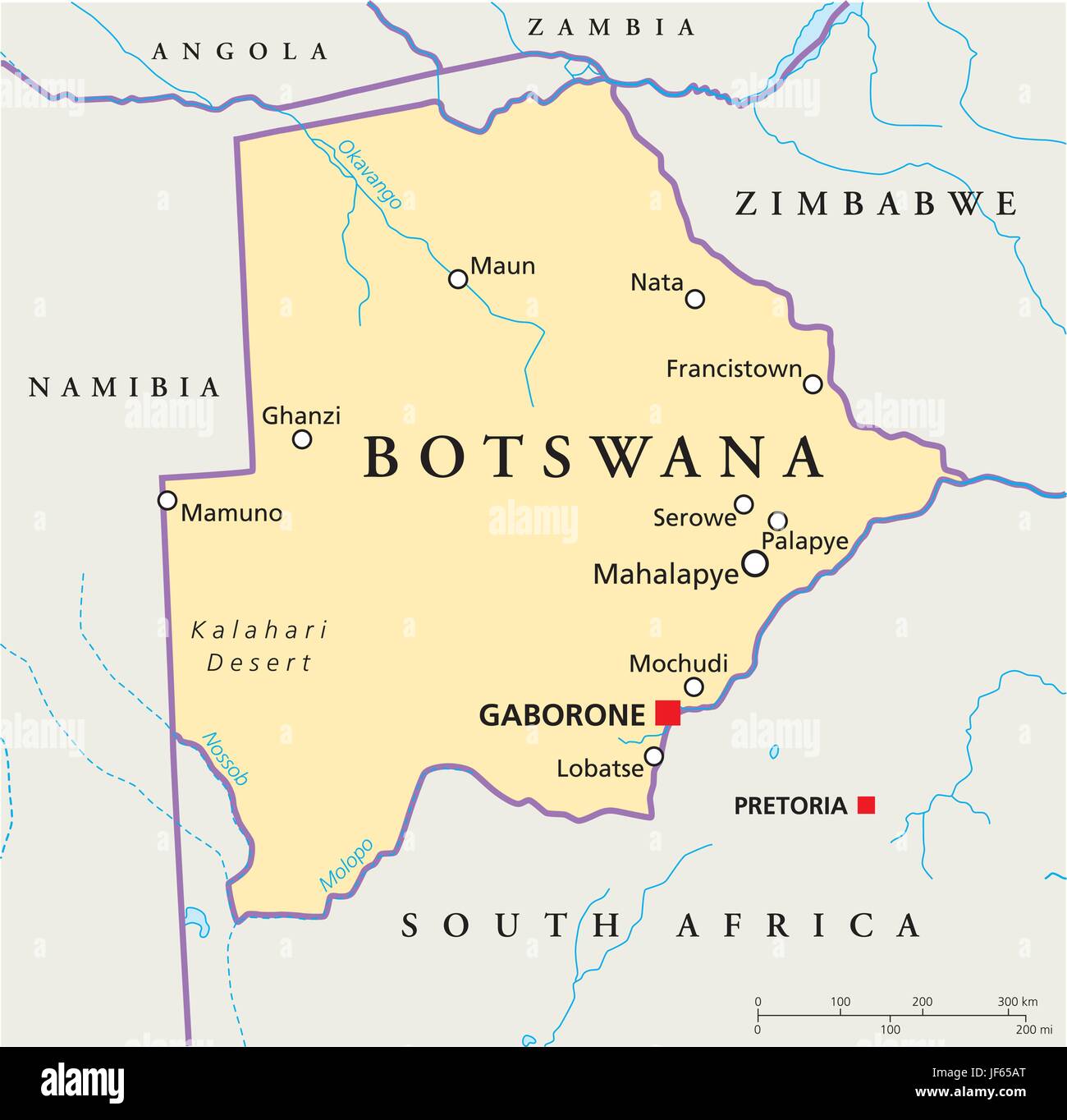 africa, safari, botswana, map, atlas, map of the world, travel, desert, Stock Vectorhttps://www.alamy.com/image-license-details/?v=1https://www.alamy.com/stock-photo-africa-safari-botswana-map-atlas-map-of-the-world-travel-desert-147038720.html
RFJF65AT–africa, safari, botswana, map, atlas, map of the world, travel, desert,
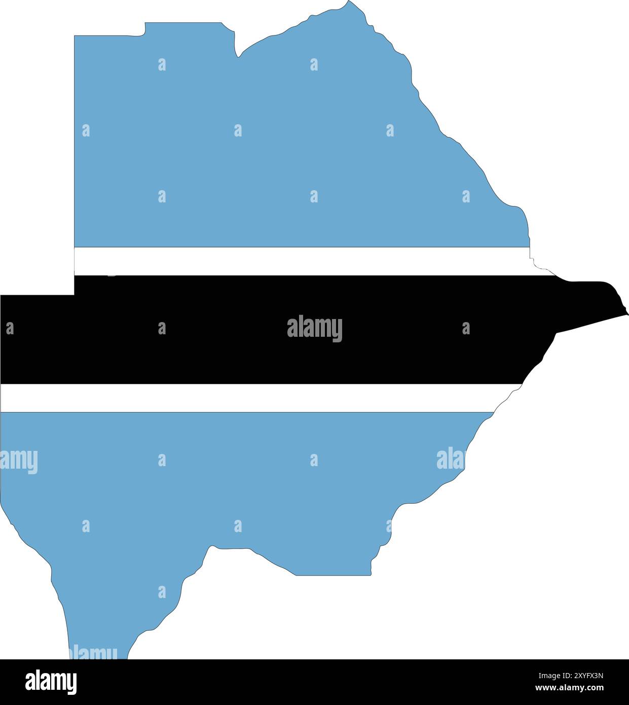 Botswana Flag in Map, Botswana Map with Flag, Country Map, Botswana Map with Flag, Nation Flag Botswana Stock Vectorhttps://www.alamy.com/image-license-details/?v=1https://www.alamy.com/botswana-flag-in-map-botswana-map-with-flag-country-map-botswana-map-with-flag-nation-flag-botswana-image619308361.html
RF2XYFX3N–Botswana Flag in Map, Botswana Map with Flag, Country Map, Botswana Map with Flag, Nation Flag Botswana
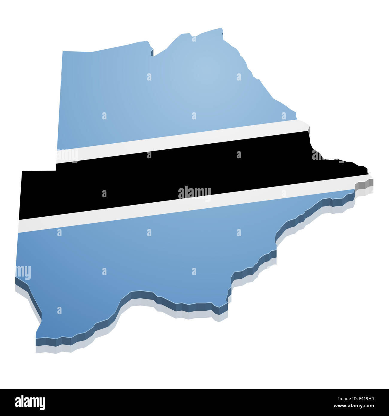 Map Botswana Stock Photohttps://www.alamy.com/image-license-details/?v=1https://www.alamy.com/stock-photo-map-botswana-88539971.html
RFF419HR–Map Botswana
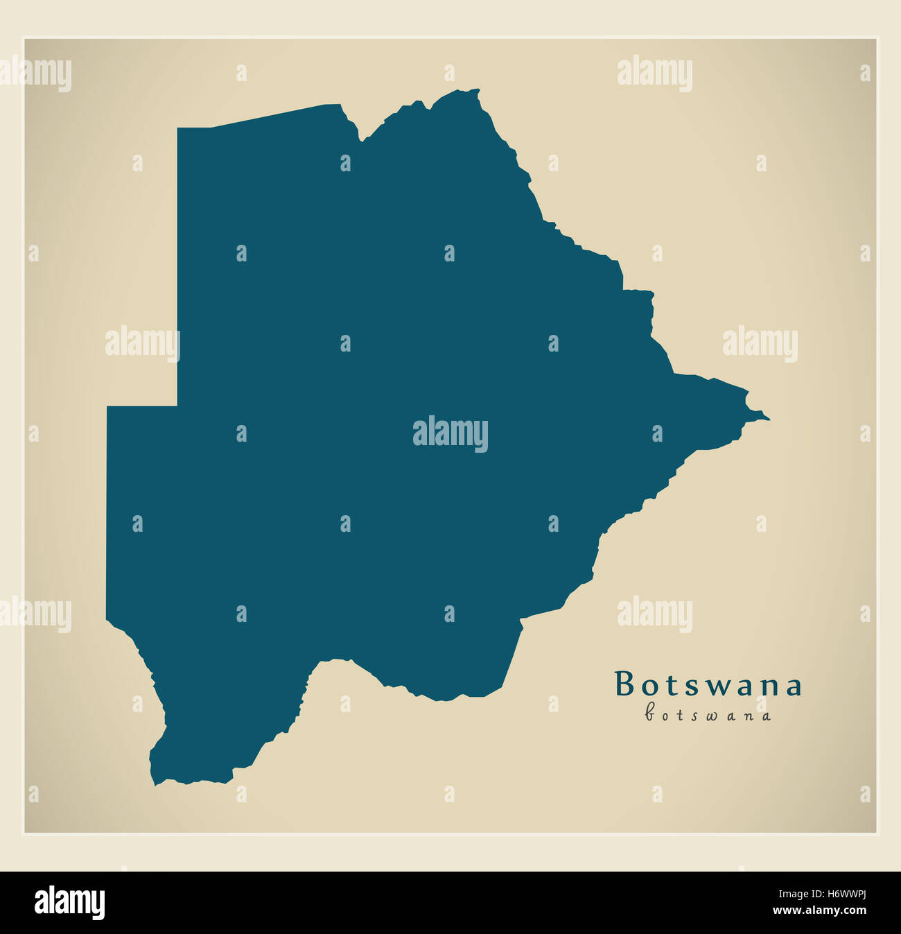 Modern Map - Botswana BW Stock Photohttps://www.alamy.com/image-license-details/?v=1https://www.alamy.com/stock-photo-modern-map-botswana-bw-124729546.html
RFH6WWPJ–Modern Map - Botswana BW
 Glasses on a map - Botswana Stock Photohttps://www.alamy.com/image-license-details/?v=1https://www.alamy.com/stock-photo-glasses-on-a-map-botswana-92254317.html
RFFA2F91–Glasses on a map - Botswana
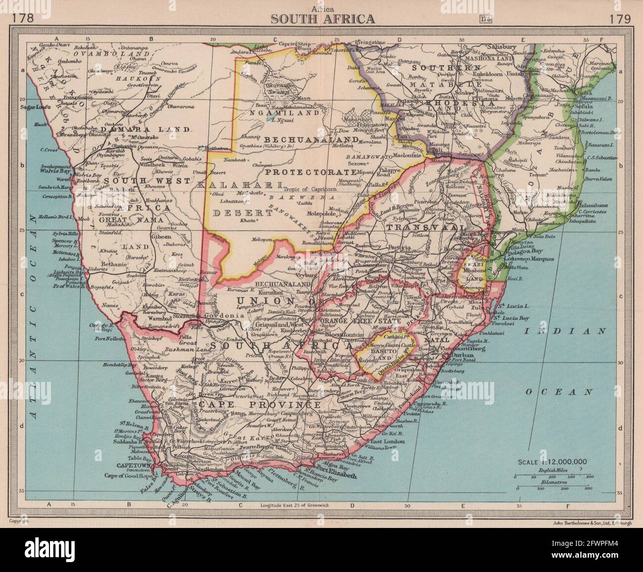 South Africa & Bechuanaland Protectorate. Botswana. BARTHOLOMEW 1949 old map Stock Photohttps://www.alamy.com/image-license-details/?v=1https://www.alamy.com/south-africa-bechuanaland-protectorate-botswana-bartholomew-1949-old-map-image428910500.html
RF2FWPFM4–South Africa & Bechuanaland Protectorate. Botswana. BARTHOLOMEW 1949 old map
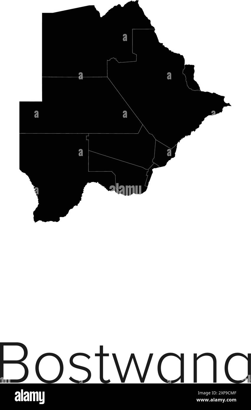 Botswana Map Vector Illustration - Silhouette, Outline, Botswana Travel and Tourism Map Stock Vectorhttps://www.alamy.com/image-license-details/?v=1https://www.alamy.com/botswana-map-vector-illustration-silhouette-outline-botswana-travel-and-tourism-map-image611790271.html
RF2XF9CMF–Botswana Map Vector Illustration - Silhouette, Outline, Botswana Travel and Tourism Map
 High detailed isolated map - Botswana Stock Vectorhttps://www.alamy.com/image-license-details/?v=1https://www.alamy.com/high-detailed-isolated-map-botswana-image546410386.html
RF2PMY40J–High detailed isolated map - Botswana
 Botswana Stock Photohttps://www.alamy.com/image-license-details/?v=1https://www.alamy.com/stock-photo-botswana-11979852.html
RFA840YW–Botswana
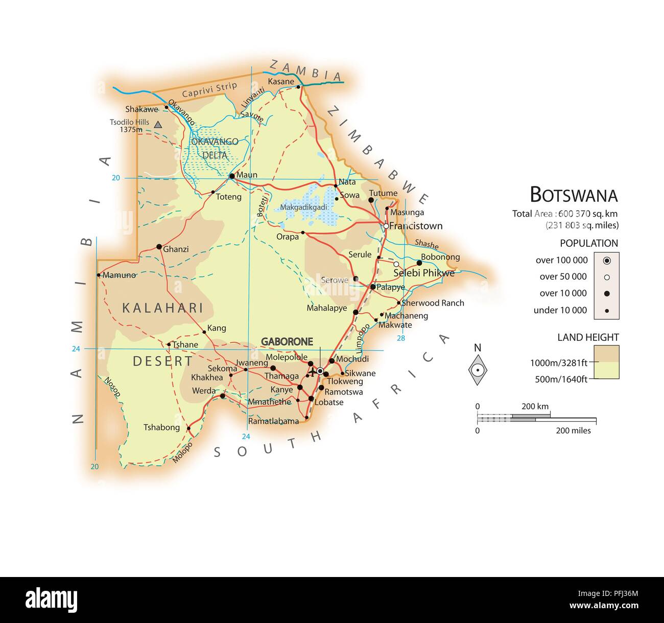 Map of Botswana Stock Photohttps://www.alamy.com/image-license-details/?v=1https://www.alamy.com/map-of-botswana-image216141932.html
RMPFJ36M–Map of Botswana
 Outline, map of Botswana Stock Photohttps://www.alamy.com/image-license-details/?v=1https://www.alamy.com/stock-photo-outline-map-of-botswana-34046073.html
RFBYAX35–Outline, map of Botswana
 Botswana Magnified Map and Flag, Botswana Enlargement Maps, Vector Art Stock Vectorhttps://www.alamy.com/image-license-details/?v=1https://www.alamy.com/botswana-magnified-map-and-flag-botswana-enlargement-maps-vector-art-image622816547.html
RF2Y57MT3–Botswana Magnified Map and Flag, Botswana Enlargement Maps, Vector Art
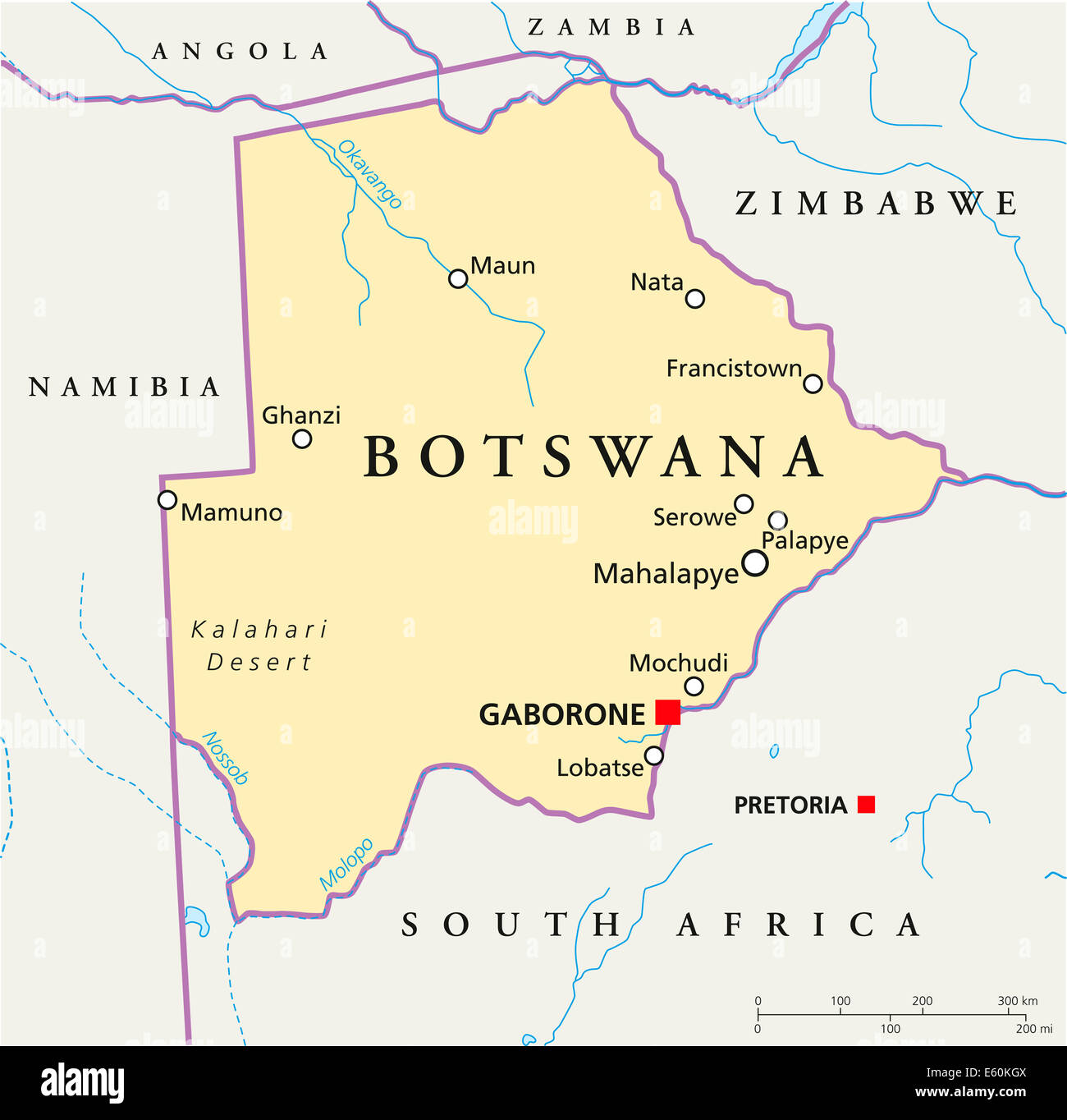 Botswana Political Map Stock Photohttps://www.alamy.com/image-license-details/?v=1https://www.alamy.com/stock-photo-botswana-political-map-72544778.html
RFE60KGX–Botswana Political Map
 Old green paper map of Botswana isolated on white background Stock Photohttps://www.alamy.com/image-license-details/?v=1https://www.alamy.com/stock-photo-old-green-paper-map-of-botswana-isolated-on-white-background-49088029.html
RMCRT47W–Old green paper map of Botswana isolated on white background
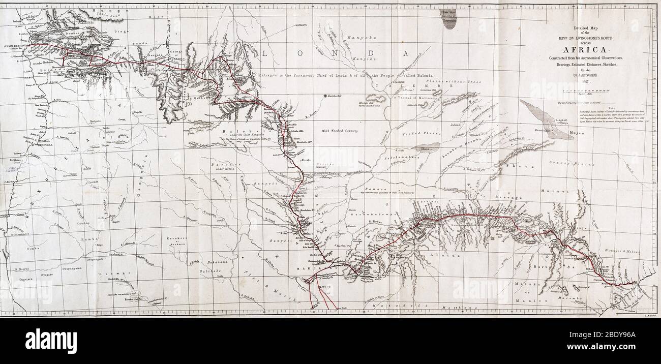 Map of Livingstone's Route Across Africa, 1857 Stock Photohttps://www.alamy.com/image-license-details/?v=1https://www.alamy.com/map-of-livingstones-route-across-africa-1857-image352797826.html
RM2BDY96A–Map of Livingstone's Route Across Africa, 1857
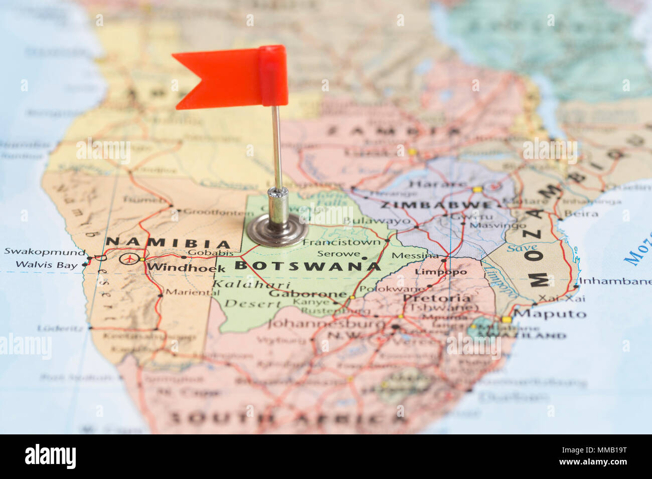 Small red flag marking the African country of Botswana on a world map. Stock Photohttps://www.alamy.com/image-license-details/?v=1https://www.alamy.com/small-red-flag-marking-the-african-country-of-botswana-on-a-world-map-image184639332.html
RMMMB19T–Small red flag marking the African country of Botswana on a world map.
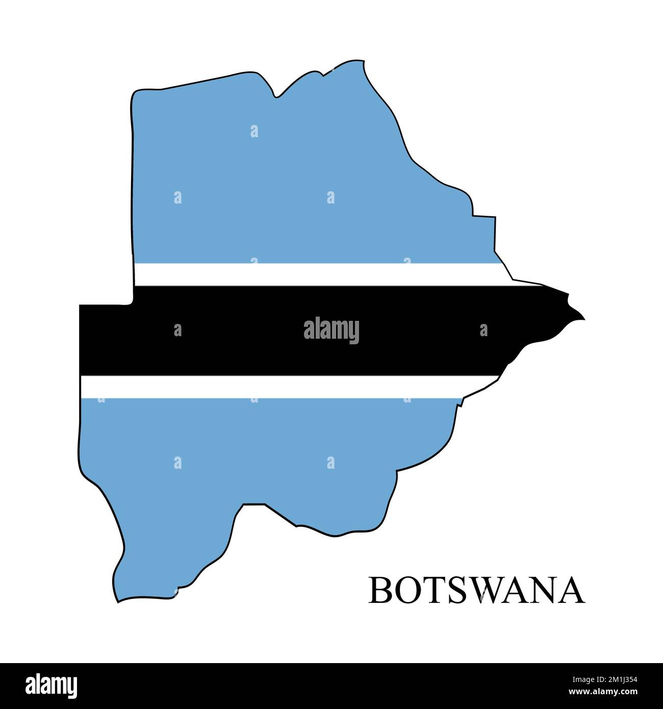 Botswana map vector illustration. Global economy. Famous country. Southern Africa. Africa. Stock Vectorhttps://www.alamy.com/image-license-details/?v=1https://www.alamy.com/botswana-map-vector-illustration-global-economy-famous-country-southern-africa-africa-image500112960.html
RF2M1J354–Botswana map vector illustration. Global economy. Famous country. Southern Africa. Africa.
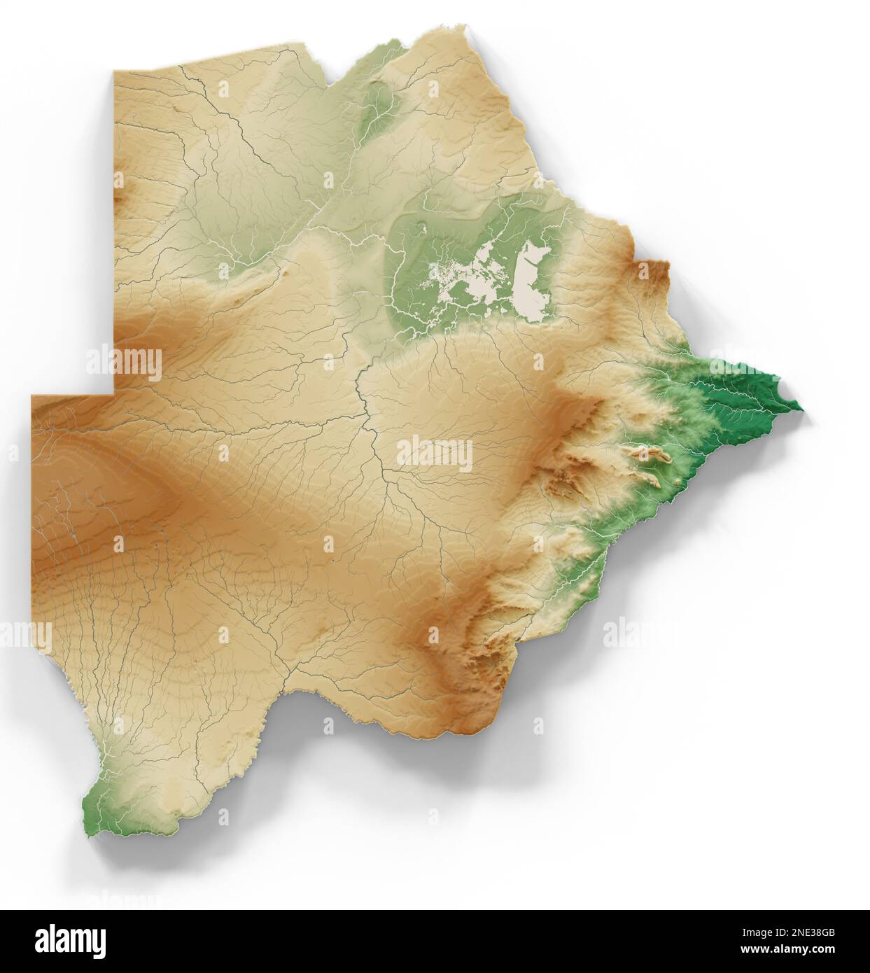 Botswana. Highly detailed 3D rendering of shaded relief map with rivers and lakes. Colored by elevation. Created with satellite data. Stock Photohttps://www.alamy.com/image-license-details/?v=1https://www.alamy.com/botswana-highly-detailed-3d-rendering-of-shaded-relief-map-with-rivers-and-lakes-colored-by-elevation-created-with-satellite-data-image524988811.html
RF2NE38GB–Botswana. Highly detailed 3D rendering of shaded relief map with rivers and lakes. Colored by elevation. Created with satellite data.
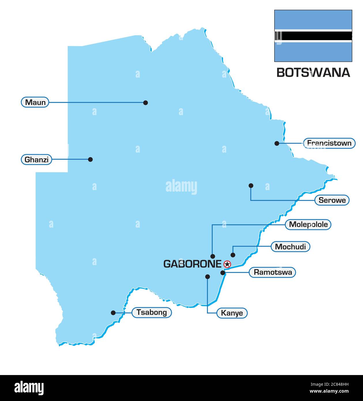 Vector map of Botswana with flag and main cities Stock Vectorhttps://www.alamy.com/image-license-details/?v=1https://www.alamy.com/vector-map-of-botswana-with-flag-and-main-cities-image366429549.html
RF2C848HH–Vector map of Botswana with flag and main cities
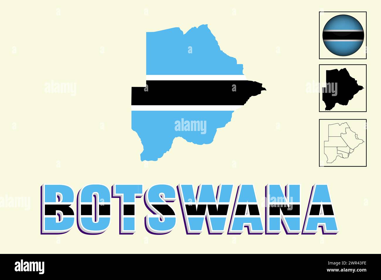 Botswana flag and map in vector illustration Stock Vectorhttps://www.alamy.com/image-license-details/?v=1https://www.alamy.com/botswana-flag-and-map-in-vector-illustration-image599380194.html
RF2WR43FE–Botswana flag and map in vector illustration
 Botswana flag map, three dimensional render, isolated on white Stock Photohttps://www.alamy.com/image-license-details/?v=1https://www.alamy.com/stock-photo-botswana-flag-map-three-dimensional-render-isolated-on-white-73846926.html
RFE840E6–Botswana flag map, three dimensional render, isolated on white
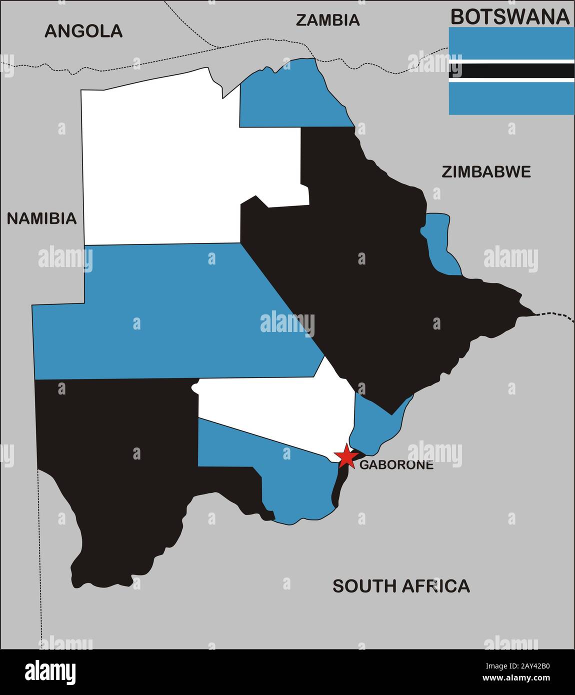 Botswana map Stock Photohttps://www.alamy.com/image-license-details/?v=1https://www.alamy.com/botswana-map-image343682388.html
RM2AY42B0–Botswana map
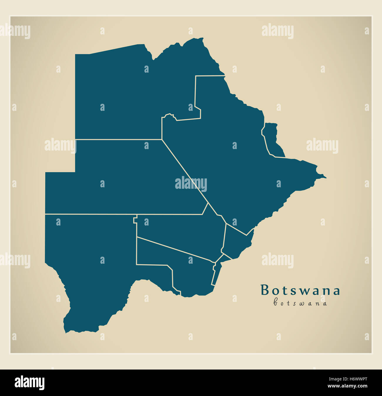 Modern Map - Botswana with districts BW Stock Photohttps://www.alamy.com/image-license-details/?v=1https://www.alamy.com/stock-photo-modern-map-botswana-with-districts-bw-124729552.html
RFH6WWPT–Modern Map - Botswana with districts BW
 Botswana map shape with waving flag background. Alpha channel outline of country. Stock Photohttps://www.alamy.com/image-license-details/?v=1https://www.alamy.com/botswana-map-shape-with-waving-flag-background-alpha-channel-outline-of-country-image484767617.html
RF2K4K215–Botswana map shape with waving flag background. Alpha channel outline of country.
 Cape Colony Bechuanaland Botswana. Southern Africa. BARTHOLOMEW 1898 old map Stock Photohttps://www.alamy.com/image-license-details/?v=1https://www.alamy.com/cape-colony-bechuanaland-botswana-southern-africa-bartholomew-1898-old-map-image538760354.html
RF2P8EJ96–Cape Colony Bechuanaland Botswana. Southern Africa. BARTHOLOMEW 1898 old map
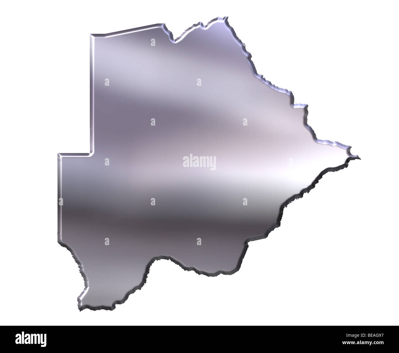 Botswana 3d silver map Stock Photohttps://www.alamy.com/image-license-details/?v=1https://www.alamy.com/stock-photo-botswana-3d-silver-map-26047875.html
RFBEAG97–Botswana 3d silver map
 Scribble map of Botswana. Sketch Country map for infographic, brochures and presentations, Stylized sketch map of Botswana. Vector illustration Stock Vectorhttps://www.alamy.com/image-license-details/?v=1https://www.alamy.com/scribble-map-of-botswana-sketch-country-map-for-infographic-brochures-and-presentations-stylized-sketch-map-of-botswana-vector-illustration-image247662267.html
RFTAWYMY–Scribble map of Botswana. Sketch Country map for infographic, brochures and presentations, Stylized sketch map of Botswana. Vector illustration
 Botswana flag with 3d effect Stock Photohttps://www.alamy.com/image-license-details/?v=1https://www.alamy.com/botswana-flag-with-3d-effect-image476636692.html
RF2JKCJY0–Botswana flag with 3d effect
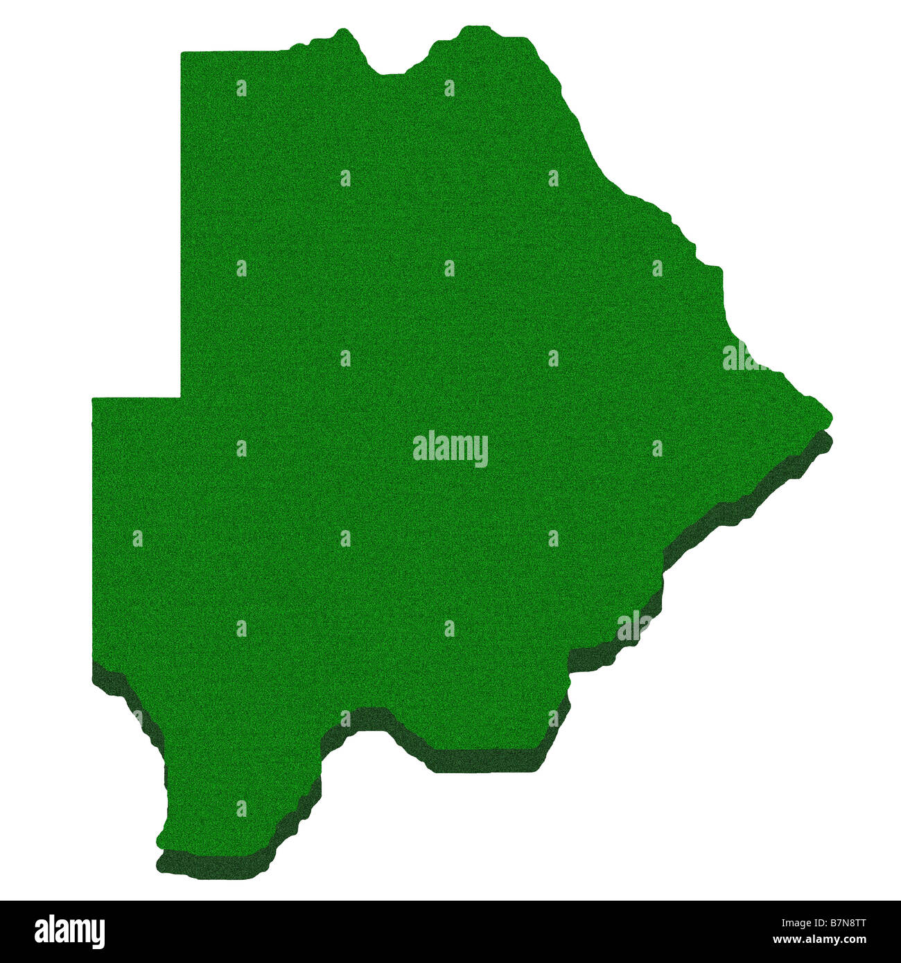 Outline map of Botswana Stock Photohttps://www.alamy.com/image-license-details/?v=1https://www.alamy.com/stock-photo-outline-map-of-botswana-21980920.html
RFB7N8TT–Outline map of Botswana
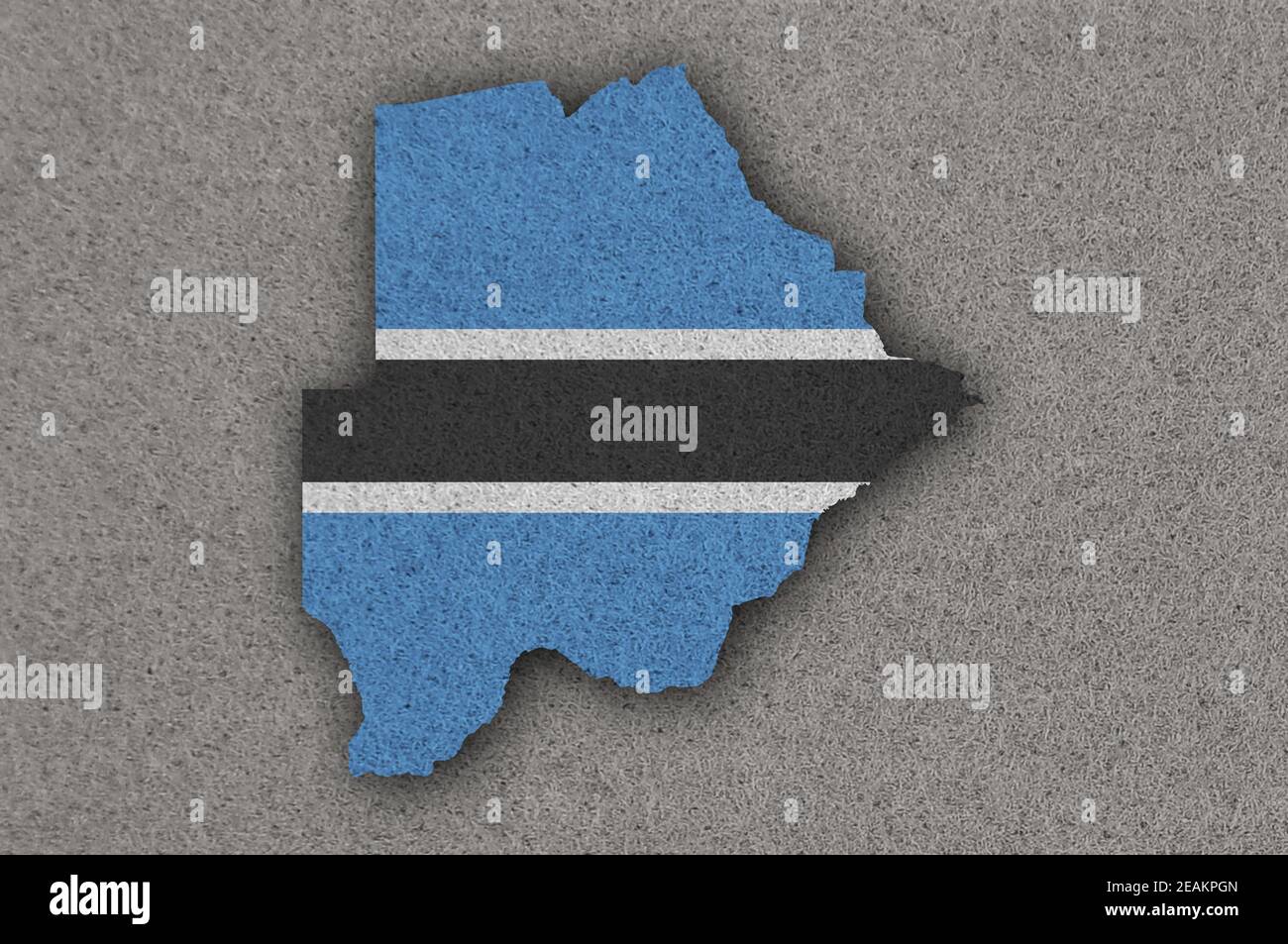 Map and flag of Botswana on felt Stock Photohttps://www.alamy.com/image-license-details/?v=1https://www.alamy.com/map-and-flag-of-botswana-on-felt-image402419829.html
RF2EAKPGN–Map and flag of Botswana on felt
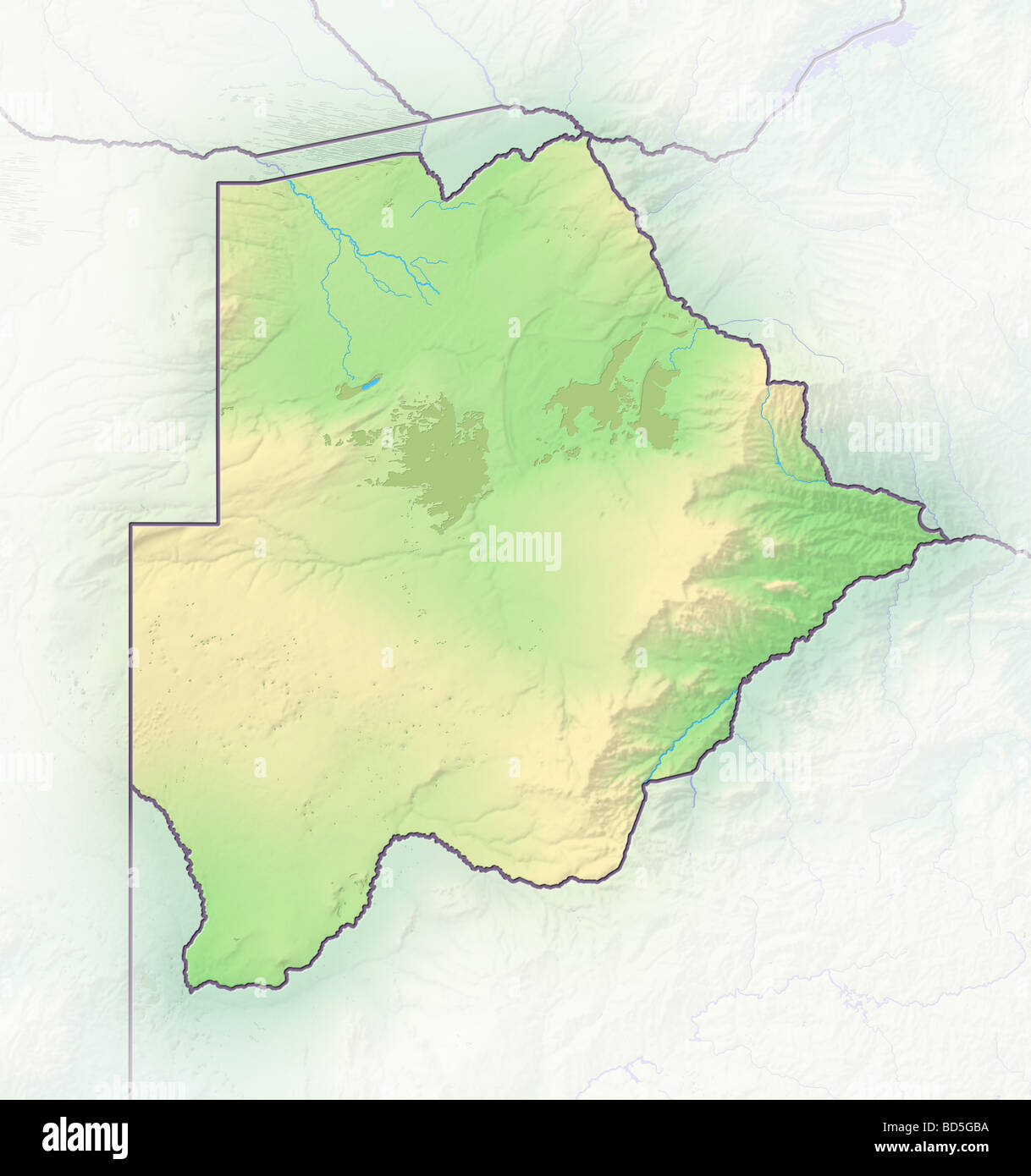 Botswana, shaded relief map. Stock Photohttps://www.alamy.com/image-license-details/?v=1https://www.alamy.com/stock-photo-botswana-shaded-relief-map-25323518.html
RFBD5GBA–Botswana, shaded relief map.
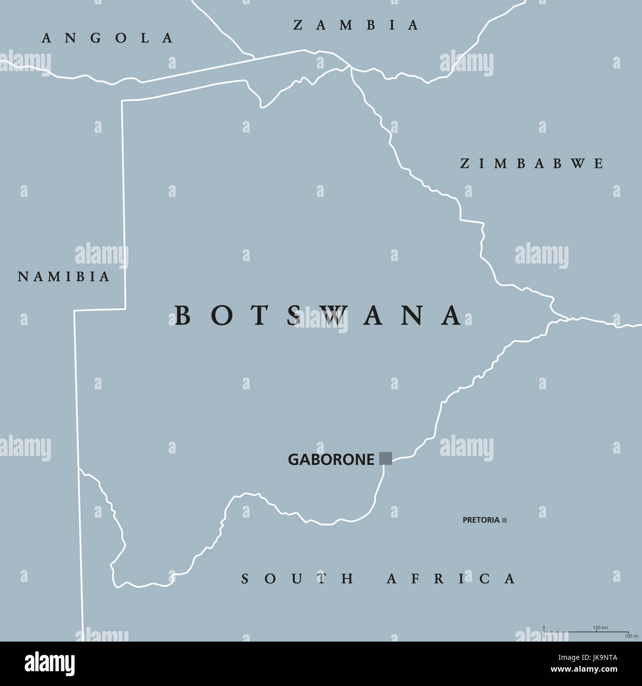 Botswana political map with capital Gaborone and international borders. Republic and landlocked country in Southern Africa. Former Bechuanaland. Stock Photohttps://www.alamy.com/image-license-details/?v=1https://www.alamy.com/stock-photo-botswana-political-map-with-capital-gaborone-and-international-borders-149576122.html
RFJK9NTA–Botswana political map with capital Gaborone and international borders. Republic and landlocked country in Southern Africa. Former Bechuanaland.
 Dark silhouetted and textured map of Botswana isolated on white background. Stock Photohttps://www.alamy.com/image-license-details/?v=1https://www.alamy.com/stock-photo-dark-silhouetted-and-textured-map-of-botswana-isolated-on-white-background-52694634.html
RMD1MCF6–Dark silhouetted and textured map of Botswana isolated on white background.
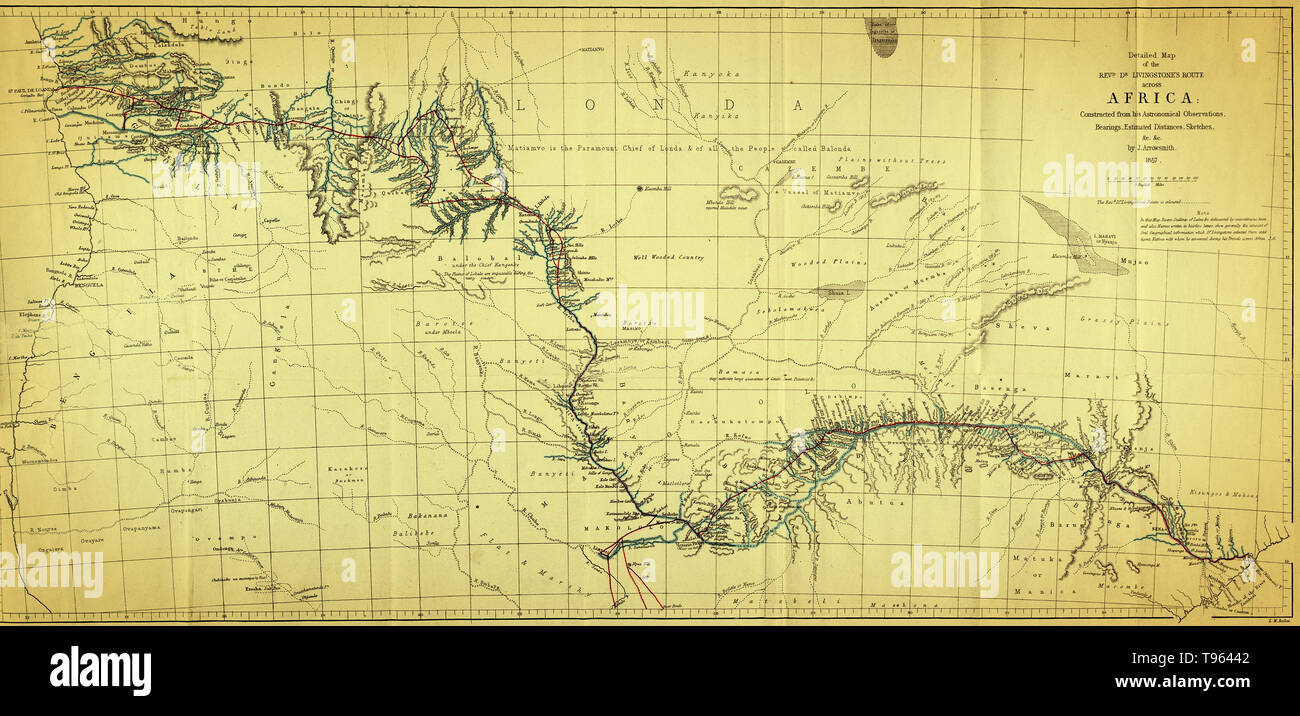 Map showing the route of David Livingstone across central Africa via the Zambesi River to the east coast, 1857. David Livingstone (1813-1873) was a Scottish explorer and medical missionary in Africa. He organized expeditions into the interior of Africa from Botswana, discovered and named Victoria Falls, and located the mouth of the Zambesi River. He mapped much of interior Africa, wrote accounts of the inhabitants, and campaigned against slavery. Stock Photohttps://www.alamy.com/image-license-details/?v=1https://www.alamy.com/map-showing-the-route-of-david-livingstone-across-central-africa-via-the-zambesi-river-to-the-east-coast-1857-david-livingstone-1813-1873-was-a-scottish-explorer-and-medical-missionary-in-africa-he-organized-expeditions-into-the-interior-of-africa-from-botswana-discovered-and-named-victoria-falls-and-located-the-mouth-of-the-zambesi-river-he-mapped-much-of-interior-africa-wrote-accounts-of-the-inhabitants-and-campaigned-against-slavery-image246612018.html
RMT96442–Map showing the route of David Livingstone across central Africa via the Zambesi River to the east coast, 1857. David Livingstone (1813-1873) was a Scottish explorer and medical missionary in Africa. He organized expeditions into the interior of Africa from Botswana, discovered and named Victoria Falls, and located the mouth of the Zambesi River. He mapped much of interior Africa, wrote accounts of the inhabitants, and campaigned against slavery.
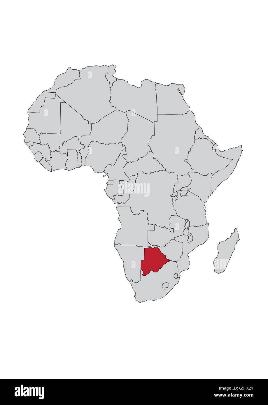 Map of Africa, Botswana Stock Photohttps://www.alamy.com/image-license-details/?v=1https://www.alamy.com/stock-photo-map-of-africa-botswana-106685235.html
RMG5FX2Y–Map of Africa, Botswana
 Relief map of Botswana with shaded relief. Stock Photohttps://www.alamy.com/image-license-details/?v=1https://www.alamy.com/stock-photo-relief-map-of-botswana-with-shaded-relief-112605769.html
RFGF5HPH–Relief map of Botswana with shaded relief.
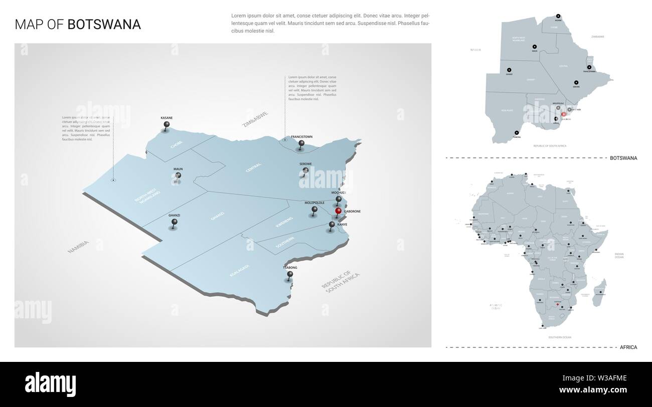 Vector set of Botswana country. Isometric 3d map, Botswana map, Africa map - with region, state names and city names. Stock Vectorhttps://www.alamy.com/image-license-details/?v=1https://www.alamy.com/vector-set-of-botswana-country-isometric-3d-map-botswana-map-africa-map-with-region-state-names-and-city-names-image260231342.html
RFW3AFME–Vector set of Botswana country. Isometric 3d map, Botswana map, Africa map - with region, state names and city names.
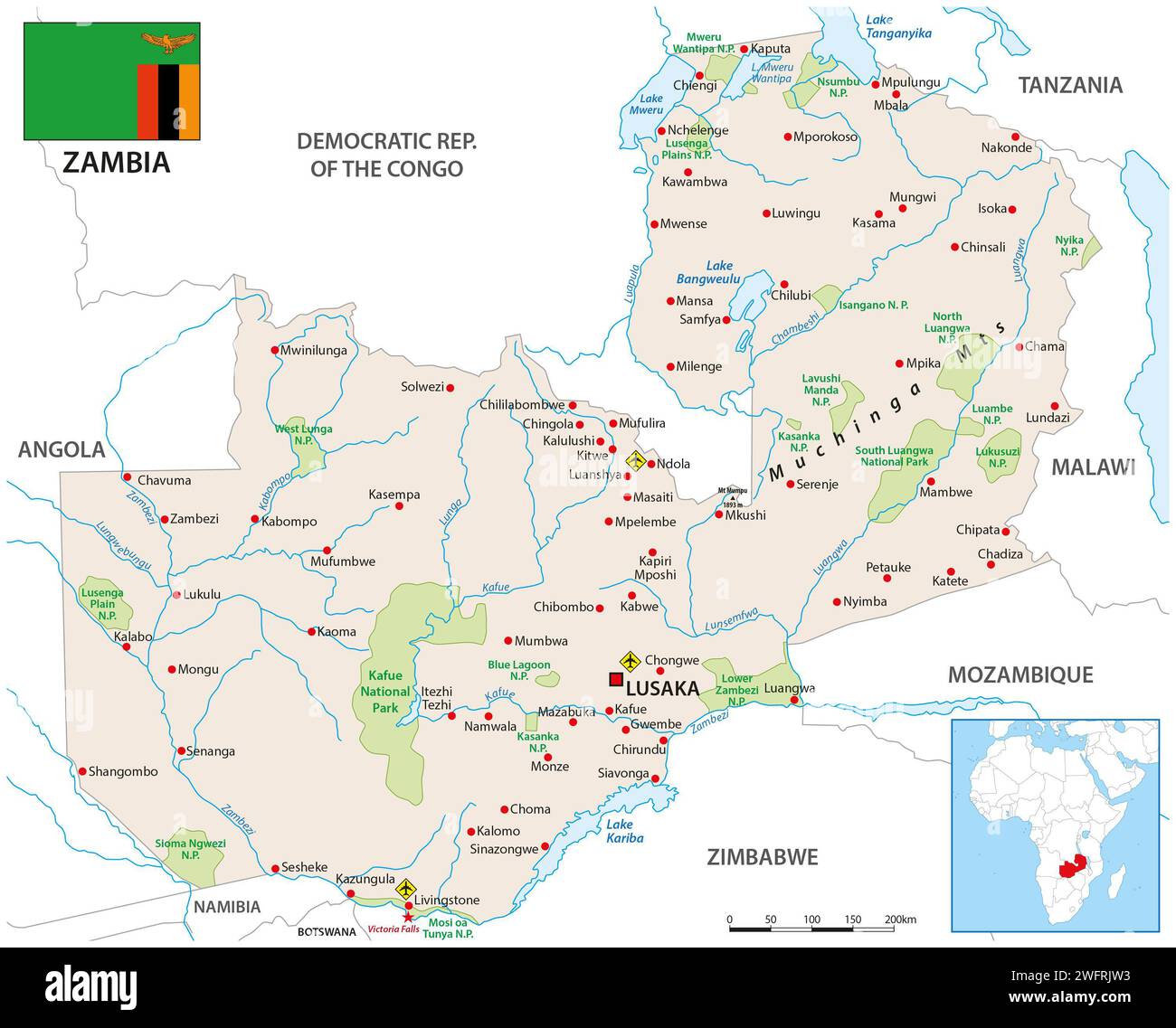 Detailed vector map of the Republic of Zambia Stock Photohttps://www.alamy.com/image-license-details/?v=1https://www.alamy.com/detailed-vector-map-of-the-republic-of-zambia-image594892063.html
RF2WFRJW3–Detailed vector map of the Republic of Zambia
 Botswana flag and map in vector illustration Stock Vectorhttps://www.alamy.com/image-license-details/?v=1https://www.alamy.com/botswana-flag-and-map-in-vector-illustration-image599380022.html
RF2WR439A–Botswana flag and map in vector illustration
 Botswana, Relief Map With Border Stock Photohttps://www.alamy.com/image-license-details/?v=1https://www.alamy.com/stock-photo-botswana-relief-map-with-border-71605913.html
RME4DX21–Botswana, Relief Map With Border
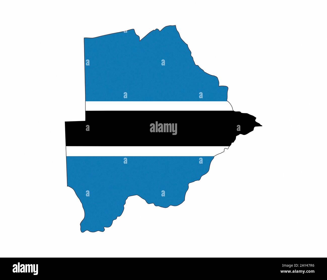 botswana flag map Stock Photohttps://www.alamy.com/image-license-details/?v=1https://www.alamy.com/botswana-flag-map-image343686650.html
RM2AY47R6–botswana flag map
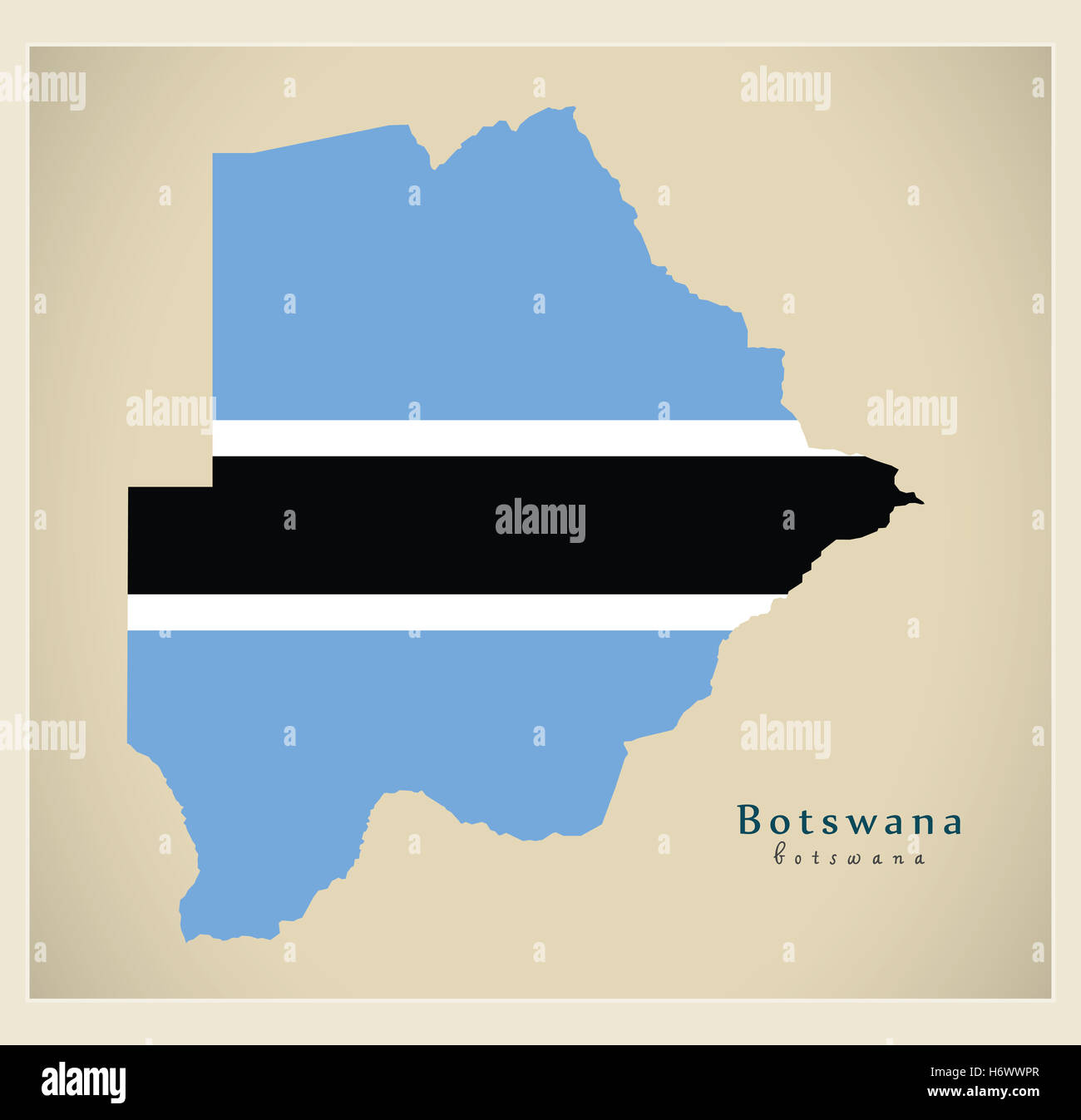 Modern Map - Botswana with flag BW Stock Photohttps://www.alamy.com/image-license-details/?v=1https://www.alamy.com/stock-photo-modern-map-botswana-with-flag-bw-124729551.html
RFH6WWPR–Modern Map - Botswana with flag BW
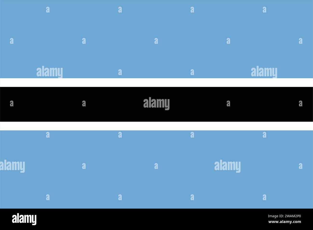 High detailed flag of Botswana. National Botswana flag. Africa. 3D illustration. Stock Vectorhttps://www.alamy.com/image-license-details/?v=1https://www.alamy.com/high-detailed-flag-of-botswana-national-botswana-flag-africa-3d-illustration-image591740296.html
RF2WAM2P0–High detailed flag of Botswana. National Botswana flag. Africa. 3D illustration.
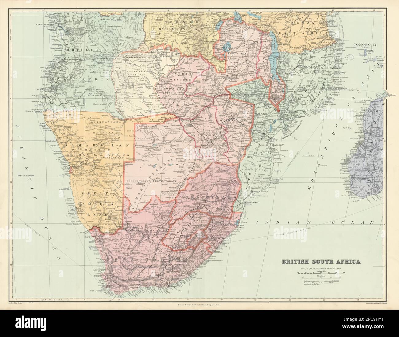 British Southern Africa. Rhodesia Bechuanaland Botswana Zambia STANFORD 1904 map Stock Photohttps://www.alamy.com/image-license-details/?v=1https://www.alamy.com/british-southern-africa-rhodesia-bechuanaland-botswana-zambia-stanford-1904-map-image541108956.html
RF2PC9HYT–British Southern Africa. Rhodesia Bechuanaland Botswana Zambia STANFORD 1904 map
 Botswana 3d golden map Stock Photohttps://www.alamy.com/image-license-details/?v=1https://www.alamy.com/stock-photo-botswana-3d-golden-map-26660088.html
RFBFAD60–Botswana 3d golden map
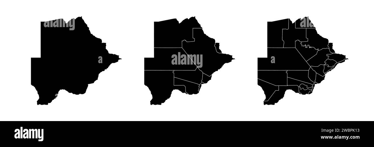 Set of state maps of Botswana with regions and municipalities division. Department borders, isolated vector maps on white background. Stock Vectorhttps://www.alamy.com/image-license-details/?v=1https://www.alamy.com/set-of-state-maps-of-botswana-with-regions-and-municipalities-division-department-borders-isolated-vector-maps-on-white-background-image592411599.html
RF2WBPK13–Set of state maps of Botswana with regions and municipalities division. Department borders, isolated vector maps on white background.
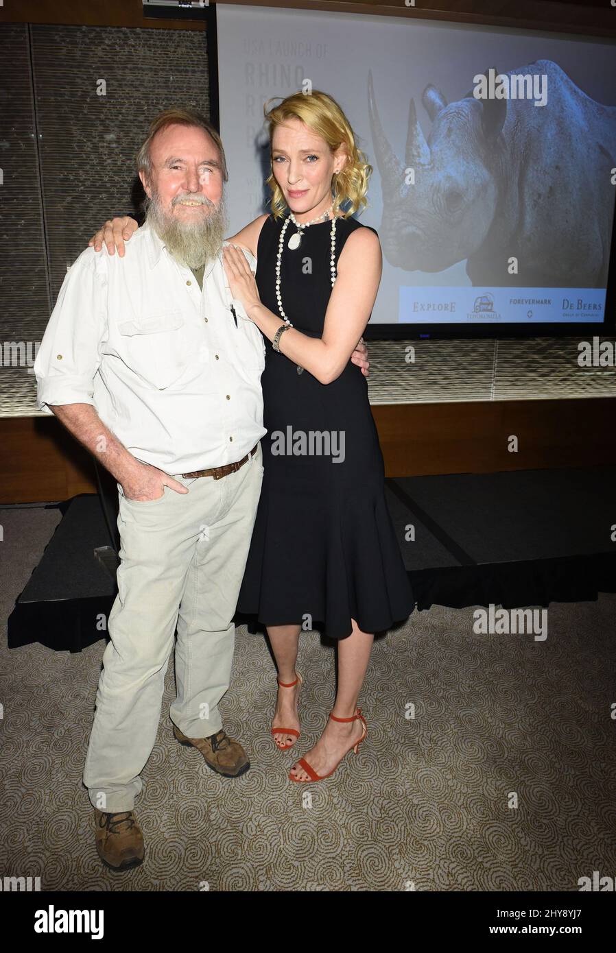 Map Ives and Uma Thurman attending the Rhino Rescue Botswana Benefit held at Le Bernardin Prive in New York. Stock Photohttps://www.alamy.com/image-license-details/?v=1https://www.alamy.com/map-ives-and-uma-thurman-attending-the-rhino-rescue-botswana-benefit-held-at-le-bernardin-prive-in-new-york-image464262575.html
RM2HY8YJ7–Map Ives and Uma Thurman attending the Rhino Rescue Botswana Benefit held at Le Bernardin Prive in New York.
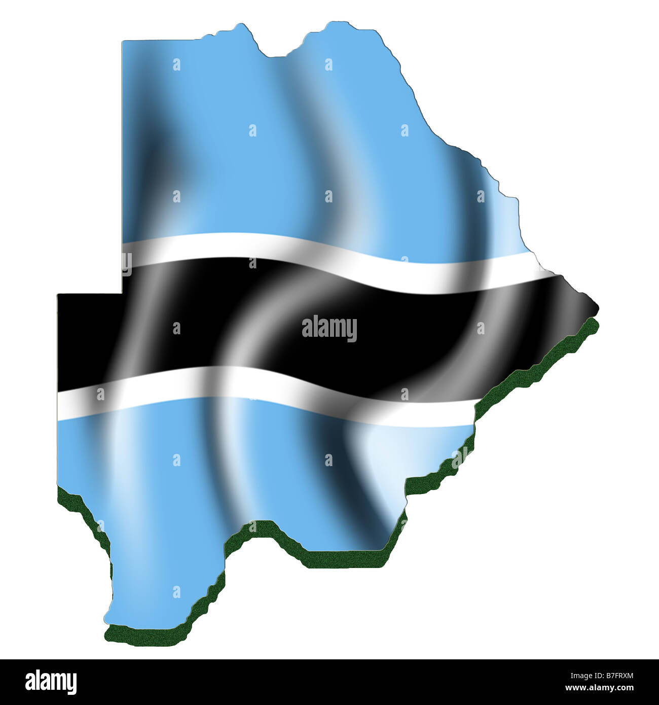 Outline map and flag of Botswana Stock Photohttps://www.alamy.com/image-license-details/?v=1https://www.alamy.com/stock-photo-outline-map-and-flag-of-botswana-21861020.html
RMB7FRXM–Outline map and flag of Botswana
 Map of Botswana on dark slate Stock Photohttps://www.alamy.com/image-license-details/?v=1https://www.alamy.com/map-of-botswana-on-dark-slate-image402531252.html
RF2EATTM4–Map of Botswana on dark slate
 Small Flag of Republic of Botswana on a Map Background with Selective Focus. Stock Photohttps://www.alamy.com/image-license-details/?v=1https://www.alamy.com/small-flag-of-republic-of-botswana-on-a-map-background-with-selective-image68858278.html
RFE00NC6–Small Flag of Republic of Botswana on a Map Background with Selective Focus.
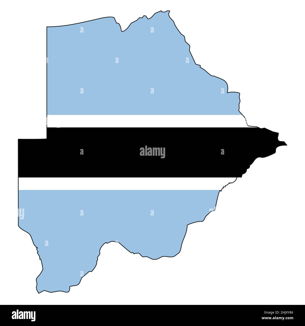 Botswana map with flag - outline of a state with a national flag Stock Vectorhttps://www.alamy.com/image-license-details/?v=1https://www.alamy.com/botswana-map-with-flag-outline-of-a-state-with-a-national-flag-image459125526.html
RF2HJXY86–Botswana map with flag - outline of a state with a national flag
 Botswana map button in responsive flat web design map button isolated with clipping path. Stock Photohttps://www.alamy.com/image-license-details/?v=1https://www.alamy.com/botswana-map-button-in-responsive-flat-web-design-map-button-isolated-image68146116.html
RMDXT91T–Botswana map button in responsive flat web design map button isolated with clipping path.
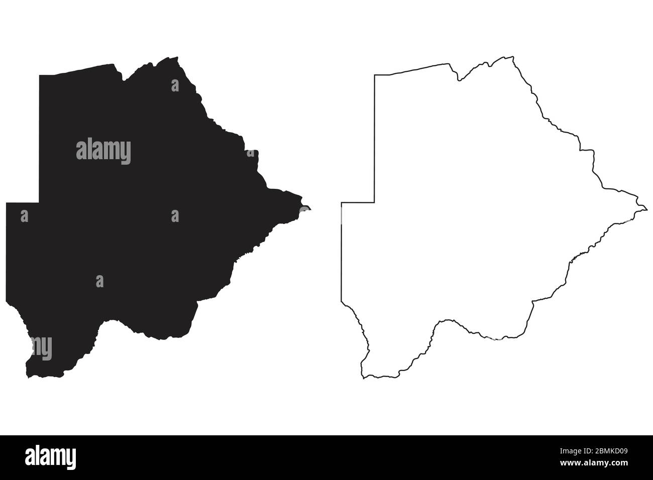 Botswana Country Map. Black silhouette and outline isolated on white background. EPS Vector Stock Vectorhttps://www.alamy.com/image-license-details/?v=1https://www.alamy.com/botswana-country-map-black-silhouette-and-outline-isolated-on-white-background-eps-vector-image356927769.html
RF2BMKD09–Botswana Country Map. Black silhouette and outline isolated on white background. EPS Vector
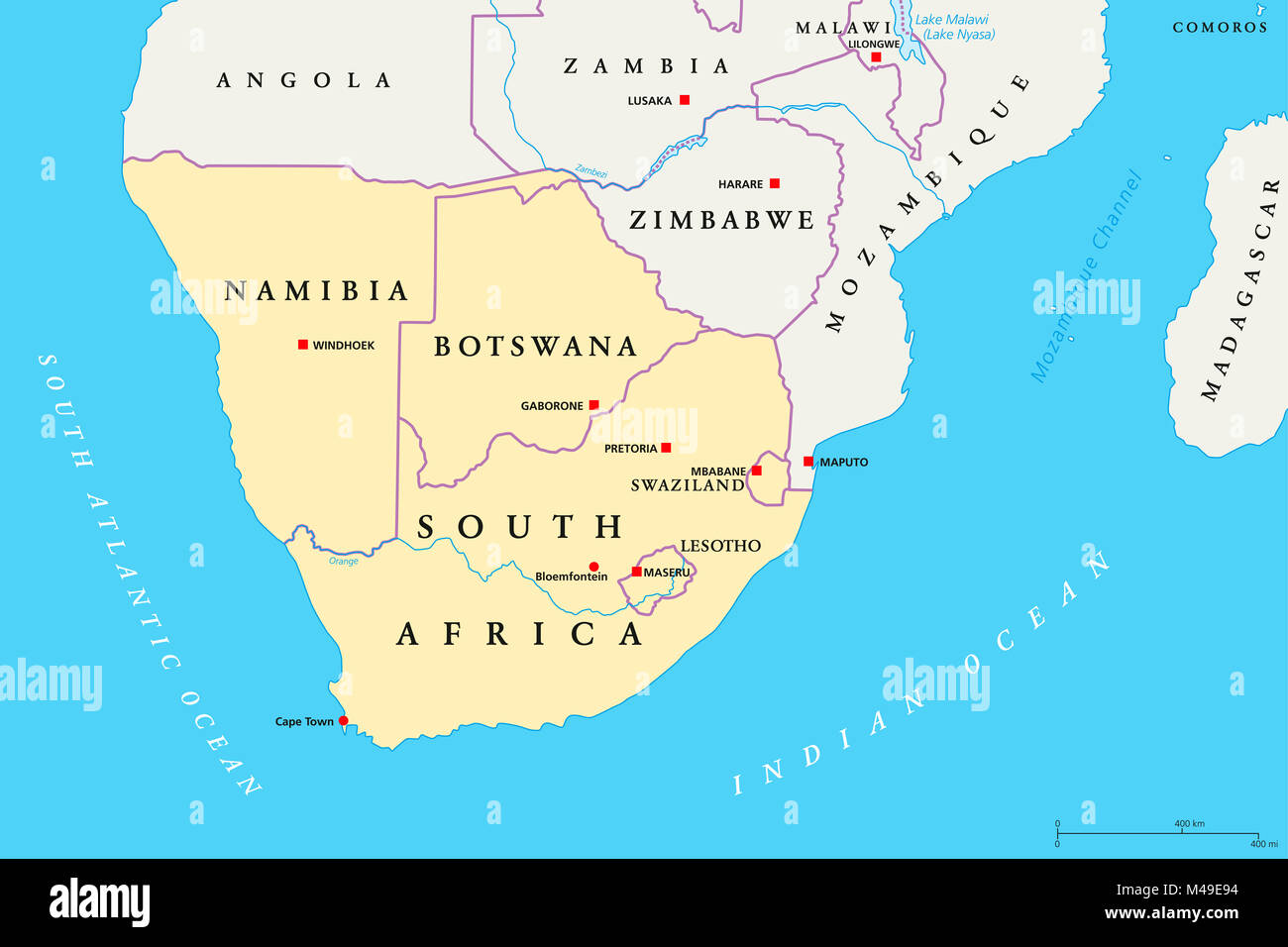 Southern Africa region political map. Southernmost region of African continent. South Africa, Namibia, Botswana, Swaziland and Lesotho. Stock Photohttps://www.alamy.com/image-license-details/?v=1https://www.alamy.com/stock-photo-southern-africa-region-political-map-southernmost-region-of-african-174771104.html
RFM49E94–Southern Africa region political map. Southernmost region of African continent. South Africa, Namibia, Botswana, Swaziland and Lesotho.
 Map of Botswana highlighted from the outline Stock Photohttps://www.alamy.com/image-license-details/?v=1https://www.alamy.com/map-of-botswana-highlighted-from-the-outline-image426371644.html
RF2FNJWAM–Map of Botswana highlighted from the outline
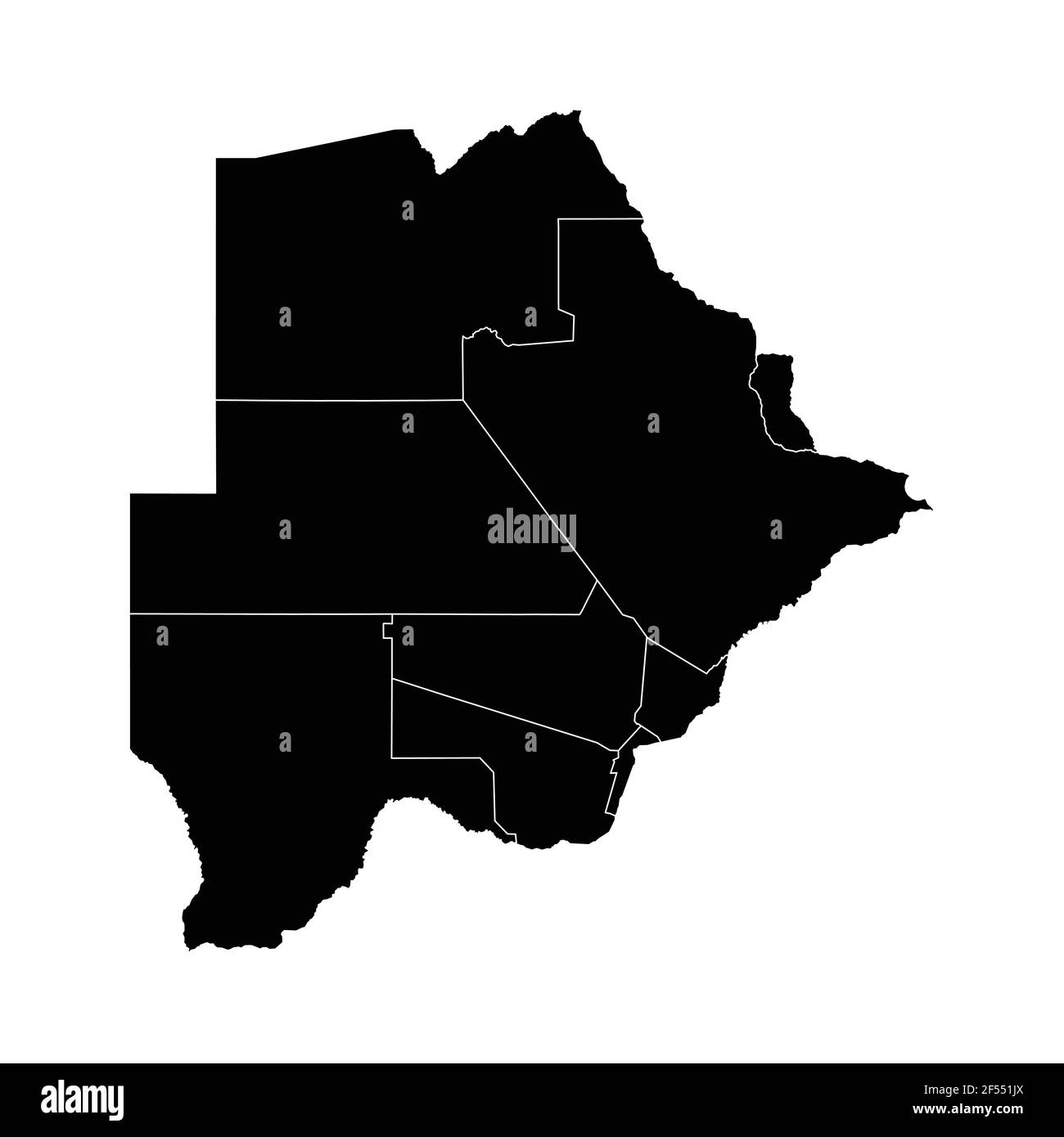 Botswana country map vector with regional areas Stock Vectorhttps://www.alamy.com/image-license-details/?v=1https://www.alamy.com/botswana-country-map-vector-with-regional-areas-image416233186.html
RF2F551JX–Botswana country map vector with regional areas
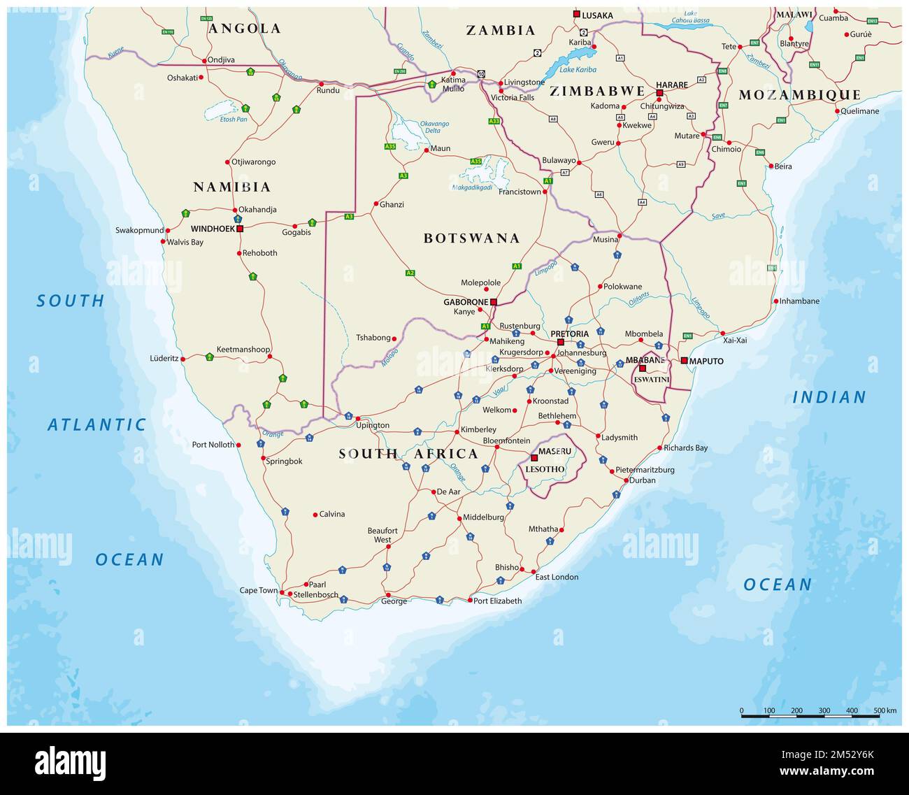 Road map of the states of southern Africa Stock Photohttps://www.alamy.com/image-license-details/?v=1https://www.alamy.com/road-map-of-the-states-of-southern-africa-image502239211.html
RF2M52Y6K–Road map of the states of southern Africa
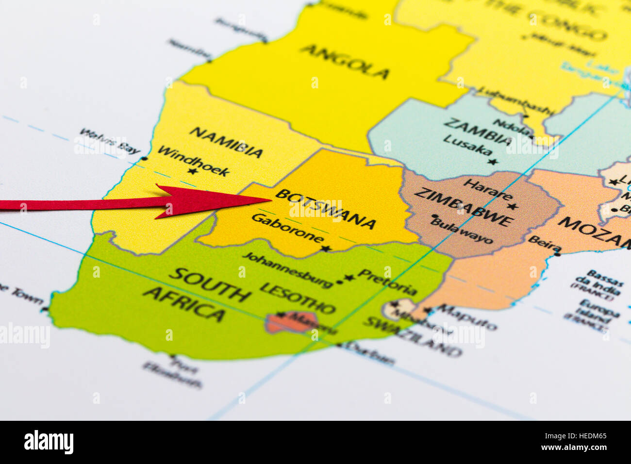 Red arrow pointing Botswana on the map of Africa continent Stock Photohttps://www.alamy.com/image-license-details/?v=1https://www.alamy.com/stock-photo-red-arrow-pointing-botswana-on-the-map-of-africa-continent-129378989.html
RMHEDM65–Red arrow pointing Botswana on the map of Africa continent
 Botswana, Relief Map With Border and Mask Stock Photohttps://www.alamy.com/image-license-details/?v=1https://www.alamy.com/stock-photo-botswana-relief-map-with-border-and-mask-71601588.html
RME4DMFG–Botswana, Relief Map With Border and Mask
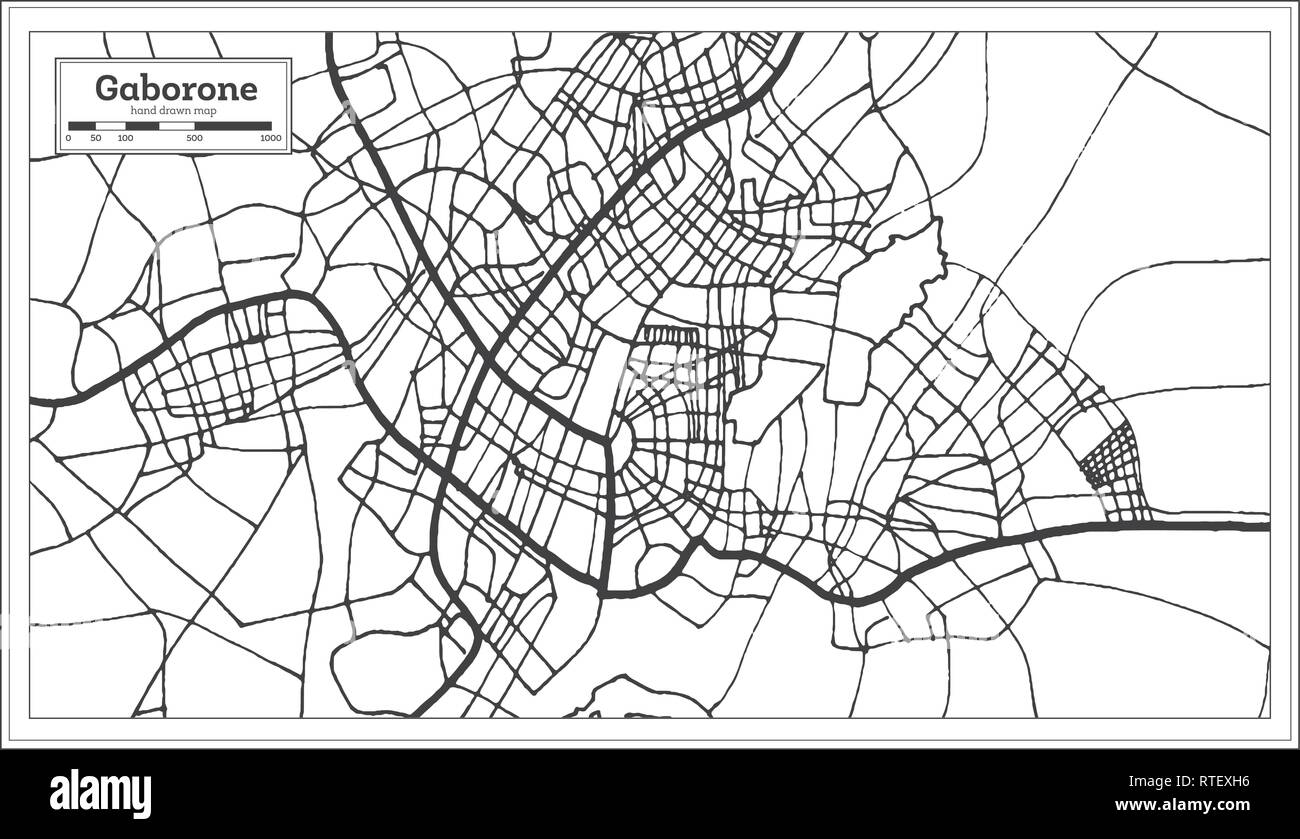 Gaborone Botswana City Map in Retro Style. Outline Map. Vector Illustration. Stock Vectorhttps://www.alamy.com/image-license-details/?v=1https://www.alamy.com/gaborone-botswana-city-map-in-retro-style-outline-map-vector-illustration-image238814722.html
RFRTEXH6–Gaborone Botswana City Map in Retro Style. Outline Map. Vector Illustration.
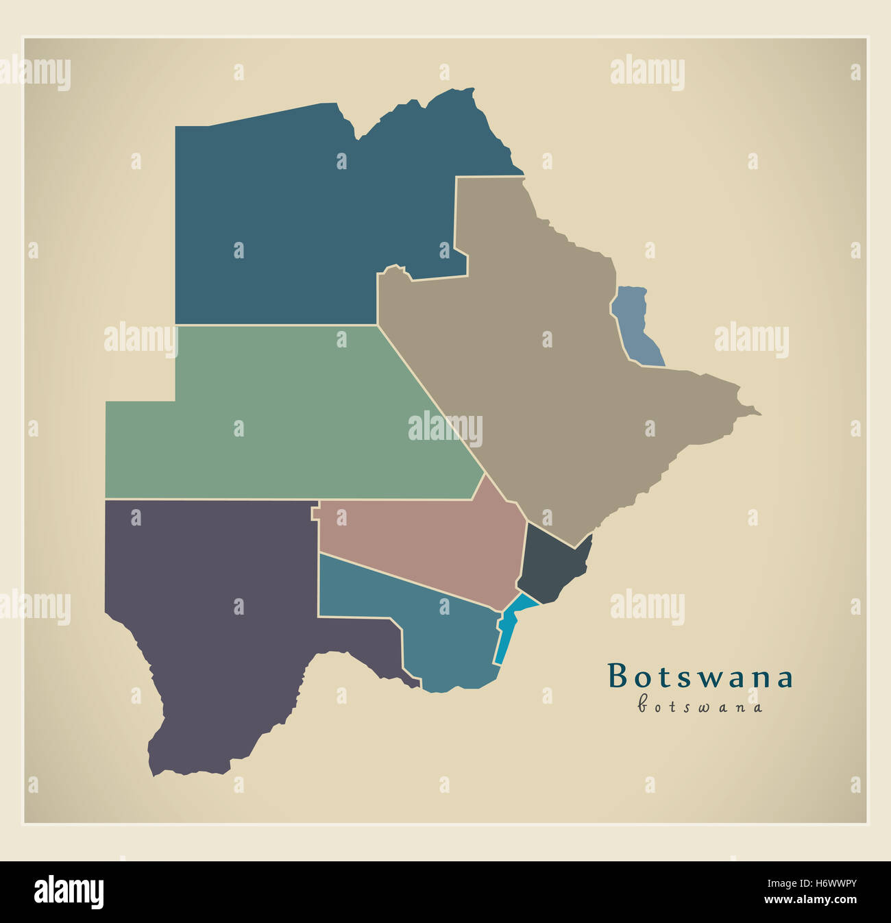 Modern Map - Botswana with districts colored BW Stock Photohttps://www.alamy.com/image-license-details/?v=1https://www.alamy.com/stock-photo-modern-map-botswana-with-districts-colored-bw-124729555.html
RFH6WWPY–Modern Map - Botswana with districts colored BW
 High detailed flag of Botswana. National Botswana flag. Africa. 3D illustration. Stock Vectorhttps://www.alamy.com/image-license-details/?v=1https://www.alamy.com/high-detailed-flag-of-botswana-national-botswana-flag-africa-3d-illustration-image591741191.html
RF2WAM3WY–High detailed flag of Botswana. National Botswana flag. Africa. 3D illustration.
 Afrique. Pays des Hottentots #51. Botswana South Africa. VANDERMAELEN 1827 map Stock Photohttps://www.alamy.com/image-license-details/?v=1https://www.alamy.com/afrique-pays-des-hottentots-51-botswana-south-africa-vandermaelen-1827-map-image446966824.html
RF2GY52MT–Afrique. Pays des Hottentots #51. Botswana South Africa. VANDERMAELEN 1827 map
 Botswana 3d map with national color Stock Photohttps://www.alamy.com/image-license-details/?v=1https://www.alamy.com/stock-photo-botswana-3d-map-with-national-color-26528068.html
RFBF4CR0–Botswana 3d map with national color
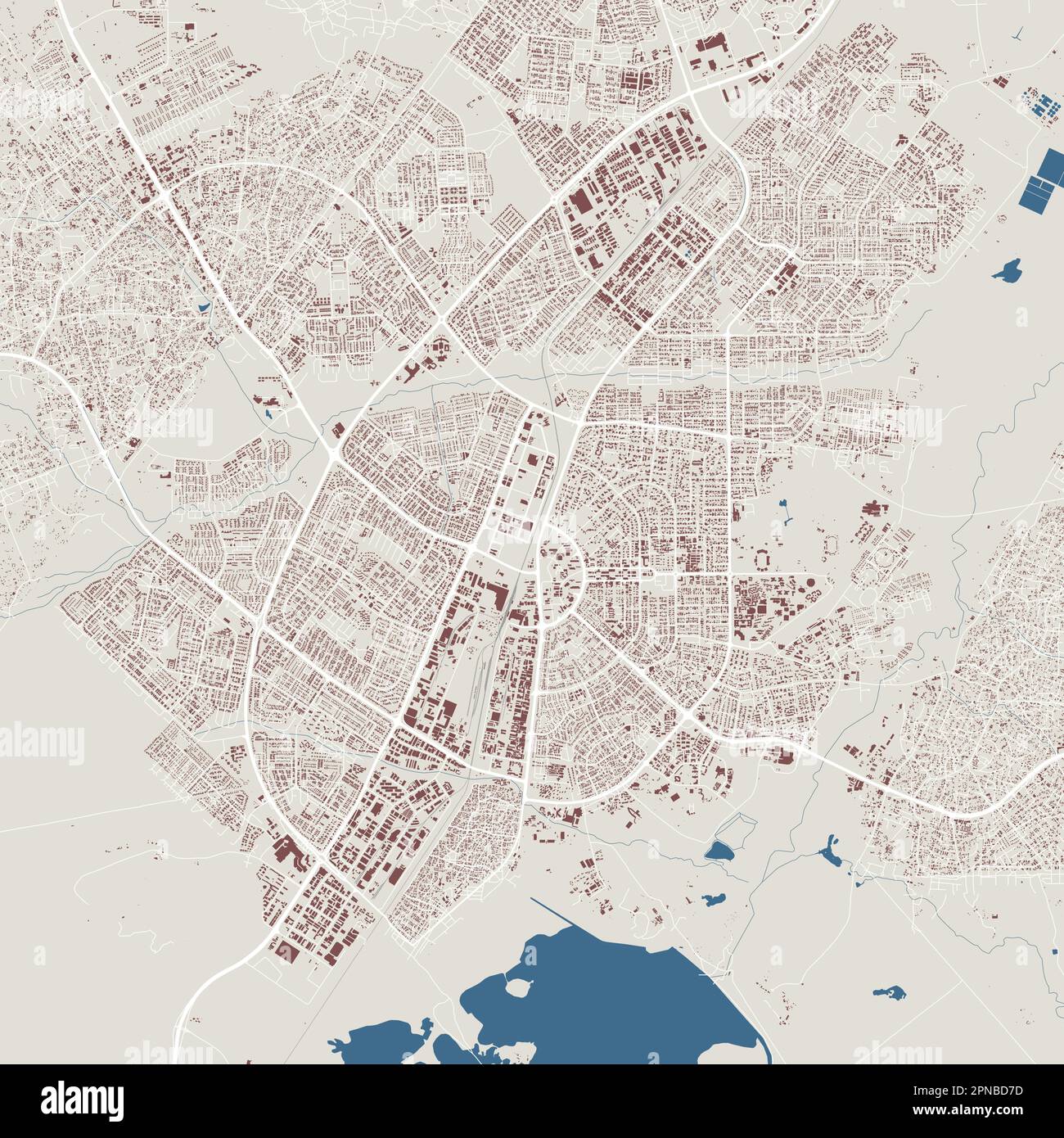 Gaborone map, capital city of Botswana. Municipal administrative area map with buildings, rivers and roads, parks and railways. Vector illustration. Stock Vectorhttps://www.alamy.com/image-license-details/?v=1https://www.alamy.com/gaborone-map-capital-city-of-botswana-municipal-administrative-area-map-with-buildings-rivers-and-roads-parks-and-railways-vector-illustration-image546681057.html
RF2PNBD7D–Gaborone map, capital city of Botswana. Municipal administrative area map with buildings, rivers and roads, parks and railways. Vector illustration.
 Map Ives and Uma Thurman attending the Rhino Rescue Botswana Benefit held at Le Bernardin Prive in New York. Stock Photohttps://www.alamy.com/image-license-details/?v=1https://www.alamy.com/map-ives-and-uma-thurman-attending-the-rhino-rescue-botswana-benefit-held-at-le-bernardin-prive-in-new-york-image464262577.html
RM2HY8YJ9–Map Ives and Uma Thurman attending the Rhino Rescue Botswana Benefit held at Le Bernardin Prive in New York.
 Old map of Southern Africa. By Erhard and Bonaparte, publ. on le Tour du Monde, Paris, 1863 Stock Photohttps://www.alamy.com/image-license-details/?v=1https://www.alamy.com/old-map-of-southern-africa-by-erhard-and-bonaparte-publ-on-le-tour-du-monde-paris-1863-image225158369.html
RFR28RP9–Old map of Southern Africa. By Erhard and Bonaparte, publ. on le Tour du Monde, Paris, 1863
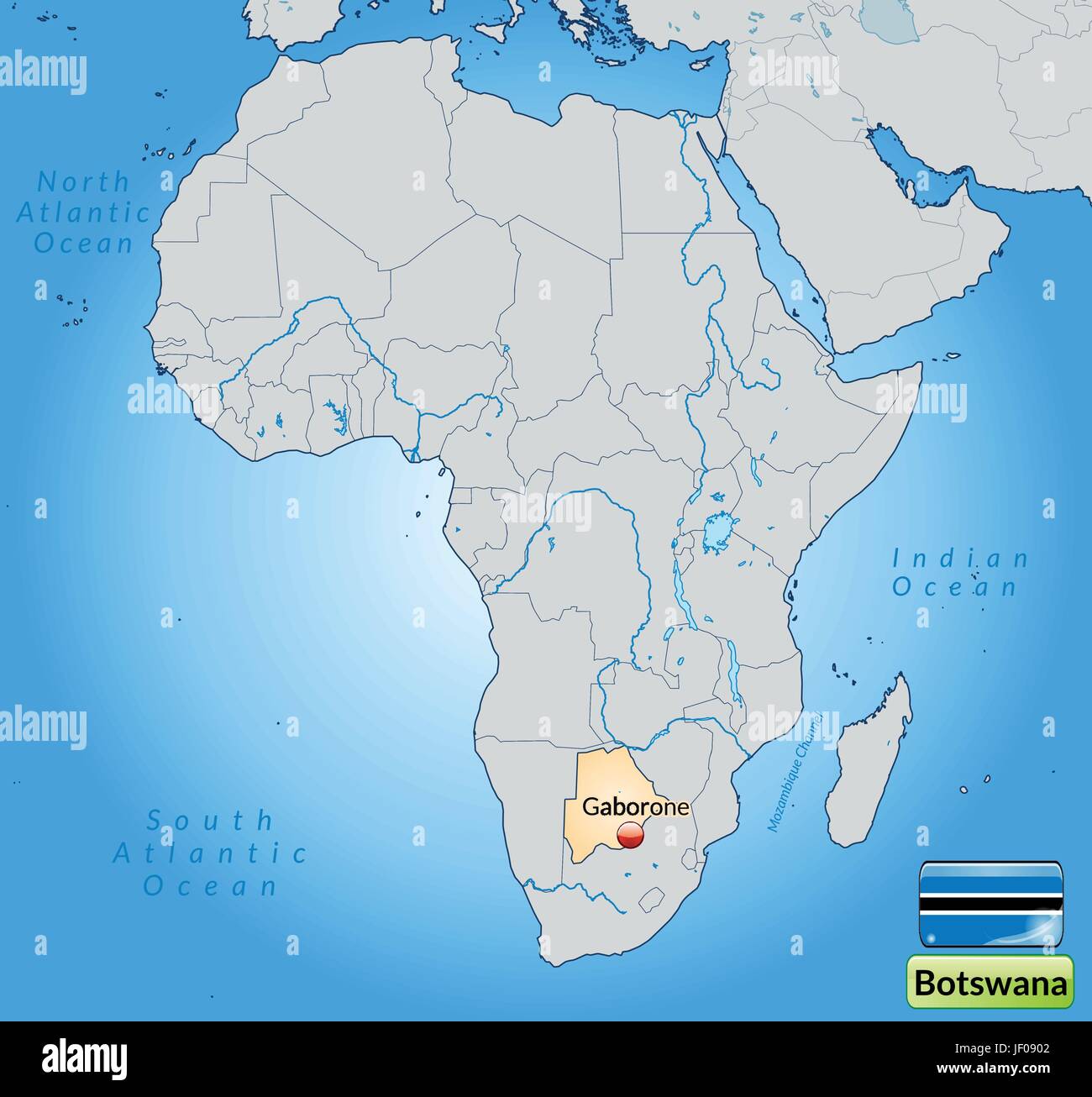 map of botswana with capitals in pastelorange Stock Vectorhttps://www.alamy.com/image-license-details/?v=1https://www.alamy.com/stock-photo-map-of-botswana-with-capitals-in-pastelorange-146909842.html
RFJF0902–map of botswana with capitals in pastelorange
 Botswana, Africa. Stock Photohttps://www.alamy.com/image-license-details/?v=1https://www.alamy.com/stock-photo-botswana-africa-106716285.html
RMG5H9KW–Botswana, Africa.
 Botswana Map Stock Photohttps://www.alamy.com/image-license-details/?v=1https://www.alamy.com/stock-photo-botswana-map-103265707.html
RMG004CY–Botswana Map
 Botswana map on a Rastafarian flag button, white background. Stock Photohttps://www.alamy.com/image-license-details/?v=1https://www.alamy.com/stock-photo-botswana-map-on-a-rastafarian-flag-button-white-background-114242314.html
RMGHT56J–Botswana map on a Rastafarian flag button, white background.
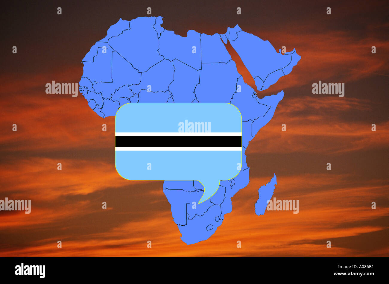 Africa map and flag of Botswana Stock Photohttps://www.alamy.com/image-license-details/?v=1https://www.alamy.com/africa-map-and-flag-of-botswana-image34481.html
RFA086B1–Africa map and flag of Botswana
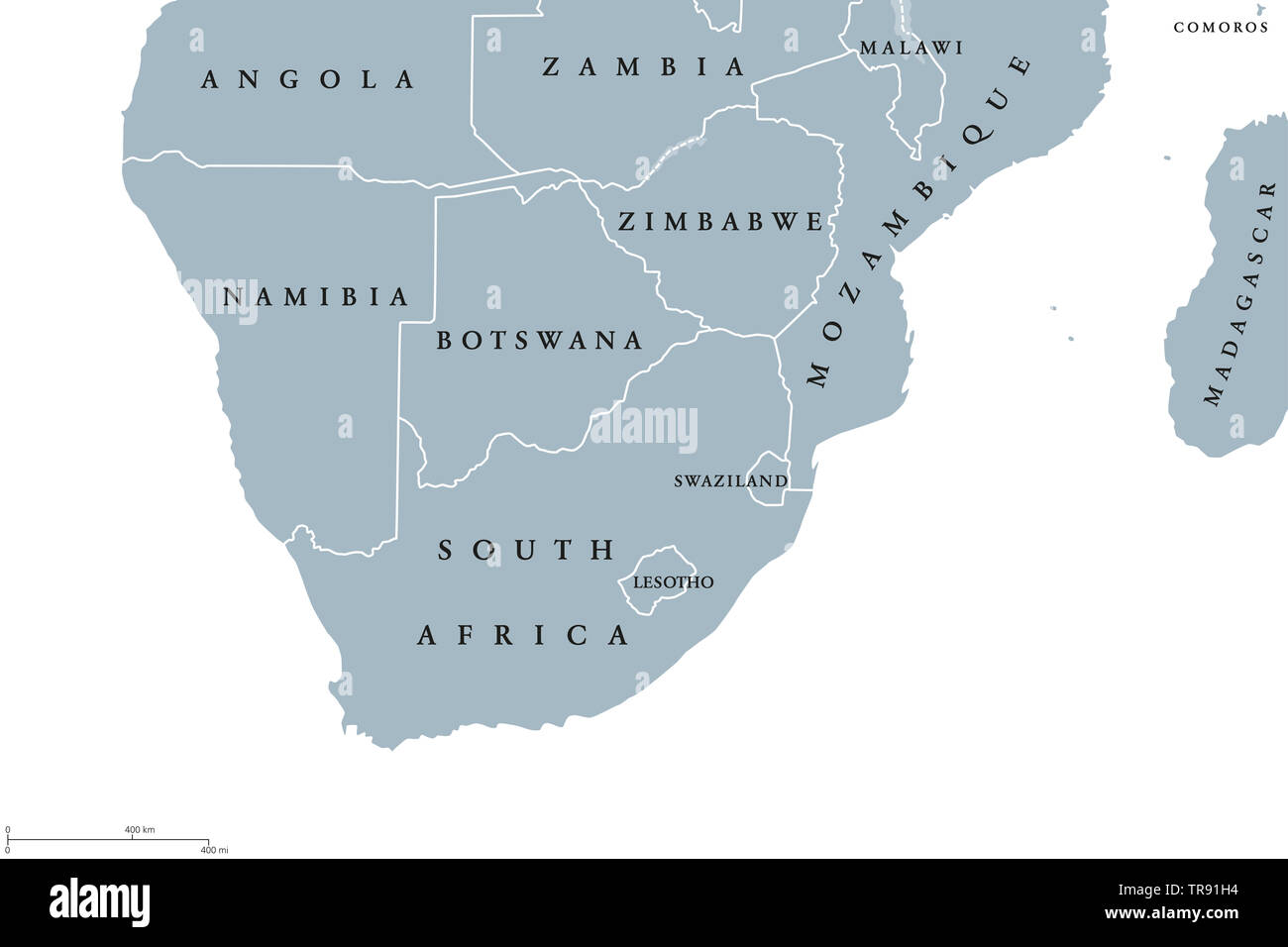 Southern Africa region political map. Southernmost region of African continent. South Africa, Namibia, Botswana, Swaziland and Lesotho. English. Stock Photohttps://www.alamy.com/image-license-details/?v=1https://www.alamy.com/southern-africa-region-political-map-southernmost-region-of-african-continent-south-africa-namibia-botswana-swaziland-and-lesotho-english-image255281072.html
RFTR91H4–Southern Africa region political map. Southernmost region of African continent. South Africa, Namibia, Botswana, Swaziland and Lesotho. English.
 Botswana map flag with containers illustration Stock Photohttps://www.alamy.com/image-license-details/?v=1https://www.alamy.com/stock-photo-botswana-map-flag-with-containers-illustration-73612755.html
RFE7N9PY–Botswana map flag with containers illustration
 Africa, Botswana, Okavango Delta, Person pointing on map Stock Photohttps://www.alamy.com/image-license-details/?v=1https://www.alamy.com/stock-photo-africa-botswana-okavango-delta-person-pointing-on-map-38026939.html
RMC5T7MY–Africa, Botswana, Okavango Delta, Person pointing on map
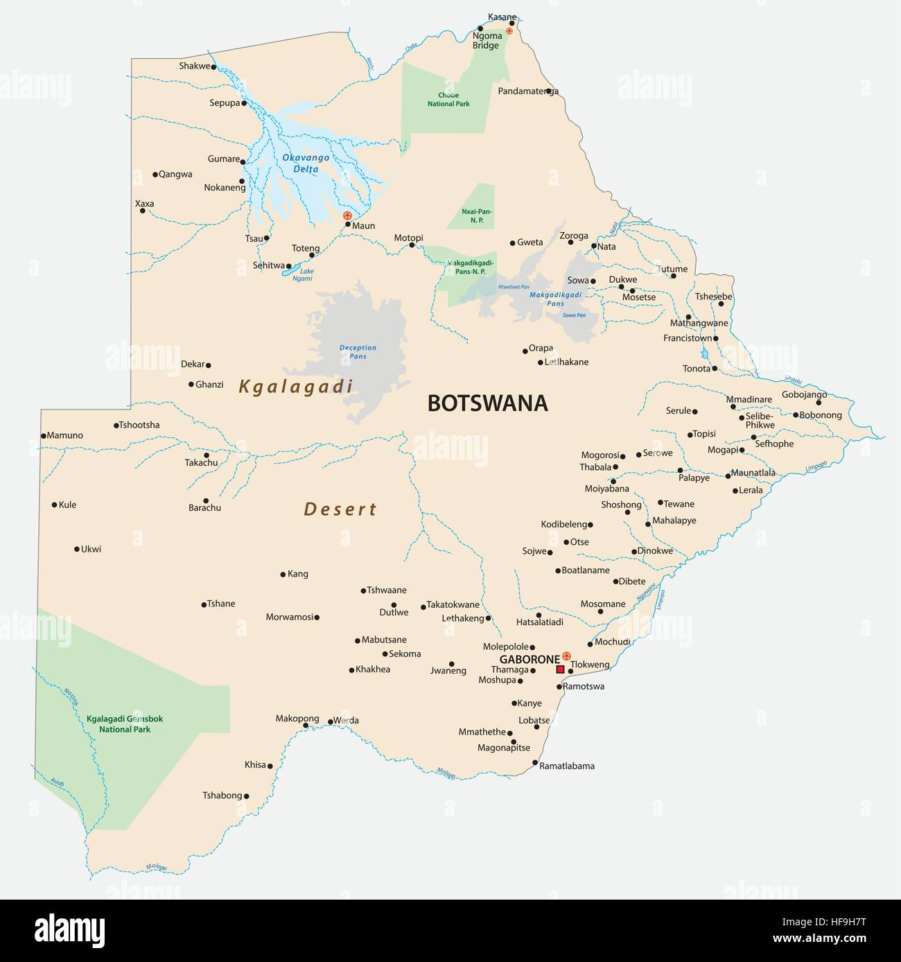 Map of the african state of botswana with the most important cities and municipalities Stock Vectorhttps://www.alamy.com/image-license-details/?v=1https://www.alamy.com/stock-photo-map-of-the-african-state-of-botswana-with-the-most-important-cities-129903532.html
RFHF9H7T–Map of the african state of botswana with the most important cities and municipalities
 Tourists looking at map while on Botswana safari, southern Africa Stock Photohttps://www.alamy.com/image-license-details/?v=1https://www.alamy.com/stock-photo-tourists-looking-at-map-while-on-botswana-safari-southern-africa-22604806.html
RMB8NMJE–Tourists looking at map while on Botswana safari, southern Africa
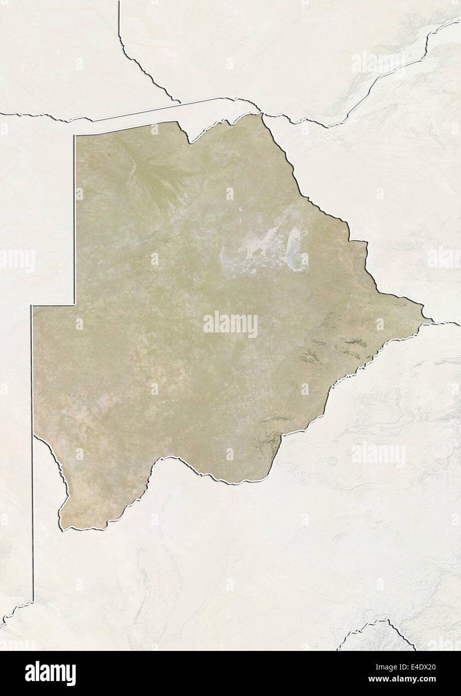 Botswana, Relief Map With Border and Mask Stock Photohttps://www.alamy.com/image-license-details/?v=1https://www.alamy.com/stock-photo-botswana-relief-map-with-border-and-mask-71605912.html
RME4DX20–Botswana, Relief Map With Border and Mask
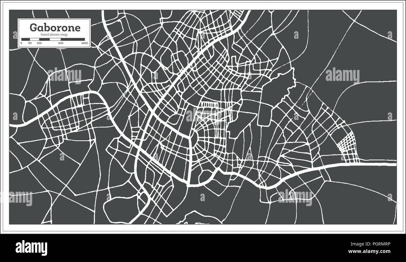 Gaborone Botswana City Map in Retro Style. Outline Map. Vector Illustration. Stock Vectorhttps://www.alamy.com/image-license-details/?v=1https://www.alamy.com/gaborone-botswana-city-map-in-retro-style-outline-map-vector-illustration-image216880154.html
RFPGRMRP–Gaborone Botswana City Map in Retro Style. Outline Map. Vector Illustration.
 Botswana Map black and white illustration Stock Vectorhttps://www.alamy.com/image-license-details/?v=1https://www.alamy.com/stock-photo-botswana-map-black-and-white-illustration-128831326.html
RFHDGNJP–Botswana Map black and white illustration
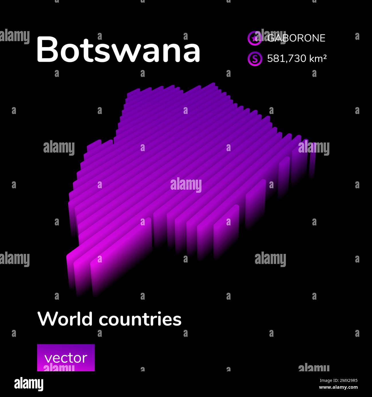 Botswana 3D map. Stylized striped isometric neon vector Map of Botswana is in violet and pink colors on black background Stock Vectorhttps://www.alamy.com/image-license-details/?v=1https://www.alamy.com/botswana-3d-map-stylized-striped-isometric-neon-vector-map-of-botswana-is-in-violet-and-pink-colors-on-black-background-image515133337.html
RF2MX29R5–Botswana 3D map. Stylized striped isometric neon vector Map of Botswana is in violet and pink colors on black background
 Shoshong. Botswana, 1885 antique map Stock Photohttps://www.alamy.com/image-license-details/?v=1https://www.alamy.com/stock-photo-shoshong-botswana-1885-antique-map-110602345.html
RFGBXABN–Shoshong. Botswana, 1885 antique map
 Botswana 3d golden map isolated in white Stock Photohttps://www.alamy.com/image-license-details/?v=1https://www.alamy.com/stock-photo-botswana-3d-golden-map-isolated-in-white-23265750.html
RFB9RRKJ–Botswana 3d golden map isolated in white
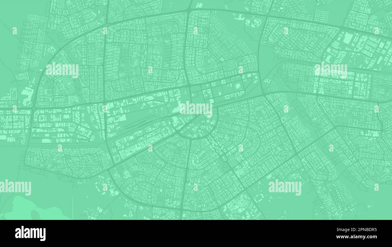 Green Gaborone city area, Botswana, vector background map, roads and water illustration. Widescreen proportion, digital flat design roadmap. Stock Vectorhttps://www.alamy.com/image-license-details/?v=1https://www.alamy.com/green-gaborone-city-area-botswana-vector-background-map-roads-and-water-illustration-widescreen-proportion-digital-flat-design-roadmap-image546681497.html
RF2PNBDR5–Green Gaborone city area, Botswana, vector background map, roads and water illustration. Widescreen proportion, digital flat design roadmap.
 Map Ives and Uma Thurman attending the Rhino Rescue Botswana Benefit held at Le Bernardin Prive in New York. Stock Photohttps://www.alamy.com/image-license-details/?v=1https://www.alamy.com/map-ives-and-uma-thurman-attending-the-rhino-rescue-botswana-benefit-held-at-le-bernardin-prive-in-new-york-image464262570.html
RM2HY8YJ2–Map Ives and Uma Thurman attending the Rhino Rescue Botswana Benefit held at Le Bernardin Prive in New York.
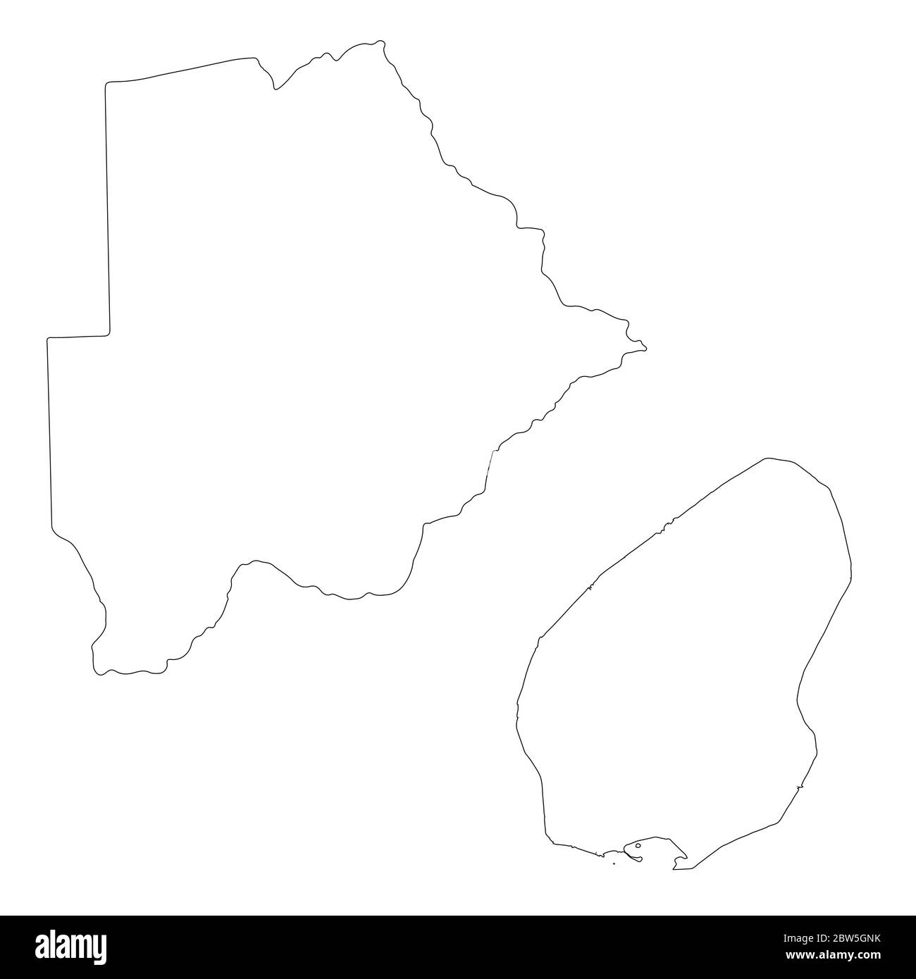 Vector map Botswana and Gaborone. Country and capital. Isolated vector Illustration. Outline. EPS 10 Illustration. Stock Vectorhttps://www.alamy.com/image-license-details/?v=1https://www.alamy.com/vector-map-botswana-and-gaborone-country-and-capital-isolated-vector-illustration-outline-eps-10-illustration-image359696671.html
RF2BW5GNK–Vector map Botswana and Gaborone. Country and capital. Isolated vector Illustration. Outline. EPS 10 Illustration.
 map of botswana with capitals in pastelorange Stock Vectorhttps://www.alamy.com/image-license-details/?v=1https://www.alamy.com/stock-photo-map-of-botswana-with-capitals-in-pastelorange-146909903.html
RFJF0927–map of botswana with capitals in pastelorange
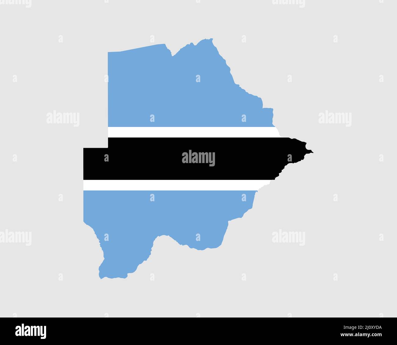 Botswana Map Flag. Map of Botswana with the Batswana country flag. Vector Illustration. Stock Vectorhttps://www.alamy.com/image-license-details/?v=1https://www.alamy.com/botswana-map-flag-map-of-botswana-with-the-batswana-country-flag-vector-illustration-image465272230.html
RF2J0XYDA–Botswana Map Flag. Map of Botswana with the Batswana country flag. Vector Illustration.
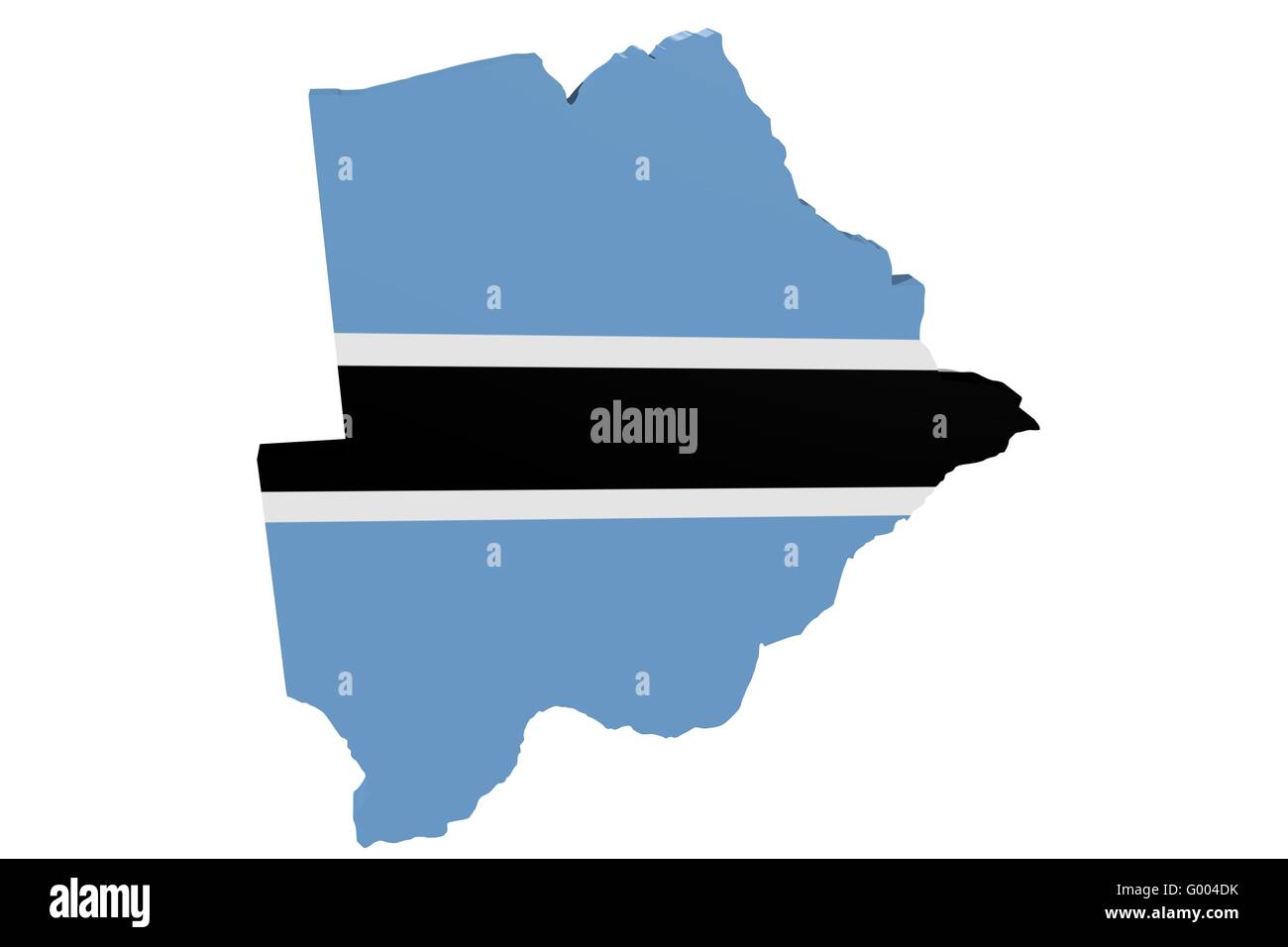 Botswana Flag Map Stock Photohttps://www.alamy.com/image-license-details/?v=1https://www.alamy.com/stock-photo-botswana-flag-map-103265727.html
RMG004DK–Botswana Flag Map
 Botswana flag in flat web design style. Stock Photohttps://www.alamy.com/image-license-details/?v=1https://www.alamy.com/stock-photo-botswana-flag-in-flat-web-design-style-82749717.html
RMEPHG31–Botswana flag in flat web design style.
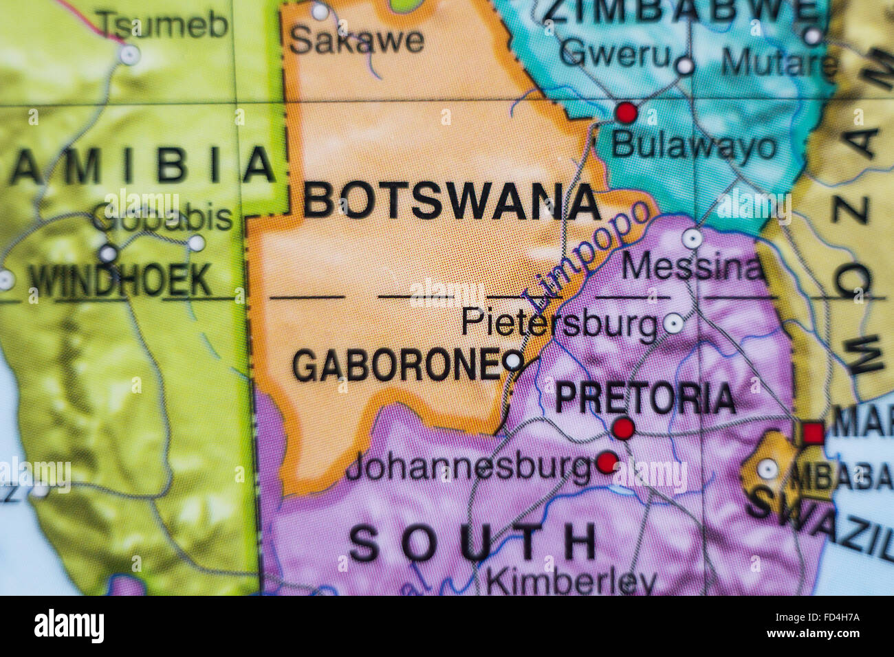 Photo of a map of Botswana and the capital Gaborone . Stock Photohttps://www.alamy.com/image-license-details/?v=1https://www.alamy.com/stock-photo-photo-of-a-map-of-botswana-and-the-capital-gaborone-94143710.html
RFFD4H7A–Photo of a map of Botswana and the capital Gaborone .
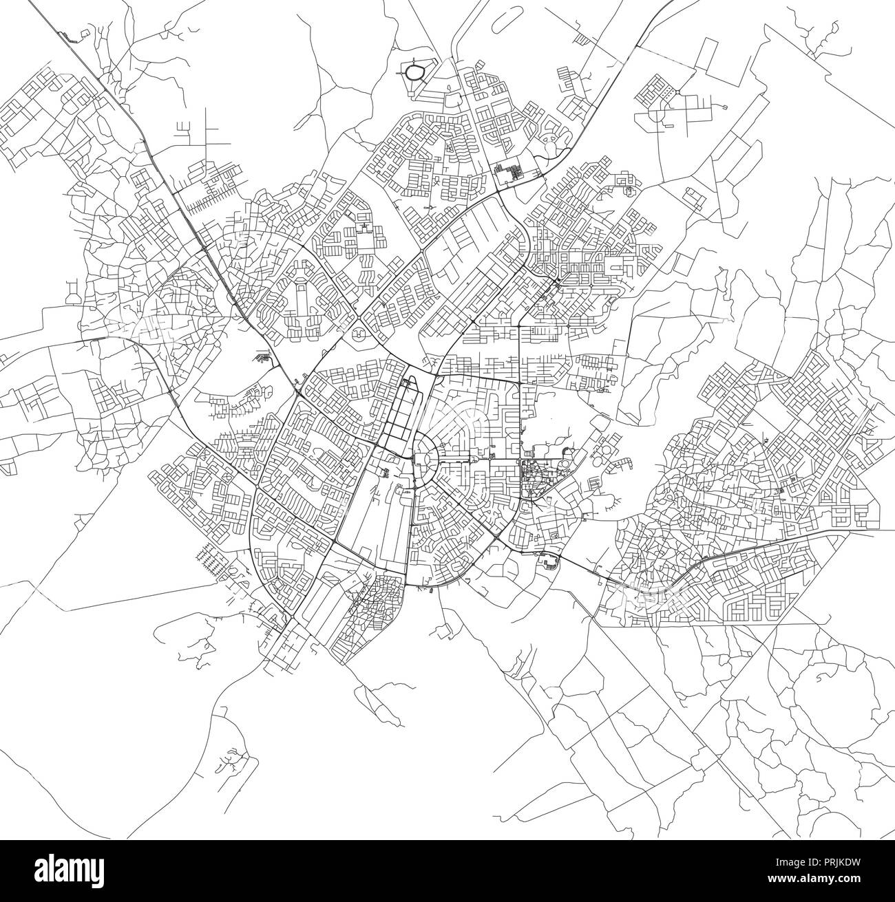 Satellite map of Gaborone, Botswana, city streets. Street map of the city center Stock Vectorhttps://www.alamy.com/image-license-details/?v=1https://www.alamy.com/satellite-map-of-gaborone-botswana-city-streets-street-map-of-the-city-center-image221071925.html
RFPRJKDW–Satellite map of Gaborone, Botswana, city streets. Street map of the city center
 Botswana map flag and text illustration Stock Vectorhttps://www.alamy.com/image-license-details/?v=1https://www.alamy.com/stock-photo-botswana-map-flag-and-text-illustration-74791990.html
RFE9K1XE–Botswana map flag and text illustration
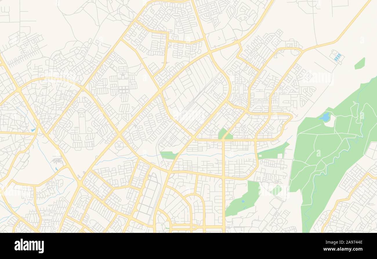 Printable street map of Gaborone, Botswana. Map template for business use. Stock Vectorhttps://www.alamy.com/image-license-details/?v=1https://www.alamy.com/printable-street-map-of-gaborone-botswana-map-template-for-business-use-image332685822.html
RF2A9744E–Printable street map of Gaborone, Botswana. Map template for business use.
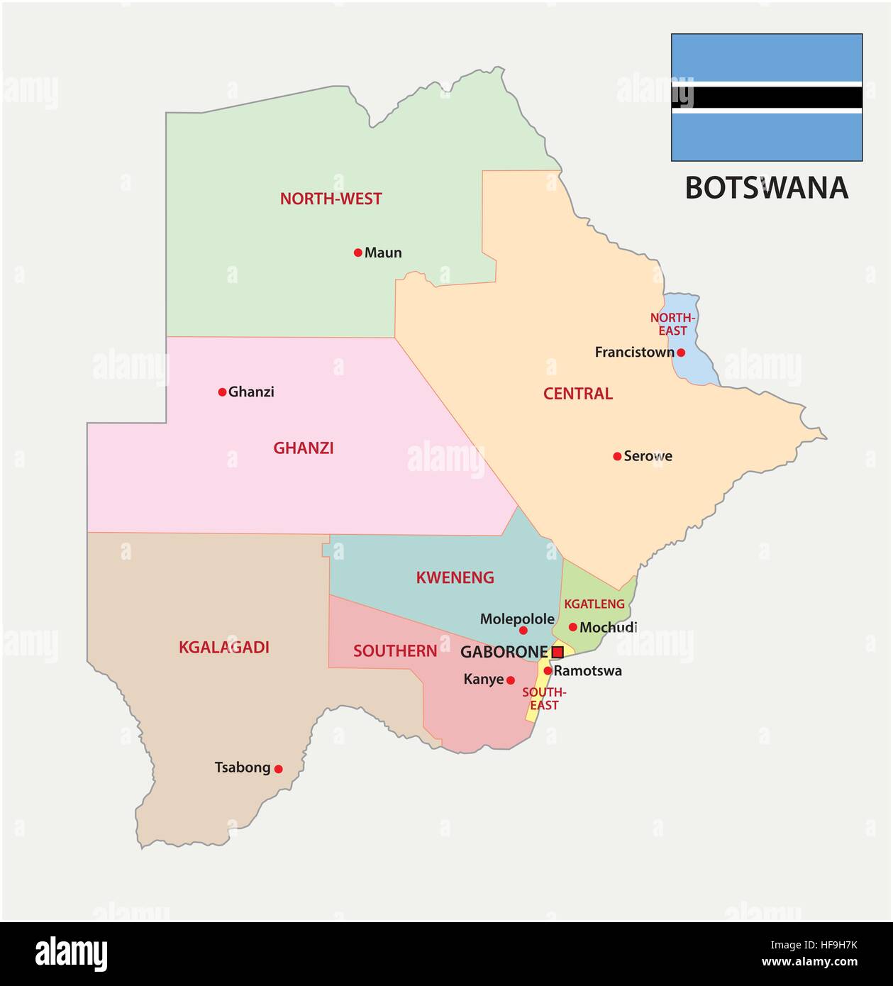 Botswana administrative and political map with flag Stock Vectorhttps://www.alamy.com/image-license-details/?v=1https://www.alamy.com/stock-photo-botswana-administrative-and-political-map-with-flag-129903527.html
RFHF9H7K–Botswana administrative and political map with flag
 Map of Africa, Okavanga Delta, Botswana Stock Photohttps://www.alamy.com/image-license-details/?v=1https://www.alamy.com/stock-photo-map-of-africa-okavanga-delta-botswana-29516313.html
RFBM0GA1–Map of Africa, Okavanga Delta, Botswana
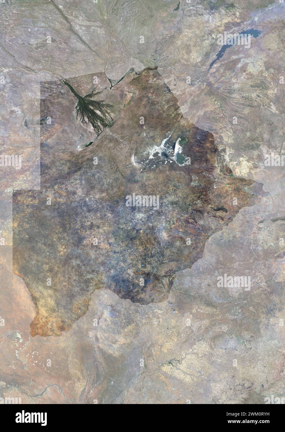 Color satellite image of Botswana, with mask. Stock Photohttps://www.alamy.com/image-license-details/?v=1https://www.alamy.com/color-satellite-image-of-botswana-with-mask-image597464437.html
RM2WM0RYH–Color satellite image of Botswana, with mask.
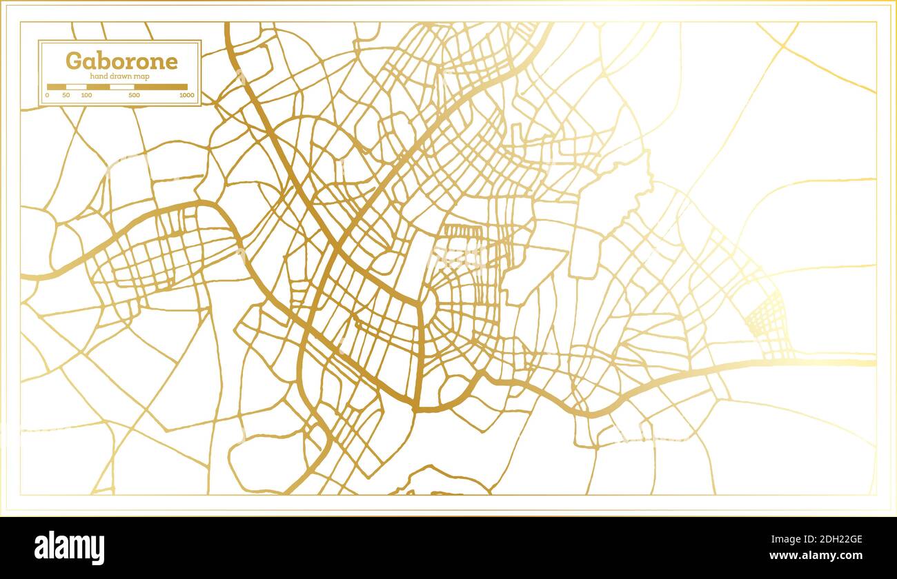 Gaborone Botswana City Map in Retro Style in Golden Color. Outline Map. Vector Illustration. Stock Vectorhttps://www.alamy.com/image-license-details/?v=1https://www.alamy.com/gaborone-botswana-city-map-in-retro-style-in-golden-color-outline-map-vector-illustration-image389123182.html
RF2DH22GE–Gaborone Botswana City Map in Retro Style in Golden Color. Outline Map. Vector Illustration.
