Quick filters:
Map ethiopia Stock Photos and Images
 ETHIOPIA: Shows Anglo-Abyssinian border 1902. Italian Eritrea. JOHNSTON 1906 map Stock Photohttps://www.alamy.com/image-license-details/?v=1https://www.alamy.com/stock-photo-ethiopia-shows-anglo-abyssinian-border-1902-italian-eritrea-johnston-94185153.html
RFFD6E3D–ETHIOPIA: Shows Anglo-Abyssinian border 1902. Italian Eritrea. JOHNSTON 1906 map
 . Nederlands: Deze kaart van Ethiopië werd in 1635 gepubliceerd door Willem Jansz. Blaeu (1571-1638). Het is niet bekend aan welke geografische bron Blaeu deze kaart ontleende. English: The map Ethiopia was published in 1635 by Willem Jansz. Blaeu (c.1571-1638). The sources for this map are unknown. ETHIOPIA SUPERIOR vel INTERIOR; vulgo ABISSINORUM sive PRESBITERI IOANNIS IMPERIUM. 1635. Atlas Van der Hagen-KW1049B13 062-ETHIOPIA SUPERIOR vel INTERIOR; vulgo ABISSINORUM sive PRESBITERI IOANNIS IMPERIUM Stock Photohttps://www.alamy.com/image-license-details/?v=1https://www.alamy.com/nederlands-deze-kaart-van-ethiopi-werd-in-1635-gepubliceerd-door-willem-jansz-blaeu-1571-1638-het-is-niet-bekend-aan-welke-geografische-bron-blaeu-deze-kaart-ontleende-english-the-map-ethiopia-was-published-in-1635-by-willem-jansz-blaeu-c1571-1638-the-sources-for-this-map-are-unknown-ethiopia-superior-vel-interior-vulgo-abissinorum-sive-presbiteri-ioannis-imperium-1635-atlas-van-der-hagen-kw1049b13-062-ethiopia-superior-vel-interior-vulgo-abissinorum-sive-presbiteri-ioannis-imperium-image184777989.html
RMMMHA5W–. Nederlands: Deze kaart van Ethiopië werd in 1635 gepubliceerd door Willem Jansz. Blaeu (1571-1638). Het is niet bekend aan welke geografische bron Blaeu deze kaart ontleende. English: The map Ethiopia was published in 1635 by Willem Jansz. Blaeu (c.1571-1638). The sources for this map are unknown. ETHIOPIA SUPERIOR vel INTERIOR; vulgo ABISSINORUM sive PRESBITERI IOANNIS IMPERIUM. 1635. Atlas Van der Hagen-KW1049B13 062-ETHIOPIA SUPERIOR vel INTERIOR; vulgo ABISSINORUM sive PRESBITERI IOANNIS IMPERIUM
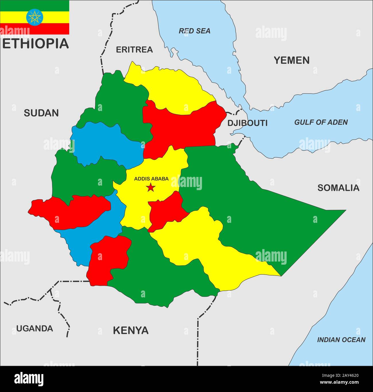 ethiopia map Stock Photohttps://www.alamy.com/image-license-details/?v=1https://www.alamy.com/ethiopia-map-image343685272.html
RM2AY4620–ethiopia map
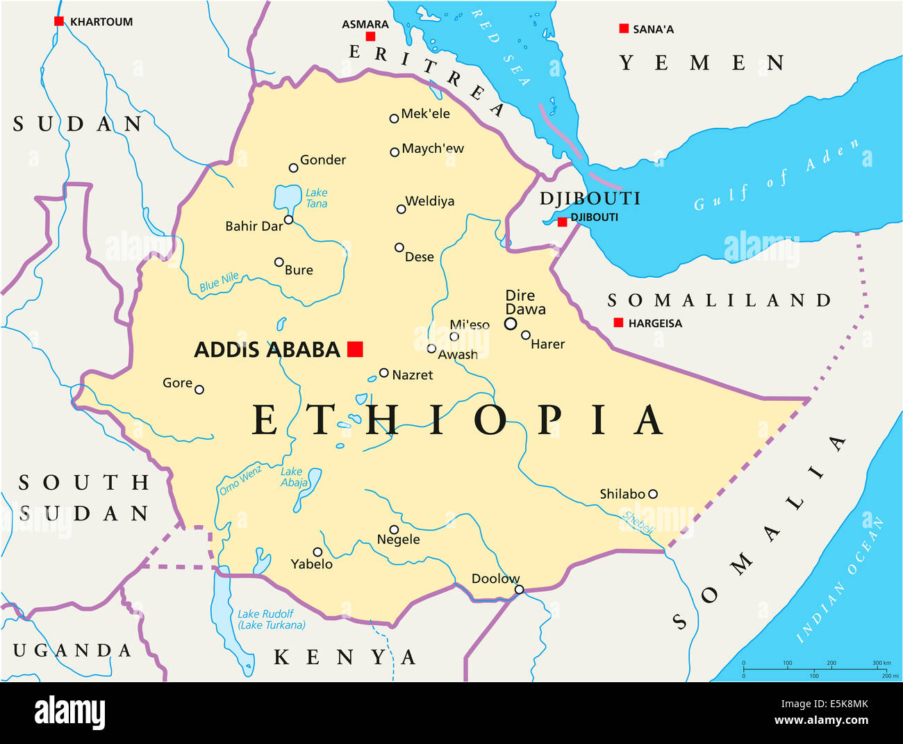 Ethiopia Political Map with capital Addis Ababa, national borders, most important cities, rivers and lakes. Stock Photohttps://www.alamy.com/image-license-details/?v=1https://www.alamy.com/stock-photo-ethiopia-political-map-with-capital-addis-ababa-national-borders-most-72338691.html
RFE5K8MK–Ethiopia Political Map with capital Addis Ababa, national borders, most important cities, rivers and lakes.
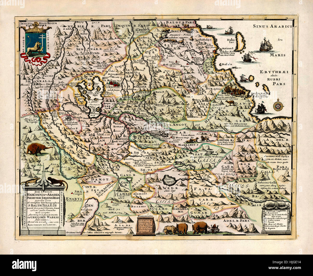 Map Of Ethiopia 1683 Stock Photohttps://www.alamy.com/image-license-details/?v=1https://www.alamy.com/stock-photo-map-of-ethiopia-1683-131898624.html
RFHJGE14–Map Of Ethiopia 1683
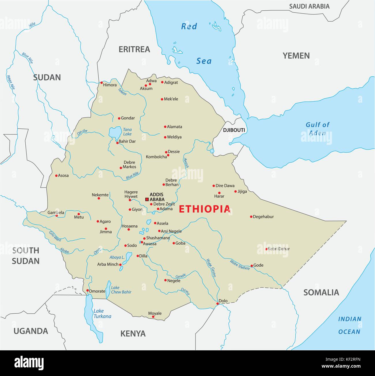 ethiopia vector map Stock Vectorhttps://www.alamy.com/image-license-details/?v=1https://www.alamy.com/stock-image-ethiopia-vector-map-164175529.html
RFKF2RFN–ethiopia vector map
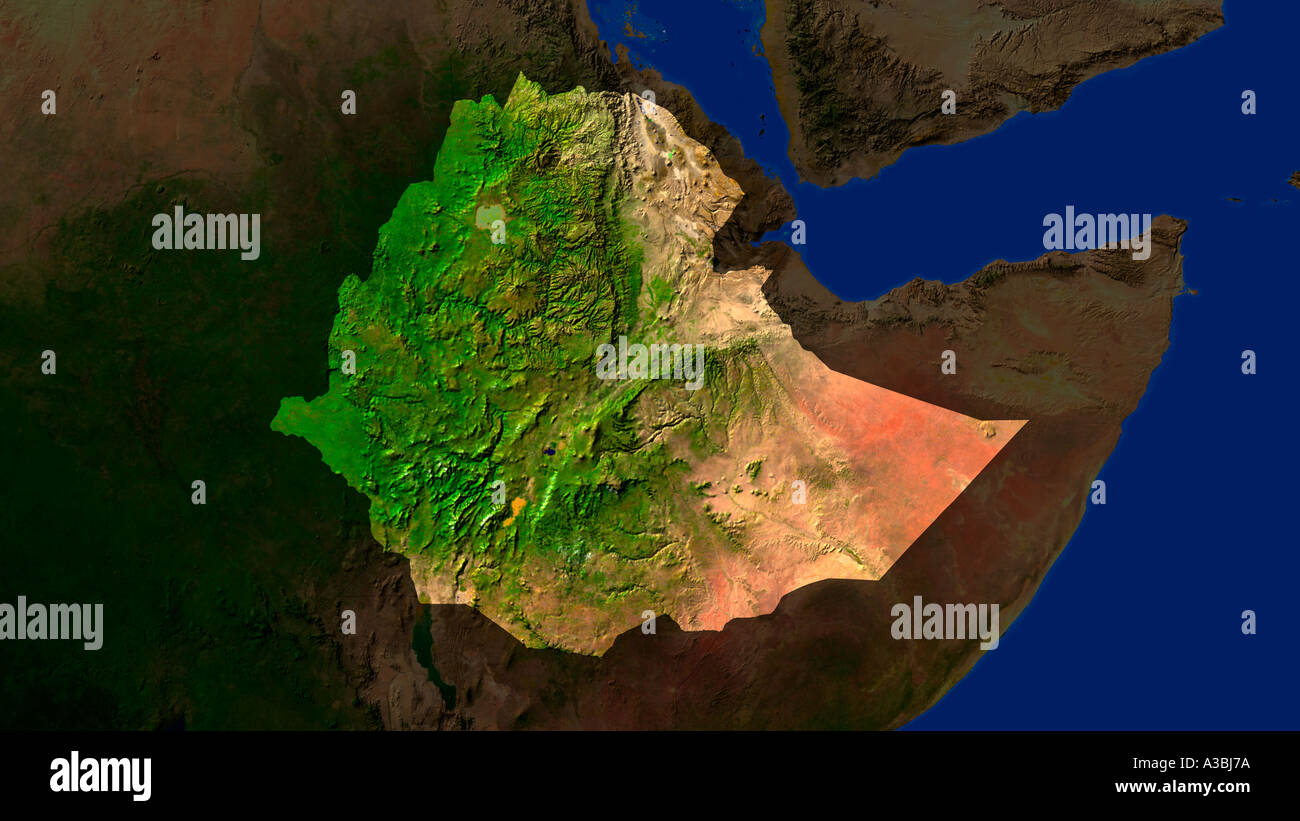 Satellite Image Of Ethiopia Highlighted Stock Photohttps://www.alamy.com/image-license-details/?v=1https://www.alamy.com/satellite-image-of-ethiopia-highlighted-image3503737.html
RFA3BJ7A–Satellite Image Of Ethiopia Highlighted
 Ethiopia Flag in Map, Ethiopia Map with Flag, Country Map, Ethiopia Map with Flag, Nation Flag Ethiopia Stock Vectorhttps://www.alamy.com/image-license-details/?v=1https://www.alamy.com/ethiopia-flag-in-map-ethiopia-map-with-flag-country-map-ethiopia-map-with-flag-nation-flag-ethiopia-image619307740.html
RF2XYFW9G–Ethiopia Flag in Map, Ethiopia Map with Flag, Country Map, Ethiopia Map with Flag, Nation Flag Ethiopia
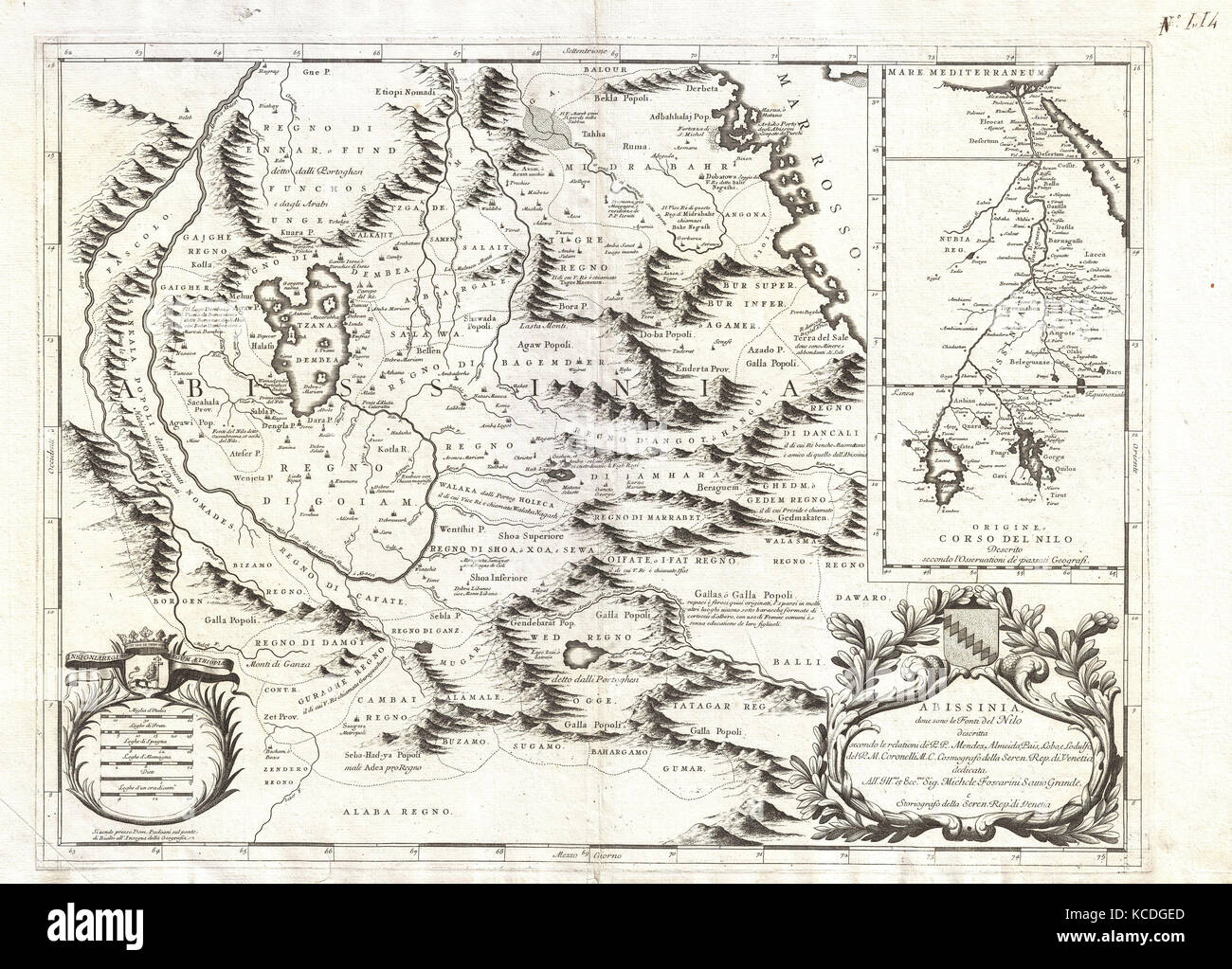 1690, Coronelli Map of Ethiopia, Abyssinia, and the Source of the Blue Nile Stock Photohttps://www.alamy.com/image-license-details/?v=1https://www.alamy.com/stock-image-1690-coronelli-map-of-ethiopia-abyssinia-and-the-source-of-the-blue-162567509.html
RMKCDGED–1690, Coronelli Map of Ethiopia, Abyssinia, and the Source of the Blue Nile
 Background Addis Ababa map, Ethiopia, white and light grey city poster. Vector map with roads and water. Widescreen proportion, digital flat design ro Stock Vectorhttps://www.alamy.com/image-license-details/?v=1https://www.alamy.com/background-addis-ababa-map-ethiopia-white-and-light-grey-city-poster-vector-map-with-roads-and-water-widescreen-proportion-digital-flat-design-ro-image562484580.html
RF2RK3AR0–Background Addis Ababa map, Ethiopia, white and light grey city poster. Vector map with roads and water. Widescreen proportion, digital flat design ro
 Glasses on a map - Ethiopia Stock Photohttps://www.alamy.com/image-license-details/?v=1https://www.alamy.com/stock-photo-glasses-on-a-map-ethiopia-92254276.html
RFFA2F7G–Glasses on a map - Ethiopia
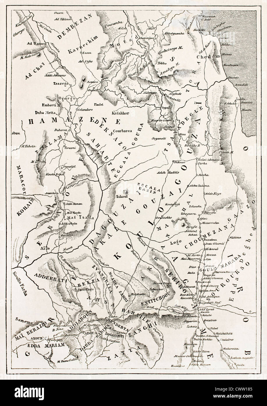 Ethiopia old map, from Massawa to Adwa Stock Photohttps://www.alamy.com/image-license-details/?v=1https://www.alamy.com/stock-photo-ethiopia-old-map-from-massawa-to-adwa-50336949.html
RFCWW185–Ethiopia old map, from Massawa to Adwa
 Italian Ethiopia map, drawing Stock Photohttps://www.alamy.com/image-license-details/?v=1https://www.alamy.com/stock-photo-italian-ethiopia-map-drawing-97111026.html
RMFHYP2X–Italian Ethiopia map, drawing
 New York, USA - July 6, 2023: Population and area of Ethiopia country on map ipad macro close up view Stock Photohttps://www.alamy.com/image-license-details/?v=1https://www.alamy.com/new-york-usa-july-6-2023-population-and-area-of-ethiopia-country-on-map-ipad-macro-close-up-view-image558471629.html
RF2RCGG79–New York, USA - July 6, 2023: Population and area of Ethiopia country on map ipad macro close up view
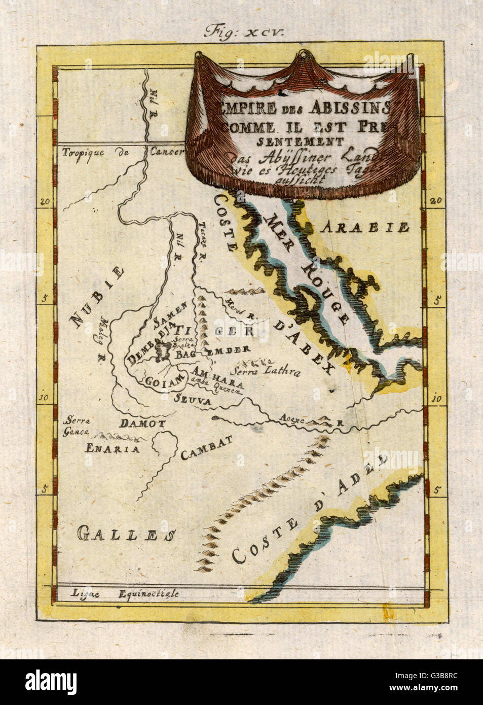 MAP/AFRICA/ETHIOPIA 18C Stock Photohttps://www.alamy.com/image-license-details/?v=1https://www.alamy.com/stock-photo-mapafricaethiopia-18c-105354576.html
RMG3B8RC–MAP/AFRICA/ETHIOPIA 18C
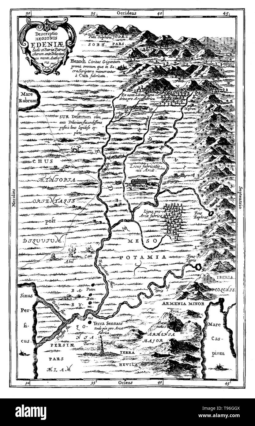 Map of Ediniae: comprising of Ethiopia, Mesopotamia, etc. The Garden of Eden is considered to be mythological by most scholars. However there have been suggestions for its supposed location: for example, at the head of the Persian Gulf, in southern Mesopotamia (now Iraq) where the Tigris and Euphrates rivers run into the sea; and in the Armenian Highlands or Armenian Plateau. No artist credited, undated. Stock Photohttps://www.alamy.com/image-license-details/?v=1https://www.alamy.com/map-of-ediniae-comprising-of-ethiopia-mesopotamia-etc-the-garden-of-eden-is-considered-to-be-mythological-by-most-scholars-however-there-have-been-suggestions-for-its-supposed-location-for-example-at-the-head-of-the-persian-gulf-in-southern-mesopotamia-now-iraq-where-the-tigris-and-euphrates-rivers-run-into-the-sea-and-in-the-armenian-highlands-or-armenian-plateau-no-artist-credited-undated-image246621786.html
RMT96GGX–Map of Ediniae: comprising of Ethiopia, Mesopotamia, etc. The Garden of Eden is considered to be mythological by most scholars. However there have been suggestions for its supposed location: for example, at the head of the Persian Gulf, in southern Mesopotamia (now Iraq) where the Tigris and Euphrates rivers run into the sea; and in the Armenian Highlands or Armenian Plateau. No artist credited, undated.
 Anthropological map of the Geographical distribution of the various tribes of Ethiopia Omo Vally region Stock Photohttps://www.alamy.com/image-license-details/?v=1https://www.alamy.com/stock-photo-anthropological-map-of-the-geographical-distribution-of-the-various-41492594.html
RMCBE46A–Anthropological map of the Geographical distribution of the various tribes of Ethiopia Omo Vally region
 Ethiopia Map Vector Illustration - Silhouette, Outline, Ethiopia Travel and Tourism Map Stock Vectorhttps://www.alamy.com/image-license-details/?v=1https://www.alamy.com/ethiopia-map-vector-illustration-silhouette-outline-ethiopia-travel-and-tourism-map-image611791270.html
RF2XF9E06–Ethiopia Map Vector Illustration - Silhouette, Outline, Ethiopia Travel and Tourism Map
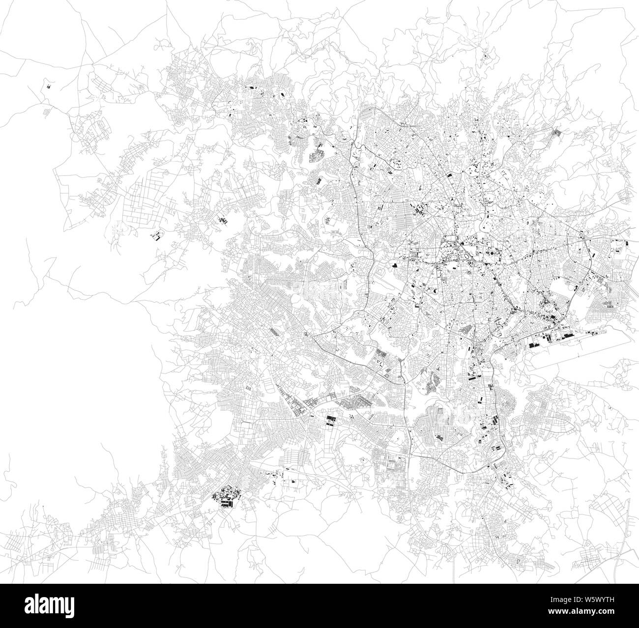 Satellite map of Addis Ababa, it is the capital and largest city of Ethiopia. Africa. Map of streets and buildings of the town center Stock Vectorhttps://www.alamy.com/image-license-details/?v=1https://www.alamy.com/satellite-map-of-addis-ababa-it-is-the-capital-and-largest-city-of-ethiopia-africa-map-of-streets-and-buildings-of-the-town-center-image261799457.html
RFW5WYTH–Satellite map of Addis Ababa, it is the capital and largest city of Ethiopia. Africa. Map of streets and buildings of the town center
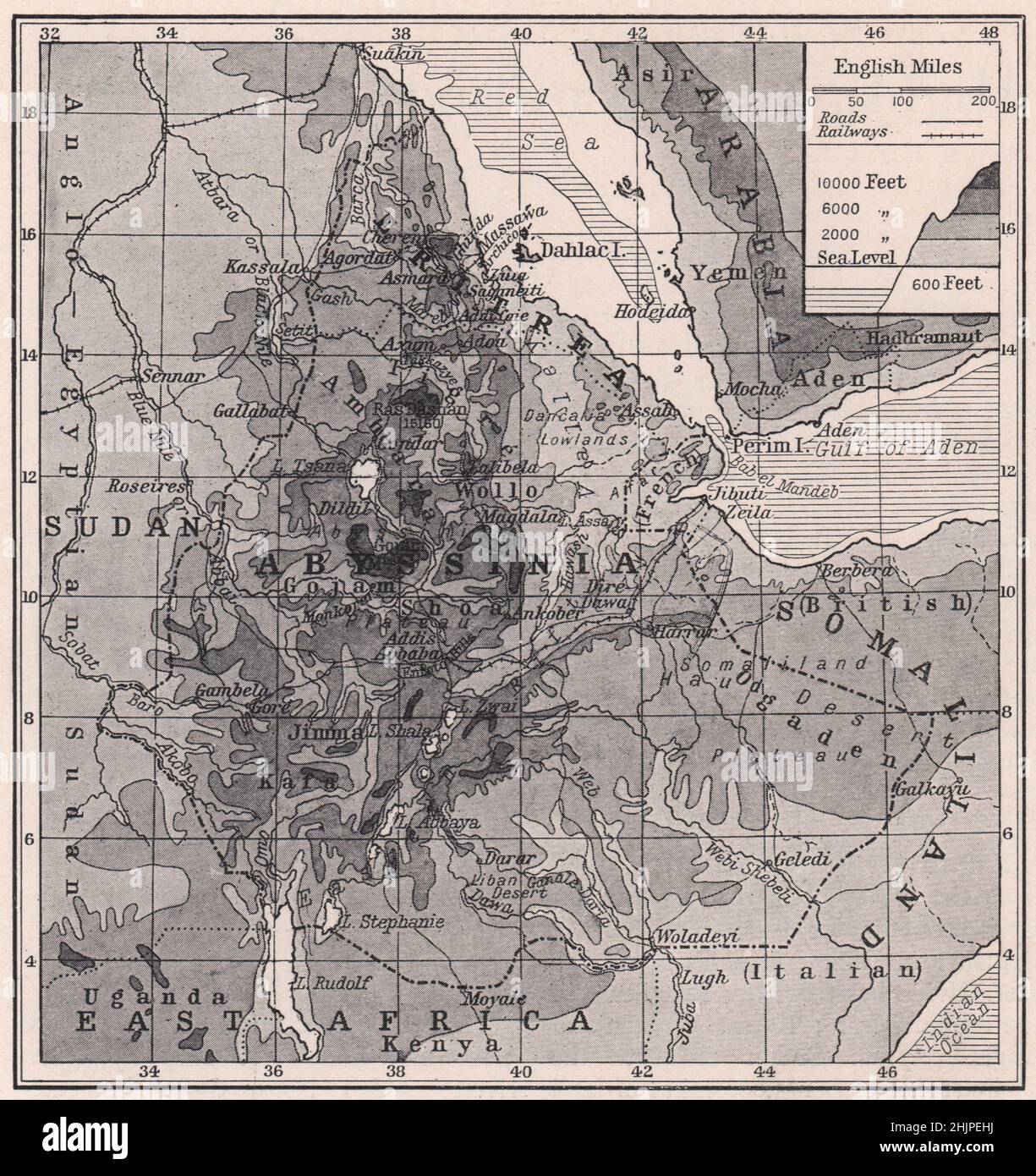 Physical Map of Modern Abyssinia and Eritrea. Ethiopia (1923) Stock Photohttps://www.alamy.com/image-license-details/?v=1https://www.alamy.com/physical-map-of-modern-abyssinia-and-eritrea-ethiopia-1923-image459027790.html
RF2HJPEHJ–Physical Map of Modern Abyssinia and Eritrea. Ethiopia (1923)
 High detailed isolated map - Ethiopia Stock Vectorhttps://www.alamy.com/image-license-details/?v=1https://www.alamy.com/high-detailed-isolated-map-ethiopia-image546410938.html
RF2PMY4MA–High detailed isolated map - Ethiopia
 Map Ethiopia Stock Photohttps://www.alamy.com/image-license-details/?v=1https://www.alamy.com/stock-photo-map-ethiopia-88565504.html
RFF42E5M–Map Ethiopia
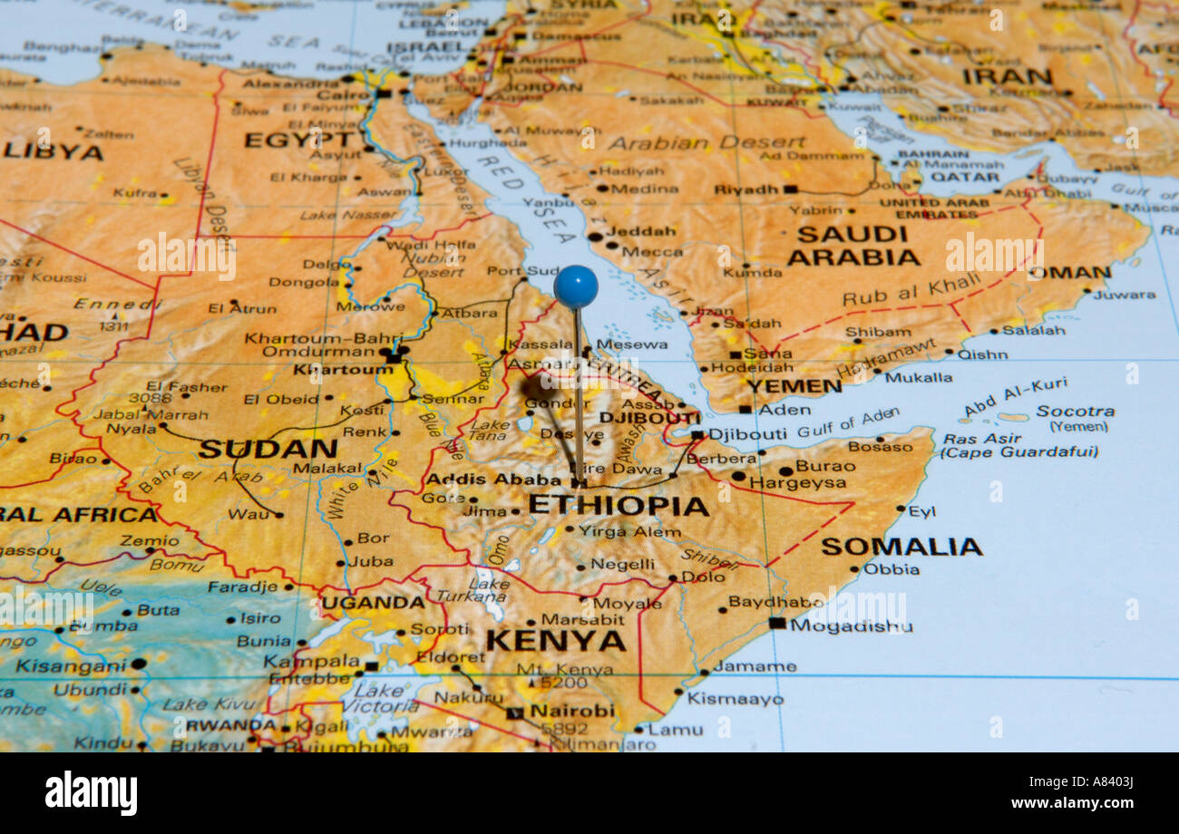 Ethiopia Stock Photohttps://www.alamy.com/image-license-details/?v=1https://www.alamy.com/stock-photo-ethiopia-11979557.html
RFA8403J–Ethiopia
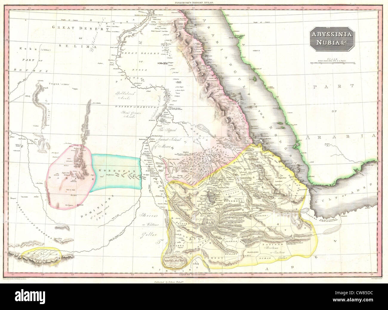 1818 Pinkerton Map of Abyssinia ( Ethiopia ), Sudan ^ Nubia Stock Photohttps://www.alamy.com/image-license-details/?v=1https://www.alamy.com/stock-photo-1818-pinkerton-map-of-abyssinia-ethiopia-sudan-nubia-49967048.html
RMCW85DC–1818 Pinkerton Map of Abyssinia ( Ethiopia ), Sudan ^ Nubia
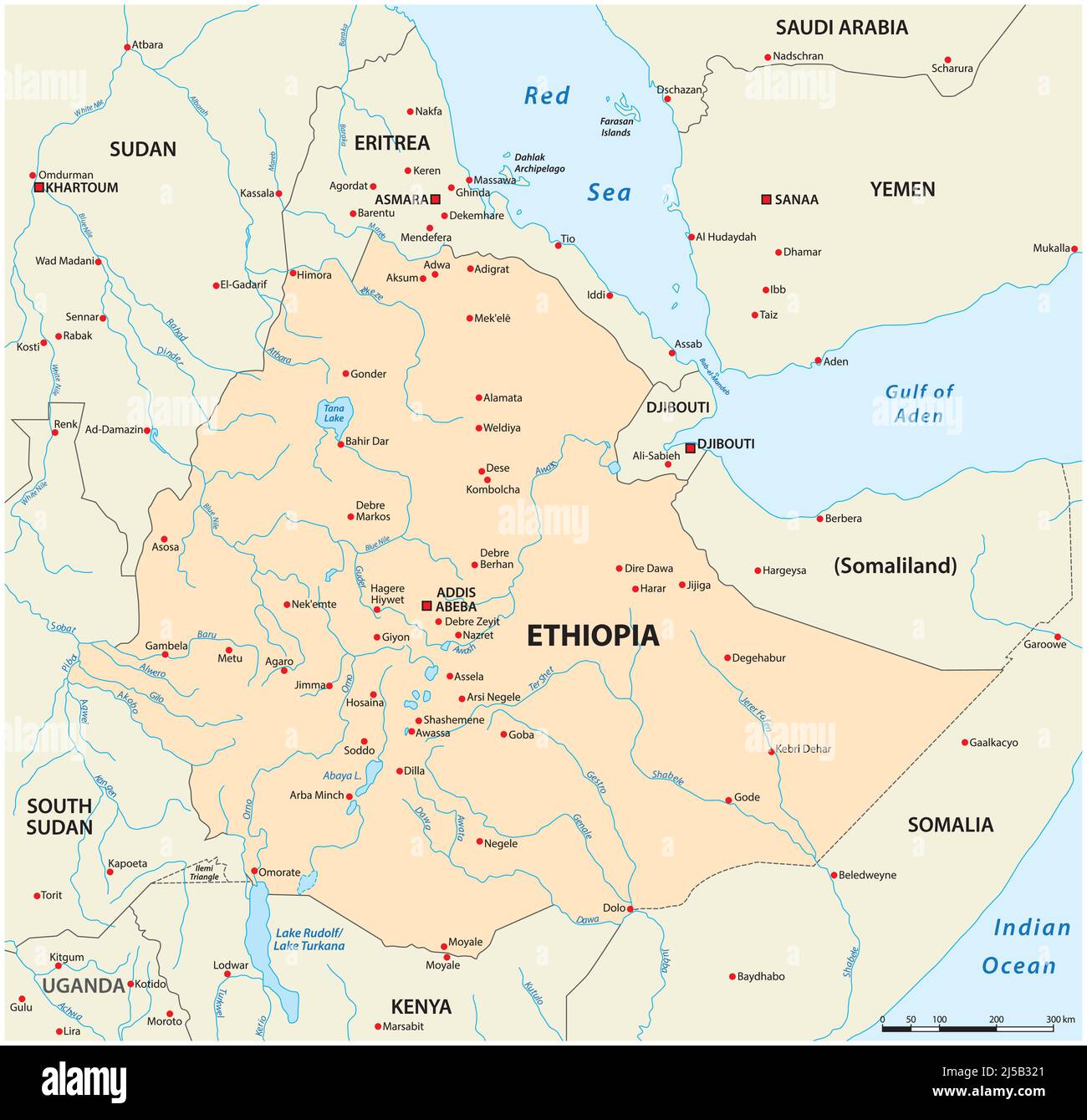 Vector map Ethiopia and its neighboring countries Stock Vectorhttps://www.alamy.com/image-license-details/?v=1https://www.alamy.com/vector-map-ethiopia-and-its-neighboring-countries-image467997097.html
RF2J5B321–Vector map Ethiopia and its neighboring countries
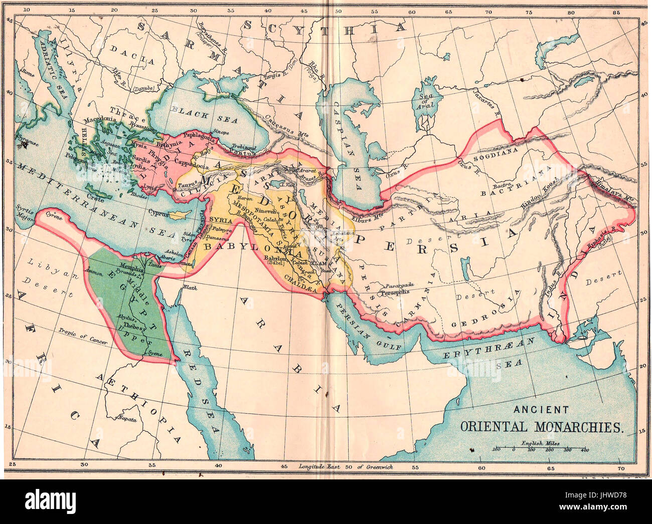
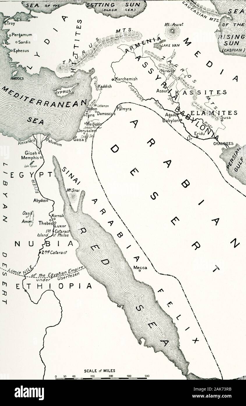 This map detailing the area of the world in the middle east known as the “Cradle of Civilization” dates to the early 1900s. Included on this map are: Arabian Desert, Egypt, Nubia, Ethiopia, Libyan Desert, Red Sea, Persian Gulf, Babylonia, Assyria, Armenia, Media, Lydia, Hittites, Mediterranean Sea, Sea of the Setting Sun (present-day Black Sea), Sea of the Rising Sun (present-day Caspian Sea). Stock Photohttps://www.alamy.com/image-license-details/?v=1https://www.alamy.com/this-map-detailing-the-area-of-the-world-in-the-middle-east-known-as-the-cradle-of-civilization-dates-to-the-early-1900s-included-on-this-map-are-arabian-desert-egypt-nubia-ethiopia-libyan-desert-red-sea-persian-gulf-babylonia-assyria-armenia-media-lydia-hittites-mediterranean-sea-sea-of-the-setting-sun-present-day-black-sea-sea-of-the-rising-sun-present-day-caspian-sea-image338832127.html
RF2AK73RB–This map detailing the area of the world in the middle east known as the “Cradle of Civilization” dates to the early 1900s. Included on this map are: Arabian Desert, Egypt, Nubia, Ethiopia, Libyan Desert, Red Sea, Persian Gulf, Babylonia, Assyria, Armenia, Media, Lydia, Hittites, Mediterranean Sea, Sea of the Setting Sun (present-day Black Sea), Sea of the Rising Sun (present-day Caspian Sea).
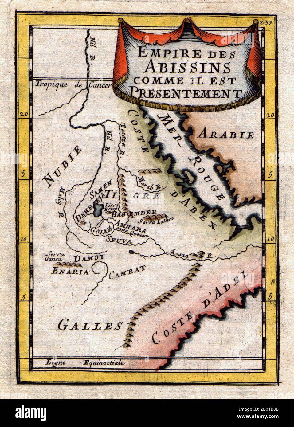 Ethiopia/Eritrea: Map of the Abyssinian Empire, by Alain Manesson Mallet (1630-1706), 1683. A French map of the Red Sea and East African Coast dated 1683 and the Ethiopian/Abyssinian Empire, which historically spanned modern-day Ethiopia and Eritrea from 1270 until the 1974 coup d'etat that ended the empire. Stock Photohttps://www.alamy.com/image-license-details/?v=1https://www.alamy.com/ethiopiaeritrea-map-of-the-abyssinian-empire-by-alain-manesson-mallet-1630-1706-1683-a-french-map-of-the-red-sea-and-east-african-coast-dated-1683-and-the-ethiopianabyssinian-empire-which-historically-spanned-modern-day-ethiopia-and-eritrea-from-1270-until-the-1974-coup-detat-that-ended-the-empire-image344238171.html
RM2B01B8B–Ethiopia/Eritrea: Map of the Abyssinian Empire, by Alain Manesson Mallet (1630-1706), 1683. A French map of the Red Sea and East African Coast dated 1683 and the Ethiopian/Abyssinian Empire, which historically spanned modern-day Ethiopia and Eritrea from 1270 until the 1974 coup d'etat that ended the empire.
 Map of Ethiopia with shadows Stock Photohttps://www.alamy.com/image-license-details/?v=1https://www.alamy.com/map-of-ethiopia-with-shadows-image634542738.html
RF2YT9WMJ–Map of Ethiopia with shadows
 Ethiopia Magnified Map and Flag, Ethiopia Enlargement Maps, Vector Art Stock Vectorhttps://www.alamy.com/image-license-details/?v=1https://www.alamy.com/ethiopia-magnified-map-and-flag-ethiopia-enlargement-maps-vector-art-image623315588.html
RF2Y62DB0–Ethiopia Magnified Map and Flag, Ethiopia Enlargement Maps, Vector Art
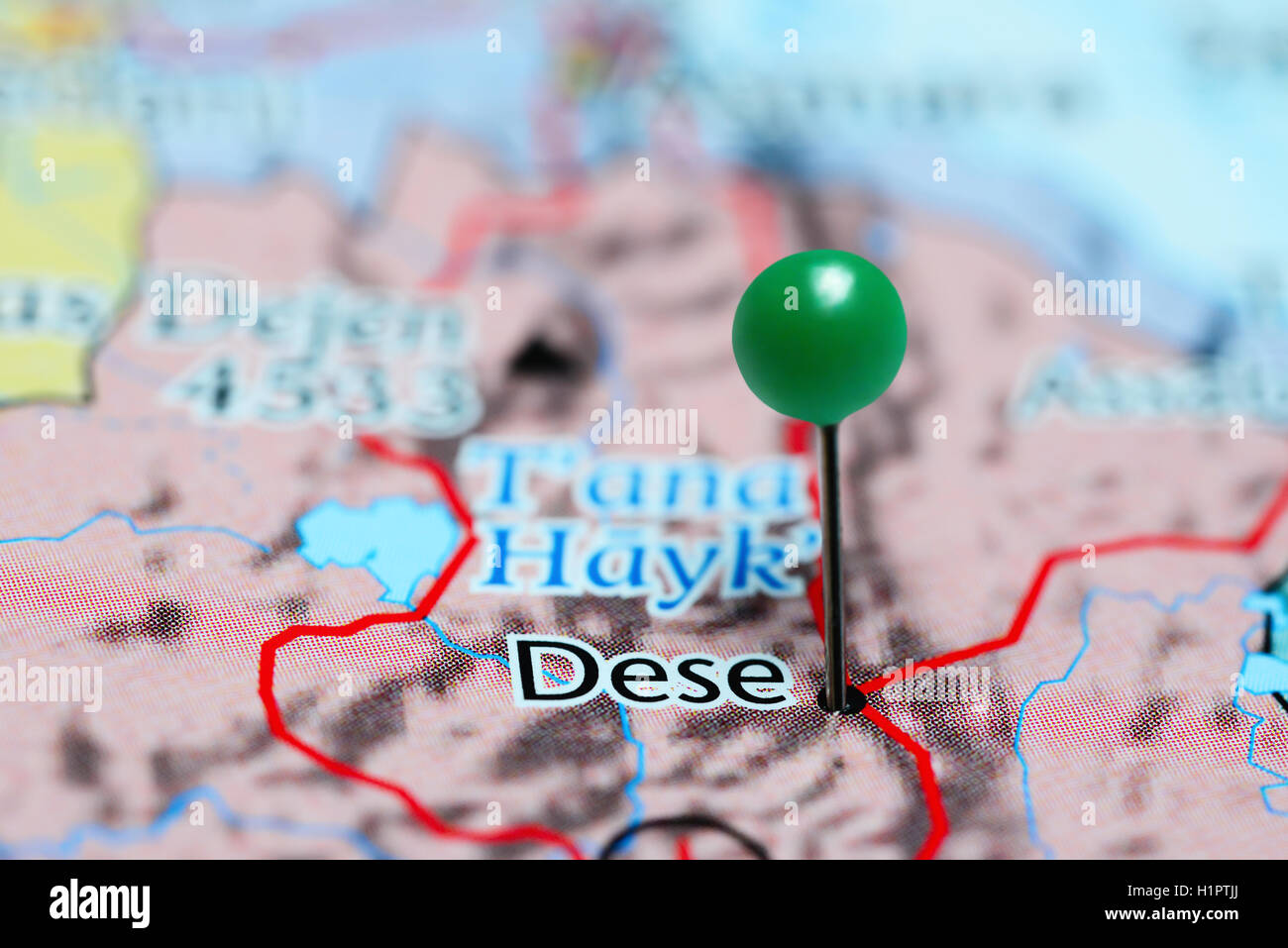 Dese pinned on a map of Ethiopia Stock Photohttps://www.alamy.com/image-license-details/?v=1https://www.alamy.com/stock-photo-dese-pinned-on-a-map-of-ethiopia-121589514.html
RFH1PTJJ–Dese pinned on a map of Ethiopia
 Ethiopia old map, from Gondar to Takeze river Stock Photohttps://www.alamy.com/image-license-details/?v=1https://www.alamy.com/stock-photo-ethiopia-old-map-from-gondar-to-takeze-river-50336947.html
RFCWW183–Ethiopia old map, from Gondar to Takeze river
 Blue Ethiopia 3d map with pointer pin surrounded with other countries in white. Europe political map with borders. 3d render illustration Stock Photohttps://www.alamy.com/image-license-details/?v=1https://www.alamy.com/blue-ethiopia-3d-map-with-pointer-pin-surrounded-with-other-countries-in-white-europe-political-map-with-borders-3d-render-illustration-image635276169.html
RF2YWF96H–Blue Ethiopia 3d map with pointer pin surrounded with other countries in white. Europe political map with borders. 3d render illustration
 map of africa Stock Photohttps://www.alamy.com/image-license-details/?v=1https://www.alamy.com/stock-photo-map-of-africa-20291336.html
RMB509PG–map of africa
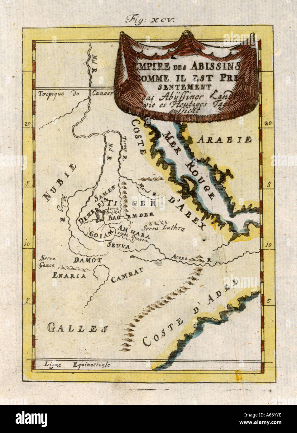 Map Africa Ethiopia 18c Stock Photohttps://www.alamy.com/image-license-details/?v=1https://www.alamy.com/map-africa-ethiopia-18c-image6560509.html
RMA66YYE–Map Africa Ethiopia 18c
 Old green paper map of Ethiopia isolated on white background Stock Photohttps://www.alamy.com/image-license-details/?v=1https://www.alamy.com/stock-photo-old-green-paper-map-of-ethiopia-isolated-on-white-background-49088137.html
RMCRT4BN–Old green paper map of Ethiopia isolated on white background
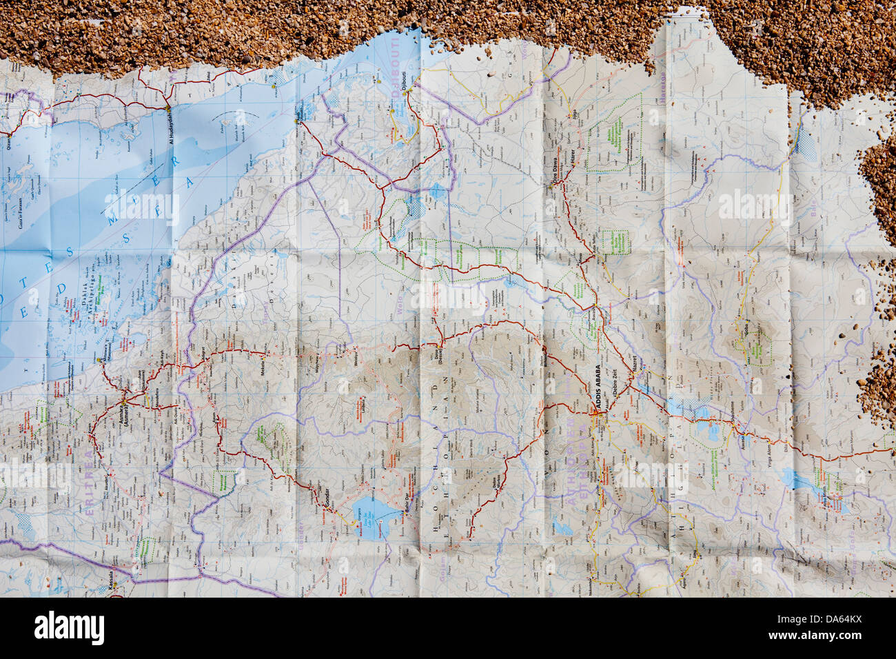 Map, Card, Ethiopia, Djibouti, Africa, sand, map Stock Photohttps://www.alamy.com/image-license-details/?v=1https://www.alamy.com/stock-photo-map-card-ethiopia-djibouti-africa-sand-map-57913070.html
RMDA64KX–Map, Card, Ethiopia, Djibouti, Africa, sand, map
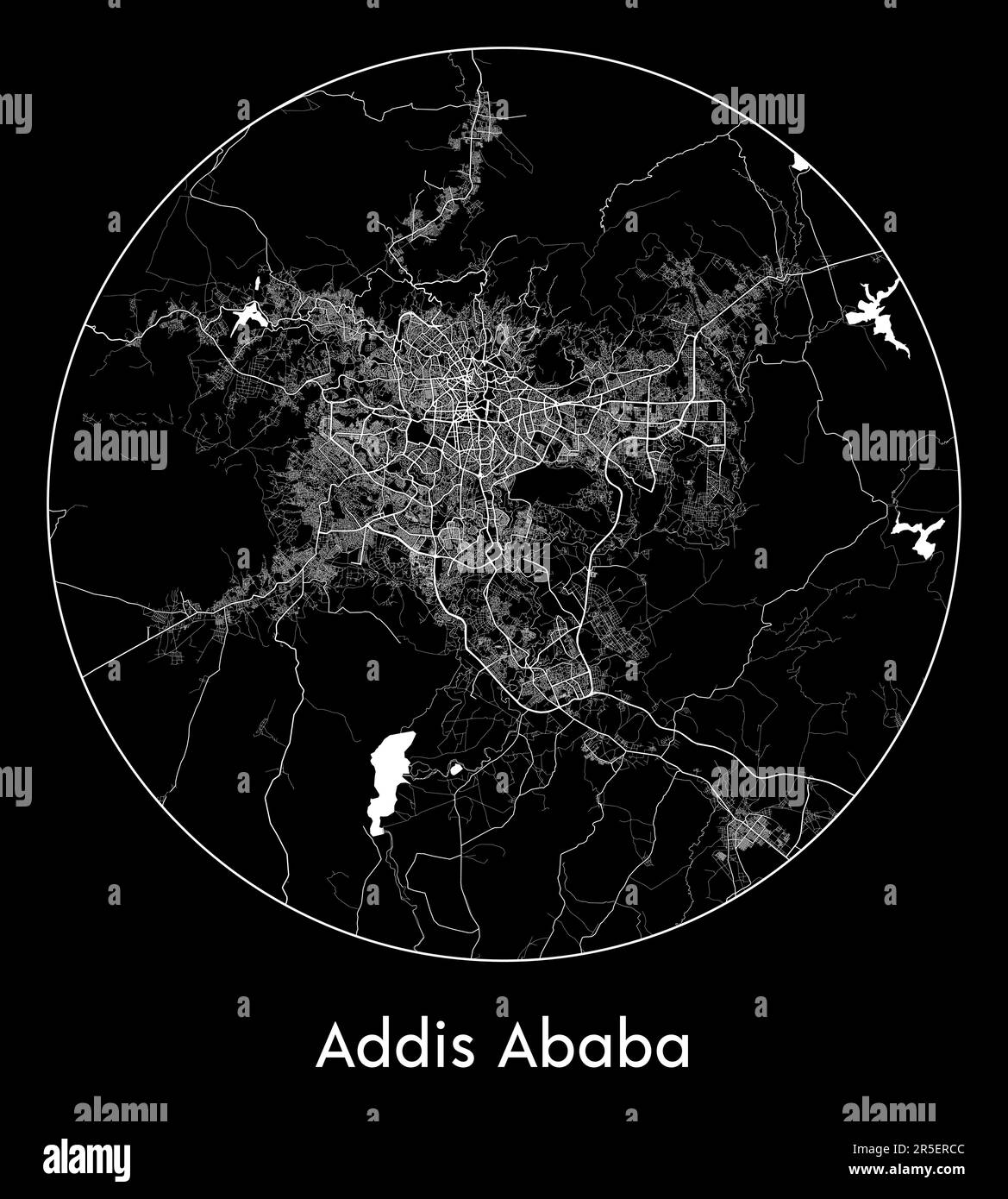 City Map Addis Ababa Ethiopia Africa vector illustration Stock Vectorhttps://www.alamy.com/image-license-details/?v=1https://www.alamy.com/city-map-addis-ababa-ethiopia-africa-vector-illustration-image554130764.html
RF2R5ERCC–City Map Addis Ababa Ethiopia Africa vector illustration
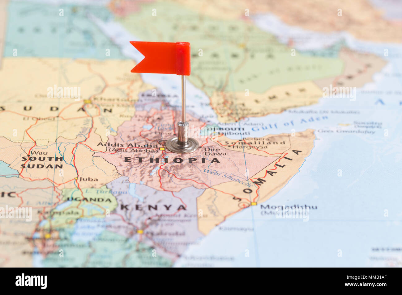 Small red flag marking the African country of Ethiopia on a world map. Stock Photohttps://www.alamy.com/image-license-details/?v=1https://www.alamy.com/small-red-flag-marking-the-african-country-of-ethiopia-on-a-world-map-image184639351.html
RMMMB1AF–Small red flag marking the African country of Ethiopia on a world map.
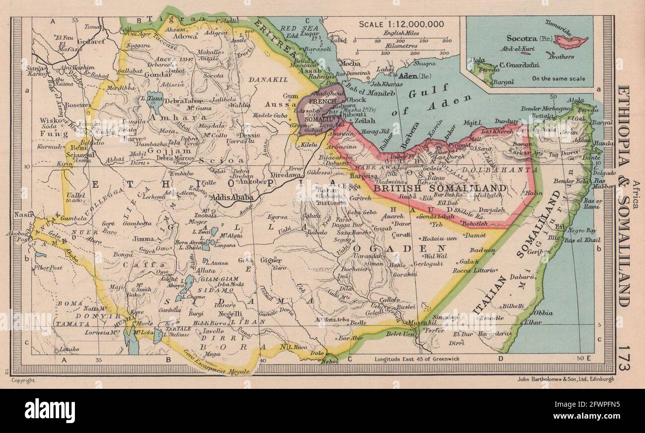 Ethiopia & British French Italian Somaliland. Somalia. BARTHOLOMEW 1949 map Stock Photohttps://www.alamy.com/image-license-details/?v=1https://www.alamy.com/ethiopia-british-french-italian-somaliland-somalia-bartholomew-1949-map-image428910529.html
RF2FWPFN5–Ethiopia & British French Italian Somaliland. Somalia. BARTHOLOMEW 1949 map
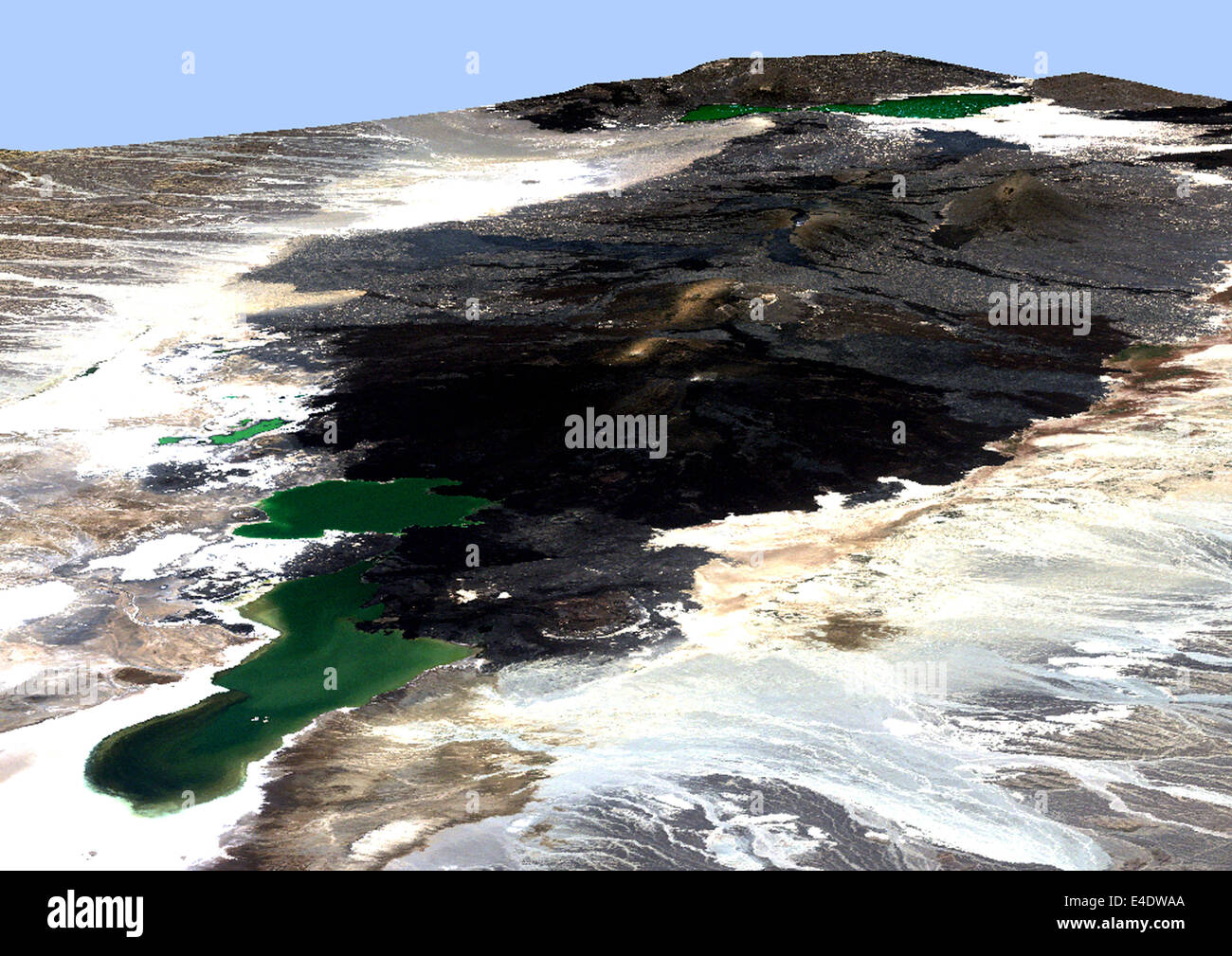 Volcano Erta-Ale In 3D, Ethiopia, True Colour Satellite Image. Erta Ale, Ethiopia, true colour satellite image. Erta Ale is a ve Stock Photohttps://www.alamy.com/image-license-details/?v=1https://www.alamy.com/stock-photo-volcano-erta-ale-in-3d-ethiopia-true-colour-satellite-image-erta-ale-71605362.html
RME4DWAA–Volcano Erta-Ale In 3D, Ethiopia, True Colour Satellite Image. Erta Ale, Ethiopia, true colour satellite image. Erta Ale is a ve
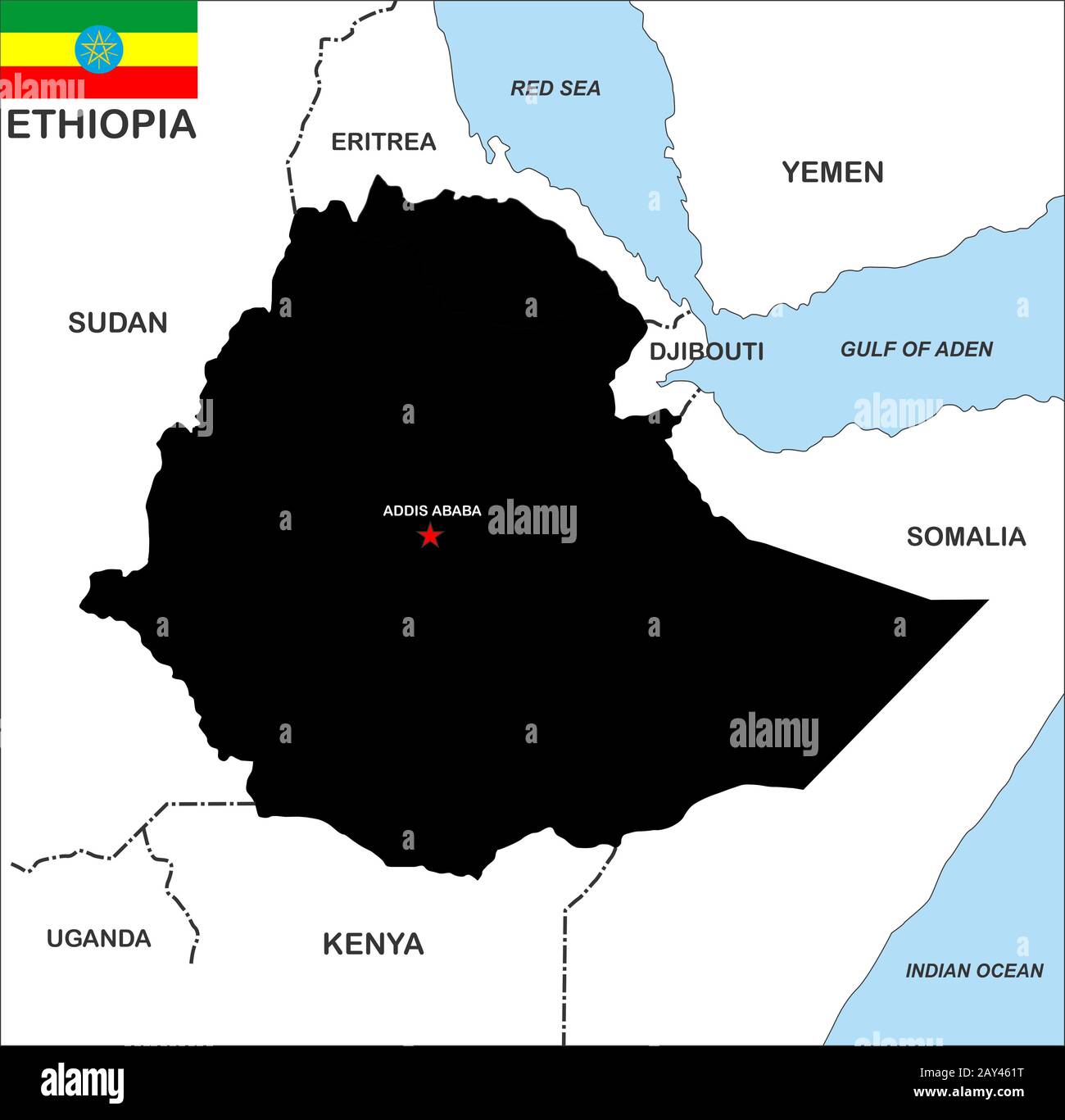 ethiopia map Stock Photohttps://www.alamy.com/image-license-details/?v=1https://www.alamy.com/ethiopia-map-image343685268.html
RM2AY461T–ethiopia map
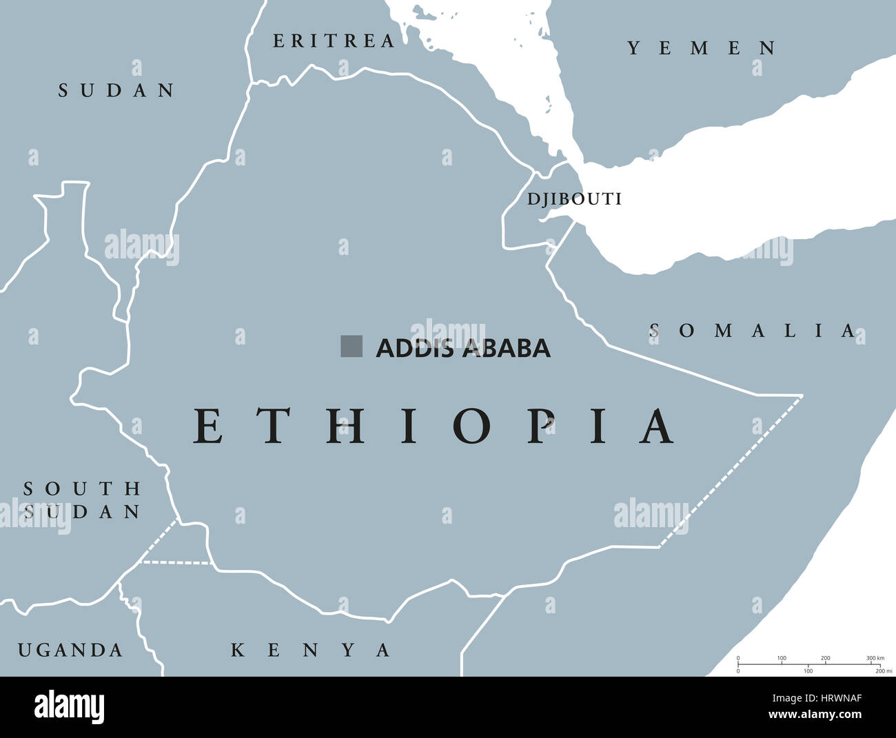 Ethiopia political map with capital Addis Ababa and borders. Federal Democratic Republic and a country located in the Horn of Africa. Stock Photohttps://www.alamy.com/image-license-details/?v=1https://www.alamy.com/stock-photo-ethiopia-political-map-with-capital-addis-ababa-and-borders-federal-135175223.html
RFHRWNAF–Ethiopia political map with capital Addis Ababa and borders. Federal Democratic Republic and a country located in the Horn of Africa.
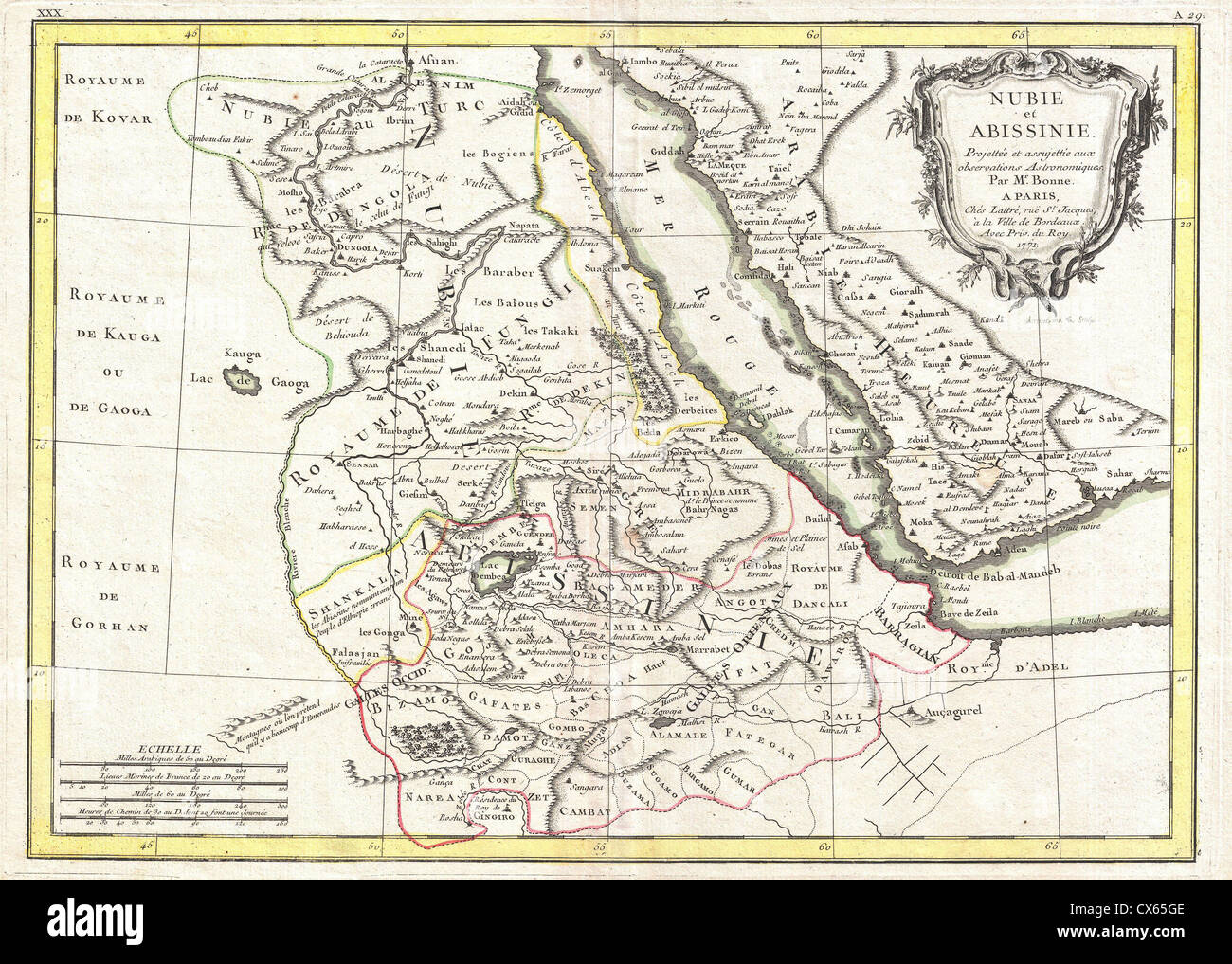 1771 Bonne Map of Abyssinia (Ethiopia), Sudan and the Red Sea Stock Photohttps://www.alamy.com/image-license-details/?v=1https://www.alamy.com/stock-photo-1771-bonne-map-of-abyssinia-ethiopia-sudan-and-the-red-sea-50537886.html
RMCX65GE–1771 Bonne Map of Abyssinia (Ethiopia), Sudan and the Red Sea
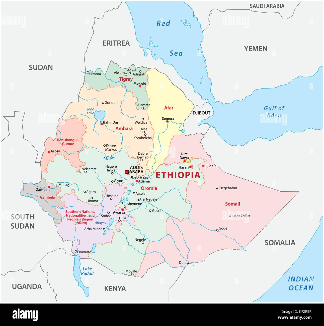 ethiopia administrative map Stock Vectorhttps://www.alamy.com/image-license-details/?v=1https://www.alamy.com/stock-image-ethiopia-administrative-map-164175503.html
RFKF2RER–ethiopia administrative map
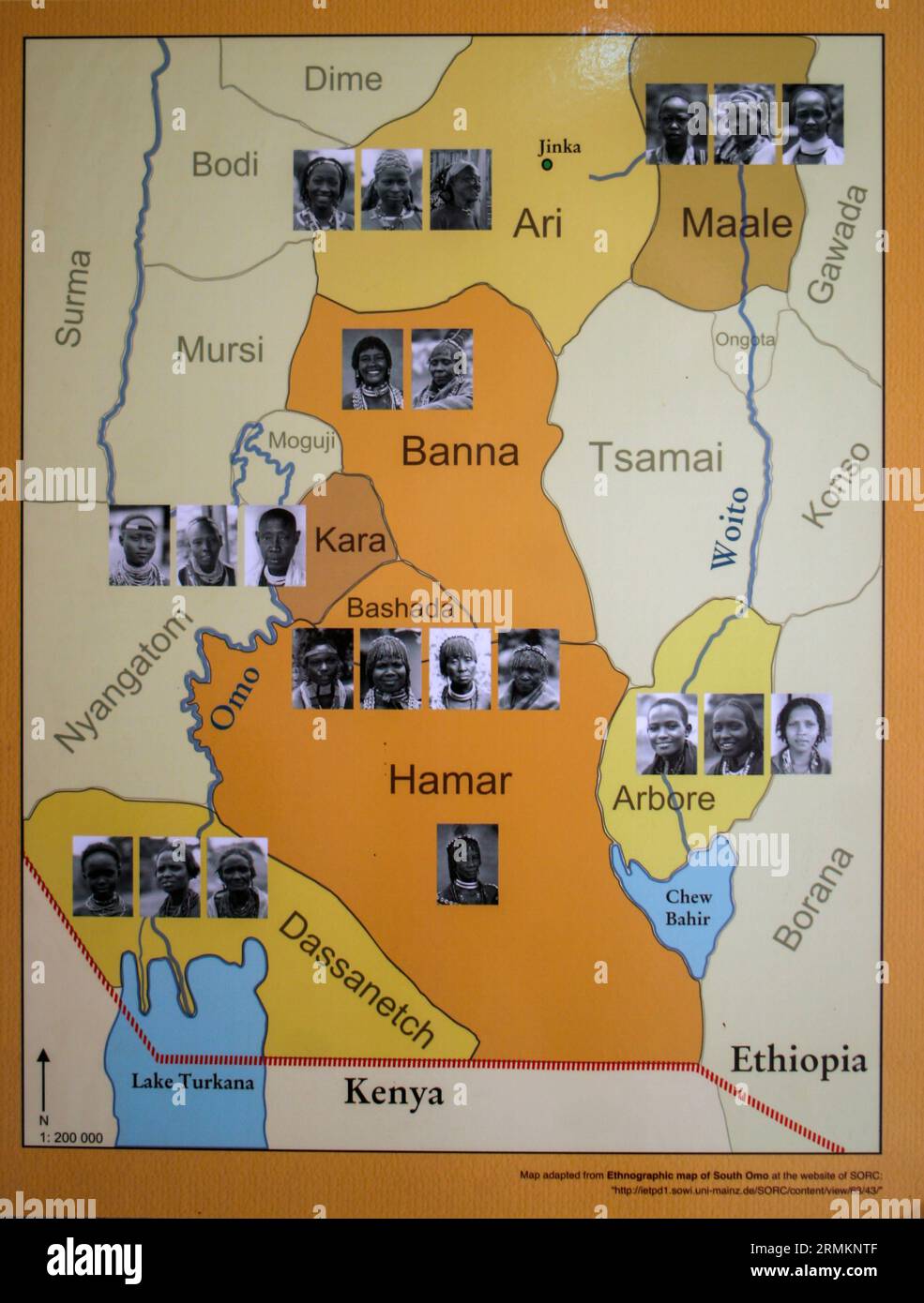 Anthropological map of the Geographical distribution of the various tribes of Ethiopia Omo Vally region Stock Photohttps://www.alamy.com/image-license-details/?v=1https://www.alamy.com/anthropological-map-of-the-geographical-distribution-of-the-various-tribes-of-ethiopia-omo-vally-region-image563459135.html
RM2RMKNTF–Anthropological map of the Geographical distribution of the various tribes of Ethiopia Omo Vally region
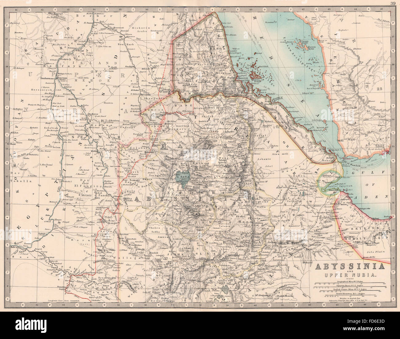
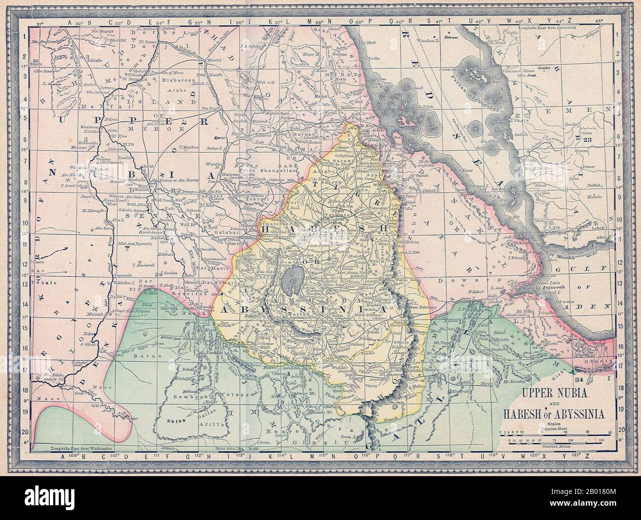 Ethiopia: Map of Upper Nubia and Habesh or Abyssinia, 1882. The British 1868 Expedition to Abyssinia was a punitive expedition carried out by armed forces of the British Empire against the Ethiopian Empire. Emperor Tewodros II of Ethiopia, also known as 'Theodore', imprisoned several missionaries and two representatives of the British government. The punitive expedition launched by the British in response required the transportation of a sizable military force hundreds of miles across mountainous terrain lacking any road system. Stock Photohttps://www.alamy.com/image-license-details/?v=1https://www.alamy.com/ethiopia-map-of-upper-nubia-and-habesh-or-abyssinia-1882-the-british-1868-expedition-to-abyssinia-was-a-punitive-expedition-carried-out-by-armed-forces-of-the-british-empire-against-the-ethiopian-empire-emperor-tewodros-ii-of-ethiopia-also-known-as-theodore-imprisoned-several-missionaries-and-two-representatives-of-the-british-government-the-punitive-expedition-launched-by-the-british-in-response-required-the-transportation-of-a-sizable-military-force-hundreds-of-miles-across-mountainous-terrain-lacking-any-road-system-image344235604.html
RM2B0180M–Ethiopia: Map of Upper Nubia and Habesh or Abyssinia, 1882. The British 1868 Expedition to Abyssinia was a punitive expedition carried out by armed forces of the British Empire against the Ethiopian Empire. Emperor Tewodros II of Ethiopia, also known as 'Theodore', imprisoned several missionaries and two representatives of the British government. The punitive expedition launched by the British in response required the transportation of a sizable military force hundreds of miles across mountainous terrain lacking any road system.
 Map of Ethiopia with shadows Stock Photohttps://www.alamy.com/image-license-details/?v=1https://www.alamy.com/map-of-ethiopia-with-shadows-image634544279.html
RF2YT9YKK–Map of Ethiopia with shadows
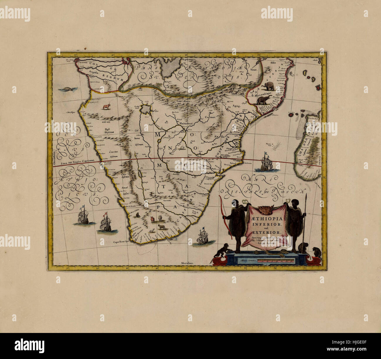 Map Of Ethiopia 1662 Stock Photohttps://www.alamy.com/image-license-details/?v=1https://www.alamy.com/stock-photo-map-of-ethiopia-1662-131898607.html
RFHJGE0F–Map Of Ethiopia 1662
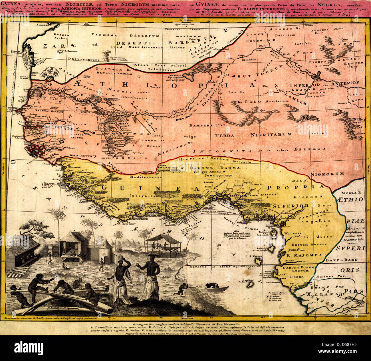 Map of West Africa, circa 1743 Stock Photohttps://www.alamy.com/image-license-details/?v=1https://www.alamy.com/stock-photo-map-of-west-africa-circa-1743-54885969.html
RMD587H5–Map of West Africa, circa 1743
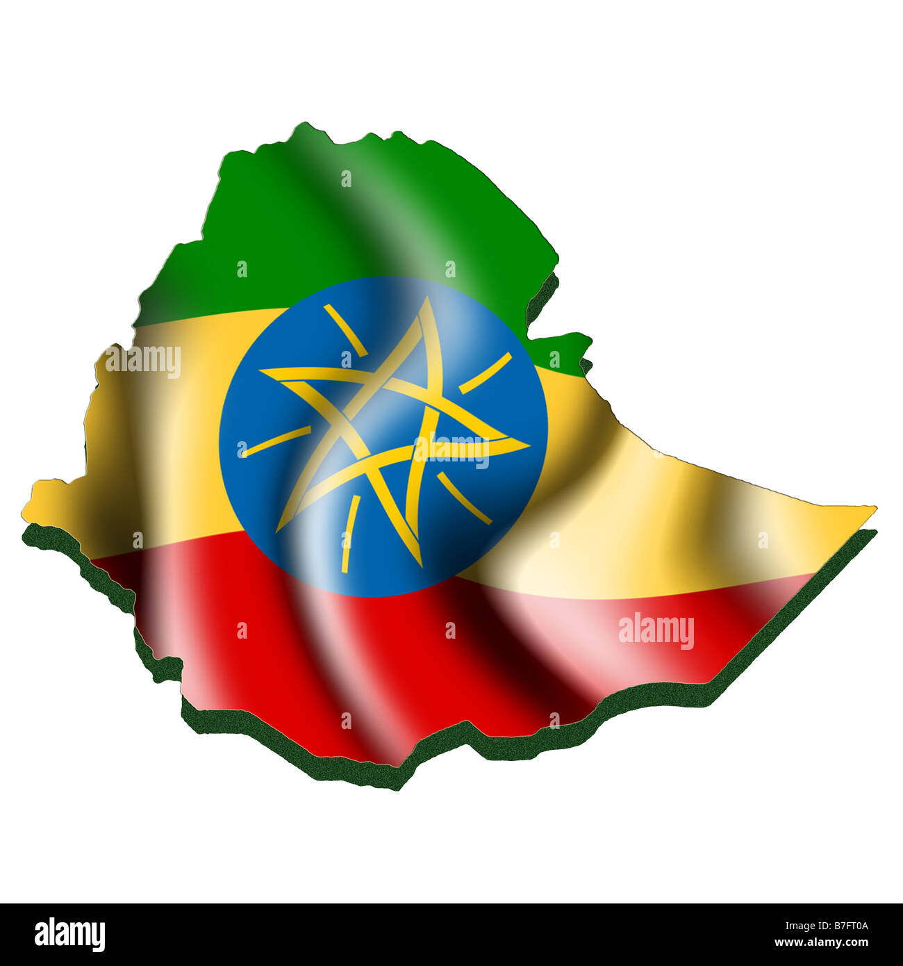
 Ethiopia map shape with waving flag background. Alpha channel outline of country. Stock Photohttps://www.alamy.com/image-license-details/?v=1https://www.alamy.com/ethiopia-map-shape-with-waving-flag-background-alpha-channel-outline-of-country-image484767667.html
RF2K4K22Y–Ethiopia map shape with waving flag background. Alpha channel outline of country.
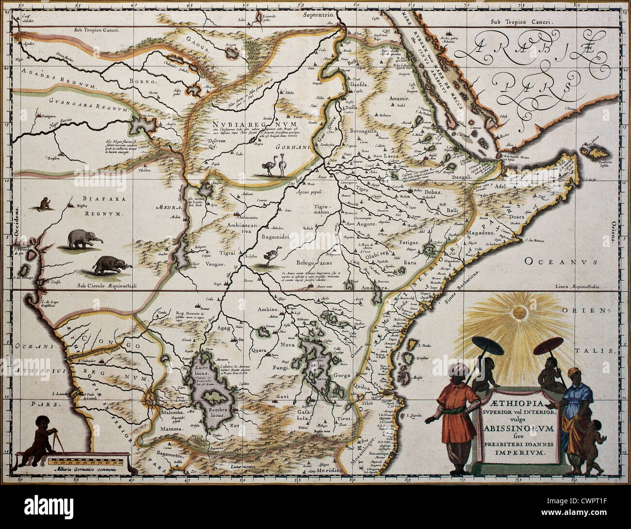 Ethiopia old map Stock Photohttps://www.alamy.com/image-license-details/?v=1https://www.alamy.com/stock-photo-ethiopia-old-map-50288939.html
RFCWPT1F–Ethiopia old map
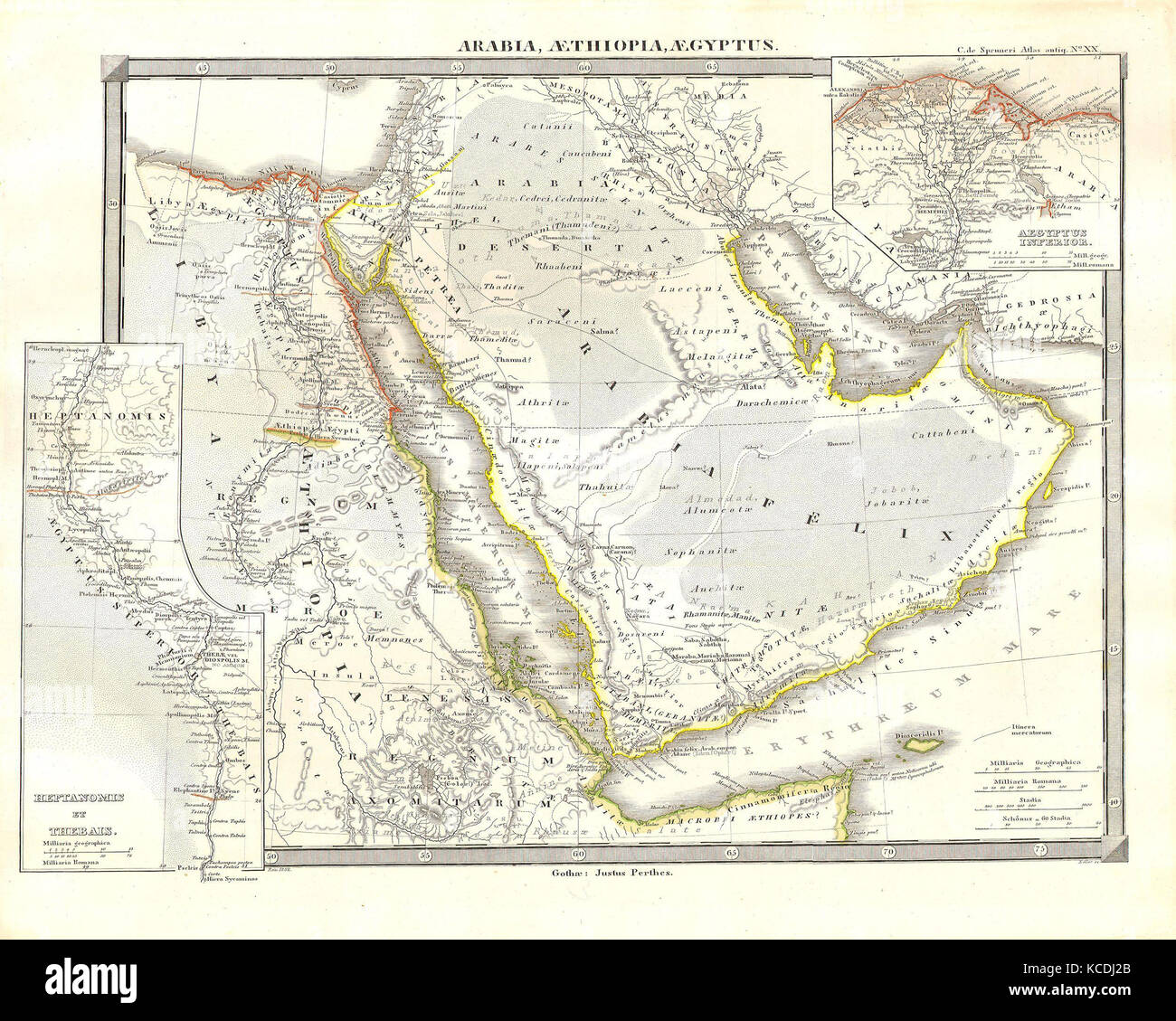 1855, Spruneri Map of Arabia, Egypt and Ethiopia or Abyssinia Stock Photohttps://www.alamy.com/image-license-details/?v=1https://www.alamy.com/stock-image-1855-spruneri-map-of-arabia-egypt-and-ethiopia-or-abyssinia-162568739.html
RMKCDJ2B–1855, Spruneri Map of Arabia, Egypt and Ethiopia or Abyssinia
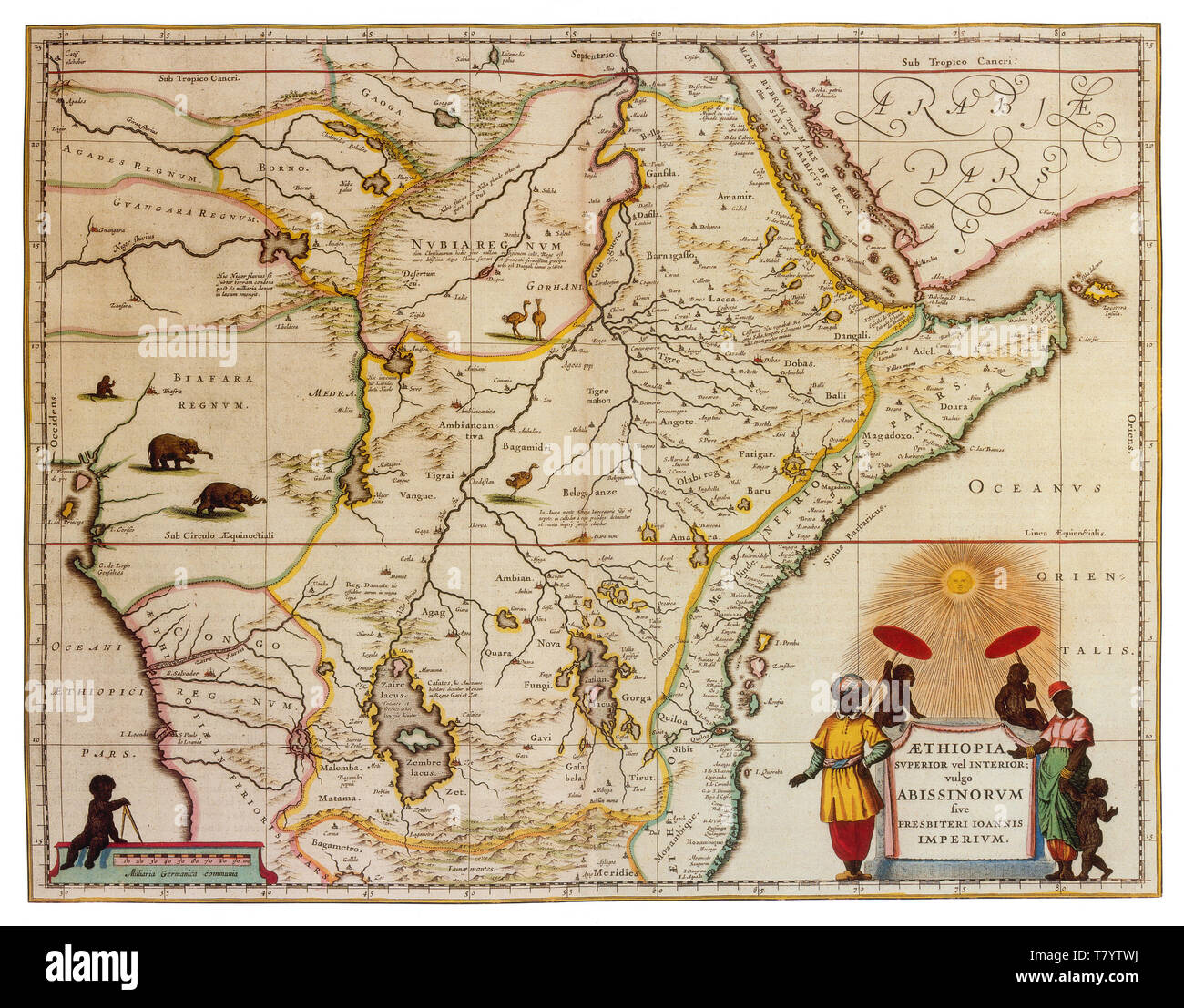 Joan Blaeu, Ethiopia and Abyssinia Map, 17th Century Stock Photohttps://www.alamy.com/image-license-details/?v=1https://www.alamy.com/joan-blaeu-ethiopia-and-abyssinia-map-17th-century-image245859982.html
RMT7YTWJ–Joan Blaeu, Ethiopia and Abyssinia Map, 17th Century
 Dark silhouetted and textured map of Ethiopia isolated on white background. Stock Photohttps://www.alamy.com/image-license-details/?v=1https://www.alamy.com/stock-photo-dark-silhouetted-and-textured-map-of-ethiopia-isolated-on-white-background-52730557.html
RMD1P2A5–Dark silhouetted and textured map of Ethiopia isolated on white background.
 Ethiopia 3d golden map Stock Photohttps://www.alamy.com/image-license-details/?v=1https://www.alamy.com/stock-photo-ethiopia-3d-golden-map-26658737.html
RFBFABDN–Ethiopia 3d golden map
 City Map Addis Ababa Ethiopia Africa vector illustration black white Stock Vectorhttps://www.alamy.com/image-license-details/?v=1https://www.alamy.com/city-map-addis-ababa-ethiopia-africa-vector-illustration-black-white-image557056150.html
RF2RA82PE–City Map Addis Ababa Ethiopia Africa vector illustration black white
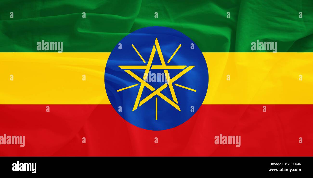 Ethiopia flag with 3d effect Stock Photohttps://www.alamy.com/image-license-details/?v=1https://www.alamy.com/ethiopia-flag-with-3d-effect-image476636838.html
RF2JKCK46–Ethiopia flag with 3d effect
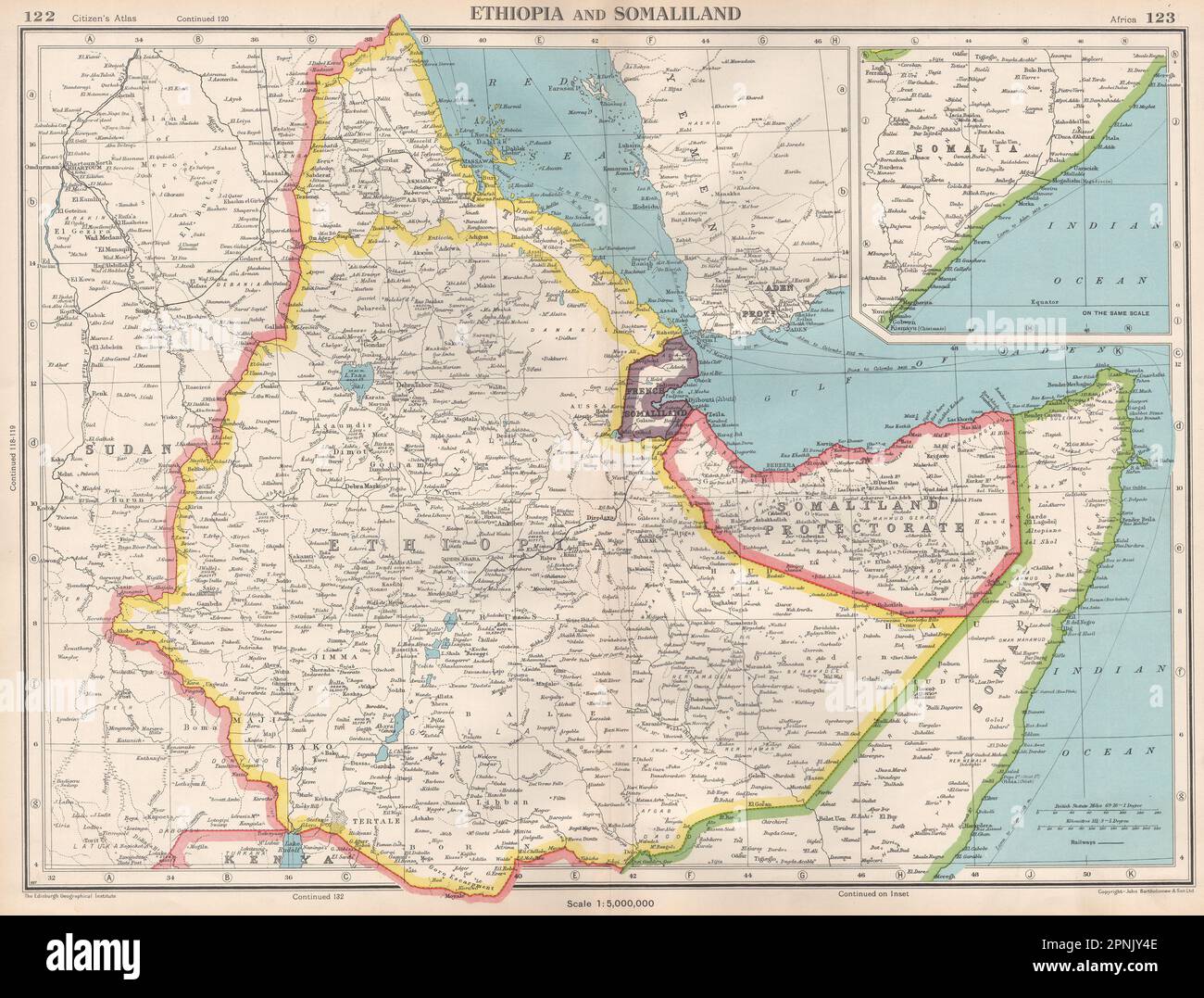 HORN OF AFRICA. Ethiopia French Somaliland Protectorate Somalia 1952 old map Stock Photohttps://www.alamy.com/image-license-details/?v=1https://www.alamy.com/horn-of-africa-ethiopia-french-somaliland-protectorate-somalia-1952-old-map-image546845614.html
RF2PNJY4E–HORN OF AFRICA. Ethiopia French Somaliland Protectorate Somalia 1952 old map
 Ethiopia, shaded relief map. Stock Photohttps://www.alamy.com/image-license-details/?v=1https://www.alamy.com/stock-photo-ethiopia-shaded-relief-map-25370500.html
RFBD7M98–Ethiopia, shaded relief map.
 Map of Ethiopia on weathered concrete Stock Photohttps://www.alamy.com/image-license-details/?v=1https://www.alamy.com/map-of-ethiopia-on-weathered-concrete-image402541941.html
RF2EAWA9W–Map of Ethiopia on weathered concrete
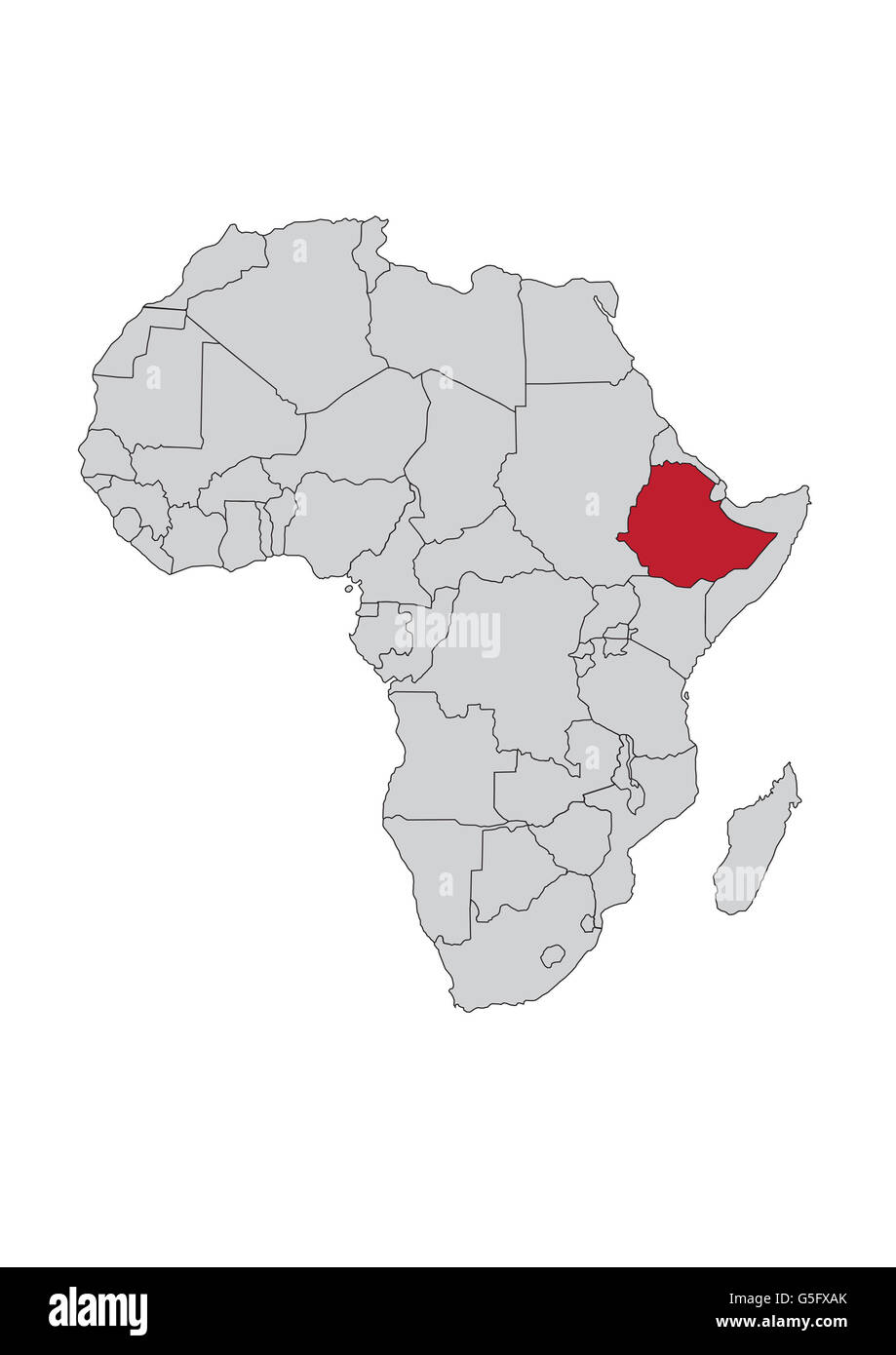 Map of Africa, Ethiopia Stock Photohttps://www.alamy.com/image-license-details/?v=1https://www.alamy.com/stock-photo-map-of-africa-ethiopia-106685451.html
RMG5FXAK–Map of Africa, Ethiopia
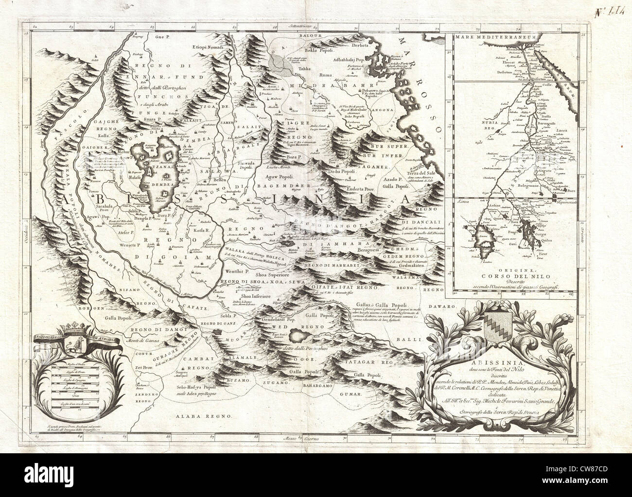 1690 Coronelli Map of Ethiopia, Abyssinia, and the Source of the Blue Nile Stock Photohttps://www.alamy.com/image-license-details/?v=1https://www.alamy.com/stock-photo-1690-coronelli-map-of-ethiopia-abyssinia-and-the-source-of-the-blue-49968589.html
RMCW87CD–1690 Coronelli Map of Ethiopia, Abyssinia, and the Source of the Blue Nile
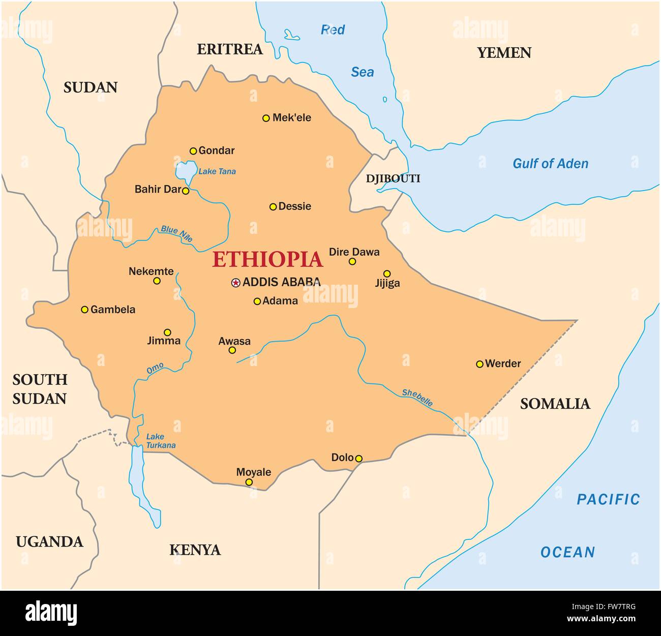 simple vector map of the state of ethiopia Stock Vectorhttps://www.alamy.com/image-license-details/?v=1https://www.alamy.com/stock-photo-simple-vector-map-of-the-state-of-ethiopia-101591380.html
RFFW7TRG–simple vector map of the state of ethiopia
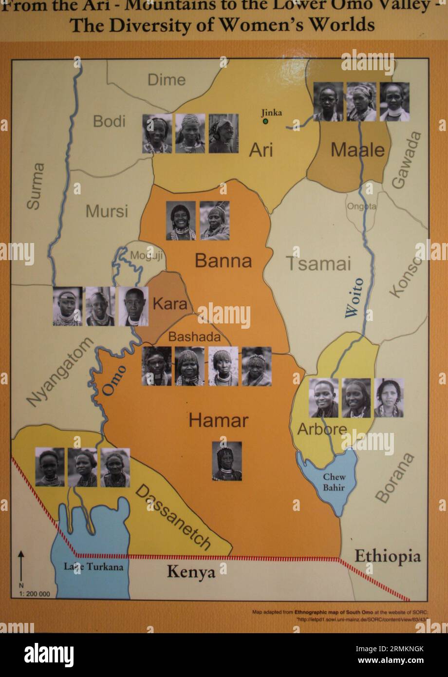 Anthropological map of the Geographical distribution of the various tribes of Ethiopia Omo Vally region Stock Photohttps://www.alamy.com/image-license-details/?v=1https://www.alamy.com/anthropological-map-of-the-geographical-distribution-of-the-various-tribes-of-ethiopia-omo-vally-region-image563458915.html
RM2RMKNGK–Anthropological map of the Geographical distribution of the various tribes of Ethiopia Omo Vally region
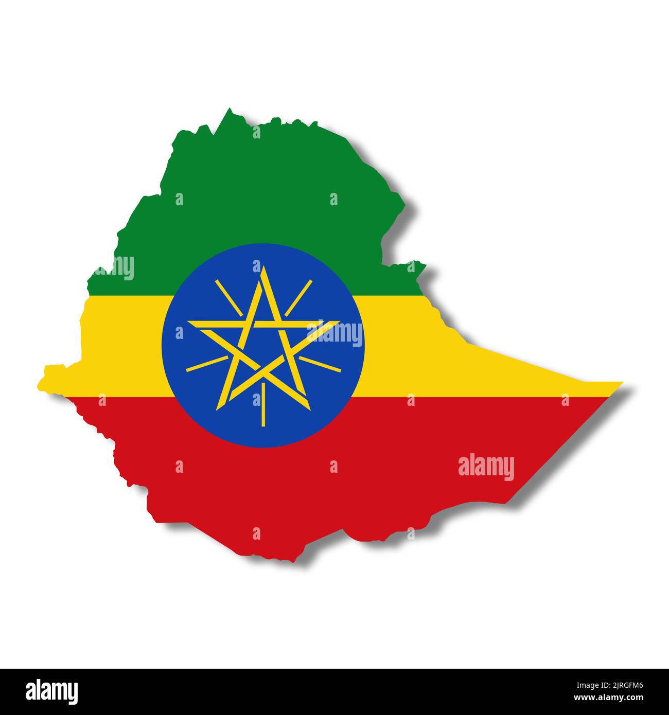 Ethiopia map on white background with clipping path 3d illustration Stock Photohttps://www.alamy.com/image-license-details/?v=1https://www.alamy.com/ethiopia-map-on-white-background-with-clipping-path-3d-illustration-image479180582.html
RF2JRGFM6–Ethiopia map on white background with clipping path 3d illustration
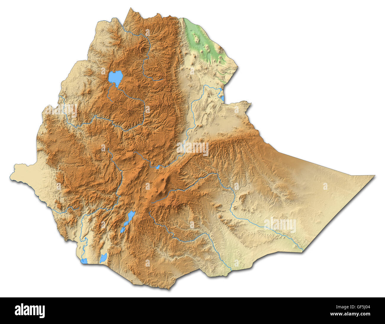 Relief map of Ethiopia with shaded relief. Stock Photohttps://www.alamy.com/image-license-details/?v=1https://www.alamy.com/stock-photo-relief-map-of-ethiopia-with-shaded-relief-112605924.html
RFGF5J04–Relief map of Ethiopia with shaded relief.
 Four bullets on the geographical map of Ethiopia and Somalia. Conceptual image for war, conflict, violence. Stock Photohttps://www.alamy.com/image-license-details/?v=1https://www.alamy.com/stock-photo-four-bullets-on-the-geographical-map-of-ethiopia-and-somalia-conceptual-84280581.html
RFEW38MN–Four bullets on the geographical map of Ethiopia and Somalia. Conceptual image for war, conflict, violence.
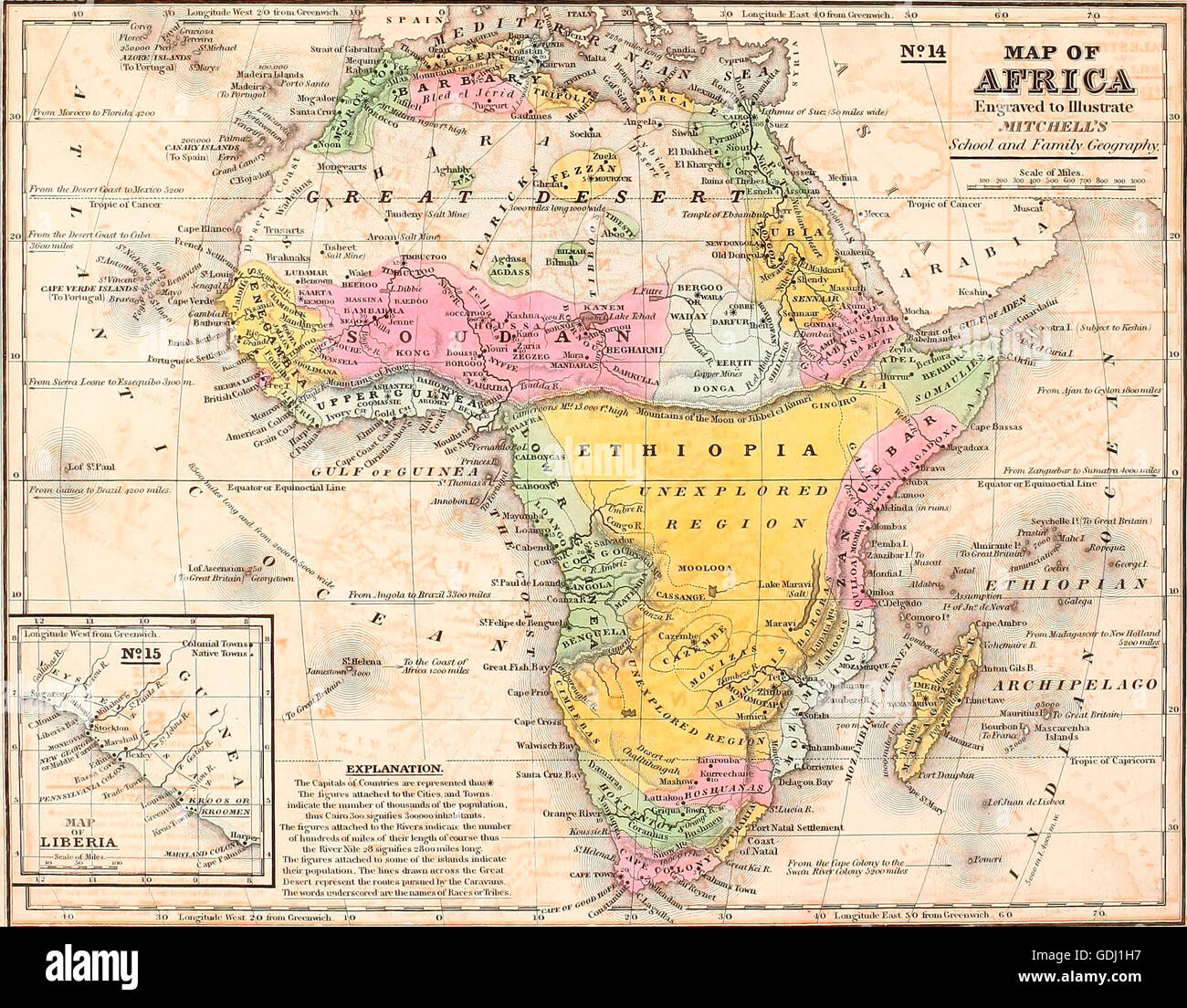 Map of Africa, circa 1850 Stock Photohttps://www.alamy.com/image-license-details/?v=1https://www.alamy.com/stock-photo-map-of-africa-circa-1850-111649139.html
RMGDJ1H7–Map of Africa, circa 1850
 Vector set of Ethiopia country. Isometric 3d map, Ethiopia map, Africa map - with region, state names and city names. Stock Vectorhttps://www.alamy.com/image-license-details/?v=1https://www.alamy.com/vector-set-of-ethiopia-country-isometric-3d-map-ethiopia-map-africa-map-with-region-state-names-and-city-names-image271976036.html
RFWPDG5T–Vector set of Ethiopia country. Isometric 3d map, Ethiopia map, Africa map - with region, state names and city names.
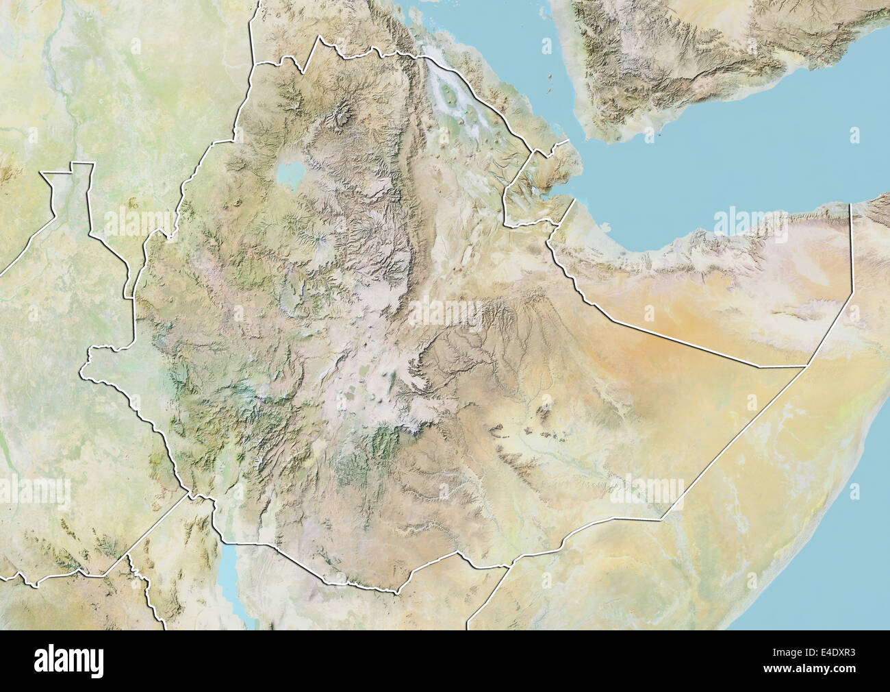 Ethiopia, Relief Map With Border Stock Photohttps://www.alamy.com/image-license-details/?v=1https://www.alamy.com/stock-photo-ethiopia-relief-map-with-border-71606503.html
RME4DXR3–Ethiopia, Relief Map With Border
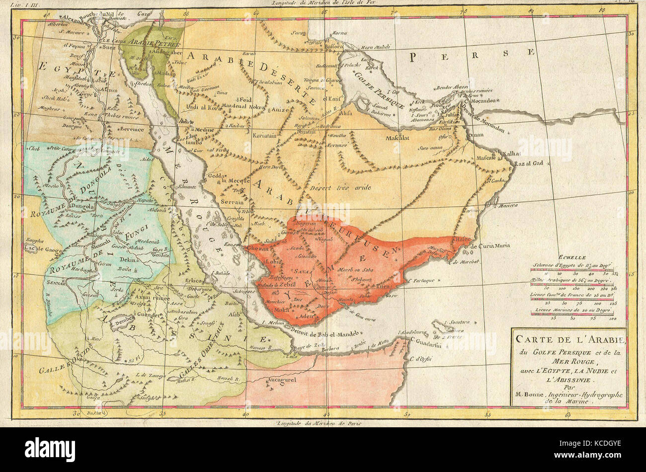 1780, Bonne Map of Arabia, Egypt and Ethiopia, Rigobert Bonne 1727 – 1794 Stock Photohttps://www.alamy.com/image-license-details/?v=1https://www.alamy.com/stock-image-1780-bonne-map-of-arabia-egypt-and-ethiopia-rigobert-bonne-1727-1794-162567874.html
RMKCDGYE–1780, Bonne Map of Arabia, Egypt and Ethiopia, Rigobert Bonne 1727 – 1794
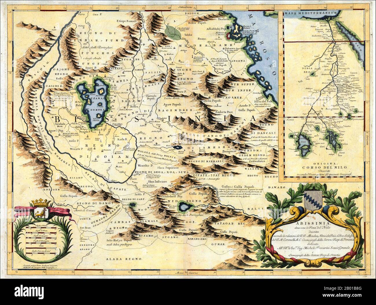 Northeast Africa: Map of the Nile from its source in Abyssinia to the Mediterranean, by Vincenzo Maria Coronelli (16 August 1650 - 9 December 1718), 1690. A Venetian cartographer, Coronelli cites his sources for this Nile map, including the Portuguese Jesuits Pedro Páez and Jerónimo Lobo, and contrasts his work with an inset showing the “original” (that is, outdated) course of the Nile as presented by past geographers, who followed the Ptolemaic tradition of two source lakes. Stock Photohttps://www.alamy.com/image-license-details/?v=1https://www.alamy.com/northeast-africa-map-of-the-nile-from-its-source-in-abyssinia-to-the-mediterranean-by-vincenzo-maria-coronelli-16-august-1650-9-december-1718-1690-a-venetian-cartographer-coronelli-cites-his-sources-for-this-nile-map-including-the-portuguese-jesuits-pedro-pez-and-jernimo-lobo-and-contrasts-his-work-with-an-inset-showing-the-original-that-is-outdated-course-of-the-nile-as-presented-by-past-geographers-who-followed-the-ptolemaic-tradition-of-two-source-lakes-image344238176.html
RM2B01B8G–Northeast Africa: Map of the Nile from its source in Abyssinia to the Mediterranean, by Vincenzo Maria Coronelli (16 August 1650 - 9 December 1718), 1690. A Venetian cartographer, Coronelli cites his sources for this Nile map, including the Portuguese Jesuits Pedro Páez and Jerónimo Lobo, and contrasts his work with an inset showing the “original” (that is, outdated) course of the Nile as presented by past geographers, who followed the Ptolemaic tradition of two source lakes.
 Ethiopia map button in responsive flat web design map button isolated with clipping path. Stock Photohttps://www.alamy.com/image-license-details/?v=1https://www.alamy.com/ethiopia-map-button-in-responsive-flat-web-design-map-button-isolated-image68147174.html
RMDXTABJ–Ethiopia map button in responsive flat web design map button isolated with clipping path.
 Ethiopia 3d silver map Stock Photohttps://www.alamy.com/image-license-details/?v=1https://www.alamy.com/stock-photo-ethiopia-3d-silver-map-26053591.html
RFBEARHB–Ethiopia 3d silver map
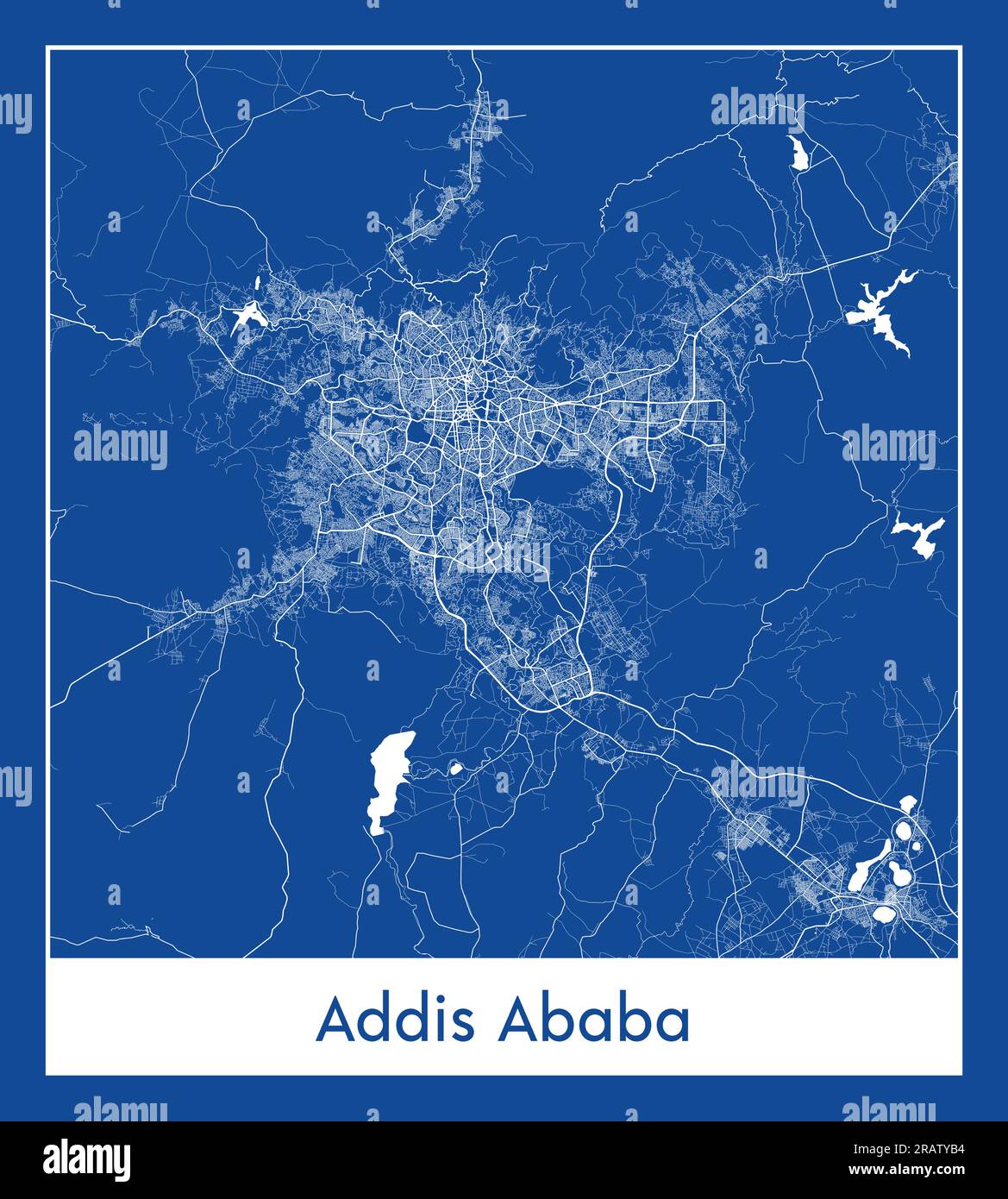 Addis Ababa Ethiopia Africa City map blue print vector illustration Stock Vectorhttps://www.alamy.com/image-license-details/?v=1https://www.alamy.com/addis-ababa-ethiopia-africa-city-map-blue-print-vector-illustration-image557426664.html
RF2RATYB4–Addis Ababa Ethiopia Africa City map blue print vector illustration
 A postage stamp printed in Ethiopia shows a Protopterus Annectens, circa 1980 Stock Photohttps://www.alamy.com/image-license-details/?v=1https://www.alamy.com/stock-photo-a-postage-stamp-printed-in-ethiopia-shows-a-protopterus-annectens-132175619.html
RFHK139R–A postage stamp printed in Ethiopia shows a Protopterus Annectens, circa 1980
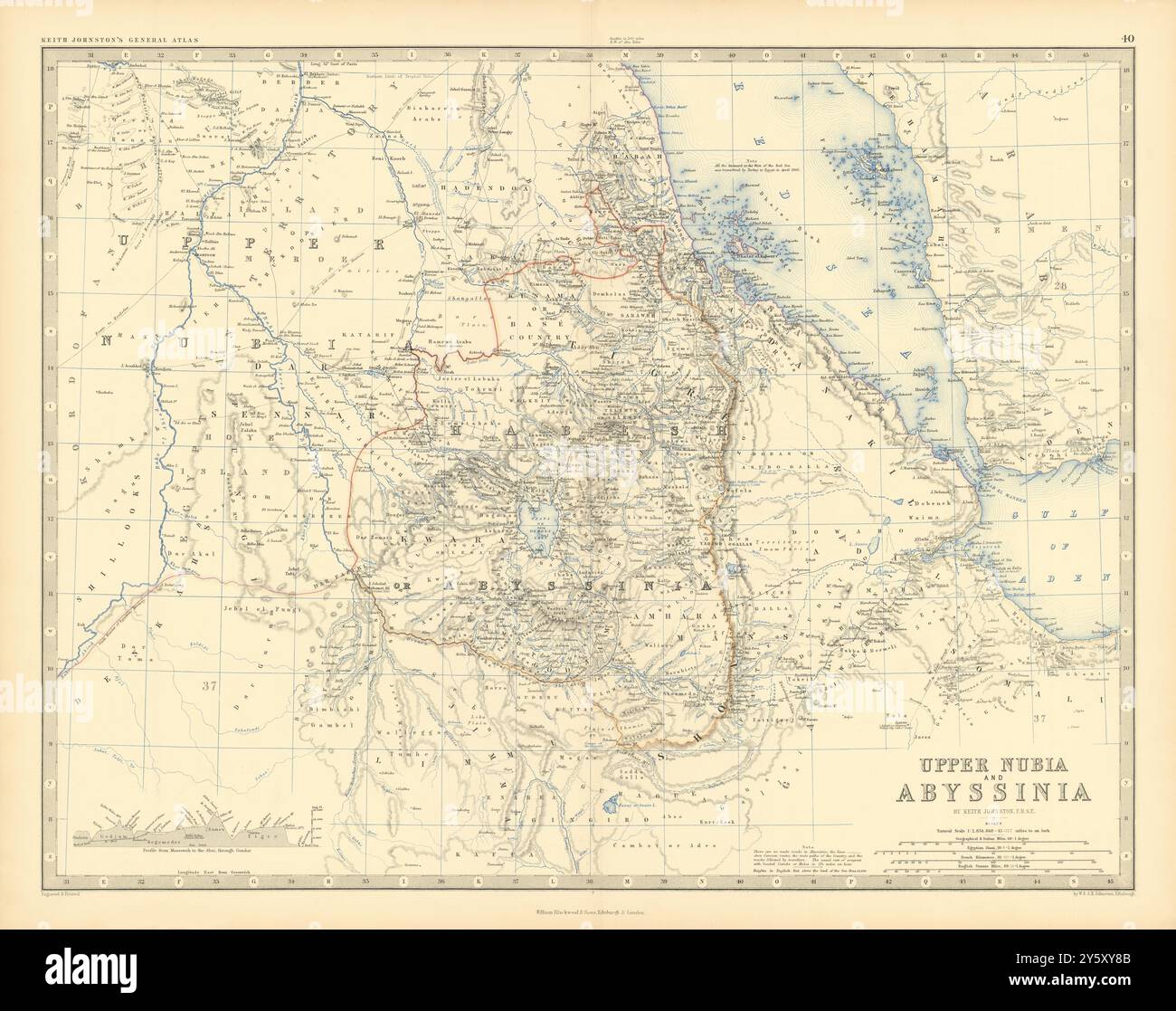 Upper Nubia and Abyssinia. Ethiopia Sudan Eritrea. 50x60cm. JOHNSTON 1876 map Stock Photohttps://www.alamy.com/image-license-details/?v=1https://www.alamy.com/upper-nubia-and-abyssinia-ethiopia-sudan-eritrea-50x60cm-johnston-1876-map-image623238683.html
RF2Y5XY8B–Upper Nubia and Abyssinia. Ethiopia Sudan Eritrea. 50x60cm. JOHNSTON 1876 map
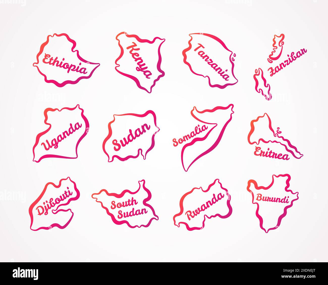 Outline maps of Ethiopia, Kenya, Tanzania, Zanzibar, Uganda, Sudan, Somalia, Eritrea, Djibouti, South Sudan, Rwanda, Burundi with orange-purple gradie Stock Vectorhttps://www.alamy.com/image-license-details/?v=1https://www.alamy.com/outline-maps-of-ethiopia-kenya-tanzania-zanzibar-uganda-sudan-somalia-eritrea-djibouti-south-sudan-rwanda-burundi-with-orange-purple-gradie-image610825904.html
RF2XDNEJT–Outline maps of Ethiopia, Kenya, Tanzania, Zanzibar, Uganda, Sudan, Somalia, Eritrea, Djibouti, South Sudan, Rwanda, Burundi with orange-purple gradie
 Map and flag of Ethiopia on weathered concrete Stock Photohttps://www.alamy.com/image-license-details/?v=1https://www.alamy.com/map-and-flag-of-ethiopia-on-weathered-concrete-image402405331.html
RF2EAK42Y–Map and flag of Ethiopia on weathered concrete
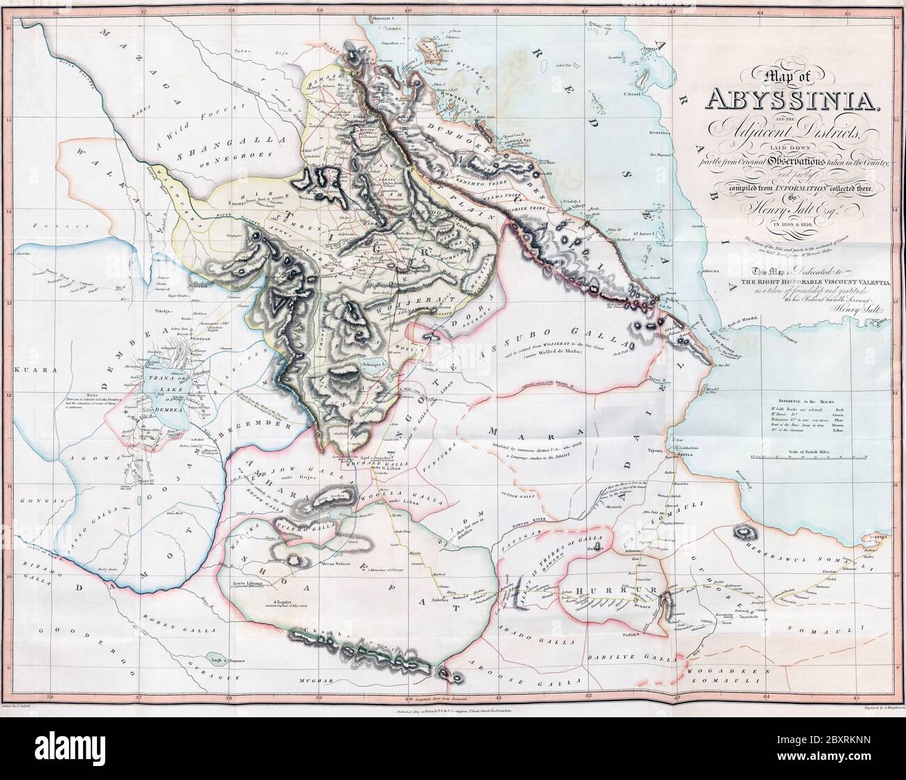 Map of Abyssinia and the Adjacent Districts. From observations taken by British traveller and artist Henry Salt in 1809 and 1810. Drawn by J. Outhett and engraved by A. Macpherson. Published 1814. Used in Henry Salt’s book A voyage to Abyssinia, and Travels into the Interior of that Country. Stock Photohttps://www.alamy.com/image-license-details/?v=1https://www.alamy.com/map-of-abyssinia-and-the-adjacent-districts-from-observations-taken-by-british-traveller-and-artist-henry-salt-in-1809-and-1810-drawn-by-j-outhett-and-engraved-by-a-macpherson-published-1814-used-in-henry-salts-book-a-voyage-to-abyssinia-and-travels-into-the-interior-of-that-country-image360708817.html
RM2BXRKNN–Map of Abyssinia and the Adjacent Districts. From observations taken by British traveller and artist Henry Salt in 1809 and 1810. Drawn by J. Outhett and engraved by A. Macpherson. Published 1814. Used in Henry Salt’s book A voyage to Abyssinia, and Travels into the Interior of that Country.
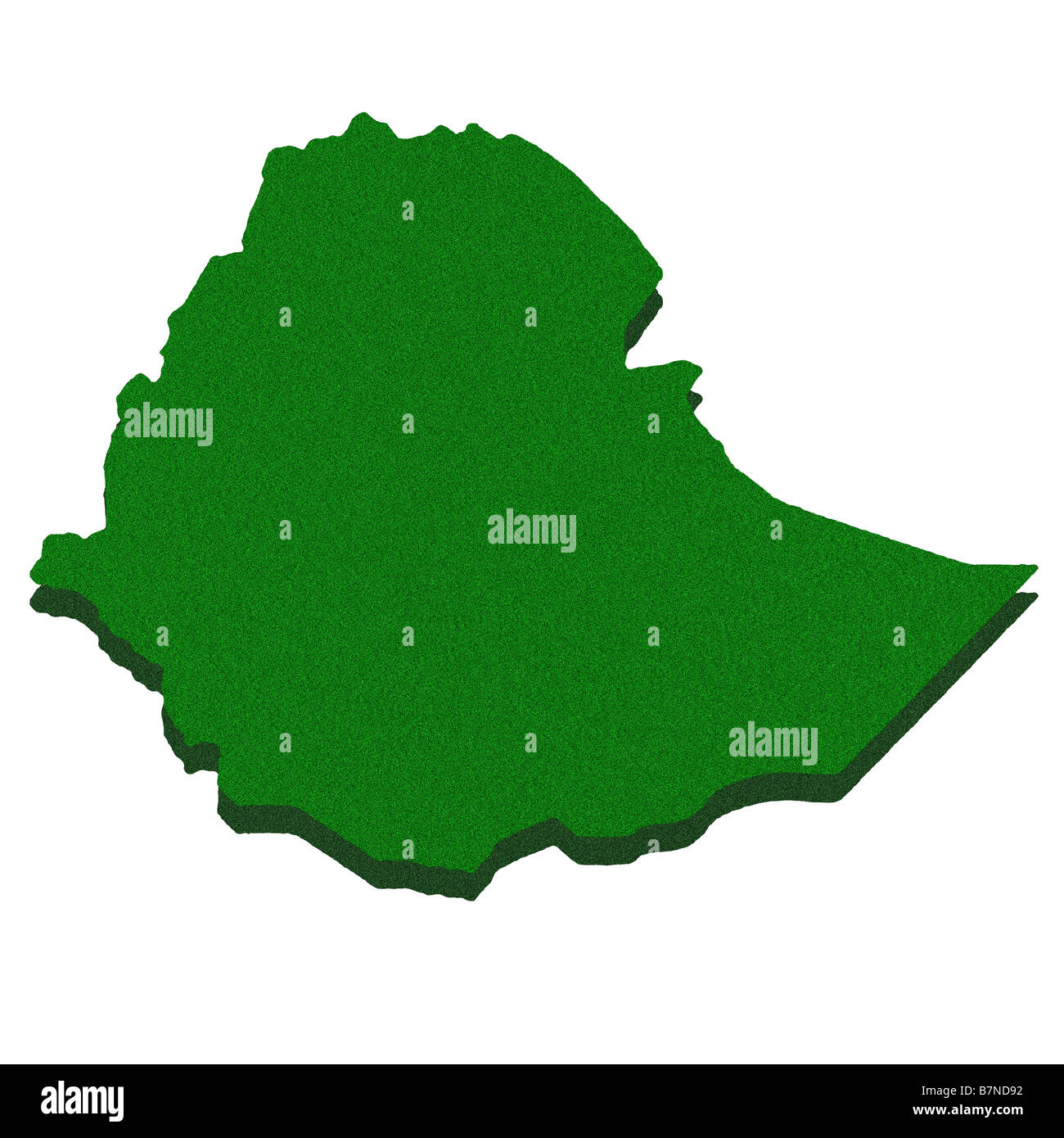 Outline map of Ethiopia Stock Photohttps://www.alamy.com/image-license-details/?v=1https://www.alamy.com/stock-photo-outline-map-of-ethiopia-21984398.html
RFB7ND92–Outline map of Ethiopia
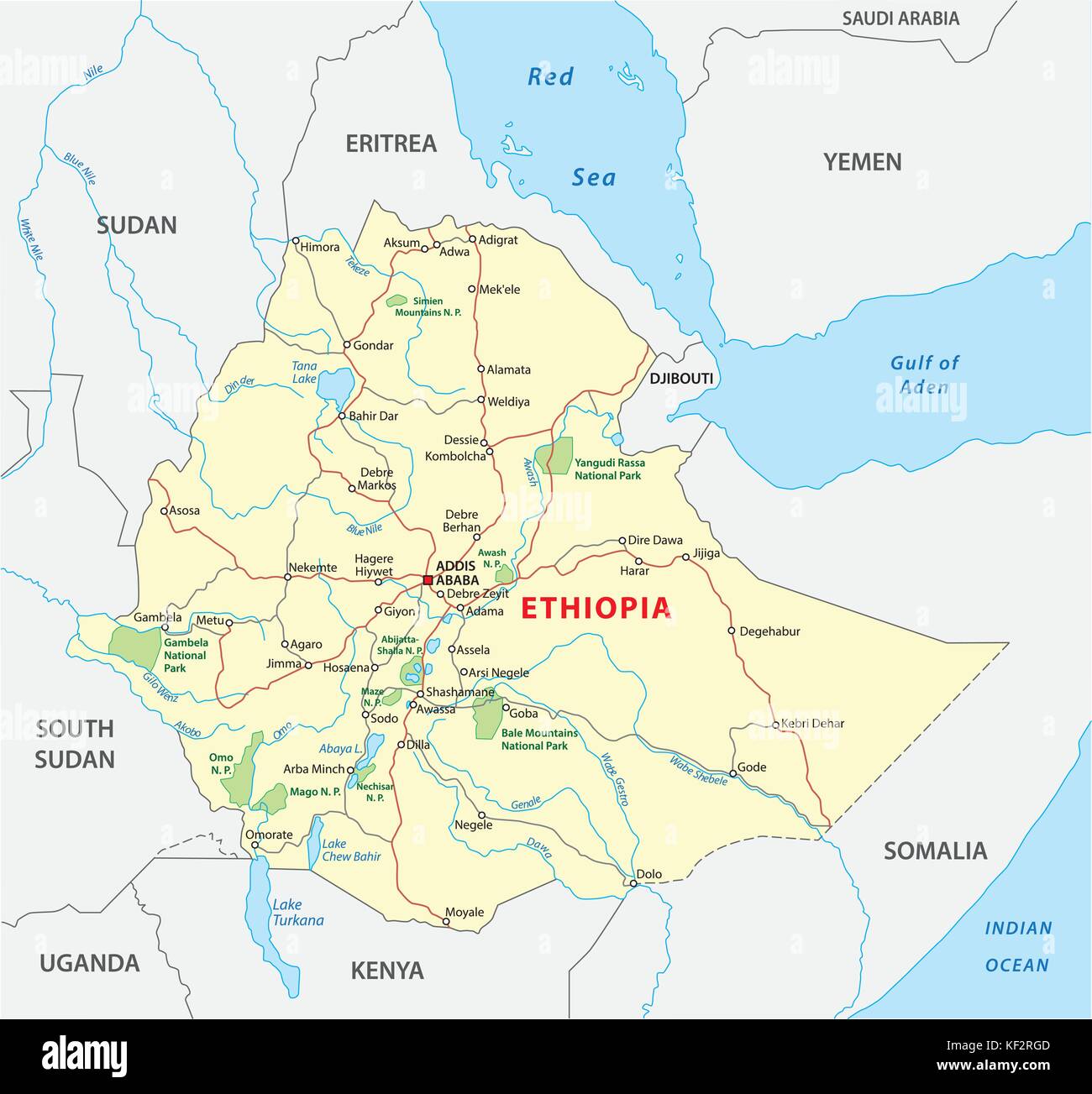 ethiopia road map Stock Vectorhttps://www.alamy.com/image-license-details/?v=1https://www.alamy.com/stock-image-ethiopia-road-map-164175549.html
RFKF2RGD–ethiopia road map
 Ethiopia and Eritrea on a map, selective focus. Stock Photohttps://www.alamy.com/image-license-details/?v=1https://www.alamy.com/ethiopia-and-eritrea-on-a-map-selective-focus-image256432116.html
RFTW5DNT–Ethiopia and Eritrea on a map, selective focus.
 Set of state maps of Ethiopia with regions and municipalities division. Department borders, isolated vector maps on white background. Stock Vectorhttps://www.alamy.com/image-license-details/?v=1https://www.alamy.com/set-of-state-maps-of-ethiopia-with-regions-and-municipalities-division-department-borders-isolated-vector-maps-on-white-background-image592411691.html
RF2WBPK4B–Set of state maps of Ethiopia with regions and municipalities division. Department borders, isolated vector maps on white background.
 Ethiopia Map black and white illustration Stock Vectorhttps://www.alamy.com/image-license-details/?v=1https://www.alamy.com/stock-photo-ethiopia-map-black-and-white-illustration-128831114.html
RFHDGNB6–Ethiopia Map black and white illustration
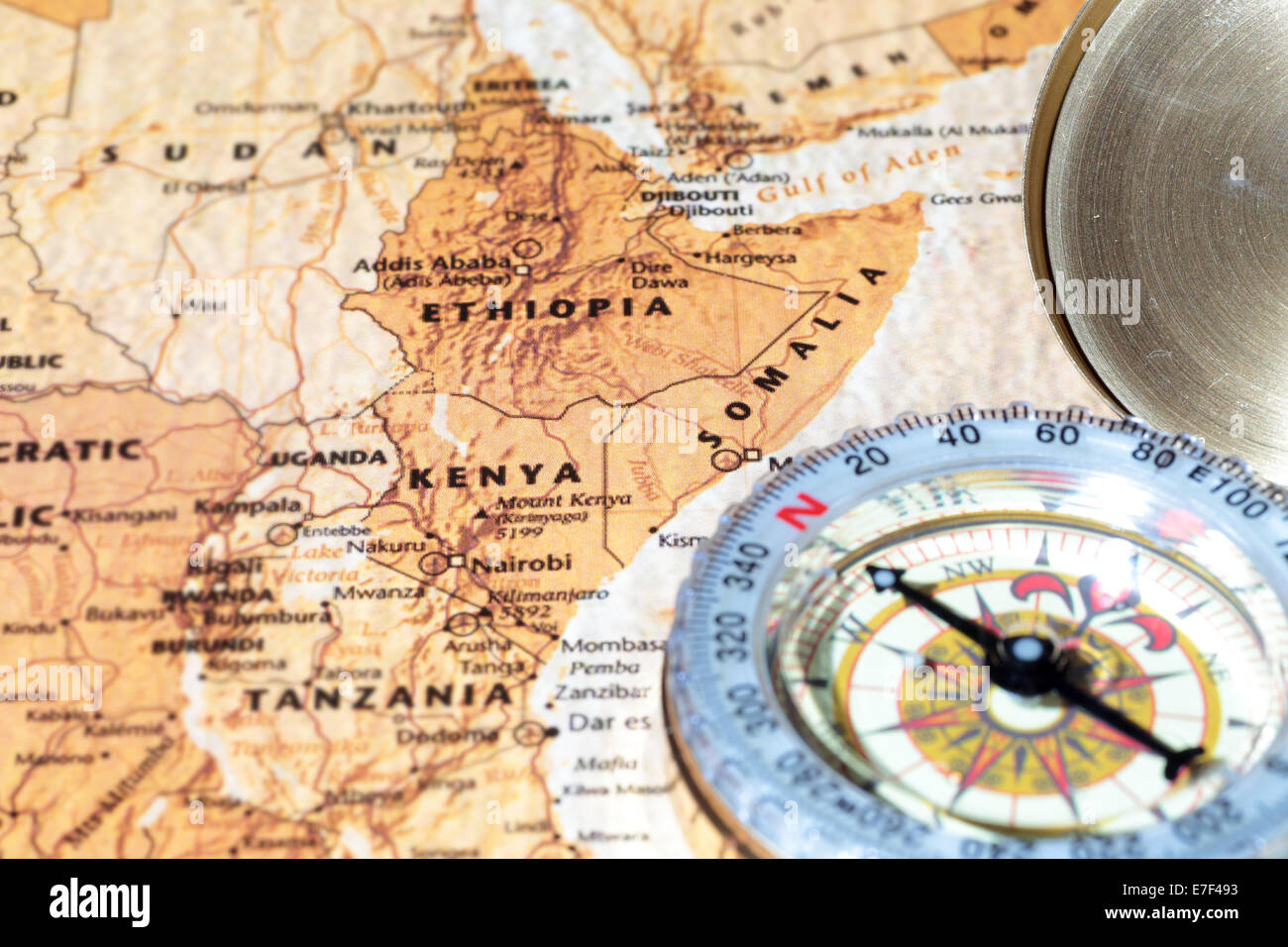 Compass on a map pointing at Kenya, Ethiopia and Somalia, planning a travel destination Stock Photohttps://www.alamy.com/image-license-details/?v=1https://www.alamy.com/stock-photo-compass-on-a-map-pointing-at-kenya-ethiopia-and-somalia-planning-a-73476735.html
RFE7F493–Compass on a map pointing at Kenya, Ethiopia and Somalia, planning a travel destination
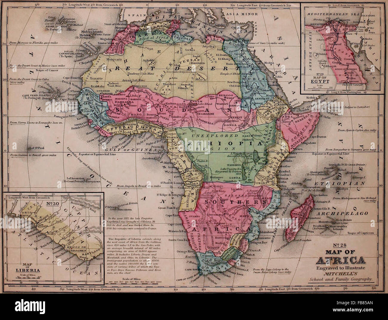 Map of Africa, circa 1861 Stock Photohttps://www.alamy.com/image-license-details/?v=1https://www.alamy.com/stock-photo-map-of-africa-circa-1861-92992893.html
RMFB85AN–Map of Africa, circa 1861
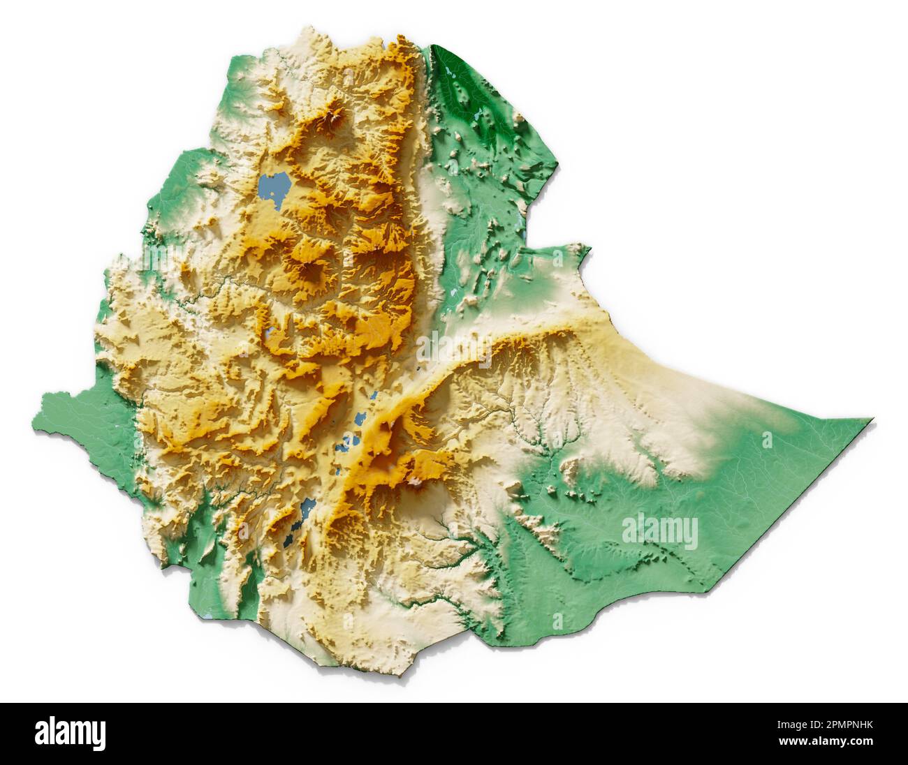 Ethiopia. Detailed 3D rendering of a shaded relief map with rivers and lakes. Colored by elevation. White background. Created with satellite data. Stock Photohttps://www.alamy.com/image-license-details/?v=1https://www.alamy.com/ethiopia-detailed-3d-rendering-of-a-shaded-relief-map-with-rivers-and-lakes-colored-by-elevation-white-background-created-with-satellite-data-image546314431.html
RF2PMPNHK–Ethiopia. Detailed 3D rendering of a shaded relief map with rivers and lakes. Colored by elevation. White background. Created with satellite data.
 Ethiopia, Relief Map With Border and Mask Stock Photohttps://www.alamy.com/image-license-details/?v=1https://www.alamy.com/stock-photo-ethiopia-relief-map-with-border-and-mask-71601720.html
RME4DMM8–Ethiopia, Relief Map With Border and Mask
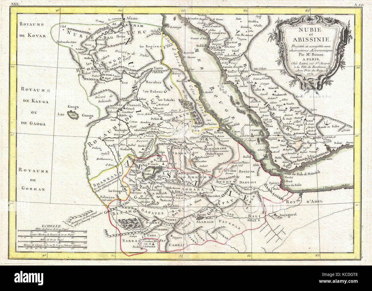 1771, Bonne Map of Abyssinia, Ethiopia, Sudan and the Red Sea, Rigobert Bonne 1727 – 1794 Stock Photohttps://www.alamy.com/image-license-details/?v=1https://www.alamy.com/stock-image-1771-bonne-map-of-abyssinia-ethiopia-sudan-and-the-red-sea-rigobert-162567784.html
RMKCDGT8–1771, Bonne Map of Abyssinia, Ethiopia, Sudan and the Red Sea, Rigobert Bonne 1727 – 1794
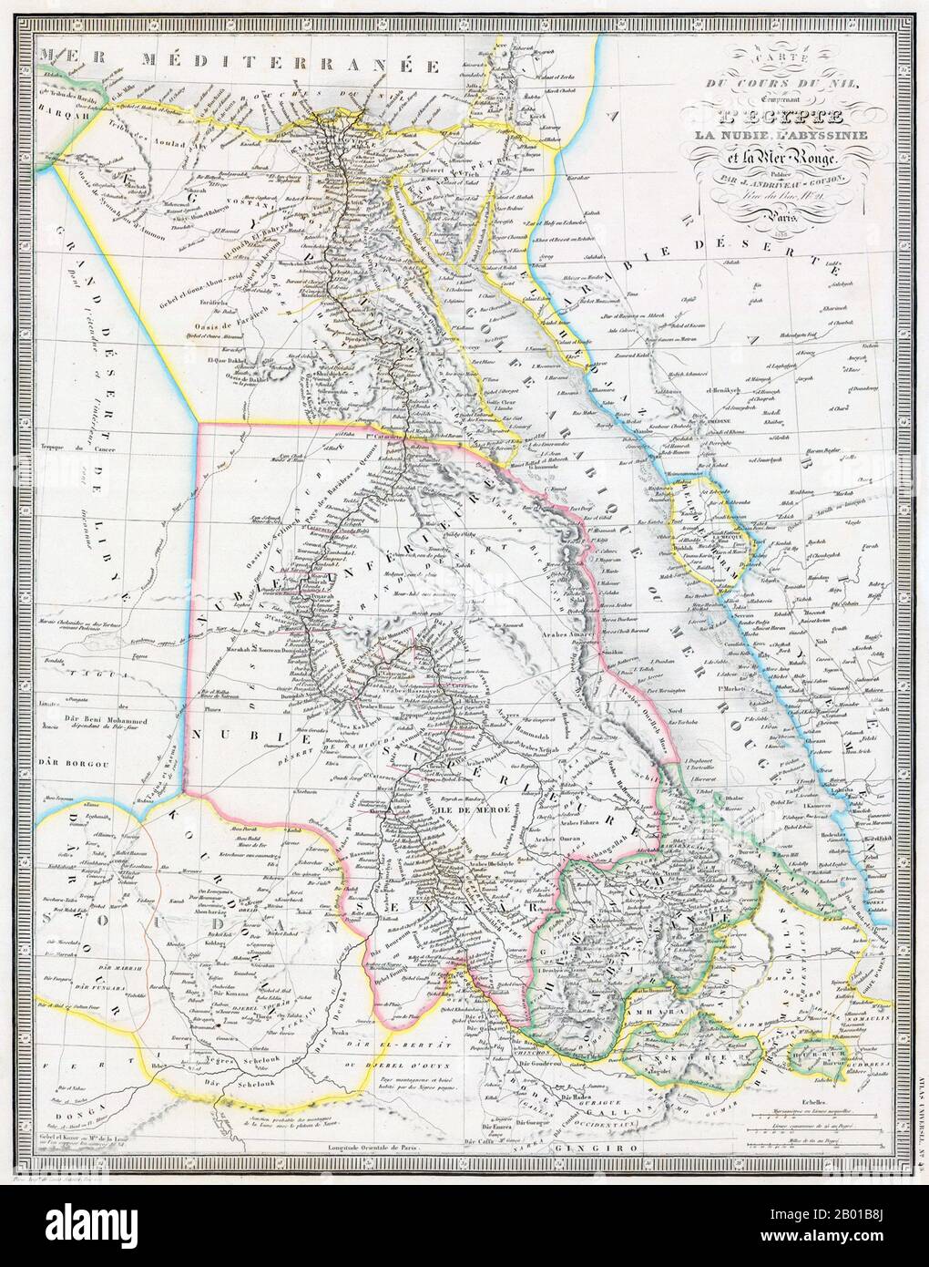 Northeast Africa: Map of the Nile from its source in Abyssinia to the Mediterranean, by Jean Andriveau-Goujon (1832-1897), 1858. The focus of this map is clearly the route of the Blue Nile to its junction with the White Nile at Khartoum and the combined river’s course to the Mediterranean. Numerous place-names are shown, as are the six cataracts of the river between Aswan and Khartoum. The Mountains of the Moon (montagnes de la lune) are present in the lower left corner, where the sources of the White Nile still elude discovery. Stock Photohttps://www.alamy.com/image-license-details/?v=1https://www.alamy.com/northeast-africa-map-of-the-nile-from-its-source-in-abyssinia-to-the-mediterranean-by-jean-andriveau-goujon-1832-1897-1858-the-focus-of-this-map-is-clearly-the-route-of-the-blue-nile-to-its-junction-with-the-white-nile-at-khartoum-and-the-combined-rivers-course-to-the-mediterranean-numerous-place-names-are-shown-as-are-the-six-cataracts-of-the-river-between-aswan-and-khartoum-the-mountains-of-the-moon-montagnes-de-la-lune-are-present-in-the-lower-left-corner-where-the-sources-of-the-white-nile-still-elude-discovery-image344238178.html
RM2B01B8J–Northeast Africa: Map of the Nile from its source in Abyssinia to the Mediterranean, by Jean Andriveau-Goujon (1832-1897), 1858. The focus of this map is clearly the route of the Blue Nile to its junction with the White Nile at Khartoum and the combined river’s course to the Mediterranean. Numerous place-names are shown, as are the six cataracts of the river between Aswan and Khartoum. The Mountains of the Moon (montagnes de la lune) are present in the lower left corner, where the sources of the White Nile still elude discovery.
 Ethiopia map on a Rastafarian flag button, white background. Stock Photohttps://www.alamy.com/image-license-details/?v=1https://www.alamy.com/stock-photo-ethiopia-map-on-a-rastafarian-flag-button-white-background-114243175.html
RMGHT69B–Ethiopia map on a Rastafarian flag button, white background.
 Ethiopia 3d map with national color Stock Photohttps://www.alamy.com/image-license-details/?v=1https://www.alamy.com/stock-photo-ethiopia-3d-map-with-national-color-26528143.html
RFBF4CWK–Ethiopia 3d map with national color
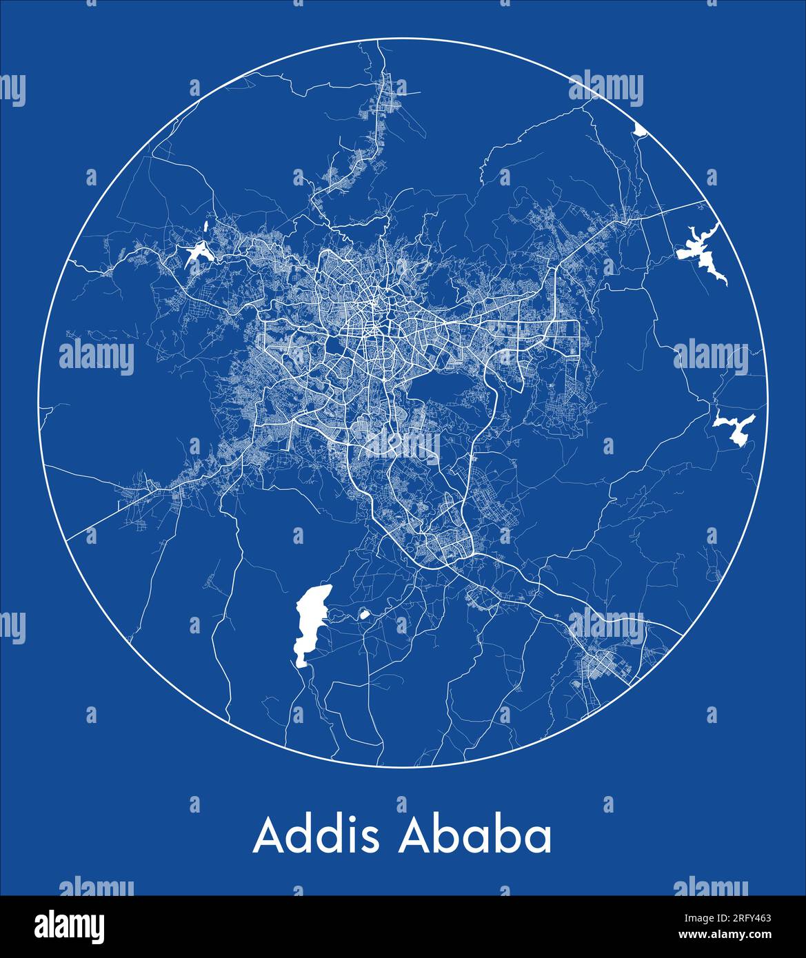 City Map Addis Ababa Ethiopia Africa blue print round Circle vector illustration Stock Vectorhttps://www.alamy.com/image-license-details/?v=1https://www.alamy.com/city-map-addis-ababa-ethiopia-africa-blue-print-round-circle-vector-illustration-image560547627.html
RF2RFY463–City Map Addis Ababa Ethiopia Africa blue print round Circle vector illustration
 Ethiopia MAP in Blue, Country Map, Ethiopia, Border Map, Border line of Ethiopia, Geographic Map Stock Vectorhttps://www.alamy.com/image-license-details/?v=1https://www.alamy.com/ethiopia-map-in-blue-country-map-ethiopia-border-map-border-line-of-ethiopia-geographic-map-image632749729.html
RF2YNC6MH–Ethiopia MAP in Blue, Country Map, Ethiopia, Border Map, Border line of Ethiopia, Geographic Map
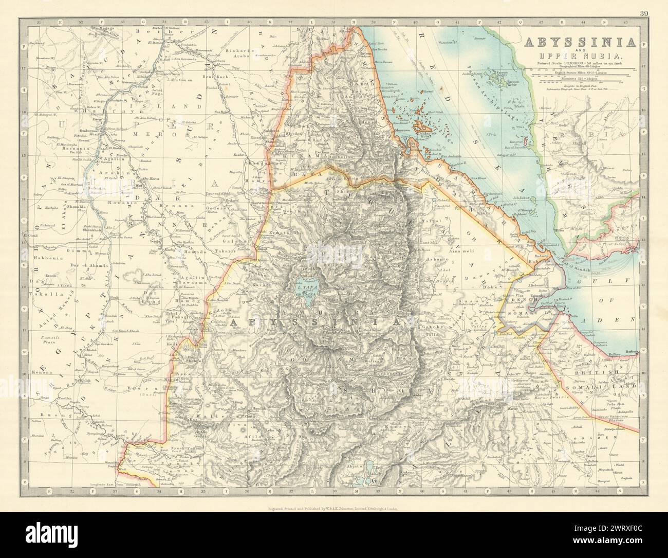 ABYSSINIA & UPPER NUBIA. Ethiopia Erirtrea French Somaliland. JOHNSTON 1913 map Stock Photohttps://www.alamy.com/image-license-details/?v=1https://www.alamy.com/abyssinia-upper-nubia-ethiopia-erirtrea-french-somaliland-johnston-1913-map-image599872124.html
RF2WRXF0C–ABYSSINIA & UPPER NUBIA. Ethiopia Erirtrea French Somaliland. JOHNSTON 1913 map
 Ethiopia, Kimba, AU, Australia, South Australia, S 33 18' 17'', N 136 38' 29'', map, Cartascapes Map published in 2024. Explore Cartascapes, a map revealing Earth's diverse landscapes, cultures, and ecosystems. Journey through time and space, discovering the interconnectedness of our planet's past, present, and future. Stock Photohttps://www.alamy.com/image-license-details/?v=1https://www.alamy.com/ethiopia-kimba-au-australia-south-australia-s-33-18-17-n-136-38-29-map-cartascapes-map-published-in-2024-explore-cartascapes-a-map-revealing-earths-diverse-landscapes-cultures-and-ecosystems-journey-through-time-and-space-discovering-the-interconnectedness-of-our-planets-past-present-and-future-image625746377.html
RM2YA15TW–Ethiopia, Kimba, AU, Australia, South Australia, S 33 18' 17'', N 136 38' 29'', map, Cartascapes Map published in 2024. Explore Cartascapes, a map revealing Earth's diverse landscapes, cultures, and ecosystems. Journey through time and space, discovering the interconnectedness of our planet's past, present, and future.
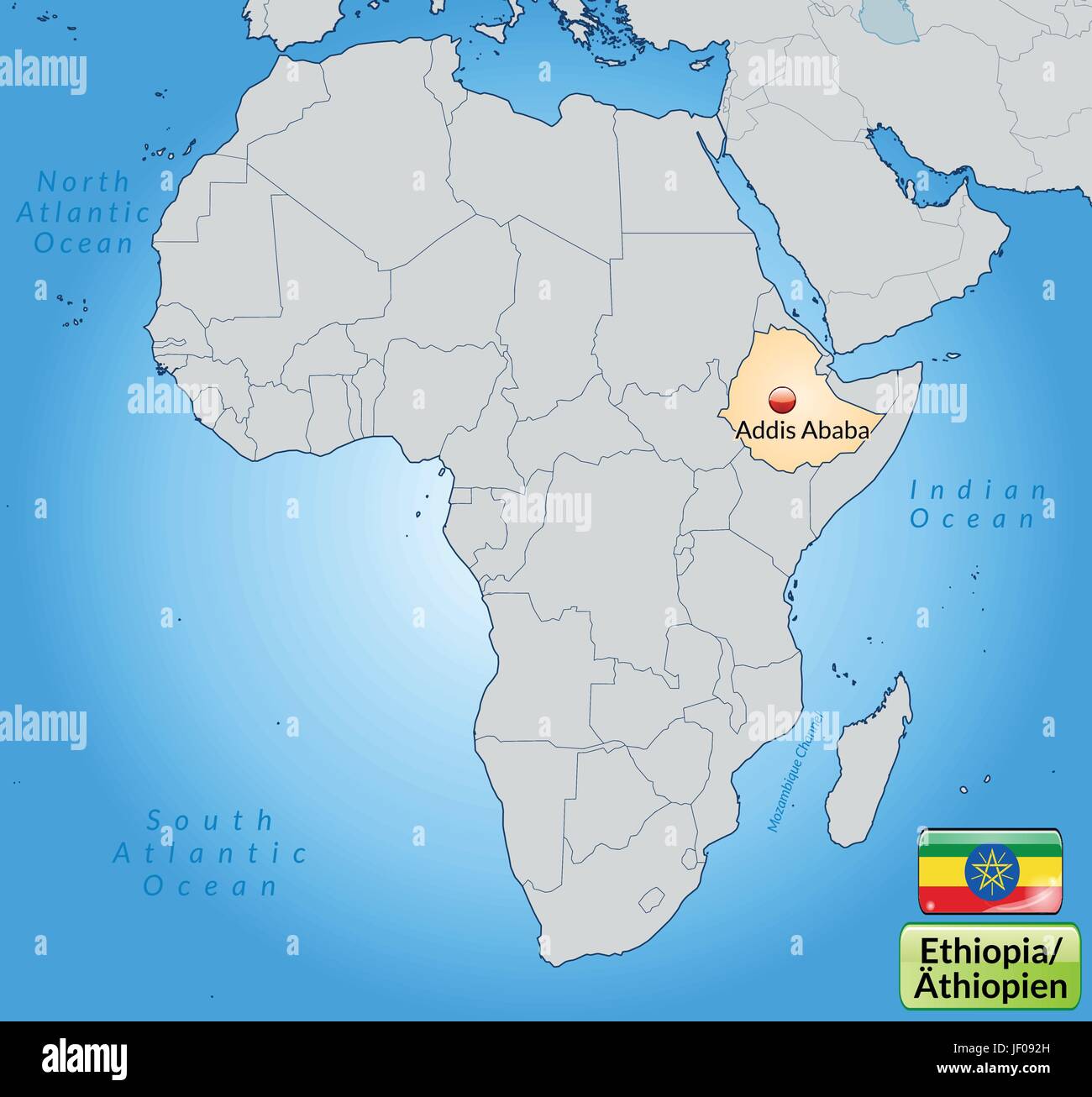 map of ethiopia with capitals in pastelorange Stock Vectorhttps://www.alamy.com/image-license-details/?v=1https://www.alamy.com/stock-photo-map-of-ethiopia-with-capitals-in-pastelorange-146909913.html
RFJF092H–map of ethiopia with capitals in pastelorange
