Quick filters:
Map greece borders Stock Photos and Images
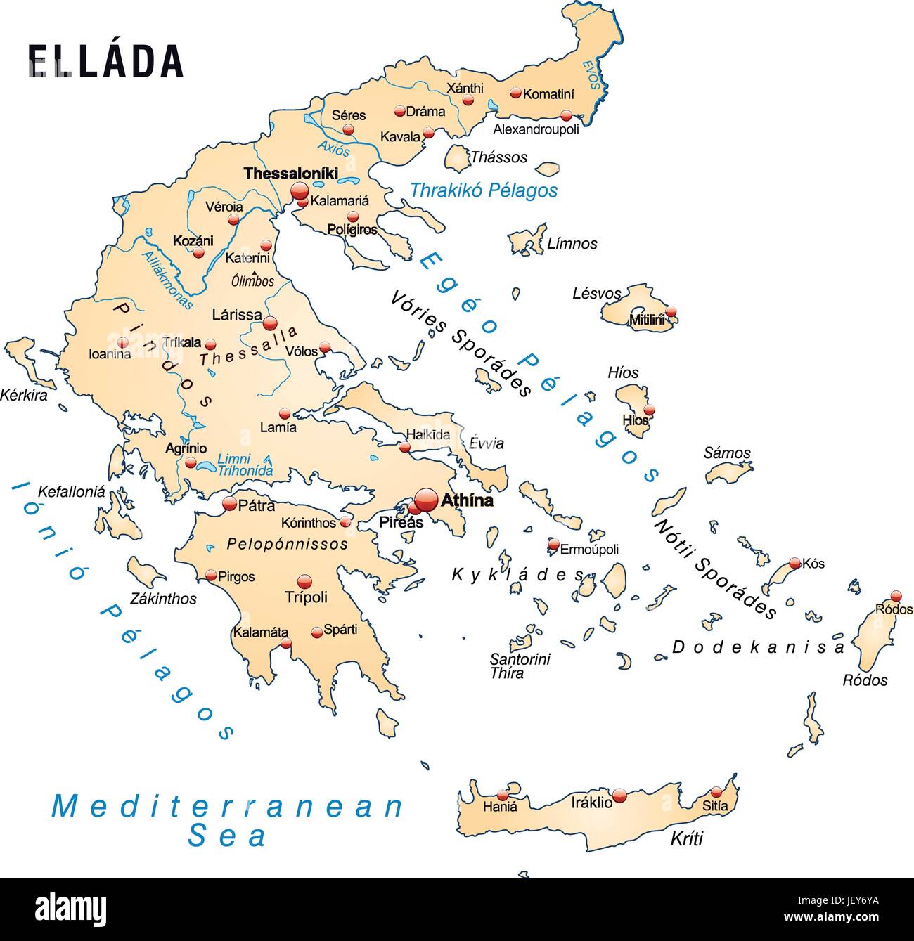 greece, card, outline, borders, atlas, map of the world, map, Stock Vectorhttps://www.alamy.com/image-license-details/?v=1https://www.alamy.com/stock-photo-greece-card-outline-borders-atlas-map-of-the-world-map-146886302.html
RFJEY6YA–greece, card, outline, borders, atlas, map of the world, map,
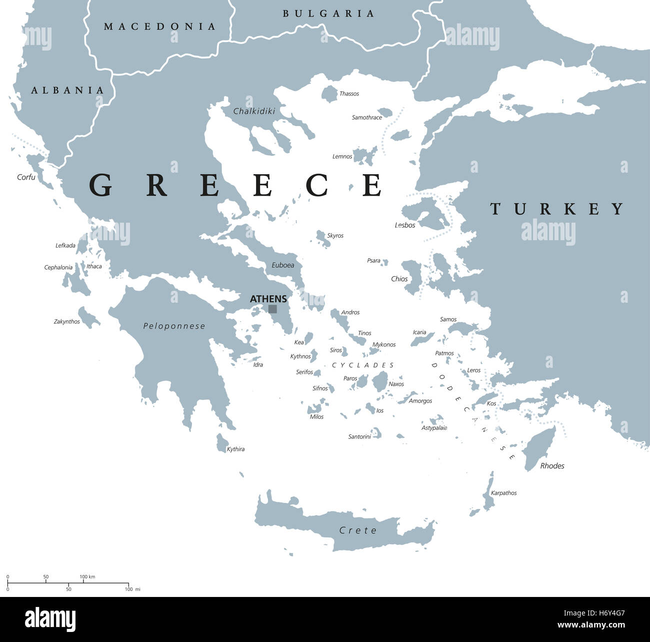 Greece political map with capital Athens, with most important peninsulas and islands, with national borders and neighbors. Stock Photohttps://www.alamy.com/image-license-details/?v=1https://www.alamy.com/stock-photo-greece-political-map-with-capital-athens-with-most-important-peninsulas-124756807.html
RFH6Y4G7–Greece political map with capital Athens, with most important peninsulas and islands, with national borders and neighbors.
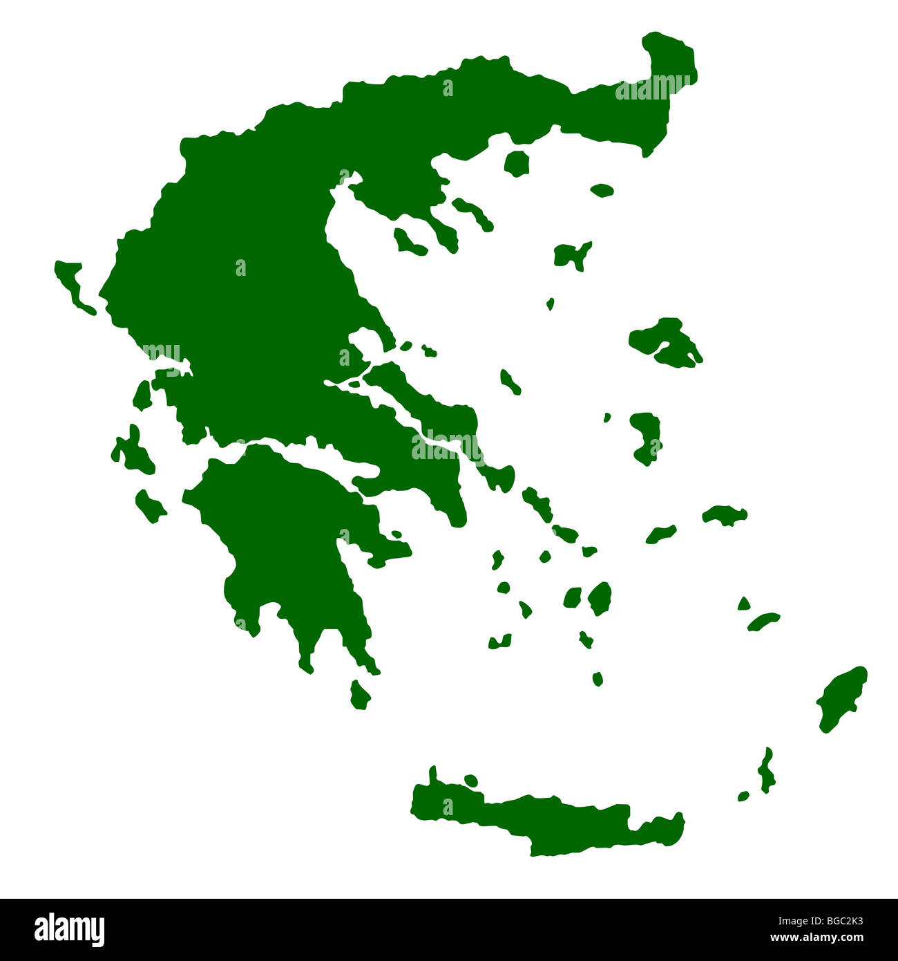 Map of Greece isolated on white background. Stock Photohttps://www.alamy.com/image-license-details/?v=1https://www.alamy.com/stock-photo-map-of-greece-isolated-on-white-background-27310391.html
RMBGC2K3–Map of Greece isolated on white background.
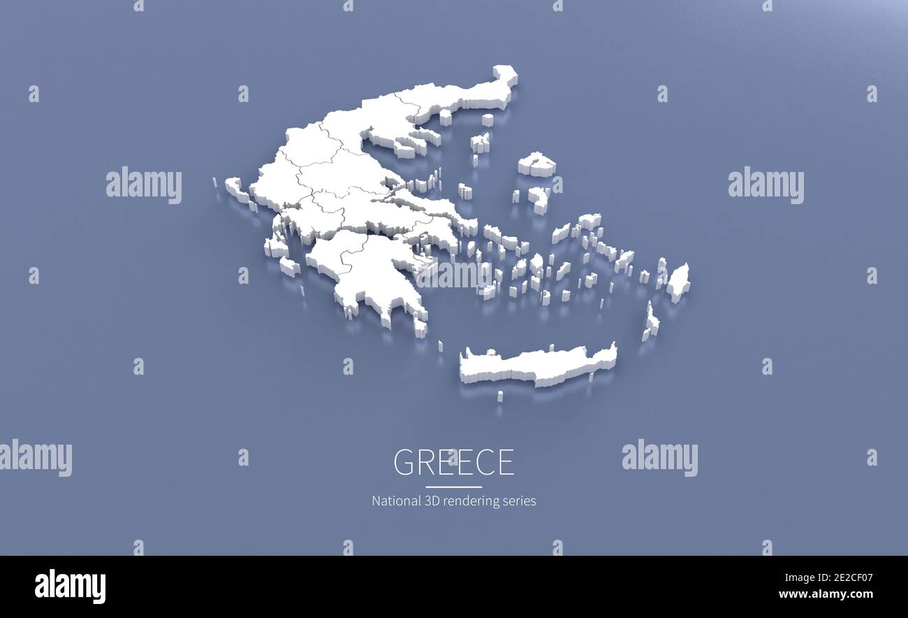 Greece Map. 3d rendering maps of countries. Stock Photohttps://www.alamy.com/image-license-details/?v=1https://www.alamy.com/greece-map-3d-rendering-maps-of-countries-image397342967.html
RF2E2CF07–Greece Map. 3d rendering maps of countries.
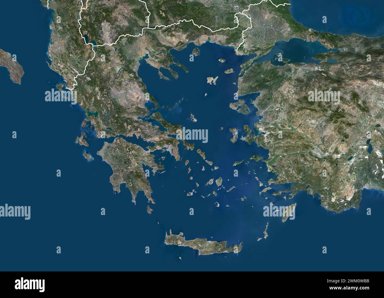 Color satellite image of Greece and neighbouring countries, with borders. Stock Photohttps://www.alamy.com/image-license-details/?v=1https://www.alamy.com/color-satellite-image-of-greece-and-neighbouring-countries-with-borders-image597465551.html
RM2WM0WBB–Color satellite image of Greece and neighbouring countries, with borders.
 Map of Greece highlighted from the outline Stock Photohttps://www.alamy.com/image-license-details/?v=1https://www.alamy.com/map-of-greece-highlighted-from-the-outline-image426371507.html
RF2FNJW5R–Map of Greece highlighted from the outline
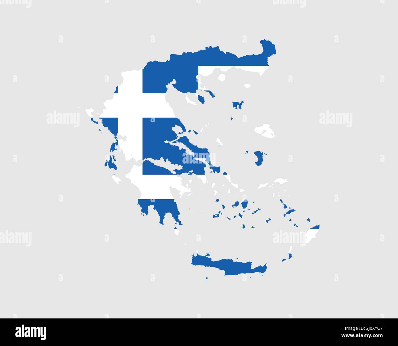 Greece Map Flag. Map of Hellas with the Greek country banner. Vector Illustration. Stock Vectorhttps://www.alamy.com/image-license-details/?v=1https://www.alamy.com/greece-map-flag-map-of-hellas-with-the-greek-country-banner-vector-illustration-image465272311.html
RF2J0XYG7–Greece Map Flag. Map of Hellas with the Greek country banner. Vector Illustration.
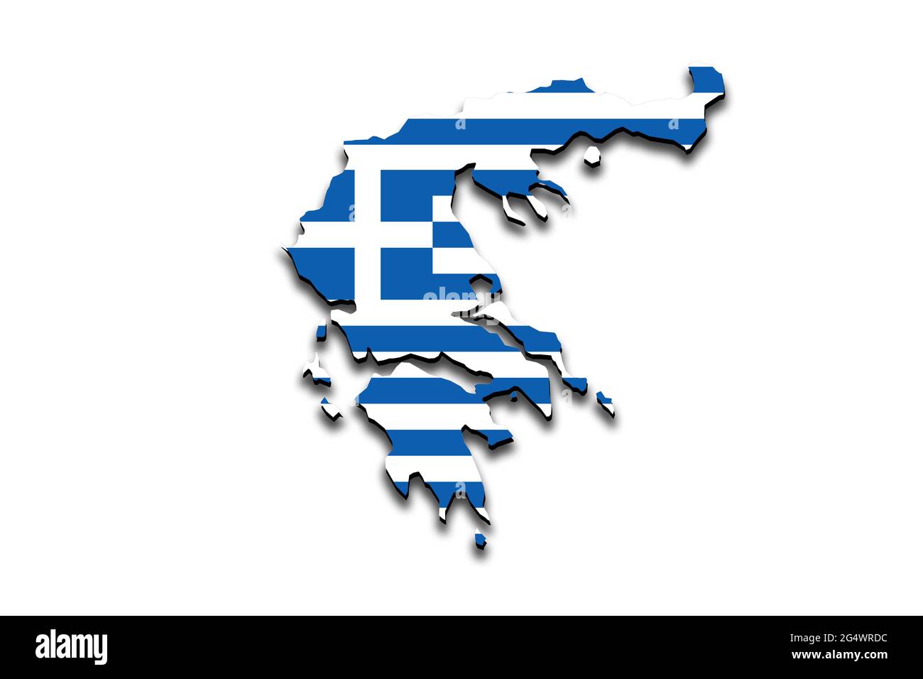 Outline map of Greece with the national flag superimposed over the country. 3D graphics casting a shadow on the white background Stock Photohttps://www.alamy.com/image-license-details/?v=1https://www.alamy.com/outline-map-of-greece-with-the-national-flag-superimposed-over-the-country-3d-graphics-casting-a-shadow-on-the-white-background-image433285032.html
RF2G4WRDC–Outline map of Greece with the national flag superimposed over the country. 3D graphics casting a shadow on the white background
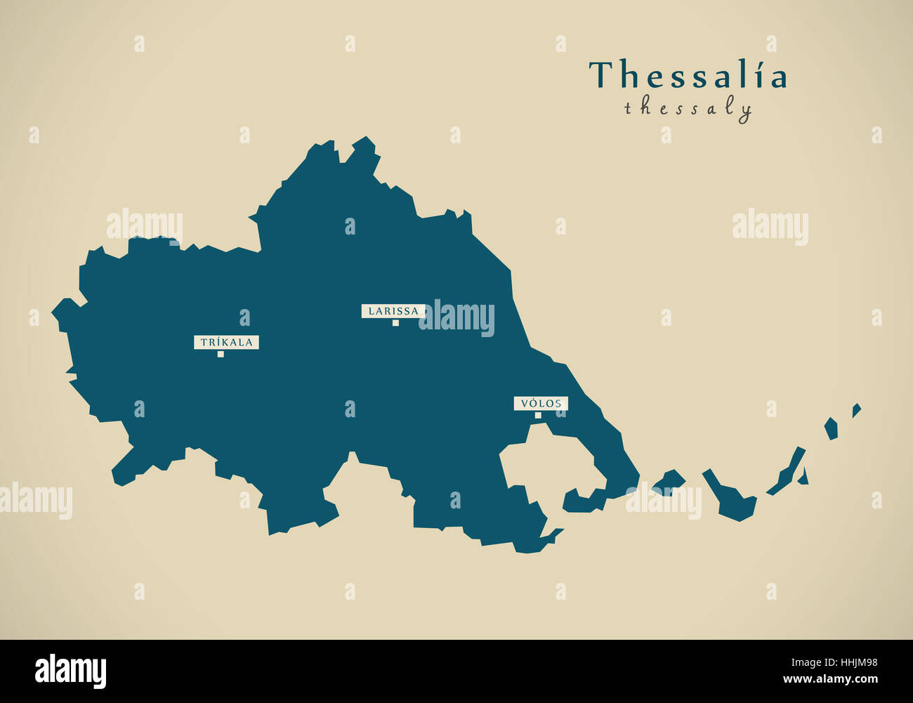 Modern Map - Thessalia Greece GR illustration Stock Photohttps://www.alamy.com/image-license-details/?v=1https://www.alamy.com/stock-photo-modern-map-thessalia-greece-gr-illustration-131332804.html
RFHHJM98–Modern Map - Thessalia Greece GR illustration
![Original title: 'Map of the Austrian Empire, Italian States, Turkey in Europe, and Greece; Maltese Islands [inset].' Map publication date was 1863. This is a beautifully detailed historic map reproduction showing political borders and important landmarks.Note that longitude is given from both Greenwich and Washington, D.C. Shows political boundaries, cities, and seas. Stock Photo Original title: 'Map of the Austrian Empire, Italian States, Turkey in Europe, and Greece; Maltese Islands [inset].' Map publication date was 1863. This is a beautifully detailed historic map reproduction showing political borders and important landmarks.Note that longitude is given from both Greenwich and Washington, D.C. Shows political boundaries, cities, and seas. Stock Photo](https://c8.alamy.com/comp/2FKT607/original-title-map-of-the-austrian-empire-italian-states-turkey-in-europe-and-greece-maltese-islands-inset-map-publication-date-was-1863-this-is-a-beautifully-detailed-historic-map-reproduction-showing-political-borders-and-important-landmarksnote-that-longitude-is-given-from-both-greenwich-and-washington-dc-shows-political-boundaries-cities-and-seas-2FKT607.jpg) Original title: 'Map of the Austrian Empire, Italian States, Turkey in Europe, and Greece; Maltese Islands [inset].' Map publication date was 1863. This is a beautifully detailed historic map reproduction showing political borders and important landmarks.Note that longitude is given from both Greenwich and Washington, D.C. Shows political boundaries, cities, and seas. Stock Photohttps://www.alamy.com/image-license-details/?v=1https://www.alamy.com/original-title-map-of-the-austrian-empire-italian-states-turkey-in-europe-and-greece-maltese-islands-inset-map-publication-date-was-1863-this-is-a-beautifully-detailed-historic-map-reproduction-showing-political-borders-and-important-landmarksnote-that-longitude-is-given-from-both-greenwich-and-washington-dc-shows-political-boundaries-cities-and-seas-image425258855.html
Original title: 'Map of the Austrian Empire, Italian States, Turkey in Europe, and Greece; Maltese Islands [inset].' Map publication date was 1863. This is a beautifully detailed historic map reproduction showing political borders and important landmarks.Note that longitude is given from both Greenwich and Washington, D.C. Shows political boundaries, cities, and seas. Stock Photohttps://www.alamy.com/image-license-details/?v=1https://www.alamy.com/original-title-map-of-the-austrian-empire-italian-states-turkey-in-europe-and-greece-maltese-islands-inset-map-publication-date-was-1863-this-is-a-beautifully-detailed-historic-map-reproduction-showing-political-borders-and-important-landmarksnote-that-longitude-is-given-from-both-greenwich-and-washington-dc-shows-political-boundaries-cities-and-seas-image425258855.htmlRF2FKT607–Original title: 'Map of the Austrian Empire, Italian States, Turkey in Europe, and Greece; Maltese Islands [inset].' Map publication date was 1863. This is a beautifully detailed historic map reproduction showing political borders and important landmarks.Note that longitude is given from both Greenwich and Washington, D.C. Shows political boundaries, cities, and seas.
RF2R4YBJK–greece map icon vector illustration design
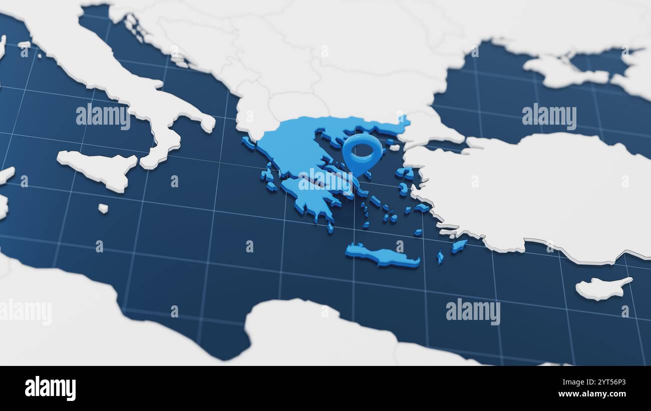 Blue Greece 3d map with pointer pin surrounded with other countries in white. Europe political map with borders. 3d render illustration Stock Photohttps://www.alamy.com/image-license-details/?v=1https://www.alamy.com/blue-greece-3d-map-with-pointer-pin-surrounded-with-other-countries-in-white-europe-political-map-with-borders-3d-render-illustration-image634440075.html
RF2YT56P3–Blue Greece 3d map with pointer pin surrounded with other countries in white. Europe political map with borders. 3d render illustration
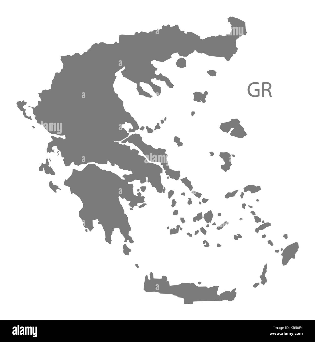 Greece Map grey Stock Photohttps://www.alamy.com/image-license-details/?v=1https://www.alamy.com/stock-image-greece-map-grey-169140584.html
RFKR50F4–Greece Map grey
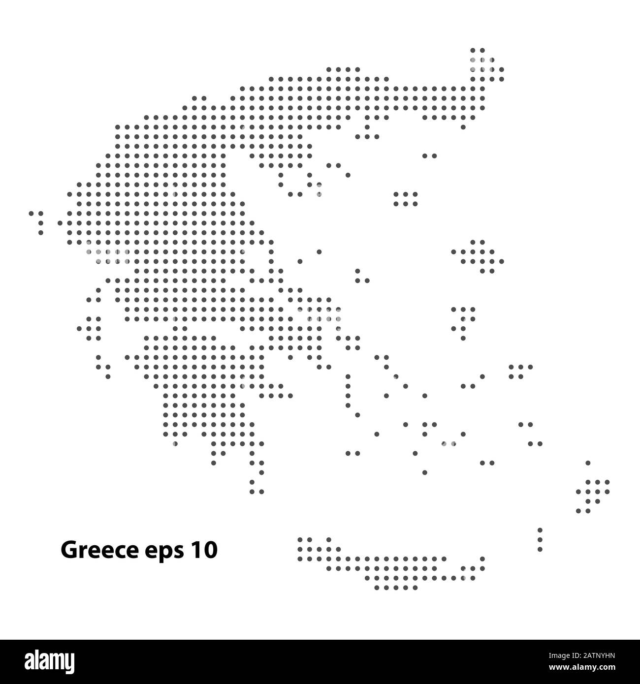 Greece map dotted vector background. Illustration for technology design or infographics. Isolated on white background. Travel vector illustration Stock Vectorhttps://www.alamy.com/image-license-details/?v=1https://www.alamy.com/greece-map-dotted-vector-background-illustration-for-technology-design-or-infographics-isolated-on-white-background-travel-vector-illustration-image342231393.html
RF2ATNYHN–Greece map dotted vector background. Illustration for technology design or infographics. Isolated on white background. Travel vector illustration
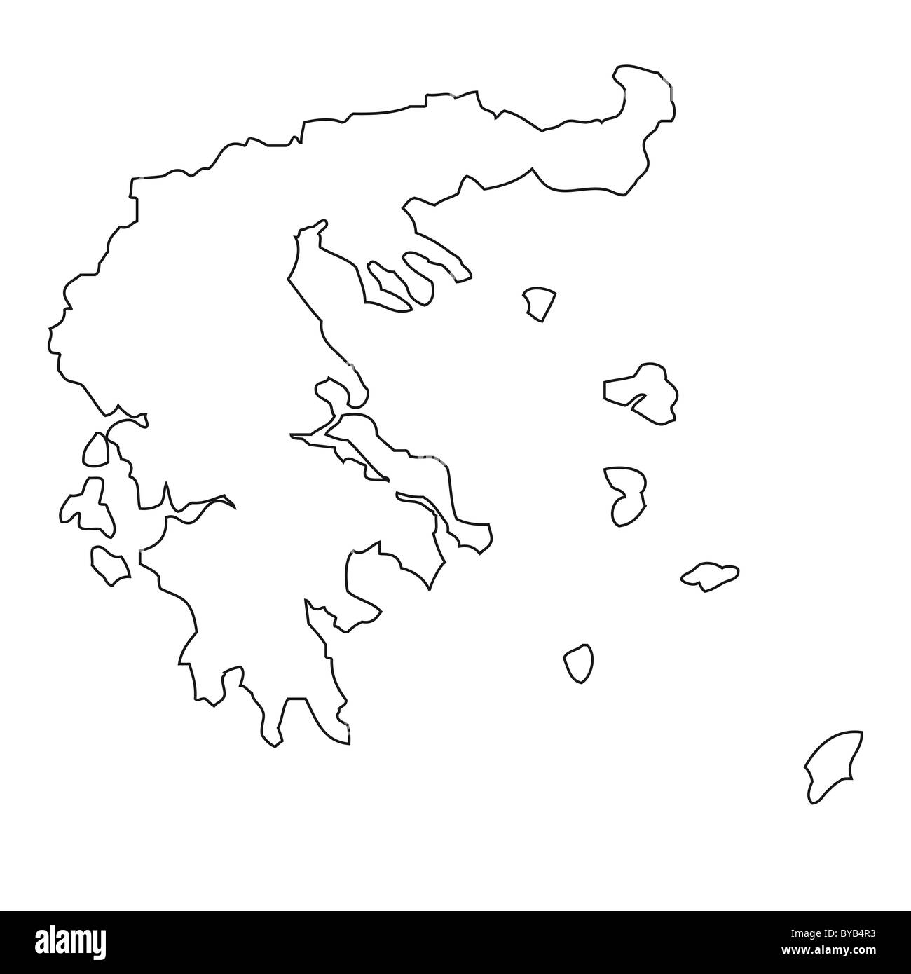 Outline, map of Greece Stock Photohttps://www.alamy.com/image-license-details/?v=1https://www.alamy.com/stock-photo-outline-map-of-greece-34051335.html
RFBYB4R3–Outline, map of Greece
 Vector illustration with european land with borders of states and marked country Greece. Political map in brown colors with western, south and etc reg Stock Vectorhttps://www.alamy.com/image-license-details/?v=1https://www.alamy.com/vector-illustration-with-european-land-with-borders-of-states-and-marked-country-greece-political-map-in-brown-colors-with-western-south-and-etc-reg-image601739286.html
RF2WXYGGP–Vector illustration with european land with borders of states and marked country Greece. Political map in brown colors with western, south and etc reg
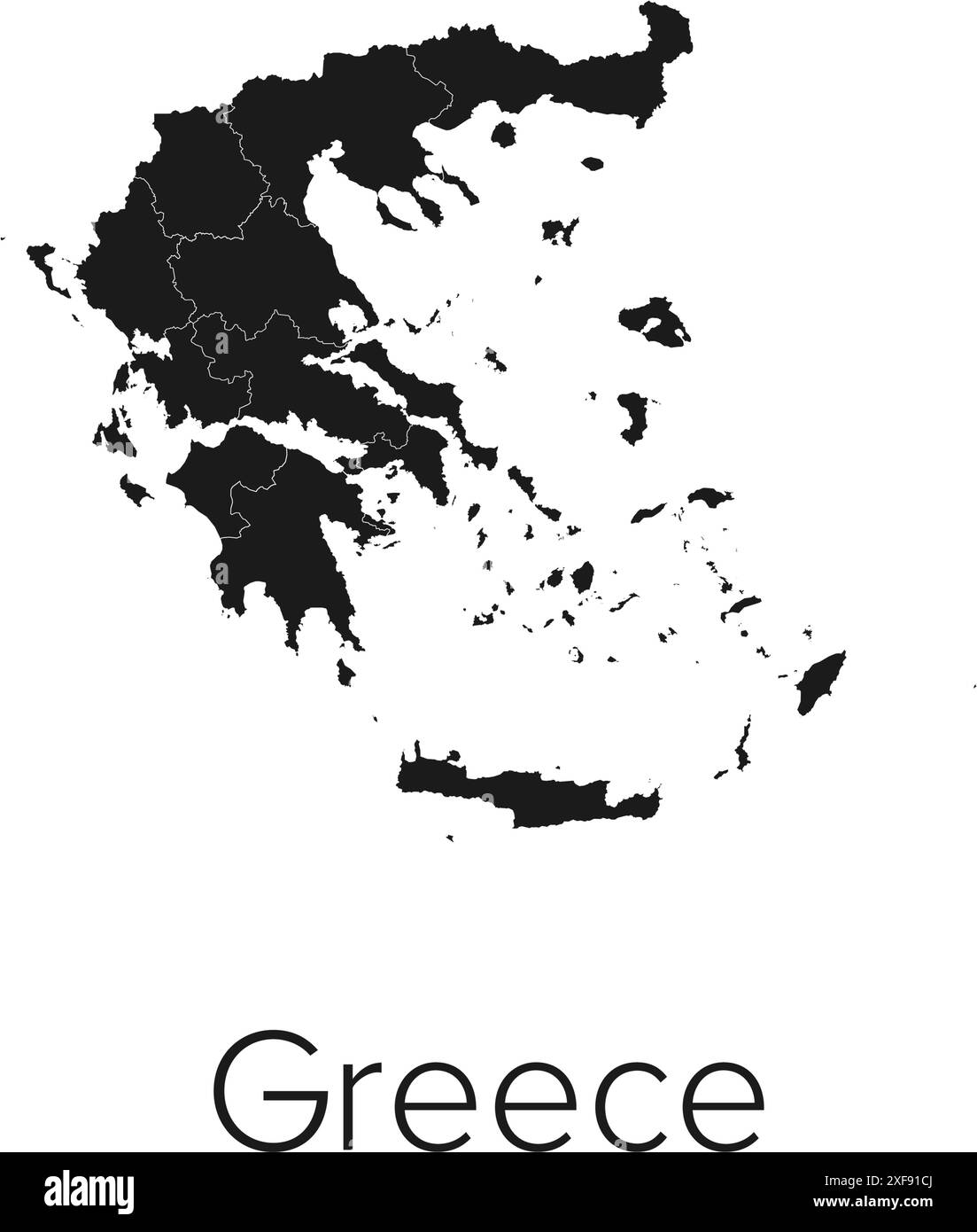 Greece Map Vector Illustration - Silhouette, Outline, Greece Travel and Tourism Map Stock Vectorhttps://www.alamy.com/image-license-details/?v=1https://www.alamy.com/greece-map-vector-illustration-silhouette-outline-greece-travel-and-tourism-map-image611781426.html
RF2XF91CJ–Greece Map Vector Illustration - Silhouette, Outline, Greece Travel and Tourism Map
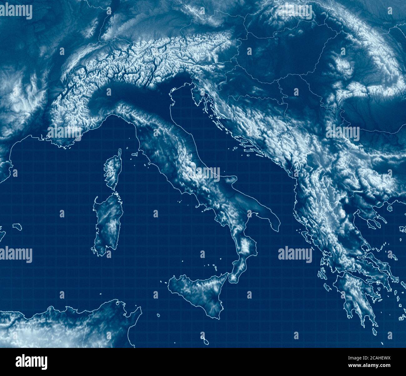 Satellite view of the Mediterranean Sea. Italy, the Balkans and the coasts of Greece. Mountainous reliefs. Physical map with mountain reliefs Stock Photohttps://www.alamy.com/image-license-details/?v=1https://www.alamy.com/satellite-view-of-the-mediterranean-sea-italy-the-balkans-and-the-coasts-of-greece-mountainous-reliefs-physical-map-with-mountain-reliefs-image367949174.html
RF2CAHEWX–Satellite view of the Mediterranean Sea. Italy, the Balkans and the coasts of Greece. Mountainous reliefs. Physical map with mountain reliefs
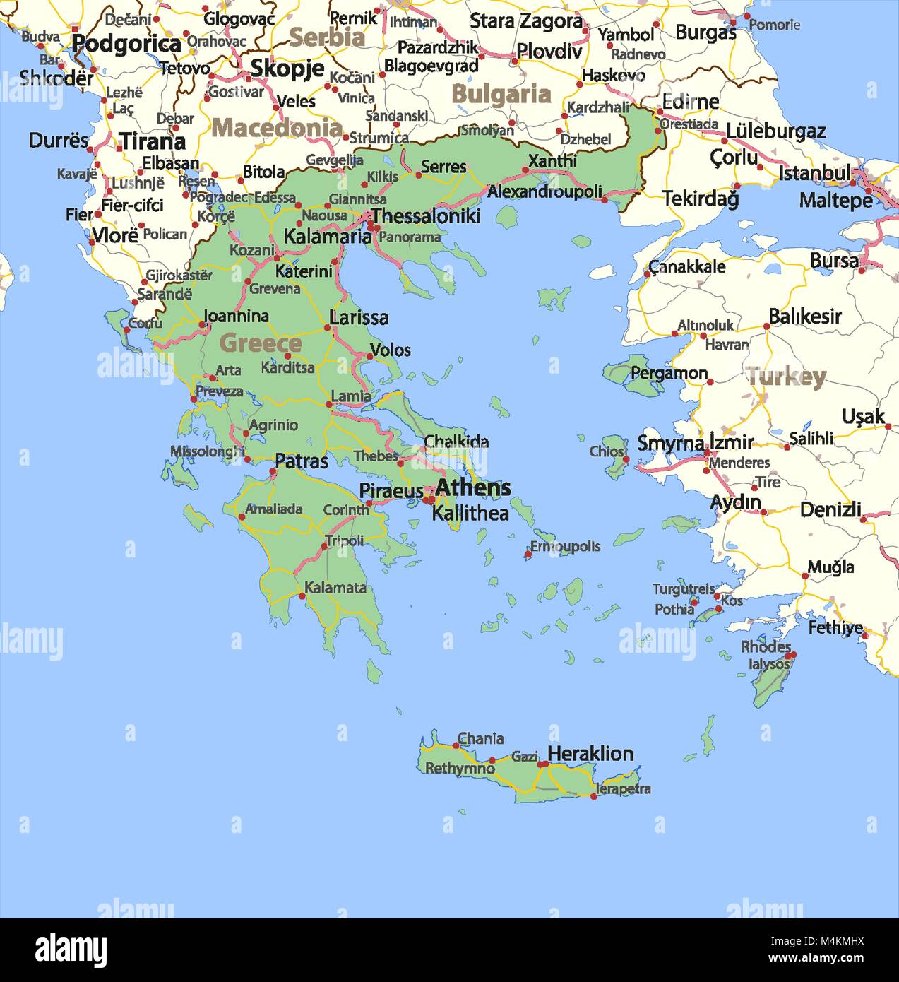 Map of Greece. Shows country borders, urban areas, place names and roads. Labels in English where possible. Projection: Mercator. Stock Vectorhttps://www.alamy.com/image-license-details/?v=1https://www.alamy.com/stock-photo-map-of-greece-shows-country-borders-urban-areas-place-names-and-roads-174995574.html
RFM4KMHX–Map of Greece. Shows country borders, urban areas, place names and roads. Labels in English where possible. Projection: Mercator.
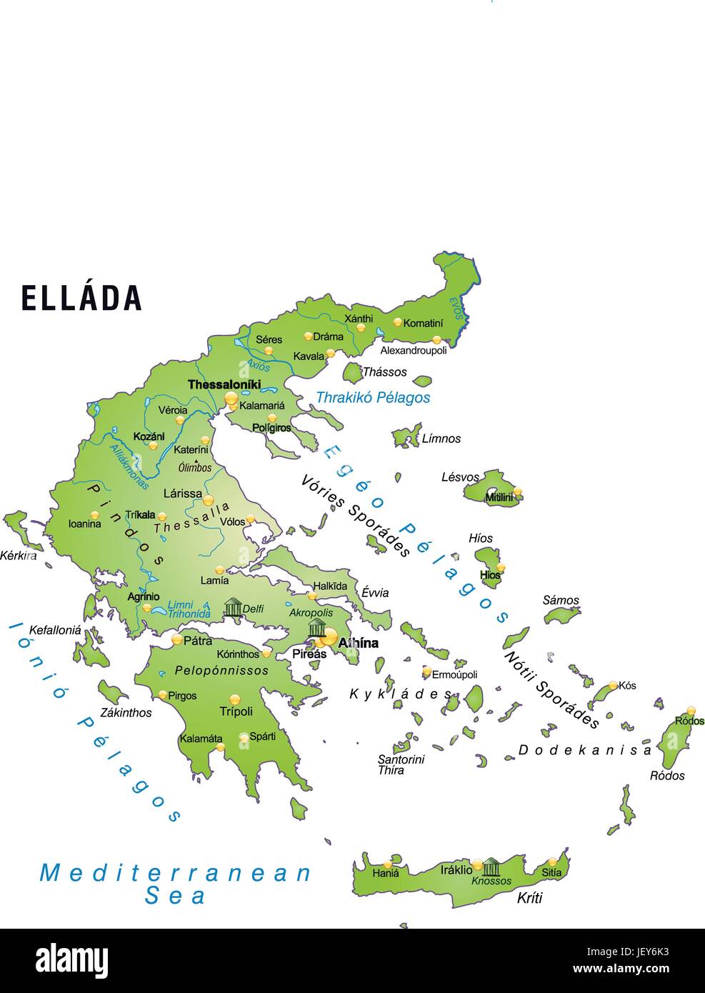 greece, card, outline, borders, atlas, map of the world, map, Stock Vectorhttps://www.alamy.com/image-license-details/?v=1https://www.alamy.com/stock-photo-greece-card-outline-borders-atlas-map-of-the-world-map-146886071.html
RFJEY6K3–greece, card, outline, borders, atlas, map of the world, map,
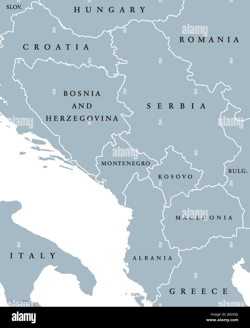 Central Balkan political map with borders. Southeastern countries on the Balkan Peninsula in Europe from Croatia to Greece. Gray illustration. Stock Photohttps://www.alamy.com/image-license-details/?v=1https://www.alamy.com/central-balkan-political-map-with-borders-southeastern-countries-on-image150032922.html
RFJM2GEJ–Central Balkan political map with borders. Southeastern countries on the Balkan Peninsula in Europe from Croatia to Greece. Gray illustration.
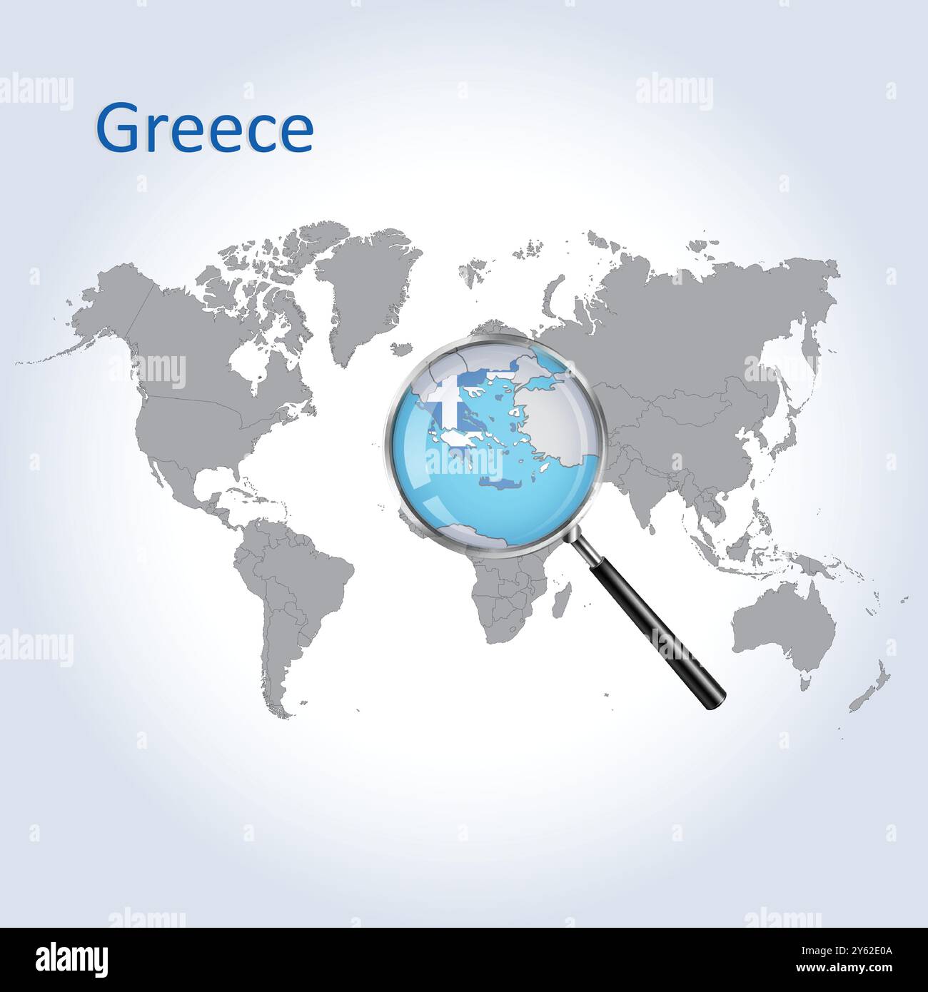 Greece Magnified Map and Flag, Greece Enlargement Maps, Vector Art Stock Vectorhttps://www.alamy.com/image-license-details/?v=1https://www.alamy.com/greece-magnified-map-and-flag-greece-enlargement-maps-vector-art-image623316074.html
RF2Y62E0A–Greece Magnified Map and Flag, Greece Enlargement Maps, Vector Art
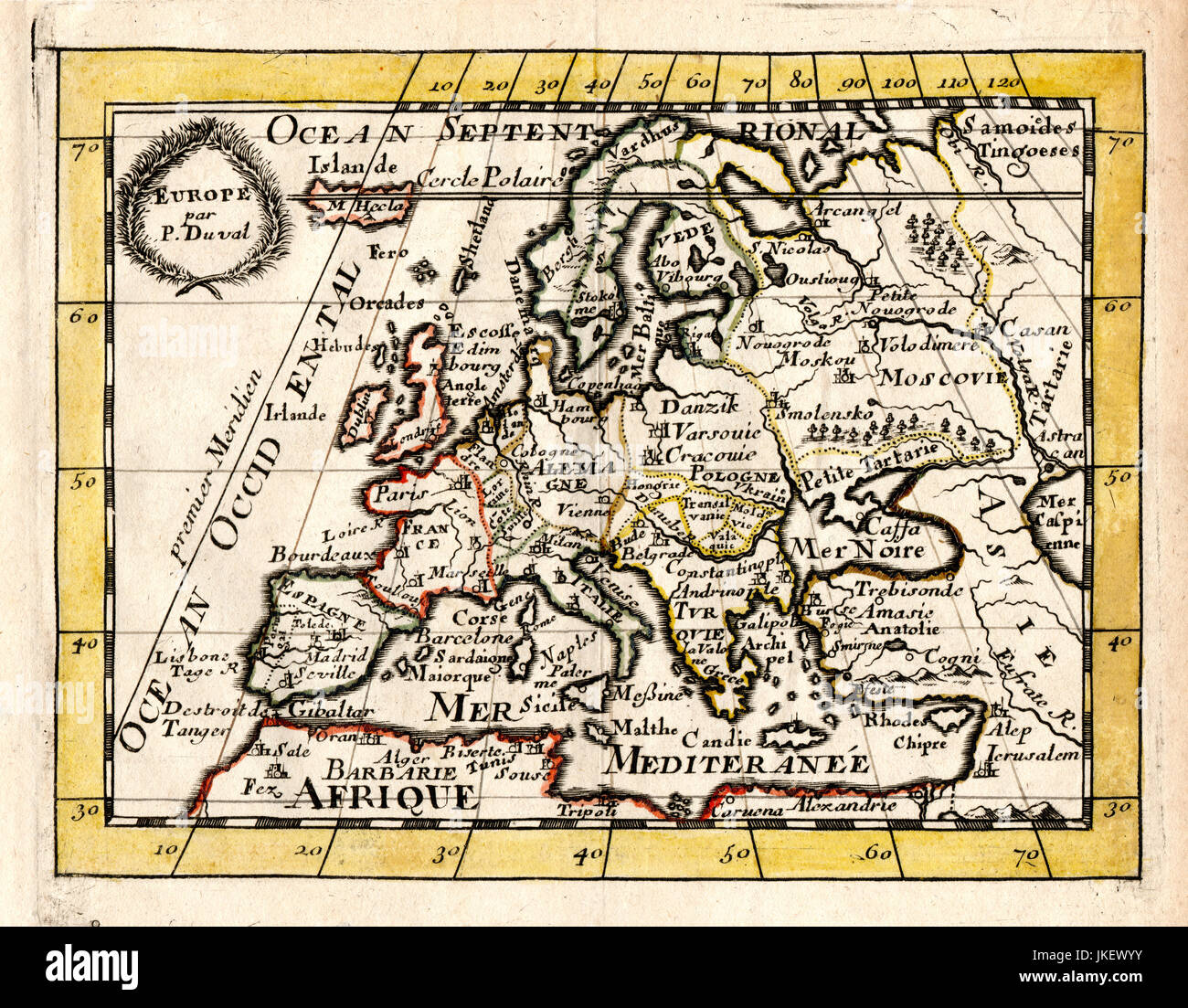 1663 Duval Antique Map of Europe Stock Photohttps://www.alamy.com/image-license-details/?v=1https://www.alamy.com/stock-photo-1663-duval-antique-map-of-europe-149689119.html
RMJKEWYY–1663 Duval Antique Map of Europe
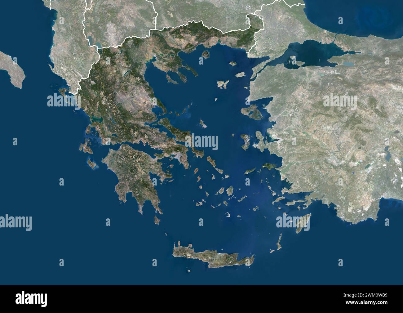 Color satellite image of Greece and neighbouring countries, with borders and mask. Stock Photohttps://www.alamy.com/image-license-details/?v=1https://www.alamy.com/color-satellite-image-of-greece-and-neighbouring-countries-with-borders-and-mask-image597465549.html
RM2WM0WB9–Color satellite image of Greece and neighbouring countries, with borders and mask.
 FIGHTING ON GRECO-ALBANIAN BORDER Reports from Athens state that the Greek troops, after overcoming bitter guerrilla resistance, have captured mount Grammos , on the Albanian border. Other important heights, it is claimed, had been taken, while army units on the southern flank are said to be storming mount Kamenik. This map shows the scene of the recent fighting and the borders of Greece Albanese and Jugoslavia. 2 September 1949 Stock Photohttps://www.alamy.com/image-license-details/?v=1https://www.alamy.com/fighting-on-greco-albanian-border-reports-from-athens-state-that-the-greek-troops-after-overcoming-bitter-guerrilla-resistance-have-captured-mount-grammos-on-the-albanian-border-other-important-heights-it-is-claimed-had-been-taken-while-army-units-on-the-southern-flank-are-said-to-be-storming-mount-kamenik-this-map-shows-the-scene-of-the-recent-fighting-and-the-borders-of-greece-albanese-and-jugoslavia-2-september-1949-image623892892.html
RM2Y70NN0–FIGHTING ON GRECO-ALBANIAN BORDER Reports from Athens state that the Greek troops, after overcoming bitter guerrilla resistance, have captured mount Grammos , on the Albanian border. Other important heights, it is claimed, had been taken, while army units on the southern flank are said to be storming mount Kamenik. This map shows the scene of the recent fighting and the borders of Greece Albanese and Jugoslavia. 2 September 1949
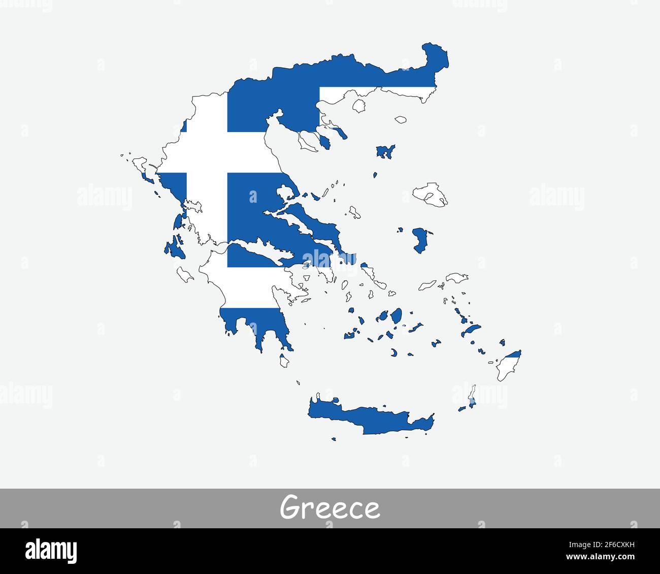 Greece Map Flag. Map of Hellas with the Greek national flag isolated on white background. Vector Illustration. Stock Vectorhttps://www.alamy.com/image-license-details/?v=1https://www.alamy.com/greece-map-flag-map-of-hellas-with-the-greek-national-flag-isolated-on-white-background-vector-illustration-image417021125.html
RF2F6CXKH–Greece Map Flag. Map of Hellas with the Greek national flag isolated on white background. Vector Illustration.
 A contour map of Greece. Vector graphic illustration on a transparent background with black country's borders Stock Vectorhttps://www.alamy.com/image-license-details/?v=1https://www.alamy.com/a-contour-map-of-greece-vector-graphic-illustration-on-a-transparent-background-with-black-countrys-borders-image631454628.html
RF2YK96R0–A contour map of Greece. Vector graphic illustration on a transparent background with black country's borders
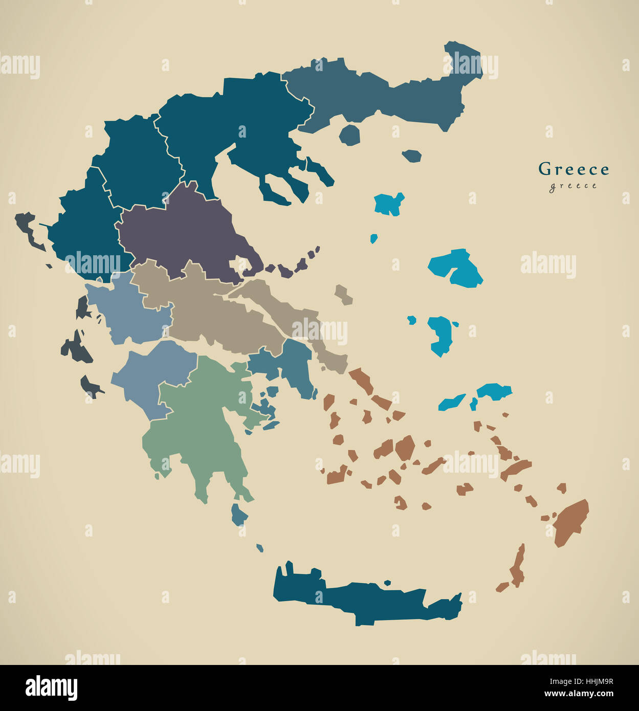 Modern Map - Greece with regions GR illustration Stock Photohttps://www.alamy.com/image-license-details/?v=1https://www.alamy.com/stock-photo-modern-map-greece-with-regions-gr-illustration-131332819.html
RFHHJM9R–Modern Map - Greece with regions GR illustration
 Greece map Stock Photohttps://www.alamy.com/image-license-details/?v=1https://www.alamy.com/stock-photo-greece-map-16097794.html
RFARNMNR–Greece map
RF2R4YBHC–greece map icon vector illustration design
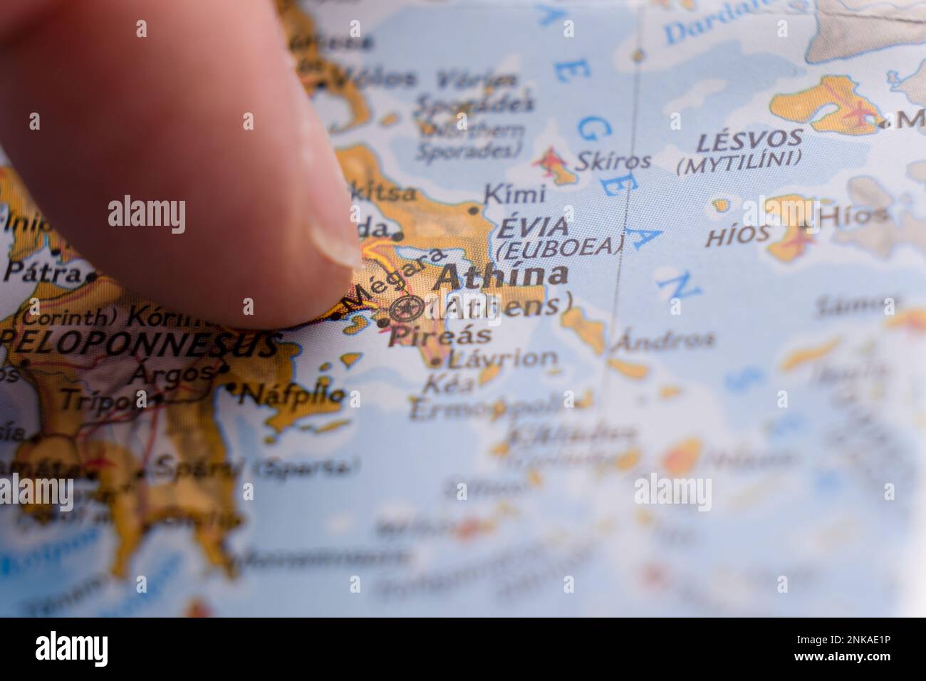 Close up of finger pointing to Athens, Greece on colorful map, background blur Stock Photohttps://www.alamy.com/image-license-details/?v=1https://www.alamy.com/close-up-of-finger-pointing-to-athens-greece-on-colorful-map-background-blur-image528220050.html
RF2NKAE1P–Close up of finger pointing to Athens, Greece on colorful map, background blur
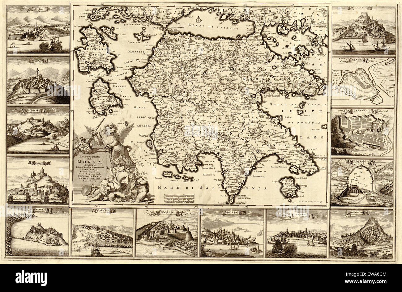 1688 map of Peloponnesian Peninsula of southern Greece. Map borders contain engravings of fortified city views, part of the Stock Photohttps://www.alamy.com/image-license-details/?v=1https://www.alamy.com/stock-photo-1688-map-of-peloponnesian-peninsula-of-southern-greece-map-borders-50011828.html
RMCWA6GM–1688 map of Peloponnesian Peninsula of southern Greece. Map borders contain engravings of fortified city views, part of the
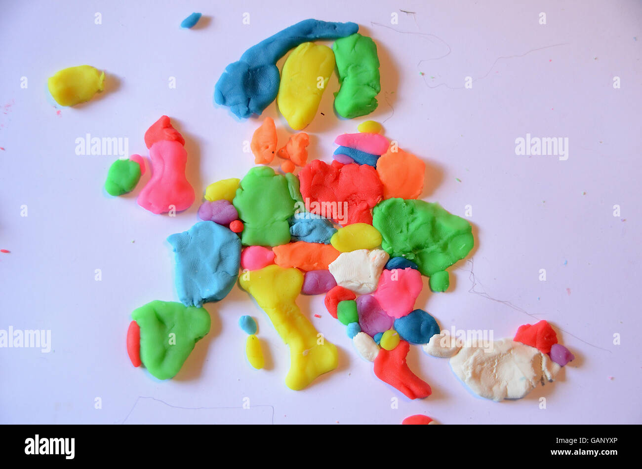 Map of Europe made from plasticine in various colors Stock Photohttps://www.alamy.com/image-license-details/?v=1https://www.alamy.com/stock-photo-map-of-europe-made-from-plasticine-in-various-colors-109891678.html
RFGANYXP–Map of Europe made from plasticine in various colors
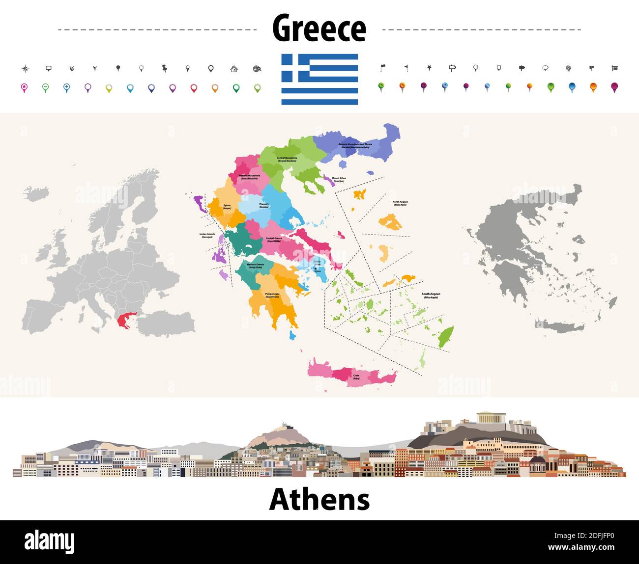 Greece administrative divisions map. Flag of Greece. Athens cityscape. Vector illustration Stock Vectorhttps://www.alamy.com/image-license-details/?v=1https://www.alamy.com/greece-administrative-divisions-map-flag-of-greece-athens-cityscape-vector-illustration-image388255448.html
RF2DFJFP0–Greece administrative divisions map. Flag of Greece. Athens cityscape. Vector illustration
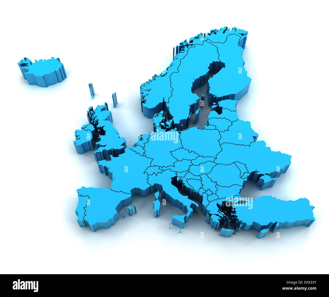 Detail Europe map with national borders Stock Photohttps://www.alamy.com/image-license-details/?v=1https://www.alamy.com/stock-photo-detail-europe-map-with-national-borders-85395743.html
RFEXX33Y–Detail Europe map with national borders
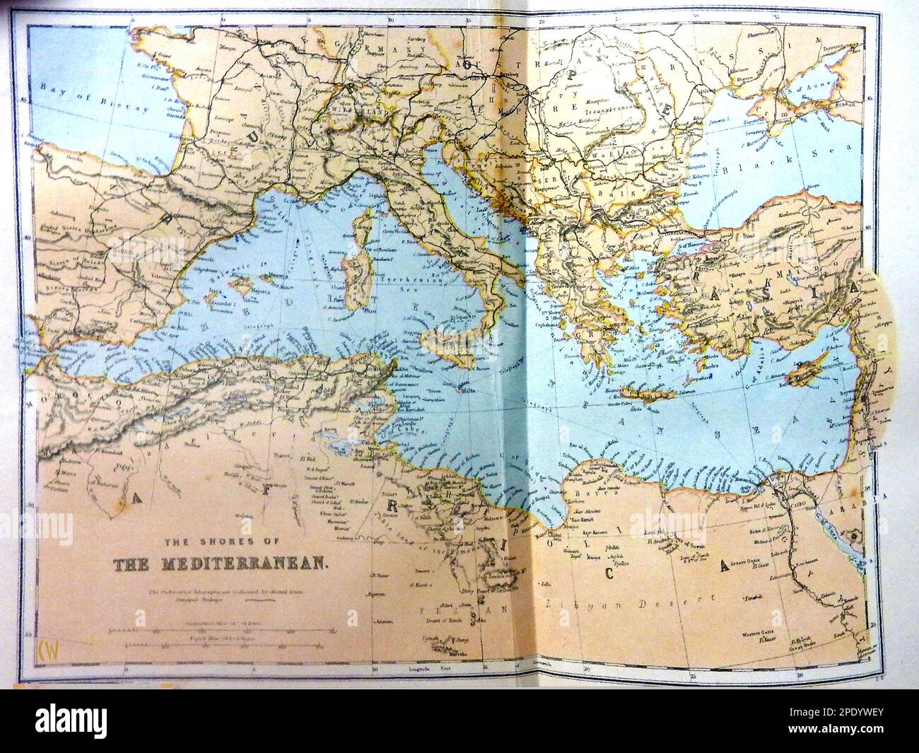 A late 19th century coloured map of the Mediterranean region. Stock Photohttps://www.alamy.com/image-license-details/?v=1https://www.alamy.com/a-late-19th-century-coloured-map-of-the-mediterranean-region-image542124659.html
RM2PDYWEY–A late 19th century coloured map of the Mediterranean region.
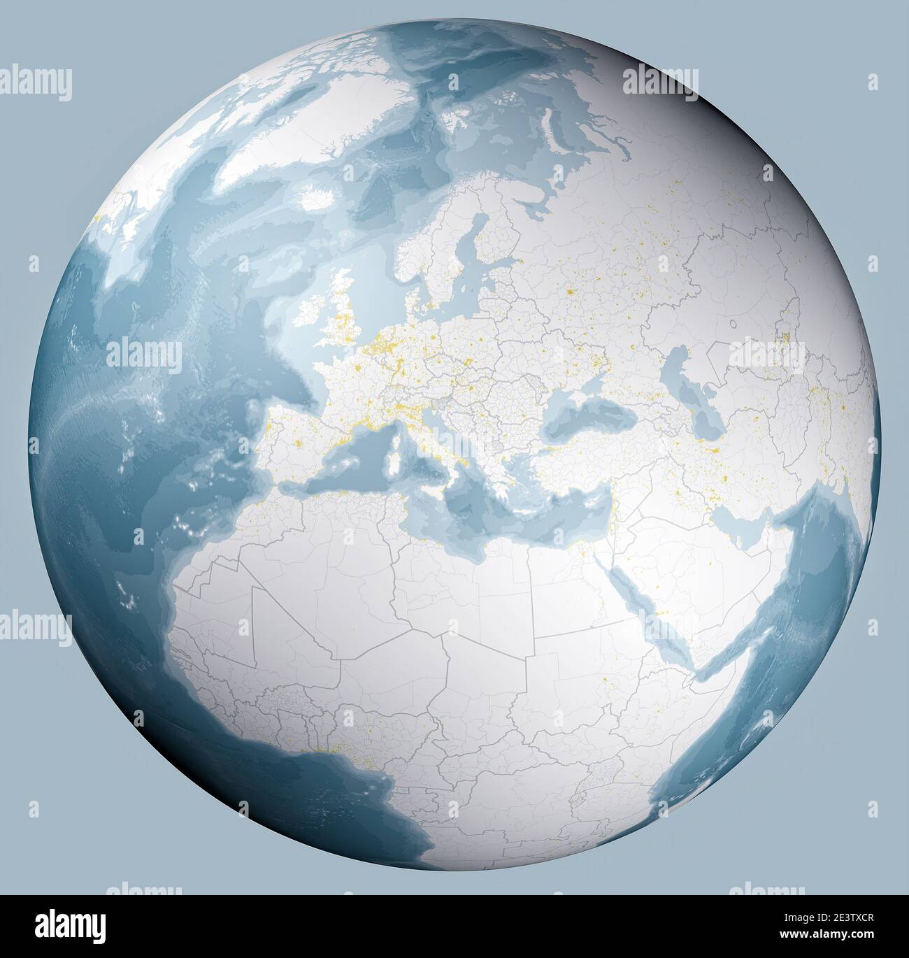 Globe map of the Mediterranean Sea and Europe, Africa and the Middle East. Borders and major cities. Cartography, geographical atlas. Bathymetry Stock Photohttps://www.alamy.com/image-license-details/?v=1https://www.alamy.com/globe-map-of-the-mediterranean-sea-and-europe-africa-and-the-middle-east-borders-and-major-cities-cartography-geographical-atlas-bathymetry-image398230023.html
RF2E3TXCR–Globe map of the Mediterranean Sea and Europe, Africa and the Middle East. Borders and major cities. Cartography, geographical atlas. Bathymetry
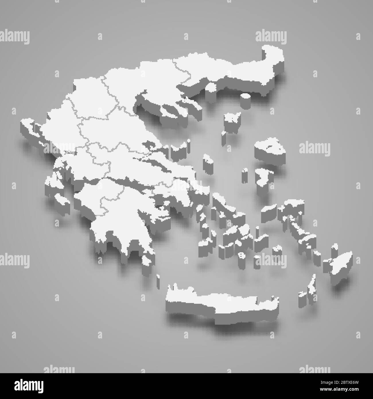 3d map of Greece with borders of regions Stock Vectorhttps://www.alamy.com/image-license-details/?v=1https://www.alamy.com/3d-map-of-greece-with-borders-of-regions-image359541025.html
RF2BTXE6W–3d map of Greece with borders of regions
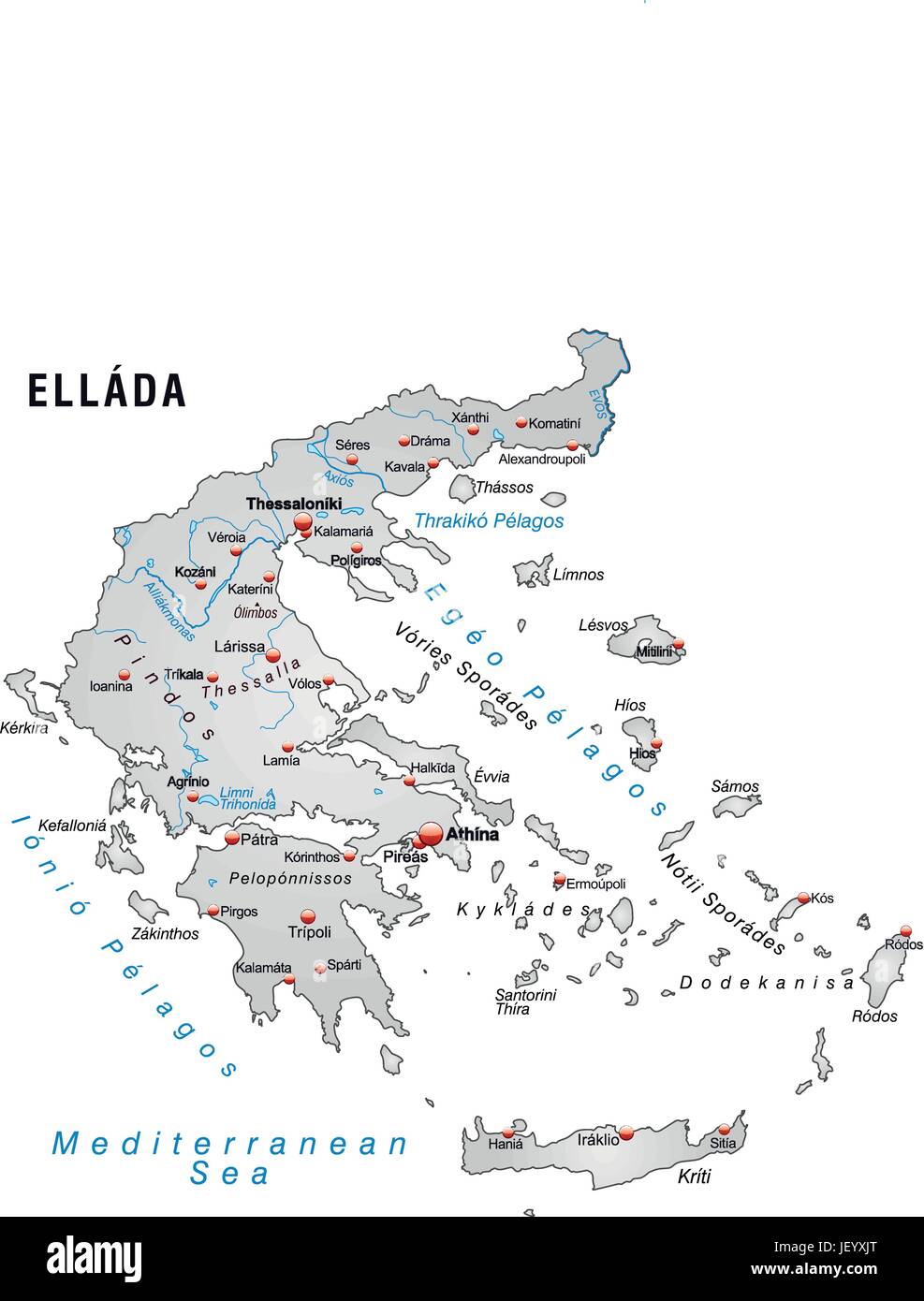 greece, card, outline, borders, atlas, map of the world, map, Stock Vectorhttps://www.alamy.com/image-license-details/?v=1https://www.alamy.com/stock-photo-greece-card-outline-borders-atlas-map-of-the-world-map-146901744.html
RFJEYXJT–greece, card, outline, borders, atlas, map of the world, map,
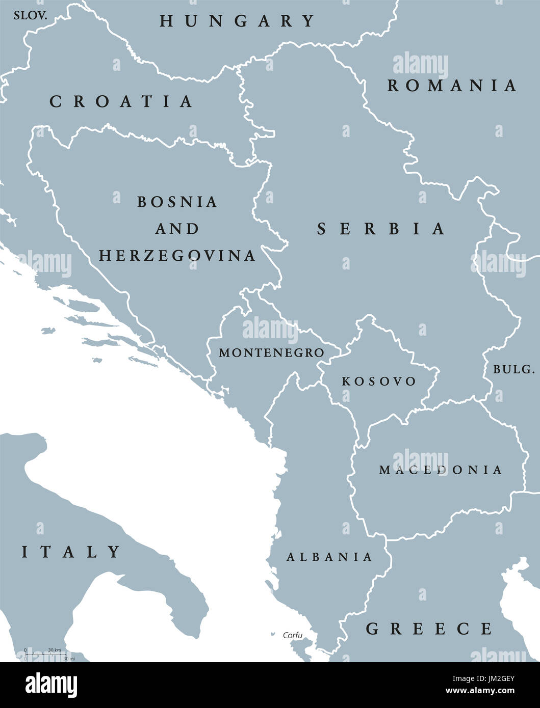 Central Balkan political map with borders. Southeastern countries on the Balkan Peninsula in Europe from Croatia to Greece. Gray illustration. Stock Photohttps://www.alamy.com/image-license-details/?v=1https://www.alamy.com/central-balkan-political-map-with-borders-southeastern-countries-on-image150032931.html
RFJM2GEY–Central Balkan political map with borders. Southeastern countries on the Balkan Peninsula in Europe from Croatia to Greece. Gray illustration.
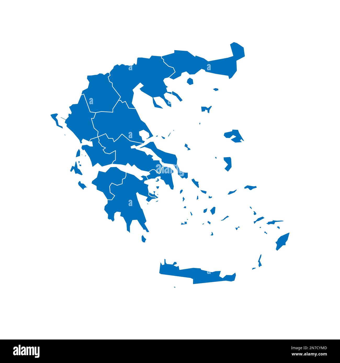 Greece political map of administrative divisions - decentralized administrations and autonomous monastic state of Mount Athos. Solid blue blank vector map with white borders. Stock Vectorhttps://www.alamy.com/image-license-details/?v=1https://www.alamy.com/greece-political-map-of-administrative-divisions-decentralized-administrations-and-autonomous-monastic-state-of-mount-athos-solid-blue-blank-vector-map-with-white-borders-image520898797.html
RF2N7CYMD–Greece political map of administrative divisions - decentralized administrations and autonomous monastic state of Mount Athos. Solid blue blank vector map with white borders.
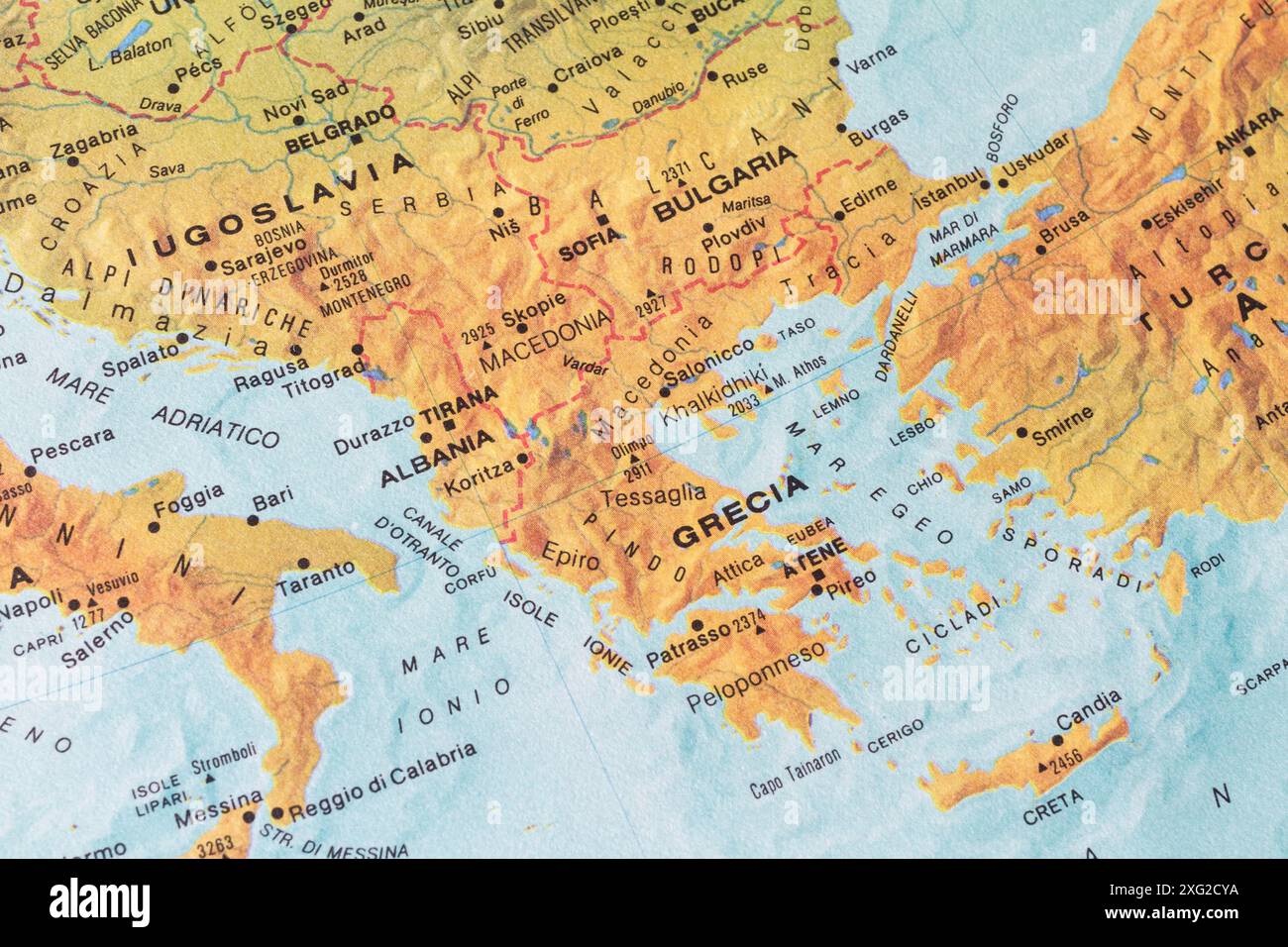 Old map of Southern Europe and Balkans with ex Jugoslavia, Albania, Greece, Bulgary and Turkey Stock Photohttps://www.alamy.com/image-license-details/?v=1https://www.alamy.com/old-map-of-southern-europe-and-balkans-with-ex-jugoslavia-albania-greece-bulgary-and-turkey-image612251454.html
RM2XG2CYA–Old map of Southern Europe and Balkans with ex Jugoslavia, Albania, Greece, Bulgary and Turkey
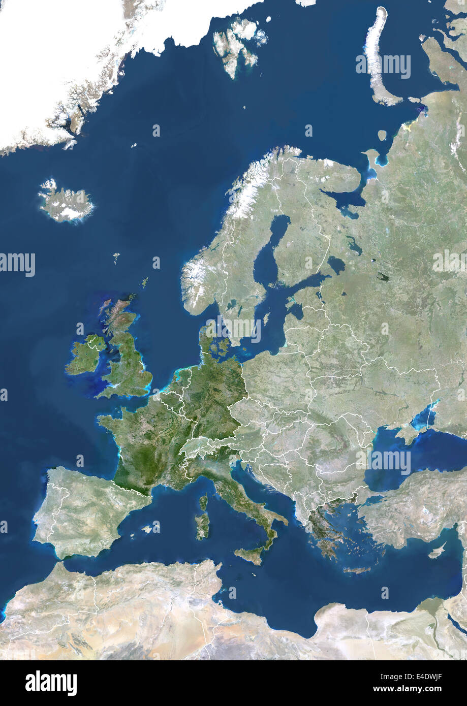 Member States Of The European Union In 1981, True Colour Satellite Image With Mask And Borders. True colour satellite image of t Stock Photohttps://www.alamy.com/image-license-details/?v=1https://www.alamy.com/stock-photo-member-states-of-the-european-union-in-1981-true-colour-satellite-71605591.html
RME4DWJF–Member States Of The European Union In 1981, True Colour Satellite Image With Mask And Borders. True colour satellite image of t
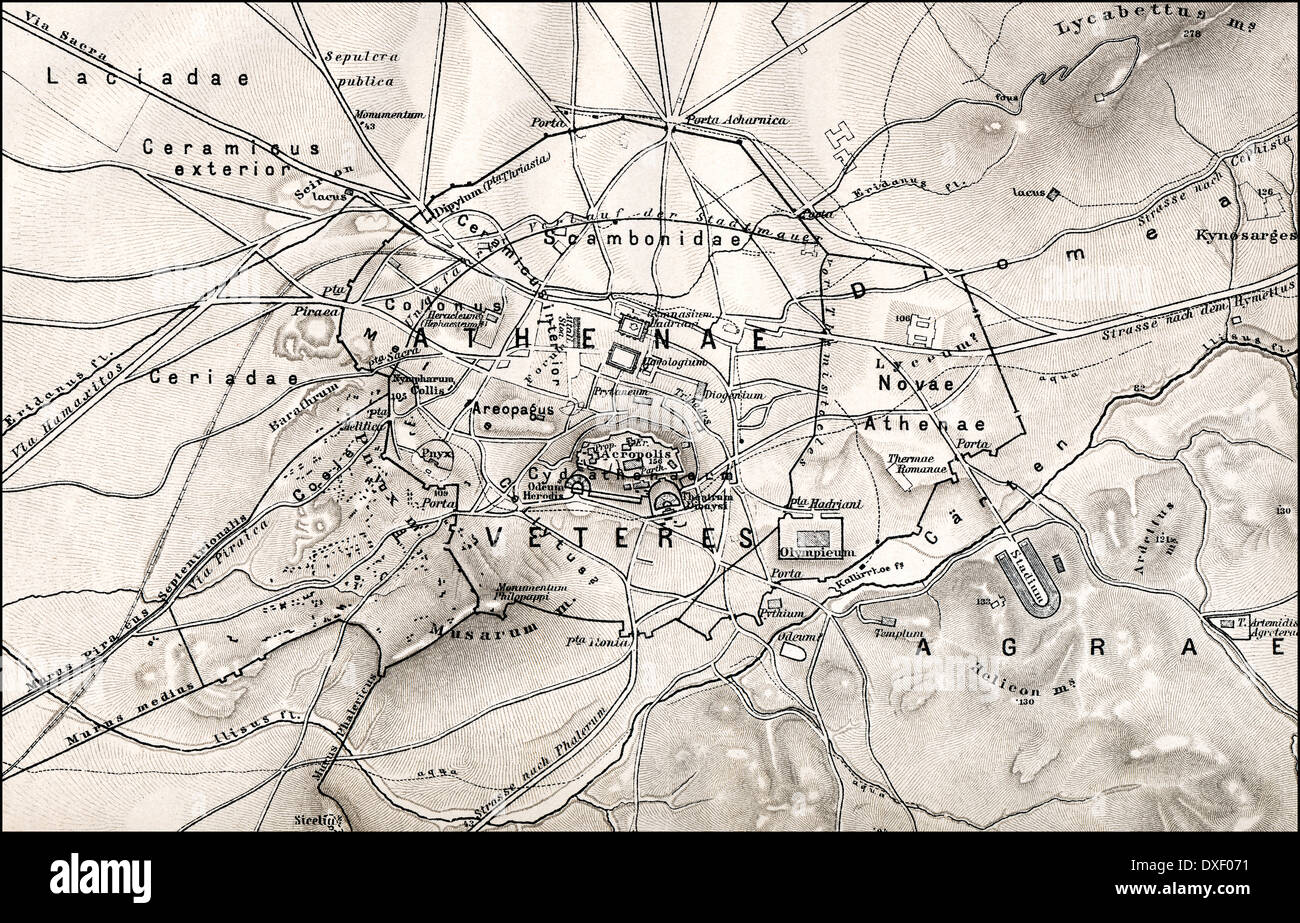 Historical map of ancient Athens, Greece, Europe Stock Photohttps://www.alamy.com/image-license-details/?v=1https://www.alamy.com/historical-map-of-ancient-athens-greece-europe-image67941637.html
RMDXF071–Historical map of ancient Athens, Greece, Europe
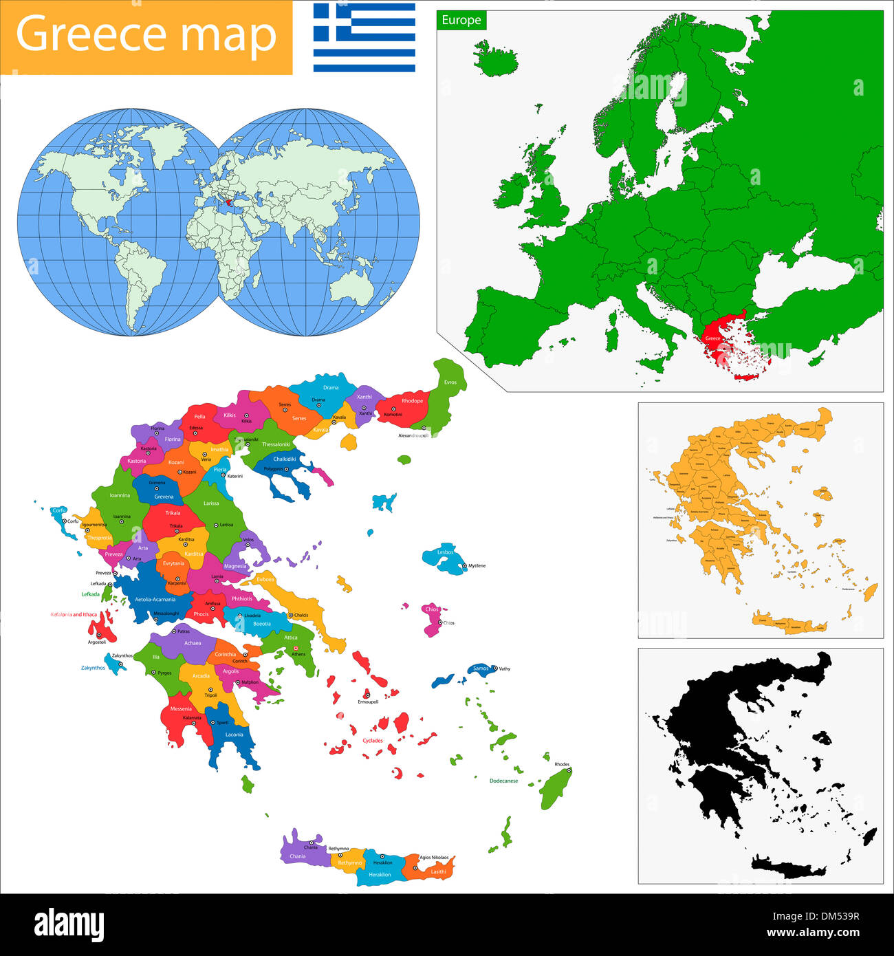 Greece map Stock Photohttps://www.alamy.com/image-license-details/?v=1https://www.alamy.com/greece-map-image64036611.html
RFDM539R–Greece map
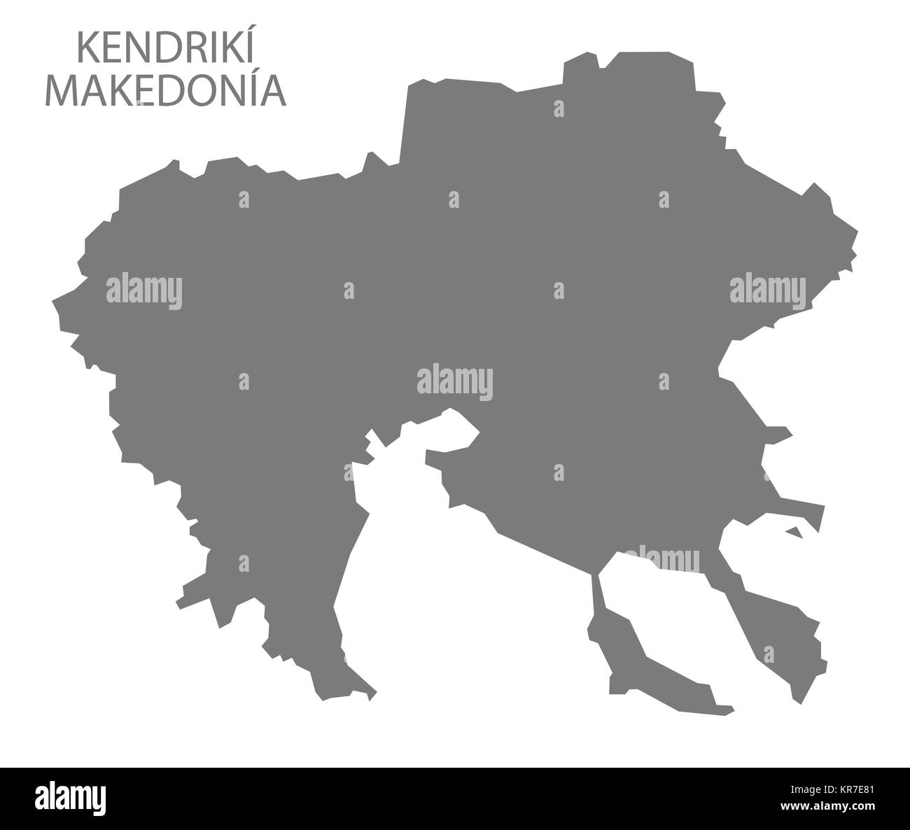 Kendriki Makedonia Greece Map grey Stock Photohttps://www.alamy.com/image-license-details/?v=1https://www.alamy.com/stock-image-kendriki-makedonia-greece-map-grey-169195265.html
RFKR7E81–Kendriki Makedonia Greece Map grey
 Modern Map - Peloponnisos Greece GR illustration Stock Photohttps://www.alamy.com/image-license-details/?v=1https://www.alamy.com/stock-photo-modern-map-peloponnisos-greece-gr-illustration-131332799.html
RFHHJM93–Modern Map - Peloponnisos Greece GR illustration
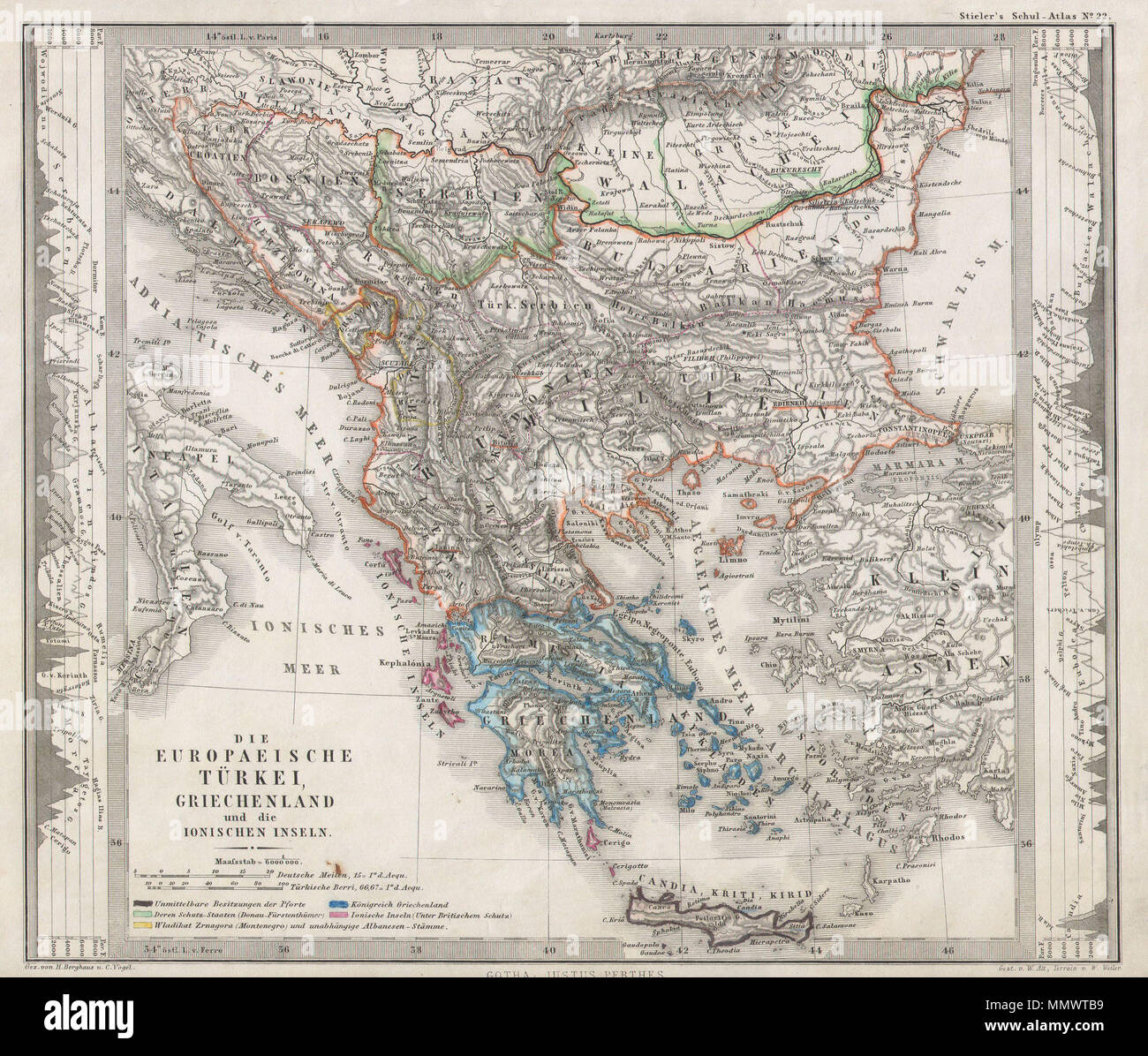 . English: This fascinating 1862 map by Justus Perthes and Stieler depicts Greece, the Balkans, parts of Turkey, and the islands of the Adriatic as far south as Crete or Candia. Extends as far north as Croatia, Bosnia, Serbia, Bulgaria, Rumania and Macedonia. In a cartographic flourish unique to Perthes, elevation profile charts decorate the right and left borders of the map. Unlike other cartographic publishers of the period, the Justus Perthes firm, did not transition to lithographic printing techniques until the early 1870s. Instead, all of his maps are copper plate engravings and hence of Stock Photohttps://www.alamy.com/image-license-details/?v=1https://www.alamy.com/english-this-fascinating-1862-map-by-justus-perthes-and-stieler-depicts-greece-the-balkans-parts-of-turkey-and-the-islands-of-the-adriatic-as-far-south-as-crete-or-candia-extends-as-far-north-as-croatia-bosnia-serbia-bulgaria-rumania-and-macedonia-in-a-cartographic-flourish-unique-to-perthes-elevation-profile-charts-decorate-the-right-and-left-borders-of-the-map-unlike-other-cartographic-publishers-of-the-period-the-justus-perthes-firm-did-not-transition-to-lithographic-printing-techniques-until-the-early-1870s-instead-all-of-his-maps-are-copper-plate-engravings-and-hence-of-image184964733.html
RMMMWTB9–. English: This fascinating 1862 map by Justus Perthes and Stieler depicts Greece, the Balkans, parts of Turkey, and the islands of the Adriatic as far south as Crete or Candia. Extends as far north as Croatia, Bosnia, Serbia, Bulgaria, Rumania and Macedonia. In a cartographic flourish unique to Perthes, elevation profile charts decorate the right and left borders of the map. Unlike other cartographic publishers of the period, the Justus Perthes firm, did not transition to lithographic printing techniques until the early 1870s. Instead, all of his maps are copper plate engravings and hence of
 Editable map of Europe Stock Vectorhttps://www.alamy.com/image-license-details/?v=1https://www.alamy.com/editable-map-of-europe-image64572498.html
RFDN1ETJ–Editable map of Europe
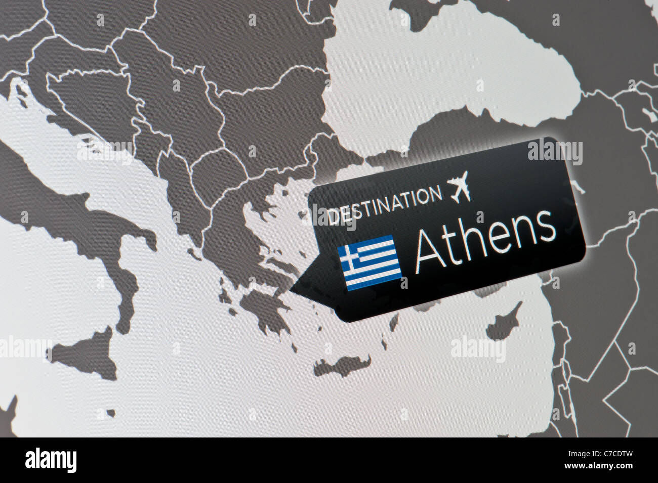 A close-up of a computer display indicating the location of Athens International Airport, Greece. Stock Photohttps://www.alamy.com/image-license-details/?v=1https://www.alamy.com/stock-photo-a-close-up-of-a-computer-display-indicating-the-location-of-athens-38997641.html
RFC7CDTW–A close-up of a computer display indicating the location of Athens International Airport, Greece.
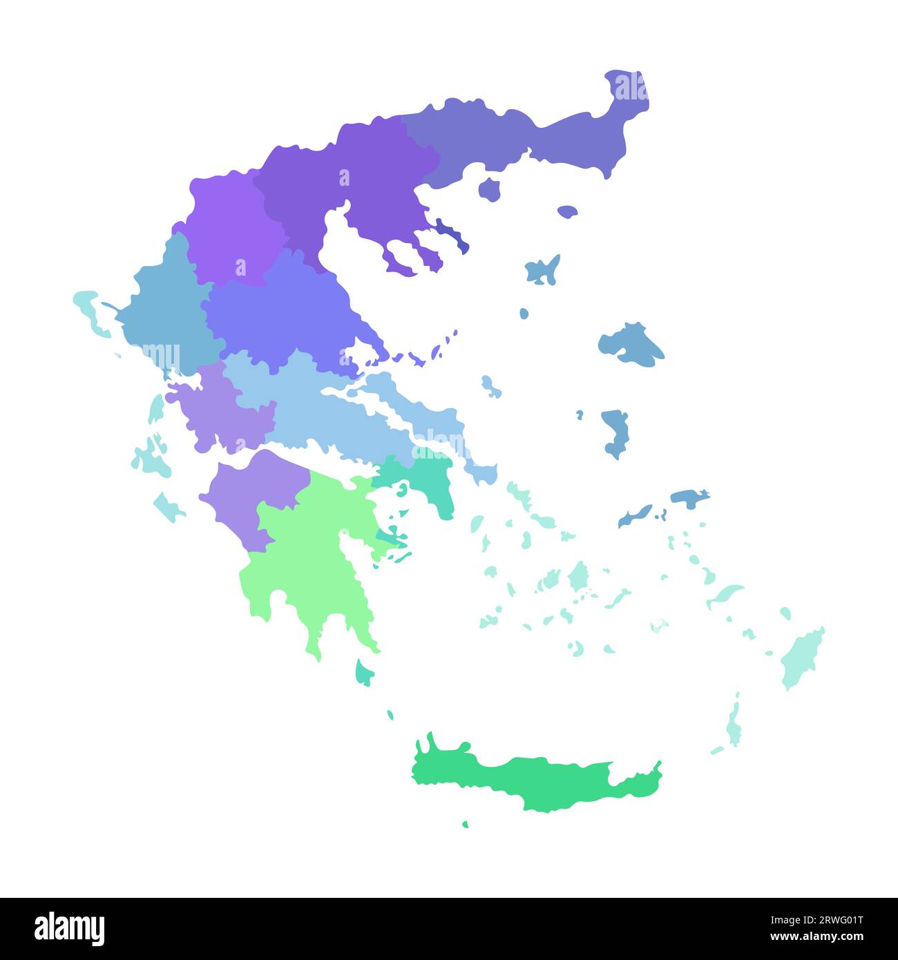 Vector isolated illustration of simplified administrative map of Greece. Borders of the regions. Multi colored silhouettes. Stock Vectorhttps://www.alamy.com/image-license-details/?v=1https://www.alamy.com/vector-isolated-illustration-of-simplified-administrative-map-of-greece-borders-of-the-regions-multi-colored-silhouettes-image566449460.html
RF2RWG01T–Vector isolated illustration of simplified administrative map of Greece. Borders of the regions. Multi colored silhouettes.
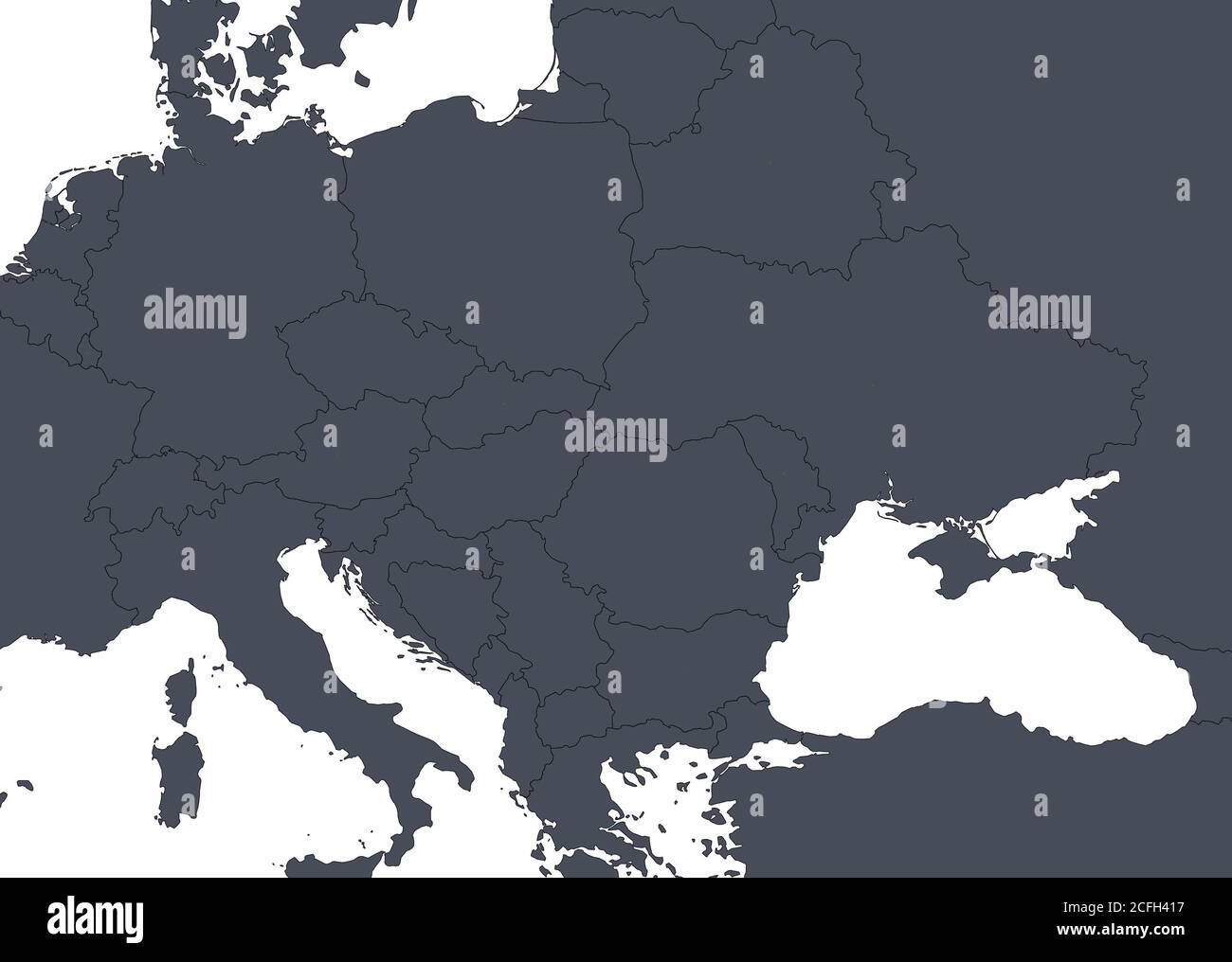 Europe outline map with countries borders. Detail of World political map, central and eastern European region with silhouette. Earth isolated on white Stock Photohttps://www.alamy.com/image-license-details/?v=1https://www.alamy.com/europe-outline-map-with-countries-borders-detail-of-world-political-map-central-and-eastern-european-region-with-silhouette-earth-isolated-on-white-image371013923.html
RF2CFH417–Europe outline map with countries borders. Detail of World political map, central and eastern European region with silhouette. Earth isolated on white
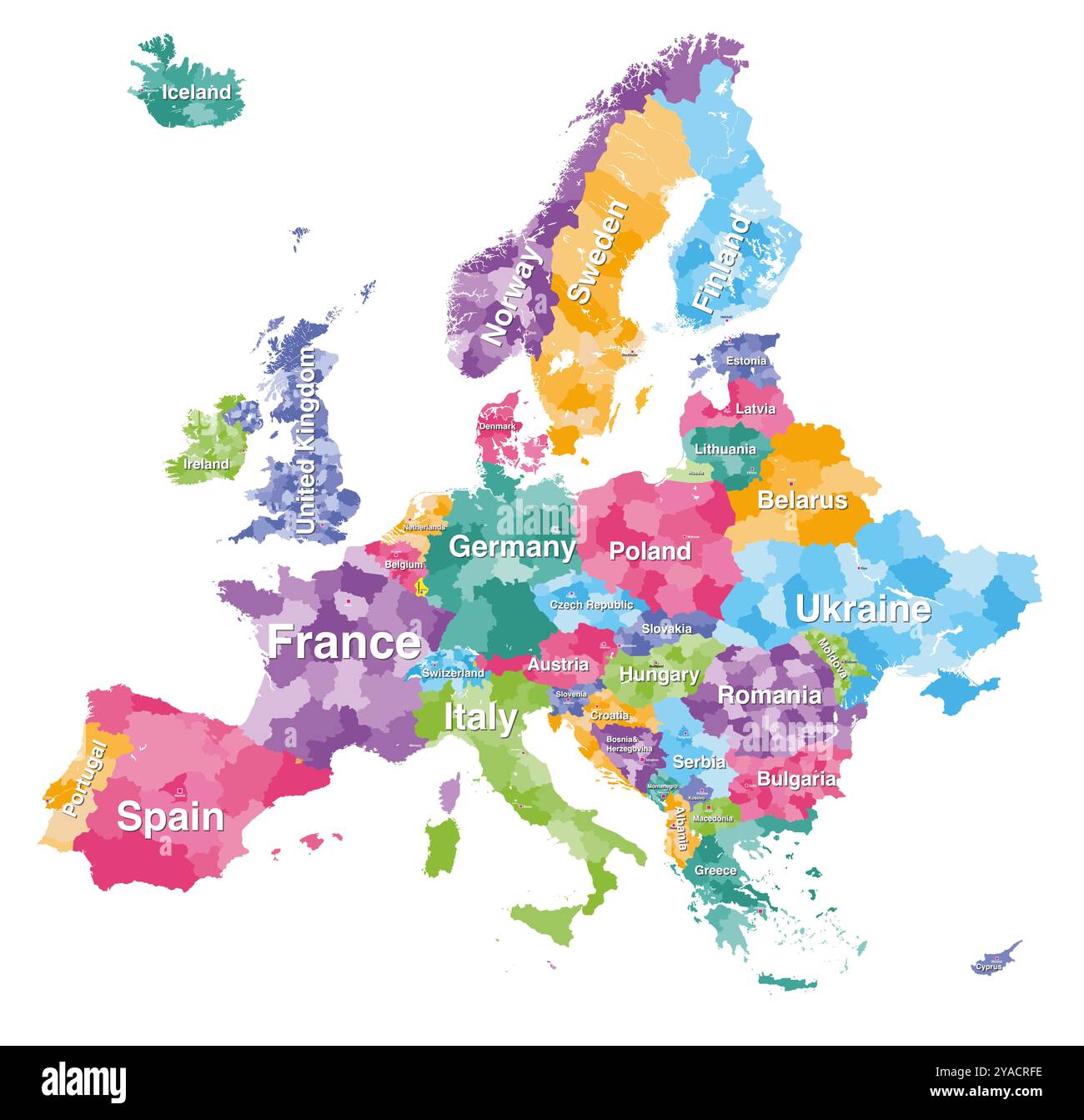 Europe detailed colored map with administrative divisions borders. Vector illustration Stock Vectorhttps://www.alamy.com/image-license-details/?v=1https://www.alamy.com/europe-detailed-colored-map-with-administrative-divisions-borders-vector-illustration-image626001698.html
RF2YACRFE–Europe detailed colored map with administrative divisions borders. Vector illustration
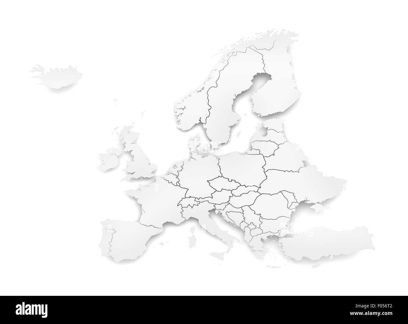 Detail paper map of Europe with national borders Stock Photohttps://www.alamy.com/image-license-details/?v=1https://www.alamy.com/stock-photo-detail-paper-map-of-europe-with-national-borders-86166978.html
RFF056T2–Detail paper map of Europe with national borders
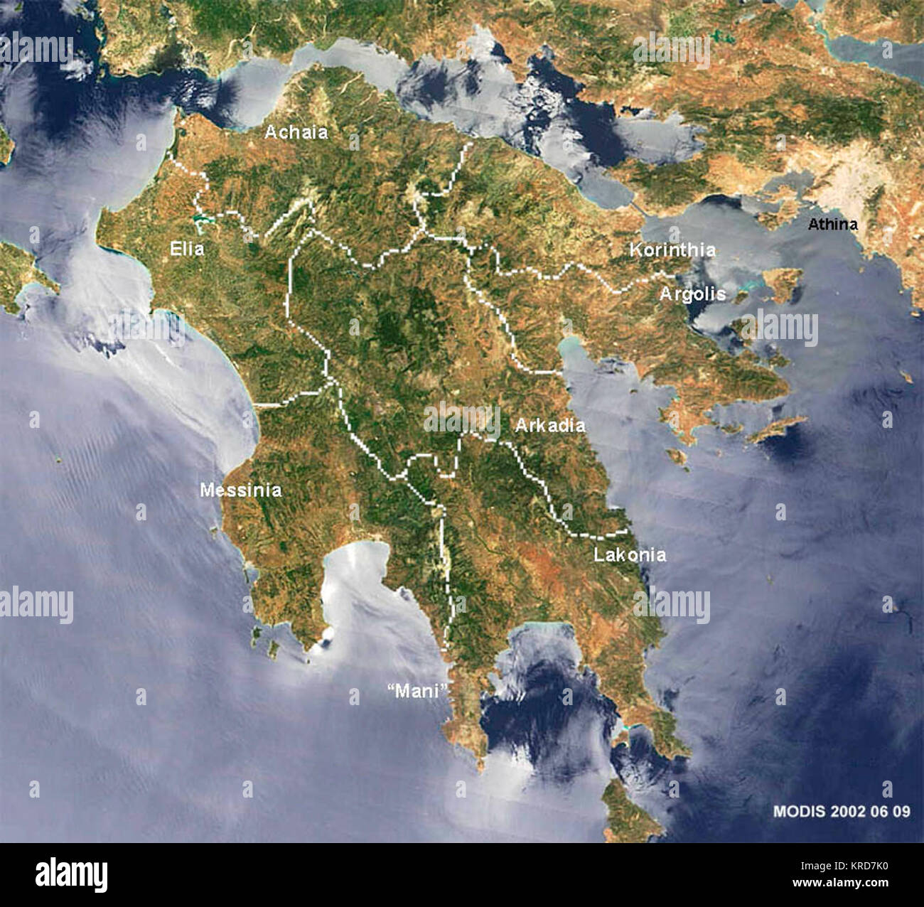 Peloponnes in visible light borders and names added by Ulrich Tichy NASA blue Marble Project MODIS Three bodies of water are putting on a different face for this Moderate Resolution Imaging Spectroradiometer (MODIS) image from June 9, 2002, of Greece (left of center and islands). Metadata Sensor Terra/MODIS Datastart 2002-06-09 Dataend 2002-06-09 Visible Earth v1 ID 16653 Visualization Date 2002-06-16 Peloponnese-Map satview BlueMarbleProject Stock Photohttps://www.alamy.com/image-license-details/?v=1https://www.alamy.com/stock-image-peloponnes-in-visible-light-borders-and-names-added-by-ulrich-tichy-169321796.html
RMKRD7K0–Peloponnes in visible light borders and names added by Ulrich Tichy NASA blue Marble Project MODIS Three bodies of water are putting on a different face for this Moderate Resolution Imaging Spectroradiometer (MODIS) image from June 9, 2002, of Greece (left of center and islands). Metadata Sensor Terra/MODIS Datastart 2002-06-09 Dataend 2002-06-09 Visible Earth v1 ID 16653 Visualization Date 2002-06-16 Peloponnese-Map satview BlueMarbleProject
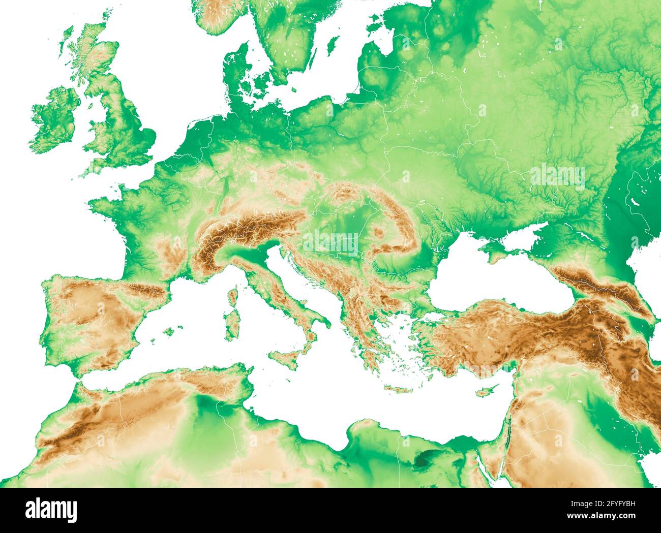 Physical map of Mediterranean and Central Europe, states and borders, North Africa and the Middle East. Mountains, lakes and plains. 3d render Stock Photohttps://www.alamy.com/image-license-details/?v=1https://www.alamy.com/physical-map-of-mediterranean-and-central-europe-states-and-borders-north-africa-and-the-middle-east-mountains-lakes-and-plains-3d-render-image429995317.html
RF2FYFYBH–Physical map of Mediterranean and Central Europe, states and borders, North Africa and the Middle East. Mountains, lakes and plains. 3d render
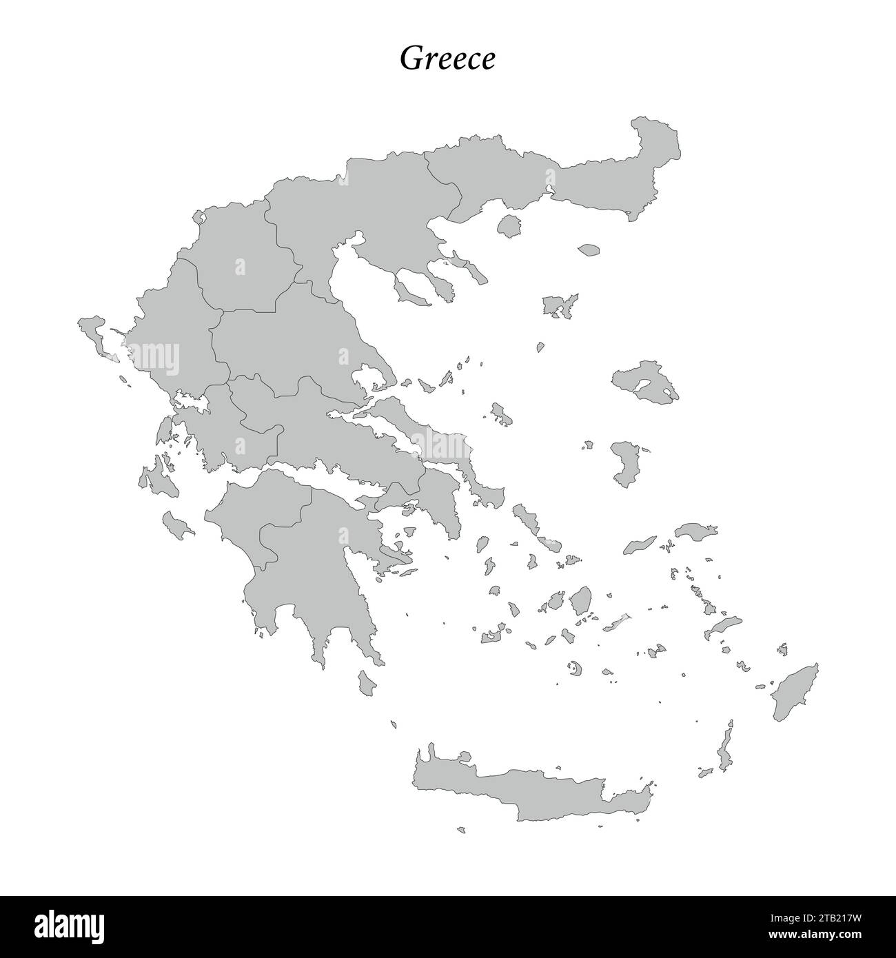 Simple flat Map of Greece with district borders Stock Vectorhttps://www.alamy.com/image-license-details/?v=1https://www.alamy.com/simple-flat-map-of-greece-with-district-borders-image574748269.html
RF2TB217W–Simple flat Map of Greece with district borders
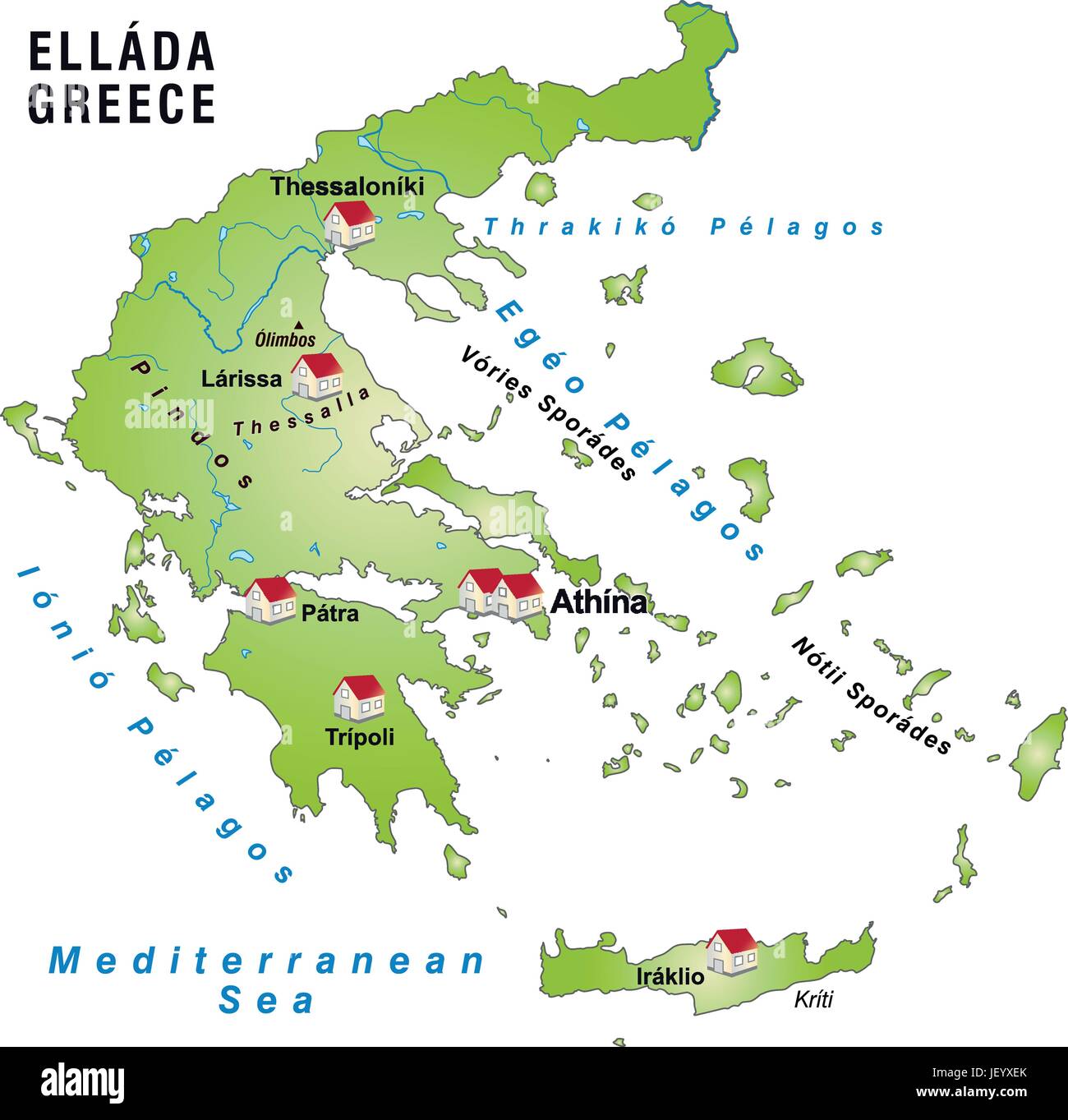 greece, card, outline, borders, atlas, map of the world, map, Stock Vectorhttps://www.alamy.com/image-license-details/?v=1https://www.alamy.com/stock-photo-greece-card-outline-borders-atlas-map-of-the-world-map-146901627.html
RFJEYXEK–greece, card, outline, borders, atlas, map of the world, map,
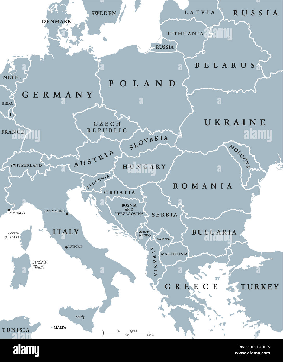 Central Europe countries political map with national borders. Gray illustration with English labeling and scaling. Stock Photohttps://www.alamy.com/image-license-details/?v=1https://www.alamy.com/stock-photo-central-europe-countries-political-map-with-national-borders-gray-123316345.html
RFH4HF75–Central Europe countries political map with national borders. Gray illustration with English labeling and scaling.
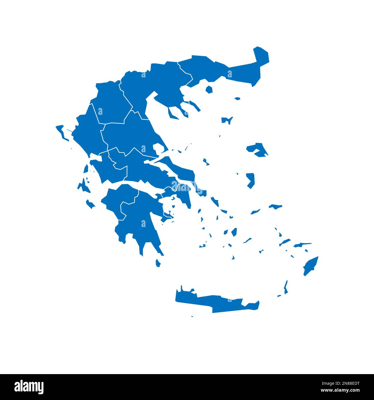 Greece political map of administrative divisions - decentralized administrations and autonomous monastic state of Mount Athos. Solid blue blank vector map with white borders. Stock Vectorhttps://www.alamy.com/image-license-details/?v=1https://www.alamy.com/greece-political-map-of-administrative-divisions-decentralized-administrations-and-autonomous-monastic-state-of-mount-athos-solid-blue-blank-vector-map-with-white-borders-image521415268.html
RF2N88EDT–Greece political map of administrative divisions - decentralized administrations and autonomous monastic state of Mount Athos. Solid blue blank vector map with white borders.
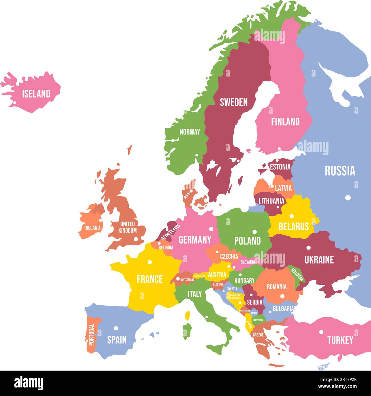 Colorful Europe map. Countries and borders, political map of Europe continent with capitals vector illustration Stock Vectorhttps://www.alamy.com/image-license-details/?v=1https://www.alamy.com/colorful-europe-map-countries-and-borders-political-map-of-europe-continent-with-capitals-vector-illustration-image565654507.html
RF2RT7P2K–Colorful Europe map. Countries and borders, political map of Europe continent with capitals vector illustration
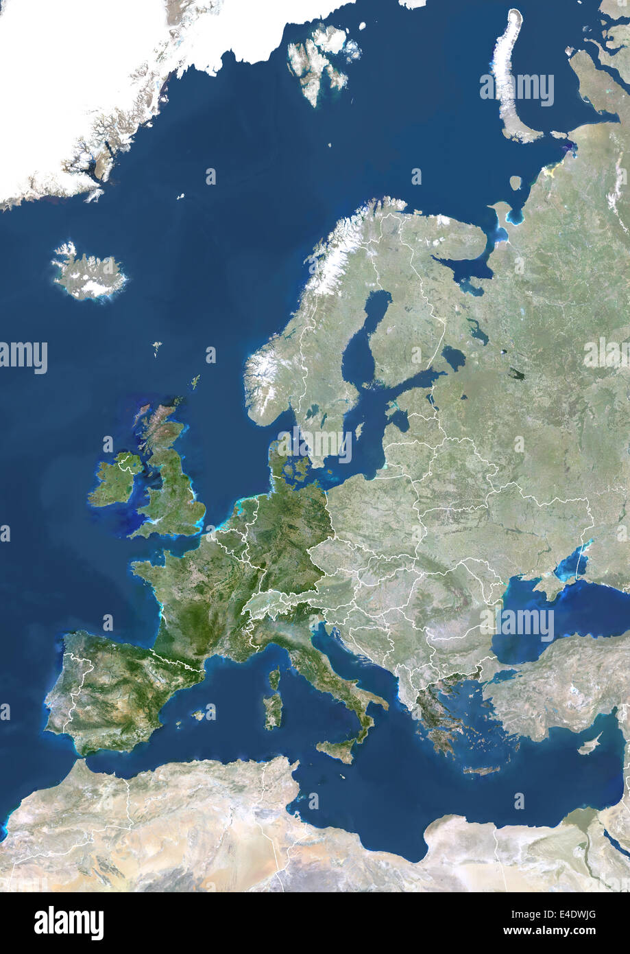 Member States Of The European Union In 1986, True Colour Satellite Image With Mask And Borders. True colour satellite image of t Stock Photohttps://www.alamy.com/image-license-details/?v=1https://www.alamy.com/stock-photo-member-states-of-the-european-union-in-1986-true-colour-satellite-71605592.html
RME4DWJG–Member States Of The European Union In 1986, True Colour Satellite Image With Mask And Borders. True colour satellite image of t
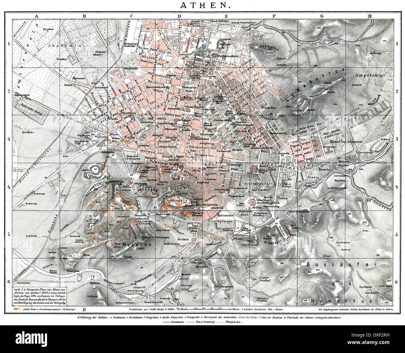 Historical map of Athens, 19th century, 1894, Greece, Europe Stock Photohttps://www.alamy.com/image-license-details/?v=1https://www.alamy.com/historical-map-of-athens-19th-century-1894-greece-europe-image67943669.html
RMDXF2RH–Historical map of Athens, 19th century, 1894, Greece, Europe
 Greece map Stock Photohttps://www.alamy.com/image-license-details/?v=1https://www.alamy.com/greece-map-image61218158.html
RFDFGMAP–Greece map
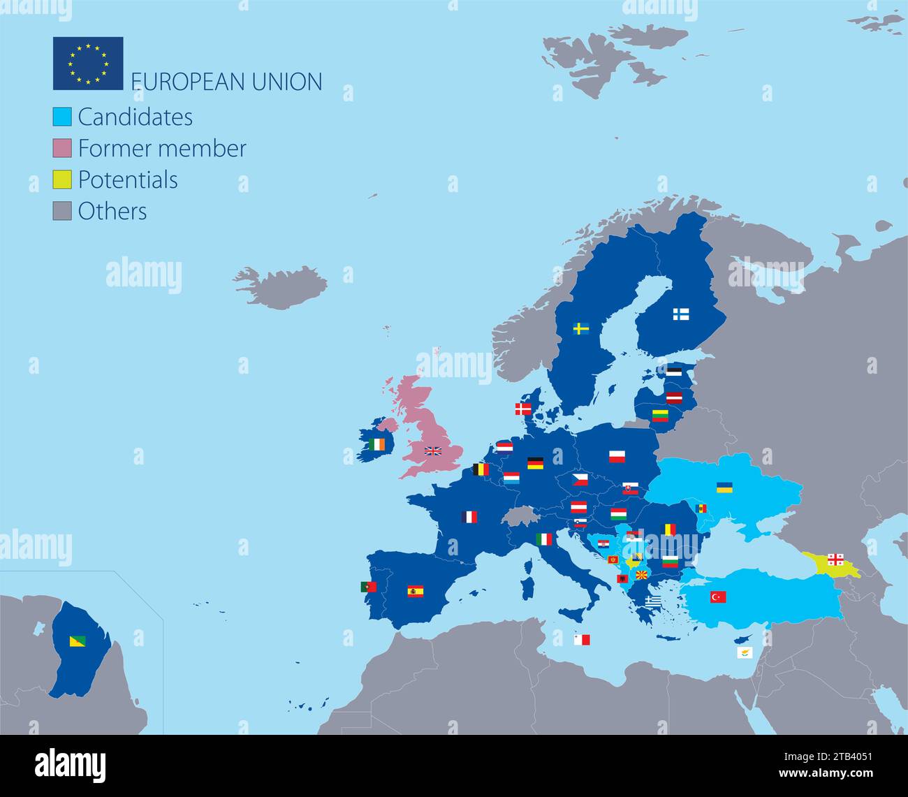 European Union map with borders, member countries, flags and candidates, vector illustration Stock Vectorhttps://www.alamy.com/image-license-details/?v=1https://www.alamy.com/european-union-map-with-borders-member-countries-flags-and-candidates-vector-illustration-image574791309.html
RF2TB4051–European Union map with borders, member countries, flags and candidates, vector illustration
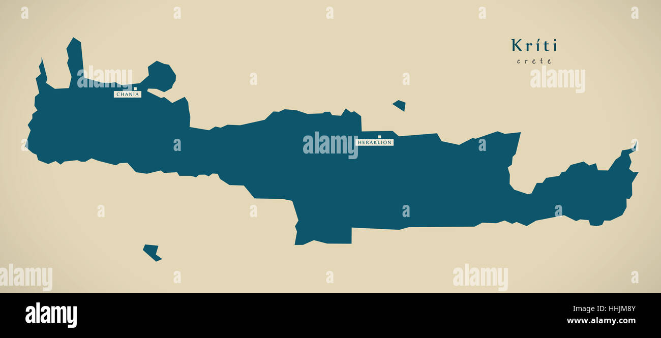 Modern Map - Kriti Greece GR illustration Stock Photohttps://www.alamy.com/image-license-details/?v=1https://www.alamy.com/stock-photo-modern-map-kriti-greece-gr-illustration-131332795.html
RFHHJM8Y–Modern Map - Kriti Greece GR illustration
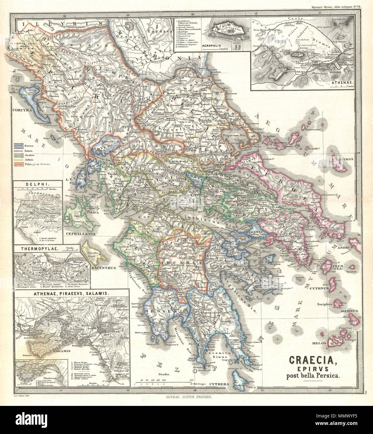 . English: This Karl von Spruner’s 1865 map of Graecia, Epirus post Bella Persica, or Greece, Epirus after the Persian War. This beautiful map is outlined in color and covers the entire area of modern day Greece. The map also features 6 inserts, showing Acropolis, Athens, Delphi, Thermopylae, Piraeus, Salamis, and a close-up depiction of the island of Piraeus. Each inset includes a scale and map key or legend, including a key to the territories of ancient Greek gods. Important cities, rivers and mountains are labeled. Countries and territories are designated with colored borders. The whole is Stock Photohttps://www.alamy.com/image-license-details/?v=1https://www.alamy.com/english-this-karl-von-spruners-1865-map-of-graecia-epirus-post-bella-persica-or-greece-epirus-after-the-persian-war-this-beautiful-map-is-outlined-in-color-and-covers-the-entire-area-of-modern-day-greece-the-map-also-features-6-inserts-showing-acropolis-athens-delphi-thermopylae-piraeus-salamis-and-a-close-up-depiction-of-the-island-of-piraeus-each-inset-includes-a-scale-and-map-key-or-legend-including-a-key-to-the-territories-of-ancient-greek-gods-important-cities-rivers-and-mountains-are-labeled-countries-and-territories-are-designated-with-colored-borders-the-whole-is-image184967193.html
RMMMWYF5–. English: This Karl von Spruner’s 1865 map of Graecia, Epirus post Bella Persica, or Greece, Epirus after the Persian War. This beautiful map is outlined in color and covers the entire area of modern day Greece. The map also features 6 inserts, showing Acropolis, Athens, Delphi, Thermopylae, Piraeus, Salamis, and a close-up depiction of the island of Piraeus. Each inset includes a scale and map key or legend, including a key to the territories of ancient Greek gods. Important cities, rivers and mountains are labeled. Countries and territories are designated with colored borders. The whole is
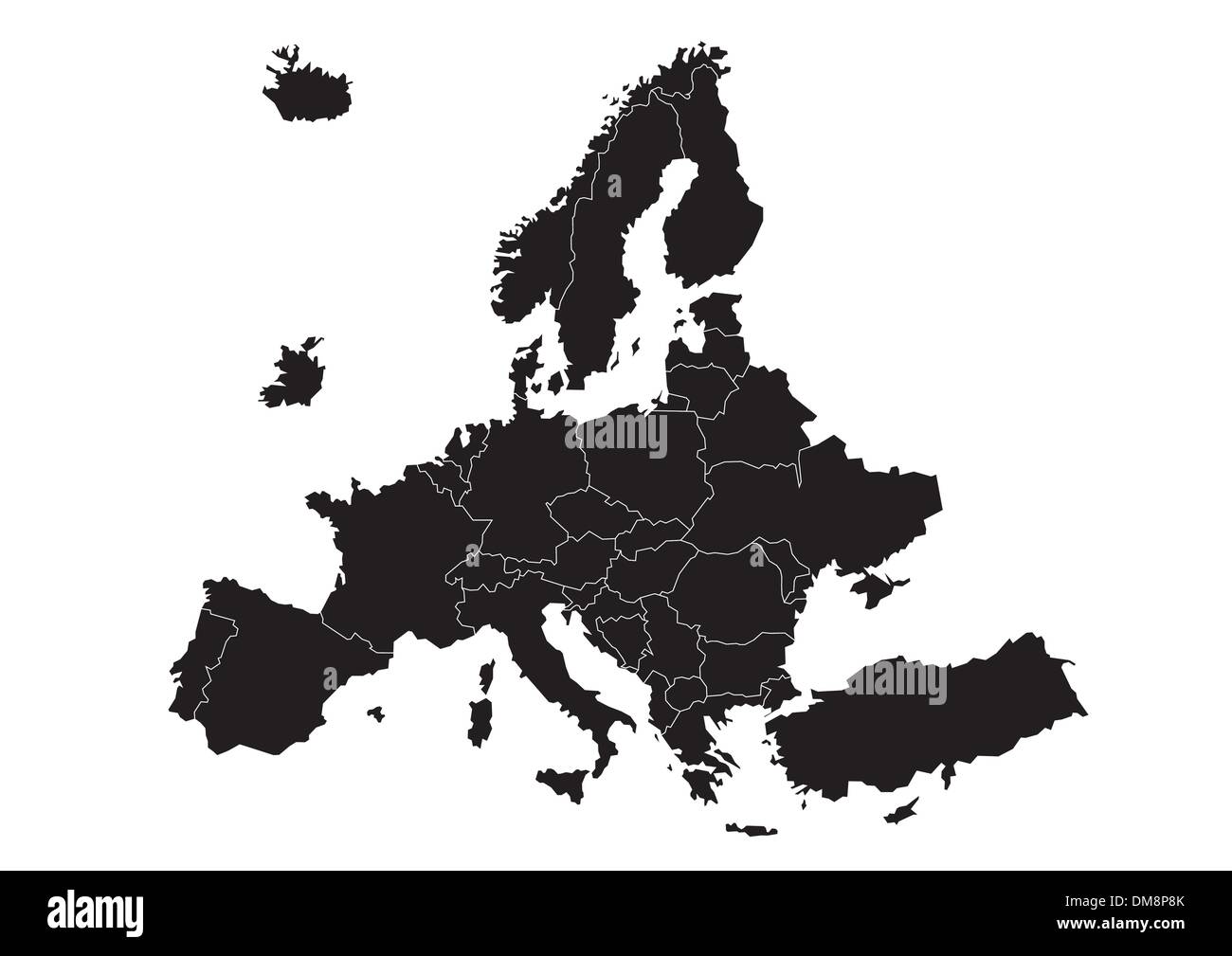 Europe map (vector) Stock Vectorhttps://www.alamy.com/image-license-details/?v=1https://www.alamy.com/europe-map-vector-image64117331.html
RFDM8P8K–Europe map (vector)
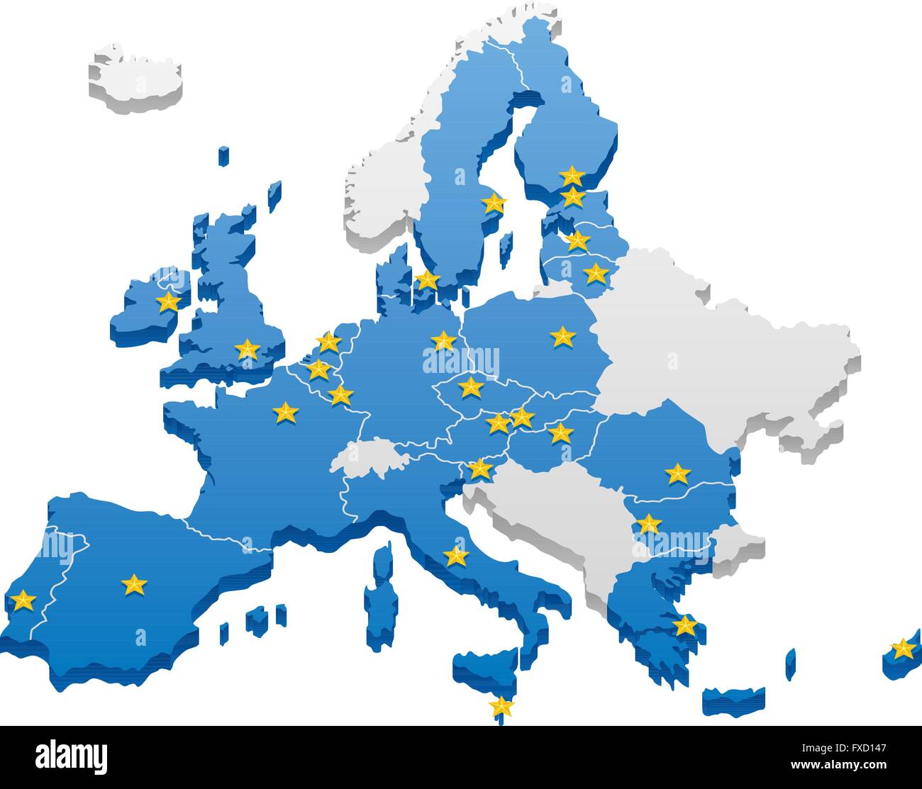 Map of the European Union. Capitals and borders can be easily removed in the vector file. Stock Vectorhttps://www.alamy.com/image-license-details/?v=1https://www.alamy.com/stock-photo-map-of-the-european-union-capitals-and-borders-can-be-easily-removed-102319175.html
RFFXD147–Map of the European Union. Capitals and borders can be easily removed in the vector file.
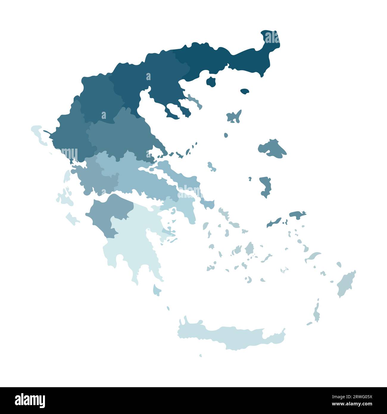 Vector isolated illustration of simplified administrative map of Greece. Borders of the regions. Colorful blue khaki silhouettes. Stock Vectorhttps://www.alamy.com/image-license-details/?v=1https://www.alamy.com/vector-isolated-illustration-of-simplified-administrative-map-of-greece-borders-of-the-regions-colorful-blue-khaki-silhouettes-image566449574.html
RF2RWG05X–Vector isolated illustration of simplified administrative map of Greece. Borders of the regions. Colorful blue khaki silhouettes.
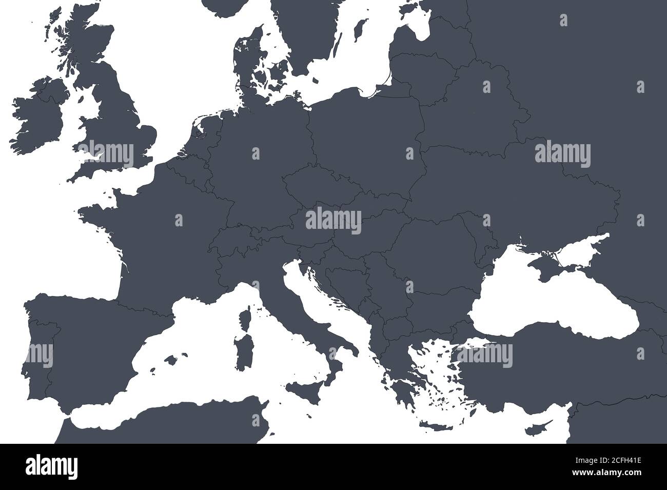 Europe outline map with countries borders. Detail of World political map, central European region with silhouette. Earth isolated on white background, Stock Photohttps://www.alamy.com/image-license-details/?v=1https://www.alamy.com/europe-outline-map-with-countries-borders-detail-of-world-political-map-central-european-region-with-silhouette-earth-isolated-on-white-background-image371013930.html
RF2CFH41E–Europe outline map with countries borders. Detail of World political map, central European region with silhouette. Earth isolated on white background,
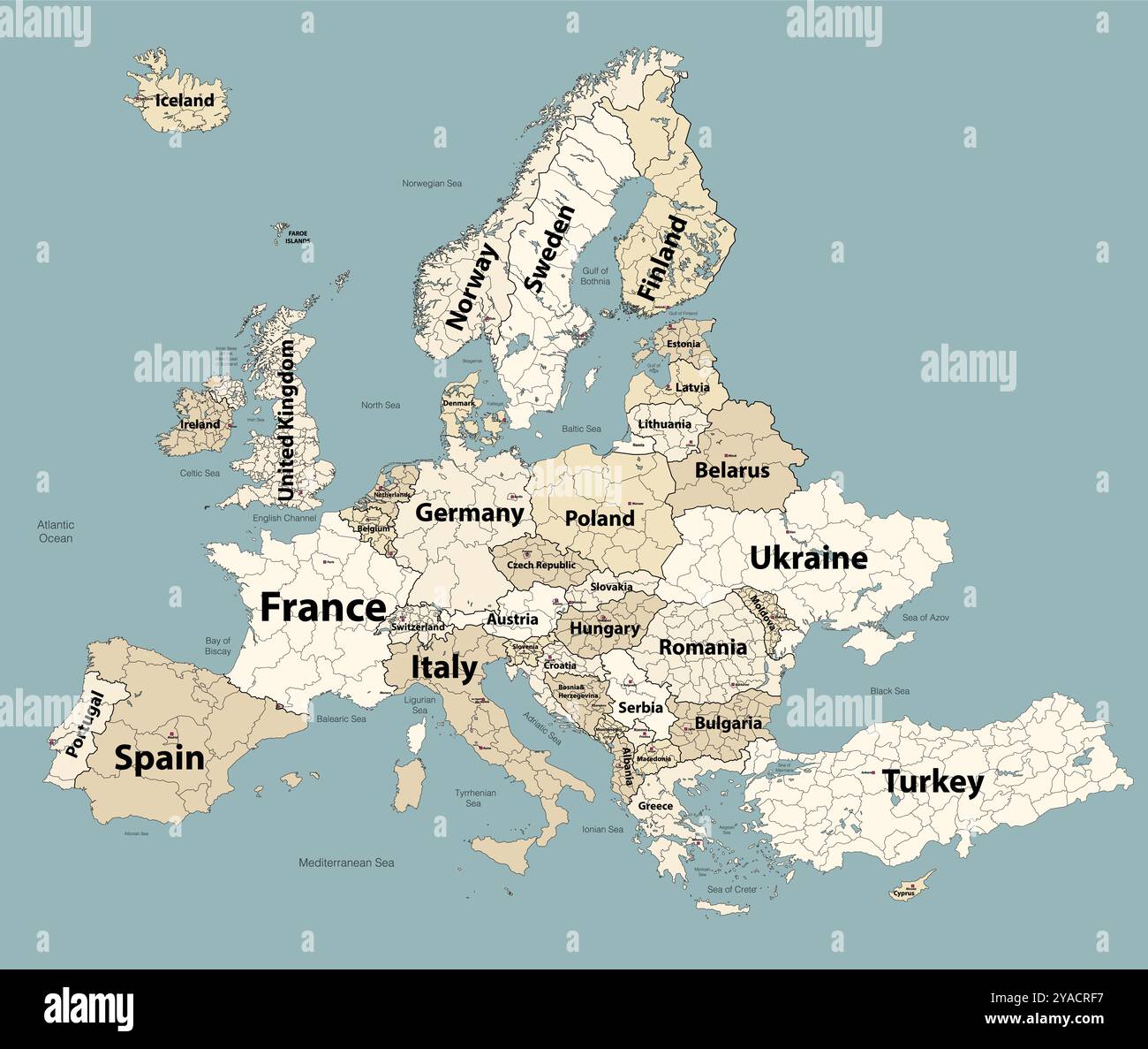 Europe map with administrative divisions borders. Soft beige color palette. Vector illustration Stock Vectorhttps://www.alamy.com/image-license-details/?v=1https://www.alamy.com/europe-map-with-administrative-divisions-borders-soft-beige-color-palette-vector-illustration-image626001691.html
RF2YACRF7–Europe map with administrative divisions borders. Soft beige color palette. Vector illustration
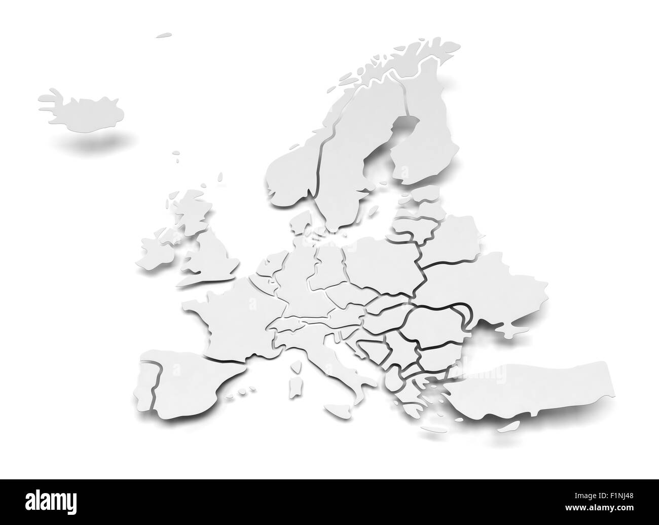 Detail paper map of Europe with national borders Stock Photohttps://www.alamy.com/image-license-details/?v=1https://www.alamy.com/stock-photo-detail-paper-map-of-europe-with-national-borders-87141720.html
RFF1NJ48–Detail paper map of Europe with national borders
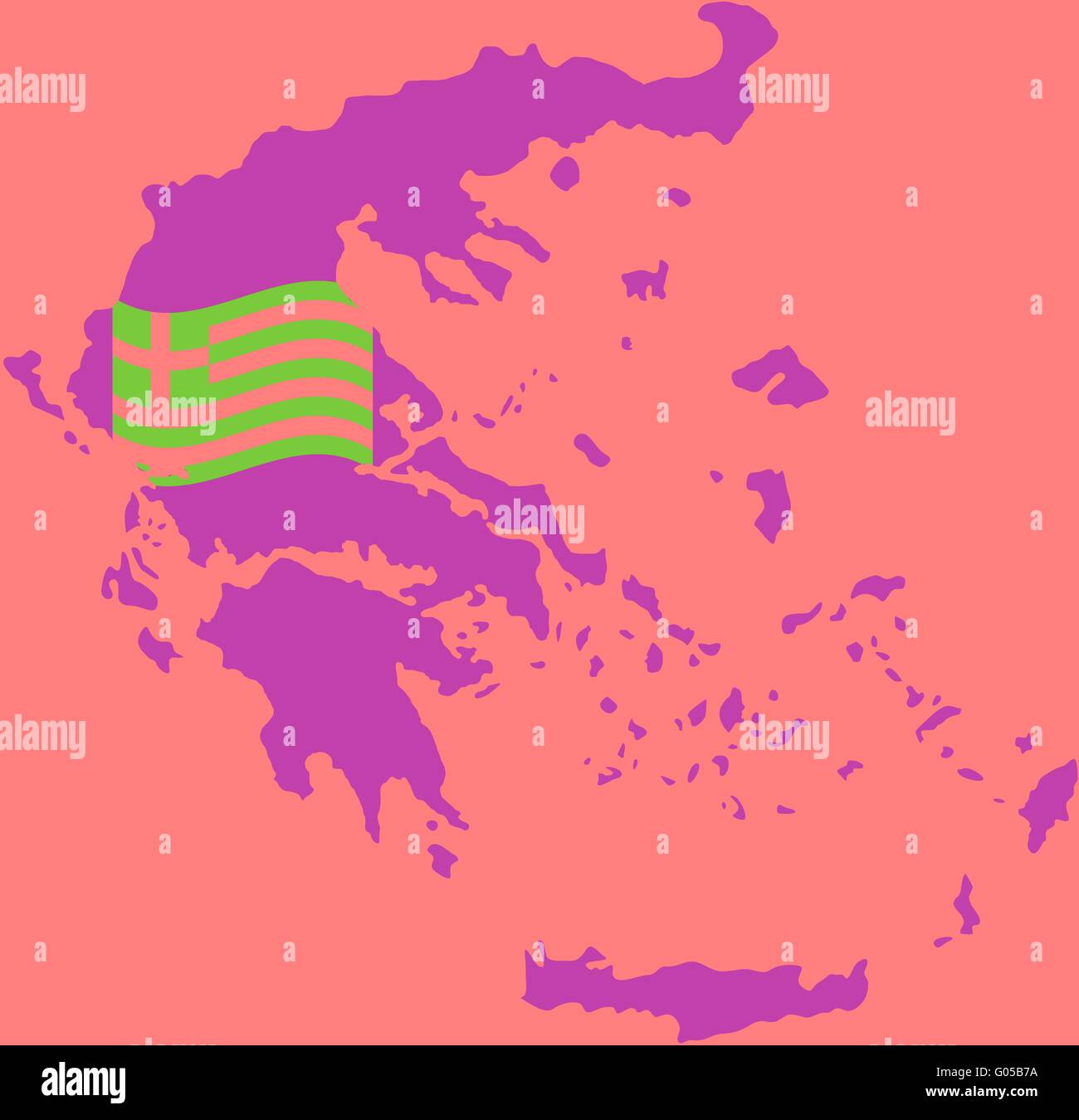 Map and Flag of Greece Stock Photohttps://www.alamy.com/image-license-details/?v=1https://www.alamy.com/stock-photo-map-and-flag-of-greece-103380798.html
RMG05B7A–Map and Flag of Greece
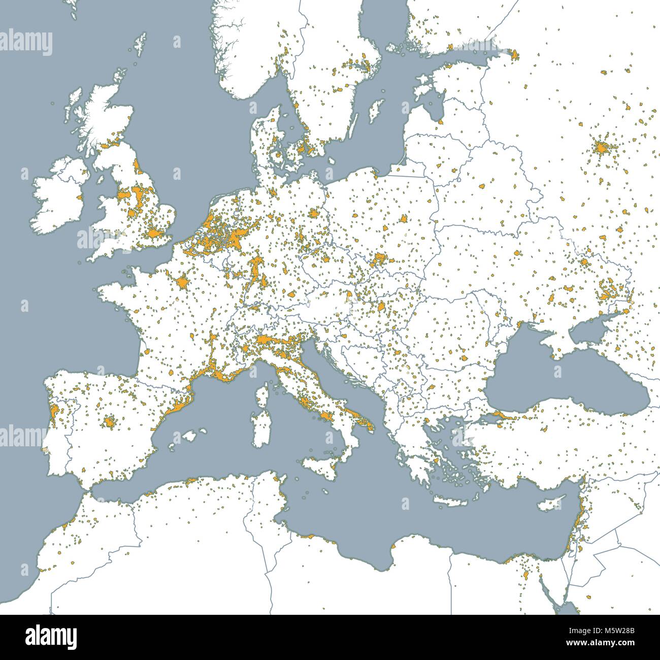 Political map of Europe and Africa. European cities. Political map with the border of the states. Urban areas Stock Vectorhttps://www.alamy.com/image-license-details/?v=1https://www.alamy.com/stock-photo-political-map-of-europe-and-africa-european-cities-political-map-with-175727563.html
RFM5W28B–Political map of Europe and Africa. European cities. Political map with the border of the states. Urban areas
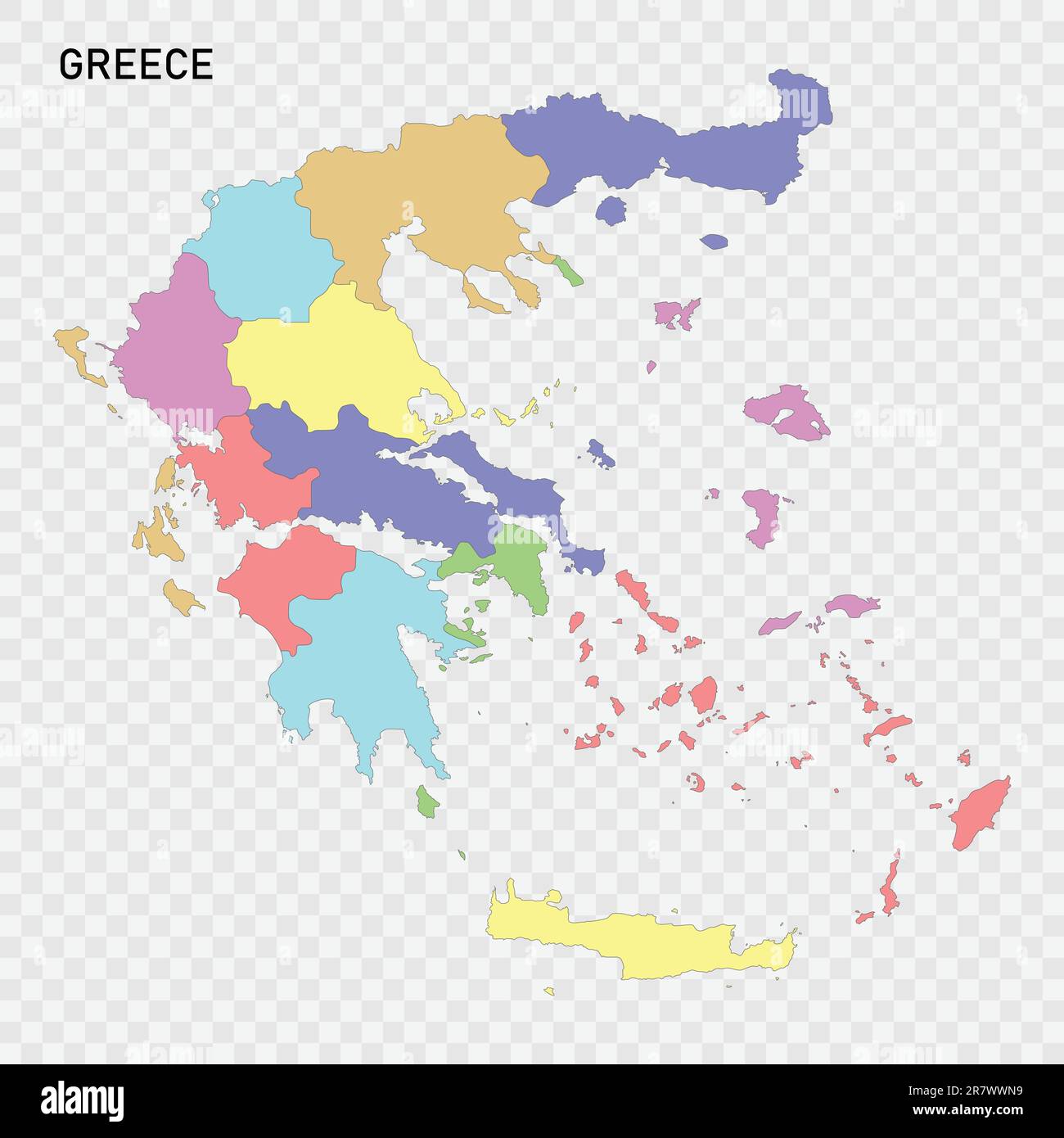 Isolated colored map of Greece with borders of the regions Stock Vectorhttps://www.alamy.com/image-license-details/?v=1https://www.alamy.com/isolated-colored-map-of-greece-with-borders-of-the-regions-image555603365.html
RF2R7WWN9–Isolated colored map of Greece with borders of the regions
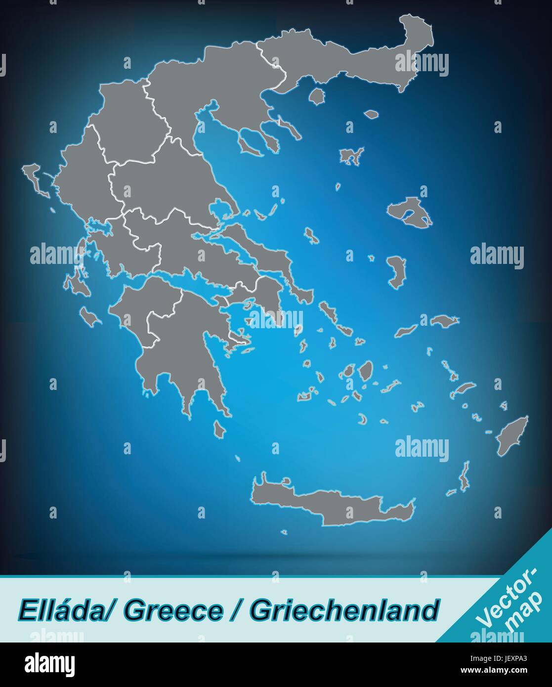 boundary map of greece with borders in bright gray Stock Vectorhttps://www.alamy.com/image-license-details/?v=1https://www.alamy.com/stock-photo-boundary-map-of-greece-with-borders-in-bright-gray-146876411.html
RFJEXPA3–boundary map of greece with borders in bright gray
 Turkey political map with capital Ankara, national borders and neighbor countries. Republic in Eurasia. Gray illustration. Stock Photohttps://www.alamy.com/image-license-details/?v=1https://www.alamy.com/stock-photo-turkey-political-map-with-capital-ankara-national-borders-and-neighbor-128293481.html
RFHCM7J1–Turkey political map with capital Ankara, national borders and neighbor countries. Republic in Eurasia. Gray illustration.
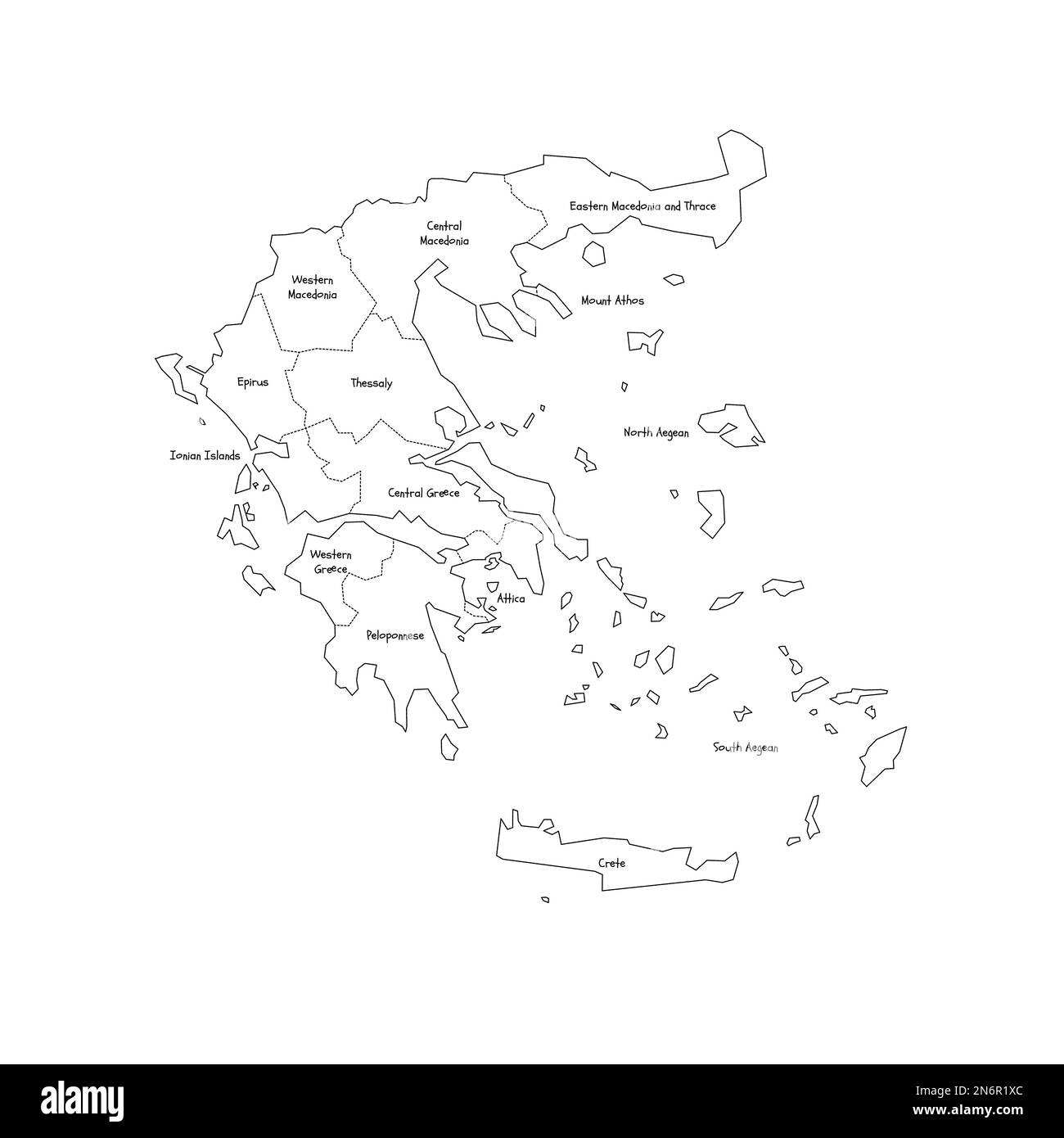 Greece political map of administrative divisions - decentralized administrations and autonomous monastic state of Mount Athos. Handdrawn doodle style map with black outline borders and name labels. Stock Vectorhttps://www.alamy.com/image-license-details/?v=1https://www.alamy.com/greece-political-map-of-administrative-divisions-decentralized-administrations-and-autonomous-monastic-state-of-mount-athos-handdrawn-doodle-style-map-with-black-outline-borders-and-name-labels-image520505396.html
RF2N6R1XC–Greece political map of administrative divisions - decentralized administrations and autonomous monastic state of Mount Athos. Handdrawn doodle style map with black outline borders and name labels.
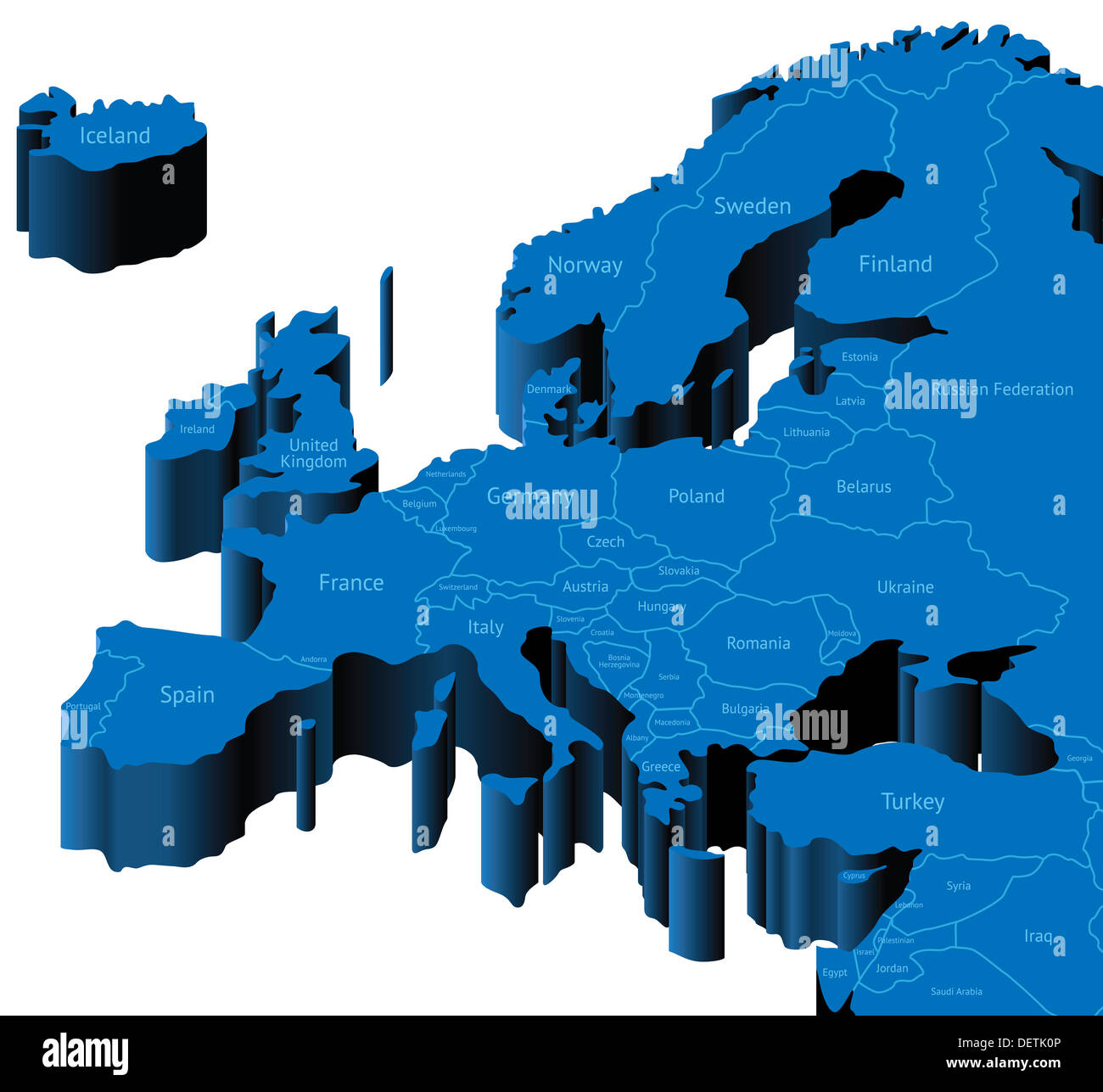 Map of Europe with national borders and country names. Stock Photohttps://www.alamy.com/image-license-details/?v=1https://www.alamy.com/map-of-europe-with-national-borders-and-country-names-image60778054.html
RFDETK0P–Map of Europe with national borders and country names.
 Eurozone In 2002, True Colour Satellite Image With Mask And Borders. True colour satellite image of the Eurozone in 2002, showin Stock Photohttps://www.alamy.com/image-license-details/?v=1https://www.alamy.com/stock-photo-eurozone-in-2002-true-colour-satellite-image-with-mask-and-borders-71605597.html
RME4DWJN–Eurozone In 2002, True Colour Satellite Image With Mask And Borders. True colour satellite image of the Eurozone in 2002, showin
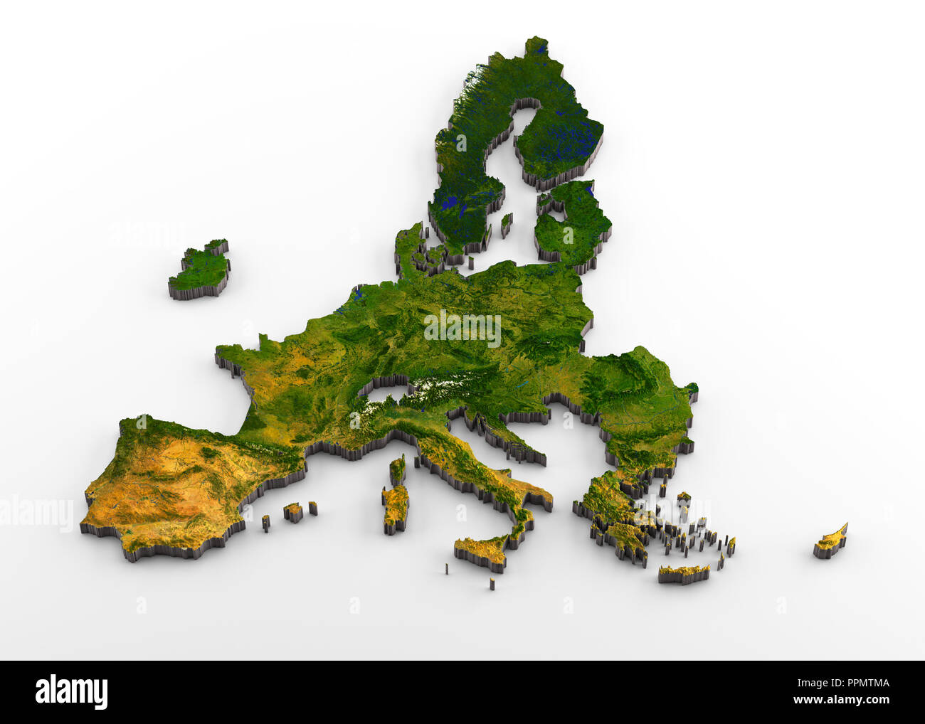 European Union (post-Brexit) 3D Physical Map with Relief Stock Photohttps://www.alamy.com/image-license-details/?v=1https://www.alamy.com/european-union-post-brexit-3d-physical-map-with-relief-image220505274.html
RFPPMTMA–European Union (post-Brexit) 3D Physical Map with Relief
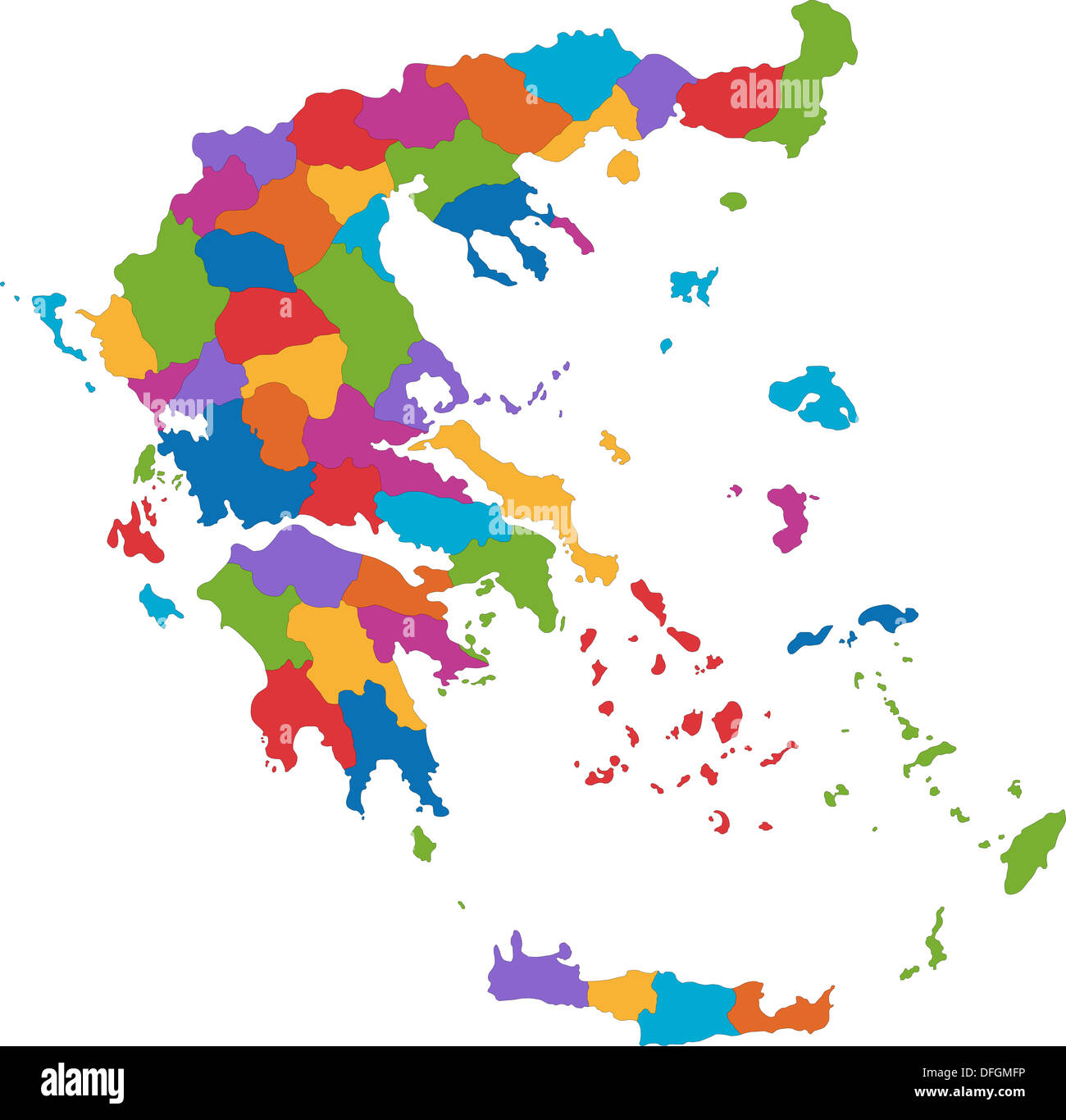 Greece map Stock Photohttps://www.alamy.com/image-license-details/?v=1https://www.alamy.com/greece-map-image61218298.html
RFDFGMFP–Greece map
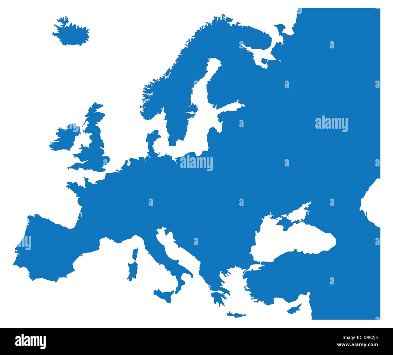 Blue Map of the European Countries Stock Photohttps://www.alamy.com/image-license-details/?v=1https://www.alamy.com/stock-photo-blue-map-of-the-european-countries-57669982.html
RFD9R2J6–Blue Map of the European Countries
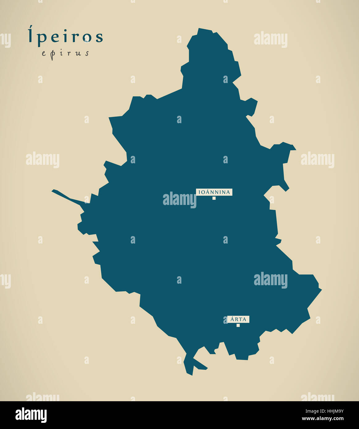 Modern Map - Ipeiros Greece GR illustration Stock Photohttps://www.alamy.com/image-license-details/?v=1https://www.alamy.com/stock-photo-modern-map-ipeiros-greece-gr-illustration-131332823.html
RFHHJM9Y–Modern Map - Ipeiros Greece GR illustration
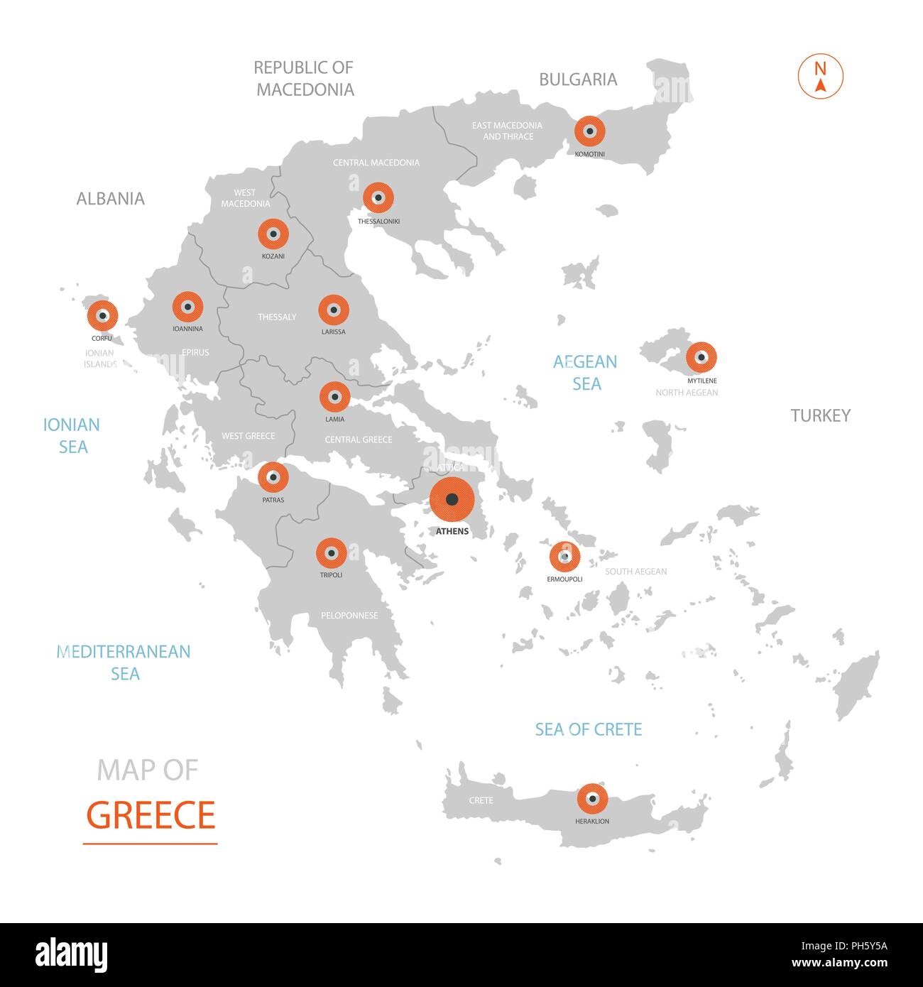 Stylized vector Greece map showing big cities, capital Athens, administrative divisions and country borders Stock Vectorhttps://www.alamy.com/image-license-details/?v=1https://www.alamy.com/stylized-vector-greece-map-showing-big-cities-capital-athens-administrative-divisions-and-country-borders-image217104646.html
RFPH5Y5A–Stylized vector Greece map showing big cities, capital Athens, administrative divisions and country borders
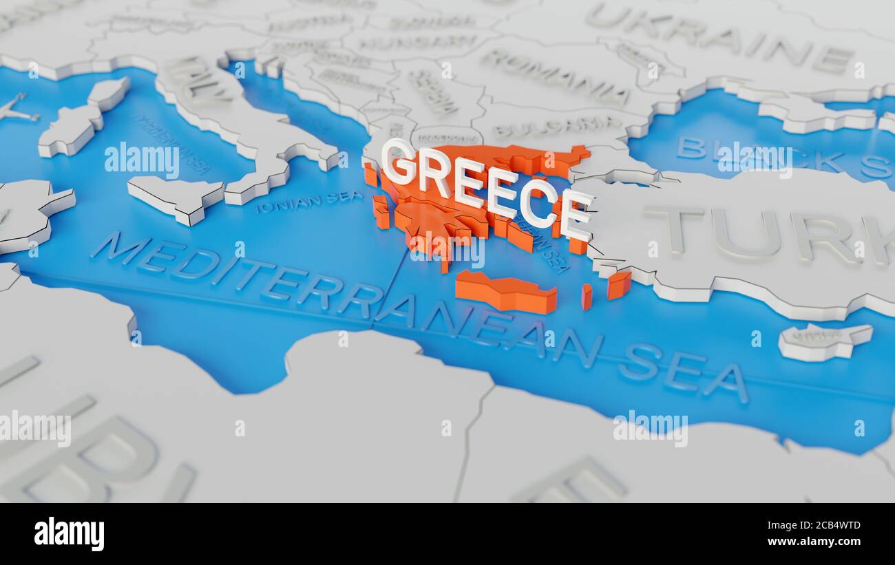 Greece highlighted on a white simplified 3D world map. Digital 3D render. Stock Photohttps://www.alamy.com/image-license-details/?v=1https://www.alamy.com/greece-highlighted-on-a-white-simplified-3d-world-map-digital-3d-render-image368287037.html
RF2CB4WTD–Greece highlighted on a white simplified 3D world map. Digital 3D render.
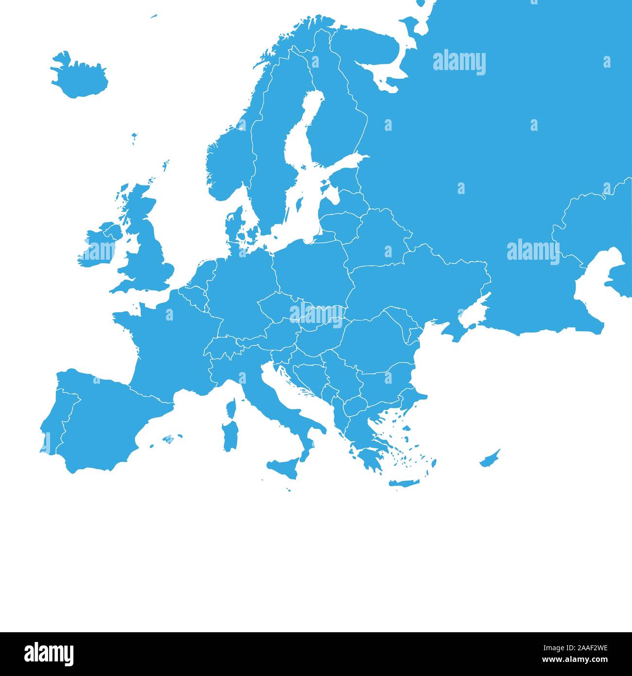 Europe map with country borders, vector illustration. Stock Vectorhttps://www.alamy.com/image-license-details/?v=1https://www.alamy.com/europe-map-with-country-borders-vector-illustration-image333475114.html
RF2AAF2WE–Europe map with country borders, vector illustration.
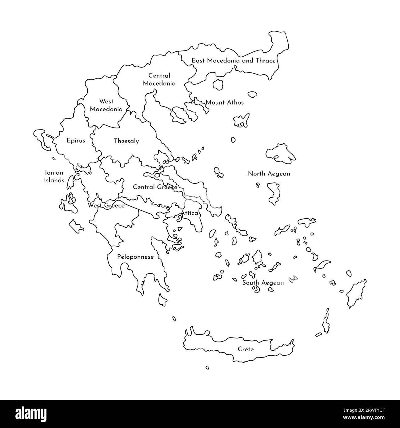 Vector isolated illustration of simplified administrative map of Greece. Borders and names of the regions. Black line silhouettes. Stock Vectorhttps://www.alamy.com/image-license-details/?v=1https://www.alamy.com/vector-isolated-illustration-of-simplified-administrative-map-of-greece-borders-and-names-of-the-regions-black-line-silhouettes-image566449087.html
RF2RWFYGF–Vector isolated illustration of simplified administrative map of Greece. Borders and names of the regions. Black line silhouettes.
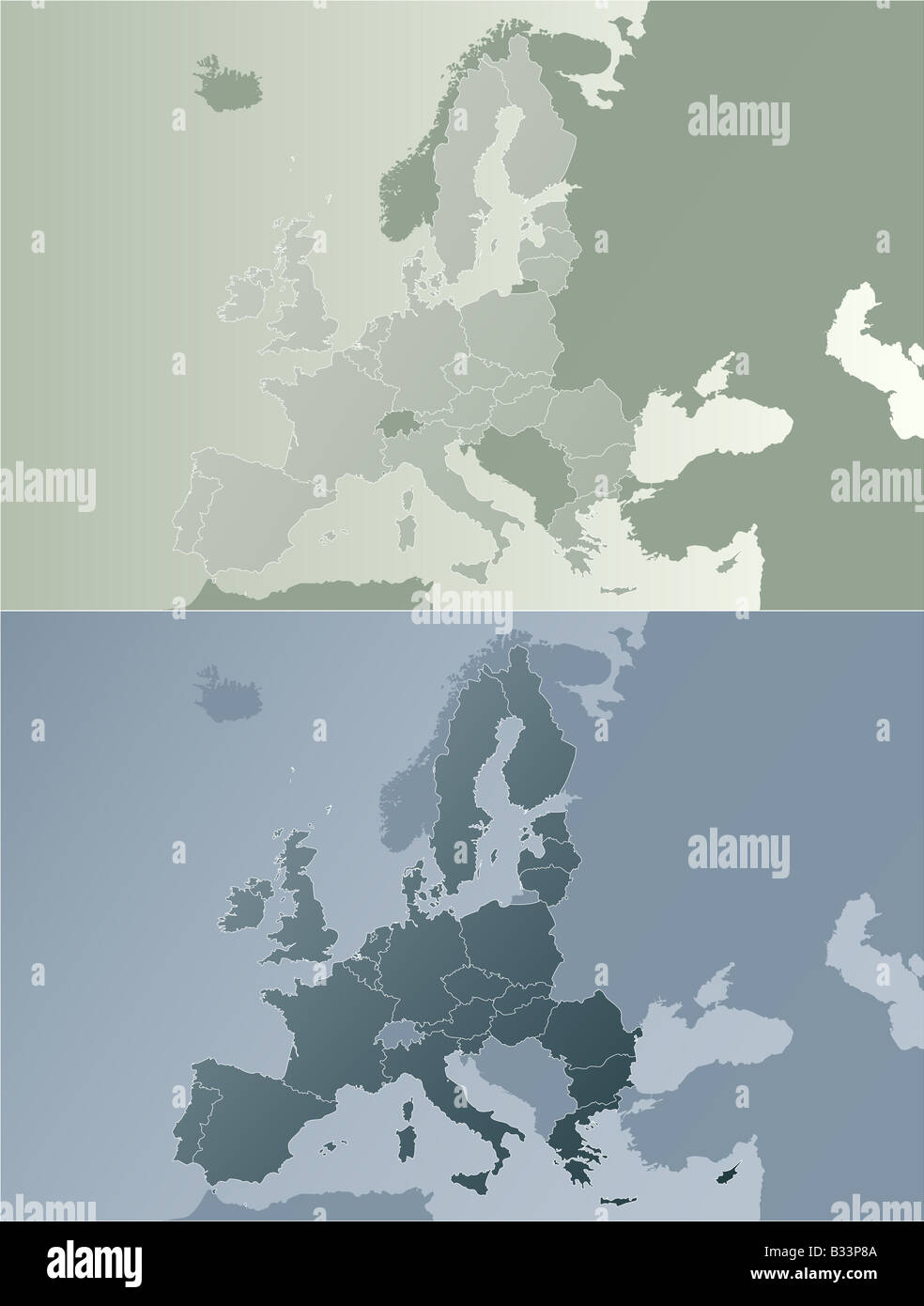 Vector illustration of the European Union map with state borders Two color variations in modern earth color tones Stock Photohttps://www.alamy.com/image-license-details/?v=1https://www.alamy.com/stock-photo-vector-illustration-of-the-european-union-map-with-state-borders-two-19137674.html
RFB33P8A–Vector illustration of the European Union map with state borders Two color variations in modern earth color tones
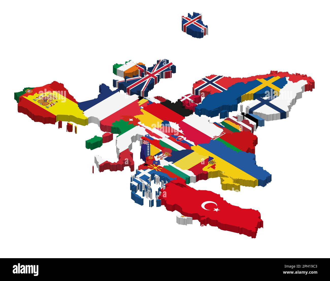 Europe 3d (isometric) map with national flags incorporated inside countries borders Stock Vectorhttps://www.alamy.com/image-license-details/?v=1https://www.alamy.com/europe-3d-isometric-map-with-national-flags-incorporated-inside-countries-borders-image543999907.html
RF2PH19C3–Europe 3d (isometric) map with national flags incorporated inside countries borders
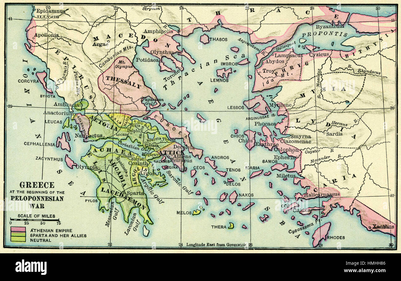 map of europe Stock Photohttps://www.alamy.com/image-license-details/?v=1https://www.alamy.com/stock-photo-map-of-europe-133152438.html
RFHMHH86–map of europe
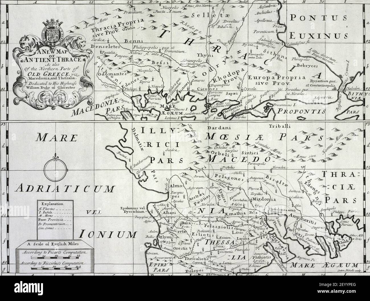 An illustration of the map of ancient Thrace Stock Photohttps://www.alamy.com/image-license-details/?v=1https://www.alamy.com/an-illustration-of-the-map-of-ancient-thrace-image413044536.html
RF2EYYPEG–An illustration of the map of ancient Thrace
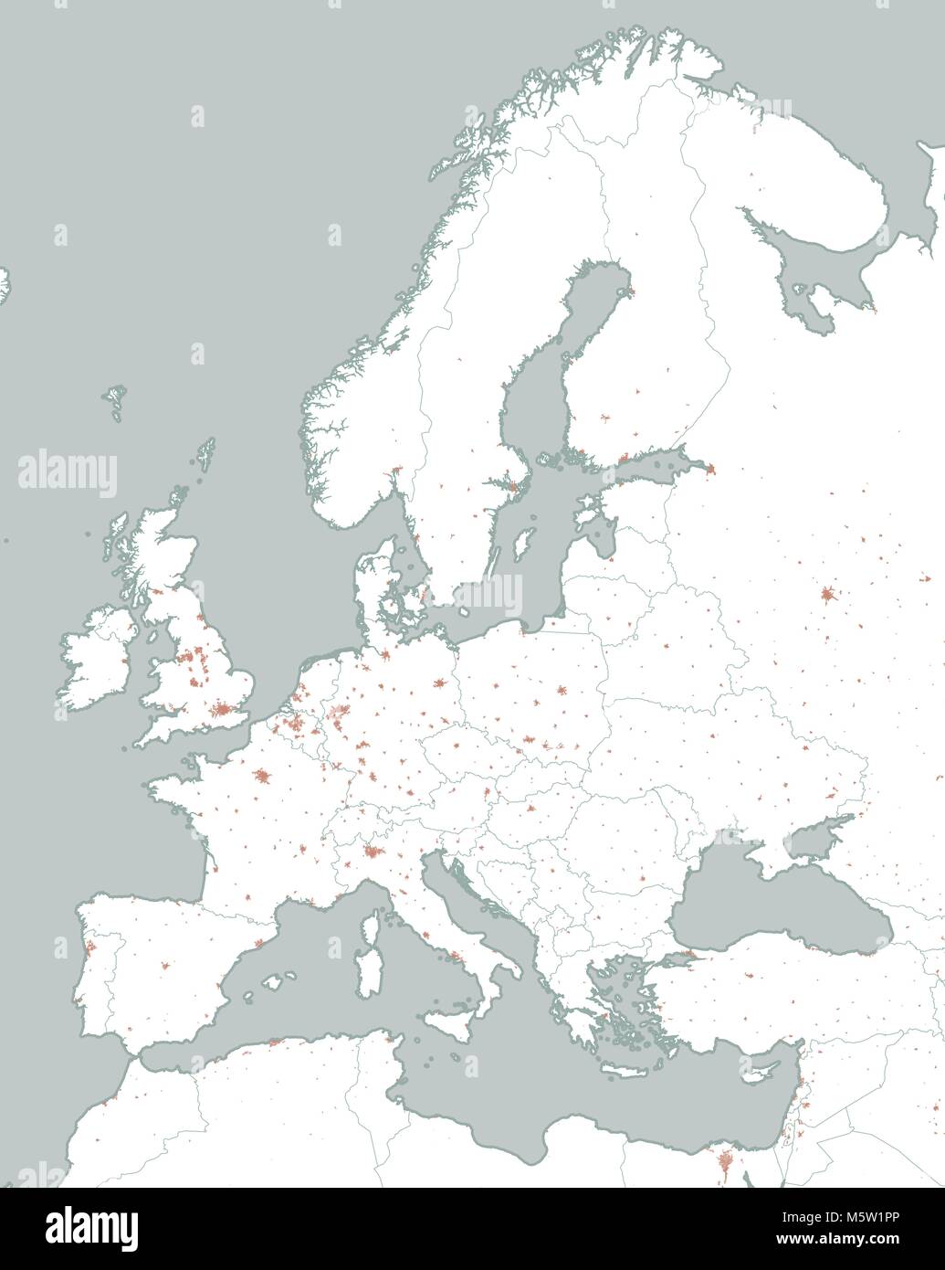 Political map of Europe and Africa. European cities. Political map with the border of the states. Urban areas Stock Vectorhttps://www.alamy.com/image-license-details/?v=1https://www.alamy.com/stock-photo-political-map-of-europe-and-africa-european-cities-political-map-with-175727182.html
RFM5W1PP–Political map of Europe and Africa. European cities. Political map with the border of the states. Urban areas
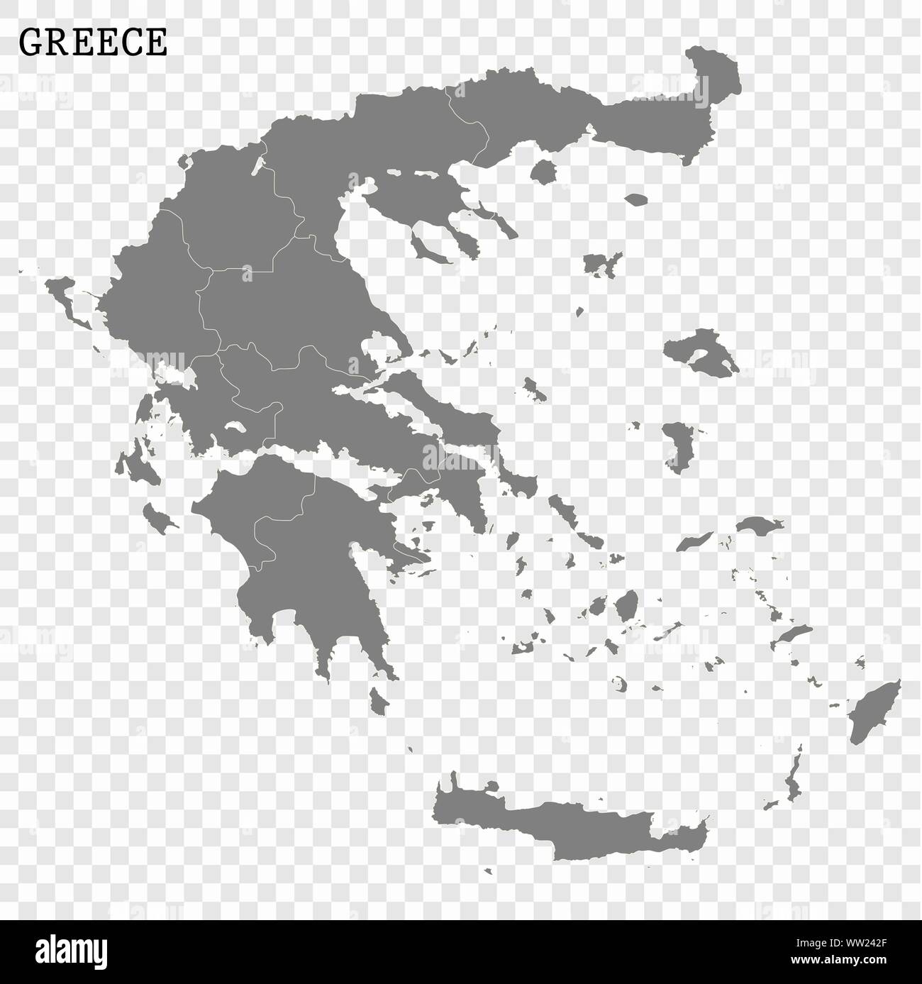 High quality map of Greece with borders of the regions Stock Vectorhttps://www.alamy.com/image-license-details/?v=1https://www.alamy.com/high-quality-map-of-greece-with-borders-of-the-regions-image273569031.html
RFWW242F–High quality map of Greece with borders of the regions
 greece, border, card, synopsis, borders, atlas, map of the world, map, Stock Vectorhttps://www.alamy.com/image-license-details/?v=1https://www.alamy.com/stock-photo-greece-border-card-synopsis-borders-atlas-map-of-the-world-map-146902982.html
RFJF0072–greece, border, card, synopsis, borders, atlas, map of the world, map,
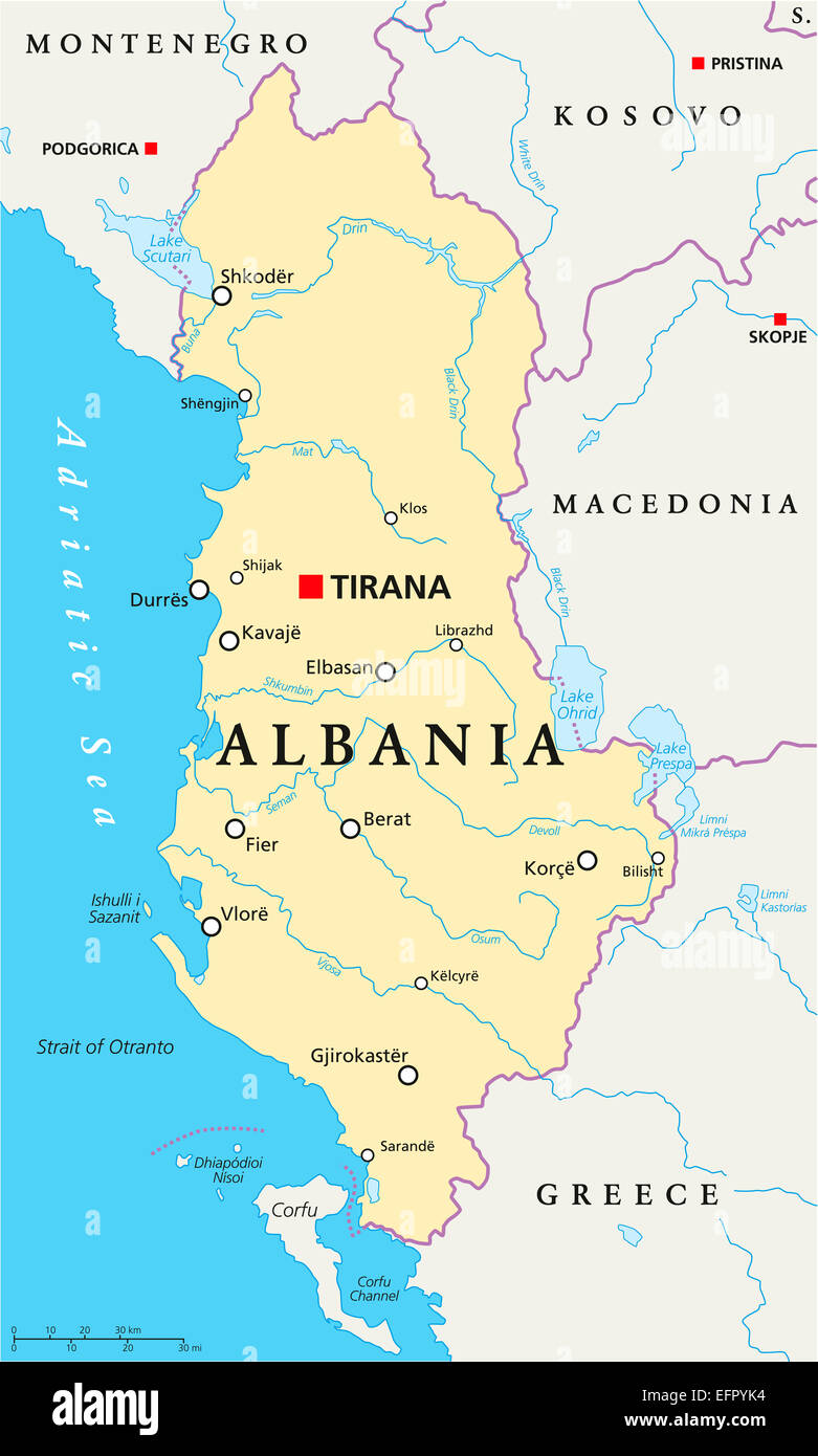 Albania Political Map with capital Tirana, national borders, important cities, rivers and lakes. English labeling and scaling. Stock Photohttps://www.alamy.com/image-license-details/?v=1https://www.alamy.com/stock-photo-albania-political-map-with-capital-tirana-national-borders-important-78565960.html
RFEFPYK4–Albania Political Map with capital Tirana, national borders, important cities, rivers and lakes. English labeling and scaling.
 Greece high detailed vector representation of country silhouette in solid black on white background. For educational, decorative, or informational use showcasing the national outline. Stock Vectorhttps://www.alamy.com/image-license-details/?v=1https://www.alamy.com/greece-high-detailed-vector-representation-of-country-silhouette-in-solid-black-on-white-background-for-educational-decorative-or-informational-use-showcasing-the-national-outline-image636779573.html
RF2YYYPRH–Greece high detailed vector representation of country silhouette in solid black on white background. For educational, decorative, or informational use showcasing the national outline.
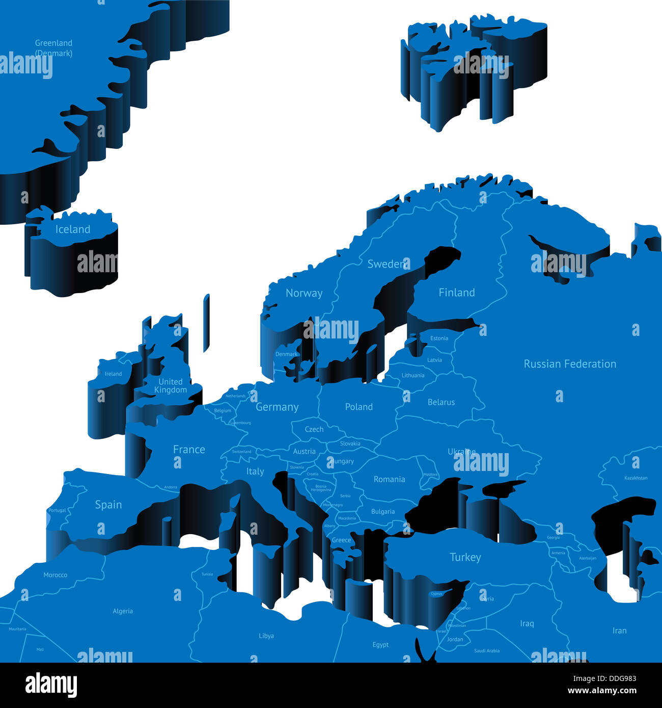 Map of European Region with national borders and country names. Stock Photohttps://www.alamy.com/image-license-details/?v=1https://www.alamy.com/stock-photo-map-of-european-region-with-national-borders-and-country-names-59980147.html
RFDDG983–Map of European Region with national borders and country names.
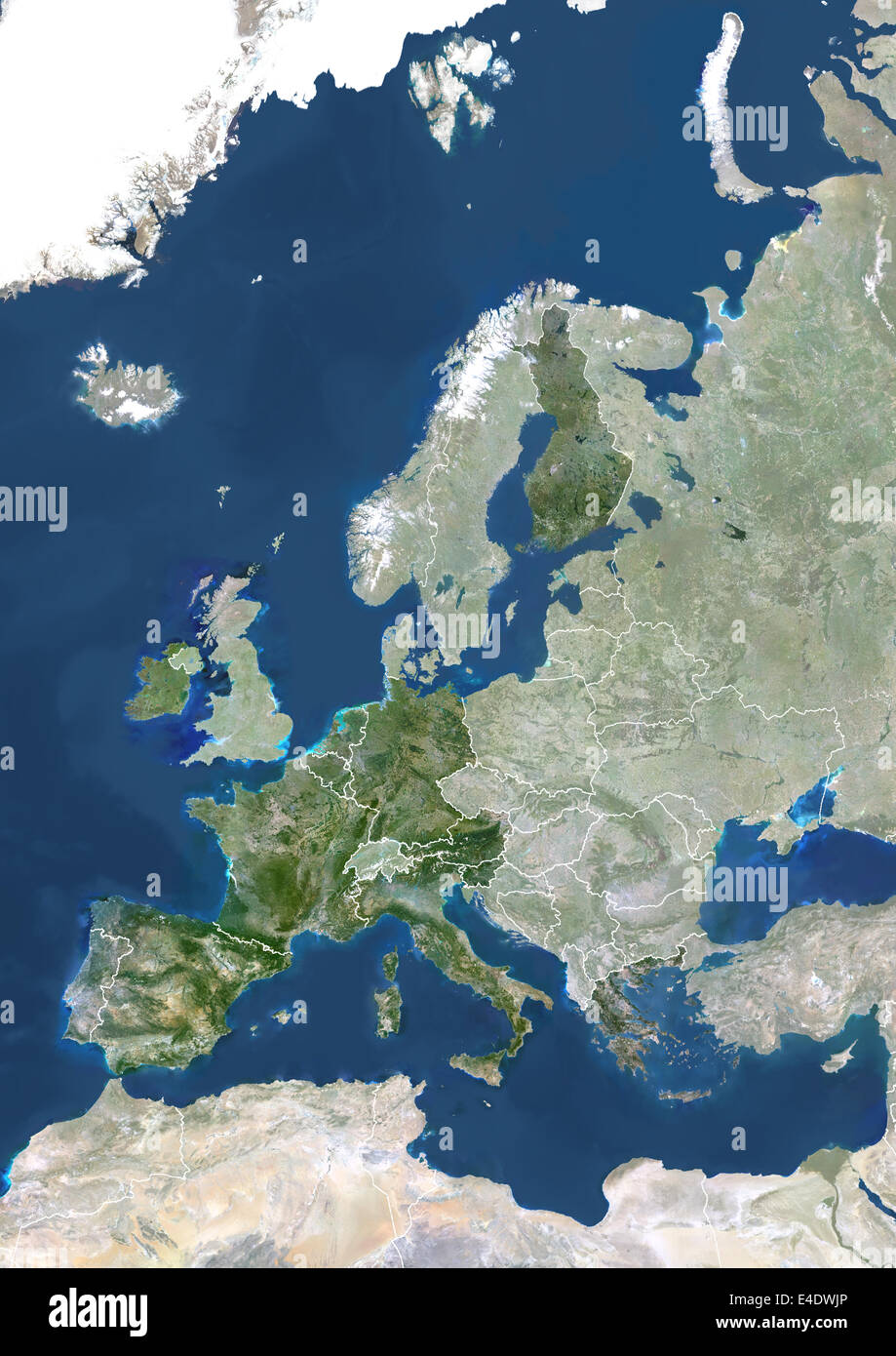 Eurozone In 2007, True Colour Satellite Image With Mask And Borders. True colour satellite image of the Eurozone in 2007, showin Stock Photohttps://www.alamy.com/image-license-details/?v=1https://www.alamy.com/stock-photo-eurozone-in-2007-true-colour-satellite-image-with-mask-and-borders-71605598.html
RME4DWJP–Eurozone In 2007, True Colour Satellite Image With Mask And Borders. True colour satellite image of the Eurozone in 2007, showin