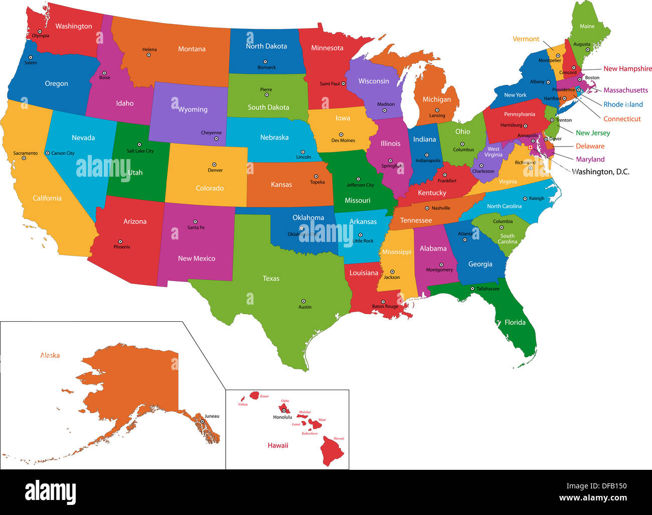
Map kentucky indiana illinois Stock Photos and Images
(450)See map kentucky indiana illinois stock video clipsQuick filters:
Map kentucky indiana illinois Stock Photos and Images
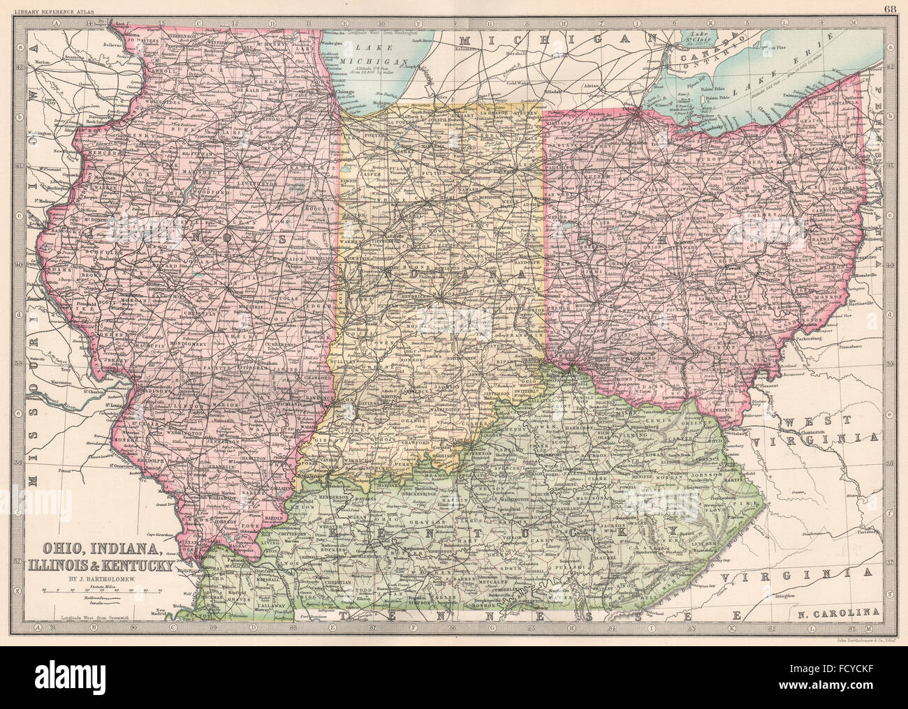 MIDWESTERN USA: Ohio, Indiana, Illinois & Kentucky. BARTHOLOMEW, 1890 old map Stock Photohttps://www.alamy.com/image-license-details/?v=1https://www.alamy.com/stock-photo-midwestern-usa-ohio-indiana-illinois-kentucky-bartholomew-1890-old-94030371.html
RFFCYCKF–MIDWESTERN USA: Ohio, Indiana, Illinois & Kentucky. BARTHOLOMEW, 1890 old map
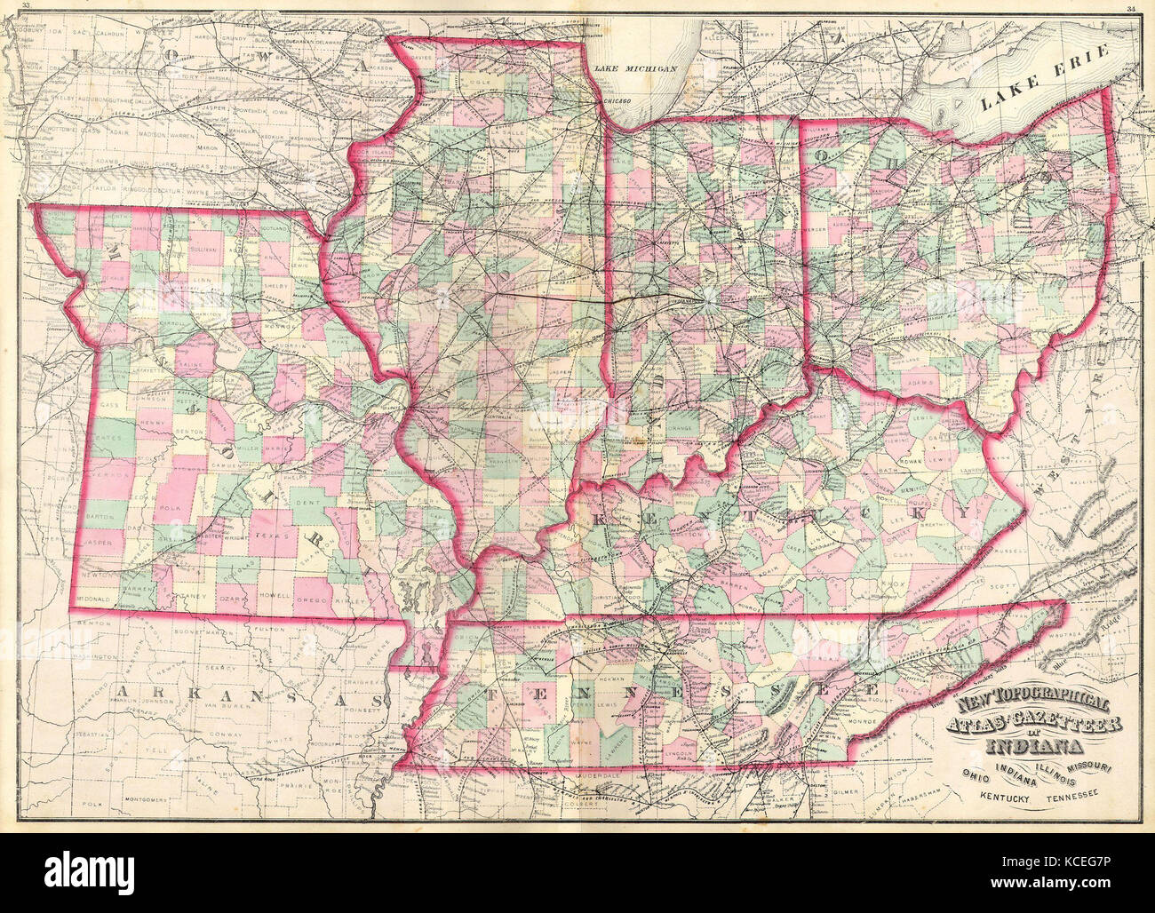 1873, Asher Adams Map of the Midwest, Ohio, Indiana, Illinois, Missouri, Kentucky Stock Photohttps://www.alamy.com/image-license-details/?v=1https://www.alamy.com/stock-image-1873-asher-adams-map-of-the-midwest-ohio-indiana-illinois-missouri-162589274.html
RMKCEG7P–1873, Asher Adams Map of the Midwest, Ohio, Indiana, Illinois, Missouri, Kentucky
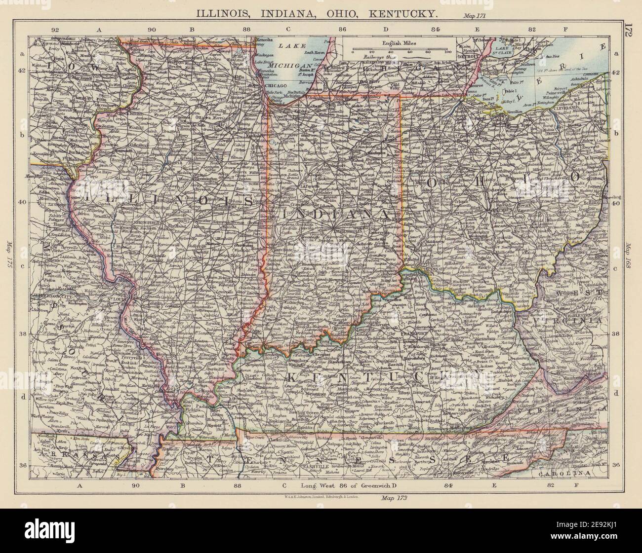 USA MIDWEST. Illinois Indiana Ohio Kentucky. Railroads. JOHNSTON 1901 old map Stock Photohttps://www.alamy.com/image-license-details/?v=1https://www.alamy.com/usa-midwest-illinois-indiana-ohio-kentucky-railroads-johnston-1901-old-map-image401429673.html
RF2E92KJ1–USA MIDWEST. Illinois Indiana Ohio Kentucky. Railroads. JOHNSTON 1901 old map
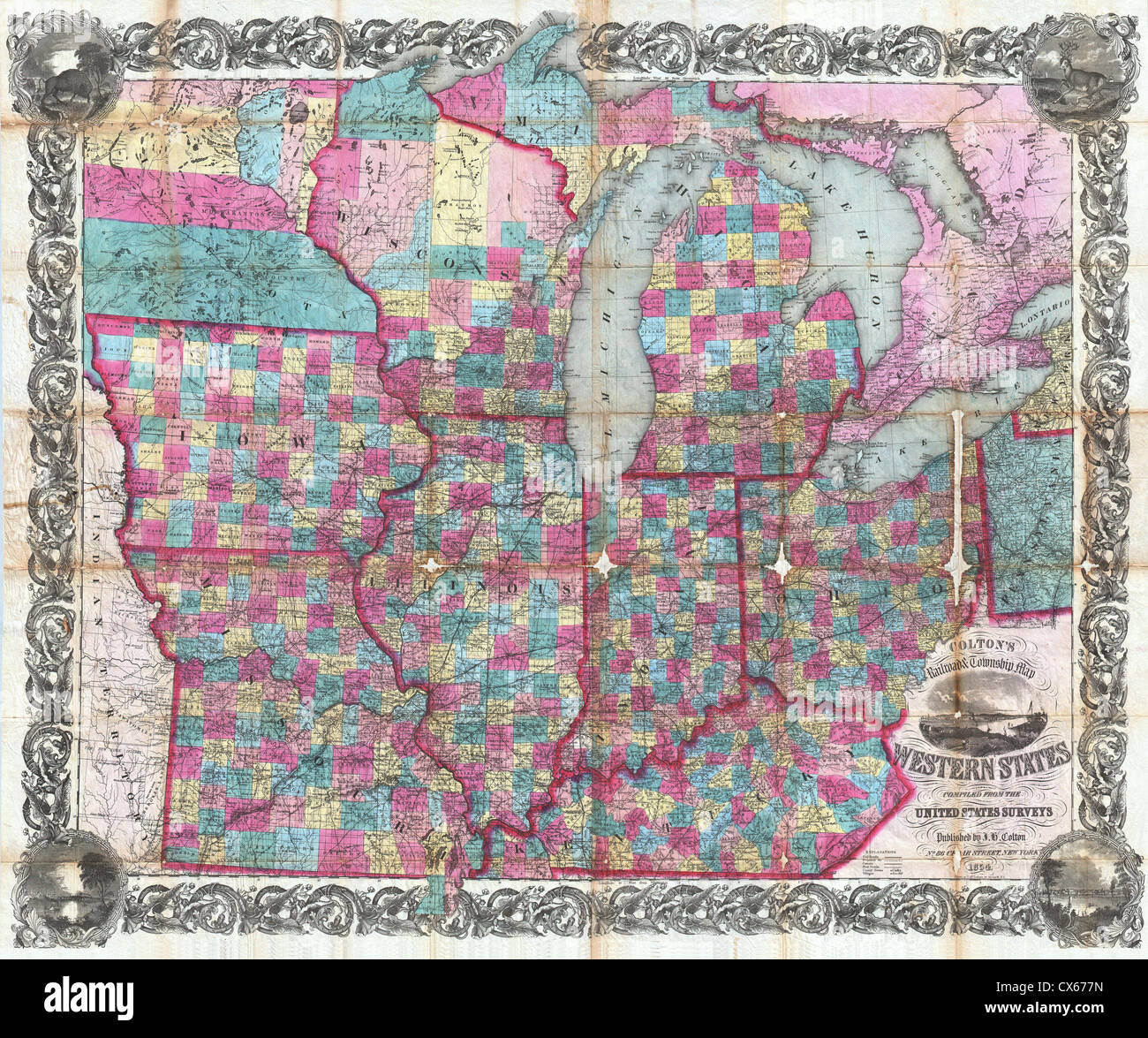 1854 Colton Pocket Map of Ohio, Michigan, Wisconsin, Iowa, Illinois, Missouri, Indiana and Kentucky Stock Photohttps://www.alamy.com/image-license-details/?v=1https://www.alamy.com/stock-photo-1854-colton-pocket-map-of-ohio-michigan-wisconsin-iowa-illinois-missouri-50539209.html
RMCX677N–1854 Colton Pocket Map of Ohio, Michigan, Wisconsin, Iowa, Illinois, Missouri, Indiana and Kentucky
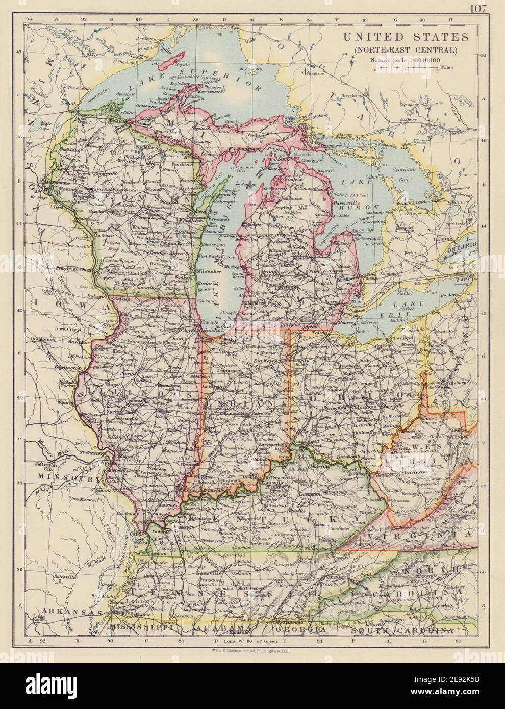 USA MID WEST. Wisconsin Michigan Illinois Ohio Indiana Kentucky TN 1910 map Stock Photohttps://www.alamy.com/image-license-details/?v=1https://www.alamy.com/usa-mid-west-wisconsin-michigan-illinois-ohio-indiana-kentucky-tn-1910-map-image401429319.html
RF2E92K5B–USA MID WEST. Wisconsin Michigan Illinois Ohio Indiana Kentucky TN 1910 map
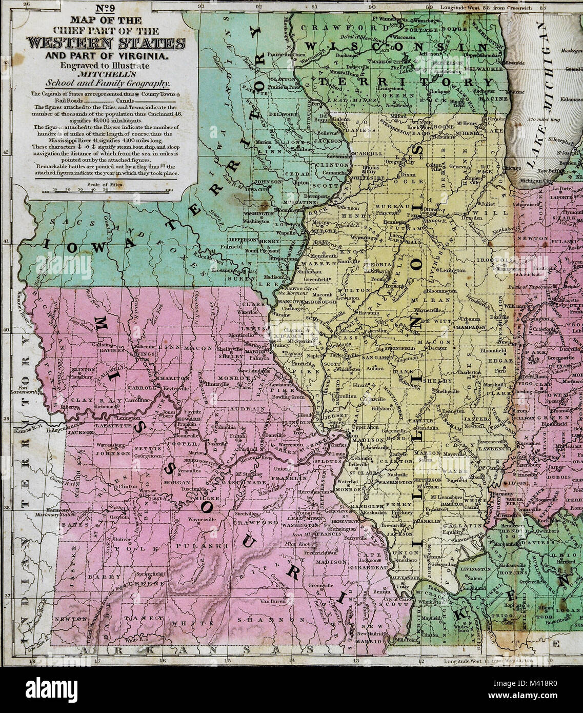 1839 Mitchell Map - Upper Midwest States - Missouri Illinois Indiana Ohio Kentucky Michigan - United States Stock Photohttps://www.alamy.com/image-license-details/?v=1https://www.alamy.com/stock-photo-1839-mitchell-map-upper-midwest-states-missouri-illinois-indiana-ohio-174591172.html
RFM418R0–1839 Mitchell Map - Upper Midwest States - Missouri Illinois Indiana Ohio Kentucky Michigan - United States
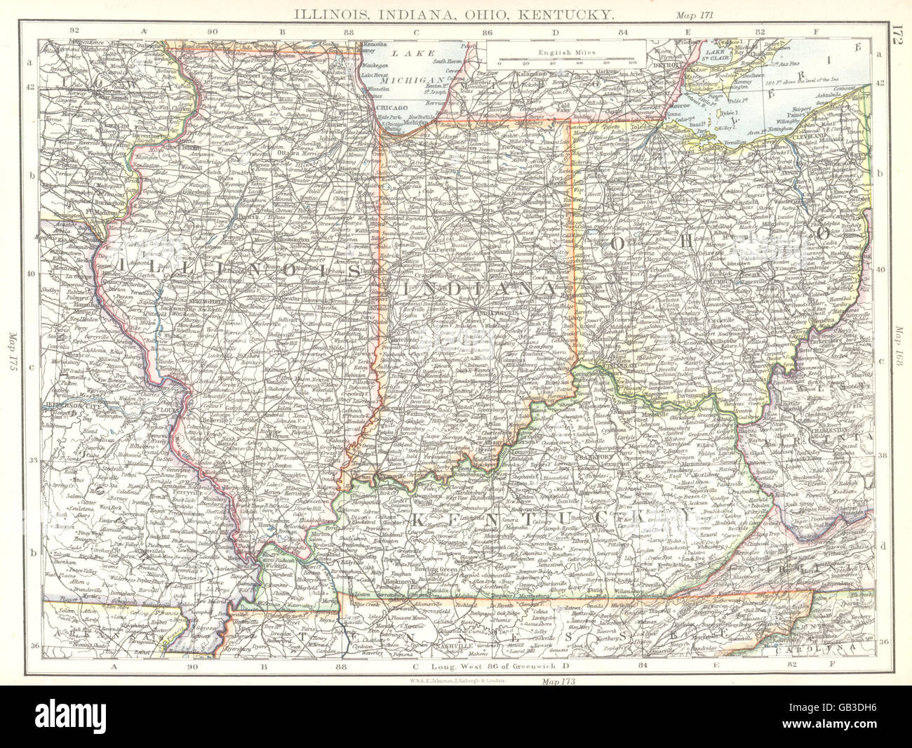 USA MID WEST: Illinois, Indiana, Ohio, Kentucky, 1897 antique map Stock Photohttps://www.alamy.com/image-license-details/?v=1https://www.alamy.com/stock-photo-usa-mid-west-illinois-indiana-ohio-kentucky-1897-antique-map-110099954.html
RFGB3DH6–USA MID WEST: Illinois, Indiana, Ohio, Kentucky, 1897 antique map
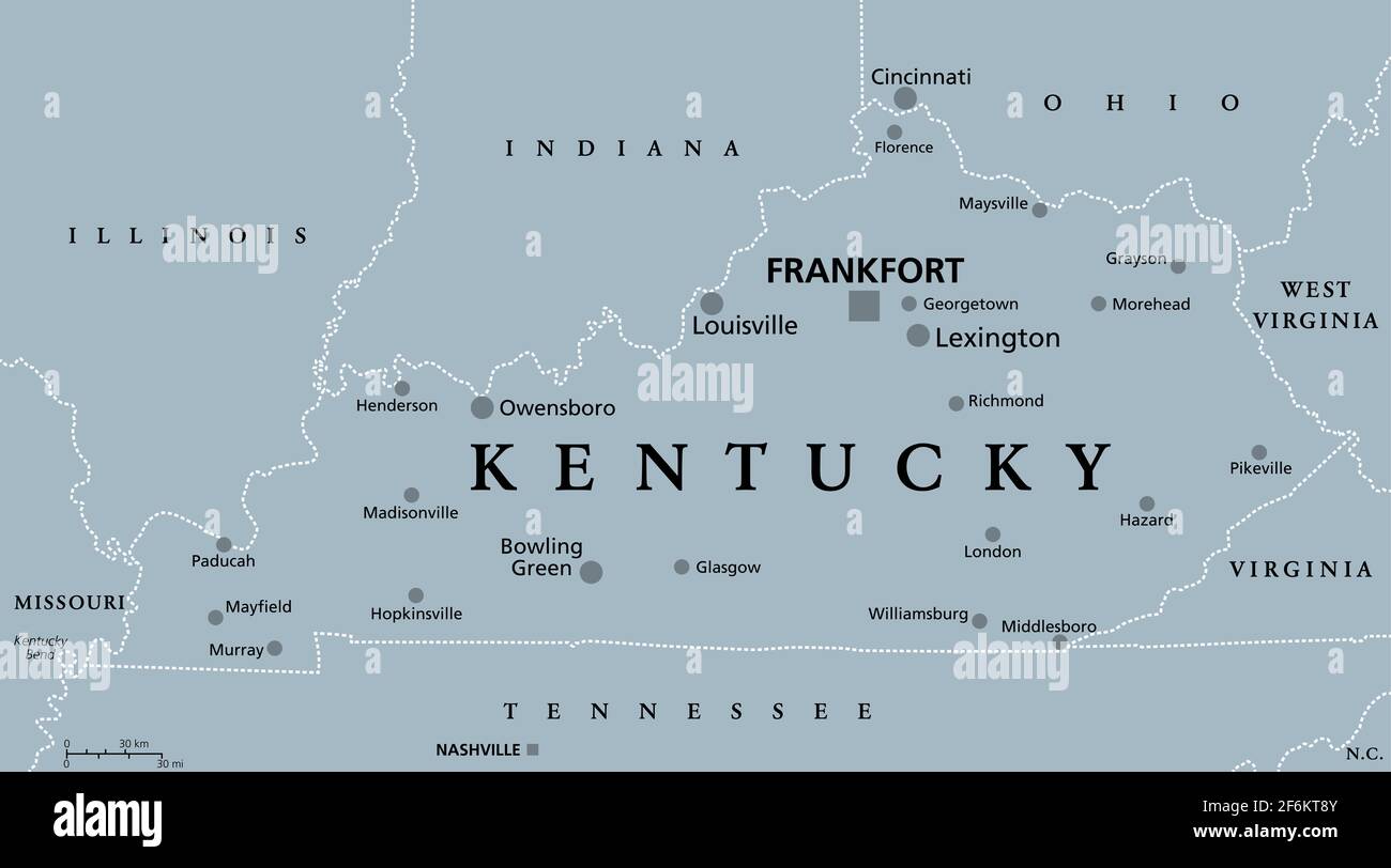 Kentucky, KY, gray political map, with capital Frankfort and largest cities. Commonwealth of Kentucky. State in Southeastern region of United States. Stock Photohttps://www.alamy.com/image-license-details/?v=1https://www.alamy.com/kentucky-ky-gray-political-map-with-capital-frankfort-and-largest-cities-commonwealth-of-kentucky-state-in-southeastern-region-of-united-states-image417172923.html
RF2F6KT8Y–Kentucky, KY, gray political map, with capital Frankfort and largest cities. Commonwealth of Kentucky. State in Southeastern region of United States.
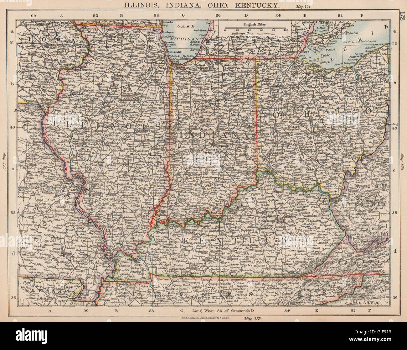 USA MIDWEST. Illinois Indiana Ohio Kentucky. Railroads. JOHNSTON, 1906 old map Stock Photohttps://www.alamy.com/image-license-details/?v=1https://www.alamy.com/stock-photo-usa-midwest-illinois-indiana-ohio-kentucky-railroads-johnston-1906-114662383.html
RFGJF913–USA MIDWEST. Illinois Indiana Ohio Kentucky. Railroads. JOHNSTON, 1906 old map
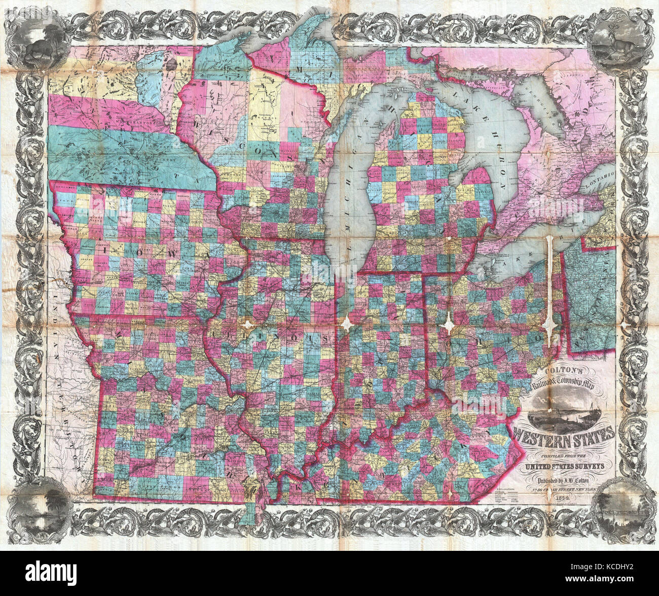 1854, Colton Pocket Map of Ohio, Michigan, Wisconsin, Iowa, Illinois, Missouri, Indiana and Kentucky Stock Photohttps://www.alamy.com/image-license-details/?v=1https://www.alamy.com/stock-image-1854-colton-pocket-map-of-ohio-michigan-wisconsin-iowa-illinois-missouri-162568646.html
RMKCDHY2–1854, Colton Pocket Map of Ohio, Michigan, Wisconsin, Iowa, Illinois, Missouri, Indiana and Kentucky
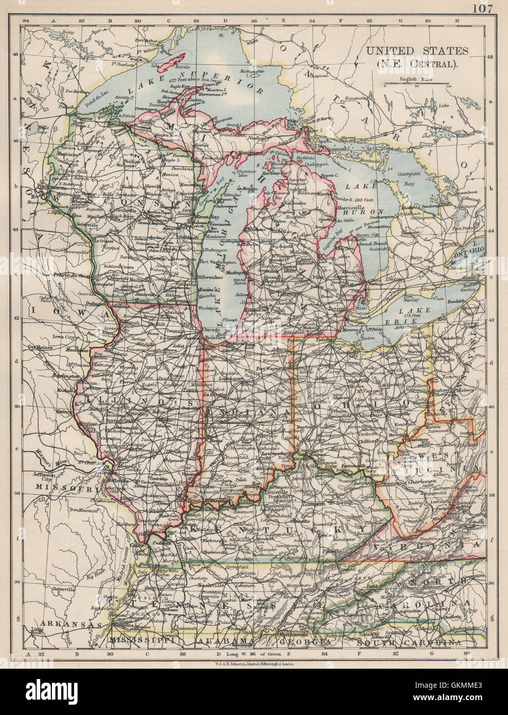 USA MID WEST. Wisconsin Michigan Illinois Ohio Indiana Kentucky TN, 1903 map Stock Photohttps://www.alamy.com/image-license-details/?v=1https://www.alamy.com/stock-photo-usa-mid-west-wisconsin-michigan-illinois-ohio-indiana-kentucky-tn-115395787.html
RFGKMME3–USA MID WEST. Wisconsin Michigan Illinois Ohio Indiana Kentucky TN, 1903 map
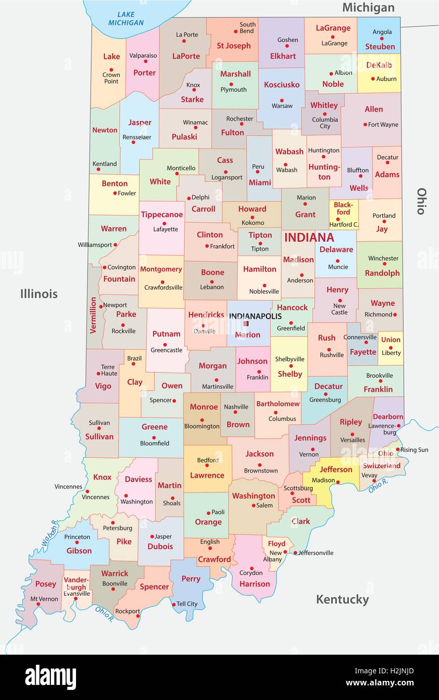 indiana administrative map Stock Vectorhttps://www.alamy.com/image-license-details/?v=1https://www.alamy.com/stock-photo-indiana-administrative-map-122114005.html
RFH2JNJD–indiana administrative map
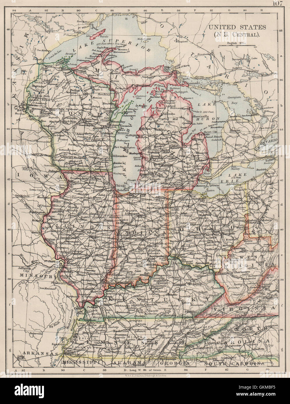 USA MID WEST. Wisconsin Michigan Illinois Ohio Indiana Kentucky TN, 1900 map Stock Photohttps://www.alamy.com/image-license-details/?v=1https://www.alamy.com/stock-photo-usa-mid-west-wisconsin-michigan-illinois-ohio-indiana-kentucky-tn-115388761.html
RFGKMBF5–USA MID WEST. Wisconsin Michigan Illinois Ohio Indiana Kentucky TN, 1900 map
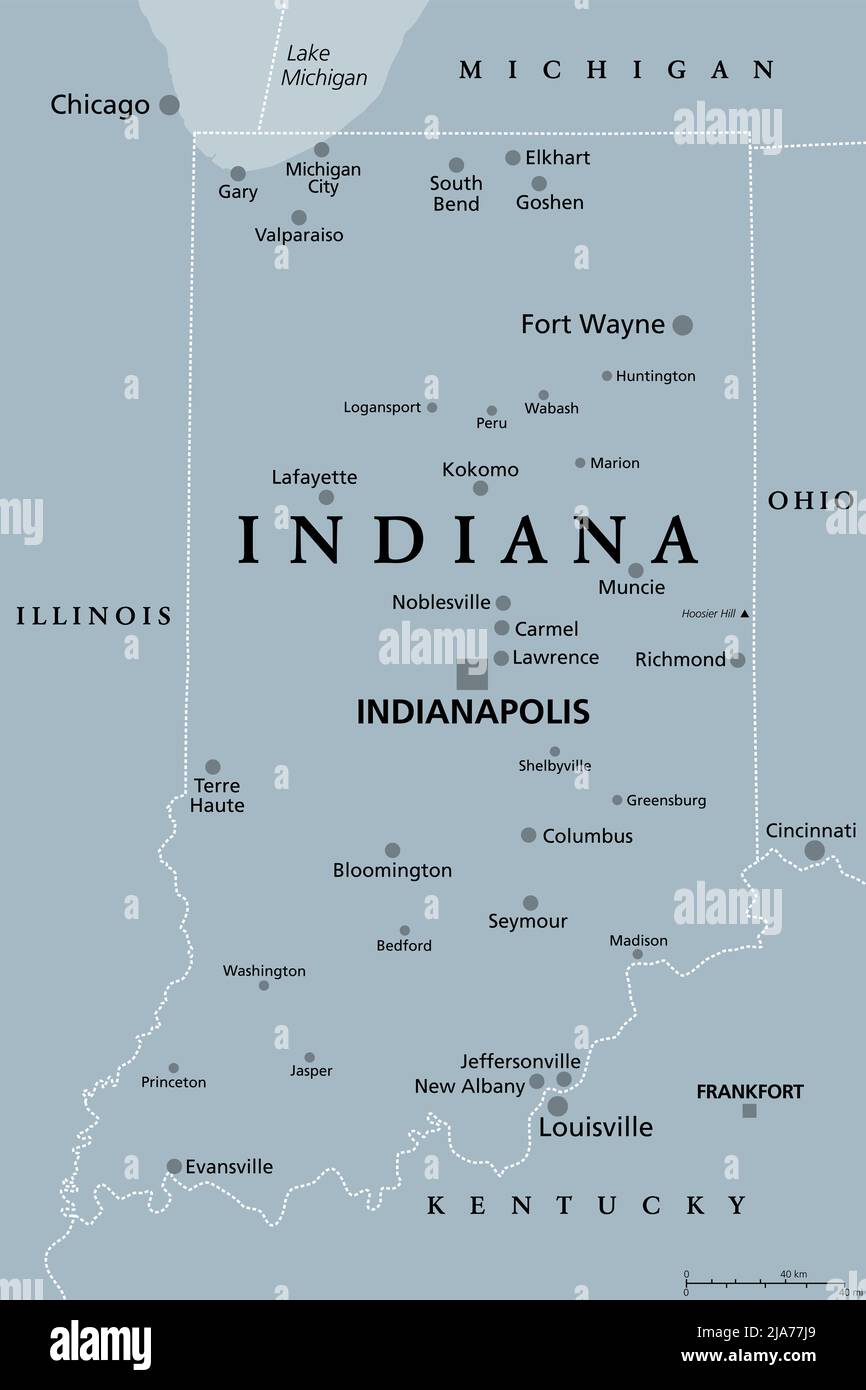 Indiana, IN, gray political map with the capital Indianapolis, and most important cities, rivers and lakes. State in the Midwestern region. Stock Photohttps://www.alamy.com/image-license-details/?v=1https://www.alamy.com/indiana-in-gray-political-map-with-the-capital-indianapolis-and-most-important-cities-rivers-and-lakes-state-in-the-midwestern-region-image470986161.html
RF2JA77J9–Indiana, IN, gray political map with the capital Indianapolis, and most important cities, rivers and lakes. State in the Midwestern region.
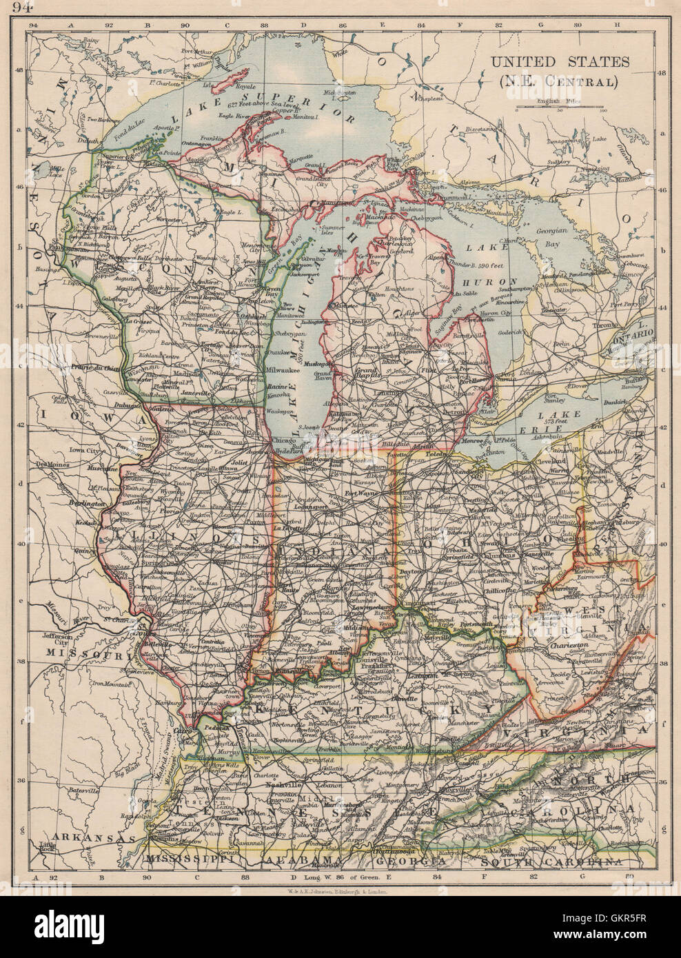 USA MID WEST. Wisconsin Michigan Illinois Ohio Indiana Kentucky TN, 1895 map Stock Photohttps://www.alamy.com/image-license-details/?v=1https://www.alamy.com/stock-photo-usa-mid-west-wisconsin-michigan-illinois-ohio-indiana-kentucky-tn-115449931.html
RFGKR5FR–USA MID WEST. Wisconsin Michigan Illinois Ohio Indiana Kentucky TN, 1895 map
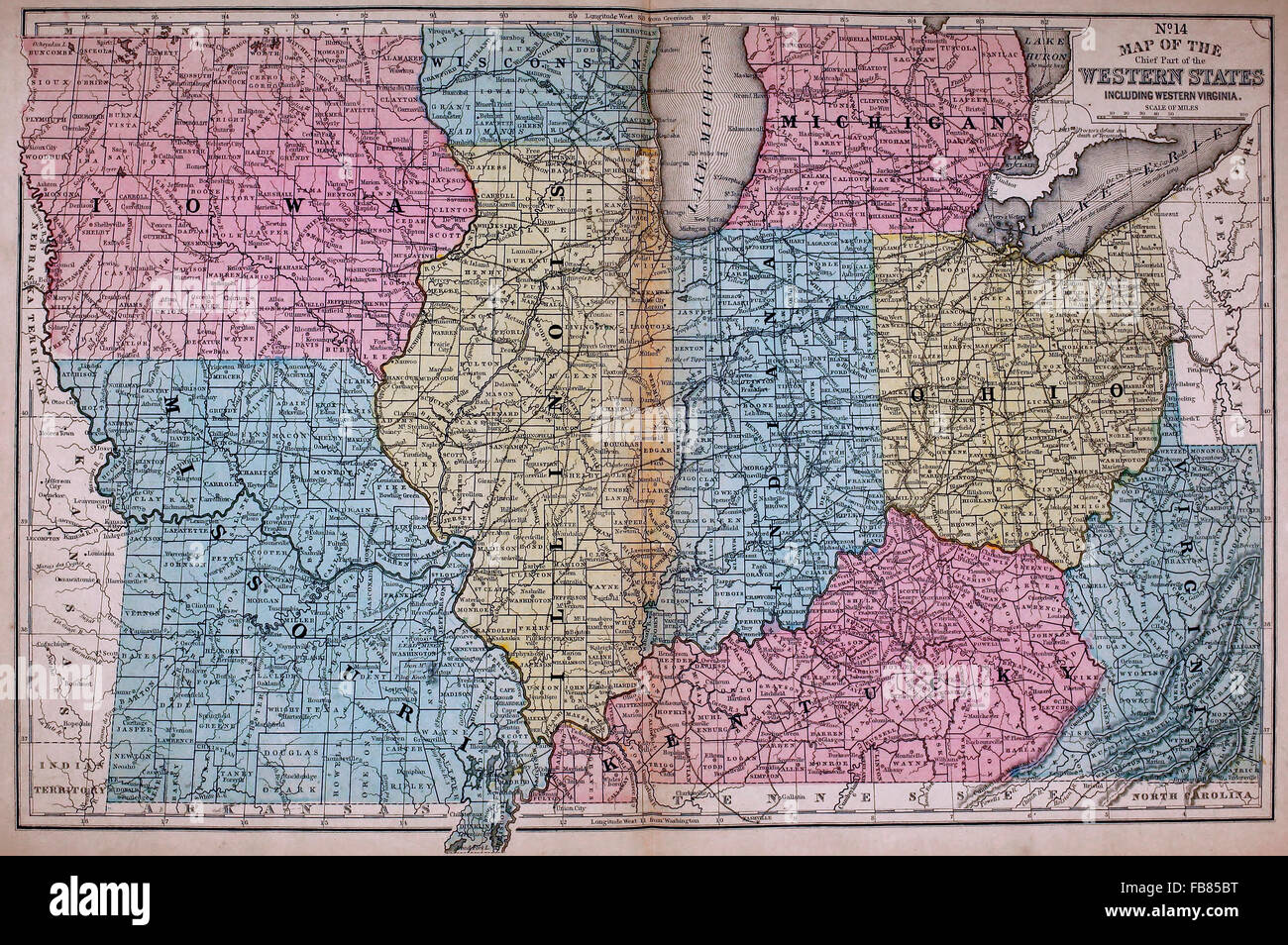 Map of the Western States - United States America, circa 1861 Stock Photohttps://www.alamy.com/image-license-details/?v=1https://www.alamy.com/stock-photo-map-of-the-western-states-united-states-america-circa-1861-92992924.html
RMFB85BT–Map of the Western States - United States America, circa 1861
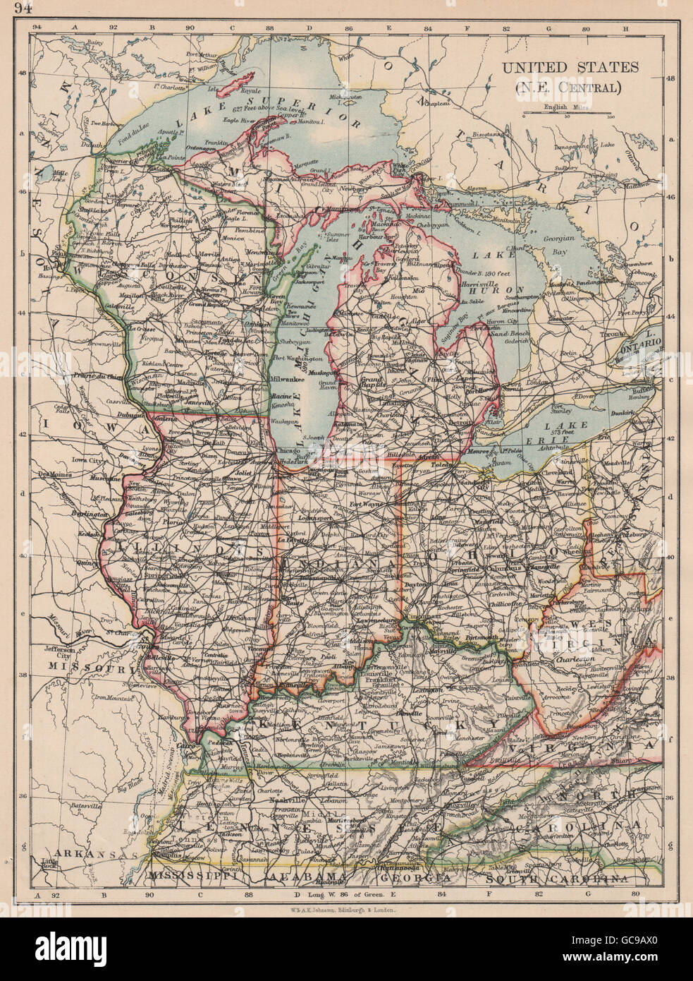 USA MID WEST. Wisconsin Michigan Illinois Ohio Indiana Kentucky TN, 1897 map Stock Photohttps://www.alamy.com/image-license-details/?v=1https://www.alamy.com/stock-photo-usa-mid-west-wisconsin-michigan-illinois-ohio-indiana-kentucky-tn-110844216.html
RFGC9AX0–USA MID WEST. Wisconsin Michigan Illinois Ohio Indiana Kentucky TN, 1897 map
 Post route map of the states of Ohio and Indiana : with adjacent parts of Pennsylvania, Michigan, Illinois, Kentucky and West Virginia 1870 Stock Photohttps://www.alamy.com/image-license-details/?v=1https://www.alamy.com/post-route-map-of-the-states-of-ohio-and-indiana-with-adjacent-parts-of-pennsylvania-michigan-illinois-kentucky-and-west-virginia-1870-image633123888.html
RM2YP17YC–Post route map of the states of Ohio and Indiana : with adjacent parts of Pennsylvania, Michigan, Illinois, Kentucky and West Virginia 1870
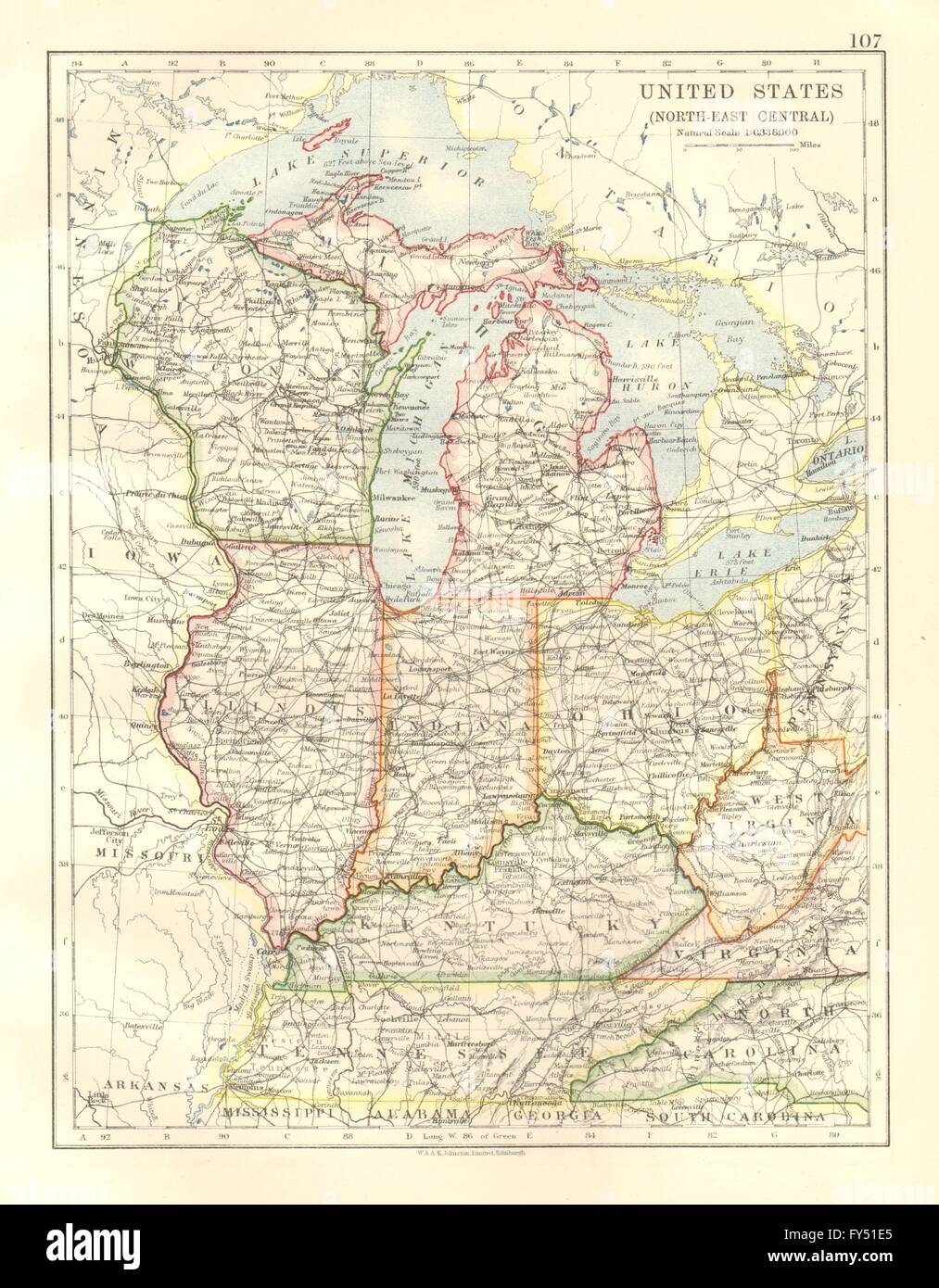 USA MID WEST. Wisconsin Michigan Illinois Ohio Indiana Kentucky TN, 1920 map Stock Photohttps://www.alamy.com/image-license-details/?v=1https://www.alamy.com/stock-photo-usa-mid-west-wisconsin-michigan-illinois-ohio-indiana-kentucky-tn-102758493.html
RFFY51E5–USA MID WEST. Wisconsin Michigan Illinois Ohio Indiana Kentucky TN, 1920 map
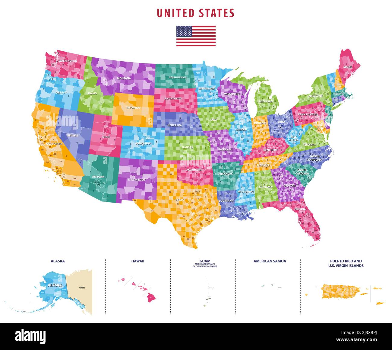 United States congressional districts vector high detailed map Stock Vectorhttps://www.alamy.com/image-license-details/?v=1https://www.alamy.com/united-states-congressional-districts-vector-high-detailed-map-image467113322.html
RF2J3XRPJ–United States congressional districts vector high detailed map
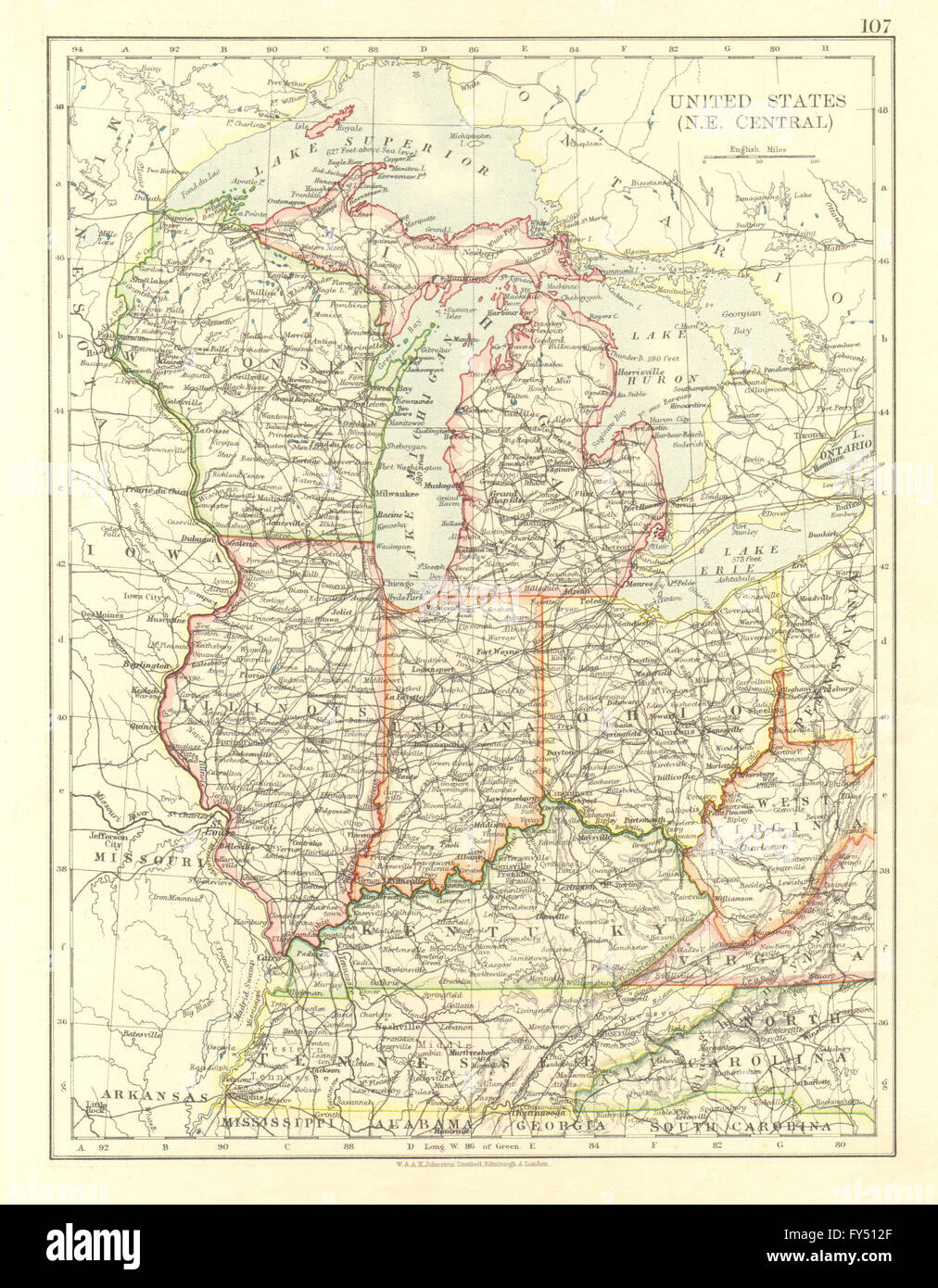 USA MID WEST. Wisconsin Michigan Illinois Ohio Indiana Kentucky TN, 1906 map Stock Photohttps://www.alamy.com/image-license-details/?v=1https://www.alamy.com/stock-photo-usa-mid-west-wisconsin-michigan-illinois-ohio-indiana-kentucky-tn-102758167.html
RFFY512F–USA MID WEST. Wisconsin Michigan Illinois Ohio Indiana Kentucky TN, 1906 map
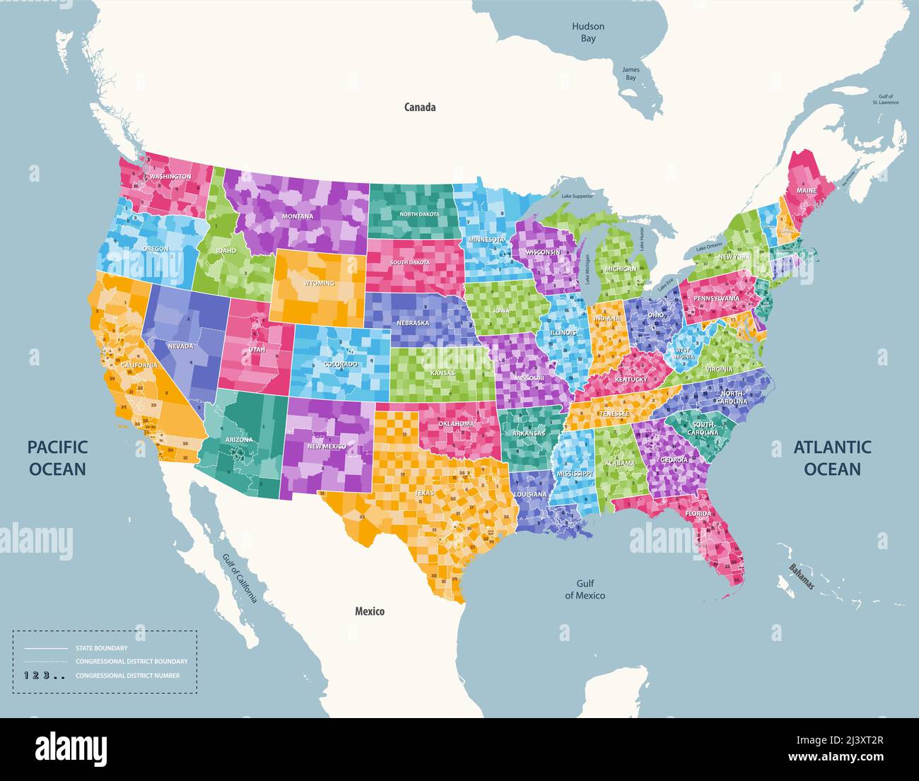 United States congressional districts map. High detailed vector illustration. All elements separated in detachable and labeled layers Stock Vectorhttps://www.alamy.com/image-license-details/?v=1https://www.alamy.com/united-states-congressional-districts-map-high-detailed-vector-illustration-all-elements-separated-in-detachable-and-labeled-layers-image467113551.html
RF2J3XT2R–United States congressional districts map. High detailed vector illustration. All elements separated in detachable and labeled layers
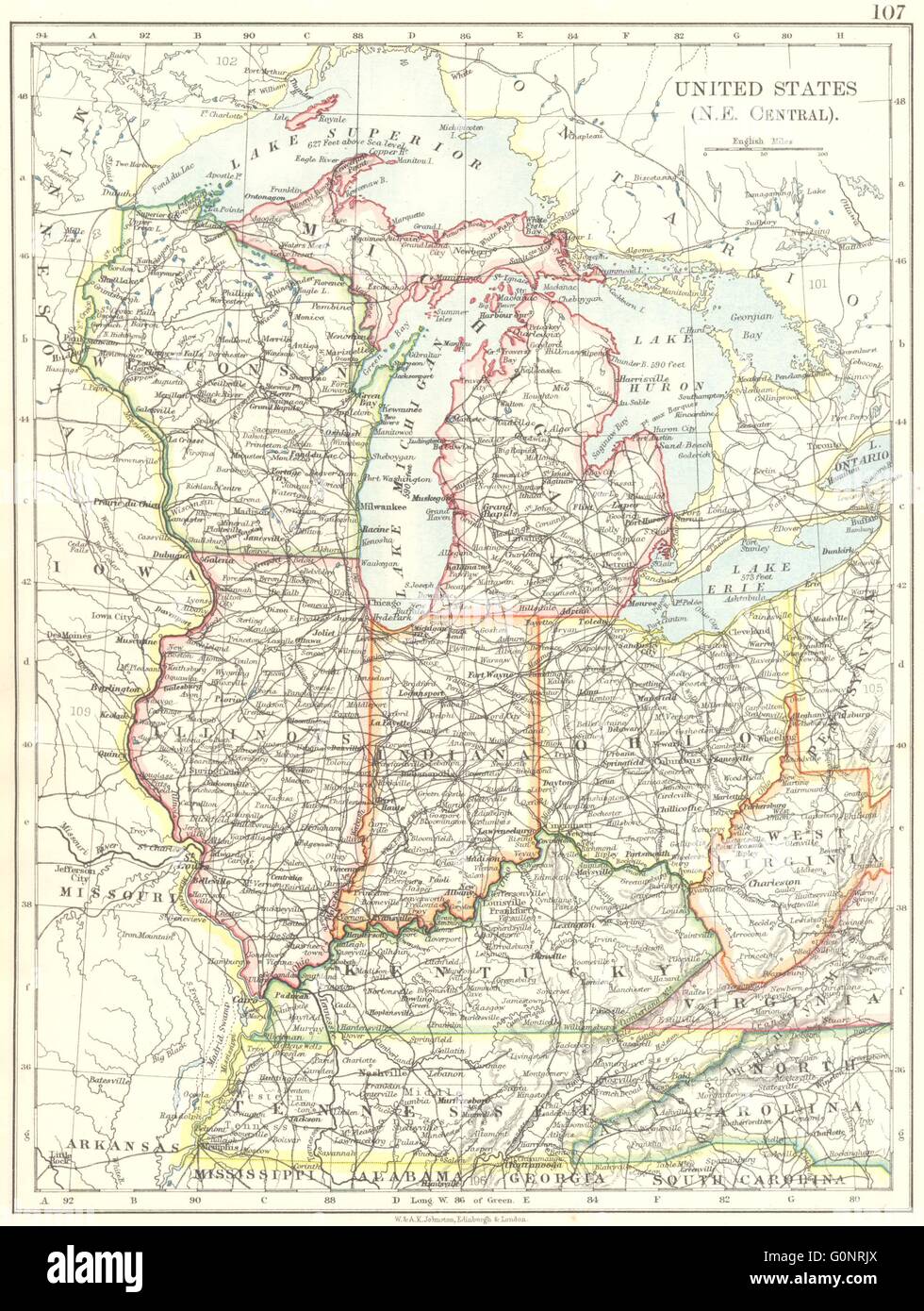 USA MID WEST. Wisconsin Michigan Illinois Ohio Indiana Kentucky TN, 1899 map Stock Photohttps://www.alamy.com/image-license-details/?v=1https://www.alamy.com/stock-photo-usa-mid-west-wisconsin-michigan-illinois-ohio-indiana-kentucky-tn-103741762.html
RFG0NRJX–USA MID WEST. Wisconsin Michigan Illinois Ohio Indiana Kentucky TN, 1899 map
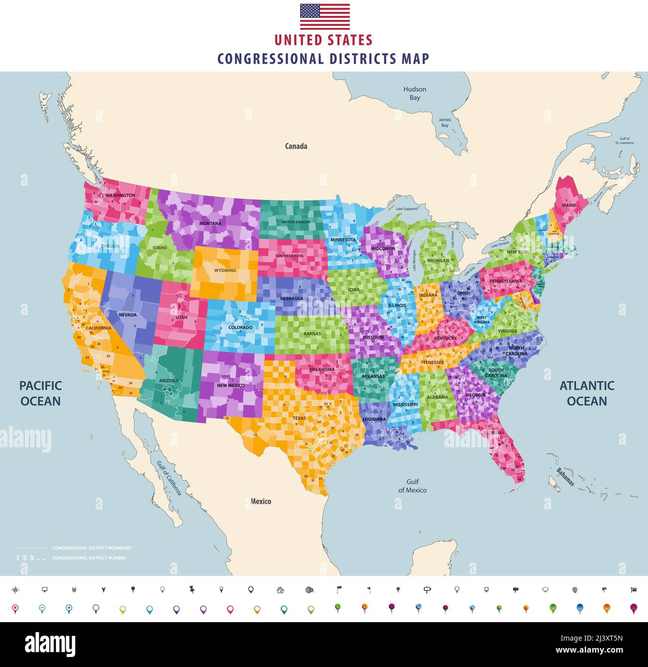 United States congressional districts map. High detailed vector illustration. All elements separated in detachable and labeled layers Stock Vectorhttps://www.alamy.com/image-license-details/?v=1https://www.alamy.com/united-states-congressional-districts-map-high-detailed-vector-illustration-all-elements-separated-in-detachable-and-labeled-layers-image467113633.html
RF2J3XT5N–United States congressional districts map. High detailed vector illustration. All elements separated in detachable and labeled layers
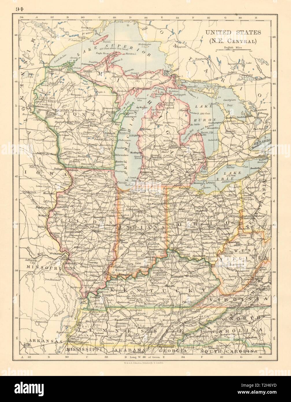 USA MID WEST Wisconsin Michigan Illinois Ohio Indiana Kentucky TN 1892 old map Stock Photohttps://www.alamy.com/image-license-details/?v=1https://www.alamy.com/usa-mid-west-wisconsin-michigan-illinois-ohio-indiana-kentucky-tn-1892-old-map-image242553121.html
RFT2H6YD–USA MID WEST Wisconsin Michigan Illinois Ohio Indiana Kentucky TN 1892 old map
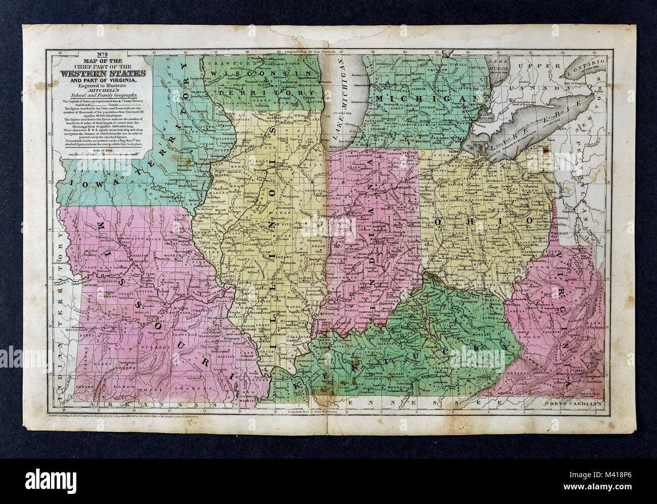 1839 Mitchell Map - Upper Midwest States - Missouri Illinois Indiana Ohio Kentucky Michigan - United States Stock Photohttps://www.alamy.com/image-license-details/?v=1https://www.alamy.com/stock-photo-1839-mitchell-map-upper-midwest-states-missouri-illinois-indiana-ohio-174591150.html
RFM418P6–1839 Mitchell Map - Upper Midwest States - Missouri Illinois Indiana Ohio Kentucky Michigan - United States
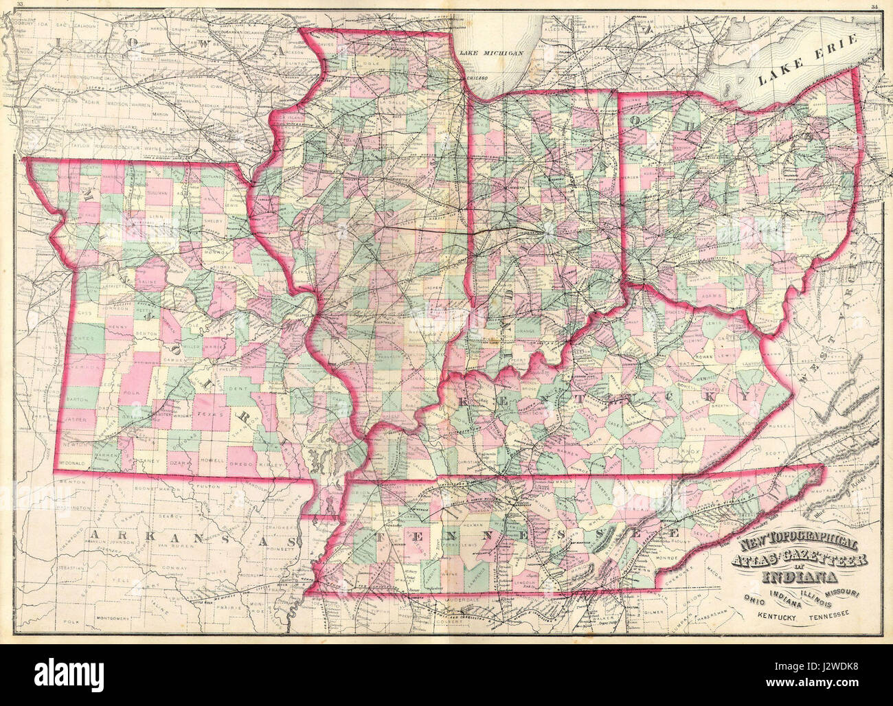 1873 Asher Adams Map of the Midwest ( Ohio, Indiana, Illinois, Missouri, Kentucky ) - Geographicus - INILOHMOKTTN-aa-1873 Stock Photohttps://www.alamy.com/image-license-details/?v=1https://www.alamy.com/stock-photo-1873-asher-adams-map-of-the-midwest-ohio-indiana-illinois-missouri-139471788.html
RMJ2WDK8–1873 Asher Adams Map of the Midwest ( Ohio, Indiana, Illinois, Missouri, Kentucky ) - Geographicus - INILOHMOKTTN-aa-1873
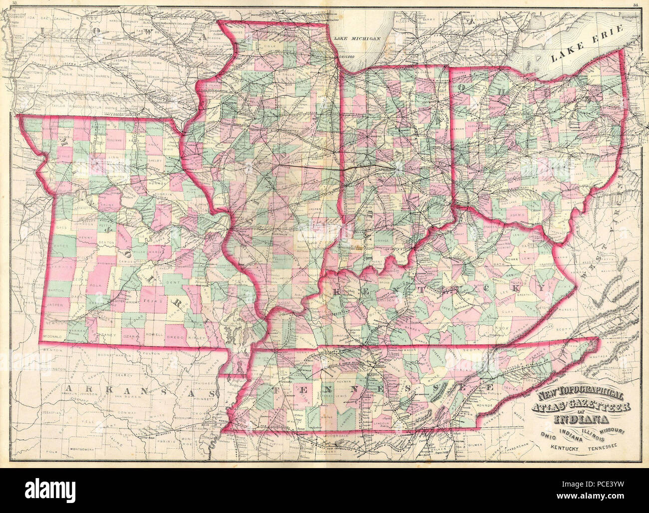 10 1873 Asher Adams Map of the Midwest ( Ohio, Indiana, Illinois, Missouri, Kentucky ) - Geographicus - INILOHMOKTTN-aa-1873 Stock Photohttps://www.alamy.com/image-license-details/?v=1https://www.alamy.com/10-1873-asher-adams-map-of-the-midwest-ohio-indiana-illinois-missouri-kentucky-geographicus-inilohmokttn-aa-1873-image214210749.html
RMPCE3YW–10 1873 Asher Adams Map of the Midwest ( Ohio, Indiana, Illinois, Missouri, Kentucky ) - Geographicus - INILOHMOKTTN-aa-1873
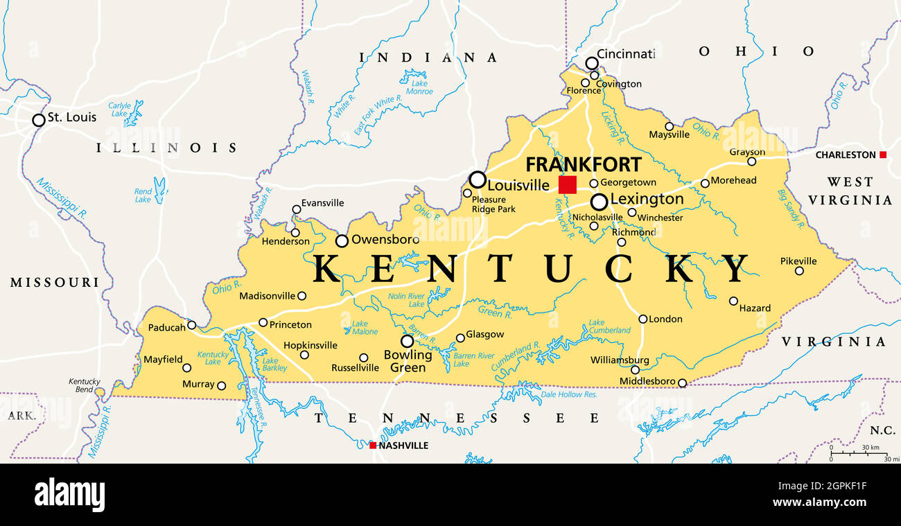 Kentucky, KY, political map, Bluegrass State, Southeastern US state Stock Vectorhttps://www.alamy.com/image-license-details/?v=1https://www.alamy.com/kentucky-ky-political-map-bluegrass-state-southeastern-us-state-image444210523.html
RF2GPKF1F–Kentucky, KY, political map, Bluegrass State, Southeastern US state
 1873 Asher Adams Map of the Midwest ( Ohio, Indiana, Illinois, Missouri, Kentucky ) Geographicus INILOHMOKTTN aa 1873 Stock Photohttps://www.alamy.com/image-license-details/?v=1https://www.alamy.com/stock-photo-1873-asher-adams-map-of-the-midwest-ohio-indiana-illinois-missouri-132480284.html
RMHKEYXM–1873 Asher Adams Map of the Midwest ( Ohio, Indiana, Illinois, Missouri, Kentucky ) Geographicus INILOHMOKTTN aa 1873
 kentucky road map Stock Vectorhttps://www.alamy.com/image-license-details/?v=1https://www.alamy.com/stock-photo-kentucky-road-map-122115731.html
RFH2JRT3–kentucky road map
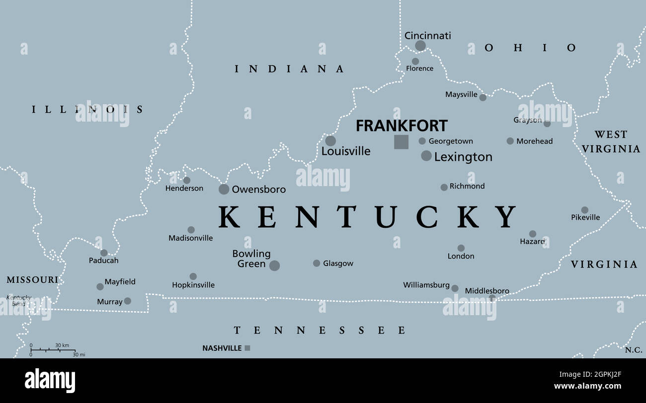 Kentucky, KY, gray political map, Bluegrass State, Southeastern US state Stock Vectorhttps://www.alamy.com/image-license-details/?v=1https://www.alamy.com/kentucky-ky-gray-political-map-bluegrass-state-southeastern-us-state-image444212903.html
RF2GPKJ2F–Kentucky, KY, gray political map, Bluegrass State, Southeastern US state
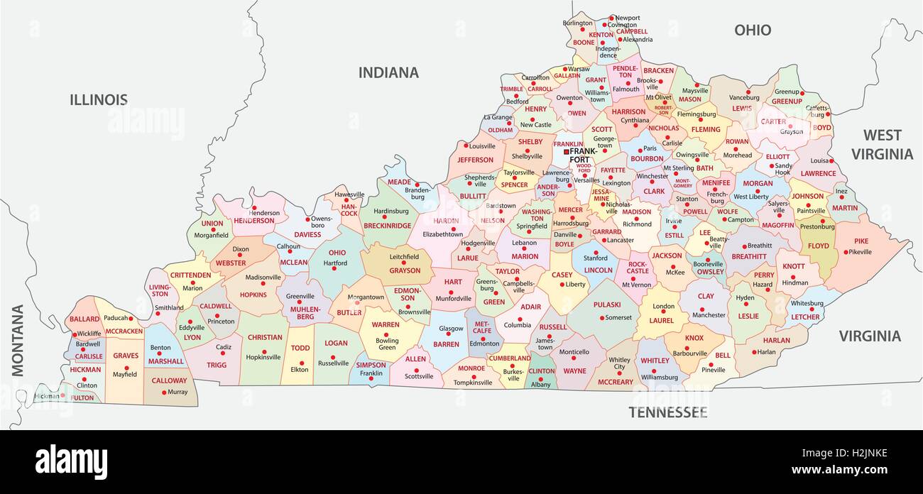 kentucky administrative map Stock Vectorhttps://www.alamy.com/image-license-details/?v=1https://www.alamy.com/stock-photo-kentucky-administrative-map-122114034.html
RFH2JNKE–kentucky administrative map
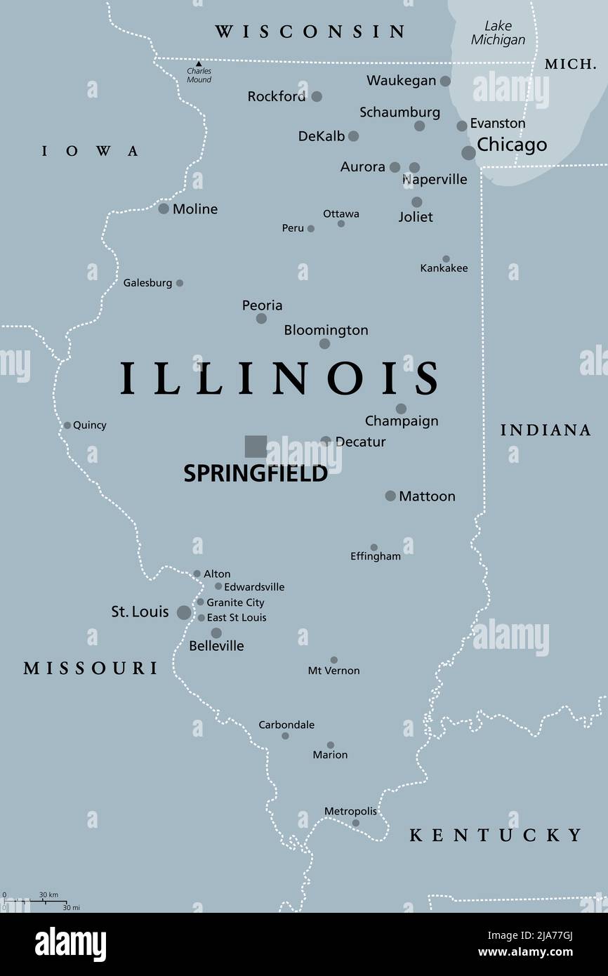 Illinois, IL, gray political map with capital Springfield and metropolitan area Chicago. State in Midwestern region of United States. Stock Photohttps://www.alamy.com/image-license-details/?v=1https://www.alamy.com/illinois-il-gray-political-map-with-capital-springfield-and-metropolitan-area-chicago-state-in-midwestern-region-of-united-states-image470986114.html
RF2JA77GJ–Illinois, IL, gray political map with capital Springfield and metropolitan area Chicago. State in Midwestern region of United States.
 indiana road map Stock Vectorhttps://www.alamy.com/image-license-details/?v=1https://www.alamy.com/stock-photo-indiana-road-map-122115719.html
RFH2JRRK–indiana road map
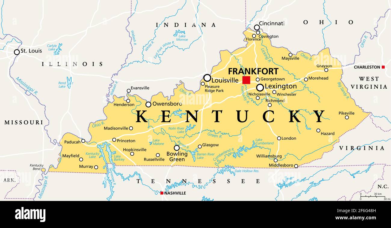 Kentucky, KY, political map with capital Frankfort and largest cities. Commonwealth of Kentucky. State in the Southeastern region of the United States Stock Photohttps://www.alamy.com/image-license-details/?v=1https://www.alamy.com/kentucky-ky-political-map-with-capital-frankfort-and-largest-cities-commonwealth-of-kentucky-state-in-the-southeastern-region-of-the-united-states-image417091377.html
RF2F6G48H–Kentucky, KY, political map with capital Frankfort and largest cities. Commonwealth of Kentucky. State in the Southeastern region of the United States
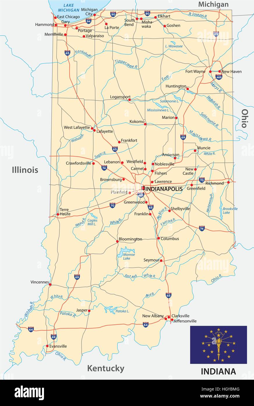 indiana road map with flag Stock Vectorhttps://www.alamy.com/image-license-details/?v=1https://www.alamy.com/stock-photo-indiana-road-map-with-flag-130908976.html
RFHGYBMG–indiana road map with flag
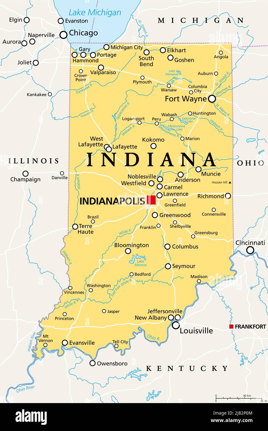 Indiana, IN, political map, with the capital Indianapolis, and most important cities, rivers and lakes. State in Midwestern region of United States. Stock Photohttps://www.alamy.com/image-license-details/?v=1https://www.alamy.com/indiana-in-political-map-with-the-capital-indianapolis-and-most-important-cities-rivers-and-lakes-state-in-midwestern-region-of-united-states-image469658356.html
RF2J82P0M–Indiana, IN, political map, with the capital Indianapolis, and most important cities, rivers and lakes. State in Midwestern region of United States.
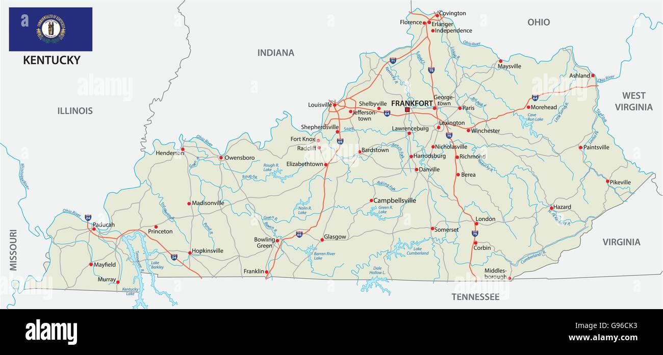 road map with flag of the US state kentucky Stock Vectorhttps://www.alamy.com/image-license-details/?v=1https://www.alamy.com/stock-photo-road-map-with-flag-of-the-us-state-kentucky-108935767.html
RFG96CK3–road map with flag of the US state kentucky
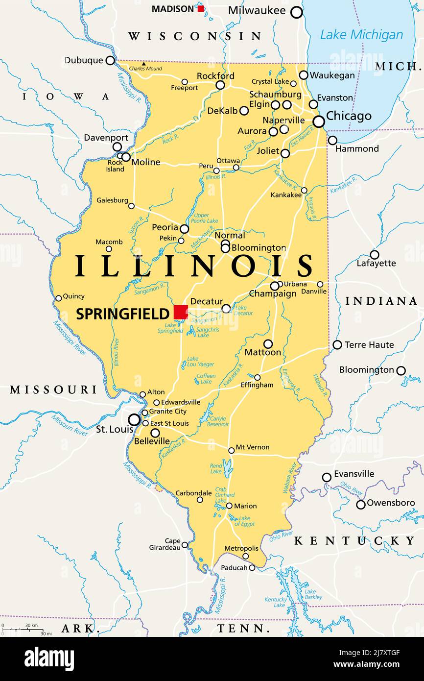 Illinois, IL, political map, with capital Springfield and metropolitan area Chicago. State in the Midwestern region of United States. Land of Lincoln. Stock Photohttps://www.alamy.com/image-license-details/?v=1https://www.alamy.com/illinois-il-political-map-with-capital-springfield-and-metropolitan-area-chicago-state-in-the-midwestern-region-of-united-states-land-of-lincoln-image469572559.html
RF2J7XTGF–Illinois, IL, political map, with capital Springfield and metropolitan area Chicago. State in the Midwestern region of United States. Land of Lincoln.
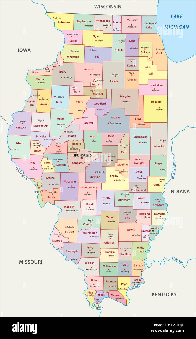 illinois administrative map Stock Vectorhttps://www.alamy.com/image-license-details/?v=1https://www.alamy.com/stock-photo-illinois-administrative-map-101808406.html
RFFWHNJE–illinois administrative map
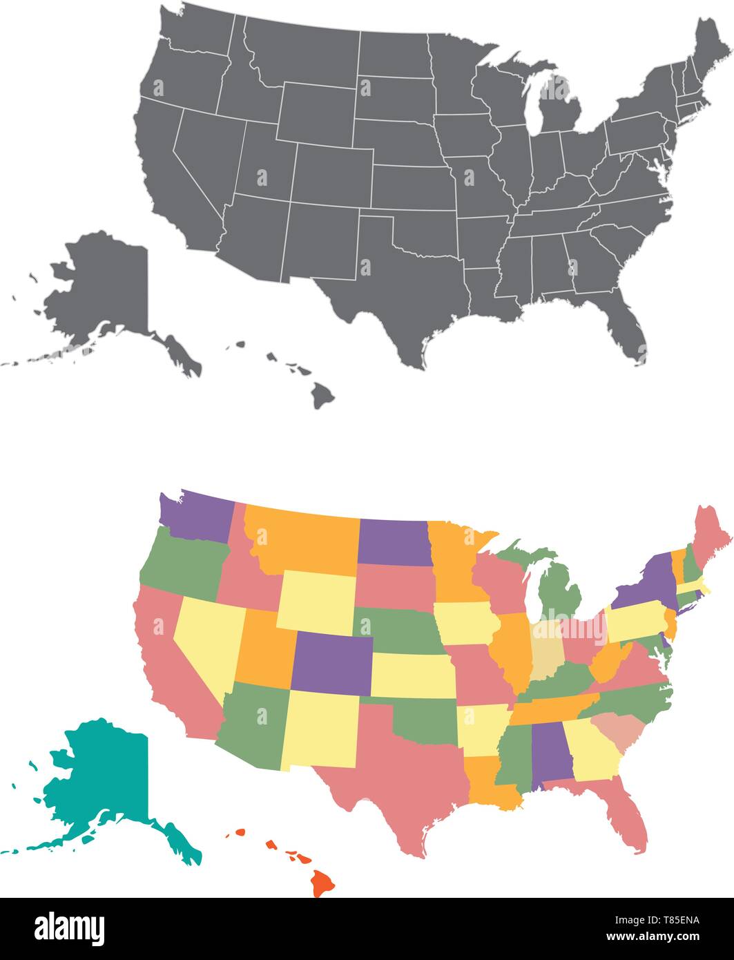 Silhouette and colored united states map Stock Vectorhttps://www.alamy.com/image-license-details/?v=1https://www.alamy.com/silhouette-and-colored-united-states-map-image245983734.html
RFT85ENA–Silhouette and colored united states map
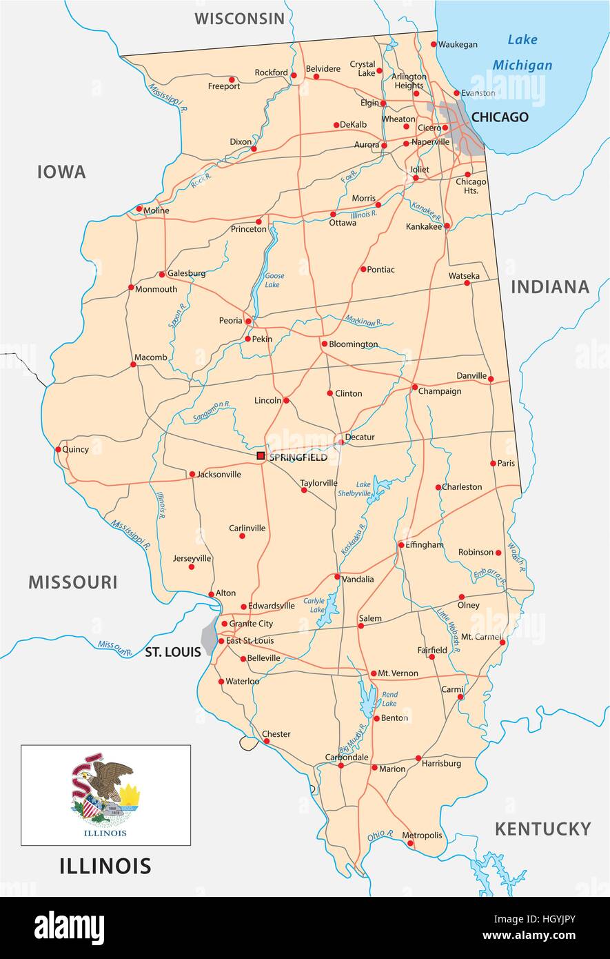 illinois road map with flag Stock Vectorhttps://www.alamy.com/image-license-details/?v=1https://www.alamy.com/stock-photo-illinois-road-map-with-flag-130914531.html
RFHGYJPY–illinois road map with flag
![United States Midwest. Minnisota [sic] territory. Minnesota. SWANSTON 1860 map Stock Photo United States Midwest. Minnisota [sic] territory. Minnesota. SWANSTON 1860 map Stock Photo](https://c8.alamy.com/comp/2PNK4H4/united-states-midwest-minnisota-sic-territory-minnesota-swanston-1860-map-2PNK4H4.jpg) United States Midwest. Minnisota [sic] territory. Minnesota. SWANSTON 1860 map Stock Photohttps://www.alamy.com/image-license-details/?v=1https://www.alamy.com/united-states-midwest-minnisota-sic-territory-minnesota-swanston-1860-map-image546849888.html
United States Midwest. Minnisota [sic] territory. Minnesota. SWANSTON 1860 map Stock Photohttps://www.alamy.com/image-license-details/?v=1https://www.alamy.com/united-states-midwest-minnisota-sic-territory-minnesota-swanston-1860-map-image546849888.htmlRF2PNK4H4–United States Midwest. Minnisota [sic] territory. Minnesota. SWANSTON 1860 map
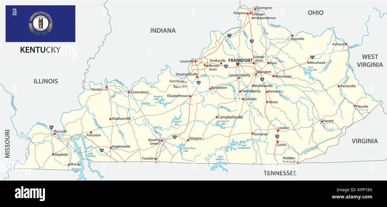 kentucky road vector map with flag Stock Vectorhttps://www.alamy.com/image-license-details/?v=1https://www.alamy.com/stock-image-kentucky-road-vector-map-with-flag-168899722.html
RFKPP18X–kentucky road vector map with flag
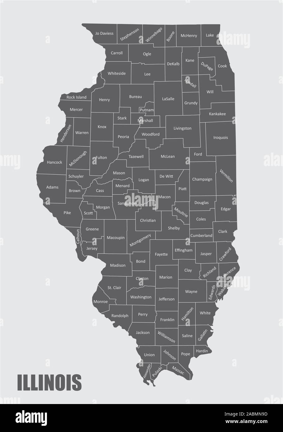 Illinois counties map Stock Vectorhttps://www.alamy.com/image-license-details/?v=1https://www.alamy.com/illinois-counties-map-image334213977.html
RF2ABMN9D–Illinois counties map
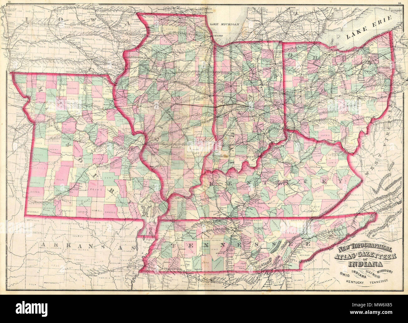 . New Topographical Atlas and Gazetteer of Indiana, Ohio, Indiana, Illinois, Missouri, Kentucky, Tennessee. English: This is an 1874 Asher & Adams hand colored map of the Midwest and Central states of Ohio, Indiana, Illinois, Missouri, Kentucky and Tennessee. . 1873 10 1873 Asher Adams Map of the Midwest ( Ohio, Indiana, Illinois, Missouri, Kentucky ) - Geographicus - INILOHMOKTTN-aa-1873 Stock Photohttps://www.alamy.com/image-license-details/?v=1https://www.alamy.com/new-topographical-atlas-and-gazetteer-of-indiana-ohio-indiana-illinois-missouri-kentucky-tennessee-english-this-is-an-1874-asher-adams-hand-colored-map-of-the-midwest-and-central-states-of-ohio-indiana-illinois-missouri-kentucky-and-tennessee-1873-10-1873-asher-adams-map-of-the-midwest-ohio-indiana-illinois-missouri-kentucky-geographicus-inilohmokttn-aa-1873-image187622405.html
RMMW6X85–. New Topographical Atlas and Gazetteer of Indiana, Ohio, Indiana, Illinois, Missouri, Kentucky, Tennessee. English: This is an 1874 Asher & Adams hand colored map of the Midwest and Central states of Ohio, Indiana, Illinois, Missouri, Kentucky and Tennessee. . 1873 10 1873 Asher Adams Map of the Midwest ( Ohio, Indiana, Illinois, Missouri, Kentucky ) - Geographicus - INILOHMOKTTN-aa-1873
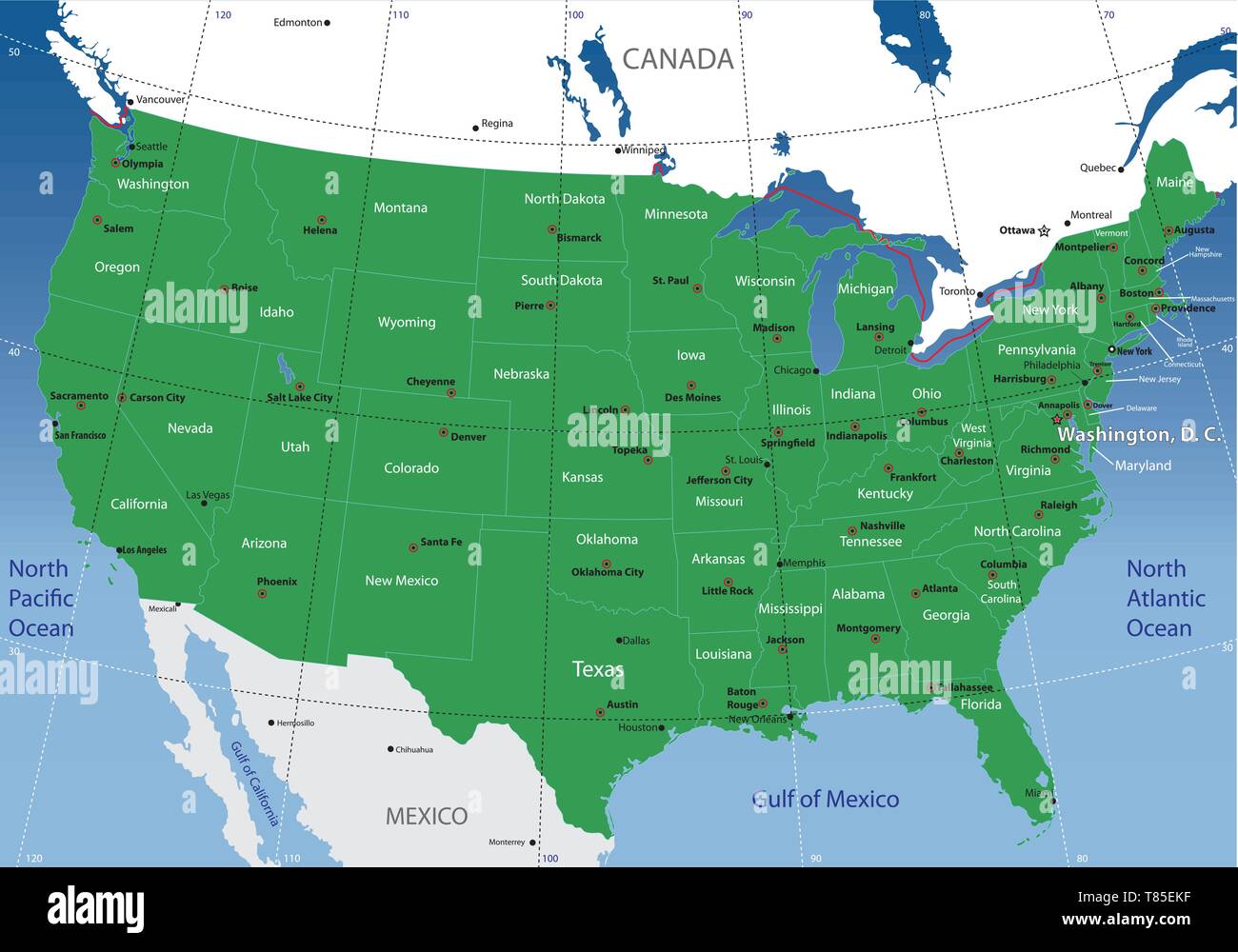 United States map Stock Vectorhttps://www.alamy.com/image-license-details/?v=1https://www.alamy.com/united-states-map-image245983683.html
RFT85EKF–United States map
 1854 Colton Pocket Map of Ohio, Michigan, Wisconsin, Iowa, Illinois, Missouri, Indiana and Kentucky - Geographicus - WesternStates-colton-1854 Stock Photohttps://www.alamy.com/image-license-details/?v=1https://www.alamy.com/stock-photo-1854-colton-pocket-map-of-ohio-michigan-wisconsin-iowa-illinois-missouri-132600092.html
RMHKMCNG–1854 Colton Pocket Map of Ohio, Michigan, Wisconsin, Iowa, Illinois, Missouri, Indiana and Kentucky - Geographicus - WesternStates-colton-1854
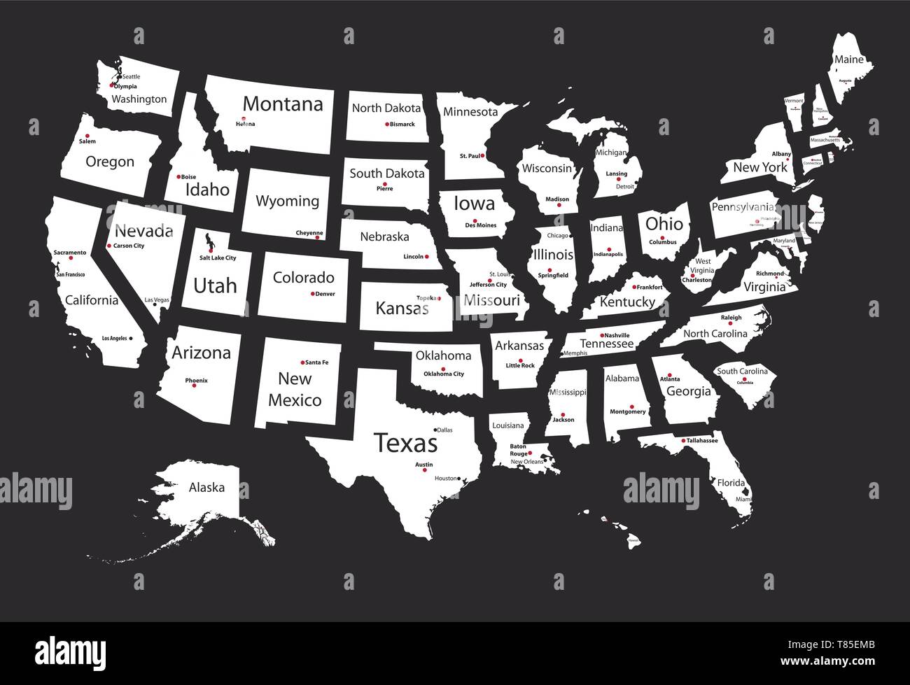 United States map of isolated states Stock Vectorhttps://www.alamy.com/image-license-details/?v=1https://www.alamy.com/united-states-map-of-isolated-states-image245983707.html
RFT85EMB–United States map of isolated states
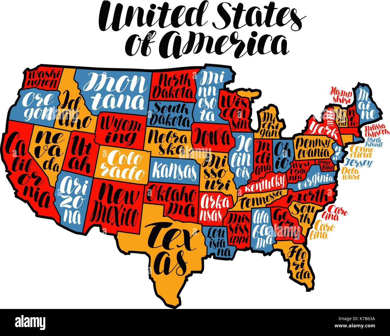 USA map country, United States of America. Lettering vector illustration Stock Vectorhttps://www.alamy.com/image-license-details/?v=1https://www.alamy.com/usa-map-country-united-states-of-america-lettering-vector-illustration-image159442174.html
RFK7B63A–USA map country, United States of America. Lettering vector illustration
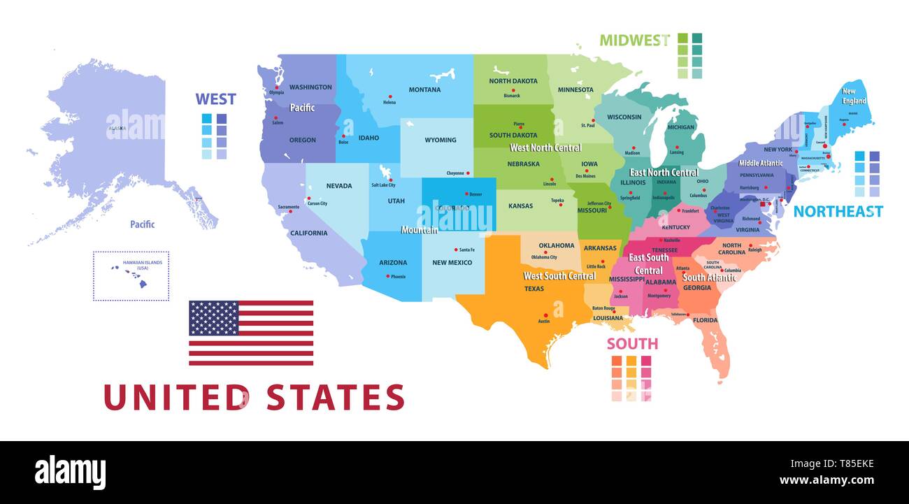 United States census bureau regions and divisions vector map Stock Vectorhttps://www.alamy.com/image-license-details/?v=1https://www.alamy.com/united-states-census-bureau-regions-and-divisions-vector-map-image245983682.html
RFT85EKE–United States census bureau regions and divisions vector map
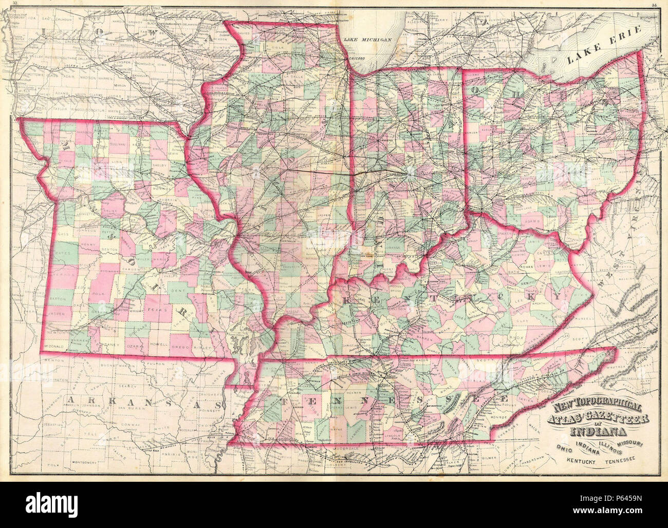 1873 Asher Adams Map of the Midwest ( Ohio, Indiana, Illinois, Missouri, Kentucky ) - Geographicus - INILOHMOKTTN-aa-1873. Stock Photohttps://www.alamy.com/image-license-details/?v=1https://www.alamy.com/1873-asher-adams-map-of-the-midwest-ohio-indiana-illinois-missouri-kentucky-geographicus-inilohmokttn-aa-1873-image210304353.html
RMP6459N–1873 Asher Adams Map of the Midwest ( Ohio, Indiana, Illinois, Missouri, Kentucky ) - Geographicus - INILOHMOKTTN-aa-1873.
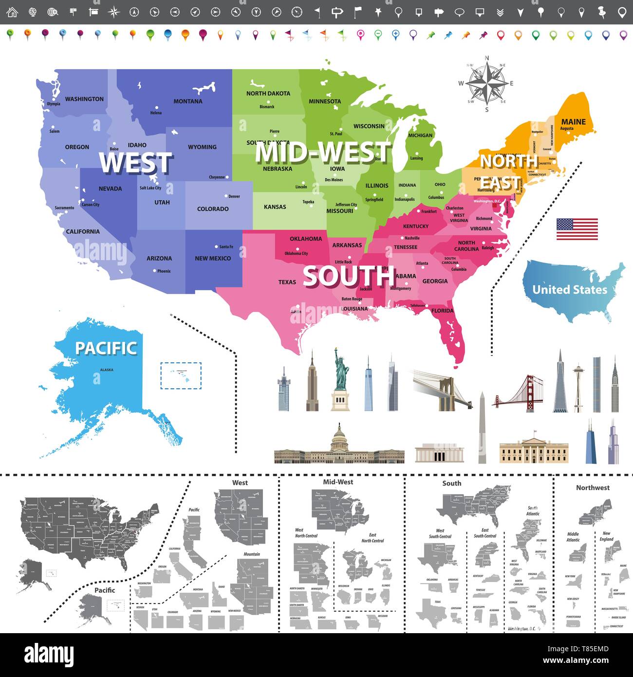 United States of America map colored by regions Stock Vectorhttps://www.alamy.com/image-license-details/?v=1https://www.alamy.com/united-states-of-america-map-colored-by-regions-image245983709.html
RFT85EMD–United States of America map colored by regions
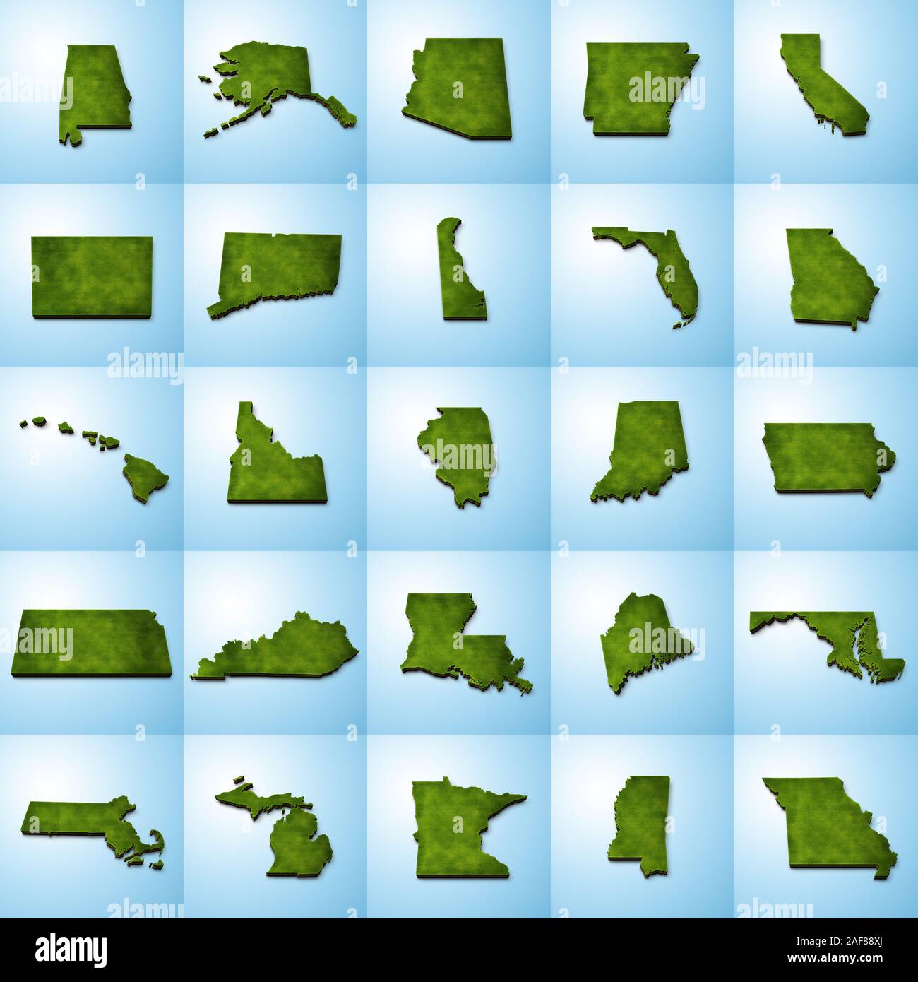 3D grass US State Maps Set I Stock Photohttps://www.alamy.com/image-license-details/?v=1https://www.alamy.com/3d-grass-us-state-maps-set-i-image336399466.html
RF2AF88XJ–3D grass US State Maps Set I
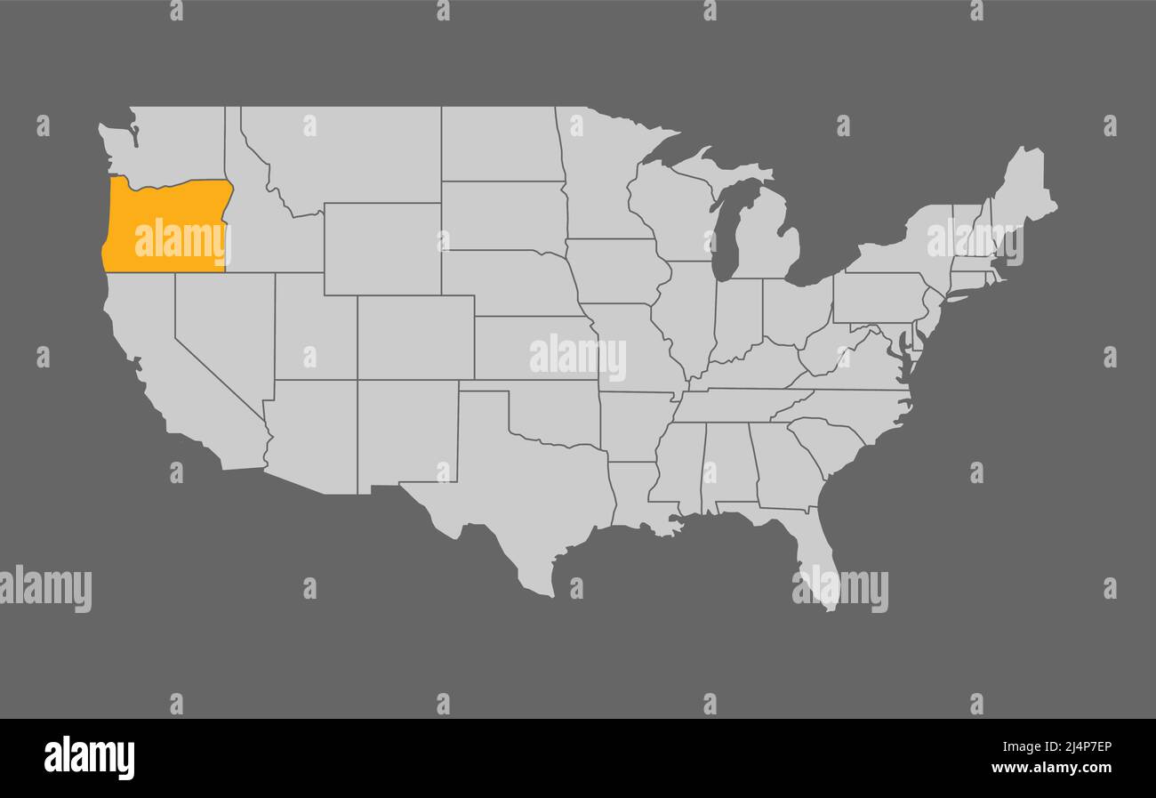 Map of the United States with Oregon highlight Stock Vectorhttps://www.alamy.com/image-license-details/?v=1https://www.alamy.com/map-of-the-united-states-with-oregon-highlight-image467627406.html
RF2J4P7EP–Map of the United States with Oregon highlight
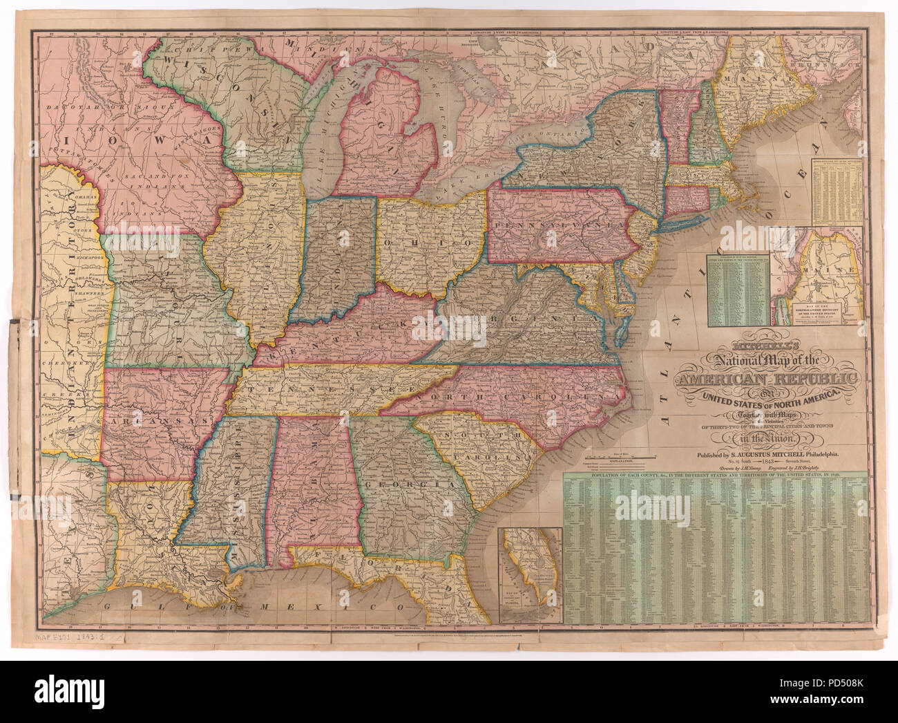 National Map of the American Republic, 1843 Stock Photohttps://www.alamy.com/image-license-details/?v=1https://www.alamy.com/national-map-of-the-american-republic-1843-image214624947.html
RMPD508K–National Map of the American Republic, 1843
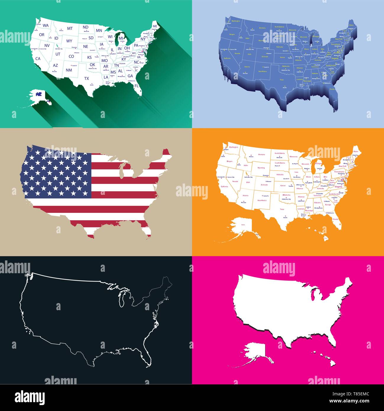 United States vector isolated maps set Stock Vectorhttps://www.alamy.com/image-license-details/?v=1https://www.alamy.com/united-states-vector-isolated-maps-set-image245983708.html
RFT85EMC–United States vector isolated maps set
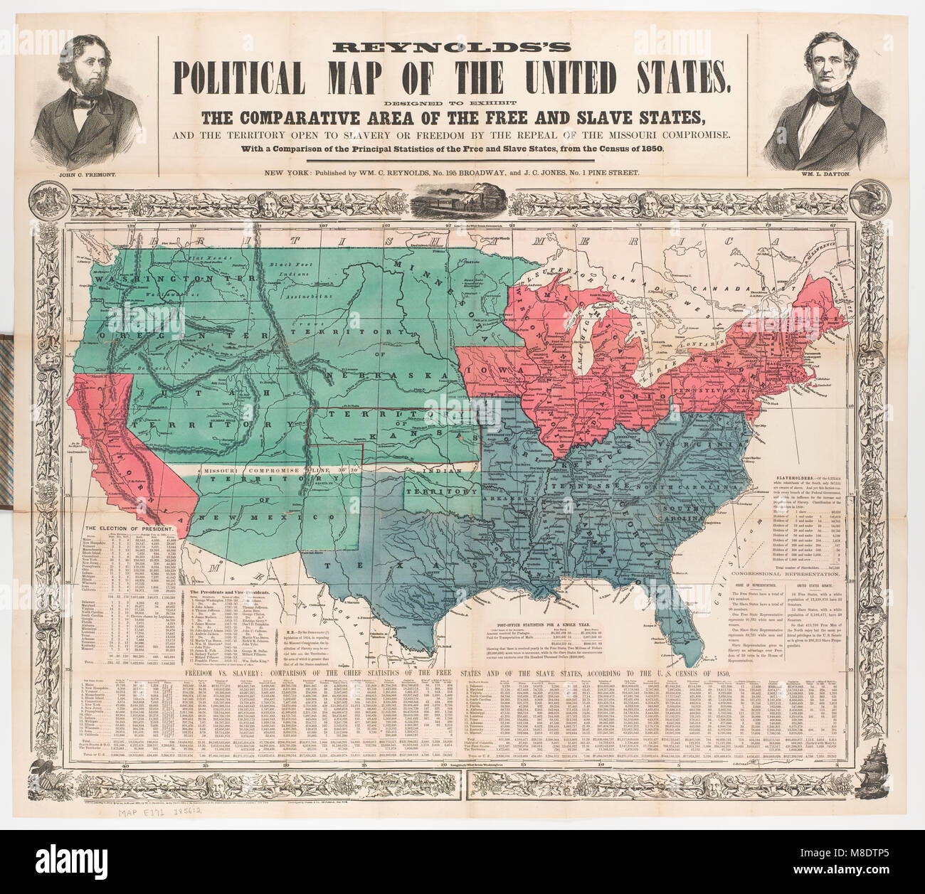 Political Map of the United States, 1856 Stock Photohttps://www.alamy.com/image-license-details/?v=1https://www.alamy.com/stock-photo-political-map-of-the-united-states-1856-177325741.html
RMM8DTP5–Political Map of the United States, 1856
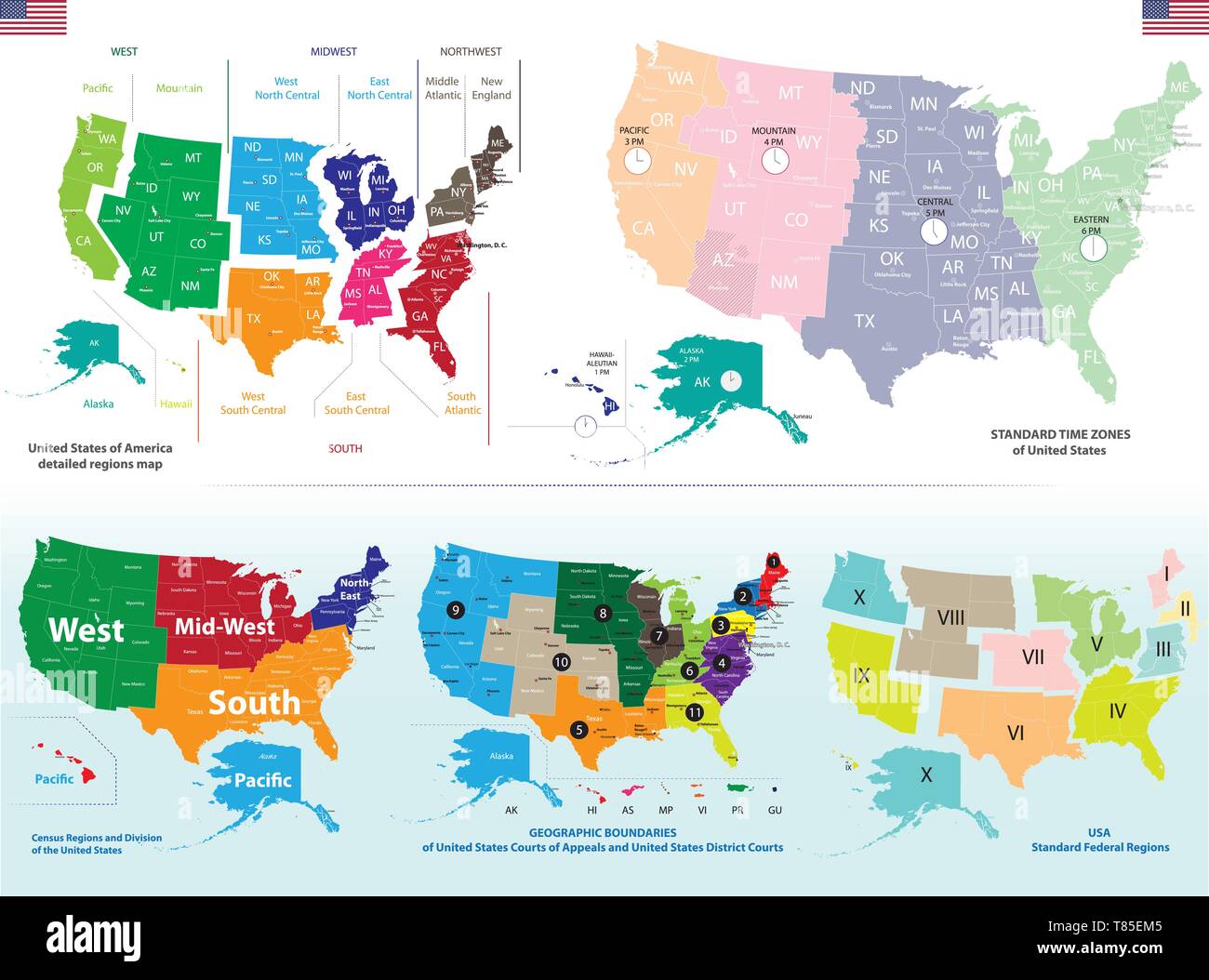 United States detailed maps set Stock Vectorhttps://www.alamy.com/image-license-details/?v=1https://www.alamy.com/united-states-detailed-maps-set-image245983701.html
RFT85EM5–United States detailed maps set
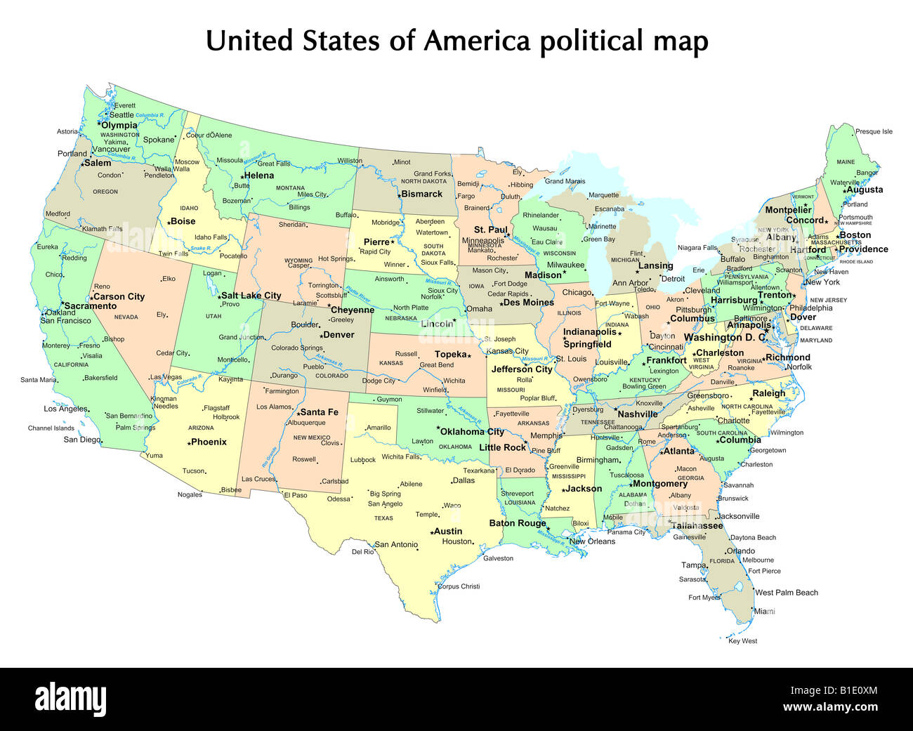 United States of America political map with states and capital city Stock Photohttps://www.alamy.com/image-license-details/?v=1https://www.alamy.com/stock-photo-united-states-of-america-political-map-with-states-and-capital-city-18133100.html
RFB1E0XM–United States of America political map with states and capital city
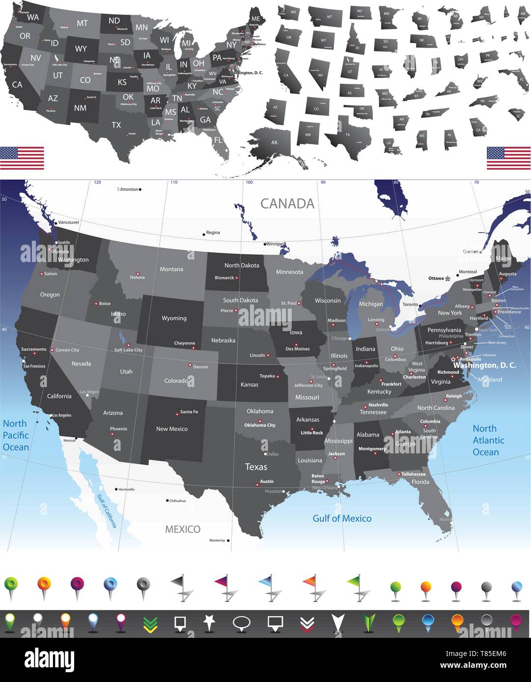 United States of America vector set Stock Vectorhttps://www.alamy.com/image-license-details/?v=1https://www.alamy.com/united-states-of-america-vector-set-image245983702.html
RFT85EM6–United States of America vector set
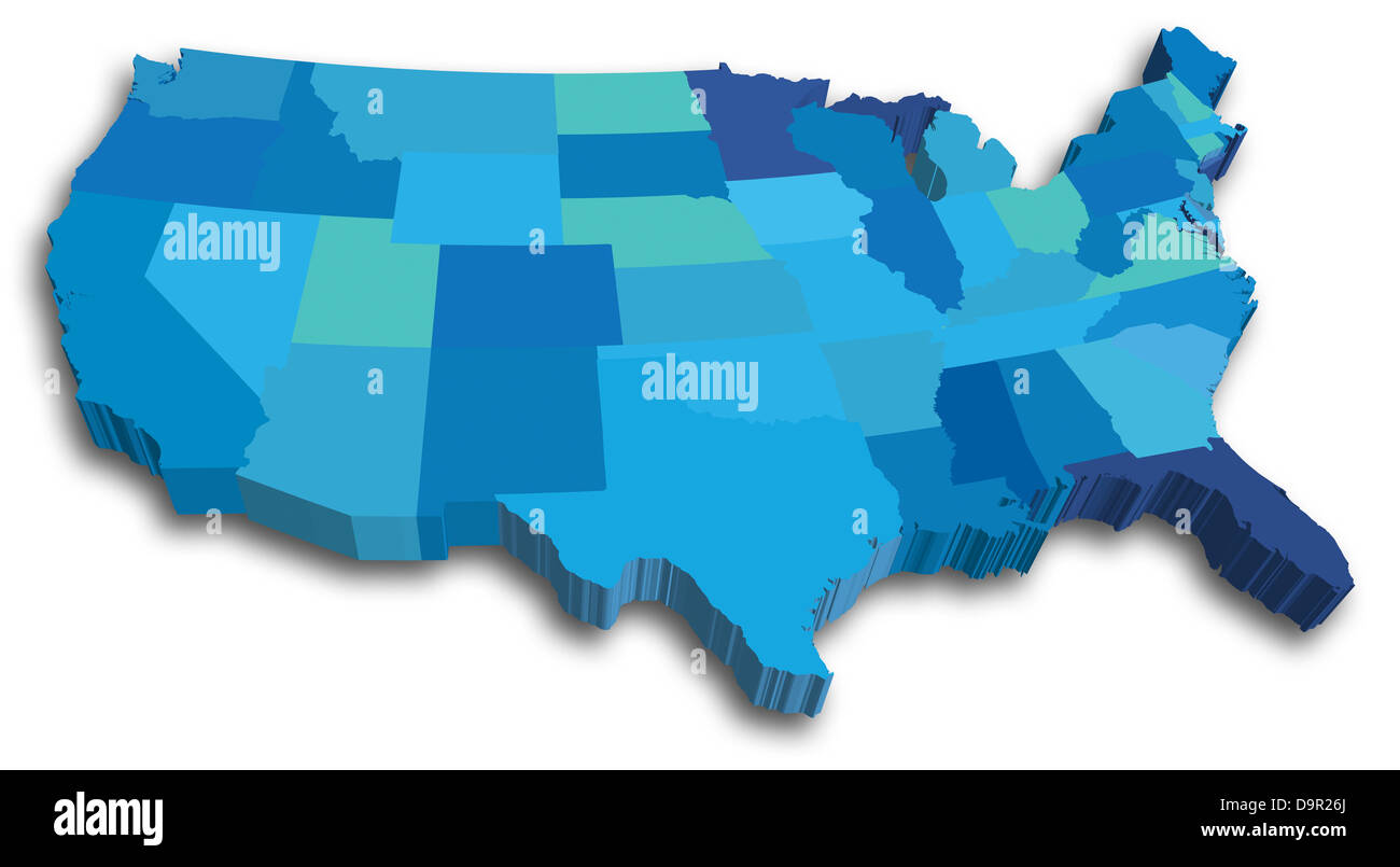 An US State map in Blue 3D tones Stock Photohttps://www.alamy.com/image-license-details/?v=1https://www.alamy.com/stock-photo-an-us-state-map-in-blue-3d-tones-57669658.html
RFD9R26J–An US State map in Blue 3D tones
 kentucky road vector map with flag Stock Vectorhttps://www.alamy.com/image-license-details/?v=1https://www.alamy.com/stock-image-kentucky-road-vector-map-with-flag-168899702.html
RFKPP186–kentucky road vector map with flag
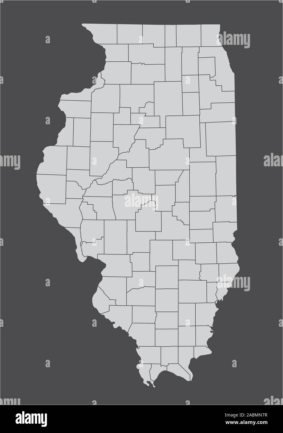 Illinois counties map Stock Vectorhttps://www.alamy.com/image-license-details/?v=1https://www.alamy.com/illinois-counties-map-image334213931.html
RF2ABMN7R–Illinois counties map
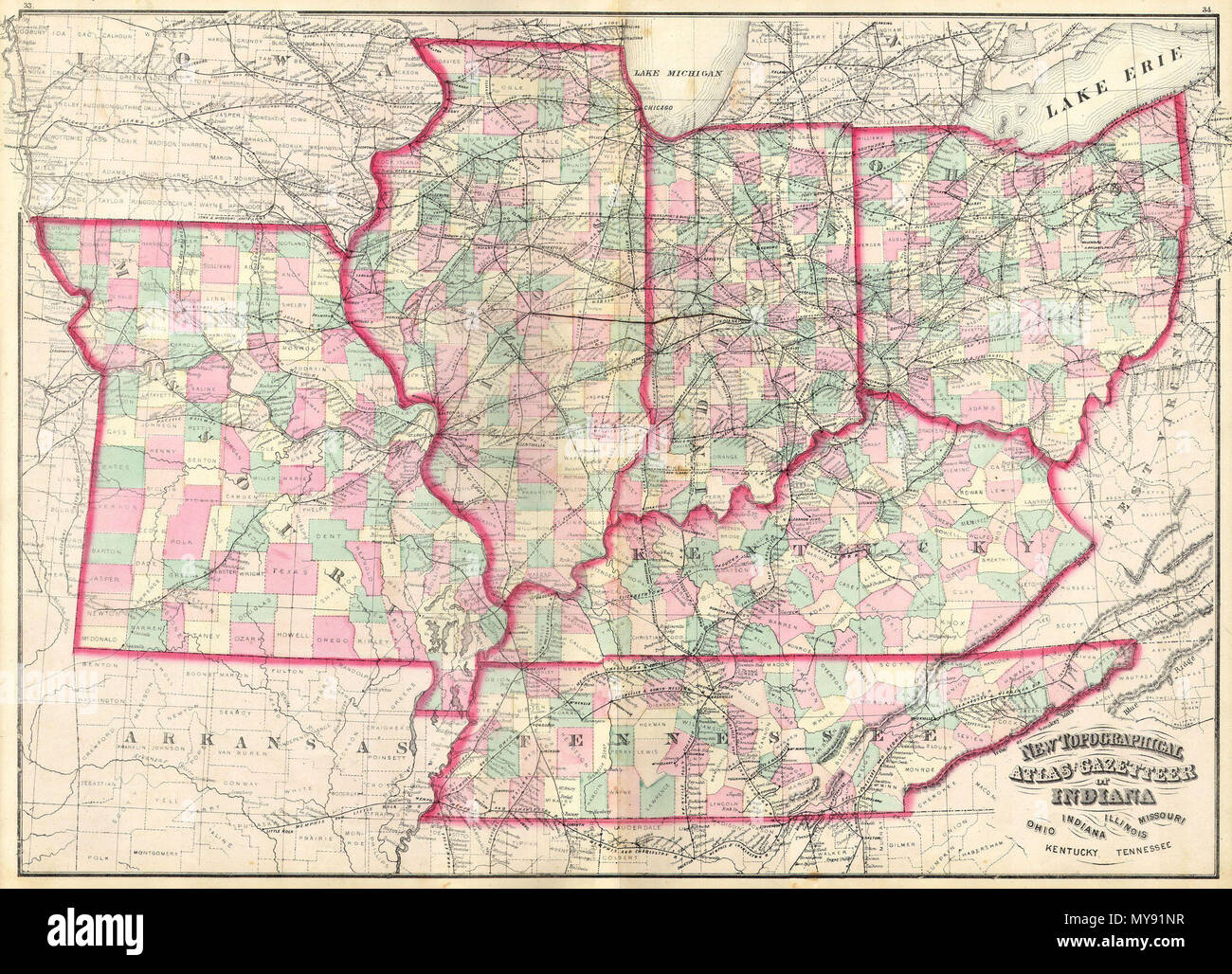 . New Topographical Atlas and Gazetteer of Indiana, Ohio, Indiana, Illinois, Missouri, Kentucky, Tennessee. English: This is an 1874 Asher & Adams hand colored map of the Midwest and Central states of Ohio, Indiana, Illinois, Missouri, Kentucky and Tennessee. . 1873 8 1873 Asher Adams Map of the Midwest ( Ohio, Indiana, Illinois, Missouri, Kentucky ) - Geographicus - INILOHMOKTTN-aa-1873 Stock Photohttps://www.alamy.com/image-license-details/?v=1https://www.alamy.com/new-topographical-atlas-and-gazetteer-of-indiana-ohio-indiana-illinois-missouri-kentucky-tennessee-english-this-is-an-1874-asher-adams-hand-colored-map-of-the-midwest-and-central-states-of-ohio-indiana-illinois-missouri-kentucky-and-tennessee-1873-8-1873-asher-adams-map-of-the-midwest-ohio-indiana-illinois-missouri-kentucky-geographicus-inilohmokttn-aa-1873-image188898355.html
RMMY91NR–. New Topographical Atlas and Gazetteer of Indiana, Ohio, Indiana, Illinois, Missouri, Kentucky, Tennessee. English: This is an 1874 Asher & Adams hand colored map of the Midwest and Central states of Ohio, Indiana, Illinois, Missouri, Kentucky and Tennessee. . 1873 8 1873 Asher Adams Map of the Midwest ( Ohio, Indiana, Illinois, Missouri, Kentucky ) - Geographicus - INILOHMOKTTN-aa-1873
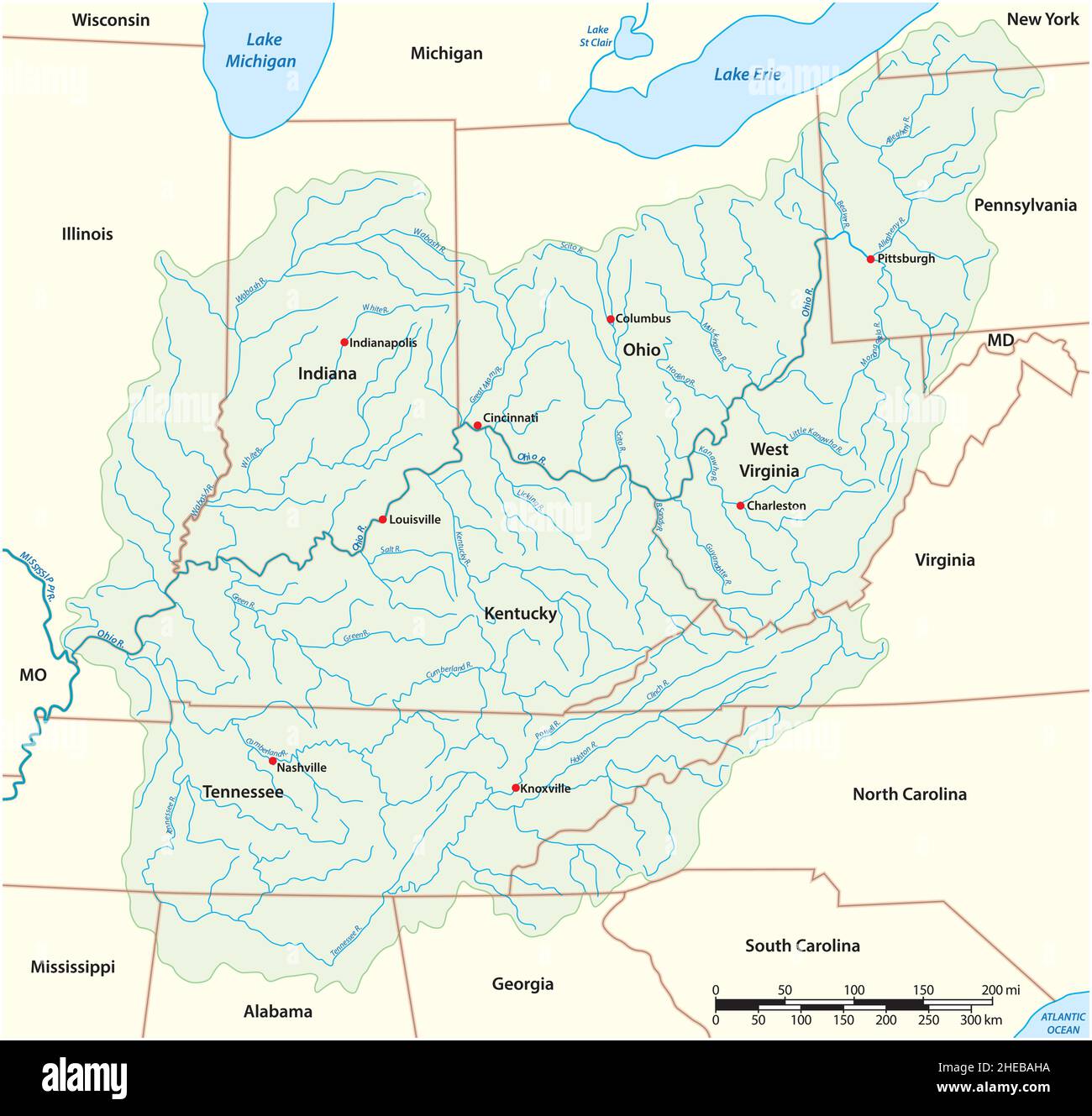 vector map Drainage Basin of the Ohio River, USA Stock Vectorhttps://www.alamy.com/image-license-details/?v=1https://www.alamy.com/vector-map-drainage-basin-of-the-ohio-river-usa-image456324550.html
RF2HEBAHA–vector map Drainage Basin of the Ohio River, USA
 1873 Asher Adams Map of the Midwest ( Ohio, Indiana, Illinois, Missouri, Kentucky ) Geographicus INILOHMOKTTN aa 1873 Stock Photohttps://www.alamy.com/image-license-details/?v=1https://www.alamy.com/stock-photo-1873-asher-adams-map-of-the-midwest-ohio-indiana-illinois-missouri-136391906.html
RMHWW57E–1873 Asher Adams Map of the Midwest ( Ohio, Indiana, Illinois, Missouri, Kentucky ) Geographicus INILOHMOKTTN aa 1873
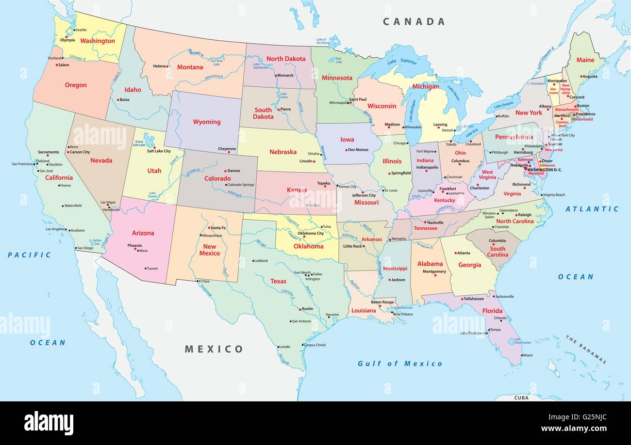 colored united states of america administrative and political map Stock Vectorhttps://www.alamy.com/image-license-details/?v=1https://www.alamy.com/stock-photo-colored-united-states-of-america-administrative-and-political-map-104618260.html
RFG25NJC–colored united states of america administrative and political map
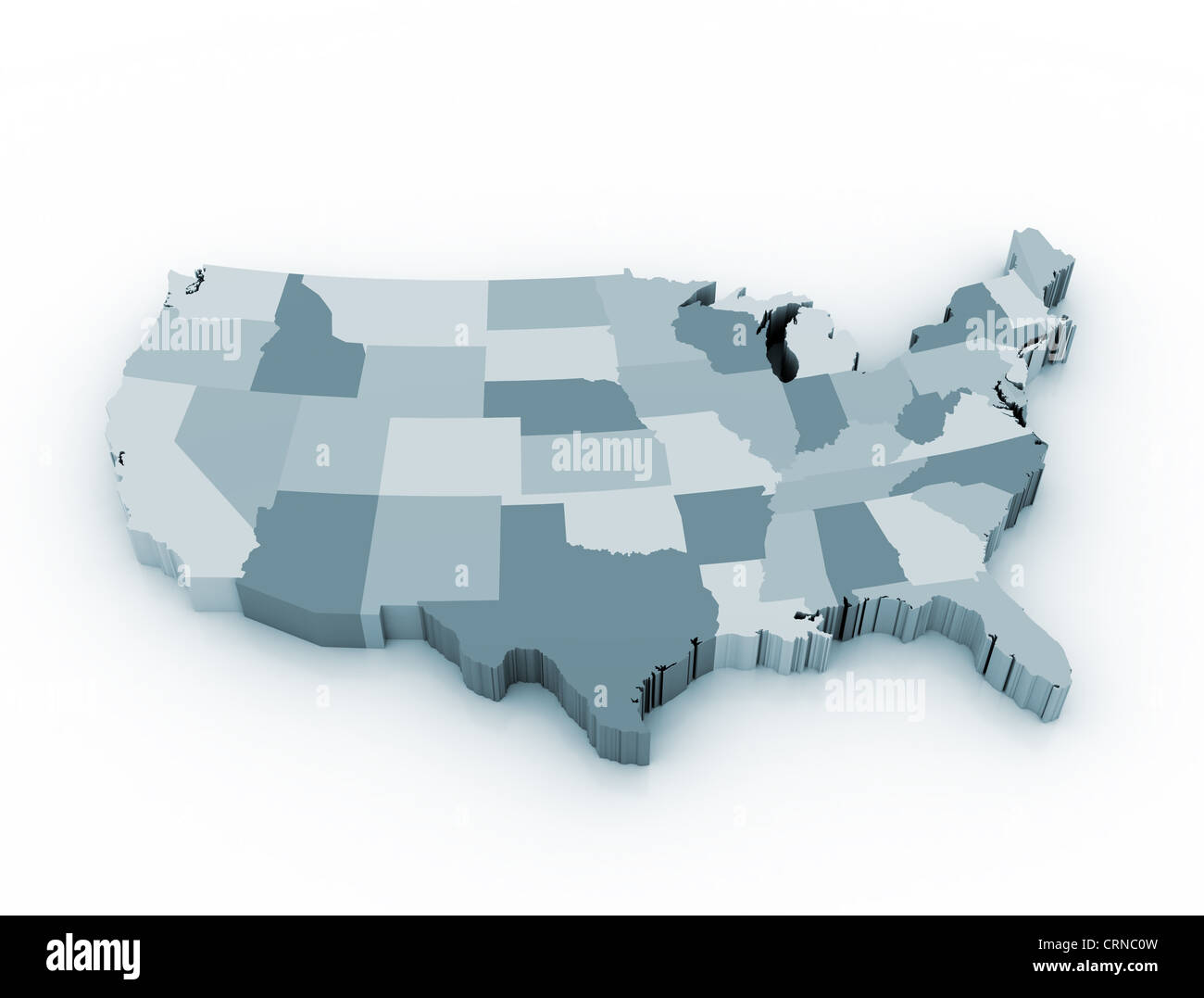 Map of united states of America Stock Photohttps://www.alamy.com/image-license-details/?v=1https://www.alamy.com/stock-photo-map-of-united-states-of-america-49028249.html
RFCRNC0W–Map of united states of America
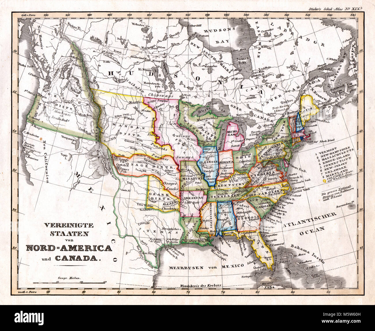 1844 Stieler Map - United States & Western Territories Stock Photohttps://www.alamy.com/image-license-details/?v=1https://www.alamy.com/stock-photo-1844-stieler-map-united-states-western-territories-175730481.html
RFM5W60H–1844 Stieler Map - United States & Western Territories
 1854 Colton Pocket Map of Ohio, Michigan, Wisconsin, Iowa, Illinois, Missouri, Indiana and Kentucky - Geographicus - WesternStates-colton-1854. Stock Photohttps://www.alamy.com/image-license-details/?v=1https://www.alamy.com/1854-colton-pocket-map-of-ohio-michigan-wisconsin-iowa-illinois-missouri-indiana-and-kentucky-geographicus-westernstates-colton-1854-image210033759.html
RMP5KT5K–1854 Colton Pocket Map of Ohio, Michigan, Wisconsin, Iowa, Illinois, Missouri, Indiana and Kentucky - Geographicus - WesternStates-colton-1854.
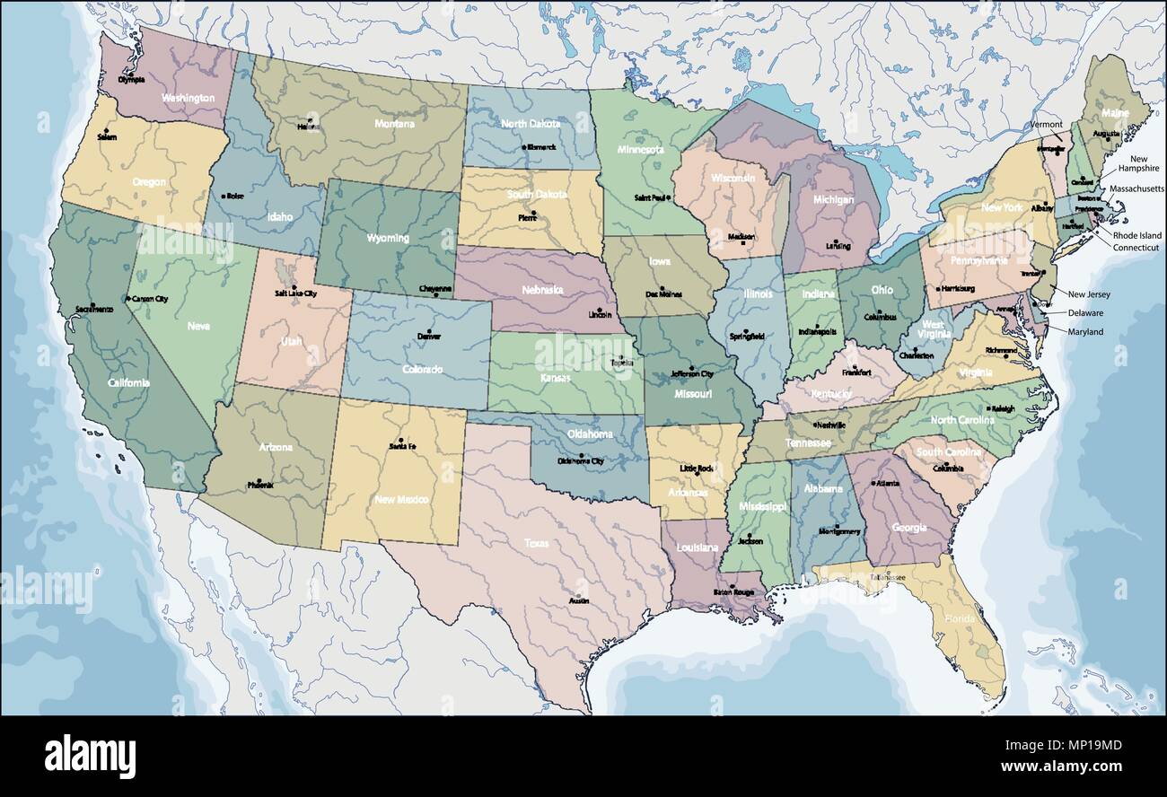 Map of USA Stock Vectorhttps://www.alamy.com/image-license-details/?v=1https://www.alamy.com/map-of-usa-image185655693.html
RFMP19MD–Map of USA
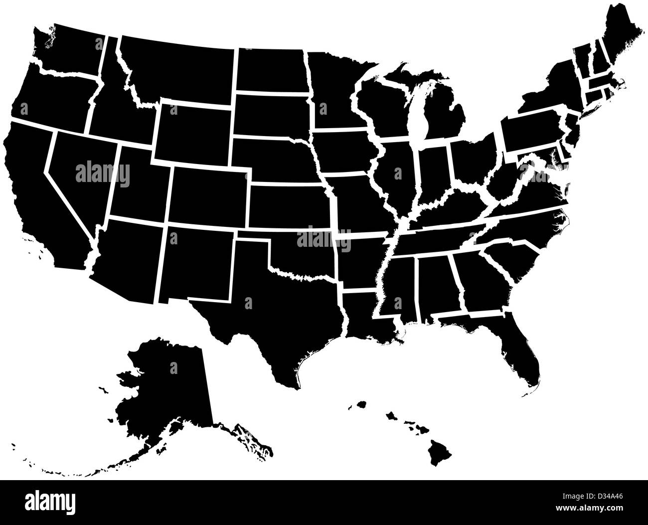 Very detailed map of all fifty states Stock Photohttps://www.alamy.com/image-license-details/?v=1https://www.alamy.com/stock-photo-very-detailed-map-of-all-fifty-states-53570838.html
RFD34A46–Very detailed map of all fifty states
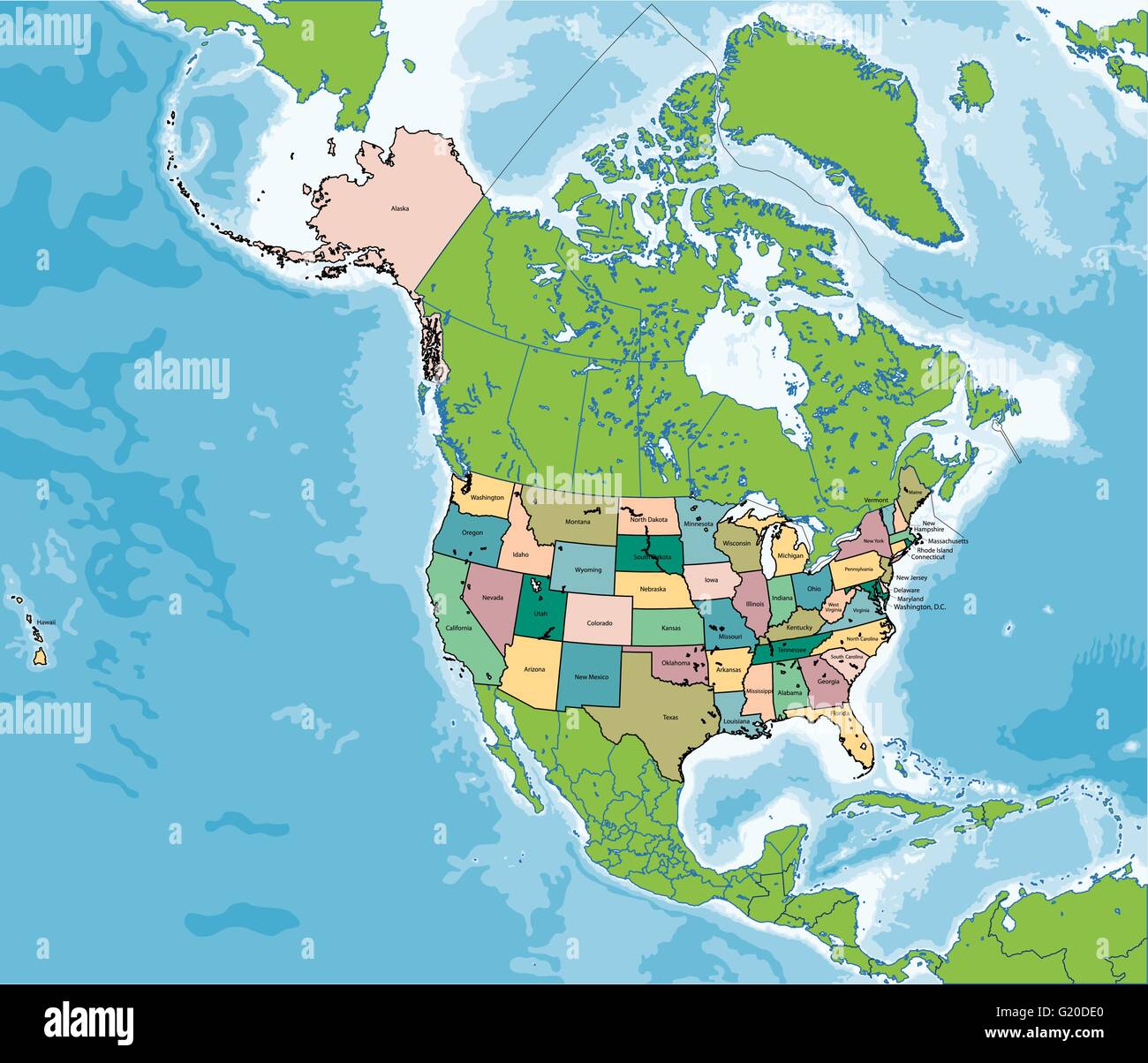 The United States of America map Stock Vectorhttps://www.alamy.com/image-license-details/?v=1https://www.alamy.com/stock-photo-the-united-states-of-america-map-104502104.html
RFG20DE0–The United States of America map
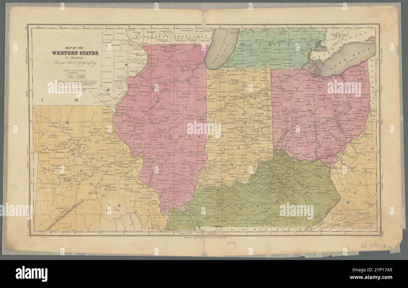 Map of the western states to illustrate Olney's school geography 1829 by Olney, J. (Jesse), 1798-1872 Stock Photohttps://www.alamy.com/image-license-details/?v=1https://www.alamy.com/map-of-the-western-states-to-illustrate-olneys-school-geography-1829-by-olney-j-jesse-1798-1872-image633123409.html
RM2YP17A9–Map of the western states to illustrate Olney's school geography 1829 by Olney, J. (Jesse), 1798-1872
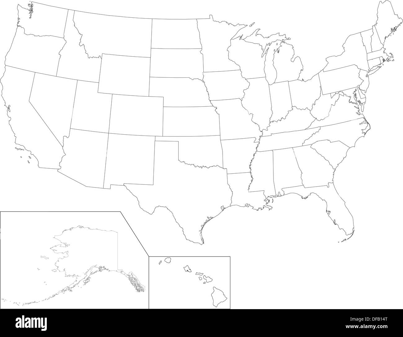 USA map Stock Photohttps://www.alamy.com/image-license-details/?v=1https://www.alamy.com/usa-map-image61093336.html
RFDFB14T–USA map
 blue usa america flag map atlas map of the world white red blue usa california Stock Photohttps://www.alamy.com/image-license-details/?v=1https://www.alamy.com/stock-photo-blue-usa-america-flag-map-atlas-map-of-the-world-white-red-blue-usa-141470908.html
RFJ64FGC–blue usa america flag map atlas map of the world white red blue usa california
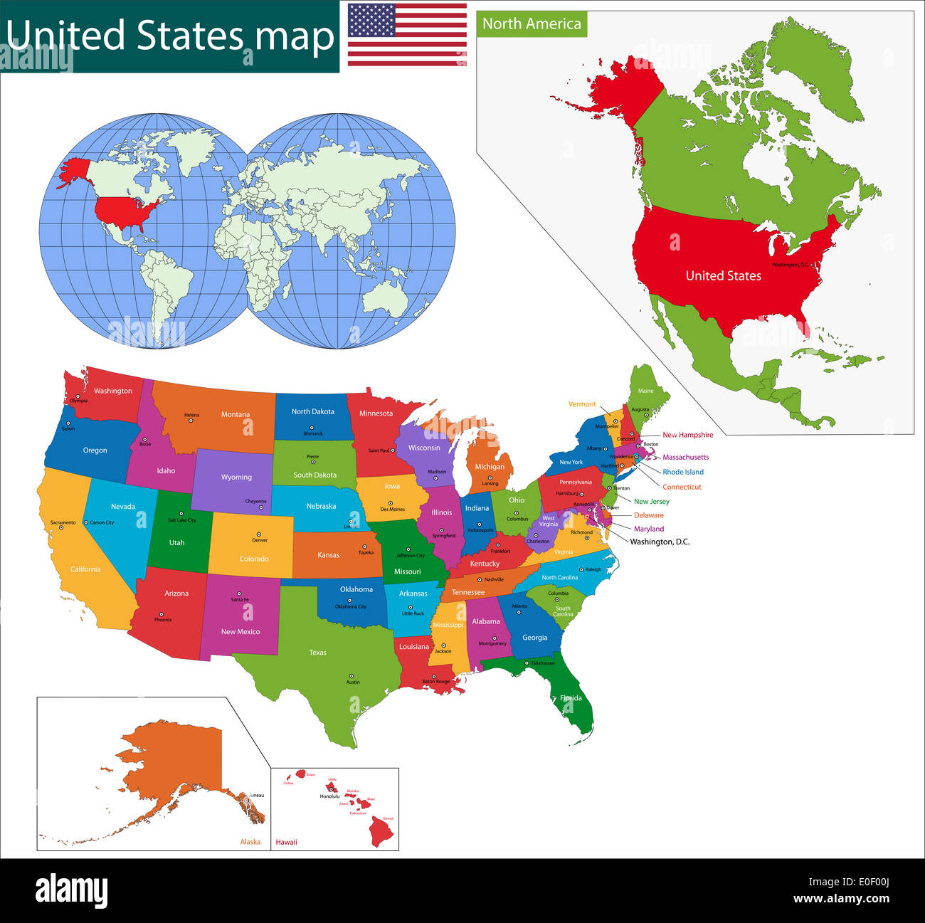 Colorful USA map Stock Photohttps://www.alamy.com/image-license-details/?v=1https://www.alamy.com/colorful-usa-map-image69170770.html
RFE0F00J–Colorful USA map
 Plan of the western seat of war. Confederate imprint. Inset: Reduced continuation of Missouri R. General map of Kentucky, Tennessee, and parts of Illinois, Indiana, Ohio, Virginia, and North Carolina showing principal roads, railroads, towns, and rivers. Fortified sites and battlefields are not indicated. Description derived from published bibliography.... , Confederate States of America ,area Stock Photohttps://www.alamy.com/image-license-details/?v=1https://www.alamy.com/plan-of-the-western-seat-of-war-confederate-imprint-inset-reduced-continuation-of-missouri-r-general-map-of-kentucky-tennessee-and-parts-of-illinois-indiana-ohio-virginia-and-north-carolina-showing-principal-roads-railroads-towns-and-rivers-fortified-sites-and-battlefields-are-not-indicated-description-derived-from-published-bibliography-confederate-states-of-america-area-image502726484.html
RM2M5W4N8–Plan of the western seat of war. Confederate imprint. Inset: Reduced continuation of Missouri R. General map of Kentucky, Tennessee, and parts of Illinois, Indiana, Ohio, Virginia, and North Carolina showing principal roads, railroads, towns, and rivers. Fortified sites and battlefields are not indicated. Description derived from published bibliography.... , Confederate States of America ,area
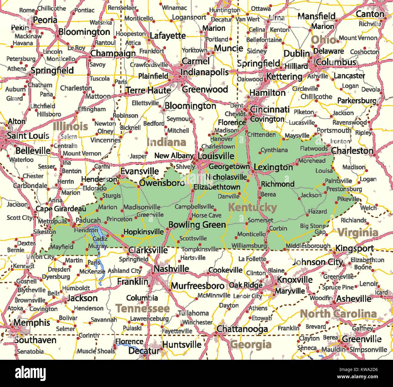 Map of Kentucky. Shows country borders, urban areas, place names, roads and highways. Projection: Mercator. Stock Vectorhttps://www.alamy.com/image-license-details/?v=1https://www.alamy.com/stock-photo-map-of-kentucky-shows-country-borders-urban-areas-place-names-roads-170481170.html
RFKWA2D6–Map of Kentucky. Shows country borders, urban areas, place names, roads and highways. Projection: Mercator.
 An US State map in Black and White 3D Stock Photohttps://www.alamy.com/image-license-details/?v=1https://www.alamy.com/stock-photo-an-us-state-map-in-black-and-white-3d-57669661.html
RFD9R26N–An US State map in Black and White 3D
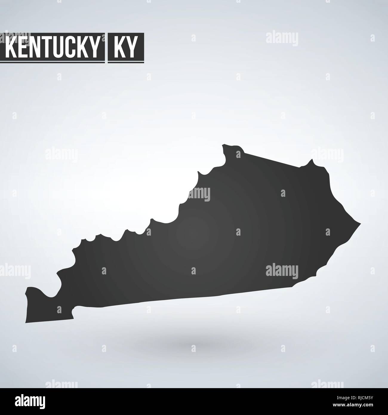 Vector map Kentucky. Isolated vector Illustration. Black on White background. EPS 8 Illustration Stock Vectorhttps://www.alamy.com/image-license-details/?v=1https://www.alamy.com/vector-map-kentucky-isolated-vector-illustration-black-on-white-background-eps-8-illustration-image235077863.html
RFRJCM5Y–Vector map Kentucky. Isolated vector Illustration. Black on White background. EPS 8 Illustration
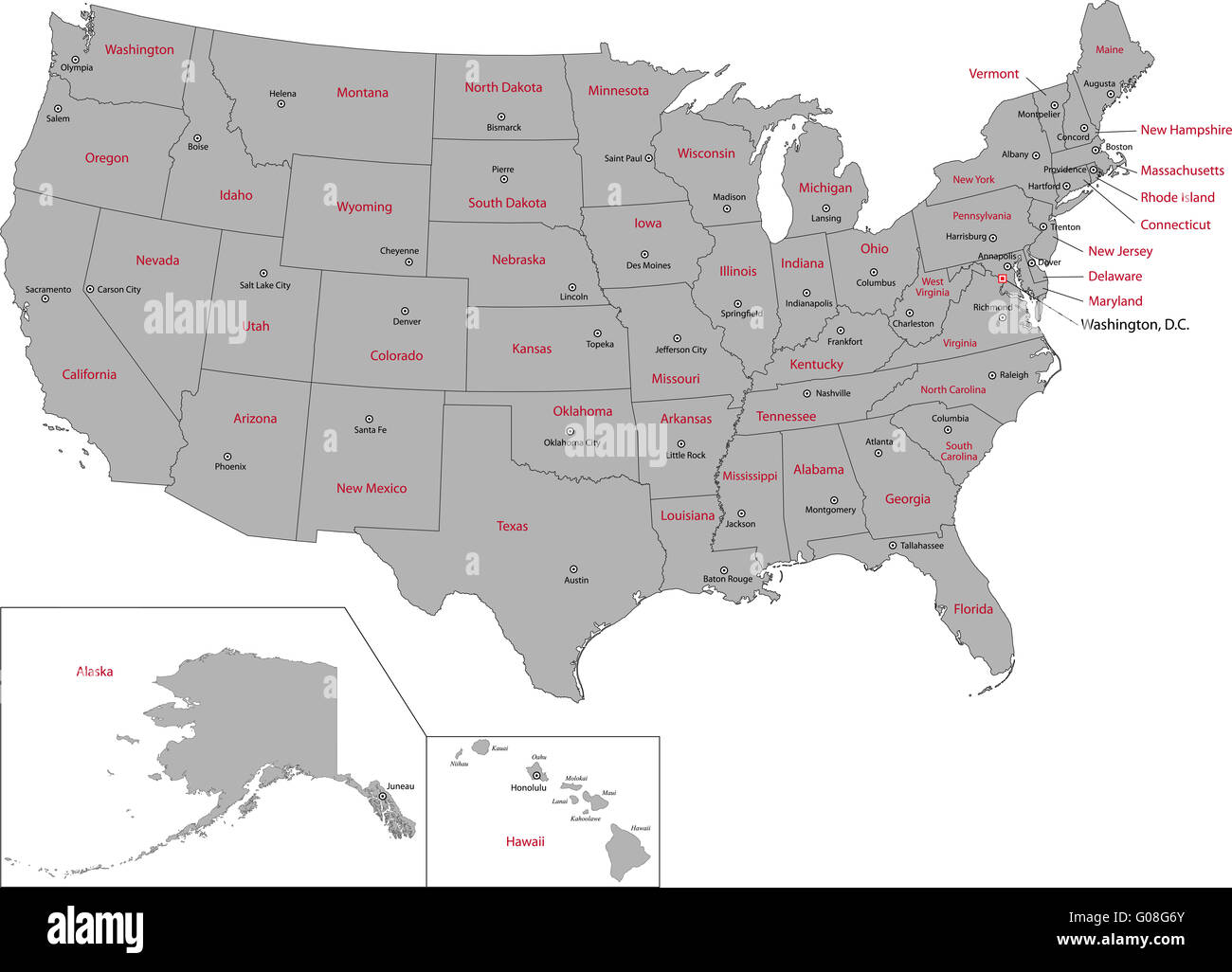 Gray USA map Stock Photohttps://www.alamy.com/image-license-details/?v=1https://www.alamy.com/stock-photo-gray-usa-map-103450563.html
RMG08G6Y–Gray USA map
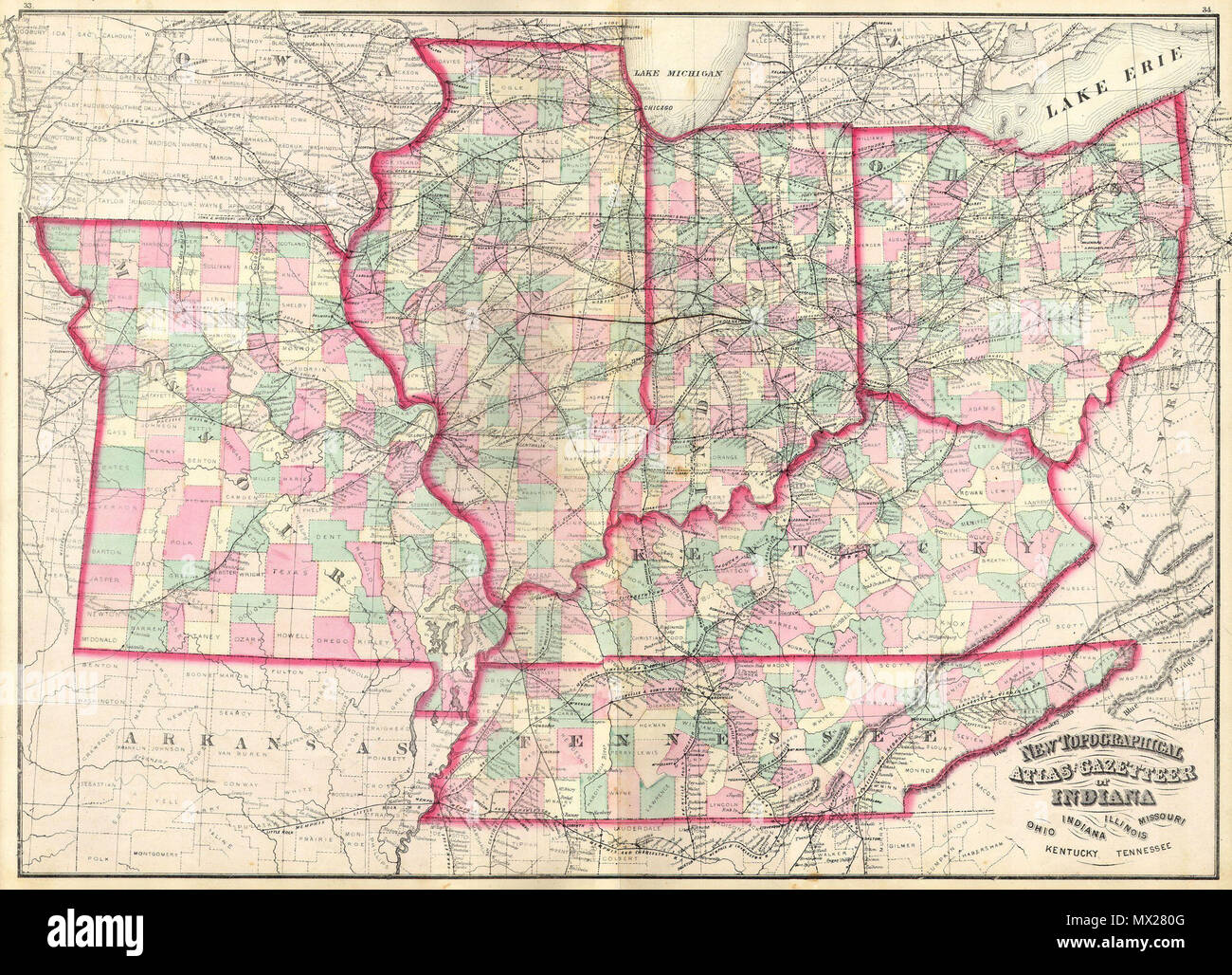 . New Topographical Atlas and Gazetteer of Indiana, Ohio, Indiana, Illinois, Missouri, Kentucky, Tennessee. English: This is an 1874 Asher & Adams hand colored map of the Midwest and Central states of Ohio, Indiana, Illinois, Missouri, Kentucky and Tennessee. . 1873 10 1873 Asher Adams Map of the Midwest ( Ohio, Indiana, Illinois, Missouri, Kentucky ) - Geographicus - INILOHMOKTTN-aa-1873 Stock Photohttps://www.alamy.com/image-license-details/?v=1https://www.alamy.com/new-topographical-atlas-and-gazetteer-of-indiana-ohio-indiana-illinois-missouri-kentucky-tennessee-english-this-is-an-1874-asher-adams-hand-colored-map-of-the-midwest-and-central-states-of-ohio-indiana-illinois-missouri-kentucky-and-tennessee-1873-10-1873-asher-adams-map-of-the-midwest-ohio-indiana-illinois-missouri-kentucky-geographicus-inilohmokttn-aa-1873-image188134928.html
RMMX280G–. New Topographical Atlas and Gazetteer of Indiana, Ohio, Indiana, Illinois, Missouri, Kentucky, Tennessee. English: This is an 1874 Asher & Adams hand colored map of the Midwest and Central states of Ohio, Indiana, Illinois, Missouri, Kentucky and Tennessee. . 1873 10 1873 Asher Adams Map of the Midwest ( Ohio, Indiana, Illinois, Missouri, Kentucky ) - Geographicus - INILOHMOKTTN-aa-1873
 illinois state illustration Stock Photohttps://www.alamy.com/image-license-details/?v=1https://www.alamy.com/stock-photo-illinois-state-illustration-79589013.html
RFEHDGGN–illinois state illustration
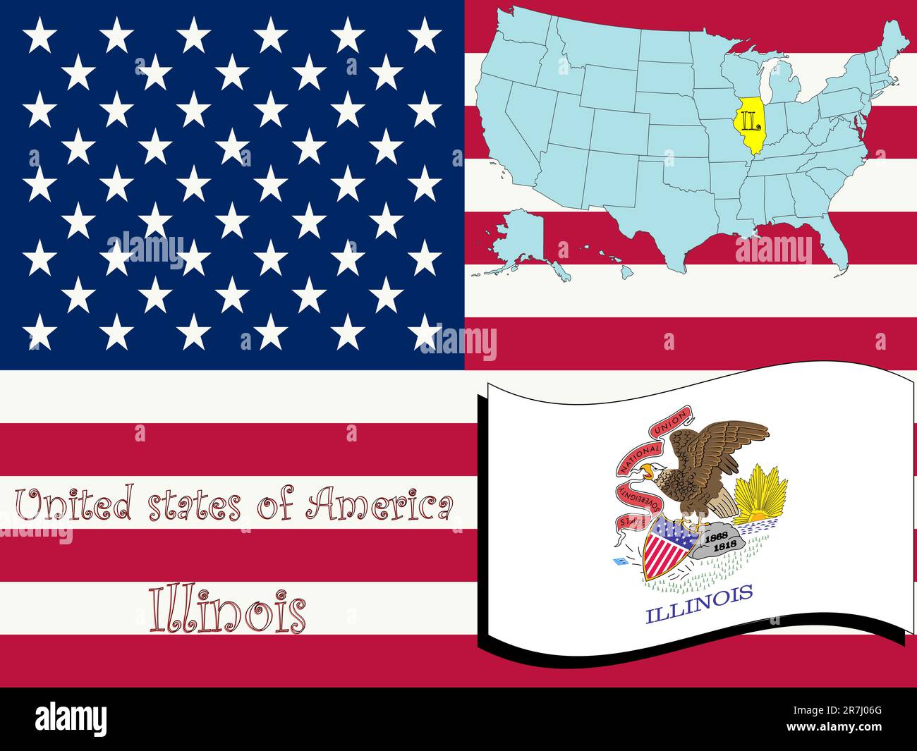 illinois state illustration, abstract vector art Stock Vectorhttps://www.alamy.com/image-license-details/?v=1https://www.alamy.com/illinois-state-illustration-abstract-vector-art-image555429688.html
RF2R7J06G–illinois state illustration, abstract vector art
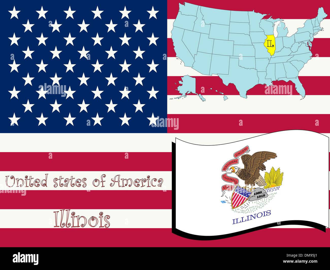 illinois state illustration Stock Vectorhttps://www.alamy.com/image-license-details/?v=1https://www.alamy.com/illinois-state-illustration-image64126217.html
RFDM95J1–illinois state illustration
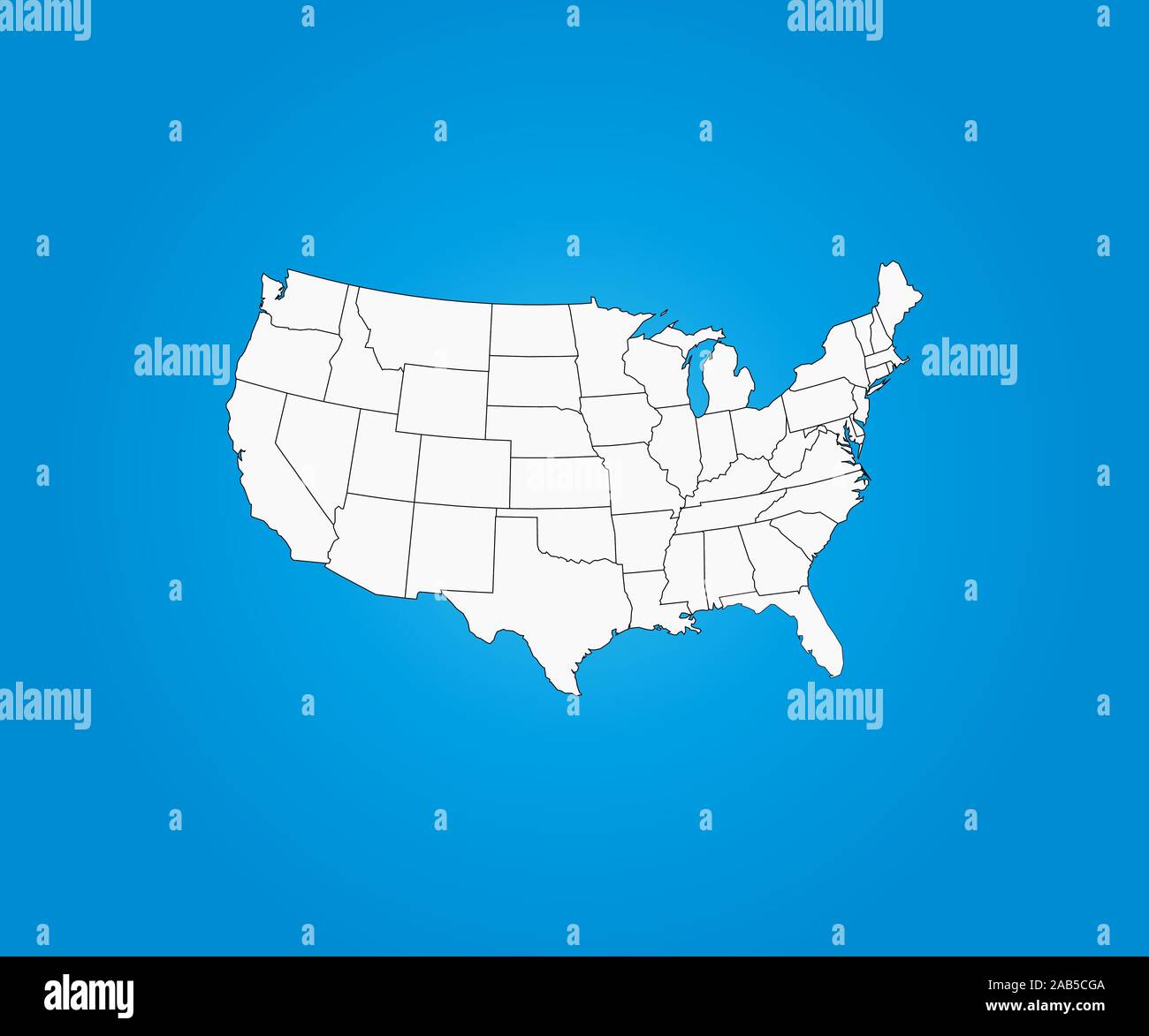 United States Map, states border map. Vector illustration. Stock Vectorhttps://www.alamy.com/image-license-details/?v=1https://www.alamy.com/united-states-map-states-border-map-vector-illustration-image333877834.html
RF2AB5CGA–United States Map, states border map. Vector illustration.
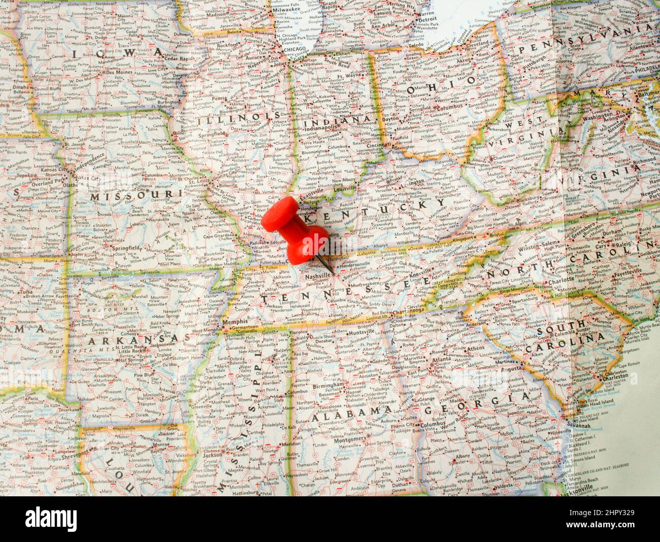 Red pin on Nashville, Tennessee in USA on map Stock Photohttps://www.alamy.com/image-license-details/?v=1https://www.alamy.com/red-pin-on-nashville-tennessee-in-usa-on-map-image461587121.html
RF2HPY329–Red pin on Nashville, Tennessee in USA on map
 Waving Illinois Flag Isolated On A White Background. Vector Illustration. Stock Vectorhttps://www.alamy.com/image-license-details/?v=1https://www.alamy.com/waving-illinois-flag-isolated-on-a-white-background-vector-illustration-image227194181.html
RFR5HGDW–Waving Illinois Flag Isolated On A White Background. Vector Illustration.
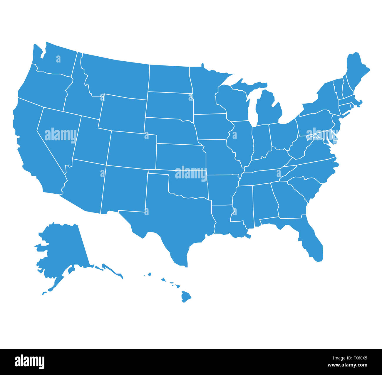 united states of America map illustration Stock Photohttps://www.alamy.com/image-license-details/?v=1https://www.alamy.com/stock-photo-united-states-of-america-map-illustration-102165341.html
RFFX60X5–united states of America map illustration
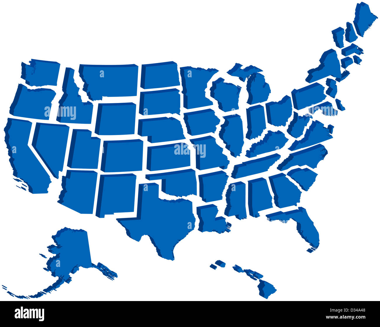 Very detailed map of all fifty states in 3d Stock Photohttps://www.alamy.com/image-license-details/?v=1https://www.alamy.com/stock-photo-very-detailed-map-of-all-fifty-states-in-3d-53570840.html
RFD34A48–Very detailed map of all fifty states in 3d
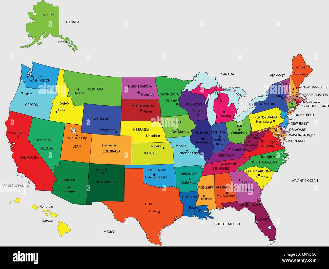 USA 50 States Colorful Map and State Names vector Image Illustration Stock Vectorhttps://www.alamy.com/image-license-details/?v=1https://www.alamy.com/stock-photo-usa-50-states-colorful-map-and-state-names-vector-image-illustration-172705468.html
RFM0YBGC–USA 50 States Colorful Map and State Names vector Image Illustration
RF2FX9GY6–Pin flag set, map location icon in blue colors with USA state flag of Georgia, Hawaii, Idaho, Illinois, Indiana, Iowa, Kansas, Kentucky, Louisiana
 USA states contours, black against white background. From Alabama to Missouri alphabetically Stock Photohttps://www.alamy.com/image-license-details/?v=1https://www.alamy.com/stock-photo-usa-states-contours-black-against-white-background-from-alabama-to-18142795.html
RFB1ED8Y–USA states contours, black against white background. From Alabama to Missouri alphabetically
 usa flag banner logo map atlas map of the world blue usa california flag south Stock Photohttps://www.alamy.com/image-license-details/?v=1https://www.alamy.com/stock-photo-usa-flag-banner-logo-map-atlas-map-of-the-world-blue-usa-california-141433253.html
RFJ62RFH–usa flag banner logo map atlas map of the world blue usa california flag south
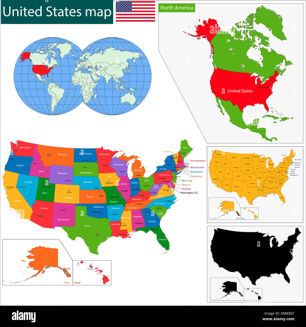 Colorful USA map Stock Photohttps://www.alamy.com/image-license-details/?v=1https://www.alamy.com/colorful-usa-map-image64100312.html
RFDM80GT–Colorful USA map
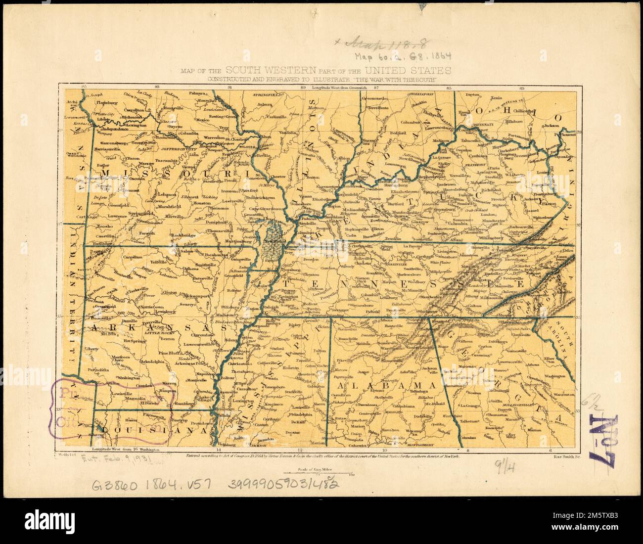 Map of the south western part of the United States : constructed and engraved to illustrate 'The War with the South'. Relief shown by hachures. Shows Missouri, Arkansas, Kentucky, Tennessee, and portions of Kansas, Texas, Illinois, Indiana, Ohio, Virginia, Louisiana, Mississippi, Alabama, Georgia, North Carolina, and South Carolina... Map of the southwestern part of the United States. Map of the southwestern part of the United States, Southern United States ,area Stock Photohttps://www.alamy.com/image-license-details/?v=1https://www.alamy.com/map-of-the-south-western-part-of-the-united-states-constructed-and-engraved-to-illustrate-the-war-with-the-south-relief-shown-by-hachures-shows-missouri-arkansas-kentucky-tennessee-and-portions-of-kansas-texas-illinois-indiana-ohio-virginia-louisiana-mississippi-alabama-georgia-north-carolina-and-south-carolina-map-of-the-southwestern-part-of-the-united-states-map-of-the-southwestern-part-of-the-united-states-southern-united-states-area-image502721495.html
RM2M5TXB3–Map of the south western part of the United States : constructed and engraved to illustrate 'The War with the South'. Relief shown by hachures. Shows Missouri, Arkansas, Kentucky, Tennessee, and portions of Kansas, Texas, Illinois, Indiana, Ohio, Virginia, Louisiana, Mississippi, Alabama, Georgia, North Carolina, and South Carolina... Map of the southwestern part of the United States. Map of the southwestern part of the United States, Southern United States ,area
