Map lake texcoco Stock Photos and Images
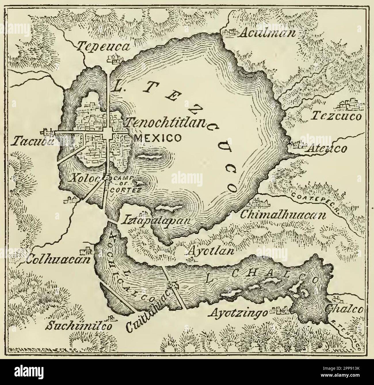 Vintage map of Lake Texcoco or Lago Tezcuco and the ancient Aztec city of Tenochtitlan, Mexco, Harper & Brothers Publishers 1856 Stock Photohttps://www.alamy.com/image-license-details/?v=1https://www.alamy.com/vintage-map-of-lake-texcoco-or-lago-tezcuco-and-the-ancient-aztec-city-of-tenochtitlan-mexco-harper-brothers-publishers-1856-image547242295.html
RM2PP913K–Vintage map of Lake Texcoco or Lago Tezcuco and the ancient Aztec city of Tenochtitlan, Mexco, Harper & Brothers Publishers 1856
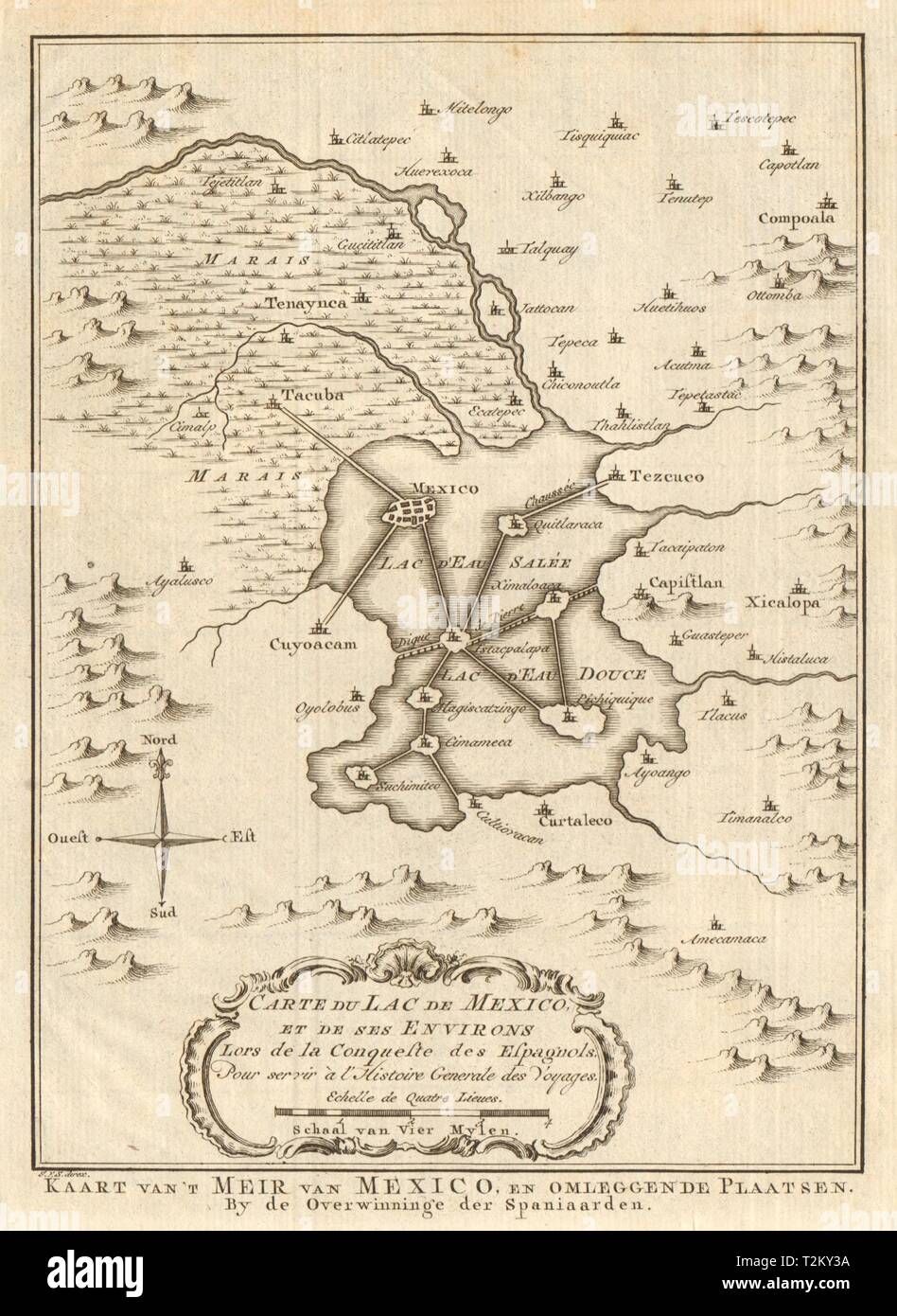 'Carte du Lac de Mexico' City Tenochtitlan Lake Texcoco. BELLIN/SCHLEY 1758 map Stock Photohttps://www.alamy.com/image-license-details/?v=1https://www.alamy.com/carte-du-lac-de-mexico-city-tenochtitlan-lake-texcoco-bellinschley-1758-map-image242612814.html
RFT2KY3A–'Carte du Lac de Mexico' City Tenochtitlan Lake Texcoco. BELLIN/SCHLEY 1758 map
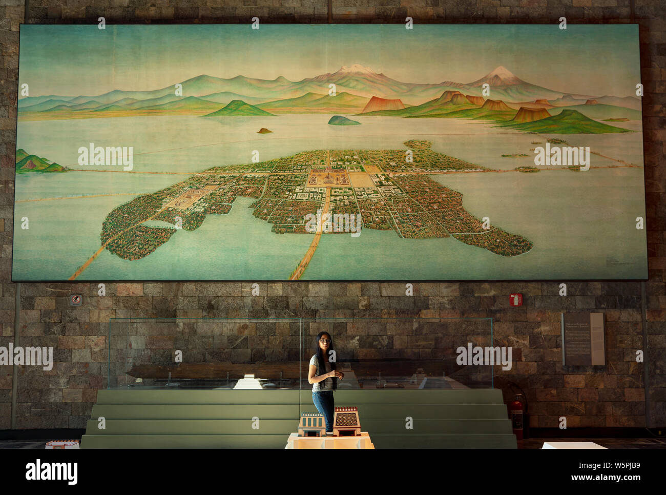 A painted map of Tenochtitlán (what is now Mexico City) it used to be a man made island built in Lake Texcoco by the Aztecs. Museum of Anthropology Stock Photohttps://www.alamy.com/image-license-details/?v=1https://www.alamy.com/a-painted-map-of-tenochtitln-what-is-now-mexico-city-it-used-to-be-a-man-made-island-built-in-lake-texcoco-by-the-aztecs-museum-of-anthropology-image261726173.html
RMW5PJB9–A painted map of Tenochtitlán (what is now Mexico City) it used to be a man made island built in Lake Texcoco by the Aztecs. Museum of Anthropology
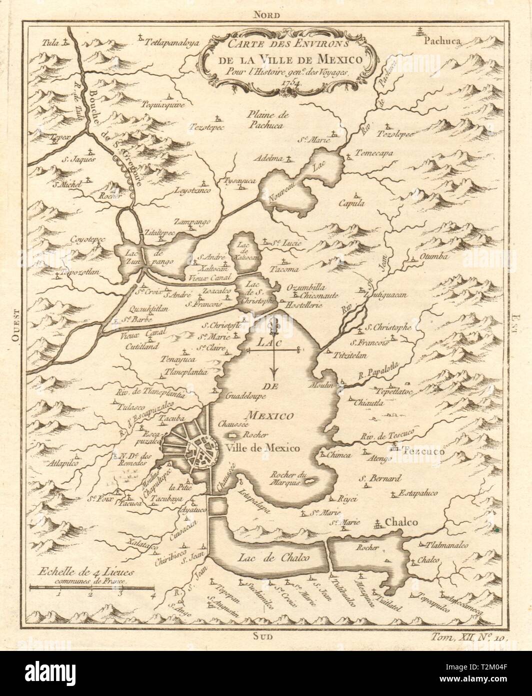 'Environs de la Ville de Mexico'. Mexico City & Lake Texcoco. BELLIN 1754 map Stock Photohttps://www.alamy.com/image-license-details/?v=1https://www.alamy.com/environs-de-la-ville-de-mexico-mexico-city-lake-texcoco-bellin-1754-map-image242613631.html
RFT2M04F–'Environs de la Ville de Mexico'. Mexico City & Lake Texcoco. BELLIN 1754 map
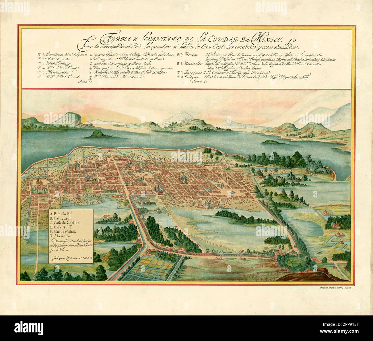 Vintage aerial view plan of Mexico City and surroundings including Lake Texcoco and volcanoes, by Juan Gomez de Trasmonte di Ao c. 1628 Stock Photohttps://www.alamy.com/image-license-details/?v=1https://www.alamy.com/vintage-aerial-view-plan-of-mexico-city-and-surroundings-including-lake-texcoco-and-volcanoes-by-juan-gomez-de-trasmonte-di-ao-c-1628-image547242291.html
RM2PP913F–Vintage aerial view plan of Mexico City and surroundings including Lake Texcoco and volcanoes, by Juan Gomez de Trasmonte di Ao c. 1628
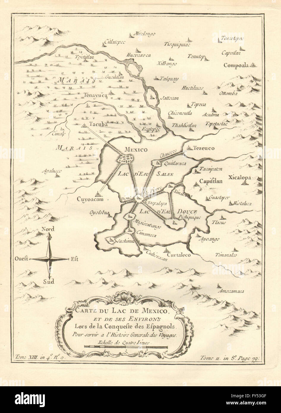 'Lac de Mexique et de ses Environs'. Mexico City & Lake Texcoco. BELLIN 1758 map Stock Photohttps://www.alamy.com/image-license-details/?v=1https://www.alamy.com/stock-photo-lac-de-mexique-et-de-ses-environs-mexico-city-lake-texcoco-bellin-102760127.html
RFFY53GF–'Lac de Mexique et de ses Environs'. Mexico City & Lake Texcoco. BELLIN 1758 map
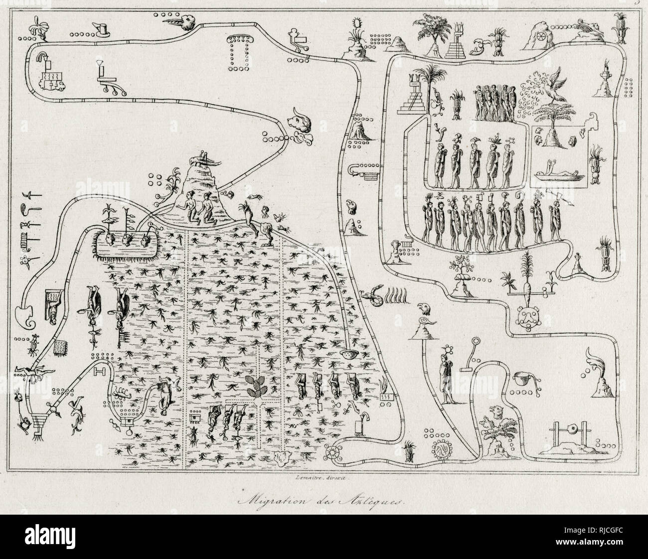 1704 Gemelli Map - According to legend on exactly May 24, 1065 CE, the Mexica (Aztec) began an epic migration from their ancestral homeland, Aztlan, which translated means “Place of Reeds” or “Place of Egrets”, to the shores of Lake Texcoco, in Mexico’s Central Mesa. There they founded the city of Tenochtitlan which in time spawned the vast Aztec Empire. Stock Photohttps://www.alamy.com/image-license-details/?v=1https://www.alamy.com/1704-gemelli-map-according-to-legend-on-exactly-may-24-1065-ce-the-mexica-aztec-began-an-epic-migration-from-their-ancestral-homeland-aztlan-which-translated-means-place-of-reeds-or-place-of-egrets-to-the-shores-of-lake-texcoco-in-mexicos-central-mesa-there-they-founded-the-city-of-tenochtitlan-which-in-time-spawned-the-vast-aztec-empire-image235074992.html
RMRJCGFC–1704 Gemelli Map - According to legend on exactly May 24, 1065 CE, the Mexica (Aztec) began an epic migration from their ancestral homeland, Aztlan, which translated means “Place of Reeds” or “Place of Egrets”, to the shores of Lake Texcoco, in Mexico’s Central Mesa. There they founded the city of Tenochtitlan which in time spawned the vast Aztec Empire.
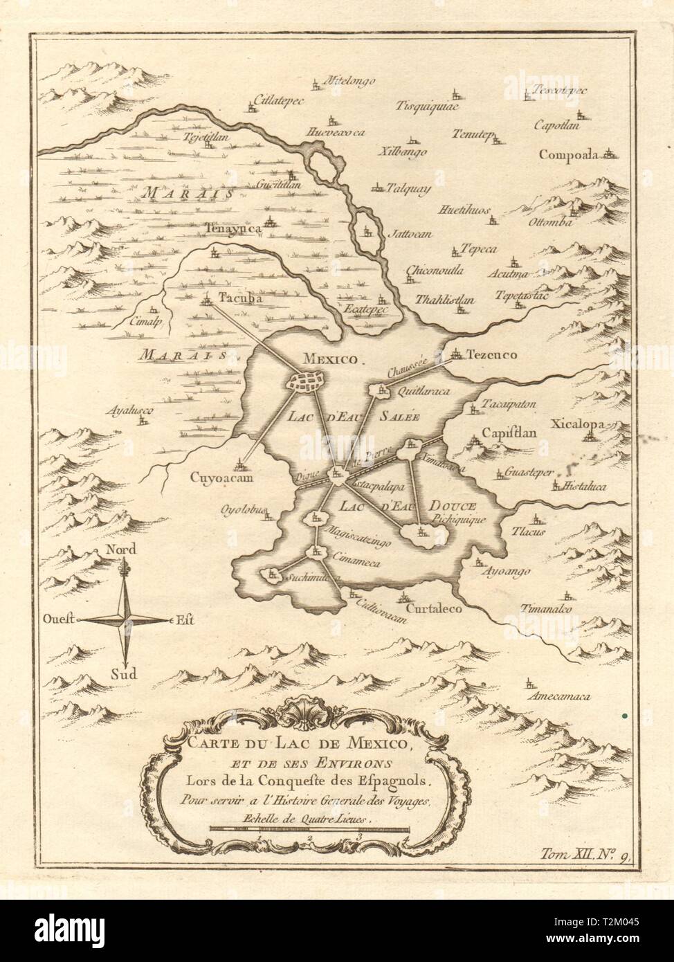 'Carte du Lac de Mexico' City. Aztec Tenochtitlan. Lake Texcoco. BELLIN 1754 map Stock Photohttps://www.alamy.com/image-license-details/?v=1https://www.alamy.com/carte-du-lac-de-mexico-city-aztec-tenochtitlan-lake-texcoco-bellin-1754-map-image242613621.html
RFT2M045–'Carte du Lac de Mexico' City. Aztec Tenochtitlan. Lake Texcoco. BELLIN 1754 map
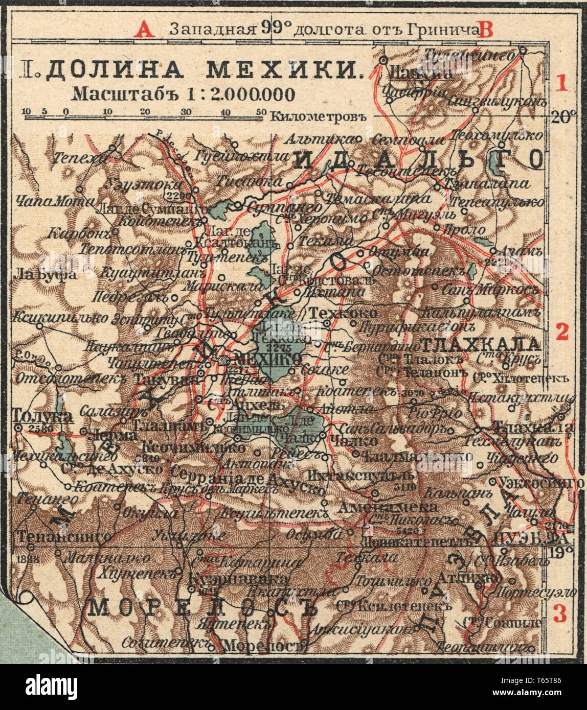 Valley of Mexico New table atlas A.F. Marcks St. Petersburg, 1910 Stock Photohttps://www.alamy.com/image-license-details/?v=1https://www.alamy.com/valley-of-mexico-new-table-atlas-af-marcks-st-petersburg-1910-image244761894.html
RMT65T86–Valley of Mexico New table atlas A.F. Marcks St. Petersburg, 1910
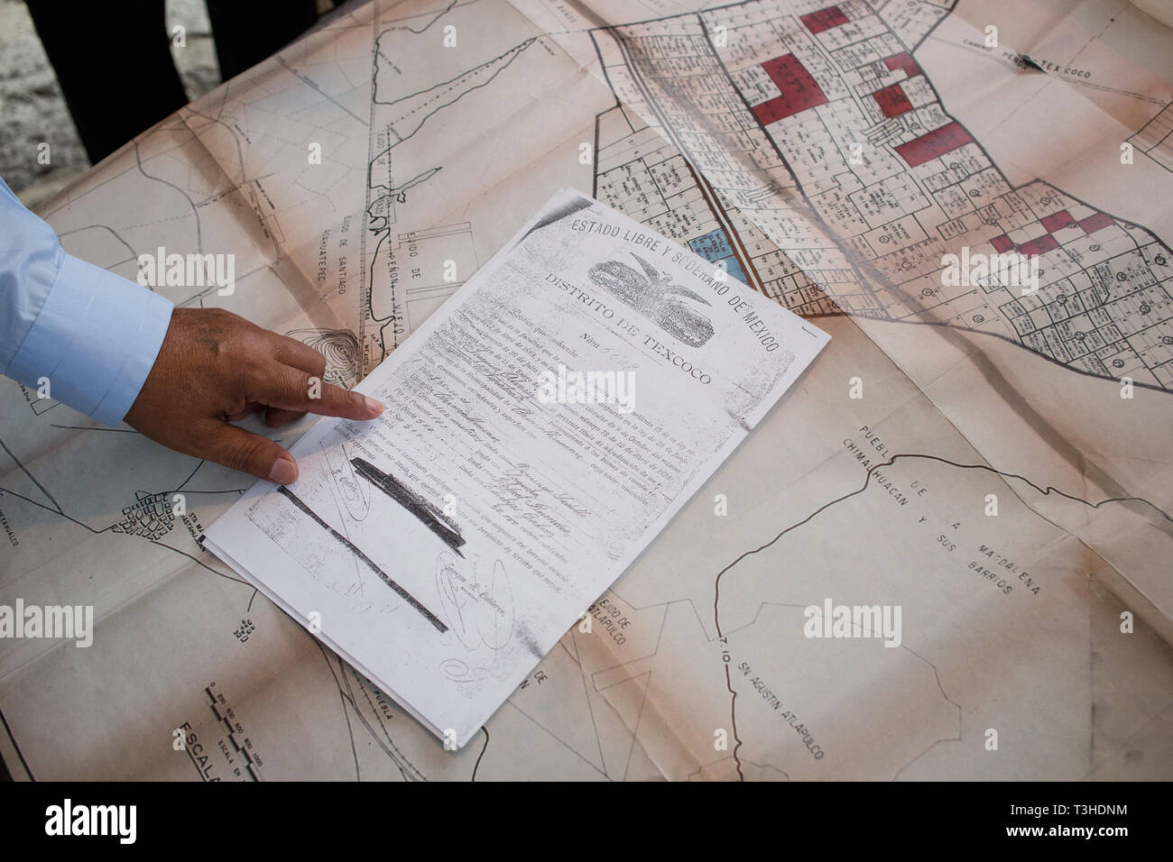 People explain documents that represent ownership of the land on the shores of Lake Texcoco, which they call ÒTlatelesÓ, that the Mexican Federal Government wants to use for the new Mexico City Airport project in the community of Chimalhuac‡n, the State of Mexico, Mexico, August 25, 2017. Mexico's newly elected president Andreas Lopez Manuel Obrador canceled this project in the fall of 2018, while it was in the middle of construction. The airport was set to replace the aging Benito Juarez International Airport. Stock Photohttps://www.alamy.com/image-license-details/?v=1https://www.alamy.com/people-explain-documents-that-represent-ownership-of-the-land-on-the-shores-of-lake-texcoco-which-they-call-tlateles-that-the-mexican-federal-government-wants-to-use-for-the-new-mexico-city-airport-project-in-the-community-of-chimalhuacn-the-state-of-mexico-mexico-august-25-2017-mexicos-newly-elected-president-andreas-lopez-manuel-obrador-canceled-this-project-in-the-fall-of-2018-while-it-was-in-the-middle-of-construction-the-airport-was-set-to-replace-the-aging-benito-juarez-international-airport-image243173104.html
RMT3HDNM–People explain documents that represent ownership of the land on the shores of Lake Texcoco, which they call ÒTlatelesÓ, that the Mexican Federal Government wants to use for the new Mexico City Airport project in the community of Chimalhuac‡n, the State of Mexico, Mexico, August 25, 2017. Mexico's newly elected president Andreas Lopez Manuel Obrador canceled this project in the fall of 2018, while it was in the middle of construction. The airport was set to replace the aging Benito Juarez International Airport.
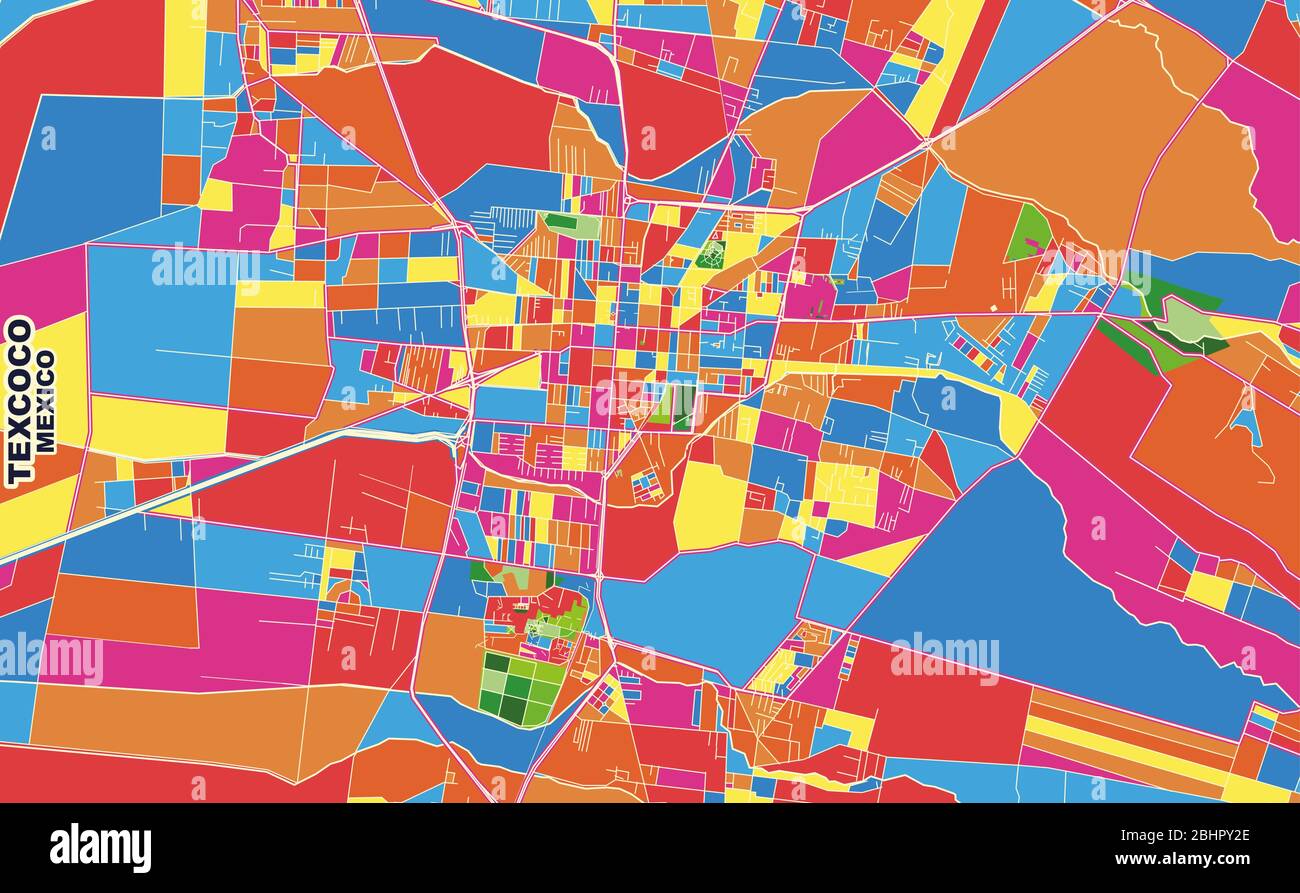 Colorful vector map of Texcoco, México, Mexico. Art Map template for selfprinting wall art in landscape format. Stock Vectorhttps://www.alamy.com/image-license-details/?v=1https://www.alamy.com/colorful-vector-map-of-texcoco-mxico-mexico-art-map-template-for-selfprinting-wall-art-in-landscape-format-image355160694.html
RF2BHPY2E–Colorful vector map of Texcoco, México, Mexico. Art Map template for selfprinting wall art in landscape format.
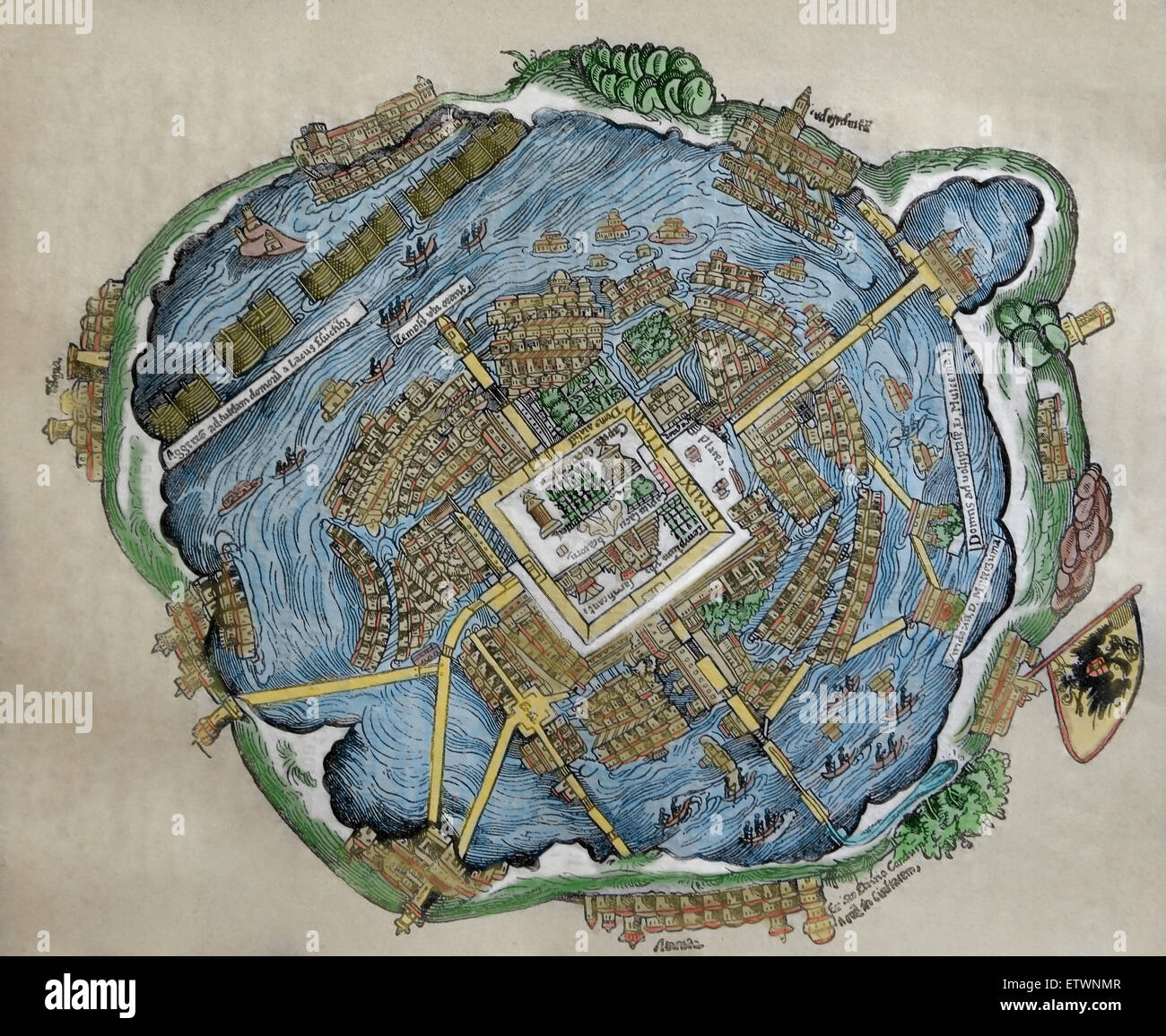 Map of the Aztec Capital. Tenochtitlan. Hernan Cortes' s letters, Nuremberg, 1524. Color. Stock Photohttps://www.alamy.com/image-license-details/?v=1https://www.alamy.com/stock-photo-map-of-the-aztec-capital-tenochtitlan-hernan-cortes-s-letters-nuremberg-84159063.html
RMETWNMR–Map of the Aztec Capital. Tenochtitlan. Hernan Cortes' s letters, Nuremberg, 1524. Color.
 . English: This beautiful little map of Mexico City was produced by the French Cartographer Jacques-Nicolas Bellin in 1754. Depicts the now non-extant Lake Texcoco upon which Mexico City was built. Extends as far north as Pachuca and as far south as San Augustin and Amecameca. Carte des Environs de La Ville de Mexico pour l’Histoire gen. des Voyages. 1754.. 1754. 1754 Bellin Map of Mexico City ^ Environs - Geographicus - MexicoCity2-bellin-1754 Stock Photohttps://www.alamy.com/image-license-details/?v=1https://www.alamy.com/english-this-beautiful-little-map-of-mexico-city-was-produced-by-the-french-cartographer-jacques-nicolas-bellin-in-1754-depicts-the-now-non-extant-lake-texcoco-upon-which-mexico-city-was-built-extends-as-far-north-as-pachuca-and-as-far-south-as-san-augustin-and-amecameca-carte-des-environs-de-la-ville-de-mexico-pour-lhistoire-gen-des-voyages-1754-1754-1754-bellin-map-of-mexico-city-environs-geographicus-mexicocity2-bellin-1754-image184873772.html
RMMMNMAM–. English: This beautiful little map of Mexico City was produced by the French Cartographer Jacques-Nicolas Bellin in 1754. Depicts the now non-extant Lake Texcoco upon which Mexico City was built. Extends as far north as Pachuca and as far south as San Augustin and Amecameca. Carte des Environs de La Ville de Mexico pour l’Histoire gen. des Voyages. 1754.. 1754. 1754 Bellin Map of Mexico City ^ Environs - Geographicus - MexicoCity2-bellin-1754
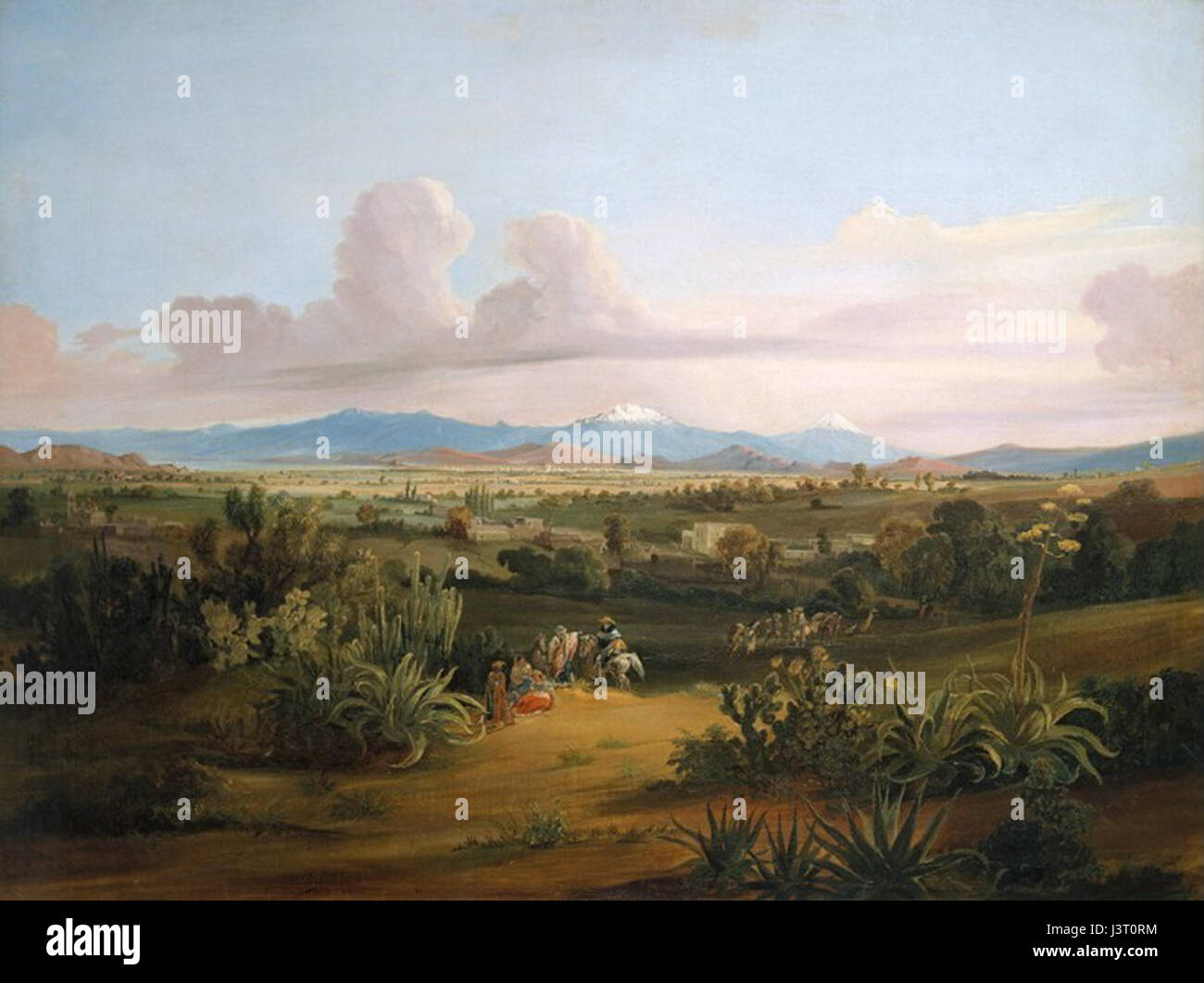 Johann Moritz Rugendas View of the Valley of Mexico with Volcanoes and the Texcoco Lake Stock Photohttps://www.alamy.com/image-license-details/?v=1https://www.alamy.com/stock-photo-johann-moritz-rugendas-view-of-the-valley-of-mexico-with-volcanoes-140054424.html
RMJ3T0RM–Johann Moritz Rugendas View of the Valley of Mexico with Volcanoes and the Texcoco Lake
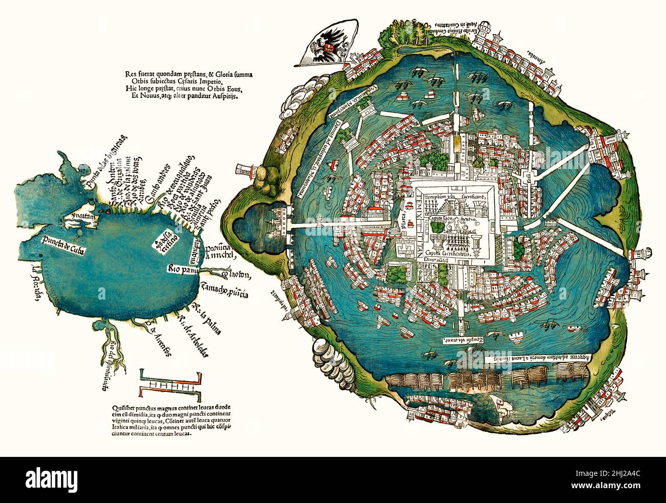 Plan of the Aztec city of Tenochtitlán (present-day Mexico City) by Hernán Cortés, 1520, facsimile, digitally restored Stock Photohttps://www.alamy.com/image-license-details/?v=1https://www.alamy.com/plan-of-the-aztec-city-of-tenochtitlan-present-day-mexico-city-by-hernan-cortes-1520-facsimile-digitally-restored-image458585244.html
RM2HJ2A4C–Plan of the Aztec city of Tenochtitlán (present-day Mexico City) by Hernán Cortés, 1520, facsimile, digitally restored
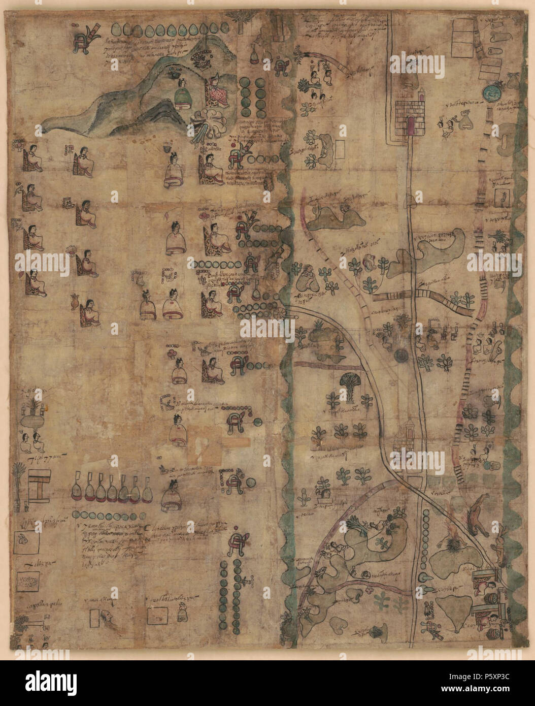 N/A. English: The Codex Quetzalecatzin, showing genealogical information and land ownership for the Nahuatl 'de Leon' family from 1480-1593. Map covers southern Puebla from the church of Todos Santos, Ecatepec (now suburb to the north east of modern-day Mexico City), and Lake Texcoco (now the National Reserve 'El Caracol') to the church of Santa Cruz Huitziltepec, Pue at the lower right, with the lower portion of the map crossed by what appears to be the Atoyac River in northern Oaxaca. 1593. Unknown 363 Codex Quetzalecatzin Stock Photohttps://www.alamy.com/image-license-details/?v=1https://www.alamy.com/na-english-the-codex-quetzalecatzin-showing-genealogical-information-and-land-ownership-for-the-nahuatl-de-leon-family-from-1480-1593-map-covers-southern-puebla-from-the-church-of-todos-santos-ecatepec-now-suburb-to-the-north-east-of-modern-day-mexico-city-and-lake-texcoco-now-the-national-reserve-el-caracol-to-the-church-of-santa-cruz-huitziltepec-pue-at-the-lower-right-with-the-lower-portion-of-the-map-crossed-by-what-appears-to-be-the-atoyac-river-in-northern-oaxaca-1593-unknown-363-codex-quetzalecatzin-image210185792.html
RMP5XP3C–N/A. English: The Codex Quetzalecatzin, showing genealogical information and land ownership for the Nahuatl 'de Leon' family from 1480-1593. Map covers southern Puebla from the church of Todos Santos, Ecatepec (now suburb to the north east of modern-day Mexico City), and Lake Texcoco (now the National Reserve 'El Caracol') to the church of Santa Cruz Huitziltepec, Pue at the lower right, with the lower portion of the map crossed by what appears to be the Atoyac River in northern Oaxaca. 1593. Unknown 363 Codex Quetzalecatzin