Quick filters:
Map of america 1614 Stock Photos and Images
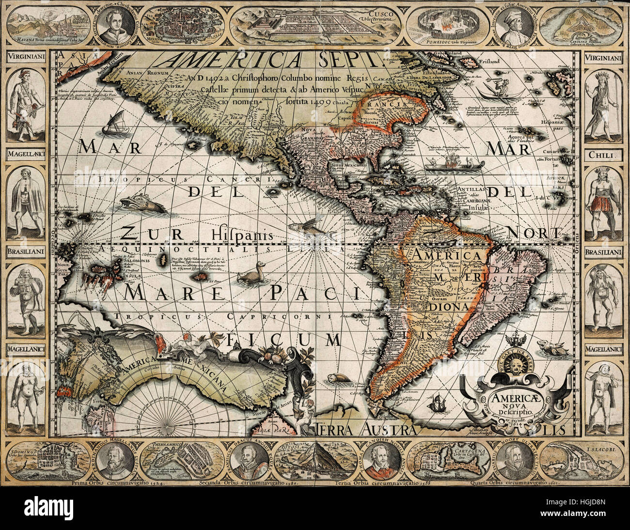 Map Of America 1614 Stock Photohttps://www.alamy.com/image-license-details/?v=1https://www.alamy.com/stock-photo-map-of-america-1614-130712645.html
RFHGJD8N–Map Of America 1614
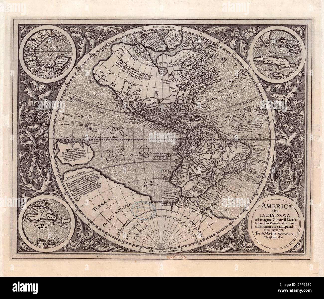 Antique map of the New World (the Americas) c. 1607 by Michael Mercator, Flemish (1567-1614), America Sive India Nova (America and New India) Stock Photohttps://www.alamy.com/image-license-details/?v=1https://www.alamy.com/antique-map-of-the-new-world-the-americas-c-1607-by-michael-mercator-flemish-1567-1614-america-sive-india-nova-america-and-new-india-image547242276.html
RM2PP9130–Antique map of the New World (the Americas) c. 1607 by Michael Mercator, Flemish (1567-1614), America Sive India Nova (America and New India)
 Captain John Smith c. 1580 to 1631, from his 1614 map of New England. Admiral of New England. English soldier, explorer, author. Stock Photohttps://www.alamy.com/image-license-details/?v=1https://www.alamy.com/stock-photo-captain-john-smith-c-1580-to-1631-from-his-1614-map-of-new-england-28171734.html
RMBHR99A–Captain John Smith c. 1580 to 1631, from his 1614 map of New England. Admiral of New England. English soldier, explorer, author.
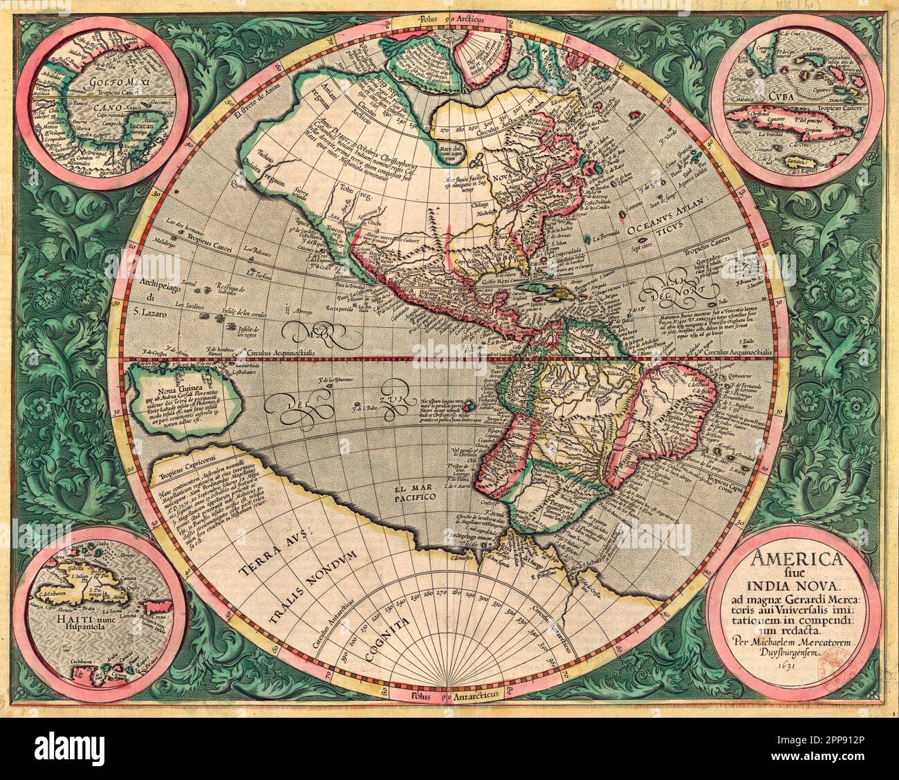 Colored antique map of the New World (the Americas) c. 1607 by Michael Mercator, Flemish (1567-1614), America Sive India Nova (America and New India) Stock Photohttps://www.alamy.com/image-license-details/?v=1https://www.alamy.com/colored-antique-map-of-the-new-world-the-americas-c-1607-by-michael-mercator-flemish-1567-1614-america-sive-india-nova-america-and-new-india-image547242270.html
RM2PP912P–Colored antique map of the New World (the Americas) c. 1607 by Michael Mercator, Flemish (1567-1614), America Sive India Nova (America and New India)
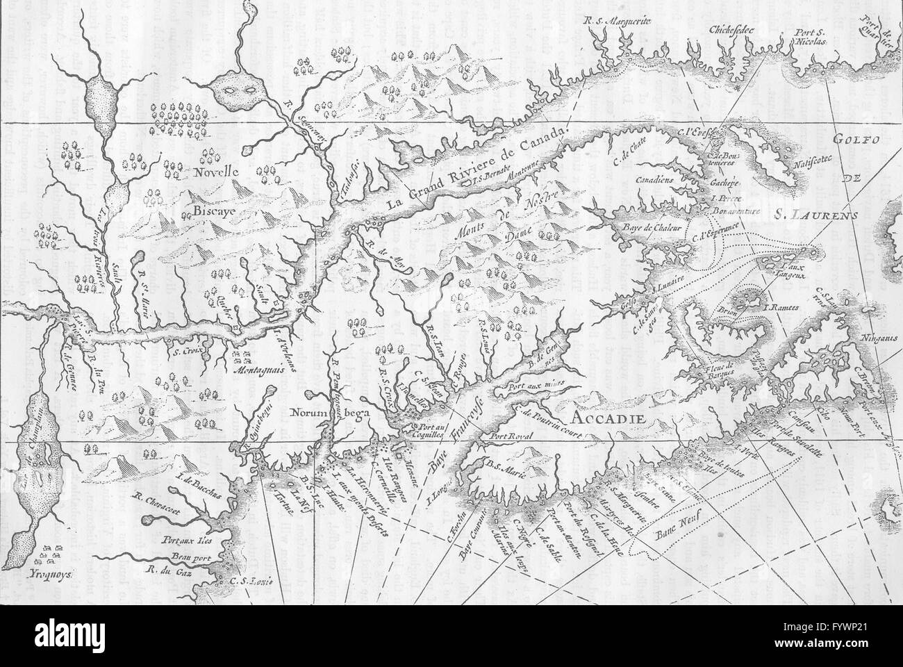 CANADA: and Nova Scotia in 1633, c1880 antique map Stock Photohttps://www.alamy.com/image-license-details/?v=1https://www.alamy.com/stock-photo-canada-and-nova-scotia-in-1633-c1880-antique-map-103213657.html
RFFYWP21–CANADA: and Nova Scotia in 1633, c1880 antique map
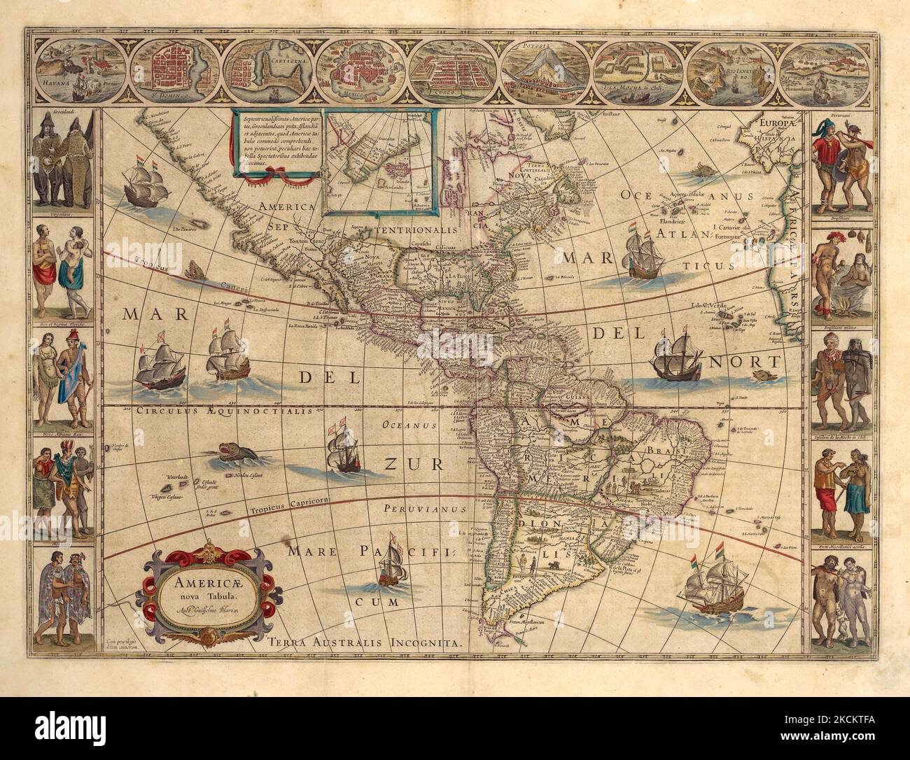 Vintage illustrated 1614 map of the Americas by Dutch cartographer Willem Janszoom Blaeu Stock Photohttps://www.alamy.com/image-license-details/?v=1https://www.alamy.com/vintage-illustrated-1614-map-of-the-americas-by-dutch-cartographer-willem-janszoom-blaeu-image489702510.html
RM2KCKTFA–Vintage illustrated 1614 map of the Americas by Dutch cartographer Willem Janszoom Blaeu
 Map of New Netherland: according to the charters granted by the States General on the 11th October 1614 and 3rd June 1621 to illustrate Brodhead's History of the state of New York 1853 by Sherman & Smith Stock Photohttps://www.alamy.com/image-license-details/?v=1https://www.alamy.com/map-of-new-netherland-according-to-the-charters-granted-by-the-states-general-on-the-11th-october-1614-and-3rd-june-1621-to-illustrate-brodheads-history-of-the-state-of-new-york-1853-by-sherman-smith-image633224960.html
RM2YP5TW4–Map of New Netherland: according to the charters granted by the States General on the 11th October 1614 and 3rd June 1621 to illustrate Brodhead's History of the state of New York 1853 by Sherman & Smith
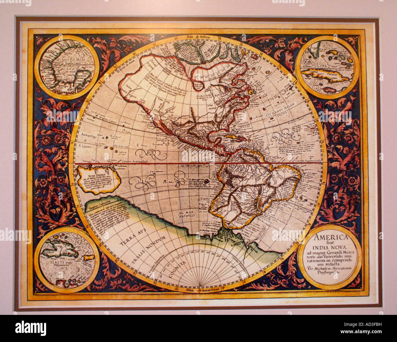 Colored antique map of the New World (the Americas) c. 1607 by Michael Mercator, Flemish (1567-1614), America Sive India Nova (America and New India) Stock Photohttps://www.alamy.com/image-license-details/?v=1https://www.alamy.com/stock-photo-colored-antique-map-of-the-new-world-the-americas-c-1607-by-michael-13292404.html
RMAD3FBH–Colored antique map of the New World (the Americas) c. 1607 by Michael Mercator, Flemish (1567-1614), America Sive India Nova (America and New India)
 Map of a part of the zodiac, Map of a part of the zodiac with a cartouche on the left containing the address of the publisher and above that a list with the names of different types of stars. The constellations are indicated by their Latin names: on the right the scorpion, in the middle the virgin, at the bottom right the centaur and on the left the lion, the lobster and the twins. A cut-off portion of another card is visible at the bottom. This print may be part of the sheet on which 'Map of a Part of America' by the same printmaker is printed., print, print maker: Pieter van der Keere, Amste Stock Photohttps://www.alamy.com/image-license-details/?v=1https://www.alamy.com/map-of-a-part-of-the-zodiac-map-of-a-part-of-the-zodiac-with-a-cartouche-on-the-left-containing-the-address-of-the-publisher-and-above-that-a-list-with-the-names-of-different-types-of-stars-the-constellations-are-indicated-by-their-latin-names-on-the-right-the-scorpion-in-the-middle-the-virgin-at-the-bottom-right-the-centaur-and-on-the-left-the-lion-the-lobster-and-the-twins-a-cut-off-portion-of-another-card-is-visible-at-the-bottom-this-print-may-be-part-of-the-sheet-on-which-map-of-a-part-of-america-by-the-same-printmaker-is-printed-print-print-maker-pieter-van-der-keere-amste-image623505910.html
RM2Y6B446–Map of a part of the zodiac, Map of a part of the zodiac with a cartouche on the left containing the address of the publisher and above that a list with the names of different types of stars. The constellations are indicated by their Latin names: on the right the scorpion, in the middle the virgin, at the bottom right the centaur and on the left the lion, the lobster and the twins. A cut-off portion of another card is visible at the bottom. This print may be part of the sheet on which 'Map of a Part of America' by the same printmaker is printed., print, print maker: Pieter van der Keere, Amste
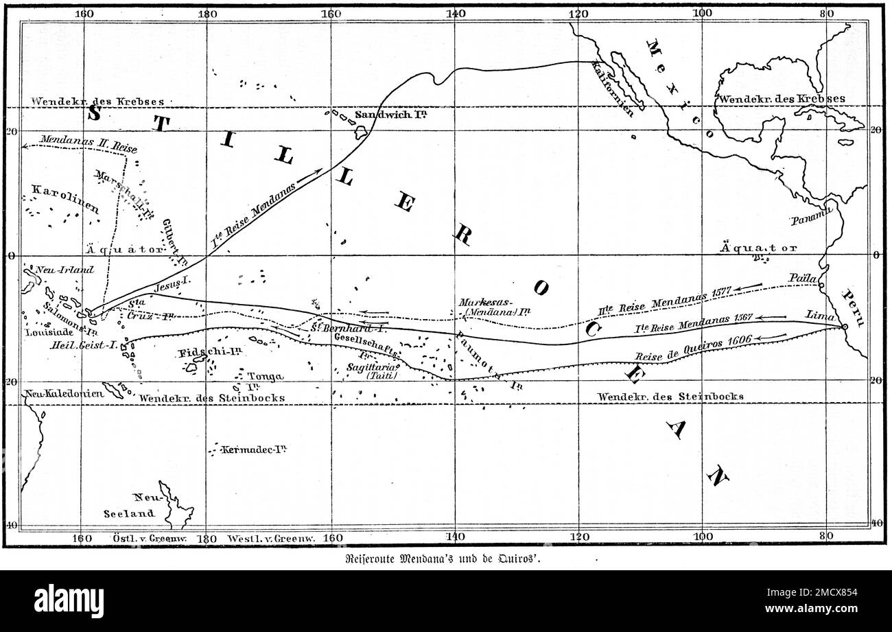 Map, Alvaro de Mendana de Neyra (1541-1595), Spanish, explorer, seafarer, 16th century, Pedro Fernandez de Quiros (1565-1614) Portuguese, Pacific Stock Photohttps://www.alamy.com/image-license-details/?v=1https://www.alamy.com/map-alvaro-de-mendana-de-neyra-1541-1595-spanish-explorer-seafarer-16th-century-pedro-fernandez-de-quiros-1565-1614-portuguese-pacific-image507053712.html
RM2MCX854–Map, Alvaro de Mendana de Neyra (1541-1595), Spanish, explorer, seafarer, 16th century, Pedro Fernandez de Quiros (1565-1614) Portuguese, Pacific
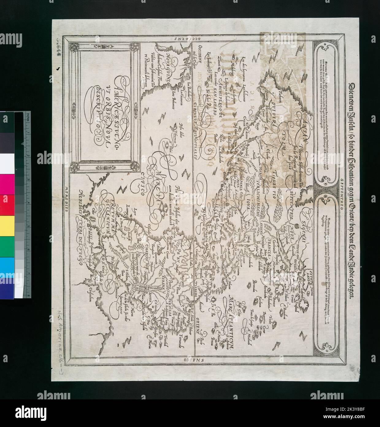 Americae sive novi orbis, nova descriptio Cartographic. Maps. 1614. Lionel Pincus and Princess Firyal Map Division. Western Hemisphere, America Stock Photohttps://www.alamy.com/image-license-details/?v=1https://www.alamy.com/americae-sive-novi-orbis-nova-descriptio-cartographic-maps-1614-lionel-pincus-and-princess-firyal-map-division-western-hemisphere-america-image484333571.html
RM2K3Y8BF–Americae sive novi orbis, nova descriptio Cartographic. Maps. 1614. Lionel Pincus and Princess Firyal Map Division. Western Hemisphere, America
 . A larger history of the United States of America, to the close of President Jackson's administration . Ttl -^7 PO^WHATAN ^-»-^ ^^eId tMsJiate &Lya/?iion -when Cofi:Smith fi^m/as Miuered i) Mm^ri/oner Cape Cod was not an unknown region, it was due largely toSmith. While his companions were plundering or kidnappingnegroes, at the time he first visited those shores, in 1614, hewas drawing a map from point to point, isle to isle, and har-bor to harbor, with the soundings, sands, rocks, and land-marks. He first called the region New England, and first AN ENGLISH NATION. H5. MAP OF THE NEW ENGLAND Stock Photohttps://www.alamy.com/image-license-details/?v=1https://www.alamy.com/a-larger-history-of-the-united-states-of-america-to-the-close-of-president-jacksons-administration-ttl-7-powhatan-eid-tmsjiate-lyaiion-when-cofismith-fimas-miuered-i-mmrioner-cape-cod-was-not-an-unknown-region-it-was-due-largely-tosmith-while-his-companions-were-plundering-or-kidnappingnegroes-at-the-time-he-first-visited-those-shores-in-1614-hewas-drawing-a-map-from-point-to-point-isle-to-isle-and-har-bor-to-harbor-with-the-soundings-sands-rocks-and-land-marks-he-first-called-the-region-new-england-and-first-an-english-nation-h5-map-of-the-new-england-image370146768.html
RM2CE5HYC–. A larger history of the United States of America, to the close of President Jackson's administration . Ttl -^7 PO^WHATAN ^-»-^ ^^eId tMsJiate &Lya/?iion -when Cofi:Smith fi^m/as Miuered i) Mm^ri/oner Cape Cod was not an unknown region, it was due largely toSmith. While his companions were plundering or kidnappingnegroes, at the time he first visited those shores, in 1614, hewas drawing a map from point to point, isle to isle, and har-bor to harbor, with the soundings, sands, rocks, and land-marks. He first called the region New England, and first AN ENGLISH NATION. H5. MAP OF THE NEW ENGLAND
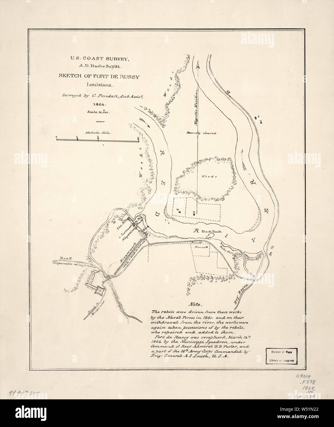 Civil War Maps 1614 Sketch of Fort De Russy Louisiana Rebuild and Repair Stock Photohttps://www.alamy.com/image-license-details/?v=1https://www.alamy.com/civil-war-maps-1614-sketch-of-fort-de-russy-louisiana-rebuild-and-repair-image261838026.html
RMW5YN22–Civil War Maps 1614 Sketch of Fort De Russy Louisiana Rebuild and Repair
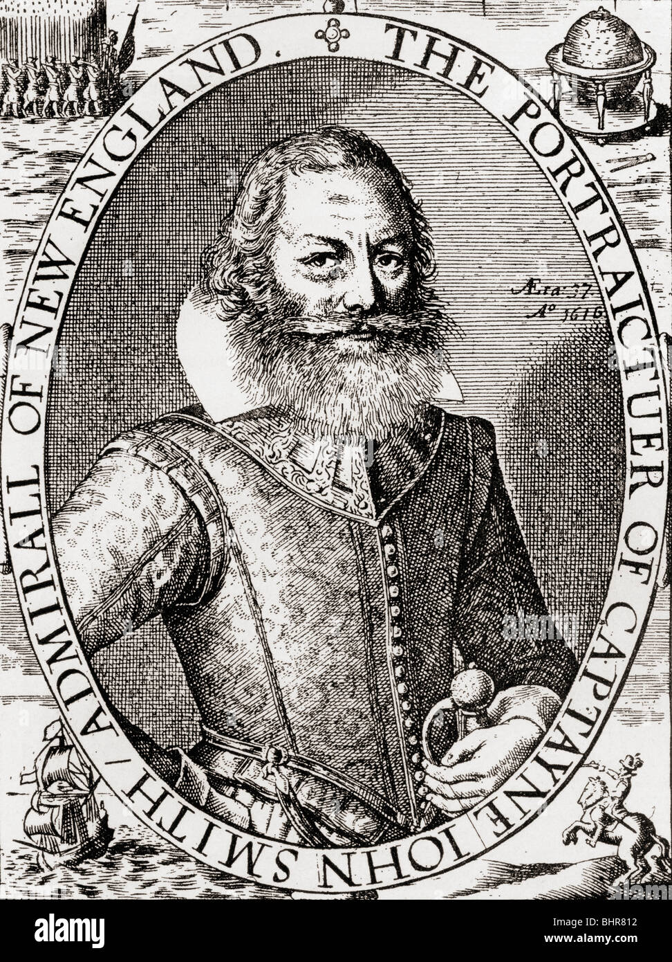 Captain John Smith c. 1580 to 1631, from his 1614 map of New England. Admiral of New England. English soldier, explorer, author. Stock Photohttps://www.alamy.com/image-license-details/?v=1https://www.alamy.com/stock-photo-captain-john-smith-c-1580-to-1631-from-his-1614-map-of-new-england-28170718.html
RMBHR812–Captain John Smith c. 1580 to 1631, from his 1614 map of New England. Admiral of New England. English soldier, explorer, author.
 Map of New Netherland which was annexed to the Memorial presented to the States General on the 18th August, 1816, by the 'Benindhebbers van Nieuw-Nederalandt,' praying for a special Octroy according to the placaat of 12 March, 1614, shewing the extent of the discoveries made by Schipper Cornelis Hendricksen 1841 by Loffelt, P. H. Stock Photohttps://www.alamy.com/image-license-details/?v=1https://www.alamy.com/map-of-new-netherland-which-was-annexed-to-the-memorial-presented-to-the-states-general-on-the-18th-august-1816-by-the-benindhebbers-van-nieuw-nederalandt-praying-for-a-special-octroy-according-to-the-placaat-of-12-march-1614-shewing-the-extent-of-the-discoveries-made-by-schipper-cornelis-hendricksen-1841-by-loffelt-p-h-image633222115.html
RM2YP5N7F–Map of New Netherland which was annexed to the Memorial presented to the States General on the 18th August, 1816, by the 'Benindhebbers van Nieuw-Nederalandt,' praying for a special Octroy according to the placaat of 12 March, 1614, shewing the extent of the discoveries made by Schipper Cornelis Hendricksen 1841 by Loffelt, P. H.
 Globe segments of a piece of the northern hemisphere, Pieter van der Keere, 1614 print Globe segments of a piece of the northern hemisphere with the ocean in the middle and a cartouche with the address of the publisher. At the bottom a cut part of another card is visible. Amsterdam paper engraving (map of) America Stock Photohttps://www.alamy.com/image-license-details/?v=1https://www.alamy.com/globe-segments-of-a-piece-of-the-northern-hemisphere-pieter-van-der-keere-1614-print-globe-segments-of-a-piece-of-the-northern-hemisphere-with-the-ocean-in-the-middle-and-a-cartouche-with-the-address-of-the-publisher-at-the-bottom-a-cut-part-of-another-card-is-visible-amsterdam-paper-engraving-map-of-america-image593018408.html
RM2WCP90T–Globe segments of a piece of the northern hemisphere, Pieter van der Keere, 1614 print Globe segments of a piece of the northern hemisphere with the ocean in the middle and a cartouche with the address of the publisher. At the bottom a cut part of another card is visible. Amsterdam paper engraving (map of) America
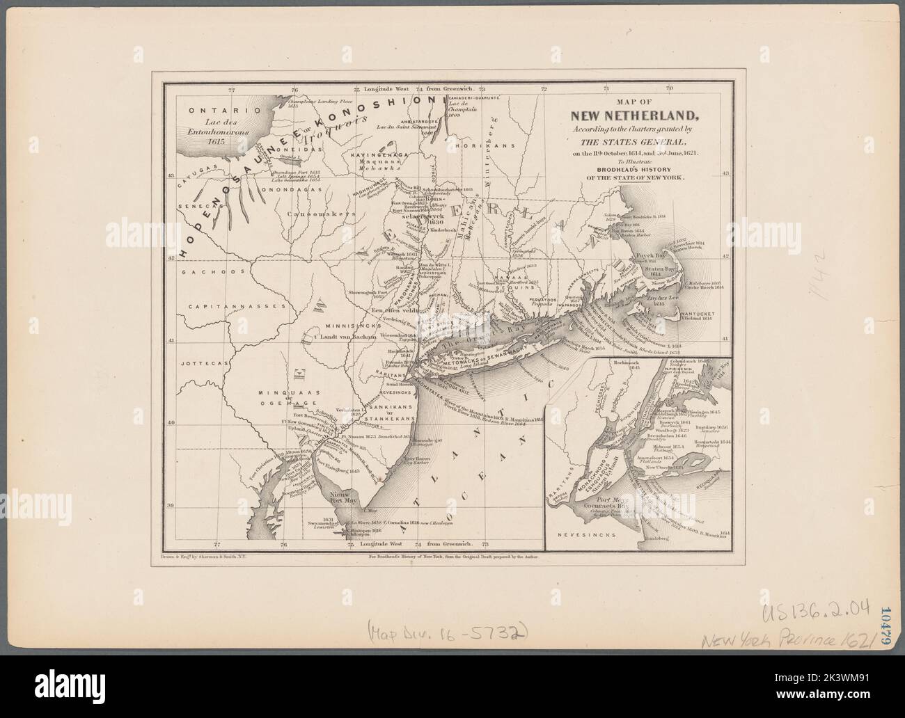 Map of New Netherland: according to the charters granted by the States General on the 11th October 1614 and 3rd June 1621 to illustrate Brodhead's History of the state of New York Cartographic. Maps. 1853. Lionel Pincus and Princess Firyal Map Division. Indians of North America, New Netherland, New York Region, New England Stock Photohttps://www.alamy.com/image-license-details/?v=1https://www.alamy.com/map-of-new-netherland-according-to-the-charters-granted-by-the-states-general-on-the-11th-october-1614-and-3rd-june-1621-to-illustrate-brodheads-history-of-the-state-of-new-york-cartographic-maps-1853-lionel-pincus-and-princess-firyal-map-division-indians-of-north-america-new-netherland-new-york-region-new-england-image484299005.html
RM2K3WM91–Map of New Netherland: according to the charters granted by the States General on the 11th October 1614 and 3rd June 1621 to illustrate Brodhead's History of the state of New York Cartographic. Maps. 1853. Lionel Pincus and Princess Firyal Map Division. Indians of North America, New Netherland, New York Region, New England
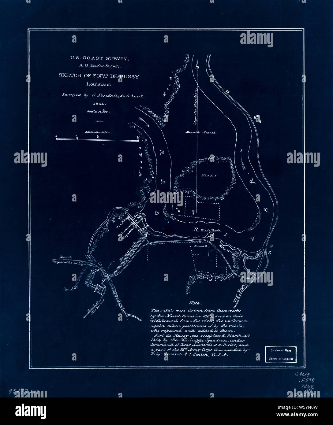 Civil War Maps 1614 Sketch of Fort De Russy Louisiana Inverted Rebuild and Repair Stock Photohttps://www.alamy.com/image-license-details/?v=1https://www.alamy.com/civil-war-maps-1614-sketch-of-fort-de-russy-louisiana-inverted-rebuild-and-repair-image261837993.html
RMW5YN0W–Civil War Maps 1614 Sketch of Fort De Russy Louisiana Inverted Rebuild and Repair
 Map of New Netherland which was annexed to the Memorial presented to the States General on the 18th August, 1816, by the 'Benindhebbers van Nieuw-Nederalandt,' praying for a special Octroy according to the placaat of 12 March, 1614, shewing the extent of the discoveries made by Schipper Cornelis Hendricksen Cartographic. Maps, Early maps, Facsimiles. 1841. Lionel Pincus and Princess Firyal Map Division. Indians of North America , New Netherland, Indians of North America, New Netherland , Maps , Early works to 1800 , Facsimiles, United States , New Netherland Stock Photohttps://www.alamy.com/image-license-details/?v=1https://www.alamy.com/map-of-new-netherland-which-was-annexed-to-the-memorial-presented-to-the-states-general-on-the-18th-august-1816-by-the-benindhebbers-van-nieuw-nederalandt-praying-for-a-special-octroy-according-to-the-placaat-of-12-march-1614-shewing-the-extent-of-the-discoveries-made-by-schipper-cornelis-hendricksen-cartographic-maps-early-maps-facsimiles-1841-lionel-pincus-and-princess-firyal-map-division-indians-of-north-america-new-netherland-indians-of-north-america-new-netherland-maps-early-works-to-1800-facsimiles-united-states-new-netherland-image484272942.html
RM2K3TF26–Map of New Netherland which was annexed to the Memorial presented to the States General on the 18th August, 1816, by the 'Benindhebbers van Nieuw-Nederalandt,' praying for a special Octroy according to the placaat of 12 March, 1614, shewing the extent of the discoveries made by Schipper Cornelis Hendricksen Cartographic. Maps, Early maps, Facsimiles. 1841. Lionel Pincus and Princess Firyal Map Division. Indians of North America , New Netherland, Indians of North America, New Netherland , Maps , Early works to 1800 , Facsimiles, United States , New Netherland
 Map of a part of the zodiac, Pieter van der Keere, 1614 print Map of a part of the zodiac with a cartouche on the left in which the address of the publisher and above it a list of the names of different types of stars. The constellations are indicated by their Latin name: on the right the Scorpio, in the middle the Virgin, below the Centaur and on the left the lion, the lobster and the twins. At the bottom a cut part of another card is visible. This print may be part of the magazine on which 'map of a part of America' is printed on the same print maker. Amsterdam paper engraving Scorpio (zodia Stock Photohttps://www.alamy.com/image-license-details/?v=1https://www.alamy.com/map-of-a-part-of-the-zodiac-pieter-van-der-keere-1614-print-map-of-a-part-of-the-zodiac-with-a-cartouche-on-the-left-in-which-the-address-of-the-publisher-and-above-it-a-list-of-the-names-of-different-types-of-stars-the-constellations-are-indicated-by-their-latin-name-on-the-right-the-scorpio-in-the-middle-the-virgin-below-the-centaur-and-on-the-left-the-lion-the-lobster-and-the-twins-at-the-bottom-a-cut-part-of-another-card-is-visible-this-print-may-be-part-of-the-magazine-on-which-map-of-a-part-of-america-is-printed-on-the-same-print-maker-amsterdam-paper-engraving-scorpio-zodia-image593035912.html
RM2WCR3A0–Map of a part of the zodiac, Pieter van der Keere, 1614 print Map of a part of the zodiac with a cartouche on the left in which the address of the publisher and above it a list of the names of different types of stars. The constellations are indicated by their Latin name: on the right the Scorpio, in the middle the Virgin, below the Centaur and on the left the lion, the lobster and the twins. At the bottom a cut part of another card is visible. This print may be part of the magazine on which 'map of a part of America' is printed on the same print maker. Amsterdam paper engraving Scorpio (zodia