Map of andover Black & White Stock Photos
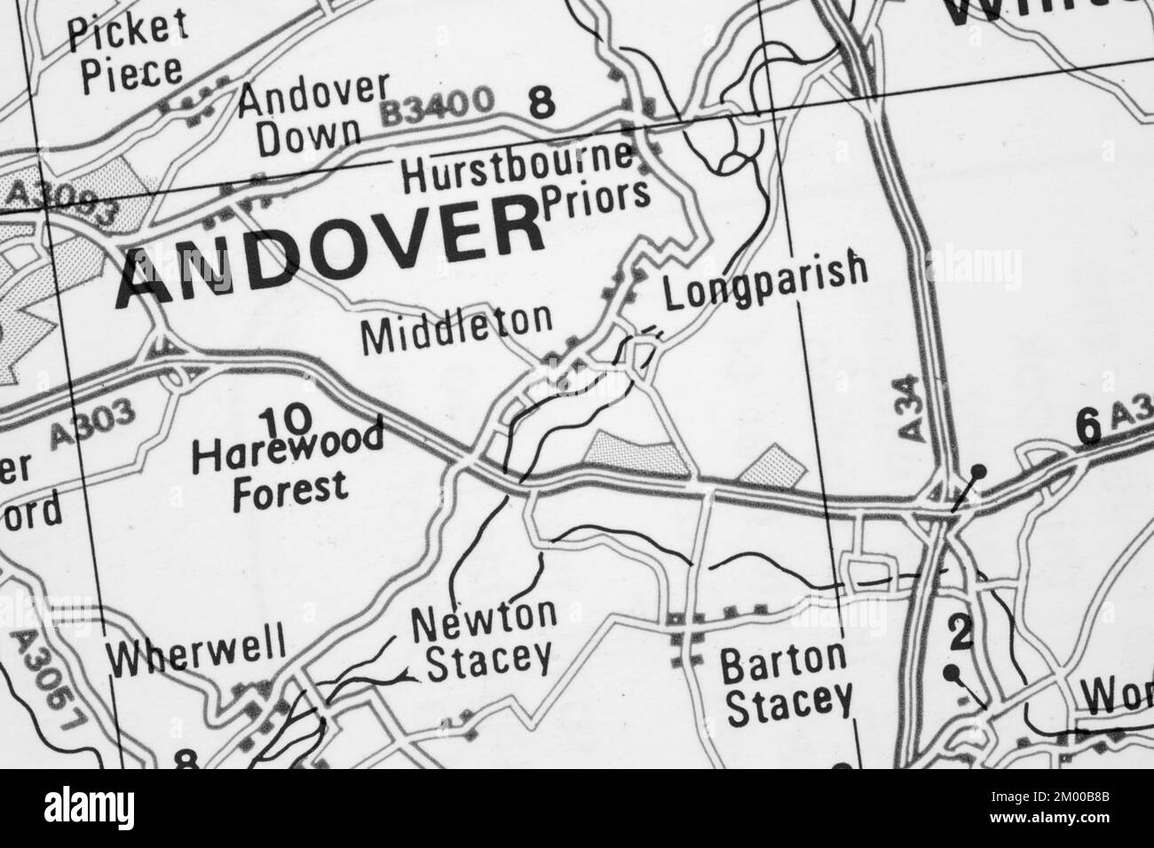 Andover town in Hampshire, United Kingdom atlas map town name - black and white Stock Photohttps://www.alamy.com/image-license-details/?v=1https://www.alamy.com/andover-town-in-hampshire-united-kingdom-atlas-map-town-name-black-and-white-image499109531.html
RF2M00B8B–Andover town in Hampshire, United Kingdom atlas map town name - black and white
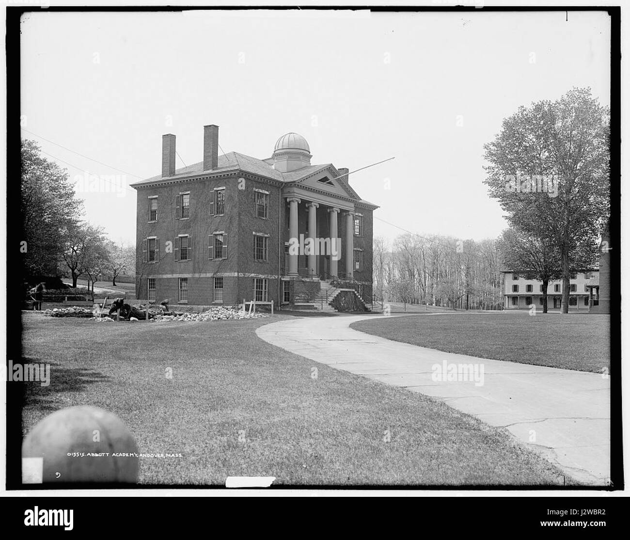 Abbott Academy Andover Massachusetts Stock Photohttps://www.alamy.com/image-license-details/?v=1https://www.alamy.com/stock-photo-abbott-academy-andover-massachusetts-139470326.html
RMJ2WBR2–Abbott Academy Andover Massachusetts
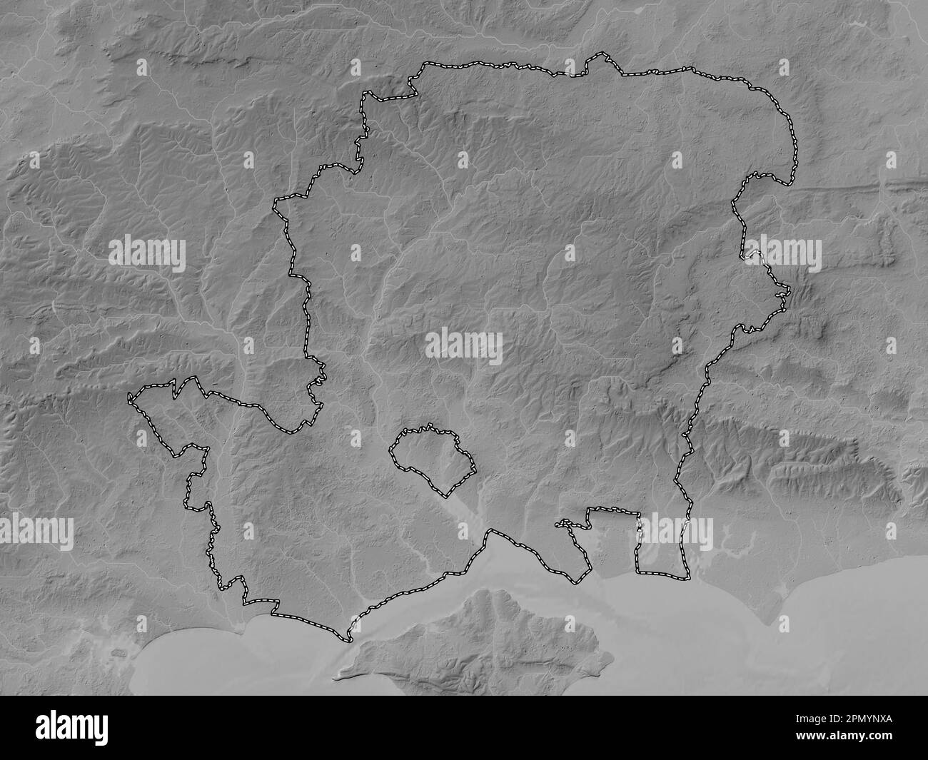 Hampshire, administrative county of England - Great Britain. Grayscale elevation map with lakes and rivers Stock Photohttps://www.alamy.com/image-license-details/?v=1https://www.alamy.com/hampshire-administrative-county-of-england-great-britain-grayscale-elevation-map-with-lakes-and-rivers-image546424434.html
RF2PMYNXA–Hampshire, administrative county of England - Great Britain. Grayscale elevation map with lakes and rivers
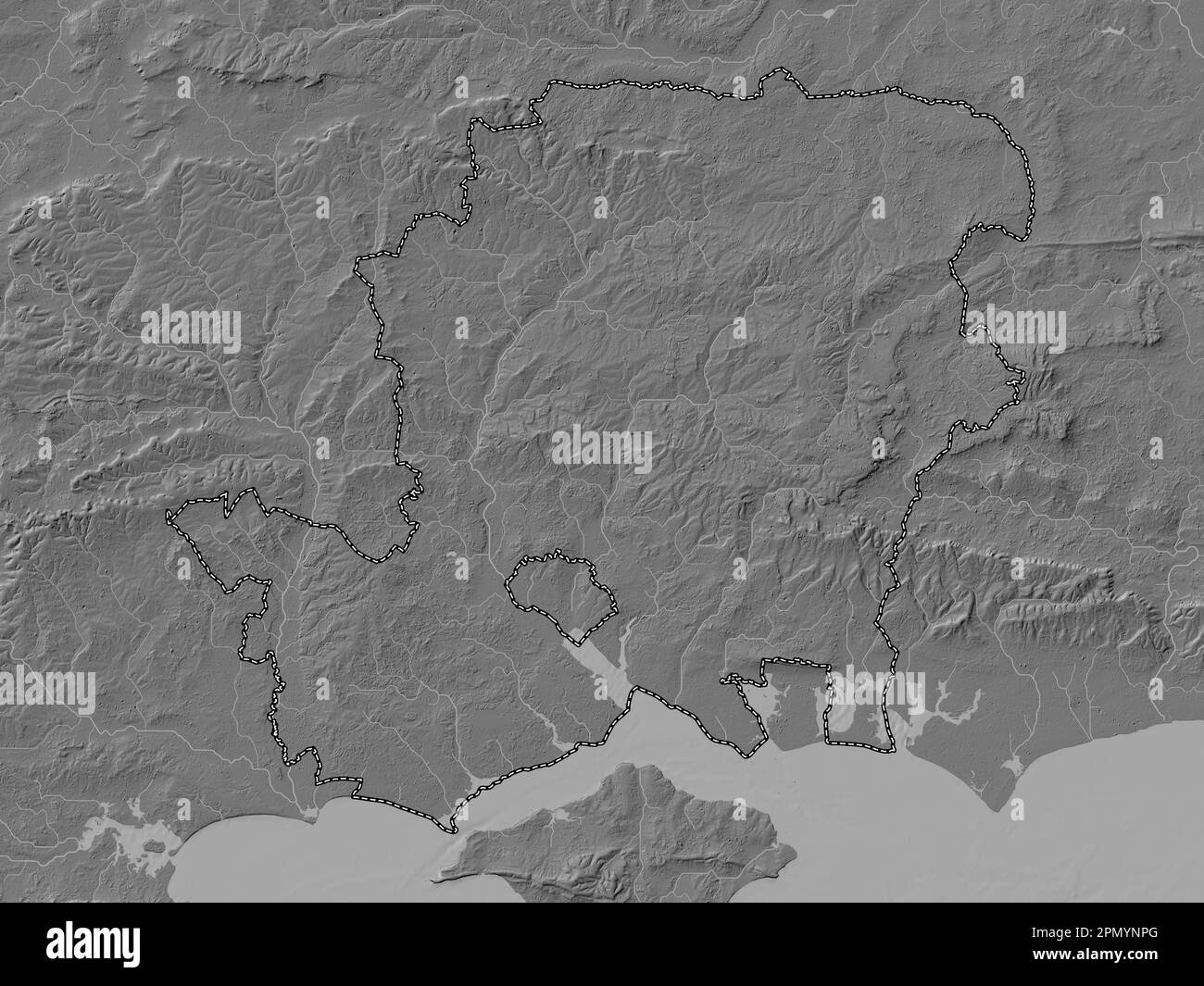 Hampshire, administrative county of England - Great Britain. Bilevel elevation map with lakes and rivers Stock Photohttps://www.alamy.com/image-license-details/?v=1https://www.alamy.com/hampshire-administrative-county-of-england-great-britain-bilevel-elevation-map-with-lakes-and-rivers-image546424328.html
RF2PMYNPG–Hampshire, administrative county of England - Great Britain. Bilevel elevation map with lakes and rivers
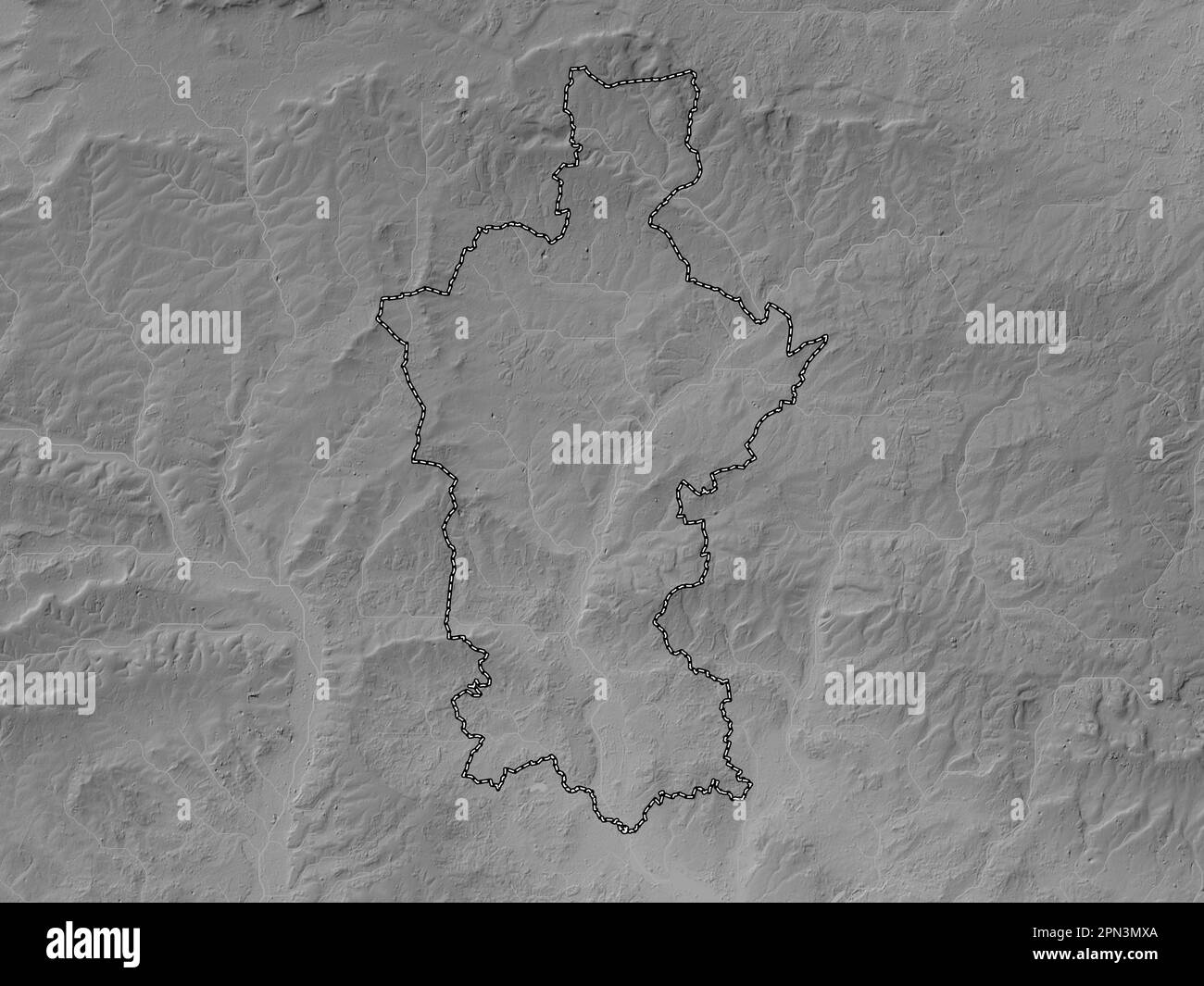 Test Valley, non metropolitan district of England - Great Britain. Grayscale elevation map with lakes and rivers Stock Photohttps://www.alamy.com/image-license-details/?v=1https://www.alamy.com/test-valley-non-metropolitan-district-of-england-great-britain-grayscale-elevation-map-with-lakes-and-rivers-image546511458.html
RF2PN3MXA–Test Valley, non metropolitan district of England - Great Britain. Grayscale elevation map with lakes and rivers
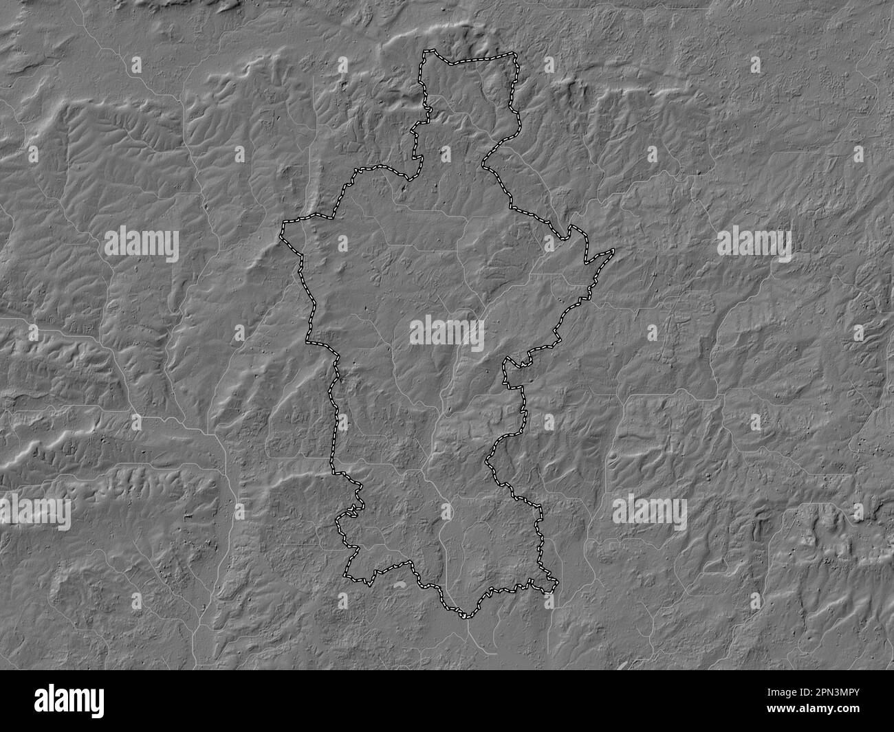 Test Valley, non metropolitan district of England - Great Britain. Bilevel elevation map with lakes and rivers Stock Photohttps://www.alamy.com/image-license-details/?v=1https://www.alamy.com/test-valley-non-metropolitan-district-of-england-great-britain-bilevel-elevation-map-with-lakes-and-rivers-image546511363.html
RF2PN3MPY–Test Valley, non metropolitan district of England - Great Britain. Bilevel elevation map with lakes and rivers
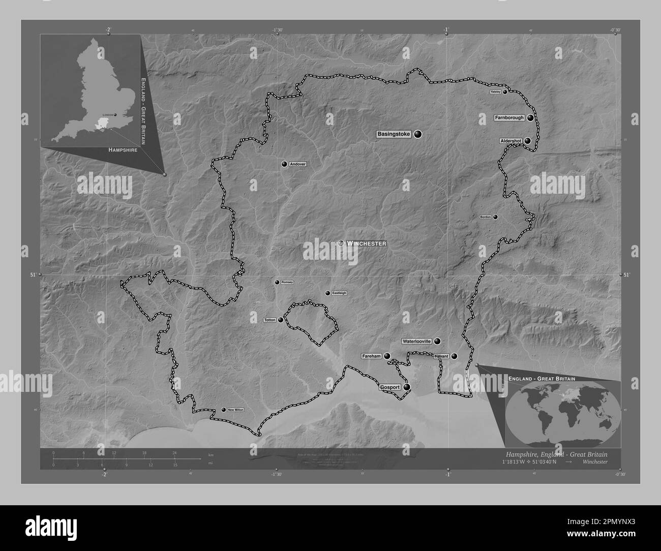 Hampshire, administrative county of England - Great Britain. Grayscale elevation map with lakes and rivers. Locations and names of major cities of the Stock Photohttps://www.alamy.com/image-license-details/?v=1https://www.alamy.com/hampshire-administrative-county-of-england-great-britain-grayscale-elevation-map-with-lakes-and-rivers-locations-and-names-of-major-cities-of-the-image546424427.html
RF2PMYNX3–Hampshire, administrative county of England - Great Britain. Grayscale elevation map with lakes and rivers. Locations and names of major cities of the
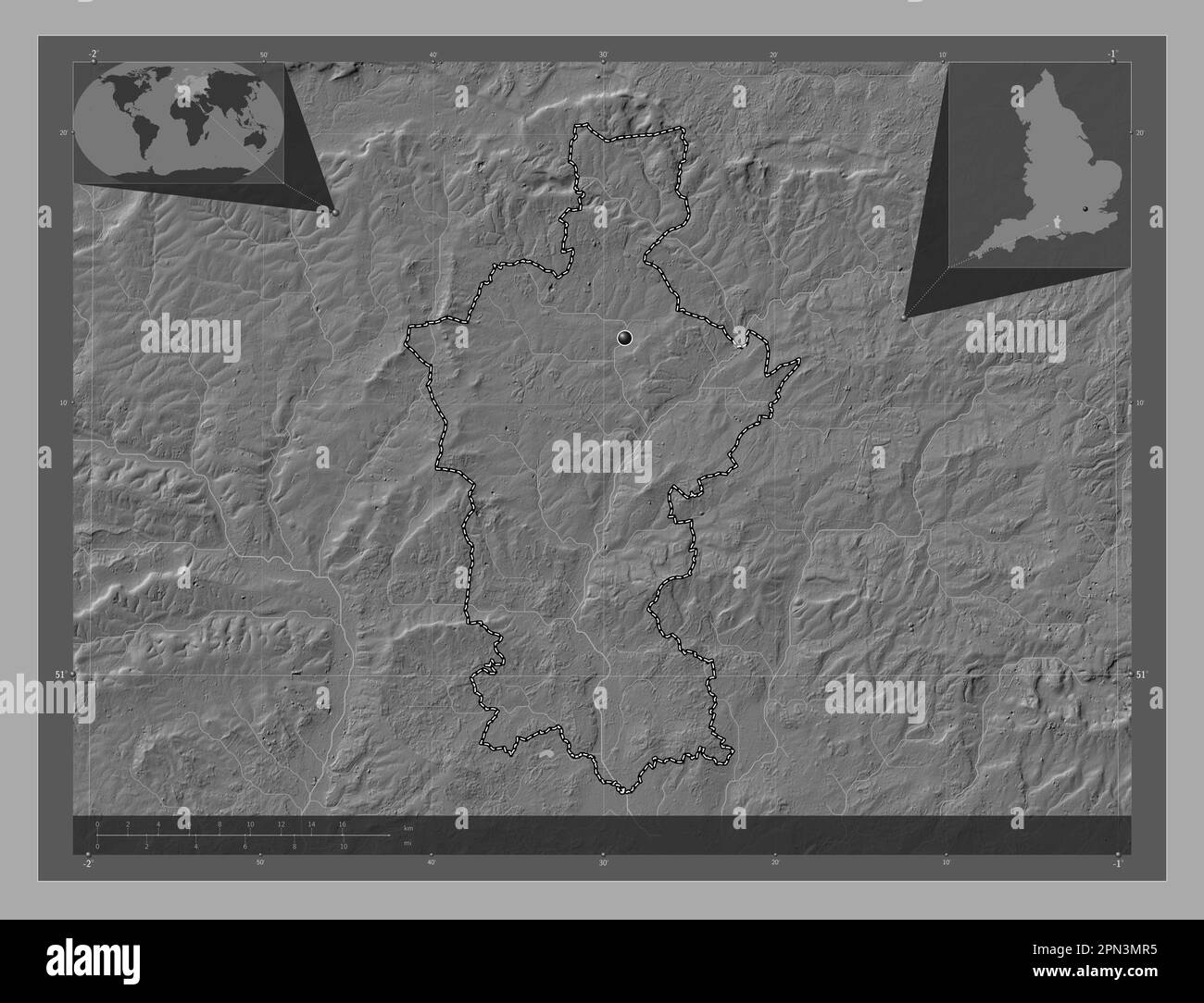 Test Valley, non metropolitan district of England - Great Britain. Bilevel elevation map with lakes and rivers. Corner auxiliary location maps Stock Photohttps://www.alamy.com/image-license-details/?v=1https://www.alamy.com/test-valley-non-metropolitan-district-of-england-great-britain-bilevel-elevation-map-with-lakes-and-rivers-corner-auxiliary-location-maps-image546511369.html
RF2PN3MR5–Test Valley, non metropolitan district of England - Great Britain. Bilevel elevation map with lakes and rivers. Corner auxiliary location maps
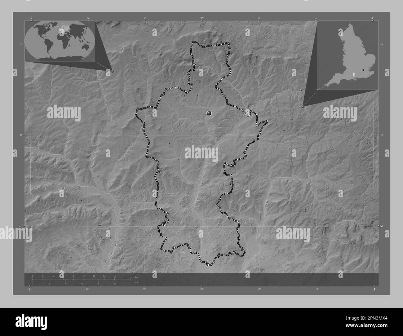 Test Valley, non metropolitan district of England - Great Britain. Grayscale elevation map with lakes and rivers. Corner auxiliary location maps Stock Photohttps://www.alamy.com/image-license-details/?v=1https://www.alamy.com/test-valley-non-metropolitan-district-of-england-great-britain-grayscale-elevation-map-with-lakes-and-rivers-corner-auxiliary-location-maps-image546511452.html
RF2PN3MX4–Test Valley, non metropolitan district of England - Great Britain. Grayscale elevation map with lakes and rivers. Corner auxiliary location maps
 Hampshire, administrative county of England - Great Britain. Bilevel elevation map with lakes and rivers. Locations of major cities of the region. Cor Stock Photohttps://www.alamy.com/image-license-details/?v=1https://www.alamy.com/hampshire-administrative-county-of-england-great-britain-bilevel-elevation-map-with-lakes-and-rivers-locations-of-major-cities-of-the-region-cor-image546424326.html
RF2PMYNPE–Hampshire, administrative county of England - Great Britain. Bilevel elevation map with lakes and rivers. Locations of major cities of the region. Cor
 Hampshire, administrative county of England - Great Britain. Grayscale elevation map with lakes and rivers. Locations of major cities of the region. C Stock Photohttps://www.alamy.com/image-license-details/?v=1https://www.alamy.com/hampshire-administrative-county-of-england-great-britain-grayscale-elevation-map-with-lakes-and-rivers-locations-of-major-cities-of-the-region-c-image546424442.html
RF2PMYNXJ–Hampshire, administrative county of England - Great Britain. Grayscale elevation map with lakes and rivers. Locations of major cities of the region. C
 Hampshire, administrative county of England - Great Britain. Bilevel elevation map with lakes and rivers. Locations and names of major cities of the r Stock Photohttps://www.alamy.com/image-license-details/?v=1https://www.alamy.com/hampshire-administrative-county-of-england-great-britain-bilevel-elevation-map-with-lakes-and-rivers-locations-and-names-of-major-cities-of-the-r-image546424329.html
RF2PMYNPH–Hampshire, administrative county of England - Great Britain. Bilevel elevation map with lakes and rivers. Locations and names of major cities of the r
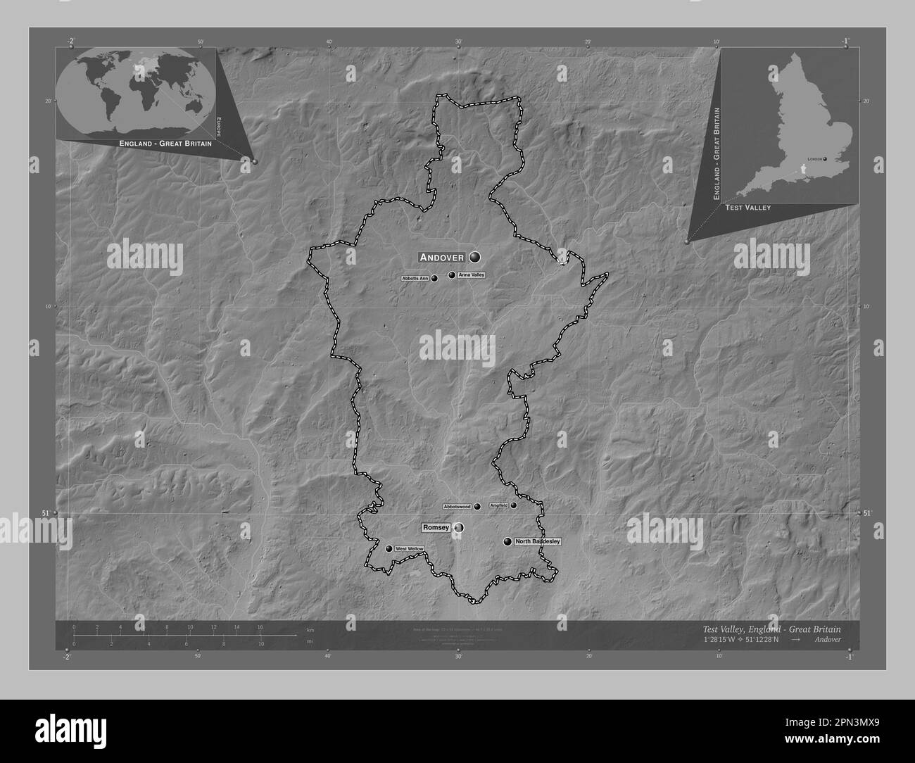 Test Valley, non metropolitan district of England - Great Britain. Grayscale elevation map with lakes and rivers. Locations and names of major cities Stock Photohttps://www.alamy.com/image-license-details/?v=1https://www.alamy.com/test-valley-non-metropolitan-district-of-england-great-britain-grayscale-elevation-map-with-lakes-and-rivers-locations-and-names-of-major-cities-image546511457.html
RF2PN3MX9–Test Valley, non metropolitan district of England - Great Britain. Grayscale elevation map with lakes and rivers. Locations and names of major cities
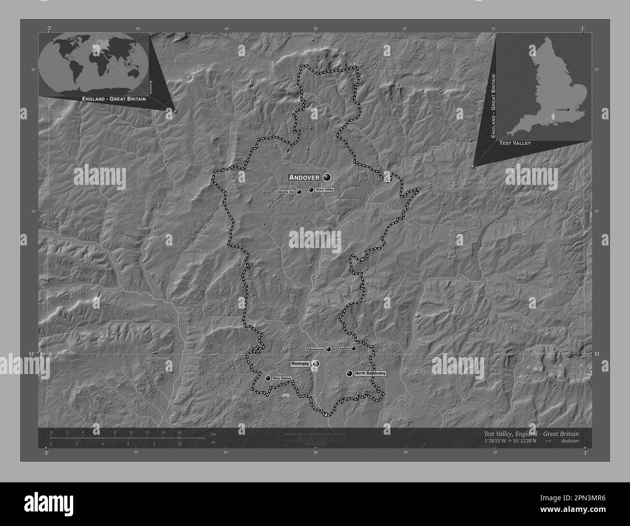 Test Valley, non metropolitan district of England - Great Britain. Bilevel elevation map with lakes and rivers. Locations and names of major cities of Stock Photohttps://www.alamy.com/image-license-details/?v=1https://www.alamy.com/test-valley-non-metropolitan-district-of-england-great-britain-bilevel-elevation-map-with-lakes-and-rivers-locations-and-names-of-major-cities-of-image546511370.html
RF2PN3MR6–Test Valley, non metropolitan district of England - Great Britain. Bilevel elevation map with lakes and rivers. Locations and names of major cities of
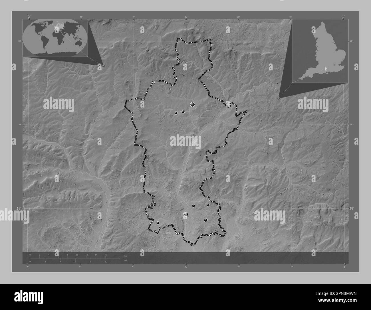 Test Valley, non metropolitan district of England - Great Britain. Grayscale elevation map with lakes and rivers. Locations of major cities of the reg Stock Photohttps://www.alamy.com/image-license-details/?v=1https://www.alamy.com/test-valley-non-metropolitan-district-of-england-great-britain-grayscale-elevation-map-with-lakes-and-rivers-locations-of-major-cities-of-the-reg-image546511441.html
RF2PN3MWN–Test Valley, non metropolitan district of England - Great Britain. Grayscale elevation map with lakes and rivers. Locations of major cities of the reg
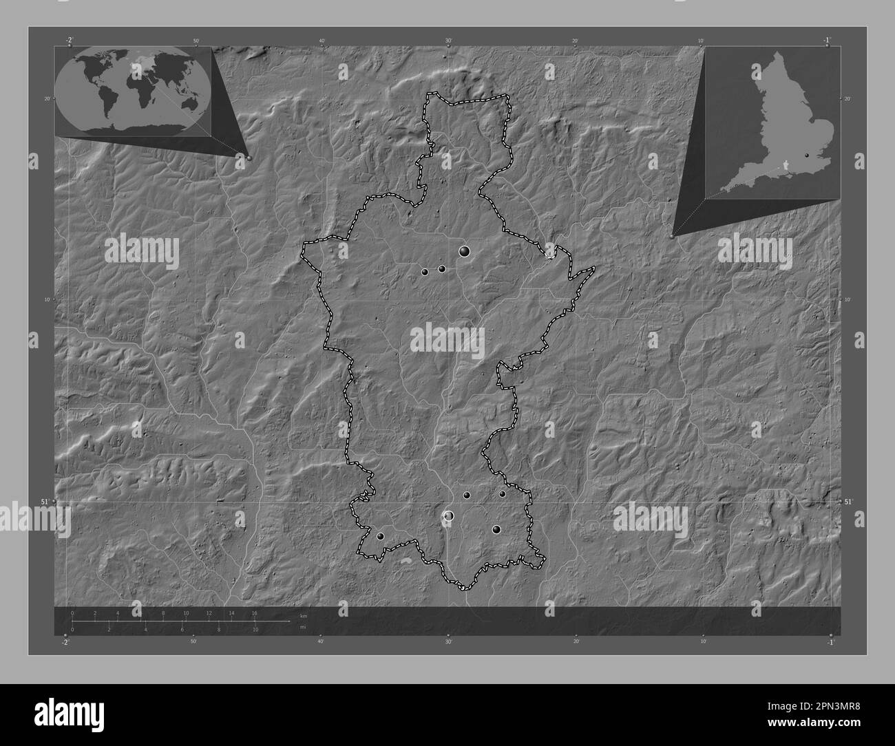 Test Valley, non metropolitan district of England - Great Britain. Bilevel elevation map with lakes and rivers. Locations of major cities of the regio Stock Photohttps://www.alamy.com/image-license-details/?v=1https://www.alamy.com/test-valley-non-metropolitan-district-of-england-great-britain-bilevel-elevation-map-with-lakes-and-rivers-locations-of-major-cities-of-the-regio-image546511372.html
RF2PN3MR8–Test Valley, non metropolitan district of England - Great Britain. Bilevel elevation map with lakes and rivers. Locations of major cities of the regio