Quick filters:
Map of aragon Stock Photos and Images
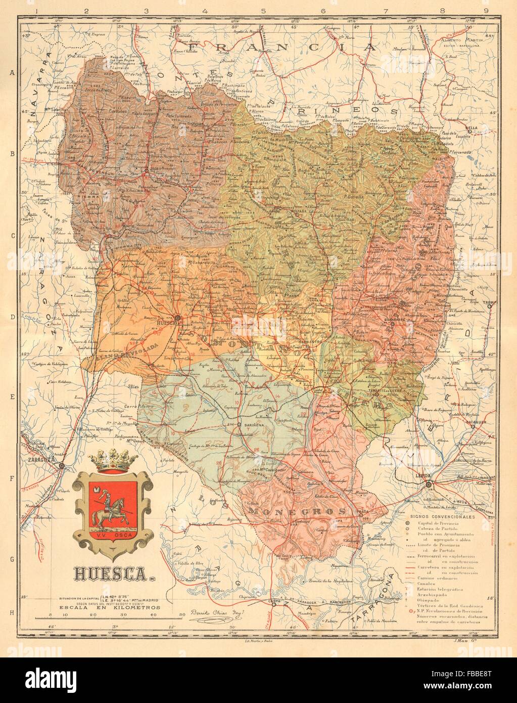 HUESCA. Aragon. Mapa antiguo de la provincia. ALBERTO MARTIN, c1911 Stock Photohttps://www.alamy.com/image-license-details/?v=1https://www.alamy.com/stock-photo-huesca-aragon-mapa-antiguo-de-la-provincia-alberto-martin-c1911-93065752.html
RFFBBE8T–HUESCA. Aragon. Mapa antiguo de la provincia. ALBERTO MARTIN, c1911
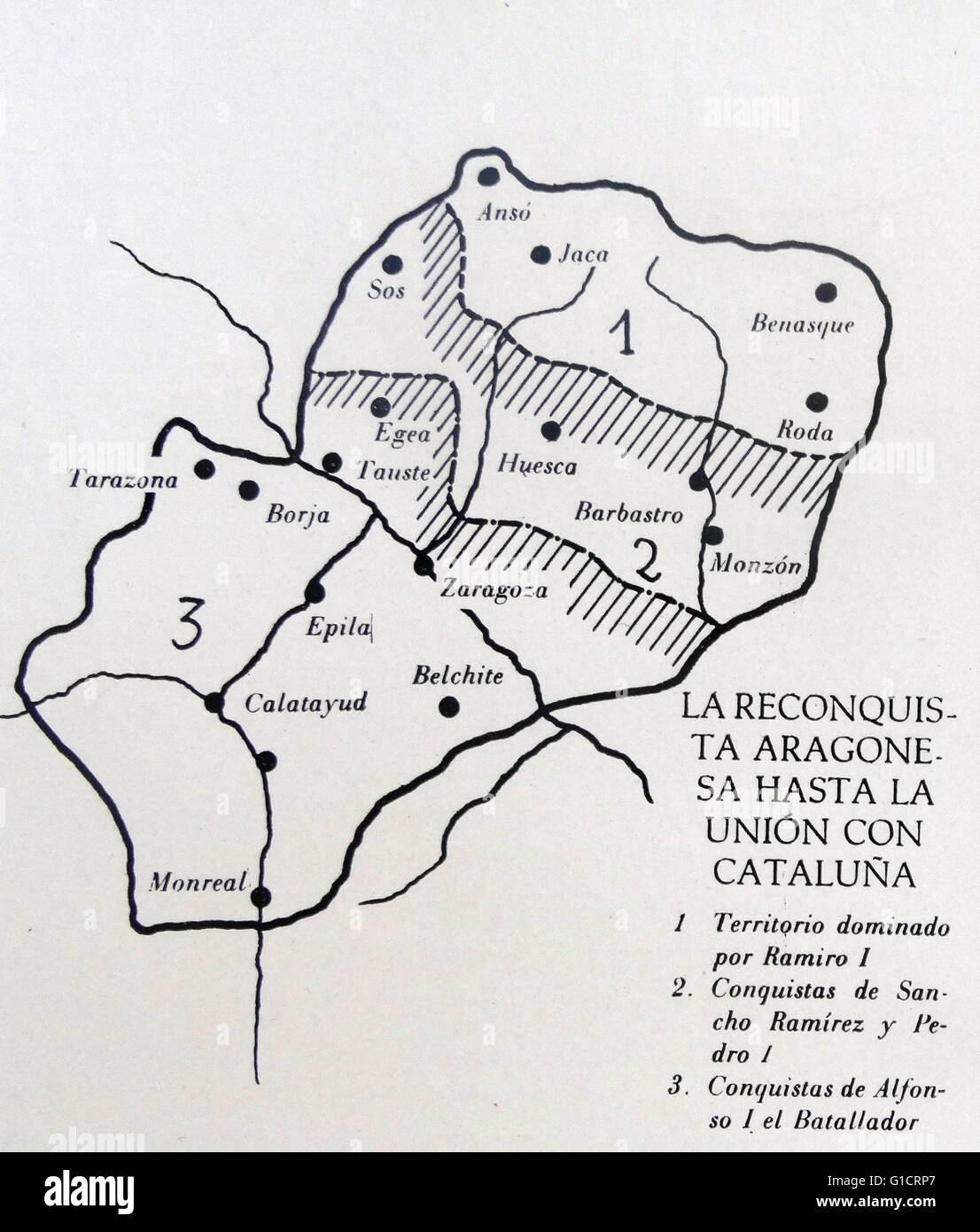 Map depicting 'The Reconquista' of the Kingdom of Aragon. Stock Photohttps://www.alamy.com/image-license-details/?v=1https://www.alamy.com/stock-photo-map-depicting-the-reconquista-of-the-kingdom-of-aragon-104158943.html
RMG1CRP7–Map depicting 'The Reconquista' of the Kingdom of Aragon.
 Aragon blank detailed outline map set Stock Vectorhttps://www.alamy.com/image-license-details/?v=1https://www.alamy.com/aragon-blank-detailed-outline-map-set-image177776590.html
RFM96BRX–Aragon blank detailed outline map set
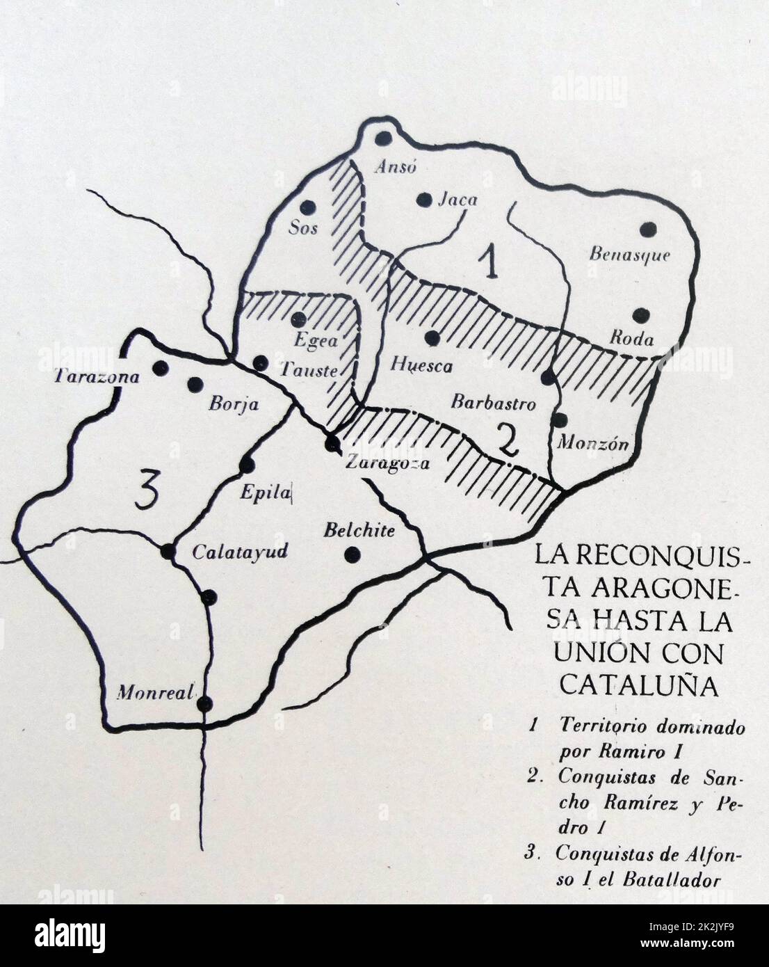 Map depicting 'The Reconquista' of the Kingdom of Aragon. Stock Photohttps://www.alamy.com/image-license-details/?v=1https://www.alamy.com/map-depicting-the-reconquista-of-the-kingdom-of-aragon-image483536349.html
RM2K2JYF9–Map depicting 'The Reconquista' of the Kingdom of Aragon.
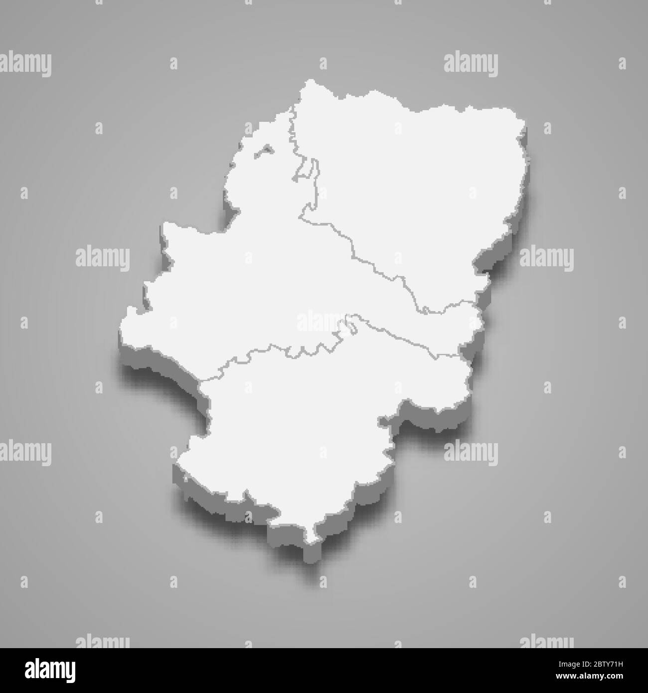 3d map of Aragon is a region of Spain Stock Vectorhttps://www.alamy.com/image-license-details/?v=1https://www.alamy.com/3d-map-of-aragon-is-a-region-of-spain-image359557341.html
RF2BTY71H–3d map of Aragon is a region of Spain
 . Nederlands: Deze kaart van Aragon werd in 1638 gepubliceerd door Willem Jansz. Blaeu (1571-1638) en zijn zoon Joan Blaeu (1598-1673). De kaart is een verkleining van een kaart in 20 bladen die de Portugese kartograaf Joao Baptista Lavanha (1582-1624) tussen 1607 en 1615 in opdracht van Koning van Aragon vervaardigde.; Linksonder een opdracht van Willem Jansz. en Joan Blaeu aan Gasparus Charles, heer van Baerledoncq. English: This map of Aragon was published in 1638 by Willem Jansz. Blaeu (1571-1638) and his son Joan Blaeu (1598-1673). The map is a reduction of a map in 20 sheets produced by Stock Photohttps://www.alamy.com/image-license-details/?v=1https://www.alamy.com/nederlands-deze-kaart-van-aragon-werd-in-1638-gepubliceerd-door-willem-jansz-blaeu-1571-1638-en-zijn-zoon-joan-blaeu-1598-1673-de-kaart-is-een-verkleining-van-een-kaart-in-20-bladen-die-de-portugese-kartograaf-joao-baptista-lavanha-1582-1624-tussen-1607-en-1615-in-opdracht-van-koning-van-aragon-vervaardigde-linksonder-een-opdracht-van-willem-jansz-en-joan-blaeu-aan-gasparus-charles-heer-van-baerledoncq-english-this-map-of-aragon-was-published-in-1638-by-willem-jansz-blaeu-1571-1638-and-his-son-joan-blaeu-1598-1673-the-map-is-a-reduction-of-a-map-in-20-sheets-produced-by-image184777740.html
RMMMH9W0–. Nederlands: Deze kaart van Aragon werd in 1638 gepubliceerd door Willem Jansz. Blaeu (1571-1638) en zijn zoon Joan Blaeu (1598-1673). De kaart is een verkleining van een kaart in 20 bladen die de Portugese kartograaf Joao Baptista Lavanha (1582-1624) tussen 1607 en 1615 in opdracht van Koning van Aragon vervaardigde.; Linksonder een opdracht van Willem Jansz. en Joan Blaeu aan Gasparus Charles, heer van Baerledoncq. English: This map of Aragon was published in 1638 by Willem Jansz. Blaeu (1571-1638) and his son Joan Blaeu (1598-1673). The map is a reduction of a map in 20 sheets produced by
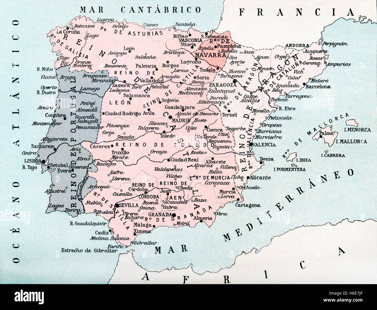 Map of Spain up until the union between Castile and Aragon in 1469. Stock Photohttps://www.alamy.com/image-license-details/?v=1https://www.alamy.com/stock-photo-map-of-spain-up-until-the-union-between-castile-and-aragon-in-1469-124473847.html
RMH6E7JF–Map of Spain up until the union between Castile and Aragon in 1469.
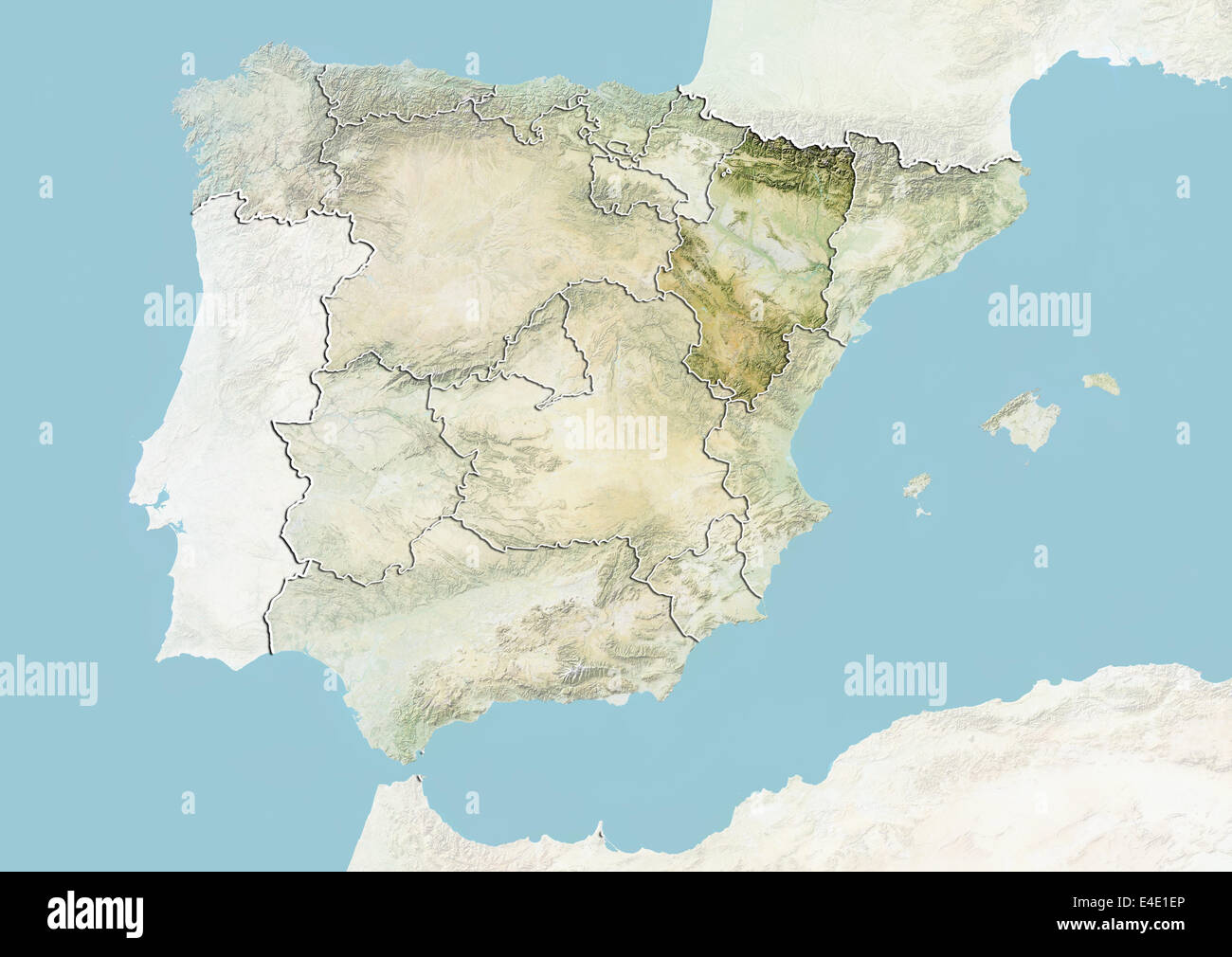 Spain and the Region of Aragon, Relief Map Stock Photohttps://www.alamy.com/image-license-details/?v=1https://www.alamy.com/stock-photo-spain-and-the-region-of-aragon-relief-map-71608622.html
RME4E1EP–Spain and the Region of Aragon, Relief Map
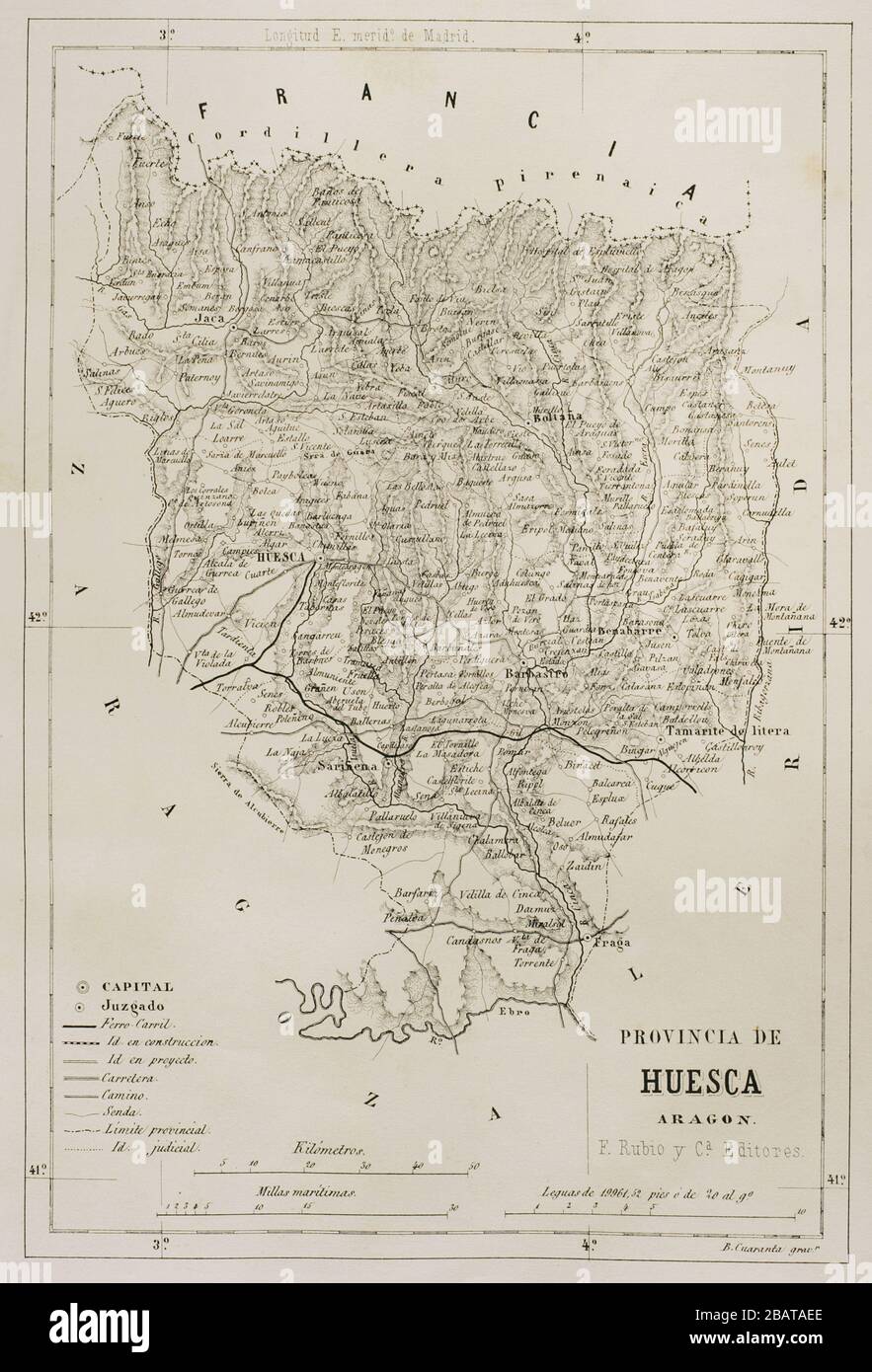 Map of the Province of Huesca, Aragon, Spain. Cronica General de España, Historia Ilustrada y Descriptiva de sus Provincias. Aragon, 1866. Stock Photohttps://www.alamy.com/image-license-details/?v=1https://www.alamy.com/map-of-the-province-of-huesca-aragon-spain-cronica-general-de-espaa-historia-ilustrada-y-descriptiva-de-sus-provincias-aragon-1866-image350889014.html
RM2BATAEE–Map of the Province of Huesca, Aragon, Spain. Cronica General de España, Historia Ilustrada y Descriptiva de sus Provincias. Aragon, 1866.
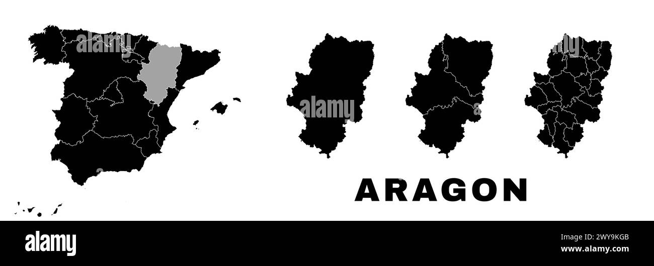 Aragon map, autonomous community in Spain. Spanish administrative division, regions, boroughs and municipalities. Stock Vectorhttps://www.alamy.com/image-license-details/?v=1https://www.alamy.com/aragon-map-autonomous-community-in-spain-spanish-administrative-division-regions-boroughs-and-municipalities-image601961147.html
RF2WY9KGB–Aragon map, autonomous community in Spain. Spanish administrative division, regions, boroughs and municipalities.
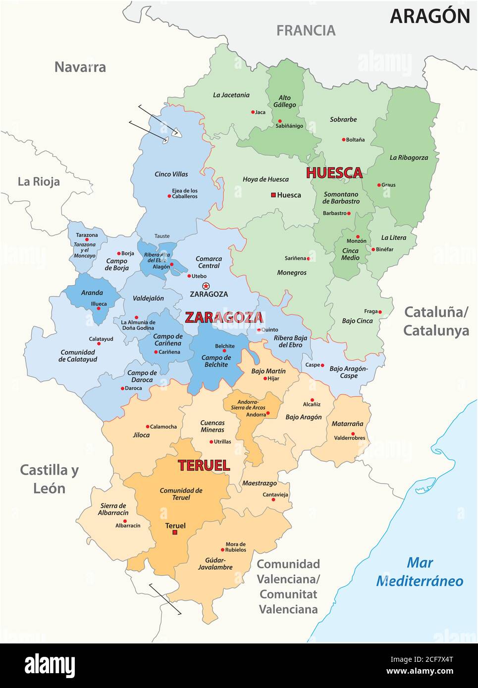 administrative vector map of the spanish autonomous region of Aragon Stock Vectorhttps://www.alamy.com/image-license-details/?v=1https://www.alamy.com/administrative-vector-map-of-the-spanish-autonomous-region-of-aragon-image370811752.html
RF2CF7X4T–administrative vector map of the spanish autonomous region of Aragon
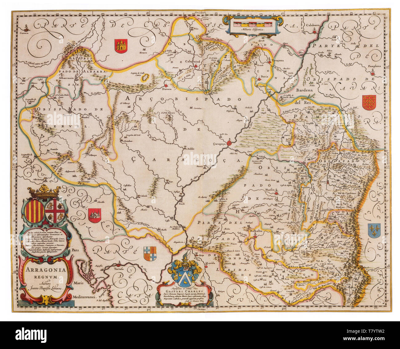 Joan Blaeu, Aragon Map, 17th Century Stock Photohttps://www.alamy.com/image-license-details/?v=1https://www.alamy.com/joan-blaeu-aragon-map-17th-century-image245859966.html
RMT7YTW2–Joan Blaeu, Aragon Map, 17th Century
 'Theatrum Orbis Terrarum' by Abraham Ortelius, Antwerp, 1574, map of the Kingdom of Aragon that … Stock Photohttps://www.alamy.com/image-license-details/?v=1https://www.alamy.com/theatrum-orbis-terrarum-by-abraham-ortelius-antwerp-1574-map-of-the-kingdom-of-aragon-that-image212421154.html
RMP9GH9P–'Theatrum Orbis Terrarum' by Abraham Ortelius, Antwerp, 1574, map of the Kingdom of Aragon that …
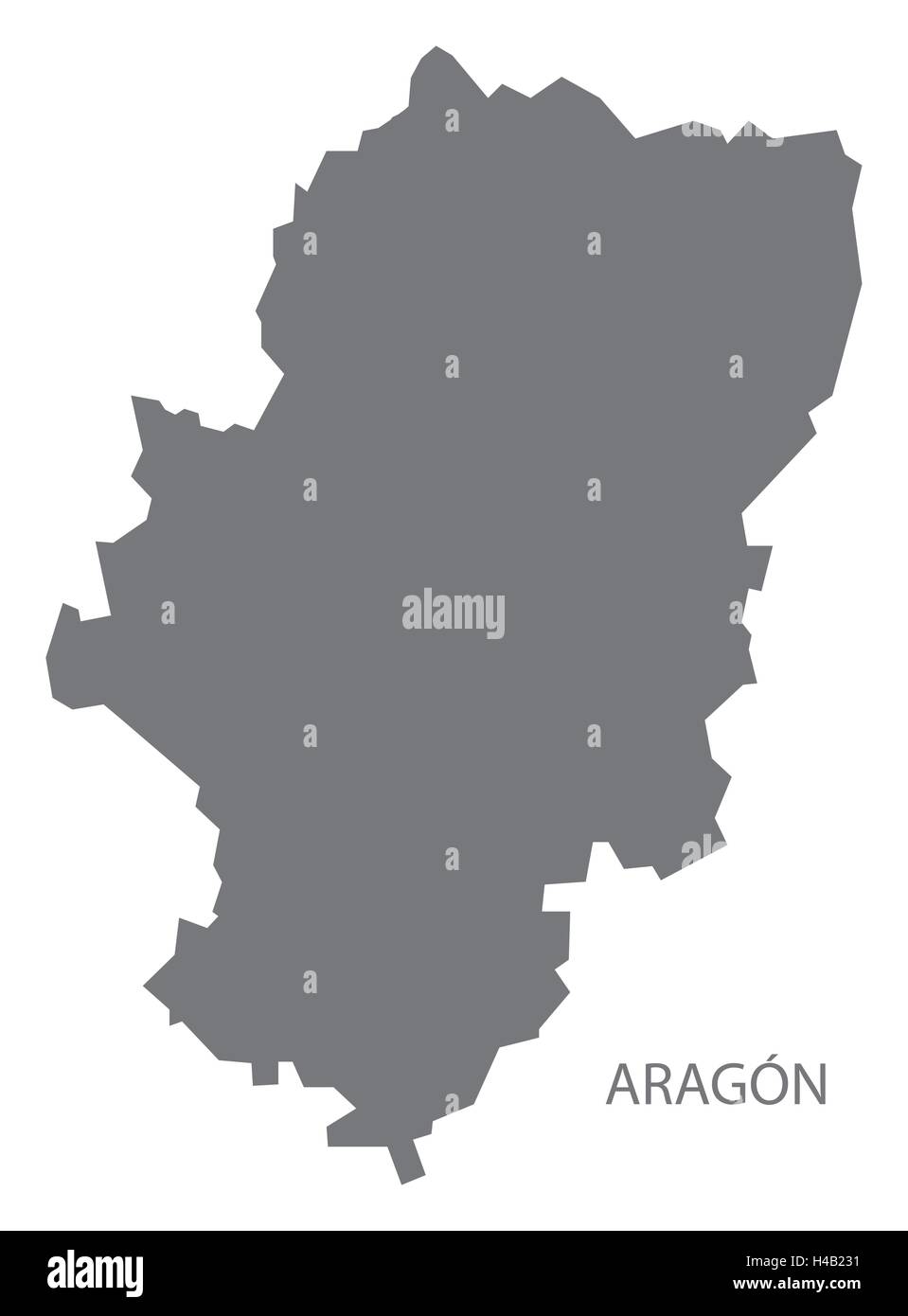 Aragon Spain Map in grey Stock Vectorhttps://www.alamy.com/image-license-details/?v=1https://www.alamy.com/stock-photo-aragon-spain-map-in-grey-123174325.html
RFH4B231–Aragon Spain Map in grey
 Aragon, Aude, FR, France, Occitanie, N 43 17' 45'', N 2 18' 51'', map, Cartascapes Map published in 2024. Explore Cartascapes, a map revealing Earth's diverse landscapes, cultures, and ecosystems. Journey through time and space, discovering the interconnectedness of our planet's past, present, and future. Stock Photohttps://www.alamy.com/image-license-details/?v=1https://www.alamy.com/aragon-aude-fr-france-occitanie-n-43-17-45-n-2-18-51-map-cartascapes-map-published-in-2024-explore-cartascapes-a-map-revealing-earths-diverse-landscapes-cultures-and-ecosystems-journey-through-time-and-space-discovering-the-interconnectedness-of-our-planets-past-present-and-future-image614315376.html
RM2XKCDET–Aragon, Aude, FR, France, Occitanie, N 43 17' 45'', N 2 18' 51'', map, Cartascapes Map published in 2024. Explore Cartascapes, a map revealing Earth's diverse landscapes, cultures, and ecosystems. Journey through time and space, discovering the interconnectedness of our planet's past, present, and future.
 Aragon pinned on a map of Spain Stock Photohttps://www.alamy.com/image-license-details/?v=1https://www.alamy.com/stock-photo-aragon-pinned-on-a-map-of-spain-125428798.html
RFH81NKX–Aragon pinned on a map of Spain
 Aragon circuit, Spain. Motorsport race track vector map Stock Vectorhttps://www.alamy.com/image-license-details/?v=1https://www.alamy.com/aragon-circuit-spain-motorsport-race-track-vector-map-image369570499.html
RF2CD7AXB–Aragon circuit, Spain. Motorsport race track vector map
 Map of Aragon Stock Photohttps://www.alamy.com/image-license-details/?v=1https://www.alamy.com/map-of-aragon-image363456547.html
RF2C38TEY–Map of Aragon
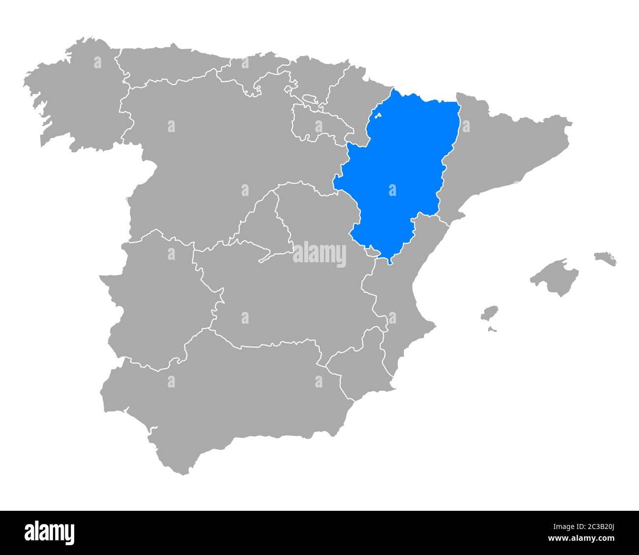 Map of Aragon in Spain Stock Photohttps://www.alamy.com/image-license-details/?v=1https://www.alamy.com/map-of-aragon-in-spain-image363504754.html
RF2C3B20J–Map of Aragon in Spain
 TERUEL. Aragon. Mapa antiguo de la provincia. ALBERTO MARTIN, c1911 Stock Photohttps://www.alamy.com/image-license-details/?v=1https://www.alamy.com/stock-photo-teruel-aragon-mapa-antiguo-de-la-provincia-alberto-martin-c1911-93059016.html
RFFBB5M8–TERUEL. Aragon. Mapa antiguo de la provincia. ALBERTO MARTIN, c1911
 Map of Aragon, a region of Spain. Stock Photohttps://www.alamy.com/image-license-details/?v=1https://www.alamy.com/stock-photo-map-of-aragon-a-region-of-spain-49419234.html
RFCTB6MJ–Map of Aragon, a region of Spain.
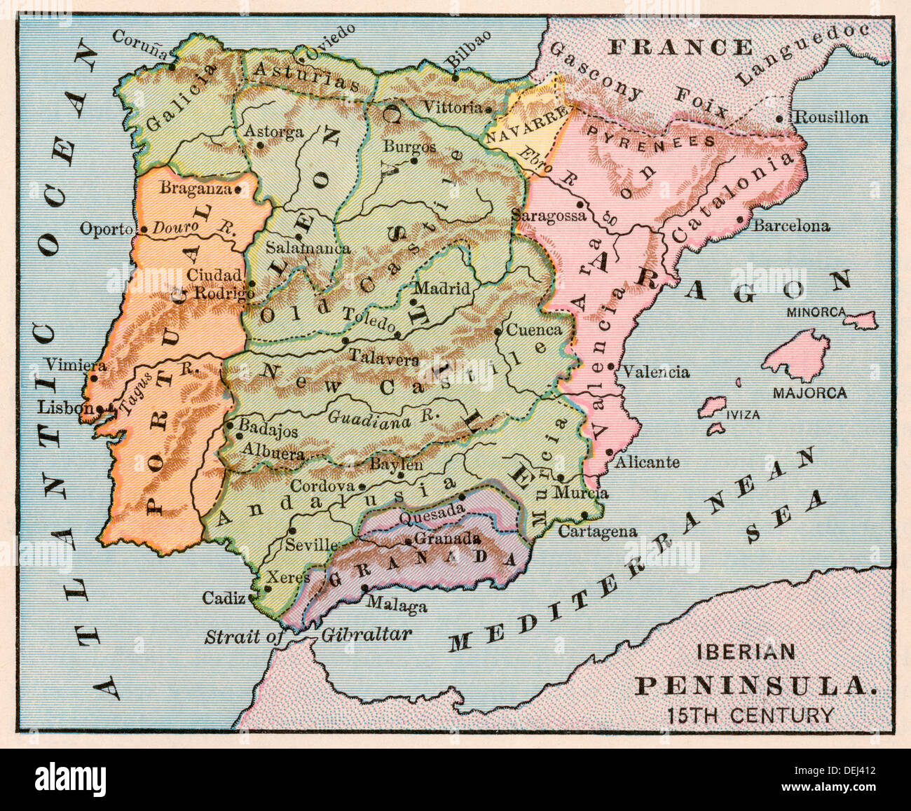 Map of the Iberian Peninsula in the 1400s. Color lithograph Stock Photohttps://www.alamy.com/image-license-details/?v=1https://www.alamy.com/map-of-the-iberian-peninsula-in-the-1400s-color-lithograph-image60634590.html
RMDEJ412–Map of the Iberian Peninsula in the 1400s. Color lithograph
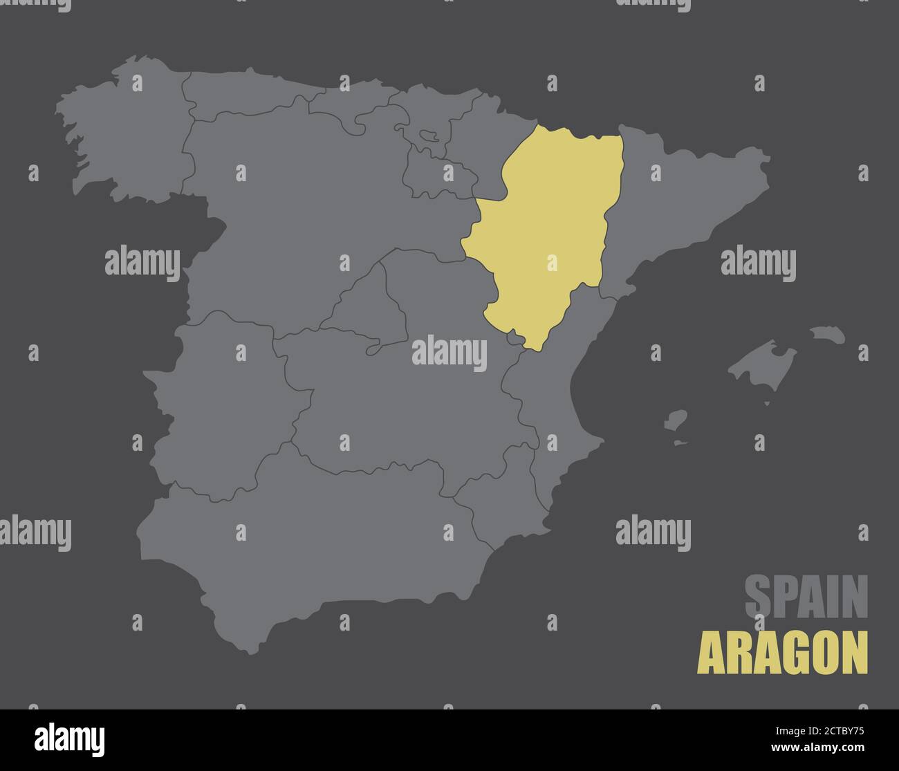 Spain Aragon map Stock Vectorhttps://www.alamy.com/image-license-details/?v=1https://www.alamy.com/spain-aragon-map-image376432313.html
RF2CTBY75–Spain Aragon map
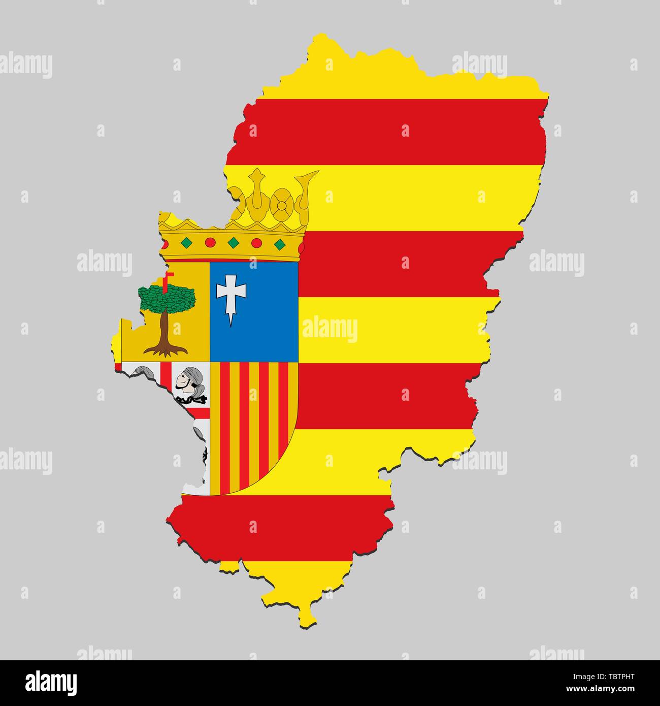 Map of Aragon is a state Spain with flag. Vector Illustration Stock Vectorhttps://www.alamy.com/image-license-details/?v=1https://www.alamy.com/map-of-aragon-is-a-state-spain-with-flag-vector-illustration-image248250964.html
RFTBTPHT–Map of Aragon is a state Spain with flag. Vector Illustration
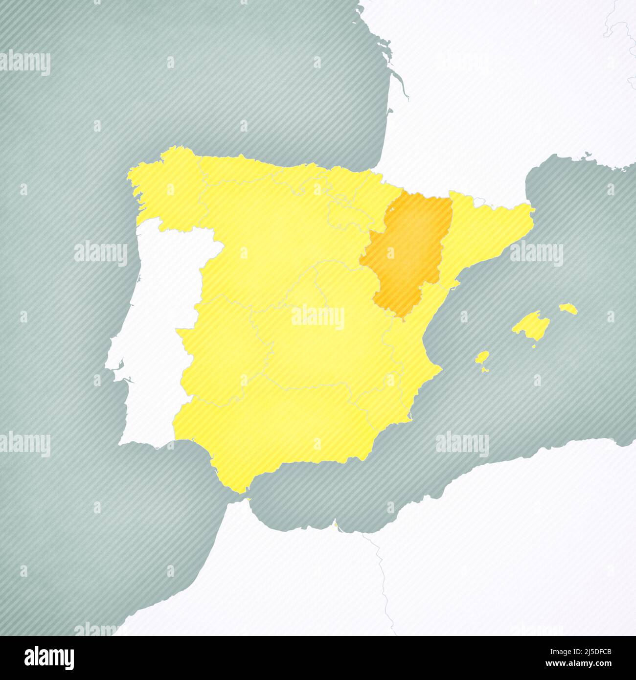 Aragon on the map of Spain with softly striped vintage background. Stock Photohttps://www.alamy.com/image-license-details/?v=1https://www.alamy.com/aragon-on-the-map-of-spain-with-softly-striped-vintage-background-image468050699.html
RF2J5DFCB–Aragon on the map of Spain with softly striped vintage background.
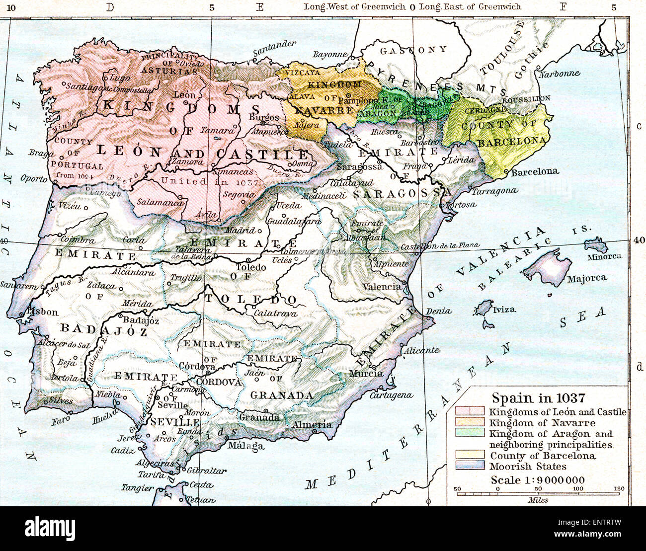 Map of Spain in 1037 showing the kingdoms of León and Castile, kingdom of Navarre, kingdom of Aragon and neighbouring principalities, county of Barcelona and Moorish states. Stock Photohttps://www.alamy.com/image-license-details/?v=1https://www.alamy.com/stock-photo-map-of-spain-in-1037-showing-the-kingdoms-of-len-and-castile-kingdom-82294825.html
RMENTRTW–Map of Spain in 1037 showing the kingdoms of León and Castile, kingdom of Navarre, kingdom of Aragon and neighbouring principalities, county of Barcelona and Moorish states.
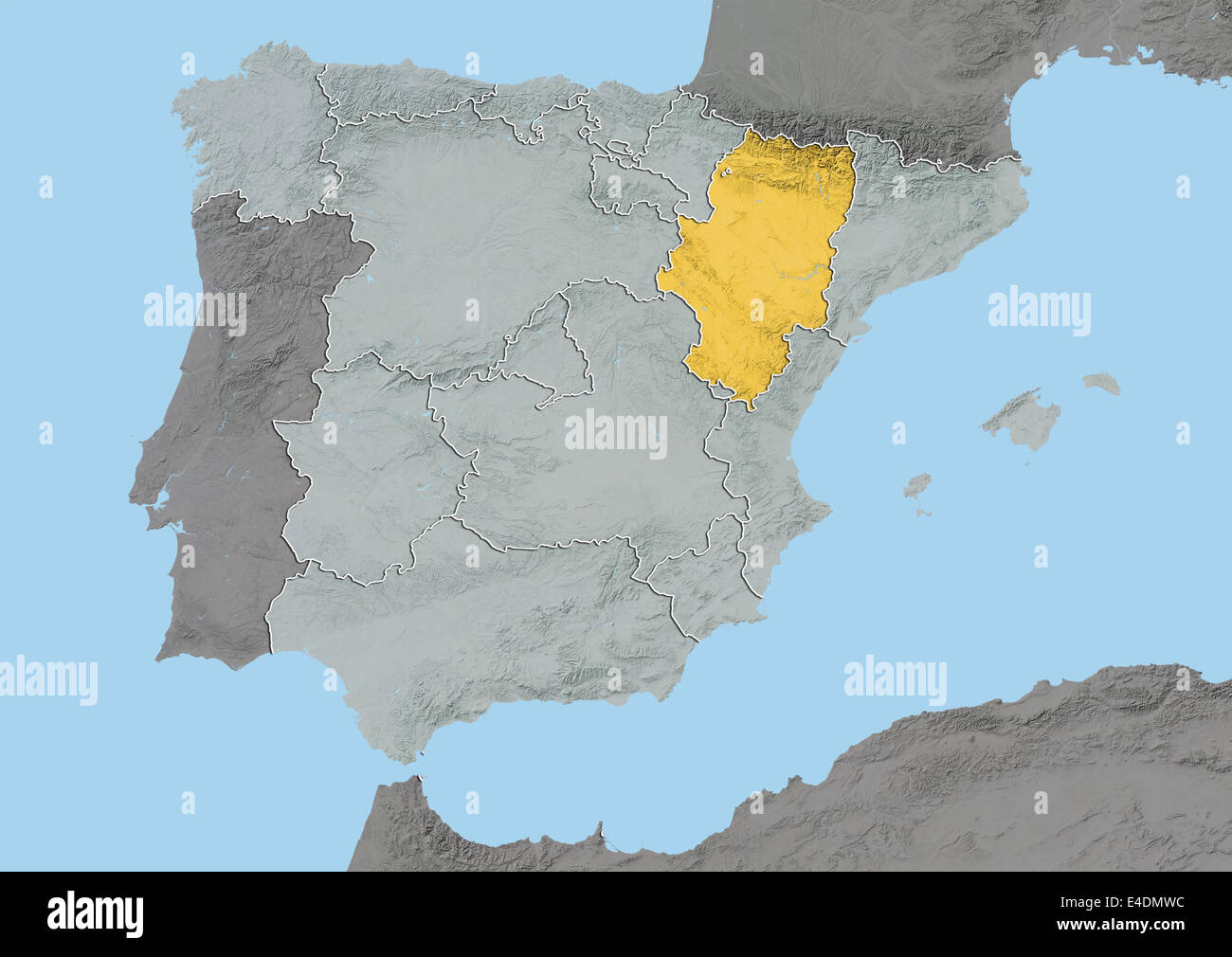 Aragon, Spain, Relief Map Stock Photohttps://www.alamy.com/image-license-details/?v=1https://www.alamy.com/stock-photo-aragon-spain-relief-map-71601864.html
RME4DMWC–Aragon, Spain, Relief Map
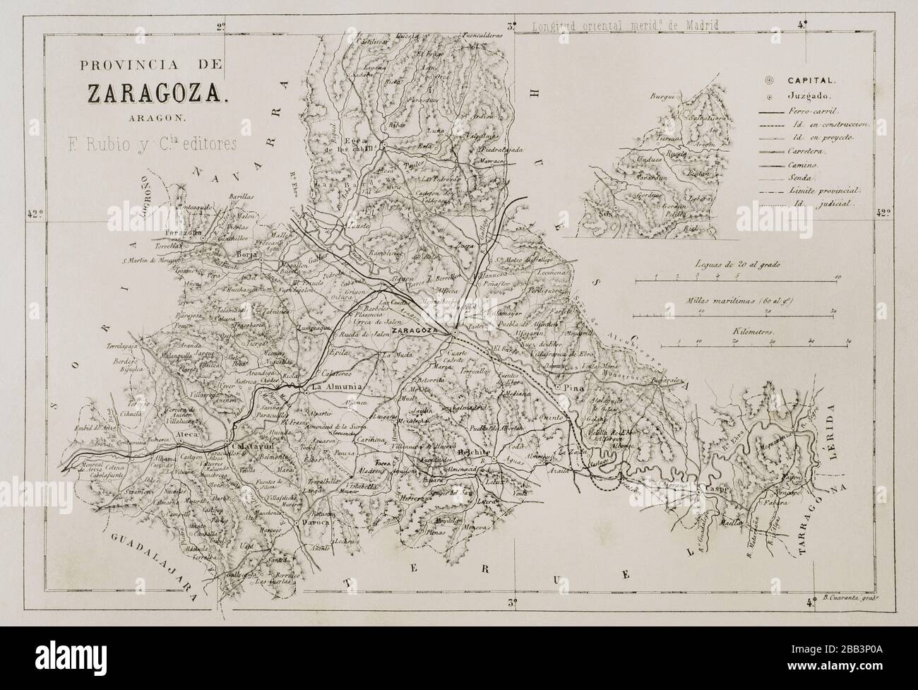 Spain, Aragon. Map of the Zaragoza province. Cronica General de España, Historia Ilustrada y Descriptiva de sus Provincias. Aragon, 1866. Stock Photohttps://www.alamy.com/image-license-details/?v=1https://www.alamy.com/spain-aragon-map-of-the-zaragoza-province-cronica-general-de-espaa-historia-ilustrada-y-descriptiva-de-sus-provincias-aragon-1866-image351051690.html
RM2BB3P0A–Spain, Aragon. Map of the Zaragoza province. Cronica General de España, Historia Ilustrada y Descriptiva de sus Provincias. Aragon, 1866.
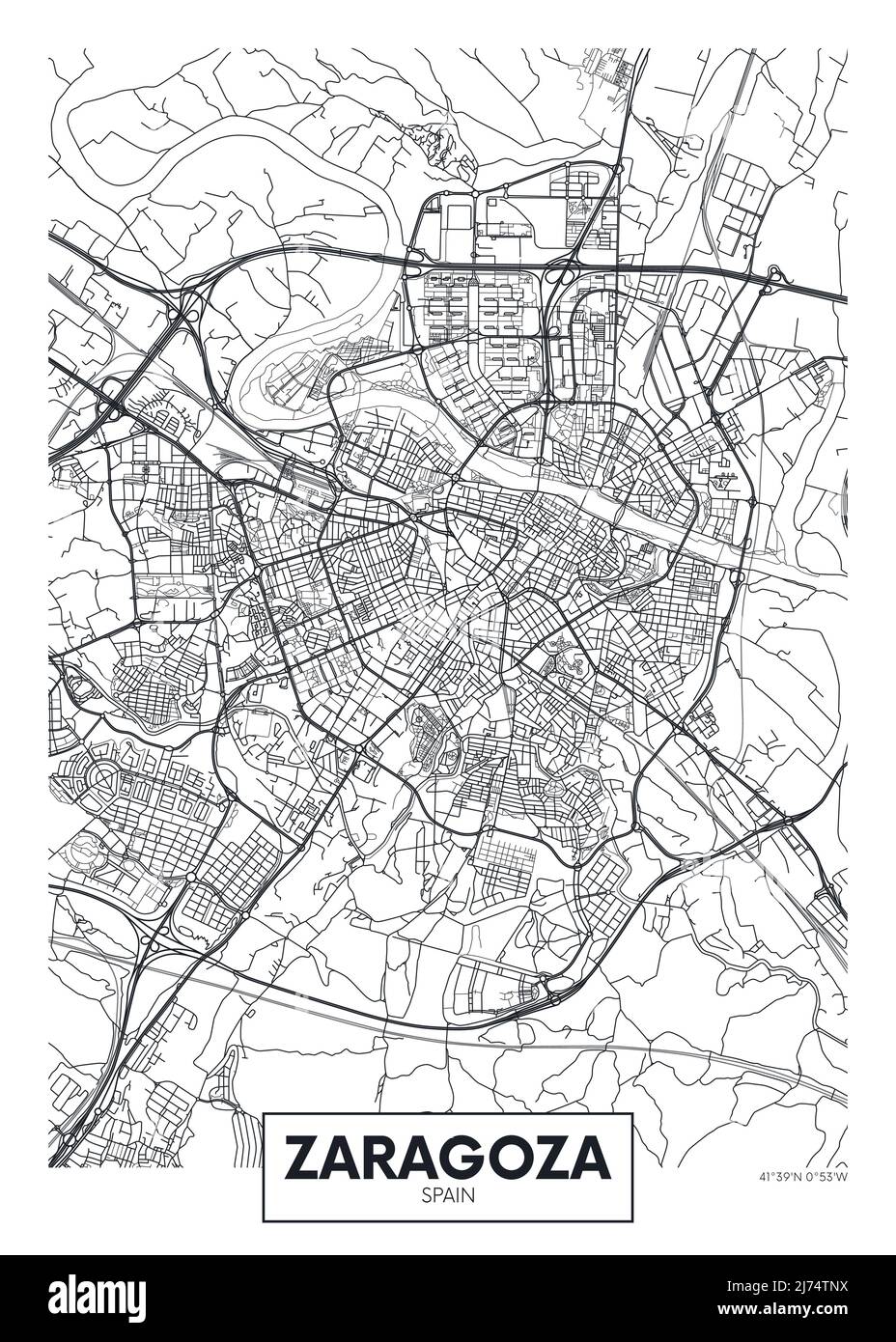 City map Zaragoza, travel vector poster design Stock Vectorhttps://www.alamy.com/image-license-details/?v=1https://www.alamy.com/city-map-zaragoza-travel-vector-poster-design-image469089766.html
RF2J74TNX–City map Zaragoza, travel vector poster design
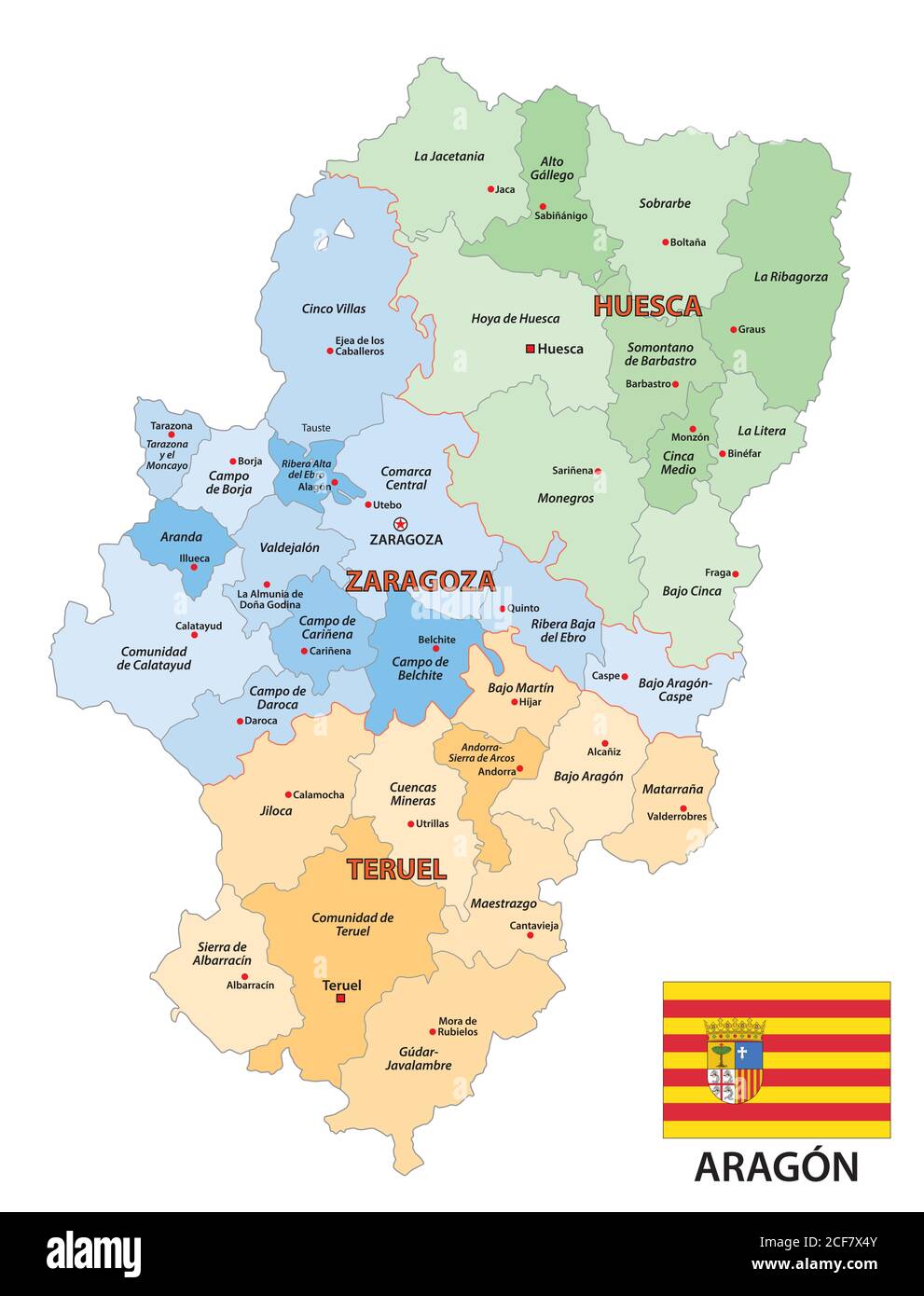 administrative vector map of the spanish autonomous region of Aragon with flag Stock Vectorhttps://www.alamy.com/image-license-details/?v=1https://www.alamy.com/administrative-vector-map-of-the-spanish-autonomous-region-of-aragon-with-flag-image370811755.html
RF2CF7X4Y–administrative vector map of the spanish autonomous region of Aragon with flag
 Atlas, map from 1623, Aragon and Catalonia, Spain, digitally restored reproduction from an engraving by Gerhard Mercator, born as Gheert Cremer, March 5, 1512 - December 2, 1594, geographer and cartographer / Landkarte aus dem Jahre 1623, Aragonien und Katalonien, Spanien, digital restaurierte Reproduktion von einem Kupferstich von Gerhard Mercator, geboren als Gheert Cremer, 5. März 1512 - 2. Dezember 1594, Geograph und Kartograf Stock Photohttps://www.alamy.com/image-license-details/?v=1https://www.alamy.com/atlas-map-from-1623-aragon-and-catalonia-spain-digitally-restored-reproduction-from-an-engraving-by-gerhard-mercator-born-as-gheert-cremer-march-5-1512-december-2-1594-geographer-and-cartographer-landkarte-aus-dem-jahre-1623-aragonien-und-katalonien-spanien-digital-restaurierte-reproduktion-von-einem-kupferstich-von-gerhard-mercator-geboren-als-gheert-cremer-5-mrz-1512-2-dezember-1594-geograph-und-kartograf-image551948540.html
RF2R1YBYT–Atlas, map from 1623, Aragon and Catalonia, Spain, digitally restored reproduction from an engraving by Gerhard Mercator, born as Gheert Cremer, March 5, 1512 - December 2, 1594, geographer and cartographer / Landkarte aus dem Jahre 1623, Aragonien und Katalonien, Spanien, digital restaurierte Reproduktion von einem Kupferstich von Gerhard Mercator, geboren als Gheert Cremer, 5. März 1512 - 2. Dezember 1594, Geograph und Kartograf
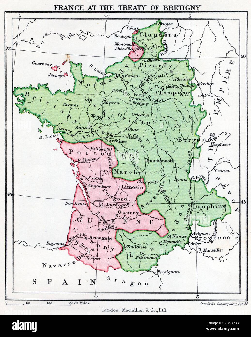 A map showing France at the time of the Treaty of Bretigny. The Treaty of Brétigny was a treaty, drafted on 8th May 1360 and ratified on 24th October 1360, between King Edward III of England and King John II of France. In retrospect it is seen as having marked the end of the first phase of the Hundred Years' War. It was signed at Brétigny and later ratified as the Treaty of Calais on 24th October 1360. Stock Photohttps://www.alamy.com/image-license-details/?v=1https://www.alamy.com/a-map-showing-france-at-the-time-of-the-treaty-of-bretigny-the-treaty-of-brtigny-was-a-treaty-drafted-on-8th-may-1360-and-ratified-on-24th-october-1360-between-king-edward-iii-of-england-and-king-john-ii-of-france-in-retrospect-it-is-seen-as-having-marked-the-end-of-the-first-phase-of-the-hundred-years-war-it-was-signed-at-brtigny-and-later-ratified-as-the-treaty-of-calais-on-24th-october-1360-image348186247.html
RM2B6D733–A map showing France at the time of the Treaty of Bretigny. The Treaty of Brétigny was a treaty, drafted on 8th May 1360 and ratified on 24th October 1360, between King Edward III of England and King John II of France. In retrospect it is seen as having marked the end of the first phase of the Hundred Years' War. It was signed at Brétigny and later ratified as the Treaty of Calais on 24th October 1360.
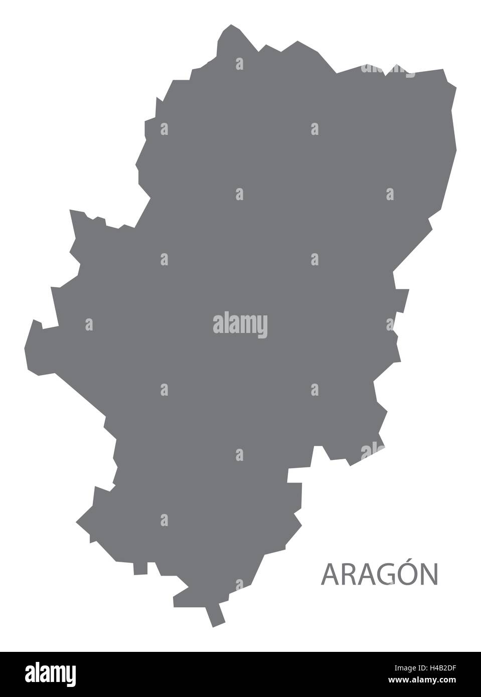 Aragon Spain Map in grey Stock Vectorhttps://www.alamy.com/image-license-details/?v=1https://www.alamy.com/stock-photo-aragon-spain-map-in-grey-123174619.html
RFH4B2DF–Aragon Spain Map in grey
 Aragon, Polk County, US, United States, Georgia, N 34 2' 44'', S 85 3' 21'', map, Cartascapes Map published in 2024. Explore Cartascapes, a map revealing Earth's diverse landscapes, cultures, and ecosystems. Journey through time and space, discovering the interconnectedness of our planet's past, present, and future. Stock Photohttps://www.alamy.com/image-license-details/?v=1https://www.alamy.com/aragon-polk-county-us-united-states-georgia-n-34-2-44-s-85-3-21-map-cartascapes-map-published-in-2024-explore-cartascapes-a-map-revealing-earths-diverse-landscapes-cultures-and-ecosystems-journey-through-time-and-space-discovering-the-interconnectedness-of-our-planets-past-present-and-future-image621328614.html
RM2Y2RXYJ–Aragon, Polk County, US, United States, Georgia, N 34 2' 44'', S 85 3' 21'', map, Cartascapes Map published in 2024. Explore Cartascapes, a map revealing Earth's diverse landscapes, cultures, and ecosystems. Journey through time and space, discovering the interconnectedness of our planet's past, present, and future.
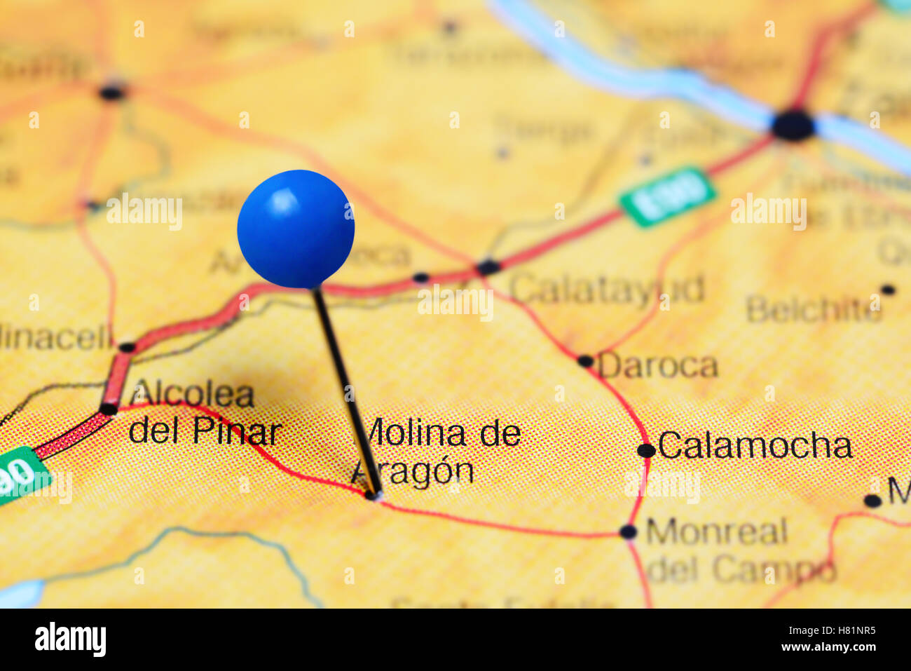 Molina de Aragon pinned on a map of Spain Stock Photohttps://www.alamy.com/image-license-details/?v=1https://www.alamy.com/stock-photo-molina-de-aragon-pinned-on-a-map-of-spain-125428889.html
RFH81NR5–Molina de Aragon pinned on a map of Spain
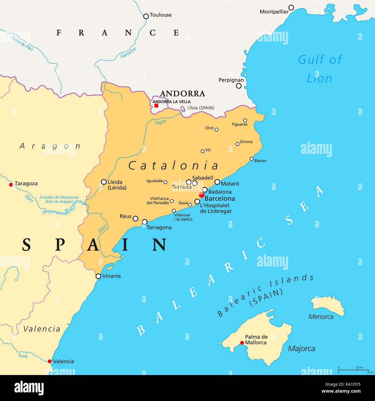 Catalonia political map with capital Barcelona, borders and important cities. Autonomous community of Spain. Illustration. Stock Photohttps://www.alamy.com/image-license-details/?v=1https://www.alamy.com/stock-image-catalonia-political-map-with-capital-barcelona-borders-and-important-161072777.html
RFKA1DY5–Catalonia political map with capital Barcelona, borders and important cities. Autonomous community of Spain. Illustration.
 Map of Aragon Stock Photohttps://www.alamy.com/image-license-details/?v=1https://www.alamy.com/map-of-aragon-image363499911.html
RF2C3ARRK–Map of Aragon
 Aragon circuit, spain. Motorsport race track vector map Stock Vectorhttps://www.alamy.com/image-license-details/?v=1https://www.alamy.com/aragon-circuit-spain-motorsport-race-track-vector-map-image376468719.html
RF2CTDHKB–Aragon circuit, spain. Motorsport race track vector map
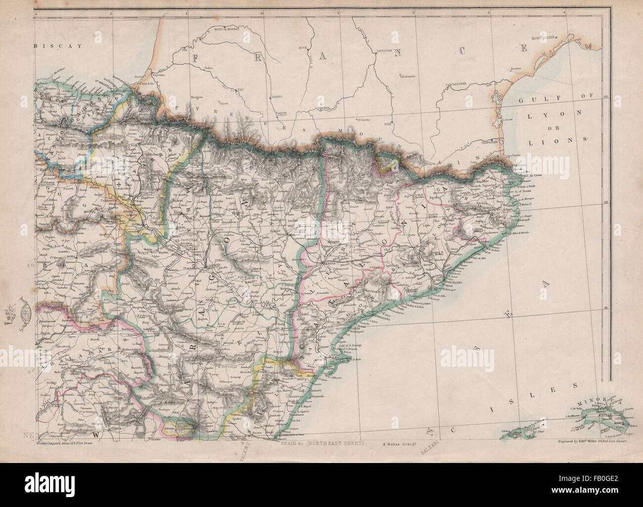 SPAIN NE. Catalonia Aragon Navarre. Barcelona-Zaragoza railway. WELLER, 1862 map Stock Photohttps://www.alamy.com/image-license-details/?v=1https://www.alamy.com/stock-photo-spain-ne-catalonia-aragon-navarre-barcelona-zaragoza-railway-weller-92825994.html
RFFB0GE2–SPAIN NE. Catalonia Aragon Navarre. Barcelona-Zaragoza railway. WELLER, 1862 map
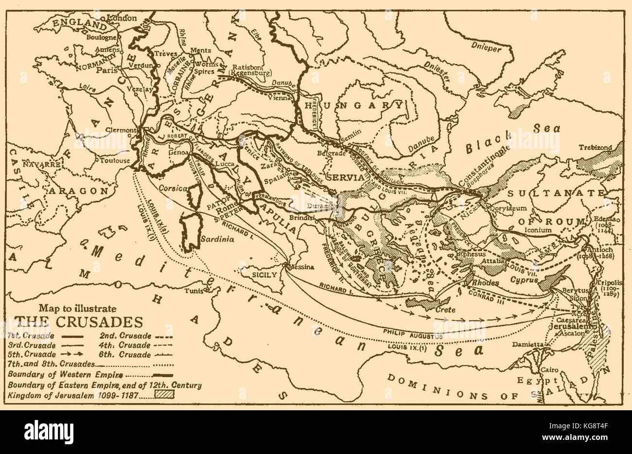 A Map of Europe and the Mediterranean Sea area illustrating the1st,2nd,3rd,4th,5th,6th,7th & 8th crusades Stock Photohttps://www.alamy.com/image-license-details/?v=1https://www.alamy.com/stock-image-a-map-of-europe-and-the-mediterranean-sea-area-illustrating-the1st2nd3rd4th5th6th7th-164922367.html
RMKG8T4F–A Map of Europe and the Mediterranean Sea area illustrating the1st,2nd,3rd,4th,5th,6th,7th & 8th crusades
 Map of the former provinces of Spain. Color lithograph Stock Photohttps://www.alamy.com/image-license-details/?v=1https://www.alamy.com/stock-photo-map-of-the-former-provinces-of-spain-color-lithograph-21406348.html
RMB6R40C–Map of the former provinces of Spain. Color lithograph
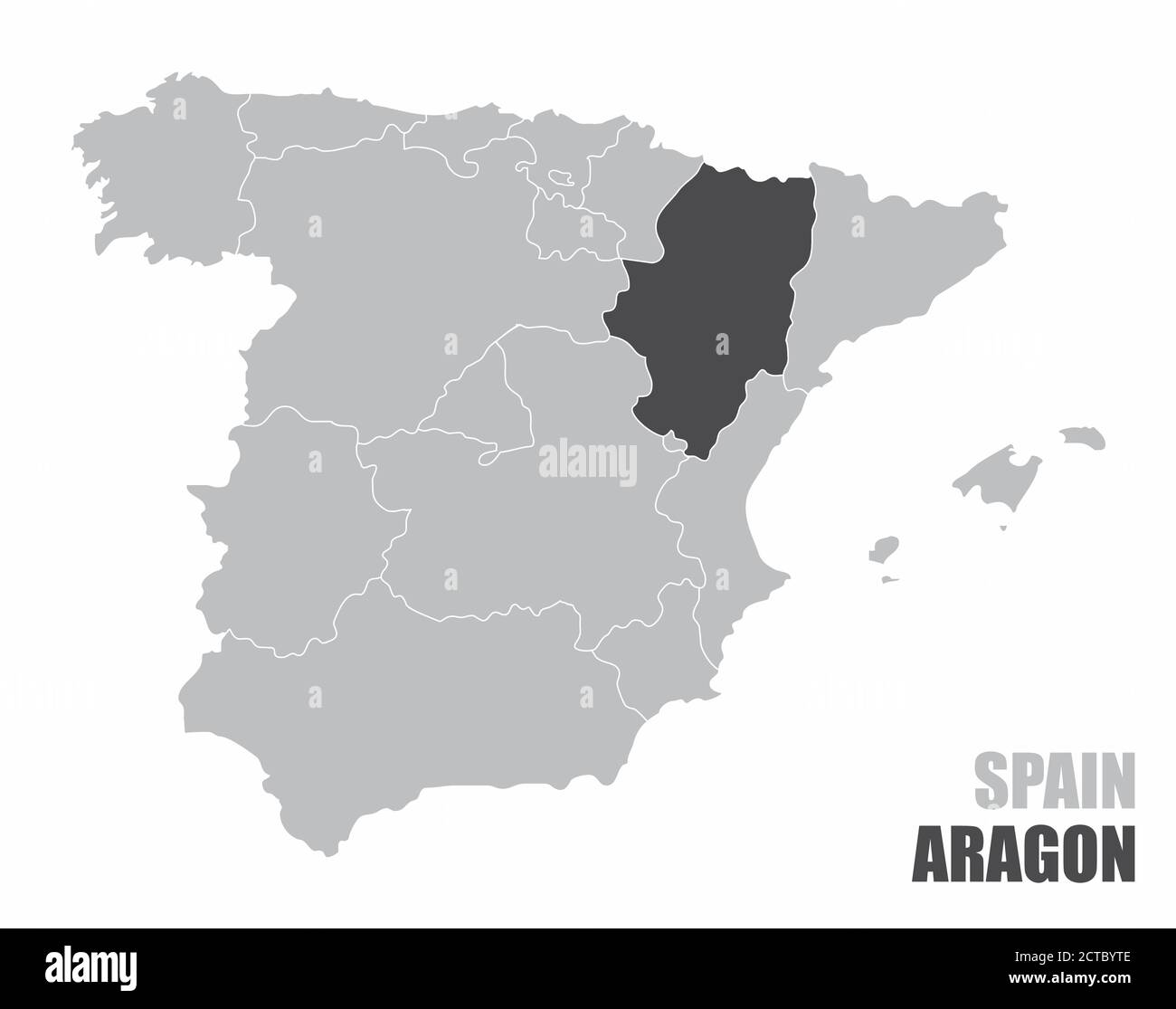 Spain Aragon map Stock Vectorhttps://www.alamy.com/image-license-details/?v=1https://www.alamy.com/spain-aragon-map-image376432798.html
RF2CTBYTE–Spain Aragon map
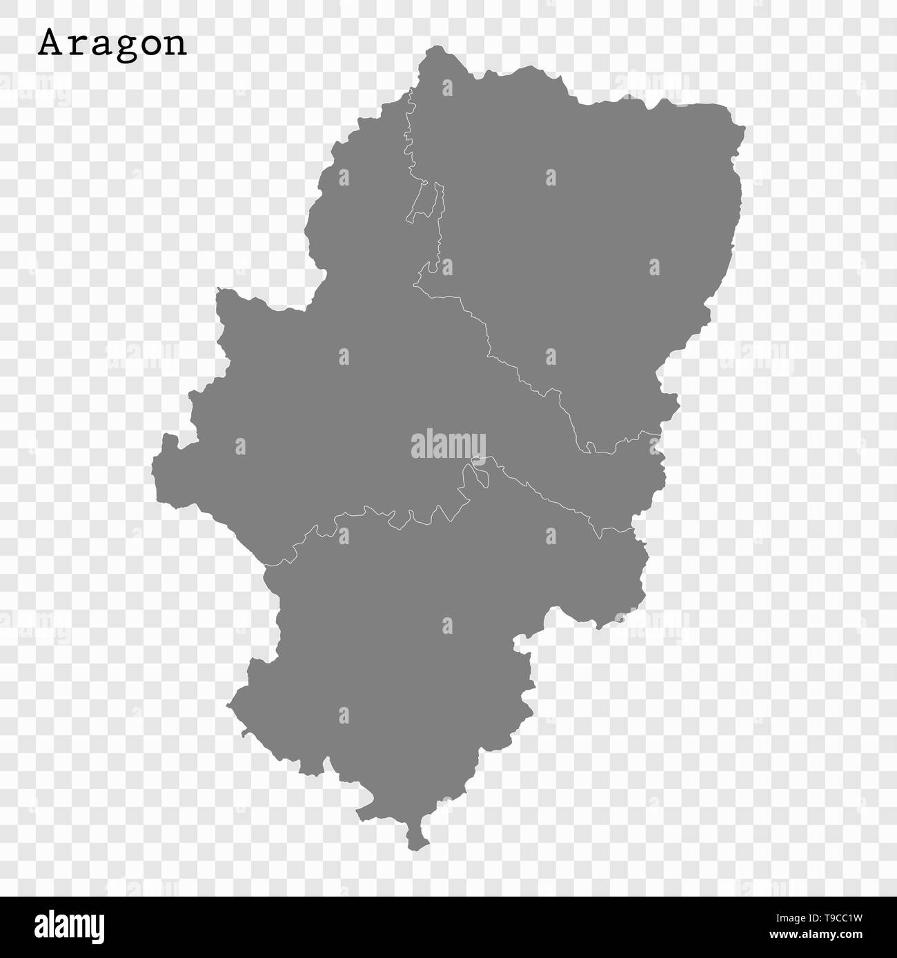 High Quality map of Aragon is a state of Spain, with borders of the districts Stock Vectorhttps://www.alamy.com/image-license-details/?v=1https://www.alamy.com/high-quality-map-of-aragon-is-a-state-of-spain-with-borders-of-the-districts-image246749941.html
RFT9CC1W–High Quality map of Aragon is a state of Spain, with borders of the districts
 Aragon on the map of Iberian Peninsula in soft grunge and vintage style on old paper. Stock Photohttps://www.alamy.com/image-license-details/?v=1https://www.alamy.com/aragon-on-the-map-of-iberian-peninsula-in-soft-grunge-and-vintage-style-on-old-paper-image467569155.html
RF2J4KH6B–Aragon on the map of Iberian Peninsula in soft grunge and vintage style on old paper.
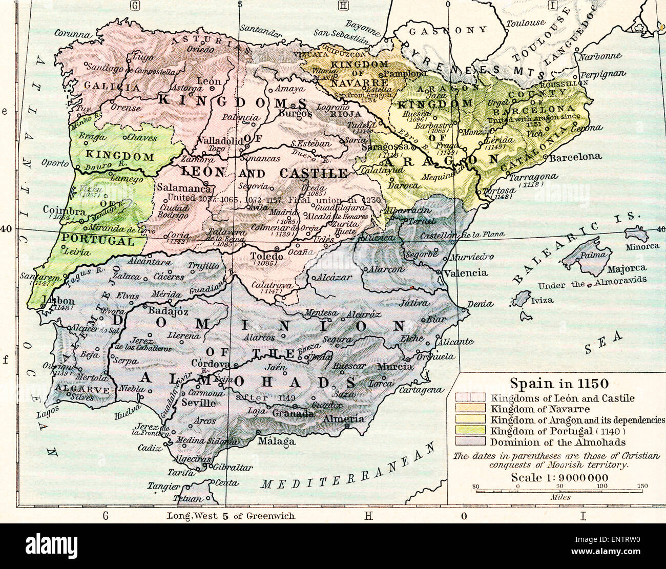 Map of Spain in 1150, showing the kingdoms of León and Castile, kingdom of Navarre, kingdoms of Aragon and its dependencies, kingdom of Portugal in 1140 and Dominion of the Almohads. Stock Photohttps://www.alamy.com/image-license-details/?v=1https://www.alamy.com/stock-photo-map-of-spain-in-1150-showing-the-kingdoms-of-len-and-castile-kingdom-82294828.html
RMENTRW0–Map of Spain in 1150, showing the kingdoms of León and Castile, kingdom of Navarre, kingdoms of Aragon and its dependencies, kingdom of Portugal in 1140 and Dominion of the Almohads.
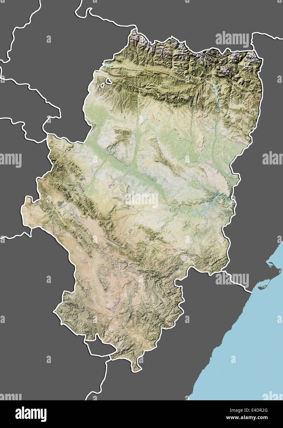 Aragon, Spain, Relief Map Stock Photohttps://www.alamy.com/image-license-details/?v=1https://www.alamy.com/stock-photo-aragon-spain-relief-map-71603576.html
RME4DR2G–Aragon, Spain, Relief Map
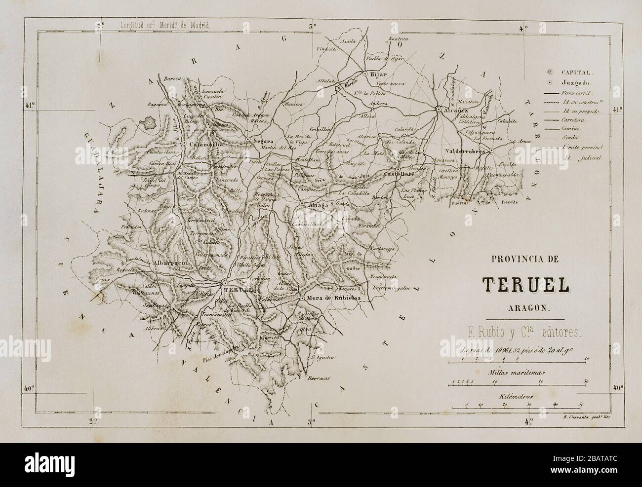 Spain, Aragon. Map of the Teruel Province, 19th century. Cronica General de España, Historia Ilustrada y Descriptiva de sus Provincias. Aragon, 1866. Stock Photohttps://www.alamy.com/image-license-details/?v=1https://www.alamy.com/spain-aragon-map-of-the-teruel-province-19th-century-cronica-general-de-espaa-historia-ilustrada-y-descriptiva-de-sus-provincias-aragon-1866-image350889292.html
RM2BATATC–Spain, Aragon. Map of the Teruel Province, 19th century. Cronica General de España, Historia Ilustrada y Descriptiva de sus Provincias. Aragon, 1866.
 Spain map as island. Map separated on blue wave water background. Stock Vectorhttps://www.alamy.com/image-license-details/?v=1https://www.alamy.com/spain-map-as-island-map-separated-on-blue-wave-water-background-image243572877.html
RFT47KK9–Spain map as island. Map separated on blue wave water background.
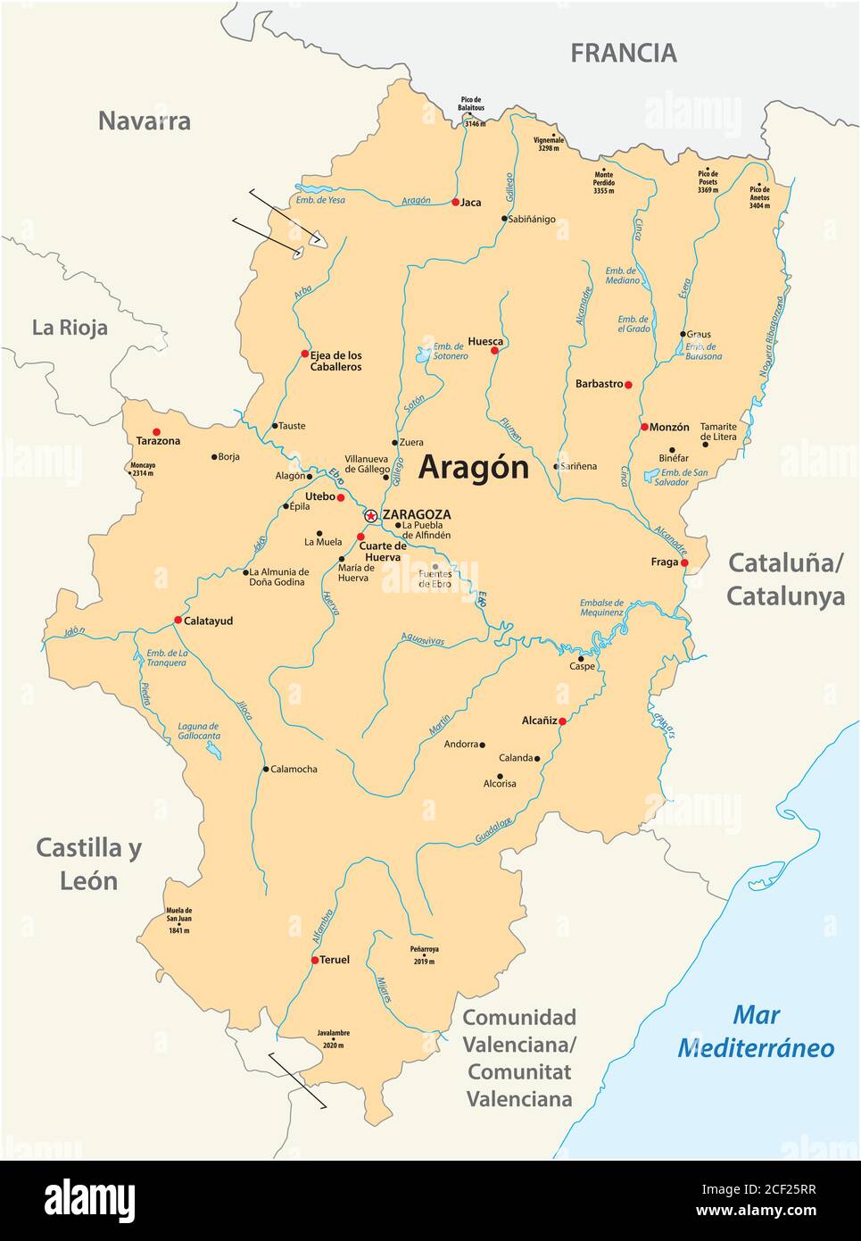 vector map of the spanish autonomous region of Aragon Stock Vectorhttps://www.alamy.com/image-license-details/?v=1https://www.alamy.com/vector-map-of-the-spanish-autonomous-region-of-aragon-image370686059.html
RF2CF25RR–vector map of the spanish autonomous region of Aragon
 ORDESA Y MONTE PERDIDO, ORDESA NATIONAL PARK, HUESCA PROVINCE, THE PYRENEES, ARAGON, SPAIN Stock Photohttps://www.alamy.com/image-license-details/?v=1https://www.alamy.com/stock-photo-ordesa-y-monte-perdido-ordesa-national-park-huesca-province-the-pyrenees-34035813.html
RMBYAD0N–ORDESA Y MONTE PERDIDO, ORDESA NATIONAL PARK, HUESCA PROVINCE, THE PYRENEES, ARAGON, SPAIN
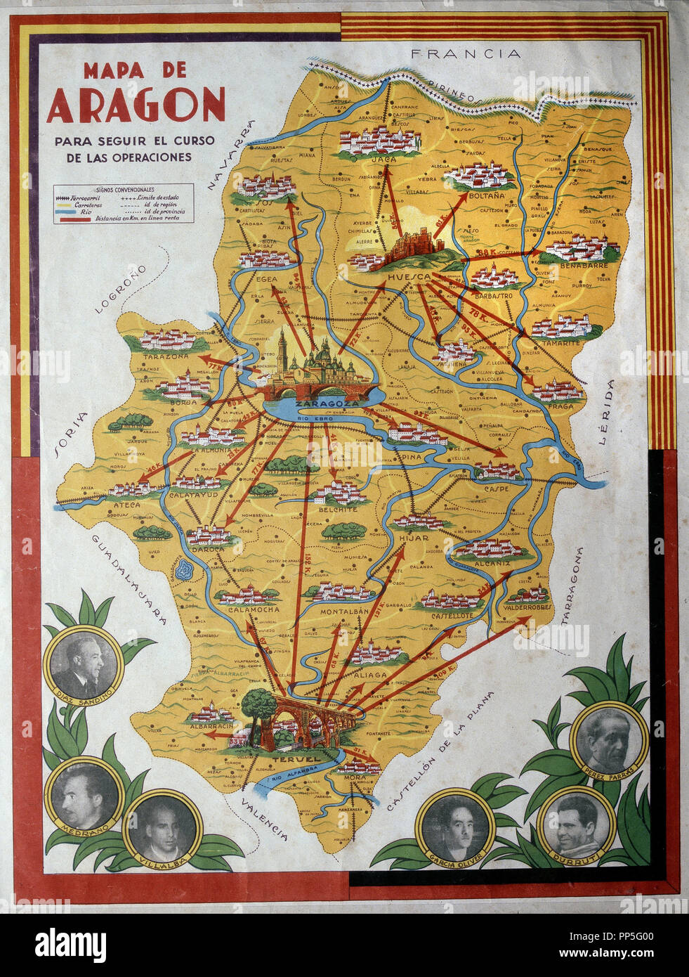 MAP OF OPERATIONS OF ARAGON - 1936. Location: ARCHIVO HISTORICO NACIONAL. SALAMANCA. SPAIN. Stock Photohttps://www.alamy.com/image-license-details/?v=1https://www.alamy.com/map-of-operations-of-aragon-1936-location-archivo-historico-nacional-salamanca-spain-image220169152.html
RMPP5G00–MAP OF OPERATIONS OF ARAGON - 1936. Location: ARCHIVO HISTORICO NACIONAL. SALAMANCA. SPAIN.
 Aragon region watercolor map of Spain in front of a white background Stock Photohttps://www.alamy.com/image-license-details/?v=1https://www.alamy.com/aragon-region-watercolor-map-of-spain-in-front-of-a-white-background-image227942565.html
RFR6RK1W–Aragon region watercolor map of Spain in front of a white background
 Aragon Place, Greenlee County, US, United States, Arizona, N 32 58' 20'', S 109 21' 27'', map, Cartascapes Map published in 2024. Explore Cartascapes, a map revealing Earth's diverse landscapes, cultures, and ecosystems. Journey through time and space, discovering the interconnectedness of our planet's past, present, and future. Stock Photohttps://www.alamy.com/image-license-details/?v=1https://www.alamy.com/aragon-place-greenlee-county-us-united-states-arizona-n-32-58-20-s-109-21-27-map-cartascapes-map-published-in-2024-explore-cartascapes-a-map-revealing-earths-diverse-landscapes-cultures-and-ecosystems-journey-through-time-and-space-discovering-the-interconnectedness-of-our-planets-past-present-and-future-image621164822.html
RM2Y2GE1X–Aragon Place, Greenlee County, US, United States, Arizona, N 32 58' 20'', S 109 21' 27'', map, Cartascapes Map published in 2024. Explore Cartascapes, a map revealing Earth's diverse landscapes, cultures, and ecosystems. Journey through time and space, discovering the interconnectedness of our planet's past, present, and future.
 Aragon blank detailed outline map set Stock Vectorhttps://www.alamy.com/image-license-details/?v=1https://www.alamy.com/stock-photo-aragon-blank-detailed-outline-map-set-116000861.html
RFGMM87W–Aragon blank detailed outline map set
 Autonomous communities of Spain political map. Administrative divisions of the Kingdom of Spain with their capitals. Municipalities and provinces. Stock Photohttps://www.alamy.com/image-license-details/?v=1https://www.alamy.com/stock-image-autonomous-communities-of-spain-political-map-administrative-divisions-160879068.html
RFK9MJW0–Autonomous communities of Spain political map. Administrative divisions of the Kingdom of Spain with their capitals. Municipalities and provinces.
 Map of Aragon Stock Photohttps://www.alamy.com/image-license-details/?v=1https://www.alamy.com/map-of-aragon-image363518868.html
RF2C3BM0M–Map of Aragon
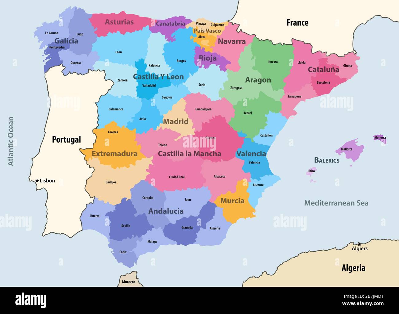 Spain autonomous communities and provinces vector map with neighbouring countries and territories Stock Vectorhttps://www.alamy.com/image-license-details/?v=1https://www.alamy.com/spain-autonomous-communities-and-provinces-vector-map-with-neighbouring-countries-and-territories-image348921156.html
RF2B7JMDT–Spain autonomous communities and provinces vector map with neighbouring countries and territories
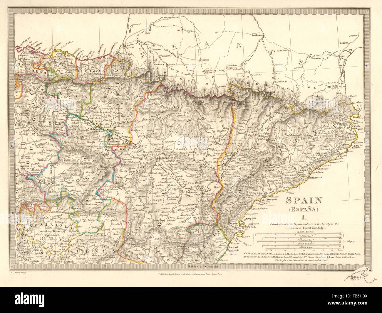 SPAIN NORTH EAST:Cataluna Aragon Soria Navarra Bizcaya Guipozcoa.SDUK, 1848 map Stock Photohttps://www.alamy.com/image-license-details/?v=1https://www.alamy.com/stock-photo-spain-north-eastcataluna-aragon-soria-navarra-bizcaya-guipozcoasduk-92958122.html
RFFB6H0X–SPAIN NORTH EAST:Cataluna Aragon Soria Navarra Bizcaya Guipozcoa.SDUK, 1848 map
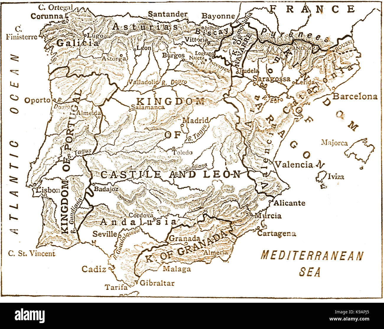 a 1910 map showing the the Spanish kingdoms during the period 1263-1492 - Spain 11th century to 13th century including Portugal Stock Photohttps://www.alamy.com/image-license-details/?v=1https://www.alamy.com/stock-image-a-1910-map-showing-the-the-spanish-kingdoms-during-the-period-1263-160662493.html
RMK9APJ5–a 1910 map showing the the Spanish kingdoms during the period 1263-1492 - Spain 11th century to 13th century including Portugal
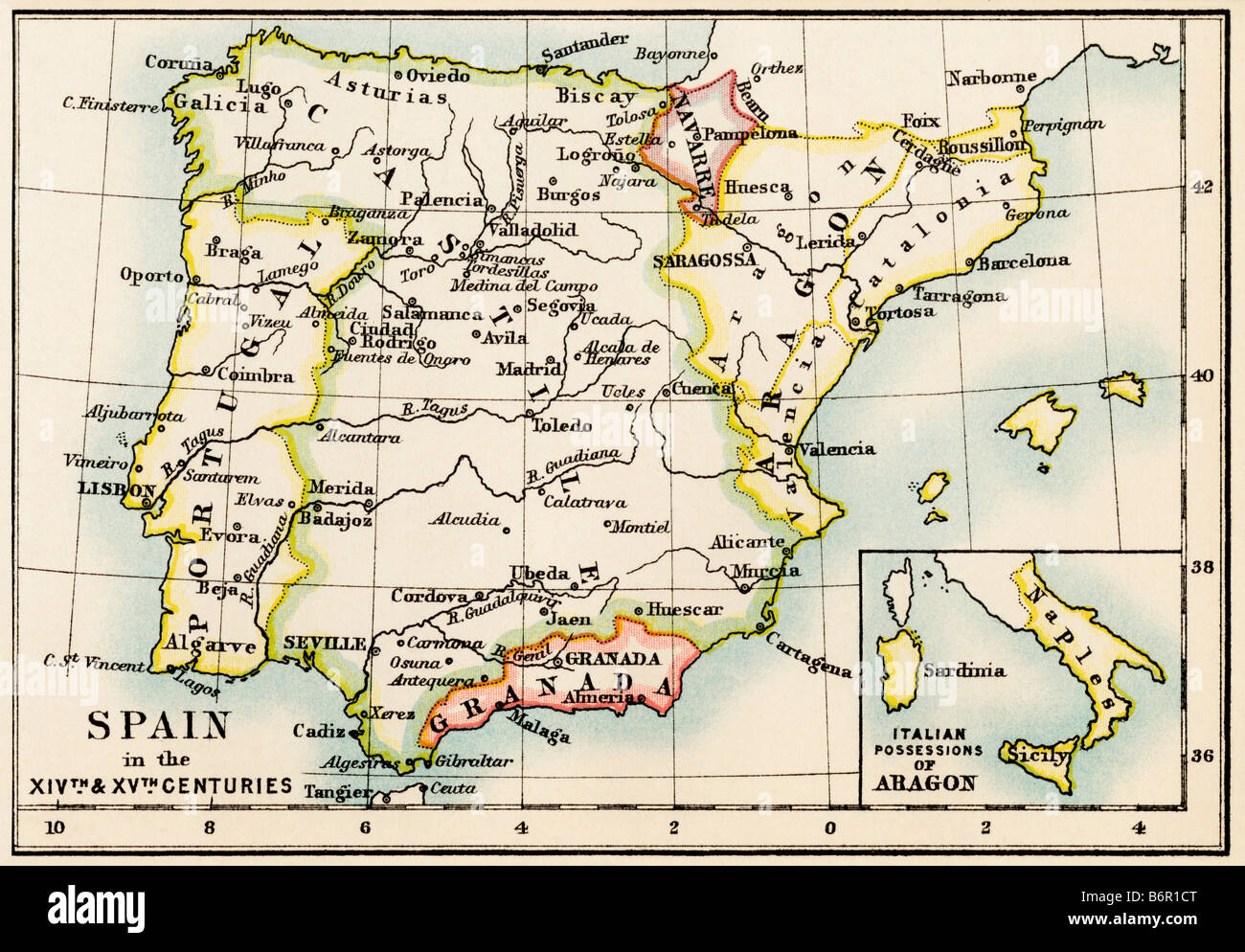 Map of the Iberian Peninsula in the 1300s and 1400s. Color lithograph Stock Photohttps://www.alamy.com/image-license-details/?v=1https://www.alamy.com/stock-photo-map-of-the-iberian-peninsula-in-the-1300s-and-1400s-color-lithograph-21404344.html
RMB6R1CT–Map of the Iberian Peninsula in the 1300s and 1400s. Color lithograph
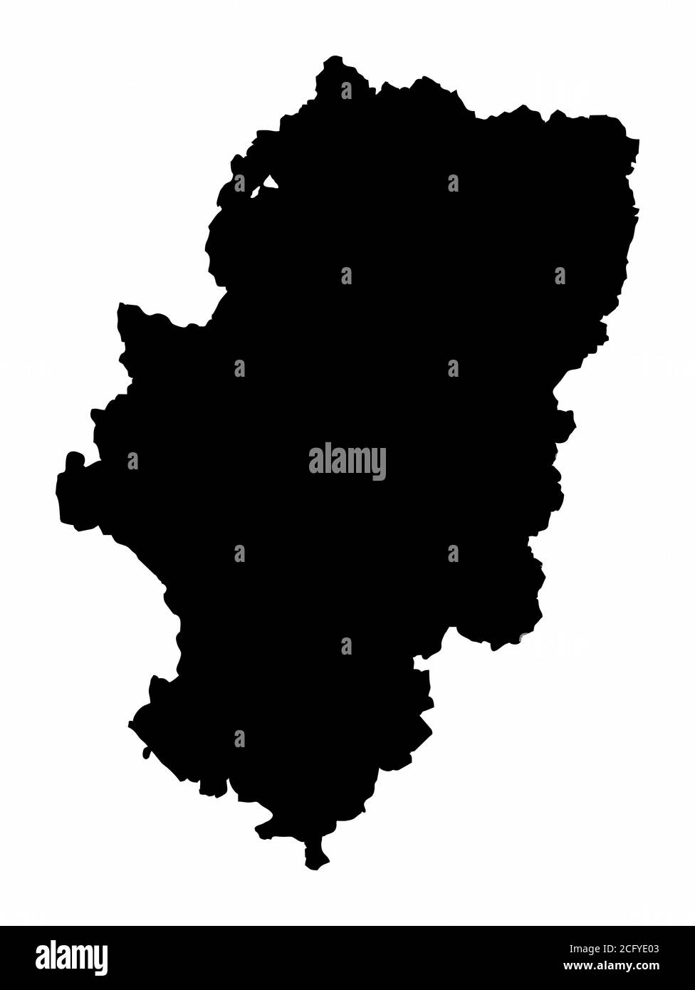 Aragon region map Stock Vectorhttps://www.alamy.com/image-license-details/?v=1https://www.alamy.com/aragon-region-map-image371241251.html
RF2CFYE03–Aragon region map
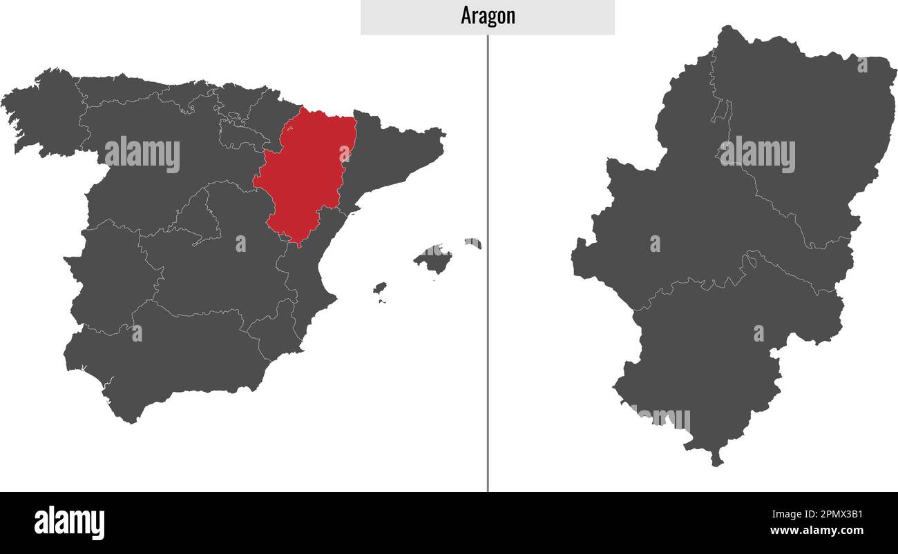 map of Aragon autonomous community of Spain and location on Spanish map Stock Vectorhttps://www.alamy.com/image-license-details/?v=1https://www.alamy.com/map-of-aragon-autonomous-community-of-spain-and-location-on-spanish-map-image546387941.html
RF2PMX3B1–map of Aragon autonomous community of Spain and location on Spanish map
 Aragon (Spain) on the map of Iberian Peninsula in soft grunge and vintage style on old paper. Stock Photohttps://www.alamy.com/image-license-details/?v=1https://www.alamy.com/aragon-spain-on-the-map-of-iberian-peninsula-in-soft-grunge-and-vintage-style-on-old-paper-image467334990.html
RF2J48XFA–Aragon (Spain) on the map of Iberian Peninsula in soft grunge and vintage style on old paper.
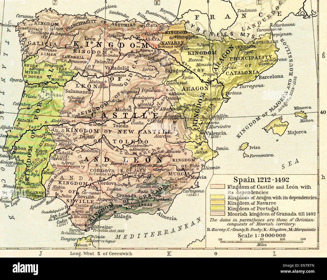 Map of Spain, 1212-1492. Showing the kingdom of Castile and León with its dependencies, kingdom of Aragon with its dependencies, kingdom of Navarre, kingdom of Portugal and Moorish kingdom of Granada till 1492. Stock Photohttps://www.alamy.com/image-license-details/?v=1https://www.alamy.com/stock-photo-map-of-spain-1212-1492-showing-the-kingdom-of-castile-and-len-with-82294821.html
RMENTRTN–Map of Spain, 1212-1492. Showing the kingdom of Castile and León with its dependencies, kingdom of Aragon with its dependencies, kingdom of Navarre, kingdom of Portugal and Moorish kingdom of Granada till 1492.
 Aragon, Spain, Relief Map Stock Photohttps://www.alamy.com/image-license-details/?v=1https://www.alamy.com/stock-photo-aragon-spain-relief-map-71603577.html
RME4DR2H–Aragon, Spain, Relief Map
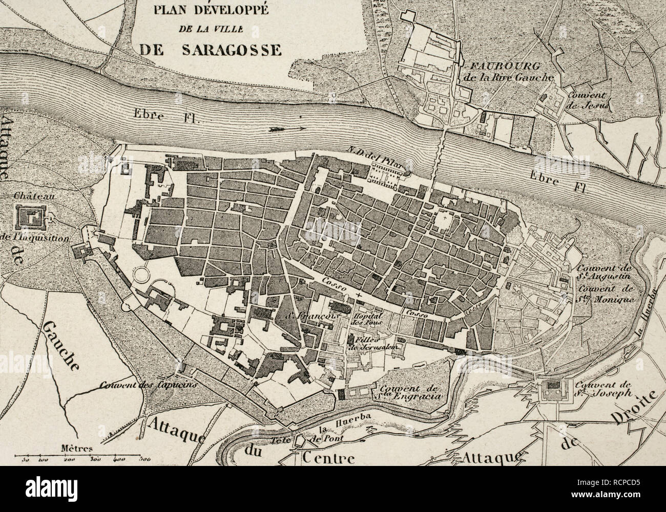 Napoleonic map.City of Saragossa, Aragon, Spain. Edited in 1864. During the War of Spanish Independence, the city suffered two sieges, 1808 and 1809. Atlas de l'Histoire du Consulat et de l'Empire. History of the Consulate and the Empire of France under Napoleon by Marie Joseph Louis Adolphe Thiers (1797-1877). Drawings by Dufour, engravings by Dyonnet. Edited in Paris, 1864. Stock Photohttps://www.alamy.com/image-license-details/?v=1https://www.alamy.com/napoleonic-mapcity-of-saragossa-aragon-spain-edited-in-1864-during-the-war-of-spanish-independence-the-city-suffered-two-sieges-1808-and-1809-atlas-de-lhistoire-du-consulat-et-de-lempire-history-of-the-consulate-and-the-empire-of-france-under-napoleon-by-marie-joseph-louis-adolphe-thiers-1797-1877-drawings-by-dufour-engravings-by-dyonnet-edited-in-paris-1864-image231603377.html
RMRCPCD5–Napoleonic map.City of Saragossa, Aragon, Spain. Edited in 1864. During the War of Spanish Independence, the city suffered two sieges, 1808 and 1809. Atlas de l'Histoire du Consulat et de l'Empire. History of the Consulate and the Empire of France under Napoleon by Marie Joseph Louis Adolphe Thiers (1797-1877). Drawings by Dufour, engravings by Dyonnet. Edited in Paris, 1864.
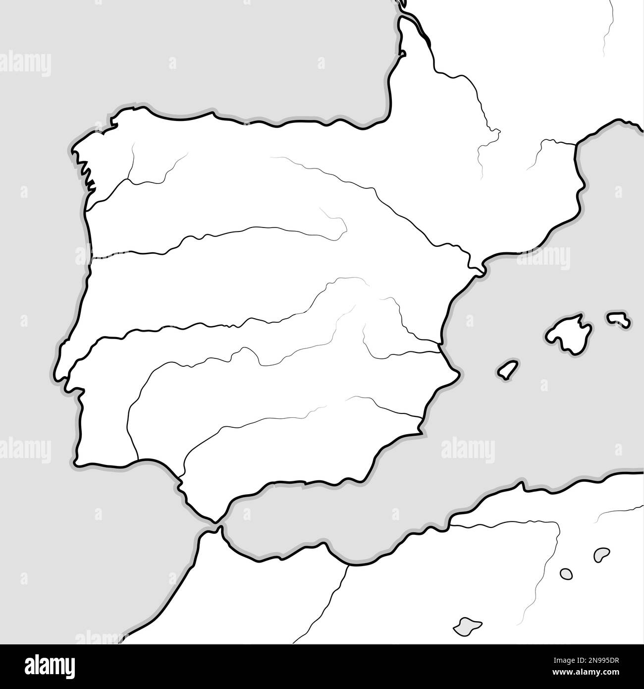 Map of The SPANISH Lands: Spain, Portugal, Iberia, Galicia, Catalonia, Valencia, Andalusia, Leon, Aragon & Castilla, Navarra, Asturias, Basque Stock Photohttps://www.alamy.com/image-license-details/?v=1https://www.alamy.com/map-of-the-spanish-lands-spain-portugal-iberia-galicia-catalonia-valencia-andalusia-leon-aragon-castilla-navarra-asturias-basque-image522044819.html
RF2N995DR–Map of The SPANISH Lands: Spain, Portugal, Iberia, Galicia, Catalonia, Valencia, Andalusia, Leon, Aragon & Castilla, Navarra, Asturias, Basque
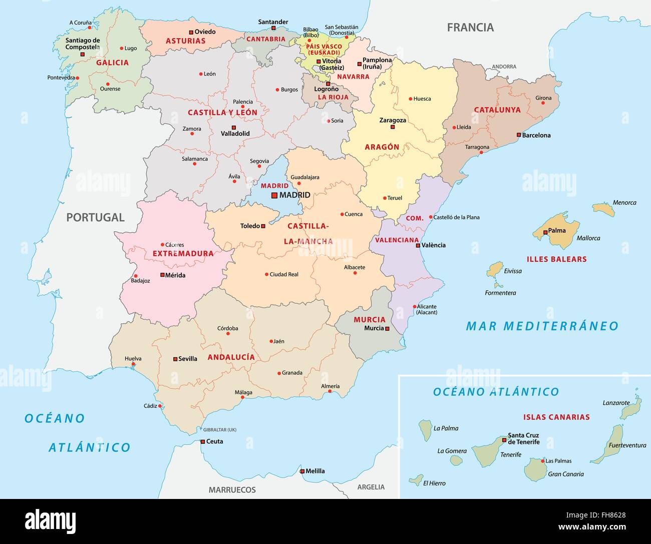 spain administrative map Stock Vectorhttps://www.alamy.com/image-license-details/?v=1https://www.alamy.com/stock-photo-spain-administrative-map-96681376.html
RFFH8628–spain administrative map
 Map of Aragon Stock Photohttps://www.alamy.com/image-license-details/?v=1https://www.alamy.com/map-of-aragon-image342133554.html
RF2ATHERE–Map of Aragon
 Demostratio Artis Geometricae Ex Multis Voluminibus Digestum. Schematic map of the Iberian Peninsula. 11th century. Depicts the Iberian Peninsula in a pentagon invested. Manuscript of the Monastery of Ripoll, 106, fol. 82r. Archive of the Crown of Aragon. Barcelona. Spain. Stock Photohttps://www.alamy.com/image-license-details/?v=1https://www.alamy.com/demostratio-artis-geometricae-ex-multis-voluminibus-digestum-schematic-map-of-the-iberian-peninsula-11th-century-depicts-the-iberian-peninsula-in-a-pentagon-invested-manuscript-of-the-monastery-of-ripoll-106-fol-82r-archive-of-the-crown-of-aragon-barcelona-spain-image209565875.html
RMP4XFBF–Demostratio Artis Geometricae Ex Multis Voluminibus Digestum. Schematic map of the Iberian Peninsula. 11th century. Depicts the Iberian Peninsula in a pentagon invested. Manuscript of the Monastery of Ripoll, 106, fol. 82r. Archive of the Crown of Aragon. Barcelona. Spain.
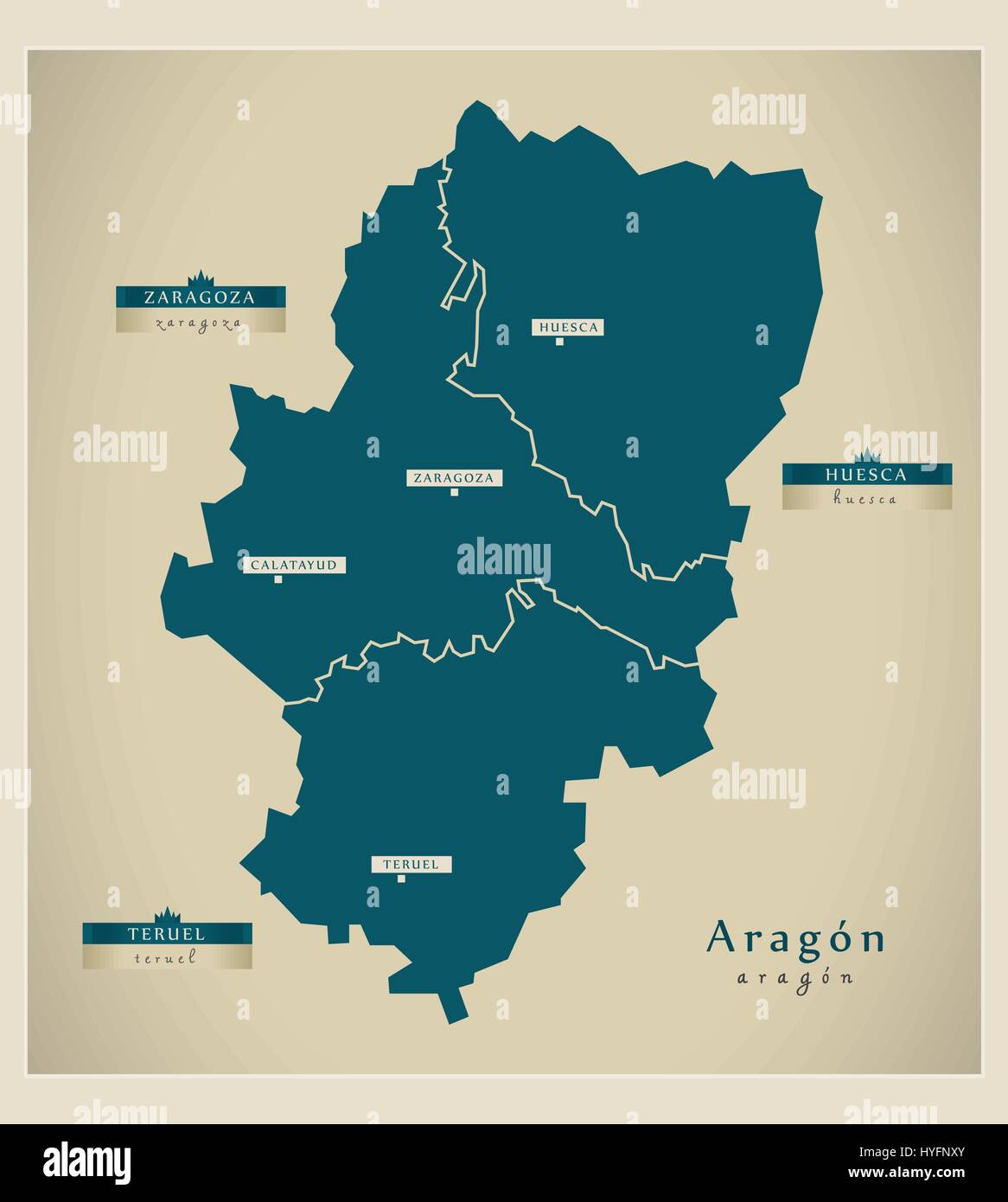 Modern Map - Aragón ES Stock Vectorhttps://www.alamy.com/image-license-details/?v=1https://www.alamy.com/stock-photo-modern-map-aragn-es-137414787.html
RFHYFNXY–Modern Map - Aragón ES
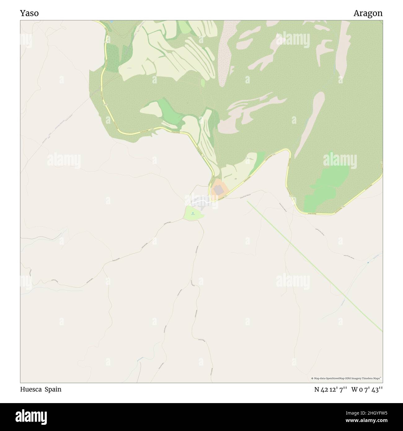 Yaso, Huesca, Spain, Aragon, N 42 12' 7'', W 0 7' 43'', map, Timeless Map published in 2021. Travelers, explorers and adventurers like Florence Nightingale, David Livingstone, Ernest Shackleton, Lewis and Clark and Sherlock Holmes relied on maps to plan travels to the world's most remote corners, Timeless Maps is mapping most locations on the globe, showing the achievement of great dreams Stock Photohttps://www.alamy.com/image-license-details/?v=1https://www.alamy.com/yaso-huesca-spain-aragon-n-42-12-7-w-0-7-43-map-timeless-map-published-in-2021-travelers-explorers-and-adventurers-like-florence-nightingale-david-livingstone-ernest-shackleton-lewis-and-clark-and-sherlock-holmes-relied-on-maps-to-plan-travels-to-the-worlds-most-remote-corners-timeless-maps-is-mapping-most-locations-on-the-globe-showing-the-achievement-of-great-dreams-image457909233.html
RM2HGYFW5–Yaso, Huesca, Spain, Aragon, N 42 12' 7'', W 0 7' 43'', map, Timeless Map published in 2021. Travelers, explorers and adventurers like Florence Nightingale, David Livingstone, Ernest Shackleton, Lewis and Clark and Sherlock Holmes relied on maps to plan travels to the world's most remote corners, Timeless Maps is mapping most locations on the globe, showing the achievement of great dreams
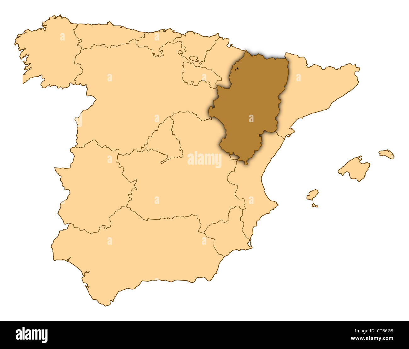 Map of Spain where Aragon is highlighted. Stock Photohttps://www.alamy.com/image-license-details/?v=1https://www.alamy.com/stock-photo-map-of-spain-where-aragon-is-highlighted-49419112.html
RFCTB6G8–Map of Spain where Aragon is highlighted.
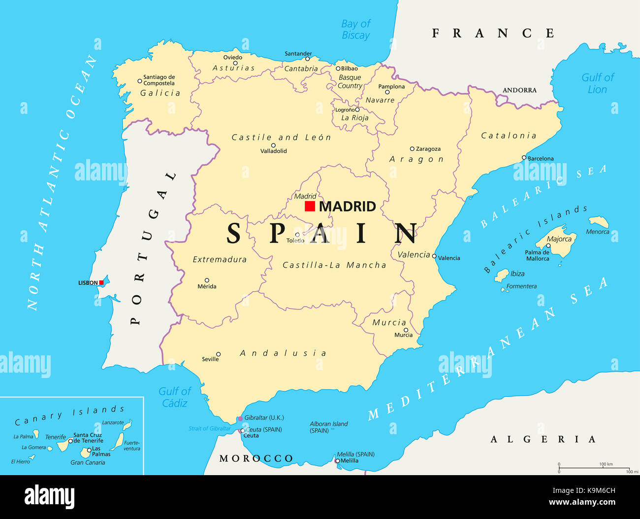 Spain administrative divisions political map. Autonomous communities and their capitals. Territorial organization, municipalities and provinces. Stock Photohttps://www.alamy.com/image-license-details/?v=1https://www.alamy.com/stock-image-spain-administrative-divisions-political-map-autonomous-communities-160869313.html
RFK9M6CH–Spain administrative divisions political map. Autonomous communities and their capitals. Territorial organization, municipalities and provinces.
 Map of Aragon Stock Photohttps://www.alamy.com/image-license-details/?v=1https://www.alamy.com/map-of-aragon-image363511748.html
RF2C3BAXC–Map of Aragon
![EL REYNO DE ESPANÃÉA Dividido en Dos grandes Estados DE ARAGON Y DE CASTILLA Subdividido en muchas Provincias donde se halla tambieÃÅn EL REYNO DE PORTUGAL Dedicado A SU MAGE STAD CATHOLICA PHELIPE QUINTO REY DE ESPA Author Nolin, Jean Baptiste 71.31. Place of publication: [Madrid] ;[Paris] Publisher: En Madrid en casa de Thomas Lopez pensionista de S.M.Ca. 1762 : A Paris chez le Sr. Julien a l'Hotel de Soubise. Avec privilege du Roy, du 25 Javier 1762., Date of publication: [1762.] Item type: 1 map Medium: hand coloured Dimensions: 47 x 61 cm Former owne Stock Photo EL REYNO DE ESPANÃÉA Dividido en Dos grandes Estados DE ARAGON Y DE CASTILLA Subdividido en muchas Provincias donde se halla tambieÃÅn EL REYNO DE PORTUGAL Dedicado A SU MAGE STAD CATHOLICA PHELIPE QUINTO REY DE ESPA Author Nolin, Jean Baptiste 71.31. Place of publication: [Madrid] ;[Paris] Publisher: En Madrid en casa de Thomas Lopez pensionista de S.M.Ca. 1762 : A Paris chez le Sr. Julien a l'Hotel de Soubise. Avec privilege du Roy, du 25 Javier 1762., Date of publication: [1762.] Item type: 1 map Medium: hand coloured Dimensions: 47 x 61 cm Former owne Stock Photo](https://c8.alamy.com/comp/2E9FF5N/el-reyno-de-espana-dividido-en-dos-grandes-estados-de-aragon-y-de-castilla-subdividido-en-muchas-provincias-donde-se-halla-tambien-el-reyno-de-portugal-dedicado-a-su-mage-stad-catholica-phelipe-quinto-rey-de-espa-author-nolin-jean-baptiste-7131-place-of-publication-madrid-paris-publisher-en-madrid-en-casa-de-thomas-lopez-pensionista-de-smca-1762-a-paris-chez-le-sr-julien-a-lhotel-de-soubise-avec-privilege-du-roy-du-25-javier-1762-date-of-publication-1762-item-type-1-map-medium-hand-coloured-dimensions-47-x-61-cm-former-owne-2E9FF5N.jpg) EL REYNO DE ESPANÃÉA Dividido en Dos grandes Estados DE ARAGON Y DE CASTILLA Subdividido en muchas Provincias donde se halla tambieÃÅn EL REYNO DE PORTUGAL Dedicado A SU MAGE STAD CATHOLICA PHELIPE QUINTO REY DE ESPA Author Nolin, Jean Baptiste 71.31. Place of publication: [Madrid] ;[Paris] Publisher: En Madrid en casa de Thomas Lopez pensionista de S.M.Ca. 1762 : A Paris chez le Sr. Julien a l'Hotel de Soubise. Avec privilege du Roy, du 25 Javier 1762., Date of publication: [1762.] Item type: 1 map Medium: hand coloured Dimensions: 47 x 61 cm Former owne Stock Photohttps://www.alamy.com/image-license-details/?v=1https://www.alamy.com/el-reyno-de-espana-dividido-en-dos-grandes-estados-de-aragon-y-de-castilla-subdividido-en-muchas-provincias-donde-se-halla-tambien-el-reyno-de-portugal-dedicado-a-su-mage-stad-catholica-phelipe-quinto-rey-de-espa-author-nolin-jean-baptiste-7131-place-of-publication-madrid-paris-publisher-en-madrid-en-casa-de-thomas-lopez-pensionista-de-smca-1762-a-paris-chez-le-sr-julien-a-lhotel-de-soubise-avec-privilege-du-roy-du-25-javier-1762-date-of-publication-1762-item-type-1-map-medium-hand-coloured-dimensions-47-x-61-cm-former-owne-image401711569.html
EL REYNO DE ESPANÃÉA Dividido en Dos grandes Estados DE ARAGON Y DE CASTILLA Subdividido en muchas Provincias donde se halla tambieÃÅn EL REYNO DE PORTUGAL Dedicado A SU MAGE STAD CATHOLICA PHELIPE QUINTO REY DE ESPA Author Nolin, Jean Baptiste 71.31. Place of publication: [Madrid] ;[Paris] Publisher: En Madrid en casa de Thomas Lopez pensionista de S.M.Ca. 1762 : A Paris chez le Sr. Julien a l'Hotel de Soubise. Avec privilege du Roy, du 25 Javier 1762., Date of publication: [1762.] Item type: 1 map Medium: hand coloured Dimensions: 47 x 61 cm Former owne Stock Photohttps://www.alamy.com/image-license-details/?v=1https://www.alamy.com/el-reyno-de-espana-dividido-en-dos-grandes-estados-de-aragon-y-de-castilla-subdividido-en-muchas-provincias-donde-se-halla-tambien-el-reyno-de-portugal-dedicado-a-su-mage-stad-catholica-phelipe-quinto-rey-de-espa-author-nolin-jean-baptiste-7131-place-of-publication-madrid-paris-publisher-en-madrid-en-casa-de-thomas-lopez-pensionista-de-smca-1762-a-paris-chez-le-sr-julien-a-lhotel-de-soubise-avec-privilege-du-roy-du-25-javier-1762-date-of-publication-1762-item-type-1-map-medium-hand-coloured-dimensions-47-x-61-cm-former-owne-image401711569.htmlRM2E9FF5N–EL REYNO DE ESPANÃÉA Dividido en Dos grandes Estados DE ARAGON Y DE CASTILLA Subdividido en muchas Provincias donde se halla tambieÃÅn EL REYNO DE PORTUGAL Dedicado A SU MAGE STAD CATHOLICA PHELIPE QUINTO REY DE ESPA Author Nolin, Jean Baptiste 71.31. Place of publication: [Madrid] ;[Paris] Publisher: En Madrid en casa de Thomas Lopez pensionista de S.M.Ca. 1762 : A Paris chez le Sr. Julien a l'Hotel de Soubise. Avec privilege du Roy, du 25 Javier 1762., Date of publication: [1762.] Item type: 1 map Medium: hand coloured Dimensions: 47 x 61 cm Former owne
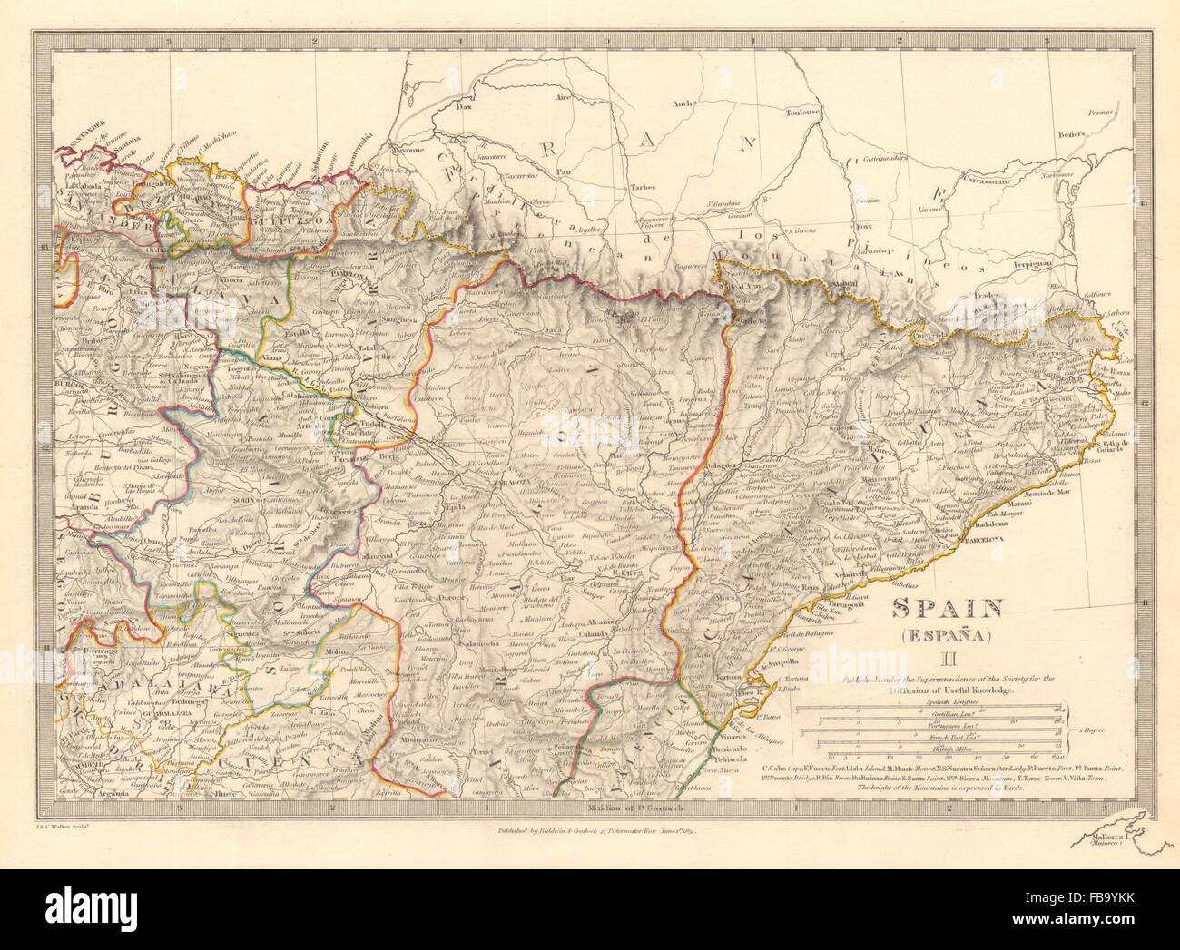 SPAIN NORTH EAST.Cataluna Aragon Soria Navarra Bizcaya Guipozcoa.SDUK, 1844 map Stock Photohttps://www.alamy.com/image-license-details/?v=1https://www.alamy.com/stock-photo-spain-north-eastcataluna-aragon-soria-navarra-bizcaya-guipozcoasduk-93032343.html
RFFB9YKK–SPAIN NORTH EAST.Cataluna Aragon Soria Navarra Bizcaya Guipozcoa.SDUK, 1844 map
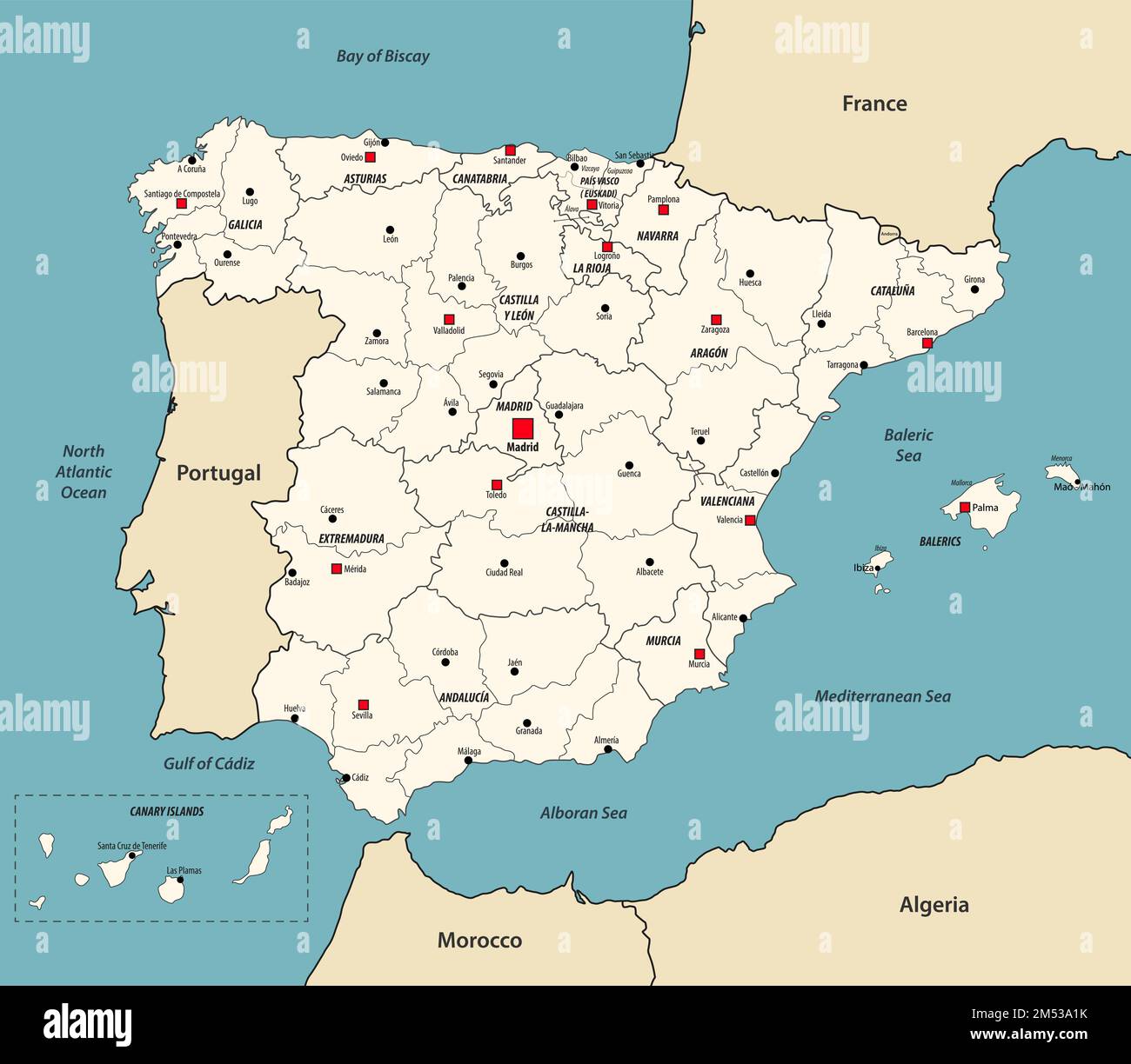 Spain map with neighbouring countries. Vector illustration Stock Vectorhttps://www.alamy.com/image-license-details/?v=1https://www.alamy.com/spain-map-with-neighbouring-countries-vector-illustration-image502247695.html
RF2M53A1K–Spain map with neighbouring countries. Vector illustration
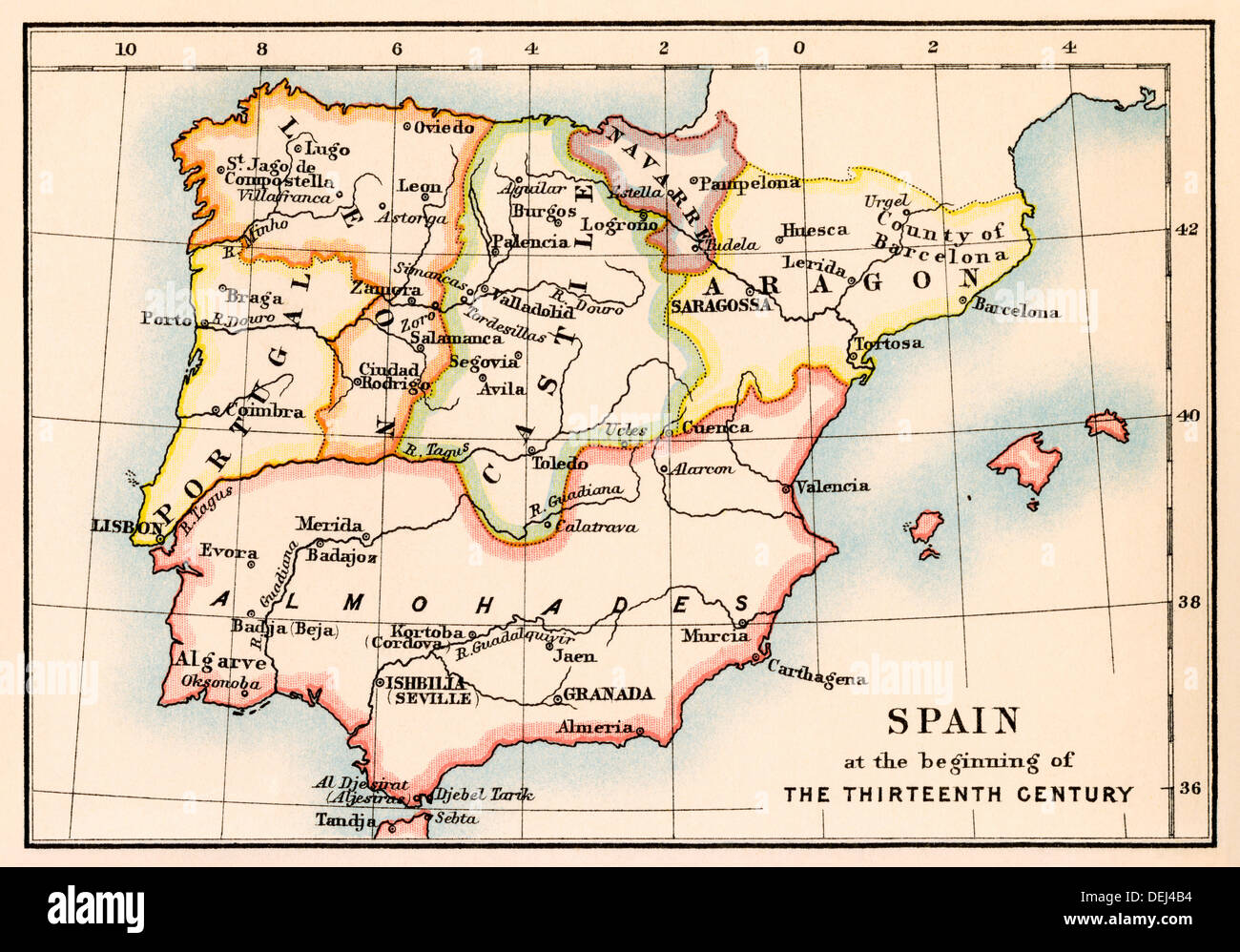 Map of the Iberian Peninsula under the Moors, 13th century. Color lithograph Stock Photohttps://www.alamy.com/image-license-details/?v=1https://www.alamy.com/map-of-the-iberian-peninsula-under-the-moors-13th-century-color-lithograph-image60634872.html
RMDEJ4B4–Map of the Iberian Peninsula under the Moors, 13th century. Color lithograph
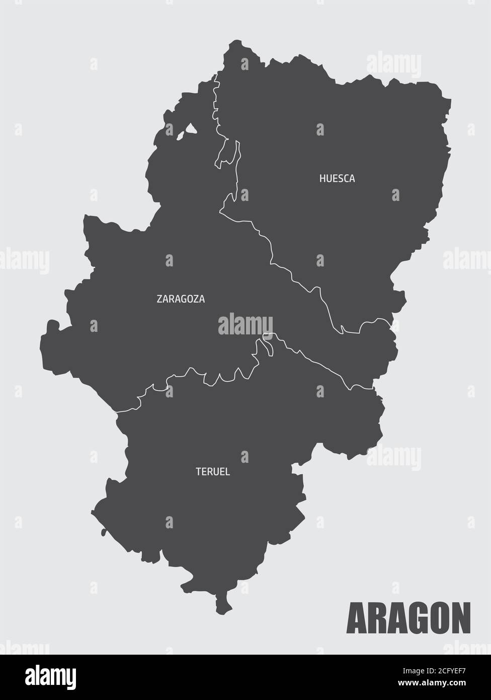 Aragon region map Stock Vectorhttps://www.alamy.com/image-license-details/?v=1https://www.alamy.com/aragon-region-map-image371241675.html
RF2CFYEF7–Aragon region map
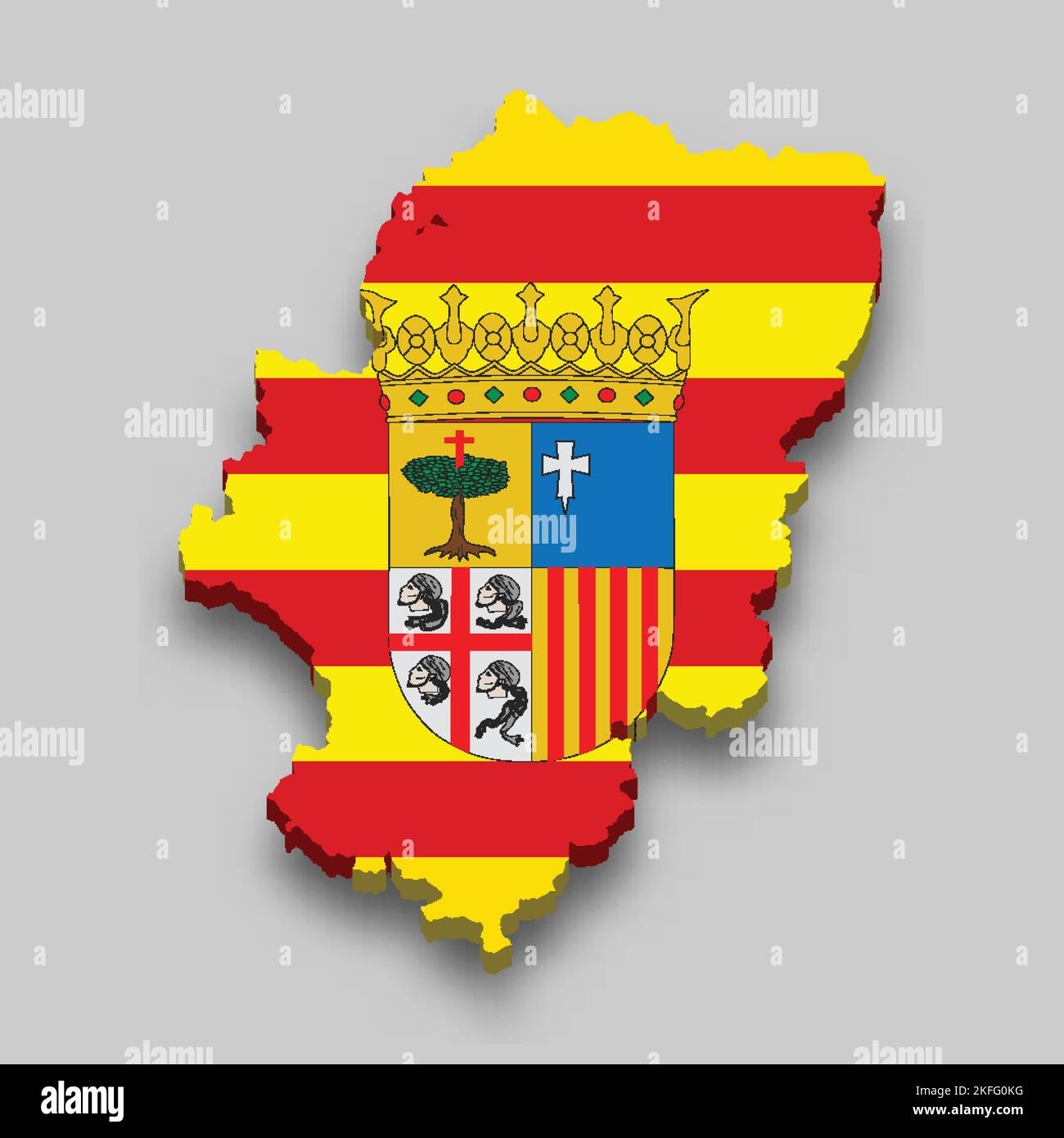 3d isometric Map of Aragon is a region of Spain with national flag Stock Vectorhttps://www.alamy.com/image-license-details/?v=1https://www.alamy.com/3d-isometric-map-of-aragon-is-a-region-of-spain-with-national-flag-image491461924.html
RF2KFG0KG–3d isometric Map of Aragon is a region of Spain with national flag
 Aragon on the map of Iberian Peninsula with softly striped vintage background. Stock Photohttps://www.alamy.com/image-license-details/?v=1https://www.alamy.com/aragon-on-the-map-of-iberian-peninsula-with-softly-striped-vintage-background-image497001941.html
RF2KTGB19–Aragon on the map of Iberian Peninsula with softly striped vintage background.
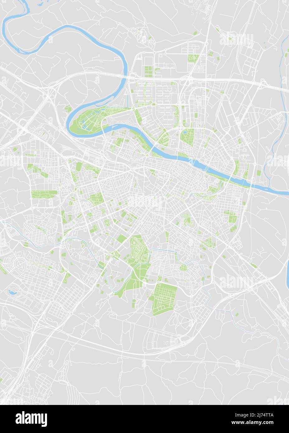 City map Zaragoza, color detailed plan, vector illustration Stock Vectorhttps://www.alamy.com/image-license-details/?v=1https://www.alamy.com/city-map-zaragoza-color-detailed-plan-vector-illustration-image469089834.html
RF2J74TTA–City map Zaragoza, color detailed plan, vector illustration
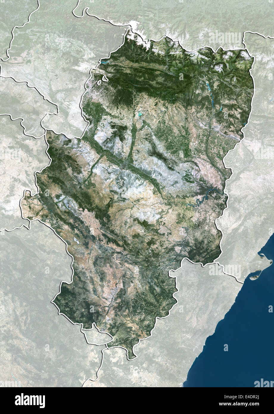 Aragon, Spain, True Colour Satellite Image Stock Photohttps://www.alamy.com/image-license-details/?v=1https://www.alamy.com/stock-photo-aragon-spain-true-colour-satellite-image-71603578.html
RME4DR2J–Aragon, Spain, True Colour Satellite Image
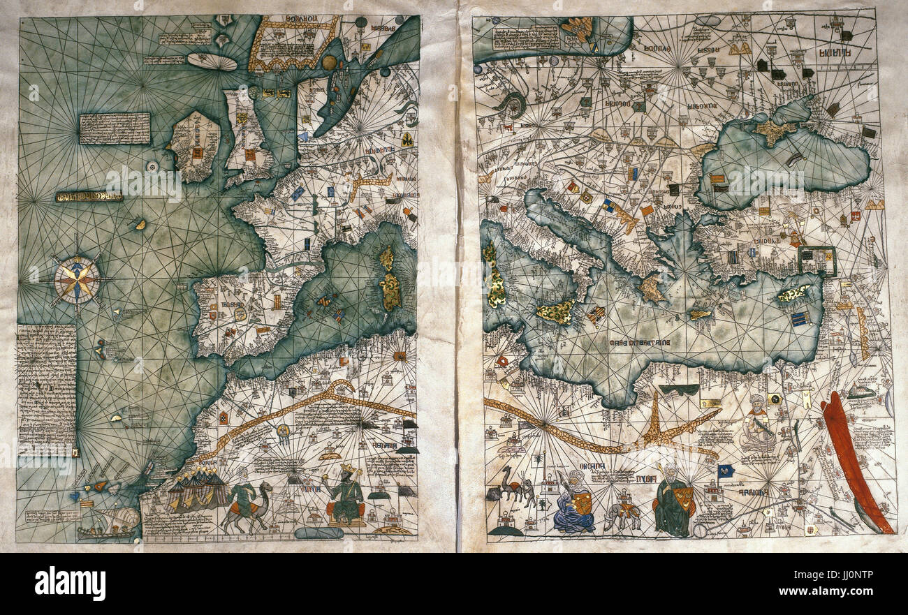 The Catalan Atlas, 1375. Attributed to the Majorcan Jewish cartographers Abraham and Jehuda Cresques, was service of King of Aragon. National Library of France, Paris. Stock Photohttps://www.alamy.com/image-license-details/?v=1https://www.alamy.com/stock-photo-the-catalan-atlas-1375-attributed-to-the-majorcan-jewish-cartographers-148763910.html
RMJJ0NTP–The Catalan Atlas, 1375. Attributed to the Majorcan Jewish cartographers Abraham and Jehuda Cresques, was service of King of Aragon. National Library of France, Paris.
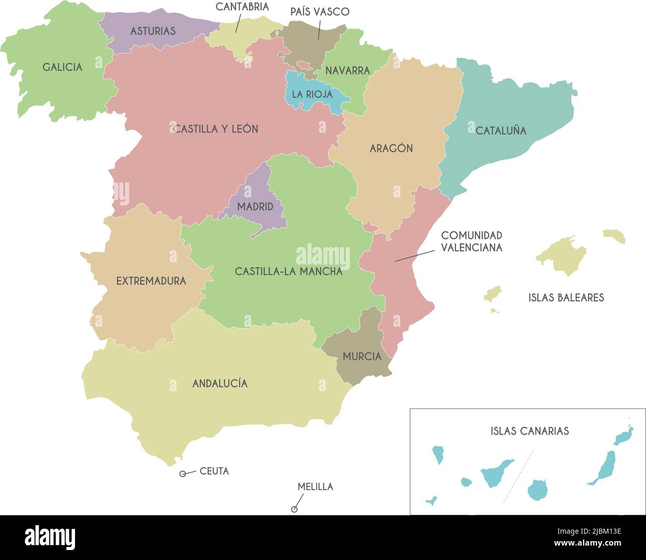 Vector map of Spain with regions and territories and administrative divisions. Editable and clearly labeled layers. Stock Vectorhttps://www.alamy.com/image-license-details/?v=1https://www.alamy.com/vector-map-of-spain-with-regions-and-territories-and-administrative-divisions-editable-and-clearly-labeled-layers-image471881074.html
RF2JBM13E–Vector map of Spain with regions and territories and administrative divisions. Editable and clearly labeled layers.
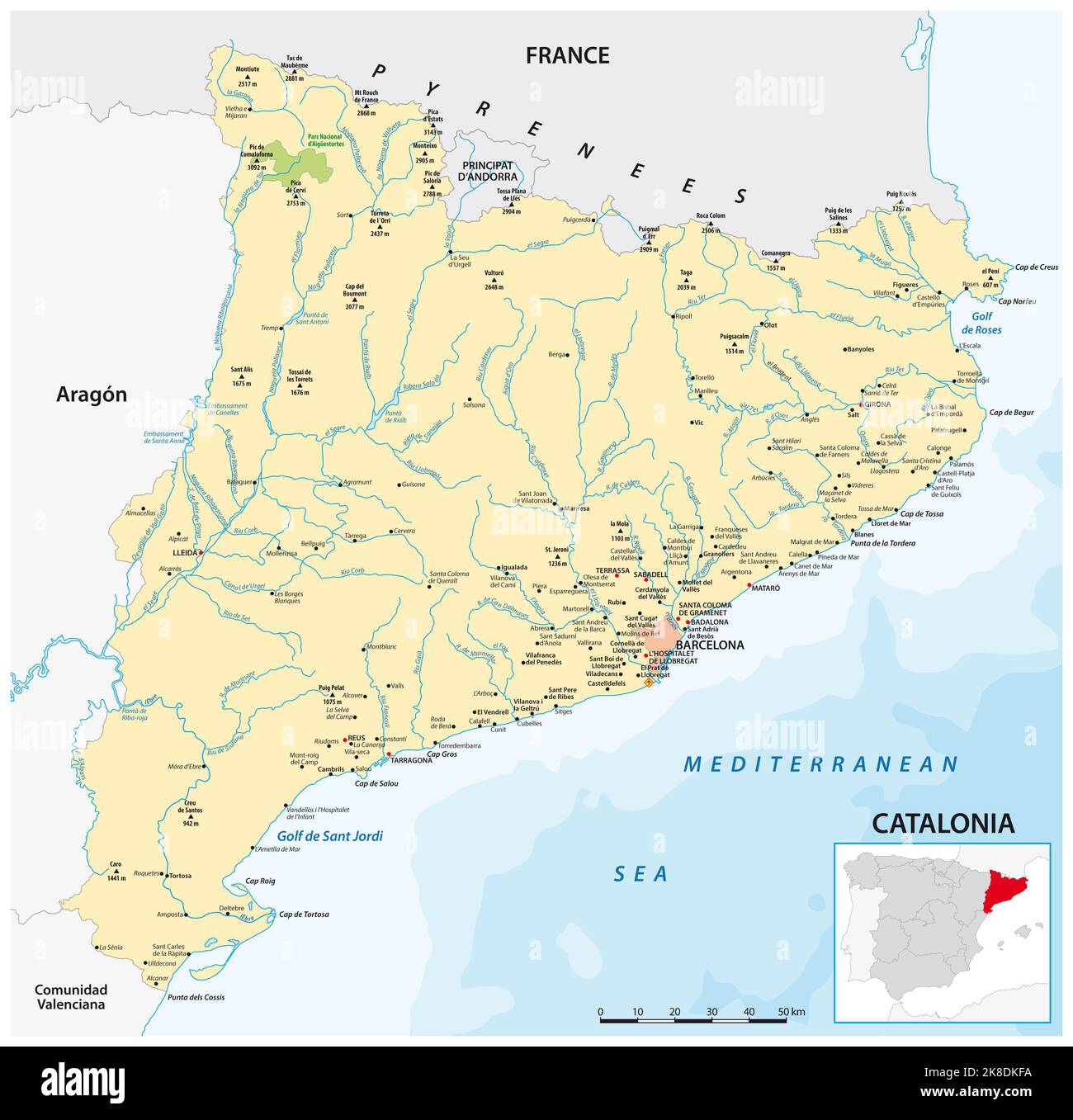 Vector map of the northeastern Spanish region of Catalonia Stock Photohttps://www.alamy.com/image-license-details/?v=1https://www.alamy.com/vector-map-of-the-northeastern-spanish-region-of-catalonia-image487108254.html
RF2K8DKFA–Vector map of the northeastern Spanish region of Catalonia
 Map of Aragon Stock Photohttps://www.alamy.com/image-license-details/?v=1https://www.alamy.com/map-of-aragon-image346823081.html
RF2B474AH–Map of Aragon
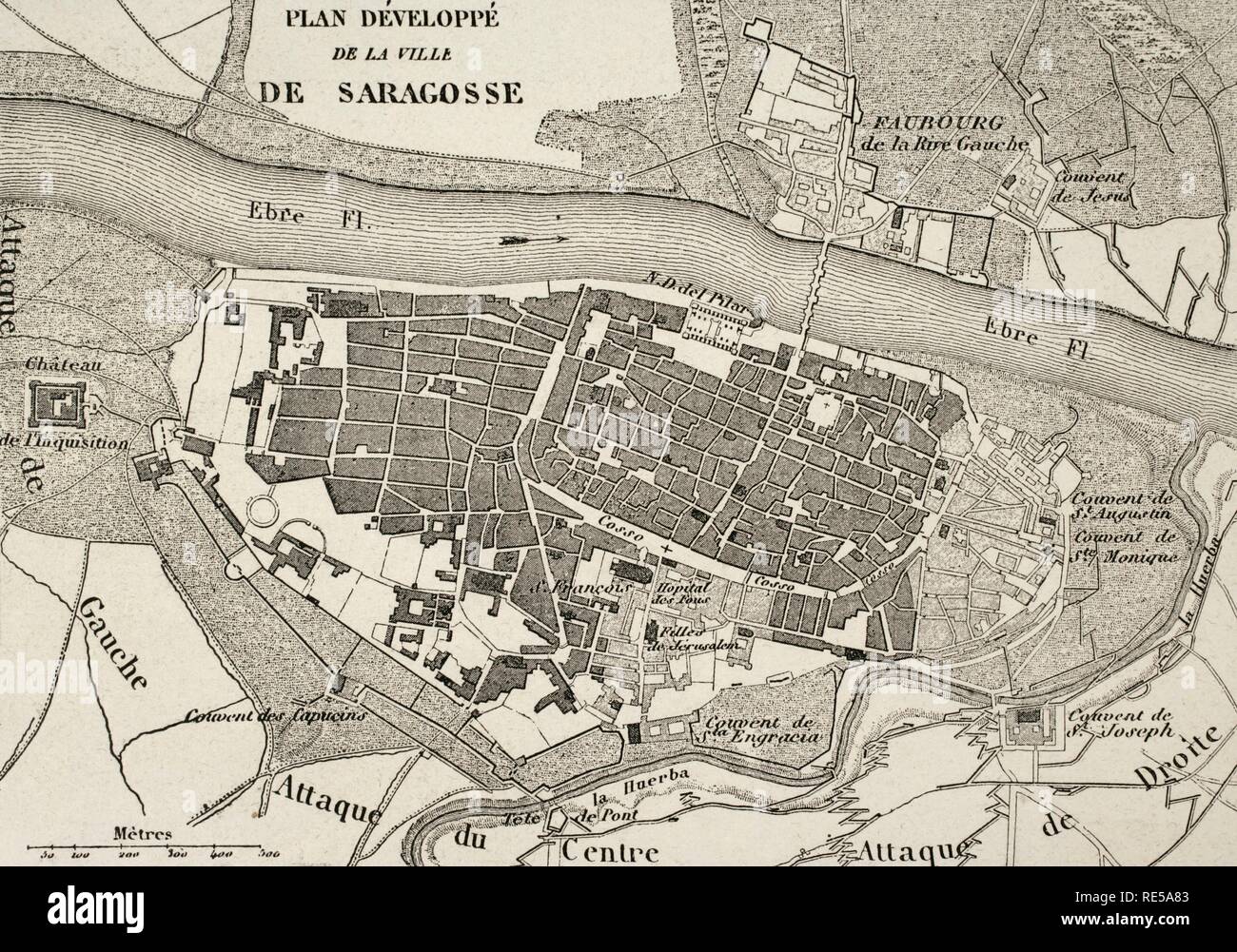 Napoleonic map.City of Saragossa, Aragon, Spain. Edited in 1864. During the War of Spanish Independence, the city suffered two sieges, 1808 and 1809. Atlas de l'Histoire du Consulat et de l'Empire. History of the Consulate and the Empire of France under Napoleon by Marie Joseph Louis Adolphe Thiers (1797-1877). Drawings by Dufour, engravings by Dyonnet. Edited in Paris, 1864. Stock Photohttps://www.alamy.com/image-license-details/?v=1https://www.alamy.com/napoleonic-mapcity-of-saragossa-aragon-spain-edited-in-1864-during-the-war-of-spanish-independence-the-city-suffered-two-sieges-1808-and-1809-atlas-de-lhistoire-du-consulat-et-de-lempire-history-of-the-consulate-and-the-empire-of-france-under-napoleon-by-marie-joseph-louis-adolphe-thiers-1797-1877-drawings-by-dufour-engravings-by-dyonnet-edited-in-paris-1864-image232457795.html
RMRE5A83–Napoleonic map.City of Saragossa, Aragon, Spain. Edited in 1864. During the War of Spanish Independence, the city suffered two sieges, 1808 and 1809. Atlas de l'Histoire du Consulat et de l'Empire. History of the Consulate and the Empire of France under Napoleon by Marie Joseph Louis Adolphe Thiers (1797-1877). Drawings by Dufour, engravings by Dyonnet. Edited in Paris, 1864.
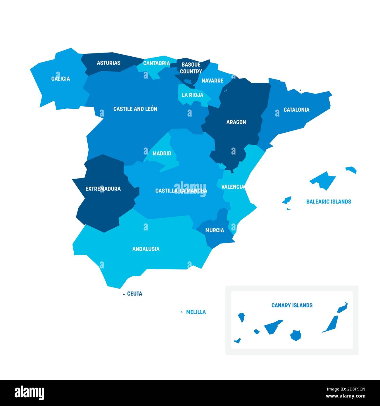 Blue political map of Spain. Administrative divisions - autonomous communities. Simple flat vector map with labels. Stock Vectorhttps://www.alamy.com/image-license-details/?v=1https://www.alamy.com/blue-political-map-of-spain-administrative-divisions-autonomous-communities-simple-flat-vector-map-with-labels-image384035701.html
RF2D8P9CN–Blue political map of Spain. Administrative divisions - autonomous communities. Simple flat vector map with labels.
 Estanya, Huesca, Spain, Aragon, N 42 1' 55'', E 0 31' 4'', map, Timeless Map published in 2021. Travelers, explorers and adventurers like Florence Nightingale, David Livingstone, Ernest Shackleton, Lewis and Clark and Sherlock Holmes relied on maps to plan travels to the world's most remote corners, Timeless Maps is mapping most locations on the globe, showing the achievement of great dreams Stock Photohttps://www.alamy.com/image-license-details/?v=1https://www.alamy.com/estanya-huesca-spain-aragon-n-42-1-55-e-0-31-4-map-timeless-map-published-in-2021-travelers-explorers-and-adventurers-like-florence-nightingale-david-livingstone-ernest-shackleton-lewis-and-clark-and-sherlock-holmes-relied-on-maps-to-plan-travels-to-the-worlds-most-remote-corners-timeless-maps-is-mapping-most-locations-on-the-globe-showing-the-achievement-of-great-dreams-image457942409.html
RM2HH1261–Estanya, Huesca, Spain, Aragon, N 42 1' 55'', E 0 31' 4'', map, Timeless Map published in 2021. Travelers, explorers and adventurers like Florence Nightingale, David Livingstone, Ernest Shackleton, Lewis and Clark and Sherlock Holmes relied on maps to plan travels to the world's most remote corners, Timeless Maps is mapping most locations on the globe, showing the achievement of great dreams
 Political map of Spain with the several regions where Aragon is highlighted. Stock Photohttps://www.alamy.com/image-license-details/?v=1https://www.alamy.com/stock-photo-political-map-of-spain-with-the-several-regions-where-aragon-is-highlighted-48837259.html
RFCRCMBR–Political map of Spain with the several regions where Aragon is highlighted.
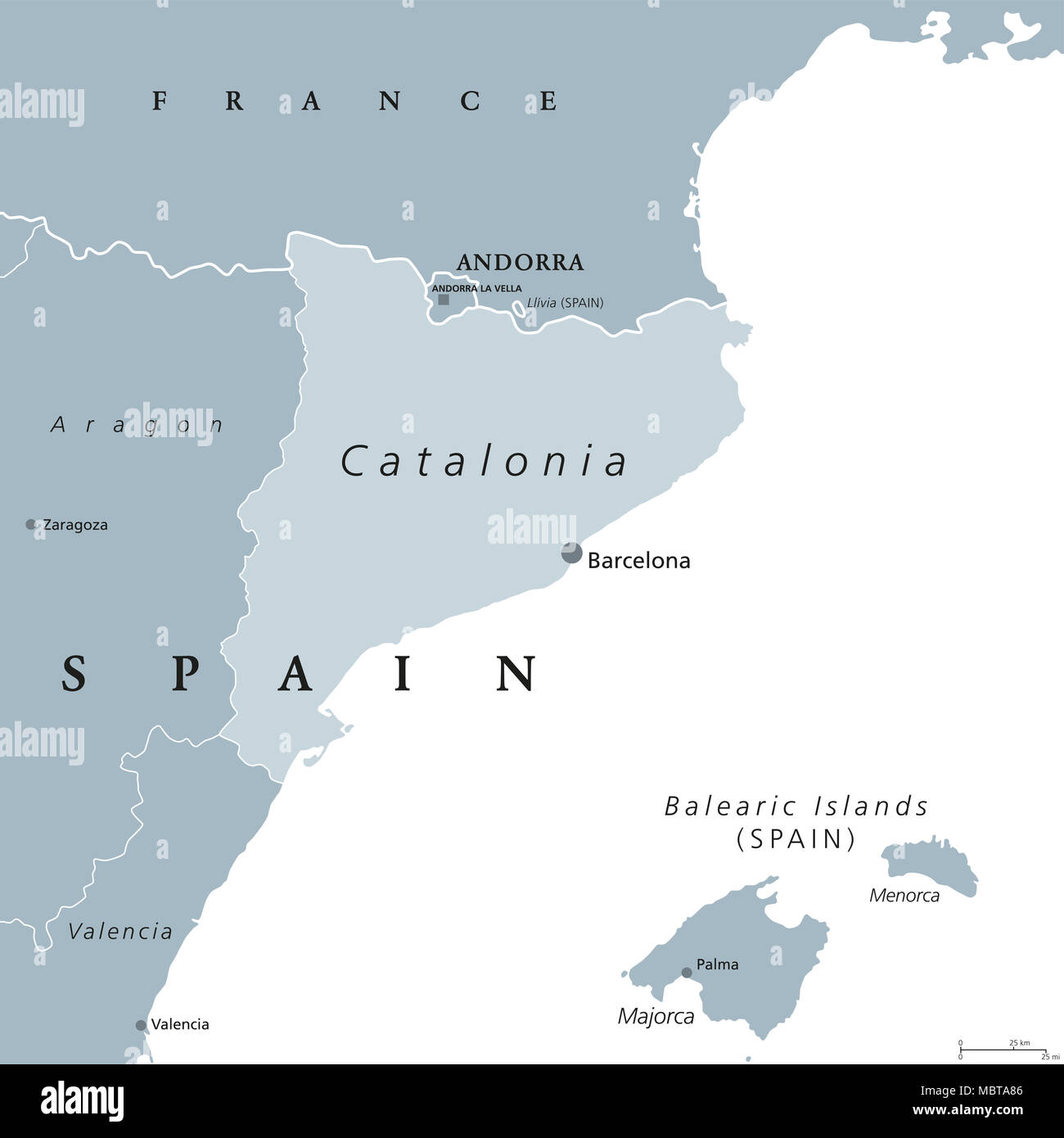 Catalonia political map with capital Barcelona and borders. Autonomous community of Spain on the northeastern extremity of Iberian Peninsula. Stock Photohttps://www.alamy.com/image-license-details/?v=1https://www.alamy.com/catalonia-political-map-with-capital-barcelona-and-borders-autonomous-community-of-spain-on-the-northeastern-extremity-of-iberian-peninsula-image179399814.html
RFMBTA86–Catalonia political map with capital Barcelona and borders. Autonomous community of Spain on the northeastern extremity of Iberian Peninsula.
 Map of Aragon Stock Photohttps://www.alamy.com/image-license-details/?v=1https://www.alamy.com/map-of-aragon-image363507809.html
RF2C3B5WN–Map of Aragon
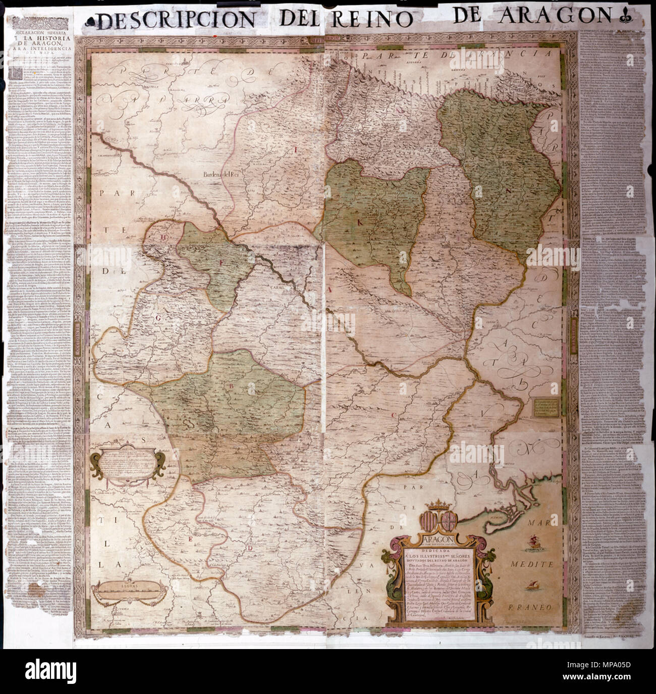 852 Map of the Kingdom of Aragon by Juan Bautista Labaña WDL7325 Stock Photohttps://www.alamy.com/image-license-details/?v=1https://www.alamy.com/852-map-of-the-kingdom-of-aragon-by-juan-bautista-labaa-wdl7325-image185845785.html
RMMPA05D–852 Map of the Kingdom of Aragon by Juan Bautista Labaña WDL7325
 ZARAGOZA. Saragossa. Aragon. Mapa antiguo de la provincia 1914 old antique Stock Photohttps://www.alamy.com/image-license-details/?v=1https://www.alamy.com/zaragoza-saragossa-aragon-mapa-antiguo-de-la-provincia-1914-old-antique-image435460280.html
RF2G8CX0T–ZARAGOZA. Saragossa. Aragon. Mapa antiguo de la provincia 1914 old antique
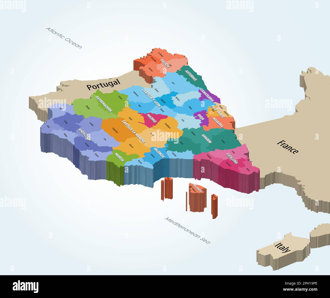 Spain autonomous communities and provinces isometric map Stock Vectorhttps://www.alamy.com/image-license-details/?v=1https://www.alamy.com/spain-autonomous-communities-and-provinces-isometric-map-image544000198.html
RF2PH19PE–Spain autonomous communities and provinces isometric map
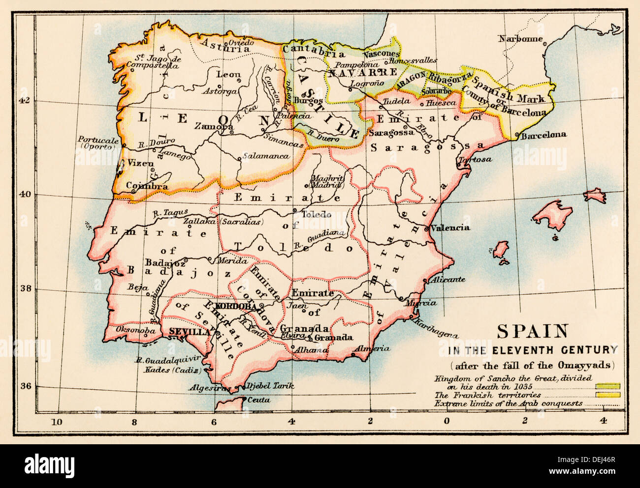 Map of the Iberian Peninsula under the Moors, 11th century. Color lithograph Stock Photohttps://www.alamy.com/image-license-details/?v=1https://www.alamy.com/map-of-the-iberian-peninsula-under-the-moors-11th-century-color-lithograph-image60634751.html
RMDEJ46R–Map of the Iberian Peninsula under the Moors, 11th century. Color lithograph
 Aragon region map Stock Vectorhttps://www.alamy.com/image-license-details/?v=1https://www.alamy.com/aragon-region-map-image371242173.html
RF2CFYF51–Aragon region map
 Simple outline map of Aragon is a region of Spain. Stylized minimal line design Stock Vectorhttps://www.alamy.com/image-license-details/?v=1https://www.alamy.com/simple-outline-map-of-aragon-is-a-region-of-spain-stylized-minimal-line-design-image477008522.html
RF2JM1H6J–Simple outline map of Aragon is a region of Spain. Stylized minimal line design