Map of artesia Cut Out Stock Images
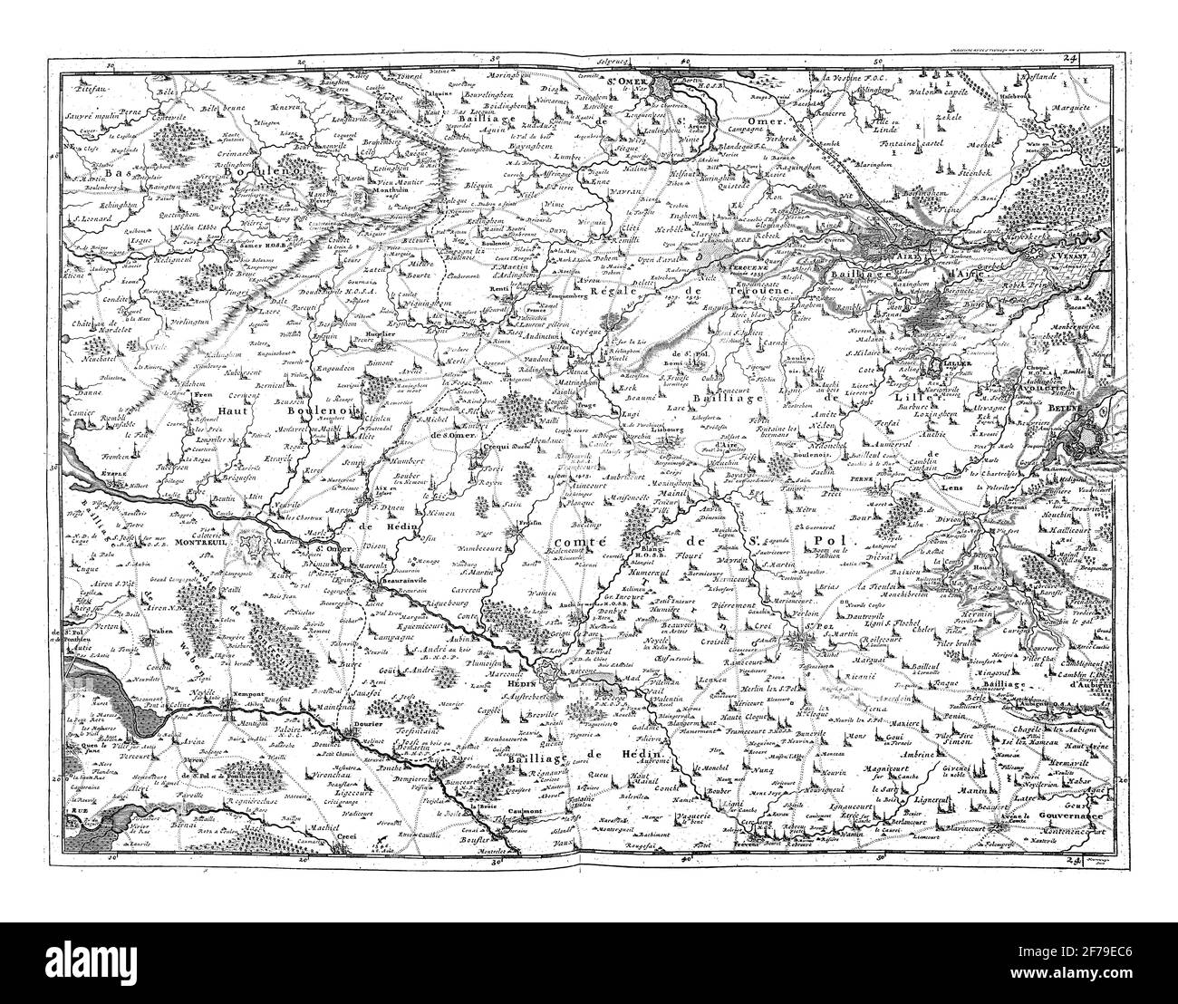 Map of Artesia and part of Picardy, vintage engraving. Stock Photohttps://www.alamy.com/image-license-details/?v=1https://www.alamy.com/map-of-artesia-and-part-of-picardy-vintage-engraving-image417560310.html
RF2F79EC6–Map of Artesia and part of Picardy, vintage engraving.
 Artesia, Lowndes County, US, United States, Mississippi, N 33 24' 55'', S 88 38' 38'', map, Cartascapes Map published in 2024. Explore Cartascapes, a map revealing Earth's diverse landscapes, cultures, and ecosystems. Journey through time and space, discovering the interconnectedness of our planet's past, present, and future. Stock Photohttps://www.alamy.com/image-license-details/?v=1https://www.alamy.com/artesia-lowndes-county-us-united-states-mississippi-n-33-24-55-s-88-38-38-map-cartascapes-map-published-in-2024-explore-cartascapes-a-map-revealing-earths-diverse-landscapes-cultures-and-ecosystems-journey-through-time-and-space-discovering-the-interconnectedness-of-our-planets-past-present-and-future-image621492171.html
RM2Y33BGY–Artesia, Lowndes County, US, United States, Mississippi, N 33 24' 55'', S 88 38' 38'', map, Cartascapes Map published in 2024. Explore Cartascapes, a map revealing Earth's diverse landscapes, cultures, and ecosystems. Journey through time and space, discovering the interconnectedness of our planet's past, present, and future.
 Map of the Artesia Pilar neighborhood of Santa Ana, California. ca. 14 January 2021 Stock Photohttps://www.alamy.com/image-license-details/?v=1https://www.alamy.com/map-of-the-artesia-pilar-neighborhood-of-santa-ana-california-ca-14-january-2021-image451149287.html
RM2H5YHEF–Map of the Artesia Pilar neighborhood of Santa Ana, California. ca. 14 January 2021
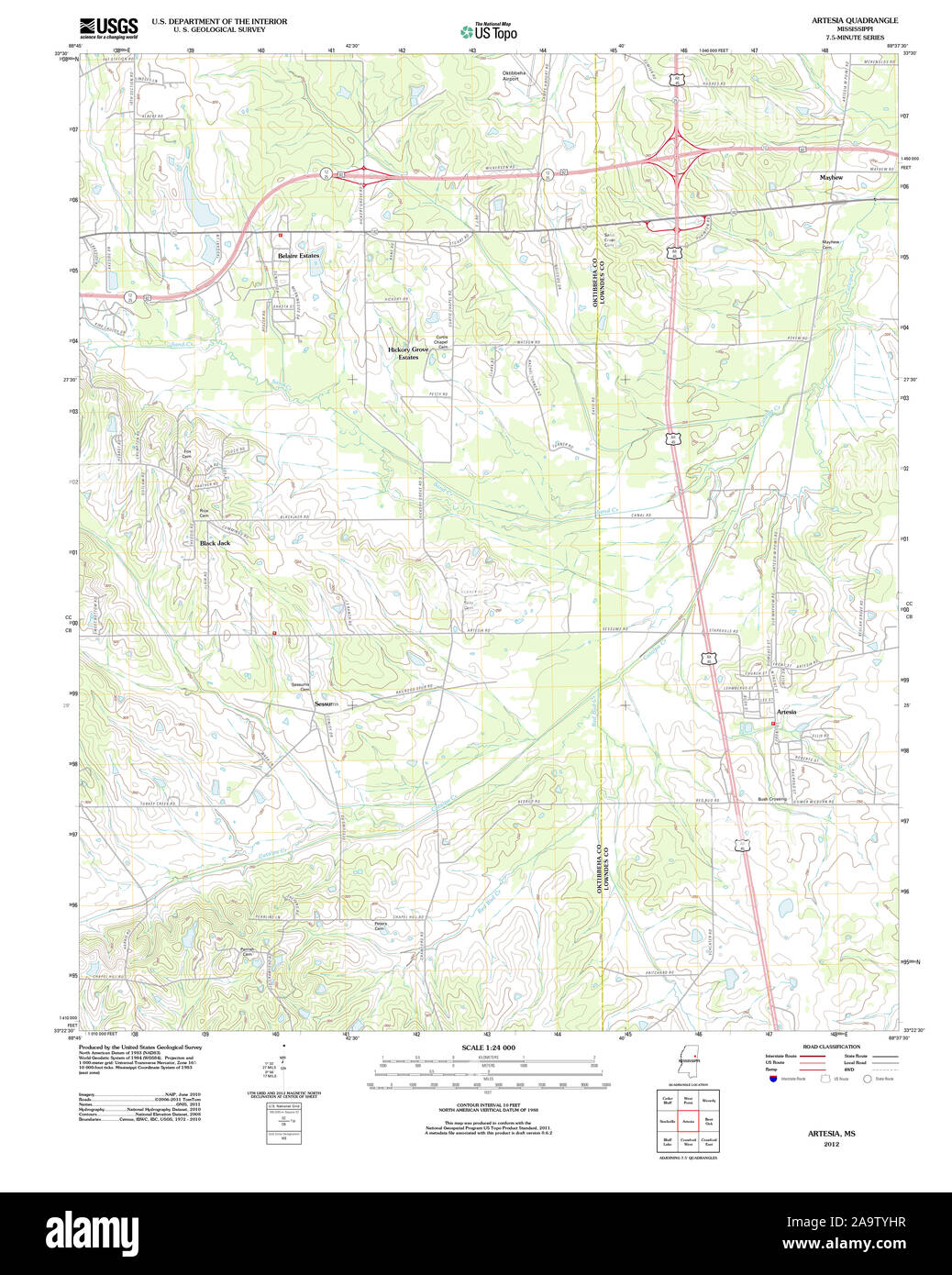 USGS TOPO Map Mississippi MS Artesia 20120326 TM Restoration Stock Photohttps://www.alamy.com/image-license-details/?v=1https://www.alamy.com/usgs-topo-map-mississippi-ms-artesia-20120326-tm-restoration-image333077411.html
RM2A9TYHR–USGS TOPO Map Mississippi MS Artesia 20120326 TM Restoration
 Map of Artesia and part of Picardy, vintage engraving. Stock Photohttps://www.alamy.com/image-license-details/?v=1https://www.alamy.com/map-of-artesia-and-part-of-picardy-vintage-engraving-image417559635.html
RF2F79DG3–Map of Artesia and part of Picardy, vintage engraving.
 Artesia, Bourke, AU, Australia, New South Wales, S 29 55' 0'', N 145 54' 23'', map, Cartascapes Map published in 2024. Explore Cartascapes, a map revealing Earth's diverse landscapes, cultures, and ecosystems. Journey through time and space, discovering the interconnectedness of our planet's past, present, and future. Stock Photohttps://www.alamy.com/image-license-details/?v=1https://www.alamy.com/artesia-bourke-au-australia-new-south-wales-s-29-55-0-n-145-54-23-map-cartascapes-map-published-in-2024-explore-cartascapes-a-map-revealing-earths-diverse-landscapes-cultures-and-ecosystems-journey-through-time-and-space-discovering-the-interconnectedness-of-our-planets-past-present-and-future-image625821844.html
RM2YA4J44–Artesia, Bourke, AU, Australia, New South Wales, S 29 55' 0'', N 145 54' 23'', map, Cartascapes Map published in 2024. Explore Cartascapes, a map revealing Earth's diverse landscapes, cultures, and ecosystems. Journey through time and space, discovering the interconnectedness of our planet's past, present, and future.
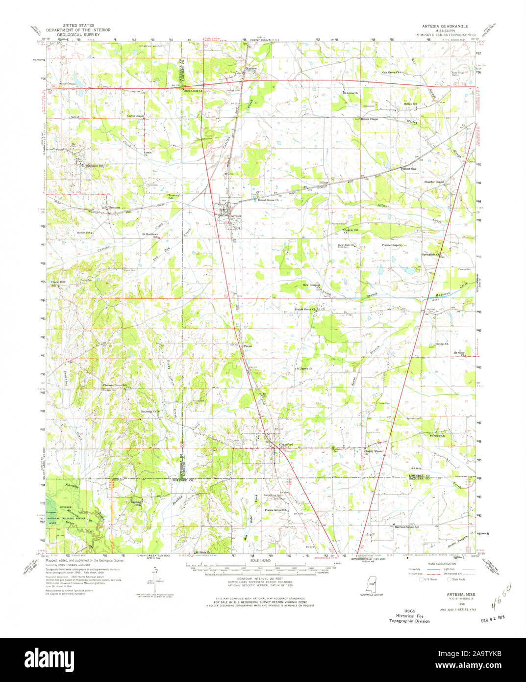 USGS TOPO Map Mississippi MS Artesia 336791 1959 62500 Restoration Stock Photohttps://www.alamy.com/image-license-details/?v=1https://www.alamy.com/usgs-topo-map-mississippi-ms-artesia-336791-1959-62500-restoration-image333077455.html
RM2A9TYKB–USGS TOPO Map Mississippi MS Artesia 336791 1959 62500 Restoration
 Artesia (historical), Lyon County, US, United States, Nevada, N 38 57' 13'', S 119 22' 31'', map, Cartascapes Map published in 2024. Explore Cartascapes, a map revealing Earth's diverse landscapes, cultures, and ecosystems. Journey through time and space, discovering the interconnectedness of our planet's past, present, and future. Stock Photohttps://www.alamy.com/image-license-details/?v=1https://www.alamy.com/artesia-historical-lyon-county-us-united-states-nevada-n-38-57-13-s-119-22-31-map-cartascapes-map-published-in-2024-explore-cartascapes-a-map-revealing-earths-diverse-landscapes-cultures-and-ecosystems-journey-through-time-and-space-discovering-the-interconnectedness-of-our-planets-past-present-and-future-image621198355.html
RM2Y2J0RF–Artesia (historical), Lyon County, US, United States, Nevada, N 38 57' 13'', S 119 22' 31'', map, Cartascapes Map published in 2024. Explore Cartascapes, a map revealing Earth's diverse landscapes, cultures, and ecosystems. Journey through time and space, discovering the interconnectedness of our planet's past, present, and future.
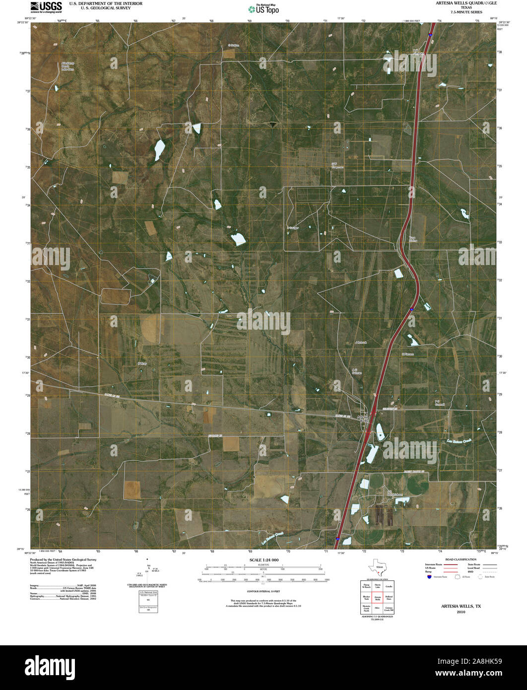 USGS TOPO Map Texas TX Artesia Wells 20100514 TM Restoration Stock Photohttps://www.alamy.com/image-license-details/?v=1https://www.alamy.com/usgs-topo-map-texas-tx-artesia-wells-20100514-tm-restoration-image332302469.html
RM2A8HK59–USGS TOPO Map Texas TX Artesia Wells 20100514 TM Restoration
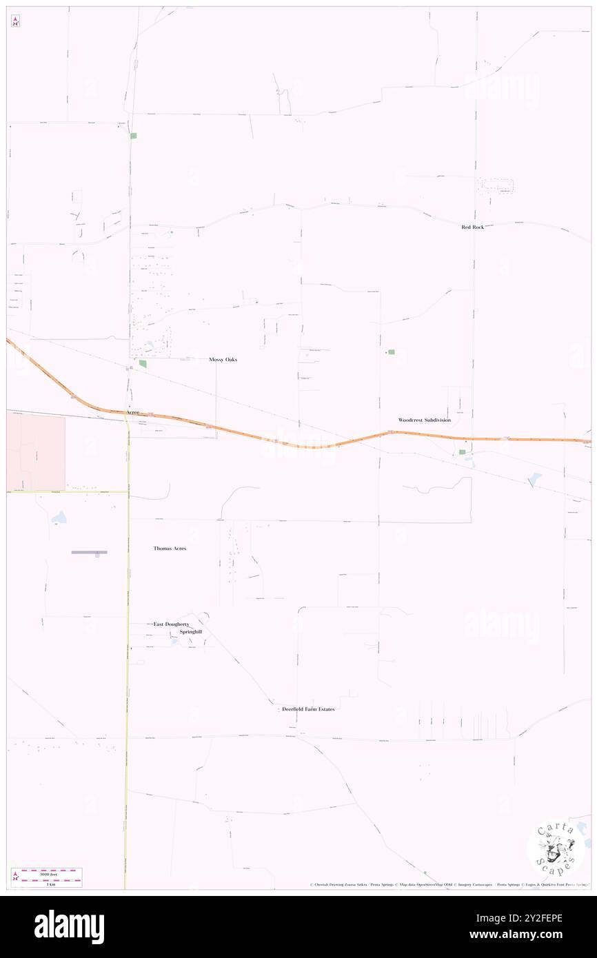 Artesia (historical), Worth County, US, United States, Georgia, N 31 33' 0'', S 83 58' 2'', map, Cartascapes Map published in 2024. Explore Cartascapes, a map revealing Earth's diverse landscapes, cultures, and ecosystems. Journey through time and space, discovering the interconnectedness of our planet's past, present, and future. Stock Photohttps://www.alamy.com/image-license-details/?v=1https://www.alamy.com/artesia-historical-worth-county-us-united-states-georgia-n-31-33-0-s-83-58-2-map-cartascapes-map-published-in-2024-explore-cartascapes-a-map-revealing-earths-diverse-landscapes-cultures-and-ecosystems-journey-through-time-and-space-discovering-the-interconnectedness-of-our-planets-past-present-and-future-image621143446.html
RM2Y2FEPE–Artesia (historical), Worth County, US, United States, Georgia, N 31 33' 0'', S 83 58' 2'', map, Cartascapes Map published in 2024. Explore Cartascapes, a map revealing Earth's diverse landscapes, cultures, and ecosystems. Journey through time and space, discovering the interconnectedness of our planet's past, present, and future.
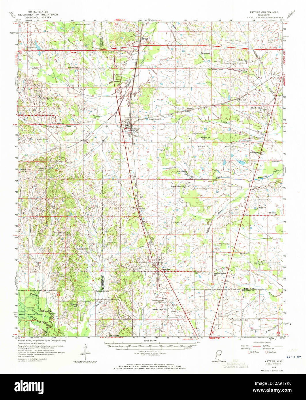 USGS TOPO Map Mississippi MS Artesia 336792 1959 62500 Restoration Stock Photohttps://www.alamy.com/image-license-details/?v=1https://www.alamy.com/usgs-topo-map-mississippi-ms-artesia-336792-1959-62500-restoration-image333077450.html
RM2A9TYK6–USGS TOPO Map Mississippi MS Artesia 336792 1959 62500 Restoration
 Artesia Beach, Roscommon County, US, United States, Michigan, N 44 21' 23'', S 84 29' 30'', map, Cartascapes Map published in 2024. Explore Cartascapes, a map revealing Earth's diverse landscapes, cultures, and ecosystems. Journey through time and space, discovering the interconnectedness of our planet's past, present, and future. Stock Photohttps://www.alamy.com/image-license-details/?v=1https://www.alamy.com/artesia-beach-roscommon-county-us-united-states-michigan-n-44-21-23-s-84-29-30-map-cartascapes-map-published-in-2024-explore-cartascapes-a-map-revealing-earths-diverse-landscapes-cultures-and-ecosystems-journey-through-time-and-space-discovering-the-interconnectedness-of-our-planets-past-present-and-future-image621306546.html
RM2Y2PXRE–Artesia Beach, Roscommon County, US, United States, Michigan, N 44 21' 23'', S 84 29' 30'', map, Cartascapes Map published in 2024. Explore Cartascapes, a map revealing Earth's diverse landscapes, cultures, and ecosystems. Journey through time and space, discovering the interconnectedness of our planet's past, present, and future.
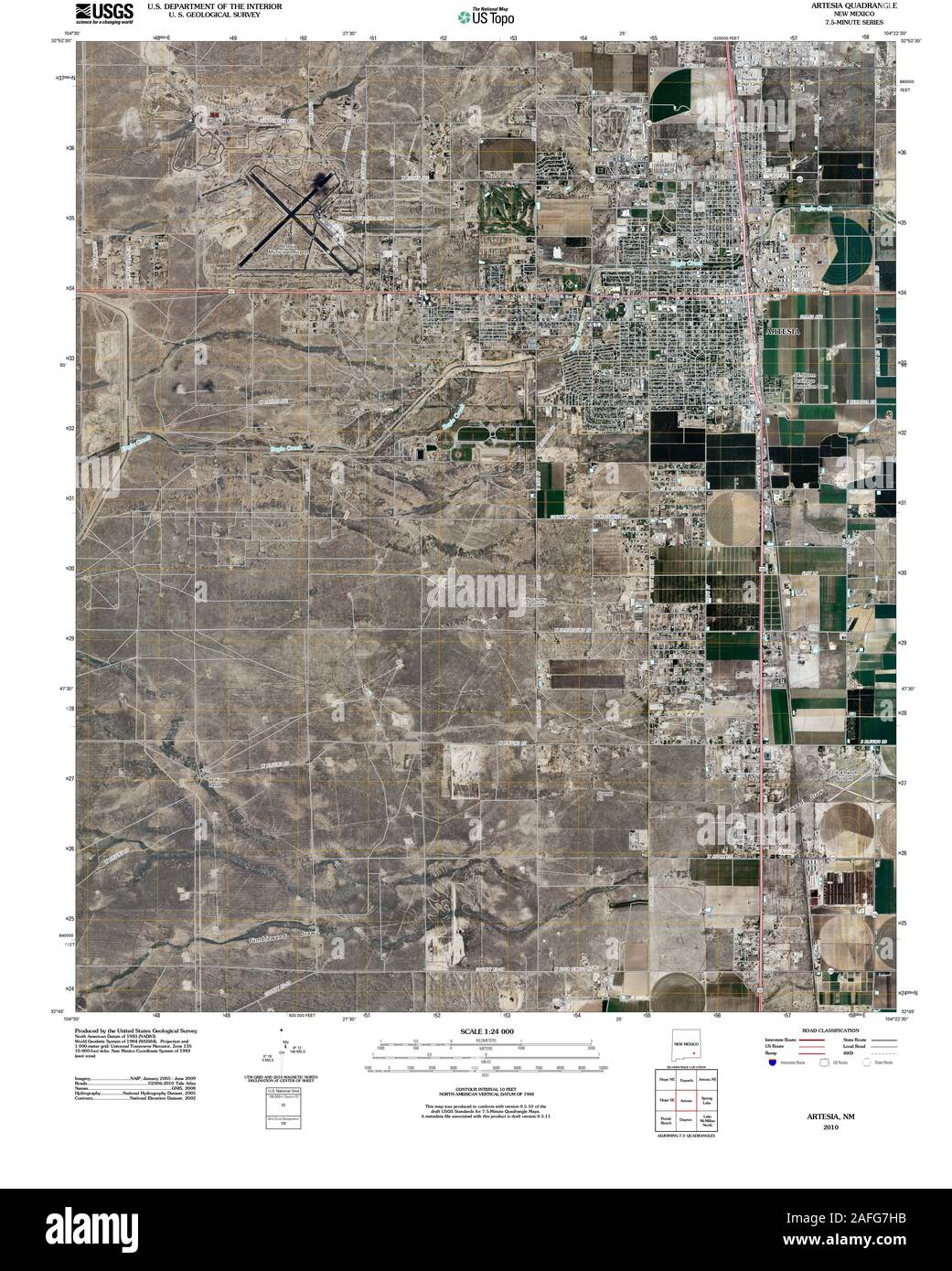 USGS TOPO Map New Mexico NM Artesia 20100915 TM Restoration Stock Photohttps://www.alamy.com/image-license-details/?v=1https://www.alamy.com/usgs-topo-map-new-mexico-nm-artesia-20100915-tm-restoration-image336574039.html
RM2AFG7HB–USGS TOPO Map New Mexico NM Artesia 20100915 TM Restoration
 Artesia, Los Angeles County, US, United States, California, N 33 51' 57'', S 118 4' 59'', map, Cartascapes Map published in 2024. Explore Cartascapes, a map revealing Earth's diverse landscapes, cultures, and ecosystems. Journey through time and space, discovering the interconnectedness of our planet's past, present, and future. Stock Photohttps://www.alamy.com/image-license-details/?v=1https://www.alamy.com/artesia-los-angeles-county-us-united-states-california-n-33-51-57-s-118-4-59-map-cartascapes-map-published-in-2024-explore-cartascapes-a-map-revealing-earths-diverse-landscapes-cultures-and-ecosystems-journey-through-time-and-space-discovering-the-interconnectedness-of-our-planets-past-present-and-future-image621261936.html
RM2Y2MWX8–Artesia, Los Angeles County, US, United States, California, N 33 51' 57'', S 118 4' 59'', map, Cartascapes Map published in 2024. Explore Cartascapes, a map revealing Earth's diverse landscapes, cultures, and ecosystems. Journey through time and space, discovering the interconnectedness of our planet's past, present, and future.
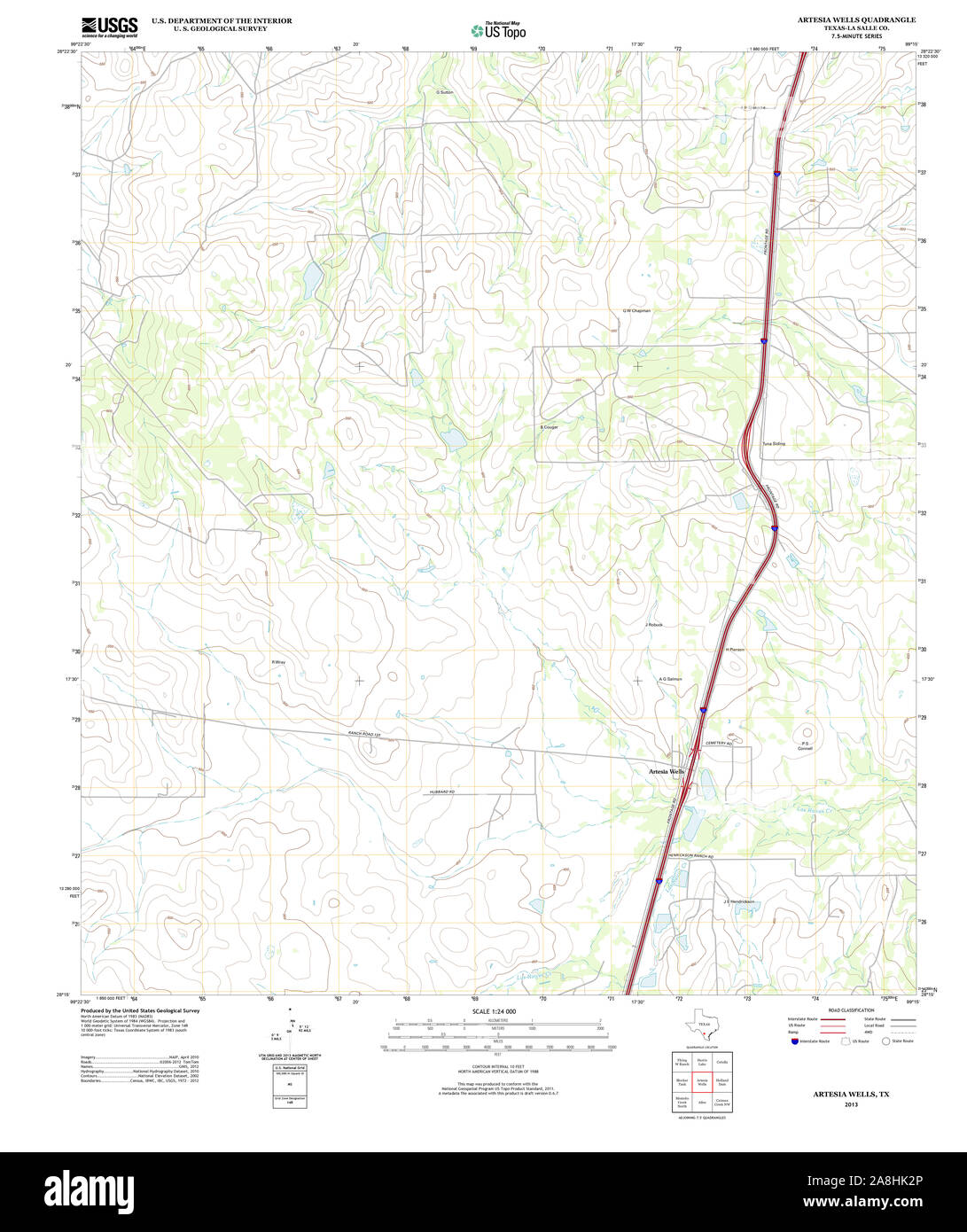 USGS TOPO Map Texas TX Artesia Wells 20130103 TM Restoration Stock Photohttps://www.alamy.com/image-license-details/?v=1https://www.alamy.com/usgs-topo-map-texas-tx-artesia-wells-20130103-tm-restoration-image332302398.html
RM2A8HK2P–USGS TOPO Map Texas TX Artesia Wells 20130103 TM Restoration
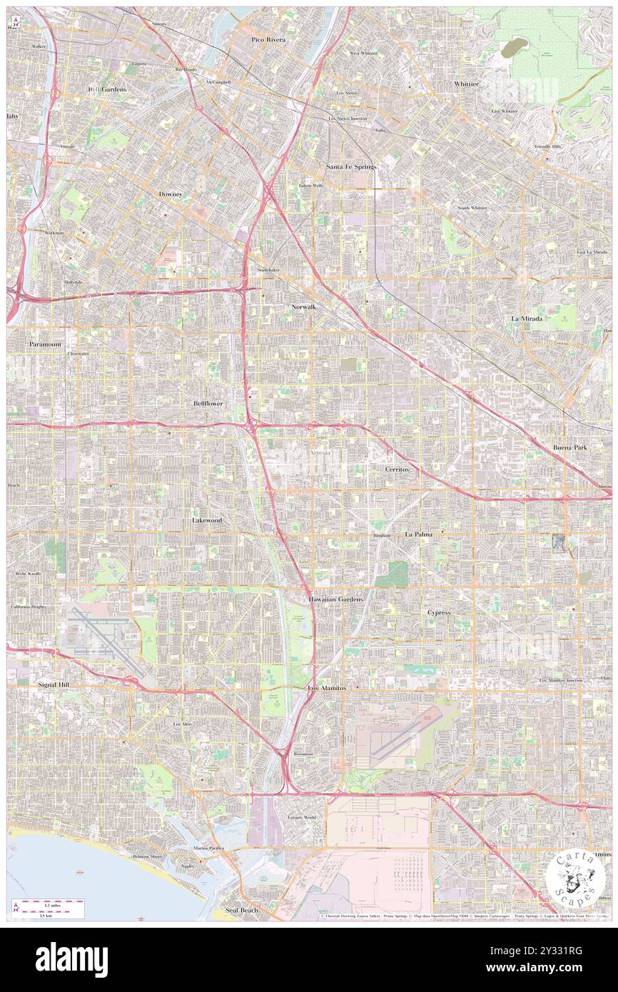 Artesia, Los Angeles County, US, United States, California, N 33 51' 57'', S 118 4' 59'', map, Cartascapes Map published in 2024. Explore Cartascapes, a map revealing Earth's diverse landscapes, cultures, and ecosystems. Journey through time and space, discovering the interconnectedness of our planet's past, present, and future. Stock Photohttps://www.alamy.com/image-license-details/?v=1https://www.alamy.com/artesia-los-angeles-county-us-united-states-california-n-33-51-57-s-118-4-59-map-cartascapes-map-published-in-2024-explore-cartascapes-a-map-revealing-earths-diverse-landscapes-cultures-and-ecosystems-journey-through-time-and-space-discovering-the-interconnectedness-of-our-planets-past-present-and-future-image621484516.html
RM2Y331RG–Artesia, Los Angeles County, US, United States, California, N 33 51' 57'', S 118 4' 59'', map, Cartascapes Map published in 2024. Explore Cartascapes, a map revealing Earth's diverse landscapes, cultures, and ecosystems. Journey through time and space, discovering the interconnectedness of our planet's past, present, and future.
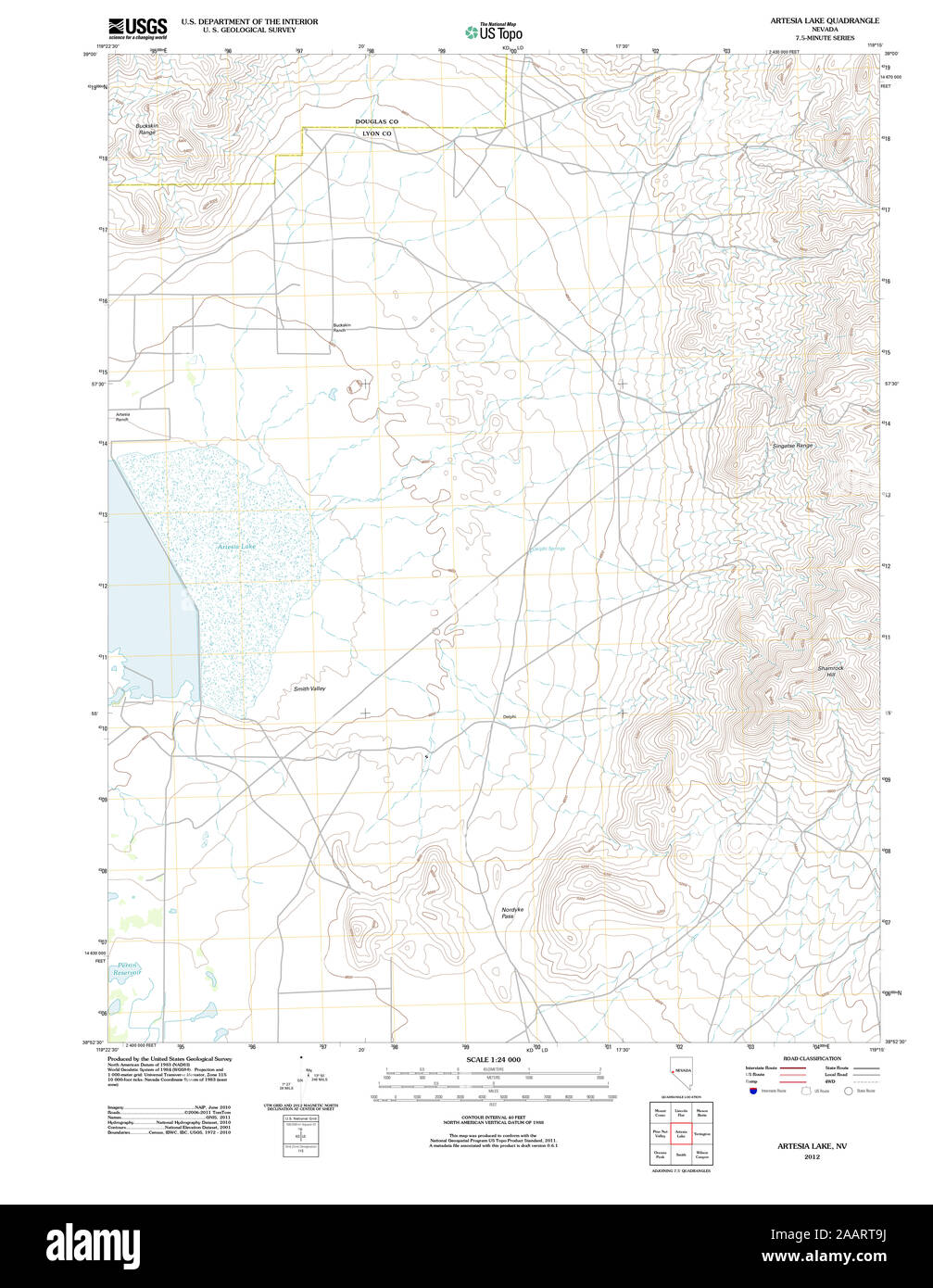 USGS TOPO Map Nevada NV Artesia Lake 20120124 TM Restoration Stock Photohttps://www.alamy.com/image-license-details/?v=1https://www.alamy.com/usgs-topo-map-nevada-nv-artesia-lake-20120124-tm-restoration-image333667534.html
RM2AART9J–USGS TOPO Map Nevada NV Artesia Lake 20120124 TM Restoration
 Artesia, Eddy County, US, United States, New Mexico, N 32 50' 32'', S 104 24' 11'', map, Cartascapes Map published in 2024. Explore Cartascapes, a map revealing Earth's diverse landscapes, cultures, and ecosystems. Journey through time and space, discovering the interconnectedness of our planet's past, present, and future. Stock Photohttps://www.alamy.com/image-license-details/?v=1https://www.alamy.com/artesia-eddy-county-us-united-states-new-mexico-n-32-50-32-s-104-24-11-map-cartascapes-map-published-in-2024-explore-cartascapes-a-map-revealing-earths-diverse-landscapes-cultures-and-ecosystems-journey-through-time-and-space-discovering-the-interconnectedness-of-our-planets-past-present-and-future-image621318807.html
RM2Y2REDB–Artesia, Eddy County, US, United States, New Mexico, N 32 50' 32'', S 104 24' 11'', map, Cartascapes Map published in 2024. Explore Cartascapes, a map revealing Earth's diverse landscapes, cultures, and ecosystems. Journey through time and space, discovering the interconnectedness of our planet's past, present, and future.
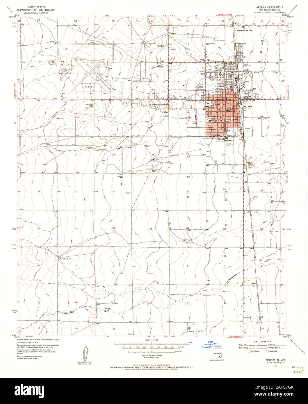 USGS TOPO Map New Mexico NM Artesia 189643 1955 24000 Restoration Stock Photohttps://www.alamy.com/image-license-details/?v=1https://www.alamy.com/usgs-topo-map-new-mexico-nm-artesia-189643-1955-24000-restoration-image336574019.html
RM2AFG7GK–USGS TOPO Map New Mexico NM Artesia 189643 1955 24000 Restoration
 Artesia Beach, Fond du Lac County, US, United States, Wisconsin, N 43 56' 4'', S 88 18' 54'', map, Cartascapes Map published in 2024. Explore Cartascapes, a map revealing Earth's diverse landscapes, cultures, and ecosystems. Journey through time and space, discovering the interconnectedness of our planet's past, present, and future. Stock Photohttps://www.alamy.com/image-license-details/?v=1https://www.alamy.com/artesia-beach-fond-du-lac-county-us-united-states-wisconsin-n-43-56-4-s-88-18-54-map-cartascapes-map-published-in-2024-explore-cartascapes-a-map-revealing-earths-diverse-landscapes-cultures-and-ecosystems-journey-through-time-and-space-discovering-the-interconnectedness-of-our-planets-past-present-and-future-image621238342.html
RM2Y2KRRJ–Artesia Beach, Fond du Lac County, US, United States, Wisconsin, N 43 56' 4'', S 88 18' 54'', map, Cartascapes Map published in 2024. Explore Cartascapes, a map revealing Earth's diverse landscapes, cultures, and ecosystems. Journey through time and space, discovering the interconnectedness of our planet's past, present, and future.
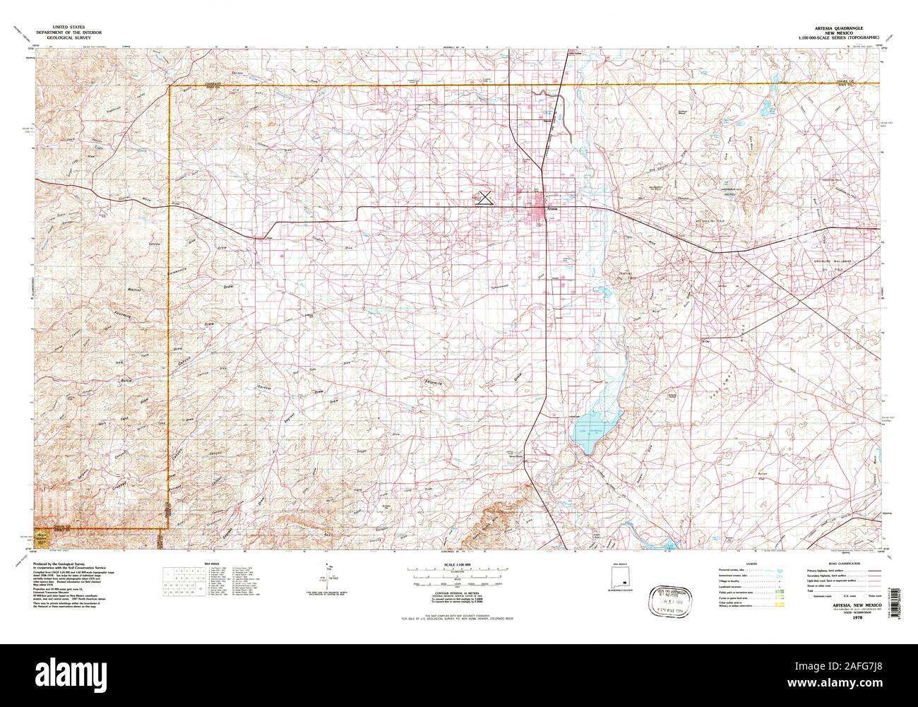 USGS TOPO Map New Mexico NM Artesia 189645 1978 100000 Restoration Stock Photohttps://www.alamy.com/image-license-details/?v=1https://www.alamy.com/usgs-topo-map-new-mexico-nm-artesia-189645-1978-100000-restoration-image336574064.html
RM2AFG7J8–USGS TOPO Map New Mexico NM Artesia 189645 1978 100000 Restoration
 Artesia, Graham County, US, United States, Arizona, N 32 41' 53'', S 109 42' 27'', map, Cartascapes Map published in 2024. Explore Cartascapes, a map revealing Earth's diverse landscapes, cultures, and ecosystems. Journey through time and space, discovering the interconnectedness of our planet's past, present, and future. Stock Photohttps://www.alamy.com/image-license-details/?v=1https://www.alamy.com/artesia-graham-county-us-united-states-arizona-n-32-41-53-s-109-42-27-map-cartascapes-map-published-in-2024-explore-cartascapes-a-map-revealing-earths-diverse-landscapes-cultures-and-ecosystems-journey-through-time-and-space-discovering-the-interconnectedness-of-our-planets-past-present-and-future-image620874591.html
RM2Y237TF–Artesia, Graham County, US, United States, Arizona, N 32 41' 53'', S 109 42' 27'', map, Cartascapes Map published in 2024. Explore Cartascapes, a map revealing Earth's diverse landscapes, cultures, and ecosystems. Journey through time and space, discovering the interconnectedness of our planet's past, present, and future.
 USGS TOPO Map Nevada NV Artesia Lake 318012 1986 24000 Restoration Stock Photohttps://www.alamy.com/image-license-details/?v=1https://www.alamy.com/usgs-topo-map-nevada-nv-artesia-lake-318012-1986-24000-restoration-image333667545.html
RM2AARTA1–USGS TOPO Map Nevada NV Artesia Lake 318012 1986 24000 Restoration
 Artesia, Lowndes County, US, United States, Mississippi, N 33 24' 55'', S 88 38' 38'', map, Cartascapes Map published in 2024. Explore Cartascapes, a map revealing Earth's diverse landscapes, cultures, and ecosystems. Journey through time and space, discovering the interconnectedness of our planet's past, present, and future. Stock Photohttps://www.alamy.com/image-license-details/?v=1https://www.alamy.com/artesia-lowndes-county-us-united-states-mississippi-n-33-24-55-s-88-38-38-map-cartascapes-map-published-in-2024-explore-cartascapes-a-map-revealing-earths-diverse-landscapes-cultures-and-ecosystems-journey-through-time-and-space-discovering-the-interconnectedness-of-our-planets-past-present-and-future-image620884760.html
RM2Y23MRM–Artesia, Lowndes County, US, United States, Mississippi, N 33 24' 55'', S 88 38' 38'', map, Cartascapes Map published in 2024. Explore Cartascapes, a map revealing Earth's diverse landscapes, cultures, and ecosystems. Journey through time and space, discovering the interconnectedness of our planet's past, present, and future.
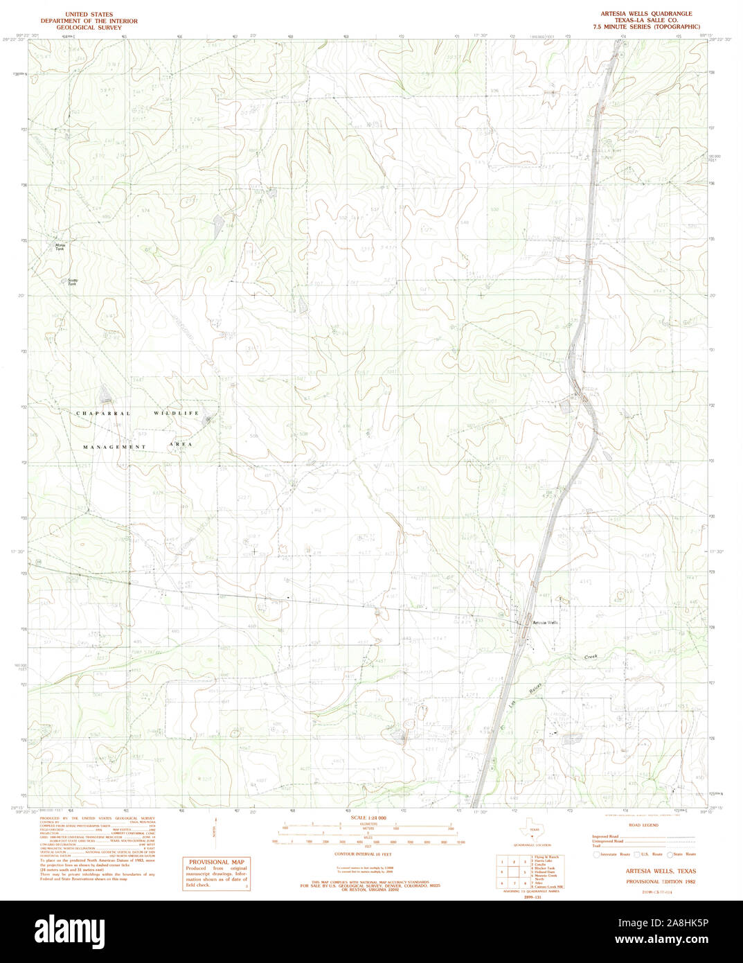 USGS TOPO Map Texas TX Artesia Wells 362774 1982 24000 Restoration Stock Photohttps://www.alamy.com/image-license-details/?v=1https://www.alamy.com/usgs-topo-map-texas-tx-artesia-wells-362774-1982-24000-restoration-image332302482.html
RM2A8HK5P–USGS TOPO Map Texas TX Artesia Wells 362774 1982 24000 Restoration
 Artesia, Columbus County, US, United States, North Carolina, N 34 19' 20'', S 78 34' 30'', map, Cartascapes Map published in 2024. Explore Cartascapes, a map revealing Earth's diverse landscapes, cultures, and ecosystems. Journey through time and space, discovering the interconnectedness of our planet's past, present, and future. Stock Photohttps://www.alamy.com/image-license-details/?v=1https://www.alamy.com/artesia-columbus-county-us-united-states-north-carolina-n-34-19-20-s-78-34-30-map-cartascapes-map-published-in-2024-explore-cartascapes-a-map-revealing-earths-diverse-landscapes-cultures-and-ecosystems-journey-through-time-and-space-discovering-the-interconnectedness-of-our-planets-past-present-and-future-image620744065.html
RM2Y1W9AW–Artesia, Columbus County, US, United States, North Carolina, N 34 19' 20'', S 78 34' 30'', map, Cartascapes Map published in 2024. Explore Cartascapes, a map revealing Earth's diverse landscapes, cultures, and ecosystems. Journey through time and space, discovering the interconnectedness of our planet's past, present, and future.
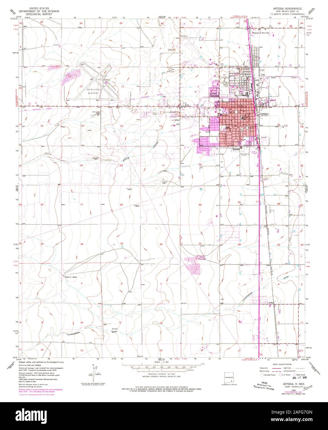 USGS TOPO Map New Mexico NM Artesia 189644 1955 24000 Restoration Stock Photohttps://www.alamy.com/image-license-details/?v=1https://www.alamy.com/usgs-topo-map-new-mexico-nm-artesia-189644-1955-24000-restoration-image336574021.html
RM2AFG7GN–USGS TOPO Map New Mexico NM Artesia 189644 1955 24000 Restoration
 City of Artesia, Los Angeles County, US, United States, California, N 33 52' 3'', S 118 4' 50'', map, Cartascapes Map published in 2024. Explore Cartascapes, a map revealing Earth's diverse landscapes, cultures, and ecosystems. Journey through time and space, discovering the interconnectedness of our planet's past, present, and future. Stock Photohttps://www.alamy.com/image-license-details/?v=1https://www.alamy.com/city-of-artesia-los-angeles-county-us-united-states-california-n-33-52-3-s-118-4-50-map-cartascapes-map-published-in-2024-explore-cartascapes-a-map-revealing-earths-diverse-landscapes-cultures-and-ecosystems-journey-through-time-and-space-discovering-the-interconnectedness-of-our-planets-past-present-and-future-image633788818.html
RM2YR3G2X–City of Artesia, Los Angeles County, US, United States, California, N 33 52' 3'', S 118 4' 50'', map, Cartascapes Map published in 2024. Explore Cartascapes, a map revealing Earth's diverse landscapes, cultures, and ecosystems. Journey through time and space, discovering the interconnectedness of our planet's past, present, and future.
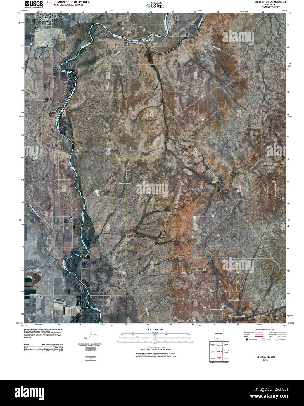 USGS TOPO Map New Mexico NM Artesia NE 20100915 TM Restoration Stock Photohttps://www.alamy.com/image-license-details/?v=1https://www.alamy.com/usgs-topo-map-new-mexico-nm-artesia-ne-20100915-tm-restoration-image336574074.html
RM2AFG7JJ–USGS TOPO Map New Mexico NM Artesia NE 20100915 TM Restoration
 Artesia, Eddy County, US, United States, New Mexico, N 32 50' 32'', S 104 24' 11'', map, Cartascapes Map published in 2024. Explore Cartascapes, a map revealing Earth's diverse landscapes, cultures, and ecosystems. Journey through time and space, discovering the interconnectedness of our planet's past, present, and future. Stock Photohttps://www.alamy.com/image-license-details/?v=1https://www.alamy.com/artesia-eddy-county-us-united-states-new-mexico-n-32-50-32-s-104-24-11-map-cartascapes-map-published-in-2024-explore-cartascapes-a-map-revealing-earths-diverse-landscapes-cultures-and-ecosystems-journey-through-time-and-space-discovering-the-interconnectedness-of-our-planets-past-present-and-future-image620845755.html
RM2Y21Y2K–Artesia, Eddy County, US, United States, New Mexico, N 32 50' 32'', S 104 24' 11'', map, Cartascapes Map published in 2024. Explore Cartascapes, a map revealing Earth's diverse landscapes, cultures, and ecosystems. Journey through time and space, discovering the interconnectedness of our planet's past, present, and future.
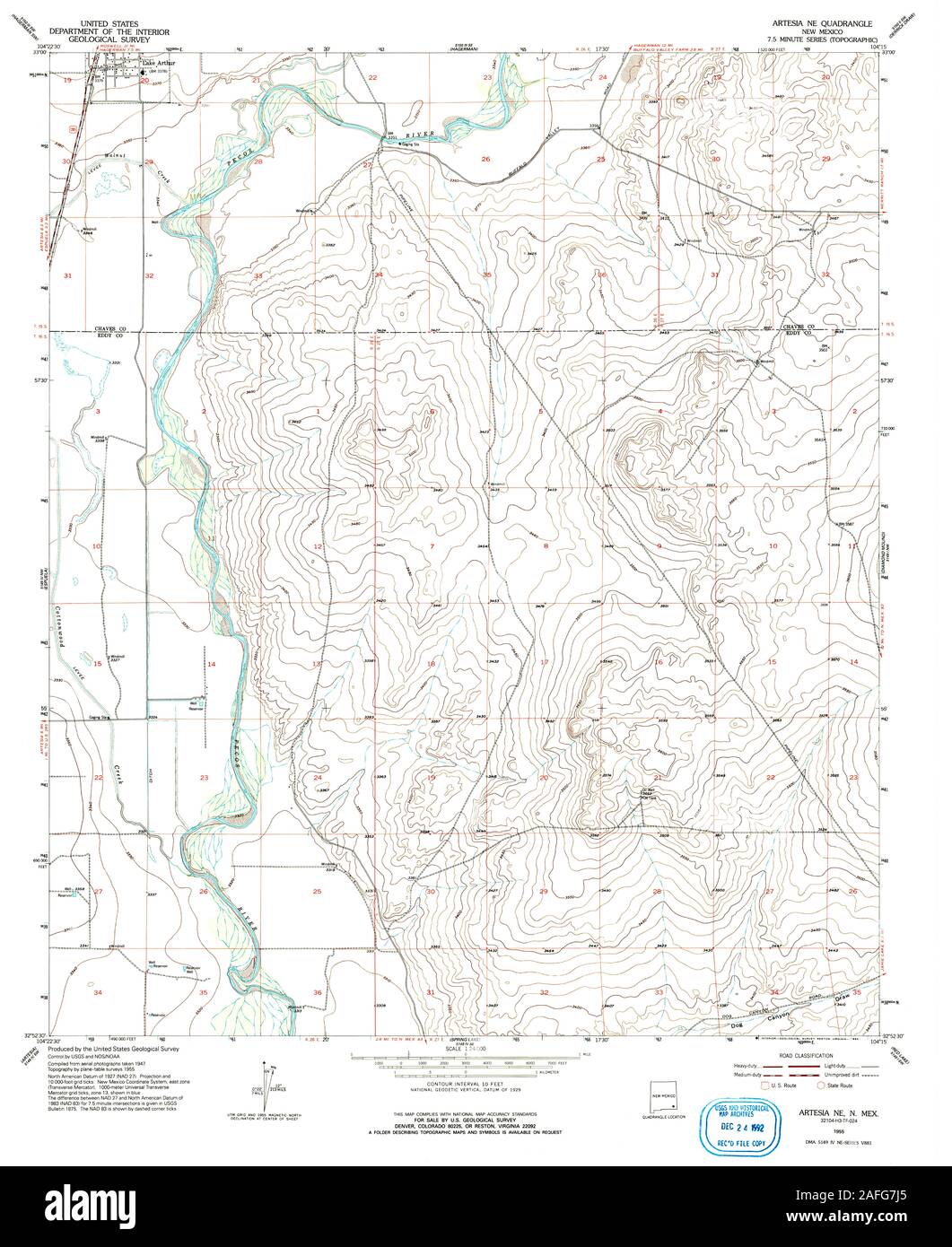 USGS TOPO Map New Mexico NM Artesia NE 193760 1955 24000 Restoration Stock Photohttps://www.alamy.com/image-license-details/?v=1https://www.alamy.com/usgs-topo-map-new-mexico-nm-artesia-ne-193760-1955-24000-restoration-image336574061.html
RM2AFG7J5–USGS TOPO Map New Mexico NM Artesia NE 193760 1955 24000 Restoration
 Artesia Wells, La Salle County, US, United States, Texas, N 28 16' 48'', S 99 17' 4'', map, Cartascapes Map published in 2024. Explore Cartascapes, a map revealing Earth's diverse landscapes, cultures, and ecosystems. Journey through time and space, discovering the interconnectedness of our planet's past, present, and future. Stock Photohttps://www.alamy.com/image-license-details/?v=1https://www.alamy.com/artesia-wells-la-salle-county-us-united-states-texas-n-28-16-48-s-99-17-4-map-cartascapes-map-published-in-2024-explore-cartascapes-a-map-revealing-earths-diverse-landscapes-cultures-and-ecosystems-journey-through-time-and-space-discovering-the-interconnectedness-of-our-planets-past-present-and-future-image620738003.html
RM2Y1W1JB–Artesia Wells, La Salle County, US, United States, Texas, N 28 16' 48'', S 99 17' 4'', map, Cartascapes Map published in 2024. Explore Cartascapes, a map revealing Earth's diverse landscapes, cultures, and ecosystems. Journey through time and space, discovering the interconnectedness of our planet's past, present, and future.
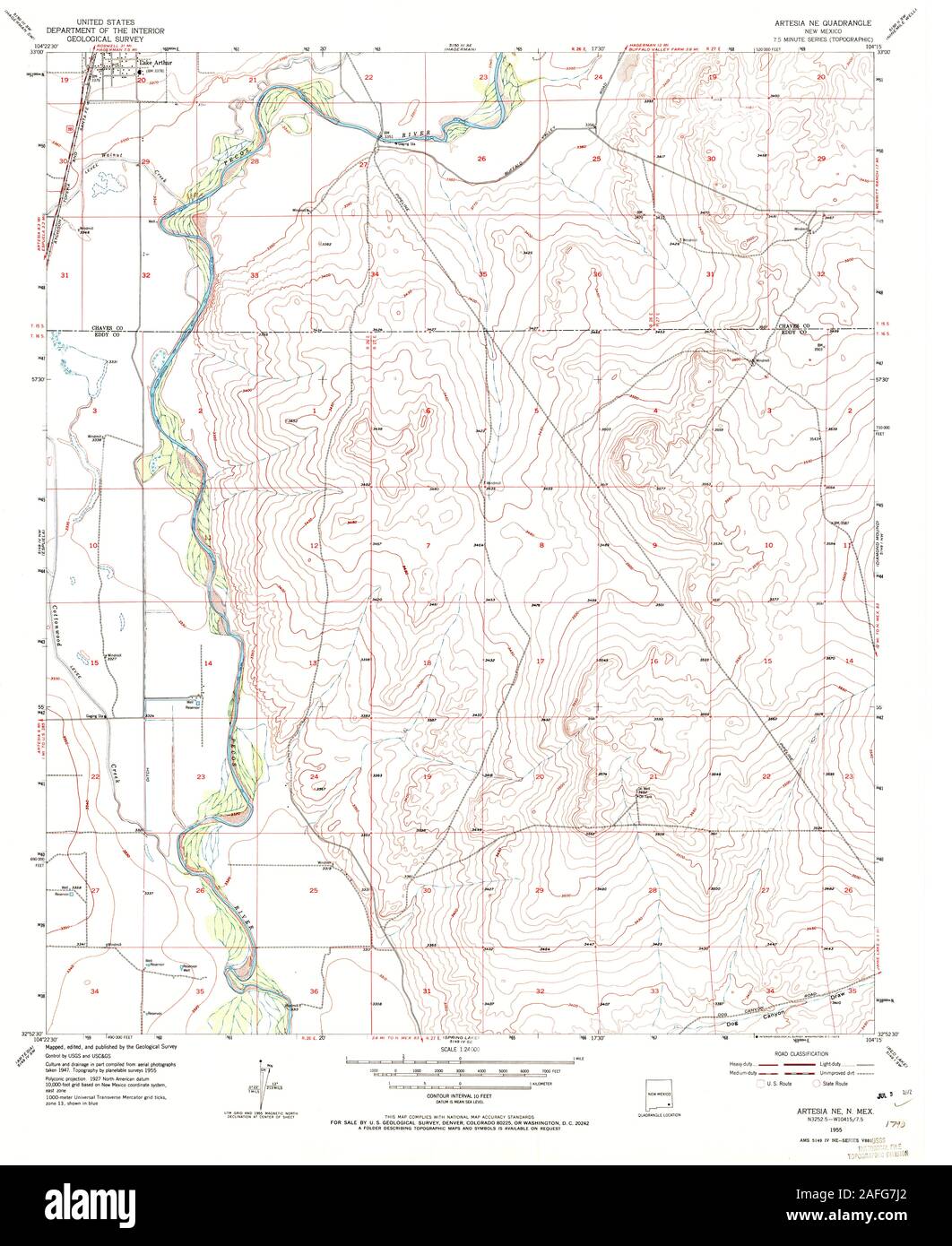 USGS TOPO Map New Mexico NM Artesia NE 189641 1955 24000 Restoration Stock Photohttps://www.alamy.com/image-license-details/?v=1https://www.alamy.com/usgs-topo-map-new-mexico-nm-artesia-ne-189641-1955-24000-restoration-image336574058.html
RM2AFG7J2–USGS TOPO Map New Mexico NM Artesia NE 189641 1955 24000 Restoration
 Town of Artesia, Lowndes County, US, United States, Mississippi, N 33 24' 58'', S 88 38' 32'', map, Cartascapes Map published in 2024. Explore Cartascapes, a map revealing Earth's diverse landscapes, cultures, and ecosystems. Journey through time and space, discovering the interconnectedness of our planet's past, present, and future. Stock Photohttps://www.alamy.com/image-license-details/?v=1https://www.alamy.com/town-of-artesia-lowndes-county-us-united-states-mississippi-n-33-24-58-s-88-38-32-map-cartascapes-map-published-in-2024-explore-cartascapes-a-map-revealing-earths-diverse-landscapes-cultures-and-ecosystems-journey-through-time-and-space-discovering-the-interconnectedness-of-our-planets-past-present-and-future-image633802656.html
RM2YR45N4–Town of Artesia, Lowndes County, US, United States, Mississippi, N 33 24' 58'', S 88 38' 32'', map, Cartascapes Map published in 2024. Explore Cartascapes, a map revealing Earth's diverse landscapes, cultures, and ecosystems. Journey through time and space, discovering the interconnectedness of our planet's past, present, and future.
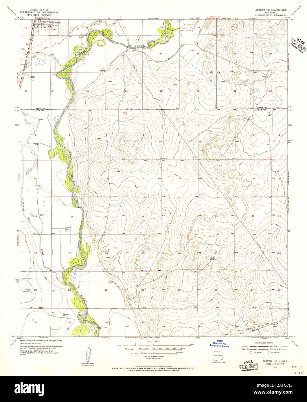 USGS TOPO Map New Mexico NM Artesia NE 189642 1955 24000 Restoration Stock Photohttps://www.alamy.com/image-license-details/?v=1https://www.alamy.com/usgs-topo-map-new-mexico-nm-artesia-ne-189642-1955-24000-restoration-image336574059.html
RM2AFG7J3–USGS TOPO Map New Mexico NM Artesia NE 189642 1955 24000 Restoration
 Township of Artesia, Iroquois County, US, United States, Illinois, N 40 36' 49'', S 88 1' 14'', map, Cartascapes Map published in 2024. Explore Cartascapes, a map revealing Earth's diverse landscapes, cultures, and ecosystems. Journey through time and space, discovering the interconnectedness of our planet's past, present, and future. Stock Photohttps://www.alamy.com/image-license-details/?v=1https://www.alamy.com/township-of-artesia-iroquois-county-us-united-states-illinois-n-40-36-49-s-88-1-14-map-cartascapes-map-published-in-2024-explore-cartascapes-a-map-revealing-earths-diverse-landscapes-cultures-and-ecosystems-journey-through-time-and-space-discovering-the-interconnectedness-of-our-planets-past-present-and-future-image633867546.html
RM2YR74EJ–Township of Artesia, Iroquois County, US, United States, Illinois, N 40 36' 49'', S 88 1' 14'', map, Cartascapes Map published in 2024. Explore Cartascapes, a map revealing Earth's diverse landscapes, cultures, and ecosystems. Journey through time and space, discovering the interconnectedness of our planet's past, present, and future.
 City of Artesia, Eddy County, US, United States, New Mexico, N 32 50' 52'', S 104 25' 39'', map, Cartascapes Map published in 2024. Explore Cartascapes, a map revealing Earth's diverse landscapes, cultures, and ecosystems. Journey through time and space, discovering the interconnectedness of our planet's past, present, and future. Stock Photohttps://www.alamy.com/image-license-details/?v=1https://www.alamy.com/city-of-artesia-eddy-county-us-united-states-new-mexico-n-32-50-52-s-104-25-39-map-cartascapes-map-published-in-2024-explore-cartascapes-a-map-revealing-earths-diverse-landscapes-cultures-and-ecosystems-journey-through-time-and-space-discovering-the-interconnectedness-of-our-planets-past-present-and-future-image633785239.html
RM2YR3BF3–City of Artesia, Eddy County, US, United States, New Mexico, N 32 50' 52'', S 104 25' 39'', map, Cartascapes Map published in 2024. Explore Cartascapes, a map revealing Earth's diverse landscapes, cultures, and ecosystems. Journey through time and space, discovering the interconnectedness of our planet's past, present, and future.
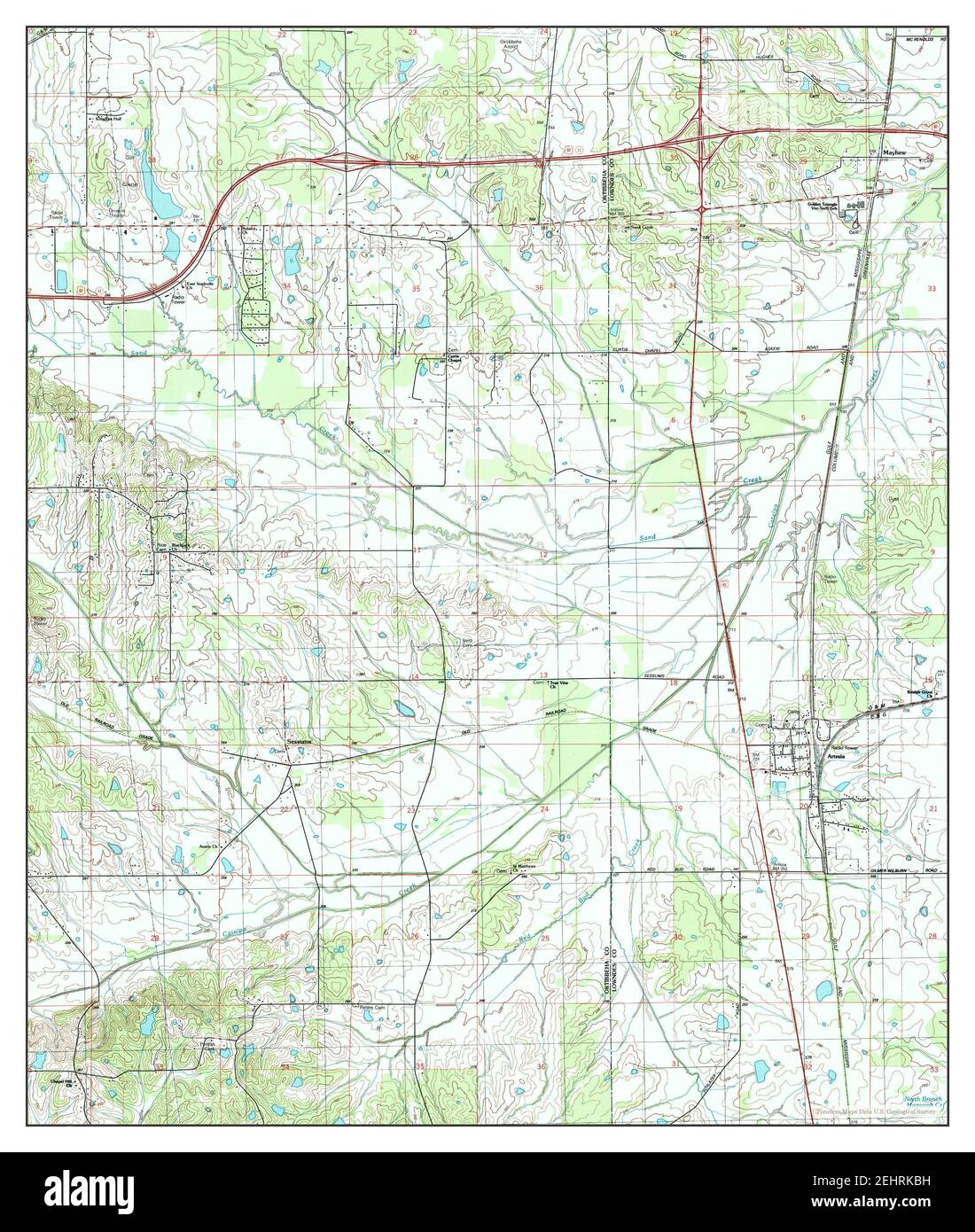 Artesia, Mississippi, map 1987, 1:24000, United States of America by Timeless Maps, data U.S. Geological Survey Stock Photohttps://www.alamy.com/image-license-details/?v=1https://www.alamy.com/artesia-mississippi-map-1987-124000-united-states-of-america-by-timeless-maps-data-us-geological-survey-image406807733.html
RM2EHRKBH–Artesia, Mississippi, map 1987, 1:24000, United States of America by Timeless Maps, data U.S. Geological Survey
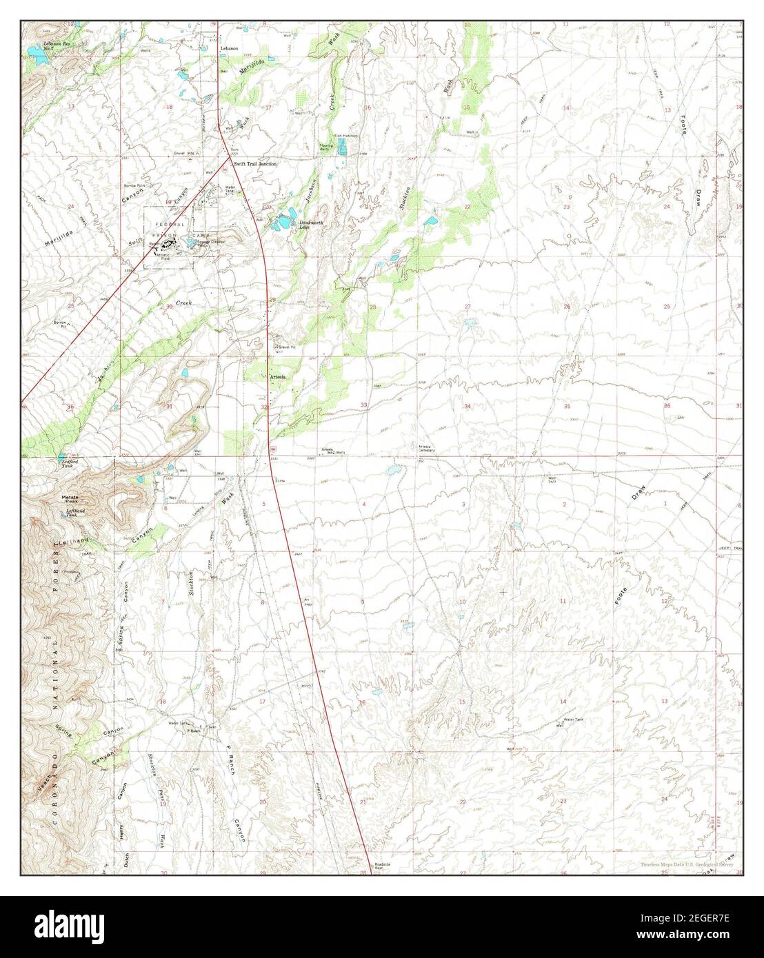 Artesia, Arizona, map 1966, 1:24000, United States of America by Timeless Maps, data U.S. Geological Survey Stock Photohttps://www.alamy.com/image-license-details/?v=1https://www.alamy.com/artesia-arizona-map-1966-124000-united-states-of-america-by-timeless-maps-data-us-geological-survey-image405998530.html
RM2EGER7E–Artesia, Arizona, map 1966, 1:24000, United States of America by Timeless Maps, data U.S. Geological Survey
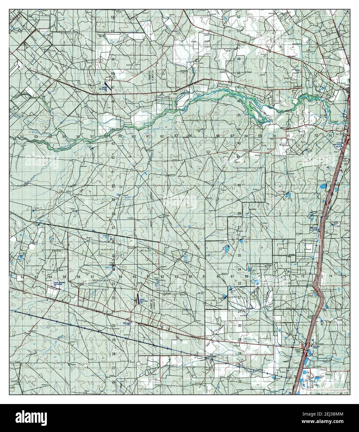 Artesia, Texas, map 2001, 1:50000, United States of America by Timeless Maps, data U.S. Geological Survey Stock Photohttps://www.alamy.com/image-license-details/?v=1https://www.alamy.com/artesia-texas-map-2001-150000-united-states-of-america-by-timeless-maps-data-us-geological-survey-image406974980.html
RM2EJ38MM–Artesia, Texas, map 2001, 1:50000, United States of America by Timeless Maps, data U.S. Geological Survey
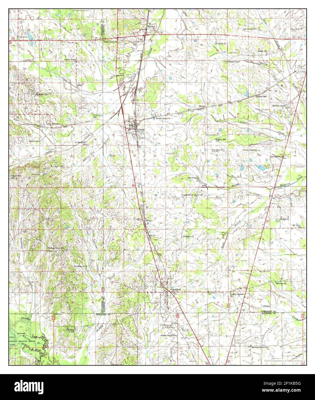 Artesia, Mississippi, map 1959, 1:62500, United States of America by Timeless Maps, data U.S. Geological Survey Stock Photohttps://www.alamy.com/image-license-details/?v=1https://www.alamy.com/artesia-mississippi-map-1959-162500-united-states-of-america-by-timeless-maps-data-us-geological-survey-image414089356.html
RM2F1KB5G–Artesia, Mississippi, map 1959, 1:62500, United States of America by Timeless Maps, data U.S. Geological Survey
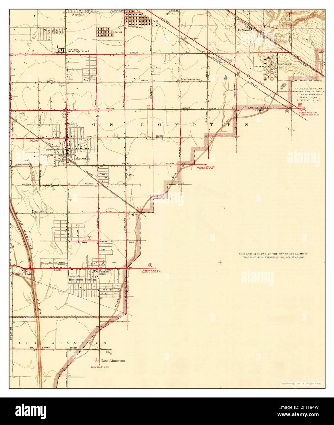 Artesia, California, map 1945, 1:24000, United States of America by Timeless Maps, data U.S. Geological Survey Stock Photohttps://www.alamy.com/image-license-details/?v=1https://www.alamy.com/artesia-california-map-1945-124000-united-states-of-america-by-timeless-maps-data-us-geological-survey-image413999177.html
RM2F1F84W–Artesia, California, map 1945, 1:24000, United States of America by Timeless Maps, data U.S. Geological Survey
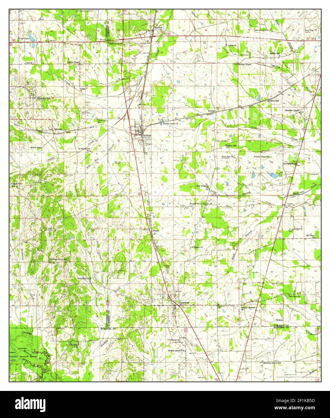 Artesia, Mississippi, map 1959, 1:62500, United States of America by Timeless Maps, data U.S. Geological Survey Stock Photohttps://www.alamy.com/image-license-details/?v=1https://www.alamy.com/artesia-mississippi-map-1959-162500-united-states-of-america-by-timeless-maps-data-us-geological-survey-image414089353.html
RM2F1KB5D–Artesia, Mississippi, map 1959, 1:62500, United States of America by Timeless Maps, data U.S. Geological Survey
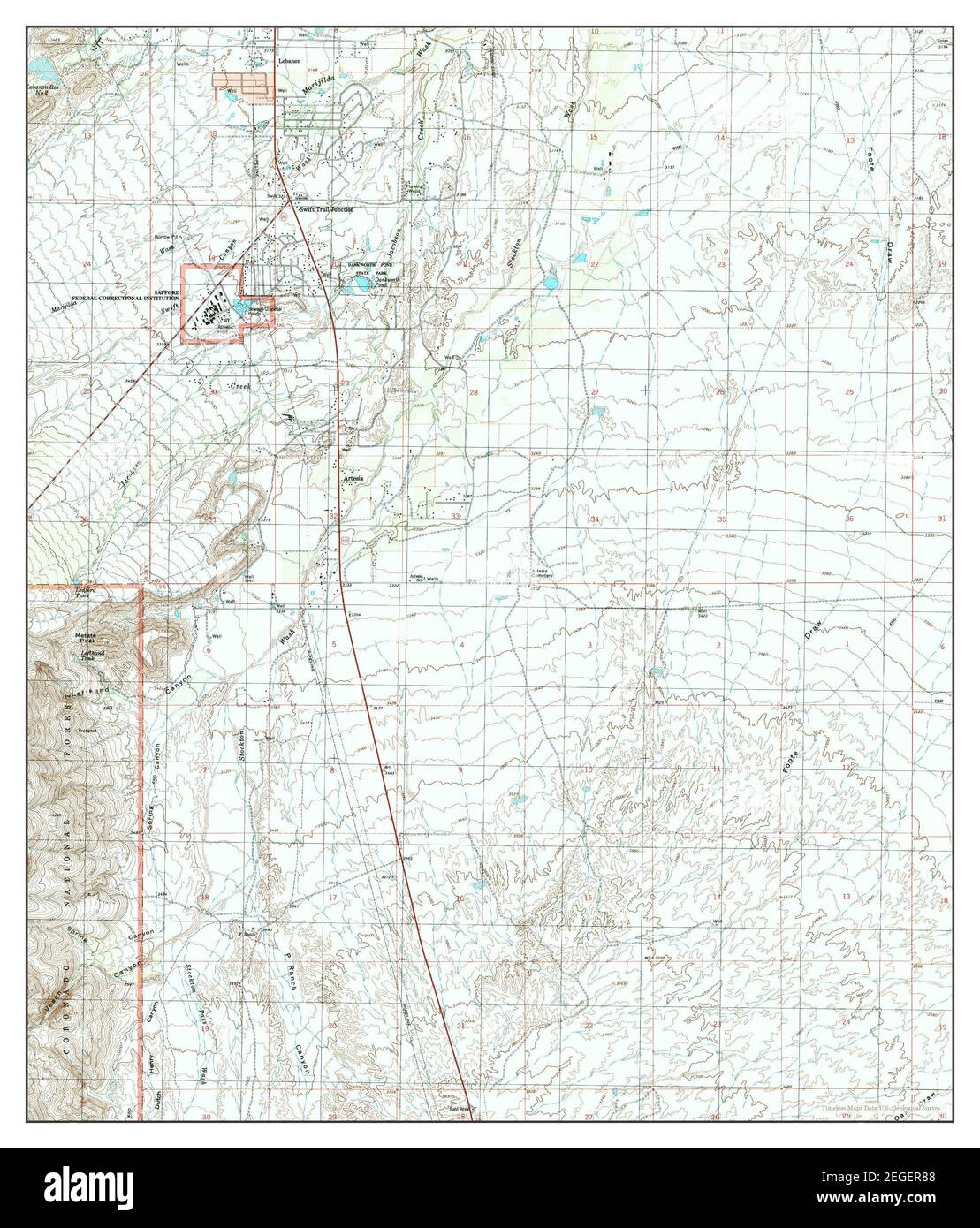 Artesia, Arizona, map 1996, 1:24000, United States of America by Timeless Maps, data U.S. Geological Survey Stock Photohttps://www.alamy.com/image-license-details/?v=1https://www.alamy.com/artesia-arizona-map-1996-124000-united-states-of-america-by-timeless-maps-data-us-geological-survey-image405998552.html
RM2EGER88–Artesia, Arizona, map 1996, 1:24000, United States of America by Timeless Maps, data U.S. Geological Survey
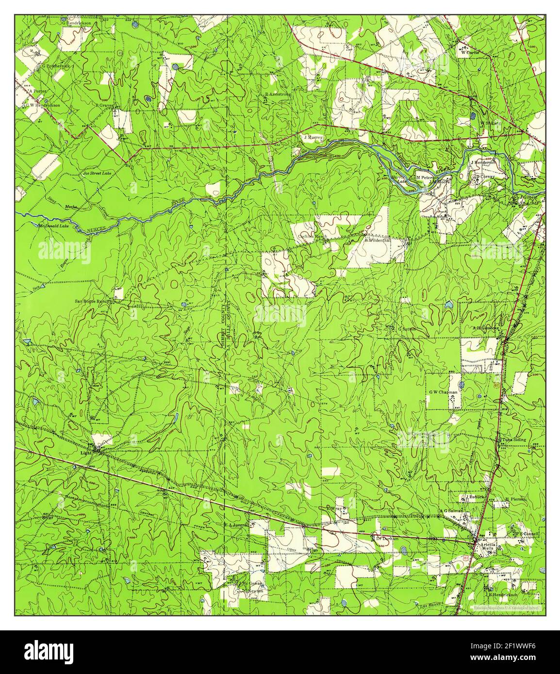 Artesia Wells, Texas, map 1940, 1:62500, United States of America by Timeless Maps, data U.S. Geological Survey Stock Photohttps://www.alamy.com/image-license-details/?v=1https://www.alamy.com/artesia-wells-texas-map-1940-162500-united-states-of-america-by-timeless-maps-data-us-geological-survey-image414232314.html
RM2F1WWF6–Artesia Wells, Texas, map 1940, 1:62500, United States of America by Timeless Maps, data U.S. Geological Survey
 Artesia Lake, Nevada, map 1986, 1:24000, United States of America by Timeless Maps, data U.S. Geological Survey Stock Photohttps://www.alamy.com/image-license-details/?v=1https://www.alamy.com/artesia-lake-nevada-map-1986-124000-united-states-of-america-by-timeless-maps-data-us-geological-survey-image406912749.html
RM2EJ0DA5–Artesia Lake, Nevada, map 1986, 1:24000, United States of America by Timeless Maps, data U.S. Geological Survey
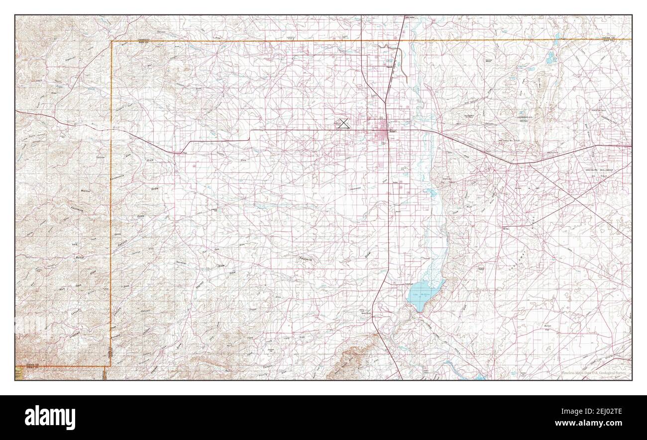 Artesia, New Mexico, map 1978, 1:100000, United States of America by Timeless Maps, data U.S. Geological Survey Stock Photohttps://www.alamy.com/image-license-details/?v=1https://www.alamy.com/artesia-new-mexico-map-1978-1100000-united-states-of-america-by-timeless-maps-data-us-geological-survey-image406904526.html
RM2EJ02TE–Artesia, New Mexico, map 1978, 1:100000, United States of America by Timeless Maps, data U.S. Geological Survey
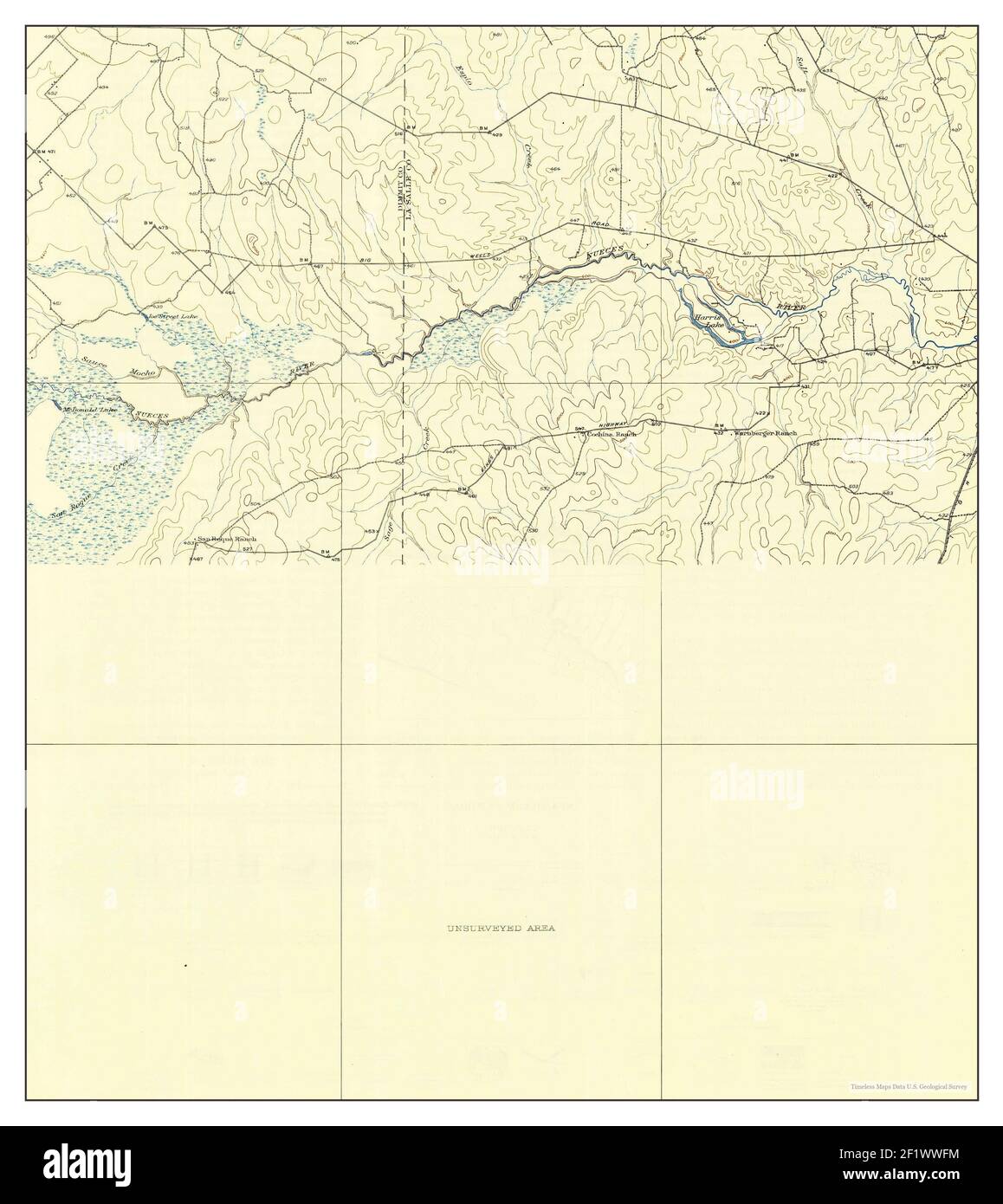 Artesia Wells, Texas, map 1927, 1:62500, United States of America by Timeless Maps, data U.S. Geological Survey Stock Photohttps://www.alamy.com/image-license-details/?v=1https://www.alamy.com/artesia-wells-texas-map-1927-162500-united-states-of-america-by-timeless-maps-data-us-geological-survey-image414232328.html
RM2F1WWFM–Artesia Wells, Texas, map 1927, 1:62500, United States of America by Timeless Maps, data U.S. Geological Survey
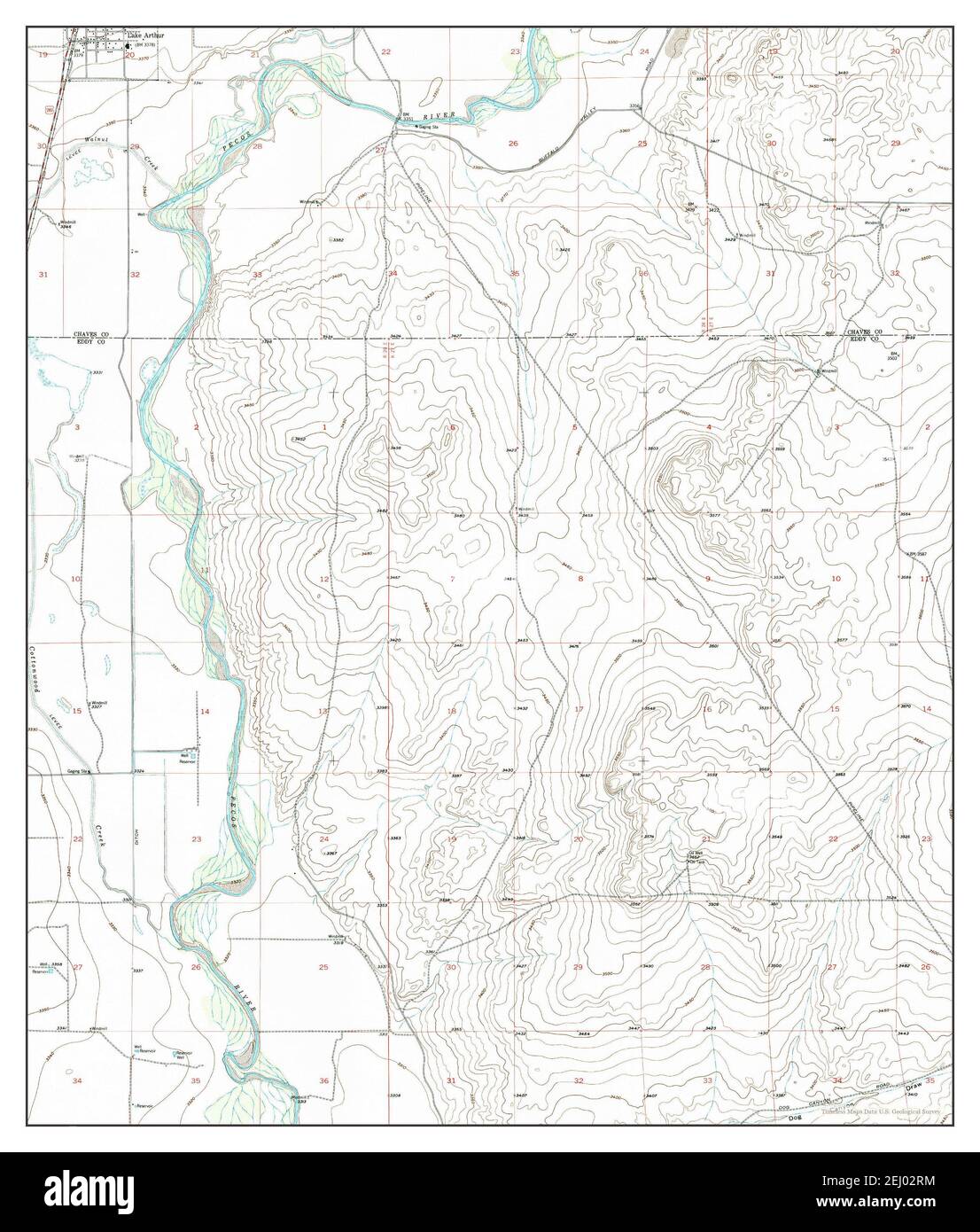 Artesia NE, New Mexico, map 1955, 1:24000, United States of America by Timeless Maps, data U.S. Geological Survey Stock Photohttps://www.alamy.com/image-license-details/?v=1https://www.alamy.com/artesia-ne-new-mexico-map-1955-124000-united-states-of-america-by-timeless-maps-data-us-geological-survey-image406904504.html
RM2EJ02RM–Artesia NE, New Mexico, map 1955, 1:24000, United States of America by Timeless Maps, data U.S. Geological Survey
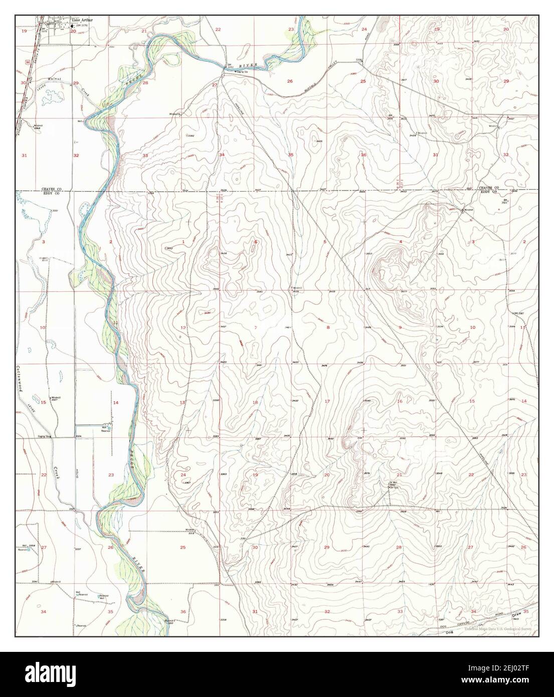 Artesia NE, New Mexico, map 1955, 1:24000, United States of America by Timeless Maps, data U.S. Geological Survey Stock Photohttps://www.alamy.com/image-license-details/?v=1https://www.alamy.com/artesia-ne-new-mexico-map-1955-124000-united-states-of-america-by-timeless-maps-data-us-geological-survey-image406904527.html
RM2EJ02TF–Artesia NE, New Mexico, map 1955, 1:24000, United States of America by Timeless Maps, data U.S. Geological Survey
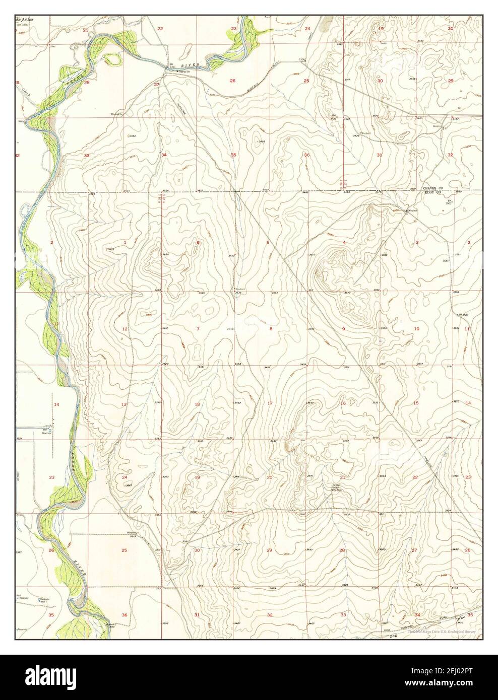 Artesia NE, New Mexico, map 1955, 1:24000, United States of America by Timeless Maps, data U.S. Geological Survey Stock Photohttps://www.alamy.com/image-license-details/?v=1https://www.alamy.com/artesia-ne-new-mexico-map-1955-124000-united-states-of-america-by-timeless-maps-data-us-geological-survey-image406904480.html
RM2EJ02PT–Artesia NE, New Mexico, map 1955, 1:24000, United States of America by Timeless Maps, data U.S. Geological Survey