Quick filters:
Map of asia map india Stock Photos and Images
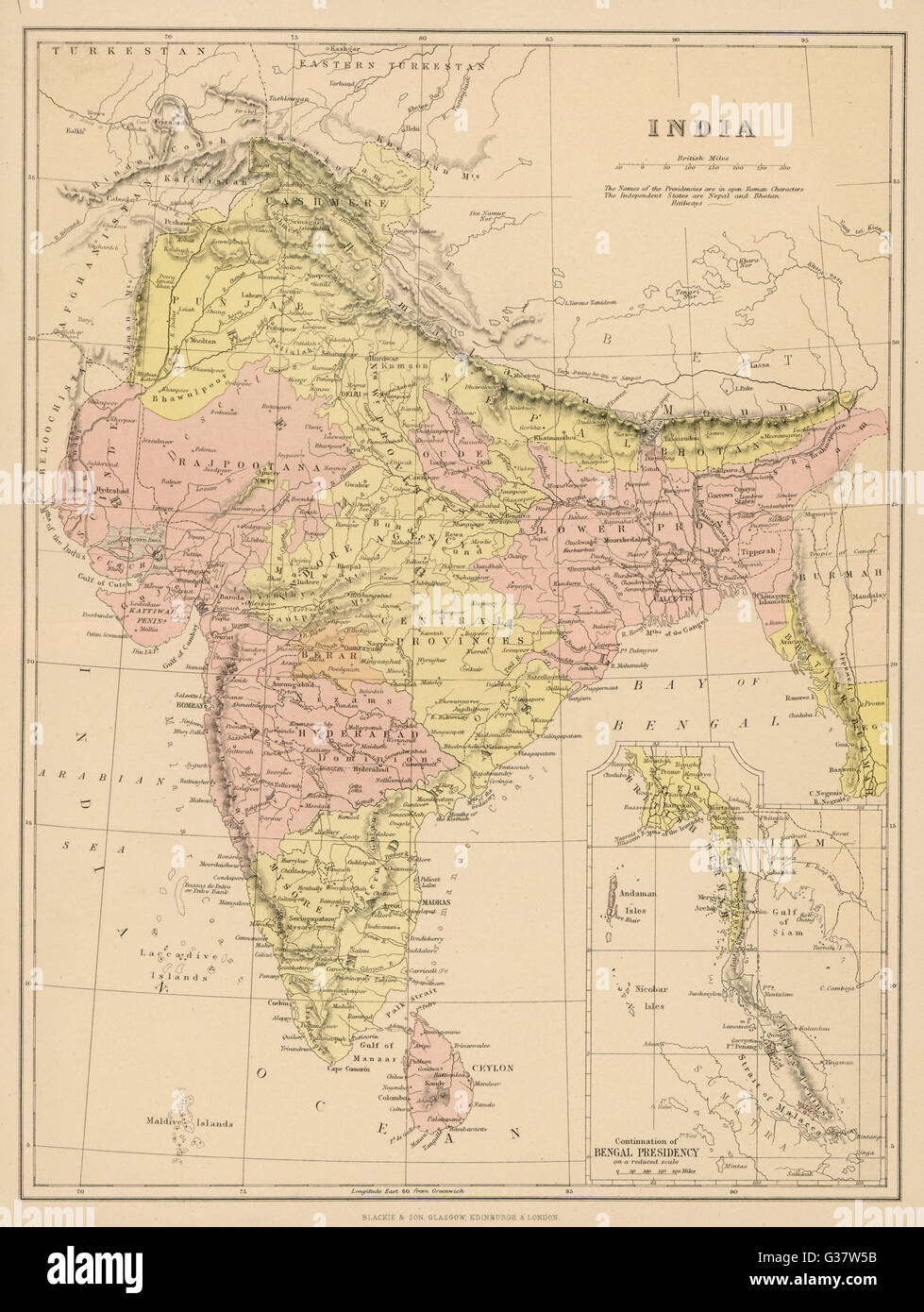 Map - Asia - India Stock Photohttps://www.alamy.com/image-license-details/?v=1https://www.alamy.com/stock-photo-map-asia-india-105279591.html
RMG37W5B–Map - Asia - India
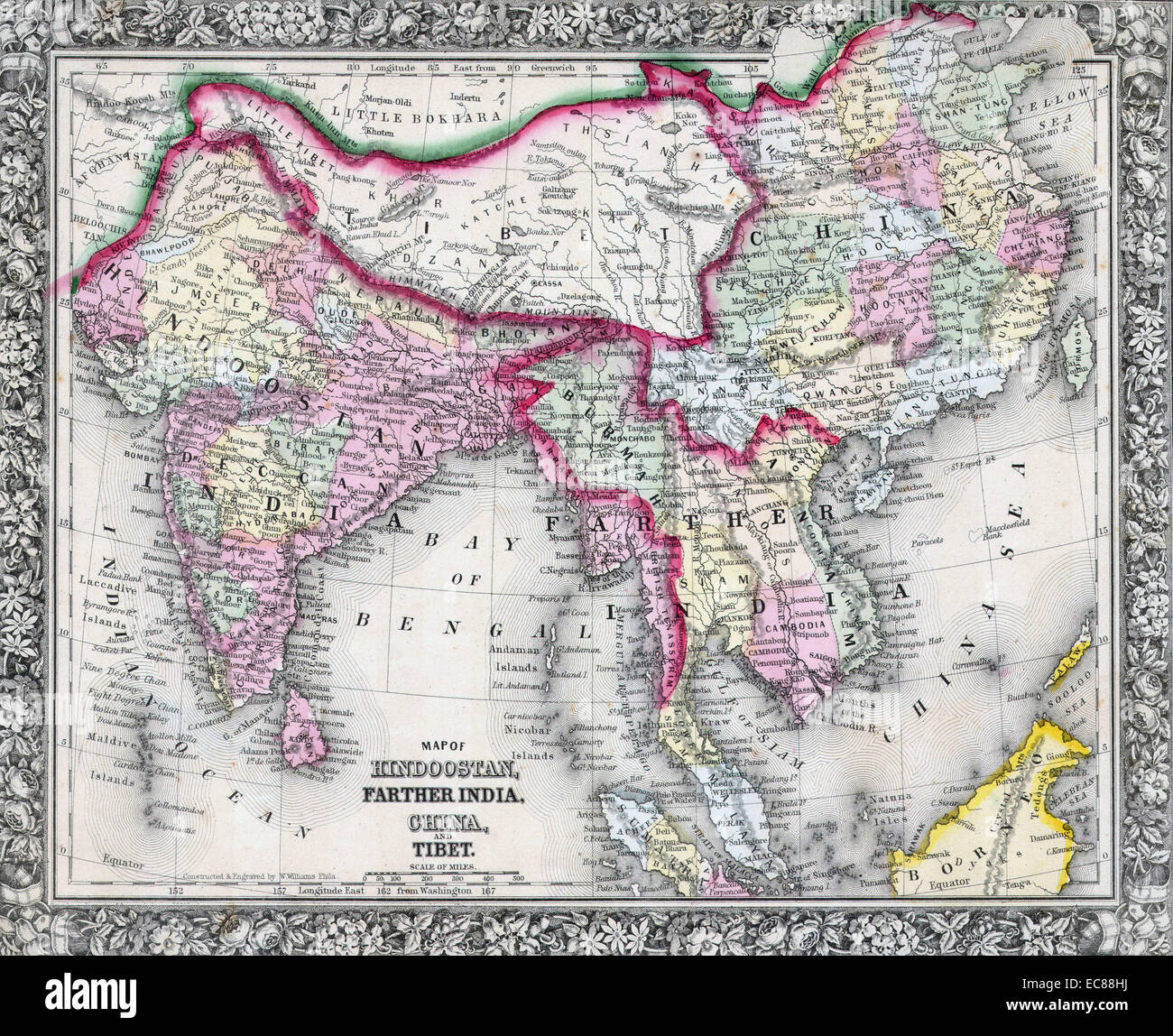 Mitchell Map of India, Tibet, China and Southeast Asia. Dated 1864 Stock Photohttps://www.alamy.com/image-license-details/?v=1https://www.alamy.com/stock-photo-mitchell-map-of-india-tibet-china-and-southeast-asia-dated-1864-76399726.html
RMEC88HJ–Mitchell Map of India, Tibet, China and Southeast Asia. Dated 1864
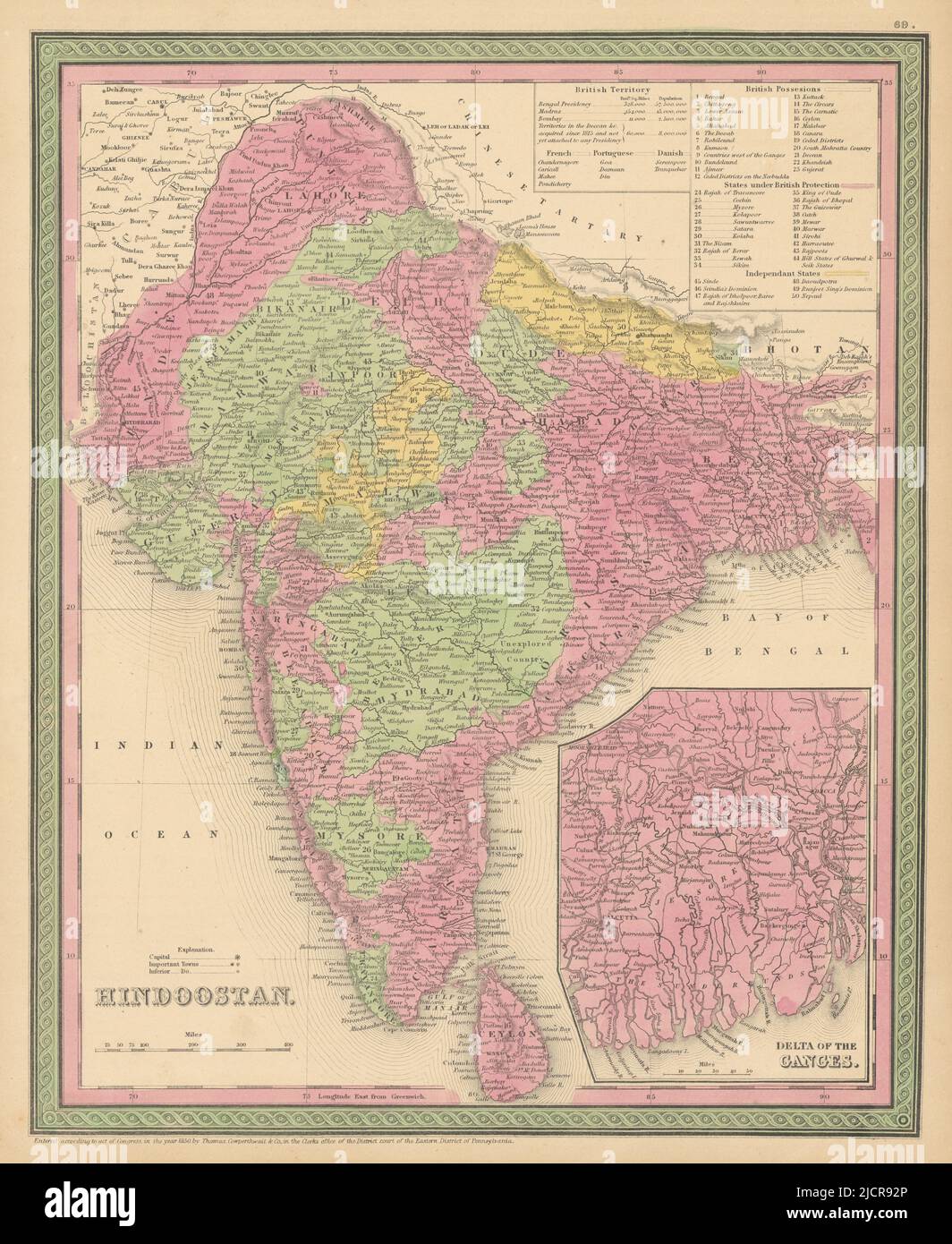 Hindoostan. Ganges Delta. India Bangladesh South Asia. COWPERTHWAIT 1852 map Stock Photohttps://www.alamy.com/image-license-details/?v=1https://www.alamy.com/hindoostan-ganges-delta-india-bangladesh-south-asia-cowperthwait-1852-map-image472567838.html
RF2JCR92P–Hindoostan. Ganges Delta. India Bangladesh South Asia. COWPERTHWAIT 1852 map
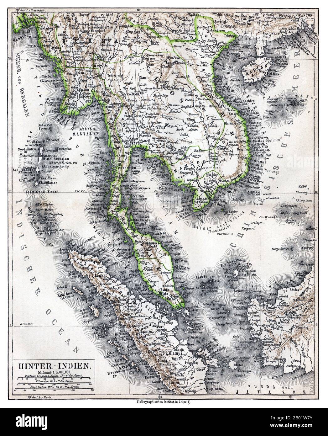 Southeast Asia: 'Hinter-Indien' ('Further India'), a map of Greater Indochina and the western part of the Malay-Indonesian Archipelago, Bibliographisches Institut in Leipzig, Germany, 1876. Physical map showing approximate political frontiers in Green. The Shan and Lao states are shown independent of (or tributary to) Siam. Chiang Mai ('Tshien-Mai'and Luang Prabang are both shown lying within the frontiers of a greater Siam,, but the territoryy of Chiang Mai extends further to the northwest, into Burma's Shan State, beyond the Salween River, than it does today. Stock Photohttps://www.alamy.com/image-license-details/?v=1https://www.alamy.com/southeast-asia-hinter-indien-further-india-a-map-of-greater-indochina-and-the-western-part-of-the-malay-indonesian-archipelago-bibliographisches-institut-in-leipzig-germany-1876-physical-map-showing-approximate-political-frontiers-in-green-the-shan-and-lao-states-are-shown-independent-of-or-tributary-to-siam-chiang-mai-tshien-maiand-luang-prabang-are-both-shown-lying-within-the-frontiers-of-a-greater-siam-but-the-territoryy-of-chiang-mai-extends-further-to-the-northwest-into-burmas-shan-state-beyond-the-salween-river-than-it-does-today-image344249135.html
RM2B01W7Y–Southeast Asia: 'Hinter-Indien' ('Further India'), a map of Greater Indochina and the western part of the Malay-Indonesian Archipelago, Bibliographisches Institut in Leipzig, Germany, 1876. Physical map showing approximate political frontiers in Green. The Shan and Lao states are shown independent of (or tributary to) Siam. Chiang Mai ('Tshien-Mai'and Luang Prabang are both shown lying within the frontiers of a greater Siam,, but the territoryy of Chiang Mai extends further to the northwest, into Burma's Shan State, beyond the Salween River, than it does today.
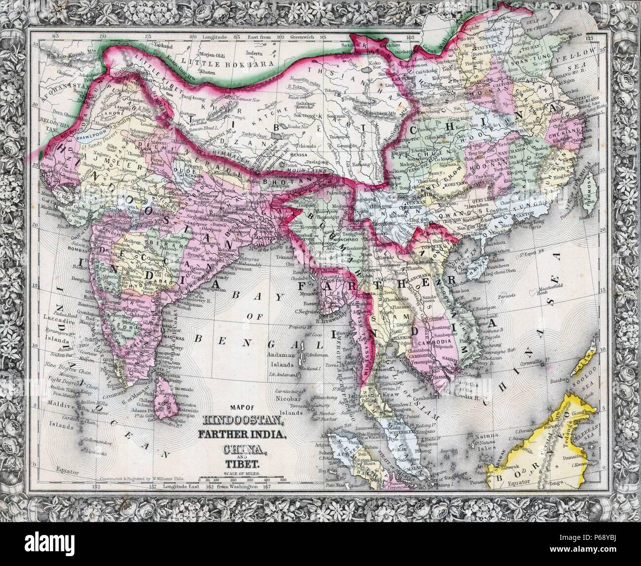 Mitchell Map of India, Tibet, China and Southeast Asia. Dated 1864 Stock Photohttps://www.alamy.com/image-license-details/?v=1https://www.alamy.com/mitchell-map-of-india-tibet-china-and-southeast-asia-dated-1864-image210409462.html
RMP68YBJ–Mitchell Map of India, Tibet, China and Southeast Asia. Dated 1864
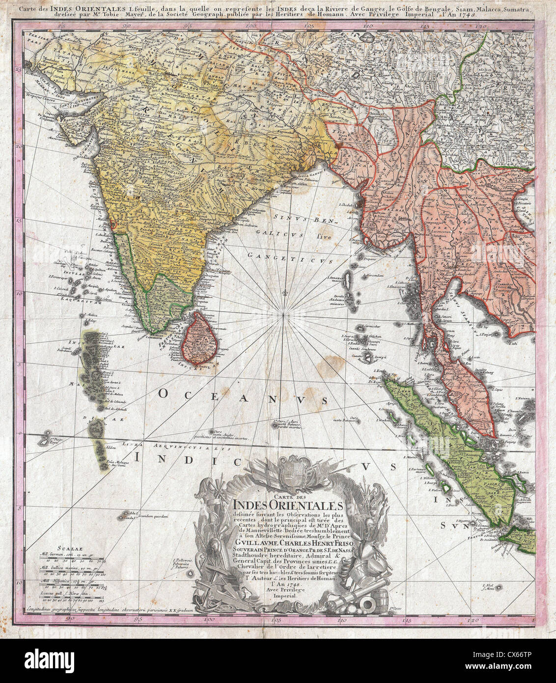 1748 Homann Heirs Map of India and Southeast Asia Stock Photohttps://www.alamy.com/image-license-details/?v=1https://www.alamy.com/stock-photo-1748-homann-heirs-map-of-india-and-southeast-asia-50538902.html
RMCX66TP–1748 Homann Heirs Map of India and Southeast Asia
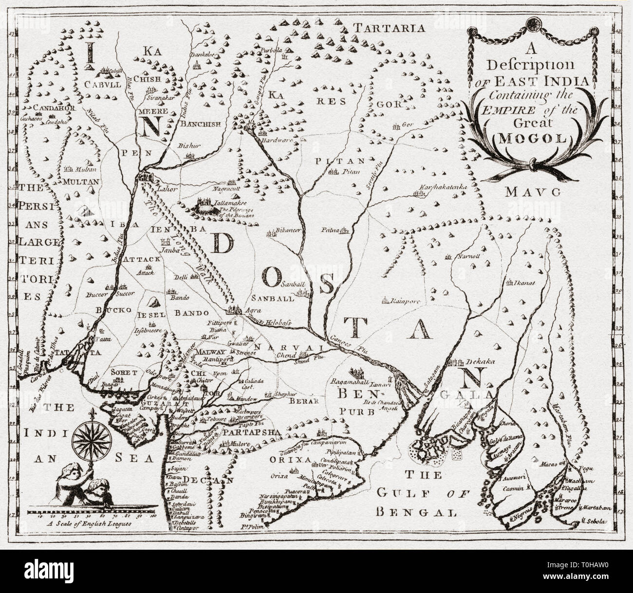 map of territories in east India, Asia Stock Photohttps://www.alamy.com/image-license-details/?v=1https://www.alamy.com/map-of-territories-in-east-india-asia-image241326876.html
RMT0HAW0–map of territories in east India, Asia
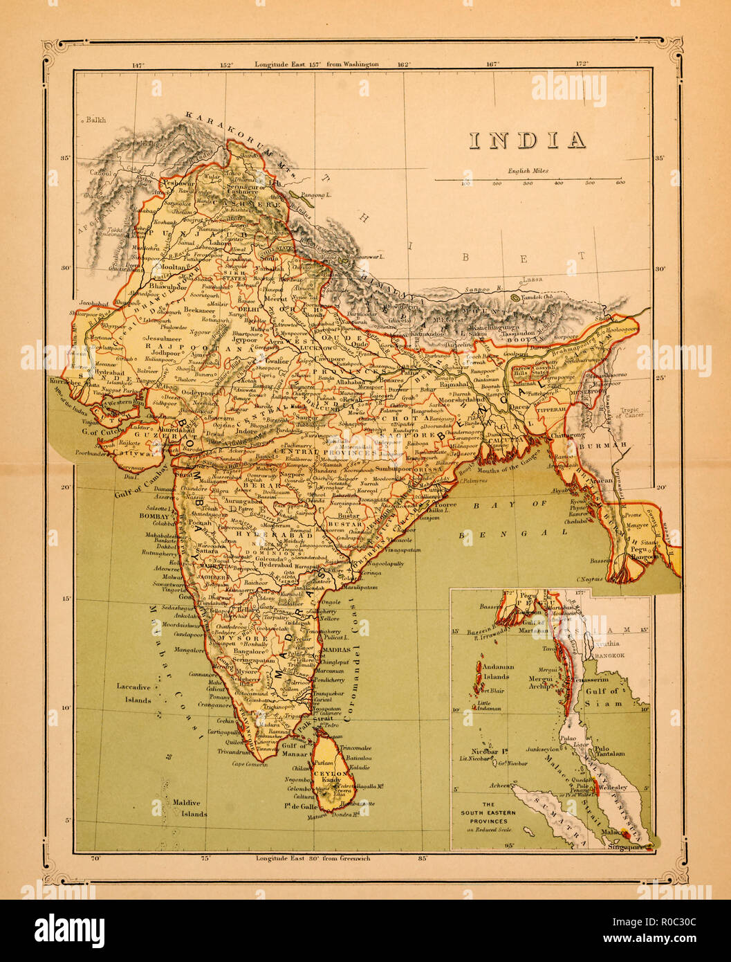 Map of India, early 1900's Stock Photohttps://www.alamy.com/image-license-details/?v=1https://www.alamy.com/map-of-india-early-1900s-image224000572.html
RMR0C30C–Map of India, early 1900's
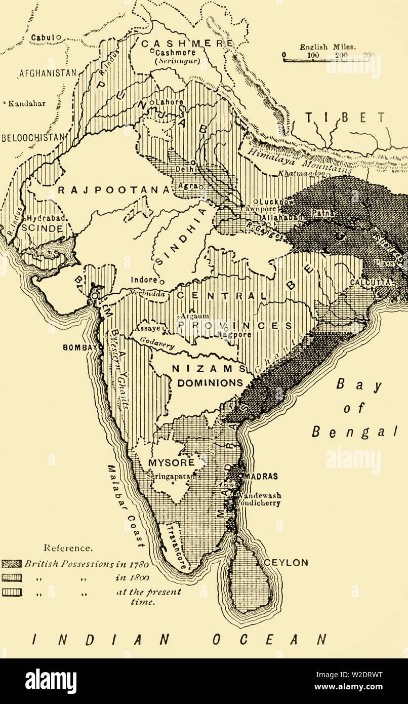 'Map of India, Showing the British Possessions in 1780,1800, and at the Present Time', 1890. Creator: Unknown. Stock Photohttps://www.alamy.com/image-license-details/?v=1https://www.alamy.com/map-of-india-showing-the-british-possessions-in-17801800-and-at-the-present-time-1890-creator-unknown-image259688964.html
RMW2DRWT–'Map of India, Showing the British Possessions in 1780,1800, and at the Present Time', 1890. Creator: Unknown.
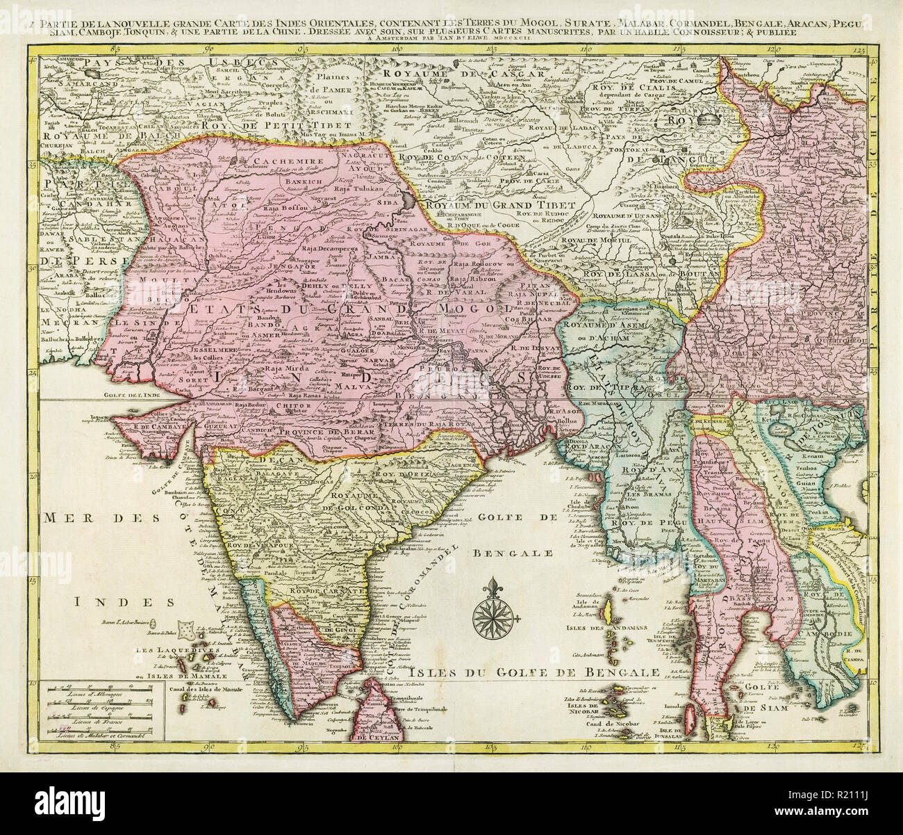 Map of India and Southern Asia dating from 1792 Stock Photohttps://www.alamy.com/image-license-details/?v=1https://www.alamy.com/map-of-india-and-southern-asia-dating-from-1792-image224986878.html
RMR2111J–Map of India and Southern Asia dating from 1792
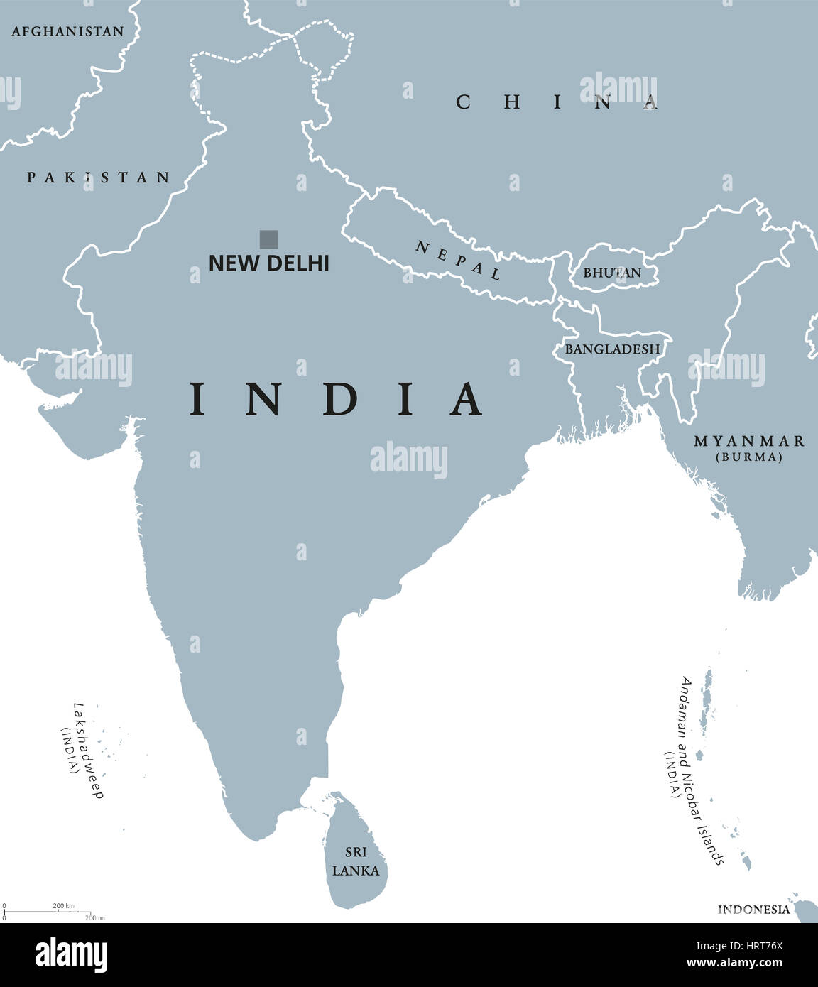 India political map with capital New Delhi, national borders and neighbor countries. Republic and subcontinent in South Asia. Stock Photohttps://www.alamy.com/image-license-details/?v=1https://www.alamy.com/stock-photo-india-political-map-with-capital-new-delhi-national-borders-and-neighbor-135142194.html
RFHRT76X–India political map with capital New Delhi, national borders and neighbor countries. Republic and subcontinent in South Asia.
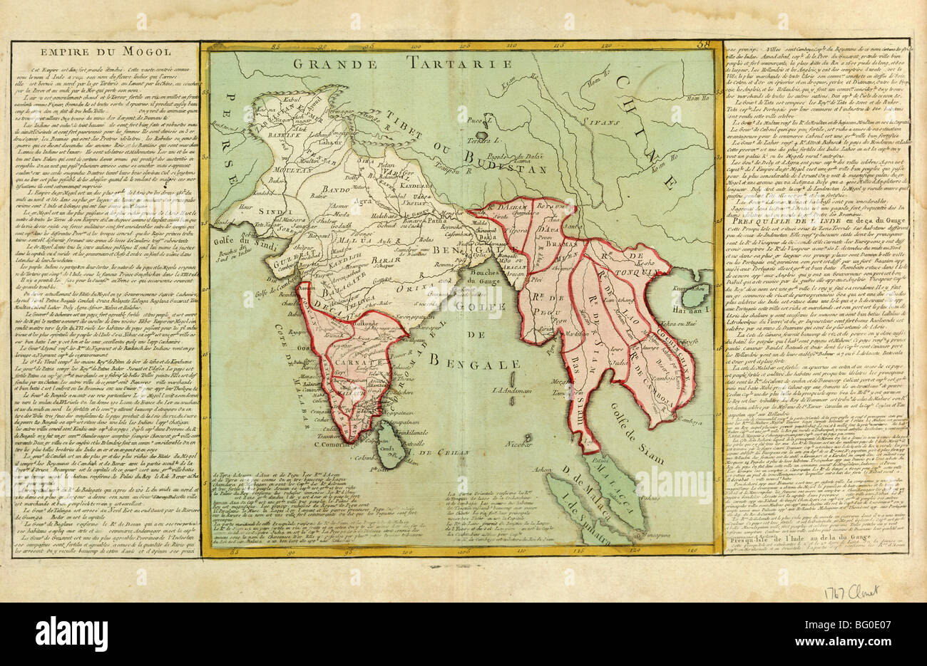 Old Map of India and Southeast Asia, Asia Stock Photohttps://www.alamy.com/image-license-details/?v=1https://www.alamy.com/stock-photo-old-map-of-india-and-southeast-asia-asia-27055847.html
RMBG0E07–Old Map of India and Southeast Asia, Asia
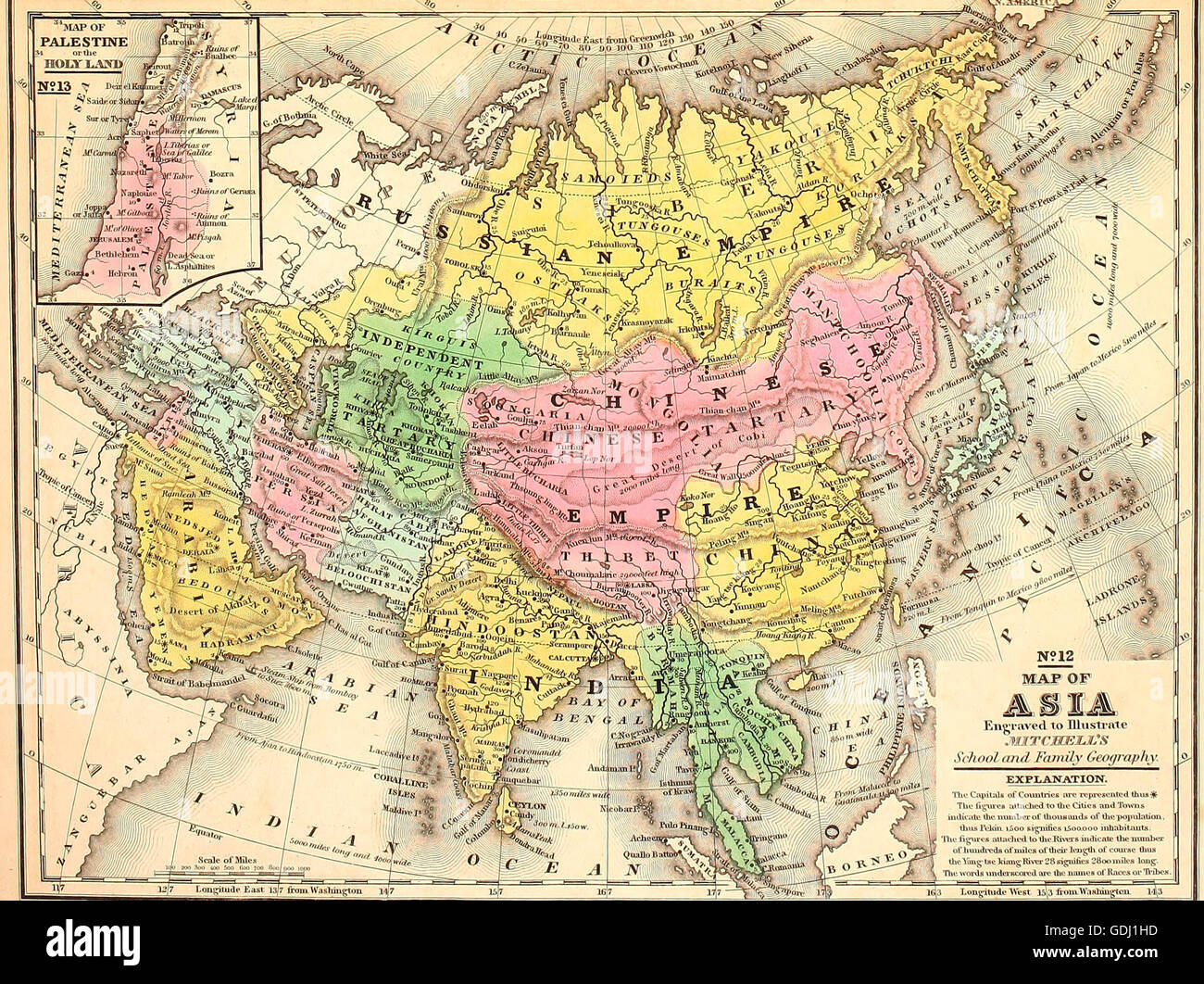 Map of Asia, circa 1860 Stock Photohttps://www.alamy.com/image-license-details/?v=1https://www.alamy.com/stock-photo-map-of-asia-circa-1860-111649145.html
RMGDJ1HD–Map of Asia, circa 1860
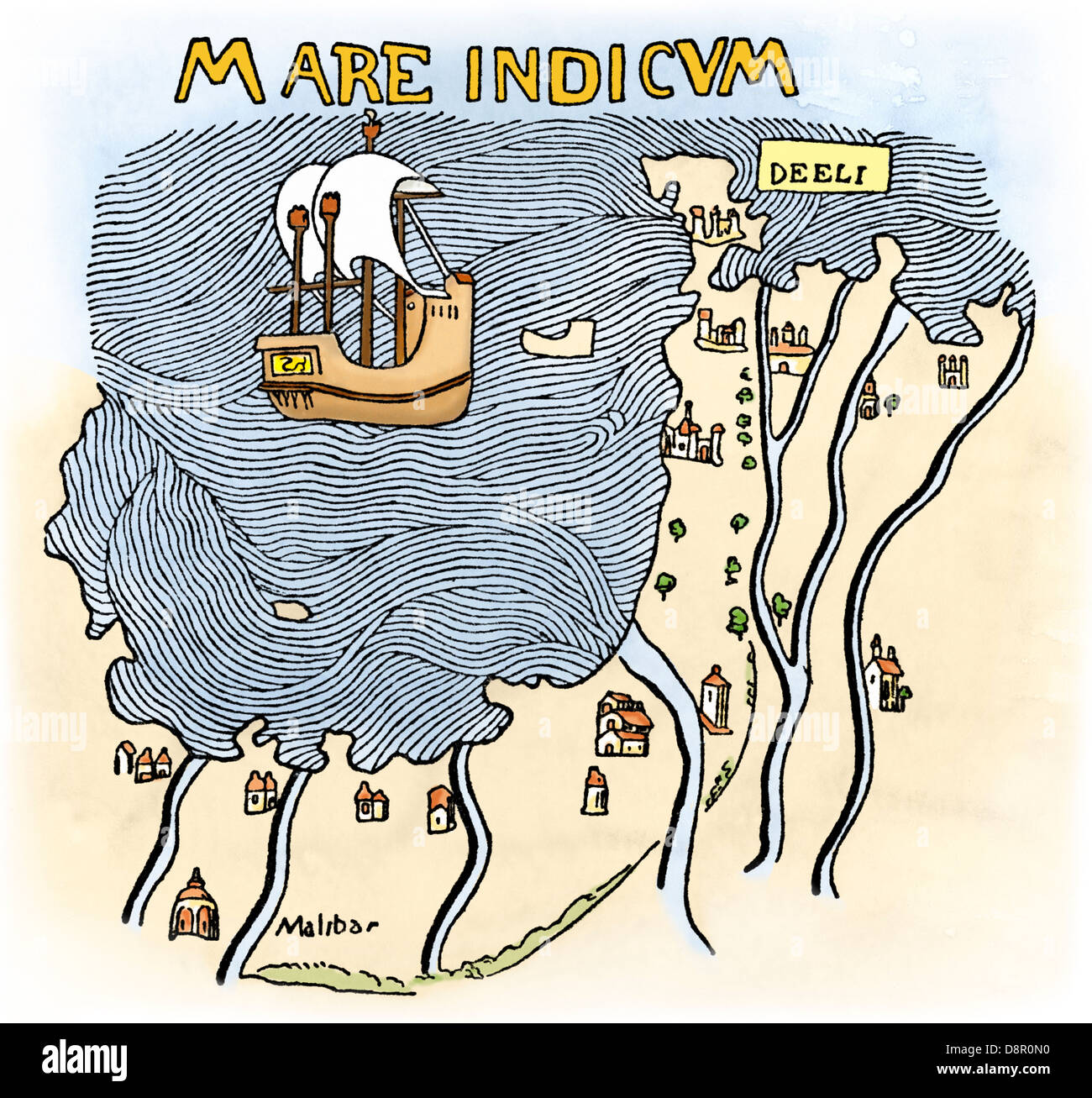 The Malabar Coast of India, from Fra Mauro's map, 1459 (south is at the top). Digitally colored woodcut Stock Photohttps://www.alamy.com/image-license-details/?v=1https://www.alamy.com/stock-photo-the-malabar-coast-of-india-from-fra-mauros-map-1459-south-is-at-the-57053836.html
RMD8R0N0–The Malabar Coast of India, from Fra Mauro's map, 1459 (south is at the top). Digitally colored woodcut
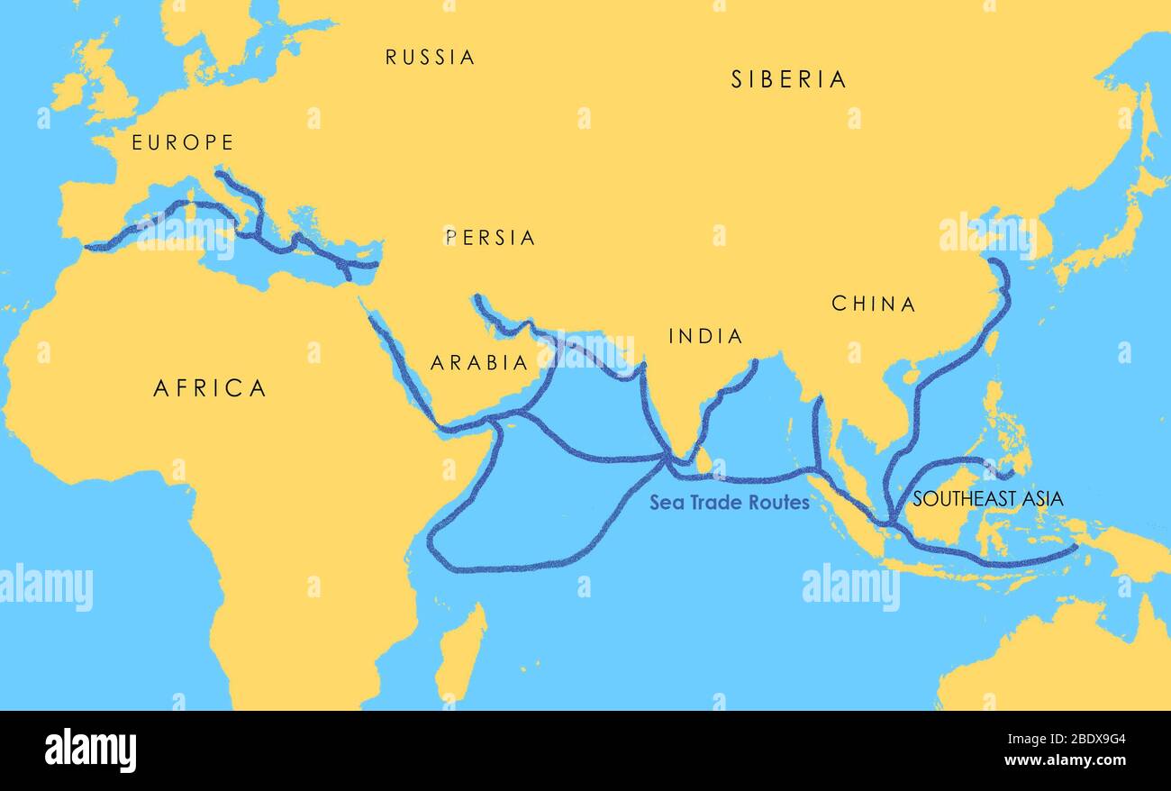 A map showing a network of medieval sea trade routes the Mediterranean, the Indian Ocean, Southeast Asia, and the China Sea. Stock Photohttps://www.alamy.com/image-license-details/?v=1https://www.alamy.com/a-map-showing-a-network-of-medieval-sea-trade-routes-the-mediterranean-the-indian-ocean-southeast-asia-and-the-china-sea-image352776148.html
RM2BDX9G4–A map showing a network of medieval sea trade routes the Mediterranean, the Indian Ocean, Southeast Asia, and the China Sea.
 asia, india, flag, cut out, map, atlas, map of the world, indian, cut it out, Stock Photohttps://www.alamy.com/image-license-details/?v=1https://www.alamy.com/stock-photo-asia-india-flag-cut-out-map-atlas-map-of-the-world-indian-cut-it-out-143832139.html
RFJA03A3–asia, india, flag, cut out, map, atlas, map of the world, indian, cut it out,
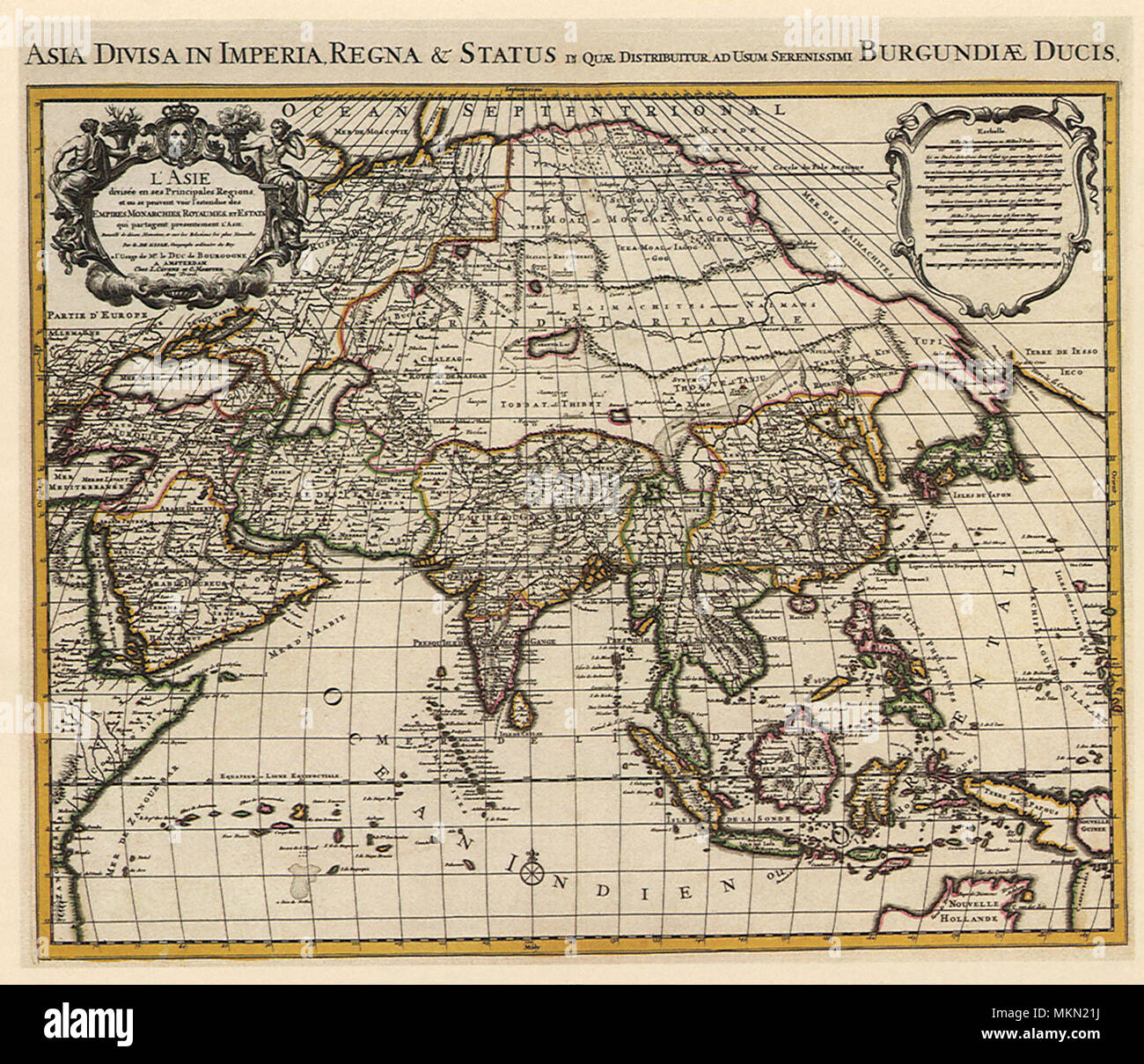 French Map of Asia 1700 Stock Photohttps://www.alamy.com/image-license-details/?v=1https://www.alamy.com/french-map-of-asia-1700-image184244750.html
RMMKN21J–French Map of Asia 1700
 Isolated India map marker pin in flat web design style. Stock Photohttps://www.alamy.com/image-license-details/?v=1https://www.alamy.com/stock-photo-isolated-india-map-marker-pin-in-flat-web-design-style-74815546.html
RME9M3YP–Isolated India map marker pin in flat web design style.
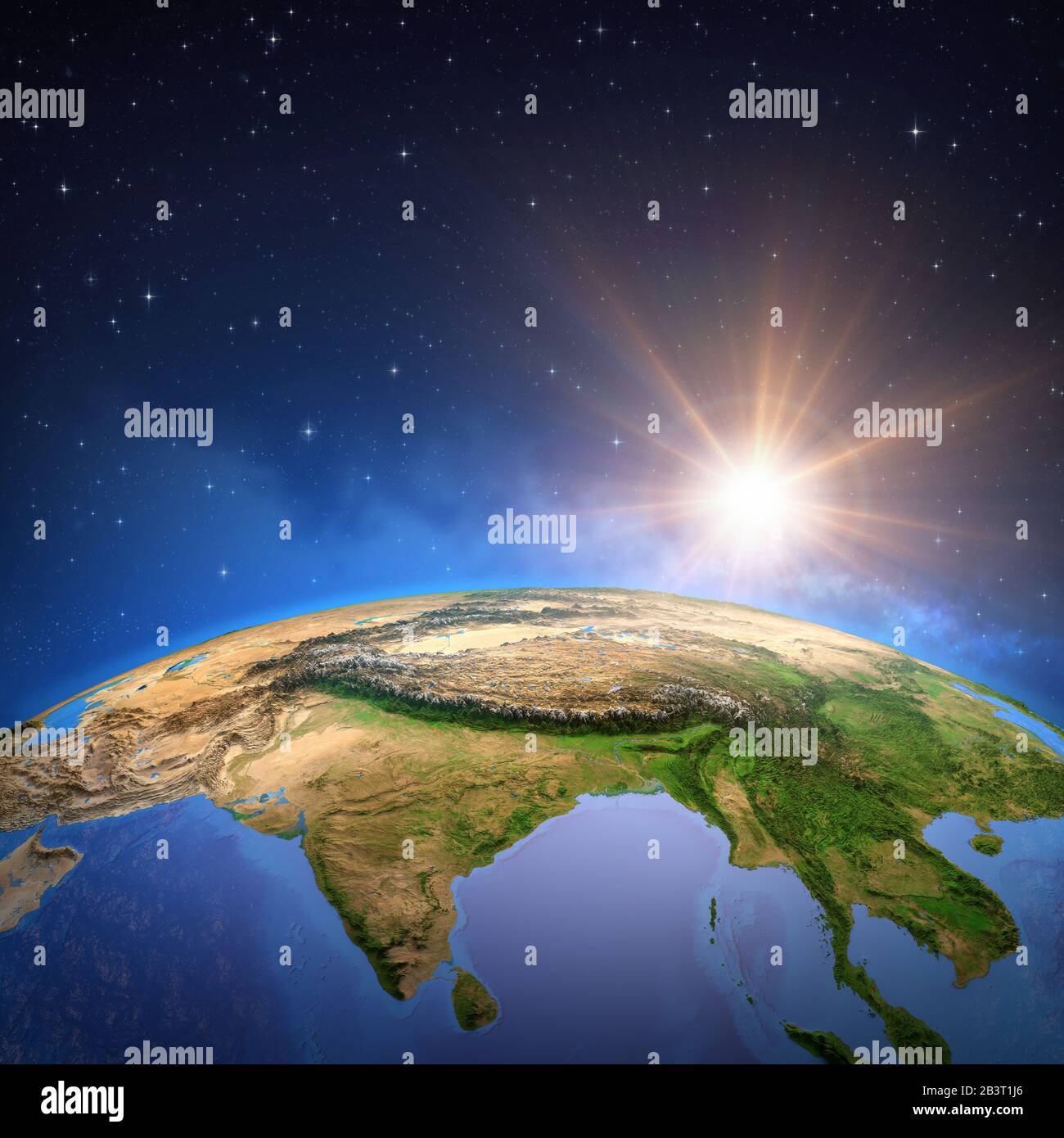 Surface of the Planet Earth viewed from a satellite, focused on East Asia, sun rising on the horizon. Physical map of Himalayas mountains, India and C Stock Photohttps://www.alamy.com/image-license-details/?v=1https://www.alamy.com/surface-of-the-planet-earth-viewed-from-a-satellite-focused-on-east-asia-sun-rising-on-the-horizon-physical-map-of-himalayas-mountains-india-and-c-image346579470.html
RF2B3T1J6–Surface of the Planet Earth viewed from a satellite, focused on East Asia, sun rising on the horizon. Physical map of Himalayas mountains, India and C
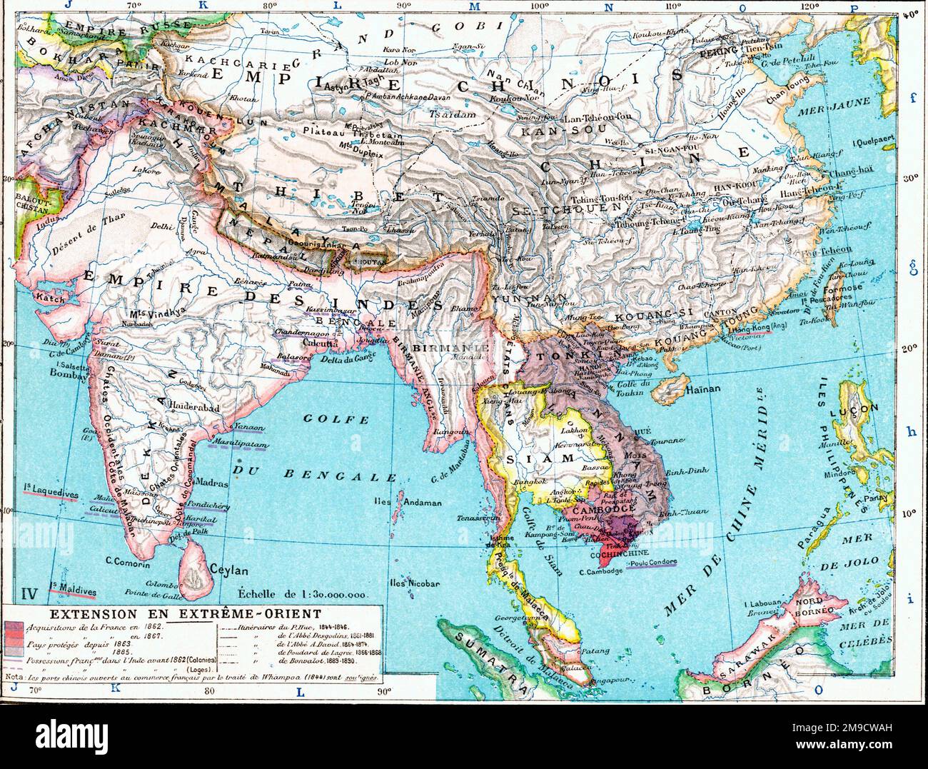 19th century Map of the Far East, Asia and India Stock Photohttps://www.alamy.com/image-license-details/?v=1https://www.alamy.com/19th-century-map-of-the-far-east-asia-and-india-image504915897.html
RM2M9CWAH–19th century Map of the Far East, Asia and India
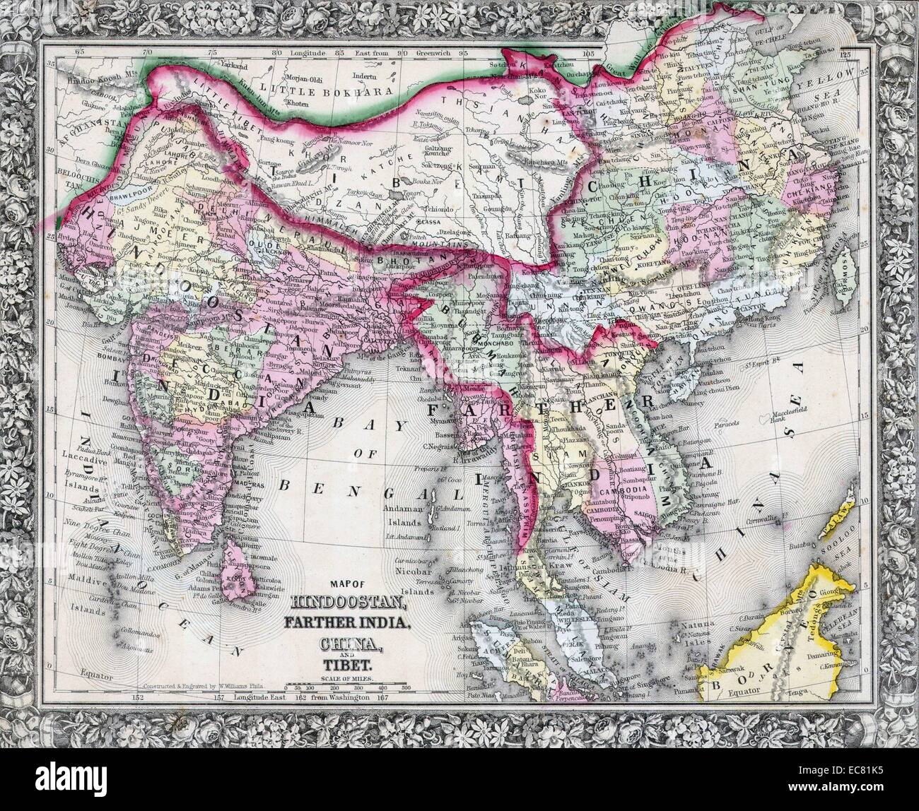 19th Century Map of India, Tibet, China and Southeast Asia. Dated 1864 Stock Photohttps://www.alamy.com/image-license-details/?v=1https://www.alamy.com/stock-photo-19th-century-map-of-india-tibet-china-and-southeast-asia-dated-1864-76394281.html
RMEC81K5–19th Century Map of India, Tibet, China and Southeast Asia. Dated 1864
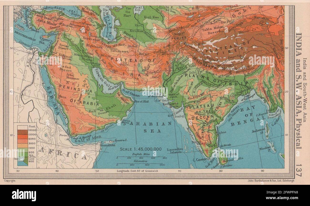 India and South West Asia - Physical. BARTHOLOMEW 1949 old vintage map chart Stock Photohttps://www.alamy.com/image-license-details/?v=1https://www.alamy.com/india-and-south-west-asia-physical-bartholomew-1949-old-vintage-map-chart-image428910532.html
RF2FWPFN8–India and South West Asia - Physical. BARTHOLOMEW 1949 old vintage map chart
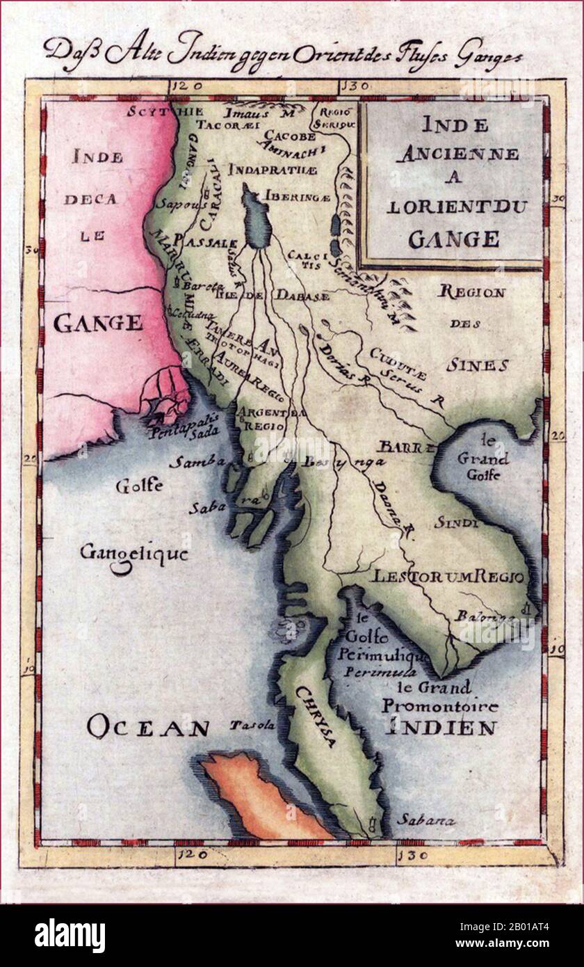 Southeast Asia: Map of Burma, Thailand, Laos, Cambodia and Vietnam, by Alain Manesson Mallet (1630-1706), 1719. 'Inde Ancienne A l'Orient Du Gange - Dass Alte Indien gegen Orient des Flusses Ganges' (Ancient India to the East of the Ganges). Copper-engraving, handcoloured in wash and outline. Decorative engraved map showing Burma and Thailand with Laos, Cambodia, Vietnam and the Malay peninsula. The mythical 'Lake Chiamay or 'Lake Chiang Mai' is prominent in the upper centre of the map, but is unnamed. Stock Photohttps://www.alamy.com/image-license-details/?v=1https://www.alamy.com/southeast-asia-map-of-burma-thailand-laos-cambodia-and-vietnam-by-alain-manesson-mallet-1630-1706-1719-inde-ancienne-a-lorient-du-gange-dass-alte-indien-gegen-orient-des-flusses-ganges-ancient-india-to-the-east-of-the-ganges-copper-engraving-handcoloured-in-wash-and-outline-decorative-engraved-map-showing-burma-and-thailand-with-laos-cambodia-vietnam-and-the-malay-peninsula-the-mythical-lake-chiamay-or-lake-chiang-mai-is-prominent-in-the-upper-centre-of-the-map-but-is-unnamed-image344237828.html
RM2B01AT4–Southeast Asia: Map of Burma, Thailand, Laos, Cambodia and Vietnam, by Alain Manesson Mallet (1630-1706), 1719. 'Inde Ancienne A l'Orient Du Gange - Dass Alte Indien gegen Orient des Flusses Ganges' (Ancient India to the East of the Ganges). Copper-engraving, handcoloured in wash and outline. Decorative engraved map showing Burma and Thailand with Laos, Cambodia, Vietnam and the Malay peninsula. The mythical 'Lake Chiamay or 'Lake Chiang Mai' is prominent in the upper centre of the map, but is unnamed.
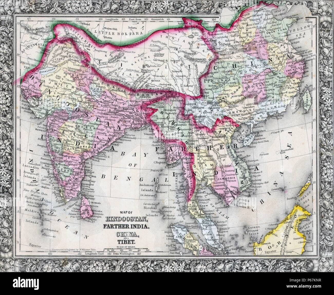 19th Century Map of India, Tibet, China and Southeast Asia. Dated 1864 Stock Photohttps://www.alamy.com/image-license-details/?v=1https://www.alamy.com/19th-century-map-of-india-tibet-china-and-southeast-asia-dated-1864-image210381523.html
RMP67KNR–19th Century Map of India, Tibet, China and Southeast Asia. Dated 1864
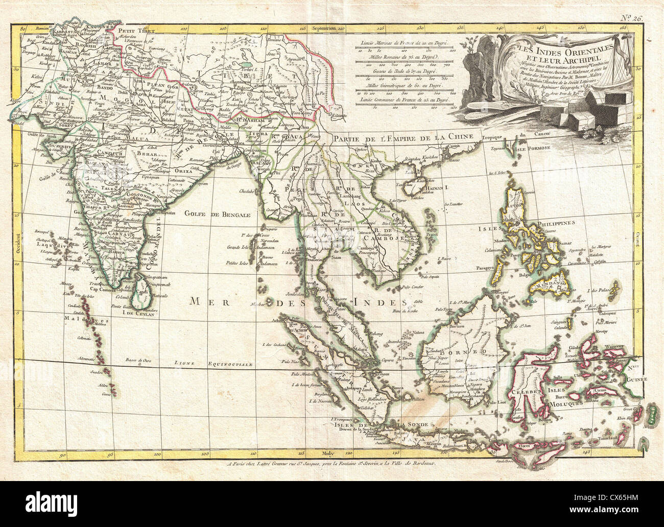 1770 Bonne Map of India, Southeast Asia ^ The East Indies (Thailand, Borneo, Singapore) Stock Photohttps://www.alamy.com/image-license-details/?v=1https://www.alamy.com/stock-photo-1770-bonne-map-of-india-southeast-asia-the-east-indies-thailand-borneo-50537920.html
RMCX65HM–1770 Bonne Map of India, Southeast Asia ^ The East Indies (Thailand, Borneo, Singapore)
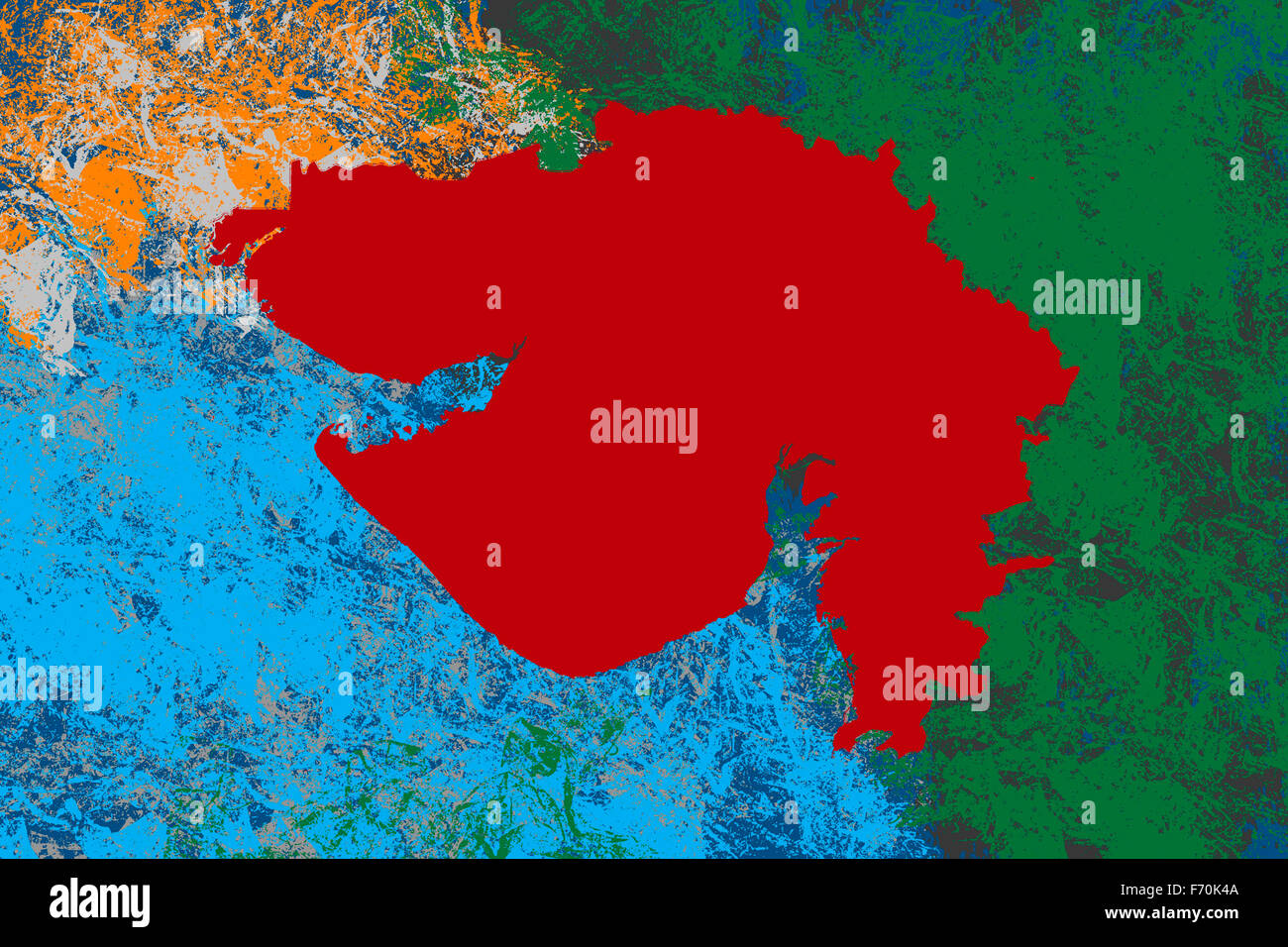 Illustration, Gujarat location map, India, Asia Stock Photohttps://www.alamy.com/image-license-details/?v=1https://www.alamy.com/stock-photo-illustration-gujarat-location-map-india-asia-90369450.html
RMF70K4A–Illustration, Gujarat location map, India, Asia
 1865, Spruner Map of India and Southeast Asia Stock Photohttps://www.alamy.com/image-license-details/?v=1https://www.alamy.com/stock-image-1865-spruner-map-of-india-and-southeast-asia-162576481.html
RMKCDYXW–1865, Spruner Map of India and Southeast Asia
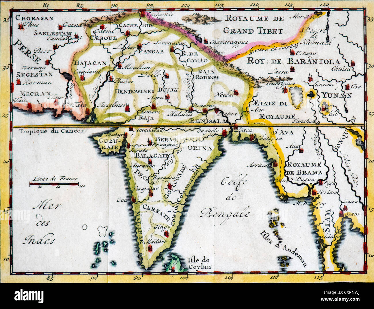 Historical, hand-coloured map, engraving, India and Southeast Asia, 18th Century Stock Photohttps://www.alamy.com/image-license-details/?v=1https://www.alamy.com/stock-photo-historical-hand-coloured-map-engraving-india-and-southeast-asia-18th-50923870.html
RMCXRNWJ–Historical, hand-coloured map, engraving, India and Southeast Asia, 18th Century
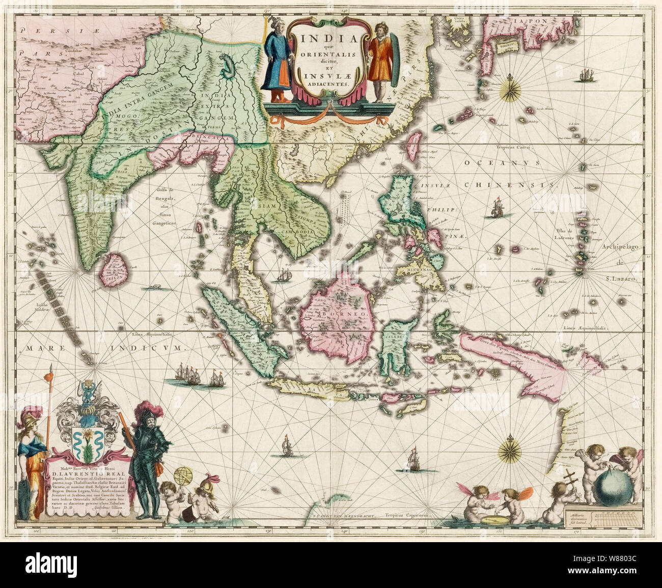 Map of South-East Asia, including Indonesia, India, Ceylon etc, published by Willem Janszoon Blaeu in 1635. Stock Photohttps://www.alamy.com/image-license-details/?v=1https://www.alamy.com/map-of-south-east-asia-including-indonesia-india-ceylon-etc-published-by-willem-janszoon-blaeu-in-1635-image263248480.html
RMW8803C–Map of South-East Asia, including Indonesia, India, Ceylon etc, published by Willem Janszoon Blaeu in 1635.
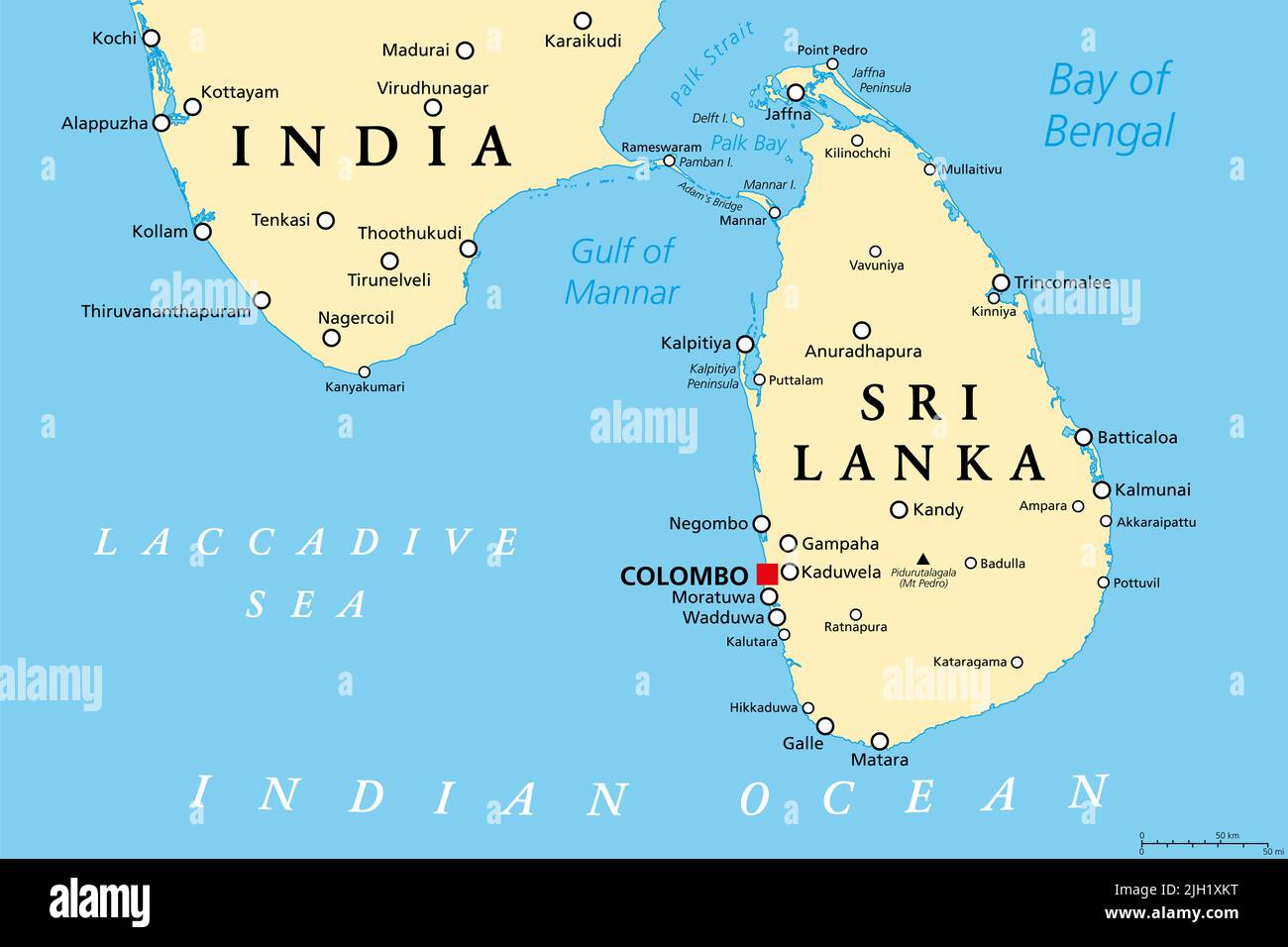 Sri Lanka and part of Southern India, political map. Democratic Socialist Republic of Sri Lanka, formerly Ceylon, island country in South Asia. Stock Photohttps://www.alamy.com/image-license-details/?v=1https://www.alamy.com/sri-lanka-and-part-of-southern-india-political-map-democratic-socialist-republic-of-sri-lanka-formerly-ceylon-island-country-in-south-asia-image475171980.html
RF2JH1XKT–Sri Lanka and part of Southern India, political map. Democratic Socialist Republic of Sri Lanka, formerly Ceylon, island country in South Asia.
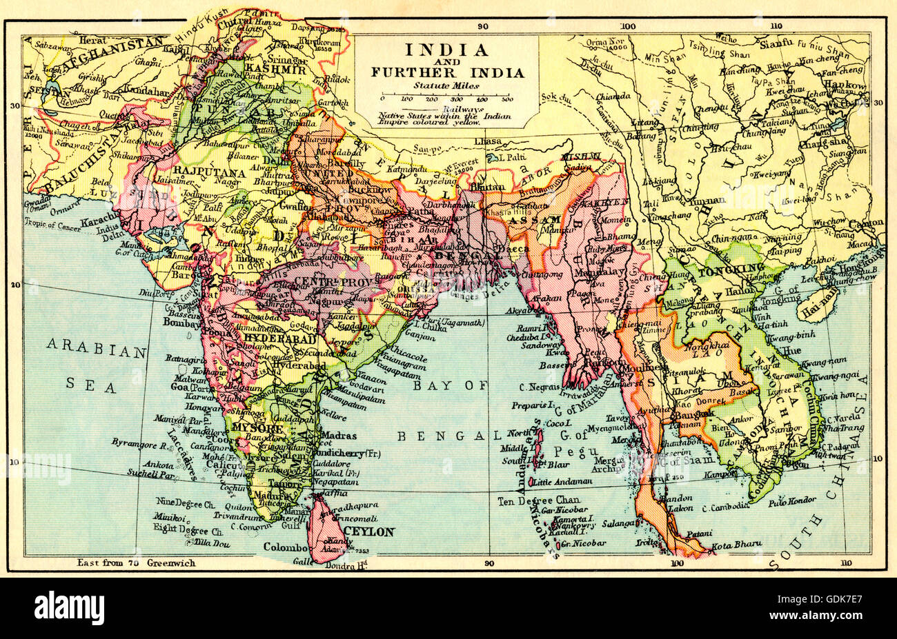 A 1930's map of India and Further India. Stock Photohttps://www.alamy.com/image-license-details/?v=1https://www.alamy.com/stock-photo-a-1930s-map-of-india-and-further-india-111675711.html
RMGDK7E7–A 1930's map of India and Further India.
 Map of Asia, circa 1818 Stock Photohttps://www.alamy.com/image-license-details/?v=1https://www.alamy.com/stock-photo-map-of-asia-circa-1818-50496748.html
RMCX4938–Map of Asia, circa 1818
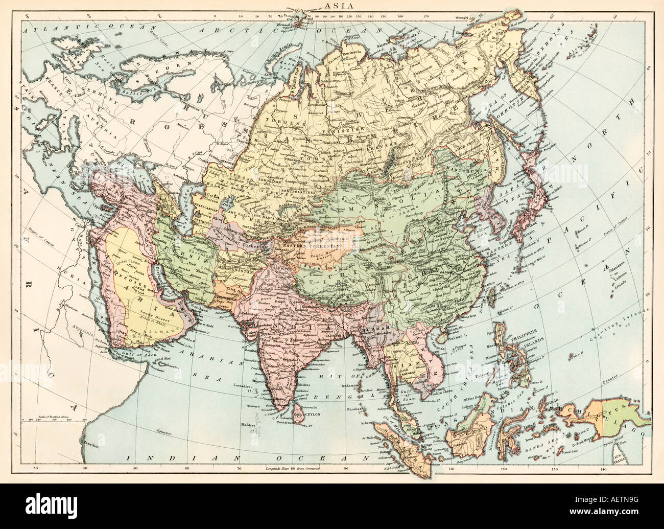 Map of Asia circa 1870. Color lithograph Stock Photohttps://www.alamy.com/image-license-details/?v=1https://www.alamy.com/stock-photo-map-of-asia-circa-1870-color-lithograph-13755387.html
RMAETN9G–Map of Asia circa 1870. Color lithograph
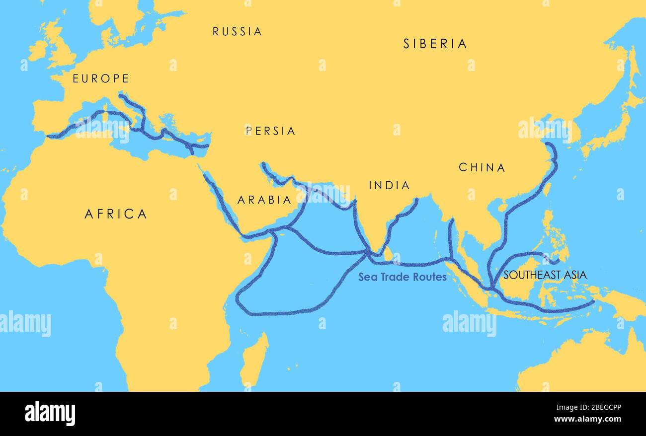 A map showing a network of medieval sea trade routes the Mediterranean, the Indian Ocean, Southeast Asia, and the China Sea. Stock Photohttps://www.alamy.com/image-license-details/?v=1https://www.alamy.com/a-map-showing-a-network-of-medieval-sea-trade-routes-the-mediterranean-the-indian-ocean-southeast-asia-and-the-china-sea-image353173822.html
RM2BEGCPP–A map showing a network of medieval sea trade routes the Mediterranean, the Indian Ocean, Southeast Asia, and the China Sea.
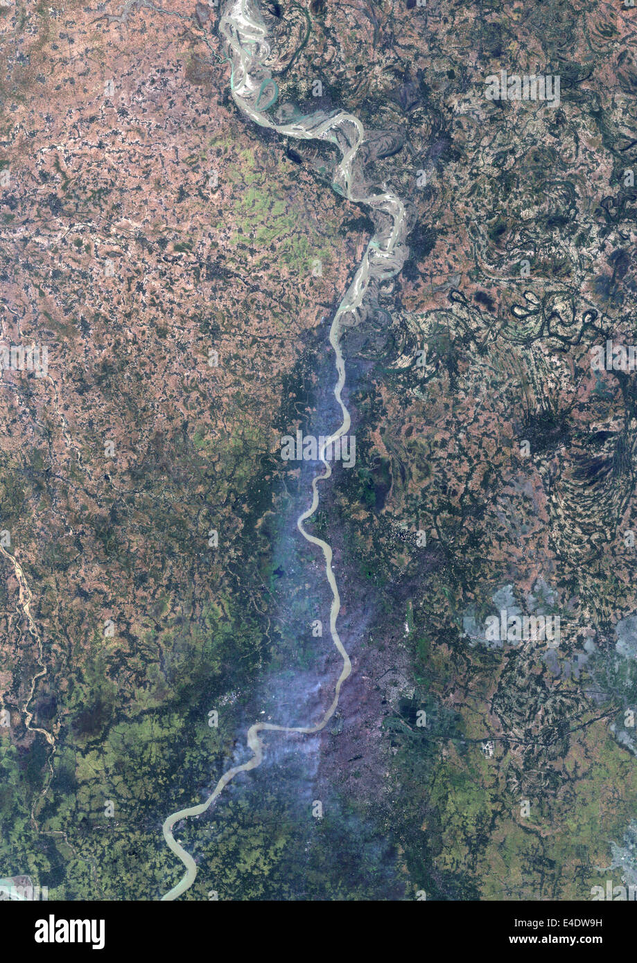 Pollution Cloud Over Calcutta (Kolkata), India, True Colour Satellite Image. Calcutta (Kolkata), India, true colour satellite im Stock Photohttps://www.alamy.com/image-license-details/?v=1https://www.alamy.com/stock-photo-pollution-cloud-over-calcutta-kolkata-india-true-colour-satellite-71605341.html
RME4DW9H–Pollution Cloud Over Calcutta (Kolkata), India, True Colour Satellite Image. Calcutta (Kolkata), India, true colour satellite im
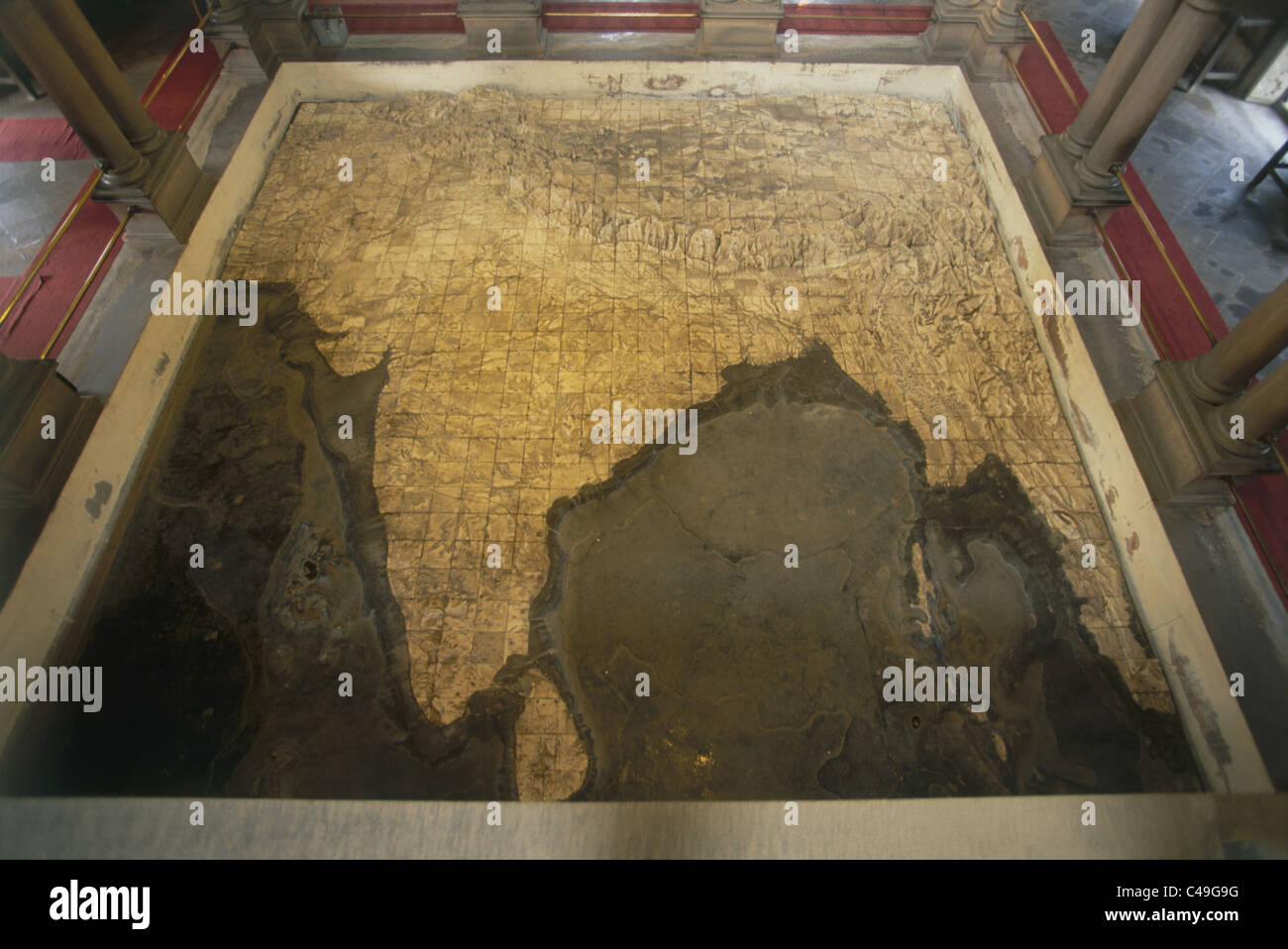 Photograph of a map of India in Varanasi India Stock Photohttps://www.alamy.com/image-license-details/?v=1https://www.alamy.com/stock-photo-photograph-of-a-map-of-india-in-varanasi-india-37089740.html
RMC49G9G–Photograph of a map of India in Varanasi India
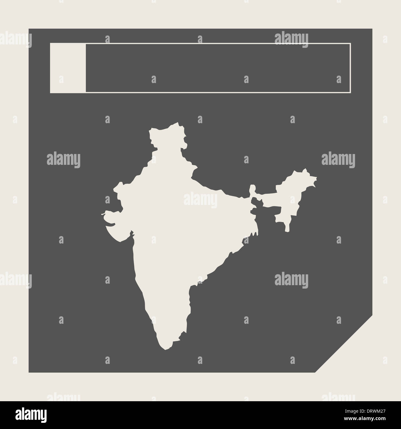 India map button in responsive flat web design map button isolated with clipping path. Stock Photohttps://www.alamy.com/image-license-details/?v=1https://www.alamy.com/india-map-button-in-responsive-flat-web-design-map-button-isolated-image66332735.html
RMDRWM27–India map button in responsive flat web design map button isolated with clipping path.
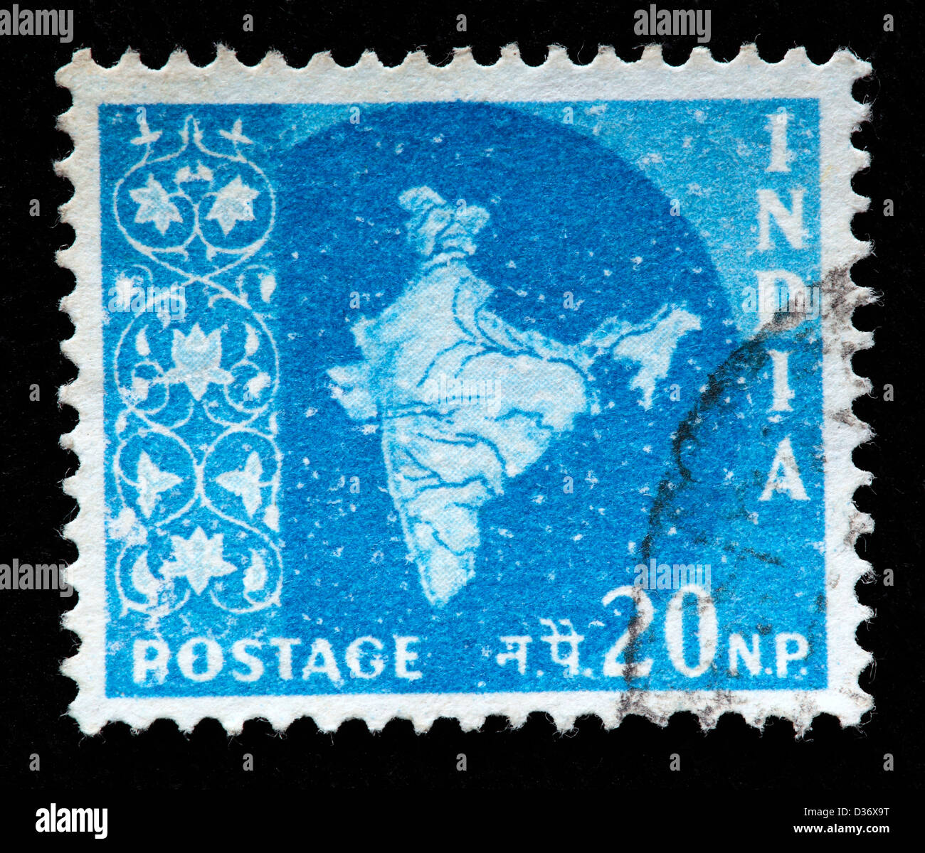 Map of India, postage stamp, India, 1957 Stock Photohttps://www.alamy.com/image-license-details/?v=1https://www.alamy.com/stock-photo-map-of-india-postage-stamp-india-1957-53627444.html
RMD36X9T–Map of India, postage stamp, India, 1957
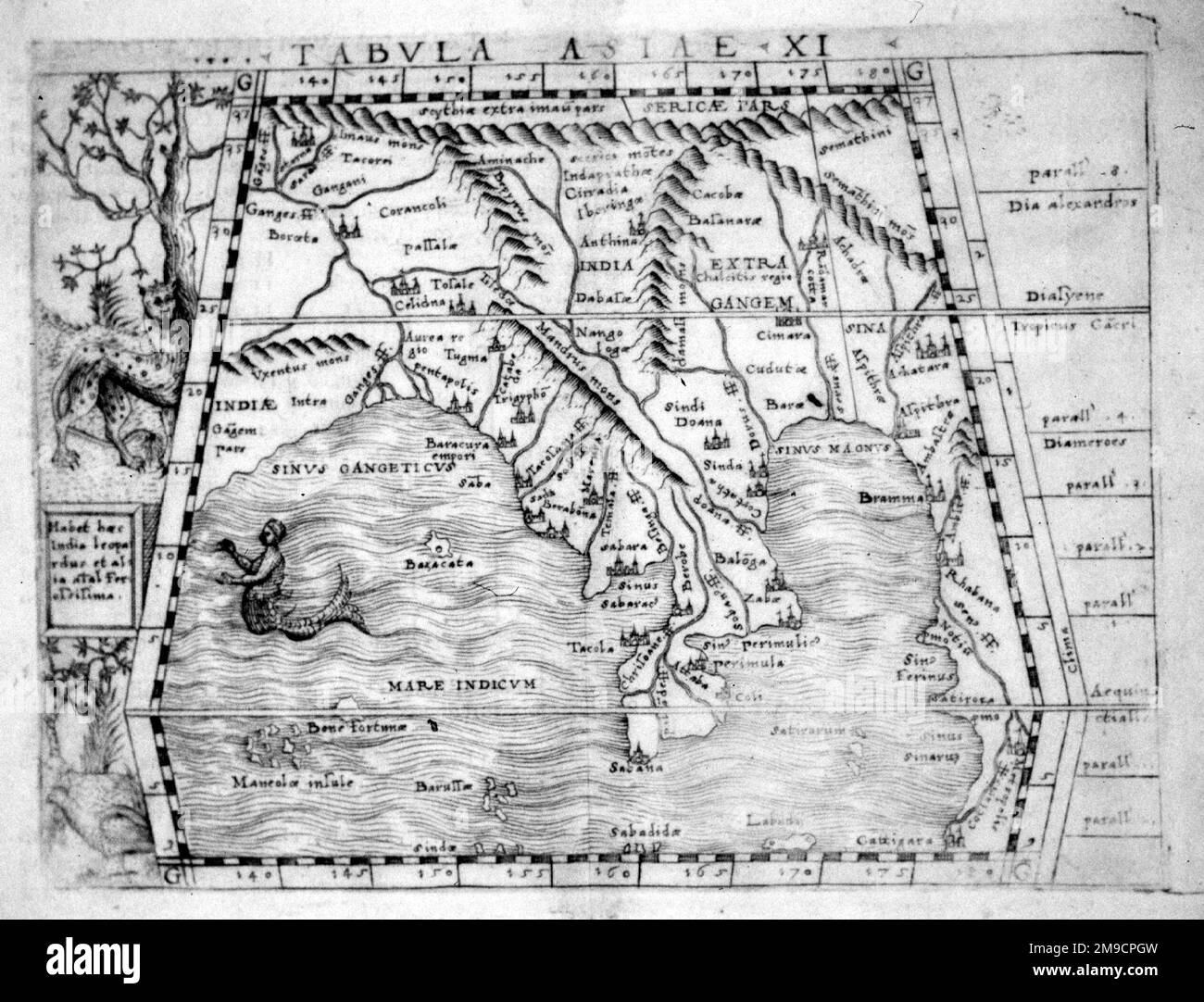 16th century Map of Bengal, India and South East Asia Stock Photohttps://www.alamy.com/image-license-details/?v=1https://www.alamy.com/16th-century-map-of-bengal-india-and-south-east-asia-image504913721.html
RM2M9CPGW–16th century Map of Bengal, India and South East Asia
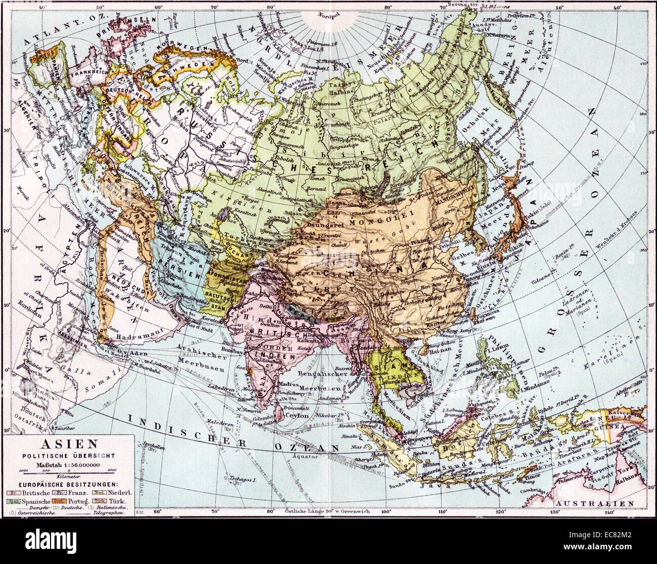 German map of Europe; Russia and Asia dated to 1890. The British India colony and Dutch East Indies are shown as well as The Russian Empire Stock Photohttps://www.alamy.com/image-license-details/?v=1https://www.alamy.com/stock-photo-german-map-of-europe-russia-and-asia-dated-to-1890-the-british-india-76395090.html
RMEC82M2–German map of Europe; Russia and Asia dated to 1890. The British India colony and Dutch East Indies are shown as well as The Russian Empire
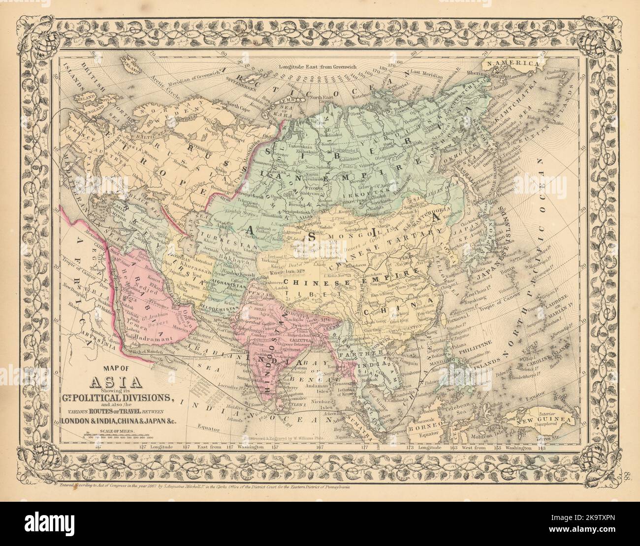 Asia showing… routes of travel between London & India, China… MITCHELL 1869 map Stock Photohttps://www.alamy.com/image-license-details/?v=1https://www.alamy.com/asia-showing-routes-of-travel-between-london-india-china-mitchell-1869-map-image487970077.html
RF2K9TXPN–Asia showing… routes of travel between London & India, China… MITCHELL 1869 map
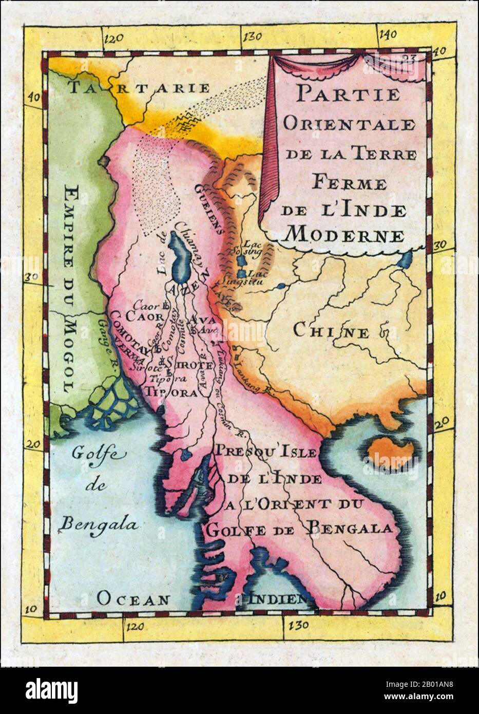 Asia: 'Partie Orientale De La Terre Ferme De L' Inde Moderne'. Map of Indochina showing parts of India, China and Central Asia and featuring prominently the mythical 'Lake Chiamay', by Alain Manesson Mallet (1630-1706), Paris, 1683. Copper engraving, hand colored in wash and outline. Decorative engraved map showing the gulf of Bengal with Burma and Thailand and neighbouring countries. With several engraved names of rivers and regions, including the mythical 'Lake Chiamay' or 'Lake Chiang Mai', supposed source for many of the great rivers of Southeast Asia. Stock Photohttps://www.alamy.com/image-license-details/?v=1https://www.alamy.com/asia-partie-orientale-de-la-terre-ferme-de-l-inde-moderne-map-of-indochina-showing-parts-of-india-china-and-central-asia-and-featuring-prominently-the-mythical-lake-chiamay-by-alain-manesson-mallet-1630-1706-paris-1683-copper-engraving-hand-colored-in-wash-and-outline-decorative-engraved-map-showing-the-gulf-of-bengal-with-burma-and-thailand-and-neighbouring-countries-with-several-engraved-names-of-rivers-and-regions-including-the-mythical-lake-chiamay-or-lake-chiang-mai-supposed-source-for-many-of-the-great-rivers-of-southeast-asia-image344237748.html
RM2B01AN8–Asia: 'Partie Orientale De La Terre Ferme De L' Inde Moderne'. Map of Indochina showing parts of India, China and Central Asia and featuring prominently the mythical 'Lake Chiamay', by Alain Manesson Mallet (1630-1706), Paris, 1683. Copper engraving, hand colored in wash and outline. Decorative engraved map showing the gulf of Bengal with Burma and Thailand and neighbouring countries. With several engraved names of rivers and regions, including the mythical 'Lake Chiamay' or 'Lake Chiang Mai', supposed source for many of the great rivers of Southeast Asia.
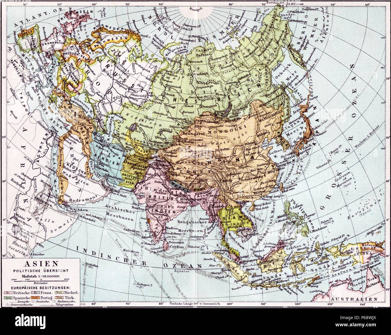 German map of Europe; Russia and Asia dated to 1890. The British India colony and Dutch East Indies are shown as well as The Russian Empire Stock Photohttps://www.alamy.com/image-license-details/?v=1https://www.alamy.com/german-map-of-europe-russia-and-asia-dated-to-1890-the-british-india-colony-and-dutch-east-indies-are-shown-as-well-as-the-russian-empire-image210408098.html
RMP68WJX–German map of Europe; Russia and Asia dated to 1890. The British India colony and Dutch East Indies are shown as well as The Russian Empire
 1865 Spruner Map of India and Southeast Asia Stock Photohttps://www.alamy.com/image-license-details/?v=1https://www.alamy.com/stock-photo-1865-spruner-map-of-india-and-southeast-asia-49967390.html
RMCW85WJ–1865 Spruner Map of India and Southeast Asia
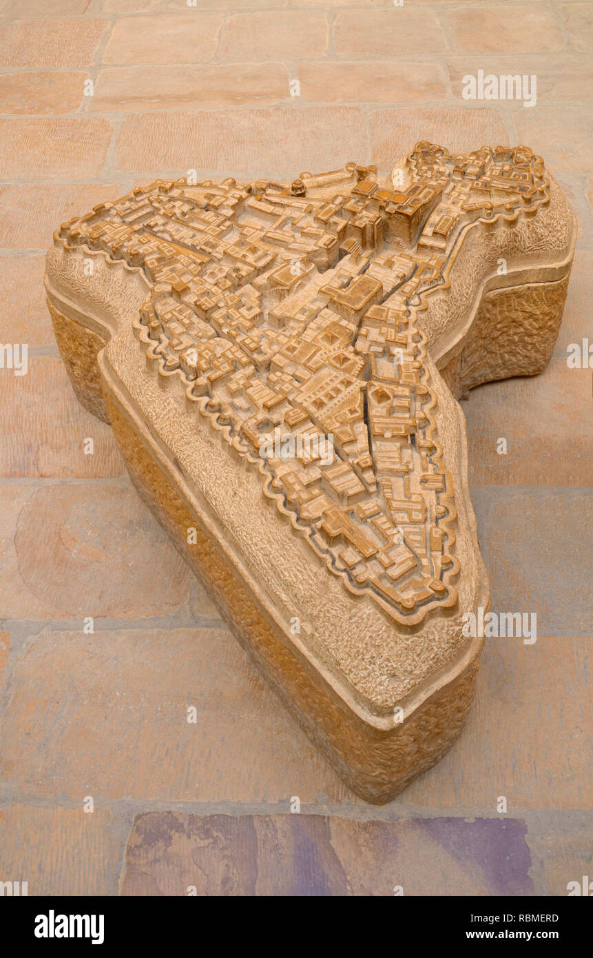 Jaisalmer fort map carved in sandstone, Jaisalmer, Rajasthan, India, Asia Stock Photohttps://www.alamy.com/image-license-details/?v=1https://www.alamy.com/jaisalmer-fort-map-carved-in-sandstone-jaisalmer-rajasthan-india-asia-image230946673.html
RMRBMERD–Jaisalmer fort map carved in sandstone, Jaisalmer, Rajasthan, India, Asia
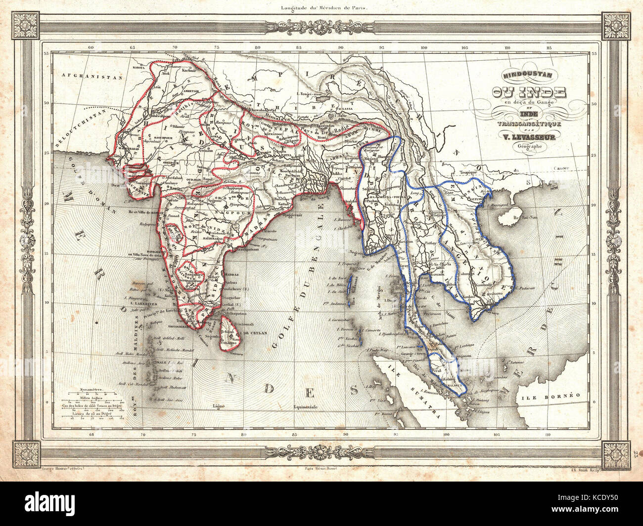 1852, Levasseur Map of India and Southeast Asia Stock Photohttps://www.alamy.com/image-license-details/?v=1https://www.alamy.com/stock-image-1852-levasseur-map-of-india-and-southeast-asia-162575868.html
RMKCDY50–1852, Levasseur Map of India and Southeast Asia
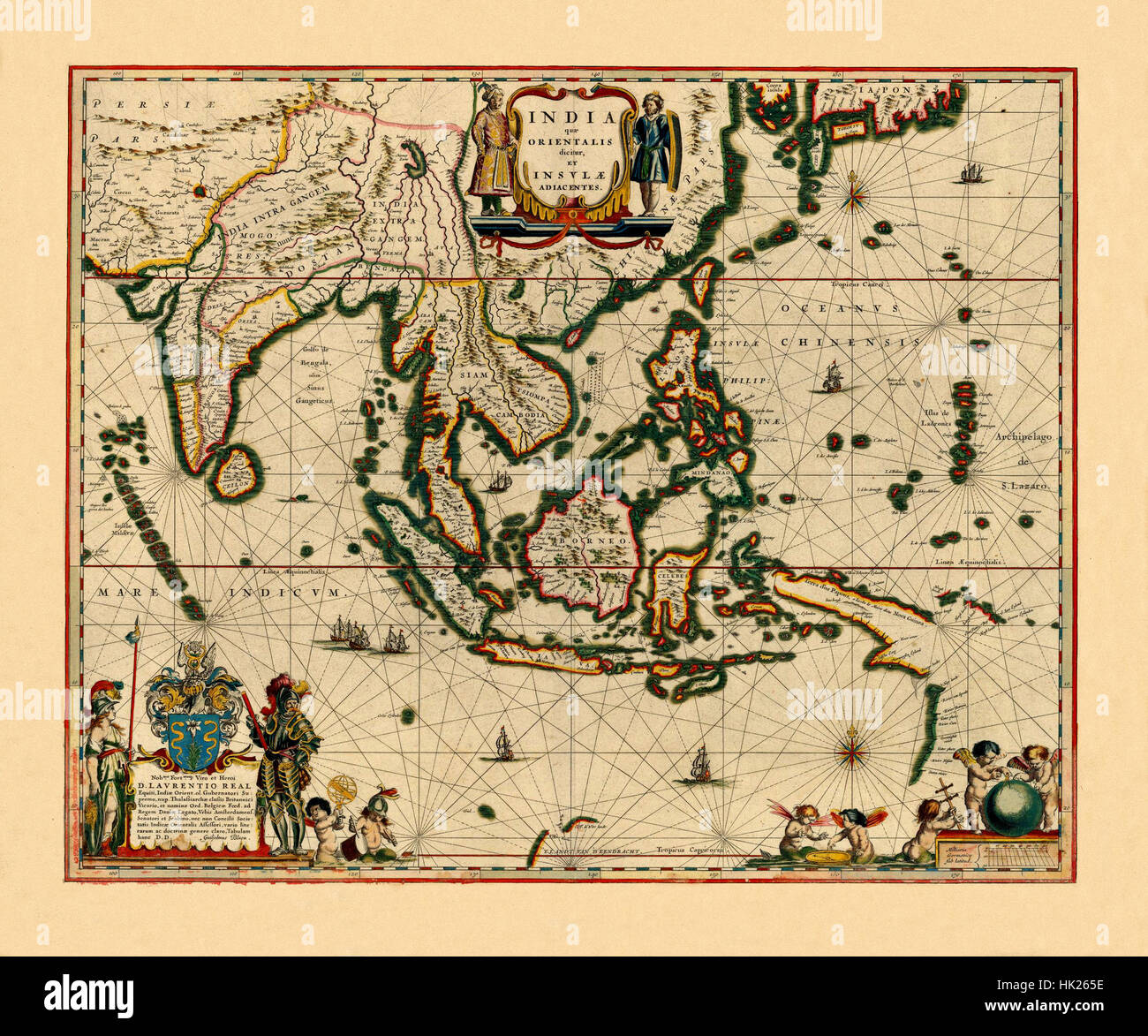 Map Of India 1640 Stock Photohttps://www.alamy.com/image-license-details/?v=1https://www.alamy.com/stock-photo-map-of-india-1640-132199802.html
RFHK265E–Map Of India 1640
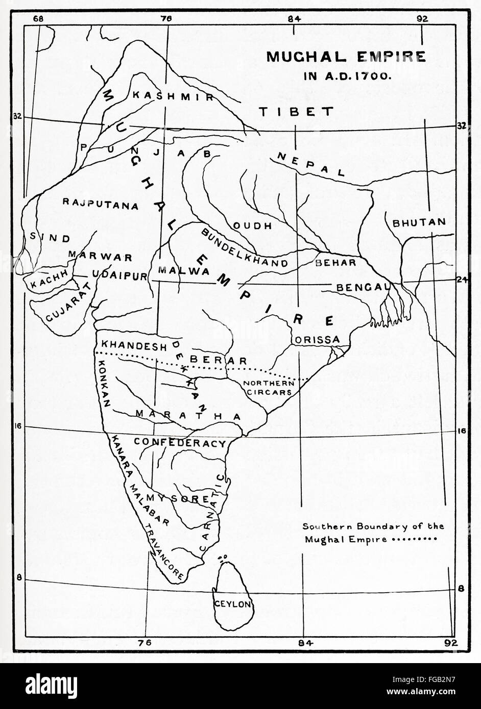 Map of the Mughal Empire in India, 1700. Stock Photohttps://www.alamy.com/image-license-details/?v=1https://www.alamy.com/stock-photo-map-of-the-mughal-empire-in-india-1700-96129971.html
RMFGB2N7–Map of the Mughal Empire in India, 1700.
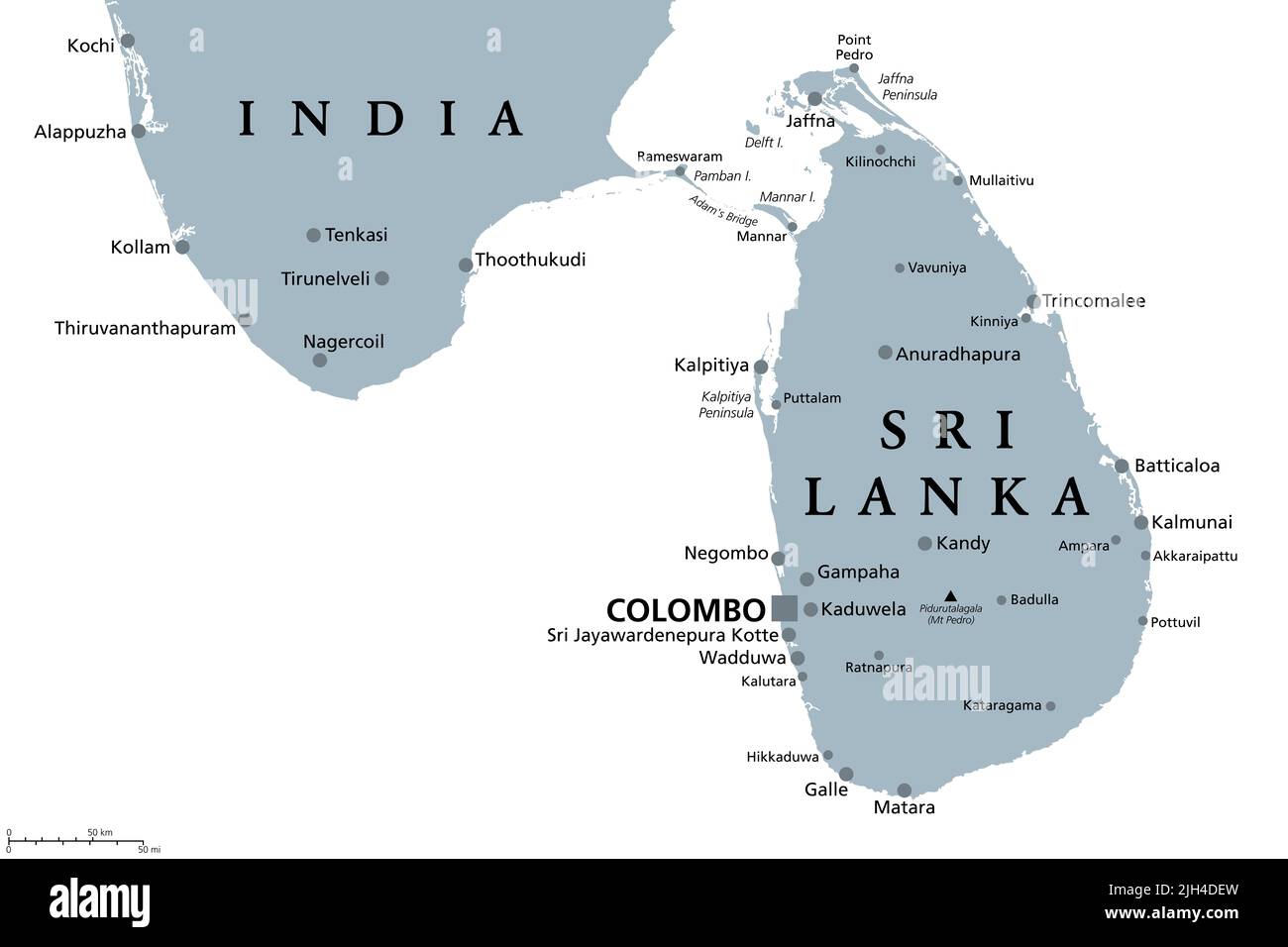 Sri Lanka and part of Southern India, gray political map. Democratic Socialist Republic of Sri Lanka, formerly Ceylon, island country in South Asia. Stock Photohttps://www.alamy.com/image-license-details/?v=1https://www.alamy.com/sri-lanka-and-part-of-southern-india-gray-political-map-democratic-socialist-republic-of-sri-lanka-formerly-ceylon-island-country-in-south-asia-image475227505.html
RF2JH4DEW–Sri Lanka and part of Southern India, gray political map. Democratic Socialist Republic of Sri Lanka, formerly Ceylon, island country in South Asia.
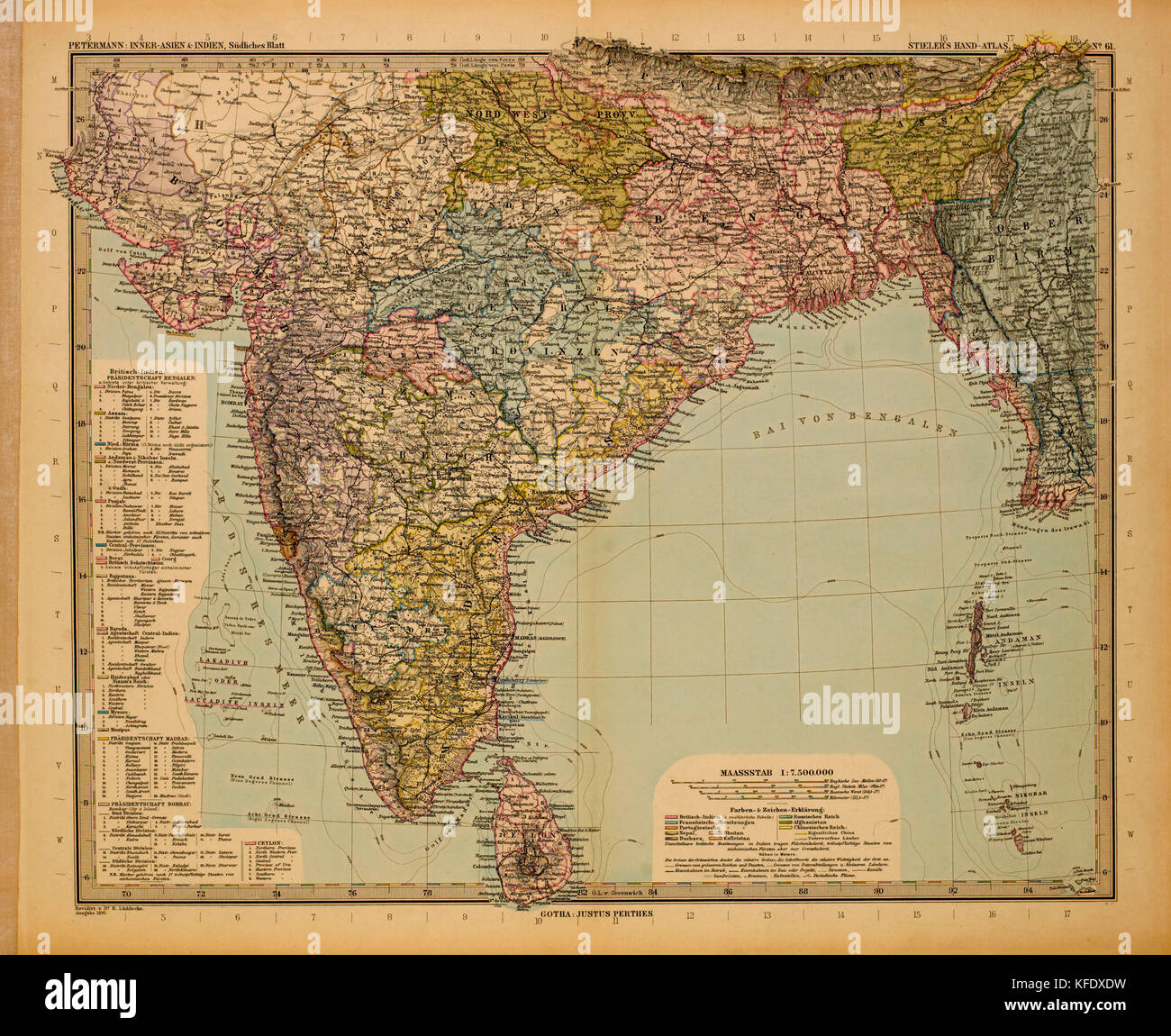 Map of British India, 1895 Stock Photohttps://www.alamy.com/image-license-details/?v=1https://www.alamy.com/stock-image-map-of-british-india-1895-164419301.html
RMKFDXDW–Map of British India, 1895
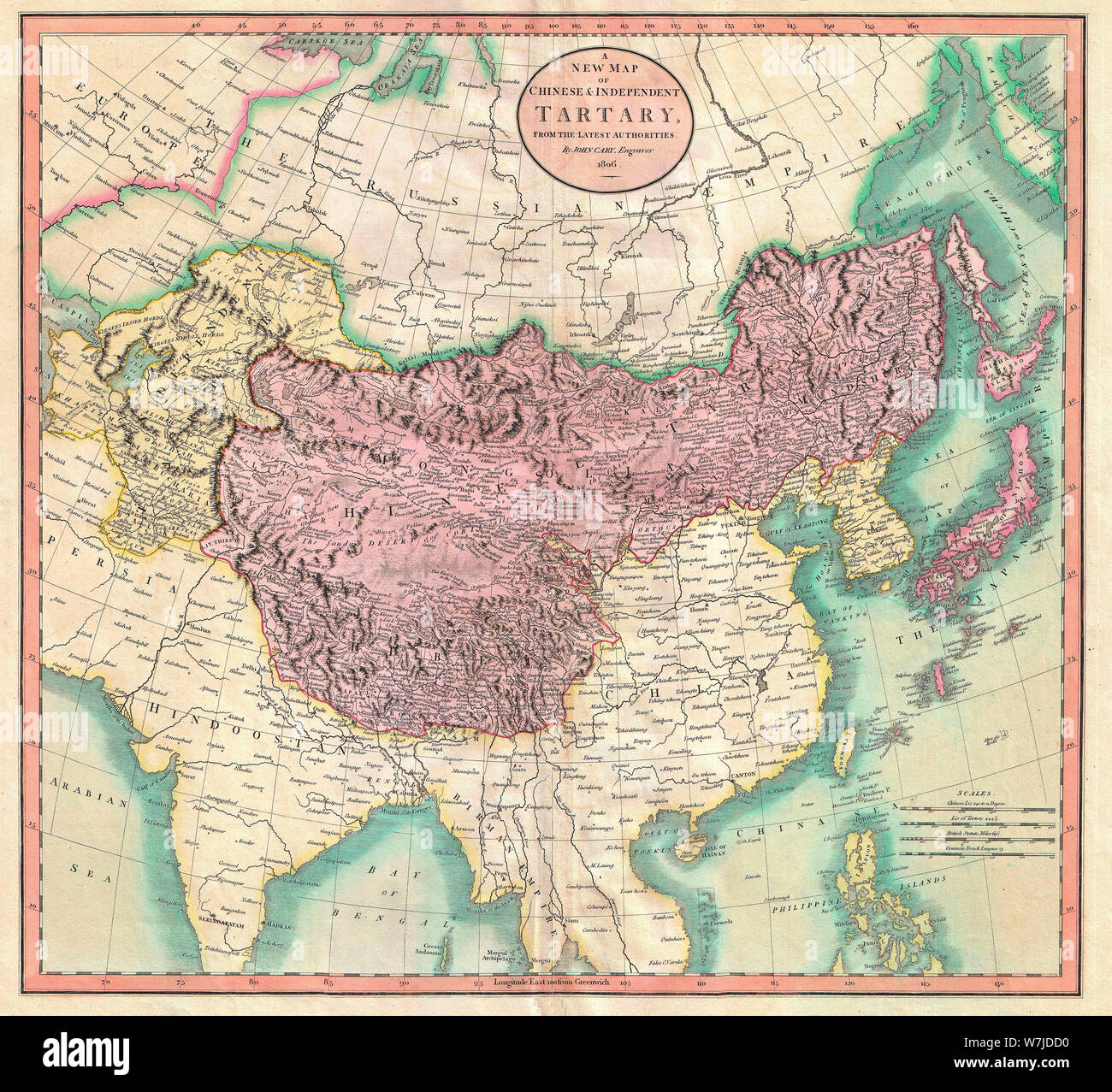 A New Map of Chinese & Independent Tartary - An exceptionally beautiful example of John Cary’s important 1806 map of Chinese and Independent Tartary. Covers Central Asia from the Caspian Sea to Japan, extends as far north as the Obskaia Sea and as far south as India, Burma and the Philippines. Includes the modern day nations of Uzbekistan, Kazakhstan, Turkmenistan, Kirgizstan, Tajikistan and Mongolia. One of Cary’s most interesting maps. Central Asia, despite hundreds of years of passing trade on the Silk Routes, was still, at the turn of the century a largely unknown land. 1806 Stock Photohttps://www.alamy.com/image-license-details/?v=1https://www.alamy.com/a-new-map-of-chinese-independent-tartary-an-exceptionally-beautiful-example-of-john-carys-important-1806-map-of-chinese-and-independent-tartary-covers-central-asia-from-the-caspian-sea-to-japan-extends-as-far-north-as-the-obskaia-sea-and-as-far-south-as-india-burma-and-the-philippines-includes-the-modern-day-nations-of-uzbekistan-kazakhstan-turkmenistan-kirgizstan-tajikistan-and-mongolia-one-of-carys-most-interesting-maps-central-asia-despite-hundreds-of-years-of-passing-trade-on-the-silk-routes-was-still-at-the-turn-of-the-century-a-largely-unknown-land-1806-image262863804.html
RMW7JDD0–A New Map of Chinese & Independent Tartary - An exceptionally beautiful example of John Cary’s important 1806 map of Chinese and Independent Tartary. Covers Central Asia from the Caspian Sea to Japan, extends as far north as the Obskaia Sea and as far south as India, Burma and the Philippines. Includes the modern day nations of Uzbekistan, Kazakhstan, Turkmenistan, Kirgizstan, Tajikistan and Mongolia. One of Cary’s most interesting maps. Central Asia, despite hundreds of years of passing trade on the Silk Routes, was still, at the turn of the century a largely unknown land. 1806
 Map of Himalaya region of Asia, 1870s. Color lithograph Stock Photohttps://www.alamy.com/image-license-details/?v=1https://www.alamy.com/map-of-himalaya-region-of-asia-1870s-color-lithograph-image60596199.html
RMDEGB1Y–Map of Himalaya region of Asia, 1870s. Color lithograph
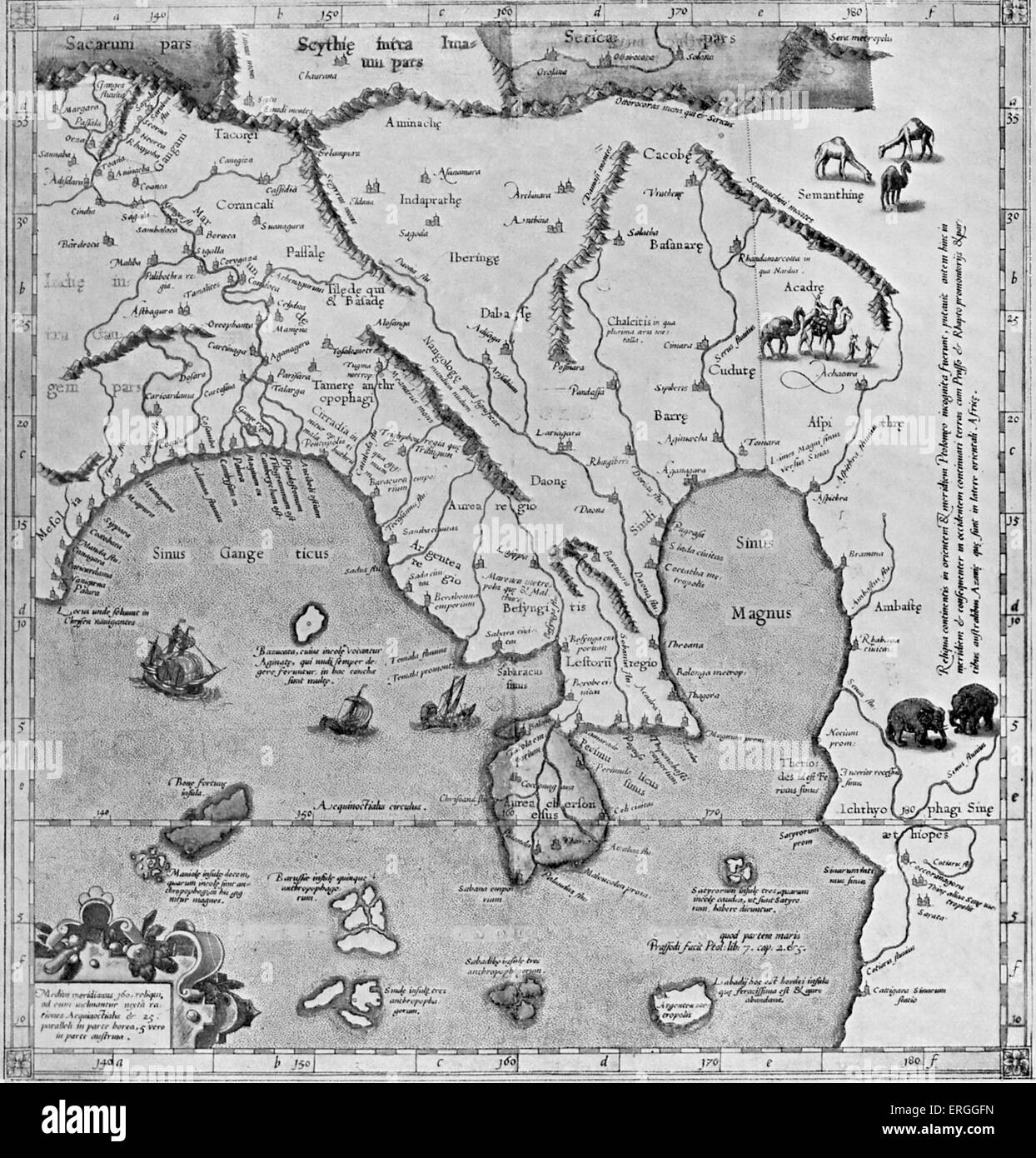 Map of Asia (East of the Ganges) - in Ptolemy 's 'Geographia', published 1584, Cologne. River (boundary river of modern day Stock Photohttps://www.alamy.com/image-license-details/?v=1https://www.alamy.com/stock-photo-map-of-asia-east-of-the-ganges-in-ptolemy-s-geographia-published-1584-83342777.html
RMERGGFN–Map of Asia (East of the Ganges) - in Ptolemy 's 'Geographia', published 1584, Cologne. River (boundary river of modern day
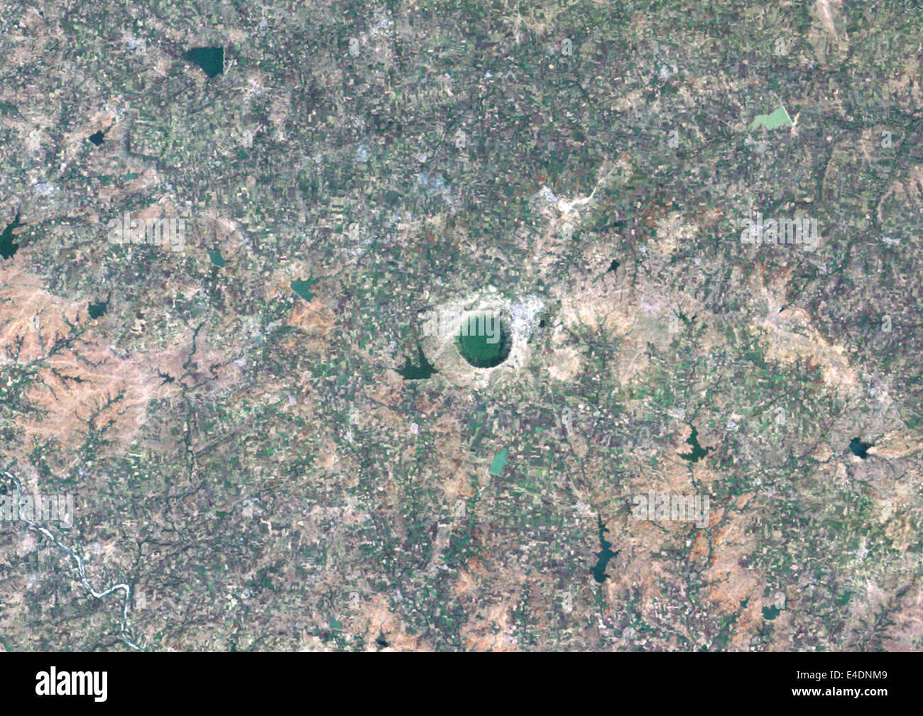 Lonar Meteor Impact Crater, India, True Colour Satellite Image. True colour satellite image of Lonar impact structure, India (di Stock Photohttps://www.alamy.com/image-license-details/?v=1https://www.alamy.com/stock-photo-lonar-meteor-impact-crater-india-true-colour-satellite-image-true-71602505.html
RME4DNM9–Lonar Meteor Impact Crater, India, True Colour Satellite Image. True colour satellite image of Lonar impact structure, India (di
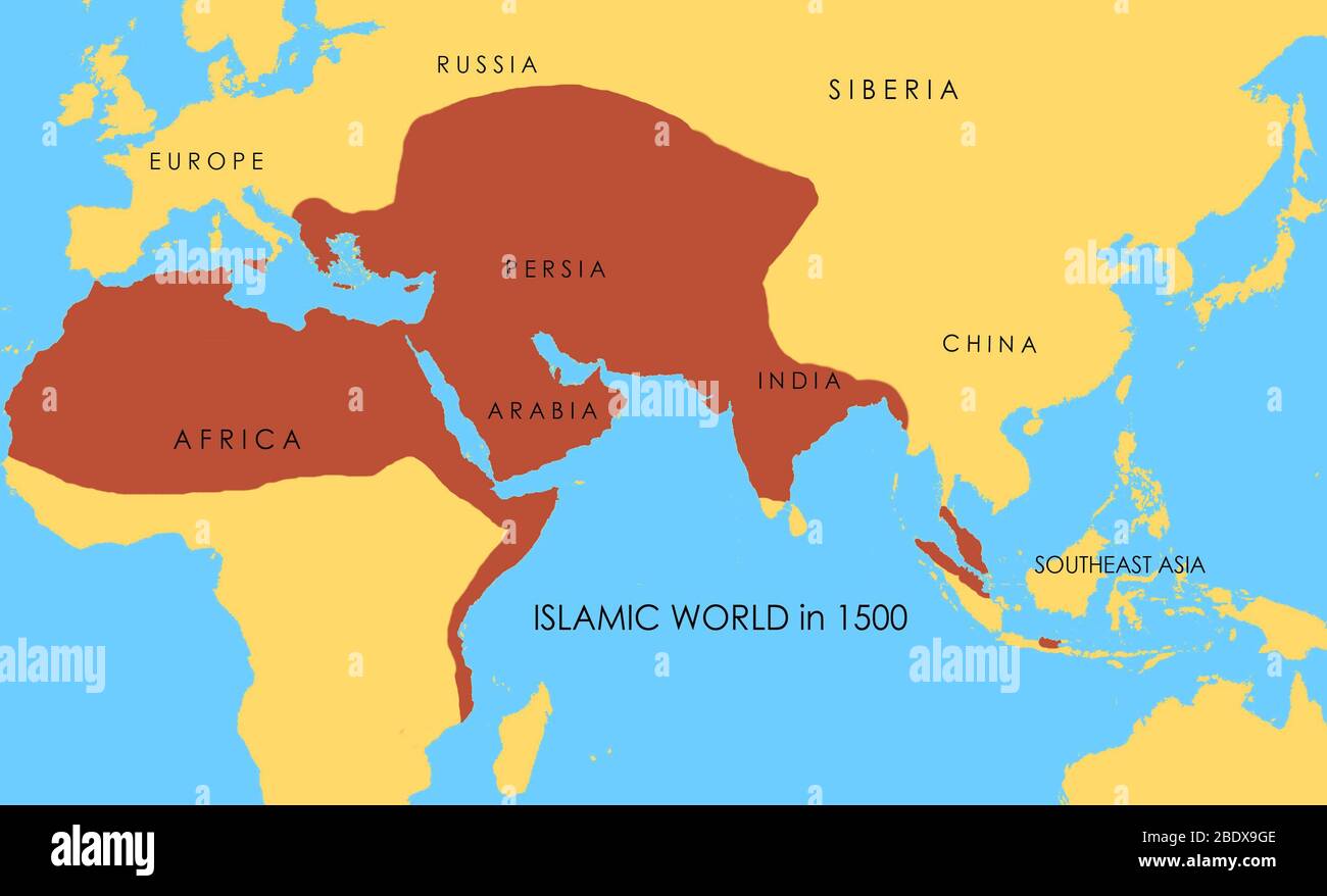 A map showing the extent of the Islamic world in 1500. Stock Photohttps://www.alamy.com/image-license-details/?v=1https://www.alamy.com/a-map-showing-the-extent-of-the-islamic-world-in-1500-image352776158.html
RM2BDX9GE–A map showing the extent of the Islamic world in 1500.
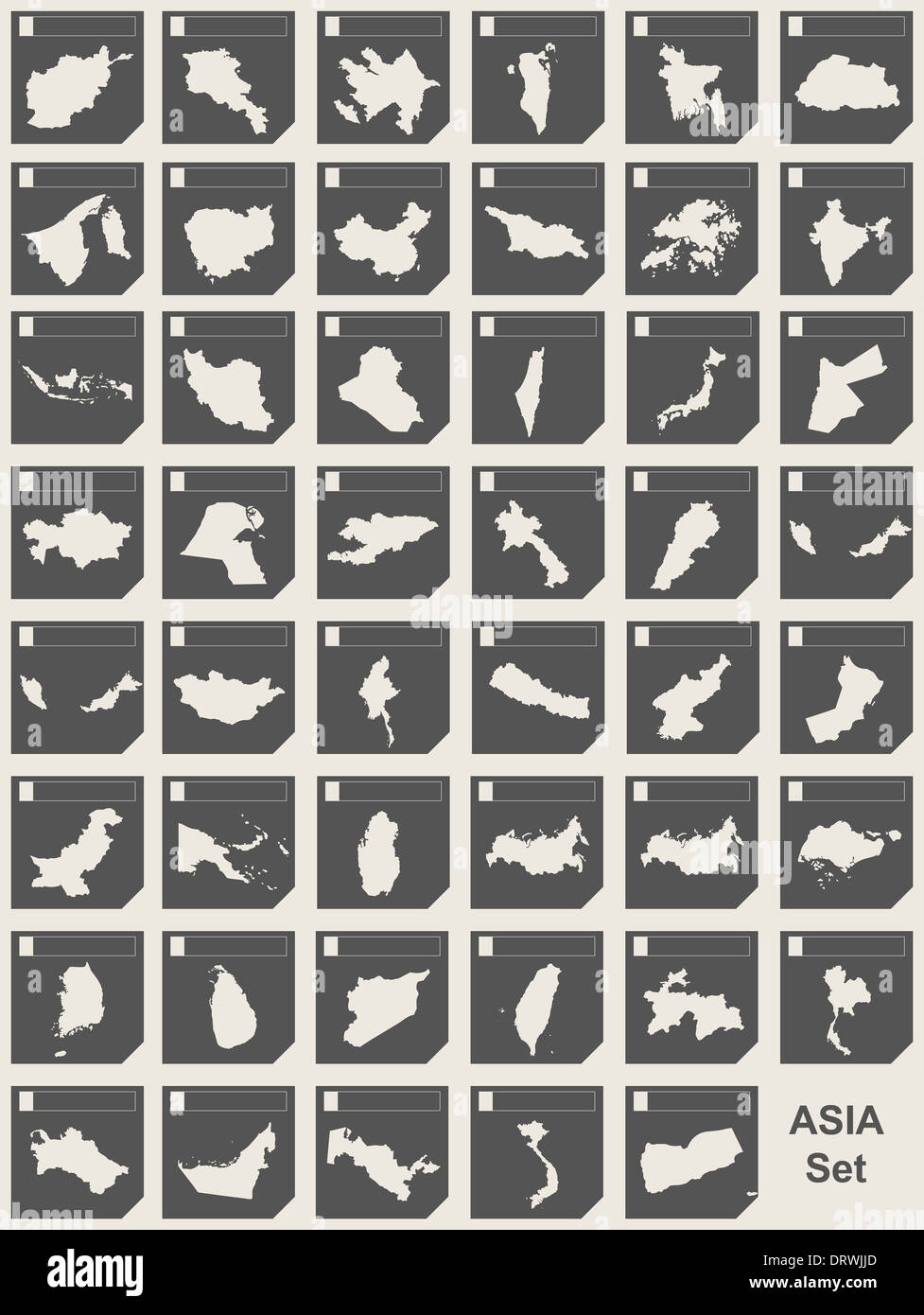 Set of Asian continent responsive flat web design map buttons isolated with clipping path. Stock Photohttps://www.alamy.com/image-license-details/?v=1https://www.alamy.com/set-of-asian-continent-responsive-flat-web-design-map-buttons-isolated-image66331621.html
RMDRWJJD–Set of Asian continent responsive flat web design map buttons isolated with clipping path.
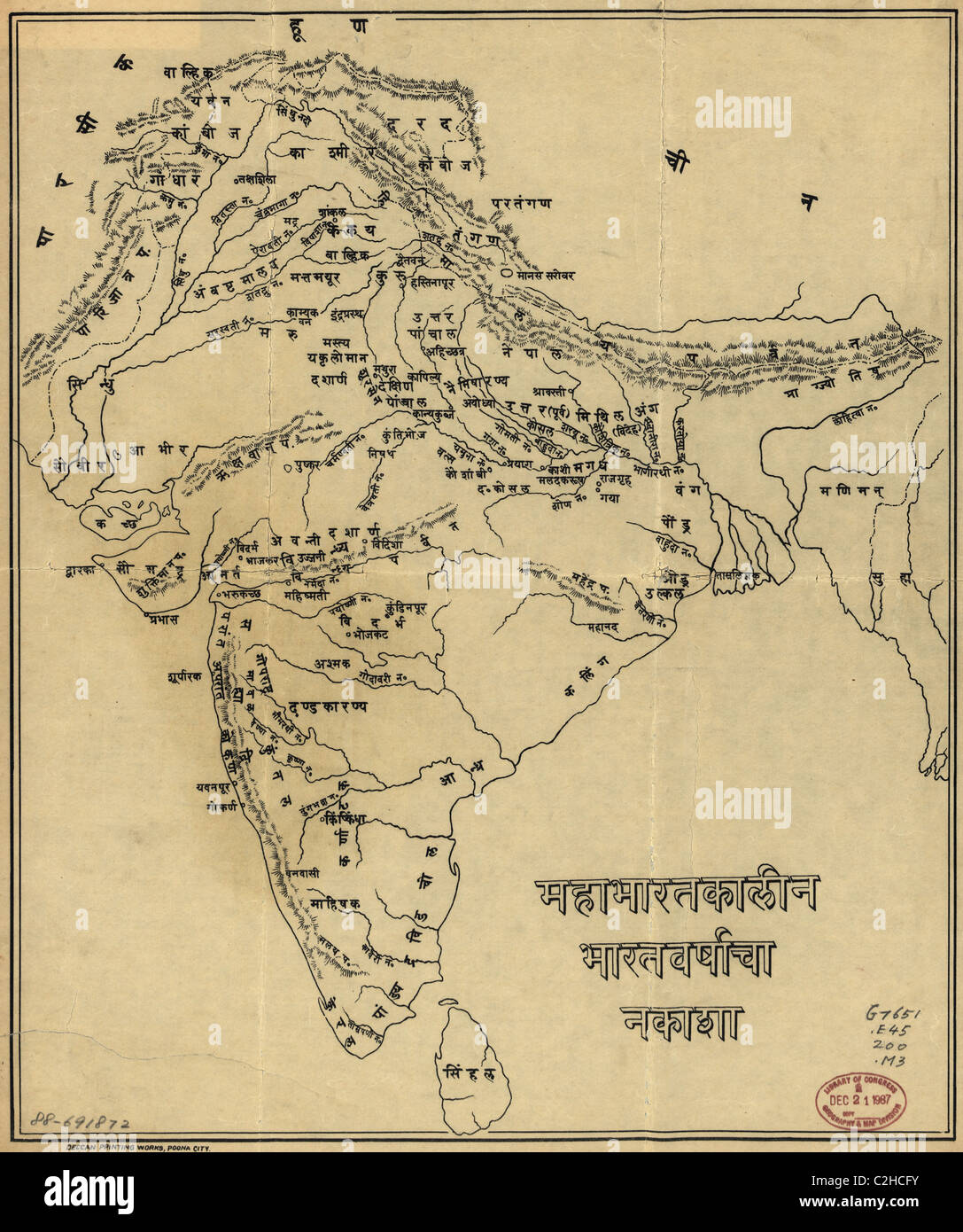 Map of India Stock Photohttps://www.alamy.com/image-license-details/?v=1https://www.alamy.com/stock-photo-map-of-india-36033087.html
RMC2HCFY–Map of India
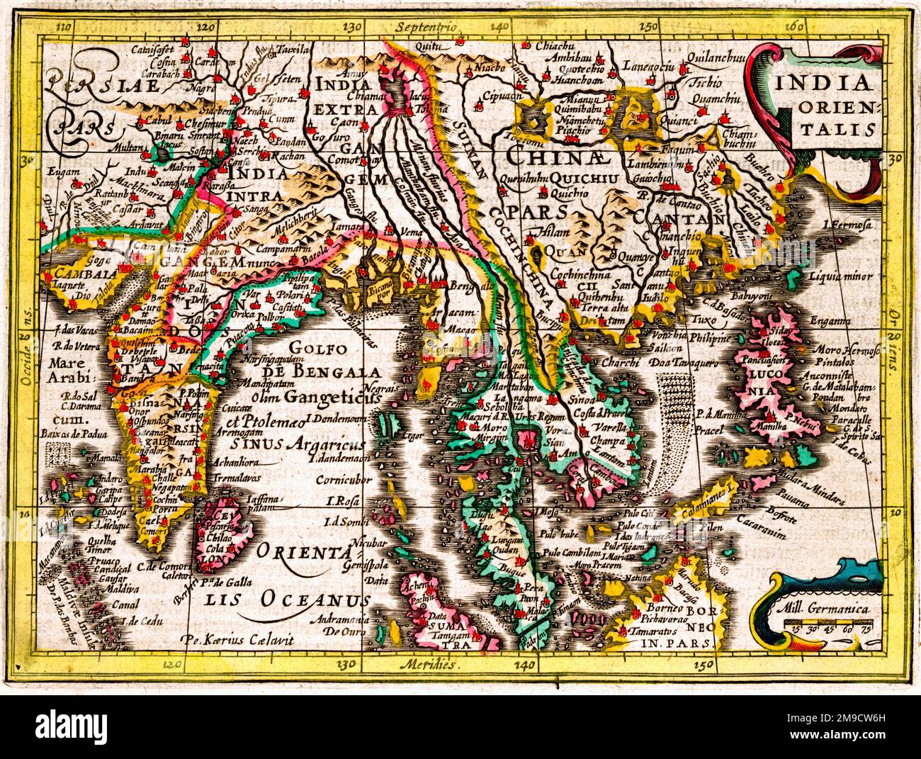 17th century Map of Asia, East Indies - India Orientales Stock Photohttps://www.alamy.com/image-license-details/?v=1https://www.alamy.com/17th-century-map-of-asia-east-indies-india-orientales-image504915785.html
RM2M9CW6H–17th century Map of Asia, East Indies - India Orientales
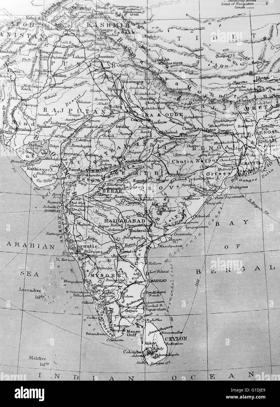 Map of India Stock Photohttps://www.alamy.com/image-license-details/?v=1https://www.alamy.com/stock-photo-map-of-india-104176753.html
RMG1DJE9–Map of India
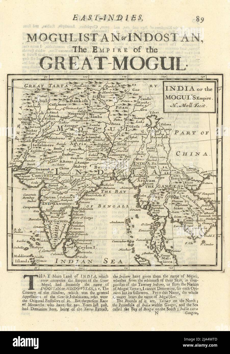 India or the Mogul's Empire. South Asia Indochina Mughal Empire. MOLL 1709 map Stock Photohttps://www.alamy.com/image-license-details/?v=1https://www.alamy.com/india-or-the-moguls-empire-south-asia-indochina-mughal-empire-moll-1709-map-image470930669.html
RF2JA4MTD–India or the Mogul's Empire. South Asia Indochina Mughal Empire. MOLL 1709 map
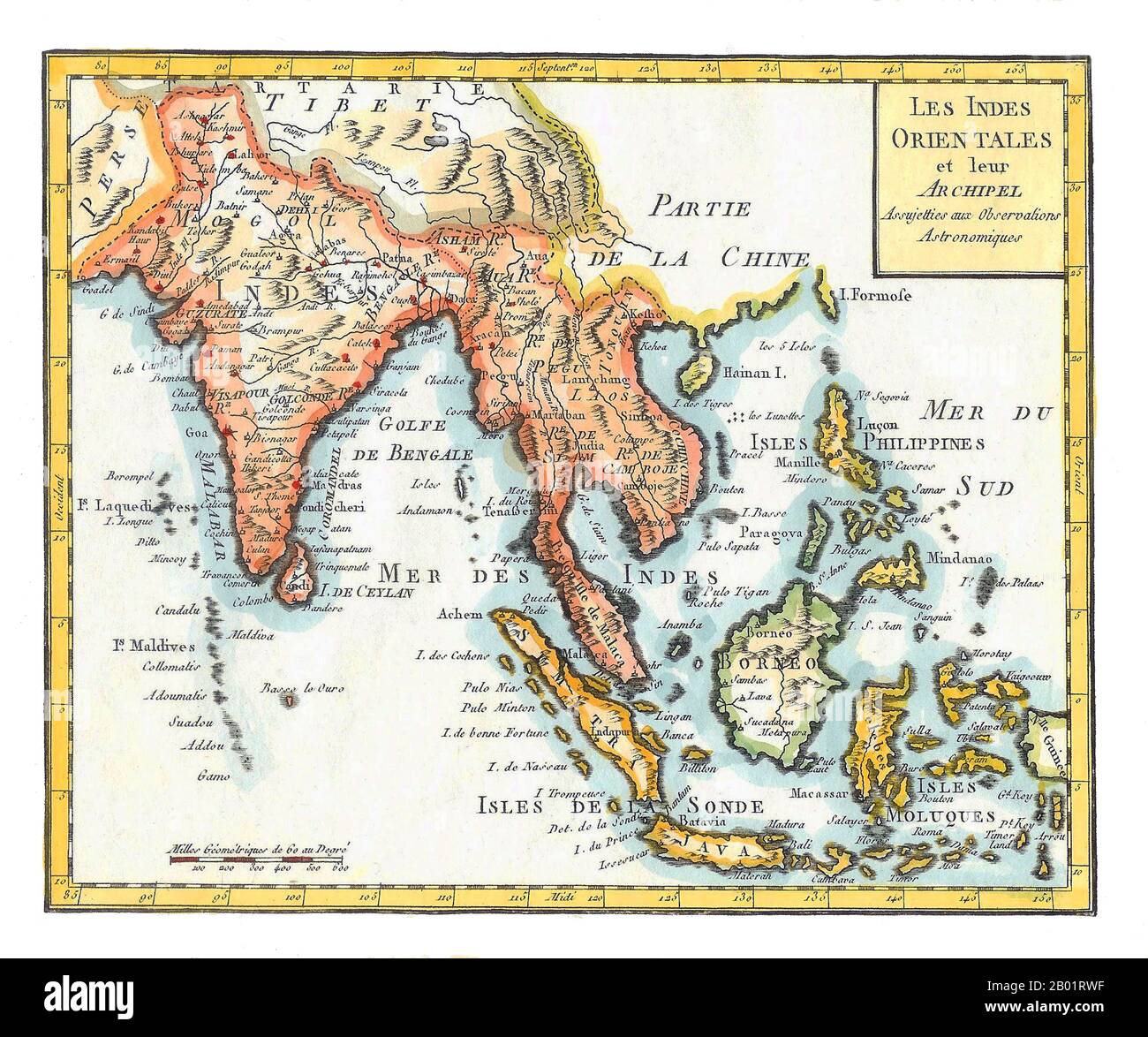 Asia/Indian Ocean: 'East Indies'. Hand-coloured map by Joseph de La Porte (19 January 1714 - 19 December 1779) from his 'Atlas Moderne Portatif', 1799. East Indies is a term used by Europeans from the 16th century onwards to identify what is now known as the Indian subcontinent or South Asia, Southeastern Asia, and the islands of Oceania, including the Malay Archipelago and the Philippines. The term has traditionally excluded China, Japan, and other countries to the north of India and the Himalayas. The names 'India' and 'the Indies', derived from the Indus River in modern-day Pakistan. Stock Photohttps://www.alamy.com/image-license-details/?v=1https://www.alamy.com/asiaindian-ocean-east-indies-hand-coloured-map-by-joseph-de-la-porte-19-january-1714-19-december-1779-from-his-atlas-moderne-portatif-1799-east-indies-is-a-term-used-by-europeans-from-the-16th-century-onwards-to-identify-what-is-now-known-as-the-indian-subcontinent-or-south-asia-southeastern-asia-and-the-islands-of-oceania-including-the-malay-archipelago-and-the-philippines-the-term-has-traditionally-excluded-china-japan-and-other-countries-to-the-north-of-india-and-the-himalayas-the-names-india-and-the-indies-derived-from-the-indus-river-in-modern-day-pakistan-image344248059.html
RM2B01RWF–Asia/Indian Ocean: 'East Indies'. Hand-coloured map by Joseph de La Porte (19 January 1714 - 19 December 1779) from his 'Atlas Moderne Portatif', 1799. East Indies is a term used by Europeans from the 16th century onwards to identify what is now known as the Indian subcontinent or South Asia, Southeastern Asia, and the islands of Oceania, including the Malay Archipelago and the Philippines. The term has traditionally excluded China, Japan, and other countries to the north of India and the Himalayas. The names 'India' and 'the Indies', derived from the Indus River in modern-day Pakistan.
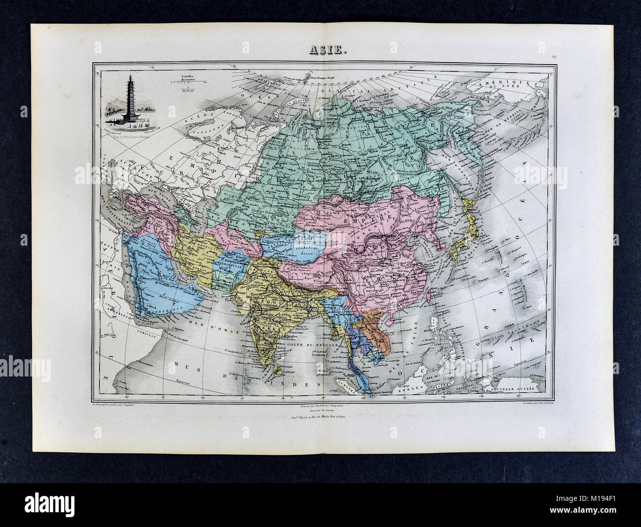 1877 Migeon Map - Asia - China Japan India Arabia Mongolia Siberia Tibet Nepal Stock Photohttps://www.alamy.com/image-license-details/?v=1https://www.alamy.com/stock-photo-1877-migeon-map-asia-china-japan-india-arabia-mongolia-siberia-tibet-172919461.html
RFM194F1–1877 Migeon Map - Asia - China Japan India Arabia Mongolia Siberia Tibet Nepal
 1862 Johnson Map of India and Southeast Asia Stock Photohttps://www.alamy.com/image-license-details/?v=1https://www.alamy.com/stock-photo-1862-johnson-map-of-india-and-southeast-asia-50538356.html
RMCX6658–1862 Johnson Map of India and Southeast Asia
 Men looking at map, Corbett National Park, Uttar Pradesh, India, Asia Stock Photohttps://www.alamy.com/image-license-details/?v=1https://www.alamy.com/men-looking-at-map-corbett-national-park-uttar-pradesh-india-asia-image230947423.html
RMRBMFP7–Men looking at map, Corbett National Park, Uttar Pradesh, India, Asia
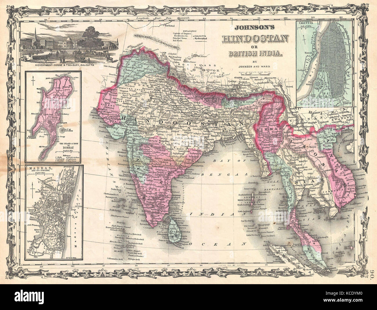 1862, Johnson Map of India and Southeast Asia Stock Photohttps://www.alamy.com/image-license-details/?v=1https://www.alamy.com/stock-image-1862-johnson-map-of-india-and-southeast-asia-162576288.html
RMKCDYM0–1862, Johnson Map of India and Southeast Asia
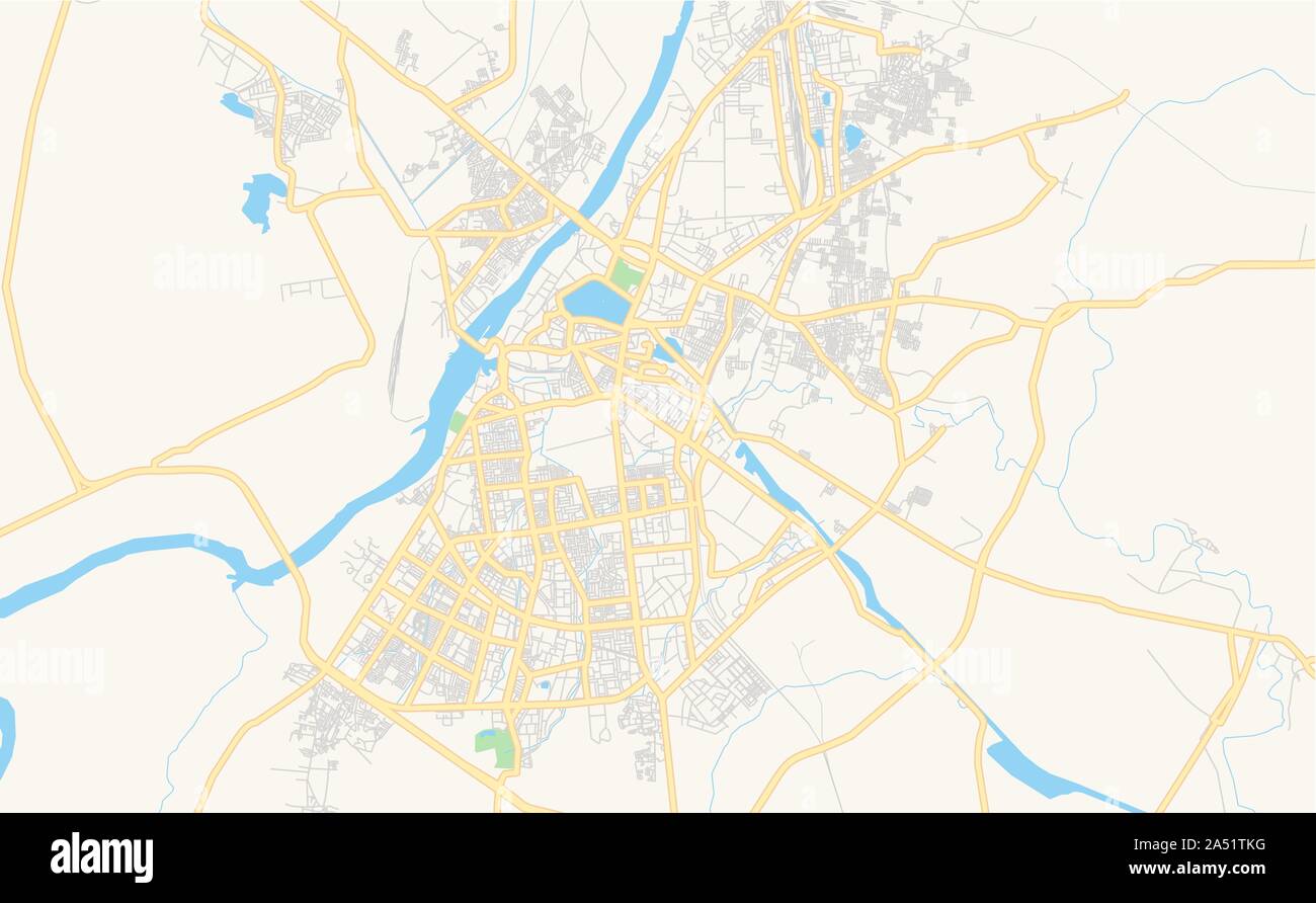 Printable street map of Kota, State Rajasthan, India. Map template for business use. Stock Vectorhttps://www.alamy.com/image-license-details/?v=1https://www.alamy.com/printable-street-map-of-kota-state-rajasthan-india-map-template-for-business-use-image330111588.html
RF2A51TKG–Printable street map of Kota, State Rajasthan, India. Map template for business use.
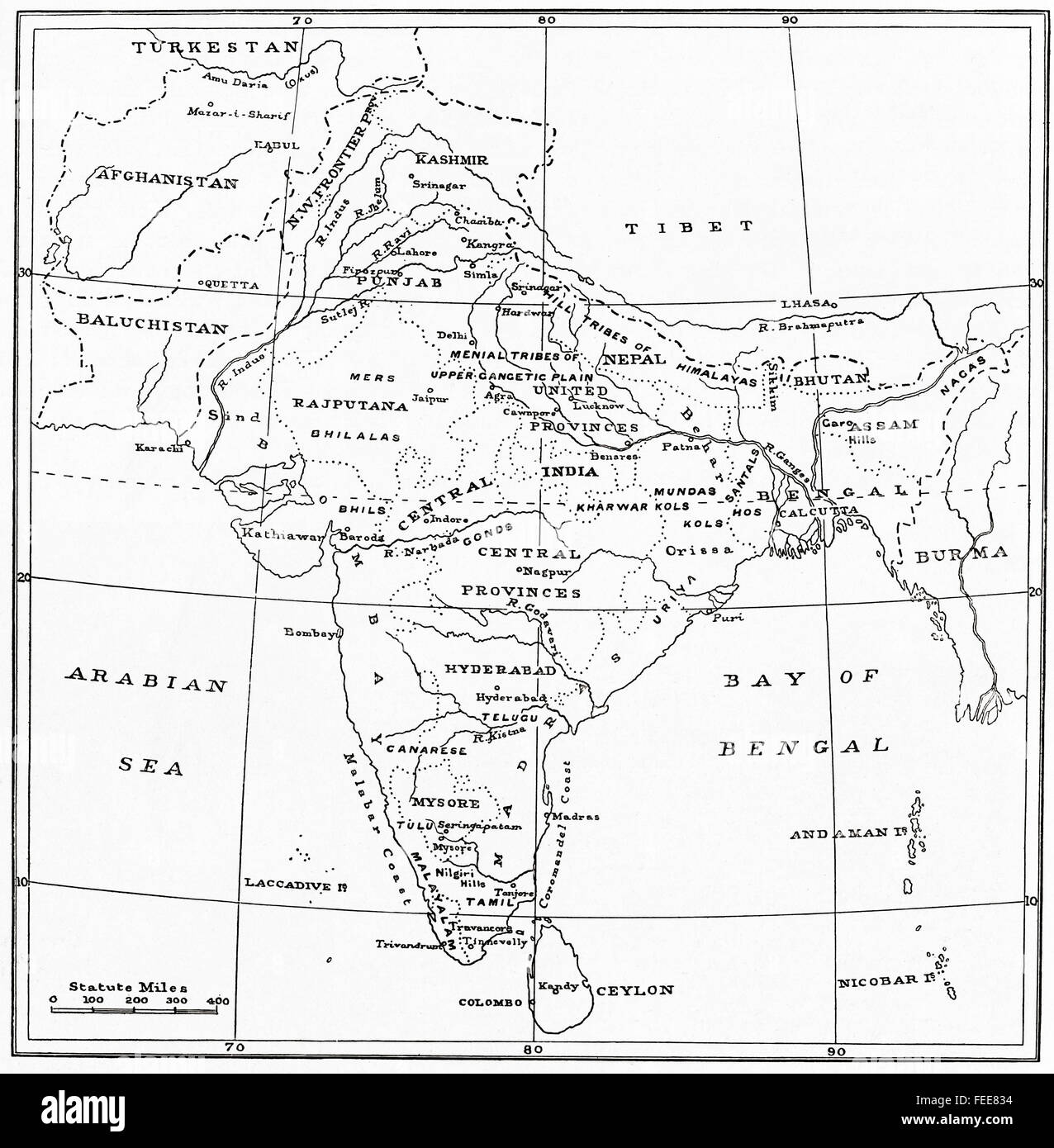 A map of India at the beginning of the 20th century. Stock Photohttps://www.alamy.com/image-license-details/?v=1https://www.alamy.com/stock-photo-a-map-of-india-at-the-beginning-of-the-20th-century-94970712.html
RMFEE834–A map of India at the beginning of the 20th century.
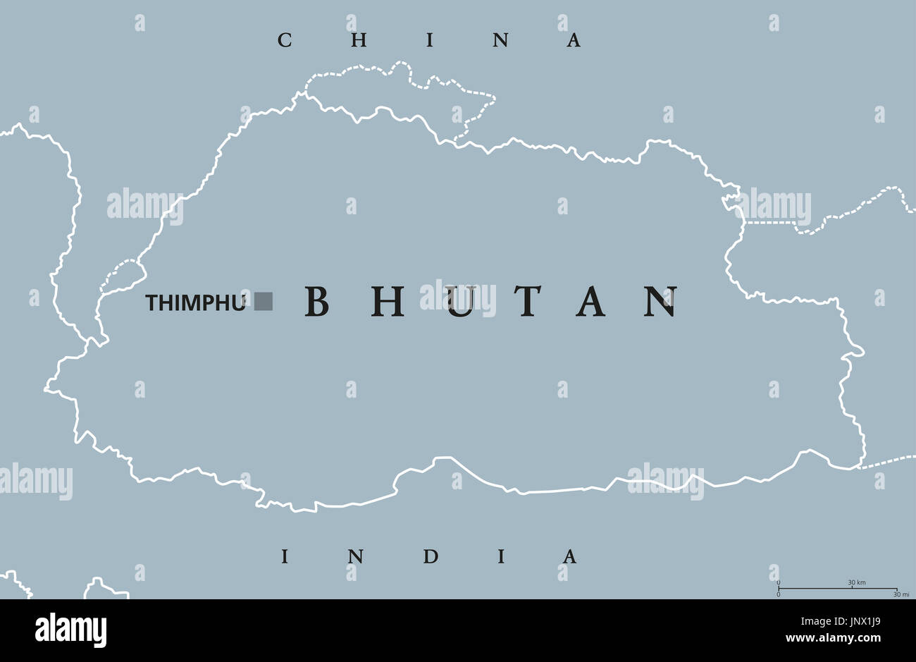 Bhutan political map with capital Thimphu and borders. English labeling. Landlocked kingdom in South Asia in the Eastern Himalayas. Illustration. Stock Photohttps://www.alamy.com/image-license-details/?v=1https://www.alamy.com/bhutan-political-map-with-capital-thimphu-and-borders-english-labeling-image151162769.html
RFJNX1J9–Bhutan political map with capital Thimphu and borders. English labeling. Landlocked kingdom in South Asia in the Eastern Himalayas. Illustration.
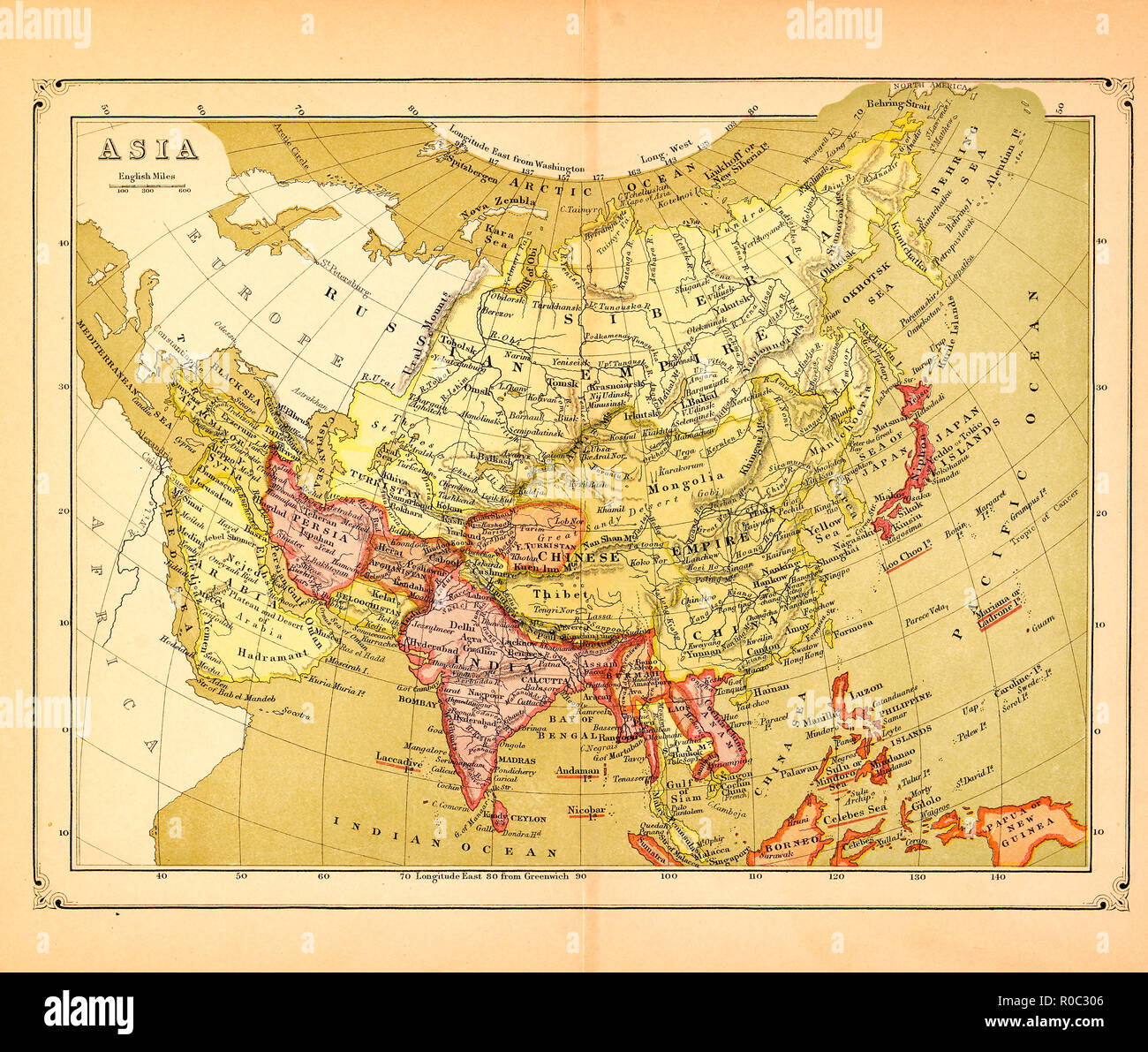 Map of Asia, early 1900's Stock Photohttps://www.alamy.com/image-license-details/?v=1https://www.alamy.com/map-of-asia-early-1900s-image224000566.html
RMR0C306–Map of Asia, early 1900's
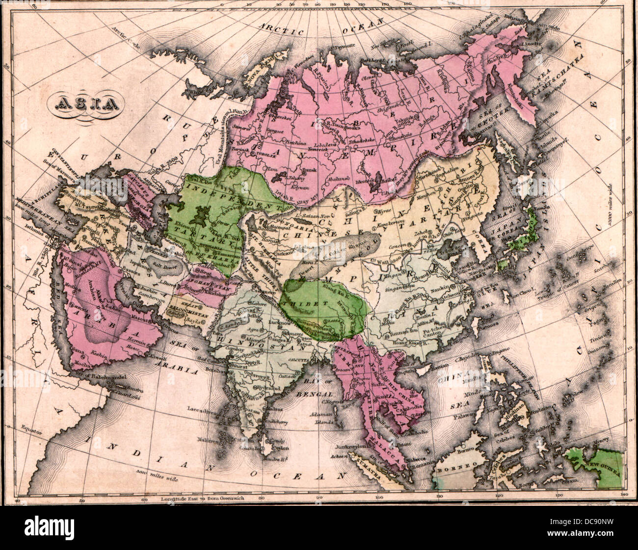 Map of Asia 1835 Stock Photohttps://www.alamy.com/image-license-details/?v=1https://www.alamy.com/stock-photo-map-of-asia-1835-59205157.html
RMDC90NW–Map of Asia 1835
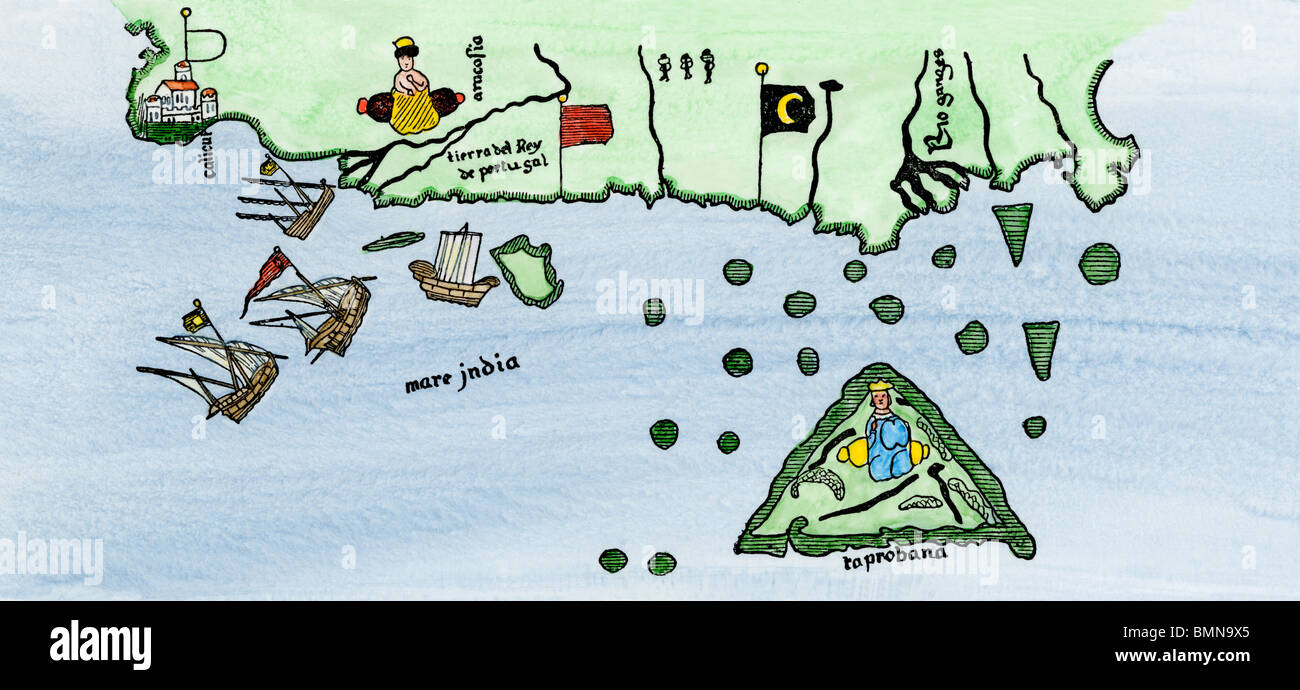 Calcutta and the southern coast of India, from Juan de la Cosa's map, 1500. Hand-colored woodcut Stock Photohttps://www.alamy.com/image-license-details/?v=1https://www.alamy.com/stock-photo-calcutta-and-the-southern-coast-of-india-from-juan-de-la-cosas-map-29972269.html
RMBMN9X5–Calcutta and the southern coast of India, from Juan de la Cosa's map, 1500. Hand-colored woodcut
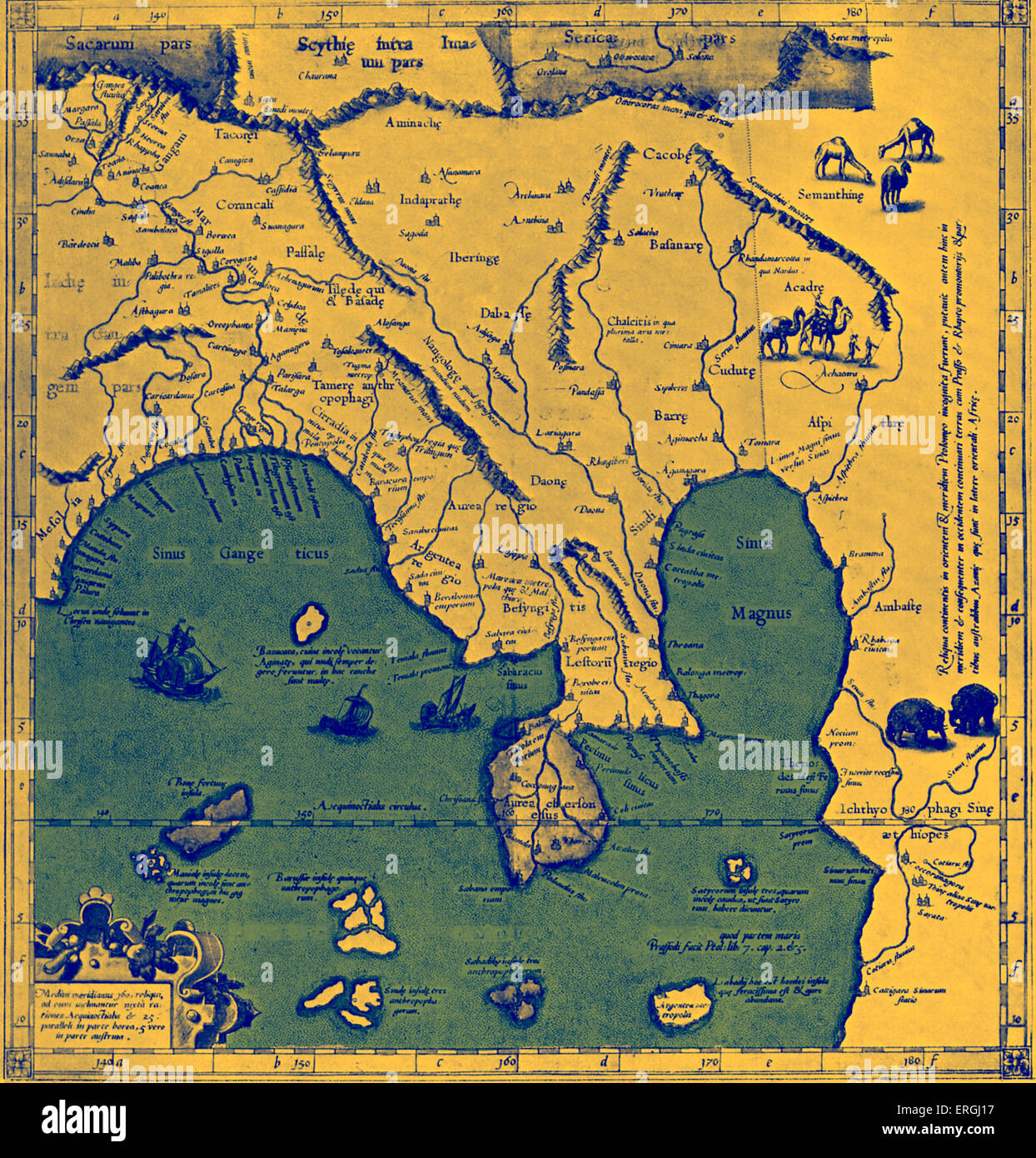 Map of Asia (East of the Ganges) - in Ptolemy 's 'Geographia', published 1584, Cologne. River (boundary river of modern day Stock Photohttps://www.alamy.com/image-license-details/?v=1https://www.alamy.com/stock-photo-map-of-asia-east-of-the-ganges-in-ptolemy-s-geographia-published-1584-83343939.html
RMERGJ17–Map of Asia (East of the Ganges) - in Ptolemy 's 'Geographia', published 1584, Cologne. River (boundary river of modern day
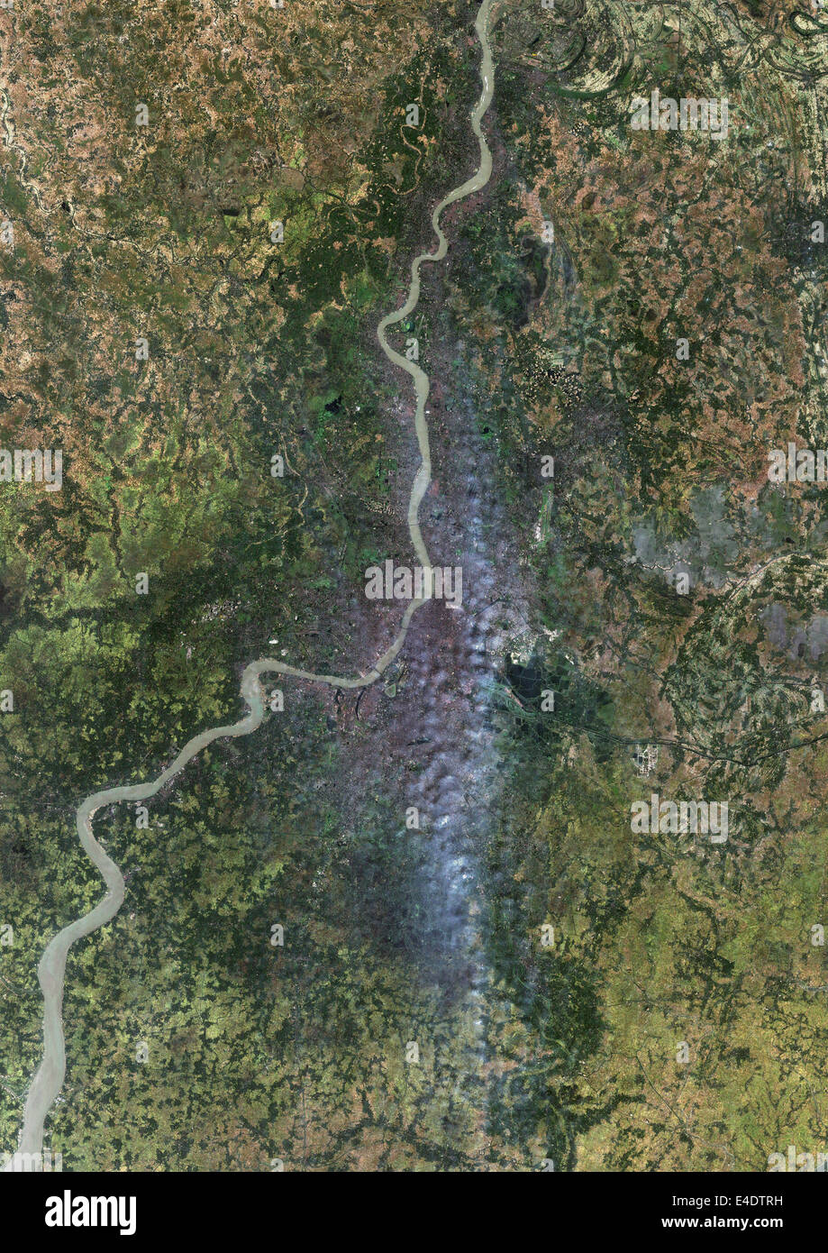 Calcutta, India, True Colour Satellite Image. Calcutta, India. True colour satellite image of the city of Calcutta, taken on 17 Stock Photohttps://www.alamy.com/image-license-details/?v=1https://www.alamy.com/stock-photo-calcutta-india-true-colour-satellite-image-calcutta-india-true-colour-71604949.html
RME4DTRH–Calcutta, India, True Colour Satellite Image. Calcutta, India. True colour satellite image of the city of Calcutta, taken on 17
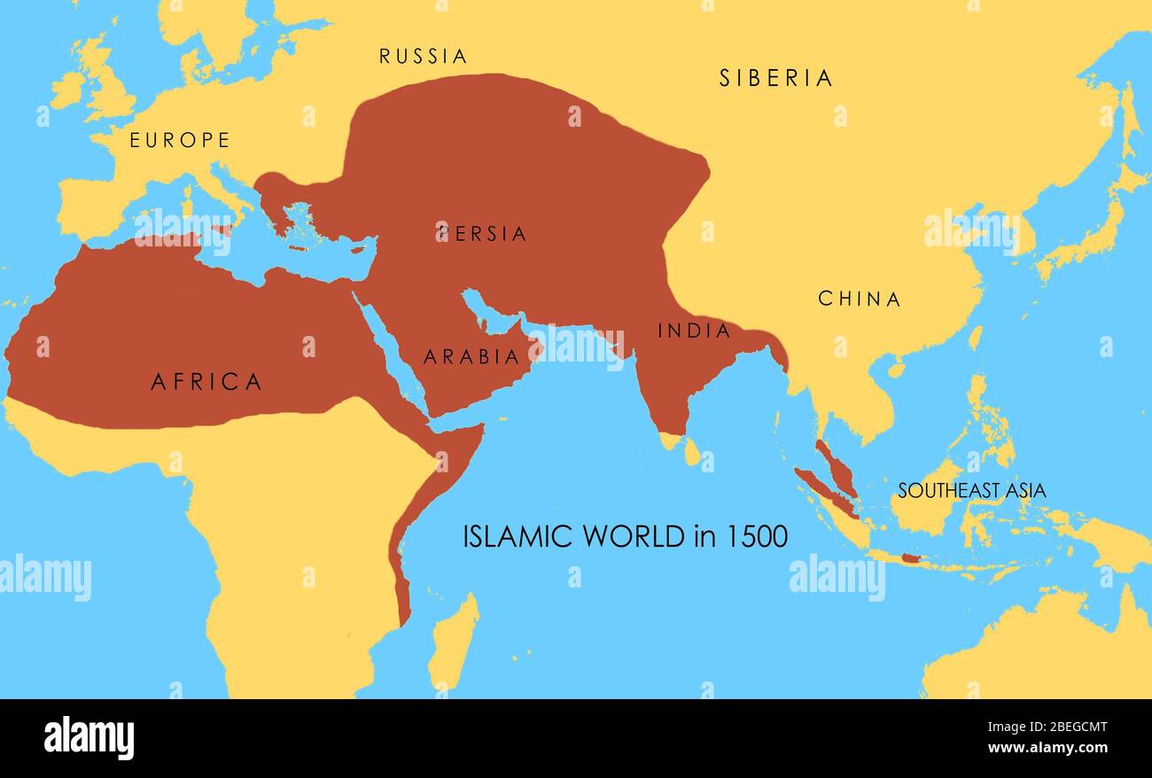 A map showing the extent of the Islamic world in 1500. Stock Photohttps://www.alamy.com/image-license-details/?v=1https://www.alamy.com/a-map-showing-the-extent-of-the-islamic-world-in-1500-image353173768.html
RM2BEGCMT–A map showing the extent of the Islamic world in 1500.
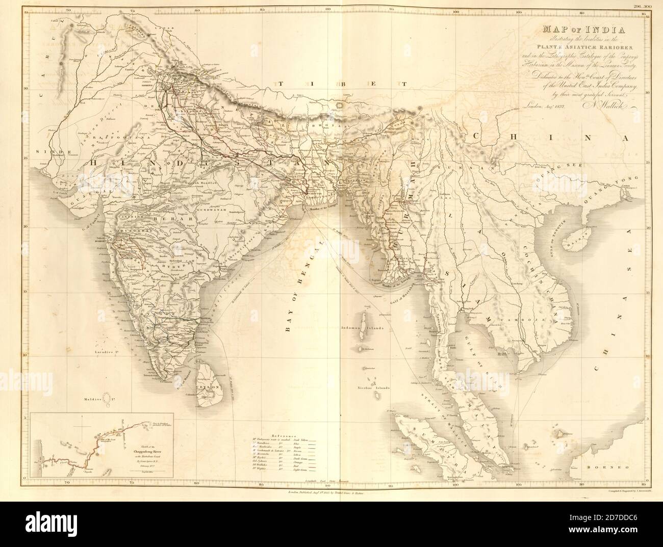 19th century map of India and Indochina From Plantae Asiaticae rariores, or, Descriptions and figures of a select number of unpublished East Indian plants Volume III by Nathaniel Wolff Wallich. Published in London in 1832 Stock Photohttps://www.alamy.com/image-license-details/?v=1https://www.alamy.com/19th-century-map-of-india-and-indochina-from-plantae-asiaticae-rariores-or-descriptions-and-figures-of-a-select-number-of-unpublished-east-indian-plants-volume-iii-by-nathaniel-wolff-wallich-published-in-london-in-1832-image383226598.html
RF2D7DDC6–19th century map of India and Indochina From Plantae Asiaticae rariores, or, Descriptions and figures of a select number of unpublished East Indian plants Volume III by Nathaniel Wolff Wallich. Published in London in 1832
 earth globe, world map, India, Nepal, Asia Stock Photohttps://www.alamy.com/image-license-details/?v=1https://www.alamy.com/earth-globe-world-map-india-nepal-asia-image570201606.html
RF2T3JWY2–earth globe, world map, India, Nepal, Asia
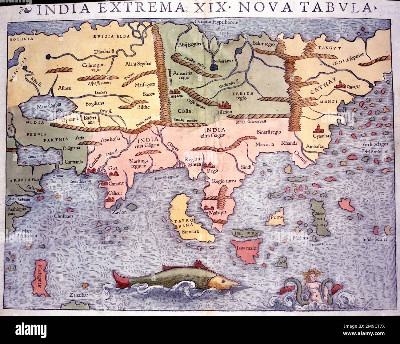 India Extrema XIX Nova Tabula - 16th century Map of India and Asia Stock Photohttps://www.alamy.com/image-license-details/?v=1https://www.alamy.com/india-extrema-xix-nova-tabula-16th-century-map-of-india-and-asia-image504915038.html
RM2M9CT7X–India Extrema XIX Nova Tabula - 16th century Map of India and Asia
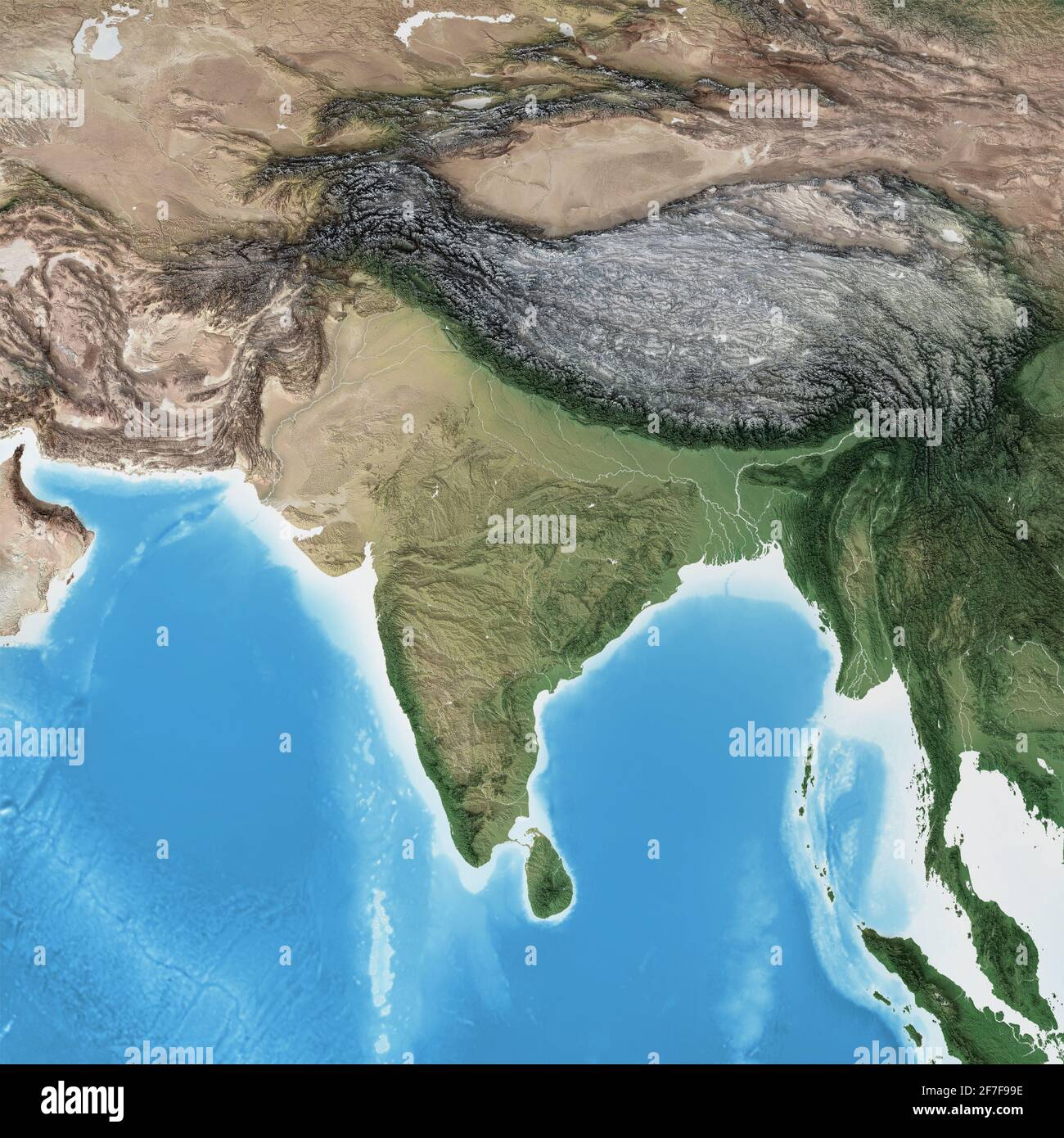 Physical map of South Asia, with high resolution details. Flattened satellite view of Planet Earth and its geography - Elements furnished by NASA Stock Photohttps://www.alamy.com/image-license-details/?v=1https://www.alamy.com/physical-map-of-south-asia-with-high-resolution-details-flattened-satellite-view-of-planet-earth-and-its-geography-elements-furnished-by-nasa-image417688026.html
RF2F7F99E–Physical map of South Asia, with high resolution details. Flattened satellite view of Planet Earth and its geography - Elements furnished by NASA
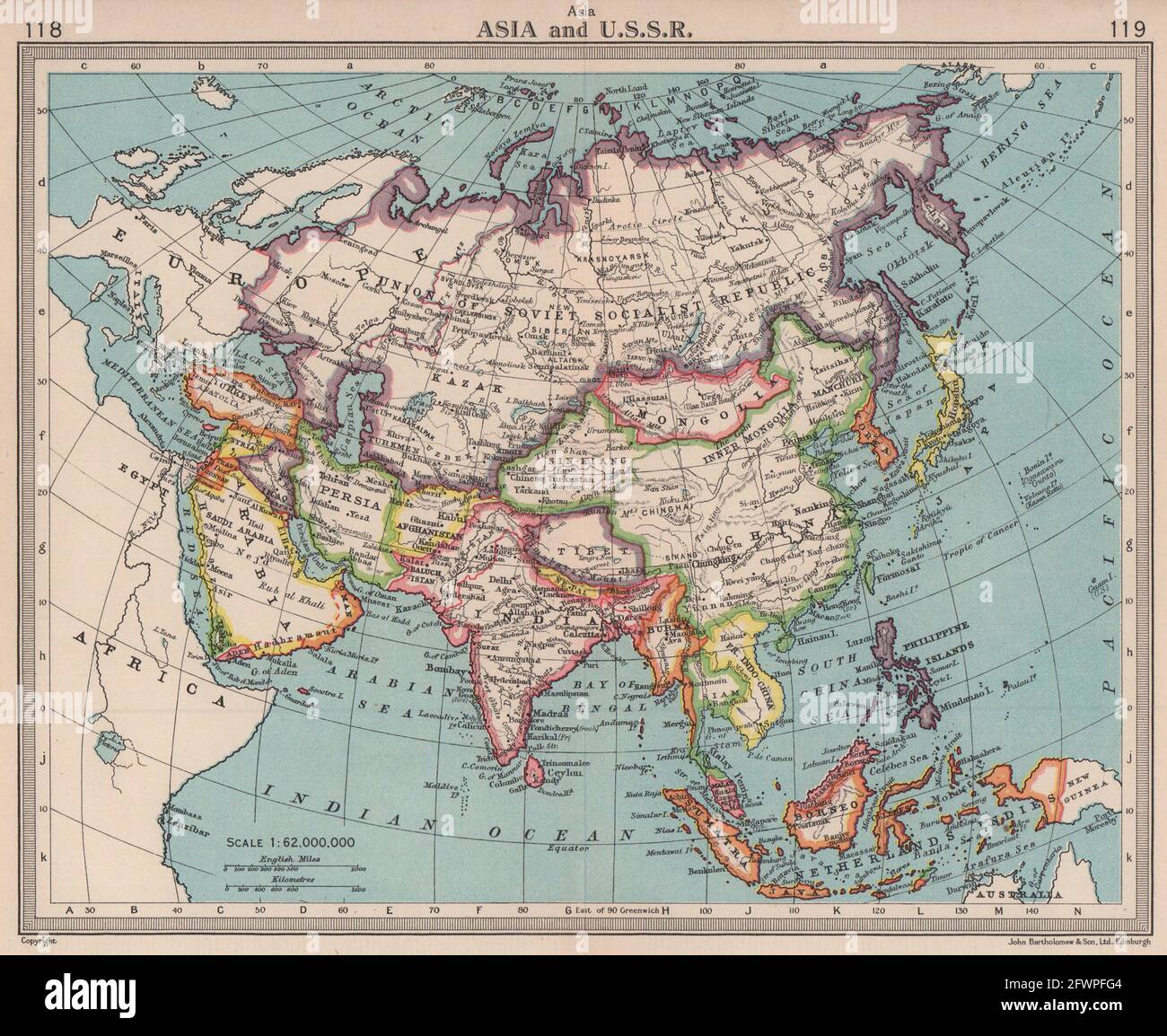 Asia & U.S.S.R. Independent Tibet. Newly partitioned India. BARTHOLOMEW 1949 map Stock Photohttps://www.alamy.com/image-license-details/?v=1https://www.alamy.com/asia-ussr-independent-tibet-newly-partitioned-india-bartholomew-1949-map-image428910388.html
RF2FWPFG4–Asia & U.S.S.R. Independent Tibet. Newly partitioned India. BARTHOLOMEW 1949 map
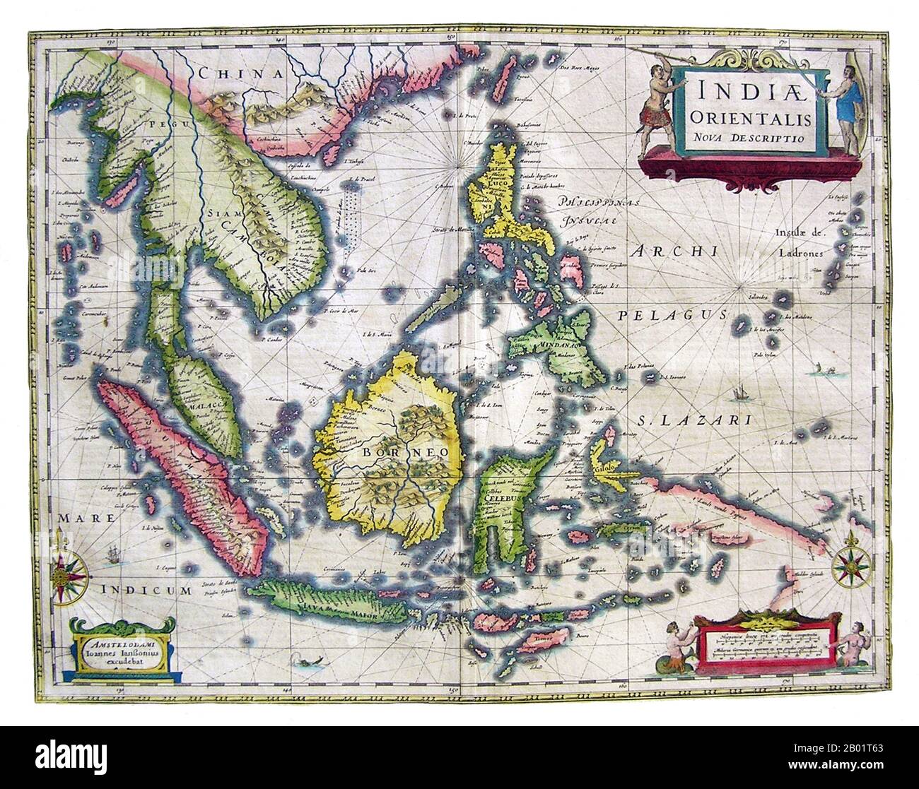 Asia: India Orientalis Nova Descriptio. Map by Dutch cartographer Jan Jansson (1588-1664), 1636. An early map of Southeast Asia showing the extent and limitations of European knowledge of the region. While the larger islands of Indonesia are charted with some accuracy, the southern coast of Java and the Lesser Sundas are charted only in general outline, and New Guinea is particularly incomplete. In all areas we see coastal features and settlements, but there is little interior detail. The Philippines are well described, and the Mariana Islands (Ladrones) are given undue size and prominence. Stock Photohttps://www.alamy.com/image-license-details/?v=1https://www.alamy.com/asia-india-orientalis-nova-descriptio-map-by-dutch-cartographer-jan-jansson-1588-1664-1636-an-early-map-of-southeast-asia-showing-the-extent-and-limitations-of-european-knowledge-of-the-region-while-the-larger-islands-of-indonesia-are-charted-with-some-accuracy-the-southern-coast-of-java-and-the-lesser-sundas-are-charted-only-in-general-outline-and-new-guinea-is-particularly-incomplete-in-all-areas-we-see-coastal-features-and-settlements-but-there-is-little-interior-detail-the-philippines-are-well-described-and-the-mariana-islands-ladrones-are-given-undue-size-and-prominence-image344248299.html
RM2B01T63–Asia: India Orientalis Nova Descriptio. Map by Dutch cartographer Jan Jansson (1588-1664), 1636. An early map of Southeast Asia showing the extent and limitations of European knowledge of the region. While the larger islands of Indonesia are charted with some accuracy, the southern coast of Java and the Lesser Sundas are charted only in general outline, and New Guinea is particularly incomplete. In all areas we see coastal features and settlements, but there is little interior detail. The Philippines are well described, and the Mariana Islands (Ladrones) are given undue size and prominence.
 1877 Migeon Map - Western Asia - China Japan India Arabia Mongolia Siberia Tibet Nepal Stock Photohttps://www.alamy.com/image-license-details/?v=1https://www.alamy.com/stock-photo-1877-migeon-map-western-asia-china-japan-india-arabia-mongolia-siberia-172919462.html
RFM194F2–1877 Migeon Map - Western Asia - China Japan India Arabia Mongolia Siberia Tibet Nepal
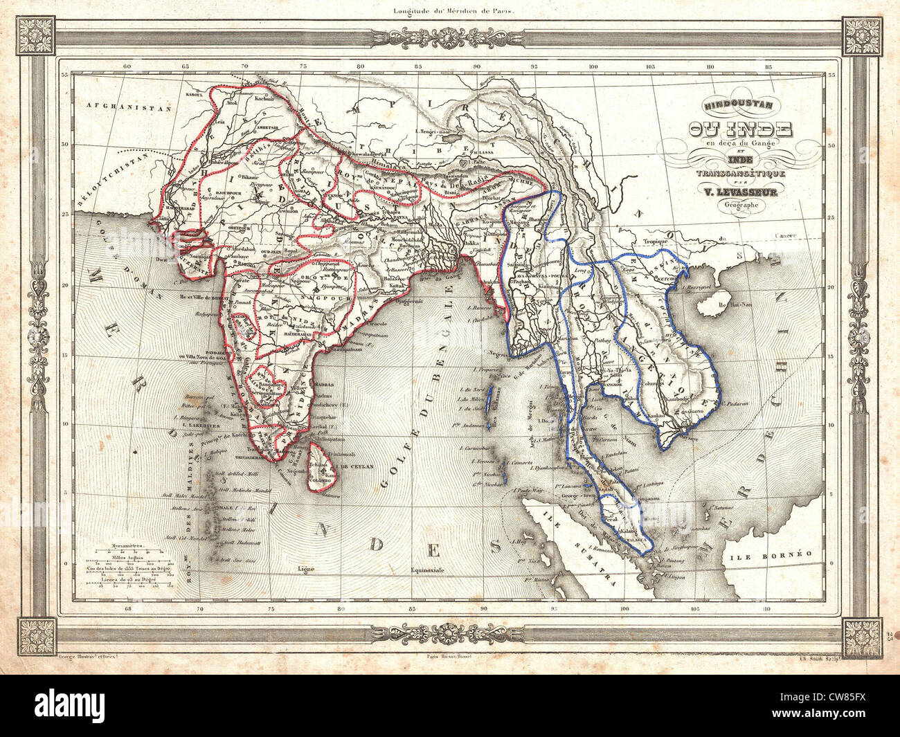 1852 Levasseur Map of India and Southeast Asia Stock Photohttps://www.alamy.com/image-license-details/?v=1https://www.alamy.com/stock-photo-1852-levasseur-map-of-india-and-southeast-asia-49967118.html
RMCW85FX–1852 Levasseur Map of India and Southeast Asia
 India map, map of India, Indian map, India, Asian map, Asia Stock Photohttps://www.alamy.com/image-license-details/?v=1https://www.alamy.com/stock-photo-india-map-map-of-india-indian-map-india-asian-map-asia-90369405.html
RMF70K2N–India map, map of India, Indian map, India, Asian map, Asia
 1748, Homann Heirs Map of India and Southeast Asia Stock Photohttps://www.alamy.com/image-license-details/?v=1https://www.alamy.com/stock-image-1748-homann-heirs-map-of-india-and-southeast-asia-162575282.html
RMKCDXC2–1748, Homann Heirs Map of India and Southeast Asia
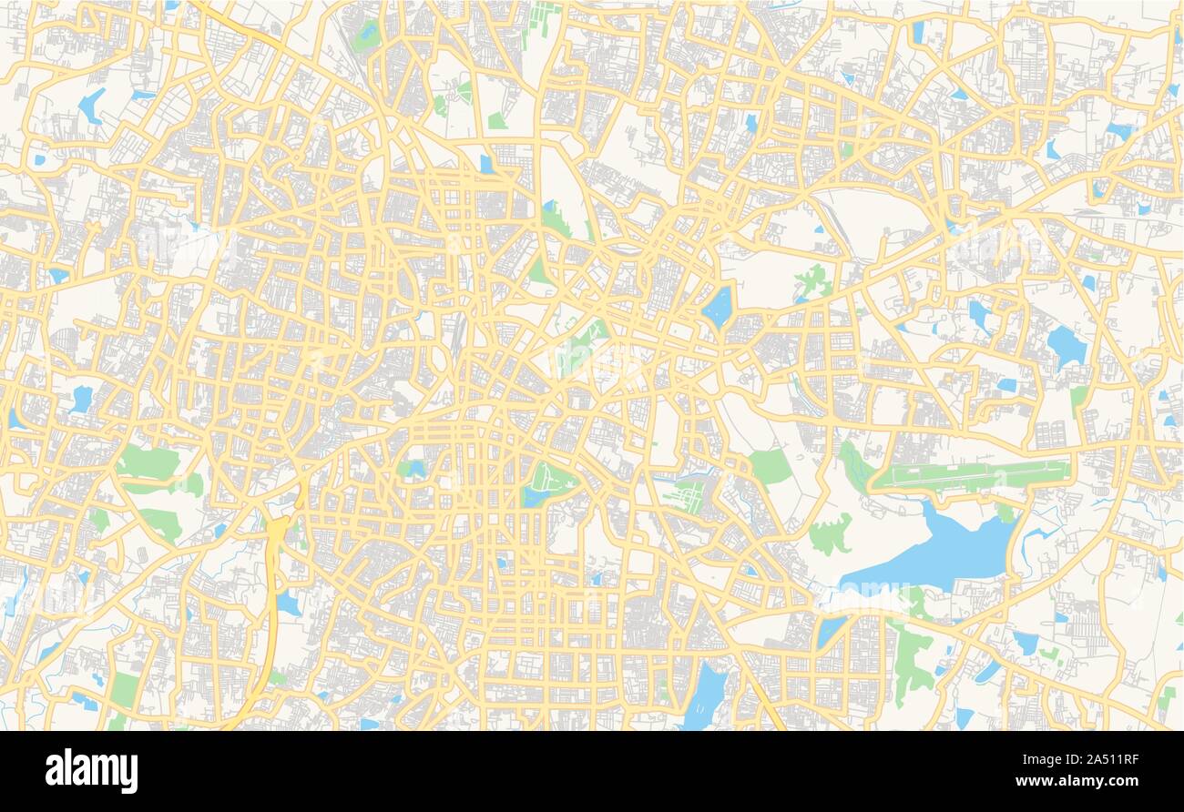 Printable street map of Bangalore, State Karnataka, India. Map template for business use. Stock Vectorhttps://www.alamy.com/image-license-details/?v=1https://www.alamy.com/printable-street-map-of-bangalore-state-karnataka-india-map-template-for-business-use-image330093667.html
RF2A511RF–Printable street map of Bangalore, State Karnataka, India. Map template for business use.
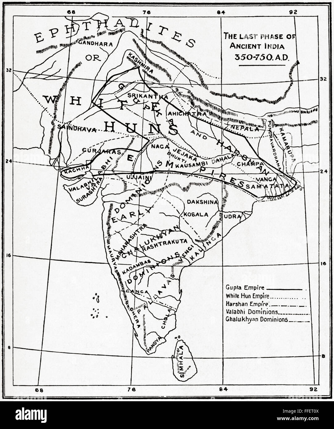 Map of the last phase of Ancient India, 350 - 750 AD. Stock Photohttps://www.alamy.com/image-license-details/?v=1https://www.alamy.com/stock-photo-map-of-the-last-phase-of-ancient-india-350-750-ad-95597850.html
RMFFET0X–Map of the last phase of Ancient India, 350 - 750 AD.
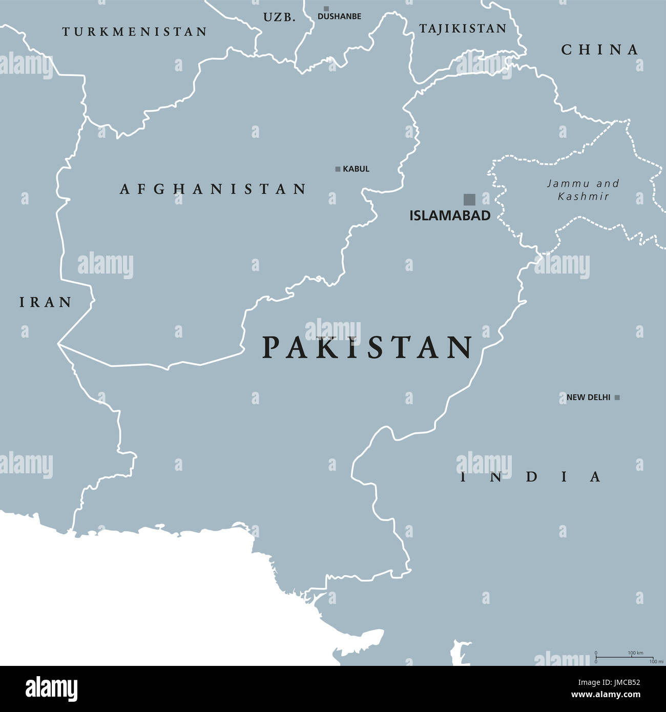 Pakistan political map with capital Islamabad and borders. Islamic Republic and country in South Asia and on the Arabian Sea. Gray illustration. Stock Photohttps://www.alamy.com/image-license-details/?v=1https://www.alamy.com/pakistan-political-map-with-capital-islamabad-and-borders-islamic-image150248254.html
RFJMCB52–Pakistan political map with capital Islamabad and borders. Islamic Republic and country in South Asia and on the Arabian Sea. Gray illustration.
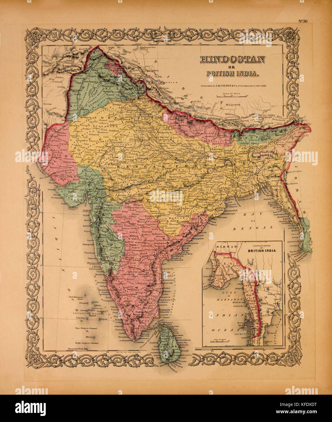 Map of Hindostan or British India, 1855 Stock Photohttps://www.alamy.com/image-license-details/?v=1https://www.alamy.com/stock-image-map-of-hindostan-or-british-india-1855-164419300.html
RMKFDXDT–Map of Hindostan or British India, 1855
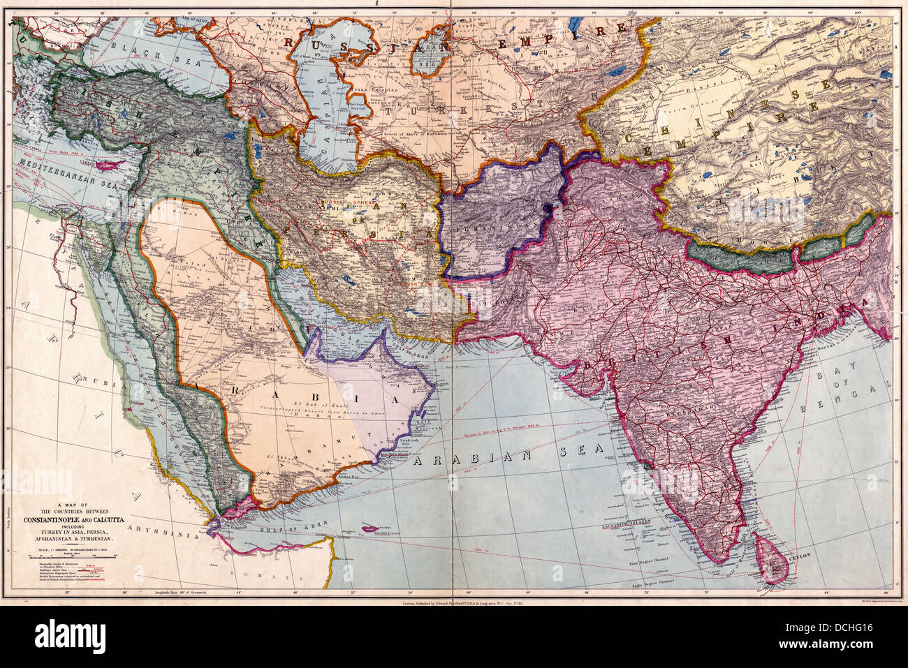 A map of the countries between Constantinople and Calcutta : including Turkey in Asia, Persia, Afghanistan and Turkestan. 1912 Stock Photohttps://www.alamy.com/image-license-details/?v=1https://www.alamy.com/stock-photo-a-map-of-the-countries-between-constantinople-and-calcutta-including-59392738.html
RMDCHG16–A map of the countries between Constantinople and Calcutta : including Turkey in Asia, Persia, Afghanistan and Turkestan. 1912
 Map of northern India in the early 1900s. Color lithograph Stock Photohttps://www.alamy.com/image-license-details/?v=1https://www.alamy.com/map-of-northern-india-in-the-early-1900s-color-lithograph-image417868489.html
RM2F7RFEH–Map of northern India in the early 1900s. Color lithograph
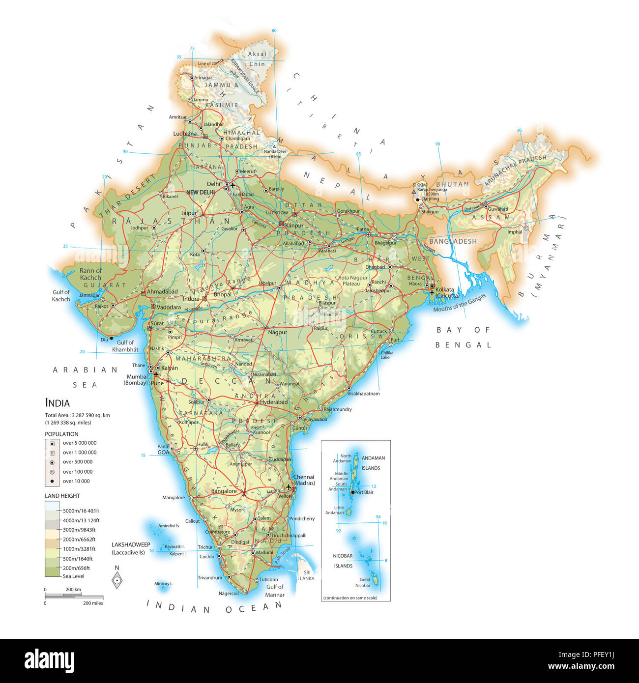 Map of India Stock Photohttps://www.alamy.com/image-license-details/?v=1https://www.alamy.com/map-of-india-image216072798.html
RMPFEY1J–Map of India
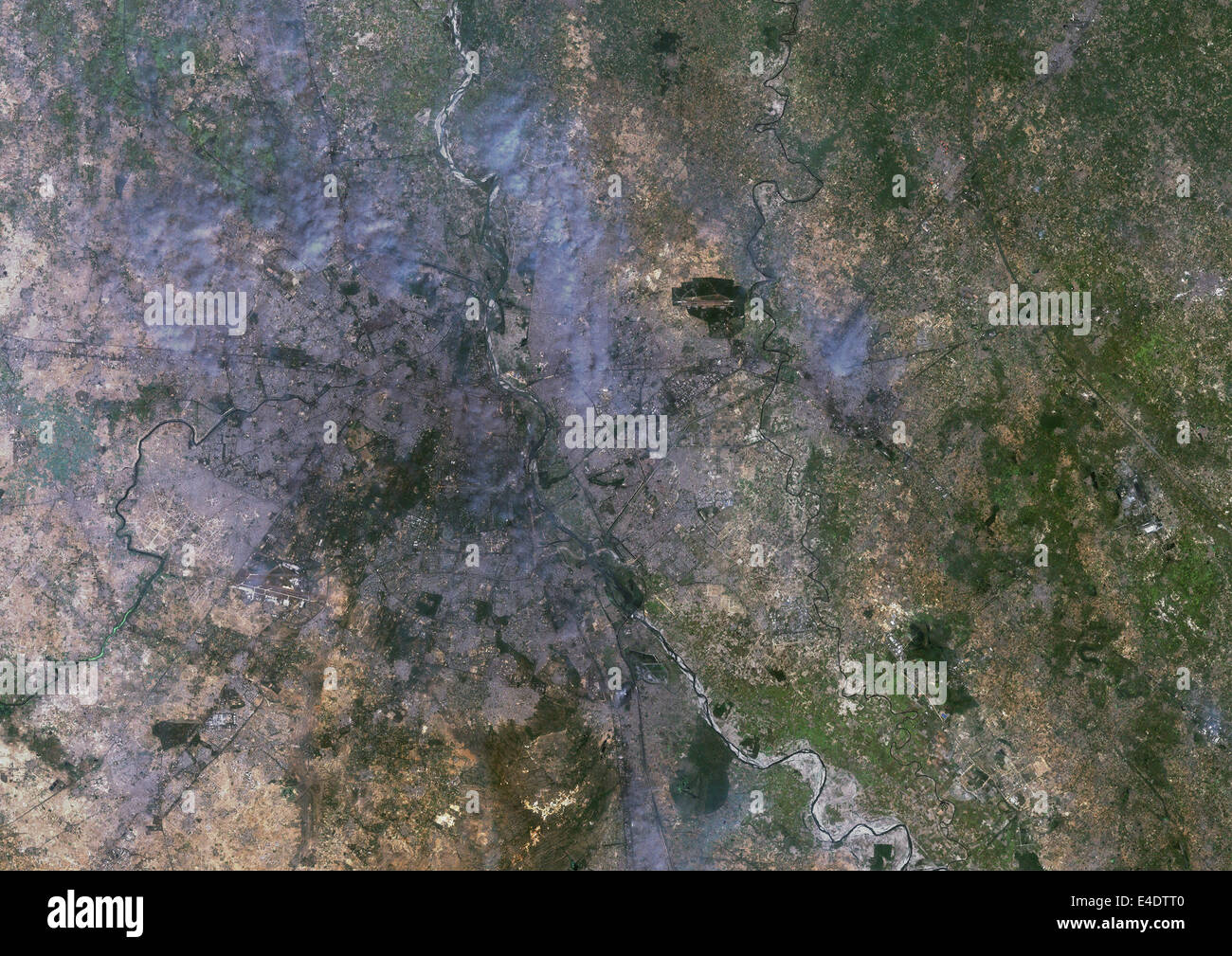 Delhi, India, True Colour Satellite Image. Delhi, India. True colour satellite image of Delhi, taken on 22 October 1999, using L Stock Photohttps://www.alamy.com/image-license-details/?v=1https://www.alamy.com/stock-photo-delhi-india-true-colour-satellite-image-delhi-india-true-colour-satellite-71604960.html
RME4DTT0–Delhi, India, True Colour Satellite Image. Delhi, India. True colour satellite image of Delhi, taken on 22 October 1999, using L
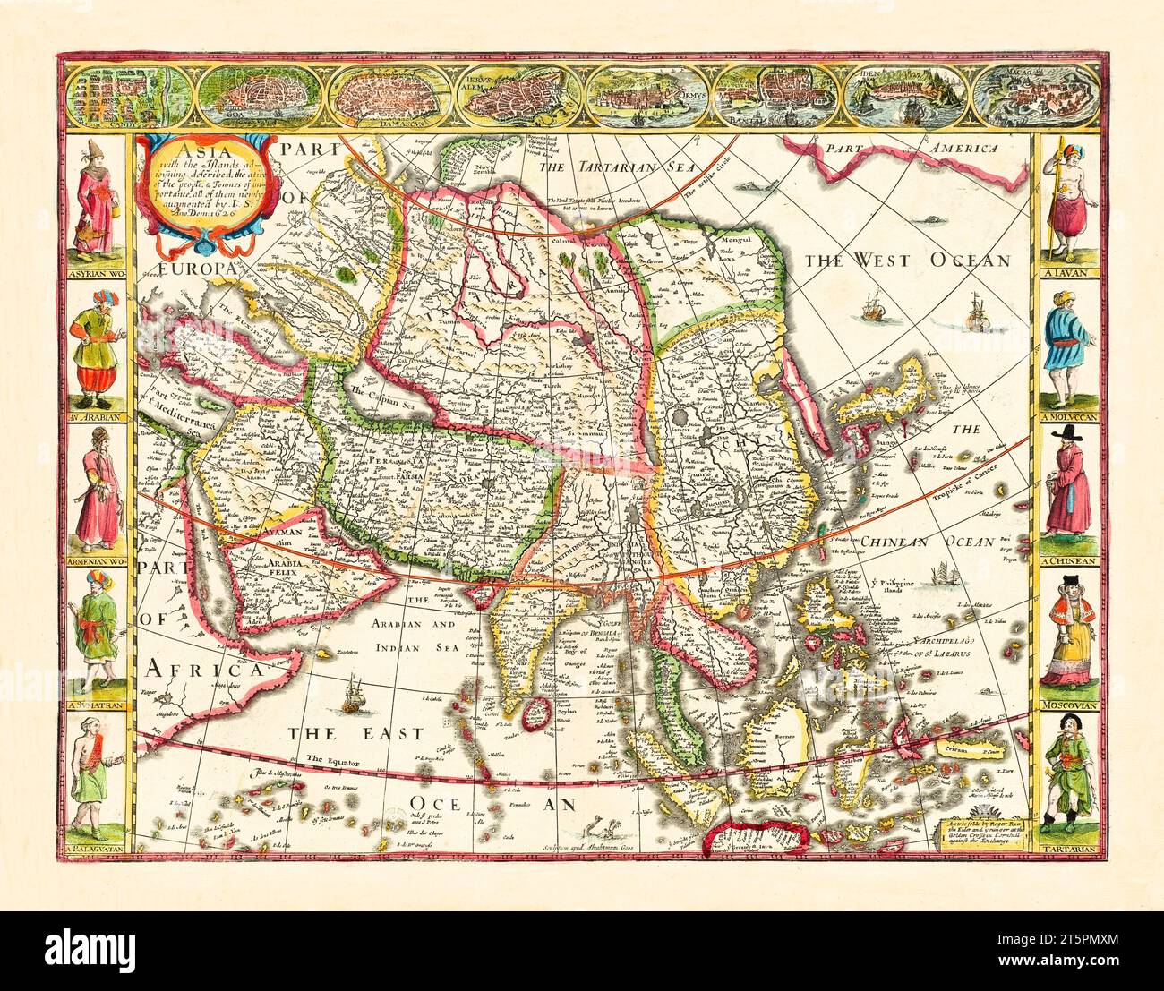 Old map of Asia. By Speed, publ. In 1626 Stock Photohttps://www.alamy.com/image-license-details/?v=1https://www.alamy.com/old-map-of-asia-by-speed-publ-in-1626-image571514796.html
RF2T5PMXM–Old map of Asia. By Speed, publ. In 1626
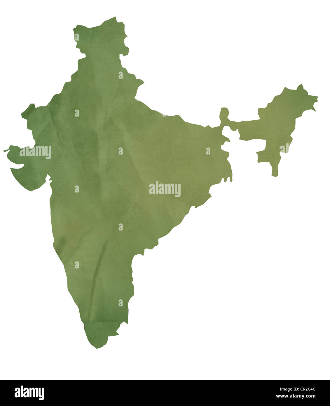 Old green map of India in textured green paper, isolated on white background. Stock Photohttps://www.alamy.com/image-license-details/?v=1https://www.alamy.com/stock-photo-old-green-map-of-india-in-textured-green-paper-isolated-on-white-background-48611260.html
RMCR2C4C–Old green map of India in textured green paper, isolated on white background.
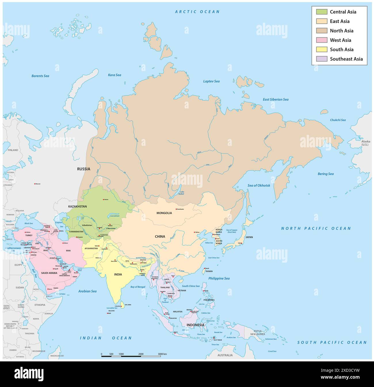 Administrative vector map of Asia divided into the six main regions Stock Photohttps://www.alamy.com/image-license-details/?v=1https://www.alamy.com/administrative-vector-map-of-asia-divided-into-the-six-main-regions-image610429453.html
RF2XD3CYW–Administrative vector map of Asia divided into the six main regions
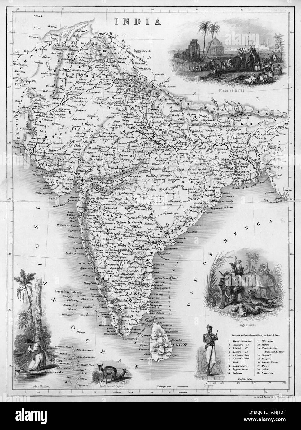 Map Asia India C1850 Stock Photohttps://www.alamy.com/image-license-details/?v=1https://www.alamy.com/map-asia-india-c1850-image5075006.html
RMANJT3F–Map Asia India C1850
 There is a map of India country Stock Photohttps://www.alamy.com/image-license-details/?v=1https://www.alamy.com/stock-photo-there-is-a-map-of-india-country-30115530.html
RFBMYTJJ–There is a map of India country
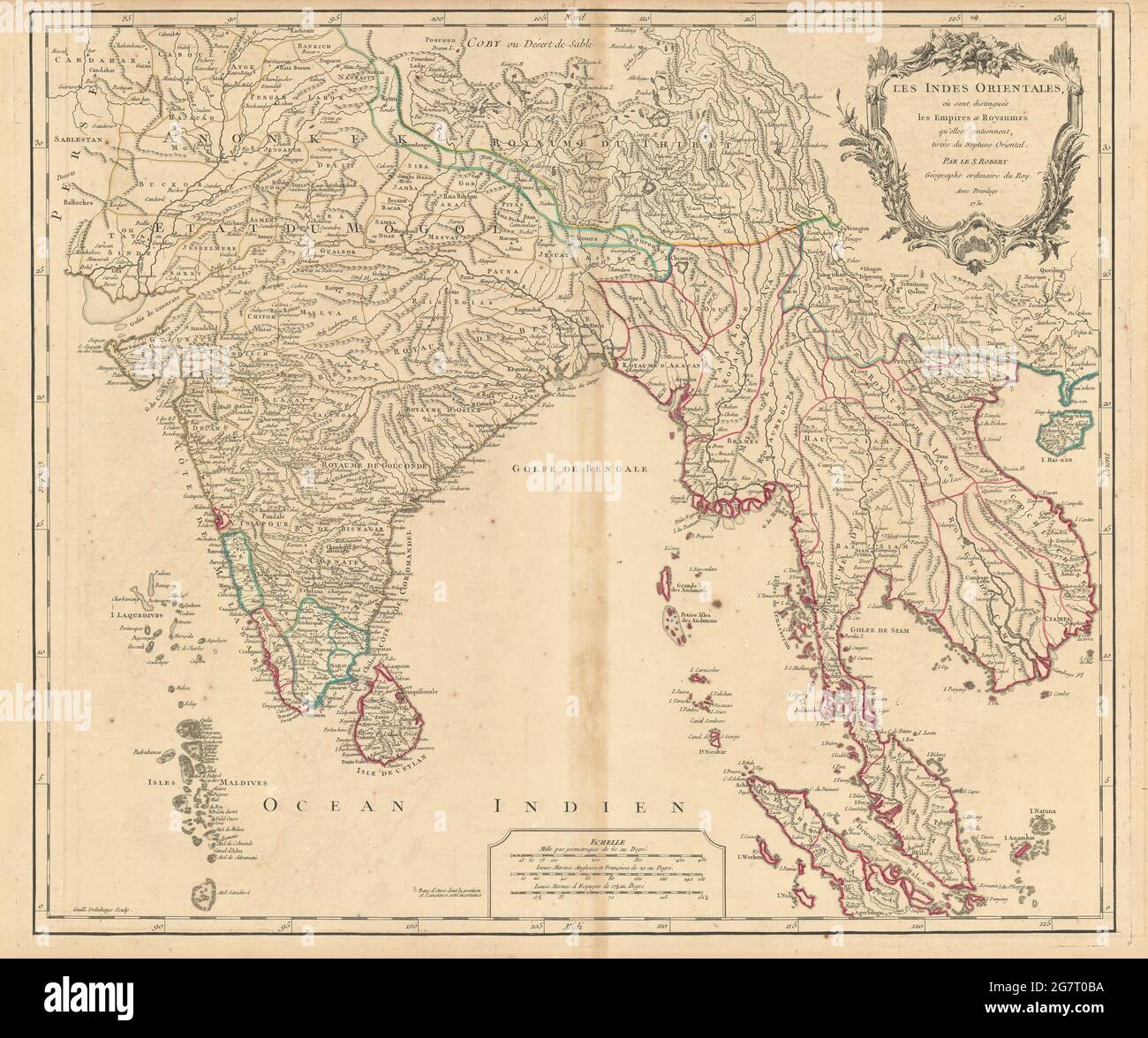 'Les Indes Orientales…' South Asia India Indochina Tibet. VAUGONDY 1751 map Stock Photohttps://www.alamy.com/image-license-details/?v=1https://www.alamy.com/les-indes-orientales-south-asia-india-indochina-tibet-vaugondy-1751-map-image435088958.html
RF2G7T0BA–'Les Indes Orientales…' South Asia India Indochina Tibet. VAUGONDY 1751 map
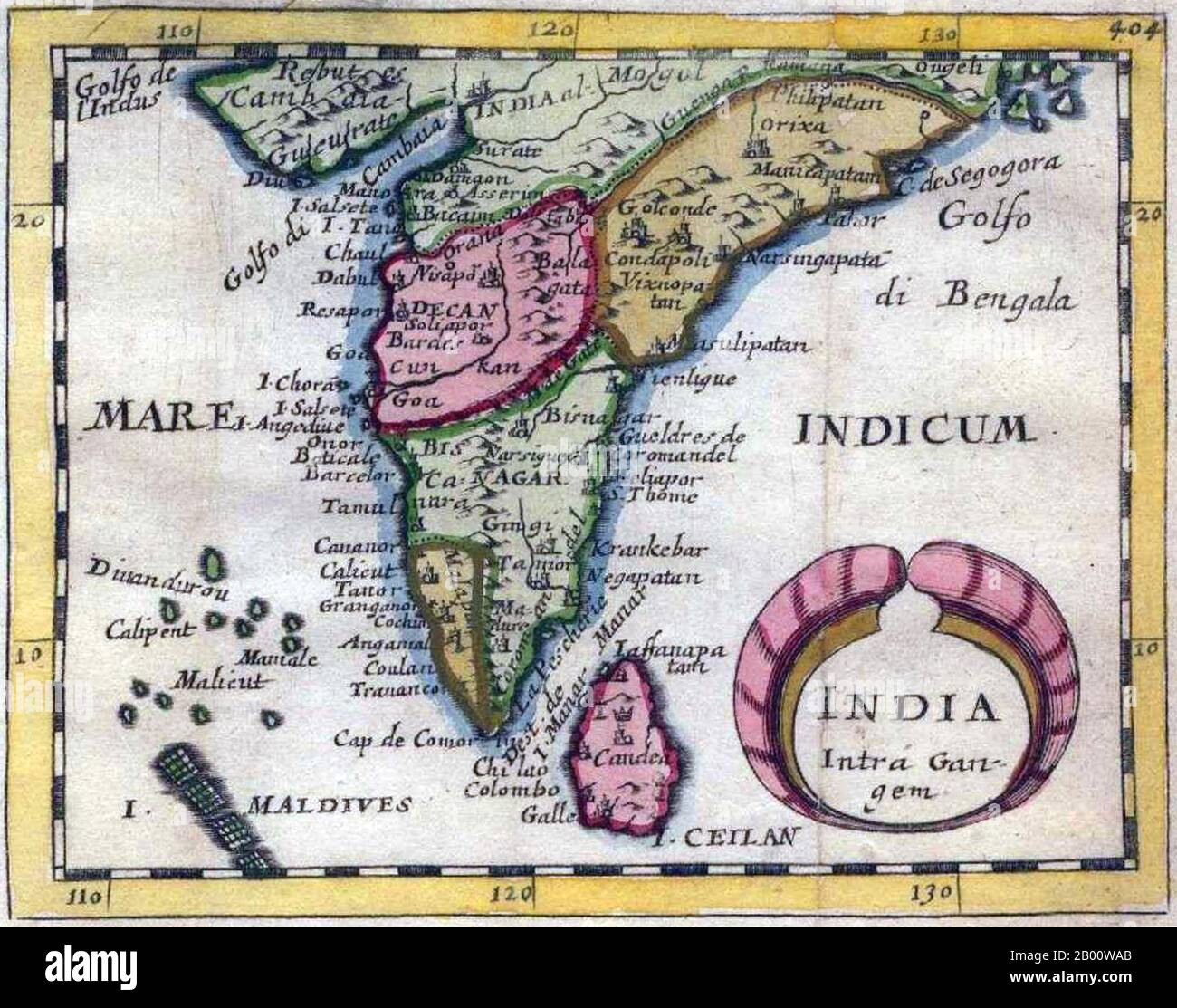 India: 'India Intra-Gangem', a miniature map of the Malabar and Coromandel coasts, from Pierre Duval's 'Geographiae Universalis', 1679. In classical usage, 'India Intra Gangem' refers to South Asia west of the Ganges, while 'India Extra Gangem' refers to peninsular Southeast Asia. Stock Photohttps://www.alamy.com/image-license-details/?v=1https://www.alamy.com/india-india-intra-gangem-a-miniature-map-of-the-malabar-and-coromandel-coasts-from-pierre-duvals-geographiae-universalis-1679-in-classical-usage-india-intra-gangem-refers-to-south-asia-west-of-the-ganges-while-india-extra-gangem-refers-to-peninsular-southeast-asia-image344227251.html
RM2B00WAB–India: 'India Intra-Gangem', a miniature map of the Malabar and Coromandel coasts, from Pierre Duval's 'Geographiae Universalis', 1679. In classical usage, 'India Intra Gangem' refers to South Asia west of the Ganges, while 'India Extra Gangem' refers to peninsular Southeast Asia.
 1877 Migeon Map - Eastern Asia - China Japan India Arabia Mongolia Siberia Tibet Nepal Stock Photohttps://www.alamy.com/image-license-details/?v=1https://www.alamy.com/stock-photo-1877-migeon-map-eastern-asia-china-japan-india-arabia-mongolia-siberia-172919463.html
RFM194F3–1877 Migeon Map - Eastern Asia - China Japan India Arabia Mongolia Siberia Tibet Nepal