Quick filters:
Map of barry Stock Photos and Images
 46b. Bristol Channel. Barry. Glamorganshire Somerset. KRIEGSMARINE Nazi map 1940 Stock Photohttps://www.alamy.com/image-license-details/?v=1https://www.alamy.com/46b-bristol-channel-barry-glamorganshire-somerset-kriegsmarine-nazi-map-1940-image454159298.html
RF2HATMPX–46b. Bristol Channel. Barry. Glamorganshire Somerset. KRIEGSMARINE Nazi map 1940
 Map of Barry in Michigan Stock Photohttps://www.alamy.com/image-license-details/?v=1https://www.alamy.com/map-of-barry-in-michigan-image402443472.html
RF2EAMTN4–Map of Barry in Michigan
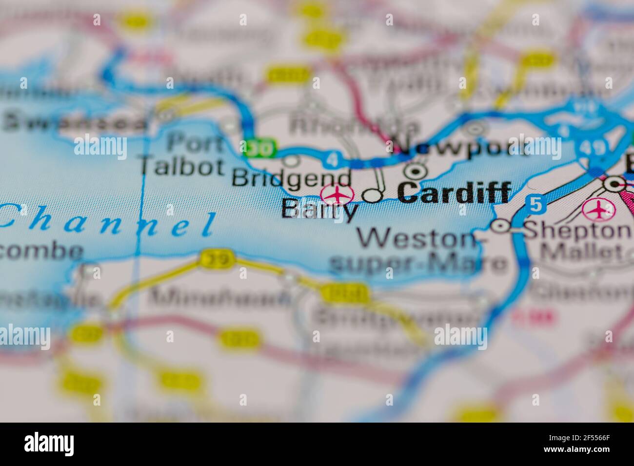 Barry Shown on a Geography map or road map Stock Photohttps://www.alamy.com/image-license-details/?v=1https://www.alamy.com/barry-shown-on-a-geography-map-or-road-map-image416236759.html
RM2F5566F–Barry Shown on a Geography map or road map
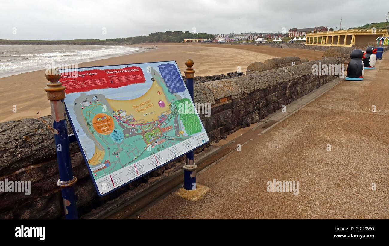 Map of Barry Island, Vale Of Glamorgan, South Wales, UK - Home of Gavin and Stacey BBC TV Sitcom Stock Photohttps://www.alamy.com/image-license-details/?v=1https://www.alamy.com/map-of-barry-island-vale-of-glamorgan-south-wales-uk-home-of-gavin-and-stacey-bbc-tv-sitcom-image472144332.html
RM2JC40WG–Map of Barry Island, Vale Of Glamorgan, South Wales, UK - Home of Gavin and Stacey BBC TV Sitcom
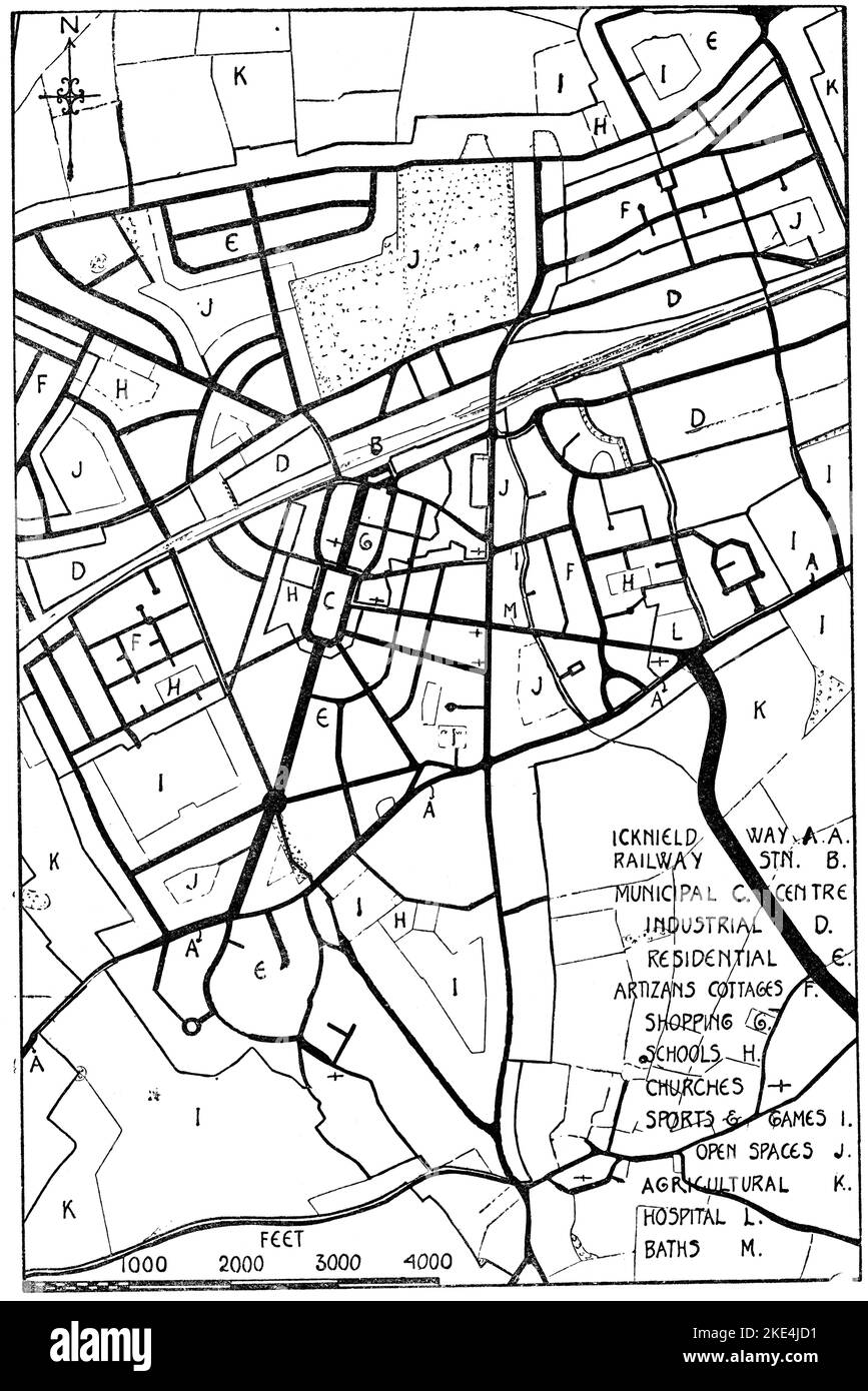 Central portion of first Garden City, Letchworth, c1904. By Raymond Unwin (1863-1940) and Richard Barry Parker (1867-1947). Letchworth Garden City, commonly known as Letchworth, is a town in the North Hertfordshire district of Hertfordshire, England. It is noted for being the first garden city. Stock Photohttps://www.alamy.com/image-license-details/?v=1https://www.alamy.com/central-portion-of-first-garden-city-letchworth-c1904-by-raymond-unwin1863-1940and-richard-barry-parker-1867-1947-letchworth-garden-city-commonly-known-as-letchworth-is-a-town-in-the-north-hertfordshire-district-of-hertfordshire-england-it-is-noted-for-being-the-first-garden-city-image490597773.html
RM2KE4JD1–Central portion of first Garden City, Letchworth, c1904. By Raymond Unwin (1863-1940) and Richard Barry Parker (1867-1947). Letchworth Garden City, commonly known as Letchworth, is a town in the North Hertfordshire district of Hertfordshire, England. It is noted for being the first garden city.
 Barry Mountains, , AU, Australia, Victoria, S 37 4' 59'', N 146 48' 0'', map, Cartascapes Map published in 2024. Explore Cartascapes, a map revealing Earth's diverse landscapes, cultures, and ecosystems. Journey through time and space, discovering the interconnectedness of our planet's past, present, and future. Stock Photohttps://www.alamy.com/image-license-details/?v=1https://www.alamy.com/barry-mountains-au-australia-victoria-s-37-4-59-n-146-48-0-map-cartascapes-map-published-in-2024-explore-cartascapes-a-map-revealing-earths-diverse-landscapes-cultures-and-ecosystems-journey-through-time-and-space-discovering-the-interconnectedness-of-our-planets-past-present-and-future-image625429366.html
RM2Y9ENF2–Barry Mountains, , AU, Australia, Victoria, S 37 4' 59'', N 146 48' 0'', map, Cartascapes Map published in 2024. Explore Cartascapes, a map revealing Earth's diverse landscapes, cultures, and ecosystems. Journey through time and space, discovering the interconnectedness of our planet's past, present, and future.
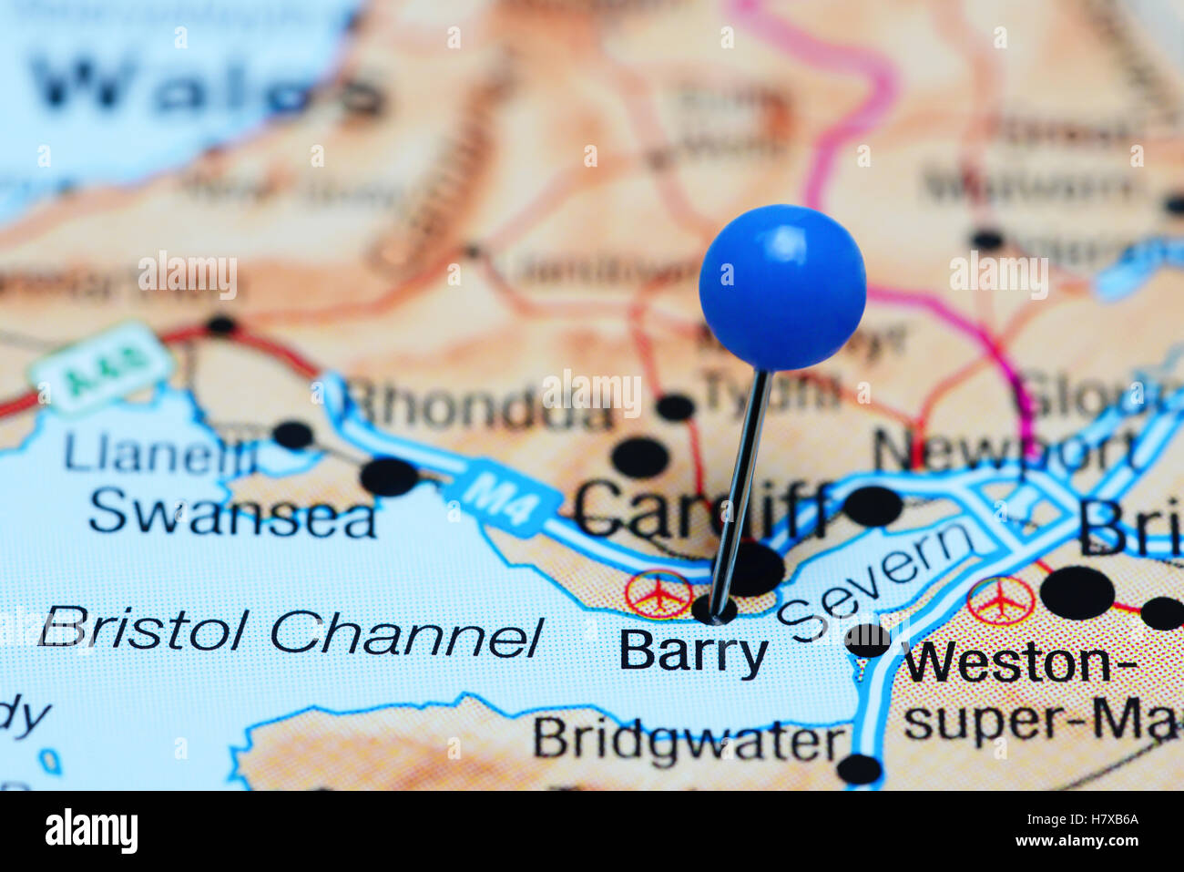 Barry pinned on a map of Wales Stock Photohttps://www.alamy.com/image-license-details/?v=1https://www.alamy.com/stock-photo-barry-pinned-on-a-map-of-wales-125354722.html
RFH7XB6A–Barry pinned on a map of Wales
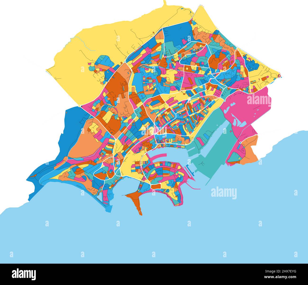 Barry, Vale of Glamorgan, Wales colorful high resolution vector art map with city boundaries. White outlines for main roads. Many details. Blue shapes Stock Vectorhttps://www.alamy.com/image-license-details/?v=1https://www.alamy.com/barry-vale-of-glamorgan-wales-colorful-high-resolution-vector-art-map-with-city-boundaries-white-outlines-for-main-roads-many-details-blue-shapes-image463616036.html
RF2HX7EYG–Barry, Vale of Glamorgan, Wales colorful high resolution vector art map with city boundaries. White outlines for main roads. Many details. Blue shapes
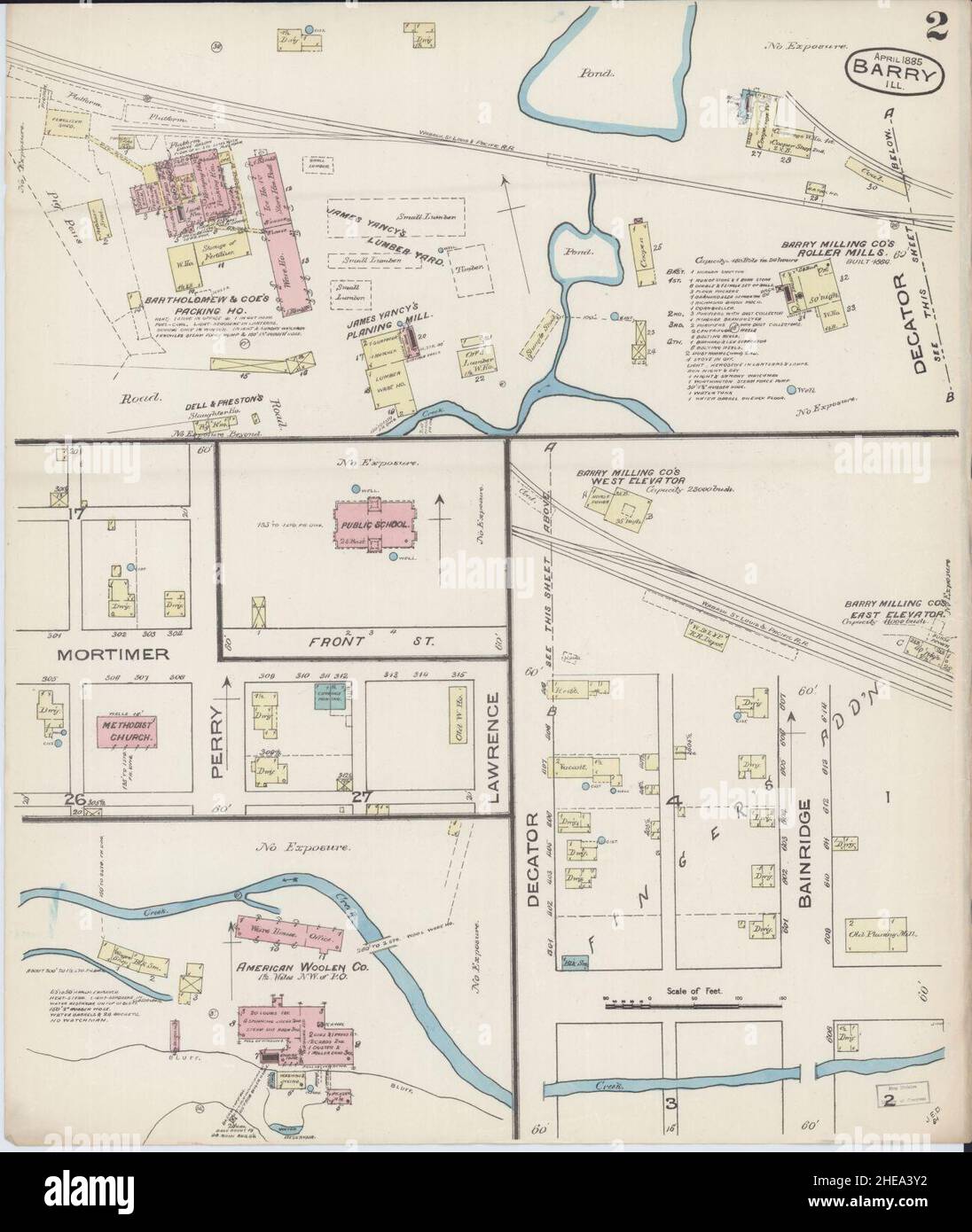 Sanborn Fire Insurance Map from Barry, Pike County, Illinois. Stock Photohttps://www.alamy.com/image-license-details/?v=1https://www.alamy.com/sanborn-fire-insurance-map-from-barry-pike-county-illinois-image456297382.html
RM2HEA3Y2–Sanborn Fire Insurance Map from Barry, Pike County, Illinois.
 Road map of the city of Barry in the United Kingdom on a white background. Stock Photohttps://www.alamy.com/image-license-details/?v=1https://www.alamy.com/road-map-of-the-city-of-barry-in-the-united-kingdom-on-a-white-background-image554319372.html
RF2R5RC0C–Road map of the city of Barry in the United Kingdom on a white background.
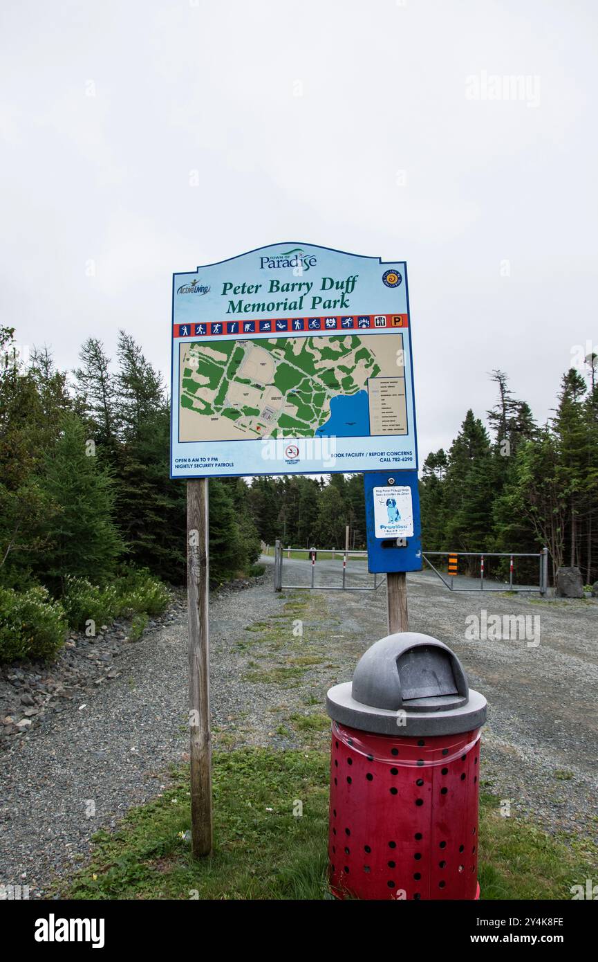 Welcome to Peter Barry Duff Memorial Park sign on Topsail Pond Road in Paradise, Newfoundland & Labrador, Canada Stock Photohttps://www.alamy.com/image-license-details/?v=1https://www.alamy.com/welcome-to-peter-barry-duff-memorial-park-sign-on-topsail-pond-road-in-paradise-newfoundland-labrador-canada-image622455666.html
RF2Y4K8FE–Welcome to Peter Barry Duff Memorial Park sign on Topsail Pond Road in Paradise, Newfoundland & Labrador, Canada
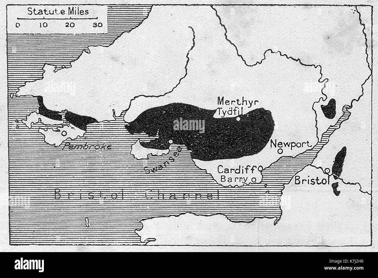 A map of the southern Welsh coalfields in 1914 Stock Photohttps://www.alamy.com/image-license-details/?v=1https://www.alamy.com/a-map-of-the-southern-welsh-coalfields-in-1914-image159593084.html
RMK7J2H0–A map of the southern Welsh coalfields in 1914
![Plate 27, Part of Section 10, Borough of the Bronx. [Bounded by Westchester Avenue, E. 163rd Street, Hunts Point Avenue, Barretto Street, Lafayette Avenue, Barry Street, Longwood Avenue, and Hewitts Place.] 1921 by G.W. Bromley & Co. Stock Photo Plate 27, Part of Section 10, Borough of the Bronx. [Bounded by Westchester Avenue, E. 163rd Street, Hunts Point Avenue, Barretto Street, Lafayette Avenue, Barry Street, Longwood Avenue, and Hewitts Place.] 1921 by G.W. Bromley & Co. Stock Photo](https://c8.alamy.com/comp/2YPEJ2P/plate-27-part-of-section-10-borough-of-the-bronx-bounded-by-westchester-avenue-e-163rd-street-hunts-point-avenue-barretto-street-lafayette-avenue-barry-street-longwood-avenue-and-hewitts-place-1921-by-gw-bromley-co-2YPEJ2P.jpg) Plate 27, Part of Section 10, Borough of the Bronx. [Bounded by Westchester Avenue, E. 163rd Street, Hunts Point Avenue, Barretto Street, Lafayette Avenue, Barry Street, Longwood Avenue, and Hewitts Place.] 1921 by G.W. Bromley & Co. Stock Photohttps://www.alamy.com/image-license-details/?v=1https://www.alamy.com/plate-27-part-of-section-10-borough-of-the-bronx-bounded-by-westchester-avenue-e-163rd-street-hunts-point-avenue-barretto-street-lafayette-avenue-barry-street-longwood-avenue-and-hewitts-place-1921-by-gw-bromley-co-image633417198.html
Plate 27, Part of Section 10, Borough of the Bronx. [Bounded by Westchester Avenue, E. 163rd Street, Hunts Point Avenue, Barretto Street, Lafayette Avenue, Barry Street, Longwood Avenue, and Hewitts Place.] 1921 by G.W. Bromley & Co. Stock Photohttps://www.alamy.com/image-license-details/?v=1https://www.alamy.com/plate-27-part-of-section-10-borough-of-the-bronx-bounded-by-westchester-avenue-e-163rd-street-hunts-point-avenue-barretto-street-lafayette-avenue-barry-street-longwood-avenue-and-hewitts-place-1921-by-gw-bromley-co-image633417198.htmlRM2YPEJ2P–Plate 27, Part of Section 10, Borough of the Bronx. [Bounded by Westchester Avenue, E. 163rd Street, Hunts Point Avenue, Barretto Street, Lafayette Avenue, Barry Street, Longwood Avenue, and Hewitts Place.] 1921 by G.W. Bromley & Co.
 English Riviera in Torbay, England, political map. Geopark and popular tourist destination around the Tor Bay on the English Channel. Stock Photohttps://www.alamy.com/image-license-details/?v=1https://www.alamy.com/english-riviera-in-torbay-england-political-map-geopark-and-popular-tourist-destination-around-the-tor-bay-on-the-english-channel-image613104762.html
RF2XHD9AJ–English Riviera in Torbay, England, political map. Geopark and popular tourist destination around the Tor Bay on the English Channel.
 Map of Barry in Michigan Stock Photohttps://www.alamy.com/image-license-details/?v=1https://www.alamy.com/map-of-barry-in-michigan-image367543482.html
RF2C9Y1CX–Map of Barry in Michigan
 DWAYNE JOHNSON, BARRY PEPPER, SNITCH, 2013 Stock Photohttps://www.alamy.com/image-license-details/?v=1https://www.alamy.com/dwayne-johnson-barry-pepper-snitch-2013-image475039128.html
RM2JGRW74–DWAYNE JOHNSON, BARRY PEPPER, SNITCH, 2013
 A map is studied showing the area of the boar hunt near East Anstey, Wednesday January 4, 2006. Around 100 of his animals scampered to freedom in the countryside around East and West Anstey in Devon on December 22 after a fence was cut by animal activists. Forty of the animals were retrieved - but sixty remained on the loose causing damage to farmland as they rooted for food. See PA Story ANIMALS Boar. PRESS ASSOCIATION Photo. Photo credit should read: Barry Batchelor/PA Stock Photohttps://www.alamy.com/image-license-details/?v=1https://www.alamy.com/stock-photo-a-map-is-studied-showing-the-area-of-the-boar-hunt-near-east-anstey-108860641.html
RMG930T1–A map is studied showing the area of the boar hunt near East Anstey, Wednesday January 4, 2006. Around 100 of his animals scampered to freedom in the countryside around East and West Anstey in Devon on December 22 after a fence was cut by animal activists. Forty of the animals were retrieved - but sixty remained on the loose causing damage to farmland as they rooted for food. See PA Story ANIMALS Boar. PRESS ASSOCIATION Photo. Photo credit should read: Barry Batchelor/PA
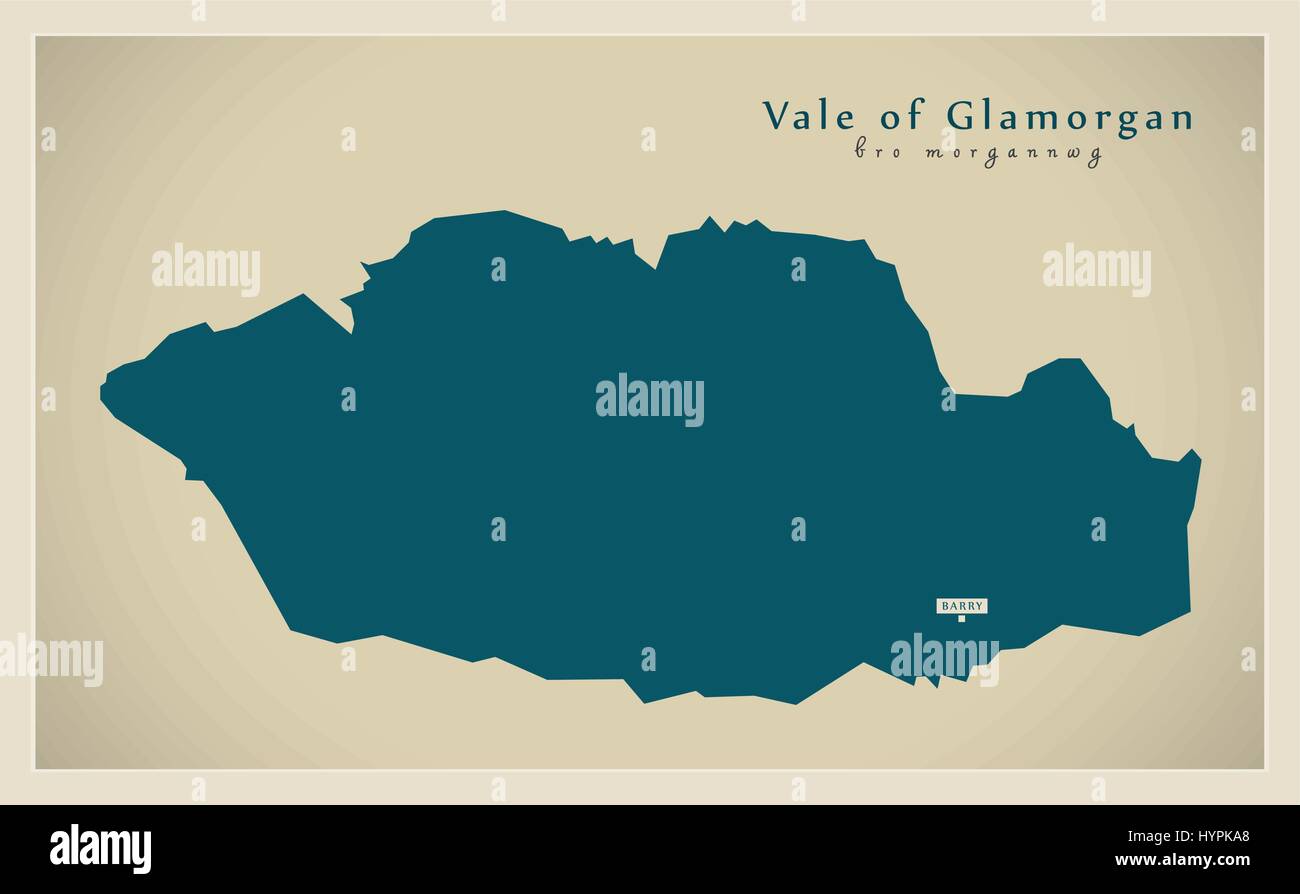 Modern Map - Vale of Glamorgan Wales UK Stock Vectorhttps://www.alamy.com/image-license-details/?v=1https://www.alamy.com/stock-photo-modern-map-vale-of-glamorgan-wales-uk-137566416.html
RFHYPKA8–Modern Map - Vale of Glamorgan Wales UK
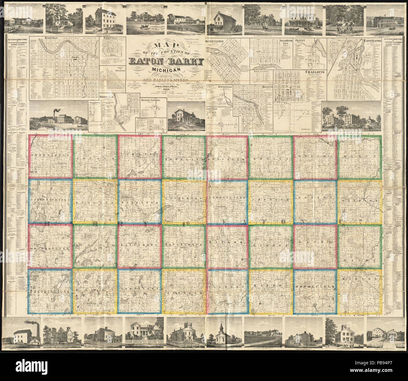 994 Map of the counties of Eaton and Barry, Michigan (13405943643) Stock Photohttps://www.alamy.com/image-license-details/?v=1https://www.alamy.com/994-map-of-the-counties-of-eaton-and-barry-michigan-13405943643-image213486959.html
RMPB94P7–994 Map of the counties of Eaton and Barry, Michigan (13405943643)
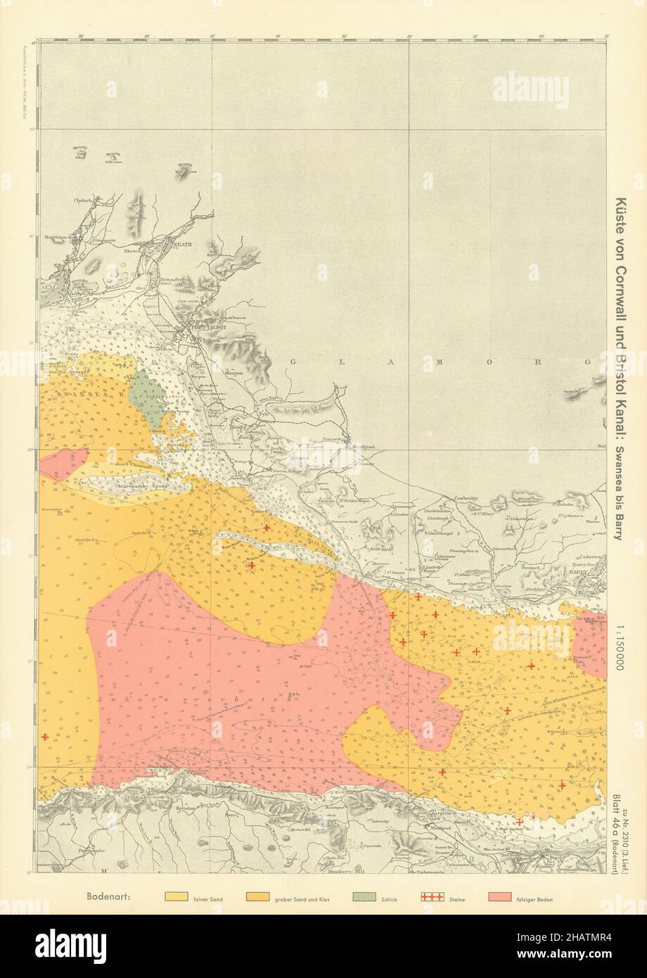 46a. Bristol Channel. Barry. Glamorganshire Somerset. KRIEGSMARINE Nazi map 1940 Stock Photohttps://www.alamy.com/image-license-details/?v=1https://www.alamy.com/46a-bristol-channel-barry-glamorganshire-somerset-kriegsmarine-nazi-map-1940-image454159304.html
RF2HATMR4–46a. Bristol Channel. Barry. Glamorganshire Somerset. KRIEGSMARINE Nazi map 1940
 Map of Barry in Missouri Stock Photohttps://www.alamy.com/image-license-details/?v=1https://www.alamy.com/map-of-barry-in-missouri-image443776001.html
RF2GNYMPW–Map of Barry in Missouri
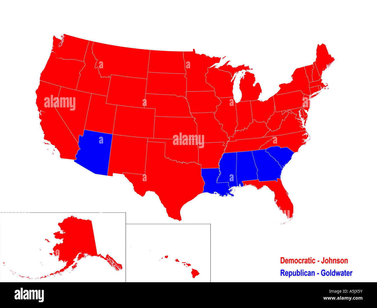 United States Presidential Election Results Map For 1964 Stock Photohttps://www.alamy.com/image-license-details/?v=1https://www.alamy.com/stock-photo-united-states-presidential-election-results-map-for-1964-11329766.html
RMA5JX5Y–United States Presidential Election Results Map For 1964
 Barry County (Michigan) outline map set Stock Vectorhttps://www.alamy.com/image-license-details/?v=1https://www.alamy.com/barry-county-michigan-outline-map-set-image621080383.html
RF2Y2CJA7–Barry County (Michigan) outline map set
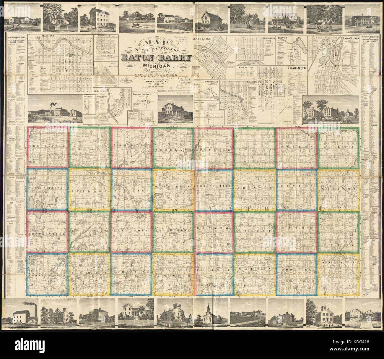 Map of the counties of Eaton and Barry, Michigan (13405943643) Stock Photohttps://www.alamy.com/image-license-details/?v=1https://www.alamy.com/stock-image-map-of-the-counties-of-eaton-and-barry-michigan-13405943643-163238244.html
RMKDG418–Map of the counties of Eaton and Barry, Michigan (13405943643)
 Barry Creek, , AU, Australia, Queensland, S 15 25' 0'', N 145 1' 59'', map, Cartascapes Map published in 2024. Explore Cartascapes, a map revealing Earth's diverse landscapes, cultures, and ecosystems. Journey through time and space, discovering the interconnectedness of our planet's past, present, and future. Stock Photohttps://www.alamy.com/image-license-details/?v=1https://www.alamy.com/barry-creek-au-australia-queensland-s-15-25-0-n-145-1-59-map-cartascapes-map-published-in-2024-explore-cartascapes-a-map-revealing-earths-diverse-landscapes-cultures-and-ecosystems-journey-through-time-and-space-discovering-the-interconnectedness-of-our-planets-past-present-and-future-image625759281.html
RM2YA1P9N–Barry Creek, , AU, Australia, Queensland, S 15 25' 0'', N 145 1' 59'', map, Cartascapes Map published in 2024. Explore Cartascapes, a map revealing Earth's diverse landscapes, cultures, and ecosystems. Journey through time and space, discovering the interconnectedness of our planet's past, present, and future.
 Barry Gordy arrives for the 12th Annual MusiCares MAP Fund Tribute Concert at The Novo by Microsoft on May 19, 2016 in Los Angeles, California. Stock Photohttps://www.alamy.com/image-license-details/?v=1https://www.alamy.com/stock-photo-barry-gordy-arrives-for-the-12th-annual-musicares-map-fund-tribute-123163850.html
RMH4AGMX–Barry Gordy arrives for the 12th Annual MusiCares MAP Fund Tribute Concert at The Novo by Microsoft on May 19, 2016 in Los Angeles, California.
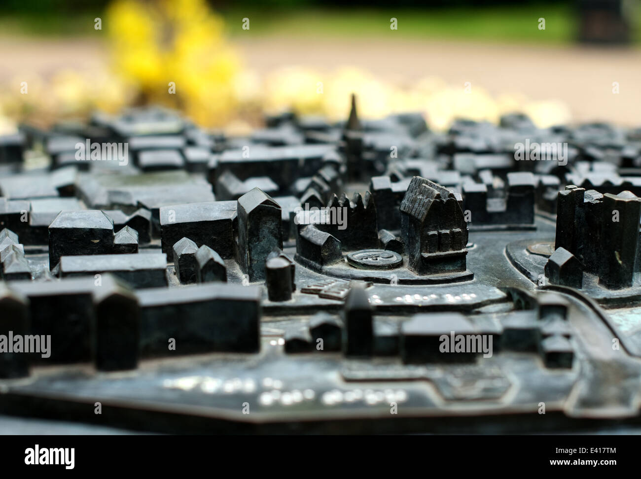 close up image of the Tactile Bronze Braille Map of Newark on Trent located in the castle grounds Stock Photohttps://www.alamy.com/image-license-details/?v=1https://www.alamy.com/stock-photo-close-up-image-of-the-tactile-bronze-braille-map-of-newark-on-trent-71328228.html
RME417TM–close up image of the Tactile Bronze Braille Map of Newark on Trent located in the castle grounds
 Sanborn Fire Insurance Map from Barry, Pike County, Illinois. Stock Photohttps://www.alamy.com/image-license-details/?v=1https://www.alamy.com/sanborn-fire-insurance-map-from-barry-pike-county-illinois-image456297441.html
RM2HEA415–Sanborn Fire Insurance Map from Barry, Pike County, Illinois.
 Missouri map typography. Missouri state map typography. Missouri lettering. Stock Vectorhttps://www.alamy.com/image-license-details/?v=1https://www.alamy.com/missouri-map-typography-missouri-state-map-typography-missouri-lettering-image467950761.html
RF2J58YY5–Missouri map typography. Missouri state map typography. Missouri lettering.
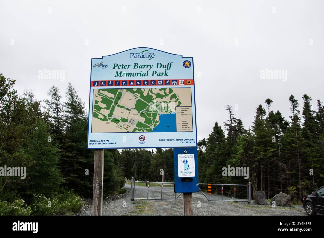 Welcome to Peter Barry Duff Memorial Park sign on Topsail Pond Road in Paradise, Newfoundland & Labrador, Canada Stock Photohttps://www.alamy.com/image-license-details/?v=1https://www.alamy.com/welcome-to-peter-barry-duff-memorial-park-sign-on-topsail-pond-road-in-paradise-newfoundland-labrador-canada-image622455663.html
RF2Y4K8FB–Welcome to Peter Barry Duff Memorial Park sign on Topsail Pond Road in Paradise, Newfoundland & Labrador, Canada
 GIESINGER (Bd2) p438 Vicomtesse du Barry Stock Photohttps://www.alamy.com/image-license-details/?v=1https://www.alamy.com/stock-photo-giesinger-bd2-p438-vicomtesse-du-barry-74008243.html
RME8BA7F–GIESINGER (Bd2) p438 Vicomtesse du Barry
![Plate 27 [Map bounded by Hunts Point Ave., Barry St., Longwood Ave., Westchester Ave.] 1911 by Bromley, George Washington Stock Photo Plate 27 [Map bounded by Hunts Point Ave., Barry St., Longwood Ave., Westchester Ave.] 1911 by Bromley, George Washington Stock Photo](https://c8.alamy.com/comp/2YR05FG/plate-27-map-bounded-by-hunts-point-ave-barry-st-longwood-ave-westchester-ave-1911-by-bromley-george-washington-2YR05FG.jpg) Plate 27 [Map bounded by Hunts Point Ave., Barry St., Longwood Ave., Westchester Ave.] 1911 by Bromley, George Washington Stock Photohttps://www.alamy.com/image-license-details/?v=1https://www.alamy.com/plate-27-map-bounded-by-hunts-point-ave-barry-st-longwood-ave-westchester-ave-1911-by-bromley-george-washington-image633714692.html
Plate 27 [Map bounded by Hunts Point Ave., Barry St., Longwood Ave., Westchester Ave.] 1911 by Bromley, George Washington Stock Photohttps://www.alamy.com/image-license-details/?v=1https://www.alamy.com/plate-27-map-bounded-by-hunts-point-ave-barry-st-longwood-ave-westchester-ave-1911-by-bromley-george-washington-image633714692.htmlRM2YR05FG–Plate 27 [Map bounded by Hunts Point Ave., Barry St., Longwood Ave., Westchester Ave.] 1911 by Bromley, George Washington
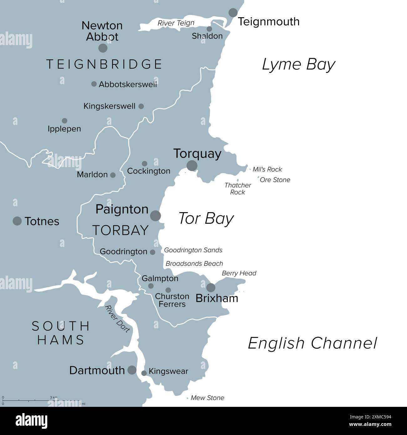 English Riviera in Torbay, England, gray political map. Geopark and popular tourist destination around Tor Bay on the English Channel. Stock Photohttps://www.alamy.com/image-license-details/?v=1https://www.alamy.com/english-riviera-in-torbay-england-gray-political-map-geopark-and-popular-tourist-destination-around-tor-bay-on-the-english-channel-image614923600.html
RF2XMC594–English Riviera in Torbay, England, gray political map. Geopark and popular tourist destination around Tor Bay on the English Channel.
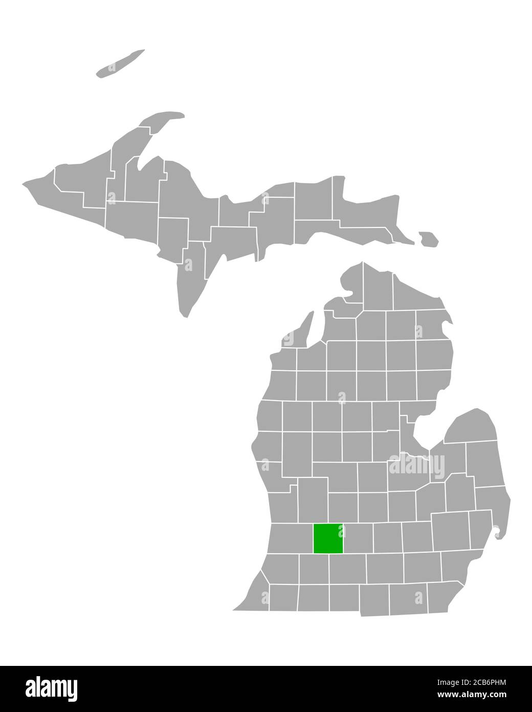 Map of Barry in Michigan Stock Photohttps://www.alamy.com/image-license-details/?v=1https://www.alamy.com/map-of-barry-in-michigan-image368328400.html
RF2CB6PHM–Map of Barry in Michigan
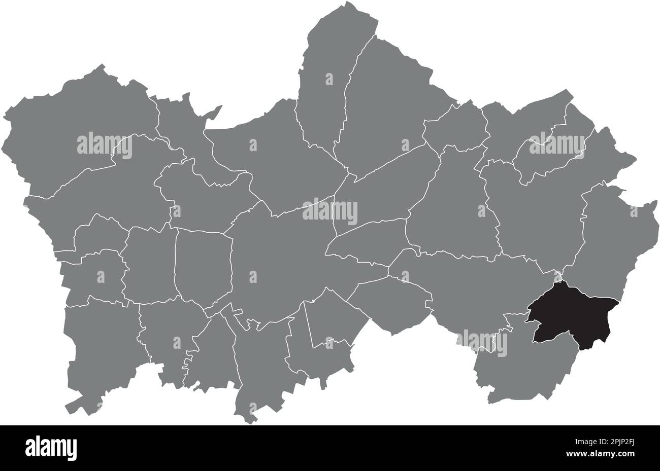 Locator map of the BARRY MUNICIPALITY, TOURNAI Stock Vectorhttps://www.alamy.com/image-license-details/?v=1https://www.alamy.com/locator-map-of-the-barry-municipality-tournai-image545070166.html
RF2PJP2FJ–Locator map of the BARRY MUNICIPALITY, TOURNAI
 A road protester known as Lovelee with a map showing the exclusion sausage alongside the road improvement area close to Honiton. There are only two protesters left in the underground labyrinth today (Thursday), after a protester known as Muppet Dave, was pulled out after seven nights underground. He was found by tunnelling specialists below a metal plate at the bottom of an 18ft unshored shaft Photo Barry Batchelor/PA.See PA Story TRANSPORT Evioction Stock Photohttps://www.alamy.com/image-license-details/?v=1https://www.alamy.com/a-road-protester-known-as-lovelee-with-a-map-showing-the-exclusion-sausage-alongside-the-road-improvement-area-close-to-honiton-there-are-only-two-protesters-left-in-the-underground-labyrinth-today-thursday-after-a-protester-known-as-muppet-dave-was-pulled-out-after-seven-nights-underground-he-was-found-by-tunnelling-specialists-below-a-metal-plate-at-the-bottom-of-an-18ft-unshored-shaft-photo-barry-batchelorpasee-pa-story-transport-evioction-image380441541.html
RM2D2XH1W–A road protester known as Lovelee with a map showing the exclusion sausage alongside the road improvement area close to Honiton. There are only two protesters left in the underground labyrinth today (Thursday), after a protester known as Muppet Dave, was pulled out after seven nights underground. He was found by tunnelling specialists below a metal plate at the bottom of an 18ft unshored shaft Photo Barry Batchelor/PA.See PA Story TRANSPORT Evioction
 141004 The Skymap flight information map on an ANA All Nippon Airways jet Photo copyright Barry Cronin Chromepix com Stock Photohttps://www.alamy.com/image-license-details/?v=1https://www.alamy.com/141004-the-skymap-flight-information-map-on-an-ana-all-nippon-airways-image3547491.html
RMA3WN64–141004 The Skymap flight information map on an ANA All Nippon Airways jet Photo copyright Barry Cronin Chromepix com
 Health & social care in Wales, spelled out in letters, on map of Newport,Cardiff,Swansea,Barry,Bridgend Stock Photohttps://www.alamy.com/image-license-details/?v=1https://www.alamy.com/health-social-care-in-wales-spelled-out-in-letters-on-map-of-newportcardiffswanseabarrybridgend-image479133706.html
RM2JREBX2–Health & social care in Wales, spelled out in letters, on map of Newport,Cardiff,Swansea,Barry,Bridgend
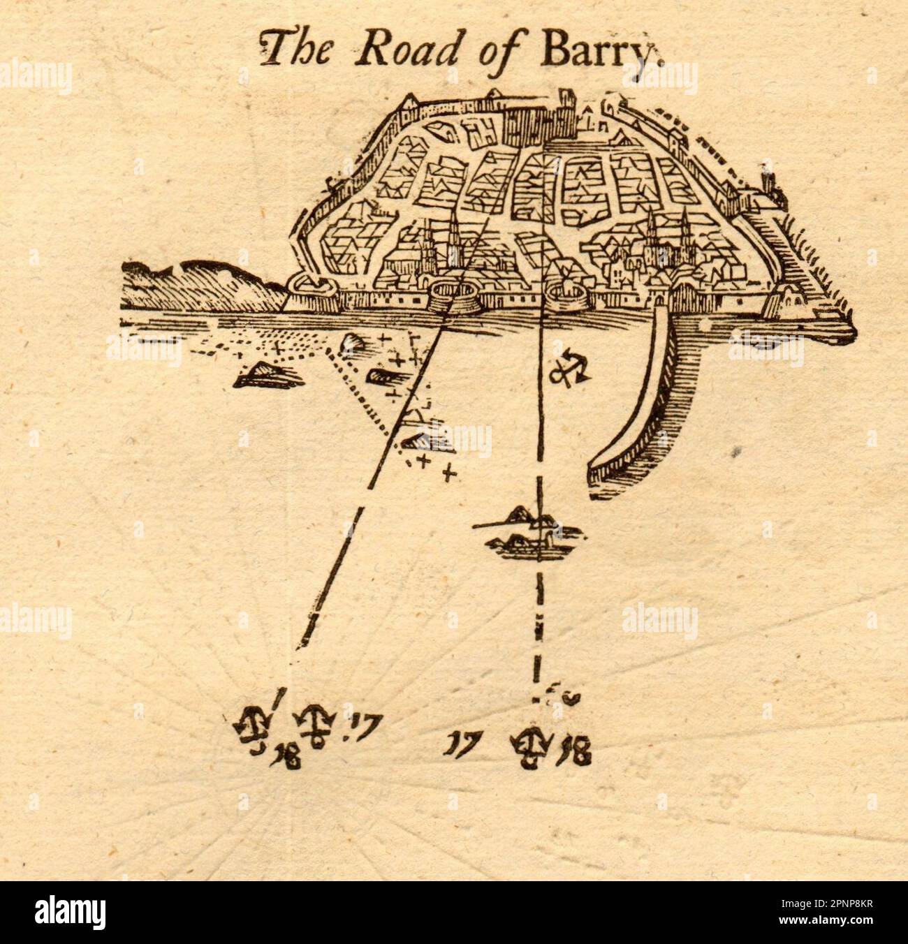 1747 old antique vintage map plan chart Stock Photohttps://www.alamy.com/image-license-details/?v=1https://www.alamy.com/1747-old-antique-vintage-map-plan-chart-image546918955.html
RF2PNP8KR–1747 old antique vintage map plan chart
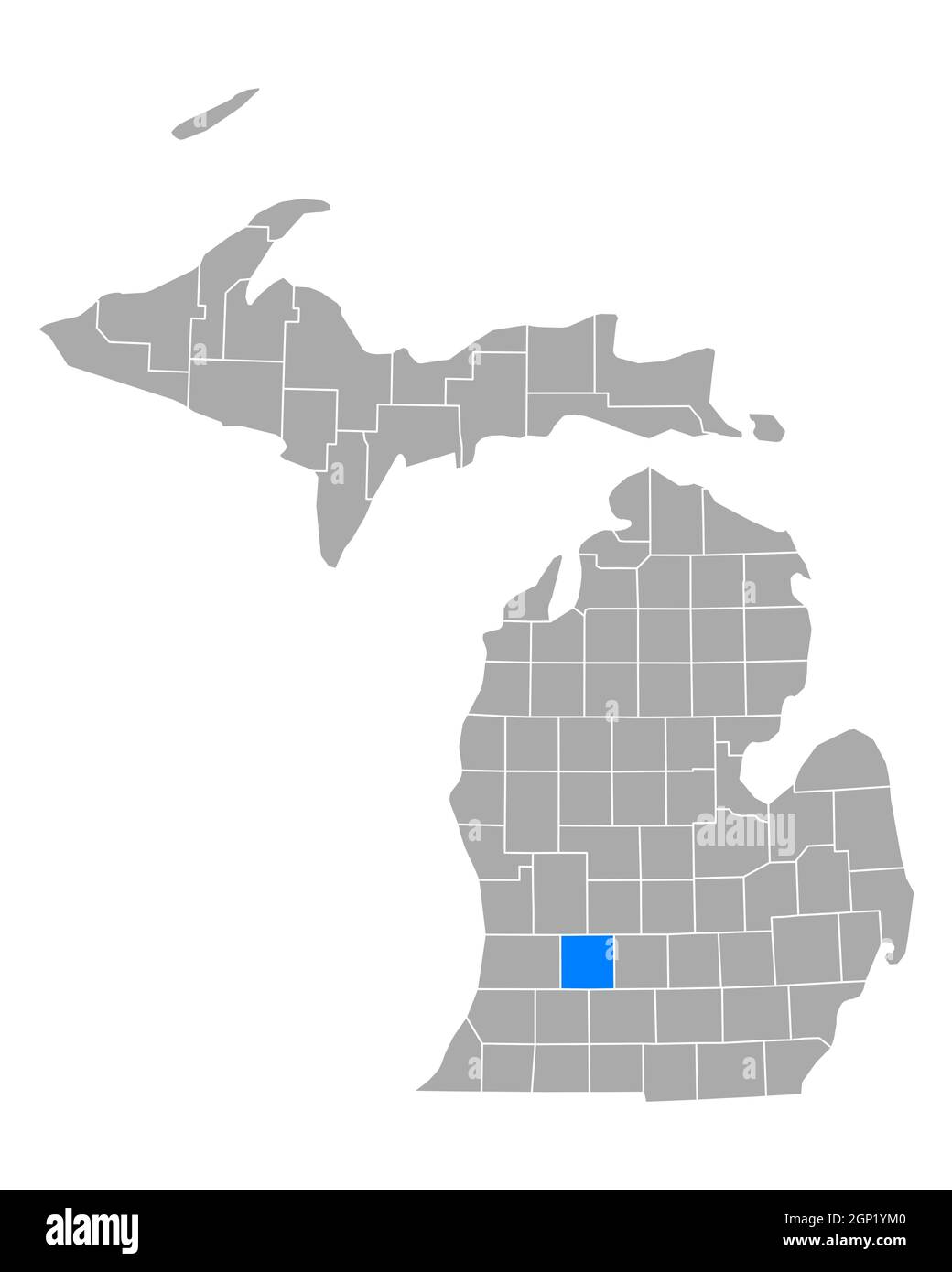 Map of Barry in Michigan Stock Photohttps://www.alamy.com/image-license-details/?v=1https://www.alamy.com/map-of-barry-in-michigan-image443825312.html
RF2GP1YM0–Map of Barry in Michigan
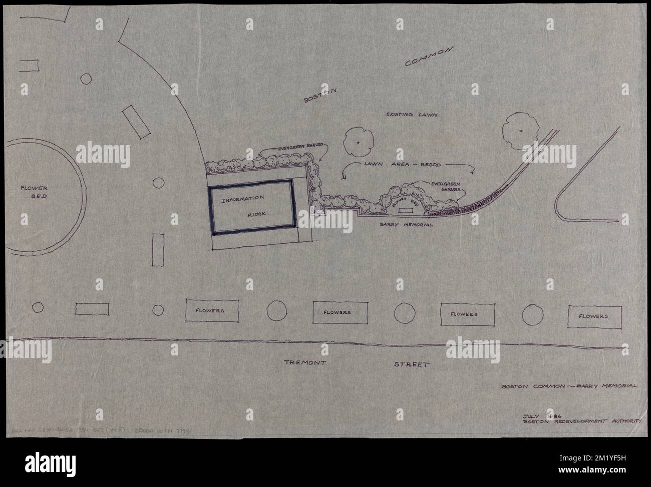 Boston Common - Barry Memorial , City planning, Massachusetts, Boston, Maps, Boston Common Boston, Mass., Planning, Maps Norman B. Leventhal Map Center Collection Stock Photohttps://www.alamy.com/image-license-details/?v=1https://www.alamy.com/boston-common-barry-memorial-city-planning-massachusetts-boston-maps-boston-common-boston-mass-planning-maps-norman-b-leventhal-map-center-collection-image500319949.html
RM2M1YF5H–Boston Common - Barry Memorial , City planning, Massachusetts, Boston, Maps, Boston Common Boston, Mass., Planning, Maps Norman B. Leventhal Map Center Collection
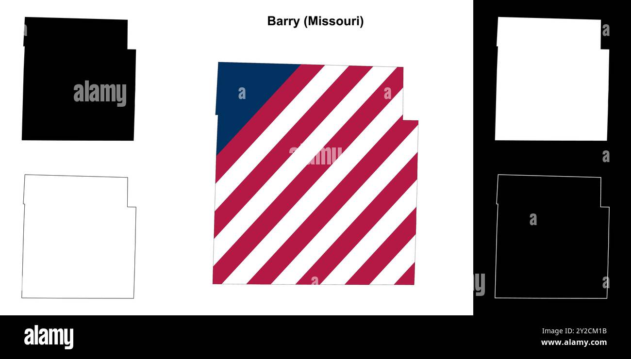 Barry County (Missouri) outline map set Stock Vectorhttps://www.alamy.com/image-license-details/?v=1https://www.alamy.com/barry-county-missouri-outline-map-set-image621081703.html
RF2Y2CM1B–Barry County (Missouri) outline map set
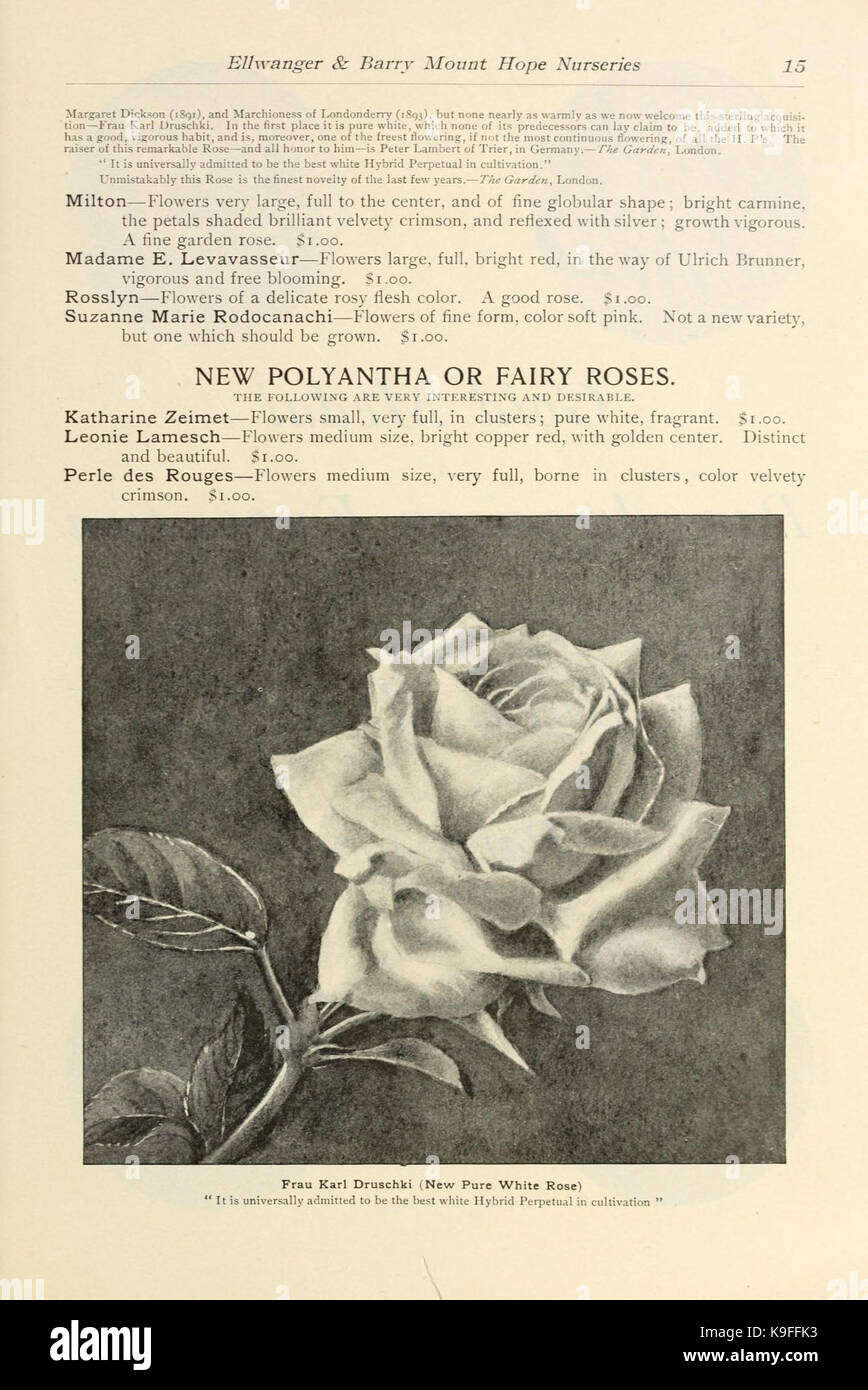 Novelties and specialties offered by Ellwanger and Barry (16236674013) Stock Photohttps://www.alamy.com/image-license-details/?v=1https://www.alamy.com/stock-image-novelties-and-specialties-offered-by-ellwanger-and-barry-16236674013-160766791.html
RMK9FFK3–Novelties and specialties offered by Ellwanger and Barry (16236674013)
 Barry Lagoon, , AU, Australia, Queensland, S 17 37' 59'', N 143 16' 0'', map, Cartascapes Map published in 2024. Explore Cartascapes, a map revealing Earth's diverse landscapes, cultures, and ecosystems. Journey through time and space, discovering the interconnectedness of our planet's past, present, and future. Stock Photohttps://www.alamy.com/image-license-details/?v=1https://www.alamy.com/barry-lagoon-au-australia-queensland-s-17-37-59-n-143-16-0-map-cartascapes-map-published-in-2024-explore-cartascapes-a-map-revealing-earths-diverse-landscapes-cultures-and-ecosystems-journey-through-time-and-space-discovering-the-interconnectedness-of-our-planets-past-present-and-future-image625758003.html
RM2YA1MM3–Barry Lagoon, , AU, Australia, Queensland, S 17 37' 59'', N 143 16' 0'', map, Cartascapes Map published in 2024. Explore Cartascapes, a map revealing Earth's diverse landscapes, cultures, and ecosystems. Journey through time and space, discovering the interconnectedness of our planet's past, present, and future.
 Barry Gordy arrives for the 12th Annual MusiCares MAP Fund Tribute Concert at The Novo by Microsoft on May 19, 2016 in Los Angeles, California. Stock Photohttps://www.alamy.com/image-license-details/?v=1https://www.alamy.com/stock-photo-barry-gordy-arrives-for-the-12th-annual-musicares-map-fund-tribute-123163852.html
RMH4AGN0–Barry Gordy arrives for the 12th Annual MusiCares MAP Fund Tribute Concert at The Novo by Microsoft on May 19, 2016 in Los Angeles, California.
 close up image of the Tactile Bronze model and Braille Map of Newark on Trent located in the castle grounds. Stock Photohttps://www.alamy.com/image-license-details/?v=1https://www.alamy.com/stock-photo-close-up-image-of-the-tactile-bronze-model-and-braille-map-of-newark-71328102.html
RME417M6–close up image of the Tactile Bronze model and Braille Map of Newark on Trent located in the castle grounds.
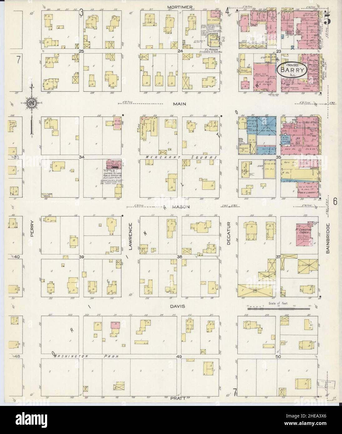 Sanborn Fire Insurance Map from Barry, Pike County, Illinois. Stock Photohttps://www.alamy.com/image-license-details/?v=1https://www.alamy.com/sanborn-fire-insurance-map-from-barry-pike-county-illinois-image456297358.html
RM2HEA3X6–Sanborn Fire Insurance Map from Barry, Pike County, Illinois.
 U.S. Marine Corps Capt. Walker Clark, and Capt. Zachary Compeau, both joint terminal attack controllers with 1st Air Naval Gunfire Liaison Company, I Marines Expeditionary Force Information Group, conduct a map study prior to mission execution during a live-fire, close-air support exercise at Barry M. Goldwater Range, Gila Bend, Arizona, July 26, 2022. 1st ANGLICO trains to enhance proficiency in CAS and expand digital communications capabilities. Stock Photohttps://www.alamy.com/image-license-details/?v=1https://www.alamy.com/us-marine-corps-capt-walker-clark-and-capt-zachary-compeau-both-joint-terminal-attack-controllers-with-1st-air-naval-gunfire-liaison-company-i-marines-expeditionary-force-information-group-conduct-a-map-study-prior-to-mission-execution-during-a-live-fire-close-air-support-exercise-at-barry-m-goldwater-range-gila-bend-arizona-july-26-2022-1st-anglico-trains-to-enhance-proficiency-in-cas-and-expand-digital-communications-capabilities-image507655355.html
RM2MDWKGB–U.S. Marine Corps Capt. Walker Clark, and Capt. Zachary Compeau, both joint terminal attack controllers with 1st Air Naval Gunfire Liaison Company, I Marines Expeditionary Force Information Group, conduct a map study prior to mission execution during a live-fire, close-air support exercise at Barry M. Goldwater Range, Gila Bend, Arizona, July 26, 2022. 1st ANGLICO trains to enhance proficiency in CAS and expand digital communications capabilities.
 Original Film Title: BANDITS. English Title: BANDITS. Film Director: BARRY LEVINSON. Year: 2001. Stars: CATE BLANCHETT. Credit: M.G.M / CARTWRIGHT, R. / Album Stock Photohttps://www.alamy.com/image-license-details/?v=1https://www.alamy.com/original-film-title-bandits-english-title-bandits-film-director-barry-levinson-year-2001-stars-cate-blanchett-credit-mgm-cartwright-r-album-image207057349.html
RMP0T7N9–Original Film Title: BANDITS. English Title: BANDITS. Film Director: BARRY LEVINSON. Year: 2001. Stars: CATE BLANCHETT. Credit: M.G.M / CARTWRIGHT, R. / Album
 GIESINGER (Bd1) p464 Comtesse Du Barry Stock Photohttps://www.alamy.com/image-license-details/?v=1https://www.alamy.com/stock-photo-giesinger-bd1-p464-comtesse-du-barry-74008234.html
RME8BA76–GIESINGER (Bd1) p464 Comtesse Du Barry
![Double Page Plate No. 27, Part of Section 10, Borough of the Bronx: [Bounded by E. 163rd Street, Hunts Point Avenue, Garrison Avenue, Barretto Street, Lafayette Avenue, Barry Street, Longwood Avenue, Hewitt Place and Westchester Avenue] 1942 Stock Photo Double Page Plate No. 27, Part of Section 10, Borough of the Bronx: [Bounded by E. 163rd Street, Hunts Point Avenue, Garrison Avenue, Barretto Street, Lafayette Avenue, Barry Street, Longwood Avenue, Hewitt Place and Westchester Avenue] 1942 Stock Photo](https://c8.alamy.com/comp/2YPEPT3/double-page-plate-no-27-part-of-section-10-borough-of-the-bronx-bounded-by-e-163rd-street-hunts-point-avenue-garrison-avenue-barretto-street-lafayette-avenue-barry-street-longwood-avenue-hewitt-place-and-westchester-avenue-1942-2YPEPT3.jpg) Double Page Plate No. 27, Part of Section 10, Borough of the Bronx: [Bounded by E. 163rd Street, Hunts Point Avenue, Garrison Avenue, Barretto Street, Lafayette Avenue, Barry Street, Longwood Avenue, Hewitt Place and Westchester Avenue] 1942 Stock Photohttps://www.alamy.com/image-license-details/?v=1https://www.alamy.com/double-page-plate-no-27-part-of-section-10-borough-of-the-bronx-bounded-by-e-163rd-street-hunts-point-avenue-garrison-avenue-barretto-street-lafayette-avenue-barry-street-longwood-avenue-hewitt-place-and-westchester-avenue-1942-image633420931.html
Double Page Plate No. 27, Part of Section 10, Borough of the Bronx: [Bounded by E. 163rd Street, Hunts Point Avenue, Garrison Avenue, Barretto Street, Lafayette Avenue, Barry Street, Longwood Avenue, Hewitt Place and Westchester Avenue] 1942 Stock Photohttps://www.alamy.com/image-license-details/?v=1https://www.alamy.com/double-page-plate-no-27-part-of-section-10-borough-of-the-bronx-bounded-by-e-163rd-street-hunts-point-avenue-garrison-avenue-barretto-street-lafayette-avenue-barry-street-longwood-avenue-hewitt-place-and-westchester-avenue-1942-image633420931.htmlRM2YPEPT3–Double Page Plate No. 27, Part of Section 10, Borough of the Bronx: [Bounded by E. 163rd Street, Hunts Point Avenue, Garrison Avenue, Barretto Street, Lafayette Avenue, Barry Street, Longwood Avenue, Hewitt Place and Westchester Avenue] 1942
 May 19, 2016, Los Angeles, California, USA: Barry Gordy attends the 12th Annual MusiCares MAP Fund Tribute Concert. (Credit Image: © Billy Bennight/ZUMA Wire) Stock Photohttps://www.alamy.com/image-license-details/?v=1https://www.alamy.com/may-19-2016-los-angeles-california-usa-barry-gordy-attends-the-12th-annual-musicares-map-fund-tribute-concert-credit-image-billy-bennightzuma-wire-image430747379.html
RM2G0P6JY–May 19, 2016, Los Angeles, California, USA: Barry Gordy attends the 12th Annual MusiCares MAP Fund Tribute Concert. (Credit Image: © Billy Bennight/ZUMA Wire)
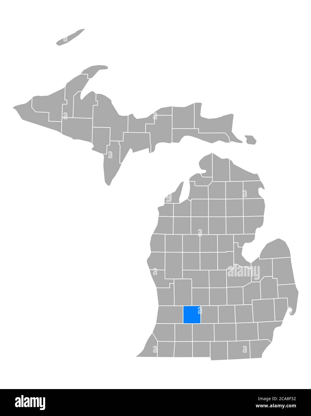 Map of Barry in Michigan Stock Photohttps://www.alamy.com/image-license-details/?v=1https://www.alamy.com/map-of-barry-in-michigan-image367751750.html
RF2CA8F32–Map of Barry in Michigan
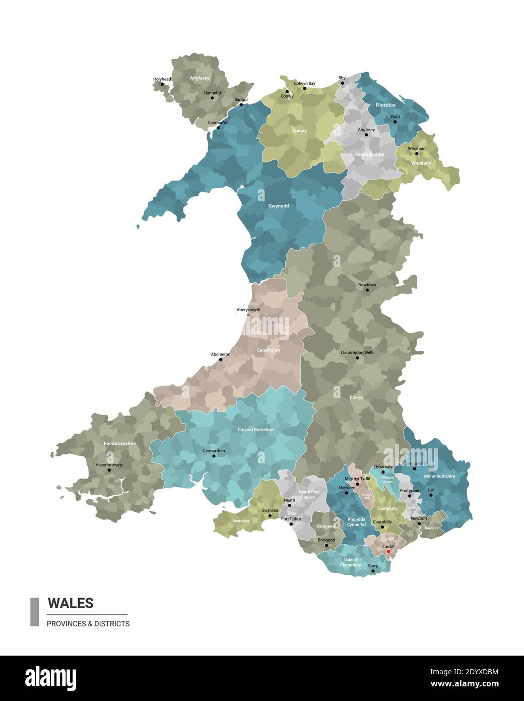 Wales higt detailed map with subdivisions. Administrative map of Wales with districts and cities name, colored by states and administrative districts. Stock Vectorhttps://www.alamy.com/image-license-details/?v=1https://www.alamy.com/wales-higt-detailed-map-with-subdivisions-administrative-map-of-wales-with-districts-and-cities-name-colored-by-states-and-administrative-districts-image395805080.html
RF2DYXDBM–Wales higt detailed map with subdivisions. Administrative map of Wales with districts and cities name, colored by states and administrative districts.
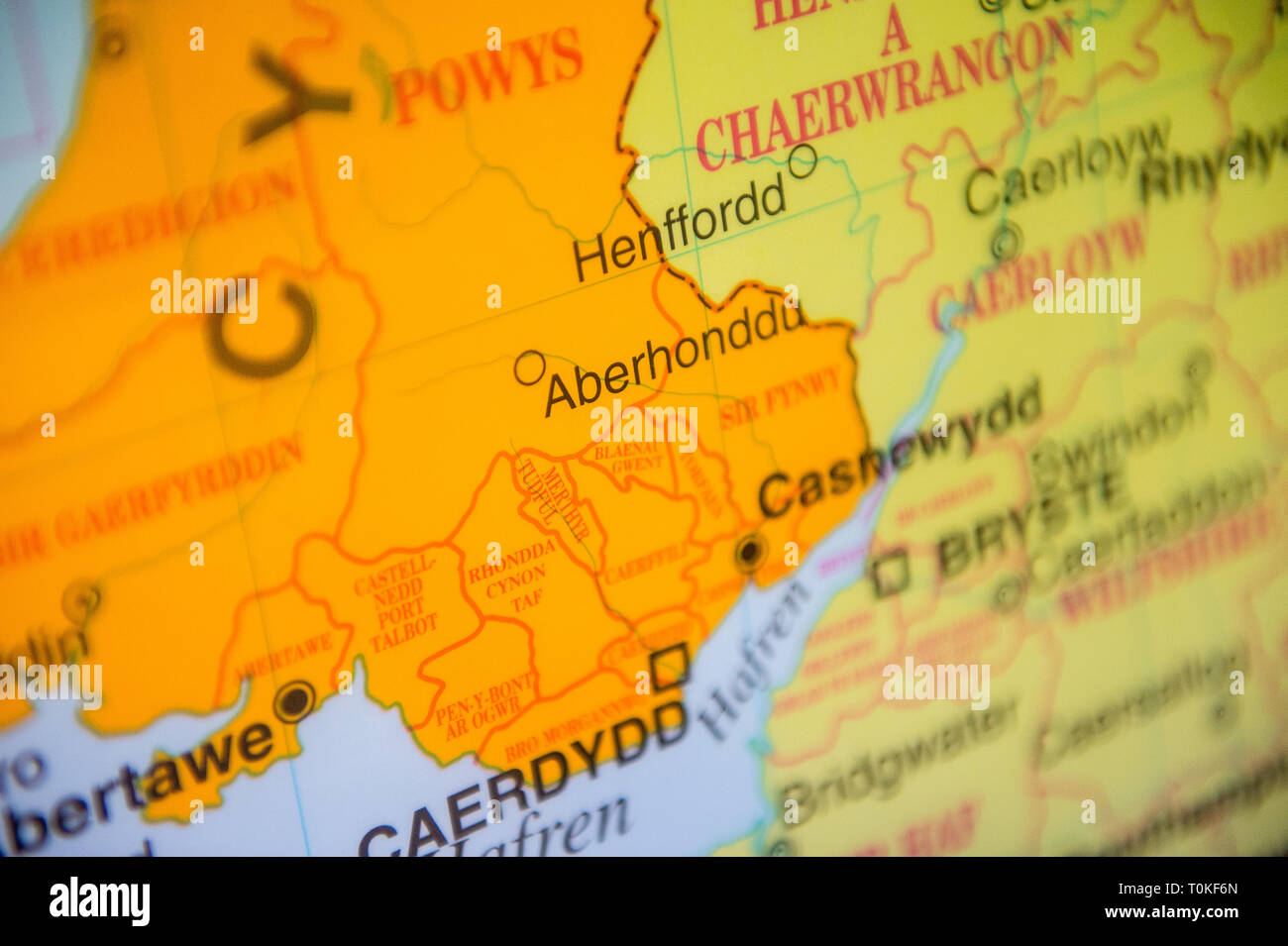 Map of south west Wales in the welsh language Stock Photohttps://www.alamy.com/image-license-details/?v=1https://www.alamy.com/map-of-south-west-wales-in-the-welsh-language-image241374189.html
RFT0KF6N–Map of south west Wales in the welsh language
 141004 The Skymap flight information map on an ANA All Nippon Airways jet Photo copyright Barry Cronin Chromepix com Stock Photohttps://www.alamy.com/image-license-details/?v=1https://www.alamy.com/141004-the-skymap-flight-information-map-on-an-ana-all-nippon-airways-image3547483.html
RMA3WN5C–141004 The Skymap flight information map on an ANA All Nippon Airways jet Photo copyright Barry Cronin Chromepix com
 Barry Nelson & Keye Luke Film: A Yank On The Burma Road; China Caravan (USA 1942) Director: George B. Seitz 29 January 1942 **WARNING** This Photograph is for editorial use only and is the copyright of MGM and/or the Photographer assigned by the Film or Production Company and can only be reproduced by publications in conjunction with the promotion of the above Film. A Mandatory Credit To MGM is required. The Photographer should also be credited when known. No commercial use can be granted without written authority from the Film Company. Stock Photohttps://www.alamy.com/image-license-details/?v=1https://www.alamy.com/barry-nelson-keye-luke-film-a-yank-on-the-burma-road-china-caravan-usa-1942-director-george-b-seitz-29-january-1942-warning-this-photograph-is-for-editorial-use-only-and-is-the-copyright-of-mgm-andor-the-photographer-assigned-by-the-film-or-production-company-and-can-only-be-reproduced-by-publications-in-conjunction-with-the-promotion-of-the-above-film-a-mandatory-credit-to-mgm-is-required-the-photographer-should-also-be-credited-when-known-no-commercial-use-can-be-granted-without-written-authority-from-the-film-company-image486855059.html
RM2K824GK–Barry Nelson & Keye Luke Film: A Yank On The Burma Road; China Caravan (USA 1942) Director: George B. Seitz 29 January 1942 **WARNING** This Photograph is for editorial use only and is the copyright of MGM and/or the Photographer assigned by the Film or Production Company and can only be reproduced by publications in conjunction with the promotion of the above Film. A Mandatory Credit To MGM is required. The Photographer should also be credited when known. No commercial use can be granted without written authority from the Film Company.
RF2E92TJM–SOUTH WALES VALLEYS Cardiff Newport Neath Barry Bridgend Brecon Beacons 1938 map
 Map of Barry in Missouri Stock Photohttps://www.alamy.com/image-license-details/?v=1https://www.alamy.com/map-of-barry-in-missouri-image385819781.html
RF2DBKH1W–Map of Barry in Missouri
 Cartographic, Maps. 1911. Lionel Pincus and Princess Firyal Map Division. Bronx (New York, N.Y.), New York (N.Y.) Plate 27 Map bounded by Hunts Point Ave., Barry St., Longwood Ave., Westchester Ave. Stock Photohttps://www.alamy.com/image-license-details/?v=1https://www.alamy.com/cartographic-maps-1911-lionel-pincus-and-princess-firyal-map-division-bronx-new-york-ny-new-york-ny-plate-27-map-bounded-by-hunts-point-ave-barry-st-longwood-ave-westchester-ave-image483743865.html
RM2K30C6H–Cartographic, Maps. 1911. Lionel Pincus and Princess Firyal Map Division. Bronx (New York, N.Y.), New York (N.Y.) Plate 27 Map bounded by Hunts Point Ave., Barry St., Longwood Ave., Westchester Ave.
 Barry Maloney of Don and Barry's Kinsale Historic Stroll enthusiastically shares the history of Kinsale with visitors on a tour, including the model o Stock Photohttps://www.alamy.com/image-license-details/?v=1https://www.alamy.com/barry-maloney-of-don-and-barrys-kinsale-historic-stroll-enthusiastically-shares-the-history-of-kinsale-with-visitors-on-a-tour-including-the-model-o-image399118354.html
RM2E59BEX–Barry Maloney of Don and Barry's Kinsale Historic Stroll enthusiastically shares the history of Kinsale with visitors on a tour, including the model o
 Novelties and specialties offered by Ellwanger and Barry (16830768536) Stock Photohttps://www.alamy.com/image-license-details/?v=1https://www.alamy.com/stock-image-novelties-and-specialties-offered-by-ellwanger-and-barry-16830768536-160766794.html
RMK9FFK6–Novelties and specialties offered by Ellwanger and Barry (16830768536)
 Barry Creek, , AU, Australia, Queensland, S 18 58' 0'', N 146 22' 0'', map, Cartascapes Map published in 2024. Explore Cartascapes, a map revealing Earth's diverse landscapes, cultures, and ecosystems. Journey through time and space, discovering the interconnectedness of our planet's past, present, and future. Stock Photohttps://www.alamy.com/image-license-details/?v=1https://www.alamy.com/barry-creek-au-australia-queensland-s-18-58-0-n-146-22-0-map-cartascapes-map-published-in-2024-explore-cartascapes-a-map-revealing-earths-diverse-landscapes-cultures-and-ecosystems-journey-through-time-and-space-discovering-the-interconnectedness-of-our-planets-past-present-and-future-image625509016.html
RM2Y9JB3M–Barry Creek, , AU, Australia, Queensland, S 18 58' 0'', N 146 22' 0'', map, Cartascapes Map published in 2024. Explore Cartascapes, a map revealing Earth's diverse landscapes, cultures, and ecosystems. Journey through time and space, discovering the interconnectedness of our planet's past, present, and future.
 Barry Gordy arrives for the 12th Annual MusiCares MAP Fund Tribute Concert at The Novo by Microsoft on May 19, 2016 in Los Angeles, California. Stock Photohttps://www.alamy.com/image-license-details/?v=1https://www.alamy.com/stock-photo-barry-gordy-arrives-for-the-12th-annual-musicares-map-fund-tribute-123163842.html
RMH4AGMJ–Barry Gordy arrives for the 12th Annual MusiCares MAP Fund Tribute Concert at The Novo by Microsoft on May 19, 2016 in Los Angeles, California.
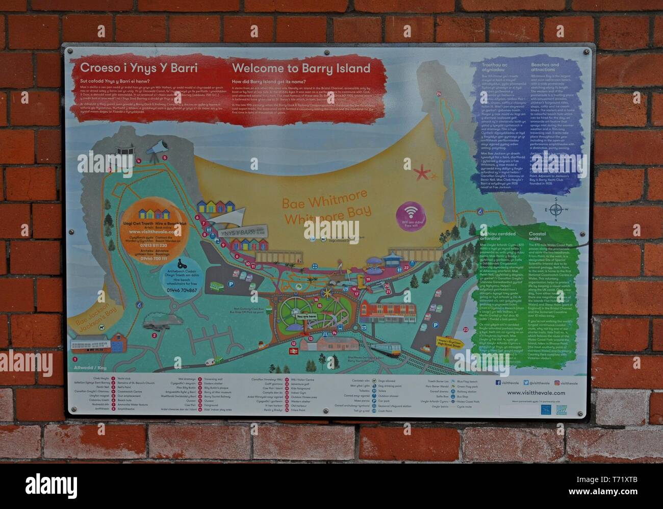 Bi lingual map and guide to Barry Island sign in English and Welsh Stock Photohttps://www.alamy.com/image-license-details/?v=1https://www.alamy.com/bi-lingual-map-and-guide-to-barry-island-sign-in-english-and-welsh-image245290763.html
RFT71XTB–Bi lingual map and guide to Barry Island sign in English and Welsh
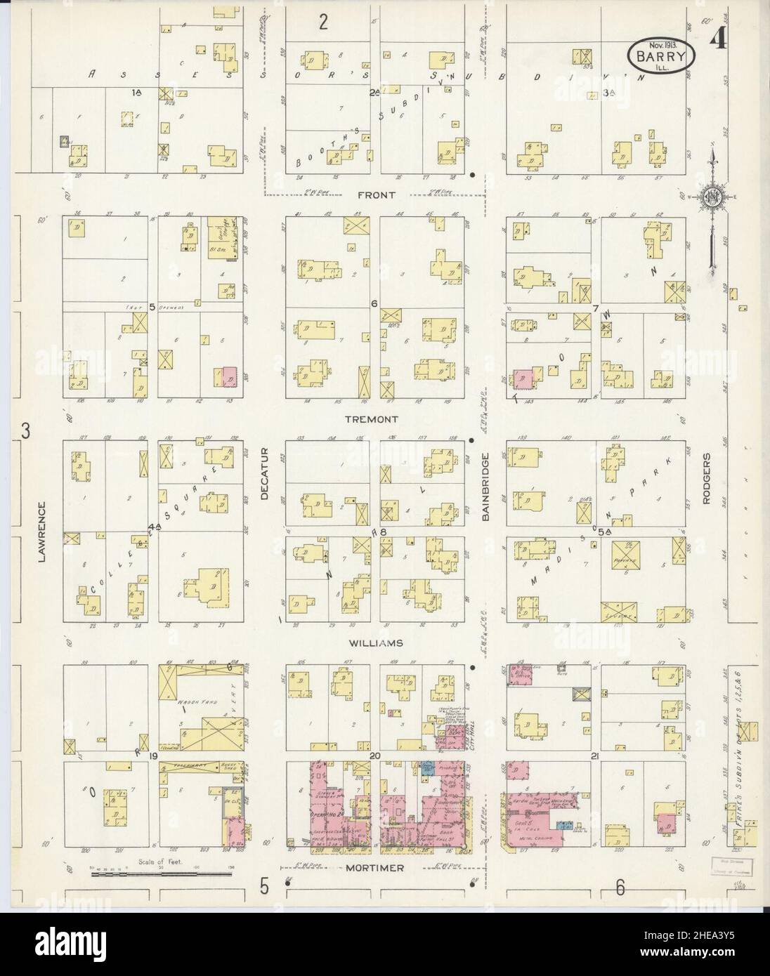 Sanborn Fire Insurance Map from Barry, Pike County, Illinois. Stock Photohttps://www.alamy.com/image-license-details/?v=1https://www.alamy.com/sanborn-fire-insurance-map-from-barry-pike-county-illinois-image456297385.html
RM2HEA3Y5–Sanborn Fire Insurance Map from Barry, Pike County, Illinois.
 U.S. Air Force Tech. Sgt. Wayne White, a tactical air control party airman from the New Jersey Air National Guard uses a range map and radio in order to communicate with pilots and coordinate an air strike Feb. 25 at the Barry Goldwater Air Force Range, Gila Bend Air Force Auxiliary Field, Ariz. Airmen from the 227th Air Support Operations Squadron took advantage of Gila Bend's expansive bomb range to call in air strikes from aircraft including A-10 Thunderbolt IIs and F-16C Fighting Falcons. (U.S. Air National Guard photo by Airman 1st Class Shane Karp/Released) 227th Air Support Operations Stock Photohttps://www.alamy.com/image-license-details/?v=1https://www.alamy.com/stock-photo-us-air-force-tech-sgt-wayne-white-a-tactical-air-control-party-airman-129736152.html
RMHF1YP0–U.S. Air Force Tech. Sgt. Wayne White, a tactical air control party airman from the New Jersey Air National Guard uses a range map and radio in order to communicate with pilots and coordinate an air strike Feb. 25 at the Barry Goldwater Air Force Range, Gila Bend Air Force Auxiliary Field, Ariz. Airmen from the 227th Air Support Operations Squadron took advantage of Gila Bend's expansive bomb range to call in air strikes from aircraft including A-10 Thunderbolt IIs and F-16C Fighting Falcons. (U.S. Air National Guard photo by Airman 1st Class Shane Karp/Released) 227th Air Support Operations
 green barry plant modern Stock Photohttps://www.alamy.com/image-license-details/?v=1https://www.alamy.com/green-barry-plant-modern-image345574822.html
RF2B2685X–green barry plant modern
 GIESINGER (Bd2) p438 Vicomtesse du Barry Stock Photohttps://www.alamy.com/image-license-details/?v=1https://www.alamy.com/stock-photo-giesinger-bd2-p438-vicomtesse-du-barry-76851045.html
RMED0T85–GIESINGER (Bd2) p438 Vicomtesse du Barry
![Double Page Plate No. 27, Part of Section 10, Borough of the Bronx: [Bounded by E. 163rd Street, Hunts Point Avenue, Garrison Avenue, Barretto Street, Lafayette Avenue, Barry Street, Longwood Avenue, Hewitt Place and Westchester Avenue] 1942 - 1957 Stock Photo Double Page Plate No. 27, Part of Section 10, Borough of the Bronx: [Bounded by E. 163rd Street, Hunts Point Avenue, Garrison Avenue, Barretto Street, Lafayette Avenue, Barry Street, Longwood Avenue, Hewitt Place and Westchester Avenue] 1942 - 1957 Stock Photo](https://c8.alamy.com/comp/2YPER7F/double-page-plate-no-27-part-of-section-10-borough-of-the-bronx-bounded-by-e-163rd-street-hunts-point-avenue-garrison-avenue-barretto-street-lafayette-avenue-barry-street-longwood-avenue-hewitt-place-and-westchester-avenue-1942-1957-2YPER7F.jpg) Double Page Plate No. 27, Part of Section 10, Borough of the Bronx: [Bounded by E. 163rd Street, Hunts Point Avenue, Garrison Avenue, Barretto Street, Lafayette Avenue, Barry Street, Longwood Avenue, Hewitt Place and Westchester Avenue] 1942 - 1957 Stock Photohttps://www.alamy.com/image-license-details/?v=1https://www.alamy.com/double-page-plate-no-27-part-of-section-10-borough-of-the-bronx-bounded-by-e-163rd-street-hunts-point-avenue-garrison-avenue-barretto-street-lafayette-avenue-barry-street-longwood-avenue-hewitt-place-and-westchester-avenue-1942-1957-image633421251.html
Double Page Plate No. 27, Part of Section 10, Borough of the Bronx: [Bounded by E. 163rd Street, Hunts Point Avenue, Garrison Avenue, Barretto Street, Lafayette Avenue, Barry Street, Longwood Avenue, Hewitt Place and Westchester Avenue] 1942 - 1957 Stock Photohttps://www.alamy.com/image-license-details/?v=1https://www.alamy.com/double-page-plate-no-27-part-of-section-10-borough-of-the-bronx-bounded-by-e-163rd-street-hunts-point-avenue-garrison-avenue-barretto-street-lafayette-avenue-barry-street-longwood-avenue-hewitt-place-and-westchester-avenue-1942-1957-image633421251.htmlRM2YPER7F–Double Page Plate No. 27, Part of Section 10, Borough of the Bronx: [Bounded by E. 163rd Street, Hunts Point Avenue, Garrison Avenue, Barretto Street, Lafayette Avenue, Barry Street, Longwood Avenue, Hewitt Place and Westchester Avenue] 1942 - 1957
 May 19, 2016, Los Angeles, California, USA: Barry Gordy attends the 12th Annual MusiCares MAP Fund Tribute Concert. (Credit Image: © Billy Bennight/ZUMA Wire) Stock Photohttps://www.alamy.com/image-license-details/?v=1https://www.alamy.com/may-19-2016-los-angeles-california-usa-barry-gordy-attends-the-12th-annual-musicares-map-fund-tribute-concert-credit-image-billy-bennightzuma-wire-image430747435.html
RM2G0P6MY–May 19, 2016, Los Angeles, California, USA: Barry Gordy attends the 12th Annual MusiCares MAP Fund Tribute Concert. (Credit Image: © Billy Bennight/ZUMA Wire)
 Map of Barry in Missouri Stock Photohttps://www.alamy.com/image-license-details/?v=1https://www.alamy.com/map-of-barry-in-missouri-image362066005.html
RF2C11ETN–Map of Barry in Missouri
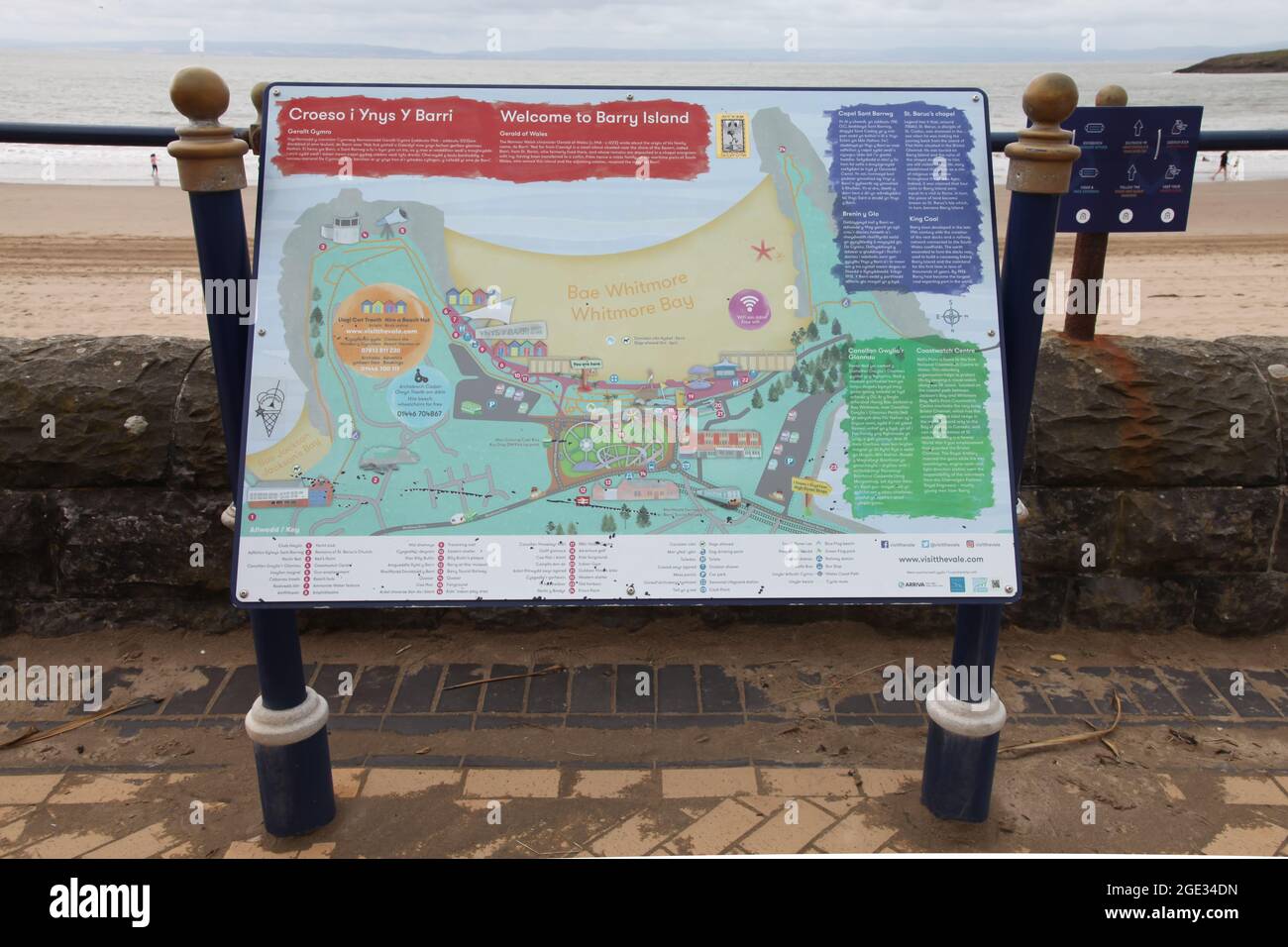 Noticeboard Map of Whitmore Bay (Bae Whitmore) sign, Barry Island, South Wales, 2021 Stock Photohttps://www.alamy.com/image-license-details/?v=1https://www.alamy.com/noticeboard-map-of-whitmore-bay-bae-whitmore-sign-barry-island-south-wales-2021-image438933761.html
RM2GE34DN–Noticeboard Map of Whitmore Bay (Bae Whitmore) sign, Barry Island, South Wales, 2021
 Map showing South Wales,Cardiff, Newport,with words Fuel Poverty spelled out.More than half of UK households across Britain will choose to eat or heat Stock Photohttps://www.alamy.com/image-license-details/?v=1https://www.alamy.com/map-showing-south-walescardiff-newportwith-words-fuel-poverty-spelled-outmore-than-half-of-uk-households-across-britain-will-choose-to-eat-or-heat-image479133721.html
RM2JREBXH–Map showing South Wales,Cardiff, Newport,with words Fuel Poverty spelled out.More than half of UK households across Britain will choose to eat or heat
 141004 The Skymap flight information map on an ANA All Nippon Airways jet Photo copyright Barry Cronin Chromepix com Stock Photohttps://www.alamy.com/image-license-details/?v=1https://www.alamy.com/141004-the-skymap-flight-information-map-on-an-ana-all-nippon-airways-image3547470.html
RMA3WN4F–141004 The Skymap flight information map on an ANA All Nippon Airways jet Photo copyright Barry Cronin Chromepix com
 Los Angeles, California, USA 26th August 2020 A general view of atmosphere of Zoo Map at Los Angeles Zoo which reopened on August 26, 2020 since being closed since March 13 due to coronavirus Covid-19 Pandemic in Los Angeles, California, USA. Photo by Barry King/Alamy Stock Photo Stock Photohttps://www.alamy.com/image-license-details/?v=1https://www.alamy.com/los-angeles-california-usa-26th-august-2020-a-general-view-of-atmosphere-of-zoo-map-at-los-angeles-zoo-which-reopened-on-august-26-2020-since-being-closed-since-march-13-due-to-coronavirus-covid-19-pandemic-in-los-angeles-california-usa-photo-by-barry-kingalamy-stock-photo-image369671217.html
RF2CDBYBD–Los Angeles, California, USA 26th August 2020 A general view of atmosphere of Zoo Map at Los Angeles Zoo which reopened on August 26, 2020 since being closed since March 13 due to coronavirus Covid-19 Pandemic in Los Angeles, California, USA. Photo by Barry King/Alamy Stock Photo
RF2E92TK4–SOUTH WALES VALLEYS Cardiff Newport Neath Barry Bridgend Brecon Beacons 1936 map
 Map of Barry in Michigan Stock Photohttps://www.alamy.com/image-license-details/?v=1https://www.alamy.com/map-of-barry-in-michigan-image443780558.html
RF2GNYXHJ–Map of Barry in Michigan
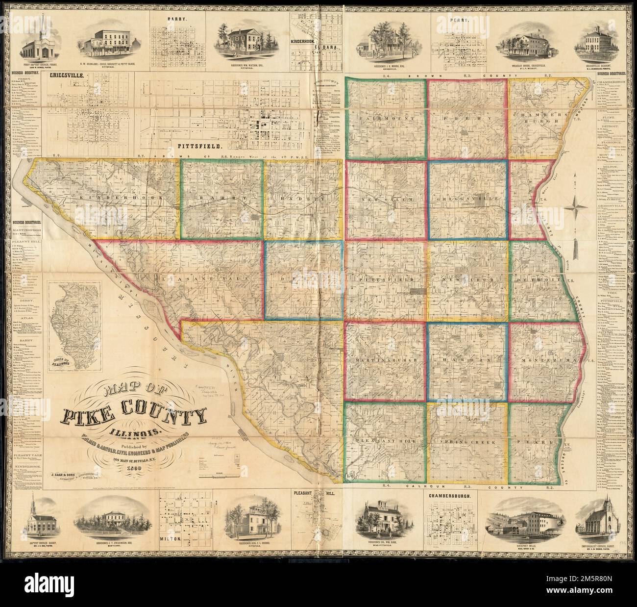 Map of Pike County, Illinois. Entered according to Act of Congress AD1860 by Holmes & Arnold in the Clerks Office of the District Court of the Northern District of New York. Includes business directories, views of public, residential, and commercial properties. Insets: Criggsville -- Barry -- Kinderhook -- El Dara -- Perry -- Chambersburgh -- Pleasant Hill -- Milton -- State of Illinois.... , Illinois , Pike ,county Stock Photohttps://www.alamy.com/image-license-details/?v=1https://www.alamy.com/map-of-pike-county-illinois-entered-according-to-act-of-congress-ad1860-by-holmes-arnold-in-the-clerks-office-of-the-district-court-of-the-northern-district-of-new-york-includes-business-directories-views-of-public-residential-and-commercial-properties-insets-criggsville-barry-kinderhook-el-dara-perry-chambersburgh-pleasant-hill-milton-state-of-illinois-illinois-pike-county-image502685141.html
RM2M5R80N–Map of Pike County, Illinois. Entered according to Act of Congress AD1860 by Holmes & Arnold in the Clerks Office of the District Court of the Northern District of New York. Includes business directories, views of public, residential, and commercial properties. Insets: Criggsville -- Barry -- Kinderhook -- El Dara -- Perry -- Chambersburgh -- Pleasant Hill -- Milton -- State of Illinois.... , Illinois , Pike ,county
 Barry Maloney of Don and Barry's Kinsale Historic Stroll enthusiastically shares the history of Kinsale with visitors on a tour, including the story o Stock Photohttps://www.alamy.com/image-license-details/?v=1https://www.alamy.com/barry-maloney-of-don-and-barrys-kinsale-historic-stroll-enthusiastically-shares-the-history-of-kinsale-with-visitors-on-a-tour-including-the-story-o-image399118348.html
RM2E59BEM–Barry Maloney of Don and Barry's Kinsale Historic Stroll enthusiastically shares the history of Kinsale with visitors on a tour, including the story o
 Novelties and specialties offered by Ellwanger and Barry (16856630215) Stock Photohttps://www.alamy.com/image-license-details/?v=1https://www.alamy.com/stock-image-novelties-and-specialties-offered-by-ellwanger-and-barry-16856630215-160766792.html
RMK9FFK4–Novelties and specialties offered by Ellwanger and Barry (16856630215)
 Barry Creek, , AU, Australia, Queensland, S 26 19' 0'', N 149 56' 59'', map, Cartascapes Map published in 2024. Explore Cartascapes, a map revealing Earth's diverse landscapes, cultures, and ecosystems. Journey through time and space, discovering the interconnectedness of our planet's past, present, and future. Stock Photohttps://www.alamy.com/image-license-details/?v=1https://www.alamy.com/barry-creek-au-australia-queensland-s-26-19-0-n-149-56-59-map-cartascapes-map-published-in-2024-explore-cartascapes-a-map-revealing-earths-diverse-landscapes-cultures-and-ecosystems-journey-through-time-and-space-discovering-the-interconnectedness-of-our-planets-past-present-and-future-image625697819.html
RM2Y9XYXK–Barry Creek, , AU, Australia, Queensland, S 26 19' 0'', N 149 56' 59'', map, Cartascapes Map published in 2024. Explore Cartascapes, a map revealing Earth's diverse landscapes, cultures, and ecosystems. Journey through time and space, discovering the interconnectedness of our planet's past, present, and future.
 Barry GOrdy and Smokey Robinson arrives for the 12th Annual MusiCares MAP Fund Tribute Concert at The Novo by Microsoft on May 19, 2016 in Los Angeles, California. Stock Photohttps://www.alamy.com/image-license-details/?v=1https://www.alamy.com/stock-photo-barry-gordy-and-smokey-robinson-arrives-for-the-12th-annual-musicares-123164650.html
RMH4AHNE–Barry GOrdy and Smokey Robinson arrives for the 12th Annual MusiCares MAP Fund Tribute Concert at The Novo by Microsoft on May 19, 2016 in Los Angeles, California.
 Mornington Crescent Sign, Camden, London, England, UK. Stock Photohttps://www.alamy.com/image-license-details/?v=1https://www.alamy.com/stock-photo-mornington-crescent-sign-camden-london-england-uk-170684512.html
RMKWK9RC–Mornington Crescent Sign, Camden, London, England, UK.
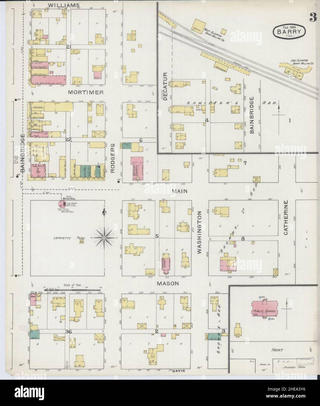 Sanborn Fire Insurance Map from Barry, Pike County, Illinois. Stock Photohttps://www.alamy.com/image-license-details/?v=1https://www.alamy.com/sanborn-fire-insurance-map-from-barry-pike-county-illinois-image456297386.html
RM2HEA3Y6–Sanborn Fire Insurance Map from Barry, Pike County, Illinois.
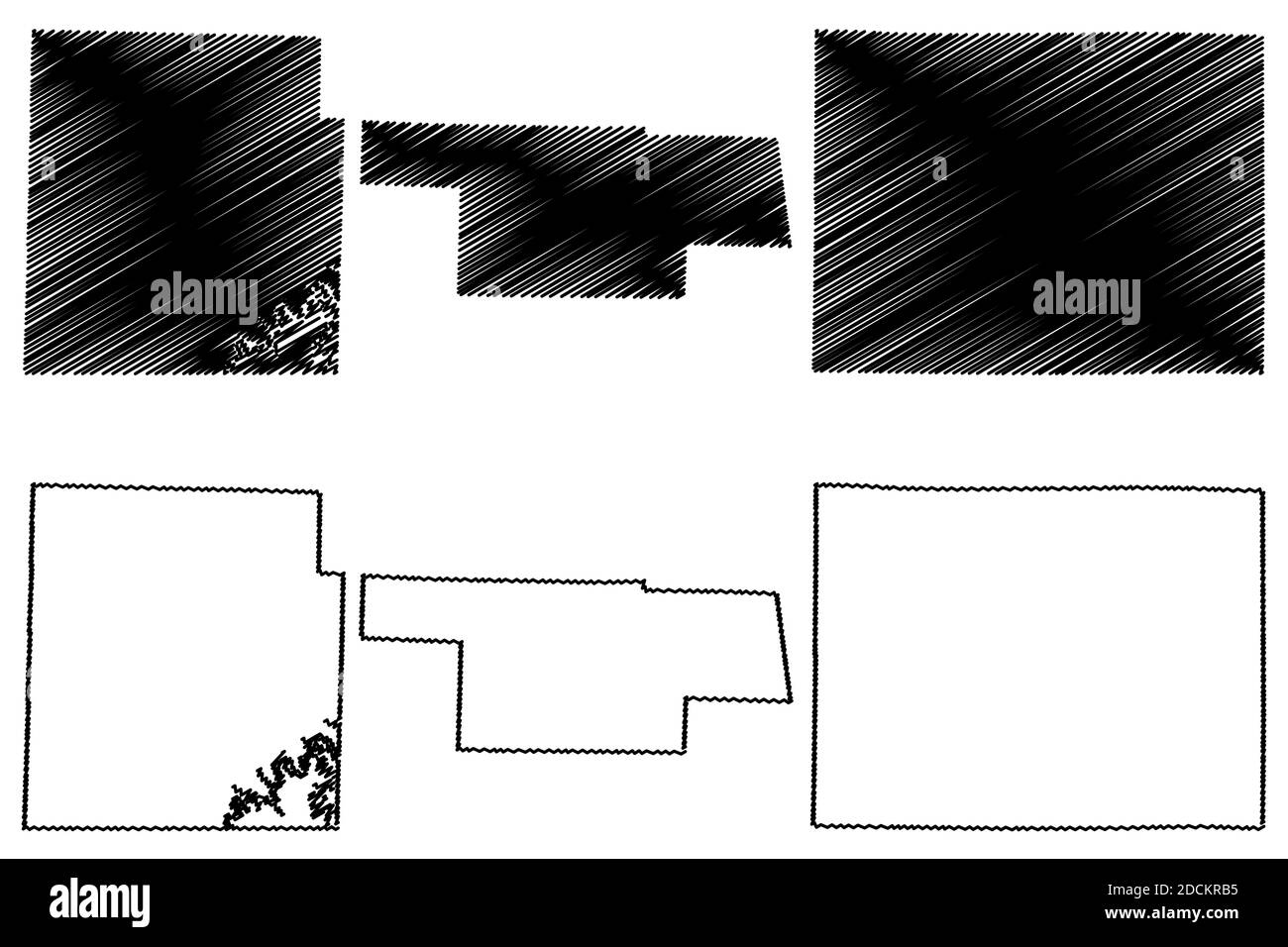 Audrain, Caldwell and Barry County, Missouri (U.S. county, United States of America, USA, U.S., US) map vector illustration, scribble sketch map Stock Vectorhttps://www.alamy.com/image-license-details/?v=1https://www.alamy.com/audrain-caldwell-and-barry-county-missouri-us-county-united-states-of-america-usa-us-us-map-vector-illustration-scribble-sketch-map-image386439401.html
RF2DCKRB5–Audrain, Caldwell and Barry County, Missouri (U.S. county, United States of America, USA, U.S., US) map vector illustration, scribble sketch map
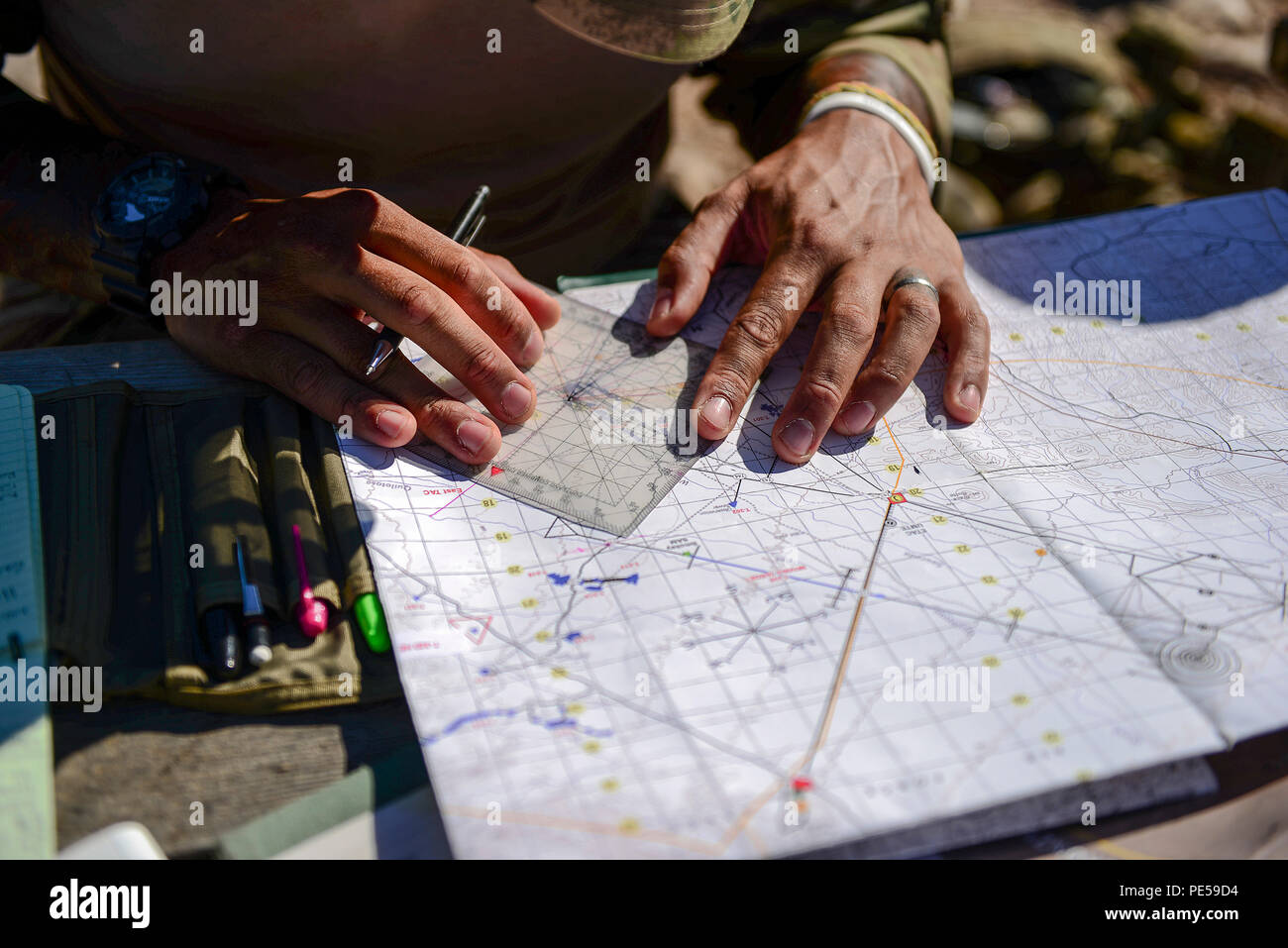 British army Sgt. Daniel Campbell, Royal Lancers joint tactical air controller, uses a protractor, map and navigation skills to plan preemptive targets at Barry M. Goldwater Range, Ariz., Sept. 23, 2015. The British armed forces JTACs are the link between air and ground communications and are charged with ensuring that they can direct any ordnance that leaves an aircraft while protecting civilians and friendly troops at all times. (U.S. Air Force photo by Airman 1st Class Chris Drzazgowski/Released) Stock Photohttps://www.alamy.com/image-license-details/?v=1https://www.alamy.com/british-army-sgt-daniel-campbell-royal-lancers-joint-tactical-air-controller-uses-a-protractor-map-and-navigation-skills-to-plan-preemptive-targets-at-barry-m-goldwater-range-ariz-sept-23-2015-the-british-armed-forces-jtacs-are-the-link-between-air-and-ground-communications-and-are-charged-with-ensuring-that-they-can-direct-any-ordnance-that-leaves-an-aircraft-while-protecting-civilians-and-friendly-troops-at-all-times-us-air-force-photo-by-airman-1st-class-chris-drzazgowskireleased-image215246784.html
RMPE59D4–British army Sgt. Daniel Campbell, Royal Lancers joint tactical air controller, uses a protractor, map and navigation skills to plan preemptive targets at Barry M. Goldwater Range, Ariz., Sept. 23, 2015. The British armed forces JTACs are the link between air and ground communications and are charged with ensuring that they can direct any ordnance that leaves an aircraft while protecting civilians and friendly troops at all times. (U.S. Air Force photo by Airman 1st Class Chris Drzazgowski/Released)
 GIESINGER (Bd1) p464 Comtesse Du Barry Stock Photohttps://www.alamy.com/image-license-details/?v=1https://www.alamy.com/stock-photo-giesinger-bd1-p464-comtesse-du-barry-76851030.html
RMED0T7J–GIESINGER (Bd1) p464 Comtesse Du Barry
![Double Page Plate No. 31, Part of Section 10, Borough of the Bronx: [Bounded by Longfellow Avenue, East Bay Avenue, Tiffany Street, Burnet Place, Barry Street and Lafayette Avenue] 1942 Stock Photo Double Page Plate No. 31, Part of Section 10, Borough of the Bronx: [Bounded by Longfellow Avenue, East Bay Avenue, Tiffany Street, Burnet Place, Barry Street and Lafayette Avenue] 1942 Stock Photo](https://c8.alamy.com/comp/2YPEPTC/double-page-plate-no-31-part-of-section-10-borough-of-the-bronx-bounded-by-longfellow-avenue-east-bay-avenue-tiffany-street-burnet-place-barry-street-and-lafayette-avenue-1942-2YPEPTC.jpg) Double Page Plate No. 31, Part of Section 10, Borough of the Bronx: [Bounded by Longfellow Avenue, East Bay Avenue, Tiffany Street, Burnet Place, Barry Street and Lafayette Avenue] 1942 Stock Photohttps://www.alamy.com/image-license-details/?v=1https://www.alamy.com/double-page-plate-no-31-part-of-section-10-borough-of-the-bronx-bounded-by-longfellow-avenue-east-bay-avenue-tiffany-street-burnet-place-barry-street-and-lafayette-avenue-1942-image633420940.html
Double Page Plate No. 31, Part of Section 10, Borough of the Bronx: [Bounded by Longfellow Avenue, East Bay Avenue, Tiffany Street, Burnet Place, Barry Street and Lafayette Avenue] 1942 Stock Photohttps://www.alamy.com/image-license-details/?v=1https://www.alamy.com/double-page-plate-no-31-part-of-section-10-borough-of-the-bronx-bounded-by-longfellow-avenue-east-bay-avenue-tiffany-street-burnet-place-barry-street-and-lafayette-avenue-1942-image633420940.htmlRM2YPEPTC–Double Page Plate No. 31, Part of Section 10, Borough of the Bronx: [Bounded by Longfellow Avenue, East Bay Avenue, Tiffany Street, Burnet Place, Barry Street and Lafayette Avenue] 1942
 May 19, 2016, Los Angeles, California, USA: Barry Gordy attends the 12th Annual MusiCares MAP Fund Tribute Concert. (Credit Image: © Billy Bennight/ZUMA Wire) Stock Photohttps://www.alamy.com/image-license-details/?v=1https://www.alamy.com/may-19-2016-los-angeles-california-usa-barry-gordy-attends-the-12th-annual-musicares-map-fund-tribute-concert-credit-image-billy-bennightzuma-wire-image430747436.html
RM2G0P6N0–May 19, 2016, Los Angeles, California, USA: Barry Gordy attends the 12th Annual MusiCares MAP Fund Tribute Concert. (Credit Image: © Billy Bennight/ZUMA Wire)
 Map of Barry in Missouri Stock Photohttps://www.alamy.com/image-license-details/?v=1https://www.alamy.com/map-of-barry-in-missouri-image361464030.html
RF2C0231J–Map of Barry in Missouri
 Brooklyn, USA. 4th July, 2017. A clothing vendor displays an Africa map on his back as he tends to customers. Brooklyn's annual celebration of African culture presented an array of music, fashion, and other cultural experiences. Credit: M. Stan Reaves/Alamy Live News Stock Photohttps://www.alamy.com/image-license-details/?v=1https://www.alamy.com/stock-photo-brooklyn-usa-4th-july-2017-a-clothing-vendor-displays-an-africa-map-147708575.html
RMJG8KP7–Brooklyn, USA. 4th July, 2017. A clothing vendor displays an Africa map on his back as he tends to customers. Brooklyn's annual celebration of African culture presented an array of music, fashion, and other cultural experiences. Credit: M. Stan Reaves/Alamy Live News
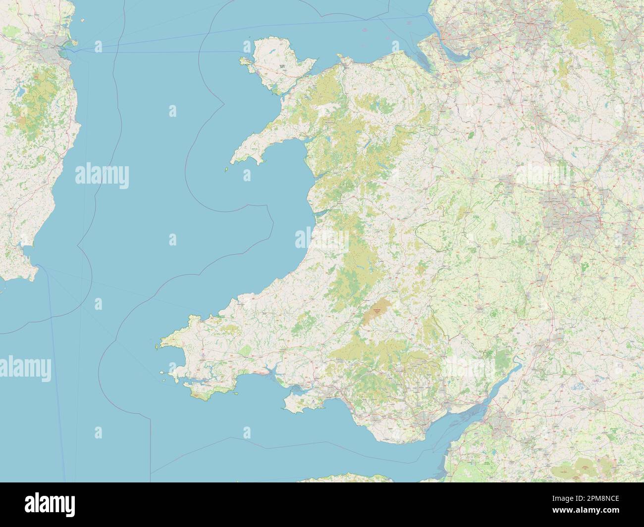 Wales, region of United Kingdom. Open Street Map Stock Photohttps://www.alamy.com/image-license-details/?v=1https://www.alamy.com/wales-region-of-united-kingdom-open-street-map-image546006958.html
RF2PM8NCE–Wales, region of United Kingdom. Open Street Map
 141004 The Skymap flight information map on an ANA All Nippon Airways jet Photo copyright Barry Cronin Chromepix com Stock Photohttps://www.alamy.com/image-license-details/?v=1https://www.alamy.com/141004-the-skymap-flight-information-map-on-an-ana-all-nippon-airways-image3547489.html
RMA3WN62–141004 The Skymap flight information map on an ANA All Nippon Airways jet Photo copyright Barry Cronin Chromepix com
 Los Angeles, California, USA 12th January 2023 LA Zoo Map on January 12, 2023 in Los Angeles, California, USA. Photo by Barry King/Alamy Stock Photo Stock Photohttps://www.alamy.com/image-license-details/?v=1https://www.alamy.com/los-angeles-california-usa-12th-january-2023-la-zoo-map-on-january-12-2023-in-los-angeles-california-usa-photo-by-barry-kingalamy-stock-photo-image504611604.html
RF2M8Y170–Los Angeles, California, USA 12th January 2023 LA Zoo Map on January 12, 2023 in Los Angeles, California, USA. Photo by Barry King/Alamy Stock Photo
RF2PNP6J9–SOUTH WALES VALLEYS Cardiff Newport Neath Barry Bridgend Brecon Beacons 1936 map
 Map of Barry in Missouri Stock Photohttps://www.alamy.com/image-license-details/?v=1https://www.alamy.com/map-of-barry-in-missouri-image443936616.html
RF2GP71K4–Map of Barry in Missouri
 Cartographic, Maps. 1942 - 1957. Lionel Pincus and Princess Firyal Map Division. Real property , New York (State) , New York (N.Y.), Bronx (New York, N.Y.) , Maps Double Page Plate No. 31, Part of Section 10, Borough of the Bronx: Bounded by Longfellow Avenue, East Bay Avenue, Tiffany Street, Burnet Place, Barry Street and Lafayette Avenue Stock Photohttps://www.alamy.com/image-license-details/?v=1https://www.alamy.com/cartographic-maps-1942-1957-lionel-pincus-and-princess-firyal-map-division-real-property-new-york-state-new-york-ny-bronx-new-york-ny-maps-double-page-plate-no-31-part-of-section-10-borough-of-the-bronx-bounded-by-longfellow-avenue-east-bay-avenue-tiffany-street-burnet-place-barry-street-and-lafayette-avenue-image483590459.html
RM2K2NCFR–Cartographic, Maps. 1942 - 1957. Lionel Pincus and Princess Firyal Map Division. Real property , New York (State) , New York (N.Y.), Bronx (New York, N.Y.) , Maps Double Page Plate No. 31, Part of Section 10, Borough of the Bronx: Bounded by Longfellow Avenue, East Bay Avenue, Tiffany Street, Burnet Place, Barry Street and Lafayette Avenue
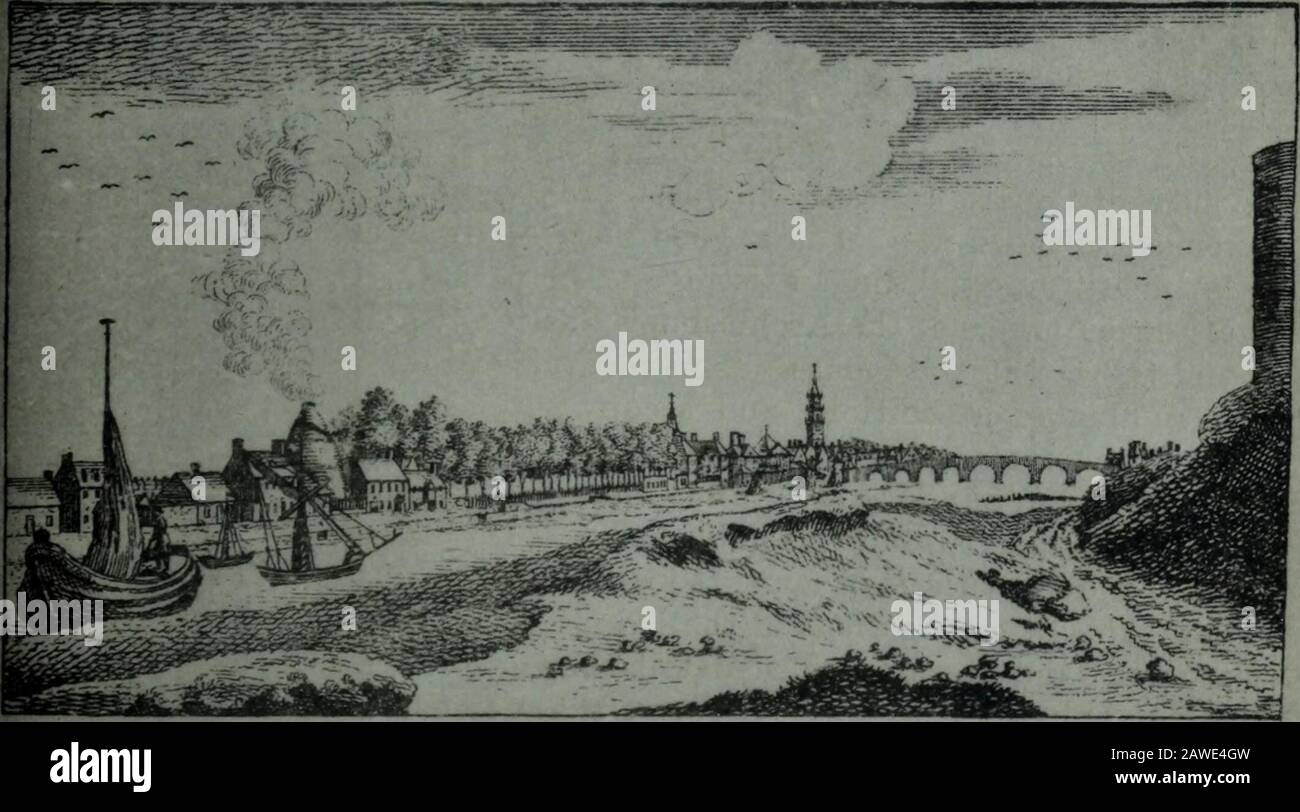 The City of Glasgow : its origin, growth and development ; with maps and plates . r ^?/:t^.n- ^/ /^/j7.i M^ A/fl^^.. -»^ ---—^ iiiiirBn XXII.. i THE CARTOGRAPHY OF GLASGOW. 6* James Barry, surveyor in Glasgow, published in 1782 a Plan of the.City of Grlasgow, Gorbells, Caltoun and Environs, with an exact delinea-tion of its Royalty, on a scale of 500 feet to the inch. A feature of thisplan is the numbering of the Royalty march stones. It covers a largerarea than McArthurs Map, especially on the north and south of thecity, but being on a smaller scale it shows less detail. Barry was asurveyor Stock Photohttps://www.alamy.com/image-license-details/?v=1https://www.alamy.com/the-city-of-glasgow-its-origin-growth-and-development-with-maps-and-plates-r-tn-j7i-m-afl-iiiiirbn-xxii-i-the-cartography-of-glasgow-6-james-barry-surveyor-in-glasgow-published-in-1782-a-plan-of-thecity-of-grlasgow-gorbells-caltoun-and-environs-with-an-exact-delinea-tion-of-its-royalty-on-a-scale-of-500-feet-to-the-inch-a-feature-of-thisplan-is-the-numbering-of-the-royalty-march-stones-it-covers-a-largerarea-than-mcarthurs-map-especially-on-the-north-and-south-of-thecity-but-being-on-a-smaller-scale-it-shows-less-detail-barry-was-asurveyor-image342674329.html
RM2AWE4GW–The City of Glasgow : its origin, growth and development ; with maps and plates . r ^?/:t^.n- ^/ /^/j7.i M^ A/fl^^.. -»^ ---—^ iiiiirBn XXII.. i THE CARTOGRAPHY OF GLASGOW. 6* James Barry, surveyor in Glasgow, published in 1782 a Plan of the.City of Grlasgow, Gorbells, Caltoun and Environs, with an exact delinea-tion of its Royalty, on a scale of 500 feet to the inch. A feature of thisplan is the numbering of the Royalty march stones. It covers a largerarea than McArthurs Map, especially on the north and south of thecity, but being on a smaller scale it shows less detail. Barry was asurveyor
