Map of bartlett Black & White Stock Photos
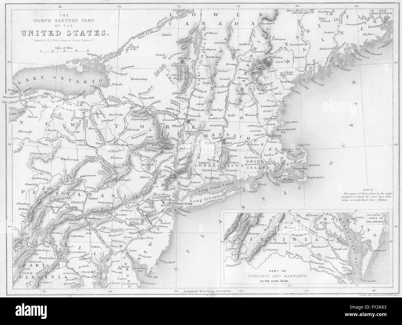 Map of the North-Eastern Part of the United States, USA. WH BARTLETT, 1840 Stock Photohttps://www.alamy.com/image-license-details/?v=1https://www.alamy.com/stock-photo-map-of-the-north-eastern-part-of-the-united-states-usa-wh-bartlett-102706523.html
RFFY2K63–Map of the North-Eastern Part of the United States, USA. WH BARTLETT, 1840
 . English: Detail from copy of an Ulsster map by Richard Bartlett of O'Neill inauguration at Tulach Og. The king is seated on a mound during an inauguration ceremony that includes the single shoe ritual. Copy from Dartmouth Collection, National Maritime Museum, Greenwich. 1602. Copy from map by Richard Bartlett 937 O'Neill inauguration Richard Bartlett Stock Photohttps://www.alamy.com/image-license-details/?v=1https://www.alamy.com/english-detail-from-copy-of-an-ulsster-map-by-richard-bartlett-of-oneill-inauguration-at-tulach-og-the-king-is-seated-on-a-mound-during-an-inauguration-ceremony-that-includes-the-single-shoe-ritual-copy-from-dartmouth-collection-national-maritime-museum-greenwich-1602-copy-from-map-by-richard-bartlett-937-oneill-inauguration-richard-bartlett-image185882129.html
RMMPBJFD–. English: Detail from copy of an Ulsster map by Richard Bartlett of O'Neill inauguration at Tulach Og. The king is seated on a mound during an inauguration ceremony that includes the single shoe ritual. Copy from Dartmouth Collection, National Maritime Museum, Greenwich. 1602. Copy from map by Richard Bartlett 937 O'Neill inauguration Richard Bartlett
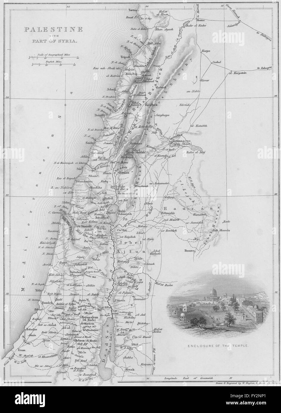 ISRAEL: Map of Palestine with Syria, 1847 Stock Photohttps://www.alamy.com/image-license-details/?v=1https://www.alamy.com/stock-photo-israel-map-of-palestine-with-syria-1847-102708537.html
RFFY2NP1–ISRAEL: Map of Palestine with Syria, 1847
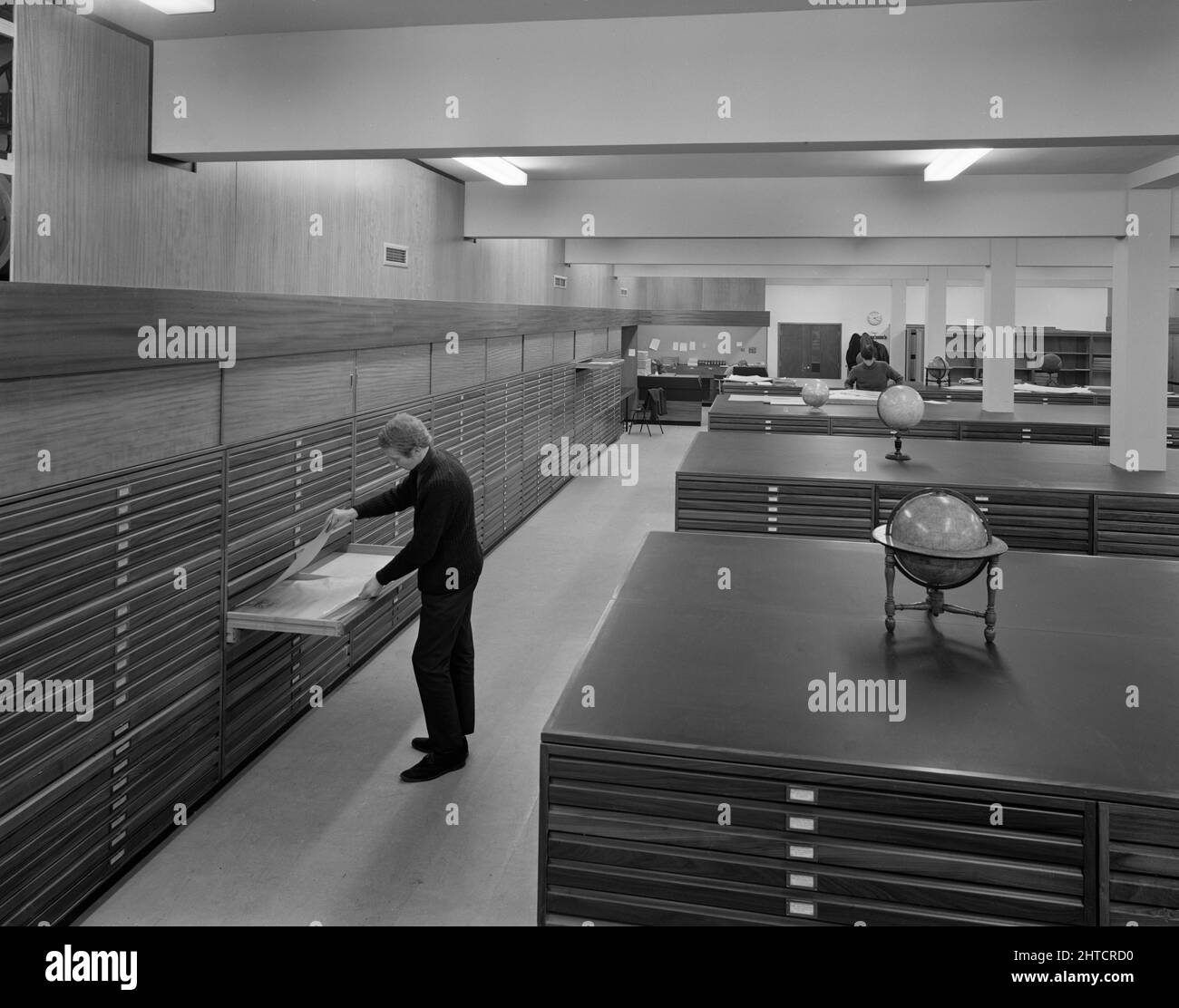 University of Nottingham, Sir Clive Grainger Building, University Park, Nottingham, Nottinghamshire, 01/11/1967. The map room in a new building for the Faculty of Law and Social Sciences at the University of Nottingham, with a man looking into a drawer in a plans chest. This university building was designed by the architects Bartlett and Gray of Nottingham and was built by the Nottingham district team of Laing's Construction Company for the University of Nottingham, with work starting in the autumn of 1965. In an article published in February 1968 in their monthly newsletter 'Team Spirit', Lai Stock Photohttps://www.alamy.com/image-license-details/?v=1https://www.alamy.com/university-of-nottingham-sir-clive-grainger-building-university-park-nottingham-nottinghamshire-01111967-the-map-room-in-a-new-building-for-the-faculty-of-law-and-social-sciences-at-the-university-of-nottingham-with-a-man-looking-into-a-drawer-in-a-plans-chest-this-university-building-was-designed-by-the-architects-bartlett-and-gray-of-nottingham-and-was-built-by-the-nottingham-district-team-of-laings-construction-company-for-the-university-of-nottingham-with-work-starting-in-the-autumn-of-1965-in-an-article-published-in-february-1968-in-their-monthly-newsletter-team-spirit-lai-image462503132.html
RM2HTCRD0–University of Nottingham, Sir Clive Grainger Building, University Park, Nottingham, Nottinghamshire, 01/11/1967. The map room in a new building for the Faculty of Law and Social Sciences at the University of Nottingham, with a man looking into a drawer in a plans chest. This university building was designed by the architects Bartlett and Gray of Nottingham and was built by the Nottingham district team of Laing's Construction Company for the University of Nottingham, with work starting in the autumn of 1965. In an article published in February 1968 in their monthly newsletter 'Team Spirit', Lai
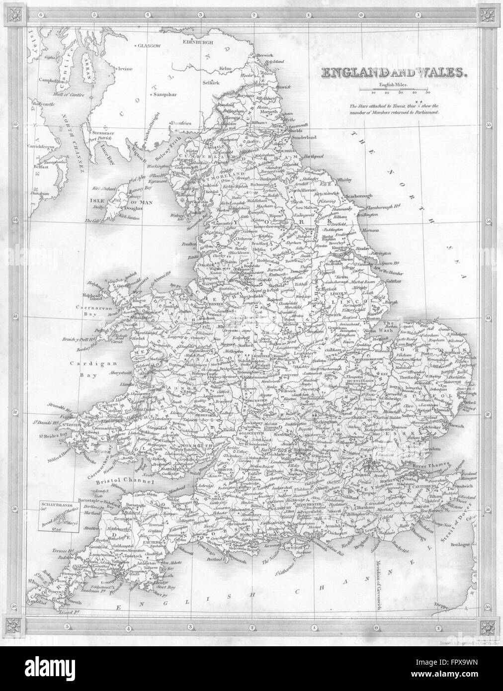 UK: England Wales: Kelly, 1841 antique map Stock Photohttps://www.alamy.com/image-license-details/?v=1https://www.alamy.com/stock-photo-uk-england-wales-kelly-1841-antique-map-100152801.html
RFFPX9WN–UK: England Wales: Kelly, 1841 antique map
 PSM V70 D391 Commodore bartlett relief map of the caribbean Stock Photohttps://www.alamy.com/image-license-details/?v=1https://www.alamy.com/psm-v70-d391-commodore-bartlett-relief-map-of-the-caribbean-image260014222.html
RMW30JP6–PSM V70 D391 Commodore bartlett relief map of the caribbean
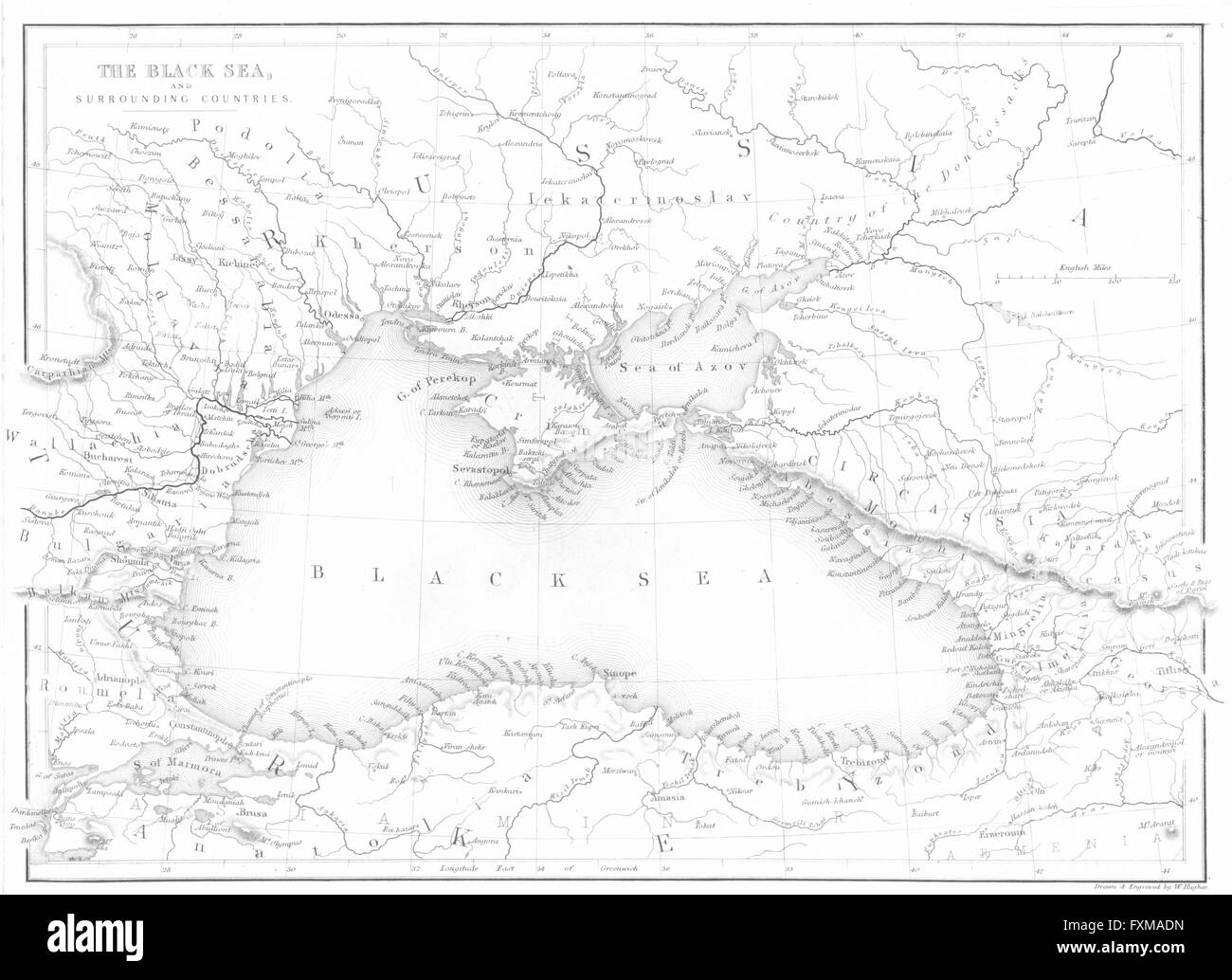 BLACK SEA: countries: BALKANS: Beattie map 'The, 1840 Stock Photohttps://www.alamy.com/image-license-details/?v=1https://www.alamy.com/stock-photo-black-sea-countries-balkans-beattie-map-the-1840-102480161.html
RFFXMADN–BLACK SEA: countries: BALKANS: Beattie map 'The, 1840
 Adelaide Bartlett Stock Photohttps://www.alamy.com/image-license-details/?v=1https://www.alamy.com/stock-photo-adelaide-bartlett-139539242.html
RMJ30FMA–Adelaide Bartlett
 A stereograph of a USGS employee employee identified as L.A. Bartlett mounted on horseback, 1870. Image courtesy USGS. Stock Photohttps://www.alamy.com/image-license-details/?v=1https://www.alamy.com/stock-image-a-stereograph-of-a-usgs-employee-employee-identified-as-la-bartlett-166818171.html
RMKKB67R–A stereograph of a USGS employee employee identified as L.A. Bartlett mounted on horseback, 1870. Image courtesy USGS.
 Bartlett Porte Prescott Stock Photohttps://www.alamy.com/image-license-details/?v=1https://www.alamy.com/stock-photo-bartlett-porte-prescott-146476840.html
RMJE8GKM–Bartlett Porte Prescott
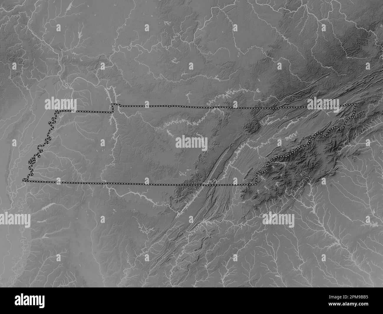 Tennessee, state of United States of America. Grayscale elevation map with lakes and rivers Stock Photohttps://www.alamy.com/image-license-details/?v=1https://www.alamy.com/tennessee-state-of-united-states-of-america-grayscale-elevation-map-with-lakes-and-rivers-image546021033.html
RF2PM9BB5–Tennessee, state of United States of America. Grayscale elevation map with lakes and rivers
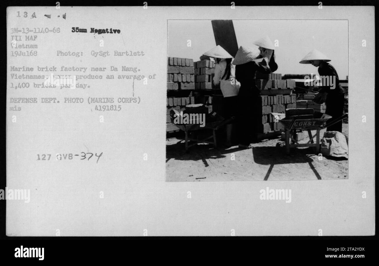 A group of Vietnamese women working at a Marine brick factory near Da Nang during the Vietnam War. They are seen producing an average of 1,400 bricks per day. This image captures a glimpse of the civilian life and involvement in war-related activities in Vietnam. Stock Photohttps://www.alamy.com/image-license-details/?v=1https://www.alamy.com/a-group-of-vietnamese-women-working-at-a-marine-brick-factory-near-da-nang-during-the-vietnam-war-they-are-seen-producing-an-average-of-1400-bricks-per-day-this-image-captures-a-glimpse-of-the-civilian-life-and-involvement-in-war-related-activities-in-vietnam-image574154166.html
RM2TA2YDX–A group of Vietnamese women working at a Marine brick factory near Da Nang during the Vietnam War. They are seen producing an average of 1,400 bricks per day. This image captures a glimpse of the civilian life and involvement in war-related activities in Vietnam.
 . The last voyage of the Karluk, flagship of Vilhjalmar Stefansson's Canadian Arctic expedition of 1913-16. ALMAR StbFANSSON 8 The leaders and tbe scientific staff before the departure from nome 10 Stbfansson and his party leaving the Kabluk 36 Hauling the dredge ...... 48 Making soundings 52 The supplies on the big floe .... 56 Pages from Captain Bartletts diart . 92 Plan of Shipwreck Camp 98 Captain Bartletts oopt of the RubIitIt of Omar Khaytam 102 The ice-pack 106 Letter from the doctors party to Captain Bartlett 128 MuGFi 142 Shipwreck Camp 144 Another view of Shipwreck Camp . . 148 Map o Stock Photohttps://www.alamy.com/image-license-details/?v=1https://www.alamy.com/the-last-voyage-of-the-karluk-flagship-of-vilhjalmar-stefanssons-canadian-arctic-expedition-of-1913-16-almar-stbfansson-8-the-leaders-and-tbe-scientific-staff-before-the-departure-from-nome-10-stbfansson-and-his-party-leaving-the-kabluk-36-hauling-the-dredge-48-making-soundings-52-the-supplies-on-the-big-floe-56-pages-from-captain-bartletts-diart-92-plan-of-shipwreck-camp-98-captain-bartletts-oopt-of-the-rubiitit-of-omar-khaytam-102-the-ice-pack-106-letter-from-the-doctors-party-to-captain-bartlett-128-mugfi-142-shipwreck-camp-144-another-view-of-shipwreck-camp-148-map-o-image370325698.html
RM2CEDP5P–. The last voyage of the Karluk, flagship of Vilhjalmar Stefansson's Canadian Arctic expedition of 1913-16. ALMAR StbFANSSON 8 The leaders and tbe scientific staff before the departure from nome 10 Stbfansson and his party leaving the Kabluk 36 Hauling the dredge ...... 48 Making soundings 52 The supplies on the big floe .... 56 Pages from Captain Bartletts diart . 92 Plan of Shipwreck Camp 98 Captain Bartletts oopt of the RubIitIt of Omar Khaytam 102 The ice-pack 106 Letter from the doctors party to Captain Bartlett 128 MuGFi 142 Shipwreck Camp 144 Another view of Shipwreck Camp . . 148 Map o
 . English: Detail from copy of an Ulsster map by Richard Bartlett of O'Neill inauguration at Tulach Og. The king is seated on a mound during an inauguration ceremony that includes the single shoe ritual. Copy from Dartmouth Collection, National Maritime Museum, Greenwich. 1602. Copy from map by Richard Bartlett 937 O'Neill inauguration Richard Bartlett detail cropped Stock Photohttps://www.alamy.com/image-license-details/?v=1https://www.alamy.com/english-detail-from-copy-of-an-ulsster-map-by-richard-bartlett-of-oneill-inauguration-at-tulach-og-the-king-is-seated-on-a-mound-during-an-inauguration-ceremony-that-includes-the-single-shoe-ritual-copy-from-dartmouth-collection-national-maritime-museum-greenwich-1602-copy-from-map-by-richard-bartlett-937-oneill-inauguration-richard-bartlett-detail-cropped-image185882130.html
RMMPBJFE–. English: Detail from copy of an Ulsster map by Richard Bartlett of O'Neill inauguration at Tulach Og. The king is seated on a mound during an inauguration ceremony that includes the single shoe ritual. Copy from Dartmouth Collection, National Maritime Museum, Greenwich. 1602. Copy from map by Richard Bartlett 937 O'Neill inauguration Richard Bartlett detail cropped
 Elisha Bartlett Stock Photohttps://www.alamy.com/image-license-details/?v=1https://www.alamy.com/stock-photo-elisha-bartlett-139783993.html
RMJ3BKWD–Elisha Bartlett
 Bartlett View from Mount Holyoke Stock Photohttps://www.alamy.com/image-license-details/?v=1https://www.alamy.com/stock-photo-bartlett-view-from-mount-holyoke-146453366.html
RMJE7ENA–Bartlett View from Mount Holyoke
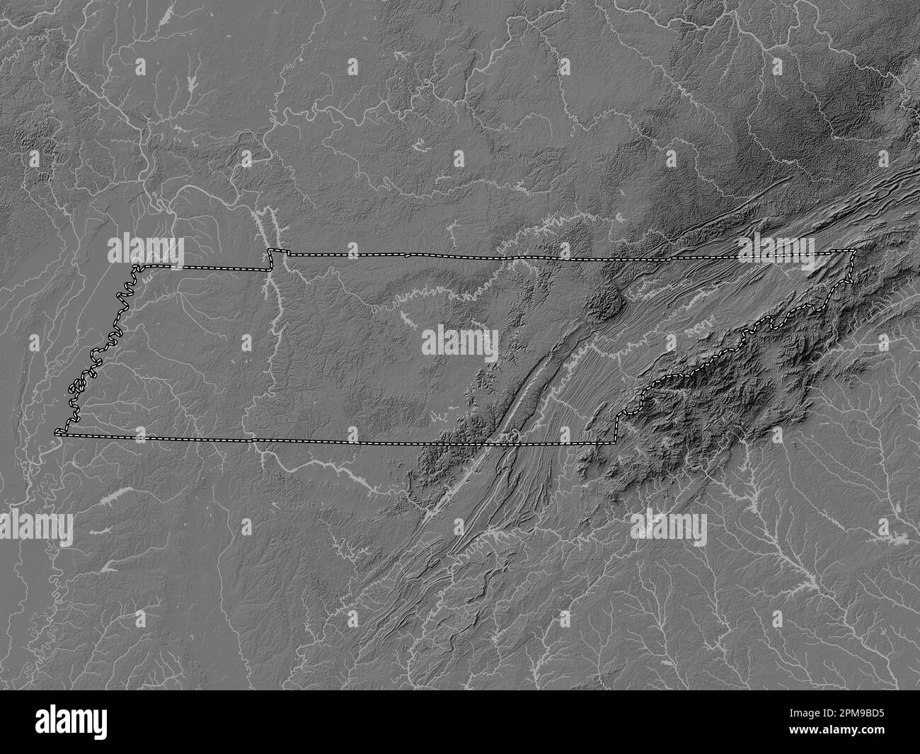 Tennessee, state of United States of America. Bilevel elevation map with lakes and rivers Stock Photohttps://www.alamy.com/image-license-details/?v=1https://www.alamy.com/tennessee-state-of-united-states-of-america-bilevel-elevation-map-with-lakes-and-rivers-image546021089.html
RF2PM9BD5–Tennessee, state of United States of America. Bilevel elevation map with lakes and rivers
 Ellis Ashmead Bartlett Stock Photohttps://www.alamy.com/image-license-details/?v=1https://www.alamy.com/stock-photo-ellis-ashmead-bartlett-139787771.html
RMJ3BTMB–Ellis Ashmead Bartlett
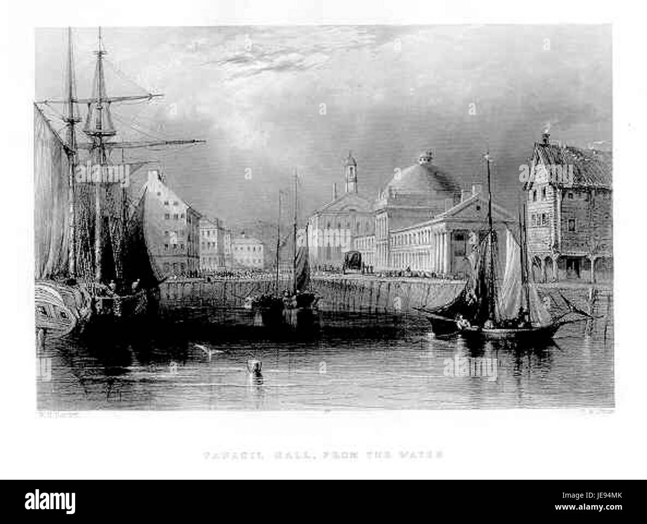 Bartlett Fanueil Hall From the Water Stock Photohttps://www.alamy.com/image-license-details/?v=1https://www.alamy.com/stock-photo-bartlett-fanueil-hall-from-the-water-146489411.html
RMJE94MK–Bartlett Fanueil Hall From the Water
 Tennessee, state of United States of America. Grayscale elevation map with lakes and rivers. Locations and names of major cities of the region. Corner Stock Photohttps://www.alamy.com/image-license-details/?v=1https://www.alamy.com/tennessee-state-of-united-states-of-america-grayscale-elevation-map-with-lakes-and-rivers-locations-and-names-of-major-cities-of-the-region-corner-image546021111.html
RF2PM9BDY–Tennessee, state of United States of America. Grayscale elevation map with lakes and rivers. Locations and names of major cities of the region. Corner
 Charles Bartlett Andrews Stock Photohttps://www.alamy.com/image-license-details/?v=1https://www.alamy.com/stock-photo-charles-bartlett-andrews-139538901.html
RMJ30F85–Charles Bartlett Andrews
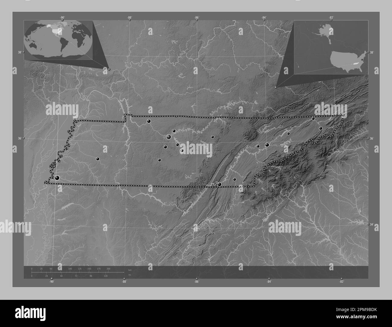 Tennessee, state of United States of America. Grayscale elevation map with lakes and rivers. Locations of major cities of the region. Corner auxiliary Stock Photohttps://www.alamy.com/image-license-details/?v=1https://www.alamy.com/tennessee-state-of-united-states-of-america-grayscale-elevation-map-with-lakes-and-rivers-locations-of-major-cities-of-the-region-corner-auxiliary-image546021103.html
RF2PM9BDK–Tennessee, state of United States of America. Grayscale elevation map with lakes and rivers. Locations of major cities of the region. Corner auxiliary
 W H Bartlett canada canoo rapid 1842 Stock Photohttps://www.alamy.com/image-license-details/?v=1https://www.alamy.com/stock-photo-w-h-bartlett-canada-canoo-rapid-1842-140696817.html
RMJ4W869–W H Bartlett canada canoo rapid 1842
 Mid 19 century engraving Column of Marcian W.H.Bartlett Istanbul Turkey Stock Photohttps://www.alamy.com/image-license-details/?v=1https://www.alamy.com/stock-photo-mid-19-century-engraving-column-of-marcian-whbartlett-istanbul-turkey-140315849.html
RMJ47X89–Mid 19 century engraving Column of Marcian W.H.Bartlett Istanbul Turkey
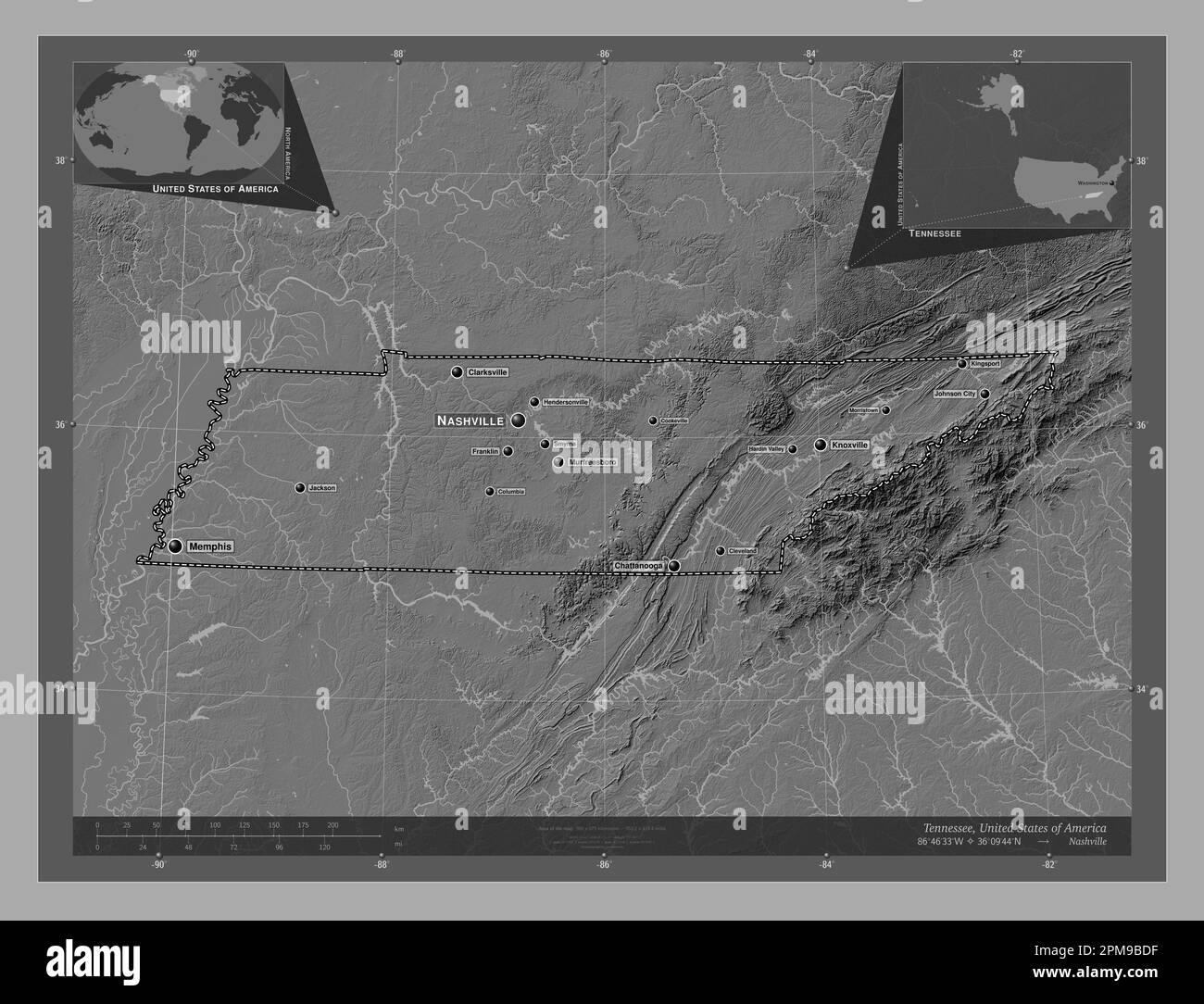 Tennessee, state of United States of America. Bilevel elevation map with lakes and rivers. Locations and names of major cities of the region. Corner a Stock Photohttps://www.alamy.com/image-license-details/?v=1https://www.alamy.com/tennessee-state-of-united-states-of-america-bilevel-elevation-map-with-lakes-and-rivers-locations-and-names-of-major-cities-of-the-region-corner-a-image546021099.html
RF2PM9BDF–Tennessee, state of United States of America. Bilevel elevation map with lakes and rivers. Locations and names of major cities of the region. Corner a
 Washington Bartlett Stock Photohttps://www.alamy.com/image-license-details/?v=1https://www.alamy.com/stock-photo-washington-bartlett-147713463.html
RMJG8X0R–Washington Bartlett
 Bartlett and gorilla Stock Photohttps://www.alamy.com/image-license-details/?v=1https://www.alamy.com/bartlett-and-gorilla-image155566094.html
RMK12J3X–Bartlett and gorilla
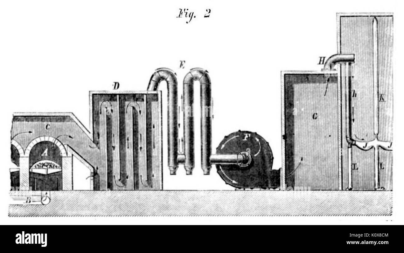 Bartlett White Lead & Zinc Works, Bergen Point, New Jersey 1870 Stock Photohttps://www.alamy.com/image-license-details/?v=1https://www.alamy.com/bartlett-white-lead-zinc-works-bergen-point-new-jersey-1870-image155470692.html
RMK0X8CM–Bartlett White Lead & Zinc Works, Bergen Point, New Jersey 1870
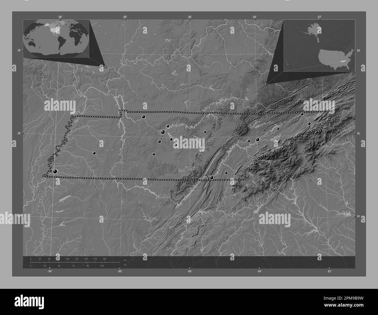 Tennessee, state of United States of America. Bilevel elevation map with lakes and rivers. Locations of major cities of the region. Corner auxiliary l Stock Photohttps://www.alamy.com/image-license-details/?v=1https://www.alamy.com/tennessee-state-of-united-states-of-america-bilevel-elevation-map-with-lakes-and-rivers-locations-of-major-cities-of-the-region-corner-auxiliary-l-image546020997.html
RF2PM9B9W–Tennessee, state of United States of America. Bilevel elevation map with lakes and rivers. Locations of major cities of the region. Corner auxiliary l