Quick filters:
Map of beaton Stock Photos and Images
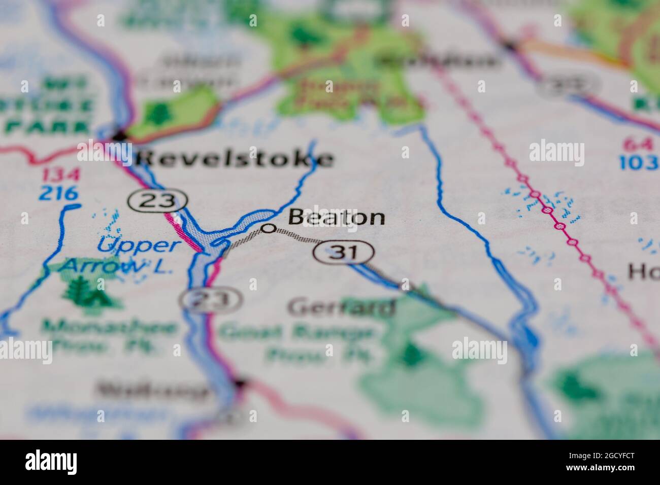 Beaton British Columbia Canada shown on a road map or Geography map Stock Photohttps://www.alamy.com/image-license-details/?v=1https://www.alamy.com/beaton-british-columbia-canada-shown-on-a-road-map-or-geography-map-image438239896.html
RM2GCYFCT–Beaton British Columbia Canada shown on a road map or Geography map
 Beaton, Gogebic County, US, United States, Michigan, N 46 17' 44'', S 89 20' 21'', map, Cartascapes Map published in 2024. Explore Cartascapes, a map revealing Earth's diverse landscapes, cultures, and ecosystems. Journey through time and space, discovering the interconnectedness of our planet's past, present, and future. Stock Photohttps://www.alamy.com/image-license-details/?v=1https://www.alamy.com/beaton-gogebic-county-us-united-states-michigan-n-46-17-44-s-89-20-21-map-cartascapes-map-published-in-2024-explore-cartascapes-a-map-revealing-earths-diverse-landscapes-cultures-and-ecosystems-journey-through-time-and-space-discovering-the-interconnectedness-of-our-planets-past-present-and-future-image621253861.html
RM2Y2MFHW–Beaton, Gogebic County, US, United States, Michigan, N 46 17' 44'', S 89 20' 21'', map, Cartascapes Map published in 2024. Explore Cartascapes, a map revealing Earth's diverse landscapes, cultures, and ecosystems. Journey through time and space, discovering the interconnectedness of our planet's past, present, and future.
 'Action here', 1941. Artist: Cecil Beaton. Stock Photohttps://www.alamy.com/image-license-details/?v=1https://www.alamy.com/action-here-1941-artist-cecil-beaton-image186107008.html
RMMPNWAT–'Action here', 1941. Artist: Cecil Beaton.
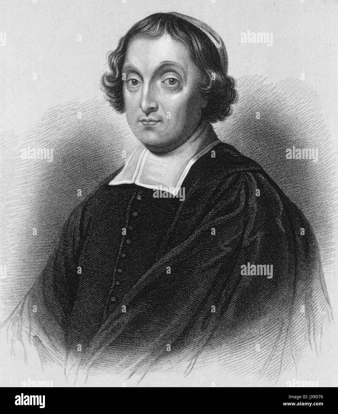 David Beaton Stock Photohttps://www.alamy.com/image-license-details/?v=1https://www.alamy.com/stock-photo-david-beaton-139734874.html
RMJ39D76–David Beaton
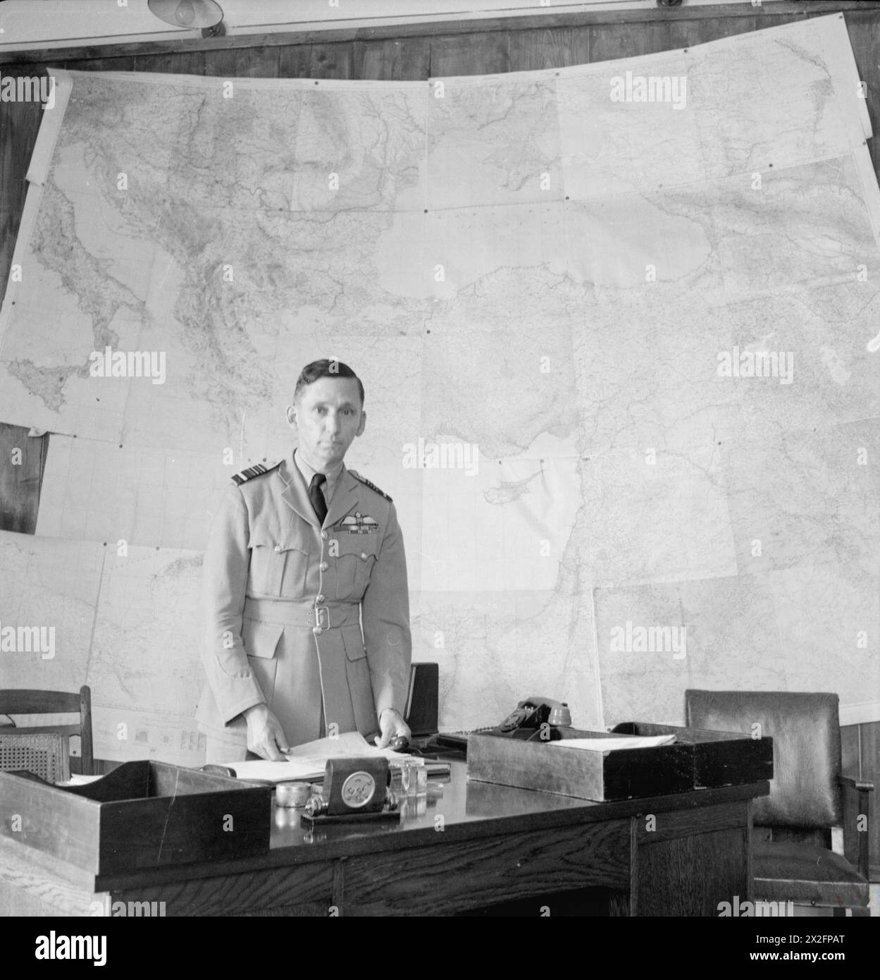 CECIL BEATON IN THE MIDDLE EAST FEBRUARY-JULY 1942 - Tedder standing behind his desk in front of wall map, Cairo (front view) Stock Photohttps://www.alamy.com/image-license-details/?v=1https://www.alamy.com/cecil-beaton-in-the-middle-east-february-july-1942-tedder-standing-behind-his-desk-in-front-of-wall-map-cairo-front-view-image603939024.html
RM2X2FPAT–CECIL BEATON IN THE MIDDLE EAST FEBRUARY-JULY 1942 - Tedder standing behind his desk in front of wall map, Cairo (front view)
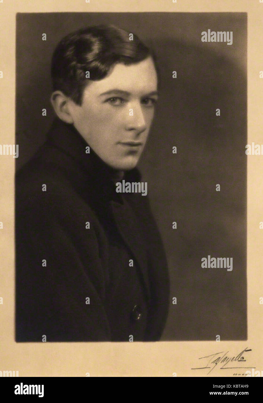 Cecil Beaton by Lafayette Stock Photohttps://www.alamy.com/image-license-details/?v=1https://www.alamy.com/stock-image-cecil-beaton-by-lafayette-162189701.html
RMKBTAH9–Cecil Beaton by Lafayette
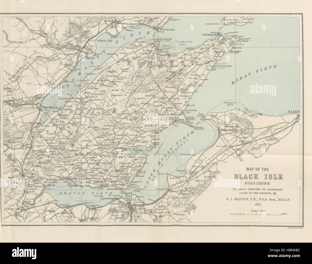 Image taken from page 8 of 'Illustrated Guide to Fortrose and vicinity, with an appendix on the antiquities of the Black Isle and a map' Image taken from page 8 of 'Illustrated Guide to Fortrose Stock Photohttps://www.alamy.com/image-license-details/?v=1https://www.alamy.com/stock-photo-image-taken-from-page-8-of-illustrated-guide-to-fortrose-and-vicinity-127699808.html
RMHBN6BC–Image taken from page 8 of 'Illustrated Guide to Fortrose and vicinity, with an appendix on the antiquities of the Black Isle and a map' Image taken from page 8 of 'Illustrated Guide to Fortrose
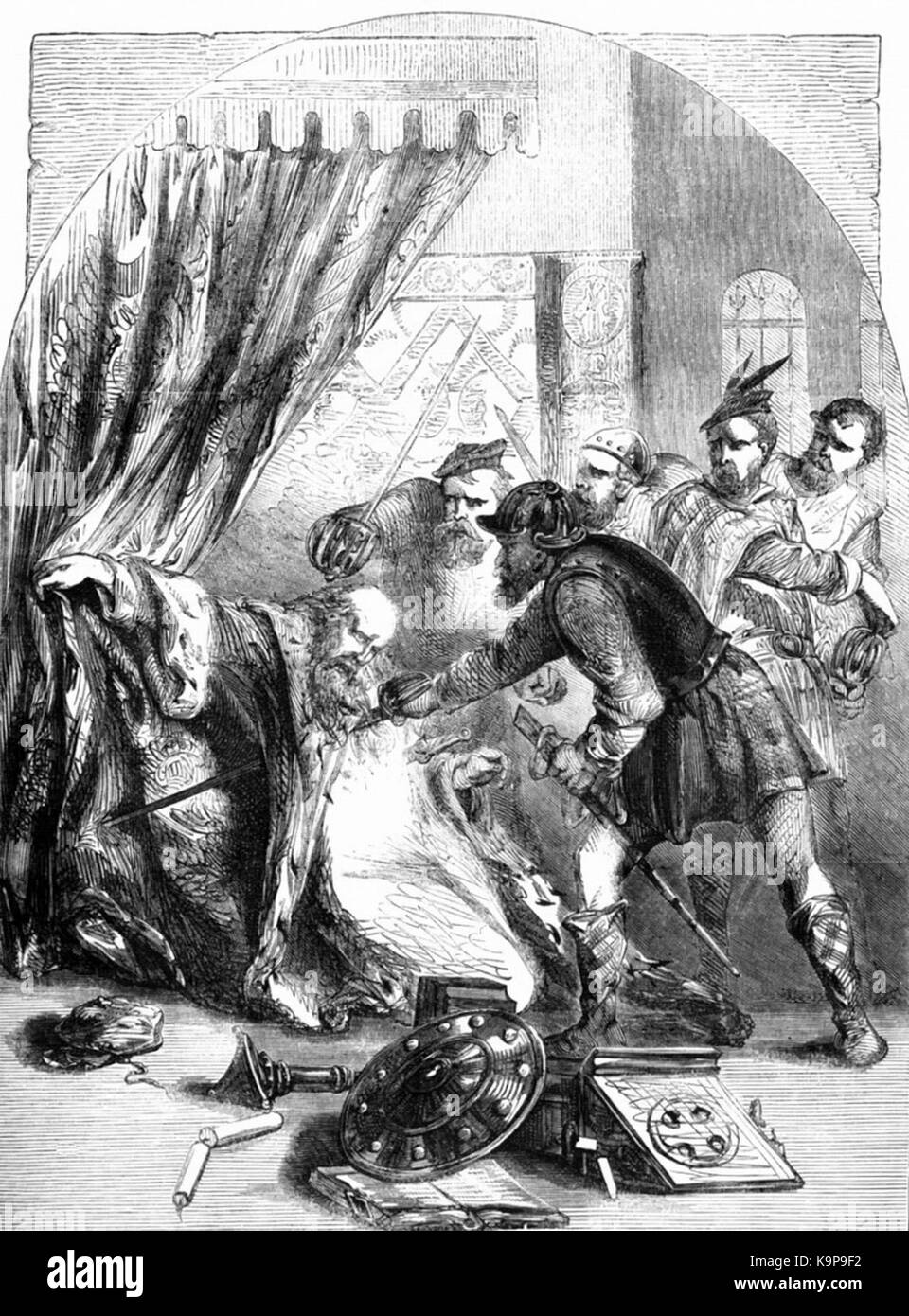 P283 Death of Cardinal Beaton Stock Photohttps://www.alamy.com/image-license-details/?v=1https://www.alamy.com/stock-image-p283-death-of-cardinal-beaton-160915638.html
RMK9P9F2–P283 Death of Cardinal Beaton
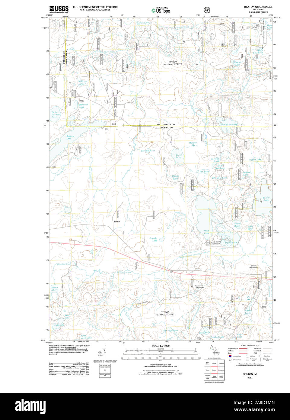 USGS TOPO Map Michigan MI Beaton 20110928 TM Stock Photohttps://www.alamy.com/image-license-details/?v=1https://www.alamy.com/usgs-topo-map-michigan-mi-beaton-20110928-tm-image332200981.html
RM2A8D1MN–USGS TOPO Map Michigan MI Beaton 20110928 TM
 Toarmina, Sicily, Italy Stock Photohttps://www.alamy.com/image-license-details/?v=1https://www.alamy.com/stock-photo-toarmina-sicily-italy-19020857.html
RMB2XD89–Toarmina, Sicily, Italy
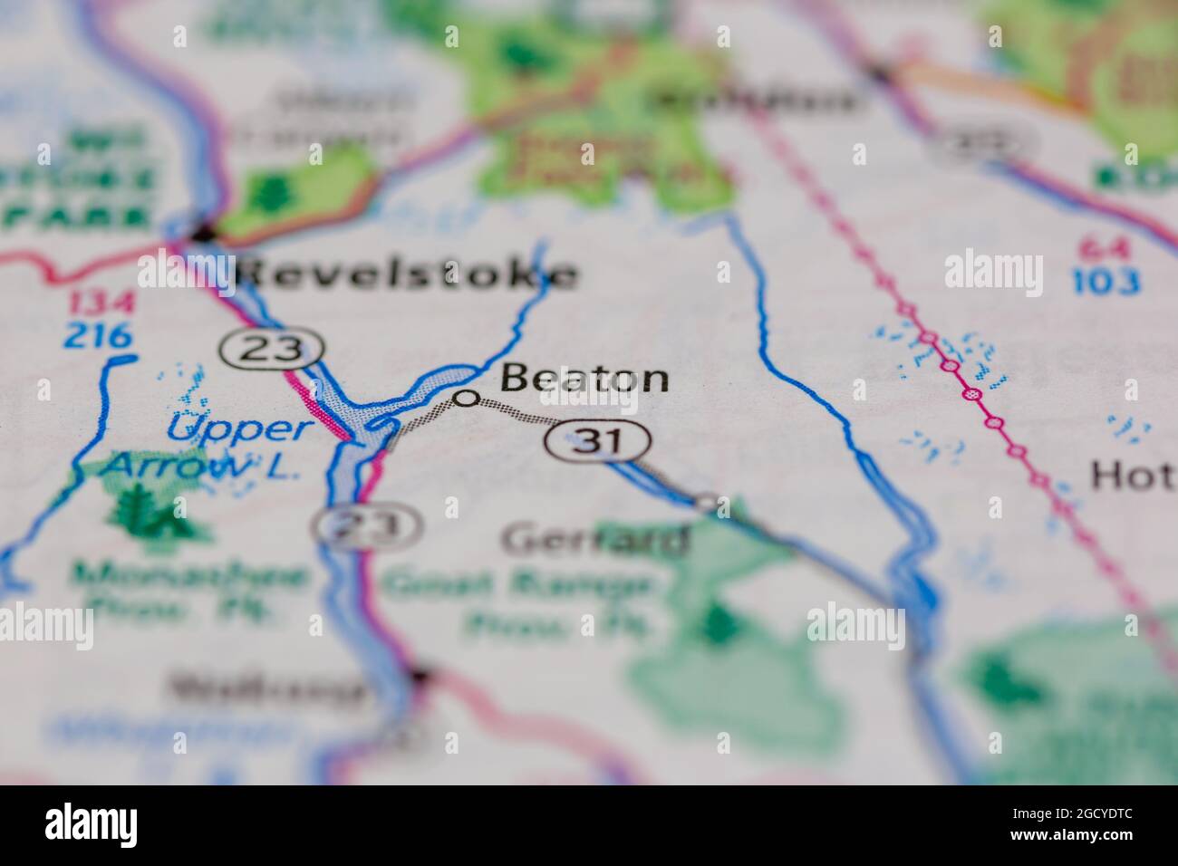 Beaton British Columbia Canada shown on a road map or Geography map Stock Photohttps://www.alamy.com/image-license-details/?v=1https://www.alamy.com/beaton-british-columbia-canada-shown-on-a-road-map-or-geography-map-image438238652.html
RM2GCYDTC–Beaton British Columbia Canada shown on a road map or Geography map
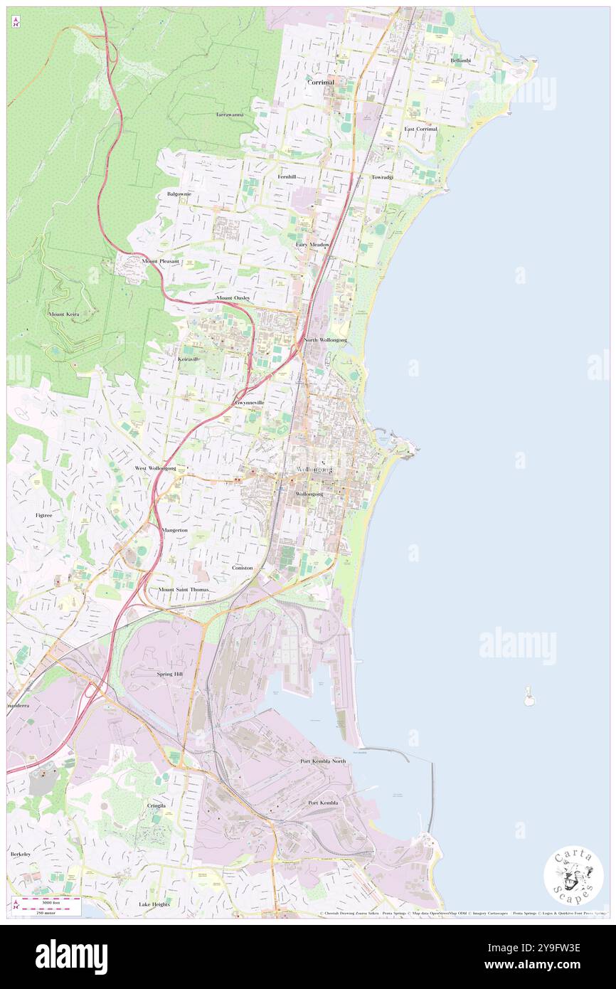 Beaton Park, , AU, Australia, New South Wales, S 34 25' 24'', N 150 53' 34'', map, Cartascapes Map published in 2024. Explore Cartascapes, a map revealing Earth's diverse landscapes, cultures, and ecosystems. Journey through time and space, discovering the interconnectedness of our planet's past, present, and future. Stock Photohttps://www.alamy.com/image-license-details/?v=1https://www.alamy.com/beaton-park-au-australia-new-south-wales-s-34-25-24-n-150-53-34-map-cartascapes-map-published-in-2024-explore-cartascapes-a-map-revealing-earths-diverse-landscapes-cultures-and-ecosystems-journey-through-time-and-space-discovering-the-interconnectedness-of-our-planets-past-present-and-future-image625454130.html
RM2Y9FW3E–Beaton Park, , AU, Australia, New South Wales, S 34 25' 24'', N 150 53' 34'', map, Cartascapes Map published in 2024. Explore Cartascapes, a map revealing Earth's diverse landscapes, cultures, and ecosystems. Journey through time and space, discovering the interconnectedness of our planet's past, present, and future.
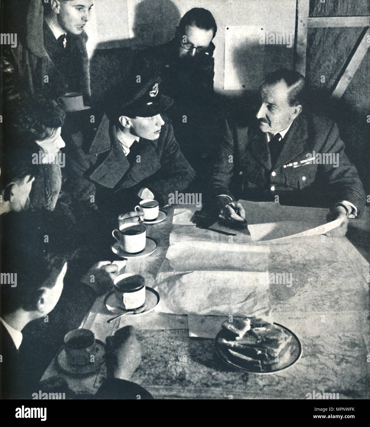 'Return: Interrogation', 1941. Artist: Cecil Beaton. Stock Photohttps://www.alamy.com/image-license-details/?v=1https://www.alamy.com/return-interrogation-1941-artist-cecil-beaton-image186107143.html
RMMPNWFK–'Return: Interrogation', 1941. Artist: Cecil Beaton.
 CECIL BEATON IN THE MIDDLE EAST FEBRUARY-JULY 1942 - A brigadier consults a map in the mobile desert map room where plans of the battle areas are kept and charted, Western Desert Stock Photohttps://www.alamy.com/image-license-details/?v=1https://www.alamy.com/cecil-beaton-in-the-middle-east-february-july-1942-a-brigadier-consults-a-map-in-the-mobile-desert-map-room-where-plans-of-the-battle-areas-are-kept-and-charted-western-desert-image603926985.html
RM2X2F70W–CECIL BEATON IN THE MIDDLE EAST FEBRUARY-JULY 1942 - A brigadier consults a map in the mobile desert map room where plans of the battle areas are kept and charted, Western Desert
 USGS TOPO Map Michigan MI Beaton 20110928 TM Inverted Stock Photohttps://www.alamy.com/image-license-details/?v=1https://www.alamy.com/usgs-topo-map-michigan-mi-beaton-20110928-tm-inverted-image332201038.html
RM2A8D1PP–USGS TOPO Map Michigan MI Beaton 20110928 TM Inverted
 Beaton Well, Meekatharra, AU, Australia, Western Australia, S 26 41' 49'', N 118 57' 47'', map, Cartascapes Map published in 2024. Explore Cartascapes, a map revealing Earth's diverse landscapes, cultures, and ecosystems. Journey through time and space, discovering the interconnectedness of our planet's past, present, and future. Stock Photohttps://www.alamy.com/image-license-details/?v=1https://www.alamy.com/beaton-well-meekatharra-au-australia-western-australia-s-26-41-49-n-118-57-47-map-cartascapes-map-published-in-2024-explore-cartascapes-a-map-revealing-earths-diverse-landscapes-cultures-and-ecosystems-journey-through-time-and-space-discovering-the-interconnectedness-of-our-planets-past-present-and-future-image625742372.html
RM2YA10NT–Beaton Well, Meekatharra, AU, Australia, Western Australia, S 26 41' 49'', N 118 57' 47'', map, Cartascapes Map published in 2024. Explore Cartascapes, a map revealing Earth's diverse landscapes, cultures, and ecosystems. Journey through time and space, discovering the interconnectedness of our planet's past, present, and future.
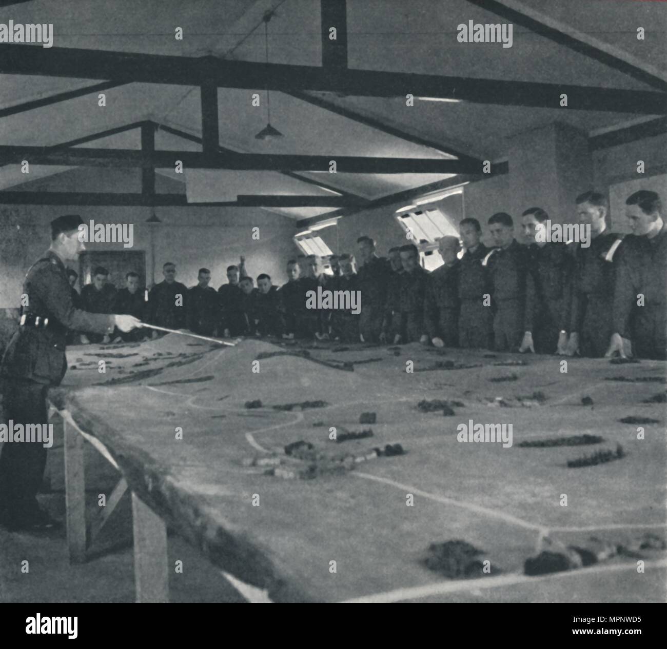 'Serious study', 1941. Artist: Cecil Beaton. Stock Photohttps://www.alamy.com/image-license-details/?v=1https://www.alamy.com/serious-study-1941-artist-cecil-beaton-image186107073.html
RMMPNWD5–'Serious study', 1941. Artist: Cecil Beaton.
 CECIL BEATON PHOTOGRAPHS: POLITICAL AND MILITARY PERSONALITIES - Military Personalities: Half length portrait of Air Marshal R M Drummond, Deputy Commander of the Royal Air Force in the Middle East, seated at his desk in front of a map Drummond, Peter Roy Maxwell Stock Photohttps://www.alamy.com/image-license-details/?v=1https://www.alamy.com/cecil-beaton-photographs-political-and-military-personalities-military-personalities-half-length-portrait-of-air-marshal-r-m-drummond-deputy-commander-of-the-royal-air-force-in-the-middle-east-seated-at-his-desk-in-front-of-a-map-drummond-peter-roy-maxwell-image603936762.html
RM2X2FKE2–CECIL BEATON PHOTOGRAPHS: POLITICAL AND MILITARY PERSONALITIES - Military Personalities: Half length portrait of Air Marshal R M Drummond, Deputy Commander of the Royal Air Force in the Middle East, seated at his desk in front of a map Drummond, Peter Roy Maxwell
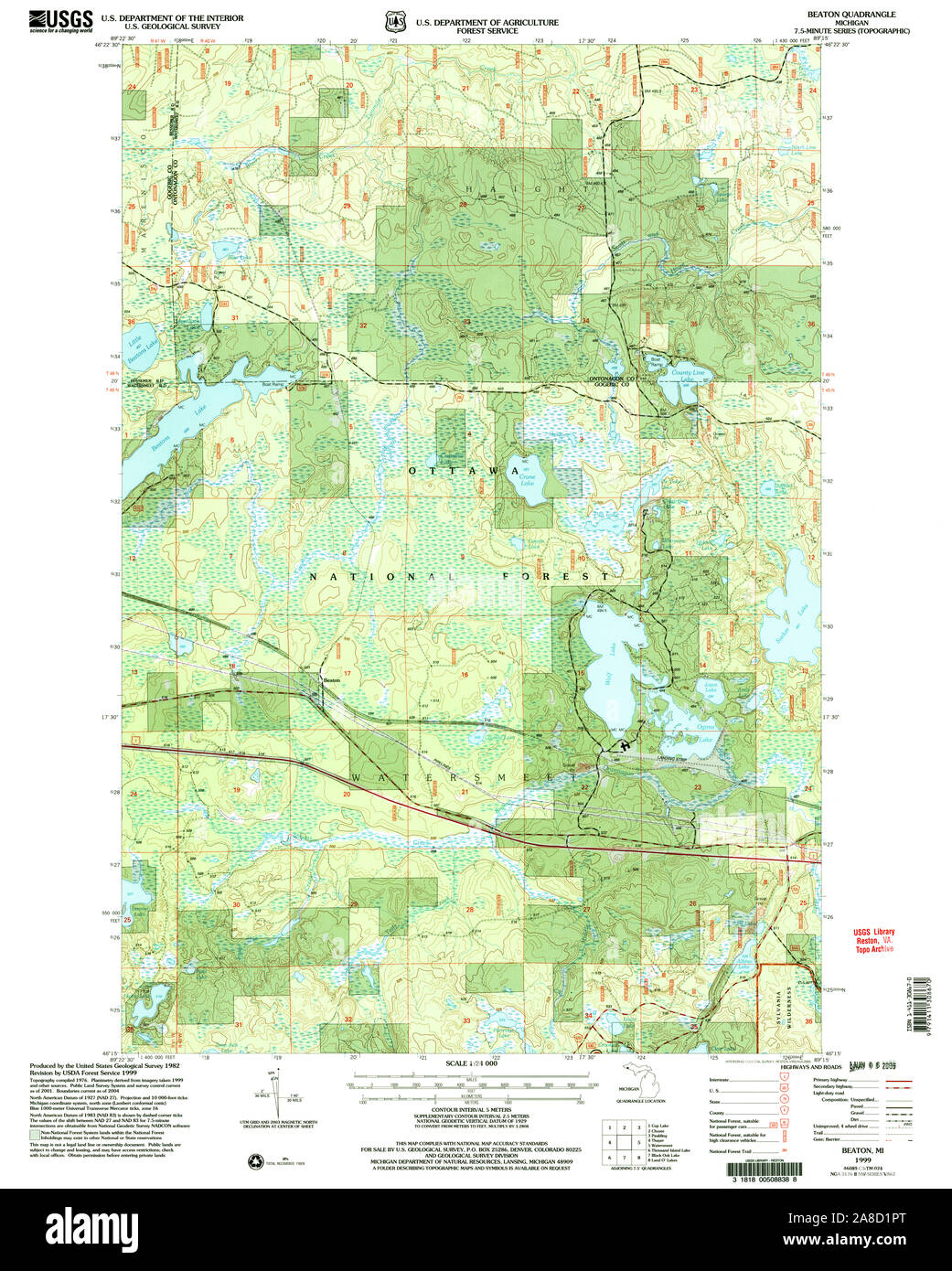 USGS TOPO Map Michigan MI Beaton 275632 1999 24000 Stock Photohttps://www.alamy.com/image-license-details/?v=1https://www.alamy.com/usgs-topo-map-michigan-mi-beaton-275632-1999-24000-image332201040.html
RM2A8D1PT–USGS TOPO Map Michigan MI Beaton 275632 1999 24000
 Beaton Bore, Cue, AU, Australia, Western Australia, S 27 28' 59'', N 118 40' 41'', map, Cartascapes Map published in 2024. Explore Cartascapes, a map revealing Earth's diverse landscapes, cultures, and ecosystems. Journey through time and space, discovering the interconnectedness of our planet's past, present, and future. Stock Photohttps://www.alamy.com/image-license-details/?v=1https://www.alamy.com/beaton-bore-cue-au-australia-western-australia-s-27-28-59-n-118-40-41-map-cartascapes-map-published-in-2024-explore-cartascapes-a-map-revealing-earths-diverse-landscapes-cultures-and-ecosystems-journey-through-time-and-space-discovering-the-interconnectedness-of-our-planets-past-present-and-future-image625542843.html
RM2Y9KX7R–Beaton Bore, Cue, AU, Australia, Western Australia, S 27 28' 59'', N 118 40' 41'', map, Cartascapes Map published in 2024. Explore Cartascapes, a map revealing Earth's diverse landscapes, cultures, and ecosystems. Journey through time and space, discovering the interconnectedness of our planet's past, present, and future.
 'Features of the target area', 1941. Artist: Cecil Beaton. Stock Photohttps://www.alamy.com/image-license-details/?v=1https://www.alamy.com/features-of-the-target-area-1941-artist-cecil-beaton-image186107133.html
RMMPNWF9–'Features of the target area', 1941. Artist: Cecil Beaton.
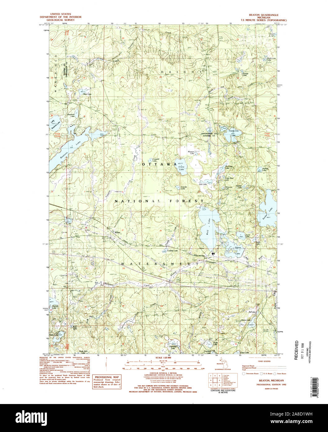 USGS TOPO Map Michigan MI Beaton 277584 1982 25000 Stock Photohttps://www.alamy.com/image-license-details/?v=1https://www.alamy.com/usgs-topo-map-michigan-mi-beaton-277584-1982-25000-image332201117.html
RM2A8D1WH–USGS TOPO Map Michigan MI Beaton 277584 1982 25000
 Beaton Park, Nedlands, AU, Australia, Western Australia, S 32 0' 3'', N 115 48' 26'', map, Cartascapes Map published in 2024. Explore Cartascapes, a map revealing Earth's diverse landscapes, cultures, and ecosystems. Journey through time and space, discovering the interconnectedness of our planet's past, present, and future. Stock Photohttps://www.alamy.com/image-license-details/?v=1https://www.alamy.com/beaton-park-nedlands-au-australia-western-australia-s-32-0-3-n-115-48-26-map-cartascapes-map-published-in-2024-explore-cartascapes-a-map-revealing-earths-diverse-landscapes-cultures-and-ecosystems-journey-through-time-and-space-discovering-the-interconnectedness-of-our-planets-past-present-and-future-image625616874.html
RM2Y9R8KP–Beaton Park, Nedlands, AU, Australia, Western Australia, S 32 0' 3'', N 115 48' 26'', map, Cartascapes Map published in 2024. Explore Cartascapes, a map revealing Earth's diverse landscapes, cultures, and ecosystems. Journey through time and space, discovering the interconnectedness of our planet's past, present, and future.
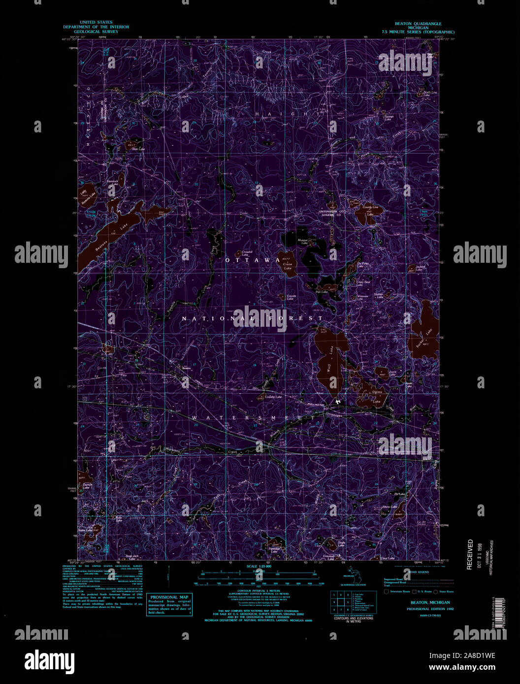 USGS TOPO Map Michigan MI Beaton 277584 1982 25000 Inverted Stock Photohttps://www.alamy.com/image-license-details/?v=1https://www.alamy.com/usgs-topo-map-michigan-mi-beaton-277584-1982-25000-inverted-image332201114.html
RM2A8D1WE–USGS TOPO Map Michigan MI Beaton 277584 1982 25000 Inverted
 Beaton Well, East Pilbara, AU, Australia, Western Australia, S 21 11' 27'', N 119 51' 26'', map, Cartascapes Map published in 2024. Explore Cartascapes, a map revealing Earth's diverse landscapes, cultures, and ecosystems. Journey through time and space, discovering the interconnectedness of our planet's past, present, and future. Stock Photohttps://www.alamy.com/image-license-details/?v=1https://www.alamy.com/beaton-well-east-pilbara-au-australia-western-australia-s-21-11-27-n-119-51-26-map-cartascapes-map-published-in-2024-explore-cartascapes-a-map-revealing-earths-diverse-landscapes-cultures-and-ecosystems-journey-through-time-and-space-discovering-the-interconnectedness-of-our-planets-past-present-and-future-image625515657.html
RM2Y9JKGW–Beaton Well, East Pilbara, AU, Australia, Western Australia, S 21 11' 27'', N 119 51' 26'', map, Cartascapes Map published in 2024. Explore Cartascapes, a map revealing Earth's diverse landscapes, cultures, and ecosystems. Journey through time and space, discovering the interconnectedness of our planet's past, present, and future.
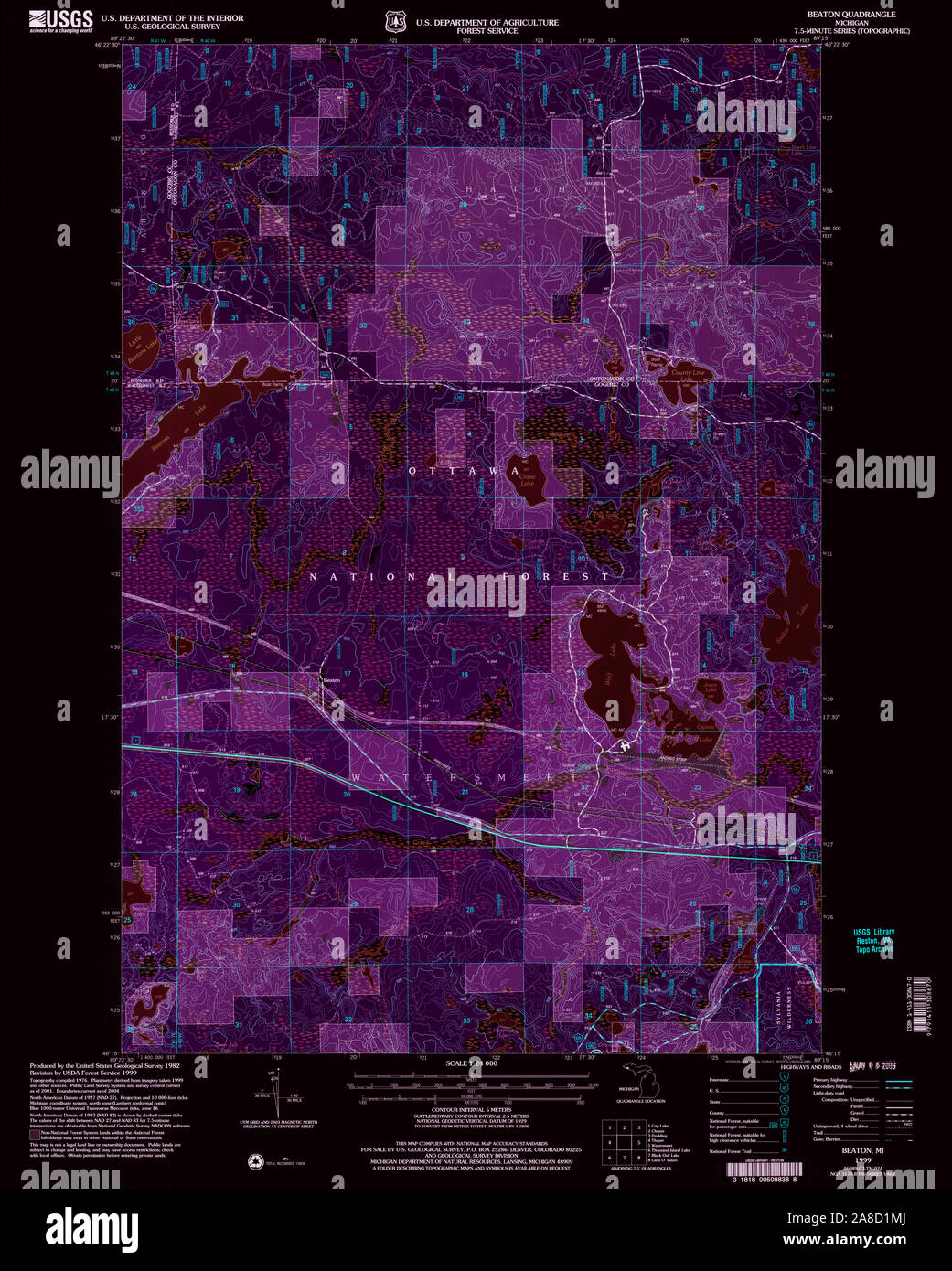 USGS TOPO Map Michigan MI Beaton 275632 1999 24000 Inverted Stock Photohttps://www.alamy.com/image-license-details/?v=1https://www.alamy.com/usgs-topo-map-michigan-mi-beaton-275632-1999-24000-inverted-image332200978.html
RM2A8D1MJ–USGS TOPO Map Michigan MI Beaton 275632 1999 24000 Inverted
 Beaton, Canada, British Columbia, N 50 43' 59'', W 117 44' 7'', map, Timeless Map published in 2021. Travelers, explorers and adventurers like Florence Nightingale, David Livingstone, Ernest Shackleton, Lewis and Clark and Sherlock Holmes relied on maps to plan travels to the world's most remote corners, Timeless Maps is mapping most locations on the globe, showing the achievement of great dreams Stock Photohttps://www.alamy.com/image-license-details/?v=1https://www.alamy.com/beaton-canada-british-columbia-n-50-43-59-w-117-44-7-map-timeless-map-published-in-2021-travelers-explorers-and-adventurers-like-florence-nightingale-david-livingstone-ernest-shackleton-lewis-and-clark-and-sherlock-holmes-relied-on-maps-to-plan-travels-to-the-worlds-most-remote-corners-timeless-maps-is-mapping-most-locations-on-the-globe-showing-the-achievement-of-great-dreams-image457850939.html
RM2HGTWF7–Beaton, Canada, British Columbia, N 50 43' 59'', W 117 44' 7'', map, Timeless Map published in 2021. Travelers, explorers and adventurers like Florence Nightingale, David Livingstone, Ernest Shackleton, Lewis and Clark and Sherlock Holmes relied on maps to plan travels to the world's most remote corners, Timeless Maps is mapping most locations on the globe, showing the achievement of great dreams
 Beaton Road, Canada, Prince Edward Island, N 46 38' 0'', W 64 8' 55'', map, Timeless Map published in 2021. Travelers, explorers and adventurers like Florence Nightingale, David Livingstone, Ernest Shackleton, Lewis and Clark and Sherlock Holmes relied on maps to plan travels to the world's most remote corners, Timeless Maps is mapping most locations on the globe, showing the achievement of great dreams Stock Photohttps://www.alamy.com/image-license-details/?v=1https://www.alamy.com/beaton-road-canada-prince-edward-island-n-46-38-0-w-64-8-55-map-timeless-map-published-in-2021-travelers-explorers-and-adventurers-like-florence-nightingale-david-livingstone-ernest-shackleton-lewis-and-clark-and-sherlock-holmes-relied-on-maps-to-plan-travels-to-the-worlds-most-remote-corners-timeless-maps-is-mapping-most-locations-on-the-globe-showing-the-achievement-of-great-dreams-image457850945.html
RM2HGTWFD–Beaton Road, Canada, Prince Edward Island, N 46 38' 0'', W 64 8' 55'', map, Timeless Map published in 2021. Travelers, explorers and adventurers like Florence Nightingale, David Livingstone, Ernest Shackleton, Lewis and Clark and Sherlock Holmes relied on maps to plan travels to the world's most remote corners, Timeless Maps is mapping most locations on the globe, showing the achievement of great dreams
 Beaton Creek, , NZ, New Zealand, Nelson, S 41 44' 53'', N 171 39' 0'', map, Cartascapes Map published in 2024. Explore Cartascapes, a map revealing Earth's diverse landscapes, cultures, and ecosystems. Journey through time and space, discovering the interconnectedness of our planet's past, present, and future. Stock Photohttps://www.alamy.com/image-license-details/?v=1https://www.alamy.com/beaton-creek-nz-new-zealand-nelson-s-41-44-53-n-171-39-0-map-cartascapes-map-published-in-2024-explore-cartascapes-a-map-revealing-earths-diverse-landscapes-cultures-and-ecosystems-journey-through-time-and-space-discovering-the-interconnectedness-of-our-planets-past-present-and-future-image633984169.html
RM2YRCD7N–Beaton Creek, , NZ, New Zealand, Nelson, S 41 44' 53'', N 171 39' 0'', map, Cartascapes Map published in 2024. Explore Cartascapes, a map revealing Earth's diverse landscapes, cultures, and ecosystems. Journey through time and space, discovering the interconnectedness of our planet's past, present, and future.
 Beaton, Hot Spring County, US, United States, Arkansas, N 34 18' 19'', S 93 15' 41'', map, Cartascapes Map published in 2024. Explore Cartascapes, a map revealing Earth's diverse landscapes, cultures, and ecosystems. Journey through time and space, discovering the interconnectedness of our planet's past, present, and future. Stock Photohttps://www.alamy.com/image-license-details/?v=1https://www.alamy.com/beaton-hot-spring-county-us-united-states-arkansas-n-34-18-19-s-93-15-41-map-cartascapes-map-published-in-2024-explore-cartascapes-a-map-revealing-earths-diverse-landscapes-cultures-and-ecosystems-journey-through-time-and-space-discovering-the-interconnectedness-of-our-planets-past-present-and-future-image620853771.html
RM2Y2298Y–Beaton, Hot Spring County, US, United States, Arkansas, N 34 18' 19'', S 93 15' 41'', map, Cartascapes Map published in 2024. Explore Cartascapes, a map revealing Earth's diverse landscapes, cultures, and ecosystems. Journey through time and space, discovering the interconnectedness of our planet's past, present, and future.
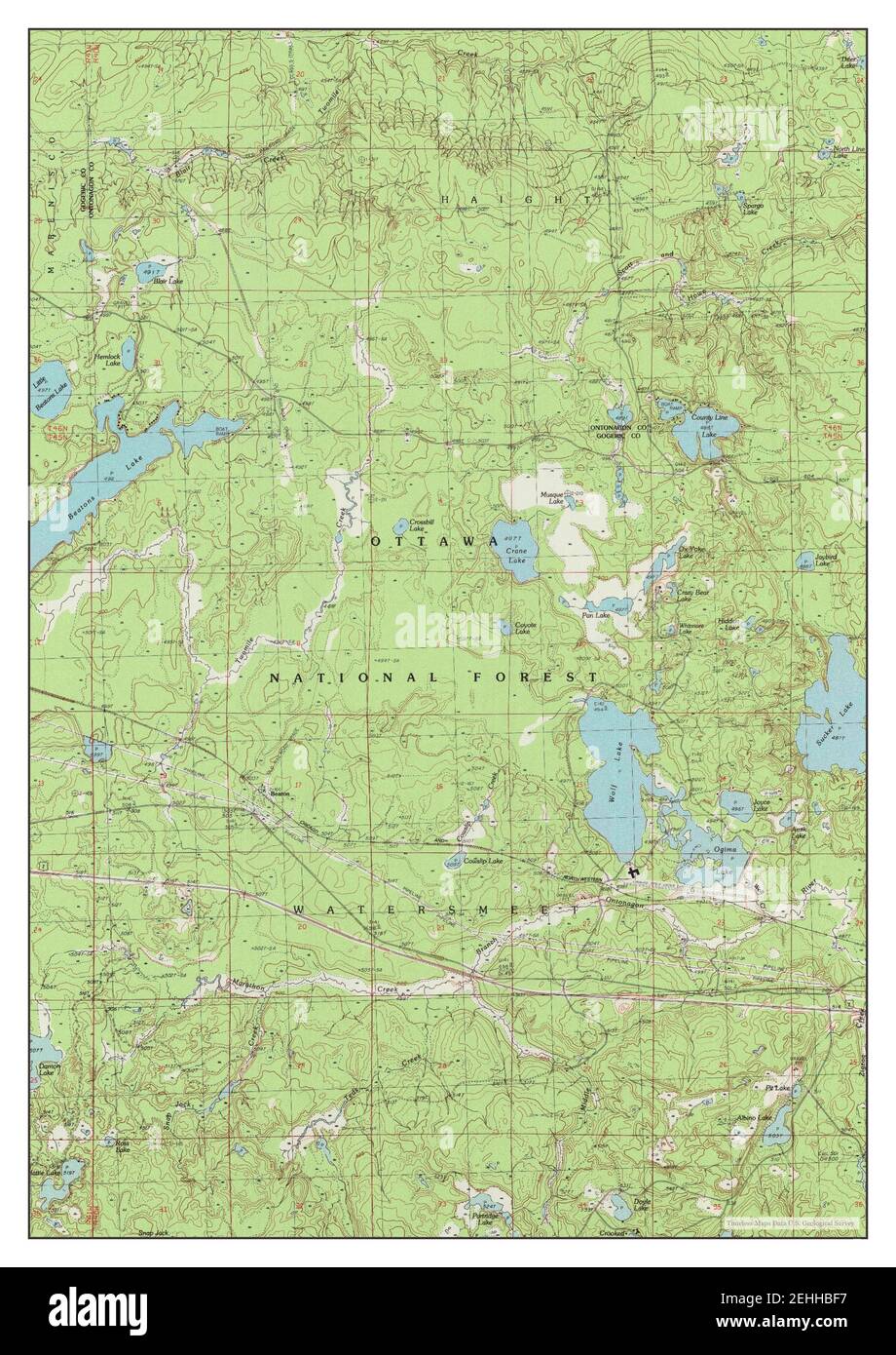 Beaton, Michigan, map 1982, 1:25000, United States of America by Timeless Maps, data U.S. Geological Survey Stock Photohttps://www.alamy.com/image-license-details/?v=1https://www.alamy.com/beaton-michigan-map-1982-125000-united-states-of-america-by-timeless-maps-data-us-geological-survey-image406669851.html
RM2EHHBF7–Beaton, Michigan, map 1982, 1:25000, United States of America by Timeless Maps, data U.S. Geological Survey
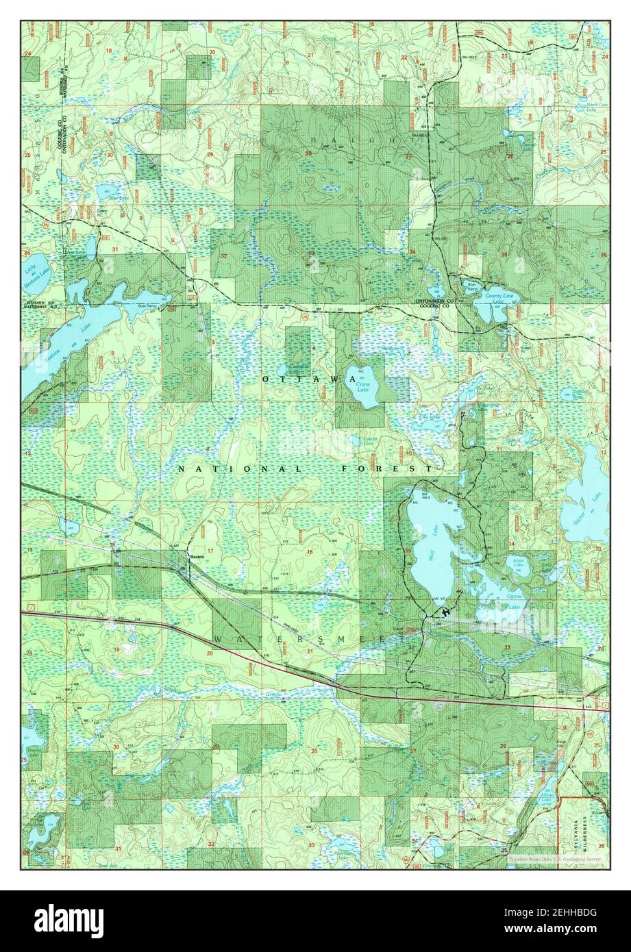 Beaton, Michigan, map 1999, 1:24000, United States of America by Timeless Maps, data U.S. Geological Survey Stock Photohttps://www.alamy.com/image-license-details/?v=1https://www.alamy.com/beaton-michigan-map-1999-124000-united-states-of-america-by-timeless-maps-data-us-geological-survey-image406669804.html
RM2EHHBDG–Beaton, Michigan, map 1999, 1:24000, United States of America by Timeless Maps, data U.S. Geological Survey
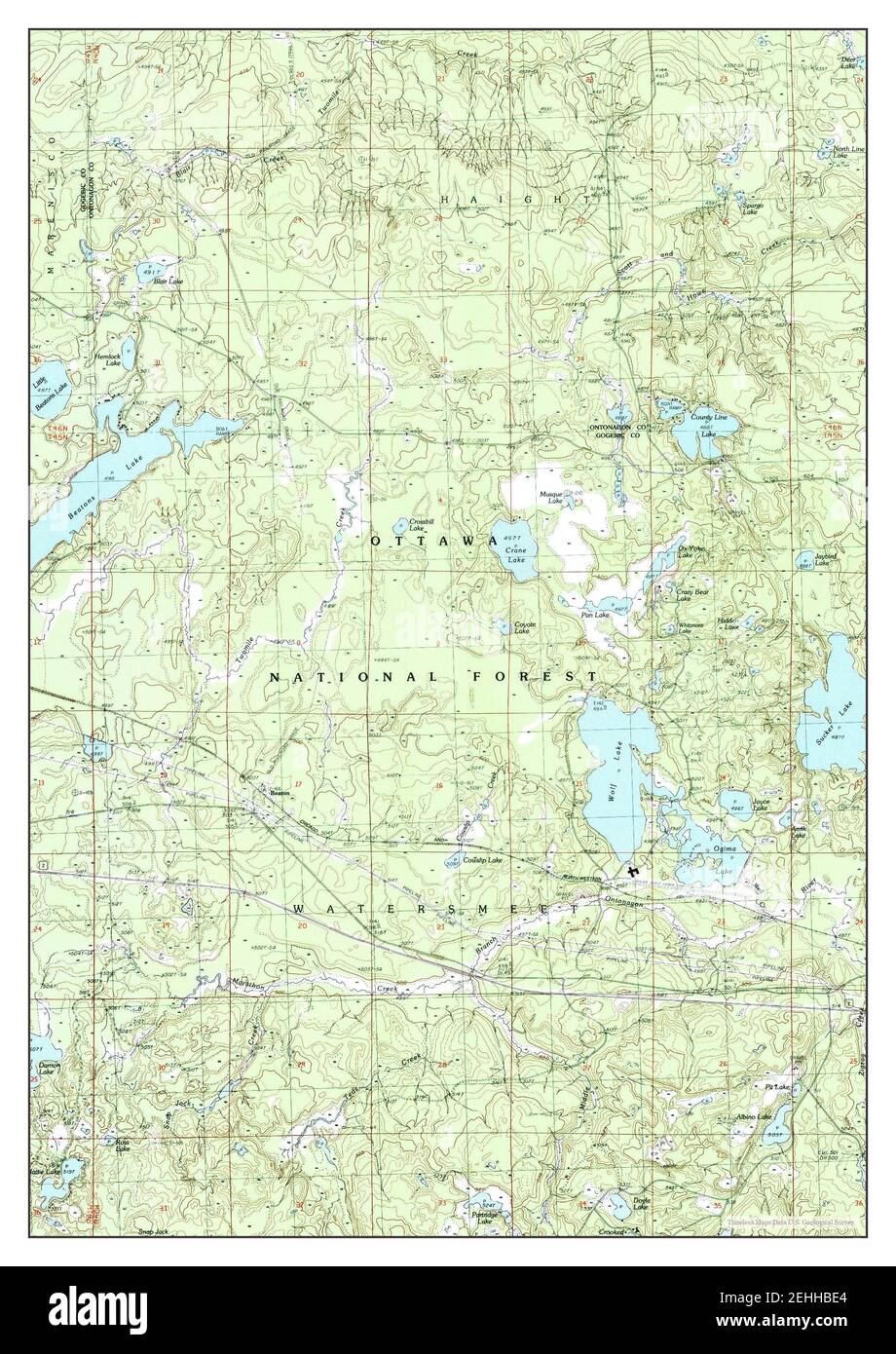 Beaton, Michigan, map 1982, 1:25000, United States of America by Timeless Maps, data U.S. Geological Survey Stock Photohttps://www.alamy.com/image-license-details/?v=1https://www.alamy.com/beaton-michigan-map-1982-125000-united-states-of-america-by-timeless-maps-data-us-geological-survey-image406669820.html
RM2EHHBE4–Beaton, Michigan, map 1982, 1:25000, United States of America by Timeless Maps, data U.S. Geological Survey