Quick filters:
Map of beaver utah Stock Photos and Images
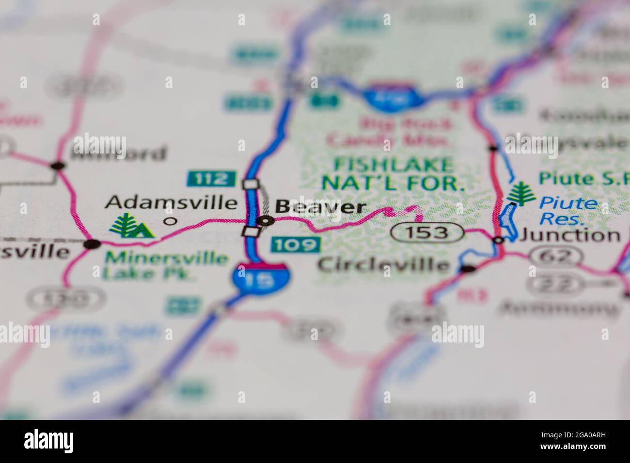 Beaver Utah USA shown on a road map or Geography map Stock Photohttps://www.alamy.com/image-license-details/?v=1https://www.alamy.com/beaver-utah-usa-shown-on-a-road-map-or-geography-map-image436414261.html
RM2GA0ARH–Beaver Utah USA shown on a road map or Geography map
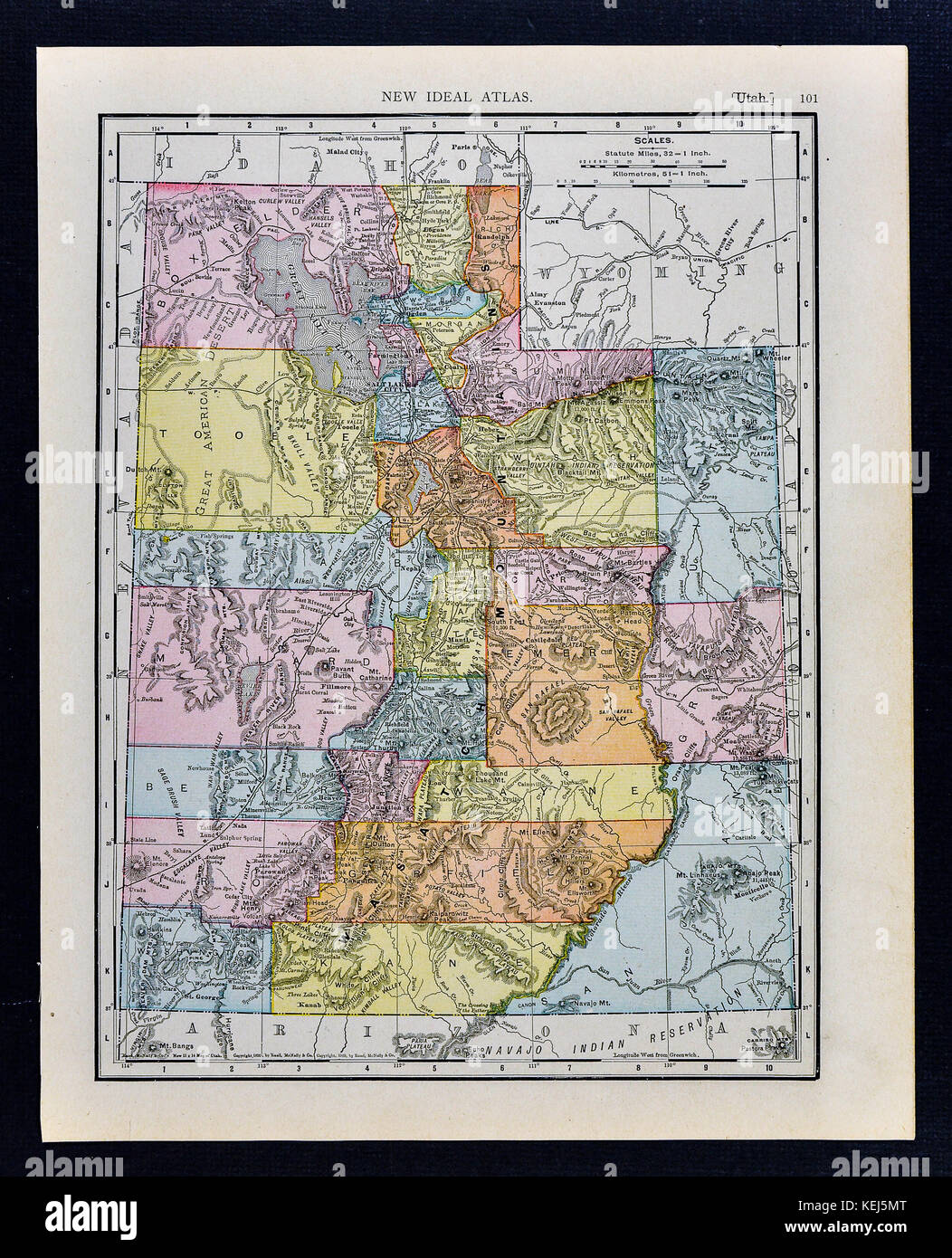 1911 McNally Map - Utah - Salt Lake City Ogden Moab Stock Photohttps://www.alamy.com/image-license-details/?v=1https://www.alamy.com/stock-image-1911-mcnally-map-utah-salt-lake-city-ogden-moab-163898136.html
RFKEJ5MT–1911 McNally Map - Utah - Salt Lake City Ogden Moab
 Newhouse, Beaver County, US, United States, Utah, N 38 28' 51'', S 113 20' 30'', map, Cartascapes Map published in 2024. Explore Cartascapes, a map revealing Earth's diverse landscapes, cultures, and ecosystems. Journey through time and space, discovering the interconnectedness of our planet's past, present, and future. Stock Photohttps://www.alamy.com/image-license-details/?v=1https://www.alamy.com/newhouse-beaver-county-us-united-states-utah-n-38-28-51-s-113-20-30-map-cartascapes-map-published-in-2024-explore-cartascapes-a-map-revealing-earths-diverse-landscapes-cultures-and-ecosystems-journey-through-time-and-space-discovering-the-interconnectedness-of-our-planets-past-present-and-future-image621363207.html
RM2Y2WF33–Newhouse, Beaver County, US, United States, Utah, N 38 28' 51'', S 113 20' 30'', map, Cartascapes Map published in 2024. Explore Cartascapes, a map revealing Earth's diverse landscapes, cultures, and ecosystems. Journey through time and space, discovering the interconnectedness of our planet's past, present, and future.
 Stereograph of USGS employees and beaver dams on Henry's Fork, Utah, 1870. Image courtesy USGS. Stock Photohttps://www.alamy.com/image-license-details/?v=1https://www.alamy.com/stock-image-stereograph-of-usgs-employees-and-beaver-dams-on-henrys-fork-utah-166817768.html
RMKKB5NC–Stereograph of USGS employees and beaver dams on Henry's Fork, Utah, 1870. Image courtesy USGS.
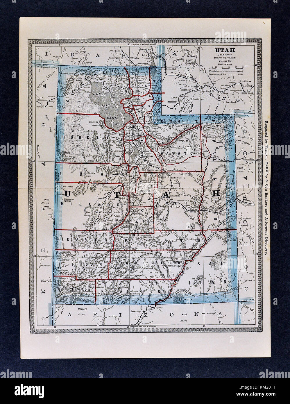 George Cram Antique Map from 1866 Atlas for Attorneys and Bankers: United States - Utah - Salt Lake City Great Salt Lake Provo Moab Stock Photohttps://www.alamy.com/image-license-details/?v=1https://www.alamy.com/stock-image-george-cram-antique-map-from-1866-atlas-for-attorneys-and-bankers-167231032.html
RFKM20TT–George Cram Antique Map from 1866 Atlas for Attorneys and Bankers: United States - Utah - Salt Lake City Great Salt Lake Provo Moab
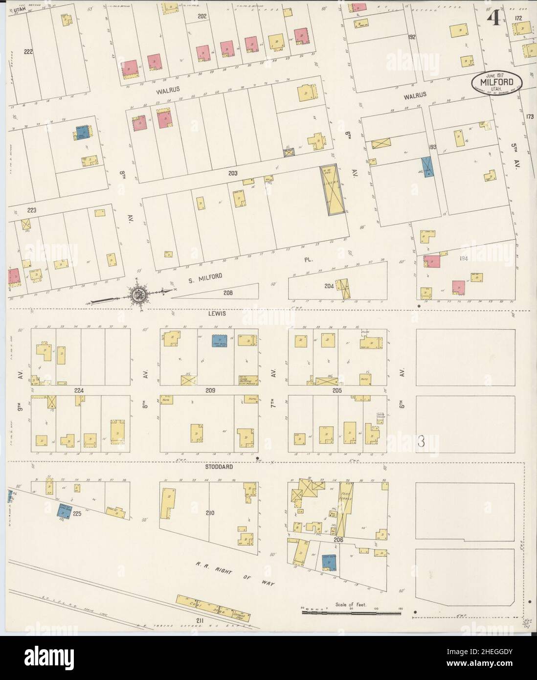 Sanborn Fire Insurance Map from Milford, Beaver County, Utah. Stock Photohttps://www.alamy.com/image-license-details/?v=1https://www.alamy.com/sanborn-fire-insurance-map-from-milford-beaver-county-utah-image456438919.html
RM2HEGGDY–Sanborn Fire Insurance Map from Milford, Beaver County, Utah.
 Map of Beaver in Utah Stock Photohttps://www.alamy.com/image-license-details/?v=1https://www.alamy.com/map-of-beaver-in-utah-image360382388.html
RF2BX8RBG–Map of Beaver in Utah
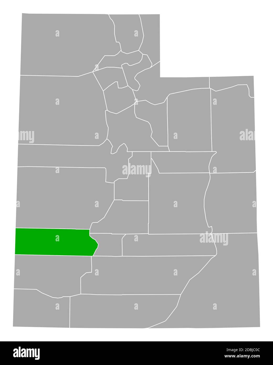 Map of Beaver in Utah Stock Photohttps://www.alamy.com/image-license-details/?v=1https://www.alamy.com/map-of-beaver-in-utah-image385793868.html
RF2DBJC0C–Map of Beaver in Utah
 Beaver County (Utah) outline map set Stock Vectorhttps://www.alamy.com/image-license-details/?v=1https://www.alamy.com/beaver-county-utah-outline-map-set-image620965140.html
RF2Y27BAC–Beaver County (Utah) outline map set
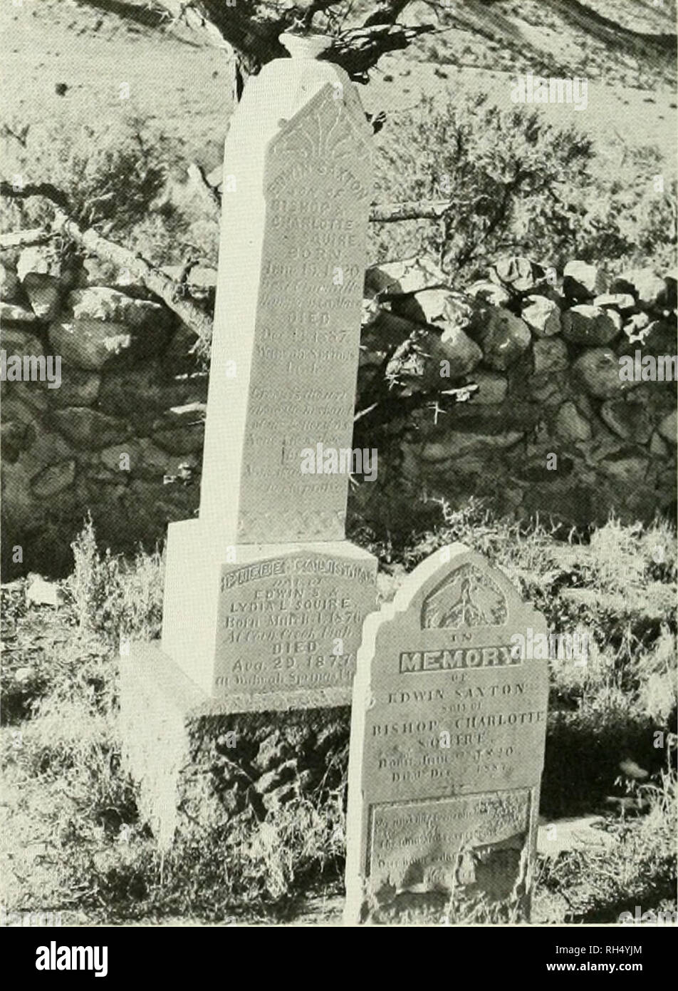 . Brigham Young University science bulletin. Biology -- Periodicals. i Frisco PK. I J " ^,>â','â -'--"'â "â 'â ' V''--â ââ¢"'->â ' â wtll Legend: -<â"'â- ' 1. Shadscale-winterfat-grass. 7. Hopsage. 2. Sliadscale-gray molly. H. Juniper-pinyon. 3. Rabbitbrush-winterfat-grass. 9. Horsebrush-rabbitbrush. 4. Winterfat-grass. 10. Greascwood. 5. Wintertal. II. Playa (barren). 6. Sagebrush-rabbitbrush. Map 2. Vegetation types in Wah Wah and Pine Valleys (after Stewart et al., 1940).. Fig. I. Cemetery at Wah Wah Springs. Beaver Co., Utah. Edwin Sa.xton Squire epitaph. Stock Photohttps://www.alamy.com/image-license-details/?v=1https://www.alamy.com/brigham-young-university-science-bulletin-biology-periodicals-i-frisco-pk-i-j-quot-gt-quot-quot-v-quot-gt-wtll-legend-ltquot-1-shadscale-winterfat-grass-7-hopsage-2-sliadscale-gray-molly-h-juniper-pinyon-3-rabbitbrush-winterfat-grass-9-horsebrush-rabbitbrush-4-winterfat-grass-10-greascwood-5-wintertal-ii-playa-barren-6-sagebrush-rabbitbrush-map-2-vegetation-types-in-wah-wah-and-pine-valleys-after-stewart-et-al-1940-fig-i-cemetery-at-wah-wah-springs-beaver-co-utah-edwin-saxton-squire-epitaph-image234293436.html
RMRH4YJM–. Brigham Young University science bulletin. Biology -- Periodicals. i Frisco PK. I J " ^,>â','â -'--"'â "â 'â ' V''--â ââ¢"'->â ' â wtll Legend: -<â"'â- ' 1. Shadscale-winterfat-grass. 7. Hopsage. 2. Sliadscale-gray molly. H. Juniper-pinyon. 3. Rabbitbrush-winterfat-grass. 9. Horsebrush-rabbitbrush. 4. Winterfat-grass. 10. Greascwood. 5. Wintertal. II. Playa (barren). 6. Sagebrush-rabbitbrush. Map 2. Vegetation types in Wah Wah and Pine Valleys (after Stewart et al., 1940).. Fig. I. Cemetery at Wah Wah Springs. Beaver Co., Utah. Edwin Sa.xton Squire epitaph.
 Beaver County, State of Utah (U.S. county, United States of America, USA, U.S., US) map vector illustration, scribble sketch Beaver map Stock Vectorhttps://www.alamy.com/image-license-details/?v=1https://www.alamy.com/beaver-county-state-of-utah-us-county-united-states-of-america-usa-us-us-map-vector-illustration-scribble-sketch-beaver-map-image430915680.html
RF2G11W9M–Beaver County, State of Utah (U.S. county, United States of America, USA, U.S., US) map vector illustration, scribble sketch Beaver map
RFMPD800–Set Of 13 simple editable icons such as beaver, minnesota, , star of david, chameleon, semi truck, moose head, utah, chalk can be used for mobile, web
 Smyths, Beaver County, US, United States, Utah, N 38 33' 49'', S 112 59' 27'', map, Cartascapes Map published in 2024. Explore Cartascapes, a map revealing Earth's diverse landscapes, cultures, and ecosystems. Journey through time and space, discovering the interconnectedness of our planet's past, present, and future. Stock Photohttps://www.alamy.com/image-license-details/?v=1https://www.alamy.com/smyths-beaver-county-us-united-states-utah-n-38-33-49-s-112-59-27-map-cartascapes-map-published-in-2024-explore-cartascapes-a-map-revealing-earths-diverse-landscapes-cultures-and-ecosystems-journey-through-time-and-space-discovering-the-interconnectedness-of-our-planets-past-present-and-future-image621411908.html
RM2Y2YN6C–Smyths, Beaver County, US, United States, Utah, N 38 33' 49'', S 112 59' 27'', map, Cartascapes Map published in 2024. Explore Cartascapes, a map revealing Earth's diverse landscapes, cultures, and ecosystems. Journey through time and space, discovering the interconnectedness of our planet's past, present, and future.
 Stereograph of trees that have been felled by beavers on Henry's Fork of Green River, Utah. Image courtesy USGS. 1870. Stock Photohttps://www.alamy.com/image-license-details/?v=1https://www.alamy.com/stock-image-stereograph-of-trees-that-have-been-felled-by-beavers-on-henrys-fork-166814983.html
RMKKB25Y–Stereograph of trees that have been felled by beavers on Henry's Fork of Green River, Utah. Image courtesy USGS. 1870.
 Sanborn Fire Insurance Map from Milford, Beaver County, Utah. Stock Photohttps://www.alamy.com/image-license-details/?v=1https://www.alamy.com/sanborn-fire-insurance-map-from-milford-beaver-county-utah-image456438877.html
RM2HEGGCD–Sanborn Fire Insurance Map from Milford, Beaver County, Utah.
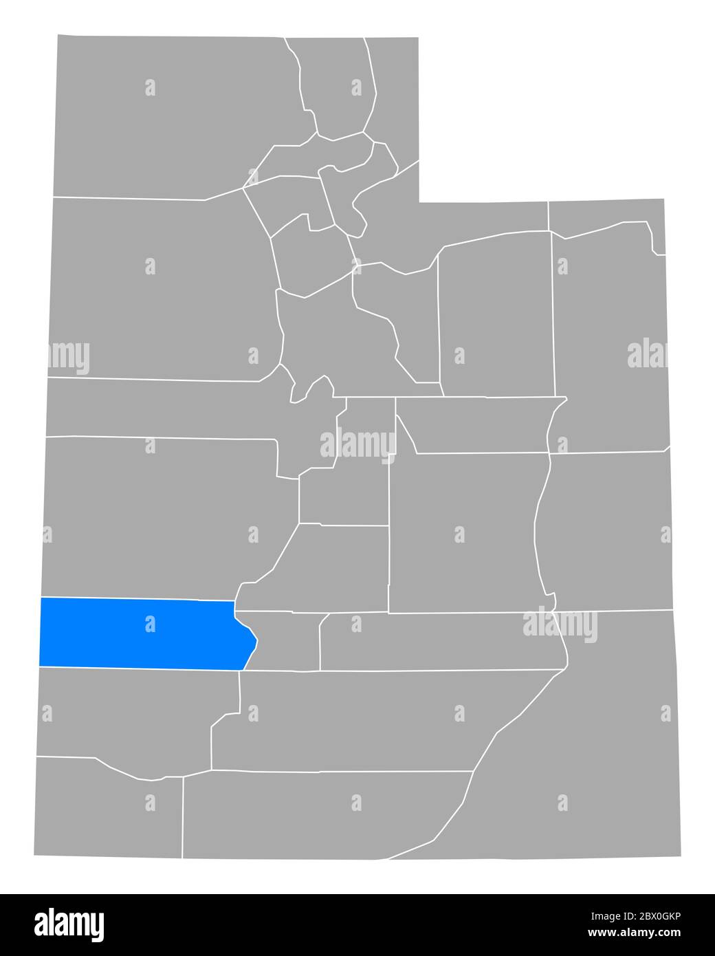 Map of Beaver in Utah Stock Photohttps://www.alamy.com/image-license-details/?v=1https://www.alamy.com/map-of-beaver-in-utah-image360201514.html
RF2BX0GKP–Map of Beaver in Utah
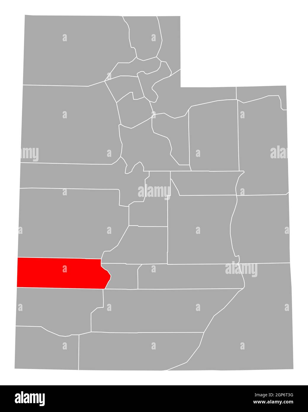 Map of Beaver in Utah Stock Photohttps://www.alamy.com/image-license-details/?v=1https://www.alamy.com/map-of-beaver-in-utah-image443932260.html
RF2GP6T3G–Map of Beaver in Utah
 . Brigham Young University science bulletin. Biology -- Periodicals. BRIGHAM YOUNG UNIVERSITY SCIENCE BULLETIN UTAH OUTLINE MAP. Fig. 10. Pimis ediilis Engem. Representative Specimens: Beaver Co., Beaver, S.5. Hutch- ings 8444, May 2, 1938 (NY): Carbon Co., Price, R. Hardv s.n.. May 20, 1937 (UT); Duchesne Co., Red Crecl<, J. Brotherson 480, July 20, 1965 (BRY): Emery Co., Emery,/. Tidestrom 1422, July 8, 1908 (US): Garfield Co.. Aquarius Plateau, Vickerv 615, May 19, 1956 (UT):Grand Co., Arches N.M.. K.S. Erdman 188, July 26, 1960 (BRY): Kane Co., Kanab, Knudscn 39, December 29, 1950 BRY) Stock Photohttps://www.alamy.com/image-license-details/?v=1https://www.alamy.com/brigham-young-university-science-bulletin-biology-periodicals-brigham-young-university-science-bulletin-utah-outline-map-fig-10-pimis-ediilis-engem-representative-specimens-beaver-co-beaver-s5-hutch-ings-8444-may-2-1938-ny-carbon-co-price-r-hardv-sn-may-20-1937-ut-duchesne-co-red-crecllt-j-brotherson-480-july-20-1965-bry-emery-co-emery-tidestrom-1422-july-8-1908-us-garfield-co-aquarius-plateau-vickerv-615-may-19-1956-utgrand-co-arches-nm-ks-erdman-188-july-26-1960-bry-kane-co-kanab-knudscn-39-december-29-1950-bry-image234284699.html
RMRH4GEK–. Brigham Young University science bulletin. Biology -- Periodicals. BRIGHAM YOUNG UNIVERSITY SCIENCE BULLETIN UTAH OUTLINE MAP. Fig. 10. Pimis ediilis Engem. Representative Specimens: Beaver Co., Beaver, S.5. Hutch- ings 8444, May 2, 1938 (NY): Carbon Co., Price, R. Hardv s.n.. May 20, 1937 (UT); Duchesne Co., Red Crecl<, J. Brotherson 480, July 20, 1965 (BRY): Emery Co., Emery,/. Tidestrom 1422, July 8, 1908 (US): Garfield Co.. Aquarius Plateau, Vickerv 615, May 19, 1956 (UT):Grand Co., Arches N.M.. K.S. Erdman 188, July 26, 1960 (BRY): Kane Co., Kanab, Knudscn 39, December 29, 1950 BRY)
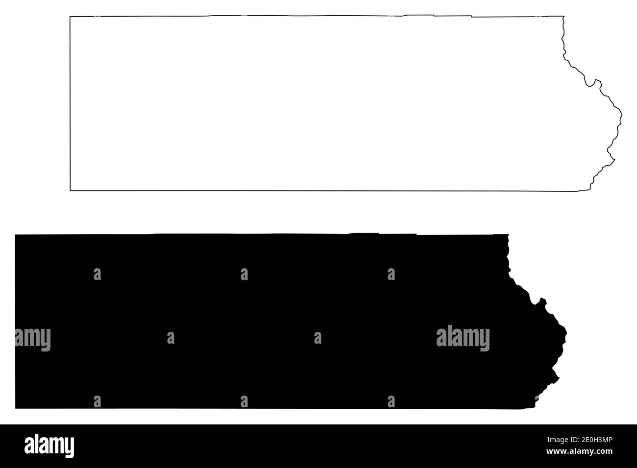 Beaver County, State of Utah (U.S. county, United States of America, USA, U.S., US) map vector illustration, scribble sketch Beaver map Stock Vectorhttps://www.alamy.com/image-license-details/?v=1https://www.alamy.com/beaver-county-state-of-utah-us-county-united-states-of-america-usa-us-us-map-vector-illustration-scribble-sketch-beaver-map-image396214582.html
RF2E0H3MP–Beaver County, State of Utah (U.S. county, United States of America, USA, U.S., US) map vector illustration, scribble sketch Beaver map
RFMPEEBH–Set Of 13 simple editable icons such as afro, india, maryland outline, in black, chameleon, yarn ball, , beaver, minnesota, utah can be used for mobil
 Minersville, Beaver County, US, United States, Utah, N 38 12' 50'', S 112 55' 24'', map, Cartascapes Map published in 2024. Explore Cartascapes, a map revealing Earth's diverse landscapes, cultures, and ecosystems. Journey through time and space, discovering the interconnectedness of our planet's past, present, and future. Stock Photohttps://www.alamy.com/image-license-details/?v=1https://www.alamy.com/minersville-beaver-county-us-united-states-utah-n-38-12-50-s-112-55-24-map-cartascapes-map-published-in-2024-explore-cartascapes-a-map-revealing-earths-diverse-landscapes-cultures-and-ecosystems-journey-through-time-and-space-discovering-the-interconnectedness-of-our-planets-past-present-and-future-image621426137.html
RM2Y30BAH–Minersville, Beaver County, US, United States, Utah, N 38 12' 50'', S 112 55' 24'', map, Cartascapes Map published in 2024. Explore Cartascapes, a map revealing Earth's diverse landscapes, cultures, and ecosystems. Journey through time and space, discovering the interconnectedness of our planet's past, present, and future.
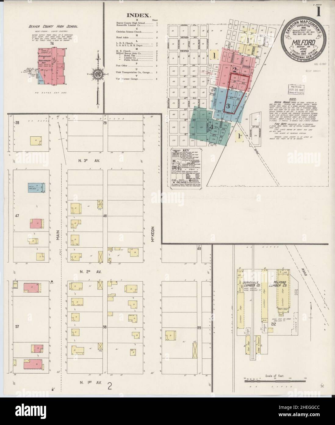 Sanborn Fire Insurance Map from Milford, Beaver County, Utah. Stock Photohttps://www.alamy.com/image-license-details/?v=1https://www.alamy.com/sanborn-fire-insurance-map-from-milford-beaver-county-utah-image456438876.html
RM2HEGGCC–Sanborn Fire Insurance Map from Milford, Beaver County, Utah.
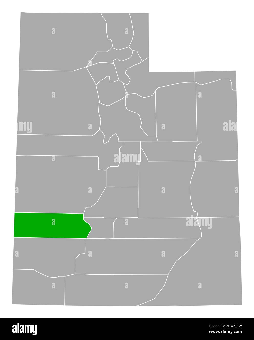 Map of Beaver in Utah Stock Photohttps://www.alamy.com/image-license-details/?v=1https://www.alamy.com/map-of-beaver-in-utah-image359720253.html
RF2BW6JRW–Map of Beaver in Utah
 Map of Beaver in Utah Stock Photohttps://www.alamy.com/image-license-details/?v=1https://www.alamy.com/map-of-beaver-in-utah-image385770108.html
RF2DBH9KT–Map of Beaver in Utah
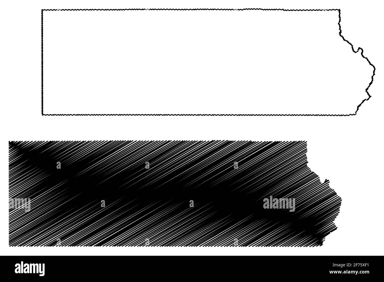 Beaver County, State of Utah (U.S. county, United States of America, USA, U.S., US) map vector illustration, scribble sketch Beaver map Stock Vectorhttps://www.alamy.com/image-license-details/?v=1https://www.alamy.com/beaver-county-state-of-utah-us-county-united-states-of-america-usa-us-us-map-vector-illustration-scribble-sketch-beaver-map-image417481989.html
RF2F75XF1–Beaver County, State of Utah (U.S. county, United States of America, USA, U.S., US) map vector illustration, scribble sketch Beaver map
RFMPD7XF–Set Of 13 simple editable icons such as chameleon, ant, haiti, star of david, chalk, hippo, marijuana leaf, utah, koala can be used for mobile, web UI
 Shauntie, Beaver County, US, United States, Utah, N 38 20' 27'', S 113 9' 59'', map, Cartascapes Map published in 2024. Explore Cartascapes, a map revealing Earth's diverse landscapes, cultures, and ecosystems. Journey through time and space, discovering the interconnectedness of our planet's past, present, and future. Stock Photohttps://www.alamy.com/image-license-details/?v=1https://www.alamy.com/shauntie-beaver-county-us-united-states-utah-n-38-20-27-s-113-9-59-map-cartascapes-map-published-in-2024-explore-cartascapes-a-map-revealing-earths-diverse-landscapes-cultures-and-ecosystems-journey-through-time-and-space-discovering-the-interconnectedness-of-our-planets-past-present-and-future-image621205246.html
RM2Y2J9HJ–Shauntie, Beaver County, US, United States, Utah, N 38 20' 27'', S 113 9' 59'', map, Cartascapes Map published in 2024. Explore Cartascapes, a map revealing Earth's diverse landscapes, cultures, and ecosystems. Journey through time and space, discovering the interconnectedness of our planet's past, present, and future.
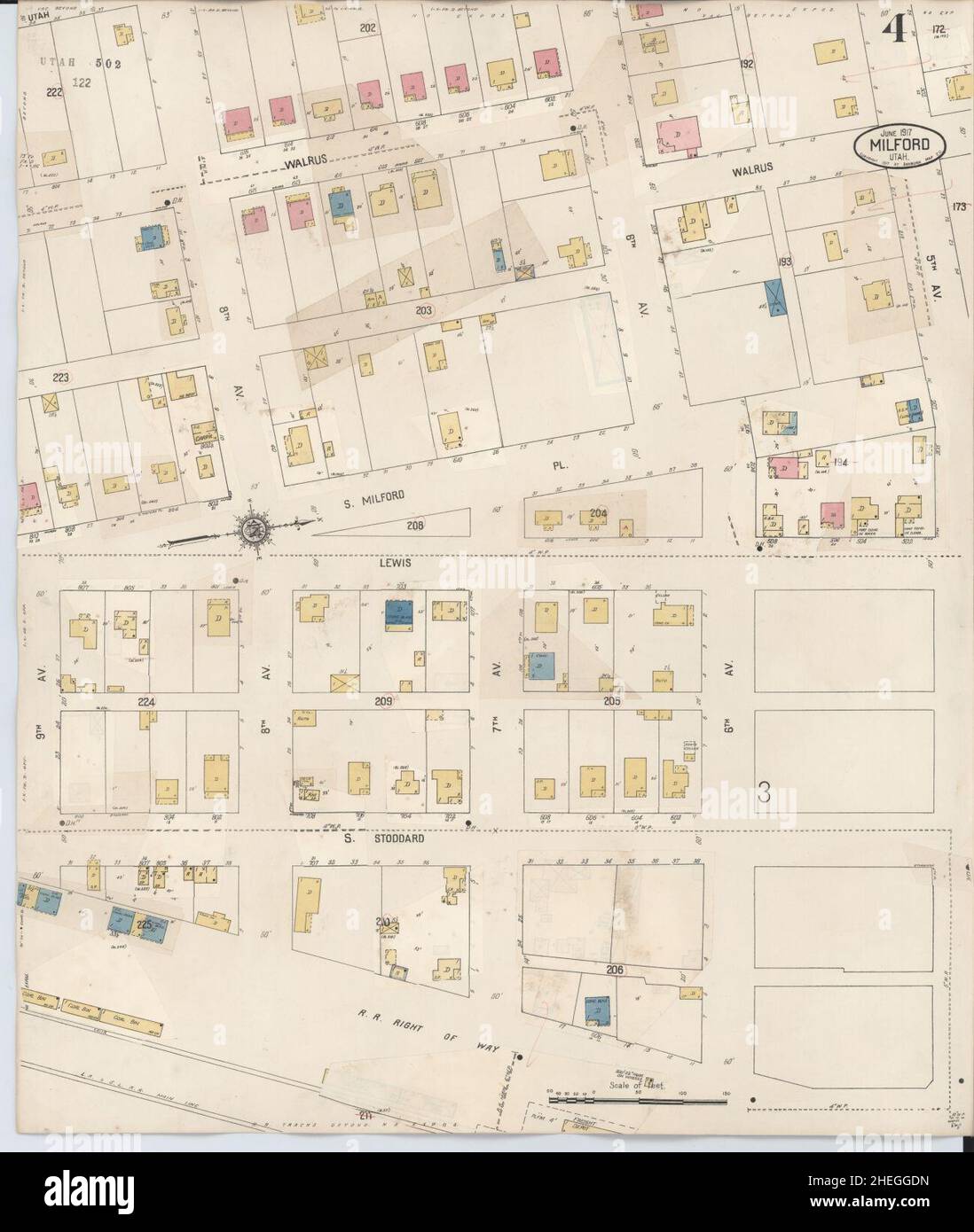 Sanborn Fire Insurance Map from Milford, Beaver County, Utah. Stock Photohttps://www.alamy.com/image-license-details/?v=1https://www.alamy.com/sanborn-fire-insurance-map-from-milford-beaver-county-utah-image456438913.html
RM2HEGGDN–Sanborn Fire Insurance Map from Milford, Beaver County, Utah.
 Beaver County, State of Utah (U.S. county, United States of America, USA, U.S., US) map vector illustration, scribble sketch Beaver map Stock Vectorhttps://www.alamy.com/image-license-details/?v=1https://www.alamy.com/beaver-county-state-of-utah-us-county-united-states-of-america-usa-us-us-map-vector-illustration-scribble-sketch-beaver-map-image628640910.html
RF2YEN1W2–Beaver County, State of Utah (U.S. county, United States of America, USA, U.S., US) map vector illustration, scribble sketch Beaver map
 Milford, Beaver County, US, United States, Utah, N 38 23' 48'', S 113 0' 38'', map, Cartascapes Map published in 2024. Explore Cartascapes, a map revealing Earth's diverse landscapes, cultures, and ecosystems. Journey through time and space, discovering the interconnectedness of our planet's past, present, and future. Stock Photohttps://www.alamy.com/image-license-details/?v=1https://www.alamy.com/milford-beaver-county-us-united-states-utah-n-38-23-48-s-113-0-38-map-cartascapes-map-published-in-2024-explore-cartascapes-a-map-revealing-earths-diverse-landscapes-cultures-and-ecosystems-journey-through-time-and-space-discovering-the-interconnectedness-of-our-planets-past-present-and-future-image621392578.html
RM2Y2XTG2–Milford, Beaver County, US, United States, Utah, N 38 23' 48'', S 113 0' 38'', map, Cartascapes Map published in 2024. Explore Cartascapes, a map revealing Earth's diverse landscapes, cultures, and ecosystems. Journey through time and space, discovering the interconnectedness of our planet's past, present, and future.
 Sanborn Fire Insurance Map from Milford, Beaver County, Utah. Stock Photohttps://www.alamy.com/image-license-details/?v=1https://www.alamy.com/sanborn-fire-insurance-map-from-milford-beaver-county-utah-image456438881.html
RM2HEGGCH–Sanborn Fire Insurance Map from Milford, Beaver County, Utah.
 Manderfield, Beaver County, US, United States, Utah, N 38 21' 33'', S 112 38' 19'', map, Cartascapes Map published in 2024. Explore Cartascapes, a map revealing Earth's diverse landscapes, cultures, and ecosystems. Journey through time and space, discovering the interconnectedness of our planet's past, present, and future. Stock Photohttps://www.alamy.com/image-license-details/?v=1https://www.alamy.com/manderfield-beaver-county-us-united-states-utah-n-38-21-33-s-112-38-19-map-cartascapes-map-published-in-2024-explore-cartascapes-a-map-revealing-earths-diverse-landscapes-cultures-and-ecosystems-journey-through-time-and-space-discovering-the-interconnectedness-of-our-planets-past-present-and-future-image621234327.html
RM2Y2KJM7–Manderfield, Beaver County, US, United States, Utah, N 38 21' 33'', S 112 38' 19'', map, Cartascapes Map published in 2024. Explore Cartascapes, a map revealing Earth's diverse landscapes, cultures, and ecosystems. Journey through time and space, discovering the interconnectedness of our planet's past, present, and future.
 Sanborn Fire Insurance Map from Milford, Beaver County, Utah. Stock Photohttps://www.alamy.com/image-license-details/?v=1https://www.alamy.com/sanborn-fire-insurance-map-from-milford-beaver-county-utah-image456438903.html
RM2HEGGDB–Sanborn Fire Insurance Map from Milford, Beaver County, Utah.
 Beaver, Beaver County, US, United States, Utah, N 38 16' 36'', S 112 38' 27'', map, Cartascapes Map published in 2024. Explore Cartascapes, a map revealing Earth's diverse landscapes, cultures, and ecosystems. Journey through time and space, discovering the interconnectedness of our planet's past, present, and future. Stock Photohttps://www.alamy.com/image-license-details/?v=1https://www.alamy.com/beaver-beaver-county-us-united-states-utah-n-38-16-36-s-112-38-27-map-cartascapes-map-published-in-2024-explore-cartascapes-a-map-revealing-earths-diverse-landscapes-cultures-and-ecosystems-journey-through-time-and-space-discovering-the-interconnectedness-of-our-planets-past-present-and-future-image621238949.html
RM2Y2KTH9–Beaver, Beaver County, US, United States, Utah, N 38 16' 36'', S 112 38' 27'', map, Cartascapes Map published in 2024. Explore Cartascapes, a map revealing Earth's diverse landscapes, cultures, and ecosystems. Journey through time and space, discovering the interconnectedness of our planet's past, present, and future.
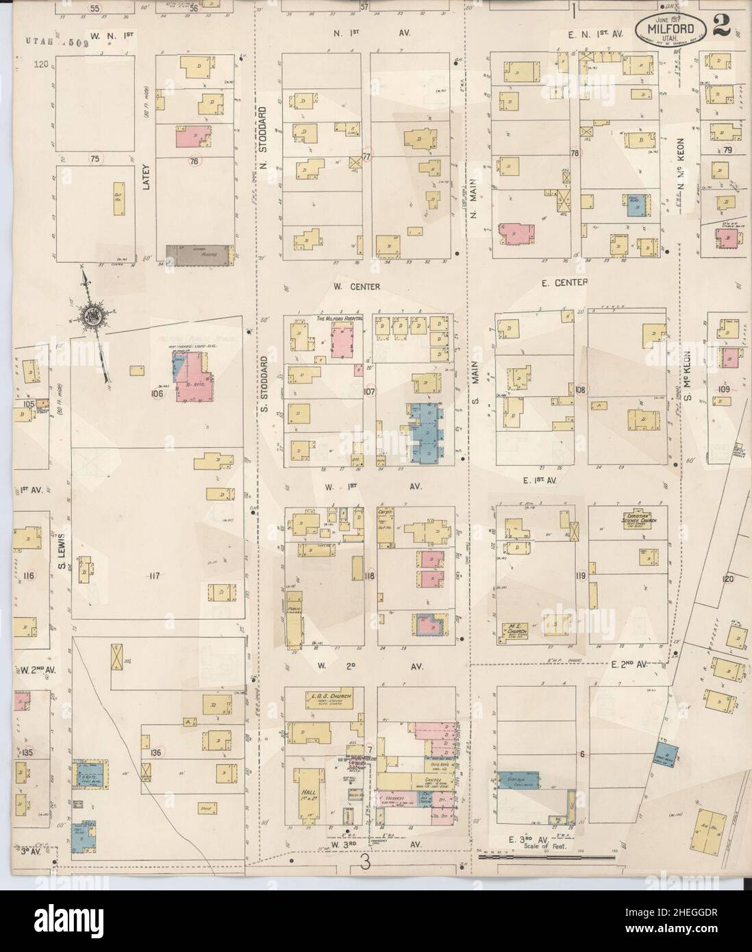 Sanborn Fire Insurance Map from Milford, Beaver County, Utah. Stock Photohttps://www.alamy.com/image-license-details/?v=1https://www.alamy.com/sanborn-fire-insurance-map-from-milford-beaver-county-utah-image456438915.html
RM2HEGGDR–Sanborn Fire Insurance Map from Milford, Beaver County, Utah.
 Laho, Beaver County, US, United States, Utah, N 38 15' 54'', S 113 6' 56'', map, Cartascapes Map published in 2024. Explore Cartascapes, a map revealing Earth's diverse landscapes, cultures, and ecosystems. Journey through time and space, discovering the interconnectedness of our planet's past, present, and future. Stock Photohttps://www.alamy.com/image-license-details/?v=1https://www.alamy.com/laho-beaver-county-us-united-states-utah-n-38-15-54-s-113-6-56-map-cartascapes-map-published-in-2024-explore-cartascapes-a-map-revealing-earths-diverse-landscapes-cultures-and-ecosystems-journey-through-time-and-space-discovering-the-interconnectedness-of-our-planets-past-present-and-future-image621348809.html
RM2Y2TTMW–Laho, Beaver County, US, United States, Utah, N 38 15' 54'', S 113 6' 56'', map, Cartascapes Map published in 2024. Explore Cartascapes, a map revealing Earth's diverse landscapes, cultures, and ecosystems. Journey through time and space, discovering the interconnectedness of our planet's past, present, and future.
 Sanborn Fire Insurance Map from Beaver, Beaver County, Utah. Stock Photohttps://www.alamy.com/image-license-details/?v=1https://www.alamy.com/sanborn-fire-insurance-map-from-beaver-beaver-county-utah-image456299259.html
RM2HEA6A3–Sanborn Fire Insurance Map from Beaver, Beaver County, Utah.
 Frisco, Beaver County, US, United States, Utah, N 38 27' 22'', S 113 15' 31'', map, Cartascapes Map published in 2024. Explore Cartascapes, a map revealing Earth's diverse landscapes, cultures, and ecosystems. Journey through time and space, discovering the interconnectedness of our planet's past, present, and future. Stock Photohttps://www.alamy.com/image-license-details/?v=1https://www.alamy.com/frisco-beaver-county-us-united-states-utah-n-38-27-22-s-113-15-31-map-cartascapes-map-published-in-2024-explore-cartascapes-a-map-revealing-earths-diverse-landscapes-cultures-and-ecosystems-journey-through-time-and-space-discovering-the-interconnectedness-of-our-planets-past-present-and-future-image621265256.html
RM2Y2N24T–Frisco, Beaver County, US, United States, Utah, N 38 27' 22'', S 113 15' 31'', map, Cartascapes Map published in 2024. Explore Cartascapes, a map revealing Earth's diverse landscapes, cultures, and ecosystems. Journey through time and space, discovering the interconnectedness of our planet's past, present, and future.
 Sanborn Fire Insurance Map from Beaver, Beaver County, Utah. Stock Photohttps://www.alamy.com/image-license-details/?v=1https://www.alamy.com/sanborn-fire-insurance-map-from-beaver-beaver-county-utah-image456299254.html
RM2HEA69X–Sanborn Fire Insurance Map from Beaver, Beaver County, Utah.
 Adamsville, Beaver County, US, United States, Utah, N 38 15' 29'', S 112 47' 37'', map, Cartascapes Map published in 2024. Explore Cartascapes, a map revealing Earth's diverse landscapes, cultures, and ecosystems. Journey through time and space, discovering the interconnectedness of our planet's past, present, and future. Stock Photohttps://www.alamy.com/image-license-details/?v=1https://www.alamy.com/adamsville-beaver-county-us-united-states-utah-n-38-15-29-s-112-47-37-map-cartascapes-map-published-in-2024-explore-cartascapes-a-map-revealing-earths-diverse-landscapes-cultures-and-ecosystems-journey-through-time-and-space-discovering-the-interconnectedness-of-our-planets-past-present-and-future-image621199748.html
RM2Y2J2H8–Adamsville, Beaver County, US, United States, Utah, N 38 15' 29'', S 112 47' 37'', map, Cartascapes Map published in 2024. Explore Cartascapes, a map revealing Earth's diverse landscapes, cultures, and ecosystems. Journey through time and space, discovering the interconnectedness of our planet's past, present, and future.
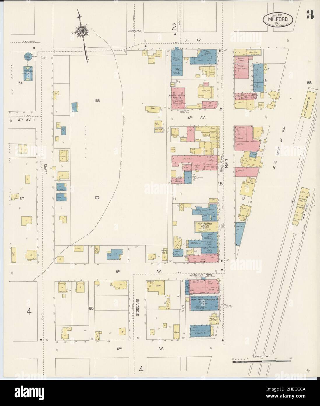 Sanborn Fire Insurance Map from Milford, Beaver County, Utah. Stock Photohttps://www.alamy.com/image-license-details/?v=1https://www.alamy.com/sanborn-fire-insurance-map-from-milford-beaver-county-utah-image456438874.html
RM2HEGGCA–Sanborn Fire Insurance Map from Milford, Beaver County, Utah.
 Yellow Banks, Beaver County, US, United States, Utah, N 38 25' 29'', S 112 59' 18'', map, Cartascapes Map published in 2024. Explore Cartascapes, a map revealing Earth's diverse landscapes, cultures, and ecosystems. Journey through time and space, discovering the interconnectedness of our planet's past, present, and future. Stock Photohttps://www.alamy.com/image-license-details/?v=1https://www.alamy.com/yellow-banks-beaver-county-us-united-states-utah-n-38-25-29-s-112-59-18-map-cartascapes-map-published-in-2024-explore-cartascapes-a-map-revealing-earths-diverse-landscapes-cultures-and-ecosystems-journey-through-time-and-space-discovering-the-interconnectedness-of-our-planets-past-present-and-future-image621392299.html
RM2Y2XT63–Yellow Banks, Beaver County, US, United States, Utah, N 38 25' 29'', S 112 59' 18'', map, Cartascapes Map published in 2024. Explore Cartascapes, a map revealing Earth's diverse landscapes, cultures, and ecosystems. Journey through time and space, discovering the interconnectedness of our planet's past, present, and future.
 Sanborn Fire Insurance Map from Beaver, Beaver County, Utah. Stock Photohttps://www.alamy.com/image-license-details/?v=1https://www.alamy.com/sanborn-fire-insurance-map-from-beaver-beaver-county-utah-image456299269.html
RM2HEA6AD–Sanborn Fire Insurance Map from Beaver, Beaver County, Utah.
 Cook Corner, Beaver County, US, United States, Utah, N 38 17' 41'', S 113 2' 50'', map, Cartascapes Map published in 2024. Explore Cartascapes, a map revealing Earth's diverse landscapes, cultures, and ecosystems. Journey through time and space, discovering the interconnectedness of our planet's past, present, and future. Stock Photohttps://www.alamy.com/image-license-details/?v=1https://www.alamy.com/cook-corner-beaver-county-us-united-states-utah-n-38-17-41-s-113-2-50-map-cartascapes-map-published-in-2024-explore-cartascapes-a-map-revealing-earths-diverse-landscapes-cultures-and-ecosystems-journey-through-time-and-space-discovering-the-interconnectedness-of-our-planets-past-present-and-future-image621202040.html
RM2Y2J5F4–Cook Corner, Beaver County, US, United States, Utah, N 38 17' 41'', S 113 2' 50'', map, Cartascapes Map published in 2024. Explore Cartascapes, a map revealing Earth's diverse landscapes, cultures, and ecosystems. Journey through time and space, discovering the interconnectedness of our planet's past, present, and future.
 Sanborn Fire Insurance Map from Beaver, Beaver County, Utah. Stock Photohttps://www.alamy.com/image-license-details/?v=1https://www.alamy.com/sanborn-fire-insurance-map-from-beaver-beaver-county-utah-image456299286.html
RM2HEA6B2–Sanborn Fire Insurance Map from Beaver, Beaver County, Utah.
 Cunningham Hill, Beaver County, US, United States, Utah, N 38 23' 45'', S 112 43' 29'', map, Cartascapes Map published in 2024. Explore Cartascapes, a map revealing Earth's diverse landscapes, cultures, and ecosystems. Journey through time and space, discovering the interconnectedness of our planet's past, present, and future. Stock Photohttps://www.alamy.com/image-license-details/?v=1https://www.alamy.com/cunningham-hill-beaver-county-us-united-states-utah-n-38-23-45-s-112-43-29-map-cartascapes-map-published-in-2024-explore-cartascapes-a-map-revealing-earths-diverse-landscapes-cultures-and-ecosystems-journey-through-time-and-space-discovering-the-interconnectedness-of-our-planets-past-present-and-future-image621206378.html
RM2Y2JB22–Cunningham Hill, Beaver County, US, United States, Utah, N 38 23' 45'', S 112 43' 29'', map, Cartascapes Map published in 2024. Explore Cartascapes, a map revealing Earth's diverse landscapes, cultures, and ecosystems. Journey through time and space, discovering the interconnectedness of our planet's past, present, and future.
 Sanborn Fire Insurance Map from Beaver, Beaver County, Utah. Stock Photohttps://www.alamy.com/image-license-details/?v=1https://www.alamy.com/sanborn-fire-insurance-map-from-beaver-beaver-county-utah-image456299263.html
RM2HEA6A7–Sanborn Fire Insurance Map from Beaver, Beaver County, Utah.
 Beaver Dams Summer Homes Area, Sanpete County, US, United States, Utah, N 39 38' 44'', S 111 17' 25'', map, Cartascapes Map published in 2024. Explore Cartascapes, a map revealing Earth's diverse landscapes, cultures, and ecosystems. Journey through time and space, discovering the interconnectedness of our planet's past, present, and future. Stock Photohttps://www.alamy.com/image-license-details/?v=1https://www.alamy.com/beaver-dams-summer-homes-area-sanpete-county-us-united-states-utah-n-39-38-44-s-111-17-25-map-cartascapes-map-published-in-2024-explore-cartascapes-a-map-revealing-earths-diverse-landscapes-cultures-and-ecosystems-journey-through-time-and-space-discovering-the-interconnectedness-of-our-planets-past-present-and-future-image621298488.html
RM2Y2PGFM–Beaver Dams Summer Homes Area, Sanpete County, US, United States, Utah, N 39 38' 44'', S 111 17' 25'', map, Cartascapes Map published in 2024. Explore Cartascapes, a map revealing Earth's diverse landscapes, cultures, and ecosystems. Journey through time and space, discovering the interconnectedness of our planet's past, present, and future.
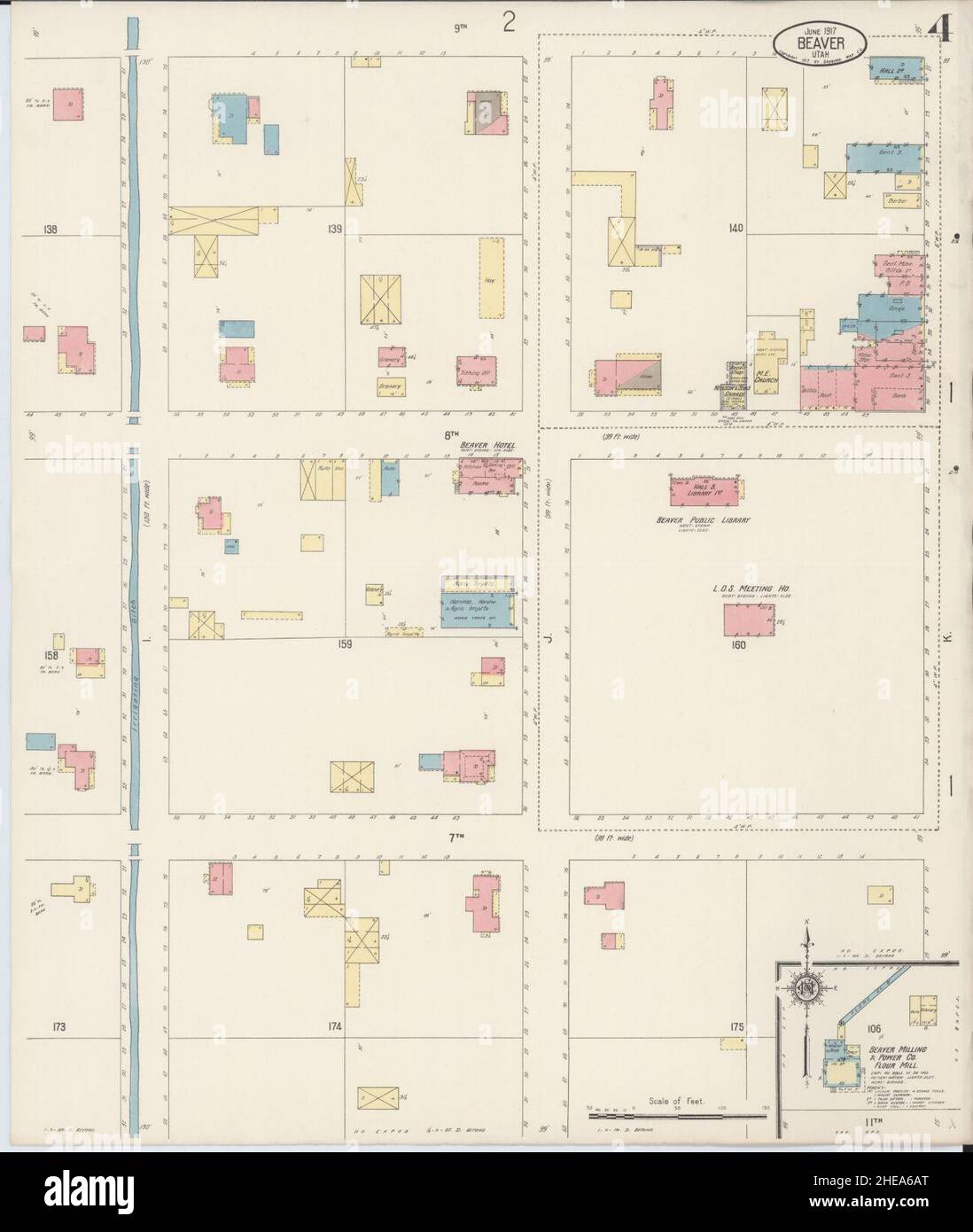 Sanborn Fire Insurance Map from Beaver, Beaver County, Utah. Stock Photohttps://www.alamy.com/image-license-details/?v=1https://www.alamy.com/sanborn-fire-insurance-map-from-beaver-beaver-county-utah-image456299280.html
RM2HEA6AT–Sanborn Fire Insurance Map from Beaver, Beaver County, Utah.
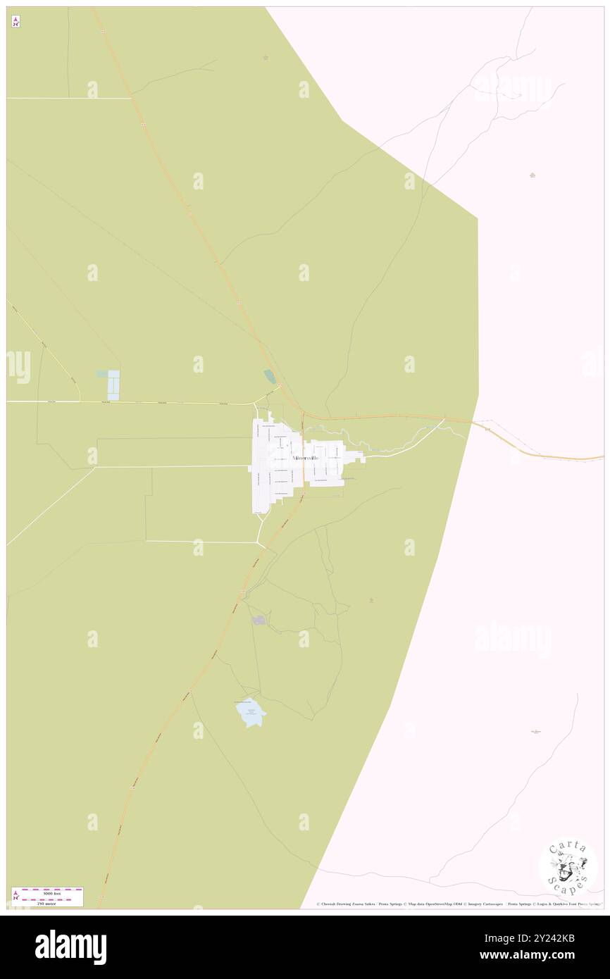 Minersville, Beaver County, US, United States, Utah, N 38 12' 50'', S 112 55' 24'', map, Cartascapes Map published in 2024. Explore Cartascapes, a map revealing Earth's diverse landscapes, cultures, and ecosystems. Journey through time and space, discovering the interconnectedness of our planet's past, present, and future. Stock Photohttps://www.alamy.com/image-license-details/?v=1https://www.alamy.com/minersville-beaver-county-us-united-states-utah-n-38-12-50-s-112-55-24-map-cartascapes-map-published-in-2024-explore-cartascapes-a-map-revealing-earths-diverse-landscapes-cultures-and-ecosystems-journey-through-time-and-space-discovering-the-interconnectedness-of-our-planets-past-present-and-future-image620892479.html
RM2Y242KB–Minersville, Beaver County, US, United States, Utah, N 38 12' 50'', S 112 55' 24'', map, Cartascapes Map published in 2024. Explore Cartascapes, a map revealing Earth's diverse landscapes, cultures, and ecosystems. Journey through time and space, discovering the interconnectedness of our planet's past, present, and future.
 Sanborn Fire Insurance Map from Beaver, Beaver County, Utah. Stock Photohttps://www.alamy.com/image-license-details/?v=1https://www.alamy.com/sanborn-fire-insurance-map-from-beaver-beaver-county-utah-image456299266.html
RM2HEA6AA–Sanborn Fire Insurance Map from Beaver, Beaver County, Utah.
 Thermo, Beaver County, US, United States, Utah, N 38 12' 51'', S 113 10' 17'', map, Cartascapes Map published in 2024. Explore Cartascapes, a map revealing Earth's diverse landscapes, cultures, and ecosystems. Journey through time and space, discovering the interconnectedness of our planet's past, present, and future. Stock Photohttps://www.alamy.com/image-license-details/?v=1https://www.alamy.com/thermo-beaver-county-us-united-states-utah-n-38-12-51-s-113-10-17-map-cartascapes-map-published-in-2024-explore-cartascapes-a-map-revealing-earths-diverse-landscapes-cultures-and-ecosystems-journey-through-time-and-space-discovering-the-interconnectedness-of-our-planets-past-present-and-future-image620826062.html
RM2Y211YA–Thermo, Beaver County, US, United States, Utah, N 38 12' 51'', S 113 10' 17'', map, Cartascapes Map published in 2024. Explore Cartascapes, a map revealing Earth's diverse landscapes, cultures, and ecosystems. Journey through time and space, discovering the interconnectedness of our planet's past, present, and future.
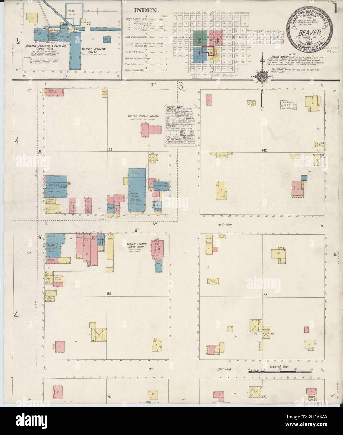 Sanborn Fire Insurance Map from Beaver, Beaver County, Utah. Stock Photohttps://www.alamy.com/image-license-details/?v=1https://www.alamy.com/sanborn-fire-insurance-map-from-beaver-beaver-county-utah-image456299282.html
RM2HEA6AX–Sanborn Fire Insurance Map from Beaver, Beaver County, Utah.
 Milford, Beaver County, US, United States, Utah, N 38 23' 48'', S 113 0' 38'', map, Cartascapes Map published in 2024. Explore Cartascapes, a map revealing Earth's diverse landscapes, cultures, and ecosystems. Journey through time and space, discovering the interconnectedness of our planet's past, present, and future. Stock Photohttps://www.alamy.com/image-license-details/?v=1https://www.alamy.com/milford-beaver-county-us-united-states-utah-n-38-23-48-s-113-0-38-map-cartascapes-map-published-in-2024-explore-cartascapes-a-map-revealing-earths-diverse-landscapes-cultures-and-ecosystems-journey-through-time-and-space-discovering-the-interconnectedness-of-our-planets-past-present-and-future-image620864453.html
RM2Y22PXD–Milford, Beaver County, US, United States, Utah, N 38 23' 48'', S 113 0' 38'', map, Cartascapes Map published in 2024. Explore Cartascapes, a map revealing Earth's diverse landscapes, cultures, and ecosystems. Journey through time and space, discovering the interconnectedness of our planet's past, present, and future.
 Greenville, Beaver County, US, United States, Utah, N 38 15' 15'', S 112 42' 44'', map, Cartascapes Map published in 2024. Explore Cartascapes, a map revealing Earth's diverse landscapes, cultures, and ecosystems. Journey through time and space, discovering the interconnectedness of our planet's past, present, and future. Stock Photohttps://www.alamy.com/image-license-details/?v=1https://www.alamy.com/greenville-beaver-county-us-united-states-utah-n-38-15-15-s-112-42-44-map-cartascapes-map-published-in-2024-explore-cartascapes-a-map-revealing-earths-diverse-landscapes-cultures-and-ecosystems-journey-through-time-and-space-discovering-the-interconnectedness-of-our-planets-past-present-and-future-image620852940.html
RM2Y22878–Greenville, Beaver County, US, United States, Utah, N 38 15' 15'', S 112 42' 44'', map, Cartascapes Map published in 2024. Explore Cartascapes, a map revealing Earth's diverse landscapes, cultures, and ecosystems. Journey through time and space, discovering the interconnectedness of our planet's past, present, and future.
 Murdock, Beaver County, US, United States, Utah, N 38 30' 12'', S 112 59' 2'', map, Cartascapes Map published in 2024. Explore Cartascapes, a map revealing Earth's diverse landscapes, cultures, and ecosystems. Journey through time and space, discovering the interconnectedness of our planet's past, present, and future. Stock Photohttps://www.alamy.com/image-license-details/?v=1https://www.alamy.com/murdock-beaver-county-us-united-states-utah-n-38-30-12-s-112-59-2-map-cartascapes-map-published-in-2024-explore-cartascapes-a-map-revealing-earths-diverse-landscapes-cultures-and-ecosystems-journey-through-time-and-space-discovering-the-interconnectedness-of-our-planets-past-present-and-future-image620703599.html
RM2Y1RDNK–Murdock, Beaver County, US, United States, Utah, N 38 30' 12'', S 112 59' 2'', map, Cartascapes Map published in 2024. Explore Cartascapes, a map revealing Earth's diverse landscapes, cultures, and ecosystems. Journey through time and space, discovering the interconnectedness of our planet's past, present, and future.
 Blueacre, Beaver County, US, United States, Utah, N 38 29' 6'', S 113 7' 54'', map, Cartascapes Map published in 2024. Explore Cartascapes, a map revealing Earth's diverse landscapes, cultures, and ecosystems. Journey through time and space, discovering the interconnectedness of our planet's past, present, and future. Stock Photohttps://www.alamy.com/image-license-details/?v=1https://www.alamy.com/blueacre-beaver-county-us-united-states-utah-n-38-29-6-s-113-7-54-map-cartascapes-map-published-in-2024-explore-cartascapes-a-map-revealing-earths-diverse-landscapes-cultures-and-ecosystems-journey-through-time-and-space-discovering-the-interconnectedness-of-our-planets-past-present-and-future-image620786141.html
RM2Y1Y71H–Blueacre, Beaver County, US, United States, Utah, N 38 29' 6'', S 113 7' 54'', map, Cartascapes Map published in 2024. Explore Cartascapes, a map revealing Earth's diverse landscapes, cultures, and ecosystems. Journey through time and space, discovering the interconnectedness of our planet's past, present, and future.
 Sulphurdale, Beaver County, US, United States, Utah, N 38 33' 36'', S 112 34' 54'', map, Cartascapes Map published in 2024. Explore Cartascapes, a map revealing Earth's diverse landscapes, cultures, and ecosystems. Journey through time and space, discovering the interconnectedness of our planet's past, present, and future. Stock Photohttps://www.alamy.com/image-license-details/?v=1https://www.alamy.com/sulphurdale-beaver-county-us-united-states-utah-n-38-33-36-s-112-34-54-map-cartascapes-map-published-in-2024-explore-cartascapes-a-map-revealing-earths-diverse-landscapes-cultures-and-ecosystems-journey-through-time-and-space-discovering-the-interconnectedness-of-our-planets-past-present-and-future-image620841655.html
RM2Y21NT7–Sulphurdale, Beaver County, US, United States, Utah, N 38 33' 36'', S 112 34' 54'', map, Cartascapes Map published in 2024. Explore Cartascapes, a map revealing Earth's diverse landscapes, cultures, and ecosystems. Journey through time and space, discovering the interconnectedness of our planet's past, present, and future.
 Beaver, Beaver County, US, United States, Utah, N 38 16' 36'', S 112 38' 27'', map, Cartascapes Map published in 2024. Explore Cartascapes, a map revealing Earth's diverse landscapes, cultures, and ecosystems. Journey through time and space, discovering the interconnectedness of our planet's past, present, and future. Stock Photohttps://www.alamy.com/image-license-details/?v=1https://www.alamy.com/beaver-beaver-county-us-united-states-utah-n-38-16-36-s-112-38-27-map-cartascapes-map-published-in-2024-explore-cartascapes-a-map-revealing-earths-diverse-landscapes-cultures-and-ecosystems-journey-through-time-and-space-discovering-the-interconnectedness-of-our-planets-past-present-and-future-image620697337.html
RM2Y1R5P1–Beaver, Beaver County, US, United States, Utah, N 38 16' 36'', S 112 38' 27'', map, Cartascapes Map published in 2024. Explore Cartascapes, a map revealing Earth's diverse landscapes, cultures, and ecosystems. Journey through time and space, discovering the interconnectedness of our planet's past, present, and future.
 Upton, Beaver County, US, United States, Utah, N 38 19' 26'', S 113 3' 58'', map, Cartascapes Map published in 2024. Explore Cartascapes, a map revealing Earth's diverse landscapes, cultures, and ecosystems. Journey through time and space, discovering the interconnectedness of our planet's past, present, and future. Stock Photohttps://www.alamy.com/image-license-details/?v=1https://www.alamy.com/upton-beaver-county-us-united-states-utah-n-38-19-26-s-113-3-58-map-cartascapes-map-published-in-2024-explore-cartascapes-a-map-revealing-earths-diverse-landscapes-cultures-and-ecosystems-journey-through-time-and-space-discovering-the-interconnectedness-of-our-planets-past-present-and-future-image620723987.html
RM2Y1TBNR–Upton, Beaver County, US, United States, Utah, N 38 19' 26'', S 113 3' 58'', map, Cartascapes Map published in 2024. Explore Cartascapes, a map revealing Earth's diverse landscapes, cultures, and ecosystems. Journey through time and space, discovering the interconnectedness of our planet's past, present, and future.
 North Creek, Beaver County, US, United States, Utah, N 38 20' 13'', S 112 34' 40'', map, Cartascapes Map published in 2024. Explore Cartascapes, a map revealing Earth's diverse landscapes, cultures, and ecosystems. Journey through time and space, discovering the interconnectedness of our planet's past, present, and future. Stock Photohttps://www.alamy.com/image-license-details/?v=1https://www.alamy.com/north-creek-beaver-county-us-united-states-utah-n-38-20-13-s-112-34-40-map-cartascapes-map-published-in-2024-explore-cartascapes-a-map-revealing-earths-diverse-landscapes-cultures-and-ecosystems-journey-through-time-and-space-discovering-the-interconnectedness-of-our-planets-past-present-and-future-image620714186.html
RM2Y1RY7P–North Creek, Beaver County, US, United States, Utah, N 38 20' 13'', S 112 34' 40'', map, Cartascapes Map published in 2024. Explore Cartascapes, a map revealing Earth's diverse landscapes, cultures, and ecosystems. Journey through time and space, discovering the interconnectedness of our planet's past, present, and future.
 Shenendoah City, Beaver County, US, United States, Utah, N 38 21' 7'', S 113 8' 13'', map, Cartascapes Map published in 2024. Explore Cartascapes, a map revealing Earth's diverse landscapes, cultures, and ecosystems. Journey through time and space, discovering the interconnectedness of our planet's past, present, and future. Stock Photohttps://www.alamy.com/image-license-details/?v=1https://www.alamy.com/shenendoah-city-beaver-county-us-united-states-utah-n-38-21-7-s-113-8-13-map-cartascapes-map-published-in-2024-explore-cartascapes-a-map-revealing-earths-diverse-landscapes-cultures-and-ecosystems-journey-through-time-and-space-discovering-the-interconnectedness-of-our-planets-past-present-and-future-image620700499.html
RM2Y1R9PY–Shenendoah City, Beaver County, US, United States, Utah, N 38 21' 7'', S 113 8' 13'', map, Cartascapes Map published in 2024. Explore Cartascapes, a map revealing Earth's diverse landscapes, cultures, and ecosystems. Journey through time and space, discovering the interconnectedness of our planet's past, present, and future.
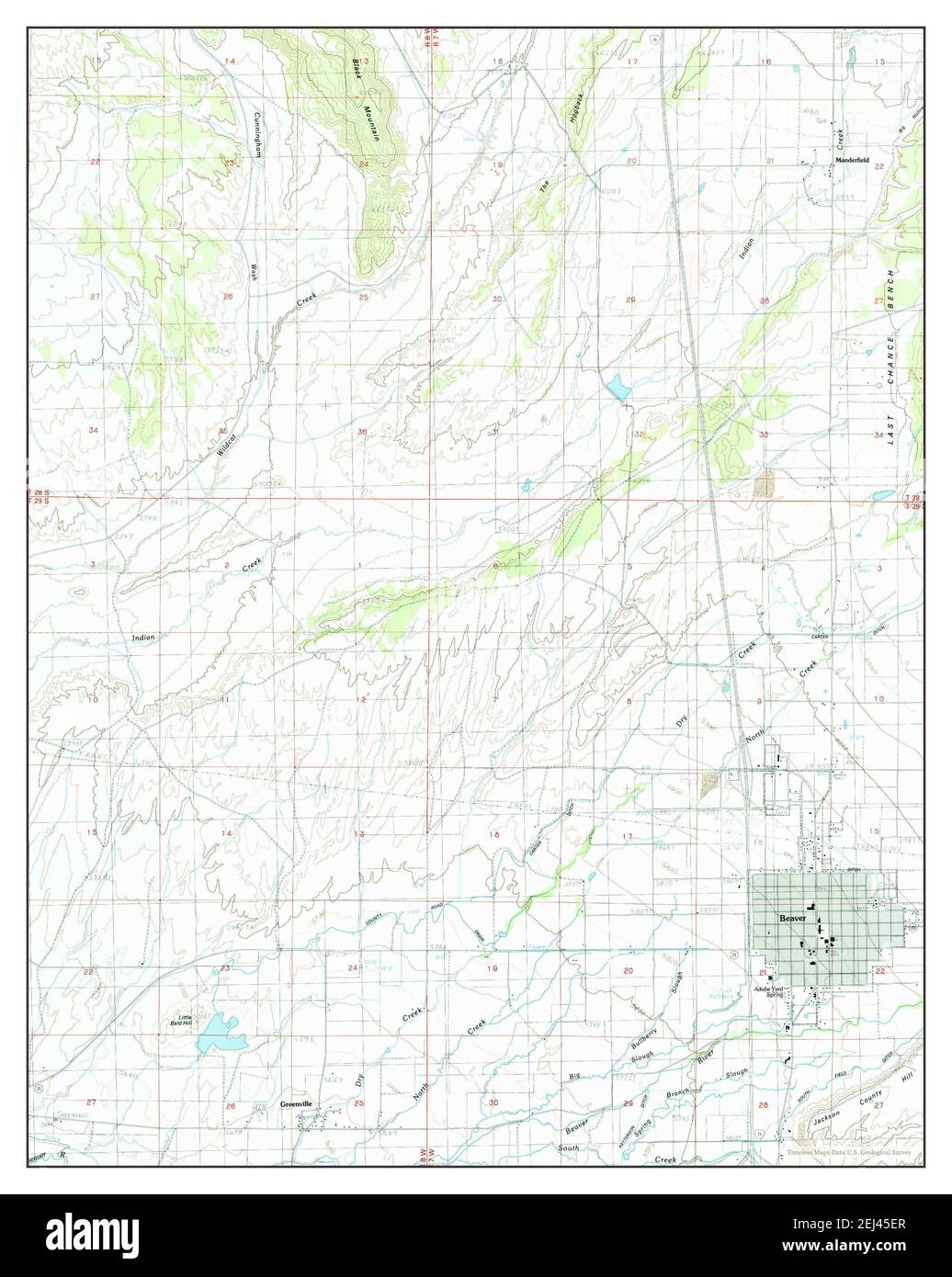 Beaver, Utah, map 1986, 1:24000, United States of America by Timeless Maps, data U.S. Geological Survey Stock Photohttps://www.alamy.com/image-license-details/?v=1https://www.alamy.com/beaver-utah-map-1986-124000-united-states-of-america-by-timeless-maps-data-us-geological-survey-image406994415.html
RM2EJ45ER–Beaver, Utah, map 1986, 1:24000, United States of America by Timeless Maps, data U.S. Geological Survey
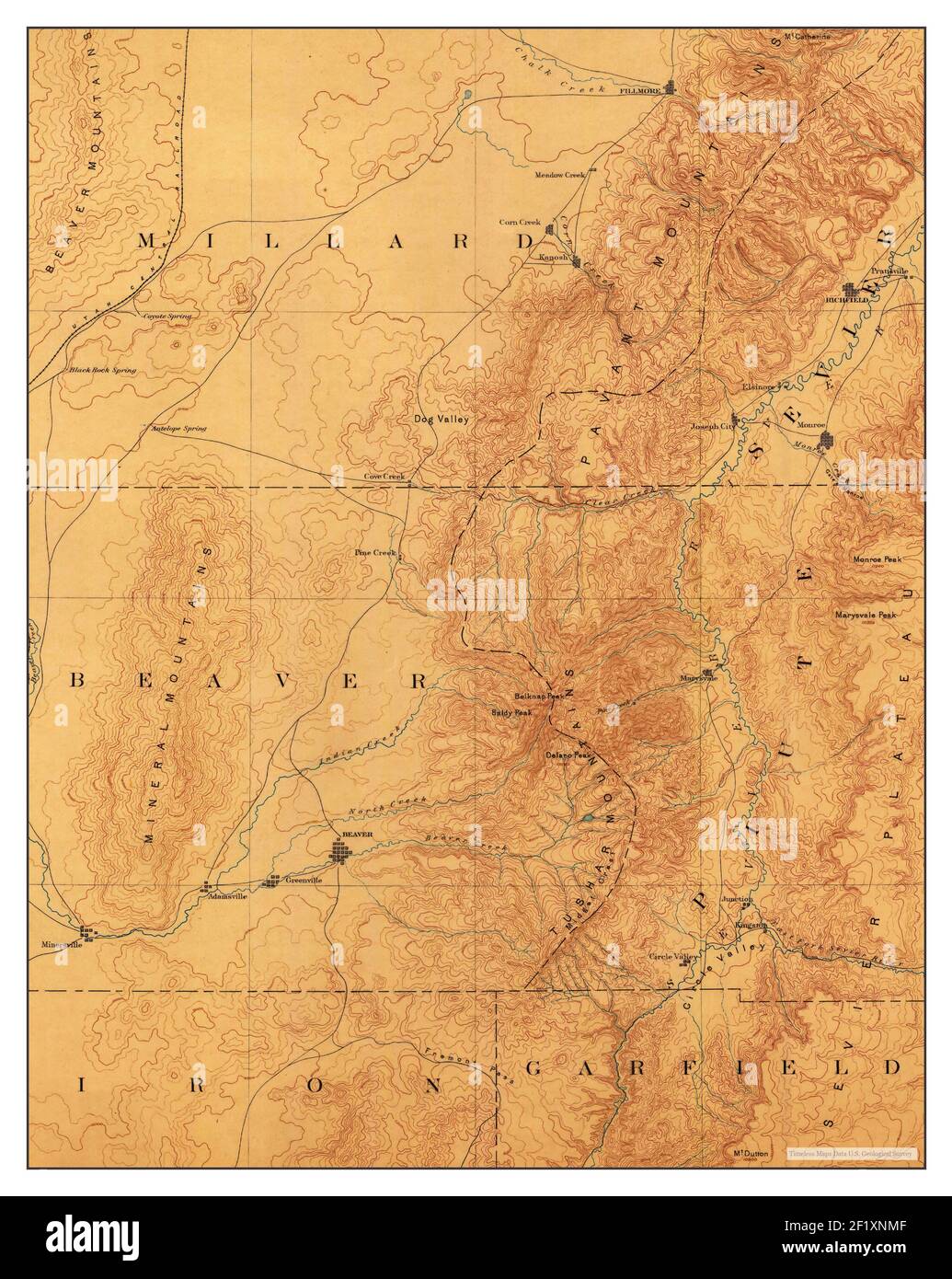 Beaver, Utah, map 1885, 1:250000, United States of America by Timeless Maps, data U.S. Geological Survey Stock Photohttps://www.alamy.com/image-license-details/?v=1https://www.alamy.com/beaver-utah-map-1885-1250000-united-states-of-america-by-timeless-maps-data-us-geological-survey-image414251279.html
RM2F1XNMF–Beaver, Utah, map 1885, 1:250000, United States of America by Timeless Maps, data U.S. Geological Survey
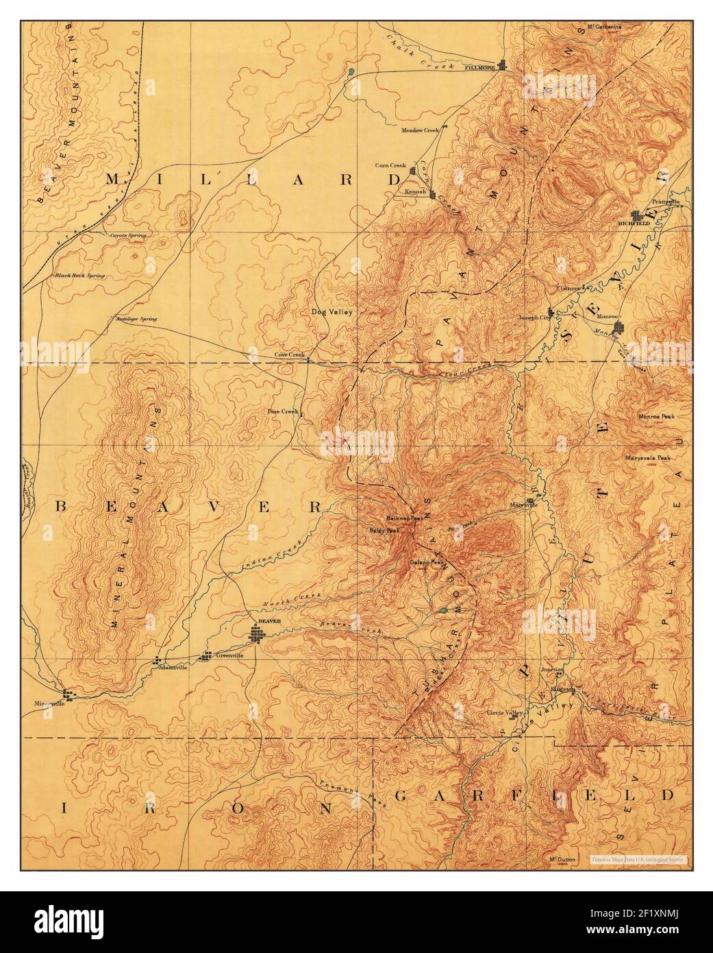 Beaver, Utah, map 1885, 1:250000, United States of America by Timeless Maps, data U.S. Geological Survey Stock Photohttps://www.alamy.com/image-license-details/?v=1https://www.alamy.com/beaver-utah-map-1885-1250000-united-states-of-america-by-timeless-maps-data-us-geological-survey-image414251282.html
RM2F1XNMJ–Beaver, Utah, map 1885, 1:250000, United States of America by Timeless Maps, data U.S. Geological Survey
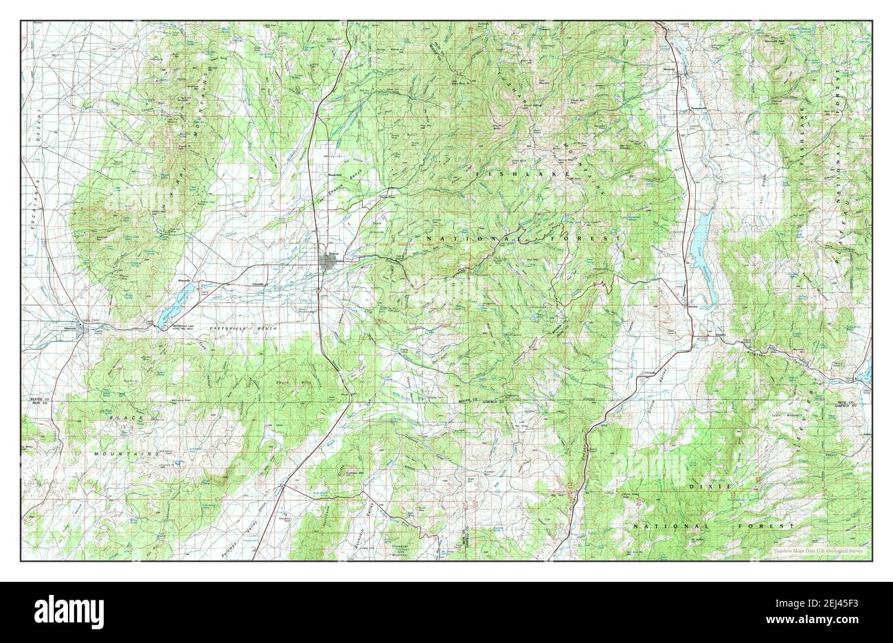 Beaver, Utah, map 1980, 1:100000, United States of America by Timeless Maps, data U.S. Geological Survey Stock Photohttps://www.alamy.com/image-license-details/?v=1https://www.alamy.com/beaver-utah-map-1980-1100000-united-states-of-america-by-timeless-maps-data-us-geological-survey-image406994423.html
RM2EJ45F3–Beaver, Utah, map 1980, 1:100000, United States of America by Timeless Maps, data U.S. Geological Survey
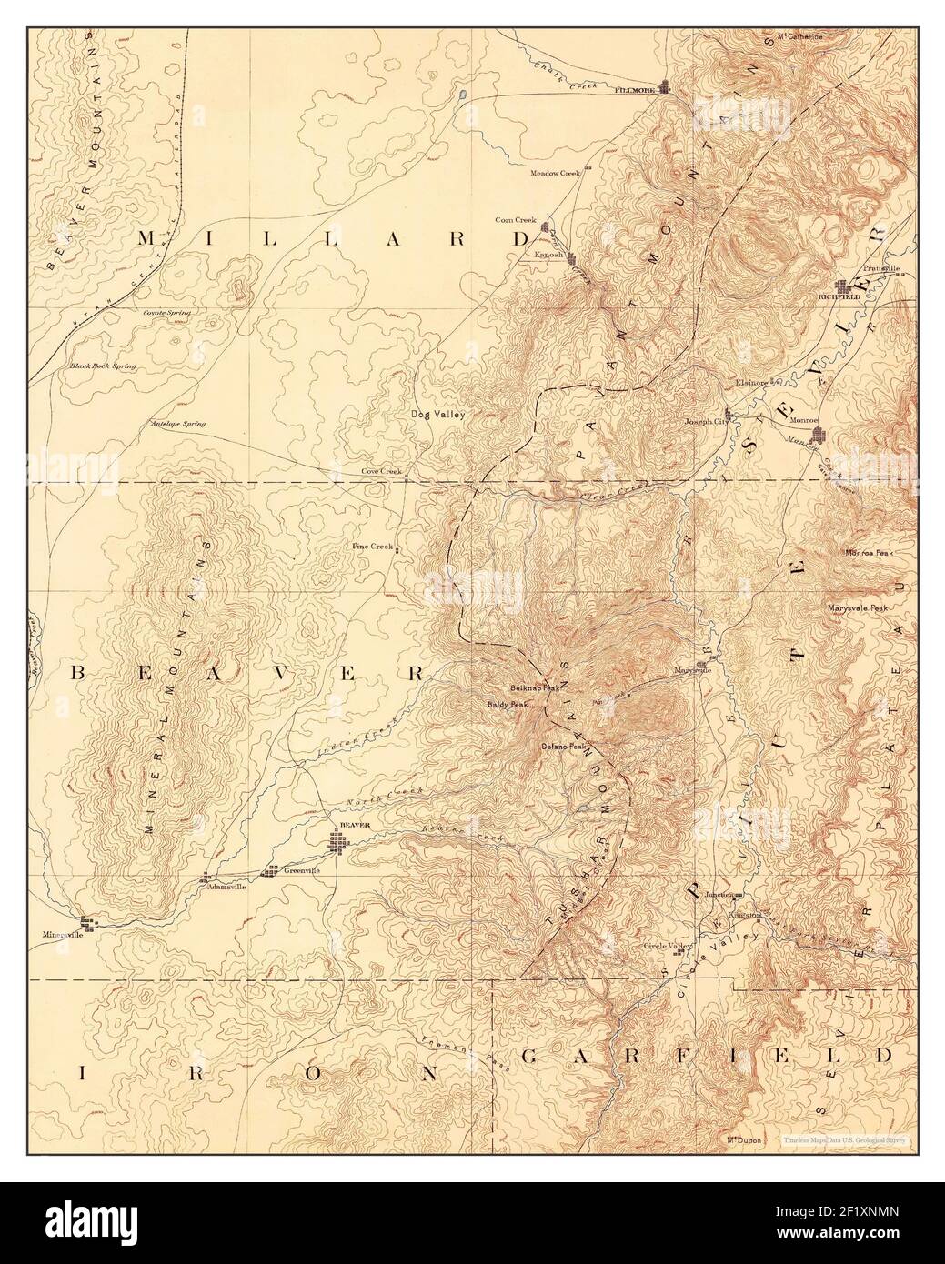 Beaver, Utah, map 1885, 1:250000, United States of America by Timeless Maps, data U.S. Geological Survey Stock Photohttps://www.alamy.com/image-license-details/?v=1https://www.alamy.com/beaver-utah-map-1885-1250000-united-states-of-america-by-timeless-maps-data-us-geological-survey-image414251285.html
RM2F1XNMN–Beaver, Utah, map 1885, 1:250000, United States of America by Timeless Maps, data U.S. Geological Survey
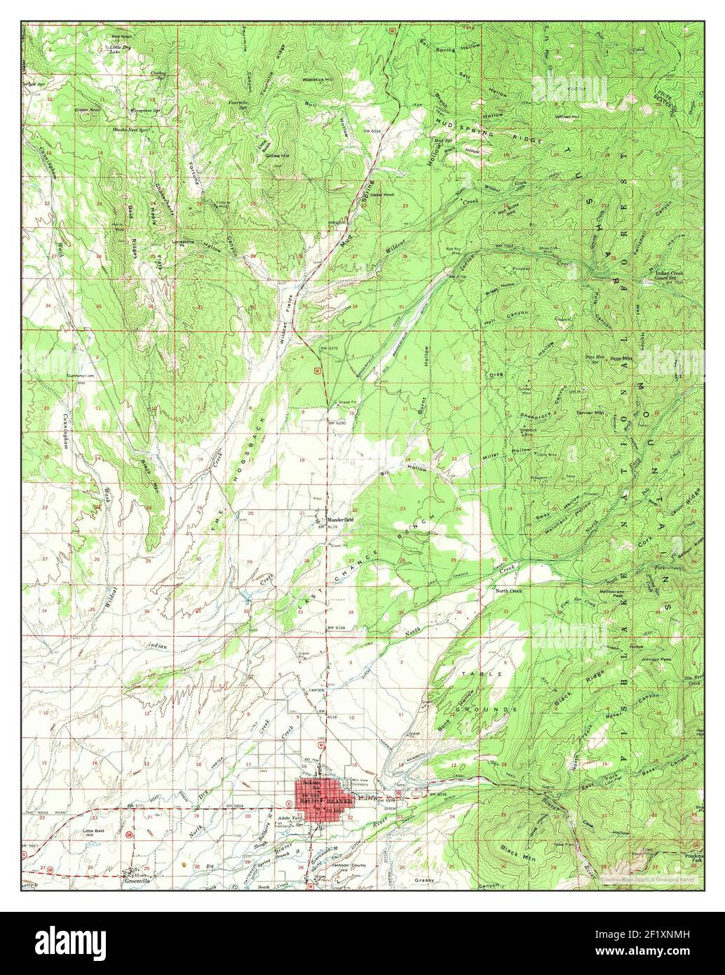 Beaver, Utah, map 1958, 1:62500, United States of America by Timeless Maps, data U.S. Geological Survey Stock Photohttps://www.alamy.com/image-license-details/?v=1https://www.alamy.com/beaver-utah-map-1958-162500-united-states-of-america-by-timeless-maps-data-us-geological-survey-image414251281.html
RM2F1XNMH–Beaver, Utah, map 1958, 1:62500, United States of America by Timeless Maps, data U.S. Geological Survey
 Beaver, Utah, map 1980, 1:100000, United States of America by Timeless Maps, data U.S. Geological Survey Stock Photohttps://www.alamy.com/image-license-details/?v=1https://www.alamy.com/beaver-utah-map-1980-1100000-united-states-of-america-by-timeless-maps-data-us-geological-survey-image406994420.html
RM2EJ45F0–Beaver, Utah, map 1980, 1:100000, United States of America by Timeless Maps, data U.S. Geological Survey
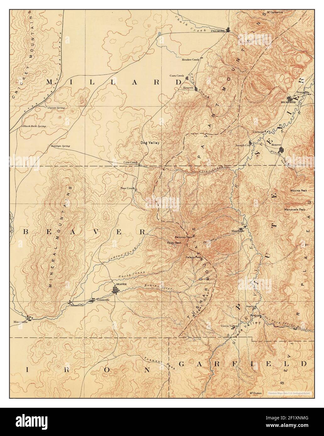 Beaver, Utah, map 1885, 1:250000, United States of America by Timeless Maps, data U.S. Geological Survey Stock Photohttps://www.alamy.com/image-license-details/?v=1https://www.alamy.com/beaver-utah-map-1885-1250000-united-states-of-america-by-timeless-maps-data-us-geological-survey-image414251280.html
RM2F1XNMG–Beaver, Utah, map 1885, 1:250000, United States of America by Timeless Maps, data U.S. Geological Survey
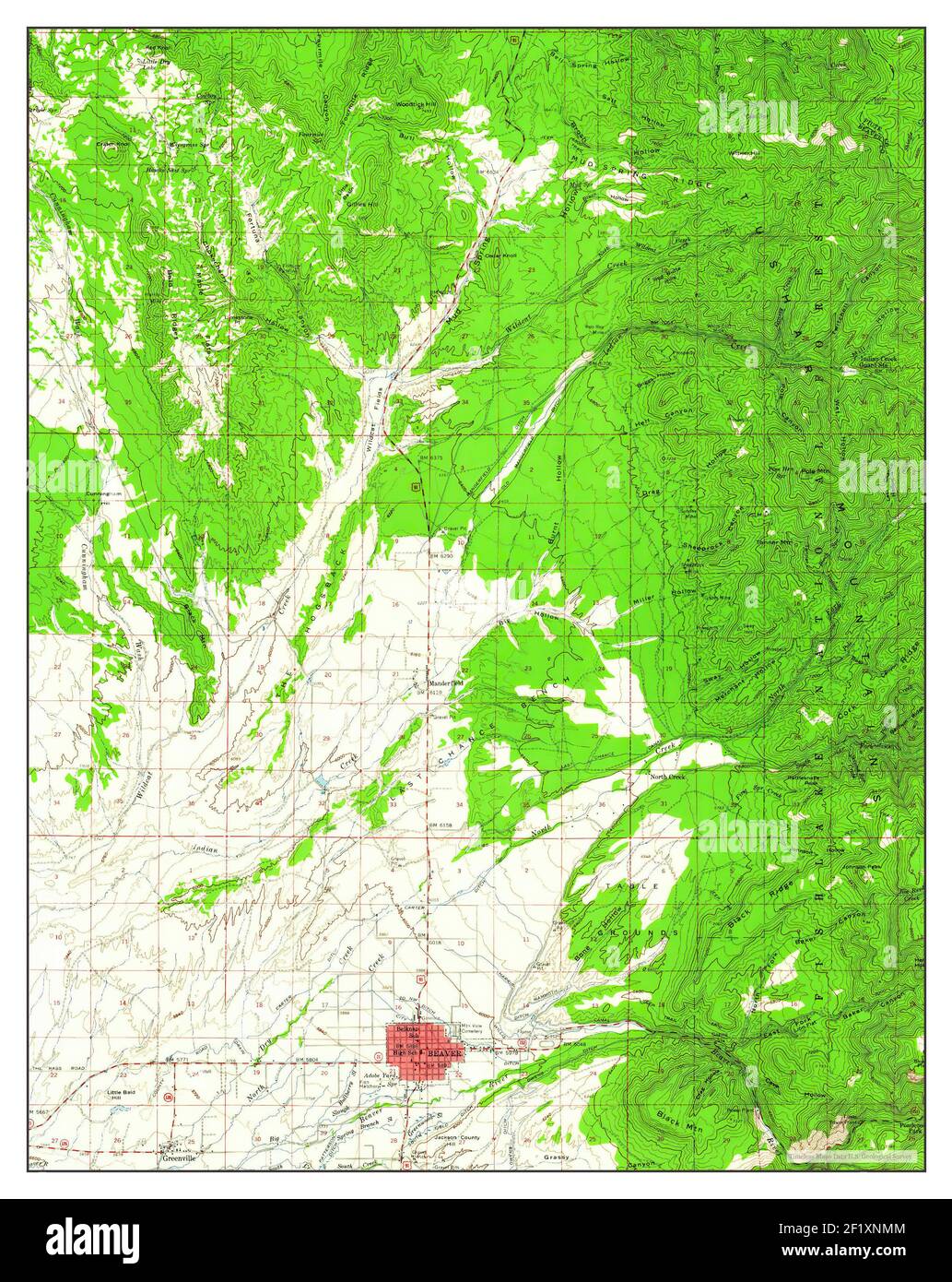 Beaver, Utah, map 1958, 1:62500, United States of America by Timeless Maps, data U.S. Geological Survey Stock Photohttps://www.alamy.com/image-license-details/?v=1https://www.alamy.com/beaver-utah-map-1958-162500-united-states-of-america-by-timeless-maps-data-us-geological-survey-image414251284.html
RM2F1XNMM–Beaver, Utah, map 1958, 1:62500, United States of America by Timeless Maps, data U.S. Geological Survey
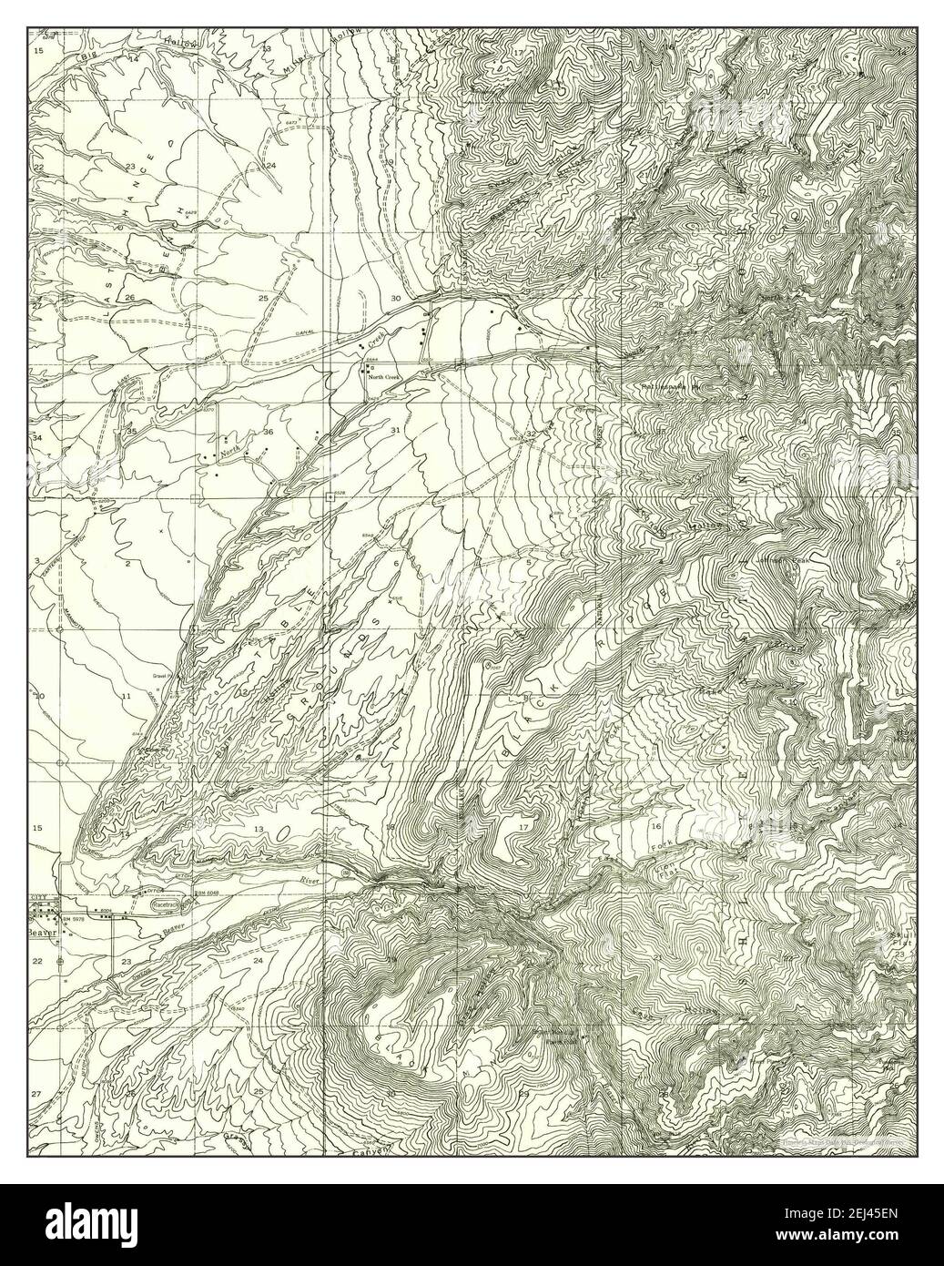 Beaver SE, Utah, map 1954, 1:24000, United States of America by Timeless Maps, data U.S. Geological Survey Stock Photohttps://www.alamy.com/image-license-details/?v=1https://www.alamy.com/beaver-se-utah-map-1954-124000-united-states-of-america-by-timeless-maps-data-us-geological-survey-image406994413.html
RM2EJ45EN–Beaver SE, Utah, map 1954, 1:24000, United States of America by Timeless Maps, data U.S. Geological Survey
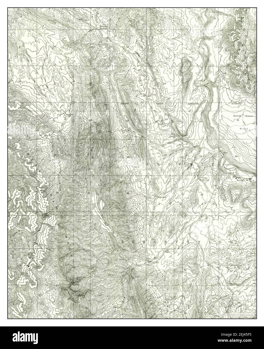 Beaver Dam Mts NE, Utah, map 1954, 1:24000, United States of America by Timeless Maps, data U.S. Geological Survey Stock Photohttps://www.alamy.com/image-license-details/?v=1https://www.alamy.com/beaver-dam-mts-ne-utah-map-1954-124000-united-states-of-america-by-timeless-maps-data-us-geological-survey-image406994425.html
RM2EJ45F5–Beaver Dam Mts NE, Utah, map 1954, 1:24000, United States of America by Timeless Maps, data U.S. Geological Survey
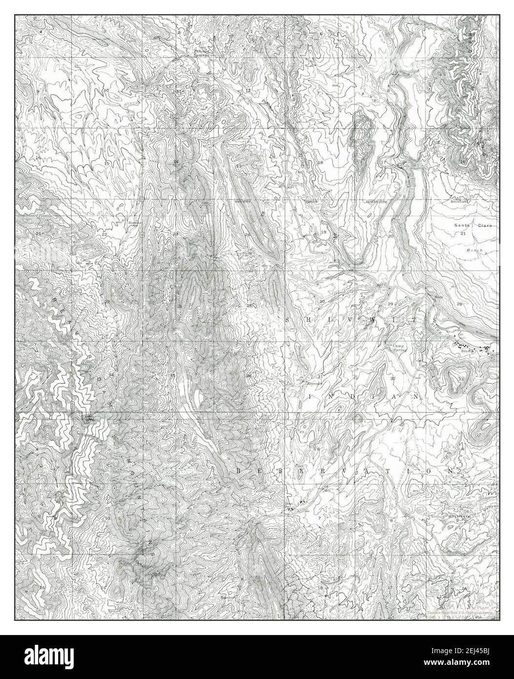 Beaver Dam Mts NE, Utah, map 1954, 1:24000, United States of America by Timeless Maps, data U.S. Geological Survey Stock Photohttps://www.alamy.com/image-license-details/?v=1https://www.alamy.com/beaver-dam-mts-ne-utah-map-1954-124000-united-states-of-america-by-timeless-maps-data-us-geological-survey-image406994326.html
RM2EJ45BJ–Beaver Dam Mts NE, Utah, map 1954, 1:24000, United States of America by Timeless Maps, data U.S. Geological Survey