Map of blaine Cut Out Stock Images
 USGS Topo Map Oregon Blaine 20110810 TM Restoration Stock Photohttps://www.alamy.com/image-license-details/?v=1https://www.alamy.com/usgs-topo-map-oregon-blaine-20110810-tm-restoration-image263706137.html
RMW90RT9–USGS Topo Map Oregon Blaine 20110810 TM Restoration
 Mount Blaine, Ipswich, AU, Australia, Queensland, S 27 47' 11'', N 152 48' 20'', map, Cartascapes Map published in 2024. Explore Cartascapes, a map revealing Earth's diverse landscapes, cultures, and ecosystems. Journey through time and space, discovering the interconnectedness of our planet's past, present, and future. Stock Photohttps://www.alamy.com/image-license-details/?v=1https://www.alamy.com/mount-blaine-ipswich-au-australia-queensland-s-27-47-11-n-152-48-20-map-cartascapes-map-published-in-2024-explore-cartascapes-a-map-revealing-earths-diverse-landscapes-cultures-and-ecosystems-journey-through-time-and-space-discovering-the-interconnectedness-of-our-planets-past-present-and-future-image625639246.html
RM2Y9T96P–Mount Blaine, Ipswich, AU, Australia, Queensland, S 27 47' 11'', N 152 48' 20'', map, Cartascapes Map published in 2024. Explore Cartascapes, a map revealing Earth's diverse landscapes, cultures, and ecosystems. Journey through time and space, discovering the interconnectedness of our planet's past, present, and future.
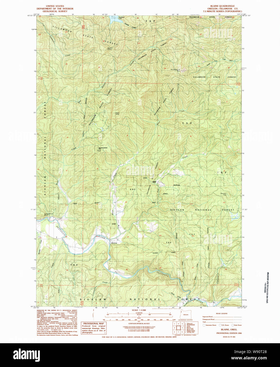 USGS Topo Map Oregon Blaine 279056 1984 24000 Restoration Stock Photohttps://www.alamy.com/image-license-details/?v=1https://www.alamy.com/usgs-topo-map-oregon-blaine-279056-1984-24000-restoration-image263706304.html
RMW90T28–USGS Topo Map Oregon Blaine 279056 1984 24000 Restoration
 Map of Blaine in Montana Stock Photohttps://www.alamy.com/image-license-details/?v=1https://www.alamy.com/map-of-blaine-in-montana-image366163849.html
RF2C7M5M9–Map of Blaine in Montana
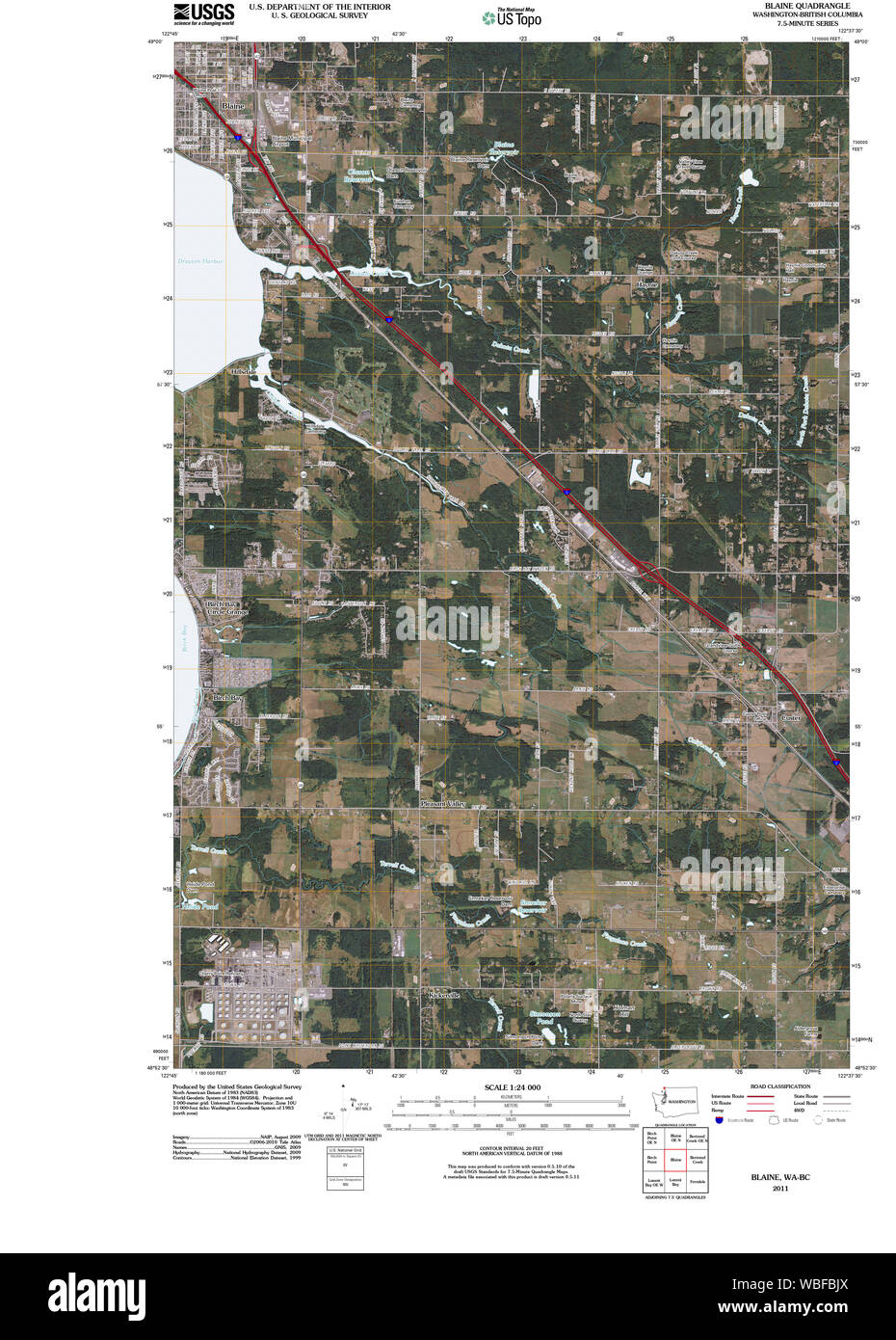 USGS Topo Map Washington State WA Blaine 20110504 TM Restoration Stock Photohttps://www.alamy.com/image-license-details/?v=1https://www.alamy.com/usgs-topo-map-washington-state-wa-blaine-20110504-tm-restoration-image265255170.html
RMWBFBJX–USGS Topo Map Washington State WA Blaine 20110504 TM Restoration
 Map of Blaine in Idaho Stock Photohttps://www.alamy.com/image-license-details/?v=1https://www.alamy.com/map-of-blaine-in-idaho-image402443547.html
RF2EAMTRR–Map of Blaine in Idaho
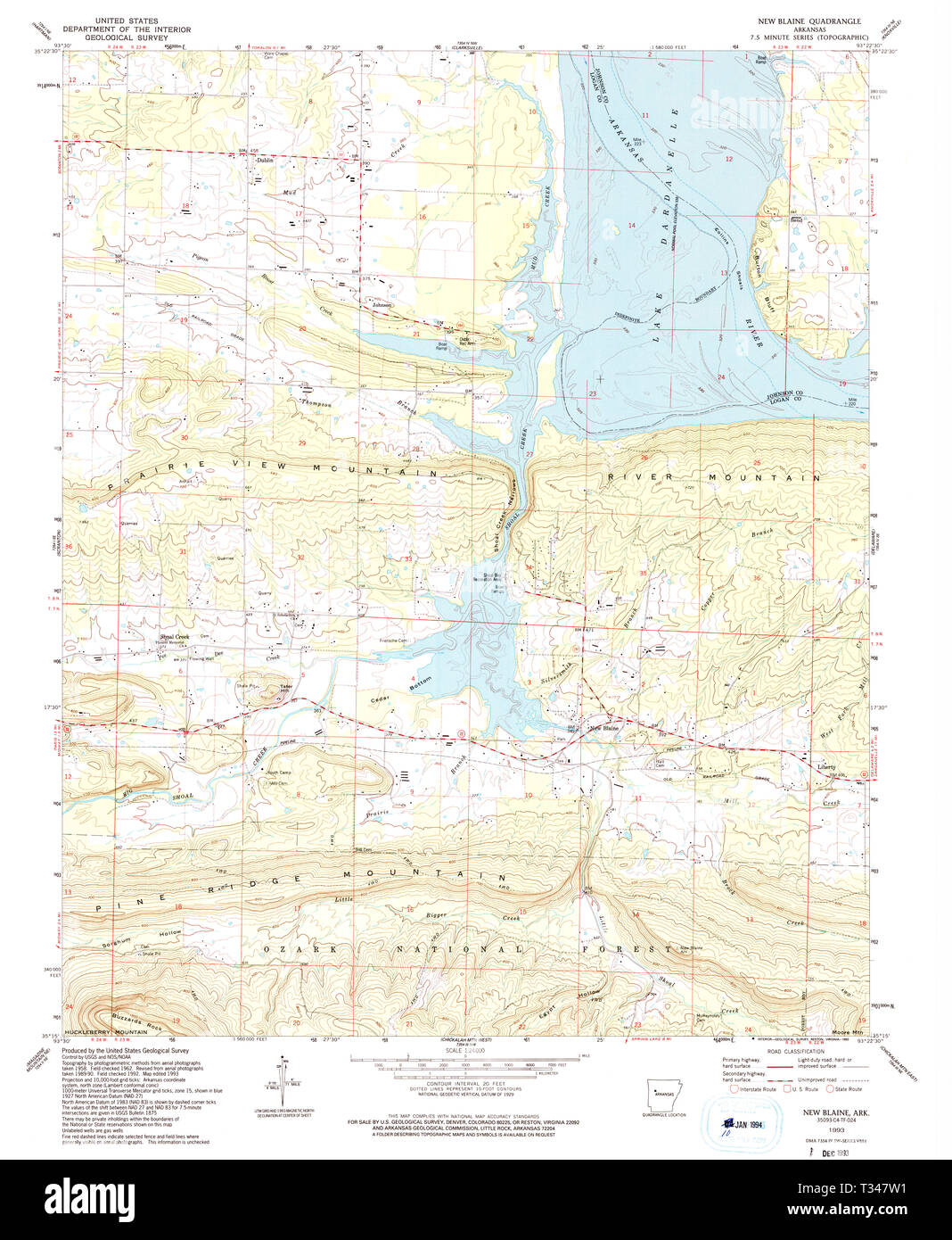 USGS TOPO Map Arkansas AR New Blaine 259222 1993 24000 Restoration Stock Photohttps://www.alamy.com/image-license-details/?v=1https://www.alamy.com/usgs-topo-map-arkansas-ar-new-blaine-259222-1993-24000-restoration-image242883117.html
RMT347W1–USGS TOPO Map Arkansas AR New Blaine 259222 1993 24000 Restoration
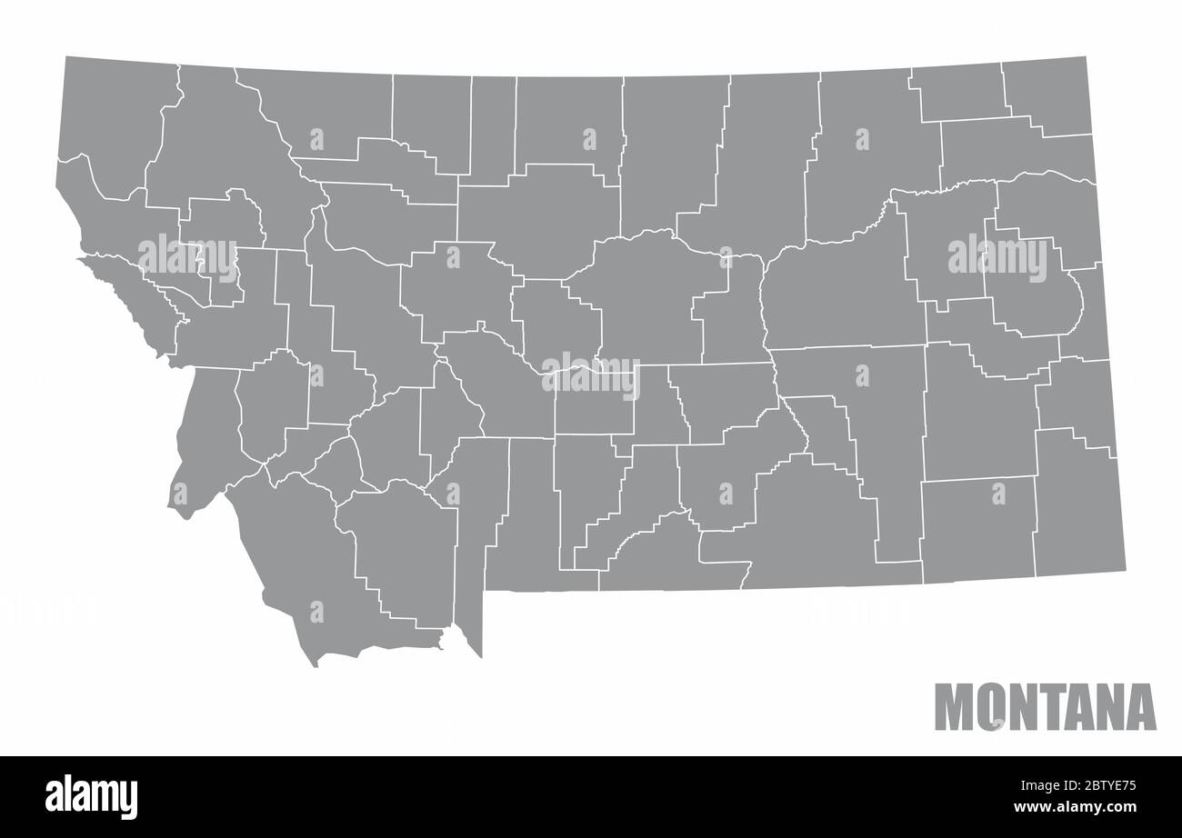 Montana county map Stock Vectorhttps://www.alamy.com/image-license-details/?v=1https://www.alamy.com/montana-county-map-image359562985.html
RF2BTYE75–Montana county map
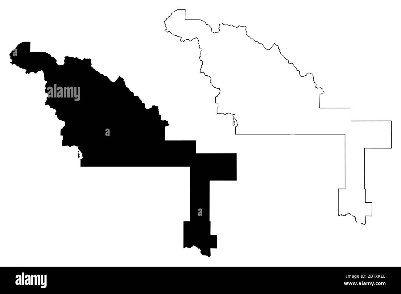 Blaine County, Idaho (U.S. county, United States of America, USA, U.S., US) map vector illustration, scribble sketch Blaine map Stock Vectorhttps://www.alamy.com/image-license-details/?v=1https://www.alamy.com/blaine-county-idaho-us-county-united-states-of-america-usa-us-us-map-vector-illustration-scribble-sketch-blaine-map-image359545158.html
RF2BTXKEE–Blaine County, Idaho (U.S. county, United States of America, USA, U.S., US) map vector illustration, scribble sketch Blaine map
 Geary, Blaine County, US, United States, Oklahoma, N 35 37' 52'', S 98 19' 2'', map, Cartascapes Map published in 2024. Explore Cartascapes, a map revealing Earth's diverse landscapes, cultures, and ecosystems. Journey through time and space, discovering the interconnectedness of our planet's past, present, and future. Stock Photohttps://www.alamy.com/image-license-details/?v=1https://www.alamy.com/geary-blaine-county-us-united-states-oklahoma-n-35-37-52-s-98-19-2-map-cartascapes-map-published-in-2024-explore-cartascapes-a-map-revealing-earths-diverse-landscapes-cultures-and-ecosystems-journey-through-time-and-space-discovering-the-interconnectedness-of-our-planets-past-present-and-future-image621409196.html
RM2Y2YHNG–Geary, Blaine County, US, United States, Oklahoma, N 35 37' 52'', S 98 19' 2'', map, Cartascapes Map published in 2024. Explore Cartascapes, a map revealing Earth's diverse landscapes, cultures, and ecosystems. Journey through time and space, discovering the interconnectedness of our planet's past, present, and future.
 Map of Blaine in Nebraska Stock Photohttps://www.alamy.com/image-license-details/?v=1https://www.alamy.com/map-of-blaine-in-nebraska-image368891809.html
RF2CC4D7D–Map of Blaine in Nebraska
 Map of Blaine in Oklahoma Stock Photohttps://www.alamy.com/image-license-details/?v=1https://www.alamy.com/map-of-blaine-in-oklahoma-image443783965.html
RF2GP02Y9–Map of Blaine in Oklahoma
 USGS TOPO Map Arkansas AR New Blaine 259219 1962 24000 Restoration Stock Photohttps://www.alamy.com/image-license-details/?v=1https://www.alamy.com/usgs-topo-map-arkansas-ar-new-blaine-259219-1962-24000-restoration-image242883105.html
RMT347TH–USGS TOPO Map Arkansas AR New Blaine 259219 1962 24000 Restoration
 USGS Topo Map Washington State WA Blaine 240099 1952 24000 Restoration Stock Photohttps://www.alamy.com/image-license-details/?v=1https://www.alamy.com/usgs-topo-map-washington-state-wa-blaine-240099-1952-24000-restoration-image265255674.html
RMWBFC8X–USGS Topo Map Washington State WA Blaine 240099 1952 24000 Restoration
 Blaine County, Idaho (U.S. county, United States of America, USA, U.S., US) map vector illustration, scribble sketch Blaine map Stock Vectorhttps://www.alamy.com/image-license-details/?v=1https://www.alamy.com/blaine-county-idaho-us-county-united-states-of-america-usa-us-us-map-vector-illustration-scribble-sketch-blaine-map-image367475695.html
RF2C9RXYY–Blaine County, Idaho (U.S. county, United States of America, USA, U.S., US) map vector illustration, scribble sketch Blaine map
 Blaine, Whatcom County, US, United States, Washington, N 48 59' 37'', S 122 44' 49'', map, Cartascapes Map published in 2024. Explore Cartascapes, a map revealing Earth's diverse landscapes, cultures, and ecosystems. Journey through time and space, discovering the interconnectedness of our planet's past, present, and future. Stock Photohttps://www.alamy.com/image-license-details/?v=1https://www.alamy.com/blaine-whatcom-county-us-united-states-washington-n-48-59-37-s-122-44-49-map-cartascapes-map-published-in-2024-explore-cartascapes-a-map-revealing-earths-diverse-landscapes-cultures-and-ecosystems-journey-through-time-and-space-discovering-the-interconnectedness-of-our-planets-past-present-and-future-image621217984.html
RM2Y2JWTG–Blaine, Whatcom County, US, United States, Washington, N 48 59' 37'', S 122 44' 49'', map, Cartascapes Map published in 2024. Explore Cartascapes, a map revealing Earth's diverse landscapes, cultures, and ecosystems. Journey through time and space, discovering the interconnectedness of our planet's past, present, and future.
 Map of Blaine in Oklahoma Stock Photohttps://www.alamy.com/image-license-details/?v=1https://www.alamy.com/map-of-blaine-in-oklahoma-image365483288.html
RF2C6H5JG–Map of Blaine in Oklahoma
 Map of Blaine in Nebraska Stock Photohttps://www.alamy.com/image-license-details/?v=1https://www.alamy.com/map-of-blaine-in-nebraska-image443922403.html
RF2GP6BFF–Map of Blaine in Nebraska
 USGS Topo Map Washington State WA Blaine 240100 1952 24000 Restoration Stock Photohttps://www.alamy.com/image-license-details/?v=1https://www.alamy.com/usgs-topo-map-washington-state-wa-blaine-240100-1952-24000-restoration-image265255671.html
RMWBFC8R–USGS Topo Map Washington State WA Blaine 240100 1952 24000 Restoration
 Blaine County, Montana (U.S. county, United States of America, USA, U.S., US) map vector illustration, scribble sketch Blaine map Stock Vectorhttps://www.alamy.com/image-license-details/?v=1https://www.alamy.com/blaine-county-montana-us-county-united-states-of-america-usa-us-us-map-vector-illustration-scribble-sketch-blaine-map-image397570705.html
RF2E2PWDN–Blaine County, Montana (U.S. county, United States of America, USA, U.S., US) map vector illustration, scribble sketch Blaine map
 USGS TOPO Map Kentucky KY Blaine 20100422 TM Stock Photohttps://www.alamy.com/image-license-details/?v=1https://www.alamy.com/usgs-topo-map-kentucky-ky-blaine-20100422-tm-image332734532.html
RM2A99A84–USGS TOPO Map Kentucky KY Blaine 20100422 TM
 Chinook, Blaine County, US, United States, Montana, N 48 35' 24'', S 109 13' 52'', map, Cartascapes Map published in 2024. Explore Cartascapes, a map revealing Earth's diverse landscapes, cultures, and ecosystems. Journey through time and space, discovering the interconnectedness of our planet's past, present, and future. Stock Photohttps://www.alamy.com/image-license-details/?v=1https://www.alamy.com/chinook-blaine-county-us-united-states-montana-n-48-35-24-s-109-13-52-map-cartascapes-map-published-in-2024-explore-cartascapes-a-map-revealing-earths-diverse-landscapes-cultures-and-ecosystems-journey-through-time-and-space-discovering-the-interconnectedness-of-our-planets-past-present-and-future-image621196735.html
RM2Y2HXNK–Chinook, Blaine County, US, United States, Montana, N 48 35' 24'', S 109 13' 52'', map, Cartascapes Map published in 2024. Explore Cartascapes, a map revealing Earth's diverse landscapes, cultures, and ecosystems. Journey through time and space, discovering the interconnectedness of our planet's past, present, and future.
 Map of Blaine in Idaho Stock Photohttps://www.alamy.com/image-license-details/?v=1https://www.alamy.com/map-of-blaine-in-idaho-image368497021.html
RF2CBEDKW–Map of Blaine in Idaho
 Map of Blaine in Idaho Stock Photohttps://www.alamy.com/image-license-details/?v=1https://www.alamy.com/map-of-blaine-in-idaho-image443783402.html
RF2GP0276–Map of Blaine in Idaho
 Blaine County, Montana (U.S. county, United States of America, USA, U.S., US) map vector illustration, scribble sketch Blaine map Stock Vectorhttps://www.alamy.com/image-license-details/?v=1https://www.alamy.com/blaine-county-montana-us-county-united-states-of-america-usa-us-us-map-vector-illustration-scribble-sketch-blaine-map-image382307536.html
RF2D5YH4G–Blaine County, Montana (U.S. county, United States of America, USA, U.S., US) map vector illustration, scribble sketch Blaine map
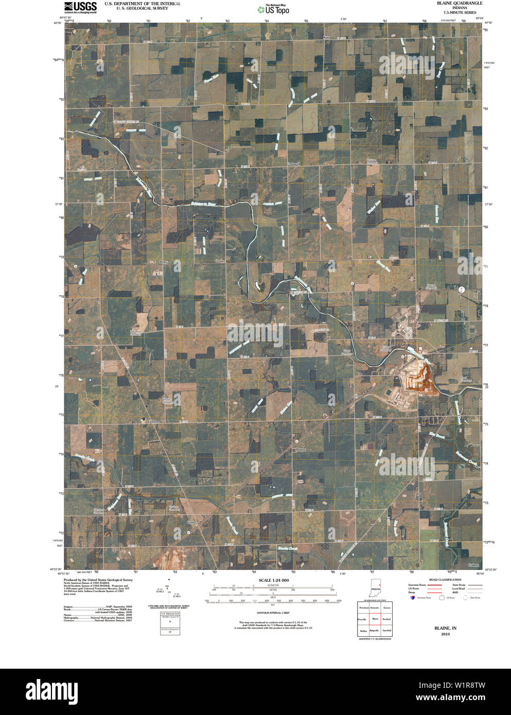 USGS TOPO Map Indiana IN Blaine 20100525 TM Restoration Stock Photohttps://www.alamy.com/image-license-details/?v=1https://www.alamy.com/usgs-topo-map-indiana-in-blaine-20100525-tm-restoration-image259282041.html
RMW1R8TW–USGS TOPO Map Indiana IN Blaine 20100525 TM Restoration
 Gimlet, Blaine County, US, United States, Idaho, N 43 36' 14'', S 114 20' 59'', map, Cartascapes Map published in 2024. Explore Cartascapes, a map revealing Earth's diverse landscapes, cultures, and ecosystems. Journey through time and space, discovering the interconnectedness of our planet's past, present, and future. Stock Photohttps://www.alamy.com/image-license-details/?v=1https://www.alamy.com/gimlet-blaine-county-us-united-states-idaho-n-43-36-14-s-114-20-59-map-cartascapes-map-published-in-2024-explore-cartascapes-a-map-revealing-earths-diverse-landscapes-cultures-and-ecosystems-journey-through-time-and-space-discovering-the-interconnectedness-of-our-planets-past-present-and-future-image621234428.html
RM2Y2KJRT–Gimlet, Blaine County, US, United States, Idaho, N 43 36' 14'', S 114 20' 59'', map, Cartascapes Map published in 2024. Explore Cartascapes, a map revealing Earth's diverse landscapes, cultures, and ecosystems. Journey through time and space, discovering the interconnectedness of our planet's past, present, and future.
 Map of Blaine in Idaho Stock Photohttps://www.alamy.com/image-license-details/?v=1https://www.alamy.com/map-of-blaine-in-idaho-image367751802.html
RF2CA8F4X–Map of Blaine in Idaho
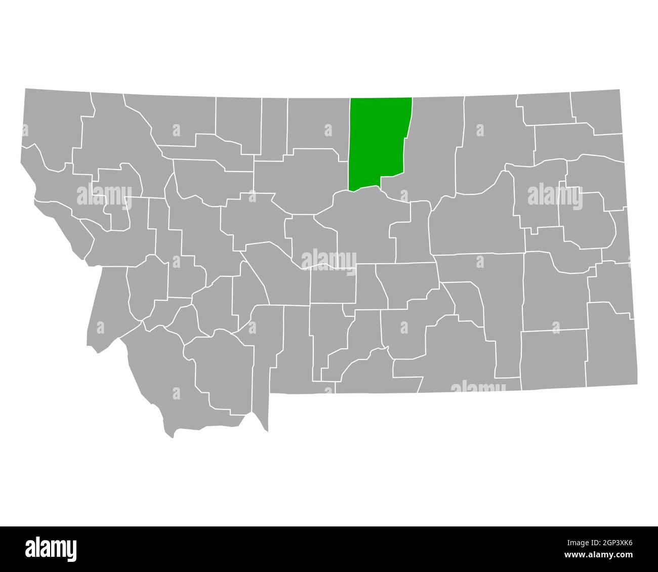 Map of Blaine in Montana Stock Photohttps://www.alamy.com/image-license-details/?v=1https://www.alamy.com/map-of-blaine-in-montana-image443868410.html
RF2GP3XK6–Map of Blaine in Montana
 Blaine County, Montana (U.S. county, United States of America, USA, U.S., US) map vector illustration, scribble sketch Blaine map Stock Vectorhttps://www.alamy.com/image-license-details/?v=1https://www.alamy.com/blaine-county-montana-us-county-united-states-of-america-usa-us-us-map-vector-illustration-scribble-sketch-blaine-map-image387274036.html
RF2DE1RYG–Blaine County, Montana (U.S. county, United States of America, USA, U.S., US) map vector illustration, scribble sketch Blaine map
 USGS TOPO Map Kentucky KY Blaine 708191 1953 24000 Stock Photohttps://www.alamy.com/image-license-details/?v=1https://www.alamy.com/usgs-topo-map-kentucky-ky-blaine-708191-1953-24000-image332734580.html
RM2A99A9T–USGS TOPO Map Kentucky KY Blaine 708191 1953 24000
 Galena, Blaine County, US, United States, Idaho, N 43 52' 16'', S 114 39' 26'', map, Cartascapes Map published in 2024. Explore Cartascapes, a map revealing Earth's diverse landscapes, cultures, and ecosystems. Journey through time and space, discovering the interconnectedness of our planet's past, present, and future. Stock Photohttps://www.alamy.com/image-license-details/?v=1https://www.alamy.com/galena-blaine-county-us-united-states-idaho-n-43-52-16-s-114-39-26-map-cartascapes-map-published-in-2024-explore-cartascapes-a-map-revealing-earths-diverse-landscapes-cultures-and-ecosystems-journey-through-time-and-space-discovering-the-interconnectedness-of-our-planets-past-present-and-future-image621446867.html
RM2Y319PY–Galena, Blaine County, US, United States, Idaho, N 43 52' 16'', S 114 39' 26'', map, Cartascapes Map published in 2024. Explore Cartascapes, a map revealing Earth's diverse landscapes, cultures, and ecosystems. Journey through time and space, discovering the interconnectedness of our planet's past, present, and future.
 Map of Blaine in Nebraska Stock Photohttps://www.alamy.com/image-license-details/?v=1https://www.alamy.com/map-of-blaine-in-nebraska-image368328520.html
RF2CB6PP0–Map of Blaine in Nebraska
 Map of Blaine in Oklahoma Stock Photohttps://www.alamy.com/image-license-details/?v=1https://www.alamy.com/map-of-blaine-in-oklahoma-image443904225.html
RF2GP5GA9–Map of Blaine in Oklahoma
 Blaine County, Idaho (U.S. county, United States of America, USA, U.S., US) map vector illustration, scribble sketch Blaine map Stock Vectorhttps://www.alamy.com/image-license-details/?v=1https://www.alamy.com/blaine-county-idaho-us-county-united-states-of-america-usa-us-us-map-vector-illustration-scribble-sketch-blaine-map-image364800615.html
RF2C5E2WB–Blaine County, Idaho (U.S. county, United States of America, USA, U.S., US) map vector illustration, scribble sketch Blaine map
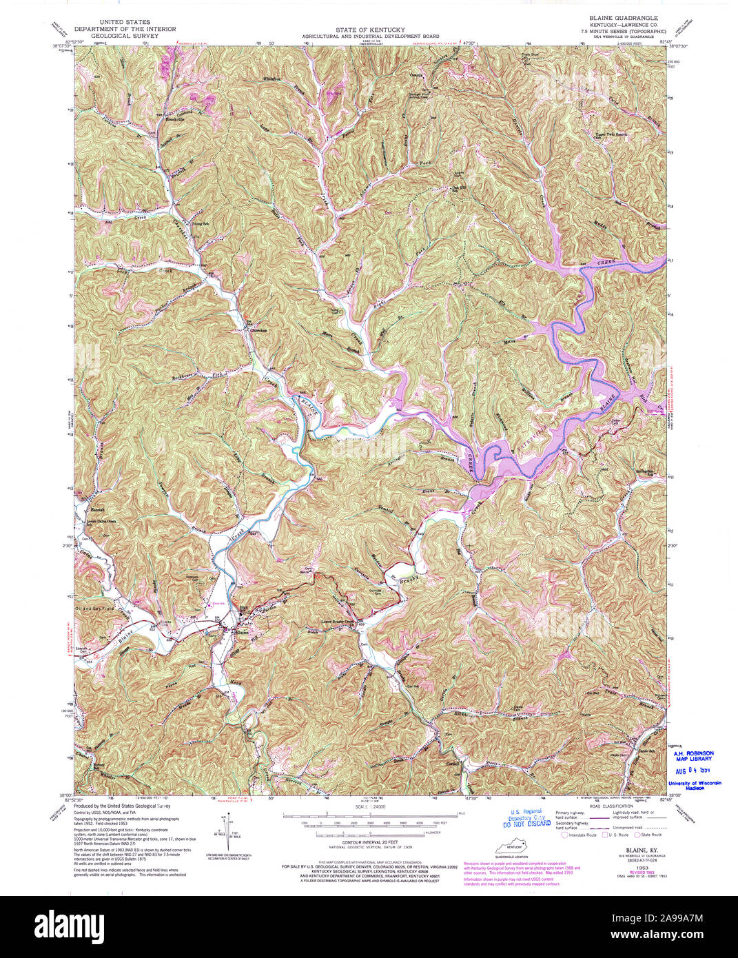 USGS TOPO Map Kentucky KY Blaine 708190 1953 24000 Stock Photohttps://www.alamy.com/image-license-details/?v=1https://www.alamy.com/usgs-topo-map-kentucky-ky-blaine-708190-1953-24000-image332734520.html
RM2A99A7M–USGS TOPO Map Kentucky KY Blaine 708190 1953 24000
 Brewster, Blaine County, US, United States, Nebraska, N 41 56' 20'', S 99 51' 53'', map, Cartascapes Map published in 2024. Explore Cartascapes, a map revealing Earth's diverse landscapes, cultures, and ecosystems. Journey through time and space, discovering the interconnectedness of our planet's past, present, and future. Stock Photohttps://www.alamy.com/image-license-details/?v=1https://www.alamy.com/brewster-blaine-county-us-united-states-nebraska-n-41-56-20-s-99-51-53-map-cartascapes-map-published-in-2024-explore-cartascapes-a-map-revealing-earths-diverse-landscapes-cultures-and-ecosystems-journey-through-time-and-space-discovering-the-interconnectedness-of-our-planets-past-present-and-future-image621464937.html
RM2Y324T9–Brewster, Blaine County, US, United States, Nebraska, N 41 56' 20'', S 99 51' 53'', map, Cartascapes Map published in 2024. Explore Cartascapes, a map revealing Earth's diverse landscapes, cultures, and ecosystems. Journey through time and space, discovering the interconnectedness of our planet's past, present, and future.
 Map of Blaine in Montana Stock Photohttps://www.alamy.com/image-license-details/?v=1https://www.alamy.com/map-of-blaine-in-montana-image365206659.html
RF2C64GPY–Map of Blaine in Montana
 Map of Blaine in Idaho Stock Photohttps://www.alamy.com/image-license-details/?v=1https://www.alamy.com/map-of-blaine-in-idaho-image443829245.html
RF2GP24MD–Map of Blaine in Idaho
 Blaine County, Oklahoma State (U.S. county, United States of America, USA, U.S., US) map vector illustration, scribble sketch Blaine map Stock Vectorhttps://www.alamy.com/image-license-details/?v=1https://www.alamy.com/blaine-county-oklahoma-state-us-county-united-states-of-america-usa-us-us-map-vector-illustration-scribble-sketch-blaine-map-image411118291.html
RF2ETT1G3–Blaine County, Oklahoma State (U.S. county, United States of America, USA, U.S., US) map vector illustration, scribble sketch Blaine map
 USGS TOPO Map Idaho ID Blaine 238931 1957 62500 Restoration Stock Photohttps://www.alamy.com/image-license-details/?v=1https://www.alamy.com/usgs-topo-map-idaho-id-blaine-238931-1957-62500-restoration-image245702442.html
RMT7MKY6–USGS TOPO Map Idaho ID Blaine 238931 1957 62500 Restoration
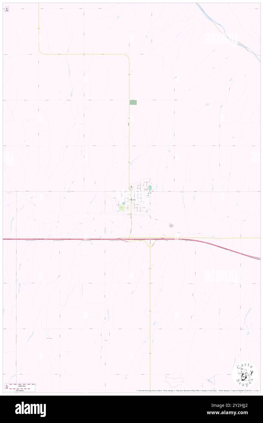 Hydro, Blaine County, US, United States, Oklahoma, N 35 32' 58'', S 98 34' 41'', map, Cartascapes Map published in 2024. Explore Cartascapes, a map revealing Earth's diverse landscapes, cultures, and ecosystems. Journey through time and space, discovering the interconnectedness of our planet's past, present, and future. Stock Photohttps://www.alamy.com/image-license-details/?v=1https://www.alamy.com/hydro-blaine-county-us-united-states-oklahoma-n-35-32-58-s-98-34-41-map-cartascapes-map-published-in-2024-explore-cartascapes-a-map-revealing-earths-diverse-landscapes-cultures-and-ecosystems-journey-through-time-and-space-discovering-the-interconnectedness-of-our-planets-past-present-and-future-image621190362.html
RM2Y2HJJ2–Hydro, Blaine County, US, United States, Oklahoma, N 35 32' 58'', S 98 34' 41'', map, Cartascapes Map published in 2024. Explore Cartascapes, a map revealing Earth's diverse landscapes, cultures, and ecosystems. Journey through time and space, discovering the interconnectedness of our planet's past, present, and future.
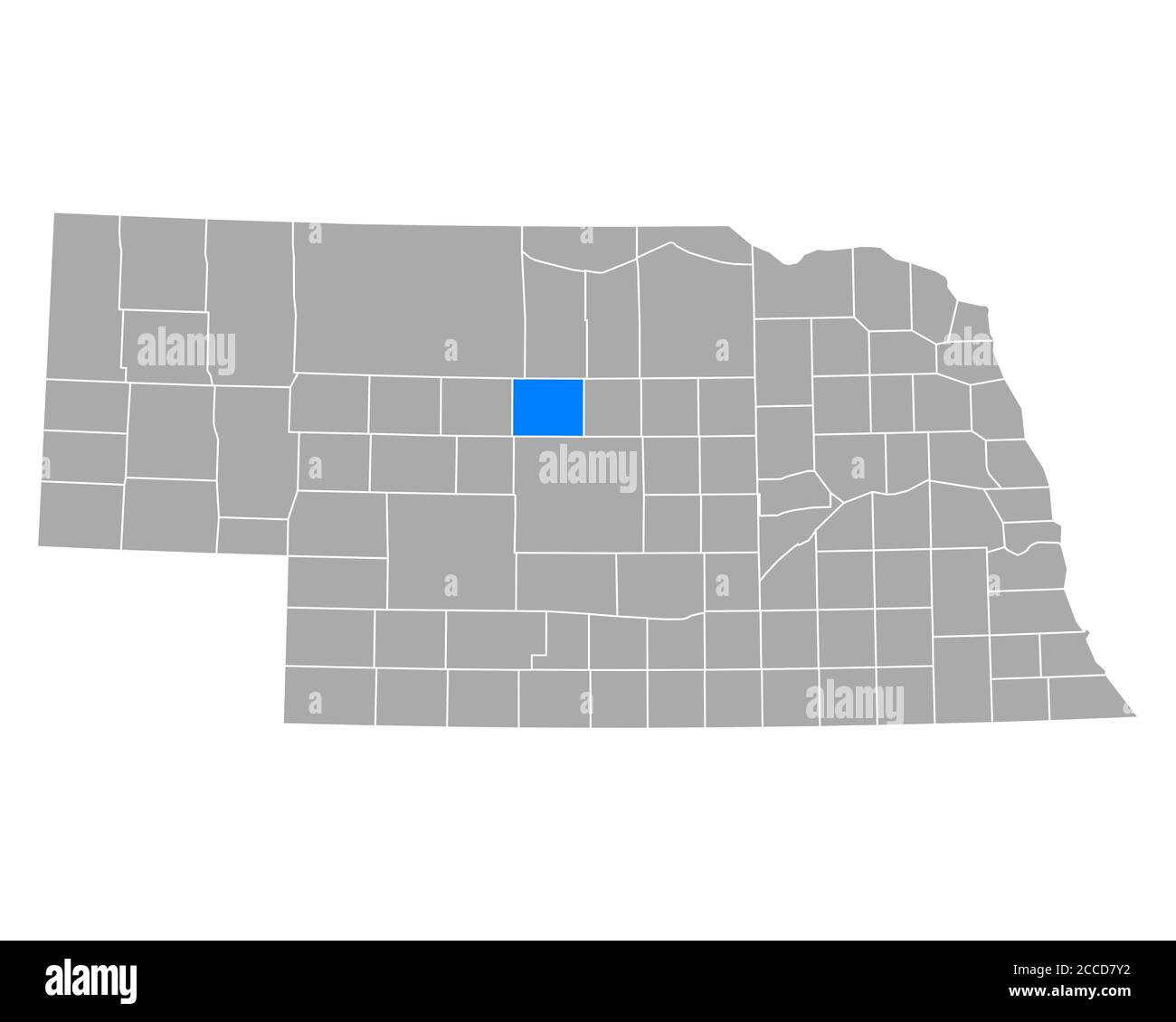 Map of Blaine in Nebraska Stock Photohttps://www.alamy.com/image-license-details/?v=1https://www.alamy.com/map-of-blaine-in-nebraska-image369085222.html
RF2CCD7Y2–Map of Blaine in Nebraska
 Map of Blaine in Montana Stock Photohttps://www.alamy.com/image-license-details/?v=1https://www.alamy.com/map-of-blaine-in-montana-image443925776.html
RF2GP6FT0–Map of Blaine in Montana
 Blaine County, Oklahoma State (U.S. county, United States of America, USA, U.S., US) map vector illustration, scribble sketch Blaine map Stock Vectorhttps://www.alamy.com/image-license-details/?v=1https://www.alamy.com/blaine-county-oklahoma-state-us-county-united-states-of-america-usa-us-us-map-vector-illustration-scribble-sketch-blaine-map-image425280431.html
RF2FKW5ER–Blaine County, Oklahoma State (U.S. county, United States of America, USA, U.S., US) map vector illustration, scribble sketch Blaine map
 USGS TOPO Map Indiana IN Blaine 156247 1960 24000 Restoration Stock Photohttps://www.alamy.com/image-license-details/?v=1https://www.alamy.com/usgs-topo-map-indiana-in-blaine-156247-1960-24000-restoration-image259281723.html
RMW1R8DF–USGS TOPO Map Indiana IN Blaine 156247 1960 24000 Restoration
 Blaine, Latah County, US, United States, Idaho, N 46 39' 25'', S 116 56' 55'', map, Cartascapes Map published in 2024. Explore Cartascapes, a map revealing Earth's diverse landscapes, cultures, and ecosystems. Journey through time and space, discovering the interconnectedness of our planet's past, present, and future. Stock Photohttps://www.alamy.com/image-license-details/?v=1https://www.alamy.com/blaine-latah-county-us-united-states-idaho-n-46-39-25-s-116-56-55-map-cartascapes-map-published-in-2024-explore-cartascapes-a-map-revealing-earths-diverse-landscapes-cultures-and-ecosystems-journey-through-time-and-space-discovering-the-interconnectedness-of-our-planets-past-present-and-future-image621398156.html
RM2Y2Y3K8–Blaine, Latah County, US, United States, Idaho, N 46 39' 25'', S 116 56' 55'', map, Cartascapes Map published in 2024. Explore Cartascapes, a map revealing Earth's diverse landscapes, cultures, and ecosystems. Journey through time and space, discovering the interconnectedness of our planet's past, present, and future.
 Map of Blaine in Idaho Stock Photohttps://www.alamy.com/image-license-details/?v=1https://www.alamy.com/map-of-blaine-in-idaho-image369395258.html
RF2CCYBBP–Map of Blaine in Idaho
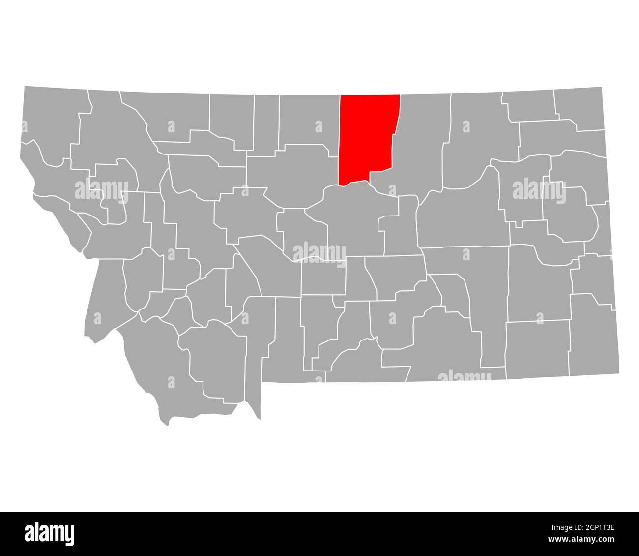 Map of Blaine in Montana Stock Photohttps://www.alamy.com/image-license-details/?v=1https://www.alamy.com/map-of-blaine-in-montana-image443822498.html
RF2GP1T3E–Map of Blaine in Montana
 Blaine County, Oklahoma State (U.S. county, United States of America, USA, U.S., US) map vector illustration, scribble sketch Blaine map Stock Vectorhttps://www.alamy.com/image-license-details/?v=1https://www.alamy.com/blaine-county-oklahoma-state-us-county-united-states-of-america-usa-us-us-map-vector-illustration-scribble-sketch-blaine-map-image386355969.html
RF2DCG0YD–Blaine County, Oklahoma State (U.S. county, United States of America, USA, U.S., US) map vector illustration, scribble sketch Blaine map
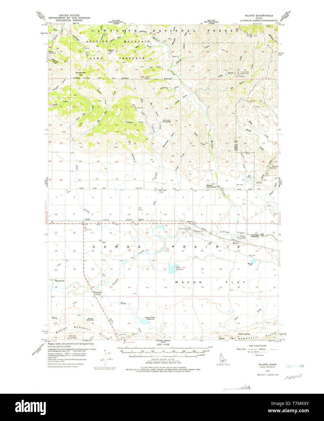 USGS TOPO Map Idaho ID Blaine 238929 1957 62500 Restoration Stock Photohttps://www.alamy.com/image-license-details/?v=1https://www.alamy.com/usgs-topo-map-idaho-id-blaine-238929-1957-62500-restoration-image245702435.html
RMT7MKXY–USGS TOPO Map Idaho ID Blaine 238929 1957 62500 Restoration
 Purdum, Blaine County, US, United States, Nebraska, N 42 3' 53'', S 100 15' 30'', map, Cartascapes Map published in 2024. Explore Cartascapes, a map revealing Earth's diverse landscapes, cultures, and ecosystems. Journey through time and space, discovering the interconnectedness of our planet's past, present, and future. Stock Photohttps://www.alamy.com/image-license-details/?v=1https://www.alamy.com/purdum-blaine-county-us-united-states-nebraska-n-42-3-53-s-100-15-30-map-cartascapes-map-published-in-2024-explore-cartascapes-a-map-revealing-earths-diverse-landscapes-cultures-and-ecosystems-journey-through-time-and-space-discovering-the-interconnectedness-of-our-planets-past-present-and-future-image621287759.html
RM2Y2P2TF–Purdum, Blaine County, US, United States, Nebraska, N 42 3' 53'', S 100 15' 30'', map, Cartascapes Map published in 2024. Explore Cartascapes, a map revealing Earth's diverse landscapes, cultures, and ecosystems. Journey through time and space, discovering the interconnectedness of our planet's past, present, and future.
 Map of Blaine in Oklahoma Stock Photohttps://www.alamy.com/image-license-details/?v=1https://www.alamy.com/map-of-blaine-in-oklahoma-image365810386.html
RF2C742TJ–Map of Blaine in Oklahoma
 Map of Blaine in Oklahoma Stock Photohttps://www.alamy.com/image-license-details/?v=1https://www.alamy.com/map-of-blaine-in-oklahoma-image443881845.html
RF2GP4FR1–Map of Blaine in Oklahoma
 Chase, Banner, Antelope, Boone, Box Butte and Blaine County, Nebraska (U.S. county, United States of America, USA, U.S., US) map vector illustration, Stock Vectorhttps://www.alamy.com/image-license-details/?v=1https://www.alamy.com/chase-banner-antelope-boone-box-butte-and-blaine-county-nebraska-us-county-united-states-of-america-usa-us-us-map-vector-illustration-image382895787.html
RF2D6XBDF–Chase, Banner, Antelope, Boone, Box Butte and Blaine County, Nebraska (U.S. county, United States of America, USA, U.S., US) map vector illustration,
 USGS TOPO Map Indiana IN Blaine 156691 1960 24000 Restoration Stock Photohttps://www.alamy.com/image-license-details/?v=1https://www.alamy.com/usgs-topo-map-indiana-in-blaine-156691-1960-24000-restoration-image259281894.html
RMW1R8KJ–USGS TOPO Map Indiana IN Blaine 156691 1960 24000 Restoration
 Hydro, Blaine County, US, United States, Oklahoma, N 35 32' 58'', S 98 34' 41'', map, Cartascapes Map published in 2024. Explore Cartascapes, a map revealing Earth's diverse landscapes, cultures, and ecosystems. Journey through time and space, discovering the interconnectedness of our planet's past, present, and future. Stock Photohttps://www.alamy.com/image-license-details/?v=1https://www.alamy.com/hydro-blaine-county-us-united-states-oklahoma-n-35-32-58-s-98-34-41-map-cartascapes-map-published-in-2024-explore-cartascapes-a-map-revealing-earths-diverse-landscapes-cultures-and-ecosystems-journey-through-time-and-space-discovering-the-interconnectedness-of-our-planets-past-present-and-future-image621254104.html
RM2Y2MFXG–Hydro, Blaine County, US, United States, Oklahoma, N 35 32' 58'', S 98 34' 41'', map, Cartascapes Map published in 2024. Explore Cartascapes, a map revealing Earth's diverse landscapes, cultures, and ecosystems. Journey through time and space, discovering the interconnectedness of our planet's past, present, and future.
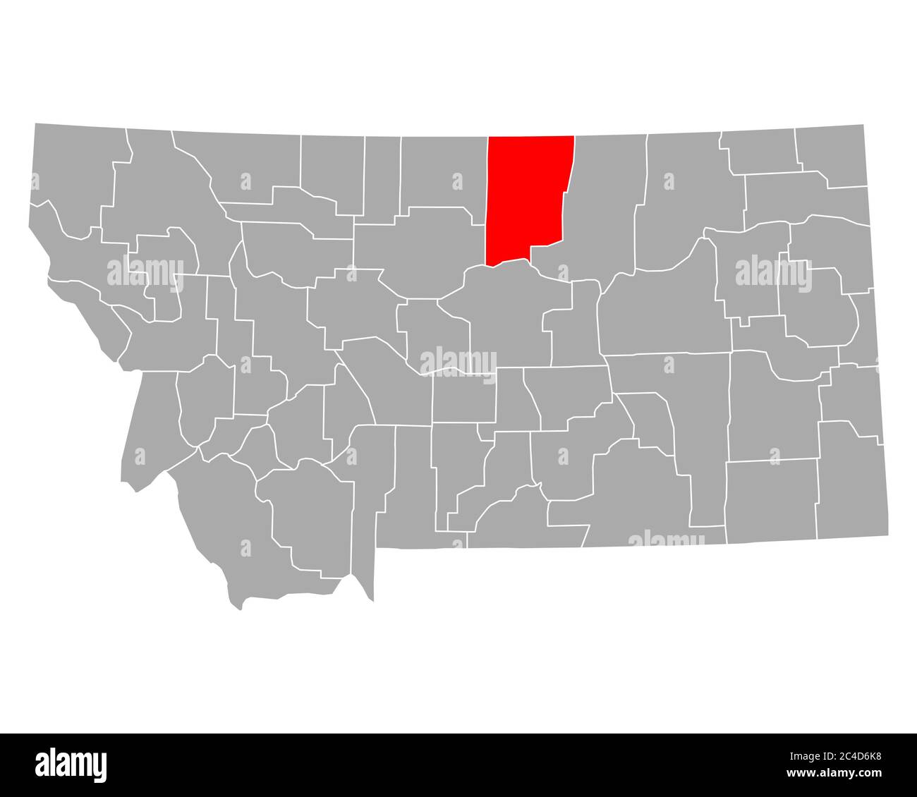 Map of Blaine in Montana Stock Photohttps://www.alamy.com/image-license-details/?v=1https://www.alamy.com/map-of-blaine-in-montana-image364166972.html
RF2C4D6K8–Map of Blaine in Montana
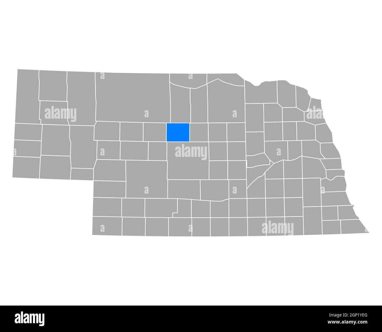 Map of Blaine in Nebraska Stock Photohttps://www.alamy.com/image-license-details/?v=1https://www.alamy.com/map-of-blaine-in-nebraska-image443825160.html
RF2GP1YEG–Map of Blaine in Nebraska
 Anoka County, Minnesota (U.S. county, United States of America, USA, U.S., US) map vector illustration, scribble sketch Anoka map Stock Vectorhttps://www.alamy.com/image-license-details/?v=1https://www.alamy.com/anoka-county-minnesota-us-county-united-states-of-america-usa-us-us-map-vector-illustration-scribble-sketch-anoka-map-image389281636.html
RF2DH98KG–Anoka County, Minnesota (U.S. county, United States of America, USA, U.S., US) map vector illustration, scribble sketch Anoka map
 USGS TOPO Map Colorado CO Mount Blaine 401643 1971 24000 Restoration Stock Photohttps://www.alamy.com/image-license-details/?v=1https://www.alamy.com/usgs-topo-map-colorado-co-mount-blaine-401643-1971-24000-restoration-image244070842.html
RMT52ARP–USGS TOPO Map Colorado CO Mount Blaine 401643 1971 24000 Restoration
 Blaine, Adams County, US, United States, Nebraska, N 40 36' 42'', S 98 20' 1'', map, Cartascapes Map published in 2024. Explore Cartascapes, a map revealing Earth's diverse landscapes, cultures, and ecosystems. Journey through time and space, discovering the interconnectedness of our planet's past, present, and future. Stock Photohttps://www.alamy.com/image-license-details/?v=1https://www.alamy.com/blaine-adams-county-us-united-states-nebraska-n-40-36-42-s-98-20-1-map-cartascapes-map-published-in-2024-explore-cartascapes-a-map-revealing-earths-diverse-landscapes-cultures-and-ecosystems-journey-through-time-and-space-discovering-the-interconnectedness-of-our-planets-past-present-and-future-image621313312.html
RM2Y2R7D4–Blaine, Adams County, US, United States, Nebraska, N 40 36' 42'', S 98 20' 1'', map, Cartascapes Map published in 2024. Explore Cartascapes, a map revealing Earth's diverse landscapes, cultures, and ecosystems. Journey through time and space, discovering the interconnectedness of our planet's past, present, and future.
 Map of Blaine in Oklahoma Stock Photohttps://www.alamy.com/image-license-details/?v=1https://www.alamy.com/map-of-blaine-in-oklahoma-image364868234.html
RF2C5H54A–Map of Blaine in Oklahoma
 Map of Blaine in Nebraska Stock Photohttps://www.alamy.com/image-license-details/?v=1https://www.alamy.com/map-of-blaine-in-nebraska-image443794733.html
RF2GP0GKW–Map of Blaine in Nebraska
 Anoka County, Minnesota (U.S. county, United States of America, USA, U.S., US) map vector illustration, scribble sketch Anoka map Stock Vectorhttps://www.alamy.com/image-license-details/?v=1https://www.alamy.com/anoka-county-minnesota-us-county-united-states-of-america-usa-us-us-map-vector-illustration-scribble-sketch-anoka-map-image385712467.html
RF2DBEM57–Anoka County, Minnesota (U.S. county, United States of America, USA, U.S., US) map vector illustration, scribble sketch Anoka map
 WI Blaine 20130715 TM Restoration Stock Photohttps://www.alamy.com/image-license-details/?v=1https://www.alamy.com/wi-blaine-20130715-tm-restoration-image335855819.html
RM2AEBFEK–WI Blaine 20130715 TM Restoration
 Watonga, Blaine County, US, United States, Oklahoma, N 35 50' 41'', S 98 24' 47'', map, Cartascapes Map published in 2024. Explore Cartascapes, a map revealing Earth's diverse landscapes, cultures, and ecosystems. Journey through time and space, discovering the interconnectedness of our planet's past, present, and future. Stock Photohttps://www.alamy.com/image-license-details/?v=1https://www.alamy.com/watonga-blaine-county-us-united-states-oklahoma-n-35-50-41-s-98-24-47-map-cartascapes-map-published-in-2024-explore-cartascapes-a-map-revealing-earths-diverse-landscapes-cultures-and-ecosystems-journey-through-time-and-space-discovering-the-interconnectedness-of-our-planets-past-present-and-future-image621298814.html
RM2Y2PGYA–Watonga, Blaine County, US, United States, Oklahoma, N 35 50' 41'', S 98 24' 47'', map, Cartascapes Map published in 2024. Explore Cartascapes, a map revealing Earth's diverse landscapes, cultures, and ecosystems. Journey through time and space, discovering the interconnectedness of our planet's past, present, and future.
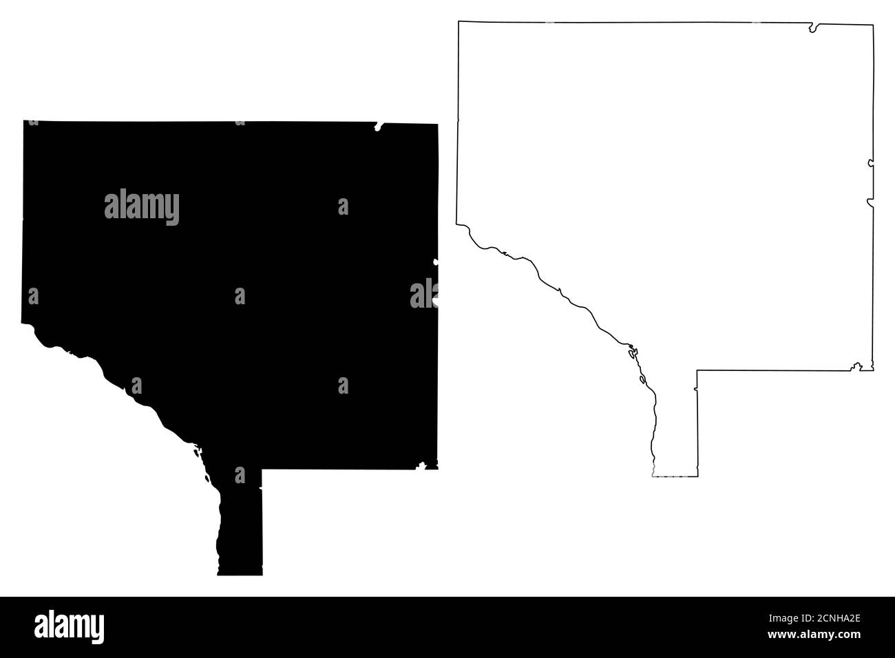 Anoka County, Minnesota (U.S. county, United States of America, USA, U.S., US) map vector illustration, scribble sketch Anoka map Stock Vectorhttps://www.alamy.com/image-license-details/?v=1https://www.alamy.com/anoka-county-minnesota-us-county-united-states-of-america-usa-us-us-map-vector-illustration-scribble-sketch-anoka-map-image374706598.html
RF2CNHA2E–Anoka County, Minnesota (U.S. county, United States of America, USA, U.S., US) map vector illustration, scribble sketch Anoka map
 WI Blaine 20100715 TM Restoration Stock Photohttps://www.alamy.com/image-license-details/?v=1https://www.alamy.com/wi-blaine-20100715-tm-restoration-image335855813.html
RM2AEBFED–WI Blaine 20100715 TM Restoration
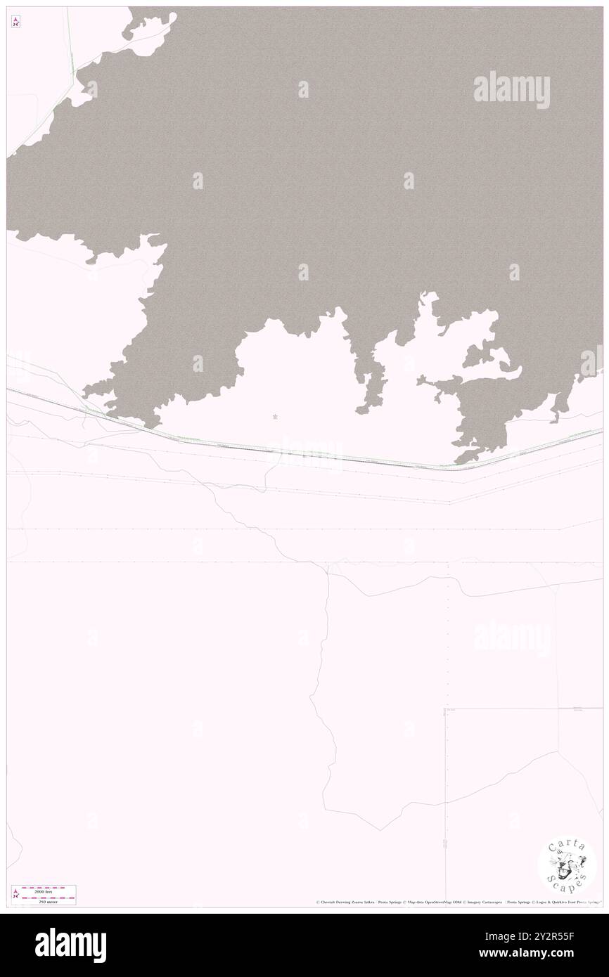 DeWoff, Blaine County, US, United States, Idaho, N 42 42' 23'', S 113 15' 38'', map, Cartascapes Map published in 2024. Explore Cartascapes, a map revealing Earth's diverse landscapes, cultures, and ecosystems. Journey through time and space, discovering the interconnectedness of our planet's past, present, and future. Stock Photohttps://www.alamy.com/image-license-details/?v=1https://www.alamy.com/dewoff-blaine-county-us-united-states-idaho-n-42-42-23-s-113-15-38-map-cartascapes-map-published-in-2024-explore-cartascapes-a-map-revealing-earths-diverse-landscapes-cultures-and-ecosystems-journey-through-time-and-space-discovering-the-interconnectedness-of-our-planets-past-present-and-future-image621311531.html
RM2Y2R55F–DeWoff, Blaine County, US, United States, Idaho, N 42 42' 23'', S 113 15' 38'', map, Cartascapes Map published in 2024. Explore Cartascapes, a map revealing Earth's diverse landscapes, cultures, and ecosystems. Journey through time and space, discovering the interconnectedness of our planet's past, present, and future.
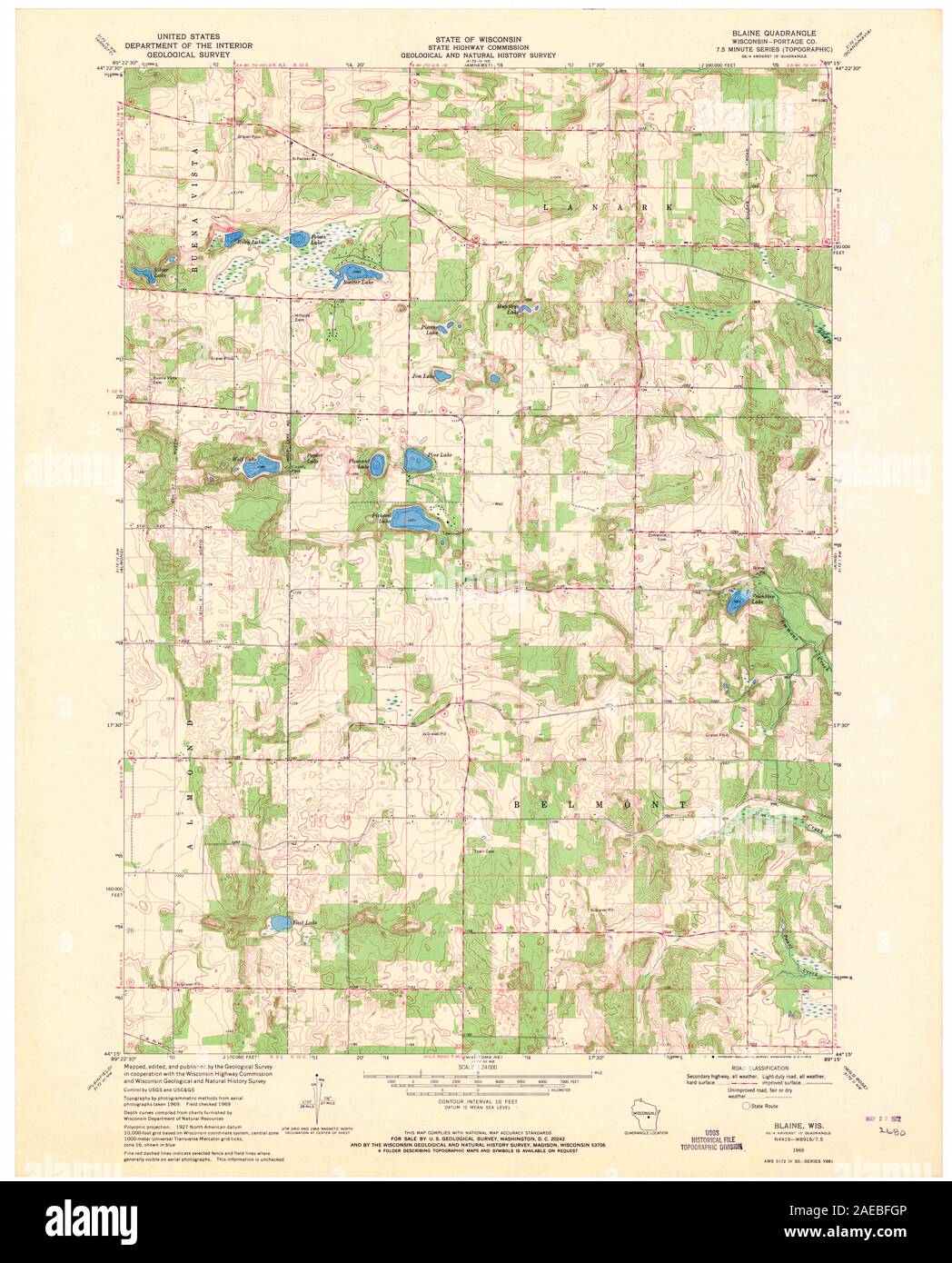 WI Blaine 800299 1969 24000 Restoration Stock Photohttps://www.alamy.com/image-license-details/?v=1https://www.alamy.com/wi-blaine-800299-1969-24000-restoration-image335855878.html
RM2AEBFGP–WI Blaine 800299 1969 24000 Restoration
 Hogeland, Blaine County, US, United States, Montana, N 48 51' 9'', S 108 39' 31'', map, Cartascapes Map published in 2024. Explore Cartascapes, a map revealing Earth's diverse landscapes, cultures, and ecosystems. Journey through time and space, discovering the interconnectedness of our planet's past, present, and future. Stock Photohttps://www.alamy.com/image-license-details/?v=1https://www.alamy.com/hogeland-blaine-county-us-united-states-montana-n-48-51-9-s-108-39-31-map-cartascapes-map-published-in-2024-explore-cartascapes-a-map-revealing-earths-diverse-landscapes-cultures-and-ecosystems-journey-through-time-and-space-discovering-the-interconnectedness-of-our-planets-past-present-and-future-image621265282.html
RM2Y2N25P–Hogeland, Blaine County, US, United States, Montana, N 48 51' 9'', S 108 39' 31'', map, Cartascapes Map published in 2024. Explore Cartascapes, a map revealing Earth's diverse landscapes, cultures, and ecosystems. Journey through time and space, discovering the interconnectedness of our planet's past, present, and future.
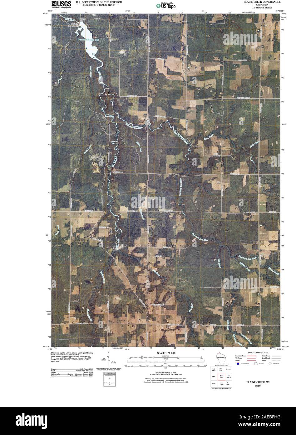 WI Blaine Creek 20100803 TM Restoration Stock Photohttps://www.alamy.com/image-license-details/?v=1https://www.alamy.com/wi-blaine-creek-20100803-tm-restoration-image335855900.html
RM2AEBFHG–WI Blaine Creek 20100803 TM Restoration
 Blaine, Anoka County, US, United States, Minnesota, N 45 9' 38'', S 93 14' 5'', map, Cartascapes Map published in 2024. Explore Cartascapes, a map revealing Earth's diverse landscapes, cultures, and ecosystems. Journey through time and space, discovering the interconnectedness of our planet's past, present, and future. Stock Photohttps://www.alamy.com/image-license-details/?v=1https://www.alamy.com/blaine-anoka-county-us-united-states-minnesota-n-45-9-38-s-93-14-5-map-cartascapes-map-published-in-2024-explore-cartascapes-a-map-revealing-earths-diverse-landscapes-cultures-and-ecosystems-journey-through-time-and-space-discovering-the-interconnectedness-of-our-planets-past-present-and-future-image621255388.html
RM2Y2MHGC–Blaine, Anoka County, US, United States, Minnesota, N 45 9' 38'', S 93 14' 5'', map, Cartascapes Map published in 2024. Explore Cartascapes, a map revealing Earth's diverse landscapes, cultures, and ecosystems. Journey through time and space, discovering the interconnectedness of our planet's past, present, and future.
 WI Blaine Creek 20130618 TM Restoration Stock Photohttps://www.alamy.com/image-license-details/?v=1https://www.alamy.com/wi-blaine-creek-20130618-tm-restoration-image335855896.html
RM2AEBFHC–WI Blaine Creek 20130618 TM Restoration
 Hitchcock, Blaine County, US, United States, Oklahoma, N 35 58' 8'', S 98 20' 54'', map, Cartascapes Map published in 2024. Explore Cartascapes, a map revealing Earth's diverse landscapes, cultures, and ecosystems. Journey through time and space, discovering the interconnectedness of our planet's past, present, and future. Stock Photohttps://www.alamy.com/image-license-details/?v=1https://www.alamy.com/hitchcock-blaine-county-us-united-states-oklahoma-n-35-58-8-s-98-20-54-map-cartascapes-map-published-in-2024-explore-cartascapes-a-map-revealing-earths-diverse-landscapes-cultures-and-ecosystems-journey-through-time-and-space-discovering-the-interconnectedness-of-our-planets-past-present-and-future-image621438848.html
RM2Y30YGG–Hitchcock, Blaine County, US, United States, Oklahoma, N 35 58' 8'', S 98 20' 54'', map, Cartascapes Map published in 2024. Explore Cartascapes, a map revealing Earth's diverse landscapes, cultures, and ecosystems. Journey through time and space, discovering the interconnectedness of our planet's past, present, and future.
 WI Blaine Creek 800300 1984 24000 Restoration Stock Photohttps://www.alamy.com/image-license-details/?v=1https://www.alamy.com/wi-blaine-creek-800300-1984-24000-restoration-image335855942.html
RM2AEBFK2–WI Blaine Creek 800300 1984 24000 Restoration
 Blaine, Aroostook County, US, United States, Maine, N 46 30' 17'', S 67 52' 7'', map, Cartascapes Map published in 2024. Explore Cartascapes, a map revealing Earth's diverse landscapes, cultures, and ecosystems. Journey through time and space, discovering the interconnectedness of our planet's past, present, and future. Stock Photohttps://www.alamy.com/image-license-details/?v=1https://www.alamy.com/blaine-aroostook-county-us-united-states-maine-n-46-30-17-s-67-52-7-map-cartascapes-map-published-in-2024-explore-cartascapes-a-map-revealing-earths-diverse-landscapes-cultures-and-ecosystems-journey-through-time-and-space-discovering-the-interconnectedness-of-our-planets-past-present-and-future-image621208386.html
RM2Y2JDHP–Blaine, Aroostook County, US, United States, Maine, N 46 30' 17'', S 67 52' 7'', map, Cartascapes Map published in 2024. Explore Cartascapes, a map revealing Earth's diverse landscapes, cultures, and ecosystems. Journey through time and space, discovering the interconnectedness of our planet's past, present, and future.
 Boulder, Blaine County, US, United States, Idaho, N 43 50' 25'', S 114 30' 23'', map, Cartascapes Map published in 2024. Explore Cartascapes, a map revealing Earth's diverse landscapes, cultures, and ecosystems. Journey through time and space, discovering the interconnectedness of our planet's past, present, and future. Stock Photohttps://www.alamy.com/image-license-details/?v=1https://www.alamy.com/boulder-blaine-county-us-united-states-idaho-n-43-50-25-s-114-30-23-map-cartascapes-map-published-in-2024-explore-cartascapes-a-map-revealing-earths-diverse-landscapes-cultures-and-ecosystems-journey-through-time-and-space-discovering-the-interconnectedness-of-our-planets-past-present-and-future-image621330320.html
RM2Y2T14G–Boulder, Blaine County, US, United States, Idaho, N 43 50' 25'', S 114 30' 23'', map, Cartascapes Map published in 2024. Explore Cartascapes, a map revealing Earth's diverse landscapes, cultures, and ecosystems. Journey through time and space, discovering the interconnectedness of our planet's past, present, and future.
 Blaine, Pickens County, US, United States, Georgia, N 34 30' 38'', S 84 33' 24'', map, Cartascapes Map published in 2024. Explore Cartascapes, a map revealing Earth's diverse landscapes, cultures, and ecosystems. Journey through time and space, discovering the interconnectedness of our planet's past, present, and future. Stock Photohttps://www.alamy.com/image-license-details/?v=1https://www.alamy.com/blaine-pickens-county-us-united-states-georgia-n-34-30-38-s-84-33-24-map-cartascapes-map-published-in-2024-explore-cartascapes-a-map-revealing-earths-diverse-landscapes-cultures-and-ecosystems-journey-through-time-and-space-discovering-the-interconnectedness-of-our-planets-past-present-and-future-image621260120.html
RM2Y2MRHC–Blaine, Pickens County, US, United States, Georgia, N 34 30' 38'', S 84 33' 24'', map, Cartascapes Map published in 2024. Explore Cartascapes, a map revealing Earth's diverse landscapes, cultures, and ecosystems. Journey through time and space, discovering the interconnectedness of our planet's past, present, and future.
 Blaine, Pottawatomie County, US, United States, Kansas, N 39 29' 47'', S 96 24' 11'', map, Cartascapes Map published in 2024. Explore Cartascapes, a map revealing Earth's diverse landscapes, cultures, and ecosystems. Journey through time and space, discovering the interconnectedness of our planet's past, present, and future. Stock Photohttps://www.alamy.com/image-license-details/?v=1https://www.alamy.com/blaine-pottawatomie-county-us-united-states-kansas-n-39-29-47-s-96-24-11-map-cartascapes-map-published-in-2024-explore-cartascapes-a-map-revealing-earths-diverse-landscapes-cultures-and-ecosystems-journey-through-time-and-space-discovering-the-interconnectedness-of-our-planets-past-present-and-future-image621434054.html
RM2Y30NDA–Blaine, Pottawatomie County, US, United States, Kansas, N 39 29' 47'', S 96 24' 11'', map, Cartascapes Map published in 2024. Explore Cartascapes, a map revealing Earth's diverse landscapes, cultures, and ecosystems. Journey through time and space, discovering the interconnectedness of our planet's past, present, and future.
 Darrow, Blaine County, US, United States, Oklahoma, N 36 5' 53'', S 98 23' 18'', map, Cartascapes Map published in 2024. Explore Cartascapes, a map revealing Earth's diverse landscapes, cultures, and ecosystems. Journey through time and space, discovering the interconnectedness of our planet's past, present, and future. Stock Photohttps://www.alamy.com/image-license-details/?v=1https://www.alamy.com/darrow-blaine-county-us-united-states-oklahoma-n-36-5-53-s-98-23-18-map-cartascapes-map-published-in-2024-explore-cartascapes-a-map-revealing-earths-diverse-landscapes-cultures-and-ecosystems-journey-through-time-and-space-discovering-the-interconnectedness-of-our-planets-past-present-and-future-image621322884.html
RM2Y2RKK0–Darrow, Blaine County, US, United States, Oklahoma, N 36 5' 53'', S 98 23' 18'', map, Cartascapes Map published in 2024. Explore Cartascapes, a map revealing Earth's diverse landscapes, cultures, and ecosystems. Journey through time and space, discovering the interconnectedness of our planet's past, present, and future.
 Greenfield, Blaine County, US, United States, Oklahoma, N 35 43' 43'', S 98 22' 40'', map, Cartascapes Map published in 2024. Explore Cartascapes, a map revealing Earth's diverse landscapes, cultures, and ecosystems. Journey through time and space, discovering the interconnectedness of our planet's past, present, and future. Stock Photohttps://www.alamy.com/image-license-details/?v=1https://www.alamy.com/greenfield-blaine-county-us-united-states-oklahoma-n-35-43-43-s-98-22-40-map-cartascapes-map-published-in-2024-explore-cartascapes-a-map-revealing-earths-diverse-landscapes-cultures-and-ecosystems-journey-through-time-and-space-discovering-the-interconnectedness-of-our-planets-past-present-and-future-image621299911.html
RM2Y2PJAF–Greenfield, Blaine County, US, United States, Oklahoma, N 35 43' 43'', S 98 22' 40'', map, Cartascapes Map published in 2024. Explore Cartascapes, a map revealing Earth's diverse landscapes, cultures, and ecosystems. Journey through time and space, discovering the interconnectedness of our planet's past, present, and future.
 Hailey, Blaine County, US, United States, Idaho, N 43 31' 10'', S 114 18' 55'', map, Cartascapes Map published in 2024. Explore Cartascapes, a map revealing Earth's diverse landscapes, cultures, and ecosystems. Journey through time and space, discovering the interconnectedness of our planet's past, present, and future. Stock Photohttps://www.alamy.com/image-license-details/?v=1https://www.alamy.com/hailey-blaine-county-us-united-states-idaho-n-43-31-10-s-114-18-55-map-cartascapes-map-published-in-2024-explore-cartascapes-a-map-revealing-earths-diverse-landscapes-cultures-and-ecosystems-journey-through-time-and-space-discovering-the-interconnectedness-of-our-planets-past-present-and-future-image621241174.html
RM2Y2KYCP–Hailey, Blaine County, US, United States, Idaho, N 43 31' 10'', S 114 18' 55'', map, Cartascapes Map published in 2024. Explore Cartascapes, a map revealing Earth's diverse landscapes, cultures, and ecosystems. Journey through time and space, discovering the interconnectedness of our planet's past, present, and future.
 Lloyd, Blaine County, US, United States, Montana, N 48 17' 24'', S 109 21' 43'', map, Cartascapes Map published in 2024. Explore Cartascapes, a map revealing Earth's diverse landscapes, cultures, and ecosystems. Journey through time and space, discovering the interconnectedness of our planet's past, present, and future. Stock Photohttps://www.alamy.com/image-license-details/?v=1https://www.alamy.com/lloyd-blaine-county-us-united-states-montana-n-48-17-24-s-109-21-43-map-cartascapes-map-published-in-2024-explore-cartascapes-a-map-revealing-earths-diverse-landscapes-cultures-and-ecosystems-journey-through-time-and-space-discovering-the-interconnectedness-of-our-planets-past-present-and-future-image621439588.html
RM2Y310F0–Lloyd, Blaine County, US, United States, Montana, N 48 17' 24'', S 109 21' 43'', map, Cartascapes Map published in 2024. Explore Cartascapes, a map revealing Earth's diverse landscapes, cultures, and ecosystems. Journey through time and space, discovering the interconnectedness of our planet's past, present, and future.
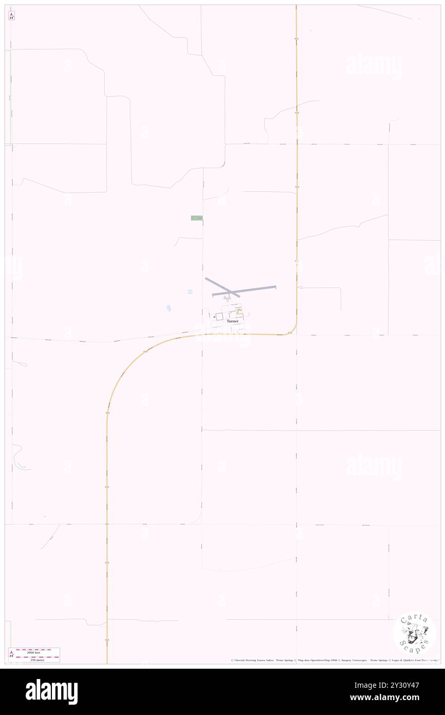 Turner, Blaine County, US, United States, Montana, N 48 50' 37'', S 108 24' 25'', map, Cartascapes Map published in 2024. Explore Cartascapes, a map revealing Earth's diverse landscapes, cultures, and ecosystems. Journey through time and space, discovering the interconnectedness of our planet's past, present, and future. Stock Photohttps://www.alamy.com/image-license-details/?v=1https://www.alamy.com/turner-blaine-county-us-united-states-montana-n-48-50-37-s-108-24-25-map-cartascapes-map-published-in-2024-explore-cartascapes-a-map-revealing-earths-diverse-landscapes-cultures-and-ecosystems-journey-through-time-and-space-discovering-the-interconnectedness-of-our-planets-past-present-and-future-image621438503.html
RM2Y30Y47–Turner, Blaine County, US, United States, Montana, N 48 50' 37'', S 108 24' 25'', map, Cartascapes Map published in 2024. Explore Cartascapes, a map revealing Earth's diverse landscapes, cultures, and ecosystems. Journey through time and space, discovering the interconnectedness of our planet's past, present, and future.
 Dunning, Blaine County, US, United States, Nebraska, N 41 49' 42'', S 100 6' 16'', map, Cartascapes Map published in 2024. Explore Cartascapes, a map revealing Earth's diverse landscapes, cultures, and ecosystems. Journey through time and space, discovering the interconnectedness of our planet's past, present, and future. Stock Photohttps://www.alamy.com/image-license-details/?v=1https://www.alamy.com/dunning-blaine-county-us-united-states-nebraska-n-41-49-42-s-100-6-16-map-cartascapes-map-published-in-2024-explore-cartascapes-a-map-revealing-earths-diverse-landscapes-cultures-and-ecosystems-journey-through-time-and-space-discovering-the-interconnectedness-of-our-planets-past-present-and-future-image621297200.html
RM2Y2PEWM–Dunning, Blaine County, US, United States, Nebraska, N 41 49' 42'', S 100 6' 16'', map, Cartascapes Map published in 2024. Explore Cartascapes, a map revealing Earth's diverse landscapes, cultures, and ecosystems. Journey through time and space, discovering the interconnectedness of our planet's past, present, and future.
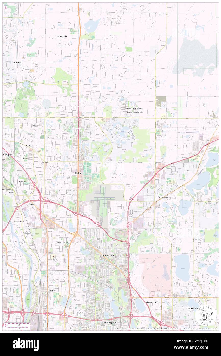 Blaine, Anoka County, US, United States, Minnesota, N 45 9' 38'', S 93 14' 5'', map, Cartascapes Map published in 2024. Explore Cartascapes, a map revealing Earth's diverse landscapes, cultures, and ecosystems. Journey through time and space, discovering the interconnectedness of our planet's past, present, and future. Stock Photohttps://www.alamy.com/image-license-details/?v=1https://www.alamy.com/blaine-anoka-county-us-united-states-minnesota-n-45-9-38-s-93-14-5-map-cartascapes-map-published-in-2024-explore-cartascapes-a-map-revealing-earths-diverse-landscapes-cultures-and-ecosystems-journey-through-time-and-space-discovering-the-interconnectedness-of-our-planets-past-present-and-future-image621217066.html
RM2Y2JTKP–Blaine, Anoka County, US, United States, Minnesota, N 45 9' 38'', S 93 14' 5'', map, Cartascapes Map published in 2024. Explore Cartascapes, a map revealing Earth's diverse landscapes, cultures, and ecosystems. Journey through time and space, discovering the interconnectedness of our planet's past, present, and future.
 Blaine, Aroostook County, US, United States, Maine, N 46 30' 17'', S 67 52' 7'', map, Cartascapes Map published in 2024. Explore Cartascapes, a map revealing Earth's diverse landscapes, cultures, and ecosystems. Journey through time and space, discovering the interconnectedness of our planet's past, present, and future. Stock Photohttps://www.alamy.com/image-license-details/?v=1https://www.alamy.com/blaine-aroostook-county-us-united-states-maine-n-46-30-17-s-67-52-7-map-cartascapes-map-published-in-2024-explore-cartascapes-a-map-revealing-earths-diverse-landscapes-cultures-and-ecosystems-journey-through-time-and-space-discovering-the-interconnectedness-of-our-planets-past-present-and-future-image621477757.html
RM2Y32N65–Blaine, Aroostook County, US, United States, Maine, N 46 30' 17'', S 67 52' 7'', map, Cartascapes Map published in 2024. Explore Cartascapes, a map revealing Earth's diverse landscapes, cultures, and ecosystems. Journey through time and space, discovering the interconnectedness of our planet's past, present, and future.
 Hays, Blaine County, US, United States, Montana, N 47 59' 20'', S 108 41' 39'', map, Cartascapes Map published in 2024. Explore Cartascapes, a map revealing Earth's diverse landscapes, cultures, and ecosystems. Journey through time and space, discovering the interconnectedness of our planet's past, present, and future. Stock Photohttps://www.alamy.com/image-license-details/?v=1https://www.alamy.com/hays-blaine-county-us-united-states-montana-n-47-59-20-s-108-41-39-map-cartascapes-map-published-in-2024-explore-cartascapes-a-map-revealing-earths-diverse-landscapes-cultures-and-ecosystems-journey-through-time-and-space-discovering-the-interconnectedness-of-our-planets-past-present-and-future-image621151428.html
RM2Y2FTYG–Hays, Blaine County, US, United States, Montana, N 47 59' 20'', S 108 41' 39'', map, Cartascapes Map published in 2024. Explore Cartascapes, a map revealing Earth's diverse landscapes, cultures, and ecosystems. Journey through time and space, discovering the interconnectedness of our planet's past, present, and future.
 Maddux, Blaine County, US, United States, Montana, N 48 8' 25'', S 109 25' 4'', map, Cartascapes Map published in 2024. Explore Cartascapes, a map revealing Earth's diverse landscapes, cultures, and ecosystems. Journey through time and space, discovering the interconnectedness of our planet's past, present, and future. Stock Photohttps://www.alamy.com/image-license-details/?v=1https://www.alamy.com/maddux-blaine-county-us-united-states-montana-n-48-8-25-s-109-25-4-map-cartascapes-map-published-in-2024-explore-cartascapes-a-map-revealing-earths-diverse-landscapes-cultures-and-ecosystems-journey-through-time-and-space-discovering-the-interconnectedness-of-our-planets-past-present-and-future-image621228026.html
RM2Y2KAK6–Maddux, Blaine County, US, United States, Montana, N 48 8' 25'', S 109 25' 4'', map, Cartascapes Map published in 2024. Explore Cartascapes, a map revealing Earth's diverse landscapes, cultures, and ecosystems. Journey through time and space, discovering the interconnectedness of our planet's past, present, and future.
 Blaine, Tillamook County, US, United States, Oregon, N 45 16' 38'', S 123 42' 16'', map, Cartascapes Map published in 2024. Explore Cartascapes, a map revealing Earth's diverse landscapes, cultures, and ecosystems. Journey through time and space, discovering the interconnectedness of our planet's past, present, and future. Stock Photohttps://www.alamy.com/image-license-details/?v=1https://www.alamy.com/blaine-tillamook-county-us-united-states-oregon-n-45-16-38-s-123-42-16-map-cartascapes-map-published-in-2024-explore-cartascapes-a-map-revealing-earths-diverse-landscapes-cultures-and-ecosystems-journey-through-time-and-space-discovering-the-interconnectedness-of-our-planets-past-present-and-future-image621177569.html
RM2Y2H295–Blaine, Tillamook County, US, United States, Oregon, N 45 16' 38'', S 123 42' 16'', map, Cartascapes Map published in 2024. Explore Cartascapes, a map revealing Earth's diverse landscapes, cultures, and ecosystems. Journey through time and space, discovering the interconnectedness of our planet's past, present, and future.
 Homestead, Blaine County, US, United States, Oklahoma, N 36 8' 59'', S 98 23' 38'', map, Cartascapes Map published in 2024. Explore Cartascapes, a map revealing Earth's diverse landscapes, cultures, and ecosystems. Journey through time and space, discovering the interconnectedness of our planet's past, present, and future. Stock Photohttps://www.alamy.com/image-license-details/?v=1https://www.alamy.com/homestead-blaine-county-us-united-states-oklahoma-n-36-8-59-s-98-23-38-map-cartascapes-map-published-in-2024-explore-cartascapes-a-map-revealing-earths-diverse-landscapes-cultures-and-ecosystems-journey-through-time-and-space-discovering-the-interconnectedness-of-our-planets-past-present-and-future-image621179440.html
RM2Y2H4M0–Homestead, Blaine County, US, United States, Oklahoma, N 36 8' 59'', S 98 23' 38'', map, Cartascapes Map published in 2024. Explore Cartascapes, a map revealing Earth's diverse landscapes, cultures, and ecosystems. Journey through time and space, discovering the interconnectedness of our planet's past, present, and future.
 Blaine, Portage County, US, United States, Wisconsin, N 44 18' 32'', S 89 18' 56'', map, Cartascapes Map published in 2024. Explore Cartascapes, a map revealing Earth's diverse landscapes, cultures, and ecosystems. Journey through time and space, discovering the interconnectedness of our planet's past, present, and future. Stock Photohttps://www.alamy.com/image-license-details/?v=1https://www.alamy.com/blaine-portage-county-us-united-states-wisconsin-n-44-18-32-s-89-18-56-map-cartascapes-map-published-in-2024-explore-cartascapes-a-map-revealing-earths-diverse-landscapes-cultures-and-ecosystems-journey-through-time-and-space-discovering-the-interconnectedness-of-our-planets-past-present-and-future-image621434213.html
RM2Y30NK1–Blaine, Portage County, US, United States, Wisconsin, N 44 18' 32'', S 89 18' 56'', map, Cartascapes Map published in 2024. Explore Cartascapes, a map revealing Earth's diverse landscapes, cultures, and ecosystems. Journey through time and space, discovering the interconnectedness of our planet's past, present, and future.
 Wapi, Blaine County, US, United States, Idaho, N 42 42' 55'', S 113 10' 58'', map, Cartascapes Map published in 2024. Explore Cartascapes, a map revealing Earth's diverse landscapes, cultures, and ecosystems. Journey through time and space, discovering the interconnectedness of our planet's past, present, and future. Stock Photohttps://www.alamy.com/image-license-details/?v=1https://www.alamy.com/wapi-blaine-county-us-united-states-idaho-n-42-42-55-s-113-10-58-map-cartascapes-map-published-in-2024-explore-cartascapes-a-map-revealing-earths-diverse-landscapes-cultures-and-ecosystems-journey-through-time-and-space-discovering-the-interconnectedness-of-our-planets-past-present-and-future-image621238468.html
RM2Y2KT04–Wapi, Blaine County, US, United States, Idaho, N 42 42' 55'', S 113 10' 58'', map, Cartascapes Map published in 2024. Explore Cartascapes, a map revealing Earth's diverse landscapes, cultures, and ecosystems. Journey through time and space, discovering the interconnectedness of our planet's past, present, and future.
 Longdale, Blaine County, US, United States, Oklahoma, N 36 8' 0'', S 98 33' 2'', map, Cartascapes Map published in 2024. Explore Cartascapes, a map revealing Earth's diverse landscapes, cultures, and ecosystems. Journey through time and space, discovering the interconnectedness of our planet's past, present, and future. Stock Photohttps://www.alamy.com/image-license-details/?v=1https://www.alamy.com/longdale-blaine-county-us-united-states-oklahoma-n-36-8-0-s-98-33-2-map-cartascapes-map-published-in-2024-explore-cartascapes-a-map-revealing-earths-diverse-landscapes-cultures-and-ecosystems-journey-through-time-and-space-discovering-the-interconnectedness-of-our-planets-past-present-and-future-image621372041.html
RM2Y2WXAH–Longdale, Blaine County, US, United States, Oklahoma, N 36 8' 0'', S 98 33' 2'', map, Cartascapes Map published in 2024. Explore Cartascapes, a map revealing Earth's diverse landscapes, cultures, and ecosystems. Journey through time and space, discovering the interconnectedness of our planet's past, present, and future.
 Linscott, Blaine County, US, United States, Nebraska, N 41 44' 34'', S 100 0' 49'', map, Cartascapes Map published in 2024. Explore Cartascapes, a map revealing Earth's diverse landscapes, cultures, and ecosystems. Journey through time and space, discovering the interconnectedness of our planet's past, present, and future. Stock Photohttps://www.alamy.com/image-license-details/?v=1https://www.alamy.com/linscott-blaine-county-us-united-states-nebraska-n-41-44-34-s-100-0-49-map-cartascapes-map-published-in-2024-explore-cartascapes-a-map-revealing-earths-diverse-landscapes-cultures-and-ecosystems-journey-through-time-and-space-discovering-the-interconnectedness-of-our-planets-past-present-and-future-image621152263.html
RM2Y2FX1B–Linscott, Blaine County, US, United States, Nebraska, N 41 44' 34'', S 100 0' 49'', map, Cartascapes Map published in 2024. Explore Cartascapes, a map revealing Earth's diverse landscapes, cultures, and ecosystems. Journey through time and space, discovering the interconnectedness of our planet's past, present, and future.
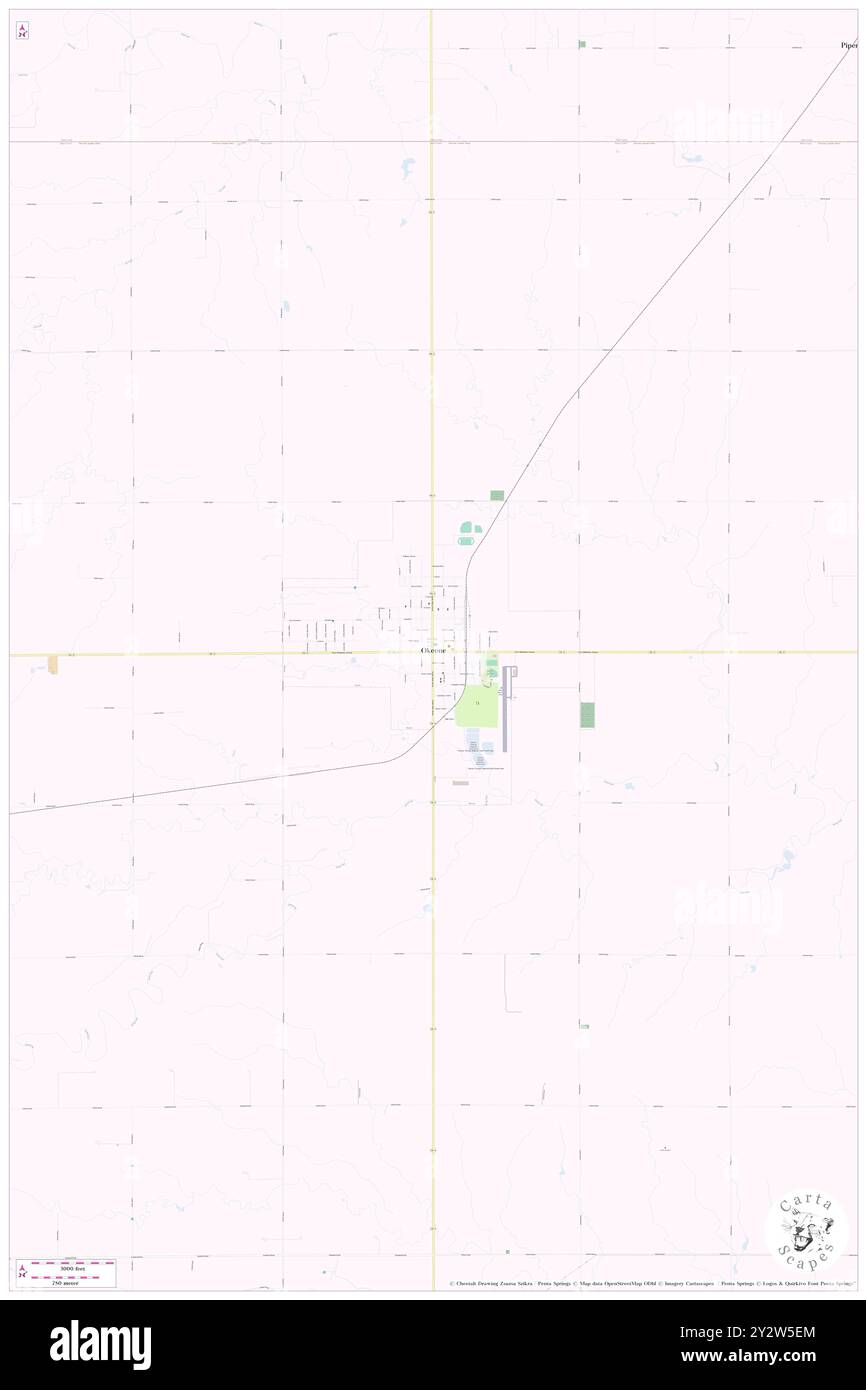 Okeene, Blaine County, US, United States, Oklahoma, N 36 6' 58'', S 98 19' 1'', map, Cartascapes Map published in 2024. Explore Cartascapes, a map revealing Earth's diverse landscapes, cultures, and ecosystems. Journey through time and space, discovering the interconnectedness of our planet's past, present, and future. Stock Photohttps://www.alamy.com/image-license-details/?v=1https://www.alamy.com/okeene-blaine-county-us-united-states-oklahoma-n-36-6-58-s-98-19-1-map-cartascapes-map-published-in-2024-explore-cartascapes-a-map-revealing-earths-diverse-landscapes-cultures-and-ecosystems-journey-through-time-and-space-discovering-the-interconnectedness-of-our-planets-past-present-and-future-image621355692.html
RM2Y2W5EM–Okeene, Blaine County, US, United States, Oklahoma, N 36 6' 58'', S 98 19' 1'', map, Cartascapes Map published in 2024. Explore Cartascapes, a map revealing Earth's diverse landscapes, cultures, and ecosystems. Journey through time and space, discovering the interconnectedness of our planet's past, present, and future.
 Ketchum, Blaine County, US, United States, Idaho, N 43 40' 50'', S 114 21' 49'', map, Cartascapes Map published in 2024. Explore Cartascapes, a map revealing Earth's diverse landscapes, cultures, and ecosystems. Journey through time and space, discovering the interconnectedness of our planet's past, present, and future. Stock Photohttps://www.alamy.com/image-license-details/?v=1https://www.alamy.com/ketchum-blaine-county-us-united-states-idaho-n-43-40-50-s-114-21-49-map-cartascapes-map-published-in-2024-explore-cartascapes-a-map-revealing-earths-diverse-landscapes-cultures-and-ecosystems-journey-through-time-and-space-discovering-the-interconnectedness-of-our-planets-past-present-and-future-image621308228.html
RM2Y2R0YG–Ketchum, Blaine County, US, United States, Idaho, N 43 40' 50'', S 114 21' 49'', map, Cartascapes Map published in 2024. Explore Cartascapes, a map revealing Earth's diverse landscapes, cultures, and ecosystems. Journey through time and space, discovering the interconnectedness of our planet's past, present, and future.
 Dunning, Blaine County, US, United States, Nebraska, N 41 49' 42'', S 100 6' 16'', map, Cartascapes Map published in 2024. Explore Cartascapes, a map revealing Earth's diverse landscapes, cultures, and ecosystems. Journey through time and space, discovering the interconnectedness of our planet's past, present, and future. Stock Photohttps://www.alamy.com/image-license-details/?v=1https://www.alamy.com/dunning-blaine-county-us-united-states-nebraska-n-41-49-42-s-100-6-16-map-cartascapes-map-published-in-2024-explore-cartascapes-a-map-revealing-earths-diverse-landscapes-cultures-and-ecosystems-journey-through-time-and-space-discovering-the-interconnectedness-of-our-planets-past-present-and-future-image621434241.html
RM2Y30NM1–Dunning, Blaine County, US, United States, Nebraska, N 41 49' 42'', S 100 6' 16'', map, Cartascapes Map published in 2024. Explore Cartascapes, a map revealing Earth's diverse landscapes, cultures, and ecosystems. Journey through time and space, discovering the interconnectedness of our planet's past, present, and future.