Quick filters:
Map of bolivar missouri Stock Photos and Images
 Bolivar Missouri USA shown on a Geography map or road map Stock Photohttps://www.alamy.com/image-license-details/?v=1https://www.alamy.com/bolivar-missouri-usa-shown-on-a-geography-map-or-road-map-image426433081.html
RM2FNNKMW–Bolivar Missouri USA shown on a Geography map or road map
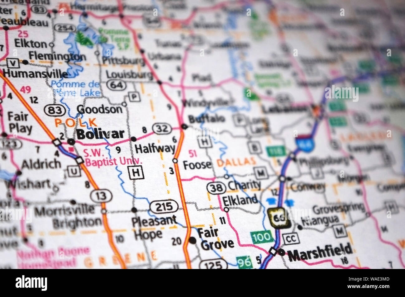 Extreme close-up of Bolivar, Missouri in a map. Stock Photohttps://www.alamy.com/image-license-details/?v=1https://www.alamy.com/extreme-close-up-of-bolivar-missouri-in-a-map-image264612333.html
RFWAE3MD–Extreme close-up of Bolivar, Missouri in a map.
 Bolivar, Polk County, US, United States, Missouri, N 37 36' 52'', S 93 24' 37'', map, Cartascapes Map published in 2024. Explore Cartascapes, a map revealing Earth's diverse landscapes, cultures, and ecosystems. Journey through time and space, discovering the interconnectedness of our planet's past, present, and future. Stock Photohttps://www.alamy.com/image-license-details/?v=1https://www.alamy.com/bolivar-polk-county-us-united-states-missouri-n-37-36-52-s-93-24-37-map-cartascapes-map-published-in-2024-explore-cartascapes-a-map-revealing-earths-diverse-landscapes-cultures-and-ecosystems-journey-through-time-and-space-discovering-the-interconnectedness-of-our-planets-past-present-and-future-image621412295.html
RM2Y2YNM7–Bolivar, Polk County, US, United States, Missouri, N 37 36' 52'', S 93 24' 37'', map, Cartascapes Map published in 2024. Explore Cartascapes, a map revealing Earth's diverse landscapes, cultures, and ecosystems. Journey through time and space, discovering the interconnectedness of our planet's past, present, and future.
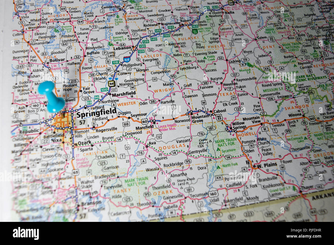 A map of Springfield, Missouri marked with a push pin. Stock Photohttps://www.alamy.com/image-license-details/?v=1https://www.alamy.com/a-map-of-springfield-missouri-marked-with-a-push-pin-image217928195.html
RFPJFDHR–A map of Springfield, Missouri marked with a push pin.
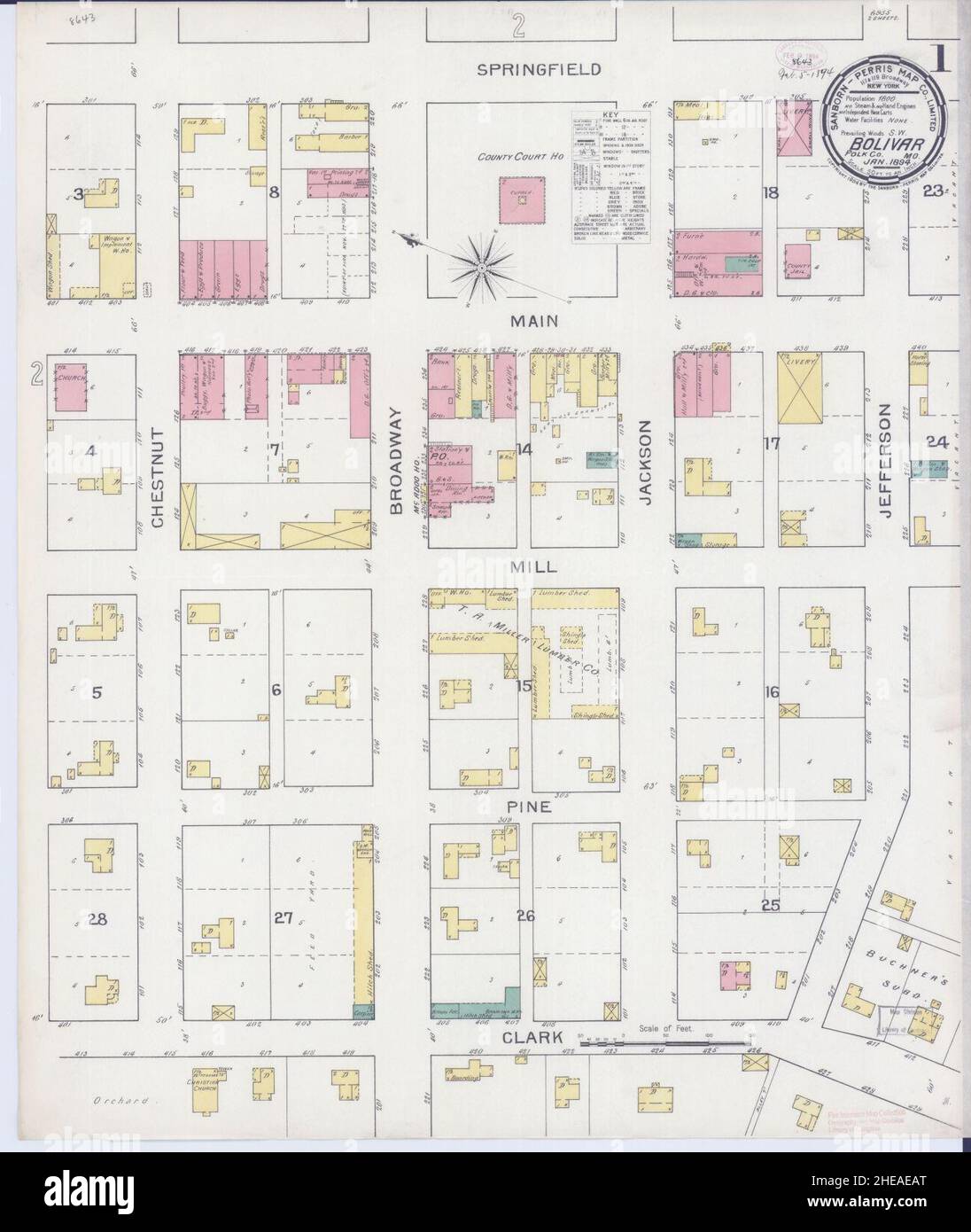 Sanborn Fire Insurance Map from Bolivar, Polk County, Missouri. Stock Photohttps://www.alamy.com/image-license-details/?v=1https://www.alamy.com/sanborn-fire-insurance-map-from-bolivar-polk-county-missouri-image456305552.html
RM2HEAEAT–Sanborn Fire Insurance Map from Bolivar, Polk County, Missouri.
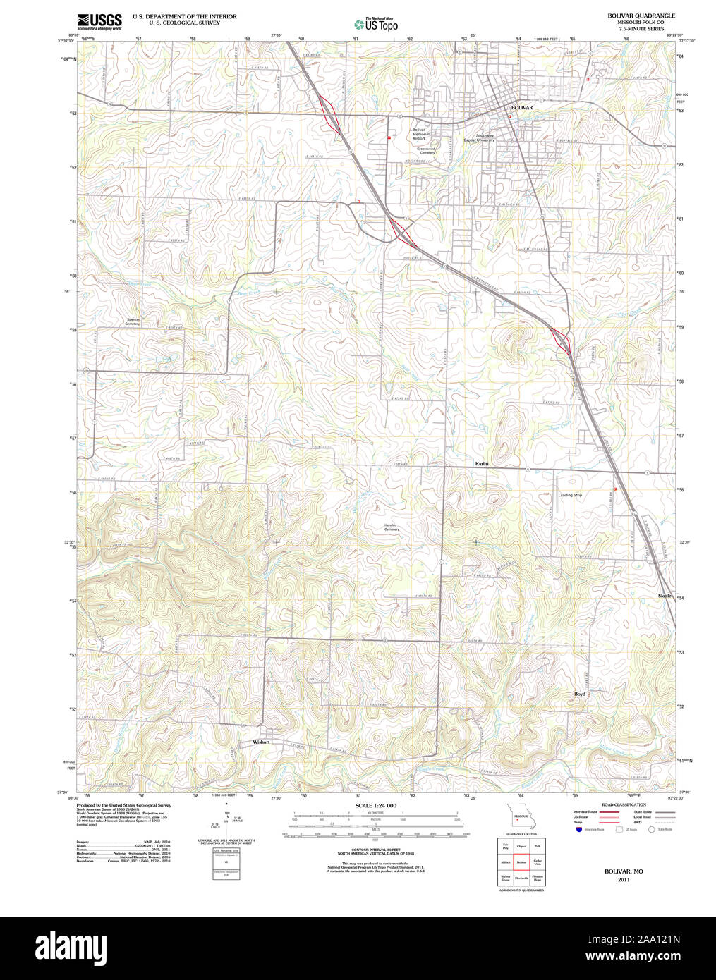 USGS TOPO Map Missouri MO Bolivar 20111209 TM Restoration Stock Photohttps://www.alamy.com/image-license-details/?v=1https://www.alamy.com/usgs-topo-map-missouri-mo-bolivar-20111209-tm-restoration-image333167121.html
RM2AA121N–USGS TOPO Map Missouri MO Bolivar 20111209 TM Restoration
 Bolivar, Polk County, US, United States, Missouri, N 37 36' 52'', S 93 24' 37'', map, Cartascapes Map published in 2024. Explore Cartascapes, a map revealing Earth's diverse landscapes, cultures, and ecosystems. Journey through time and space, discovering the interconnectedness of our planet's past, present, and future. Stock Photohttps://www.alamy.com/image-license-details/?v=1https://www.alamy.com/bolivar-polk-county-us-united-states-missouri-n-37-36-52-s-93-24-37-map-cartascapes-map-published-in-2024-explore-cartascapes-a-map-revealing-earths-diverse-landscapes-cultures-and-ecosystems-journey-through-time-and-space-discovering-the-interconnectedness-of-our-planets-past-present-and-future-image621443897.html
RM2Y3160W–Bolivar, Polk County, US, United States, Missouri, N 37 36' 52'', S 93 24' 37'', map, Cartascapes Map published in 2024. Explore Cartascapes, a map revealing Earth's diverse landscapes, cultures, and ecosystems. Journey through time and space, discovering the interconnectedness of our planet's past, present, and future.
 Sanborn Fire Insurance Map from Bolivar, Polk County, Missouri. Stock Photohttps://www.alamy.com/image-license-details/?v=1https://www.alamy.com/sanborn-fire-insurance-map-from-bolivar-polk-county-missouri-image456305571.html
RM2HEAEBF–Sanborn Fire Insurance Map from Bolivar, Polk County, Missouri.
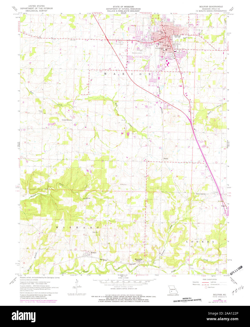 USGS TOPO Map Missouri MO Bolivar 322030 1961 24000 Restoration Stock Photohttps://www.alamy.com/image-license-details/?v=1https://www.alamy.com/usgs-topo-map-missouri-mo-bolivar-322030-1961-24000-restoration-image333167150.html
RM2AA122P–USGS TOPO Map Missouri MO Bolivar 322030 1961 24000 Restoration
 City of Bolivar, Polk County, US, United States, Missouri, N 37 36' 20'', S 93 25' 3'', map, Cartascapes Map published in 2024. Explore Cartascapes, a map revealing Earth's diverse landscapes, cultures, and ecosystems. Journey through time and space, discovering the interconnectedness of our planet's past, present, and future. Stock Photohttps://www.alamy.com/image-license-details/?v=1https://www.alamy.com/city-of-bolivar-polk-county-us-united-states-missouri-n-37-36-20-s-93-25-3-map-cartascapes-map-published-in-2024-explore-cartascapes-a-map-revealing-earths-diverse-landscapes-cultures-and-ecosystems-journey-through-time-and-space-discovering-the-interconnectedness-of-our-planets-past-present-and-future-image633811948.html
RM2YR4HH0–City of Bolivar, Polk County, US, United States, Missouri, N 37 36' 20'', S 93 25' 3'', map, Cartascapes Map published in 2024. Explore Cartascapes, a map revealing Earth's diverse landscapes, cultures, and ecosystems. Journey through time and space, discovering the interconnectedness of our planet's past, present, and future.
 USGS TOPO Map Missouri MO Bolivar 325418 1892 125000 Restoration Stock Photohttps://www.alamy.com/image-license-details/?v=1https://www.alamy.com/usgs-topo-map-missouri-mo-bolivar-325418-1892-125000-restoration-image333167377.html
RM2AA12AW–USGS TOPO Map Missouri MO Bolivar 325418 1892 125000 Restoration
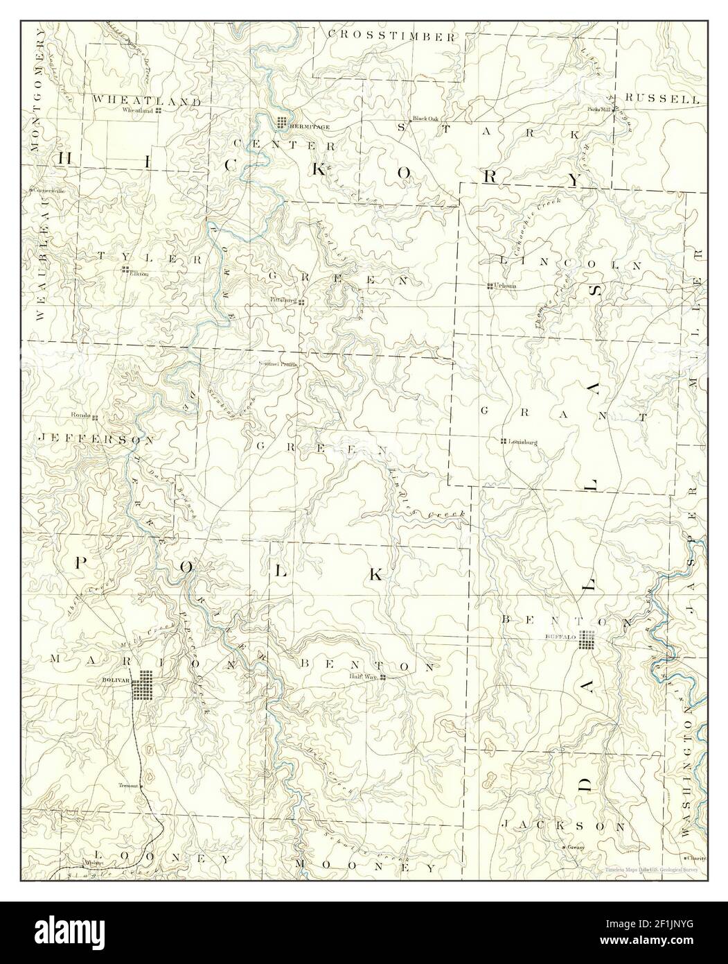 Bolivar, Missouri, map 1892, 1:125000, United States of America by Timeless Maps, data U.S. Geological Survey Stock Photohttps://www.alamy.com/image-license-details/?v=1https://www.alamy.com/bolivar-missouri-map-1892-1125000-united-states-of-america-by-timeless-maps-data-us-geological-survey-image414075860.html
RM2F1JNYG–Bolivar, Missouri, map 1892, 1:125000, United States of America by Timeless Maps, data U.S. Geological Survey
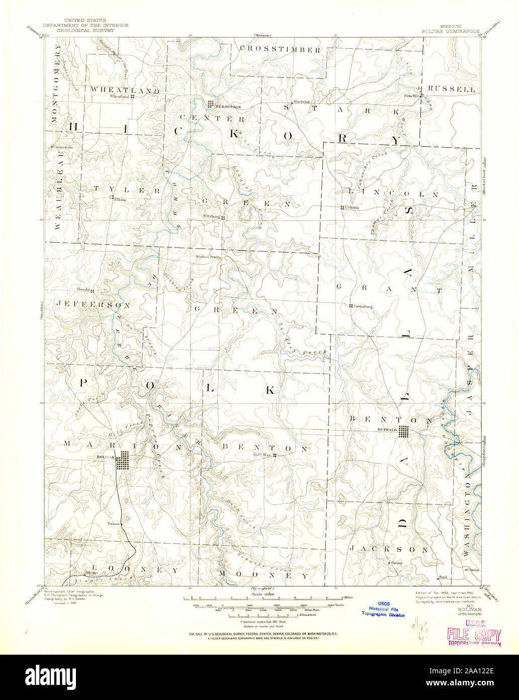 USGS TOPO Map Missouri MO Bolivar 325413 1892 125000 Restoration Stock Photohttps://www.alamy.com/image-license-details/?v=1https://www.alamy.com/usgs-topo-map-missouri-mo-bolivar-325413-1892-125000-restoration-image333167142.html
RM2AA122E–USGS TOPO Map Missouri MO Bolivar 325413 1892 125000 Restoration
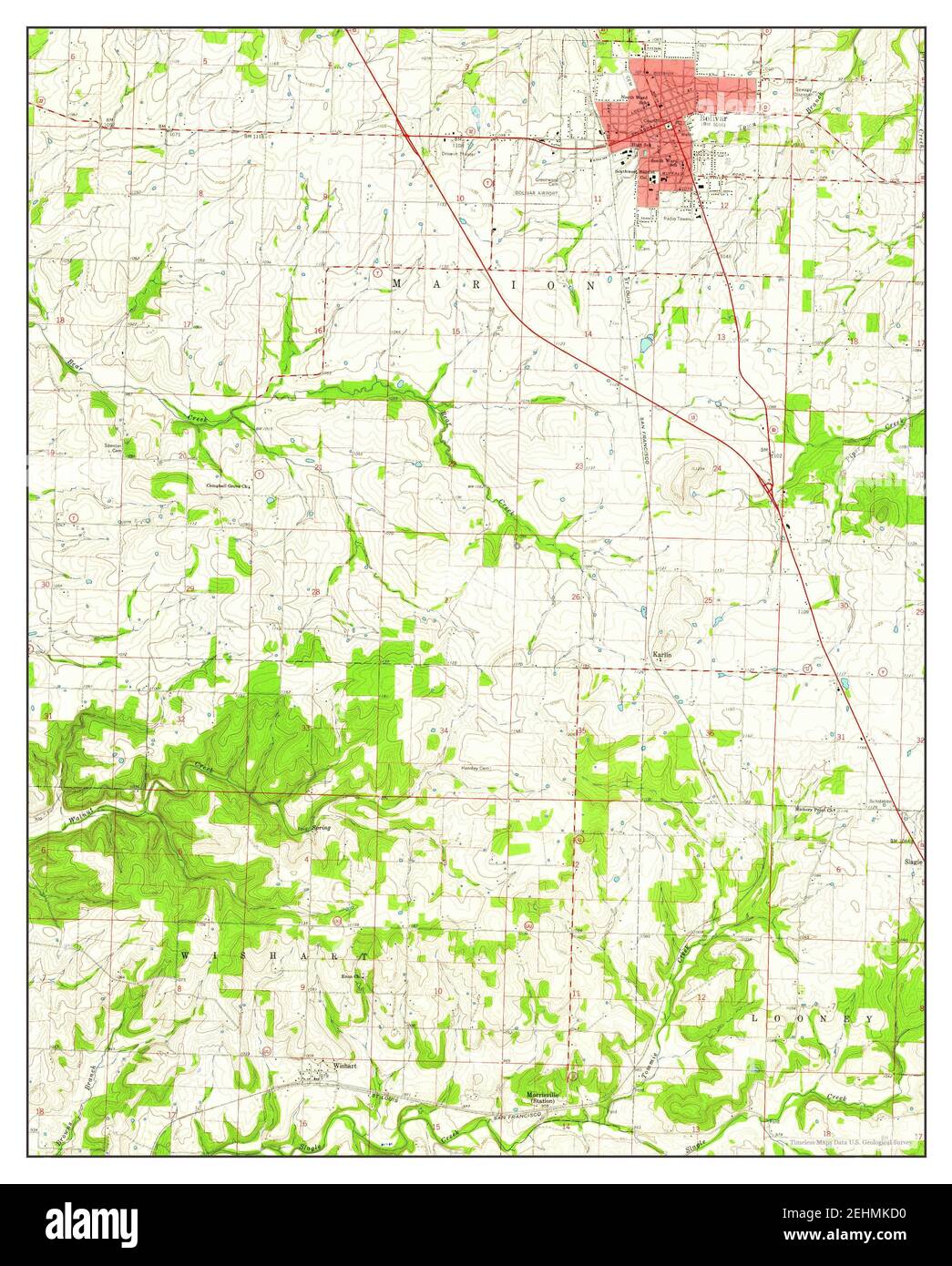 Bolivar, Missouri, map 1961, 1:24000, United States of America by Timeless Maps, data U.S. Geological Survey Stock Photohttps://www.alamy.com/image-license-details/?v=1https://www.alamy.com/bolivar-missouri-map-1961-124000-united-states-of-america-by-timeless-maps-data-us-geological-survey-image406741916.html
RM2EHMKD0–Bolivar, Missouri, map 1961, 1:24000, United States of America by Timeless Maps, data U.S. Geological Survey
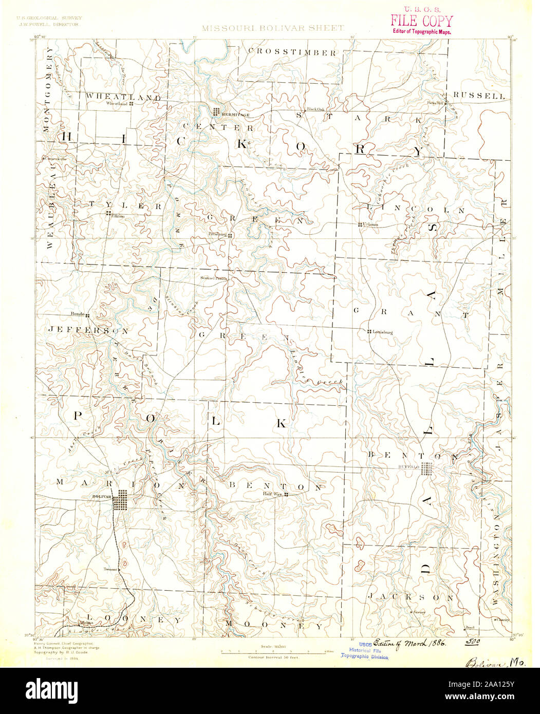 USGS TOPO Map Missouri MO Bolivar 325415 1884 125000 Restoration Stock Photohttps://www.alamy.com/image-license-details/?v=1https://www.alamy.com/usgs-topo-map-missouri-mo-bolivar-325415-1884-125000-restoration-image333167239.html
RM2AA125Y–USGS TOPO Map Missouri MO Bolivar 325415 1884 125000 Restoration
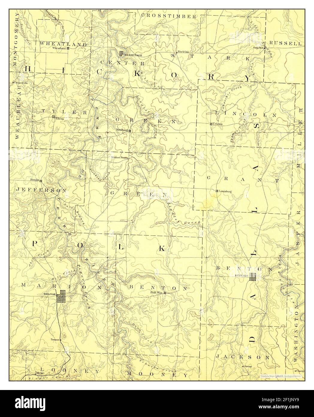 Bolivar, Missouri, map 1892, 1:125000, United States of America by Timeless Maps, data U.S. Geological Survey Stock Photohttps://www.alamy.com/image-license-details/?v=1https://www.alamy.com/bolivar-missouri-map-1892-1125000-united-states-of-america-by-timeless-maps-data-us-geological-survey-image414075853.html
RM2F1JNY9–Bolivar, Missouri, map 1892, 1:125000, United States of America by Timeless Maps, data U.S. Geological Survey
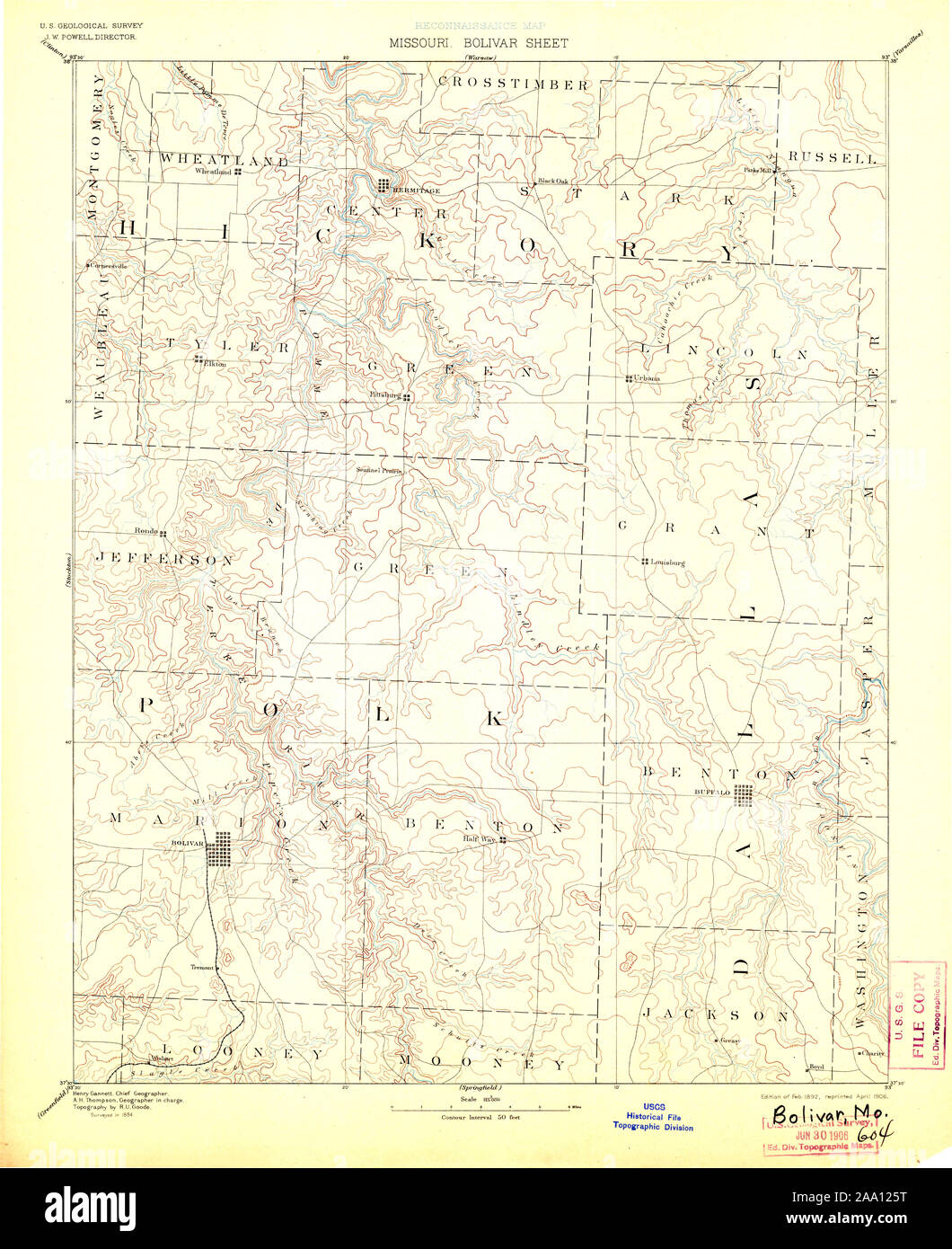 USGS TOPO Map Missouri MO Bolivar 325417 1892 125000 Restoration Stock Photohttps://www.alamy.com/image-license-details/?v=1https://www.alamy.com/usgs-topo-map-missouri-mo-bolivar-325417-1892-125000-restoration-image333167236.html
RM2AA125T–USGS TOPO Map Missouri MO Bolivar 325417 1892 125000 Restoration
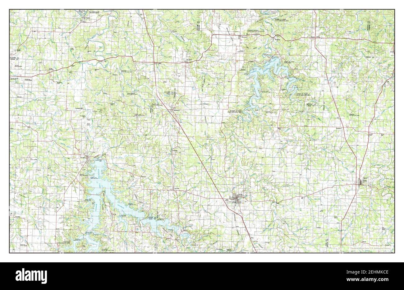 Bolivar, Missouri, map 1984, 1:100000, United States of America by Timeless Maps, data U.S. Geological Survey Stock Photohttps://www.alamy.com/image-license-details/?v=1https://www.alamy.com/bolivar-missouri-map-1984-1100000-united-states-of-america-by-timeless-maps-data-us-geological-survey-image406741902.html
RM2EHMKCE–Bolivar, Missouri, map 1984, 1:100000, United States of America by Timeless Maps, data U.S. Geological Survey
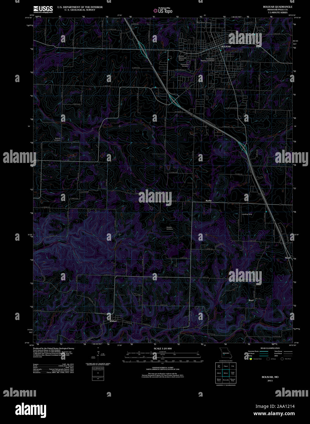 USGS TOPO Map Missouri MO Bolivar 20111209 TM Inverted Restoration Stock Photohttps://www.alamy.com/image-license-details/?v=1https://www.alamy.com/usgs-topo-map-missouri-mo-bolivar-20111209-tm-inverted-restoration-image333167104.html
RM2AA1214–USGS TOPO Map Missouri MO Bolivar 20111209 TM Inverted Restoration
 Bolivar, Missouri, map 1892, 1:125000, United States of America by Timeless Maps, data U.S. Geological Survey Stock Photohttps://www.alamy.com/image-license-details/?v=1https://www.alamy.com/bolivar-missouri-map-1892-1125000-united-states-of-america-by-timeless-maps-data-us-geological-survey-image414075870.html
RM2F1JNYX–Bolivar, Missouri, map 1892, 1:125000, United States of America by Timeless Maps, data U.S. Geological Survey
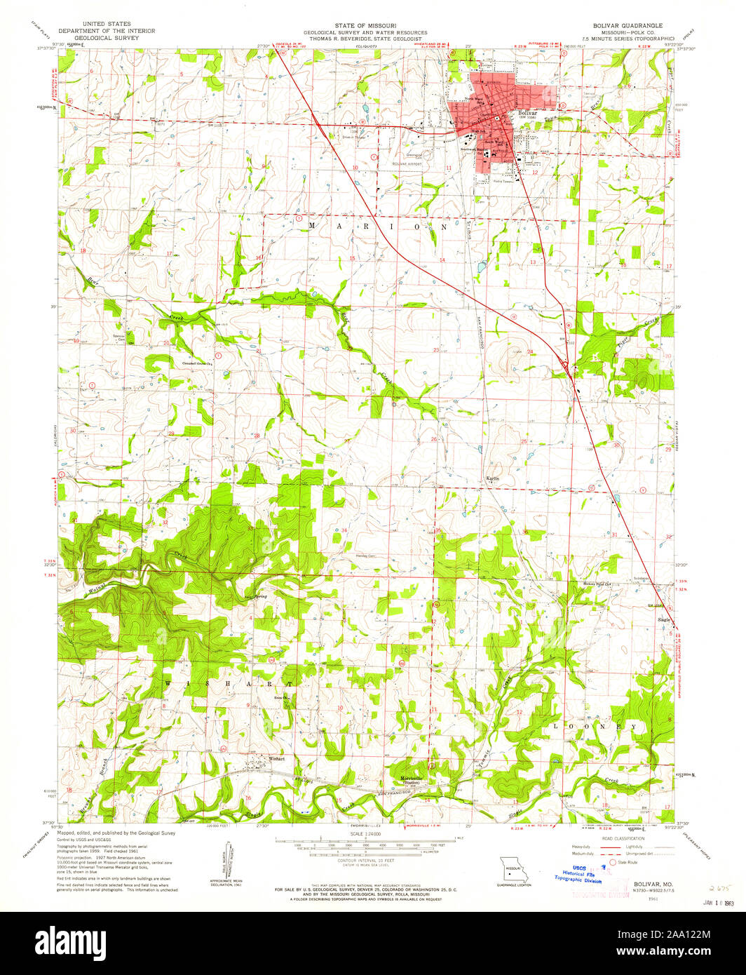 USGS TOPO Map Missouri MO Bolivar 322029 1961 24000 Restoration Stock Photohttps://www.alamy.com/image-license-details/?v=1https://www.alamy.com/usgs-topo-map-missouri-mo-bolivar-322029-1961-24000-restoration-image333167148.html
RM2AA122M–USGS TOPO Map Missouri MO Bolivar 322029 1961 24000 Restoration
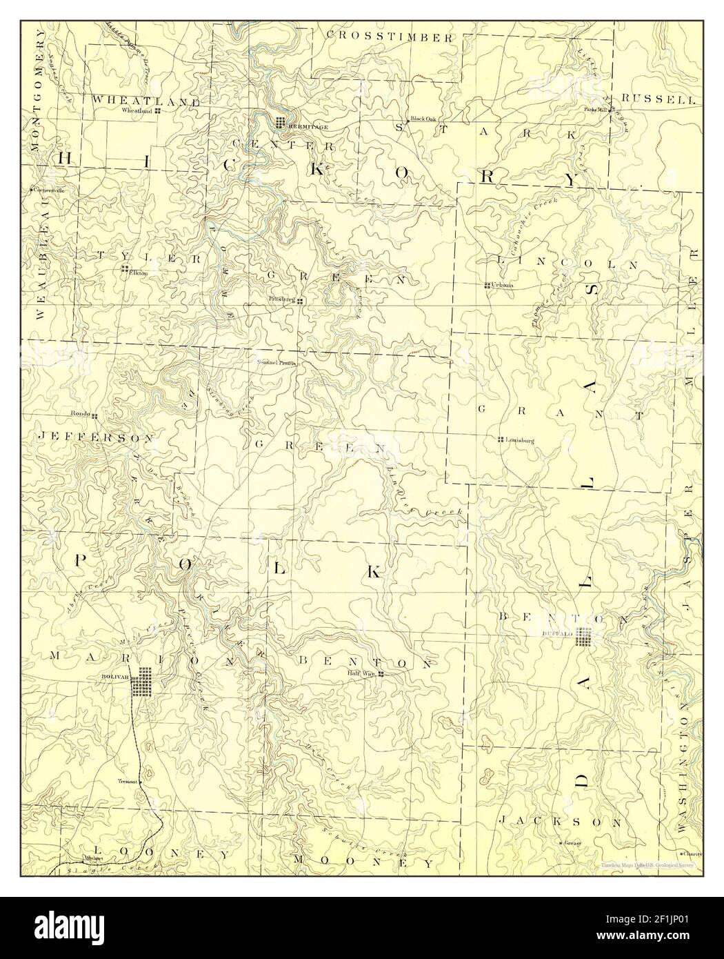 Bolivar, Missouri, map 1892, 1:125000, United States of America by Timeless Maps, data U.S. Geological Survey Stock Photohttps://www.alamy.com/image-license-details/?v=1https://www.alamy.com/bolivar-missouri-map-1892-1125000-united-states-of-america-by-timeless-maps-data-us-geological-survey-image414075873.html
RM2F1JP01–Bolivar, Missouri, map 1892, 1:125000, United States of America by Timeless Maps, data U.S. Geological Survey
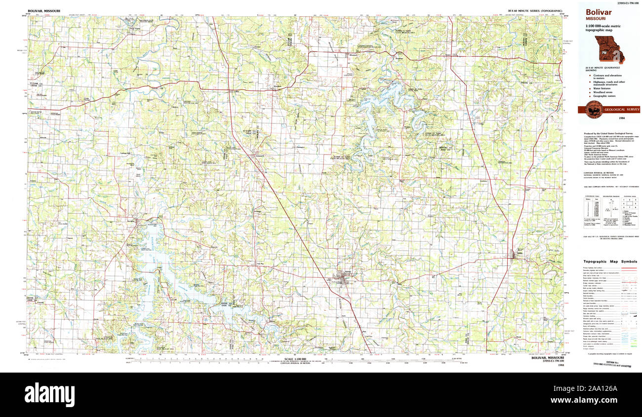 USGS TOPO Map Missouri MO Bolivar 325360 1984 100000 Restoration Stock Photohttps://www.alamy.com/image-license-details/?v=1https://www.alamy.com/usgs-topo-map-missouri-mo-bolivar-325360-1984-100000-restoration-image333167250.html
RM2AA126A–USGS TOPO Map Missouri MO Bolivar 325360 1984 100000 Restoration
 USGS TOPO Map Missouri MO Bolivar 325416 1892 125000 Restoration Stock Photohttps://www.alamy.com/image-license-details/?v=1https://www.alamy.com/usgs-topo-map-missouri-mo-bolivar-325416-1892-125000-restoration-image333167255.html
RM2AA126F–USGS TOPO Map Missouri MO Bolivar 325416 1892 125000 Restoration
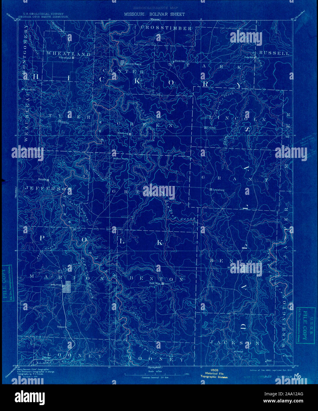 USGS TOPO Map Missouri MO Bolivar 325418 1892 125000 Inverted Restoration Stock Photohttps://www.alamy.com/image-license-details/?v=1https://www.alamy.com/usgs-topo-map-missouri-mo-bolivar-325418-1892-125000-inverted-restoration-image333167368.html
RM2AA12AG–USGS TOPO Map Missouri MO Bolivar 325418 1892 125000 Inverted Restoration
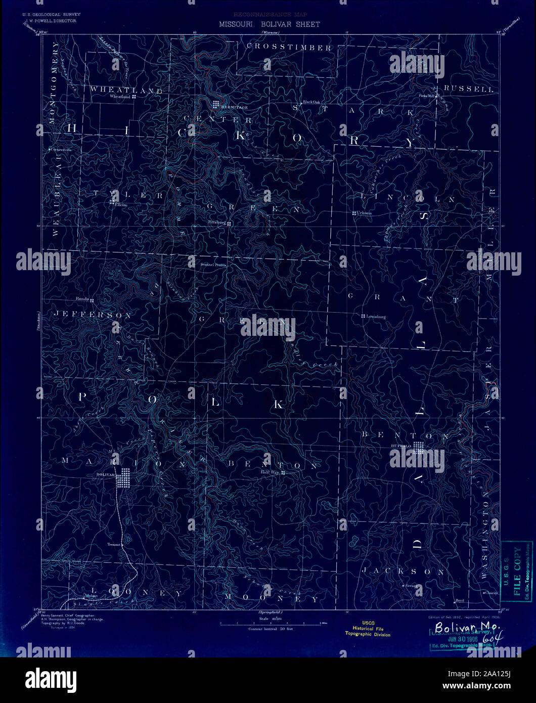 USGS TOPO Map Missouri MO Bolivar 325417 1892 125000 Inverted Restoration Stock Photohttps://www.alamy.com/image-license-details/?v=1https://www.alamy.com/usgs-topo-map-missouri-mo-bolivar-325417-1892-125000-inverted-restoration-image333167230.html
RM2AA125J–USGS TOPO Map Missouri MO Bolivar 325417 1892 125000 Inverted Restoration
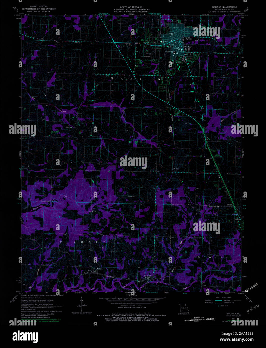 USGS TOPO Map Missouri MO Bolivar 322030 1961 24000 Inverted Restoration Stock Photohttps://www.alamy.com/image-license-details/?v=1https://www.alamy.com/usgs-topo-map-missouri-mo-bolivar-322030-1961-24000-inverted-restoration-image333167159.html
RM2AA1233–USGS TOPO Map Missouri MO Bolivar 322030 1961 24000 Inverted Restoration
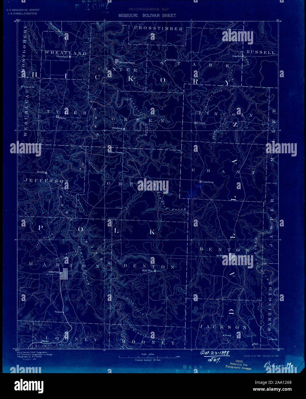 USGS TOPO Map Missouri MO Bolivar 325416 1892 125000 Inverted Restoration Stock Photohttps://www.alamy.com/image-license-details/?v=1https://www.alamy.com/usgs-topo-map-missouri-mo-bolivar-325416-1892-125000-inverted-restoration-image333167248.html
RM2AA1268–USGS TOPO Map Missouri MO Bolivar 325416 1892 125000 Inverted Restoration
 USGS TOPO Map Missouri MO Bolivar 325413 1892 125000 Inverted Restoration Stock Photohttps://www.alamy.com/image-license-details/?v=1https://www.alamy.com/usgs-topo-map-missouri-mo-bolivar-325413-1892-125000-inverted-restoration-image333167144.html
RM2AA122G–USGS TOPO Map Missouri MO Bolivar 325413 1892 125000 Inverted Restoration
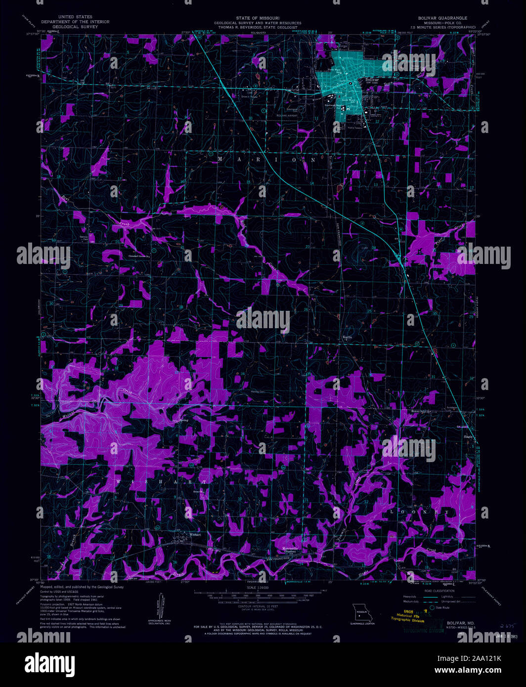 USGS TOPO Map Missouri MO Bolivar 322029 1961 24000 Inverted Restoration Stock Photohttps://www.alamy.com/image-license-details/?v=1https://www.alamy.com/usgs-topo-map-missouri-mo-bolivar-322029-1961-24000-inverted-restoration-image333167119.html
RM2AA121K–USGS TOPO Map Missouri MO Bolivar 322029 1961 24000 Inverted Restoration
 USGS TOPO Map Missouri MO Bolivar 325415 1884 125000 Inverted Restoration Stock Photohttps://www.alamy.com/image-license-details/?v=1https://www.alamy.com/usgs-topo-map-missouri-mo-bolivar-325415-1884-125000-inverted-restoration-image333167238.html
RM2AA125X–USGS TOPO Map Missouri MO Bolivar 325415 1884 125000 Inverted Restoration
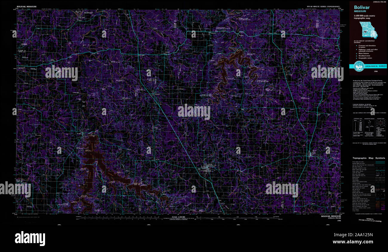 USGS TOPO Map Missouri MO Bolivar 325360 1984 100000 Inverted Restoration Stock Photohttps://www.alamy.com/image-license-details/?v=1https://www.alamy.com/usgs-topo-map-missouri-mo-bolivar-325360-1984-100000-inverted-restoration-image333167233.html
RM2AA125N–USGS TOPO Map Missouri MO Bolivar 325360 1984 100000 Inverted Restoration