Quick filters:
Map of byron Stock Photos and Images
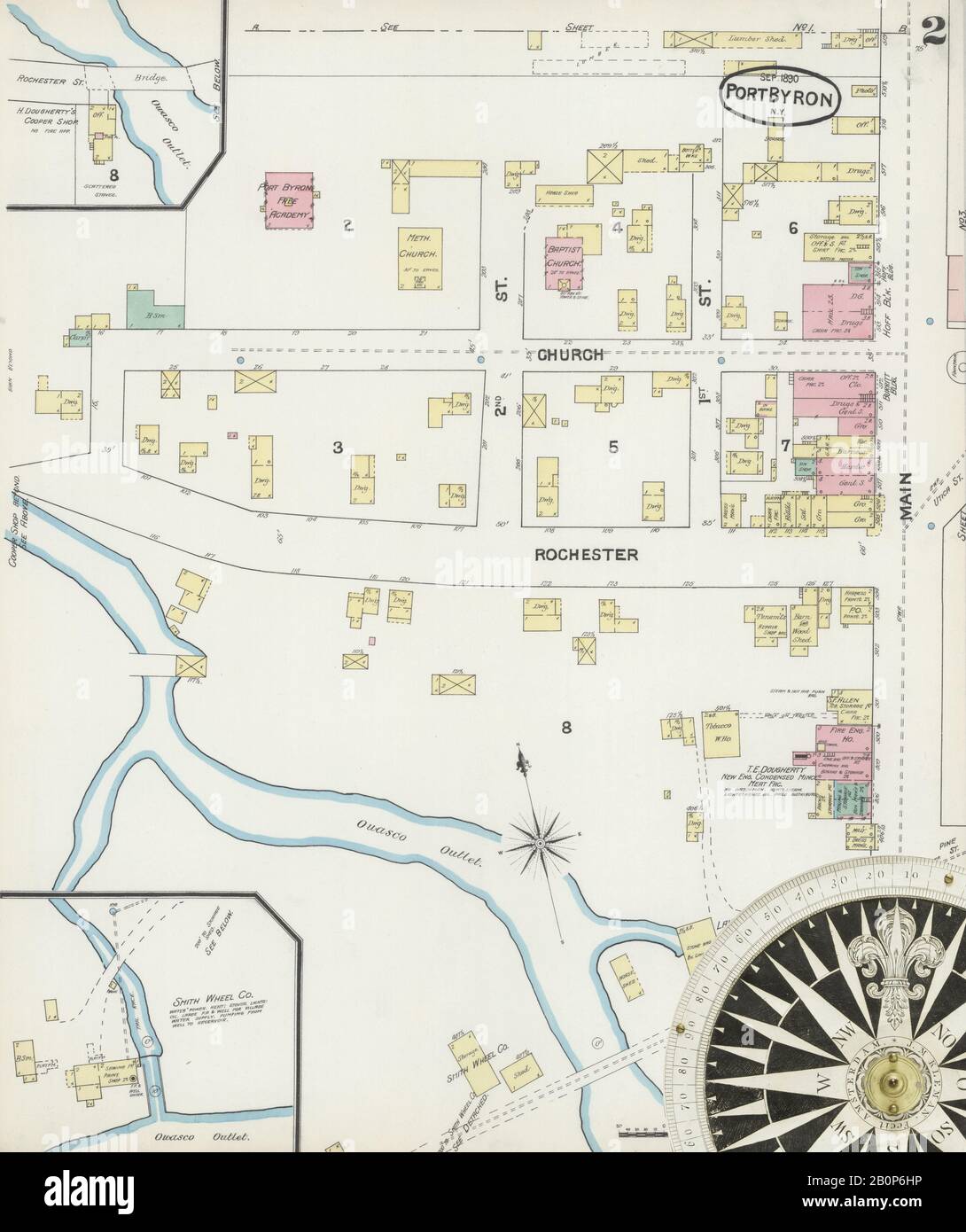 Image 2 of Sanborn Fire Insurance Map from Port Byron, Cayuga County, New York. Sep 1890. 3 Sheet(s), America, street map with a Nineteenth Century compass Stock Photohttps://www.alamy.com/image-license-details/?v=1https://www.alamy.com/image-2-of-sanborn-fire-insurance-map-from-port-byron-cayuga-county-new-york-sep-1890-3-sheets-america-street-map-with-a-nineteenth-century-compass-image344695506.html
RM2B0P6HP–Image 2 of Sanborn Fire Insurance Map from Port Byron, Cayuga County, New York. Sep 1890. 3 Sheet(s), America, street map with a Nineteenth Century compass
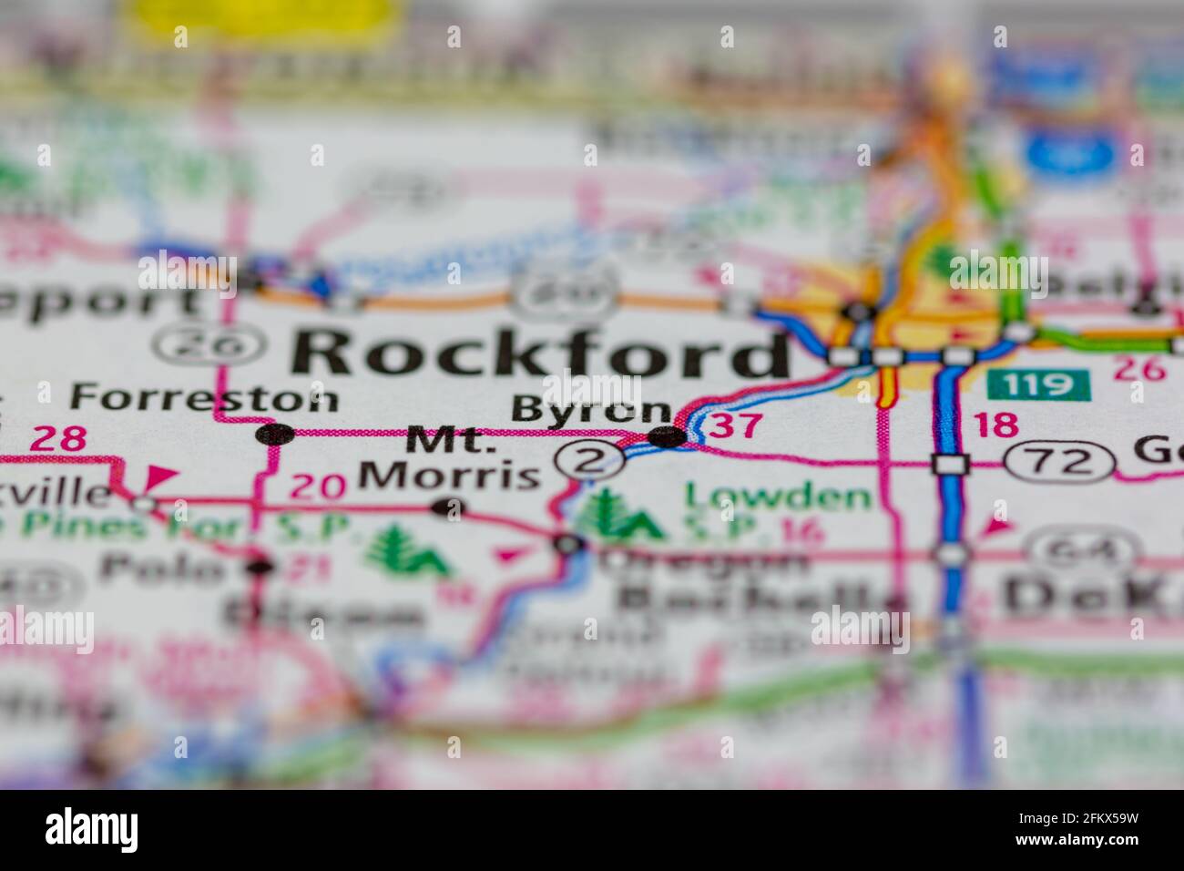 Byron Illinois Shown on a Geography map or road map Stock Photohttps://www.alamy.com/image-license-details/?v=1https://www.alamy.com/byron-illinois-shown-on-a-geography-map-or-road-map-image425302245.html
RM2FKX59W–Byron Illinois Shown on a Geography map or road map
 Mount Byron, Somerset, AU, Australia, Queensland, S 27 9' 15'', N 152 39' 15'', map, Cartascapes Map published in 2024. Explore Cartascapes, a map revealing Earth's diverse landscapes, cultures, and ecosystems. Journey through time and space, discovering the interconnectedness of our planet's past, present, and future. Stock Photohttps://www.alamy.com/image-license-details/?v=1https://www.alamy.com/mount-byron-somerset-au-australia-queensland-s-27-9-15-n-152-39-15-map-cartascapes-map-published-in-2024-explore-cartascapes-a-map-revealing-earths-diverse-landscapes-cultures-and-ecosystems-journey-through-time-and-space-discovering-the-interconnectedness-of-our-planets-past-present-and-future-image625714861.html
RM2Y9YNK9–Mount Byron, Somerset, AU, Australia, Queensland, S 27 9' 15'', N 152 39' 15'', map, Cartascapes Map published in 2024. Explore Cartascapes, a map revealing Earth's diverse landscapes, cultures, and ecosystems. Journey through time and space, discovering the interconnectedness of our planet's past, present, and future.
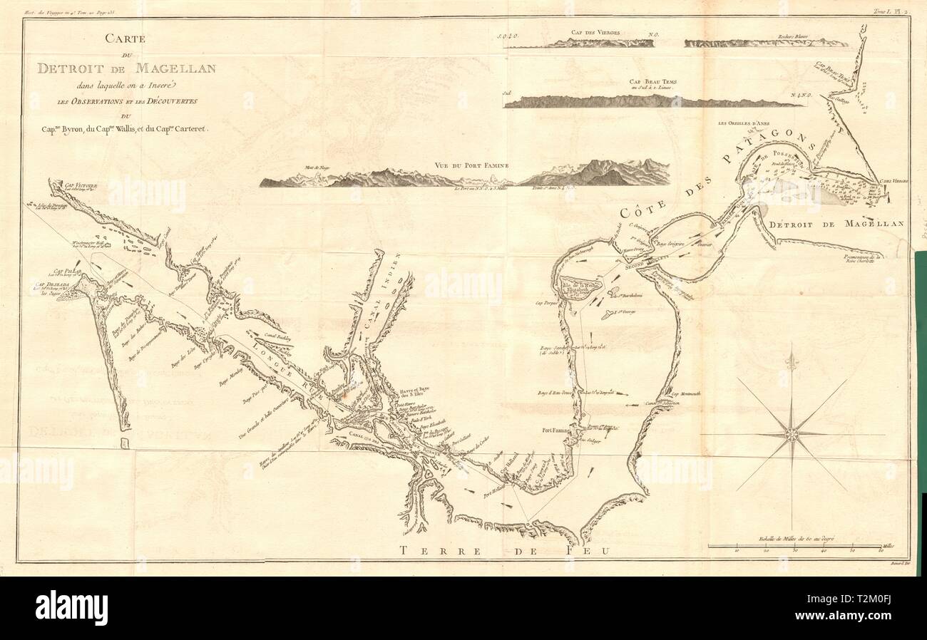 'Carte du Détroit de Magellan…' Strait. Wallis Byron. COOK/BENARD 1789 old map Stock Photohttps://www.alamy.com/image-license-details/?v=1https://www.alamy.com/carte-du-dtroit-de-magellan-strait-wallis-byron-cookbenard-1789-old-map-image242613942.html
RFT2M0FJ–'Carte du Détroit de Magellan…' Strait. Wallis Byron. COOK/BENARD 1789 old map
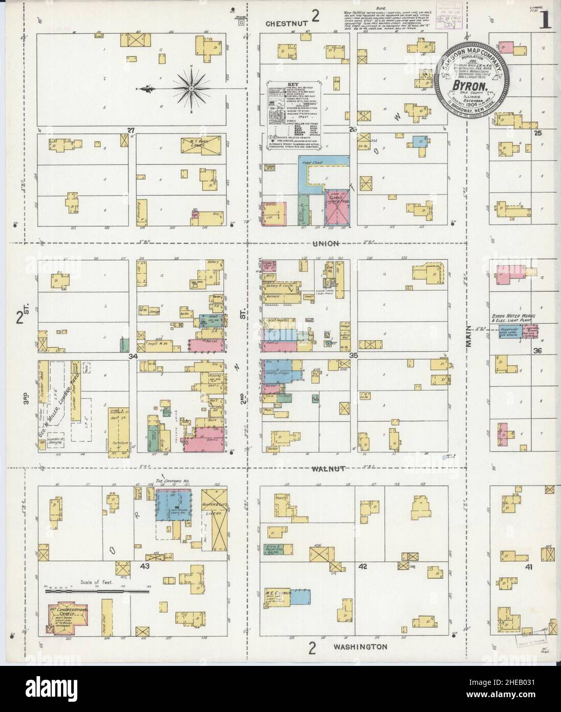 Sanborn Fire Insurance Map from Byron, Ogle County, Illinois. Stock Photohttps://www.alamy.com/image-license-details/?v=1https://www.alamy.com/sanborn-fire-insurance-map-from-byron-ogle-county-illinois-image456316309.html
RM2HEB031–Sanborn Fire Insurance Map from Byron, Ogle County, Illinois.
 Isles Maidenland & Hawkins. Falkland Islands & South Georgia. BONNE 1788 map Stock Photohttps://www.alamy.com/image-license-details/?v=1https://www.alamy.com/isles-maidenland-hawkins-falkland-islands-south-georgia-bonne-1788-map-image401434174.html
RF2E92WAP–Isles Maidenland & Hawkins. Falkland Islands & South Georgia. BONNE 1788 map
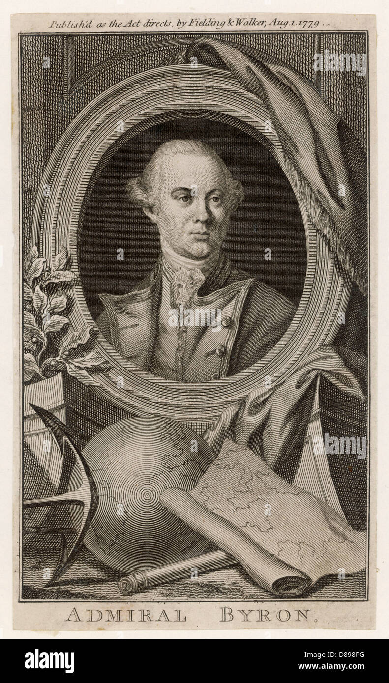 John Byron 1723 1786 Stock Photohttps://www.alamy.com/image-license-details/?v=1https://www.alamy.com/stock-photo-john-byron-1723-1786-56752824.html
RMD898PG–John Byron 1723 1786
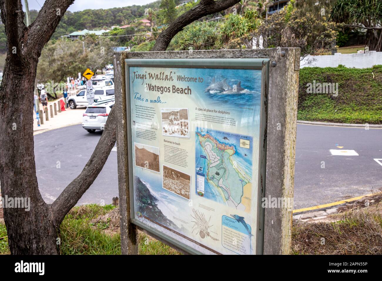 Cape Byron Headland Reserve, information map in Byron Bay,New South Wales,Australia Stock Photohttps://www.alamy.com/image-license-details/?v=1https://www.alamy.com/cape-byron-headland-reserve-information-map-in-byron-baynew-south-walesaustralia-image340984498.html
RM2APN55P–Cape Byron Headland Reserve, information map in Byron Bay,New South Wales,Australia
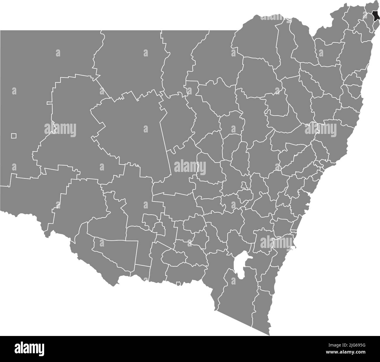 Locator map of the BYRON SHIRE, NEW SOUTH WALES Stock Vectorhttps://www.alamy.com/image-license-details/?v=1https://www.alamy.com/locator-map-of-the-byron-shire-new-south-wales-image474653356.html
RF2JG695G–Locator map of the BYRON SHIRE, NEW SOUTH WALES
![Voyage of H.M.S. Blonde to the Sandwich Islands, in the years 1824-1825. Captain the Right Hon. Lord Byron Commander. [By Maria Graham. With plates, including a map.] Stock Photo Voyage of H.M.S. Blonde to the Sandwich Islands, in the years 1824-1825. Captain the Right Hon. Lord Byron Commander. [By Maria Graham. With plates, including a map.] Stock Photo](https://c8.alamy.com/comp/J559AH/voyage-of-hms-blonde-to-the-sandwich-islands-in-the-years-1824-1825-J559AH.jpg) Voyage of H.M.S. Blonde to the Sandwich Islands, in the years 1824-1825. Captain the Right Hon. Lord Byron Commander. [By Maria Graham. With plates, including a map.] Stock Photohttps://www.alamy.com/image-license-details/?v=1https://www.alamy.com/stock-photo-voyage-of-hms-blonde-to-the-sandwich-islands-in-the-years-1824-1825-140873337.html
Voyage of H.M.S. Blonde to the Sandwich Islands, in the years 1824-1825. Captain the Right Hon. Lord Byron Commander. [By Maria Graham. With plates, including a map.] Stock Photohttps://www.alamy.com/image-license-details/?v=1https://www.alamy.com/stock-photo-voyage-of-hms-blonde-to-the-sandwich-islands-in-the-years-1824-1825-140873337.htmlRMJ559AH–Voyage of H.M.S. Blonde to the Sandwich Islands, in the years 1824-1825. Captain the Right Hon. Lord Byron Commander. [By Maria Graham. With plates, including a map.]
 . English: This is a magnificent 1861 hand colored map of South America. Shows the region in incredible detail with notations of geographical features, political features, and other information such as telegraph cables, roads, and nautical facts. It also traces the routes of the important explorers, Byron, Wallis, Anson, Cook, Bouvet, Perouse, Bougainville, Colnett, Carteret, Halley, and Vancouver. This is a rare version of the Johnson South America map that appeared in the 1860 and 1861 editions of the Johnson Family Atlas. It is differs from later editions with regard to both style and form Stock Photohttps://www.alamy.com/image-license-details/?v=1https://www.alamy.com/english-this-is-a-magnificent-1861-hand-colored-map-of-south-america-shows-the-region-in-incredible-detail-with-notations-of-geographical-features-political-features-and-other-information-such-as-telegraph-cables-roads-and-nautical-facts-it-also-traces-the-routes-of-the-important-explorers-byron-wallis-anson-cook-bouvet-perouse-bougainville-colnett-carteret-halley-and-vancouver-this-is-a-rare-version-of-the-johnson-south-america-map-that-appeared-in-the-1860-and-1861-editions-of-the-johnson-family-atlas-it-is-differs-from-later-editions-with-regard-to-both-style-and-form-image184963472.html
RMMMWPP8–. English: This is a magnificent 1861 hand colored map of South America. Shows the region in incredible detail with notations of geographical features, political features, and other information such as telegraph cables, roads, and nautical facts. It also traces the routes of the important explorers, Byron, Wallis, Anson, Cook, Bouvet, Perouse, Bougainville, Colnett, Carteret, Halley, and Vancouver. This is a rare version of the Johnson South America map that appeared in the 1860 and 1861 editions of the Johnson Family Atlas. It is differs from later editions with regard to both style and form
 Byron (New South Wales) outline map set Stock Vectorhttps://www.alamy.com/image-license-details/?v=1https://www.alamy.com/byron-new-south-wales-outline-map-set-image621330847.html
RF2Y2T1RB–Byron (New South Wales) outline map set
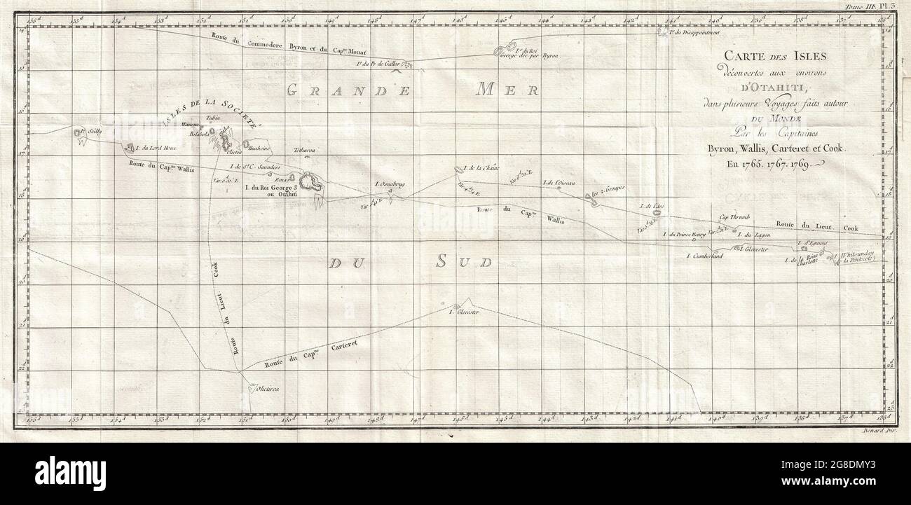 map shows the explorations of Captain Cook, Captain Byron, Captain Wallis and Captain Carteret in the vicinity of Tahiti and the Society Islands from 1765 to 1769. From Is. Scilly in the west and to I. Whitsunday de la Pentecote in the east, from Is. du Disappointment in the north to Ohetiroa in the south. Features the routes taken by these explorers. Depicts the island of Tahiti , Bora Bora , Otaha, Marma, Ulietea, and others. Date 1769 Stock Photohttps://www.alamy.com/image-license-details/?v=1https://www.alamy.com/map-shows-the-explorations-of-captain-cook-captain-byron-captain-wallis-and-captain-carteret-in-the-vicinity-of-tahiti-and-the-society-islands-from-1765-to-1769-from-is-scilly-in-the-west-and-to-i-whitsunday-de-la-pentecote-in-the-east-from-is-du-disappointment-in-the-north-to-ohetiroa-in-the-south-features-the-routes-taken-by-these-explorers-depicts-the-island-of-tahiti-bora-bora-otaha-marma-ulietea-and-others-date-1769-image435478263.html
RM2G8DMY3–map shows the explorations of Captain Cook, Captain Byron, Captain Wallis and Captain Carteret in the vicinity of Tahiti and the Society Islands from 1765 to 1769. From Is. Scilly in the west and to I. Whitsunday de la Pentecote in the east, from Is. du Disappointment in the north to Ohetiroa in the south. Features the routes taken by these explorers. Depicts the island of Tahiti , Bora Bora , Otaha, Marma, Ulietea, and others. Date 1769
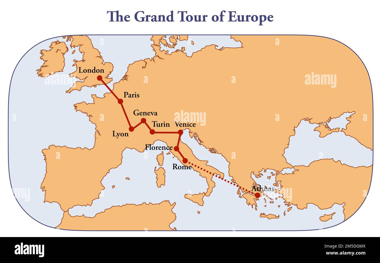 Map with the route of the classic grand tour of Europe Stock Photohttps://www.alamy.com/image-license-details/?v=1https://www.alamy.com/map-with-the-route-of-the-classic-grand-tour-of-europe-image502472458.html
RF2M5DGMX–Map with the route of the classic grand tour of Europe
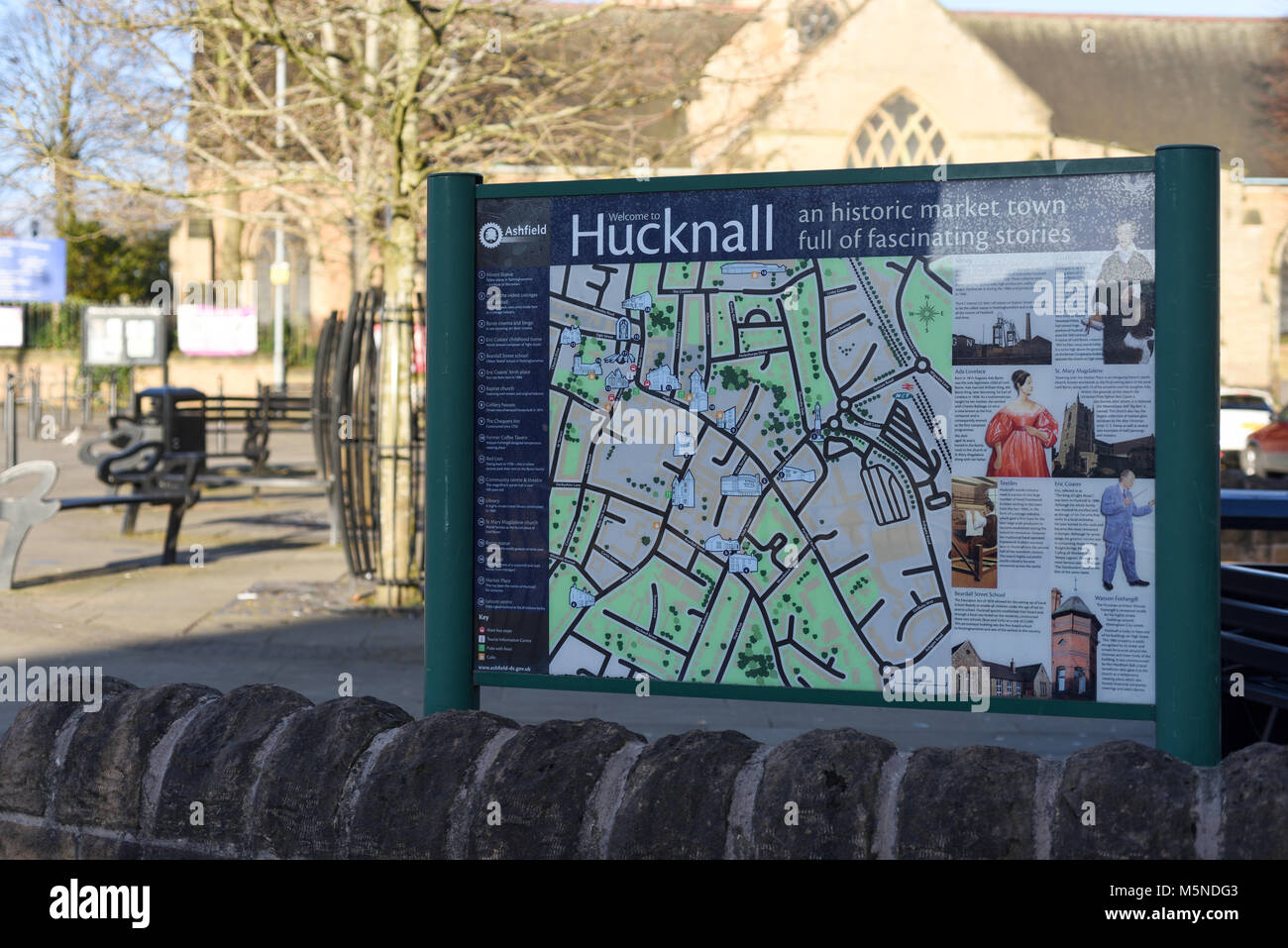 Tourist map in Hucknall,Nottinghamshire,UK. Stock Photohttps://www.alamy.com/image-license-details/?v=1https://www.alamy.com/stock-photo-tourist-map-in-hucknallnottinghamshireuk-175648595.html
RMM5NDG3–Tourist map in Hucknall,Nottinghamshire,UK.
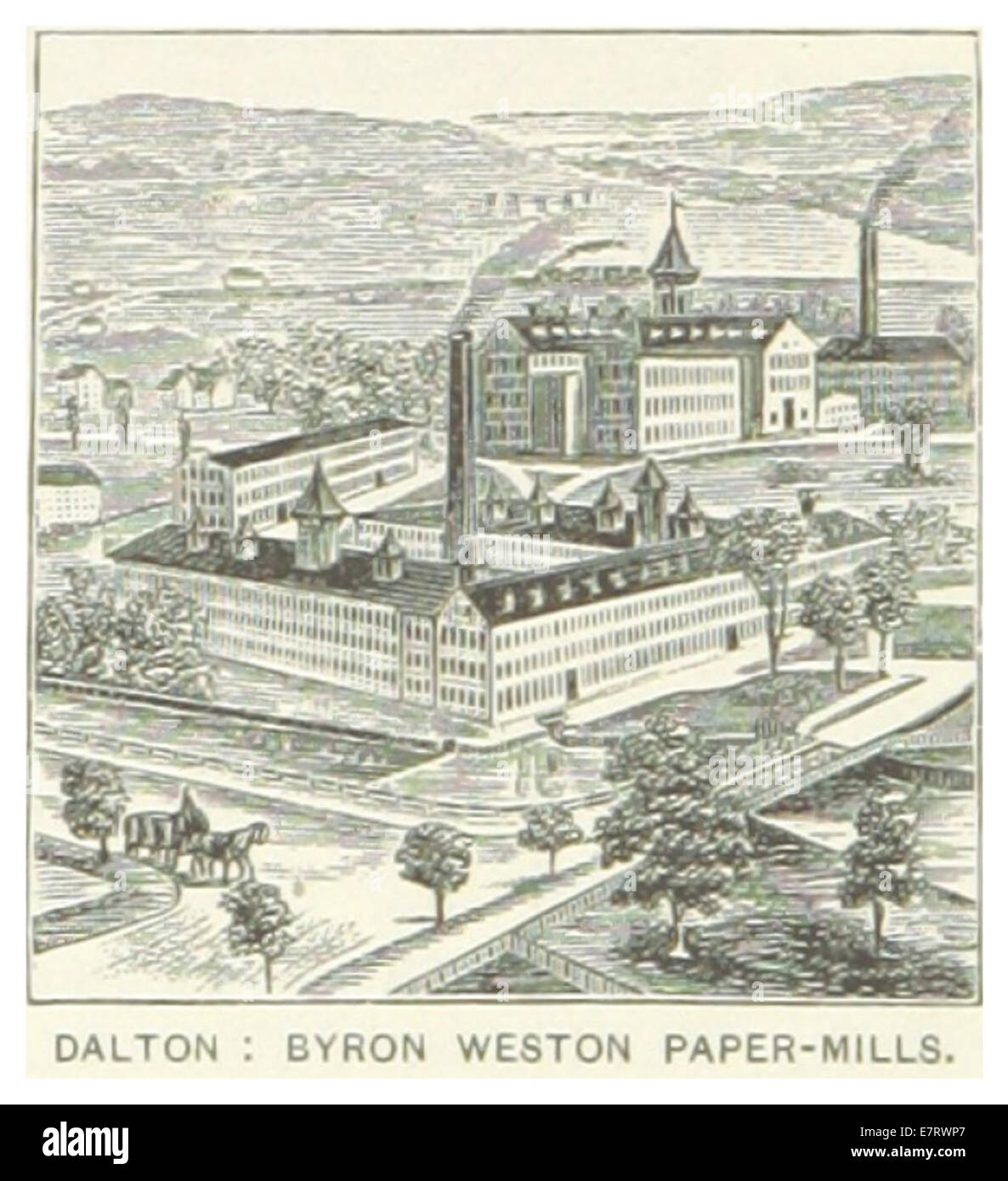 US-MA(1891) p392 DALTON, BYRON WESTON PAPER-MILLS Stock Photohttps://www.alamy.com/image-license-details/?v=1https://www.alamy.com/stock-photo-us-ma1891-p392-dalton-byron-weston-paper-mills-73669183.html
RME7RWP7–US-MA(1891) p392 DALTON, BYRON WESTON PAPER-MILLS
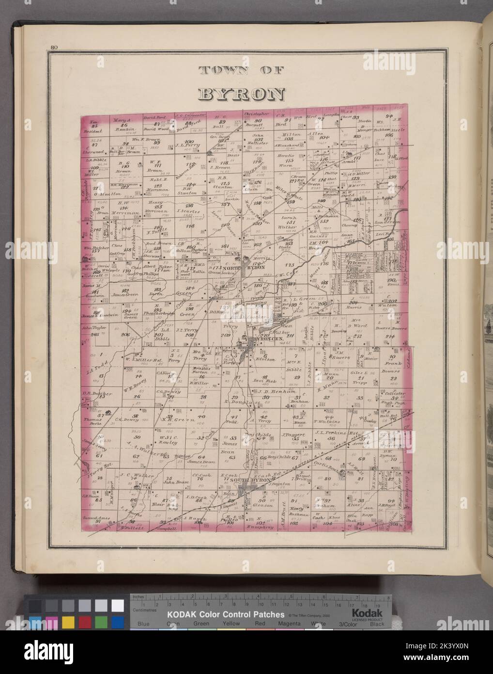 Town of Byron Township Cartographic. Atlases, Maps. 1876. Lionel Pincus and Princess Firyal Map Division. Genesee County (N.Y.), Real property , New York (State) Stock Photohttps://www.alamy.com/image-license-details/?v=1https://www.alamy.com/town-of-byron-township-cartographic-atlases-maps-1876-lionel-pincus-and-princess-firyal-map-division-genesee-county-ny-real-property-new-york-state-image484347381.html
RM2K3YX0N–Town of Byron Township Cartographic. Atlases, Maps. 1876. Lionel Pincus and Princess Firyal Map Division. Genesee County (N.Y.), Real property , New York (State)
 Original Film Title: TREASURE ISLAND. English Title: TREASURE ISLAND. Film Director: BYRON HASKIN. Year: 1950. Stars: BOBBY DRISCOLL. Credit: DISNEY/RKO / Album Stock Photohttps://www.alamy.com/image-license-details/?v=1https://www.alamy.com/original-film-title-treasure-island-english-title-treasure-island-film-director-byron-haskin-year-1950-stars-bobby-driscoll-credit-disneyrko-album-image207023975.html
RMP0PN5B–Original Film Title: TREASURE ISLAND. English Title: TREASURE ISLAND. Film Director: BYRON HASKIN. Year: 1950. Stars: BOBBY DRISCOLL. Credit: DISNEY/RKO / Album
 Tire tracks in mud at deconstruction site with piles of steel and iron scrap metal Stock Photohttps://www.alamy.com/image-license-details/?v=1https://www.alamy.com/tire-tracks-in-mud-at-deconstruction-site-with-piles-of-steel-and-iron-scrap-metal-image553237644.html
RF2R42478–Tire tracks in mud at deconstruction site with piles of steel and iron scrap metal
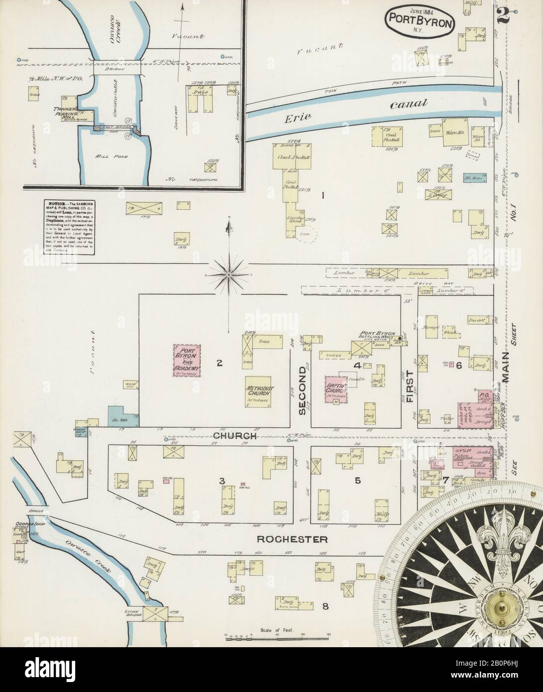 Image 2 of Sanborn Fire Insurance Map from Port Byron, Cayuga County, New York. Jun 1884. 2 Sheet(s), America, street map with a Nineteenth Century compass Stock Photohttps://www.alamy.com/image-license-details/?v=1https://www.alamy.com/image-2-of-sanborn-fire-insurance-map-from-port-byron-cayuga-county-new-york-jun-1884-2-sheets-america-street-map-with-a-nineteenth-century-compass-image344695502.html
RM2B0P6HJ–Image 2 of Sanborn Fire Insurance Map from Port Byron, Cayuga County, New York. Jun 1884. 2 Sheet(s), America, street map with a Nineteenth Century compass
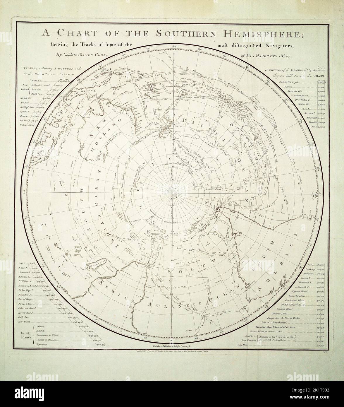 A chart of the southern hemisphere; shewing the tracks of some of the most distinguished navigators: by Captain James Cook, of His Majesty's navy.Single sheet, engraving. Polar projection. The chart shows the tracks of Mendana in 1595, Quiros in 1606, Le Maire & Schouten in 1616, Tasman in 1642, Halley in 1700, Roggewein in 1722, Bouvet in 1738-39, Byron in 1765, Wallis in 1767, Bougainville in 1768, Surville in 1769, and Cook's first and second voyages. Tables in the corners contain the latitudes and longitudes of the islands lately discovered in the South Pacific Ocean, as they are laid down Stock Photohttps://www.alamy.com/image-license-details/?v=1https://www.alamy.com/a-chart-of-the-southern-hemisphere-shewing-the-tracks-of-some-of-the-most-distinguished-navigators-by-captain-james-cook-of-his-majestys-navysingle-sheet-engraving-polar-projection-the-chart-shows-the-tracks-of-mendana-in-1595-quiros-in-1606-le-maire-schouten-in-1616-tasman-in-1642-halley-in-1700-roggewein-in-1722-bouvet-in-1738-39-byron-in-1765-wallis-in-1767-bougainville-in-1768-surville-in-1769-and-cooks-first-and-second-voyages-tables-in-the-corners-contain-the-latitudes-and-longitudes-of-the-islands-lately-discovered-in-the-south-pacific-ocean-as-they-are-laid-down-image483038866.html
RM2K1T902–A chart of the southern hemisphere; shewing the tracks of some of the most distinguished navigators: by Captain James Cook, of His Majesty's navy.Single sheet, engraving. Polar projection. The chart shows the tracks of Mendana in 1595, Quiros in 1606, Le Maire & Schouten in 1616, Tasman in 1642, Halley in 1700, Roggewein in 1722, Bouvet in 1738-39, Byron in 1765, Wallis in 1767, Bougainville in 1768, Surville in 1769, and Cook's first and second voyages. Tables in the corners contain the latitudes and longitudes of the islands lately discovered in the South Pacific Ocean, as they are laid down
 Mount Byron, Somerset, AU, Australia, Queensland, S 27 9' 15'', N 152 39' 15'', map, Cartascapes Map published in 2024. Explore Cartascapes, a map revealing Earth's diverse landscapes, cultures, and ecosystems. Journey through time and space, discovering the interconnectedness of our planet's past, present, and future. Stock Photohttps://www.alamy.com/image-license-details/?v=1https://www.alamy.com/mount-byron-somerset-au-australia-queensland-s-27-9-15-n-152-39-15-map-cartascapes-map-published-in-2024-explore-cartascapes-a-map-revealing-earths-diverse-landscapes-cultures-and-ecosystems-journey-through-time-and-space-discovering-the-interconnectedness-of-our-planets-past-present-and-future-image625807807.html
RM2YA406R–Mount Byron, Somerset, AU, Australia, Queensland, S 27 9' 15'', N 152 39' 15'', map, Cartascapes Map published in 2024. Explore Cartascapes, a map revealing Earth's diverse landscapes, cultures, and ecosystems. Journey through time and space, discovering the interconnectedness of our planet's past, present, and future.
 Top view of flag Byron, Wyoming, untied states of America. USA patriot and travel concept. no flagpole. Plane design, layout. Flag background Stock Photohttps://www.alamy.com/image-license-details/?v=1https://www.alamy.com/top-view-of-flag-byron-wyoming-untied-states-of-america-usa-patriot-and-travel-concept-no-flagpole-plane-design-layout-flag-background-image454487452.html
RF2HBBKAM–Top view of flag Byron, Wyoming, untied states of America. USA patriot and travel concept. no flagpole. Plane design, layout. Flag background
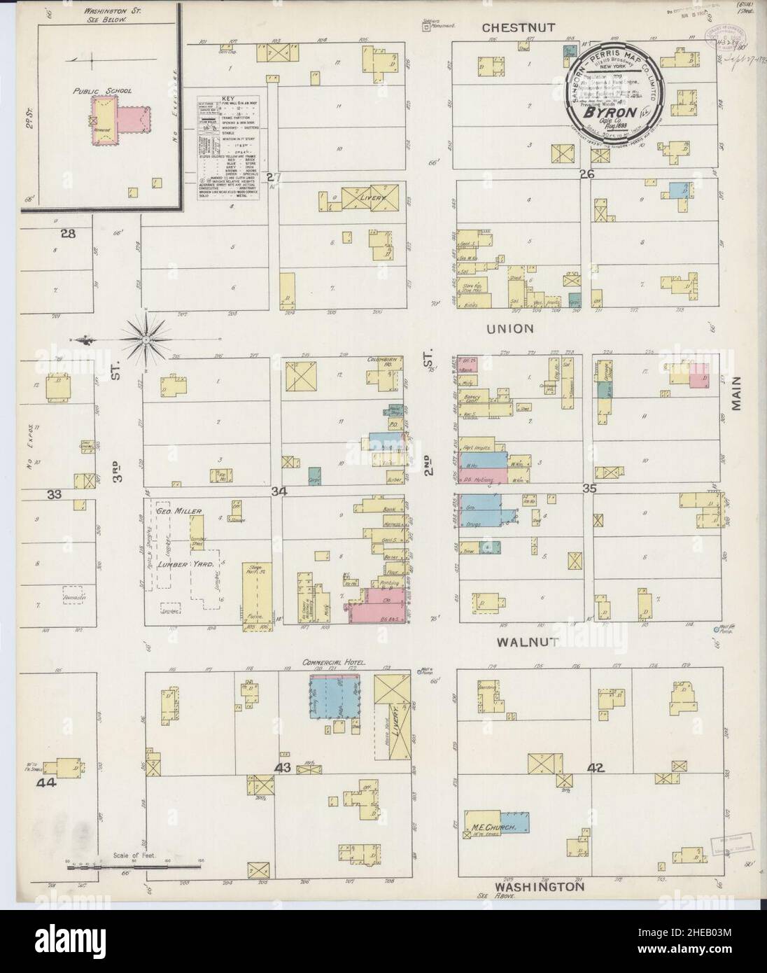 Sanborn Fire Insurance Map from Byron, Ogle County, Illinois. Stock Photohttps://www.alamy.com/image-license-details/?v=1https://www.alamy.com/sanborn-fire-insurance-map-from-byron-ogle-county-illinois-image456316328.html
RM2HEB03M–Sanborn Fire Insurance Map from Byron, Ogle County, Illinois.
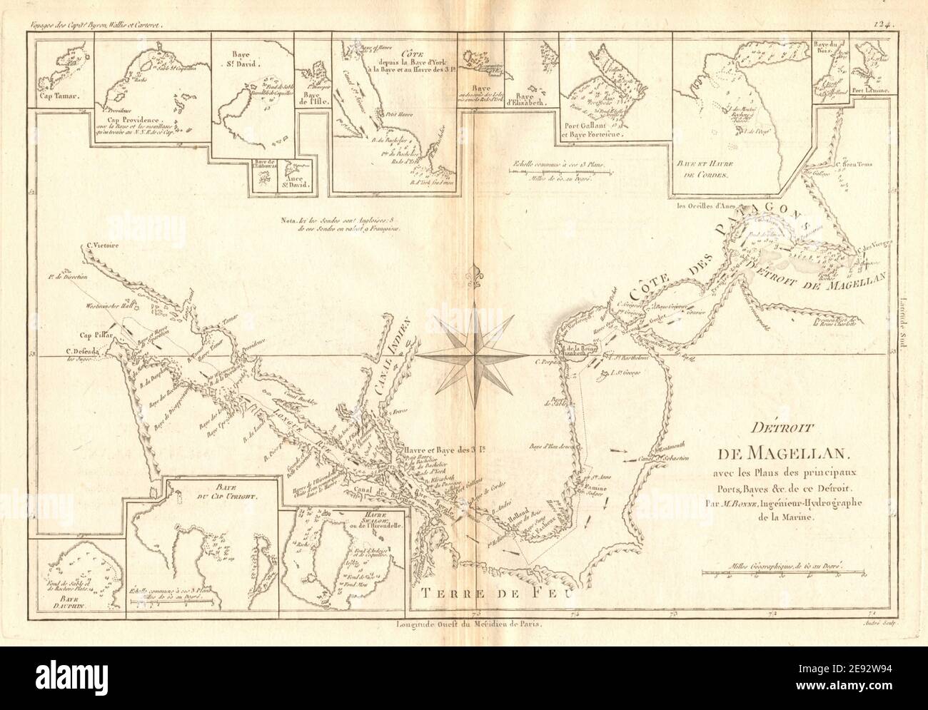 Détroit de Magellan. Strait of Magellan. Chile. BONNE 1788 old antique map Stock Photohttps://www.alamy.com/image-license-details/?v=1https://www.alamy.com/dtroit-de-magellan-strait-of-magellan-chile-bonne-1788-old-antique-map-image401434128.html
RF2E92W94–Détroit de Magellan. Strait of Magellan. Chile. BONNE 1788 old antique map
 Top view of retro flag of Byron, Wyoming, untied states of America with grunge texture. USA patriot and travel concept. no flagpole. Plane design, lay Stock Photohttps://www.alamy.com/image-license-details/?v=1https://www.alamy.com/top-view-of-retro-flag-of-byron-wyoming-untied-states-of-america-with-grunge-texture-usa-patriot-and-travel-concept-no-flagpole-plane-design-lay-image462593476.html
RF2HTGXKG–Top view of retro flag of Byron, Wyoming, untied states of America with grunge texture. USA patriot and travel concept. no flagpole. Plane design, lay
 Isles Maidenland & Hawkins. Falkland Islands & South Georgia. BONNE 1790 map Stock Photohttps://www.alamy.com/image-license-details/?v=1https://www.alamy.com/isles-maidenland-hawkins-falkland-islands-south-georgia-bonne-1790-map-image242588134.html
RFT2JRHX–Isles Maidenland & Hawkins. Falkland Islands & South Georgia. BONNE 1790 map
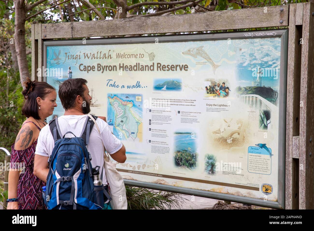 Cape Byron Headland Reserve, male and female tourists view the information map on their hike in Byron Bay,New South Wales,Australia Stock Photohttps://www.alamy.com/image-license-details/?v=1https://www.alamy.com/cape-byron-headland-reserve-male-and-female-tourists-view-the-information-map-on-their-hike-in-byron-baynew-south-walesaustralia-image340984153.html
RM2APN4ND–Cape Byron Headland Reserve, male and female tourists view the information map on their hike in Byron Bay,New South Wales,Australia
![Voyage of H.M.S. Blonde to the Sandwich Islands, in the years 1824-1825. Captain the Right Hon. Lord Byron Commander. [By Maria Graham. With plates, including a map.] Stock Photo Voyage of H.M.S. Blonde to the Sandwich Islands, in the years 1824-1825. Captain the Right Hon. Lord Byron Commander. [By Maria Graham. With plates, including a map.] Stock Photo](https://c8.alamy.com/comp/J55FF3/voyage-of-hms-blonde-to-the-sandwich-islands-in-the-years-1824-1825-J55FF3.jpg) Voyage of H.M.S. Blonde to the Sandwich Islands, in the years 1824-1825. Captain the Right Hon. Lord Byron Commander. [By Maria Graham. With plates, including a map.] Stock Photohttps://www.alamy.com/image-license-details/?v=1https://www.alamy.com/stock-photo-voyage-of-hms-blonde-to-the-sandwich-islands-in-the-years-1824-1825-140878167.html
Voyage of H.M.S. Blonde to the Sandwich Islands, in the years 1824-1825. Captain the Right Hon. Lord Byron Commander. [By Maria Graham. With plates, including a map.] Stock Photohttps://www.alamy.com/image-license-details/?v=1https://www.alamy.com/stock-photo-voyage-of-hms-blonde-to-the-sandwich-islands-in-the-years-1824-1825-140878167.htmlRMJ55FF3–Voyage of H.M.S. Blonde to the Sandwich Islands, in the years 1824-1825. Captain the Right Hon. Lord Byron Commander. [By Maria Graham. With plates, including a map.]
 . English: This is a rare map of the Society Islands in the South Pacific published by Alexander Hogg to illustrate the voyages and discoveries of the sea captains Byron, Wallis, Carteret ad Cook. This map contains references to the cartographic work of John Hawkesworth (1715?-1773), James Cook (1728-1779), Sir Joseph Banks ( 1743-1820) and John Byron (1723-1786). Features the routes taken by these important explorers in and around the Society Islands. Depicts the island of Tahiti (Otaheite) as well as Bora Bora (Bolabola), Otaha, Marma, Ulietea, and others. Decorative title cartouche in the Stock Photohttps://www.alamy.com/image-license-details/?v=1https://www.alamy.com/english-this-is-a-rare-map-of-the-society-islands-in-the-south-pacific-published-by-alexander-hogg-to-illustrate-the-voyages-and-discoveries-of-the-sea-captains-byron-wallis-carteret-ad-cook-this-map-contains-references-to-the-cartographic-work-of-john-hawkesworth-1715-1773-james-cook-1728-1779-sir-joseph-banks-1743-1820-and-john-byron-1723-1786-features-the-routes-taken-by-these-important-explorers-in-and-around-the-society-islands-depicts-the-island-of-tahiti-otaheite-as-well-as-bora-bora-bolabola-otaha-marma-ulietea-and-others-decorative-title-cartouche-in-the-image184883892.html
RMMMP584–. English: This is a rare map of the Society Islands in the South Pacific published by Alexander Hogg to illustrate the voyages and discoveries of the sea captains Byron, Wallis, Carteret ad Cook. This map contains references to the cartographic work of John Hawkesworth (1715?-1773), James Cook (1728-1779), Sir Joseph Banks ( 1743-1820) and John Byron (1723-1786). Features the routes taken by these important explorers in and around the Society Islands. Depicts the island of Tahiti (Otaheite) as well as Bora Bora (Bolabola), Otaha, Marma, Ulietea, and others. Decorative title cartouche in the
 official flag of Byron, Wyoming untied states of America at cloudy sky background on sunset, panoramic view. USA travel and patriot concept. copy spac Stock Photohttps://www.alamy.com/image-license-details/?v=1https://www.alamy.com/official-flag-of-byron-wyoming-untied-states-of-america-at-cloudy-sky-background-on-sunset-panoramic-view-usa-travel-and-patriot-concept-copy-spac-image479441914.html
RF2JT0D1E–official flag of Byron, Wyoming untied states of America at cloudy sky background on sunset, panoramic view. USA travel and patriot concept. copy spac
 Byron Shire (Commonwealth of Australia, New South Wales, NSW) map vector illustration, scribble sketch Byron map Stock Vectorhttps://www.alamy.com/image-license-details/?v=1https://www.alamy.com/byron-shire-commonwealth-of-australia-new-south-wales-nsw-map-vector-illustration-scribble-sketch-byron-map-image566139703.html
RF2RW1TY3–Byron Shire (Commonwealth of Australia, New South Wales, NSW) map vector illustration, scribble sketch Byron map
![With Byron in Itlay; a selection of the poems and letters of Lord Byron relating to his life in ItalyEdited by Anna Benneson McMahan . ] WITH BYRON IN ITALY LXXXI The double night of ages, and of her,Nights daughter, Ignorance, hath wrapt and wrapAll round us; we but feel our way to err:The ocean hath his chart, the stars their map,And Knowledge spreads them on her ample lap;But Rome is as the desert where we steerStumbling oer recollections; now we clapOur hands, and cry Eureka ! it is clear —When but some false mirage of ruin rises near. LXXXII Alas, the lofty city! and alas,The trebly hundr Stock Photo With Byron in Itlay; a selection of the poems and letters of Lord Byron relating to his life in ItalyEdited by Anna Benneson McMahan . ] WITH BYRON IN ITALY LXXXI The double night of ages, and of her,Nights daughter, Ignorance, hath wrapt and wrapAll round us; we but feel our way to err:The ocean hath his chart, the stars their map,And Knowledge spreads them on her ample lap;But Rome is as the desert where we steerStumbling oer recollections; now we clapOur hands, and cry Eureka ! it is clear —When but some false mirage of ruin rises near. LXXXII Alas, the lofty city! and alas,The trebly hundr Stock Photo](https://c8.alamy.com/comp/2AM3YYC/with-byron-in-itlay-a-selection-of-the-poems-and-letters-of-lord-byron-relating-to-his-life-in-italyedited-by-anna-benneson-mcmahan-with-byron-in-italy-lxxxi-the-double-night-of-ages-and-of-hernights-daughter-ignorance-hath-wrapt-and-wrapall-round-us-we-but-feel-our-way-to-errthe-ocean-hath-his-chart-the-stars-their-mapand-knowledge-spreads-them-on-her-ample-lapbut-rome-is-as-the-desert-where-we-steerstumbling-oer-recollections-now-we-clapour-hands-and-cry-eureka-!-it-is-clear-when-but-some-false-mirage-of-ruin-rises-near-lxxxii-alas-the-lofty-city!-and-alasthe-trebly-hundr-2AM3YYC.jpg) With Byron in Itlay; a selection of the poems and letters of Lord Byron relating to his life in ItalyEdited by Anna Benneson McMahan . ] WITH BYRON IN ITALY LXXXI The double night of ages, and of her,Nights daughter, Ignorance, hath wrapt and wrapAll round us; we but feel our way to err:The ocean hath his chart, the stars their map,And Knowledge spreads them on her ample lap;But Rome is as the desert where we steerStumbling oer recollections; now we clapOur hands, and cry Eureka ! it is clear —When but some false mirage of ruin rises near. LXXXII Alas, the lofty city! and alas,The trebly hundr Stock Photohttps://www.alamy.com/image-license-details/?v=1https://www.alamy.com/with-byron-in-itlay-a-selection-of-the-poems-and-letters-of-lord-byron-relating-to-his-life-in-italyedited-by-anna-benneson-mcmahan-with-byron-in-italy-lxxxi-the-double-night-of-ages-and-of-hernights-daughter-ignorance-hath-wrapt-and-wrapall-round-us-we-but-feel-our-way-to-errthe-ocean-hath-his-chart-the-stars-their-mapand-knowledge-spreads-them-on-her-ample-lapbut-rome-is-as-the-desert-where-we-steerstumbling-oer-recollections-now-we-clapour-hands-and-cry-eureka-!-it-is-clear-when-but-some-false-mirage-of-ruin-rises-near-lxxxii-alas-the-lofty-city!-and-alasthe-trebly-hundr-image339377904.html
With Byron in Itlay; a selection of the poems and letters of Lord Byron relating to his life in ItalyEdited by Anna Benneson McMahan . ] WITH BYRON IN ITALY LXXXI The double night of ages, and of her,Nights daughter, Ignorance, hath wrapt and wrapAll round us; we but feel our way to err:The ocean hath his chart, the stars their map,And Knowledge spreads them on her ample lap;But Rome is as the desert where we steerStumbling oer recollections; now we clapOur hands, and cry Eureka ! it is clear —When but some false mirage of ruin rises near. LXXXII Alas, the lofty city! and alas,The trebly hundr Stock Photohttps://www.alamy.com/image-license-details/?v=1https://www.alamy.com/with-byron-in-itlay-a-selection-of-the-poems-and-letters-of-lord-byron-relating-to-his-life-in-italyedited-by-anna-benneson-mcmahan-with-byron-in-italy-lxxxi-the-double-night-of-ages-and-of-hernights-daughter-ignorance-hath-wrapt-and-wrapall-round-us-we-but-feel-our-way-to-errthe-ocean-hath-his-chart-the-stars-their-mapand-knowledge-spreads-them-on-her-ample-lapbut-rome-is-as-the-desert-where-we-steerstumbling-oer-recollections-now-we-clapour-hands-and-cry-eureka-!-it-is-clear-when-but-some-false-mirage-of-ruin-rises-near-lxxxii-alas-the-lofty-city!-and-alasthe-trebly-hundr-image339377904.htmlRM2AM3YYC–With Byron in Itlay; a selection of the poems and letters of Lord Byron relating to his life in ItalyEdited by Anna Benneson McMahan . ] WITH BYRON IN ITALY LXXXI The double night of ages, and of her,Nights daughter, Ignorance, hath wrapt and wrapAll round us; we but feel our way to err:The ocean hath his chart, the stars their map,And Knowledge spreads them on her ample lap;But Rome is as the desert where we steerStumbling oer recollections; now we clapOur hands, and cry Eureka ! it is clear —When but some false mirage of ruin rises near. LXXXII Alas, the lofty city! and alas,The trebly hundr
 Tourist map in Hucknall,Nottinghamshire,UK. Stock Photohttps://www.alamy.com/image-license-details/?v=1https://www.alamy.com/stock-photo-tourist-map-in-hucknallnottinghamshireuk-175648567.html
RMM5NDF3–Tourist map in Hucknall,Nottinghamshire,UK.
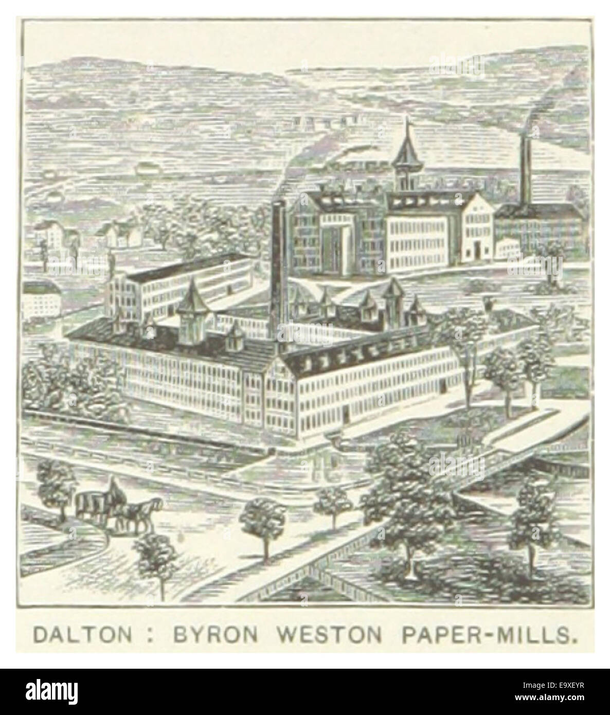 US-MA(1891) p392 DALTON, BYRON WESTON PAPER-MILLS Stock Photohttps://www.alamy.com/image-license-details/?v=1https://www.alamy.com/stock-photo-us-ma1891-p392-dalton-byron-weston-paper-mills-74955883.html
RME9XEYR–US-MA(1891) p392 DALTON, BYRON WESTON PAPER-MILLS
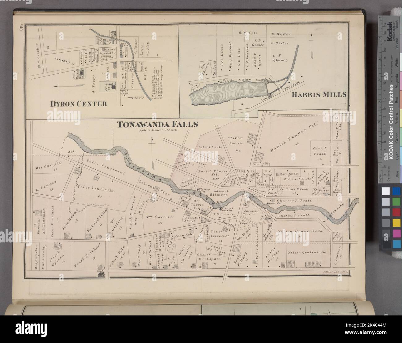 Tonawanda Falls Village; Byron Center Village; Harris Mills Village Cartographic. Atlases, Maps. 1876. Lionel Pincus and Princess Firyal Map Division. Genesee County (N.Y.), Real property , New York (State) Stock Photohttps://www.alamy.com/image-license-details/?v=1https://www.alamy.com/tonawanda-falls-village-byron-center-village-harris-mills-village-cartographic-atlases-maps-1876-lionel-pincus-and-princess-firyal-map-division-genesee-county-ny-real-property-new-york-state-image484352196.html
RM2K4044M–Tonawanda Falls Village; Byron Center Village; Harris Mills Village Cartographic. Atlases, Maps. 1876. Lionel Pincus and Princess Firyal Map Division. Genesee County (N.Y.), Real property , New York (State)
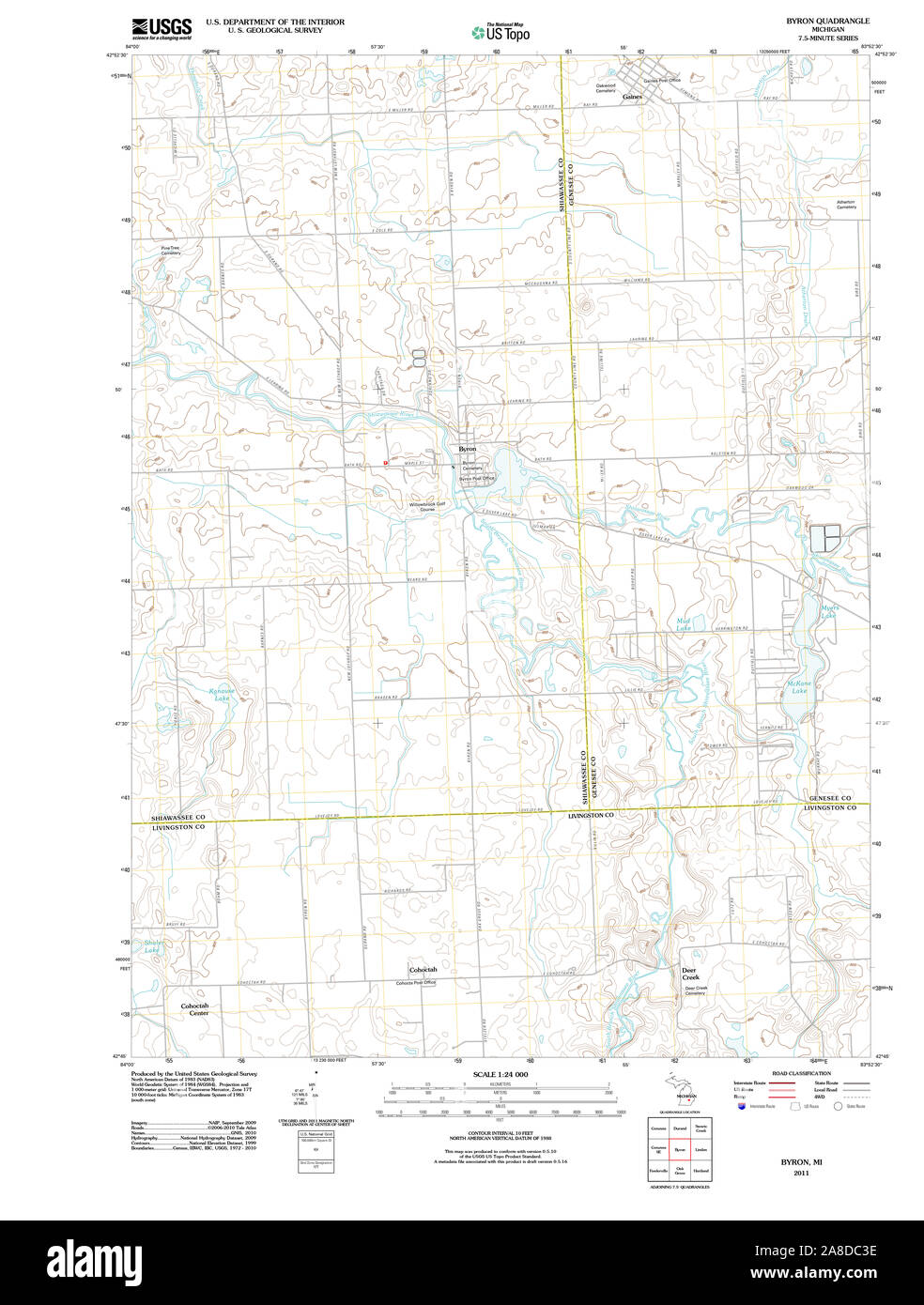 USGS TOPO Map Michigan MI Byron 20111118 TM Stock Photohttps://www.alamy.com/image-license-details/?v=1https://www.alamy.com/usgs-topo-map-michigan-mi-byron-20111118-tm-image332209122.html
RM2A8DC3E–USGS TOPO Map Michigan MI Byron 20111118 TM
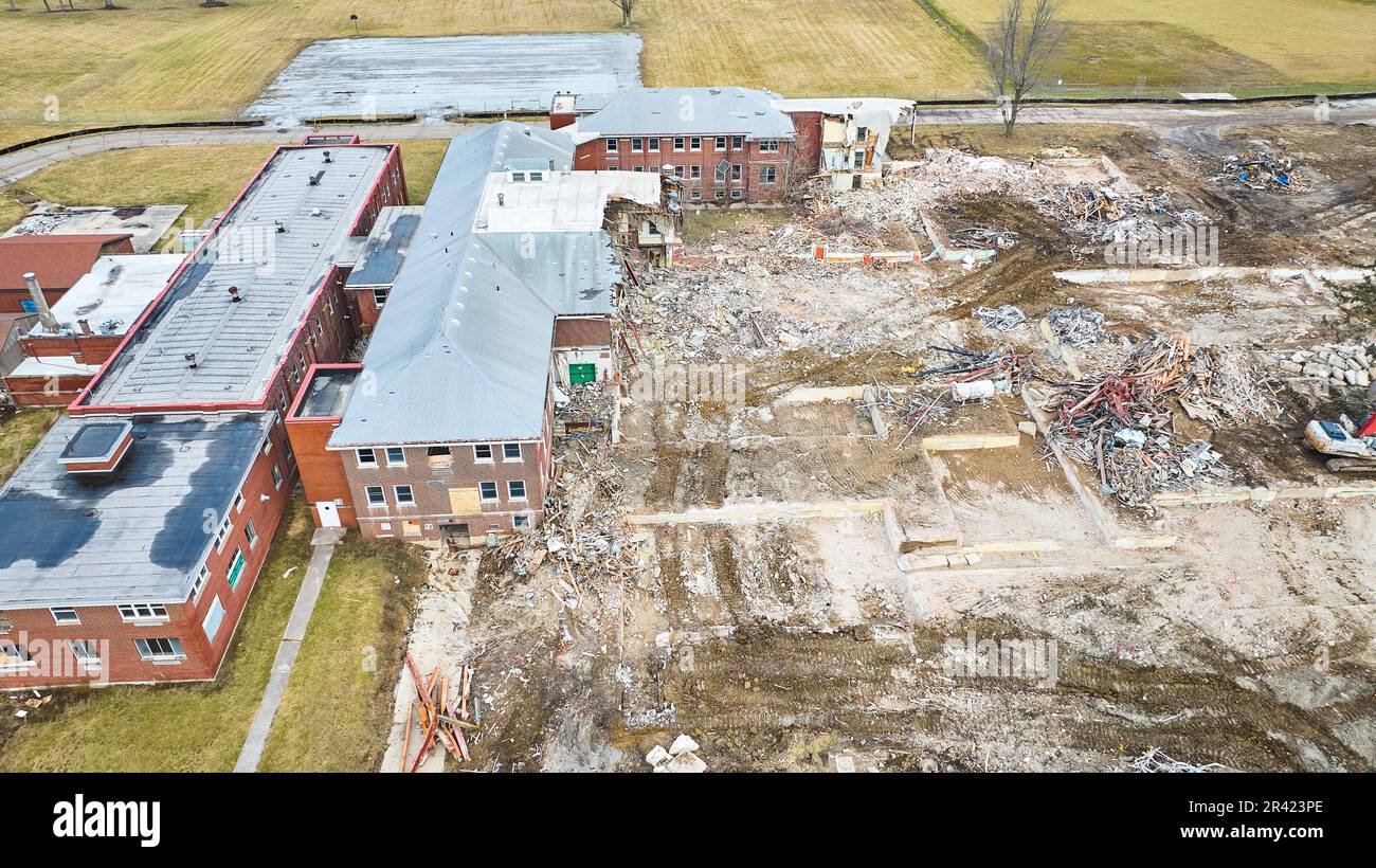 Abandoned hospital with debris and piles of scrap metal Stock Photohttps://www.alamy.com/image-license-details/?v=1https://www.alamy.com/abandoned-hospital-with-debris-and-piles-of-scrap-metal-image553237286.html
RF2R423PE–Abandoned hospital with debris and piles of scrap metal
 Image 3 of Sanborn Fire Insurance Map from Port Byron, Cayuga County, New York. Feb 1896. 3 Sheet(s), America, street map with a Nineteenth Century compass Stock Photohttps://www.alamy.com/image-license-details/?v=1https://www.alamy.com/image-3-of-sanborn-fire-insurance-map-from-port-byron-cayuga-county-new-york-feb-1896-3-sheets-america-street-map-with-a-nineteenth-century-compass-image344695509.html
RM2B0P6HW–Image 3 of Sanborn Fire Insurance Map from Port Byron, Cayuga County, New York. Feb 1896. 3 Sheet(s), America, street map with a Nineteenth Century compass
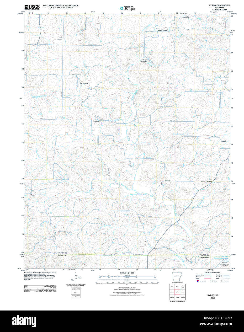 USGS TOPO Map Arkansas AR Byron 20110728 TM Restoration Stock Photohttps://www.alamy.com/image-license-details/?v=1https://www.alamy.com/usgs-topo-map-arkansas-ar-byron-20110728-tm-restoration-image242837983.html
RMT32693–USGS TOPO Map Arkansas AR Byron 20110728 TM Restoration
 Mount Byron, Somerset, AU, Australia, Queensland, S 27 9' 9'', N 152 39' 13'', map, Cartascapes Map published in 2024. Explore Cartascapes, a map revealing Earth's diverse landscapes, cultures, and ecosystems. Journey through time and space, discovering the interconnectedness of our planet's past, present, and future. Stock Photohttps://www.alamy.com/image-license-details/?v=1https://www.alamy.com/mount-byron-somerset-au-australia-queensland-s-27-9-9-n-152-39-13-map-cartascapes-map-published-in-2024-explore-cartascapes-a-map-revealing-earths-diverse-landscapes-cultures-and-ecosystems-journey-through-time-and-space-discovering-the-interconnectedness-of-our-planets-past-present-and-future-image625448247.html
RM2Y9FHHB–Mount Byron, Somerset, AU, Australia, Queensland, S 27 9' 9'', N 152 39' 13'', map, Cartascapes Map published in 2024. Explore Cartascapes, a map revealing Earth's diverse landscapes, cultures, and ecosystems. Journey through time and space, discovering the interconnectedness of our planet's past, present, and future.
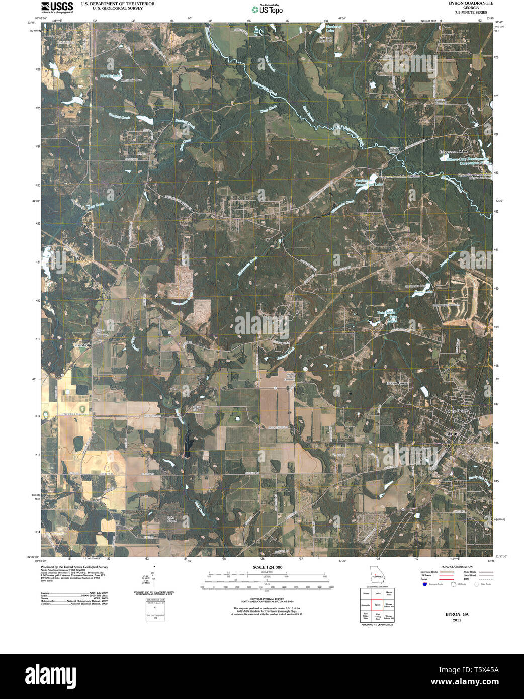 USGS TOPO Map Georgia GA Byron 20110309 TM Restoration Stock Photohttps://www.alamy.com/image-license-details/?v=1https://www.alamy.com/usgs-topo-map-georgia-ga-byron-20110309-tm-restoration-image244592470.html
RMT5X45A–USGS TOPO Map Georgia GA Byron 20110309 TM Restoration
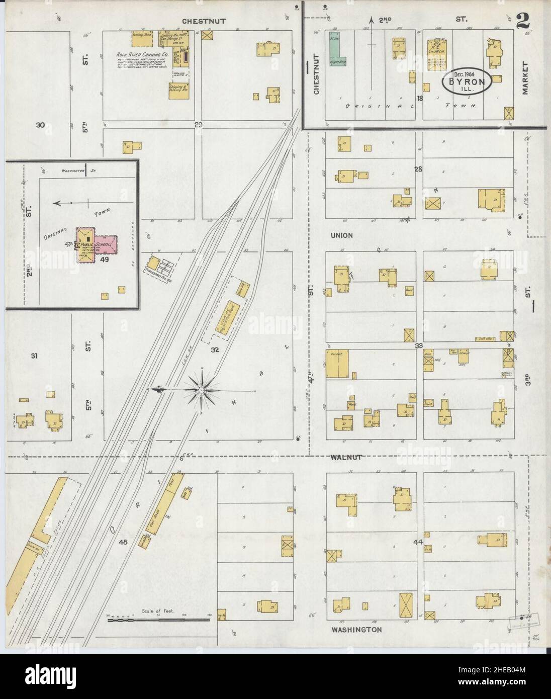 Sanborn Fire Insurance Map from Byron, Ogle County, Illinois. Stock Photohttps://www.alamy.com/image-license-details/?v=1https://www.alamy.com/sanborn-fire-insurance-map-from-byron-ogle-county-illinois-image456316356.html
RM2HEB04M–Sanborn Fire Insurance Map from Byron, Ogle County, Illinois.
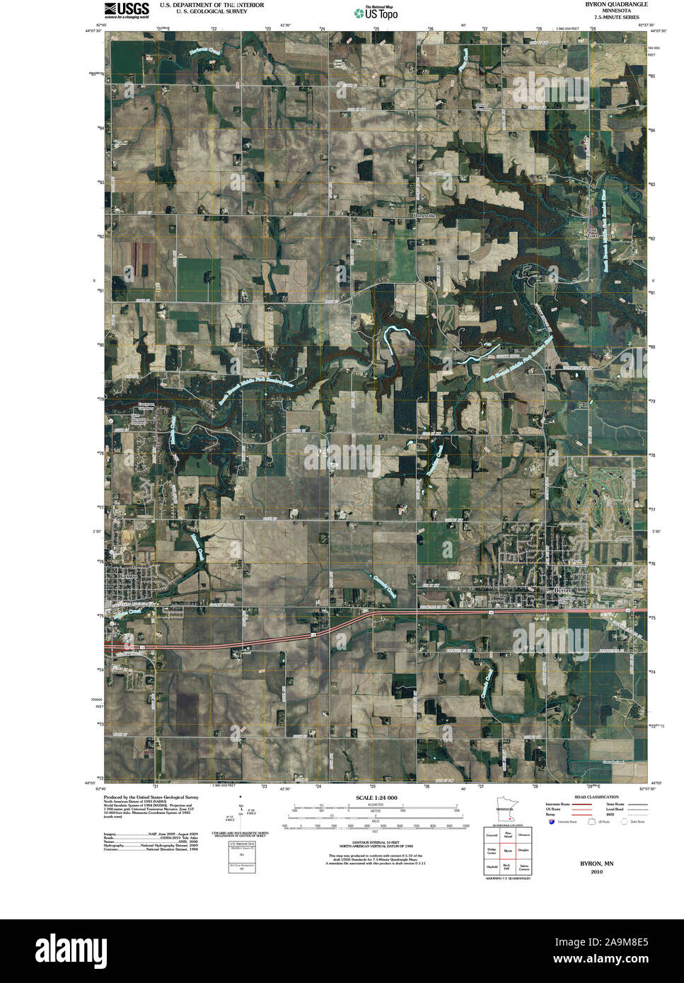 USGS TOPO Map MInnesota MN Byron 20100806 TM Restoration Stock Photohttps://www.alamy.com/image-license-details/?v=1https://www.alamy.com/usgs-topo-map-minnesota-mn-byron-20100806-tm-restoration-image332974605.html
RM2A9M8E5–USGS TOPO Map MInnesota MN Byron 20100806 TM Restoration
 adult Australian Magpie or Black-backed magpie,(Gymnorhina tibicen), Byron bay, New South Wales, Australia Stock Photohttps://www.alamy.com/image-license-details/?v=1https://www.alamy.com/stock-photo-adult-australian-magpie-or-black-backed-magpiegymnorhina-tibicen-byron-148980440.html
RMJJAJ20–adult Australian Magpie or Black-backed magpie,(Gymnorhina tibicen), Byron bay, New South Wales, Australia
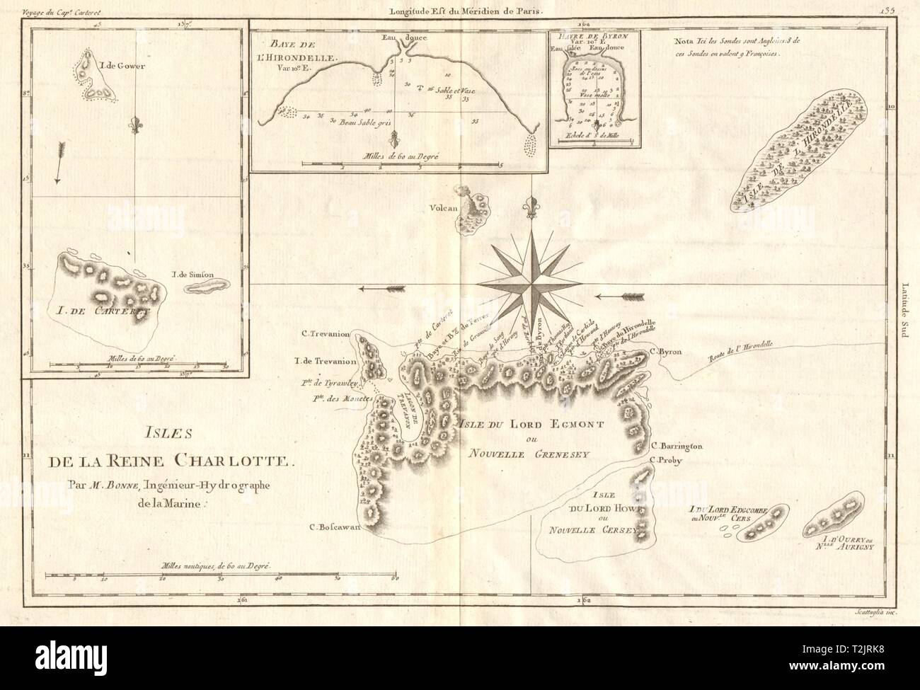 Isles de la Reine Charlotte. Nendo, Santa Cruz, Solomon Islands. BONNE 1790 map Stock Photohttps://www.alamy.com/image-license-details/?v=1https://www.alamy.com/isles-de-la-reine-charlotte-nendo-santa-cruz-solomon-islands-bonne-1790-map-image242588172.html
RFT2JRK8–Isles de la Reine Charlotte. Nendo, Santa Cruz, Solomon Islands. BONNE 1790 map
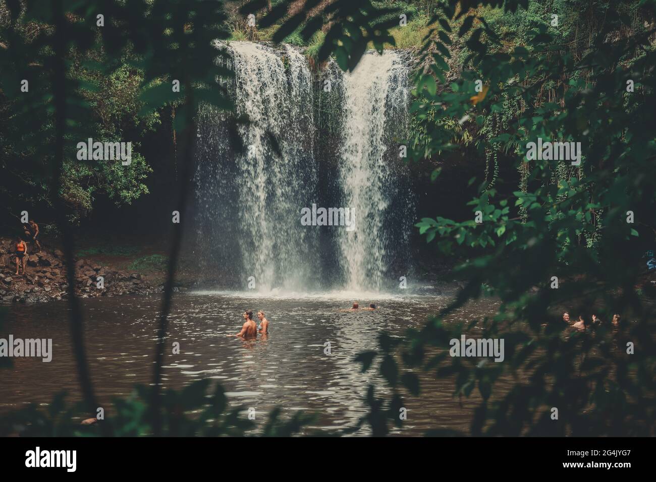 Killen Falls Waterfall, Byron Bay, NSW, Australia . High quality photo Stock Photohttps://www.alamy.com/image-license-details/?v=1https://www.alamy.com/killen-falls-waterfall-byron-bay-nsw-australia-high-quality-photo-image433134583.html
RF2G4JYG7–Killen Falls Waterfall, Byron Bay, NSW, Australia . High quality photo
![Voyage of H.M.S. Blonde to the Sandwich Islands, in the years 1824-1825. Captain the Right Hon. Lord Byron Commander. [By Maria Graham. With plates, including a map.] Stock Photo Voyage of H.M.S. Blonde to the Sandwich Islands, in the years 1824-1825. Captain the Right Hon. Lord Byron Commander. [By Maria Graham. With plates, including a map.] Stock Photo](https://c8.alamy.com/comp/J53302/voyage-of-hms-blonde-to-the-sandwich-islands-in-the-years-1824-1825-J53302.jpg) Voyage of H.M.S. Blonde to the Sandwich Islands, in the years 1824-1825. Captain the Right Hon. Lord Byron Commander. [By Maria Graham. With plates, including a map.] Stock Photohttps://www.alamy.com/image-license-details/?v=1https://www.alamy.com/stock-photo-voyage-of-hms-blonde-to-the-sandwich-islands-in-the-years-1824-1825-140824434.html
Voyage of H.M.S. Blonde to the Sandwich Islands, in the years 1824-1825. Captain the Right Hon. Lord Byron Commander. [By Maria Graham. With plates, including a map.] Stock Photohttps://www.alamy.com/image-license-details/?v=1https://www.alamy.com/stock-photo-voyage-of-hms-blonde-to-the-sandwich-islands-in-the-years-1824-1825-140824434.htmlRMJ53302–Voyage of H.M.S. Blonde to the Sandwich Islands, in the years 1824-1825. Captain the Right Hon. Lord Byron Commander. [By Maria Graham. With plates, including a map.]
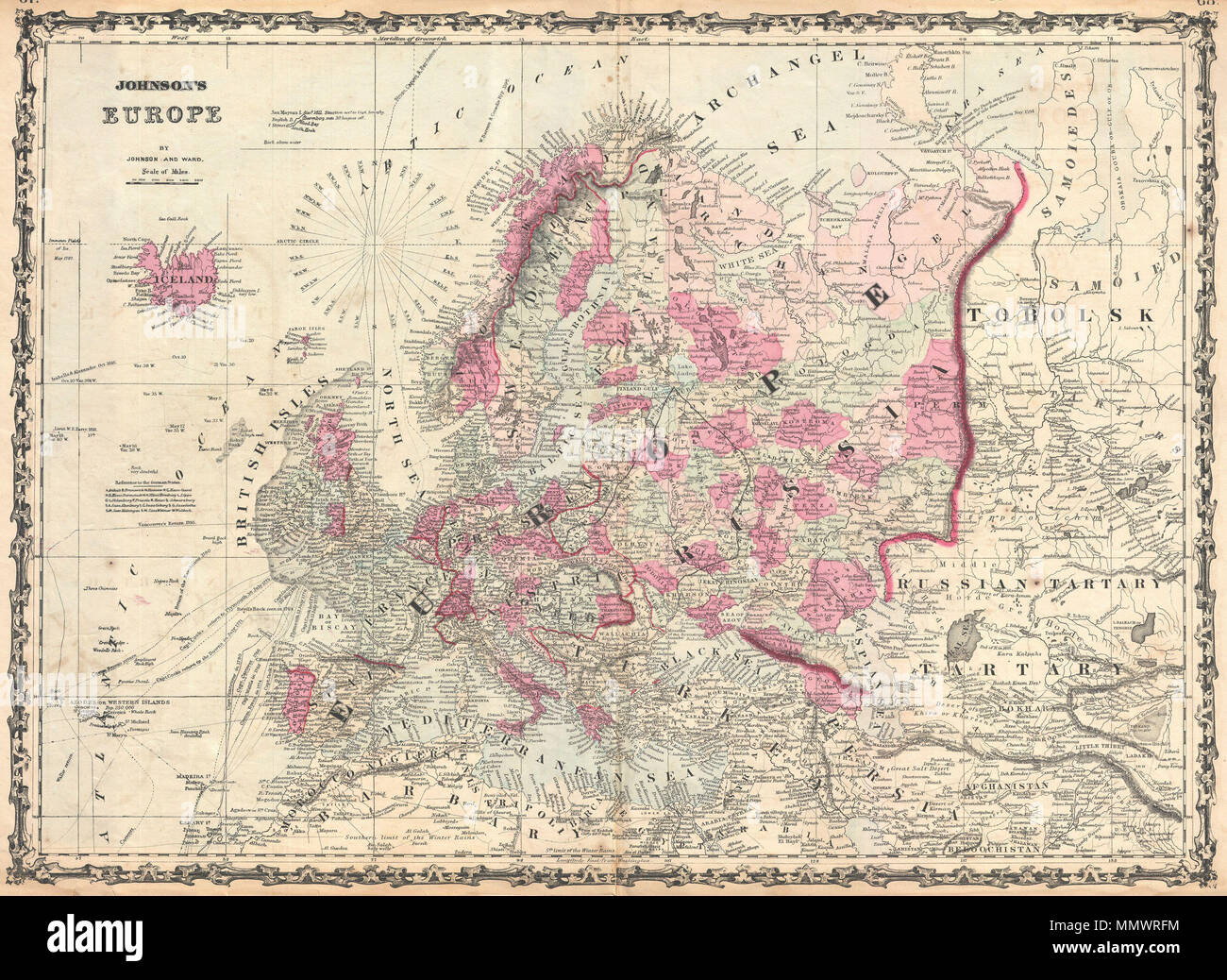 . English: A very beautiful example of Johnson's 1862 map of Europe. This two part map details all of Europe as well as adjacent parts of Asia and Africa. Highly detailed with countless place names. Also shows the starting points and routes of numerous famous explorers including Byron, Cook, the Resolution, Vancouver, Isabella & Alexander, Carteret, Wallis and others. Color coded according to country and region. This Europe map appeared only in the 1860 - 1862 editions of Johnson's Atlas and was replaced with a new plate in 1863. Features the strapwork style border common to Johnson’s atlas w Stock Photohttps://www.alamy.com/image-license-details/?v=1https://www.alamy.com/english-a-very-beautiful-example-of-johnsons-1862-map-of-europe-this-two-part-map-details-all-of-europe-as-well-as-adjacent-parts-of-asia-and-africa-highly-detailed-with-countless-place-names-also-shows-the-starting-points-and-routes-of-numerous-famous-explorers-including-byron-cook-the-resolution-vancouver-isabella-alexander-carteret-wallis-and-others-color-coded-according-to-country-and-region-this-europe-map-appeared-only-in-the-1860-1862-editions-of-johnsons-atlas-and-was-replaced-with-a-new-plate-in-1863-features-the-strapwork-style-border-common-to-johnsons-atlas-w-image184964072.html
RMMMWRFM–. English: A very beautiful example of Johnson's 1862 map of Europe. This two part map details all of Europe as well as adjacent parts of Asia and Africa. Highly detailed with countless place names. Also shows the starting points and routes of numerous famous explorers including Byron, Cook, the Resolution, Vancouver, Isabella & Alexander, Carteret, Wallis and others. Color coded according to country and region. This Europe map appeared only in the 1860 - 1862 editions of Johnson's Atlas and was replaced with a new plate in 1863. Features the strapwork style border common to Johnson’s atlas w
 'Carte d'une partie de la Mer du Sud…' South Seas/Pacific. COOK/BENARD 1789 map Stock Photohttps://www.alamy.com/image-license-details/?v=1https://www.alamy.com/carte-dune-partie-de-la-mer-du-sud-south-seaspacific-cookbenard-1789-map-image242613938.html
RFT2M0FE–'Carte d'une partie de la Mer du Sud…' South Seas/Pacific. COOK/BENARD 1789 map
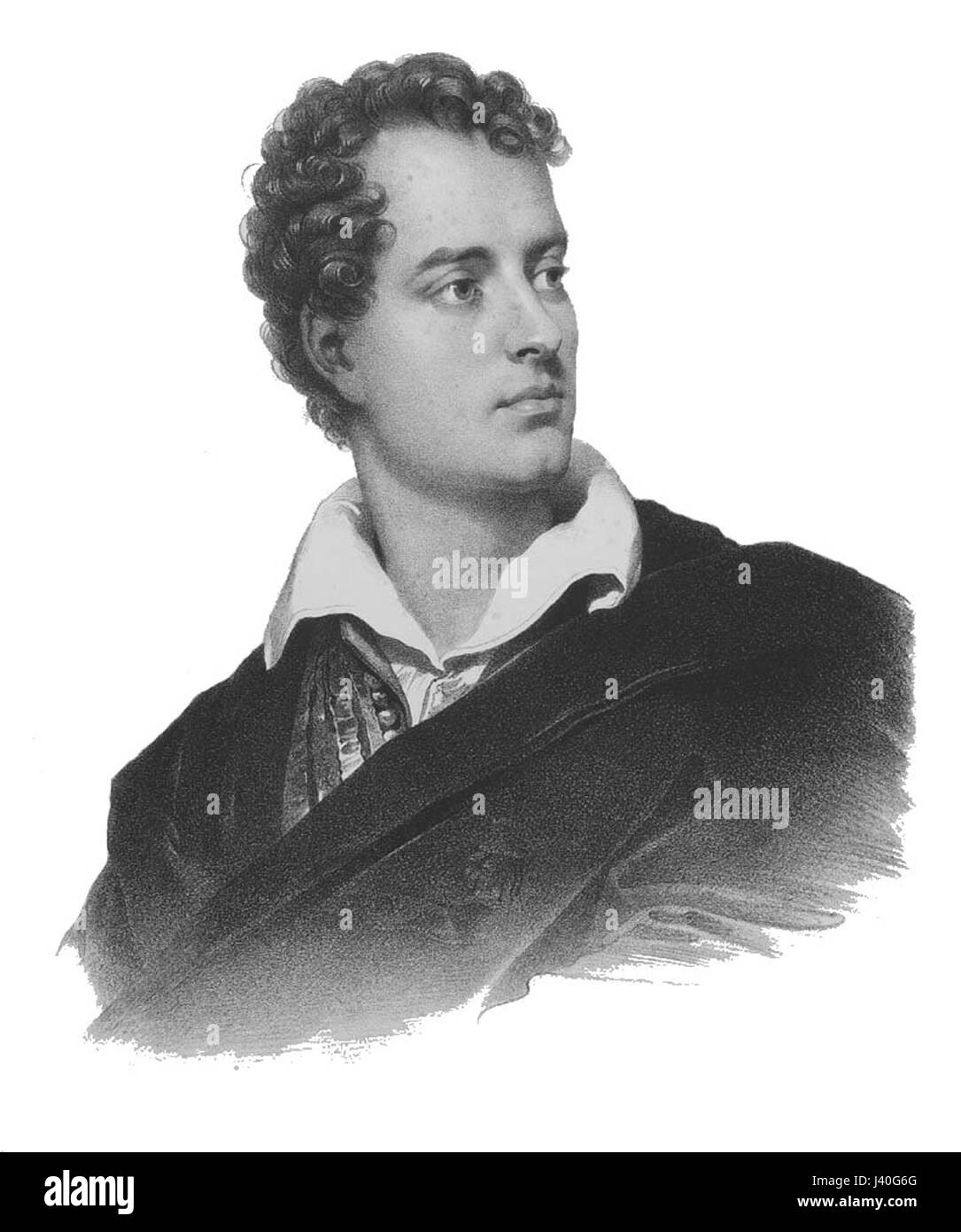 Lord Byron Stock Photohttps://www.alamy.com/image-license-details/?v=1https://www.alamy.com/stock-photo-lord-byron-140154296.html
RMJ40G6G–Lord Byron
 Isles de la Reine Charlotte. Nendo, Santa Cruz, Solomon Islands. BONNE 1788 map Stock Photohttps://www.alamy.com/image-license-details/?v=1https://www.alamy.com/isles-de-la-reine-charlotte-nendo-santa-cruz-solomon-islands-bonne-1788-map-image401434240.html
RF2E92WD4–Isles de la Reine Charlotte. Nendo, Santa Cruz, Solomon Islands. BONNE 1788 map
 Walter Byron Stock Photohttps://www.alamy.com/image-license-details/?v=1https://www.alamy.com/stock-photo-walter-byron-140704253.html
RMJ4WHKW–Walter Byron
 US-MA(1891) p392 DALTON, BYRON WESTON PAPER-MILLS Stock Photohttps://www.alamy.com/image-license-details/?v=1https://www.alamy.com/stock-photo-us-ma1891-p392-dalton-byron-weston-paper-mills-75594506.html
RMEAYHFP–US-MA(1891) p392 DALTON, BYRON WESTON PAPER-MILLS
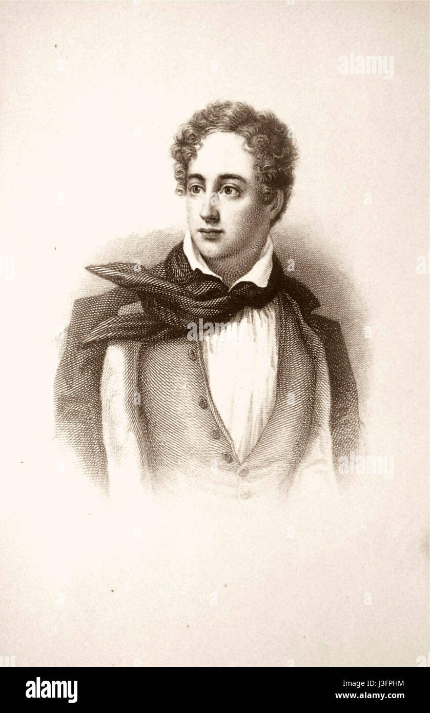 George Gordon Byron. Stock Photohttps://www.alamy.com/image-license-details/?v=1https://www.alamy.com/stock-photo-george-gordon-byron-139873936.html
RMJ3FPHM–George Gordon Byron.
 The world with all modern discoveries. Double-hemisphere world map embroidered by a schoolgirl with colored threads on silk. Shows the voyages of Cook, Wallis, and Byron and Carteret. Ornamental floral sprays and ribbons in margins. Framed with an oval window.... , World Stock Photohttps://www.alamy.com/image-license-details/?v=1https://www.alamy.com/the-world-with-all-modern-discoveries-double-hemisphere-world-map-embroidered-by-a-schoolgirl-with-colored-threads-on-silk-shows-the-voyages-of-cook-wallis-and-byron-and-carteret-ornamental-floral-sprays-and-ribbons-in-margins-framed-with-an-oval-window-world-image502728995.html
RM2M5W7XY–The world with all modern discoveries. Double-hemisphere world map embroidered by a schoolgirl with colored threads on silk. Shows the voyages of Cook, Wallis, and Byron and Carteret. Ornamental floral sprays and ribbons in margins. Framed with an oval window.... , World
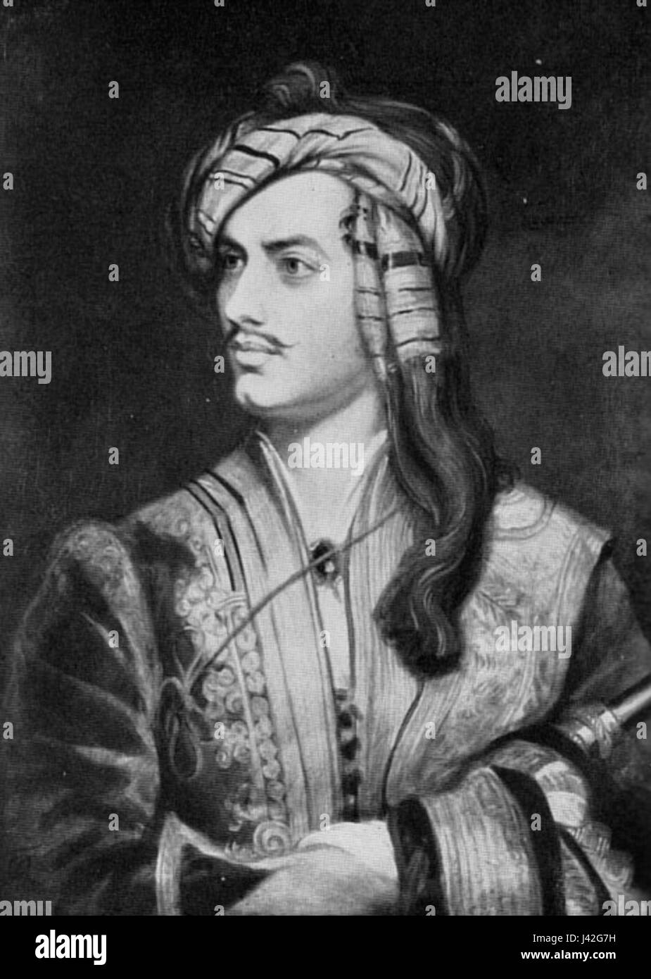 Lord Byron 1 Stock Photohttps://www.alamy.com/image-license-details/?v=1https://www.alamy.com/stock-photo-lord-byron-1-140198229.html
RMJ42G7H–Lord Byron 1
 Image 1 of Sanborn Fire Insurance Map from Port Byron, Cayuga County, New York. Sep 1890. 3 Sheet(s), America, street map with a Nineteenth Century compass Stock Photohttps://www.alamy.com/image-license-details/?v=1https://www.alamy.com/image-1-of-sanborn-fire-insurance-map-from-port-byron-cayuga-county-new-york-sep-1890-3-sheets-america-street-map-with-a-nineteenth-century-compass-image344695504.html
RM2B0P6HM–Image 1 of Sanborn Fire Insurance Map from Port Byron, Cayuga County, New York. Sep 1890. 3 Sheet(s), America, street map with a Nineteenth Century compass
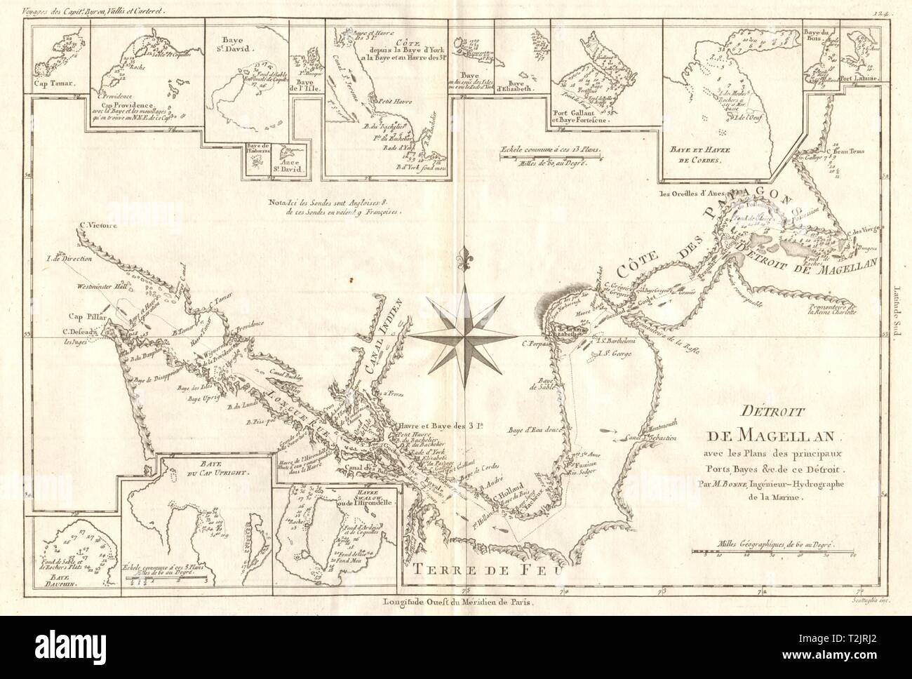 Détroit de Magellan. Strait of Magellan. Chile. BONNE 1790 old antique map Stock Photohttps://www.alamy.com/image-license-details/?v=1https://www.alamy.com/dtroit-de-magellan-strait-of-magellan-chile-bonne-1790-old-antique-map-image242588138.html
RFT2JRJ2–Détroit de Magellan. Strait of Magellan. Chile. BONNE 1790 old antique map
 Byron Park, Barcaldine, AU, Australia, Queensland, S 23 16' 50'', N 145 0' 9'', map, Cartascapes Map published in 2024. Explore Cartascapes, a map revealing Earth's diverse landscapes, cultures, and ecosystems. Journey through time and space, discovering the interconnectedness of our planet's past, present, and future. Stock Photohttps://www.alamy.com/image-license-details/?v=1https://www.alamy.com/byron-park-barcaldine-au-australia-queensland-s-23-16-50-n-145-0-9-map-cartascapes-map-published-in-2024-explore-cartascapes-a-map-revealing-earths-diverse-landscapes-cultures-and-ecosystems-journey-through-time-and-space-discovering-the-interconnectedness-of-our-planets-past-present-and-future-image625539581.html
RM2Y9KP39–Byron Park, Barcaldine, AU, Australia, Queensland, S 23 16' 50'', N 145 0' 9'', map, Cartascapes Map published in 2024. Explore Cartascapes, a map revealing Earth's diverse landscapes, cultures, and ecosystems. Journey through time and space, discovering the interconnectedness of our planet's past, present, and future.
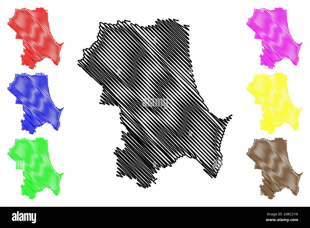 Byron Shire (Commonwealth of Australia, New South Wales, NSW) map vector illustration, scribble sketch Byron map Stock Vectorhttps://www.alamy.com/image-license-details/?v=1https://www.alamy.com/byron-shire-commonwealth-of-australia-new-south-wales-nsw-map-vector-illustration-scribble-sketch-byron-map-image616765009.html
RF2XRC21N–Byron Shire (Commonwealth of Australia, New South Wales, NSW) map vector illustration, scribble sketch Byron map
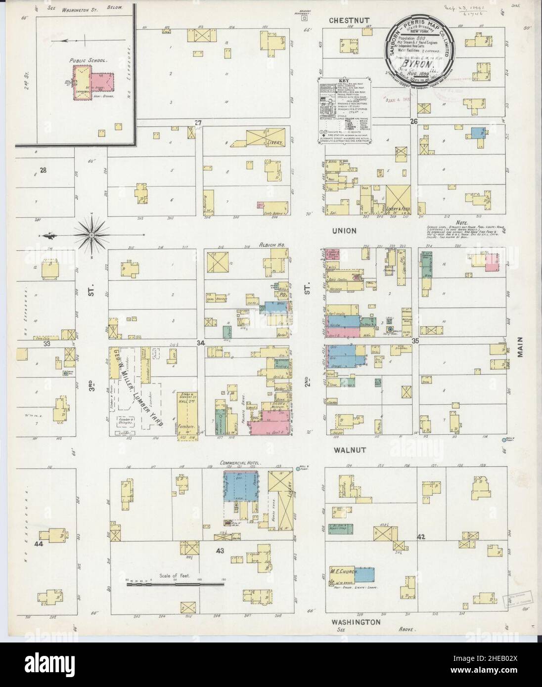 Sanborn Fire Insurance Map from Byron, Ogle County, Illinois. Stock Photohttps://www.alamy.com/image-license-details/?v=1https://www.alamy.com/sanborn-fire-insurance-map-from-byron-ogle-county-illinois-image456316306.html
RM2HEB02X–Sanborn Fire Insurance Map from Byron, Ogle County, Illinois.
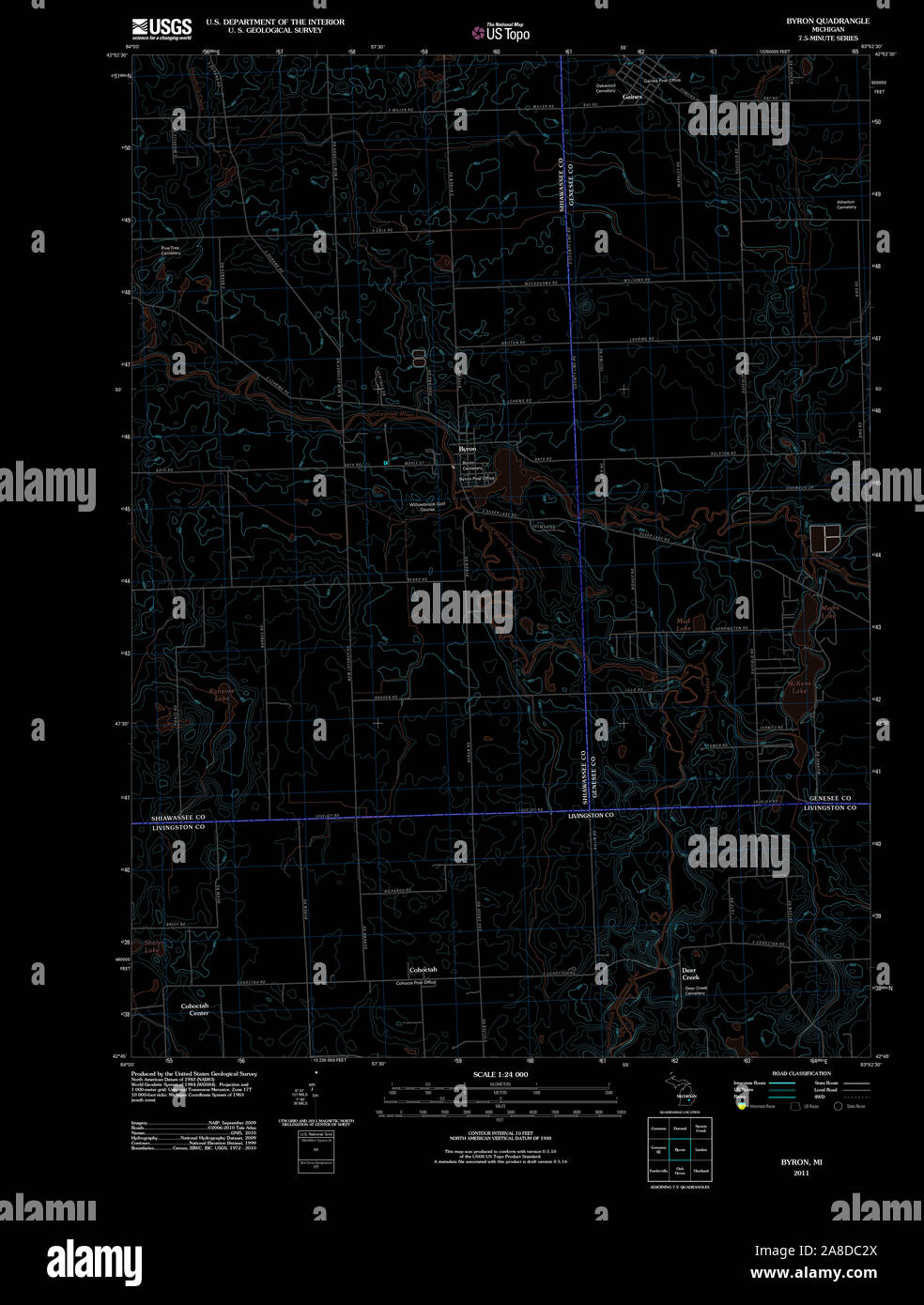 USGS TOPO Map Michigan MI Byron 20111118 TM Inverted Stock Photohttps://www.alamy.com/image-license-details/?v=1https://www.alamy.com/usgs-topo-map-michigan-mi-byron-20111118-tm-inverted-image332209106.html
RM2A8DC2X–USGS TOPO Map Michigan MI Byron 20111118 TM Inverted
 . Washington during war time : a series of papers, showing the military, political, and social phases, during 1861 to 1865. Press 01 Byron S. Adams, Washington, D. C. Press of Byron S. Adams, Washington, D. C. APPENDIX A. MAP OF FORTIFICATIONS AND DEFENSES OF WASHINGTON A XIC Stock Photohttps://www.alamy.com/image-license-details/?v=1https://www.alamy.com/washington-during-war-time-a-series-of-papers-showing-the-military-political-and-social-phases-during-1861-to-1865-press-01-byron-s-adams-washington-d-c-press-of-byron-s-adams-washington-d-c-appendix-a-map-of-fortifications-and-defenses-of-washington-a-xic-image370448129.html
RM2CEKAA9–. Washington during war time : a series of papers, showing the military, political, and social phases, during 1861 to 1865. Press 01 Byron S. Adams, Washington, D. C. Press of Byron S. Adams, Washington, D. C. APPENDIX A. MAP OF FORTIFICATIONS AND DEFENSES OF WASHINGTON A XIC
 Sacre-Cour Basilica Fram by Golden Autumn Trees and Leaf Covered Ground in Paris Stock Photohttps://www.alamy.com/image-license-details/?v=1https://www.alamy.com/sacre-cour-basilica-fram-by-golden-autumn-trees-and-leaf-covered-ground-in-paris-image625277435.html
RM2Y97RMY–Sacre-Cour Basilica Fram by Golden Autumn Trees and Leaf Covered Ground in Paris
 . English: A. J. Johnson’s beautifully hand colored 1864 map of Europe. This map shows cities, topographical features, railways, ferries and roads with color coding at the regional level. The routes of various explorers, including Cook, Byron, Carteret, and others, are shown. In contrast to most Johnson maps, the sea is here rendered in a pale blue. This is the last edition of this map, which harkens back to Johnson’s 1860 Europe, to be released before Johnson re-engraved his continental map places in the later part of 1864. Published by A. J. Johnson and Ward as plates 72-73 in the 1864 edit Stock Photohttps://www.alamy.com/image-license-details/?v=1https://www.alamy.com/english-a-j-johnsons-beautifully-hand-colored-1864-map-of-europe-this-map-shows-cities-topographical-features-railways-ferries-and-roads-with-color-coding-at-the-regional-level-the-routes-of-various-explorers-including-cook-byron-carteret-and-others-are-shown-in-contrast-to-most-johnson-maps-the-sea-is-here-rendered-in-a-pale-blue-this-is-the-last-edition-of-this-map-which-harkens-back-to-johnsons-1860-europe-to-be-released-before-johnson-re-engraved-his-continental-map-places-in-the-later-part-of-1864-published-by-a-j-johnson-and-ward-as-plates-72-73-in-the-1864-edit-image184965593.html
RMMMWWE1–. English: A. J. Johnson’s beautifully hand colored 1864 map of Europe. This map shows cities, topographical features, railways, ferries and roads with color coding at the regional level. The routes of various explorers, including Cook, Byron, Carteret, and others, are shown. In contrast to most Johnson maps, the sea is here rendered in a pale blue. This is the last edition of this map, which harkens back to Johnson’s 1860 Europe, to be released before Johnson re-engraved his continental map places in the later part of 1864. Published by A. J. Johnson and Ward as plates 72-73 in the 1864 edit
![[The Works of Lord Byron. A new, revised and enlarged edition, with illustrations [including portraits].] Image taken from page 99 of '[The W Stock Photo [The Works of Lord Byron. A new, revised and enlarged edition, with illustrations [including portraits].] Image taken from page 99 of '[The W Stock Photo](https://c8.alamy.com/comp/HKA3BF/the-works-of-lord-byron-a-new-revised-and-enlarged-edition-with-illustrations-HKA3BF.jpg) [The Works of Lord Byron. A new, revised and enlarged edition, with illustrations [including portraits].] Image taken from page 99 of '[The W Stock Photohttps://www.alamy.com/image-license-details/?v=1https://www.alamy.com/stock-photo-the-works-of-lord-byron-a-new-revised-and-enlarged-edition-with-illustrations-132373235.html
[The Works of Lord Byron. A new, revised and enlarged edition, with illustrations [including portraits].] Image taken from page 99 of '[The W Stock Photohttps://www.alamy.com/image-license-details/?v=1https://www.alamy.com/stock-photo-the-works-of-lord-byron-a-new-revised-and-enlarged-edition-with-illustrations-132373235.htmlRMHKA3BF–[The Works of Lord Byron. A new, revised and enlarged edition, with illustrations [including portraits].] Image taken from page 99 of '[The W
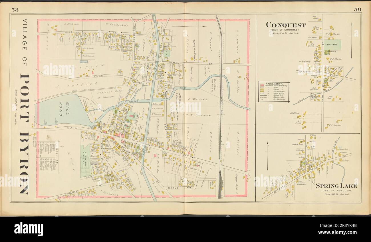 Cayuga County, Left Page Map of village of Port Byron Cartographic. Atlases, Maps. 1904. Lionel Pincus and Princess Firyal Map Division. Real property , New York (State) , Herkimer County, Herkimer County (N.Y.) , Description and travel Stock Photohttps://www.alamy.com/image-license-details/?v=1https://www.alamy.com/cayuga-county-left-page-map-of-village-of-port-byron-cartographic-atlases-maps-1904-lionel-pincus-and-princess-firyal-map-division-real-property-new-york-state-herkimer-county-herkimer-county-ny-description-and-travel-image484341995.html
RM2K3YK4B–Cayuga County, Left Page Map of village of Port Byron Cartographic. Atlases, Maps. 1904. Lionel Pincus and Princess Firyal Map Division. Real property , New York (State) , Herkimer County, Herkimer County (N.Y.) , Description and travel
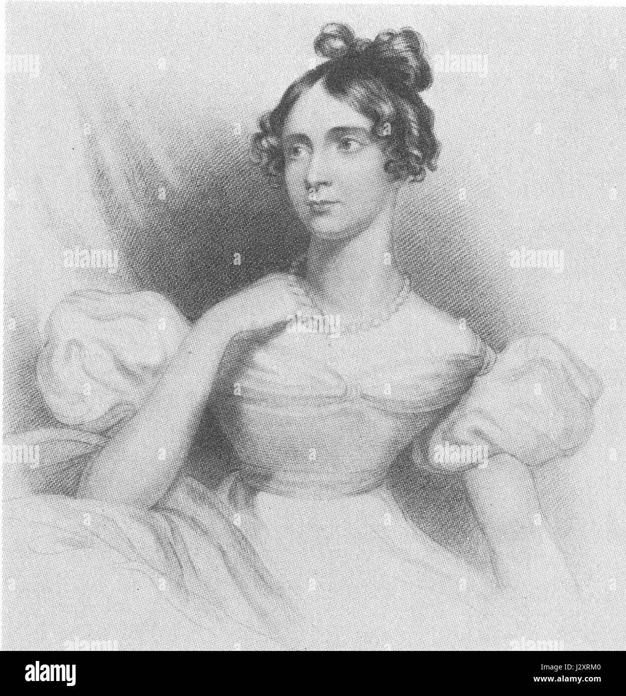 Annabella, Lady Byron Stock Photohttps://www.alamy.com/image-license-details/?v=1https://www.alamy.com/stock-photo-annabella-lady-byron-139501600.html
RMJ2XRM0–Annabella, Lady Byron
 Image 2 of Sanborn Fire Insurance Map from Port Byron, Cayuga County, New York. Feb 1896. 3 Sheet(s), America, street map with a Nineteenth Century compass Stock Photohttps://www.alamy.com/image-license-details/?v=1https://www.alamy.com/image-2-of-sanborn-fire-insurance-map-from-port-byron-cayuga-county-new-york-feb-1896-3-sheets-america-street-map-with-a-nineteenth-century-compass-image344695508.html
RM2B0P6HT–Image 2 of Sanborn Fire Insurance Map from Port Byron, Cayuga County, New York. Feb 1896. 3 Sheet(s), America, street map with a Nineteenth Century compass
 Mount Byron, Somerset, AU, Australia, Queensland, S 27 6' 55'', N 152 40' 23'', map, Cartascapes Map published in 2024. Explore Cartascapes, a map revealing Earth's diverse landscapes, cultures, and ecosystems. Journey through time and space, discovering the interconnectedness of our planet's past, present, and future. Stock Photohttps://www.alamy.com/image-license-details/?v=1https://www.alamy.com/mount-byron-somerset-au-australia-queensland-s-27-6-55-n-152-40-23-map-cartascapes-map-published-in-2024-explore-cartascapes-a-map-revealing-earths-diverse-landscapes-cultures-and-ecosystems-journey-through-time-and-space-discovering-the-interconnectedness-of-our-planets-past-present-and-future-image625749638.html
RM2YA1A1A–Mount Byron, Somerset, AU, Australia, Queensland, S 27 6' 55'', N 152 40' 23'', map, Cartascapes Map published in 2024. Explore Cartascapes, a map revealing Earth's diverse landscapes, cultures, and ecosystems. Journey through time and space, discovering the interconnectedness of our planet's past, present, and future.
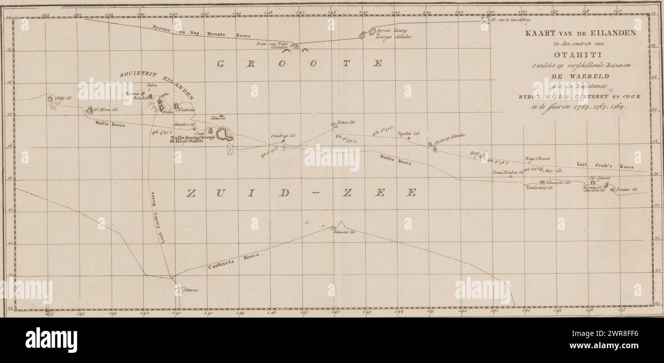 Map of the Society Islands, Map of the islands in the vicinity of Otahiti (...) (title on object), Map of the Society Islands, showing the voyages of the explorers Byron, Wallis Carteret and Cook. Numbered top right: V., print maker: anonymous, publisher: Abraham en Jan Honkoop, (possibly), publisher: Johannes Allart, (possibly), publisher: Leiden, publisher: Amsterdam, publisher: The Hague, 1795 - 1809, paper, engraving, height 252 mm × width 517 mm, print Stock Photohttps://www.alamy.com/image-license-details/?v=1https://www.alamy.com/map-of-the-society-islands-map-of-the-islands-in-the-vicinity-of-otahiti-title-on-object-map-of-the-society-islands-showing-the-voyages-of-the-explorers-byron-wallis-carteret-and-cook-numbered-top-right-v-print-maker-anonymous-publisher-abraham-en-jan-honkoop-possibly-publisher-johannes-allart-possibly-publisher-leiden-publisher-amsterdam-publisher-the-hague-1795-1809-paper-engraving-height-252-mm-width-517-mm-print-image599477402.html
RM2WR8FF6–Map of the Society Islands, Map of the islands in the vicinity of Otahiti (...) (title on object), Map of the Society Islands, showing the voyages of the explorers Byron, Wallis Carteret and Cook. Numbered top right: V., print maker: anonymous, publisher: Abraham en Jan Honkoop, (possibly), publisher: Johannes Allart, (possibly), publisher: Leiden, publisher: Amsterdam, publisher: The Hague, 1795 - 1809, paper, engraving, height 252 mm × width 517 mm, print
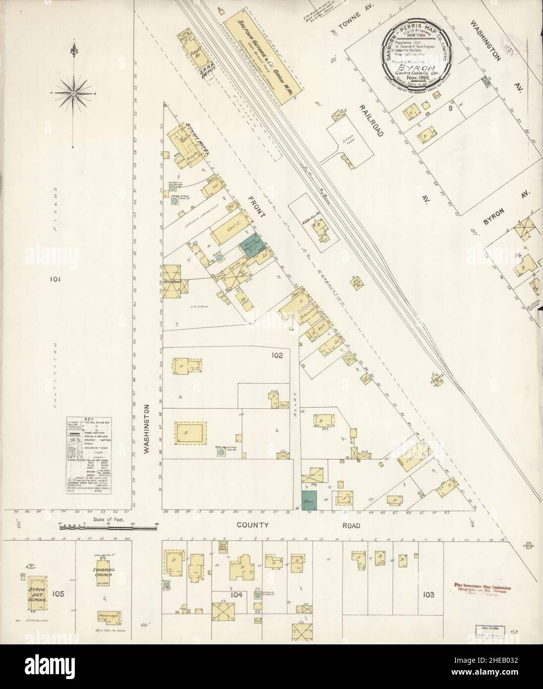 Sanborn Fire Insurance Map from Byron, Contra Costa County, California. Stock Photohttps://www.alamy.com/image-license-details/?v=1https://www.alamy.com/sanborn-fire-insurance-map-from-byron-contra-costa-county-california-image456316310.html
RM2HEB032–Sanborn Fire Insurance Map from Byron, Contra Costa County, California.
 Map, Voyage of H.M.S. Blonde to the Sandwich Islands, in the years 1824-1825. Captain the Right Hon. Lord Byron Commander Stock Photohttps://www.alamy.com/image-license-details/?v=1https://www.alamy.com/stock-photo-map-voyage-of-hms-blonde-to-the-sandwich-islands-in-the-years-1824-77458349.html
RMEE0EWH–Map, Voyage of H.M.S. Blonde to the Sandwich Islands, in the years 1824-1825. Captain the Right Hon. Lord Byron Commander
 Byron and Lord island (Western Australia, Commonwealth of Australia, Buccaneer Archipelago, Indian Ocean) map vector illustration, scribble sketch map Stock Vectorhttps://www.alamy.com/image-license-details/?v=1https://www.alamy.com/byron-and-lord-island-western-australia-commonwealth-of-australia-buccaneer-archipelago-indian-ocean-map-vector-illustration-scribble-sketch-map-image487976771.html
RF2K9W79R–Byron and Lord island (Western Australia, Commonwealth of Australia, Buccaneer Archipelago, Indian Ocean) map vector illustration, scribble sketch map
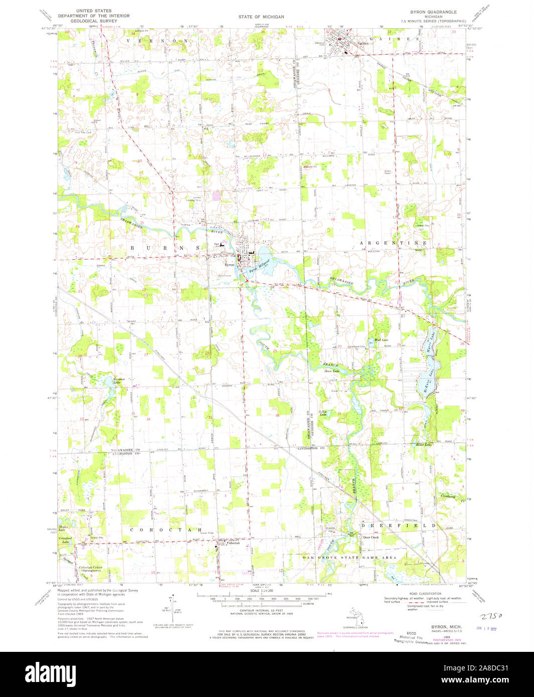 USGS TOPO Map Michigan MI Byron 275780 1969 24000 Stock Photohttps://www.alamy.com/image-license-details/?v=1https://www.alamy.com/usgs-topo-map-michigan-mi-byron-275780-1969-24000-image332209109.html
RM2A8DC31–USGS TOPO Map Michigan MI Byron 275780 1969 24000
 . Omaha illustrated : a history of the pioneer period and the Omaha of today embracing reliable statistics and information, with over two hundred illustrations, including prominent buildings, portraits, and sketches of leading citizens . Da 1^ and sister, who is now Mrs. Herman Kountze, and several others. The map of the survey wis lithographed in St. Louis Mr. Byron Reed has one ot the original copies in his possession. The f e r r ) compan) gave the name of Omaha to the new town. The name was taken from the nearest tribe of Indians in the vicinity, the Omahas. It is claimed that the honor o Stock Photohttps://www.alamy.com/image-license-details/?v=1https://www.alamy.com/omaha-illustrated-a-history-of-the-pioneer-period-and-the-omaha-of-today-embracing-reliable-statistics-and-information-with-over-two-hundred-illustrations-including-prominent-buildings-portraits-and-sketches-of-leading-citizens-da-1-and-sister-who-is-now-mrs-herman-kountze-and-several-others-the-map-of-the-survey-wis-lithographed-in-st-louis-mr-byron-reed-has-one-ot-the-original-copies-in-his-possession-the-f-e-r-r-compan-gave-the-name-of-omaha-to-the-new-town-the-name-was-taken-from-the-nearest-tribe-of-indians-in-the-vicinity-the-omahas-it-is-claimed-that-the-honor-o-image369717054.html
RM2CDE1TE–. Omaha illustrated : a history of the pioneer period and the Omaha of today embracing reliable statistics and information, with over two hundred illustrations, including prominent buildings, portraits, and sketches of leading citizens . Da 1^ and sister, who is now Mrs. Herman Kountze, and several others. The map of the survey wis lithographed in St. Louis Mr. Byron Reed has one ot the original copies in his possession. The f e r r ) compan) gave the name of Omaha to the new town. The name was taken from the nearest tribe of Indians in the vicinity, the Omahas. It is claimed that the honor o
![. English: This is a fine map shows the explorations of Captain Cook, Captain Byron, Captain Wallis and Captain Carteret in the vicinity of Tahiti and the Society Islands from 1765 to 1769. Extends from Is. Scilly [i.e. the Scilly Islands] in the west and to I. Whitsunday de la Pentecote [i.e. the Whitsunday Island] in the east, from Is. du Disappointment [i.e. Disappointment Island] in the north to Ohetiroa in the south. Features the routes taken by these important explorers as the zig-zagged in and around the Society Islands. Depicts the island of Tahiti (Otaheite) as well as Bora Bora (Bol Stock Photo . English: This is a fine map shows the explorations of Captain Cook, Captain Byron, Captain Wallis and Captain Carteret in the vicinity of Tahiti and the Society Islands from 1765 to 1769. Extends from Is. Scilly [i.e. the Scilly Islands] in the west and to I. Whitsunday de la Pentecote [i.e. the Whitsunday Island] in the east, from Is. du Disappointment [i.e. Disappointment Island] in the north to Ohetiroa in the south. Features the routes taken by these important explorers as the zig-zagged in and around the Society Islands. Depicts the island of Tahiti (Otaheite) as well as Bora Bora (Bol Stock Photo](https://c8.alamy.com/comp/MMR9NB/english-this-is-a-fine-map-shows-the-explorations-of-captain-cook-captain-byron-captain-wallis-and-captain-carteret-in-the-vicinity-of-tahiti-and-the-society-islands-from-1765-to-1769-extends-from-is-scilly-ie-the-scilly-islands-in-the-west-and-to-i-whitsunday-de-la-pentecote-ie-the-whitsunday-island-in-the-east-from-is-du-disappointment-ie-disappointment-island-in-the-north-to-ohetiroa-in-the-south-features-the-routes-taken-by-these-important-explorers-as-the-zig-zagged-in-and-around-the-society-islands-depicts-the-island-of-tahiti-otaheite-as-well-as-bora-bora-bol-MMR9NB.jpg) . English: This is a fine map shows the explorations of Captain Cook, Captain Byron, Captain Wallis and Captain Carteret in the vicinity of Tahiti and the Society Islands from 1765 to 1769. Extends from Is. Scilly [i.e. the Scilly Islands] in the west and to I. Whitsunday de la Pentecote [i.e. the Whitsunday Island] in the east, from Is. du Disappointment [i.e. Disappointment Island] in the north to Ohetiroa in the south. Features the routes taken by these important explorers as the zig-zagged in and around the Society Islands. Depicts the island of Tahiti (Otaheite) as well as Bora Bora (Bol Stock Photohttps://www.alamy.com/image-license-details/?v=1https://www.alamy.com/english-this-is-a-fine-map-shows-the-explorations-of-captain-cook-captain-byron-captain-wallis-and-captain-carteret-in-the-vicinity-of-tahiti-and-the-society-islands-from-1765-to-1769-extends-from-is-scilly-ie-the-scilly-islands-in-the-west-and-to-i-whitsunday-de-la-pentecote-ie-the-whitsunday-island-in-the-east-from-is-du-disappointment-ie-disappointment-island-in-the-north-to-ohetiroa-in-the-south-features-the-routes-taken-by-these-important-explorers-as-the-zig-zagged-in-and-around-the-society-islands-depicts-the-island-of-tahiti-otaheite-as-well-as-bora-bora-bol-image184909351.html
. English: This is a fine map shows the explorations of Captain Cook, Captain Byron, Captain Wallis and Captain Carteret in the vicinity of Tahiti and the Society Islands from 1765 to 1769. Extends from Is. Scilly [i.e. the Scilly Islands] in the west and to I. Whitsunday de la Pentecote [i.e. the Whitsunday Island] in the east, from Is. du Disappointment [i.e. Disappointment Island] in the north to Ohetiroa in the south. Features the routes taken by these important explorers as the zig-zagged in and around the Society Islands. Depicts the island of Tahiti (Otaheite) as well as Bora Bora (Bol Stock Photohttps://www.alamy.com/image-license-details/?v=1https://www.alamy.com/english-this-is-a-fine-map-shows-the-explorations-of-captain-cook-captain-byron-captain-wallis-and-captain-carteret-in-the-vicinity-of-tahiti-and-the-society-islands-from-1765-to-1769-extends-from-is-scilly-ie-the-scilly-islands-in-the-west-and-to-i-whitsunday-de-la-pentecote-ie-the-whitsunday-island-in-the-east-from-is-du-disappointment-ie-disappointment-island-in-the-north-to-ohetiroa-in-the-south-features-the-routes-taken-by-these-important-explorers-as-the-zig-zagged-in-and-around-the-society-islands-depicts-the-island-of-tahiti-otaheite-as-well-as-bora-bora-bol-image184909351.htmlRMMMR9NB–. English: This is a fine map shows the explorations of Captain Cook, Captain Byron, Captain Wallis and Captain Carteret in the vicinity of Tahiti and the Society Islands from 1765 to 1769. Extends from Is. Scilly [i.e. the Scilly Islands] in the west and to I. Whitsunday de la Pentecote [i.e. the Whitsunday Island] in the east, from Is. du Disappointment [i.e. Disappointment Island] in the north to Ohetiroa in the south. Features the routes taken by these important explorers as the zig-zagged in and around the Society Islands. Depicts the island of Tahiti (Otaheite) as well as Bora Bora (Bol
 Byron and his boyfriend Stock Photohttps://www.alamy.com/image-license-details/?v=1https://www.alamy.com/stock-photo-byron-and-his-boyfriend-146502197.html
RMJE9N19–Byron and his boyfriend
 Map of the Society Islands, Anonymous, 1795 - 1809 print Map of the Society Islands, on which the journeys of the explorers Byron, Wallis Carteret and Cook are indicated. Numbered at the top right: V. paper engraving maps of separate countries or regions. exploration, expedition, voyage of discovery Society islands Stock Photohttps://www.alamy.com/image-license-details/?v=1https://www.alamy.com/map-of-the-society-islands-anonymous-1795-1809-print-map-of-the-society-islands-on-which-the-journeys-of-the-explorers-byron-wallis-carteret-and-cook-are-indicated-numbered-at-the-top-right-v-paper-engraving-maps-of-separate-countries-or-regions-exploration-expedition-voyage-of-discovery-society-islands-image594158494.html
RM2WEJ766–Map of the Society Islands, Anonymous, 1795 - 1809 print Map of the Society Islands, on which the journeys of the explorers Byron, Wallis Carteret and Cook are indicated. Numbered at the top right: V. paper engraving maps of separate countries or regions. exploration, expedition, voyage of discovery Society islands
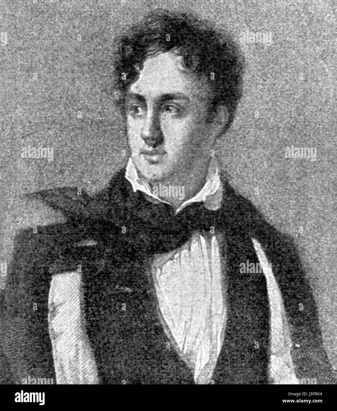 George Gordon Byron Stock Photohttps://www.alamy.com/image-license-details/?v=1https://www.alamy.com/stock-photo-george-gordon-byron-139874760.html
RMJ3FRK4–George Gordon Byron
 Byron Island, , AU, Australia, Western Australia, S 16 9' 40'', N 123 27' 0'', map, Cartascapes Map published in 2024. Explore Cartascapes, a map revealing Earth's diverse landscapes, cultures, and ecosystems. Journey through time and space, discovering the interconnectedness of our planet's past, present, and future. Stock Photohttps://www.alamy.com/image-license-details/?v=1https://www.alamy.com/byron-island-au-australia-western-australia-s-16-9-40-n-123-27-0-map-cartascapes-map-published-in-2024-explore-cartascapes-a-map-revealing-earths-diverse-landscapes-cultures-and-ecosystems-journey-through-time-and-space-discovering-the-interconnectedness-of-our-planets-past-present-and-future-image625525192.html
RM2Y9K3NC–Byron Island, , AU, Australia, Western Australia, S 16 9' 40'', N 123 27' 0'', map, Cartascapes Map published in 2024. Explore Cartascapes, a map revealing Earth's diverse landscapes, cultures, and ecosystems. Journey through time and space, discovering the interconnectedness of our planet's past, present, and future.
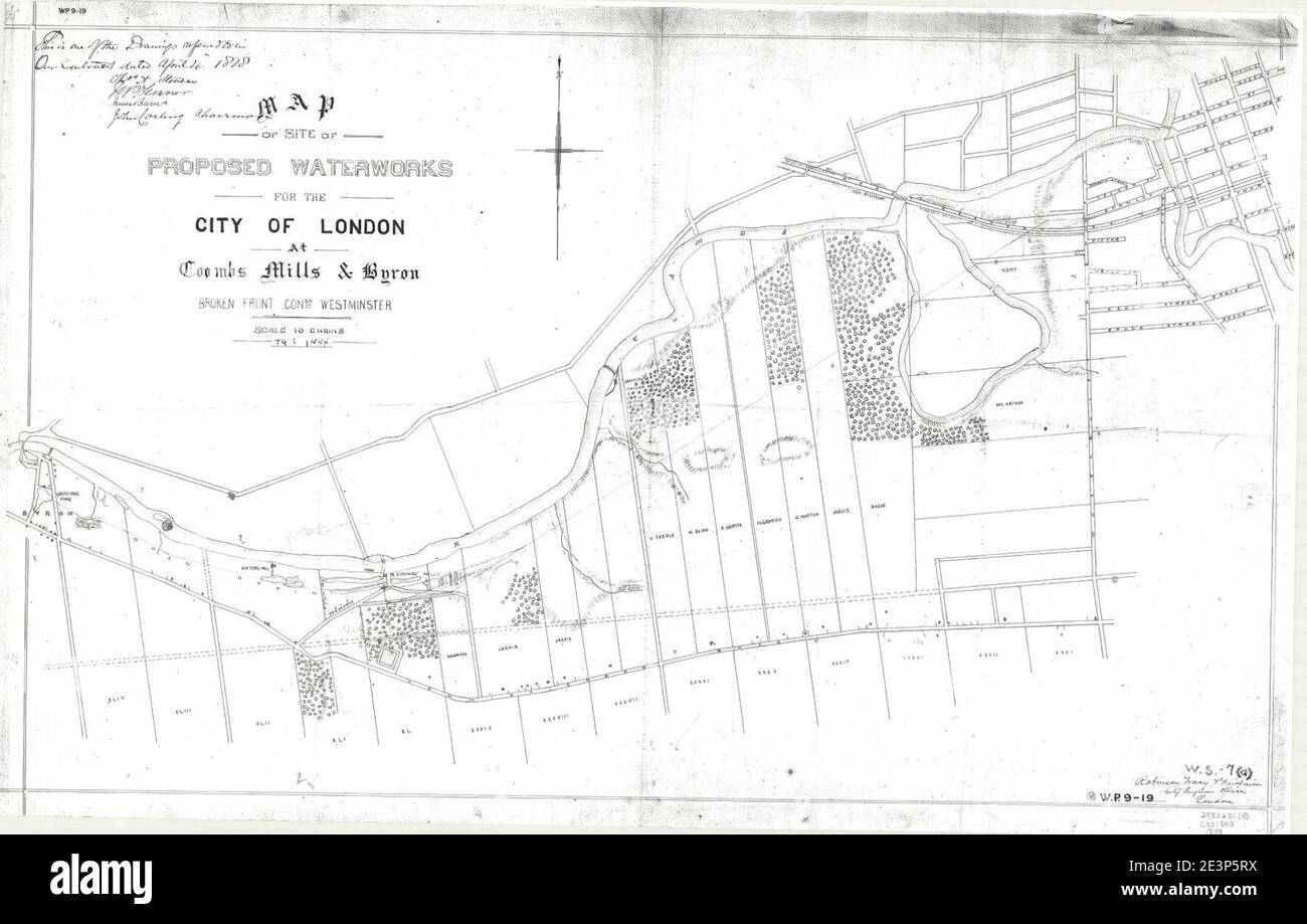 Map of the site of proposed waterworks for the City of London at Coombs Mills & Byron, Broken Front Con'sn, Westminster. Stock Photohttps://www.alamy.com/image-license-details/?v=1https://www.alamy.com/map-of-the-site-of-proposed-waterworks-for-the-city-of-london-at-coombs-mills-byron-broken-front-consn-westminster-image398169966.html
RM2E3P5RX–Map of the site of proposed waterworks for the City of London at Coombs Mills & Byron, Broken Front Con'sn, Westminster.
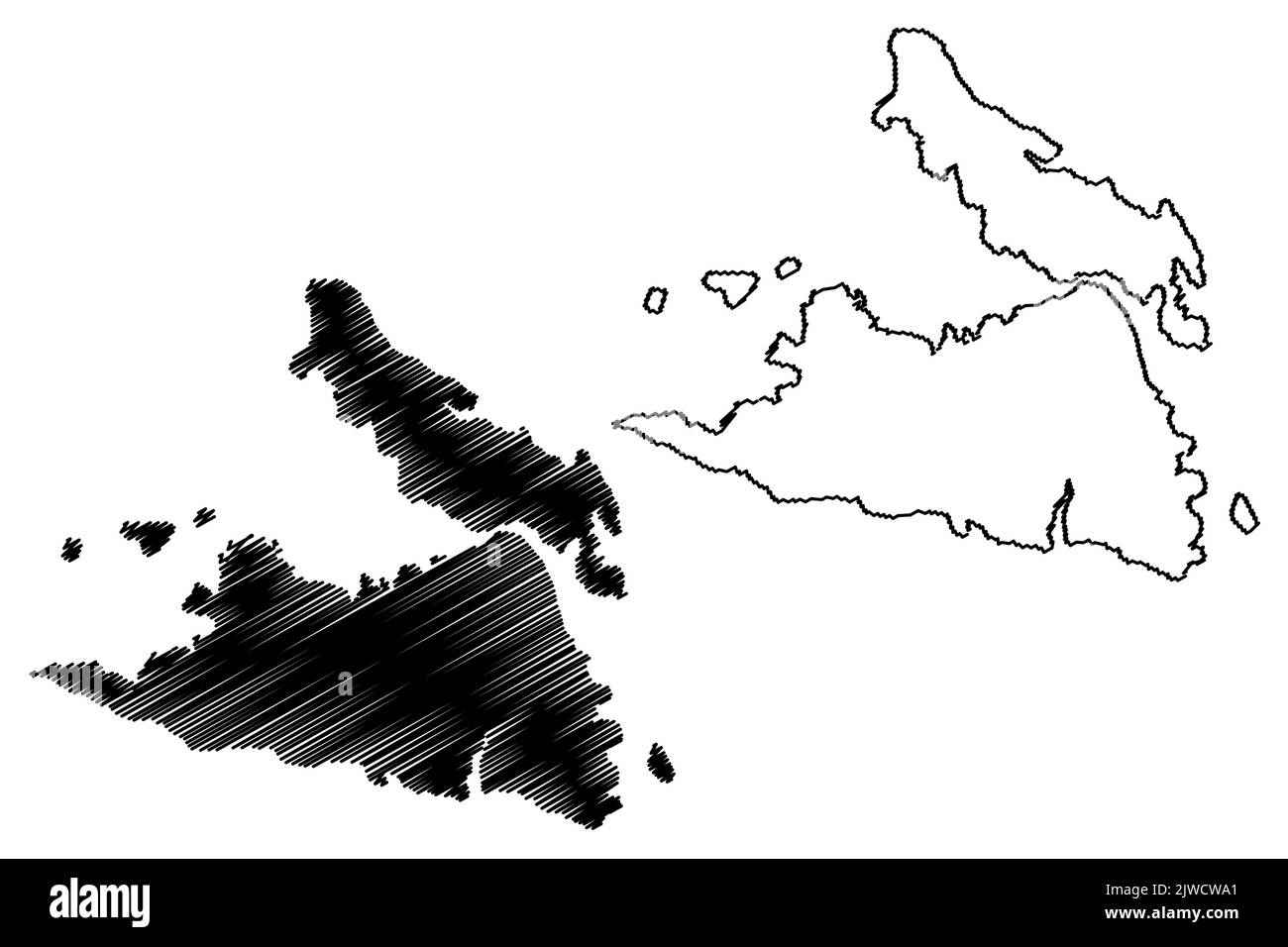 Byron and Lord island (Western Australia, Commonwealth of Australia, Buccaneer Archipelago, Indian Ocean) map vector illustration, scribble sketch map Stock Vectorhttps://www.alamy.com/image-license-details/?v=1https://www.alamy.com/byron-and-lord-island-western-australia-commonwealth-of-australia-buccaneer-archipelago-indian-ocean-map-vector-illustration-scribble-sketch-map-image480329641.html
RF2JWCWA1–Byron and Lord island (Western Australia, Commonwealth of Australia, Buccaneer Archipelago, Indian Ocean) map vector illustration, scribble sketch map
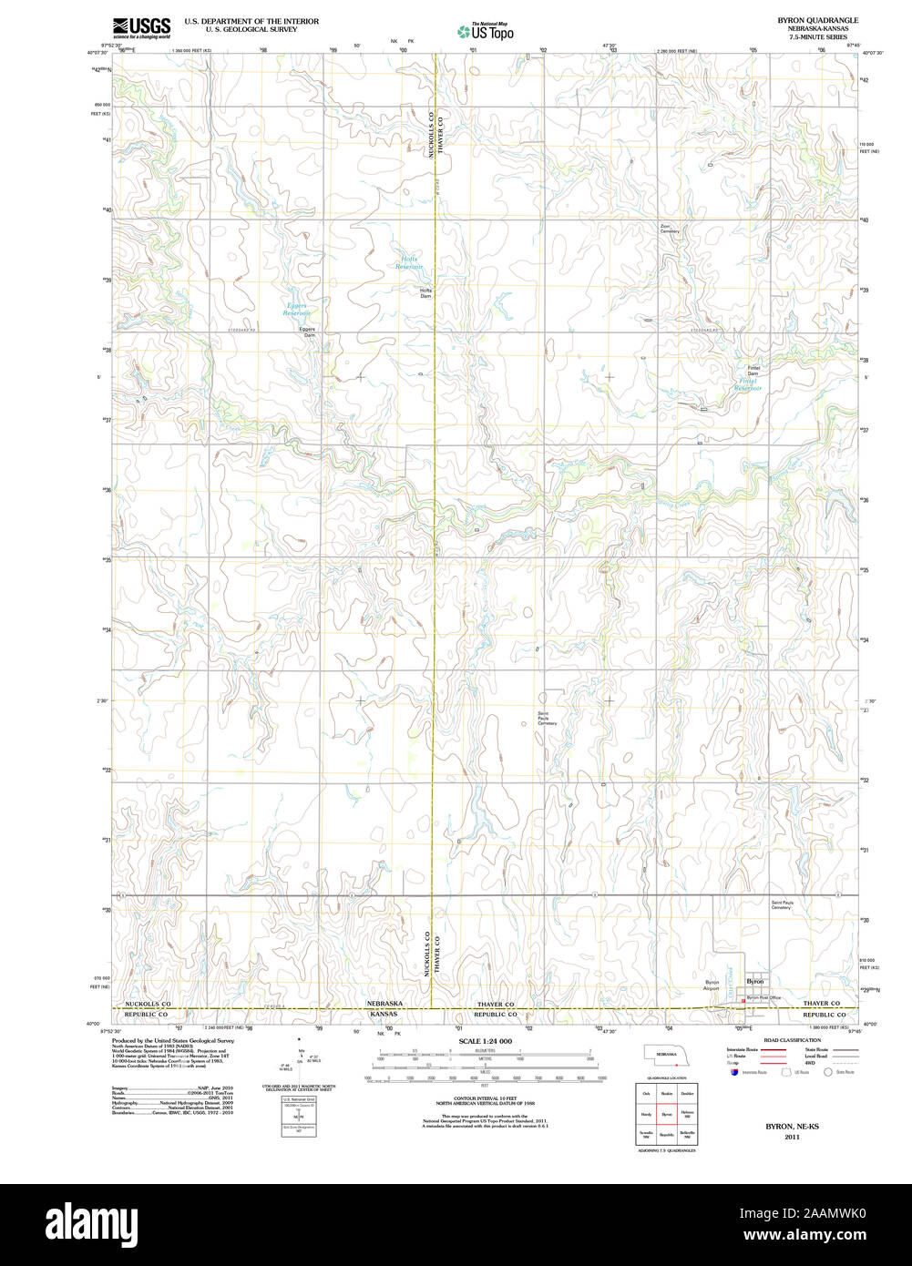 USGS TOPO Map Nebraska NE Byron 20111021 TM Restoration Stock Photohttps://www.alamy.com/image-license-details/?v=1https://www.alamy.com/usgs-topo-map-nebraska-ne-byron-20111021-tm-restoration-image333602724.html
RM2AAMWK0–USGS TOPO Map Nebraska NE Byron 20111021 TM Restoration
 . A business directory of the subscribers to the new map of Maine : with a brief history and description of the state . 9 Bangor^ - - JVTaine 9 Horses and Carriages to let, on application at the Office. Free Coaches to and from Cars. 0. M. SHAW. HENRY MoLAUQHLXN, 278 SUBSCRIBERS BUSINESS DIRECTORY. ESX-A-BLISKCEO liM 1821- BYRON GREENOUGH & CO., MANUPACTUEEES OF HATS, CAPS & FURS,. Particular attention is invited to our Stock of Goods as being bv far the largest and mostcomplete in our market, comprising every variety of style, made of* the best materials and in asuperior manner. BYI^OIN G-I^E Stock Photohttps://www.alamy.com/image-license-details/?v=1https://www.alamy.com/a-business-directory-of-the-subscribers-to-the-new-map-of-maine-with-a-brief-history-and-description-of-the-state-9-bangor-jvtaine-9-horses-and-carriages-to-let-on-application-at-the-office-free-coaches-to-and-from-cars-0-m-shaw-henry-molauqhlxn-278-subscribers-business-directory-esx-a-bliskceo-lim-1821-byron-greenough-co-manupactueees-of-hats-caps-furs-particular-attention-is-invited-to-our-stock-of-goods-as-being-bv-far-the-largest-and-mostcomplete-in-our-market-comprising-every-variety-of-style-made-of-the-best-materials-and-in-asuperior-manner-byioin-g-ie-image370171206.html
RM2CE6N46–. A business directory of the subscribers to the new map of Maine : with a brief history and description of the state . 9 Bangor^ - - JVTaine 9 Horses and Carriages to let, on application at the Office. Free Coaches to and from Cars. 0. M. SHAW. HENRY MoLAUQHLXN, 278 SUBSCRIBERS BUSINESS DIRECTORY. ESX-A-BLISKCEO liM 1821- BYRON GREENOUGH & CO., MANUPACTUEEES OF HATS, CAPS & FURS,. Particular attention is invited to our Stock of Goods as being bv far the largest and mostcomplete in our market, comprising every variety of style, made of* the best materials and in asuperior manner. BYI^OIN G-I^E
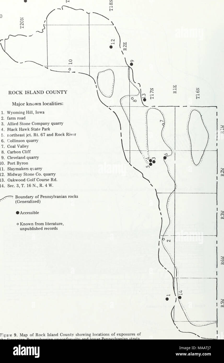 . Early Pennsylvanian paleotopography and depositional environments, Rock Island County, Illinois . ROCK ISLAND COUNTY Major known localities: 1. Wyoming Hill, Iowa 2. farm road 3. Allied Stone Company quarry 4. Black Hawk State Park 5. northeast jet. Rt. 67 and Rock River 6. Collinson quarry 7. Coal Valley 8. Carbon Cliff 9. Cleveland quarry 10. Port Byron 11. Slaymakers quarry 12. Midway Stone Co. quarry 13. Oakwood Golf Course Rd. 14. Sec. 3,T. 16N..R.4W. sr?"^ Boundary of Pennsylvanian rocks (Generalized) • Accessible o Known from literature, unpublished records Figure 9. Map of Rock Stock Photohttps://www.alamy.com/image-license-details/?v=1https://www.alamy.com/early-pennsylvanian-paleotopography-and-depositional-environments-rock-island-county-illinois-rock-island-county-major-known-localities-1-wyoming-hill-iowa-2-farm-road-3-allied-stone-company-quarry-4-black-hawk-state-park-5-northeast-jet-rt-67-and-rock-river-6-collinson-quarry-7-coal-valley-8-carbon-cliff-9-cleveland-quarry-10-port-byron-11-slaymakers-quarry-12-midway-stone-co-quarry-13-oakwood-golf-course-rd-14-sec-3t-16nr4w-srquot-boundary-of-pennsylvanian-rocks-generalized-accessible-o-known-from-literature-unpublished-records-figure-9-map-of-rock-image178489087.html
RMMAATJ7–. Early Pennsylvanian paleotopography and depositional environments, Rock Island County, Illinois . ROCK ISLAND COUNTY Major known localities: 1. Wyoming Hill, Iowa 2. farm road 3. Allied Stone Company quarry 4. Black Hawk State Park 5. northeast jet. Rt. 67 and Rock River 6. Collinson quarry 7. Coal Valley 8. Carbon Cliff 9. Cleveland quarry 10. Port Byron 11. Slaymakers quarry 12. Midway Stone Co. quarry 13. Oakwood Golf Course Rd. 14. Sec. 3,T. 16N..R.4W. sr?"^ Boundary of Pennsylvanian rocks (Generalized) • Accessible o Known from literature, unpublished records Figure 9. Map of Rock
 (1902, obituary) Byron Sunderland Stock Photohttps://www.alamy.com/image-license-details/?v=1https://www.alamy.com/stock-photo-1902-obituary-byron-sunderland-81928695.html
RMEN84TR–(1902, obituary) Byron Sunderland
 Rev. D. M. L. Rollin ; Mrs. D. M. L. Rollin ; View of Rev. D. M. L. Rollin's Residence, Byron TP., Genesee Co., N.Y. Cartographic. Atlases, Maps. 1876. Lionel Pincus and Princess Firyal Map Division. Genesee County (N.Y.), Real property , New York (State) Stock Photohttps://www.alamy.com/image-license-details/?v=1https://www.alamy.com/rev-d-m-l-rollin-mrs-d-m-l-rollin-view-of-rev-d-m-l-rollins-residence-byron-tp-genesee-co-ny-cartographic-atlases-maps-1876-lionel-pincus-and-princess-firyal-map-division-genesee-county-ny-real-property-new-york-state-image484335259.html
RM2K3YAFR–Rev. D. M. L. Rollin ; Mrs. D. M. L. Rollin ; View of Rev. D. M. L. Rollin's Residence, Byron TP., Genesee Co., N.Y. Cartographic. Atlases, Maps. 1876. Lionel Pincus and Princess Firyal Map Division. Genesee County (N.Y.), Real property , New York (State)
 Byron and Boson by Pigot Stock Photohttps://www.alamy.com/image-license-details/?v=1https://www.alamy.com/stock-photo-byron-and-boson-by-pigot-139543156.html
RMJ30MM4–Byron and Boson by Pigot
 Mount Byron, Somerset, AU, Australia, Queensland, S 27 9' 9'', N 152 39' 13'', map, Cartascapes Map published in 2024. Explore Cartascapes, a map revealing Earth's diverse landscapes, cultures, and ecosystems. Journey through time and space, discovering the interconnectedness of our planet's past, present, and future. Stock Photohttps://www.alamy.com/image-license-details/?v=1https://www.alamy.com/mount-byron-somerset-au-australia-queensland-s-27-9-9-n-152-39-13-map-cartascapes-map-published-in-2024-explore-cartascapes-a-map-revealing-earths-diverse-landscapes-cultures-and-ecosystems-journey-through-time-and-space-discovering-the-interconnectedness-of-our-planets-past-present-and-future-image625531834.html
RM2Y9KC6J–Mount Byron, Somerset, AU, Australia, Queensland, S 27 9' 9'', N 152 39' 13'', map, Cartascapes Map published in 2024. Explore Cartascapes, a map revealing Earth's diverse landscapes, cultures, and ecosystems. Journey through time and space, discovering the interconnectedness of our planet's past, present, and future.
 Bowles's new pocket map of the world, laid down from the latest observations and comprehending the new discoveries to the present time, particularly those lately made in the southern seas, by Byron, Stock Photohttps://www.alamy.com/image-license-details/?v=1https://www.alamy.com/bowless-new-pocket-map-of-the-world-laid-down-from-the-latest-observations-and-comprehending-the-new-discoveries-to-the-present-time-particularly-those-lately-made-in-the-southern-seas-by-byron-image220614368.html
RMPPWRTG–Bowles's new pocket map of the world, laid down from the latest observations and comprehending the new discoveries to the present time, particularly those lately made in the southern seas, by Byron,
 Byron and Lord island (Western Australia, Commonwealth of Australia, Buccaneer Archipelago, Indian Ocean) map vector illustration, scribble sketch map Stock Vectorhttps://www.alamy.com/image-license-details/?v=1https://www.alamy.com/byron-and-lord-island-western-australia-commonwealth-of-australia-buccaneer-archipelago-indian-ocean-map-vector-illustration-scribble-sketch-map-image468687014.html
RF2J6EF1X–Byron and Lord island (Western Australia, Commonwealth of Australia, Buccaneer Archipelago, Indian Ocean) map vector illustration, scribble sketch map
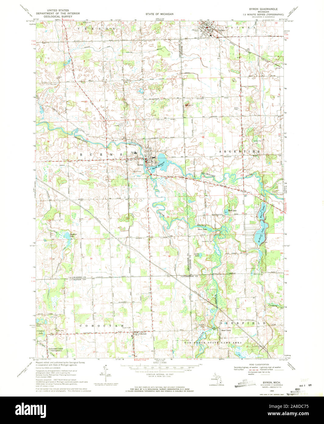 USGS TOPO Map Michigan MI Byron 275778 1969 24000 Stock Photohttps://www.alamy.com/image-license-details/?v=1https://www.alamy.com/usgs-topo-map-michigan-mi-byron-275778-1969-24000-image332209225.html
RM2A8DC75–USGS TOPO Map Michigan MI Byron 275778 1969 24000
![. A business directory of the subscribers to the new map of Maine : with a brief history and description of the state . MerchantBaker CHARL.ESTOWX. Caleb Emery, Teacher, 48 Bowdoin st., Boston Robert Southgate, Byron Stroute,Eben Hitchcock, IPSWICH. Oong. Clergyman R o X B tj R y . Provisions I Hawley Folsom,Policeman | Jeremiah M. Swott, Police Officer 262 SUBSCRIBERS BUSINESS DIRECTORY. NEW HAMPSHIHE. A. J. H. Buzzel], ChvM. Dnme,Daniel Melcher, William Bragdon,Mm Colby, DOVER, Phjsician | T. J. W. Pray, EXETER. PhyefC&n Cong. Clergyman I Woodbridge OdHn, Denier iii Wool CarriageMan. | Atlan Stock Photo . A business directory of the subscribers to the new map of Maine : with a brief history and description of the state . MerchantBaker CHARL.ESTOWX. Caleb Emery, Teacher, 48 Bowdoin st., Boston Robert Southgate, Byron Stroute,Eben Hitchcock, IPSWICH. Oong. Clergyman R o X B tj R y . Provisions I Hawley Folsom,Policeman | Jeremiah M. Swott, Police Officer 262 SUBSCRIBERS BUSINESS DIRECTORY. NEW HAMPSHIHE. A. J. H. Buzzel], ChvM. Dnme,Daniel Melcher, William Bragdon,Mm Colby, DOVER, Phjsician | T. J. W. Pray, EXETER. PhyefC&n Cong. Clergyman I Woodbridge OdHn, Denier iii Wool CarriageMan. | Atlan Stock Photo](https://c8.alamy.com/comp/2CE6NN6/a-business-directory-of-the-subscribers-to-the-new-map-of-maine-with-a-brief-history-and-description-of-the-state-merchantbaker-charlestowx-caleb-emery-teacher-48-bowdoin-st-boston-robert-southgate-byron-strouteeben-hitchcock-ipswich-oong-clergyman-r-o-x-b-tj-r-y-provisions-i-hawley-folsompoliceman-jeremiah-m-swott-police-officer-262-subscribers-business-directory-new-hampshihe-a-j-h-buzzel-chvm-dnmedaniel-melcher-william-bragdonmm-colby-dover-phjsician-t-j-w-pray-exeter-phyefcn-cong-clergyman-i-woodbridge-odhn-denier-iii-wool-carriageman-atlan-2CE6NN6.jpg) . A business directory of the subscribers to the new map of Maine : with a brief history and description of the state . MerchantBaker CHARL.ESTOWX. Caleb Emery, Teacher, 48 Bowdoin st., Boston Robert Southgate, Byron Stroute,Eben Hitchcock, IPSWICH. Oong. Clergyman R o X B tj R y . Provisions I Hawley Folsom,Policeman | Jeremiah M. Swott, Police Officer 262 SUBSCRIBERS BUSINESS DIRECTORY. NEW HAMPSHIHE. A. J. H. Buzzel], ChvM. Dnme,Daniel Melcher, William Bragdon,Mm Colby, DOVER, Phjsician | T. J. W. Pray, EXETER. PhyefC&n Cong. Clergyman I Woodbridge OdHn, Denier iii Wool CarriageMan. | Atlan Stock Photohttps://www.alamy.com/image-license-details/?v=1https://www.alamy.com/a-business-directory-of-the-subscribers-to-the-new-map-of-maine-with-a-brief-history-and-description-of-the-state-merchantbaker-charlestowx-caleb-emery-teacher-48-bowdoin-st-boston-robert-southgate-byron-strouteeben-hitchcock-ipswich-oong-clergyman-r-o-x-b-tj-r-y-provisions-i-hawley-folsompoliceman-jeremiah-m-swott-police-officer-262-subscribers-business-directory-new-hampshihe-a-j-h-buzzel-chvm-dnmedaniel-melcher-william-bragdonmm-colby-dover-phjsician-t-j-w-pray-exeter-phyefcn-cong-clergyman-i-woodbridge-odhn-denier-iii-wool-carriageman-atlan-image370171682.html
. A business directory of the subscribers to the new map of Maine : with a brief history and description of the state . MerchantBaker CHARL.ESTOWX. Caleb Emery, Teacher, 48 Bowdoin st., Boston Robert Southgate, Byron Stroute,Eben Hitchcock, IPSWICH. Oong. Clergyman R o X B tj R y . Provisions I Hawley Folsom,Policeman | Jeremiah M. Swott, Police Officer 262 SUBSCRIBERS BUSINESS DIRECTORY. NEW HAMPSHIHE. A. J. H. Buzzel], ChvM. Dnme,Daniel Melcher, William Bragdon,Mm Colby, DOVER, Phjsician | T. J. W. Pray, EXETER. PhyefC&n Cong. Clergyman I Woodbridge OdHn, Denier iii Wool CarriageMan. | Atlan Stock Photohttps://www.alamy.com/image-license-details/?v=1https://www.alamy.com/a-business-directory-of-the-subscribers-to-the-new-map-of-maine-with-a-brief-history-and-description-of-the-state-merchantbaker-charlestowx-caleb-emery-teacher-48-bowdoin-st-boston-robert-southgate-byron-strouteeben-hitchcock-ipswich-oong-clergyman-r-o-x-b-tj-r-y-provisions-i-hawley-folsompoliceman-jeremiah-m-swott-police-officer-262-subscribers-business-directory-new-hampshihe-a-j-h-buzzel-chvm-dnmedaniel-melcher-william-bragdonmm-colby-dover-phjsician-t-j-w-pray-exeter-phyefcn-cong-clergyman-i-woodbridge-odhn-denier-iii-wool-carriageman-atlan-image370171682.htmlRM2CE6NN6–. A business directory of the subscribers to the new map of Maine : with a brief history and description of the state . MerchantBaker CHARL.ESTOWX. Caleb Emery, Teacher, 48 Bowdoin st., Boston Robert Southgate, Byron Stroute,Eben Hitchcock, IPSWICH. Oong. Clergyman R o X B tj R y . Provisions I Hawley Folsom,Policeman | Jeremiah M. Swott, Police Officer 262 SUBSCRIBERS BUSINESS DIRECTORY. NEW HAMPSHIHE. A. J. H. Buzzel], ChvM. Dnme,Daniel Melcher, William Bragdon,Mm Colby, DOVER, Phjsician | T. J. W. Pray, EXETER. PhyefC&n Cong. Clergyman I Woodbridge OdHn, Denier iii Wool CarriageMan. | Atlan
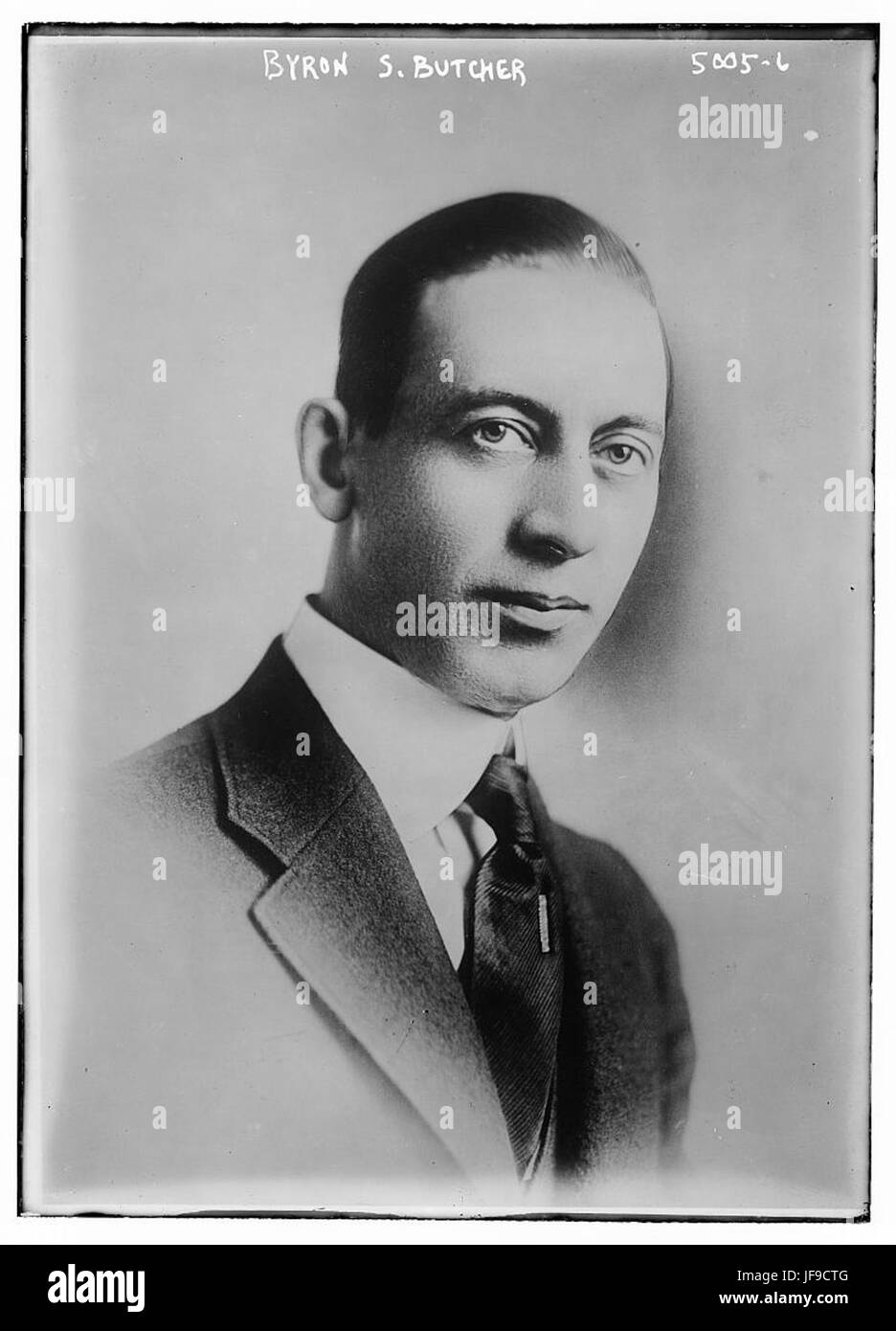 Byron S Butcher 33342815684 o Stock Photohttps://www.alamy.com/image-license-details/?v=1https://www.alamy.com/stock-photo-byron-s-butcher-33342815684-o-147110448.html
RMJF9CTG–Byron S Butcher 33342815684 o
 Carte du Detroit de Magellan dans laquelle on a Insere les Observations et les Decouvertes du Capne. Byron, du Capne. Wallis, de du Capne. Carteret , Discovery & exploration, Byron, John, 1723-1786, Wallis, Samuel, 1728-1795, Carteret, Philip, -1796. Ralph Finos Map Collection Stock Photohttps://www.alamy.com/image-license-details/?v=1https://www.alamy.com/carte-du-detroit-de-magellan-dans-laquelle-on-a-insere-les-observations-et-les-decouvertes-du-capne-byron-du-capne-wallis-de-du-capne-carteret-discovery-exploration-byron-john-1723-1786-wallis-samuel-1728-1795-carteret-philip-1796-ralph-finos-map-collection-image500449627.html
RM2M25CGY–Carte du Detroit de Magellan dans laquelle on a Insere les Observations et les Decouvertes du Capne. Byron, du Capne. Wallis, de du Capne. Carteret , Discovery & exploration, Byron, John, 1723-1786, Wallis, Samuel, 1728-1795, Carteret, Philip, -1796. Ralph Finos Map Collection
 Graffito Byron at Sounion Stock Photohttps://www.alamy.com/image-license-details/?v=1https://www.alamy.com/stock-photo-graffito-byron-at-sounion-139974020.html
RMJ3MA84–Graffito Byron at Sounion
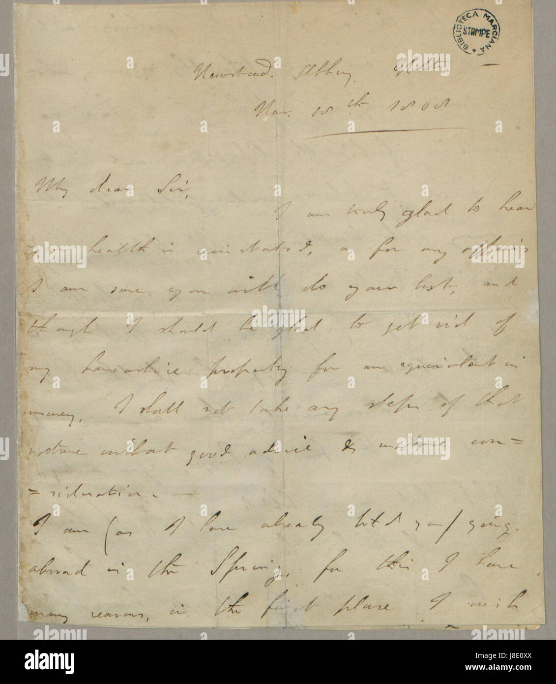 George Gordon Byron Autograph Stock Photohttps://www.alamy.com/image-license-details/?v=1https://www.alamy.com/stock-photo-george-gordon-byron-autograph-142908274.html
RMJ8E0XX–George Gordon Byron Autograph
 Byron Mount, Horsham, AU, Australia, Victoria, S 37 9' 22'', N 142 3' 19'', map, Cartascapes Map published in 2024. Explore Cartascapes, a map revealing Earth's diverse landscapes, cultures, and ecosystems. Journey through time and space, discovering the interconnectedness of our planet's past, present, and future. Stock Photohttps://www.alamy.com/image-license-details/?v=1https://www.alamy.com/byron-mount-horsham-au-australia-victoria-s-37-9-22-n-142-3-19-map-cartascapes-map-published-in-2024-explore-cartascapes-a-map-revealing-earths-diverse-landscapes-cultures-and-ecosystems-journey-through-time-and-space-discovering-the-interconnectedness-of-our-planets-past-present-and-future-image625404403.html
RM2Y9DHKF–Byron Mount, Horsham, AU, Australia, Victoria, S 37 9' 22'', N 142 3' 19'', map, Cartascapes Map published in 2024. Explore Cartascapes, a map revealing Earth's diverse landscapes, cultures, and ecosystems. Journey through time and space, discovering the interconnectedness of our planet's past, present, and future.