Quick filters:
Map of canonsburg Stock Photos and Images
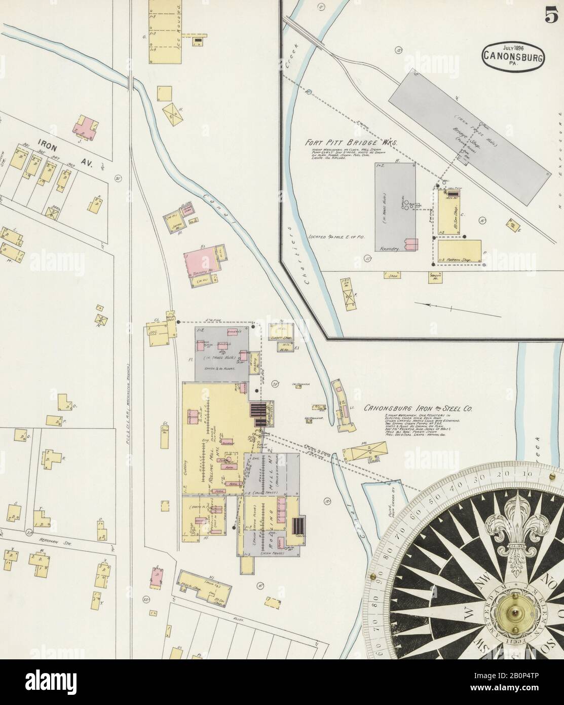 Image 5 of Sanborn Fire Insurance Map from Canonsburg, Washington County, Pennsylvania. Jul 1896. 6 Sheet(s), America, street map with a Nineteenth Century compass Stock Photohttps://www.alamy.com/image-license-details/?v=1https://www.alamy.com/image-5-of-sanborn-fire-insurance-map-from-canonsburg-washington-county-pennsylvania-jul-1896-6-sheets-america-street-map-with-a-nineteenth-century-compass-image344694134.html
RM2B0P4TP–Image 5 of Sanborn Fire Insurance Map from Canonsburg, Washington County, Pennsylvania. Jul 1896. 6 Sheet(s), America, street map with a Nineteenth Century compass
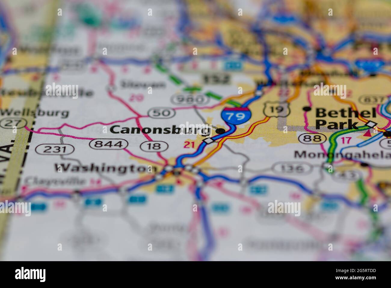 Canonsburg Pennsylvania USA shown on a Geography map or Road map Stock Photohttps://www.alamy.com/image-license-details/?v=1https://www.alamy.com/canonsburg-pennsylvania-usa-shown-on-a-geography-map-or-road-map-image433856569.html
RM2G5RTDD–Canonsburg Pennsylvania USA shown on a Geography map or Road map
 993 Map of Canonsburg 1897 Stock Photohttps://www.alamy.com/image-license-details/?v=1https://www.alamy.com/993-map-of-canonsburg-1897-image213750062.html
RMPBN4AP–993 Map of Canonsburg 1897
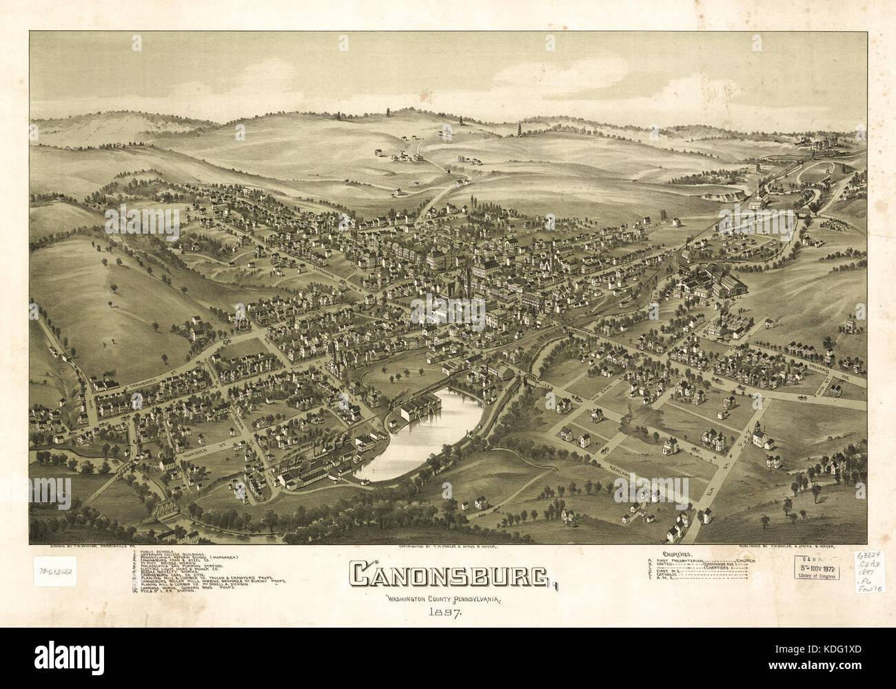 Map of Canonsburg 1897 Stock Photohttps://www.alamy.com/image-license-details/?v=1https://www.alamy.com/stock-image-map-of-canonsburg-1897-163236597.html
RMKDG1XD–Map of Canonsburg 1897
 Canonsburg, Washington County, US, United States, Pennsylvania, N 40 15' 45'', S 80 11' 14'', map, Cartascapes Map published in 2024. Explore Cartascapes, a map revealing Earth's diverse landscapes, cultures, and ecosystems. Journey through time and space, discovering the interconnectedness of our planet's past, present, and future. Stock Photohttps://www.alamy.com/image-license-details/?v=1https://www.alamy.com/canonsburg-washington-county-us-united-states-pennsylvania-n-40-15-45-s-80-11-14-map-cartascapes-map-published-in-2024-explore-cartascapes-a-map-revealing-earths-diverse-landscapes-cultures-and-ecosystems-journey-through-time-and-space-discovering-the-interconnectedness-of-our-planets-past-present-and-future-image621230003.html
RM2Y2KD5R–Canonsburg, Washington County, US, United States, Pennsylvania, N 40 15' 45'', S 80 11' 14'', map, Cartascapes Map published in 2024. Explore Cartascapes, a map revealing Earth's diverse landscapes, cultures, and ecosystems. Journey through time and space, discovering the interconnectedness of our planet's past, present, and future.
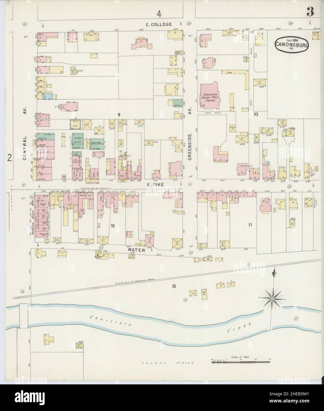 Sanborn Fire Insurance Map from Canonsburg, Washington County, Pennsylvania. Stock Photohttps://www.alamy.com/image-license-details/?v=1https://www.alamy.com/sanborn-fire-insurance-map-from-canonsburg-washington-county-pennsylvania-image456319137.html
RM2HEB3M1–Sanborn Fire Insurance Map from Canonsburg, Washington County, Pennsylvania.
 Canonsburg centennial (1903) Stock Photohttps://www.alamy.com/image-license-details/?v=1https://www.alamy.com/stock-photo-canonsburg-centennial-1903-101134328.html
RMFTF1T8–Canonsburg centennial (1903)
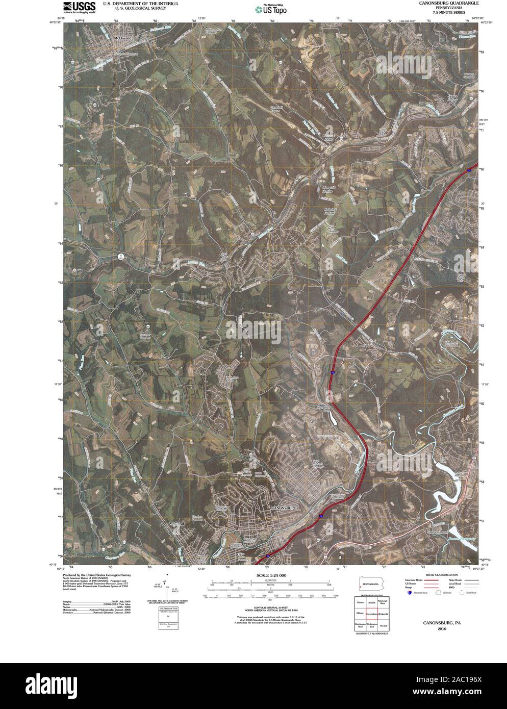 USGS TOPO Map Pennsylvania PA Canonsburg 20100601 TM Restoration Stock Photohttps://www.alamy.com/image-license-details/?v=1https://www.alamy.com/usgs-topo-map-pennsylvania-pa-canonsburg-20100601-tm-restoration-image334402066.html
RM2AC196X–USGS TOPO Map Pennsylvania PA Canonsburg 20100601 TM Restoration
 Image 2 of Sanborn Fire Insurance Map from Canonsburg, Washington County, Pennsylvania. Jul 1896. 6 Sheet(s), America, street map with a Nineteenth Century compass Stock Photohttps://www.alamy.com/image-license-details/?v=1https://www.alamy.com/image-2-of-sanborn-fire-insurance-map-from-canonsburg-washington-county-pennsylvania-jul-1896-6-sheets-america-street-map-with-a-nineteenth-century-compass-image344694127.html
RM2B0P4TF–Image 2 of Sanborn Fire Insurance Map from Canonsburg, Washington County, Pennsylvania. Jul 1896. 6 Sheet(s), America, street map with a Nineteenth Century compass
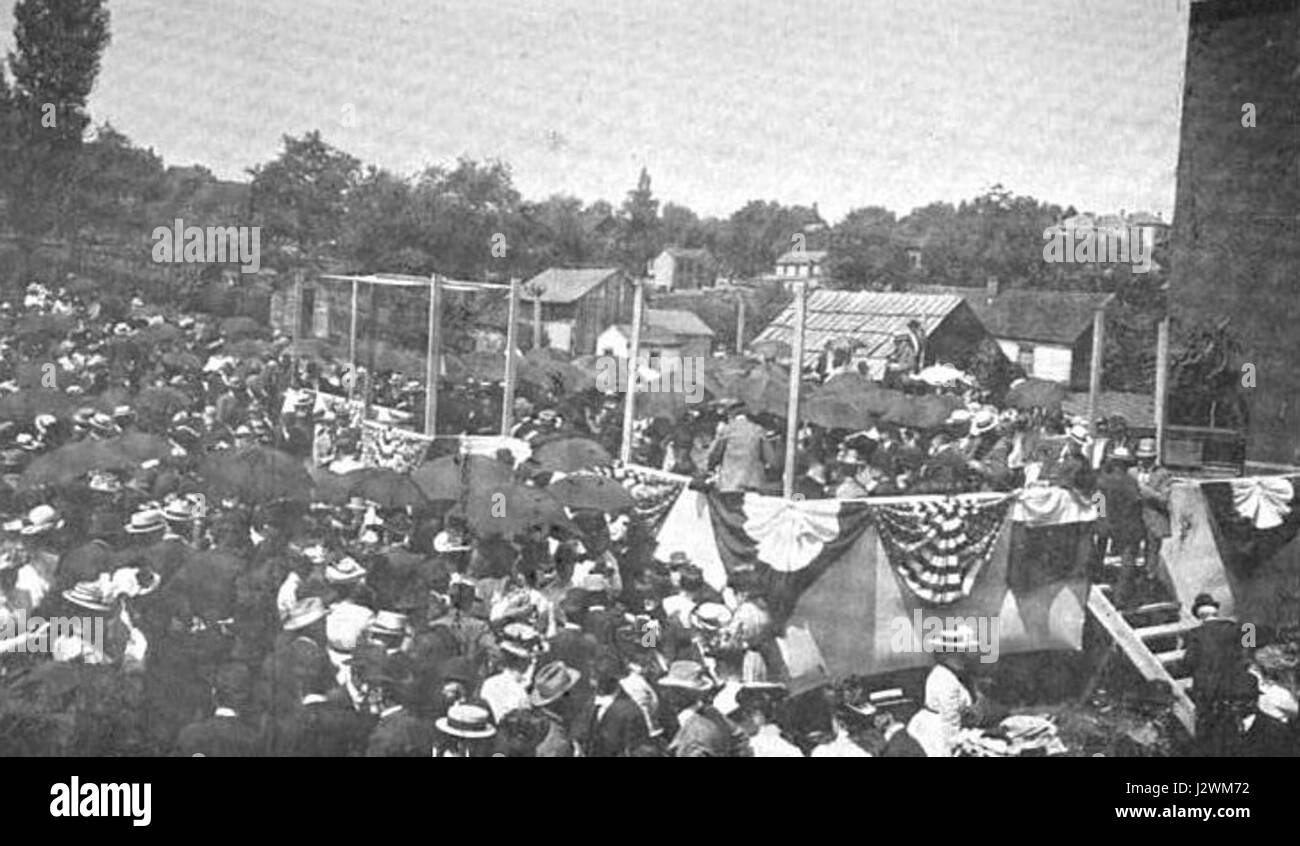 Canonsburg centennial speeches Stock Photohttps://www.alamy.com/image-license-details/?v=1https://www.alamy.com/stock-photo-canonsburg-centennial-speeches-139476934.html
RMJ2WM72–Canonsburg centennial speeches
 Canonsburg, Washington County, US, United States, Pennsylvania, N 40 15' 45'', S 80 11' 14'', map, Cartascapes Map published in 2024. Explore Cartascapes, a map revealing Earth's diverse landscapes, cultures, and ecosystems. Journey through time and space, discovering the interconnectedness of our planet's past, present, and future. Stock Photohttps://www.alamy.com/image-license-details/?v=1https://www.alamy.com/canonsburg-washington-county-us-united-states-pennsylvania-n-40-15-45-s-80-11-14-map-cartascapes-map-published-in-2024-explore-cartascapes-a-map-revealing-earths-diverse-landscapes-cultures-and-ecosystems-journey-through-time-and-space-discovering-the-interconnectedness-of-our-planets-past-present-and-future-image620832074.html
RM2Y219J2–Canonsburg, Washington County, US, United States, Pennsylvania, N 40 15' 45'', S 80 11' 14'', map, Cartascapes Map published in 2024. Explore Cartascapes, a map revealing Earth's diverse landscapes, cultures, and ecosystems. Journey through time and space, discovering the interconnectedness of our planet's past, present, and future.
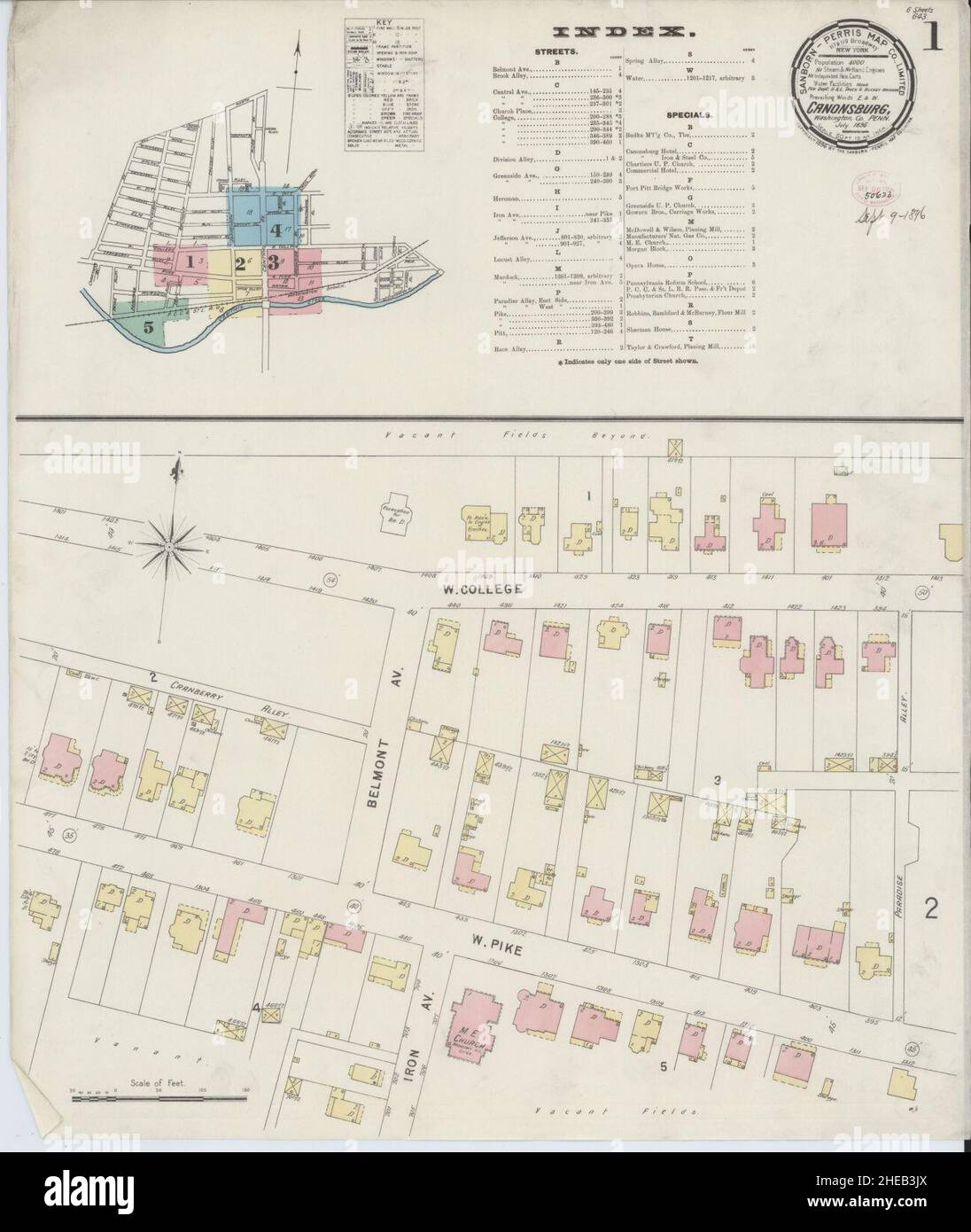 Sanborn Fire Insurance Map from Canonsburg, Washington County, Pennsylvania. Stock Photohttps://www.alamy.com/image-license-details/?v=1https://www.alamy.com/sanborn-fire-insurance-map-from-canonsburg-washington-county-pennsylvania-image456319106.html
RM2HEB3JX–Sanborn Fire Insurance Map from Canonsburg, Washington County, Pennsylvania.
 Canonsburg centennial (1903) Stock Photohttps://www.alamy.com/image-license-details/?v=1https://www.alamy.com/stock-photo-canonsburg-centennial-1903-101134327.html
RMFTF1T7–Canonsburg centennial (1903)
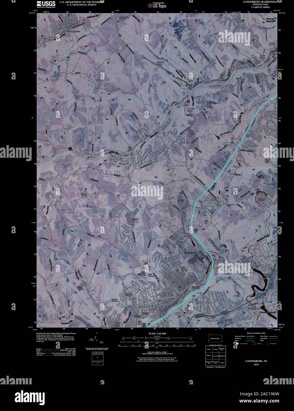 USGS TOPO Map Pennsylvania PA Canonsburg 20100601 TM Inverted Restoration Stock Photohttps://www.alamy.com/image-license-details/?v=1https://www.alamy.com/usgs-topo-map-pennsylvania-pa-canonsburg-20100601-tm-inverted-restoration-image334402065.html
RM2AC196W–USGS TOPO Map Pennsylvania PA Canonsburg 20100601 TM Inverted Restoration
 Image 1 of Sanborn Fire Insurance Map from Canonsburg, Washington County, Pennsylvania. Jul 1896. 6 Sheet(s), America, street map with a Nineteenth Century compass Stock Photohttps://www.alamy.com/image-license-details/?v=1https://www.alamy.com/image-1-of-sanborn-fire-insurance-map-from-canonsburg-washington-county-pennsylvania-jul-1896-6-sheets-america-street-map-with-a-nineteenth-century-compass-image344694126.html
RM2B0P4TE–Image 1 of Sanborn Fire Insurance Map from Canonsburg, Washington County, Pennsylvania. Jul 1896. 6 Sheet(s), America, street map with a Nineteenth Century compass
 Letherman Home Canonsburg PA Stock Photohttps://www.alamy.com/image-license-details/?v=1https://www.alamy.com/stock-photo-letherman-home-canonsburg-pa-140155474.html
RMJ40HMJ–Letherman Home Canonsburg PA
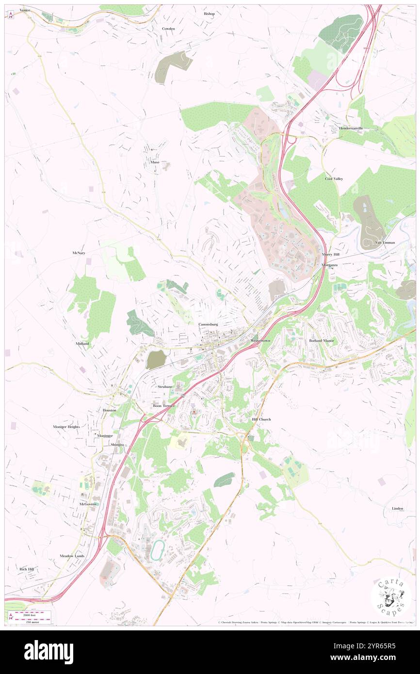 Borough of Canonsburg, Washington County, US, United States, Pennsylvania, N 40 15' 51'', S 80 11' 12'', map, Cartascapes Map published in 2024. Explore Cartascapes, a map revealing Earth's diverse landscapes, cultures, and ecosystems. Journey through time and space, discovering the interconnectedness of our planet's past, present, and future. Stock Photohttps://www.alamy.com/image-license-details/?v=1https://www.alamy.com/borough-of-canonsburg-washington-county-us-united-states-pennsylvania-n-40-15-51-s-80-11-12-map-cartascapes-map-published-in-2024-explore-cartascapes-a-map-revealing-earths-diverse-landscapes-cultures-and-ecosystems-journey-through-time-and-space-discovering-the-interconnectedness-of-our-planets-past-present-and-future-image633846617.html
RM2YR65R5–Borough of Canonsburg, Washington County, US, United States, Pennsylvania, N 40 15' 51'', S 80 11' 12'', map, Cartascapes Map published in 2024. Explore Cartascapes, a map revealing Earth's diverse landscapes, cultures, and ecosystems. Journey through time and space, discovering the interconnectedness of our planet's past, present, and future.
 Sanborn Fire Insurance Map from Canonsburg, Washington County, Pennsylvania. Stock Photohttps://www.alamy.com/image-license-details/?v=1https://www.alamy.com/sanborn-fire-insurance-map-from-canonsburg-washington-county-pennsylvania-image456319097.html
RM2HEB3JH–Sanborn Fire Insurance Map from Canonsburg, Washington County, Pennsylvania.
 Canonsburg centennial (1903) Stock Photohttps://www.alamy.com/image-license-details/?v=1https://www.alamy.com/stock-photo-canonsburg-centennial-1903-101134329.html
RMFTF1T9–Canonsburg centennial (1903)
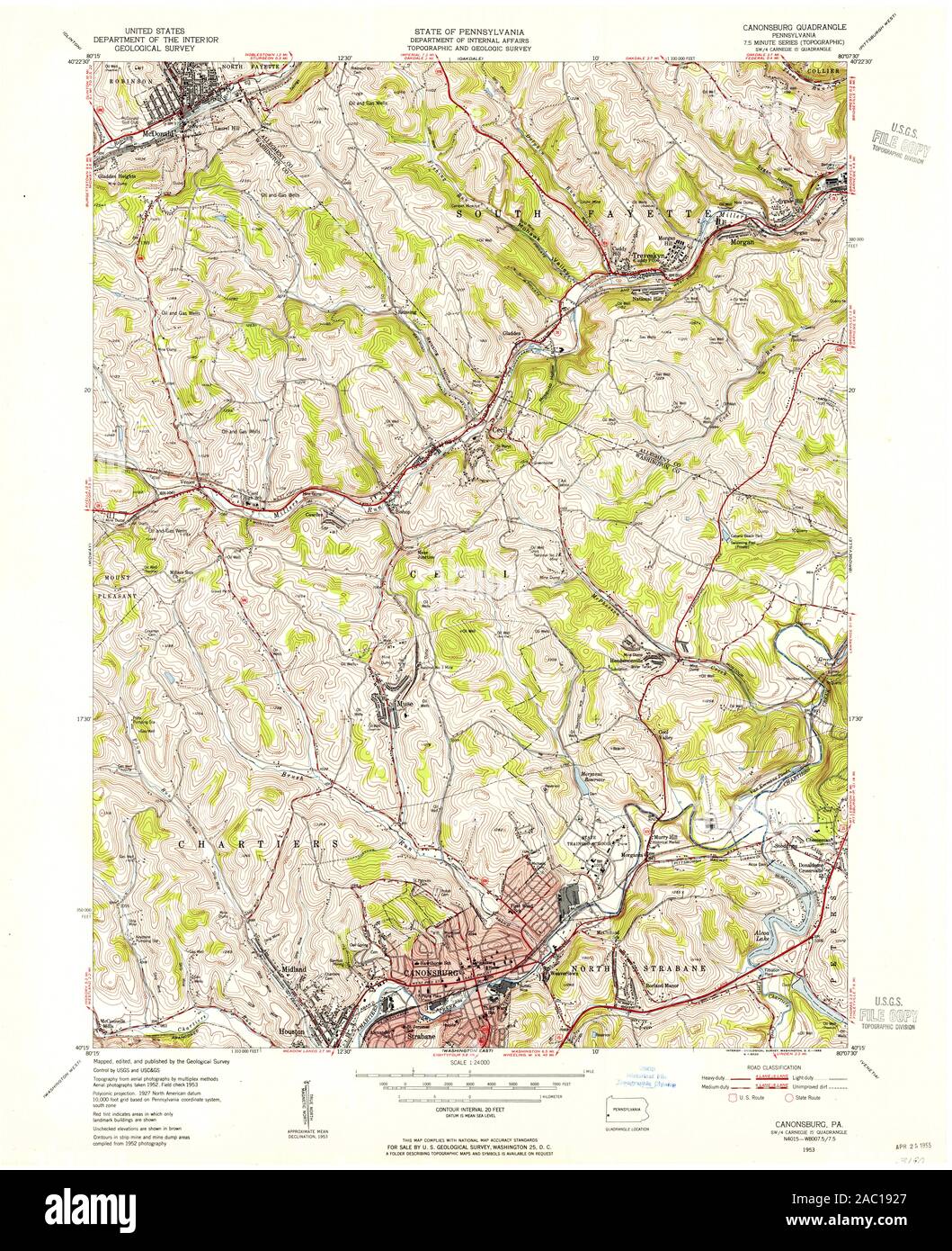 USGS TOPO Map Pennsylvania PA Canonsburg 172888 1953 24000 Restoration Stock Photohttps://www.alamy.com/image-license-details/?v=1https://www.alamy.com/usgs-topo-map-pennsylvania-pa-canonsburg-172888-1953-24000-restoration-image334401935.html
RM2AC1927–USGS TOPO Map Pennsylvania PA Canonsburg 172888 1953 24000 Restoration
 Image 3 of Sanborn Fire Insurance Map from Canonsburg, Washington County, Pennsylvania. Jul 1896. 6 Sheet(s), America, street map with a Nineteenth Century compass Stock Photohttps://www.alamy.com/image-license-details/?v=1https://www.alamy.com/image-3-of-sanborn-fire-insurance-map-from-canonsburg-washington-county-pennsylvania-jul-1896-6-sheets-america-street-map-with-a-nineteenth-century-compass-image344694128.html
RM2B0P4TG–Image 3 of Sanborn Fire Insurance Map from Canonsburg, Washington County, Pennsylvania. Jul 1896. 6 Sheet(s), America, street map with a Nineteenth Century compass
 Canonsburg plots John Canon Stock Photohttps://www.alamy.com/image-license-details/?v=1https://www.alamy.com/stock-photo-canonsburg-plots-john-canon-139476935.html
RMJ2WM73–Canonsburg plots John Canon
 Canonsburg, Pennsylvania, map 1960, 1:24000, United States of America by Timeless Maps, data U.S. Geological Survey Stock Photohttps://www.alamy.com/image-license-details/?v=1https://www.alamy.com/canonsburg-pennsylvania-map-1960-124000-united-states-of-america-by-timeless-maps-data-us-geological-survey-image406948327.html
RM2EJ22MR–Canonsburg, Pennsylvania, map 1960, 1:24000, United States of America by Timeless Maps, data U.S. Geological Survey
 Sanborn Fire Insurance Map from Canonsburg, Washington County, Pennsylvania. Stock Photohttps://www.alamy.com/image-license-details/?v=1https://www.alamy.com/sanborn-fire-insurance-map-from-canonsburg-washington-county-pennsylvania-image456319094.html
RM2HEB3JE–Sanborn Fire Insurance Map from Canonsburg, Washington County, Pennsylvania.
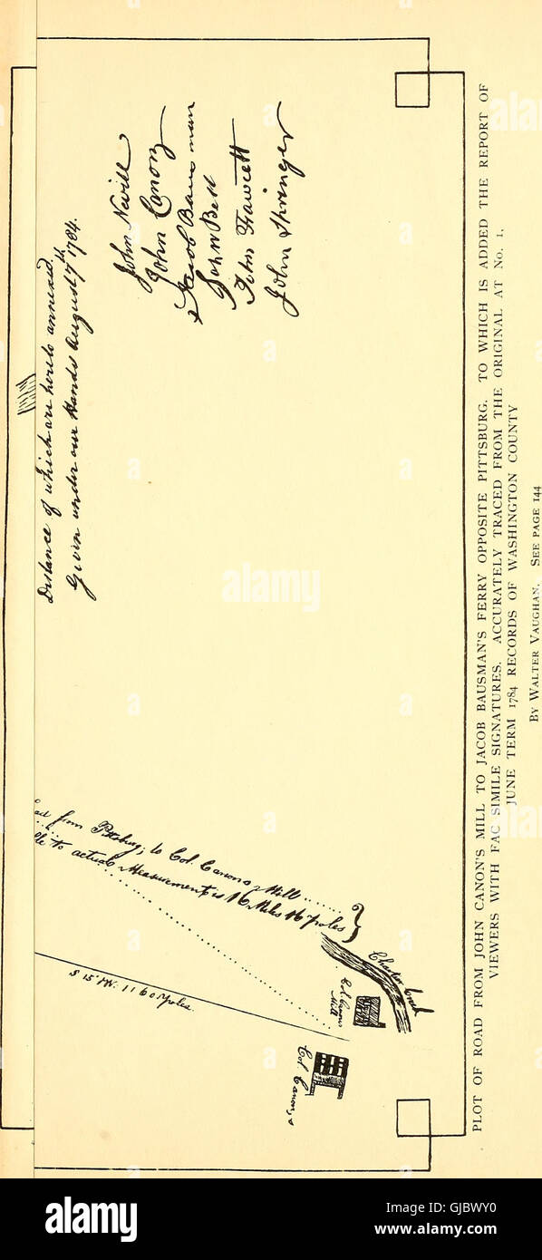 Canonsburg centennial (1903) Stock Photohttps://www.alamy.com/image-license-details/?v=1https://www.alamy.com/stock-photo-canonsburg-centennial-1903-114587844.html
RMGJBWY0–Canonsburg centennial (1903)
 USGS TOPO Map Pennsylvania PA Canonsburg 172890 1960 24000 Restoration Stock Photohttps://www.alamy.com/image-license-details/?v=1https://www.alamy.com/usgs-topo-map-pennsylvania-pa-canonsburg-172890-1960-24000-restoration-image334401970.html
RM2AC193E–USGS TOPO Map Pennsylvania PA Canonsburg 172890 1960 24000 Restoration
 Image 6 of Sanborn Fire Insurance Map from Canonsburg, Washington County, Pennsylvania. Jul 1896. 6 Sheet(s), America, street map with a Nineteenth Century compass Stock Photohttps://www.alamy.com/image-license-details/?v=1https://www.alamy.com/image-6-of-sanborn-fire-insurance-map-from-canonsburg-washington-county-pennsylvania-jul-1896-6-sheets-america-street-map-with-a-nineteenth-century-compass-image344694137.html
RM2B0P4TW–Image 6 of Sanborn Fire Insurance Map from Canonsburg, Washington County, Pennsylvania. Jul 1896. 6 Sheet(s), America, street map with a Nineteenth Century compass
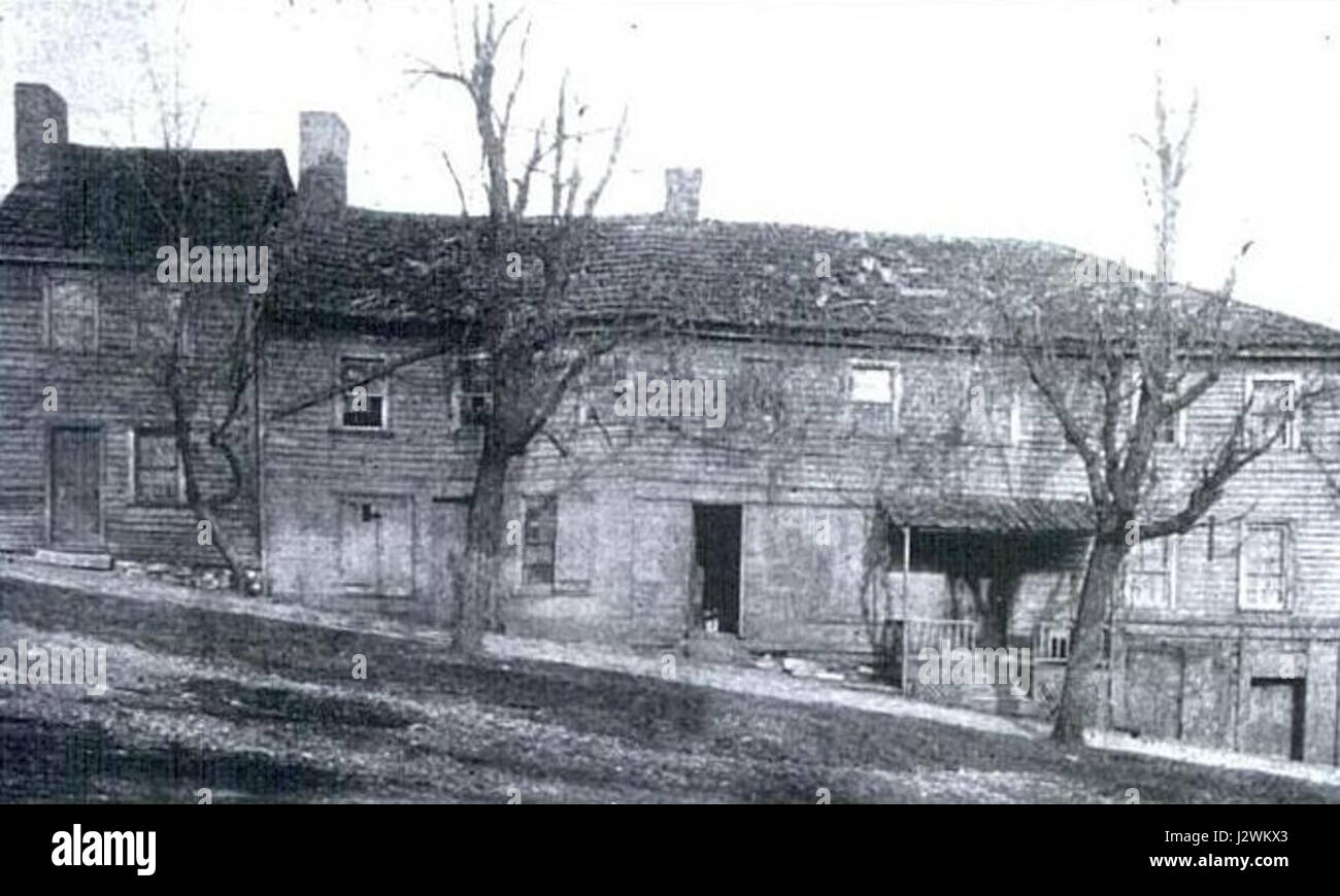 Black Horse Tavern Canonsburg Stock Photohttps://www.alamy.com/image-license-details/?v=1https://www.alamy.com/stock-photo-black-horse-tavern-canonsburg-139476683.html
RMJ2WKX3–Black Horse Tavern Canonsburg
 Canonsburg, Pennsylvania, map 1953, 1:24000, United States of America by Timeless Maps, data U.S. Geological Survey Stock Photohttps://www.alamy.com/image-license-details/?v=1https://www.alamy.com/canonsburg-pennsylvania-map-1953-124000-united-states-of-america-by-timeless-maps-data-us-geological-survey-image406948293.html
RM2EJ22KH–Canonsburg, Pennsylvania, map 1953, 1:24000, United States of America by Timeless Maps, data U.S. Geological Survey
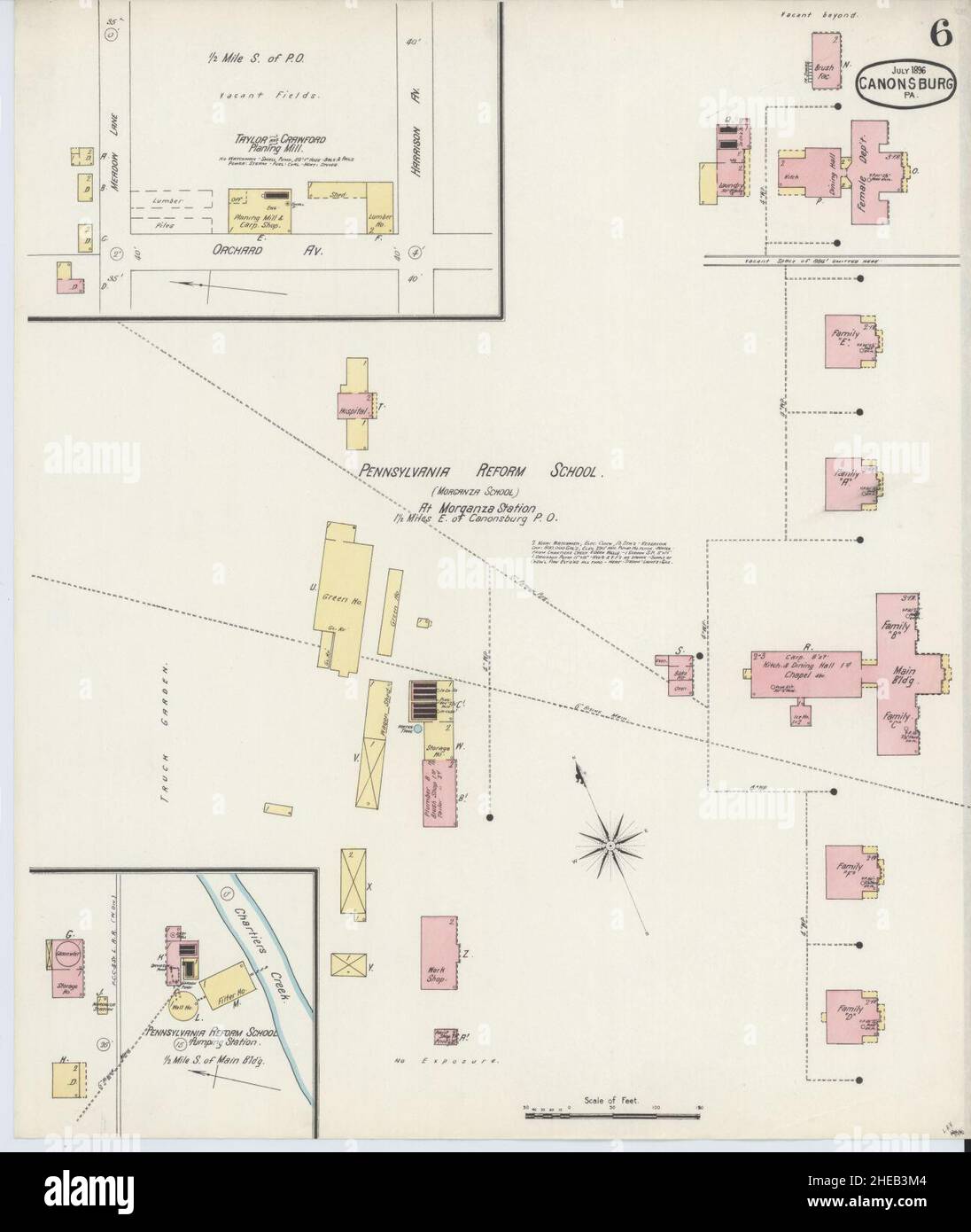 Sanborn Fire Insurance Map from Canonsburg, Washington County, Pennsylvania. Stock Photohttps://www.alamy.com/image-license-details/?v=1https://www.alamy.com/sanborn-fire-insurance-map-from-canonsburg-washington-county-pennsylvania-image456319140.html
RM2HEB3M4–Sanborn Fire Insurance Map from Canonsburg, Washington County, Pennsylvania.
 Canonsburg centennial (1903) Stock Photohttps://www.alamy.com/image-license-details/?v=1https://www.alamy.com/stock-photo-canonsburg-centennial-1903-114587817.html
RMGJBWX1–Canonsburg centennial (1903)
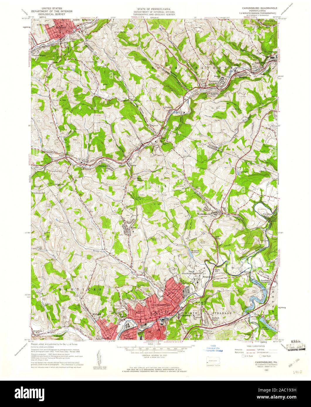 USGS TOPO Map Pennsylvania PA Canonsburg 172889 1960 24000 Restoration Stock Photohttps://www.alamy.com/image-license-details/?v=1https://www.alamy.com/usgs-topo-map-pennsylvania-pa-canonsburg-172889-1960-24000-restoration-image334401973.html
RM2AC193H–USGS TOPO Map Pennsylvania PA Canonsburg 172889 1960 24000 Restoration
 Image 4 of Sanborn Fire Insurance Map from Canonsburg, Washington County, Pennsylvania. Jul 1896. 6 Sheet(s), America, street map with a Nineteenth Century compass Stock Photohttps://www.alamy.com/image-license-details/?v=1https://www.alamy.com/image-4-of-sanborn-fire-insurance-map-from-canonsburg-washington-county-pennsylvania-jul-1896-6-sheets-america-street-map-with-a-nineteenth-century-compass-image344694132.html
RM2B0P4TM–Image 4 of Sanborn Fire Insurance Map from Canonsburg, Washington County, Pennsylvania. Jul 1896. 6 Sheet(s), America, street map with a Nineteenth Century compass
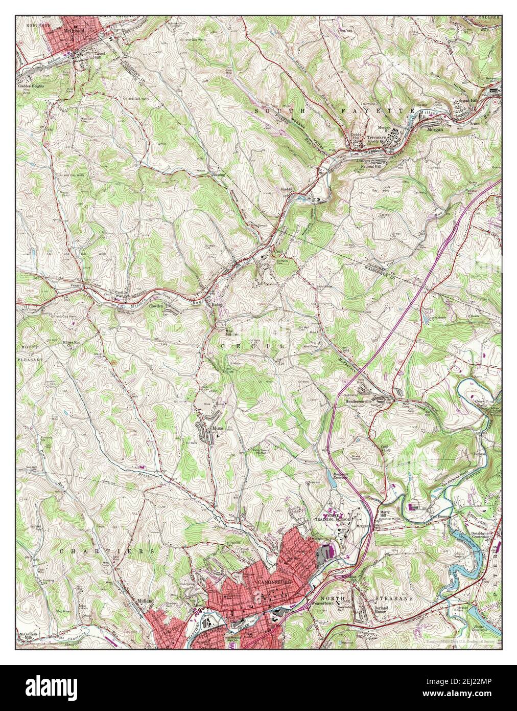 Canonsburg, Pennsylvania, map 1960, 1:24000, United States of America by Timeless Maps, data U.S. Geological Survey Stock Photohttps://www.alamy.com/image-license-details/?v=1https://www.alamy.com/canonsburg-pennsylvania-map-1960-124000-united-states-of-america-by-timeless-maps-data-us-geological-survey-image406948326.html
RM2EJ22MP–Canonsburg, Pennsylvania, map 1960, 1:24000, United States of America by Timeless Maps, data U.S. Geological Survey
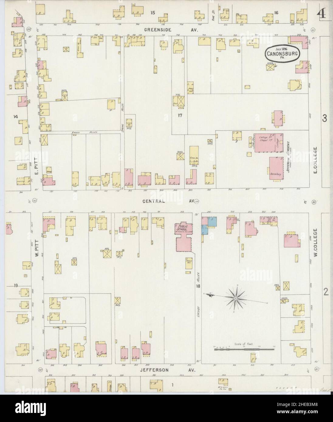 Sanborn Fire Insurance Map from Canonsburg, Washington County, Pennsylvania. Stock Photohttps://www.alamy.com/image-license-details/?v=1https://www.alamy.com/sanborn-fire-insurance-map-from-canonsburg-washington-county-pennsylvania-image456319144.html
RM2HEB3M8–Sanborn Fire Insurance Map from Canonsburg, Washington County, Pennsylvania.
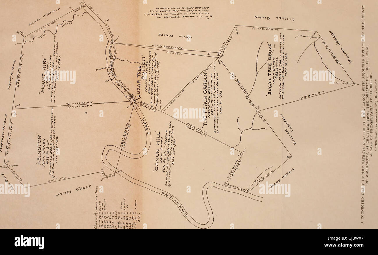 Canonsburg centennial (1903) Stock Photohttps://www.alamy.com/image-license-details/?v=1https://www.alamy.com/stock-photo-canonsburg-centennial-1903-114587823.html
RMGJBWX7–Canonsburg centennial (1903)
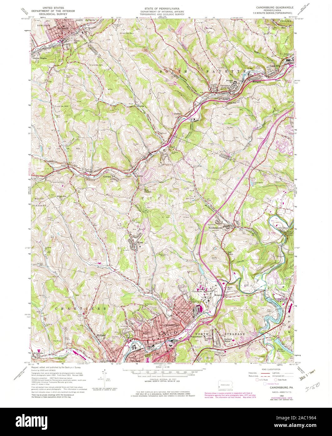 USGS TOPO Map Pennsylvania PA Canonsburg 172892 1960 24000 Restoration Stock Photohttps://www.alamy.com/image-license-details/?v=1https://www.alamy.com/usgs-topo-map-pennsylvania-pa-canonsburg-172892-1960-24000-restoration-image334402044.html
RM2AC1964–USGS TOPO Map Pennsylvania PA Canonsburg 172892 1960 24000 Restoration
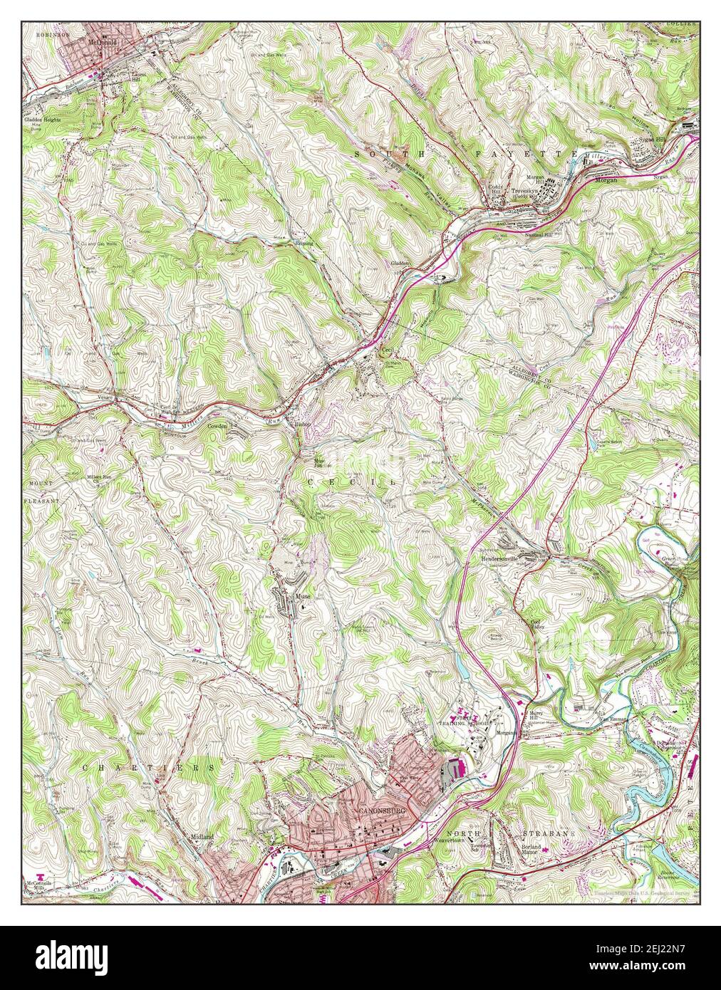 Canonsburg, Pennsylvania, map 1960, 1:24000, United States of America by Timeless Maps, data U.S. Geological Survey Stock Photohttps://www.alamy.com/image-license-details/?v=1https://www.alamy.com/canonsburg-pennsylvania-map-1960-124000-united-states-of-america-by-timeless-maps-data-us-geological-survey-image406948339.html
RM2EJ22N7–Canonsburg, Pennsylvania, map 1960, 1:24000, United States of America by Timeless Maps, data U.S. Geological Survey
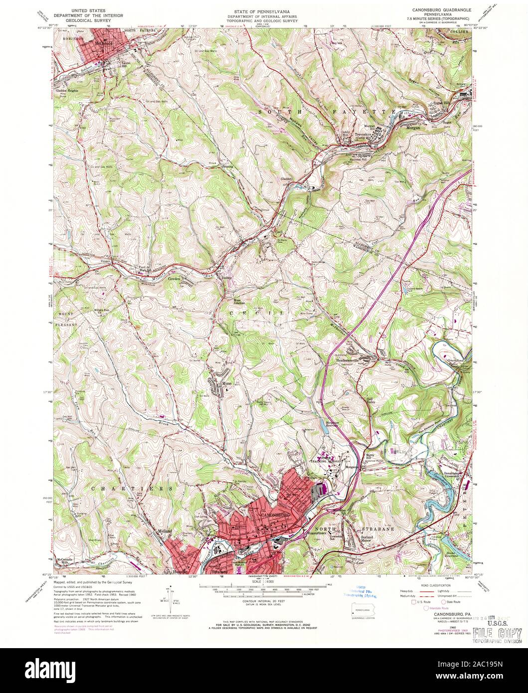 USGS TOPO Map Pennsylvania PA Canonsburg 172891 1960 24000 Restoration Stock Photohttps://www.alamy.com/image-license-details/?v=1https://www.alamy.com/usgs-topo-map-pennsylvania-pa-canonsburg-172891-1960-24000-restoration-image334402033.html
RM2AC195N–USGS TOPO Map Pennsylvania PA Canonsburg 172891 1960 24000 Restoration
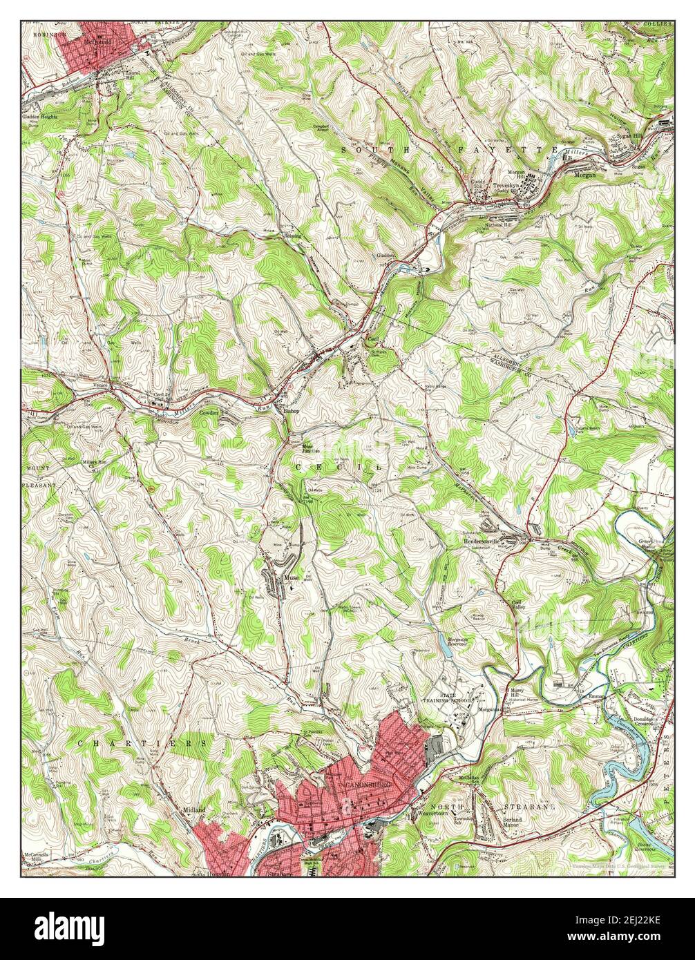 Canonsburg, Pennsylvania, map 1960, 1:24000, United States of America by Timeless Maps, data U.S. Geological Survey Stock Photohttps://www.alamy.com/image-license-details/?v=1https://www.alamy.com/canonsburg-pennsylvania-map-1960-124000-united-states-of-america-by-timeless-maps-data-us-geological-survey-image406948290.html
RM2EJ22KE–Canonsburg, Pennsylvania, map 1960, 1:24000, United States of America by Timeless Maps, data U.S. Geological Survey
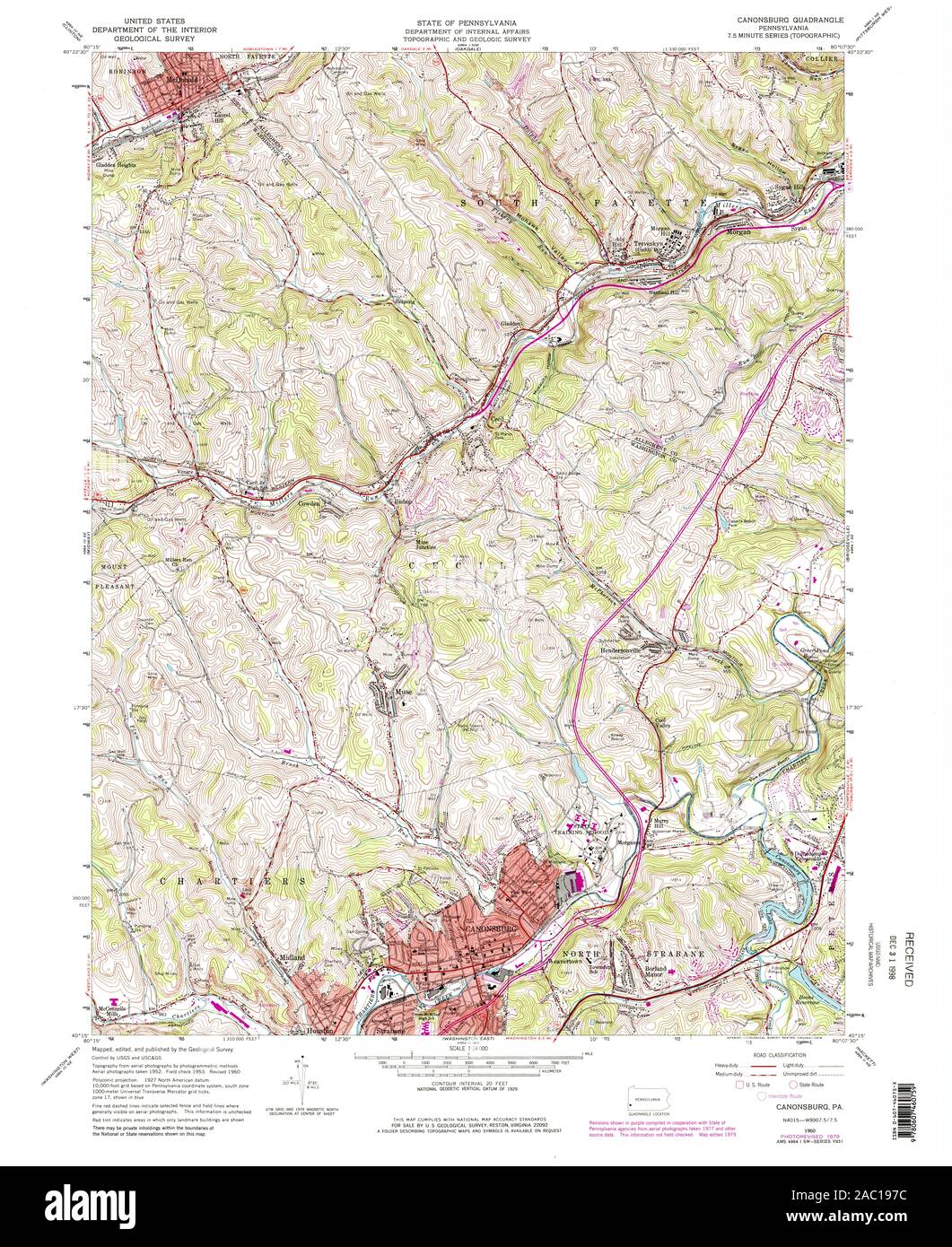 USGS TOPO Map Pennsylvania PA Canonsburg 172893 1960 24000 Restoration Stock Photohttps://www.alamy.com/image-license-details/?v=1https://www.alamy.com/usgs-topo-map-pennsylvania-pa-canonsburg-172893-1960-24000-restoration-image334402080.html
RM2AC197C–USGS TOPO Map Pennsylvania PA Canonsburg 172893 1960 24000 Restoration
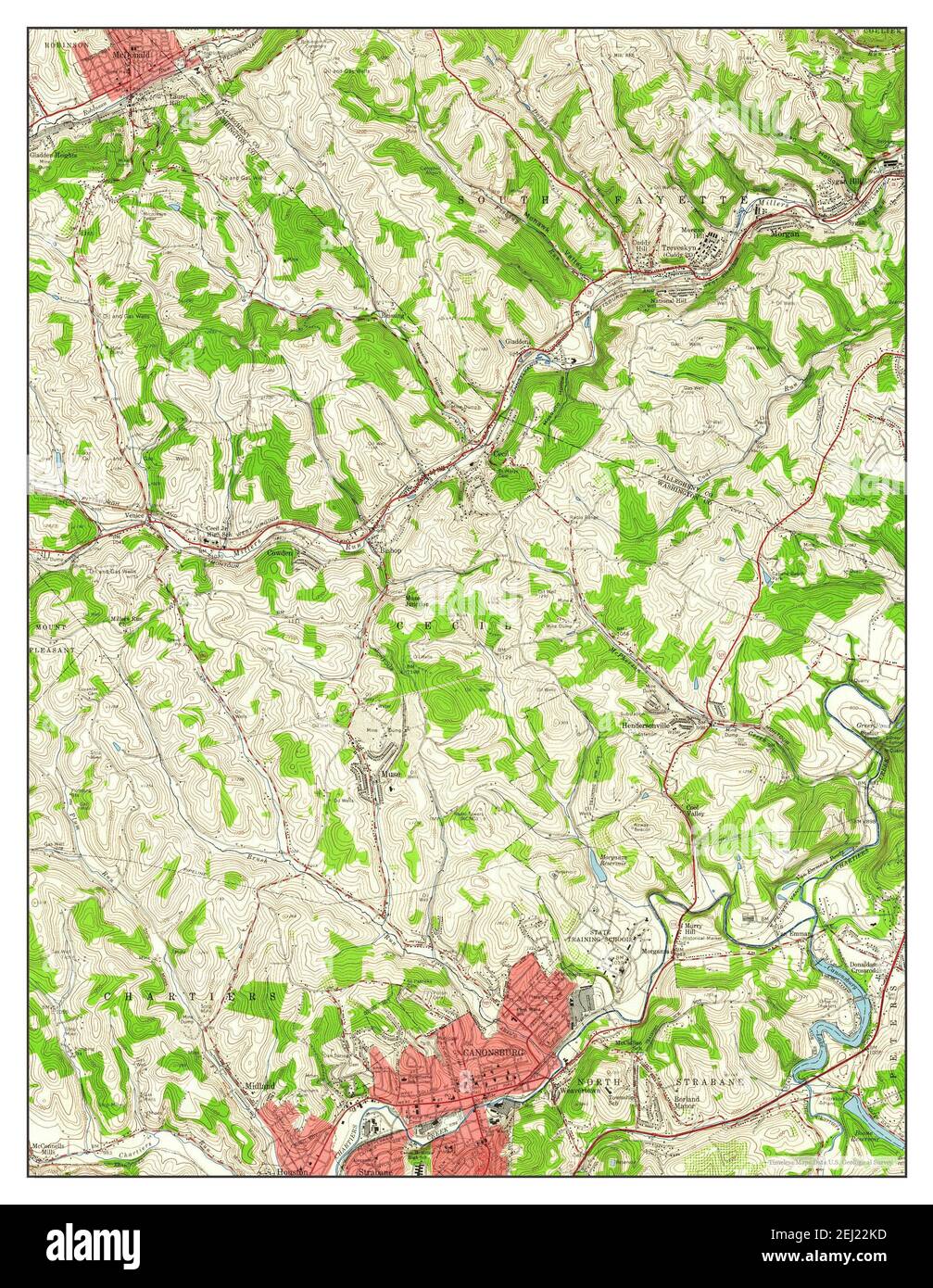 Canonsburg, Pennsylvania, map 1960, 1:24000, United States of America by Timeless Maps, data U.S. Geological Survey Stock Photohttps://www.alamy.com/image-license-details/?v=1https://www.alamy.com/canonsburg-pennsylvania-map-1960-124000-united-states-of-america-by-timeless-maps-data-us-geological-survey-image406948289.html
RM2EJ22KD–Canonsburg, Pennsylvania, map 1960, 1:24000, United States of America by Timeless Maps, data U.S. Geological Survey
 USGS TOPO Map Pennsylvania PA Canonsburg 172890 1960 24000 Inverted Restoration Stock Photohttps://www.alamy.com/image-license-details/?v=1https://www.alamy.com/usgs-topo-map-pennsylvania-pa-canonsburg-172890-1960-24000-inverted-restoration-image334402009.html
RM2AC194W–USGS TOPO Map Pennsylvania PA Canonsburg 172890 1960 24000 Inverted Restoration
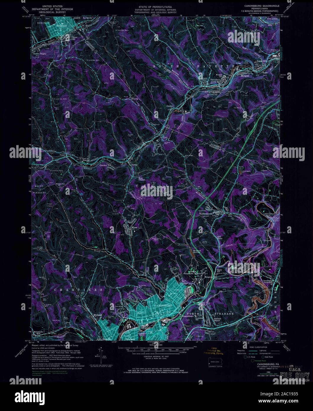 USGS TOPO Map Pennsylvania PA Canonsburg 172891 1960 24000 Inverted Restoration Stock Photohttps://www.alamy.com/image-license-details/?v=1https://www.alamy.com/usgs-topo-map-pennsylvania-pa-canonsburg-172891-1960-24000-inverted-restoration-image334401961.html
RM2AC1935–USGS TOPO Map Pennsylvania PA Canonsburg 172891 1960 24000 Inverted Restoration
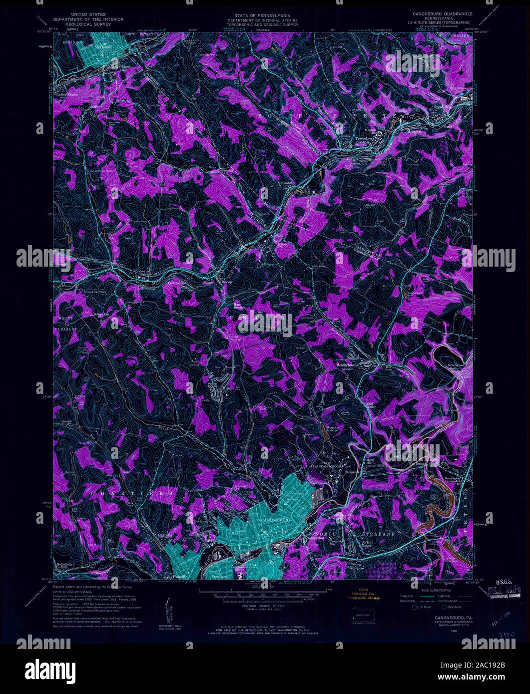 USGS TOPO Map Pennsylvania PA Canonsburg 172889 1960 24000 Inverted Restoration Stock Photohttps://www.alamy.com/image-license-details/?v=1https://www.alamy.com/usgs-topo-map-pennsylvania-pa-canonsburg-172889-1960-24000-inverted-restoration-image334401939.html
RM2AC192B–USGS TOPO Map Pennsylvania PA Canonsburg 172889 1960 24000 Inverted Restoration
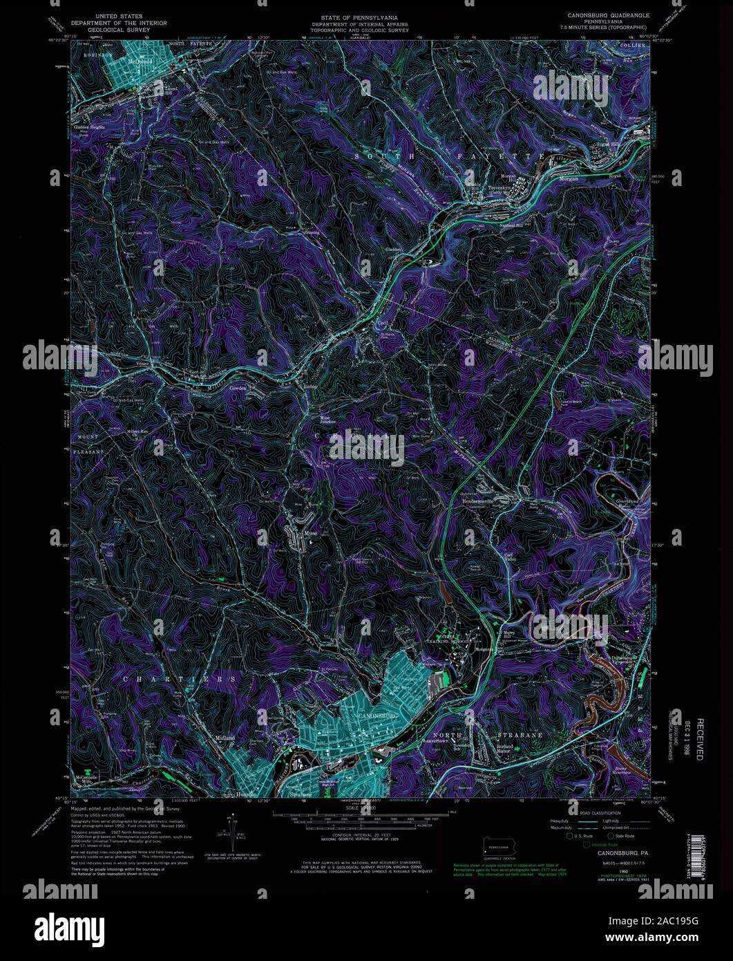 USGS TOPO Map Pennsylvania PA Canonsburg 172893 1960 24000 Inverted Restoration Stock Photohttps://www.alamy.com/image-license-details/?v=1https://www.alamy.com/usgs-topo-map-pennsylvania-pa-canonsburg-172893-1960-24000-inverted-restoration-image334402028.html
RM2AC195G–USGS TOPO Map Pennsylvania PA Canonsburg 172893 1960 24000 Inverted Restoration
 USGS TOPO Map Pennsylvania PA Canonsburg 172888 1953 24000 Inverted Restoration Stock Photohttps://www.alamy.com/image-license-details/?v=1https://www.alamy.com/usgs-topo-map-pennsylvania-pa-canonsburg-172888-1953-24000-inverted-restoration-image334401926.html
RM2AC191X–USGS TOPO Map Pennsylvania PA Canonsburg 172888 1953 24000 Inverted Restoration
 USGS TOPO Map Pennsylvania PA Canonsburg 172892 1960 24000 Inverted Restoration Stock Photohttps://www.alamy.com/image-license-details/?v=1https://www.alamy.com/usgs-topo-map-pennsylvania-pa-canonsburg-172892-1960-24000-inverted-restoration-image334402030.html
RM2AC195J–USGS TOPO Map Pennsylvania PA Canonsburg 172892 1960 24000 Inverted Restoration