Quick filters:
Map of catamarca Stock Photos and Images
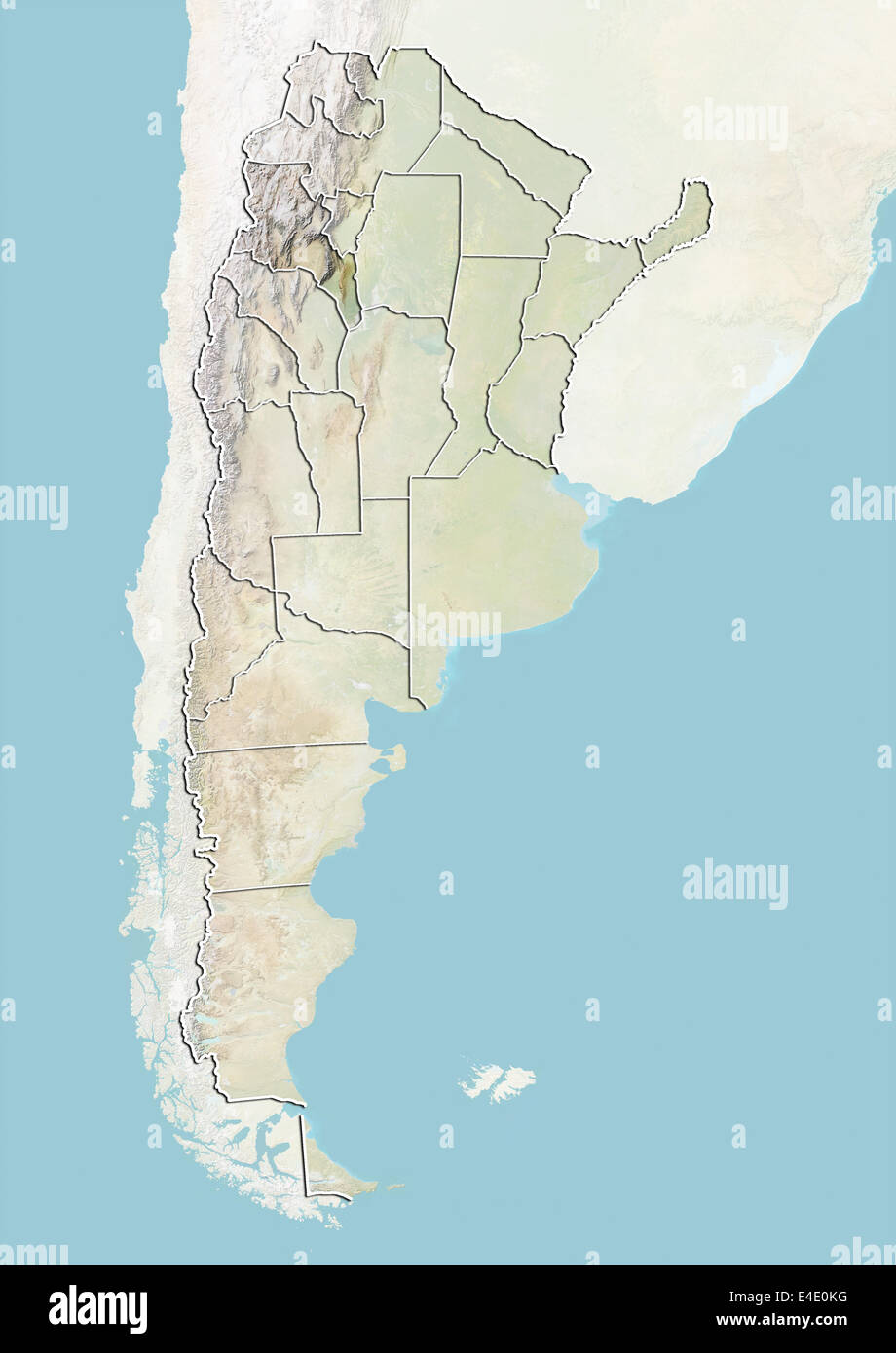 Argentina and the Province of Catamarca, Relief Map Stock Photohttps://www.alamy.com/image-license-details/?v=1https://www.alamy.com/stock-photo-argentina-and-the-province-of-catamarca-relief-map-71607972.html
RME4E0KG–Argentina and the Province of Catamarca, Relief Map
 Catamarca blank outline map set Stock Vectorhttps://www.alamy.com/image-license-details/?v=1https://www.alamy.com/catamarca-blank-outline-map-set-image178161370.html
RFM9RXJ2–Catamarca blank outline map set
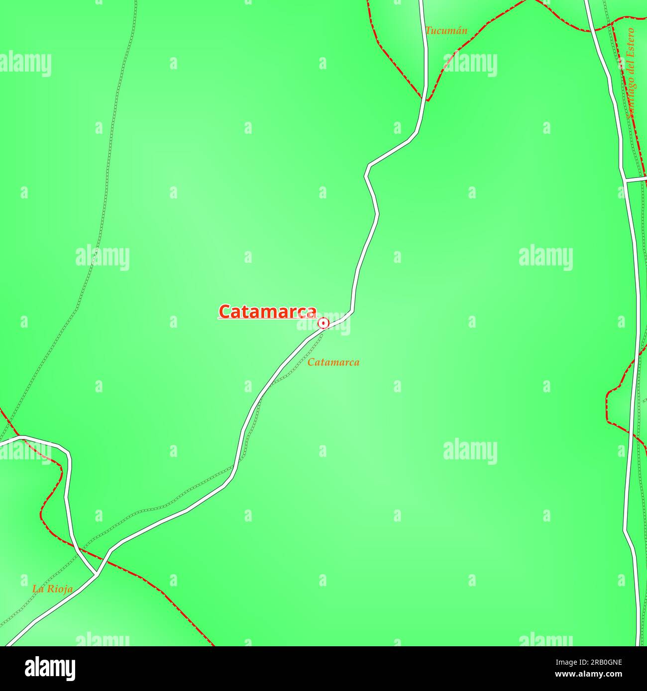 Map of Catamarca City in Argentina Stock Photohttps://www.alamy.com/image-license-details/?v=1https://www.alamy.com/map-of-catamarca-city-in-argentina-image557506138.html
RF2RB0GNE–Map of Catamarca City in Argentina
 Catamarca province watercolor map of Argentina in front of a white background Stock Photohttps://www.alamy.com/image-license-details/?v=1https://www.alamy.com/catamarca-province-watercolor-map-of-argentina-in-front-of-a-white-background-image220539238.html
RFPPPC1A–Catamarca province watercolor map of Argentina in front of a white background
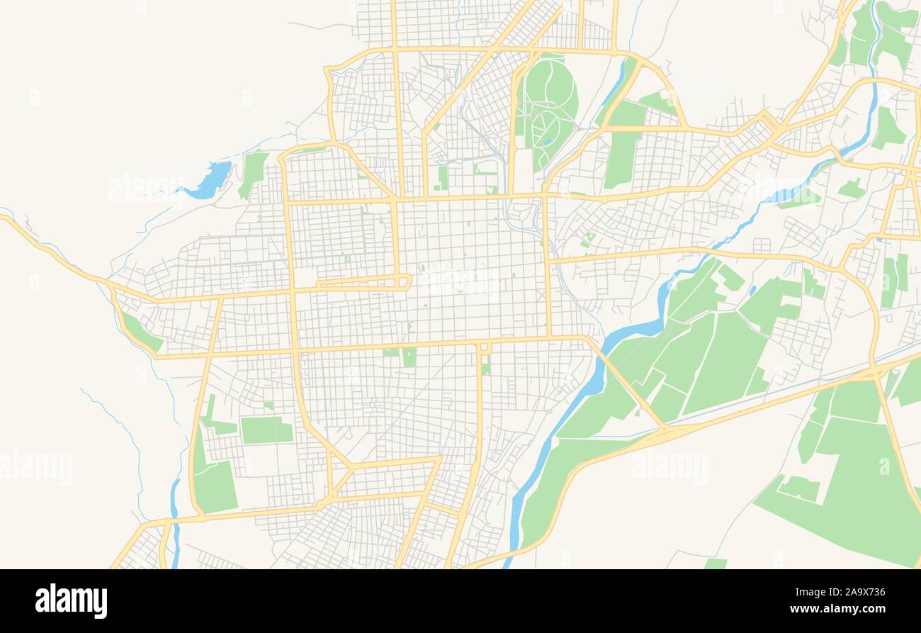 Printable street map of San Fernando del Valle de Catamarca, Argentina. Map template for business use. Stock Vectorhttps://www.alamy.com/image-license-details/?v=1https://www.alamy.com/printable-street-map-of-san-fernando-del-valle-de-catamarca-argentina-map-template-for-business-use-image333105226.html
RF2A9X736–Printable street map of San Fernando del Valle de Catamarca, Argentina. Map template for business use.
 Symbol Map of the Province Catamarca (Argentina). Abstract map showing the state/province with a pattern of overlapping colorful squares like candies Stock Vectorhttps://www.alamy.com/image-license-details/?v=1https://www.alamy.com/symbol-map-of-the-province-catamarca-argentina-abstract-map-showing-the-stateprovince-with-a-pattern-of-overlapping-colorful-squares-like-candies-image611836306.html
RF2XFBFCJ–Symbol Map of the Province Catamarca (Argentina). Abstract map showing the state/province with a pattern of overlapping colorful squares like candies
 Catamarca province map Stock Vectorhttps://www.alamy.com/image-license-details/?v=1https://www.alamy.com/catamarca-province-map-image368761159.html
RF2CBXEHB–Catamarca province map
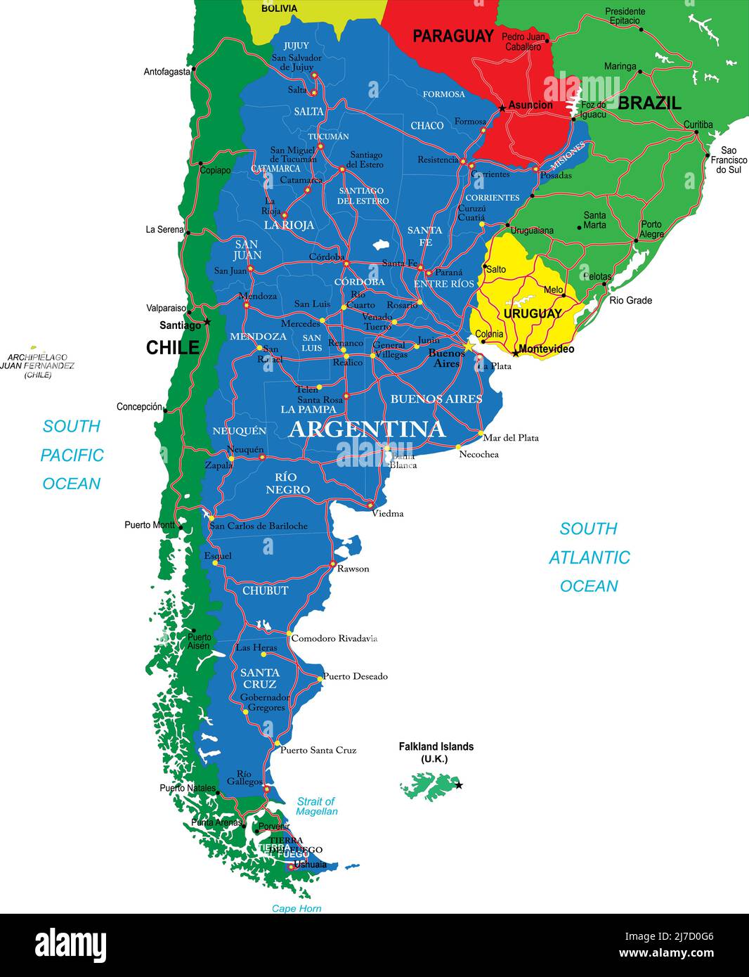 Highly detailed vector map Argentina of with administrative regions,main cities and roads. Stock Vectorhttps://www.alamy.com/image-license-details/?v=1https://www.alamy.com/highly-detailed-vector-map-argentina-of-with-administrative-regionsmain-cities-and-roads-image469268358.html
RF2J7D0G6–Highly detailed vector map Argentina of with administrative regions,main cities and roads.
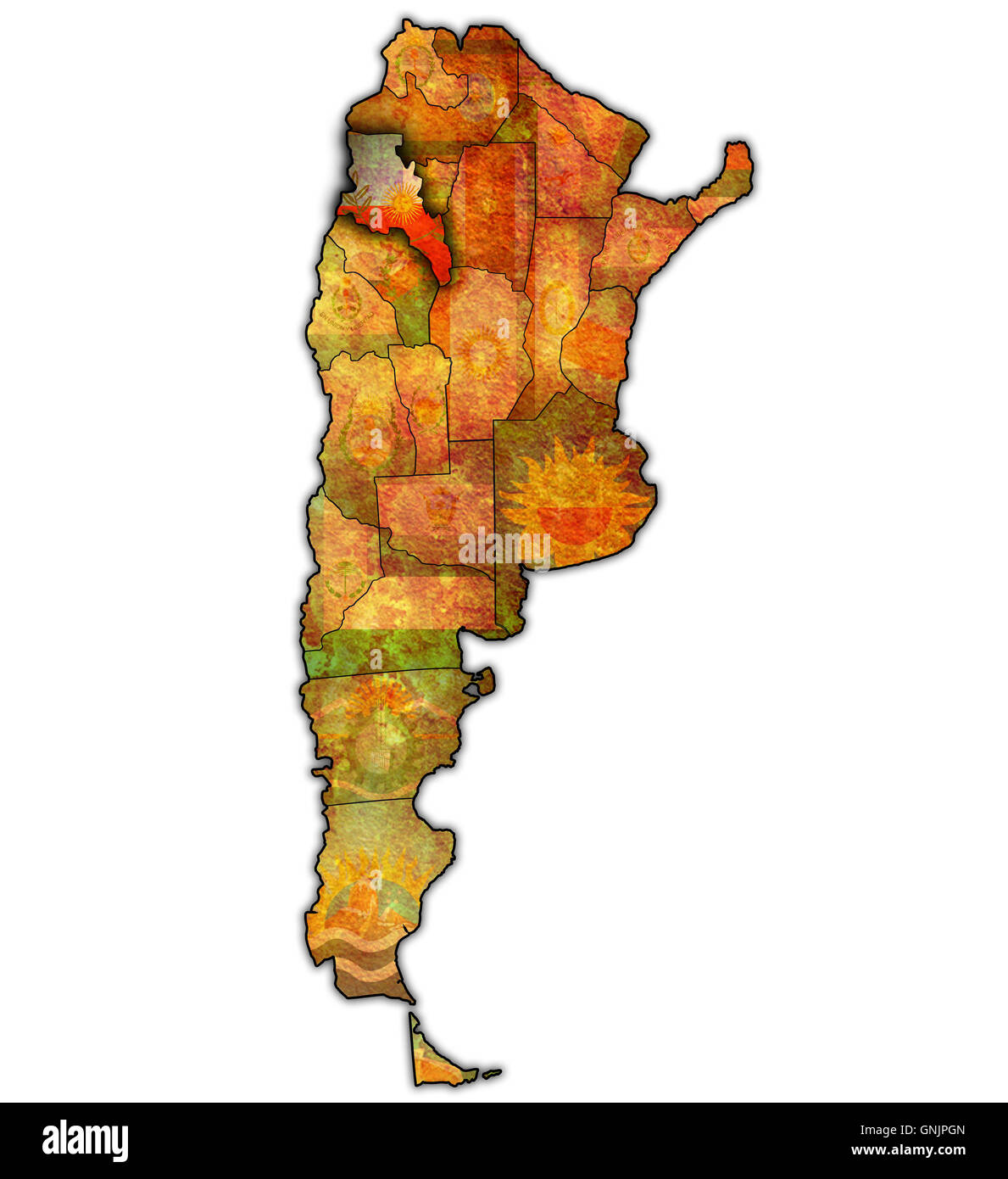 catamarca region with flag on map of administrative divisions of argentina Stock Photohttps://www.alamy.com/image-license-details/?v=1https://www.alamy.com/stock-photo-catamarca-region-with-flag-on-map-of-administrative-divisions-of-argentina-116582837.html
RFGNJPGN–catamarca region with flag on map of administrative divisions of argentina
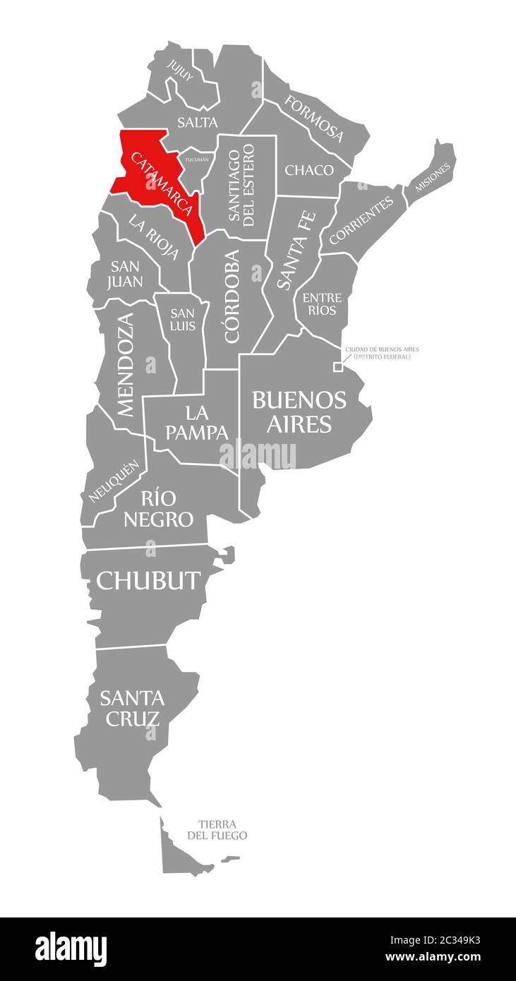 Catamarca red highlighted in map of Argentina Stock Photohttps://www.alamy.com/image-license-details/?v=1https://www.alamy.com/catamarca-red-highlighted-in-map-of-argentina-image363357095.html
RF2C349K3–Catamarca red highlighted in map of Argentina
 Guaicho, AR, Argentina, Catamarca, S 28 13' 0'', S 67 58' 0'', map, Cartascapes Map published in 2024. Explore Cartascapes, a map revealing Earth's diverse landscapes, cultures, and ecosystems. Journey through time and space, discovering the interconnectedness of our planet's past, present, and future. Stock Photohttps://www.alamy.com/image-license-details/?v=1https://www.alamy.com/guaicho-ar-argentina-catamarca-s-28-13-0-s-67-58-0-map-cartascapes-map-published-in-2024-explore-cartascapes-a-map-revealing-earths-diverse-landscapes-cultures-and-ecosystems-journey-through-time-and-space-discovering-the-interconnectedness-of-our-planets-past-present-and-future-image641437064.html
RM2S7FYEG–Guaicho, AR, Argentina, Catamarca, S 28 13' 0'', S 67 58' 0'', map, Cartascapes Map published in 2024. Explore Cartascapes, a map revealing Earth's diverse landscapes, cultures, and ecosystems. Journey through time and space, discovering the interconnectedness of our planet's past, present, and future.
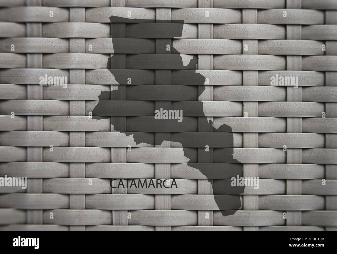 Map of Catamarca Province, Argentina, 3D illustration Stock Photohttps://www.alamy.com/image-license-details/?v=1https://www.alamy.com/map-of-catamarca-province-argentina-3d-illustration-image368571219.html
RF2CBHT9R–Map of Catamarca Province, Argentina, 3D illustration
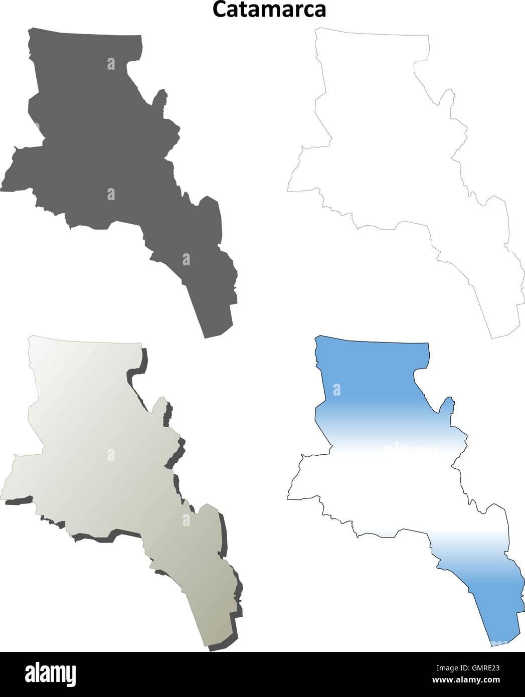 Catamarca blank outline map set Stock Vectorhttps://www.alamy.com/image-license-details/?v=1https://www.alamy.com/stock-photo-catamarca-blank-outline-map-set-116071259.html
RFGMRE23–Catamarca blank outline map set
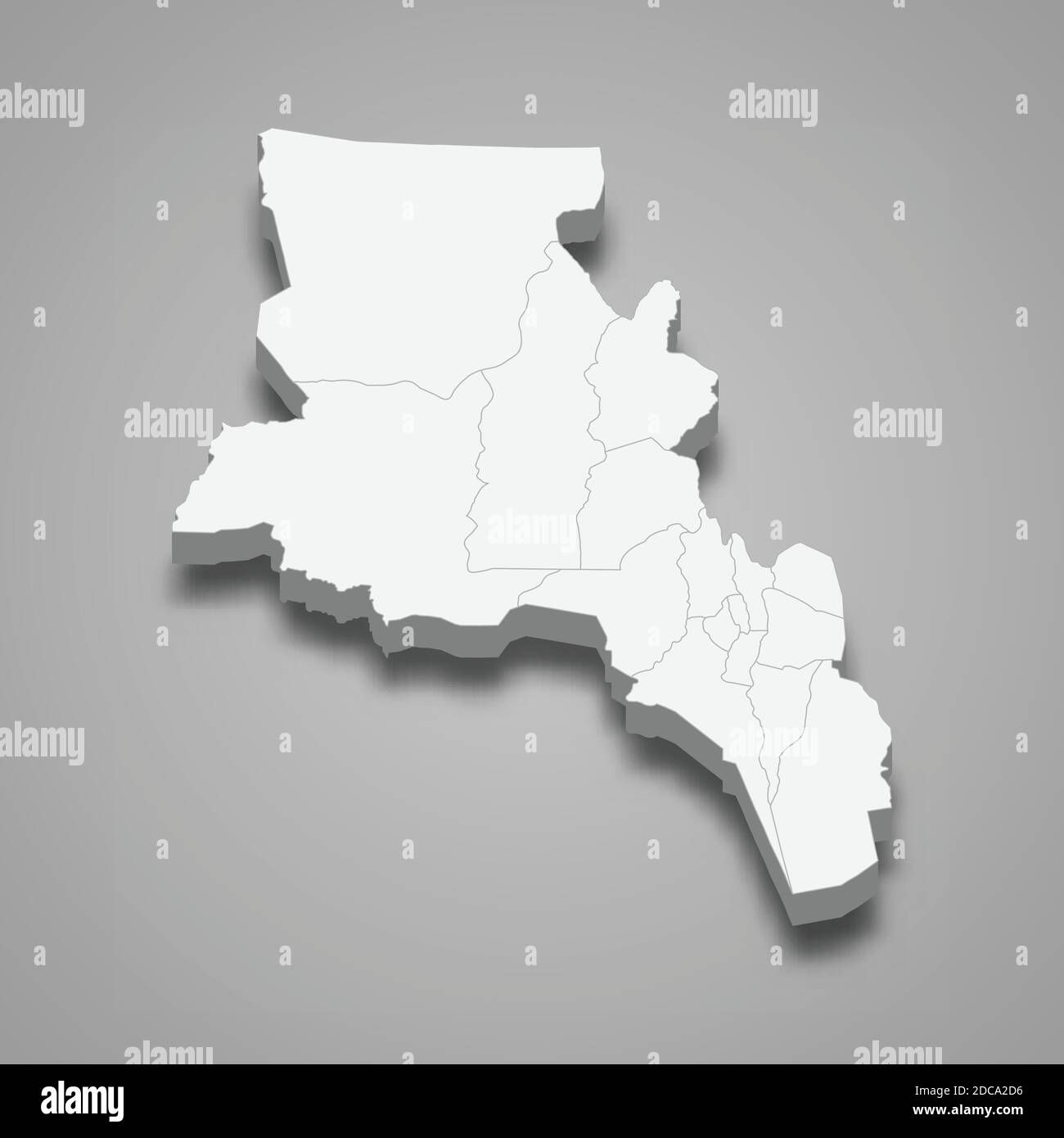 3d isometric map of Catamarca is a province of Argentina, vector illustration Stock Vectorhttps://www.alamy.com/image-license-details/?v=1https://www.alamy.com/3d-isometric-map-of-catamarca-is-a-province-of-argentina-vector-illustration-image386225426.html
RF2DCA2D6–3d isometric map of Catamarca is a province of Argentina, vector illustration
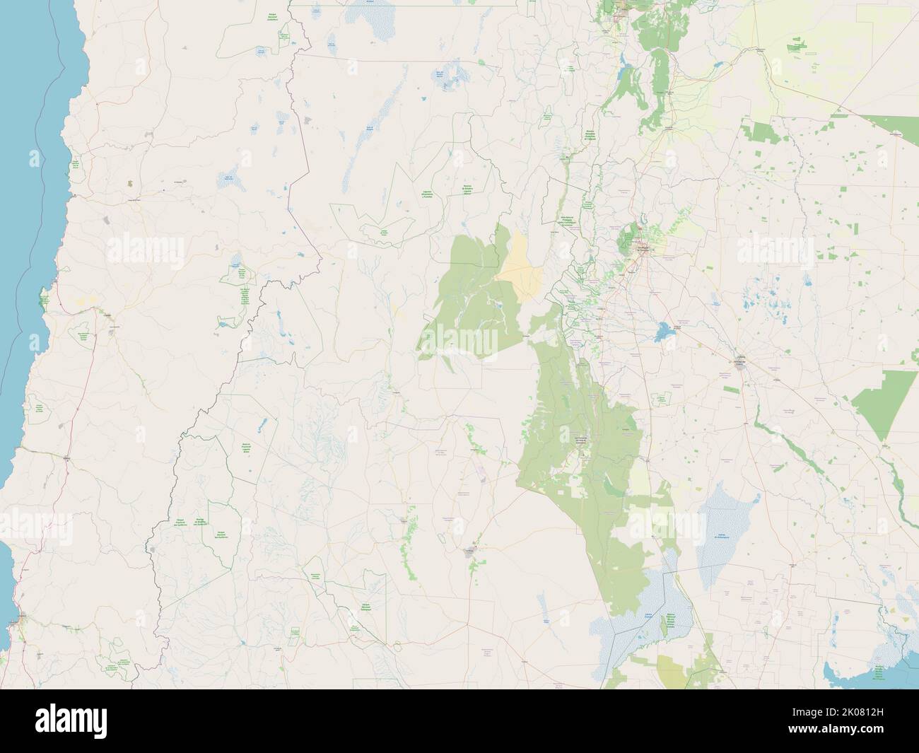 Catamarca, province of Argentina. Open Street Map Stock Photohttps://www.alamy.com/image-license-details/?v=1https://www.alamy.com/catamarca-province-of-argentina-open-street-map-image482066777.html
RF2K0812H–Catamarca, province of Argentina. Open Street Map
 Country Political Geographical Map of Argentina with Provinces with Shadows Stock Photohttps://www.alamy.com/image-license-details/?v=1https://www.alamy.com/country-political-geographical-map-of-argentina-with-provinces-with-shadows-image473686766.html
RF2JEJ88E–Country Political Geographical Map of Argentina with Provinces with Shadows
 Catamarca (Region of Argentina, Argentine Republic, Provinces of Argentina) map vector illustration, scribble sketch Catamarca map Stock Vectorhttps://www.alamy.com/image-license-details/?v=1https://www.alamy.com/catamarca-region-of-argentina-argentine-republic-provinces-of-argentina-map-vector-illustration-scribble-sketch-catamarca-map-image226893125.html
RFR53TDW–Catamarca (Region of Argentina, Argentine Republic, Provinces of Argentina) map vector illustration, scribble sketch Catamarca map
 Political map of Argentina with the several provinces where Catamarca is highlighted. Stock Photohttps://www.alamy.com/image-license-details/?v=1https://www.alamy.com/stock-photo-political-map-of-argentina-with-the-several-provinces-where-catamarca-49235209.html
RFCT2T09–Political map of Argentina with the several provinces where Catamarca is highlighted.
 Argentina and the Province of Catamarca, Satellite Image With Bump Effect Stock Photohttps://www.alamy.com/image-license-details/?v=1https://www.alamy.com/stock-photo-argentina-and-the-province-of-catamarca-satellite-image-with-bump-71607973.html
RME4E0KH–Argentina and the Province of Catamarca, Satellite Image With Bump Effect
 Catamarca province outline map set Stock Vectorhttps://www.alamy.com/image-license-details/?v=1https://www.alamy.com/catamarca-province-outline-map-set-image620811761.html
RF2Y20BMH–Catamarca province outline map set
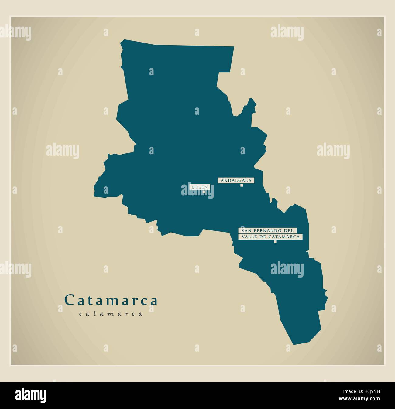 Modern Map - Catamarca AR Stock Vectorhttps://www.alamy.com/image-license-details/?v=1https://www.alamy.com/stock-photo-modern-map-catamarca-ar-124577421.html
RFH6JYNH–Modern Map - Catamarca AR
 Symbol Map of the Province Catamarca (Argentina) showing the territory with a pattern of randomly distributed black circles of different sizes Stock Vectorhttps://www.alamy.com/image-license-details/?v=1https://www.alamy.com/symbol-map-of-the-province-catamarca-argentina-showing-the-territory-with-a-pattern-of-randomly-distributed-black-circles-of-different-sizes-image621688477.html
RF2Y3C9YW–Symbol Map of the Province Catamarca (Argentina) showing the territory with a pattern of randomly distributed black circles of different sizes
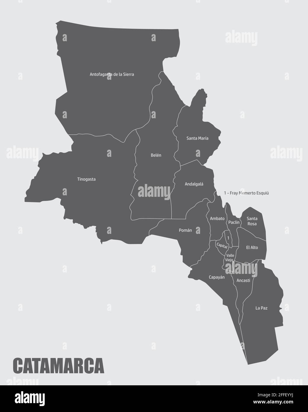 The Catamarca province, isolated map divided in departments with labels, Argentina Stock Vectorhttps://www.alamy.com/image-license-details/?v=1https://www.alamy.com/the-catamarca-province-isolated-map-divided-in-departments-with-labels-argentina-image422597942.html
RF2FFEYYJ–The Catamarca province, isolated map divided in departments with labels, Argentina
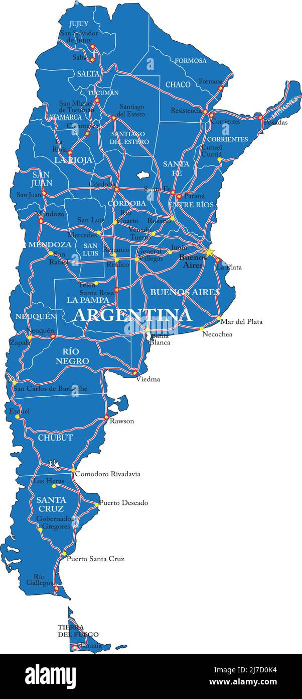 Highly detailed vector map of Argentina with administrative regions, main cities and roads. Stock Vectorhttps://www.alamy.com/image-license-details/?v=1https://www.alamy.com/highly-detailed-vector-map-of-argentina-with-administrative-regions-main-cities-and-roads-image469268440.html
RF2J7D0K4–Highly detailed vector map of Argentina with administrative regions, main cities and roads.
 catamarca region with flag on map of administrative divisions of argentina Stock Photohttps://www.alamy.com/image-license-details/?v=1https://www.alamy.com/stock-photo-catamarca-region-with-flag-on-map-of-administrative-divisions-of-argentina-116582813.html
RFGNJPFW–catamarca region with flag on map of administrative divisions of argentina
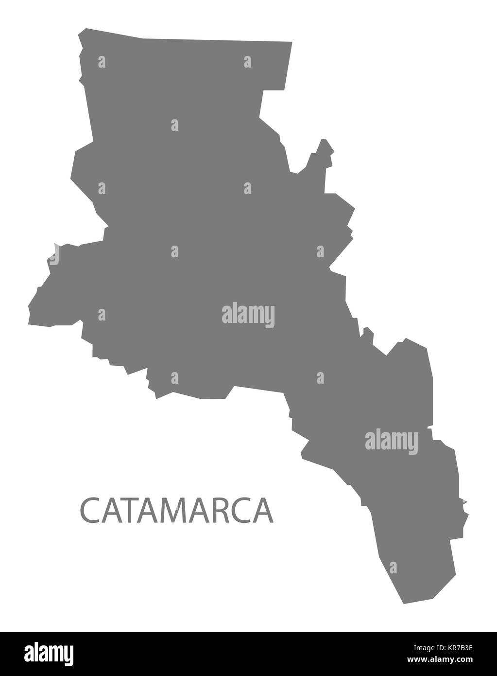 Catamarca Argentina Map grey Stock Photohttps://www.alamy.com/image-license-details/?v=1https://www.alamy.com/stock-image-catamarca-argentina-map-grey-169192786.html
RFKR7B3E–Catamarca Argentina Map grey
 Portillo, AR, Argentina, Catamarca, S 27 55' 30'', S 68 4' 15'', map, Cartascapes Map published in 2024. Explore Cartascapes, a map revealing Earth's diverse landscapes, cultures, and ecosystems. Journey through time and space, discovering the interconnectedness of our planet's past, present, and future. Stock Photohttps://www.alamy.com/image-license-details/?v=1https://www.alamy.com/portillo-ar-argentina-catamarca-s-27-55-30-s-68-4-15-map-cartascapes-map-published-in-2024-explore-cartascapes-a-map-revealing-earths-diverse-landscapes-cultures-and-ecosystems-journey-through-time-and-space-discovering-the-interconnectedness-of-our-planets-past-present-and-future-image641452713.html
RM2S7GKDD–Portillo, AR, Argentina, Catamarca, S 27 55' 30'', S 68 4' 15'', map, Cartascapes Map published in 2024. Explore Cartascapes, a map revealing Earth's diverse landscapes, cultures, and ecosystems. Journey through time and space, discovering the interconnectedness of our planet's past, present, and future.
 Map of Tierra del Fuego Province, Argentina, on a metal background, 3D illustration Stock Photohttps://www.alamy.com/image-license-details/?v=1https://www.alamy.com/map-of-tierra-del-fuego-province-argentina-on-a-metal-background-3d-illustration-image368624941.html
RF2CBM8TD–Map of Tierra del Fuego Province, Argentina, on a metal background, 3D illustration
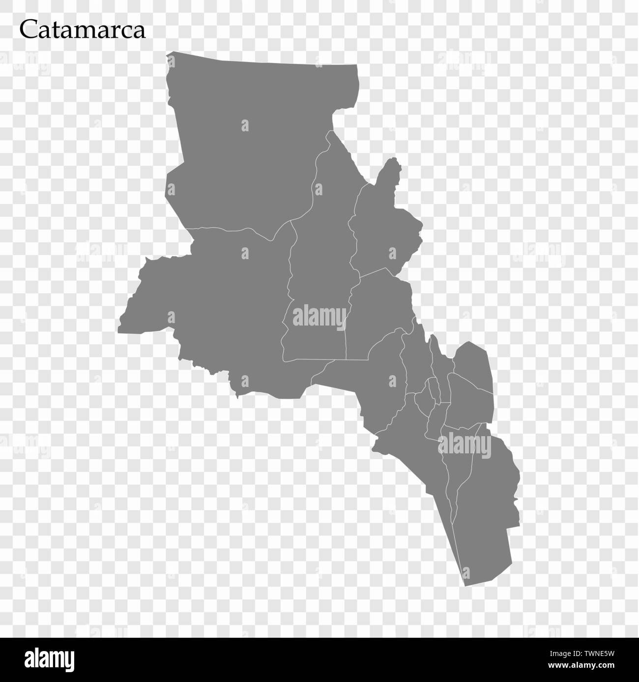 High Quality map of Catamarca is a province of Argentina with borders of the departments Stock Vectorhttps://www.alamy.com/image-license-details/?v=1https://www.alamy.com/high-quality-map-of-catamarca-is-a-province-of-argentina-with-borders-of-the-departments-image256783685.html
RFTWNE5W–High Quality map of Catamarca is a province of Argentina with borders of the departments
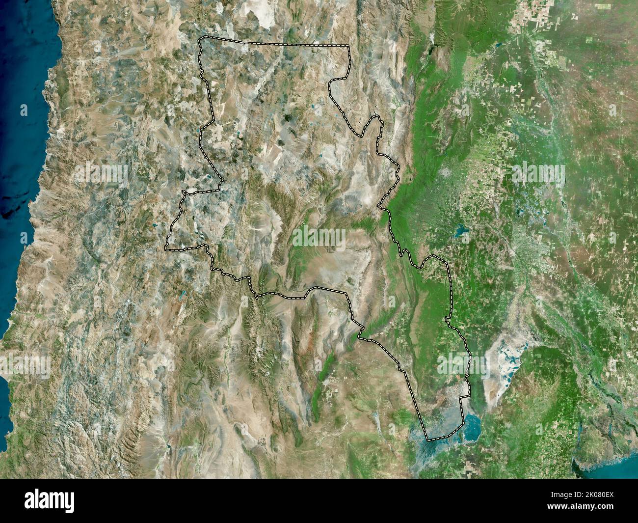 Catamarca, province of Argentina. High resolution satellite map Stock Photohttps://www.alamy.com/image-license-details/?v=1https://www.alamy.com/catamarca-province-of-argentina-high-resolution-satellite-map-image482066338.html
RF2K080EX–Catamarca, province of Argentina. High resolution satellite map
 Catamarca (Region of Argentina, Argentine Republic, Provinces of Argentina) map vector illustration, scribble sketch Catamarca map Stock Vectorhttps://www.alamy.com/image-license-details/?v=1https://www.alamy.com/catamarca-region-of-argentina-argentine-republic-provinces-of-argentina-map-vector-illustration-scribble-sketch-catamarca-map-image229088234.html
RFR8KTAJ–Catamarca (Region of Argentina, Argentine Republic, Provinces of Argentina) map vector illustration, scribble sketch Catamarca map
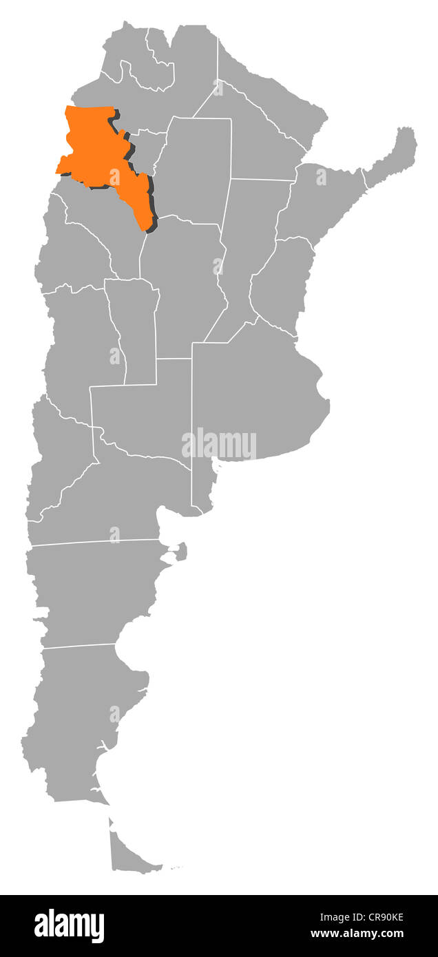 Political map of Argentina with the several provinces where Catamarca is highlighted. Stock Photohttps://www.alamy.com/image-license-details/?v=1https://www.alamy.com/stock-photo-political-map-of-argentina-with-the-several-provinces-where-catamarca-48755938.html
RFCR90KE–Political map of Argentina with the several provinces where Catamarca is highlighted.
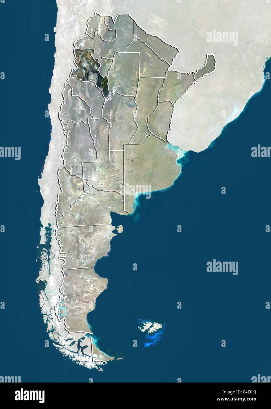 Argentina and the Province of Catamarca, True Colour Satellite Image Stock Photohttps://www.alamy.com/image-license-details/?v=1https://www.alamy.com/stock-photo-argentina-and-the-province-of-catamarca-true-colour-satellite-image-71607974.html
RME4E0KJ–Argentina and the Province of Catamarca, True Colour Satellite Image
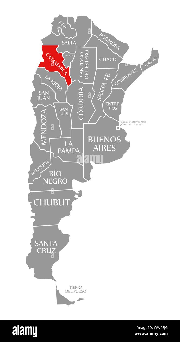 Catamarca red highlighted in map of Argentina Stock Photohttps://www.alamy.com/image-license-details/?v=1https://www.alamy.com/catamarca-red-highlighted-in-map-of-argentina-image274011656.html
RFWWP8JG–Catamarca red highlighted in map of Argentina
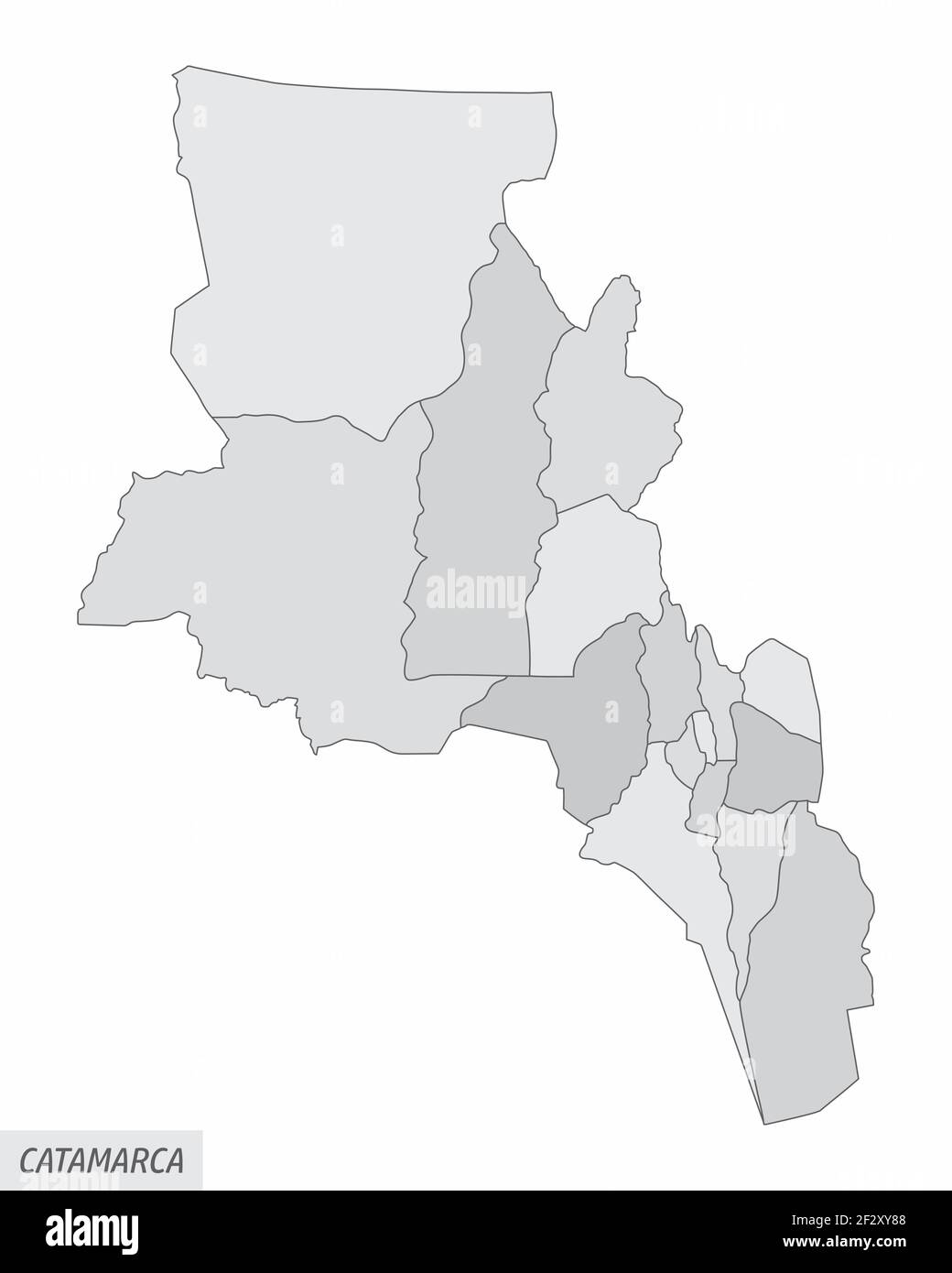 Catamarca province grayscale map Stock Vectorhttps://www.alamy.com/image-license-details/?v=1https://www.alamy.com/catamarca-province-grayscale-map-image414870296.html
RF2F2XY88–Catamarca province grayscale map
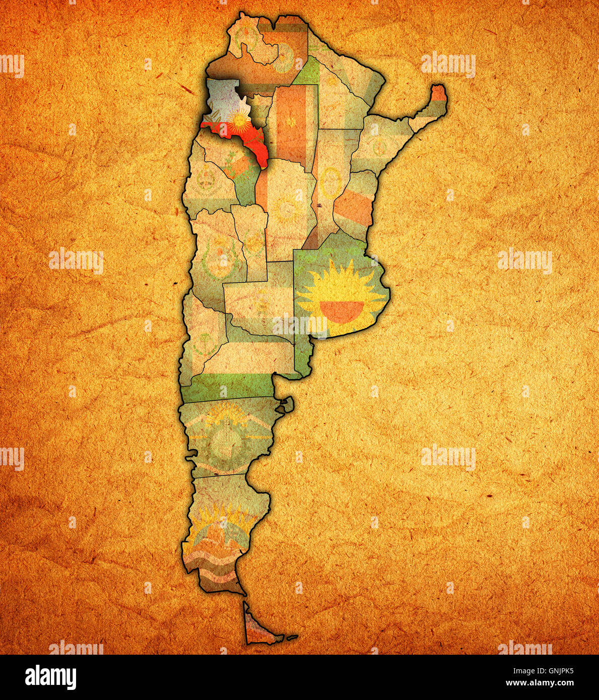 catamarca region with flag on map of administrative divisions of argentina Stock Photohttps://www.alamy.com/image-license-details/?v=1https://www.alamy.com/stock-photo-catamarca-region-with-flag-on-map-of-administrative-divisions-of-argentina-116582905.html
RFGNJPK5–catamarca region with flag on map of administrative divisions of argentina
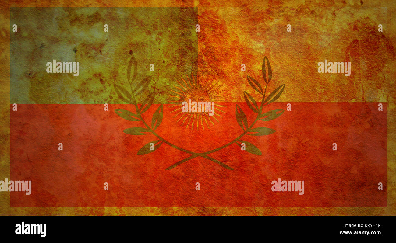 catamarca flag Stock Photohttps://www.alamy.com/image-license-details/?v=1https://www.alamy.com/stock-image-catamarca-flag-169636483.html
RFKRYH1R–catamarca flag
 Jacipunco, AR, Argentina, Catamarca, S 27 14' 33'', S 67 0' 30'', map, Cartascapes Map published in 2024. Explore Cartascapes, a map revealing Earth's diverse landscapes, cultures, and ecosystems. Journey through time and space, discovering the interconnectedness of our planet's past, present, and future. Stock Photohttps://www.alamy.com/image-license-details/?v=1https://www.alamy.com/jacipunco-ar-argentina-catamarca-s-27-14-33-s-67-0-30-map-cartascapes-map-published-in-2024-explore-cartascapes-a-map-revealing-earths-diverse-landscapes-cultures-and-ecosystems-journey-through-time-and-space-discovering-the-interconnectedness-of-our-planets-past-present-and-future-image641507463.html
RM2S7K58R–Jacipunco, AR, Argentina, Catamarca, S 27 14' 33'', S 67 0' 30'', map, Cartascapes Map published in 2024. Explore Cartascapes, a map revealing Earth's diverse landscapes, cultures, and ecosystems. Journey through time and space, discovering the interconnectedness of our planet's past, present, and future.
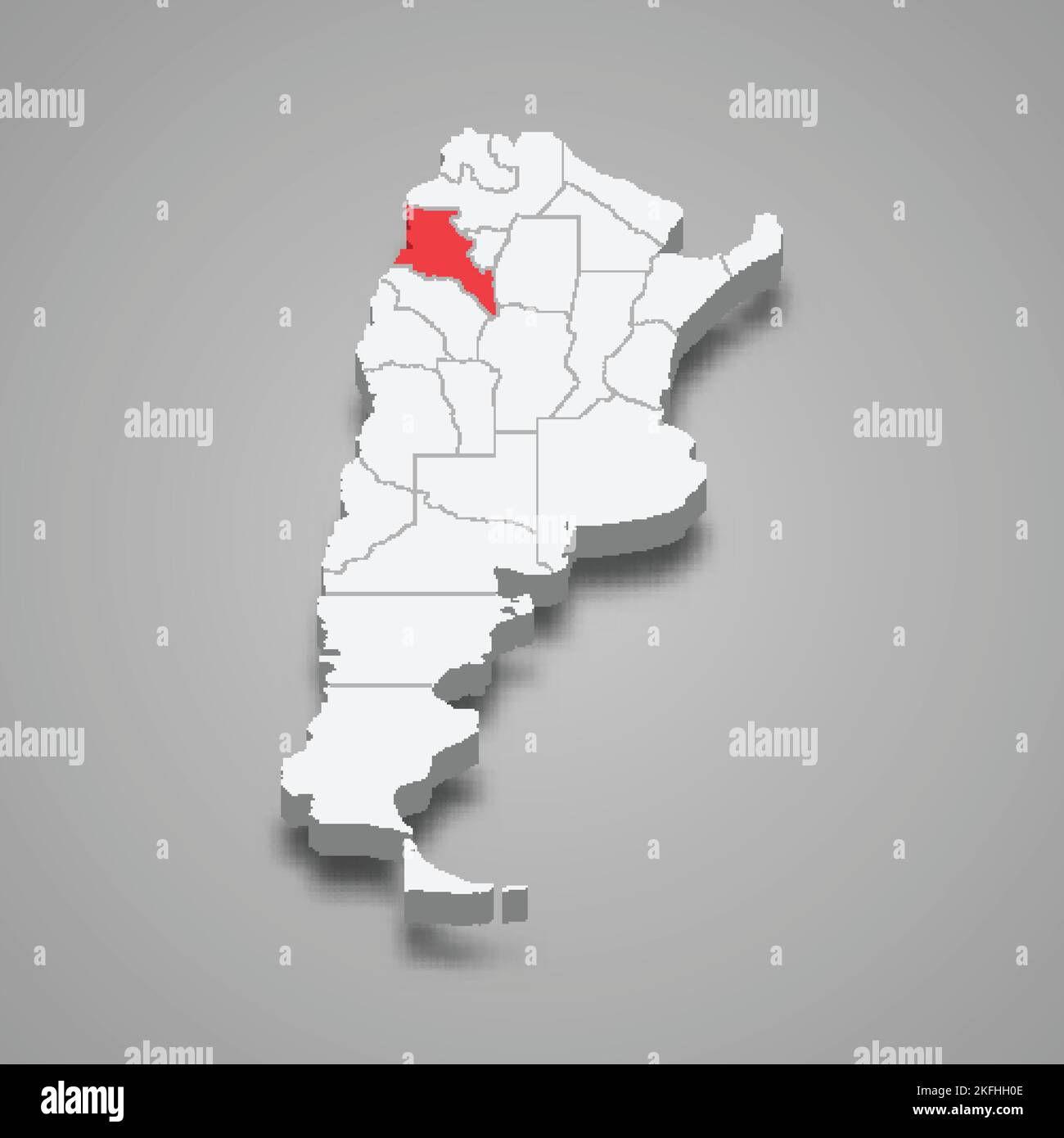 Catamarca region location within Argentina 3d isometric map Stock Vectorhttps://www.alamy.com/image-license-details/?v=1https://www.alamy.com/catamarca-region-location-within-argentina-3d-isometric-map-image491496670.html
RF2KFHH0E–Catamarca region location within Argentina 3d isometric map
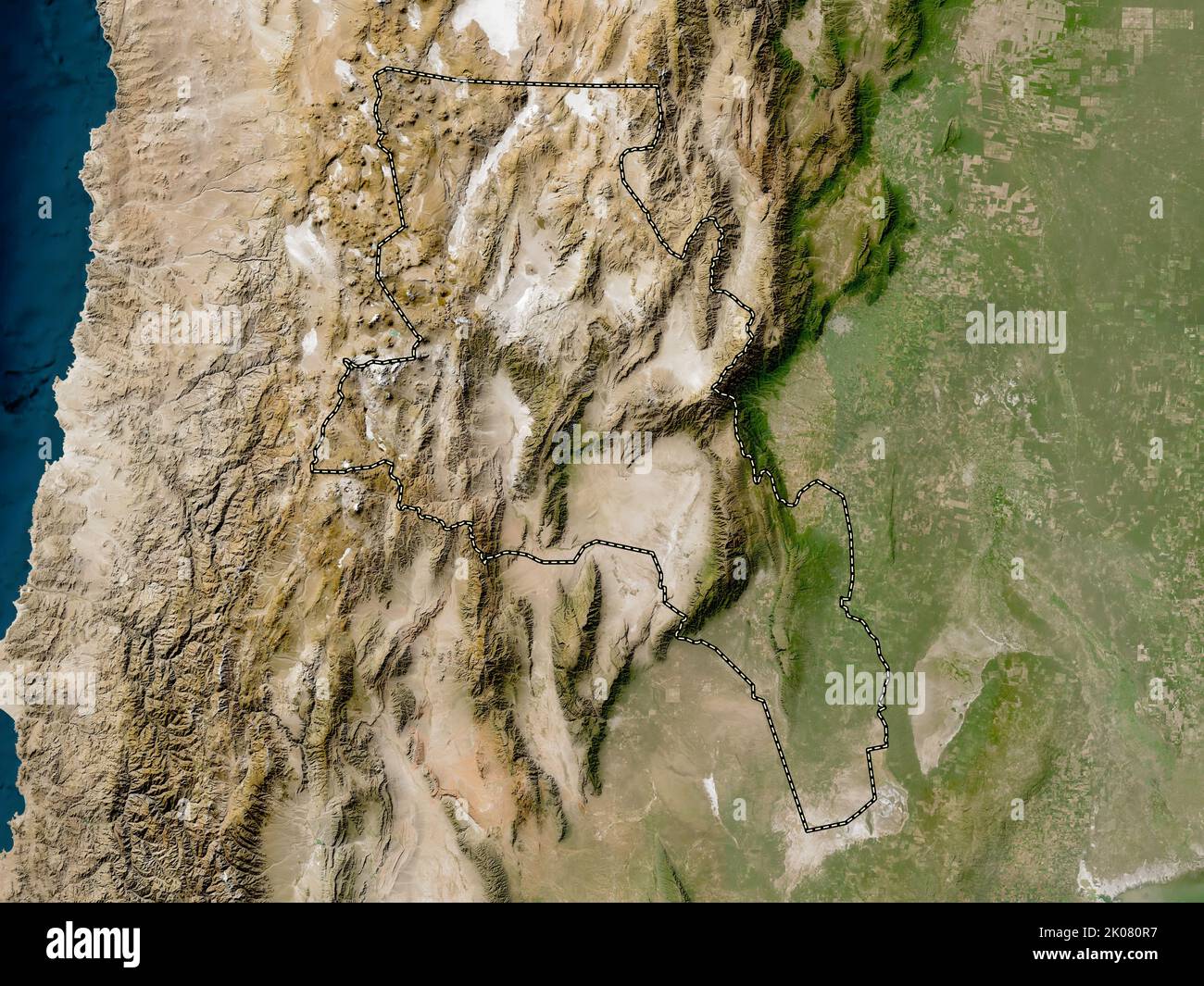 Catamarca, province of Argentina. Low resolution satellite map Stock Photohttps://www.alamy.com/image-license-details/?v=1https://www.alamy.com/catamarca-province-of-argentina-low-resolution-satellite-map-image482066571.html
RF2K080R7–Catamarca, province of Argentina. Low resolution satellite map
 Catamarca (Region of Argentina, Argentine Republic, Provinces of Argentina) map vector illustration, scribble sketch Catamarca map Stock Vectorhttps://www.alamy.com/image-license-details/?v=1https://www.alamy.com/catamarca-region-of-argentina-argentine-republic-provinces-of-argentina-map-vector-illustration-scribble-sketch-catamarca-map-image230818980.html
RFRBEKY0–Catamarca (Region of Argentina, Argentine Republic, Provinces of Argentina) map vector illustration, scribble sketch Catamarca map
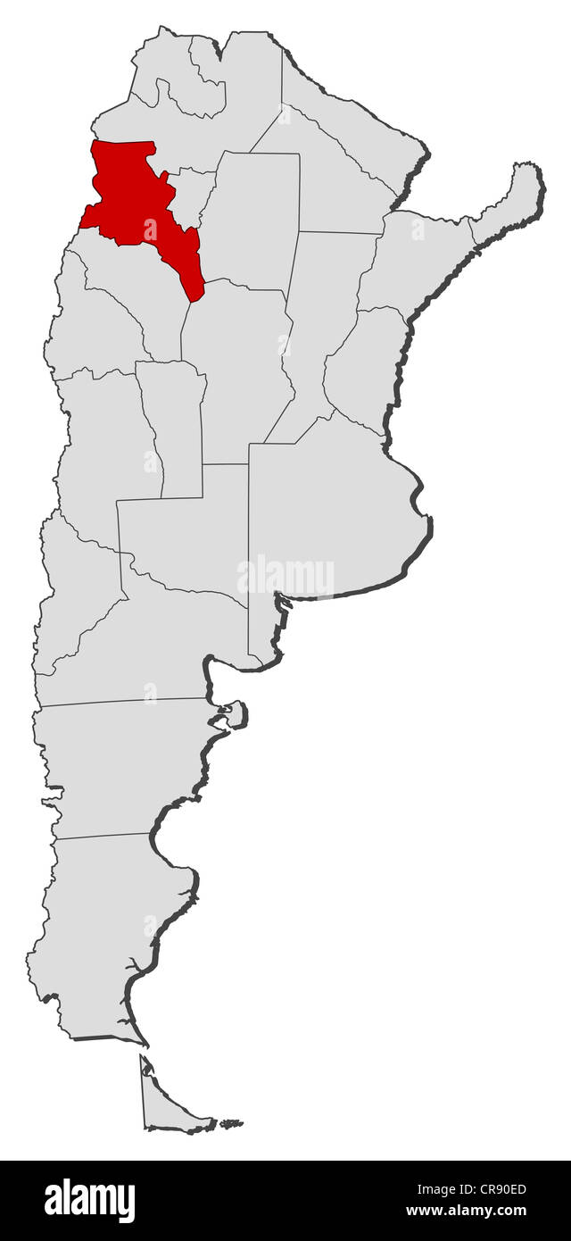 Political map of Argentina with the several provinces where Catamarca is highlighted. Stock Photohttps://www.alamy.com/image-license-details/?v=1https://www.alamy.com/stock-photo-political-map-of-argentina-with-the-several-provinces-where-catamarca-48755797.html
RFCR90ED–Political map of Argentina with the several provinces where Catamarca is highlighted.
 Catamarca map of Argentina with Argentinian national flag illustration Stock Vectorhttps://www.alamy.com/image-license-details/?v=1https://www.alamy.com/stock-image-catamarca-map-of-argentina-with-argentinian-national-flag-illustration-164313680.html
RFKF93NM–Catamarca map of Argentina with Argentinian national flag illustration
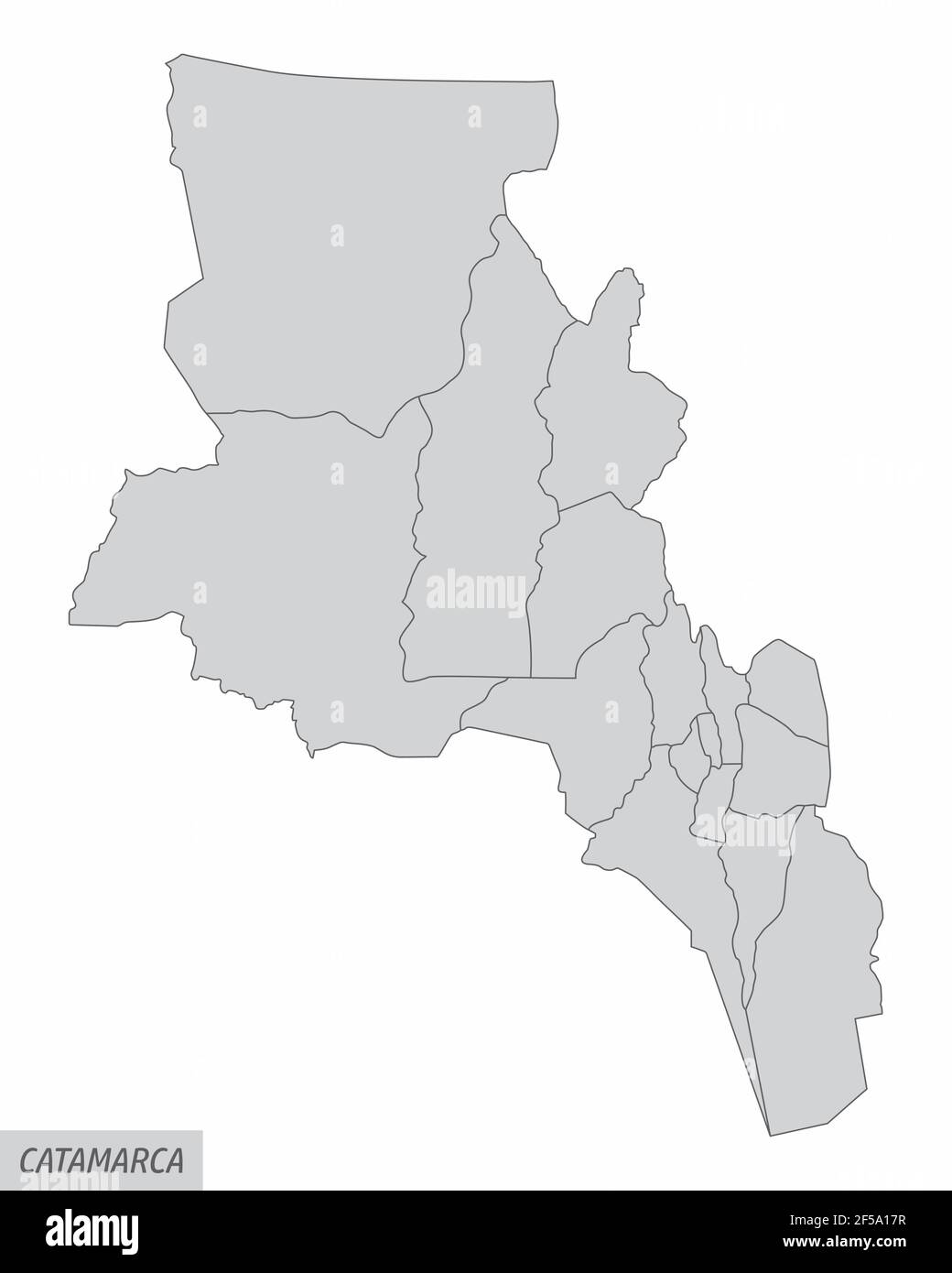 The Catamarca Province isolated map divided in departments, Argentina Stock Vectorhttps://www.alamy.com/image-license-details/?v=1https://www.alamy.com/the-catamarca-province-isolated-map-divided-in-departments-argentina-image416342635.html
RF2F5A17R–The Catamarca Province isolated map divided in departments, Argentina
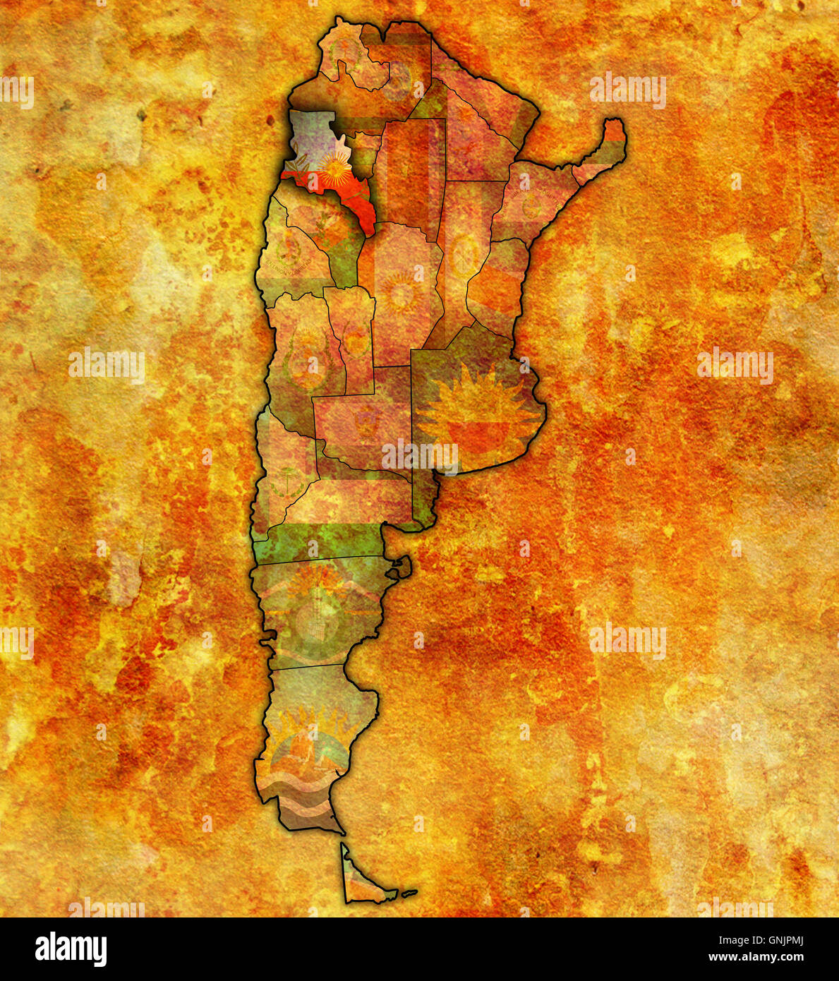 catamarca region with flag on map of administrative divisions of argentina Stock Photohttps://www.alamy.com/image-license-details/?v=1https://www.alamy.com/stock-photo-catamarca-region-with-flag-on-map-of-administrative-divisions-of-argentina-116582946.html
RFGNJPMJ–catamarca region with flag on map of administrative divisions of argentina
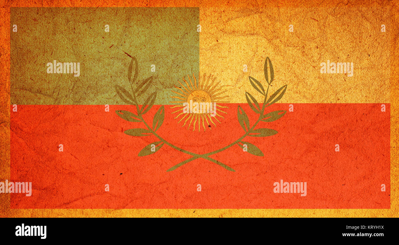 catamarca flag Stock Photohttps://www.alamy.com/image-license-details/?v=1https://www.alamy.com/stock-image-catamarca-flag-169636486.html
RFKRYH1X–catamarca flag
 Zapicruz, AR, Argentina, Catamarca, S 28 0' 34'', S 66 27' 8'', map, Cartascapes Map published in 2024. Explore Cartascapes, a map revealing Earth's diverse landscapes, cultures, and ecosystems. Journey through time and space, discovering the interconnectedness of our planet's past, present, and future. Stock Photohttps://www.alamy.com/image-license-details/?v=1https://www.alamy.com/zapicruz-ar-argentina-catamarca-s-28-0-34-s-66-27-8-map-cartascapes-map-published-in-2024-explore-cartascapes-a-map-revealing-earths-diverse-landscapes-cultures-and-ecosystems-journey-through-time-and-space-discovering-the-interconnectedness-of-our-planets-past-present-and-future-image641428833.html
RM2S7FH0H–Zapicruz, AR, Argentina, Catamarca, S 28 0' 34'', S 66 27' 8'', map, Cartascapes Map published in 2024. Explore Cartascapes, a map revealing Earth's diverse landscapes, cultures, and ecosystems. Journey through time and space, discovering the interconnectedness of our planet's past, present, and future.
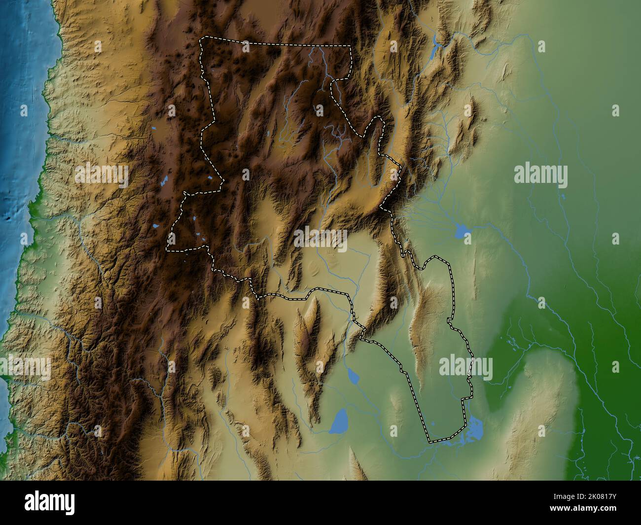 Catamarca, province of Argentina. Colored elevation map with lakes and rivers Stock Photohttps://www.alamy.com/image-license-details/?v=1https://www.alamy.com/catamarca-province-of-argentina-colored-elevation-map-with-lakes-and-rivers-image482066927.html
RF2K0817Y–Catamarca, province of Argentina. Colored elevation map with lakes and rivers
 Catamarca city (Argentine Republic, Argentina) map vector illustration, scribble sketch San Fernando del Valle de Catamarca map Stock Vectorhttps://www.alamy.com/image-license-details/?v=1https://www.alamy.com/catamarca-city-argentine-republic-argentina-map-vector-illustration-scribble-sketch-san-fernando-del-valle-de-catamarca-map-image596371557.html
RF2WJ7205–Catamarca city (Argentine Republic, Argentina) map vector illustration, scribble sketch San Fernando del Valle de Catamarca map
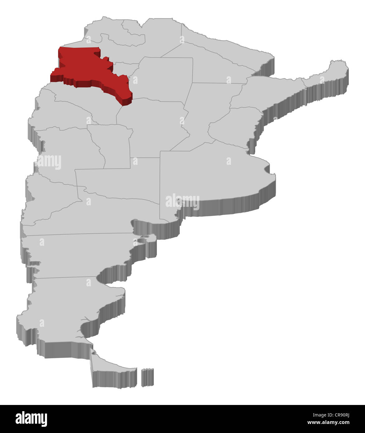 Political map of Argentina with the several provinces where Catamarca is highlighted. Stock Photohttps://www.alamy.com/image-license-details/?v=1https://www.alamy.com/stock-photo-political-map-of-argentina-with-the-several-provinces-where-catamarca-48756054.html
RFCR90RJ–Political map of Argentina with the several provinces where Catamarca is highlighted.
 Catamarca watercolor map with Argentinian national flag in front of a white background Stock Photohttps://www.alamy.com/image-license-details/?v=1https://www.alamy.com/stock-photo-catamarca-watercolor-map-with-argentinian-national-flag-in-front-of-172902352.html
RFM18AM0–Catamarca watercolor map with Argentinian national flag in front of a white background
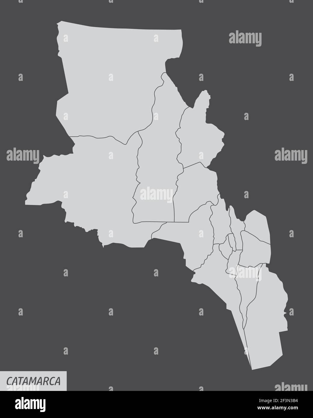 The Catamarca province isolated map divided in departments, Argentina Stock Vectorhttps://www.alamy.com/image-license-details/?v=1https://www.alamy.com/the-catamarca-province-isolated-map-divided-in-departments-argentina-image415356456.html
RF2F3N3B4–The Catamarca province isolated map divided in departments, Argentina
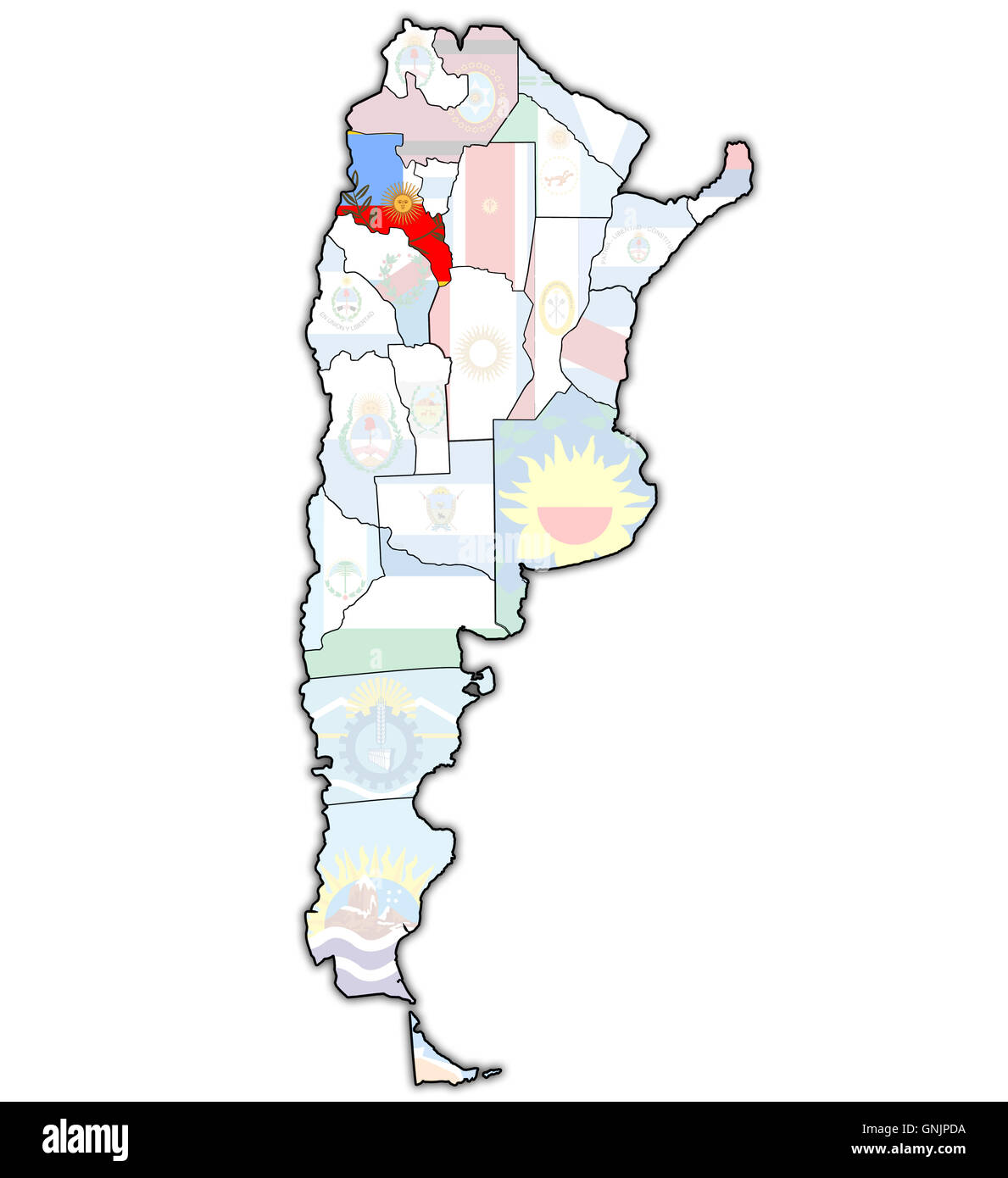 catamarca region with flag on map of administrative divisions of argentina Stock Photohttps://www.alamy.com/image-license-details/?v=1https://www.alamy.com/stock-photo-catamarca-region-with-flag-on-map-of-administrative-divisions-of-argentina-116582742.html
RFGNJPDA–catamarca region with flag on map of administrative divisions of argentina
 catamarca region territory Stock Photohttps://www.alamy.com/image-license-details/?v=1https://www.alamy.com/stock-image-catamarca-region-territory-169659163.html
RFKT0HYR–catamarca region territory
 Copetonas, AR, Argentina, Catamarca, S 38 43' 21'', S 60 27' 10'', map, Cartascapes Map published in 2024. Explore Cartascapes, a map revealing Earth's diverse landscapes, cultures, and ecosystems. Journey through time and space, discovering the interconnectedness of our planet's past, present, and future. Stock Photohttps://www.alamy.com/image-license-details/?v=1https://www.alamy.com/copetonas-ar-argentina-catamarca-s-38-43-21-s-60-27-10-map-cartascapes-map-published-in-2024-explore-cartascapes-a-map-revealing-earths-diverse-landscapes-cultures-and-ecosystems-journey-through-time-and-space-discovering-the-interconnectedness-of-our-planets-past-present-and-future-image641533941.html
RM2S7MB2D–Copetonas, AR, Argentina, Catamarca, S 38 43' 21'', S 60 27' 10'', map, Cartascapes Map published in 2024. Explore Cartascapes, a map revealing Earth's diverse landscapes, cultures, and ecosystems. Journey through time and space, discovering the interconnectedness of our planet's past, present, and future.
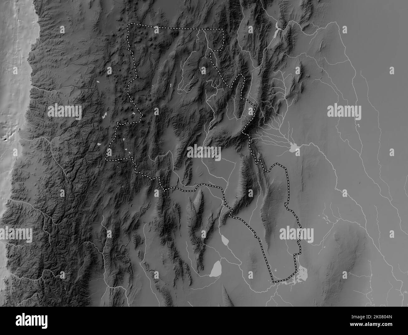 Catamarca, province of Argentina. Grayscale elevation map with lakes and rivers Stock Photohttps://www.alamy.com/image-license-details/?v=1https://www.alamy.com/catamarca-province-of-argentina-grayscale-elevation-map-with-lakes-and-rivers-image482066053.html
RF2K0804N–Catamarca, province of Argentina. Grayscale elevation map with lakes and rivers
 Catamarca (Region of Argentina, Argentine Republic, Provinces of Argentina) map is designed cannabis leaf green and black, Catamarca map made of marij Stock Vectorhttps://www.alamy.com/image-license-details/?v=1https://www.alamy.com/catamarca-region-of-argentina-argentine-republic-provinces-of-argentina-map-is-designed-cannabis-leaf-green-and-black-catamarca-map-made-of-marij-image262161199.html
RFW6ED7Y–Catamarca (Region of Argentina, Argentine Republic, Provinces of Argentina) map is designed cannabis leaf green and black, Catamarca map made of marij
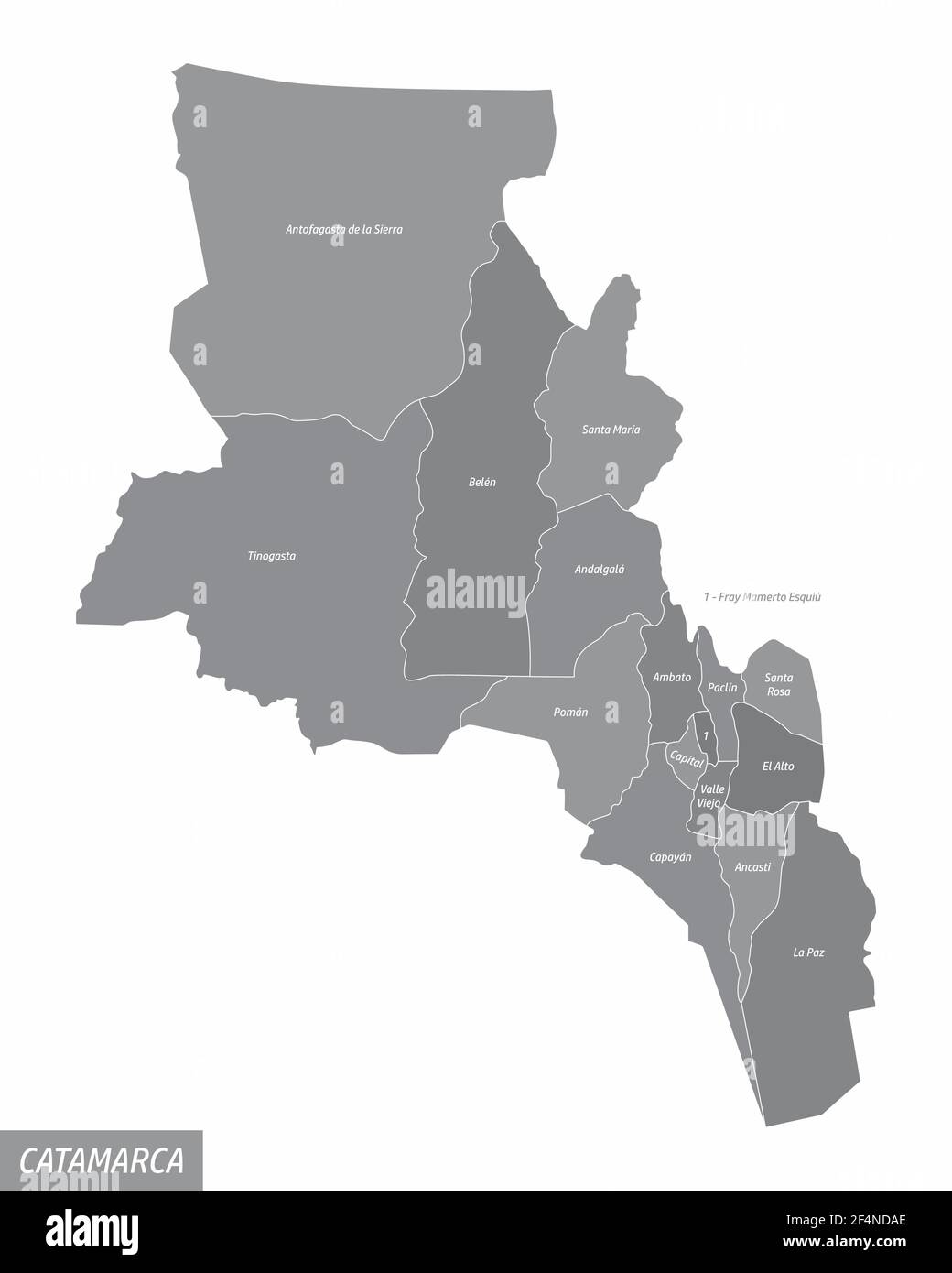 The Catamarca province isolated map divided in departments with labels, Argentina Stock Vectorhttps://www.alamy.com/image-license-details/?v=1https://www.alamy.com/the-catamarca-province-isolated-map-divided-in-departments-with-labels-argentina-image415978934.html
RF2F4NDAE–The Catamarca province isolated map divided in departments with labels, Argentina
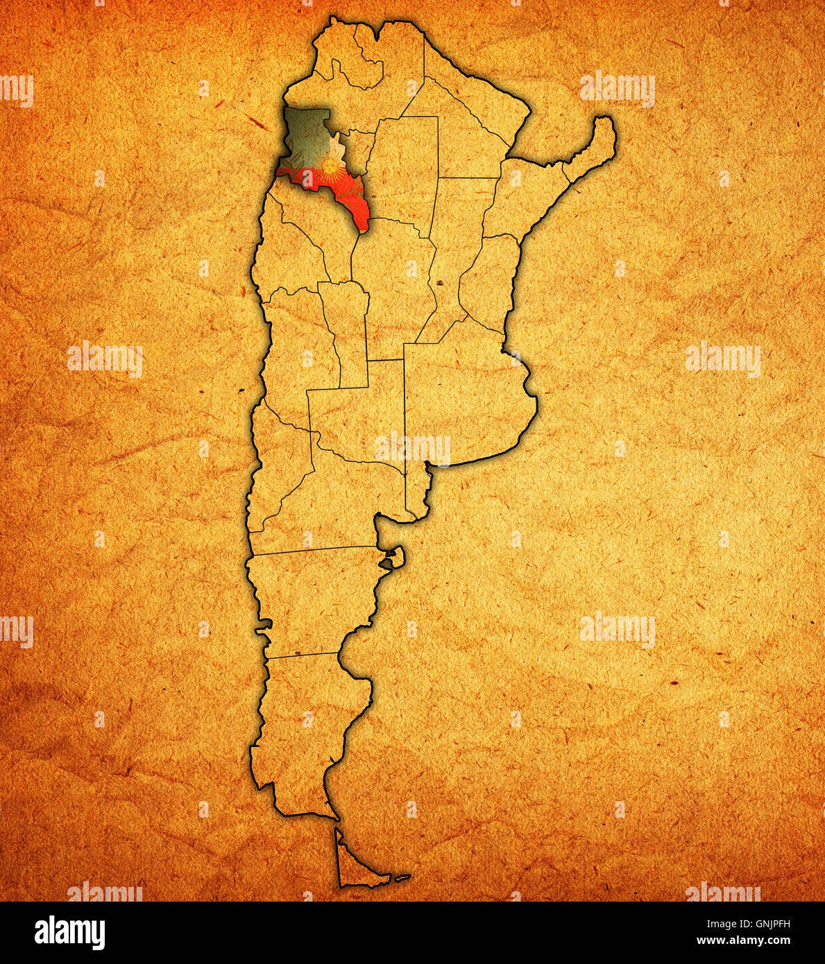 catamarca region with flag on map of administrative divisions of argentina Stock Photohttps://www.alamy.com/image-license-details/?v=1https://www.alamy.com/stock-photo-catamarca-region-with-flag-on-map-of-administrative-divisions-of-argentina-116582805.html
RFGNJPFH–catamarca region with flag on map of administrative divisions of argentina
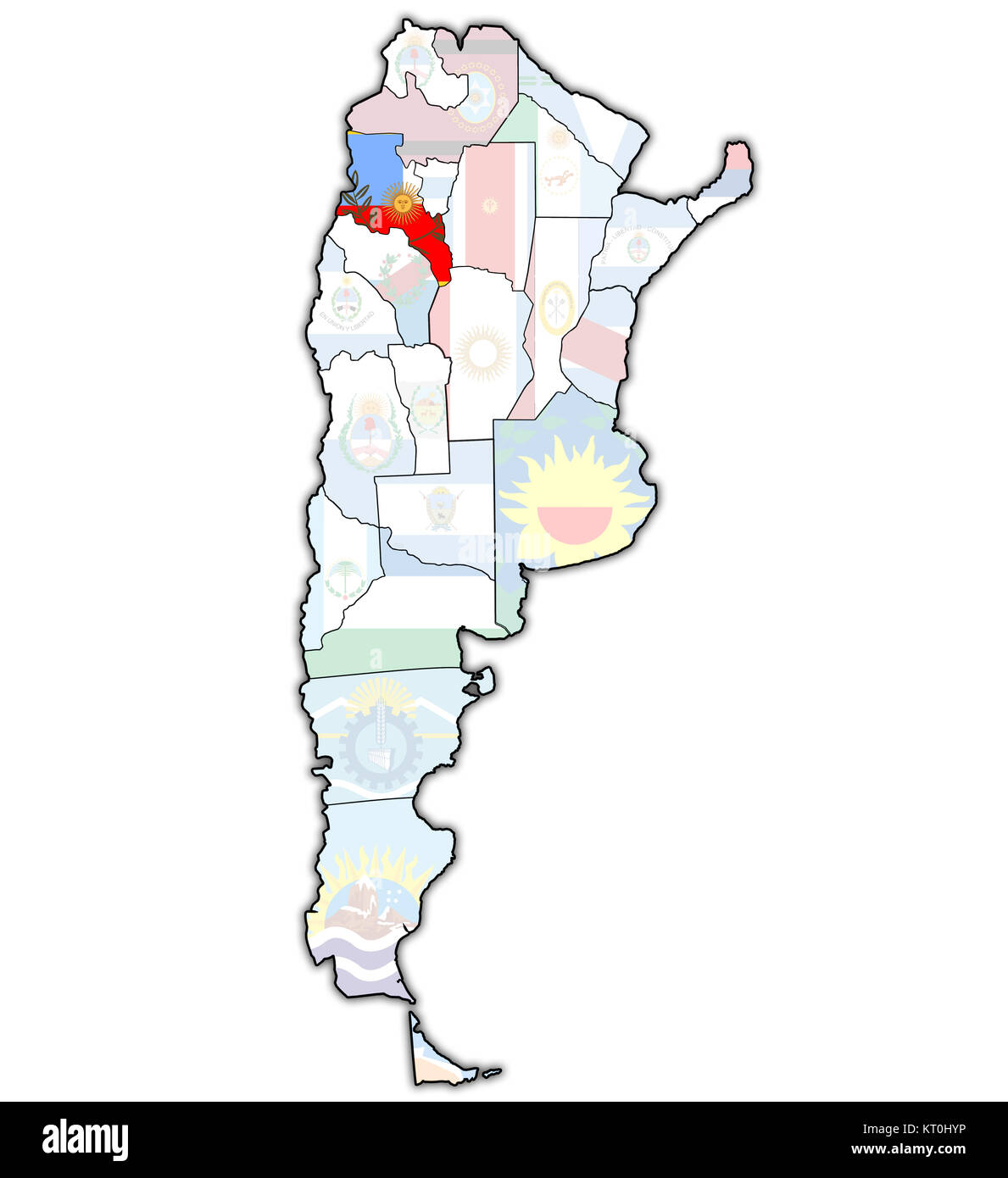 catamarca region territory Stock Photohttps://www.alamy.com/image-license-details/?v=1https://www.alamy.com/stock-image-catamarca-region-territory-169659162.html
RFKT0HYP–catamarca region territory
 Polcos, AR, Argentina, Catamarca, S 28 26' 14'', S 65 43' 14'', map, Cartascapes Map published in 2024. Explore Cartascapes, a map revealing Earth's diverse landscapes, cultures, and ecosystems. Journey through time and space, discovering the interconnectedness of our planet's past, present, and future. Stock Photohttps://www.alamy.com/image-license-details/?v=1https://www.alamy.com/polcos-ar-argentina-catamarca-s-28-26-14-s-65-43-14-map-cartascapes-map-published-in-2024-explore-cartascapes-a-map-revealing-earths-diverse-landscapes-cultures-and-ecosystems-journey-through-time-and-space-discovering-the-interconnectedness-of-our-planets-past-present-and-future-image641428437.html
RM2S7FGED–Polcos, AR, Argentina, Catamarca, S 28 26' 14'', S 65 43' 14'', map, Cartascapes Map published in 2024. Explore Cartascapes, a map revealing Earth's diverse landscapes, cultures, and ecosystems. Journey through time and space, discovering the interconnectedness of our planet's past, present, and future.
 Catamarca, province of Argentina. Bilevel elevation map with lakes and rivers Stock Photohttps://www.alamy.com/image-license-details/?v=1https://www.alamy.com/catamarca-province-of-argentina-bilevel-elevation-map-with-lakes-and-rivers-image482065639.html
RF2K07YHY–Catamarca, province of Argentina. Bilevel elevation map with lakes and rivers
 Catamarca province administrative map isolated on white background, Argentina Stock Vectorhttps://www.alamy.com/image-license-details/?v=1https://www.alamy.com/catamarca-province-administrative-map-isolated-on-white-background-argentina-image433838514.html
RF2G5R1CJ–Catamarca province administrative map isolated on white background, Argentina
 old vintage flag of one of administrative divisions of argentina called catamarca Stock Photohttps://www.alamy.com/image-license-details/?v=1https://www.alamy.com/stock-photo-old-vintage-flag-of-one-of-administrative-divisions-of-argentina-called-104035170.html
RFG175WP–old vintage flag of one of administrative divisions of argentina called catamarca
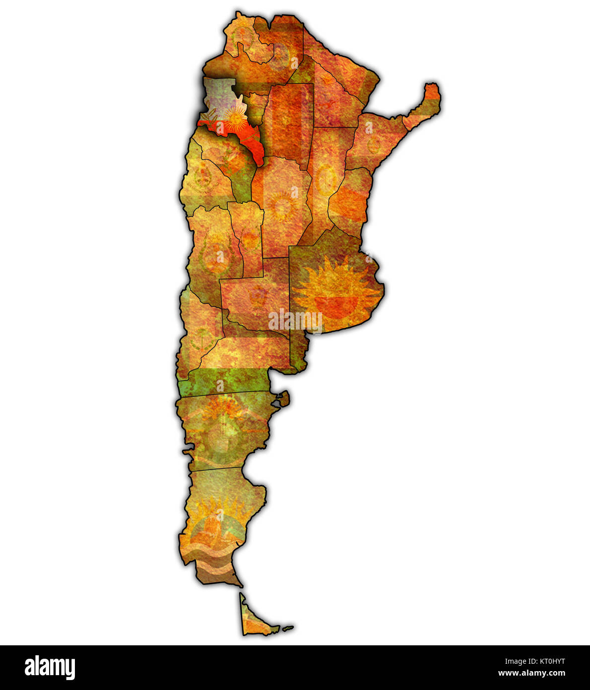 catamarca region territory Stock Photohttps://www.alamy.com/image-license-details/?v=1https://www.alamy.com/stock-image-catamarca-region-territory-169659164.html
RFKT0HYT–catamarca region territory
 Culanao, AR, Argentina, Catamarca, S 28 31' 59'', S 66 31' 59'', map, Cartascapes Map published in 2024. Explore Cartascapes, a map revealing Earth's diverse landscapes, cultures, and ecosystems. Journey through time and space, discovering the interconnectedness of our planet's past, present, and future. Stock Photohttps://www.alamy.com/image-license-details/?v=1https://www.alamy.com/culanao-ar-argentina-catamarca-s-28-31-59-s-66-31-59-map-cartascapes-map-published-in-2024-explore-cartascapes-a-map-revealing-earths-diverse-landscapes-cultures-and-ecosystems-journey-through-time-and-space-discovering-the-interconnectedness-of-our-planets-past-present-and-future-image641535042.html
RM2S7MCDP–Culanao, AR, Argentina, Catamarca, S 28 31' 59'', S 66 31' 59'', map, Cartascapes Map published in 2024. Explore Cartascapes, a map revealing Earth's diverse landscapes, cultures, and ecosystems. Journey through time and space, discovering the interconnectedness of our planet's past, present, and future.
 Catamarca, province of Argentina. Open Street Map. Corner auxiliary location maps Stock Photohttps://www.alamy.com/image-license-details/?v=1https://www.alamy.com/catamarca-province-of-argentina-open-street-map-corner-auxiliary-location-maps-image482066842.html
RF2K0814X–Catamarca, province of Argentina. Open Street Map. Corner auxiliary location maps
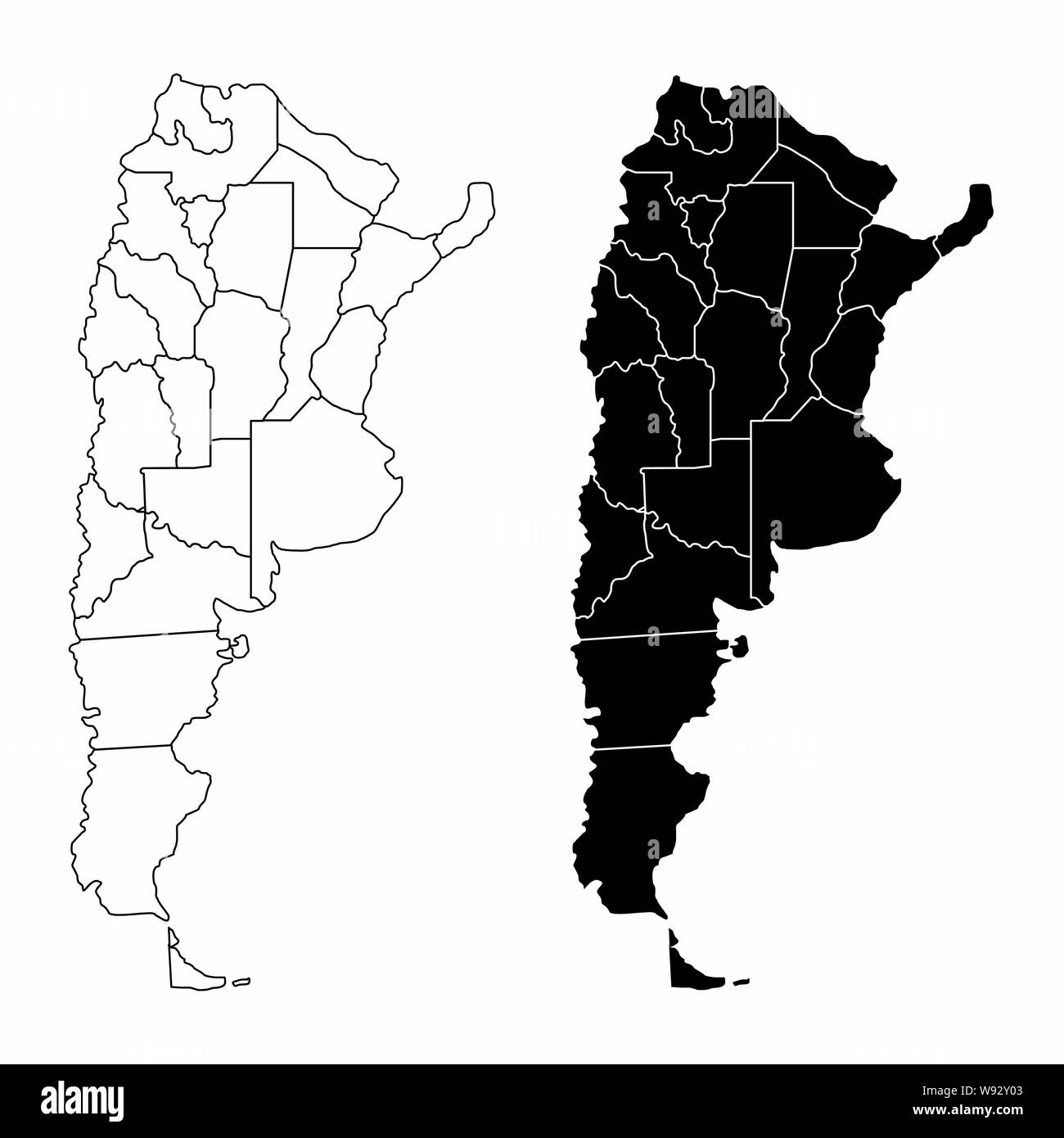 Argentina provinces maps Stock Vectorhttps://www.alamy.com/image-license-details/?v=1https://www.alamy.com/argentina-provinces-maps-image263752499.html
RFW92Y03–Argentina provinces maps
 old vintage flag of one of administrative divisions of argentina called catamarca Stock Photohttps://www.alamy.com/image-license-details/?v=1https://www.alamy.com/stock-photo-old-vintage-flag-of-one-of-administrative-divisions-of-argentina-called-104035174.html
RFG175WX–old vintage flag of one of administrative divisions of argentina called catamarca
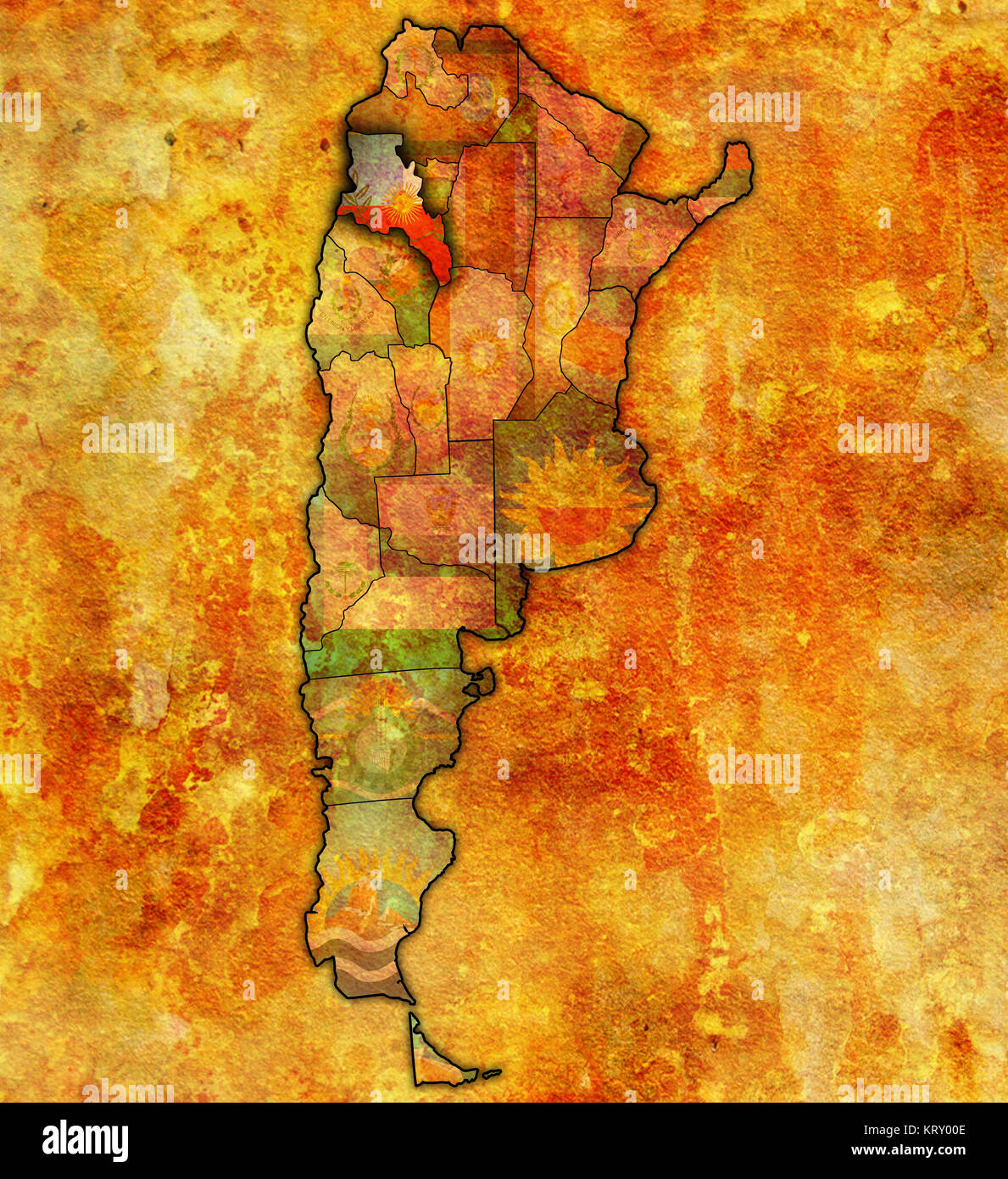 catamarca region territory Stock Photohttps://www.alamy.com/image-license-details/?v=1https://www.alamy.com/stock-image-catamarca-region-territory-169623118.html
RFKRY00E–catamarca region territory
 Famabalasto, AR, Argentina, Catamarca, S 26 47' 9'', S 66 17' 39'', map, Cartascapes Map published in 2024. Explore Cartascapes, a map revealing Earth's diverse landscapes, cultures, and ecosystems. Journey through time and space, discovering the interconnectedness of our planet's past, present, and future. Stock Photohttps://www.alamy.com/image-license-details/?v=1https://www.alamy.com/famabalasto-ar-argentina-catamarca-s-26-47-9-s-66-17-39-map-cartascapes-map-published-in-2024-explore-cartascapes-a-map-revealing-earths-diverse-landscapes-cultures-and-ecosystems-journey-through-time-and-space-discovering-the-interconnectedness-of-our-planets-past-present-and-future-image641537584.html
RM2S7MFMG–Famabalasto, AR, Argentina, Catamarca, S 26 47' 9'', S 66 17' 39'', map, Cartascapes Map published in 2024. Explore Cartascapes, a map revealing Earth's diverse landscapes, cultures, and ecosystems. Journey through time and space, discovering the interconnectedness of our planet's past, present, and future.
 Catamarca, province of Argentina. Low resolution satellite map. Corner auxiliary location maps Stock Photohttps://www.alamy.com/image-license-details/?v=1https://www.alamy.com/catamarca-province-of-argentina-low-resolution-satellite-map-corner-auxiliary-location-maps-image482066700.html
RF2K080YT–Catamarca, province of Argentina. Low resolution satellite map. Corner auxiliary location maps
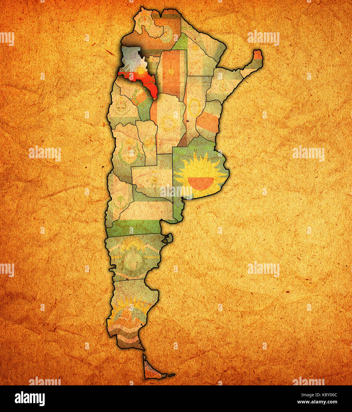 catamarca region territory Stock Photohttps://www.alamy.com/image-license-details/?v=1https://www.alamy.com/stock-image-catamarca-region-territory-169623116.html
RFKRY00C–catamarca region territory
 Vinque, AR, Argentina, Catamarca, S 28 6' 21'', S 67 12' 6'', map, Cartascapes Map published in 2024. Explore Cartascapes, a map revealing Earth's diverse landscapes, cultures, and ecosystems. Journey through time and space, discovering the interconnectedness of our planet's past, present, and future. Stock Photohttps://www.alamy.com/image-license-details/?v=1https://www.alamy.com/vinque-ar-argentina-catamarca-s-28-6-21-s-67-12-6-map-cartascapes-map-published-in-2024-explore-cartascapes-a-map-revealing-earths-diverse-landscapes-cultures-and-ecosystems-journey-through-time-and-space-discovering-the-interconnectedness-of-our-planets-past-present-and-future-image641422636.html
RM2S7F938–Vinque, AR, Argentina, Catamarca, S 28 6' 21'', S 67 12' 6'', map, Cartascapes Map published in 2024. Explore Cartascapes, a map revealing Earth's diverse landscapes, cultures, and ecosystems. Journey through time and space, discovering the interconnectedness of our planet's past, present, and future.
 Catamarca, province of Argentina. High resolution satellite map. Corner auxiliary location maps Stock Photohttps://www.alamy.com/image-license-details/?v=1https://www.alamy.com/catamarca-province-of-argentina-high-resolution-satellite-map-corner-auxiliary-location-maps-image482066396.html
RF2K080H0–Catamarca, province of Argentina. High resolution satellite map. Corner auxiliary location maps
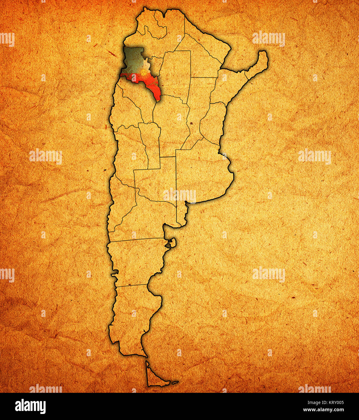 catamarca region territory Stock Photohttps://www.alamy.com/image-license-details/?v=1https://www.alamy.com/stock-image-catamarca-region-territory-169623109.html
RFKRY005–catamarca region territory
 Carrizalillo, AR, Argentina, Catamarca, S 27 55' 59'', S 67 47' 59'', map, Cartascapes Map published in 2024. Explore Cartascapes, a map revealing Earth's diverse landscapes, cultures, and ecosystems. Journey through time and space, discovering the interconnectedness of our planet's past, present, and future. Stock Photohttps://www.alamy.com/image-license-details/?v=1https://www.alamy.com/carrizalillo-ar-argentina-catamarca-s-27-55-59-s-67-47-59-map-cartascapes-map-published-in-2024-explore-cartascapes-a-map-revealing-earths-diverse-landscapes-cultures-and-ecosystems-journey-through-time-and-space-discovering-the-interconnectedness-of-our-planets-past-present-and-future-image641519805.html
RM2S7KN1H–Carrizalillo, AR, Argentina, Catamarca, S 27 55' 59'', S 67 47' 59'', map, Cartascapes Map published in 2024. Explore Cartascapes, a map revealing Earth's diverse landscapes, cultures, and ecosystems. Journey through time and space, discovering the interconnectedness of our planet's past, present, and future.
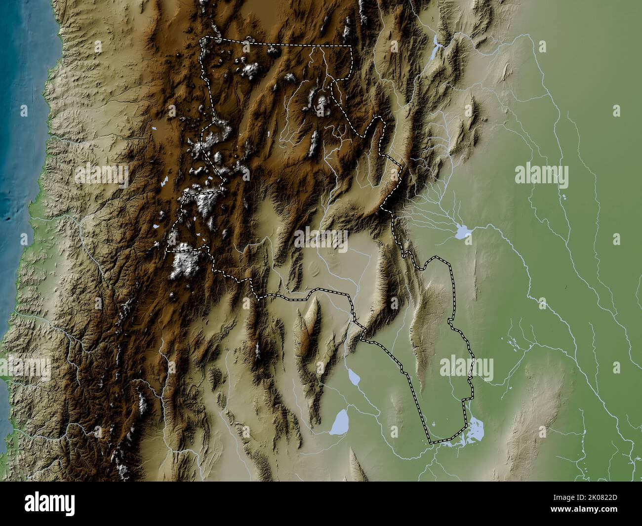 Catamarca, province of Argentina. Elevation map colored in wiki style with lakes and rivers Stock Photohttps://www.alamy.com/image-license-details/?v=1https://www.alamy.com/catamarca-province-of-argentina-elevation-map-colored-in-wiki-style-with-lakes-and-rivers-image482067557.html
RF2K0822D–Catamarca, province of Argentina. Elevation map colored in wiki style with lakes and rivers
 Calalaste, AR, Argentina, Catamarca, S 25 52' 18'', S 67 27' 42'', map, Cartascapes Map published in 2024. Explore Cartascapes, a map revealing Earth's diverse landscapes, cultures, and ecosystems. Journey through time and space, discovering the interconnectedness of our planet's past, present, and future. Stock Photohttps://www.alamy.com/image-license-details/?v=1https://www.alamy.com/calalaste-ar-argentina-catamarca-s-25-52-18-s-67-27-42-map-cartascapes-map-published-in-2024-explore-cartascapes-a-map-revealing-earths-diverse-landscapes-cultures-and-ecosystems-journey-through-time-and-space-discovering-the-interconnectedness-of-our-planets-past-present-and-future-image641417362.html
RM2S7F2AX–Calalaste, AR, Argentina, Catamarca, S 25 52' 18'', S 67 27' 42'', map, Cartascapes Map published in 2024. Explore Cartascapes, a map revealing Earth's diverse landscapes, cultures, and ecosystems. Journey through time and space, discovering the interconnectedness of our planet's past, present, and future.
 Catamarca, province of Argentina. Elevation map colored in sepia tones with lakes and rivers Stock Photohttps://www.alamy.com/image-license-details/?v=1https://www.alamy.com/catamarca-province-of-argentina-elevation-map-colored-in-sepia-tones-with-lakes-and-rivers-image482067292.html
RF2K081N0–Catamarca, province of Argentina. Elevation map colored in sepia tones with lakes and rivers
 Chanarito, AR, Argentina, Catamarca, S 27 39' 57'', S 66 14' 26'', map, Cartascapes Map published in 2024. Explore Cartascapes, a map revealing Earth's diverse landscapes, cultures, and ecosystems. Journey through time and space, discovering the interconnectedness of our planet's past, present, and future. Stock Photohttps://www.alamy.com/image-license-details/?v=1https://www.alamy.com/chanarito-ar-argentina-catamarca-s-27-39-57-s-66-14-26-map-cartascapes-map-published-in-2024-explore-cartascapes-a-map-revealing-earths-diverse-landscapes-cultures-and-ecosystems-journey-through-time-and-space-discovering-the-interconnectedness-of-our-planets-past-present-and-future-image641429794.html
RM2S7FJ6X–Chanarito, AR, Argentina, Catamarca, S 27 39' 57'', S 66 14' 26'', map, Cartascapes Map published in 2024. Explore Cartascapes, a map revealing Earth's diverse landscapes, cultures, and ecosystems. Journey through time and space, discovering the interconnectedness of our planet's past, present, and future.
 Catamarca, province of Argentina. Colored elevation map with lakes and rivers. Corner auxiliary location maps Stock Photohttps://www.alamy.com/image-license-details/?v=1https://www.alamy.com/catamarca-province-of-argentina-colored-elevation-map-with-lakes-and-rivers-corner-auxiliary-location-maps-image482067103.html
RF2K081E7–Catamarca, province of Argentina. Colored elevation map with lakes and rivers. Corner auxiliary location maps
 Vallecito, AR, Argentina, Catamarca, S 28 37' 17'', S 65 15' 1'', map, Cartascapes Map published in 2024. Explore Cartascapes, a map revealing Earth's diverse landscapes, cultures, and ecosystems. Journey through time and space, discovering the interconnectedness of our planet's past, present, and future. Stock Photohttps://www.alamy.com/image-license-details/?v=1https://www.alamy.com/vallecito-ar-argentina-catamarca-s-28-37-17-s-65-15-1-map-cartascapes-map-published-in-2024-explore-cartascapes-a-map-revealing-earths-diverse-landscapes-cultures-and-ecosystems-journey-through-time-and-space-discovering-the-interconnectedness-of-our-planets-past-present-and-future-image641529832.html
RM2S7M5RM–Vallecito, AR, Argentina, Catamarca, S 28 37' 17'', S 65 15' 1'', map, Cartascapes Map published in 2024. Explore Cartascapes, a map revealing Earth's diverse landscapes, cultures, and ecosystems. Journey through time and space, discovering the interconnectedness of our planet's past, present, and future.
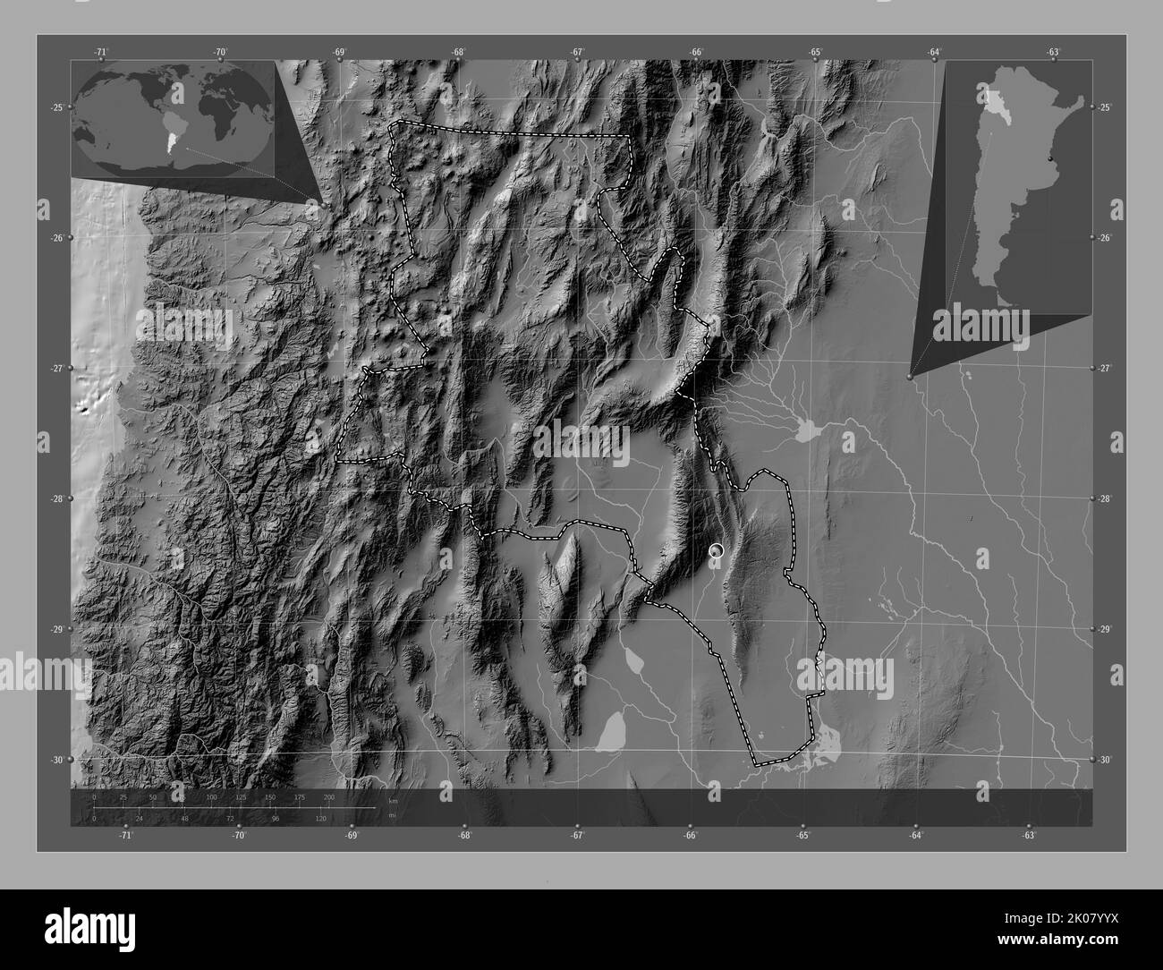 Catamarca, province of Argentina. Bilevel elevation map with lakes and rivers. Corner auxiliary location maps Stock Photohttps://www.alamy.com/image-license-details/?v=1https://www.alamy.com/catamarca-province-of-argentina-bilevel-elevation-map-with-lakes-and-rivers-corner-auxiliary-location-maps-image482065918.html
RF2K07YYX–Catamarca, province of Argentina. Bilevel elevation map with lakes and rivers. Corner auxiliary location maps
 Chuchucaruana, AR, Argentina, Catamarca, S 27 55' 14'', S 65 50' 21'', map, Cartascapes Map published in 2024. Explore Cartascapes, a map revealing Earth's diverse landscapes, cultures, and ecosystems. Journey through time and space, discovering the interconnectedness of our planet's past, present, and future. Stock Photohttps://www.alamy.com/image-license-details/?v=1https://www.alamy.com/chuchucaruana-ar-argentina-catamarca-s-27-55-14-s-65-50-21-map-cartascapes-map-published-in-2024-explore-cartascapes-a-map-revealing-earths-diverse-landscapes-cultures-and-ecosystems-journey-through-time-and-space-discovering-the-interconnectedness-of-our-planets-past-present-and-future-image641476829.html
RM2S7HP6N–Chuchucaruana, AR, Argentina, Catamarca, S 27 55' 14'', S 65 50' 21'', map, Cartascapes Map published in 2024. Explore Cartascapes, a map revealing Earth's diverse landscapes, cultures, and ecosystems. Journey through time and space, discovering the interconnectedness of our planet's past, present, and future.
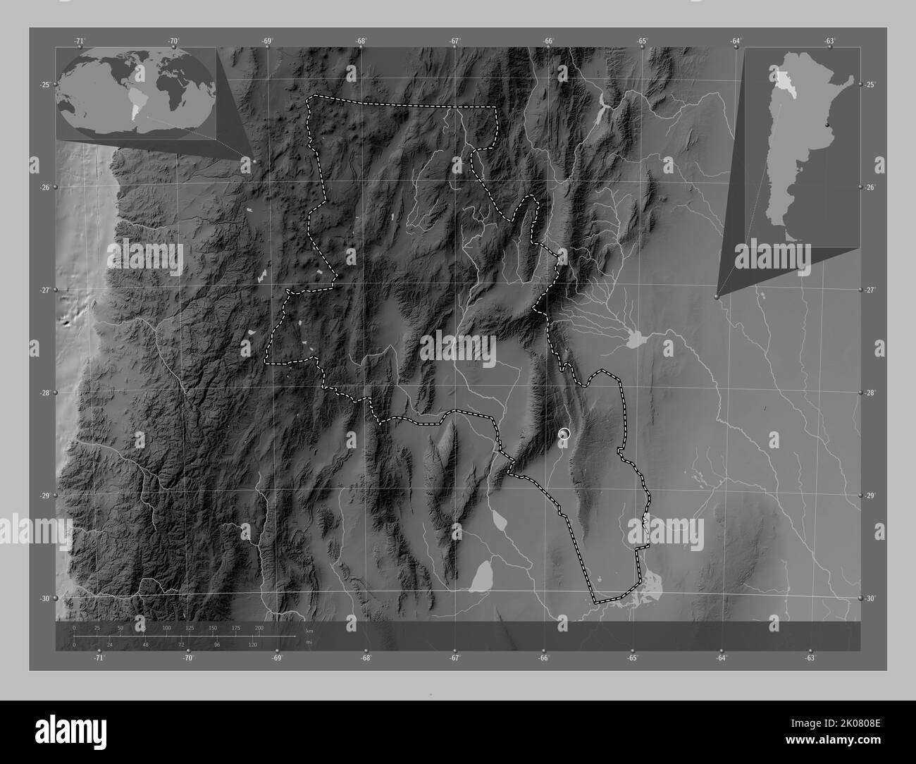 Catamarca, province of Argentina. Grayscale elevation map with lakes and rivers. Corner auxiliary location maps Stock Photohttps://www.alamy.com/image-license-details/?v=1https://www.alamy.com/catamarca-province-of-argentina-grayscale-elevation-map-with-lakes-and-rivers-corner-auxiliary-location-maps-image482066158.html
RF2K0808E–Catamarca, province of Argentina. Grayscale elevation map with lakes and rivers. Corner auxiliary location maps
 Hoyada, AR, Argentina, Catamarca, S 26 52' 59'', S 67 46' 59'', map, Cartascapes Map published in 2024. Explore Cartascapes, a map revealing Earth's diverse landscapes, cultures, and ecosystems. Journey through time and space, discovering the interconnectedness of our planet's past, present, and future. Stock Photohttps://www.alamy.com/image-license-details/?v=1https://www.alamy.com/hoyada-ar-argentina-catamarca-s-26-52-59-s-67-46-59-map-cartascapes-map-published-in-2024-explore-cartascapes-a-map-revealing-earths-diverse-landscapes-cultures-and-ecosystems-journey-through-time-and-space-discovering-the-interconnectedness-of-our-planets-past-present-and-future-image641500770.html
RM2S7JTNP–Hoyada, AR, Argentina, Catamarca, S 26 52' 59'', S 67 46' 59'', map, Cartascapes Map published in 2024. Explore Cartascapes, a map revealing Earth's diverse landscapes, cultures, and ecosystems. Journey through time and space, discovering the interconnectedness of our planet's past, present, and future.
 Catamarca, province of Argentina. Open Street Map. Locations of major cities of the region. Corner auxiliary location maps Stock Photohttps://www.alamy.com/image-license-details/?v=1https://www.alamy.com/catamarca-province-of-argentina-open-street-map-locations-of-major-cities-of-the-region-corner-auxiliary-location-maps-image482066784.html
RF2K0812T–Catamarca, province of Argentina. Open Street Map. Locations of major cities of the region. Corner auxiliary location maps
 Tuscha, AR, Argentina, Catamarca, S 28 22' 0'', S 66 35' 59'', map, Cartascapes Map published in 2024. Explore Cartascapes, a map revealing Earth's diverse landscapes, cultures, and ecosystems. Journey through time and space, discovering the interconnectedness of our planet's past, present, and future. Stock Photohttps://www.alamy.com/image-license-details/?v=1https://www.alamy.com/tuscha-ar-argentina-catamarca-s-28-22-0-s-66-35-59-map-cartascapes-map-published-in-2024-explore-cartascapes-a-map-revealing-earths-diverse-landscapes-cultures-and-ecosystems-journey-through-time-and-space-discovering-the-interconnectedness-of-our-planets-past-present-and-future-image641540132.html
RM2S7MJYG–Tuscha, AR, Argentina, Catamarca, S 28 22' 0'', S 66 35' 59'', map, Cartascapes Map published in 2024. Explore Cartascapes, a map revealing Earth's diverse landscapes, cultures, and ecosystems. Journey through time and space, discovering the interconnectedness of our planet's past, present, and future.
 Shape of Catamarca, province of Argentina, with its capital isolated on white background. Bilevel elevation map. 3D rendering Stock Photohttps://www.alamy.com/image-license-details/?v=1https://www.alamy.com/shape-of-catamarca-province-of-argentina-with-its-capital-isolated-on-white-background-bilevel-elevation-map-3d-rendering-image368235184.html
RF2CB2FMG–Shape of Catamarca, province of Argentina, with its capital isolated on white background. Bilevel elevation map. 3D rendering
 Collagasta, AR, Argentina, Catamarca, S 28 20' 6'', S 65 18' 12'', map, Cartascapes Map published in 2024. Explore Cartascapes, a map revealing Earth's diverse landscapes, cultures, and ecosystems. Journey through time and space, discovering the interconnectedness of our planet's past, present, and future. Stock Photohttps://www.alamy.com/image-license-details/?v=1https://www.alamy.com/collagasta-ar-argentina-catamarca-s-28-20-6-s-65-18-12-map-cartascapes-map-published-in-2024-explore-cartascapes-a-map-revealing-earths-diverse-landscapes-cultures-and-ecosystems-journey-through-time-and-space-discovering-the-interconnectedness-of-our-planets-past-present-and-future-image641510519.html
RM2S7K95Y–Collagasta, AR, Argentina, Catamarca, S 28 20' 6'', S 65 18' 12'', map, Cartascapes Map published in 2024. Explore Cartascapes, a map revealing Earth's diverse landscapes, cultures, and ecosystems. Journey through time and space, discovering the interconnectedness of our planet's past, present, and future.
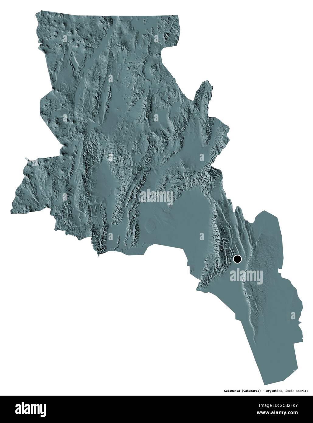 Shape of Catamarca, province of Argentina, with its capital isolated on white background. Colored elevation map. 3D rendering Stock Photohttps://www.alamy.com/image-license-details/?v=1https://www.alamy.com/shape-of-catamarca-province-of-argentina-with-its-capital-isolated-on-white-background-colored-elevation-map-3d-rendering-image368235167.html
RF2CB2FKY–Shape of Catamarca, province of Argentina, with its capital isolated on white background. Colored elevation map. 3D rendering
 Ampujaco, AR, Argentina, Catamarca, S 27 26' 30'', S 66 44' 6'', map, Cartascapes Map published in 2024. Explore Cartascapes, a map revealing Earth's diverse landscapes, cultures, and ecosystems. Journey through time and space, discovering the interconnectedness of our planet's past, present, and future. Stock Photohttps://www.alamy.com/image-license-details/?v=1https://www.alamy.com/ampujaco-ar-argentina-catamarca-s-27-26-30-s-66-44-6-map-cartascapes-map-published-in-2024-explore-cartascapes-a-map-revealing-earths-diverse-landscapes-cultures-and-ecosystems-journey-through-time-and-space-discovering-the-interconnectedness-of-our-planets-past-present-and-future-image641539255.html
RM2S7MHT7–Ampujaco, AR, Argentina, Catamarca, S 27 26' 30'', S 66 44' 6'', map, Cartascapes Map published in 2024. Explore Cartascapes, a map revealing Earth's diverse landscapes, cultures, and ecosystems. Journey through time and space, discovering the interconnectedness of our planet's past, present, and future.
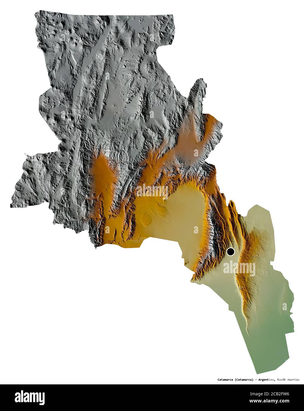 Shape of Catamarca, province of Argentina, with its capital isolated on white background. Topographic relief map. 3D rendering Stock Photohttps://www.alamy.com/image-license-details/?v=1https://www.alamy.com/shape-of-catamarca-province-of-argentina-with-its-capital-isolated-on-white-background-topographic-relief-map-3d-rendering-image368235314.html
RF2CB2FW6–Shape of Catamarca, province of Argentina, with its capital isolated on white background. Topographic relief map. 3D rendering
 Brandsen, AR, Argentina, Catamarca, S 35 7' 0'', S 58 13' 0'', map, Cartascapes Map published in 2024. Explore Cartascapes, a map revealing Earth's diverse landscapes, cultures, and ecosystems. Journey through time and space, discovering the interconnectedness of our planet's past, present, and future. Stock Photohttps://www.alamy.com/image-license-details/?v=1https://www.alamy.com/brandsen-ar-argentina-catamarca-s-35-7-0-s-58-13-0-map-cartascapes-map-published-in-2024-explore-cartascapes-a-map-revealing-earths-diverse-landscapes-cultures-and-ecosystems-journey-through-time-and-space-discovering-the-interconnectedness-of-our-planets-past-present-and-future-image641518524.html
RM2S7KKBT–Brandsen, AR, Argentina, Catamarca, S 35 7' 0'', S 58 13' 0'', map, Cartascapes Map published in 2024. Explore Cartascapes, a map revealing Earth's diverse landscapes, cultures, and ecosystems. Journey through time and space, discovering the interconnectedness of our planet's past, present, and future.
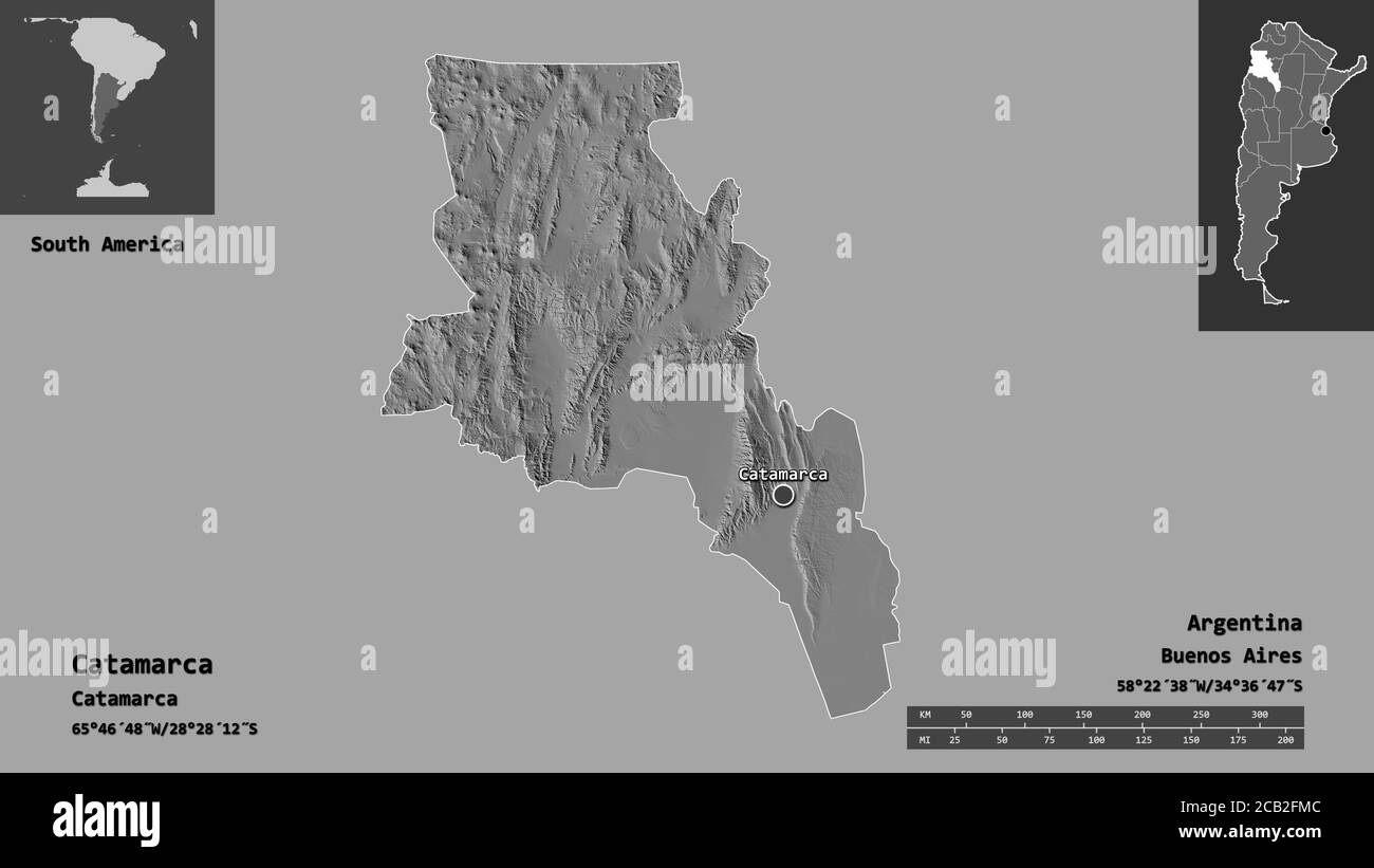 Shape of Catamarca, province of Argentina, and its capital. Distance scale, previews and labels. Bilevel elevation map. 3D rendering Stock Photohttps://www.alamy.com/image-license-details/?v=1https://www.alamy.com/shape-of-catamarca-province-of-argentina-and-its-capital-distance-scale-previews-and-labels-bilevel-elevation-map-3d-rendering-image368235180.html
RF2CB2FMC–Shape of Catamarca, province of Argentina, and its capital. Distance scale, previews and labels. Bilevel elevation map. 3D rendering
 Pajanguillo, AR, Argentina, Catamarca, S 26 58' 43'', S 66 7' 7'', map, Cartascapes Map published in 2024. Explore Cartascapes, a map revealing Earth's diverse landscapes, cultures, and ecosystems. Journey through time and space, discovering the interconnectedness of our planet's past, present, and future. Stock Photohttps://www.alamy.com/image-license-details/?v=1https://www.alamy.com/pajanguillo-ar-argentina-catamarca-s-26-58-43-s-66-7-7-map-cartascapes-map-published-in-2024-explore-cartascapes-a-map-revealing-earths-diverse-landscapes-cultures-and-ecosystems-journey-through-time-and-space-discovering-the-interconnectedness-of-our-planets-past-present-and-future-image641482526.html
RM2S7J1E6–Pajanguillo, AR, Argentina, Catamarca, S 26 58' 43'', S 66 7' 7'', map, Cartascapes Map published in 2024. Explore Cartascapes, a map revealing Earth's diverse landscapes, cultures, and ecosystems. Journey through time and space, discovering the interconnectedness of our planet's past, present, and future.
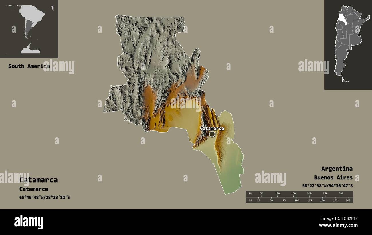 Shape of Catamarca, province of Argentina, and its capital. Distance scale, previews and labels. Topographic relief map. 3D rendering Stock Photohttps://www.alamy.com/image-license-details/?v=1https://www.alamy.com/shape-of-catamarca-province-of-argentina-and-its-capital-distance-scale-previews-and-labels-topographic-relief-map-3d-rendering-image368235288.html
RF2CB2FT8–Shape of Catamarca, province of Argentina, and its capital. Distance scale, previews and labels. Topographic relief map. 3D rendering
 Amaglia, AR, Argentina, Catamarca, S 28 43' 57'', S 65 10' 27'', map, Cartascapes Map published in 2024. Explore Cartascapes, a map revealing Earth's diverse landscapes, cultures, and ecosystems. Journey through time and space, discovering the interconnectedness of our planet's past, present, and future. Stock Photohttps://www.alamy.com/image-license-details/?v=1https://www.alamy.com/amaglia-ar-argentina-catamarca-s-28-43-57-s-65-10-27-map-cartascapes-map-published-in-2024-explore-cartascapes-a-map-revealing-earths-diverse-landscapes-cultures-and-ecosystems-journey-through-time-and-space-discovering-the-interconnectedness-of-our-planets-past-present-and-future-image641496705.html
RM2S7JKGH–Amaglia, AR, Argentina, Catamarca, S 28 43' 57'', S 65 10' 27'', map, Cartascapes Map published in 2024. Explore Cartascapes, a map revealing Earth's diverse landscapes, cultures, and ecosystems. Journey through time and space, discovering the interconnectedness of our planet's past, present, and future.
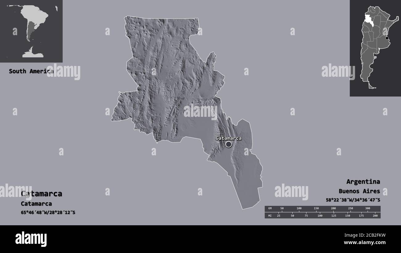 Shape of Catamarca, province of Argentina, and its capital. Distance scale, previews and labels. Colored elevation map. 3D rendering Stock Photohttps://www.alamy.com/image-license-details/?v=1https://www.alamy.com/shape-of-catamarca-province-of-argentina-and-its-capital-distance-scale-previews-and-labels-colored-elevation-map-3d-rendering-image368235165.html
RF2CB2FKW–Shape of Catamarca, province of Argentina, and its capital. Distance scale, previews and labels. Colored elevation map. 3D rendering