Quick filters:
Map of chalmette Stock Photos and Images
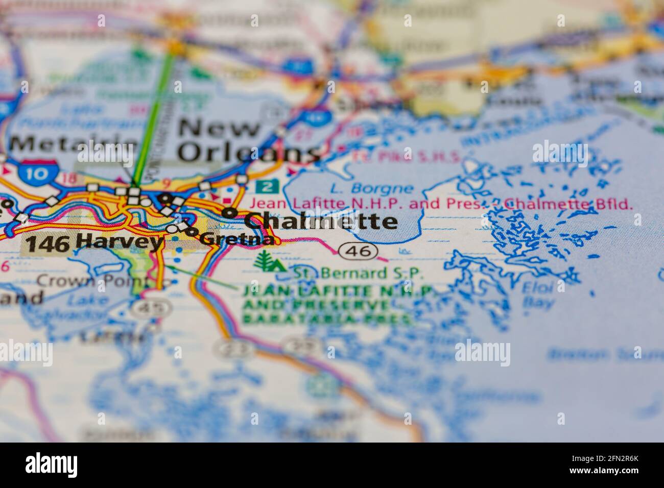 Chalmette Louisiana USA Shown on a Geography map or road map Stock Photohttps://www.alamy.com/image-license-details/?v=1https://www.alamy.com/chalmette-louisiana-usa-shown-on-a-geography-map-or-road-map-image426018731.html
RM2FN2R6K–Chalmette Louisiana USA Shown on a Geography map or road map
 Chalmette, Saint Bernard Parish, US, United States, Louisiana, N 29 56' 34'', S 89 57' 55'', map, Cartascapes Map published in 2024. Explore Cartascapes, a map revealing Earth's diverse landscapes, cultures, and ecosystems. Journey through time and space, discovering the interconnectedness of our planet's past, present, and future. Stock Photohttps://www.alamy.com/image-license-details/?v=1https://www.alamy.com/chalmette-saint-bernard-parish-us-united-states-louisiana-n-29-56-34-s-89-57-55-map-cartascapes-map-published-in-2024-explore-cartascapes-a-map-revealing-earths-diverse-landscapes-cultures-and-ecosystems-journey-through-time-and-space-discovering-the-interconnectedness-of-our-planets-past-present-and-future-image621436450.html
RM2Y30TEX–Chalmette, Saint Bernard Parish, US, United States, Louisiana, N 29 56' 34'', S 89 57' 55'', map, Cartascapes Map published in 2024. Explore Cartascapes, a map revealing Earth's diverse landscapes, cultures, and ecosystems. Journey through time and space, discovering the interconnectedness of our planet's past, present, and future.
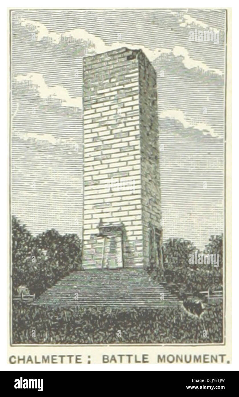 US LA(1891) p298 CHALMETTE, BATTLE MONUMENT Stock Photohttps://www.alamy.com/image-license-details/?v=1https://www.alamy.com/us-la1891-p298-chalmette-battle-monument-image154605329.html
RMJYETJW–US LA(1891) p298 CHALMETTE, BATTLE MONUMENT
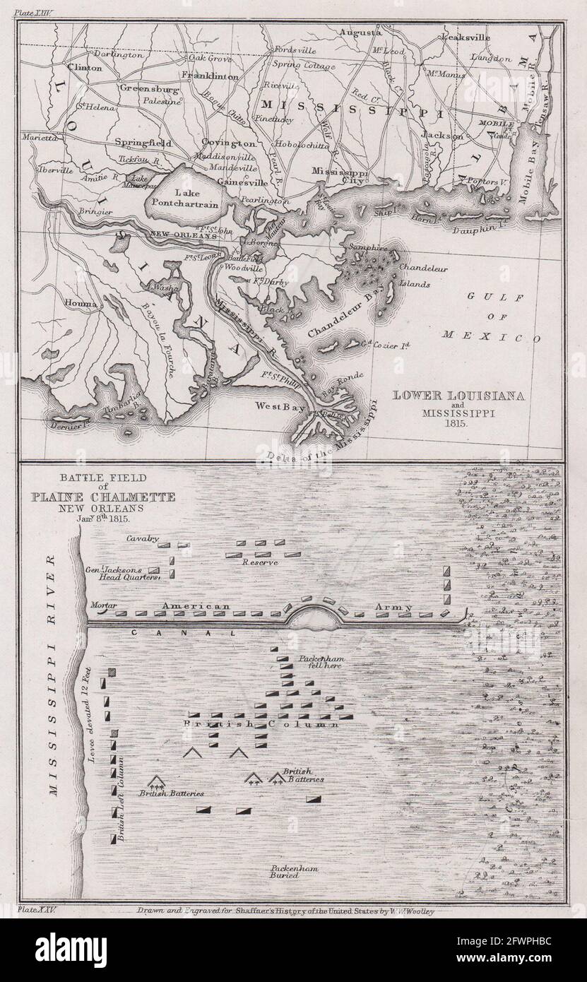 War of 1812. Battle of New Orleans 1815. Louisiana Chalmette 1863 old map Stock Photohttps://www.alamy.com/image-license-details/?v=1https://www.alamy.com/war-of-1812-battle-of-new-orleans-1815-louisiana-chalmette-1863-old-map-image428911824.html
RF2FWPHBC–War of 1812. Battle of New Orleans 1815. Louisiana Chalmette 1863 old map
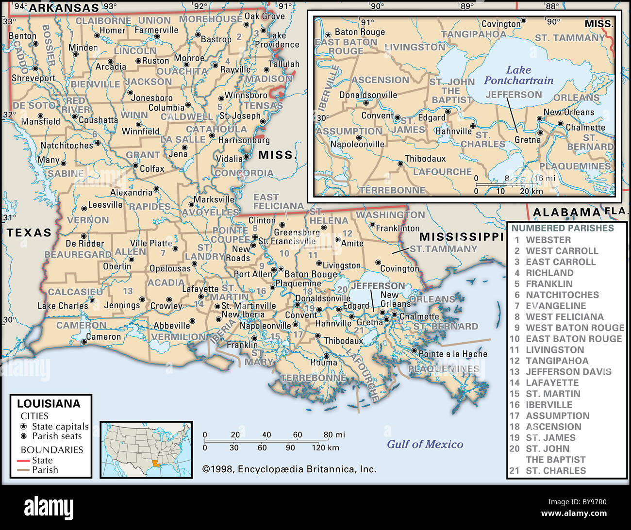 Political map of Louisiana Stock Photohttps://www.alamy.com/image-license-details/?v=1https://www.alamy.com/stock-photo-political-map-of-louisiana-34009780.html
RMBY97R0–Political map of Louisiana
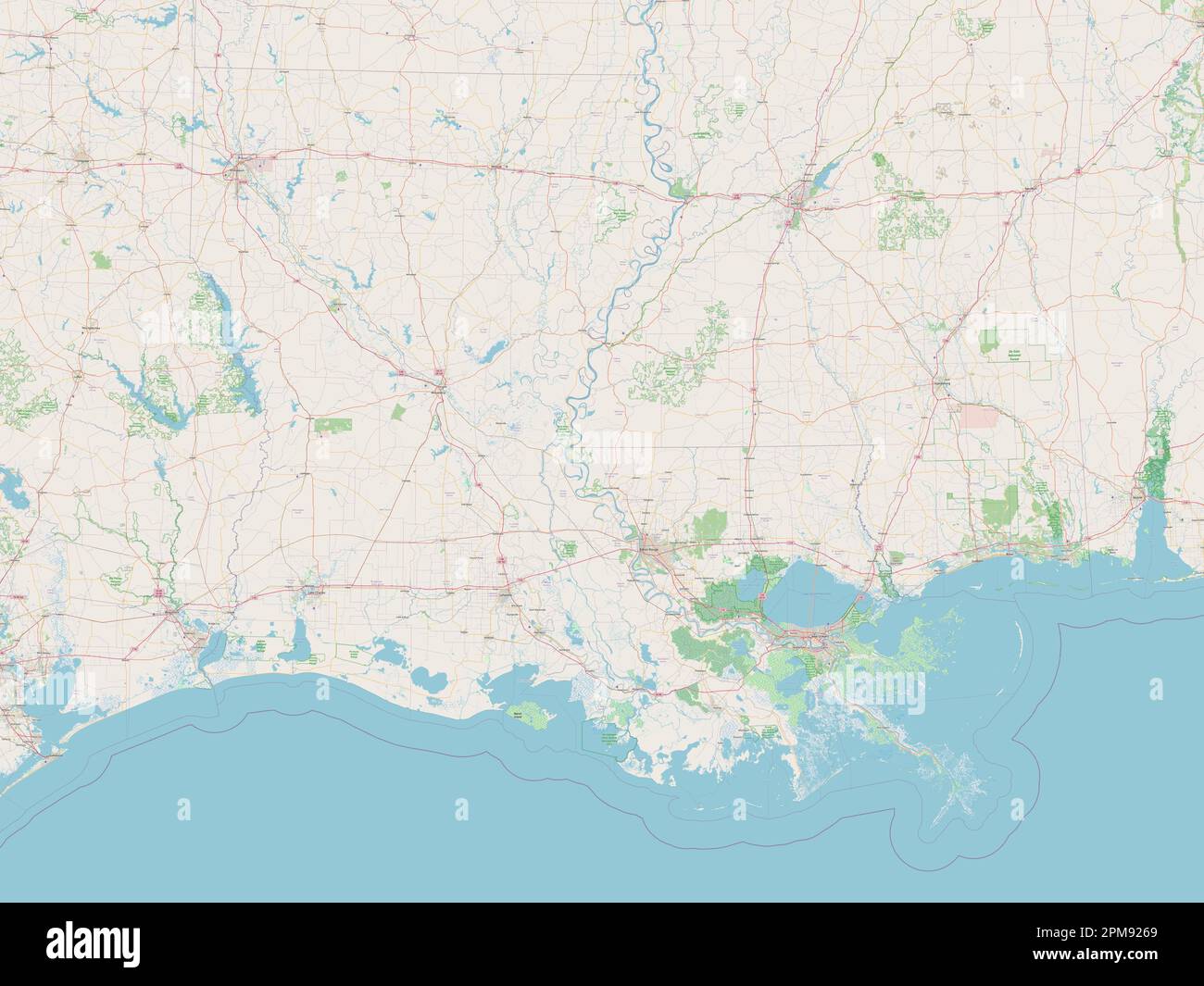 Louisiana, state of United States of America. Open Street Map Stock Photohttps://www.alamy.com/image-license-details/?v=1https://www.alamy.com/louisiana-state-of-united-states-of-america-open-street-map-image546013841.html
RF2PM9269–Louisiana, state of United States of America. Open Street Map
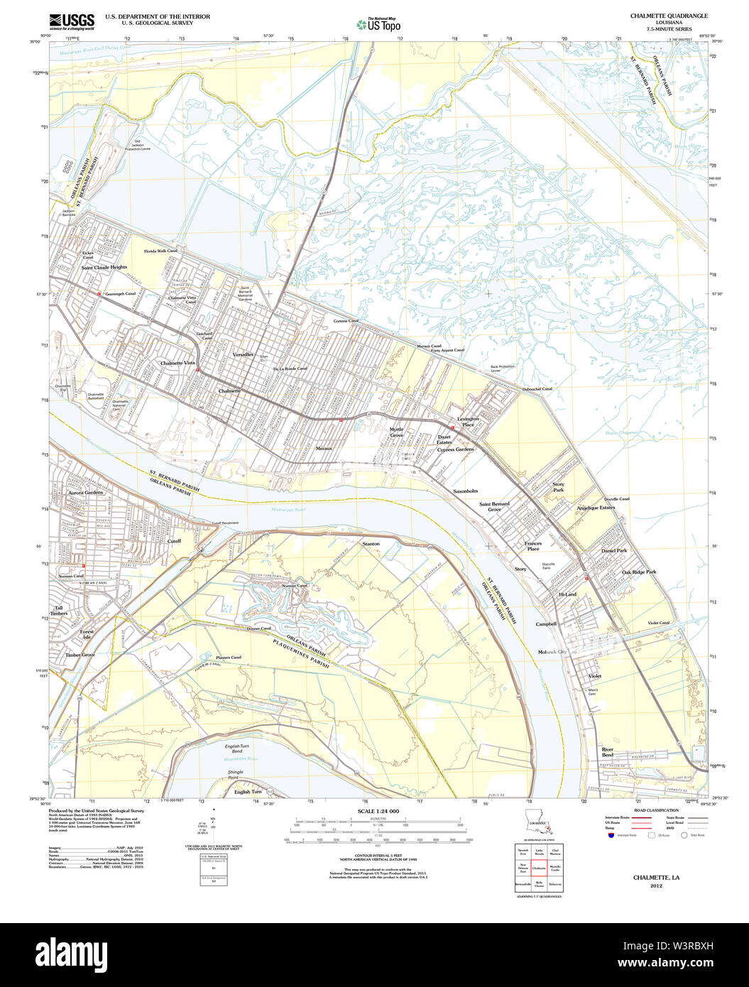 USGS TOPO Map Louisiana LA Chalmette 20120416 TM Restoration Stock Photohttps://www.alamy.com/image-license-details/?v=1https://www.alamy.com/usgs-topo-map-louisiana-la-chalmette-20120416-tm-restoration-image260513753.html
RMW3RBXH–USGS TOPO Map Louisiana LA Chalmette 20120416 TM Restoration
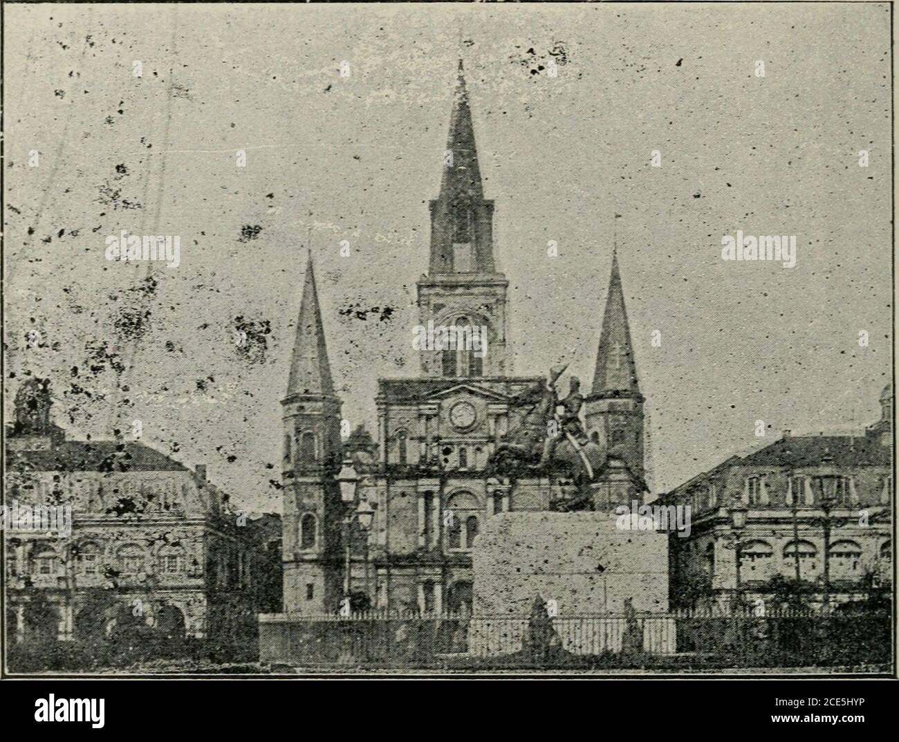 . The Creole tourist's guide and sketch book to the city of New Orleans, with map . and art has received recognition, the cityhas raised memorials to more than a dozen persons. Another case of neglect, fully as great as that shown Bienville,is the decayed condition of the monument erected in honor of thebattle of New Orleans. The .Jackson monument, as this is called, on the plains of Chal-mette, named in honor of the old bachelor planter who owned thegrounds—Chalmette—is situated about a mile below the slaughter-house. You reach it via the Levee & Barracks cars and walk alongthe levee. 114 THE Stock Photohttps://www.alamy.com/image-license-details/?v=1https://www.alamy.com/the-creole-tourists-guide-and-sketch-book-to-the-city-of-new-orleans-with-map-and-art-has-received-recognition-the-cityhas-raised-memorials-to-more-than-a-dozen-persons-another-case-of-neglect-fully-as-great-as-that-shown-bienvilleis-the-decayed-condition-of-the-monument-erected-in-honor-of-thebattle-of-new-orleans-the-jackson-monument-as-this-is-called-on-the-plains-of-chal-mette-named-in-honor-of-the-old-bachelor-planter-who-owned-thegroundschalmetteis-situated-about-a-mile-below-the-slaughter-house-you-reach-it-via-the-levee-barracks-cars-and-walk-alongthe-levee-114-the-image370146778.html
RM2CE5HYP–. The Creole tourist's guide and sketch book to the city of New Orleans, with map . and art has received recognition, the cityhas raised memorials to more than a dozen persons. Another case of neglect, fully as great as that shown Bienville,is the decayed condition of the monument erected in honor of thebattle of New Orleans. The .Jackson monument, as this is called, on the plains of Chal-mette, named in honor of the old bachelor planter who owned thegrounds—Chalmette—is situated about a mile below the slaughter-house. You reach it via the Levee & Barracks cars and walk alongthe levee. 114 THE
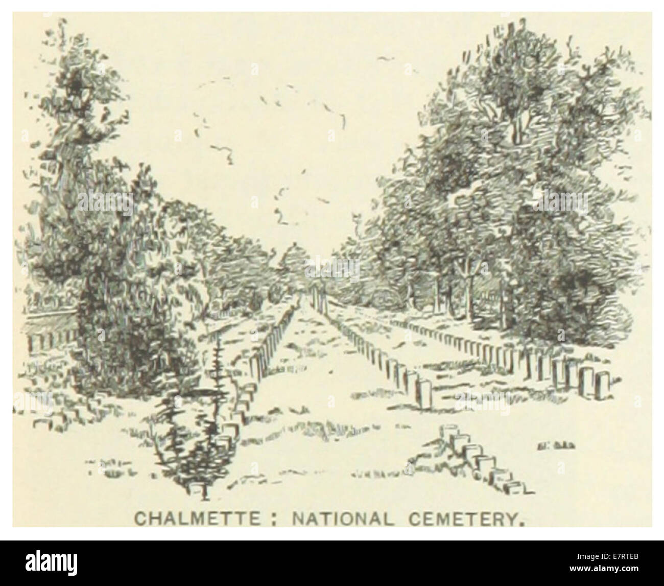 US-LA(1891) p299 CHALMETTE, NATIONAL CEMETERY Stock Photohttps://www.alamy.com/image-license-details/?v=1https://www.alamy.com/stock-photo-us-la1891-p299-chalmette-national-cemetery-73668179.html
RME7RTEB–US-LA(1891) p299 CHALMETTE, NATIONAL CEMETERY
 St. Bernard County, Louisiana (U.S. county, United States of America, USA, U.S., US) map vector illustration, scribble sketch Saint Bernard Parish map Stock Vectorhttps://www.alamy.com/image-license-details/?v=1https://www.alamy.com/st-bernard-county-louisiana-us-county-united-states-of-america-usa-us-us-map-vector-illustration-scribble-sketch-saint-bernard-parish-map-image384574882.html
RF2D9JW56–St. Bernard County, Louisiana (U.S. county, United States of America, USA, U.S., US) map vector illustration, scribble sketch Saint Bernard Parish map
 Chalmette, Saint Bernard Parish, US, United States, Louisiana, N 29 56' 34'', S 89 57' 55'', map, Cartascapes Map published in 2024. Explore Cartascapes, a map revealing Earth's diverse landscapes, cultures, and ecosystems. Journey through time and space, discovering the interconnectedness of our planet's past, present, and future. Stock Photohttps://www.alamy.com/image-license-details/?v=1https://www.alamy.com/chalmette-saint-bernard-parish-us-united-states-louisiana-n-29-56-34-s-89-57-55-map-cartascapes-map-published-in-2024-explore-cartascapes-a-map-revealing-earths-diverse-landscapes-cultures-and-ecosystems-journey-through-time-and-space-discovering-the-interconnectedness-of-our-planets-past-present-and-future-image621254672.html
RM2Y2MGJT–Chalmette, Saint Bernard Parish, US, United States, Louisiana, N 29 56' 34'', S 89 57' 55'', map, Cartascapes Map published in 2024. Explore Cartascapes, a map revealing Earth's diverse landscapes, cultures, and ecosystems. Journey through time and space, discovering the interconnectedness of our planet's past, present, and future.
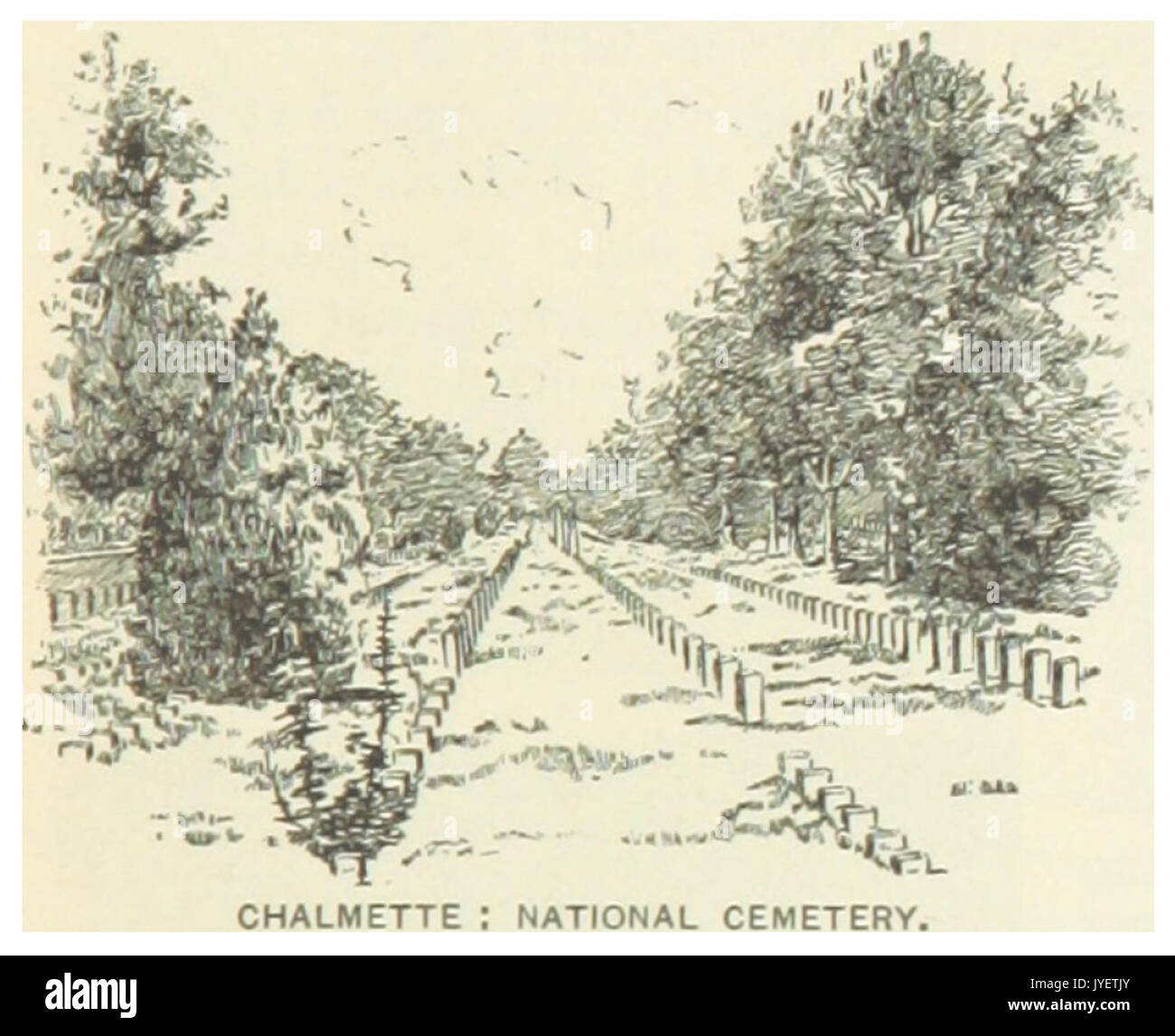 US LA(1891) p299 CHALMETTE, NATIONAL CEMETERY Stock Photohttps://www.alamy.com/image-license-details/?v=1https://www.alamy.com/us-la1891-p299-chalmette-national-cemetery-image154605331.html
RMJYETJY–US LA(1891) p299 CHALMETTE, NATIONAL CEMETERY
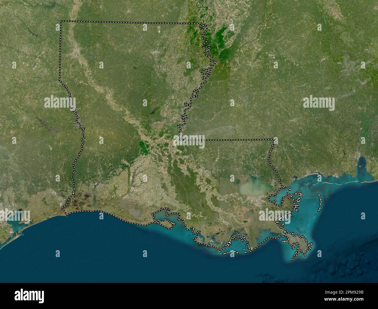 Louisiana, state of United States of America. Low resolution satellite map Stock Photohttps://www.alamy.com/image-license-details/?v=1https://www.alamy.com/louisiana-state-of-united-states-of-america-low-resolution-satellite-map-image546013927.html
RF2PM929B–Louisiana, state of United States of America. Low resolution satellite map
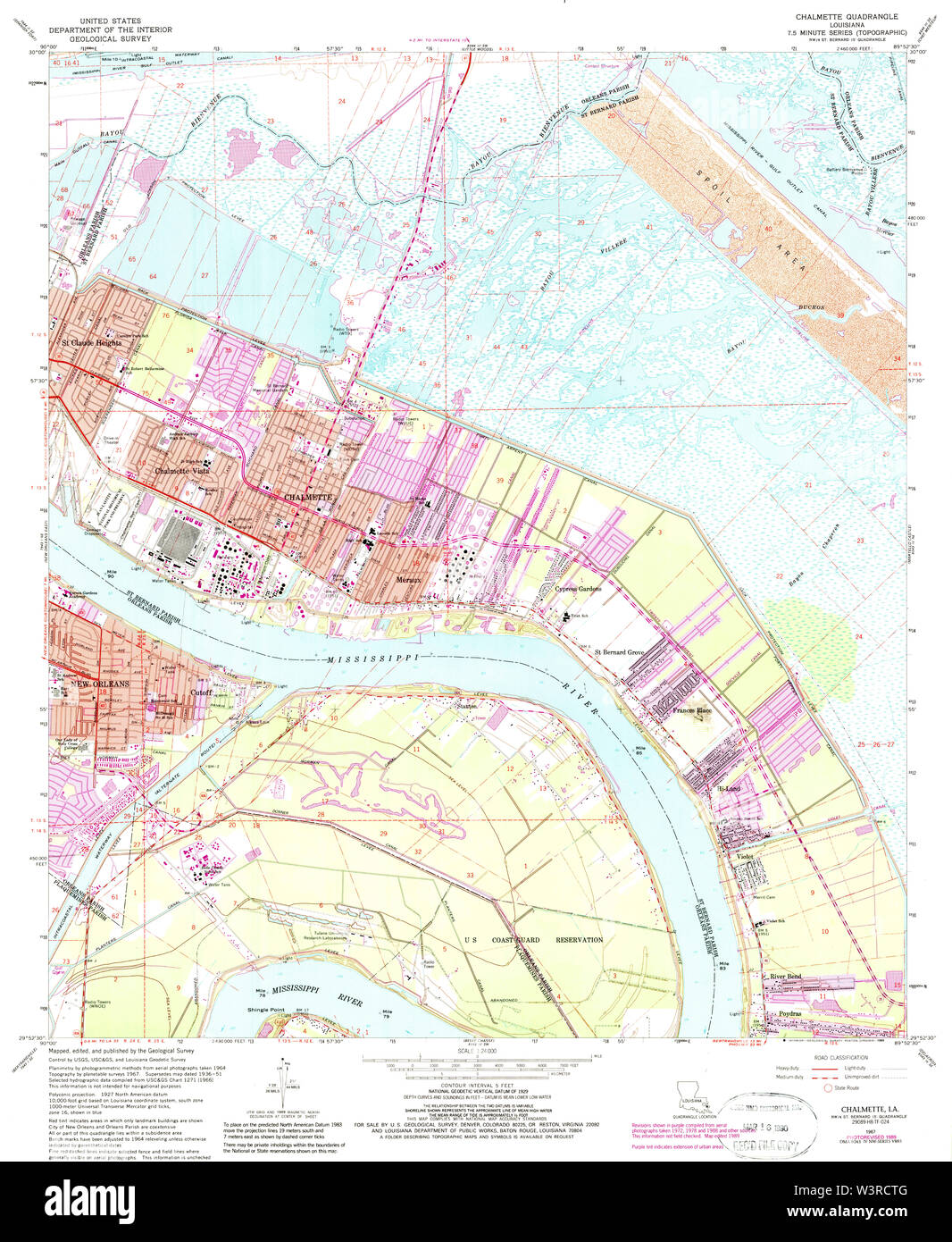 USGS TOPO Map Louisiana LA Chalmette 331656 1967 24000 Restoration Stock Photohttps://www.alamy.com/image-license-details/?v=1https://www.alamy.com/usgs-topo-map-louisiana-la-chalmette-331656-1967-24000-restoration-image260514480.html
RMW3RCTG–USGS TOPO Map Louisiana LA Chalmette 331656 1967 24000 Restoration
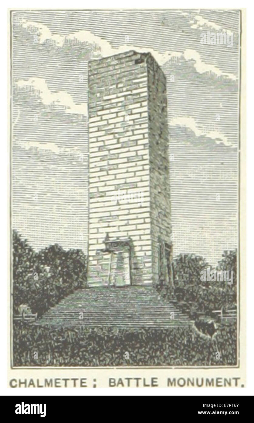 US-LA(1891) p298 CHALMETTE, BATTLE MONUMENT Stock Photohttps://www.alamy.com/image-license-details/?v=1https://www.alamy.com/stock-photo-us-la1891-p298-chalmette-battle-monument-73667971.html
RME7RT6Y–US-LA(1891) p298 CHALMETTE, BATTLE MONUMENT
 St. Bernard County, Louisiana (U.S. county, United States of America, USA, U.S., US) map vector illustration, scribble sketch Saint Bernard Parish map Stock Vectorhttps://www.alamy.com/image-license-details/?v=1https://www.alamy.com/st-bernard-county-louisiana-us-county-united-states-of-america-usa-us-us-map-vector-illustration-scribble-sketch-saint-bernard-parish-map-image370968544.html
RF2CFF24G–St. Bernard County, Louisiana (U.S. county, United States of America, USA, U.S., US) map vector illustration, scribble sketch Saint Bernard Parish map
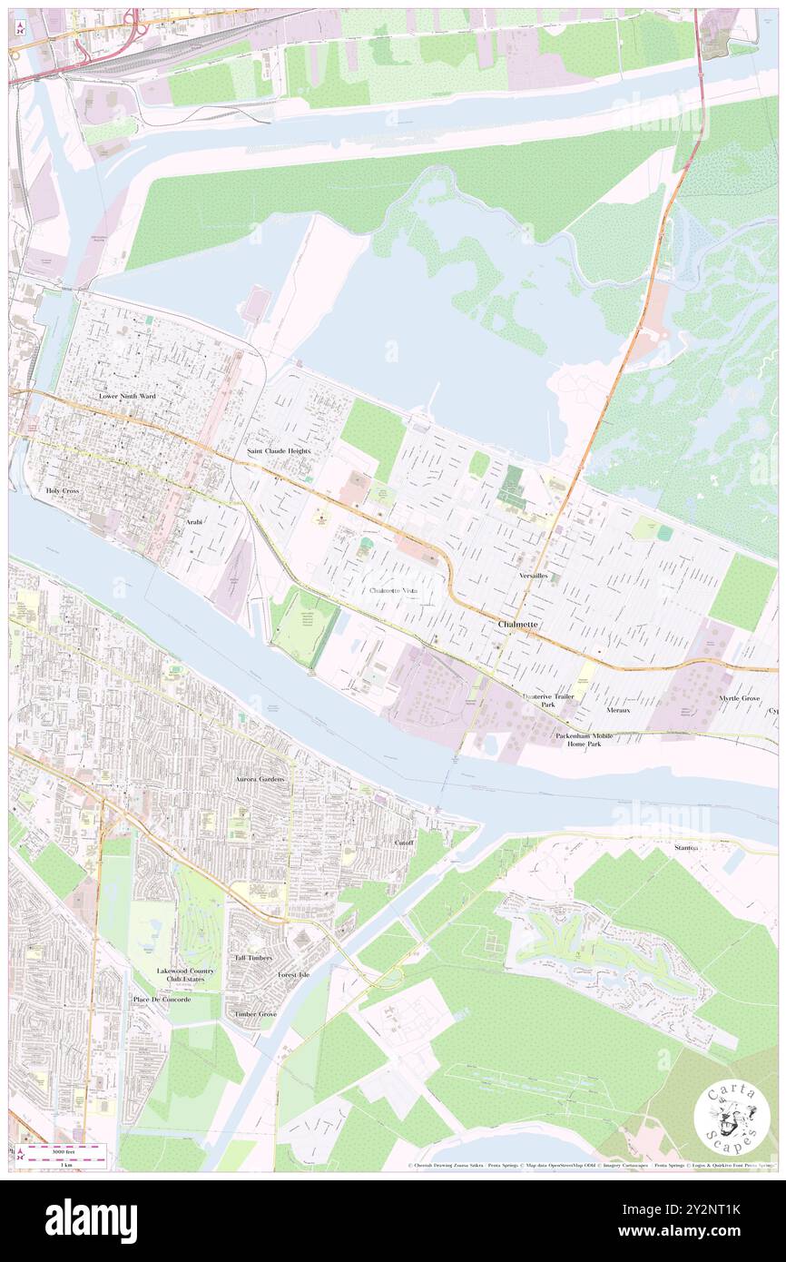 Chalmette Vista, Saint Bernard Parish, US, United States, Louisiana, N 29 56' 47'', S 89 58' 45'', map, Cartascapes Map published in 2024. Explore Cartascapes, a map revealing Earth's diverse landscapes, cultures, and ecosystems. Journey through time and space, discovering the interconnectedness of our planet's past, present, and future. Stock Photohttps://www.alamy.com/image-license-details/?v=1https://www.alamy.com/chalmette-vista-saint-bernard-parish-us-united-states-louisiana-n-29-56-47-s-89-58-45-map-cartascapes-map-published-in-2024-explore-cartascapes-a-map-revealing-earths-diverse-landscapes-cultures-and-ecosystems-journey-through-time-and-space-discovering-the-interconnectedness-of-our-planets-past-present-and-future-image621282415.html
RM2Y2NT1K–Chalmette Vista, Saint Bernard Parish, US, United States, Louisiana, N 29 56' 47'', S 89 58' 45'', map, Cartascapes Map published in 2024. Explore Cartascapes, a map revealing Earth's diverse landscapes, cultures, and ecosystems. Journey through time and space, discovering the interconnectedness of our planet's past, present, and future.
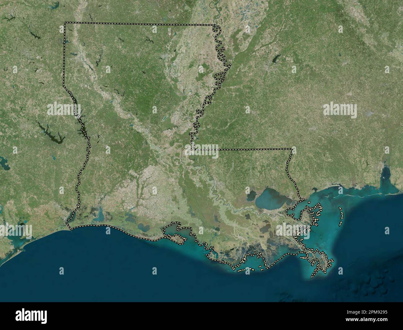 Louisiana, state of United States of America. High resolution satellite map Stock Photohttps://www.alamy.com/image-license-details/?v=1https://www.alamy.com/louisiana-state-of-united-states-of-america-high-resolution-satellite-map-image546013921.html
RF2PM9295–Louisiana, state of United States of America. High resolution satellite map
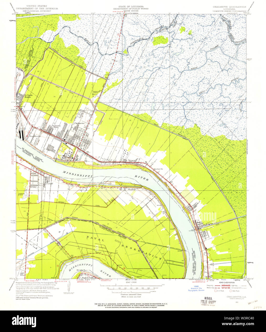 USGS TOPO Map Louisiana LA Chalmette 331650 1951 24000 Restoration Stock Photohttps://www.alamy.com/image-license-details/?v=1https://www.alamy.com/usgs-topo-map-louisiana-la-chalmette-331650-1951-24000-restoration-image260513904.html
RMW3RC40–USGS TOPO Map Louisiana LA Chalmette 331650 1951 24000 Restoration
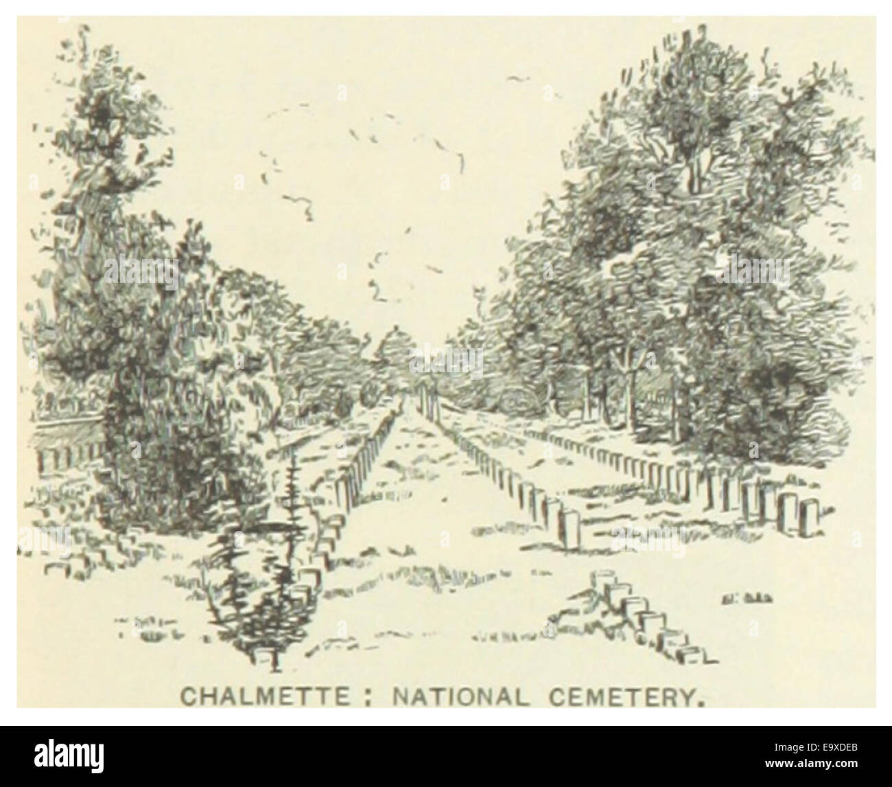 US-LA(1891) p299 CHALMETTE, NATIONAL CEMETERY Stock Photohttps://www.alamy.com/image-license-details/?v=1https://www.alamy.com/stock-photo-us-la1891-p299-chalmette-national-cemetery-74954723.html
RME9XDEB–US-LA(1891) p299 CHALMETTE, NATIONAL CEMETERY
 St. Bernard County, Louisiana (U.S. county, United States of America, USA, U.S., US) map vector illustration, scribble sketch Saint Bernard Parish map Stock Vectorhttps://www.alamy.com/image-license-details/?v=1https://www.alamy.com/st-bernard-county-louisiana-us-county-united-states-of-america-usa-us-us-map-vector-illustration-scribble-sketch-saint-bernard-parish-map-image382717281.html
RF2D6J7P9–St. Bernard County, Louisiana (U.S. county, United States of America, USA, U.S., US) map vector illustration, scribble sketch Saint Bernard Parish map
 Chalmette Mobile Home Park, Saint Bernard Parish, US, United States, Louisiana, N 29 56' 34'', S 89 58' 27'', map, Cartascapes Map published in 2024. Explore Cartascapes, a map revealing Earth's diverse landscapes, cultures, and ecosystems. Journey through time and space, discovering the interconnectedness of our planet's past, present, and future. Stock Photohttps://www.alamy.com/image-license-details/?v=1https://www.alamy.com/chalmette-mobile-home-park-saint-bernard-parish-us-united-states-louisiana-n-29-56-34-s-89-58-27-map-cartascapes-map-published-in-2024-explore-cartascapes-a-map-revealing-earths-diverse-landscapes-cultures-and-ecosystems-journey-through-time-and-space-discovering-the-interconnectedness-of-our-planets-past-present-and-future-image621217545.html
RM2Y2JW8W–Chalmette Mobile Home Park, Saint Bernard Parish, US, United States, Louisiana, N 29 56' 34'', S 89 58' 27'', map, Cartascapes Map published in 2024. Explore Cartascapes, a map revealing Earth's diverse landscapes, cultures, and ecosystems. Journey through time and space, discovering the interconnectedness of our planet's past, present, and future.
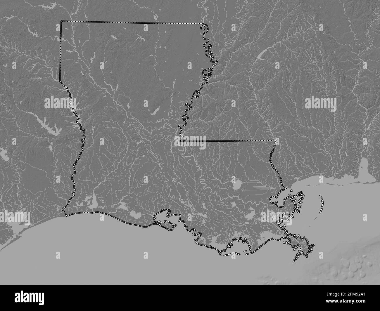 Louisiana, state of United States of America. Bilevel elevation map with lakes and rivers Stock Photohttps://www.alamy.com/image-license-details/?v=1https://www.alamy.com/louisiana-state-of-united-states-of-america-bilevel-elevation-map-with-lakes-and-rivers-image546013777.html
RF2PM9241–Louisiana, state of United States of America. Bilevel elevation map with lakes and rivers
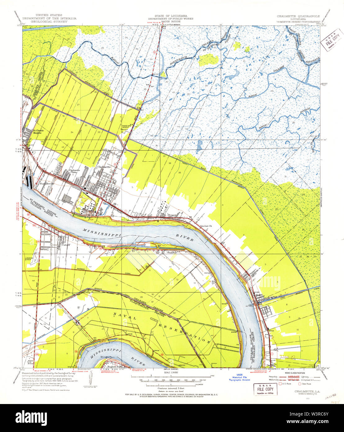 USGS TOPO Map Louisiana LA Chalmette 331651 1951 24000 Restoration Stock Photohttps://www.alamy.com/image-license-details/?v=1https://www.alamy.com/usgs-topo-map-louisiana-la-chalmette-331651-1951-24000-restoration-image260513987.html
RMW3RC6Y–USGS TOPO Map Louisiana LA Chalmette 331651 1951 24000 Restoration
 US-LA(1891) p299 CHALMETTE, NATIONAL CEMETERY Stock Photohttps://www.alamy.com/image-license-details/?v=1https://www.alamy.com/stock-photo-us-la1891-p299-chalmette-national-cemetery-75593484.html
RMEAYG78–US-LA(1891) p299 CHALMETTE, NATIONAL CEMETERY
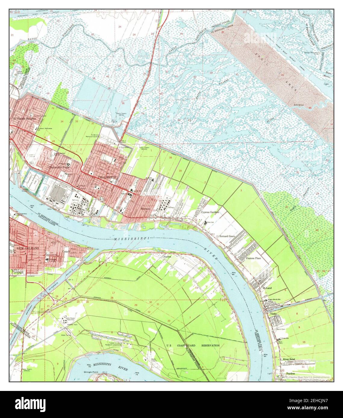 Chalmette, Louisiana, map 1967, 1:24000, United States of America by Timeless Maps, data U.S. Geological Survey Stock Photohttps://www.alamy.com/image-license-details/?v=1https://www.alamy.com/chalmette-louisiana-map-1967-124000-united-states-of-america-by-timeless-maps-data-us-geological-survey-image406565747.html
RM2EHCJN7–Chalmette, Louisiana, map 1967, 1:24000, United States of America by Timeless Maps, data U.S. Geological Survey
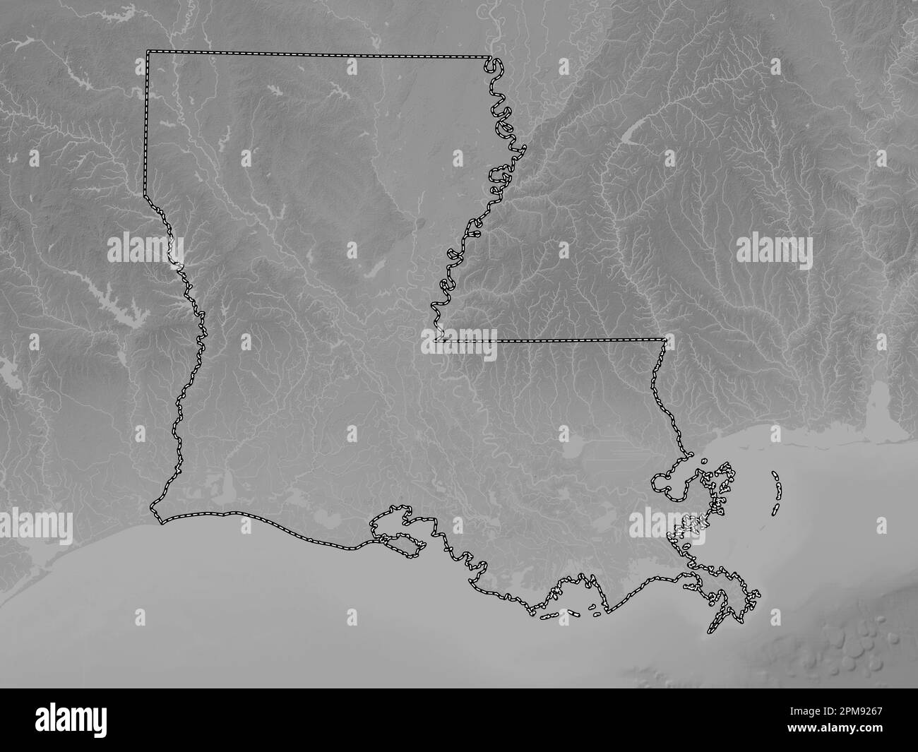 Louisiana, state of United States of America. Grayscale elevation map with lakes and rivers Stock Photohttps://www.alamy.com/image-license-details/?v=1https://www.alamy.com/louisiana-state-of-united-states-of-america-grayscale-elevation-map-with-lakes-and-rivers-image546013839.html
RF2PM9267–Louisiana, state of United States of America. Grayscale elevation map with lakes and rivers
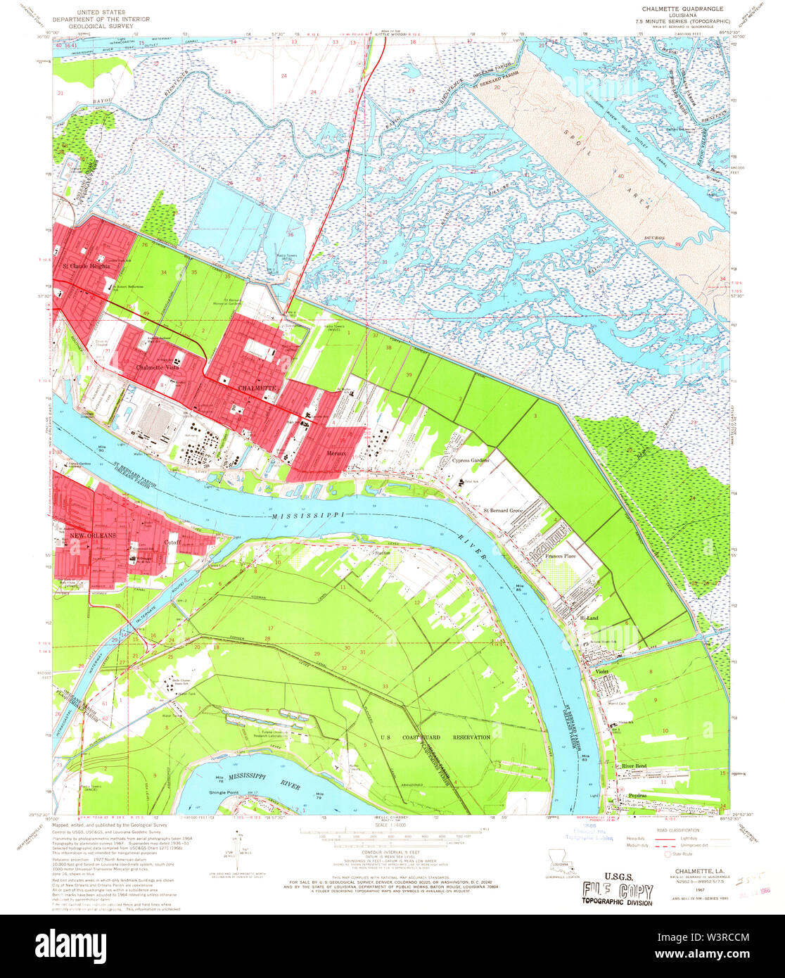 USGS TOPO Map Louisiana LA Chalmette 331653 1967 24000 Restoration Stock Photohttps://www.alamy.com/image-license-details/?v=1https://www.alamy.com/usgs-topo-map-louisiana-la-chalmette-331653-1967-24000-restoration-image260514148.html
RMW3RCCM–USGS TOPO Map Louisiana LA Chalmette 331653 1967 24000 Restoration
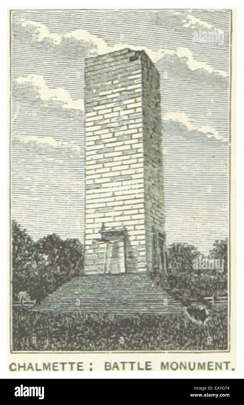 US-LA(1891) p298 CHALMETTE, BATTLE MONUMENT Stock Photohttps://www.alamy.com/image-license-details/?v=1https://www.alamy.com/stock-photo-us-la1891-p298-chalmette-battle-monument-75593480.html
RMEAYG74–US-LA(1891) p298 CHALMETTE, BATTLE MONUMENT
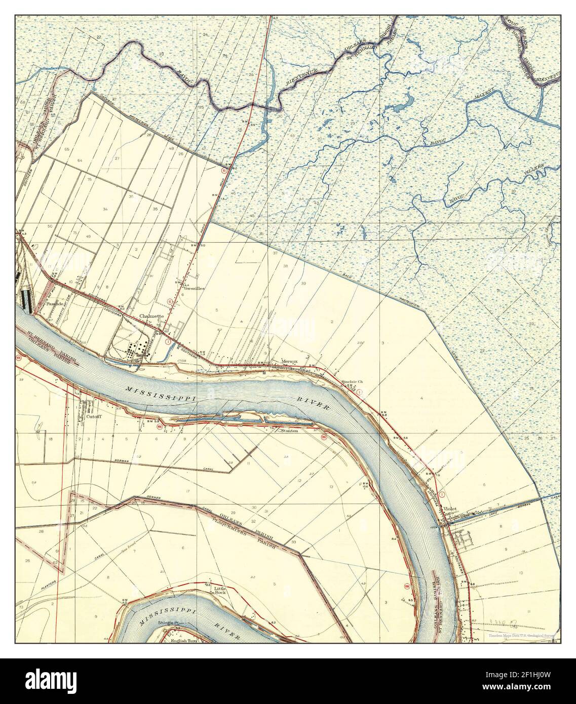 Chalmette, Louisiana, map 1939, 1:31680, United States of America by Timeless Maps, data U.S. Geological Survey Stock Photohttps://www.alamy.com/image-license-details/?v=1https://www.alamy.com/chalmette-louisiana-map-1939-131680-united-states-of-america-by-timeless-maps-data-us-geological-survey-image414050809.html
RM2F1HJ0W–Chalmette, Louisiana, map 1939, 1:31680, United States of America by Timeless Maps, data U.S. Geological Survey
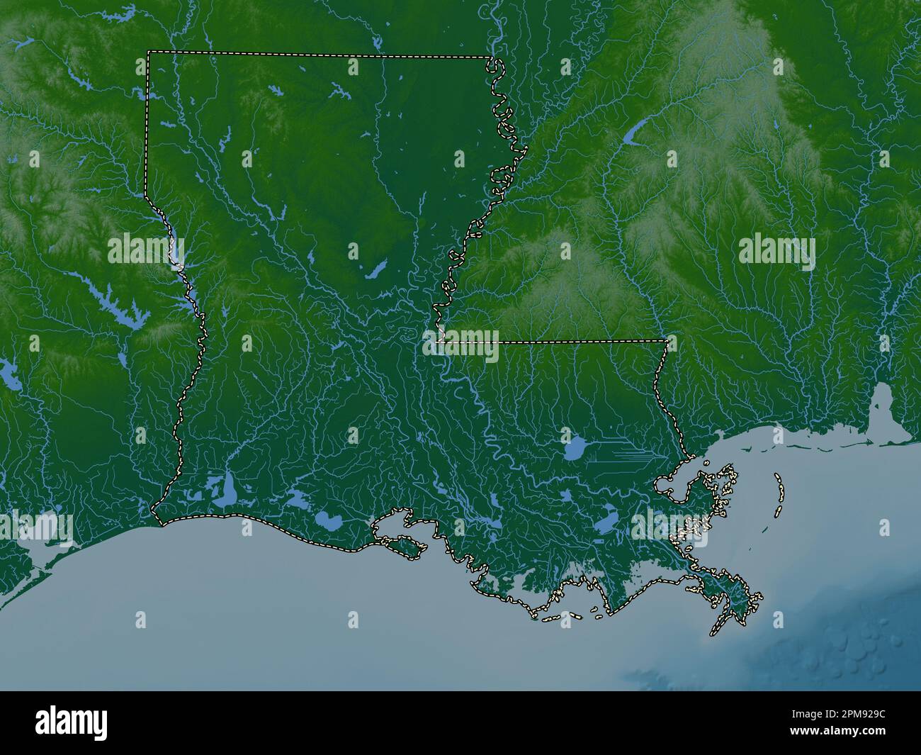 Louisiana, state of United States of America. Colored elevation map with lakes and rivers Stock Photohttps://www.alamy.com/image-license-details/?v=1https://www.alamy.com/louisiana-state-of-united-states-of-america-colored-elevation-map-with-lakes-and-rivers-image546013928.html
RF2PM929C–Louisiana, state of United States of America. Colored elevation map with lakes and rivers
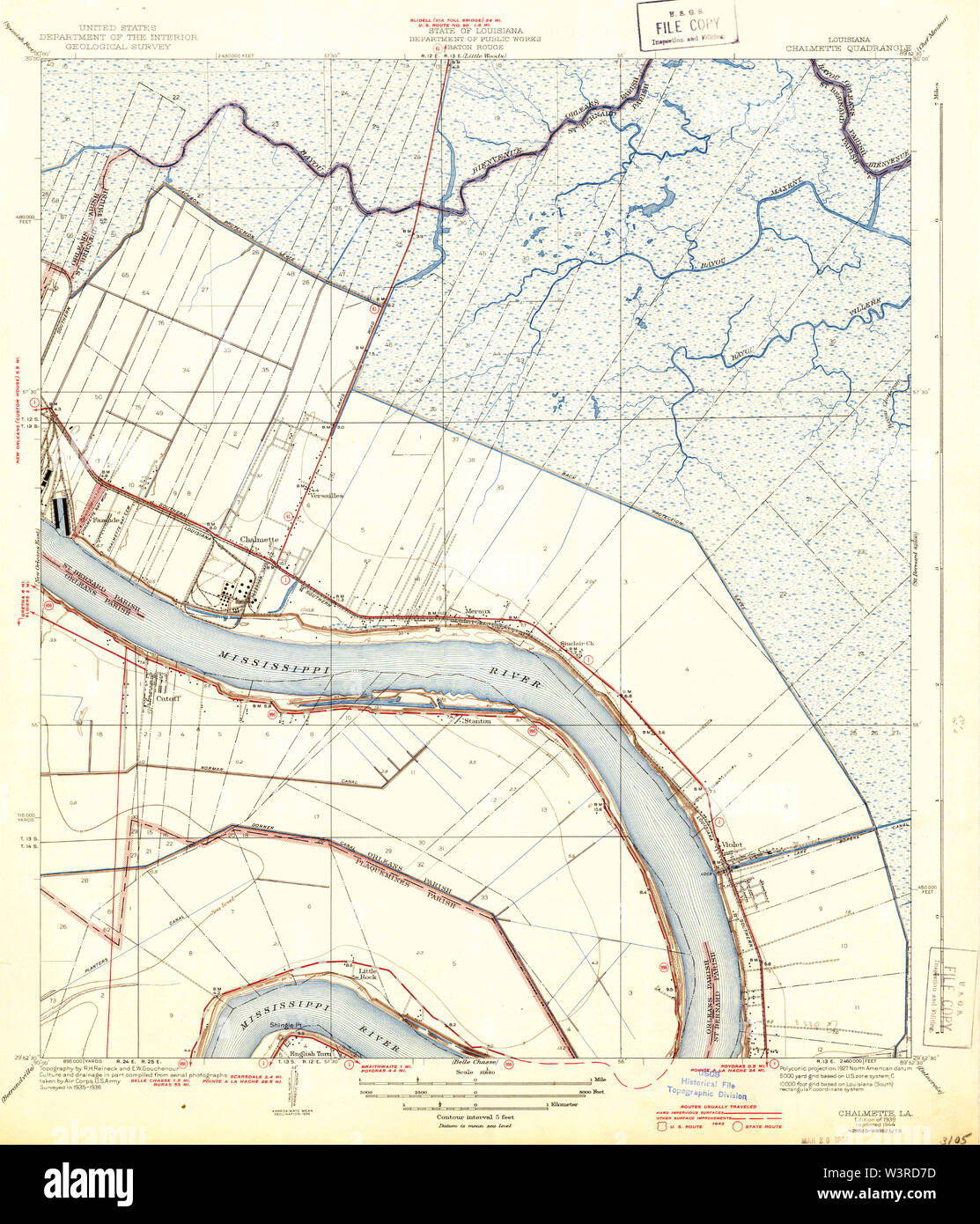 USGS TOPO Map Louisiana LA Chalmette 333706 1939 31680 Restoration Stock Photohttps://www.alamy.com/image-license-details/?v=1https://www.alamy.com/usgs-topo-map-louisiana-la-chalmette-333706-1939-31680-restoration-image260514785.html
RMW3RD7D–USGS TOPO Map Louisiana LA Chalmette 333706 1939 31680 Restoration
 US-LA(1891) p298 CHALMETTE, BATTLE MONUMENT Stock Photohttps://www.alamy.com/image-license-details/?v=1https://www.alamy.com/stock-photo-us-la1891-p298-chalmette-battle-monument-74954719.html
RME9XDE7–US-LA(1891) p298 CHALMETTE, BATTLE MONUMENT
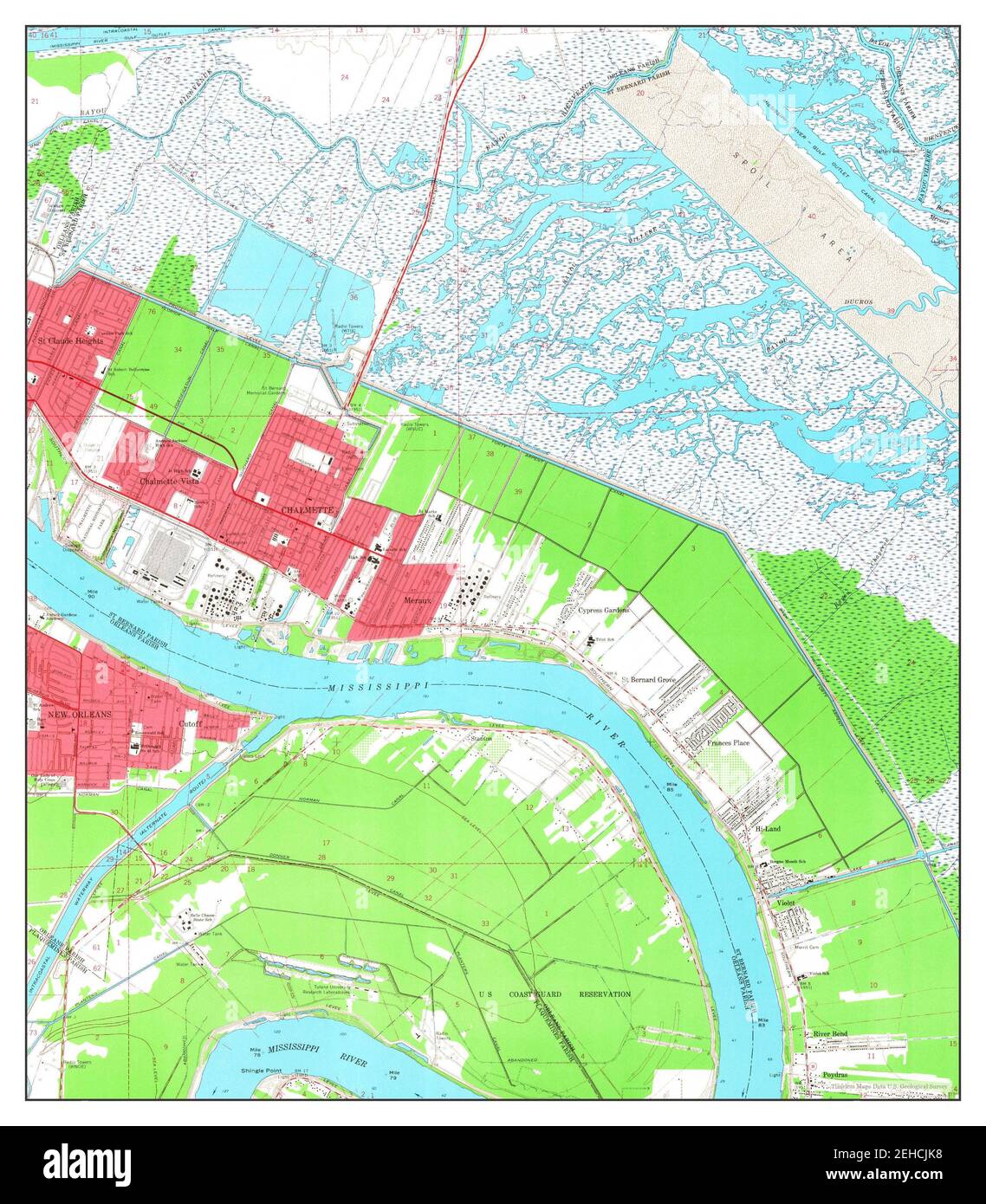 Chalmette, Louisiana, map 1967, 1:24000, United States of America by Timeless Maps, data U.S. Geological Survey Stock Photohttps://www.alamy.com/image-license-details/?v=1https://www.alamy.com/chalmette-louisiana-map-1967-124000-united-states-of-america-by-timeless-maps-data-us-geological-survey-image406565692.html
RM2EHCJK8–Chalmette, Louisiana, map 1967, 1:24000, United States of America by Timeless Maps, data U.S. Geological Survey
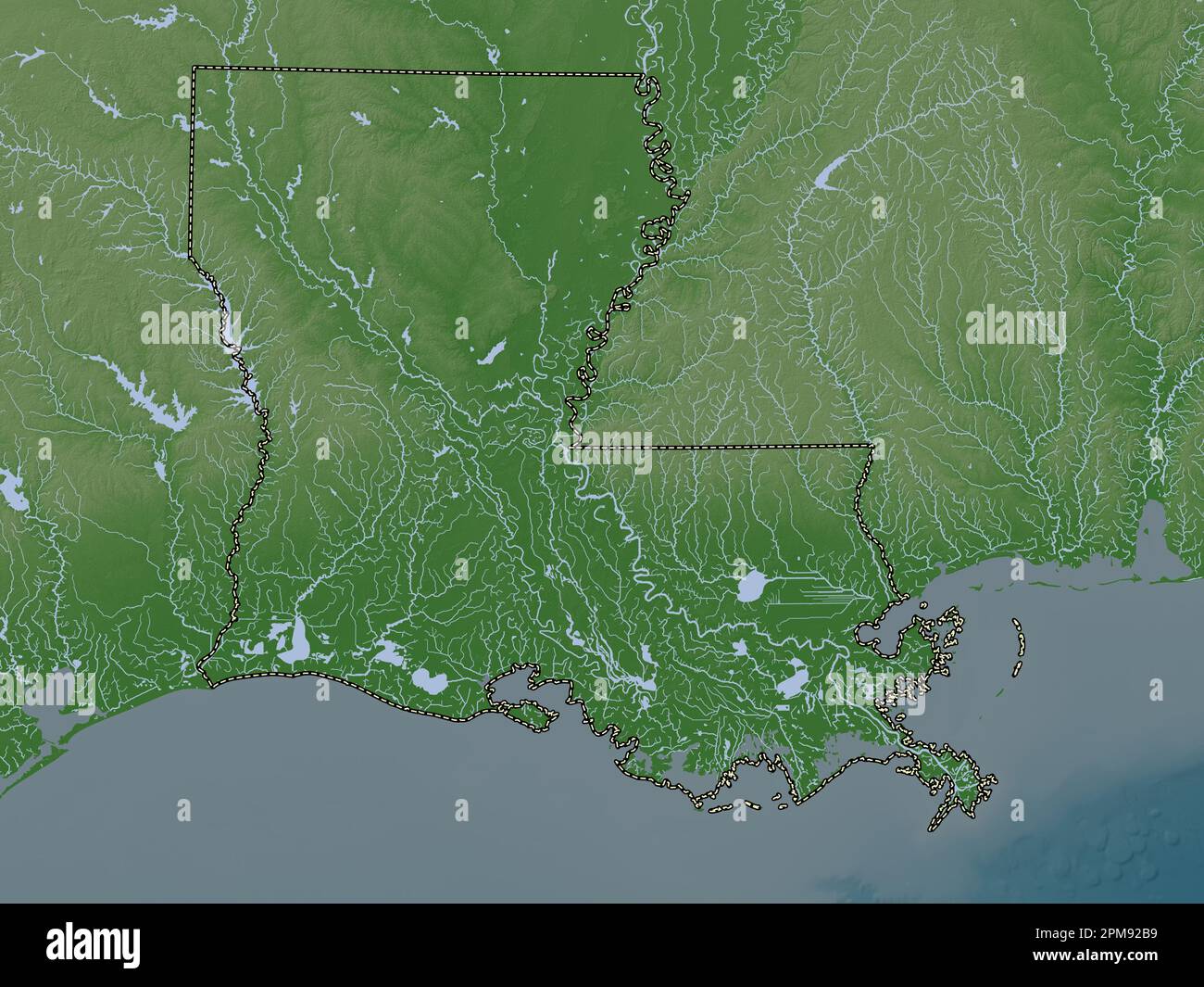 Louisiana, state of United States of America. Elevation map colored in wiki style with lakes and rivers Stock Photohttps://www.alamy.com/image-license-details/?v=1https://www.alamy.com/louisiana-state-of-united-states-of-america-elevation-map-colored-in-wiki-style-with-lakes-and-rivers-image546013981.html
RF2PM92B9–Louisiana, state of United States of America. Elevation map colored in wiki style with lakes and rivers
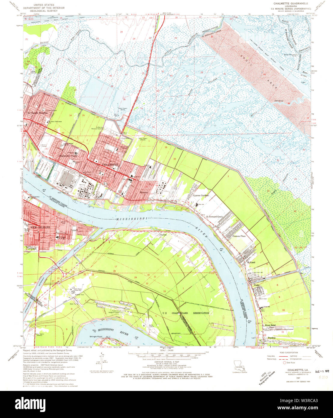 USGS TOPO Map Louisiana LA Chalmette 331652 1967 24000 Restoration Stock Photohttps://www.alamy.com/image-license-details/?v=1https://www.alamy.com/usgs-topo-map-louisiana-la-chalmette-331652-1967-24000-restoration-image260514075.html
RMW3RCA3–USGS TOPO Map Louisiana LA Chalmette 331652 1967 24000 Restoration
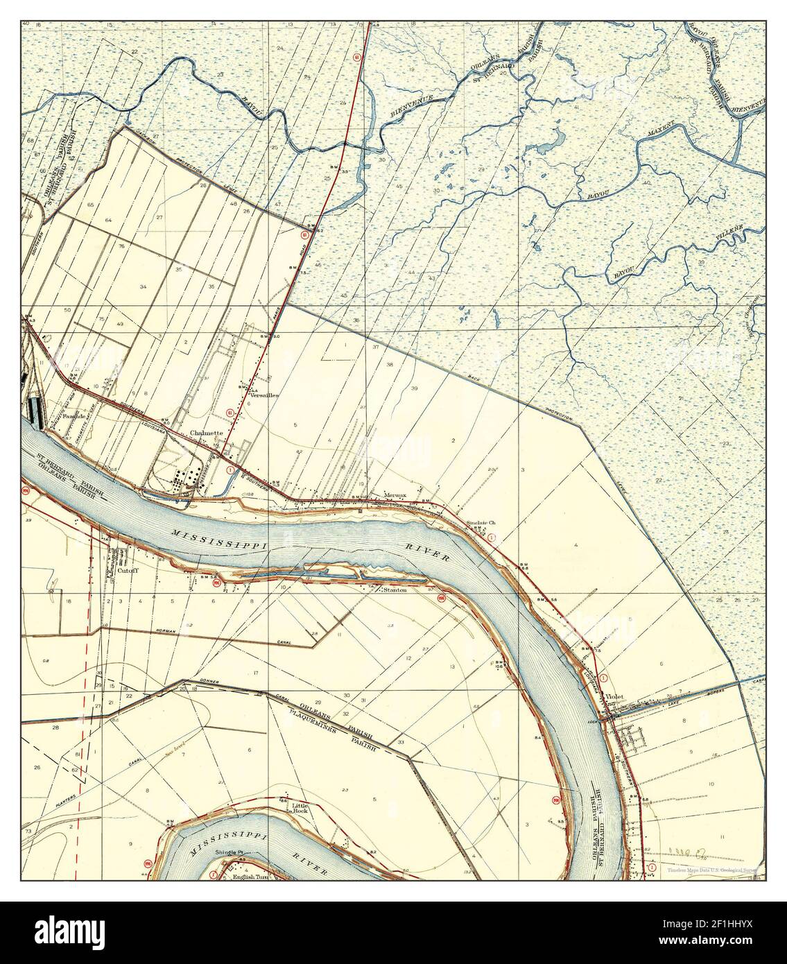 Chalmette, Louisiana, map 1939, 1:31680, United States of America by Timeless Maps, data U.S. Geological Survey Stock Photohttps://www.alamy.com/image-license-details/?v=1https://www.alamy.com/chalmette-louisiana-map-1939-131680-united-states-of-america-by-timeless-maps-data-us-geological-survey-image414050782.html
RM2F1HHYX–Chalmette, Louisiana, map 1939, 1:31680, United States of America by Timeless Maps, data U.S. Geological Survey
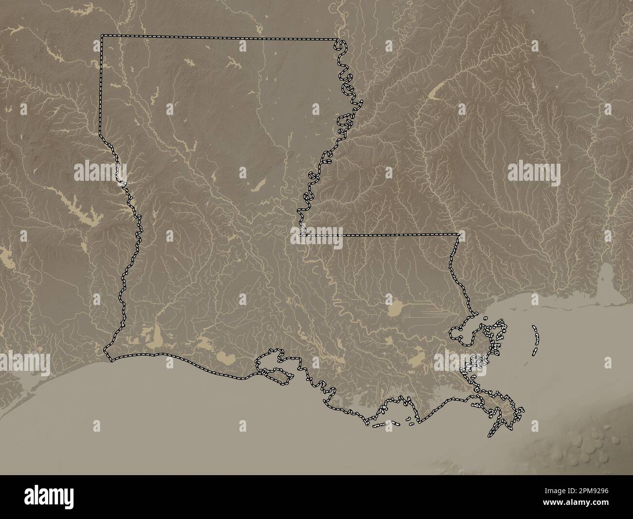 Louisiana, state of United States of America. Elevation map colored in sepia tones with lakes and rivers Stock Photohttps://www.alamy.com/image-license-details/?v=1https://www.alamy.com/louisiana-state-of-united-states-of-america-elevation-map-colored-in-sepia-tones-with-lakes-and-rivers-image546013922.html
RF2PM9296–Louisiana, state of United States of America. Elevation map colored in sepia tones with lakes and rivers
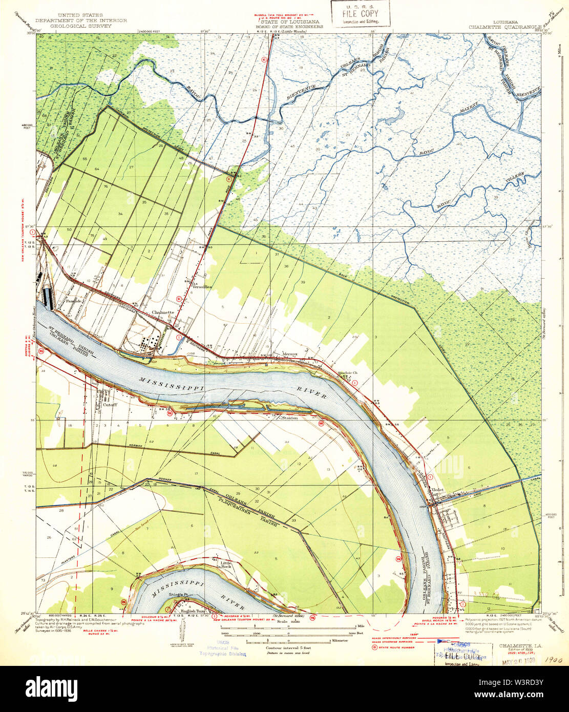 USGS TOPO Map Louisiana LA Chalmette 333704 1939 31680 Restoration Stock Photohttps://www.alamy.com/image-license-details/?v=1https://www.alamy.com/usgs-topo-map-louisiana-la-chalmette-333704-1939-31680-restoration-image260514687.html
RMW3RD3Y–USGS TOPO Map Louisiana LA Chalmette 333704 1939 31680 Restoration
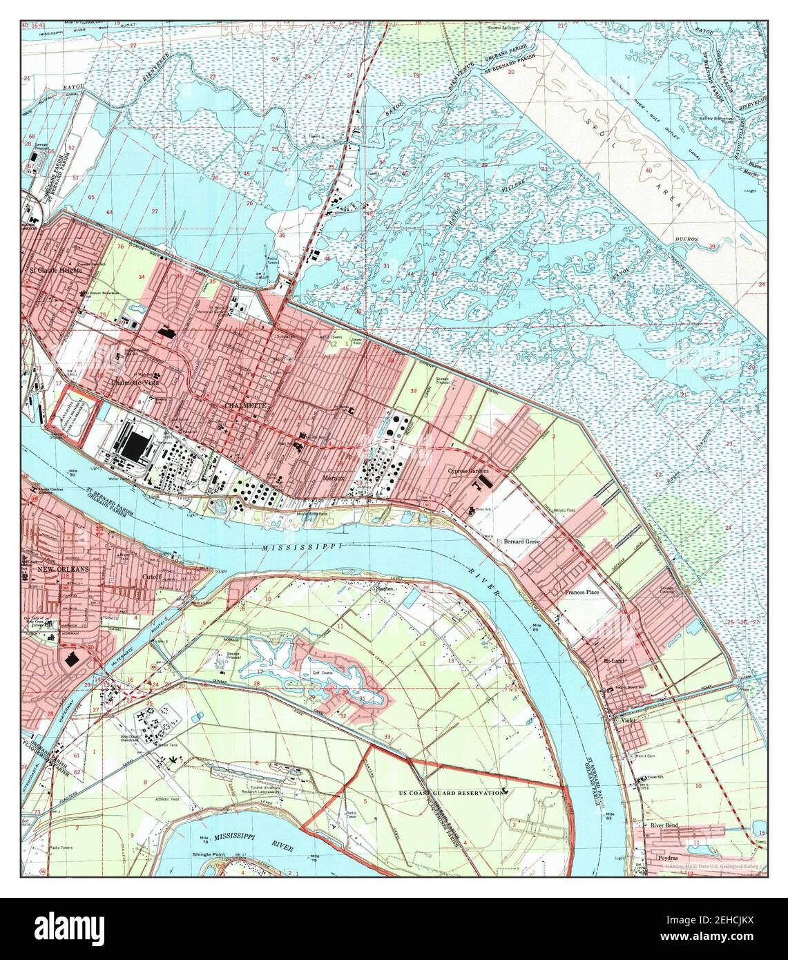 Chalmette, Louisiana, map 1998, 1:24000, United States of America by Timeless Maps, data U.S. Geological Survey Stock Photohttps://www.alamy.com/image-license-details/?v=1https://www.alamy.com/chalmette-louisiana-map-1998-124000-united-states-of-america-by-timeless-maps-data-us-geological-survey-image406565710.html
RM2EHCJKX–Chalmette, Louisiana, map 1998, 1:24000, United States of America by Timeless Maps, data U.S. Geological Survey
 Louisiana, state of United States of America. Open Street Map. Locations of major cities of the region. Corner auxiliary location maps Stock Photohttps://www.alamy.com/image-license-details/?v=1https://www.alamy.com/louisiana-state-of-united-states-of-america-open-street-map-locations-of-major-cities-of-the-region-corner-auxiliary-location-maps-image546013858.html
RF2PM926X–Louisiana, state of United States of America. Open Street Map. Locations of major cities of the region. Corner auxiliary location maps
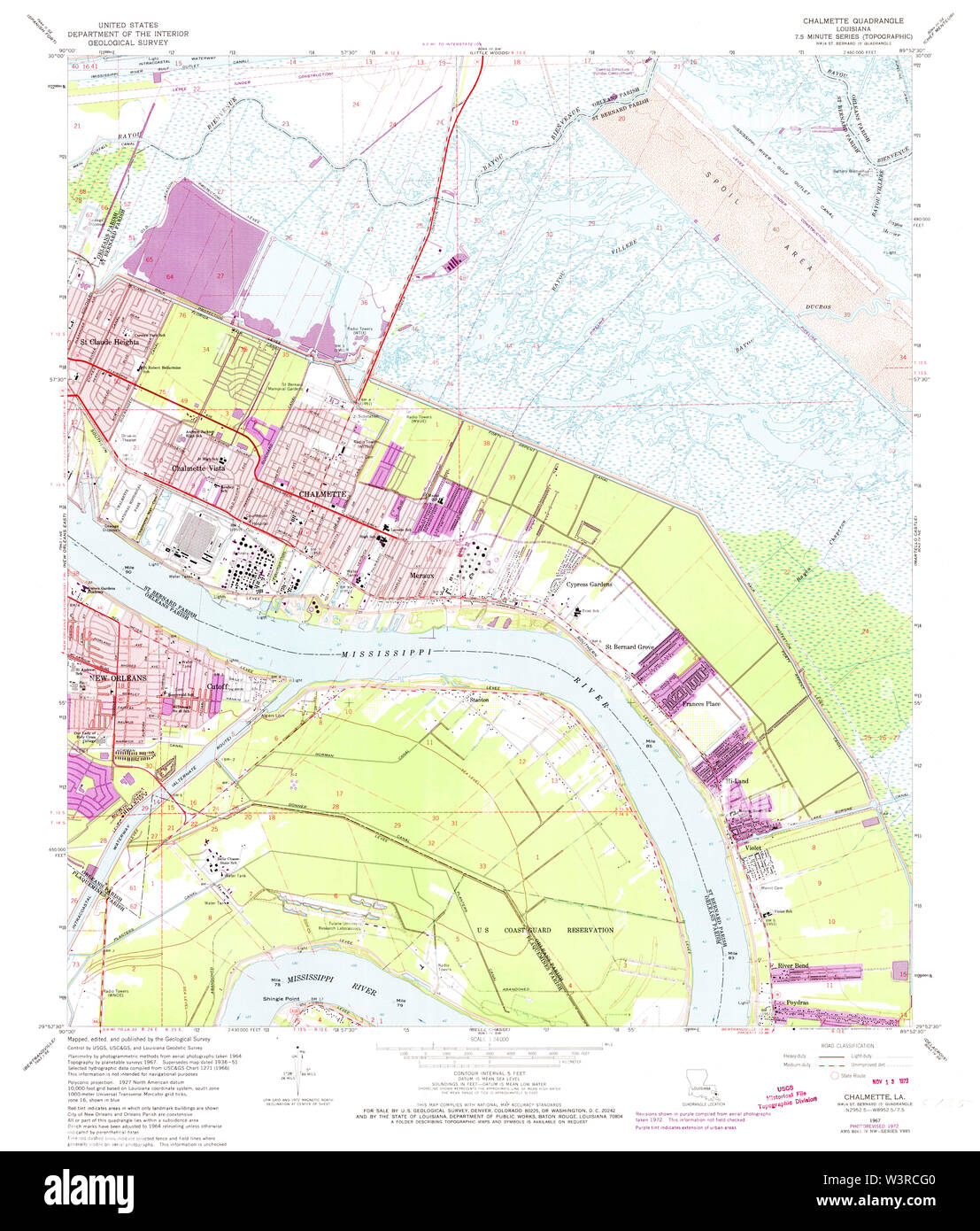 USGS TOPO Map Louisiana LA Chalmette 331654 1967 24000 Restoration Stock Photohttps://www.alamy.com/image-license-details/?v=1https://www.alamy.com/usgs-topo-map-louisiana-la-chalmette-331654-1967-24000-restoration-image260514240.html
RMW3RCG0–USGS TOPO Map Louisiana LA Chalmette 331654 1967 24000 Restoration
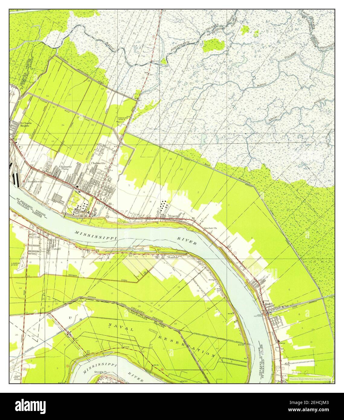 Chalmette, Louisiana, map 1951, 1:24000, United States of America by Timeless Maps, data U.S. Geological Survey Stock Photohttps://www.alamy.com/image-license-details/?v=1https://www.alamy.com/chalmette-louisiana-map-1951-124000-united-states-of-america-by-timeless-maps-data-us-geological-survey-image406565715.html
RM2EHCJM3–Chalmette, Louisiana, map 1951, 1:24000, United States of America by Timeless Maps, data U.S. Geological Survey
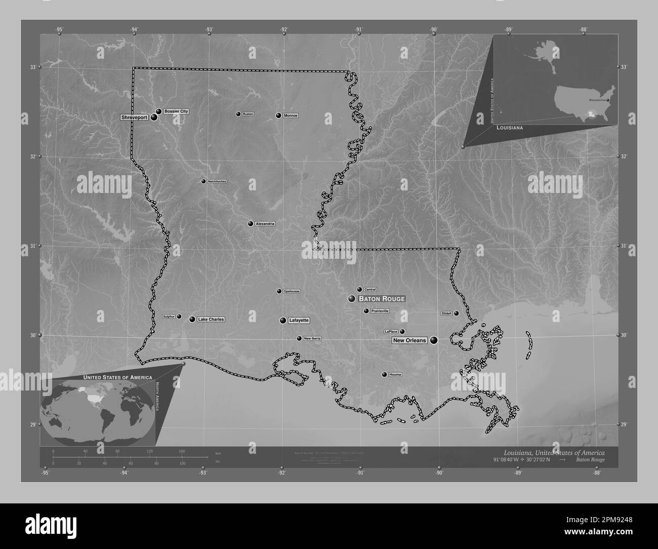 Louisiana, state of United States of America. Grayscale elevation map with lakes and rivers. Locations and names of major cities of the region. Corner Stock Photohttps://www.alamy.com/image-license-details/?v=1https://www.alamy.com/louisiana-state-of-united-states-of-america-grayscale-elevation-map-with-lakes-and-rivers-locations-and-names-of-major-cities-of-the-region-corner-image546013784.html
RF2PM9248–Louisiana, state of United States of America. Grayscale elevation map with lakes and rivers. Locations and names of major cities of the region. Corner
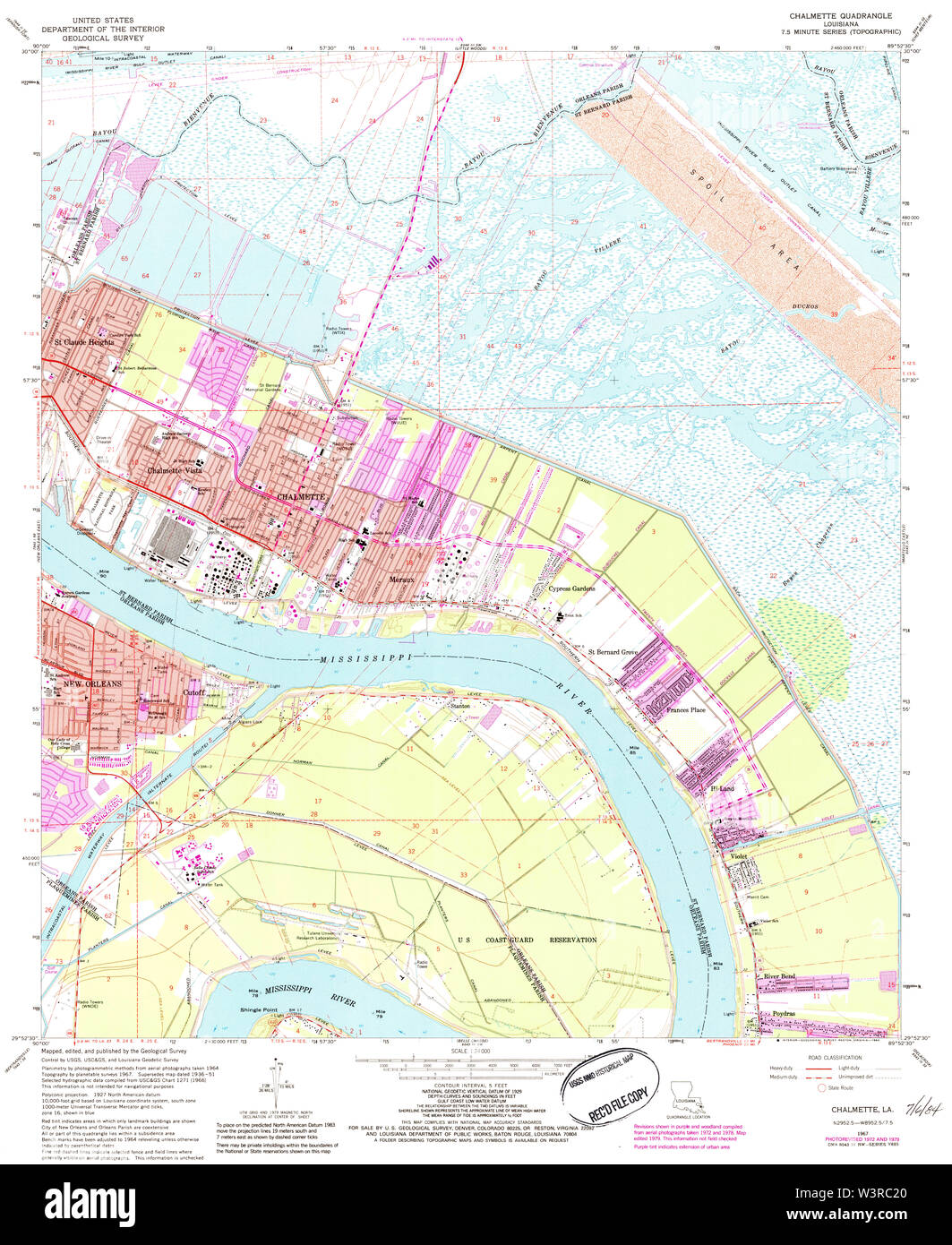 USGS TOPO Map Louisiana LA Chalmette 331649 1967 24000 Restoration Stock Photohttps://www.alamy.com/image-license-details/?v=1https://www.alamy.com/usgs-topo-map-louisiana-la-chalmette-331649-1967-24000-restoration-image260513848.html
RMW3RC20–USGS TOPO Map Louisiana LA Chalmette 331649 1967 24000 Restoration
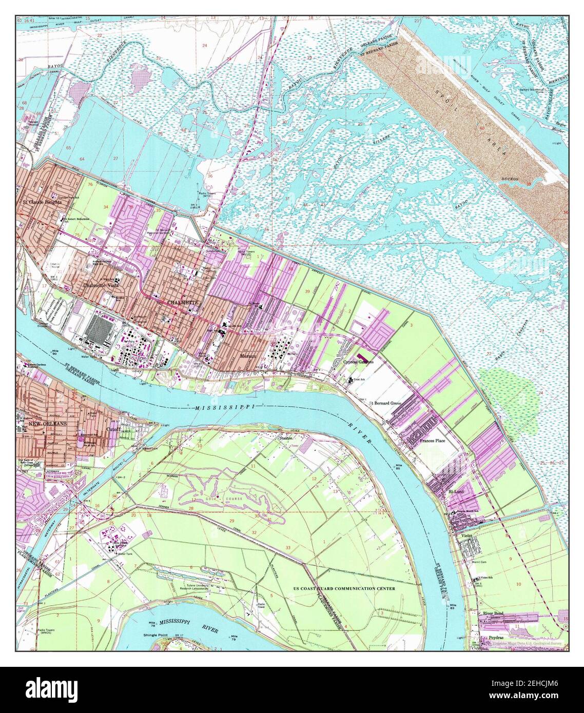 Chalmette, Louisiana, map 1967, 1:24000, United States of America by Timeless Maps, data U.S. Geological Survey Stock Photohttps://www.alamy.com/image-license-details/?v=1https://www.alamy.com/chalmette-louisiana-map-1967-124000-united-states-of-america-by-timeless-maps-data-us-geological-survey-image406565718.html
RM2EHCJM6–Chalmette, Louisiana, map 1967, 1:24000, United States of America by Timeless Maps, data U.S. Geological Survey
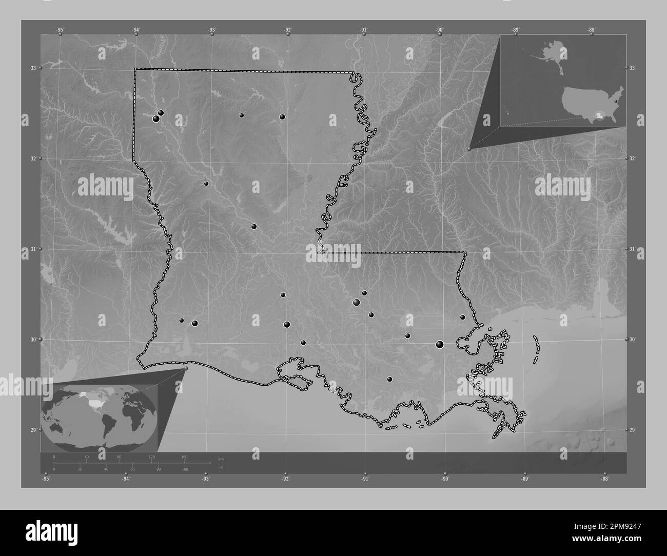 Louisiana, state of United States of America. Grayscale elevation map with lakes and rivers. Locations of major cities of the region. Corner auxiliary Stock Photohttps://www.alamy.com/image-license-details/?v=1https://www.alamy.com/louisiana-state-of-united-states-of-america-grayscale-elevation-map-with-lakes-and-rivers-locations-of-major-cities-of-the-region-corner-auxiliary-image546013783.html
RF2PM9247–Louisiana, state of United States of America. Grayscale elevation map with lakes and rivers. Locations of major cities of the region. Corner auxiliary
 USGS TOPO Map Louisiana LA Chalmette 331657 1967 24000 Restoration Stock Photohttps://www.alamy.com/image-license-details/?v=1https://www.alamy.com/usgs-topo-map-louisiana-la-chalmette-331657-1967-24000-restoration-image260514552.html
RMW3RCY4–USGS TOPO Map Louisiana LA Chalmette 331657 1967 24000 Restoration
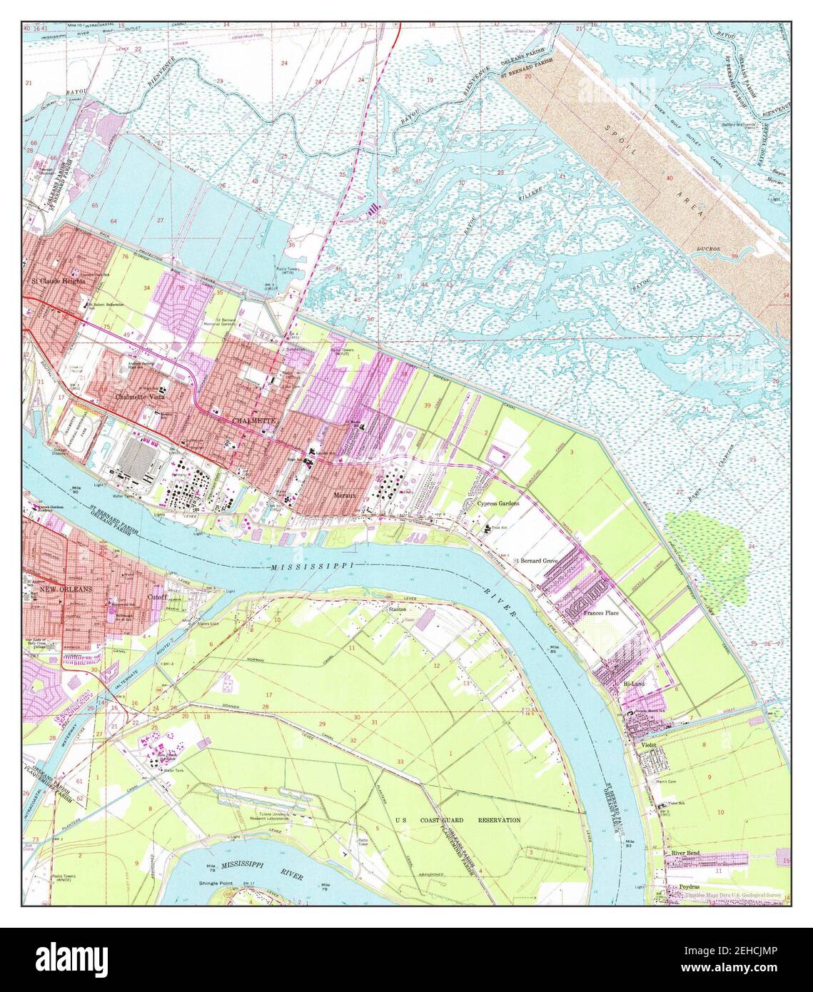 Chalmette, Louisiana, map 1967, 1:24000, United States of America by Timeless Maps, data U.S. Geological Survey Stock Photohttps://www.alamy.com/image-license-details/?v=1https://www.alamy.com/chalmette-louisiana-map-1967-124000-united-states-of-america-by-timeless-maps-data-us-geological-survey-image406565734.html
RM2EHCJMP–Chalmette, Louisiana, map 1967, 1:24000, United States of America by Timeless Maps, data U.S. Geological Survey
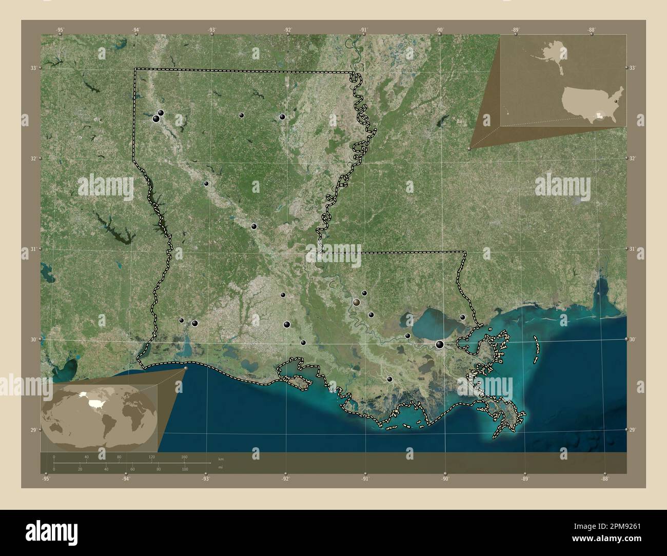 Louisiana, state of United States of America. High resolution satellite map. Locations of major cities of the region. Corner auxiliary location maps Stock Photohttps://www.alamy.com/image-license-details/?v=1https://www.alamy.com/louisiana-state-of-united-states-of-america-high-resolution-satellite-map-locations-of-major-cities-of-the-region-corner-auxiliary-location-maps-image546013833.html
RF2PM9261–Louisiana, state of United States of America. High resolution satellite map. Locations of major cities of the region. Corner auxiliary location maps
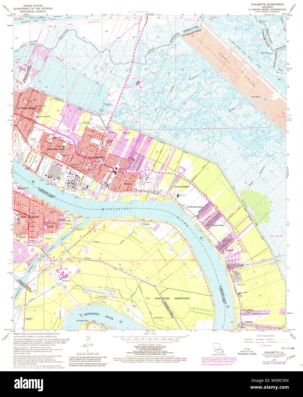 USGS TOPO Map Louisiana LA Chalmette 331655 1967 24000 Restoration Stock Photohttps://www.alamy.com/image-license-details/?v=1https://www.alamy.com/usgs-topo-map-louisiana-la-chalmette-331655-1967-24000-restoration-image260514401.html
RMW3RCNN–USGS TOPO Map Louisiana LA Chalmette 331655 1967 24000 Restoration
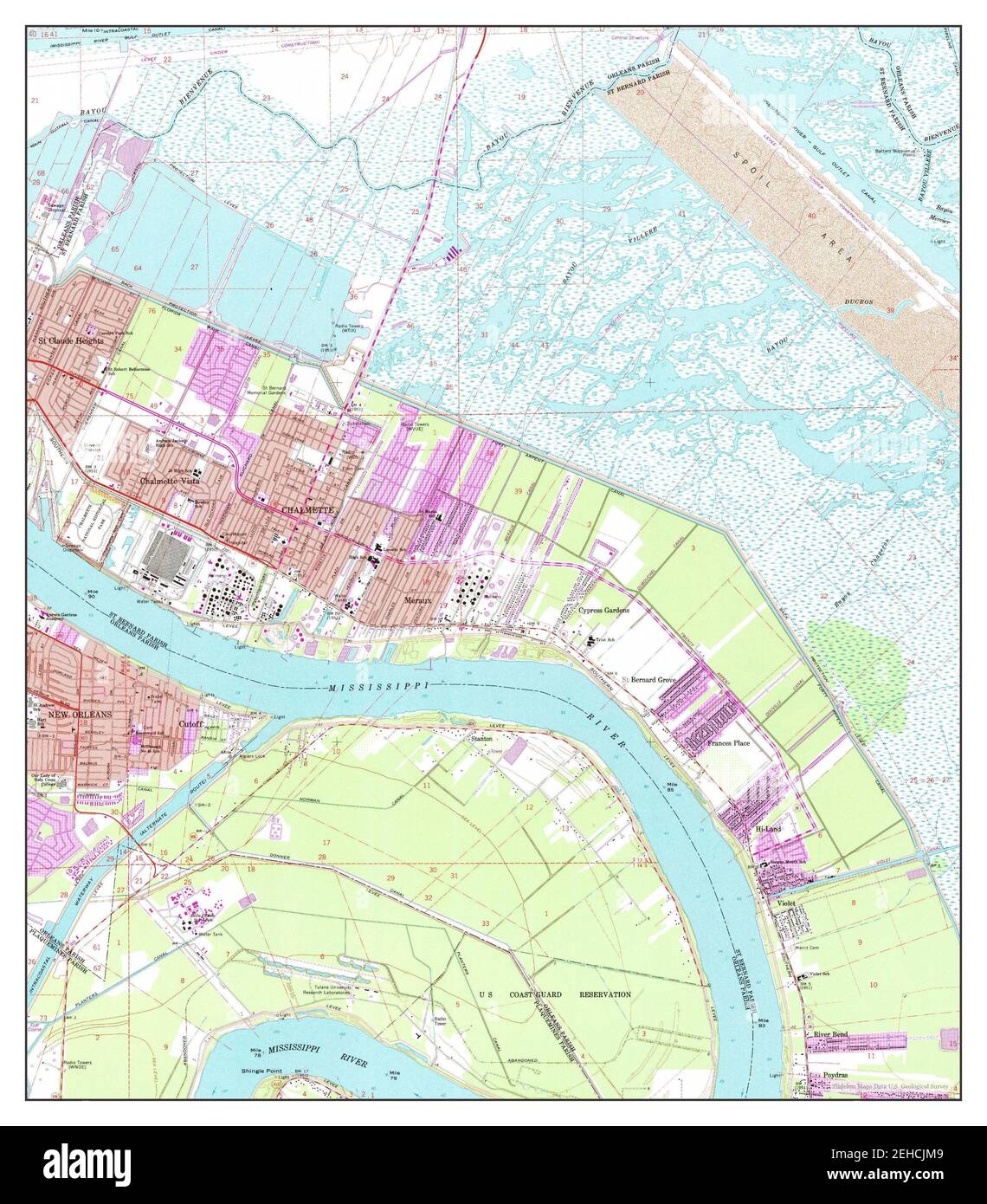 Chalmette, Louisiana, map 1967, 1:24000, United States of America by Timeless Maps, data U.S. Geological Survey Stock Photohttps://www.alamy.com/image-license-details/?v=1https://www.alamy.com/chalmette-louisiana-map-1967-124000-united-states-of-america-by-timeless-maps-data-us-geological-survey-image406565721.html
RM2EHCJM9–Chalmette, Louisiana, map 1967, 1:24000, United States of America by Timeless Maps, data U.S. Geological Survey
 Louisiana, state of United States of America. Colored elevation map with lakes and rivers. Locations of major cities of the region. Corner auxiliary l Stock Photohttps://www.alamy.com/image-license-details/?v=1https://www.alamy.com/louisiana-state-of-united-states-of-america-colored-elevation-map-with-lakes-and-rivers-locations-of-major-cities-of-the-region-corner-auxiliary-l-image546013917.html
RF2PM9291–Louisiana, state of United States of America. Colored elevation map with lakes and rivers. Locations of major cities of the region. Corner auxiliary l
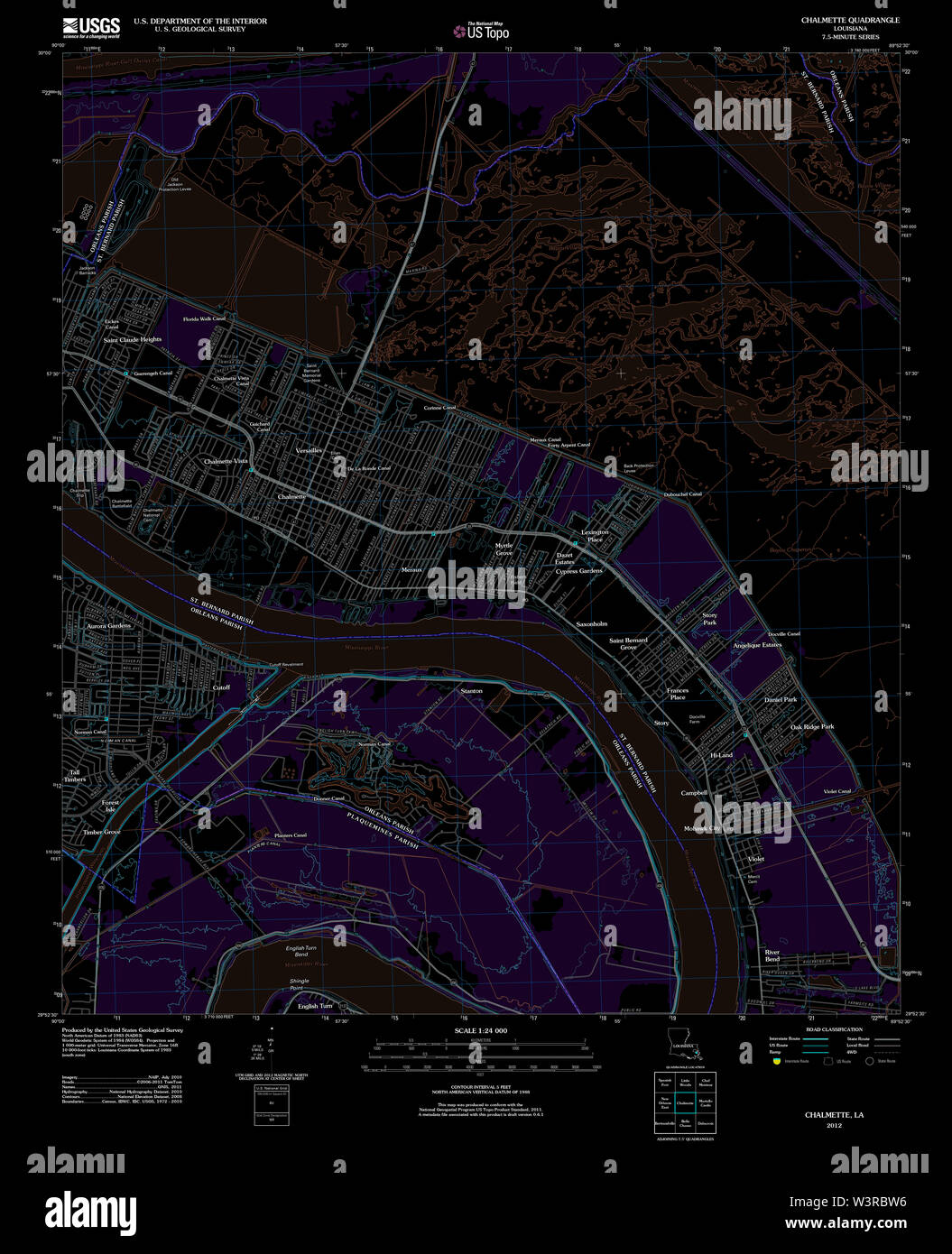 USGS TOPO Map Louisiana LA Chalmette 20120416 TM Inverted Restoration Stock Photohttps://www.alamy.com/image-license-details/?v=1https://www.alamy.com/usgs-topo-map-louisiana-la-chalmette-20120416-tm-inverted-restoration-image260513714.html
RMW3RBW6–USGS TOPO Map Louisiana LA Chalmette 20120416 TM Inverted Restoration
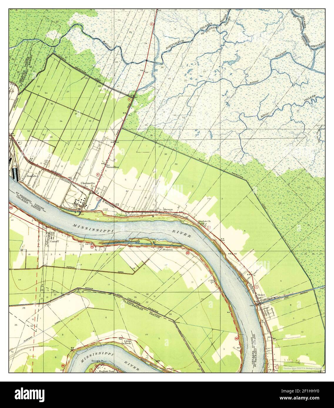 Chalmette, Louisiana, map 1939, 1:31680, United States of America by Timeless Maps, data U.S. Geological Survey Stock Photohttps://www.alamy.com/image-license-details/?v=1https://www.alamy.com/chalmette-louisiana-map-1939-131680-united-states-of-america-by-timeless-maps-data-us-geological-survey-image414050756.html
RM2F1HHY0–Chalmette, Louisiana, map 1939, 1:31680, United States of America by Timeless Maps, data U.S. Geological Survey
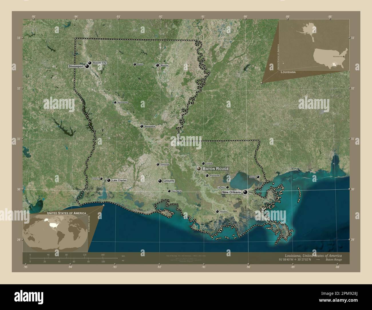 Louisiana, state of United States of America. High resolution satellite map. Locations and names of major cities of the region. Corner auxiliary locat Stock Photohttps://www.alamy.com/image-license-details/?v=1https://www.alamy.com/louisiana-state-of-united-states-of-america-high-resolution-satellite-map-locations-and-names-of-major-cities-of-the-region-corner-auxiliary-locat-image546013906.html
RF2PM928J–Louisiana, state of United States of America. High resolution satellite map. Locations and names of major cities of the region. Corner auxiliary locat
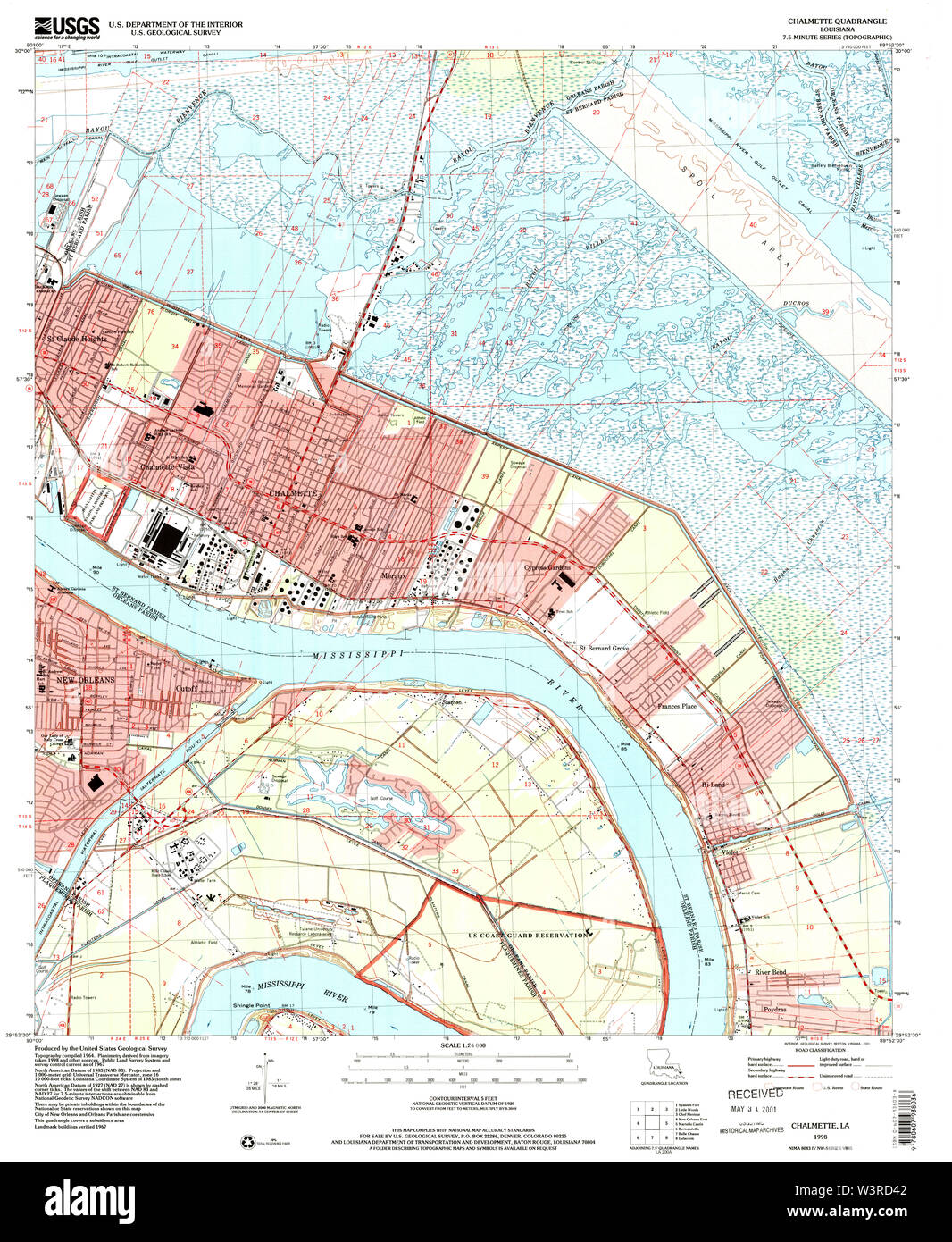 USGS TOPO Map Louisiana LA Chalmette 331658 1998 24000 Restoration Stock Photohttps://www.alamy.com/image-license-details/?v=1https://www.alamy.com/usgs-topo-map-louisiana-la-chalmette-331658-1998-24000-restoration-image260514690.html
RMW3RD42–USGS TOPO Map Louisiana LA Chalmette 331658 1998 24000 Restoration
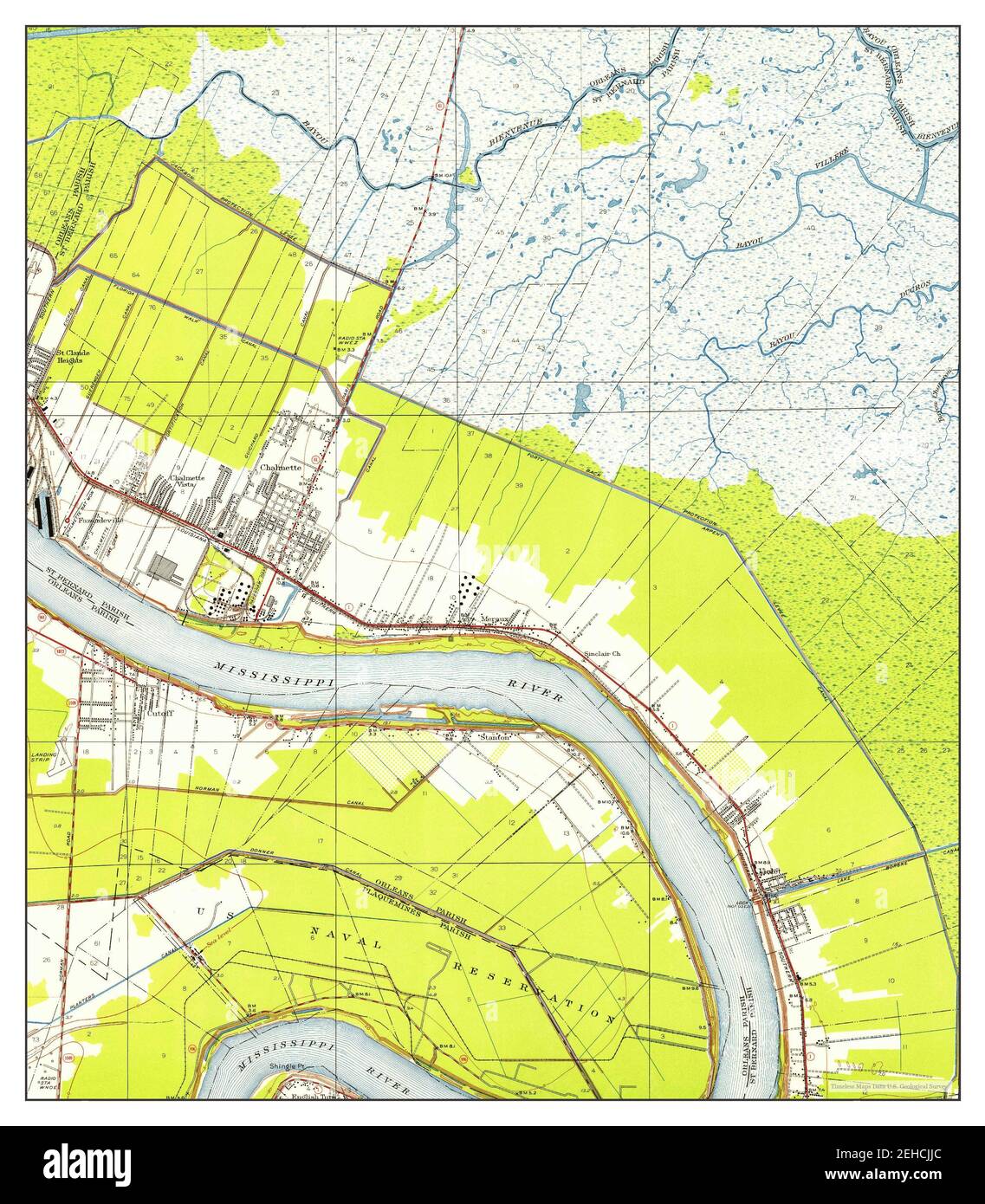 Chalmette, Louisiana, map 1951, 1:24000, United States of America by Timeless Maps, data U.S. Geological Survey Stock Photohttps://www.alamy.com/image-license-details/?v=1https://www.alamy.com/chalmette-louisiana-map-1951-124000-united-states-of-america-by-timeless-maps-data-us-geological-survey-image406565668.html
RM2EHCJJC–Chalmette, Louisiana, map 1951, 1:24000, United States of America by Timeless Maps, data U.S. Geological Survey
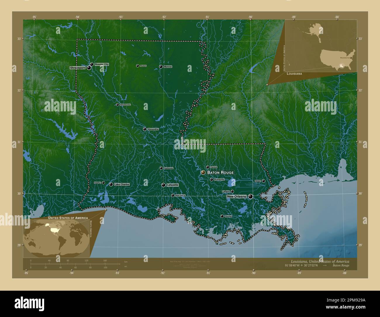 Louisiana, state of United States of America. Colored elevation map with lakes and rivers. Locations and names of major cities of the region. Corner a Stock Photohttps://www.alamy.com/image-license-details/?v=1https://www.alamy.com/louisiana-state-of-united-states-of-america-colored-elevation-map-with-lakes-and-rivers-locations-and-names-of-major-cities-of-the-region-corner-a-image546013926.html
RF2PM929A–Louisiana, state of United States of America. Colored elevation map with lakes and rivers. Locations and names of major cities of the region. Corner a
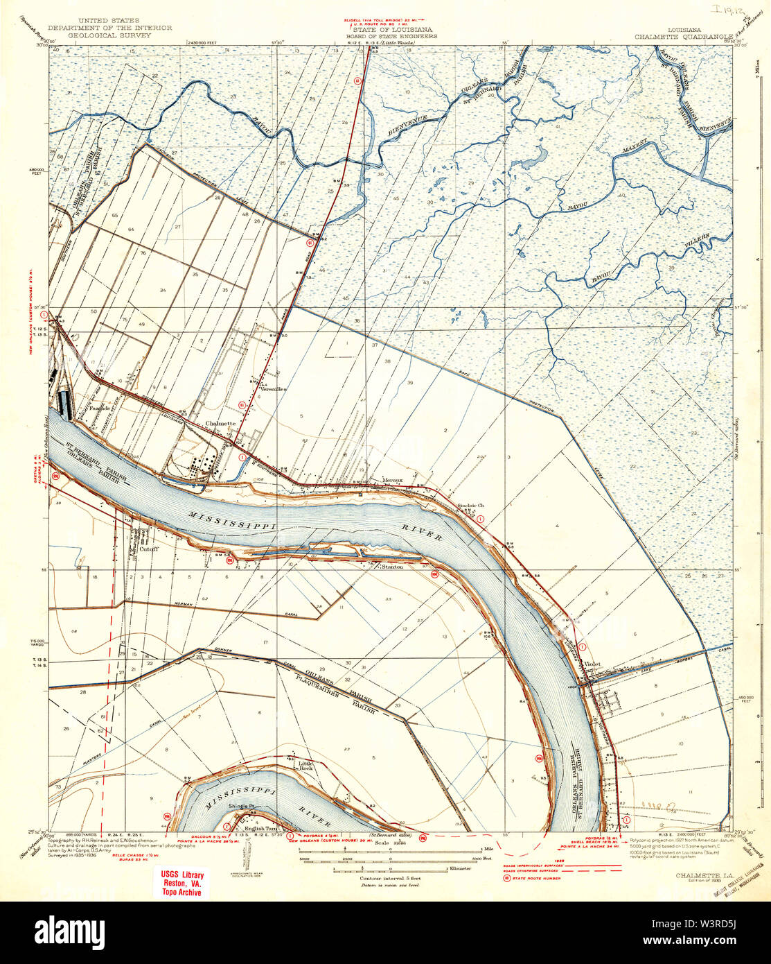 USGS TOPO Map Louisiana LA Chalmette 333705 1939 31680 Restoration Stock Photohttps://www.alamy.com/image-license-details/?v=1https://www.alamy.com/usgs-topo-map-louisiana-la-chalmette-333705-1939-31680-restoration-image260514734.html
RMW3RD5J–USGS TOPO Map Louisiana LA Chalmette 333705 1939 31680 Restoration
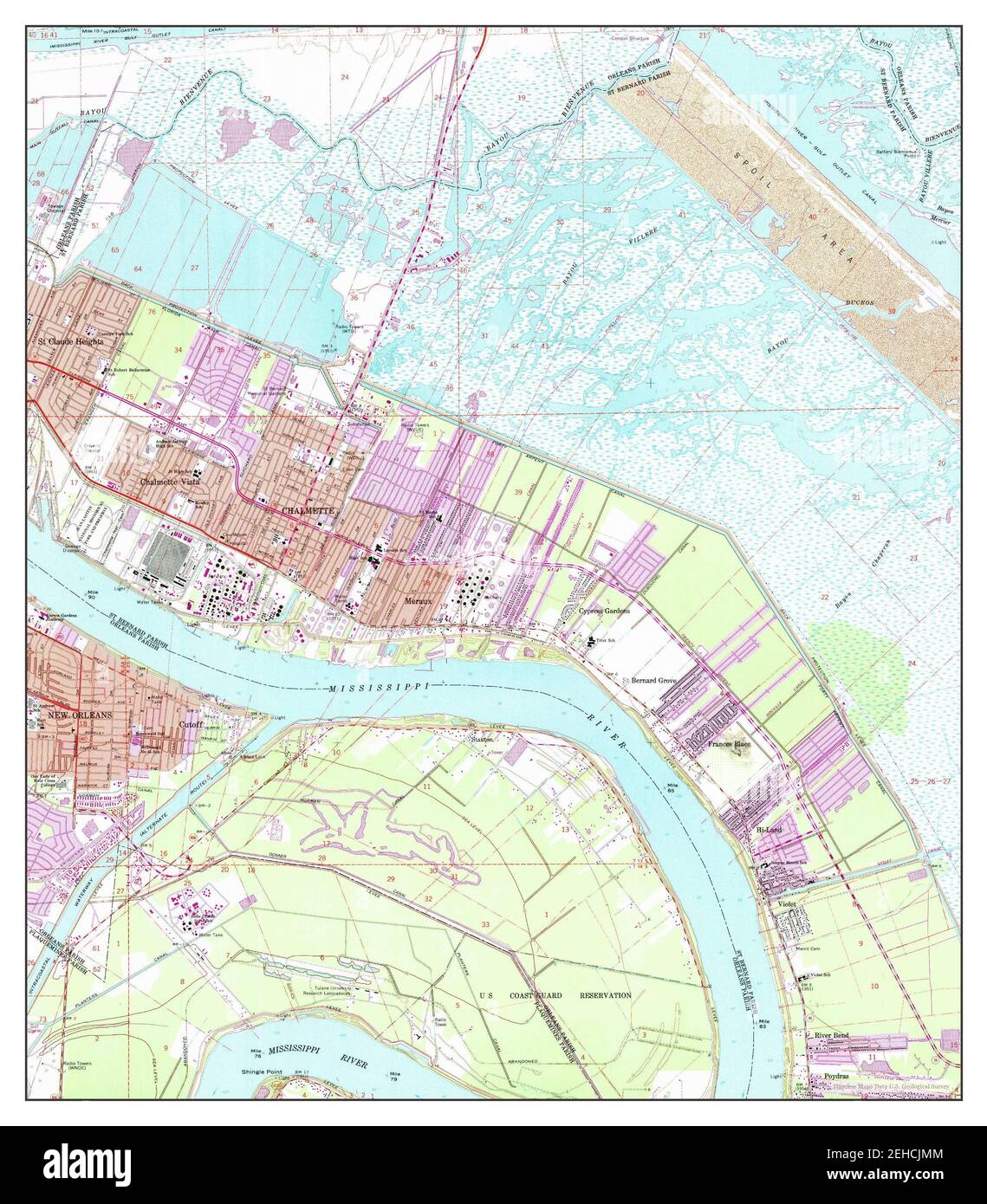 Chalmette, Louisiana, map 1967, 1:24000, United States of America by Timeless Maps, data U.S. Geological Survey Stock Photohttps://www.alamy.com/image-license-details/?v=1https://www.alamy.com/chalmette-louisiana-map-1967-124000-united-states-of-america-by-timeless-maps-data-us-geological-survey-image406565732.html
RM2EHCJMM–Chalmette, Louisiana, map 1967, 1:24000, United States of America by Timeless Maps, data U.S. Geological Survey
 Louisiana, state of United States of America. Bilevel elevation map with lakes and rivers. Locations of major cities of the region. Corner auxiliary l Stock Photohttps://www.alamy.com/image-license-details/?v=1https://www.alamy.com/louisiana-state-of-united-states-of-america-bilevel-elevation-map-with-lakes-and-rivers-locations-of-major-cities-of-the-region-corner-auxiliary-l-image546013690.html
RF2PM920X–Louisiana, state of United States of America. Bilevel elevation map with lakes and rivers. Locations of major cities of the region. Corner auxiliary l
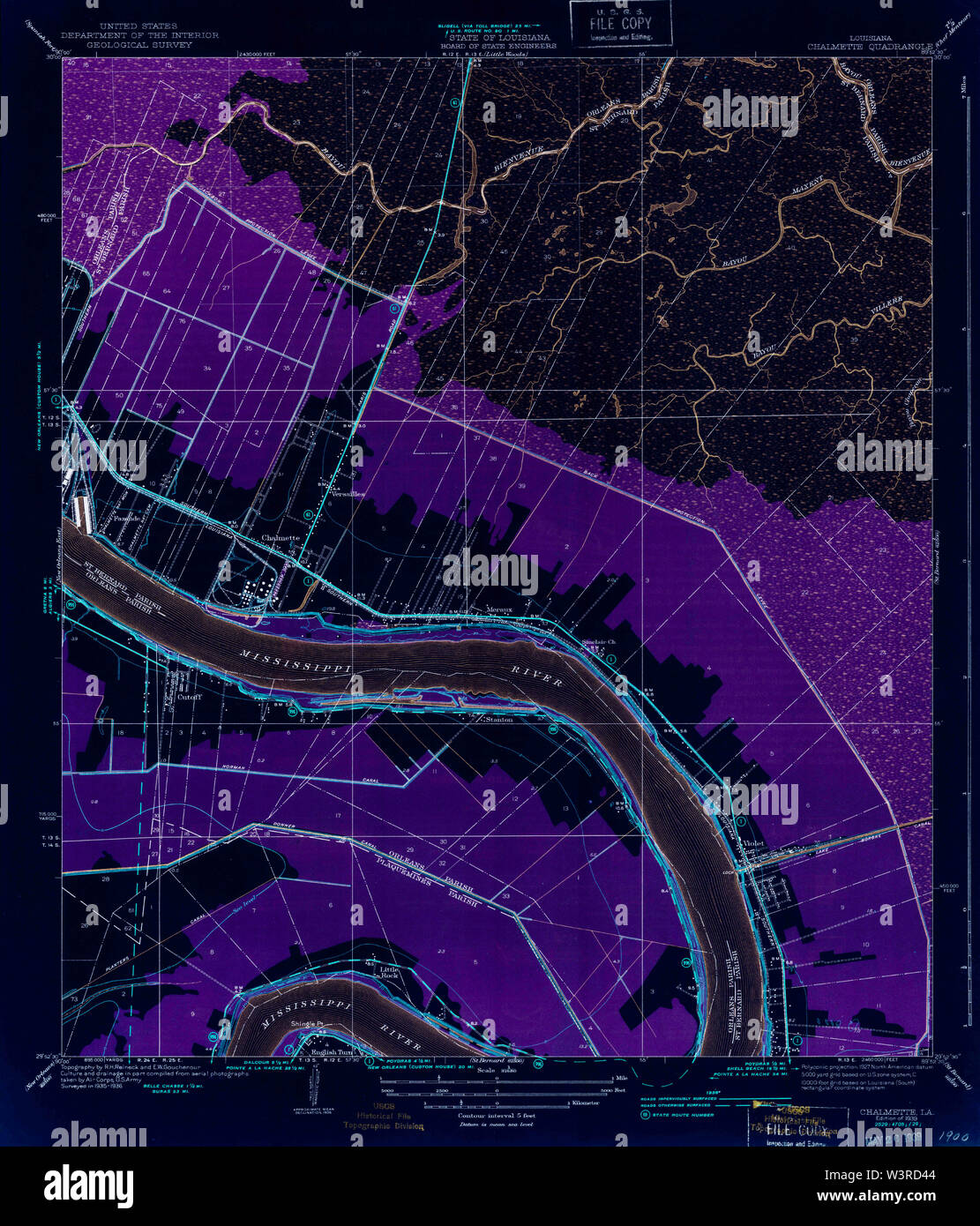 USGS TOPO Map Louisiana LA Chalmette 333704 1939 31680 Inverted Restoration Stock Photohttps://www.alamy.com/image-license-details/?v=1https://www.alamy.com/usgs-topo-map-louisiana-la-chalmette-333704-1939-31680-inverted-restoration-image260514692.html
RMW3RD44–USGS TOPO Map Louisiana LA Chalmette 333704 1939 31680 Inverted Restoration
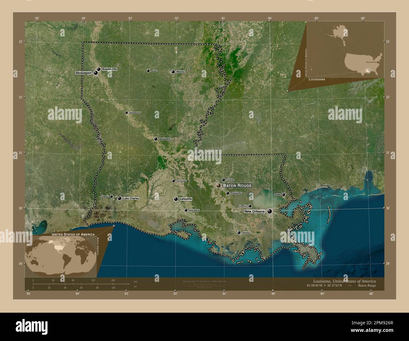 Louisiana, state of United States of America. Low resolution satellite map. Locations and names of major cities of the region. Corner auxiliary locati Stock Photohttps://www.alamy.com/image-license-details/?v=1https://www.alamy.com/louisiana-state-of-united-states-of-america-low-resolution-satellite-map-locations-and-names-of-major-cities-of-the-region-corner-auxiliary-locati-image546013855.html
RF2PM926R–Louisiana, state of United States of America. Low resolution satellite map. Locations and names of major cities of the region. Corner auxiliary locati
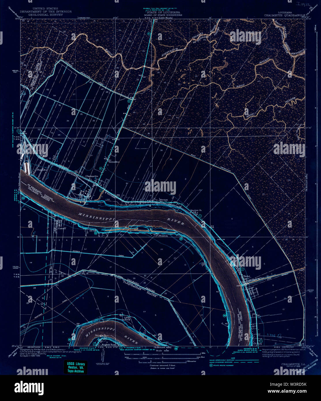 USGS TOPO Map Louisiana LA Chalmette 333705 1939 31680 Inverted Restoration Stock Photohttps://www.alamy.com/image-license-details/?v=1https://www.alamy.com/usgs-topo-map-louisiana-la-chalmette-333705-1939-31680-inverted-restoration-image260514735.html
RMW3RD5K–USGS TOPO Map Louisiana LA Chalmette 333705 1939 31680 Inverted Restoration
 Louisiana, state of United States of America. Low resolution satellite map. Locations of major cities of the region. Corner auxiliary location maps Stock Photohttps://www.alamy.com/image-license-details/?v=1https://www.alamy.com/louisiana-state-of-united-states-of-america-low-resolution-satellite-map-locations-of-major-cities-of-the-region-corner-auxiliary-location-maps-image546013916.html
RF2PM9290–Louisiana, state of United States of America. Low resolution satellite map. Locations of major cities of the region. Corner auxiliary location maps
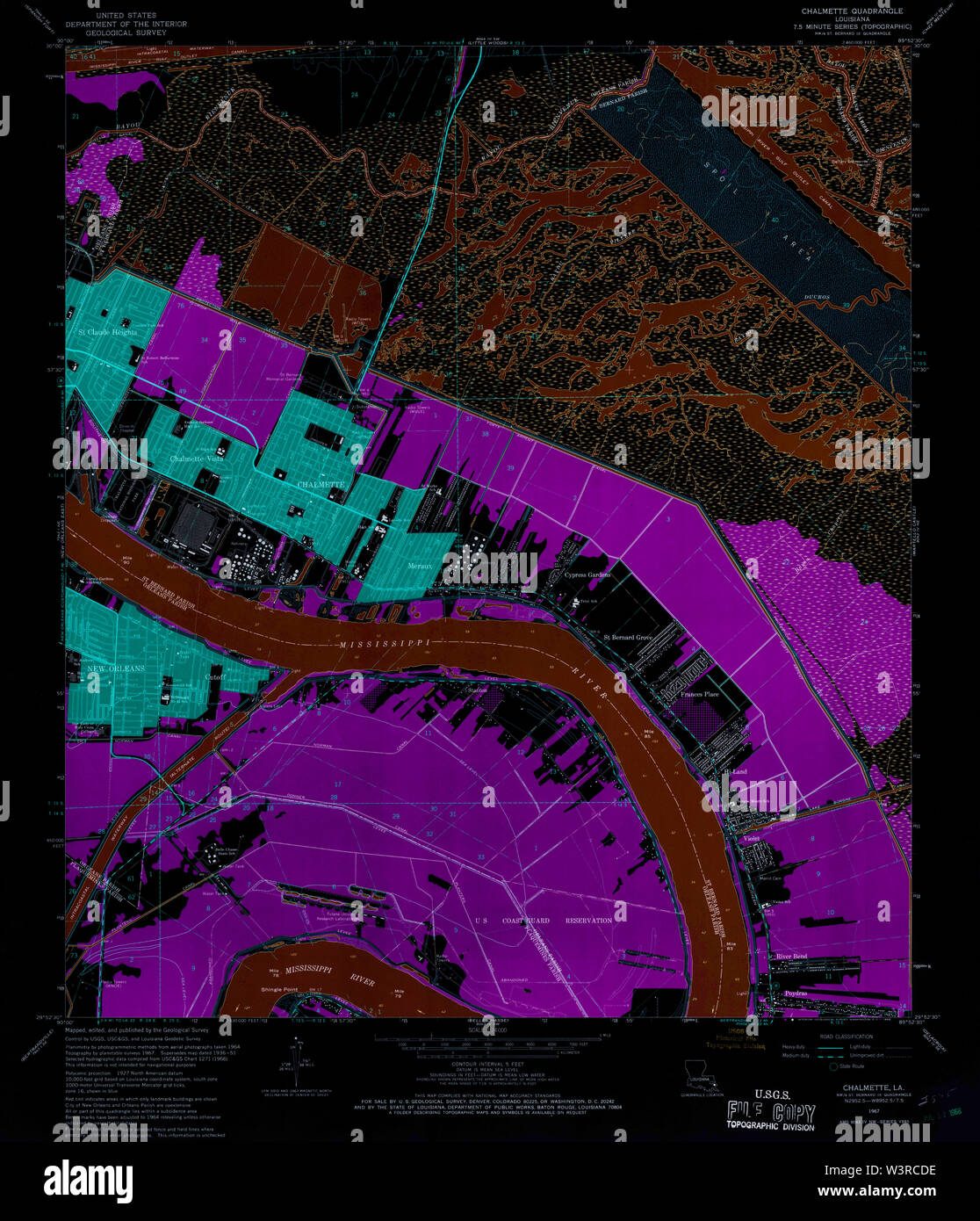 USGS TOPO Map Louisiana LA Chalmette 331653 1967 24000 Inverted Restoration Stock Photohttps://www.alamy.com/image-license-details/?v=1https://www.alamy.com/usgs-topo-map-louisiana-la-chalmette-331653-1967-24000-inverted-restoration-image260514170.html
RMW3RCDE–USGS TOPO Map Louisiana LA Chalmette 331653 1967 24000 Inverted Restoration
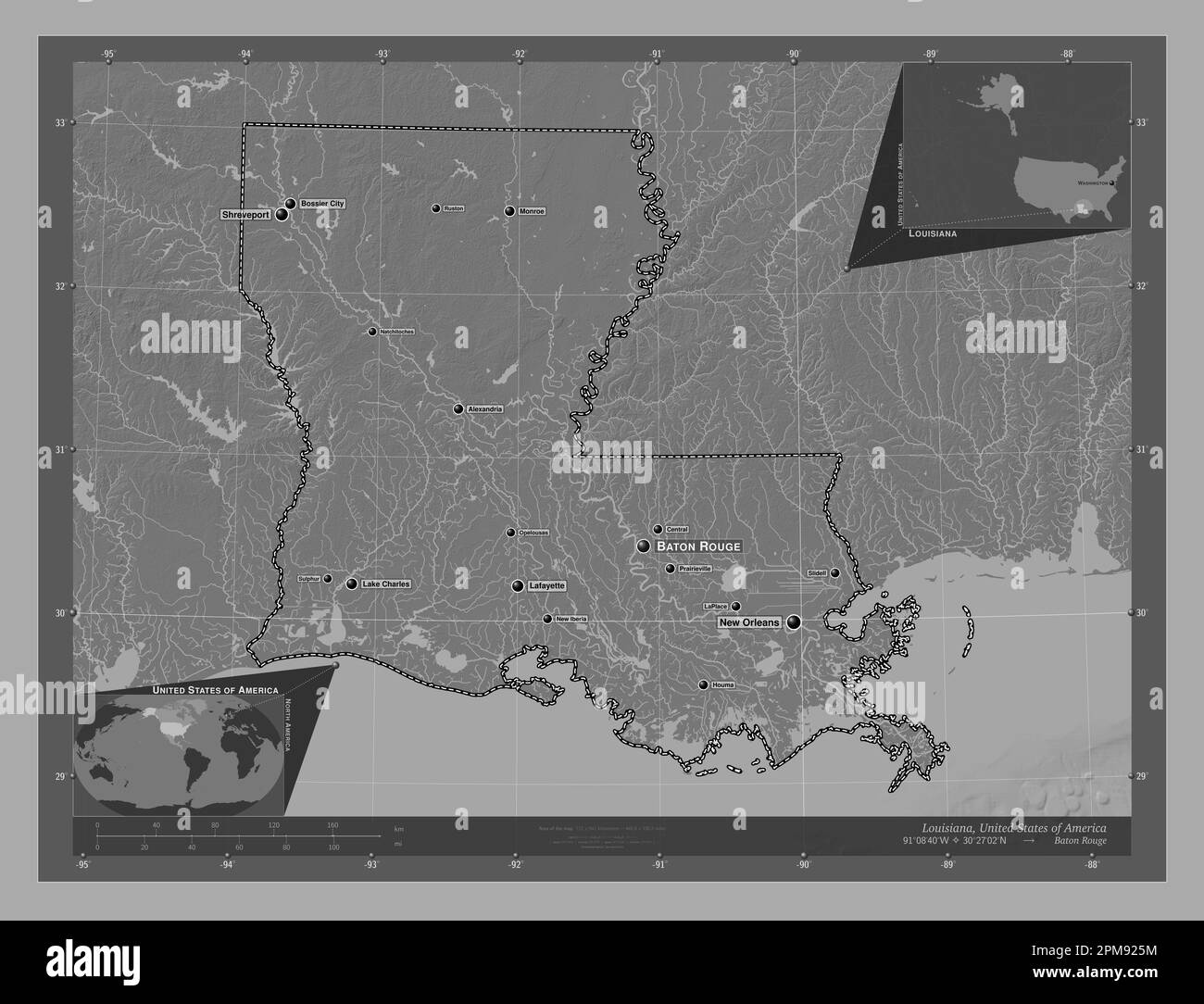 Louisiana, state of United States of America. Bilevel elevation map with lakes and rivers. Locations and names of major cities of the region. Corner a Stock Photohttps://www.alamy.com/image-license-details/?v=1https://www.alamy.com/louisiana-state-of-united-states-of-america-bilevel-elevation-map-with-lakes-and-rivers-locations-and-names-of-major-cities-of-the-region-corner-a-image546013824.html
RF2PM925M–Louisiana, state of United States of America. Bilevel elevation map with lakes and rivers. Locations and names of major cities of the region. Corner a
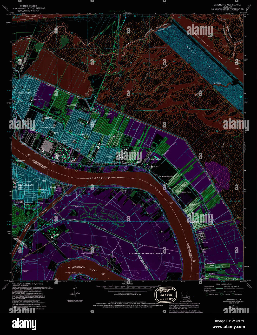 USGS TOPO Map Louisiana LA Chalmette 331657 1967 24000 Inverted Restoration Stock Photohttps://www.alamy.com/image-license-details/?v=1https://www.alamy.com/usgs-topo-map-louisiana-la-chalmette-331657-1967-24000-inverted-restoration-image260514562.html
RMW3RCYE–USGS TOPO Map Louisiana LA Chalmette 331657 1967 24000 Inverted Restoration
 Louisiana, state of United States of America. Elevation map colored in wiki style with lakes and rivers. Locations and names of major cities of the re Stock Photohttps://www.alamy.com/image-license-details/?v=1https://www.alamy.com/louisiana-state-of-united-states-of-america-elevation-map-colored-in-wiki-style-with-lakes-and-rivers-locations-and-names-of-major-cities-of-the-re-image546013971.html
RF2PM92AY–Louisiana, state of United States of America. Elevation map colored in wiki style with lakes and rivers. Locations and names of major cities of the re
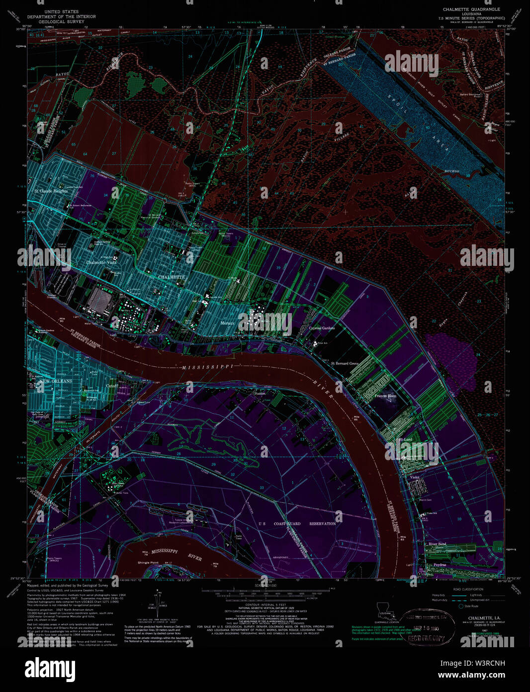 USGS TOPO Map Louisiana LA Chalmette 331656 1967 24000 Inverted Restoration Stock Photohttps://www.alamy.com/image-license-details/?v=1https://www.alamy.com/usgs-topo-map-louisiana-la-chalmette-331656-1967-24000-inverted-restoration-image260514397.html
RMW3RCNH–USGS TOPO Map Louisiana LA Chalmette 331656 1967 24000 Inverted Restoration
 Louisiana, state of United States of America. Open Street Map. Locations and names of major cities of the region. Corner auxiliary location maps Stock Photohttps://www.alamy.com/image-license-details/?v=1https://www.alamy.com/louisiana-state-of-united-states-of-america-open-street-map-locations-and-names-of-major-cities-of-the-region-corner-auxiliary-location-maps-image546013920.html
RF2PM9294–Louisiana, state of United States of America. Open Street Map. Locations and names of major cities of the region. Corner auxiliary location maps
 USGS TOPO Map Louisiana LA Chalmette 331655 1967 24000 Inverted Restoration Stock Photohttps://www.alamy.com/image-license-details/?v=1https://www.alamy.com/usgs-topo-map-louisiana-la-chalmette-331655-1967-24000-inverted-restoration-image260514334.html
RMW3RCKA–USGS TOPO Map Louisiana LA Chalmette 331655 1967 24000 Inverted Restoration
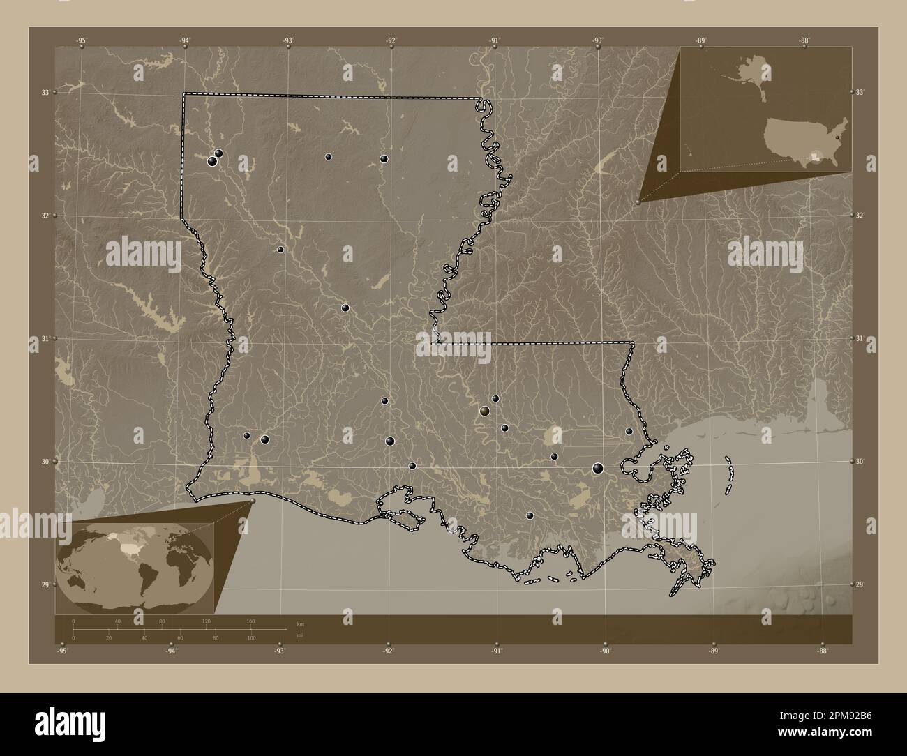 Louisiana, state of United States of America. Elevation map colored in sepia tones with lakes and rivers. Locations of major cities of the region. Cor Stock Photohttps://www.alamy.com/image-license-details/?v=1https://www.alamy.com/louisiana-state-of-united-states-of-america-elevation-map-colored-in-sepia-tones-with-lakes-and-rivers-locations-of-major-cities-of-the-region-cor-image546013978.html
RF2PM92B6–Louisiana, state of United States of America. Elevation map colored in sepia tones with lakes and rivers. Locations of major cities of the region. Cor
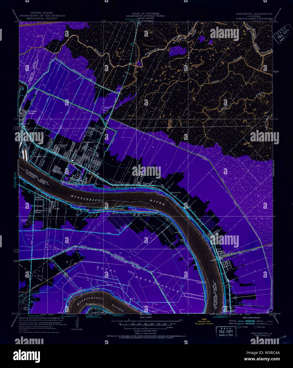 USGS TOPO Map Louisiana LA Chalmette 331651 1951 24000 Inverted Restoration Stock Photohttps://www.alamy.com/image-license-details/?v=1https://www.alamy.com/usgs-topo-map-louisiana-la-chalmette-331651-1951-24000-inverted-restoration-image260513914.html
RMW3RC4A–USGS TOPO Map Louisiana LA Chalmette 331651 1951 24000 Inverted Restoration
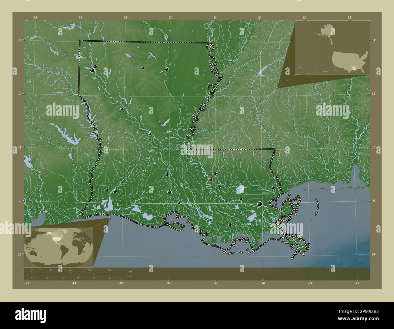 Louisiana, state of United States of America. Elevation map colored in wiki style with lakes and rivers. Locations of major cities of the region. Corn Stock Photohttps://www.alamy.com/image-license-details/?v=1https://www.alamy.com/louisiana-state-of-united-states-of-america-elevation-map-colored-in-wiki-style-with-lakes-and-rivers-locations-of-major-cities-of-the-region-corn-image546013975.html
RF2PM92B3–Louisiana, state of United States of America. Elevation map colored in wiki style with lakes and rivers. Locations of major cities of the region. Corn
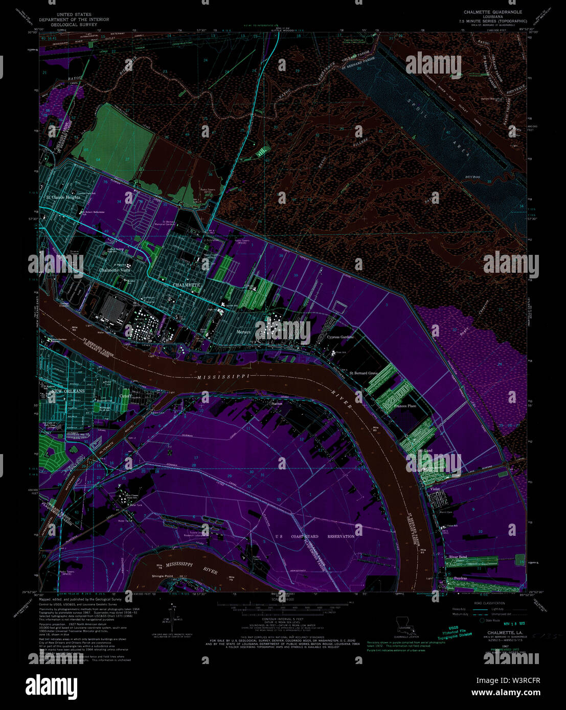 USGS TOPO Map Louisiana LA Chalmette 331654 1967 24000 Inverted Restoration Stock Photohttps://www.alamy.com/image-license-details/?v=1https://www.alamy.com/usgs-topo-map-louisiana-la-chalmette-331654-1967-24000-inverted-restoration-image260514235.html
RMW3RCFR–USGS TOPO Map Louisiana LA Chalmette 331654 1967 24000 Inverted Restoration
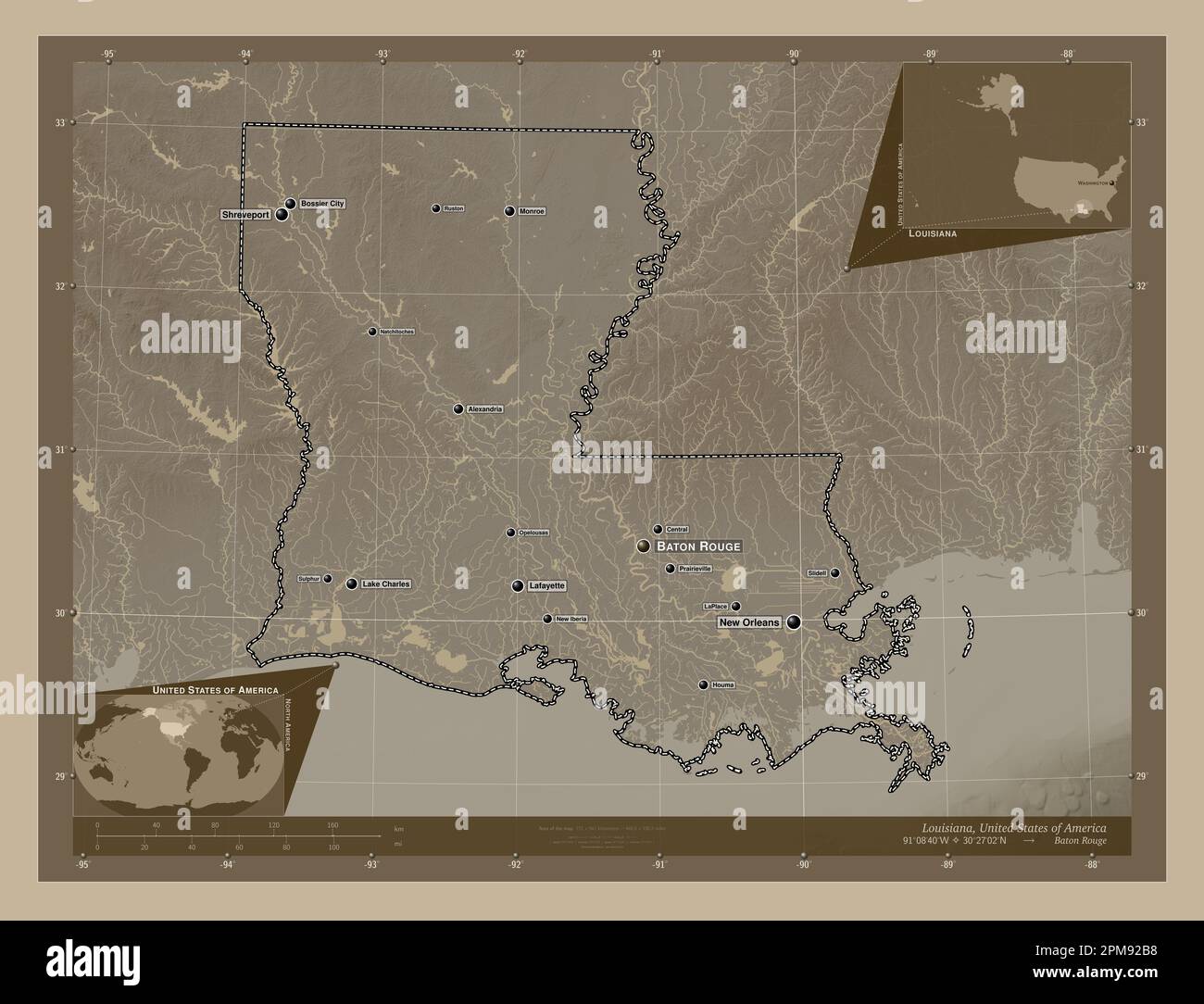 Louisiana, state of United States of America. Elevation map colored in sepia tones with lakes and rivers. Locations and names of major cities of the r Stock Photohttps://www.alamy.com/image-license-details/?v=1https://www.alamy.com/louisiana-state-of-united-states-of-america-elevation-map-colored-in-sepia-tones-with-lakes-and-rivers-locations-and-names-of-major-cities-of-the-r-image546013980.html
RF2PM92B8–Louisiana, state of United States of America. Elevation map colored in sepia tones with lakes and rivers. Locations and names of major cities of the r
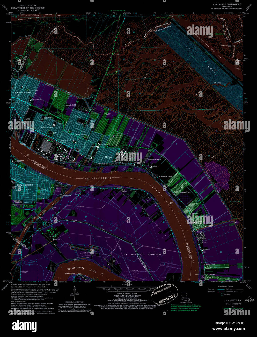 USGS TOPO Map Louisiana LA Chalmette 331649 1967 24000 Inverted Restoration Stock Photohttps://www.alamy.com/image-license-details/?v=1https://www.alamy.com/usgs-topo-map-louisiana-la-chalmette-331649-1967-24000-inverted-restoration-image260513793.html
RMW3RC01–USGS TOPO Map Louisiana LA Chalmette 331649 1967 24000 Inverted Restoration
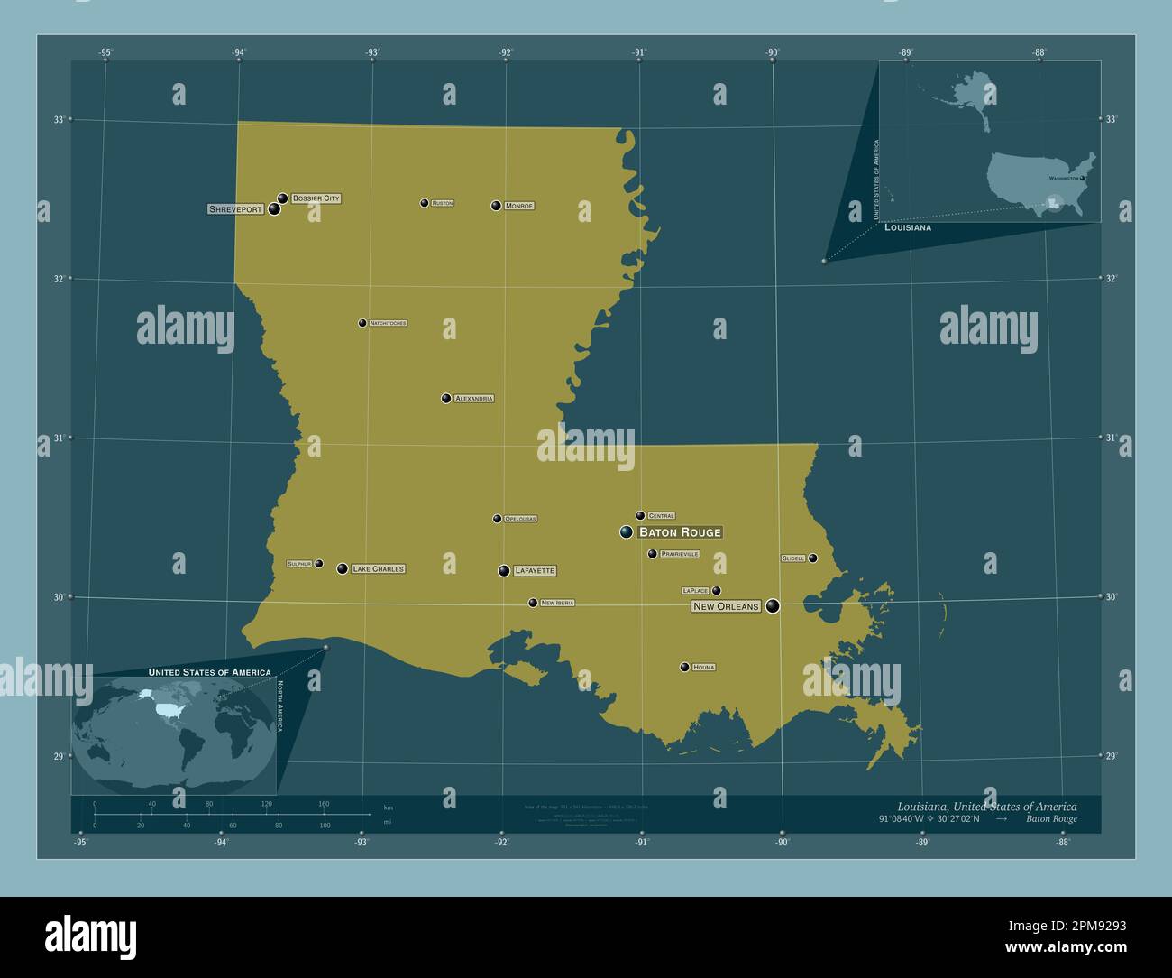 Louisiana, state of United States of America. Solid color shape. Locations and names of major cities of the region. Corner auxiliary location maps Stock Photohttps://www.alamy.com/image-license-details/?v=1https://www.alamy.com/louisiana-state-of-united-states-of-america-solid-color-shape-locations-and-names-of-major-cities-of-the-region-corner-auxiliary-location-maps-image546013919.html
RF2PM9293–Louisiana, state of United States of America. Solid color shape. Locations and names of major cities of the region. Corner auxiliary location maps
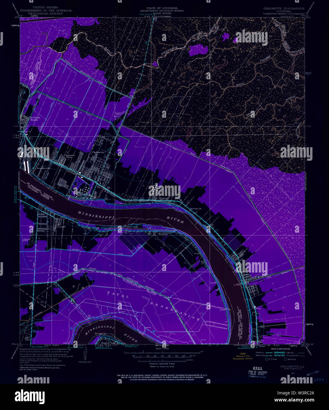 USGS TOPO Map Louisiana LA Chalmette 331650 1951 24000 Inverted Restoration Stock Photohttps://www.alamy.com/image-license-details/?v=1https://www.alamy.com/usgs-topo-map-louisiana-la-chalmette-331650-1951-24000-inverted-restoration-image260513854.html
RMW3RC26–USGS TOPO Map Louisiana LA Chalmette 331650 1951 24000 Inverted Restoration
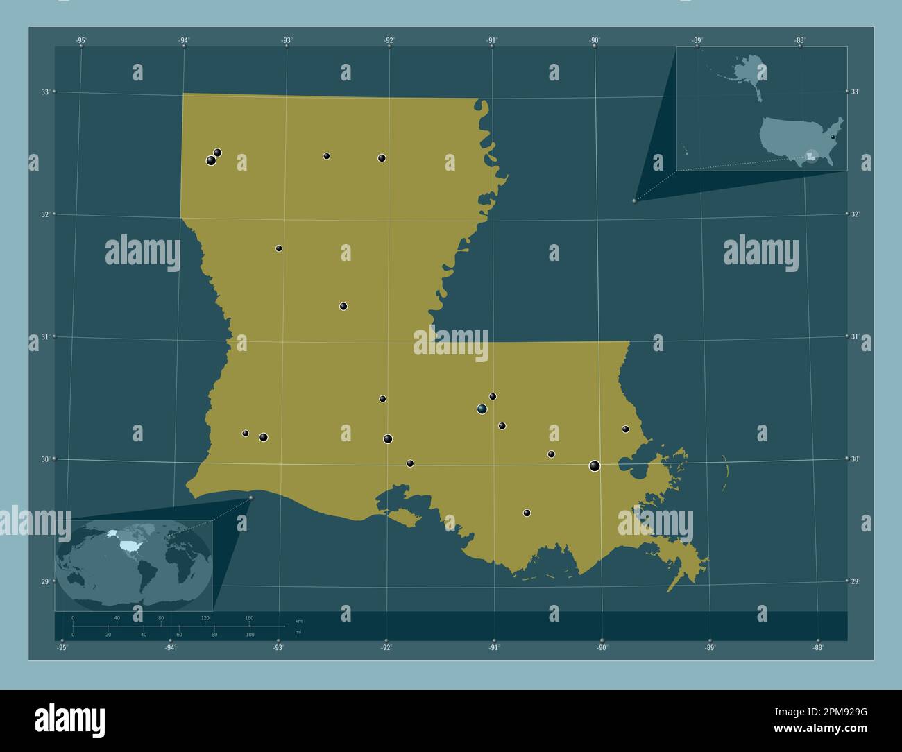 Louisiana, state of United States of America. Solid color shape. Locations of major cities of the region. Corner auxiliary location maps Stock Photohttps://www.alamy.com/image-license-details/?v=1https://www.alamy.com/louisiana-state-of-united-states-of-america-solid-color-shape-locations-of-major-cities-of-the-region-corner-auxiliary-location-maps-image546013932.html
RF2PM929G–Louisiana, state of United States of America. Solid color shape. Locations of major cities of the region. Corner auxiliary location maps
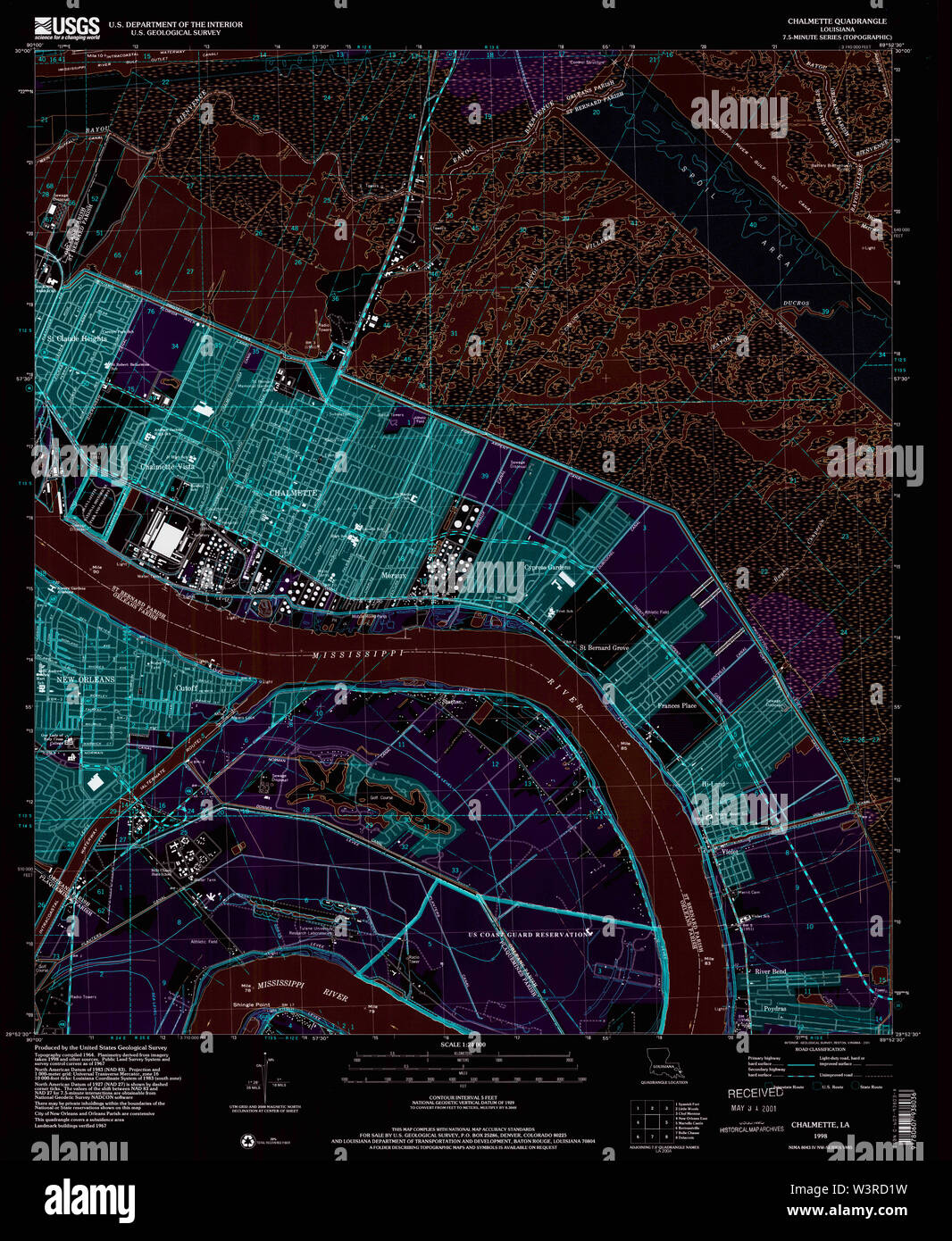 USGS TOPO Map Louisiana LA Chalmette 331658 1998 24000 Inverted Restoration Stock Photohttps://www.alamy.com/image-license-details/?v=1https://www.alamy.com/usgs-topo-map-louisiana-la-chalmette-331658-1998-24000-inverted-restoration-image260514629.html
RMW3RD1W–USGS TOPO Map Louisiana LA Chalmette 331658 1998 24000 Inverted Restoration
 Louisiana, state of United States of America. Solid color shape Stock Photohttps://www.alamy.com/image-license-details/?v=1https://www.alamy.com/louisiana-state-of-united-states-of-america-solid-color-shape-image546013931.html
RF2PM929F–Louisiana, state of United States of America. Solid color shape
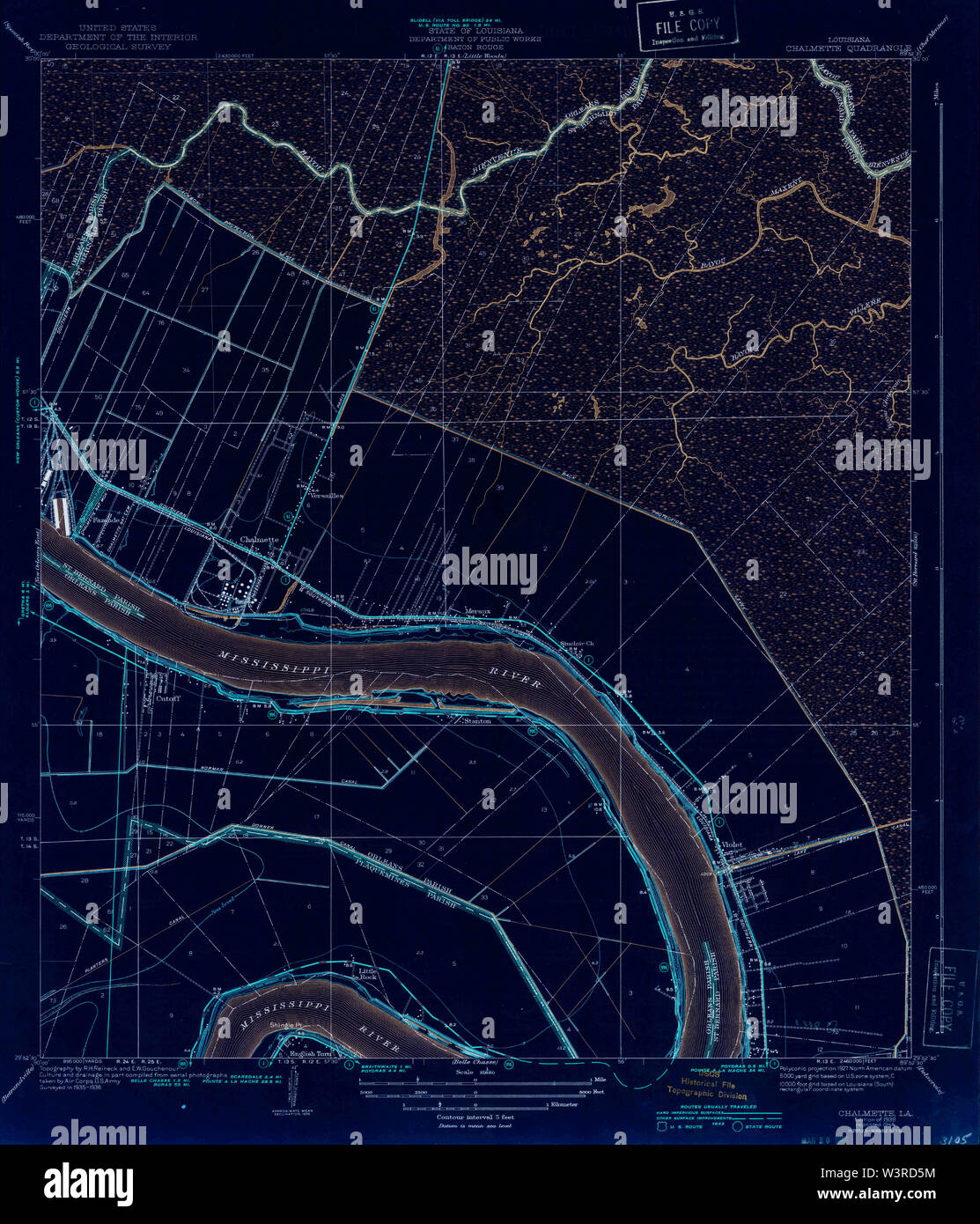 USGS TOPO Map Louisiana LA Chalmette 333706 1939 31680 Inverted Restoration Stock Photohttps://www.alamy.com/image-license-details/?v=1https://www.alamy.com/usgs-topo-map-louisiana-la-chalmette-333706-1939-31680-inverted-restoration-image260514736.html
RMW3RD5M–USGS TOPO Map Louisiana LA Chalmette 333706 1939 31680 Inverted Restoration
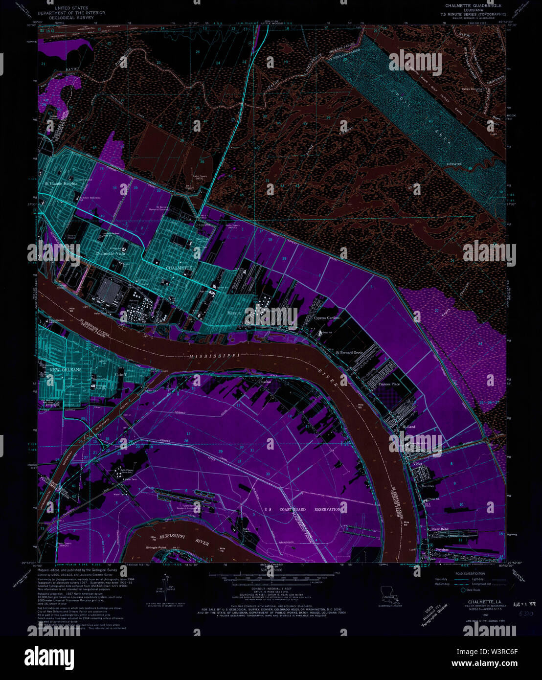 USGS TOPO Map Louisiana LA Chalmette 331652 1967 24000 Inverted Restoration Stock Photohttps://www.alamy.com/image-license-details/?v=1https://www.alamy.com/usgs-topo-map-louisiana-la-chalmette-331652-1967-24000-inverted-restoration-image260513975.html
RMW3RC6F–USGS TOPO Map Louisiana LA Chalmette 331652 1967 24000 Inverted Restoration