Quick filters:
Map of clarkston Stock Photos and Images
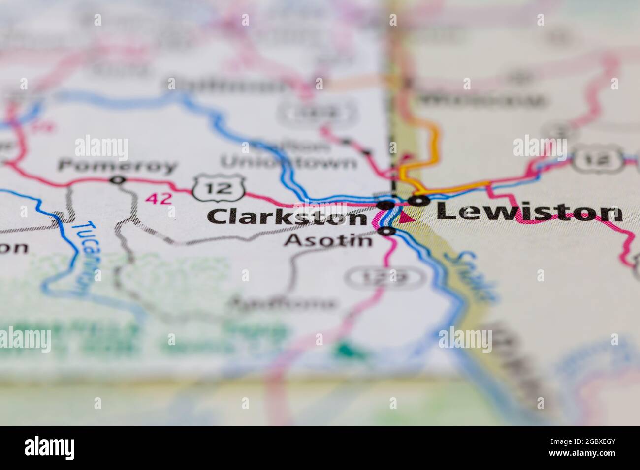 Clarkston Washington State USA shown on a road map or Geography map Stock Photohttps://www.alamy.com/image-license-details/?v=1https://www.alamy.com/clarkston-washington-state-usa-shown-on-a-road-map-or-geography-map-image437602619.html
RM2GBXEGY–Clarkston Washington State USA shown on a road map or Geography map
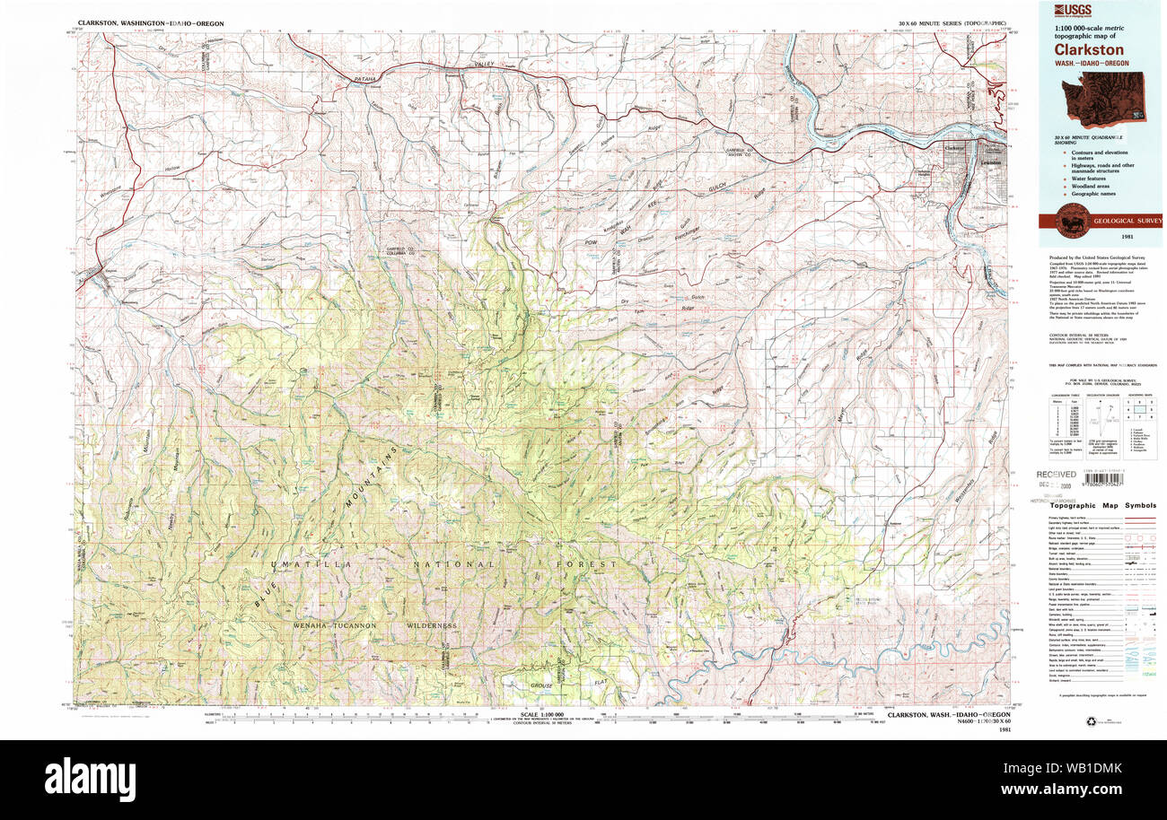 USGS Topo Map Washington Clarkston 240546 1981 100000 Restoration Stock Photohttps://www.alamy.com/image-license-details/?v=1https://www.alamy.com/usgs-topo-map-washington-clarkston-240546-1981-100000-restoration-image264949459.html
RMWB1DMK–USGS Topo Map Washington Clarkston 240546 1981 100000 Restoration
 LEWISTON / IDAHO STATE/ USA . Life at snake river , rafting ,fishing,jet boating ,bathing,wild life and wood cottages Oregon state,Idaho state and Washinton state scenic view at snake river Lewiston and Clarkston 1 August 2010 (PHOTO BY FRANCIS JOSEPH DEAN / DEAN PICTURES) Stock Photohttps://www.alamy.com/image-license-details/?v=1https://www.alamy.com/lewiston-idaho-state-usa-life-at-snake-river-rafting-fishingjet-boating-bathingwild-life-and-wood-cottages-oregon-stateidaho-state-and-washinton-state-scenic-view-at-snake-river-lewiston-and-clarkston-1-august-2010-photo-by-francis-joseph-dean-dean-pictures-image569868236.html
RM2T33MN0–LEWISTON / IDAHO STATE/ USA . Life at snake river , rafting ,fishing,jet boating ,bathing,wild life and wood cottages Oregon state,Idaho state and Washinton state scenic view at snake river Lewiston and Clarkston 1 August 2010 (PHOTO BY FRANCIS JOSEPH DEAN / DEAN PICTURES)
 Clarkston, Asotin County, US, United States, Washington, N 46 24' 58'', S 117 2' 44'', map, Cartascapes Map published in 2024. Explore Cartascapes, a map revealing Earth's diverse landscapes, cultures, and ecosystems. Journey through time and space, discovering the interconnectedness of our planet's past, present, and future. Stock Photohttps://www.alamy.com/image-license-details/?v=1https://www.alamy.com/clarkston-asotin-county-us-united-states-washington-n-46-24-58-s-117-2-44-map-cartascapes-map-published-in-2024-explore-cartascapes-a-map-revealing-earths-diverse-landscapes-cultures-and-ecosystems-journey-through-time-and-space-discovering-the-interconnectedness-of-our-planets-past-present-and-future-image621308649.html
RM2Y2R1EH–Clarkston, Asotin County, US, United States, Washington, N 46 24' 58'', S 117 2' 44'', map, Cartascapes Map published in 2024. Explore Cartascapes, a map revealing Earth's diverse landscapes, cultures, and ecosystems. Journey through time and space, discovering the interconnectedness of our planet's past, present, and future.
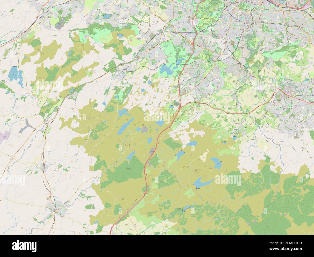 East Renfrewshire, region of Scotland - Great Britain. Open Street Map Stock Photohttps://www.alamy.com/image-license-details/?v=1https://www.alamy.com/east-renfrewshire-region-of-scotland-great-britain-open-street-map-image546201417.html
RF2PMHHDD–East Renfrewshire, region of Scotland - Great Britain. Open Street Map
 Asotin County, State of Washington (U.S. county, United States of America, USA, U.S., US) map vector illustration, scribble sketch Asotin map Stock Vectorhttps://www.alamy.com/image-license-details/?v=1https://www.alamy.com/asotin-county-state-of-washington-us-county-united-states-of-america-usa-us-us-map-vector-illustration-scribble-sketch-asotin-map-image432238681.html
RF2G364RN–Asotin County, State of Washington (U.S. county, United States of America, USA, U.S., US) map vector illustration, scribble sketch Asotin map
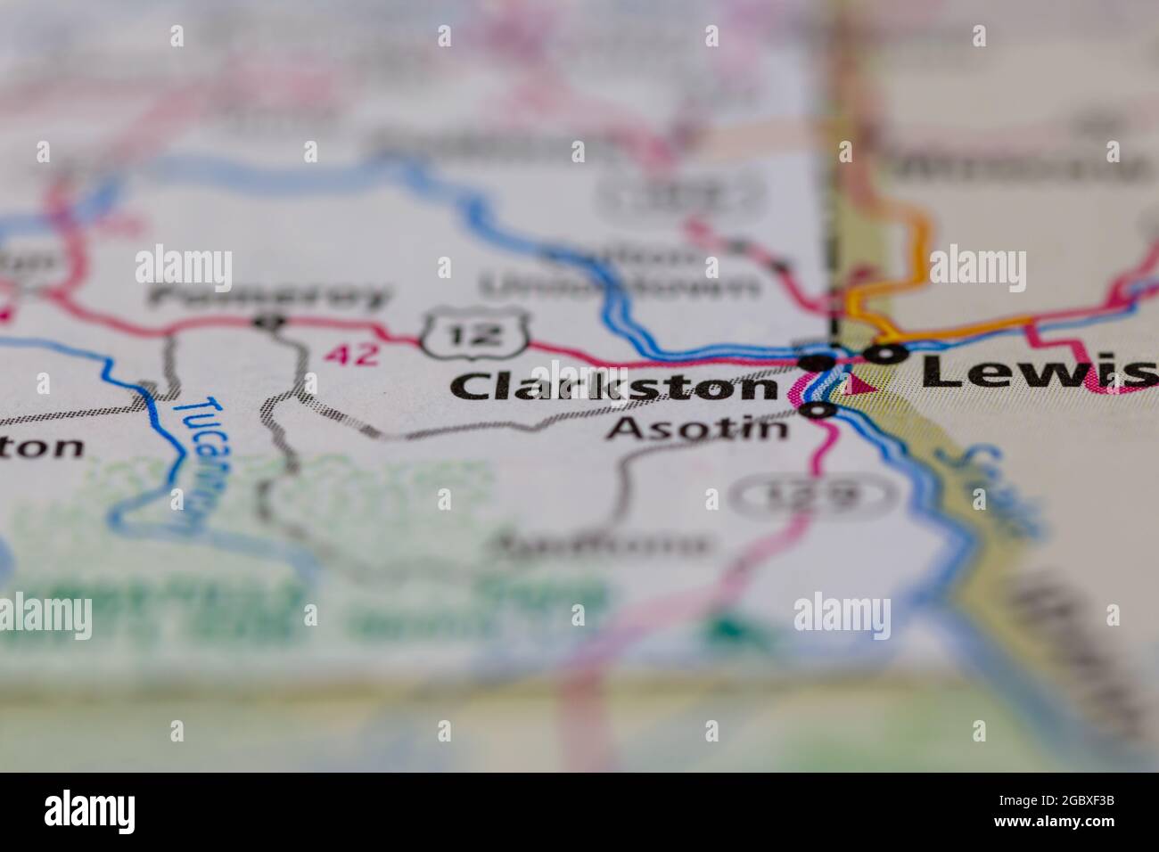 Clarkston Washington State USA shown on a road map or Geography map Stock Photohttps://www.alamy.com/image-license-details/?v=1https://www.alamy.com/clarkston-washington-state-usa-shown-on-a-road-map-or-geography-map-image437603023.html
RM2GBXF3B–Clarkston Washington State USA shown on a road map or Geography map
 USGS Topo Map Washington Clarkston 240545 1981 100000 Restoration Stock Photohttps://www.alamy.com/image-license-details/?v=1https://www.alamy.com/usgs-topo-map-washington-clarkston-240545-1981-100000-restoration-image264949271.html
RMWB1DDY–USGS Topo Map Washington Clarkston 240545 1981 100000 Restoration
 Clarkston, Gallatin County, US, United States, Montana, N 46 1' 47'', S 111 24' 48'', map, Cartascapes Map published in 2024. Explore Cartascapes, a map revealing Earth's diverse landscapes, cultures, and ecosystems. Journey through time and space, discovering the interconnectedness of our planet's past, present, and future. Stock Photohttps://www.alamy.com/image-license-details/?v=1https://www.alamy.com/clarkston-gallatin-county-us-united-states-montana-n-46-1-47-s-111-24-48-map-cartascapes-map-published-in-2024-explore-cartascapes-a-map-revealing-earths-diverse-landscapes-cultures-and-ecosystems-journey-through-time-and-space-discovering-the-interconnectedness-of-our-planets-past-present-and-future-image621386196.html
RM2Y2XGC4–Clarkston, Gallatin County, US, United States, Montana, N 46 1' 47'', S 111 24' 48'', map, Cartascapes Map published in 2024. Explore Cartascapes, a map revealing Earth's diverse landscapes, cultures, and ecosystems. Journey through time and space, discovering the interconnectedness of our planet's past, present, and future.
 East Renfrewshire, region of Scotland - Great Britain. High resolution satellite map Stock Photohttps://www.alamy.com/image-license-details/?v=1https://www.alamy.com/east-renfrewshire-region-of-scotland-great-britain-high-resolution-satellite-map-image546201609.html
RF2PMHHM9–East Renfrewshire, region of Scotland - Great Britain. High resolution satellite map
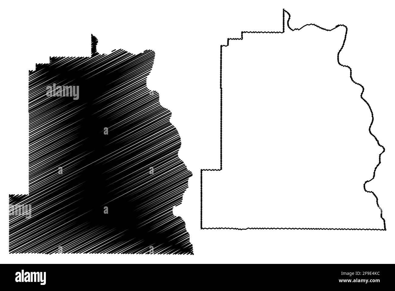 Asotin County, State of Washington (U.S. county, United States of America, USA, U.S., US) map vector illustration, scribble sketch Asotin map Stock Vectorhttps://www.alamy.com/image-license-details/?v=1https://www.alamy.com/asotin-county-state-of-washington-us-county-united-states-of-america-usa-us-us-map-vector-illustration-scribble-sketch-asotin-map-image418891744.html
RF2F9E4KC–Asotin County, State of Washington (U.S. county, United States of America, USA, U.S., US) map vector illustration, scribble sketch Asotin map
 USGS Topo Map Washington Clarkston 240545 1981 100000 Inverted Restoration Stock Photohttps://www.alamy.com/image-license-details/?v=1https://www.alamy.com/usgs-topo-map-washington-clarkston-240545-1981-100000-inverted-restoration-image264949189.html
RMWB1DB1–USGS Topo Map Washington Clarkston 240545 1981 100000 Inverted Restoration
 Clarkston, Cache County, US, United States, Utah, N 41 55' 12'', S 112 2' 59'', map, Cartascapes Map published in 2024. Explore Cartascapes, a map revealing Earth's diverse landscapes, cultures, and ecosystems. Journey through time and space, discovering the interconnectedness of our planet's past, present, and future. Stock Photohttps://www.alamy.com/image-license-details/?v=1https://www.alamy.com/clarkston-cache-county-us-united-states-utah-n-41-55-12-s-112-2-59-map-cartascapes-map-published-in-2024-explore-cartascapes-a-map-revealing-earths-diverse-landscapes-cultures-and-ecosystems-journey-through-time-and-space-discovering-the-interconnectedness-of-our-planets-past-present-and-future-image621293910.html
RM2Y2PAM6–Clarkston, Cache County, US, United States, Utah, N 41 55' 12'', S 112 2' 59'', map, Cartascapes Map published in 2024. Explore Cartascapes, a map revealing Earth's diverse landscapes, cultures, and ecosystems. Journey through time and space, discovering the interconnectedness of our planet's past, present, and future.
 East Renfrewshire, region of Scotland - Great Britain. Low resolution satellite map Stock Photohttps://www.alamy.com/image-license-details/?v=1https://www.alamy.com/east-renfrewshire-region-of-scotland-great-britain-low-resolution-satellite-map-image546201587.html
RF2PMHHKF–East Renfrewshire, region of Scotland - Great Britain. Low resolution satellite map
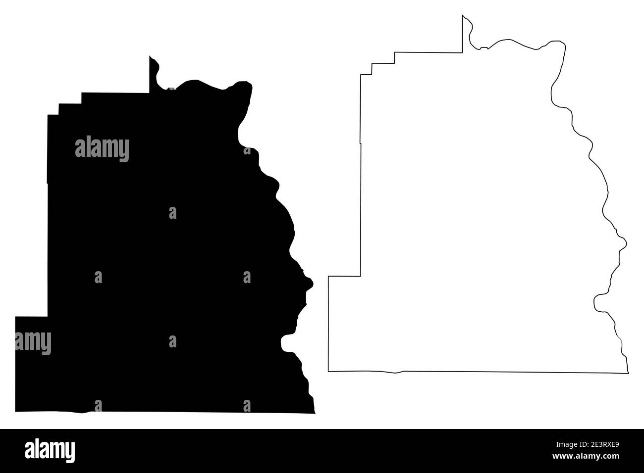 Asotin County, State of Washington (U.S. county, United States of America, USA, U.S., US) map vector illustration, scribble sketch Asotin map Stock Vectorhttps://www.alamy.com/image-license-details/?v=1https://www.alamy.com/asotin-county-state-of-washington-us-county-united-states-of-america-usa-us-us-map-vector-illustration-scribble-sketch-asotin-map-image398208113.html
RF2E3RXE9–Asotin County, State of Washington (U.S. county, United States of America, USA, U.S., US) map vector illustration, scribble sketch Asotin map
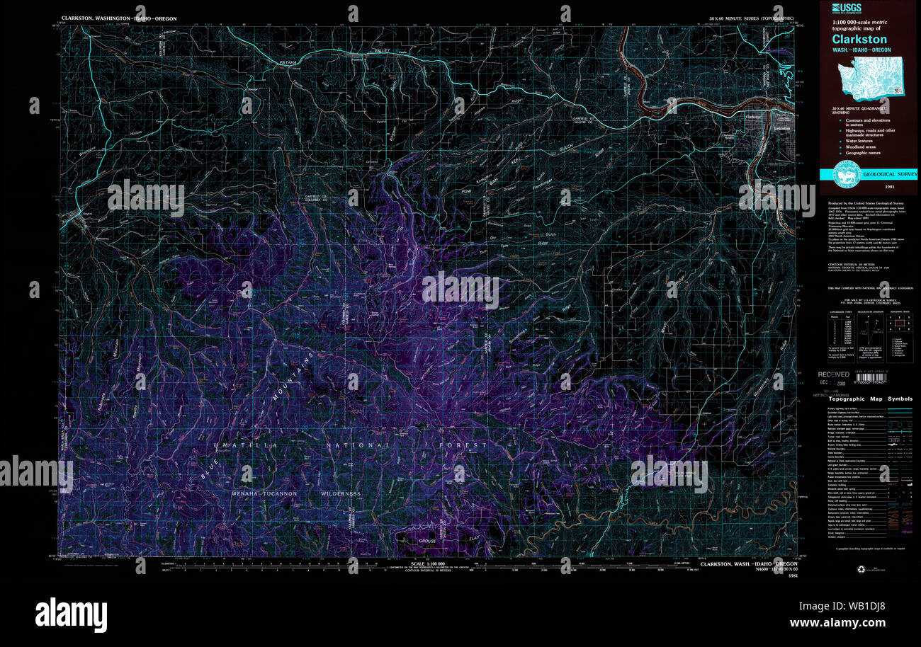 USGS Topo Map Washington Clarkston 240546 1981 100000 Inverted Restoration Stock Photohttps://www.alamy.com/image-license-details/?v=1https://www.alamy.com/usgs-topo-map-washington-clarkston-240546-1981-100000-inverted-restoration-image264949392.html
RMWB1DJ8–USGS Topo Map Washington Clarkston 240546 1981 100000 Inverted Restoration
 Clarkston, DeKalb County, US, United States, Georgia, N 33 48' 34'', S 84 14' 22'', map, Cartascapes Map published in 2024. Explore Cartascapes, a map revealing Earth's diverse landscapes, cultures, and ecosystems. Journey through time and space, discovering the interconnectedness of our planet's past, present, and future. Stock Photohttps://www.alamy.com/image-license-details/?v=1https://www.alamy.com/clarkston-dekalb-county-us-united-states-georgia-n-33-48-34-s-84-14-22-map-cartascapes-map-published-in-2024-explore-cartascapes-a-map-revealing-earths-diverse-landscapes-cultures-and-ecosystems-journey-through-time-and-space-discovering-the-interconnectedness-of-our-planets-past-present-and-future-image621227669.html
RM2Y2KA6D–Clarkston, DeKalb County, US, United States, Georgia, N 33 48' 34'', S 84 14' 22'', map, Cartascapes Map published in 2024. Explore Cartascapes, a map revealing Earth's diverse landscapes, cultures, and ecosystems. Journey through time and space, discovering the interconnectedness of our planet's past, present, and future.
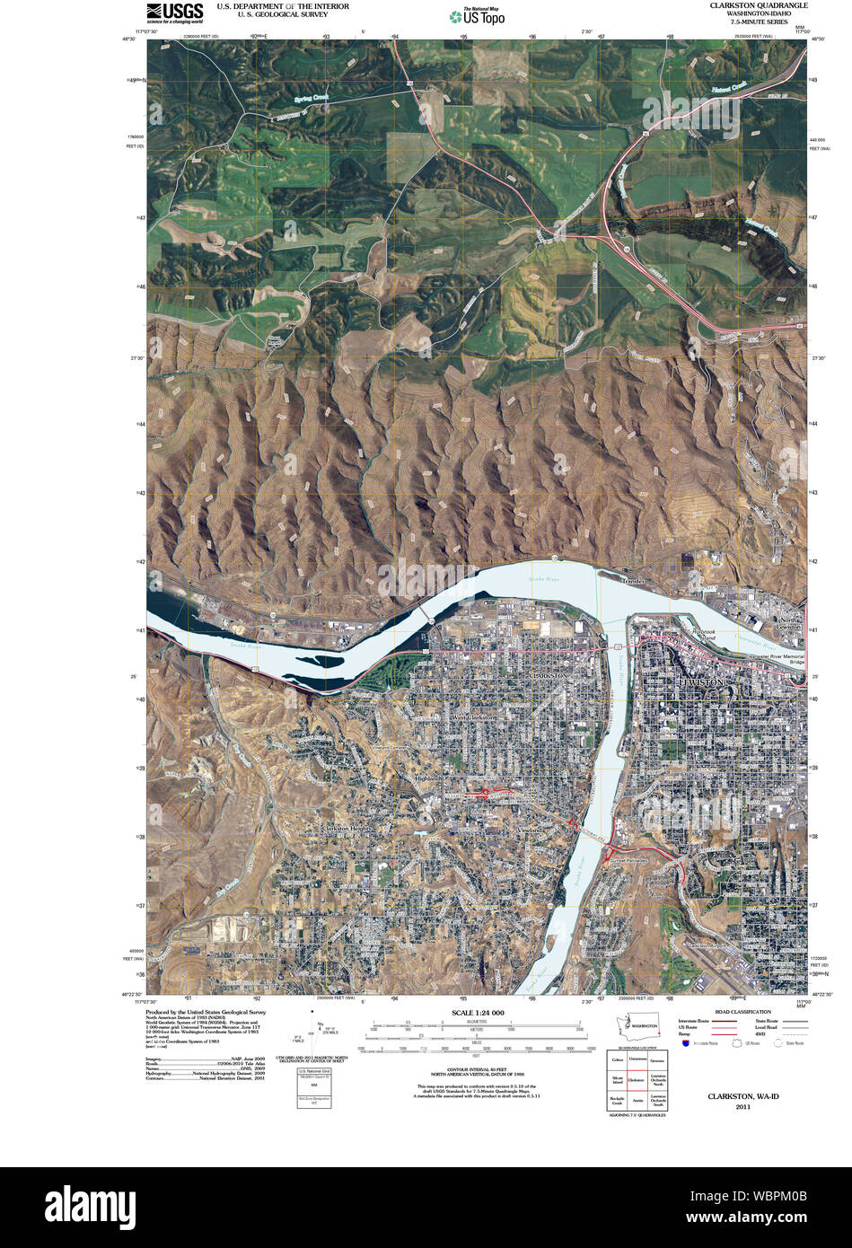 USGS Topo Map Washington State WA Clarkston 20110406 TM Restoration Stock Photohttps://www.alamy.com/image-license-details/?v=1https://www.alamy.com/usgs-topo-map-washington-state-wa-clarkston-20110406-tm-restoration-image265415371.html
RMWBPM0B–USGS Topo Map Washington State WA Clarkston 20110406 TM Restoration
 East Renfrewshire, region of Scotland - Great Britain. Low resolution satellite map. Locations and names of major cities of the region. Corner auxilia Stock Photohttps://www.alamy.com/image-license-details/?v=1https://www.alamy.com/east-renfrewshire-region-of-scotland-great-britain-low-resolution-satellite-map-locations-and-names-of-major-cities-of-the-region-corner-auxilia-image546201571.html
RF2PMHHJY–East Renfrewshire, region of Scotland - Great Britain. Low resolution satellite map. Locations and names of major cities of the region. Corner auxilia
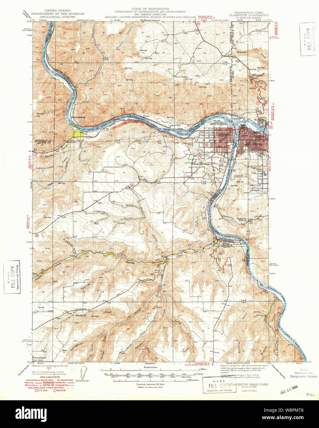 USGS Topo Map Washington State WA Clarkston 240540 1948 62500 Restoration Stock Photohttps://www.alamy.com/image-license-details/?v=1https://www.alamy.com/usgs-topo-map-washington-state-wa-clarkston-240540-1948-62500-restoration-image265416040.html
RMWBPMT8–USGS Topo Map Washington State WA Clarkston 240540 1948 62500 Restoration
 West Clarkston, Asotin County, US, United States, Washington, N 46 24' 38'', S 117 3' 49'', map, Cartascapes Map published in 2024. Explore Cartascapes, a map revealing Earth's diverse landscapes, cultures, and ecosystems. Journey through time and space, discovering the interconnectedness of our planet's past, present, and future. Stock Photohttps://www.alamy.com/image-license-details/?v=1https://www.alamy.com/west-clarkston-asotin-county-us-united-states-washington-n-46-24-38-s-117-3-49-map-cartascapes-map-published-in-2024-explore-cartascapes-a-map-revealing-earths-diverse-landscapes-cultures-and-ecosystems-journey-through-time-and-space-discovering-the-interconnectedness-of-our-planets-past-present-and-future-image621317016.html
RM2Y2RC5C–West Clarkston, Asotin County, US, United States, Washington, N 46 24' 38'', S 117 3' 49'', map, Cartascapes Map published in 2024. Explore Cartascapes, a map revealing Earth's diverse landscapes, cultures, and ecosystems. Journey through time and space, discovering the interconnectedness of our planet's past, present, and future.
 East Renfrewshire, region of Scotland - Great Britain. High resolution satellite map. Locations and names of major cities of the region. Corner auxili Stock Photohttps://www.alamy.com/image-license-details/?v=1https://www.alamy.com/east-renfrewshire-region-of-scotland-great-britain-high-resolution-satellite-map-locations-and-names-of-major-cities-of-the-region-corner-auxili-image546201447.html
RF2PMHHEF–East Renfrewshire, region of Scotland - Great Britain. High resolution satellite map. Locations and names of major cities of the region. Corner auxili
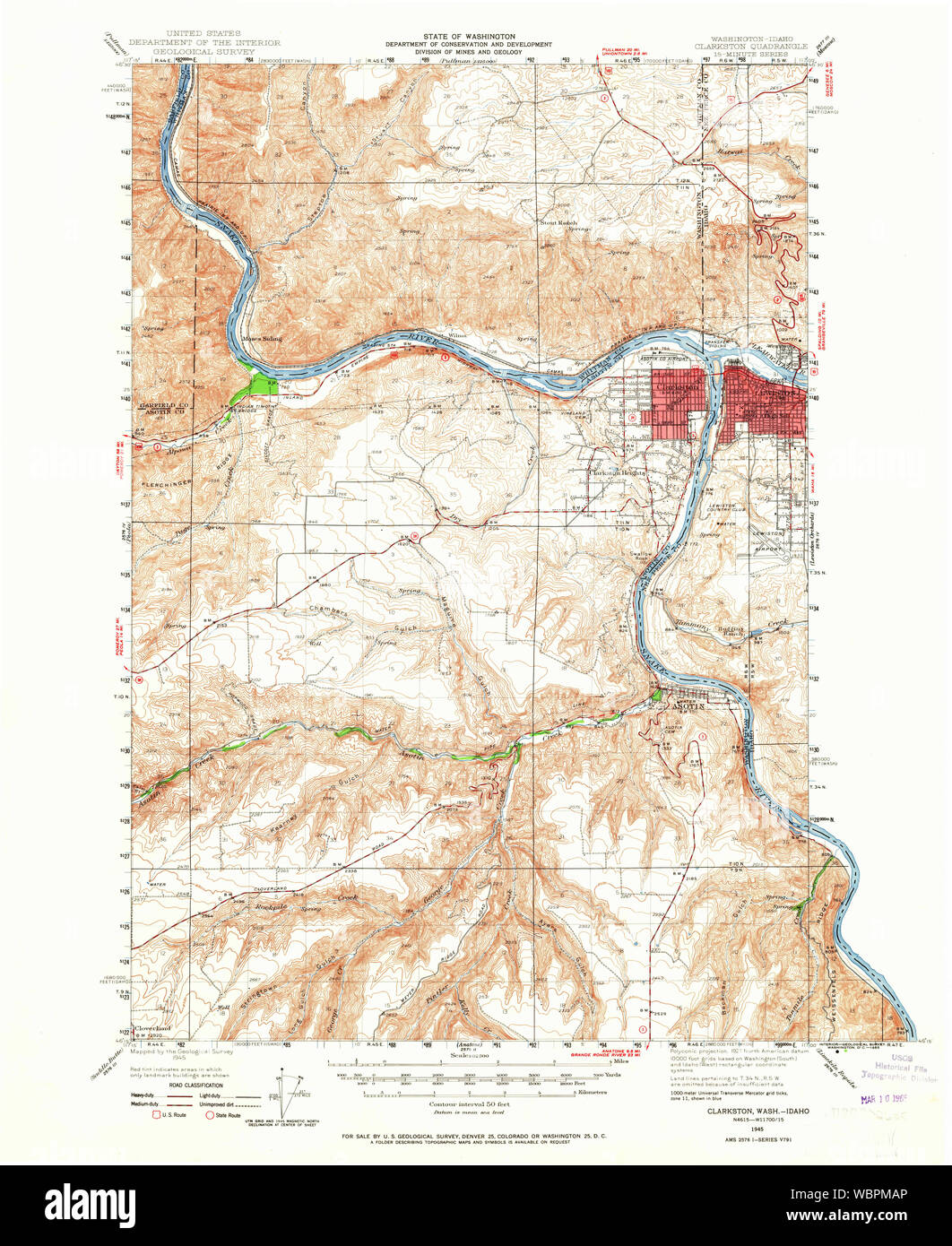 USGS Topo Map Washington State WA Clarkston 240539 1945 62500 Restoration Stock Photohttps://www.alamy.com/image-license-details/?v=1https://www.alamy.com/usgs-topo-map-washington-state-wa-clarkston-240539-1945-62500-restoration-image265415662.html
RMWBPMAP–USGS Topo Map Washington State WA Clarkston 240539 1945 62500 Restoration
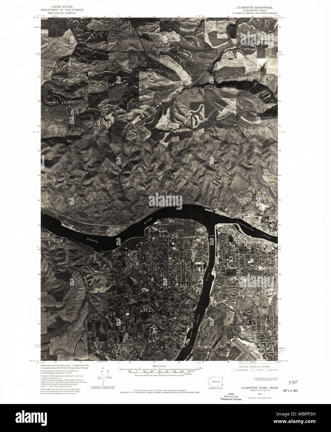 USGS Topo Map Washington State WA Clarkston 240544 1975 24000 Restoration Stock Photohttps://www.alamy.com/image-license-details/?v=1https://www.alamy.com/usgs-topo-map-washington-state-wa-clarkston-240544-1975-24000-restoration-image265417029.html
RMWBPP3H–USGS Topo Map Washington State WA Clarkston 240544 1975 24000 Restoration
 Clarkston Heights-Vineland, Asotin County, US, United States, Washington, N 46 23' 14'', S 117 4' 58'', map, Cartascapes Map published in 2024. Explore Cartascapes, a map revealing Earth's diverse landscapes, cultures, and ecosystems. Journey through time and space, discovering the interconnectedness of our planet's past, present, and future. Stock Photohttps://www.alamy.com/image-license-details/?v=1https://www.alamy.com/clarkston-heights-vineland-asotin-county-us-united-states-washington-n-46-23-14-s-117-4-58-map-cartascapes-map-published-in-2024-explore-cartascapes-a-map-revealing-earths-diverse-landscapes-cultures-and-ecosystems-journey-through-time-and-space-discovering-the-interconnectedness-of-our-planets-past-present-and-future-image621372588.html
RM2Y2WY24–Clarkston Heights-Vineland, Asotin County, US, United States, Washington, N 46 23' 14'', S 117 4' 58'', map, Cartascapes Map published in 2024. Explore Cartascapes, a map revealing Earth's diverse landscapes, cultures, and ecosystems. Journey through time and space, discovering the interconnectedness of our planet's past, present, and future.
 East Renfrewshire, region of Scotland - Great Britain. Open Street Map. Locations of major cities of the region. Corner auxiliary location maps Stock Photohttps://www.alamy.com/image-license-details/?v=1https://www.alamy.com/east-renfrewshire-region-of-scotland-great-britain-open-street-map-locations-of-major-cities-of-the-region-corner-auxiliary-location-maps-image546201645.html
RF2PMHHNH–East Renfrewshire, region of Scotland - Great Britain. Open Street Map. Locations of major cities of the region. Corner auxiliary location maps
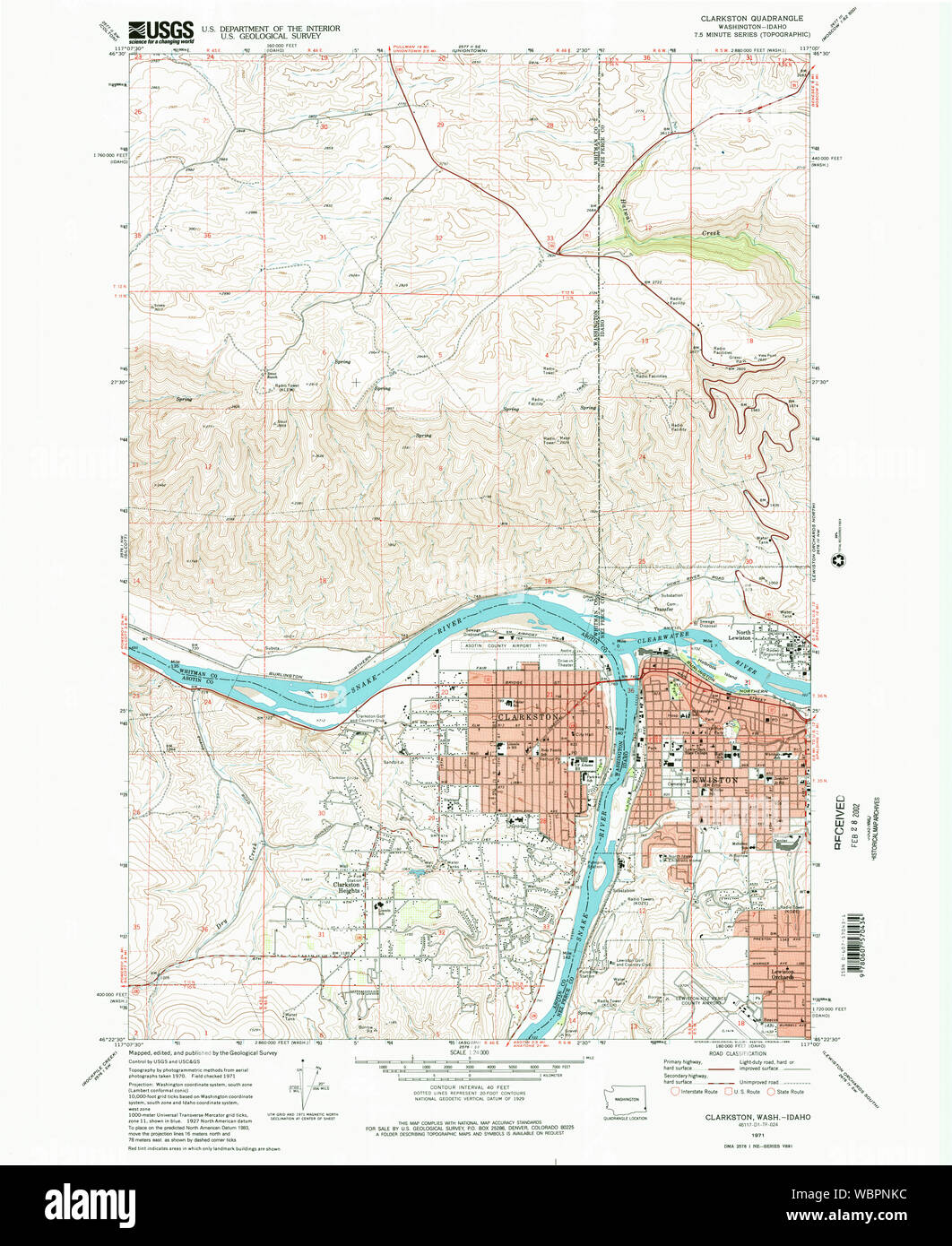 USGS Topo Map Washington State WA Clarkston 240543 1971 24000 Restoration Stock Photohttps://www.alamy.com/image-license-details/?v=1https://www.alamy.com/usgs-topo-map-washington-state-wa-clarkston-240543-1971-24000-restoration-image265416688.html
RMWBPNKC–USGS Topo Map Washington State WA Clarkston 240543 1971 24000 Restoration
 West Clarkston-Highland, Asotin County, US, United States, Washington, N 46 24' 10'', S 117 3' 50'', map, Cartascapes Map published in 2024. Explore Cartascapes, a map revealing Earth's diverse landscapes, cultures, and ecosystems. Journey through time and space, discovering the interconnectedness of our planet's past, present, and future. Stock Photohttps://www.alamy.com/image-license-details/?v=1https://www.alamy.com/west-clarkston-highland-asotin-county-us-united-states-washington-n-46-24-10-s-117-3-50-map-cartascapes-map-published-in-2024-explore-cartascapes-a-map-revealing-earths-diverse-landscapes-cultures-and-ecosystems-journey-through-time-and-space-discovering-the-interconnectedness-of-our-planets-past-present-and-future-image621246655.html
RM2Y2M6CF–West Clarkston-Highland, Asotin County, US, United States, Washington, N 46 24' 10'', S 117 3' 50'', map, Cartascapes Map published in 2024. Explore Cartascapes, a map revealing Earth's diverse landscapes, cultures, and ecosystems. Journey through time and space, discovering the interconnectedness of our planet's past, present, and future.
 East Renfrewshire, region of Scotland - Great Britain. Low resolution satellite map. Locations of major cities of the region. Corner auxiliary locatio Stock Photohttps://www.alamy.com/image-license-details/?v=1https://www.alamy.com/east-renfrewshire-region-of-scotland-great-britain-low-resolution-satellite-map-locations-of-major-cities-of-the-region-corner-auxiliary-locatio-image546201582.html
RF2PMHHKA–East Renfrewshire, region of Scotland - Great Britain. Low resolution satellite map. Locations of major cities of the region. Corner auxiliary locatio
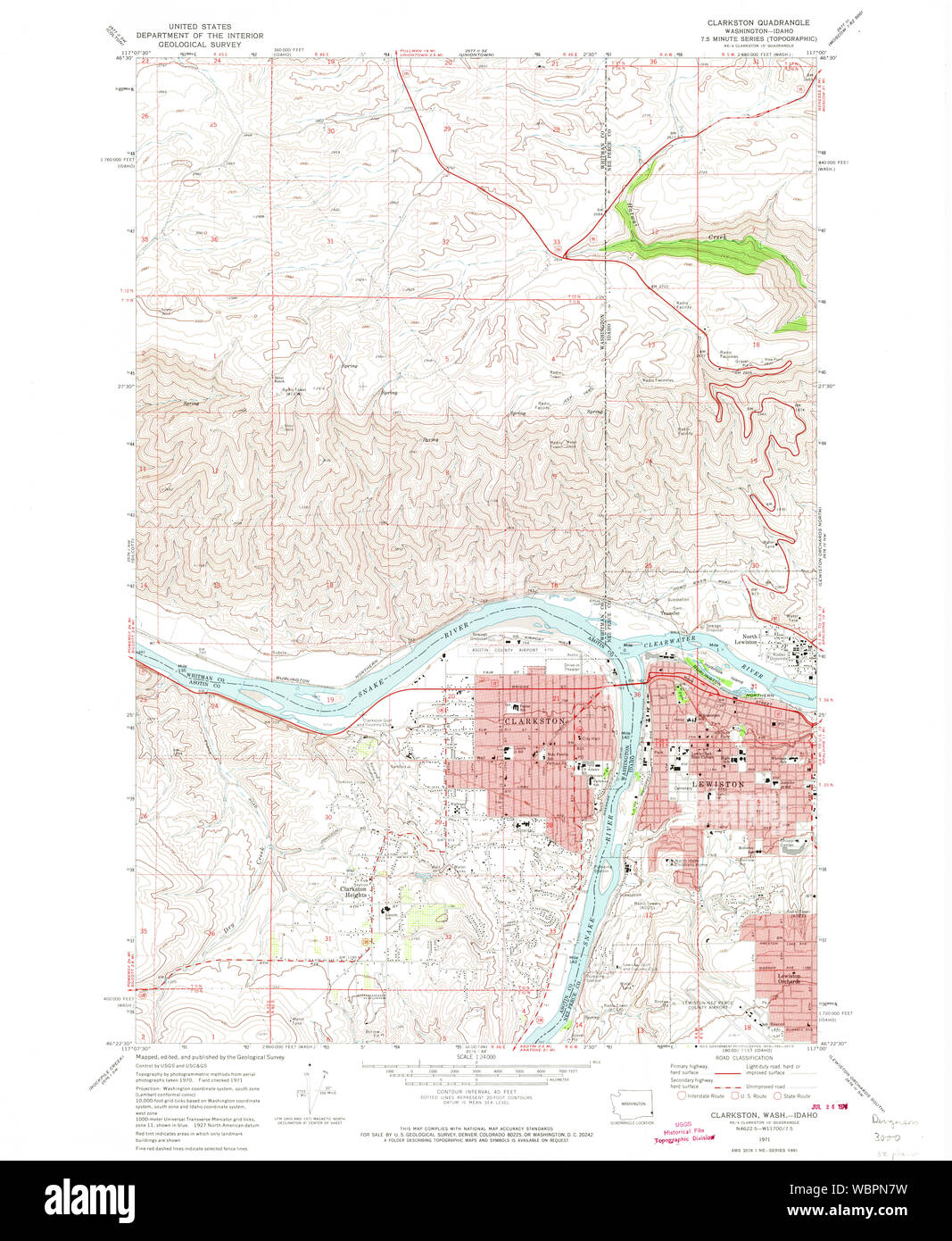 USGS Topo Map Washington State WA Clarkston 240542 1971 24000 Restoration Stock Photohttps://www.alamy.com/image-license-details/?v=1https://www.alamy.com/usgs-topo-map-washington-state-wa-clarkston-240542-1971-24000-restoration-image265416365.html
RMWBPN7W–USGS Topo Map Washington State WA Clarkston 240542 1971 24000 Restoration
 USGS Topo Map Washington State WA Clarkston 240545 1981 100000 Restoration Stock Photohttps://www.alamy.com/image-license-details/?v=1https://www.alamy.com/usgs-topo-map-washington-state-wa-clarkston-240545-1981-100000-restoration-image265418079.html
RMWBPRD3–USGS Topo Map Washington State WA Clarkston 240545 1981 100000 Restoration
 Clarkston, East Renfrewshire, GB, United Kingdom, Scotland, N 55 47' 9'', S 4 16' 35'', map, Cartascapes Map published in 2024. Explore Cartascapes, a map revealing Earth's diverse landscapes, cultures, and ecosystems. Journey through time and space, discovering the interconnectedness of our planet's past, present, and future. Stock Photohttps://www.alamy.com/image-license-details/?v=1https://www.alamy.com/clarkston-east-renfrewshire-gb-united-kingdom-scotland-n-55-47-9-s-4-16-35-map-cartascapes-map-published-in-2024-explore-cartascapes-a-map-revealing-earths-diverse-landscapes-cultures-and-ecosystems-journey-through-time-and-space-discovering-the-interconnectedness-of-our-planets-past-present-and-future-image604211053.html
RM2X305A5–Clarkston, East Renfrewshire, GB, United Kingdom, Scotland, N 55 47' 9'', S 4 16' 35'', map, Cartascapes Map published in 2024. Explore Cartascapes, a map revealing Earth's diverse landscapes, cultures, and ecosystems. Journey through time and space, discovering the interconnectedness of our planet's past, present, and future.
 East Renfrewshire, region of Scotland - Great Britain. High resolution satellite map. Locations of major cities of the region. Corner auxiliary locati Stock Photohttps://www.alamy.com/image-license-details/?v=1https://www.alamy.com/east-renfrewshire-region-of-scotland-great-britain-high-resolution-satellite-map-locations-of-major-cities-of-the-region-corner-auxiliary-locati-image546201600.html
RF2PMHHM0–East Renfrewshire, region of Scotland - Great Britain. High resolution satellite map. Locations of major cities of the region. Corner auxiliary locati
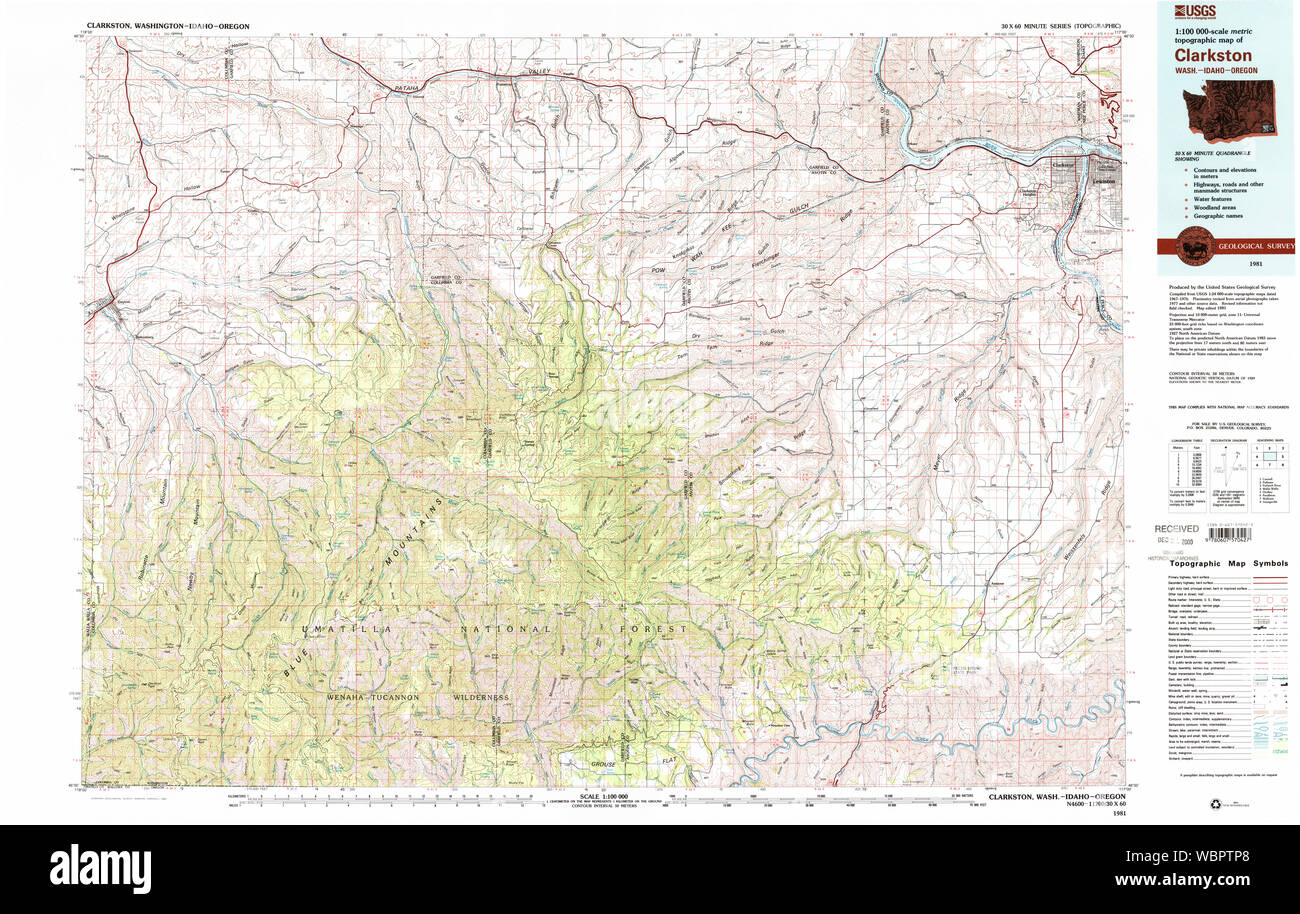 USGS Topo Map Washington State WA Clarkston 240546 1981 100000 Restoration Stock Photohttps://www.alamy.com/image-license-details/?v=1https://www.alamy.com/usgs-topo-map-washington-state-wa-clarkston-240546-1981-100000-restoration-image265419120.html
RMWBPTP8–USGS Topo Map Washington State WA Clarkston 240546 1981 100000 Restoration
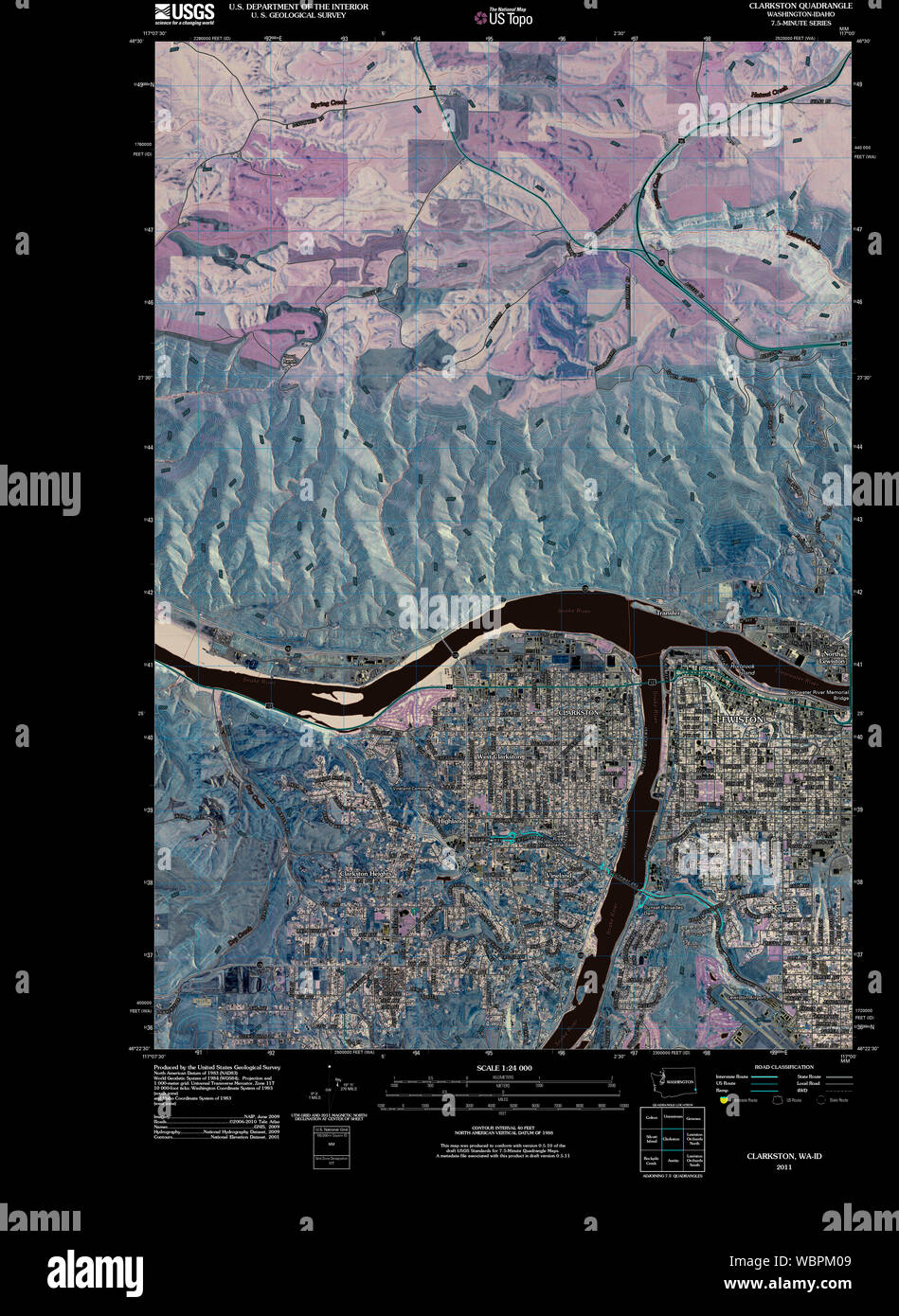 USGS Topo Map Washington State WA Clarkston 20110406 TM Inverted Restoration Stock Photohttps://www.alamy.com/image-license-details/?v=1https://www.alamy.com/usgs-topo-map-washington-state-wa-clarkston-20110406-tm-inverted-restoration-image265415369.html
RMWBPM09–USGS Topo Map Washington State WA Clarkston 20110406 TM Inverted Restoration
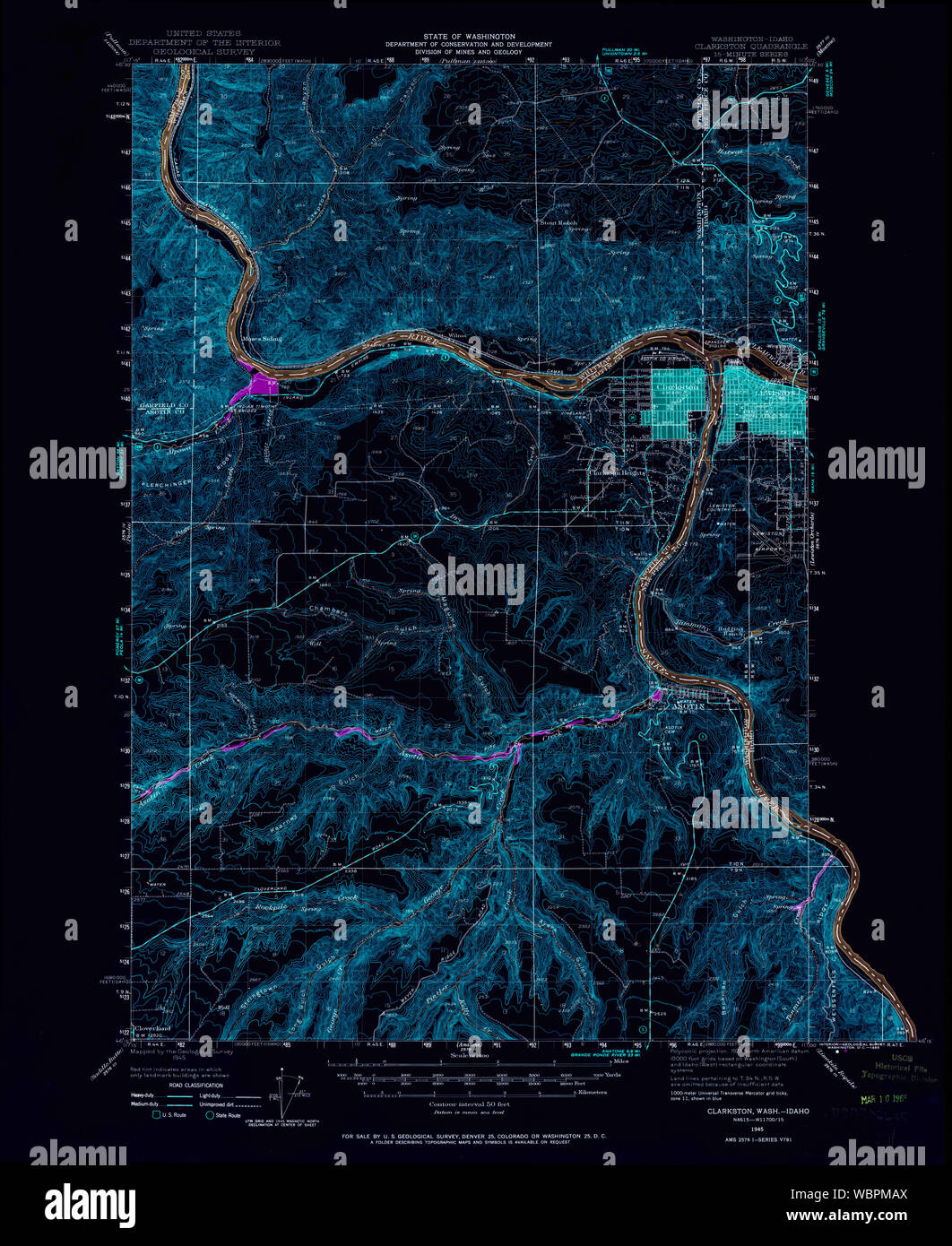 USGS Topo Map Washington State WA Clarkston 240539 1945 62500 Inverted Restoration Stock Photohttps://www.alamy.com/image-license-details/?v=1https://www.alamy.com/usgs-topo-map-washington-state-wa-clarkston-240539-1945-62500-inverted-restoration-image265415666.html
RMWBPMAX–USGS Topo Map Washington State WA Clarkston 240539 1945 62500 Inverted Restoration
 Clarkston, Asotin County, US, United States, Washington, N 46 24' 58'', S 117 2' 44'', map, Cartascapes Map published in 2024. Explore Cartascapes, a map revealing Earth's diverse landscapes, cultures, and ecosystems. Journey through time and space, discovering the interconnectedness of our planet's past, present, and future. Stock Photohttps://www.alamy.com/image-license-details/?v=1https://www.alamy.com/clarkston-asotin-county-us-united-states-washington-n-46-24-58-s-117-2-44-map-cartascapes-map-published-in-2024-explore-cartascapes-a-map-revealing-earths-diverse-landscapes-cultures-and-ecosystems-journey-through-time-and-space-discovering-the-interconnectedness-of-our-planets-past-present-and-future-image620698192.html
RM2Y1R6TG–Clarkston, Asotin County, US, United States, Washington, N 46 24' 58'', S 117 2' 44'', map, Cartascapes Map published in 2024. Explore Cartascapes, a map revealing Earth's diverse landscapes, cultures, and ecosystems. Journey through time and space, discovering the interconnectedness of our planet's past, present, and future.
 East Renfrewshire, region of Scotland - Great Britain. Open Street Map. Locations and names of major cities of the region. Corner auxiliary location m Stock Photohttps://www.alamy.com/image-license-details/?v=1https://www.alamy.com/east-renfrewshire-region-of-scotland-great-britain-open-street-map-locations-and-names-of-major-cities-of-the-region-corner-auxiliary-location-m-image546201598.html
RF2PMHHKX–East Renfrewshire, region of Scotland - Great Britain. Open Street Map. Locations and names of major cities of the region. Corner auxiliary location m
 USGS Topo Map Washington State WA Clarkston 240540 1948 62500 Inverted Restoration Stock Photohttps://www.alamy.com/image-license-details/?v=1https://www.alamy.com/usgs-topo-map-washington-state-wa-clarkston-240540-1948-62500-inverted-restoration-image265416035.html
RMWBPMT3–USGS Topo Map Washington State WA Clarkston 240540 1948 62500 Inverted Restoration
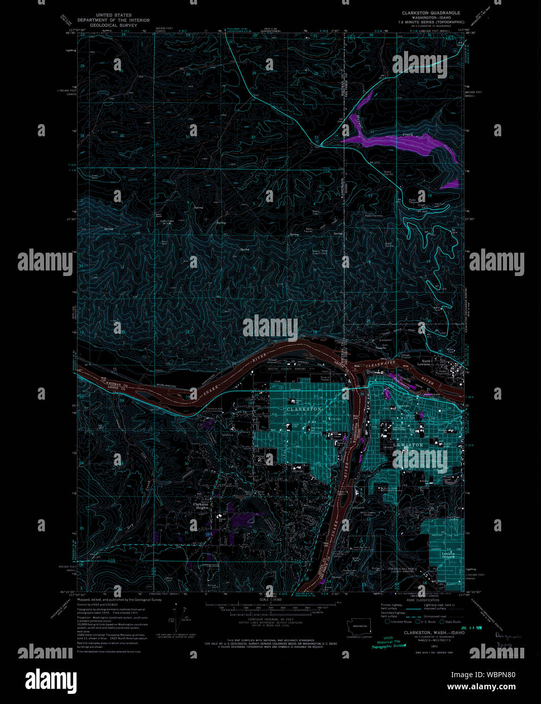 USGS Topo Map Washington State WA Clarkston 240542 1971 24000 Inverted Restoration Stock Photohttps://www.alamy.com/image-license-details/?v=1https://www.alamy.com/usgs-topo-map-washington-state-wa-clarkston-240542-1971-24000-inverted-restoration-image265416368.html
RMWBPN80–USGS Topo Map Washington State WA Clarkston 240542 1971 24000 Inverted Restoration
 Clarkston, DeKalb County, US, United States, Georgia, N 33 48' 34'', S 84 14' 22'', map, Cartascapes Map published in 2024. Explore Cartascapes, a map revealing Earth's diverse landscapes, cultures, and ecosystems. Journey through time and space, discovering the interconnectedness of our planet's past, present, and future. Stock Photohttps://www.alamy.com/image-license-details/?v=1https://www.alamy.com/clarkston-dekalb-county-us-united-states-georgia-n-33-48-34-s-84-14-22-map-cartascapes-map-published-in-2024-explore-cartascapes-a-map-revealing-earths-diverse-landscapes-cultures-and-ecosystems-journey-through-time-and-space-discovering-the-interconnectedness-of-our-planets-past-present-and-future-image620727077.html
RM2Y1TFM5–Clarkston, DeKalb County, US, United States, Georgia, N 33 48' 34'', S 84 14' 22'', map, Cartascapes Map published in 2024. Explore Cartascapes, a map revealing Earth's diverse landscapes, cultures, and ecosystems. Journey through time and space, discovering the interconnectedness of our planet's past, present, and future.
 East Renfrewshire, region of Scotland - Great Britain. Solid color shape. Locations of major cities of the region. Corner auxiliary location maps Stock Photohttps://www.alamy.com/image-license-details/?v=1https://www.alamy.com/east-renfrewshire-region-of-scotland-great-britain-solid-color-shape-locations-of-major-cities-of-the-region-corner-auxiliary-location-maps-image546201593.html
RF2PMHHKN–East Renfrewshire, region of Scotland - Great Britain. Solid color shape. Locations of major cities of the region. Corner auxiliary location maps
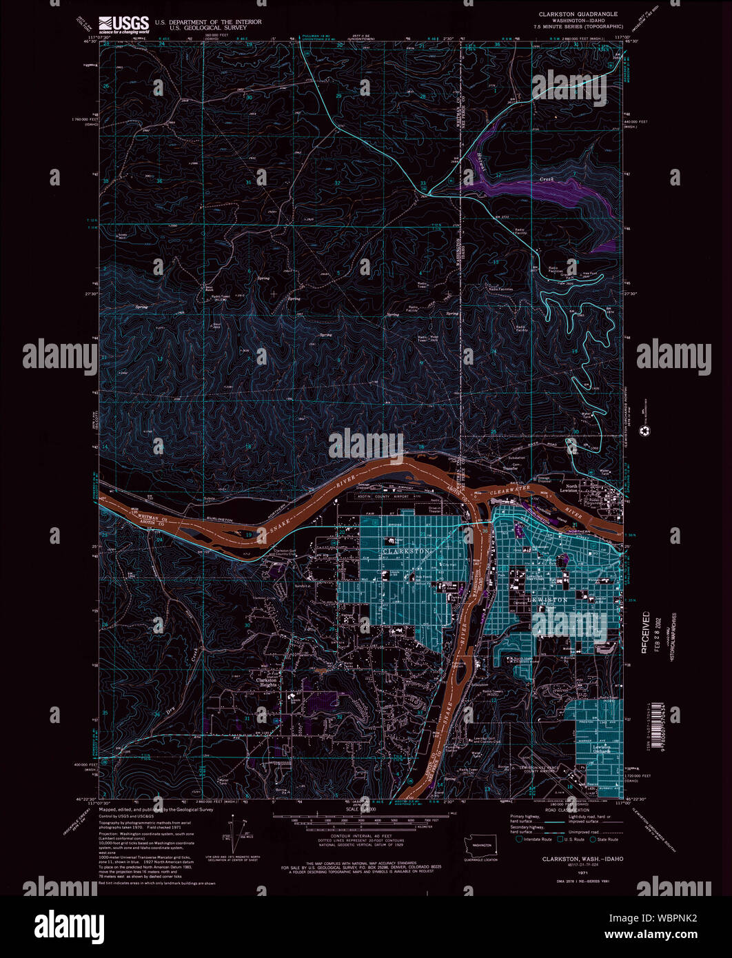 USGS Topo Map Washington State WA Clarkston 240543 1971 24000 Inverted Restoration Stock Photohttps://www.alamy.com/image-license-details/?v=1https://www.alamy.com/usgs-topo-map-washington-state-wa-clarkston-240543-1971-24000-inverted-restoration-image265416678.html
RMWBPNK2–USGS Topo Map Washington State WA Clarkston 240543 1971 24000 Inverted Restoration
 Clarkston, Oakland County, US, United States, Michigan, N 42 42' 31'', S 83 26' 22'', map, Cartascapes Map published in 2024. Explore Cartascapes, a map revealing Earth's diverse landscapes, cultures, and ecosystems. Journey through time and space, discovering the interconnectedness of our planet's past, present, and future. Stock Photohttps://www.alamy.com/image-license-details/?v=1https://www.alamy.com/clarkston-oakland-county-us-united-states-michigan-n-42-42-31-s-83-26-22-map-cartascapes-map-published-in-2024-explore-cartascapes-a-map-revealing-earths-diverse-landscapes-cultures-and-ecosystems-journey-through-time-and-space-discovering-the-interconnectedness-of-our-planets-past-present-and-future-image620789404.html
RM2Y1YB64–Clarkston, Oakland County, US, United States, Michigan, N 42 42' 31'', S 83 26' 22'', map, Cartascapes Map published in 2024. Explore Cartascapes, a map revealing Earth's diverse landscapes, cultures, and ecosystems. Journey through time and space, discovering the interconnectedness of our planet's past, present, and future.
 East Renfrewshire, region of Scotland - Great Britain. Solid color shape. Locations and names of major cities of the region. Corner auxiliary location Stock Photohttps://www.alamy.com/image-license-details/?v=1https://www.alamy.com/east-renfrewshire-region-of-scotland-great-britain-solid-color-shape-locations-and-names-of-major-cities-of-the-region-corner-auxiliary-location-image546201592.html
RF2PMHHKM–East Renfrewshire, region of Scotland - Great Britain. Solid color shape. Locations and names of major cities of the region. Corner auxiliary location
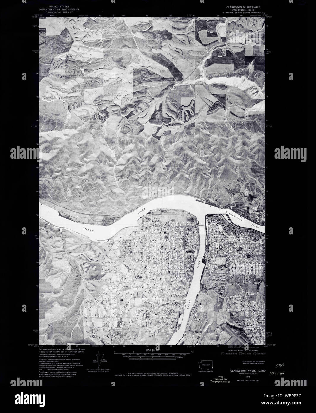 USGS Topo Map Washington State WA Clarkston 240544 1975 24000 Inverted Restoration Stock Photohttps://www.alamy.com/image-license-details/?v=1https://www.alamy.com/usgs-topo-map-washington-state-wa-clarkston-240544-1975-24000-inverted-restoration-image265417024.html
RMWBPP3C–USGS Topo Map Washington State WA Clarkston 240544 1975 24000 Inverted Restoration
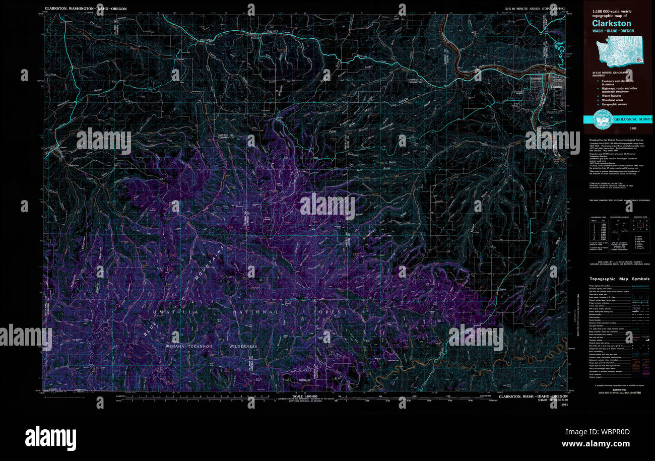 USGS Topo Map Washington State WA Clarkston 240545 1981 100000 Inverted Restoration Stock Photohttps://www.alamy.com/image-license-details/?v=1https://www.alamy.com/usgs-topo-map-washington-state-wa-clarkston-240545-1981-100000-inverted-restoration-image265417725.html
RMWBPR0D–USGS Topo Map Washington State WA Clarkston 240545 1981 100000 Inverted Restoration
 Clarkston, Oakland County, US, United States, Michigan, N 42 44' 9'', S 83 25' 7'', map, Cartascapes Map published in 2024. Explore Cartascapes, a map revealing Earth's diverse landscapes, cultures, and ecosystems. Journey through time and space, discovering the interconnectedness of our planet's past, present, and future. Stock Photohttps://www.alamy.com/image-license-details/?v=1https://www.alamy.com/clarkston-oakland-county-us-united-states-michigan-n-42-44-9-s-83-25-7-map-cartascapes-map-published-in-2024-explore-cartascapes-a-map-revealing-earths-diverse-landscapes-cultures-and-ecosystems-journey-through-time-and-space-discovering-the-interconnectedness-of-our-planets-past-present-and-future-image620899619.html
RM2Y24BPB–Clarkston, Oakland County, US, United States, Michigan, N 42 44' 9'', S 83 25' 7'', map, Cartascapes Map published in 2024. Explore Cartascapes, a map revealing Earth's diverse landscapes, cultures, and ecosystems. Journey through time and space, discovering the interconnectedness of our planet's past, present, and future.
 East Renfrewshire, region of Scotland - Great Britain. Solid color shape Stock Photohttps://www.alamy.com/image-license-details/?v=1https://www.alamy.com/east-renfrewshire-region-of-scotland-great-britain-solid-color-shape-image546201584.html
RF2PMHHKC–East Renfrewshire, region of Scotland - Great Britain. Solid color shape
 USGS Topo Map Washington State WA Clarkston 240546 1981 100000 Inverted Restoration Stock Photohttps://www.alamy.com/image-license-details/?v=1https://www.alamy.com/usgs-topo-map-washington-state-wa-clarkston-240546-1981-100000-inverted-restoration-image265418416.html
RMWBPRW4–USGS Topo Map Washington State WA Clarkston 240546 1981 100000 Inverted Restoration
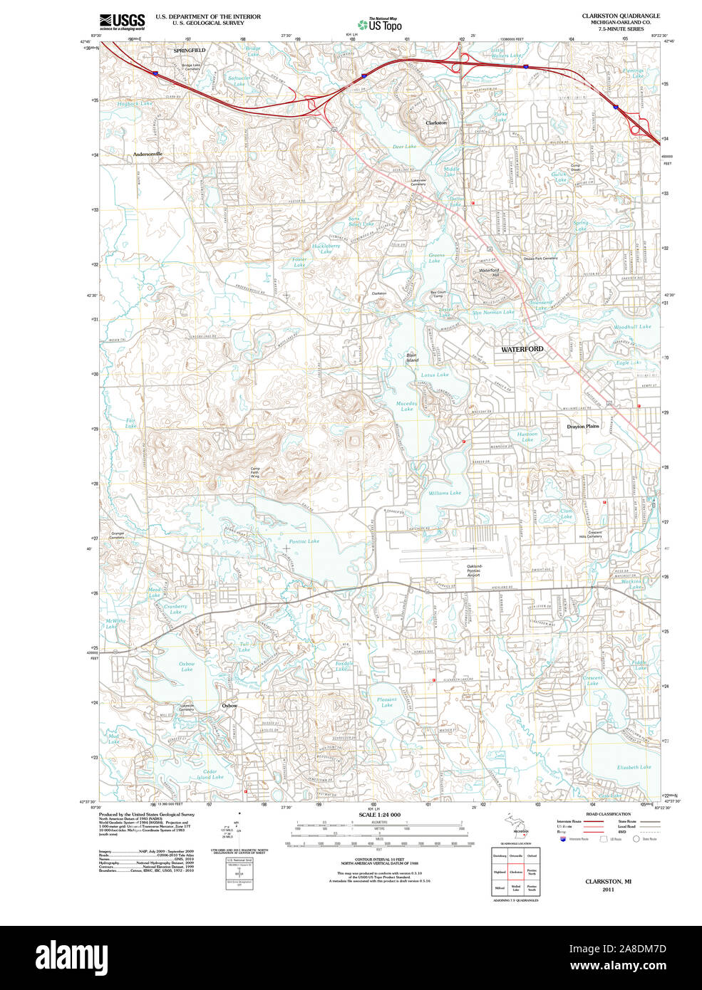 USGS TOPO Map Michigan MI Clarkston 20111020 TM Stock Photohttps://www.alamy.com/image-license-details/?v=1https://www.alamy.com/usgs-topo-map-michigan-mi-clarkston-20111020-tm-image332215505.html
RM2A8DM7D–USGS TOPO Map Michigan MI Clarkston 20111020 TM
 Clarkston, Cache County, US, United States, Utah, N 41 55' 12'', S 112 2' 59'', map, Cartascapes Map published in 2024. Explore Cartascapes, a map revealing Earth's diverse landscapes, cultures, and ecosystems. Journey through time and space, discovering the interconnectedness of our planet's past, present, and future. Stock Photohttps://www.alamy.com/image-license-details/?v=1https://www.alamy.com/clarkston-cache-county-us-united-states-utah-n-41-55-12-s-112-2-59-map-cartascapes-map-published-in-2024-explore-cartascapes-a-map-revealing-earths-diverse-landscapes-cultures-and-ecosystems-journey-through-time-and-space-discovering-the-interconnectedness-of-our-planets-past-present-and-future-image620869959.html
RM2Y231Y3–Clarkston, Cache County, US, United States, Utah, N 41 55' 12'', S 112 2' 59'', map, Cartascapes Map published in 2024. Explore Cartascapes, a map revealing Earth's diverse landscapes, cultures, and ecosystems. Journey through time and space, discovering the interconnectedness of our planet's past, present, and future.
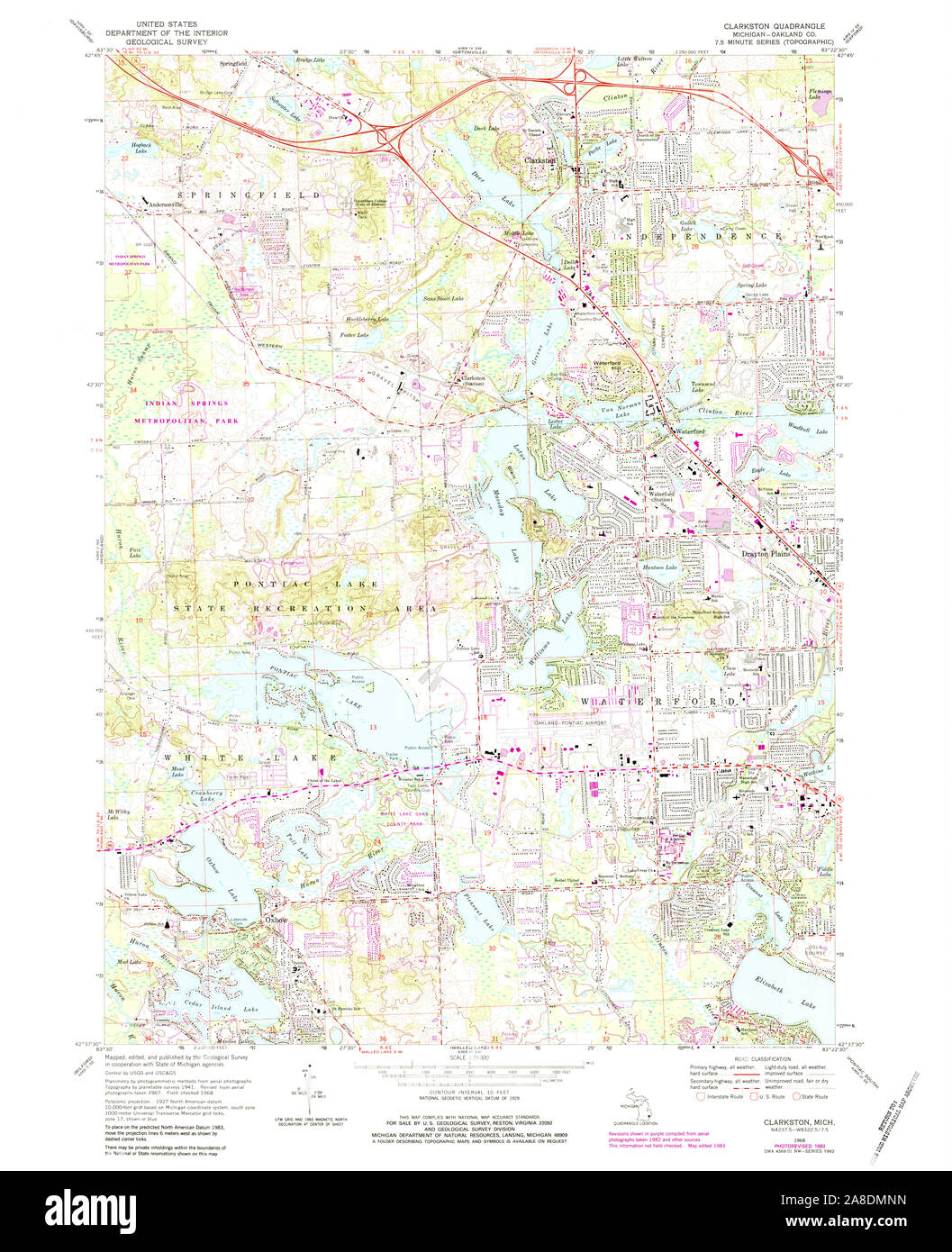 USGS TOPO Map Michigan MI Clarkston 275864 1968 24000 Stock Photohttps://www.alamy.com/image-license-details/?v=1https://www.alamy.com/usgs-topo-map-michigan-mi-clarkston-275864-1968-24000-image332215905.html
RM2A8DMNN–USGS TOPO Map Michigan MI Clarkston 275864 1968 24000
 Clarkston, Oakland County, US, United States, Michigan, N 42 44' 9'', S 83 25' 7'', map, Cartascapes Map published in 2024. Explore Cartascapes, a map revealing Earth's diverse landscapes, cultures, and ecosystems. Journey through time and space, discovering the interconnectedness of our planet's past, present, and future. Stock Photohttps://www.alamy.com/image-license-details/?v=1https://www.alamy.com/clarkston-oakland-county-us-united-states-michigan-n-42-44-9-s-83-25-7-map-cartascapes-map-published-in-2024-explore-cartascapes-a-map-revealing-earths-diverse-landscapes-cultures-and-ecosystems-journey-through-time-and-space-discovering-the-interconnectedness-of-our-planets-past-present-and-future-image620784867.html
RM2Y1Y5C3–Clarkston, Oakland County, US, United States, Michigan, N 42 44' 9'', S 83 25' 7'', map, Cartascapes Map published in 2024. Explore Cartascapes, a map revealing Earth's diverse landscapes, cultures, and ecosystems. Journey through time and space, discovering the interconnectedness of our planet's past, present, and future.
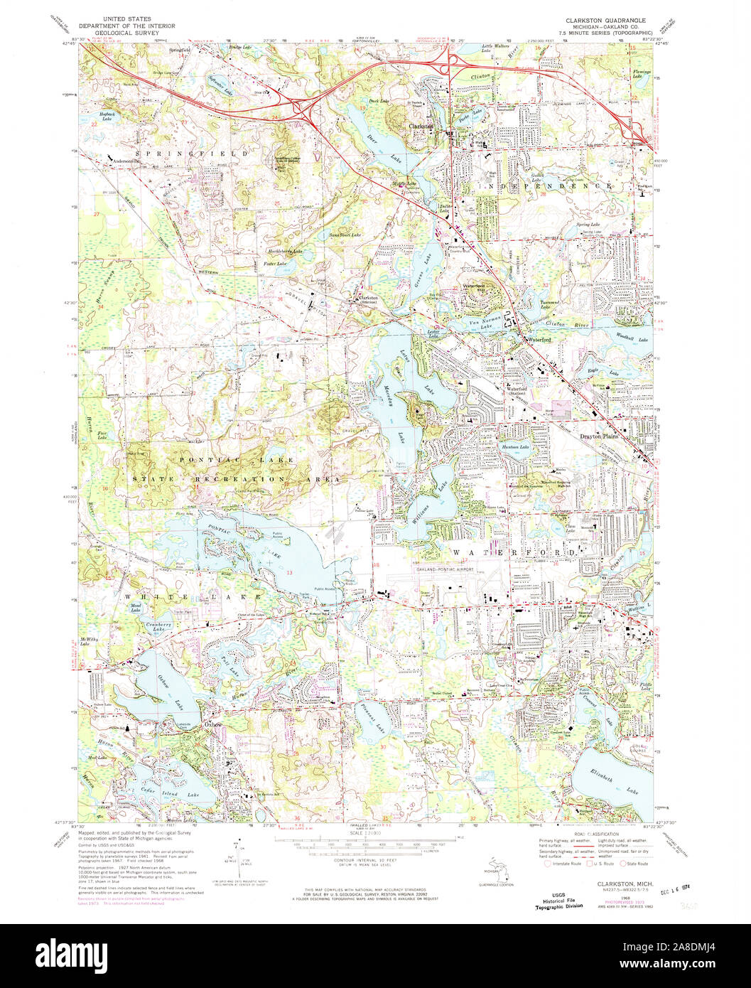 USGS TOPO Map Michigan MI Clarkston 275862 1968 24000 Stock Photohttps://www.alamy.com/image-license-details/?v=1https://www.alamy.com/usgs-topo-map-michigan-mi-clarkston-275862-1968-24000-image332215804.html
RM2A8DMJ4–USGS TOPO Map Michigan MI Clarkston 275862 1968 24000
 Clarkston, Oakland County, US, United States, Michigan, N 42 42' 31'', S 83 26' 22'', map, Cartascapes Map published in 2024. Explore Cartascapes, a map revealing Earth's diverse landscapes, cultures, and ecosystems. Journey through time and space, discovering the interconnectedness of our planet's past, present, and future. Stock Photohttps://www.alamy.com/image-license-details/?v=1https://www.alamy.com/clarkston-oakland-county-us-united-states-michigan-n-42-42-31-s-83-26-22-map-cartascapes-map-published-in-2024-explore-cartascapes-a-map-revealing-earths-diverse-landscapes-cultures-and-ecosystems-journey-through-time-and-space-discovering-the-interconnectedness-of-our-planets-past-present-and-future-image620885764.html
RM2Y23P3G–Clarkston, Oakland County, US, United States, Michigan, N 42 42' 31'', S 83 26' 22'', map, Cartascapes Map published in 2024. Explore Cartascapes, a map revealing Earth's diverse landscapes, cultures, and ecosystems. Journey through time and space, discovering the interconnectedness of our planet's past, present, and future.
 USGS TOPO Map Michigan MI Clarkston 275861 1968 24000 Stock Photohttps://www.alamy.com/image-license-details/?v=1https://www.alamy.com/usgs-topo-map-michigan-mi-clarkston-275861-1968-24000-image332215773.html
RM2A8DMH1–USGS TOPO Map Michigan MI Clarkston 275861 1968 24000
 West Clarkston-Highland, Asotin County, US, United States, Washington, N 46 24' 10'', S 117 3' 50'', map, Cartascapes Map published in 2024. Explore Cartascapes, a map revealing Earth's diverse landscapes, cultures, and ecosystems. Journey through time and space, discovering the interconnectedness of our planet's past, present, and future. Stock Photohttps://www.alamy.com/image-license-details/?v=1https://www.alamy.com/west-clarkston-highland-asotin-county-us-united-states-washington-n-46-24-10-s-117-3-50-map-cartascapes-map-published-in-2024-explore-cartascapes-a-map-revealing-earths-diverse-landscapes-cultures-and-ecosystems-journey-through-time-and-space-discovering-the-interconnectedness-of-our-planets-past-present-and-future-image620857703.html
RM2Y22E9B–West Clarkston-Highland, Asotin County, US, United States, Washington, N 46 24' 10'', S 117 3' 50'', map, Cartascapes Map published in 2024. Explore Cartascapes, a map revealing Earth's diverse landscapes, cultures, and ecosystems. Journey through time and space, discovering the interconnectedness of our planet's past, present, and future.
 USGS TOPO Map Michigan MI Clarkston 275860 1952 24000 Stock Photohttps://www.alamy.com/image-license-details/?v=1https://www.alamy.com/usgs-topo-map-michigan-mi-clarkston-275860-1952-24000-image332215693.html
RM2A8DME5–USGS TOPO Map Michigan MI Clarkston 275860 1952 24000
 Clarkston Railway Station, East Renfrewshire, GB, United Kingdom, Scotland, N 55 47' 20'', S 4 16' 33'', map, Cartascapes Map published in 2024. Explore Cartascapes, a map revealing Earth's diverse landscapes, cultures, and ecosystems. Journey through time and space, discovering the interconnectedness of our planet's past, present, and future. Stock Photohttps://www.alamy.com/image-license-details/?v=1https://www.alamy.com/clarkston-railway-station-east-renfrewshire-gb-united-kingdom-scotland-n-55-47-20-s-4-16-33-map-cartascapes-map-published-in-2024-explore-cartascapes-a-map-revealing-earths-diverse-landscapes-cultures-and-ecosystems-journey-through-time-and-space-discovering-the-interconnectedness-of-our-planets-past-present-and-future-image604220139.html
RM2X30GXK–Clarkston Railway Station, East Renfrewshire, GB, United Kingdom, Scotland, N 55 47' 20'', S 4 16' 33'', map, Cartascapes Map published in 2024. Explore Cartascapes, a map revealing Earth's diverse landscapes, cultures, and ecosystems. Journey through time and space, discovering the interconnectedness of our planet's past, present, and future.
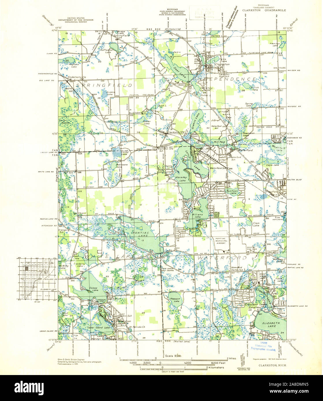 USGS TOPO Map Michigan MI Clarkston 277772 1936 31680 Stock Photohttps://www.alamy.com/image-license-details/?v=1https://www.alamy.com/usgs-topo-map-michigan-mi-clarkston-277772-1936-31680-image332215889.html
RM2A8DMN5–USGS TOPO Map Michigan MI Clarkston 277772 1936 31680
 Clarkston Heights, Asotin County, US, United States, Washington, N 46 23' 46'', S 117 4' 56'', map, Cartascapes Map published in 2024. Explore Cartascapes, a map revealing Earth's diverse landscapes, cultures, and ecosystems. Journey through time and space, discovering the interconnectedness of our planet's past, present, and future. Stock Photohttps://www.alamy.com/image-license-details/?v=1https://www.alamy.com/clarkston-heights-asotin-county-us-united-states-washington-n-46-23-46-s-117-4-56-map-cartascapes-map-published-in-2024-explore-cartascapes-a-map-revealing-earths-diverse-landscapes-cultures-and-ecosystems-journey-through-time-and-space-discovering-the-interconnectedness-of-our-planets-past-present-and-future-image620693120.html
RM2Y1R0BC–Clarkston Heights, Asotin County, US, United States, Washington, N 46 23' 46'', S 117 4' 56'', map, Cartascapes Map published in 2024. Explore Cartascapes, a map revealing Earth's diverse landscapes, cultures, and ecosystems. Journey through time and space, discovering the interconnectedness of our planet's past, present, and future.
 USGS TOPO Map Michigan MI Clarkston 275863 1968 24000 Stock Photohttps://www.alamy.com/image-license-details/?v=1https://www.alamy.com/usgs-topo-map-michigan-mi-clarkston-275863-1968-24000-image332215896.html
RM2A8DMNC–USGS TOPO Map Michigan MI Clarkston 275863 1968 24000
 Clarkston Heights-Vineland, Asotin County, US, United States, Washington, N 46 23' 14'', S 117 4' 58'', map, Cartascapes Map published in 2024. Explore Cartascapes, a map revealing Earth's diverse landscapes, cultures, and ecosystems. Journey through time and space, discovering the interconnectedness of our planet's past, present, and future. Stock Photohttps://www.alamy.com/image-license-details/?v=1https://www.alamy.com/clarkston-heights-vineland-asotin-county-us-united-states-washington-n-46-23-14-s-117-4-58-map-cartascapes-map-published-in-2024-explore-cartascapes-a-map-revealing-earths-diverse-landscapes-cultures-and-ecosystems-journey-through-time-and-space-discovering-the-interconnectedness-of-our-planets-past-present-and-future-image620856236.html
RM2Y22CD0–Clarkston Heights-Vineland, Asotin County, US, United States, Washington, N 46 23' 14'', S 117 4' 58'', map, Cartascapes Map published in 2024. Explore Cartascapes, a map revealing Earth's diverse landscapes, cultures, and ecosystems. Journey through time and space, discovering the interconnectedness of our planet's past, present, and future.
 USGS TOPO Map Michigan MI Clarkston 275859 1943 24000 Stock Photohttps://www.alamy.com/image-license-details/?v=1https://www.alamy.com/usgs-topo-map-michigan-mi-clarkston-275859-1943-24000-image332215688.html
RM2A8DME0–USGS TOPO Map Michigan MI Clarkston 275859 1943 24000
 Clarkston, East Renfrewshire, United Kingdom, Scotland, N 55 47' 9'', W 4 16' 35'', map, Timeless Map published in 2021. Travelers, explorers and adventurers like Florence Nightingale, David Livingstone, Ernest Shackleton, Lewis and Clark and Sherlock Holmes relied on maps to plan travels to the world's most remote corners, Timeless Maps is mapping most locations on the globe, showing the achievement of great dreams Stock Photohttps://www.alamy.com/image-license-details/?v=1https://www.alamy.com/clarkston-east-renfrewshire-united-kingdom-scotland-n-55-47-9-w-4-16-35-map-timeless-map-published-in-2021-travelers-explorers-and-adventurers-like-florence-nightingale-david-livingstone-ernest-shackleton-lewis-and-clark-and-sherlock-holmes-relied-on-maps-to-plan-travels-to-the-worlds-most-remote-corners-timeless-maps-is-mapping-most-locations-on-the-globe-showing-the-achievement-of-great-dreams-image439406168.html
RM2GETK1C–Clarkston, East Renfrewshire, United Kingdom, Scotland, N 55 47' 9'', W 4 16' 35'', map, Timeless Map published in 2021. Travelers, explorers and adventurers like Florence Nightingale, David Livingstone, Ernest Shackleton, Lewis and Clark and Sherlock Holmes relied on maps to plan travels to the world's most remote corners, Timeless Maps is mapping most locations on the globe, showing the achievement of great dreams
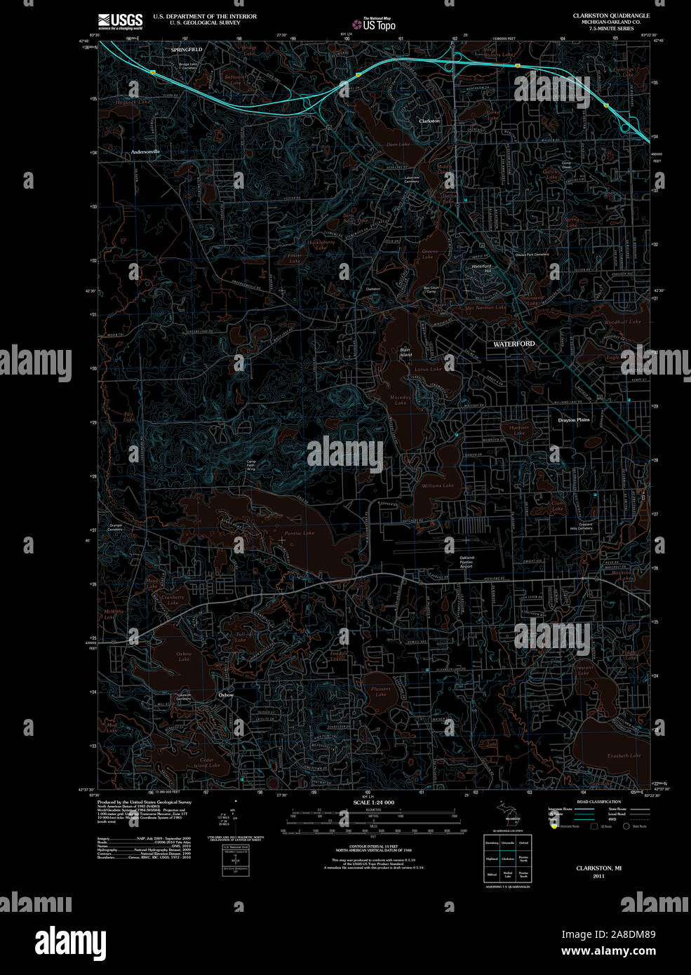 USGS TOPO Map Michigan MI Clarkston 20111020 TM Inverted Stock Photohttps://www.alamy.com/image-license-details/?v=1https://www.alamy.com/usgs-topo-map-michigan-mi-clarkston-20111020-tm-inverted-image332215529.html
RM2A8DM89–USGS TOPO Map Michigan MI Clarkston 20111020 TM Inverted
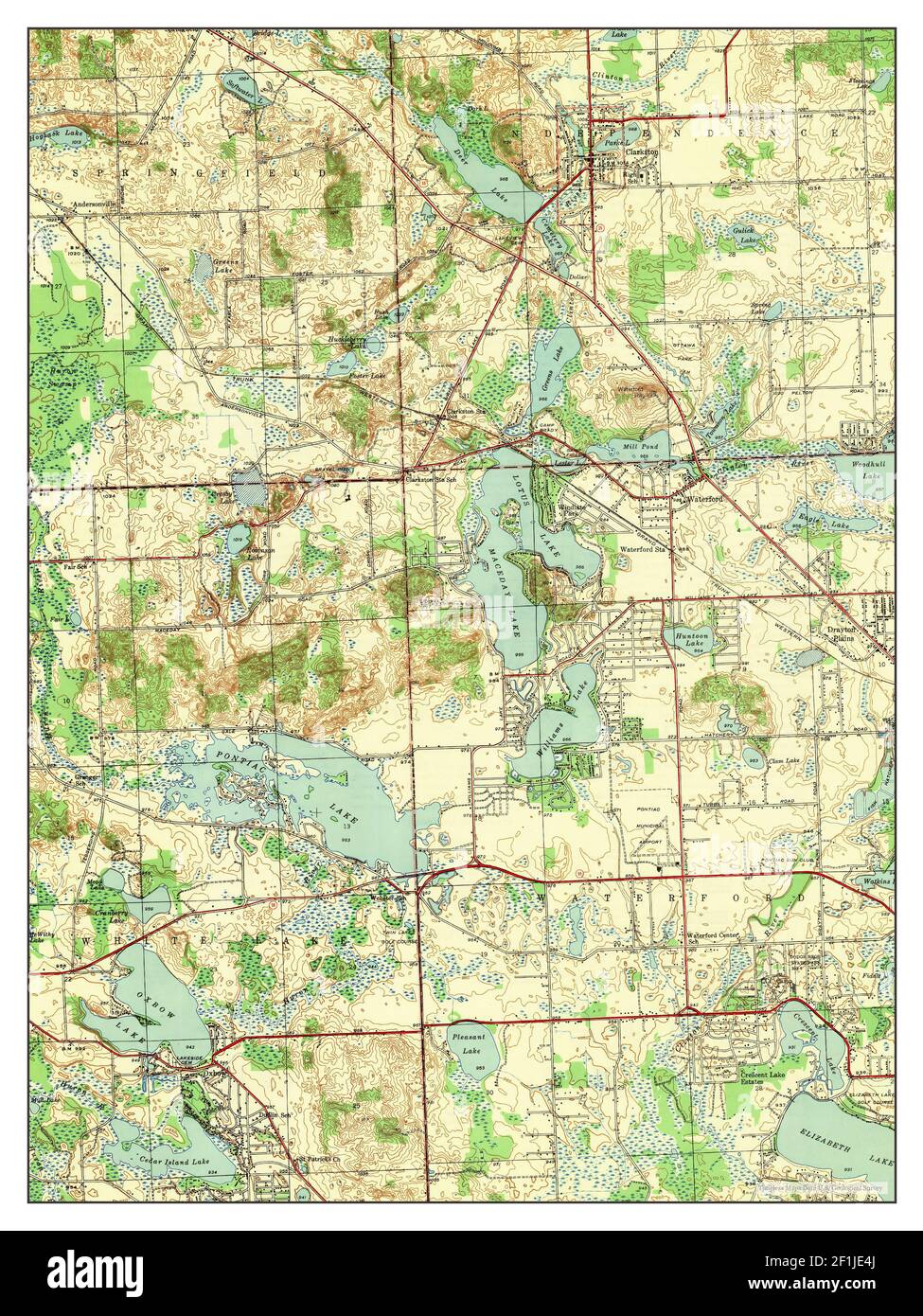 Clarkston, Michigan, map 1943, 1:24000, United States of America by Timeless Maps, data U.S. Geological Survey Stock Photohttps://www.alamy.com/image-license-details/?v=1https://www.alamy.com/clarkston-michigan-map-1943-124000-united-states-of-america-by-timeless-maps-data-us-geological-survey-image414069730.html
RM2F1JE4J–Clarkston, Michigan, map 1943, 1:24000, United States of America by Timeless Maps, data U.S. Geological Survey
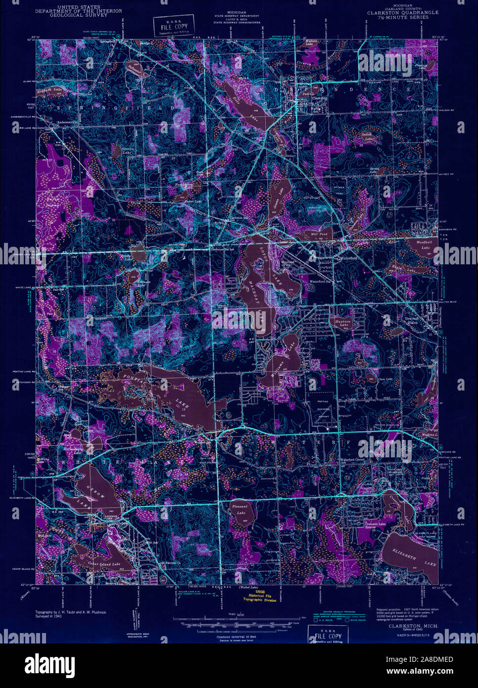 USGS TOPO Map Michigan MI Clarkston 275859 1943 24000 Inverted Stock Photohttps://www.alamy.com/image-license-details/?v=1https://www.alamy.com/usgs-topo-map-michigan-mi-clarkston-275859-1943-24000-inverted-image332215701.html
RM2A8DMED–USGS TOPO Map Michigan MI Clarkston 275859 1943 24000 Inverted
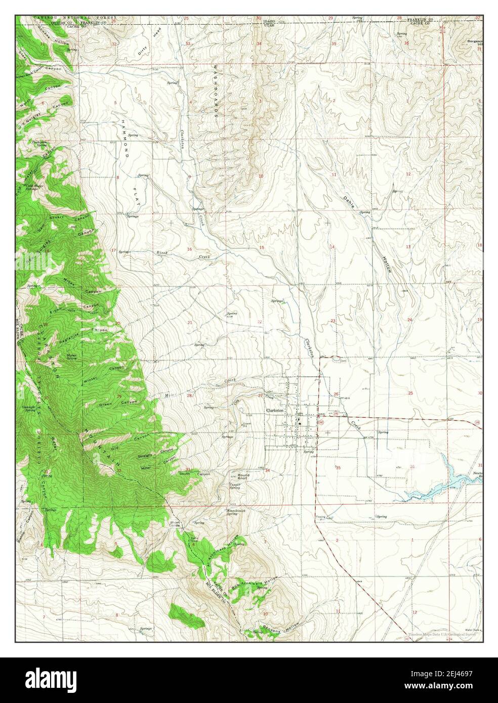 Clarkston, Utah, map 1964, 1:24000, United States of America by Timeless Maps, data U.S. Geological Survey Stock Photohttps://www.alamy.com/image-license-details/?v=1https://www.alamy.com/clarkston-utah-map-1964-124000-united-states-of-america-by-timeless-maps-data-us-geological-survey-image406995043.html
RM2EJ4697–Clarkston, Utah, map 1964, 1:24000, United States of America by Timeless Maps, data U.S. Geological Survey
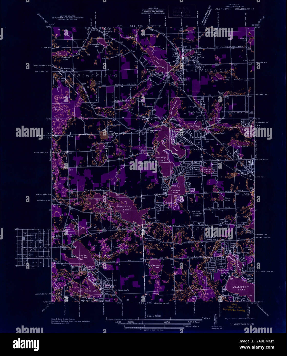 USGS TOPO Map Michigan MI Clarkston 277772 1936 31680 Inverted Stock Photohttps://www.alamy.com/image-license-details/?v=1https://www.alamy.com/usgs-topo-map-michigan-mi-clarkston-277772-1936-31680-inverted-image332215883.html
RM2A8DMMY–USGS TOPO Map Michigan MI Clarkston 277772 1936 31680 Inverted
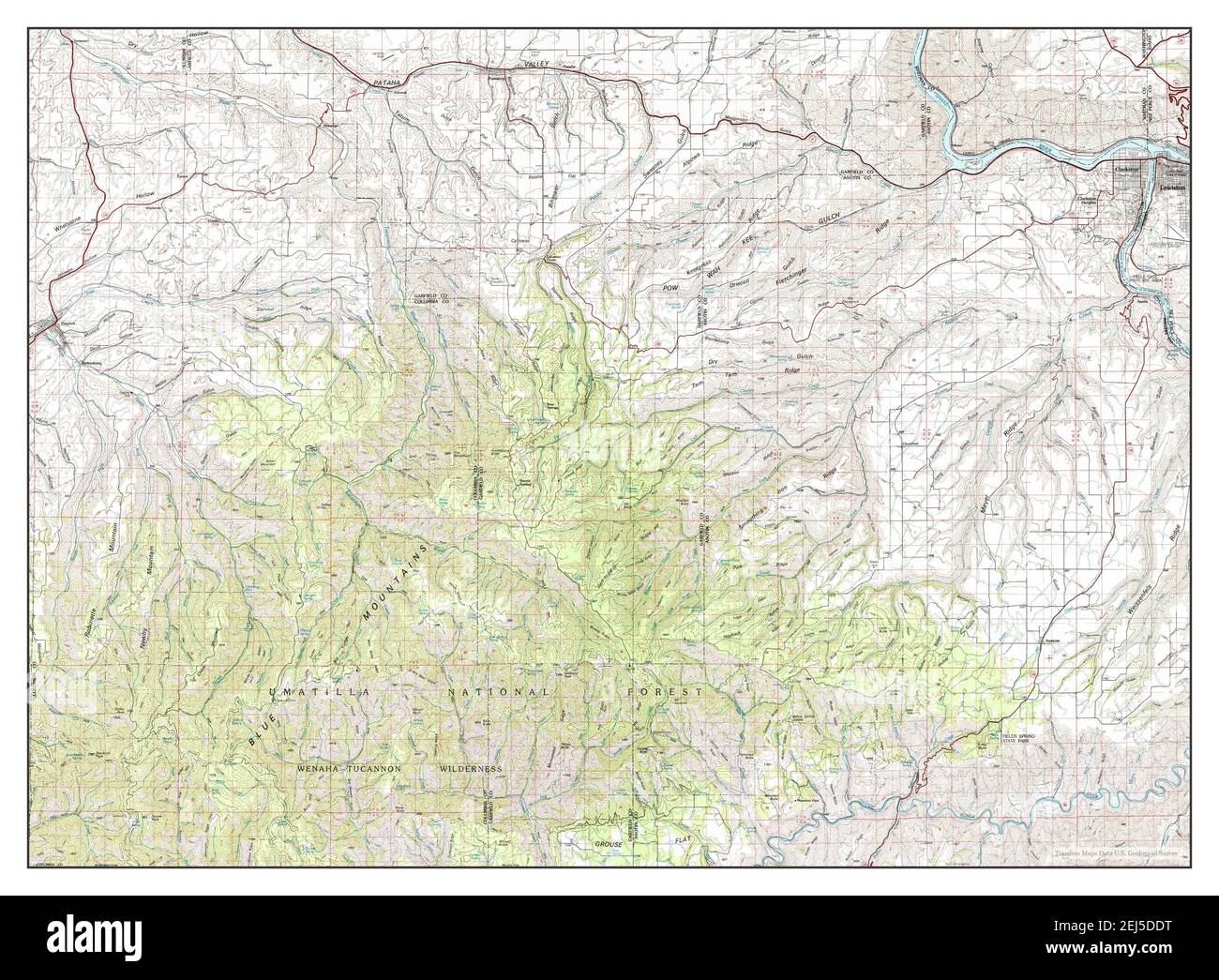 Clarkston, Washington, map 1981, 1:100000, United States of America by Timeless Maps, data U.S. Geological Survey Stock Photohttps://www.alamy.com/image-license-details/?v=1https://www.alamy.com/clarkston-washington-map-1981-1100000-united-states-of-america-by-timeless-maps-data-us-geological-survey-image407022612.html
RM2EJ5DDT–Clarkston, Washington, map 1981, 1:100000, United States of America by Timeless Maps, data U.S. Geological Survey
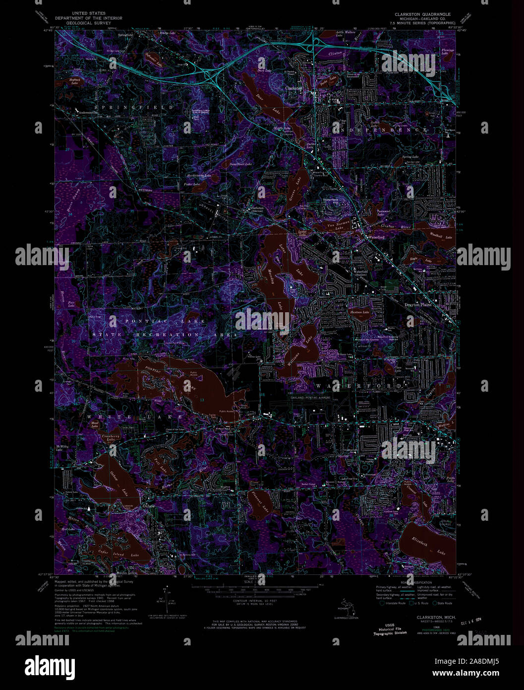 USGS TOPO Map Michigan MI Clarkston 275862 1968 24000 Inverted Stock Photohttps://www.alamy.com/image-license-details/?v=1https://www.alamy.com/usgs-topo-map-michigan-mi-clarkston-275862-1968-24000-inverted-image332215805.html
RM2A8DMJ5–USGS TOPO Map Michigan MI Clarkston 275862 1968 24000 Inverted
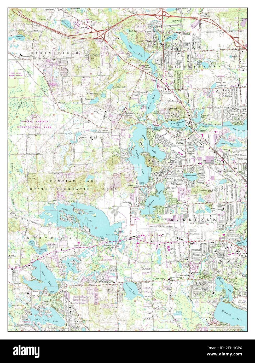 Clarkston, Michigan, map 1968, 1:24000, United States of America by Timeless Maps, data U.S. Geological Survey Stock Photohttps://www.alamy.com/image-license-details/?v=1https://www.alamy.com/clarkston-michigan-map-1968-124000-united-states-of-america-by-timeless-maps-data-us-geological-survey-image406673986.html
RM2EHHGPX–Clarkston, Michigan, map 1968, 1:24000, United States of America by Timeless Maps, data U.S. Geological Survey
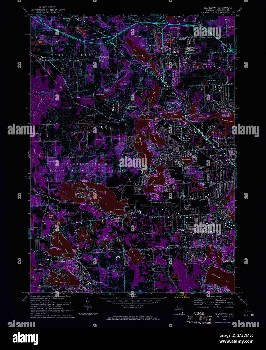 USGS TOPO Map Michigan MI Clarkston 275861 1968 24000 Inverted Stock Photohttps://www.alamy.com/image-license-details/?v=1https://www.alamy.com/usgs-topo-map-michigan-mi-clarkston-275861-1968-24000-inverted-image332215694.html
RM2A8DME6–USGS TOPO Map Michigan MI Clarkston 275861 1968 24000 Inverted
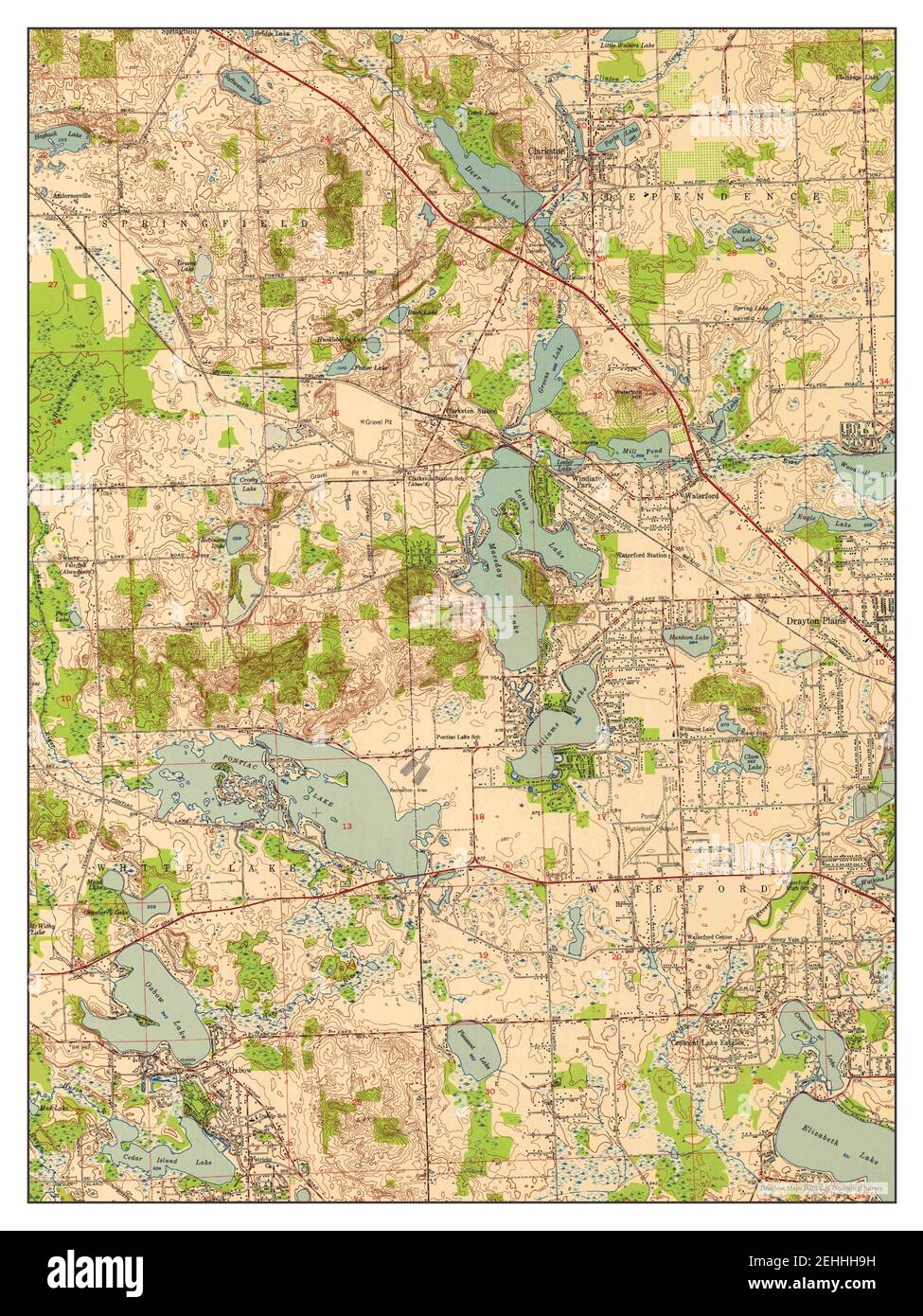 Clarkston, Michigan, map 1952, 1:24000, United States of America by Timeless Maps, data U.S. Geological Survey Stock Photohttps://www.alamy.com/image-license-details/?v=1https://www.alamy.com/clarkston-michigan-map-1952-124000-united-states-of-america-by-timeless-maps-data-us-geological-survey-image406674397.html
RM2EHHH9H–Clarkston, Michigan, map 1952, 1:24000, United States of America by Timeless Maps, data U.S. Geological Survey
 USGS TOPO Map Michigan MI Clarkston 275864 1968 24000 Inverted Stock Photohttps://www.alamy.com/image-license-details/?v=1https://www.alamy.com/usgs-topo-map-michigan-mi-clarkston-275864-1968-24000-inverted-image332215808.html
RM2A8DMJ8–USGS TOPO Map Michigan MI Clarkston 275864 1968 24000 Inverted
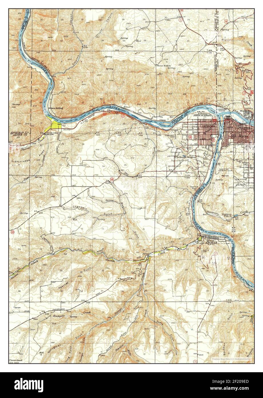 Clarkston, Washington, map 1948, 1:62500, United States of America by Timeless Maps, data U.S. Geological Survey Stock Photohttps://www.alamy.com/image-license-details/?v=1https://www.alamy.com/clarkston-washington-map-1948-162500-united-states-of-america-by-timeless-maps-data-us-geological-survey-image414285605.html
RM2F209ED–Clarkston, Washington, map 1948, 1:62500, United States of America by Timeless Maps, data U.S. Geological Survey
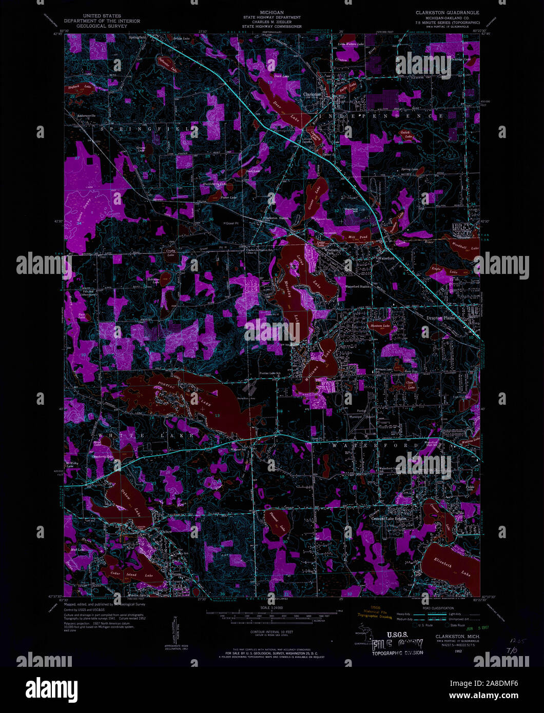 USGS TOPO Map Michigan MI Clarkston 275860 1952 24000 Inverted Stock Photohttps://www.alamy.com/image-license-details/?v=1https://www.alamy.com/usgs-topo-map-michigan-mi-clarkston-275860-1952-24000-inverted-image332215722.html
RM2A8DMF6–USGS TOPO Map Michigan MI Clarkston 275860 1952 24000 Inverted
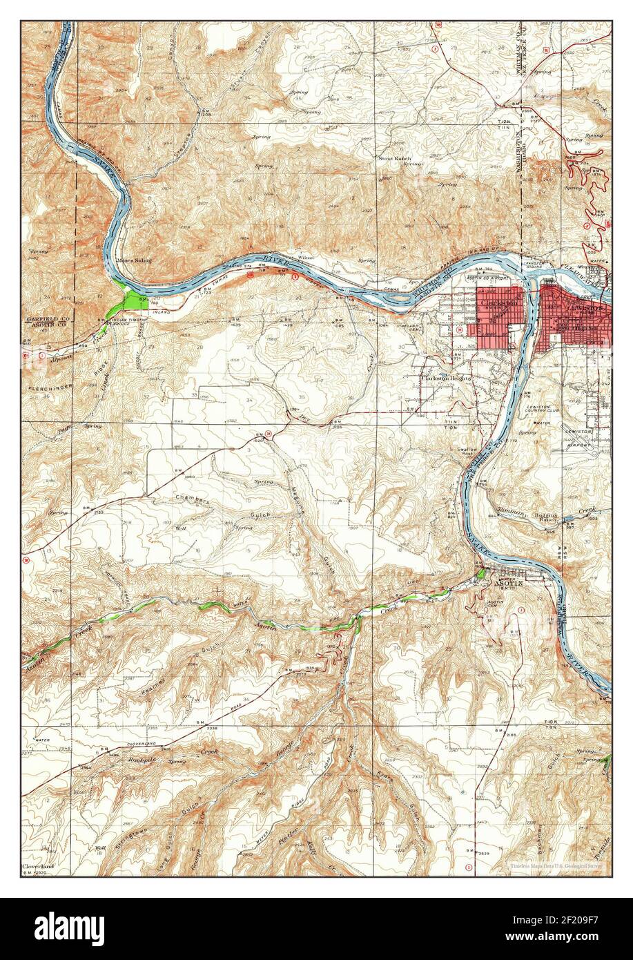 Clarkston, Washington, map 1945, 1:62500, United States of America by Timeless Maps, data U.S. Geological Survey Stock Photohttps://www.alamy.com/image-license-details/?v=1https://www.alamy.com/clarkston-washington-map-1945-162500-united-states-of-america-by-timeless-maps-data-us-geological-survey-image414285627.html
RM2F209F7–Clarkston, Washington, map 1945, 1:62500, United States of America by Timeless Maps, data U.S. Geological Survey
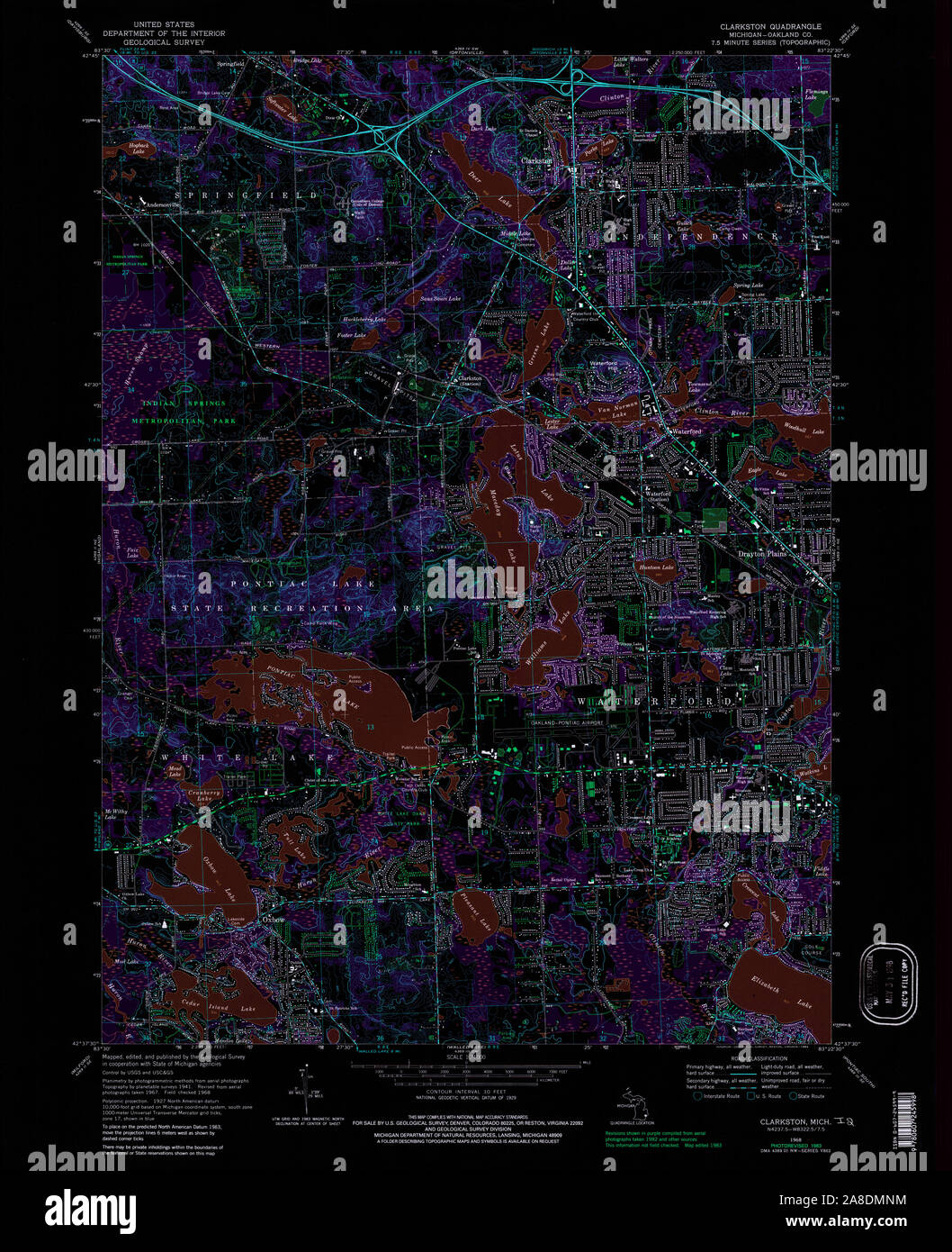 USGS TOPO Map Michigan MI Clarkston 275863 1968 24000 Inverted Stock Photohttps://www.alamy.com/image-license-details/?v=1https://www.alamy.com/usgs-topo-map-michigan-mi-clarkston-275863-1968-24000-inverted-image332215904.html
RM2A8DMNM–USGS TOPO Map Michigan MI Clarkston 275863 1968 24000 Inverted
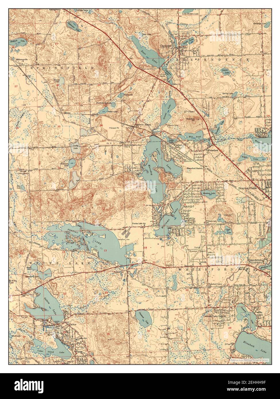 Clarkston, Michigan, map 1952, 1:24000, United States of America by Timeless Maps, data U.S. Geological Survey Stock Photohttps://www.alamy.com/image-license-details/?v=1https://www.alamy.com/clarkston-michigan-map-1952-124000-united-states-of-america-by-timeless-maps-data-us-geological-survey-image406674395.html
RM2EHHH9F–Clarkston, Michigan, map 1952, 1:24000, United States of America by Timeless Maps, data U.S. Geological Survey
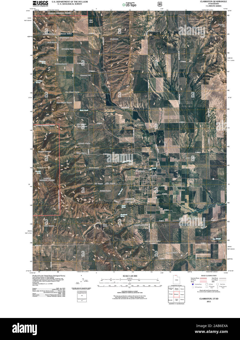 UT Clarkston 20110413 TM Restoration Stock Photohttps://www.alamy.com/image-license-details/?v=1https://www.alamy.com/ut-clarkston-20110413-tm-restoration-image333901634.html
RM2AB6EXA–UT Clarkston 20110413 TM Restoration
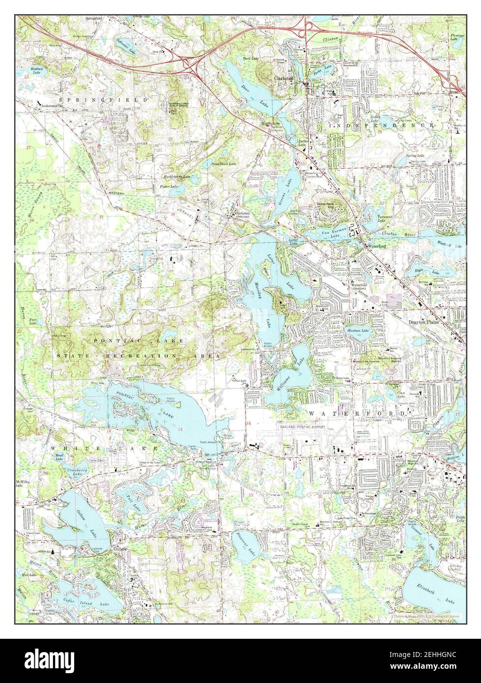 Clarkston, Michigan, map 1968, 1:24000, United States of America by Timeless Maps, data U.S. Geological Survey Stock Photohttps://www.alamy.com/image-license-details/?v=1https://www.alamy.com/clarkston-michigan-map-1968-124000-united-states-of-america-by-timeless-maps-data-us-geological-survey-image406673944.html
RM2EHHGNC–Clarkston, Michigan, map 1968, 1:24000, United States of America by Timeless Maps, data U.S. Geological Survey
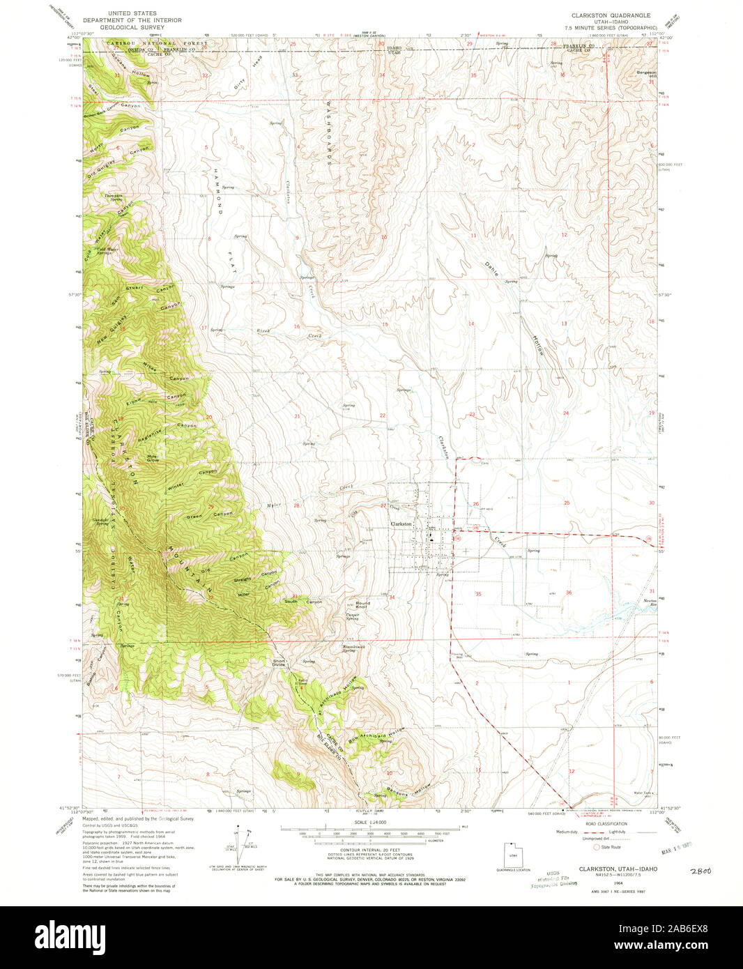 UT Clarkston 248625 1964 24000 Restoration Stock Photohttps://www.alamy.com/image-license-details/?v=1https://www.alamy.com/ut-clarkston-248625-1964-24000-restoration-image333901632.html
RM2AB6EX8–UT Clarkston 248625 1964 24000 Restoration
 Clarkston, Michigan, map 1968, 1:24000, United States of America by Timeless Maps, data U.S. Geological Survey Stock Photohttps://www.alamy.com/image-license-details/?v=1https://www.alamy.com/clarkston-michigan-map-1968-124000-united-states-of-america-by-timeless-maps-data-us-geological-survey-image406673982.html
RM2EHHGPP–Clarkston, Michigan, map 1968, 1:24000, United States of America by Timeless Maps, data U.S. Geological Survey
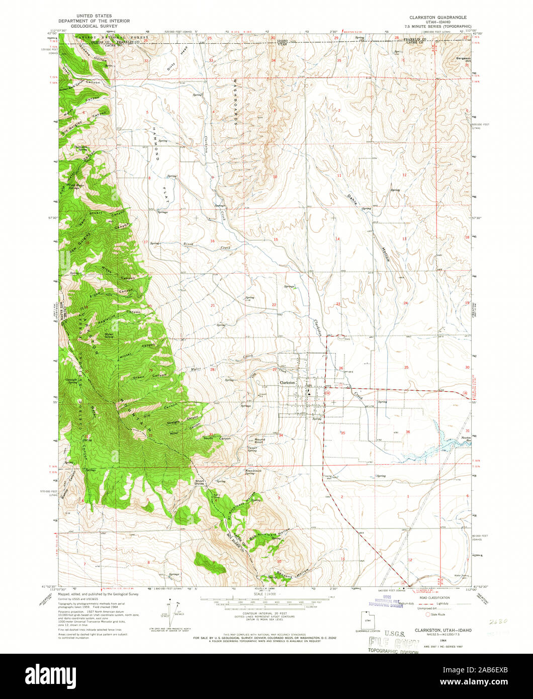 UT Clarkston 248626 1964 24000 Restoration Stock Photohttps://www.alamy.com/image-license-details/?v=1https://www.alamy.com/ut-clarkston-248626-1964-24000-restoration-image333901635.html
RM2AB6EXB–UT Clarkston 248626 1964 24000 Restoration
 Clarkston, Michigan, map 1968, 1:24000, United States of America by Timeless Maps, data U.S. Geological Survey Stock Photohttps://www.alamy.com/image-license-details/?v=1https://www.alamy.com/clarkston-michigan-map-1968-124000-united-states-of-america-by-timeless-maps-data-us-geological-survey-image406673964.html
RM2EHHGP4–Clarkston, Michigan, map 1968, 1:24000, United States of America by Timeless Maps, data U.S. Geological Survey
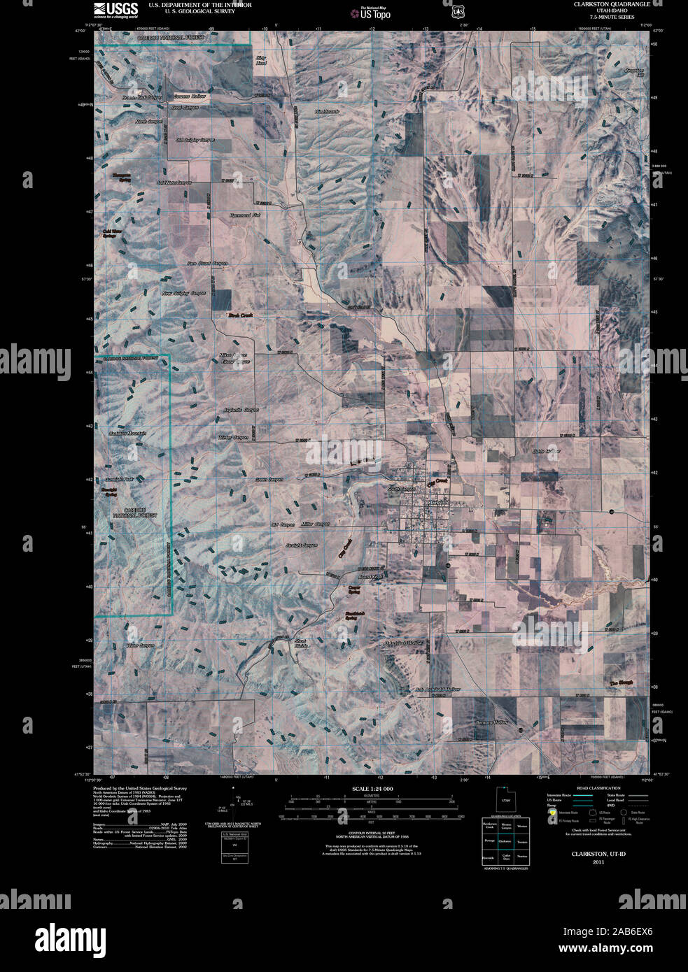 UT Clarkston 20110413 TM Inverted Restoration Stock Photohttps://www.alamy.com/image-license-details/?v=1https://www.alamy.com/ut-clarkston-20110413-tm-inverted-restoration-image333901630.html
RM2AB6EX6–UT Clarkston 20110413 TM Inverted Restoration
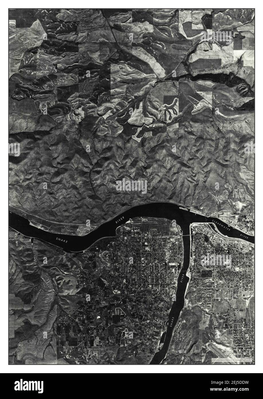 Clarkston, Washington, map 1975, 1:24000, United States of America by Timeless Maps, data U.S. Geological Survey Stock Photohttps://www.alamy.com/image-license-details/?v=1https://www.alamy.com/clarkston-washington-map-1975-124000-united-states-of-america-by-timeless-maps-data-us-geological-survey-image407022613.html
RM2EJ5DDW–Clarkston, Washington, map 1975, 1:24000, United States of America by Timeless Maps, data U.S. Geological Survey
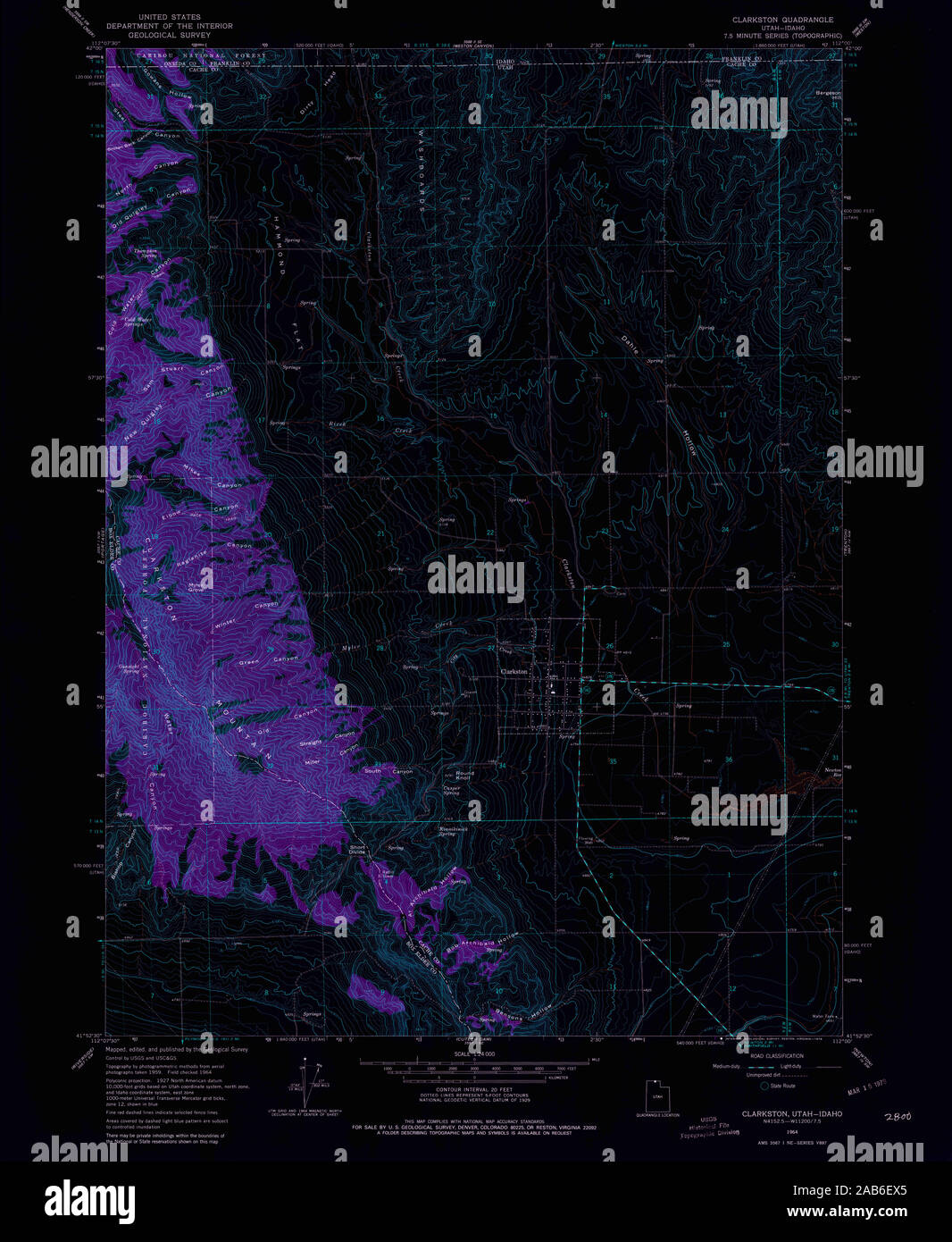 UT Clarkston 248625 1964 24000 Inverted Restoration Stock Photohttps://www.alamy.com/image-license-details/?v=1https://www.alamy.com/ut-clarkston-248625-1964-24000-inverted-restoration-image333901629.html
RM2AB6EX5–UT Clarkston 248625 1964 24000 Inverted Restoration
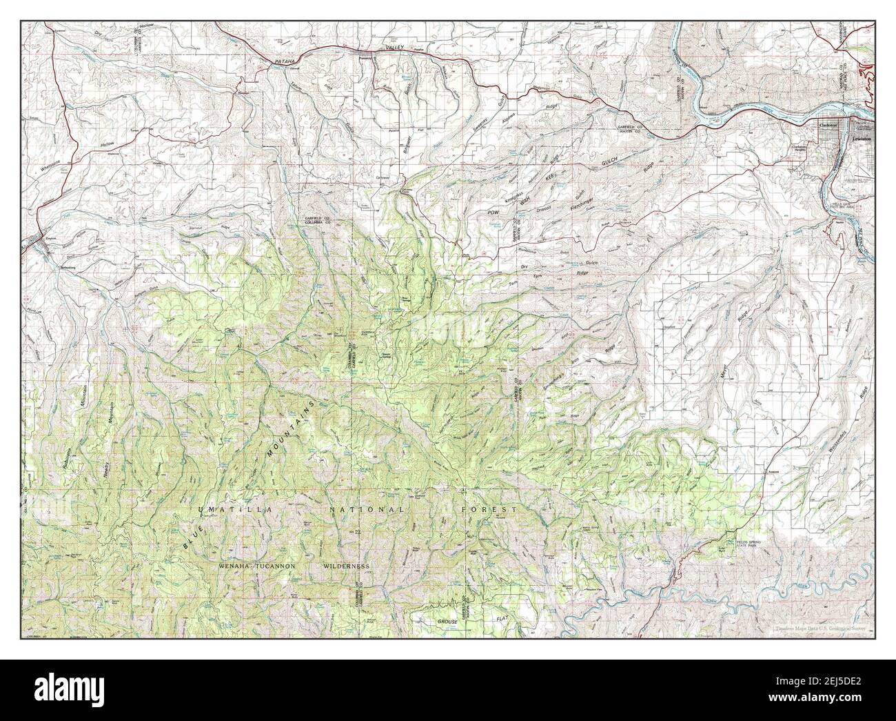 Clarkston, Washington, map 1981, 1:100000, United States of America by Timeless Maps, data U.S. Geological Survey Stock Photohttps://www.alamy.com/image-license-details/?v=1https://www.alamy.com/clarkston-washington-map-1981-1100000-united-states-of-america-by-timeless-maps-data-us-geological-survey-image407022618.html
RM2EJ5DE2–Clarkston, Washington, map 1981, 1:100000, United States of America by Timeless Maps, data U.S. Geological Survey
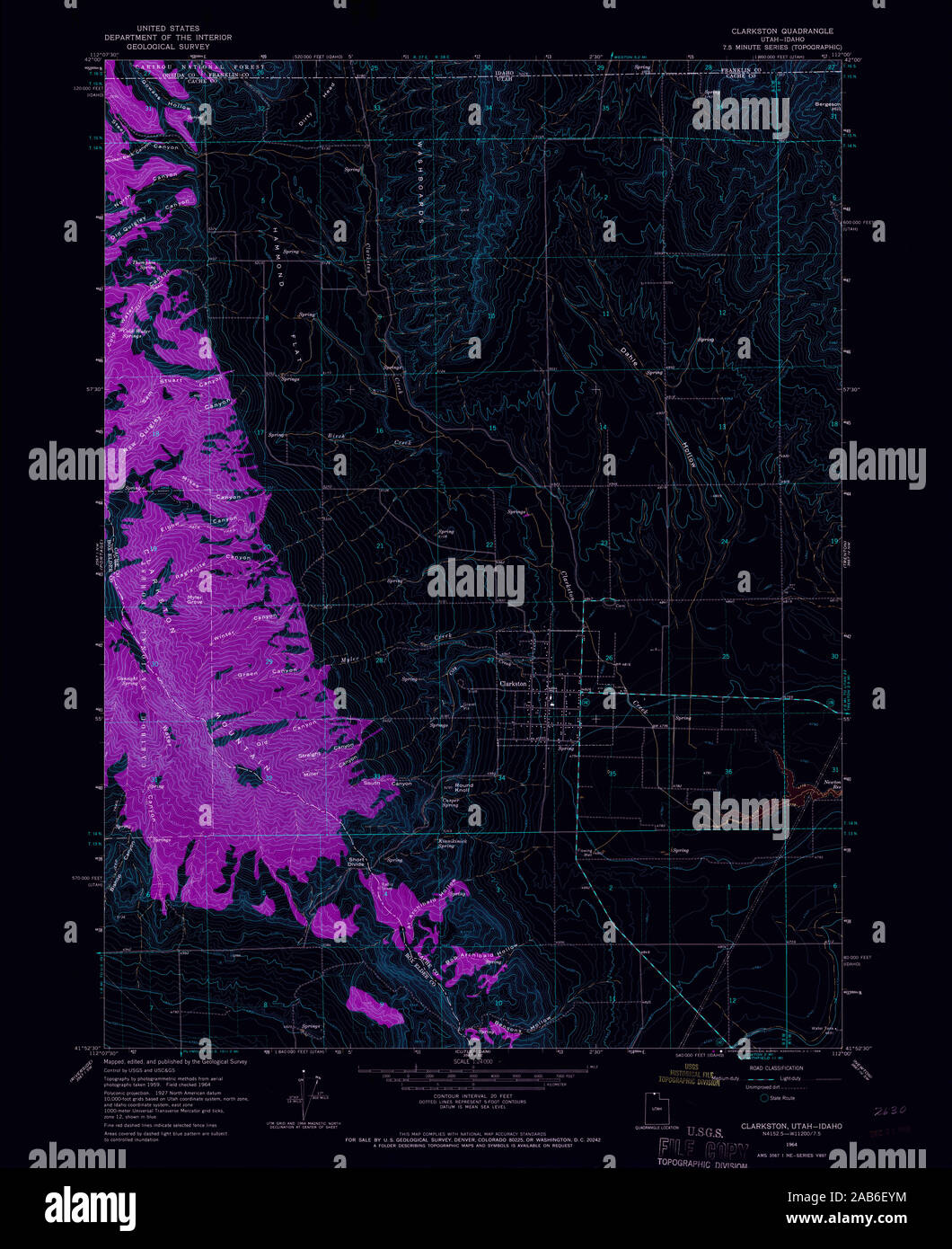 UT Clarkston 248626 1964 24000 Inverted Restoration Stock Photohttps://www.alamy.com/image-license-details/?v=1https://www.alamy.com/ut-clarkston-248626-1964-24000-inverted-restoration-image333901672.html
RM2AB6EYM–UT Clarkston 248626 1964 24000 Inverted Restoration
 Clarkston, Washington, map 1971, 1:24000, United States of America by Timeless Maps, data U.S. Geological Survey Stock Photohttps://www.alamy.com/image-license-details/?v=1https://www.alamy.com/clarkston-washington-map-1971-124000-united-states-of-america-by-timeless-maps-data-us-geological-survey-image407022610.html
RM2EJ5DDP–Clarkston, Washington, map 1971, 1:24000, United States of America by Timeless Maps, data U.S. Geological Survey
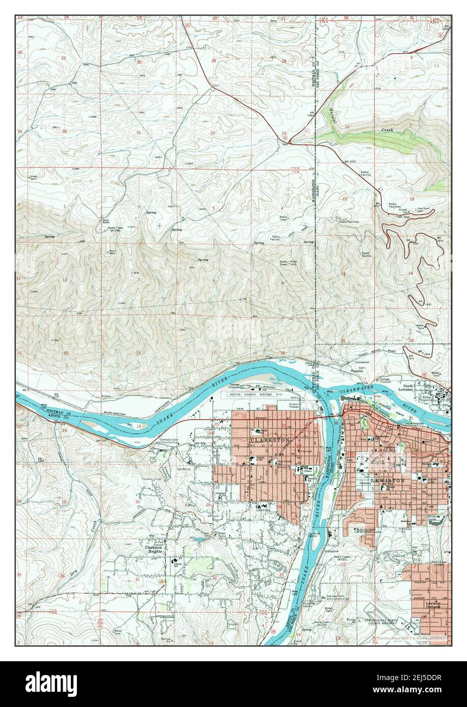 Clarkston, Washington, map 1971, 1:24000, United States of America by Timeless Maps, data U.S. Geological Survey Stock Photohttps://www.alamy.com/image-license-details/?v=1https://www.alamy.com/clarkston-washington-map-1971-124000-united-states-of-america-by-timeless-maps-data-us-geological-survey-image407022611.html
RM2EJ5DDR–Clarkston, Washington, map 1971, 1:24000, United States of America by Timeless Maps, data U.S. Geological Survey
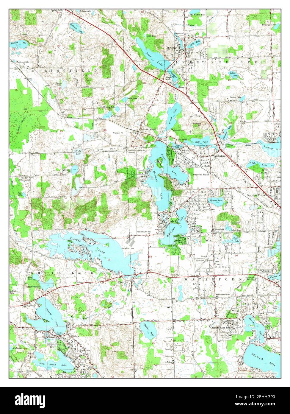 Clarkston, Michigan, map 1952, 1:24000, United States of America by Timeless Maps, data U.S. Geological Survey Stock Photohttps://www.alamy.com/image-license-details/?v=1https://www.alamy.com/clarkston-michigan-map-1952-124000-united-states-of-america-by-timeless-maps-data-us-geological-survey-image406673960.html
RM2EHHGP0–Clarkston, Michigan, map 1952, 1:24000, United States of America by Timeless Maps, data U.S. Geological Survey
 Clarkston, Michigan, map 1943, 1:24000, United States of America by Timeless Maps, data U.S. Geological Survey Stock Photohttps://www.alamy.com/image-license-details/?v=1https://www.alamy.com/clarkston-michigan-map-1943-124000-united-states-of-america-by-timeless-maps-data-us-geological-survey-image406674398.html
RM2EHHH9J–Clarkston, Michigan, map 1943, 1:24000, United States of America by Timeless Maps, data U.S. Geological Survey
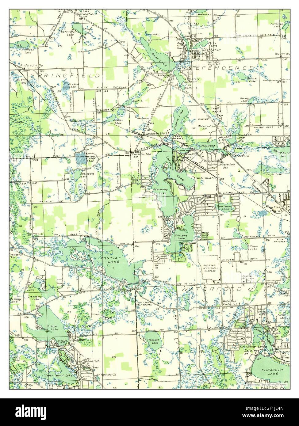 Clarkston, Michigan, map 1936, 1:31680, United States of America by Timeless Maps, data U.S. Geological Survey Stock Photohttps://www.alamy.com/image-license-details/?v=1https://www.alamy.com/clarkston-michigan-map-1936-131680-united-states-of-america-by-timeless-maps-data-us-geological-survey-image414069733.html
RM2F1JE4N–Clarkston, Michigan, map 1936, 1:31680, United States of America by Timeless Maps, data U.S. Geological Survey
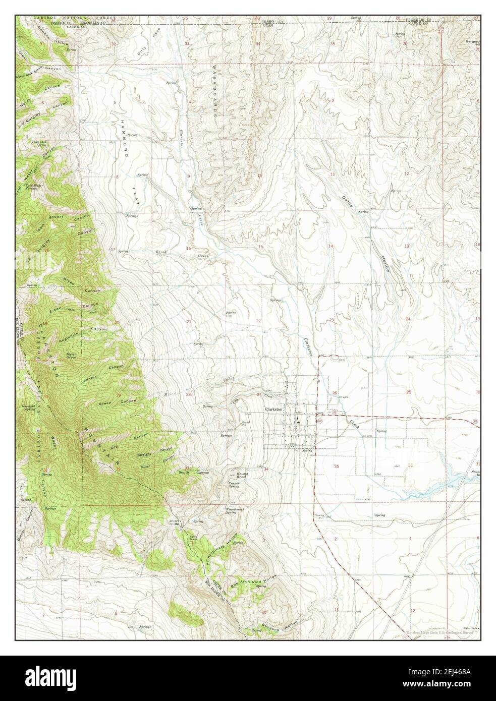 Clarkston, Utah, map 1964, 1:24000, United States of America by Timeless Maps, data U.S. Geological Survey Stock Photohttps://www.alamy.com/image-license-details/?v=1https://www.alamy.com/clarkston-utah-map-1964-124000-united-states-of-america-by-timeless-maps-data-us-geological-survey-image406995018.html
RM2EJ468A–Clarkston, Utah, map 1964, 1:24000, United States of America by Timeless Maps, data U.S. Geological Survey