Quick filters:
Map of collegeville Stock Photos and Images
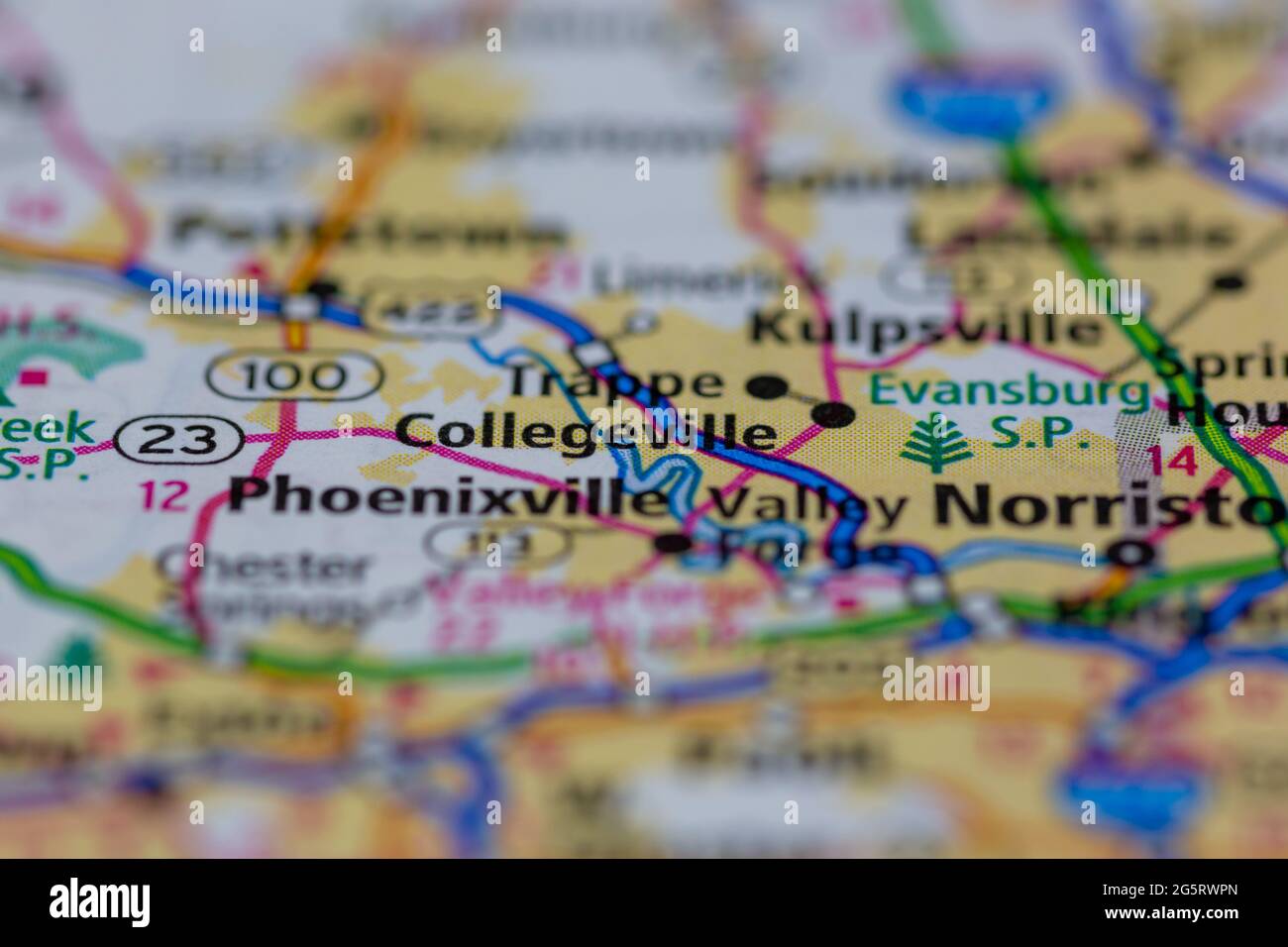 Collegeville Pennsylvania USA shown on a Geography map or Road map Stock Photohttps://www.alamy.com/image-license-details/?v=1https://www.alamy.com/collegeville-pennsylvania-usa-shown-on-a-geography-map-or-road-map-image433857613.html
RM2G5RWPN–Collegeville Pennsylvania USA shown on a Geography map or Road map
 Collegeville, Montgomery County, US, United States, Pennsylvania, N 40 11' 8'', S 75 27' 5'', map, Cartascapes Map published in 2024. Explore Cartascapes, a map revealing Earth's diverse landscapes, cultures, and ecosystems. Journey through time and space, discovering the interconnectedness of our planet's past, present, and future. Stock Photohttps://www.alamy.com/image-license-details/?v=1https://www.alamy.com/collegeville-montgomery-county-us-united-states-pennsylvania-n-40-11-8-s-75-27-5-map-cartascapes-map-published-in-2024-explore-cartascapes-a-map-revealing-earths-diverse-landscapes-cultures-and-ecosystems-journey-through-time-and-space-discovering-the-interconnectedness-of-our-planets-past-present-and-future-image621375515.html
RM2Y2X2PK–Collegeville, Montgomery County, US, United States, Pennsylvania, N 40 11' 8'', S 75 27' 5'', map, Cartascapes Map published in 2024. Explore Cartascapes, a map revealing Earth's diverse landscapes, cultures, and ecosystems. Journey through time and space, discovering the interconnectedness of our planet's past, present, and future.
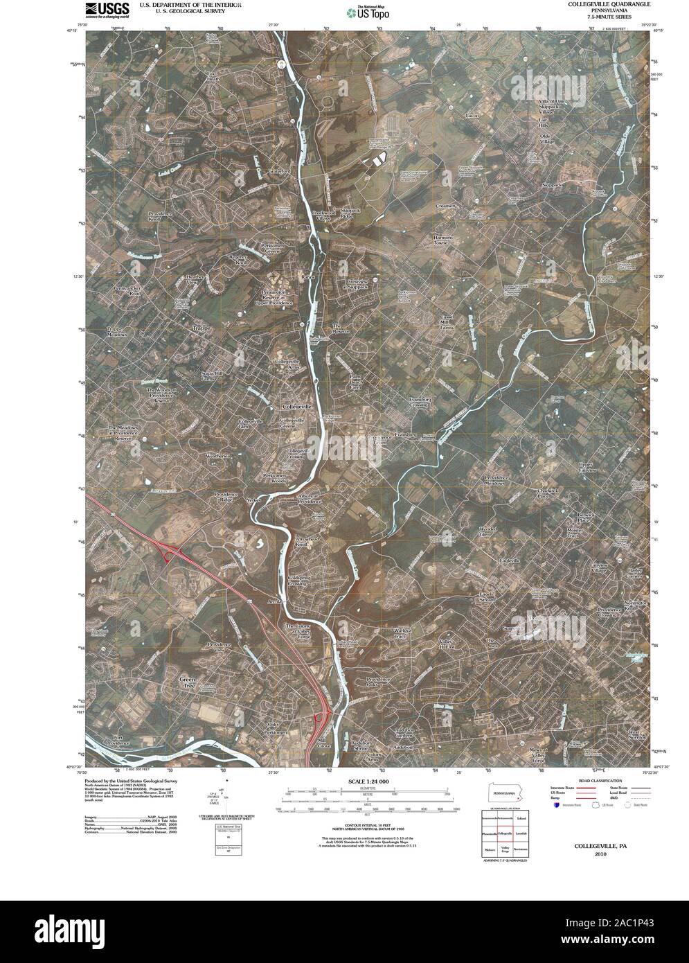 USGS TOPO Map Pennsylvania PA Collegeville 20100630 TM Restoration Stock Photohttps://www.alamy.com/image-license-details/?v=1https://www.alamy.com/usgs-topo-map-pennsylvania-pa-collegeville-20100630-tm-restoration-image334412179.html
RM2AC1P43–USGS TOPO Map Pennsylvania PA Collegeville 20100630 TM Restoration
 Collegeville, Montgomery County, US, United States, Pennsylvania, N 40 11' 8'', S 75 27' 5'', map, Cartascapes Map published in 2024. Explore Cartascapes, a map revealing Earth's diverse landscapes, cultures, and ecosystems. Journey through time and space, discovering the interconnectedness of our planet's past, present, and future. Stock Photohttps://www.alamy.com/image-license-details/?v=1https://www.alamy.com/collegeville-montgomery-county-us-united-states-pennsylvania-n-40-11-8-s-75-27-5-map-cartascapes-map-published-in-2024-explore-cartascapes-a-map-revealing-earths-diverse-landscapes-cultures-and-ecosystems-journey-through-time-and-space-discovering-the-interconnectedness-of-our-planets-past-present-and-future-image621228789.html
RM2Y2KBJD–Collegeville, Montgomery County, US, United States, Pennsylvania, N 40 11' 8'', S 75 27' 5'', map, Cartascapes Map published in 2024. Explore Cartascapes, a map revealing Earth's diverse landscapes, cultures, and ecosystems. Journey through time and space, discovering the interconnectedness of our planet's past, present, and future.
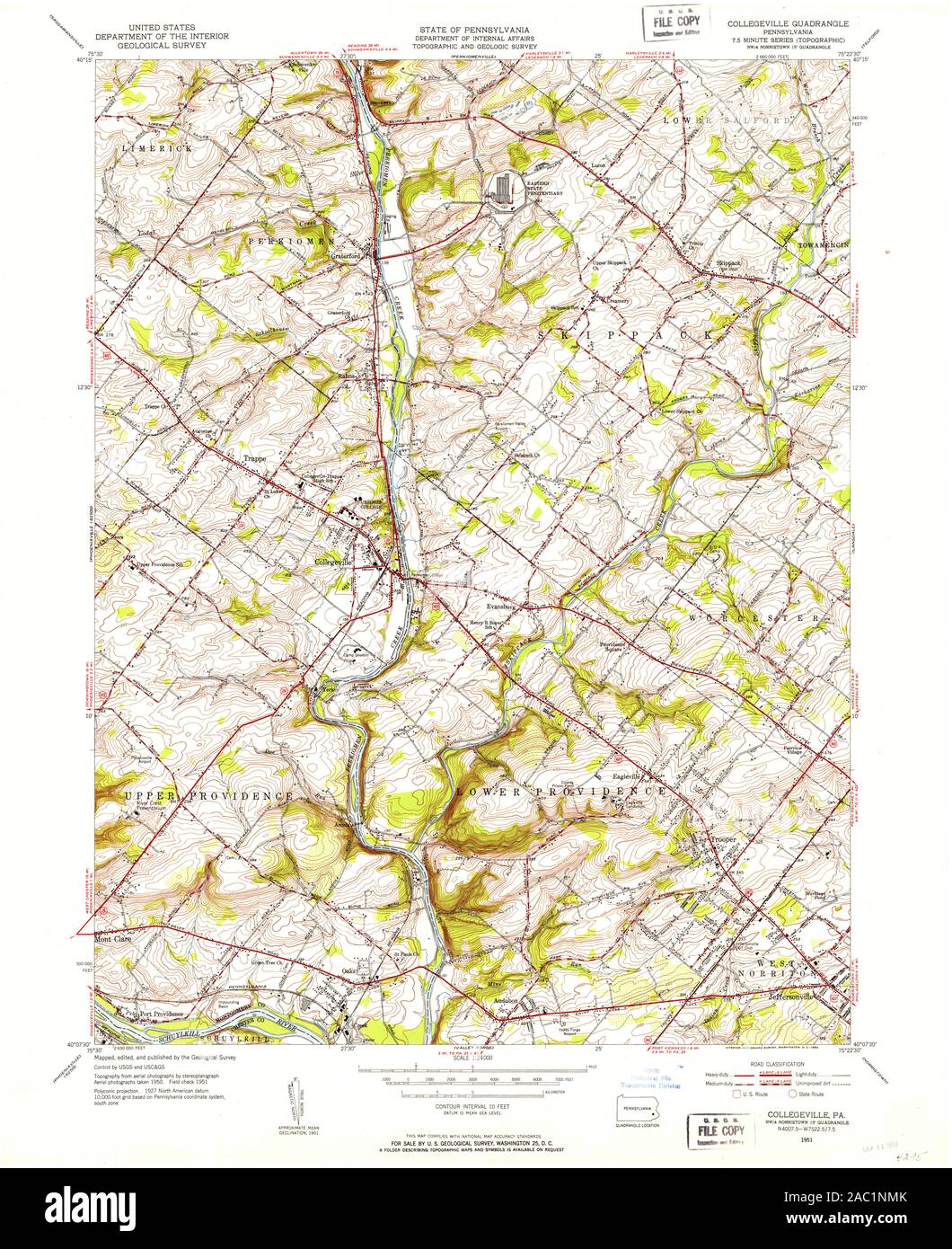 USGS TOPO Map Pennsylvania PA Collegeville 172349 1951 24000 Restoration Stock Photohttps://www.alamy.com/image-license-details/?v=1https://www.alamy.com/usgs-topo-map-pennsylvania-pa-collegeville-172349-1951-24000-restoration-image334411859.html
RM2AC1NMK–USGS TOPO Map Pennsylvania PA Collegeville 172349 1951 24000 Restoration
 Estates at Collegeville, Montgomery County, US, United States, Pennsylvania, N 40 11' 8'', S 75 28' 23'', map, Cartascapes Map published in 2024. Explore Cartascapes, a map revealing Earth's diverse landscapes, cultures, and ecosystems. Journey through time and space, discovering the interconnectedness of our planet's past, present, and future. Stock Photohttps://www.alamy.com/image-license-details/?v=1https://www.alamy.com/estates-at-collegeville-montgomery-county-us-united-states-pennsylvania-n-40-11-8-s-75-28-23-map-cartascapes-map-published-in-2024-explore-cartascapes-a-map-revealing-earths-diverse-landscapes-cultures-and-ecosystems-journey-through-time-and-space-discovering-the-interconnectedness-of-our-planets-past-present-and-future-image621230961.html
RM2Y2KEC1–Estates at Collegeville, Montgomery County, US, United States, Pennsylvania, N 40 11' 8'', S 75 28' 23'', map, Cartascapes Map published in 2024. Explore Cartascapes, a map revealing Earth's diverse landscapes, cultures, and ecosystems. Journey through time and space, discovering the interconnectedness of our planet's past, present, and future.
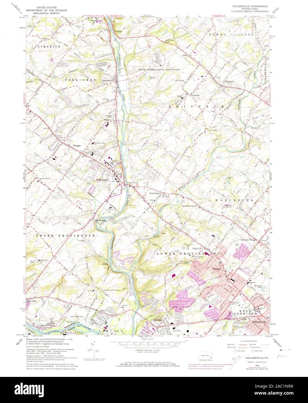 USGS TOPO Map Pennsylvania PA Collegeville 172352 1966 24000 Restoration Stock Photohttps://www.alamy.com/image-license-details/?v=1https://www.alamy.com/usgs-topo-map-pennsylvania-pa-collegeville-172352-1966-24000-restoration-image334411943.html
RM2AC1NRK–USGS TOPO Map Pennsylvania PA Collegeville 172352 1966 24000 Restoration
 Collegeville Greene, Montgomery County, US, United States, Pennsylvania, N 40 10' 56'', S 75 27' 24'', map, Cartascapes Map published in 2024. Explore Cartascapes, a map revealing Earth's diverse landscapes, cultures, and ecosystems. Journey through time and space, discovering the interconnectedness of our planet's past, present, and future. Stock Photohttps://www.alamy.com/image-license-details/?v=1https://www.alamy.com/collegeville-greene-montgomery-county-us-united-states-pennsylvania-n-40-10-56-s-75-27-24-map-cartascapes-map-published-in-2024-explore-cartascapes-a-map-revealing-earths-diverse-landscapes-cultures-and-ecosystems-journey-through-time-and-space-discovering-the-interconnectedness-of-our-planets-past-present-and-future-image621469111.html
RM2Y32A5B–Collegeville Greene, Montgomery County, US, United States, Pennsylvania, N 40 10' 56'', S 75 27' 24'', map, Cartascapes Map published in 2024. Explore Cartascapes, a map revealing Earth's diverse landscapes, cultures, and ecosystems. Journey through time and space, discovering the interconnectedness of our planet's past, present, and future.
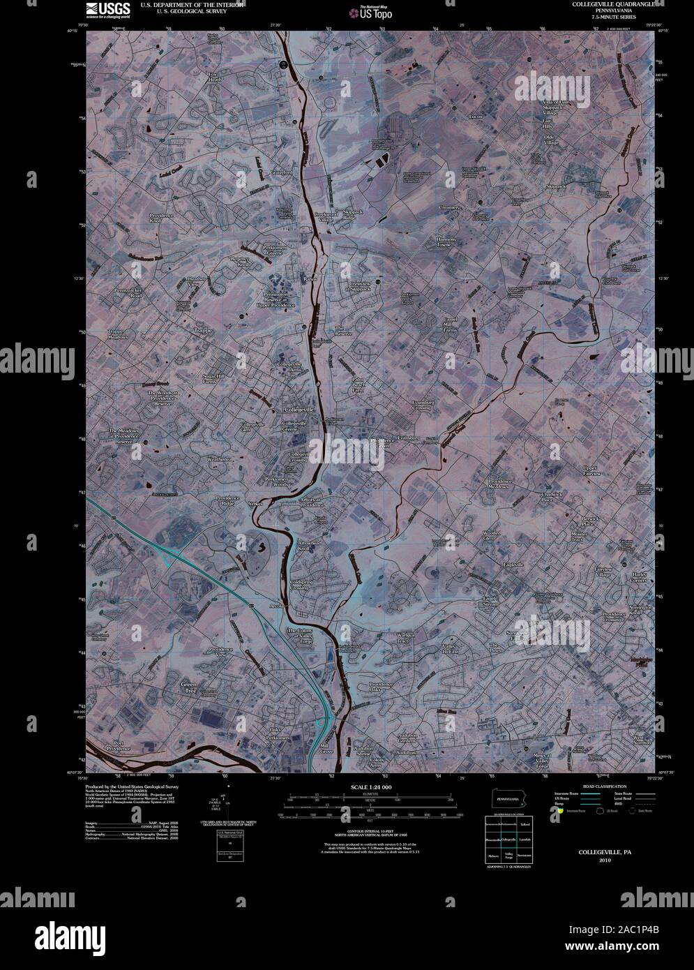 USGS TOPO Map Pennsylvania PA Collegeville 20100630 TM Inverted Restoration Stock Photohttps://www.alamy.com/image-license-details/?v=1https://www.alamy.com/usgs-topo-map-pennsylvania-pa-collegeville-20100630-tm-inverted-restoration-image334412187.html
RM2AC1P4B–USGS TOPO Map Pennsylvania PA Collegeville 20100630 TM Inverted Restoration
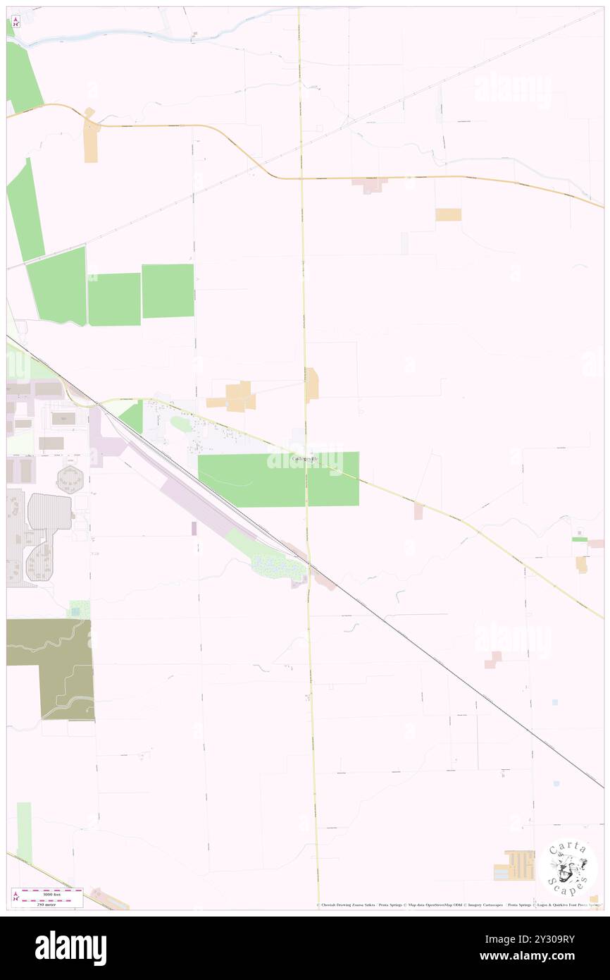 Collegeville, San Joaquin County, US, United States, California, N 37 54' 17'', S 121 8' 50'', map, Cartascapes Map published in 2024. Explore Cartascapes, a map revealing Earth's diverse landscapes, cultures, and ecosystems. Journey through time and space, discovering the interconnectedness of our planet's past, present, and future. Stock Photohttps://www.alamy.com/image-license-details/?v=1https://www.alamy.com/collegeville-san-joaquin-county-us-united-states-california-n-37-54-17-s-121-8-50-map-cartascapes-map-published-in-2024-explore-cartascapes-a-map-revealing-earths-diverse-landscapes-cultures-and-ecosystems-journey-through-time-and-space-discovering-the-interconnectedness-of-our-planets-past-present-and-future-image621424943.html
RM2Y309RY–Collegeville, San Joaquin County, US, United States, California, N 37 54' 17'', S 121 8' 50'', map, Cartascapes Map published in 2024. Explore Cartascapes, a map revealing Earth's diverse landscapes, cultures, and ecosystems. Journey through time and space, discovering the interconnectedness of our planet's past, present, and future.
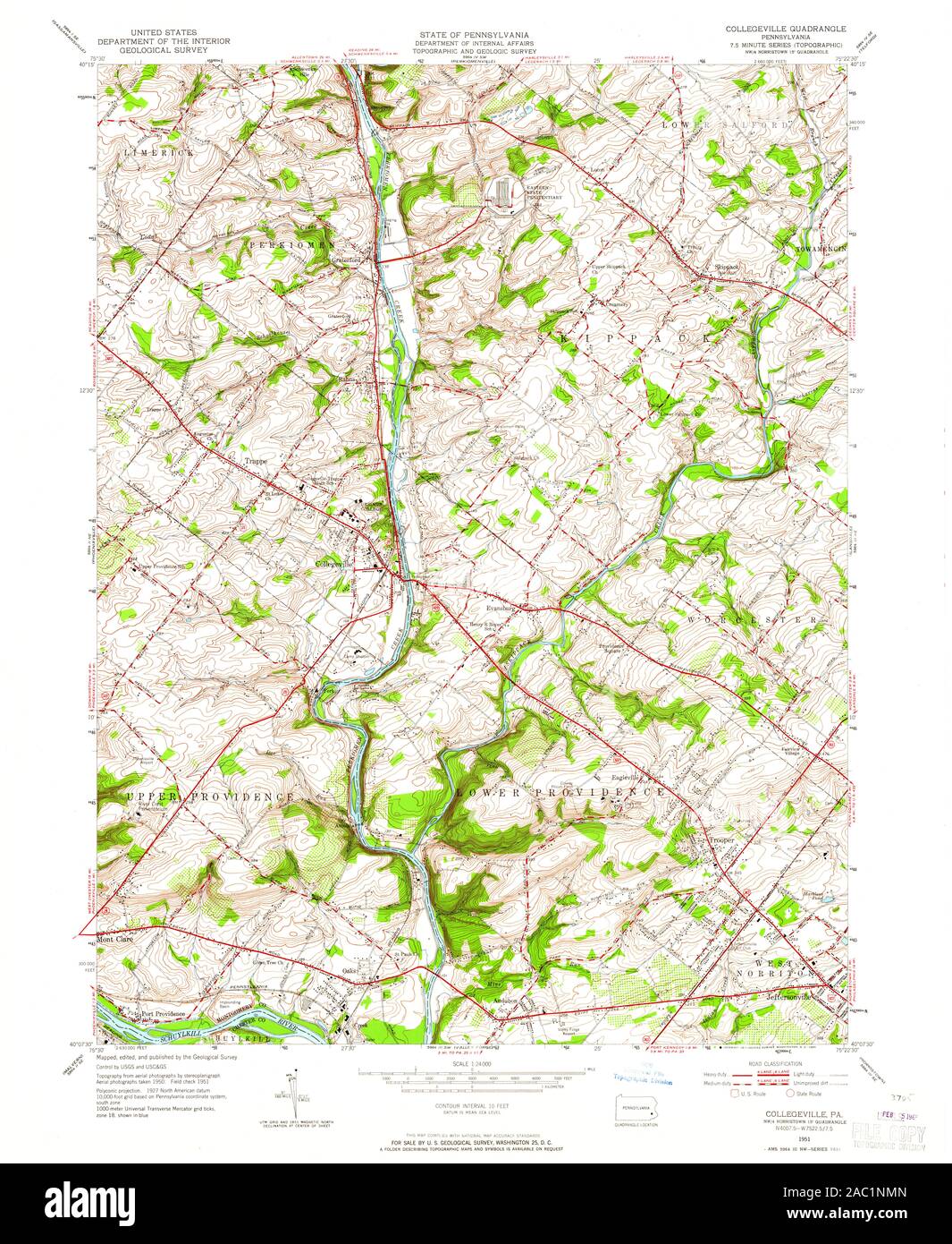 USGS TOPO Map Pennsylvania PA Collegeville 172350 1951 24000 Restoration Stock Photohttps://www.alamy.com/image-license-details/?v=1https://www.alamy.com/usgs-topo-map-pennsylvania-pa-collegeville-172350-1951-24000-restoration-image334411861.html
RM2AC1NMN–USGS TOPO Map Pennsylvania PA Collegeville 172350 1951 24000 Restoration
 Collegeville Glen, Montgomery County, US, United States, Pennsylvania, N 40 10' 56'', S 75 27' 57'', map, Cartascapes Map published in 2024. Explore Cartascapes, a map revealing Earth's diverse landscapes, cultures, and ecosystems. Journey through time and space, discovering the interconnectedness of our planet's past, present, and future. Stock Photohttps://www.alamy.com/image-license-details/?v=1https://www.alamy.com/collegeville-glen-montgomery-county-us-united-states-pennsylvania-n-40-10-56-s-75-27-57-map-cartascapes-map-published-in-2024-explore-cartascapes-a-map-revealing-earths-diverse-landscapes-cultures-and-ecosystems-journey-through-time-and-space-discovering-the-interconnectedness-of-our-planets-past-present-and-future-image621305568.html
RM2Y2PWGG–Collegeville Glen, Montgomery County, US, United States, Pennsylvania, N 40 10' 56'', S 75 27' 57'', map, Cartascapes Map published in 2024. Explore Cartascapes, a map revealing Earth's diverse landscapes, cultures, and ecosystems. Journey through time and space, discovering the interconnectedness of our planet's past, present, and future.
 USGS TOPO Map Pennsylvania PA Collegeville 223233 1992 24000 Restoration Stock Photohttps://www.alamy.com/image-license-details/?v=1https://www.alamy.com/usgs-topo-map-pennsylvania-pa-collegeville-223233-1992-24000-restoration-image334412189.html
RM2AC1P4D–USGS TOPO Map Pennsylvania PA Collegeville 223233 1992 24000 Restoration
 Collegeville Crossing, Montgomery County, US, United States, Pennsylvania, N 40 10' 37'', S 75 27' 19'', map, Cartascapes Map published in 2024. Explore Cartascapes, a map revealing Earth's diverse landscapes, cultures, and ecosystems. Journey through time and space, discovering the interconnectedness of our planet's past, present, and future. Stock Photohttps://www.alamy.com/image-license-details/?v=1https://www.alamy.com/collegeville-crossing-montgomery-county-us-united-states-pennsylvania-n-40-10-37-s-75-27-19-map-cartascapes-map-published-in-2024-explore-cartascapes-a-map-revealing-earths-diverse-landscapes-cultures-and-ecosystems-journey-through-time-and-space-discovering-the-interconnectedness-of-our-planets-past-present-and-future-image621408181.html
RM2Y2YGD9–Collegeville Crossing, Montgomery County, US, United States, Pennsylvania, N 40 10' 37'', S 75 27' 19'', map, Cartascapes Map published in 2024. Explore Cartascapes, a map revealing Earth's diverse landscapes, cultures, and ecosystems. Journey through time and space, discovering the interconnectedness of our planet's past, present, and future.
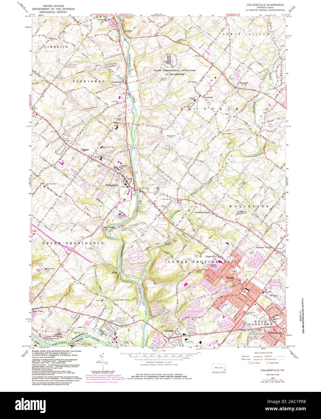 USGS TOPO Map Pennsylvania PA Collegeville 172355 1966 24000 Restoration Stock Photohttps://www.alamy.com/image-license-details/?v=1https://www.alamy.com/usgs-topo-map-pennsylvania-pa-collegeville-172355-1966-24000-restoration-image334412072.html
RM2AC1P08–USGS TOPO Map Pennsylvania PA Collegeville 172355 1966 24000 Restoration
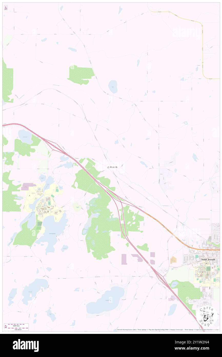 Collegeville, Stearns County, US, United States, Minnesota, N 45 35' 39'', S 94 21' 46'', map, Cartascapes Map published in 2024. Explore Cartascapes, a map revealing Earth's diverse landscapes, cultures, and ecosystems. Journey through time and space, discovering the interconnectedness of our planet's past, present, and future. Stock Photohttps://www.alamy.com/image-license-details/?v=1https://www.alamy.com/collegeville-stearns-county-us-united-states-minnesota-n-45-35-39-s-94-21-46-map-cartascapes-map-published-in-2024-explore-cartascapes-a-map-revealing-earths-diverse-landscapes-cultures-and-ecosystems-journey-through-time-and-space-discovering-the-interconnectedness-of-our-planets-past-present-and-future-image620738864.html
RM2Y1W2N4–Collegeville, Stearns County, US, United States, Minnesota, N 45 35' 39'', S 94 21' 46'', map, Cartascapes Map published in 2024. Explore Cartascapes, a map revealing Earth's diverse landscapes, cultures, and ecosystems. Journey through time and space, discovering the interconnectedness of our planet's past, present, and future.
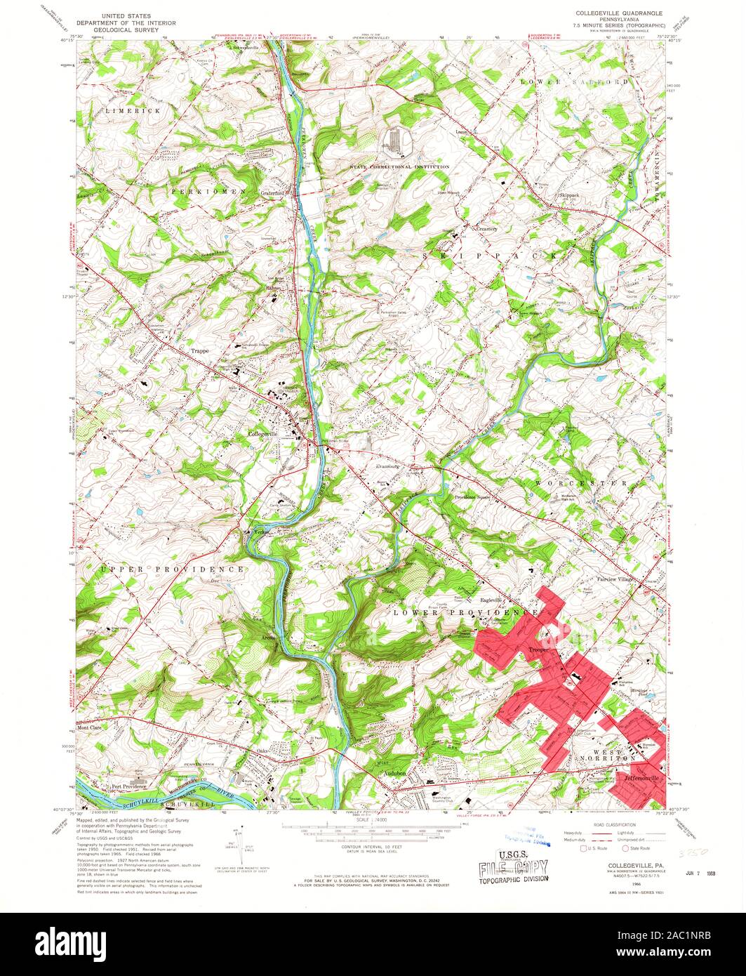 USGS TOPO Map Pennsylvania PA Collegeville 172351 1966 24000 Restoration Stock Photohttps://www.alamy.com/image-license-details/?v=1https://www.alamy.com/usgs-topo-map-pennsylvania-pa-collegeville-172351-1966-24000-restoration-image334411935.html
RM2AC1NRB–USGS TOPO Map Pennsylvania PA Collegeville 172351 1966 24000 Restoration
 Collegeville, Saline County, US, United States, Arkansas, N 34 38' 12'', S 92 28' 31'', map, Cartascapes Map published in 2024. Explore Cartascapes, a map revealing Earth's diverse landscapes, cultures, and ecosystems. Journey through time and space, discovering the interconnectedness of our planet's past, present, and future. Stock Photohttps://www.alamy.com/image-license-details/?v=1https://www.alamy.com/collegeville-saline-county-us-united-states-arkansas-n-34-38-12-s-92-28-31-map-cartascapes-map-published-in-2024-explore-cartascapes-a-map-revealing-earths-diverse-landscapes-cultures-and-ecosystems-journey-through-time-and-space-discovering-the-interconnectedness-of-our-planets-past-present-and-future-image620654964.html
RM2Y1N7MM–Collegeville, Saline County, US, United States, Arkansas, N 34 38' 12'', S 92 28' 31'', map, Cartascapes Map published in 2024. Explore Cartascapes, a map revealing Earth's diverse landscapes, cultures, and ecosystems. Journey through time and space, discovering the interconnectedness of our planet's past, present, and future.
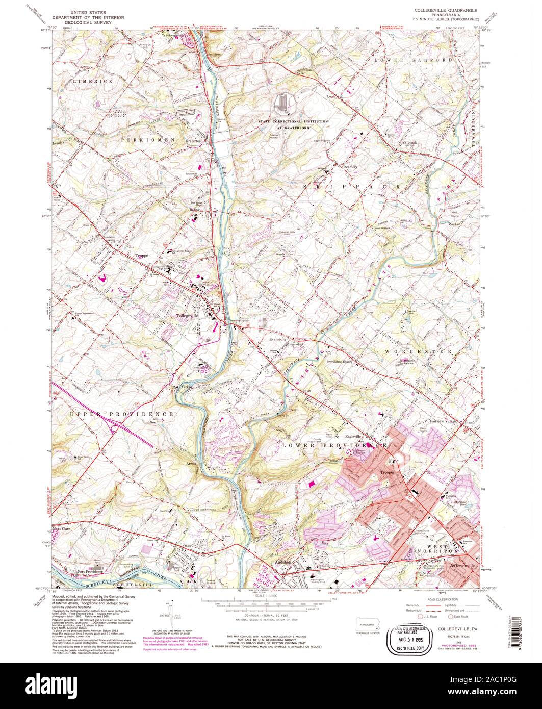 USGS TOPO Map Pennsylvania PA Collegeville 172356 1966 24000 Restoration Stock Photohttps://www.alamy.com/image-license-details/?v=1https://www.alamy.com/usgs-topo-map-pennsylvania-pa-collegeville-172356-1966-24000-restoration-image334412080.html
RM2AC1P0G–USGS TOPO Map Pennsylvania PA Collegeville 172356 1966 24000 Restoration
 Collegeville, Jasper County, US, United States, Indiana, N 40 54' 42'', S 87 9' 19'', map, Cartascapes Map published in 2024. Explore Cartascapes, a map revealing Earth's diverse landscapes, cultures, and ecosystems. Journey through time and space, discovering the interconnectedness of our planet's past, present, and future. Stock Photohttps://www.alamy.com/image-license-details/?v=1https://www.alamy.com/collegeville-jasper-county-us-united-states-indiana-n-40-54-42-s-87-9-19-map-cartascapes-map-published-in-2024-explore-cartascapes-a-map-revealing-earths-diverse-landscapes-cultures-and-ecosystems-journey-through-time-and-space-discovering-the-interconnectedness-of-our-planets-past-present-and-future-image620867388.html
RM2Y22XK8–Collegeville, Jasper County, US, United States, Indiana, N 40 54' 42'', S 87 9' 19'', map, Cartascapes Map published in 2024. Explore Cartascapes, a map revealing Earth's diverse landscapes, cultures, and ecosystems. Journey through time and space, discovering the interconnectedness of our planet's past, present, and future.
 USGS TOPO Map Pennsylvania PA Collegeville 172353 1966 24000 Restoration Stock Photohttps://www.alamy.com/image-license-details/?v=1https://www.alamy.com/usgs-topo-map-pennsylvania-pa-collegeville-172353-1966-24000-restoration-image334411994.html
RM2AC1NWE–USGS TOPO Map Pennsylvania PA Collegeville 172353 1966 24000 Restoration
 Collegeville, Jasper County, US, United States, Indiana, N 40 54' 42'', S 87 9' 19'', map, Cartascapes Map published in 2024. Explore Cartascapes, a map revealing Earth's diverse landscapes, cultures, and ecosystems. Journey through time and space, discovering the interconnectedness of our planet's past, present, and future. Stock Photohttps://www.alamy.com/image-license-details/?v=1https://www.alamy.com/collegeville-jasper-county-us-united-states-indiana-n-40-54-42-s-87-9-19-map-cartascapes-map-published-in-2024-explore-cartascapes-a-map-revealing-earths-diverse-landscapes-cultures-and-ecosystems-journey-through-time-and-space-discovering-the-interconnectedness-of-our-planets-past-present-and-future-image620653123.html
RM2Y1N5AY–Collegeville, Jasper County, US, United States, Indiana, N 40 54' 42'', S 87 9' 19'', map, Cartascapes Map published in 2024. Explore Cartascapes, a map revealing Earth's diverse landscapes, cultures, and ecosystems. Journey through time and space, discovering the interconnectedness of our planet's past, present, and future.
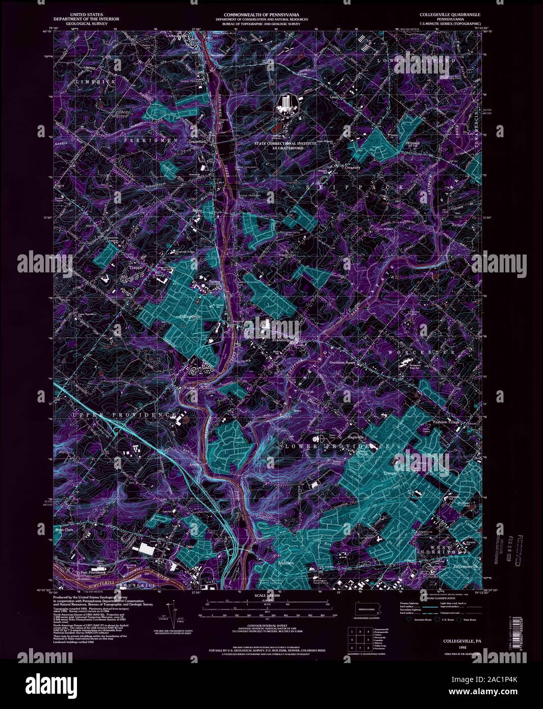 USGS TOPO Map Pennsylvania PA Collegeville 223233 1992 24000 Inverted Restoration Stock Photohttps://www.alamy.com/image-license-details/?v=1https://www.alamy.com/usgs-topo-map-pennsylvania-pa-collegeville-223233-1992-24000-inverted-restoration-image334412195.html
RM2AC1P4K–USGS TOPO Map Pennsylvania PA Collegeville 223233 1992 24000 Inverted Restoration
 Collegeville Arms, Montgomery County, US, United States, Pennsylvania, N 40 11' 32'', S 75 27' 9'', map, Cartascapes Map published in 2024. Explore Cartascapes, a map revealing Earth's diverse landscapes, cultures, and ecosystems. Journey through time and space, discovering the interconnectedness of our planet's past, present, and future. Stock Photohttps://www.alamy.com/image-license-details/?v=1https://www.alamy.com/collegeville-arms-montgomery-county-us-united-states-pennsylvania-n-40-11-32-s-75-27-9-map-cartascapes-map-published-in-2024-explore-cartascapes-a-map-revealing-earths-diverse-landscapes-cultures-and-ecosystems-journey-through-time-and-space-discovering-the-interconnectedness-of-our-planets-past-present-and-future-image620868196.html
RM2Y22YM4–Collegeville Arms, Montgomery County, US, United States, Pennsylvania, N 40 11' 32'', S 75 27' 9'', map, Cartascapes Map published in 2024. Explore Cartascapes, a map revealing Earth's diverse landscapes, cultures, and ecosystems. Journey through time and space, discovering the interconnectedness of our planet's past, present, and future.
 USGS TOPO Map Pennsylvania PA Collegeville 172351 1966 24000 Inverted Restoration Stock Photohttps://www.alamy.com/image-license-details/?v=1https://www.alamy.com/usgs-topo-map-pennsylvania-pa-collegeville-172351-1966-24000-inverted-restoration-image334411924.html
RM2AC1NR0–USGS TOPO Map Pennsylvania PA Collegeville 172351 1966 24000 Inverted Restoration
 Collegeville, Pennsylvania, map 1966, 1:24000, United States of America by Timeless Maps, data U.S. Geological Survey Stock Photohttps://www.alamy.com/image-license-details/?v=1https://www.alamy.com/collegeville-pennsylvania-map-1966-124000-united-states-of-america-by-timeless-maps-data-us-geological-survey-image406948696.html
RM2EJ2360–Collegeville, Pennsylvania, map 1966, 1:24000, United States of America by Timeless Maps, data U.S. Geological Survey
 USGS TOPO Map Pennsylvania PA Collegeville 172356 1966 24000 Inverted Restoration Stock Photohttps://www.alamy.com/image-license-details/?v=1https://www.alamy.com/usgs-topo-map-pennsylvania-pa-collegeville-172356-1966-24000-inverted-restoration-image334412076.html
RM2AC1P0C–USGS TOPO Map Pennsylvania PA Collegeville 172356 1966 24000 Inverted Restoration
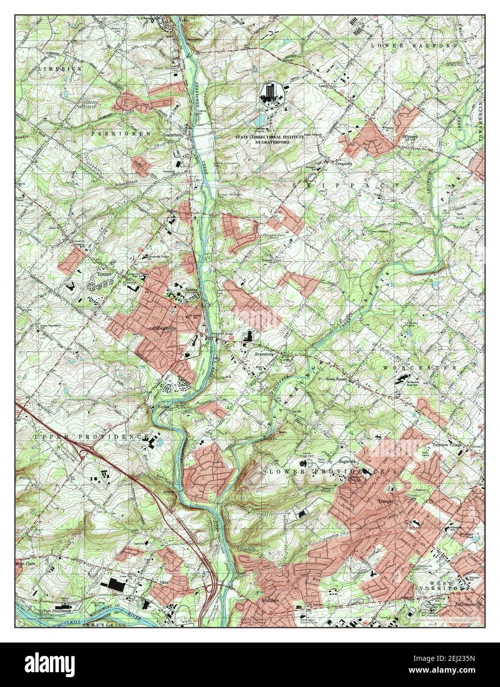 Collegeville, Pennsylvania, map 1992, 1:24000, United States of America by Timeless Maps, data U.S. Geological Survey Stock Photohttps://www.alamy.com/image-license-details/?v=1https://www.alamy.com/collegeville-pennsylvania-map-1992-124000-united-states-of-america-by-timeless-maps-data-us-geological-survey-image406948689.html
RM2EJ235N–Collegeville, Pennsylvania, map 1992, 1:24000, United States of America by Timeless Maps, data U.S. Geological Survey
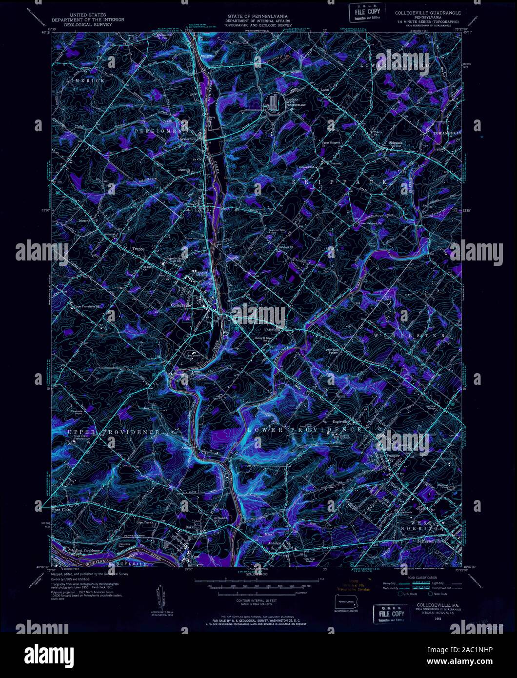 USGS TOPO Map Pennsylvania PA Collegeville 172349 1951 24000 Inverted Restoration Stock Photohttps://www.alamy.com/image-license-details/?v=1https://www.alamy.com/usgs-topo-map-pennsylvania-pa-collegeville-172349-1951-24000-inverted-restoration-image334411778.html
RM2AC1NHP–USGS TOPO Map Pennsylvania PA Collegeville 172349 1951 24000 Inverted Restoration
 Collegeville, Pennsylvania, map 1951, 1:24000, United States of America by Timeless Maps, data U.S. Geological Survey Stock Photohttps://www.alamy.com/image-license-details/?v=1https://www.alamy.com/collegeville-pennsylvania-map-1951-124000-united-states-of-america-by-timeless-maps-data-us-geological-survey-image406948693.html
RM2EJ235W–Collegeville, Pennsylvania, map 1951, 1:24000, United States of America by Timeless Maps, data U.S. Geological Survey
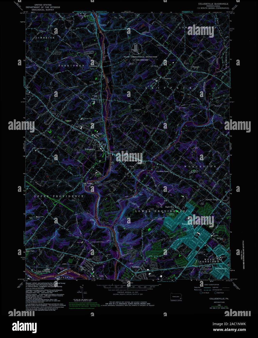 USGS TOPO Map Pennsylvania PA Collegeville 172355 1966 24000 Inverted Restoration Stock Photohttps://www.alamy.com/image-license-details/?v=1https://www.alamy.com/usgs-topo-map-pennsylvania-pa-collegeville-172355-1966-24000-inverted-restoration-image334411999.html
RM2AC1NWK–USGS TOPO Map Pennsylvania PA Collegeville 172355 1966 24000 Inverted Restoration
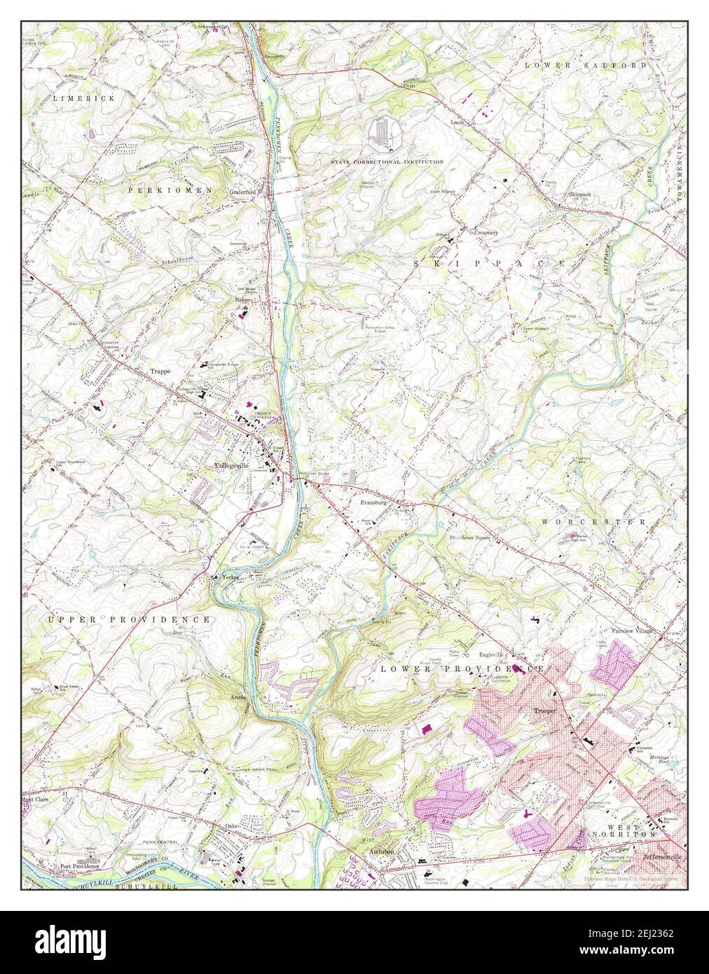 Collegeville, Pennsylvania, map 1966, 1:24000, United States of America by Timeless Maps, data U.S. Geological Survey Stock Photohttps://www.alamy.com/image-license-details/?v=1https://www.alamy.com/collegeville-pennsylvania-map-1966-124000-united-states-of-america-by-timeless-maps-data-us-geological-survey-image406948698.html
RM2EJ2362–Collegeville, Pennsylvania, map 1966, 1:24000, United States of America by Timeless Maps, data U.S. Geological Survey
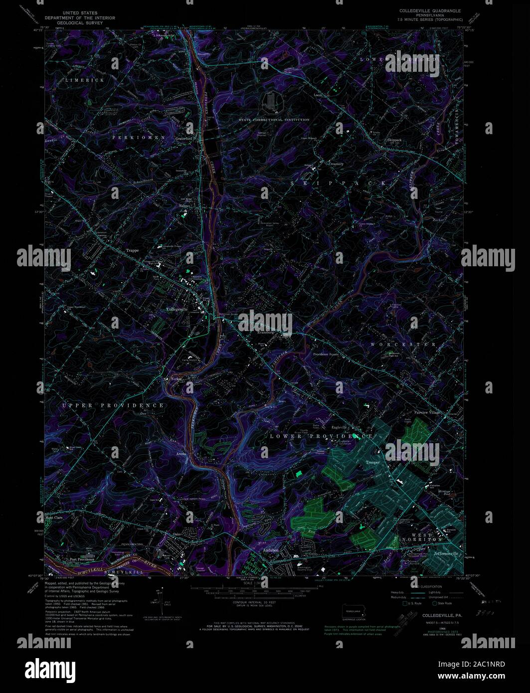 USGS TOPO Map Pennsylvania PA Collegeville 172352 1966 24000 Inverted Restoration Stock Photohttps://www.alamy.com/image-license-details/?v=1https://www.alamy.com/usgs-topo-map-pennsylvania-pa-collegeville-172352-1966-24000-inverted-restoration-image334411937.html
RM2AC1NRD–USGS TOPO Map Pennsylvania PA Collegeville 172352 1966 24000 Inverted Restoration
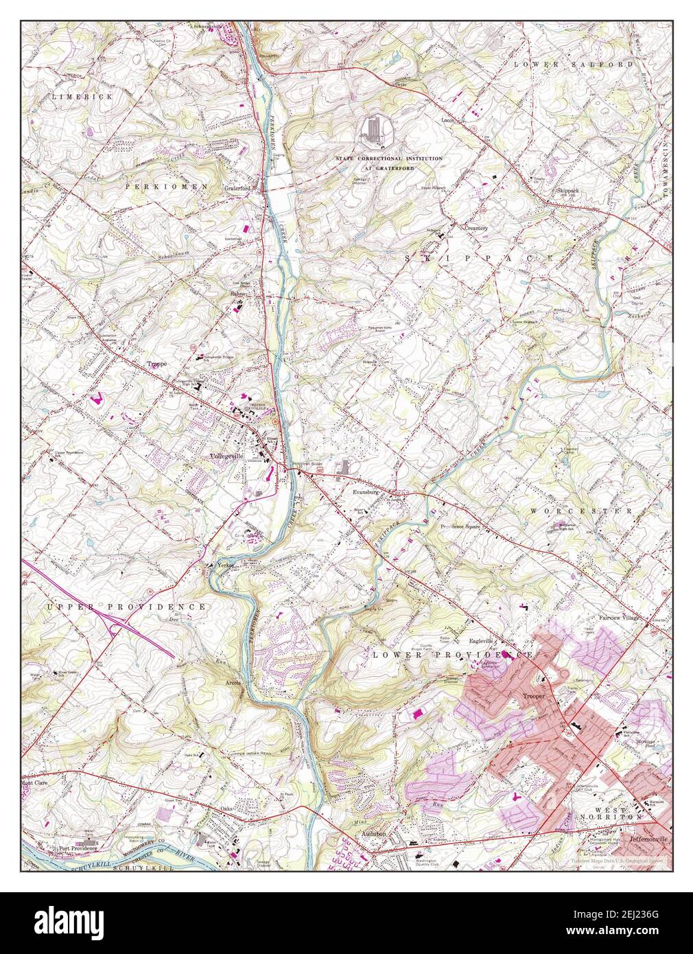 Collegeville, Pennsylvania, map 1966, 1:24000, United States of America by Timeless Maps, data U.S. Geological Survey Stock Photohttps://www.alamy.com/image-license-details/?v=1https://www.alamy.com/collegeville-pennsylvania-map-1966-124000-united-states-of-america-by-timeless-maps-data-us-geological-survey-image406948712.html
RM2EJ236G–Collegeville, Pennsylvania, map 1966, 1:24000, United States of America by Timeless Maps, data U.S. Geological Survey
 USGS TOPO Map Pennsylvania PA Collegeville 172353 1966 24000 Inverted Restoration Stock Photohttps://www.alamy.com/image-license-details/?v=1https://www.alamy.com/usgs-topo-map-pennsylvania-pa-collegeville-172353-1966-24000-inverted-restoration-image334411992.html
RM2AC1NWC–USGS TOPO Map Pennsylvania PA Collegeville 172353 1966 24000 Inverted Restoration
 Collegeville, Pennsylvania, map 1951, 1:24000, United States of America by Timeless Maps, data U.S. Geological Survey Stock Photohttps://www.alamy.com/image-license-details/?v=1https://www.alamy.com/collegeville-pennsylvania-map-1951-124000-united-states-of-america-by-timeless-maps-data-us-geological-survey-image406948697.html
RM2EJ2361–Collegeville, Pennsylvania, map 1951, 1:24000, United States of America by Timeless Maps, data U.S. Geological Survey
 USGS TOPO Map Pennsylvania PA Collegeville 172350 1951 24000 Inverted Restoration Stock Photohttps://www.alamy.com/image-license-details/?v=1https://www.alamy.com/usgs-topo-map-pennsylvania-pa-collegeville-172350-1951-24000-inverted-restoration-image334411863.html
RM2AC1NMR–USGS TOPO Map Pennsylvania PA Collegeville 172350 1951 24000 Inverted Restoration
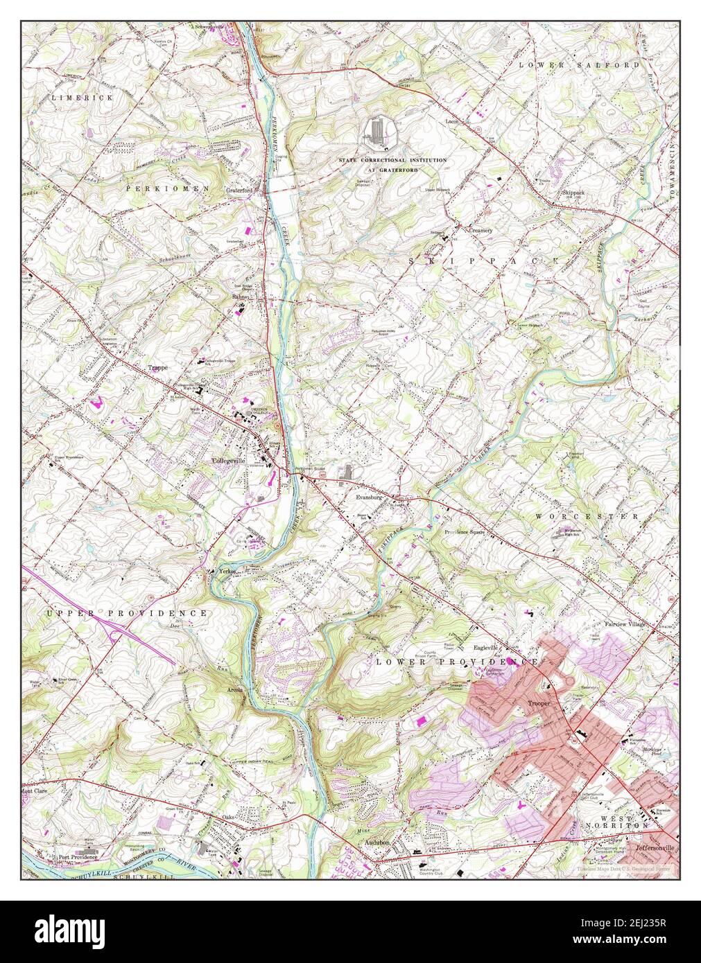 Collegeville, Pennsylvania, map 1966, 1:24000, United States of America by Timeless Maps, data U.S. Geological Survey Stock Photohttps://www.alamy.com/image-license-details/?v=1https://www.alamy.com/collegeville-pennsylvania-map-1966-124000-united-states-of-america-by-timeless-maps-data-us-geological-survey-image406948691.html
RM2EJ235R–Collegeville, Pennsylvania, map 1966, 1:24000, United States of America by Timeless Maps, data U.S. Geological Survey
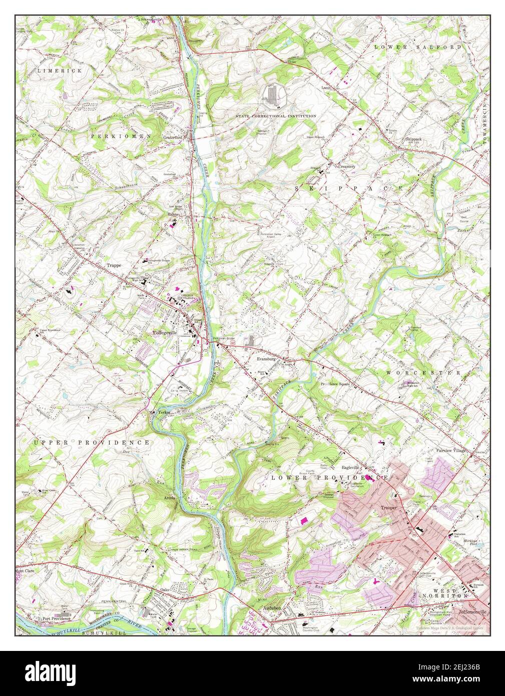 Collegeville, Pennsylvania, map 1966, 1:24000, United States of America by Timeless Maps, data U.S. Geological Survey Stock Photohttps://www.alamy.com/image-license-details/?v=1https://www.alamy.com/collegeville-pennsylvania-map-1966-124000-united-states-of-america-by-timeless-maps-data-us-geological-survey-image406948707.html
RM2EJ236B–Collegeville, Pennsylvania, map 1966, 1:24000, United States of America by Timeless Maps, data U.S. Geological Survey