Quick filters:
Map of cork ireland Stock Photos and Images
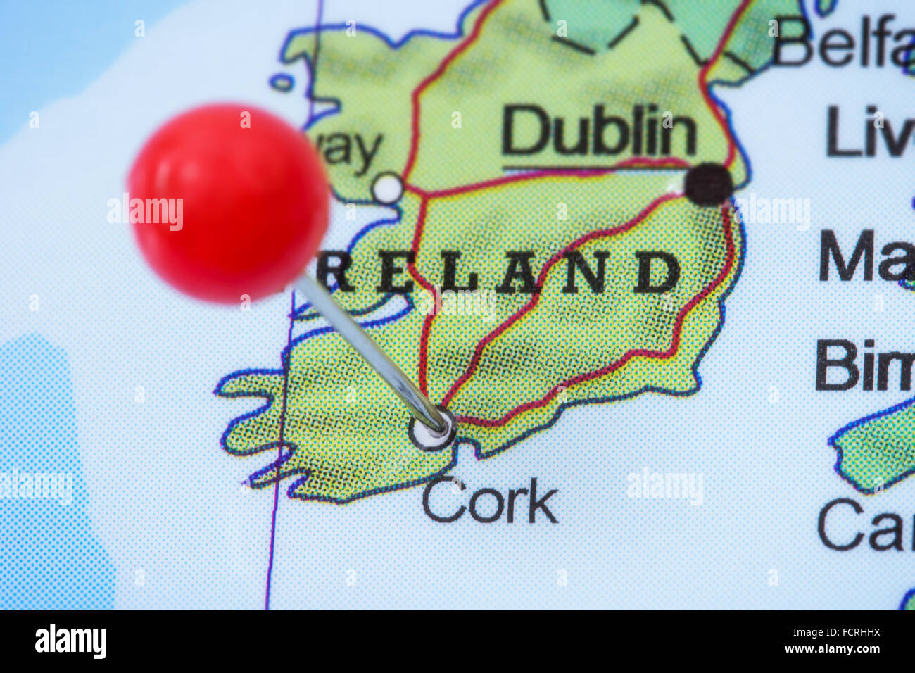 Close-up of a red pushpin in a map of Cork, Ireland. Stock Photohttps://www.alamy.com/image-license-details/?v=1https://www.alamy.com/stock-photo-close-up-of-a-red-pushpin-in-a-map-of-cork-ireland-93946438.html
RFFCRHHX–Close-up of a red pushpin in a map of Cork, Ireland.
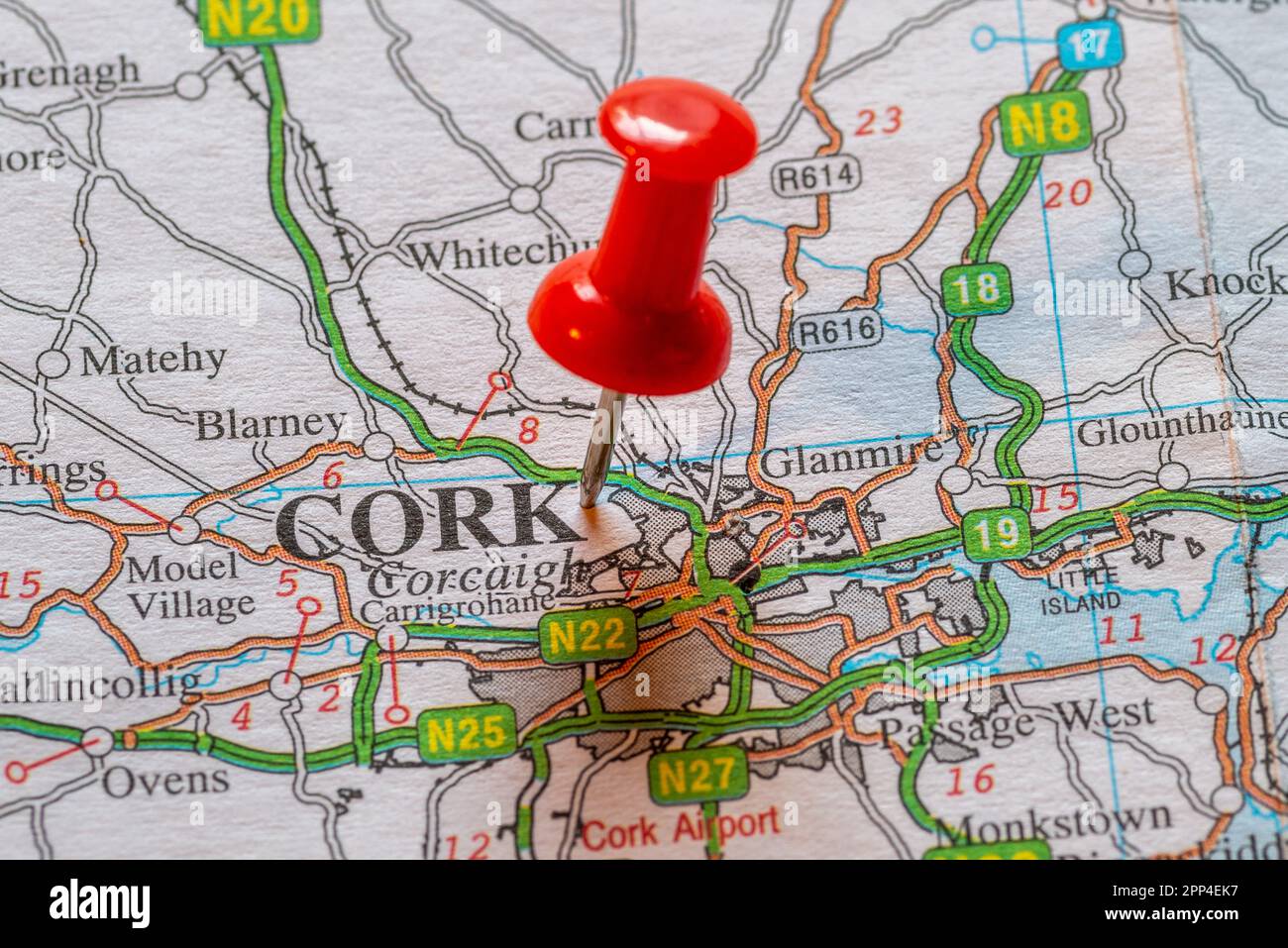 Pin in map marking Cork, Ireland. Stock Photohttps://www.alamy.com/image-license-details/?v=1https://www.alamy.com/pin-in-map-marking-cork-ireland-image547143163.html
RM2PP4EK7–Pin in map marking Cork, Ireland.
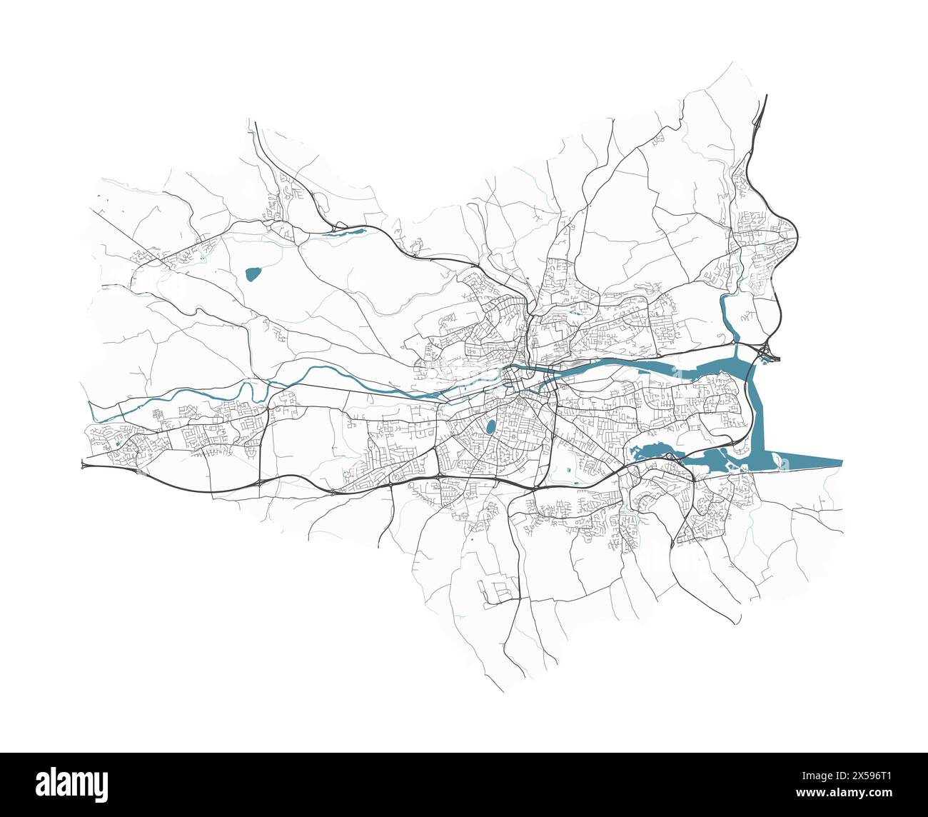 Map of Cork, Ireland. Detailed city vector map, metropolitan area with border. Streetmap with roads and water. Stock Vectorhttps://www.alamy.com/image-license-details/?v=1https://www.alamy.com/map-of-cork-ireland-detailed-city-vector-map-metropolitan-area-with-border-streetmap-with-roads-and-water-image605639105.html
RF2X596T1–Map of Cork, Ireland. Detailed city vector map, metropolitan area with border. Streetmap with roads and water.
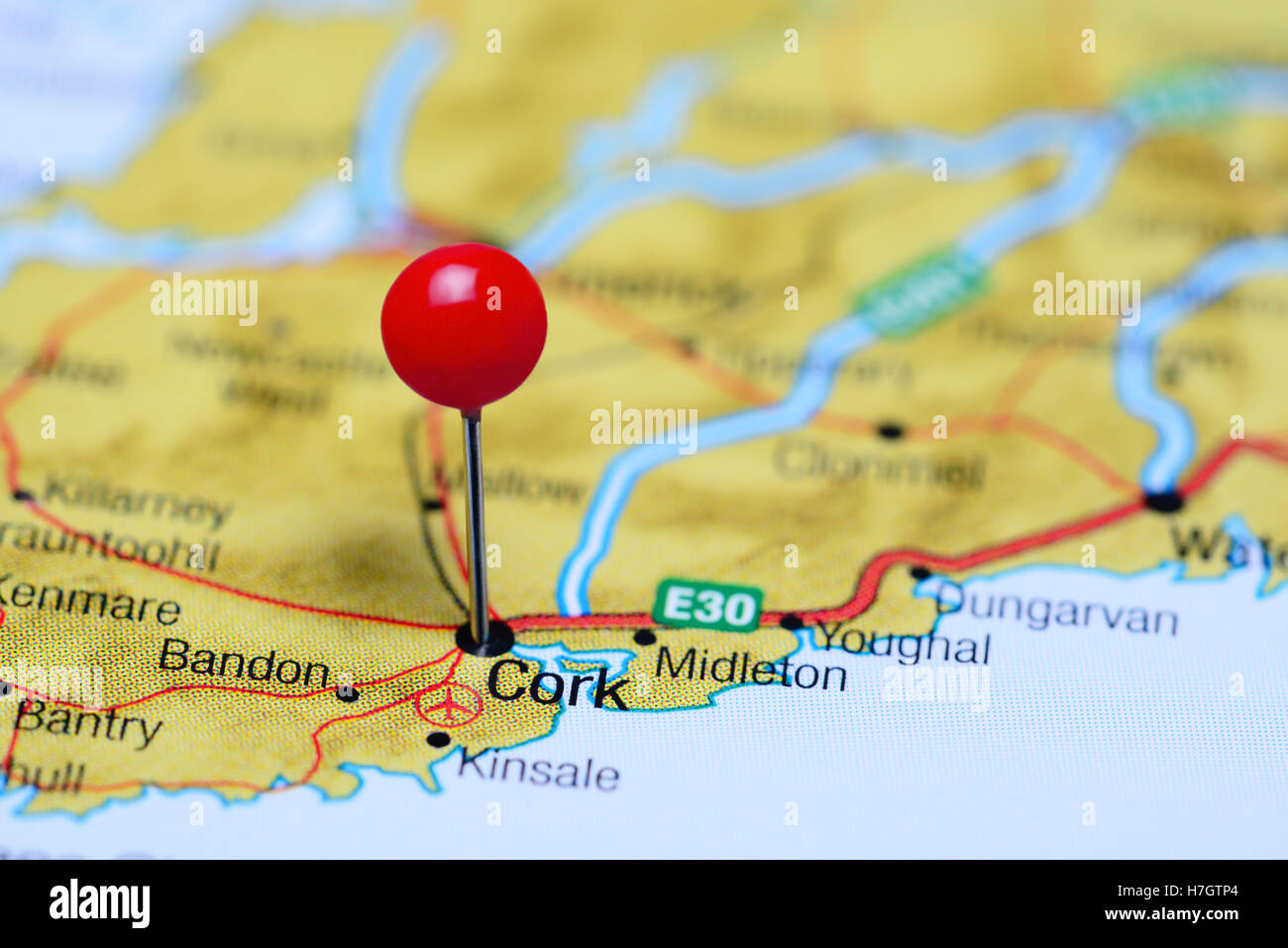 Cork pinned on a map of Ireland Stock Photohttps://www.alamy.com/image-license-details/?v=1https://www.alamy.com/stock-photo-cork-pinned-on-a-map-of-ireland-125145836.html
RFH7GTP4–Cork pinned on a map of Ireland
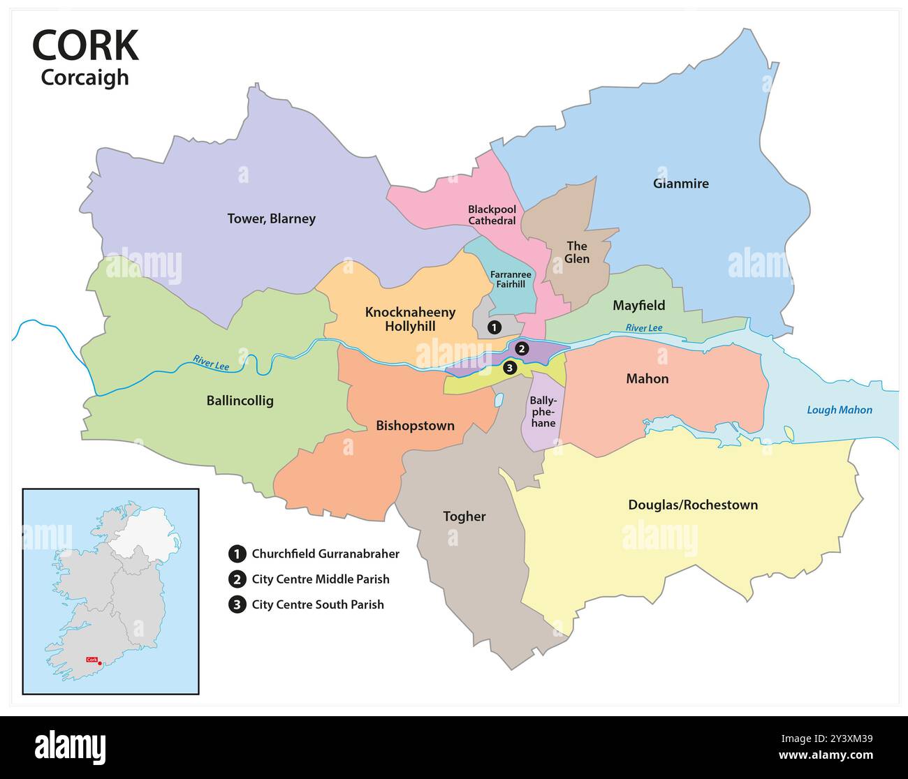 Administrative map of the Irish city of Cork Stock Photohttps://www.alamy.com/image-license-details/?v=1https://www.alamy.com/administrative-map-of-the-irish-city-of-cork-image622003741.html
RF2Y3XM39–Administrative map of the Irish city of Cork
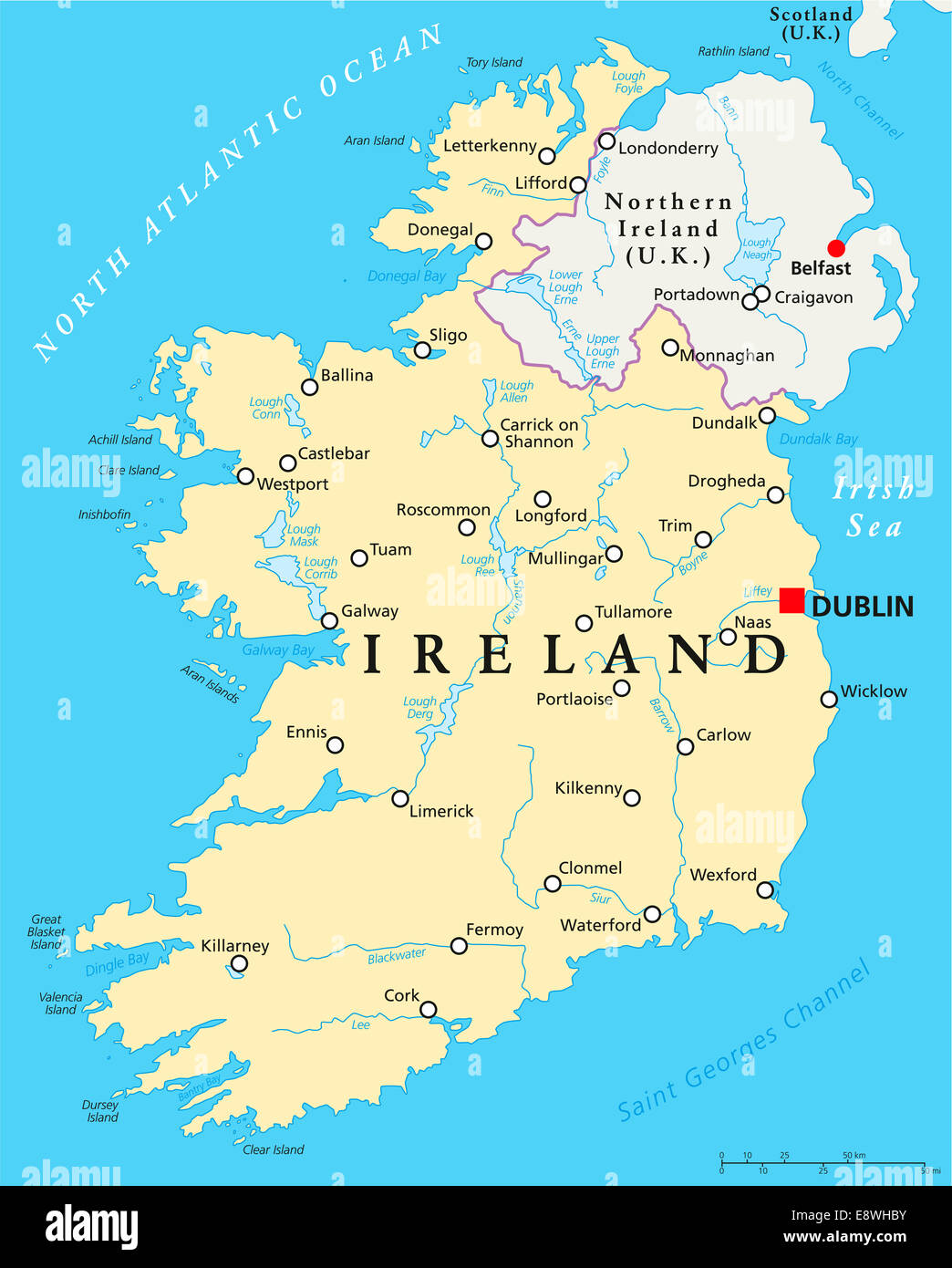 Ireland Political Map with capital Dublin, national borders, important cities, rivers and lakes. English labeling and scaling. Stock Photohttps://www.alamy.com/image-license-details/?v=1https://www.alamy.com/stock-photo-ireland-political-map-with-capital-dublin-national-borders-important-74321183.html
RFE8WHBY–Ireland Political Map with capital Dublin, national borders, important cities, rivers and lakes. English labeling and scaling.
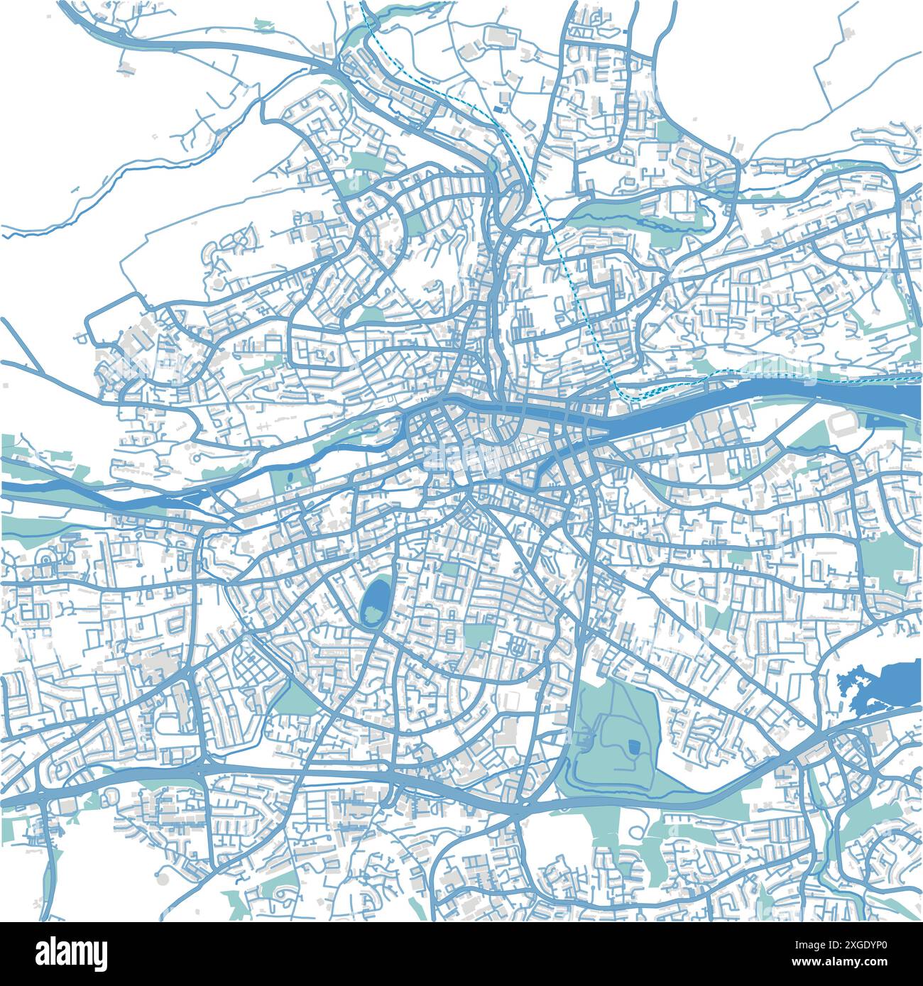 Map of Cork in Ireland in blue style. Contains layered vector with roads water, parks, etc. Stock Vectorhttps://www.alamy.com/image-license-details/?v=1https://www.alamy.com/map-of-cork-in-ireland-in-blue-style-contains-layered-vector-with-roads-water-parks-etc-image612504536.html
RF2XGDYP0–Map of Cork in Ireland in blue style. Contains layered vector with roads water, parks, etc.
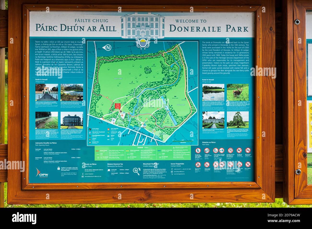 Visitor information sign and map at Doneraile Court period house and park, County Cork, Ireland Stock Photohttps://www.alamy.com/image-license-details/?v=1https://www.alamy.com/visitor-information-sign-and-map-at-doneraile-court-period-house-and-park-county-cork-ireland-image383136457.html
RM2D79ACW–Visitor information sign and map at Doneraile Court period house and park, County Cork, Ireland
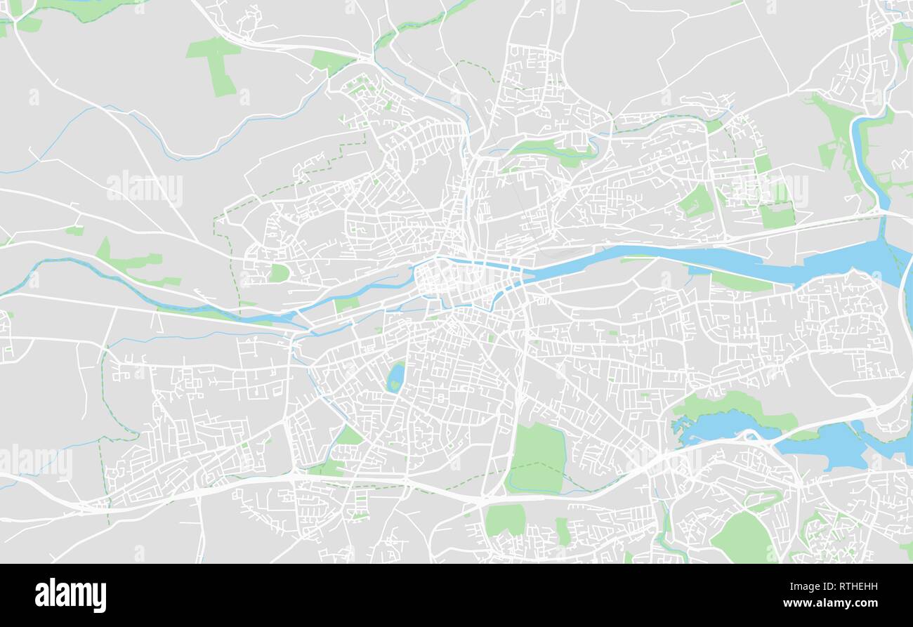 Cork, Ireland downtown street map in classic style colors with all relevant motorways, roads and railways. Stock Vectorhttps://www.alamy.com/image-license-details/?v=1https://www.alamy.com/cork-ireland-downtown-street-map-in-classic-style-colors-with-all-relevant-motorways-roads-and-railways-image238871181.html
RFRTHEHH–Cork, Ireland downtown street map in classic style colors with all relevant motorways, roads and railways.
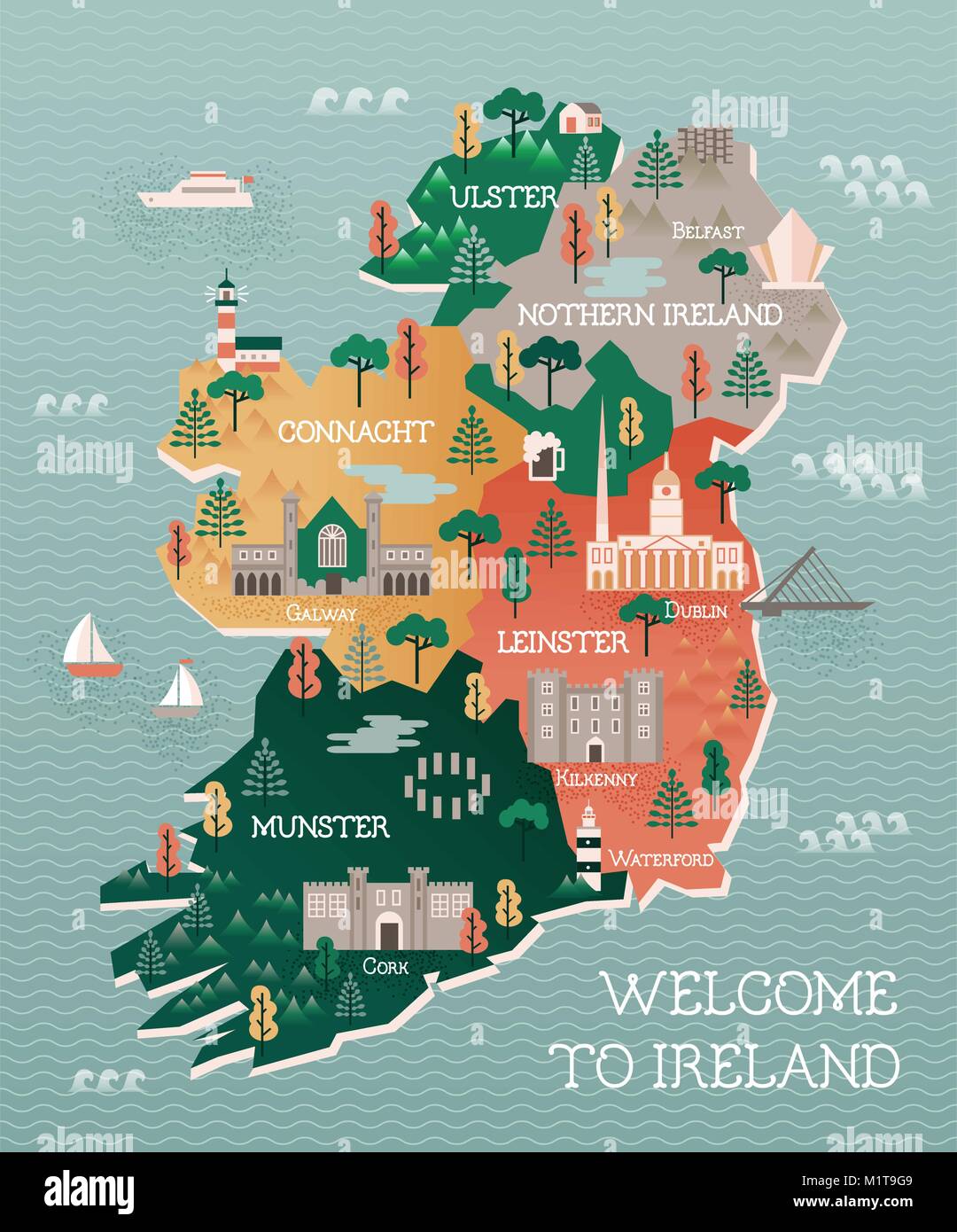 Flat vector illustration with stylized travel map of Ireland. The landmarks and main cities like Dublin and Belfast. Text Welcome to Ireland. Stock Vectorhttps://www.alamy.com/image-license-details/?v=1https://www.alamy.com/stock-photo-flat-vector-illustration-with-stylized-travel-map-of-ireland-the-landmarks-173252697.html
RFM1T9G9–Flat vector illustration with stylized travel map of Ireland. The landmarks and main cities like Dublin and Belfast. Text Welcome to Ireland.
 Eyeries, Co Cork, Ireland, Tourist On Bicycle Stock Photohttps://www.alamy.com/image-license-details/?v=1https://www.alamy.com/stock-photo-eyeries-co-cork-ireland-tourist-on-bicycle-31439406.html
RMBR457X–Eyeries, Co Cork, Ireland, Tourist On Bicycle
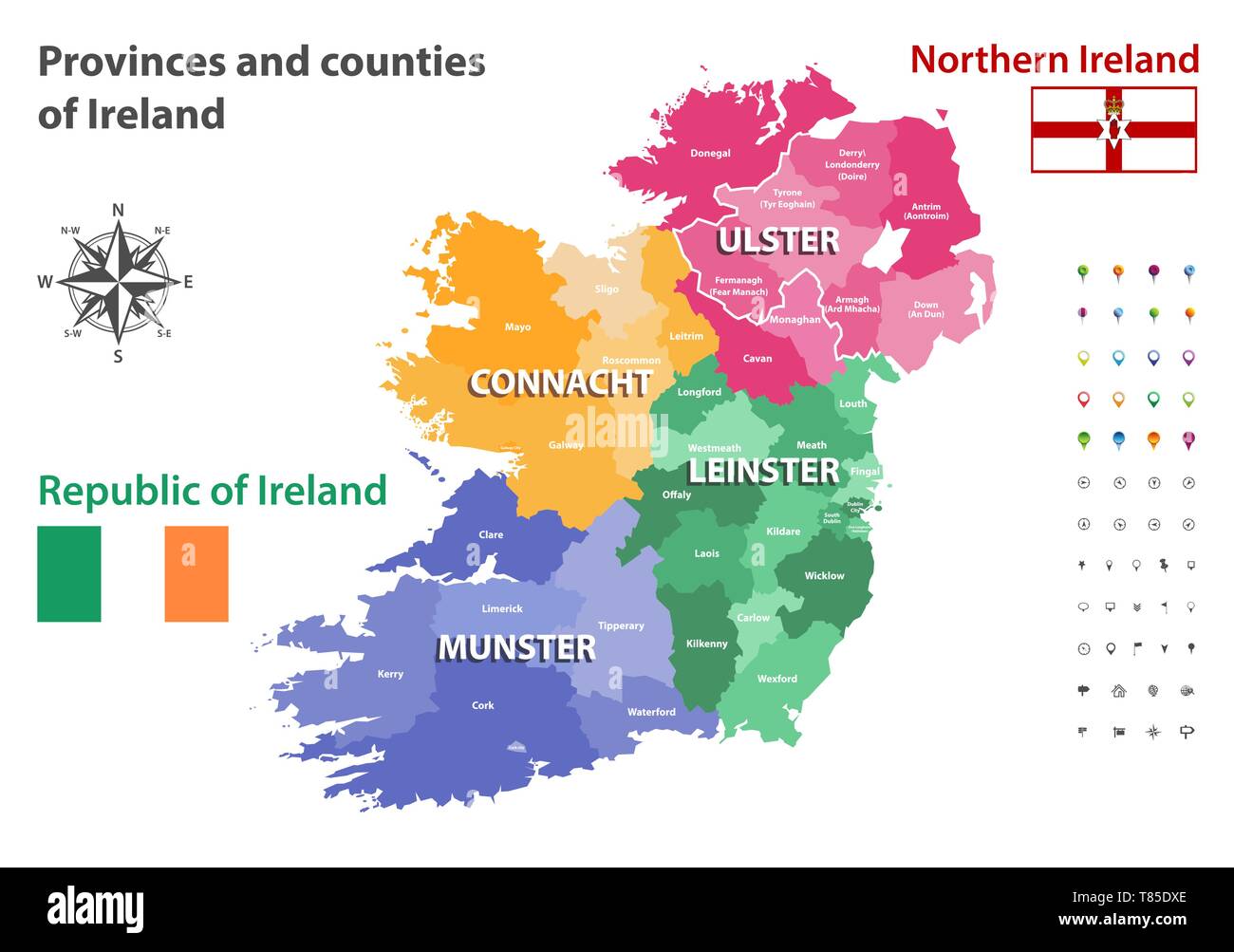 Provinces and counties of Ireland vector map Stock Vectorhttps://www.alamy.com/image-license-details/?v=1https://www.alamy.com/provinces-and-counties-of-ireland-vector-map-image245983094.html
RFT85DXE–Provinces and counties of Ireland vector map
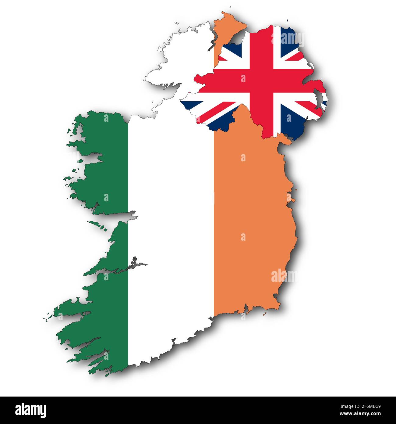 Republic of Ireland and Northern Ireland map on white background with clipping path to remove shadow 3d illustration Stock Photohttps://www.alamy.com/image-license-details/?v=1https://www.alamy.com/republic-of-ireland-and-northern-ireland-map-on-white-background-with-clipping-path-to-remove-shadow-3d-illustration-image417187241.html
RF2F6MEG9–Republic of Ireland and Northern Ireland map on white background with clipping path to remove shadow 3d illustration
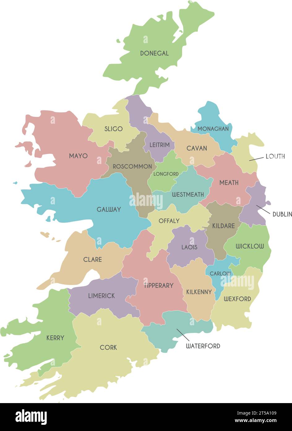 Vector map of Ireland with counties and administrative divisions. Editable and clearly labeled layers. Stock Vectorhttps://www.alamy.com/image-license-details/?v=1https://www.alamy.com/vector-map-of-ireland-with-counties-and-administrative-divisions-editable-and-clearly-labeled-layers-image571235737.html
RF2T5A109–Vector map of Ireland with counties and administrative divisions. Editable and clearly labeled layers.
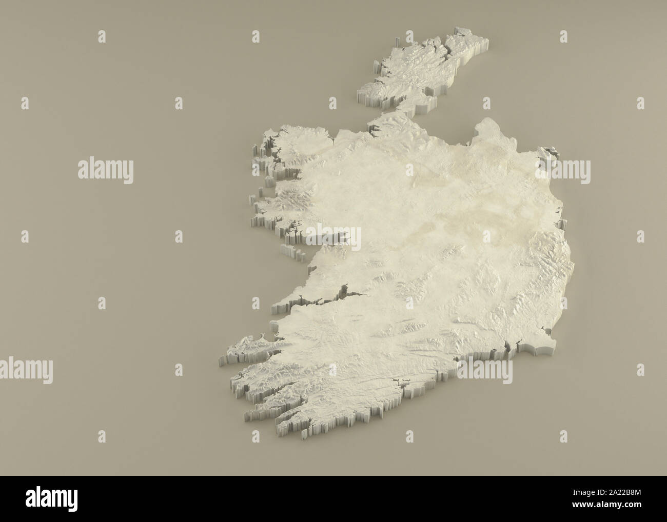 Extruded 3D political Map of Ireland with relief as marble sculpture on a light beige background Stock Photohttps://www.alamy.com/image-license-details/?v=1https://www.alamy.com/extruded-3d-political-map-of-ireland-with-relief-as-marble-sculpture-on-a-light-beige-background-image328279076.html
RF2A22B8M–Extruded 3D political Map of Ireland with relief as marble sculpture on a light beige background
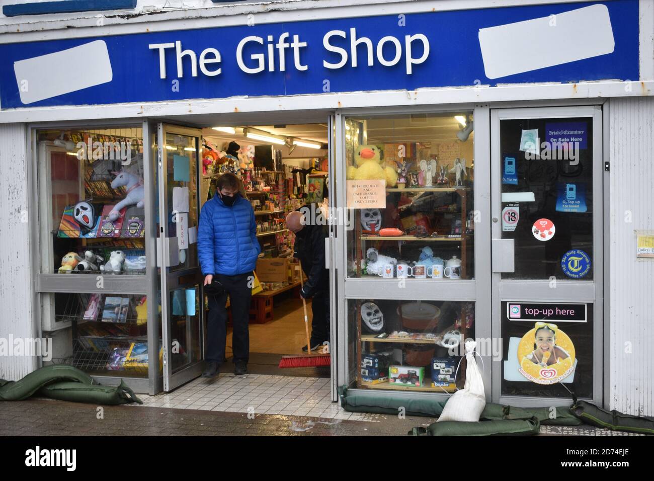 25 businesses we're effected by flooding in Wolfe Tone Square, Town lots, Bantry, West Cork, Ireland Stock Photohttps://www.alamy.com/image-license-details/?v=1https://www.alamy.com/25-businesses-were-effected-by-flooding-in-wolfe-tone-square-town-lots-bantry-west-cork-ireland-image383029990.html
RM2D74EJE–25 businesses we're effected by flooding in Wolfe Tone Square, Town lots, Bantry, West Cork, Ireland
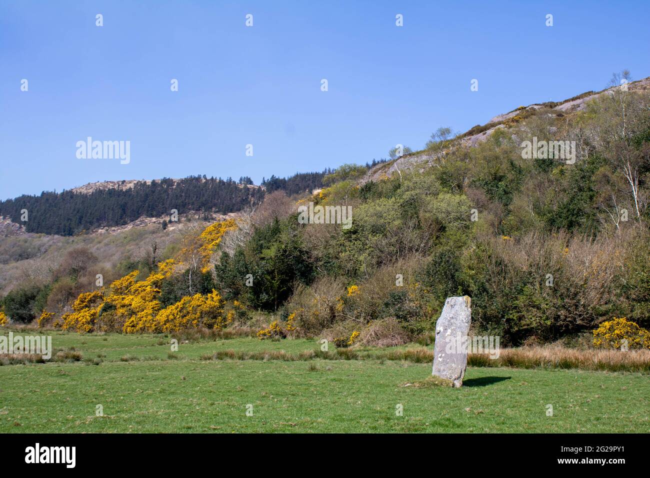 Farnanes standing stone Dunmanway West Cork Ireland. Standing Stones are thought to be ancient burial sites and are found in every county in Ireland. Stock Photohttps://www.alamy.com/image-license-details/?v=1https://www.alamy.com/farnanes-standing-stone-dunmanway-west-cork-ireland-standing-stones-are-thought-to-be-ancient-burial-sites-and-are-found-in-every-county-in-ireland-image431704085.html
RF2G29PY1–Farnanes standing stone Dunmanway West Cork Ireland. Standing Stones are thought to be ancient burial sites and are found in every county in Ireland.
 A street sign in Bantry, County Cork, Ireland with route directions to The Wild Atlantic Way, Ballydehob and Skibbereen and other places. Stock Photohttps://www.alamy.com/image-license-details/?v=1https://www.alamy.com/a-street-sign-in-bantry-county-cork-ireland-with-route-directions-to-the-wild-atlantic-way-ballydehob-and-skibbereen-and-other-places-image381776552.html
RF2D53BTT–A street sign in Bantry, County Cork, Ireland with route directions to The Wild Atlantic Way, Ballydehob and Skibbereen and other places.
RFG3NYC2–Republic of Ireland isolated maps and official flag icon. vector Irish political map icons with general information. EU geograph
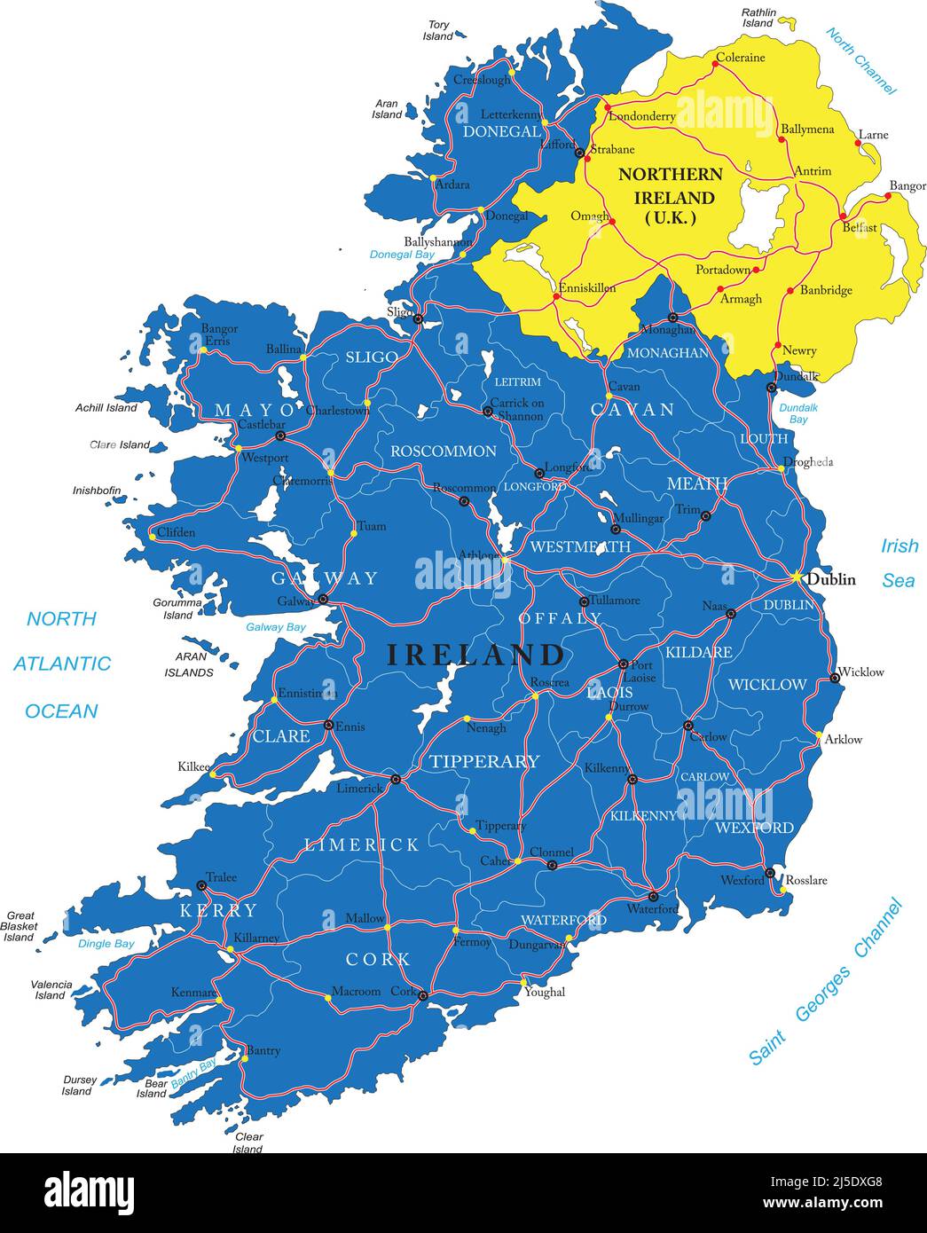 Highly detailed vector map of Ireland with administrative regions, main cities and roads. Stock Vectorhttps://www.alamy.com/image-license-details/?v=1https://www.alamy.com/highly-detailed-vector-map-of-ireland-with-administrative-regions-main-cities-and-roads-image468059432.html
RF2J5DXG8–Highly detailed vector map of Ireland with administrative regions, main cities and roads.
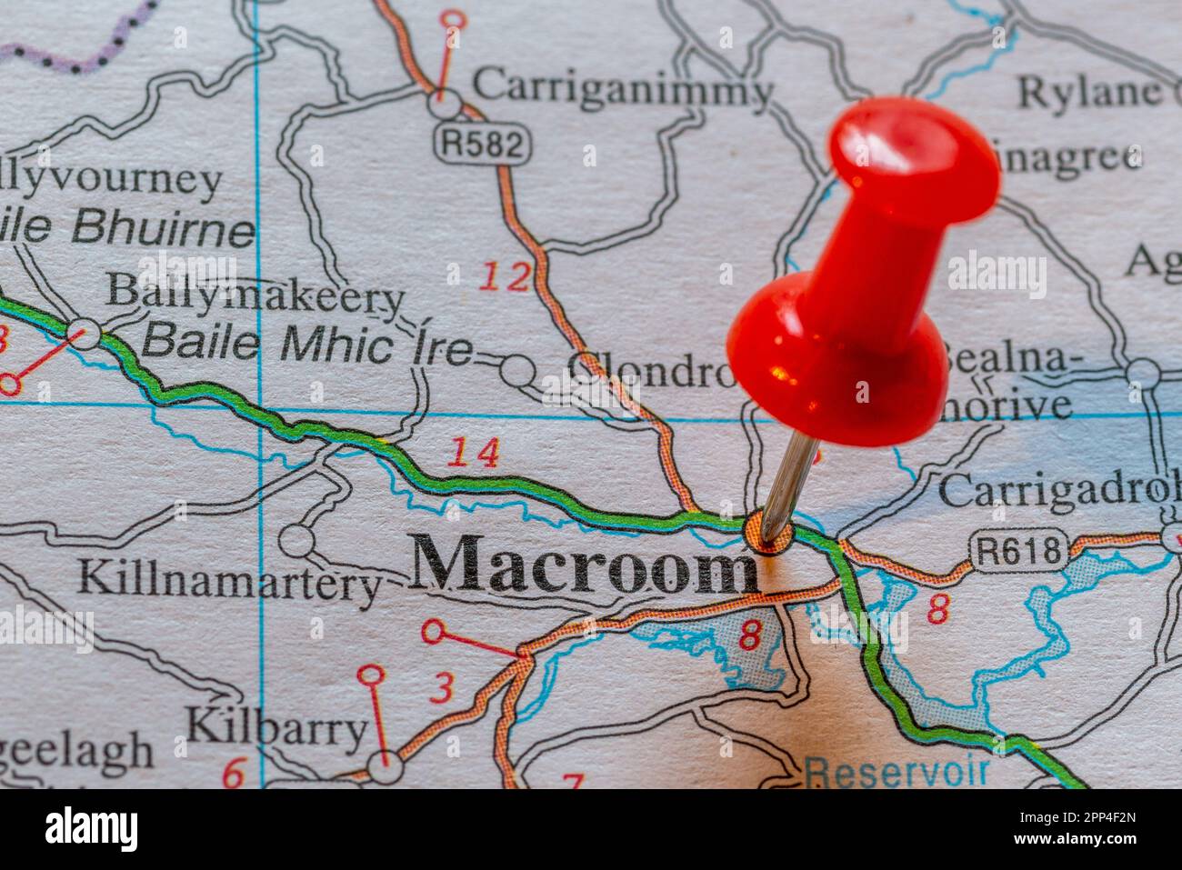 Pin in map marking Macroom, Ireland. Stock Photohttps://www.alamy.com/image-license-details/?v=1https://www.alamy.com/pin-in-map-marking-macroom-ireland-image547143485.html
RM2PP4F2N–Pin in map marking Macroom, Ireland.
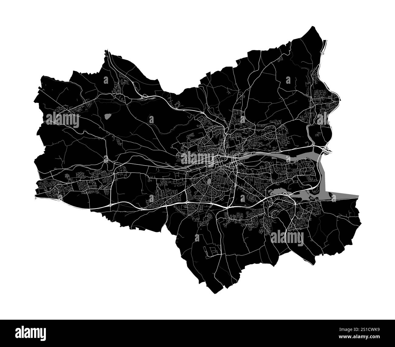 Map of Cork, Ireland. Detailed city vector map, metropolitan area with border. Black and white streetmap with roads and water. Stock Vectorhttps://www.alamy.com/image-license-details/?v=1https://www.alamy.com/map-of-cork-ireland-detailed-city-vector-map-metropolitan-area-with-border-black-and-white-streetmap-with-roads-and-water-image637681837.html
RF2S1CWK9–Map of Cork, Ireland. Detailed city vector map, metropolitan area with border. Black and white streetmap with roads and water.
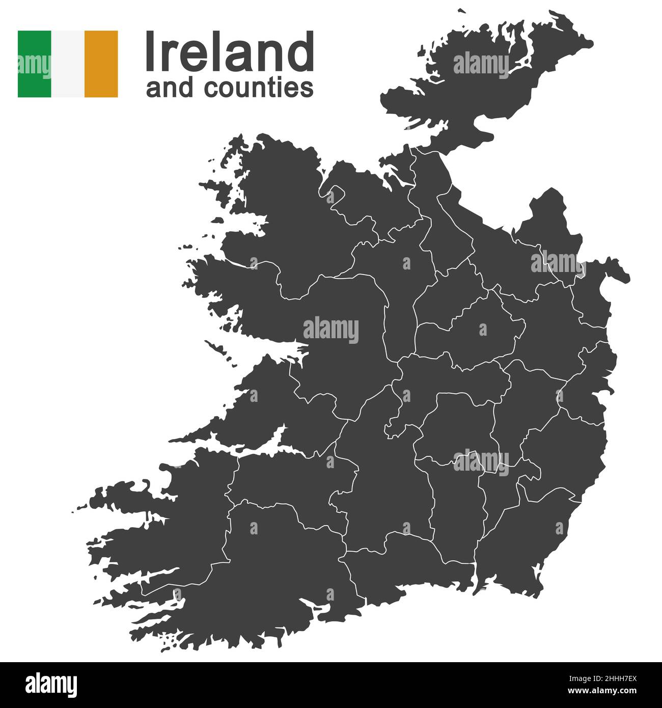 european country Ireland and counties in details Stock Vectorhttps://www.alamy.com/image-license-details/?v=1https://www.alamy.com/european-country-ireland-and-counties-in-details-image458297810.html
RF2HHH7EX–european country Ireland and counties in details
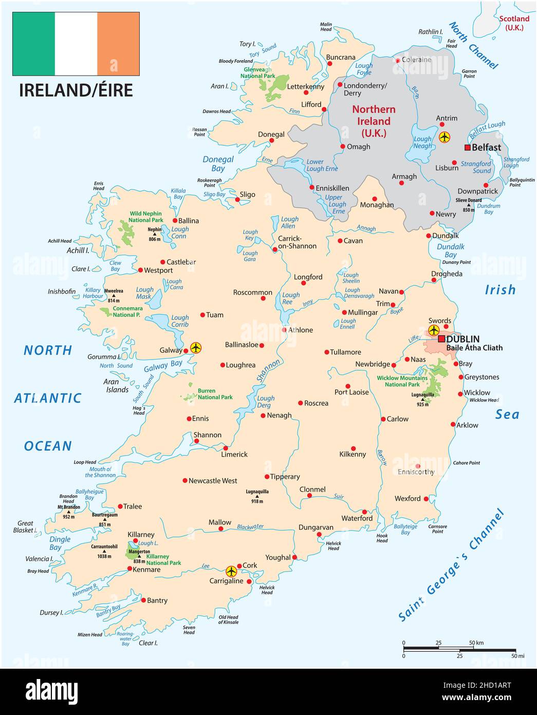 Vector map of Republic of Ireland with flag Stock Vectorhttps://www.alamy.com/image-license-details/?v=1https://www.alamy.com/vector-map-of-republic-of-ireland-with-flag-image455490556.html
RF2HD1ART–Vector map of Republic of Ireland with flag
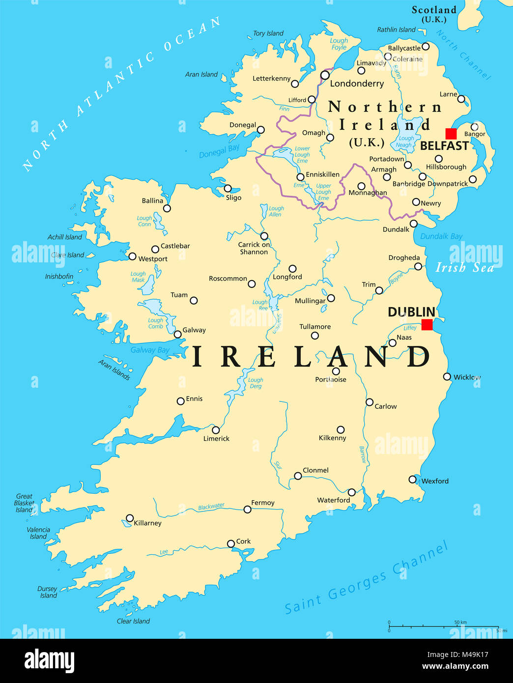 Ireland and Northern Ireland political map with capitals Dublin and Belfast, borders, important cities, rivers and lakes. Island in the North Atlantic Stock Photohttps://www.alamy.com/image-license-details/?v=1https://www.alamy.com/stock-photo-ireland-and-northern-ireland-political-map-with-capitals-dublin-and-174774803.html
RFM49K17–Ireland and Northern Ireland political map with capitals Dublin and Belfast, borders, important cities, rivers and lakes. Island in the North Atlantic
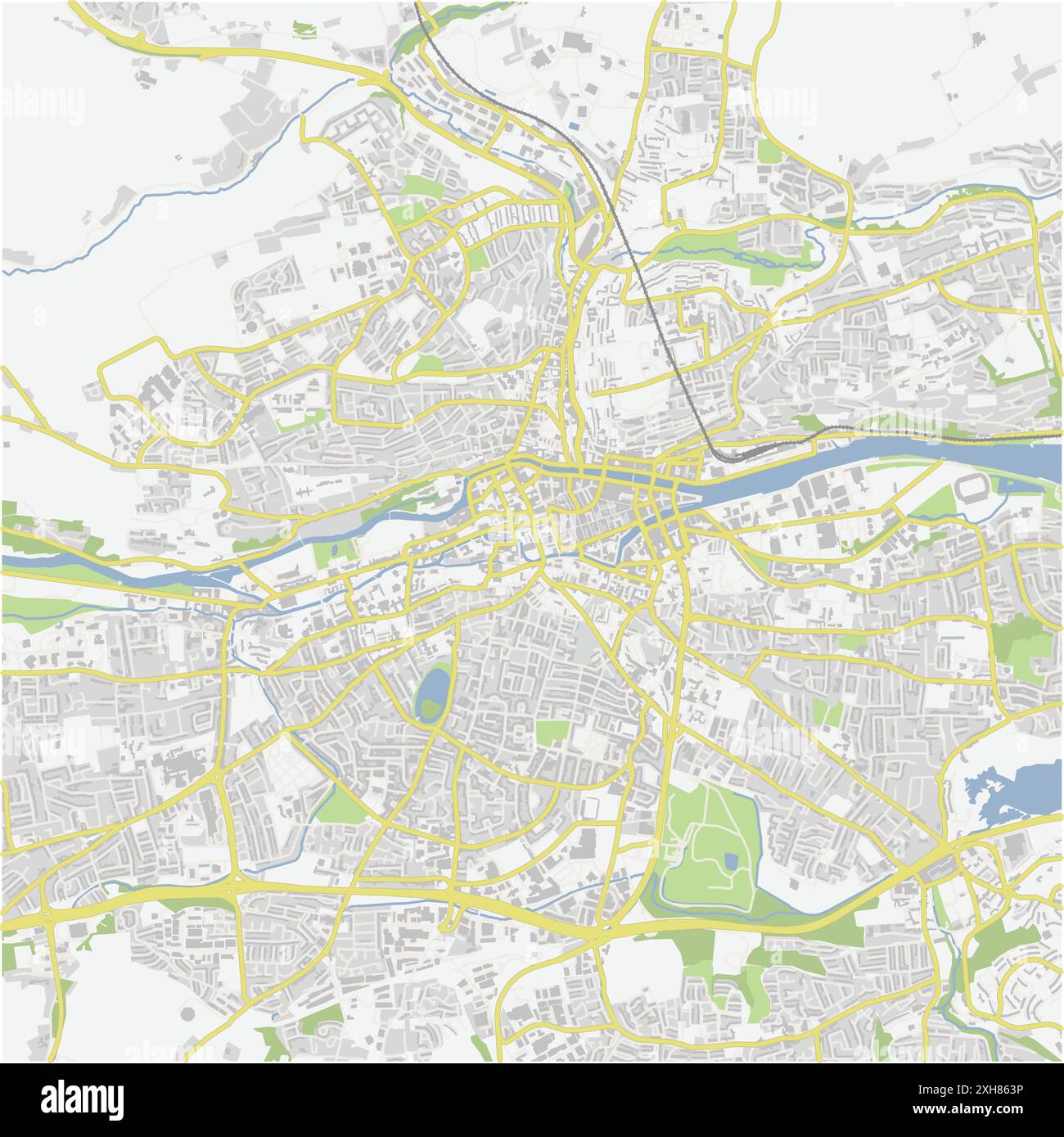 Road map of Cork in Ireland. Contains layered vector with roads water, parks, etc. Stock Vectorhttps://www.alamy.com/image-license-details/?v=1https://www.alamy.com/road-map-of-cork-in-ireland-contains-layered-vector-with-roads-water-parks-etc-image612992458.html
RF2XH863P–Road map of Cork in Ireland. Contains layered vector with roads water, parks, etc.
 triangulation point on the summit of mount Gabriel, west cork, Ireland, with views of roaring water bay beyond. Stock Photohttps://www.alamy.com/image-license-details/?v=1https://www.alamy.com/triangulation-point-on-the-summit-of-mount-gabriel-west-cork-ireland-with-views-of-roaring-water-bay-beyond-image213500200.html
RMPB9NK4–triangulation point on the summit of mount Gabriel, west cork, Ireland, with views of roaring water bay beyond.
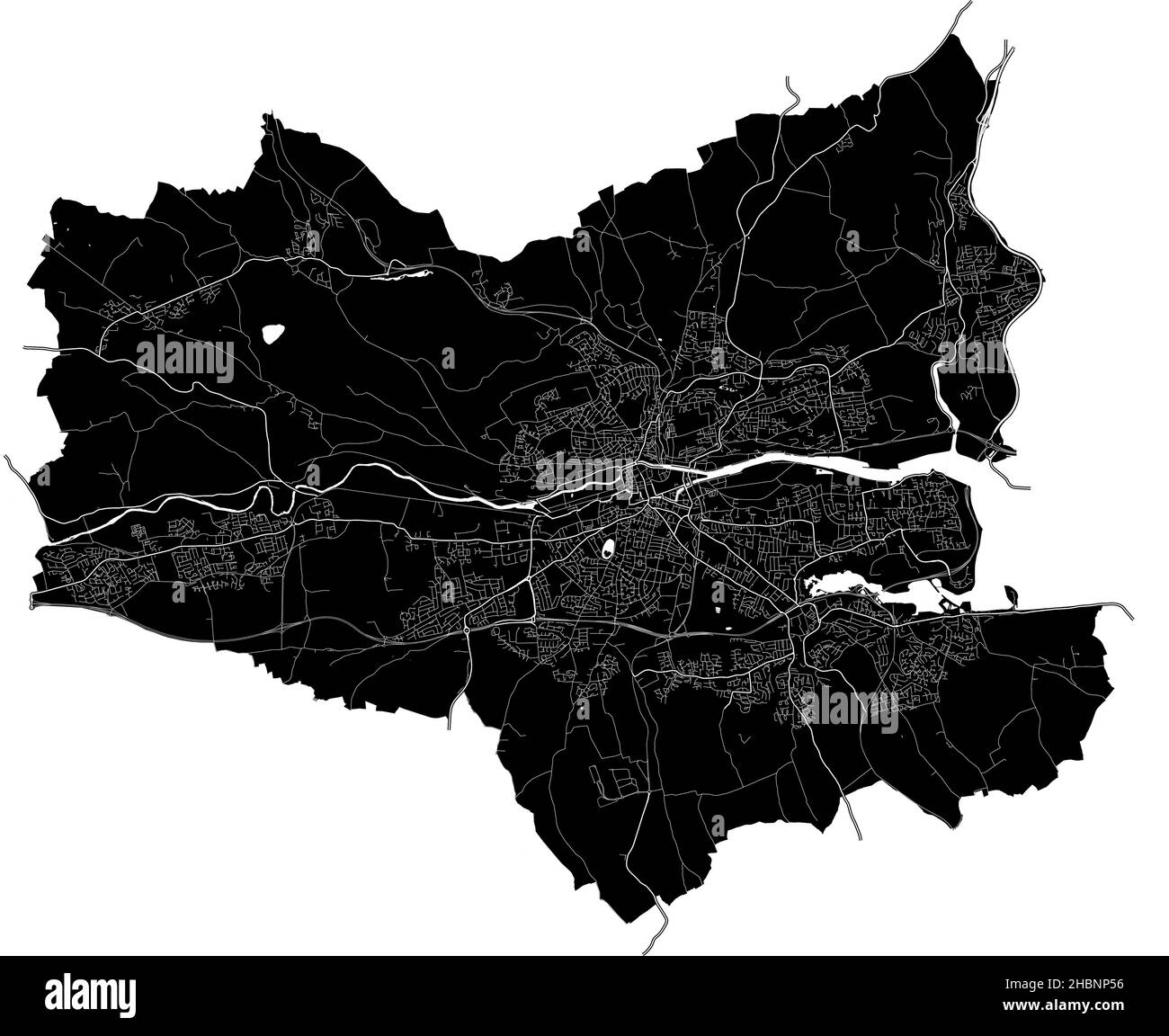 Cork, Ireland, high resolution vector map with city boundaries, and editable paths. The city map was drawn with white areas and lines for main roads, Stock Vectorhttps://www.alamy.com/image-license-details/?v=1https://www.alamy.com/cork-ireland-high-resolution-vector-map-with-city-boundaries-and-editable-paths-the-city-map-was-drawn-with-white-areas-and-lines-for-main-roads-image454709170.html
RF2HBNP56–Cork, Ireland, high resolution vector map with city boundaries, and editable paths. The city map was drawn with white areas and lines for main roads,
 A Couple Standing On A Road Reading A Map Near Ardgroom; County Cork, Ireland Stock Photohttps://www.alamy.com/image-license-details/?v=1https://www.alamy.com/stock-photo-a-couple-standing-on-a-road-reading-a-map-near-ardgroom-county-cork-49615417.html
RFCTM4Y5–A Couple Standing On A Road Reading A Map Near Ardgroom; County Cork, Ireland
 Map of Courtmacsherry, County Cork, Ireland Stock Photohttps://www.alamy.com/image-license-details/?v=1https://www.alamy.com/map-of-courtmacsherry-county-cork-ireland-image452975862.html
RM2H8XR9A–Map of Courtmacsherry, County Cork, Ireland
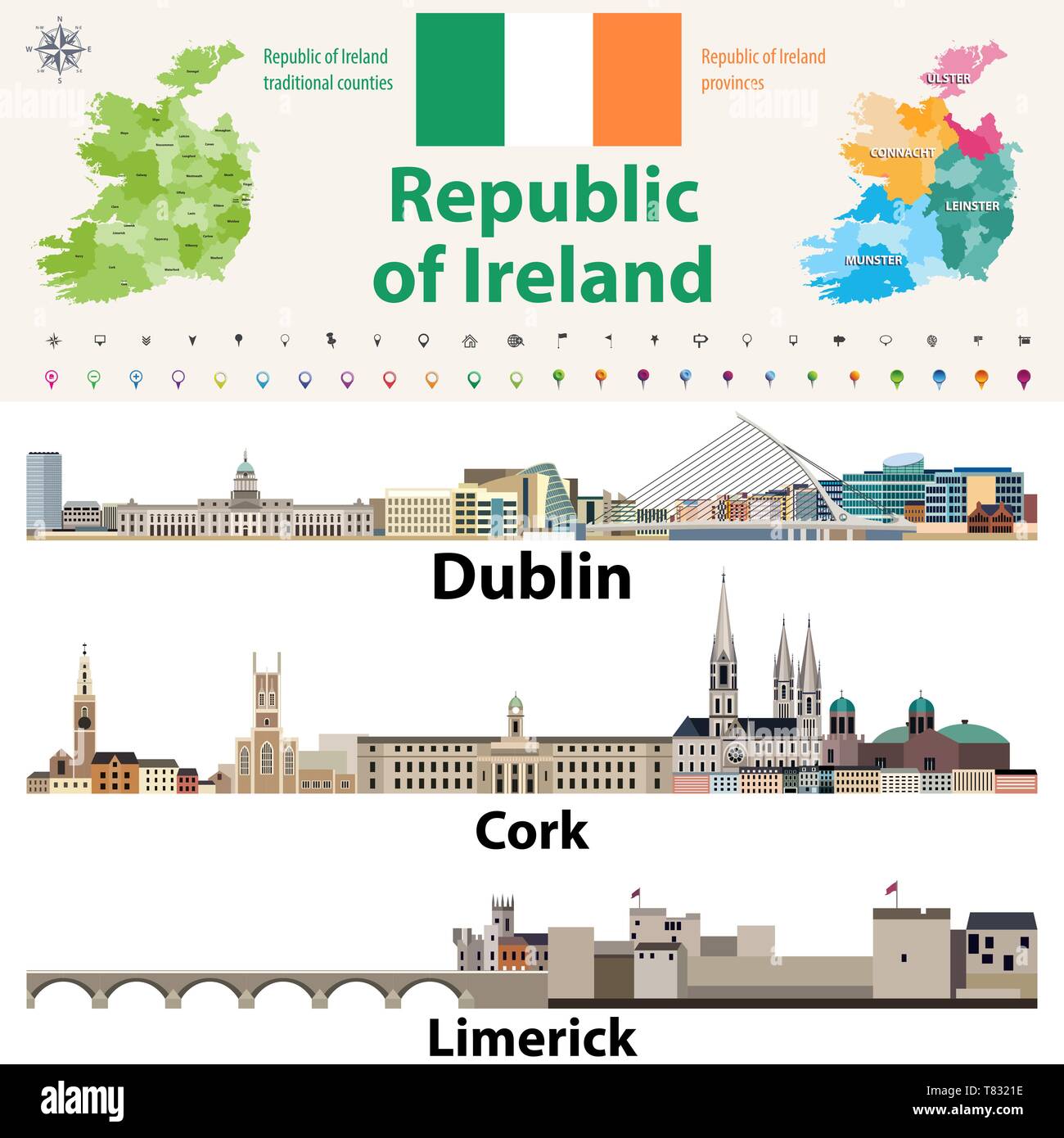 Republic of Ireland traditional countries and provinces map and Irish largest cities skylines Stock Vectorhttps://www.alamy.com/image-license-details/?v=1https://www.alamy.com/republic-of-ireland-traditional-countries-and-provinces-map-and-irish-largest-cities-skylines-image245929866.html
RFT8321E–Republic of Ireland traditional countries and provinces map and Irish largest cities skylines
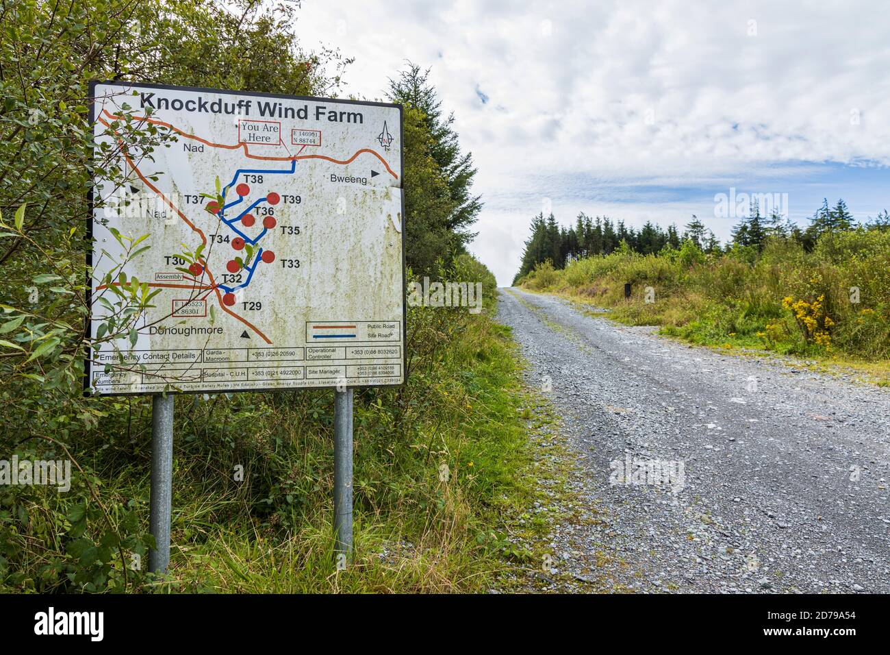 Sign at the entrance to Knockduff windfarm near Bweeng, County Cork, Ireland Stock Photohttps://www.alamy.com/image-license-details/?v=1https://www.alamy.com/sign-at-the-entrance-to-knockduff-windfarm-near-bweeng-county-cork-ireland-image383136240.html
RM2D79A54–Sign at the entrance to Knockduff windfarm near Bweeng, County Cork, Ireland
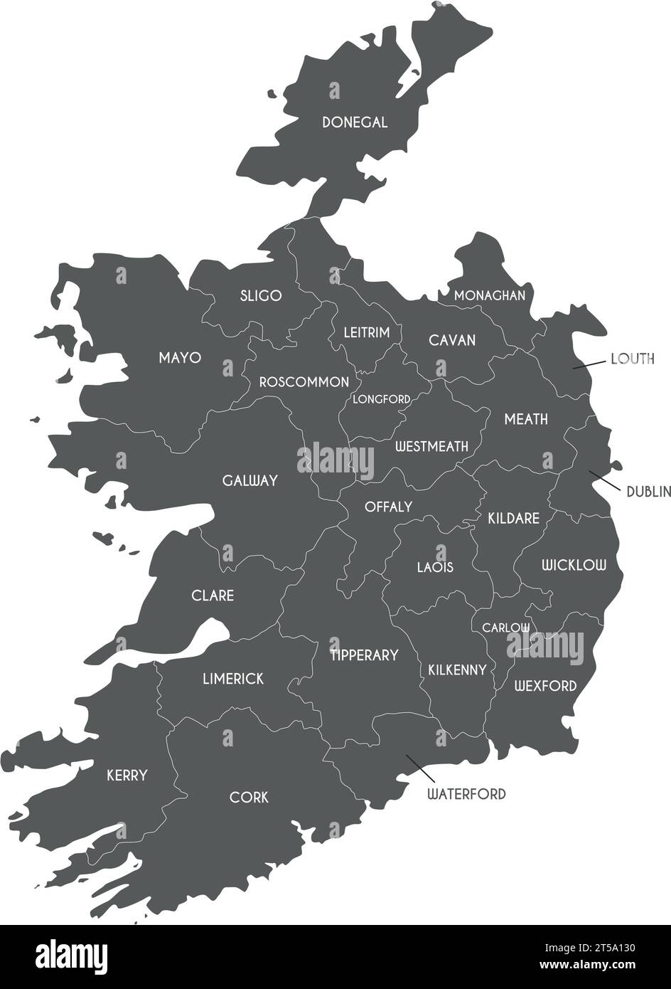 Vector map of Ireland with counties and administrative divisions. Editable and clearly labeled layers. Stock Vectorhttps://www.alamy.com/image-license-details/?v=1https://www.alamy.com/vector-map-of-ireland-with-counties-and-administrative-divisions-editable-and-clearly-labeled-layers-image571235812.html
RF2T5A130–Vector map of Ireland with counties and administrative divisions. Editable and clearly labeled layers.
 Instructions for praying at Gougane Barra holy site in Ireland Stock Photohttps://www.alamy.com/image-license-details/?v=1https://www.alamy.com/instructions-for-praying-at-gougane-barra-holy-site-in-ireland-image344980516.html
RM2B1764M–Instructions for praying at Gougane Barra holy site in Ireland
 25 businesses we're effected by flooding in Wolfe Tone Square, Town lots, Bantry, West Cork, Ireland Stock Photohttps://www.alamy.com/image-license-details/?v=1https://www.alamy.com/25-businesses-were-effected-by-flooding-in-wolfe-tone-square-town-lots-bantry-west-cork-ireland-image383029904.html
RM2D74EFC–25 businesses we're effected by flooding in Wolfe Tone Square, Town lots, Bantry, West Cork, Ireland
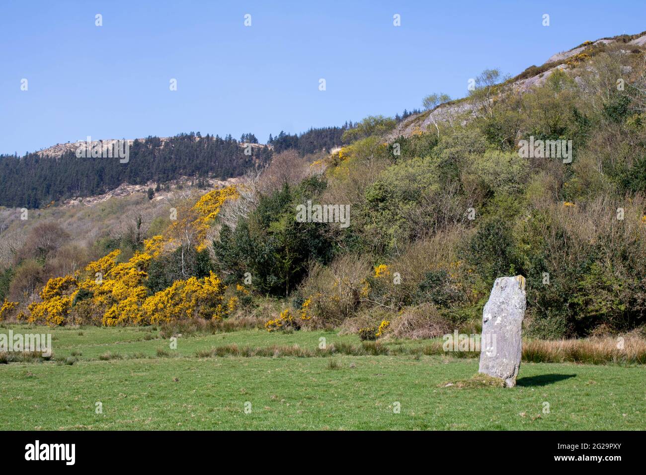 Farnanes standing stone Dunmanway West Cork Ireland. Standing Stones are thought to be ancient burial sites and are found in every county in Ireland. Stock Photohttps://www.alamy.com/image-license-details/?v=1https://www.alamy.com/farnanes-standing-stone-dunmanway-west-cork-ireland-standing-stones-are-thought-to-be-ancient-burial-sites-and-are-found-in-every-county-in-ireland-image431704083.html
RF2G29PXY–Farnanes standing stone Dunmanway West Cork Ireland. Standing Stones are thought to be ancient burial sites and are found in every county in Ireland.
 A street sign in Bantry, County Cork, Ireland with route directions to The Wild Atlantic Way, Skibbereen, Whiddy Island and other places. Stock Photohttps://www.alamy.com/image-license-details/?v=1https://www.alamy.com/a-street-sign-in-bantry-county-cork-ireland-with-route-directions-to-the-wild-atlantic-way-skibbereen-whiddy-island-and-other-places-image381776565.html
RF2D53BW9–A street sign in Bantry, County Cork, Ireland with route directions to The Wild Atlantic Way, Skibbereen, Whiddy Island and other places.
RFG3NYC4–Republic of Ireland isolated map and official flag icons. vector Irish political map 3d illustration over paper texture. EU geog
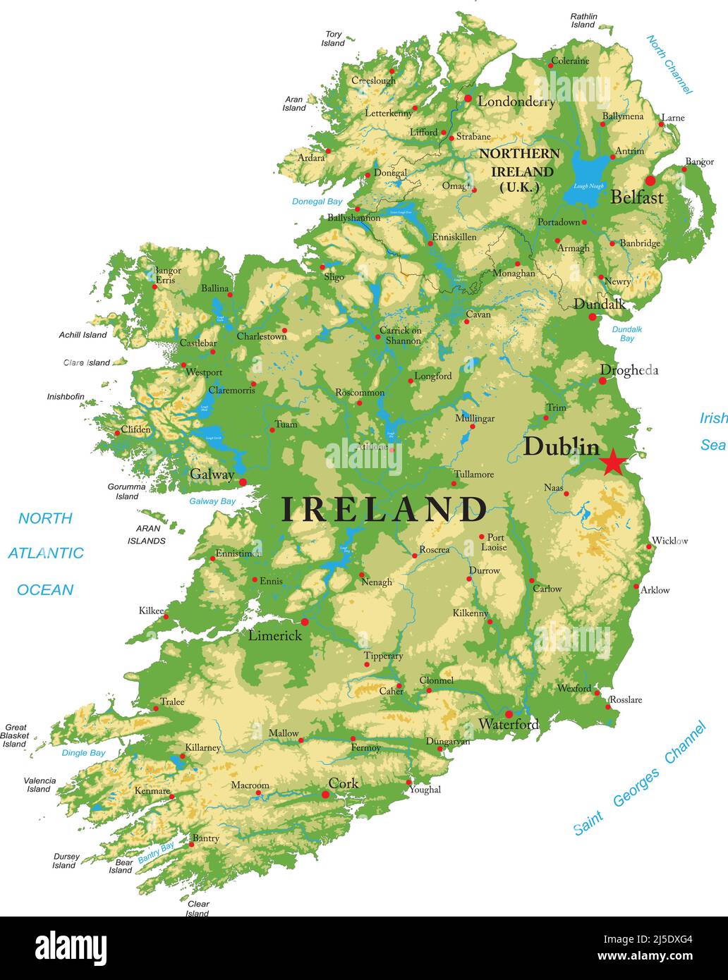 Highly detailed physical map of Ireland, in vector format,with all the relief forms,regions and big cities. Stock Vectorhttps://www.alamy.com/image-license-details/?v=1https://www.alamy.com/highly-detailed-physical-map-of-ireland-in-vector-formatwith-all-the-relief-formsregions-and-big-cities-image468059428.html
RF2J5DXG4–Highly detailed physical map of Ireland, in vector format,with all the relief forms,regions and big cities.
 Pin in map marking Skibbereen, Ireland. Stock Photohttps://www.alamy.com/image-license-details/?v=1https://www.alamy.com/pin-in-map-marking-skibbereen-ireland-image547143509.html
RM2PP4F3H–Pin in map marking Skibbereen, Ireland.
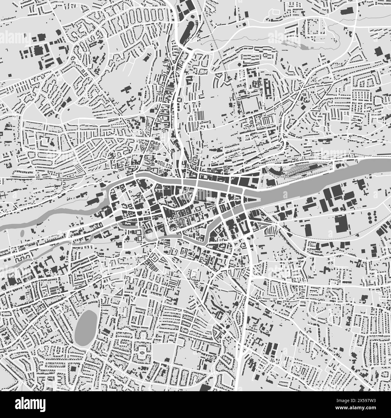 Cork map, Ireland. Grayscale color city map, vector streetmap with buildings, roads and rivers. Stock Vectorhttps://www.alamy.com/image-license-details/?v=1https://www.alamy.com/cork-map-ireland-grayscale-color-city-map-vector-streetmap-with-buildings-roads-and-rivers-image605639919.html
RF2X597W3–Cork map, Ireland. Grayscale color city map, vector streetmap with buildings, roads and rivers.
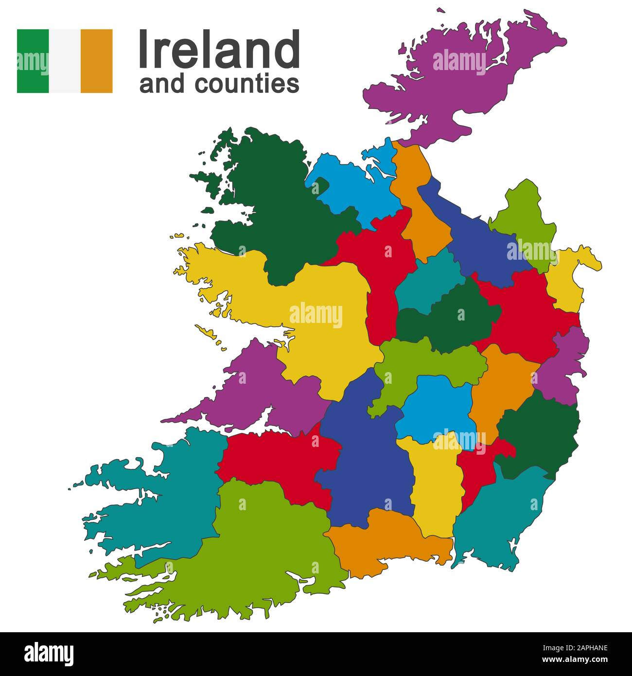 european country Ireland and counties in details Stock Vectorhttps://www.alamy.com/image-license-details/?v=1https://www.alamy.com/european-country-ireland-and-counties-in-details-image340901050.html
RF2APHANE–european country Ireland and counties in details
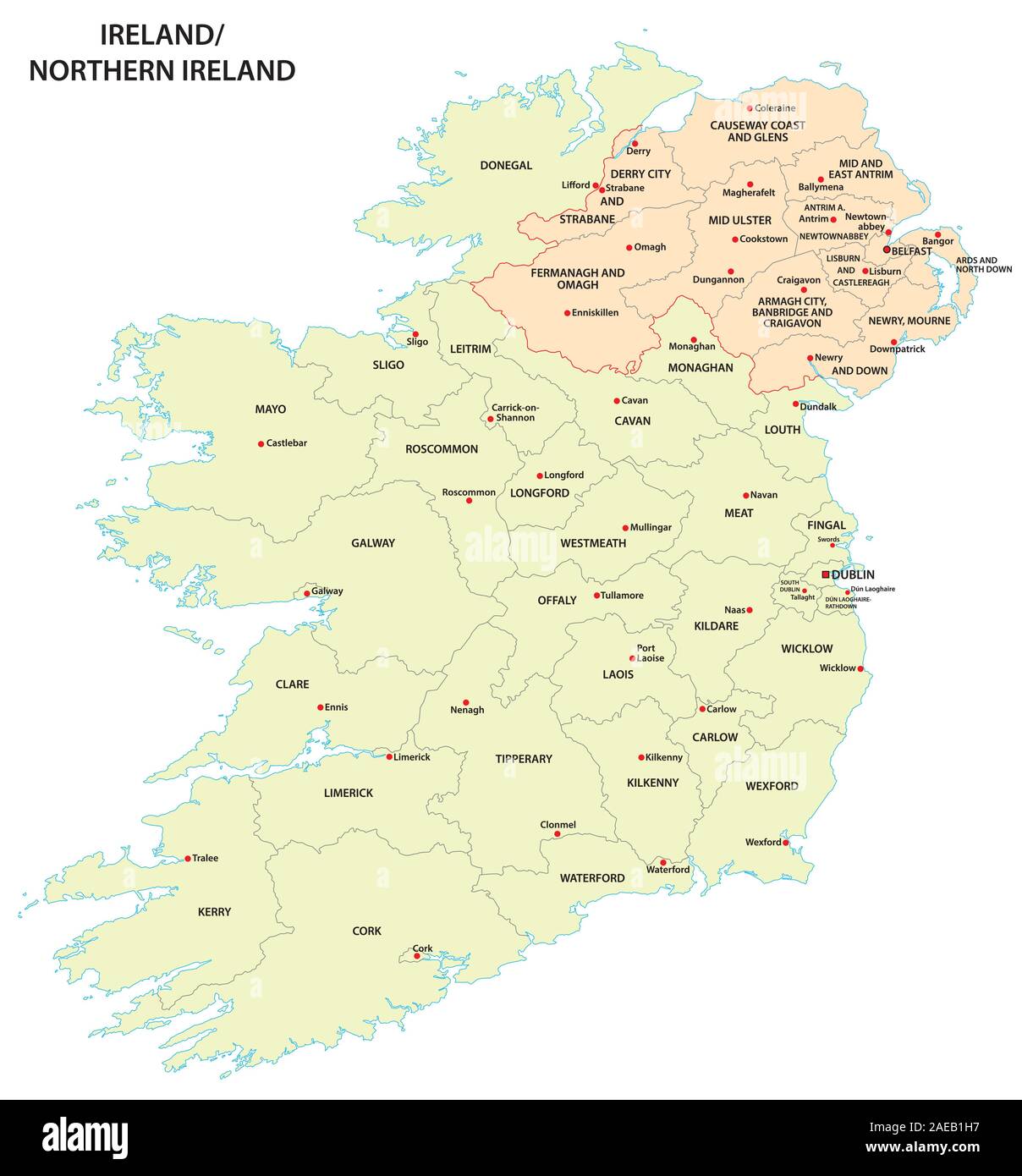 administrative map of Ireland and Northern Ireland Stock Vectorhttps://www.alamy.com/image-license-details/?v=1https://www.alamy.com/administrative-map-of-ireland-and-northern-ireland-image335844915.html
RF2AEB1H7–administrative map of Ireland and Northern Ireland
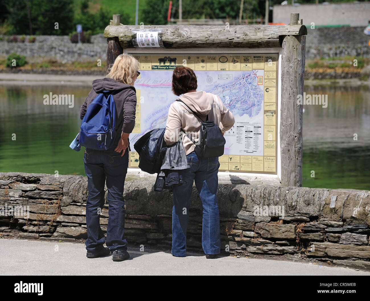 Tourists reading a map, Bantry, West Cork, Republic of Ireland Stock Photohttps://www.alamy.com/image-license-details/?v=1https://www.alamy.com/stock-photo-tourists-reading-a-map-bantry-west-cork-republic-of-ireland-48683667.html
RMCR5MEB–Tourists reading a map, Bantry, West Cork, Republic of Ireland
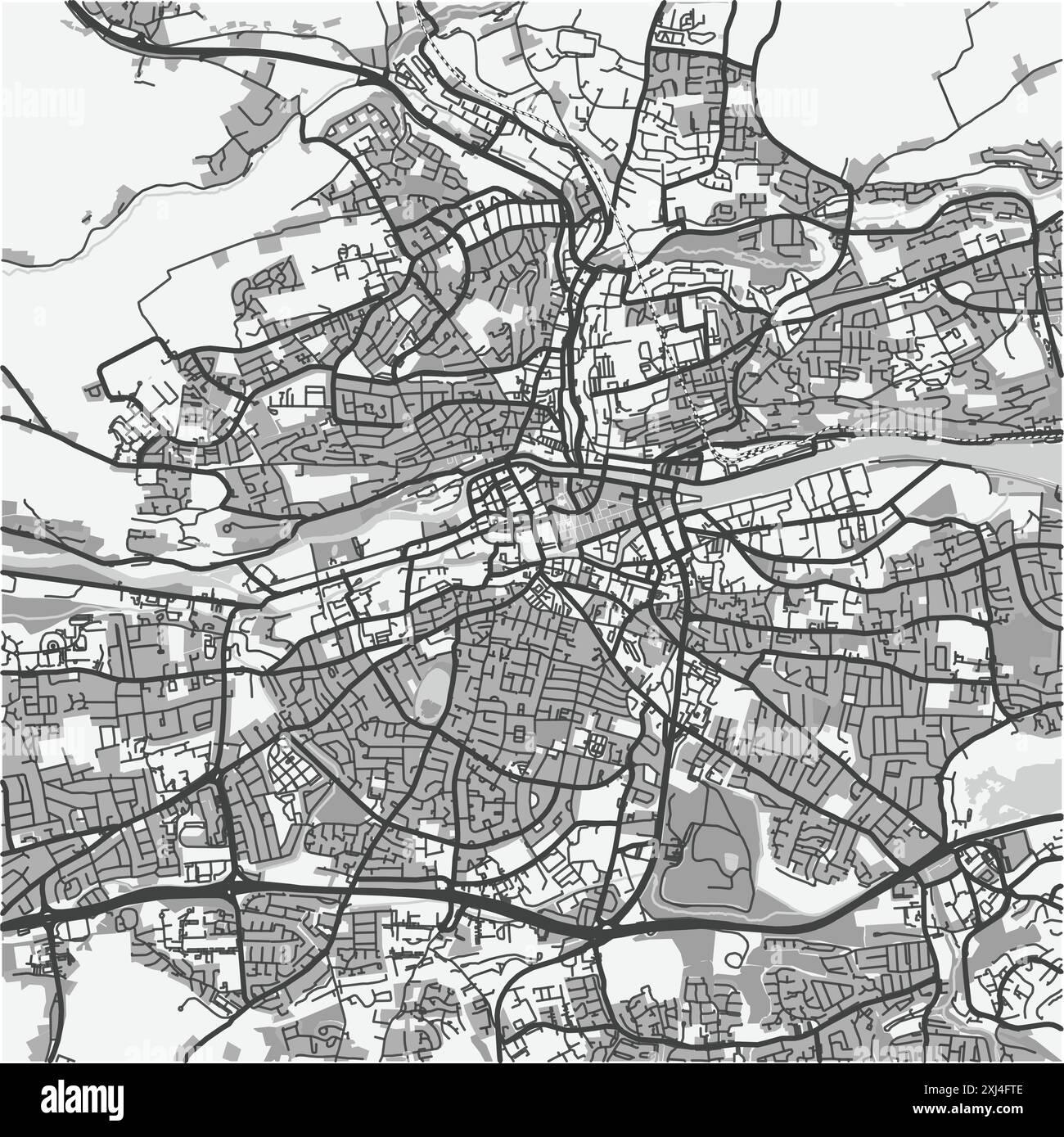 Map of Cork in Ireland in grayscale. Contains layered vector with roads water, parks, etc. Stock Vectorhttps://www.alamy.com/image-license-details/?v=1https://www.alamy.com/map-of-cork-in-ireland-in-grayscale-contains-layered-vector-with-roads-water-parks-etc-image613526942.html
RF2XJ4FTE–Map of Cork in Ireland in grayscale. Contains layered vector with roads water, parks, etc.
 tourist standing at the bottom of steep steps which are next to a blue coloured house reading a map in kinsale ireland, a popular holiday destination Stock Photohttps://www.alamy.com/image-license-details/?v=1https://www.alamy.com/tourist-standing-at-the-bottom-of-steep-steps-which-are-next-to-a-blue-coloured-house-reading-a-map-in-kinsale-ireland-a-popular-holiday-destination-image185342033.html
RMMNF1J9–tourist standing at the bottom of steep steps which are next to a blue coloured house reading a map in kinsale ireland, a popular holiday destination
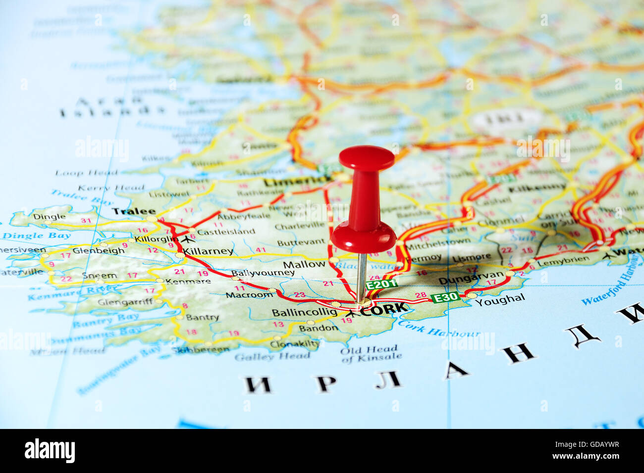 Cork Ireland ,United Kingdom map and pin - Travel concept Stock Photohttps://www.alamy.com/image-license-details/?v=1https://www.alamy.com/stock-photo-cork-ireland-united-kingdom-map-and-pin-travel-concept-111494147.html
RFGDAYWR–Cork Ireland ,United Kingdom map and pin - Travel concept
 A Man And Woman Look At A Map While Standing On A Road Near Ardgroom; County Cork, Ireland Stock Photohttps://www.alamy.com/image-license-details/?v=1https://www.alamy.com/stock-photo-a-man-and-woman-look-at-a-map-while-standing-on-a-road-near-ardgroom-49615406.html
RFCTM4XP–A Man And Woman Look At A Map While Standing On A Road Near Ardgroom; County Cork, Ireland
 Map of Courtmacsherry, County Cork, Ireland Stock Photohttps://www.alamy.com/image-license-details/?v=1https://www.alamy.com/map-of-courtmacsherry-county-cork-ireland-image452975925.html
RM2H8XRBH–Map of Courtmacsherry, County Cork, Ireland
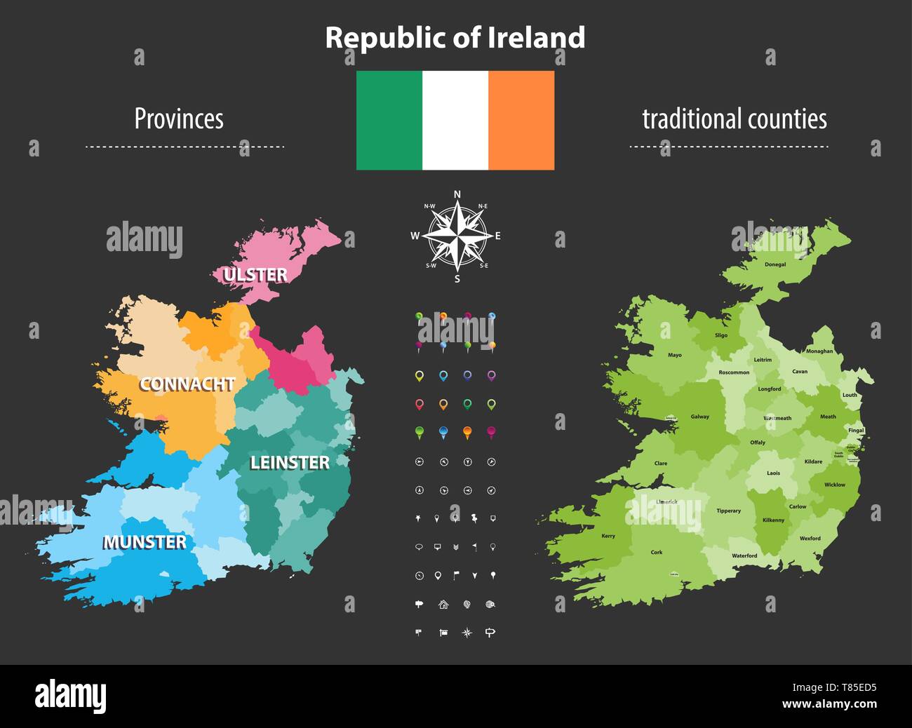 Republic of Ireland provinces and traditional counties vector map Stock Vectorhttps://www.alamy.com/image-license-details/?v=1https://www.alamy.com/republic-of-ireland-provinces-and-traditional-counties-vector-map-image245983505.html
RFT85ED5–Republic of Ireland provinces and traditional counties vector map
 the English Market in the center of Cork City, County Cork in the Republic of Ireland Stock Photohttps://www.alamy.com/image-license-details/?v=1https://www.alamy.com/stock-photo-the-english-market-in-the-center-of-cork-city-county-cork-in-the-republic-57487024.html
RMD9EN80–the English Market in the center of Cork City, County Cork in the Republic of Ireland
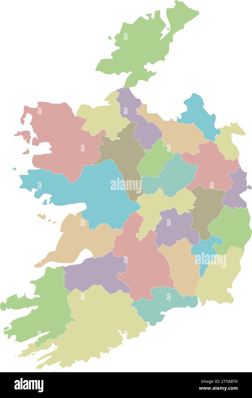 Vector blank map of Ireland with counties and administrative divisions. Editable and clearly labeled layers. Stock Vectorhttps://www.alamy.com/image-license-details/?v=1https://www.alamy.com/vector-blank-map-of-ireland-with-counties-and-administrative-divisions-editable-and-clearly-labeled-layers-image571241894.html
RF2T5A8T6–Vector blank map of Ireland with counties and administrative divisions. Editable and clearly labeled layers.
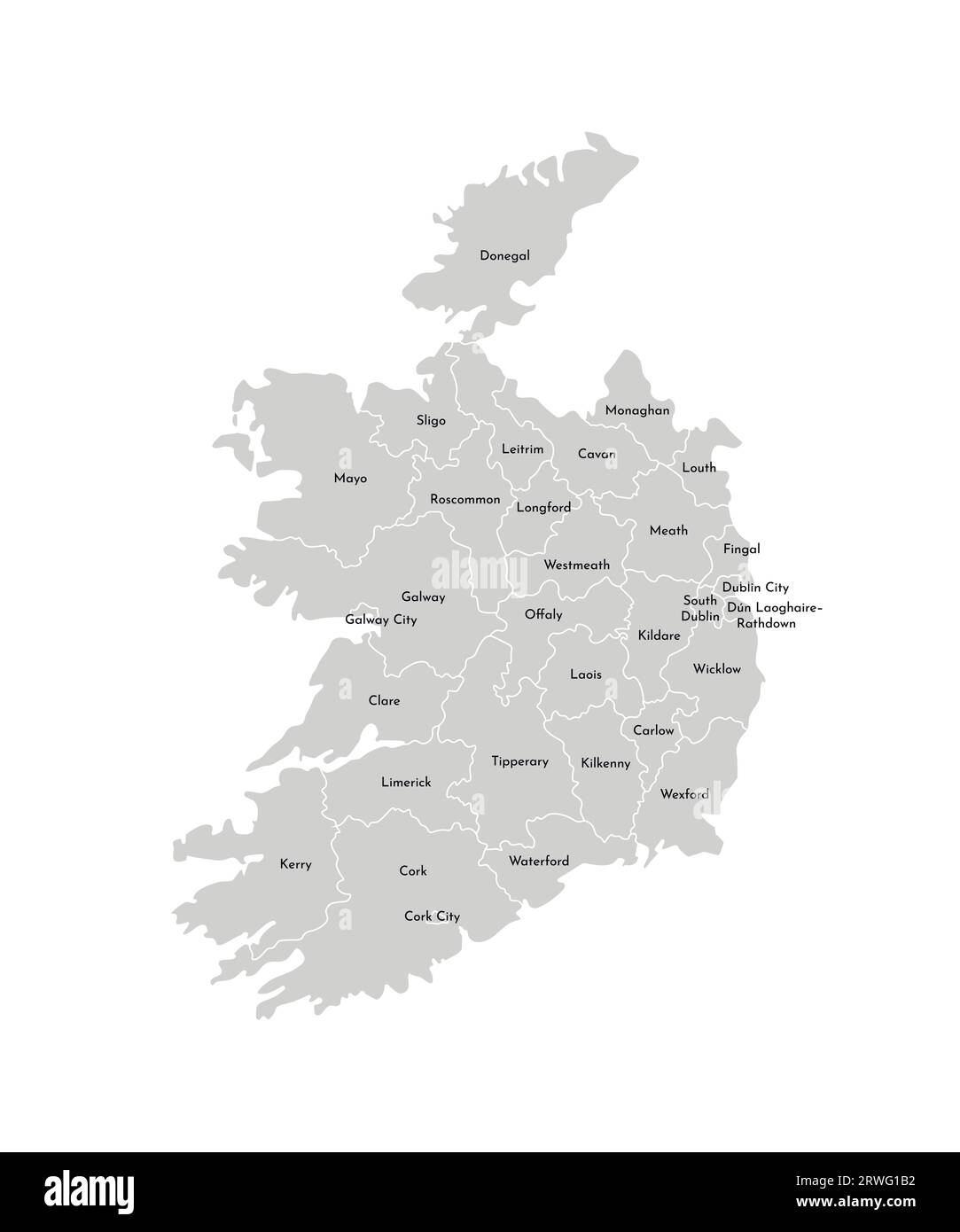 Vector isolated illustration of simplified administrative map of Republic of Ireland. Borders and names of the provinces (regions). Grey silhouettes. Stock Vectorhttps://www.alamy.com/image-license-details/?v=1https://www.alamy.com/vector-isolated-illustration-of-simplified-administrative-map-of-republic-of-ireland-borders-and-names-of-the-provinces-regions-grey-silhouettes-image566450502.html
RF2RWG1B2–Vector isolated illustration of simplified administrative map of Republic of Ireland. Borders and names of the provinces (regions). Grey silhouettes.
 25 businesses we're effected by flooding in Wolfe Tone Square, Town lots, Bantry, West Cork, Ireland Stock Photohttps://www.alamy.com/image-license-details/?v=1https://www.alamy.com/25-businesses-were-effected-by-flooding-in-wolfe-tone-square-town-lots-bantry-west-cork-ireland-image383029832.html
RM2D74ECT–25 businesses we're effected by flooding in Wolfe Tone Square, Town lots, Bantry, West Cork, Ireland
 Farnanes standing stone Dunmanway West Cork Ireland. Standing Stones are thought to be ancient burial sites and are found in every county in Ireland. Stock Photohttps://www.alamy.com/image-license-details/?v=1https://www.alamy.com/farnanes-standing-stone-dunmanway-west-cork-ireland-standing-stones-are-thought-to-be-ancient-burial-sites-and-are-found-in-every-county-in-ireland-image431704086.html
RF2G29PY2–Farnanes standing stone Dunmanway West Cork Ireland. Standing Stones are thought to be ancient burial sites and are found in every county in Ireland.
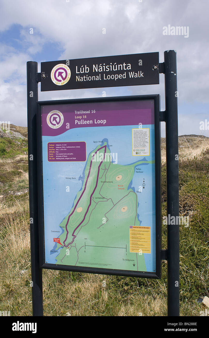 Irish Signs - John Gollop Stock Photohttps://www.alamy.com/image-license-details/?v=1https://www.alamy.com/stock-photo-irish-signs-john-gollop-30168558.html
RMBN288E–Irish Signs - John Gollop
RFG3NYC5–Republic of Ireland isolated map and official flag icons. vector Irish political map thin line icon over grunge background. EU g
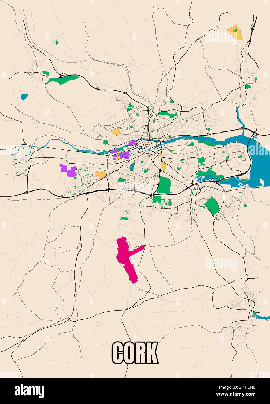 Detailed city map Cork, Ireland. Data From OpenStreetMap. Stock Photohttps://www.alamy.com/image-license-details/?v=1https://www.alamy.com/detailed-city-map-cork-ireland-data-from-openstreetmap-image465787546.html
RF2J1PCNE–Detailed city map Cork, Ireland. Data From OpenStreetMap.
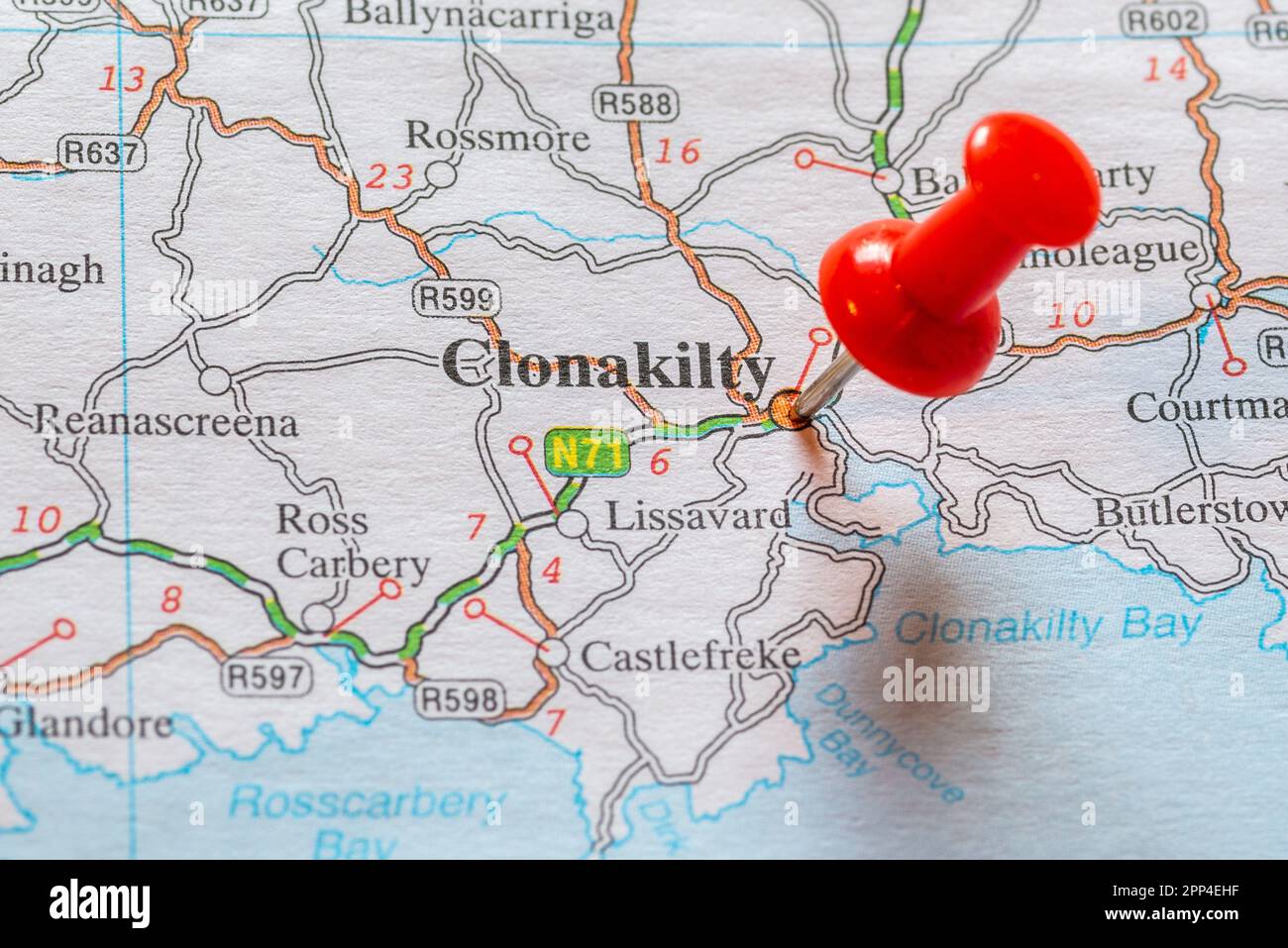 Pin in map marking Clonakilty, Ireland. Stock Photohttps://www.alamy.com/image-license-details/?v=1https://www.alamy.com/pin-in-map-marking-clonakilty-ireland-image547143115.html
RM2PP4EHF–Pin in map marking Clonakilty, Ireland.
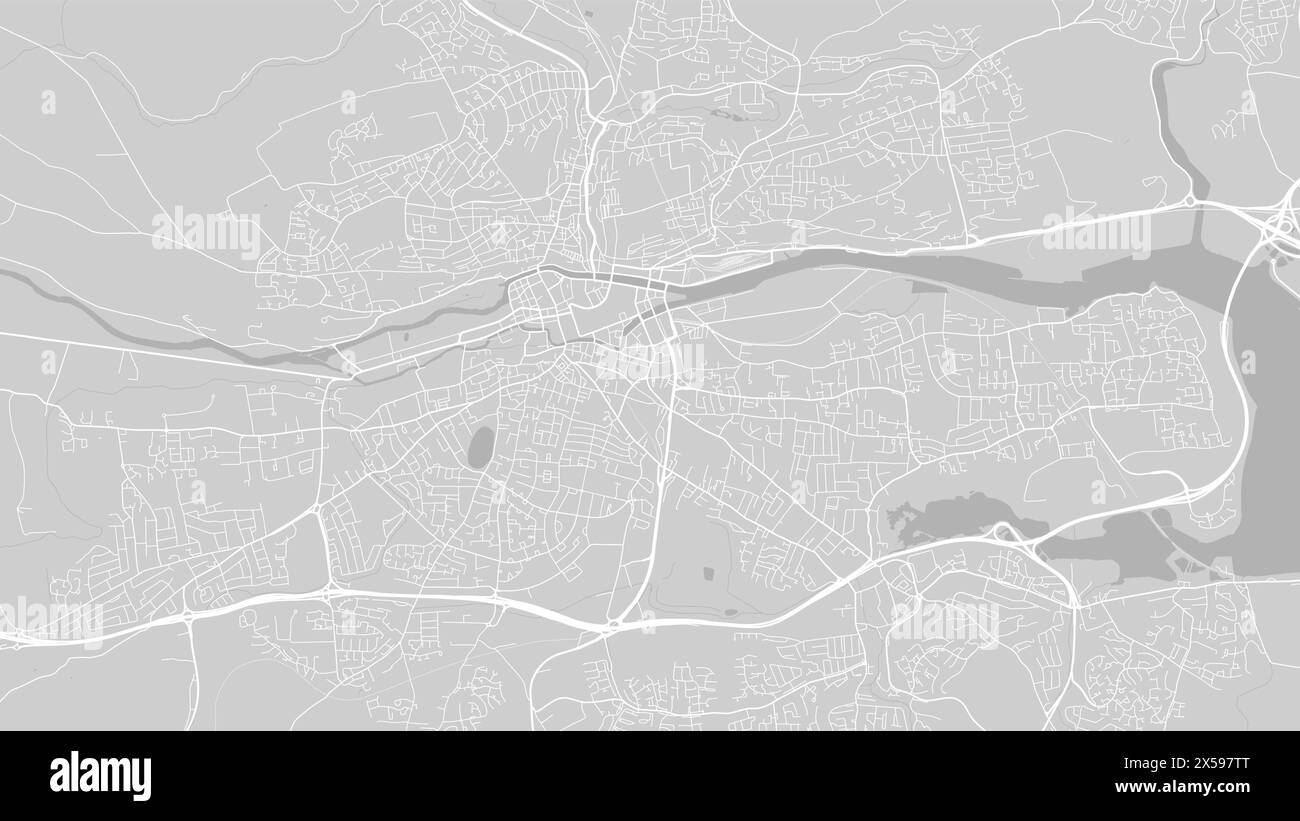 Background Cork map, Ireland, white and light grey city poster. Vector map with roads and water. Widescreen proportion, digital flat design roadmap. Stock Vectorhttps://www.alamy.com/image-license-details/?v=1https://www.alamy.com/background-cork-map-ireland-white-and-light-grey-city-poster-vector-map-with-roads-and-water-widescreen-proportion-digital-flat-design-roadmap-image605639912.html
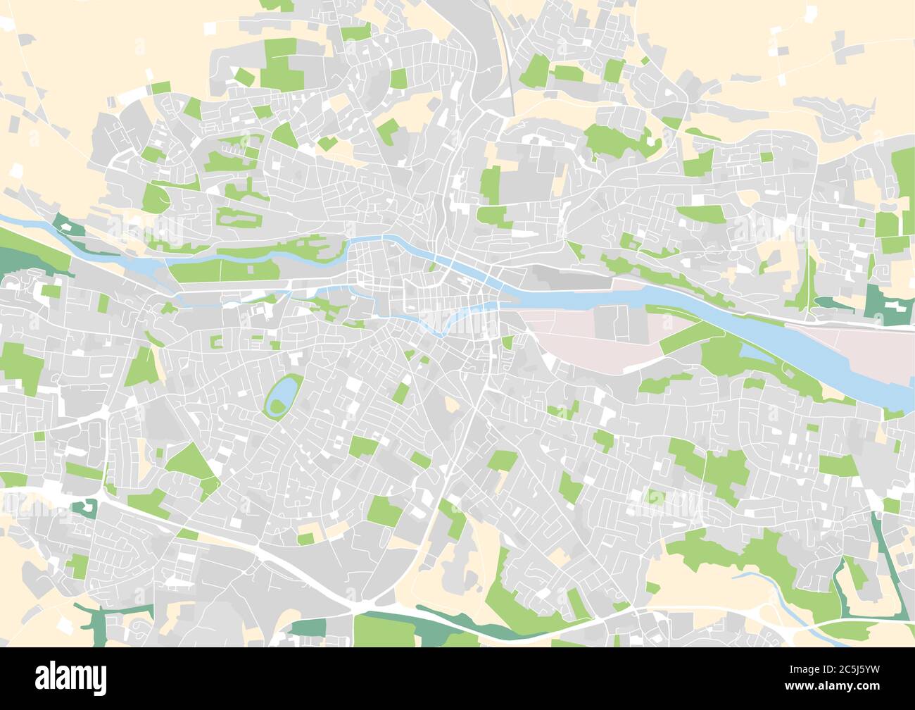
RF2X597TT–Background Cork map, Ireland, white and light grey city poster. Vector map with roads and water. Widescreen proportion, digital flat design roadmap.
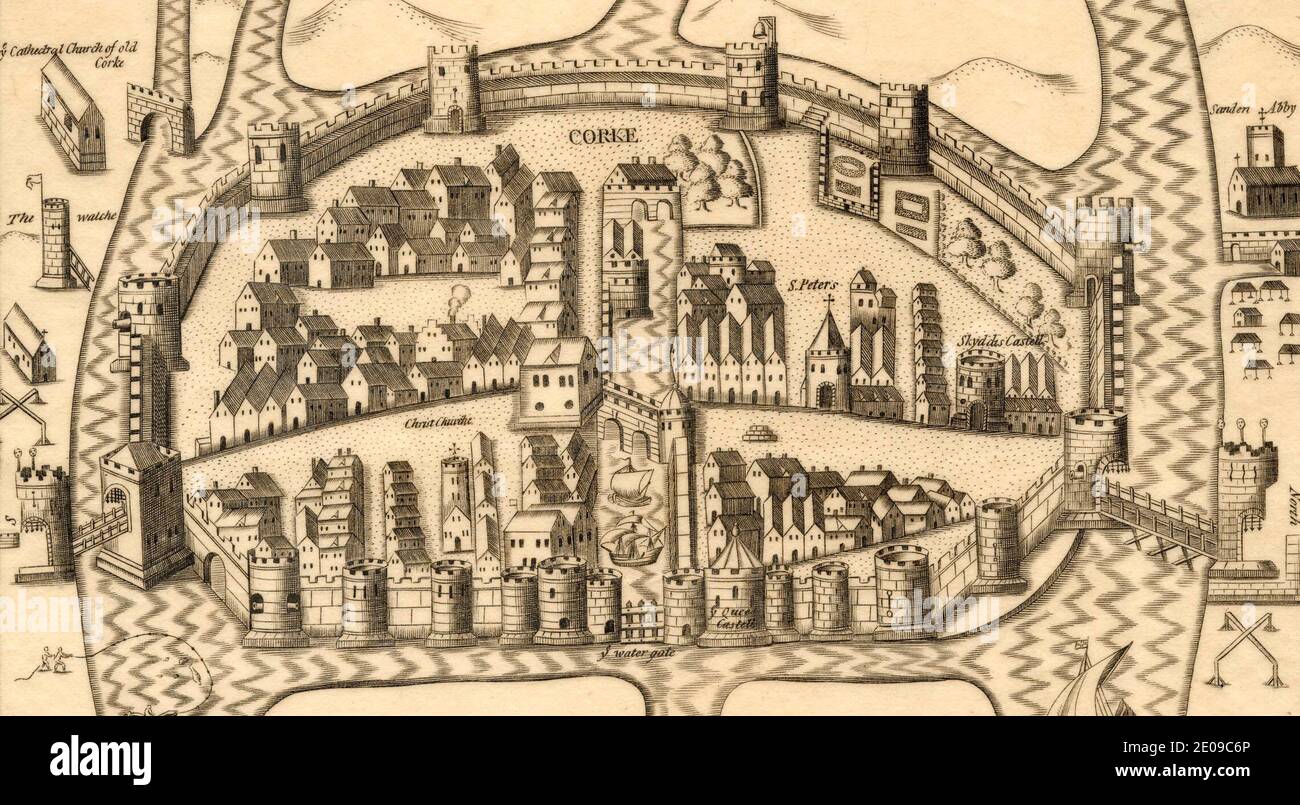 Late 16th (early 17th) century map of Cork, Ireland Stock Photohttps://www.alamy.com/image-license-details/?v=1https://www.alamy.com/late-16th-early-17th-century-map-of-cork-ireland-image396045630.html
RM2E09C6P–Late 16th (early 17th) century map of Cork, Ireland
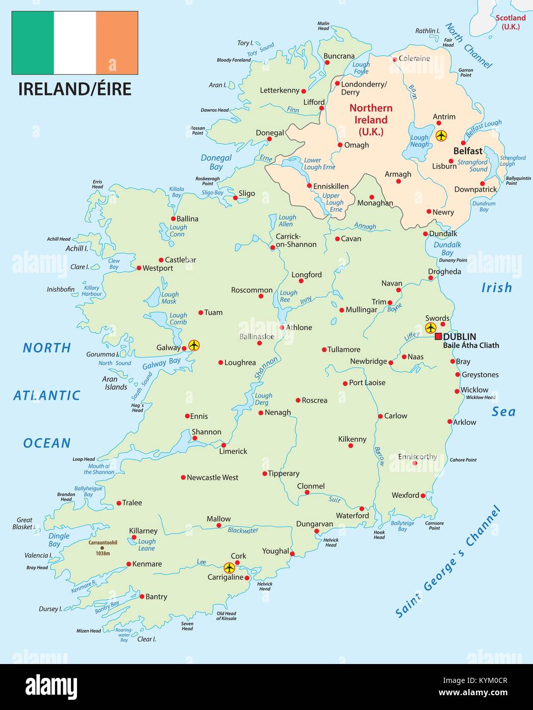 Republic of Ireland vector map with flag Stock Vectorhttps://www.alamy.com/image-license-details/?v=1https://www.alamy.com/stock-photo-republic-of-ireland-vector-map-with-flag-171928423.html
RFKYM0CR–Republic of Ireland vector map with flag
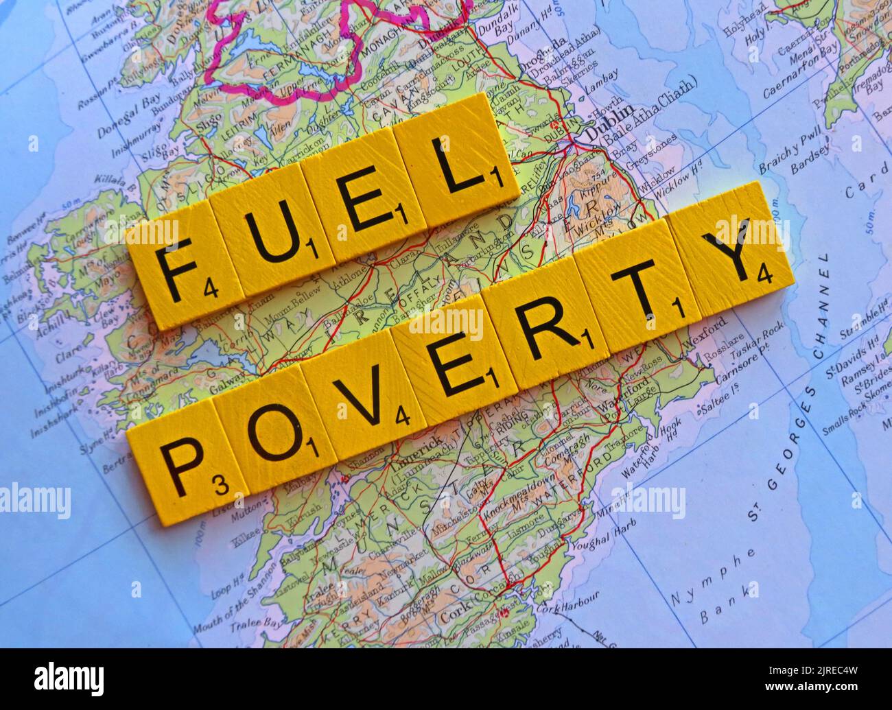 Map showing Eire, Southern Ireland with words Fuel Poverty spelled out. More than half of UK households across Britain will choose to eat or heat Stock Photohttps://www.alamy.com/image-license-details/?v=1https://www.alamy.com/map-showing-eire-southern-ireland-with-words-fuel-poverty-spelled-out-more-than-half-of-uk-households-across-britain-will-choose-to-eat-or-heat-image479133897.html
RM2JREC4W–Map showing Eire, Southern Ireland with words Fuel Poverty spelled out. More than half of UK households across Britain will choose to eat or heat
 Map of Cork in Ireland in a sandy theme. Contains layered vector with roads water, parks, etc. Stock Vectorhttps://www.alamy.com/image-license-details/?v=1https://www.alamy.com/map-of-cork-in-ireland-in-a-sandy-theme-contains-layered-vector-with-roads-water-parks-etc-image624466946.html
RF2Y7XWXX–Map of Cork in Ireland in a sandy theme. Contains layered vector with roads water, parks, etc.
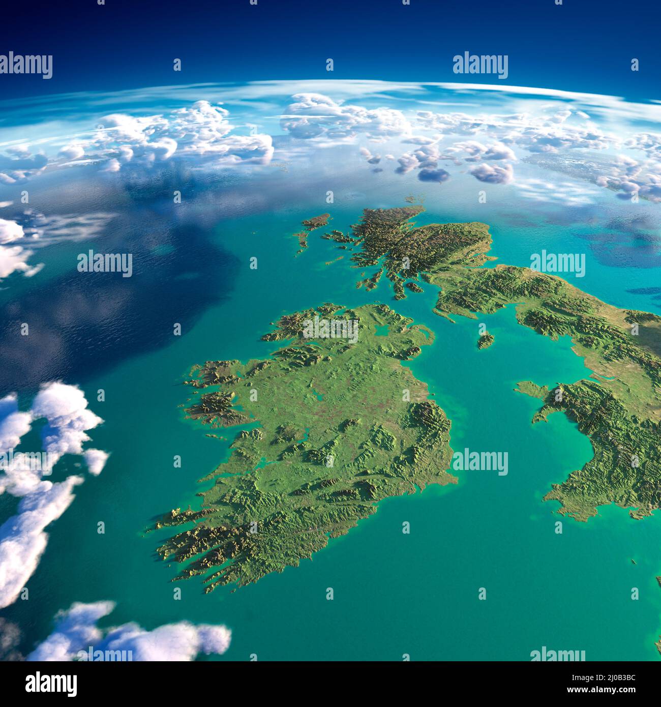 Fragments of the planet Earth. Ireland and UK Stock Photohttps://www.alamy.com/image-license-details/?v=1https://www.alamy.com/fragments-of-the-planet-earth-ireland-and-uk-image464924080.html
RM2J0B3BC–Fragments of the planet Earth. Ireland and UK
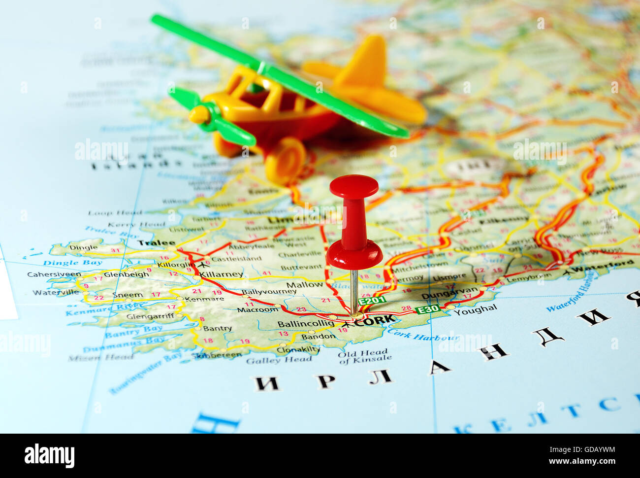 Cork Ireland ,United Kingdom map airplane and pin - Travel concept Stock Photohttps://www.alamy.com/image-license-details/?v=1https://www.alamy.com/stock-photo-cork-ireland-united-kingdom-map-airplane-and-pin-travel-concept-111494144.html
RFGDAYWM–Cork Ireland ,United Kingdom map airplane and pin - Travel concept
 Male hiker looking at map in old ruin Stock Photohttps://www.alamy.com/image-license-details/?v=1https://www.alamy.com/male-hiker-looking-at-map-in-old-ruin-image211112561.html
RFP7D069–Male hiker looking at map in old ruin
 Main Street Lane Map City of Cork R of Ireland www osheaphotography com Stock Photohttps://www.alamy.com/image-license-details/?v=1https://www.alamy.com/stock-photo-main-street-lane-map-city-of-cork-r-of-ireland-www-osheaphotography-16017308.html
RMARD56N–Main Street Lane Map City of Cork R of Ireland www osheaphotography com
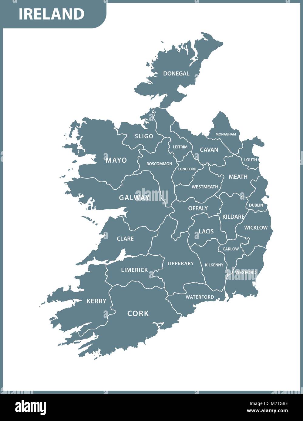 The detailed map of the Ireland with regions or states Stock Vectorhttps://www.alamy.com/image-license-details/?v=1https://www.alamy.com/stock-photo-the-detailed-map-of-the-ireland-with-regions-or-states-176945986.html
RFM7TGBE–The detailed map of the Ireland with regions or states
 A silhouette of the shore side church and buildings in Cobh, County Cork in the Republic of Ireland Stock Photohttps://www.alamy.com/image-license-details/?v=1https://www.alamy.com/stock-photo-a-silhouette-of-the-shore-side-church-and-buildings-in-cobh-county-57487912.html
RMD9EPBM–A silhouette of the shore side church and buildings in Cobh, County Cork in the Republic of Ireland
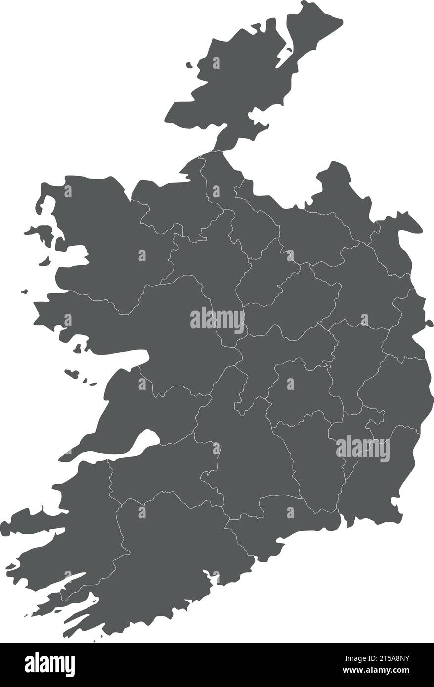 Vector blank map of Ireland with counties and administrative divisions. Editable and clearly labeled layers. Stock Vectorhttps://www.alamy.com/image-license-details/?v=1https://www.alamy.com/vector-blank-map-of-ireland-with-counties-and-administrative-divisions-editable-and-clearly-labeled-layers-image571241831.html
RF2T5A8NY–Vector blank map of Ireland with counties and administrative divisions. Editable and clearly labeled layers.
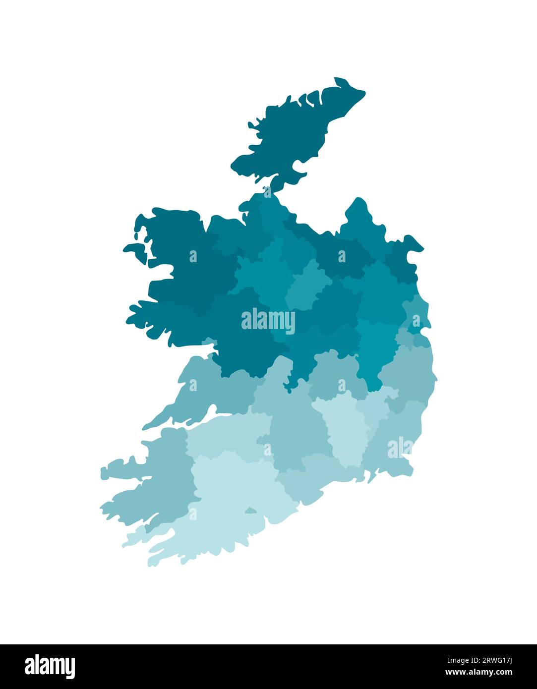 Vector isolated illustration of simplified administrative map of Republic of Ireland. Borders of the regions. Colorful blue khaki silhouettes. Stock Vectorhttps://www.alamy.com/image-license-details/?v=1https://www.alamy.com/vector-isolated-illustration-of-simplified-administrative-map-of-republic-of-ireland-borders-of-the-regions-colorful-blue-khaki-silhouettes-image566450406.html
RF2RWG17J–Vector isolated illustration of simplified administrative map of Republic of Ireland. Borders of the regions. Colorful blue khaki silhouettes.
 25 businesses we're effected by flooding in Wolfe Tone Square, Town lots, Bantry, West Cork, Ireland Stock Photohttps://www.alamy.com/image-license-details/?v=1https://www.alamy.com/25-businesses-were-effected-by-flooding-in-wolfe-tone-square-town-lots-bantry-west-cork-ireland-image383029803.html
RM2D74EBR–25 businesses we're effected by flooding in Wolfe Tone Square, Town lots, Bantry, West Cork, Ireland
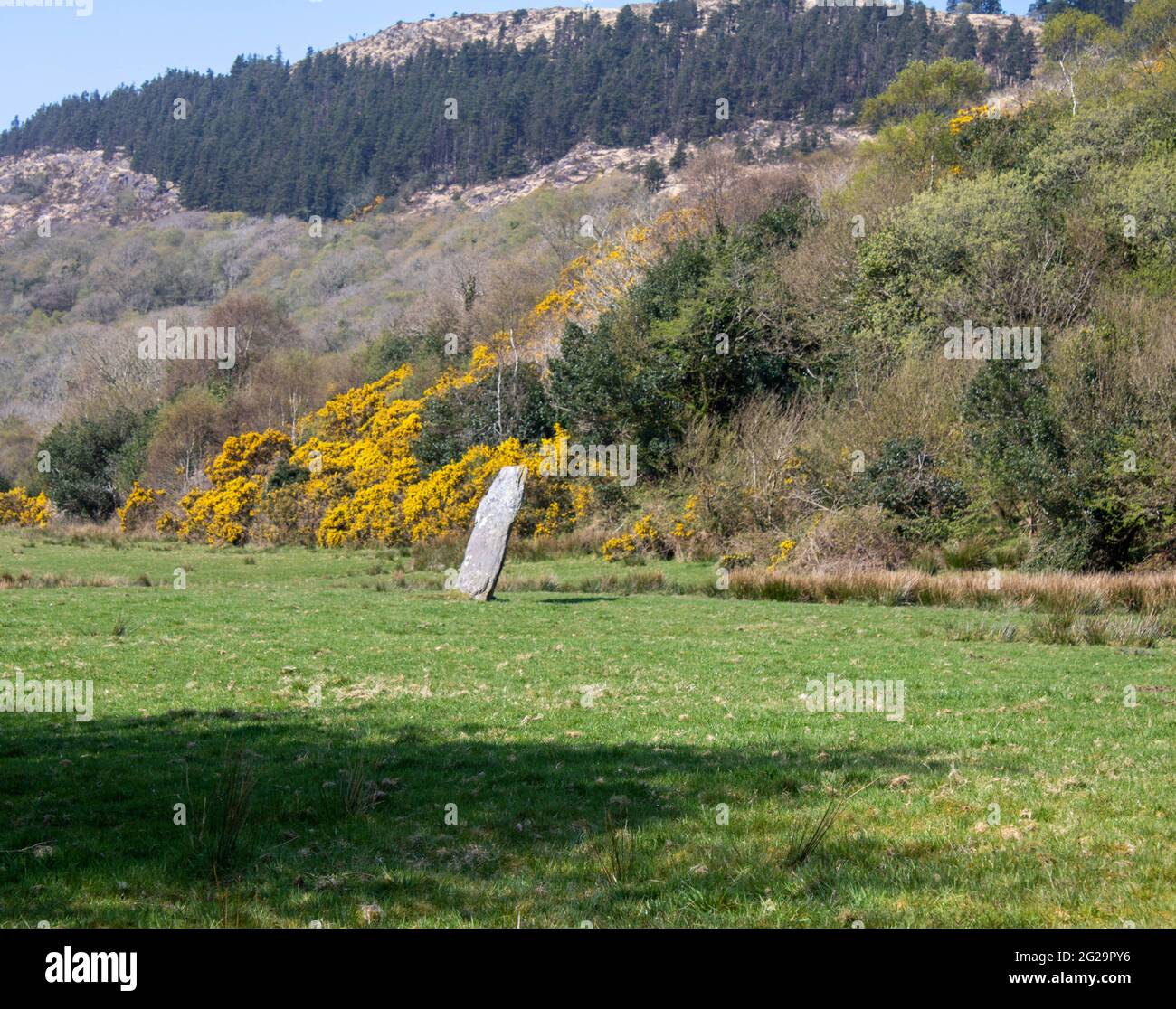 Farnanes standing stone Dunmanway West Cork Ireland. Standing Stones are thought to be ancient burial sites and are found in every county in Ireland. Stock Photohttps://www.alamy.com/image-license-details/?v=1https://www.alamy.com/farnanes-standing-stone-dunmanway-west-cork-ireland-standing-stones-are-thought-to-be-ancient-burial-sites-and-are-found-in-every-county-in-ireland-image431704090.html
RF2G29PY6–Farnanes standing stone Dunmanway West Cork Ireland. Standing Stones are thought to be ancient burial sites and are found in every county in Ireland.
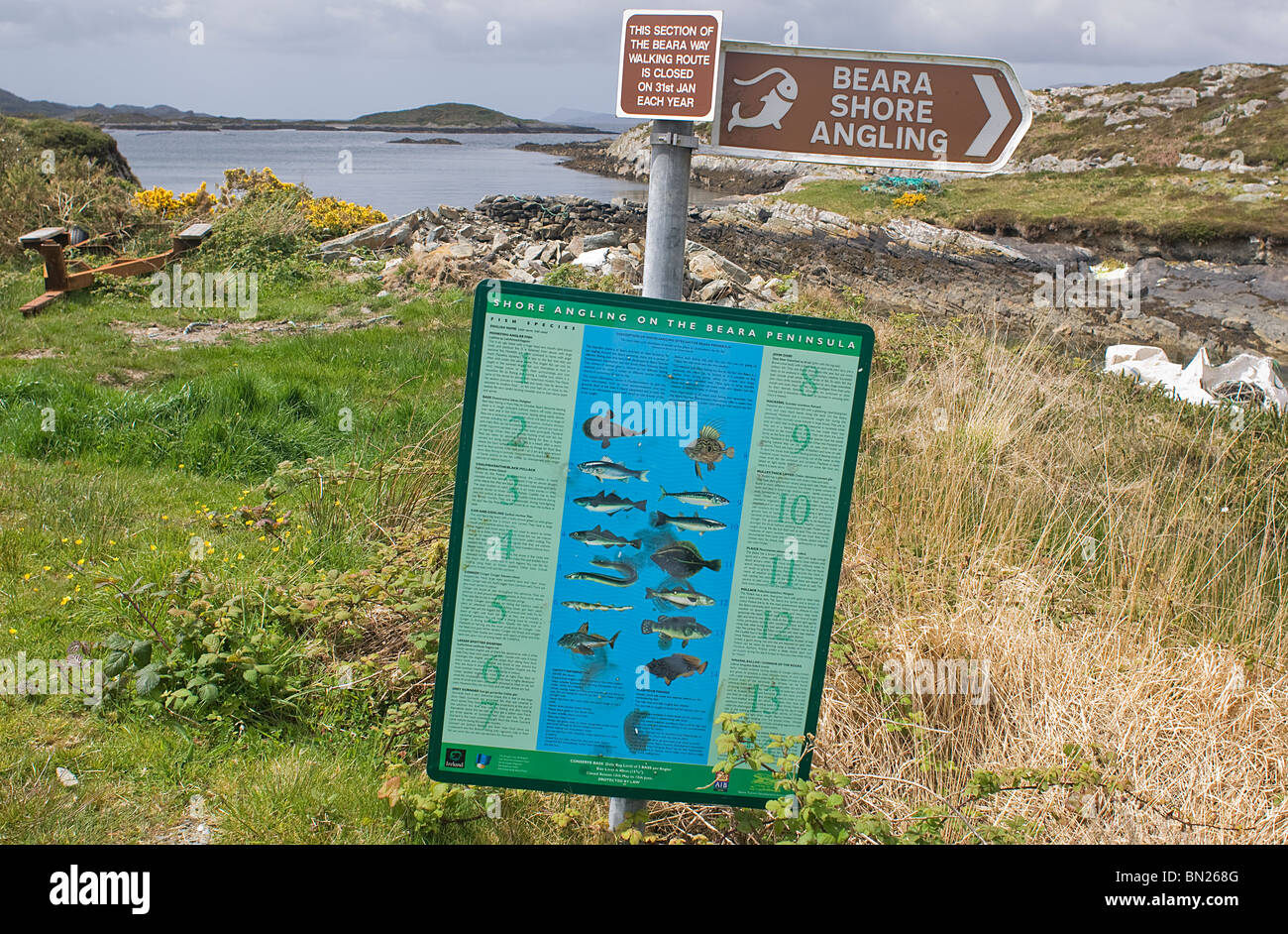 Irish Signs - John Gollop Stock Photohttps://www.alamy.com/image-license-details/?v=1https://www.alamy.com/stock-photo-irish-signs-john-gollop-30166992.html
RMBN268G–Irish Signs - John Gollop
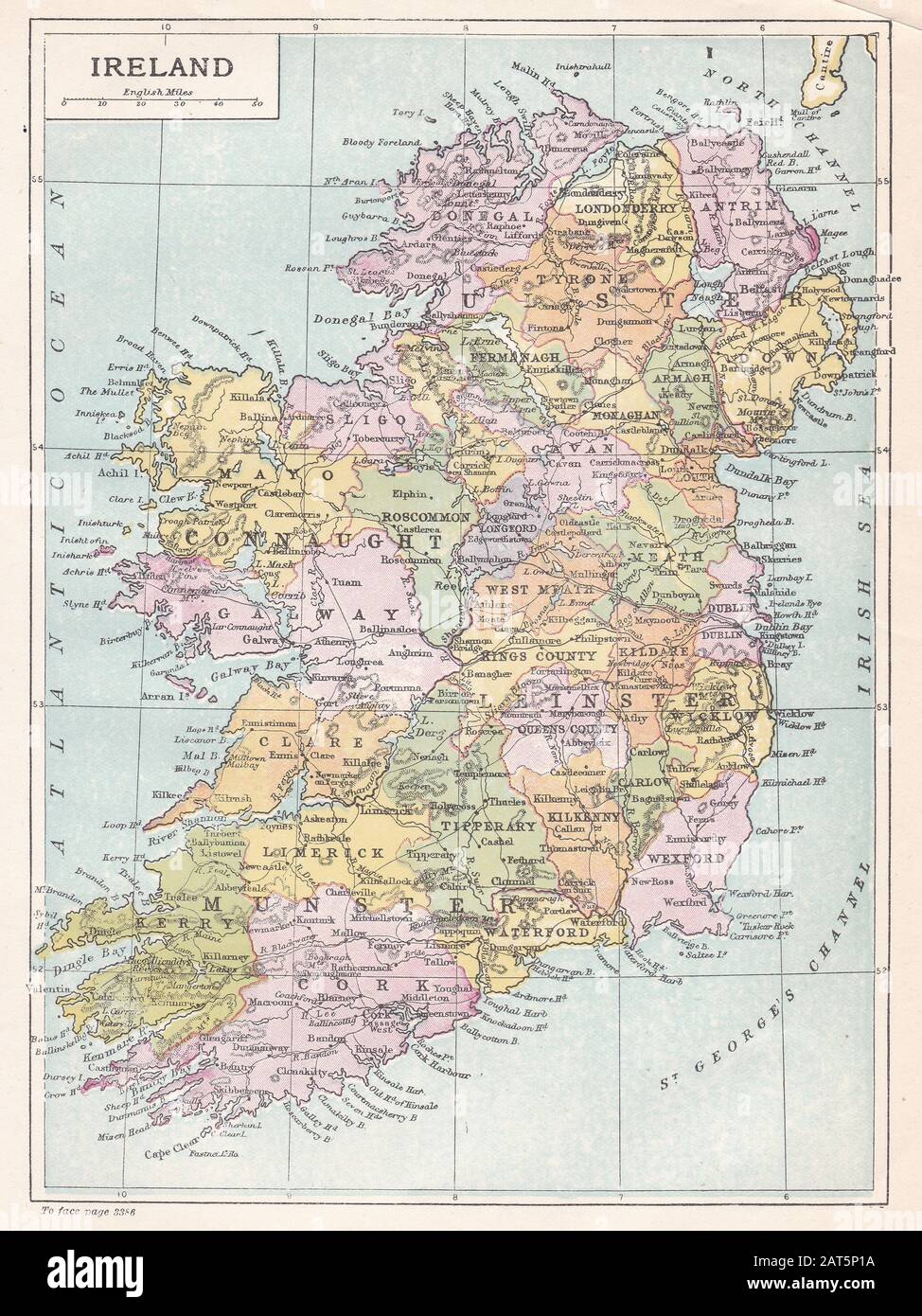 Vintage map of Ireland Stock Photohttps://www.alamy.com/image-license-details/?v=1https://www.alamy.com/vintage-map-of-ireland-image341875782.html
RF2AT5P1A–Vintage map of Ireland
 Tourist at Allihies on the Beara Peninsula in County Cork Stock Photohttps://www.alamy.com/image-license-details/?v=1https://www.alamy.com/tourist-at-allihies-on-the-beara-peninsula-in-county-cork-image213828028.html
RMPBTKR8–Tourist at Allihies on the Beara Peninsula in County Cork
 Pin in map marking Mizen Head, Ireland. Stock Photohttps://www.alamy.com/image-license-details/?v=1https://www.alamy.com/pin-in-map-marking-mizen-head-ireland-image547143491.html
RM2PP4F2Y–Pin in map marking Mizen Head, Ireland.
 air traffic over Ireland (31 july 2020, UTC 08.35) on Internet with Flightradar 24 site, during the Coronavirus Pandemic Stock Photohttps://www.alamy.com/image-license-details/?v=1https://www.alamy.com/air-traffic-over-ireland-31-july-2020-utc-0835-on-internet-with-flightradar-24-site-during-the-coronavirus-pandemic-image367277280.html
RM2C9EWWM–air traffic over Ireland (31 july 2020, UTC 08.35) on Internet with Flightradar 24 site, during the Coronavirus Pandemic
 County Cork is the point of focus on a vintage map. Stock Photohttps://www.alamy.com/image-license-details/?v=1https://www.alamy.com/county-cork-is-the-point-of-focus-on-a-vintage-map-image222328622.html
RFPWKXBX–County Cork is the point of focus on a vintage map.
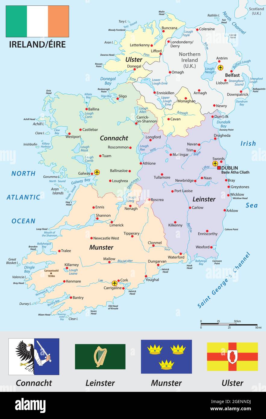 Republic of Ireland vector map with flag Stock Vectorhttps://www.alamy.com/image-license-details/?v=1https://www.alamy.com/republic-of-ireland-vector-map-with-flag-image439342222.html
RF2GENNDJ–Republic of Ireland vector map with flag
 Ireland travel concept. Irish map with suitcases and signpost, 3D rendering Stock Photohttps://www.alamy.com/image-license-details/?v=1https://www.alamy.com/stock-image-ireland-travel-concept-irish-map-with-suitcases-and-signpost-3d-rendering-163475593.html
RFKDXXP1–Ireland travel concept. Irish map with suitcases and signpost, 3D rendering
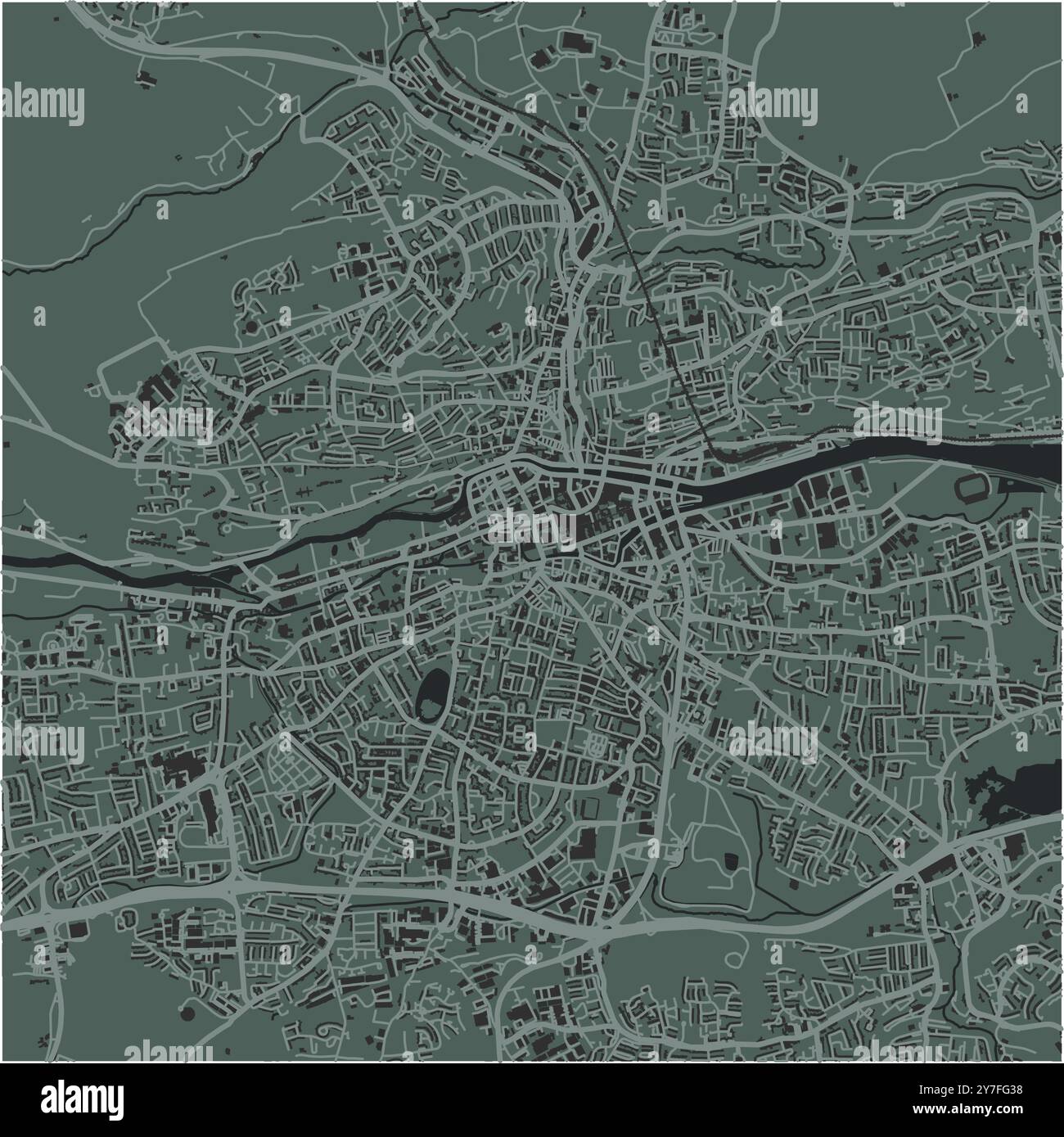 Map of Cork in Ireland in a smooth dark style. Contains layered vector with roads water, parks, etc. Stock Vectorhttps://www.alamy.com/image-license-details/?v=1https://www.alamy.com/map-of-cork-in-ireland-in-a-smooth-dark-style-contains-layered-vector-with-roads-water-parks-etc-image624217756.html
RF2Y7FG38–Map of Cork in Ireland in a smooth dark style. Contains layered vector with roads water, parks, etc.
 Charles Fort, Kinsale, County Cork, Ireland Stock Photohttps://www.alamy.com/image-license-details/?v=1https://www.alamy.com/charles-fort-kinsale-county-cork-ireland-image332539968.html
RM2A90E3C–Charles Fort, Kinsale, County Cork, Ireland
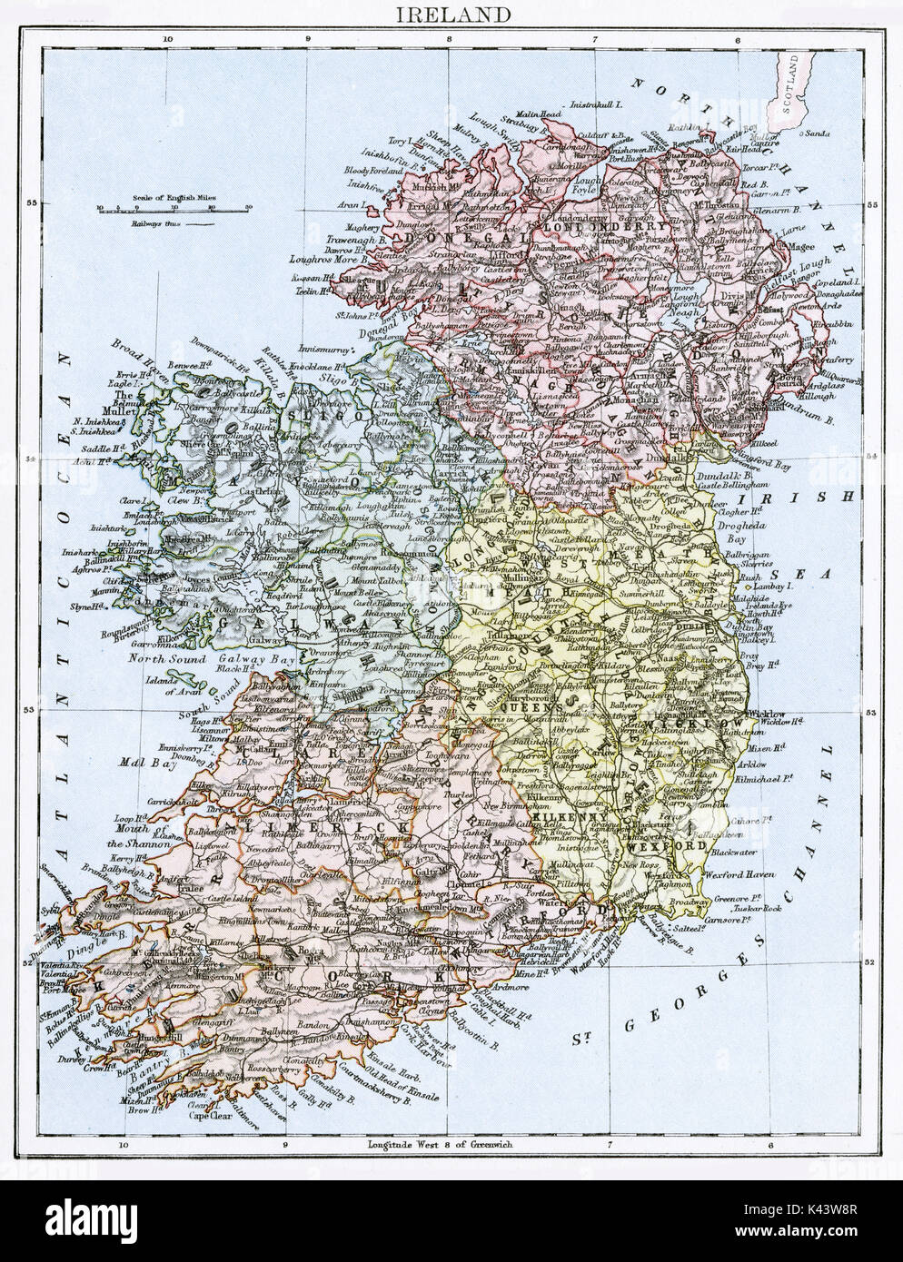 Antique map, circa 1875, of Ireland Stock Photohttps://www.alamy.com/image-license-details/?v=1https://www.alamy.com/antique-map-circa-1875-of-ireland-image157437639.html
RMK43W8R–Antique map, circa 1875, of Ireland
 Cork, Ireland pin on map Stock Photohttps://www.alamy.com/image-license-details/?v=1https://www.alamy.com/cork-ireland-pin-on-map-image625181149.html
RF2Y93CX5–Cork, Ireland pin on map
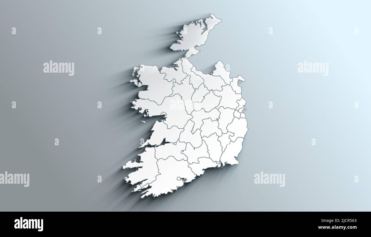 Geographical Map of Ireland with Counties with Regions with Shadows Stock Photohttps://www.alamy.com/image-license-details/?v=1https://www.alamy.com/geographical-map-of-ireland-with-counties-with-regions-with-shadows-image472564795.html
RF2JCR563–Geographical Map of Ireland with Counties with Regions with Shadows
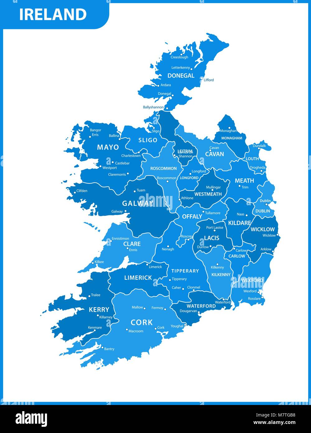 The detailed map of the Ireland with regions or states and cities, capitals Stock Vectorhttps://www.alamy.com/image-license-details/?v=1https://www.alamy.com/stock-photo-the-detailed-map-of-the-ireland-with-regions-or-states-and-cities-176945980.html
RFM7TGB8–The detailed map of the Ireland with regions or states and cities, capitals
 A silhouette of the shore side chimney and buildings in Cobh, County Cork in the Republic of Ireland Stock Photohttps://www.alamy.com/image-license-details/?v=1https://www.alamy.com/stock-photo-a-silhouette-of-the-shore-side-chimney-and-buildings-in-cobh-county-57487084.html
RMD9ENA4–A silhouette of the shore side chimney and buildings in Cobh, County Cork in the Republic of Ireland
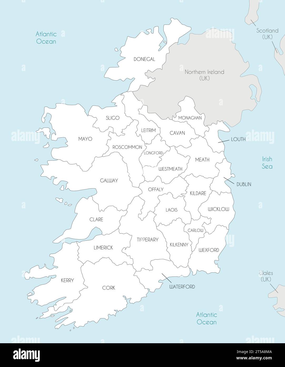 Vector map of Ireland with counties and administrative divisions, and neighbouring countries. Editable and clearly labeled layers. Stock Vectorhttps://www.alamy.com/image-license-details/?v=1https://www.alamy.com/vector-map-of-ireland-with-counties-and-administrative-divisions-and-neighbouring-countries-editable-and-clearly-labeled-layers-image571241786.html
RF2T5A8MA–Vector map of Ireland with counties and administrative divisions, and neighbouring countries. Editable and clearly labeled layers.
 Vector isolated illustration of simplified administrative map of Republic of Ireland. Borders of the provinces (regions). Grey silhouettes. White outl Stock Vectorhttps://www.alamy.com/image-license-details/?v=1https://www.alamy.com/vector-isolated-illustration-of-simplified-administrative-map-of-republic-of-ireland-borders-of-the-provinces-regions-grey-silhouettes-white-outl-image566450873.html
RF2RWG1T9–Vector isolated illustration of simplified administrative map of Republic of Ireland. Borders of the provinces (regions). Grey silhouettes. White outl
 25 businesses we're effected by flooding in Wolfe Tone Square, Town lots, Bantry, West Cork, Ireland Stock Photohttps://www.alamy.com/image-license-details/?v=1https://www.alamy.com/25-businesses-were-effected-by-flooding-in-wolfe-tone-square-town-lots-bantry-west-cork-ireland-image383029381.html
RM2D74DTN–25 businesses we're effected by flooding in Wolfe Tone Square, Town lots, Bantry, West Cork, Ireland
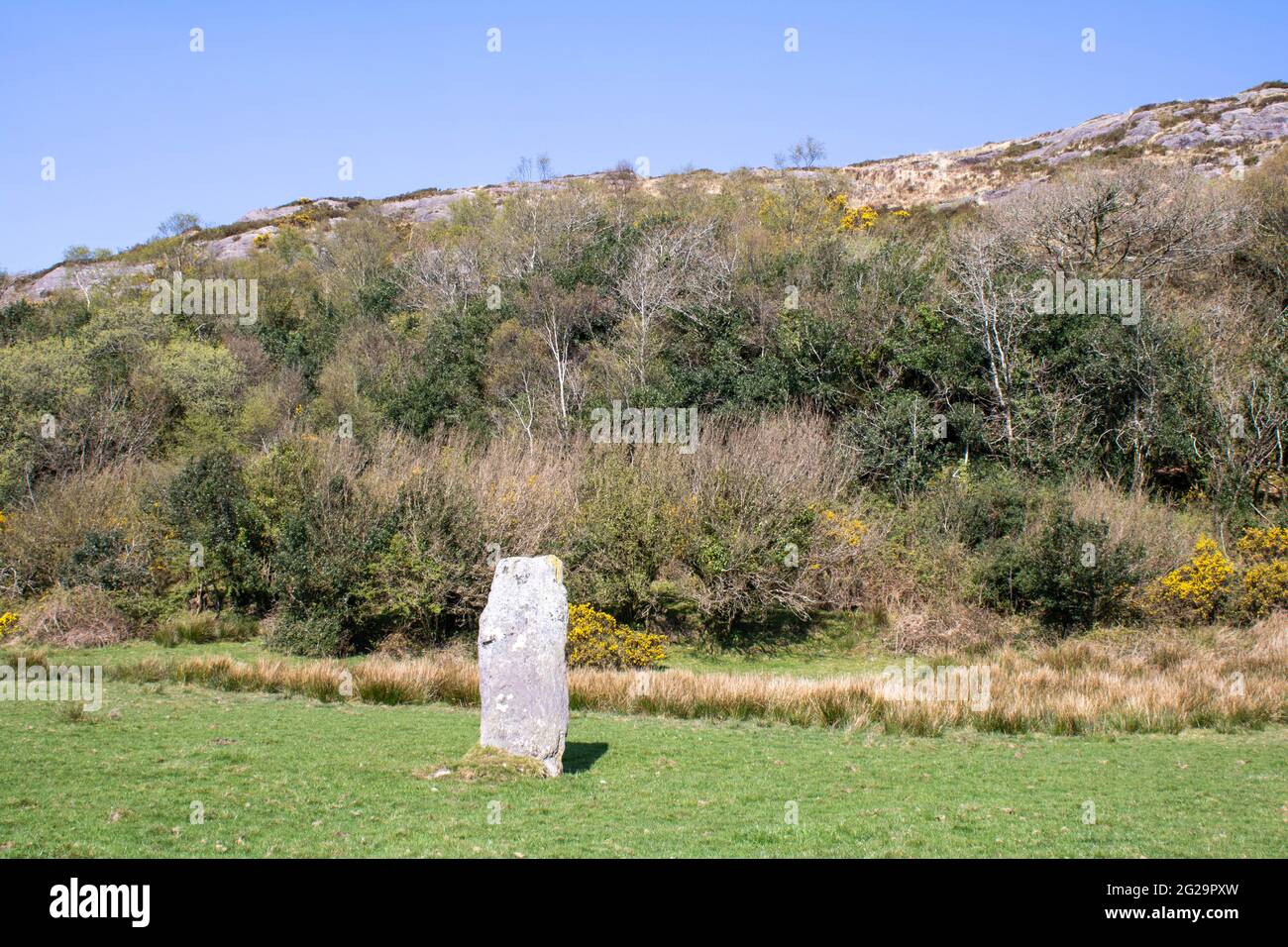 Farnanes standing stone Dunmanway West Cork Ireland. Standing Stones are thought to be ancient burial sites and are found in every county in Ireland. Stock Photohttps://www.alamy.com/image-license-details/?v=1https://www.alamy.com/farnanes-standing-stone-dunmanway-west-cork-ireland-standing-stones-are-thought-to-be-ancient-burial-sites-and-are-found-in-every-county-in-ireland-image431704081.html
RF2G29PXW–Farnanes standing stone Dunmanway West Cork Ireland. Standing Stones are thought to be ancient burial sites and are found in every county in Ireland.
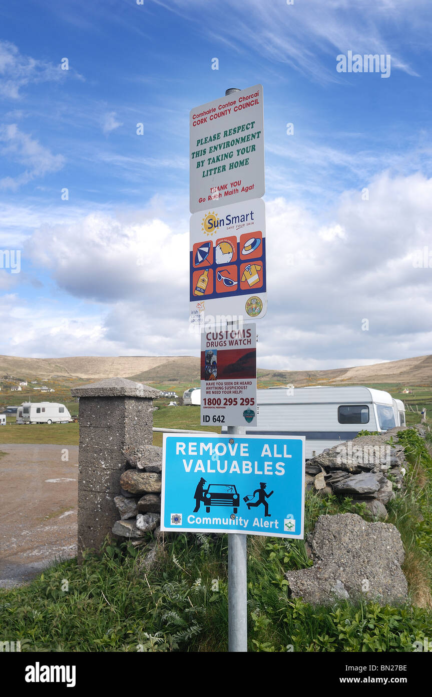 Irish Signs - John Gollop Stock Photohttps://www.alamy.com/image-license-details/?v=1https://www.alamy.com/stock-photo-irish-signs-john-gollop-30167858.html
RMBN27BE–Irish Signs - John Gollop
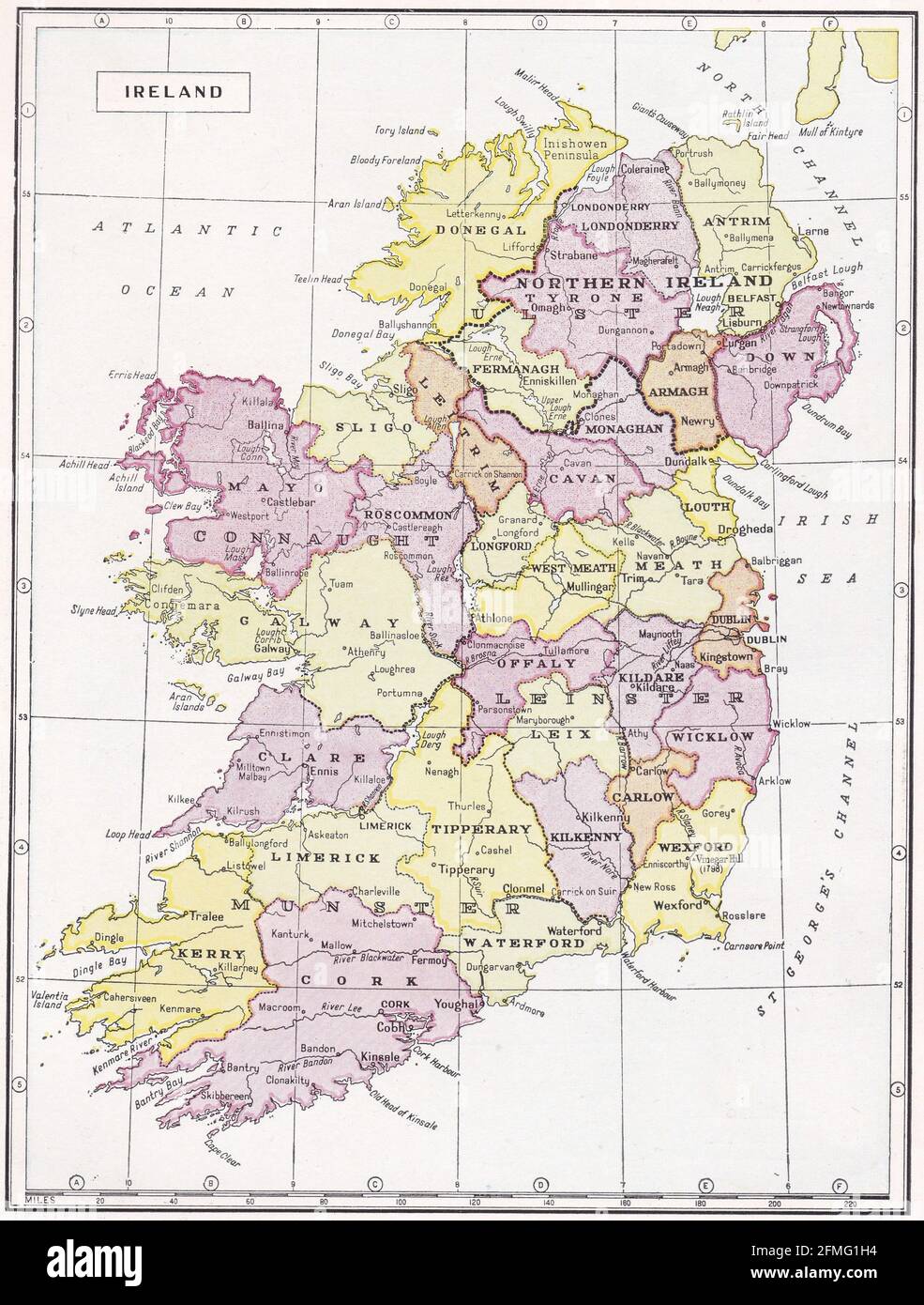 Vintage map of Ireland 1930s. Stock Photohttps://www.alamy.com/image-license-details/?v=1https://www.alamy.com/vintage-map-of-ireland-1930s-image425694448.html
RF2FMG1H4–Vintage map of Ireland 1930s.
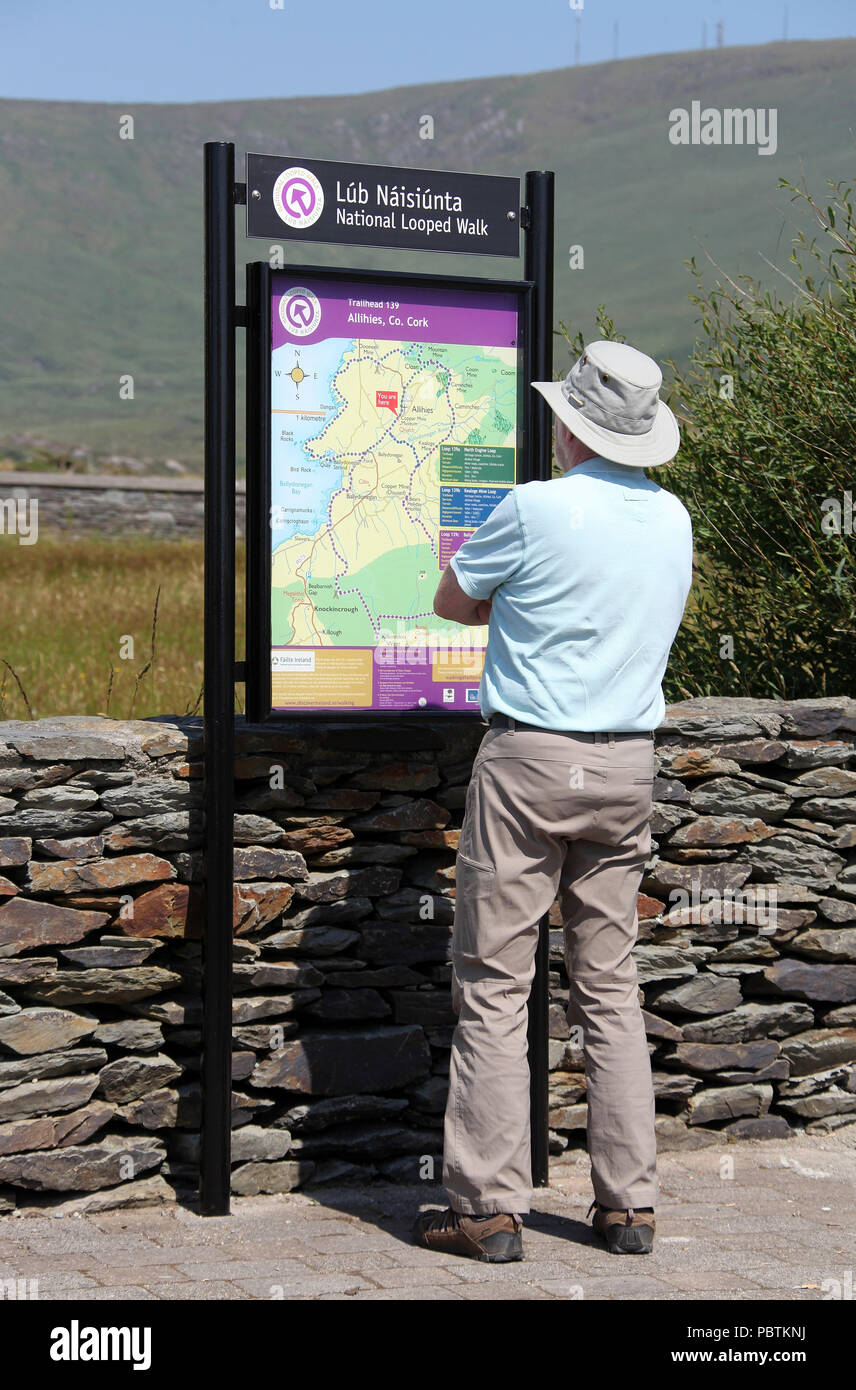 Tourist at Allihies on the Beara Peninsula in County Cork Stock Photohttps://www.alamy.com/image-license-details/?v=1https://www.alamy.com/tourist-at-allihies-on-the-beara-peninsula-in-county-cork-image213827982.html
RMPBTKNJ–Tourist at Allihies on the Beara Peninsula in County Cork
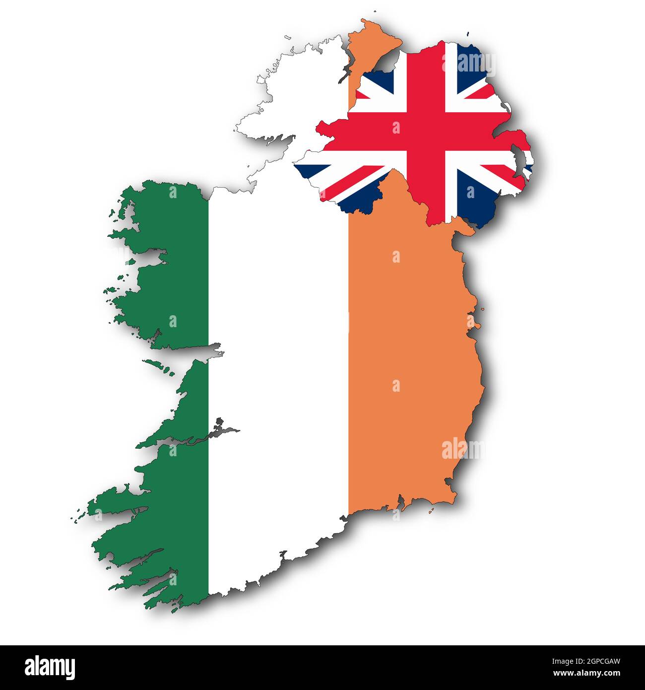 A Republic of Ireland and Northern Ireland map on white background with clipping path to remove shadow 3d illustration Stock Photohttps://www.alamy.com/image-license-details/?v=1https://www.alamy.com/a-republic-of-ireland-and-northern-ireland-map-on-white-background-with-clipping-path-to-remove-shadow-3d-illustration-image444057905.html
RF2GPCGAW–A Republic of Ireland and Northern Ireland map on white background with clipping path to remove shadow 3d illustration
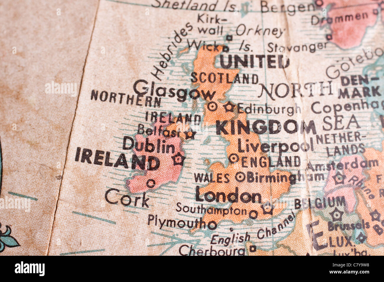 The UK Stock Photohttps://www.alamy.com/image-license-details/?v=1https://www.alamy.com/stock-photo-the-uk-39323796.html
RFC7Y9W8–The UK

