Map of coulee city washington Stock Photos and Images
(17)See map of coulee city washington stock video clipsQuick filters:
Map of coulee city washington Stock Photos and Images
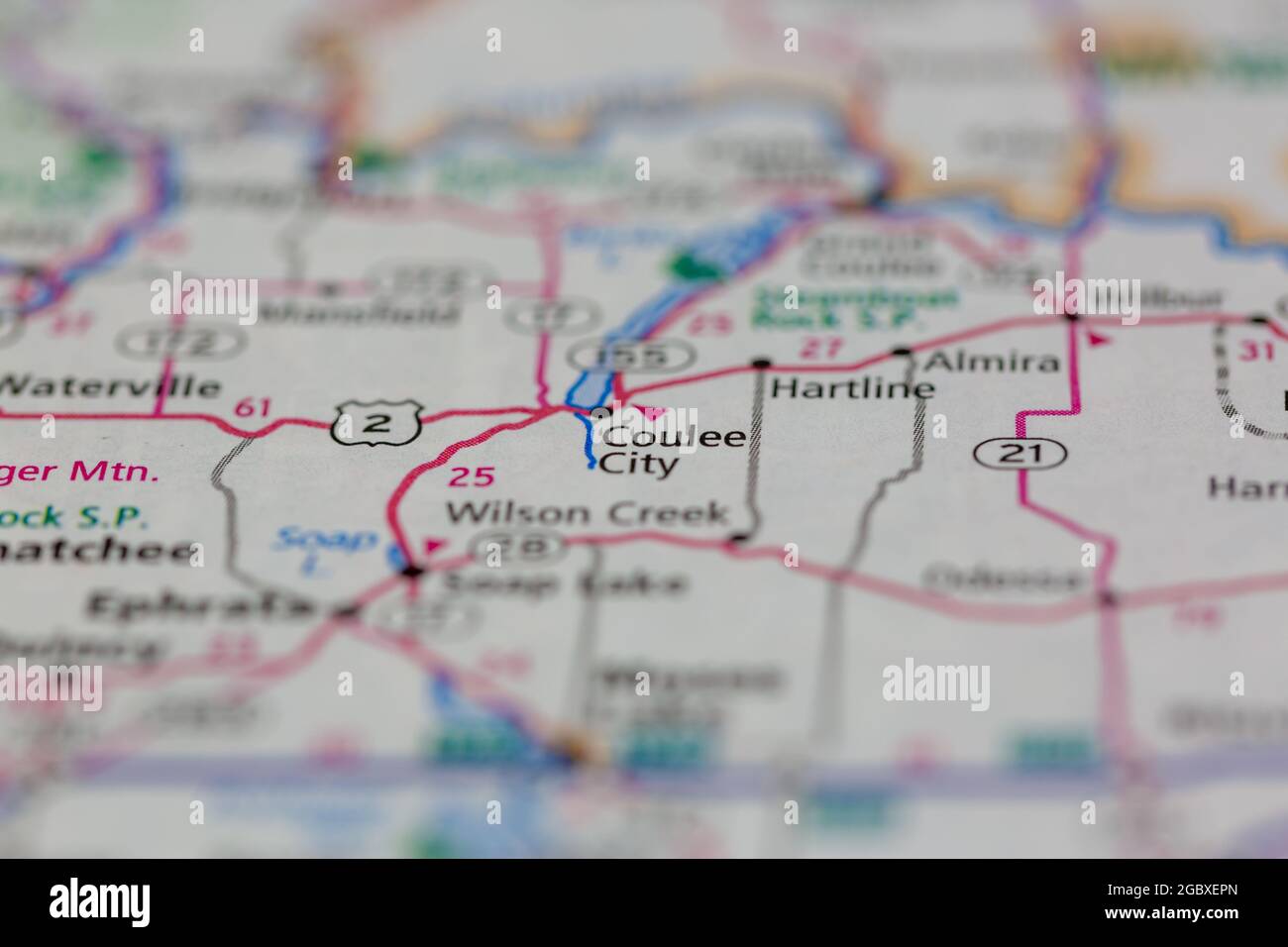 Coulee City Washington State USA shown on a road map or Geography map Stock Photohttps://www.alamy.com/image-license-details/?v=1https://www.alamy.com/coulee-city-washington-state-usa-shown-on-a-road-map-or-geography-map-image437602781.html
RM2GBXEPN–Coulee City Washington State USA shown on a road map or Geography map
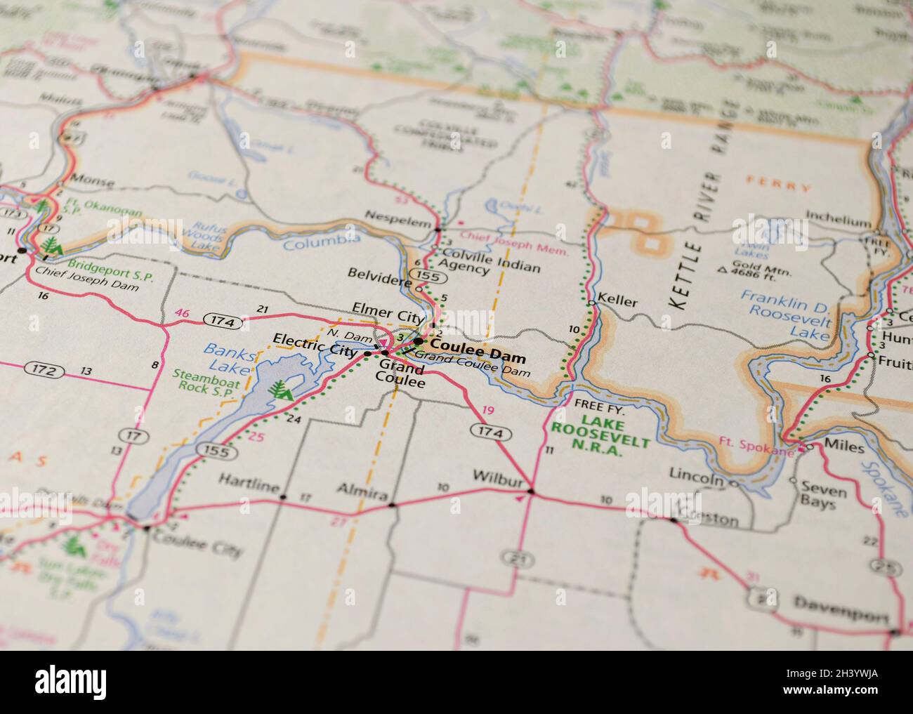 Map of the city of Coulee Dam, WA Stock Photohttps://www.alamy.com/image-license-details/?v=1https://www.alamy.com/map-of-the-city-of-coulee-dam-wa-image449926354.html
RF2H3YWJA–Map of the city of Coulee Dam, WA
 Coulee City, Grant County, US, United States, Washington, N 47 36' 40'', S 119 17' 32'', map, Cartascapes Map published in 2024. Explore Cartascapes, a map revealing Earth's diverse landscapes, cultures, and ecosystems. Journey through time and space, discovering the interconnectedness of our planet's past, present, and future. Stock Photohttps://www.alamy.com/image-license-details/?v=1https://www.alamy.com/coulee-city-grant-county-us-united-states-washington-n-47-36-40-s-119-17-32-map-cartascapes-map-published-in-2024-explore-cartascapes-a-map-revealing-earths-diverse-landscapes-cultures-and-ecosystems-journey-through-time-and-space-discovering-the-interconnectedness-of-our-planets-past-present-and-future-image621284242.html
RM2Y2NXAX–Coulee City, Grant County, US, United States, Washington, N 47 36' 40'', S 119 17' 32'', map, Cartascapes Map published in 2024. Explore Cartascapes, a map revealing Earth's diverse landscapes, cultures, and ecosystems. Journey through time and space, discovering the interconnectedness of our planet's past, present, and future.
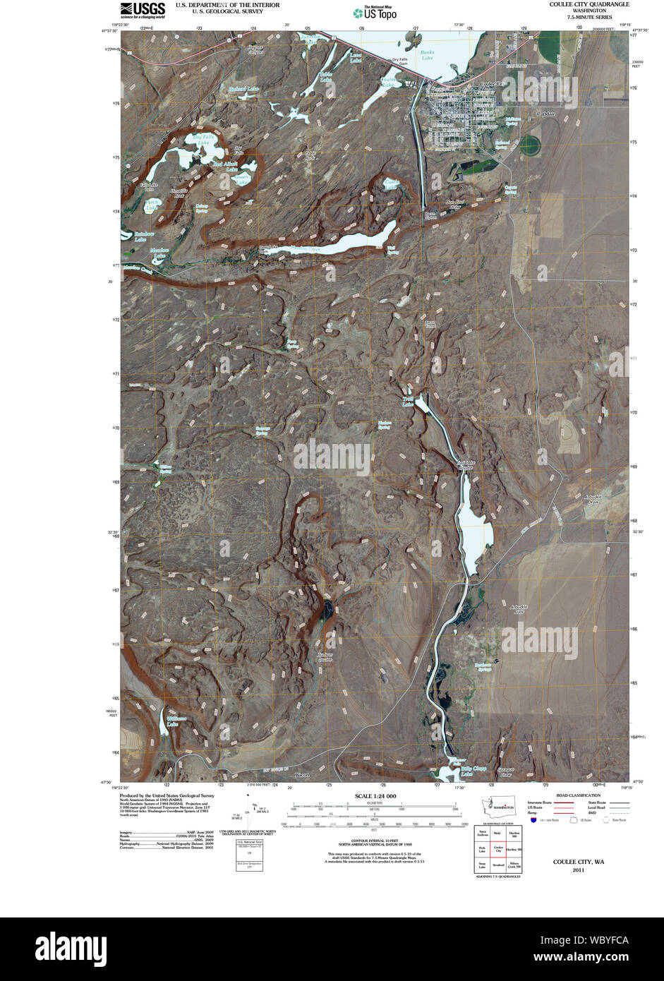 USGS Topo Map Washington State WA Coulee City 20110425 TM Restoration Stock Photohttps://www.alamy.com/image-license-details/?v=1https://www.alamy.com/usgs-topo-map-washington-state-wa-coulee-city-20110425-tm-restoration-image265521546.html
RMWBYFCA–USGS Topo Map Washington State WA Coulee City 20110425 TM Restoration
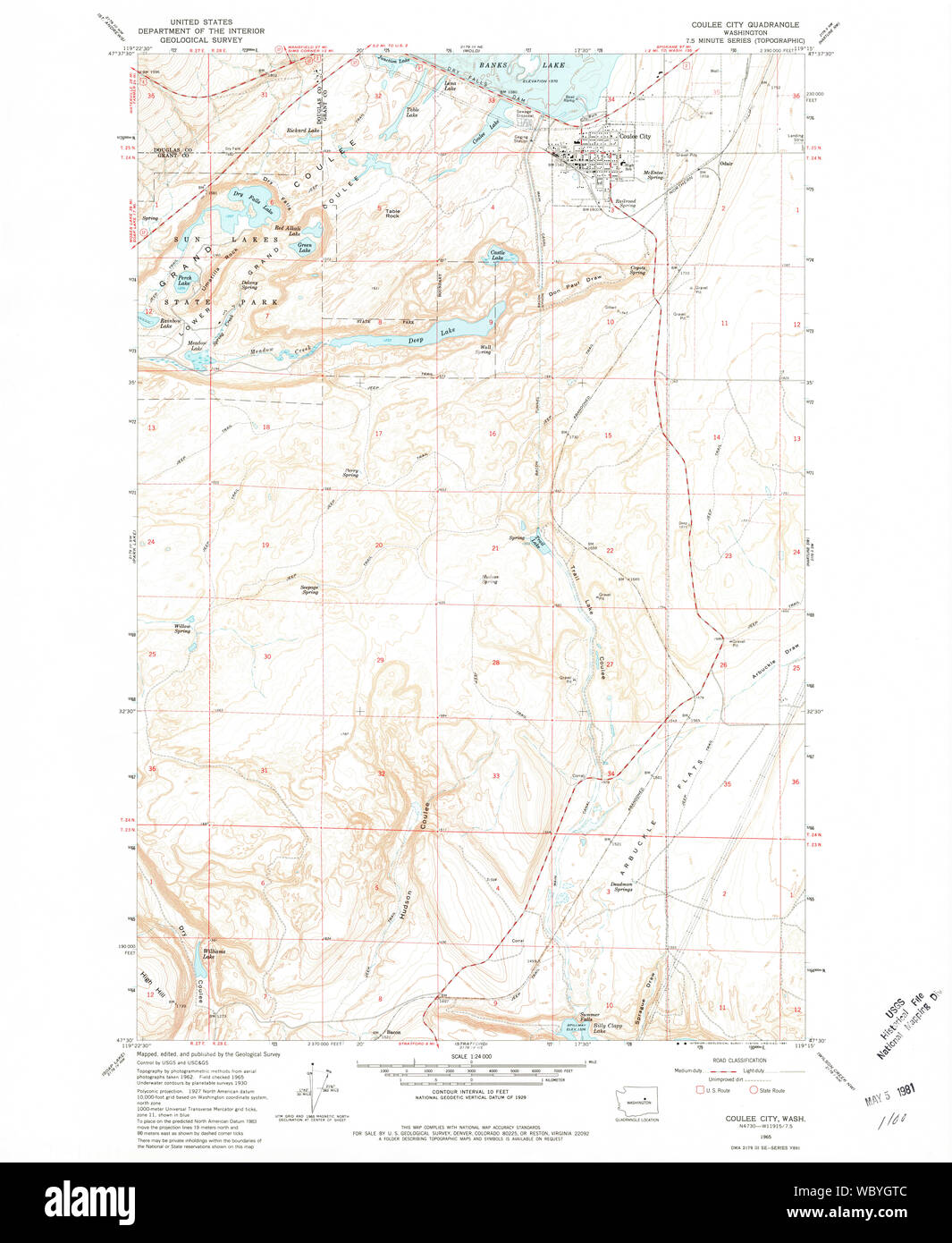 USGS Topo Map Washington State WA Coulee City 240706 1965 24000 Restoration Stock Photohttps://www.alamy.com/image-license-details/?v=1https://www.alamy.com/usgs-topo-map-washington-state-wa-coulee-city-240706-1965-24000-restoration-image265522668.html
RMWBYGTC–USGS Topo Map Washington State WA Coulee City 240706 1965 24000 Restoration
 Coulee City, Grant County, US, United States, Washington, N 47 36' 40'', S 119 17' 32'', map, Cartascapes Map published in 2024. Explore Cartascapes, a map revealing Earth's diverse landscapes, cultures, and ecosystems. Journey through time and space, discovering the interconnectedness of our planet's past, present, and future. Stock Photohttps://www.alamy.com/image-license-details/?v=1https://www.alamy.com/coulee-city-grant-county-us-united-states-washington-n-47-36-40-s-119-17-32-map-cartascapes-map-published-in-2024-explore-cartascapes-a-map-revealing-earths-diverse-landscapes-cultures-and-ecosystems-journey-through-time-and-space-discovering-the-interconnectedness-of-our-planets-past-present-and-future-image620678206.html
RM2Y1P9AP–Coulee City, Grant County, US, United States, Washington, N 47 36' 40'', S 119 17' 32'', map, Cartascapes Map published in 2024. Explore Cartascapes, a map revealing Earth's diverse landscapes, cultures, and ecosystems. Journey through time and space, discovering the interconnectedness of our planet's past, present, and future.
 USGS Topo Map Washington State WA Coulee City 240705 1965 24000 Restoration Stock Photohttps://www.alamy.com/image-license-details/?v=1https://www.alamy.com/usgs-topo-map-washington-state-wa-coulee-city-240705-1965-24000-restoration-image265522114.html
RMWBYG4J–USGS Topo Map Washington State WA Coulee City 240705 1965 24000 Restoration
 Coulee Dam, Okanogan County, US, United States, Washington, N 47 57' 55'', S 118 58' 34'', map, Cartascapes Map published in 2024. Explore Cartascapes, a map revealing Earth's diverse landscapes, cultures, and ecosystems. Journey through time and space, discovering the interconnectedness of our planet's past, present, and future. Stock Photohttps://www.alamy.com/image-license-details/?v=1https://www.alamy.com/coulee-dam-okanogan-county-us-united-states-washington-n-47-57-55-s-118-58-34-map-cartascapes-map-published-in-2024-explore-cartascapes-a-map-revealing-earths-diverse-landscapes-cultures-and-ecosystems-journey-through-time-and-space-discovering-the-interconnectedness-of-our-planets-past-present-and-future-image620756721.html
RM2Y1WWEW–Coulee Dam, Okanogan County, US, United States, Washington, N 47 57' 55'', S 118 58' 34'', map, Cartascapes Map published in 2024. Explore Cartascapes, a map revealing Earth's diverse landscapes, cultures, and ecosystems. Journey through time and space, discovering the interconnectedness of our planet's past, present, and future.
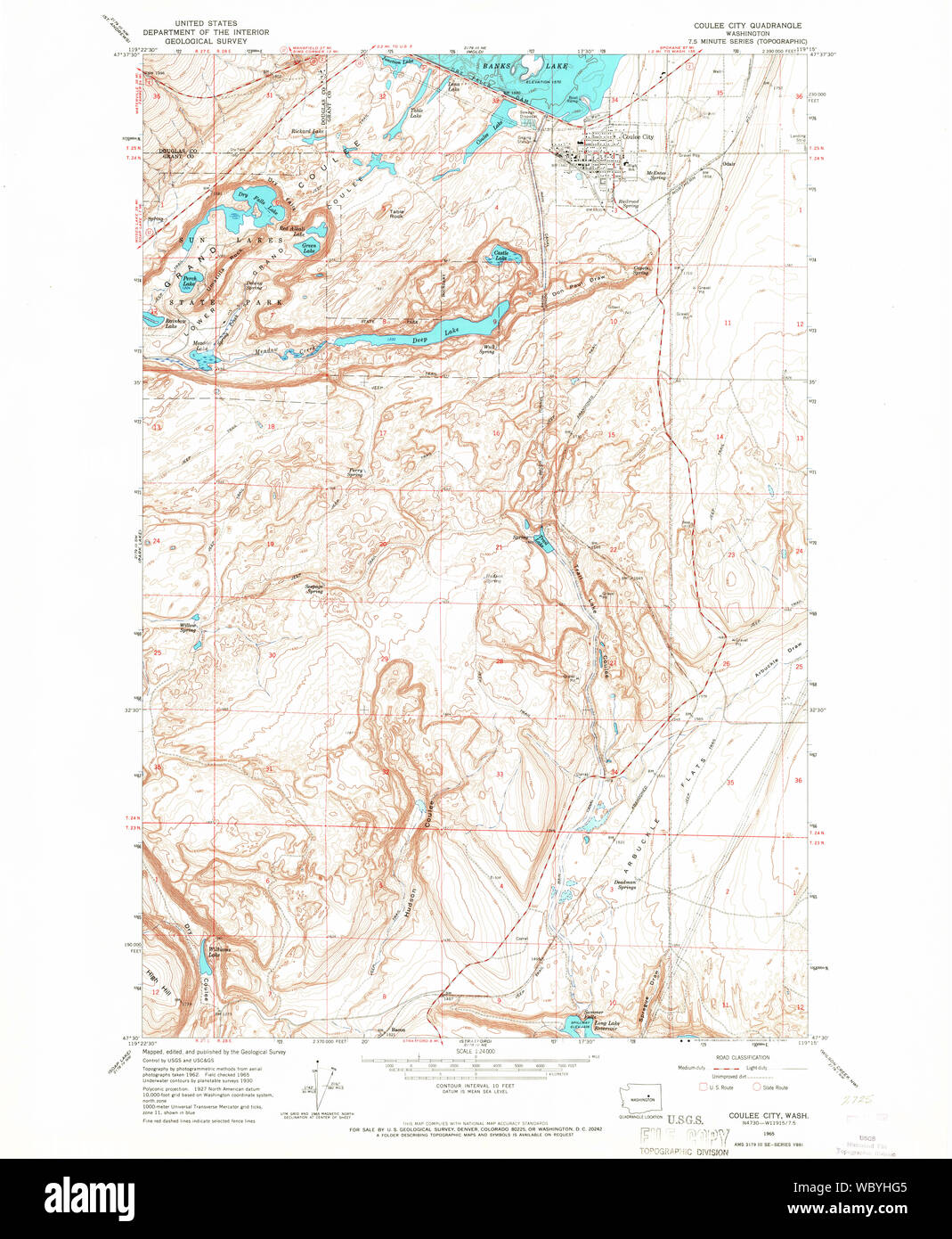 USGS Topo Map Washington State WA Coulee City 240708 1965 24000 Restoration Stock Photohttps://www.alamy.com/image-license-details/?v=1https://www.alamy.com/usgs-topo-map-washington-state-wa-coulee-city-240708-1965-24000-restoration-image265523221.html
RMWBYHG5–USGS Topo Map Washington State WA Coulee City 240708 1965 24000 Restoration
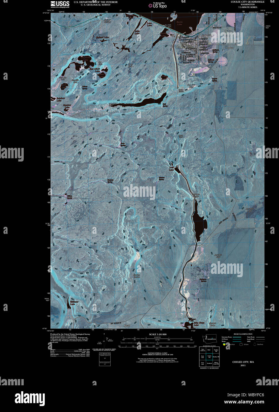 USGS Topo Map Washington State WA Coulee City 20110425 TM Inverted Restoration Stock Photohttps://www.alamy.com/image-license-details/?v=1https://www.alamy.com/usgs-topo-map-washington-state-wa-coulee-city-20110425-tm-inverted-restoration-image265521542.html
RMWBYFC6–USGS Topo Map Washington State WA Coulee City 20110425 TM Inverted Restoration
 USGS Topo Map Washington State WA Coulee City 240708 1965 24000 Inverted Restoration Stock Photohttps://www.alamy.com/image-license-details/?v=1https://www.alamy.com/usgs-topo-map-washington-state-wa-coulee-city-240708-1965-24000-inverted-restoration-image265522653.html
RMWBYGRW–USGS Topo Map Washington State WA Coulee City 240708 1965 24000 Inverted Restoration
 Grand Coulee, Grant County, US, United States, Washington, N 47 56' 29'', S 119 0' 12'', map, Cartascapes Map published in 2024. Explore Cartascapes, a map revealing Earth's diverse landscapes, cultures, and ecosystems. Journey through time and space, discovering the interconnectedness of our planet's past, present, and future. Stock Photohttps://www.alamy.com/image-license-details/?v=1https://www.alamy.com/grand-coulee-grant-county-us-united-states-washington-n-47-56-29-s-119-0-12-map-cartascapes-map-published-in-2024-explore-cartascapes-a-map-revealing-earths-diverse-landscapes-cultures-and-ecosystems-journey-through-time-and-space-discovering-the-interconnectedness-of-our-planets-past-present-and-future-image620706686.html
RM2Y1RHKX–Grand Coulee, Grant County, US, United States, Washington, N 47 56' 29'', S 119 0' 12'', map, Cartascapes Map published in 2024. Explore Cartascapes, a map revealing Earth's diverse landscapes, cultures, and ecosystems. Journey through time and space, discovering the interconnectedness of our planet's past, present, and future.
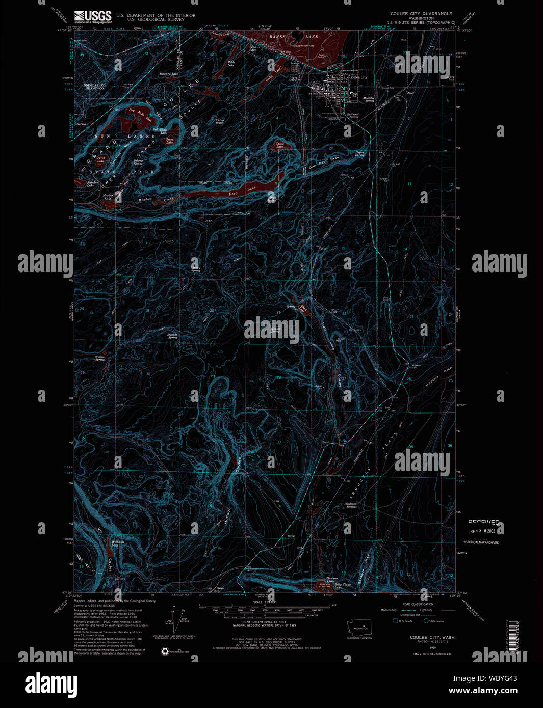 USGS Topo Map Washington State WA Coulee City 240705 1965 24000 Inverted Restoration Stock Photohttps://www.alamy.com/image-license-details/?v=1https://www.alamy.com/usgs-topo-map-washington-state-wa-coulee-city-240705-1965-24000-inverted-restoration-image265522099.html
RMWBYG43–USGS Topo Map Washington State WA Coulee City 240705 1965 24000 Inverted Restoration
 Grand Coulee, Grant County, US, United States, Washington, N 47 56' 29'', S 119 0' 12'', map, Cartascapes Map published in 2024. Explore Cartascapes, a map revealing Earth's diverse landscapes, cultures, and ecosystems. Journey through time and space, discovering the interconnectedness of our planet's past, present, and future. Stock Photohttps://www.alamy.com/image-license-details/?v=1https://www.alamy.com/grand-coulee-grant-county-us-united-states-washington-n-47-56-29-s-119-0-12-map-cartascapes-map-published-in-2024-explore-cartascapes-a-map-revealing-earths-diverse-landscapes-cultures-and-ecosystems-journey-through-time-and-space-discovering-the-interconnectedness-of-our-planets-past-present-and-future-image620728721.html
RM2Y1THPW–Grand Coulee, Grant County, US, United States, Washington, N 47 56' 29'', S 119 0' 12'', map, Cartascapes Map published in 2024. Explore Cartascapes, a map revealing Earth's diverse landscapes, cultures, and ecosystems. Journey through time and space, discovering the interconnectedness of our planet's past, present, and future.
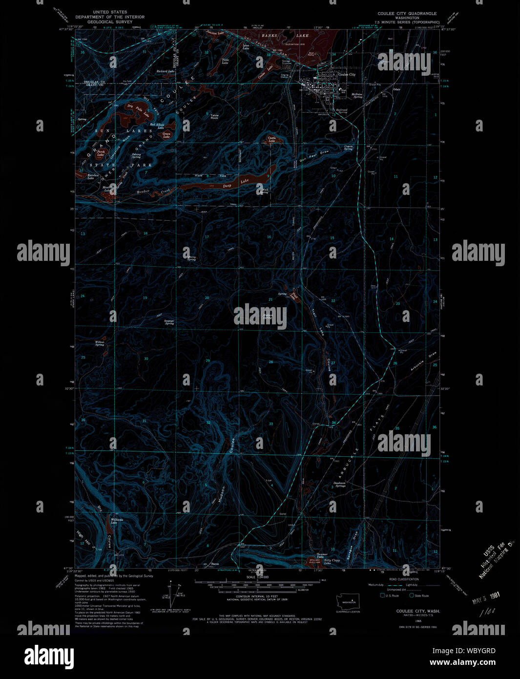 USGS Topo Map Washington State WA Coulee City 240706 1965 24000 Inverted Restoration Stock Photohttps://www.alamy.com/image-license-details/?v=1https://www.alamy.com/usgs-topo-map-washington-state-wa-coulee-city-240706-1965-24000-inverted-restoration-image265522641.html
RMWBYGRD–USGS Topo Map Washington State WA Coulee City 240706 1965 24000 Inverted Restoration
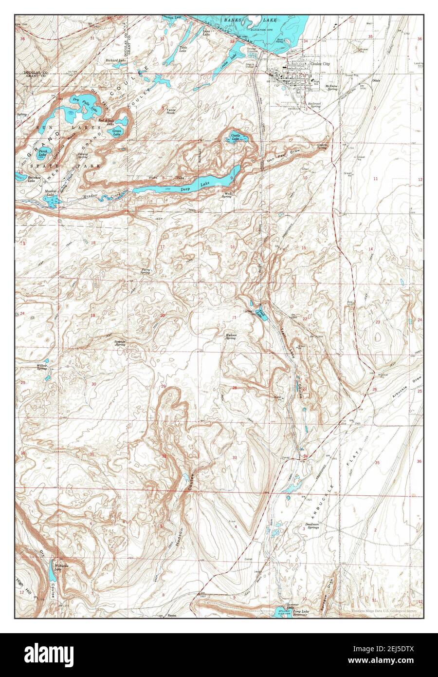 Coulee City, Washington, map 1965, 1:24000, United States of America by Timeless Maps, data U.S. Geological Survey Stock Photohttps://www.alamy.com/image-license-details/?v=1https://www.alamy.com/coulee-city-washington-map-1965-124000-united-states-of-america-by-timeless-maps-data-us-geological-survey-image407022922.html
RM2EJ5DTX–Coulee City, Washington, map 1965, 1:24000, United States of America by Timeless Maps, data U.S. Geological Survey
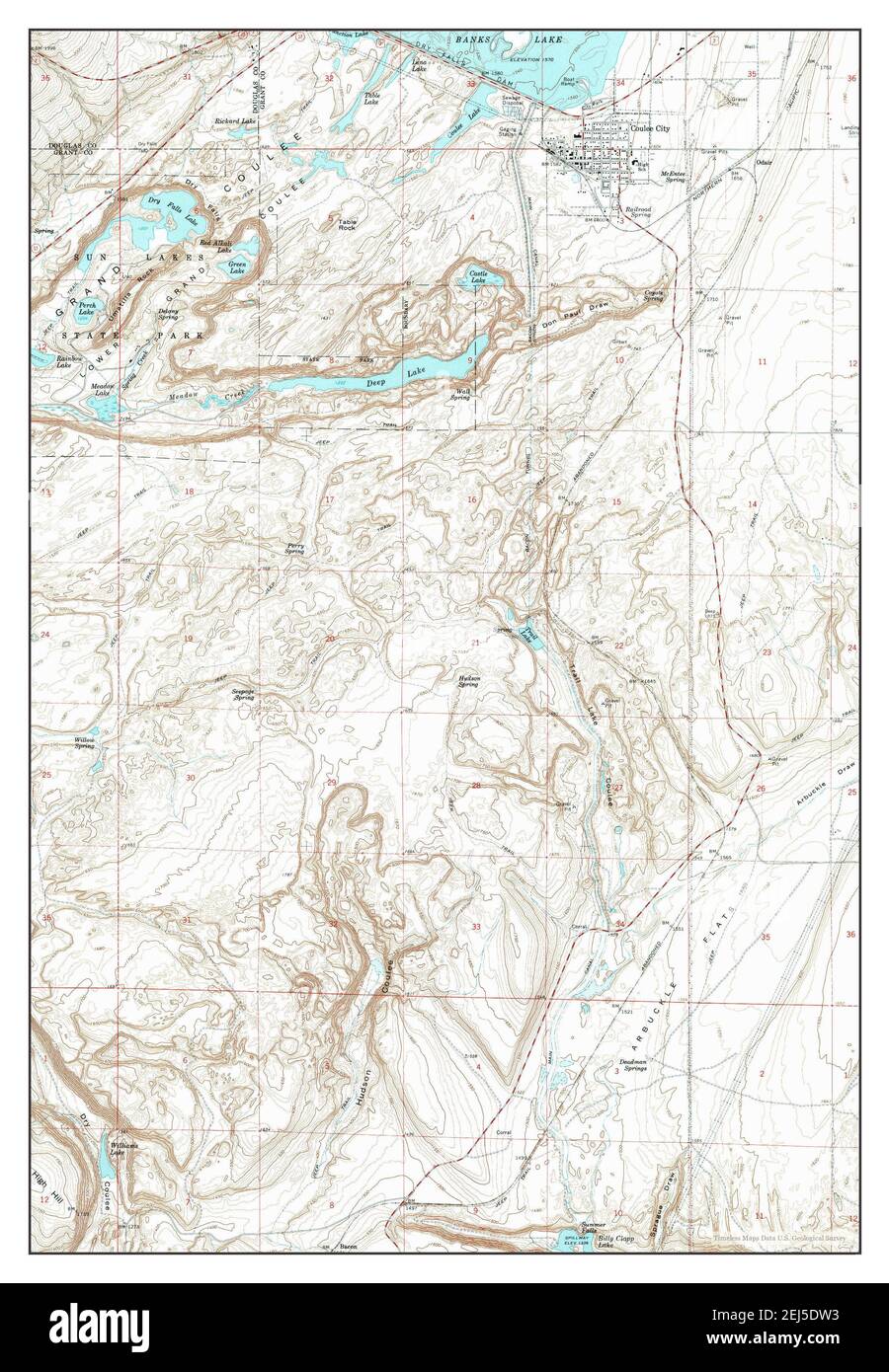 Coulee City, Washington, map 1965, 1:24000, United States of America by Timeless Maps, data U.S. Geological Survey Stock Photohttps://www.alamy.com/image-license-details/?v=1https://www.alamy.com/coulee-city-washington-map-1965-124000-united-states-of-america-by-timeless-maps-data-us-geological-survey-image407022927.html
RM2EJ5DW3–Coulee City, Washington, map 1965, 1:24000, United States of America by Timeless Maps, data U.S. Geological Survey