Quick filters:
Map of egg harbor city Stock Photos and Images
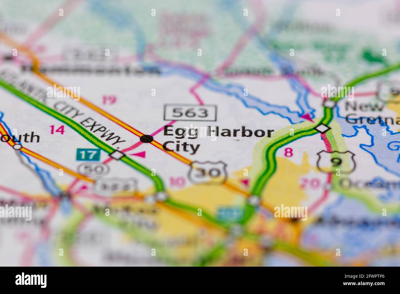 Egg Harbor City New Jersey USA shown on a Geography map or road map Stock Photohttps://www.alamy.com/image-license-details/?v=1https://www.alamy.com/egg-harbor-city-new-jersey-usa-shown-on-a-geography-map-or-road-map-image428917614.html
RM2FWPTP6–Egg Harbor City New Jersey USA shown on a Geography map or road map
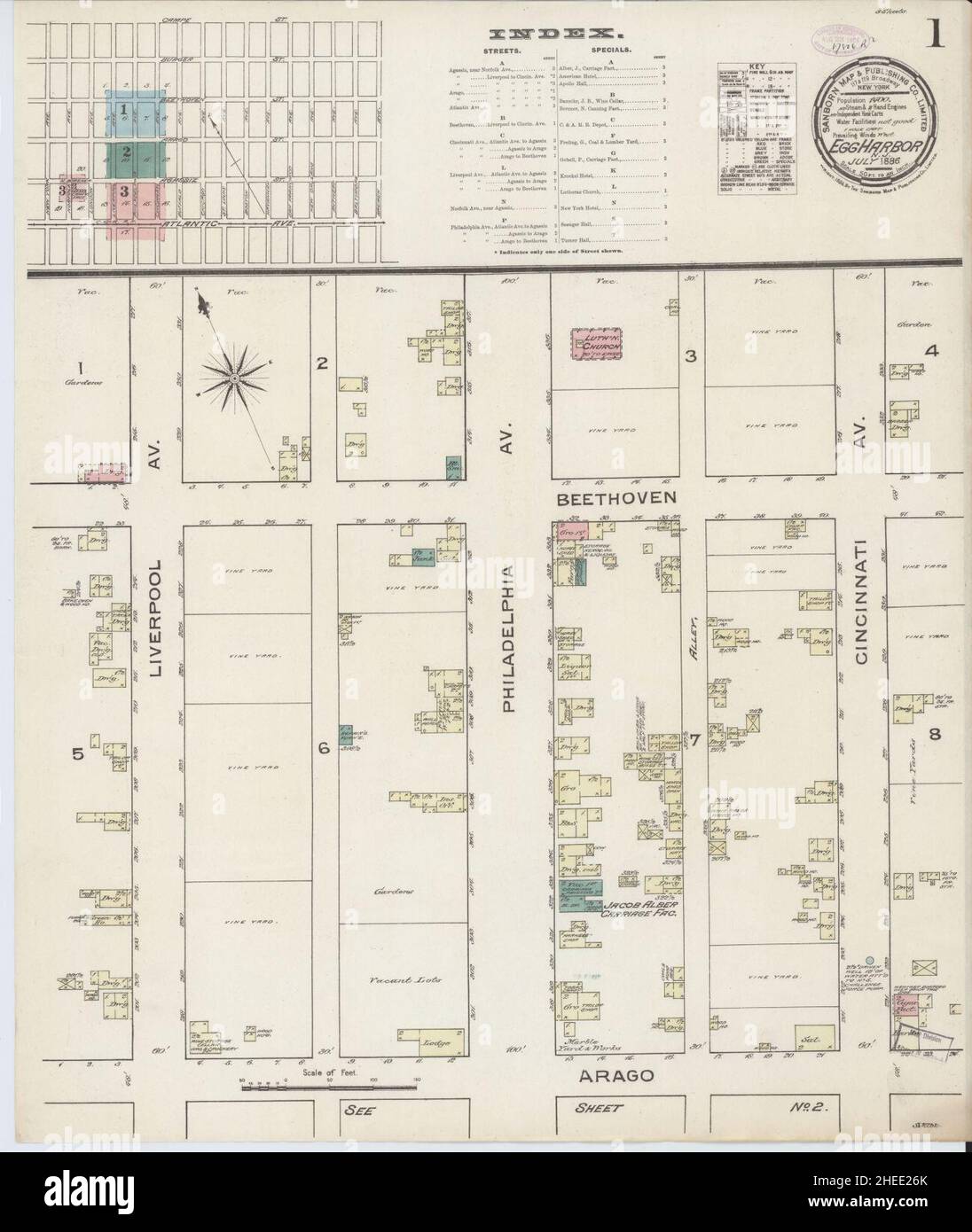 Sanborn Fire Insurance Map from Egg Harbor City, Atlantic County, New Jersey. Stock Photohttps://www.alamy.com/image-license-details/?v=1https://www.alamy.com/sanborn-fire-insurance-map-from-egg-harbor-city-atlantic-county-new-jersey-image456383835.html
RM2HEE26K–Sanborn Fire Insurance Map from Egg Harbor City, Atlantic County, New Jersey.
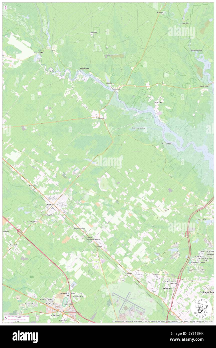 Egg Harbor City, Atlantic County, US, United States, New Jersey, N 39 31' 43'', S 74 38' 52'', map, Cartascapes Map published in 2024. Explore Cartascapes, a map revealing Earth's diverse landscapes, cultures, and ecosystems. Journey through time and space, discovering the interconnectedness of our planet's past, present, and future. Stock Photohttps://www.alamy.com/image-license-details/?v=1https://www.alamy.com/egg-harbor-city-atlantic-county-us-united-states-new-jersey-n-39-31-43-s-74-38-52-map-cartascapes-map-published-in-2024-explore-cartascapes-a-map-revealing-earths-diverse-landscapes-cultures-and-ecosystems-journey-through-time-and-space-discovering-the-interconnectedness-of-our-planets-past-present-and-future-image621448287.html
RM2Y31BHK–Egg Harbor City, Atlantic County, US, United States, New Jersey, N 39 31' 43'', S 74 38' 52'', map, Cartascapes Map published in 2024. Explore Cartascapes, a map revealing Earth's diverse landscapes, cultures, and ecosystems. Journey through time and space, discovering the interconnectedness of our planet's past, present, and future.
![Atlantic City, Double Page Plate No. 19 [Map bounded by Risleys Channel, Atlantic Ocean, Great Egg Harbor Inlet] 1896 by Barthel, Otto. Stock Photo Atlantic City, Double Page Plate No. 19 [Map bounded by Risleys Channel, Atlantic Ocean, Great Egg Harbor Inlet] 1896 by Barthel, Otto. Stock Photo](https://c8.alamy.com/comp/2YP2KNX/atlantic-city-double-page-plate-no-19-map-bounded-by-risleys-channel-atlantic-ocean-great-egg-harbor-inlet-1896-by-barthel-otto-2YP2KNX.jpg) Atlantic City, Double Page Plate No. 19 [Map bounded by Risleys Channel, Atlantic Ocean, Great Egg Harbor Inlet] 1896 by Barthel, Otto. Stock Photohttps://www.alamy.com/image-license-details/?v=1https://www.alamy.com/atlantic-city-double-page-plate-no-19-map-bounded-by-risleys-channel-atlantic-ocean-great-egg-harbor-inlet-1896-by-barthel-otto-image633155094.html
Atlantic City, Double Page Plate No. 19 [Map bounded by Risleys Channel, Atlantic Ocean, Great Egg Harbor Inlet] 1896 by Barthel, Otto. Stock Photohttps://www.alamy.com/image-license-details/?v=1https://www.alamy.com/atlantic-city-double-page-plate-no-19-map-bounded-by-risleys-channel-atlantic-ocean-great-egg-harbor-inlet-1896-by-barthel-otto-image633155094.htmlRM2YP2KNX–Atlantic City, Double Page Plate No. 19 [Map bounded by Risleys Channel, Atlantic Ocean, Great Egg Harbor Inlet] 1896 by Barthel, Otto.
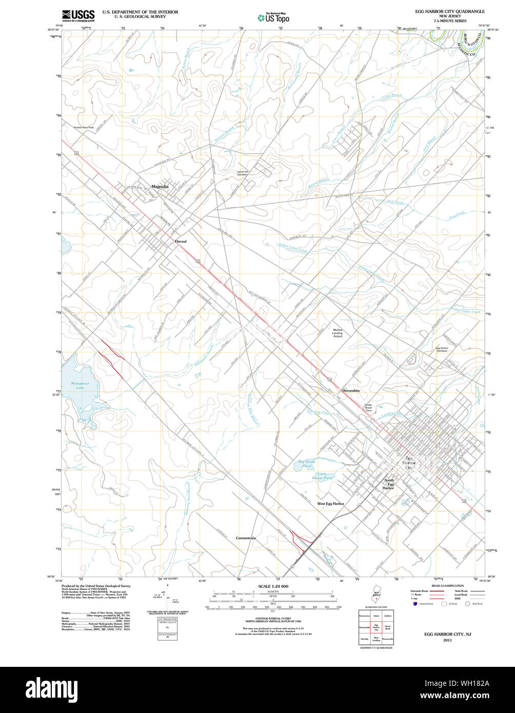 USGS TOPO Map New Jersey NJ Egg Harbor City 20110426 TM Restoration Stock Photohttps://www.alamy.com/image-license-details/?v=1https://www.alamy.com/usgs-topo-map-new-jersey-nj-egg-harbor-city-20110426-tm-restoration-image268632962.html
RMWH182A–USGS TOPO Map New Jersey NJ Egg Harbor City 20110426 TM Restoration
 Atlantic City, Double Page Plate No. 19 Map bounded by Risleys Channel, Atlantic Ocean, Great Egg Harbor Inlet Cartographic. Atlases, Maps. 1896. Lionel Pincus and Princess Firyal Map Division. Atlantic City (N.J.) Stock Photohttps://www.alamy.com/image-license-details/?v=1https://www.alamy.com/atlantic-city-double-page-plate-no-19-map-bounded-by-risleys-channel-atlantic-ocean-great-egg-harbor-inlet-cartographic-atlases-maps-1896-lionel-pincus-and-princess-firyal-map-division-atlantic-city-nj-image484328767.html
RM2K3Y27Y–Atlantic City, Double Page Plate No. 19 Map bounded by Risleys Channel, Atlantic Ocean, Great Egg Harbor Inlet Cartographic. Atlases, Maps. 1896. Lionel Pincus and Princess Firyal Map Division. Atlantic City (N.J.)
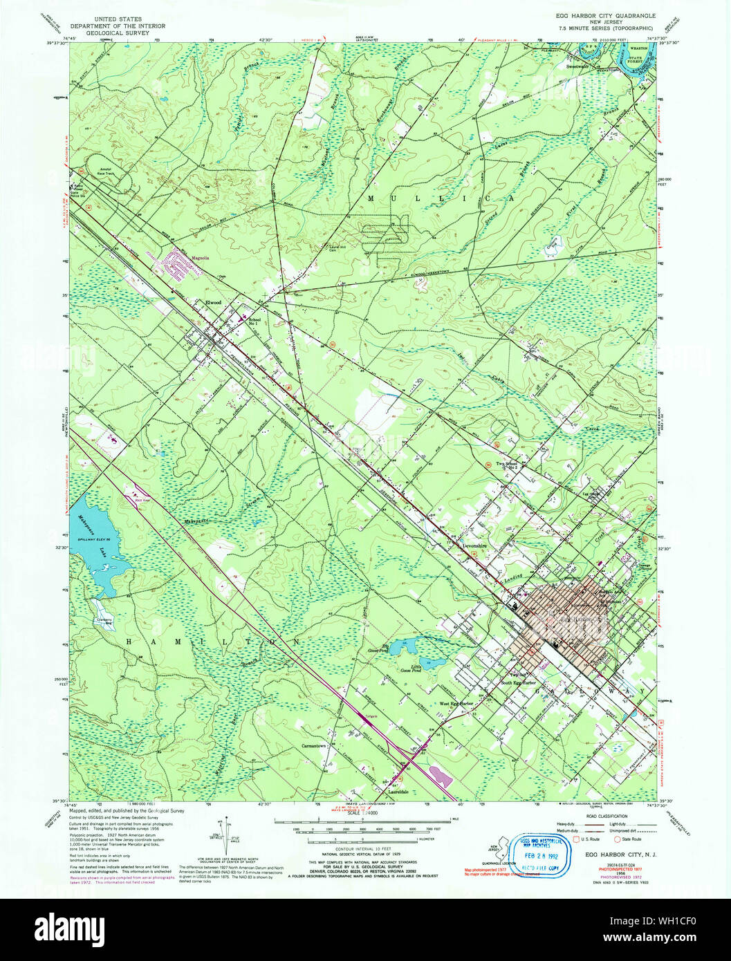 USGS TOPO Map New Jersey NJ Egg Harbor City 254342 1956 24000 Restoration Stock Photohttps://www.alamy.com/image-license-details/?v=1https://www.alamy.com/usgs-topo-map-new-jersey-nj-egg-harbor-city-254342-1956-24000-restoration-image268636452.html
RMWH1CF0–USGS TOPO Map New Jersey NJ Egg Harbor City 254342 1956 24000 Restoration
 Field, laboratory, and library manual in physical geography . gat, Long Beach, Little Egg Harbor, Atlantic City; 6 sheets,6 cents each. Assembled topographic sheets, showing Cape Cod (Mass.), asfollows : Provincetown, Wellfleet, Chatham, Yarmouth ; 4 sheets,3 cents each. Pilot charts of the North Atlantic ocean, United States Coastand Geodetic Survey; 10 cents each. Same, North Pacific ocean ;10 cents each. Tide Tables for Pacific (or Atlantic) ports for current year,United States Coast and Geodetic Survey; 10 cents. Map showing magnetic declination in the United States, UnitedStates Coast and Stock Photohttps://www.alamy.com/image-license-details/?v=1https://www.alamy.com/field-laboratory-and-library-manual-in-physical-geography-gat-long-beach-little-egg-harbor-atlantic-city-6-sheets6-cents-each-assembled-topographic-sheets-showing-cape-cod-mass-asfollows-provincetown-wellfleet-chatham-yarmouth-4-sheets3-cents-each-pilot-charts-of-the-north-atlantic-ocean-united-states-coastand-geodetic-survey-10-cents-each-same-north-pacific-ocean-10-cents-each-tide-tables-for-pacific-or-atlantic-ports-for-current-yearunited-states-coast-and-geodetic-survey-10-cents-map-showing-magnetic-declination-in-the-united-states-unitedstates-coast-and-image338378221.html
RM2AJECTD–Field, laboratory, and library manual in physical geography . gat, Long Beach, Little Egg Harbor, Atlantic City; 6 sheets,6 cents each. Assembled topographic sheets, showing Cape Cod (Mass.), asfollows : Provincetown, Wellfleet, Chatham, Yarmouth ; 4 sheets,3 cents each. Pilot charts of the North Atlantic ocean, United States Coastand Geodetic Survey; 10 cents each. Same, North Pacific ocean ;10 cents each. Tide Tables for Pacific (or Atlantic) ports for current year,United States Coast and Geodetic Survey; 10 cents. Map showing magnetic declination in the United States, UnitedStates Coast and
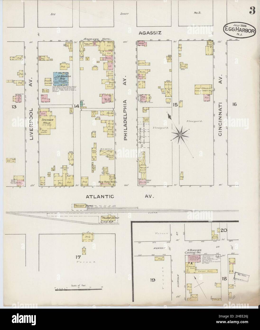 Sanborn Fire Insurance Map from Egg Harbor City, Atlantic County, New Jersey. Stock Photohttps://www.alamy.com/image-license-details/?v=1https://www.alamy.com/sanborn-fire-insurance-map-from-egg-harbor-city-atlantic-county-new-jersey-image456383834.html
RM2HEE26J–Sanborn Fire Insurance Map from Egg Harbor City, Atlantic County, New Jersey.
 Egg Harbor City, Atlantic County, US, United States, New Jersey, N 39 31' 43'', S 74 38' 52'', map, Cartascapes Map published in 2024. Explore Cartascapes, a map revealing Earth's diverse landscapes, cultures, and ecosystems. Journey through time and space, discovering the interconnectedness of our planet's past, present, and future. Stock Photohttps://www.alamy.com/image-license-details/?v=1https://www.alamy.com/egg-harbor-city-atlantic-county-us-united-states-new-jersey-n-39-31-43-s-74-38-52-map-cartascapes-map-published-in-2024-explore-cartascapes-a-map-revealing-earths-diverse-landscapes-cultures-and-ecosystems-journey-through-time-and-space-discovering-the-interconnectedness-of-our-planets-past-present-and-future-image621385003.html
RM2Y2XEWF–Egg Harbor City, Atlantic County, US, United States, New Jersey, N 39 31' 43'', S 74 38' 52'', map, Cartascapes Map published in 2024. Explore Cartascapes, a map revealing Earth's diverse landscapes, cultures, and ecosystems. Journey through time and space, discovering the interconnectedness of our planet's past, present, and future.
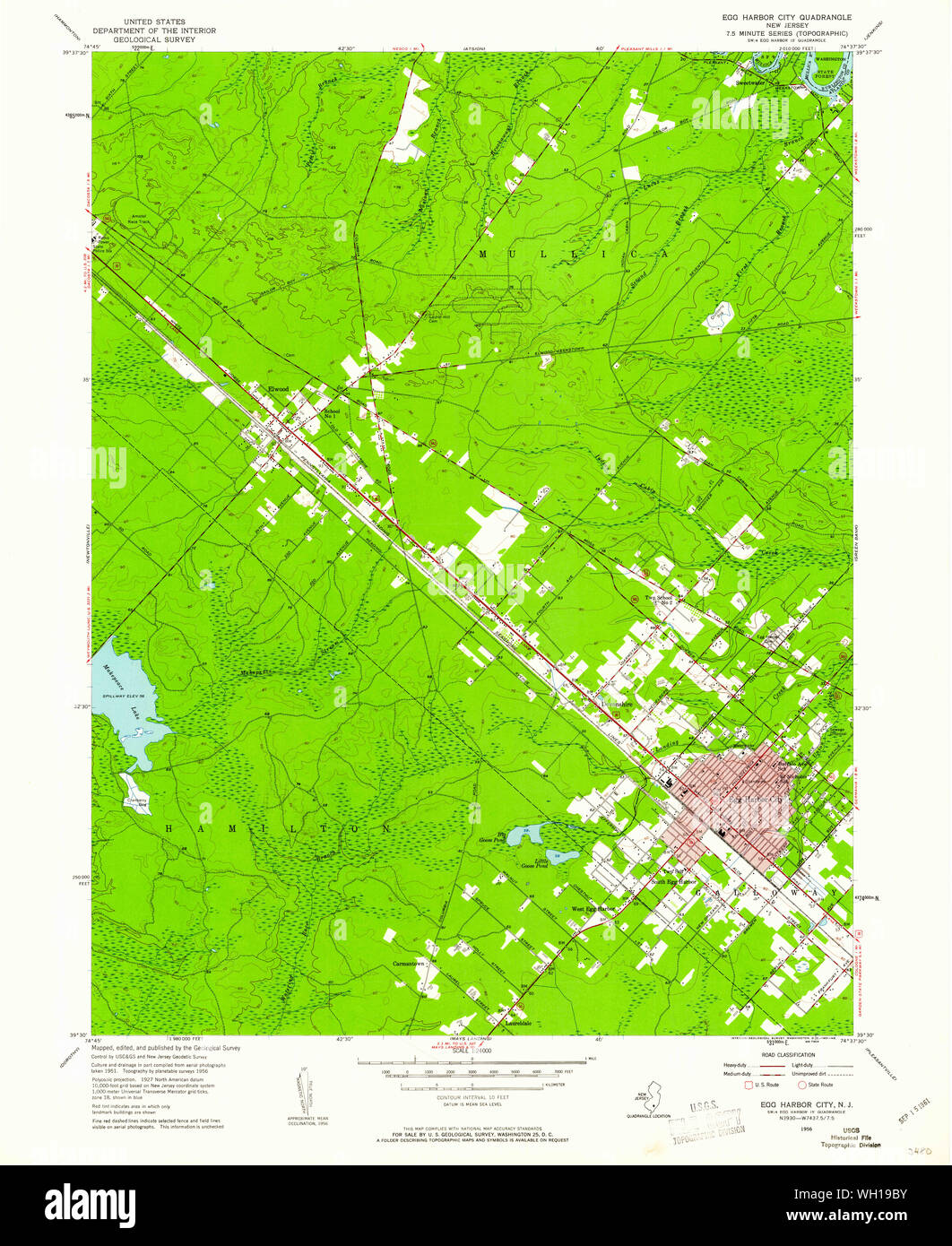 USGS TOPO Map New Jersey NJ Egg Harbor City 254337 1956 24000 Restoration Stock Photohttps://www.alamy.com/image-license-details/?v=1https://www.alamy.com/usgs-topo-map-new-jersey-nj-egg-harbor-city-254337-1956-24000-restoration-image268634015.html
RMWH19BY–USGS TOPO Map New Jersey NJ Egg Harbor City 254337 1956 24000 Restoration
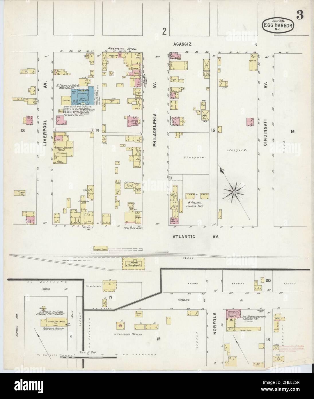 Sanborn Fire Insurance Map from Egg Harbor City, Atlantic County, New Jersey. Stock Photohttps://www.alamy.com/image-license-details/?v=1https://www.alamy.com/sanborn-fire-insurance-map-from-egg-harbor-city-atlantic-county-new-jersey-image456383811.html
RM2HEE25R–Sanborn Fire Insurance Map from Egg Harbor City, Atlantic County, New Jersey.
 City of Egg Harbor City, Atlantic County, US, United States, New Jersey, N 39 33' 50'', S 74 35' 48'', map, Cartascapes Map published in 2024. Explore Cartascapes, a map revealing Earth's diverse landscapes, cultures, and ecosystems. Journey through time and space, discovering the interconnectedness of our planet's past, present, and future. Stock Photohttps://www.alamy.com/image-license-details/?v=1https://www.alamy.com/city-of-egg-harbor-city-atlantic-county-us-united-states-new-jersey-n-39-33-50-s-74-35-48-map-cartascapes-map-published-in-2024-explore-cartascapes-a-map-revealing-earths-diverse-landscapes-cultures-and-ecosystems-journey-through-time-and-space-discovering-the-interconnectedness-of-our-planets-past-present-and-future-image633881104.html
RM2YR7NPT–City of Egg Harbor City, Atlantic County, US, United States, New Jersey, N 39 33' 50'', S 74 35' 48'', map, Cartascapes Map published in 2024. Explore Cartascapes, a map revealing Earth's diverse landscapes, cultures, and ecosystems. Journey through time and space, discovering the interconnectedness of our planet's past, present, and future.
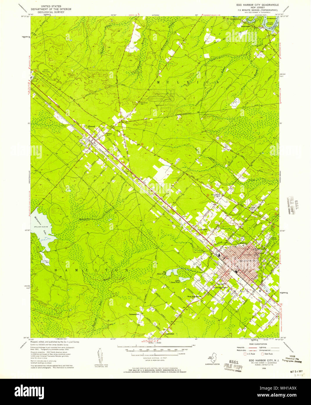 USGS TOPO Map New Jersey NJ Egg Harbor City 254338 1956 24000 Restoration Stock Photohttps://www.alamy.com/image-license-details/?v=1https://www.alamy.com/usgs-topo-map-new-jersey-nj-egg-harbor-city-254338-1956-24000-restoration-image268634742.html
RMWH1A9X–USGS TOPO Map New Jersey NJ Egg Harbor City 254338 1956 24000 Restoration
 Sanborn Fire Insurance Map from Egg Harbor City, Atlantic County, New Jersey. Stock Photohttps://www.alamy.com/image-license-details/?v=1https://www.alamy.com/sanborn-fire-insurance-map-from-egg-harbor-city-atlantic-county-new-jersey-image456383824.html
RM2HEE268–Sanborn Fire Insurance Map from Egg Harbor City, Atlantic County, New Jersey.
 Egg Harbor, Gibson County, US, United States, Indiana, N 38 13' 43'', S 87 47' 26'', map, Cartascapes Map published in 2024. Explore Cartascapes, a map revealing Earth's diverse landscapes, cultures, and ecosystems. Journey through time and space, discovering the interconnectedness of our planet's past, present, and future. Stock Photohttps://www.alamy.com/image-license-details/?v=1https://www.alamy.com/egg-harbor-gibson-county-us-united-states-indiana-n-38-13-43-s-87-47-26-map-cartascapes-map-published-in-2024-explore-cartascapes-a-map-revealing-earths-diverse-landscapes-cultures-and-ecosystems-journey-through-time-and-space-discovering-the-interconnectedness-of-our-planets-past-present-and-future-image620776069.html
RM2Y1XP5W–Egg Harbor, Gibson County, US, United States, Indiana, N 38 13' 43'', S 87 47' 26'', map, Cartascapes Map published in 2024. Explore Cartascapes, a map revealing Earth's diverse landscapes, cultures, and ecosystems. Journey through time and space, discovering the interconnectedness of our planet's past, present, and future.
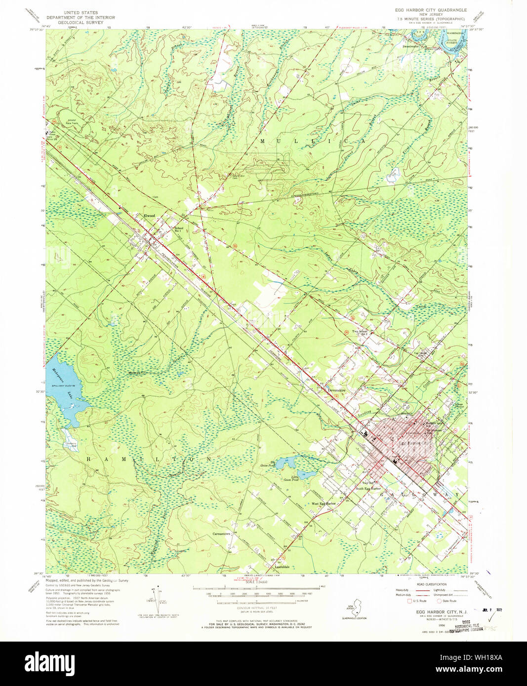 USGS TOPO Map New Jersey NJ Egg Harbor City 254336 1956 24000 Restoration Stock Photohttps://www.alamy.com/image-license-details/?v=1https://www.alamy.com/usgs-topo-map-new-jersey-nj-egg-harbor-city-254336-1956-24000-restoration-image268633634.html
RMWH18XA–USGS TOPO Map New Jersey NJ Egg Harbor City 254336 1956 24000 Restoration
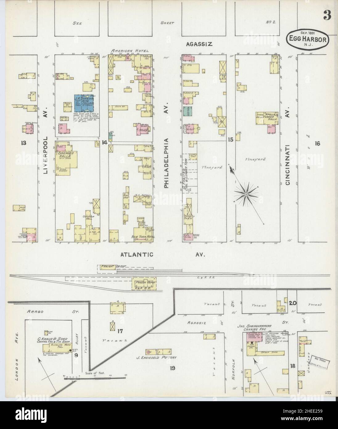 Sanborn Fire Insurance Map from Egg Harbor City, Atlantic County, New Jersey. Stock Photohttps://www.alamy.com/image-license-details/?v=1https://www.alamy.com/sanborn-fire-insurance-map-from-egg-harbor-city-atlantic-county-new-jersey-image456383797.html
RM2HEE259–Sanborn Fire Insurance Map from Egg Harbor City, Atlantic County, New Jersey.
 Town of Egg Harbor, Door County, US, United States, Wisconsin, N 45 1' 14'', S 87 22' 13'', map, Cartascapes Map published in 2024. Explore Cartascapes, a map revealing Earth's diverse landscapes, cultures, and ecosystems. Journey through time and space, discovering the interconnectedness of our planet's past, present, and future. Stock Photohttps://www.alamy.com/image-license-details/?v=1https://www.alamy.com/town-of-egg-harbor-door-county-us-united-states-wisconsin-n-45-1-14-s-87-22-13-map-cartascapes-map-published-in-2024-explore-cartascapes-a-map-revealing-earths-diverse-landscapes-cultures-and-ecosystems-journey-through-time-and-space-discovering-the-interconnectedness-of-our-planets-past-present-and-future-image633860632.html
RM2YR6RKM–Town of Egg Harbor, Door County, US, United States, Wisconsin, N 45 1' 14'', S 87 22' 13'', map, Cartascapes Map published in 2024. Explore Cartascapes, a map revealing Earth's diverse landscapes, cultures, and ecosystems. Journey through time and space, discovering the interconnectedness of our planet's past, present, and future.
 USGS TOPO Map New Jersey NJ Egg Harbor City 254340 1956 24000 Restoration Stock Photohttps://www.alamy.com/image-license-details/?v=1https://www.alamy.com/usgs-topo-map-new-jersey-nj-egg-harbor-city-254340-1956-24000-restoration-image268635808.html
RMWH1BM0–USGS TOPO Map New Jersey NJ Egg Harbor City 254340 1956 24000 Restoration
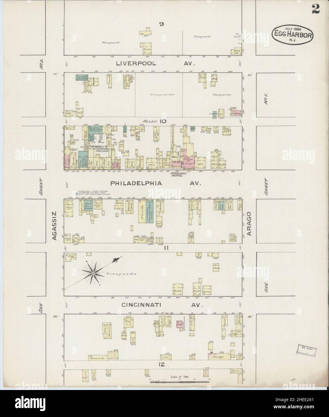 Sanborn Fire Insurance Map from Egg Harbor City, Atlantic County, New Jersey. Stock Photohttps://www.alamy.com/image-license-details/?v=1https://www.alamy.com/sanborn-fire-insurance-map-from-egg-harbor-city-atlantic-county-new-jersey-image456383817.html
RM2HEE261–Sanborn Fire Insurance Map from Egg Harbor City, Atlantic County, New Jersey.
 Village of Egg Harbor, Door County, US, United States, Wisconsin, N 45 3' 28'', S 87 17' 48'', map, Cartascapes Map published in 2024. Explore Cartascapes, a map revealing Earth's diverse landscapes, cultures, and ecosystems. Journey through time and space, discovering the interconnectedness of our planet's past, present, and future. Stock Photohttps://www.alamy.com/image-license-details/?v=1https://www.alamy.com/village-of-egg-harbor-door-county-us-united-states-wisconsin-n-45-3-28-s-87-17-48-map-cartascapes-map-published-in-2024-explore-cartascapes-a-map-revealing-earths-diverse-landscapes-cultures-and-ecosystems-journey-through-time-and-space-discovering-the-interconnectedness-of-our-planets-past-present-and-future-image633786186.html
RM2YR3CMX–Village of Egg Harbor, Door County, US, United States, Wisconsin, N 45 3' 28'', S 87 17' 48'', map, Cartascapes Map published in 2024. Explore Cartascapes, a map revealing Earth's diverse landscapes, cultures, and ecosystems. Journey through time and space, discovering the interconnectedness of our planet's past, present, and future.
 USGS TOPO Map New Jersey NJ Egg Harbor City 254339 1956 24000 Restoration Stock Photohttps://www.alamy.com/image-license-details/?v=1https://www.alamy.com/usgs-topo-map-new-jersey-nj-egg-harbor-city-254339-1956-24000-restoration-image268635447.html
RMWH1B73–USGS TOPO Map New Jersey NJ Egg Harbor City 254339 1956 24000 Restoration
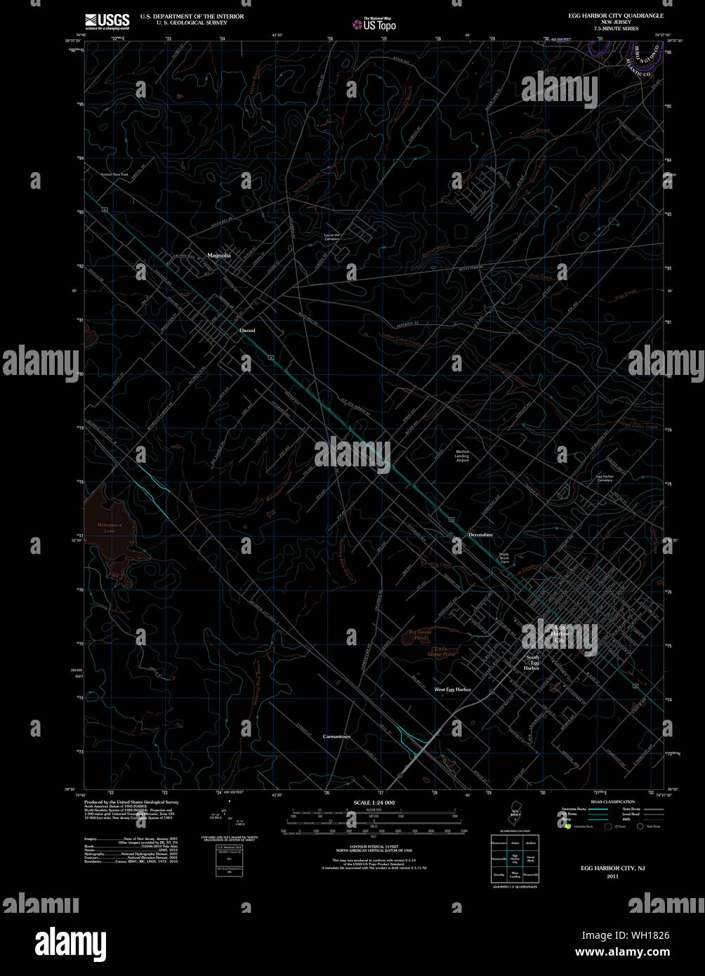 USGS TOPO Map New Jersey NJ Egg Harbor City 20110426 TM Inverted Restoration Stock Photohttps://www.alamy.com/image-license-details/?v=1https://www.alamy.com/usgs-topo-map-new-jersey-nj-egg-harbor-city-20110426-tm-inverted-restoration-image268632958.html
RMWH1826–USGS TOPO Map New Jersey NJ Egg Harbor City 20110426 TM Inverted Restoration
 USGS TOPO Map New Jersey NJ Egg Harbor City 254338 1956 24000 Inverted Restoration Stock Photohttps://www.alamy.com/image-license-details/?v=1https://www.alamy.com/usgs-topo-map-new-jersey-nj-egg-harbor-city-254338-1956-24000-inverted-restoration-image268634389.html
RMWH19W9–USGS TOPO Map New Jersey NJ Egg Harbor City 254338 1956 24000 Inverted Restoration
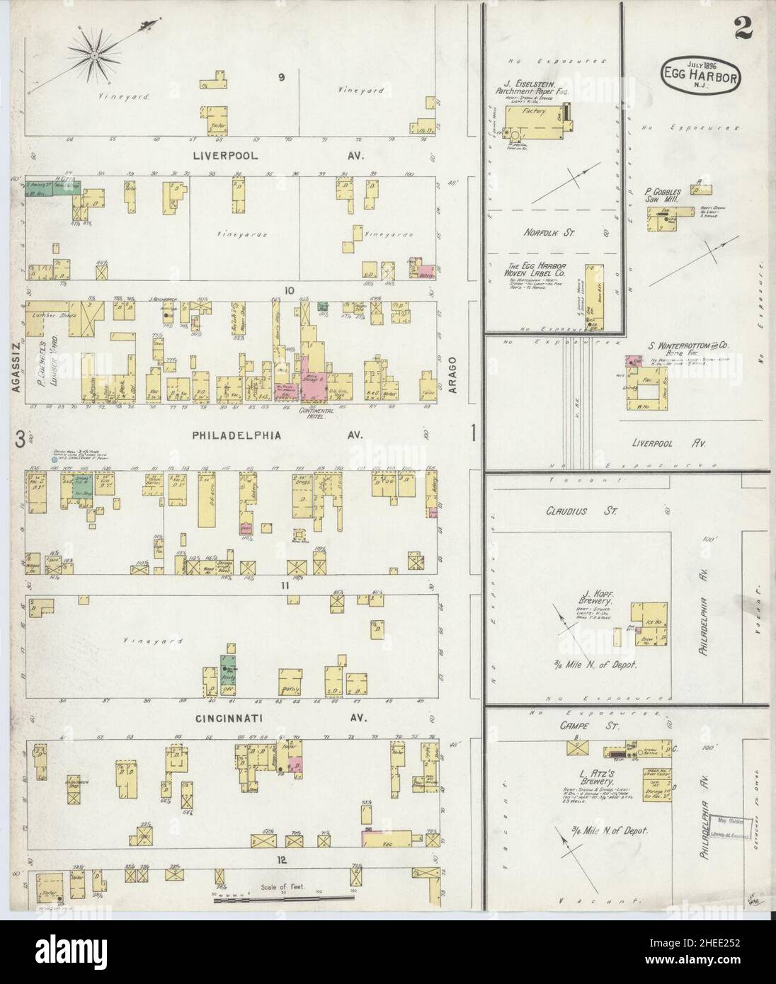 Sanborn Fire Insurance Map from Egg Harbor City, Atlantic County, New Jersey. Stock Photohttps://www.alamy.com/image-license-details/?v=1https://www.alamy.com/sanborn-fire-insurance-map-from-egg-harbor-city-atlantic-county-new-jersey-image456383790.html
RM2HEE252–Sanborn Fire Insurance Map from Egg Harbor City, Atlantic County, New Jersey.
 Town of Egg Harbor, Door County, US, United States, Wisconsin, N 45 1' 14'', S 87 22' 13'', map, Cartascapes Map published in 2024. Explore Cartascapes, a map revealing Earth's diverse landscapes, cultures, and ecosystems. Journey through time and space, discovering the interconnectedness of our planet's past, present, and future. Stock Photohttps://www.alamy.com/image-license-details/?v=1https://www.alamy.com/town-of-egg-harbor-door-county-us-united-states-wisconsin-n-45-1-14-s-87-22-13-map-cartascapes-map-published-in-2024-explore-cartascapes-a-map-revealing-earths-diverse-landscapes-cultures-and-ecosystems-journey-through-time-and-space-discovering-the-interconnectedness-of-our-planets-past-present-and-future-image633872409.html
RM2YR7AM9–Town of Egg Harbor, Door County, US, United States, Wisconsin, N 45 1' 14'', S 87 22' 13'', map, Cartascapes Map published in 2024. Explore Cartascapes, a map revealing Earth's diverse landscapes, cultures, and ecosystems. Journey through time and space, discovering the interconnectedness of our planet's past, present, and future.
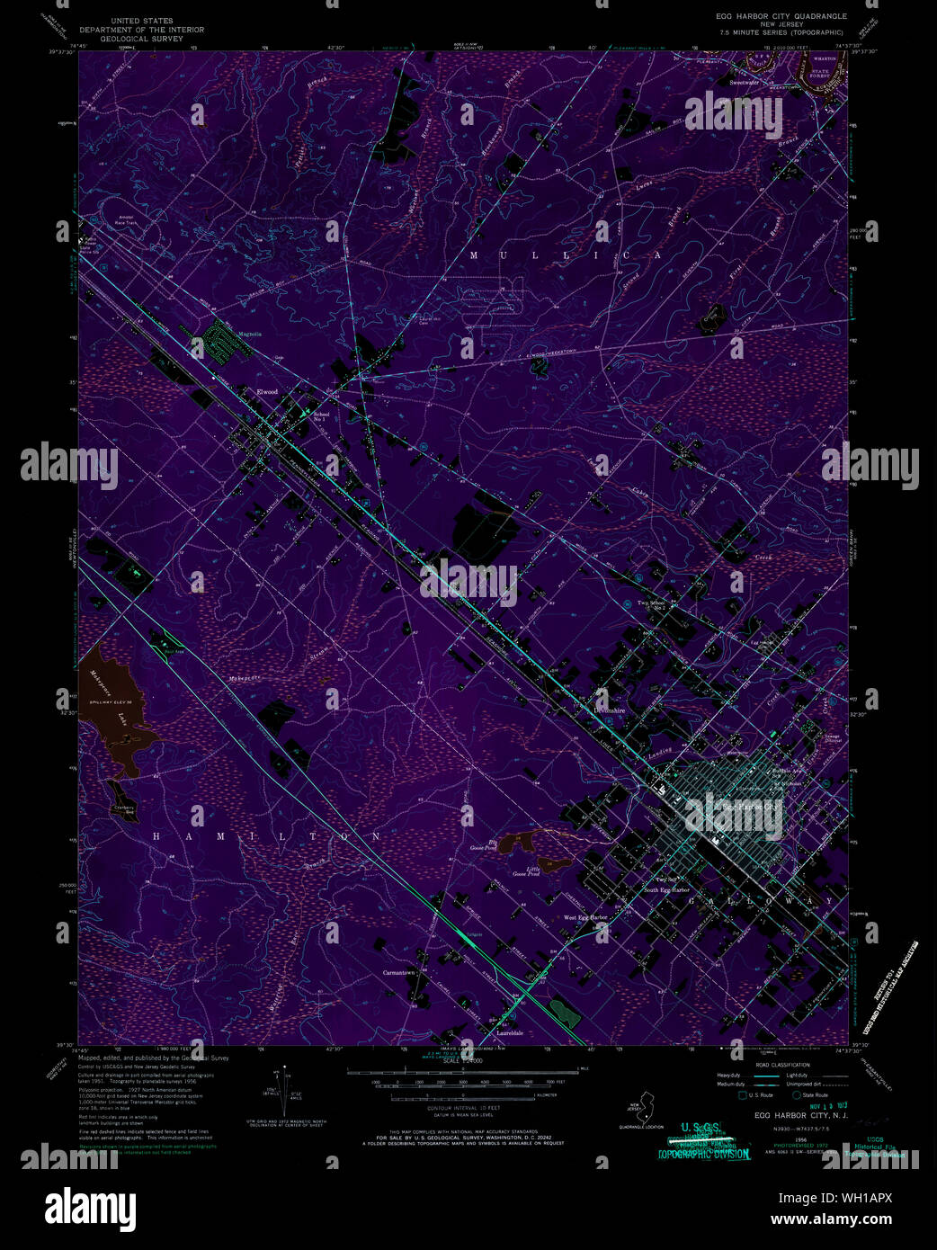 USGS TOPO Map New Jersey NJ Egg Harbor City 254339 1956 24000 Inverted Restoration Stock Photohttps://www.alamy.com/image-license-details/?v=1https://www.alamy.com/usgs-topo-map-new-jersey-nj-egg-harbor-city-254339-1956-24000-inverted-restoration-image268635106.html
RMWH1APX–USGS TOPO Map New Jersey NJ Egg Harbor City 254339 1956 24000 Inverted Restoration
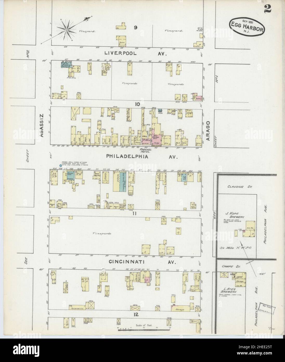 Sanborn Fire Insurance Map from Egg Harbor City, Atlantic County, New Jersey. Stock Photohttps://www.alamy.com/image-license-details/?v=1https://www.alamy.com/sanborn-fire-insurance-map-from-egg-harbor-city-atlantic-county-new-jersey-image456383812.html
RM2HEE25T–Sanborn Fire Insurance Map from Egg Harbor City, Atlantic County, New Jersey.
 South Egg Harbor, Atlantic County, US, United States, New Jersey, N 39 31' 16'', S 74 39' 5'', map, Cartascapes Map published in 2024. Explore Cartascapes, a map revealing Earth's diverse landscapes, cultures, and ecosystems. Journey through time and space, discovering the interconnectedness of our planet's past, present, and future. Stock Photohttps://www.alamy.com/image-license-details/?v=1https://www.alamy.com/south-egg-harbor-atlantic-county-us-united-states-new-jersey-n-39-31-16-s-74-39-5-map-cartascapes-map-published-in-2024-explore-cartascapes-a-map-revealing-earths-diverse-landscapes-cultures-and-ecosystems-journey-through-time-and-space-discovering-the-interconnectedness-of-our-planets-past-present-and-future-image620889873.html
RM2Y23YA9–South Egg Harbor, Atlantic County, US, United States, New Jersey, N 39 31' 16'', S 74 39' 5'', map, Cartascapes Map published in 2024. Explore Cartascapes, a map revealing Earth's diverse landscapes, cultures, and ecosystems. Journey through time and space, discovering the interconnectedness of our planet's past, present, and future.
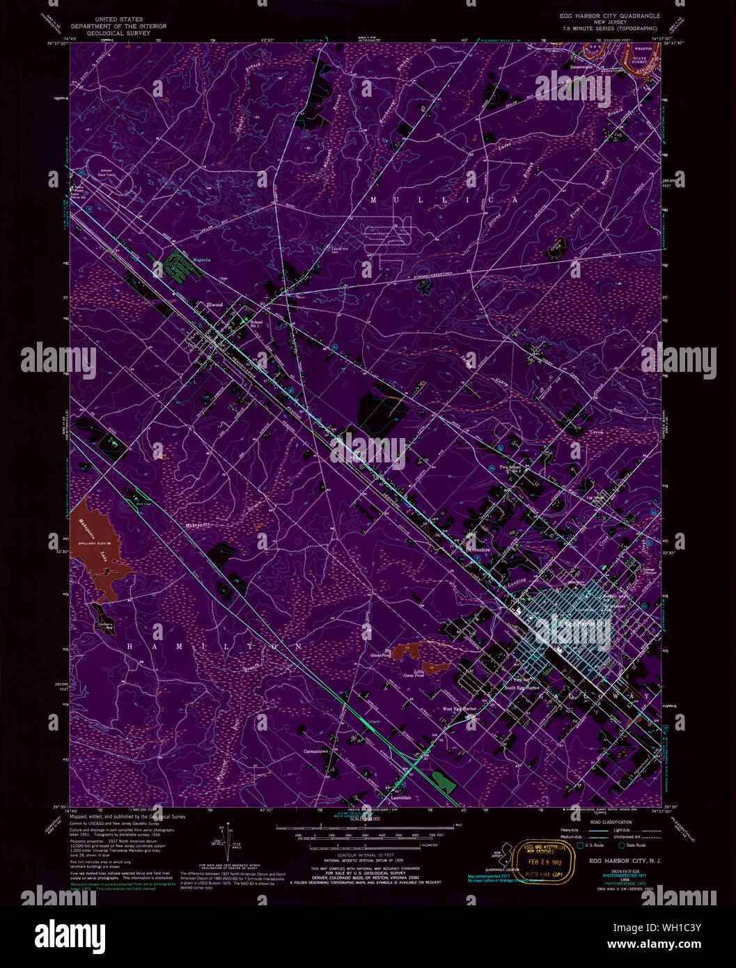 USGS TOPO Map New Jersey NJ Egg Harbor City 254342 1956 24000 Inverted Restoration Stock Photohttps://www.alamy.com/image-license-details/?v=1https://www.alamy.com/usgs-topo-map-new-jersey-nj-egg-harbor-city-254342-1956-24000-inverted-restoration-image268636143.html
RMWH1C3Y–USGS TOPO Map New Jersey NJ Egg Harbor City 254342 1956 24000 Inverted Restoration
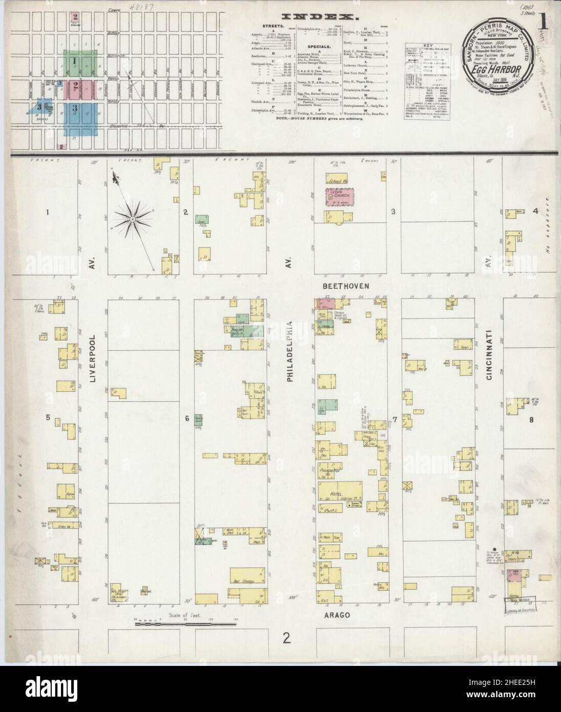 Sanborn Fire Insurance Map from Egg Harbor City, Atlantic County, New Jersey. Stock Photohttps://www.alamy.com/image-license-details/?v=1https://www.alamy.com/sanborn-fire-insurance-map-from-egg-harbor-city-atlantic-county-new-jersey-image456383805.html
RM2HEE25H–Sanborn Fire Insurance Map from Egg Harbor City, Atlantic County, New Jersey.
 Township of Egg Harbor, Atlantic County, US, United States, New Jersey, N 39 22' 40'', S 74 36' 38'', map, Cartascapes Map published in 2024. Explore Cartascapes, a map revealing Earth's diverse landscapes, cultures, and ecosystems. Journey through time and space, discovering the interconnectedness of our planet's past, present, and future. Stock Photohttps://www.alamy.com/image-license-details/?v=1https://www.alamy.com/township-of-egg-harbor-atlantic-county-us-united-states-new-jersey-n-39-22-40-s-74-36-38-map-cartascapes-map-published-in-2024-explore-cartascapes-a-map-revealing-earths-diverse-landscapes-cultures-and-ecosystems-journey-through-time-and-space-discovering-the-interconnectedness-of-our-planets-past-present-and-future-image633865434.html
RM2YR71R6–Township of Egg Harbor, Atlantic County, US, United States, New Jersey, N 39 22' 40'', S 74 36' 38'', map, Cartascapes Map published in 2024. Explore Cartascapes, a map revealing Earth's diverse landscapes, cultures, and ecosystems. Journey through time and space, discovering the interconnectedness of our planet's past, present, and future.
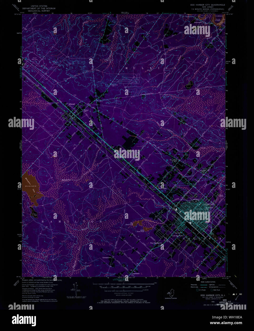 USGS TOPO Map New Jersey NJ Egg Harbor City 254336 1956 24000 Inverted Restoration Stock Photohttps://www.alamy.com/image-license-details/?v=1https://www.alamy.com/usgs-topo-map-new-jersey-nj-egg-harbor-city-254336-1956-24000-inverted-restoration-image268633298.html
RMWH18EA–USGS TOPO Map New Jersey NJ Egg Harbor City 254336 1956 24000 Inverted Restoration
 Township of Little Egg Harbor, Ocean County, US, United States, New Jersey, N 39 32' 34'', S 74 20' 11'', map, Cartascapes Map published in 2024. Explore Cartascapes, a map revealing Earth's diverse landscapes, cultures, and ecosystems. Journey through time and space, discovering the interconnectedness of our planet's past, present, and future. Stock Photohttps://www.alamy.com/image-license-details/?v=1https://www.alamy.com/township-of-little-egg-harbor-ocean-county-us-united-states-new-jersey-n-39-32-34-s-74-20-11-map-cartascapes-map-published-in-2024-explore-cartascapes-a-map-revealing-earths-diverse-landscapes-cultures-and-ecosystems-journey-through-time-and-space-discovering-the-interconnectedness-of-our-planets-past-present-and-future-image633912176.html
RM2YR95CG–Township of Little Egg Harbor, Ocean County, US, United States, New Jersey, N 39 32' 34'', S 74 20' 11'', map, Cartascapes Map published in 2024. Explore Cartascapes, a map revealing Earth's diverse landscapes, cultures, and ecosystems. Journey through time and space, discovering the interconnectedness of our planet's past, present, and future.
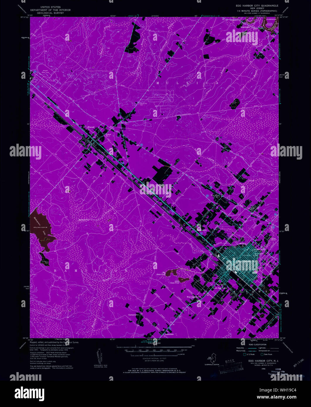 USGS TOPO Map New Jersey NJ Egg Harbor City 254337 1956 24000 Inverted Restoration Stock Photohttps://www.alamy.com/image-license-details/?v=1https://www.alamy.com/usgs-topo-map-new-jersey-nj-egg-harbor-city-254337-1956-24000-inverted-restoration-image268634020.html
RMWH19C4–USGS TOPO Map New Jersey NJ Egg Harbor City 254337 1956 24000 Inverted Restoration
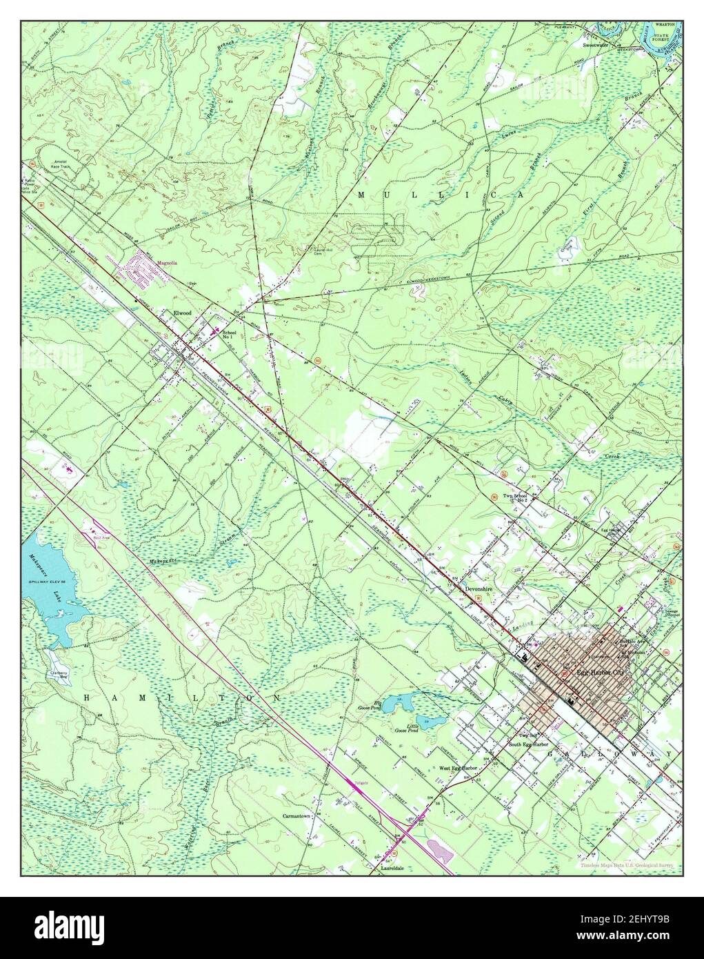 Egg Harbor City, New Jersey, map 1956, 1:24000, United States of America by Timeless Maps, data U.S. Geological Survey Stock Photohttps://www.alamy.com/image-license-details/?v=1https://www.alamy.com/egg-harbor-city-new-jersey-map-1956-124000-united-states-of-america-by-timeless-maps-data-us-geological-survey-image406899399.html
RM2EHYT9B–Egg Harbor City, New Jersey, map 1956, 1:24000, United States of America by Timeless Maps, data U.S. Geological Survey
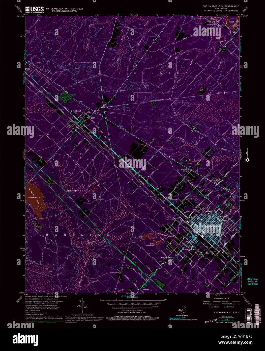 USGS TOPO Map New Jersey NJ Egg Harbor City 254340 1956 24000 Inverted Restoration Stock Photohttps://www.alamy.com/image-license-details/?v=1https://www.alamy.com/usgs-topo-map-new-jersey-nj-egg-harbor-city-254340-1956-24000-inverted-restoration-image268635449.html
RMWH1B75–USGS TOPO Map New Jersey NJ Egg Harbor City 254340 1956 24000 Inverted Restoration
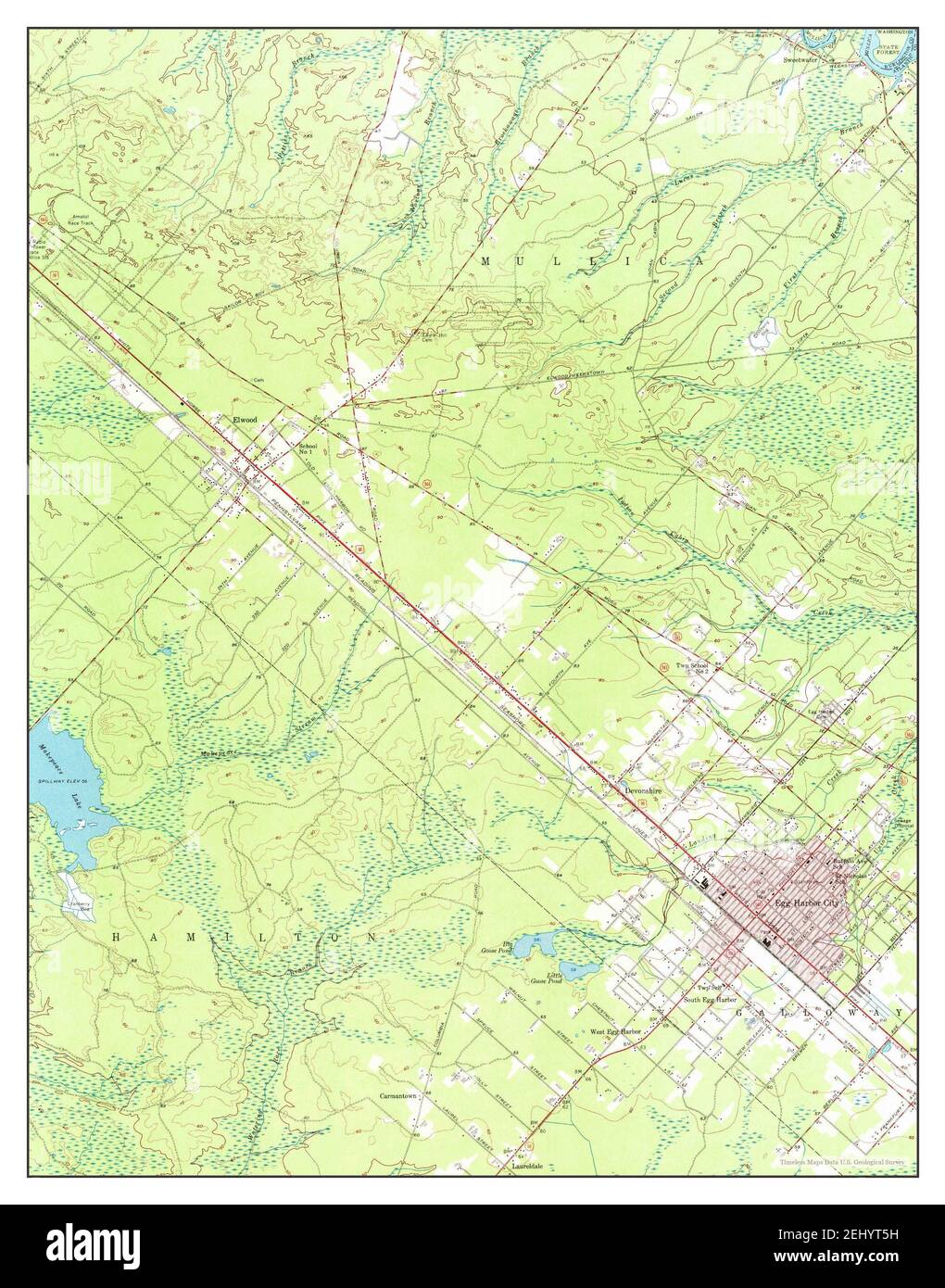 Egg Harbor City, New Jersey, map 1956, 1:24000, United States of America by Timeless Maps, data U.S. Geological Survey Stock Photohttps://www.alamy.com/image-license-details/?v=1https://www.alamy.com/egg-harbor-city-new-jersey-map-1956-124000-united-states-of-america-by-timeless-maps-data-us-geological-survey-image406899293.html
RM2EHYT5H–Egg Harbor City, New Jersey, map 1956, 1:24000, United States of America by Timeless Maps, data U.S. Geological Survey
 Egg Harbor City, New Jersey, map 1956, 1:24000, United States of America by Timeless Maps, data U.S. Geological Survey Stock Photohttps://www.alamy.com/image-license-details/?v=1https://www.alamy.com/egg-harbor-city-new-jersey-map-1956-124000-united-states-of-america-by-timeless-maps-data-us-geological-survey-image406899396.html
RM2EHYT98–Egg Harbor City, New Jersey, map 1956, 1:24000, United States of America by Timeless Maps, data U.S. Geological Survey
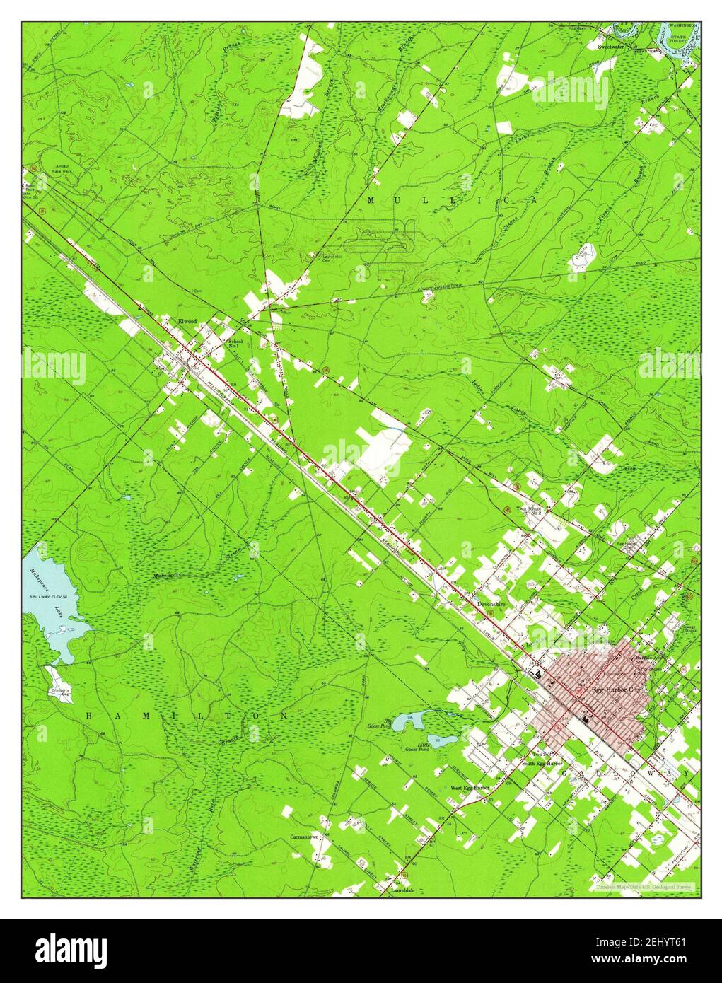 Egg Harbor City, New Jersey, map 1956, 1:24000, United States of America by Timeless Maps, data U.S. Geological Survey Stock Photohttps://www.alamy.com/image-license-details/?v=1https://www.alamy.com/egg-harbor-city-new-jersey-map-1956-124000-united-states-of-america-by-timeless-maps-data-us-geological-survey-image406899305.html
RM2EHYT61–Egg Harbor City, New Jersey, map 1956, 1:24000, United States of America by Timeless Maps, data U.S. Geological Survey
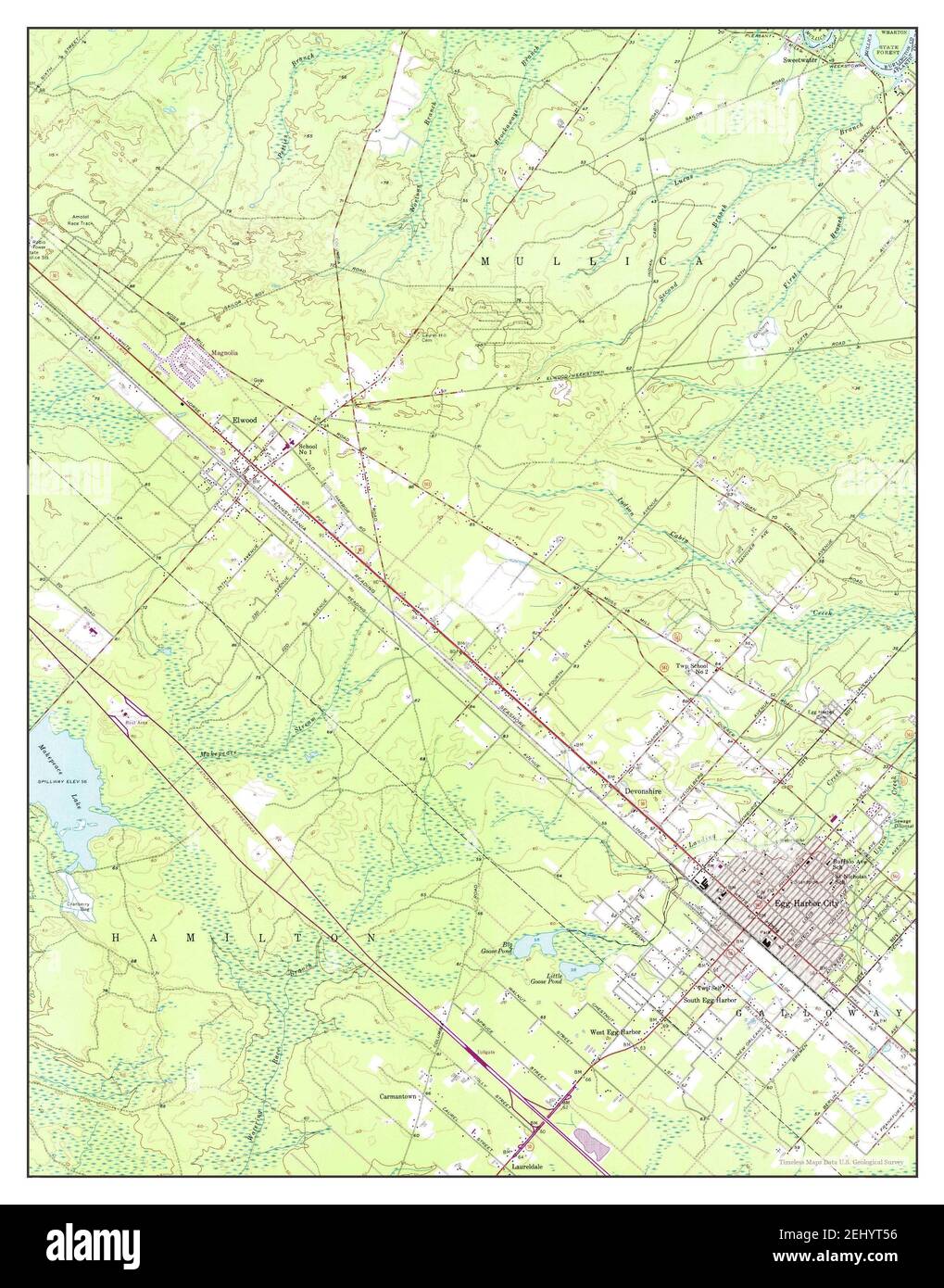 Egg Harbor City, New Jersey, map 1956, 1:24000, United States of America by Timeless Maps, data U.S. Geological Survey Stock Photohttps://www.alamy.com/image-license-details/?v=1https://www.alamy.com/egg-harbor-city-new-jersey-map-1956-124000-united-states-of-america-by-timeless-maps-data-us-geological-survey-image406899282.html
RM2EHYT56–Egg Harbor City, New Jersey, map 1956, 1:24000, United States of America by Timeless Maps, data U.S. Geological Survey